







Schönfeldspitze in the stone sea (Saalfelden)

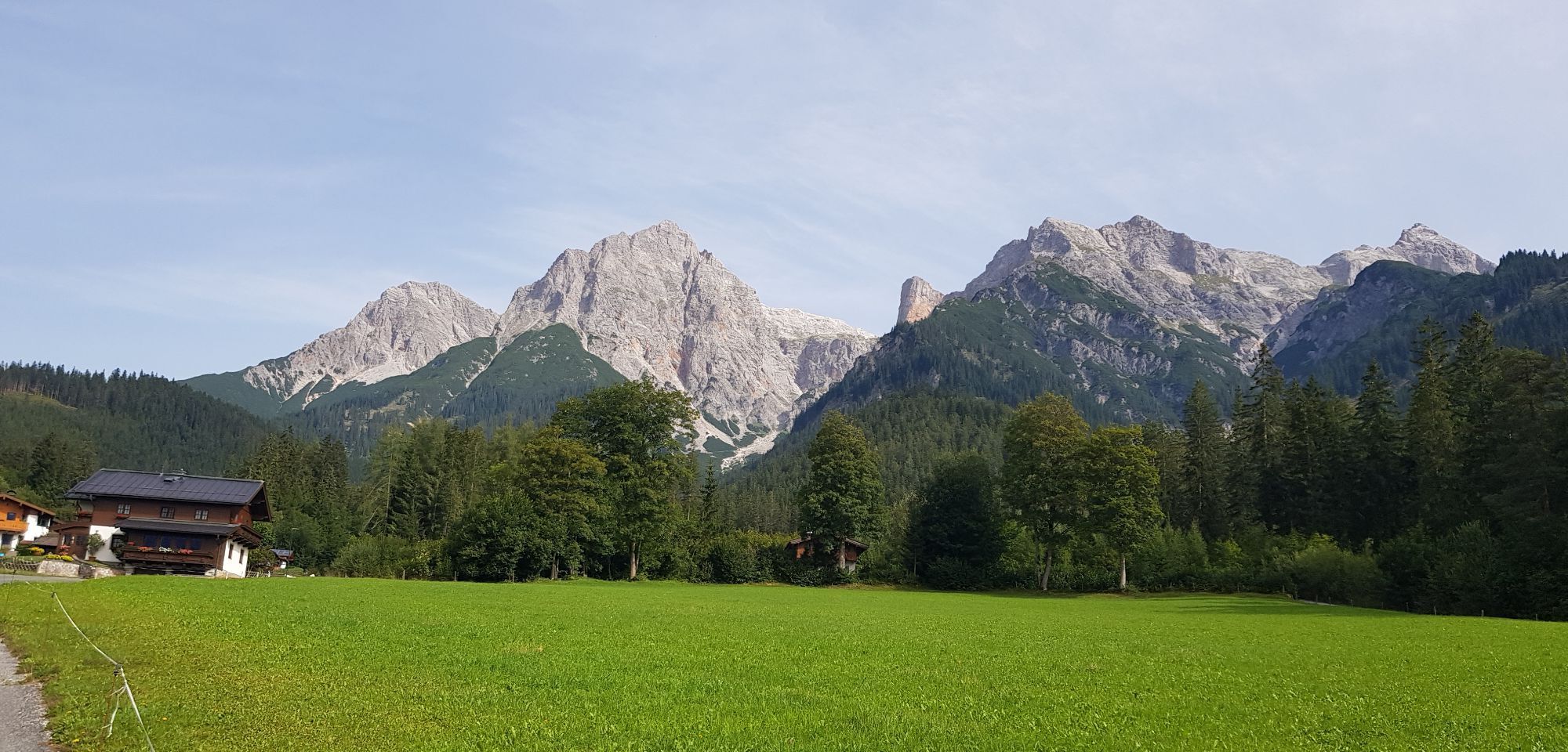
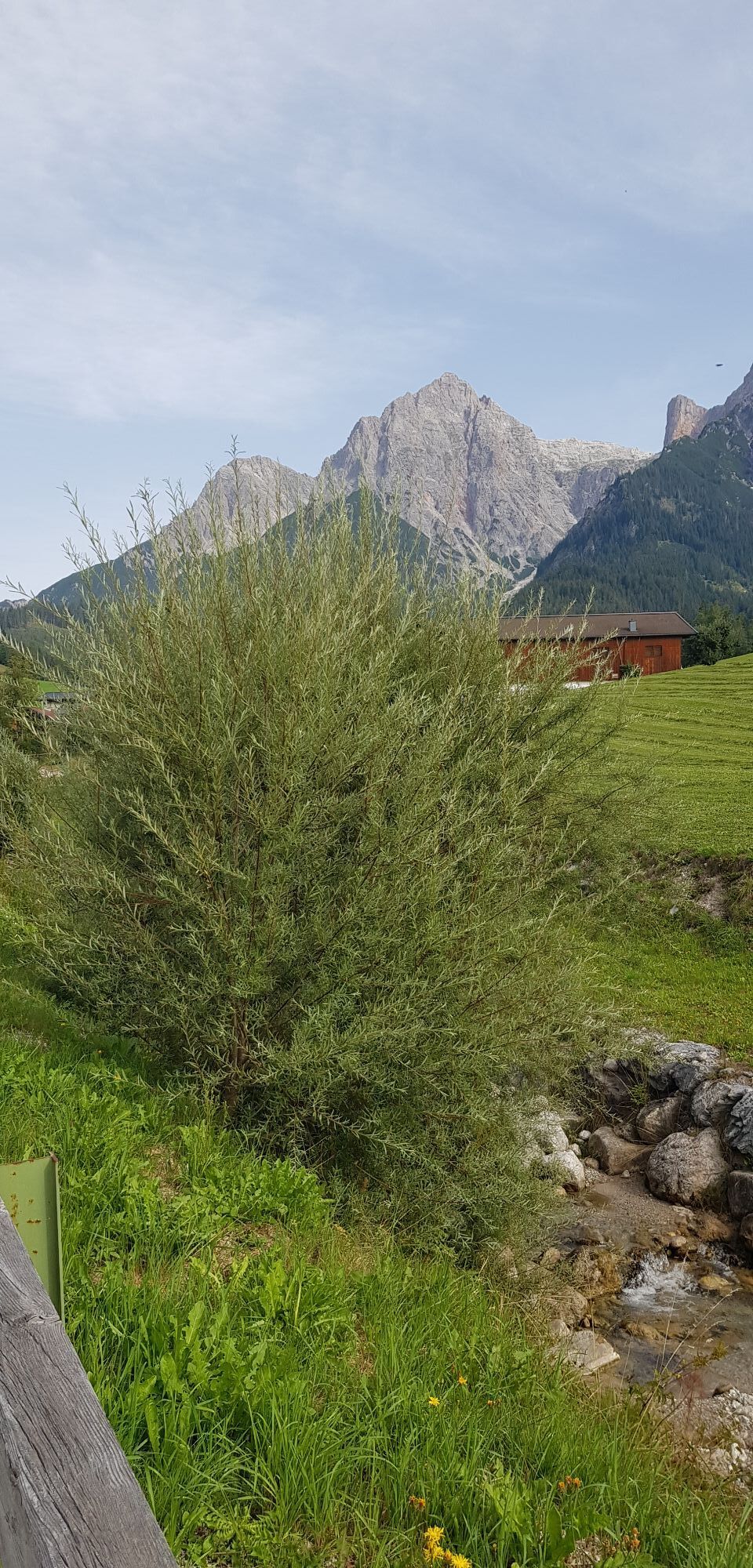
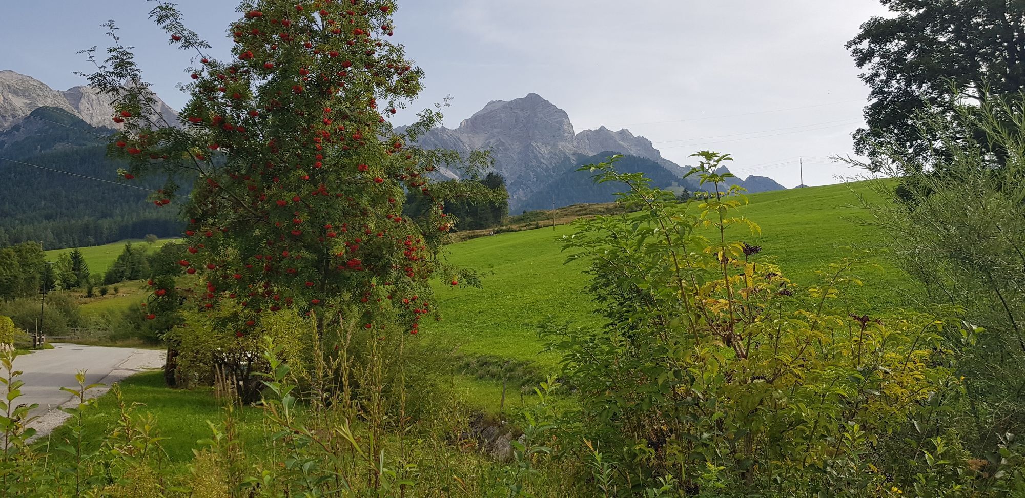

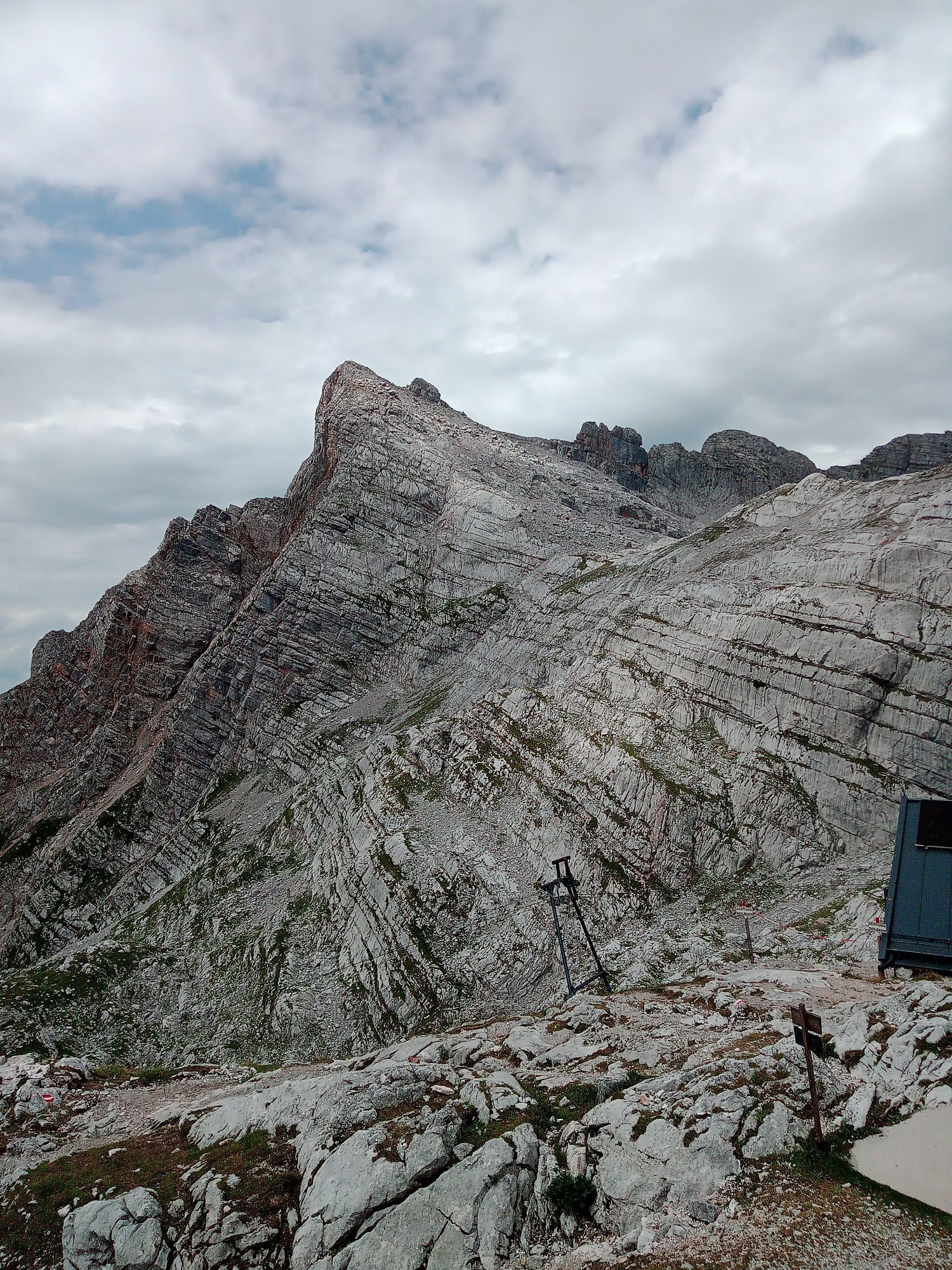
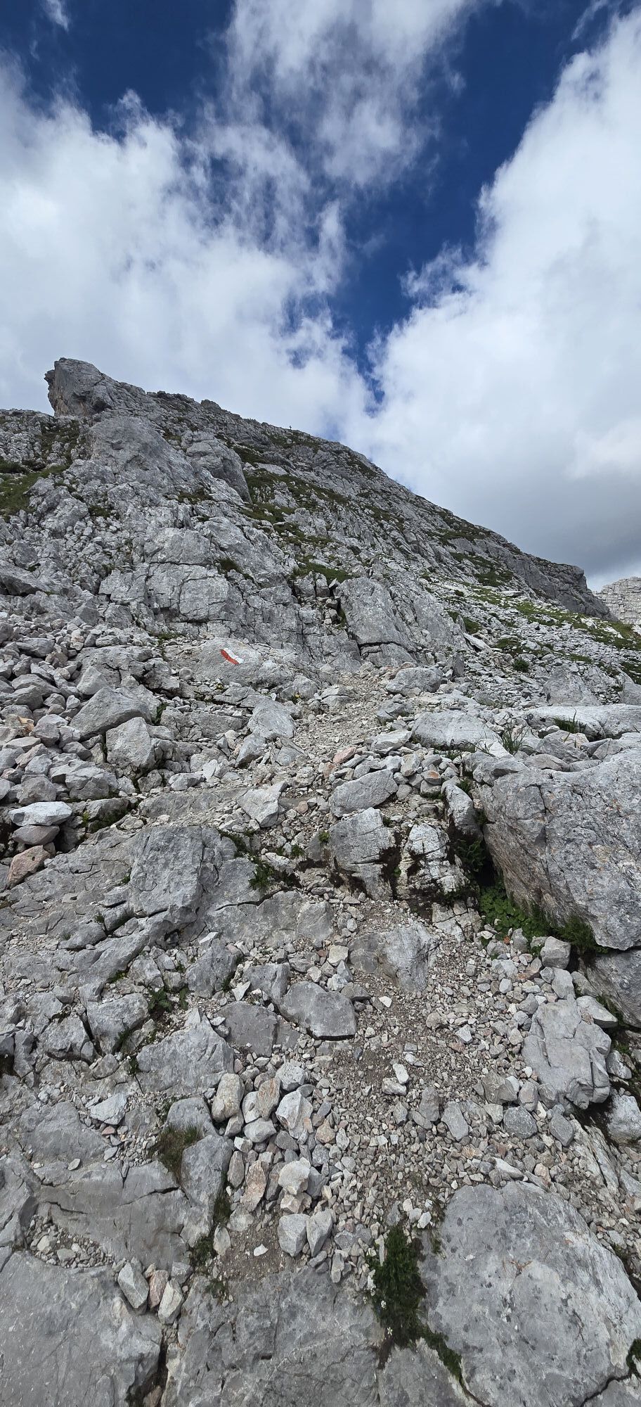
The Schönfeldspitze (2653 m) is only the second-highest peak in the stone sea behind the Selbhorn (2655 m), but due to its pyramid shape is the most striking peak of the mountain group. Perhaps you have...
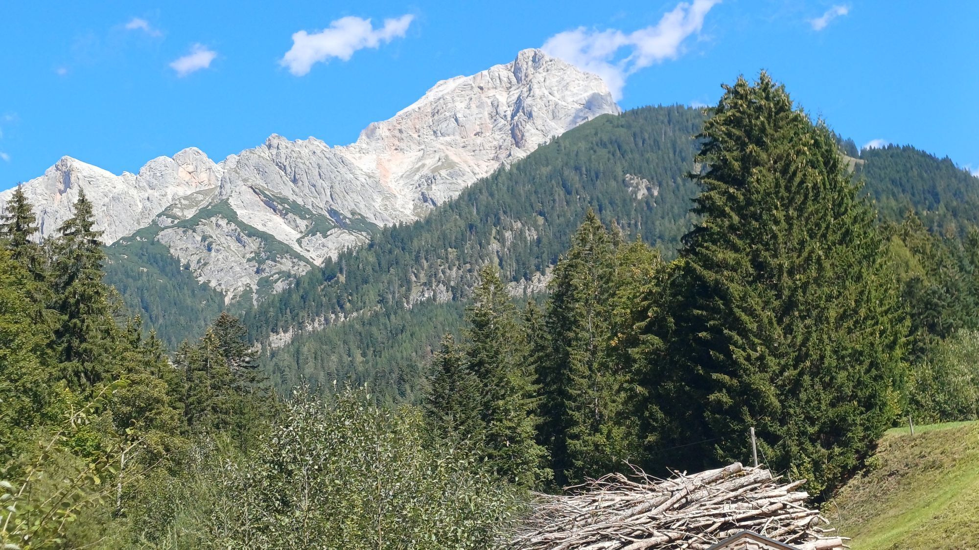
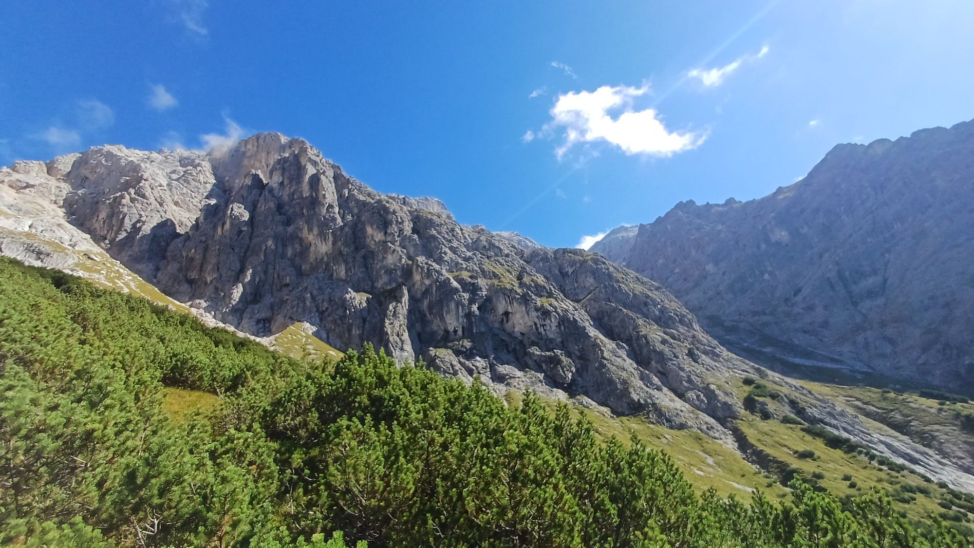
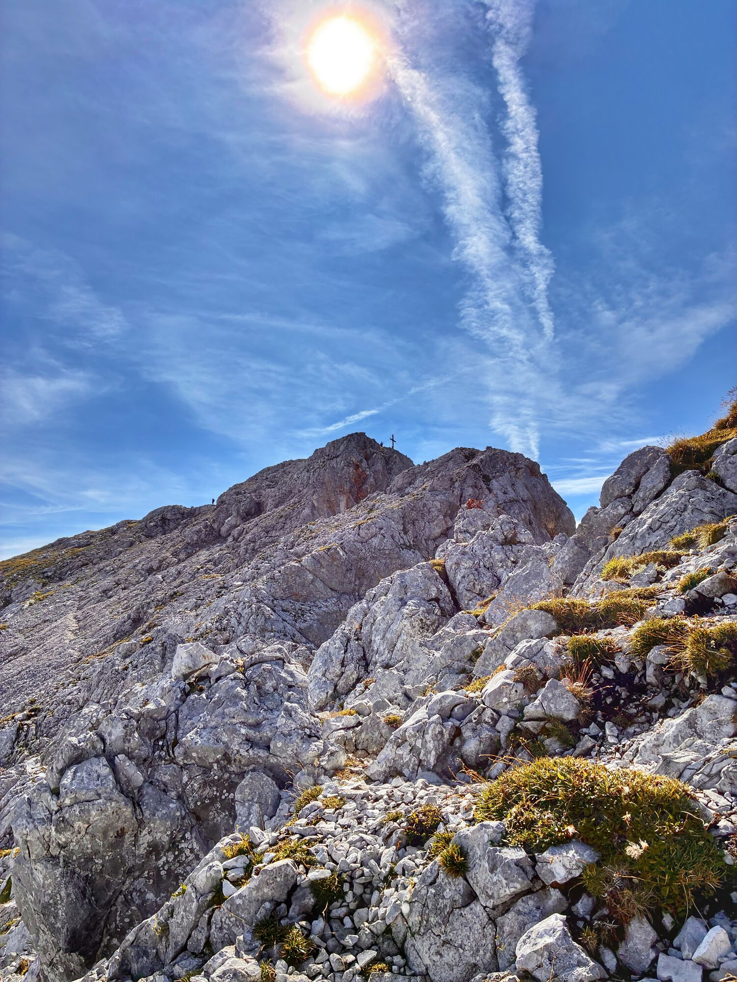
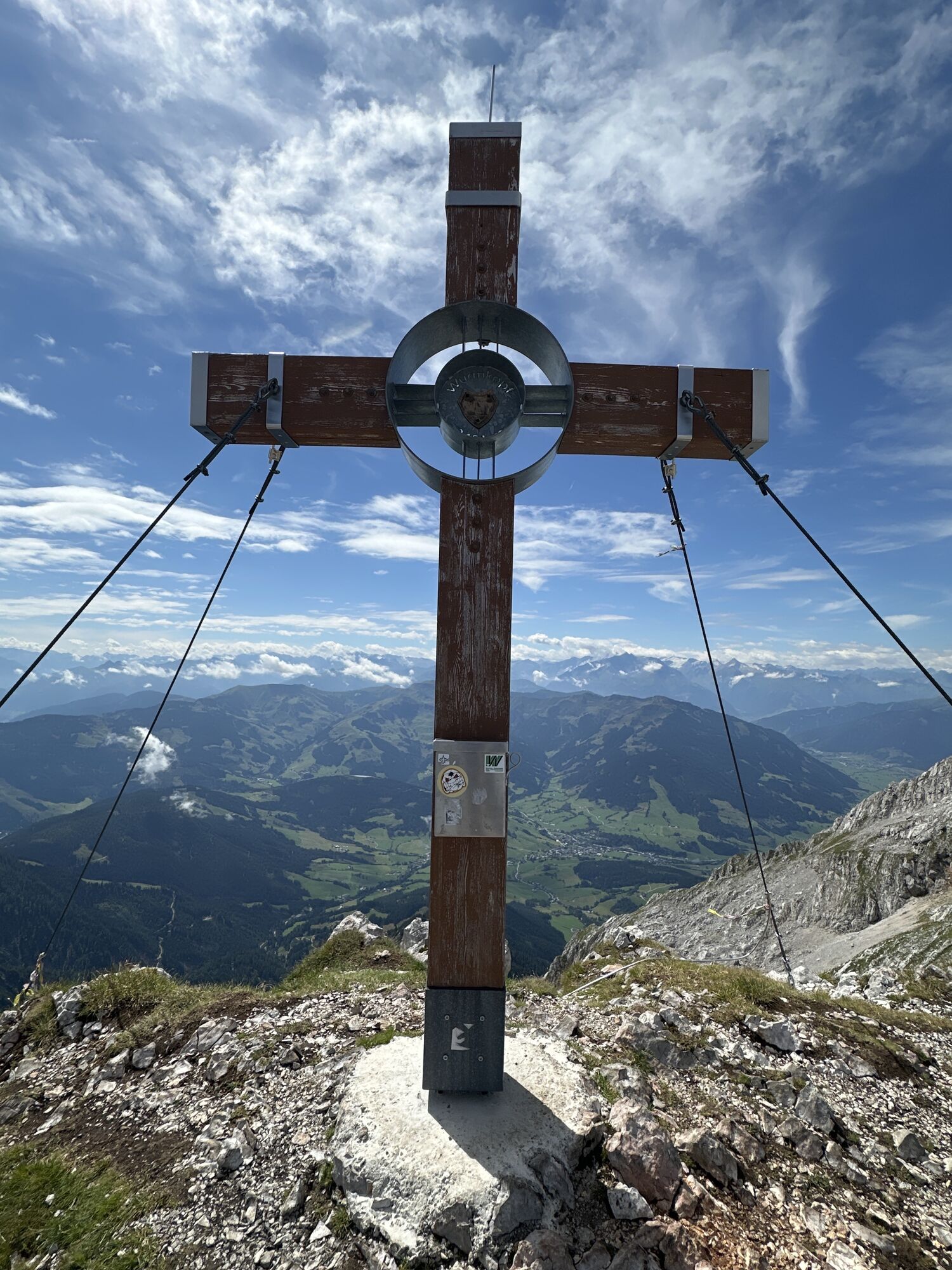
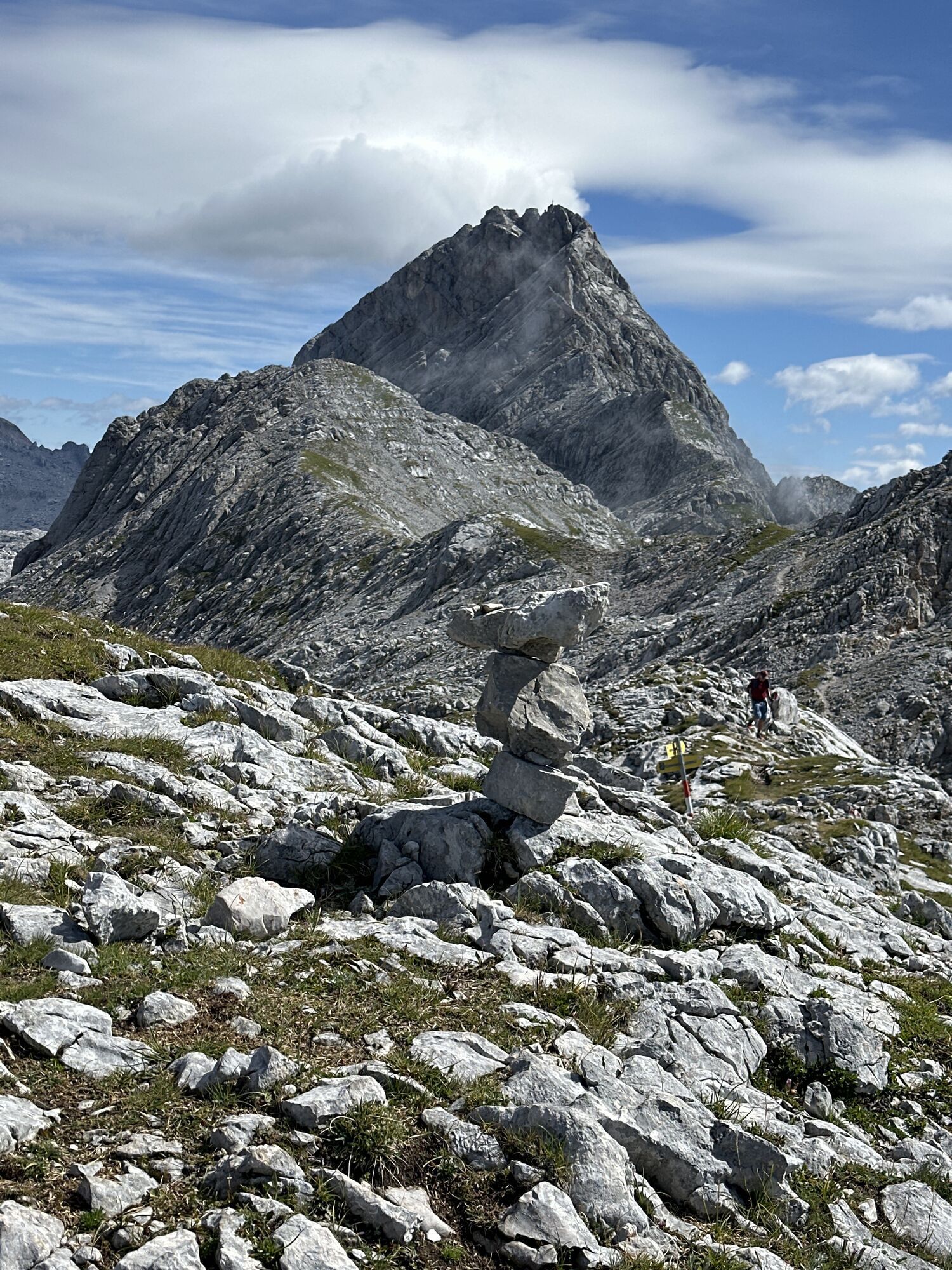
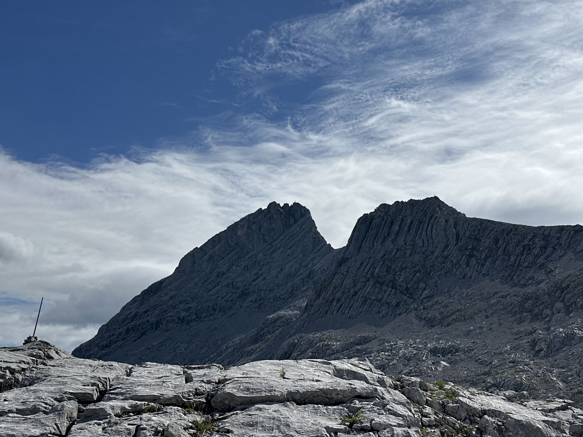
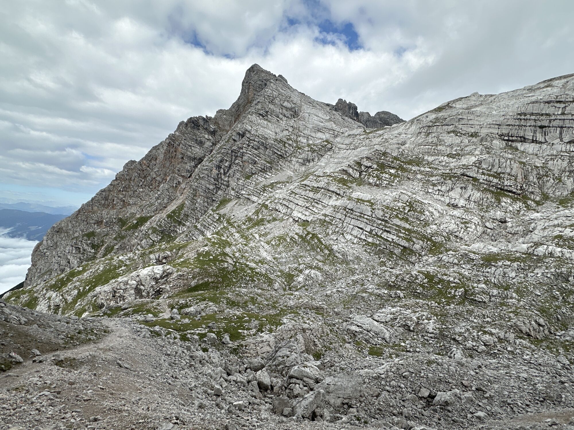
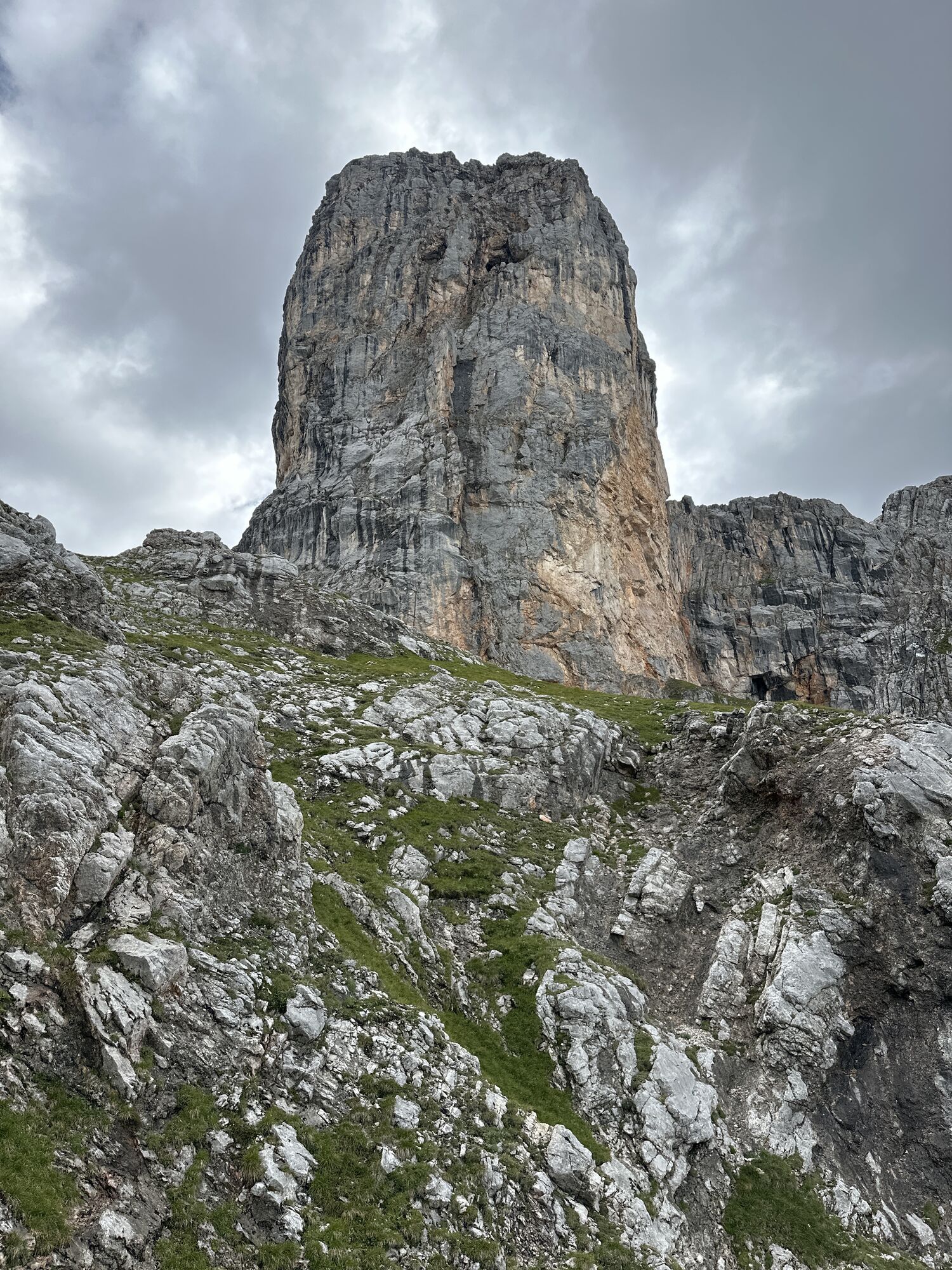
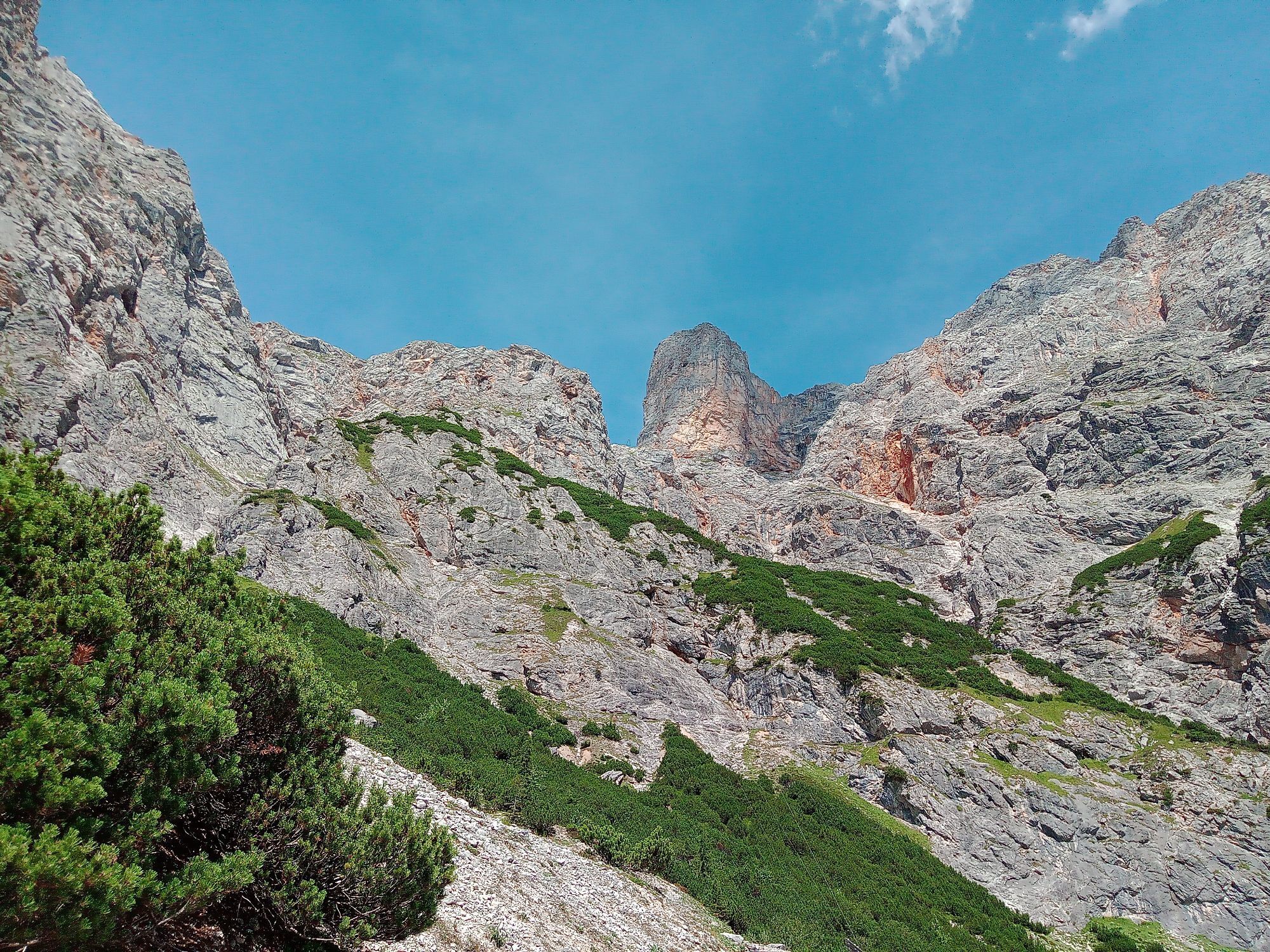
The Schönfeldspitze (2653 m) is only the second-highest peak in the stone sea behind the Selbhorn (2655 m), but due to its pyramid shape is the most striking peak of the mountain group. Perhaps you have already seen the Schönfeldspitze from Salzburg Aigen or during a boat trip on the Königssee. The well-known wooden summit cross in the form of a Pietà was created by an artist from Maria Alm.
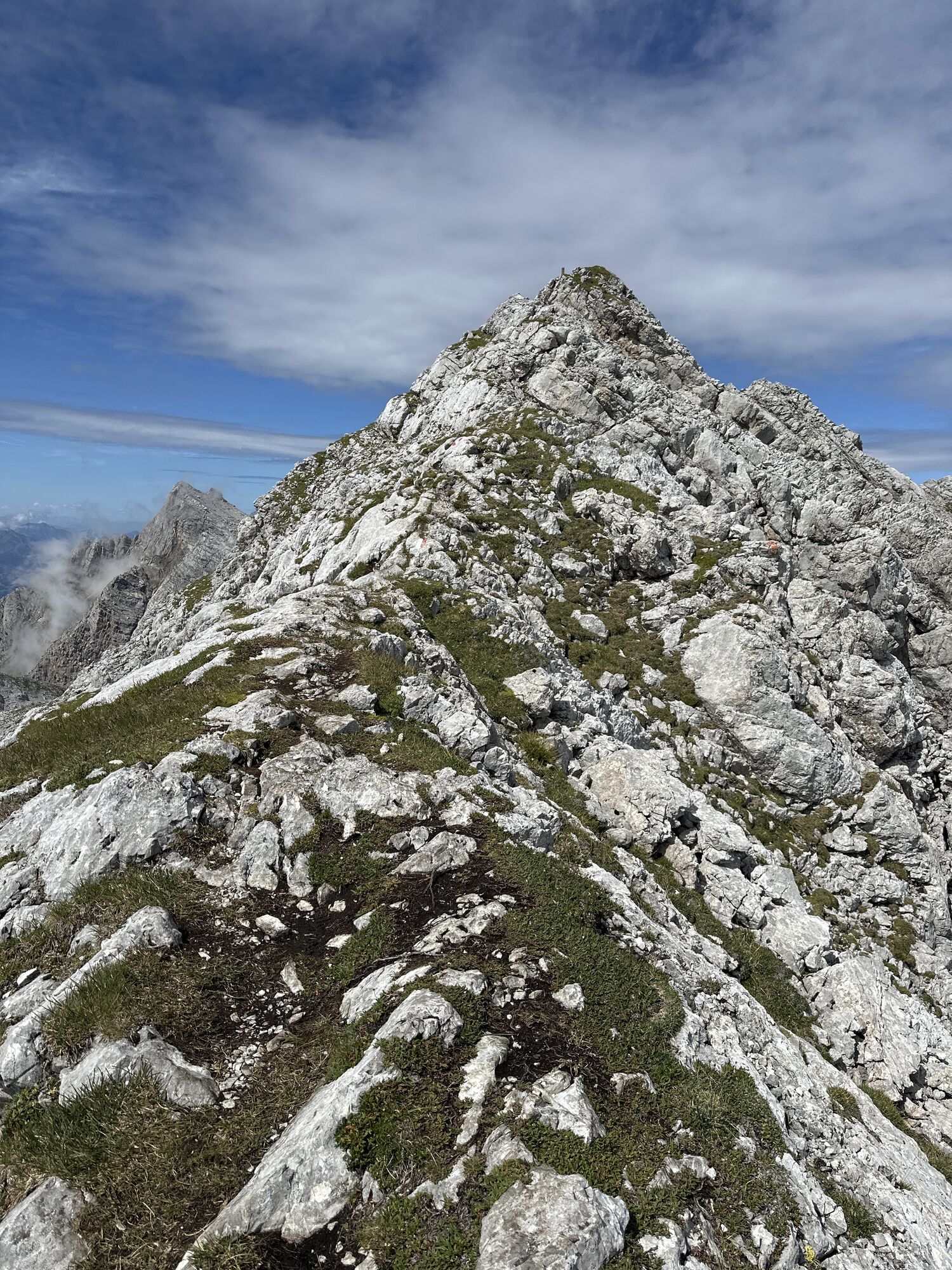
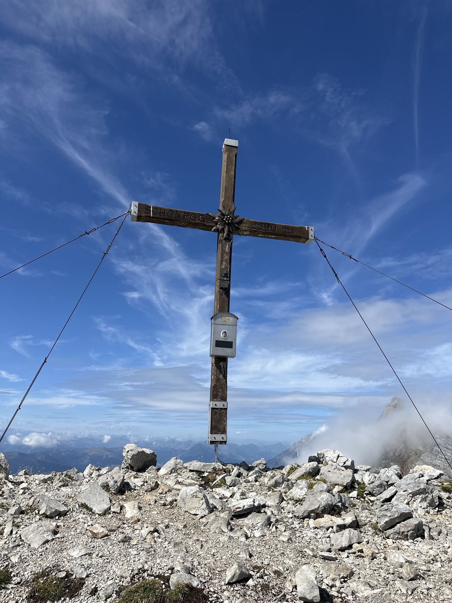
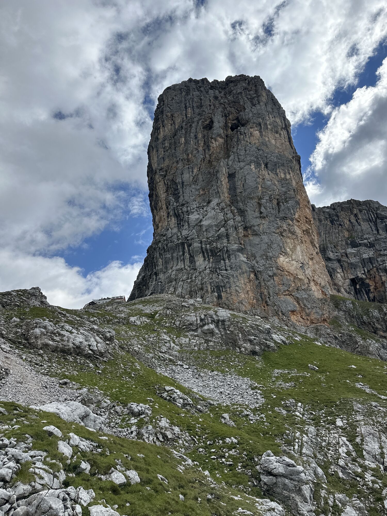
This circular route leads over four peaks visible from Saalfelden, which are connected by a ridge: the Sommerstein, the Schönegg, the Wurmkopf, and finally the Schönfeldspitze.
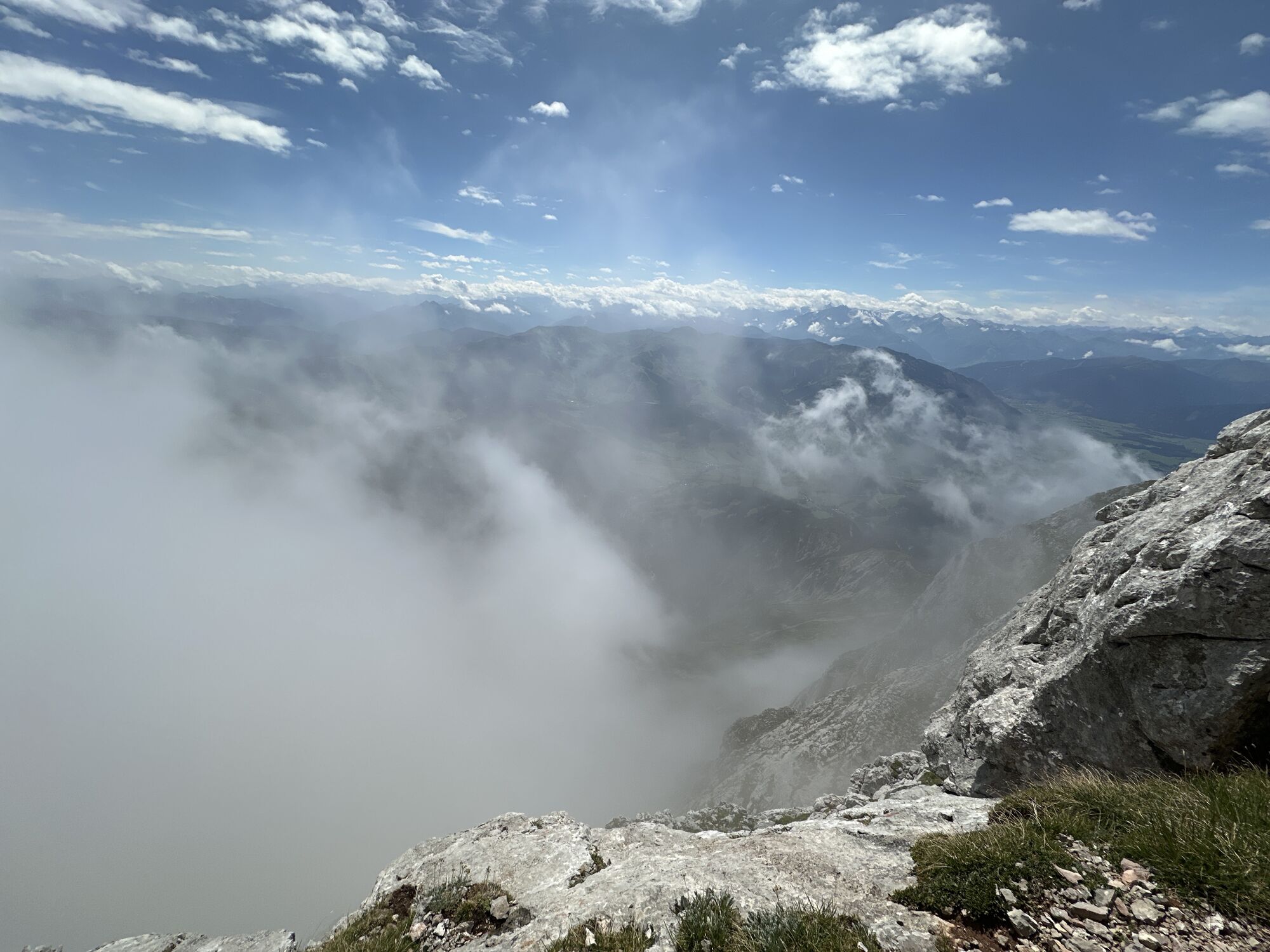
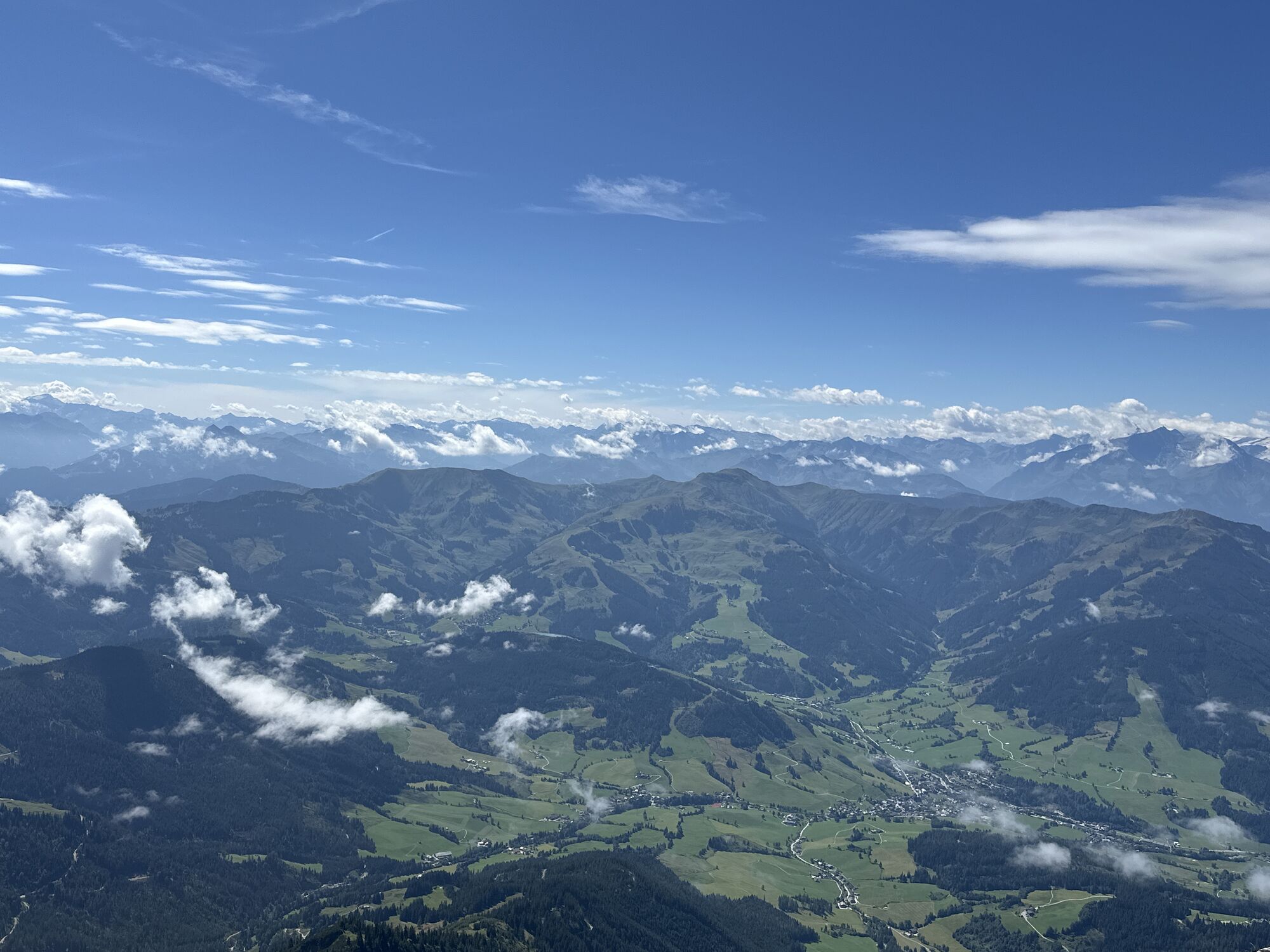
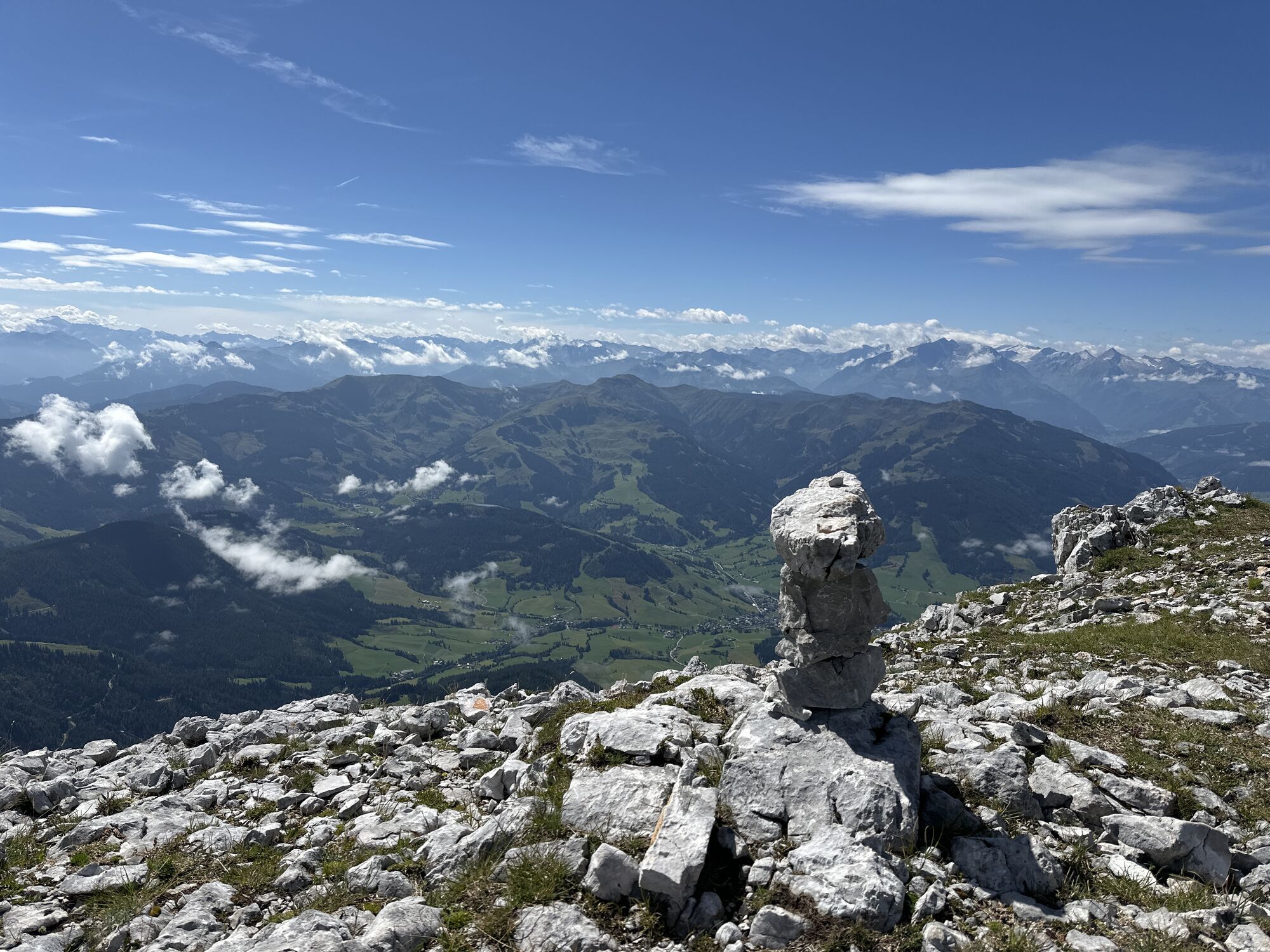
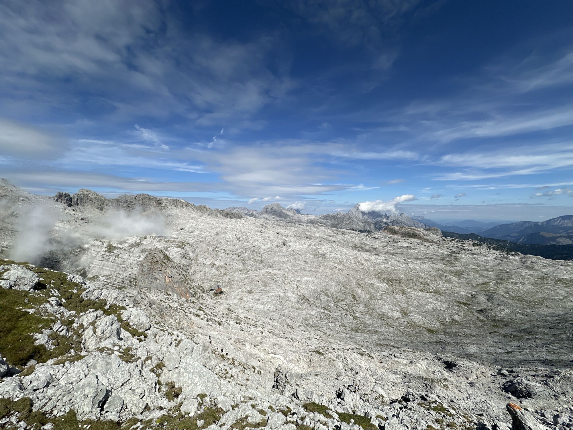
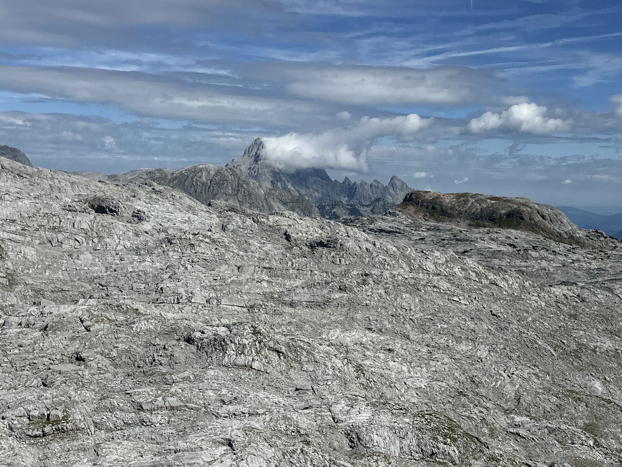
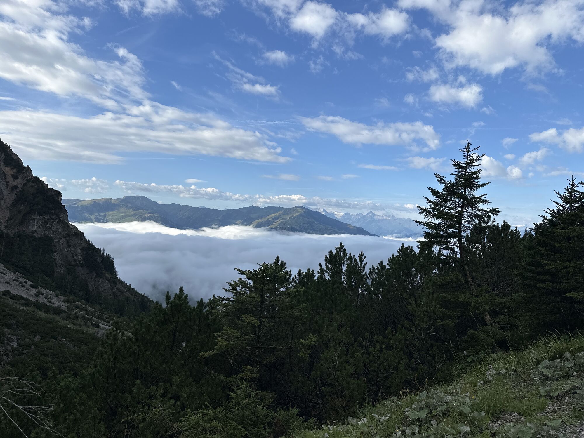
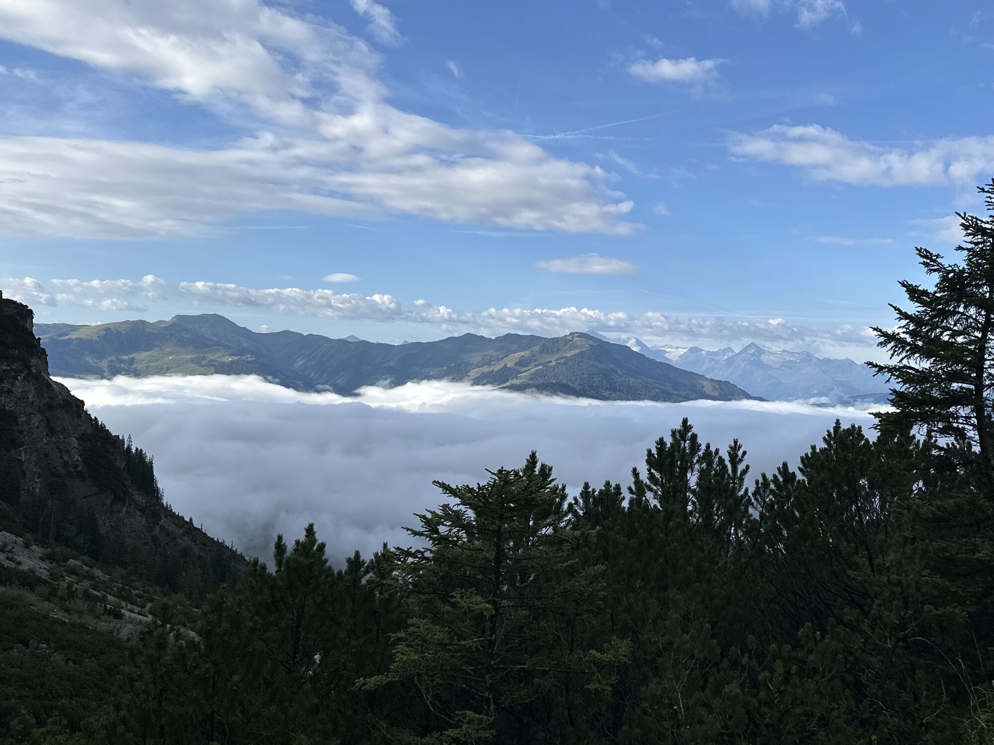
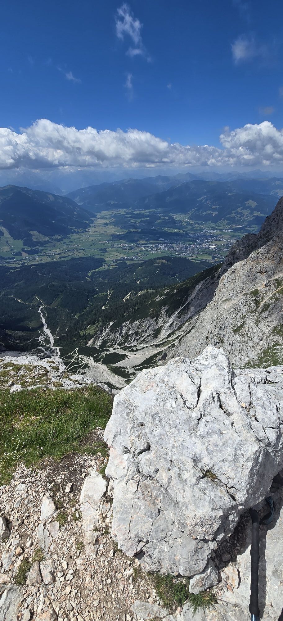
The view extends on one side into the Saalfelden Basin up to the Hohe Tauern and on the other side from the stone sea, a highly karstified high plateau with the Königssee at its feet, across the Berchtesgadener Alps with the Watzmann, the Hoher Göll, and the Hochkalter up to the Untersberg.
The route is suitable only for very experienced, enduring, surefooted, head-for-heights, and climbing-accustomed (unsecured 1+) hikers under stable and dry conditions.
Direct arrival and details at: salzburg-erfahren.at

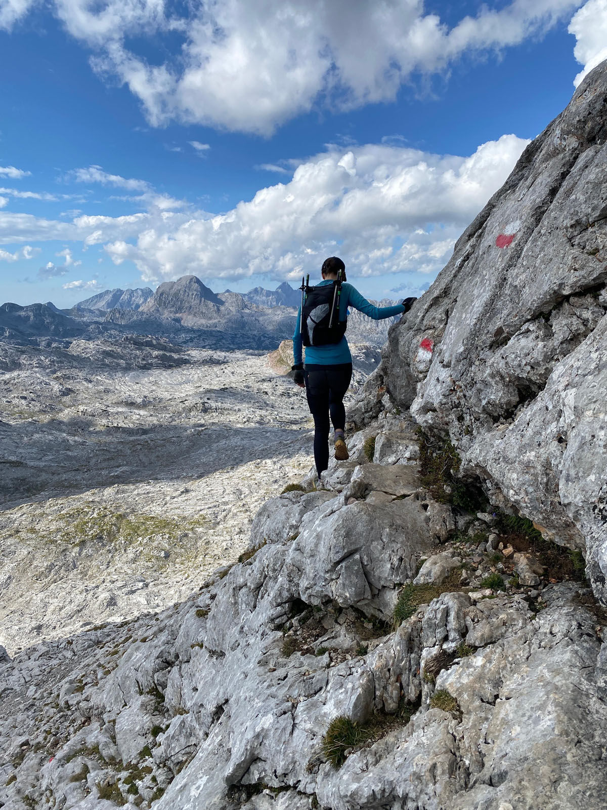
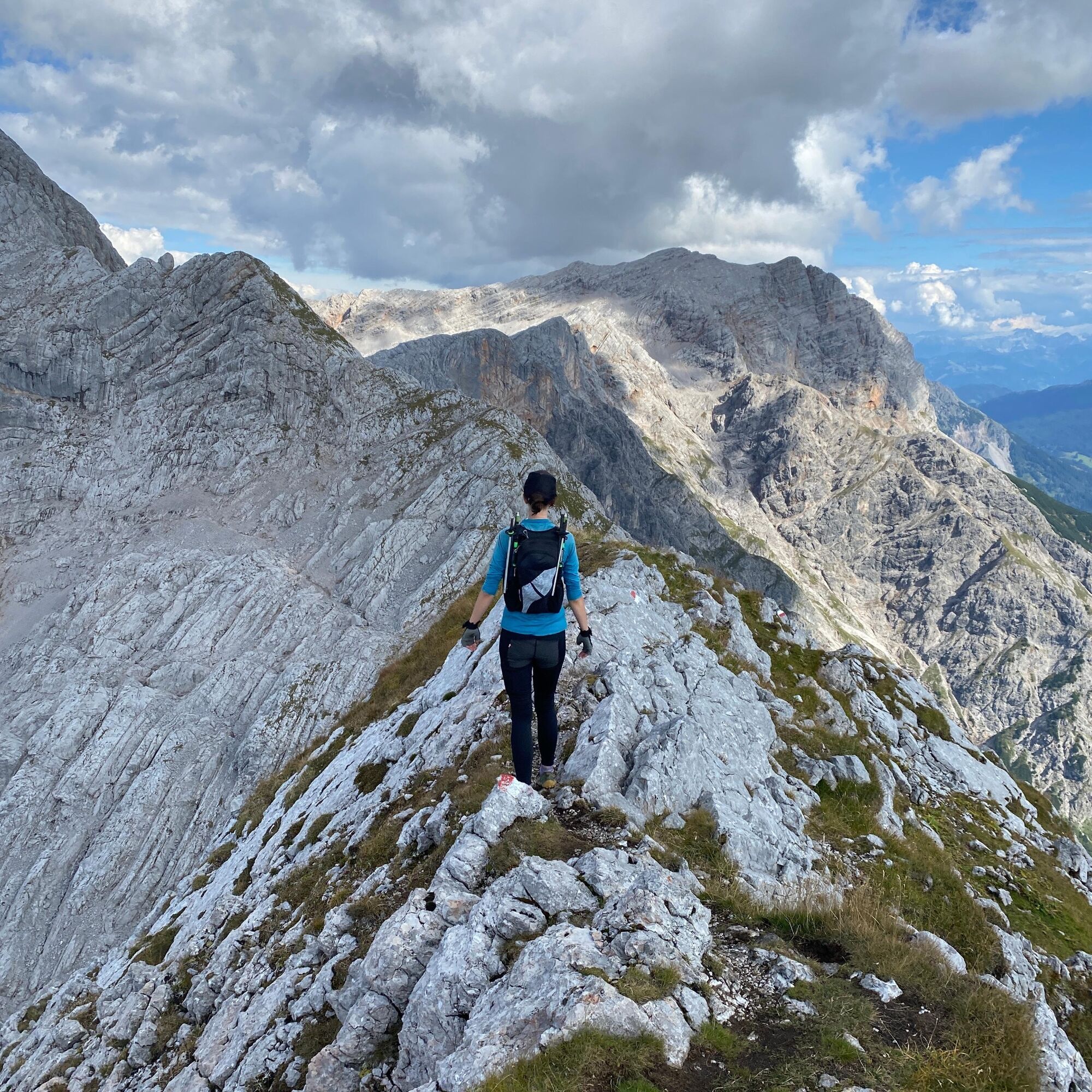
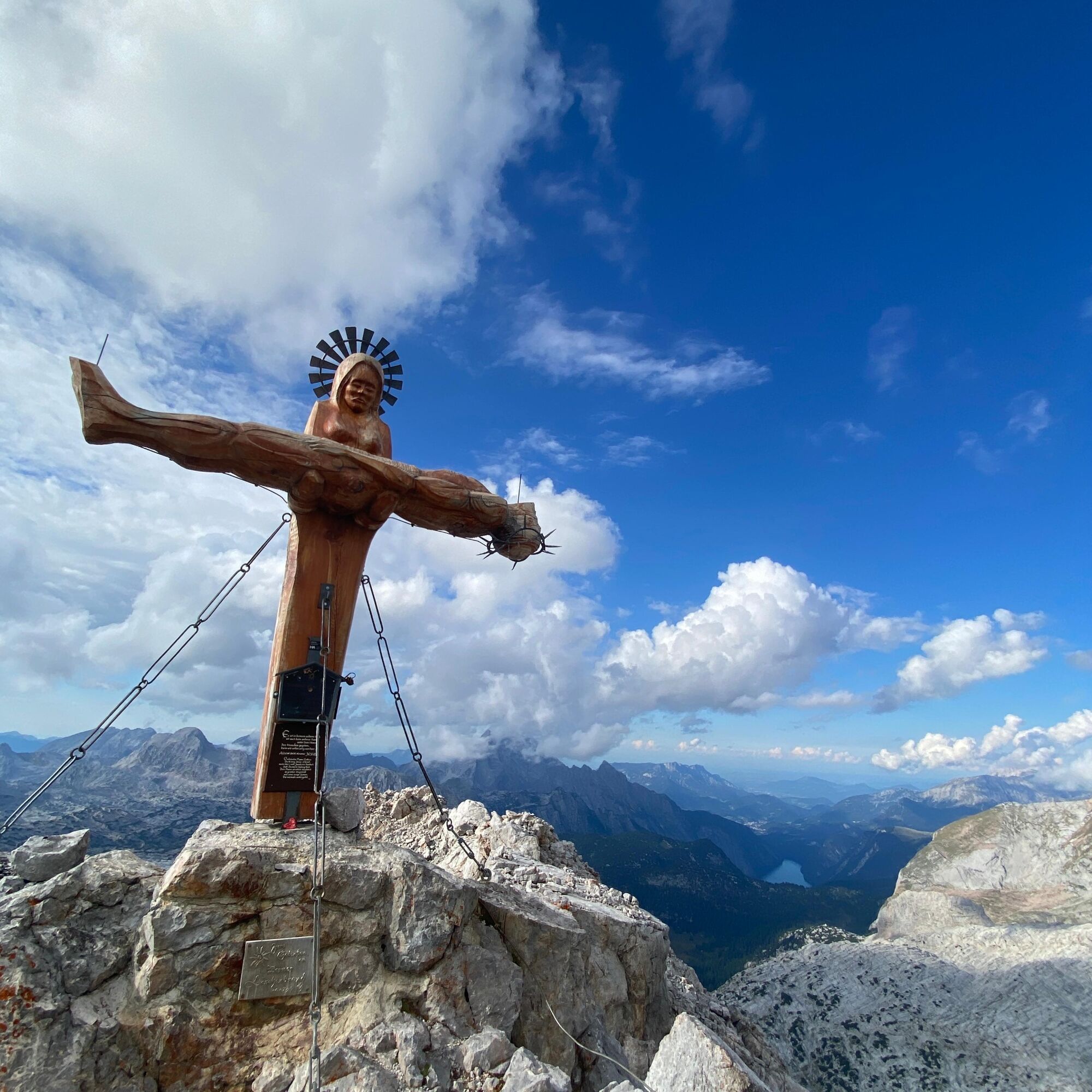
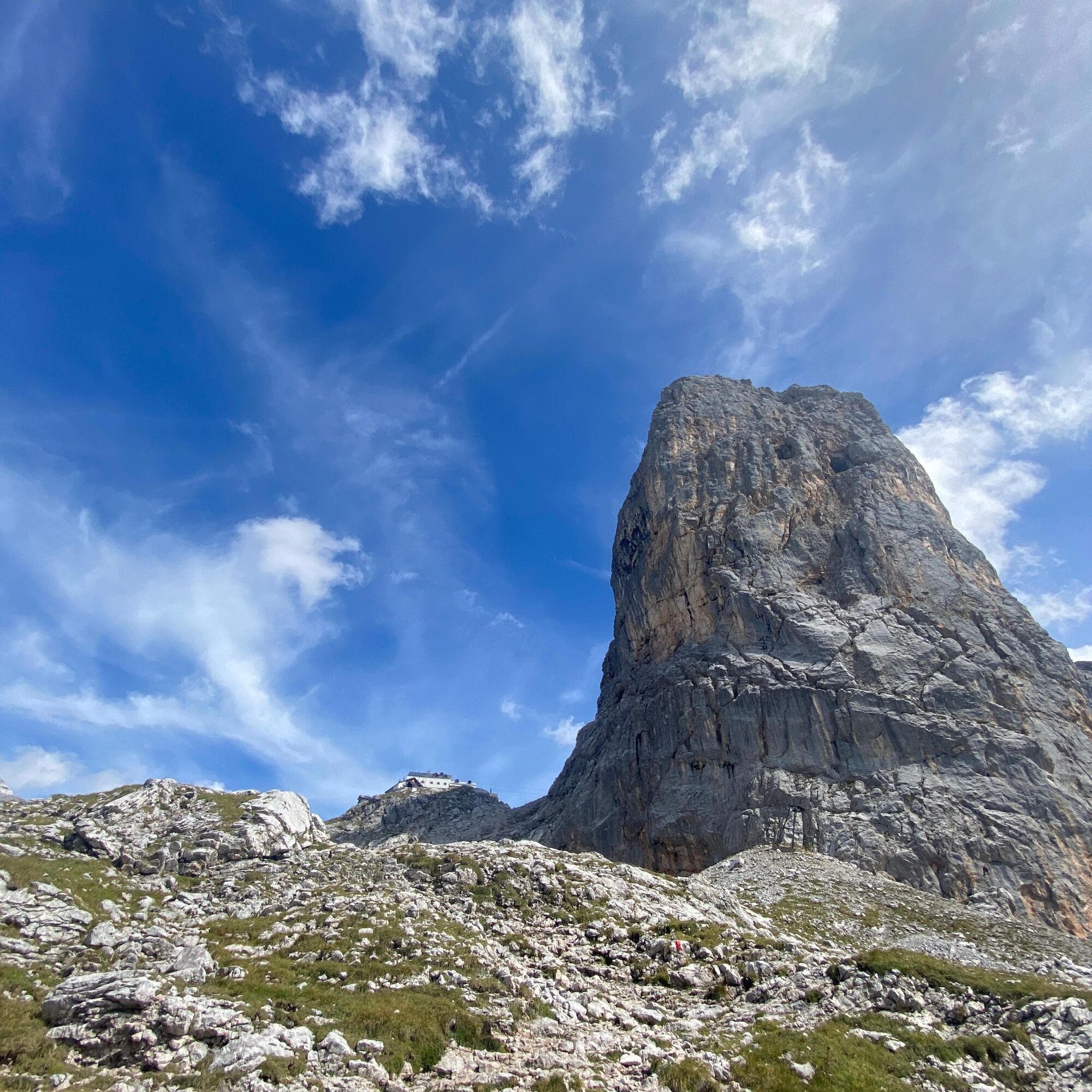
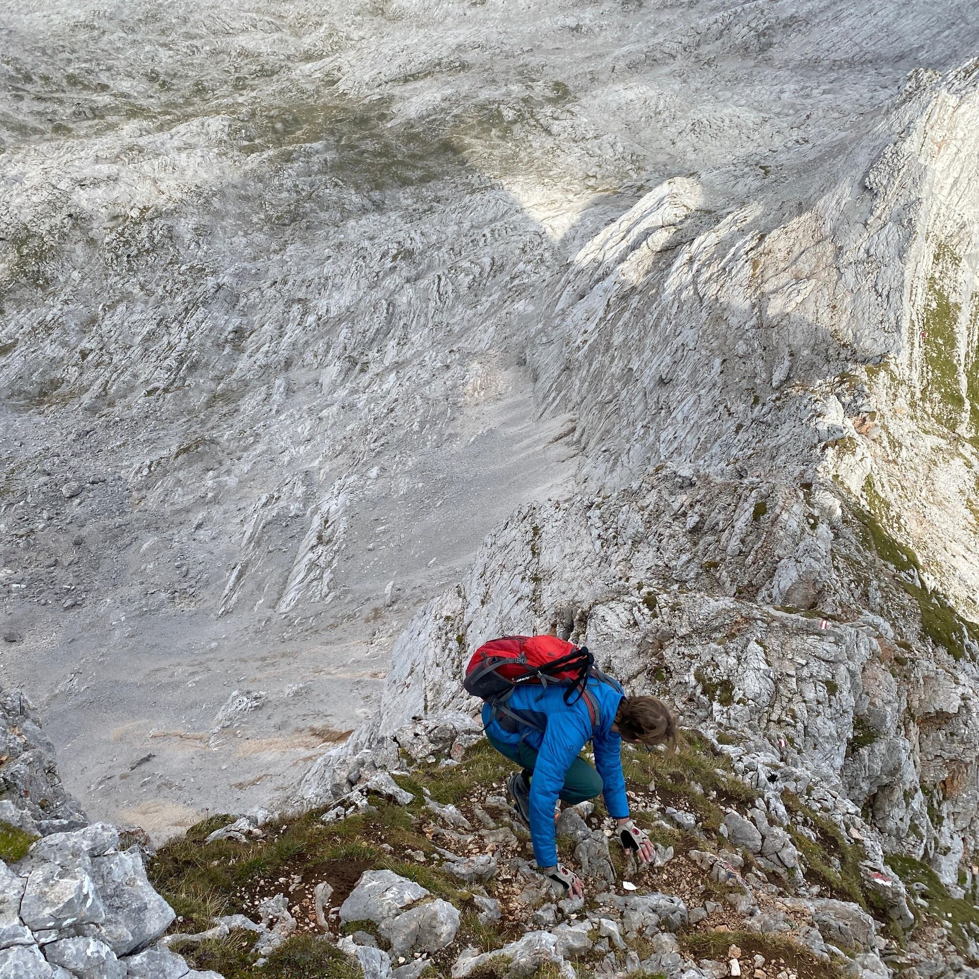
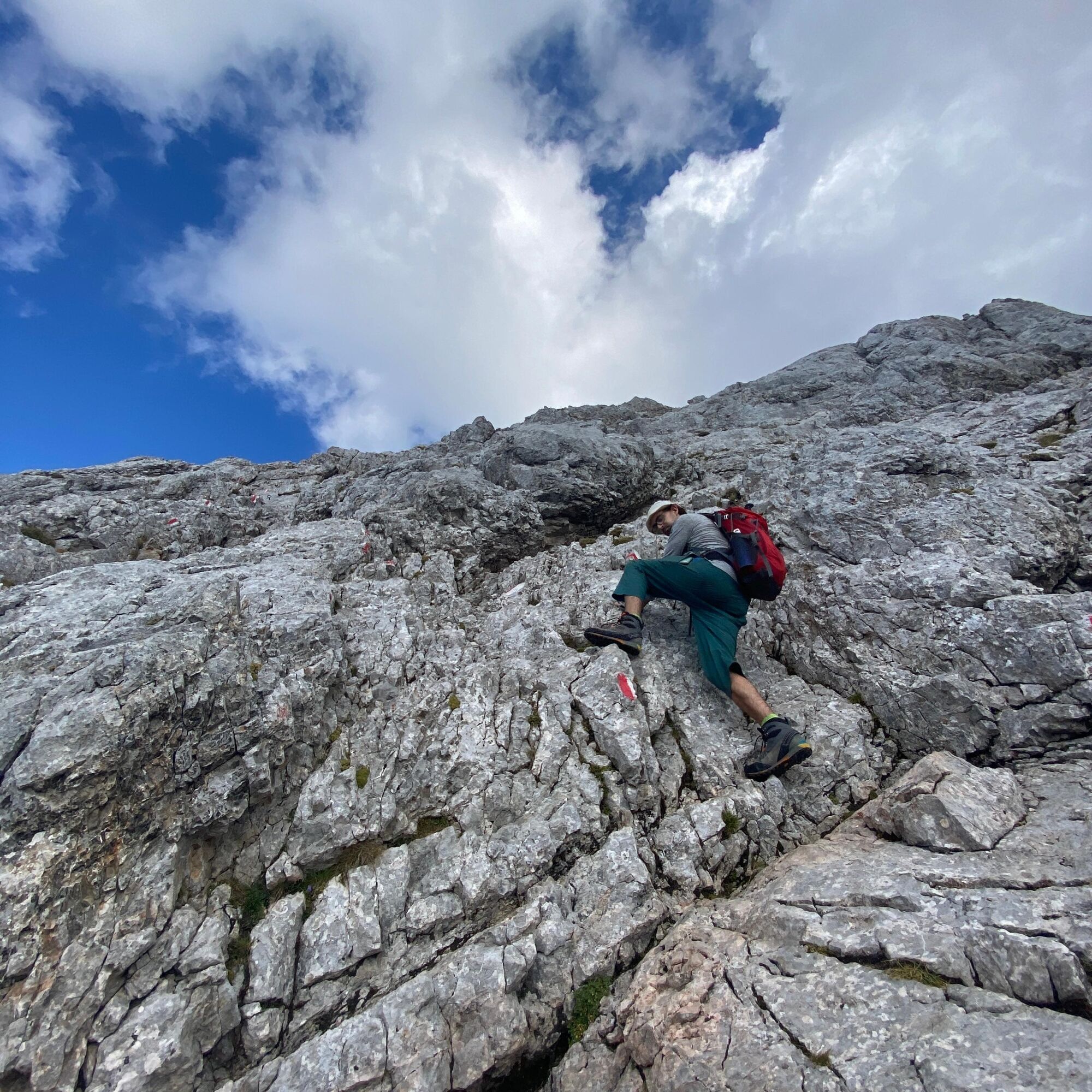

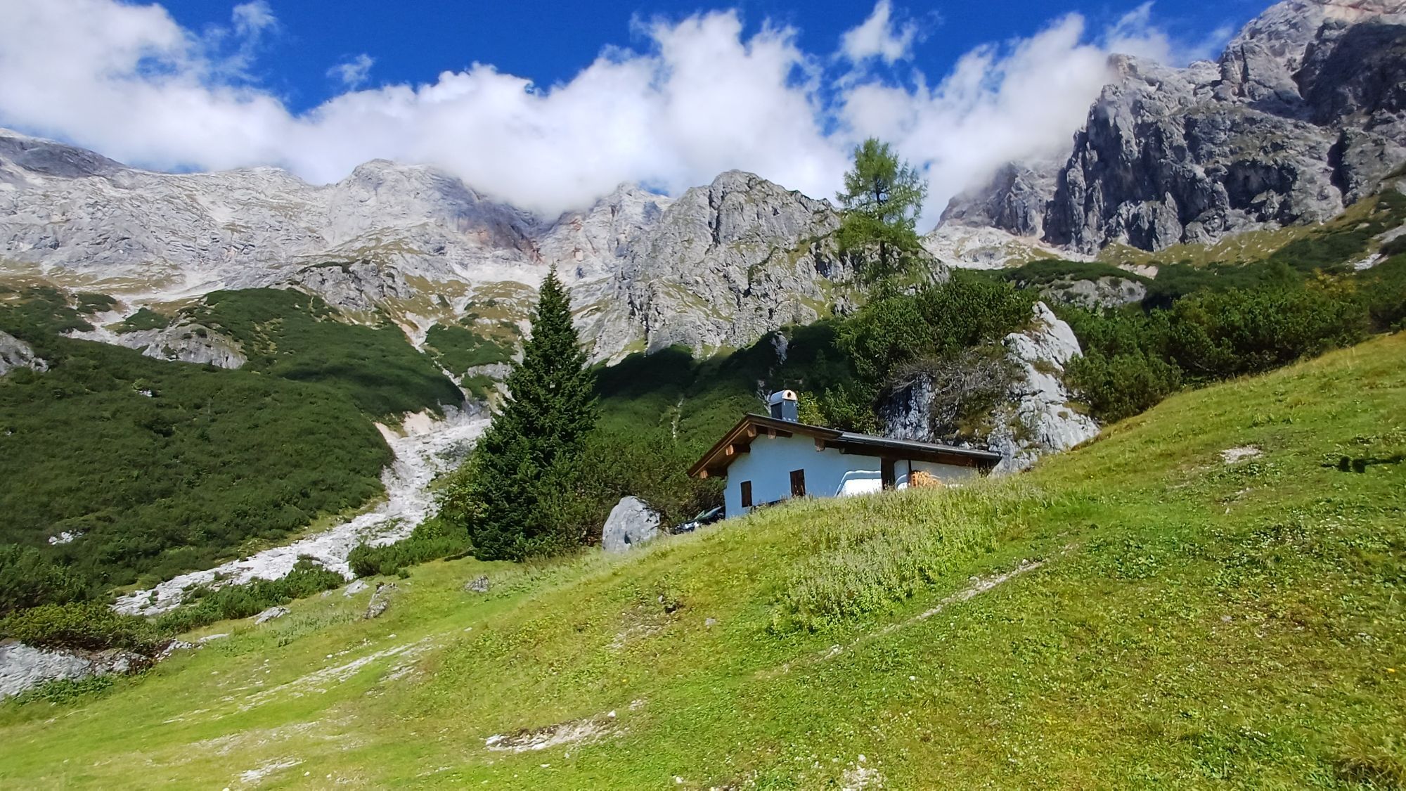
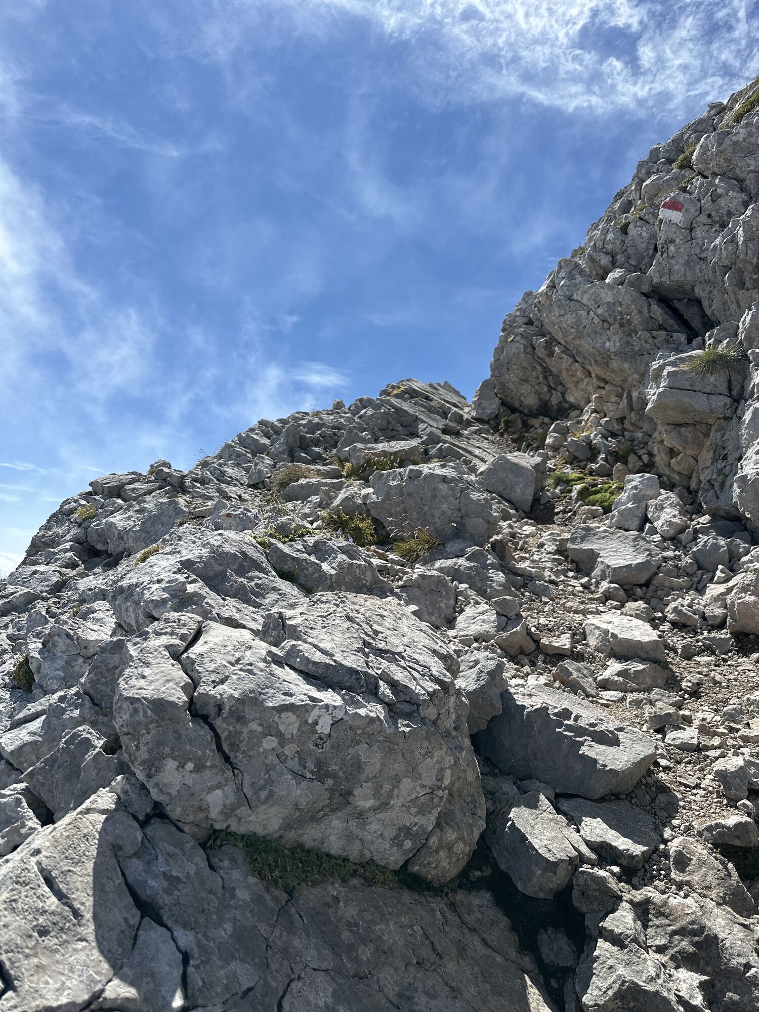
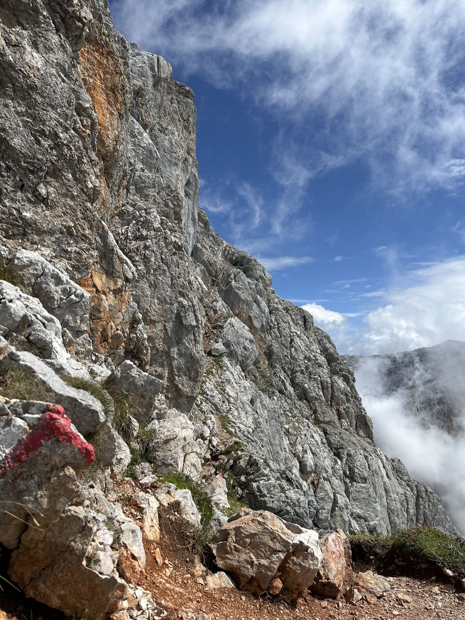
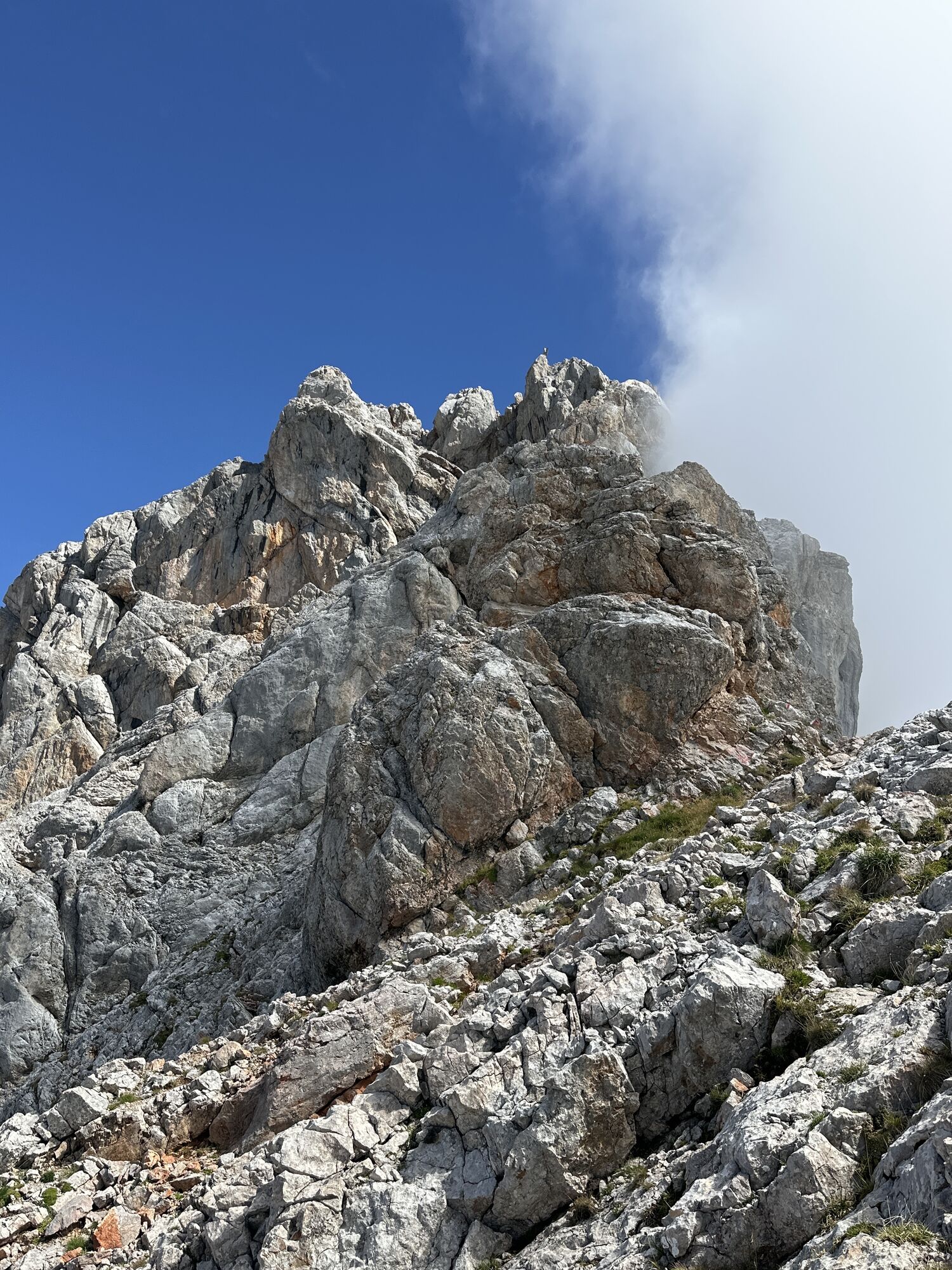
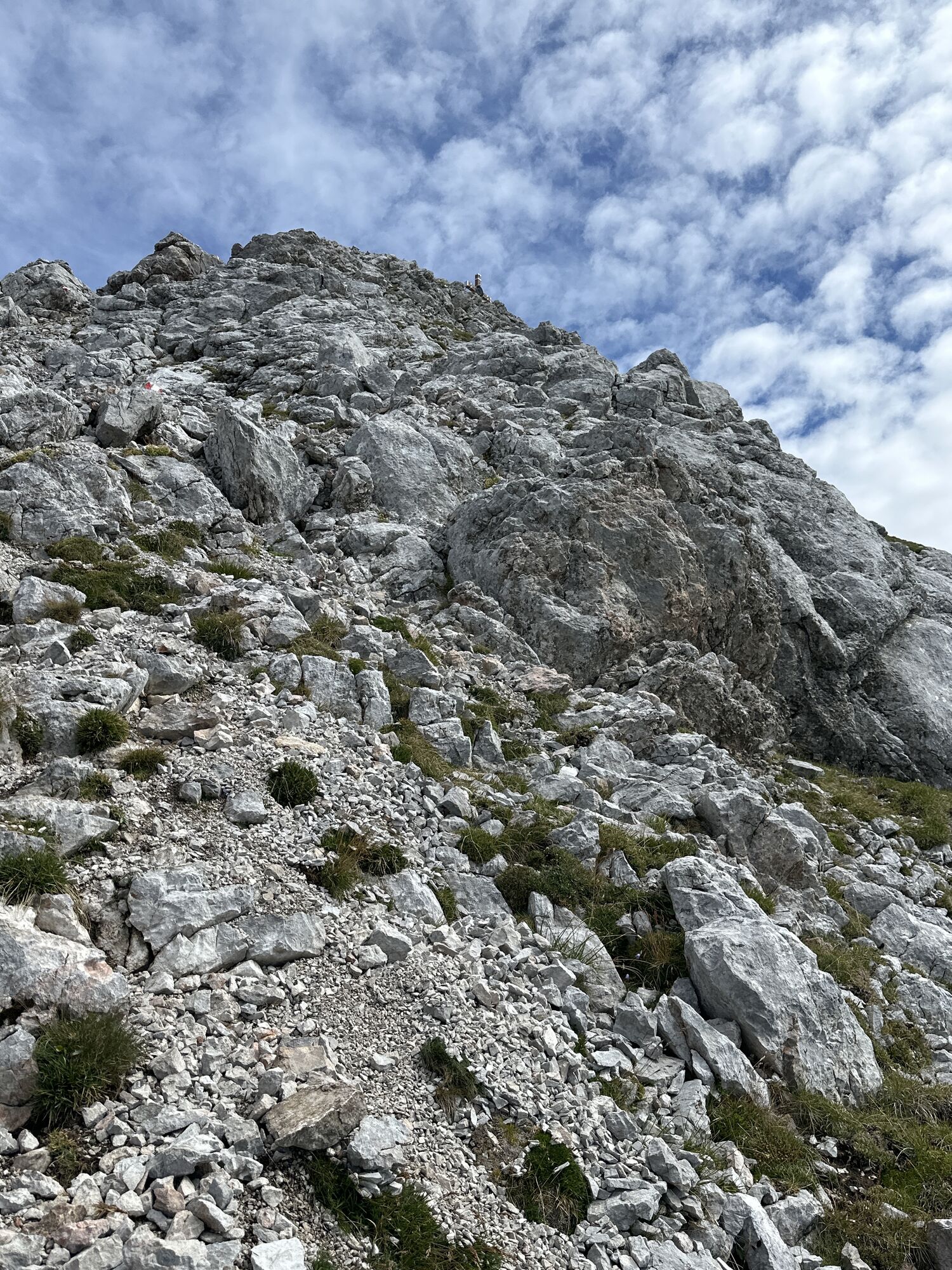
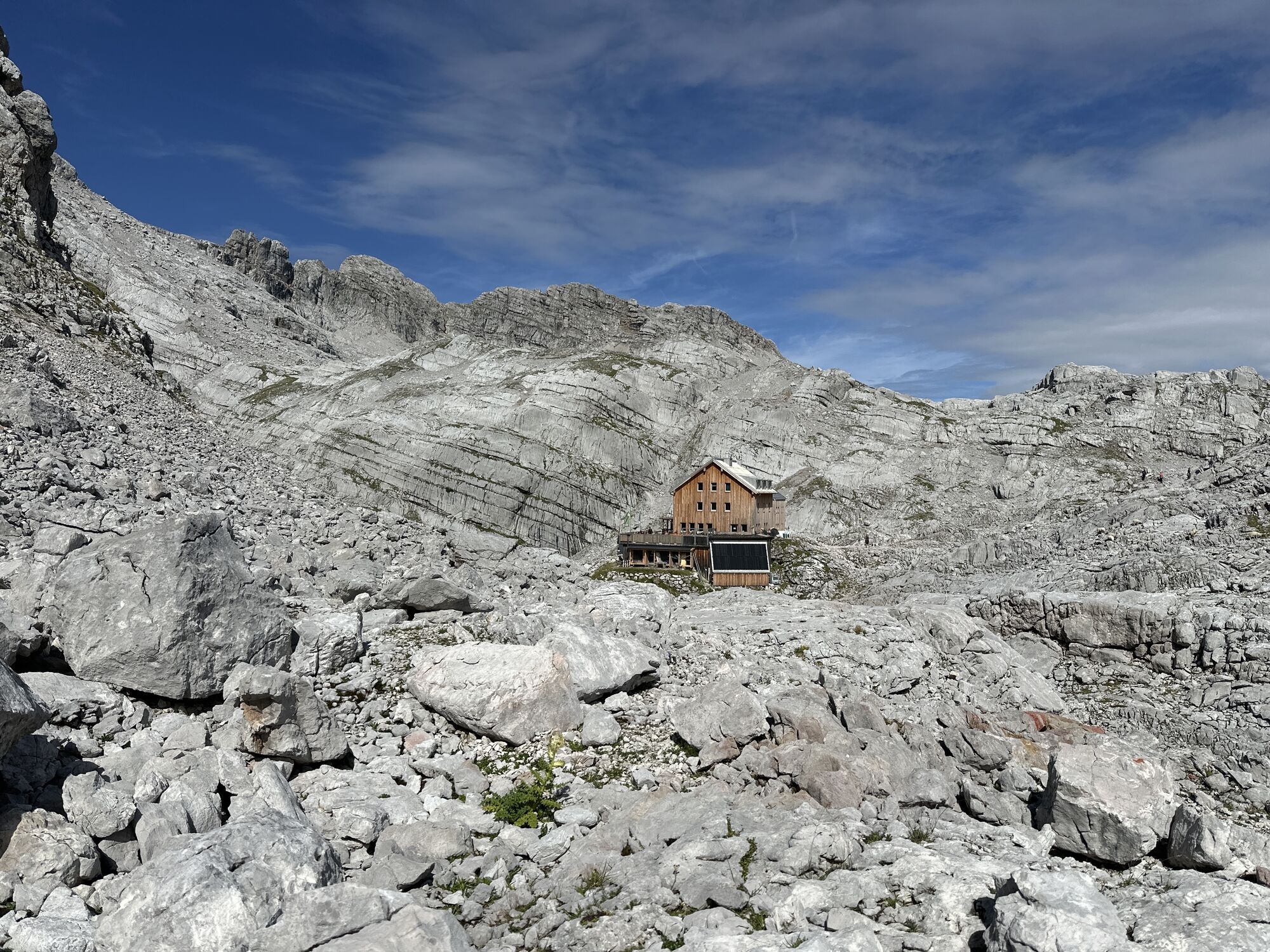
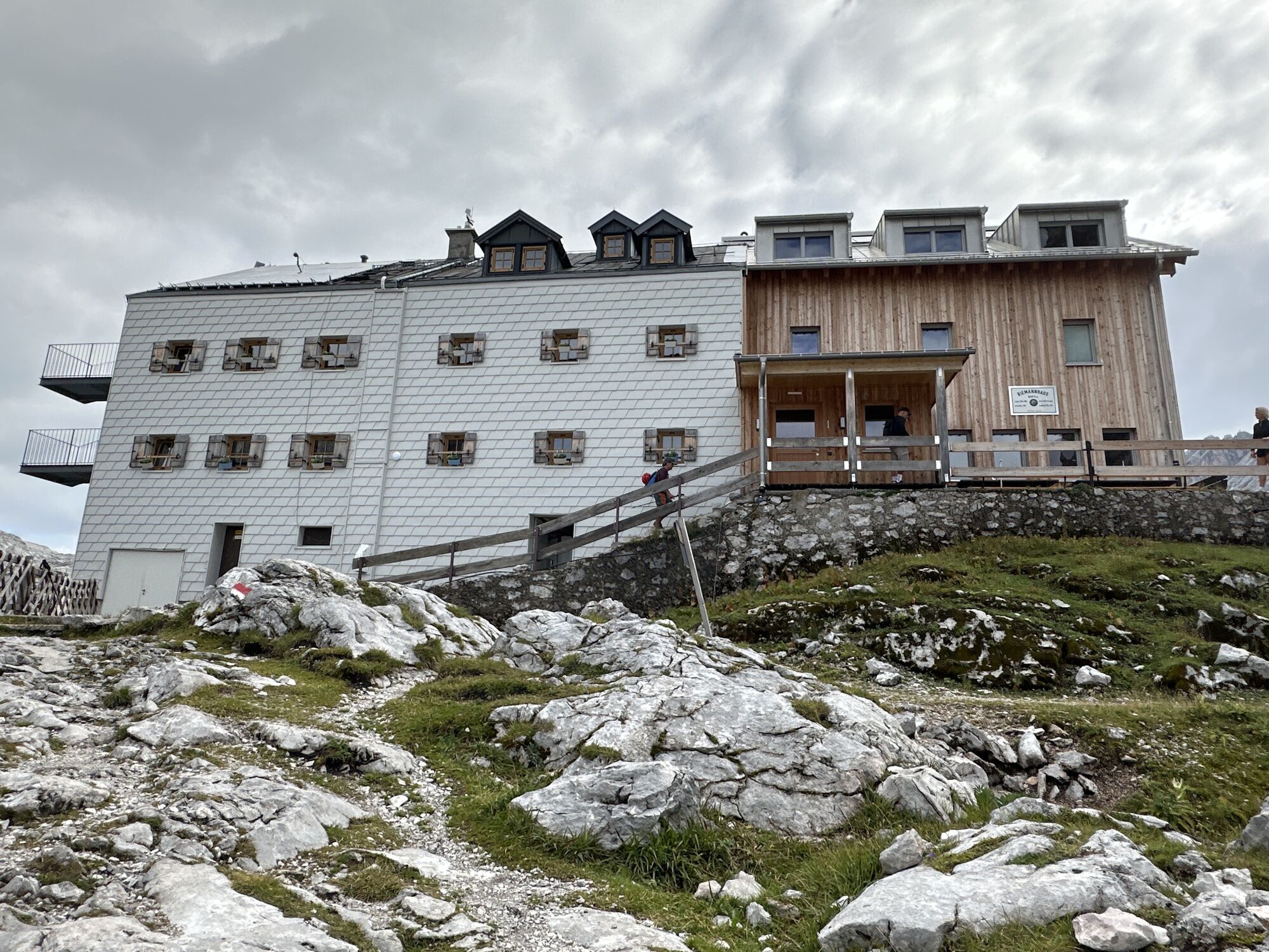
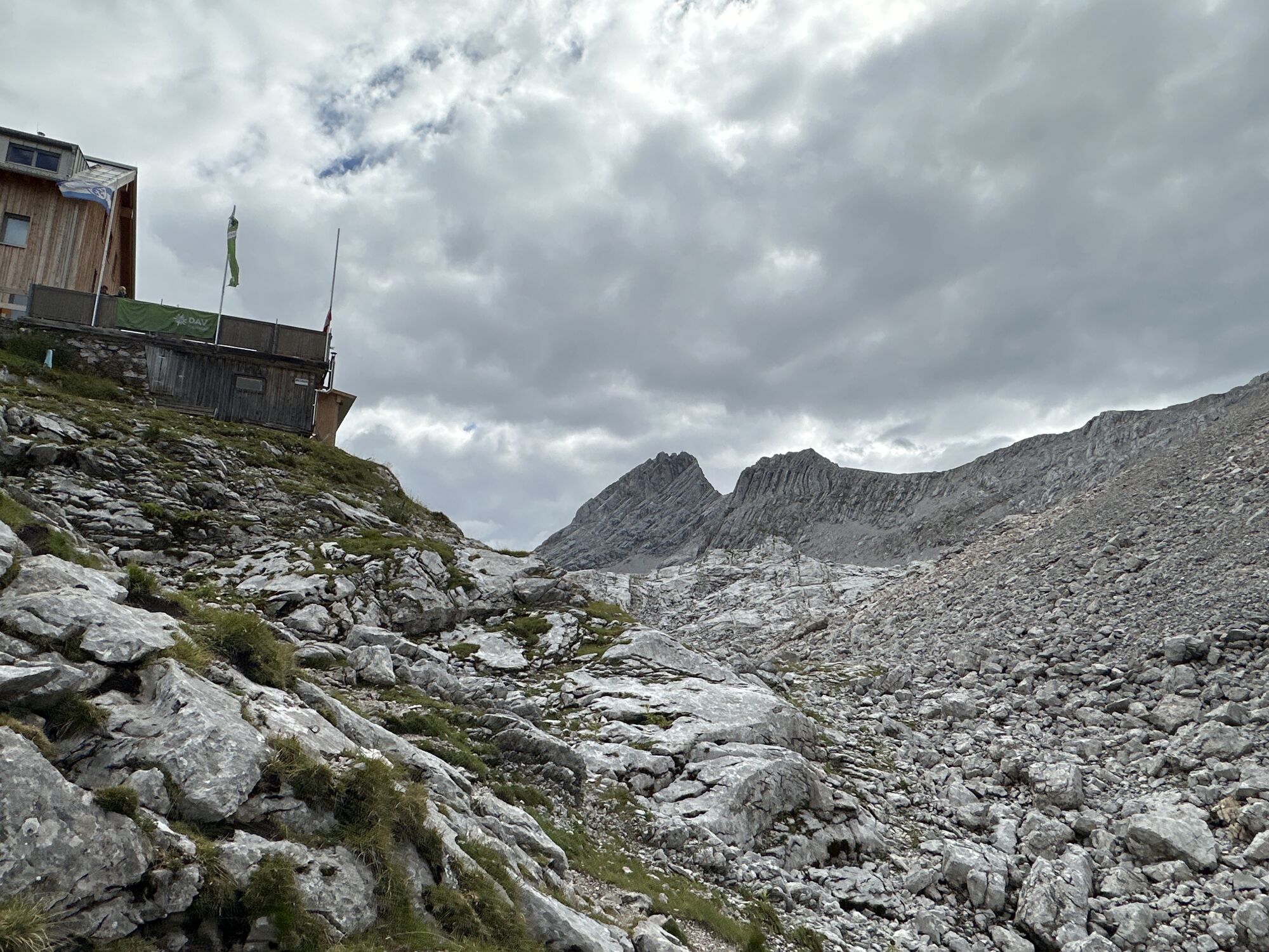
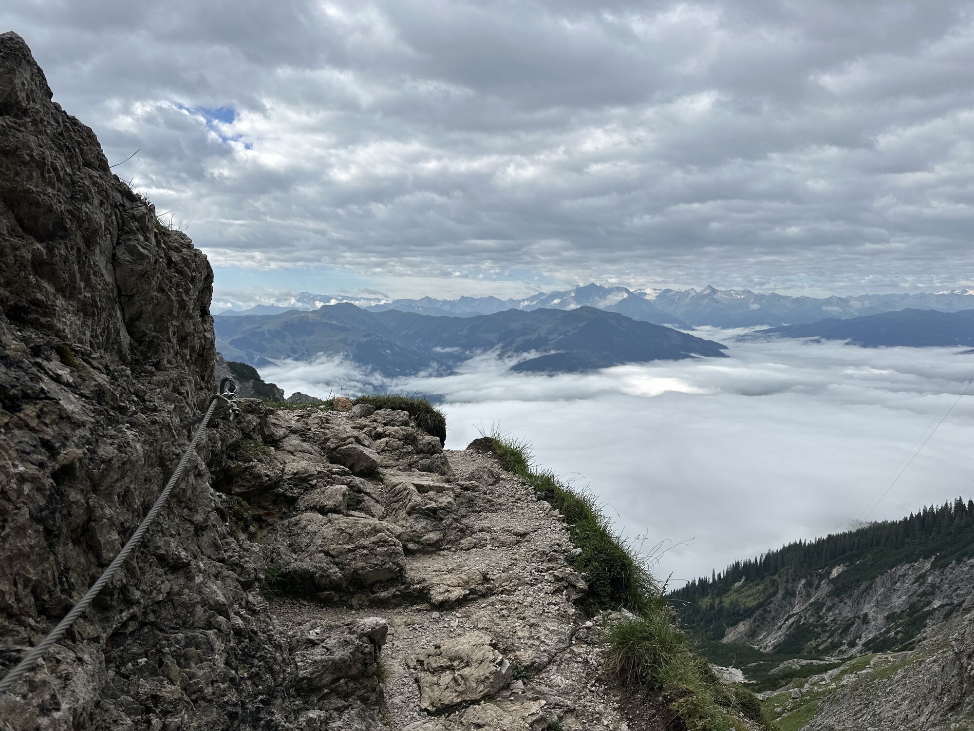
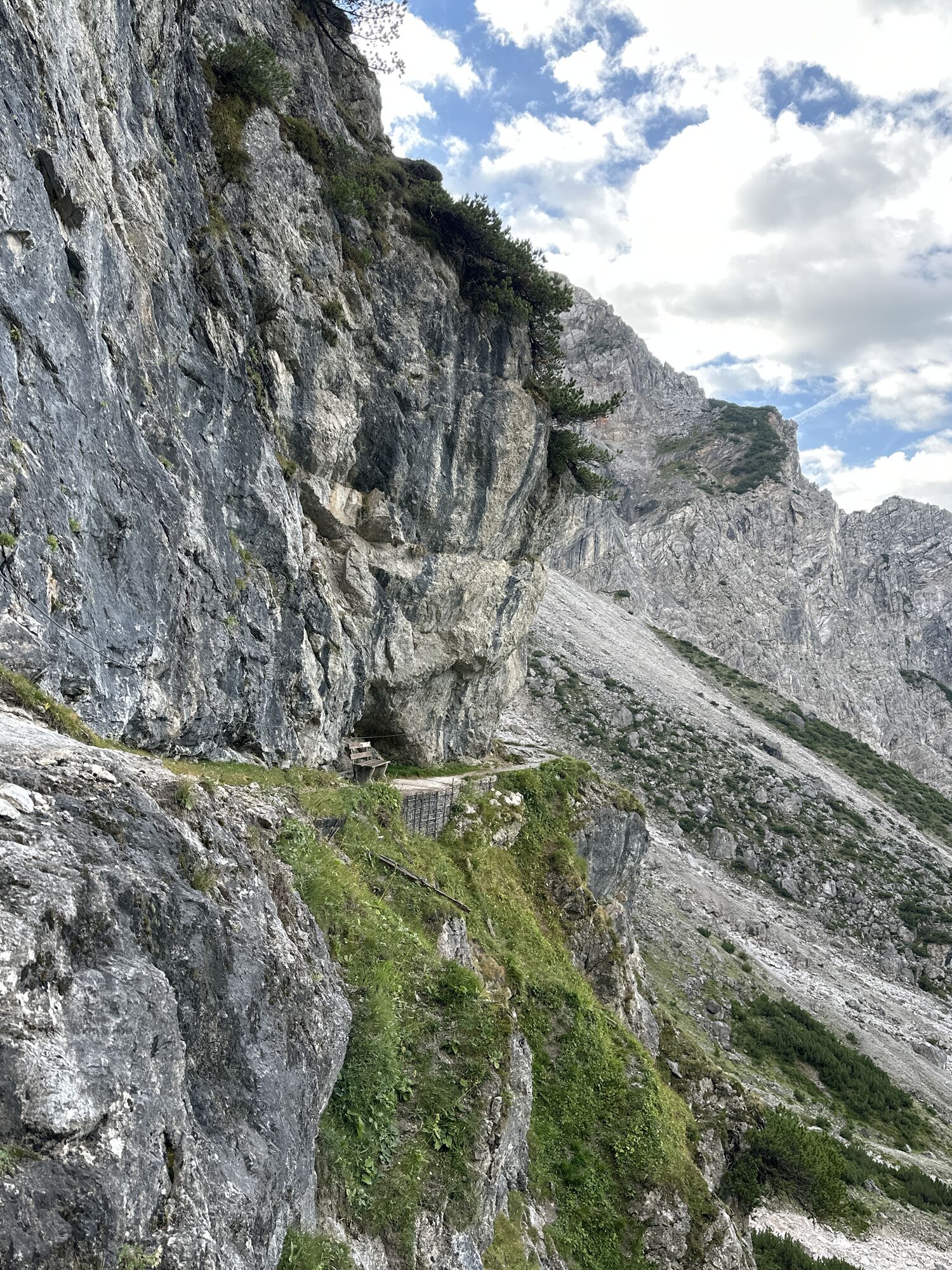
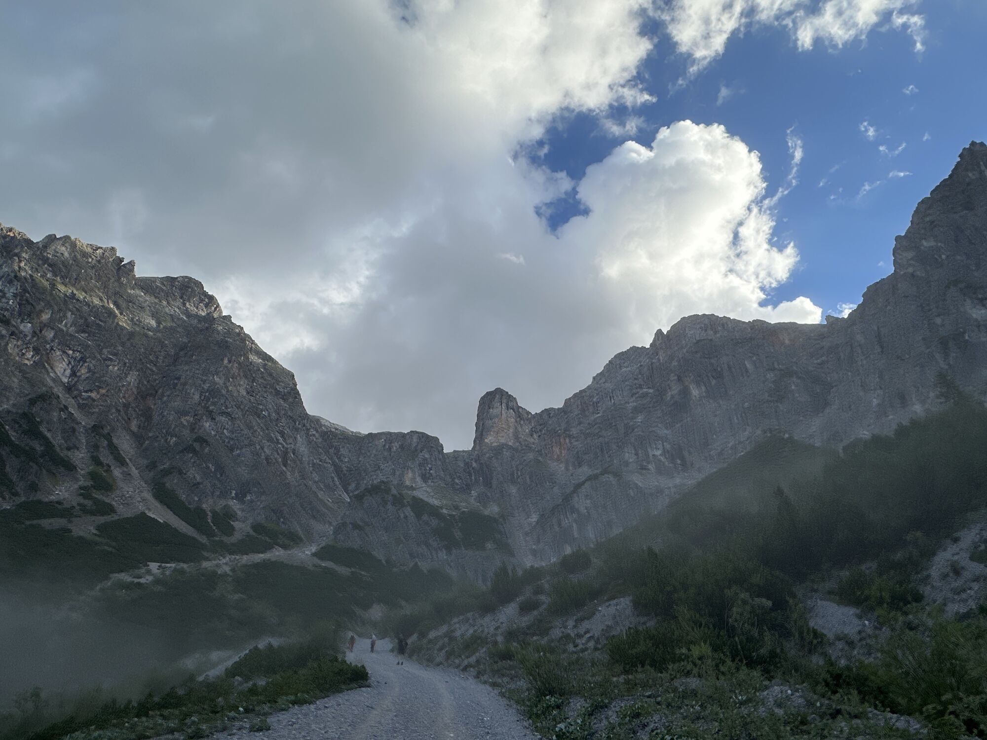
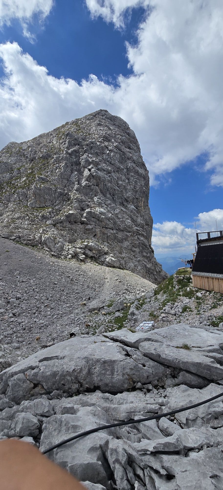
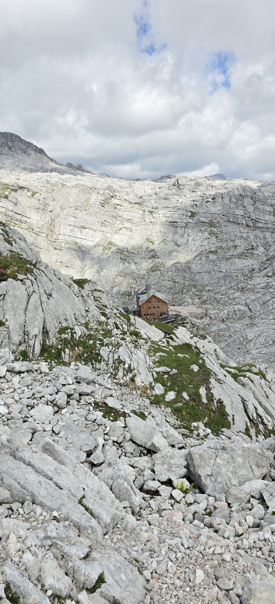
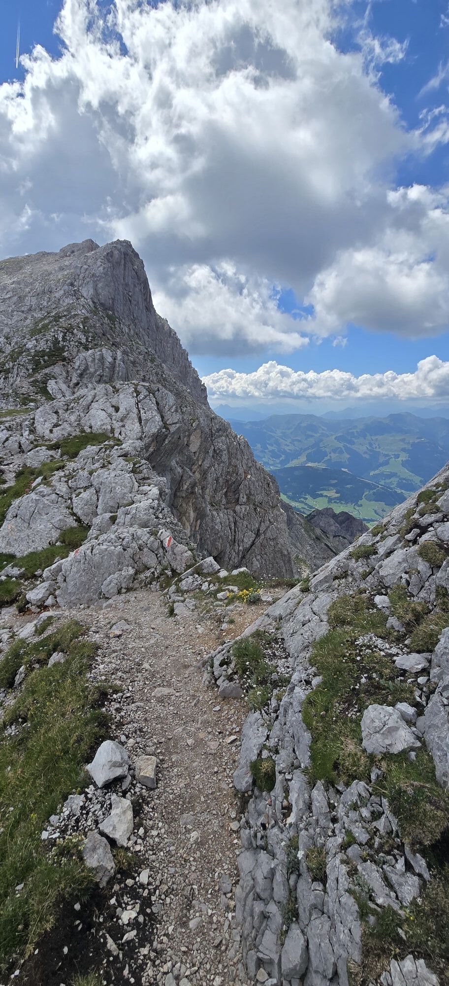
From Maria Alm follow the street “Griessbachwinkl” to the hiking parking lots at 1200 m. Or from Krallerwinkl as a starting point below the forest, cross to Griebachwinkelstraße. Follow the gravel road to the material cableway and then ascend on the already challenging and exposed but very well secured path with steps and ropes to the Riemannhaus. Here you can refresh yourself again and refill drinking water supplies (for a fee) or spend the night if needed. Then continue only a few meters on the normal path towards Schönfeldspitze before turning right up to Sommerstein. Then continue to Schönegg to Wurmkopf (I). After descending from Wurmkopf there is the possibility to turn back to the Riemannhaus on the normal path, for example in case of weather changes or if you have already had problems so far. After a crossing, several climbing sections begin; it goes steep but always on grippy rock upwards. Then we cross the steep south slope on an earthy ledge (caution when wet). After a few more climbing parts, we cross a very exposed rock nose, which has been eased by a wire rope. Then we meet the eastern ascent and now ascend steeply to the summit in unsecured rocky terrain. During the descent, we stay on the east side and must carefully descend through the exposed, unsecured rocky terrain until we reach a ridge which extends with some climbing sections, ledges, and counter-ascent to the Buchauer Scharte. Here we could also return through the stone sea to the Riemannhaus. However, we first descend through the notch, initially steeper then flatter, back to Krallerwinkl or further to Maria Alm.
Ano
Ano
Hiking equipment, climbing gloves
Absolute surefootedness and a head for heights are required in the summit area of the Schönfeldspitze, except for one spot of completely unsecured rocky terrain, very exposed, unsecured climbing at grade I+ must be mastered, stable good weather, good fitness.
By S-Bahn, train, or bus 260 to Saalfelden. From there by bus 620 to Maria Alm.
Alternatively, to extend the time between the last bus/train, take a bicycle and ride from Saalfelden via Maria Alm to Krallerwinkel.
Timetable information and download: Online at www.salzburg-verkehr.at or on your smartphone via the free Salzburg Verkehr app for Android and iOS.
Direct arrival and details at: salzburg-erfahren.at
Theresa Schilling
5020 Salzburg
theresaschilling@googlemail.com
Photo credits: Theresa Schilling, Per Oftedal
The route is too tight to do in one day using public transport due to the short time window between buses and the low starting point. It is feasible in two days with an overnight stay at the Riemannhaus. We took e-bikes on the train and rode from Saalfelden to Krallerwinkl with them. This gave us a larger time window and a higher starting point. For very fit hikers (20 km, 2200 m ascent and descent), the route is therefore possible with public transport in one day.
Riemannhaus


Webové kamery z prohlídky

Aktivity na trase
-

Maria Alm am Steinernen Meer, Salzburg/Österreich
19.09.2026 – Horská turistika -

Maria Alm am Steinernen Meer, Salzburg/Österreich
14.09.2026 – Turistika -

Maria Alm am Steinernen Meer, Salzburg/Österreich
04.09.2026 – Horská turistika -

Maria Alm am Steinernen Meer, Salzburg/Österreich
30.08.2026 – Turistika -

Maria Alm am Steinernen Meer, Salzburg/Österreich
26.08.2026 – Turistika -

Schönfeldspitze
22.08.2026 – Turistika -

4 gipfel tour schönfeldspitze
11.08.2026 – Další -

Maria Alm am Steinernen Meer, Salzburg/Österreich
05.08.2026 – Horská turistika -
Maria Alm am Steinernen Meer, Salzburg/Österreich
05.08.2026 – Horská turistika -
Maria Alm am Steinernen Meer, Salzburg/Österreich
31.07.2026 – Horská turistika -
Maria Alm am Steinernen Meer, Salzburg/Österreich
28.07.2026 – Trailrunning -

Maria Alm am Steinernen Meer Bergsteigen
24.07.2026 – Turistika -

Maria Alm am Steinernen Meer, Salzburg/Österreich
01.06.2026 – Turistika -
Maria Alm am Steinernen Meer, Salzburg/Österreich
22.09.2025 – Turistika -
Maria Alm am Steinernen Meer, Salzburg/Österreich
06.09.2025 – Turistika -
Maria Alm am Steinernen Meer, Salzburg/Österreich
13.08.2025 – Horská turistika -

Riemannhaus- Sommerstein-Schönegg-Wurmkopf- Schönfeldspitze
08.08.2025 – Horská turistika -

Maria Alm am Steinernen Meer, Salzburg/Österreich
30.07.2024 – Horská turistika -

Von Wanderparkplatz Krallerwinkl nach Schönfeldspitze
12.08.2023 – Turistika
Oblíbené prohlídky v okolí
-
4.4
Maria Alm - Riemannhaus
Turistika 3.99 km -
4.0
Malerwinkel Rundwanderweg
světloTuristika 3.60 km -
4.8
Königssee - Kärlinger-Haus
Turistika 10.1 km -
4.5
Wimbachgrieshütte
Turistika 8.30 km -
4.9
Summit stormer route Lauskopf
heavyTuristika 8.16 km -
4.8
Summit storming route Taghaube
heavyTuristika 6.25 km -
3.7
Wanderung zur Ostpreußenhütte in Werfen (1.630 m)
středníTuristika 11.2 km -
4.7
About the "Four Huts circular route" to Windraucheggalm
středníTuristika 10.1 km -
4.6
Seisenberg Gorge
světloTuristika 2.41 km -
4.4
Schwalbenwand Nr. 80, 81, 82
středníTuristika 13.0 km
Pěší turistika a stopování


Nenechte si ujít nabídky a inspiraci pro vaši příští dovolenou
Vaše e-mailová adresa byl přidán do poštovního seznamu.





