


Puch: Alpine tour - Circular route over St. Jakob, Vollererhof & Erentrudisalm (No. 11, 10 points)
Úroveň obtížnosti: T2
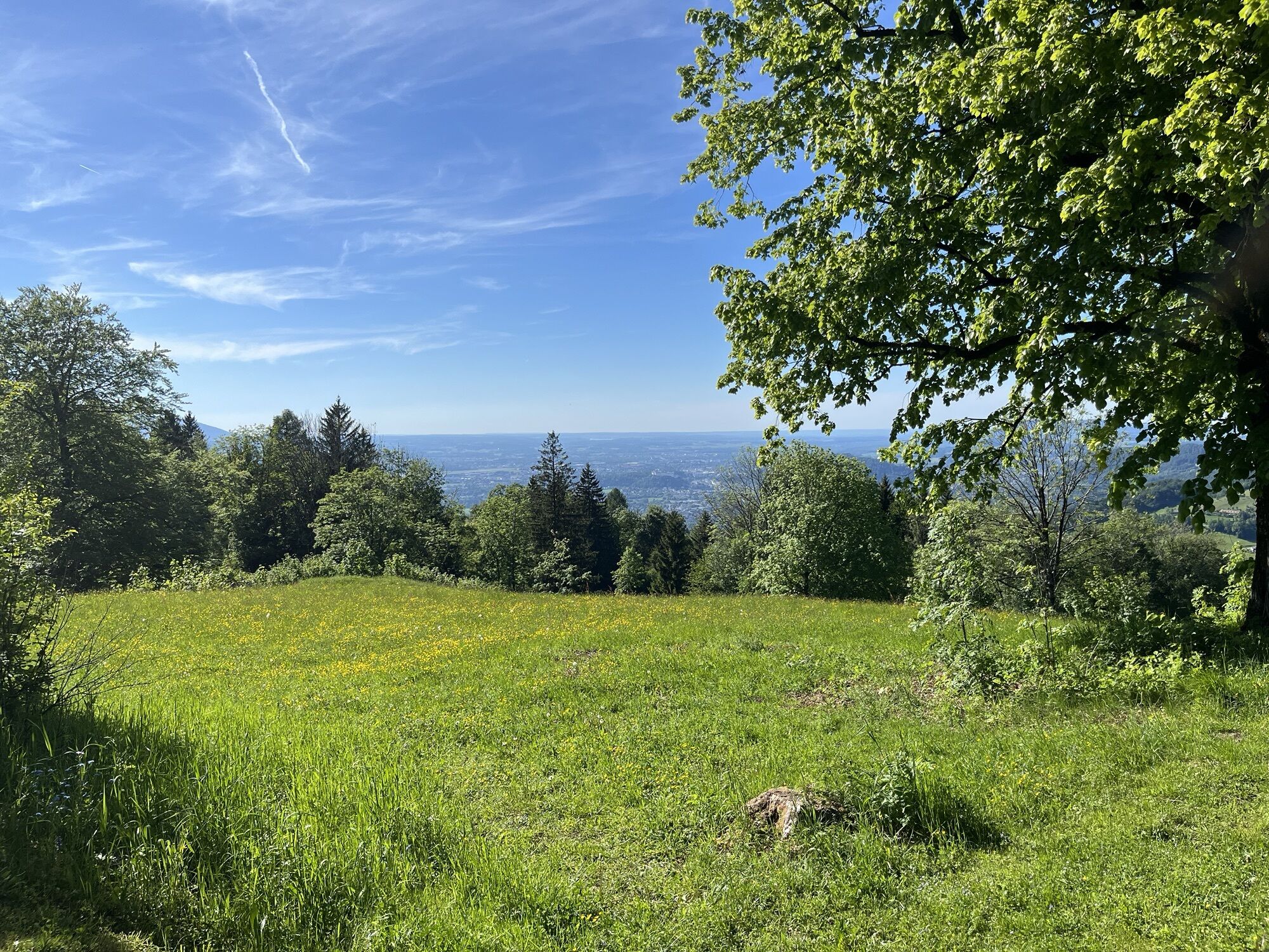
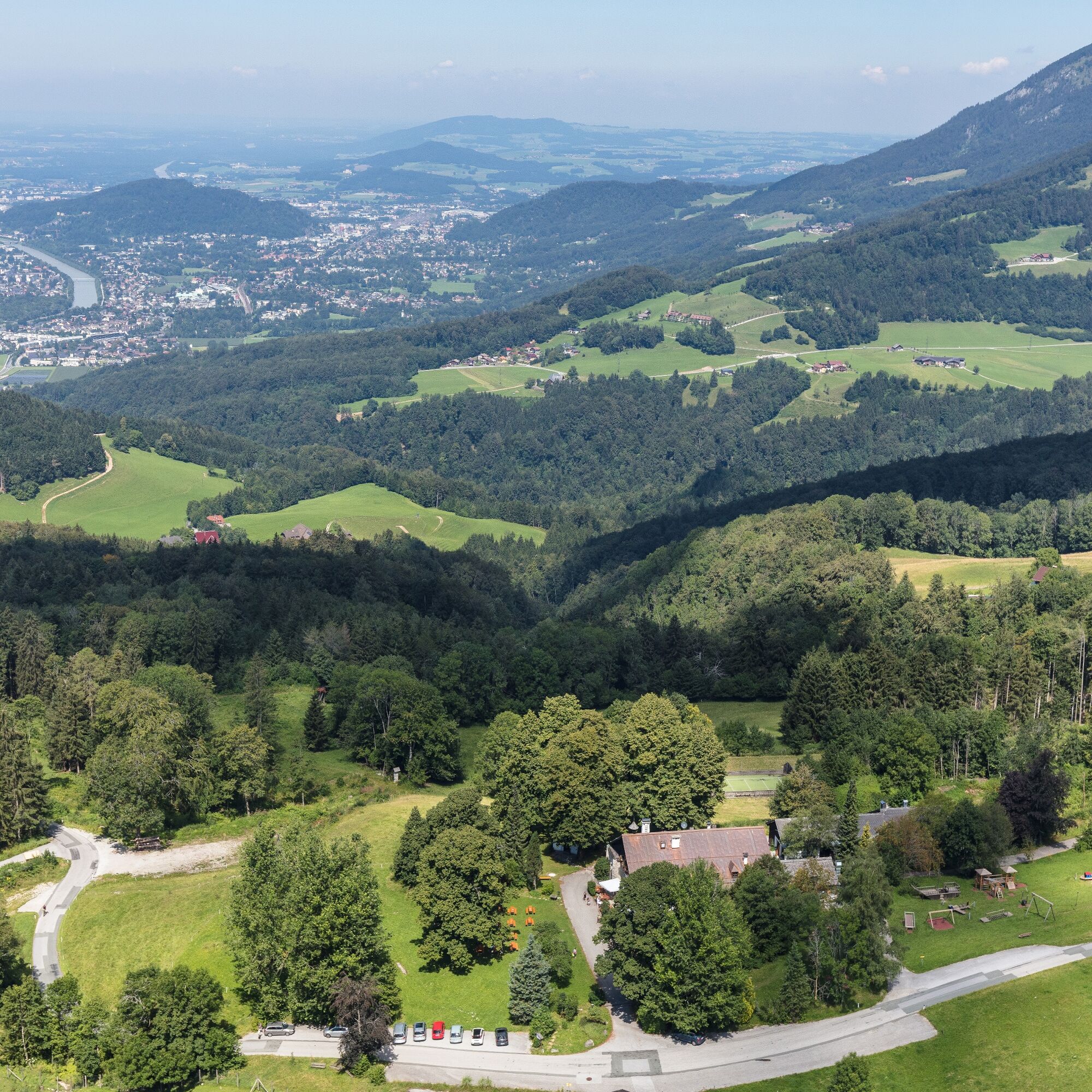
The route leads from St. Jakob am Thurn via Vollererhof to Schönalm as well as to Erentrudisalm and Fageralm in Elsbethen.
At Vollererhof, 3 more circular trails are marked, which can be well integrated...
The route leads from St. Jakob am Thurn via Vollererhof to Schönalm as well as to Erentrudisalm and Fageralm in Elsbethen.
At Vollererhof, 3 more circular trails are marked, which can be well integrated into this hike.
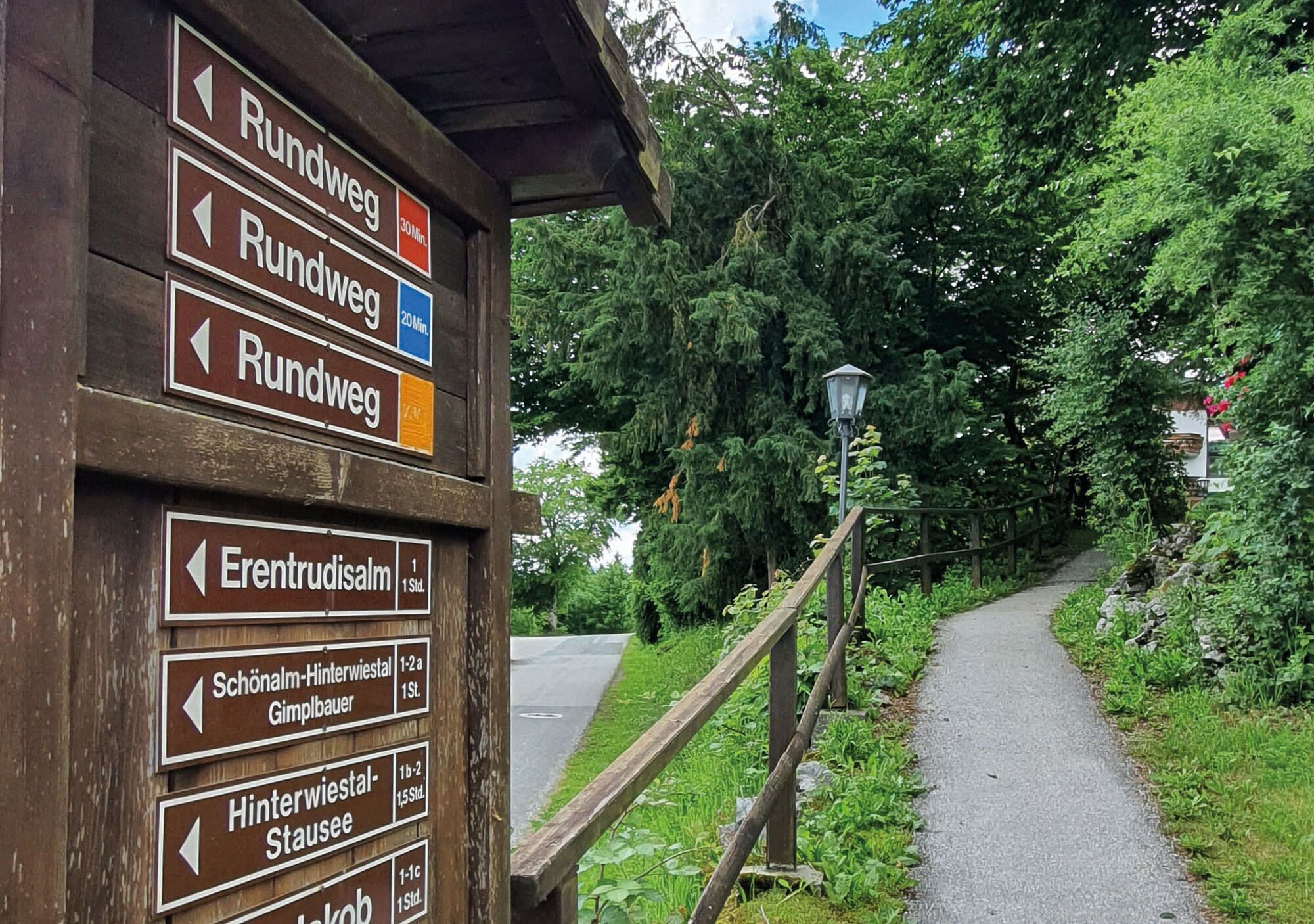
THE HIKING TRAILS FROM VOLLERERHOF:
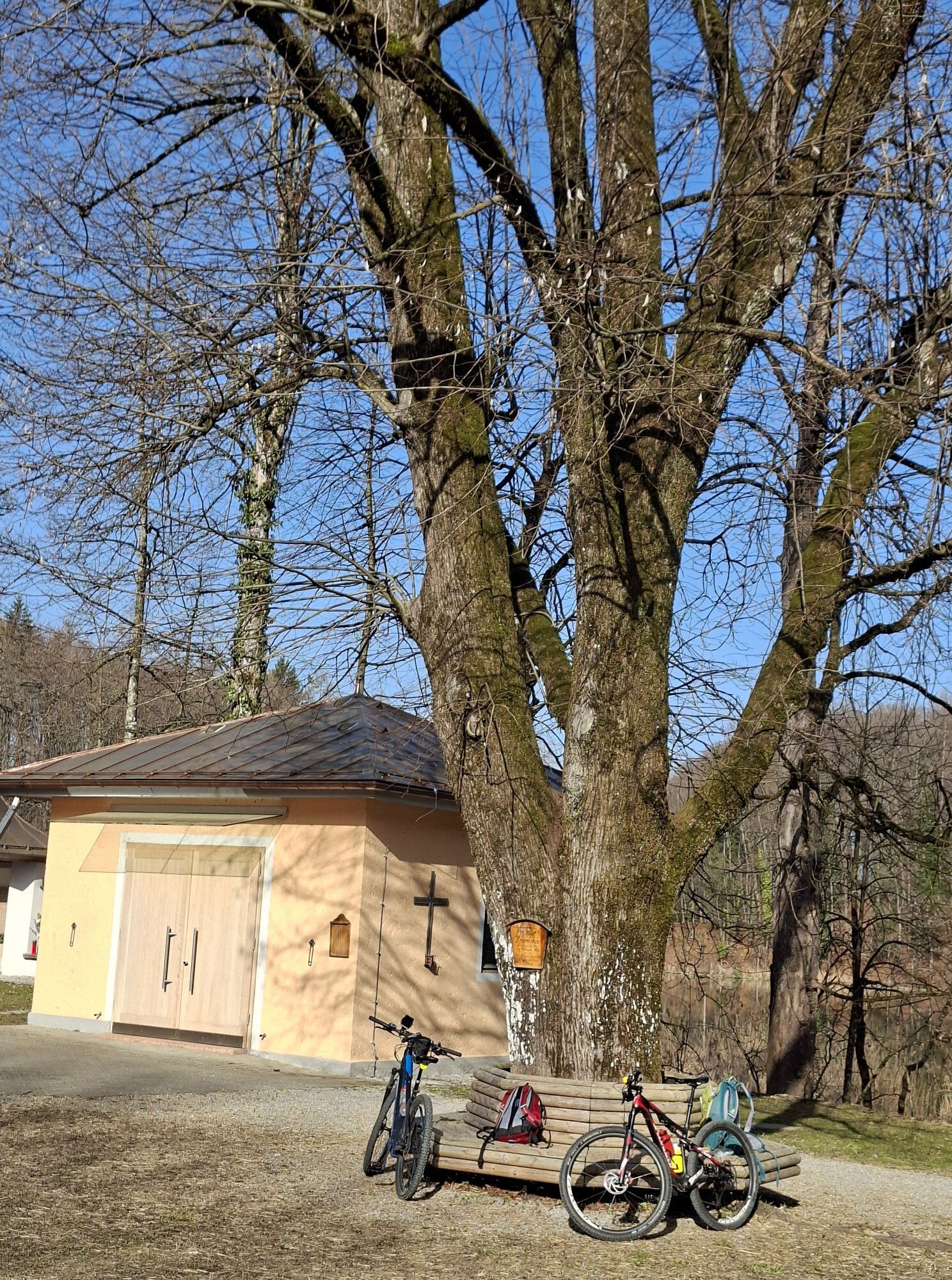
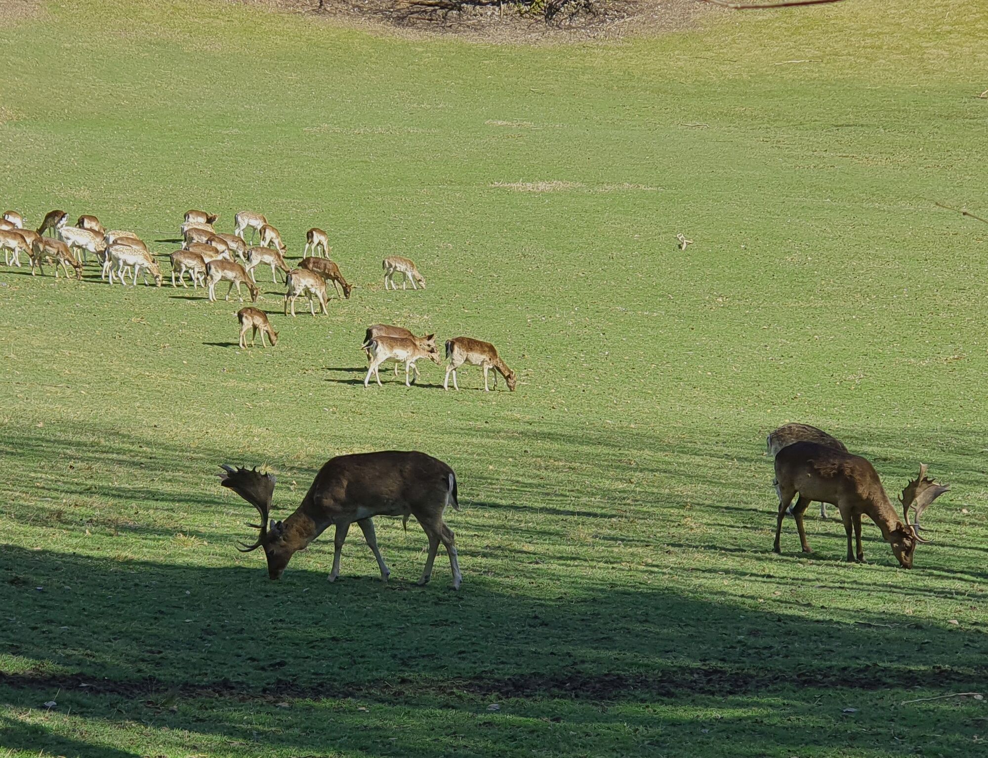
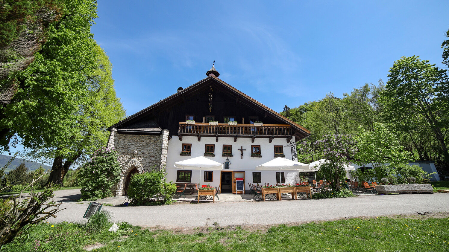
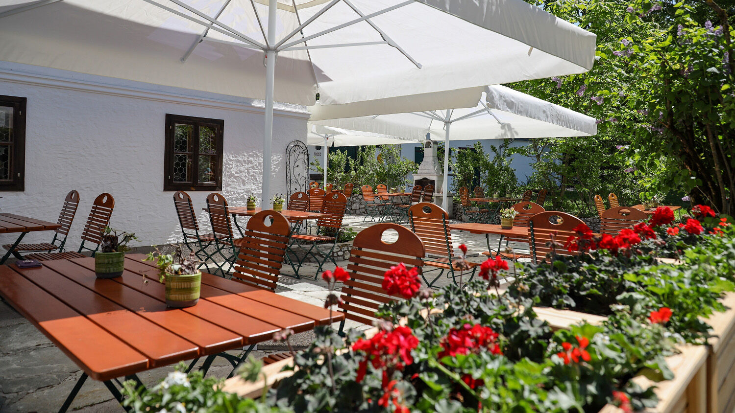
RED - Circular route “Hochstadl & Vollererhof settlement”: From the “Landhaus” – on the left side of Vollererhofstraße past the wildlife enclosure to the “Hochstadl” farmers. Behind the farm, before the barrier, follow the downhill path (No. 11). After about 200m, at the old farm, take the field path that runs across the meadow and then back into the forest. From there the cozy circular route runs around the outside of the “Vollererhof settlement”. At the end, walk parallel to the large meadow about 400m uphill to the Vollererhofstraße to the parking lot at Vollererhof. About 2km BLUE - Circular trail Wildlife enclosure: Starting at the “Landhaus” right side around the wildlife enclosure and the Brunn meadow by the Vollererhof “spring” past. Last section on the Vollererhofstraße below the “Hochstadl” farmers with end point again at the “Vollererhof” Landhaus. Tip: At halfway, a signpost shows the turnoff to Schönalm. About 1.6 km YELLOW - Circular route “Tratten”:From the “Landhaus” – about 300m right side along the wildlife enclosure, then at the fork turn right (No. 12). After about 600m at the first fork at the “English House” choose the right path, which runs parallel to the valley hollow. Endpoint is again the “Landhaus”. About 2 kmRefreshment options at the Schützenwirt in St. Jakob, at the Erentrudisalm or Fageralm.

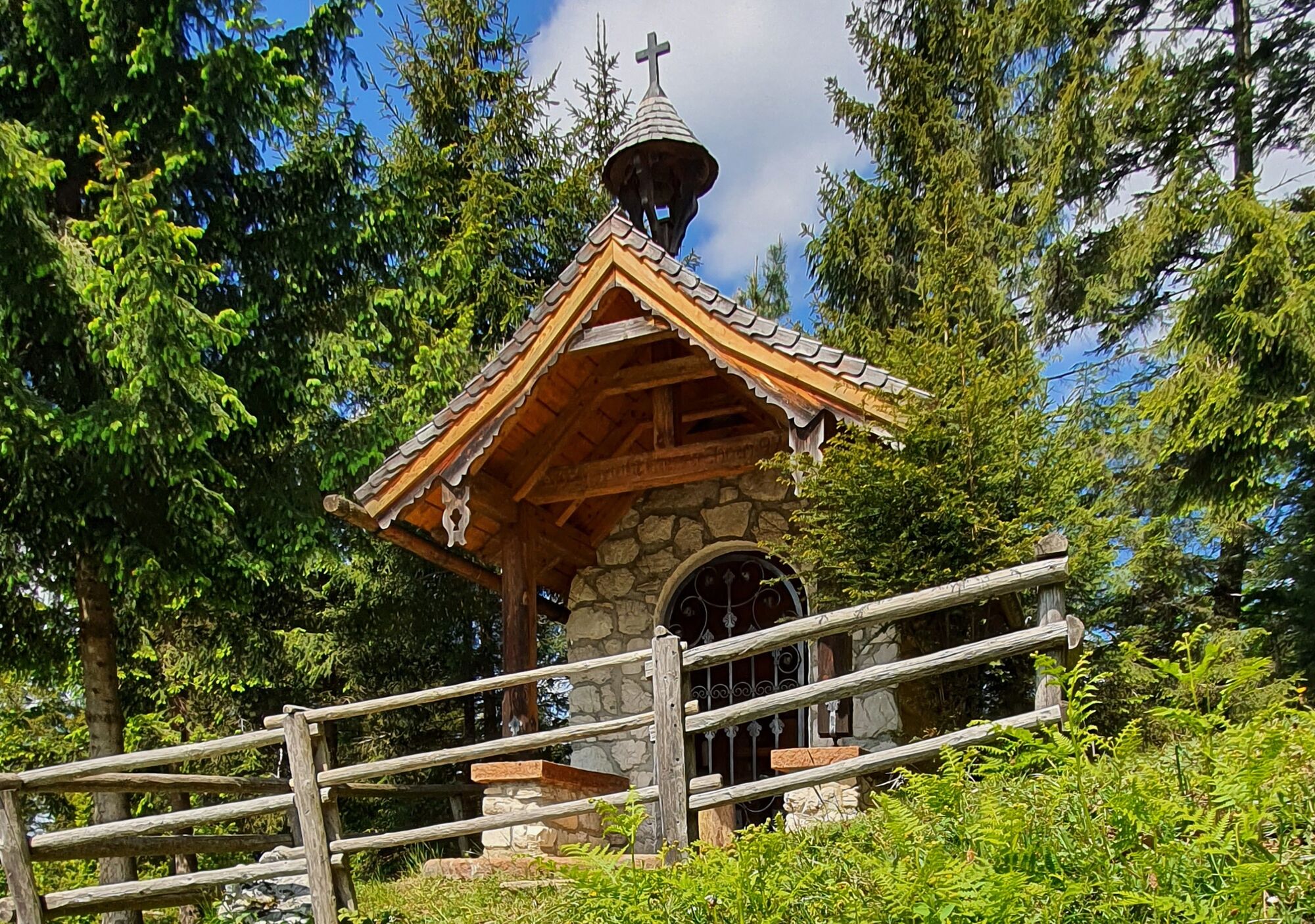
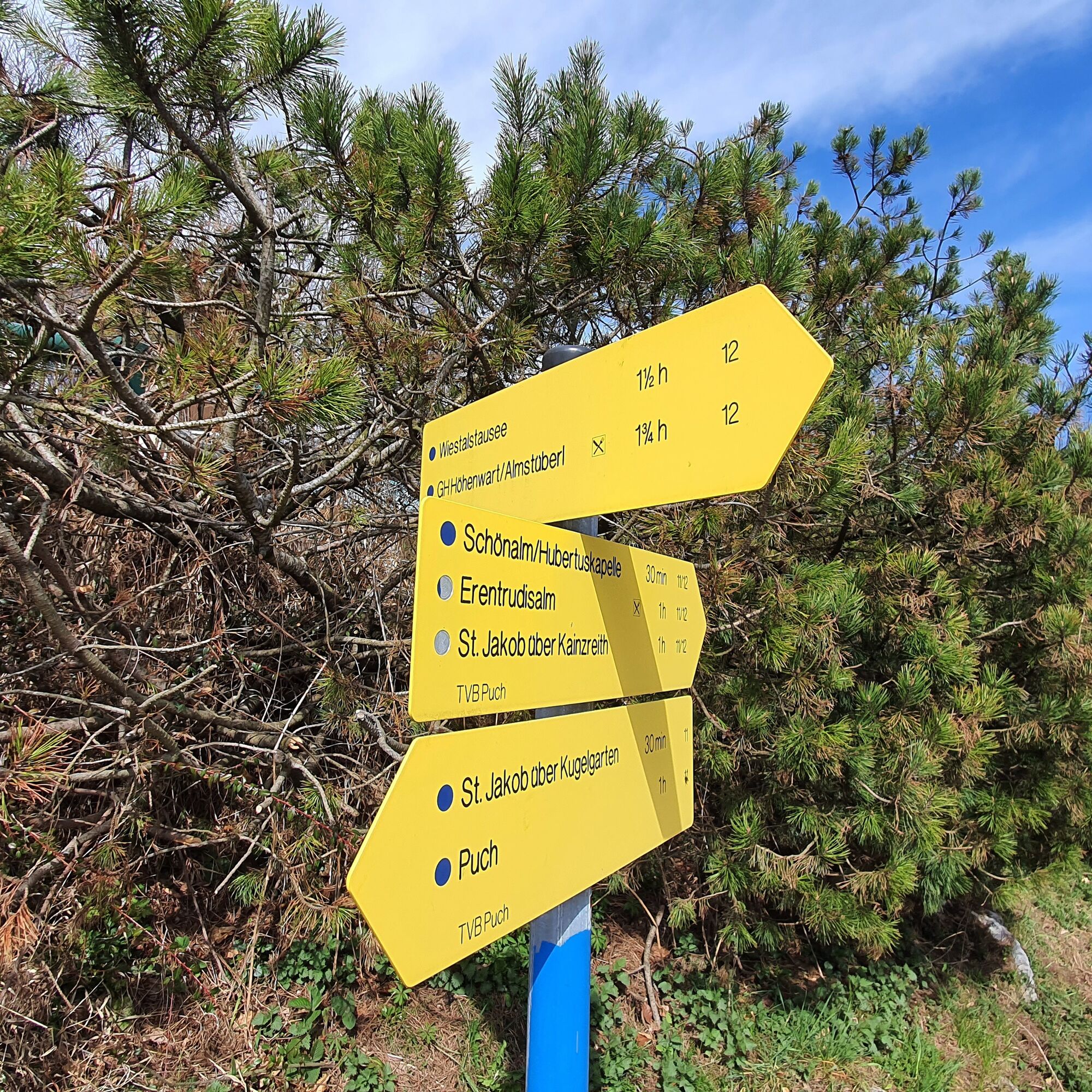
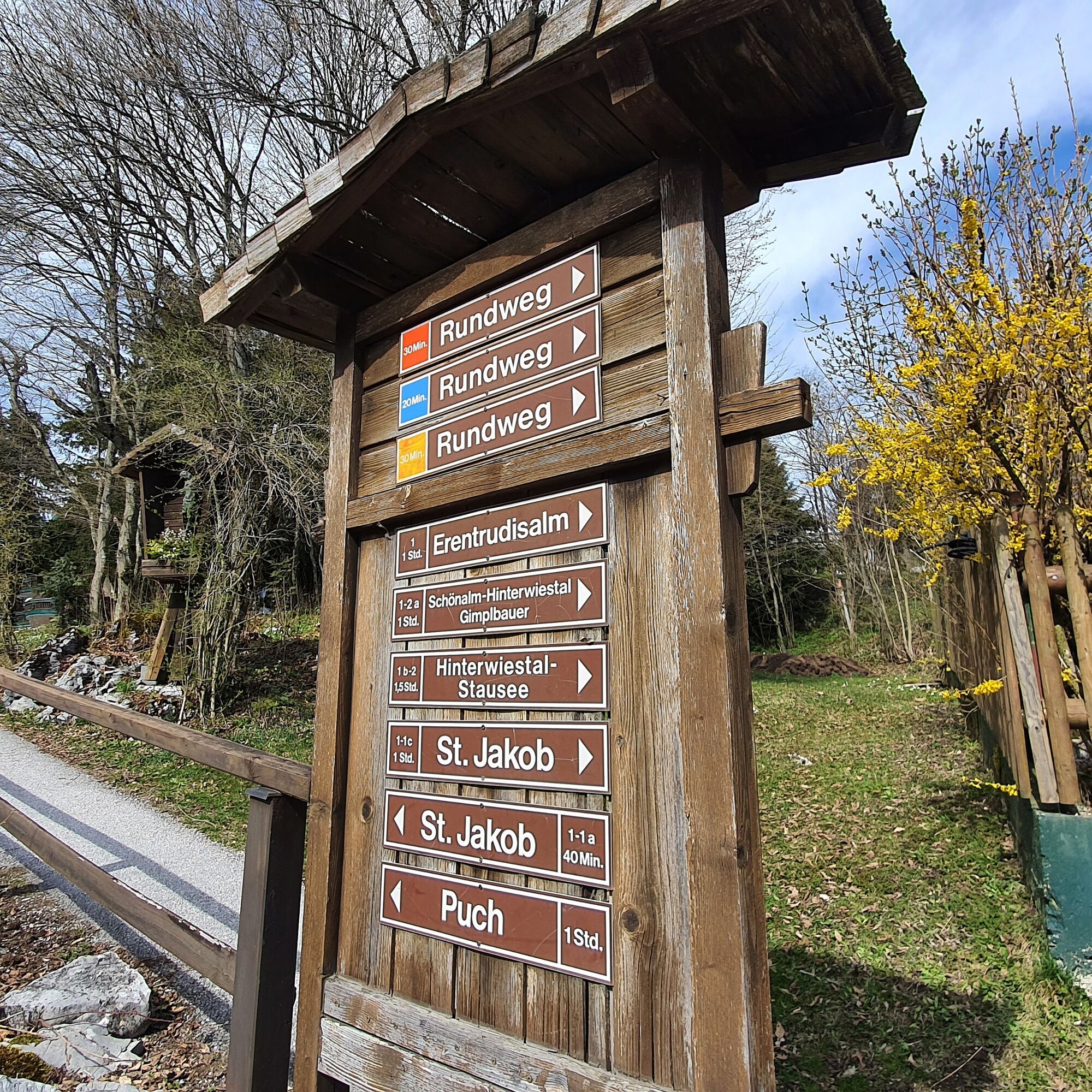
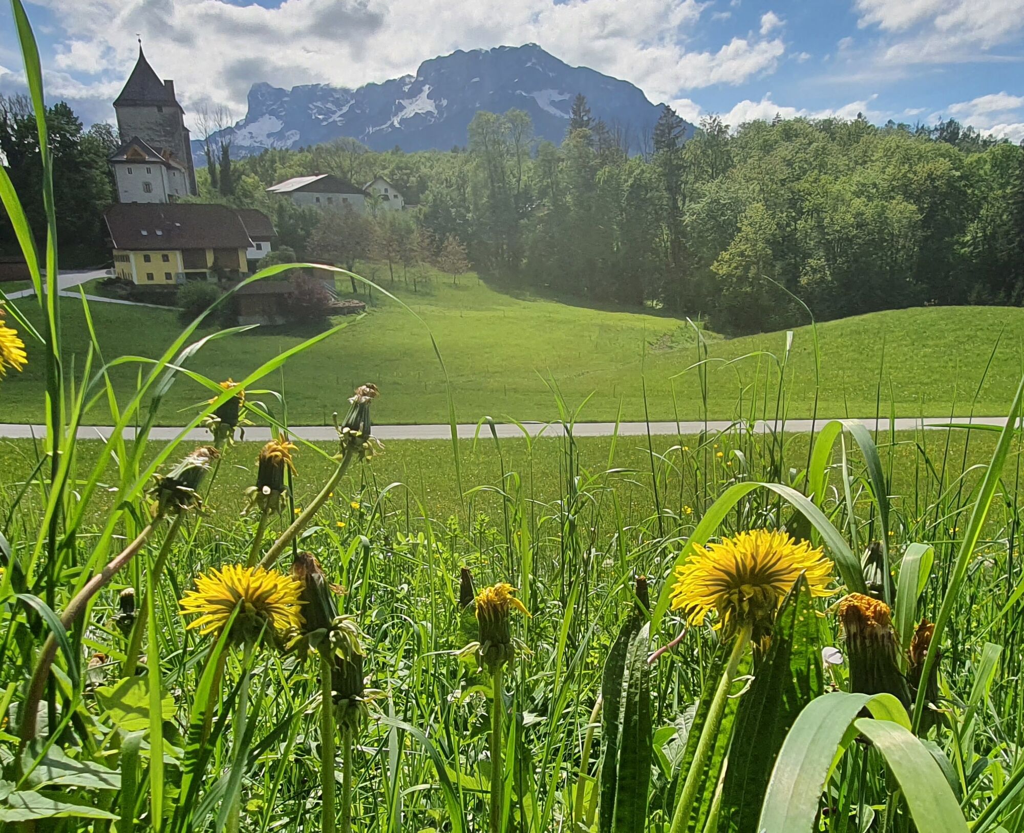
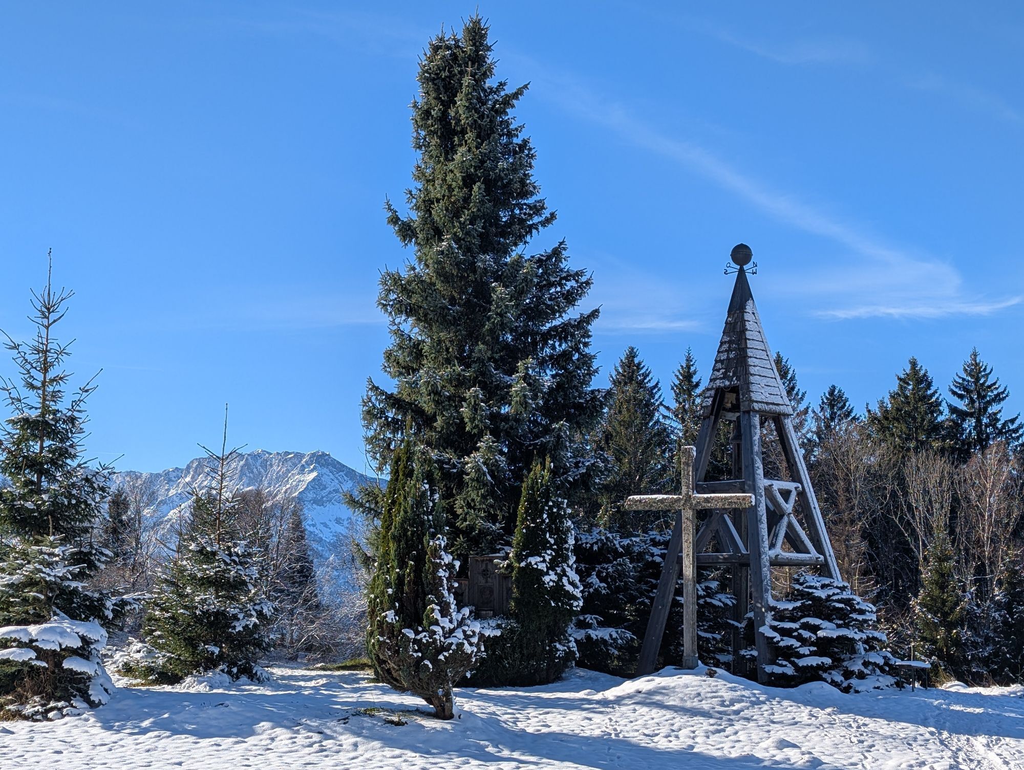
From St. Jakob in a southerly direction to Pointweg. Along this path, uphill past Pointgut and Kugelgartengut to Vollererhofstraße. Continue uphill in a few switchbacks to the Kurhotel Vollererhof. Past the wildlife enclosure, it goes slightly uphill through a barrier along a forest road near Hochstadl. Twice there is an opportunity in a left curve to turn right to the Schönalm or the Hubertus Chapel (No. 12 or No. 12a).
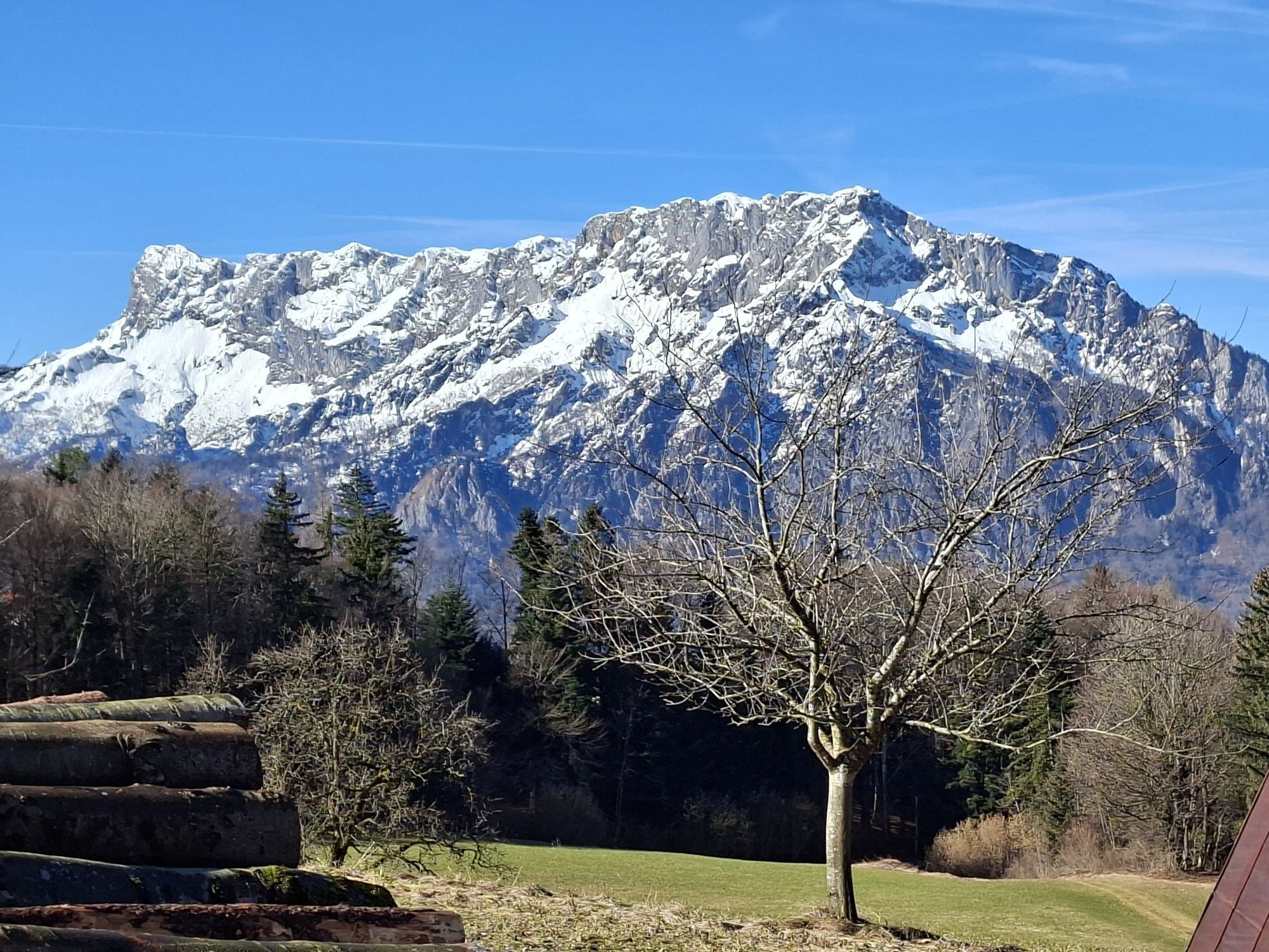
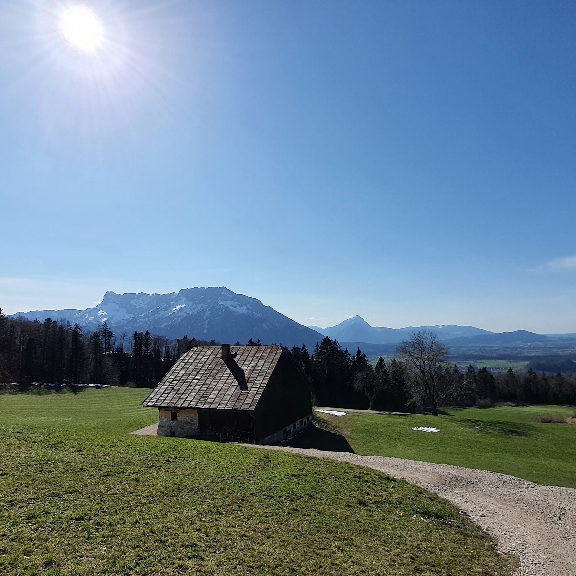
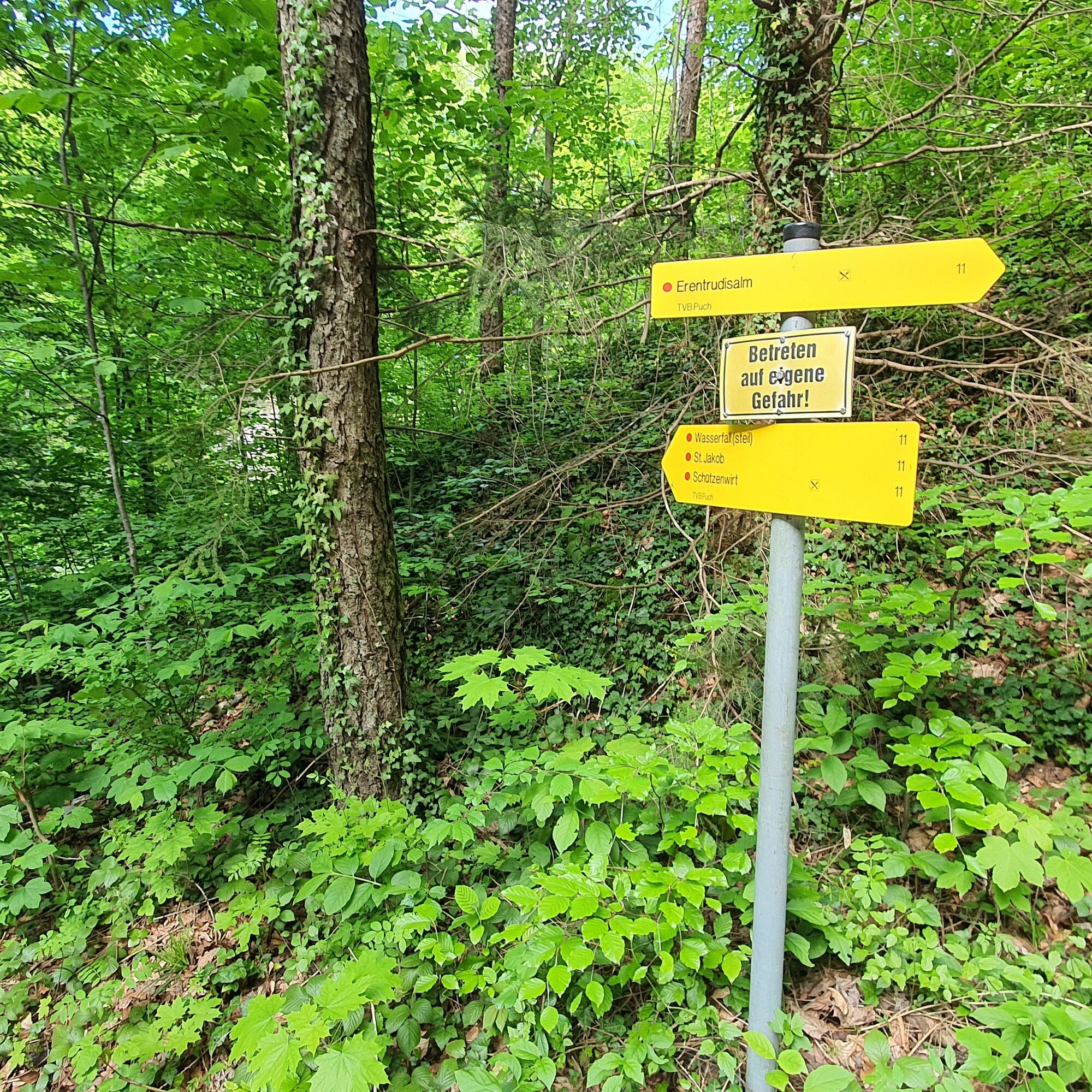
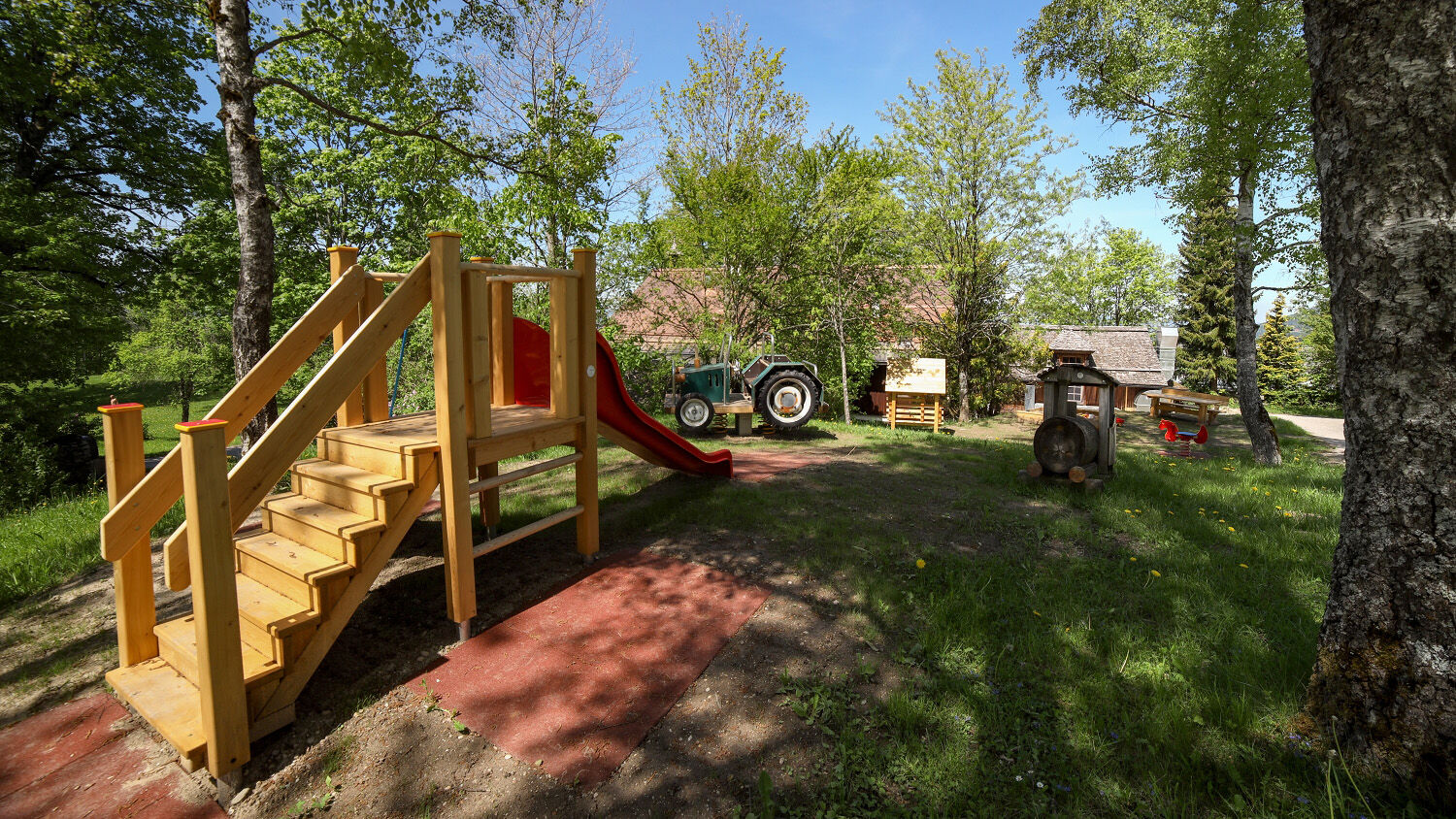
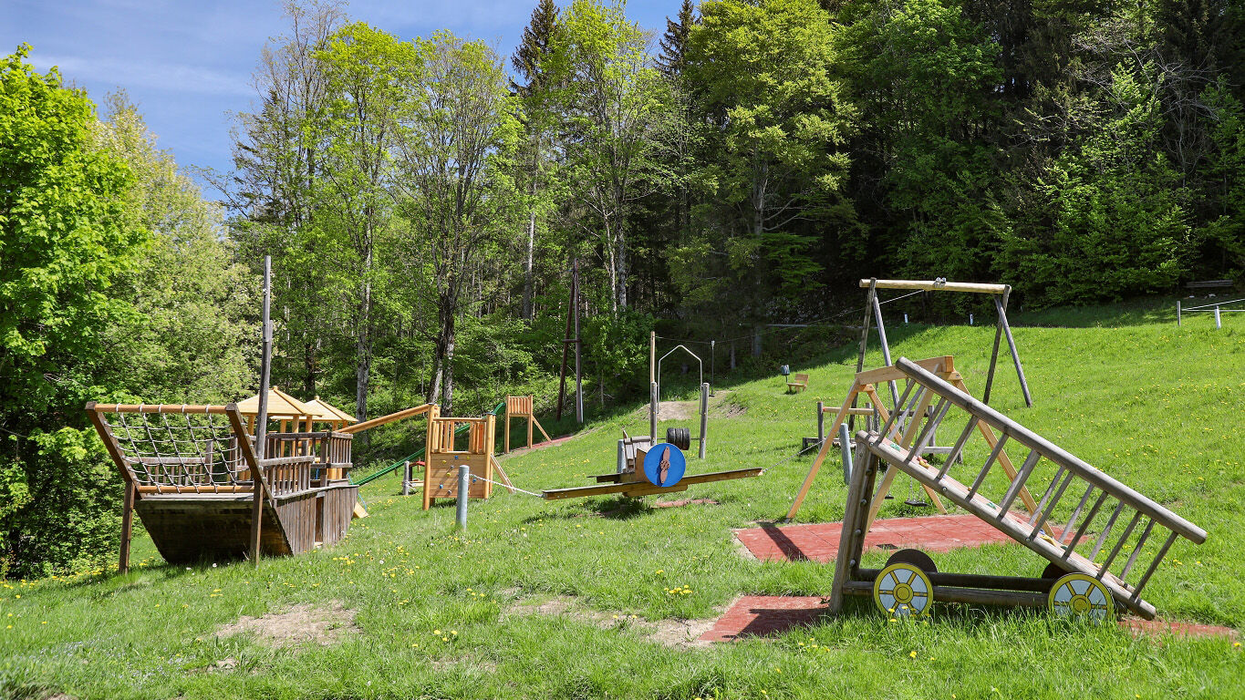
Always staying left, after some switchbacks you reach the junction to the Erentrudisalm and Fageralm in Elsbethen. There is the stamp station for the Tennengau hiking pass (10 points). After another 300 meters, you can choose the somewhat shorter forest path (No. 11) or the slightly longer forest road (No. 11d) to the alpine pastures. From the Erentrudisalm you walk, past the large playground, about 15 more minutes to the Fageralm.
The return from Erentrudisalm starts about 100 meters downhill at a parking lot. Then turn left into a narrow, later steeply rising asphalt road toward Schwarzenbergalm.
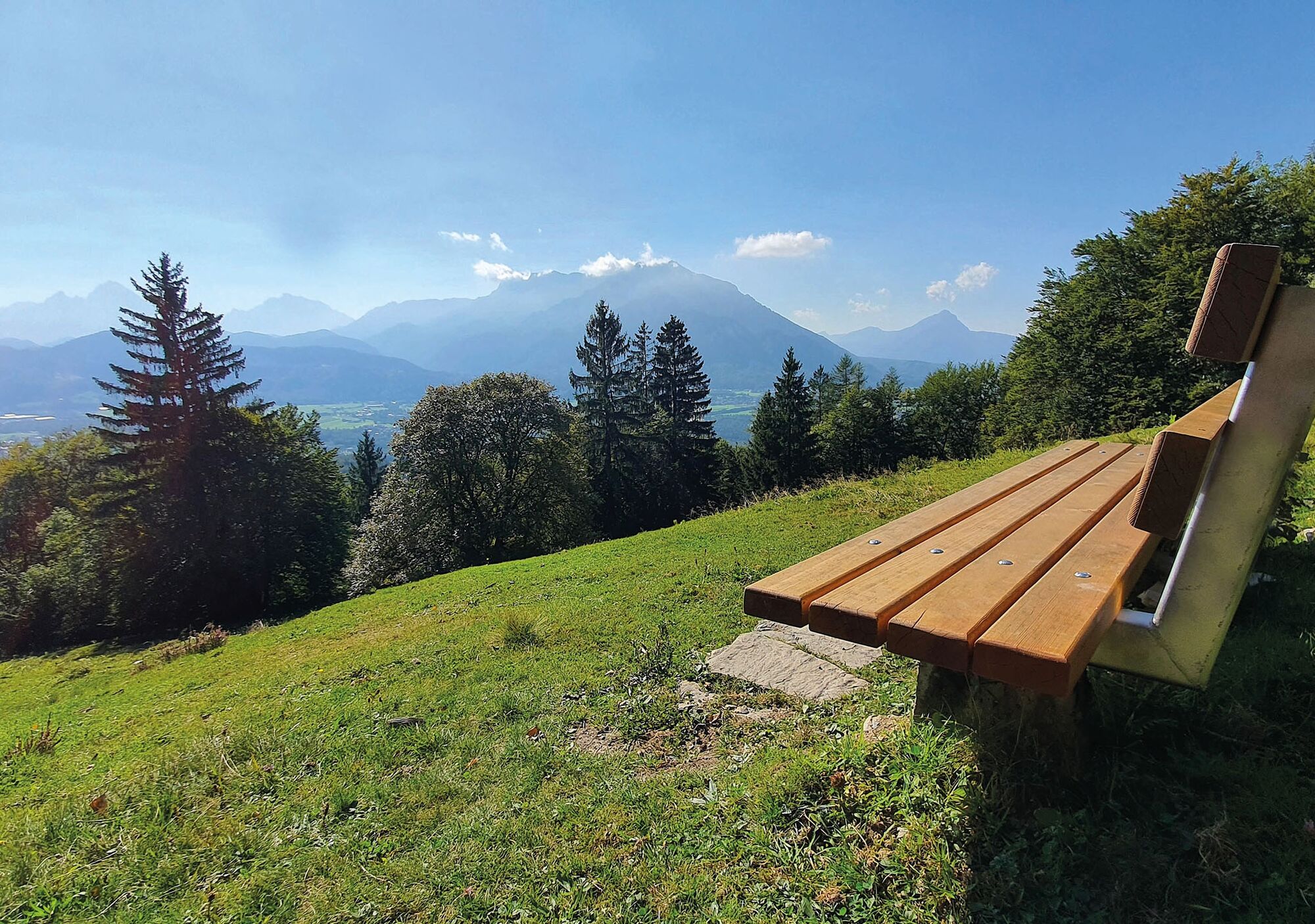
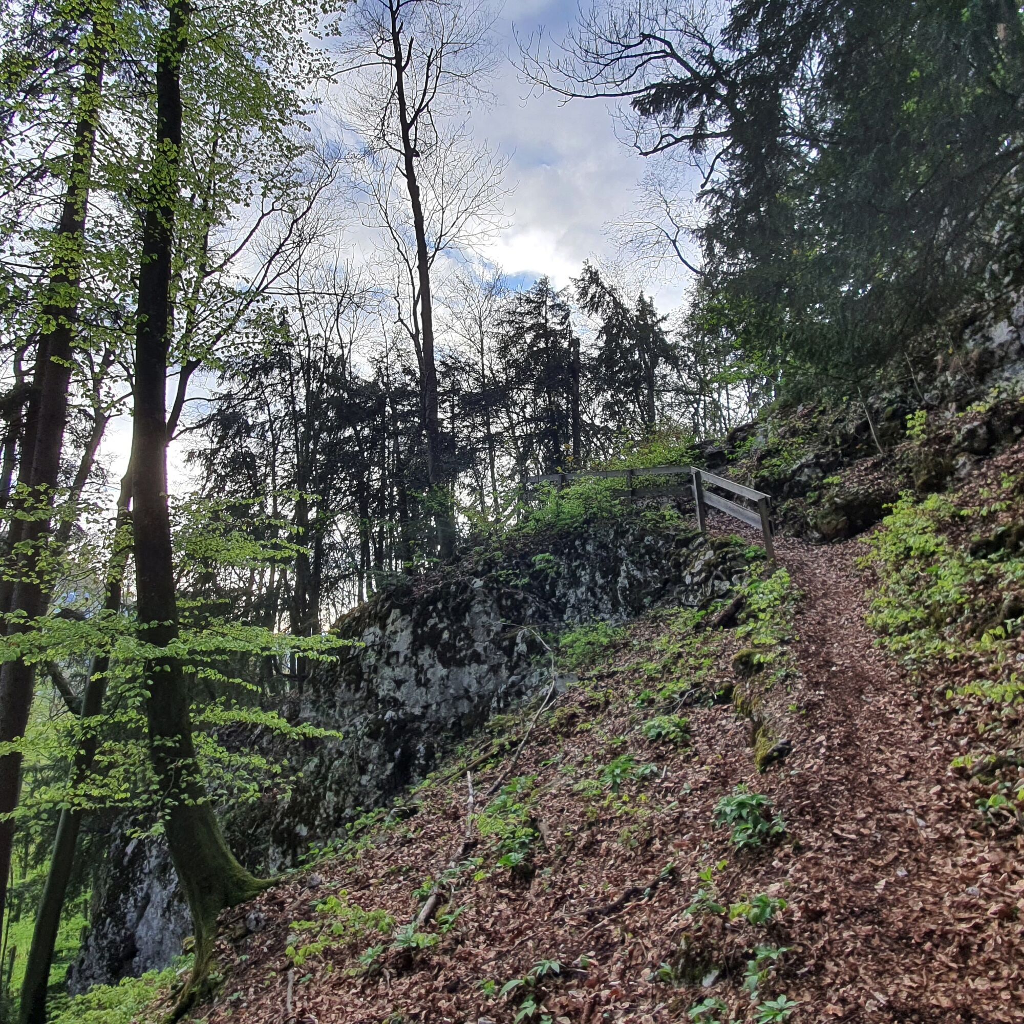
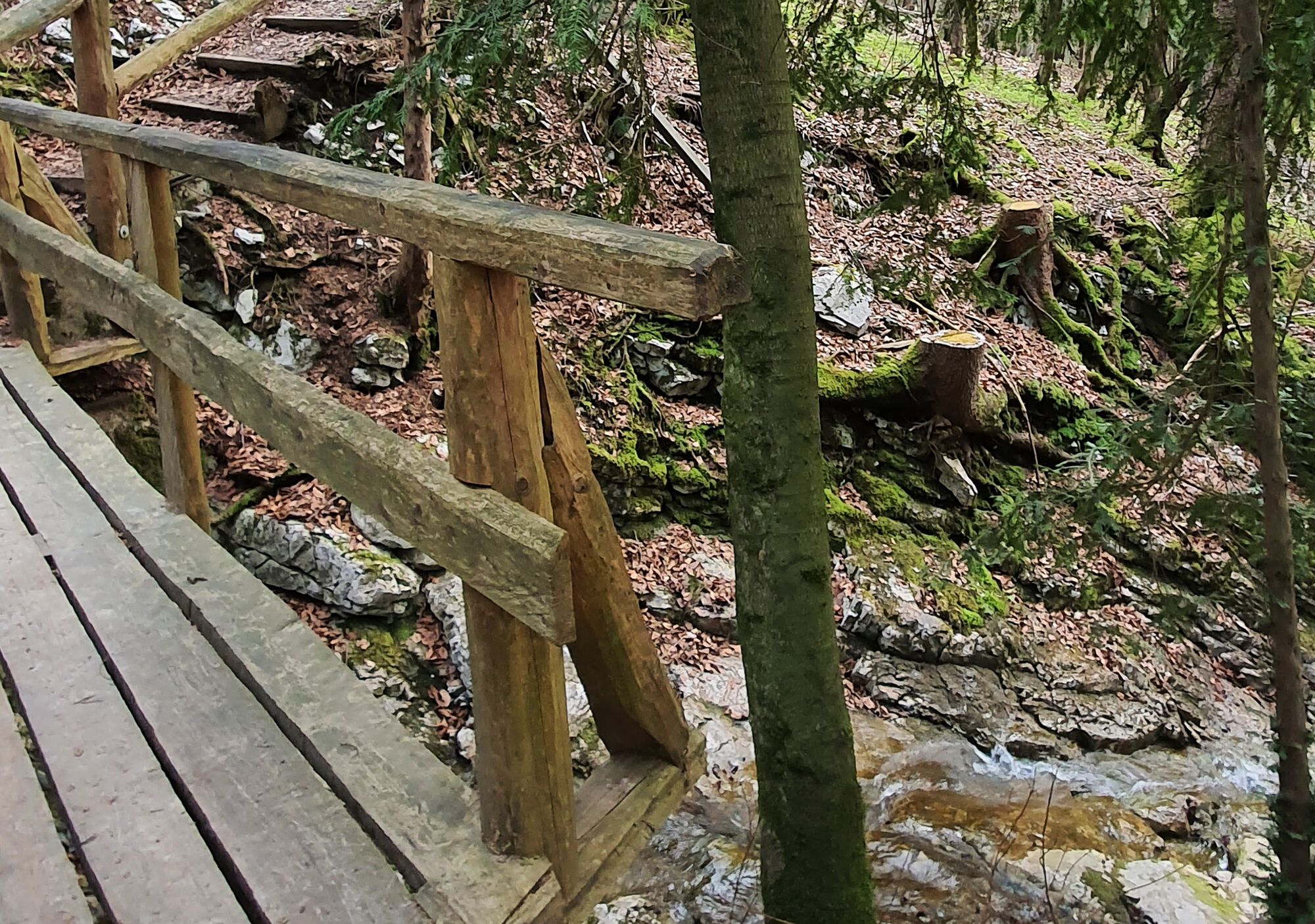
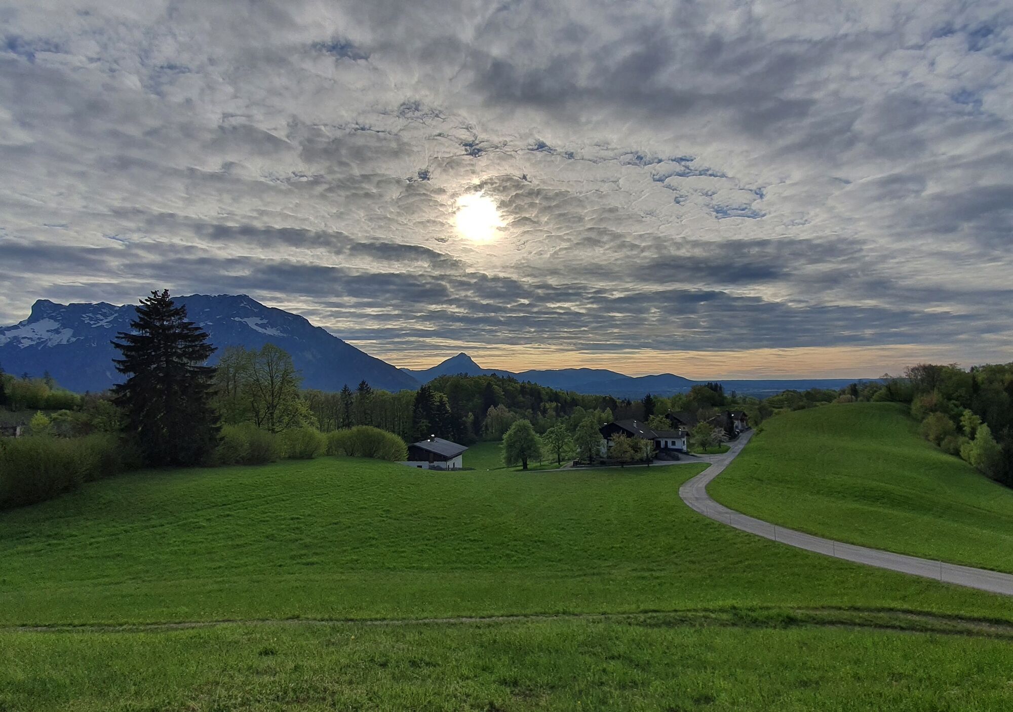
From here there are two options: For the first variant, follow the forest road straight ahead, after about 400 meters turn left into the forest and follow the signs No. 11 back to Vollererhof. Here you rejoin the outward path and also have the option to take the circular path to the Hubertus Chapel No. 12. For the second, somewhat steeper variant, turn right before Schwarzenbergalm and follow tracks downhill across a small meadow into the forest. Cross the forest road to "Stein an der Wand" and continue on the marked path via the Vollerhof-Steig. Now follow the trail downhill through a forest with some clearings, offering magnificent views of the city of Salzburg.
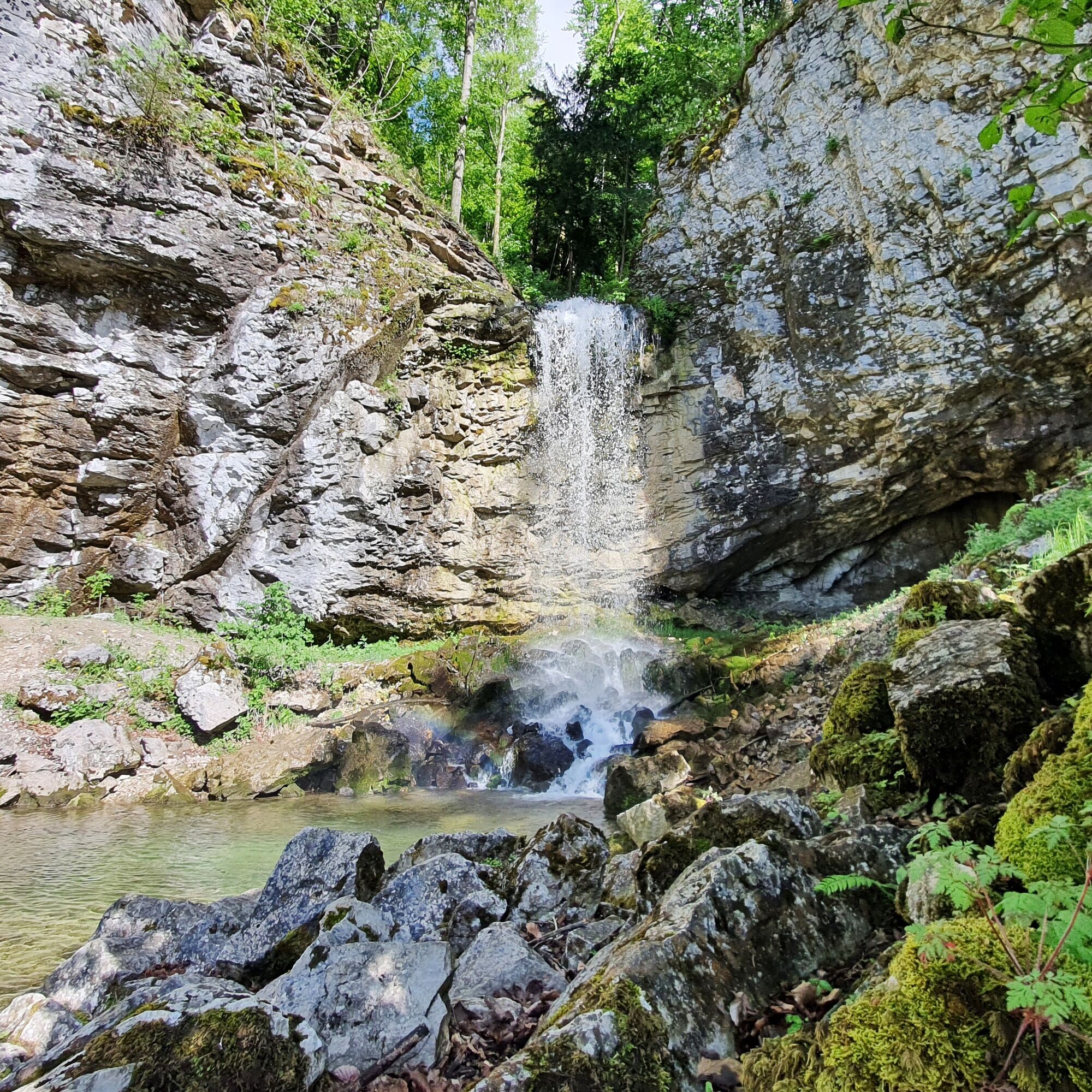
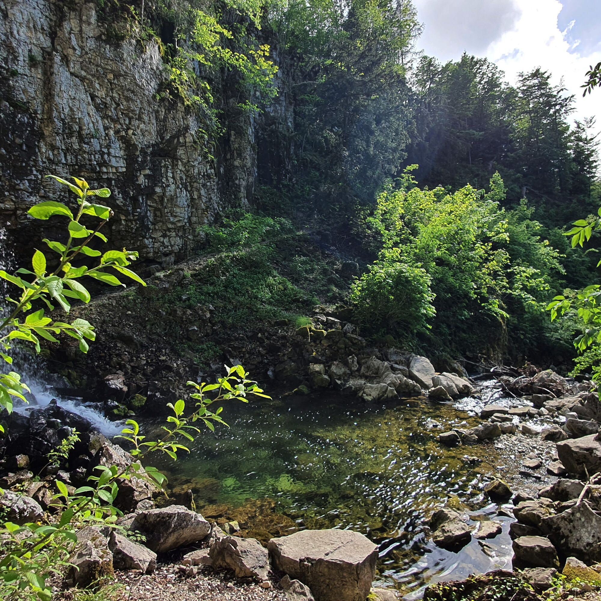
Continue to the crossroads below Hochstadlgut, where you can choose the short variant uphill to Kurhotel Vollererhof (No. 11c). The long variant of hiking trail No. 11 leads downhill via Thiersteig, past the Kehlbach Waterfall between Kainzreith and Hochgols back to St. Jakob am Thurn.
Ano
No special equipment required!
Recommended:
Normal hiking equipment with sturdy footwear. Weather-appropriate clothing Drinking water and, if necessary, provisionsThe hiking trail is marked with yellow signs and red-white-red intermediate markings.
Coming from Vienna on the A1 or from Munich on the A9, you reach the Salzburg junction just before Tennengau (district of Hallein) and then continue south on the A 10 (Tauern motorway). Puch/Urstein (Exit 11) is the northernmost motorway exit in Tennengau. If you are coming from the south via the A10 from Villach/Carinthia, you also leave the Tauern motorway at Puch Urstein at Exit 11. Directly from the exit in Puch-Urstein you drive south into the town of Puch or north towards the city of Salzburg to St. Jakob am Thurn.
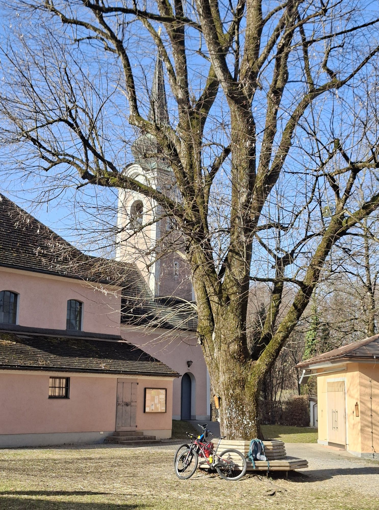
Parking lot at the club house/sports field in St. Jakob am Thurn
T2
Oblíbené prohlídky v okolí
- 4.2
Fuschlseewanderung
světloTuristika 11 km - 4.6
Kneifelspitze
Turistika 2.53 km - 3.8
Durch die Almbachklamm nach Ettenberg
Turistika 7.54 km - 4.1
Untersberg, Toni-Lenz-Hütte
Turistika 4.86 km - 4.4
From Koppl to the Gaisberg summit
středníTuristika 9.86 km - 4.8
Almbachklamm zum Gasthof Dürrlehen
středníTuristika 8.94 km - 4.2
Idyllic Hintersee Rund
světloTuristika 5.10 km - 4.7
Reitsteig - Dopplersteig Runde_Untersberg
středníVysokohorská turistika 9.89 km - 4.8
Great and Small Barmstein, the landmarks of Hallein
heavyTuristika 6.58 km - 4.7
Schlenken von Halleiner Hütte
středníTuristika 7.29 km

Pěší turistika a stopování


Nenechte si ujít nabídky a inspiraci pro vaši příští dovolenou
Vaše e-mailová adresa byl přidán do poštovního seznamu.