







Abtenau: Postalm Circular Route 1 - Moosberg alpine meadows
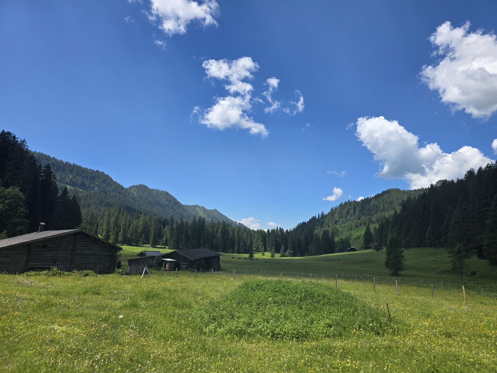
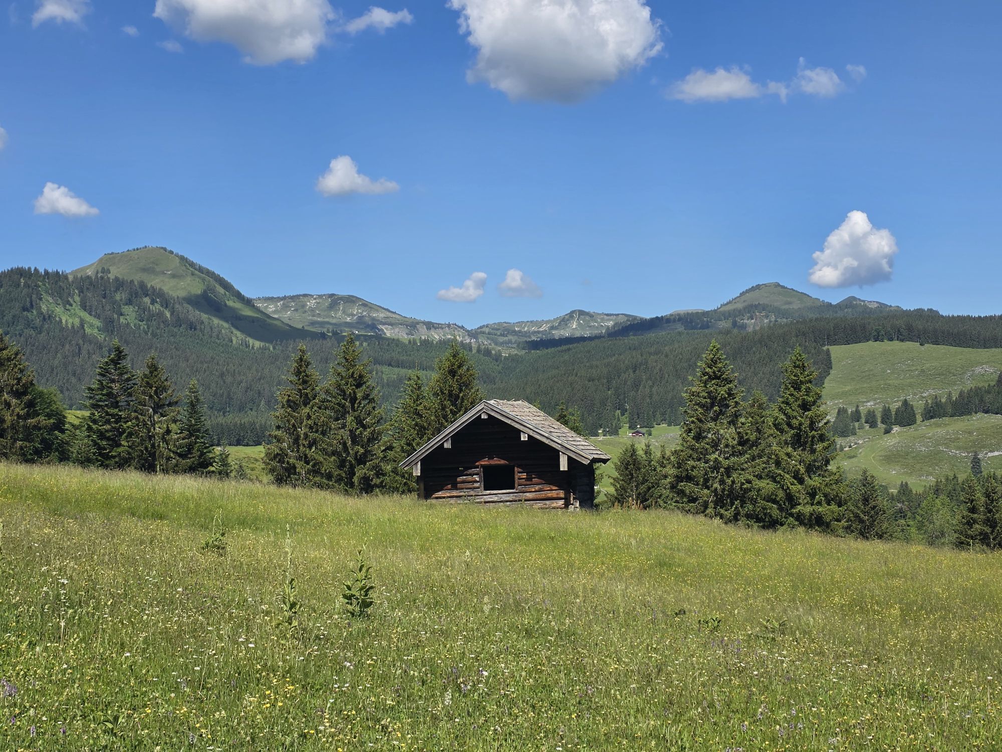
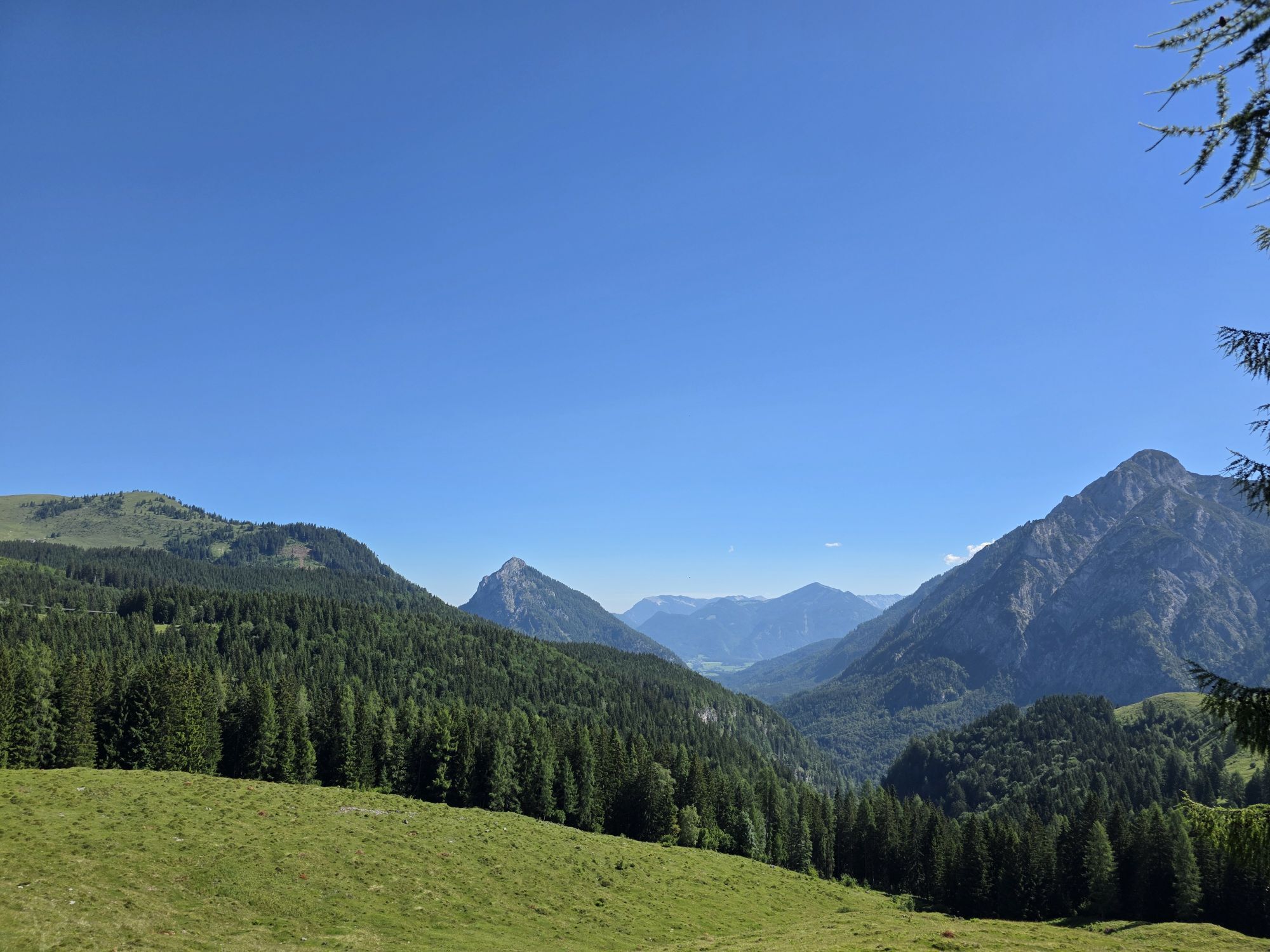
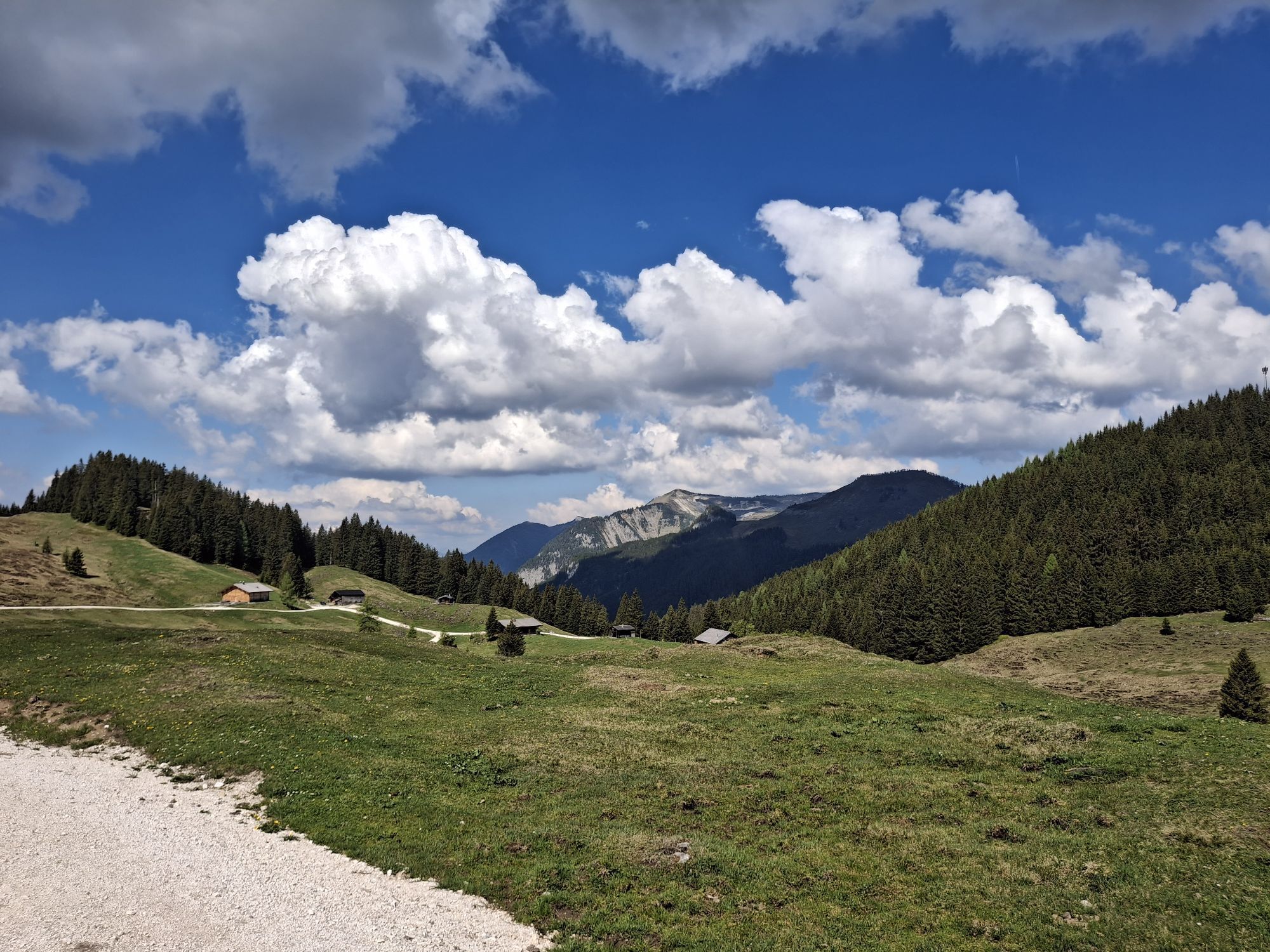
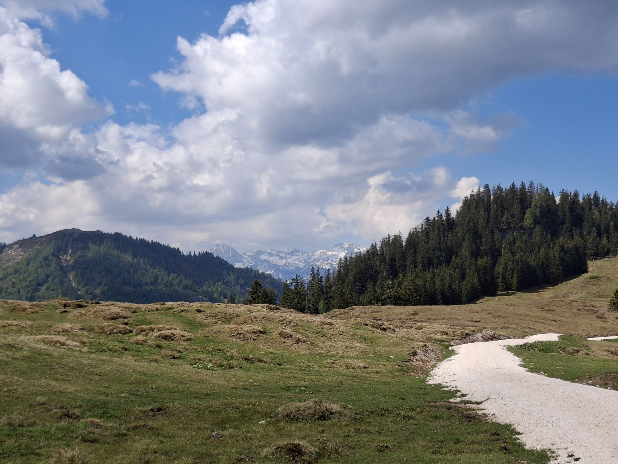
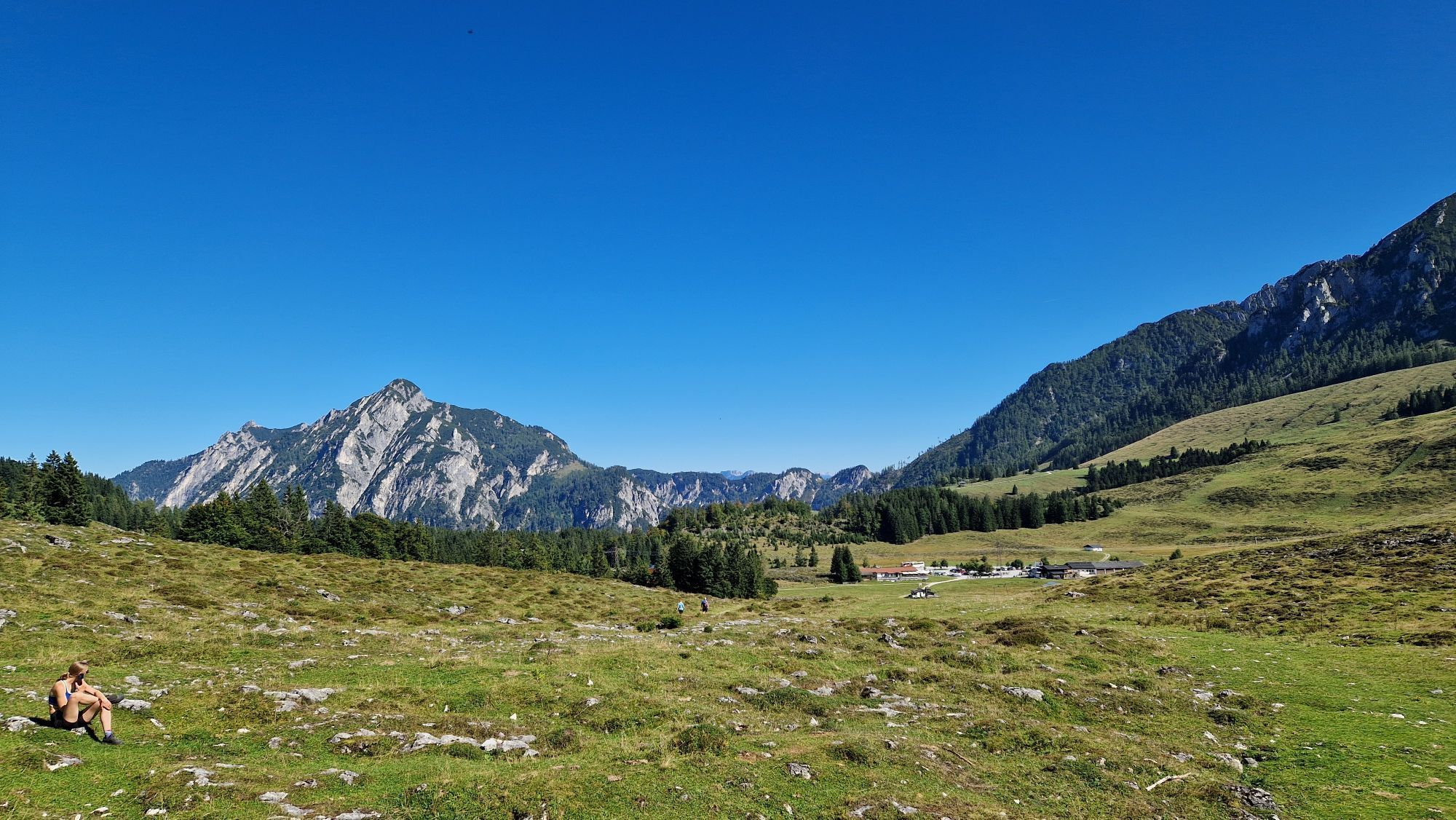
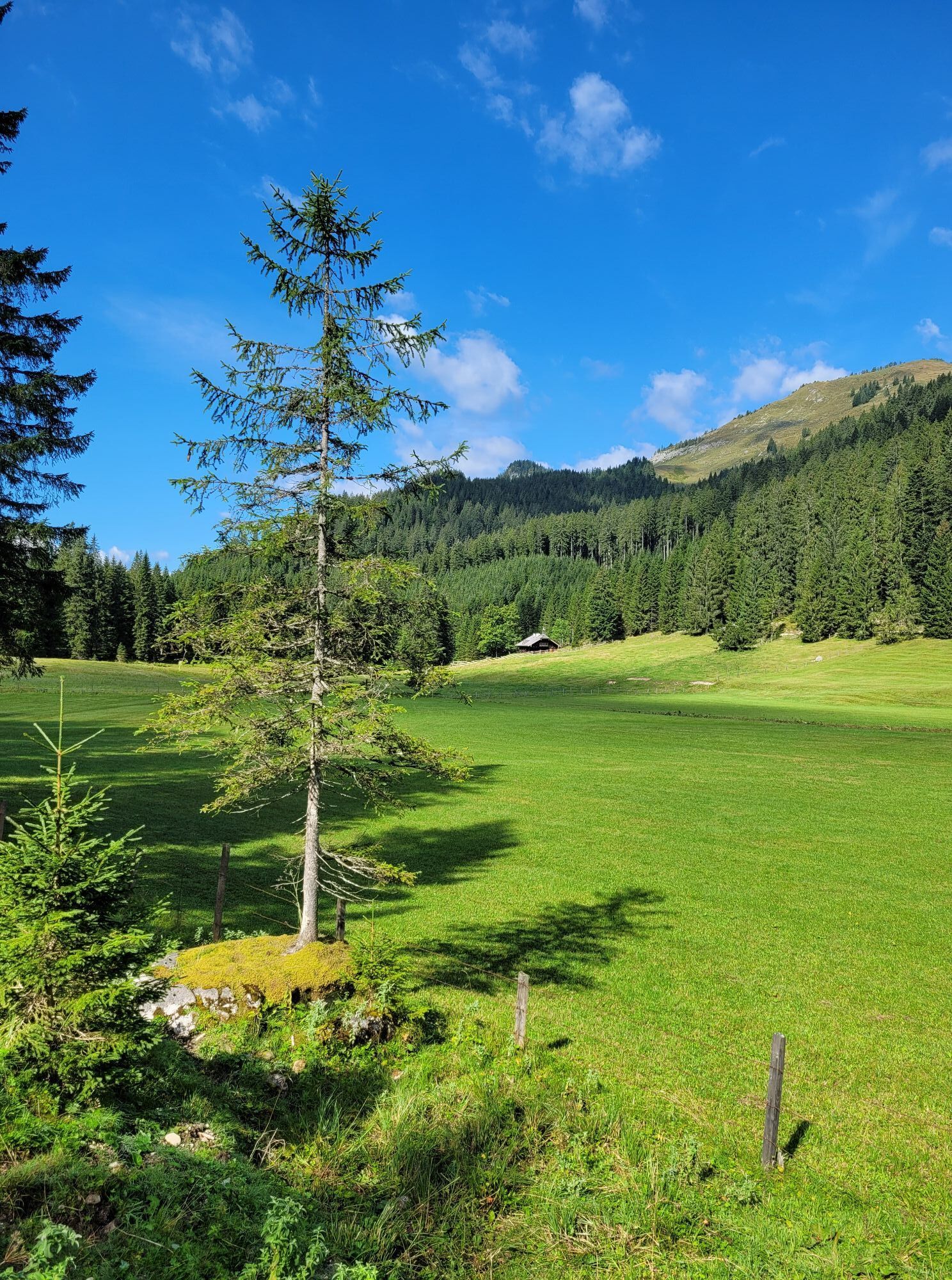
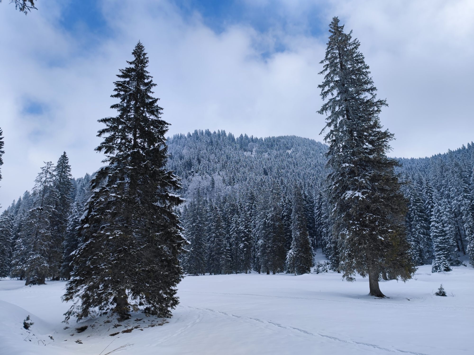
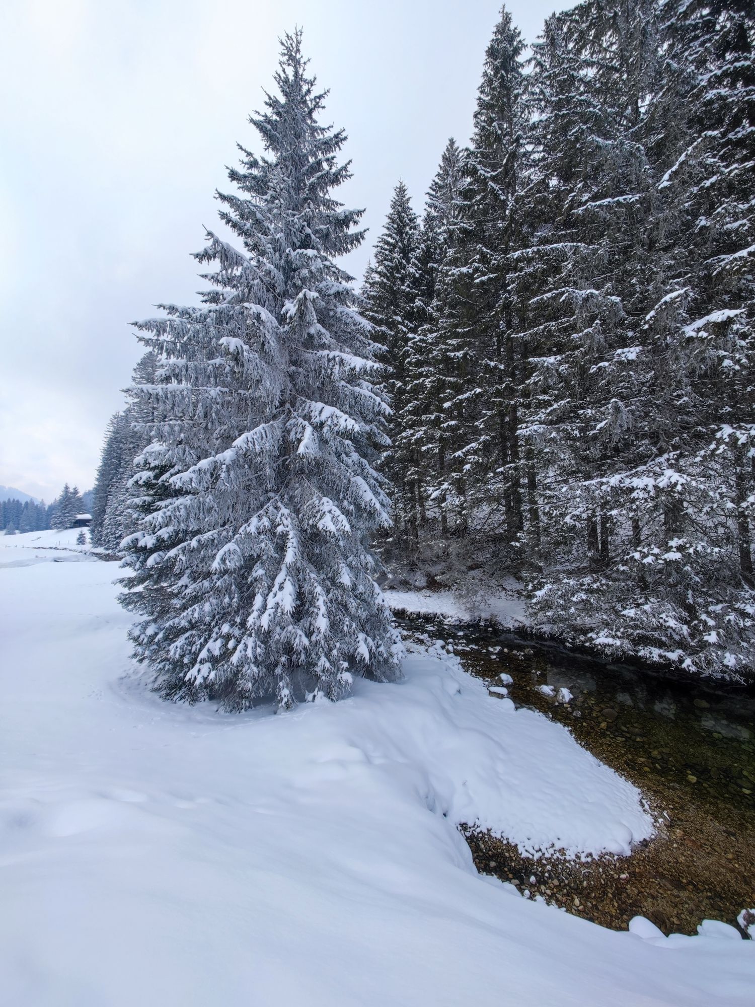
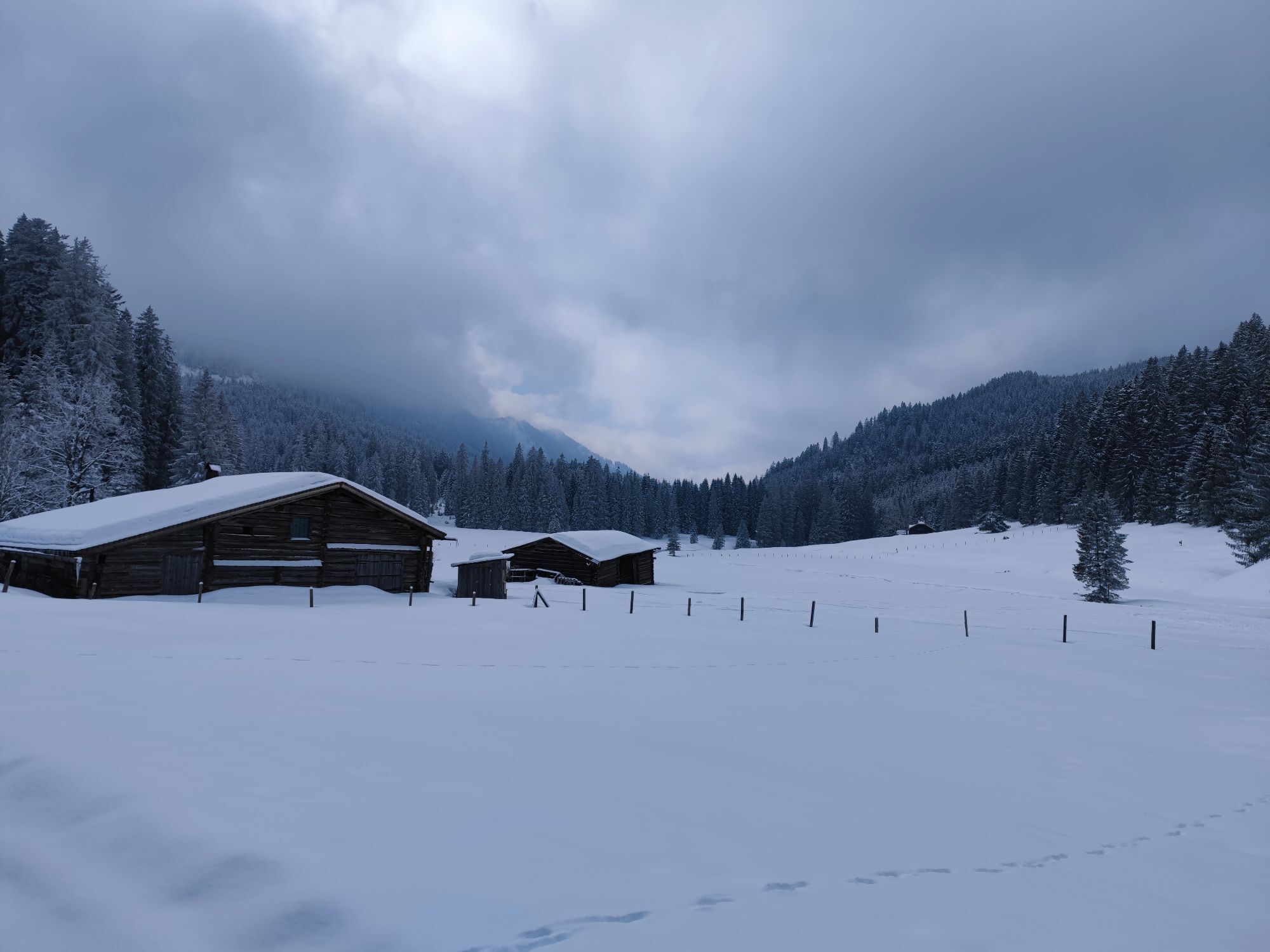
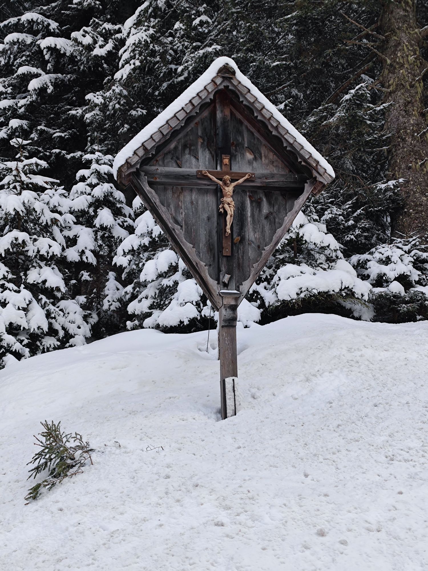
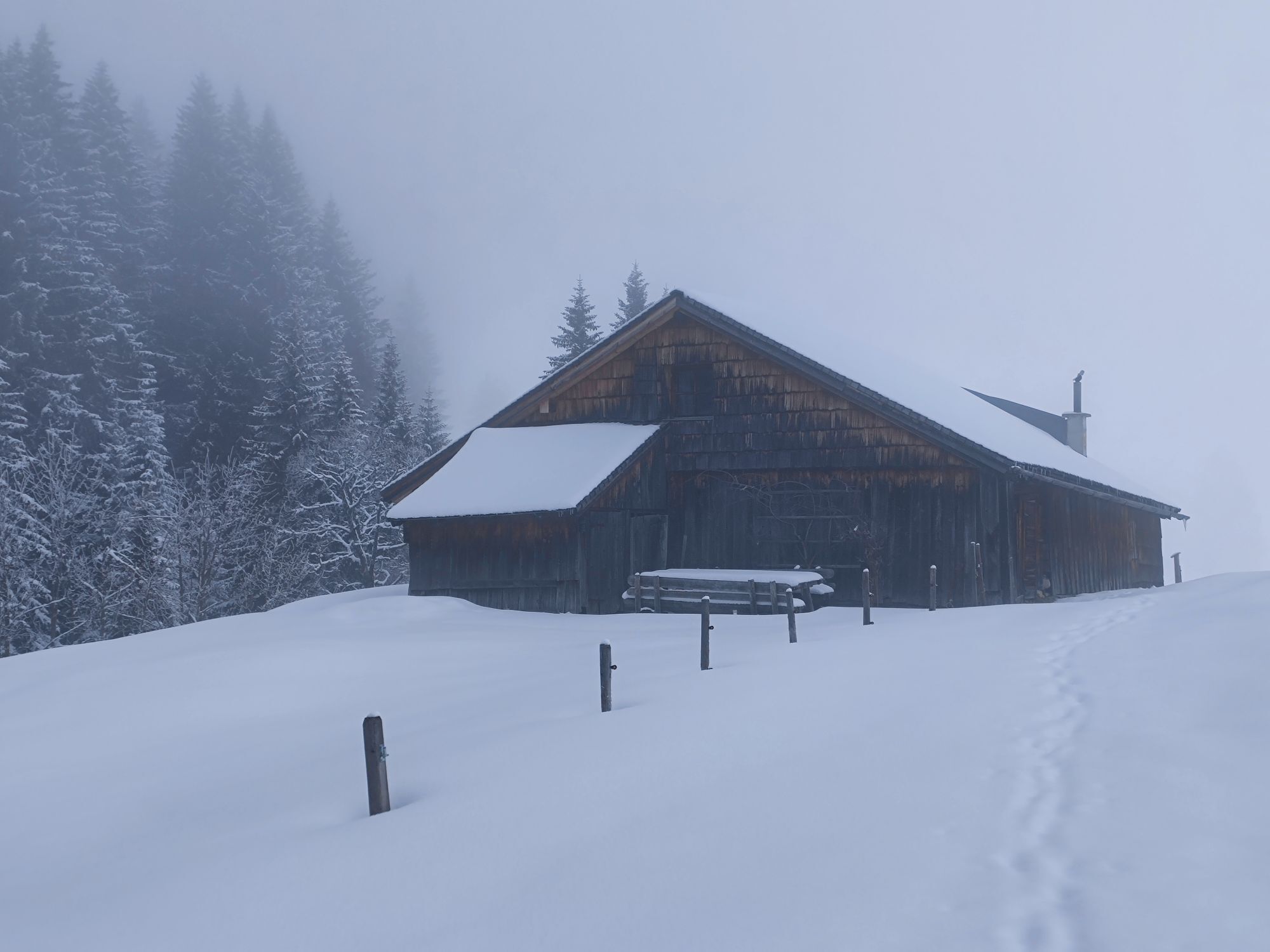
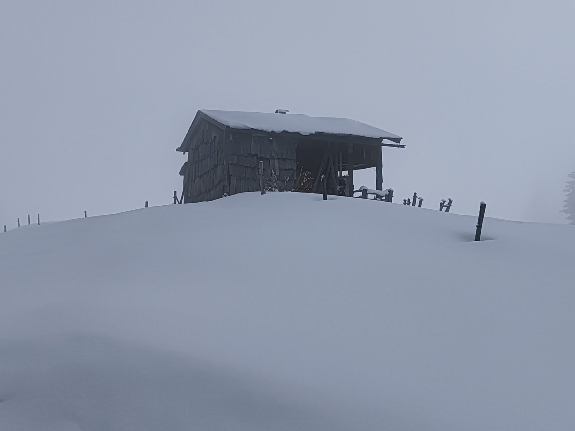
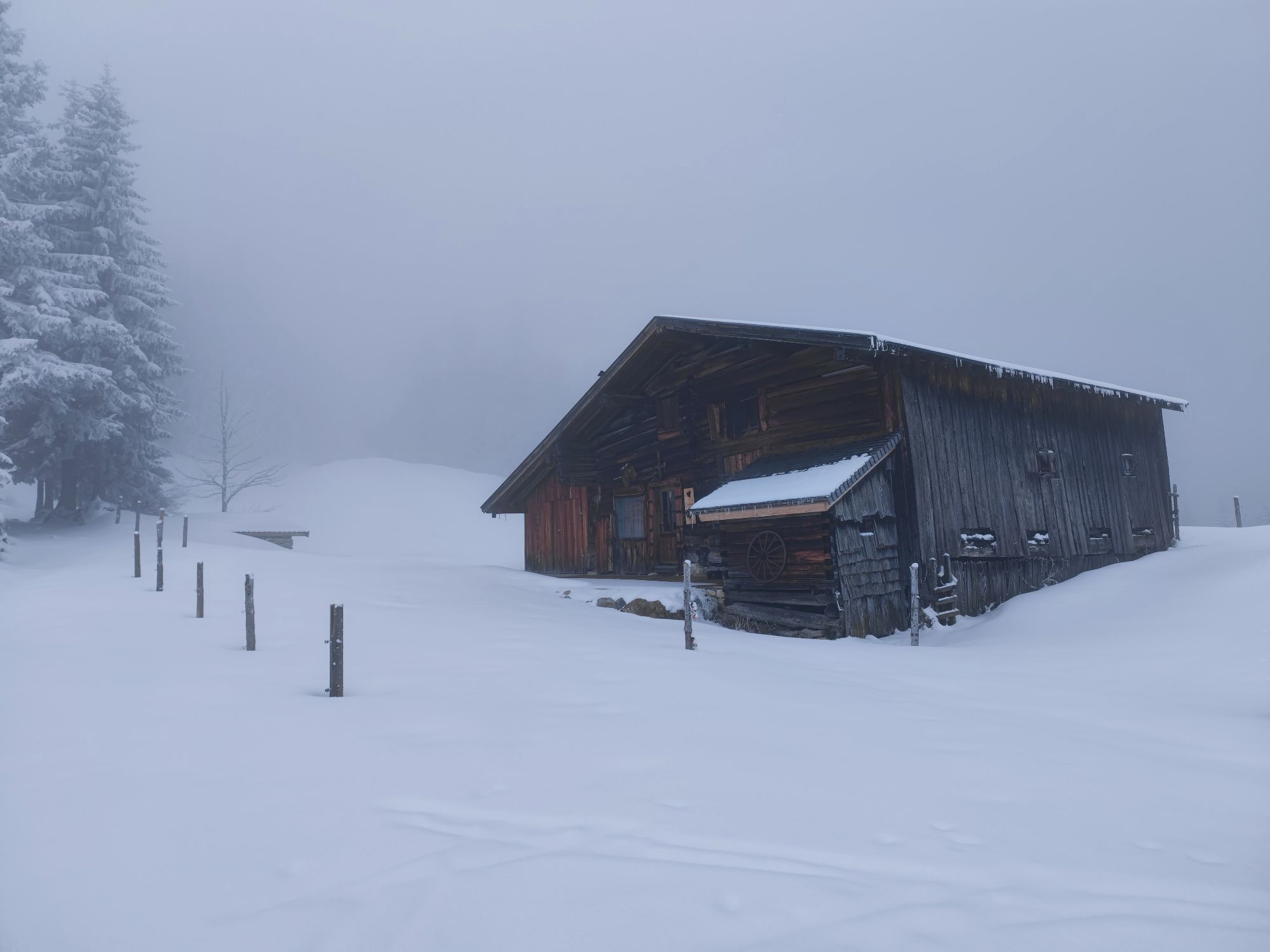
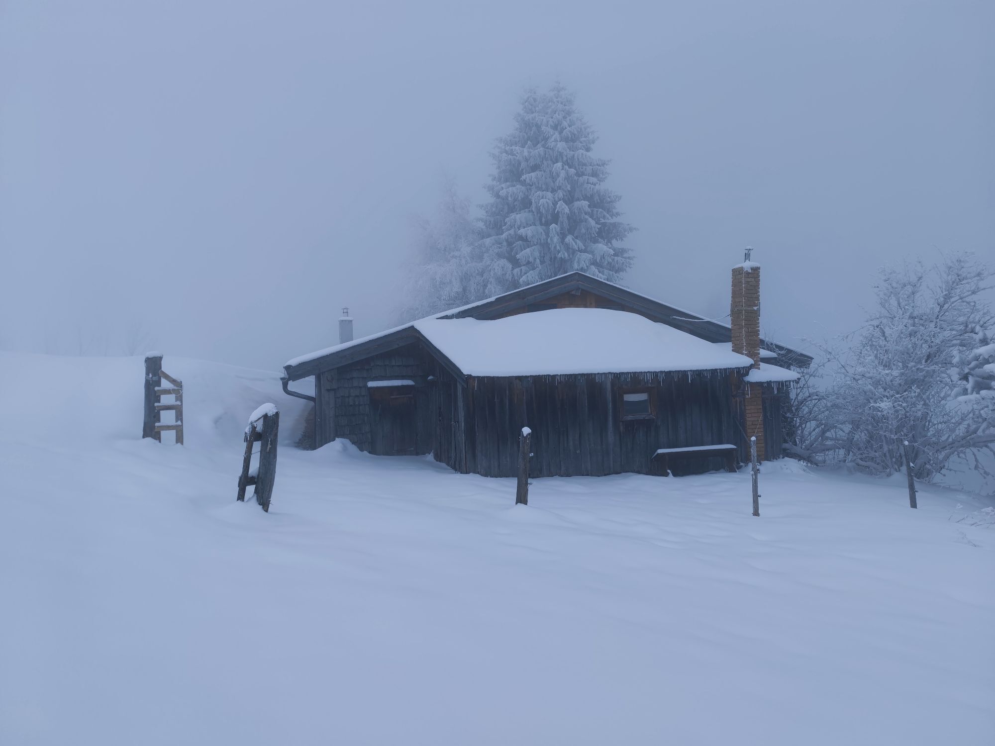
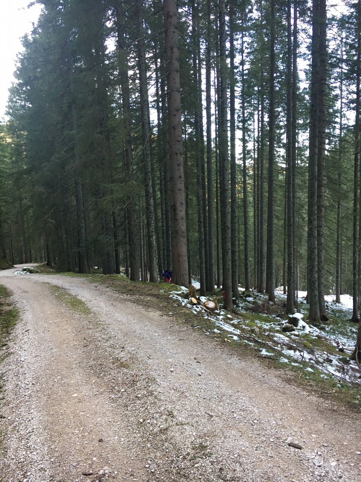
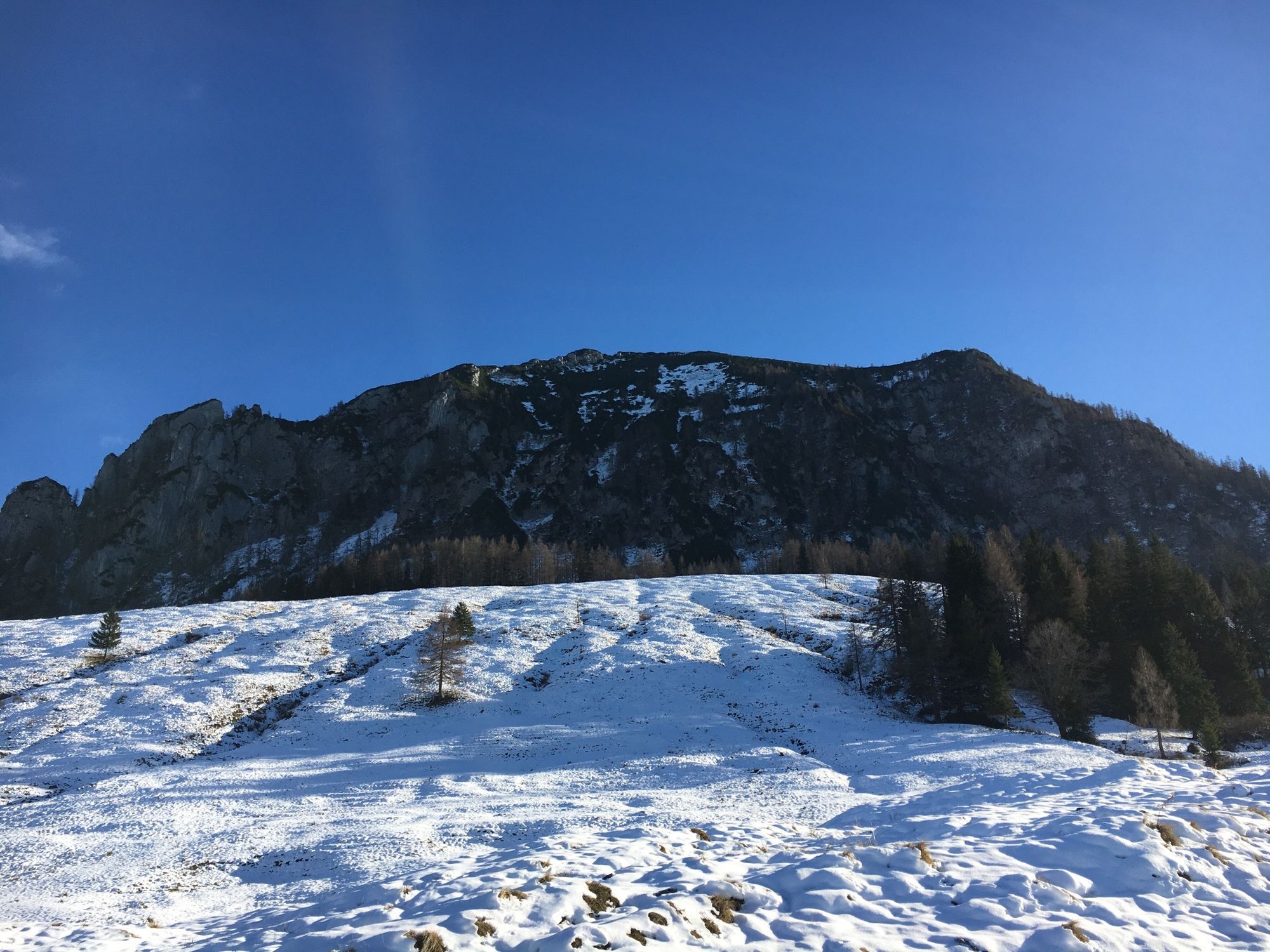
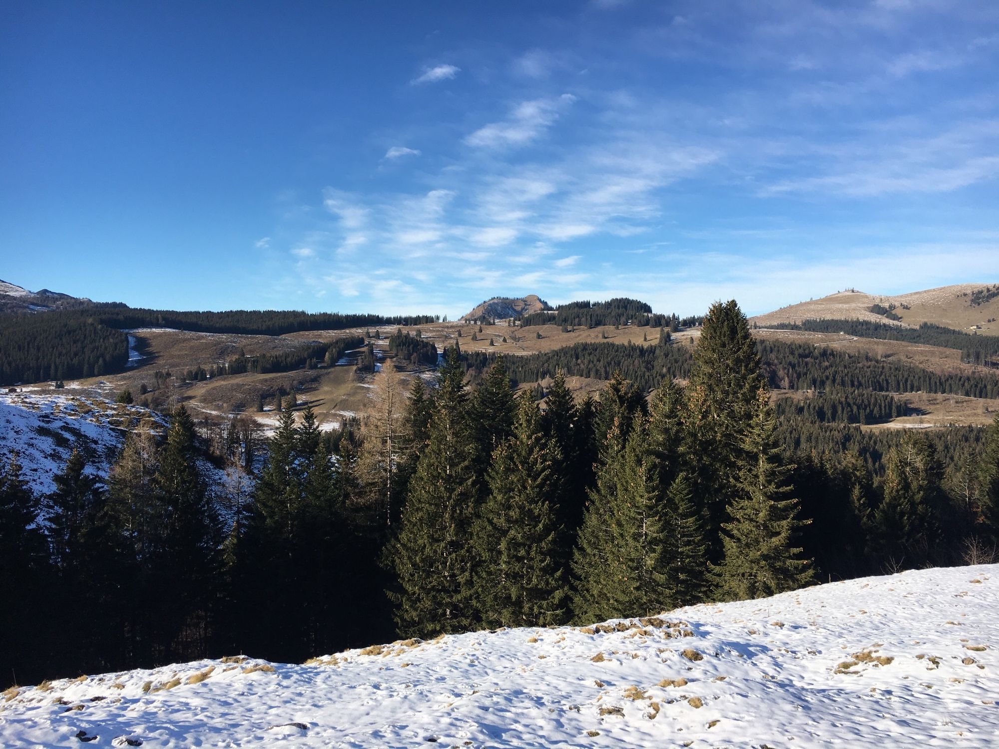
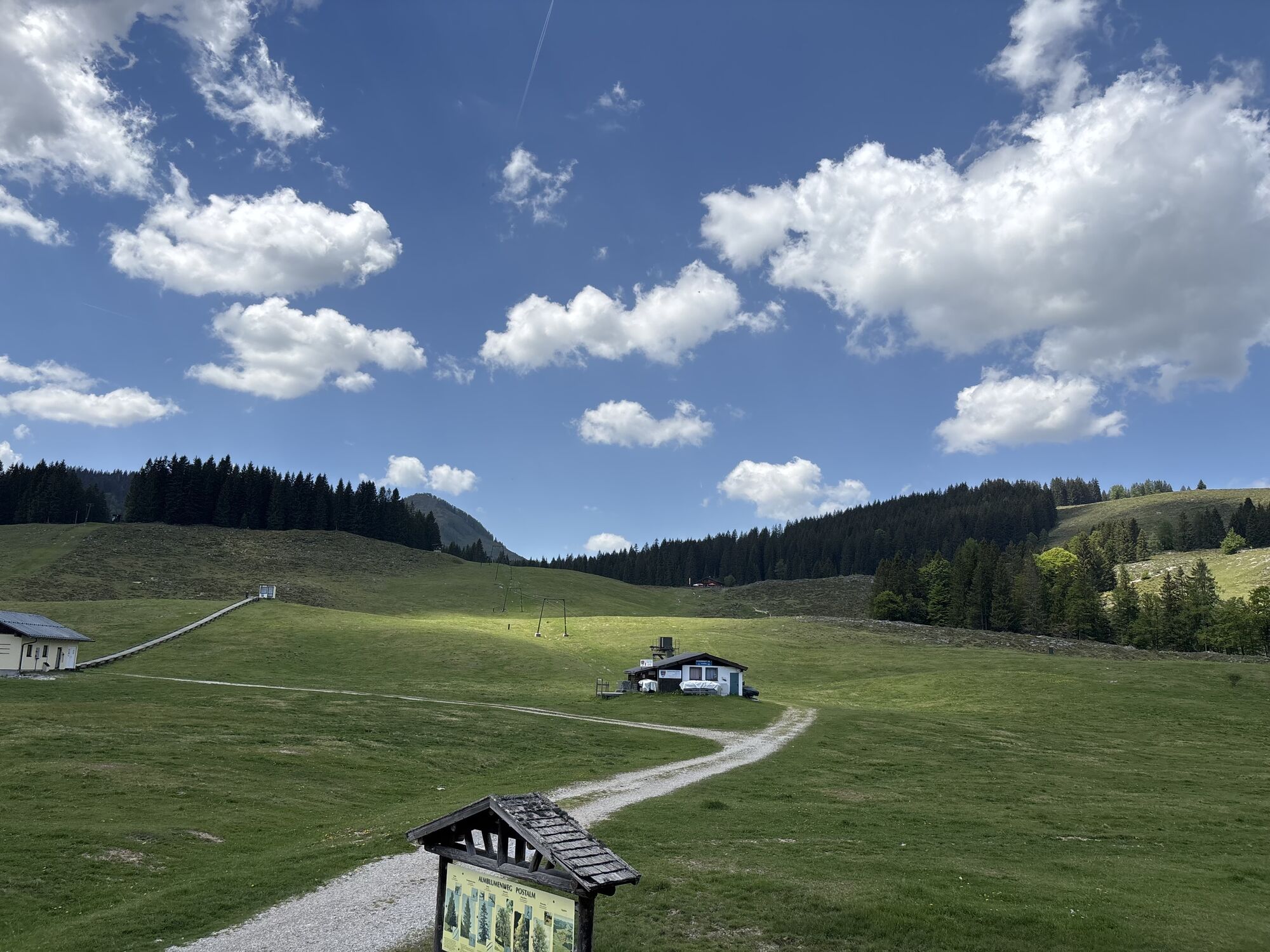
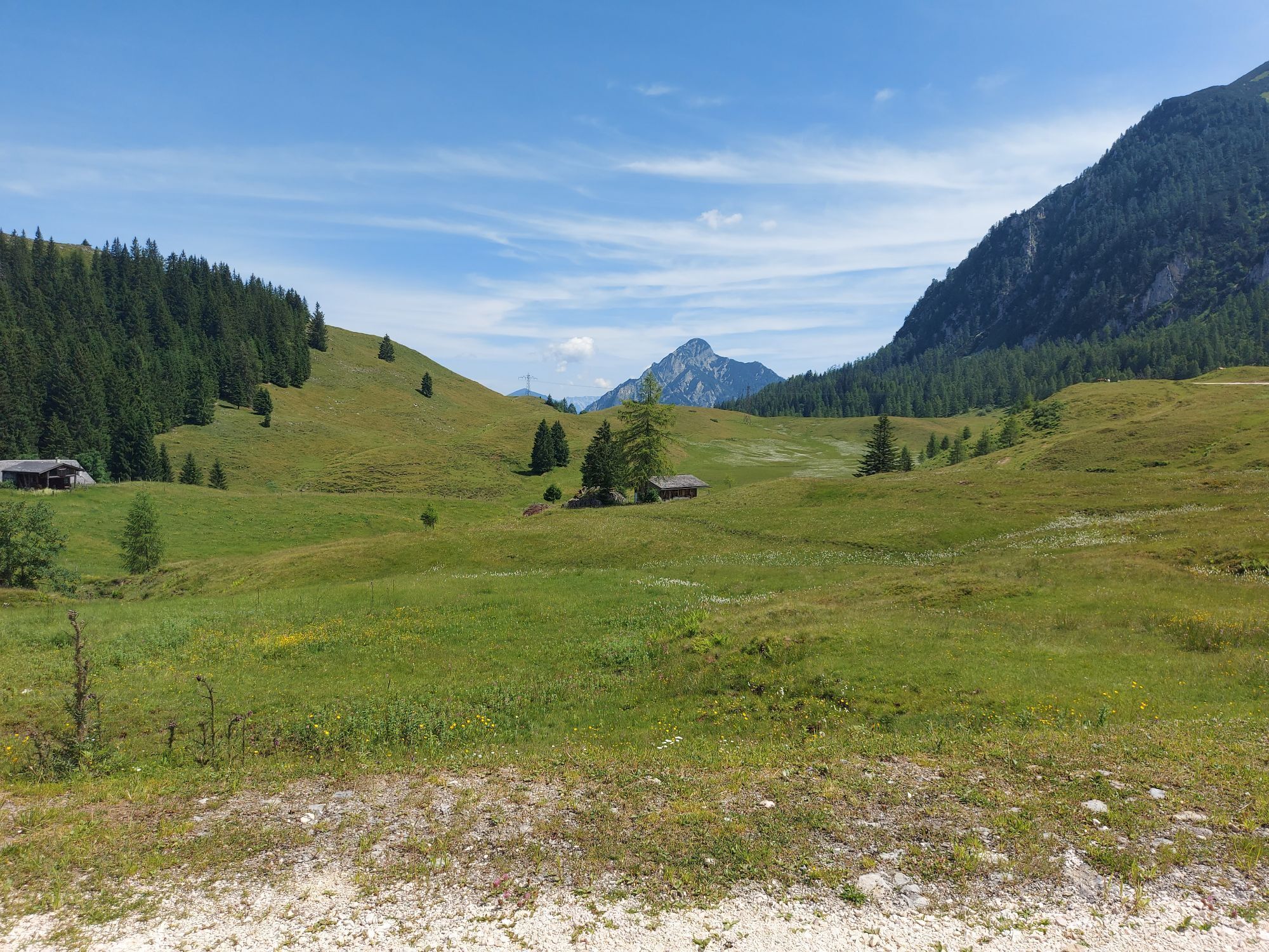
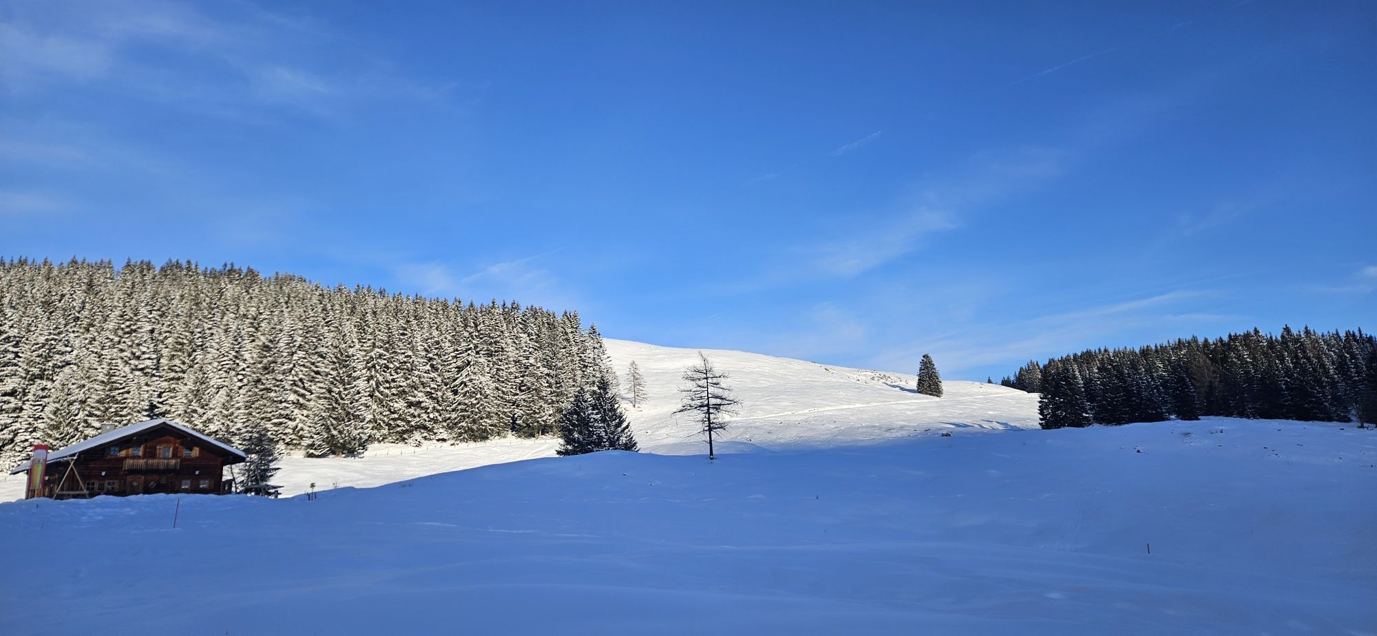
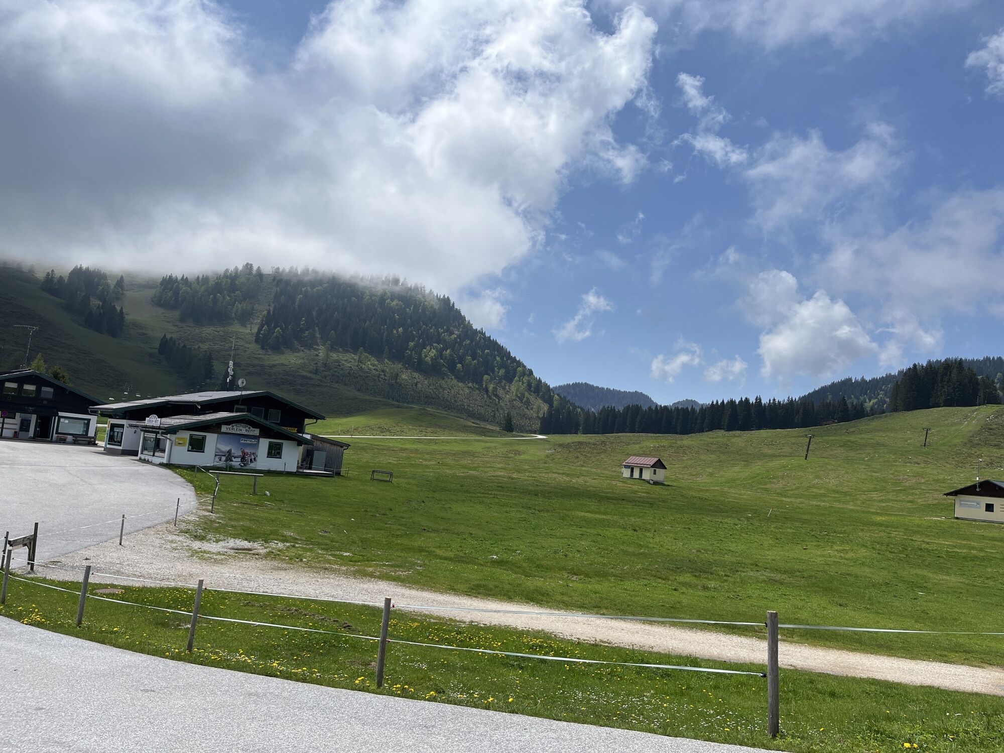
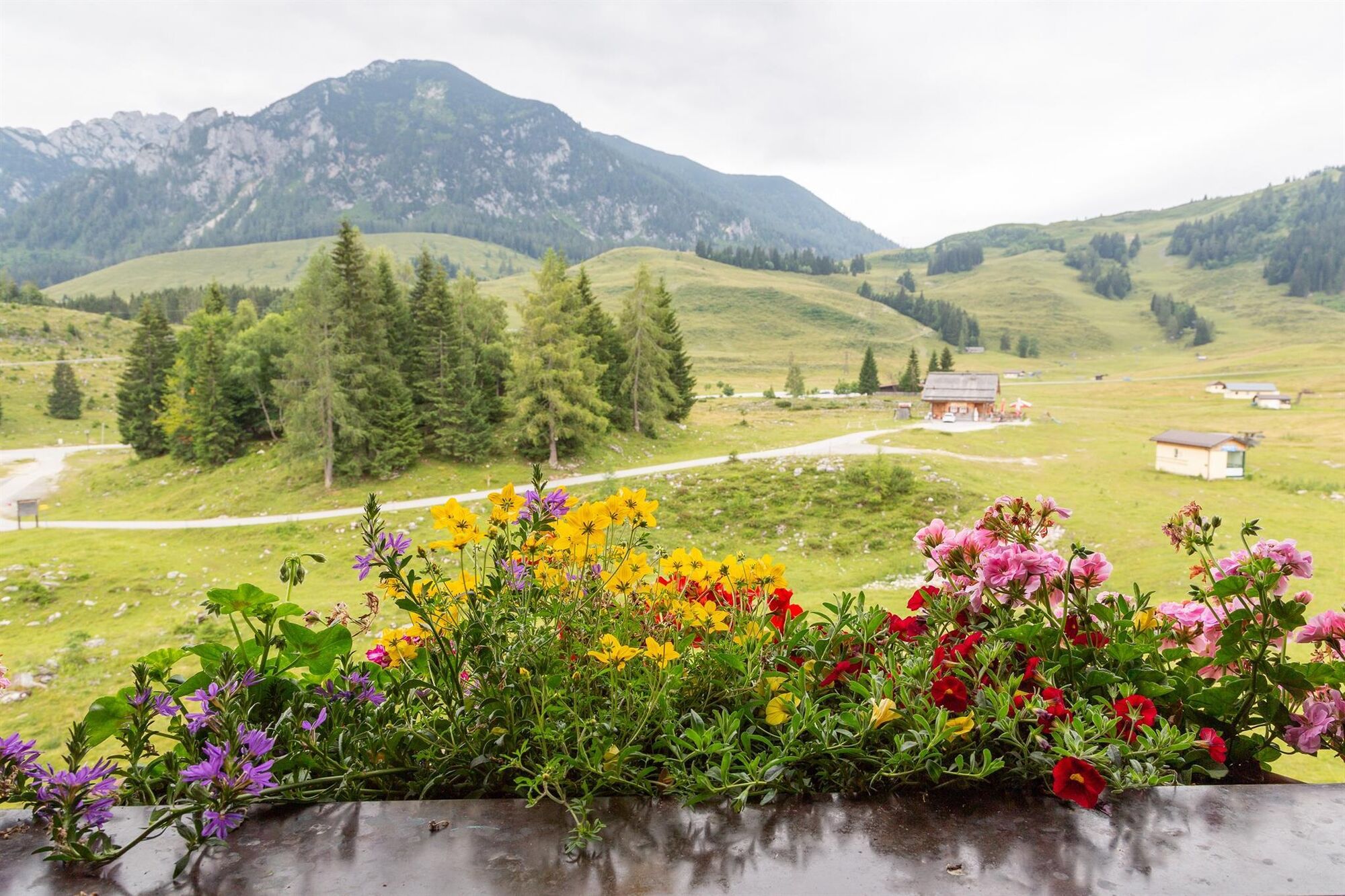
3-hour hike across the largest alpine area in Austria - the Postalm with magnificent panorama.
The starting point is the Lienbachhof (bus stop "Skizentrum"). From the fenced parking lot P1, first head...
3-hour hike across the largest alpine area in Austria - the Postalm with magnificent panorama.
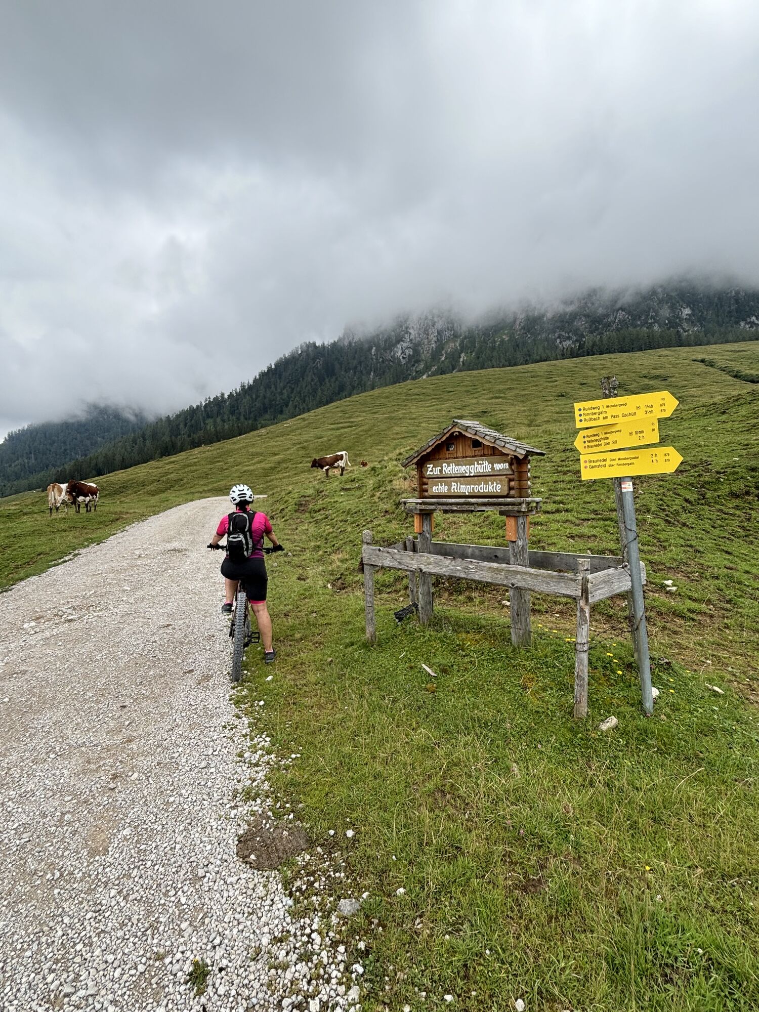
The starting point is the Lienbachhof (bus stop "Skizentrum"). From the fenced parking lot P1, first head towards Strobl, then immediately turn right to the Rettenegg Hut (hiking trail 878). After about 1.5 km, the path to the Rettenegg Hut branches left (approx. 500 m / 40 m elevation gain). However, the circular route 1 continues to the right, below the Braunedelkogel, on to the Moosberg saddle and the Moosberg alpine meadows.
From there, follow the forest road downhill, cross the asphalt road, and reach the Außerlienbach Alm. Then continue on the forest road (hiking trail 150) to the Rosser Hut, and over the alpine meadow back to the starting point.
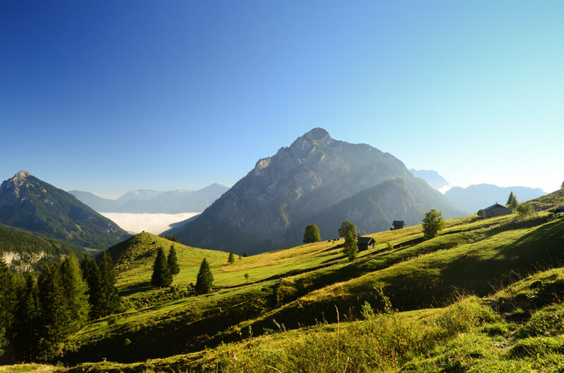
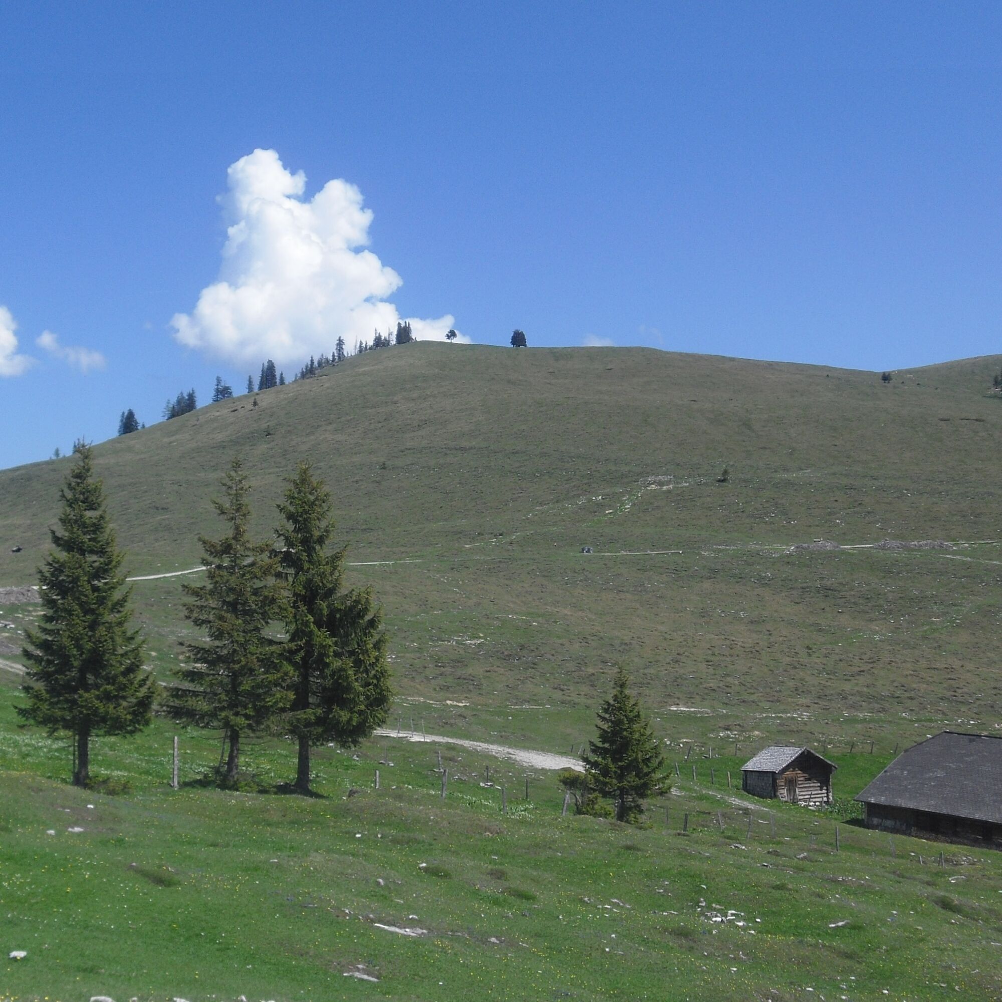
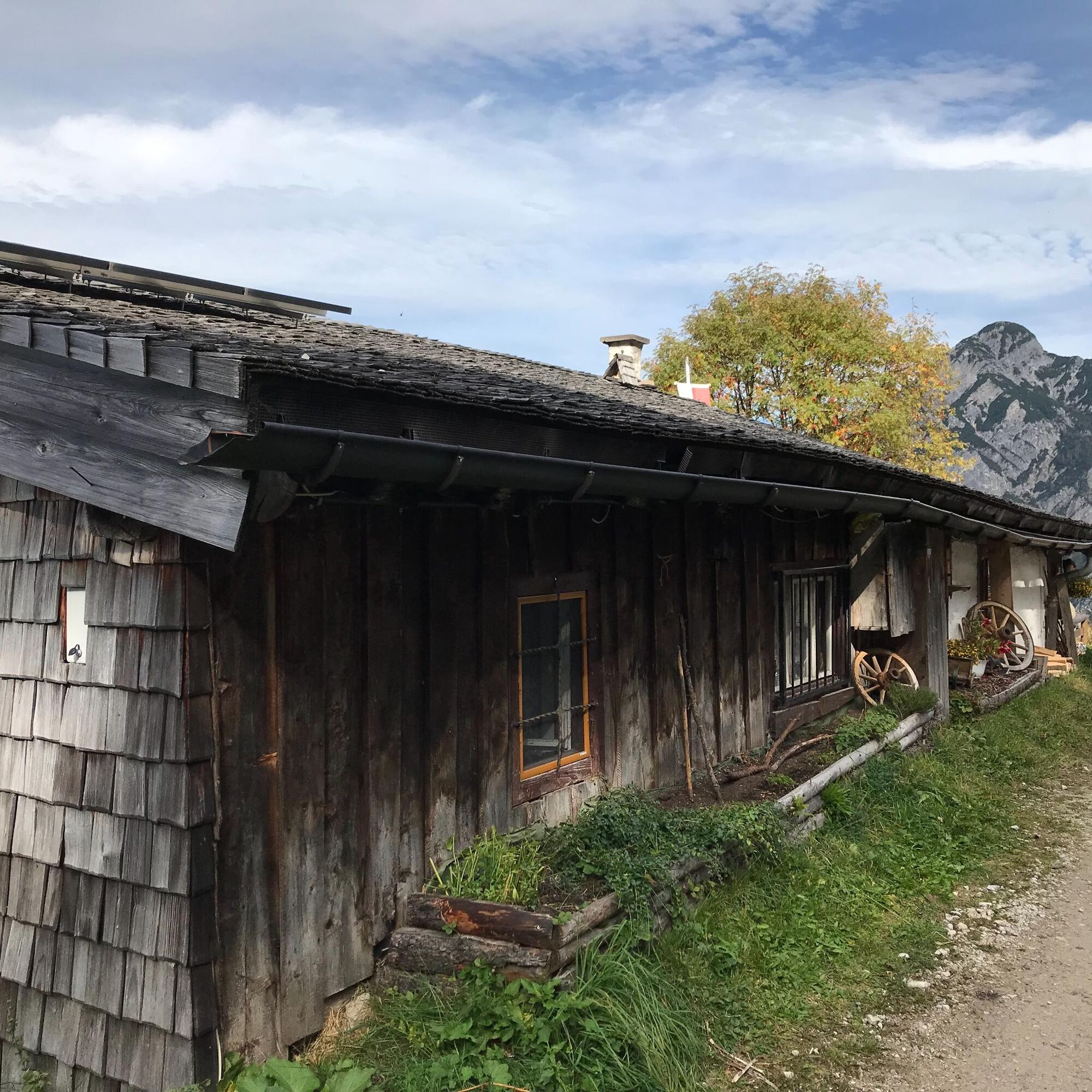
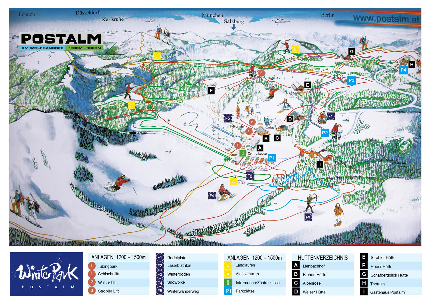
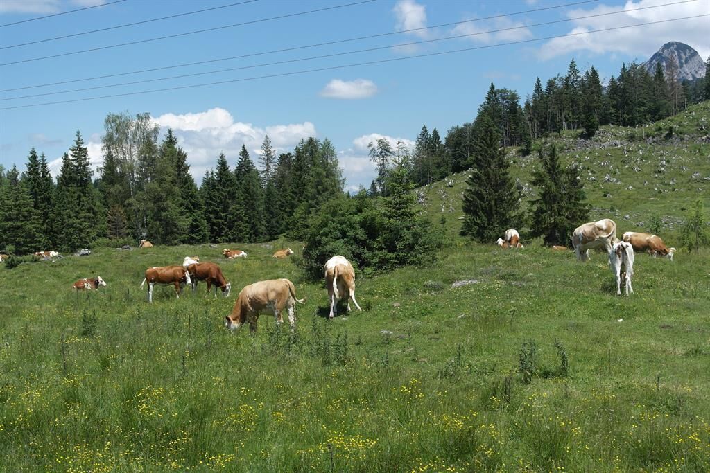
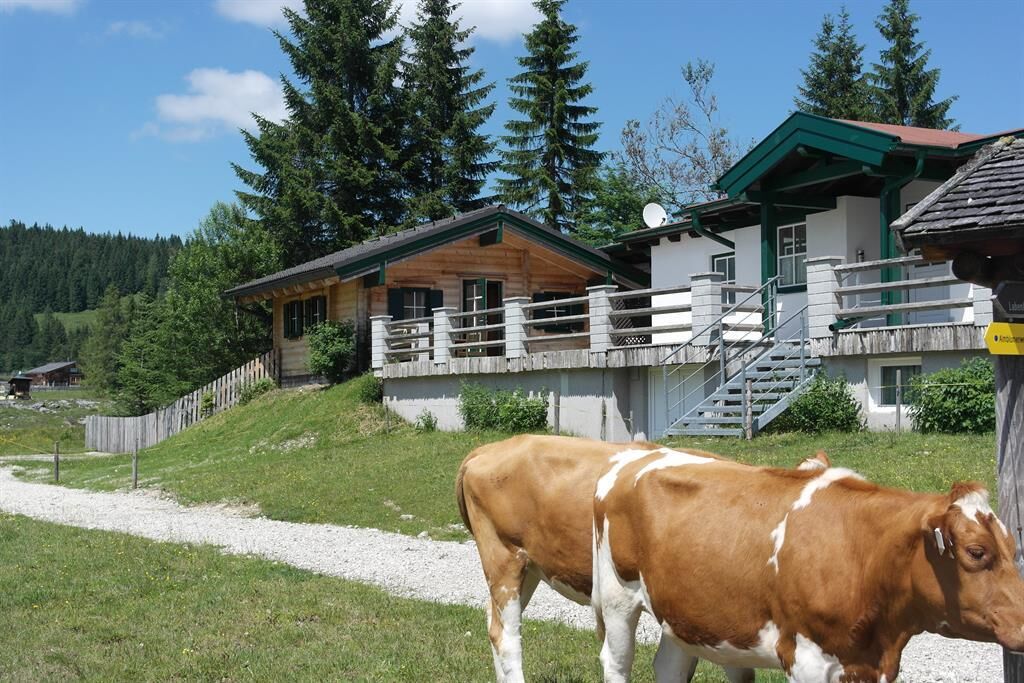
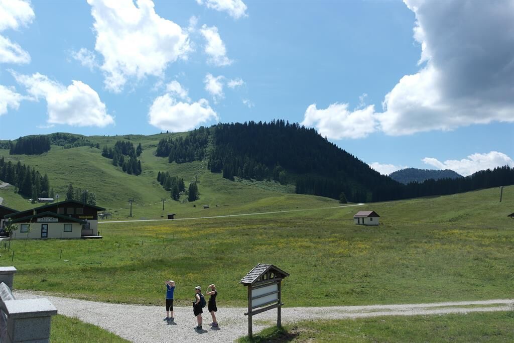
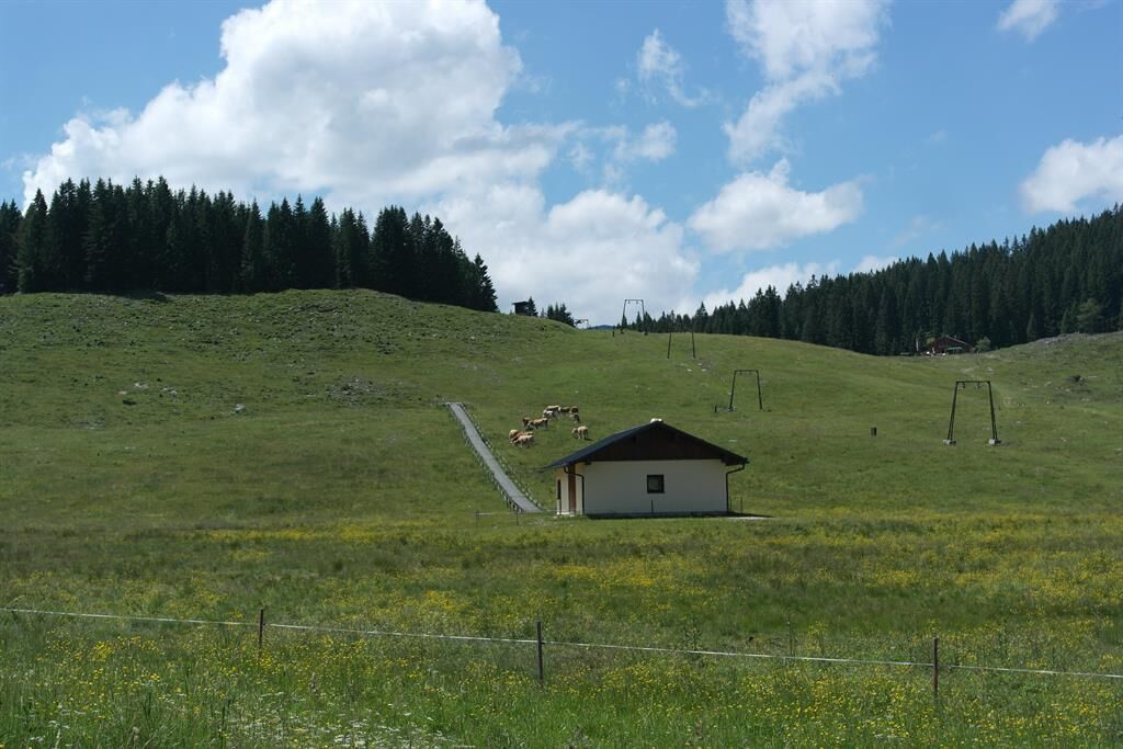
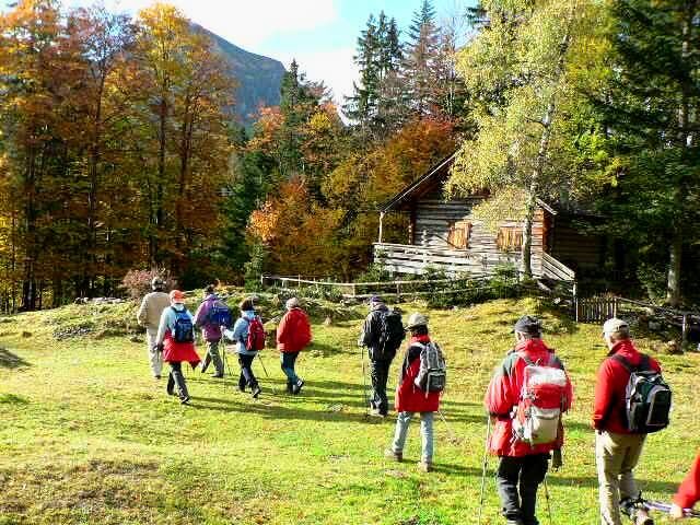
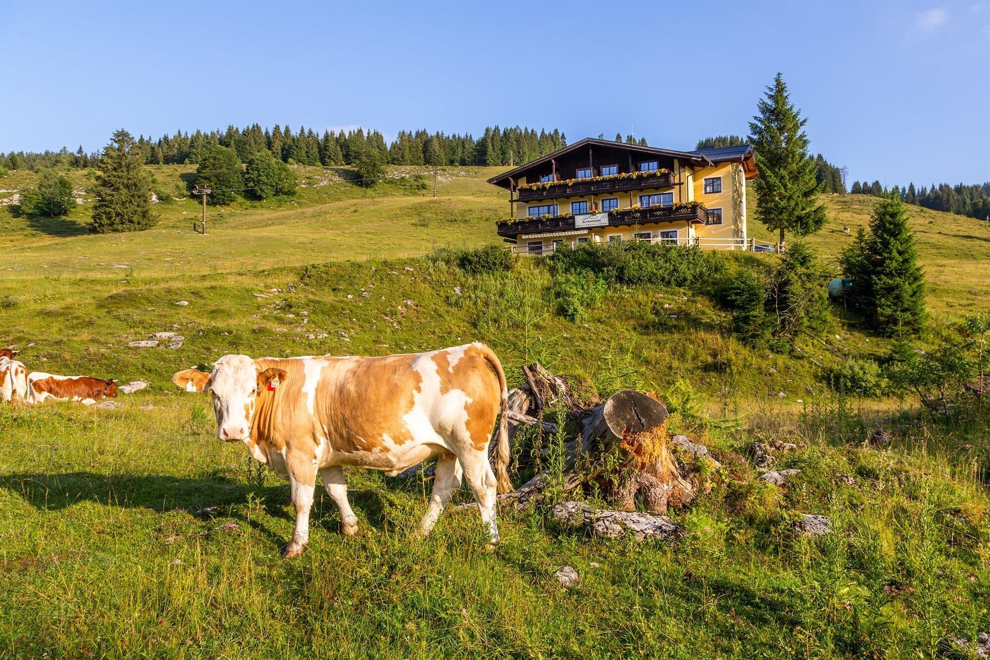

The starting point is the Lienbachhof (bus stop "Skizentrum"). From the fenced parking lot P1, first head towards Strobl, then immediately turn right to the Rettenegg Hut (hiking trail 878). After about 1.5 km, the path to the Rettenegg Hut branches left (approx. 500 m / 40 m elevation gain). However, the circular route 1 continues to the right, below the Braunedelkogel, on to the Moosberg saddle and the Moosberg alpine meadows.
From there, follow the forest road downhill, cross the asphalt road, and reach the Außerlienbach Alm. Then continue on the forest road (hiking trail 150) to the Rosser Hut, and over the alpine meadow back to the starting point.
Ano
suitable hiking clothing, hiking boots
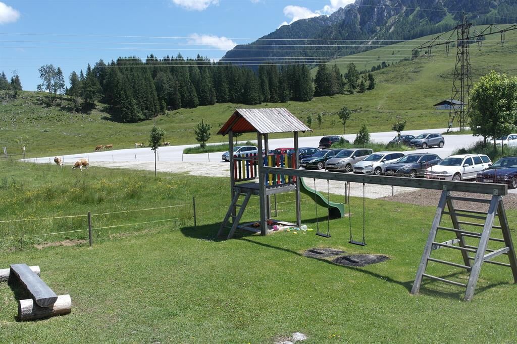
Parking lot 1 is protected from grazing livestock. Please park in fenced parking lots.
Directions from the town center: The Postalm is accessible via the toll road from Abtenau. During the main season, the Postalm is also served twice a week by the hiking bus. For further information and timetables, please contact the tourism office or visit www.abtenau-info.at.
Take the Postbus to "Abtenau town center." From there, in the summer months, a bus (free of charge!) runs every Tuesday and Thursday at 10:15 am (in all weather conditions) to the beautiful alpine area "Postalm." Return trip at 3:56 pm and arrival in Abtenau at about 4:33 pm.
Postalm: parking lot 1, Lienbachhof guesthouse
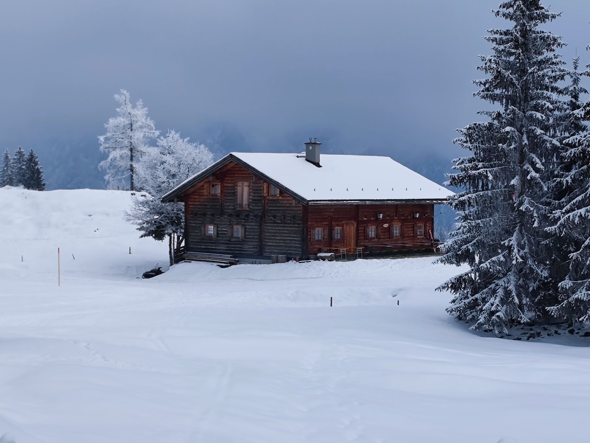
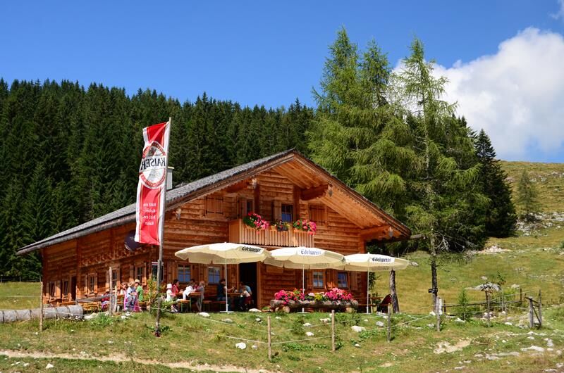
Make a stop at the rustic Rettenegg Hut and try the homemade alpine products and dishes.

 Získejte přehled Vždy živě na místě s více než 9 500 webkamerami. bergfex Jako uživatel Pro si nyní můžete zobrazit odpovídající webové kamery pro mnoho prohlídek v aplikaci prohlídky z. Můžete si tak přímo prohlédnout aktuální podmínky.
Oblíbené prohlídky v okolí
- 4.2
Pillstein Panorama Rundweg
světloTuristika 3.40 km - 4.7
Tour around the Lake Gosau
světloTuristika 4.43 km - 4.7
Pleasure hike over the Falkenstein
středníTuristika 9.81 km - 4.9
From Rußbach over the Gamsfeld
heavyTuristika 11.5 km - 4.9
Schwarzeneckalm-Bleckwand
světloTuristika 5.94 km - 4.8
Schafberg ab Winkl nahe Sankt Gilgen, Österreich
středníTrailrunning 6.12 km - 4.1
Illinger Alm-Runde
středníTuristika 9.89 km - 4.8
Gennerhorn über Lämmerbach
středníTuristika 10.2 km - 4.7
Von St. Gilgen aufs Zwölferhorn
středníTuristika 10.4 km - 4.7
Schafberg
středníTuristika 6.85 km
Pěší turistika a stopování


Nenechte si ujít nabídky a inspiraci pro vaši příští dovolenou
Vaše e-mailová adresa byl přidán do poštovního seznamu.





