


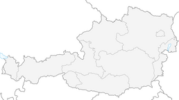


Abtenau-Scheffau: Strubberg - Winnerfall - Schwarzenbachfall (9 points)
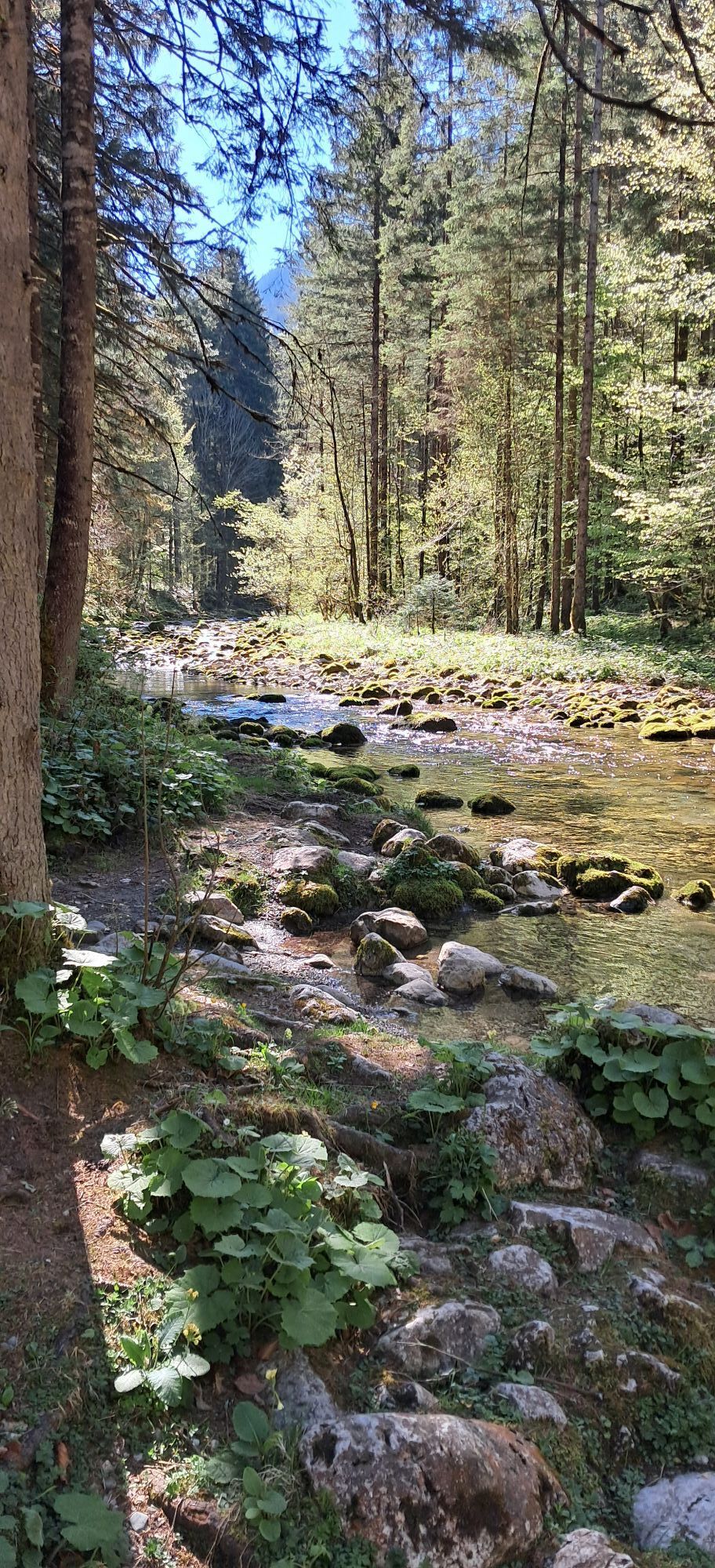
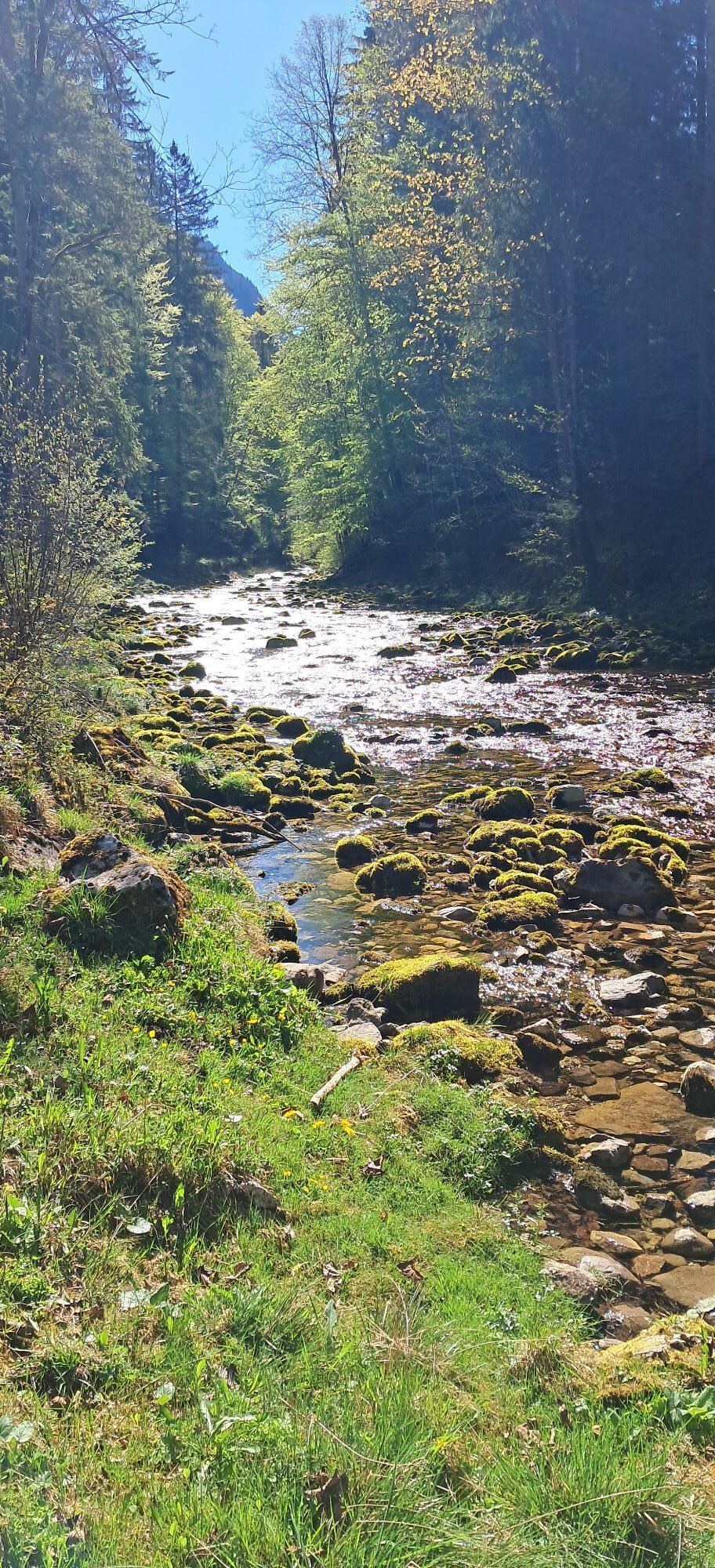
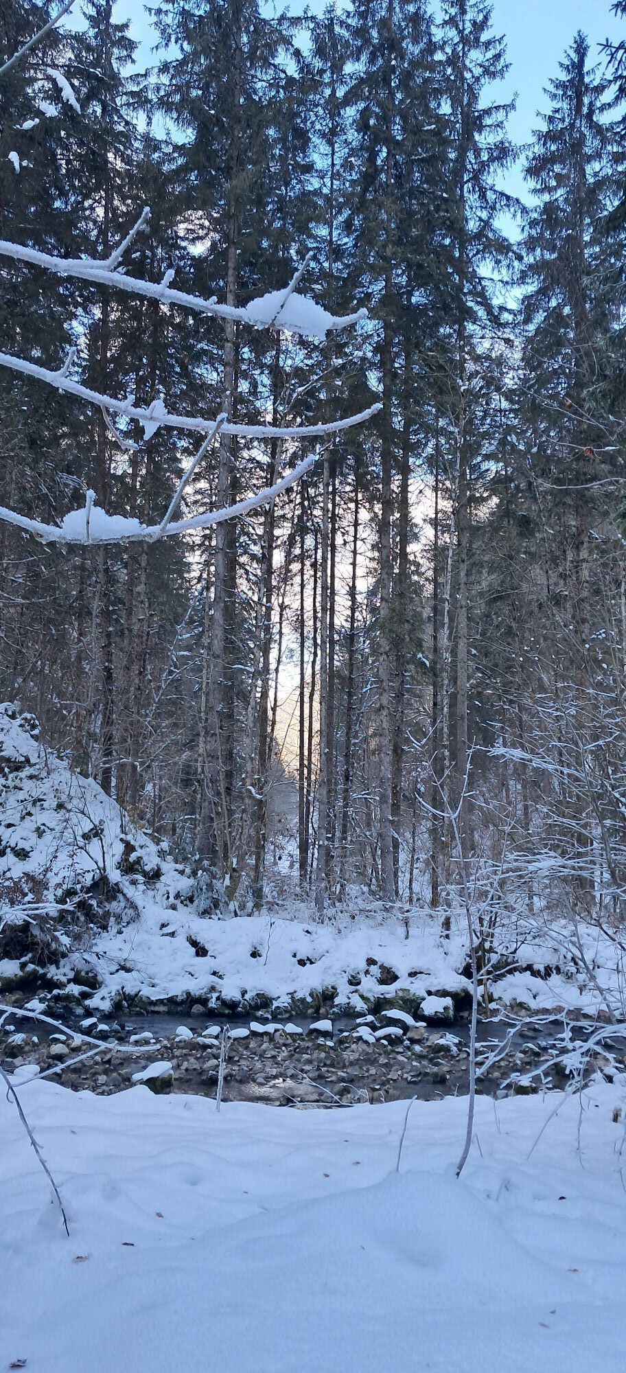


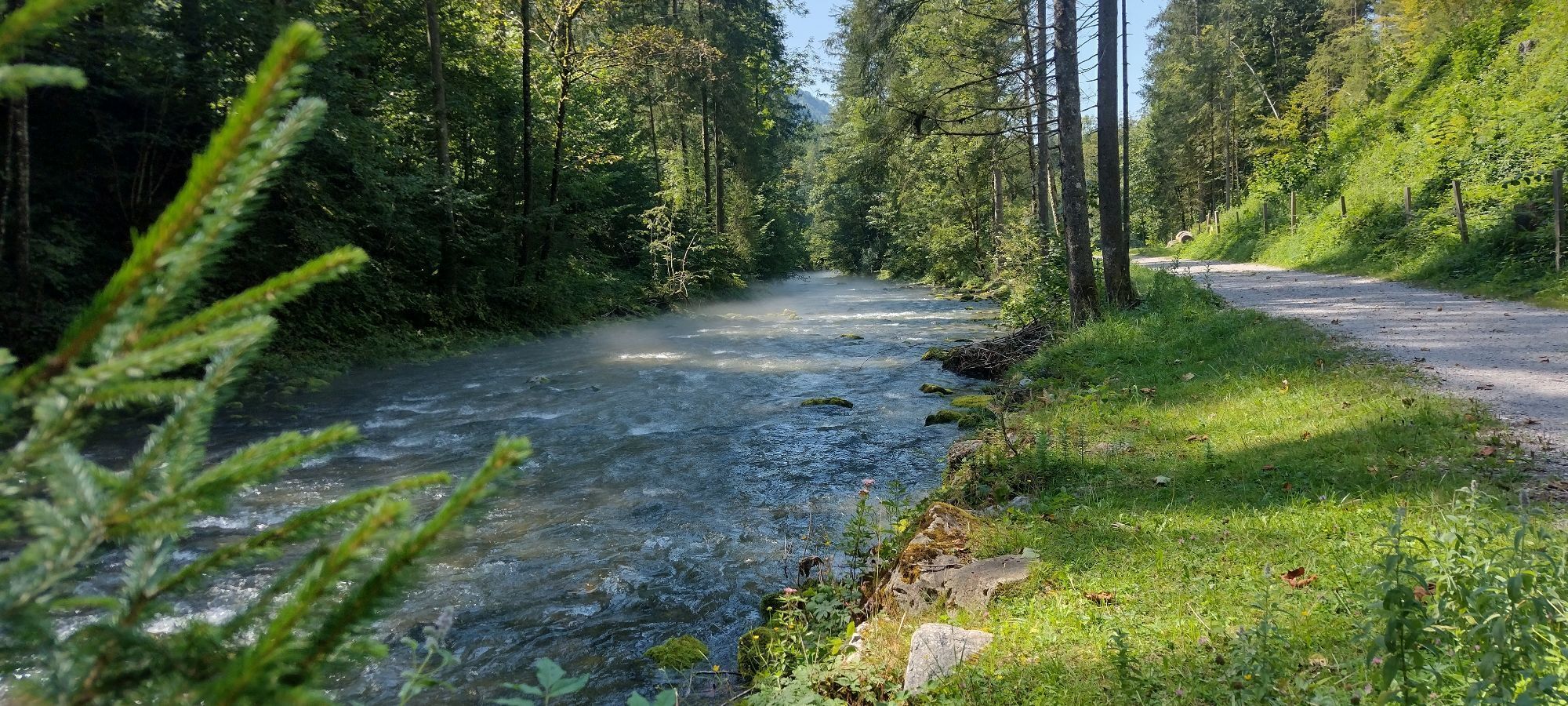
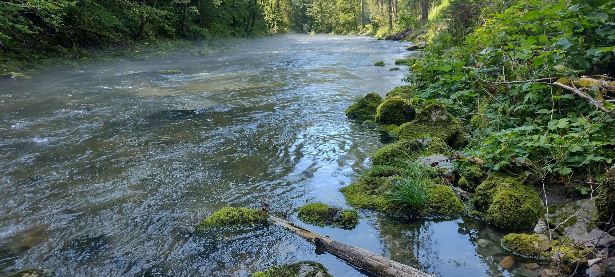
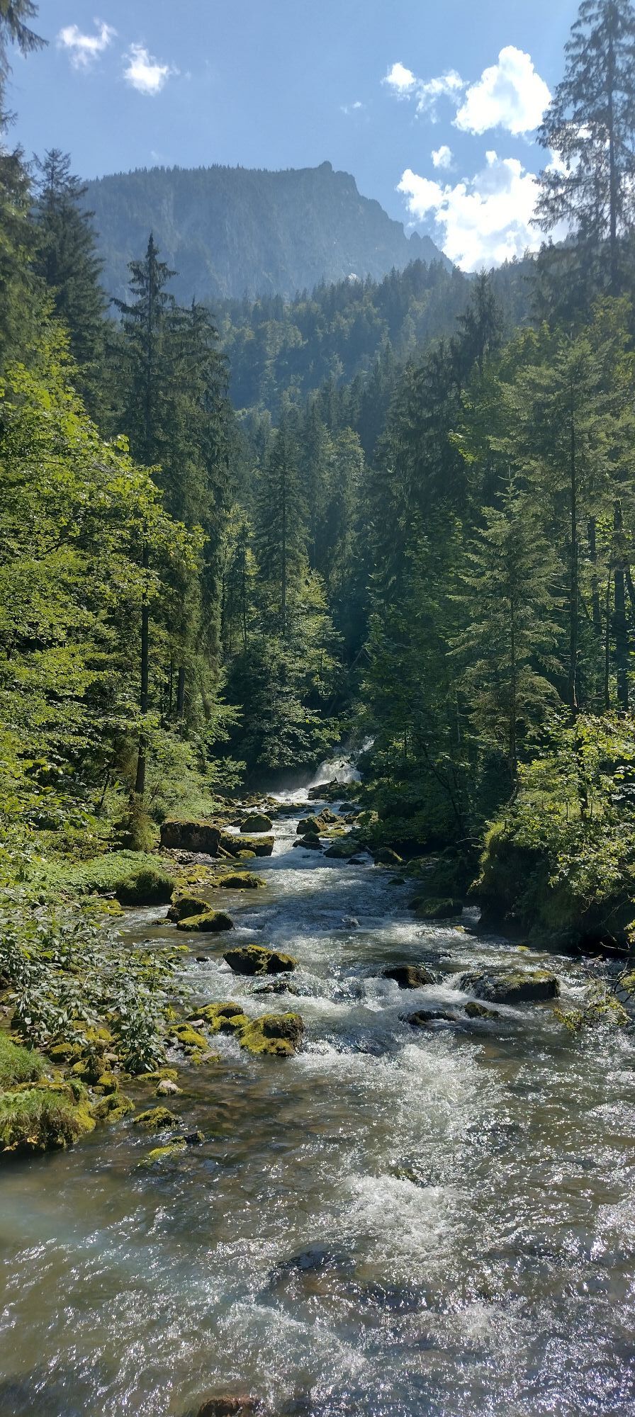


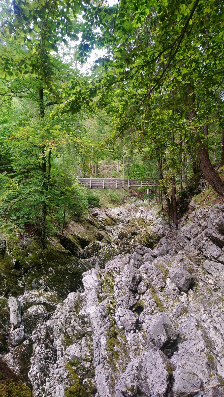
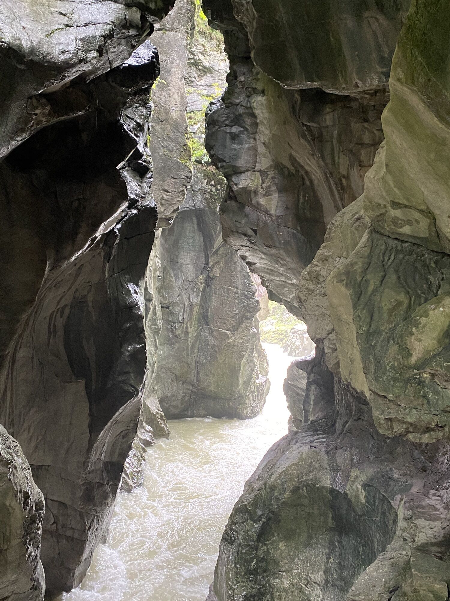
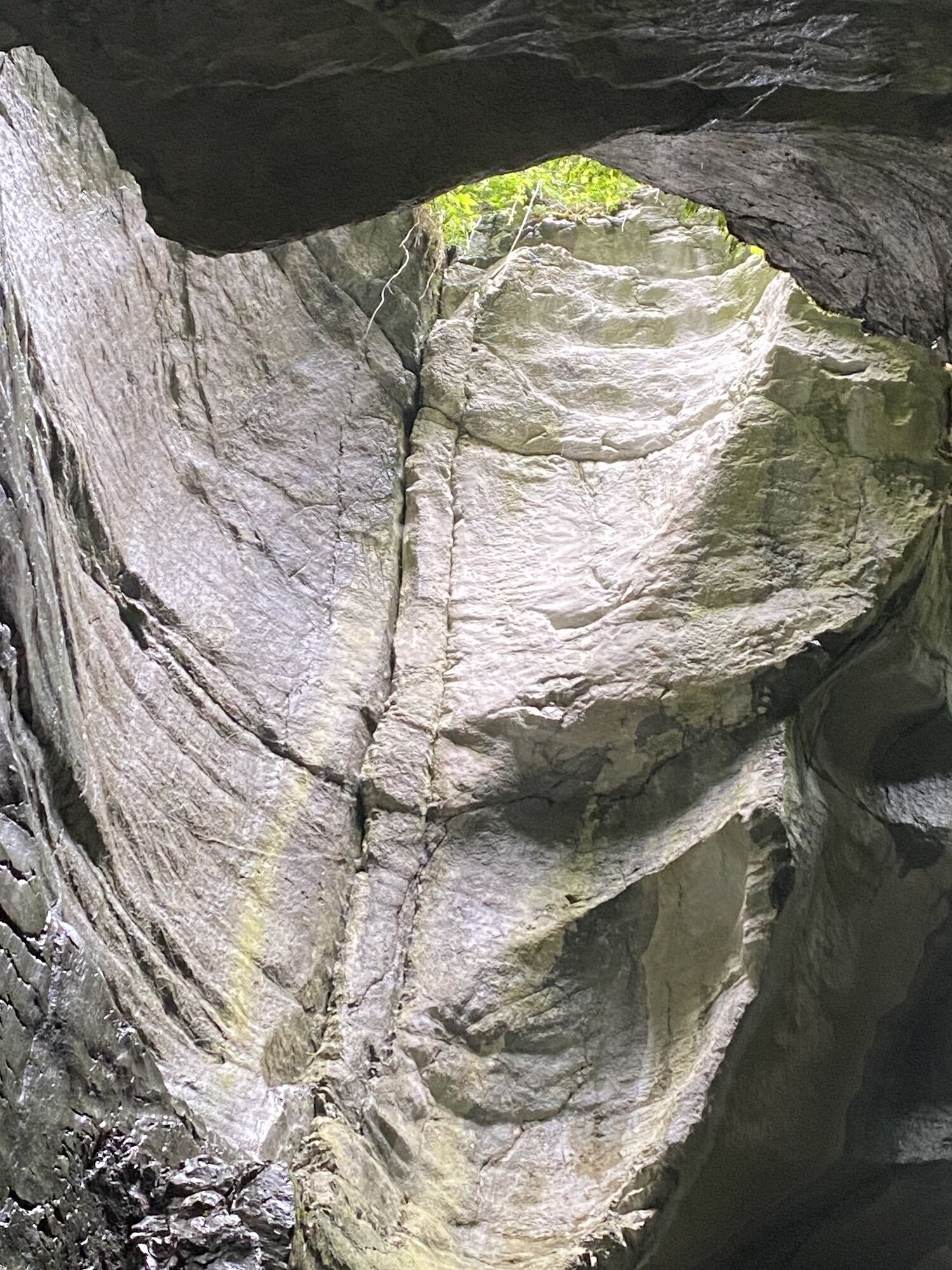
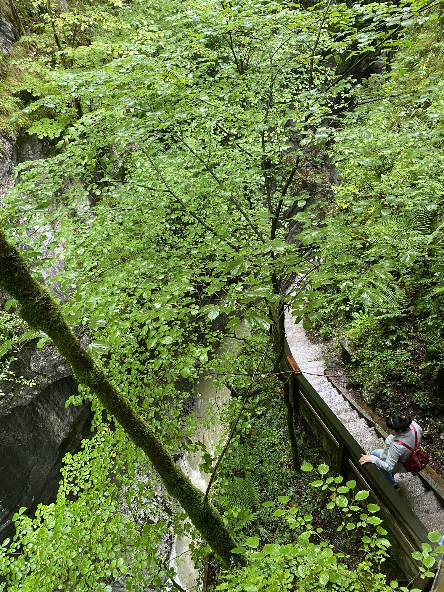

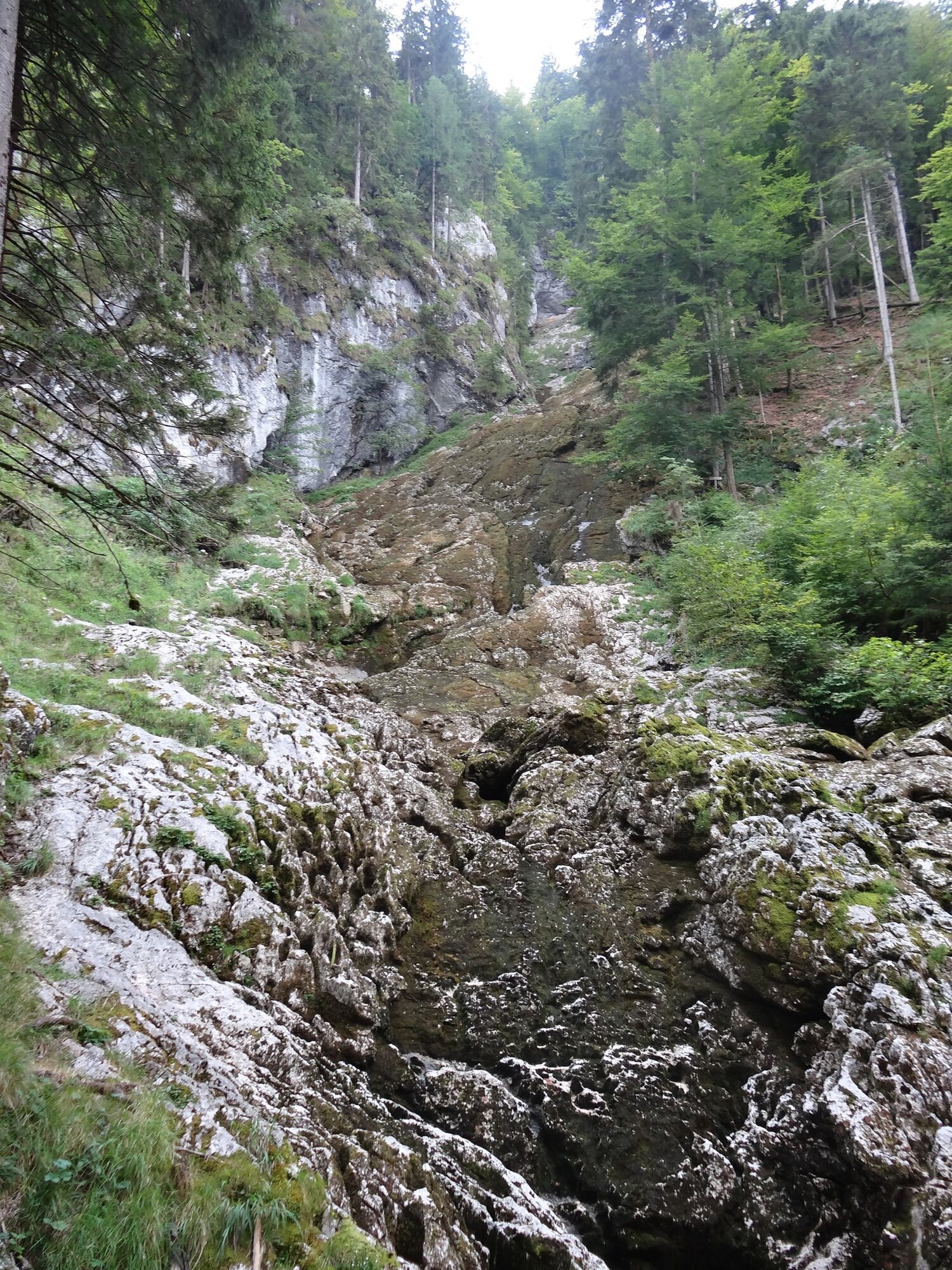
Shady hike to the "Winnerfall", which is only active during snowmelt. From the Winnerfall, the path continues along the Herzerlweg to the Lammerklause country inn in Oberscheffau, from there via Voglau...
Shady hike to the "Winnerfall", which is only active during snowmelt. From the Winnerfall, the path continues along the Herzerlweg to the Lammerklause country inn in Oberscheffau, from there via Voglau to Abtenau.
Partial route to Winnerfall 1 3/4 hours, total circular route 5-6 hours approx. 19 km

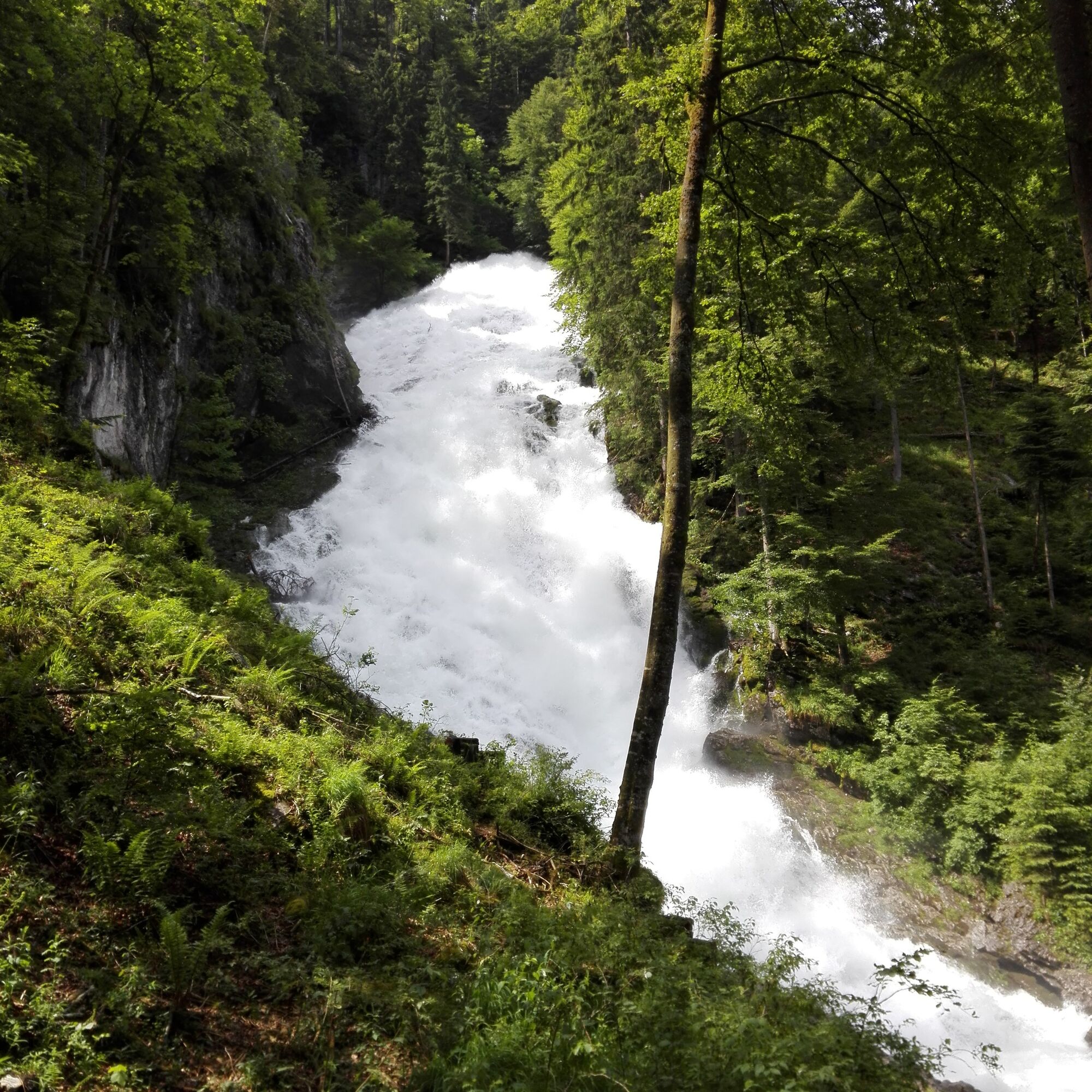
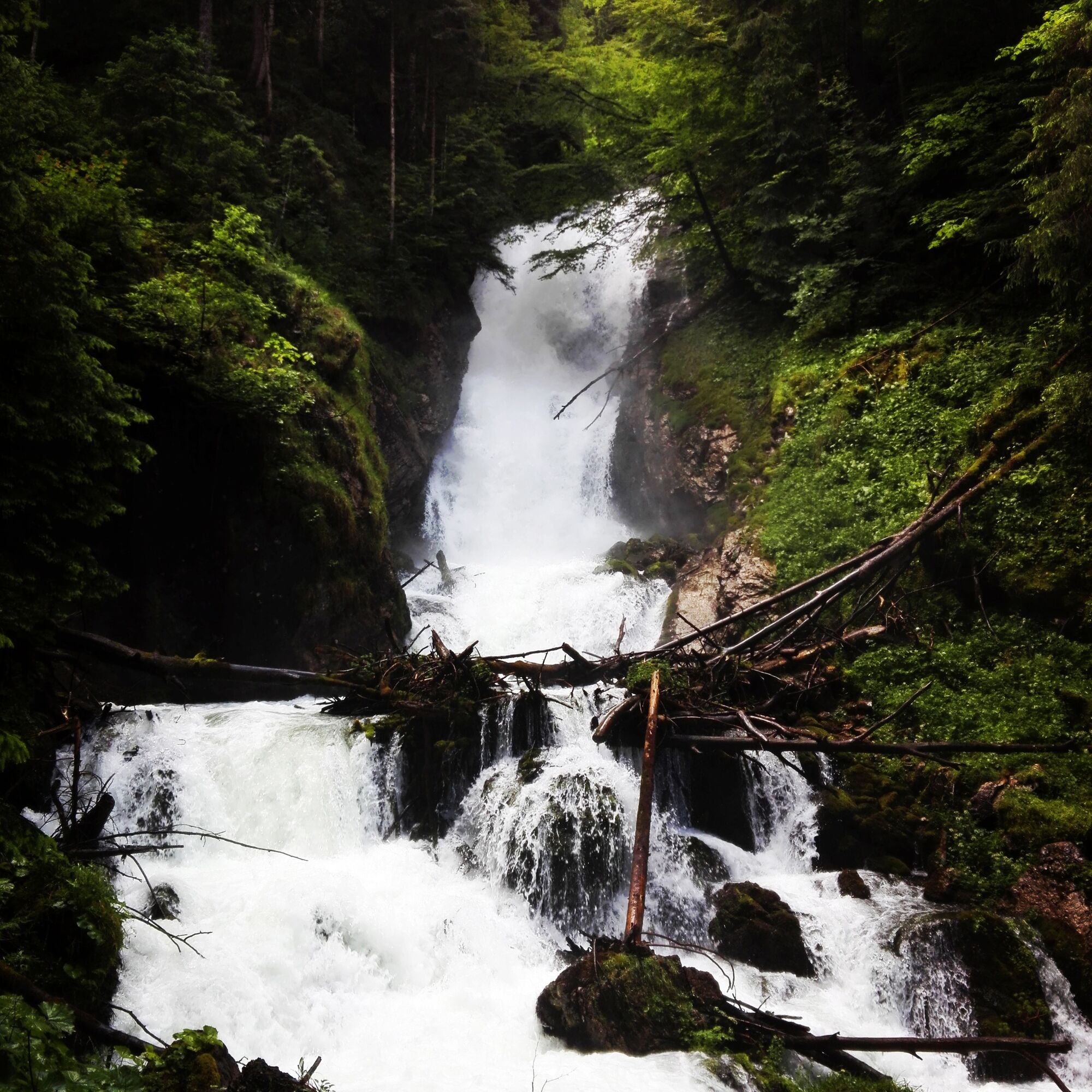

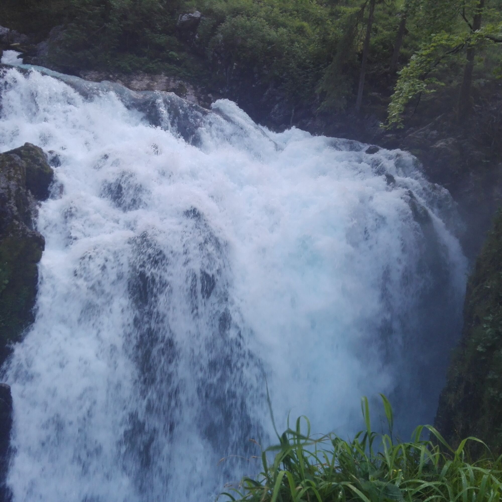
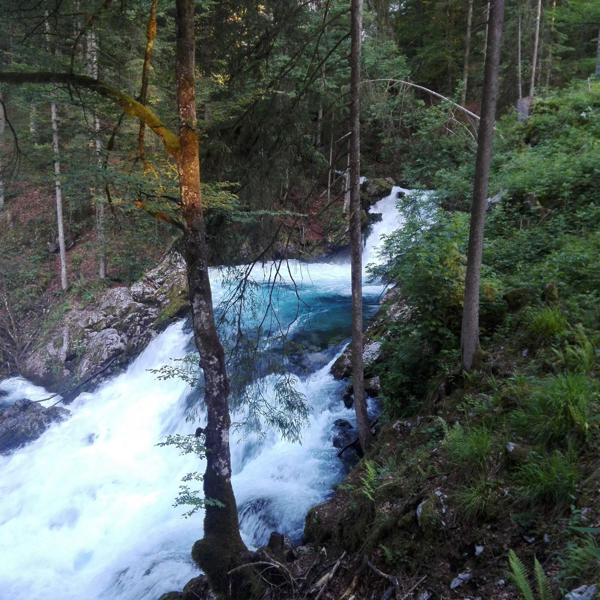
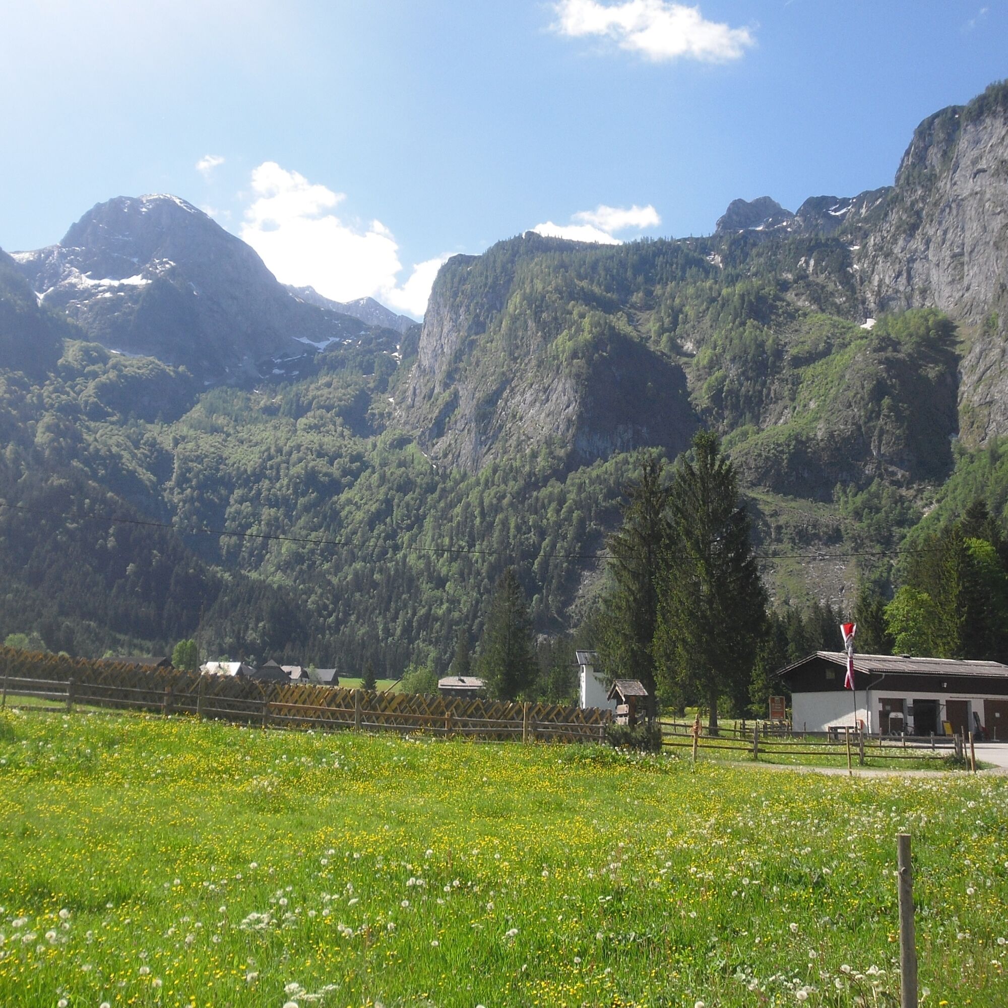
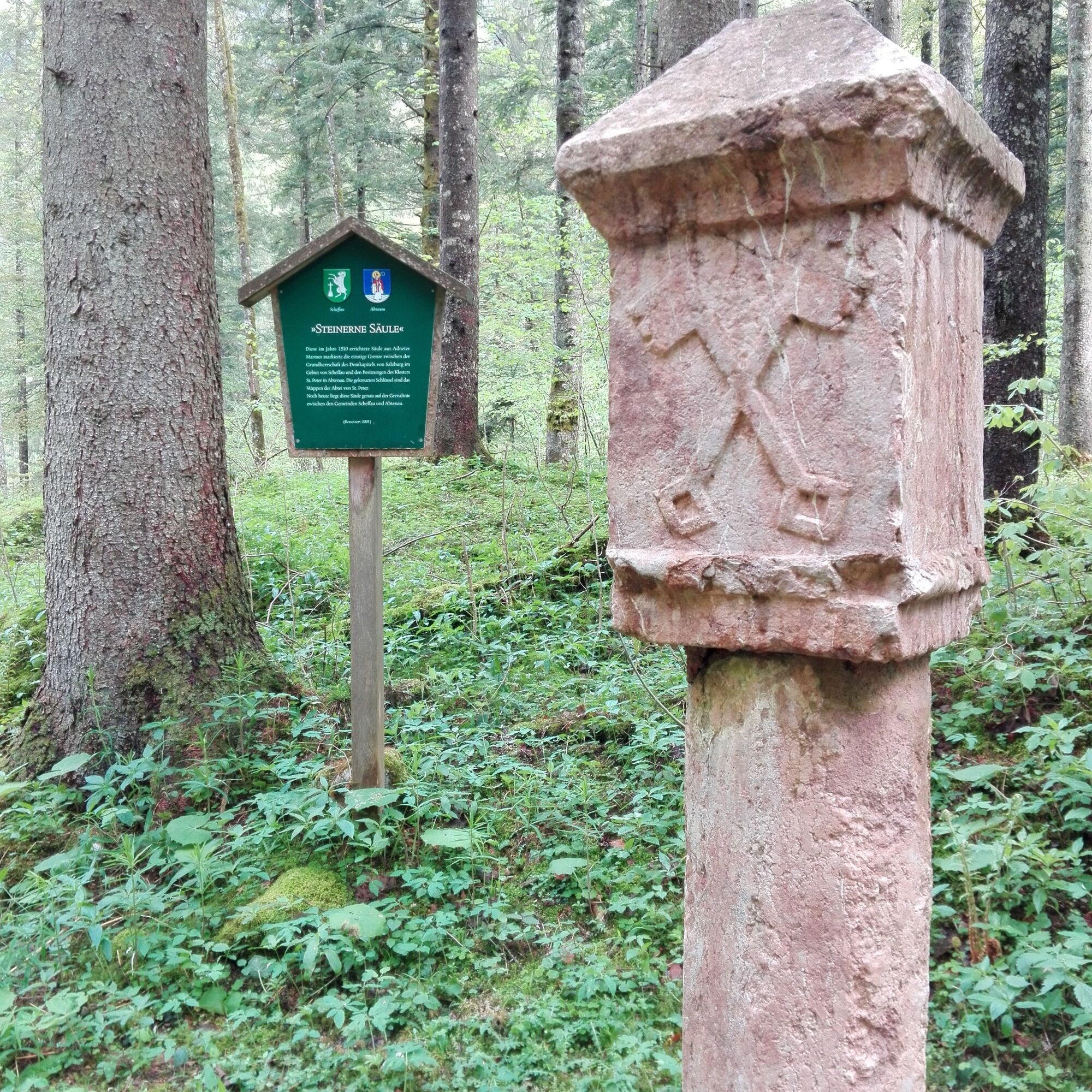
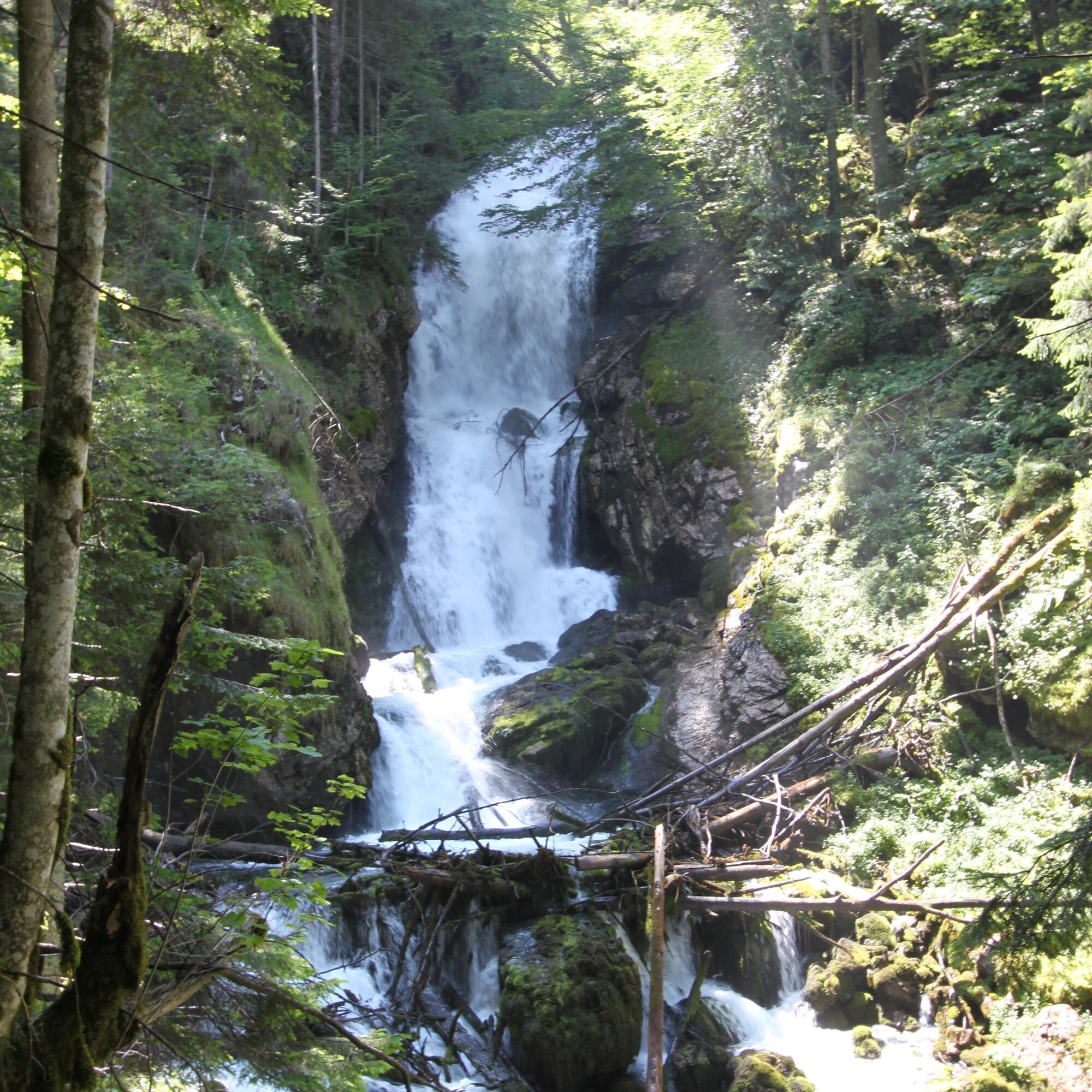


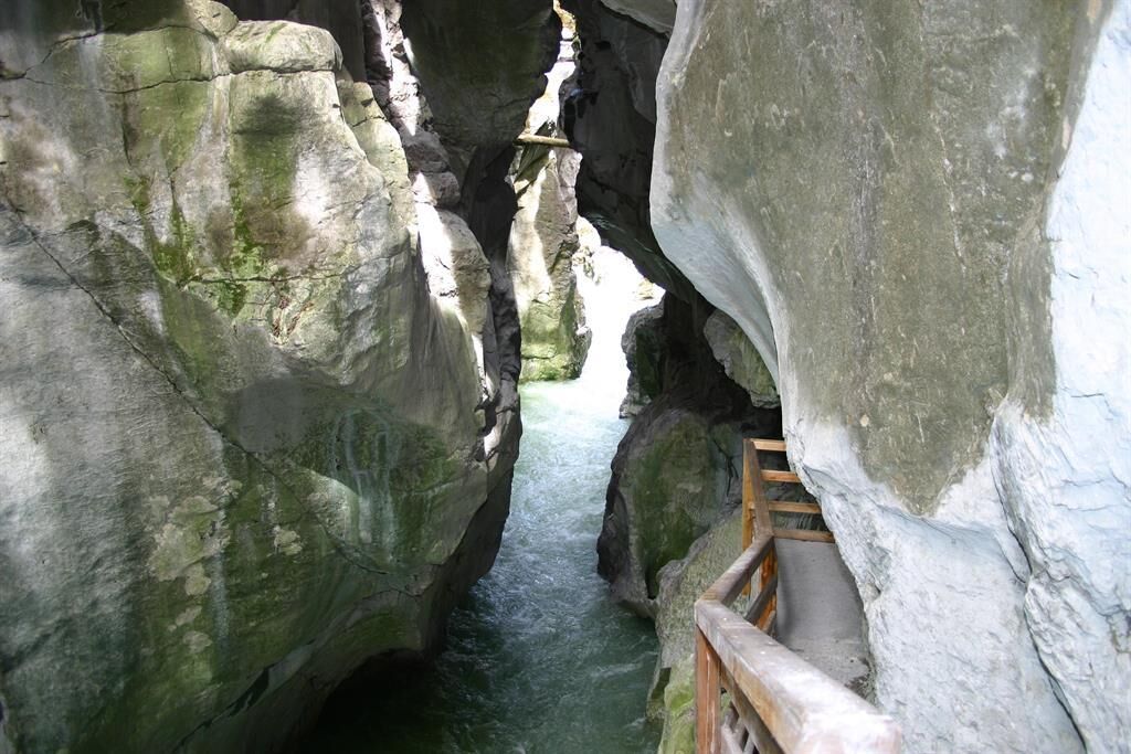
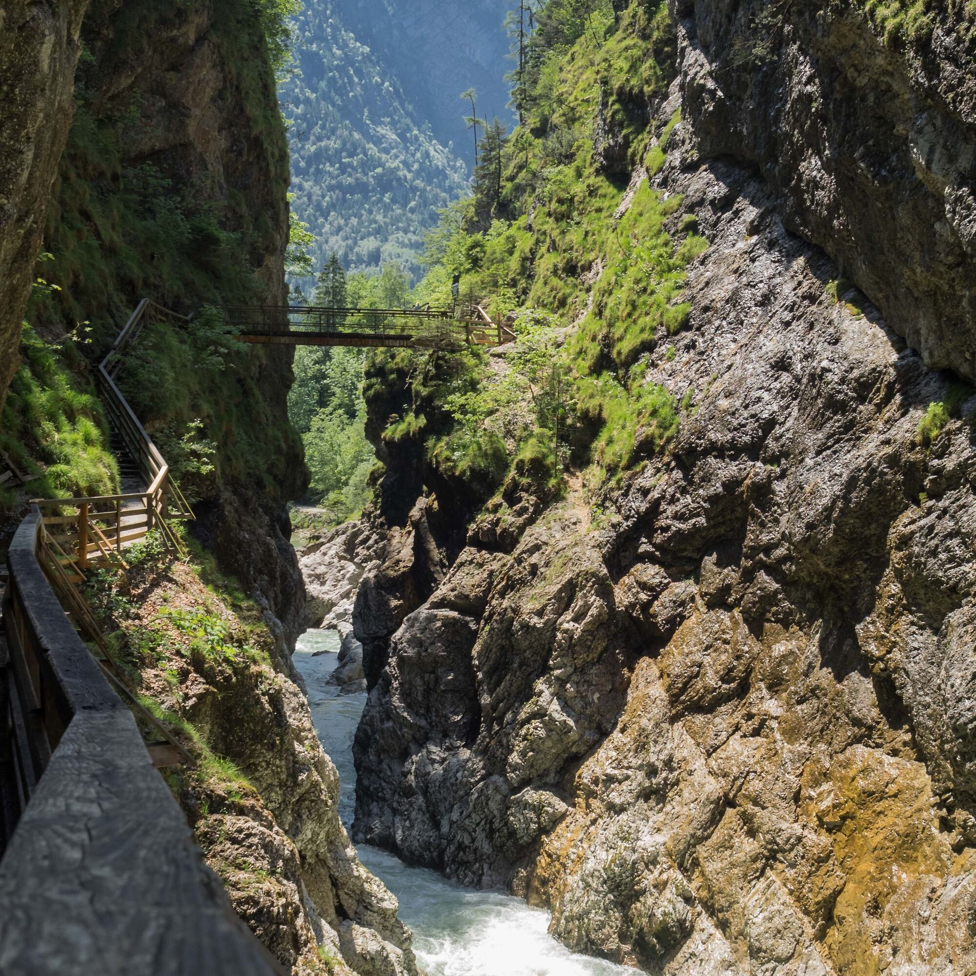
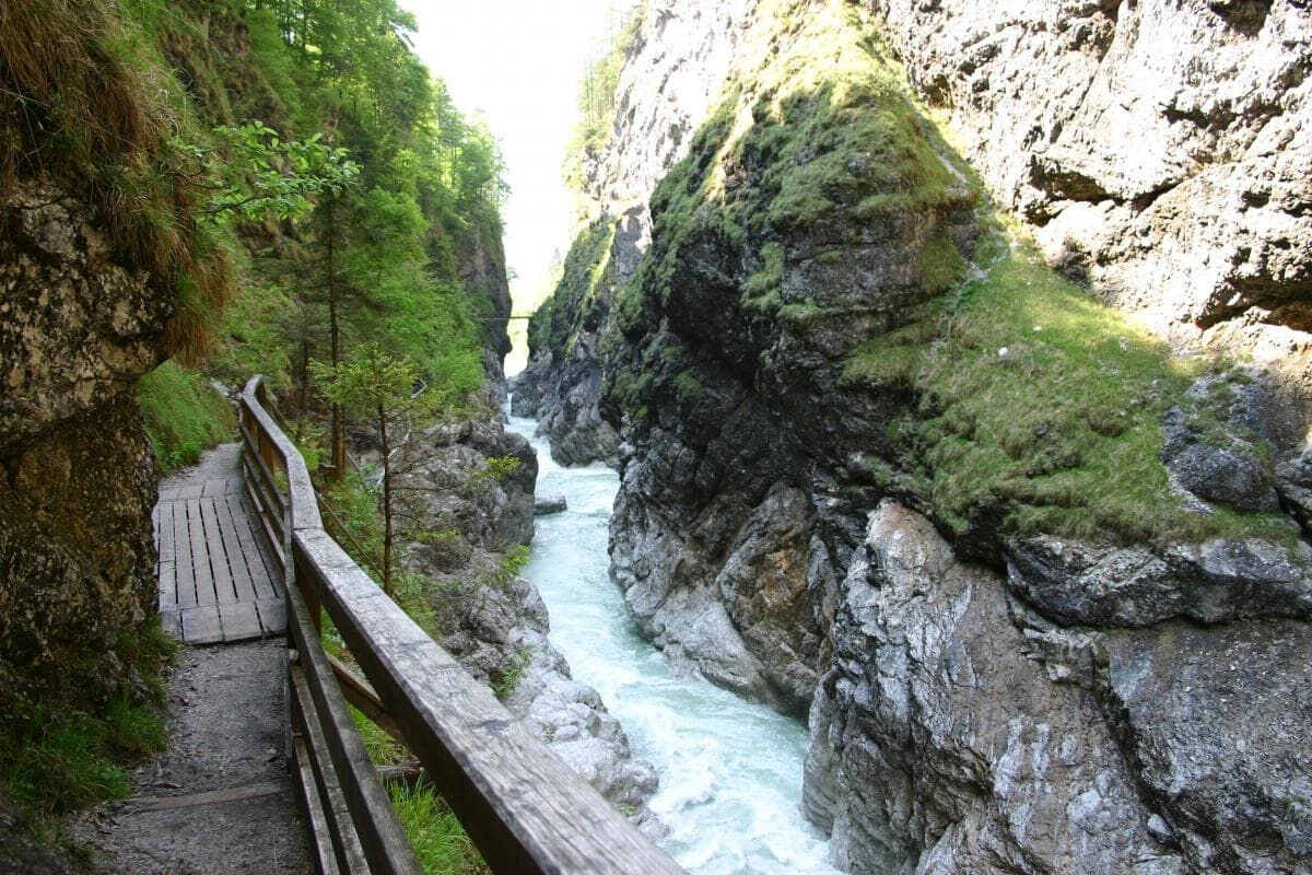
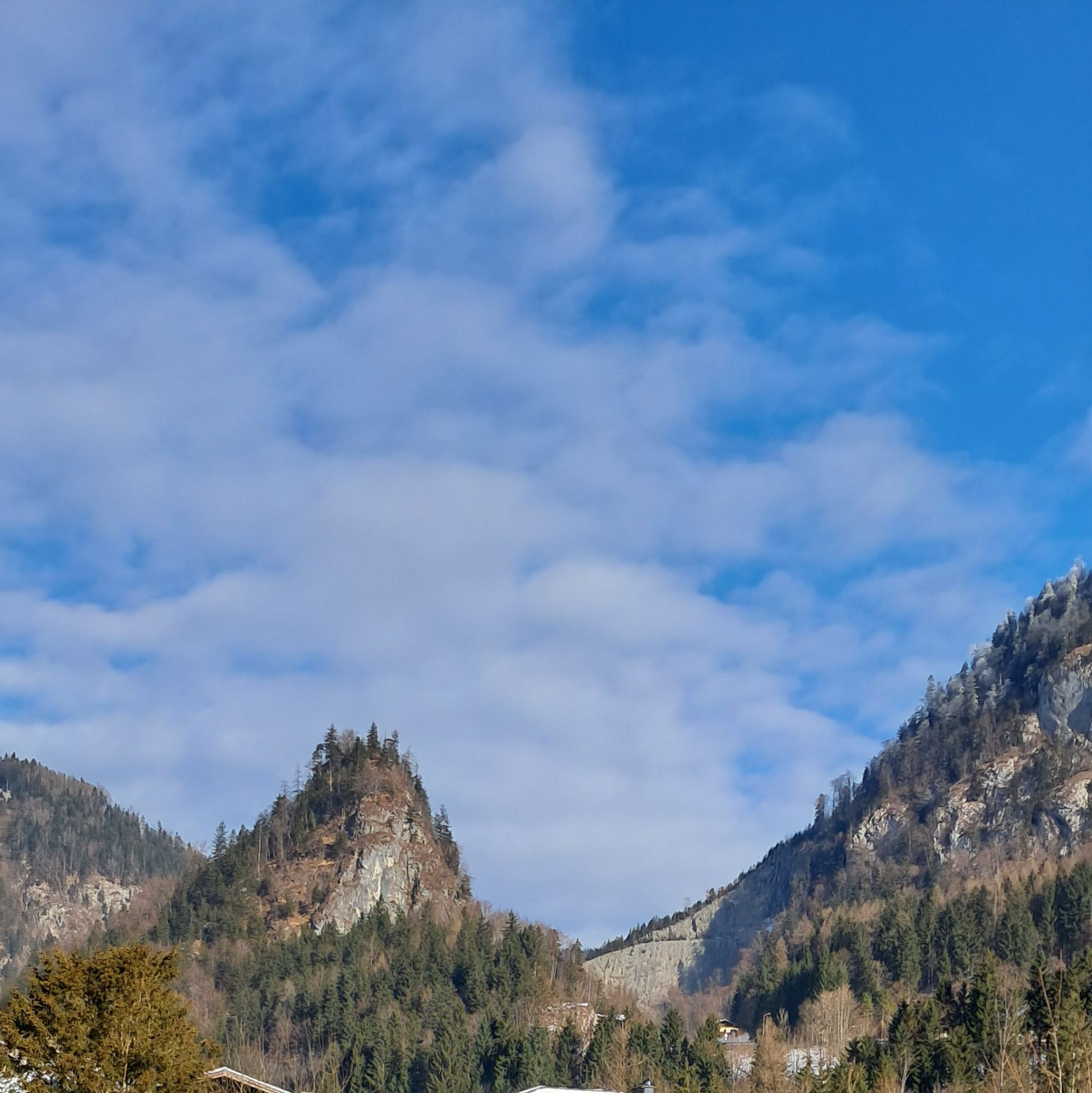
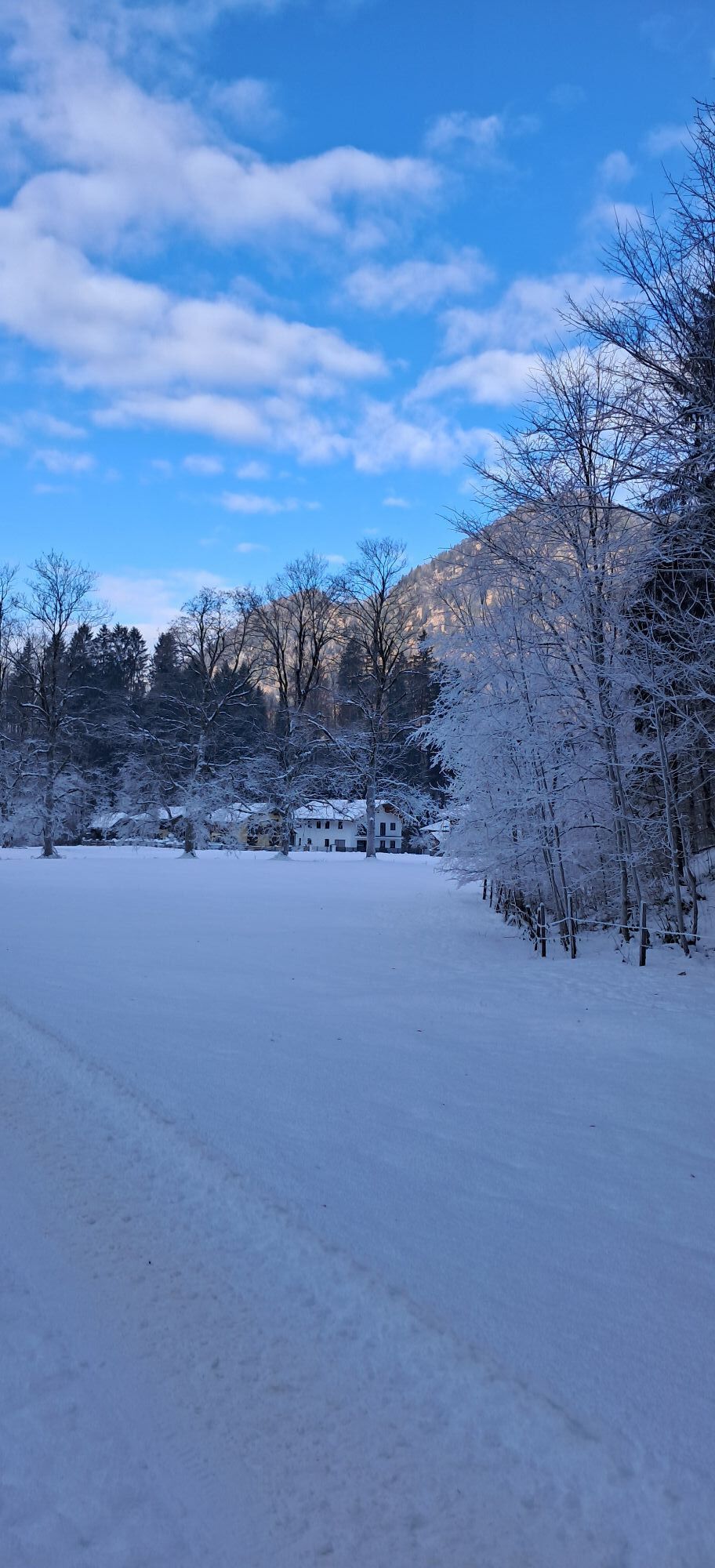
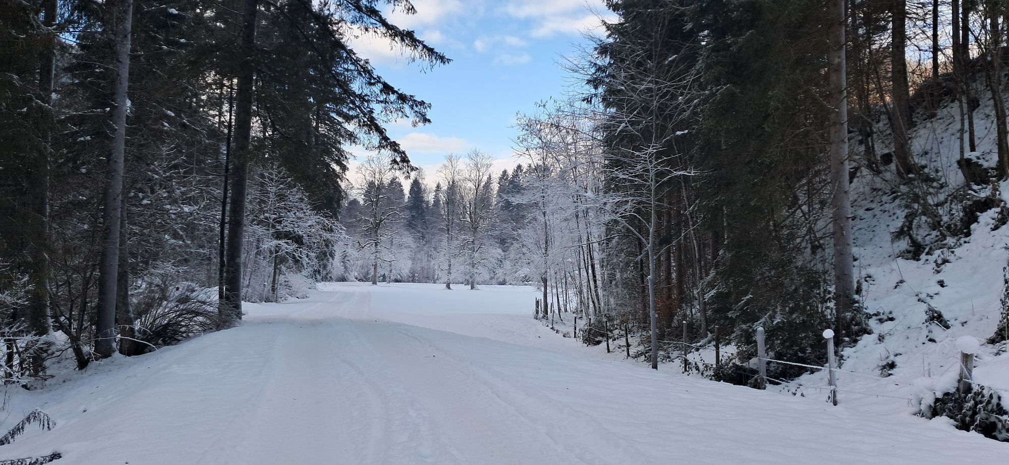
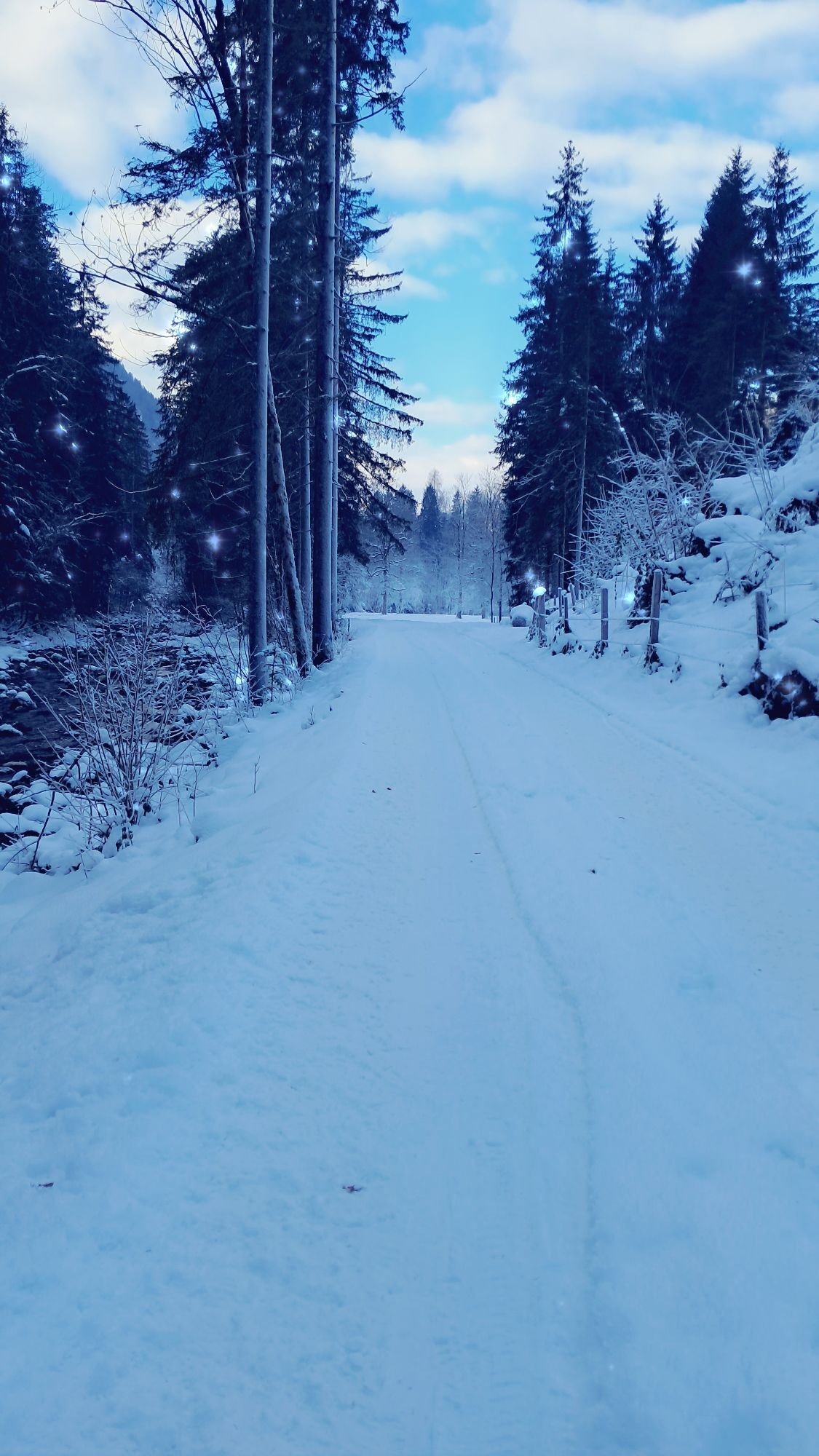
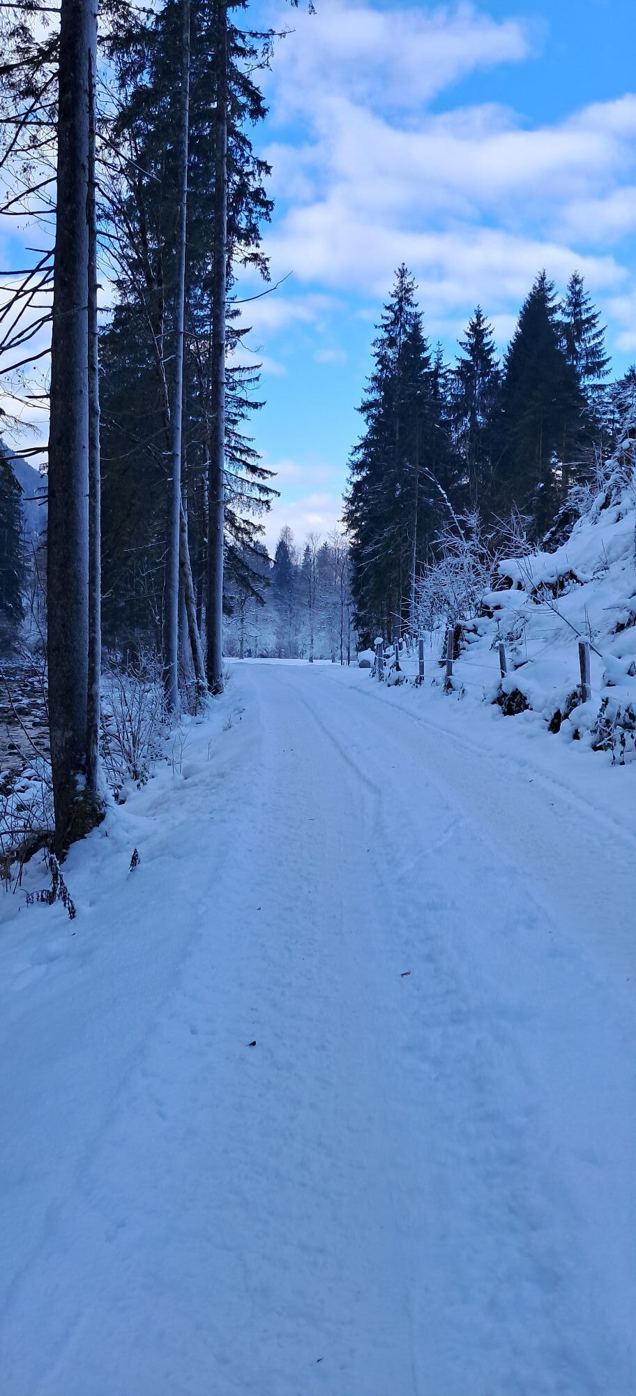
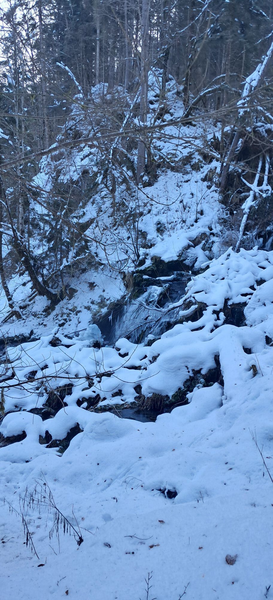
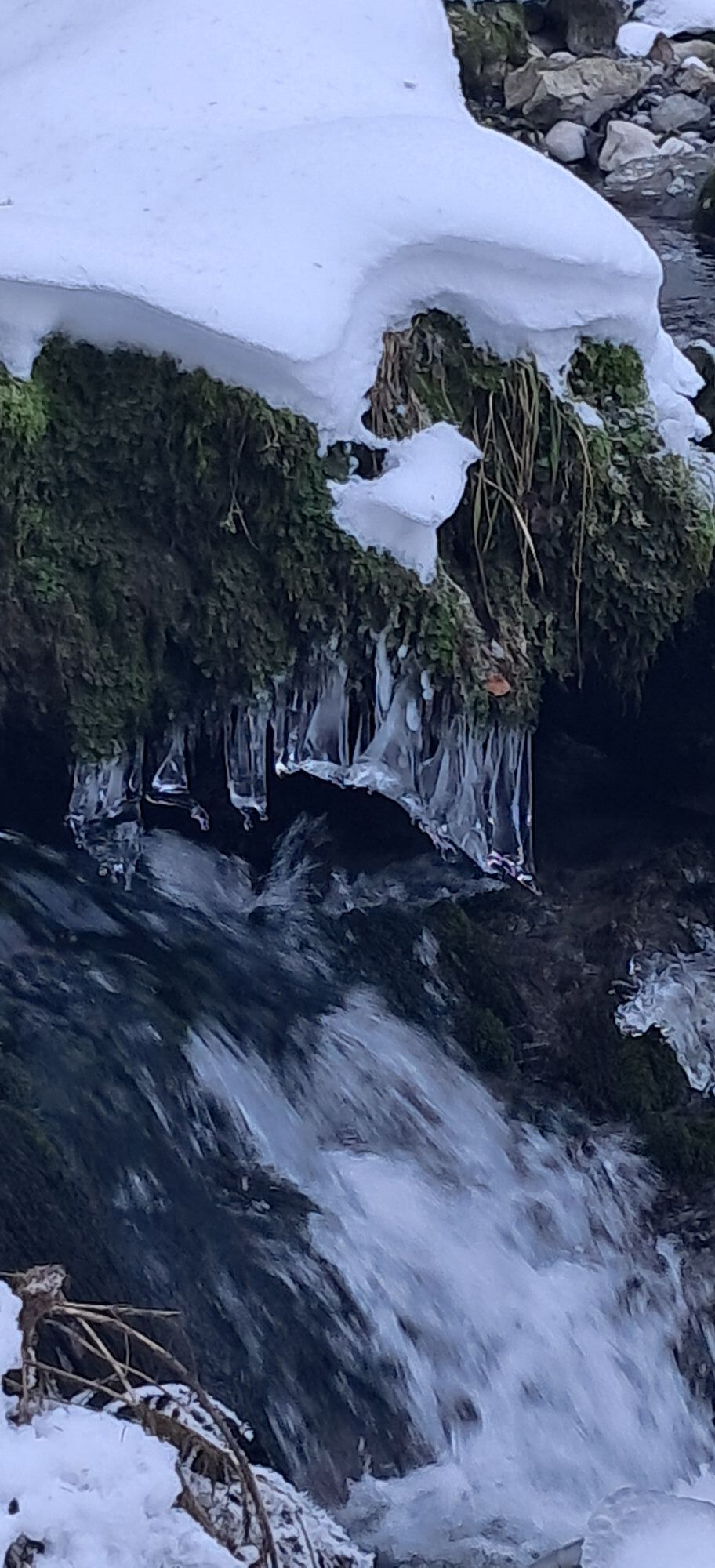
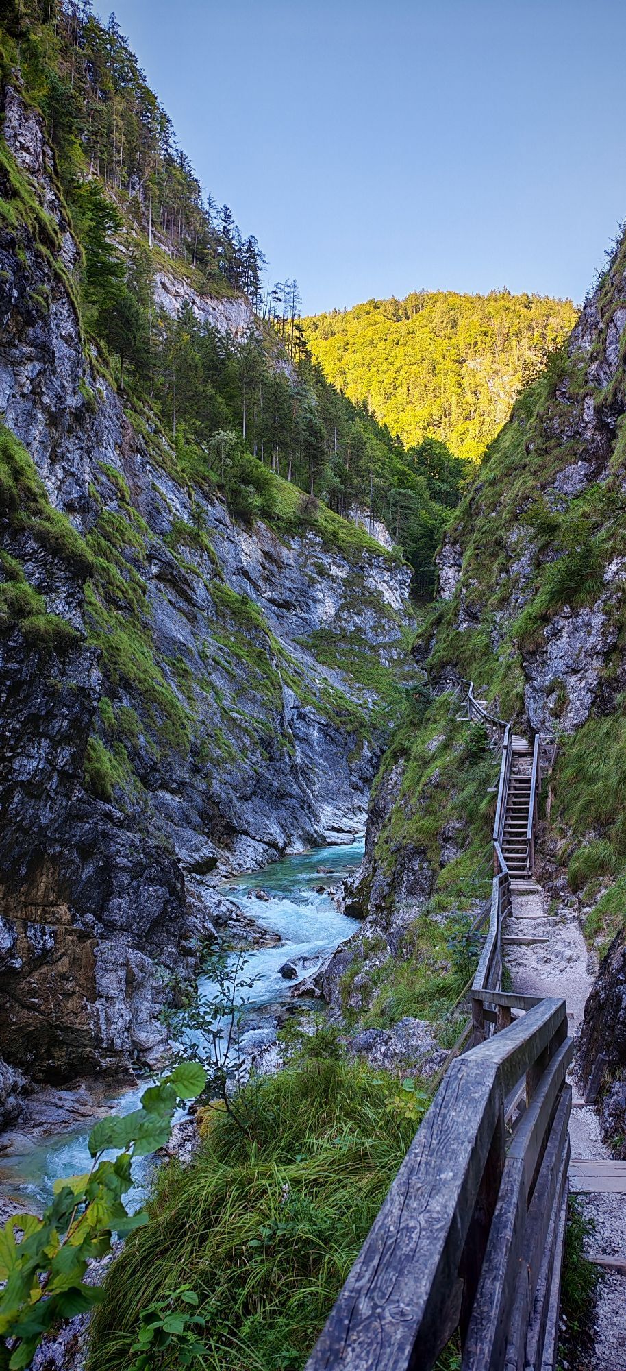
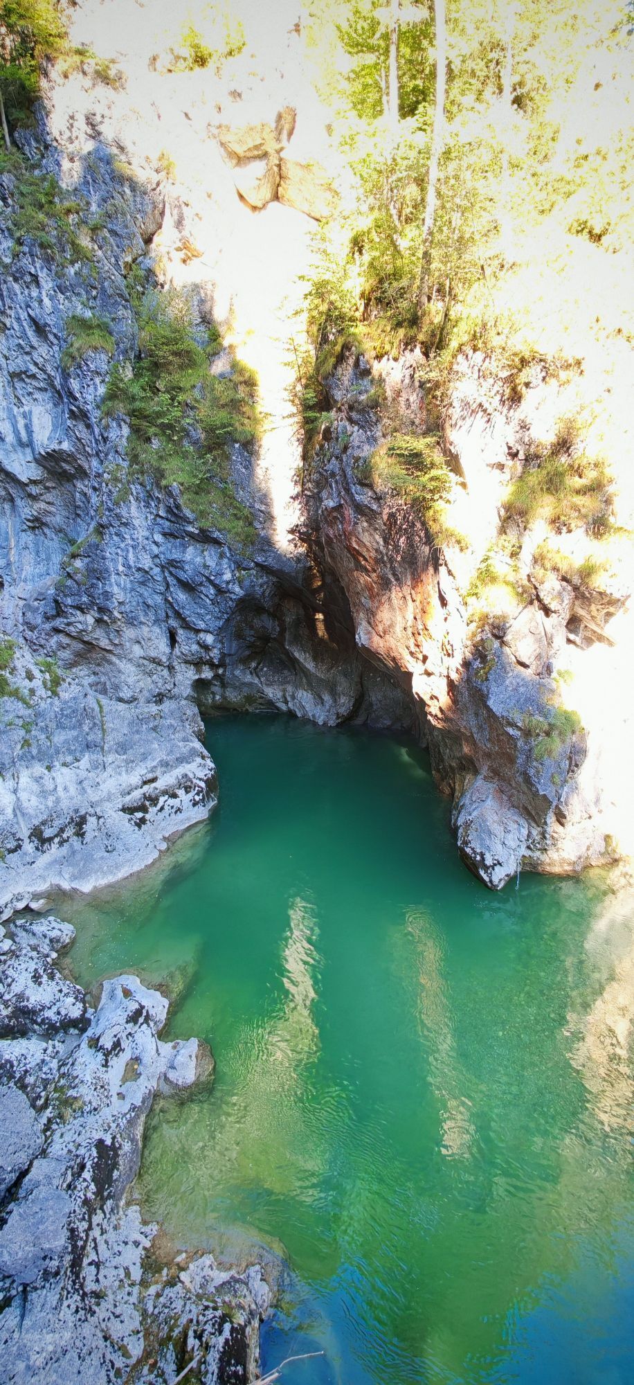
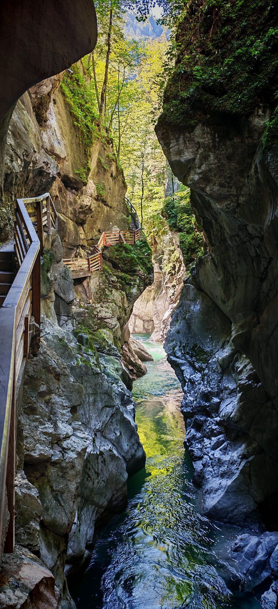
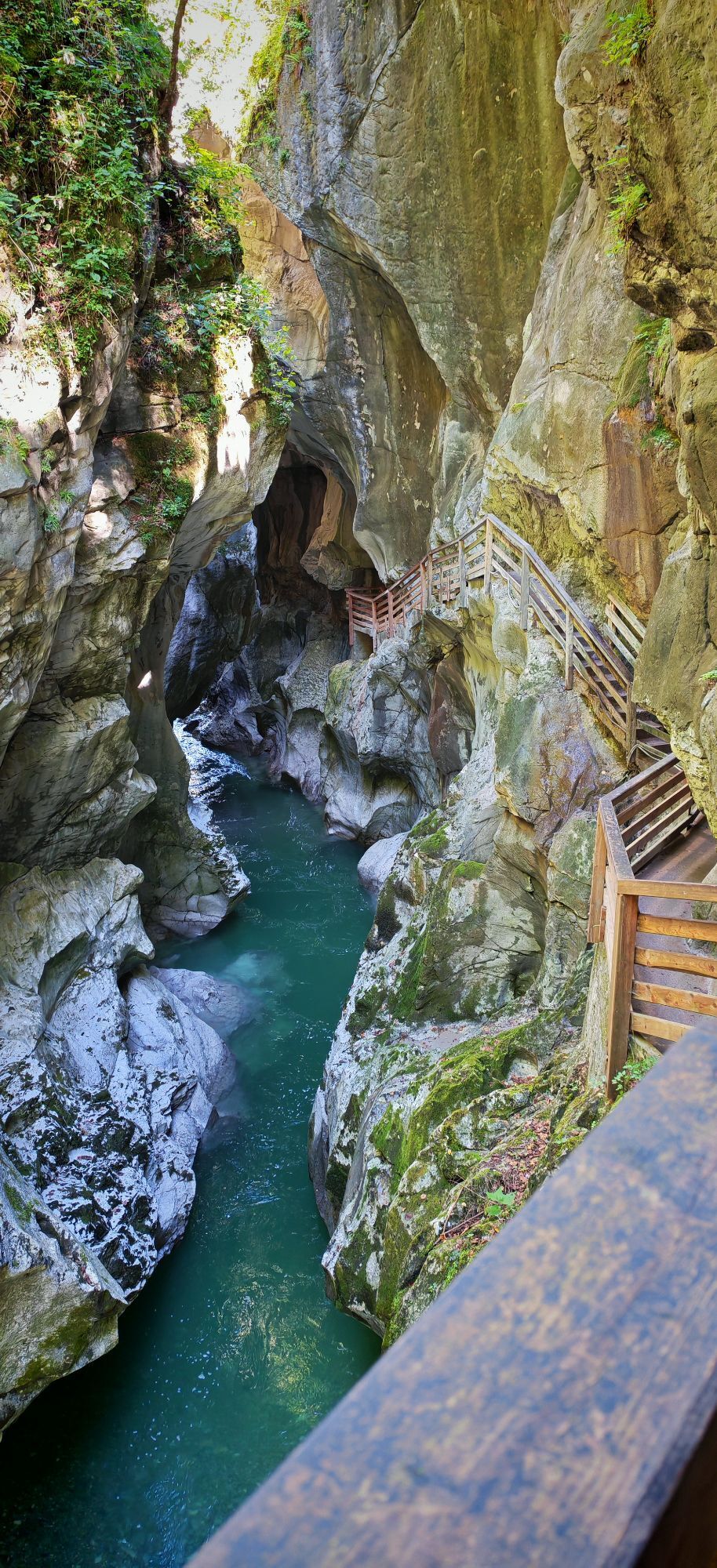
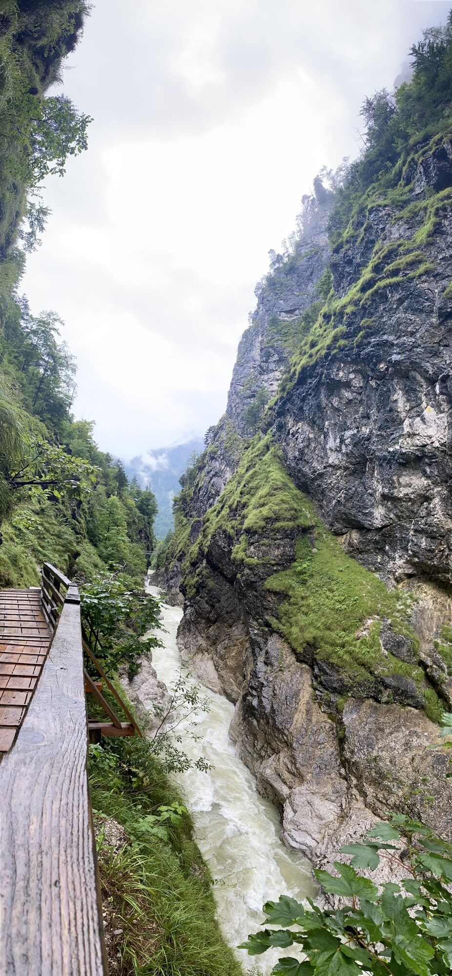
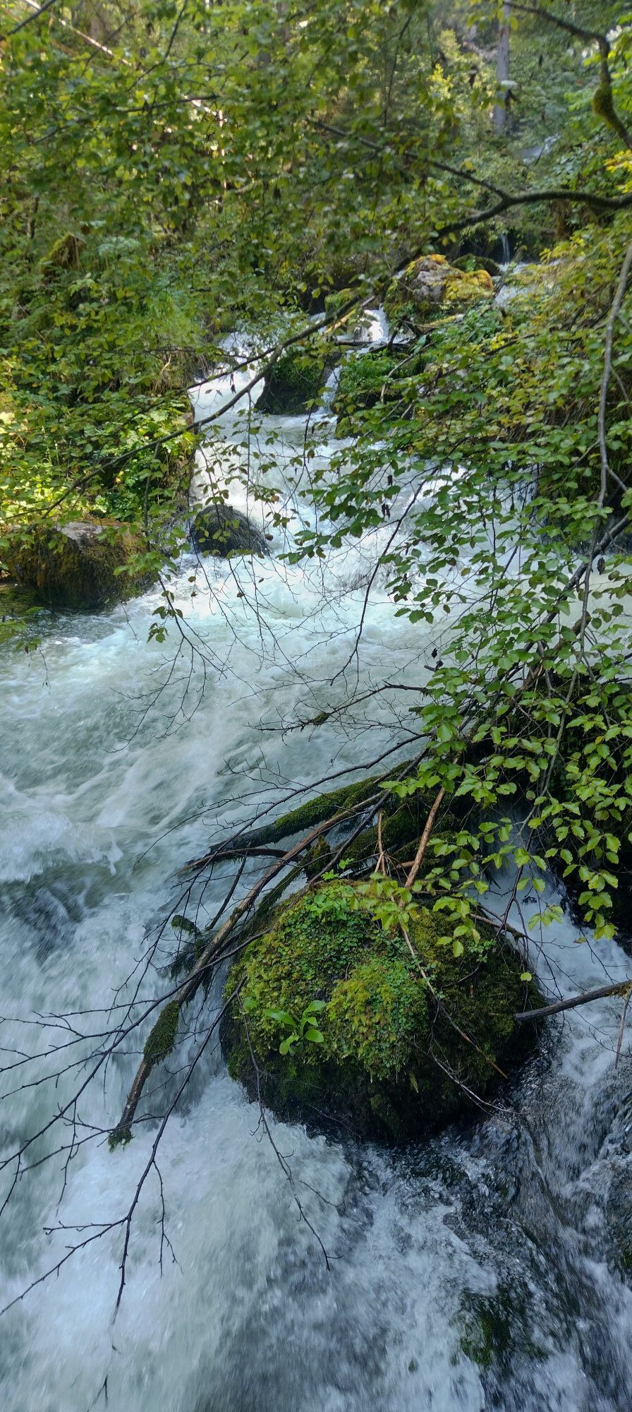
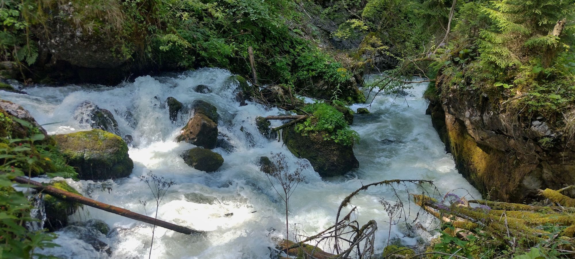
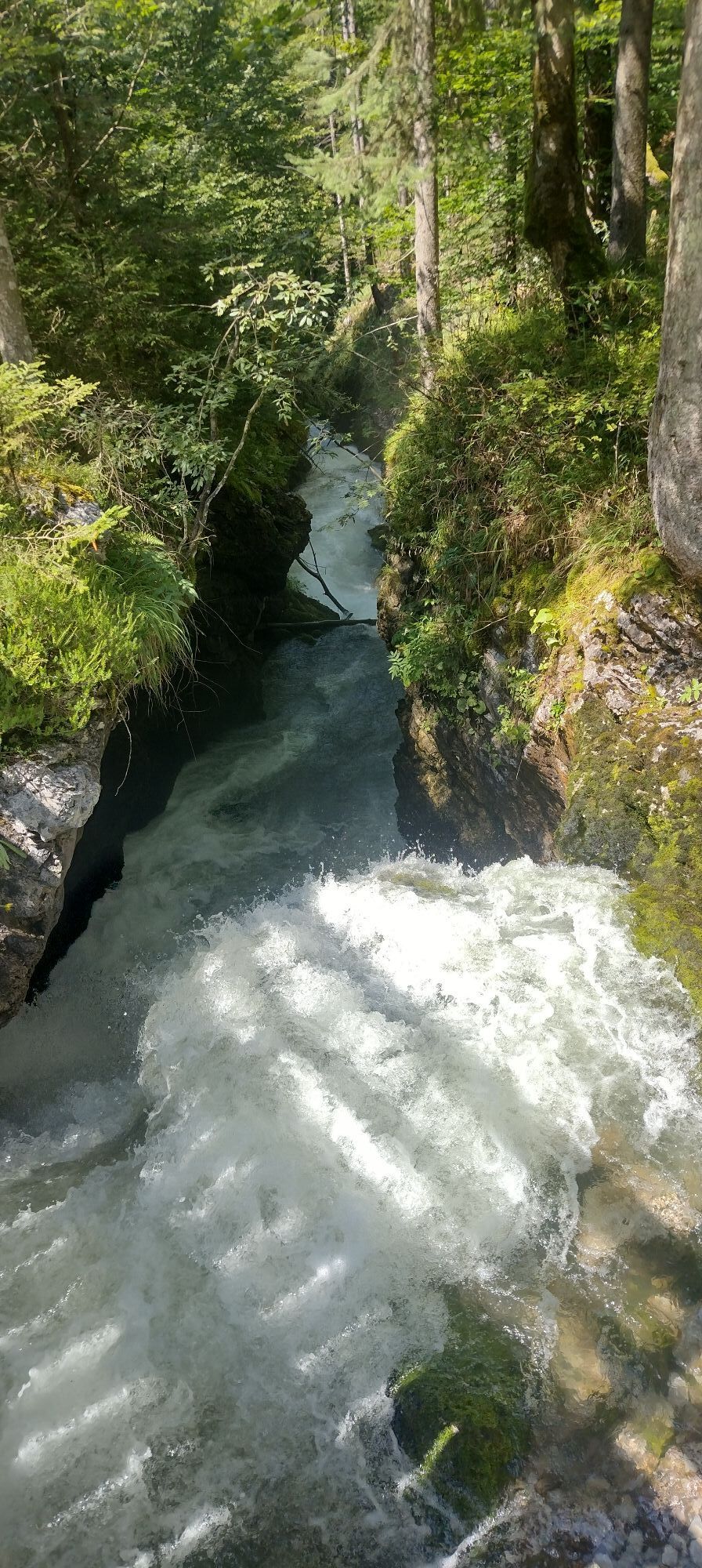
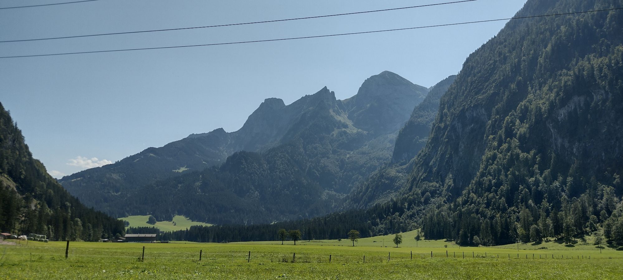
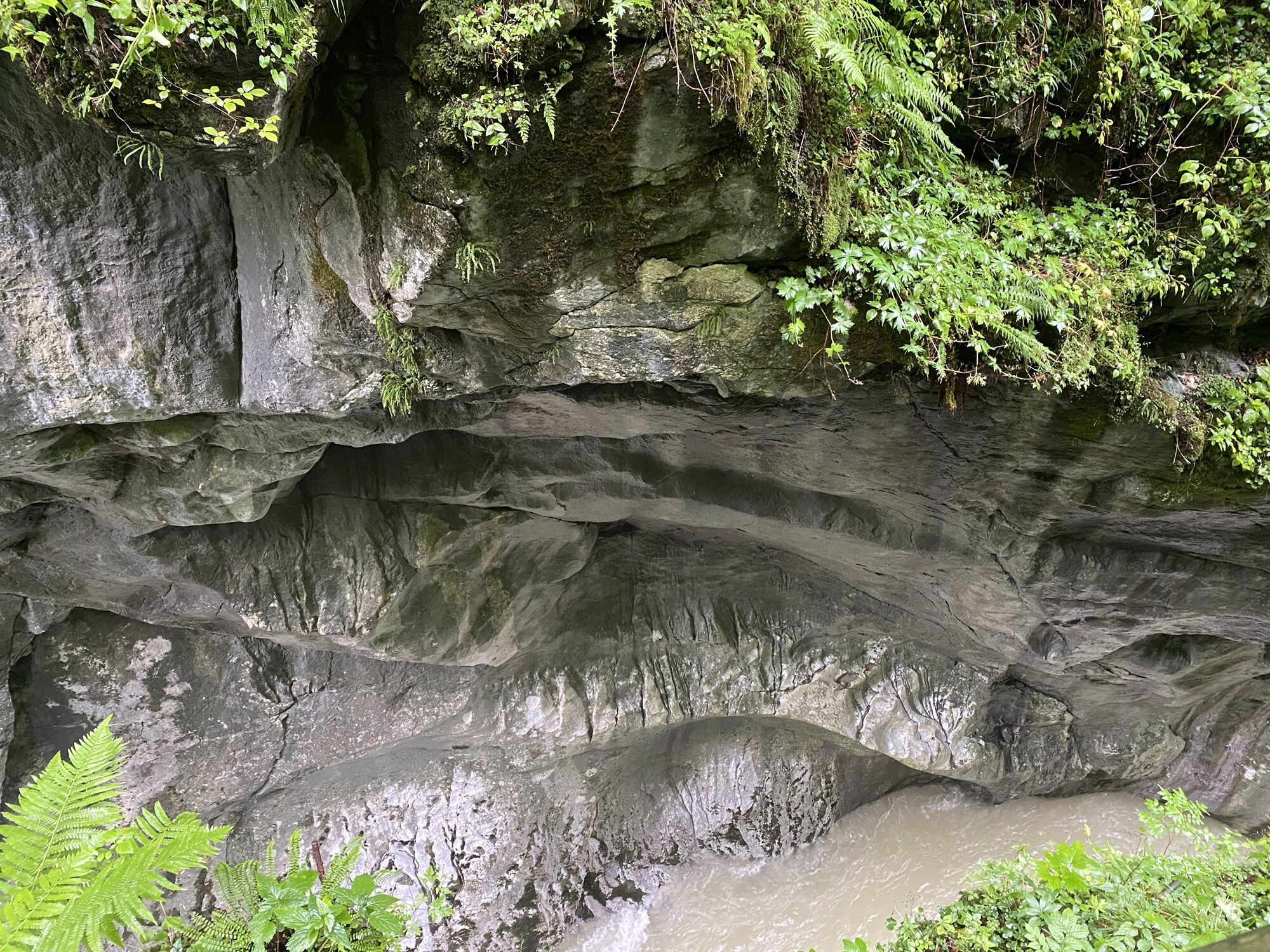
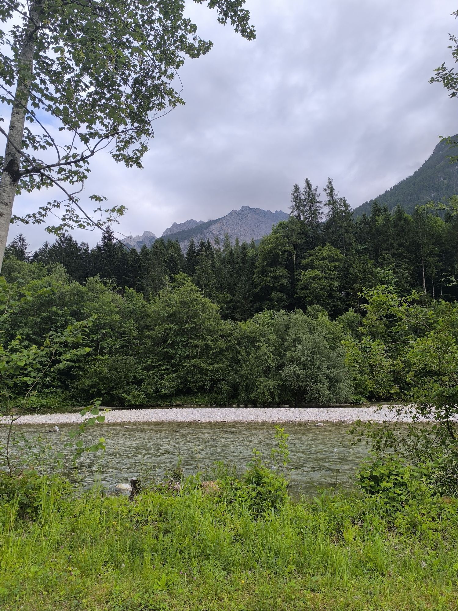
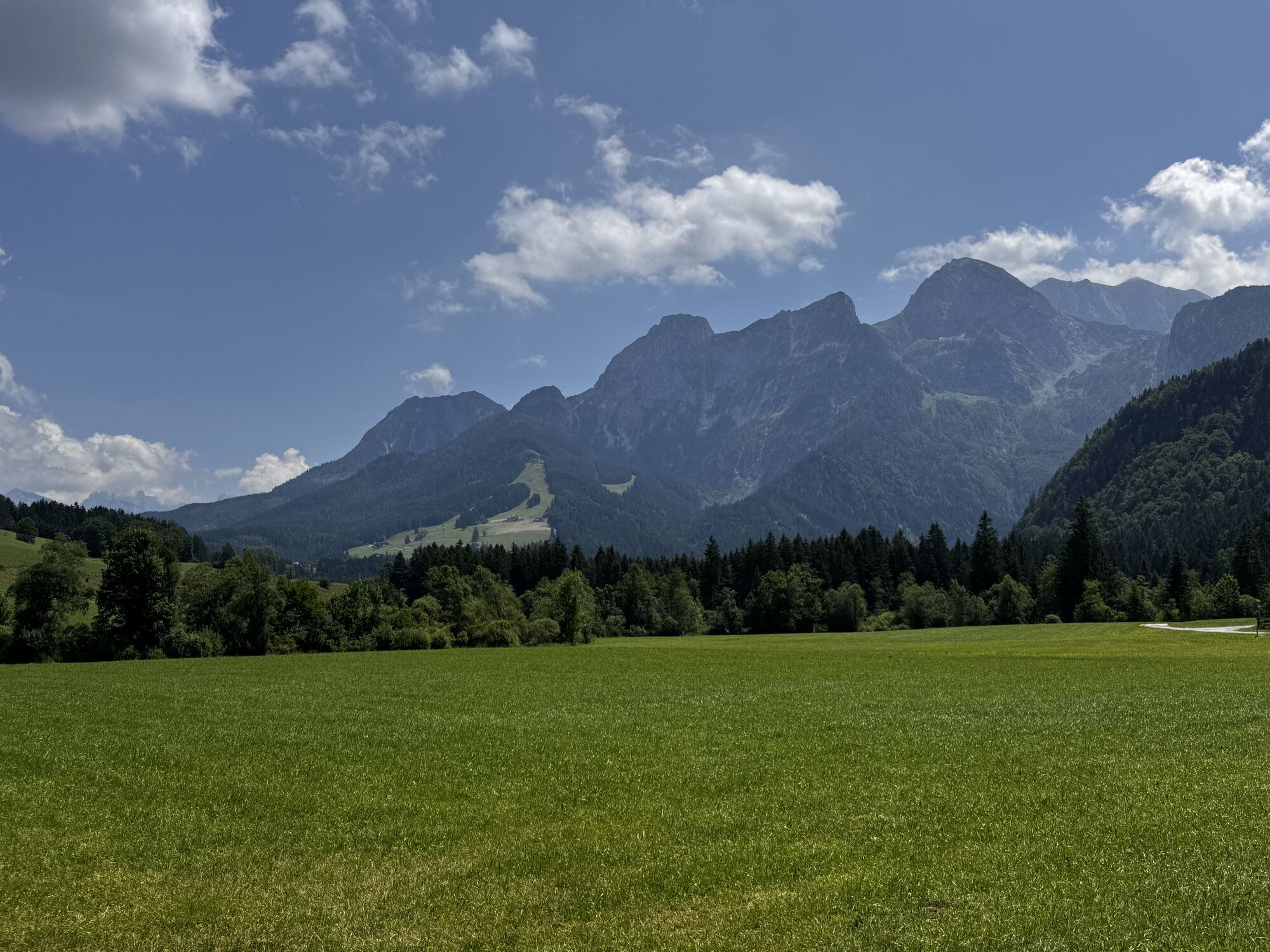
Pass right by the former Aumühle guesthouse (3 pts) towards Scheffau until you reach a wayside shrine at the "Unterberg" farmstead (just over 1 km from the starting point), turn left here and follow the forest road. Between the Tennengebirge on the left and the Strubberg on the right (4 pts) you continue to the "Winnerfall" (2 pts). There is also the forest educational trail and the mill circular route. Experienced hikers can continue from here via path 97 to Scheffau and path 91 to Voglau / Abtenau.
Trail marking: 13
Distance: total 19 km / 600 m ascent, to Winnerfall 5 km / 260 m ascent
Walking time: total approx. 5 1/2 hours, to Winnerfall 1 3/4 hours
Difficulty level: moderate
Ano
Ano
suitable hiking clothing, hiking boots
Please observe any safety instructions and signage on site due to avalanche danger or forestry work.
Directions from the town center:
On foot: Walk between the municipal office and the Hauser bakery and follow path 110 to the local heritage museum in the Au district (approx. 1/2 hour).
By car: Coming from Golling, turn right 100 m after the Picker car dealership, drive briefly uphill and then down towards the Au district to the parking lot just before the local heritage museum.
By postbus to "Abtenau town center".
Parking available in the town center of Abtenau, East parking lot
Parking lot just before the local heritage museum
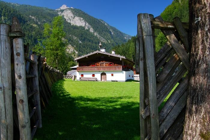
Engelhardt Guesthouse: Oberscheffau, closed on Tuesdays, Tel. 06244/20176
Lammerklause Guesthouse: Oberscheffau, Bernhofer family, open year-round, overnight stays possible, Tel. 06244/8424, www.lammerklause.at
Voglauerhof Guesthouse and Hotel: open year-round, Tel. 06243/3532, www.voglauerhof.at
Atelier HerzArt - Handicrafts made of wood, www.herzart.at
Webové kamery z prohlídky
Oblíbené prohlídky v okolí
-
4.6
Schwarzer Berg / Golling
středníTuristika 2.54 km -
4.9
Werfenweng Mountainbikerunde Söldenhütte
středníMountainbike 18.8 km -
4.8
Gennerhorn über Lämmerbach
středníTuristika 10.2 km -
4.7
Mühlenweg und Winnerfall Scheffau am Tennengebirge
středníTuristika 4.79 km -
4.7
Schlenken von Halleiner Hütte
středníTuristika 7.29 km -
4.6
Donnerkogel vom Gosausee mit Intersport Klettersteig C/D und Himmelsleiter
heavyVia ferrata 7.70 km -
4.6
Schlenken and Schmittenstein hike
heavyTuristika 10.9 km -
4.4
Hornspitz von Russbach
středníLyžařská trasa 6.93 km -
4.3
3 Peaks route "Gennerhorn-Gruberhorn-Regenspitz"
heavyTuristika 14.2 km -
4.4
From Satzstein via Feichtenstein Alm to Regenspitz
středníTuristika 11.2 km

Pěší turistika a stopování


Nenechte si ujít nabídky a inspiraci pro vaši příští dovolenou
Vaše e-mailová adresa byl přidán do poštovního seznamu.