






Birnbachloch

Úroveň obtížnosti: T3
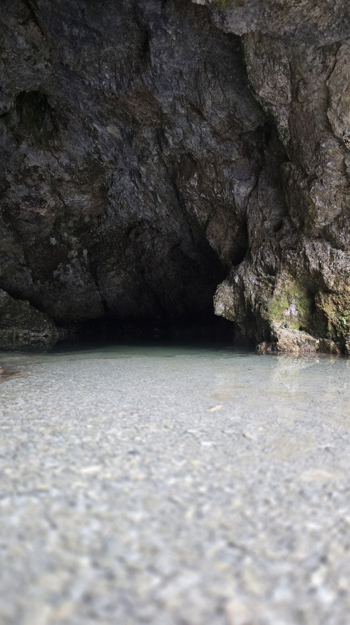
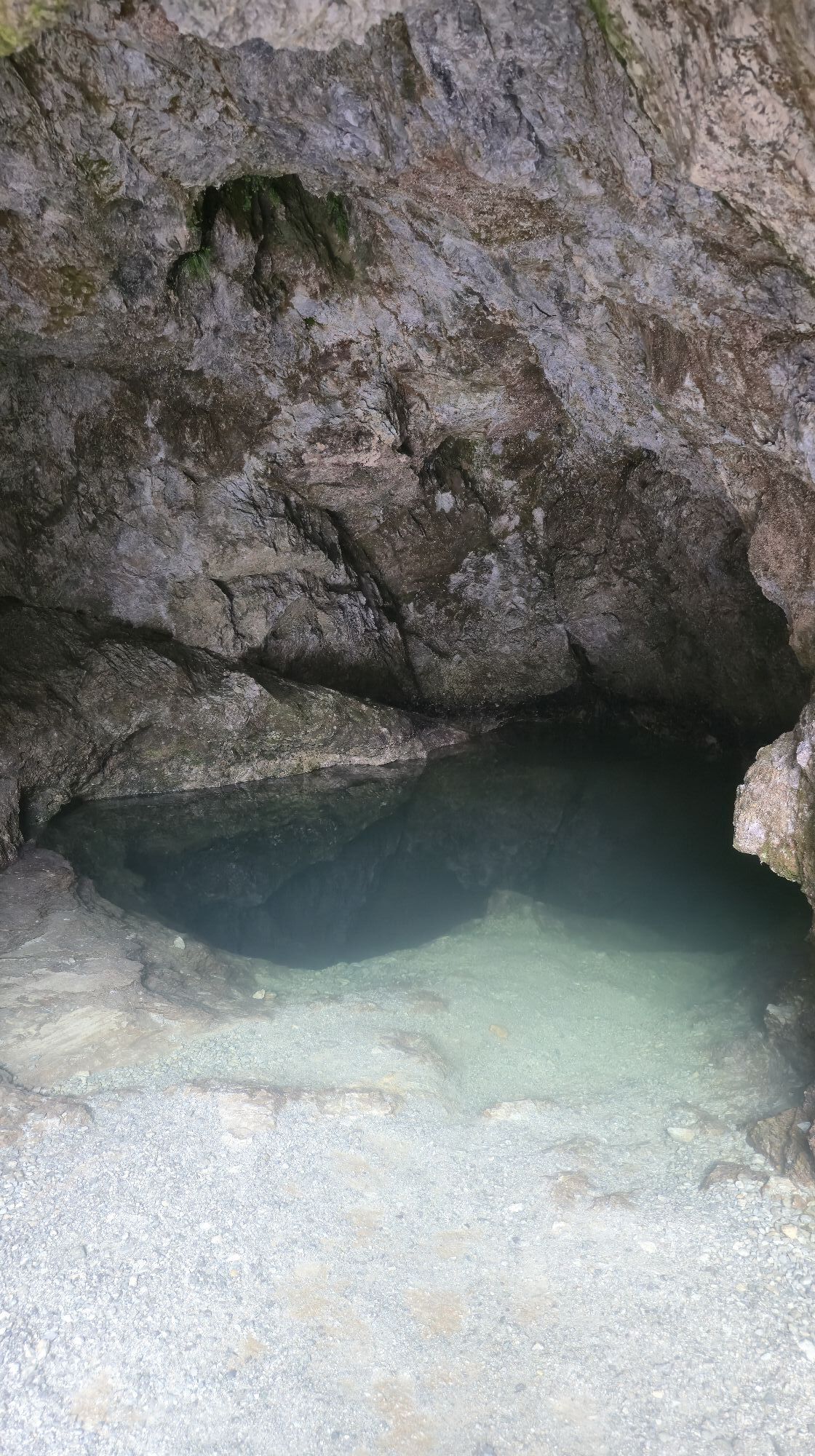
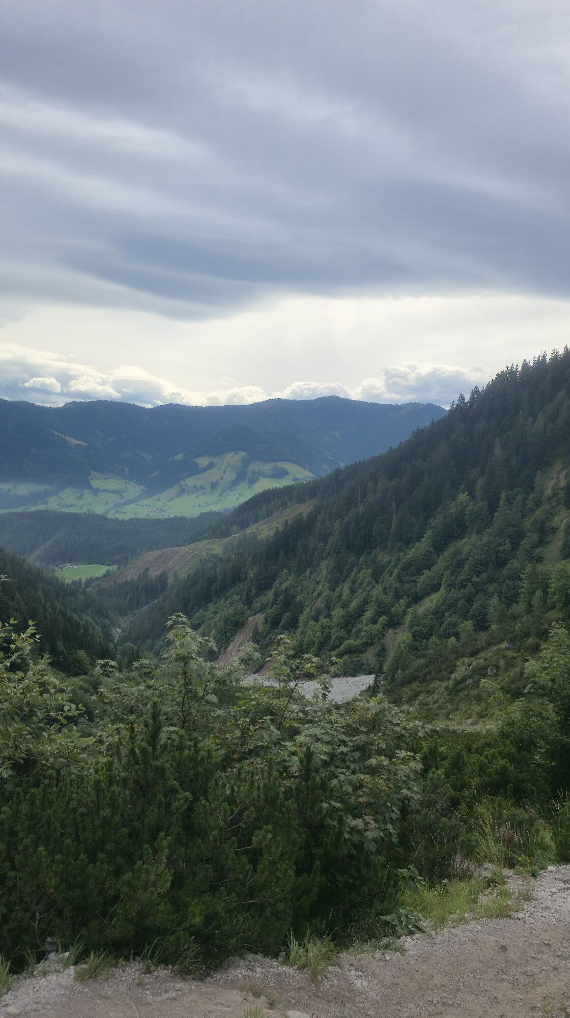
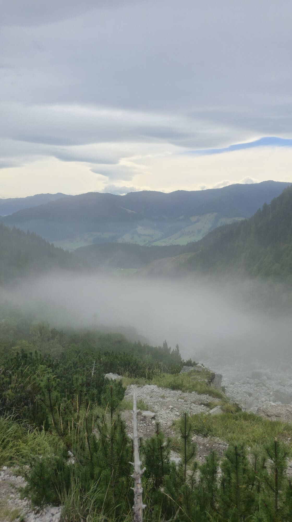
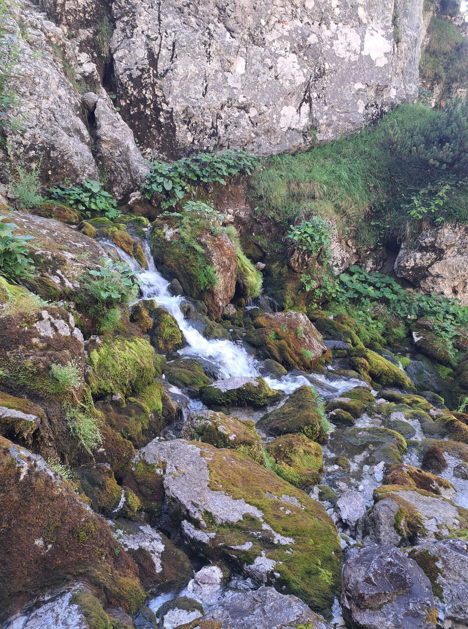
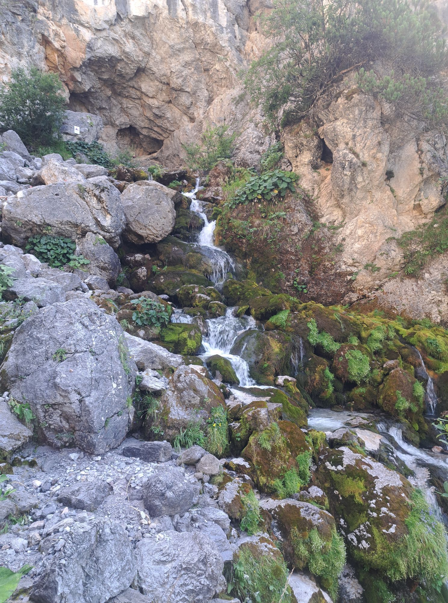
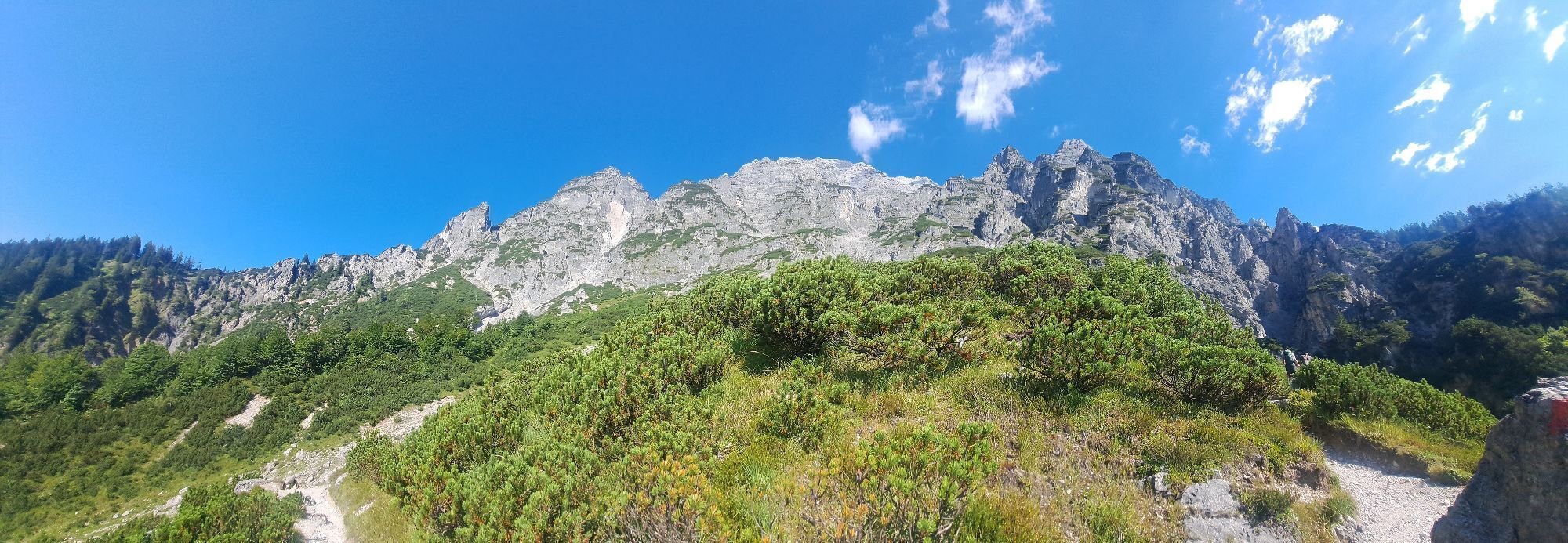
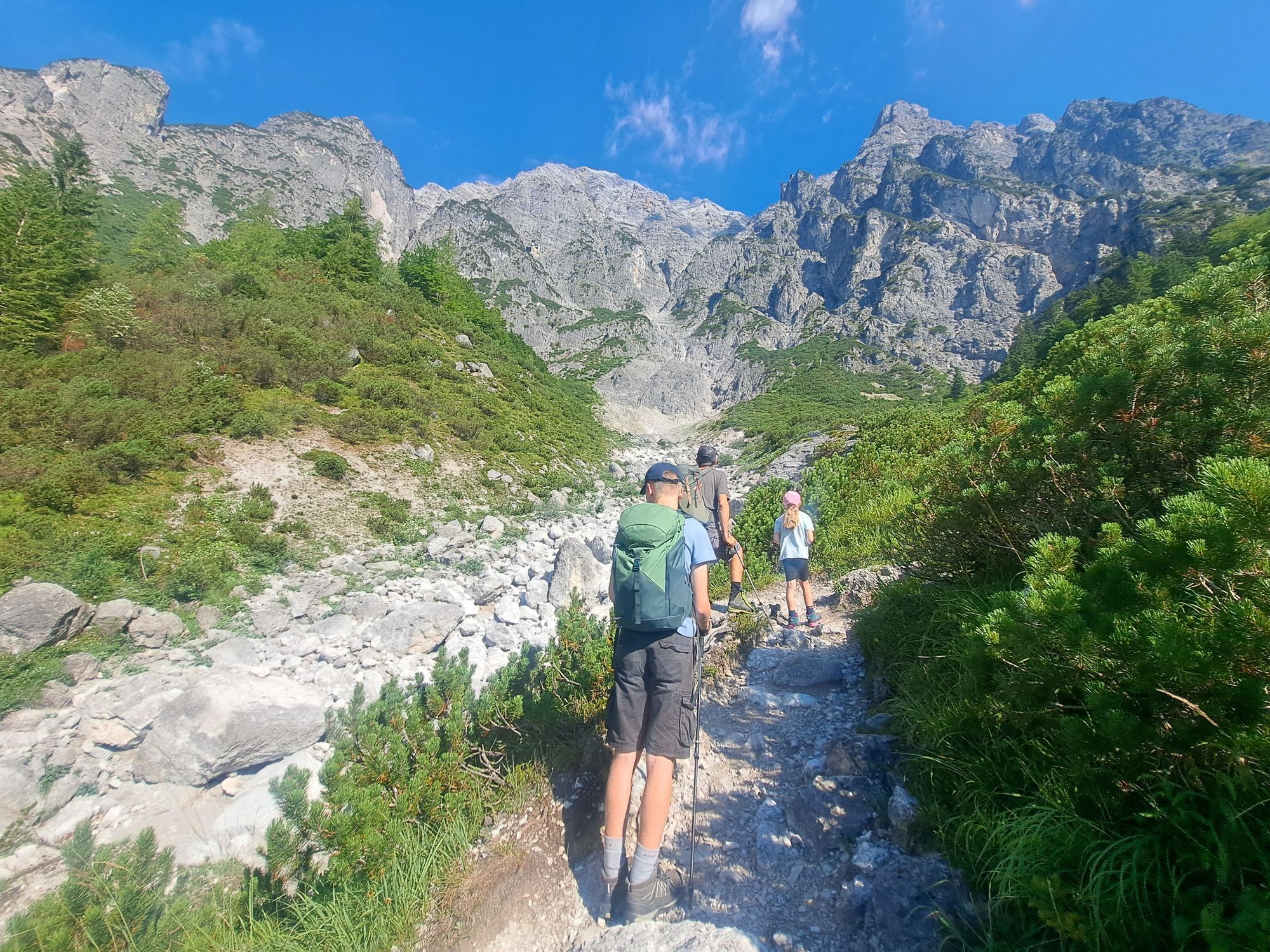
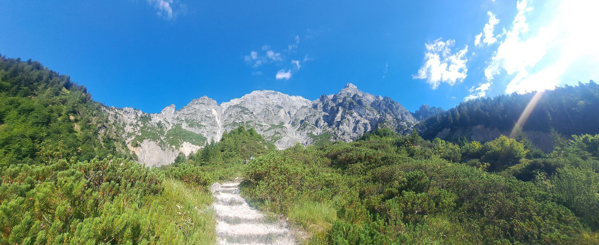
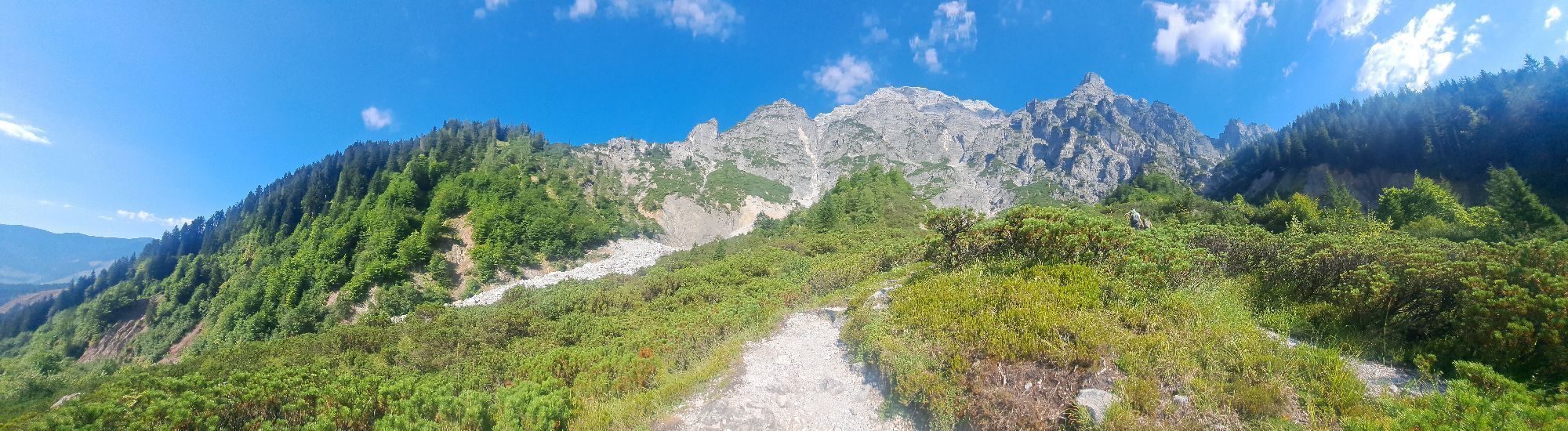
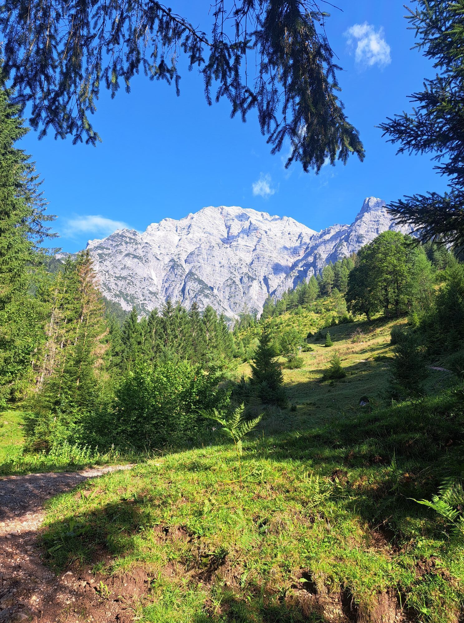
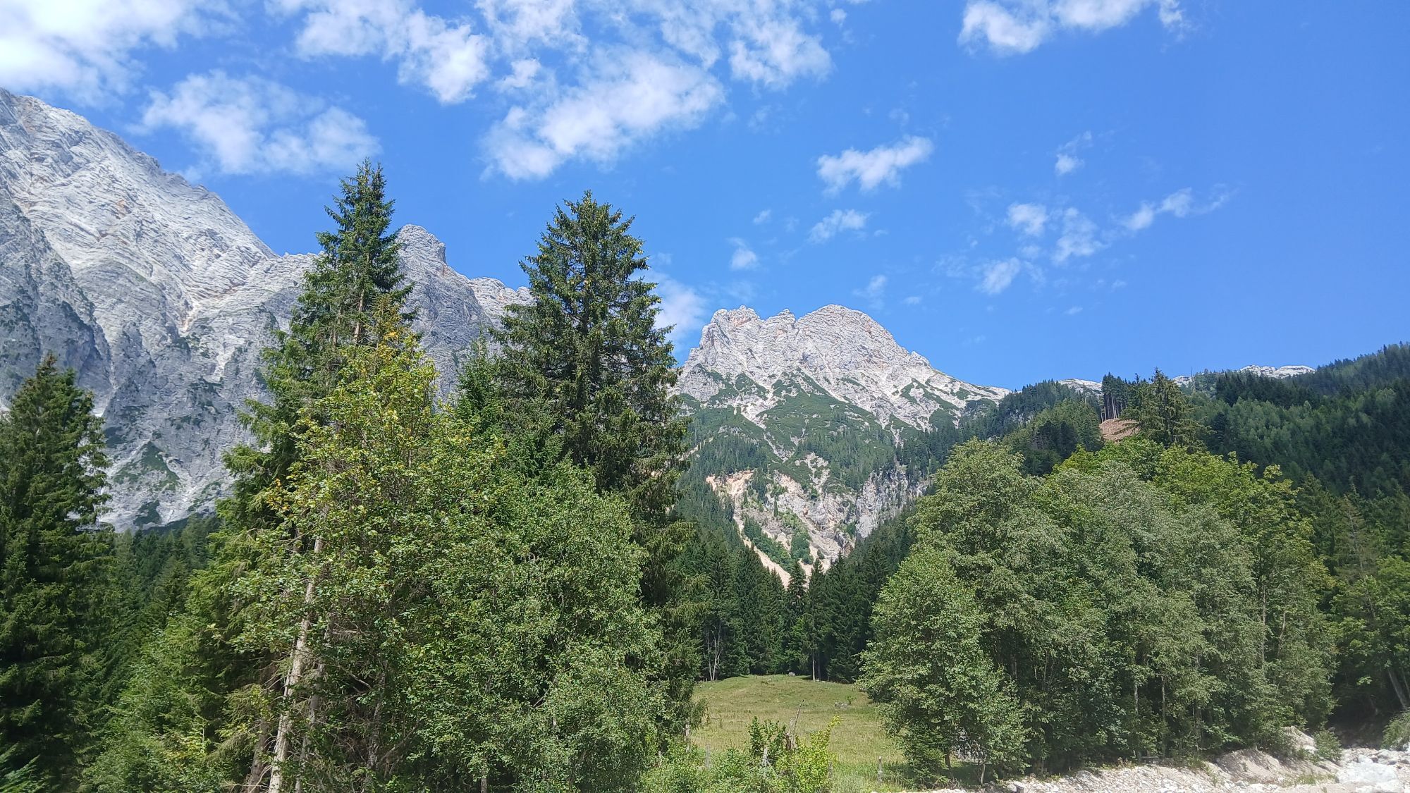
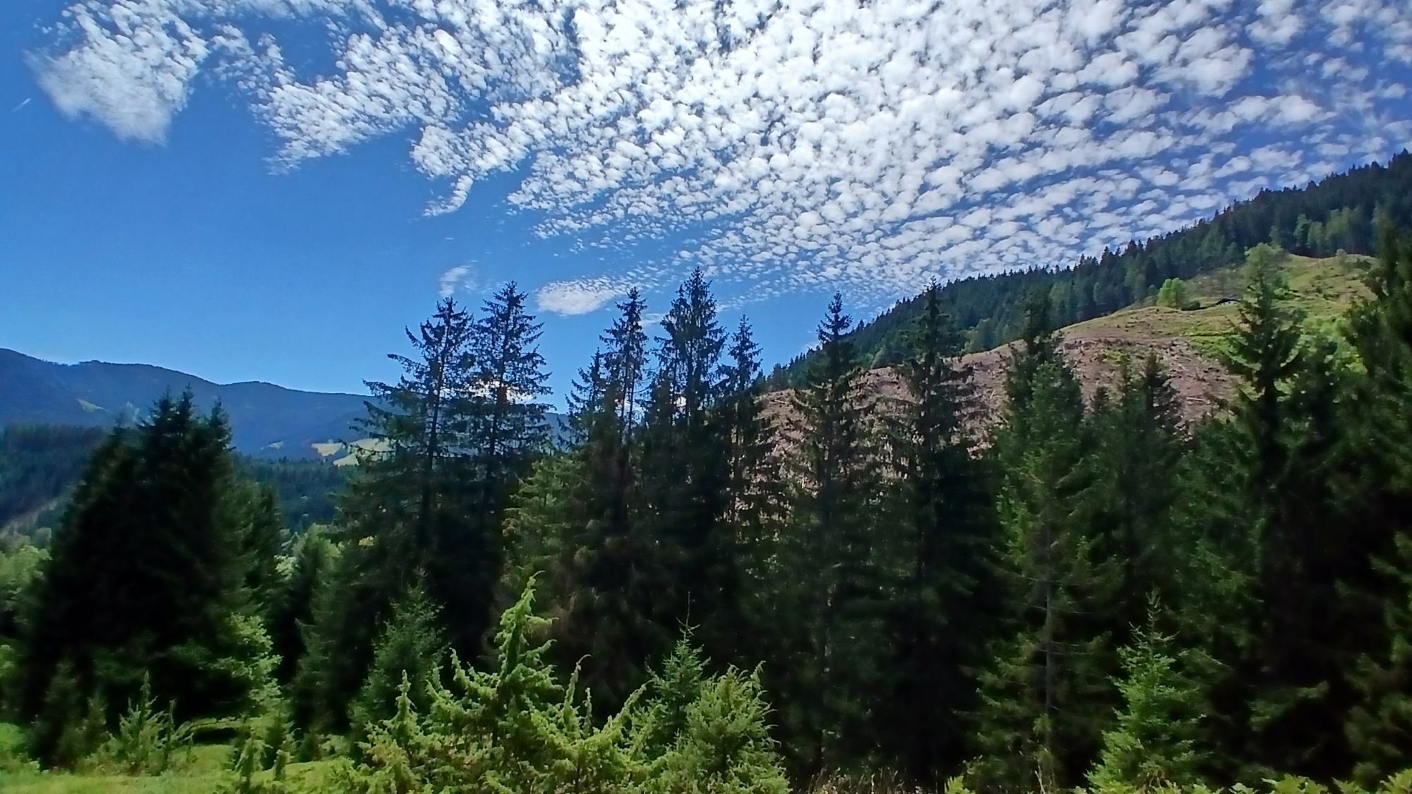
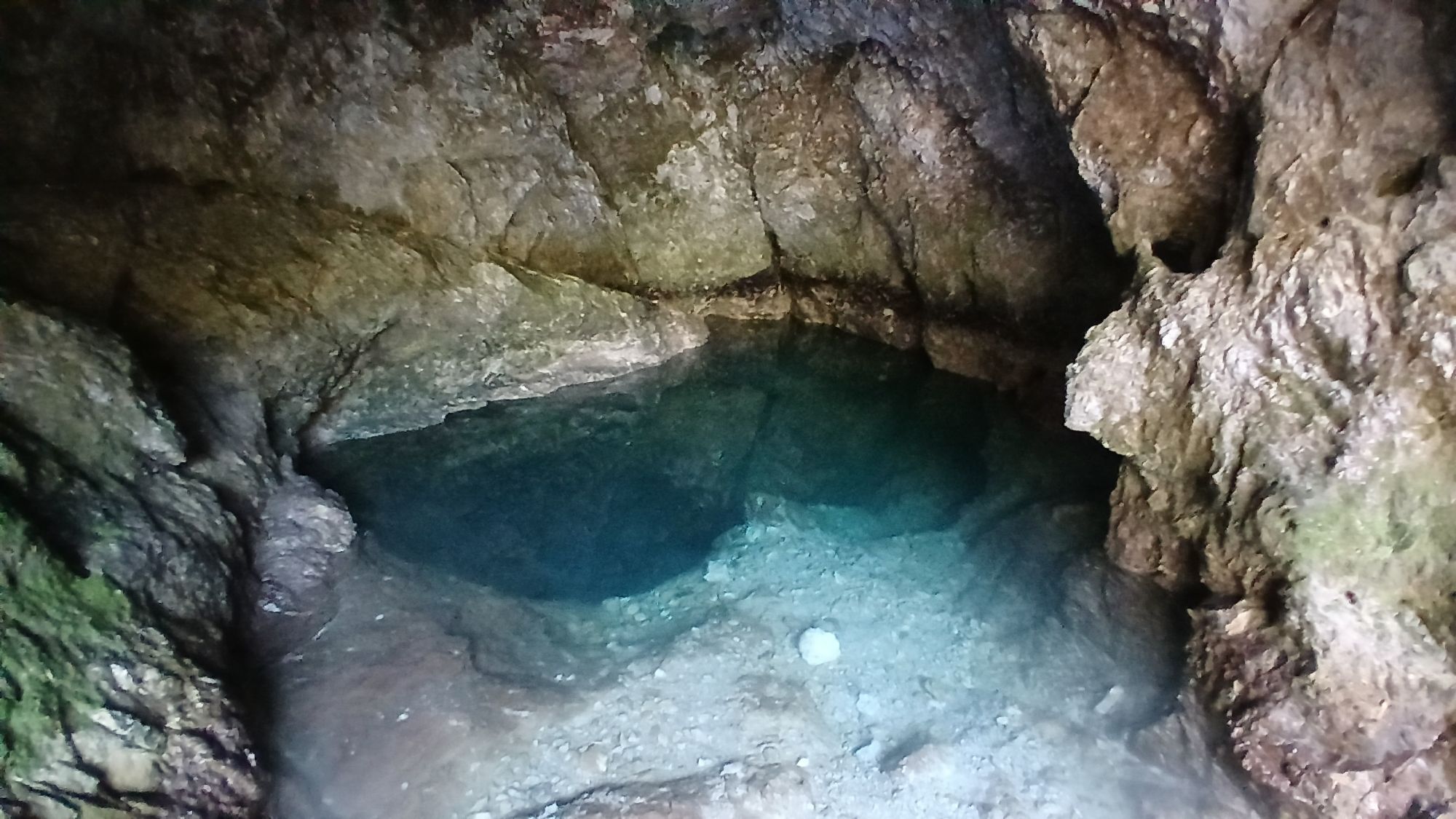
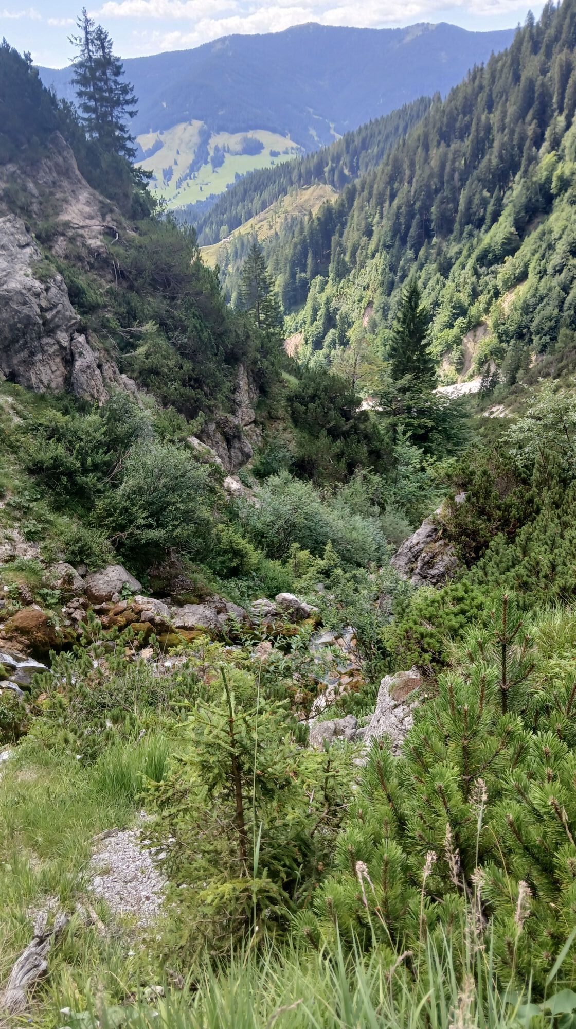
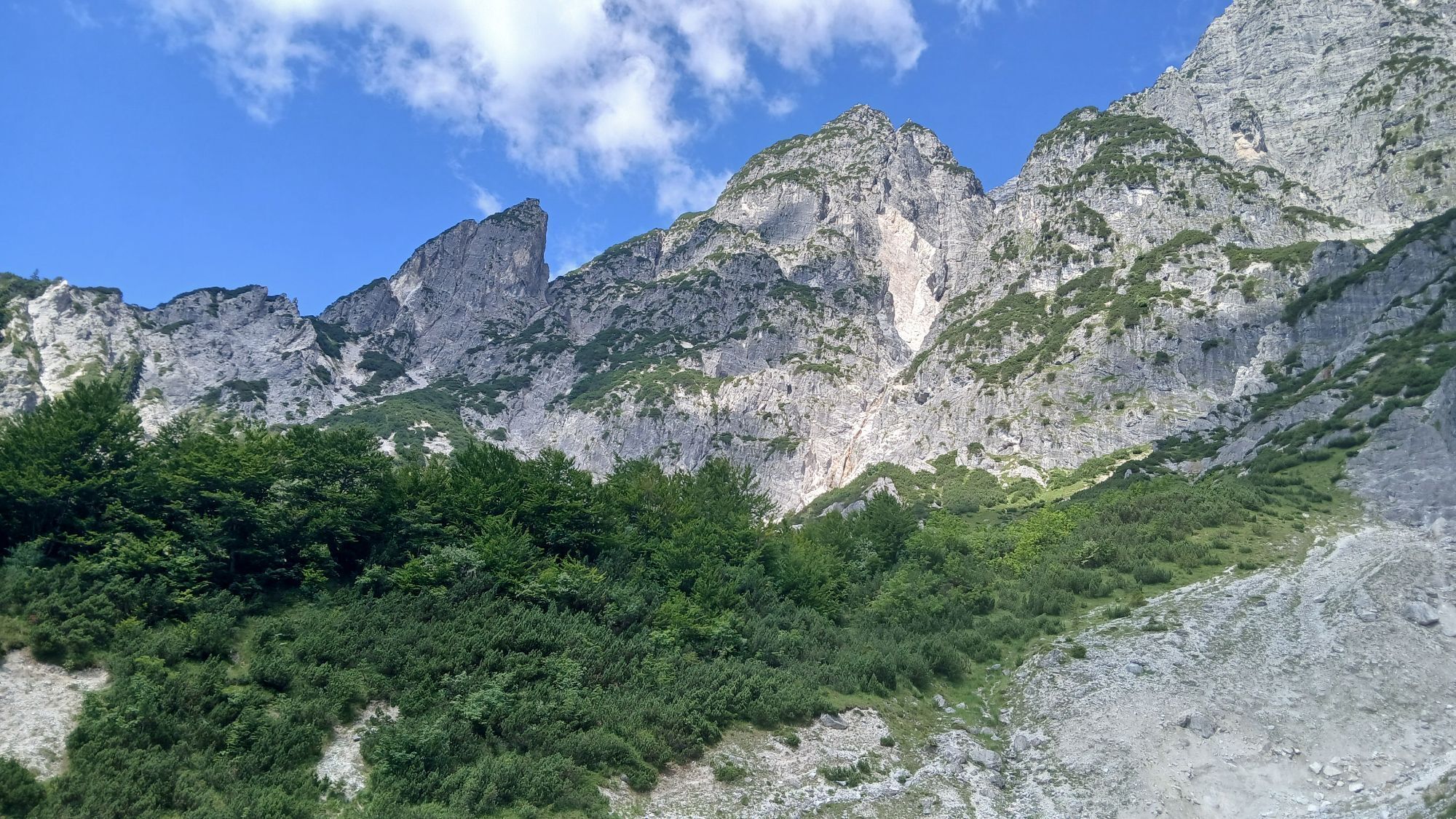
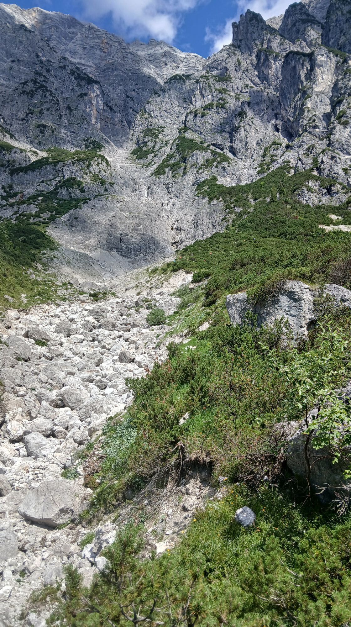
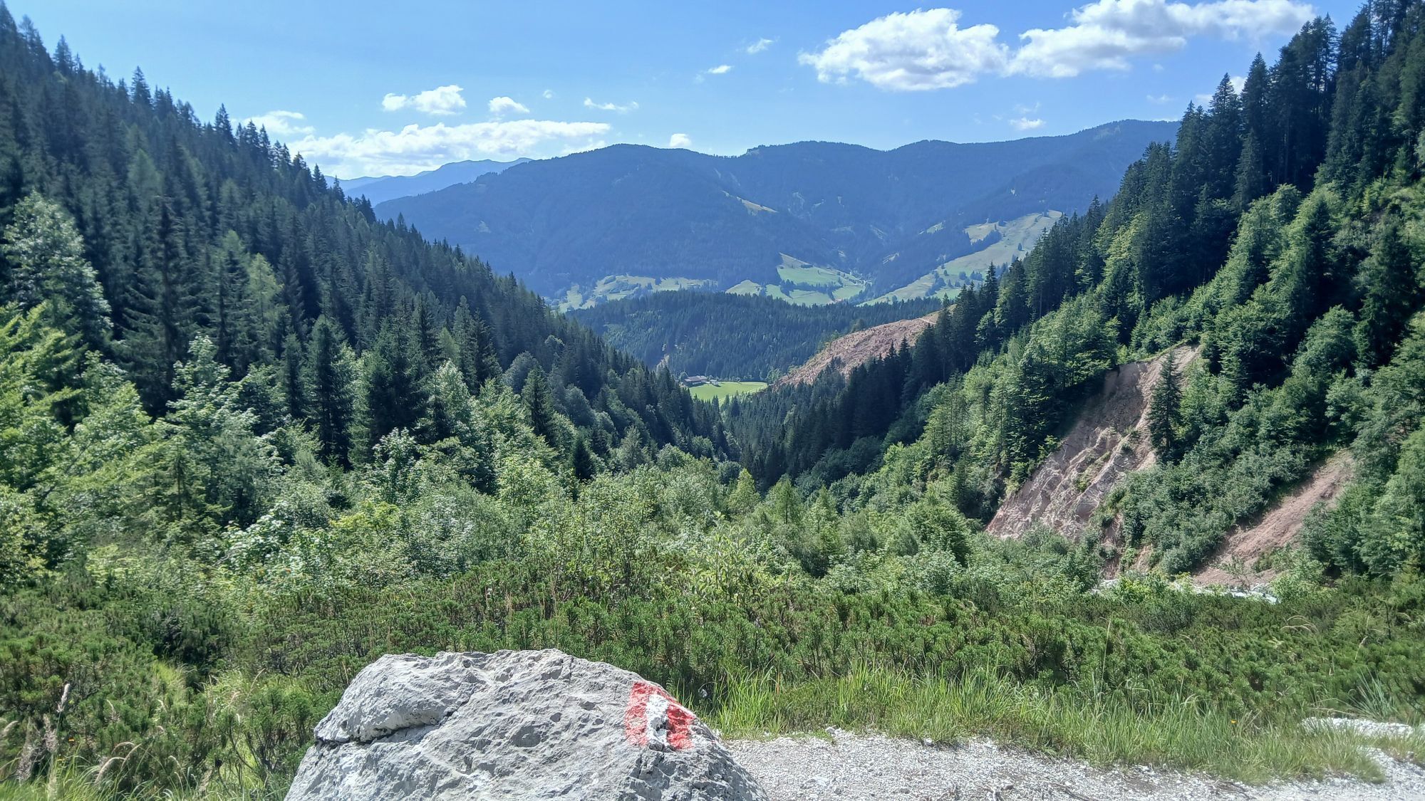
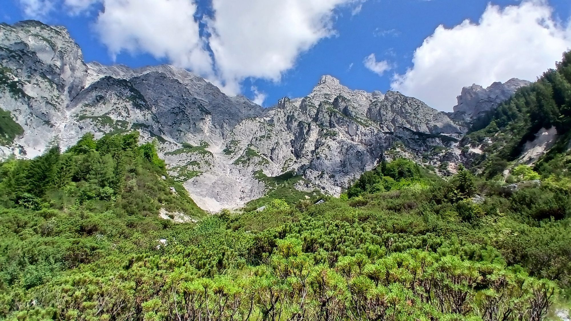
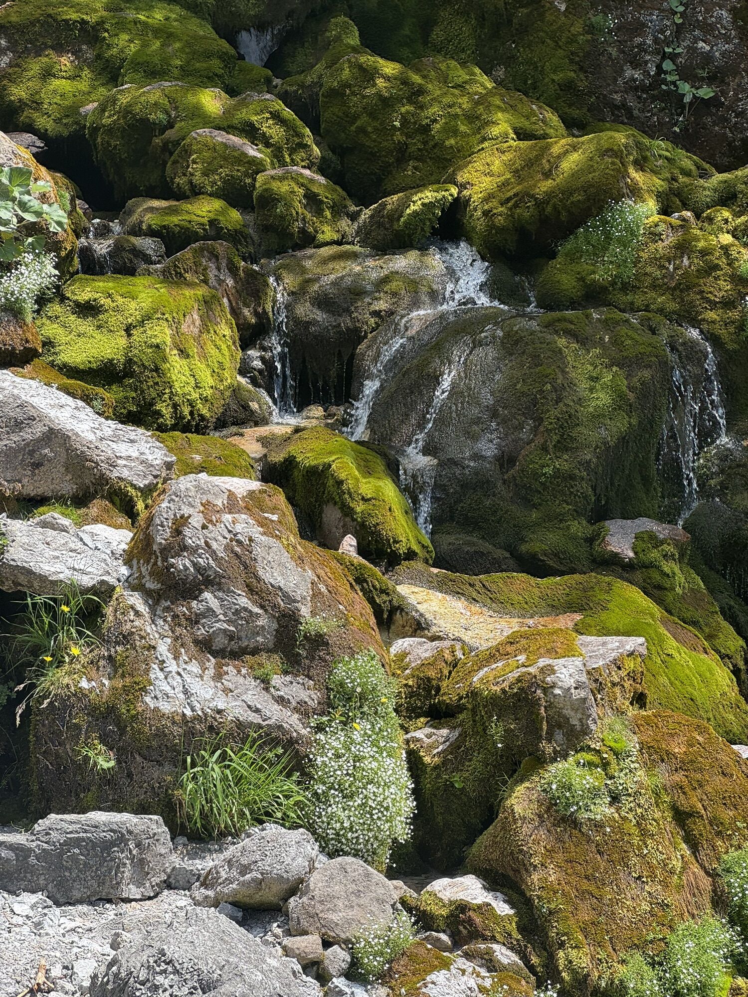
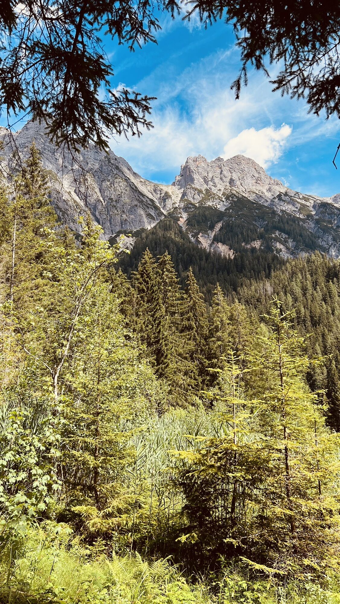
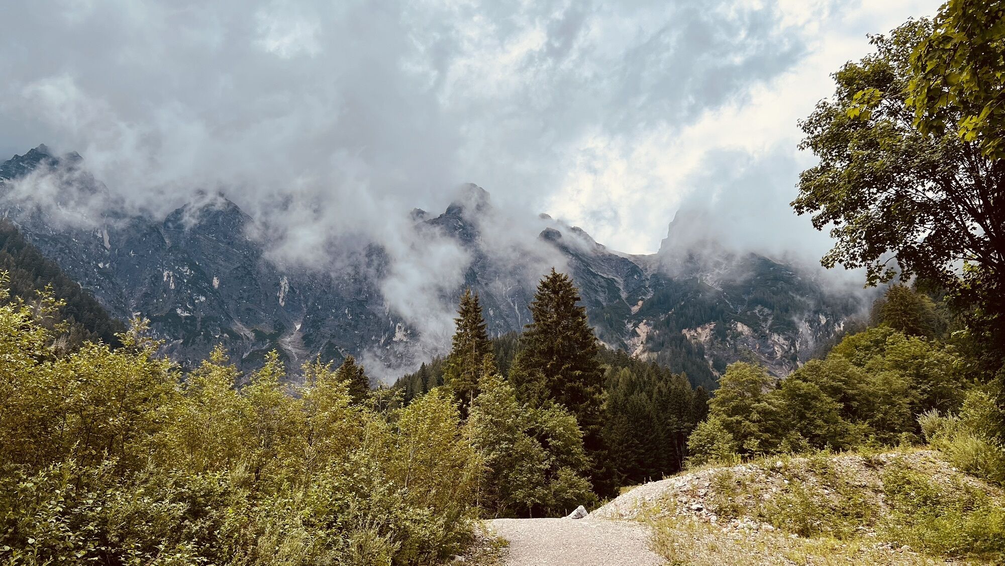


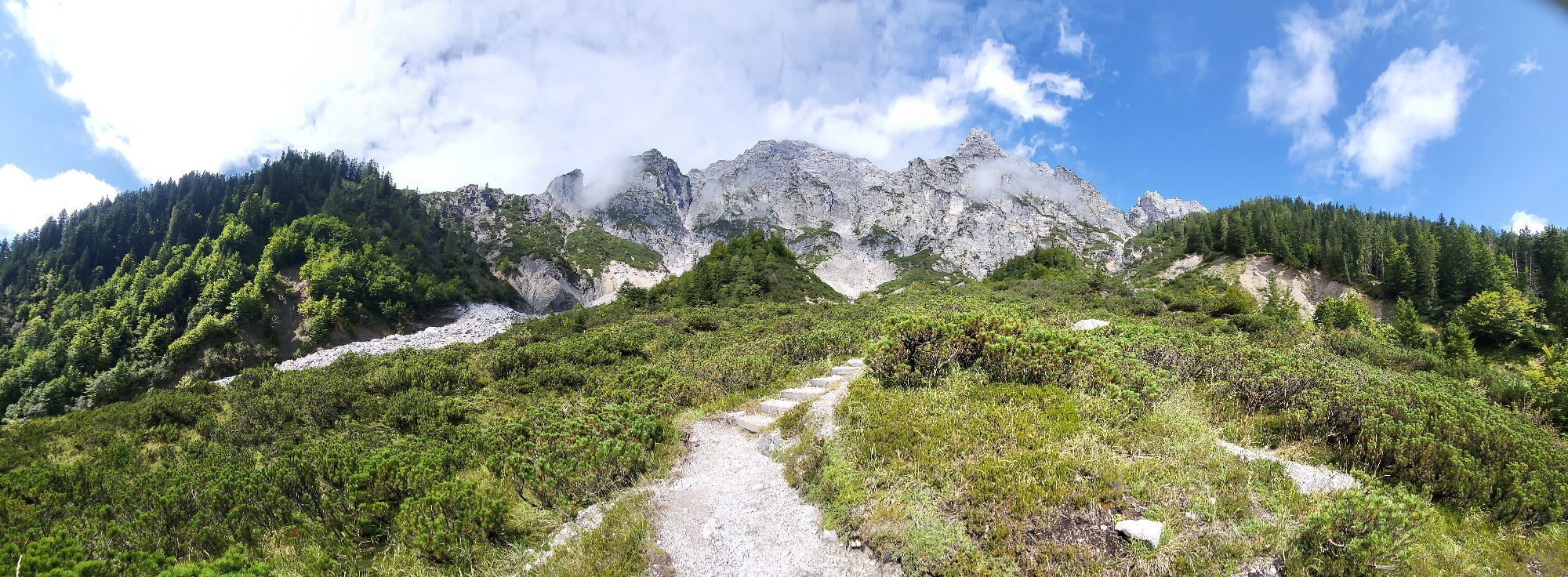
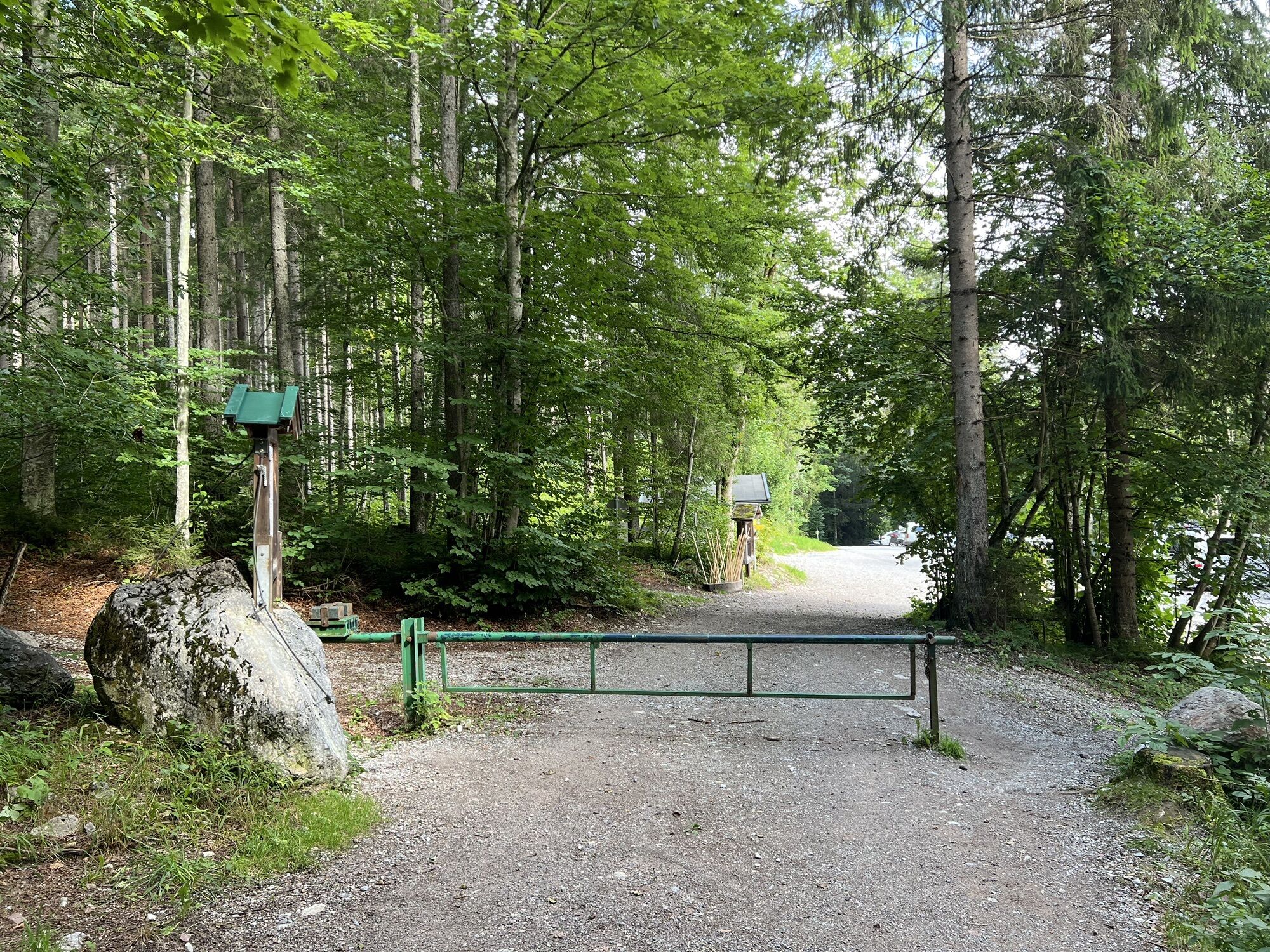
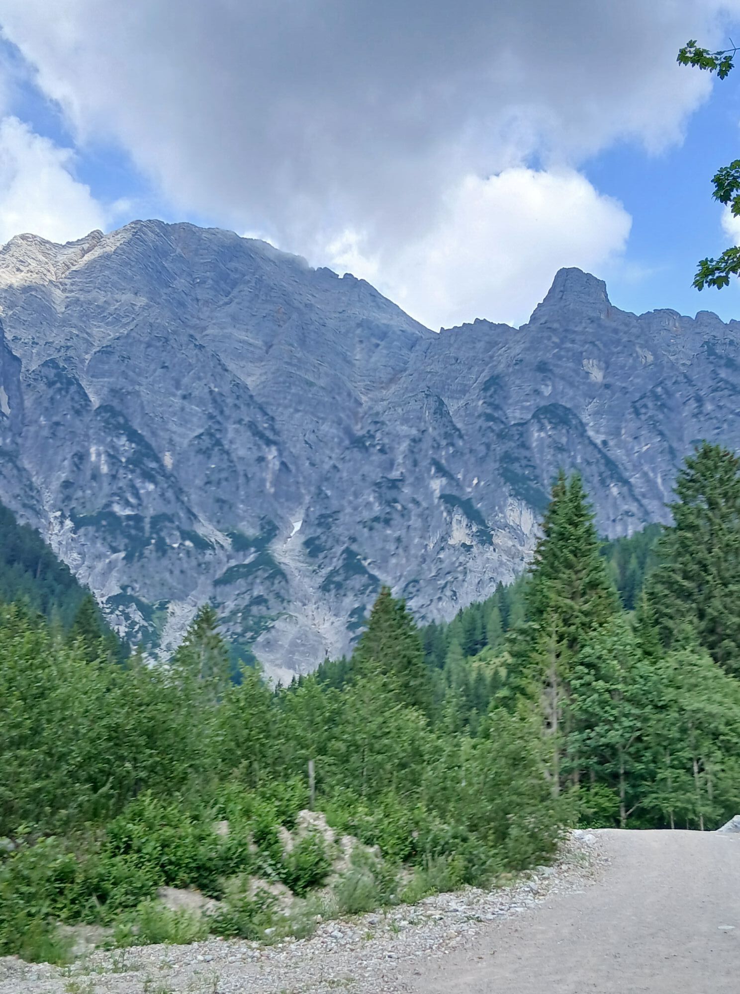
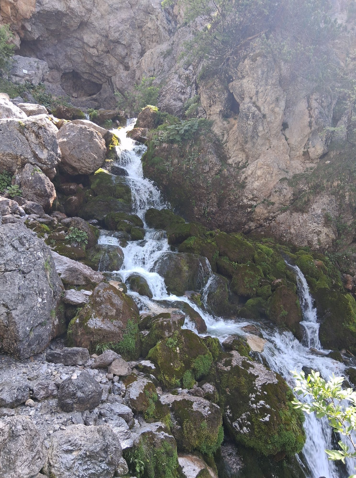
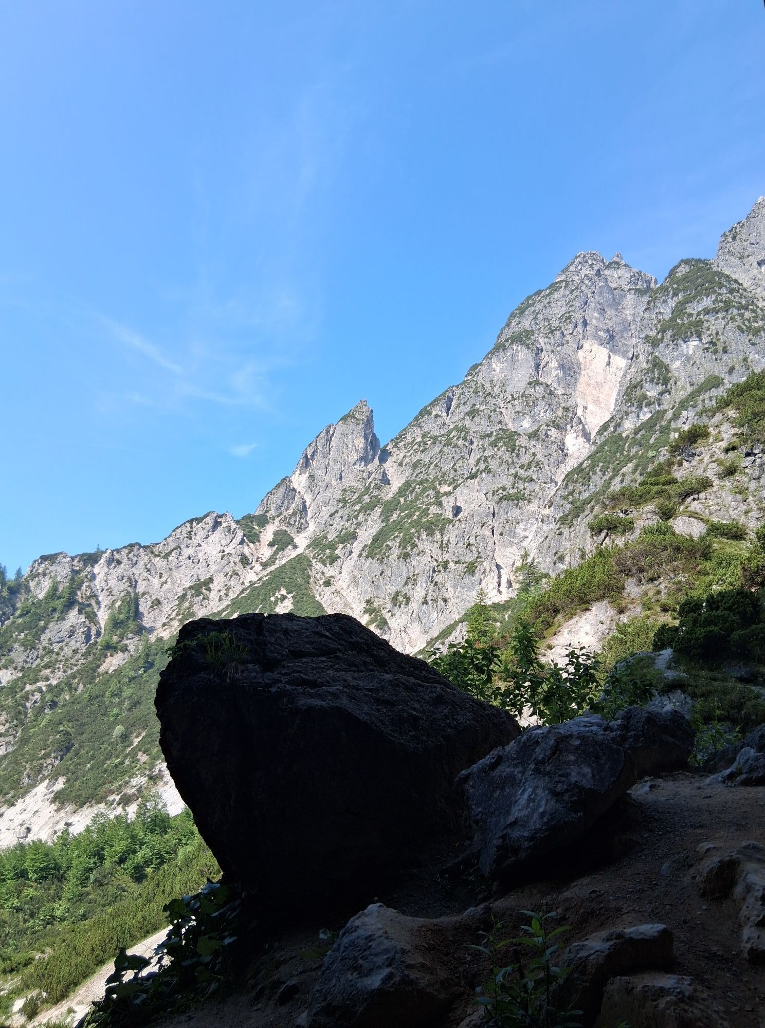
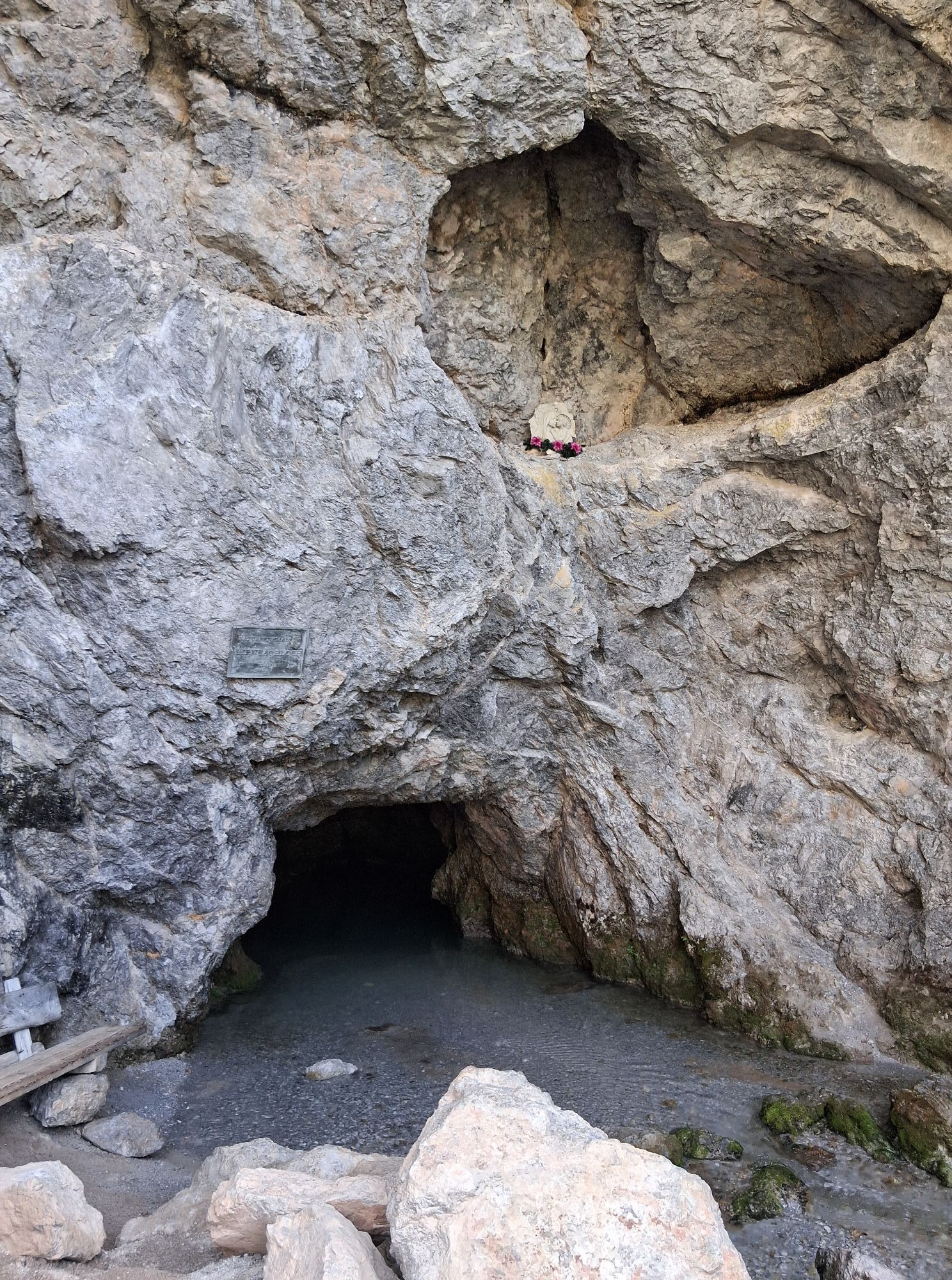
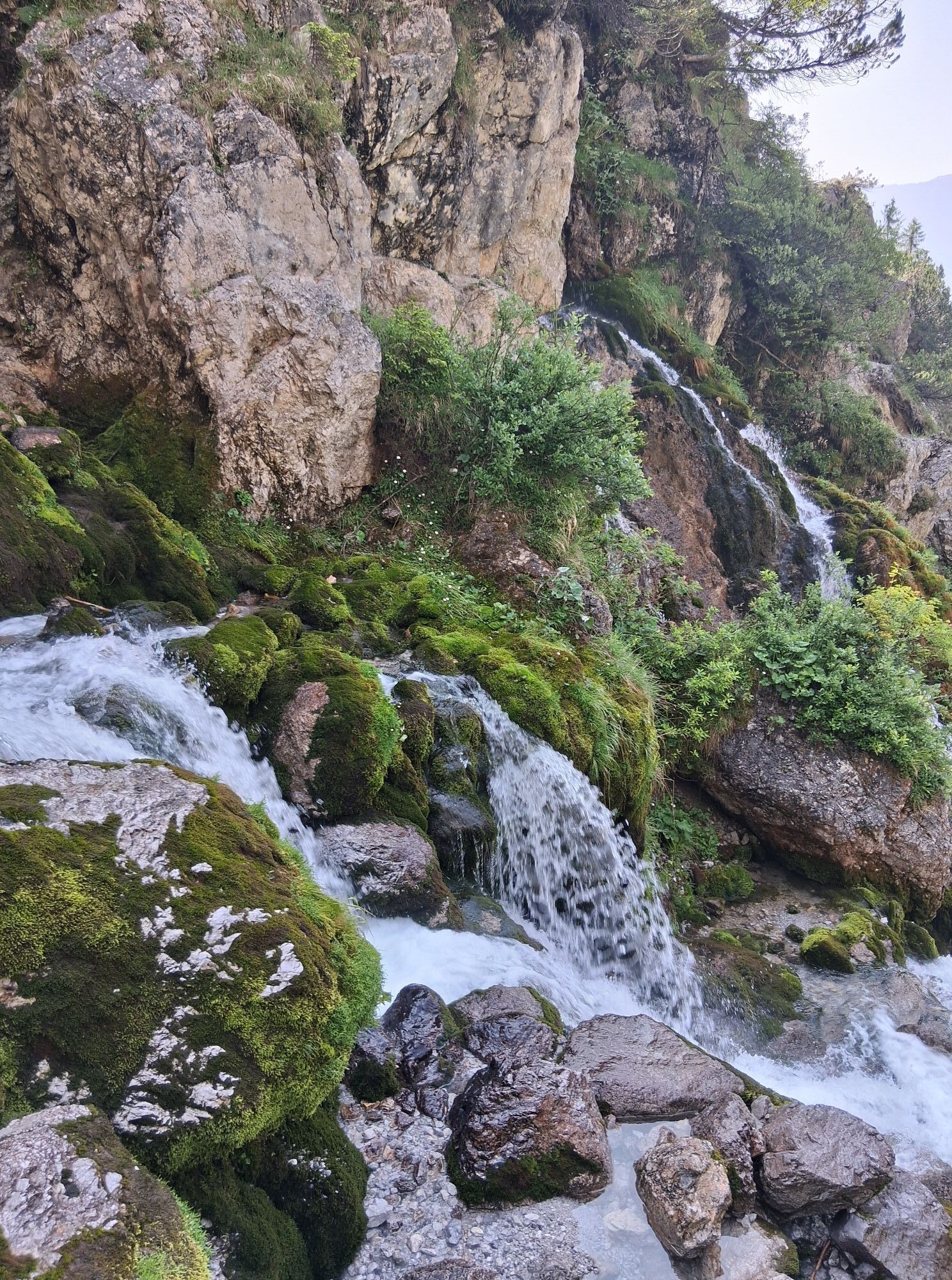
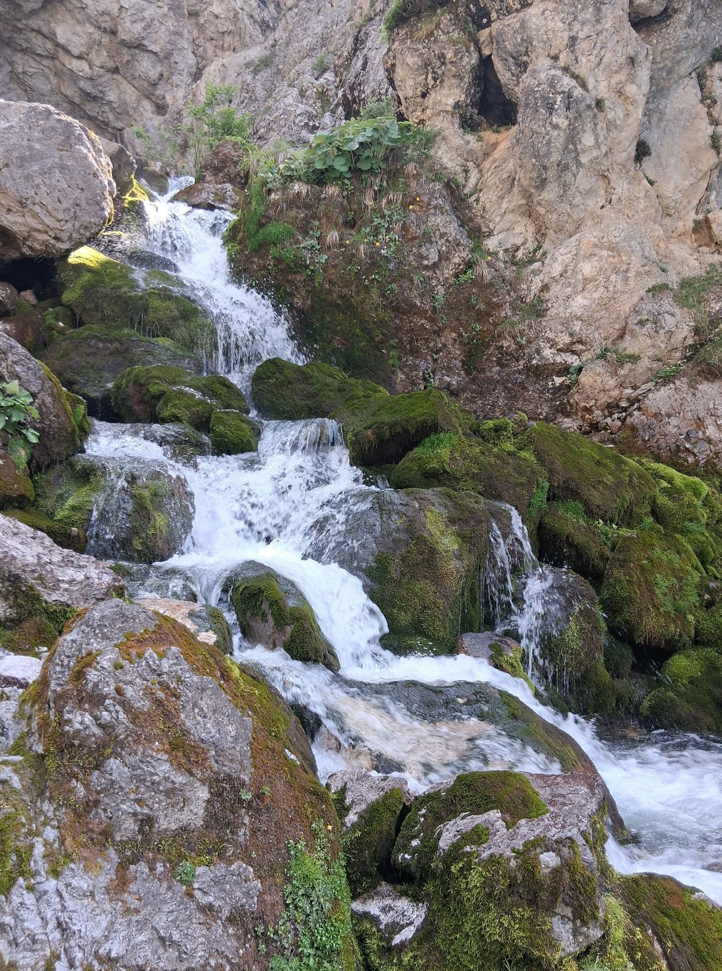
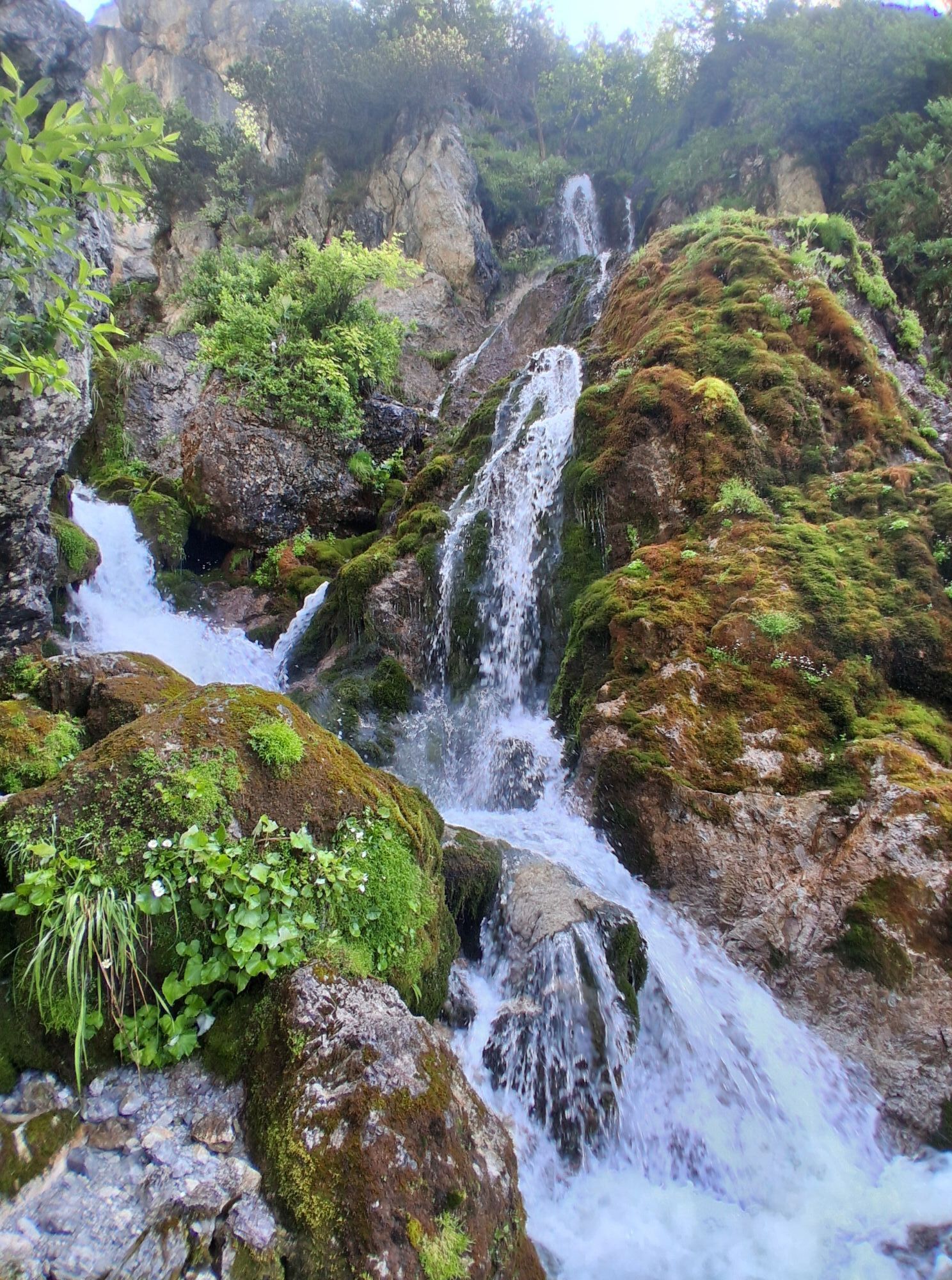
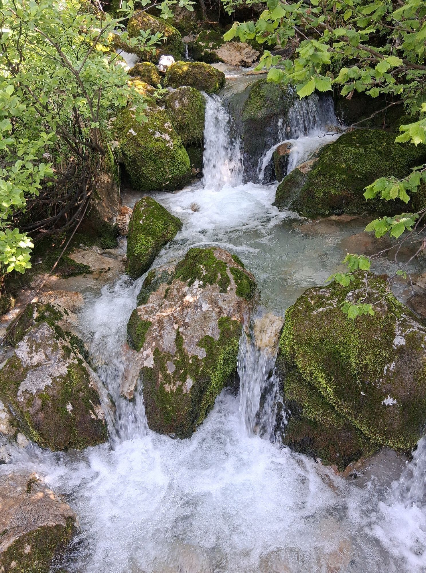
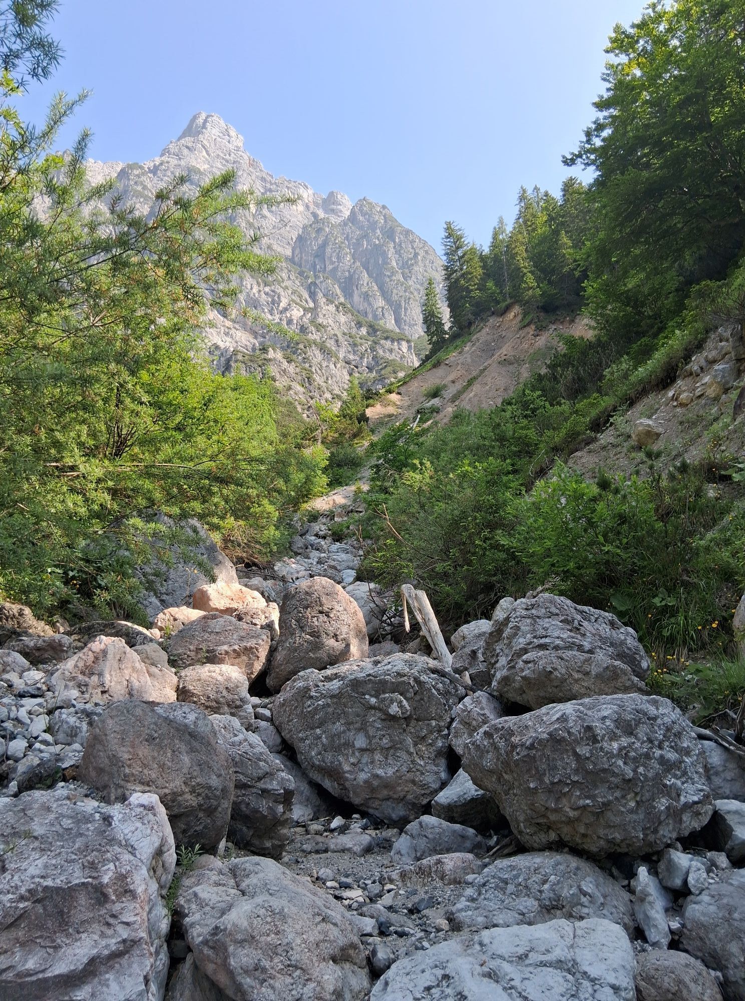
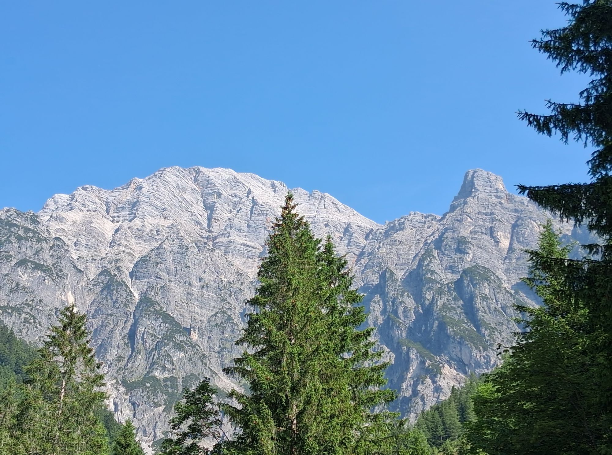
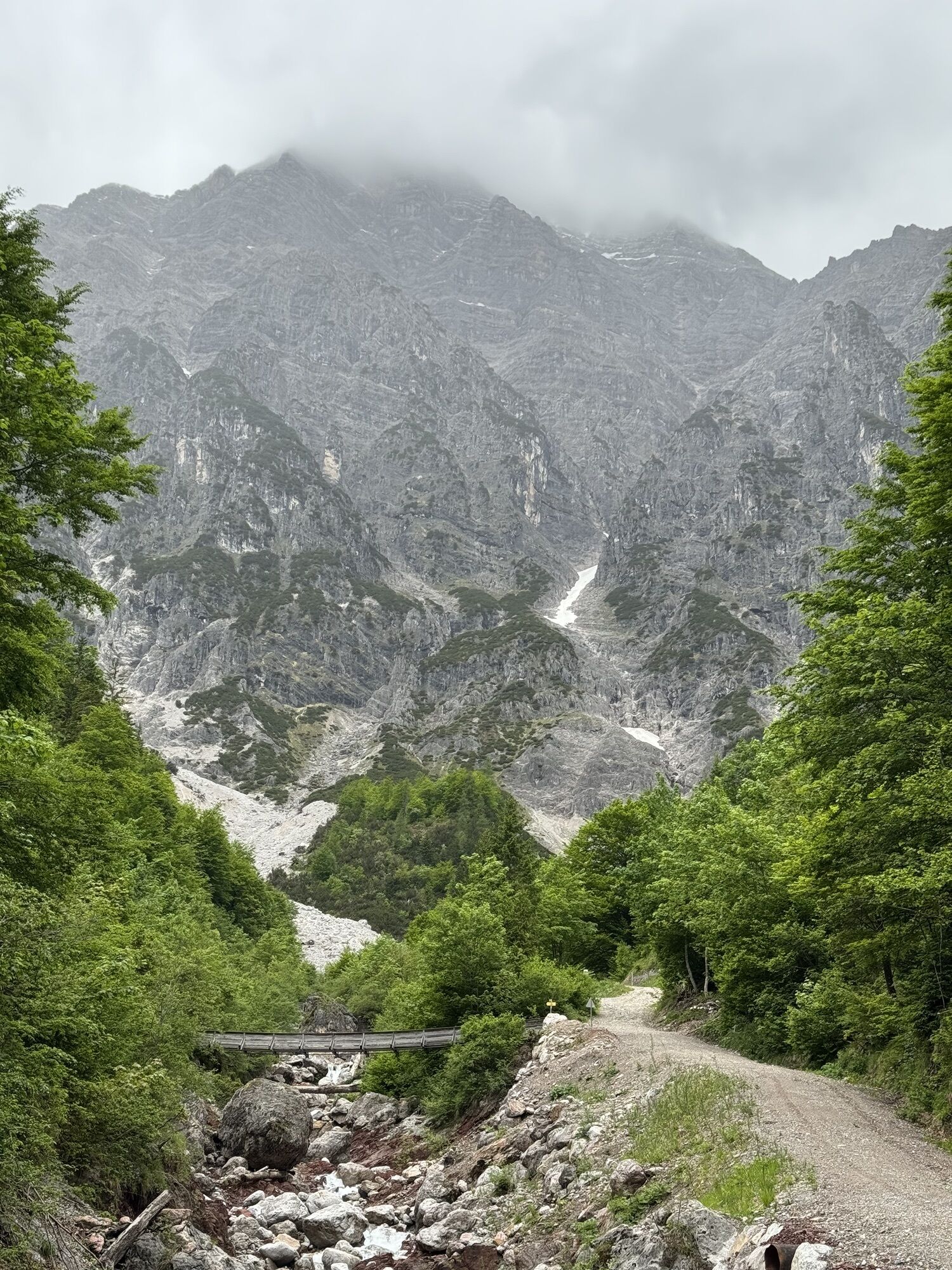
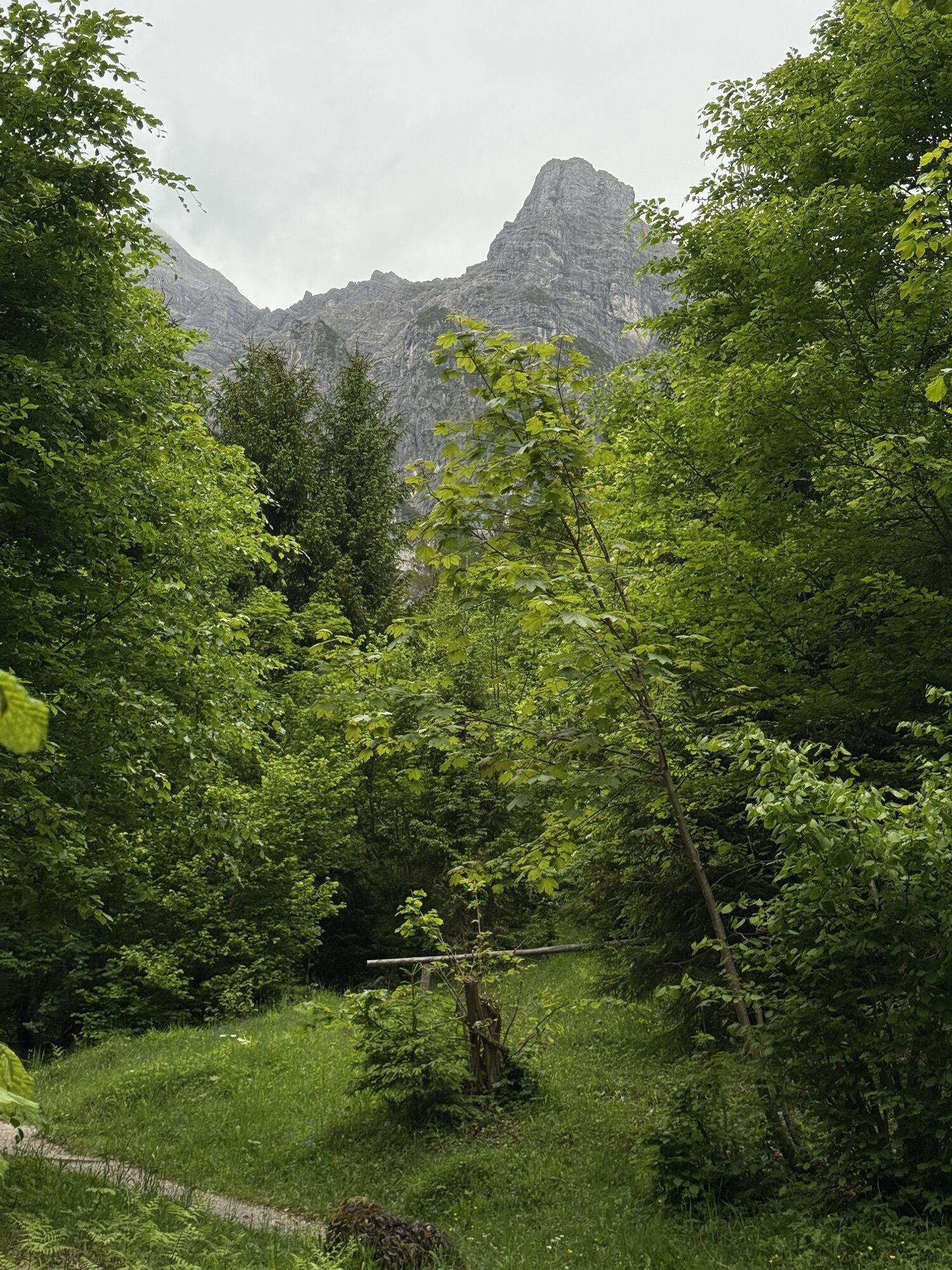
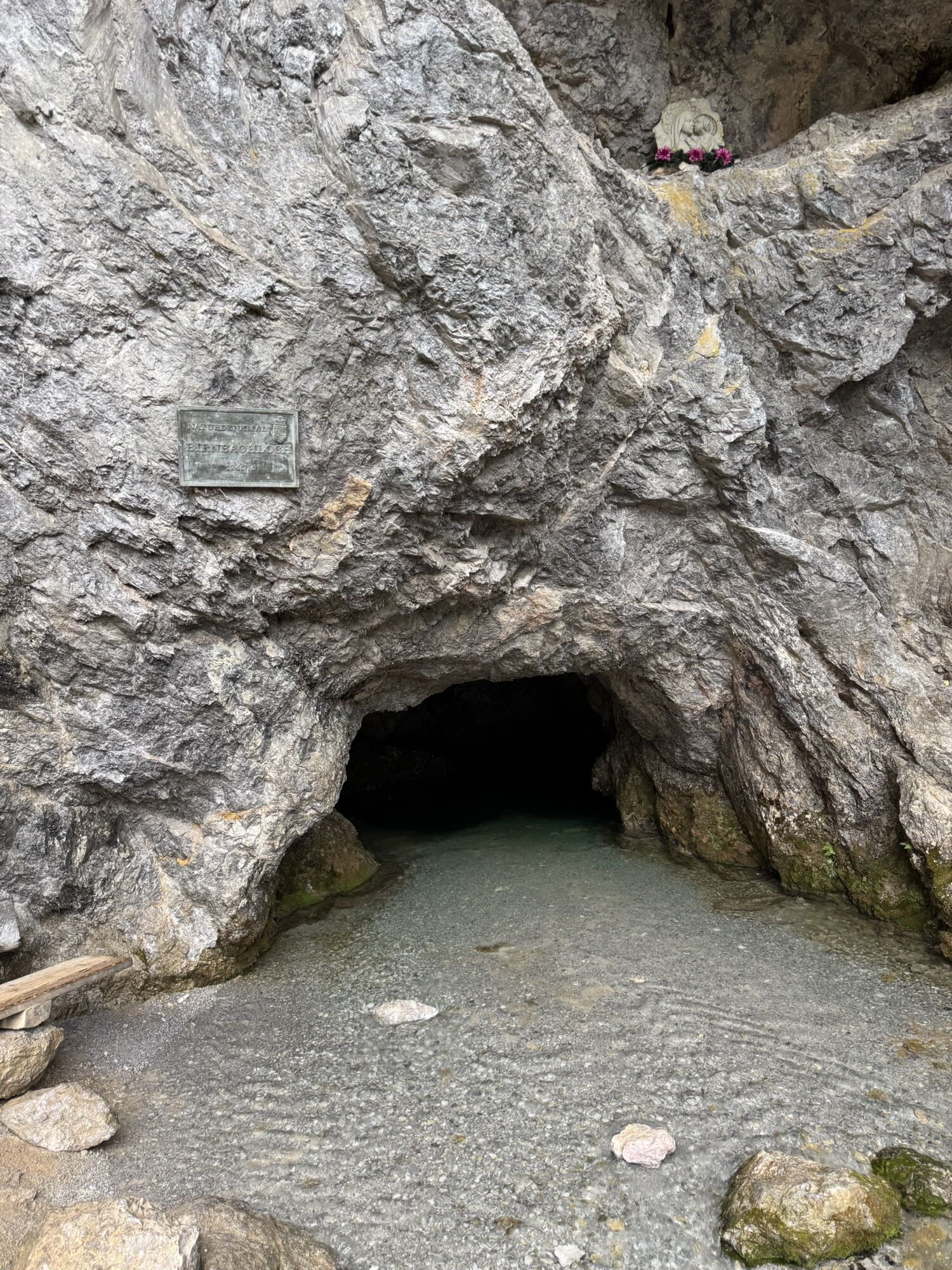
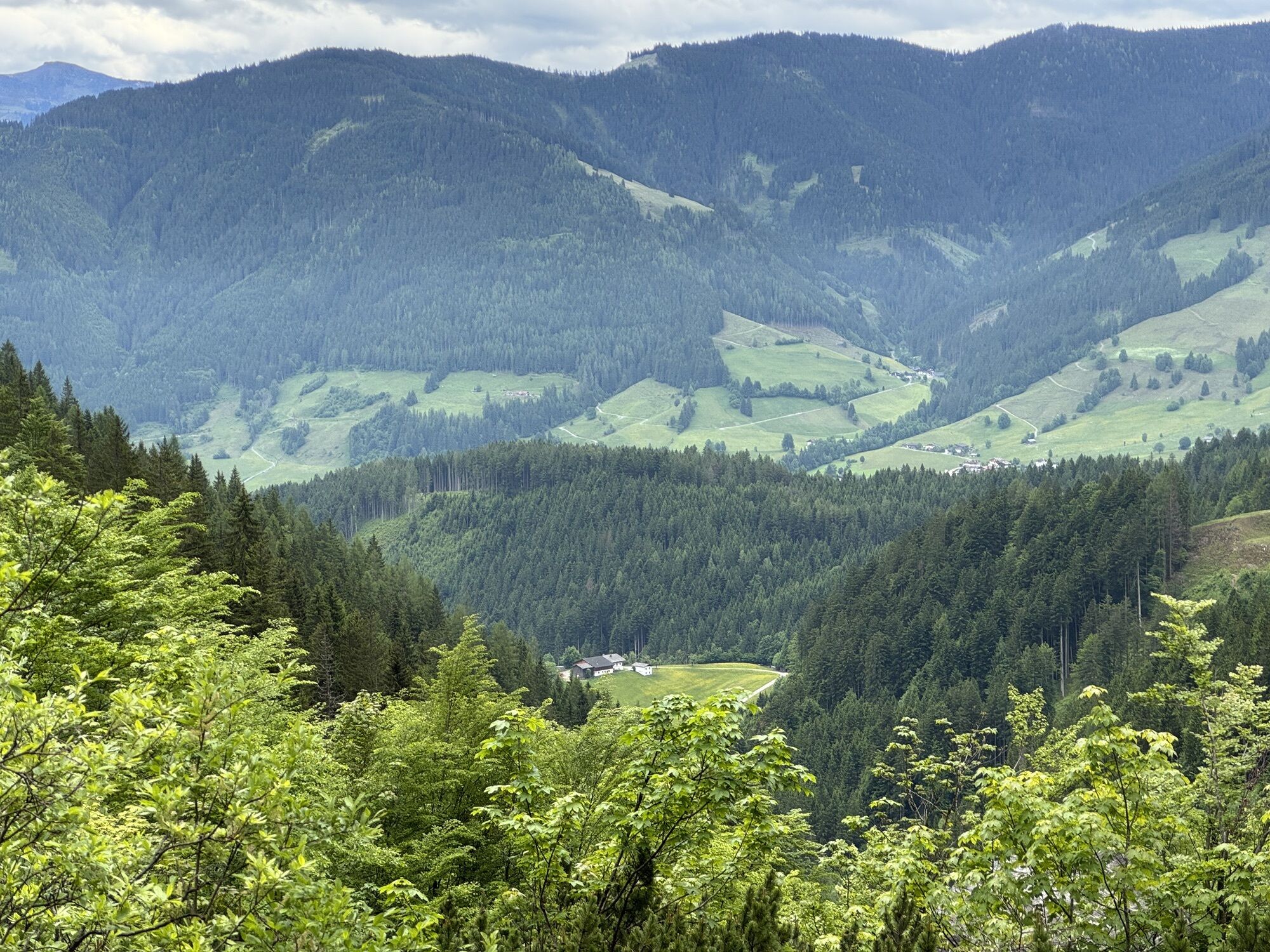
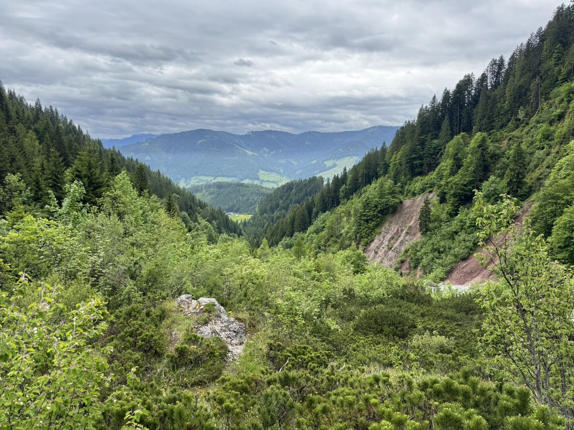
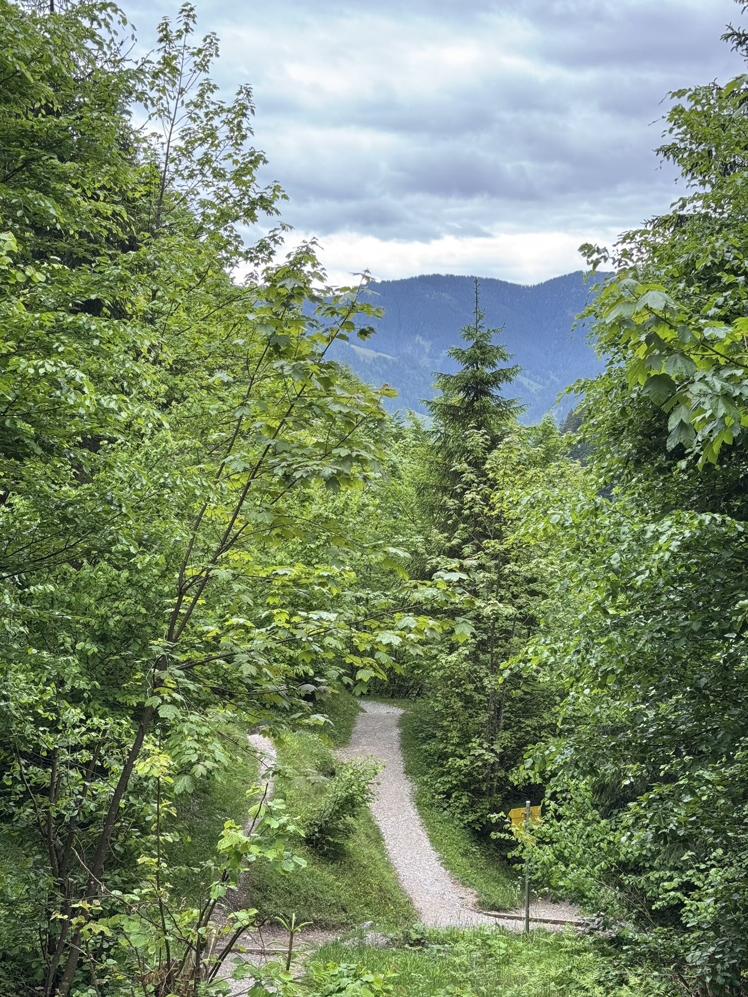

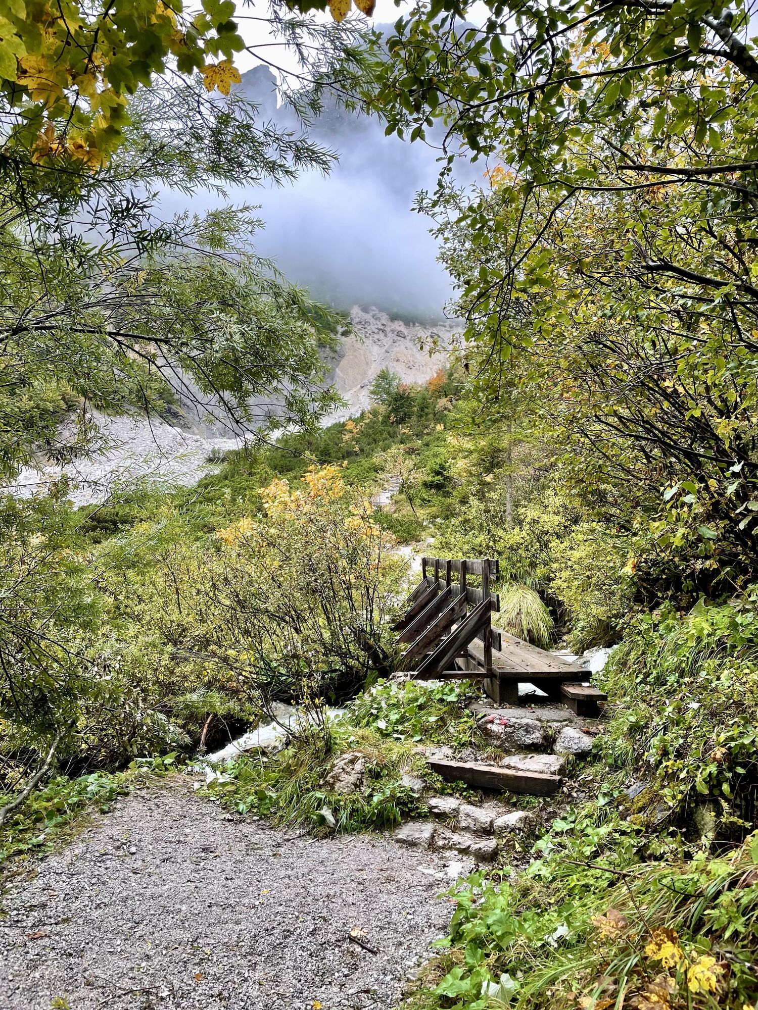

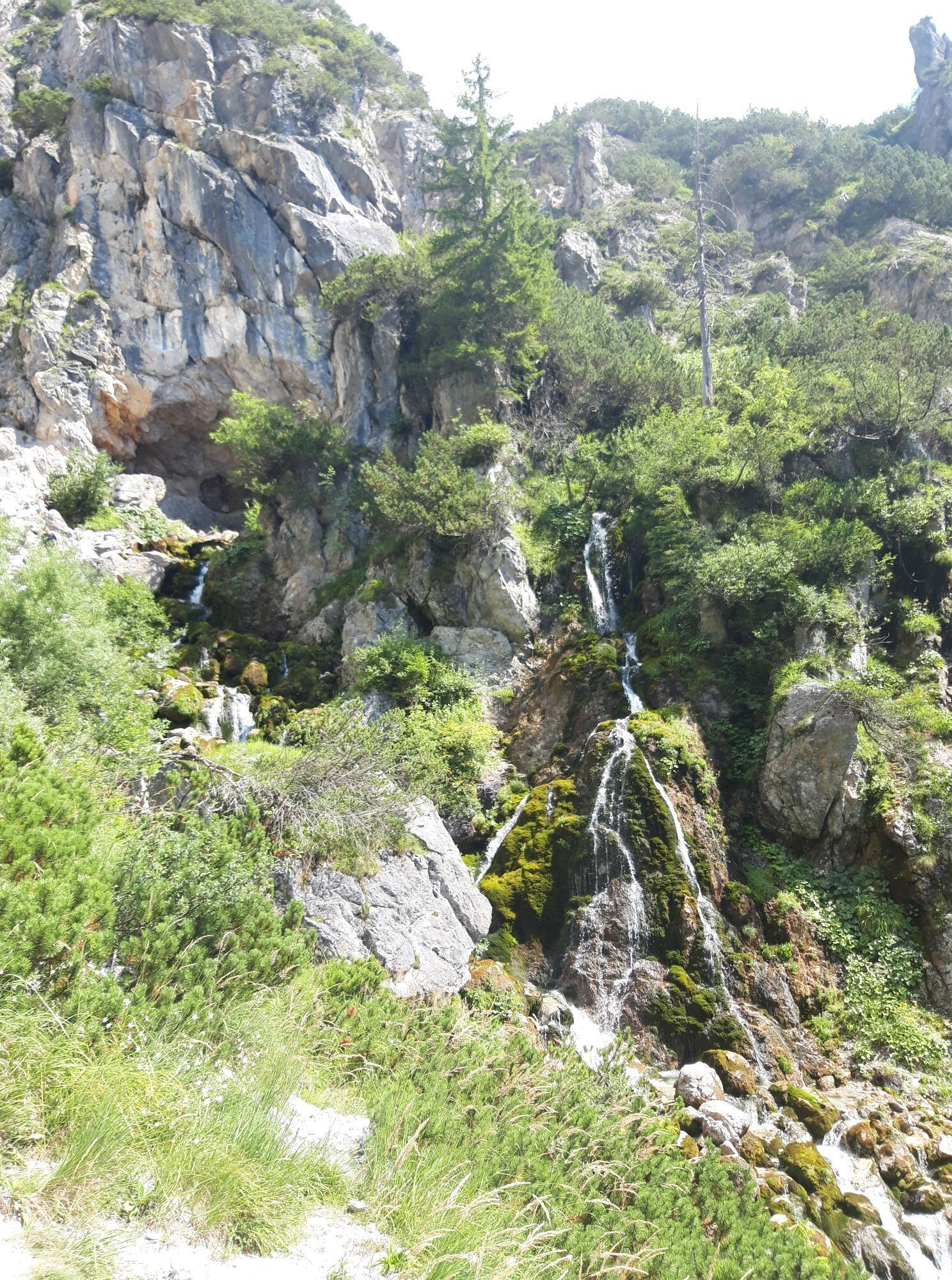

The hike begins in the Leoganger Ullachtal/Passauer Hut and first leads through forest, then along the hiking trail through meadows and later more rocky terrain up to Birnbachloch at 1291 m. The Birnbachloch...
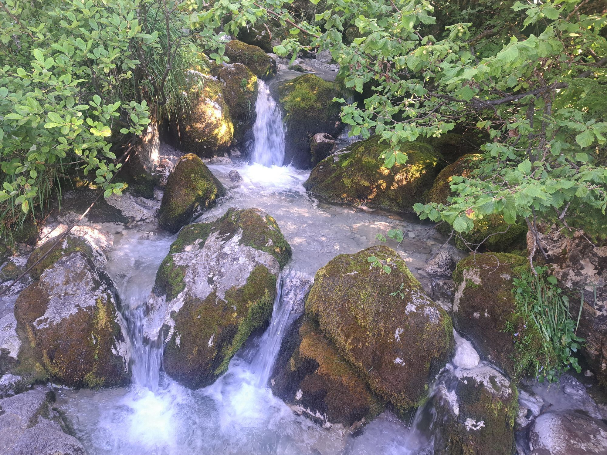
The hike begins in the Leoganger Ullachtal/Passauer Hut and first leads through forest, then along the hiking trail through meadows and later more rocky terrain up to Birnbachloch at 1291 m. The Birnbachloch is a karst spring with an approximately 20 m wide "entrance hall." Inside this hall, the Birnbach springs. A few hundred meters from Birnbachloch, the hiker encounters the Birnbach Glacier, the lowest glacier in Central Europe. It has a significant history, as at the end of the 19th century, Munich breweries obtained ice here for their ice cellars. Ice blocks were transported down the mountain on hundreds of meters long wooden slides.

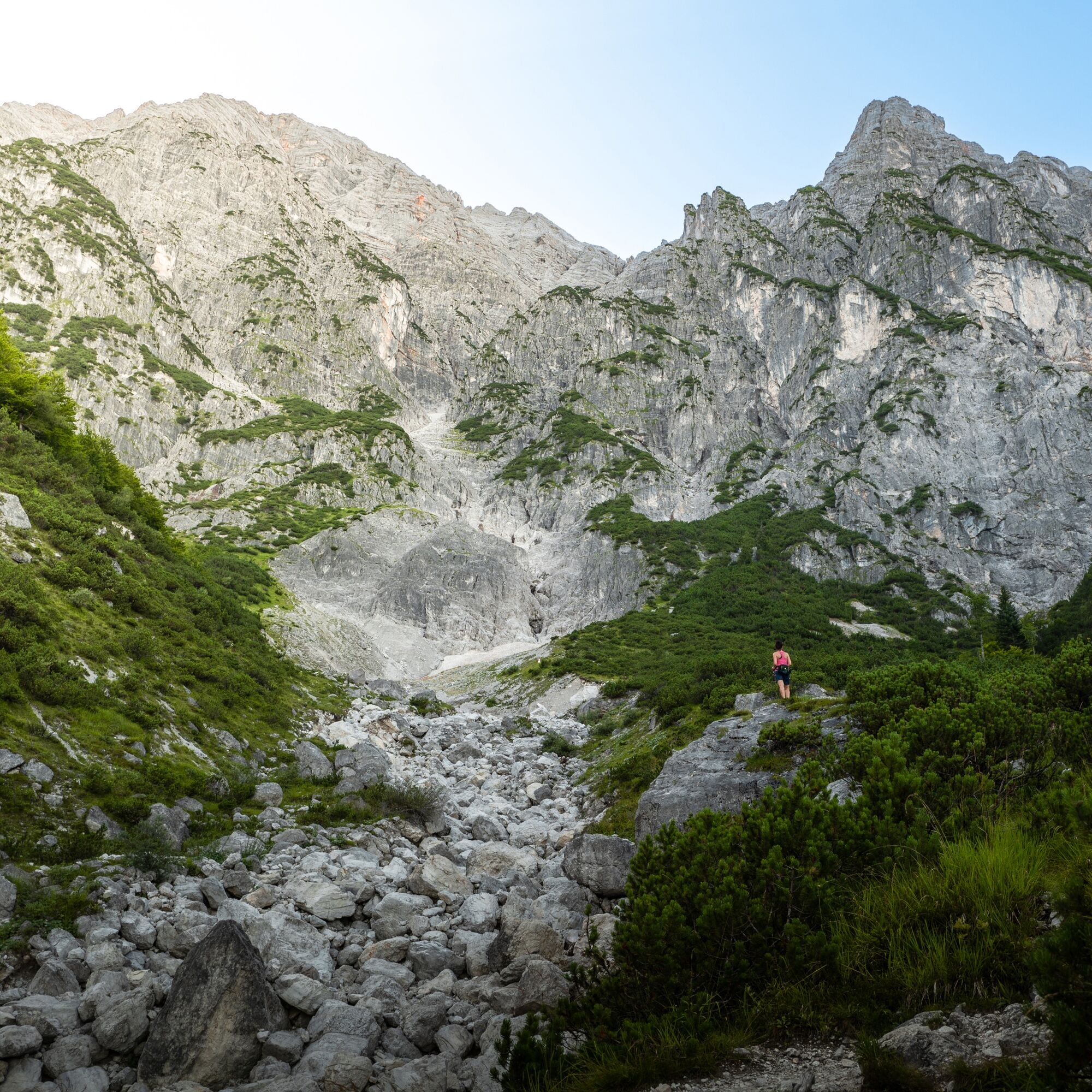
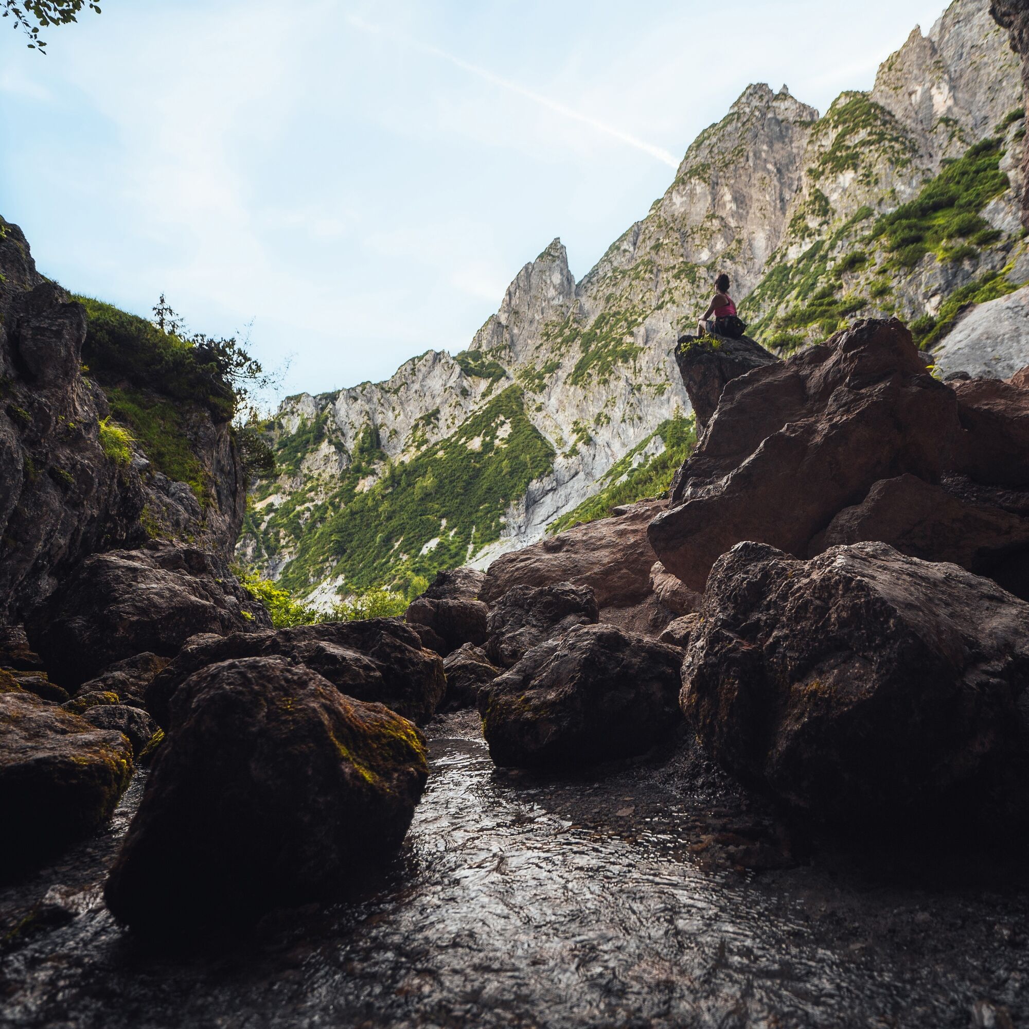
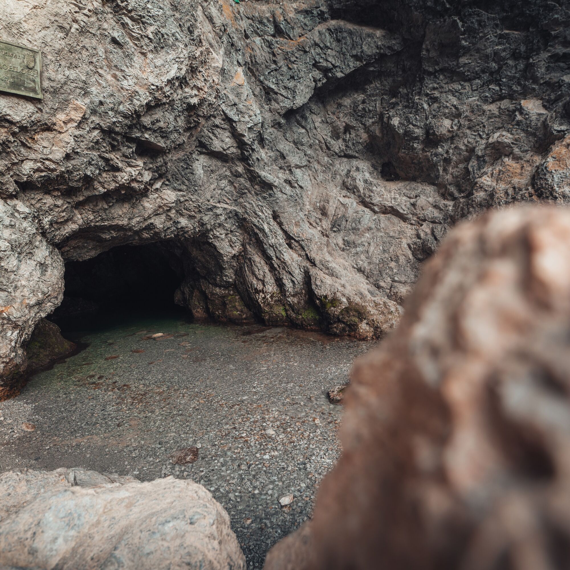

The starting point of the hike is at the parking lot in the Leoganger Ullachtal. From here, you first cross a dry stream bed, then walk a section along the hut path towards Passauer Hut. Afterwards, head northwest along the marked trail to Birnbachloch. Take the same route back.
Variant:
A rewarding circular route goes over the suspension bridge and between Vorderer Sonnberg and Birnberg back to the starting point.
Those who want to extend the hike can park at the football field "Steinbergstadion" in Leogang/Rosental, left behind the Ritter bakery (Leogang 82, 5771 Leogang). From here, the path leads through the romantic Wetzsteinwald to the Ullachtal/Passauer Hut parking lot.
Sturdy footwear, daypack, map material, snacks/drinks - no catering facilities!
There is currently a risk of falling rocks in the area directly in front of the entrance to the Birnbachloch. For this reason, the official hiking trail ends below the rocky section. We kindly ask all visitors to follow this information and pay close attention to the warning signs on site.
The hike nevertheless remains a wonderful nature experience: right at the starting point, the barbecue area and the Birnbach stream invite visitors to relax and cool off. Along the trail, several rest areas with benches, as well as the newly renovated shelter hut, provide pleasant opportunities to take a break and enjoy the surrounding natural scenery.
BY CAR
Coming from Saalfelden, drive along the main road towards Leogang. On the right side of the main road at the town entrance is the Ritter bakery (Leogang 82, 5771 Leogang). Turn right behind the bakery. You are now in the Rosental district. You will find the parking lot at the football field "Steinbergstadion" about 100 m behind the bakery on the left side.
To reach the Ullachtal parking lot, drive past the Steinbergstadion and continue along Rosental street. Always keep left until the "Priesteregg" junction. At this junction (under a railway underpass) turn right and follow the road for about 1.3 km until the Ullachtal/Passauer Hut parking lot appears on the left side.
BY TRAIN
You can enjoy your holiday from the start by train. No traffic jams will keep you from reaching Saalfelden Leogang! Furthermore, the ÖBB timetable helps you quickly and easily find the ideal train connection to the station "Leogang Steinberge": www.oebb.at (walk to the Ullachtal/Passauer Hut parking lot about 30 minutes)
BY BUS
The starting point at the football field "Steinbergstadion" or at the Ullachtal/Passauer Hut parking lot can be reached by Postbus 690 (line: Saalfelden - Leogang - Hochfilzen - Fieberbrunn - St. Johann i.T.) from Saalfelden or Leogang. From the stop "Leogang Ortsmitte" the start point of the hike can be reached on foot. More information can be found at https://fahrplan.salzburg-verkehr.at/
Free parking is possible either at the football field "Steinbergstadion" or at the Ullachtal/Passauer Hut parking lot.
T3
Attention barbecue masters!
Barbecue enthusiasts will find the public barbecue area Inschlag shortly behind the Ullachtal/Passauer Hut parking lot, which offers perfect conditions for a natural barbecue experience with stone grills and seating areas. This can be used free of charge by all visitors, but it is requested to leave the area CLEAN and LITTER-FREE.



Webové kamery z prohlídky

Aktivity na trase

Leogang, Salzburg/Österreich
14.09.2026 – Turistika
Leogang, Salzburg/Österreich
30.08.2026 – TuristikaLeogang, Salzburg/Österreich
30.08.2026 – Turistika
Leogang, Salzburg/Österreich
21.08.2026 – TuristikaLeogang, Salzburg/Österreich
11.08.2026 – TuristikaLeogang, Salzburg/Österreich
02.08.2026 – TuristikaLeogang, Salzburg/Österreich
01.08.2026 – Turistika
Leogang, Salzburg/Österreich
29.07.2026 – Horská turistikaLeogang, Salzburg/Österreich
28.07.2026 – Turistika
Leogang, Salzburg/Österreich
24.07.2026 – Horská turistika
Leogang, Salzburg/Österreich
19.07.2026 – TuristikaLeogang, Salzburg/Österreich
16.07.2026 – Turistika
Leogang, Salzburg/Austria
08.07.2026 – TuristikaLeogang, Salzburg/Österreich
01.07.2026 – Turistika
Leogang, Salzburg/Österreich
12.06.2026 – Turistika
Leogang, Salzburg/Österreich
22.05.2026 – Turistika
Leogang, Salzburg/Österreich
10.06.2025 – Turistika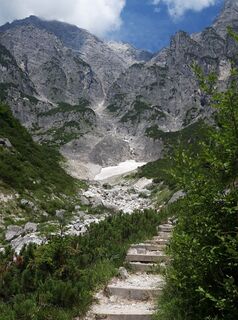
Leogang, Salzburg/Österreich
15.08.2023 – Turistika
Oblíbené prohlídky v okolí
- 4.4
Maria Alm - Riemannhaus
Turistika 3.99 km - 4.6
Seisenberg Gorge
světloTuristika 2.41 km - 4.4
Schwalbenwand Nr. 80, 81, 82
středníTuristika 13.0 km - 4.6
Peter-Wiechenthaler Hut
středníTuristika 4.32 km - 4.6
Steinalm
světloTuristika 2.71 km - 4.8
Breithorn
středníTuristika 10.0 km - 4.8
Loferer Steinberge, zum Hinterhorn über die Schmid-Zabierow Hütte, 19.06.22
heavyTuristika 14.0 km - 4.3
Persailhorn South via ferrata
středníVia ferrata 6.83 km - 4.6
Lettlkaser
středníTuristika 4.40 km - 5.0
Leo’s play hiking trail
světloTematická stezka 4.89 km
Pěší turistika a stopování


Nenechte si ujít nabídky a inspiraci pro vaši příští dovolenou
Vaše e-mailová adresa byl přidán do poštovního seznamu.





