


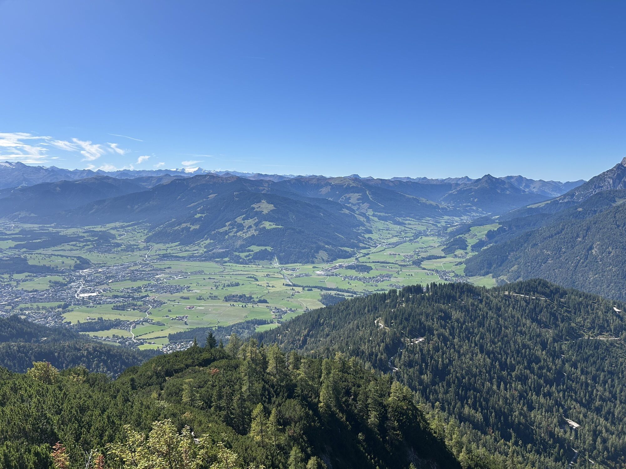
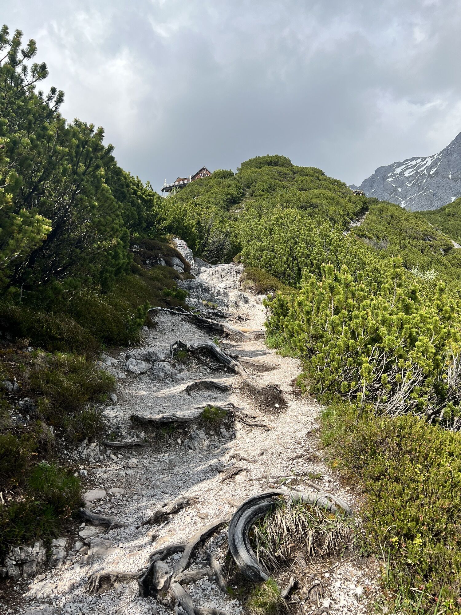
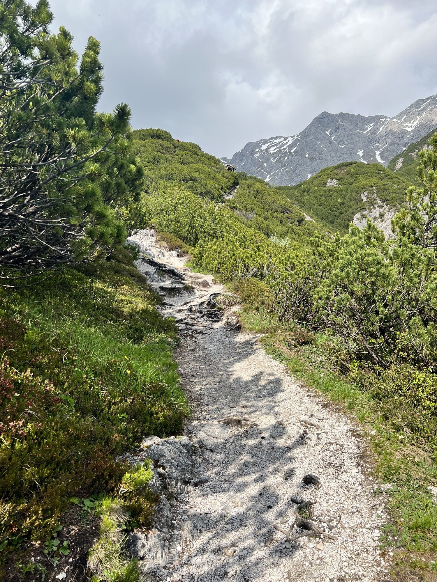
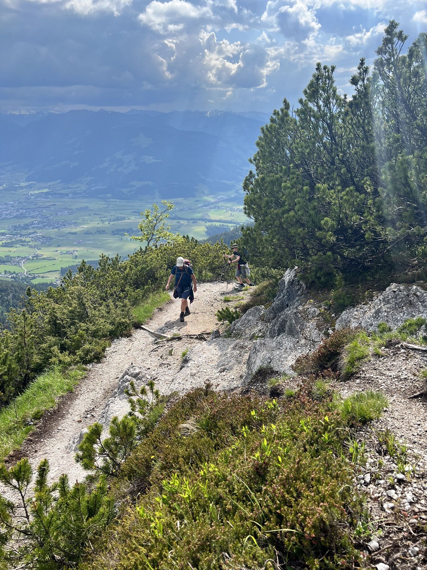
Saalfelden high route
Fotografie našich uživatelů

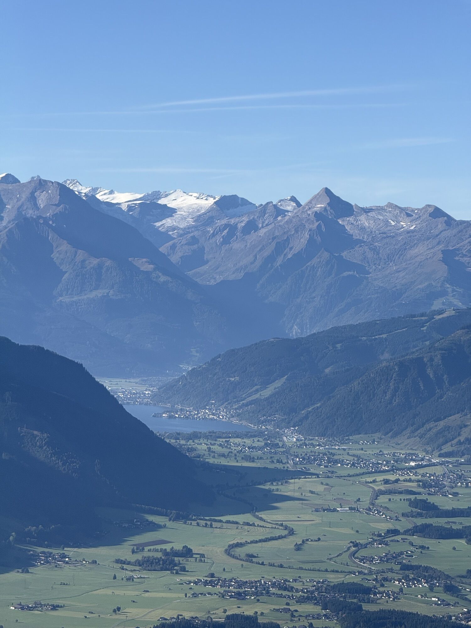
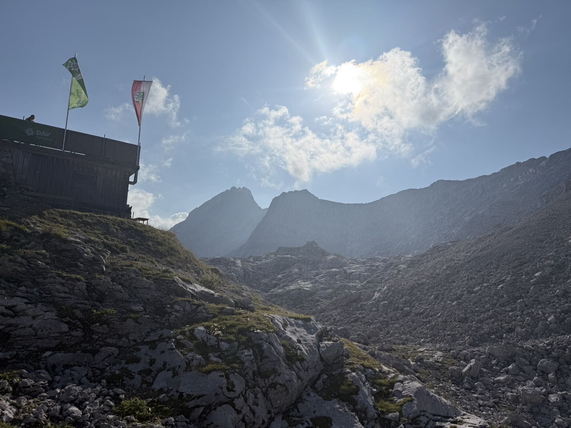
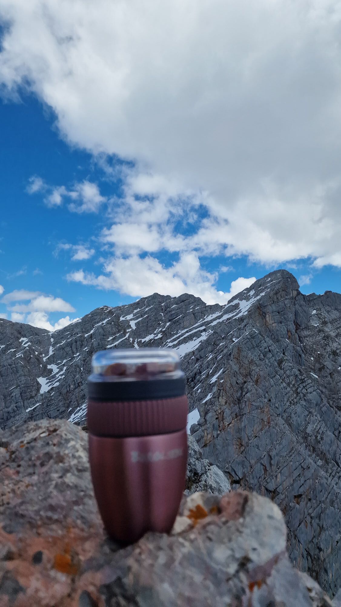
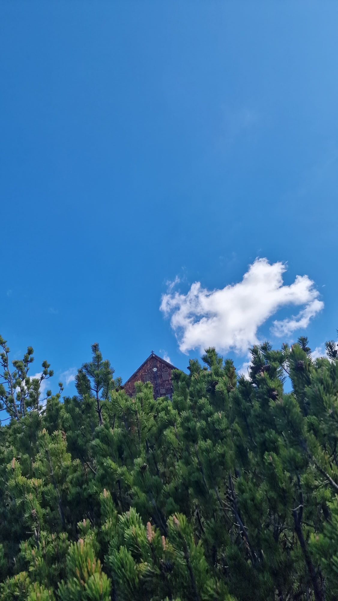
 © Andreas DollfussVytvořeno dne 21.09.2025
 © Andreas DollfussVytvořeno dne 21.09.2025
 © Andreas DollfussVytvořeno dne 21.09.2025
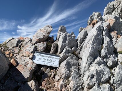
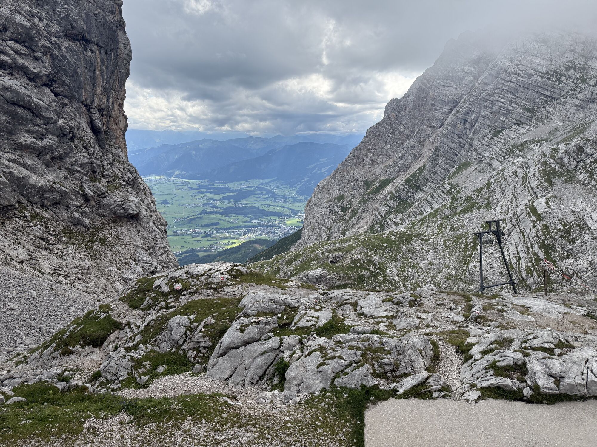
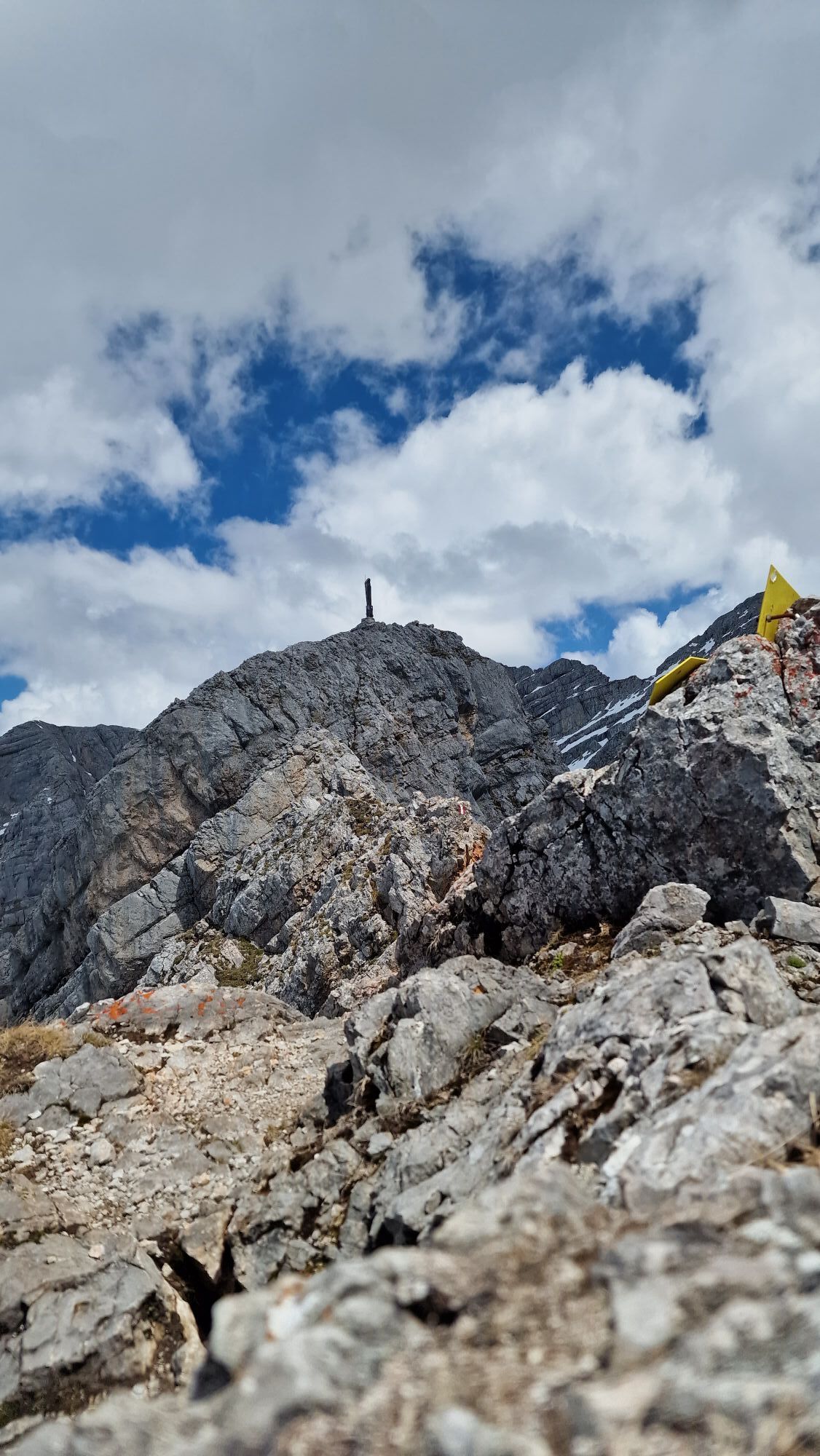
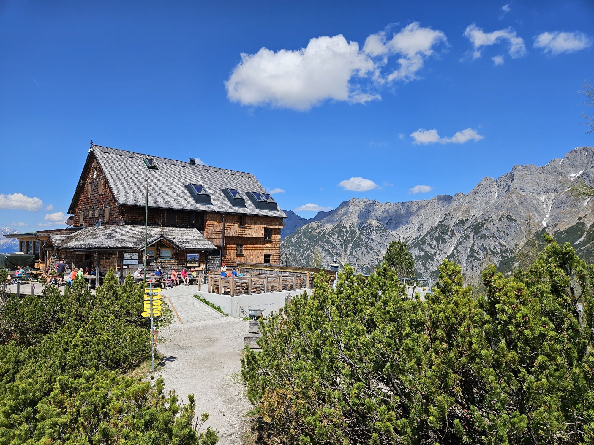
 © Martin WeichboldVytvořeno dne 01.09.2025
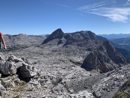 © Martin WeichboldVytvořeno dne 01.09.2025
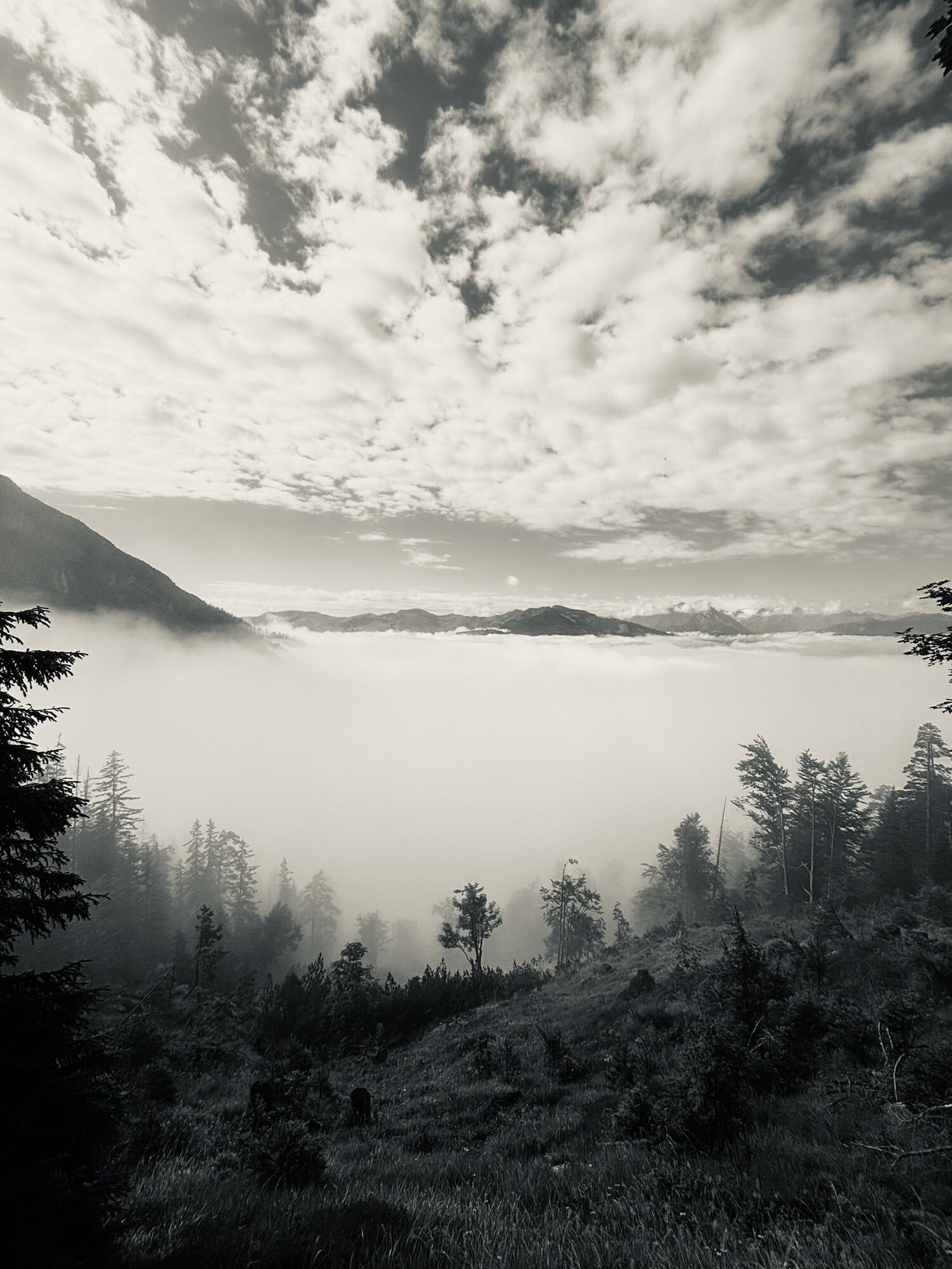
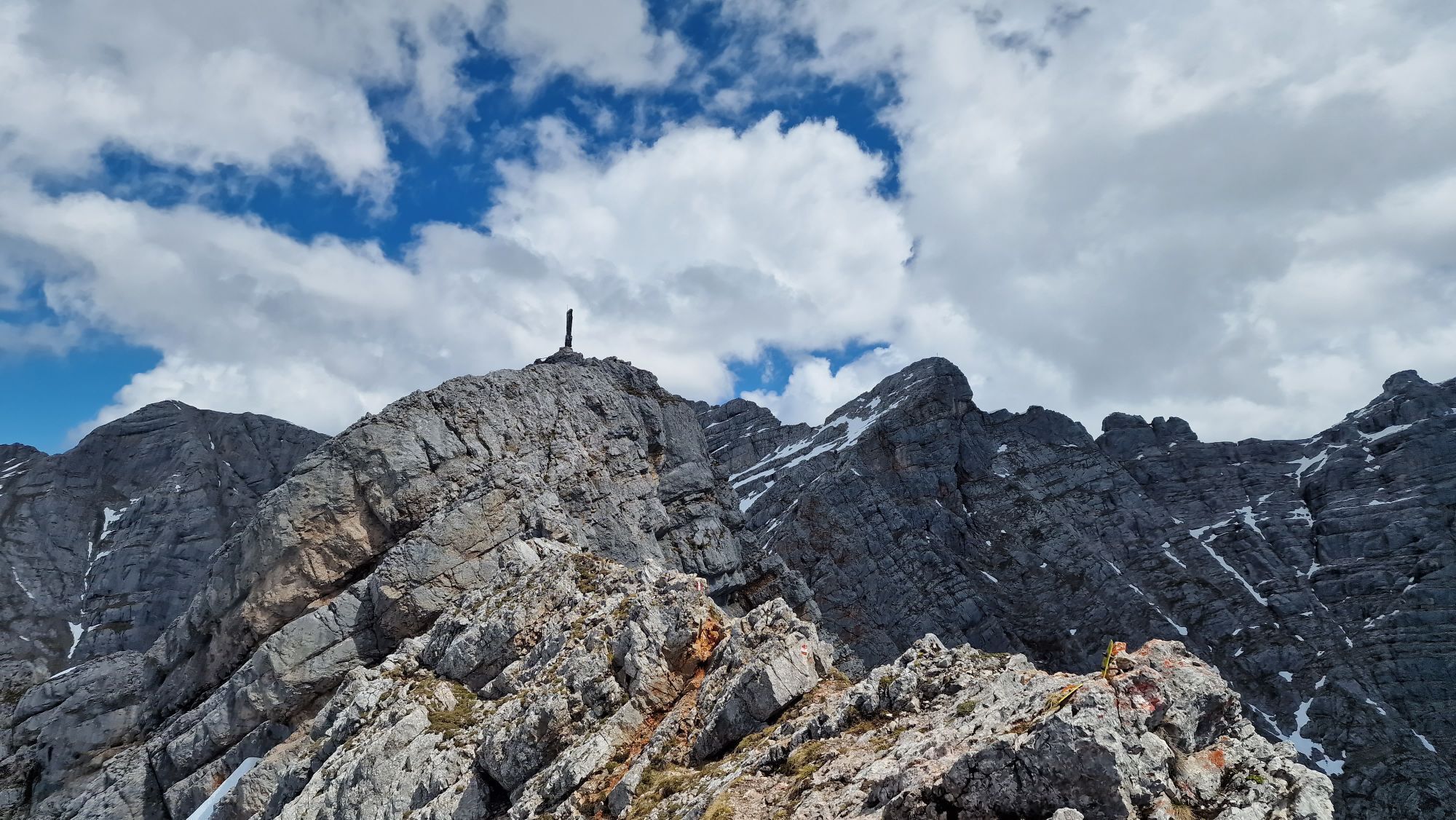
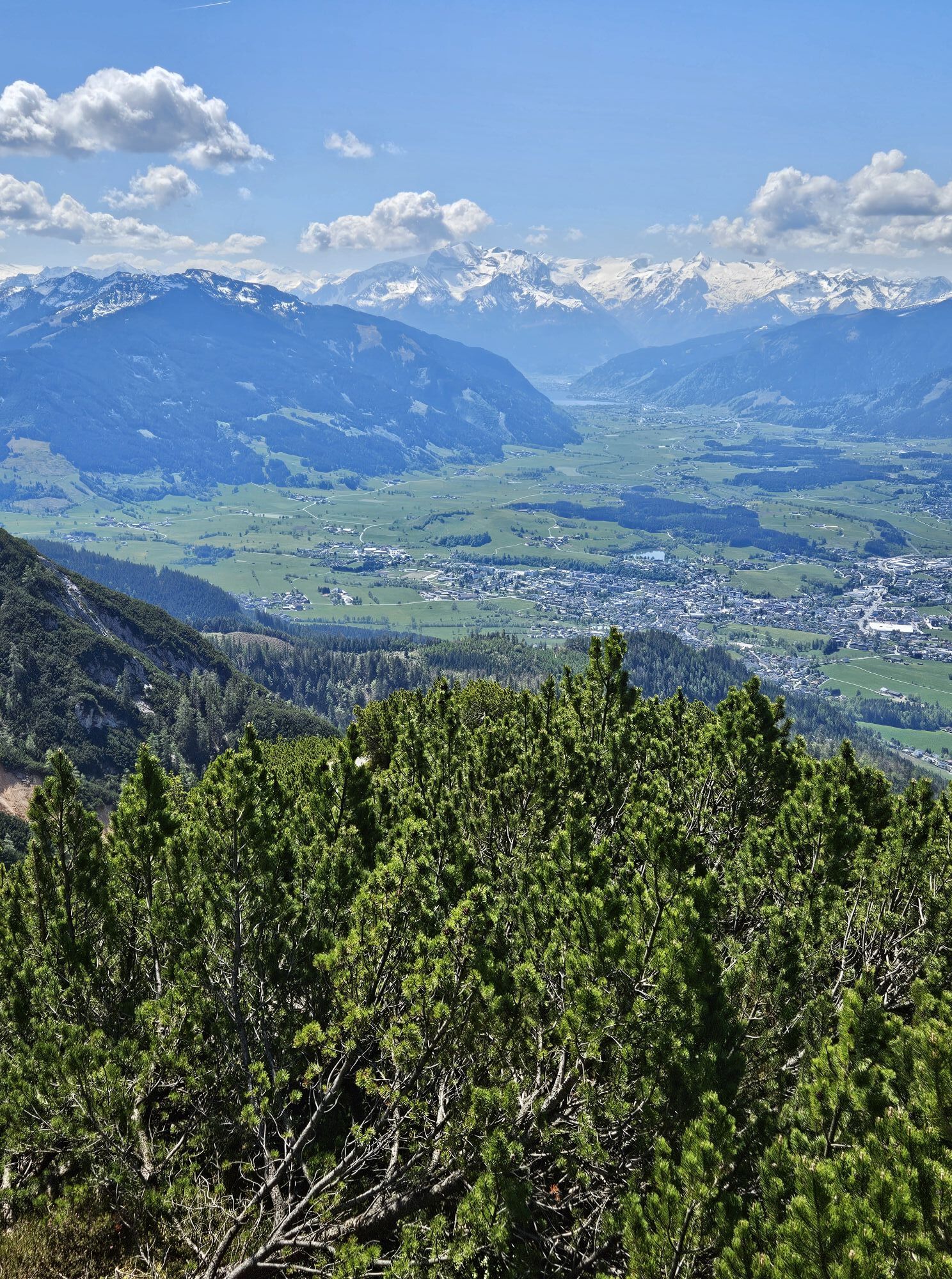
 © Markus BrichtaVytvořeno dne 01.09.2025
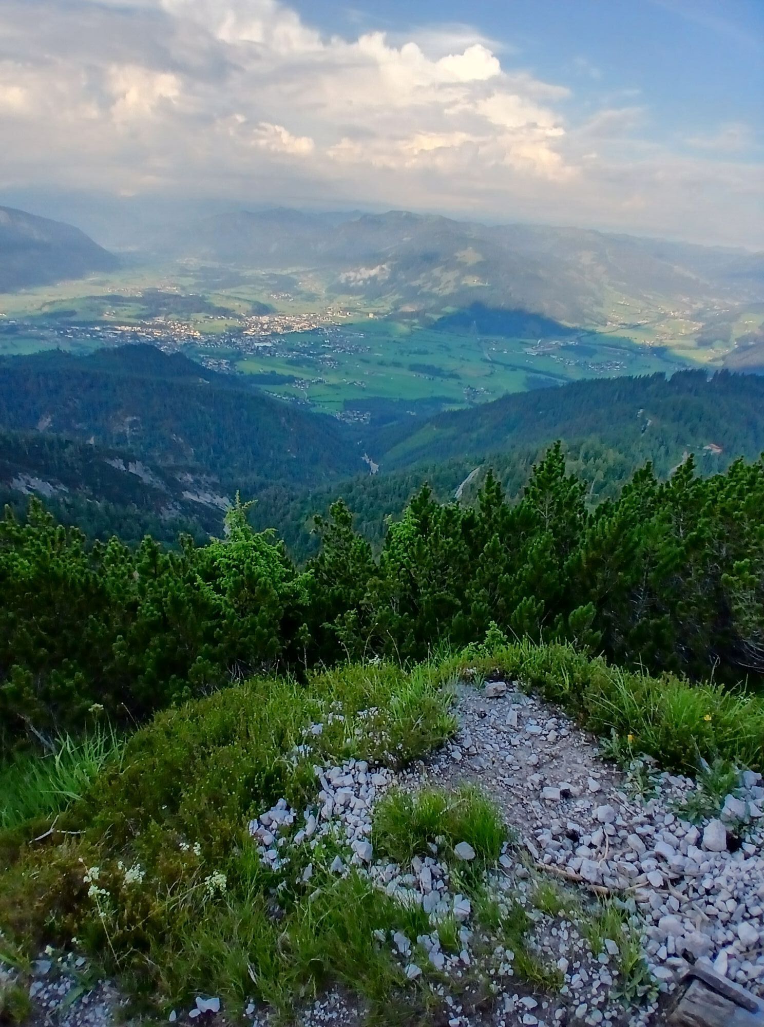
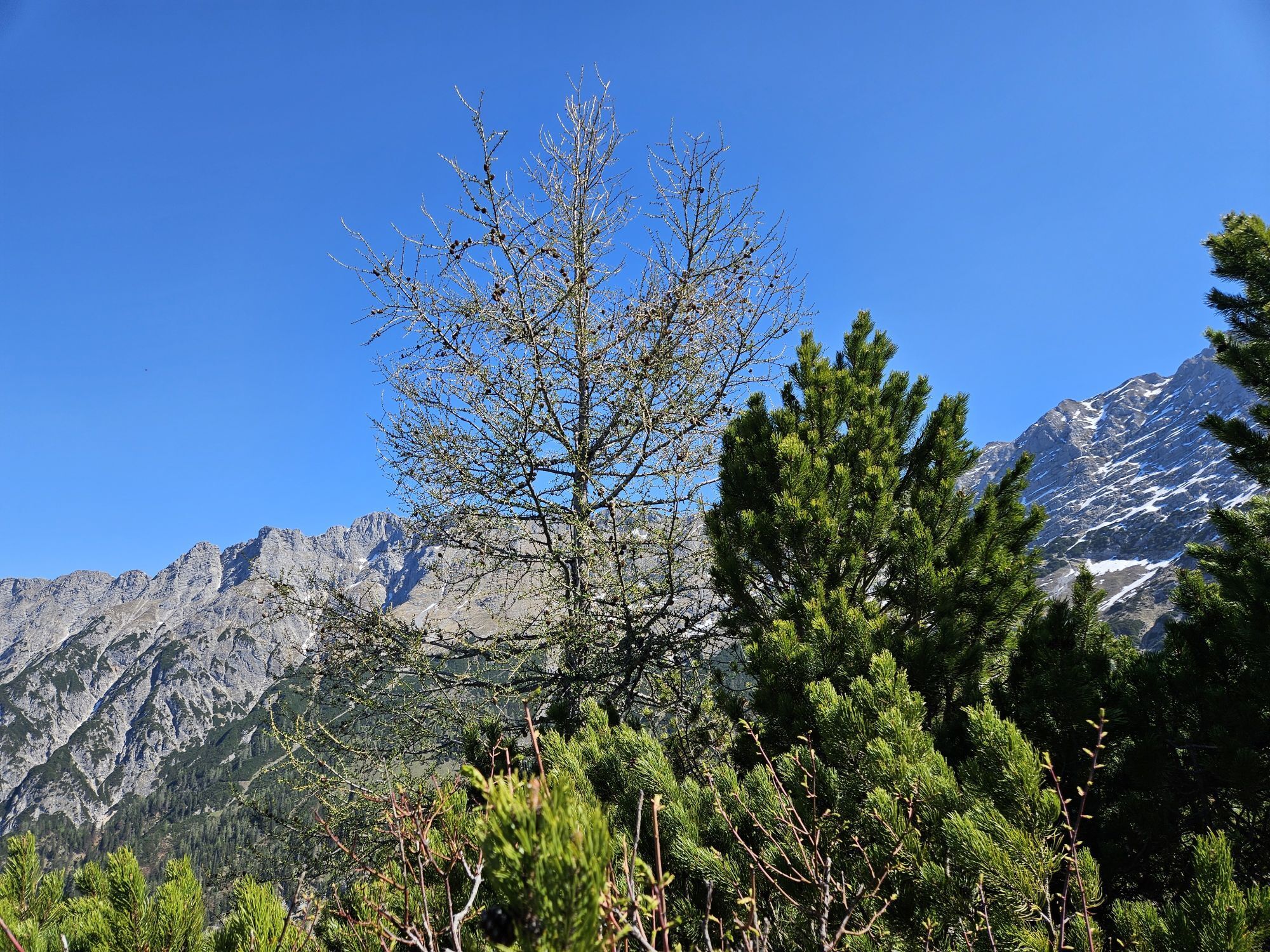
 © Martin WeichboldVytvořeno dne 01.09.2025
 © Martin WeichboldVytvořeno dne 01.09.2025
 © Martin WeichboldVytvořeno dne 01.09.2025
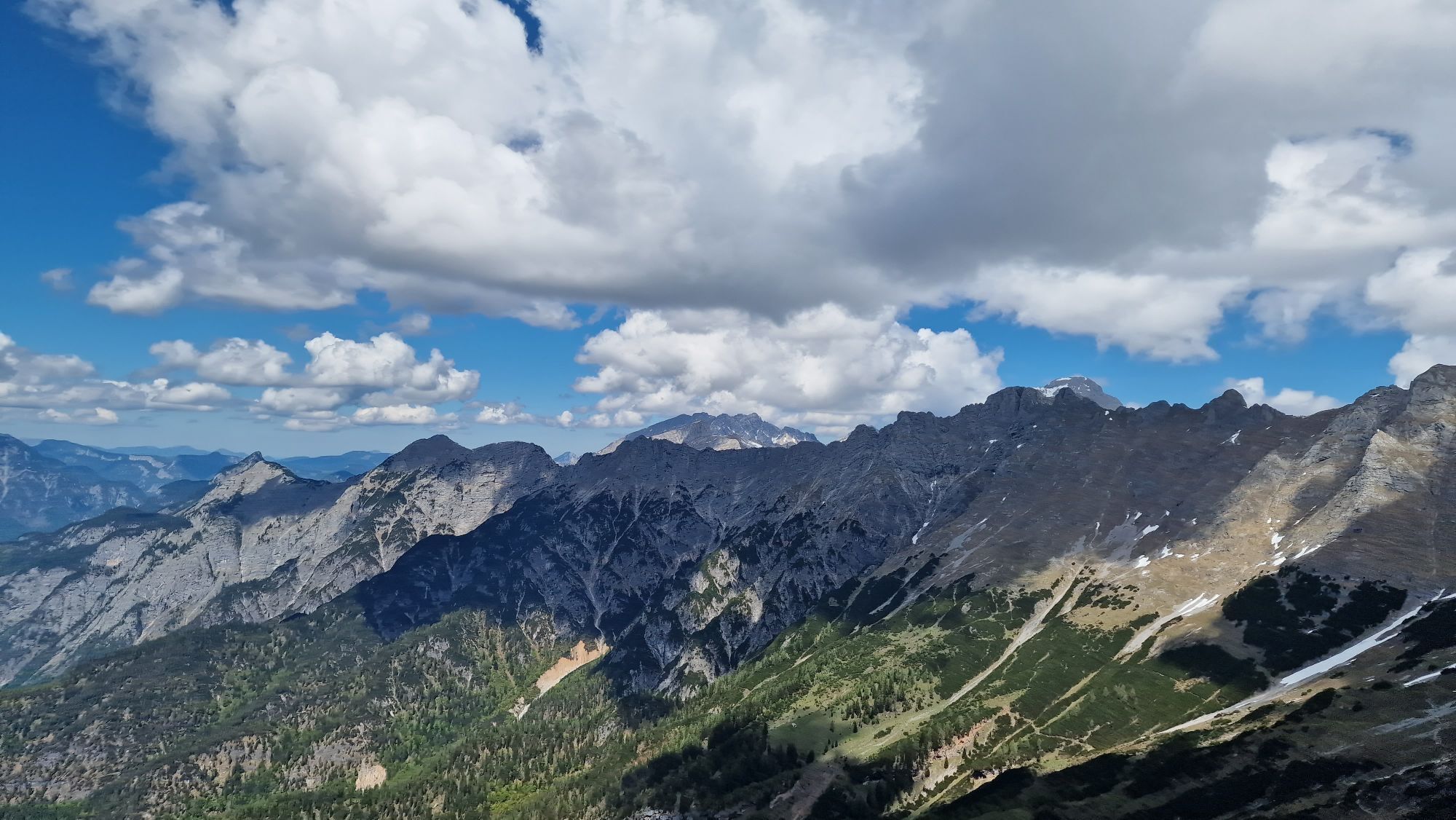
 © Michaela SchwaigerVytvořeno dne 15.08.2025
 © Nenad LukicVytvořeno dne 22.07.2025
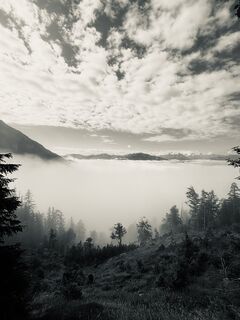 © Till MontagVytvořeno dne 22.07.2025
 © Fantom RoKVytvořeno dne 01.07.2025
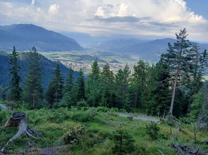 © Fantom RoKVytvořeno dne 01.07.2025
 © Fantom RoKVytvořeno dne 01.07.2025
 © Fantom RoKVytvořeno dne 01.07.2025
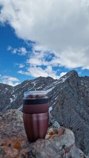
 © Isabella Schwaiger-MoserVytvořeno dne 11.05.2025
 © Isabella Schwaiger-MoserVytvořeno dne 11.05.2025
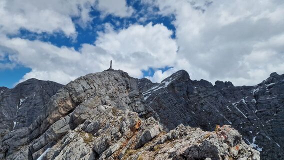 © Isabella Schwaiger-MoserVytvořeno dne 11.05.2025
 © Isabella Schwaiger-MoserVytvořeno dne 11.05.2025
 © Isabella Schwaiger-MoserVytvořeno dne 11.05.2025
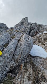 © Isabella Schwaiger-MoserVytvořeno dne 11.05.2025
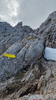 © Isabella Schwaiger-MoserVytvořeno dne 11.05.2025
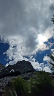 © Isabella Schwaiger-MoserVytvořeno dne 11.05.2025
 © Isabella Schwaiger-MoserVytvořeno dne 11.05.2025
 © Isabella Schwaiger-MoserVytvořeno dne 11.05.2025
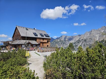 © Birgit GruberVytvořeno dne 01.05.2025
 © Birgit GruberVytvořeno dne 01.05.2025
 © Birgit GruberVytvořeno dne 01.05.2025
 © Birgit GruberVytvořeno dne 01.05.2025
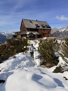
 © Alfred RainerVytvořeno dne 02.03.2025
 © Isabella Schwaiger-MoserVytvořeno dne 30.07.2024
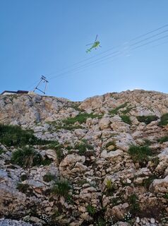 © Isabella Schwaiger-MoserVytvořeno dne 30.07.2024
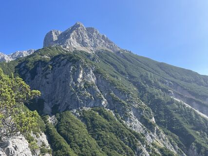
 © Simon ZelderVytvořeno dne 06.10.2023
 © Simon ZelderVytvořeno dne 06.10.2023
 © Simon ZelderVytvořeno dne 06.10.2023
 © Andreas DollfussVytvořeno dne 21.09.2025
 © Andreas DollfussVytvořeno dne 21.09.2025
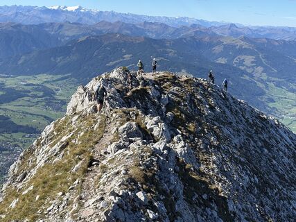 © Andreas DollfussVytvořeno dne 21.09.2025
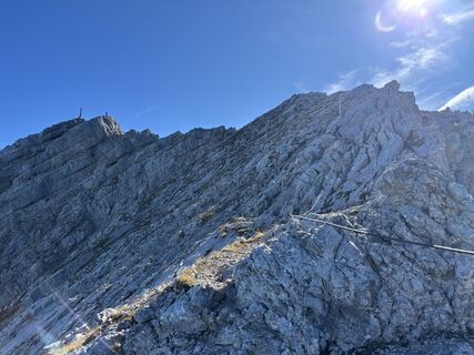 © Andreas DollfussVytvořeno dne 21.09.2025
 © Martin Leitinger 1Vytvořeno dne 20.09.2025
 © S. S. 1Vytvořeno dne 28.08.2024
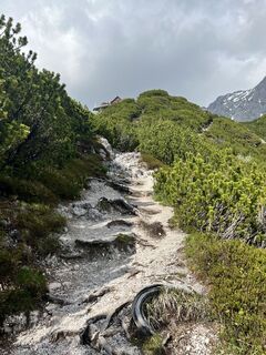 © Edeltraud SperrVytvořeno dne 06.06.2023
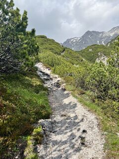 © Edeltraud SperrVytvořeno dne 06.06.2023
 © Edeltraud SperrVytvořeno dne 06.06.2023
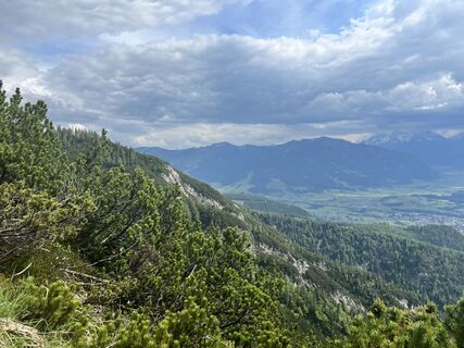 © Edeltraud SperrVytvořeno dne 06.06.2023
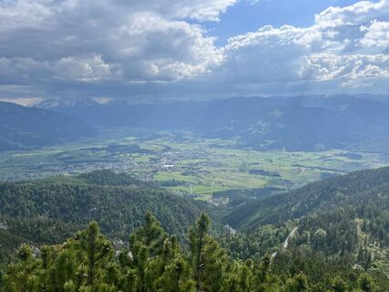 © Edeltraud SperrVytvořeno dne 06.06.2023
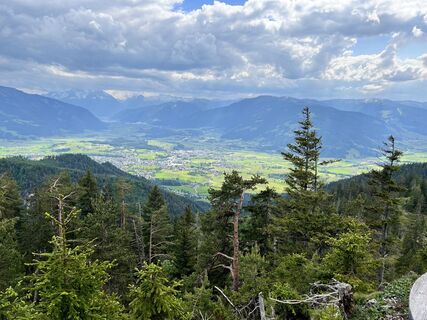 © Edeltraud SperrVytvořeno dne 06.06.2023


Parking lot Bachwinkel to Wiechenthaler Hut: approx. 2.5h
Wiechenthaler Hut to Riemannhaus: approx. 4.0h

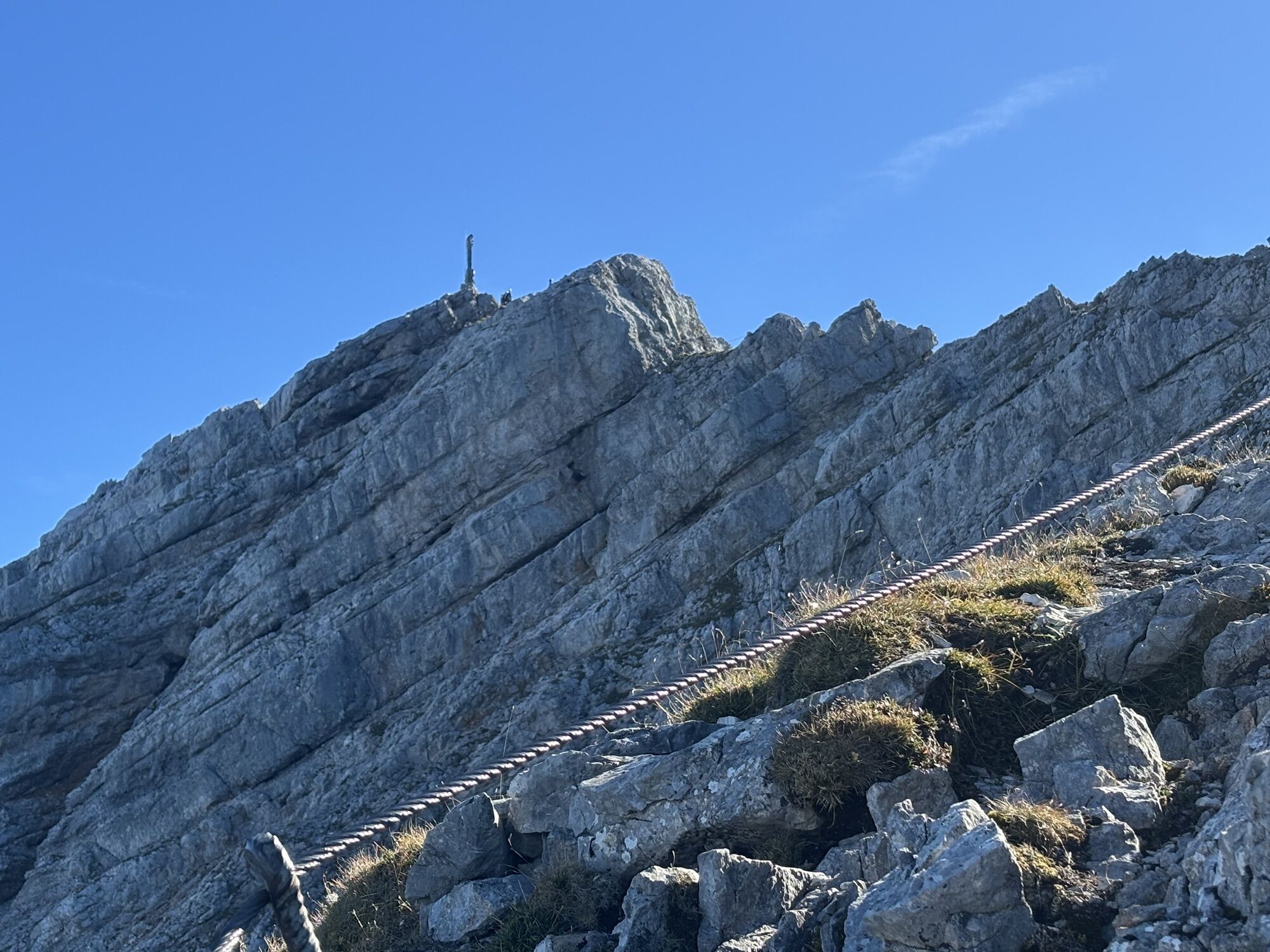
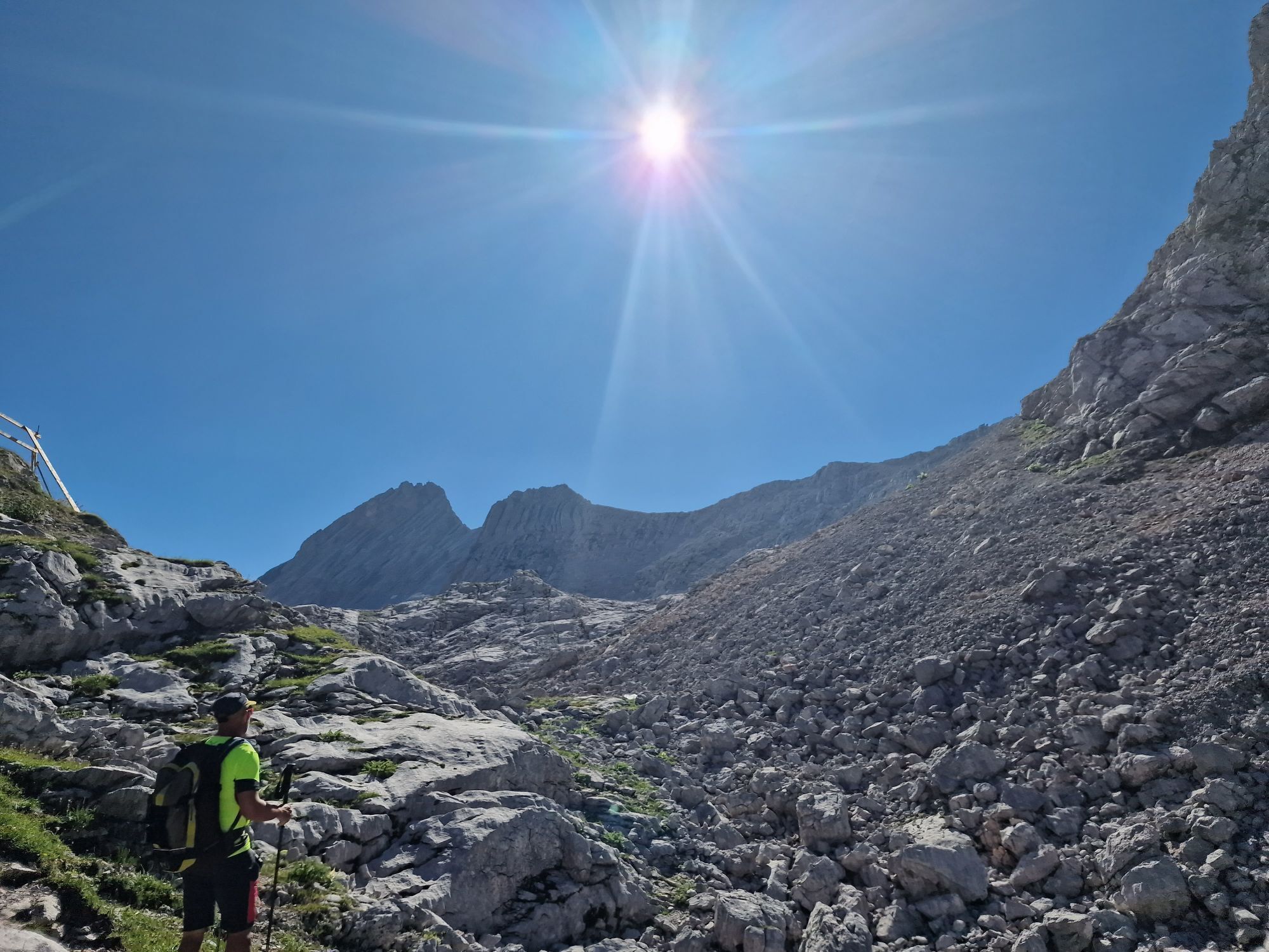
Afterward, follow the transition to Mitterhorn and Breithorn, which is quite demanding and not continuously secured. From Breithorn, descend via the easy normal route to the Riemannhaus.
Ano
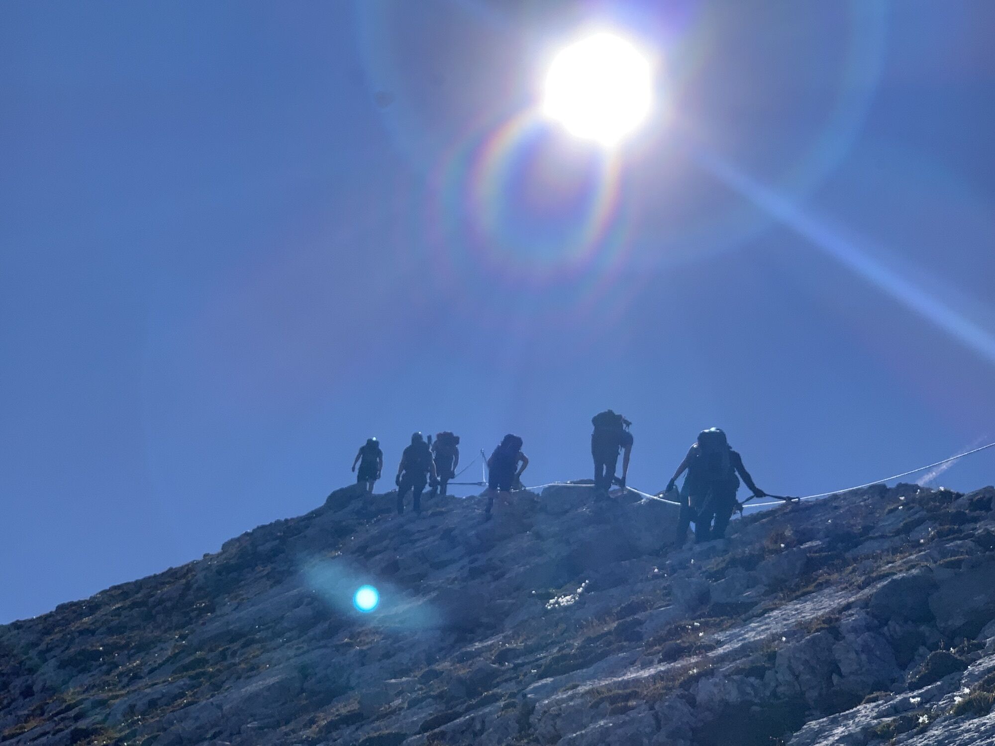
Via ferrata equipment (via ferrata set, harness, and helmet), mountain boots, day backpack, map material.
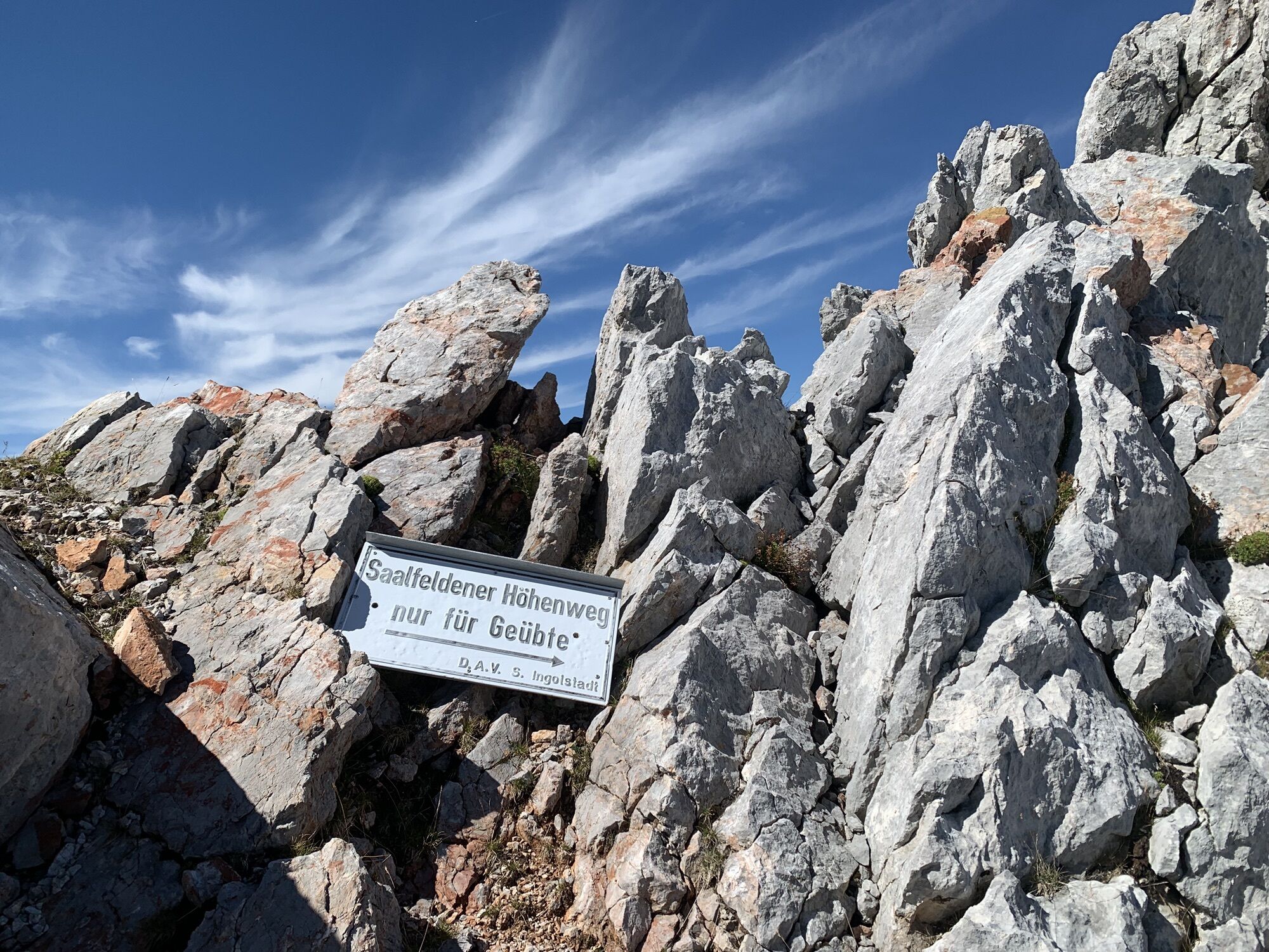
Only for experienced mountaineers!
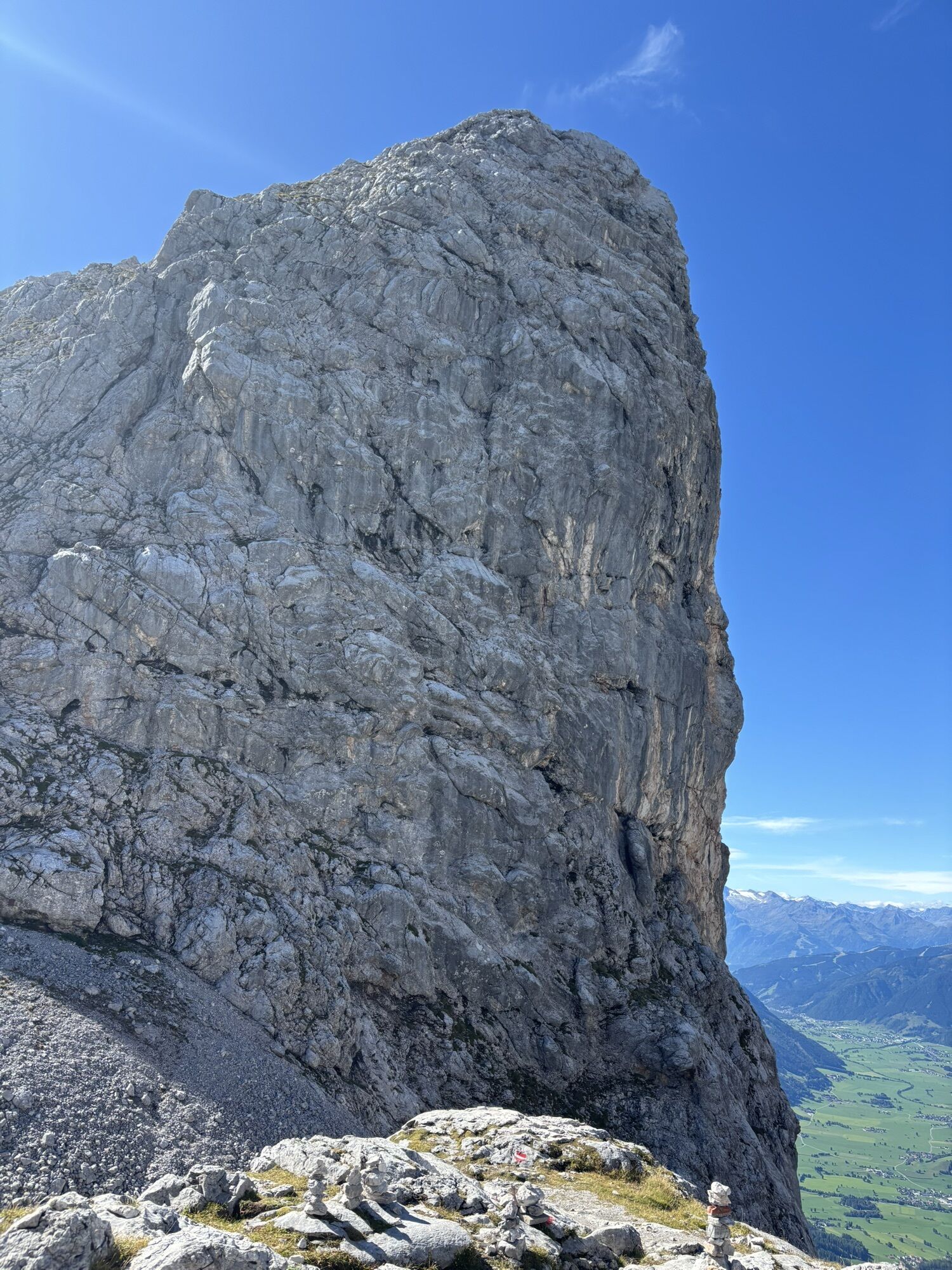
Since the hiking tour is exposed to the sun, chose your starting time accordingly and beware of hiking in the midday heat. Take enough water for all hikers in your group. Use sunscreen and cover your head. Due to the exposed, steep and rocky terrain this tour is only recommended for experienced mountaineers.
You can reach Saalfelden via the B311 from Lofer or Zell am See. Before reaching Saalfelden from the north, turn east into the Bachwinkl district, through the settlement to the parking lot at the start of the ascent to the Peter Wiechentaler Hut.
BY TRAIN
You can enjoy your holiday from the start by taking the train. No traffic jams will stop you from reaching Saalfelden Leogang! The ÖBB schedule also helps you quickly and easily find the ideal train connection to Saalfelden station: www.oebb.at
BY BUS
The starting point at the Bachwinkel parking lot in Saalfelden can be reached by city bus from Saalfelden town center. From the bus stop "Saalfelden Hubertus," the starting point is reachable on foot within a few minutes. More information can be found at https://fahrplan.salzburg-verkehr.at/
Bachwinkel Saalfelden
Mountain guide: www.berg-abenteuer.at
Aktivity na trase

Bachwinkl, Salzburg/Österreich
07.04.2026 – TuristikaBackwinkel - Peter Wiechenthaler Hütte
14.03.2026 – Turistika
Bachwinkl, Salzburg/Österreich
14.03.2026 – Turistika
Wiechenthaler Hütte....mit Dominik
15.11.2025 – TuristikaKienalkopf, Salzburg/Österreich
01.11.2025 – Turistika
Saalfelden am Steinernen Meer, Salzburg/Österreich
12.10.2025 – TuristikaSaalfelden am Steinernen Meer, Salzburg/Österreich
12.10.2025 – Turistika
Bachwinkl, Salzburg/Österreich
03.10.2025 – TuristikaPeter Wiechentaler bis runter zum Parkplatz
24.09.2025 – BěhSaalfelden nach Peter Wiechenthaler hoch
24.09.2025 – BěhBachwinkl, Salzburg/Österreich
01.09.2025 – Turistika
Bachwinkl, Salzburg/Österreich
17.08.2025 – TuristikaKienalkopf, Salzburg/Österreich
08.08.2025 – TuristikaSaalfelden am Steinernen Meer, Salzburg/Österreich
08.08.2025 – Turistika
Bachwinkl, Salzburg/Österreich
22.07.2025 – Horská turistika
Saalfelden am Steinernen Meer, Salzburg/Österreich
09.06.2025 – Lyžařská trasaBachwinkl, Salzburg/Österreich
11.05.2025 – Horská turistikaBachwinkl, Salzburg/Österreich
01.05.2025 – TuristikaWiechenthaler - Hütte - Saalfelden
02.03.2025 – TuristikaWiechenthaler Hütte
07.10.2024 – Běh
Oblíbené prohlídky v okolí
- 4.8
Summit storming route Taghaube
heavyTuristika 6.25 km - 4.8
Summit stormer route Lauskopf
heavyTuristika 8.16 km - 4.9
von Schönau am Königssee zum Watzmannhaus und zurück
středníTuristika 17.1 km - 5.0
Königssee - Kärlinger-Haus
Turistika 10.1 km - 4.5
Birnbachloch Leogang, Österreich
středníTuristika 5.18 km - 4.4
Wimbachgrieshütte
Turistika 8.30 km - 5.0
Watzmann Überschreitung an einem Tag
heavyTuristika 23.9 km - 3.0
Alpine hike to Erichhütte
světloTuristika 4.02 km - 4.3
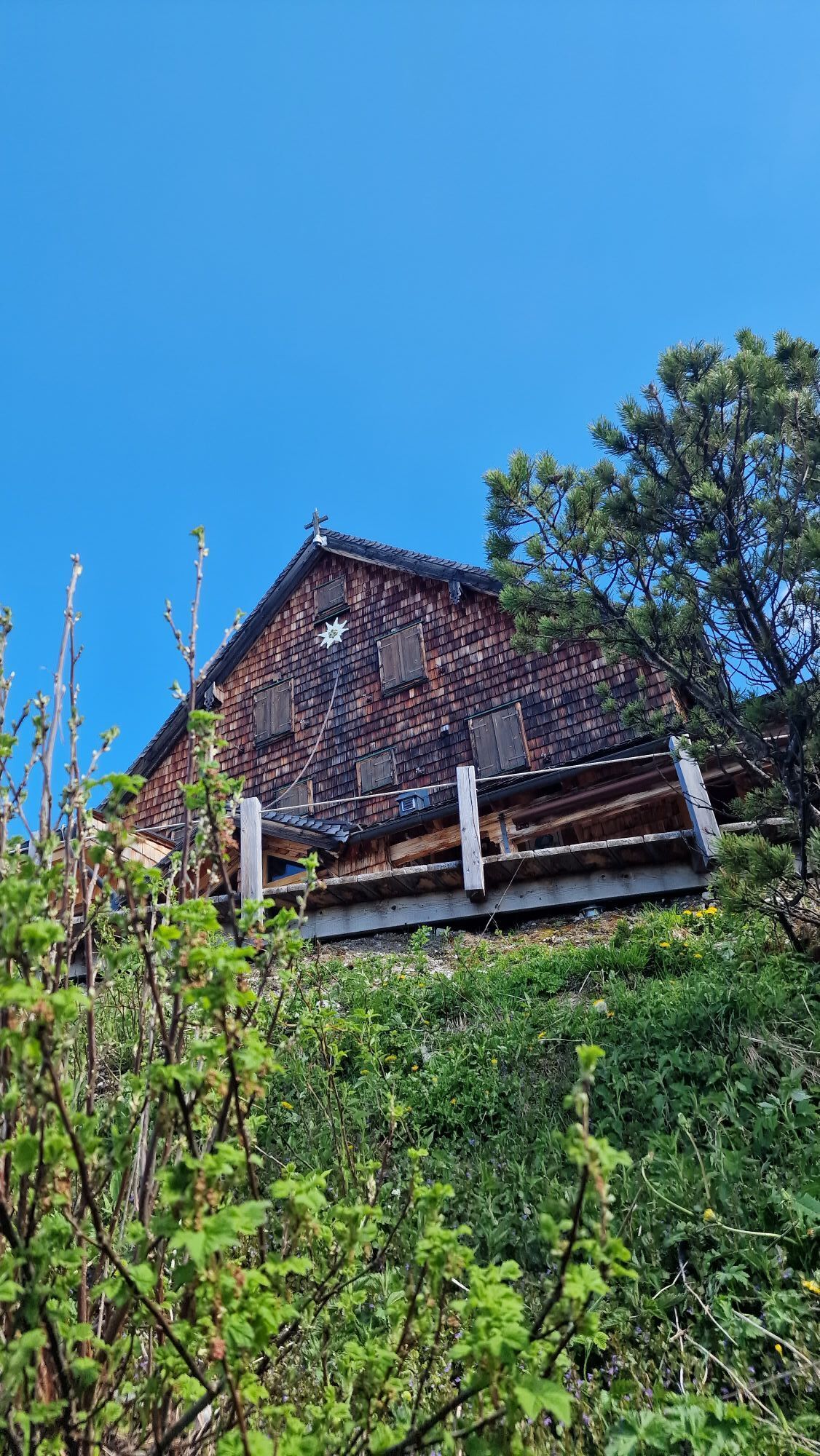
Peter-Wiechenthaler Hut
středníTuristika 4.32 km - 4.6
Steinalm
světloTuristika 2.71 km
Pěší turistika a stopování


Nenechte si ujít nabídky a inspiraci pro vaši příští dovolenou
Vaše e-mailová adresa byl přidán do poštovního seznamu.