





HOHE TAUERN PANORAMA TRAIL | ET02: Wildgerlos Valley | Hochkrimml-Königsleiten
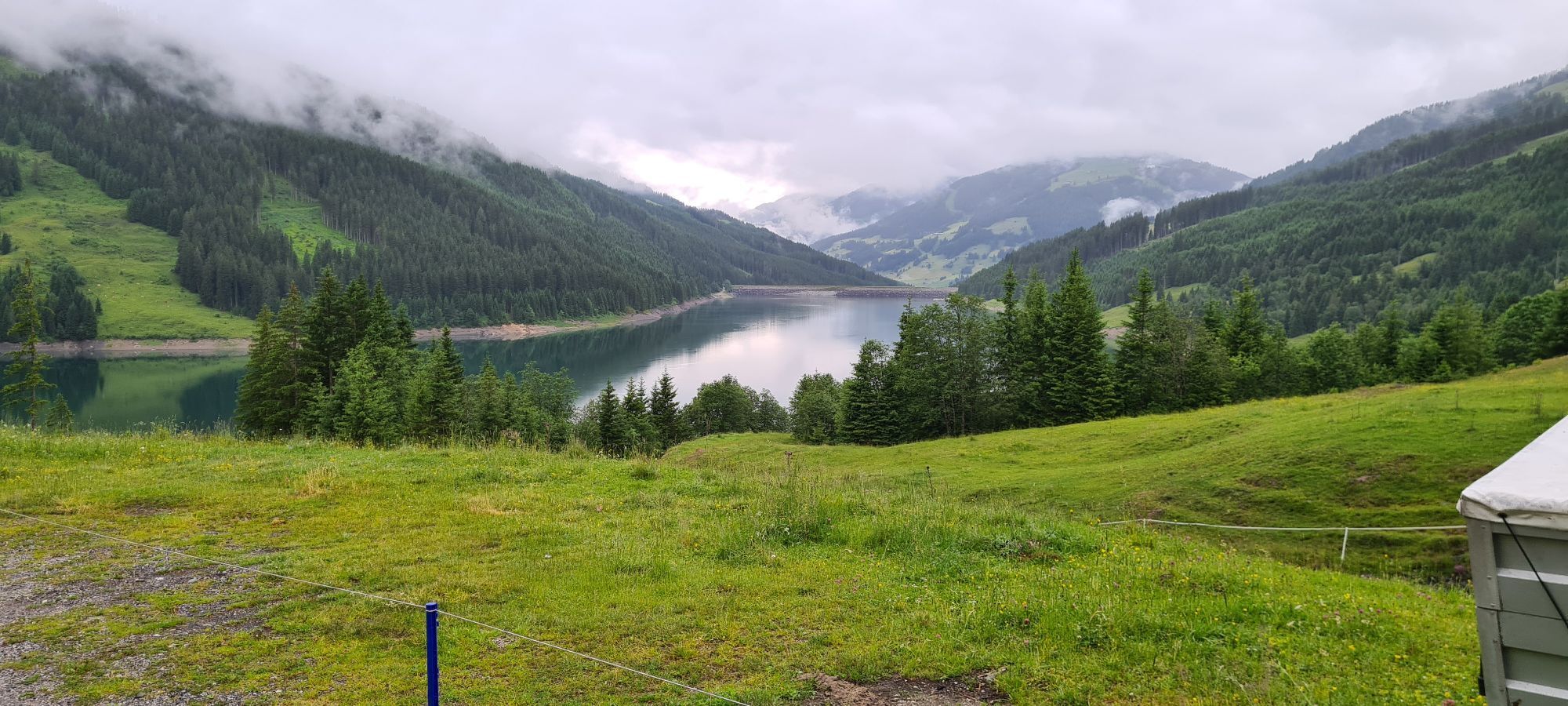
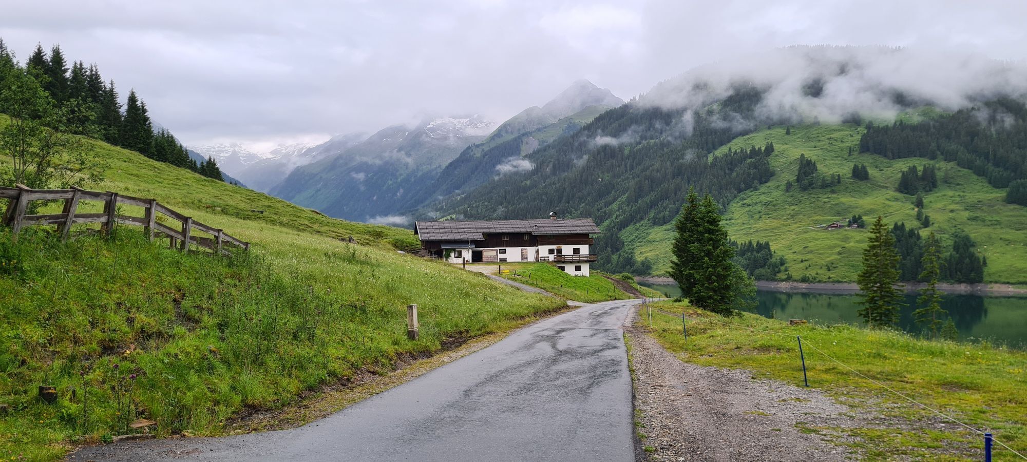
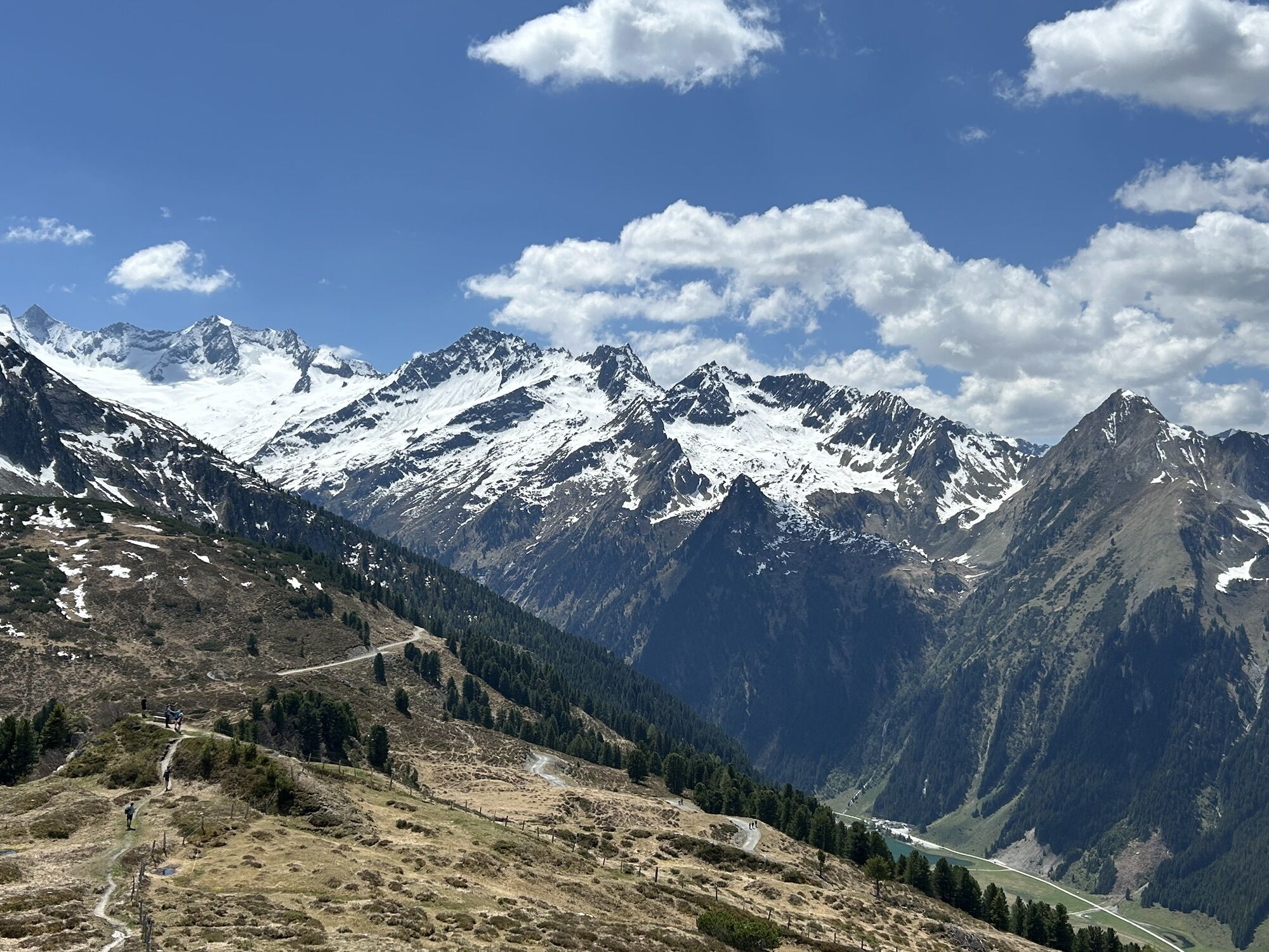
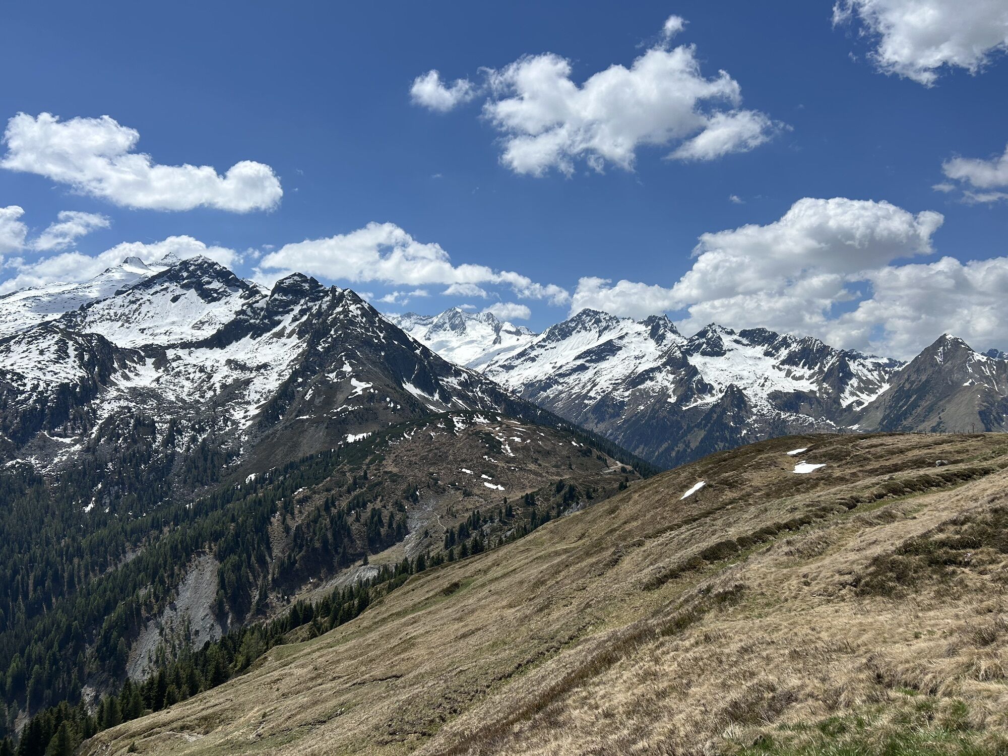
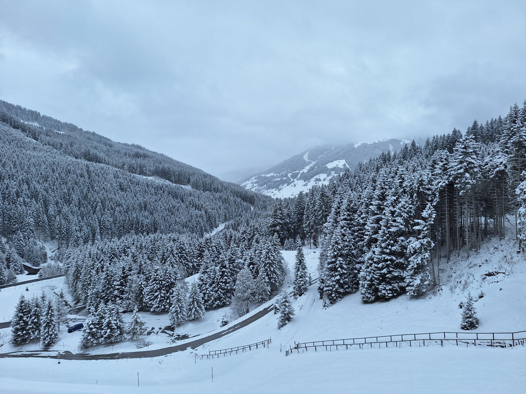
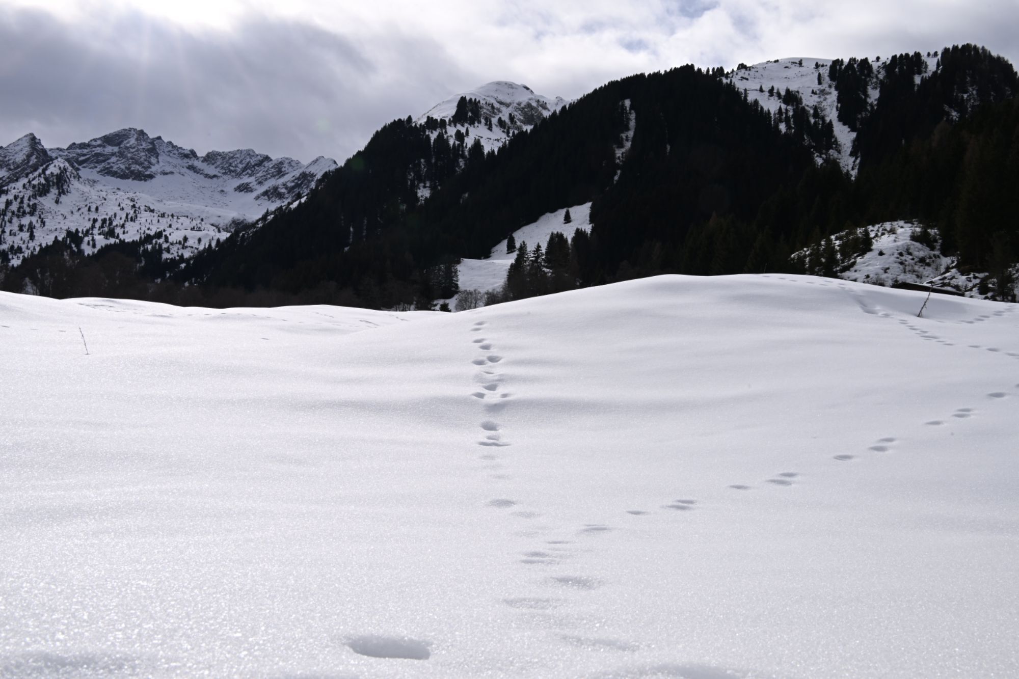
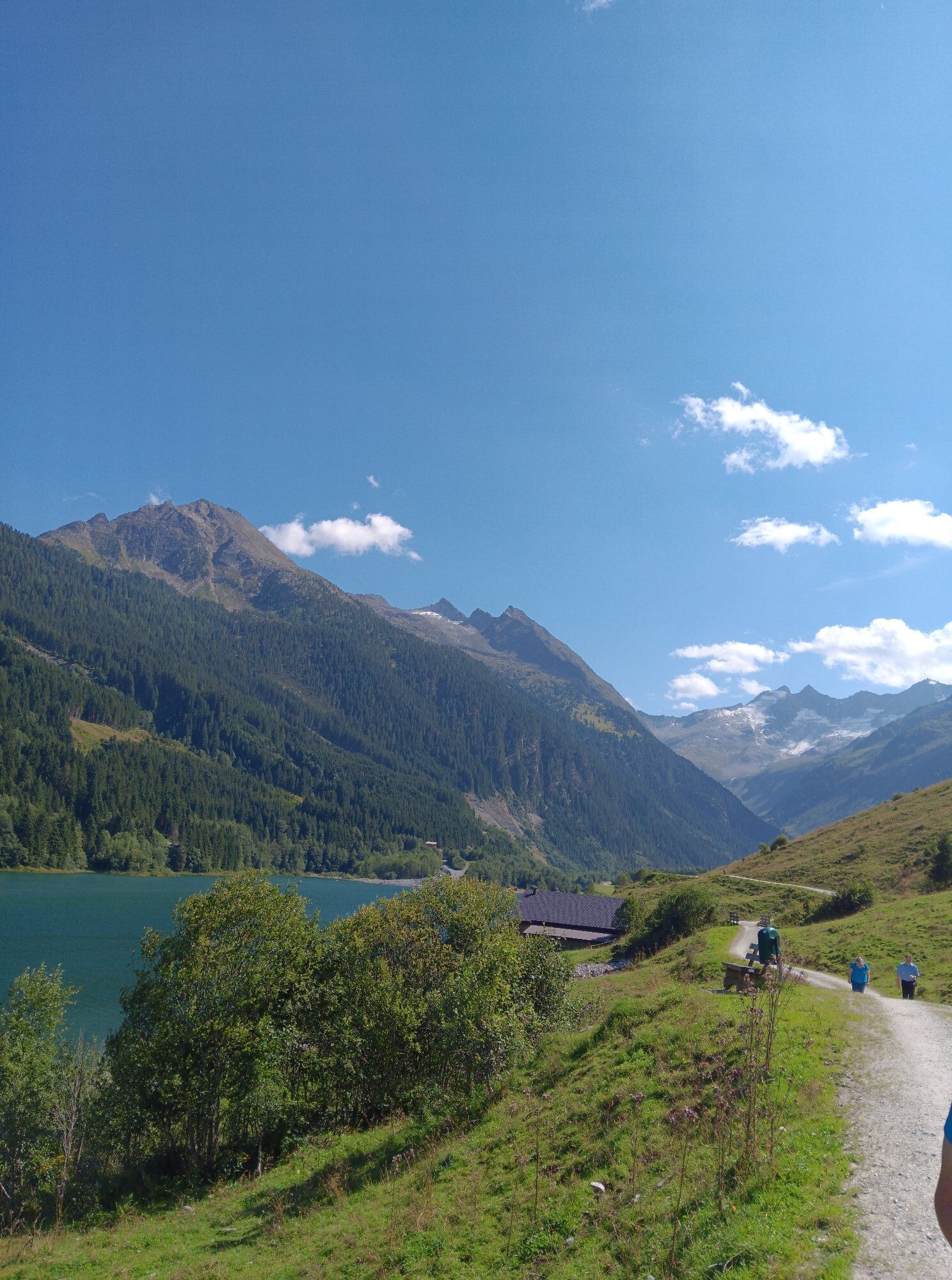
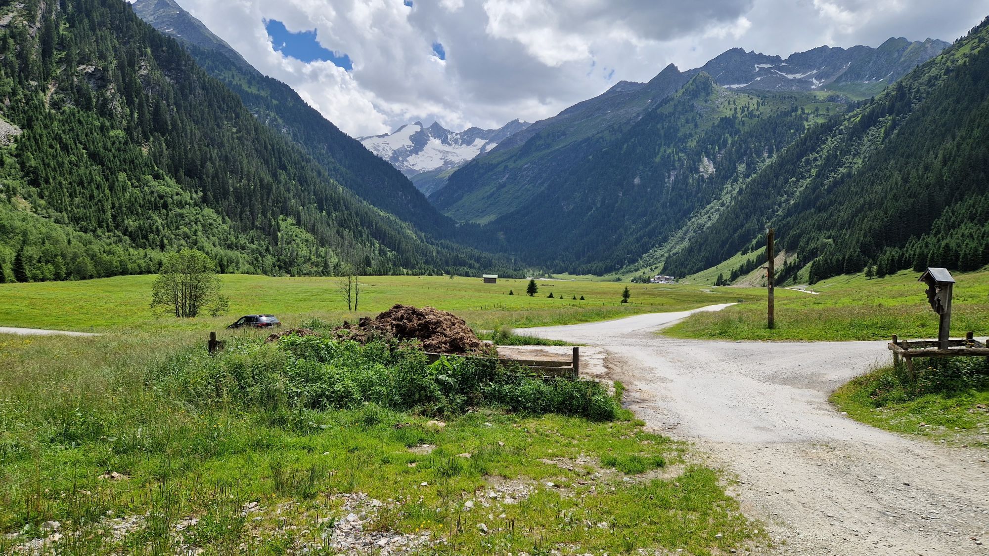
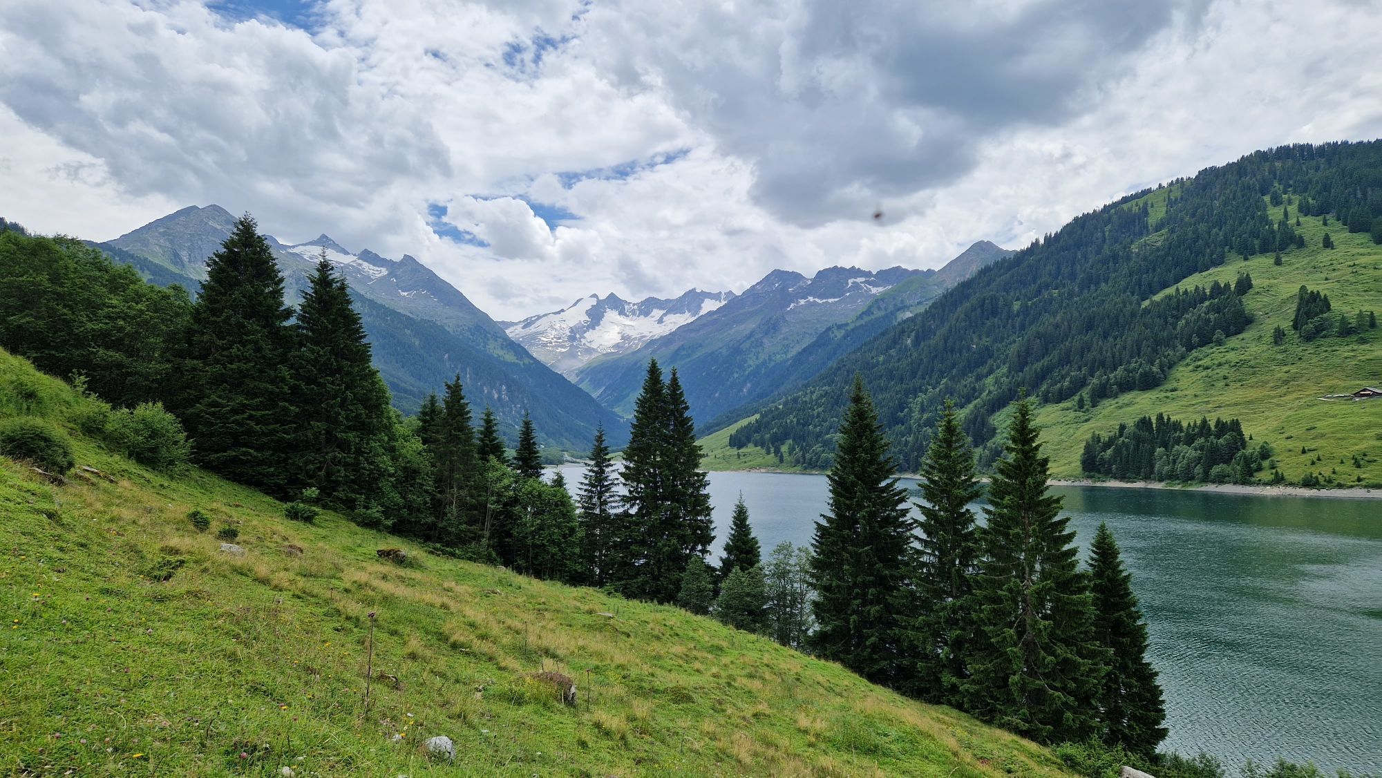
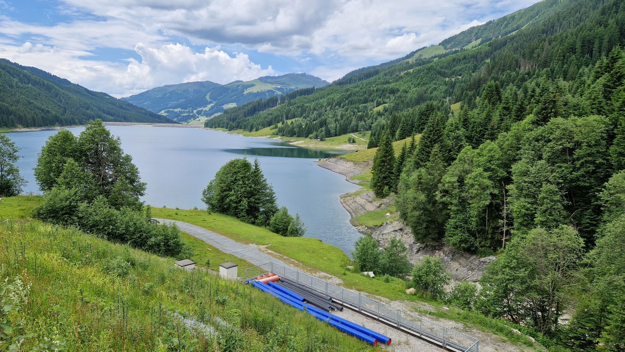
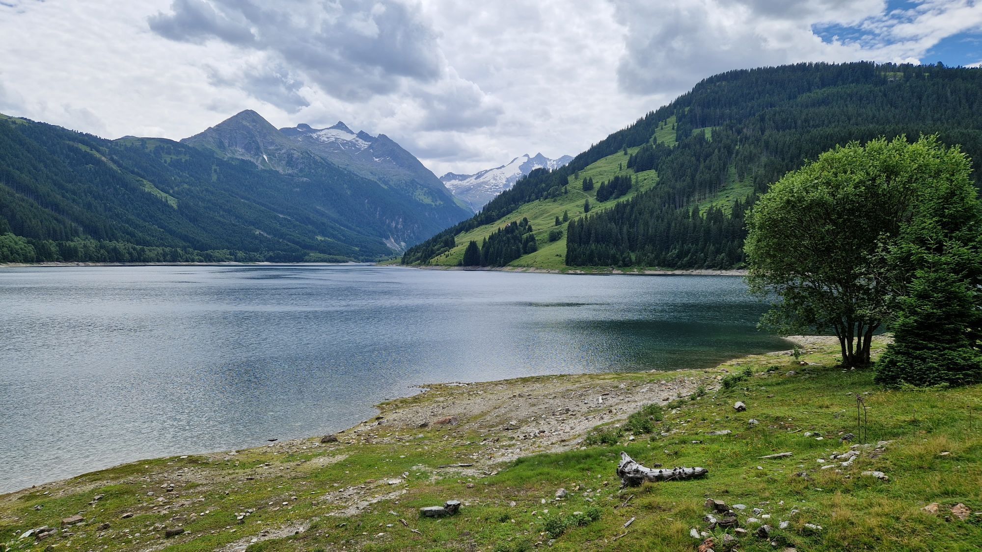
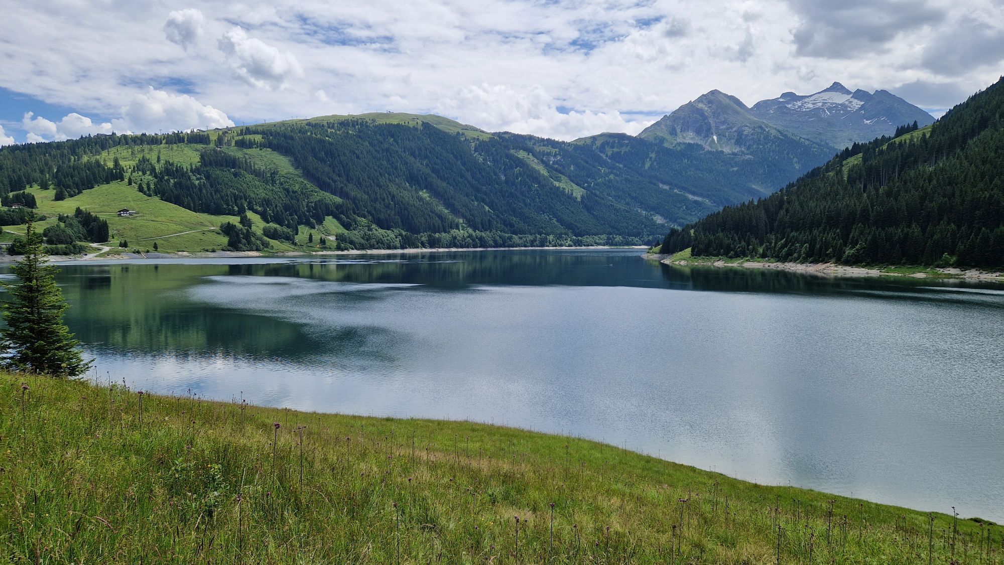
The second stage of the trail covers just under 20 kilometers: On the way, hikers can expect two real highlights with the Leitenkammerklamm and the Durlaßboden reservoir. The impressive Leitenkammersteig...
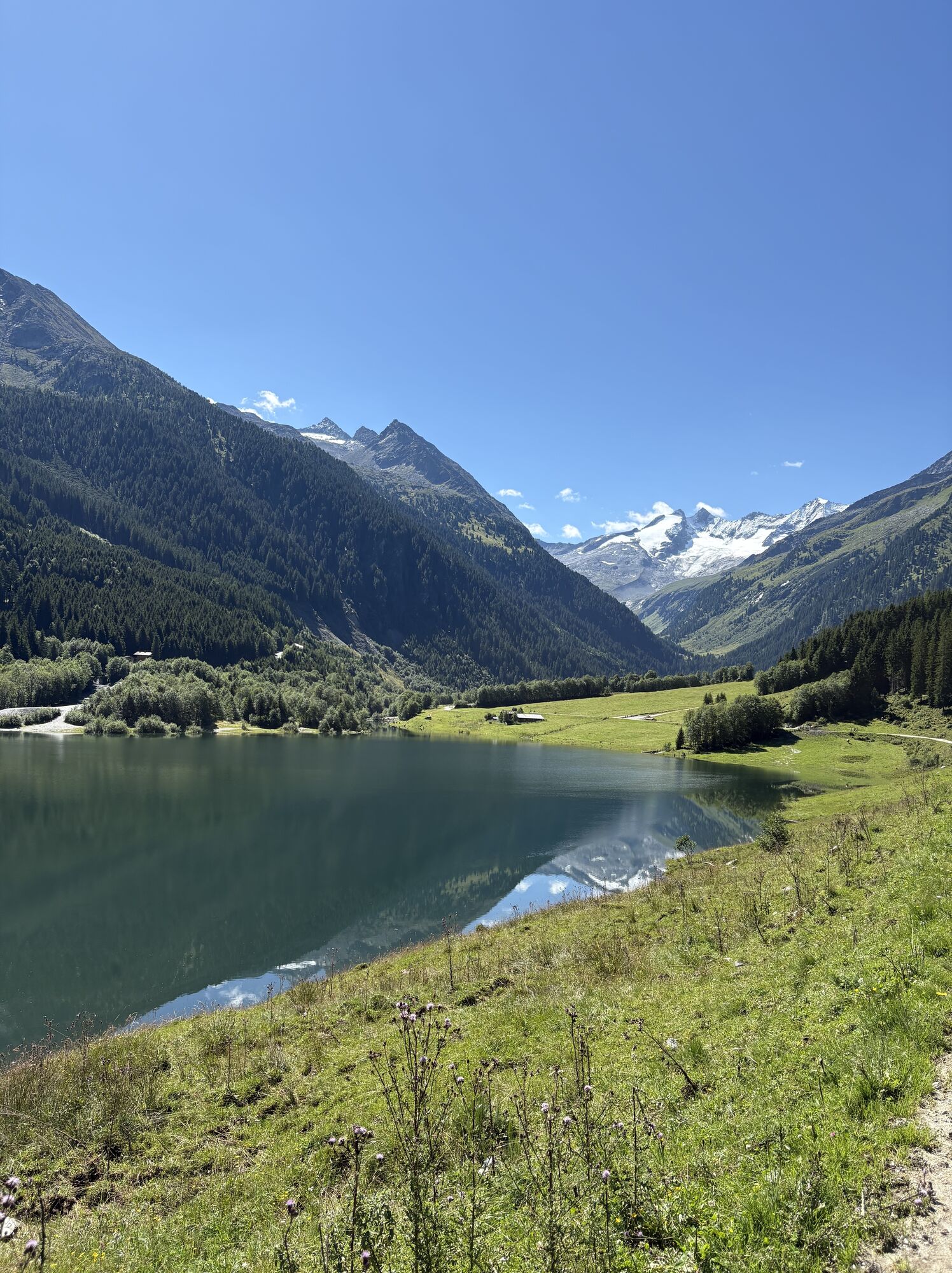
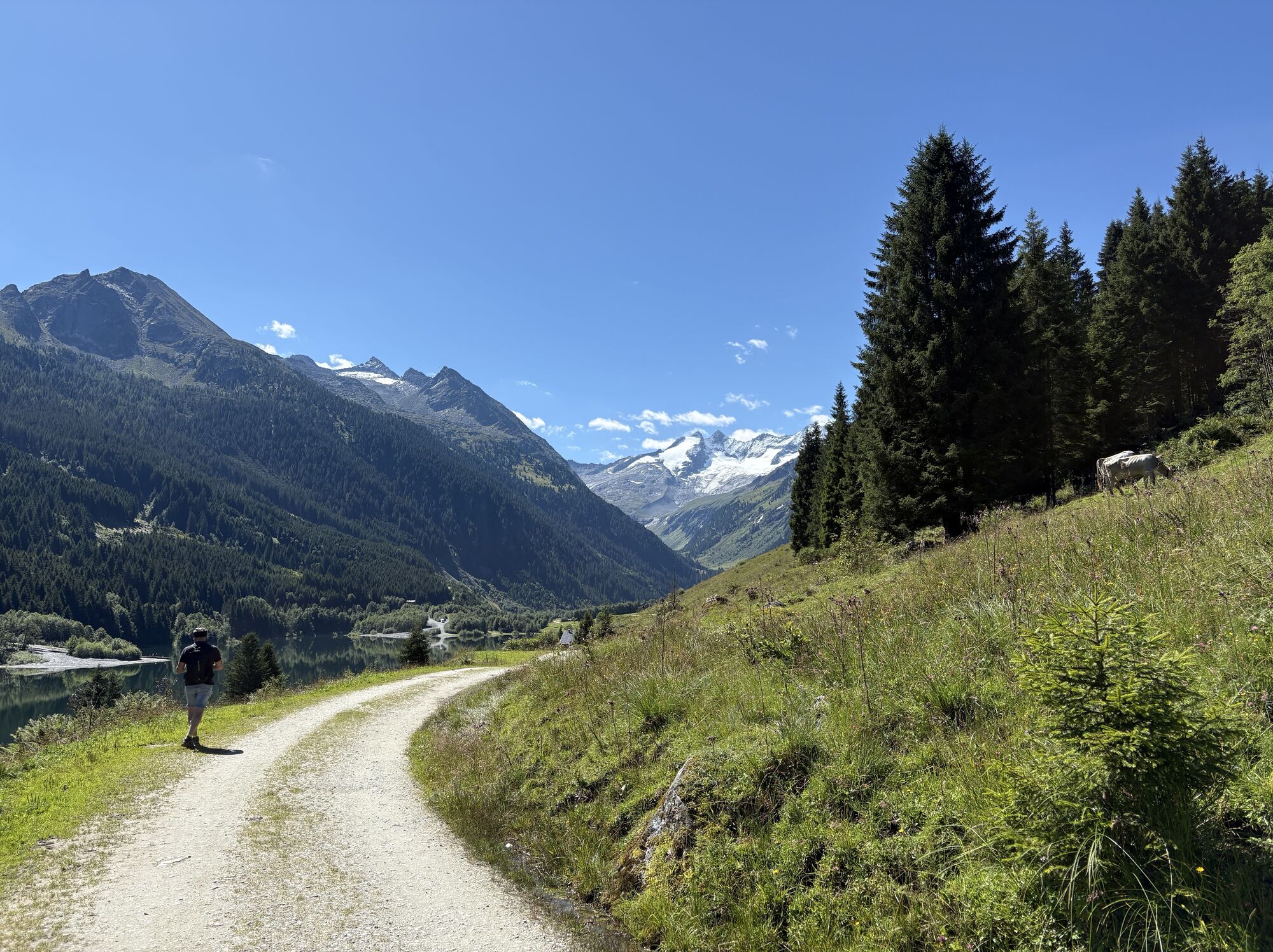
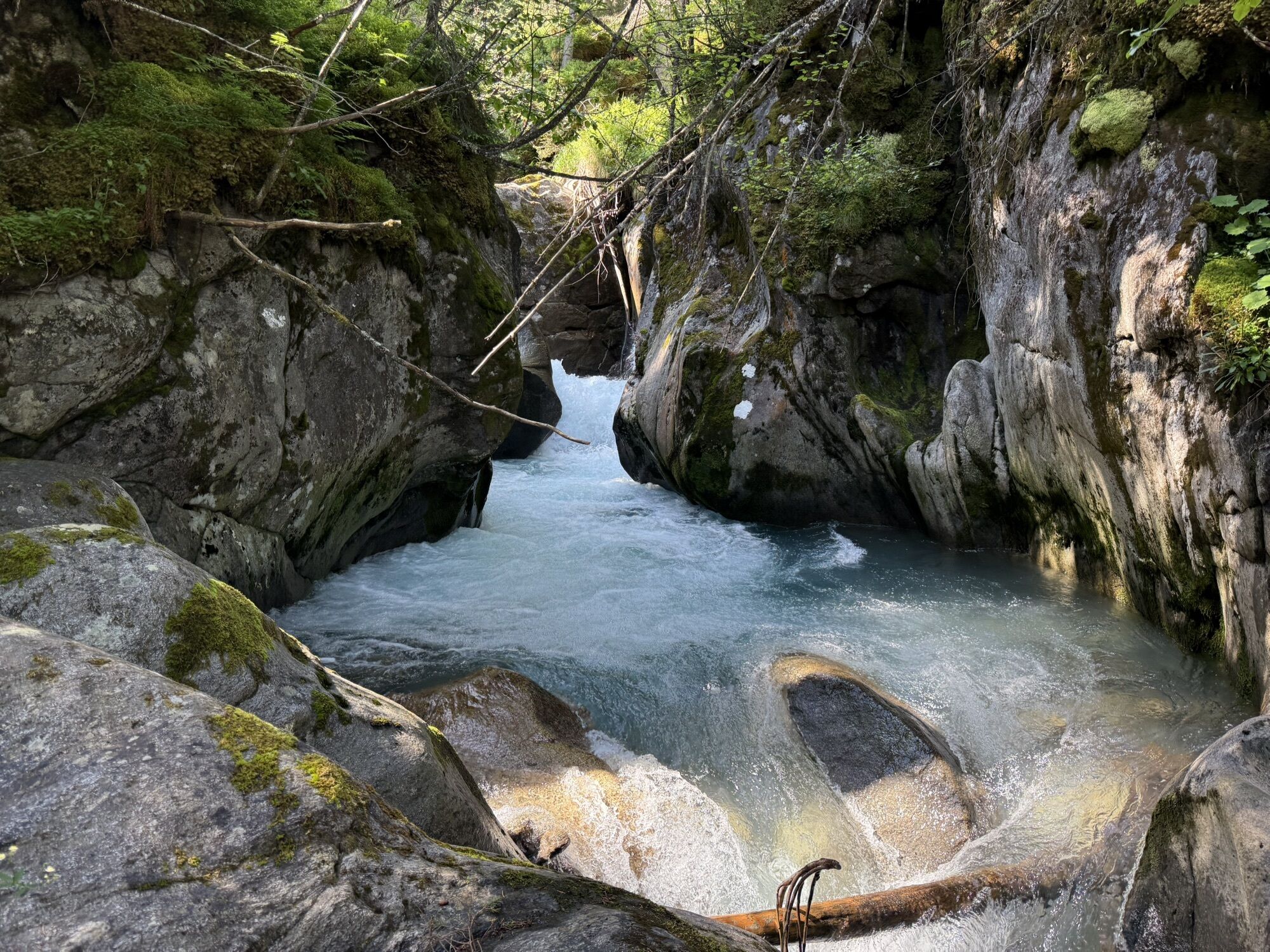
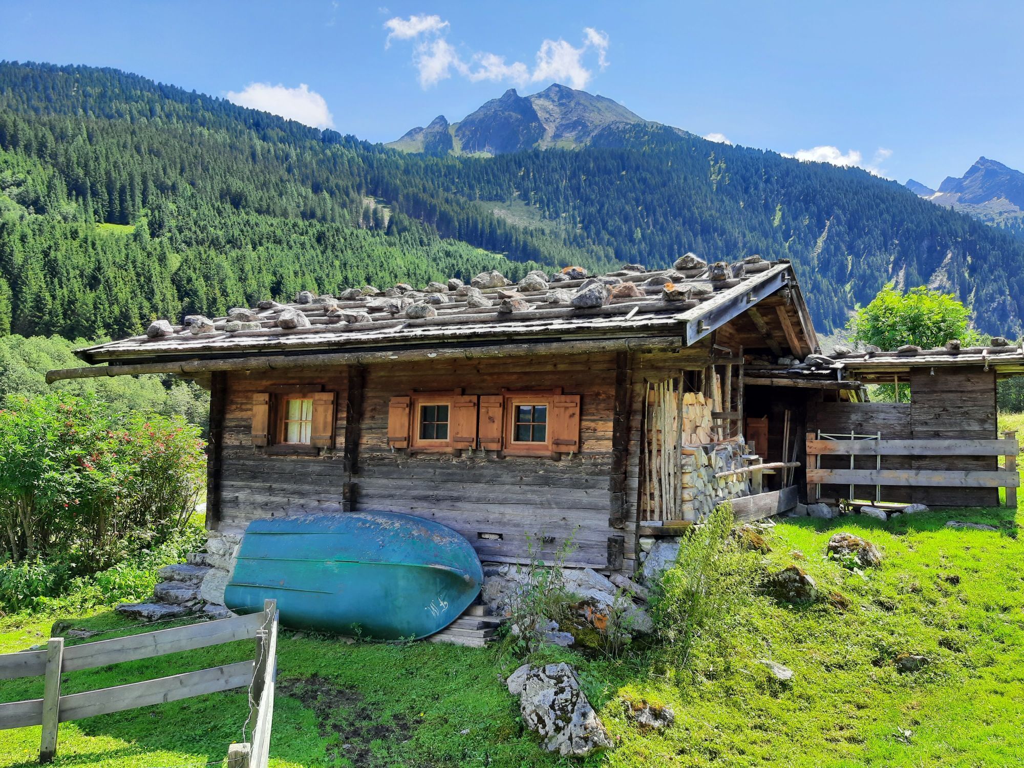
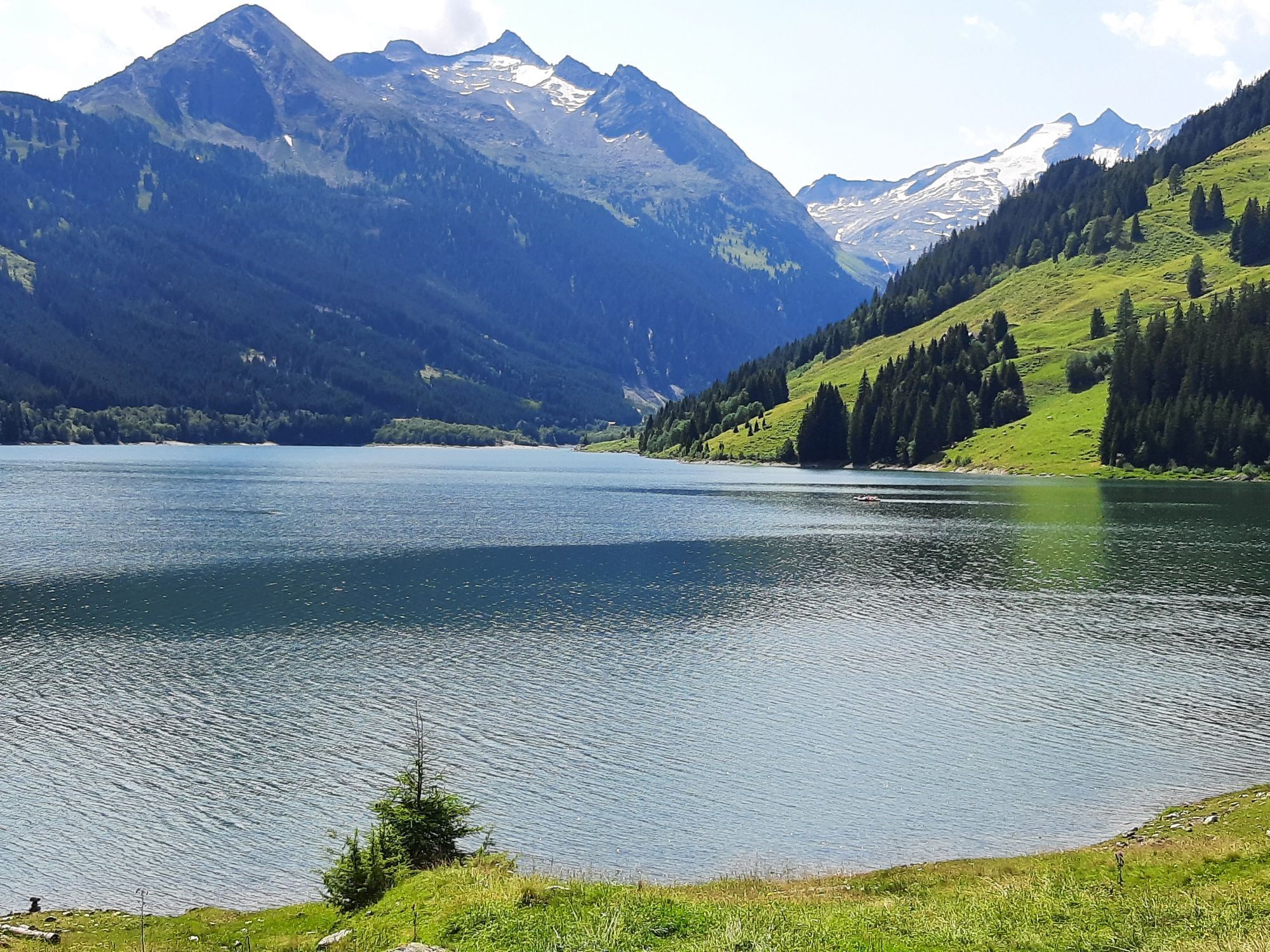
The second stage of the trail covers just under 20 kilometers: On the way, hikers can expect two real highlights with the Leitenkammerklamm and the Durlaßboden reservoir. The impressive Leitenkammersteig is one of the most challenging sections of the trail but can be bypassed via an alternative route. Several places to stop, such as the rustic Trisslalm in the Wildgerlostal, are located along the way. Another highlight is the picturesque Durlaßboden reservoir; from here, the route continues to Königsleiten.
If weather conditions or personal constitution do not permit the Leitenkammersteig, then the Alternative Route 02 Plattenkogel | Hochkrimml-Krimml is recommended. It runs from Plattenkogel over the Gletscherblickalm to Gerlosplatte and from there over the Durlaßboden reservoir back up to Königsleiten.

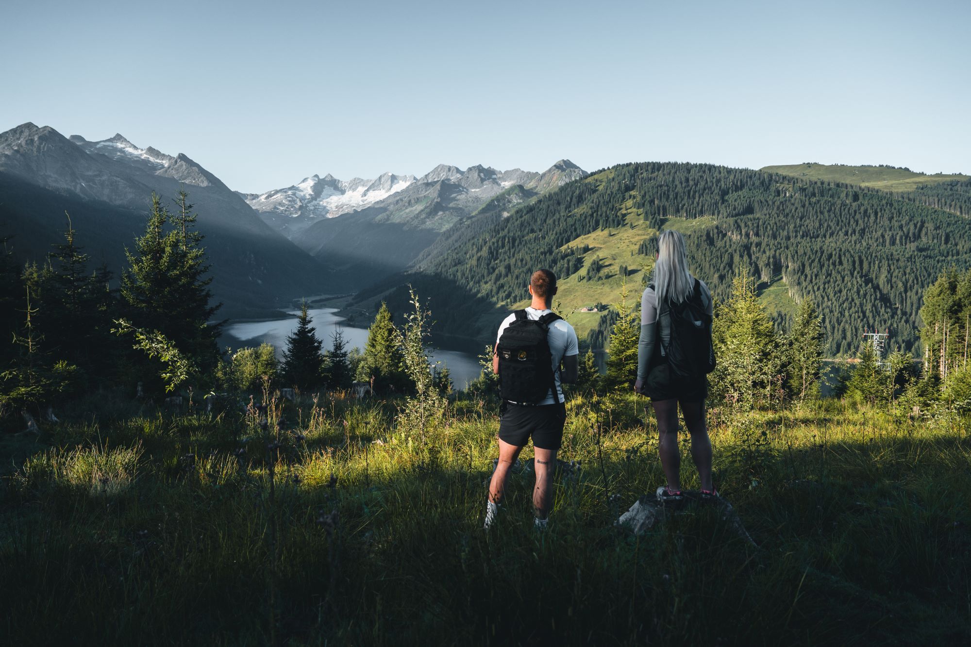

From the Alpengasthof Filzstein, walk a few meters up the asphalt road to a crosswise asphalt road. Cross this road and hike up the ski slope at the signpost "Plattenkogel" – crossing a gravel road several times at the top – until you reach the highest visible lift station, just below the Plattenkogel (2,039 m), which you ascend in a gentle left curve. Cross the summit, go left past the summit station of the Plattenkogel Express, and follow the very beautiful hiking trail down a ridge. At a fork, choose the left path, ascend a few meters, and then descend to reach the Breitscharte (1,925 m).
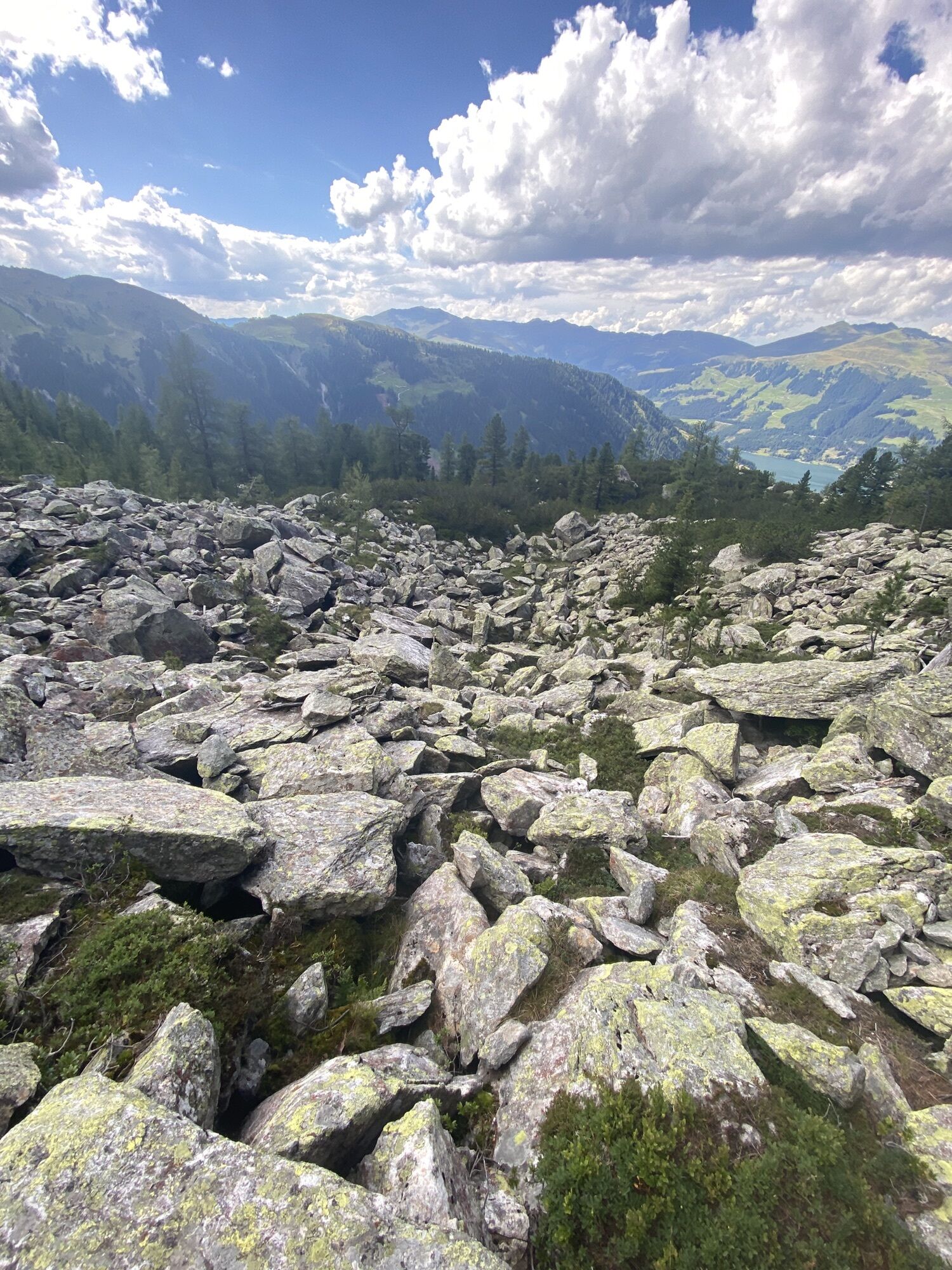
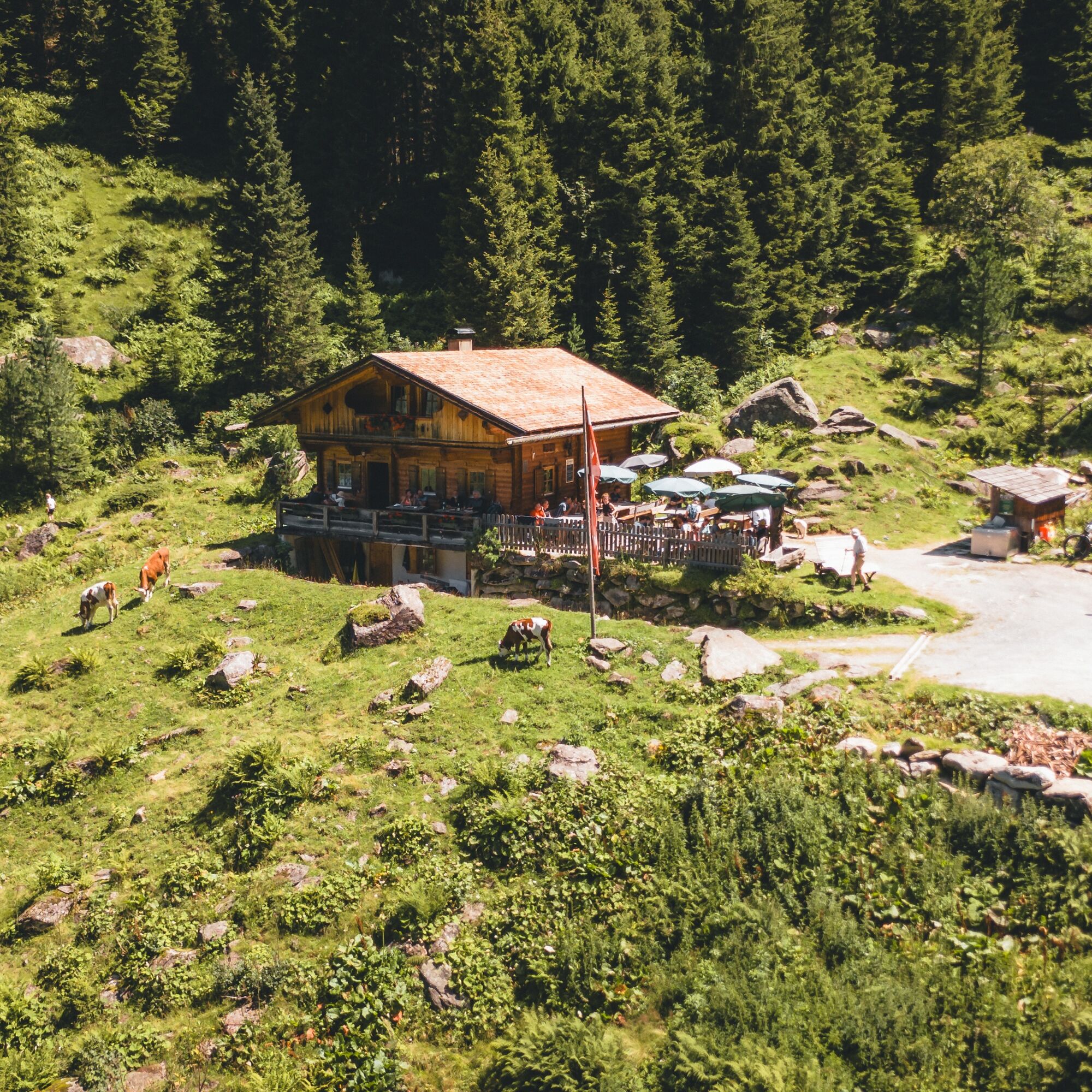
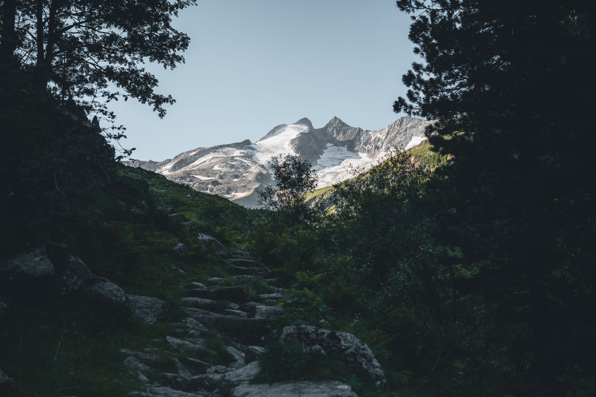
Now choose the initially slightly ascending track straight ahead towards "Trisslalm/Leitenkammersteig." Later the track suddenly turns into a rocky path. You are now on the Leitenkammersteig, which is one of the most challenging sections of the "Hohe Tauern Panorama Trail," wonderfully wild and impressive but requires surefootedness, alpine experience, and a certain freedom from dizziness. At first, follow it with little descent over blockwork and stony alpine meadows until it steeply descends through larch forests to Trisslalm (1,583 m). Tip: If you realize at the beginning of the rocky terrain that the path is overwhelming, it still makes sense to turn back and take the alternative route.
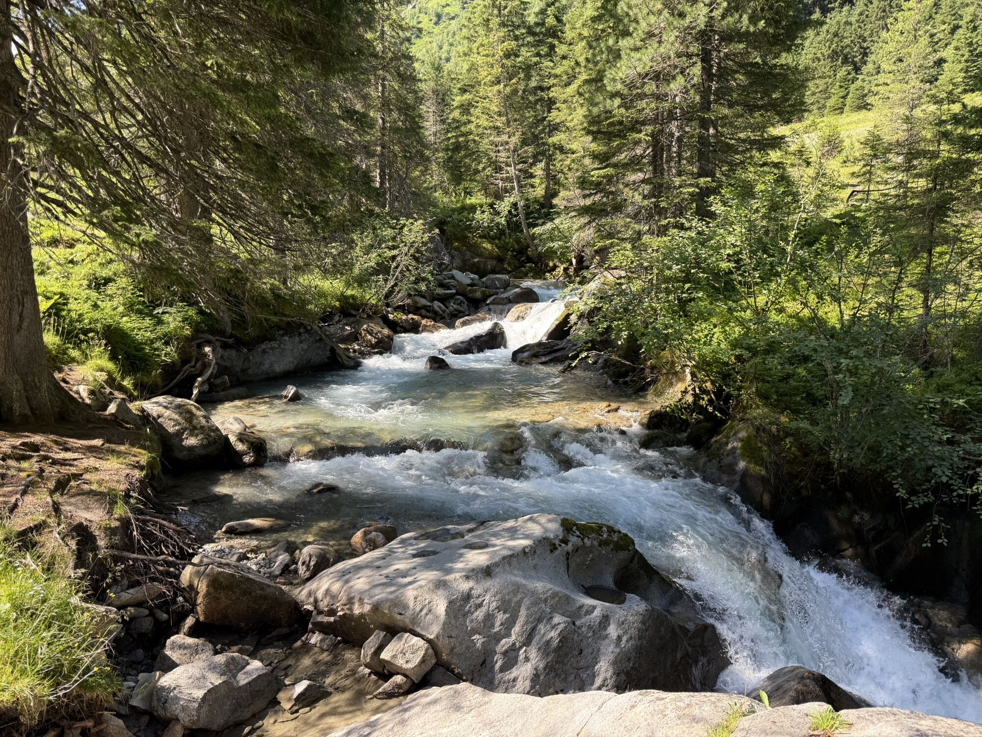
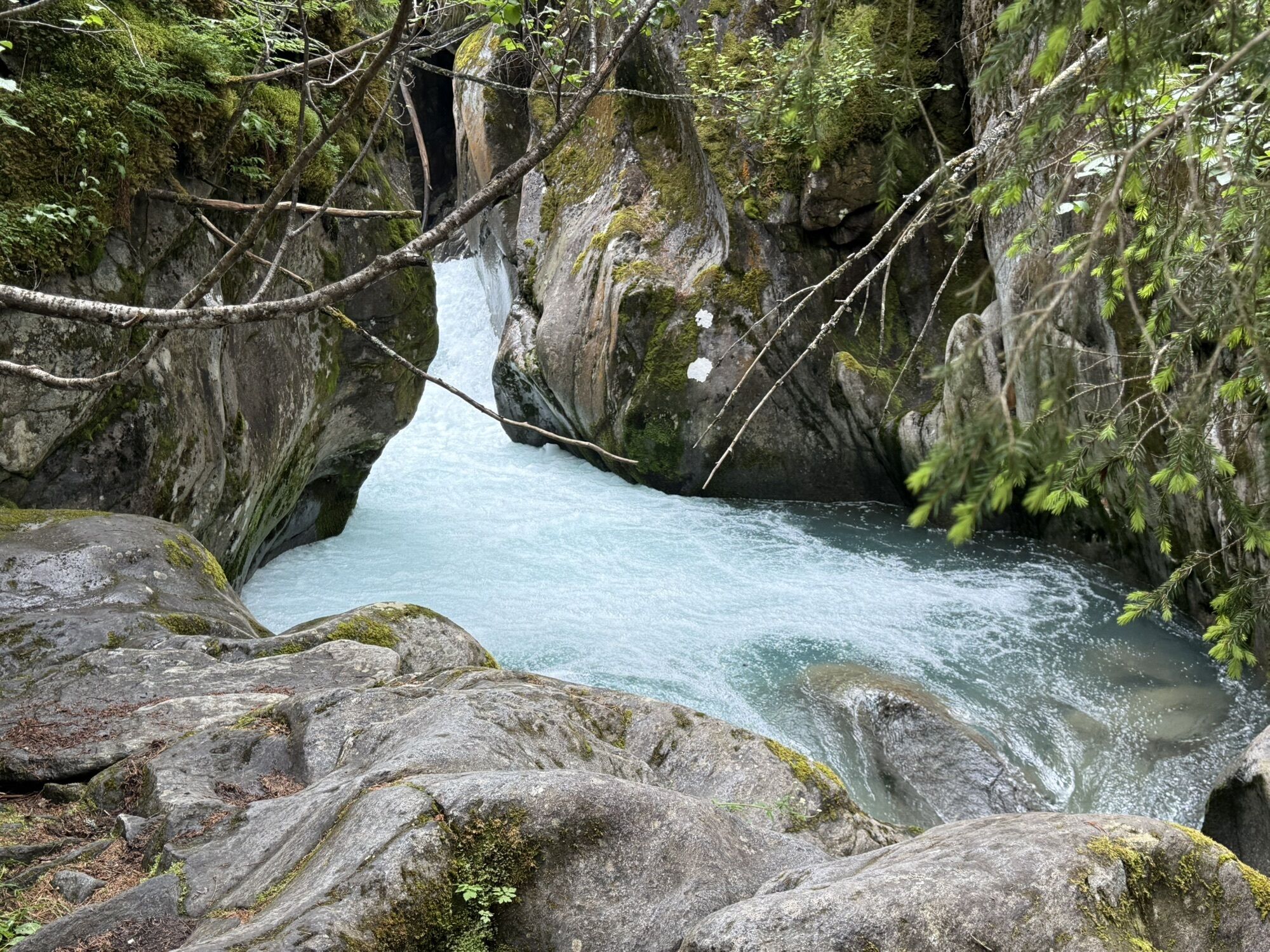
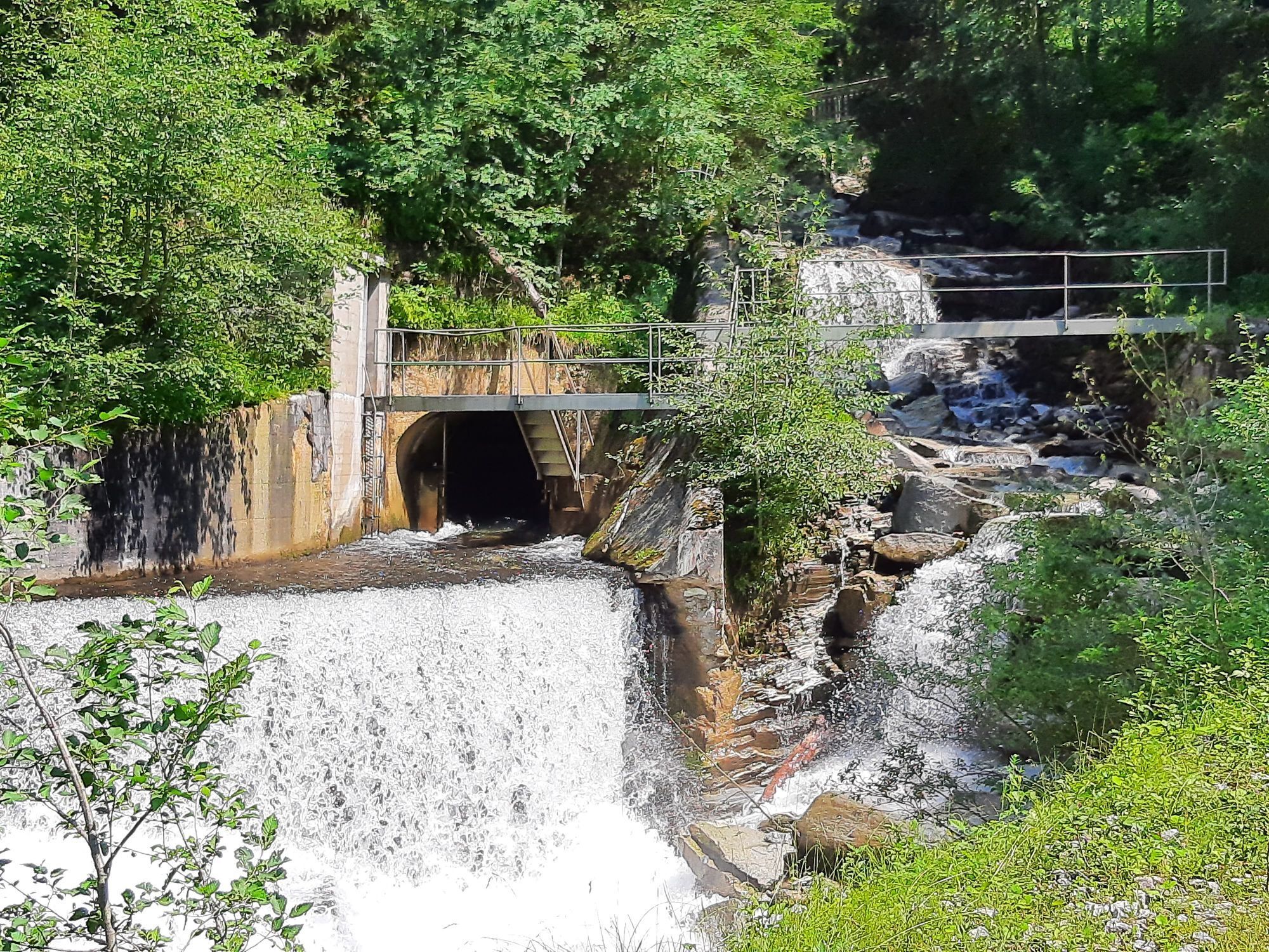
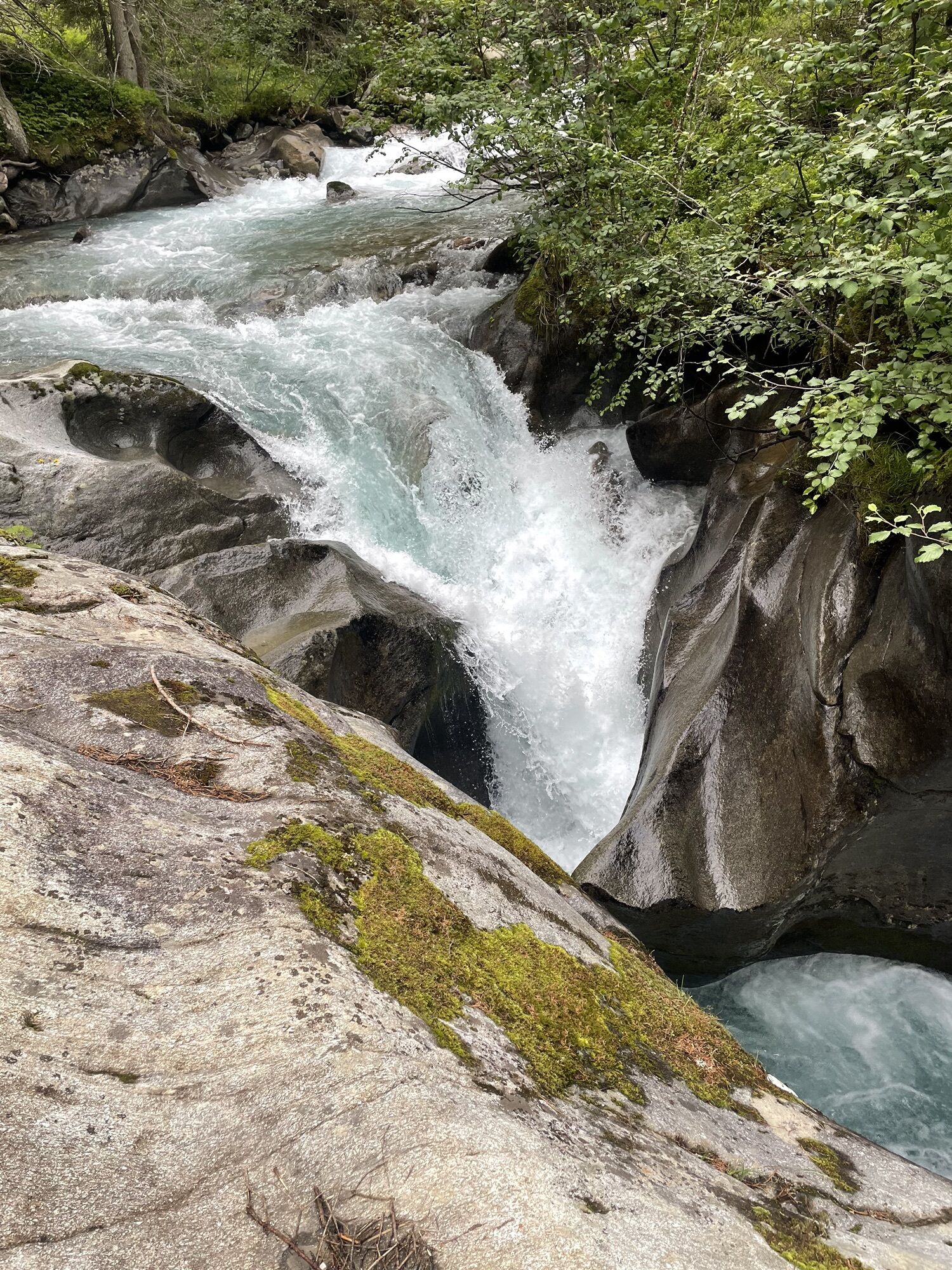
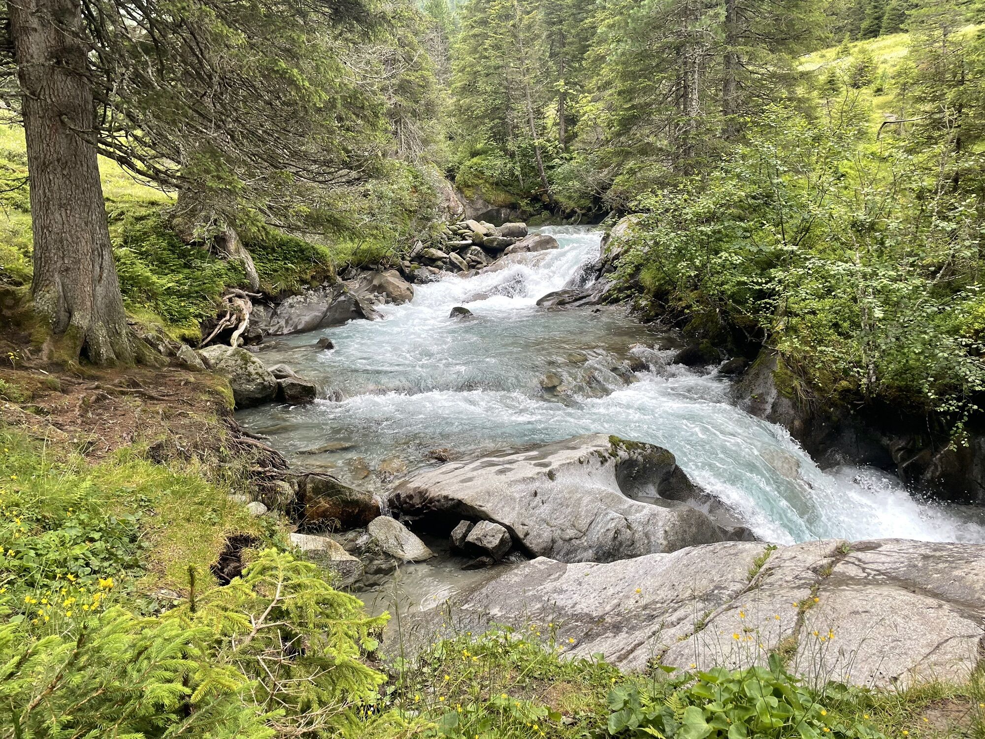
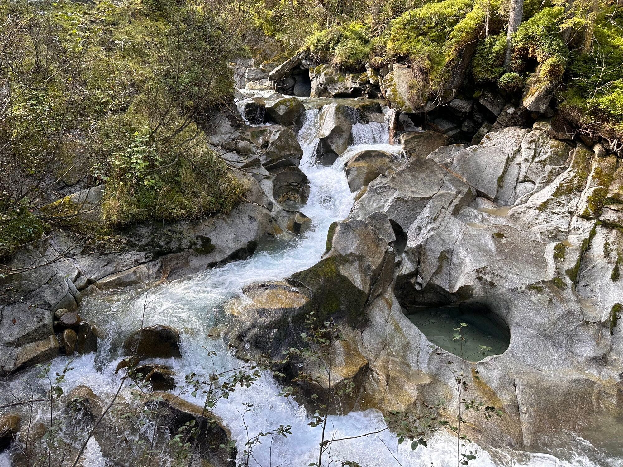
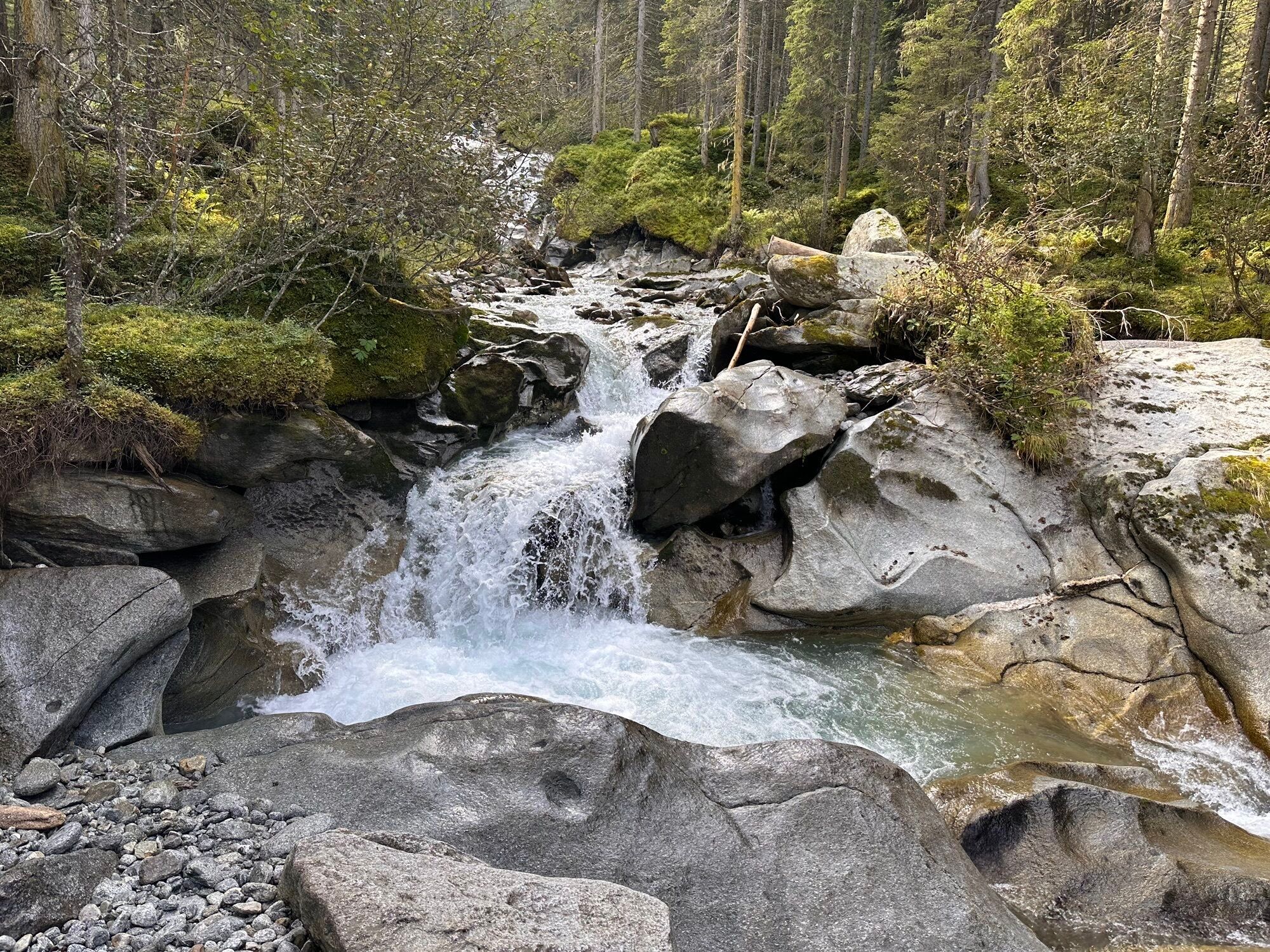
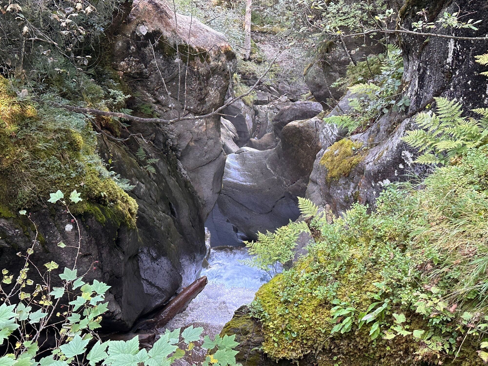
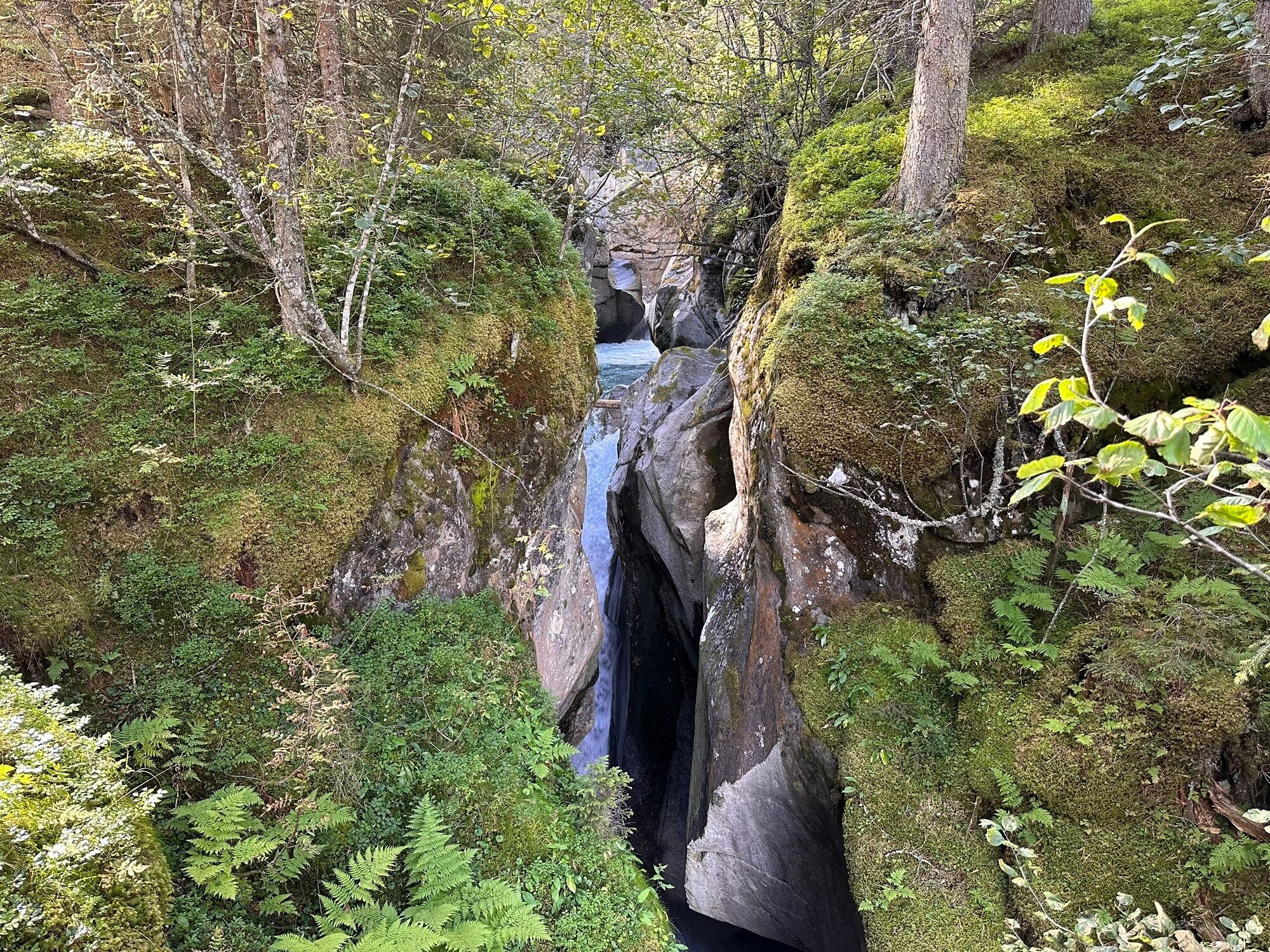
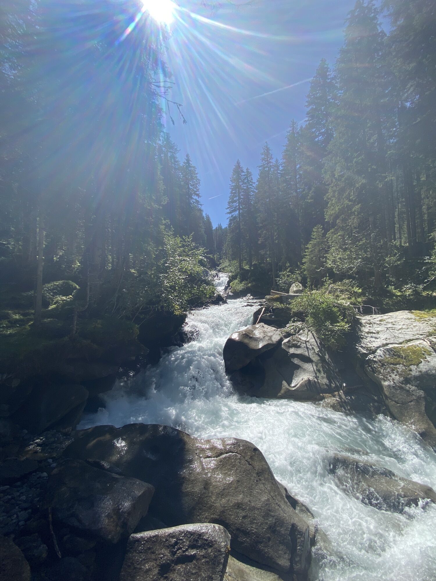
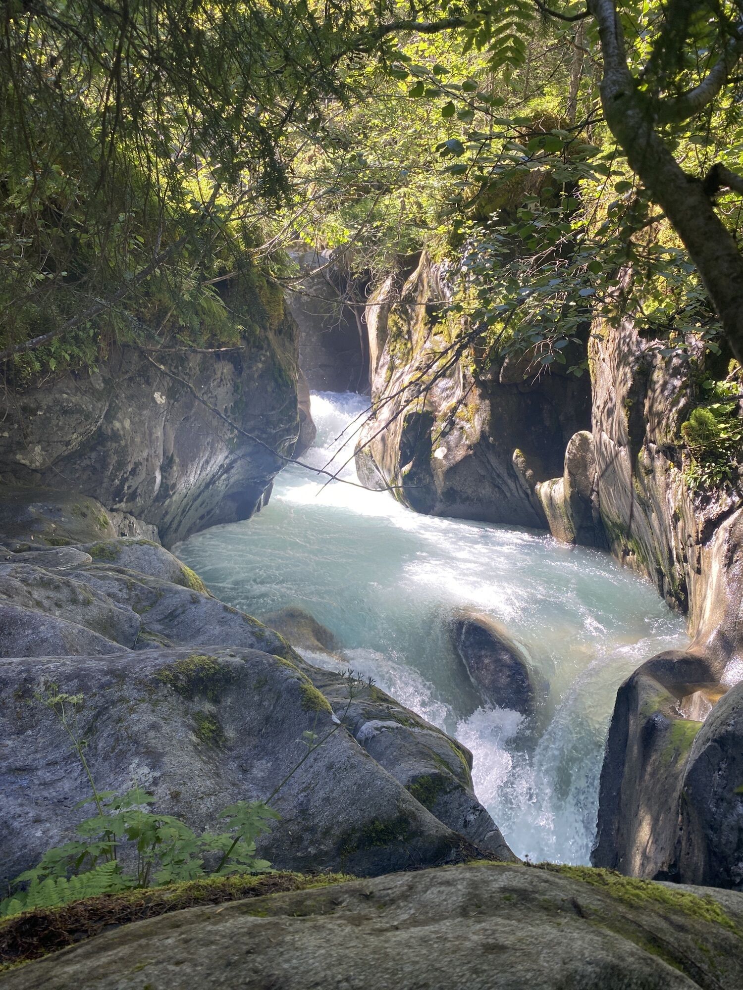
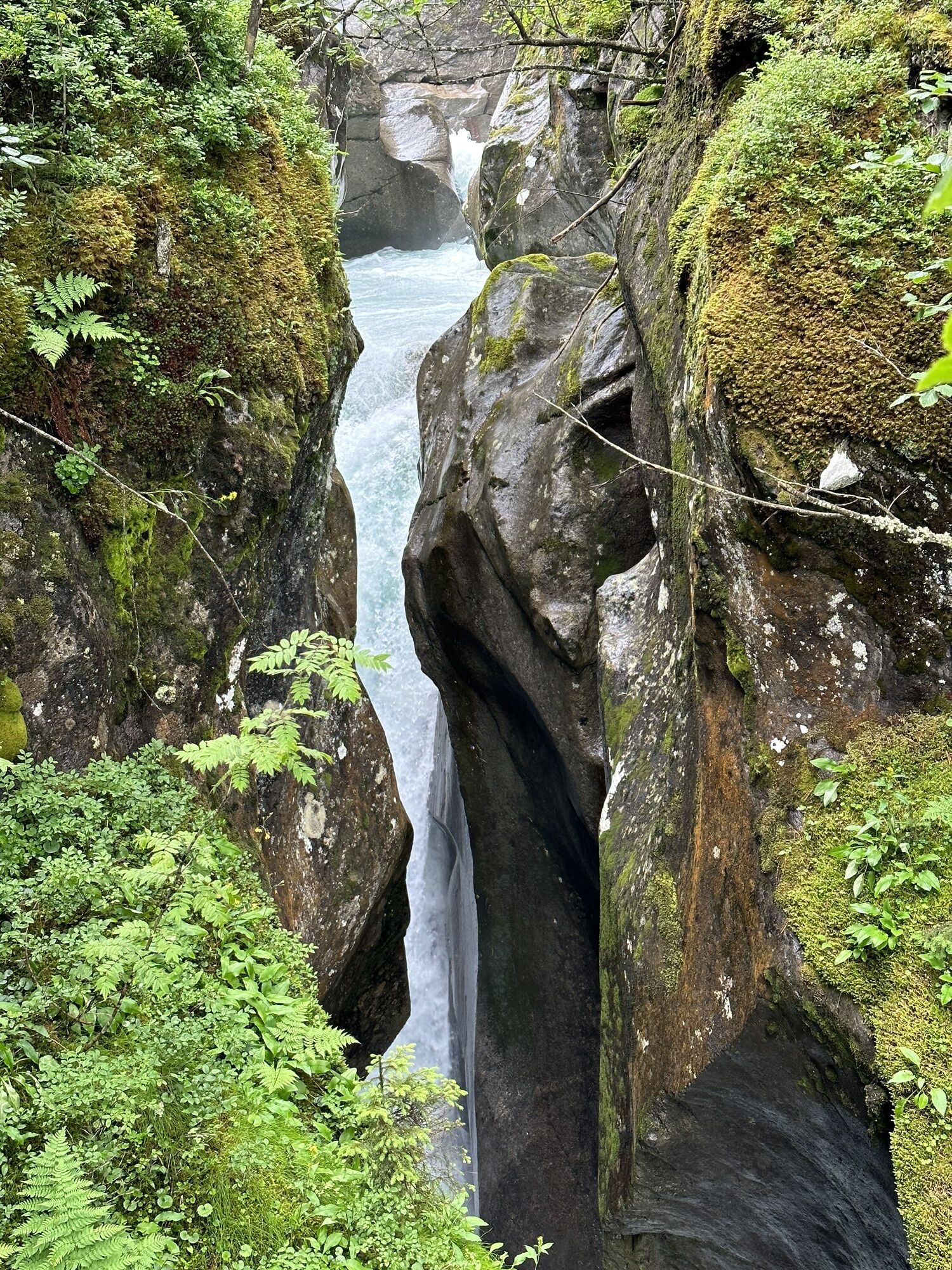
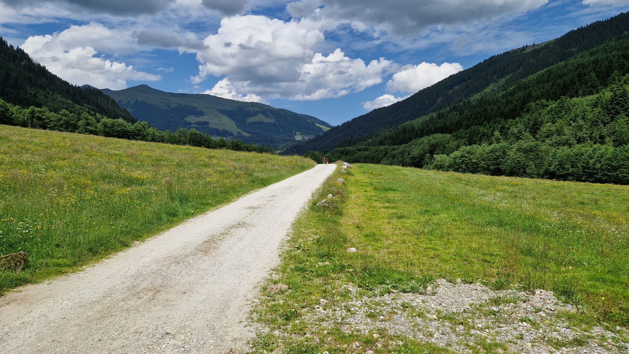
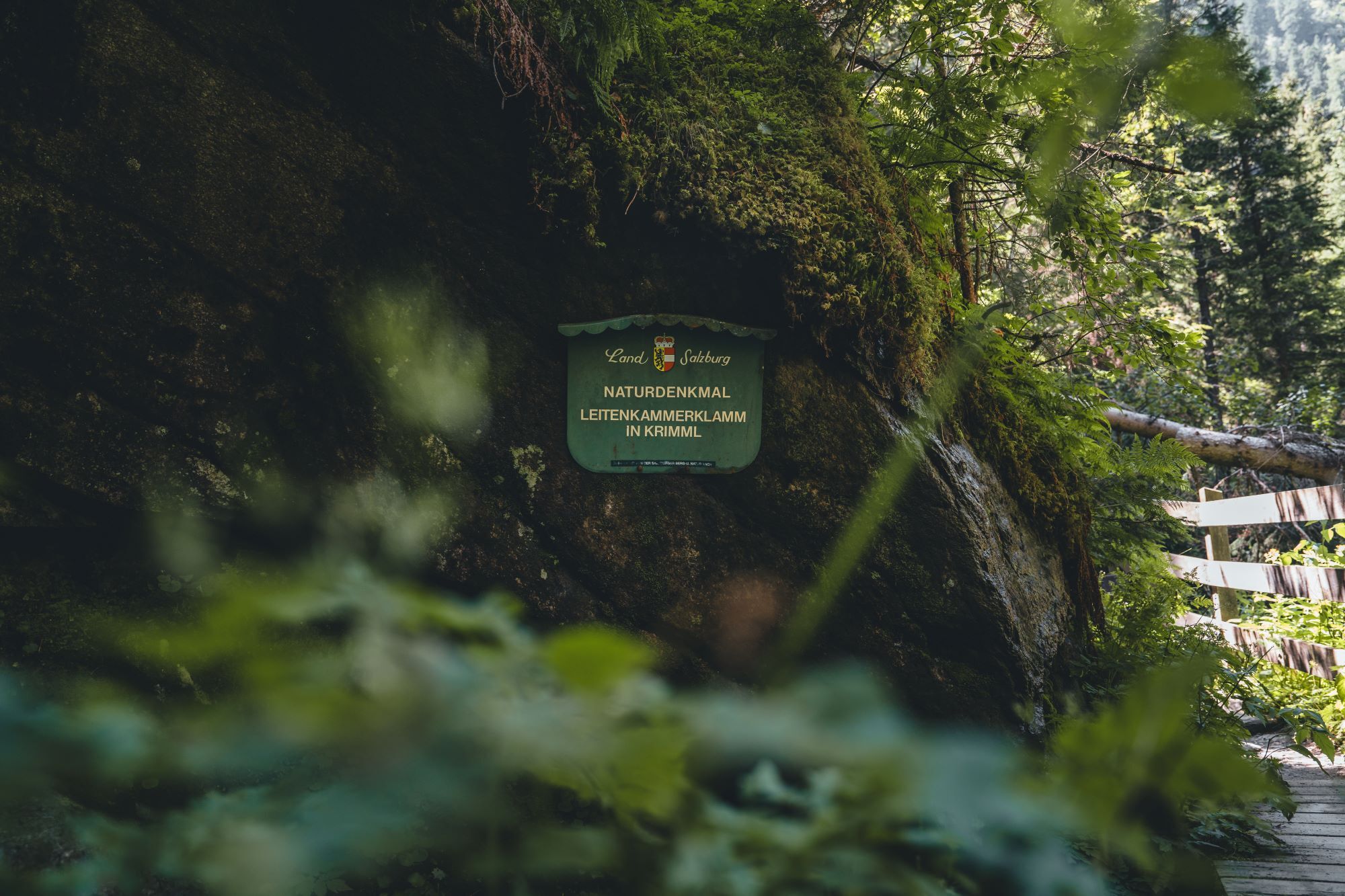
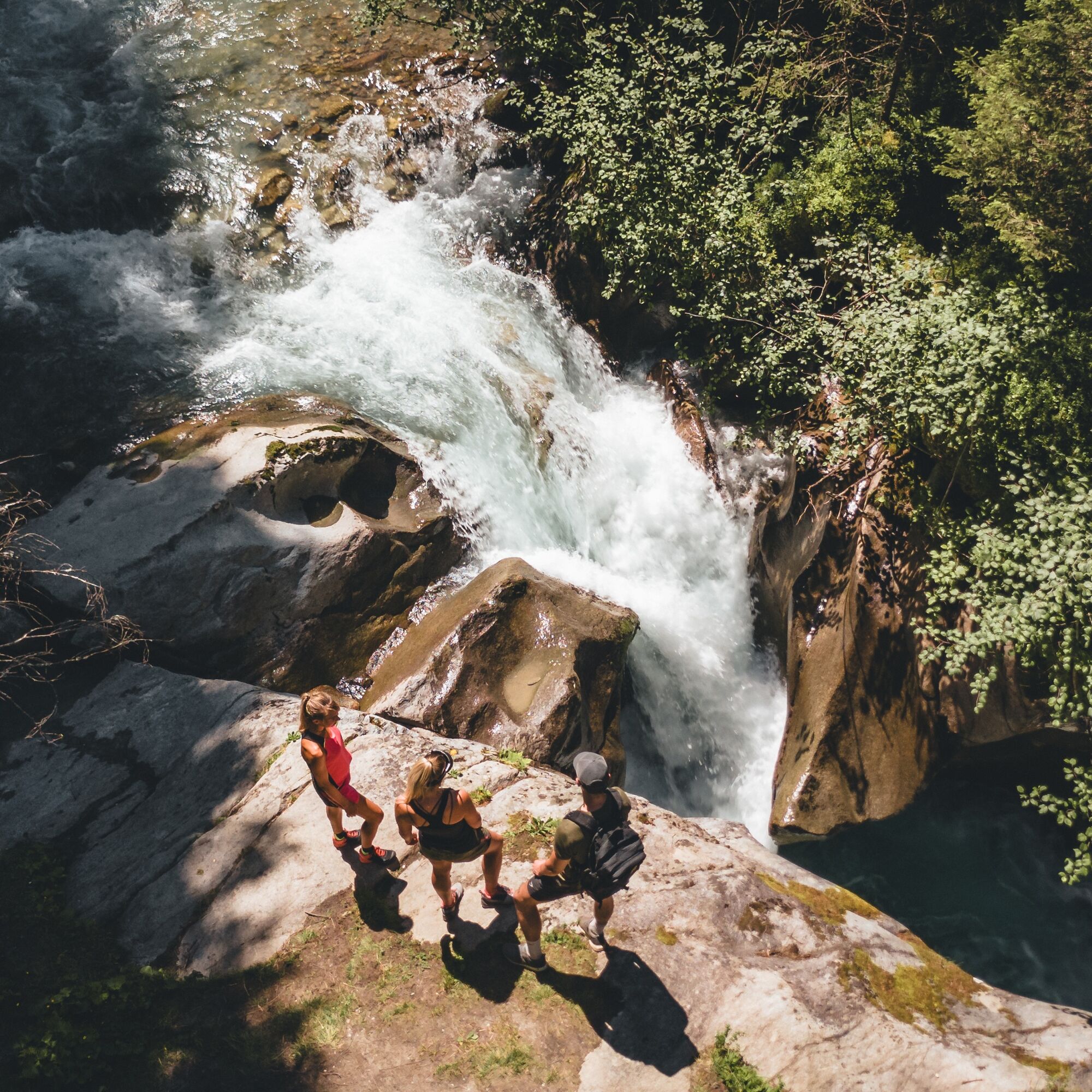
From the Trisslalm, which like the soon following Alpengasthof Finkau offers an excellent place to stop, follow the gravel road downhill towards Alpengasthof Finkau and repeatedly shorten left over hiking trails that lead close to viewing platforms near the Leitenkammerklamm. This impressive gorge should definitely not be missed! Down in the flat valley floor, follow the gravel road, keeping left along the valley floor, to the already visible Alpengasthof Finkau (1,420 m).
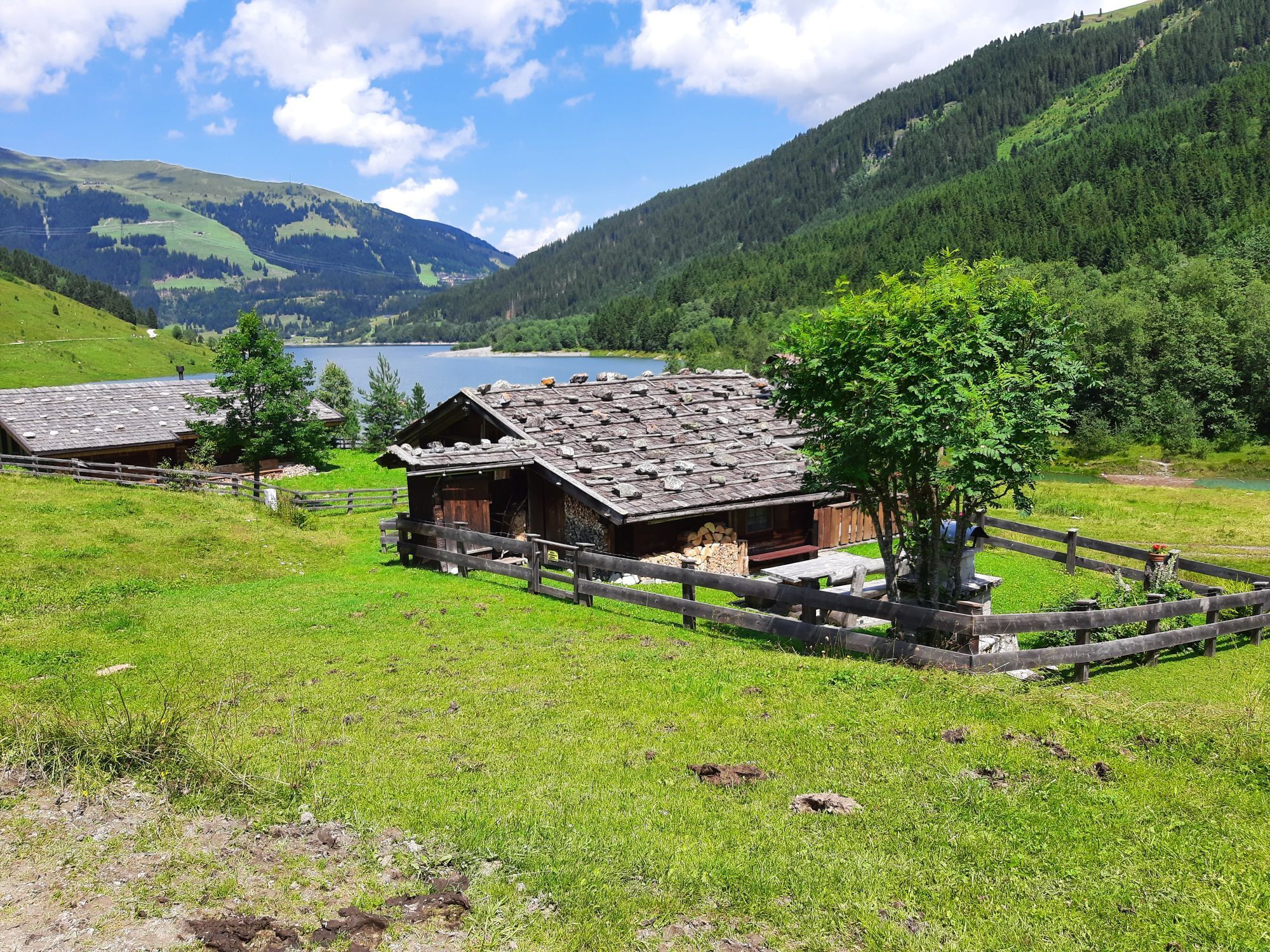
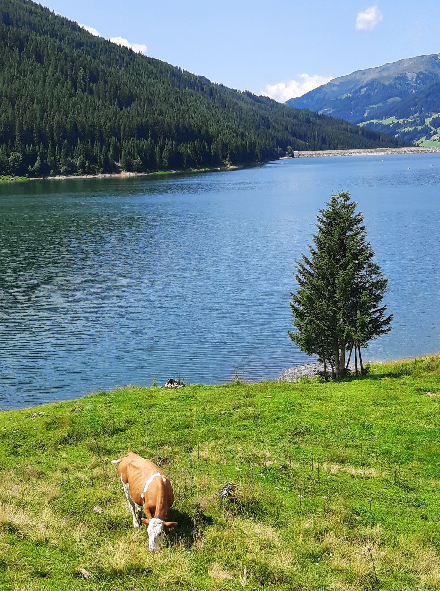
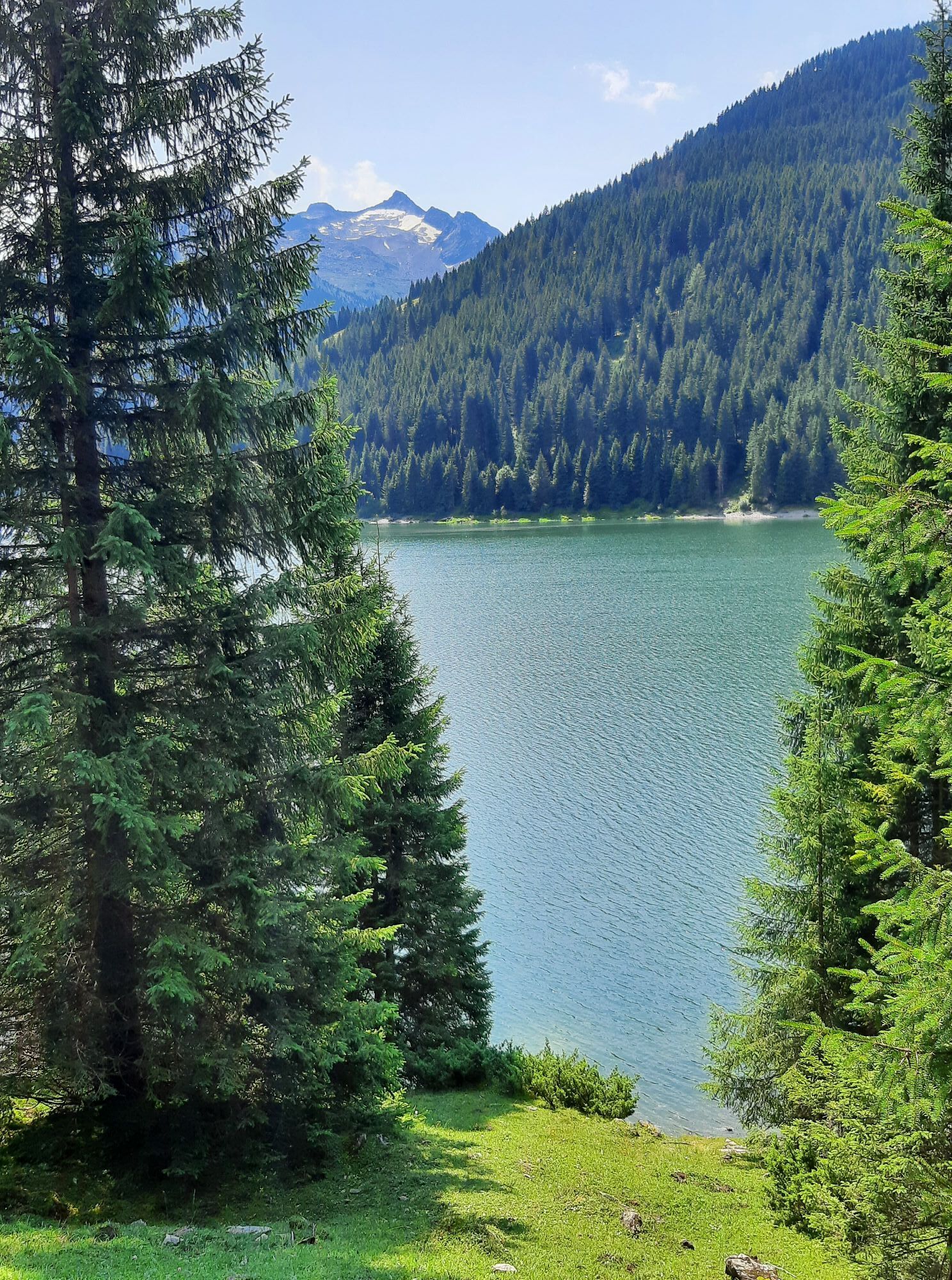
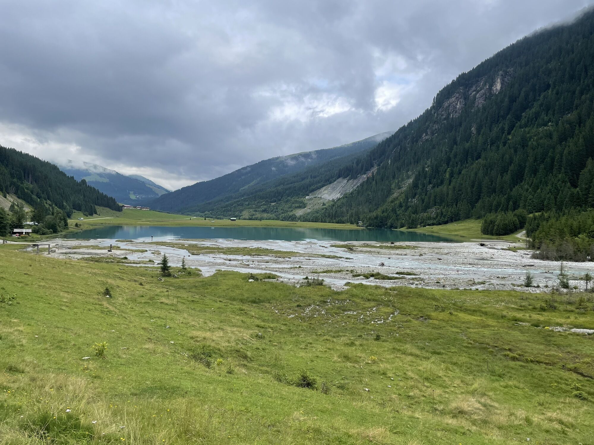
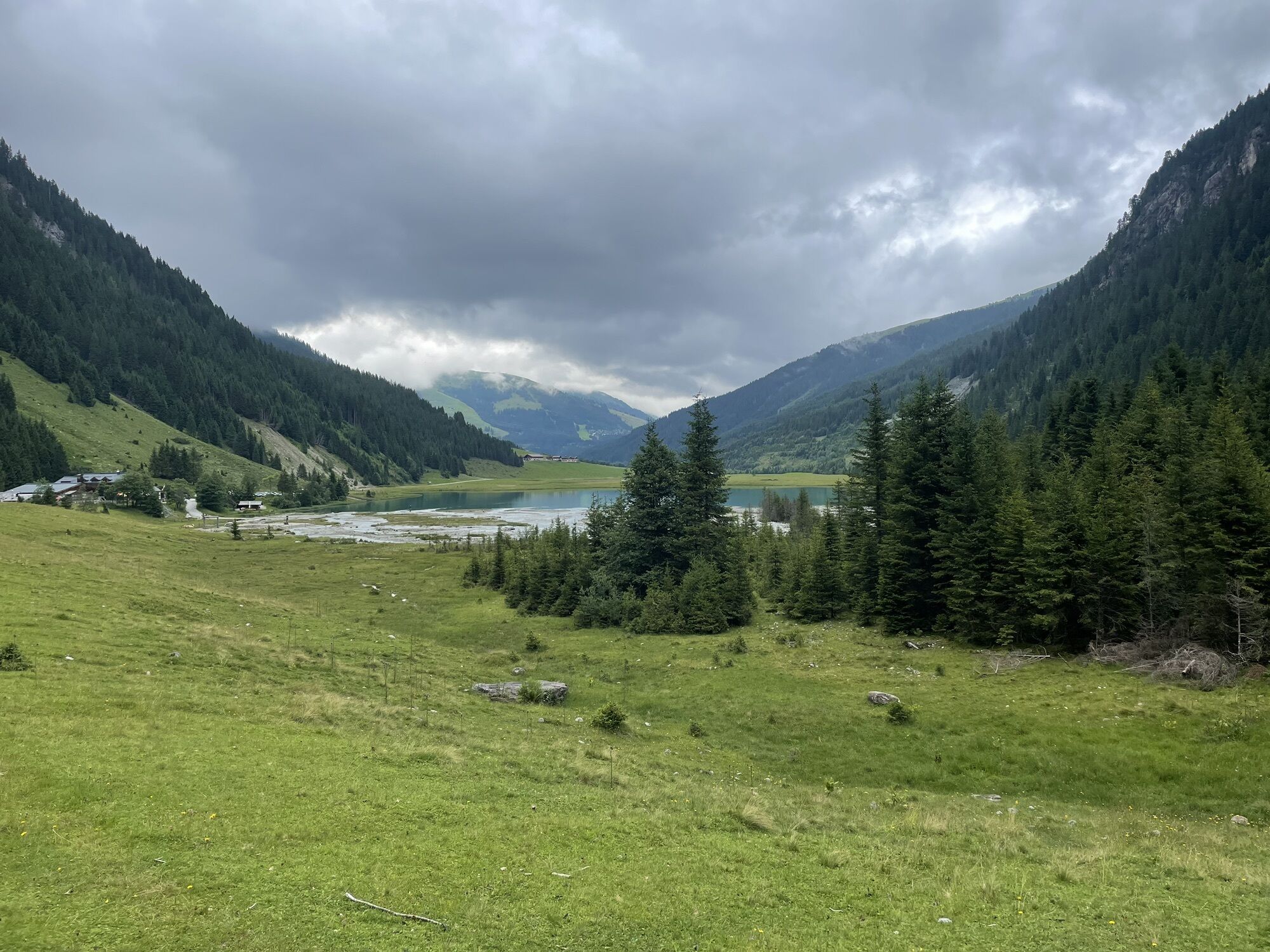
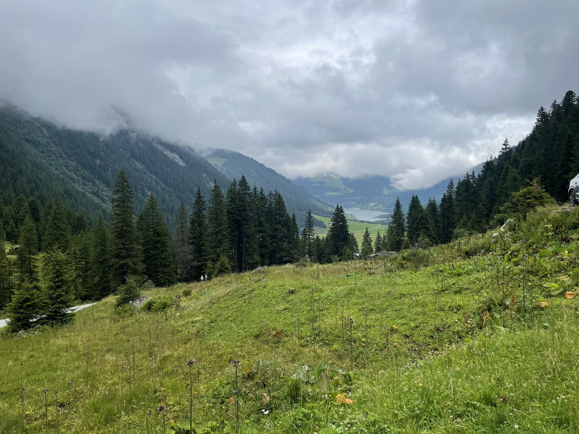
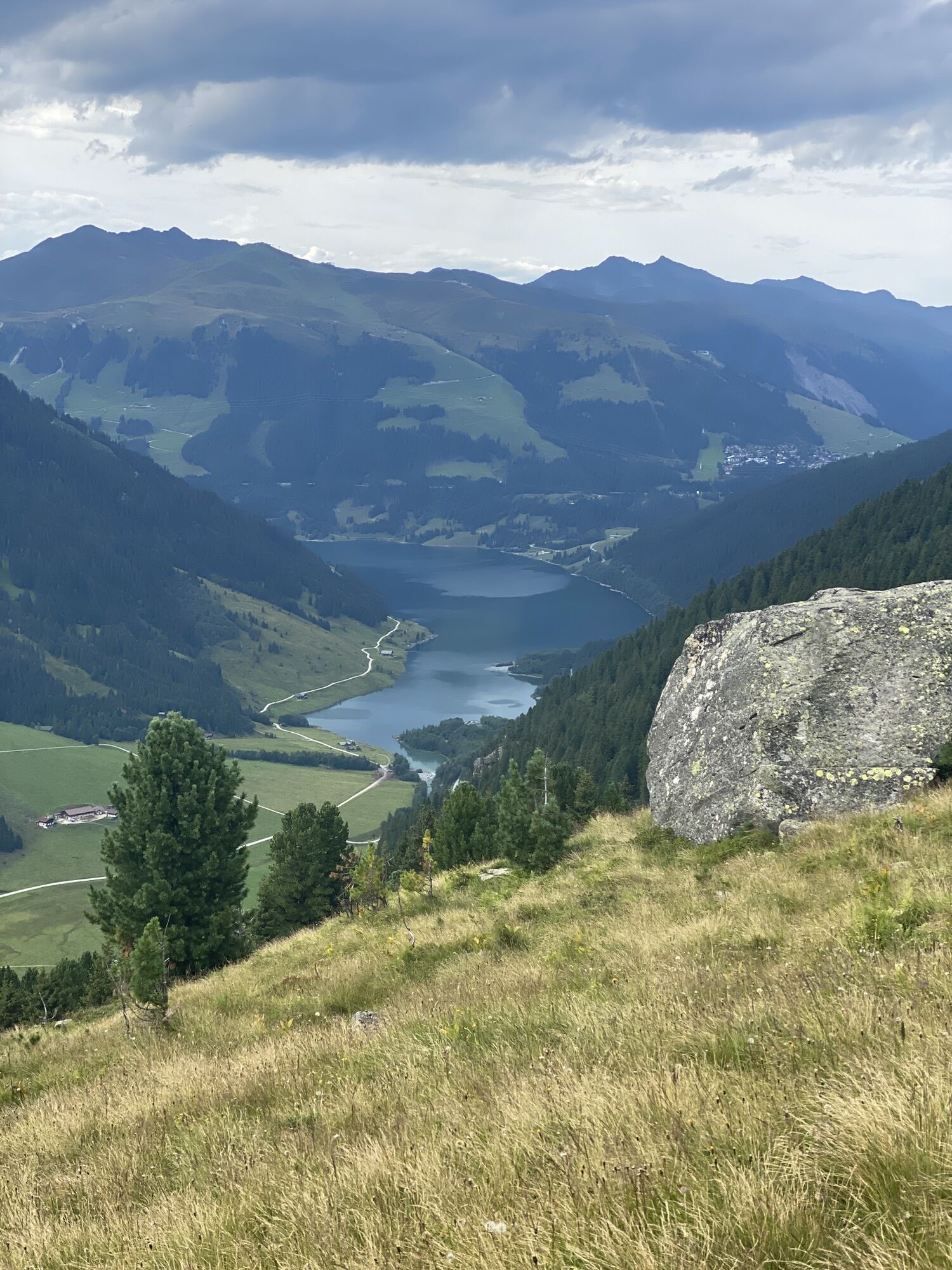
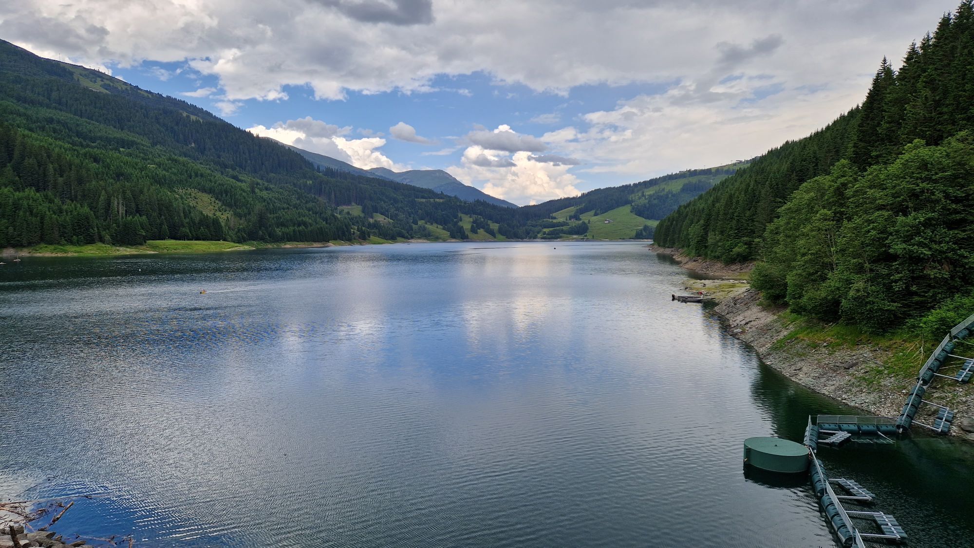
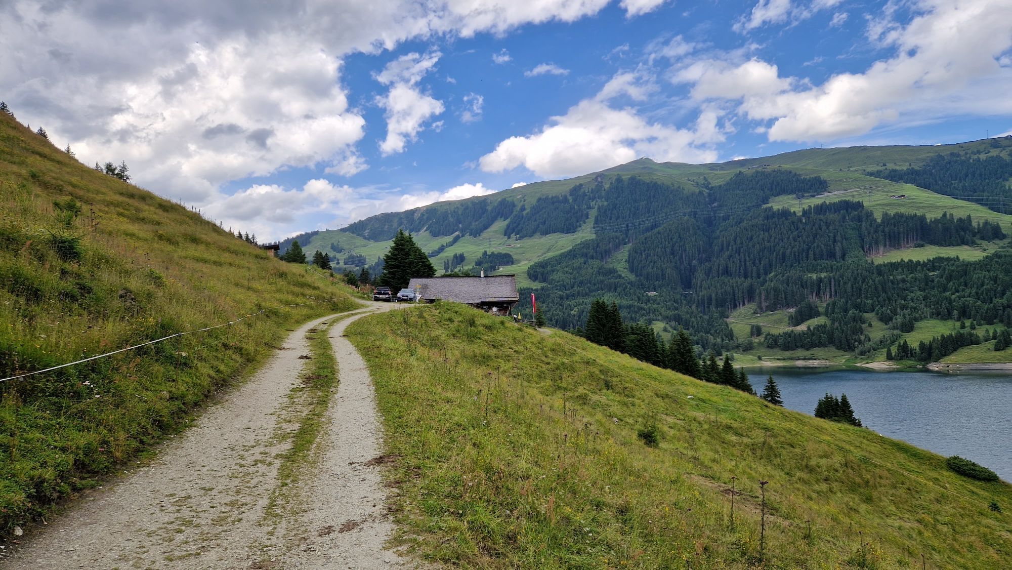
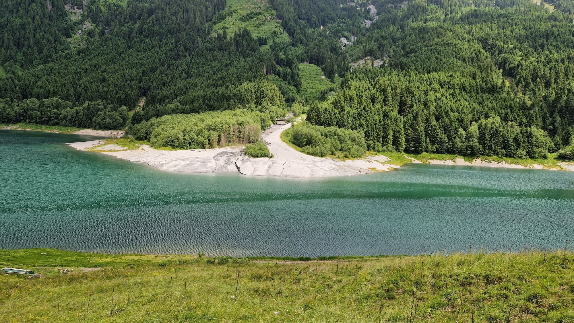
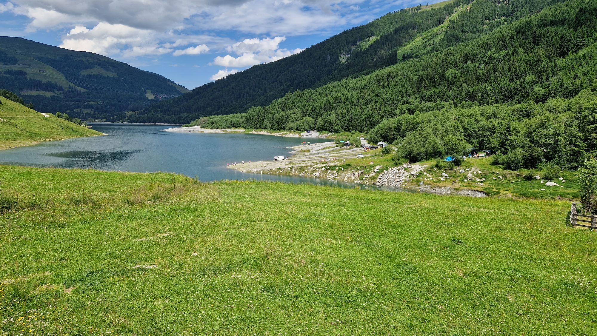
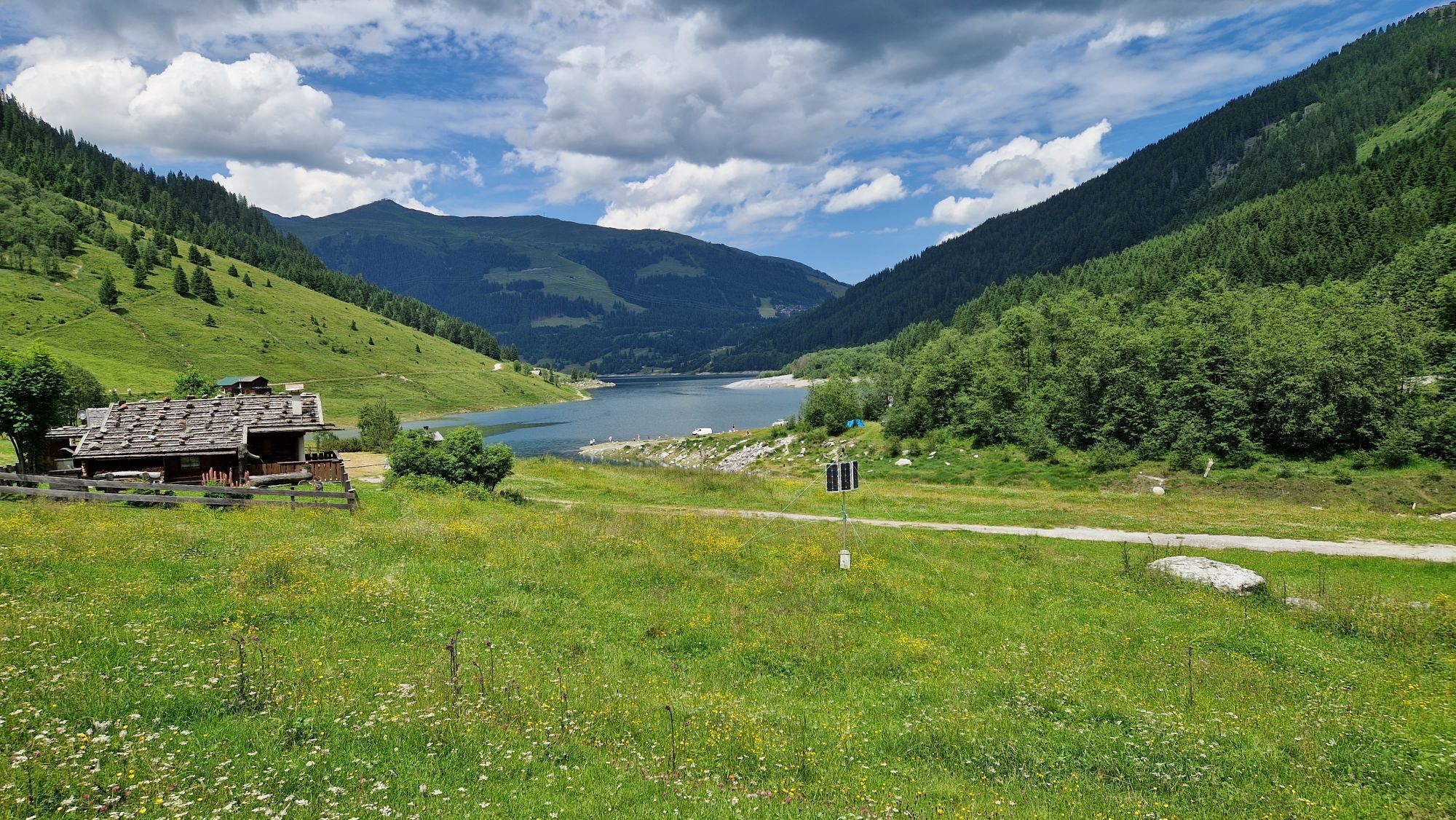
Passing this, you walk the asphalt road flat downhill until just before the Durlaßboden reservoir the road makes a sharp right turn. Here go straight ahead over the gravel road and continue along it above the west shore of the reservoir to the managed Bärschlagalm. Now the gravel road narrows to a beautiful promenade, which you continue along above the shore to the dam at the west end of the reservoir. Cross the dam (there is a snack station on the other side) and follow the wonderful promenade to the right along the north shore. This section leads you through several very beautiful bays inviting you to linger. At the end of the path, you reach an asphalt road, which you follow left away from the reservoir. Past the valley station of the Plattenkogel Express towards the old Gerlospass road and cross it.
Now the last part of your hike today begins. On the other side of the road, a hiking trail starts, leading you to a small asphalt road. Follow this to the left to another road. A few meters on this to the right uphill and you have reached your destination in the center of Königsleiten (1,567 m).
Note: If weather conditions or personal constitution do not allow for the Leitenkammersteig, it is advisable to take the Alternative Route 02 Plattenkogel | Hochkrimml-Krimml. It leads from Plattenkogel over the Gletscherblickalm to Gerlosplatte and from there over the Durlaßboden reservoir up to Königsleiten.
An alpine hiking outfit is required for the Hohe Tauern Panorama Trail:
Day hiking backpack (approx. 20 liters) with rain cover Sturdy and comfortable footwear Weather-appropriate and durable clothing in a multilayer principle. The Hohe Tauern Panorama Trail mostly lies at altitudes between 1,300m and 2,450m – this must be taken into account when selecting your hiking gear (especially your clothing). Trekking poles are recommended due to the often long descents Sun and rain protection Make sure to have enough provisions and sufficiently large water bottles, as not all stages offer places to stop or fountains (e.g., stages 5 and 7) First aid kit Pocket knife Mobile phone Tour description or hiking mapArrival by car from the north: Inntal motorway A12 (toll vignette required) to Felbertauern exit (vignette required) - towards Kitzbühel - Pass Thurn - Mittersill - Krimml/Hochkrimml or Inntal motorway to Zillertal exit - towards Zell am Ziller - Gerlospass - Krimml/Hochkrimml (vignette required). From the east: A10 Tauern motorway to Werfen, B 311 to Schwarzach, Zell am See, then on B 168 to Mittersill and further on B 165 to Krimml/Hochkrimml
The IC/EC train station is located in Zell am See. From there, the Pinzgauer Lokalbahn, a narrow-gauge railway, takes you to Krimml. Stops are along all trail locations.
Bus connections from Zell am See to Königsleiten are
Line 670: Zell am See – Mittersill – Krimml Line 673: Wald im Pinzgau – Krimml – Almdorf KönigsleitenTimetables and information on arrival by public transport >>
Parking spaces are available at the respective starting points of the trail journey. Most parking spaces are free of charge and are not monitored!
Holiday Region National Park Hohe Tauern
Gerlosstraße 18 5730 Mittersill, Austria
Tel. +43 6562 40939, E-mail: hohetauerntrail@nationalpark.at
Booking center & info hotline
Trail Angels GmbH
9821 Obervellach 15, Austria
Tel. +43 4782 93093, E-mail: info@bookyourtrail.com
Webové kamery z prohlídky
Königsleiten - Wald im Pinzgau
Isskogel
Filzsteinalm
Panoramarestaurant Filzsteinalm (Gerlosplatte)
Königsleiten - Märchenwald
Zillertal Arena - Gerlos Latschensee
Zillertal Arena - Gerlospass Tal
Mitterleger Bergstation
Zillertal Arena - Alpengasthof Filzstein
Krimmler Wasserfall
Krimml - WasserWelten
Filzalmsee
Brantlalmsee
Panorama Königsleiten
Königsleiten - Wald im Pinzgau
Königsleiten - Wald im Pinzgau
Königsleiten - Wald im Pinzgau
Königsleiten - Wald im Pinzgau
Königsleiten - Wald im Pinzgau
Königsleiten - Wald im Pinzgau
Königsleiten - Wald im Pinzgau
Fussalm
Fussalm
Fussalm
Fussalm
Fussalm
Fussalm
Panorama Königsleiten
Panorama Königsleiten
Panorama Königsleiten
Panorama Königsleiten
Získejte přehled Vždy živě na místě s více než 9 500 webkamerami. bergfex Jako uživatel Pro si nyní můžete zobrazit odpovídající webové kamery pro mnoho prohlídek v aplikaci prohlídky z. Můžete si tak přímo prohlédnout aktuální podmínky. 
Oblíbené prohlídky v okolí
- 4,3
Gerlos: Stausee Rundwanderung
středníTuristika 12,5 km - 4,7
Zittauer Hut
středníTuristika 6,85 km - 4,3
Krimmler Tauernhaus
středníTuristika 10,4 km - 4,3
Krimml Waterfall Path - Panorama Viewing Path
středníTuristika 4,74 km - 4,7
Krimmlerwasserfälle
středníTuristika 10,5 km - 3,6
Schmankerlweg (Rosenalm - Schmankerlhütte Kreuzwiesenalm)
Turistika 3,06 km - 4,5
Kröndlhorn (2.444m)
heavyTuristika 13,5 km - 4,8
Krimmler Achental
středníElektrokola 18,4 km - 4,7
Frühmesser
středníTuristika 10,6 km - 4,2
Untere Wasserälle Krimml Krimml, Österreich
světloTuristika 5,04 km
Pěší turistika a stopování


Nenechte si ujít nabídky a inspiraci pro vaši příští dovolenou
Vaše e-mailová adresa byl přidán do poštovního seznamu.





