







Neukirchen: Seebach Educational Route

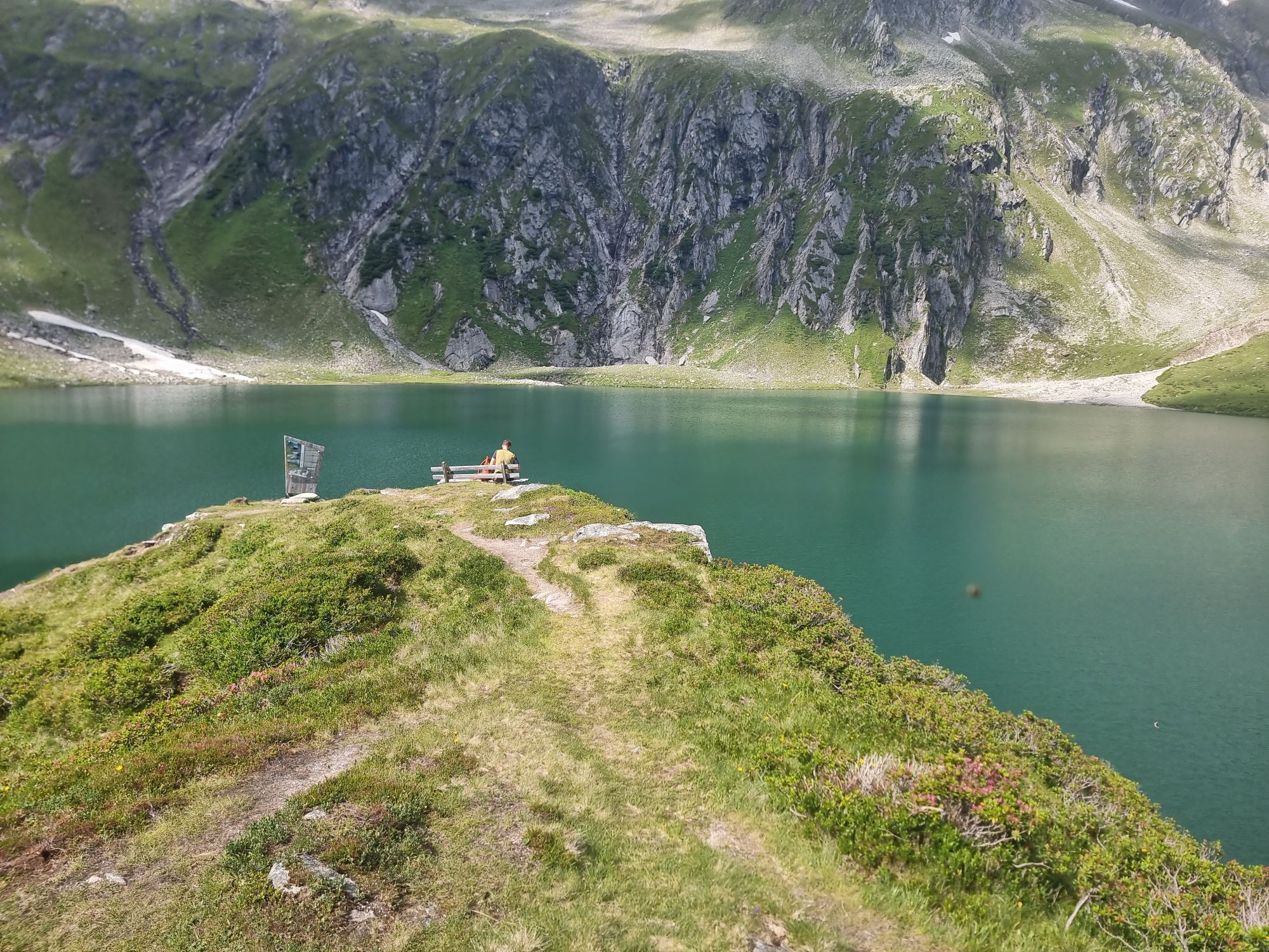
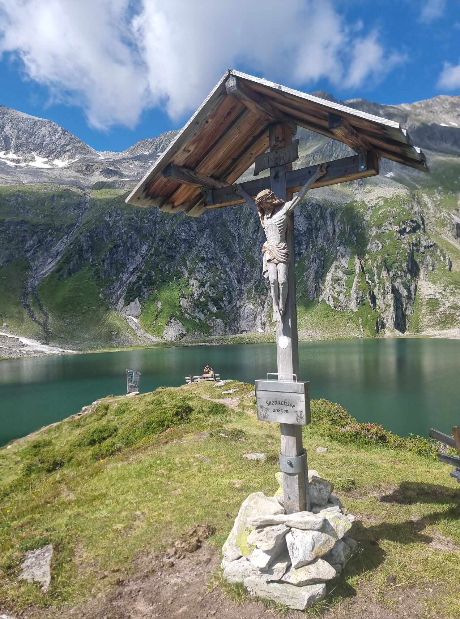
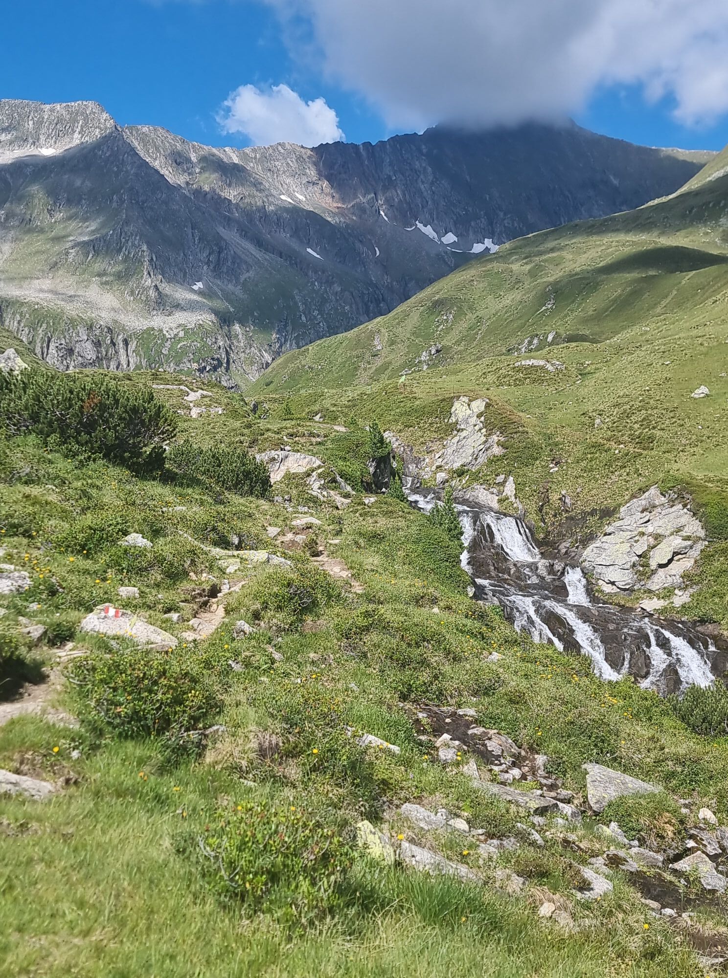
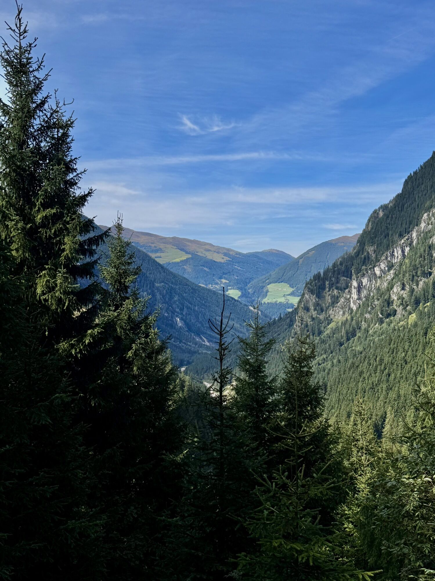
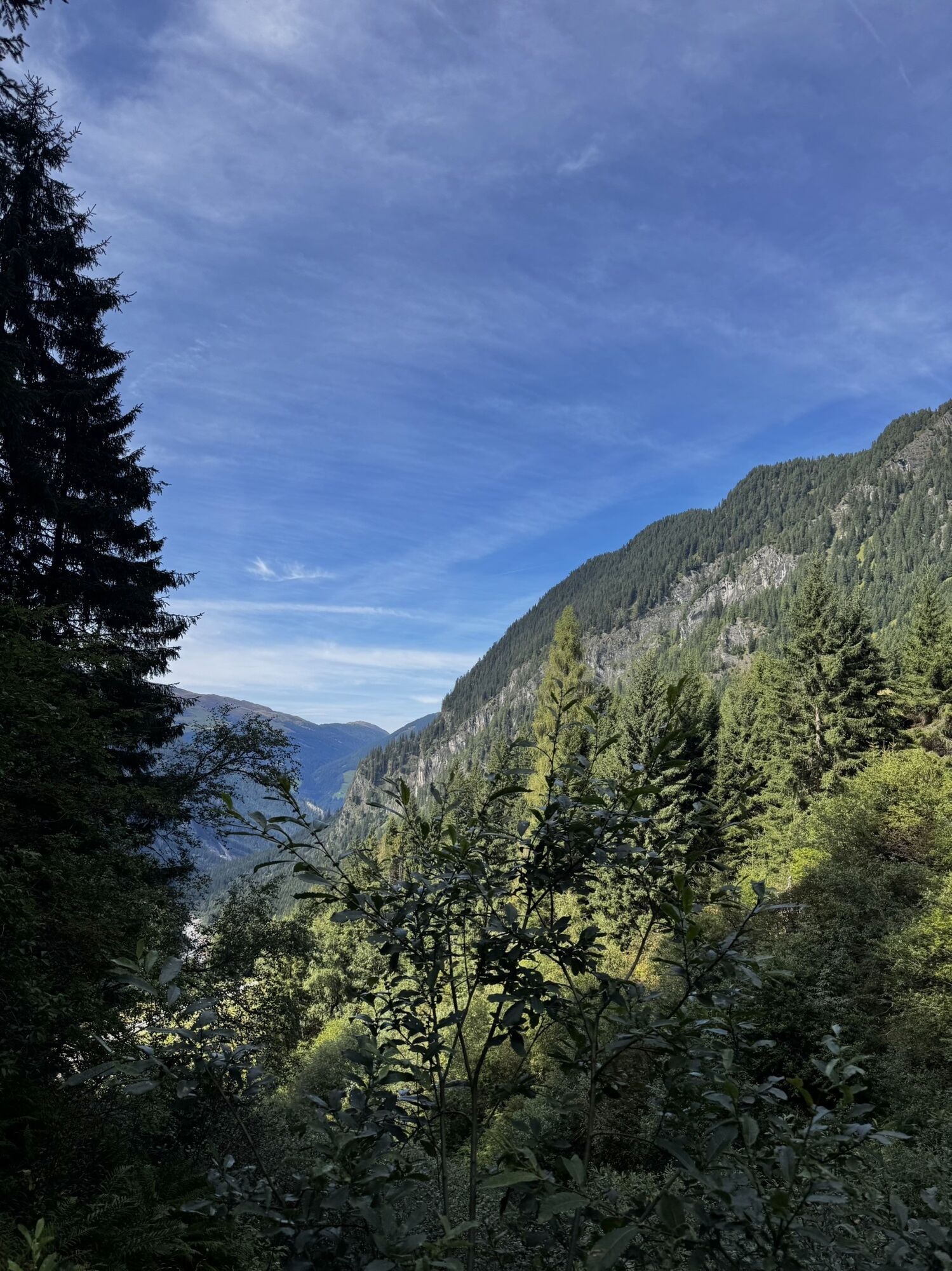
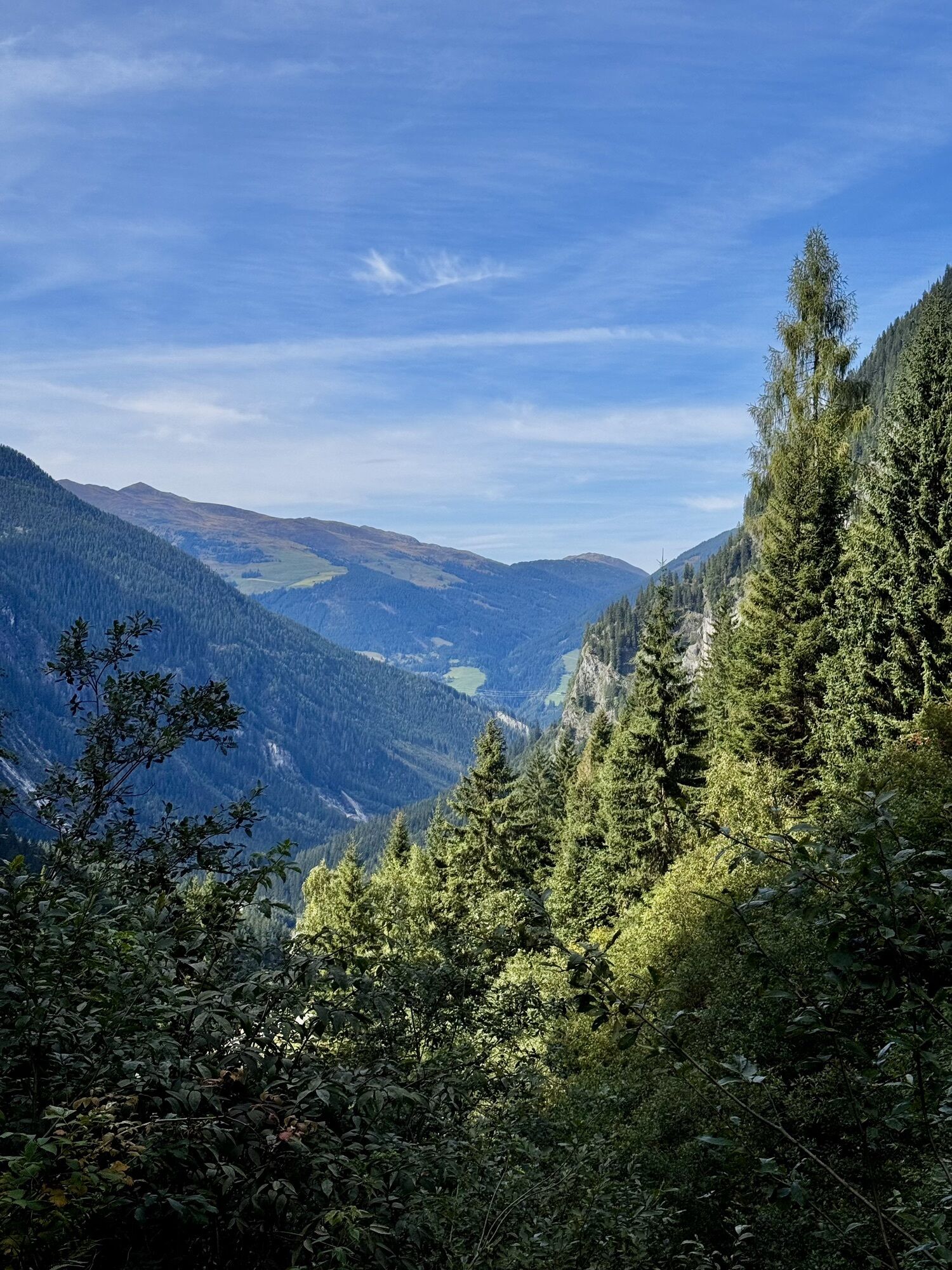
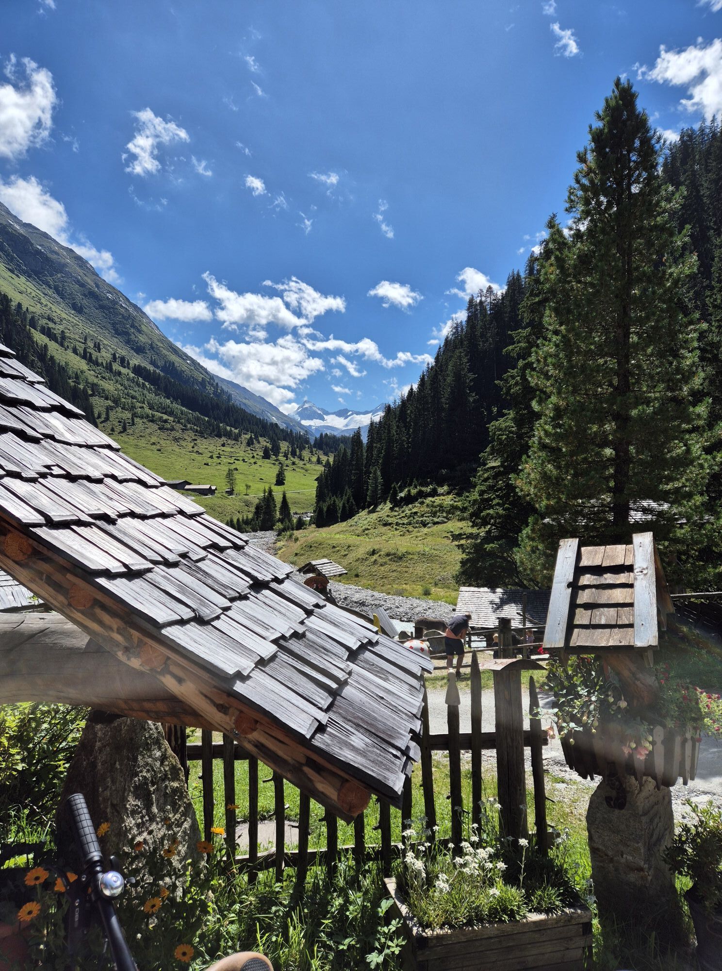
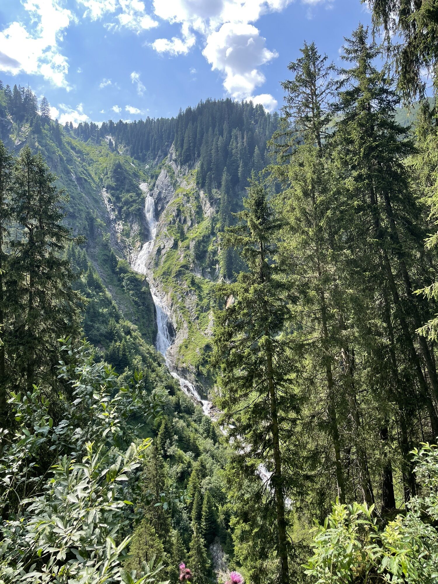
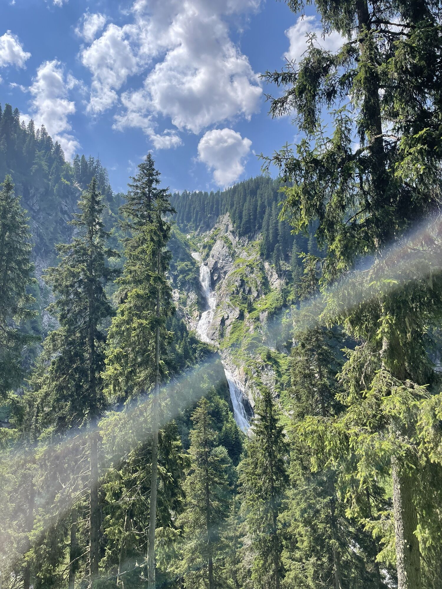
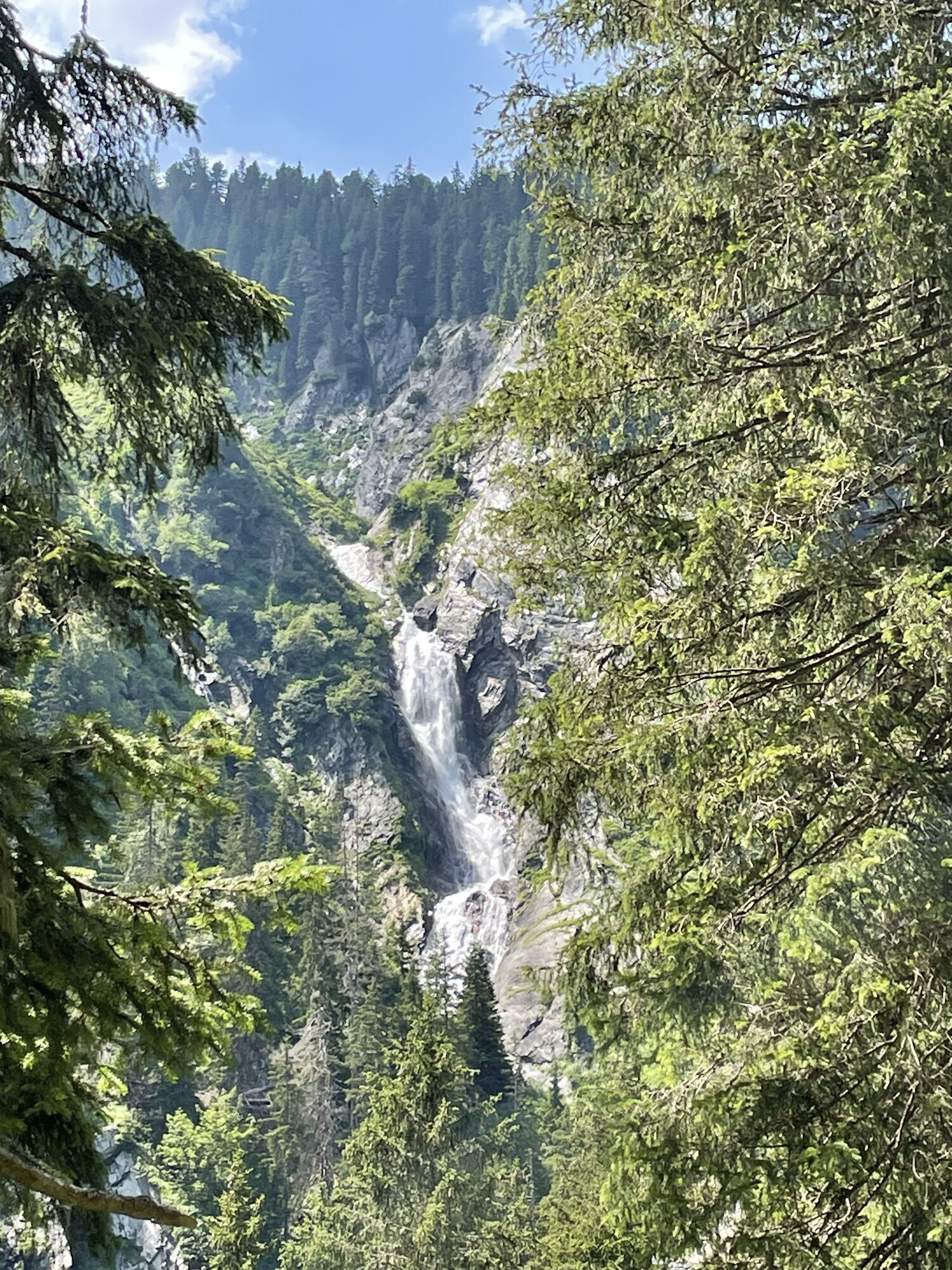
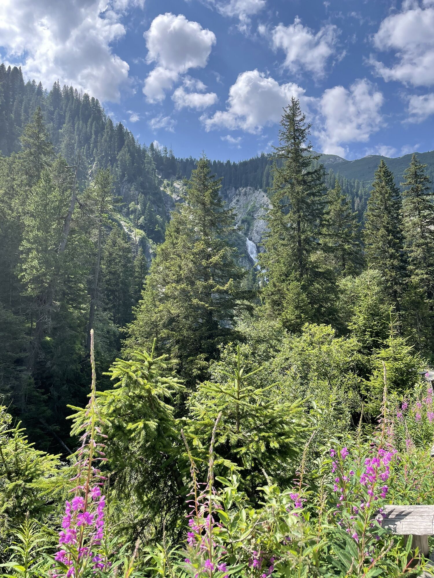
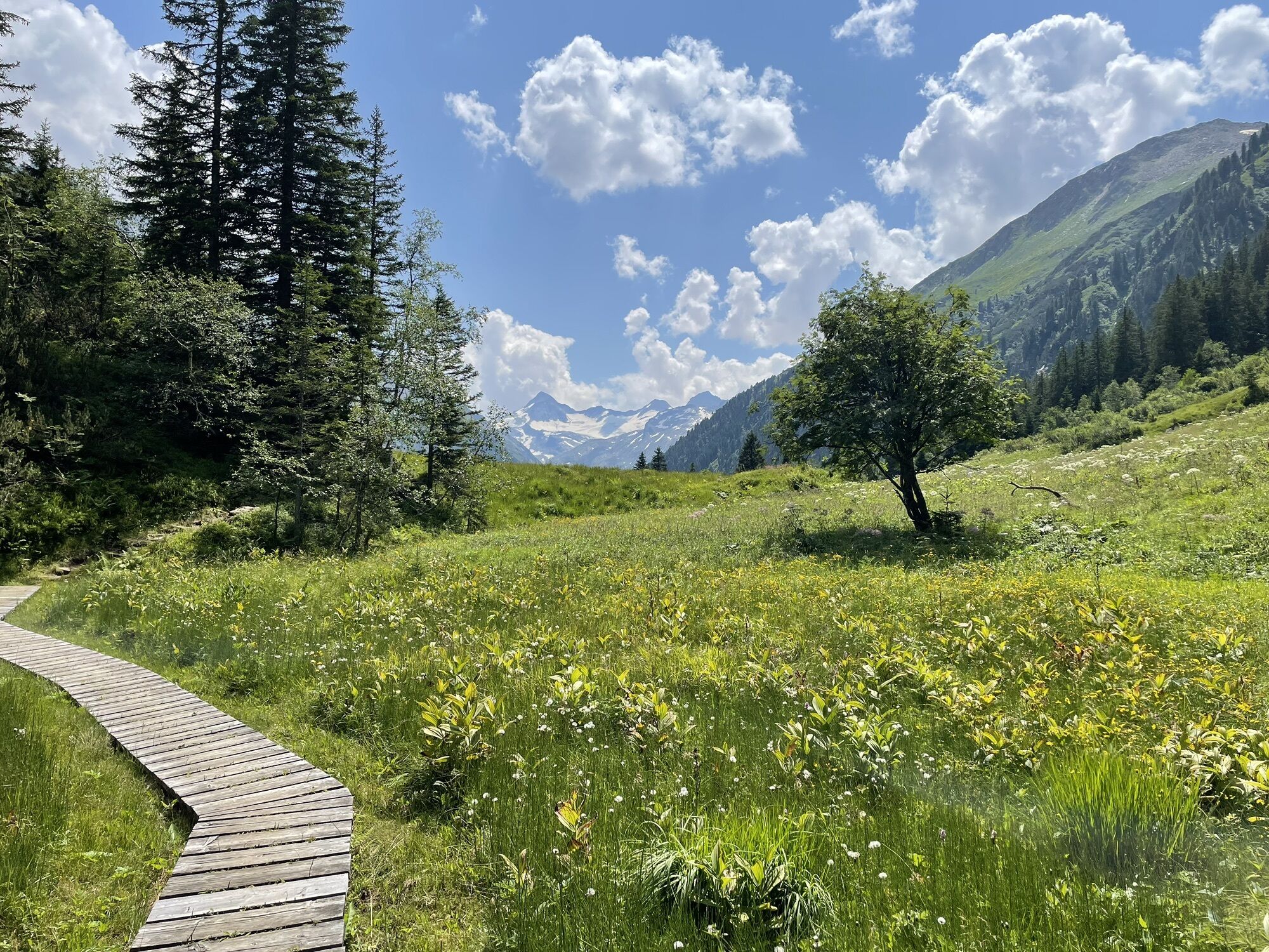
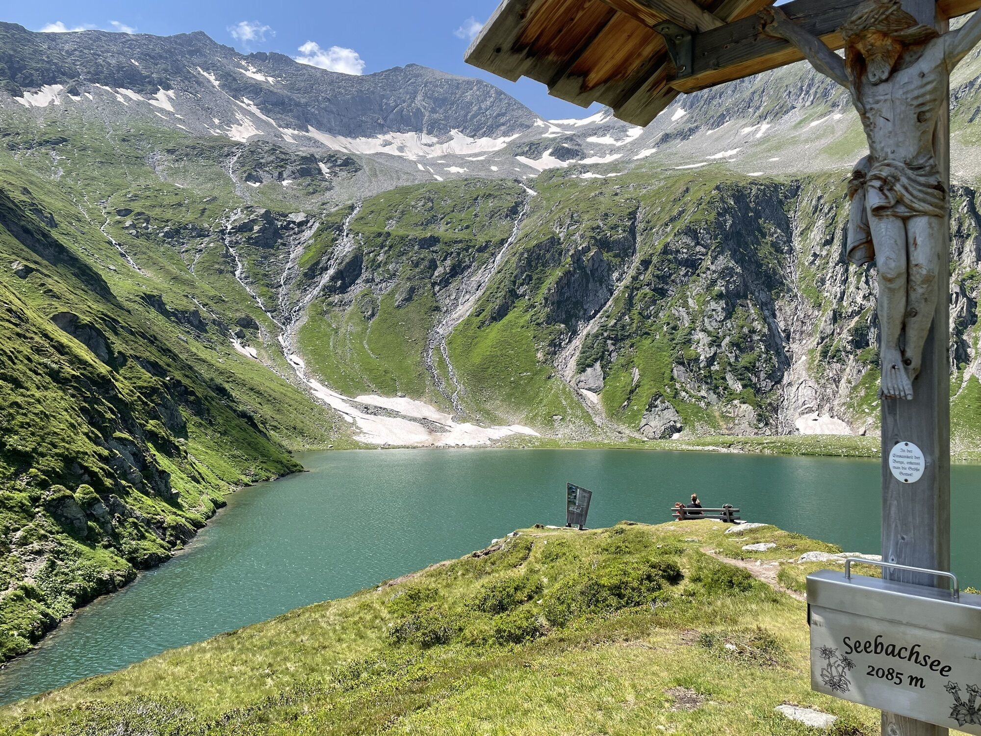
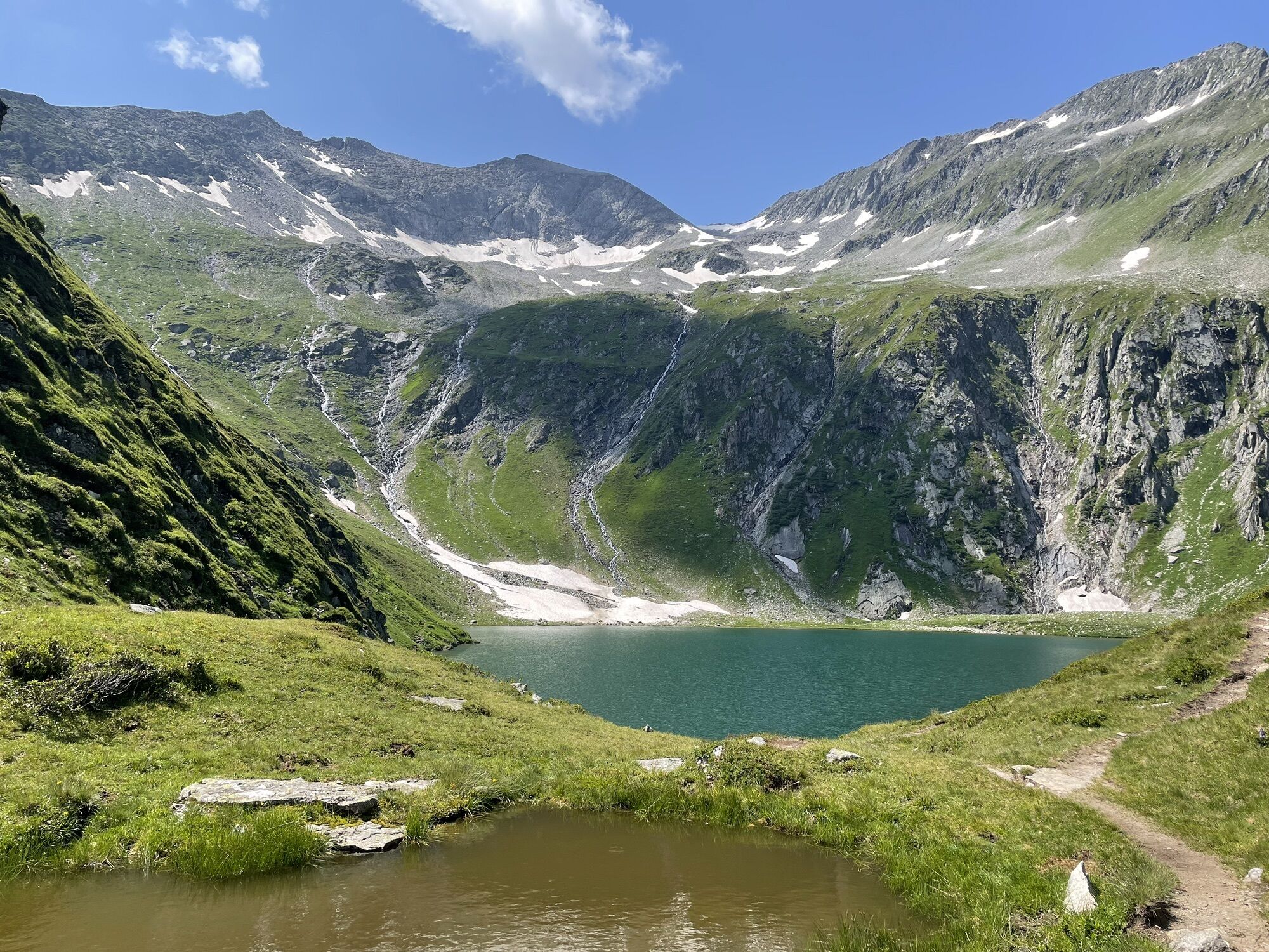
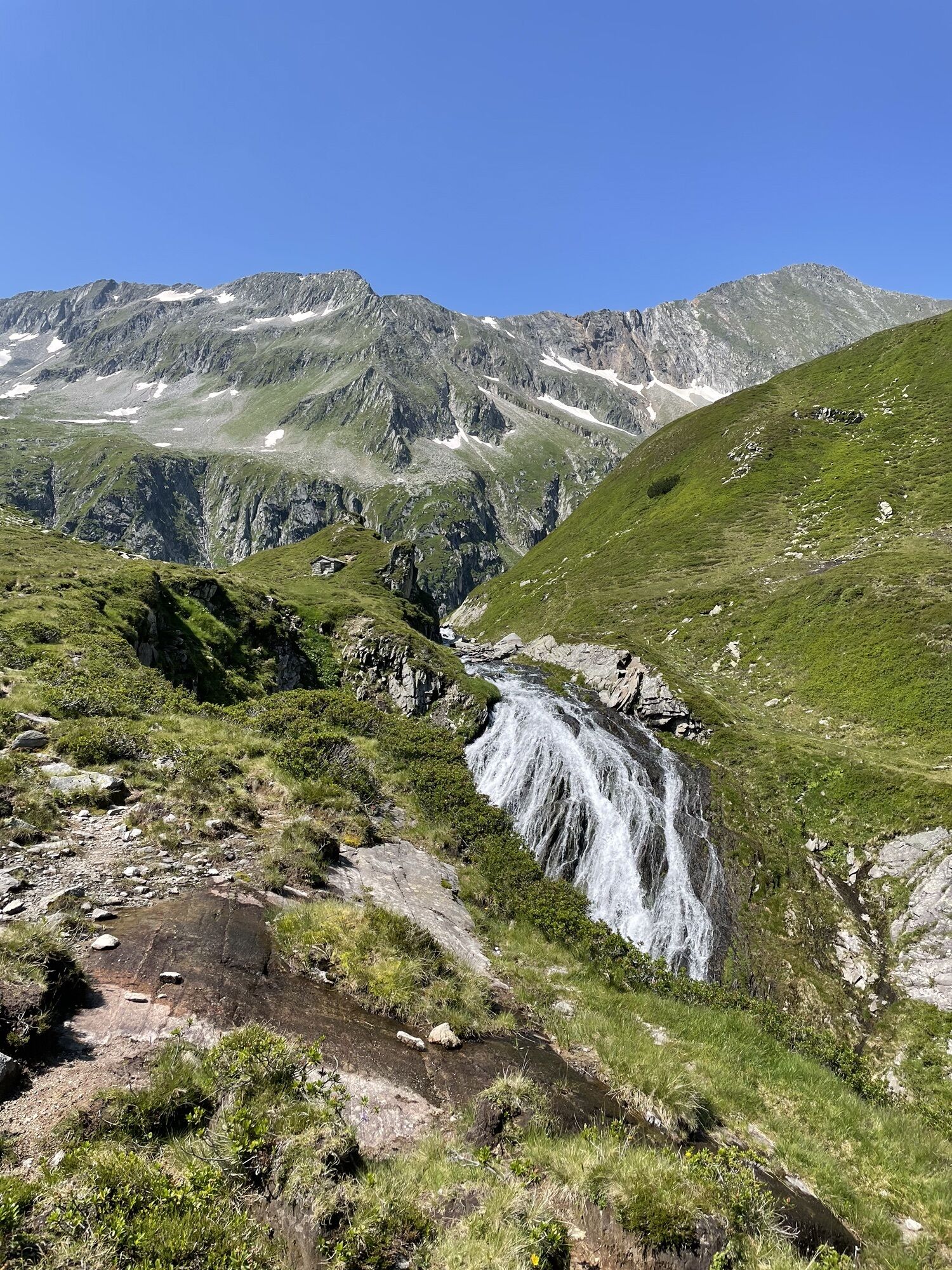
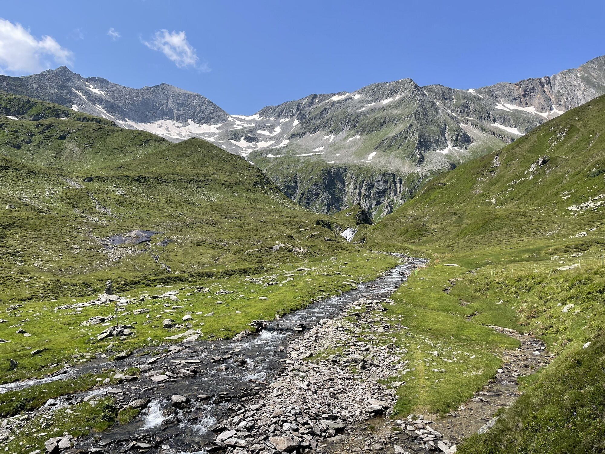
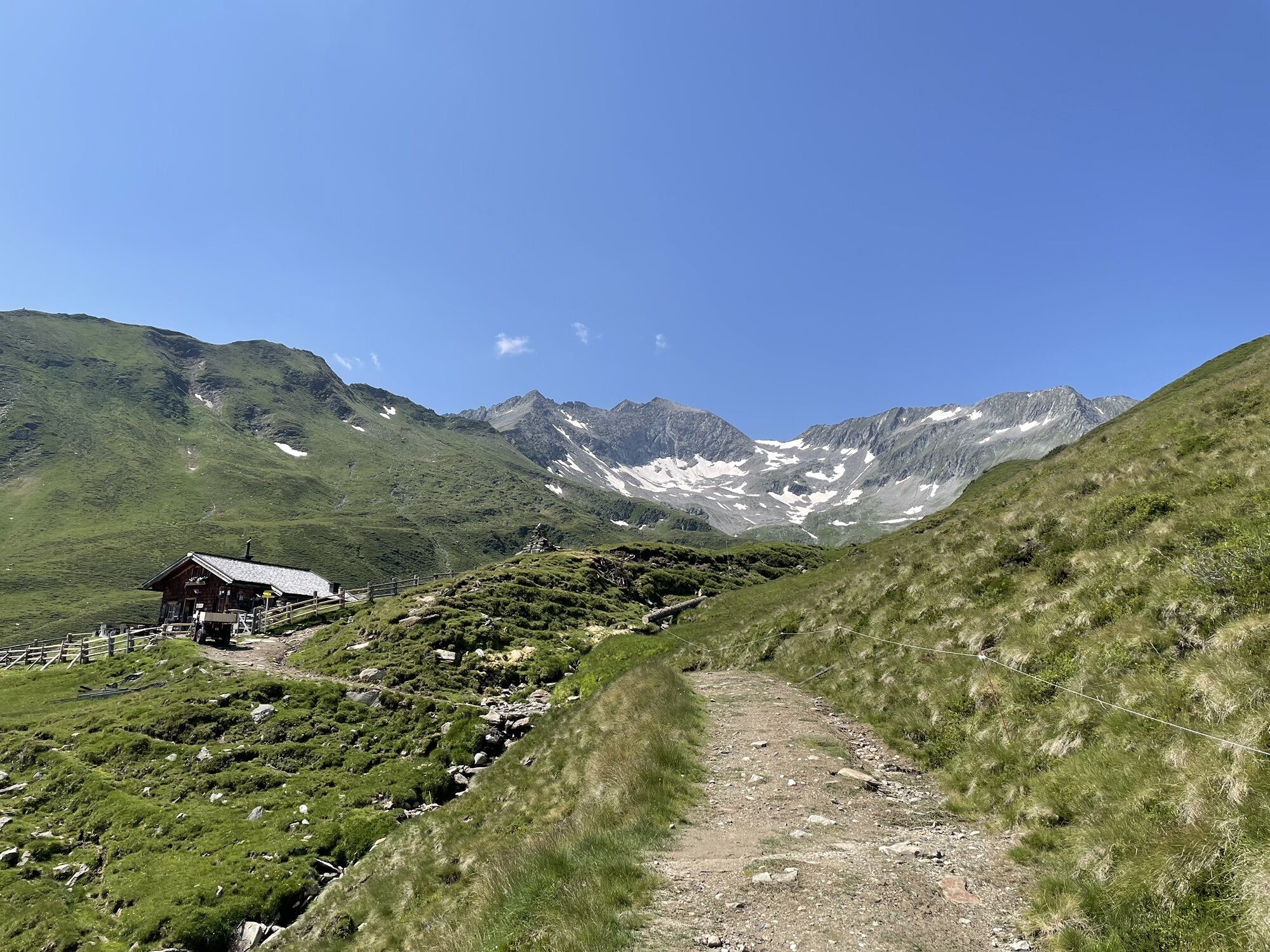
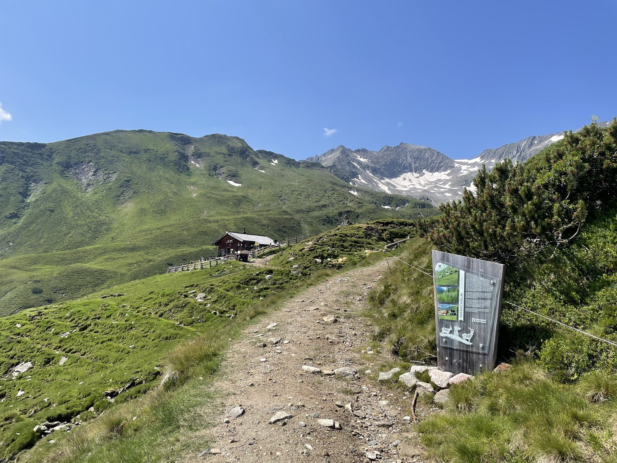
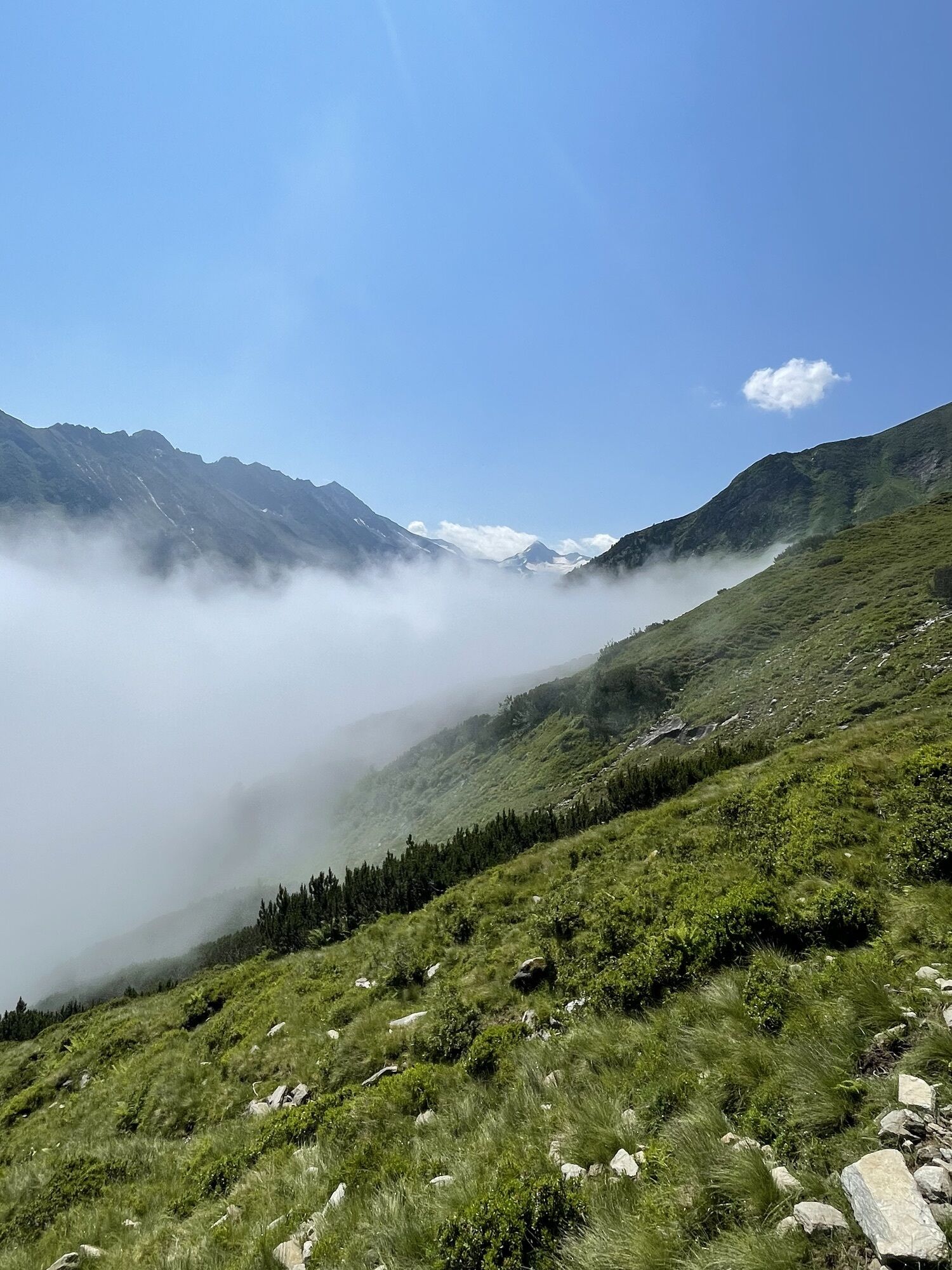
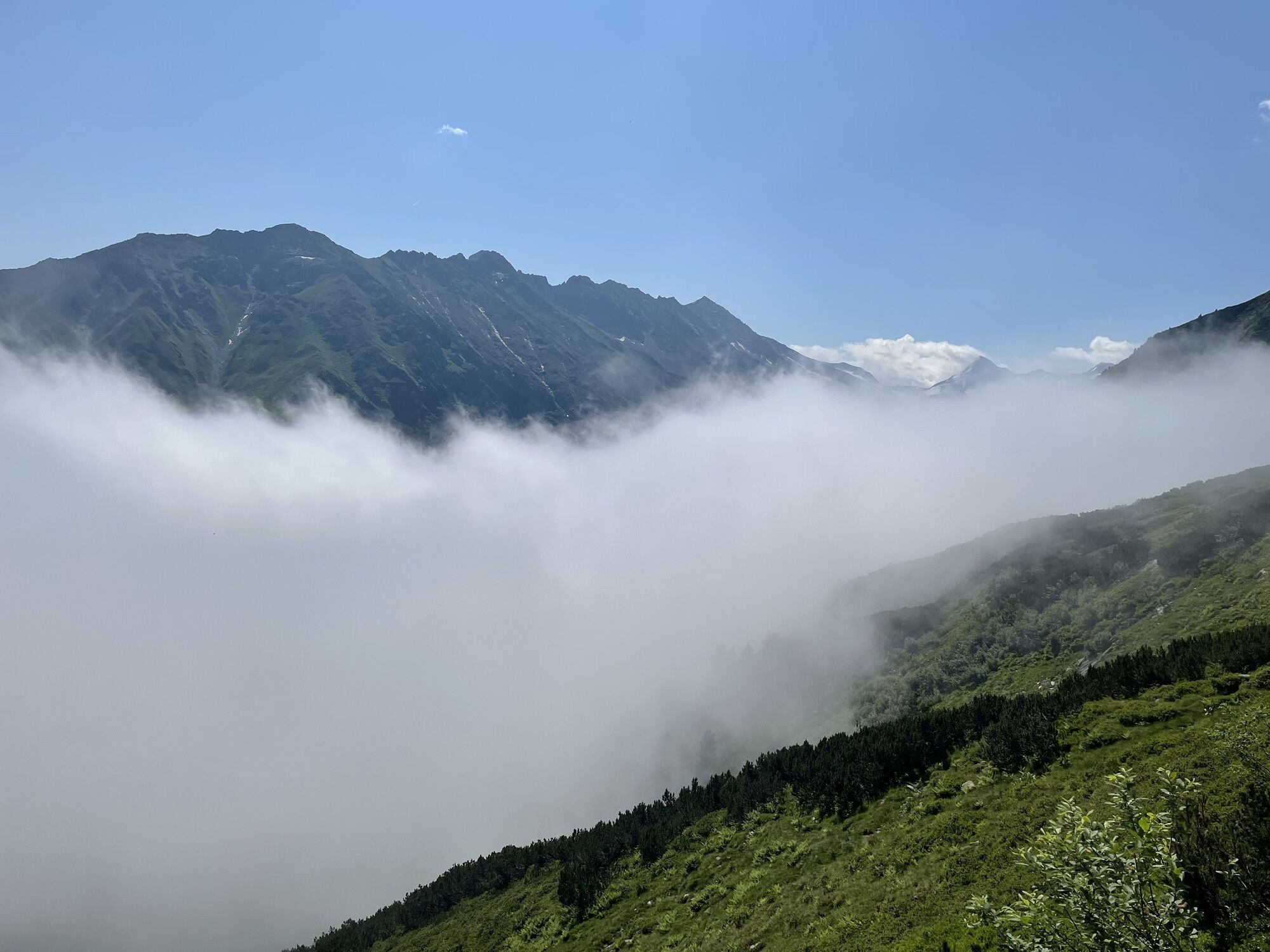
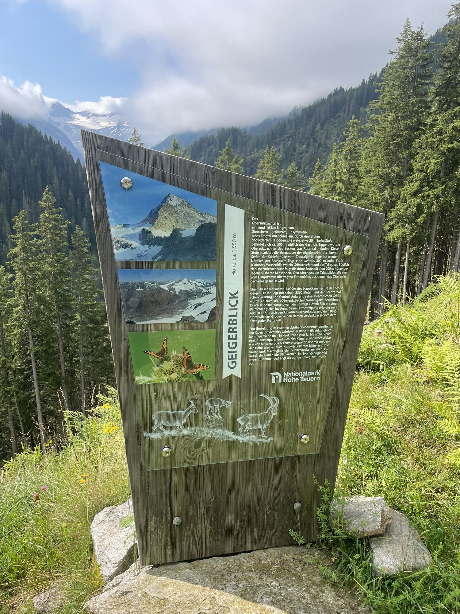
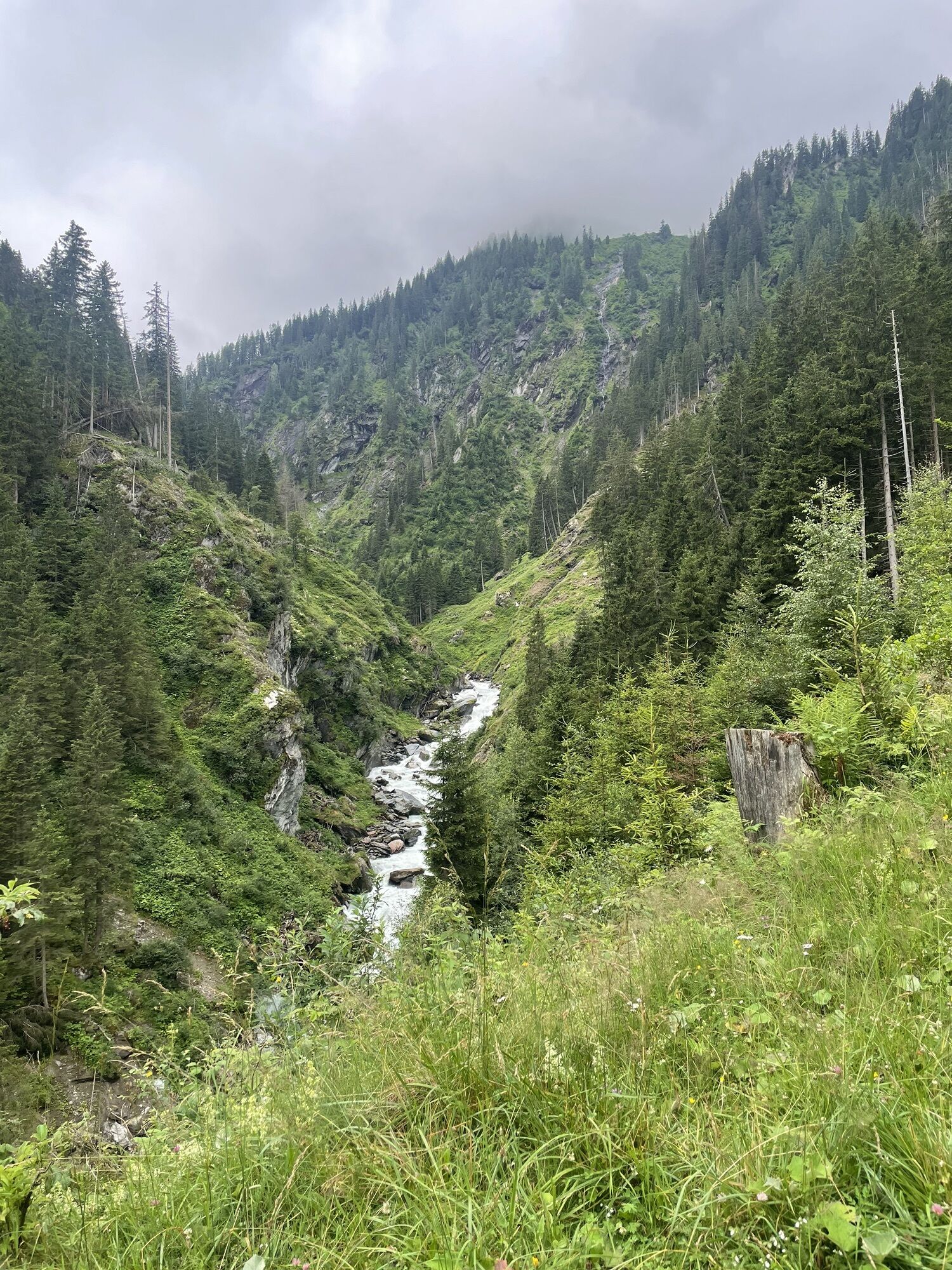
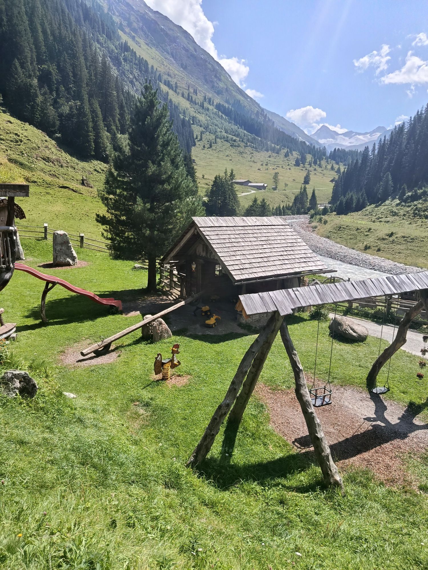
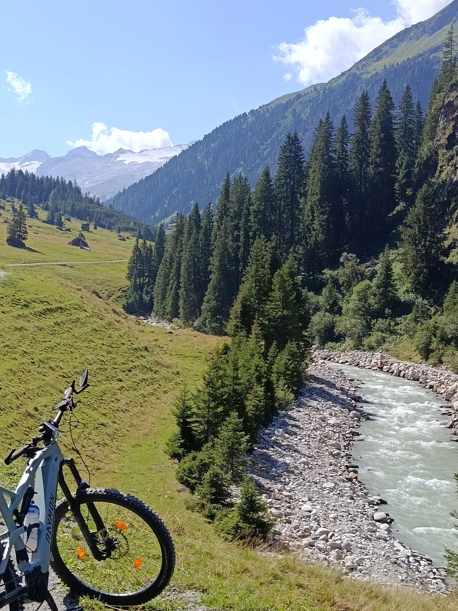
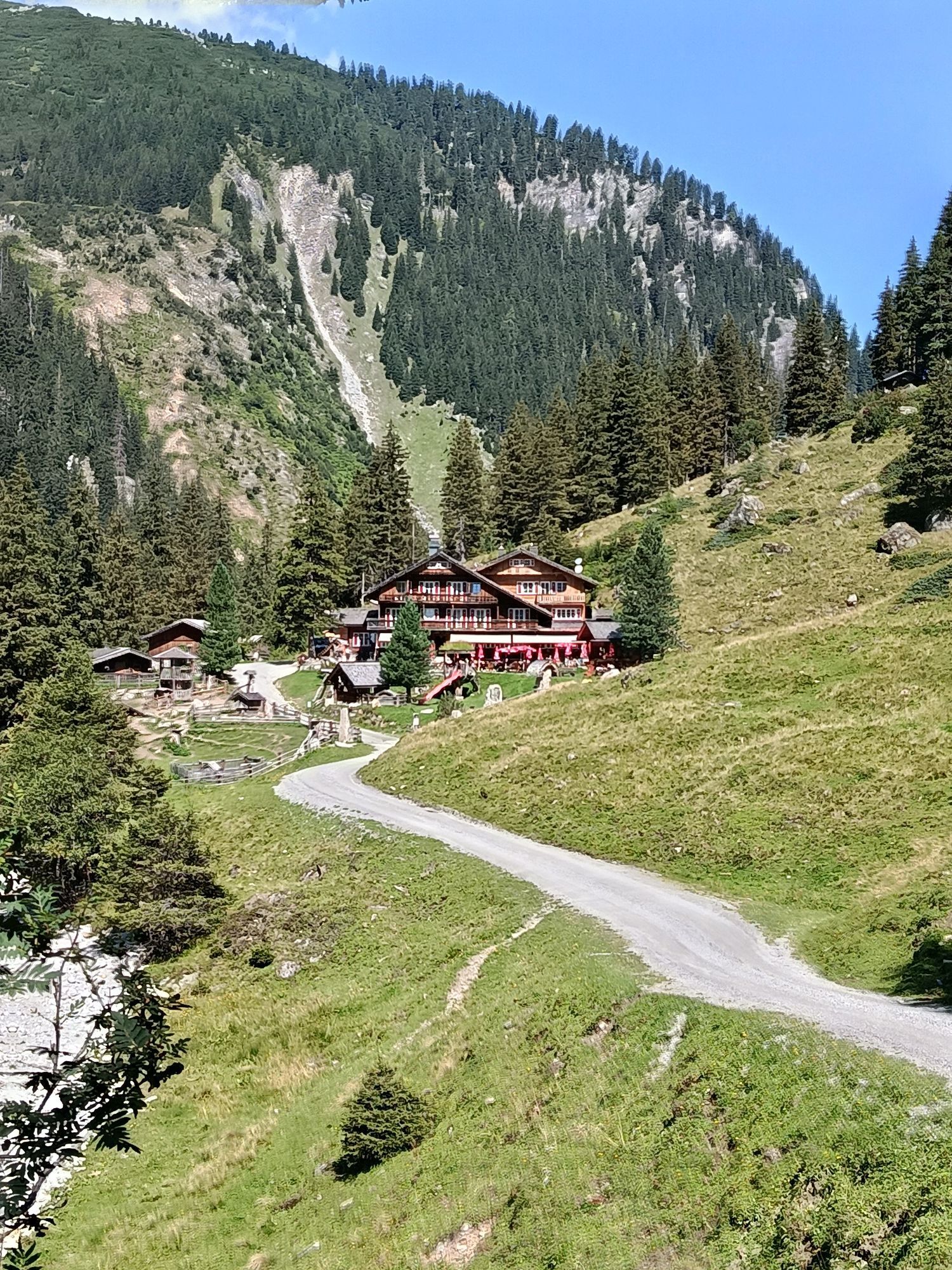
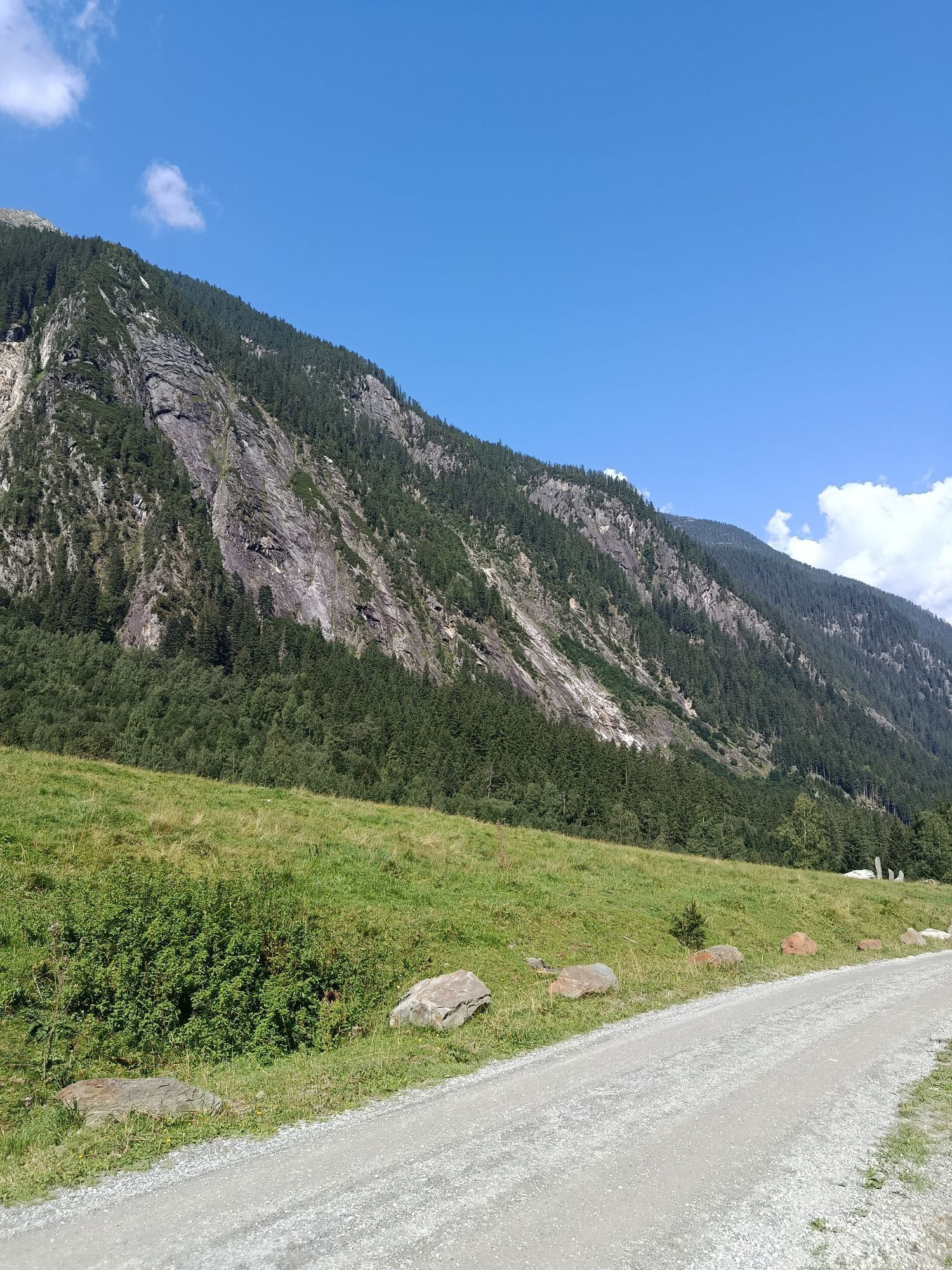
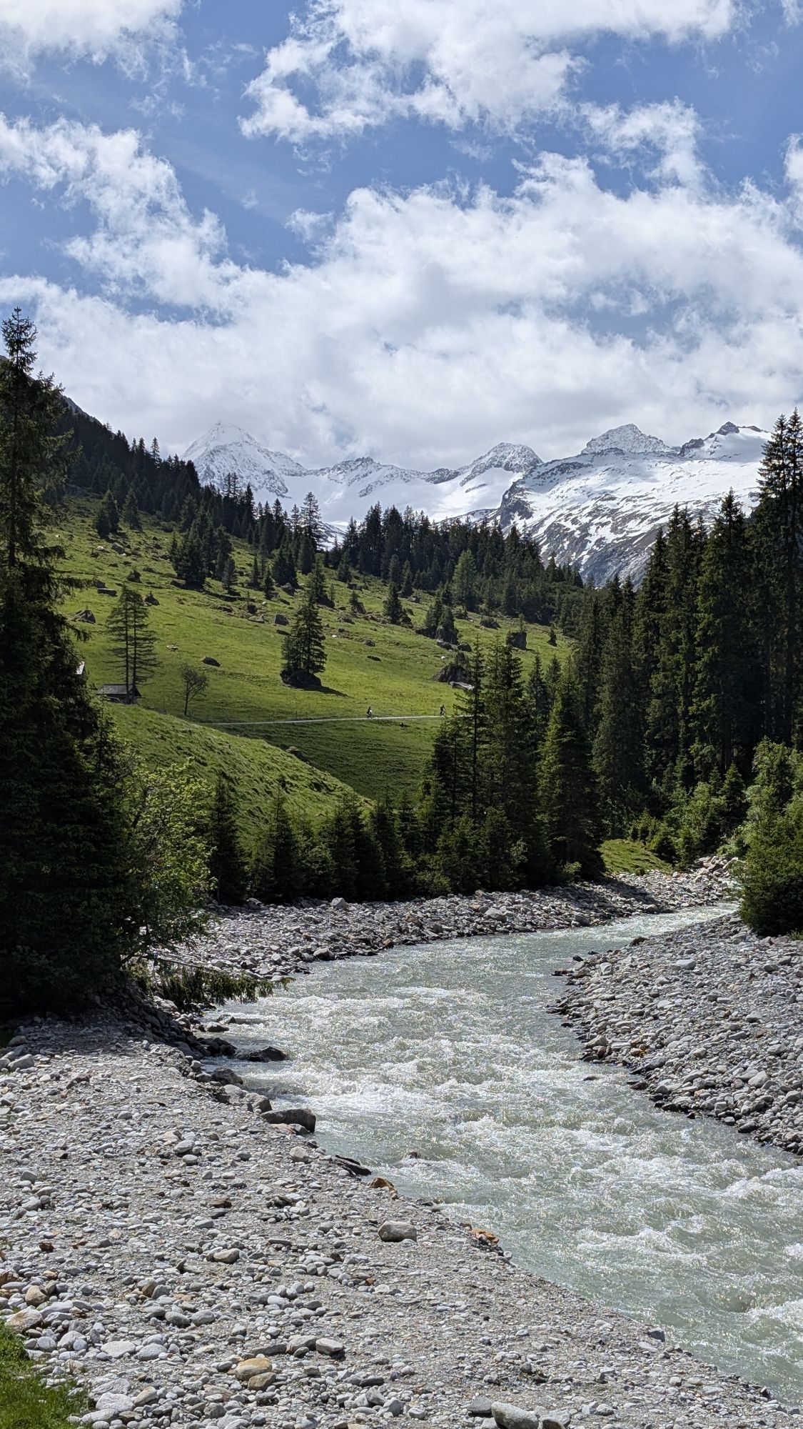
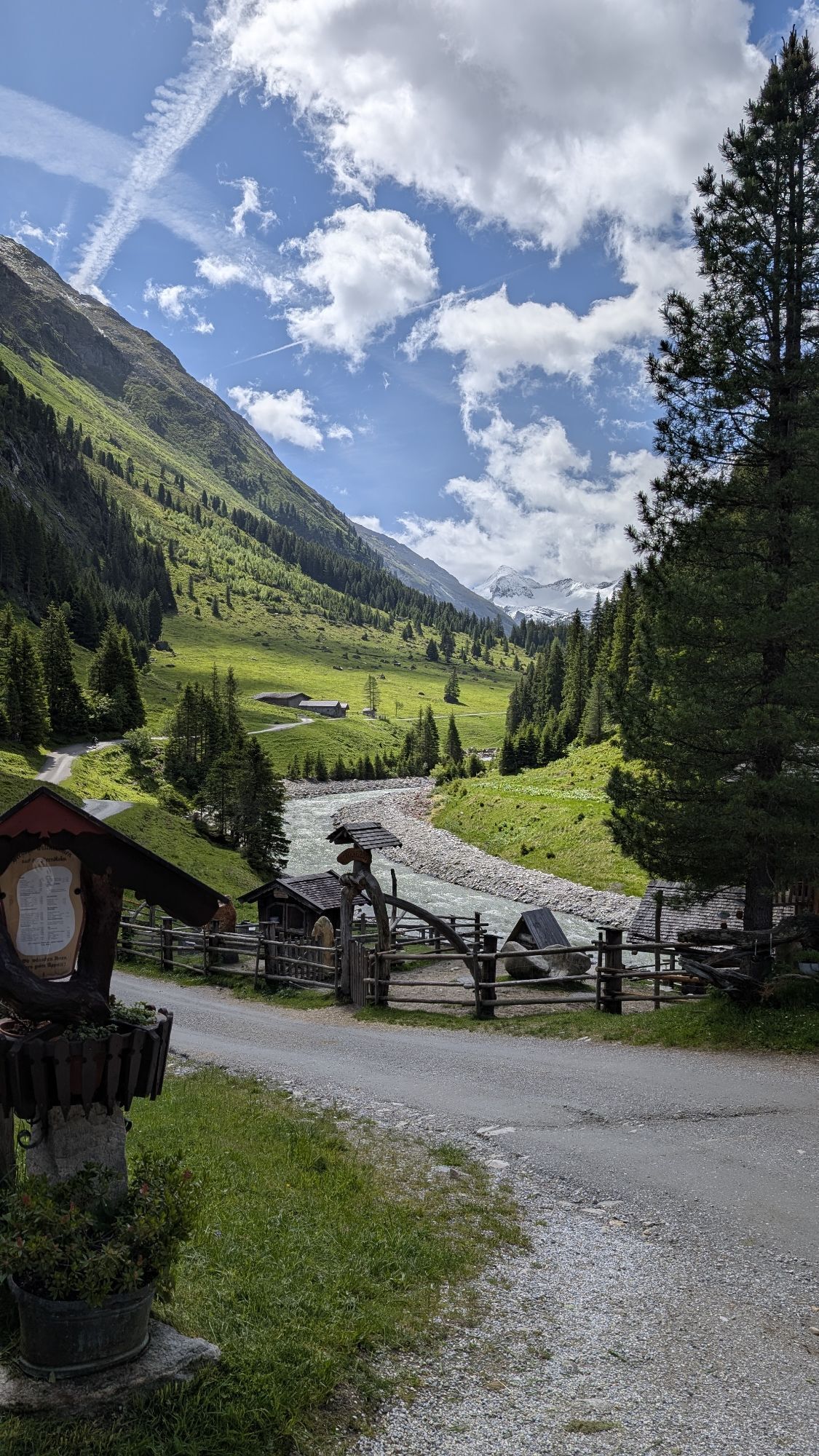
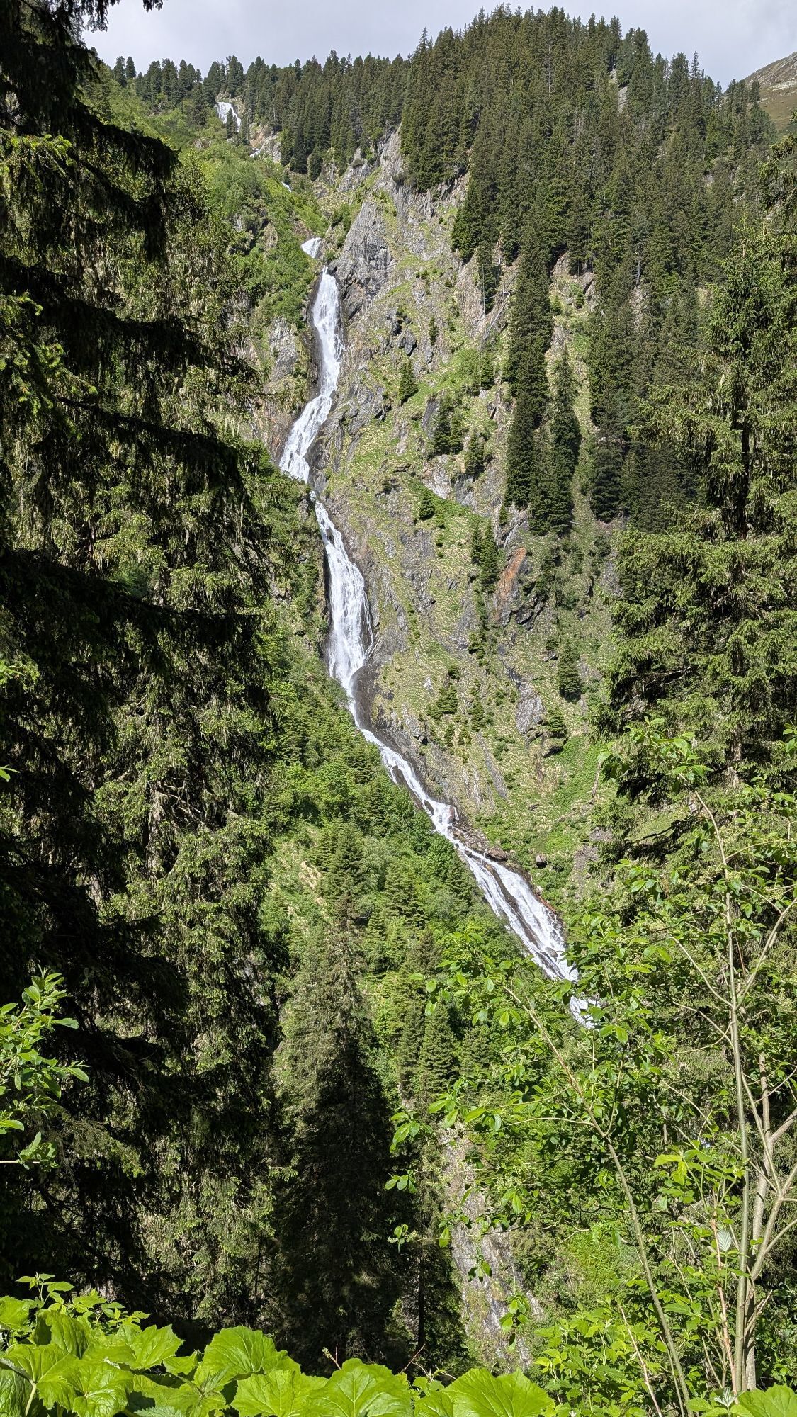
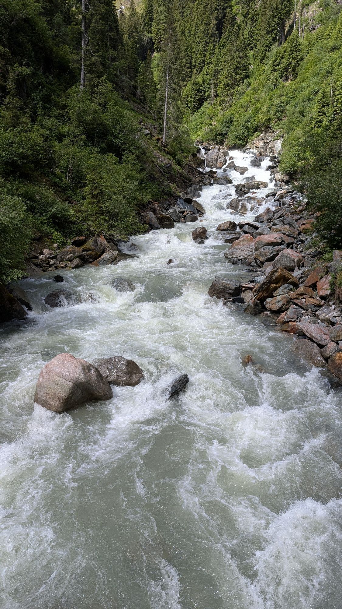

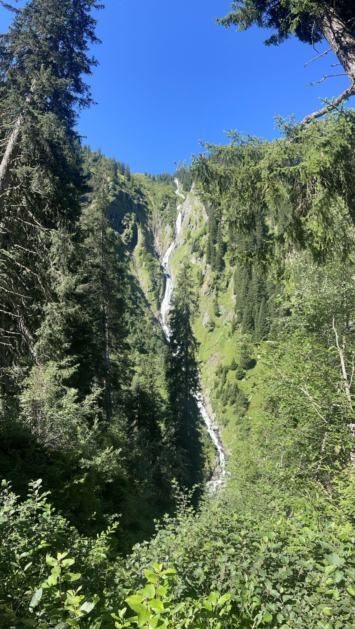
The circular route to the Seebachsee starts at the Hopffeldboden car park. Information boards describe the typical larch, stone pine, and spruce forests, the Seebachsee and Seebach Alm, as well as the...
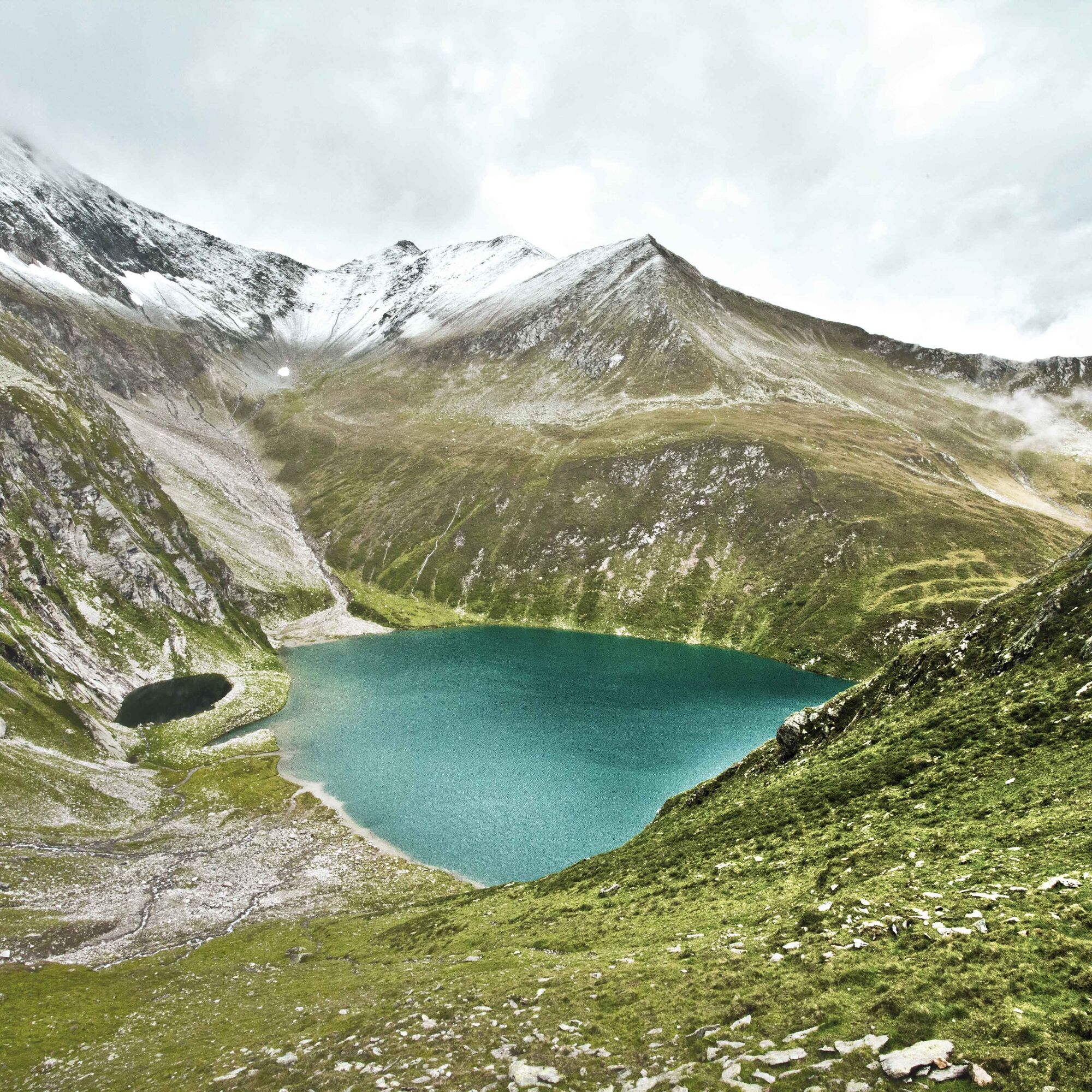
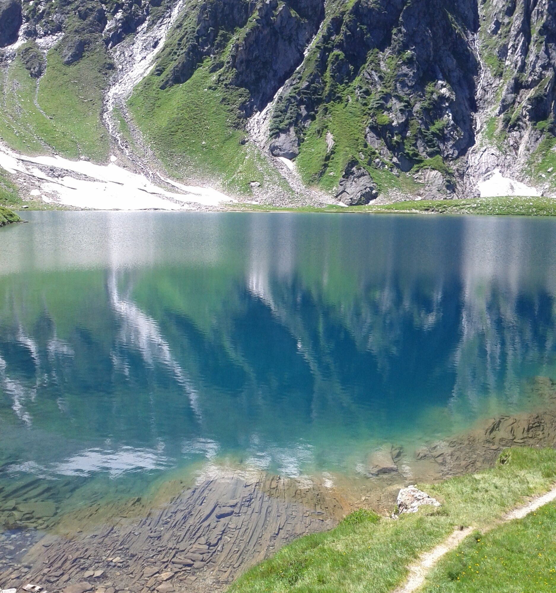
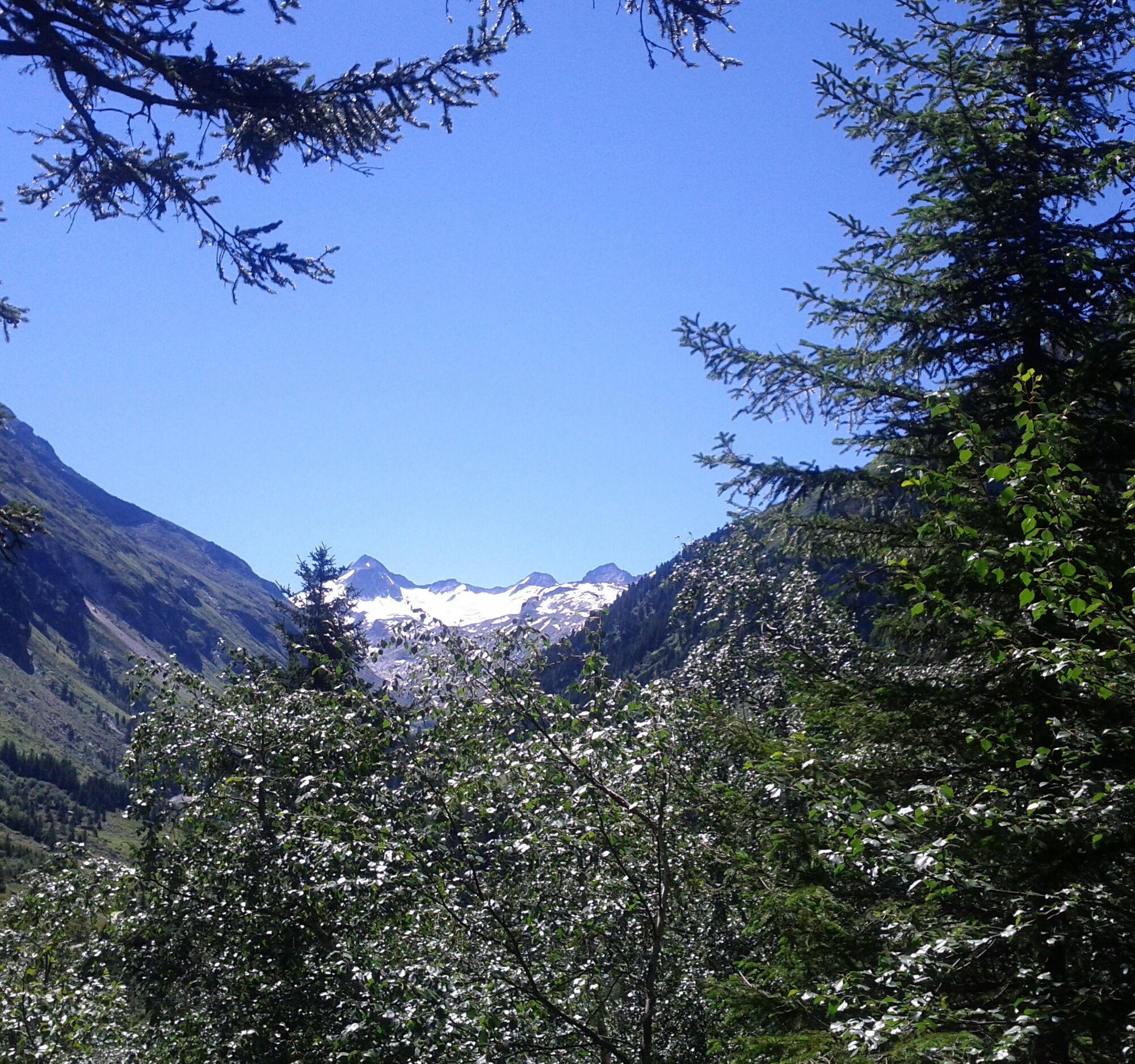
The circular route to the Seebachsee starts at the Hopffeldboden car park. Information boards describe the typical larch, stone pine, and spruce forests, the Seebachsee and Seebach Alm, as well as the Großer Geiger as a prominent mountain in the Obersulzbachtal. For the Seebach round, the ascent via the Seebach Alm is recommended. The descent is via the "Monau" to Berndl Alm and then to Kampriesen Alm and back to Hopffeldboden. The moderately difficult hike requires a walking time of 5.5 hours for the entire loop. Allow enough time to enjoy the magnificent nature directly at Seebachsee.


Seebach Educational Route
Trail No. 12 A, Trail No. 914
Duration: approx. 5:30 h (circular route)
Sturdy footwear, good fitness, and sure-footedness are required for this hike.
Do not leave marked hiking trails - keep dogs on a leash!
On the B 165, take the Sulzau exit and follow the road south through the Sulzau area. Just before the Siggen inn, the path leads over a bridge spanning the Obersulzbach. Follow this path to Hopffeldboden.
The Hopffeldboden car park is subject to a fee and allows you to safely park your vehicle away from grazing livestock. During the summer months, a staff member from the national park administration is available for information.
Wildkogel Arena
Tourist offices Neukirchen & Bramberg
Tel. +43 (0) 720 710 730
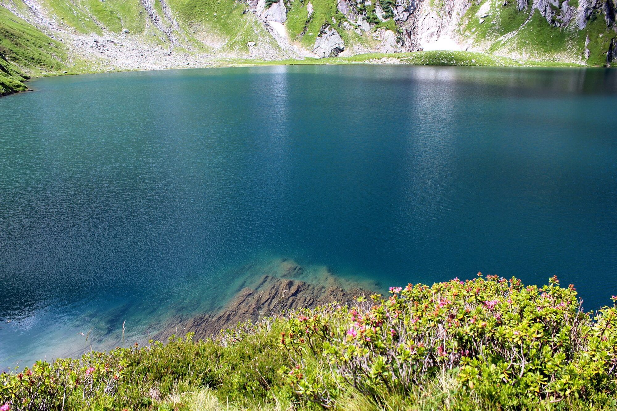
Especially diverse during the growing season is the protected flora in the shore zones.




Oblíbené prohlídky v okolí
-
4.3
Gerlos: Stausee Rundwanderung
středníTuristika 12.5 km -
4.8
Zittauer Hut
středníTuristika 6.85 km -
3.7
Smaragdwanderweg Habachtal/Bramberg
světloTuristika 7.17 km -
4.4
Krimml Waterfall Path - Panorama Viewing Path
středníTuristika 5.71 km -
4.4
Krimmler Tauernhaus
středníTuristika 10.4 km -
4.6
Kröndlhorn (2.444m)
heavyTuristika 13.5 km -
4.7
Hollersbach - Neue Fürther Hütte
Turistika 16.0 km -
4.9
Krimmler Achental
středníElektrokola 18.4 km -
4.6
Krimmlerwasserfälle
středníTuristika 10.5 km -
5.0
Krimml: Zum Krimmler Tauernhaus
Mountainbike 12.4 km
Pěší turistika a stopování


Nenechte si ujít nabídky a inspiraci pro vaši příští dovolenou
Vaše e-mailová adresa byl přidán do poštovního seznamu.





