







From Lofer to the Kechtalm

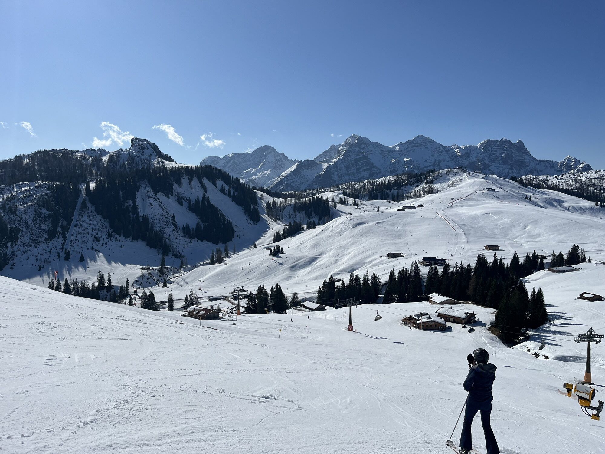
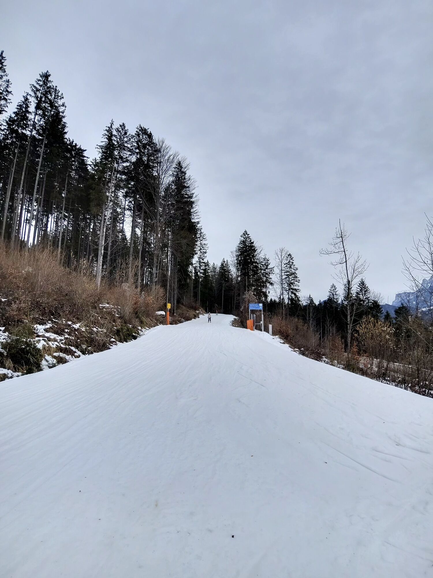
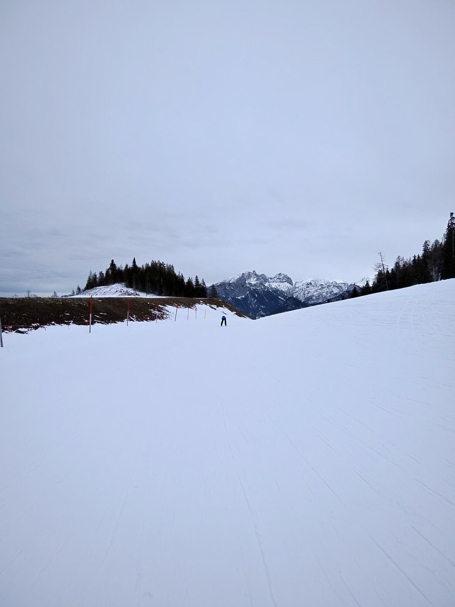
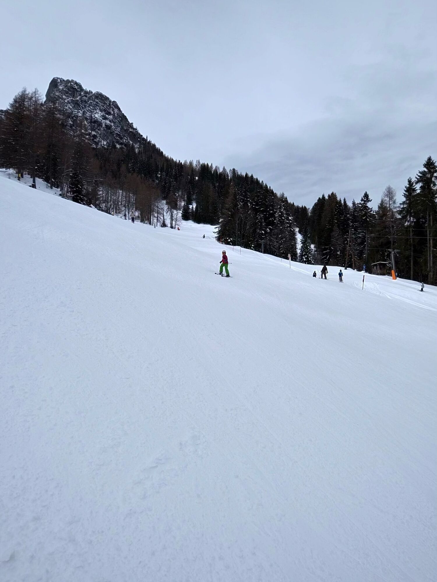
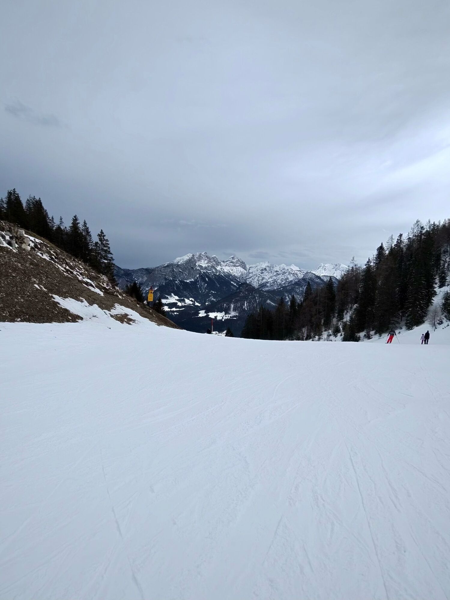
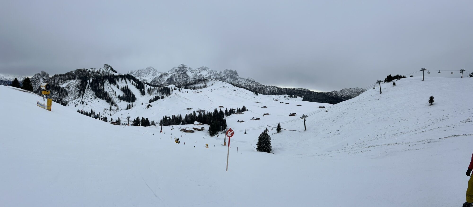
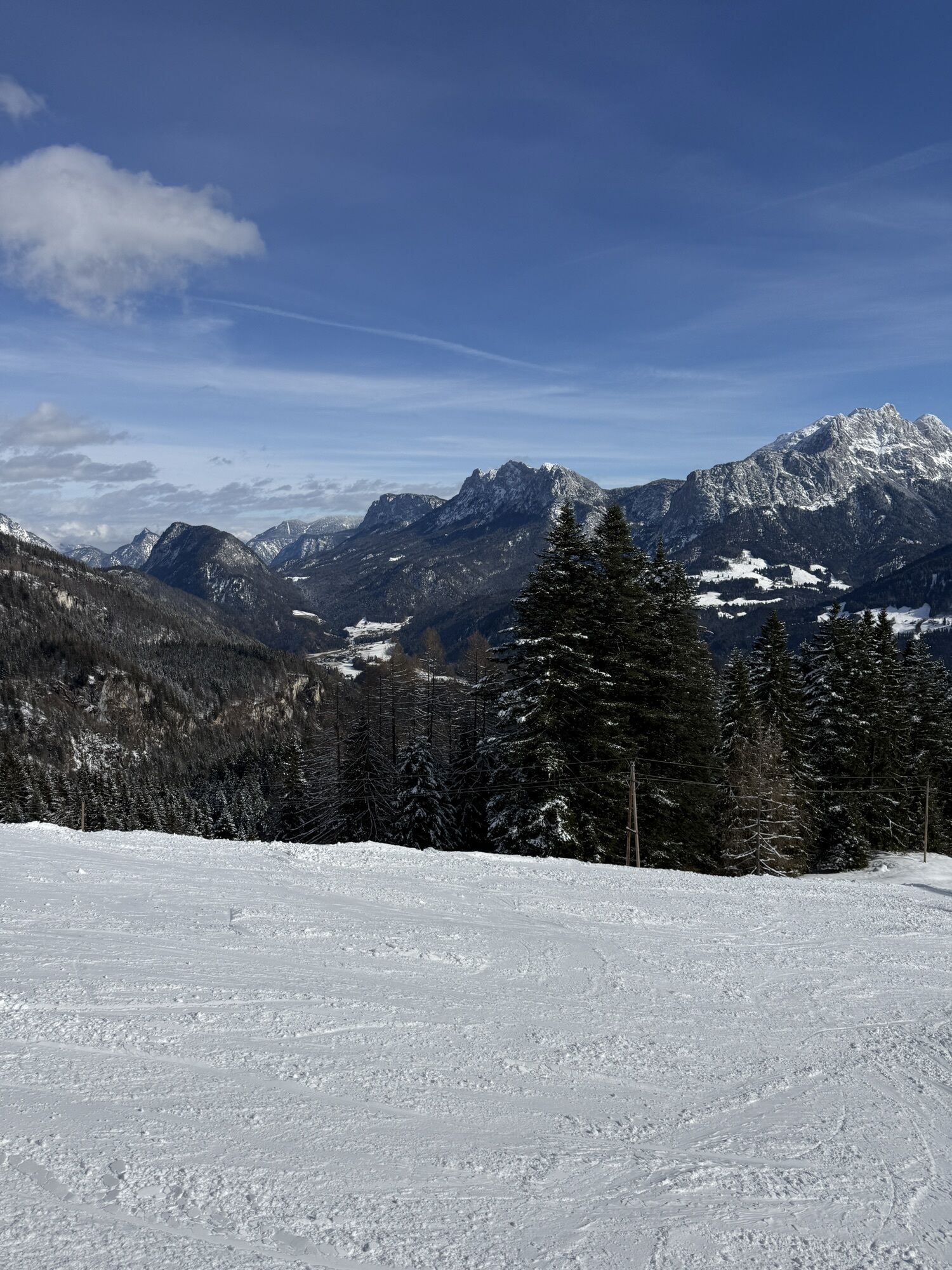
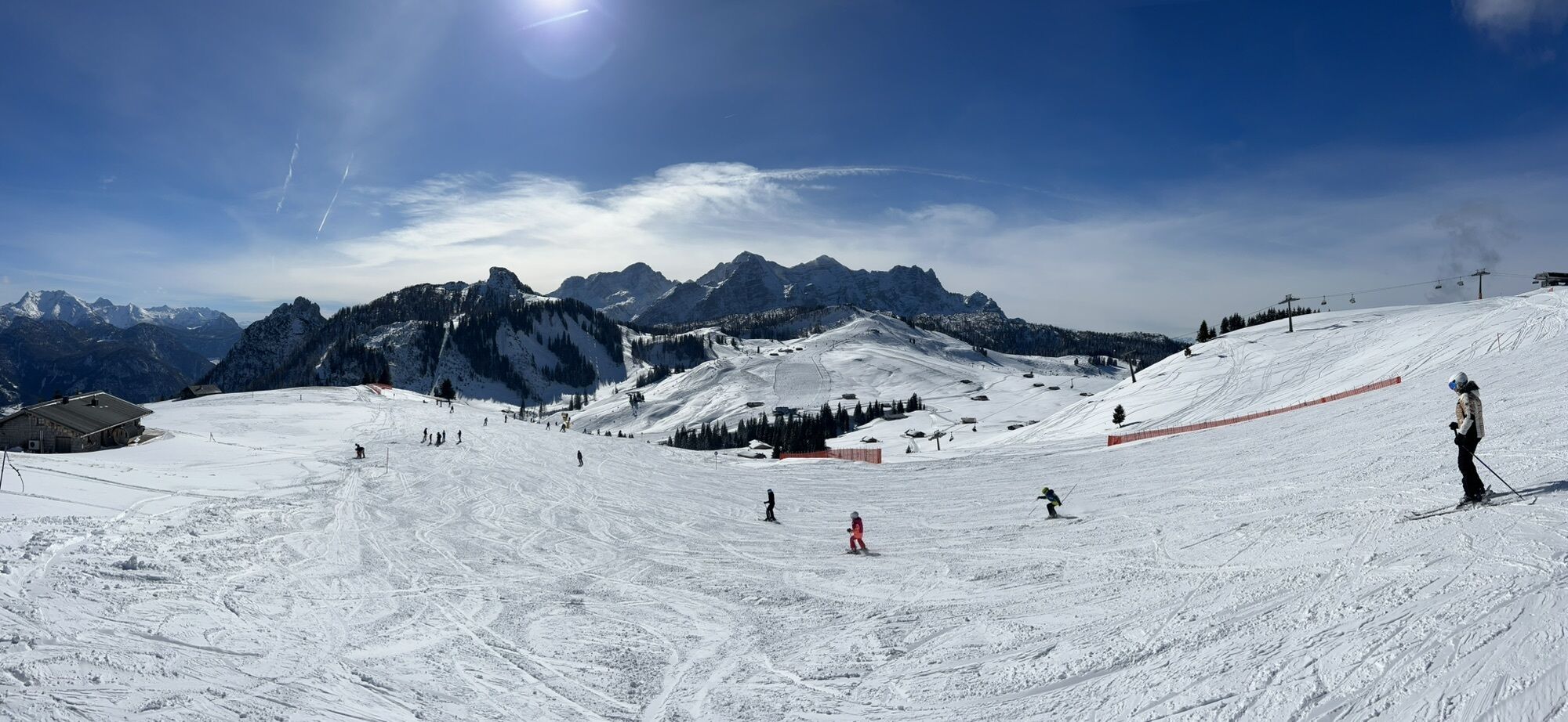
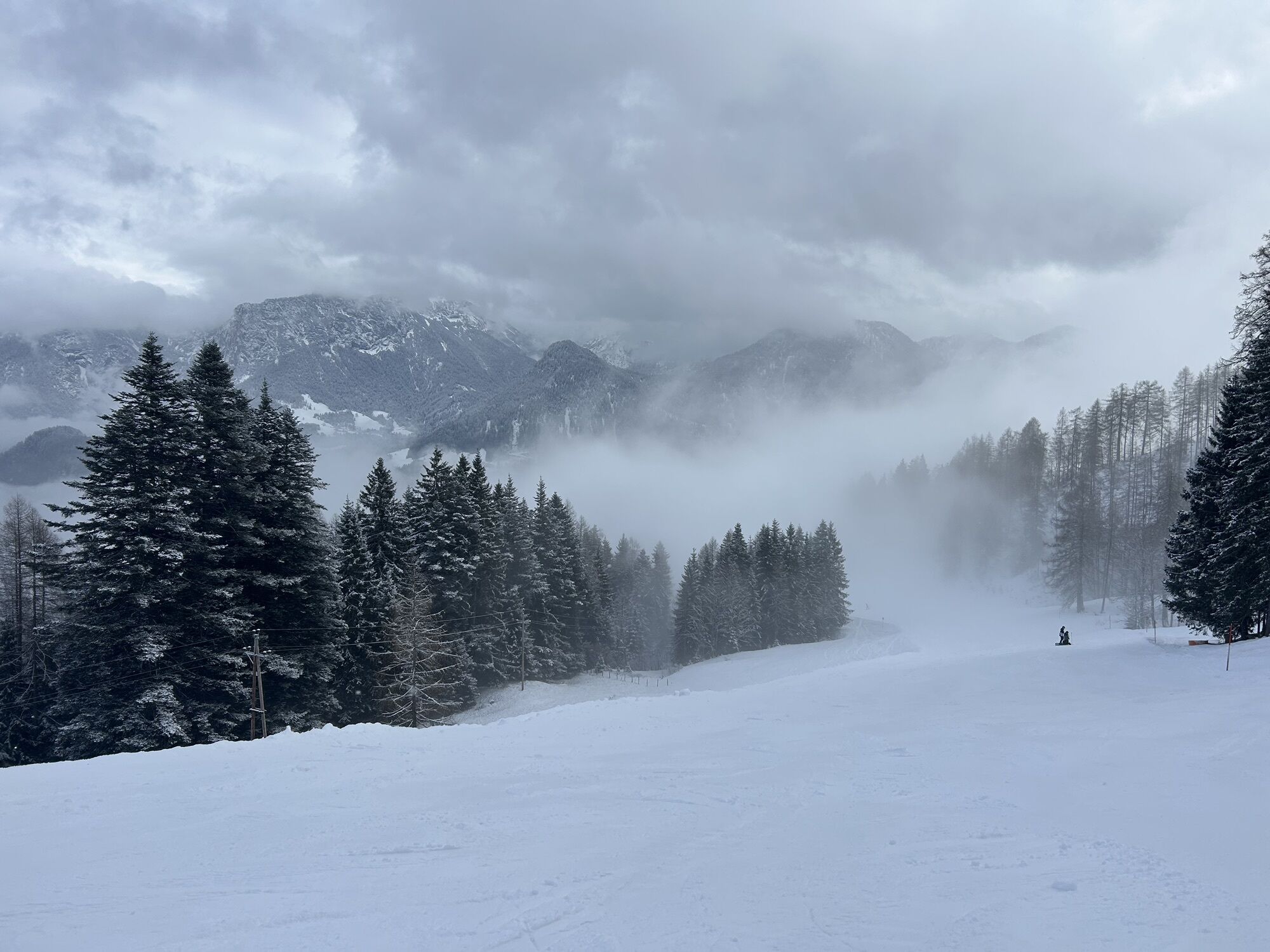
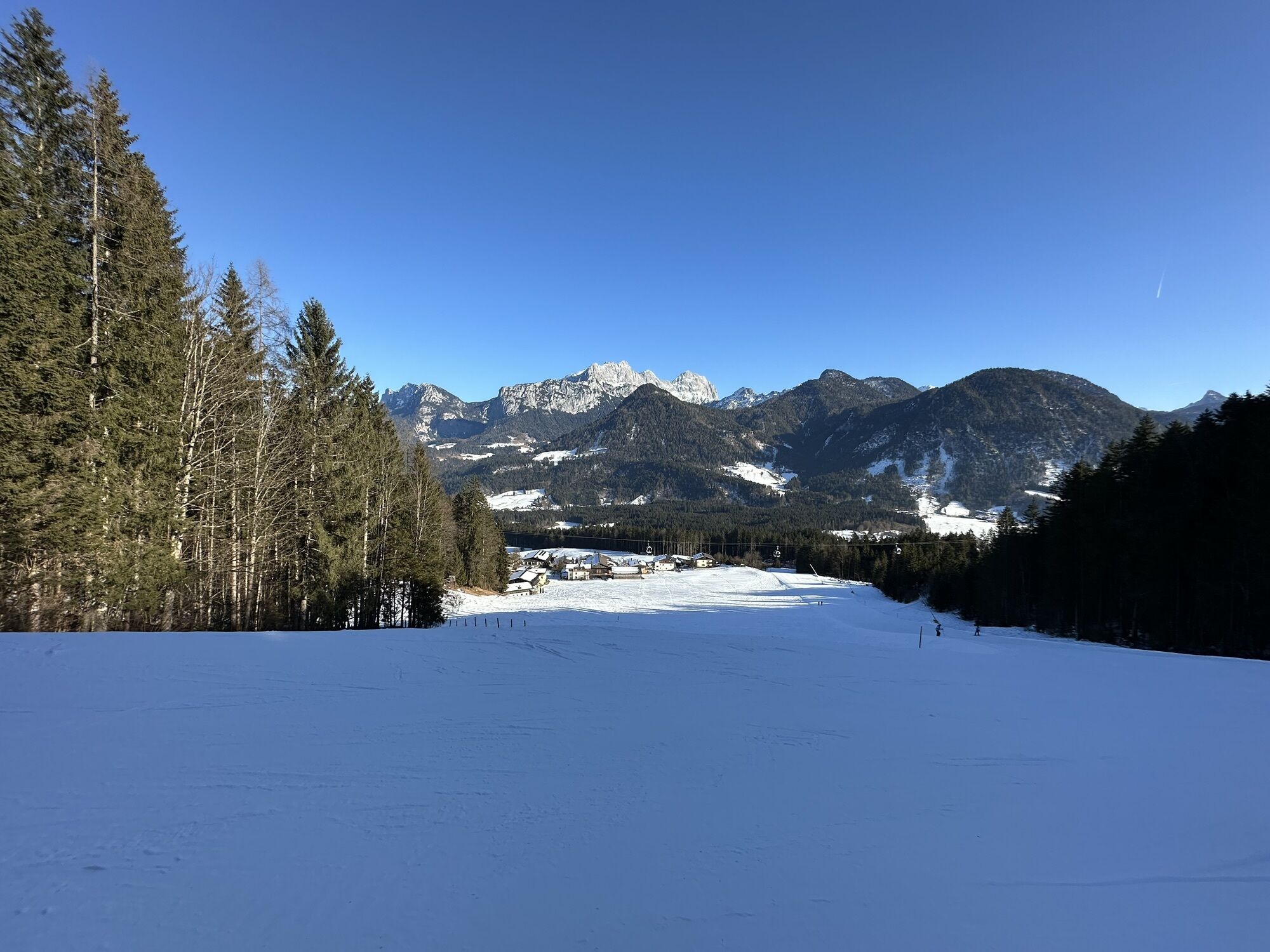
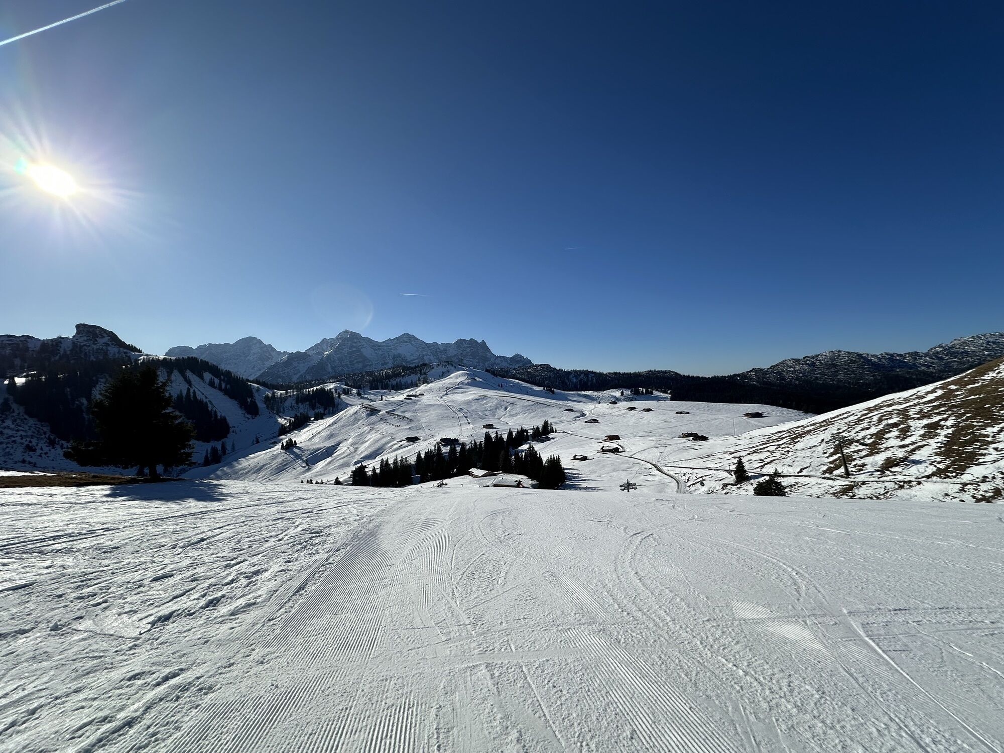
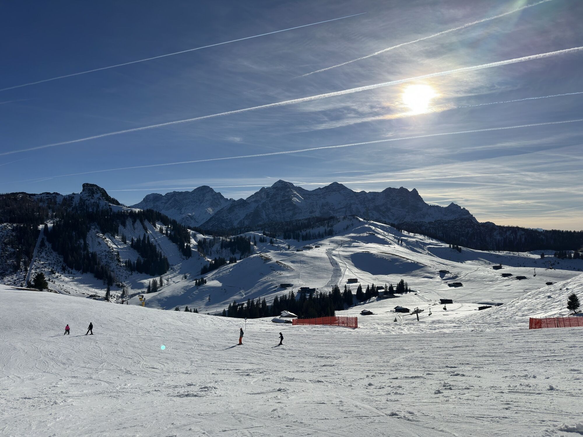
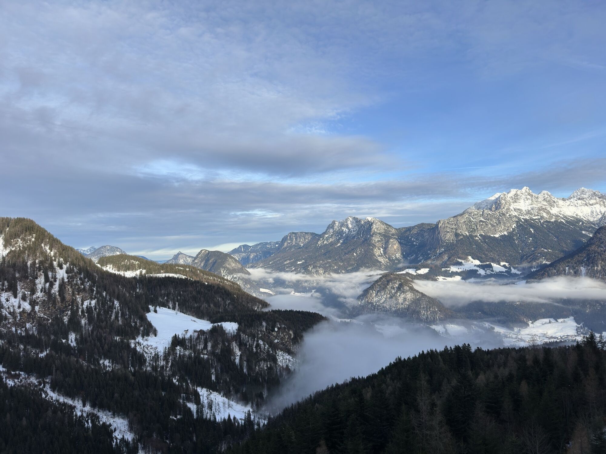
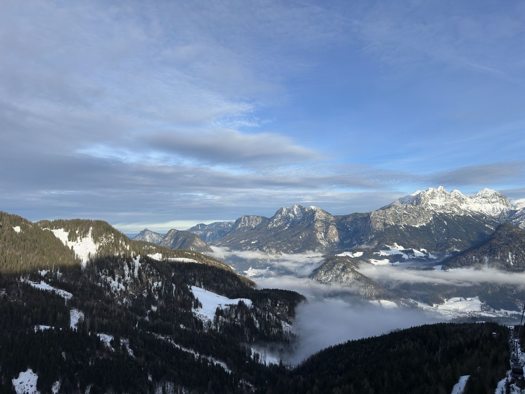
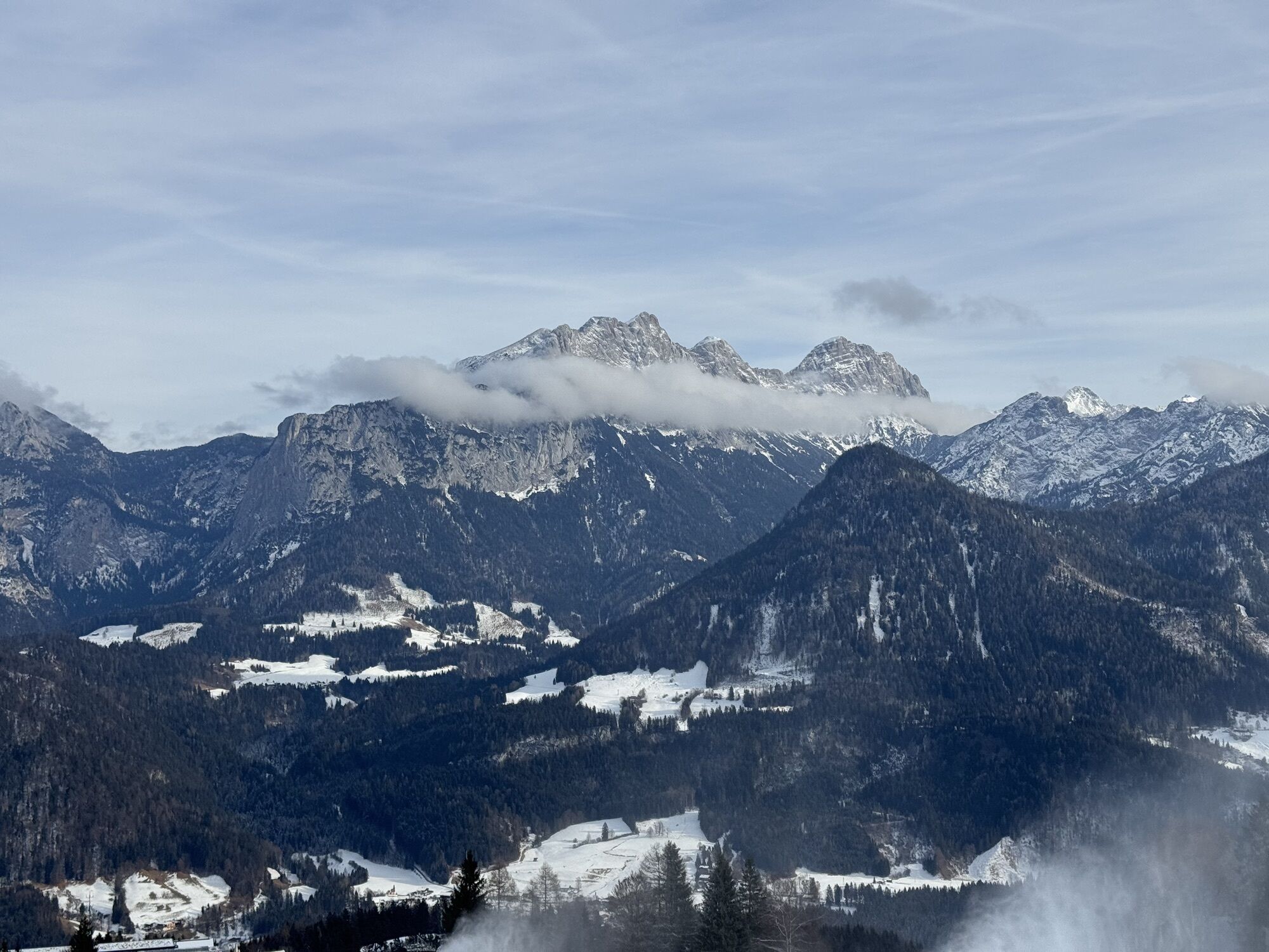
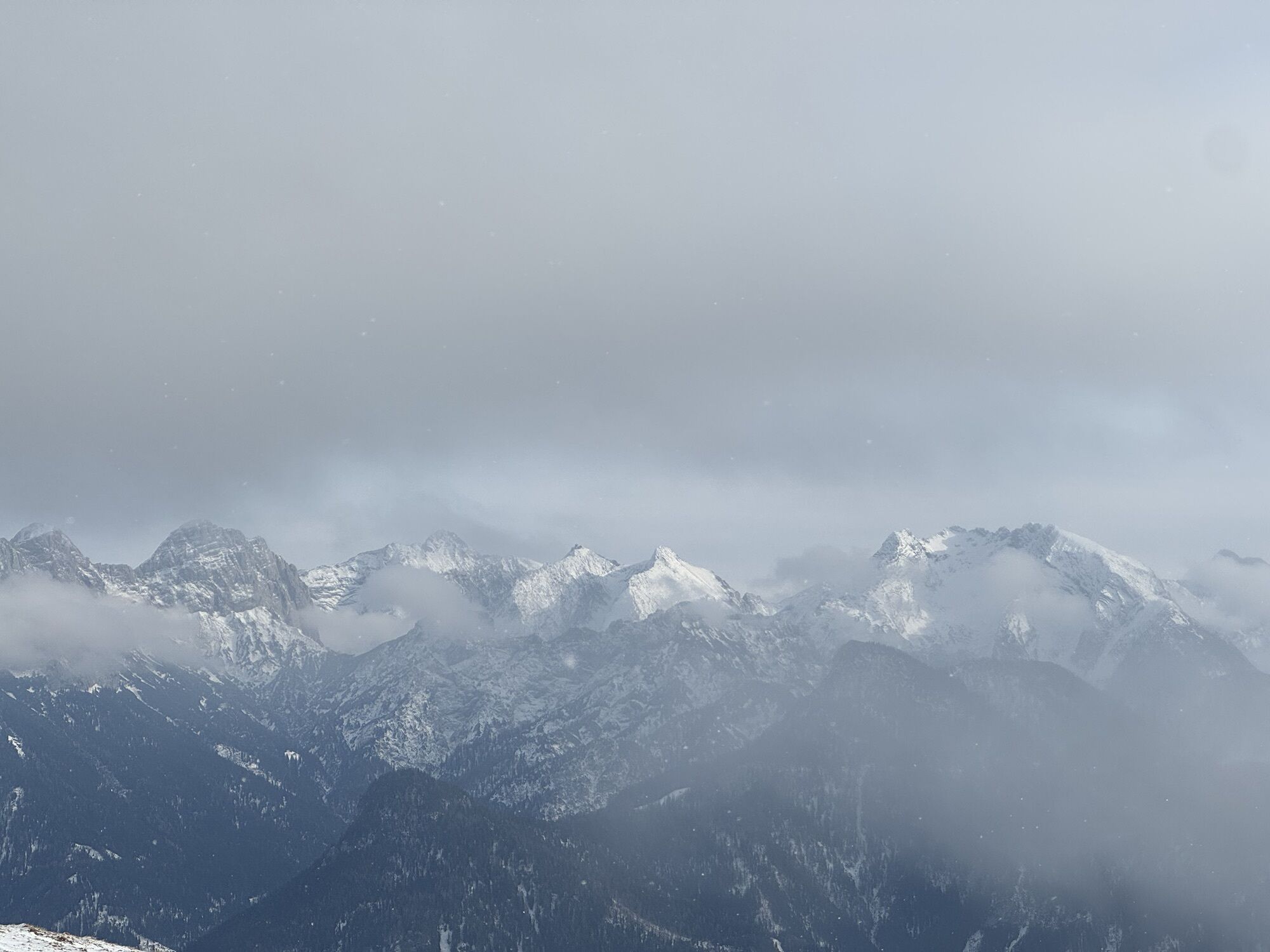
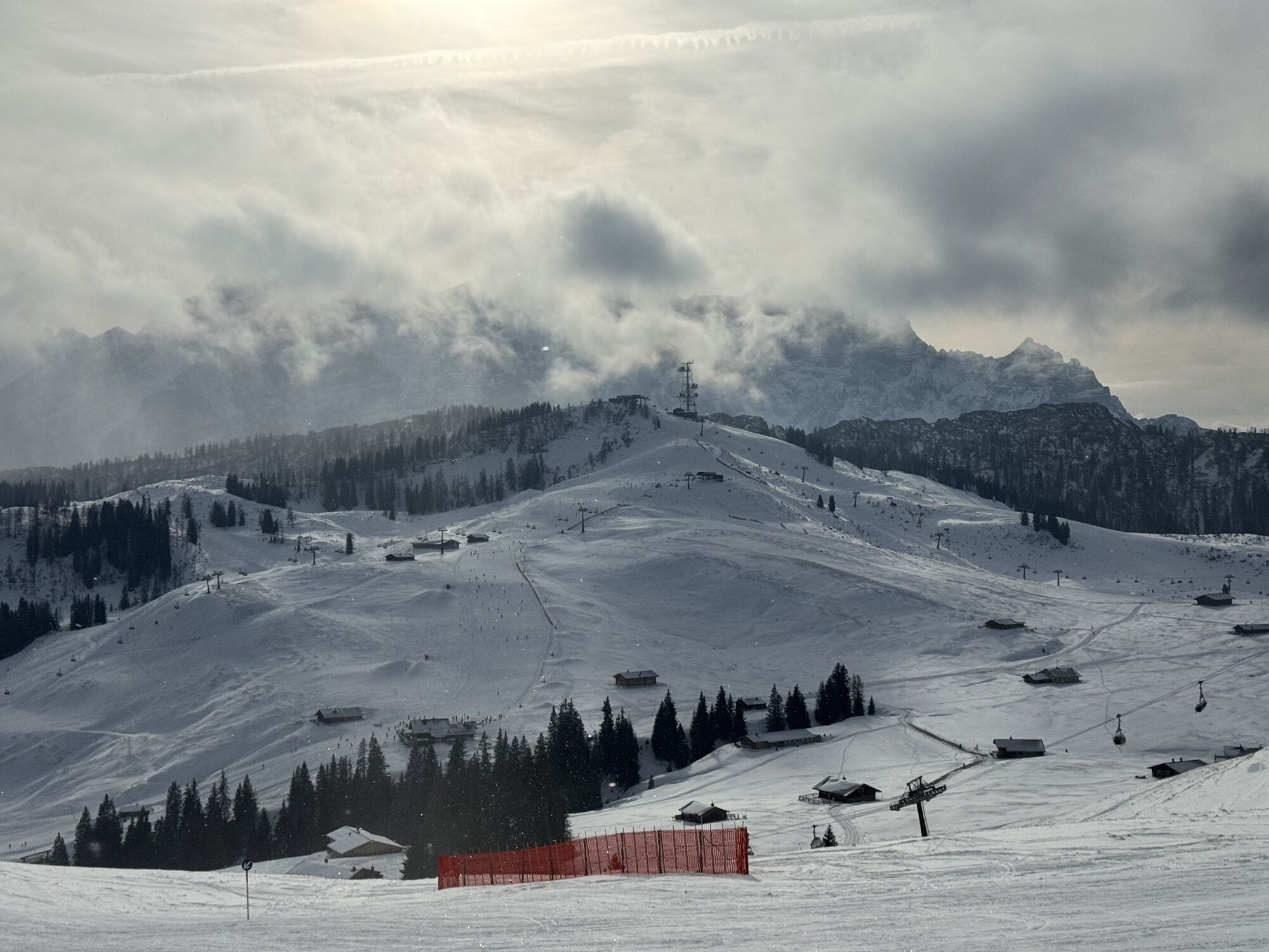
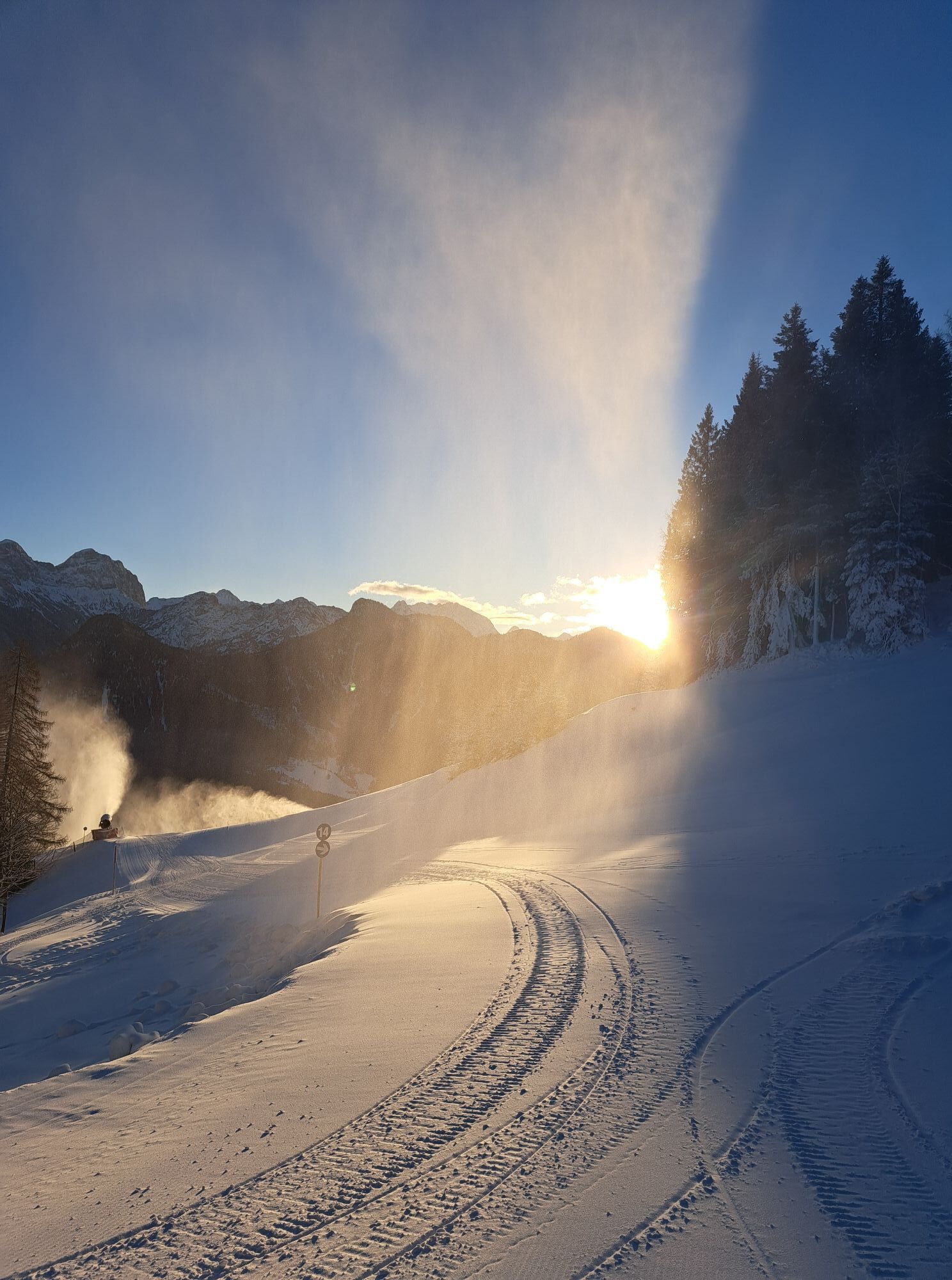
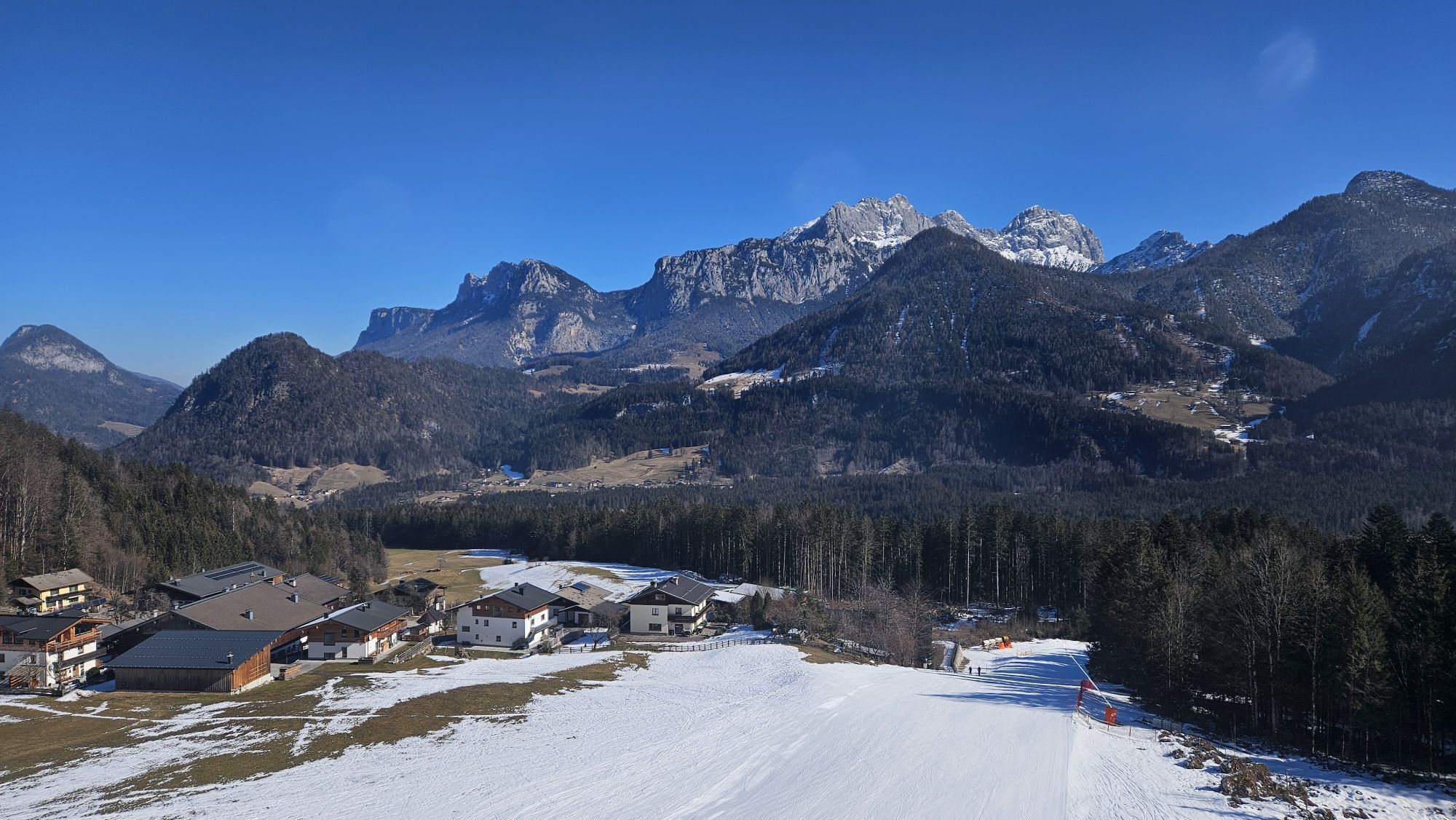
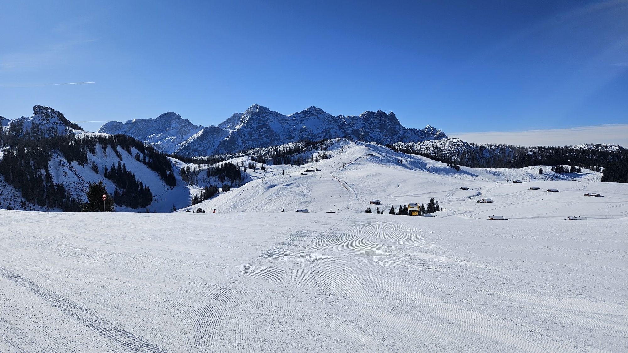
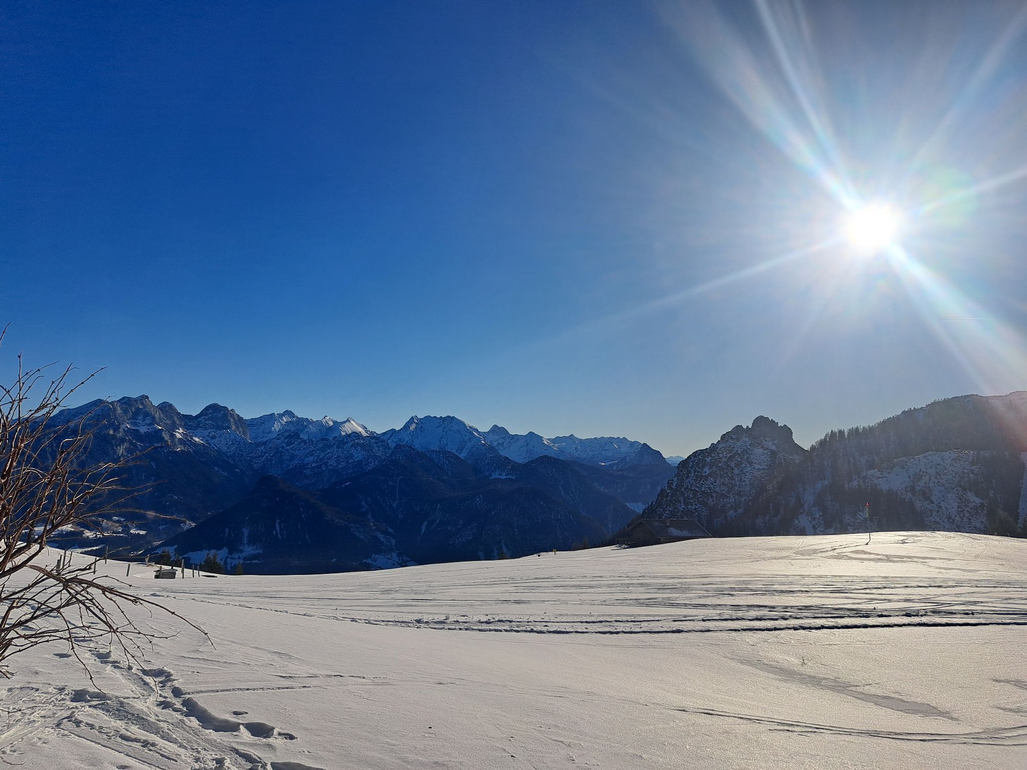

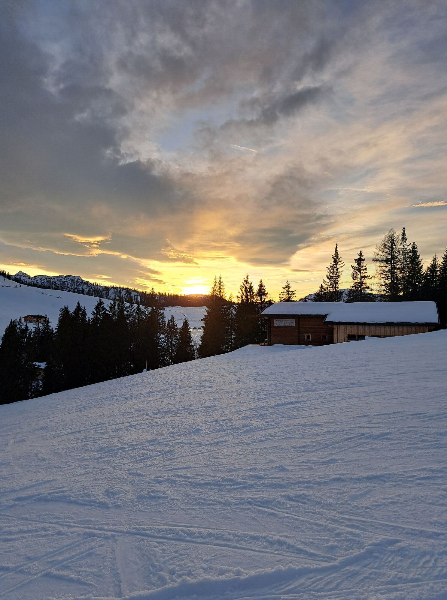

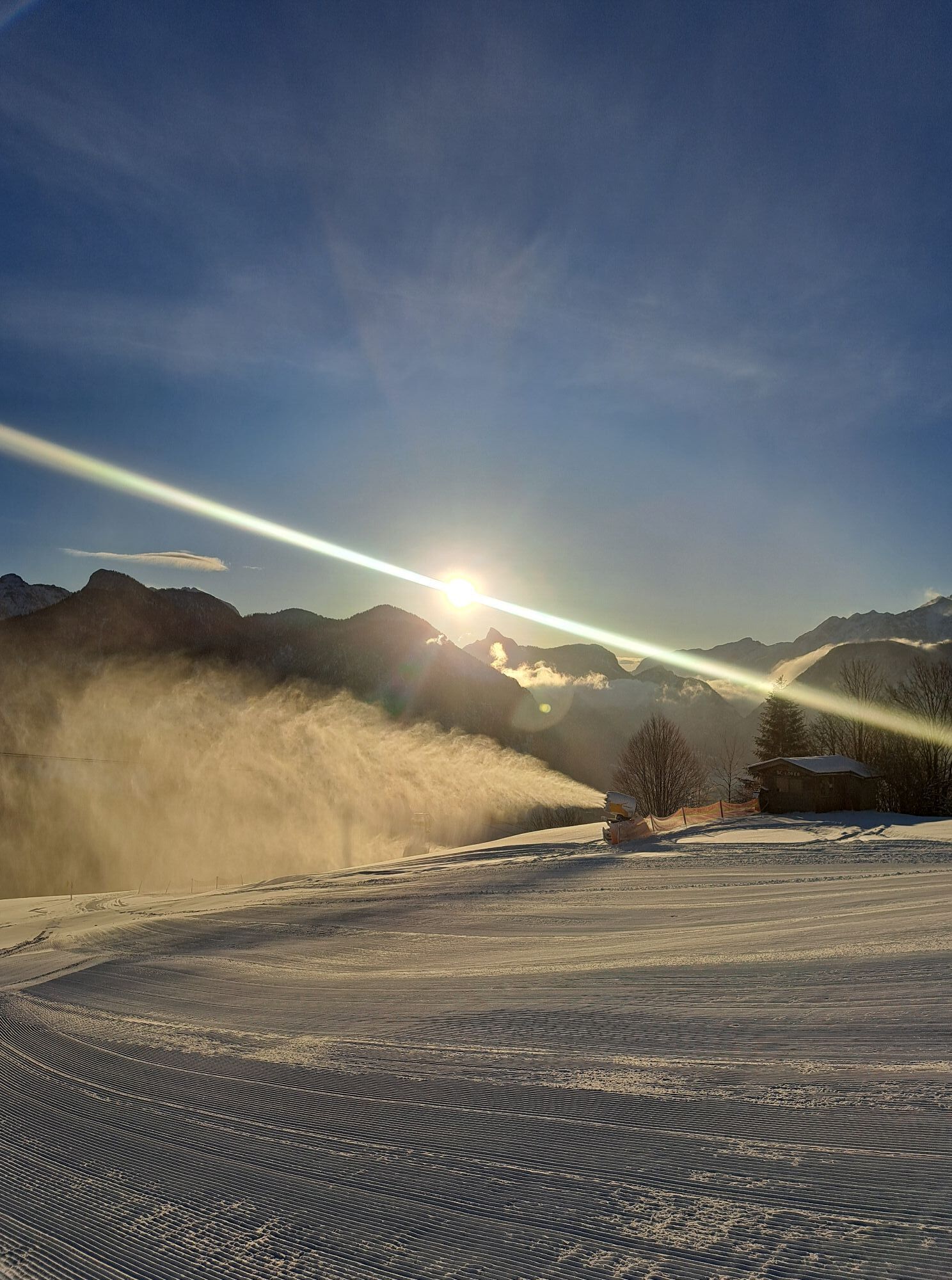

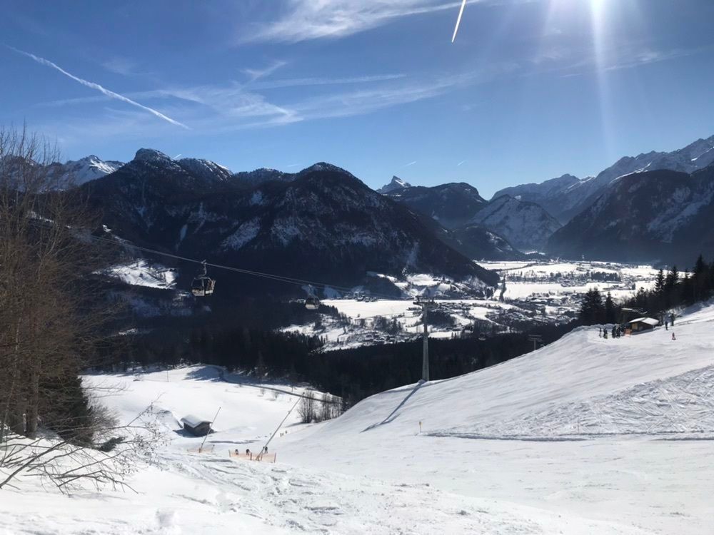
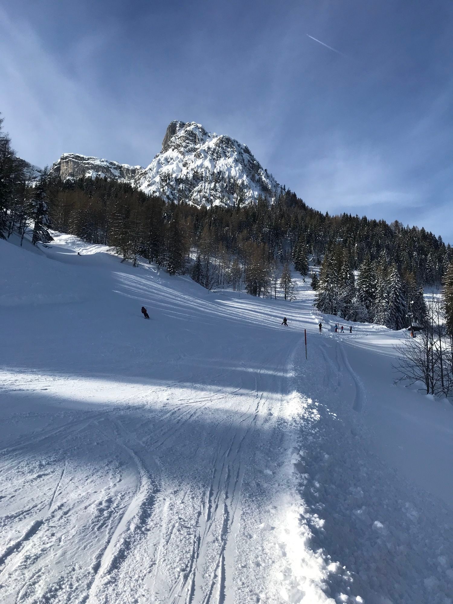
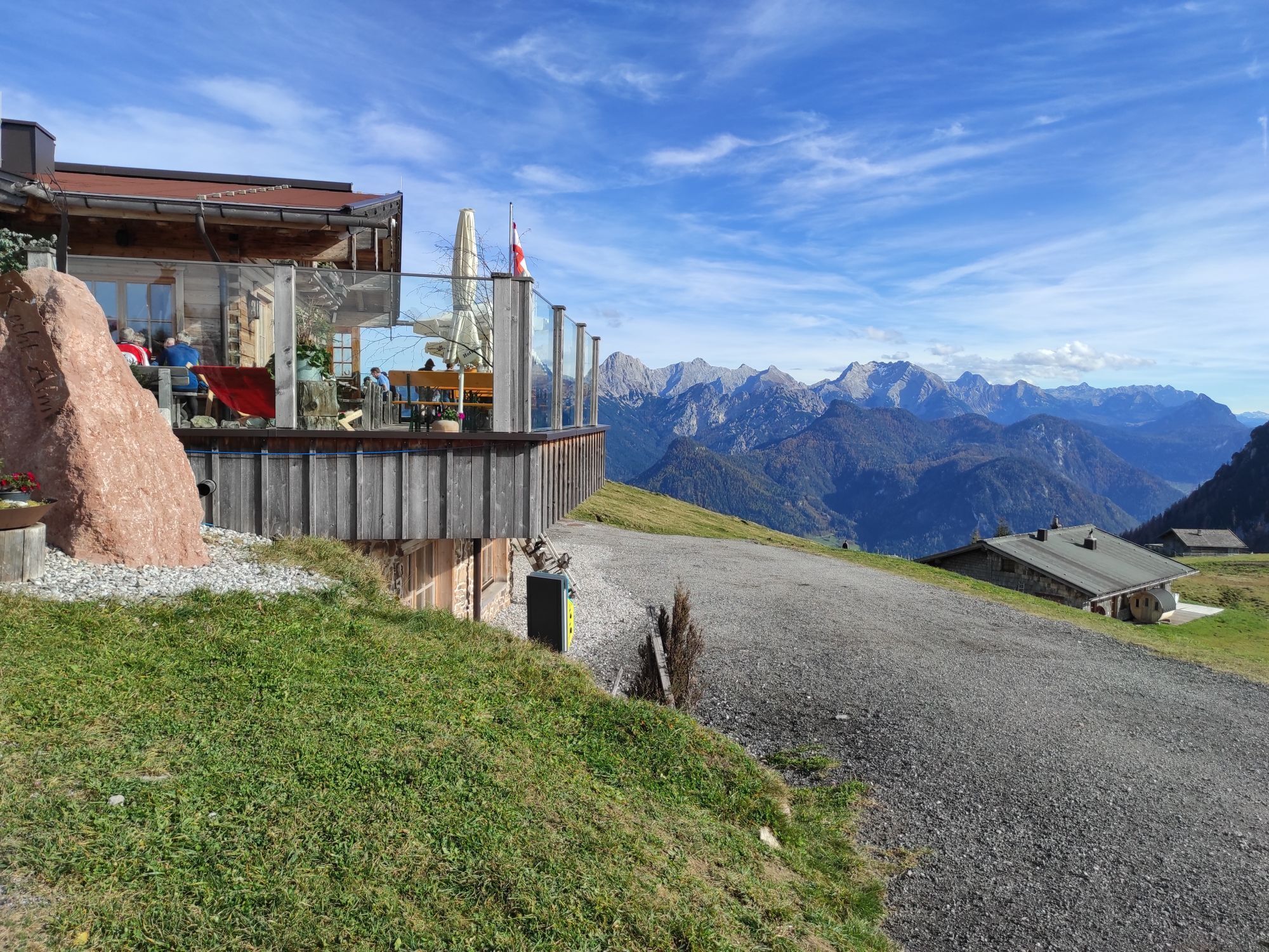
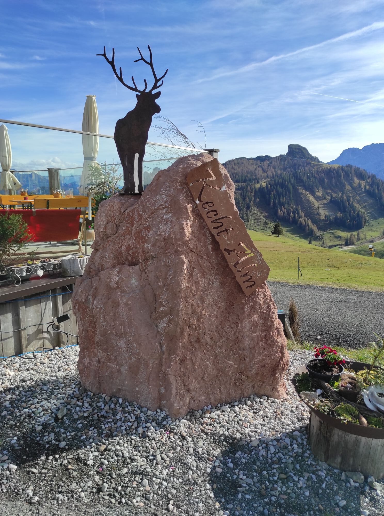
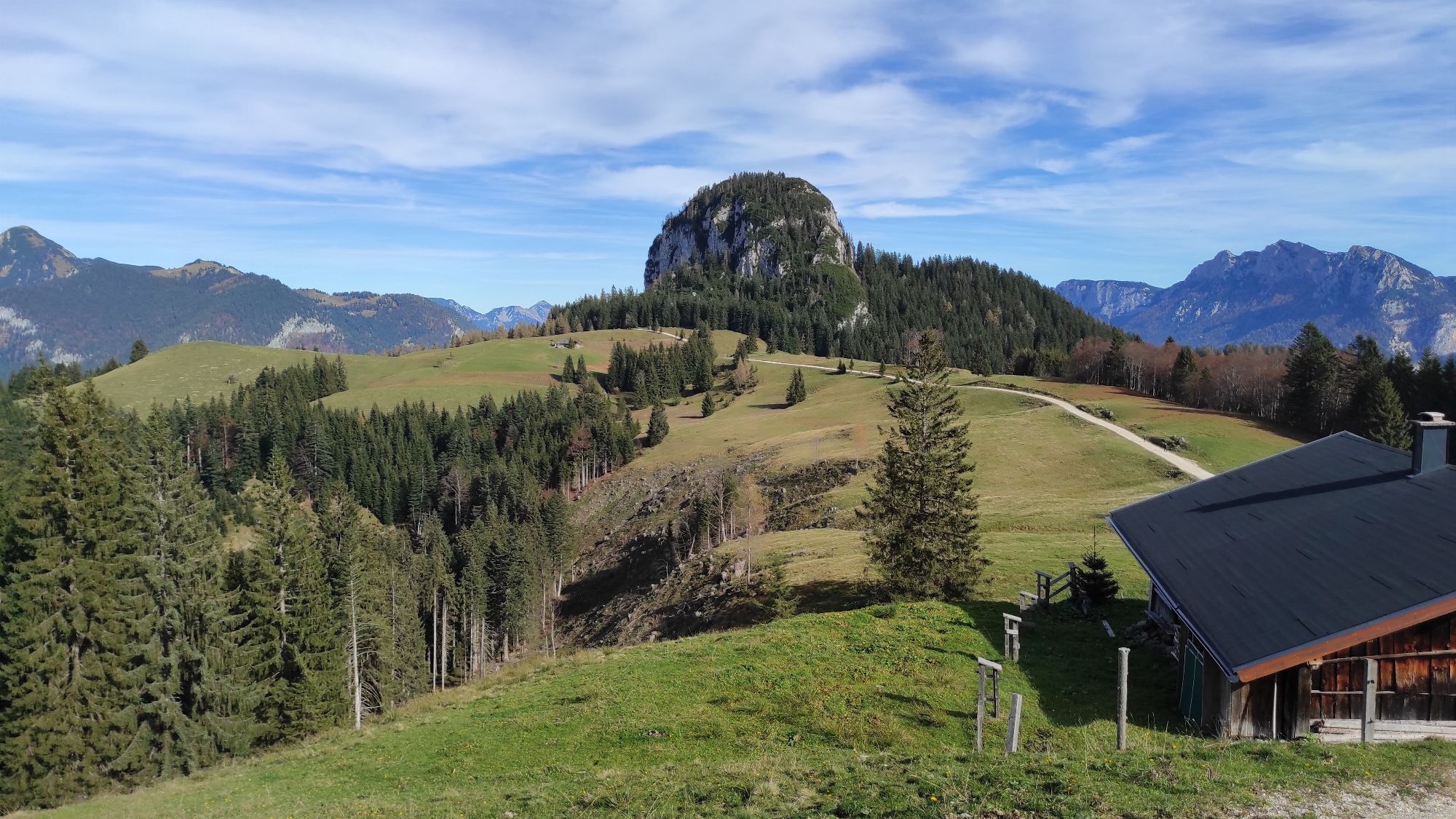
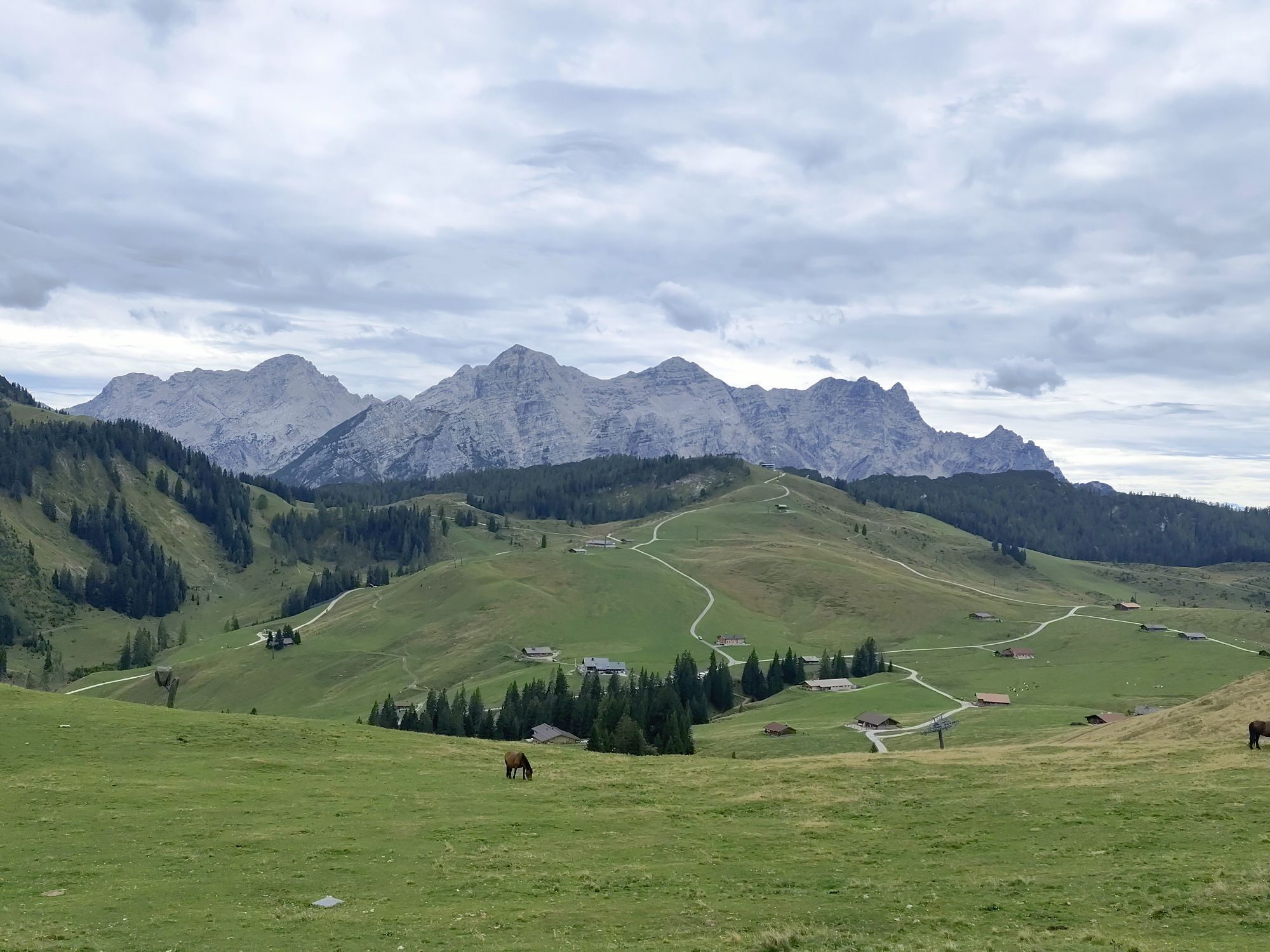
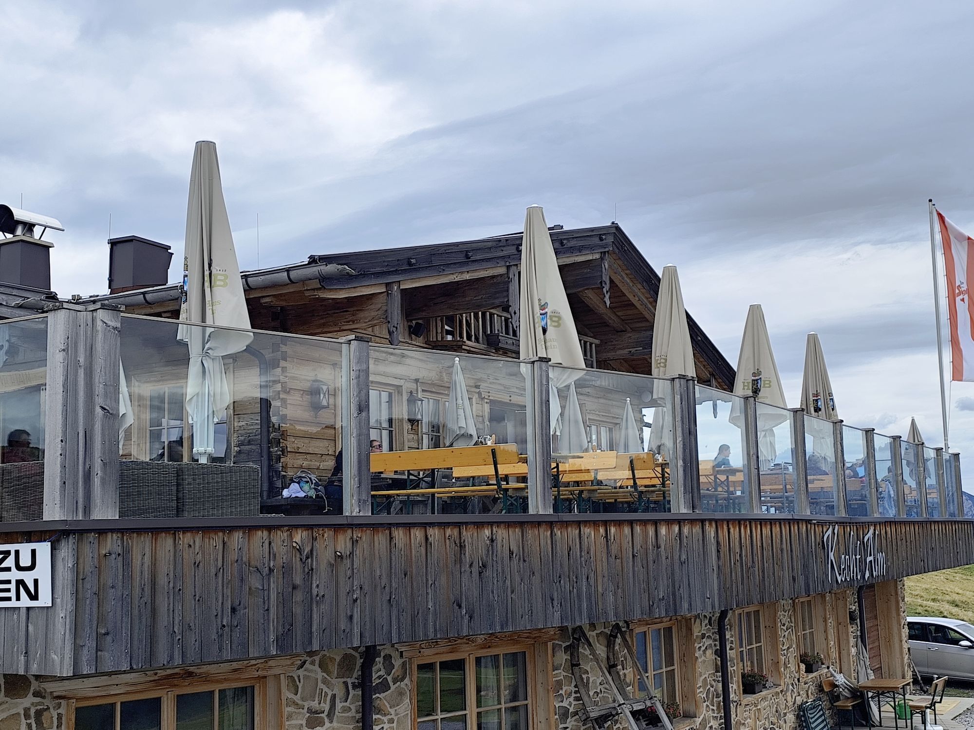
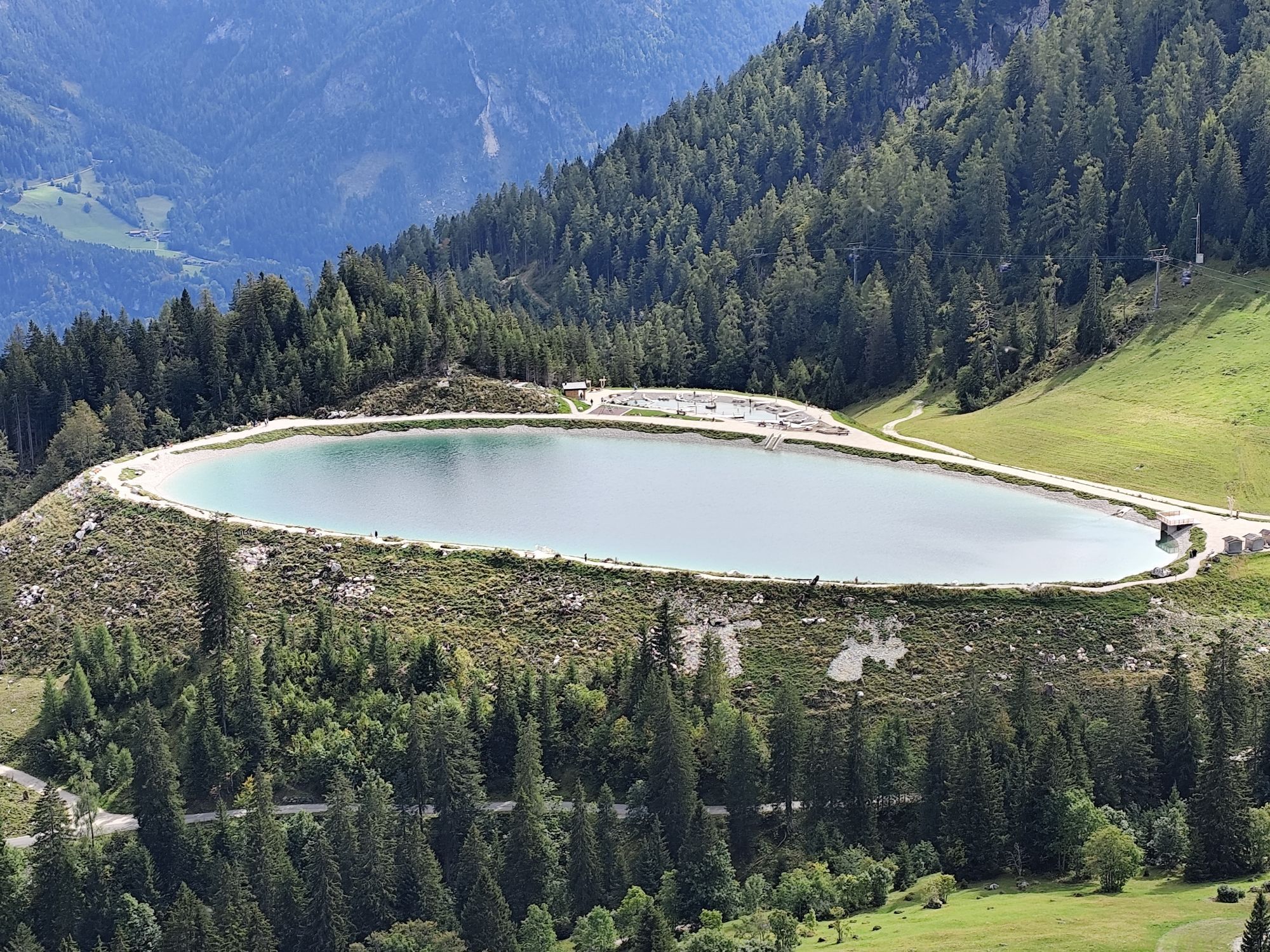
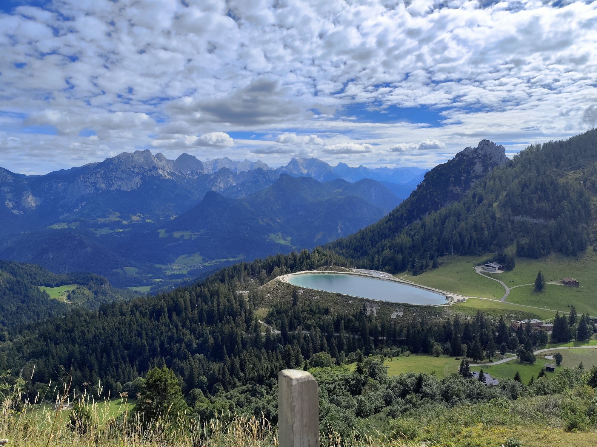
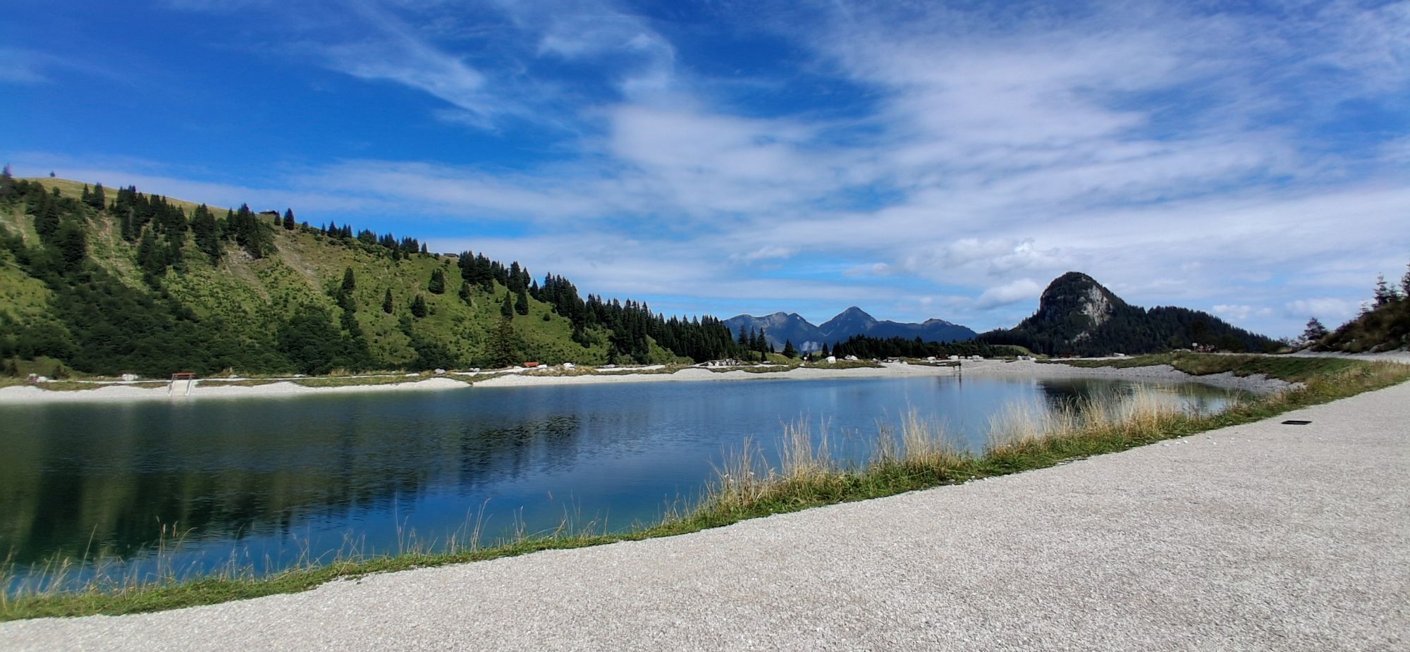
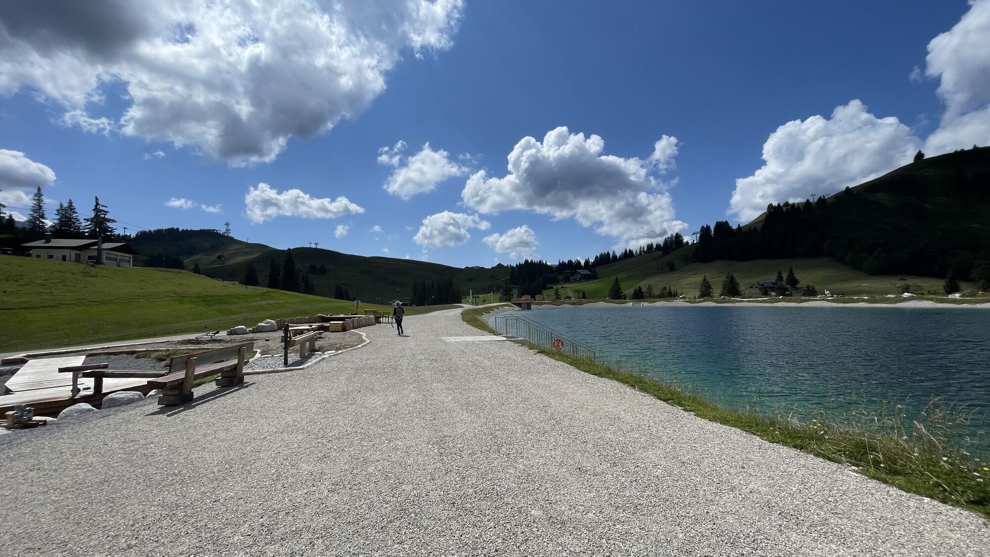
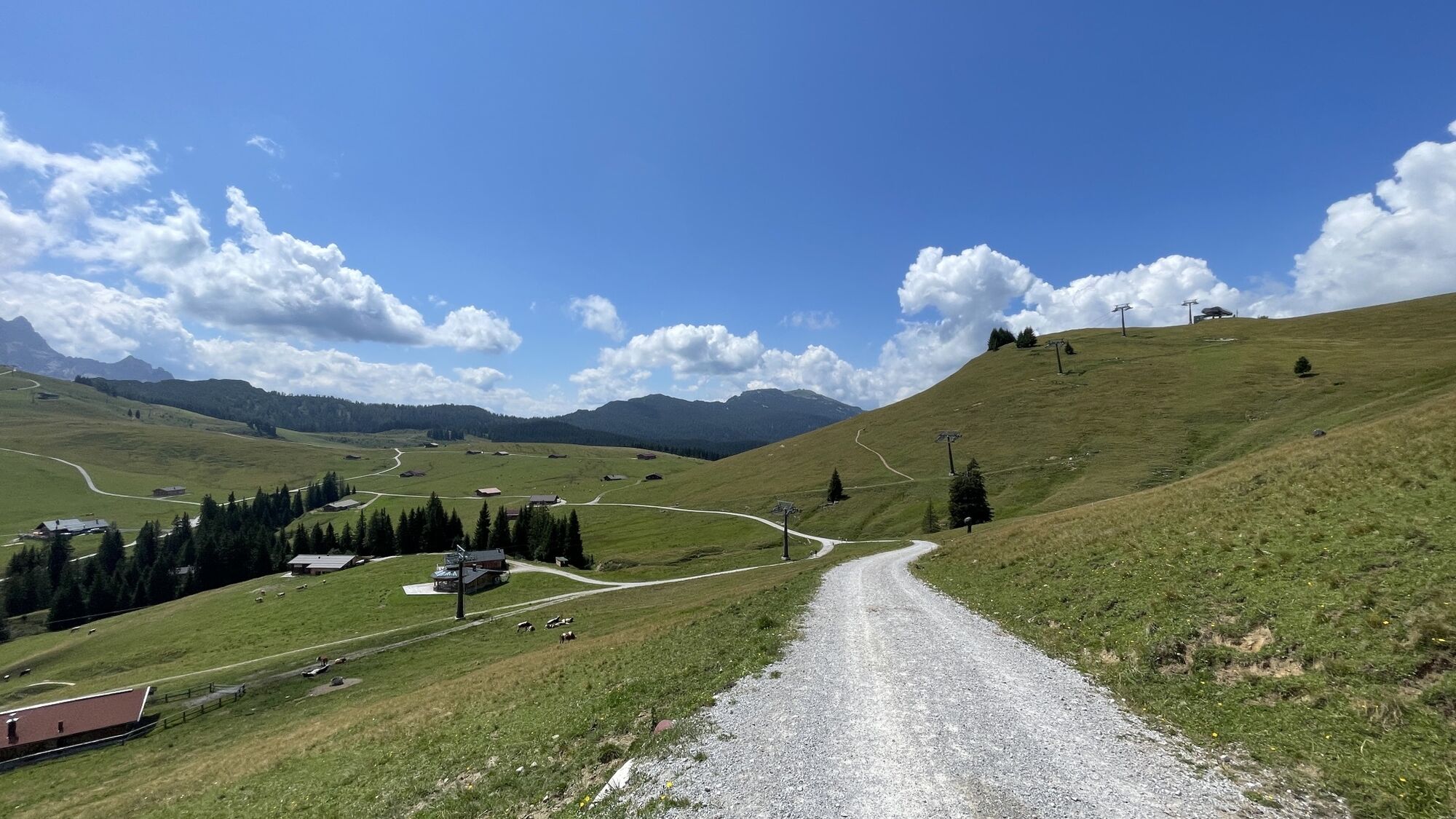
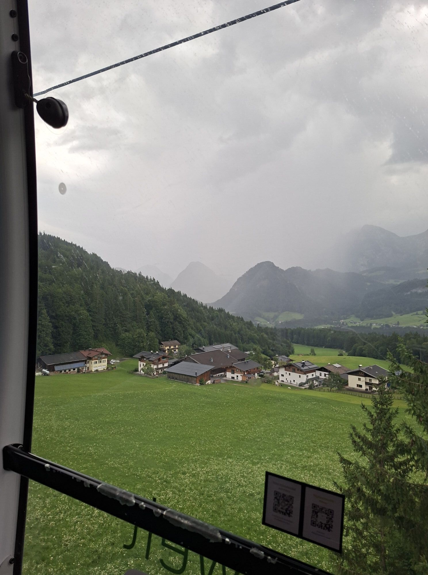
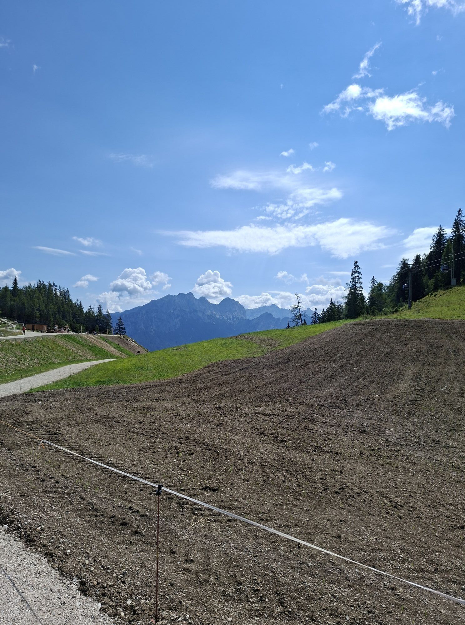
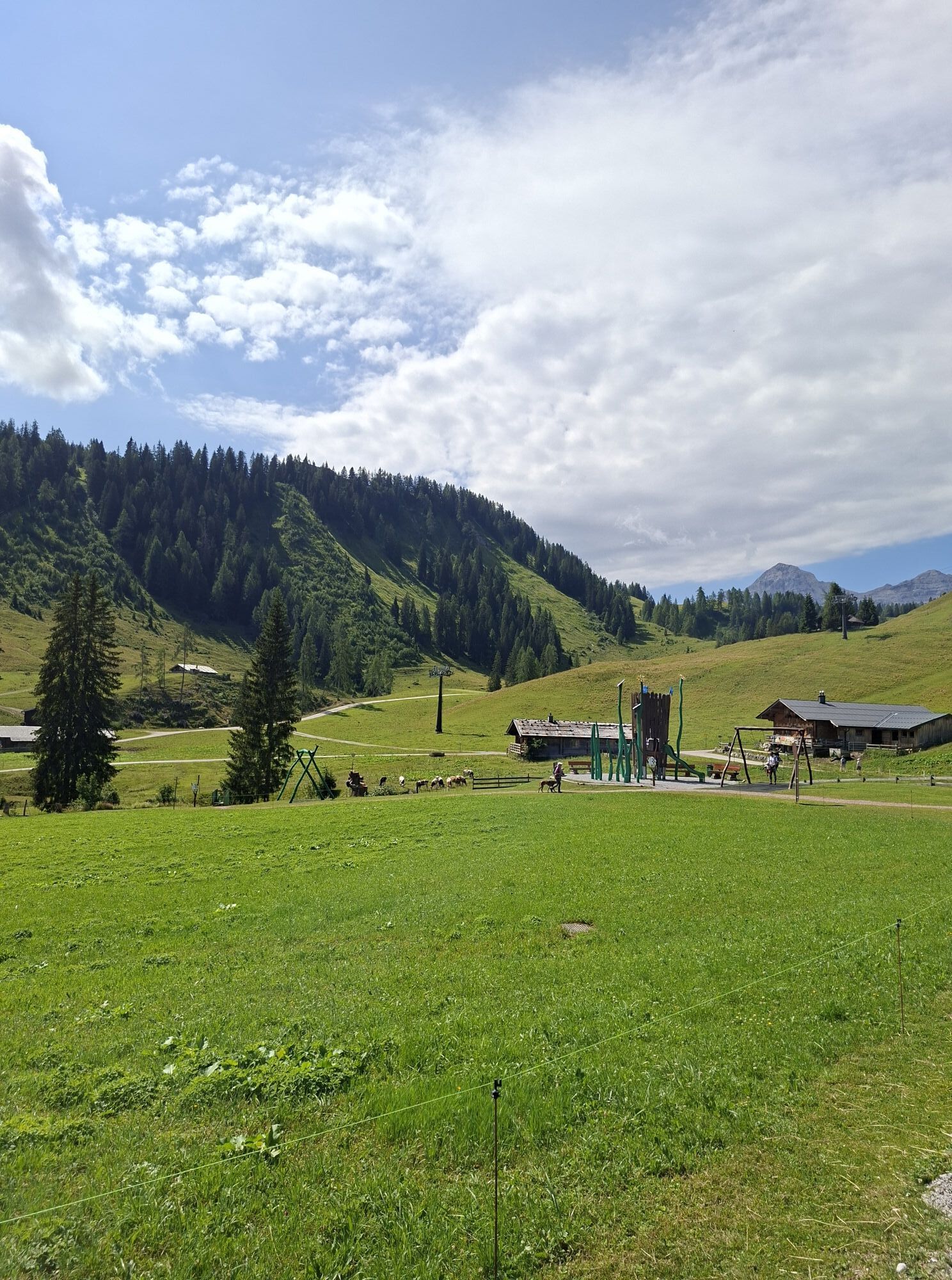
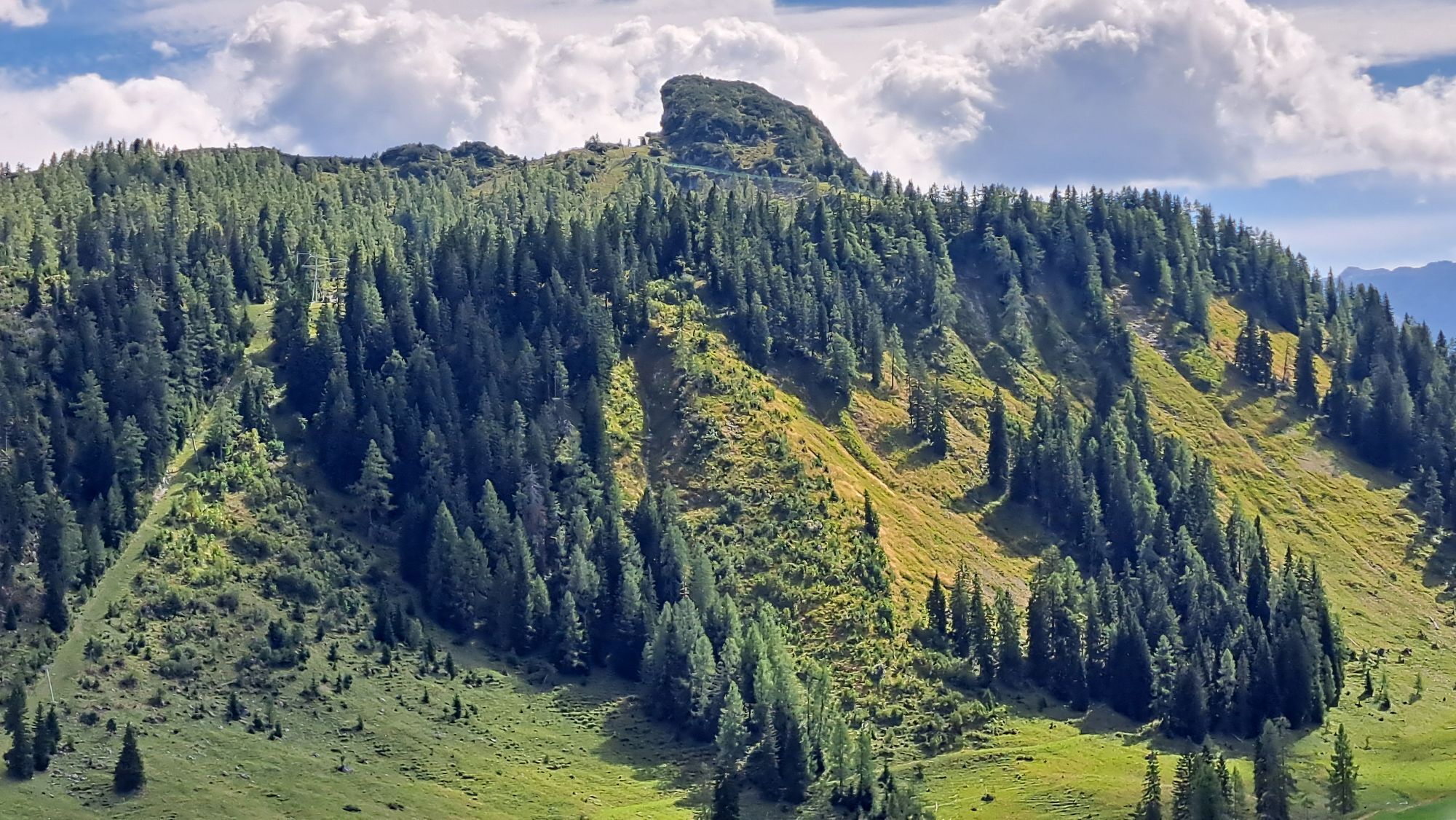

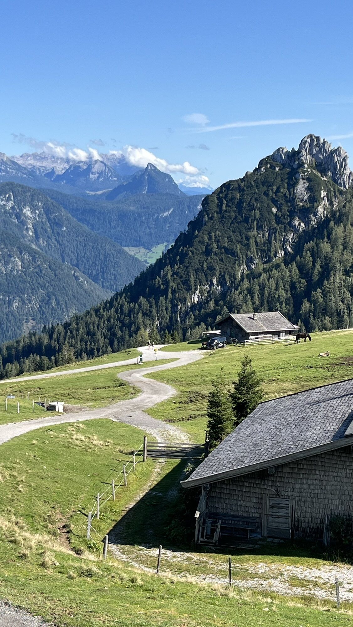
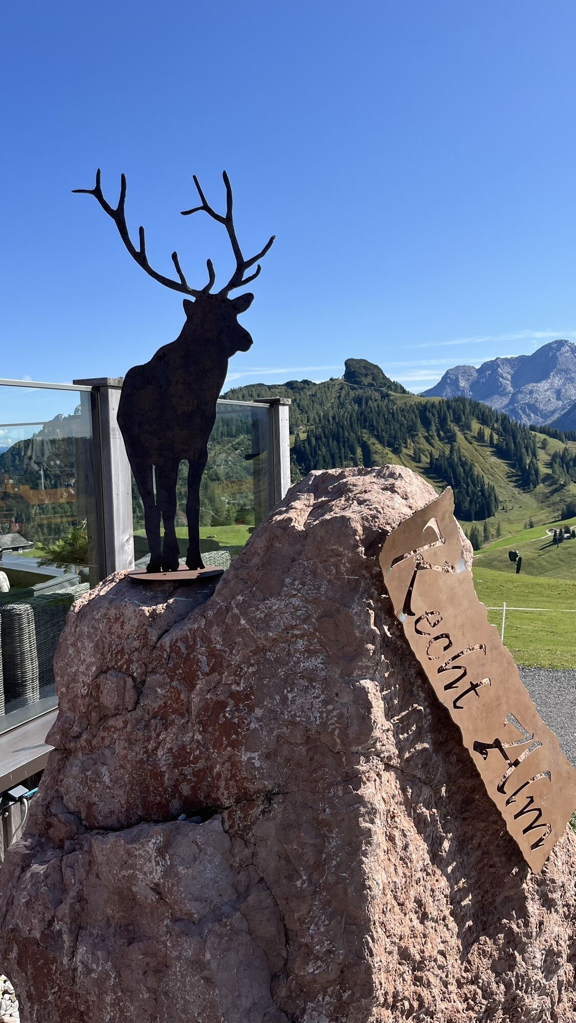
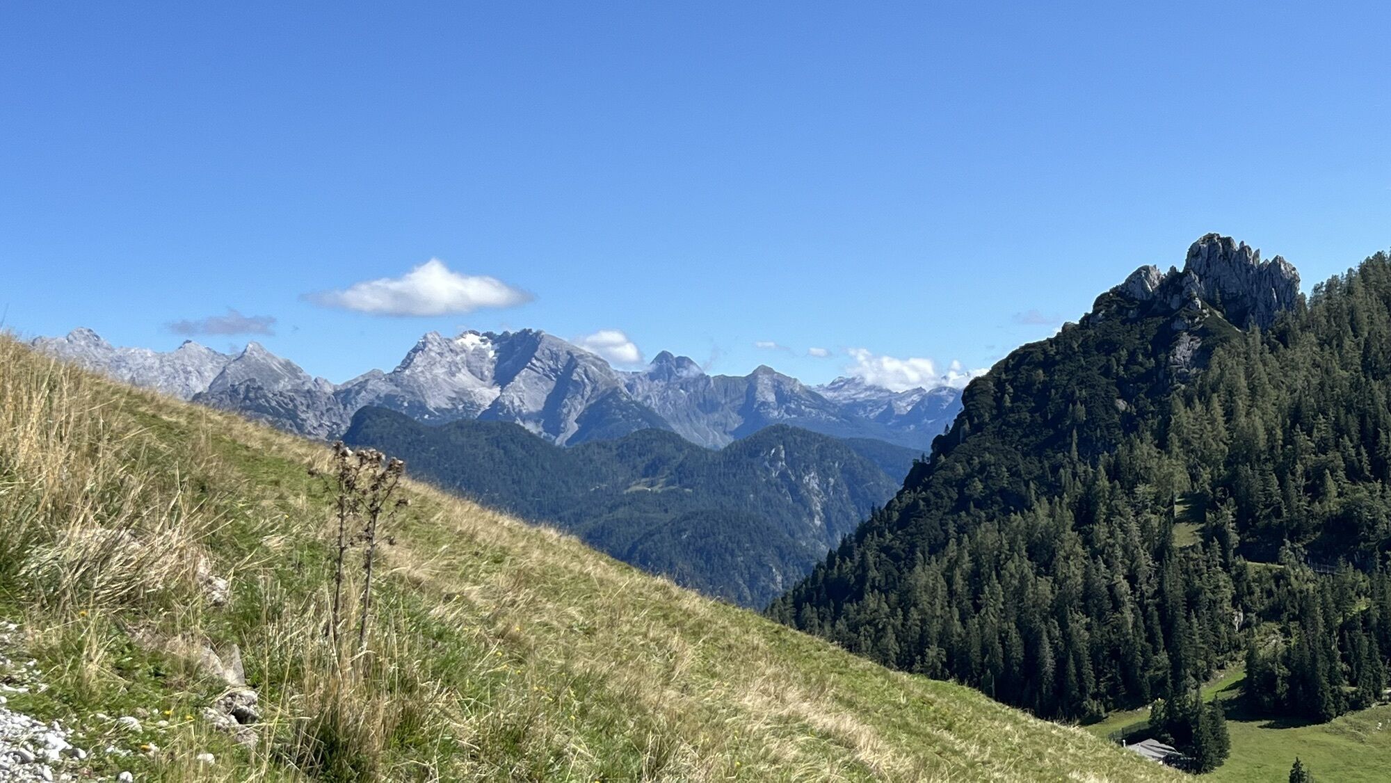
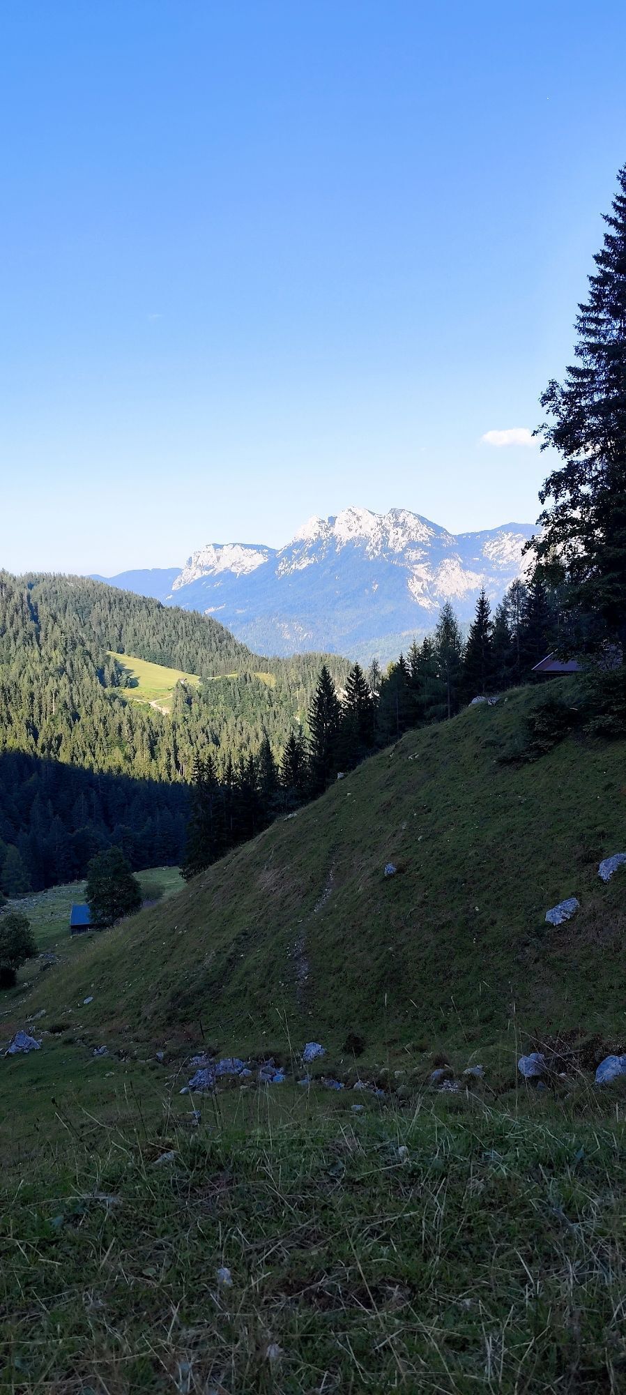
Experience a ski route from Lofer valley station to the Kechtalm via the well-prepared ski slopes. This route offers both skiing pleasure and the beauty of the alpine surroundings. Starting at the Lofer...
Experience a ski route from Lofer valley station to the Kechtalm via the well-prepared ski slopes. This route offers both skiing pleasure and the beauty of the alpine surroundings. Starting at the Lofer valley station, the route leads through the snow-covered landscape, past forests and open fields. The Kechtalm, a traditional alpine hut, is the destination and invites you to take a break and enjoy alpine dishes. The route offers ski fun and views of the surrounding peaks.

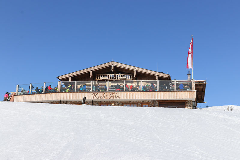
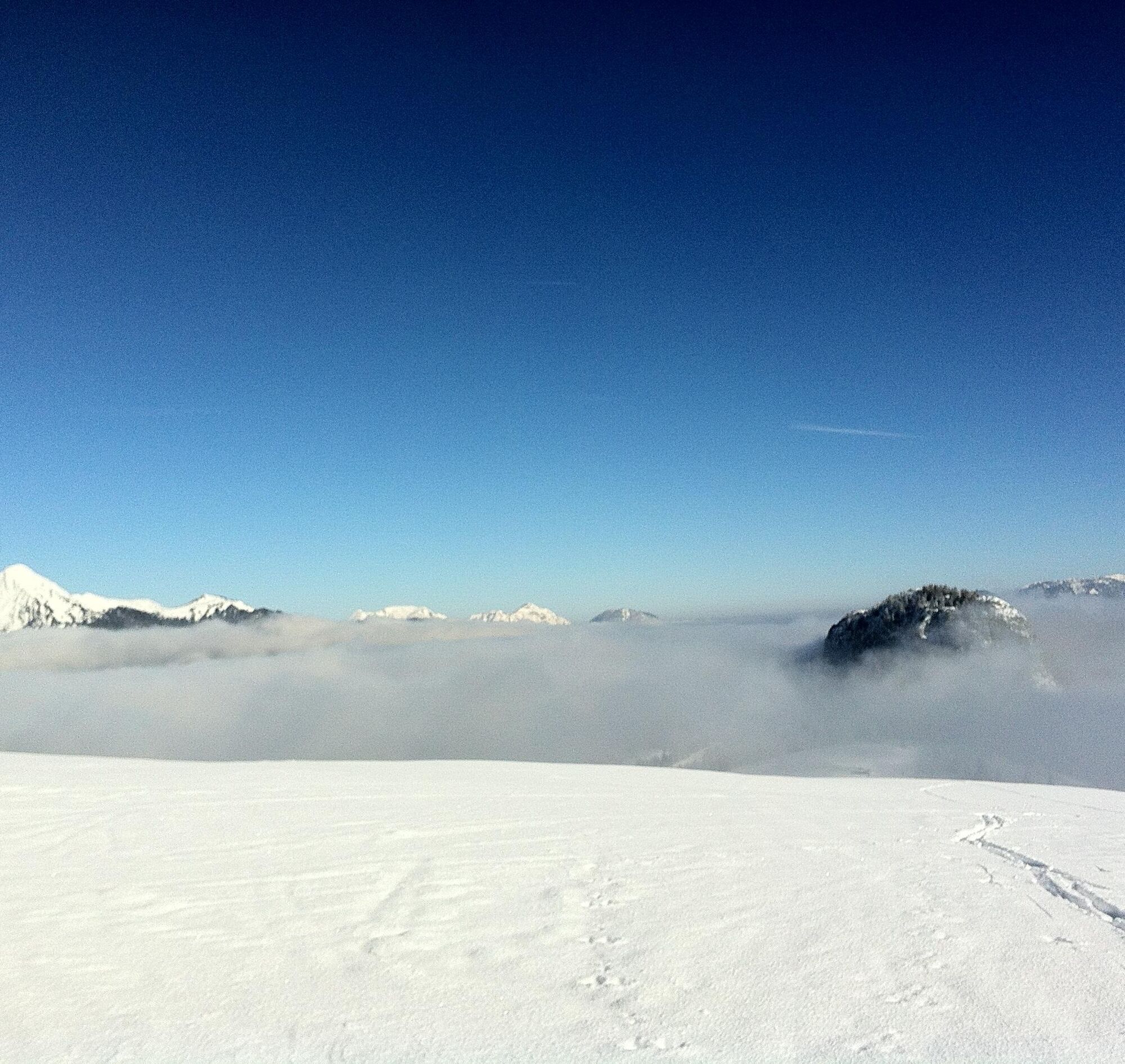

You start your ski route at the valley station of Almenwelt Lofer in the Salzburger Saalachtal and follow the valley downhill run up to the Almenwelt Lofer, past the district of Faistau and Loderbichl and further over the Hochwena to the top station of Almbahn II. Here keep right and go over the Kuh-Bar up to the Kechtalm.
Ano
For a ski route you need: skis with skins, ski boots, ski poles, helmet, warm clothing, backpack, drinking bottle, sun protection, first aid kit.
Inform yourself about local conditions.
Note piste closure from 5 pm.
Be careful of piste equipment and cable winches when descending!
By car via B 311 or B 178 to the roundabout in the center of Lofer. From here continue towards Salzburg. After about 500 meters either to the large parking lot next to the federal road or enter the town of Lofer. You also find limited parking spaces at the valley station of Almbahn I.
Free ski bus from St. Martin and Unken
Parking at the valley station, as well as a small section higher up for ski tourers (P3)
A "ski touring ticket" is required for this route. More info
Ascent between 2 pm and 4 pm is not recommended due to the many skiers.

Webové kamery z prohlídky


Oblíbené prohlídky v okolí
-
4.4
Erpfendorf: Griesbachklamm
středníTuristika 10 km -
4.4
Halsalm
Turistika 6.43 km -
4.7
Over the waterfall trail into the Almenwelt Lofer
středníTuristika 3.29 km -
4.6
Seisenberg Gorge
světloTuristika 2.41 km -
5.0
Sonntagshorn über Hochalm (Unken, Heutalbauer)
středníTuristika 11.2 km -
4.9
Ramsau/Hintersee-Runde
světloTuristika 9.44 km -
4.8
Loferer Steinberge, zum Hinterhorn über die Schmid-Zabierow Hütte, 19.06.22
heavyTuristika 14.0 km -
4.8
Atemberaubende Aussicht auf dem Dürrnbachhorn
středníTuristika 8.44 km -
4.7
CHIEMGAU: Hörndlwand (1684m), Gurnwandkopf (1691m)
světloTuristika 12.6 km -
4.4
Unternberg
světloTuristika 9.20 km
Pěší turistika a stopování


Nenechte si ujít nabídky a inspiraci pro vaši příští dovolenou
Vaše e-mailová adresa byl přidán do poštovního seznamu.





