







Ski tour Vierrinnenköpfe
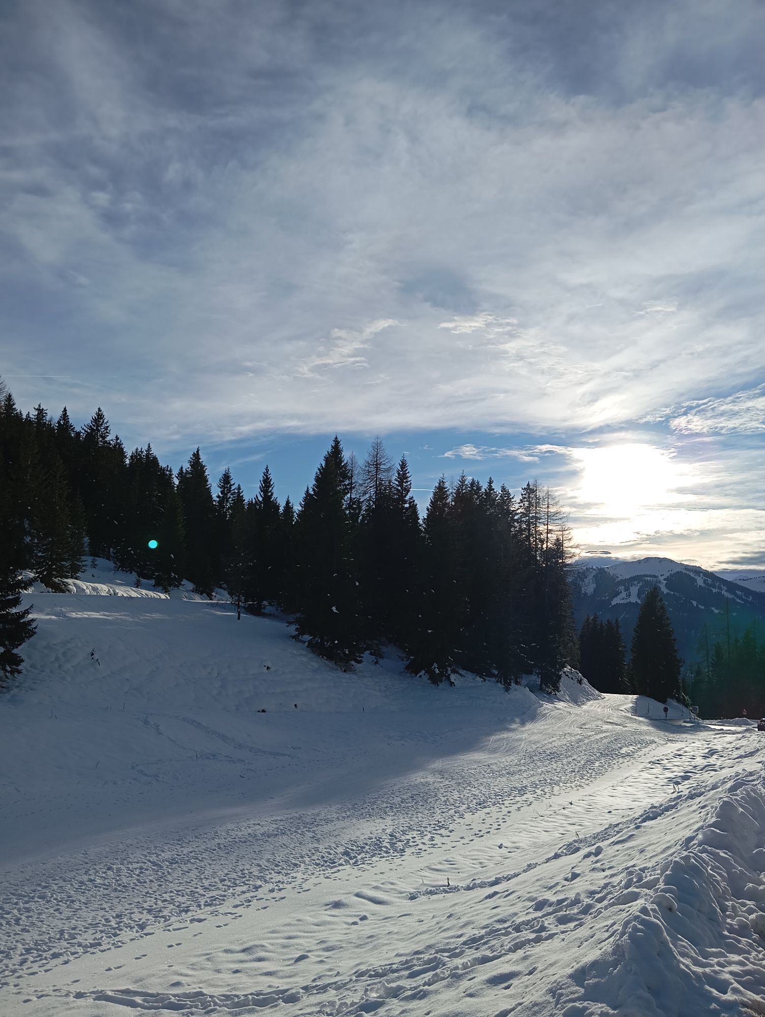
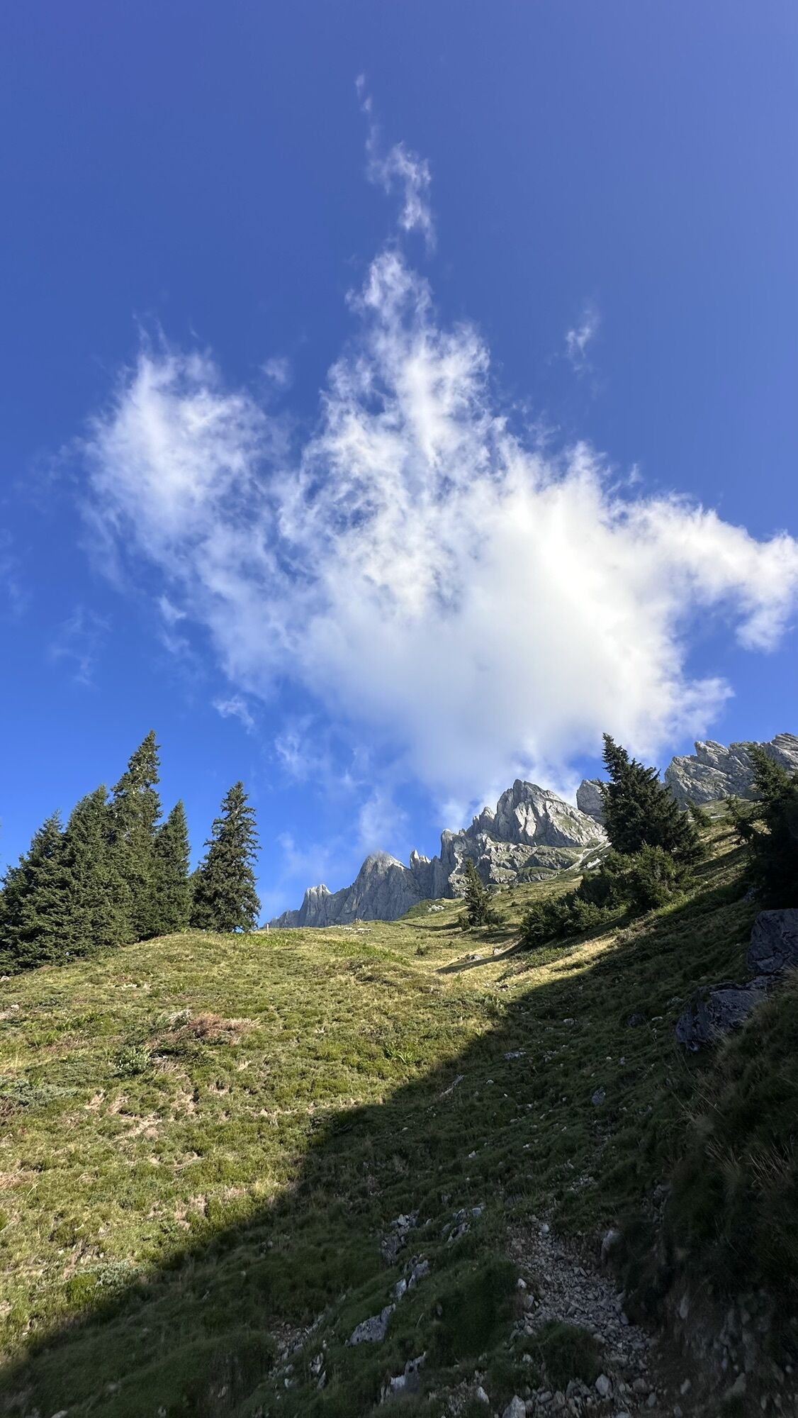
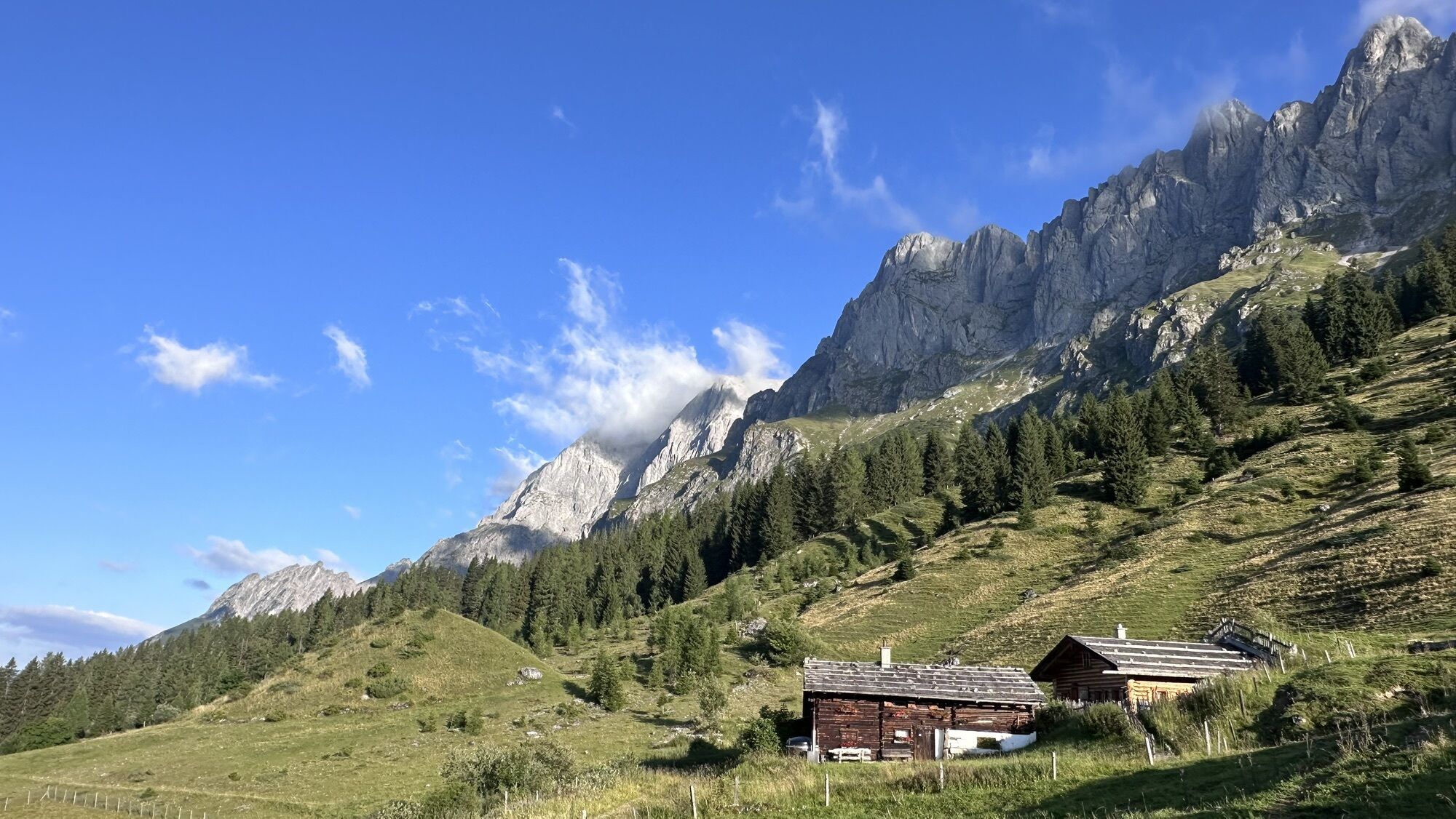
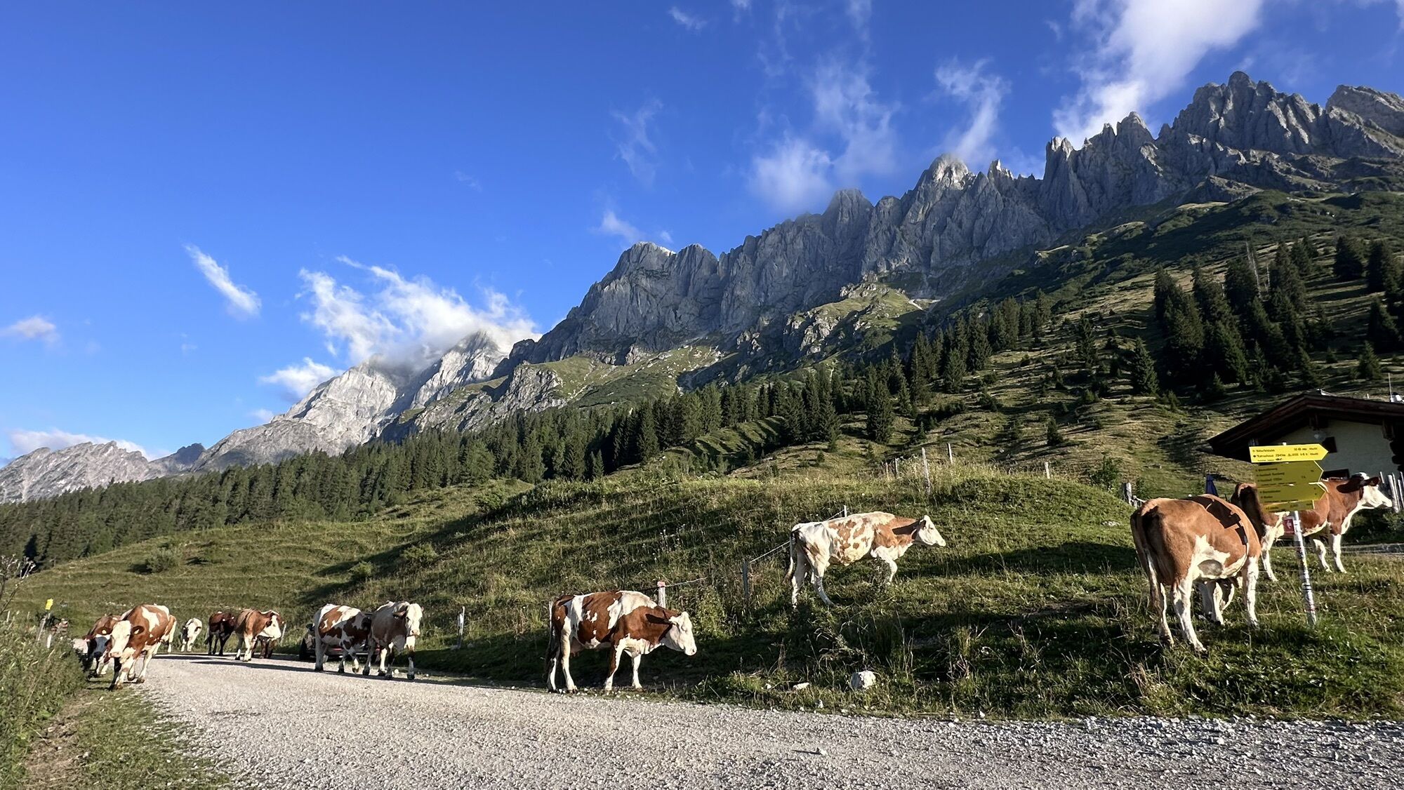
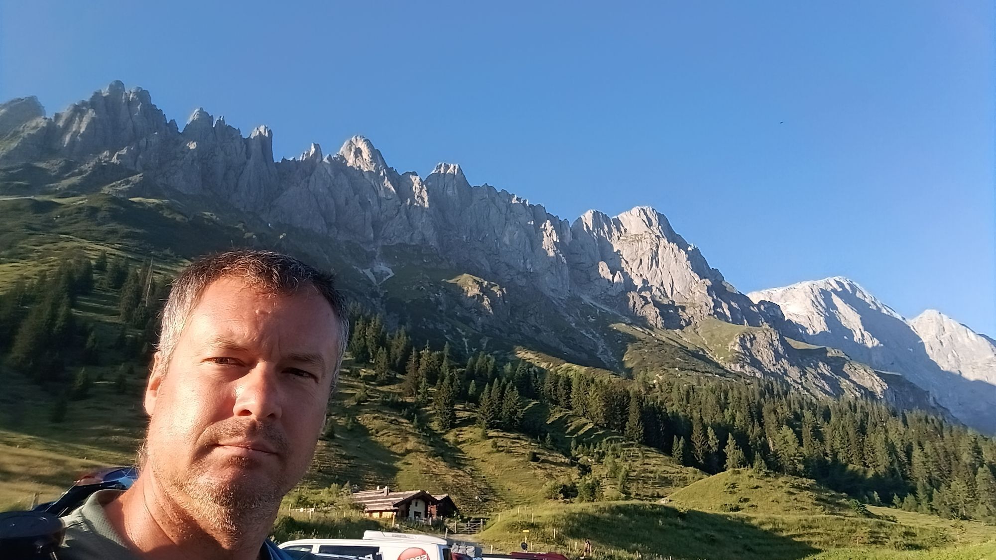
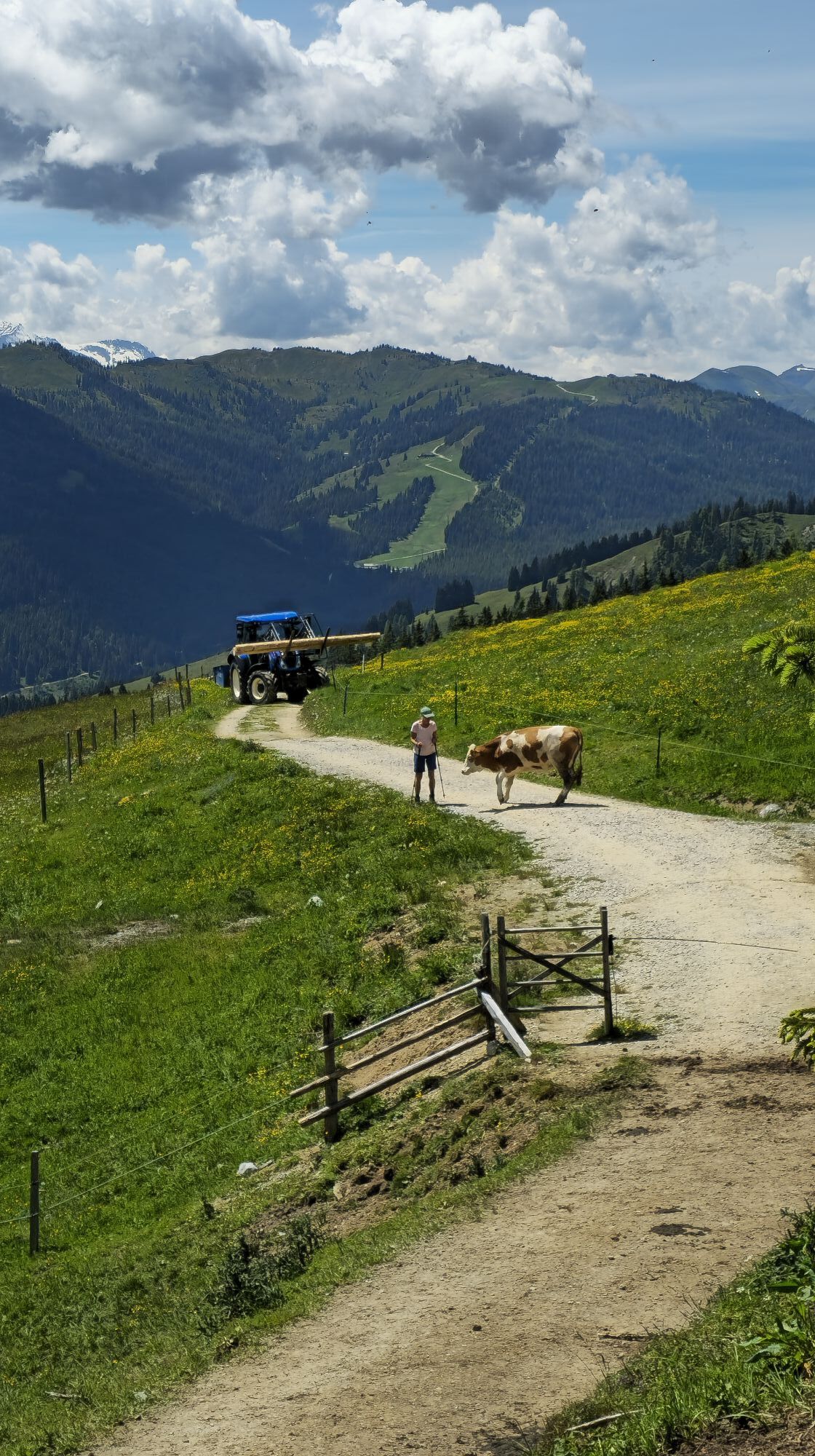
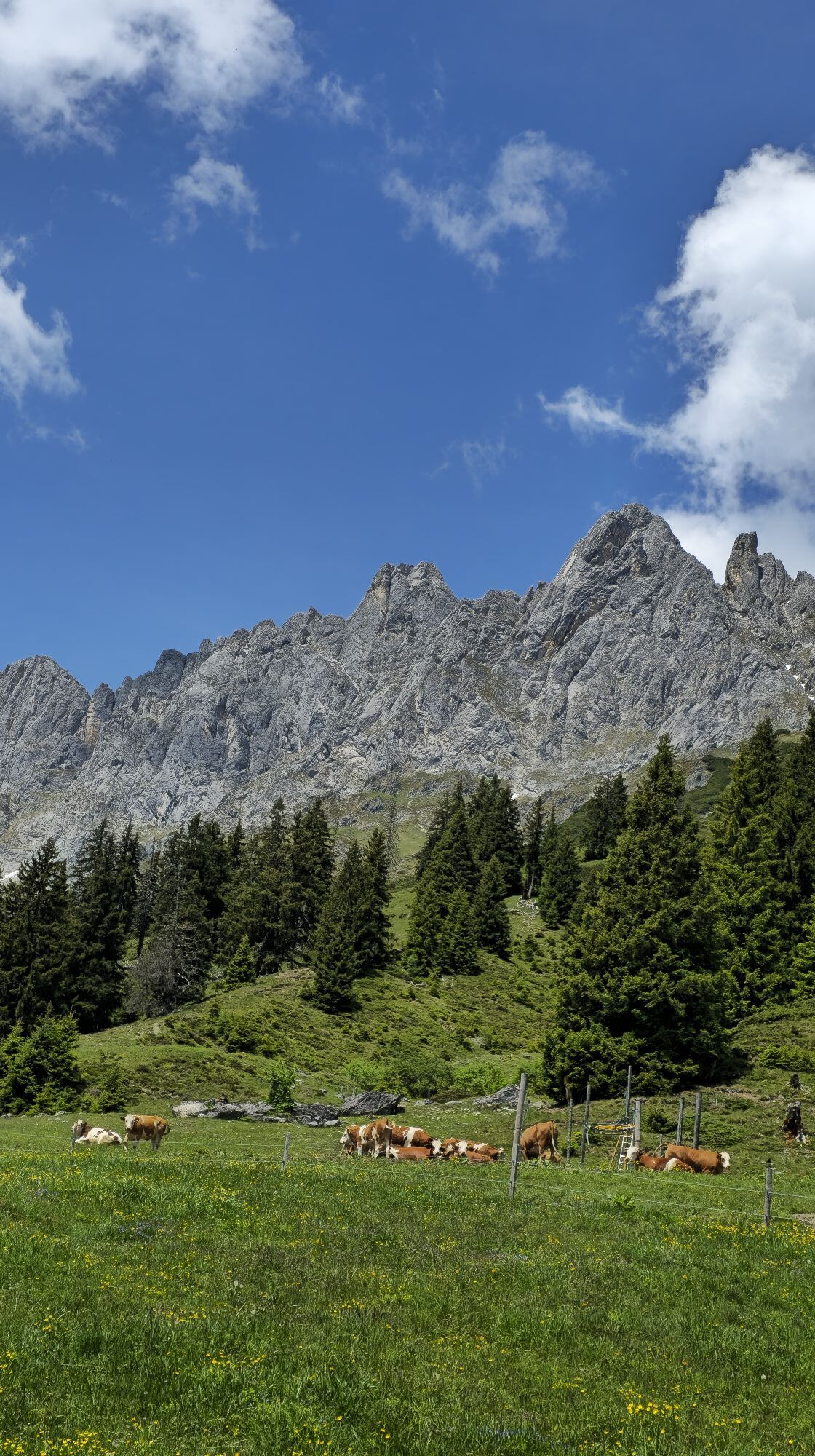
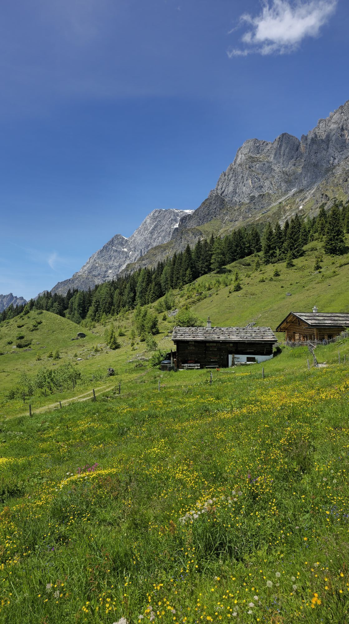
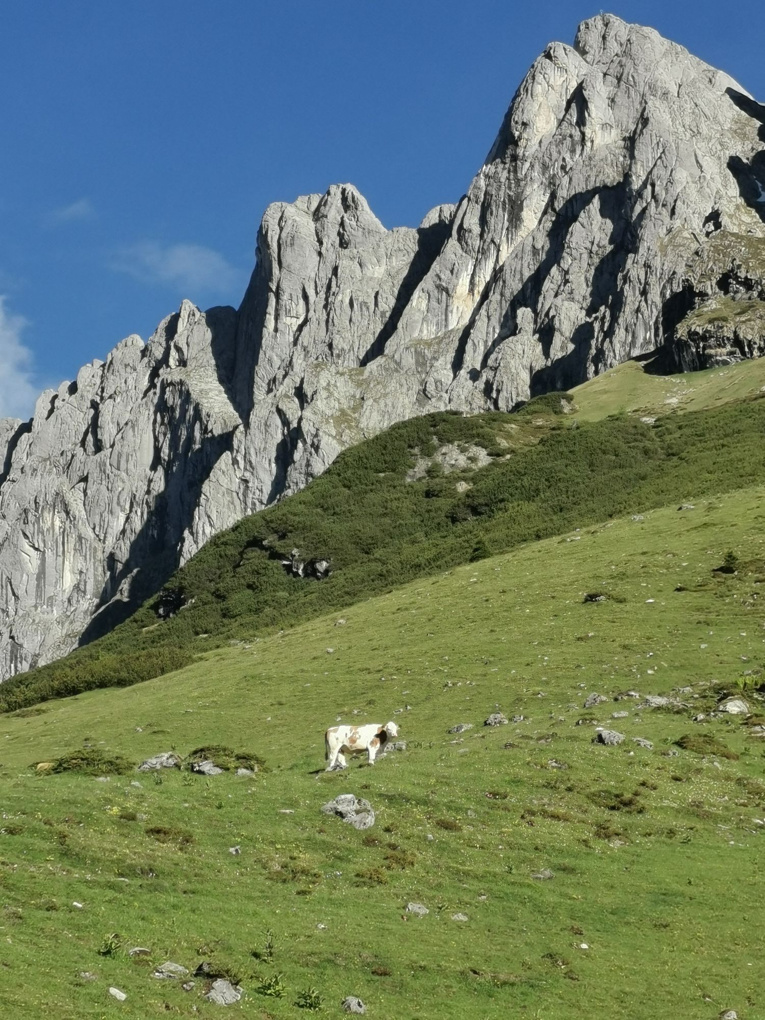
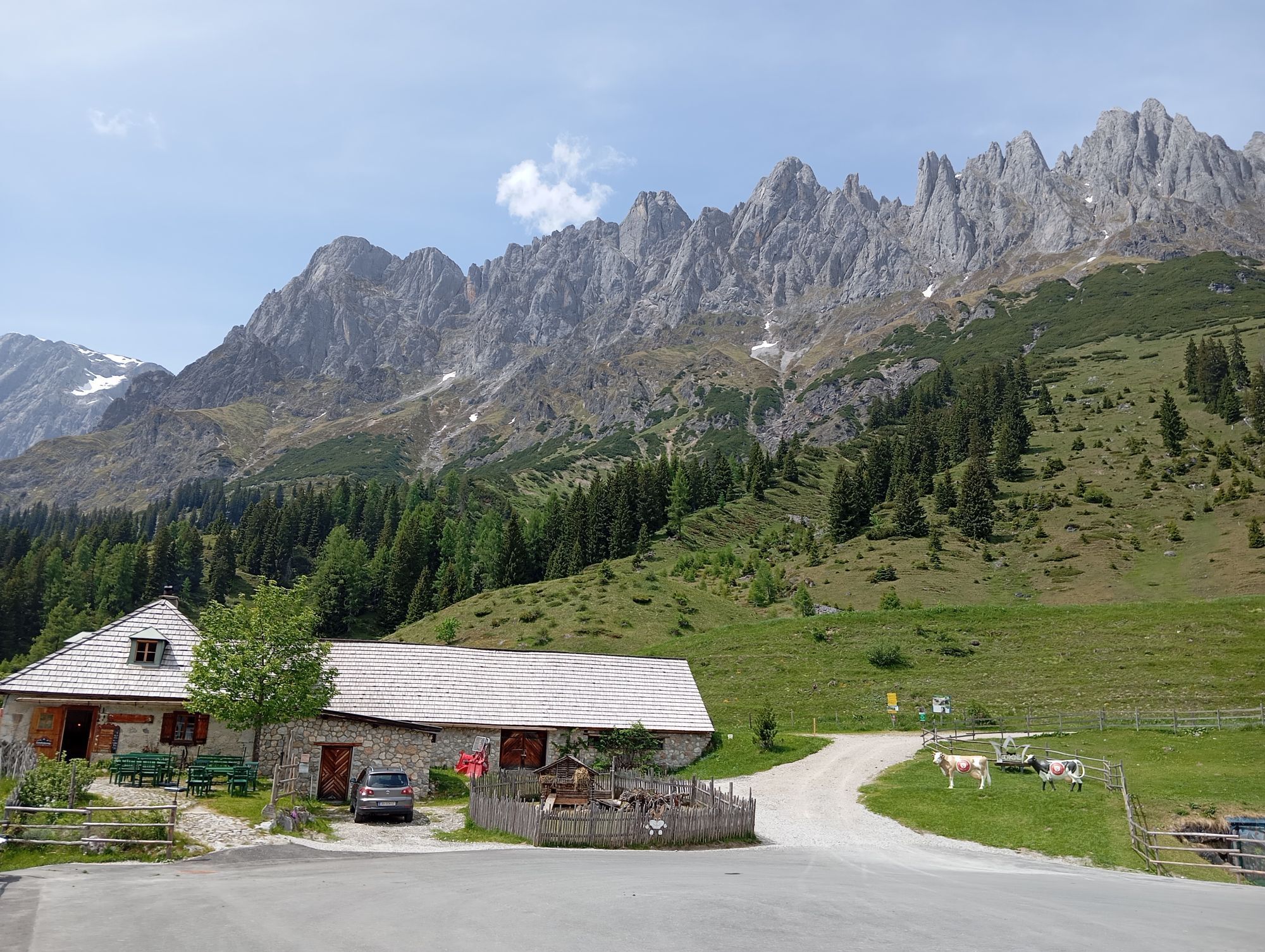
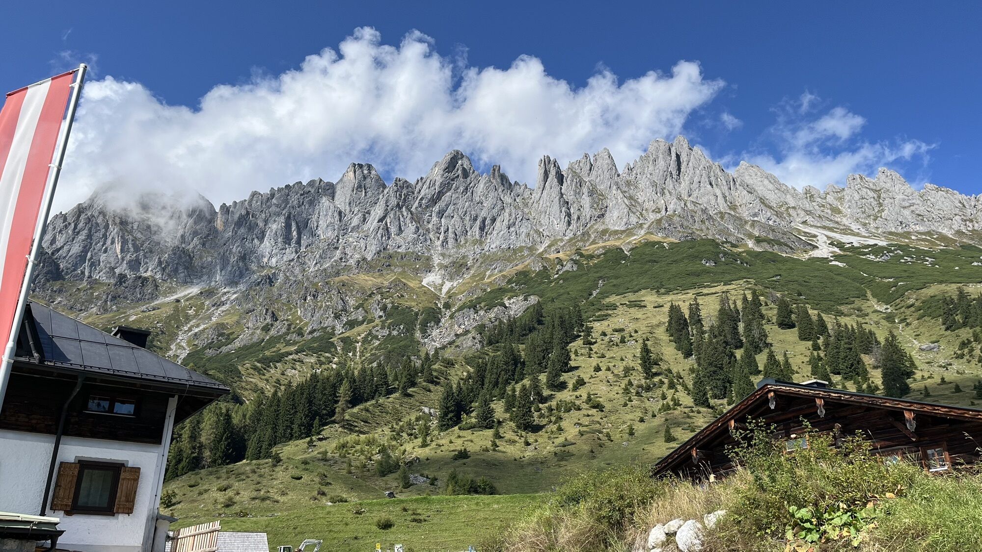
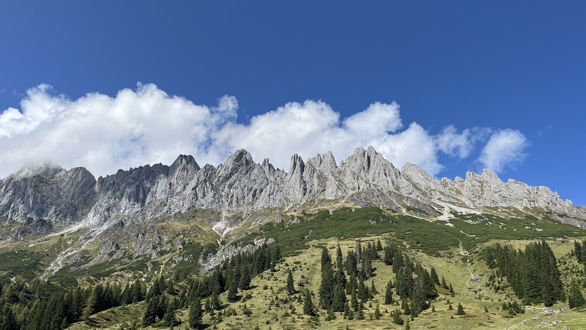
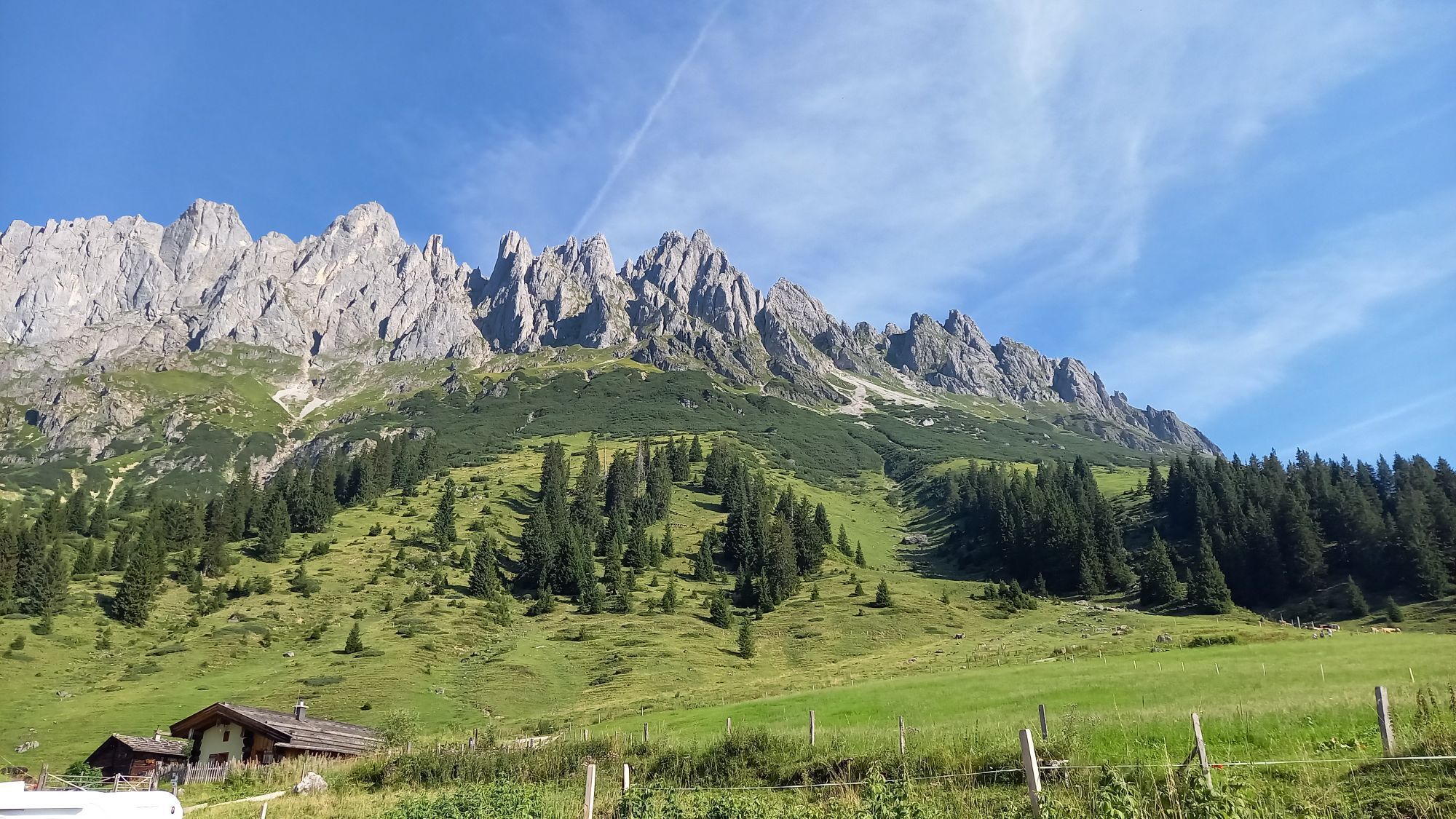
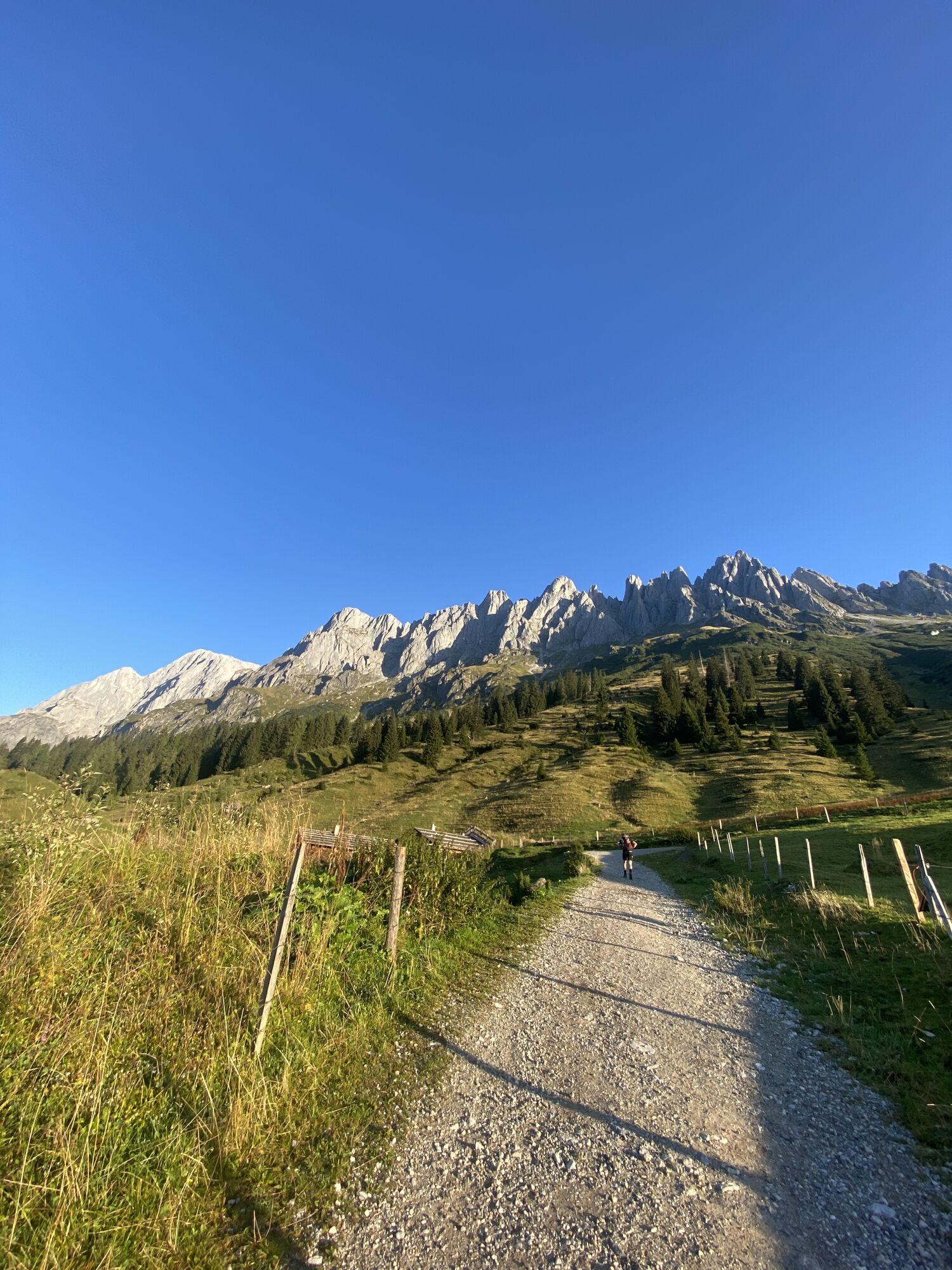
The ski route from the Mitterbergsattel over the extensive south slope at the foot of the Mandlwände is a rewarding, scenic ski route with powder snow and firn. Depending on skill and conditions, the route...
The ski route from the Mitterbergsattel over the extensive south slope at the foot of the Mandlwände is a rewarding, scenic ski route with powder snow and firn. Depending on skill and conditions, the route ends at the Vierrinnensanden at about 2100 m or directly in one of the "Vierrinnenscharten" at about 2300 m. Short, sunny ski route below the Mandlwände. Due to the low altitude difference (approx. 600 m) and the favourable exposure (S - S0), it is a rewarding destination even for less experienced ski mountaineers. Steepening towards the top, maximum steepness approx. 35°, the strong sun exposure and the resulting snow conditions should be noted. Ideal spring route with an early start.
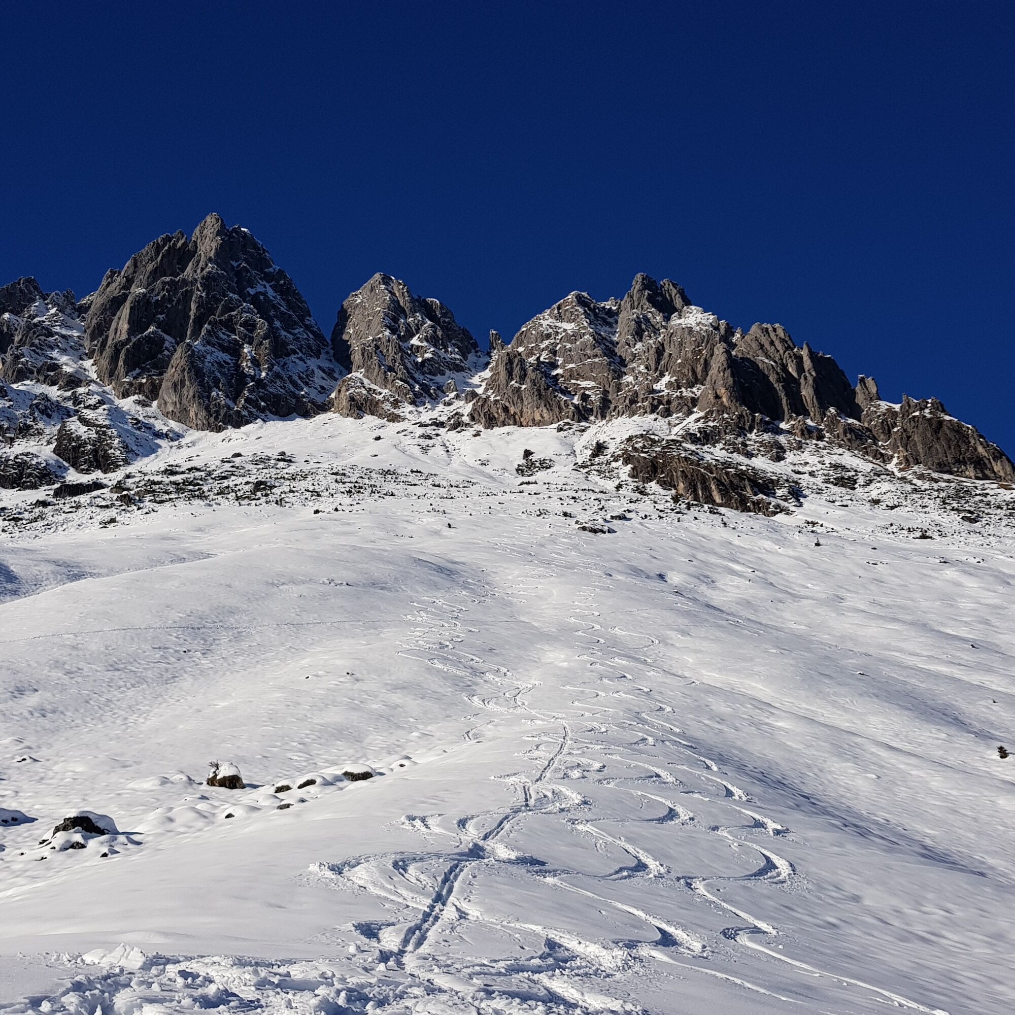

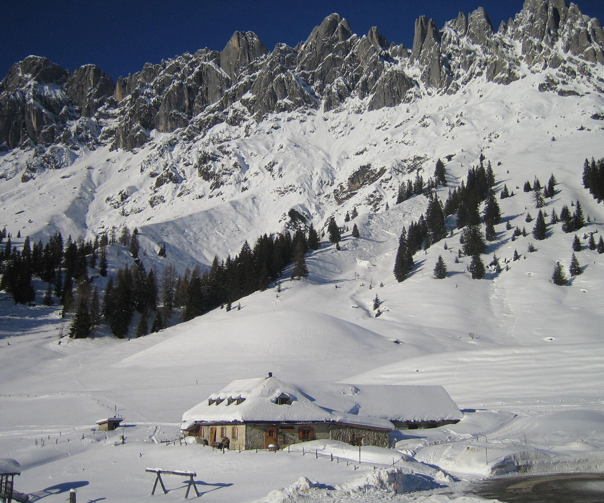
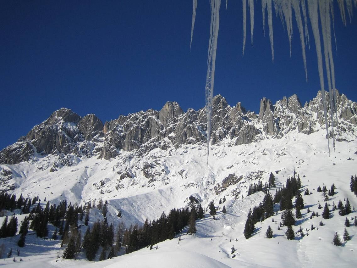
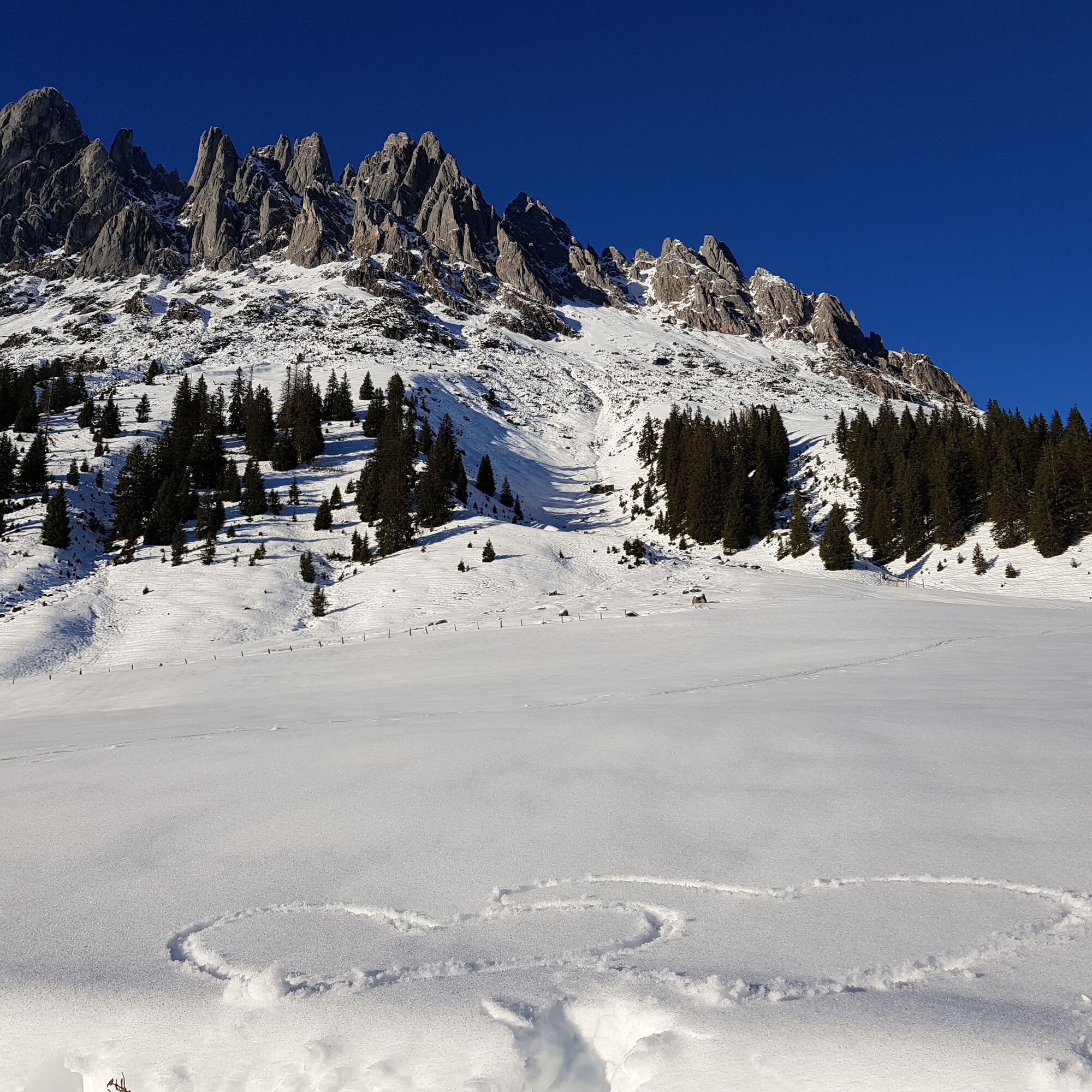

Ascent from the Arthurhaus to the northeast on the summer path towards the Mitterfeldalm and northwards behind a small forest over the Vierrinnensanden into the narrow and increasingly steep cirque below the Vierrinnenköpfe. At the end very steep into the left or right branch of the cirque up to the end point. Due to the low altitude difference (approx. 600 m) and the favourable exposure (S - S0), it is a rewarding destination even for less experienced ski mountaineers. Steepening towards the top, maximum steepness approx. 35°, the strong sun exposure and the resulting snow conditions should be noted. Ideal spring route with an early start.
Take crampons or for the upper section crampons with front points!
Ski touring experience required
Beginners should not go alone
Please pay attention to the weather conditions
Carry enough water
Good equipment
Arrival from Salzburg: On the A10 motorway to the Bischofshofen exit, then on the B311 towards Bischofshofen. Follow the Hochkönig federal road B164 to Mühlbach.
Arrival from Innsbruck/Kufstein: On the Loferer Straße/B178 towards St. Johann i.T., then via the Hochkönig federal road B164 via Saalfelden and Maria Alm to Mühlbach.
Then continue on the Mandlwandstraße to Arthurhaus
Train: Bischofshofen station - ÖBB Scotty
Bus: Line 591 to the cable car Karbachalm stop - timetable information
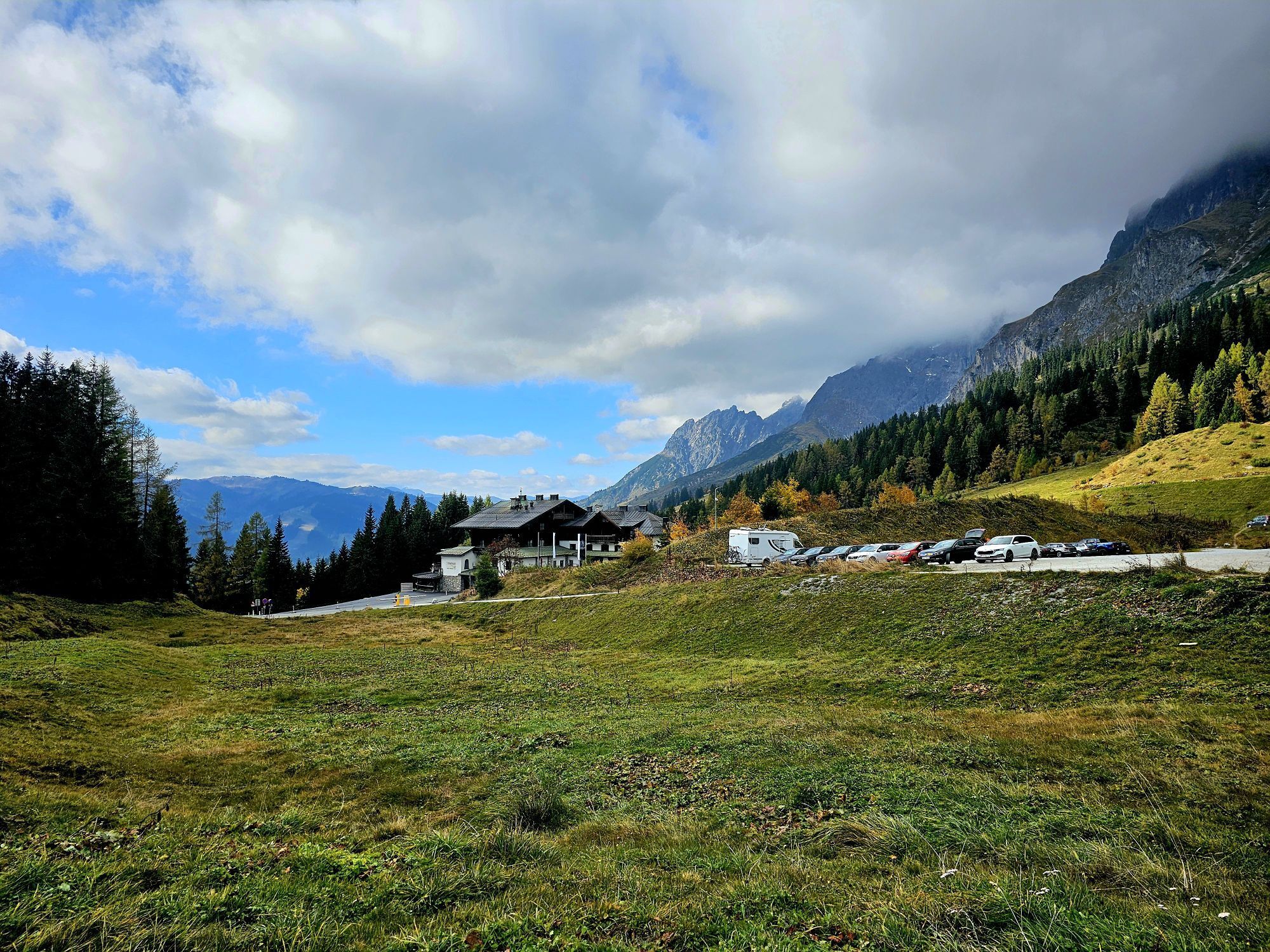
Parking options at Arthurhaus car park
Hochkönig Tourism GmbH
Tel. +43 6584 20388
Dining option in the Arthurhaus
Získejte přehled Vždy živě na místě s více než 9 500 webkamerami. bergfex Jako uživatel Pro si nyní můžete zobrazit odpovídající webové kamery pro mnoho prohlídek v aplikaci prohlídky z. Můžete si tak přímo prohlédnout aktuální podmínky. Oblíbené prohlídky v okolí
- 4.9
Werfenweng Mountainbikerunde Söldenhütte
středníMountainbike 18.8 km - 4.8
Summit stormer route Lauskopf
heavyTuristika 8.16 km - 4.8
Summit storming route Taghaube
heavyTuristika 6.25 km - 4.7
About the "Four Huts circular route" to Windraucheggalm
středníTuristika 10.1 km - 4.6
Panorama hike to the Hochkeil
středníTuristika 6.07 km - 3.6
Wanderung zur Ostpreußenhütte in Werfen (1.630 m)
středníTuristika 11.2 km - 4.9
Hochkönig - Gipfel der Gefühle - Matrashaus
heavyTuristika 20.9 km - 4.8
Liechtensteinklamm mit Helix
světloTematická stezka 3 km - 4.4
Alpine and hut hike "Hochmaisalm & Steinbockalm"
středníTuristika 8.10 km - 5.0
Großarl: Heukareck
středníTuristika 12.5 km
Pěší turistika a stopování


Nenechte si ujít nabídky a inspiraci pro vaši příští dovolenou
Vaše e-mailová adresa byl přidán do poštovního seznamu.





