







Ski tour from Arthurhaus in Mühlbach to Mitterfeldalm

Úroveň obtížnosti: PD
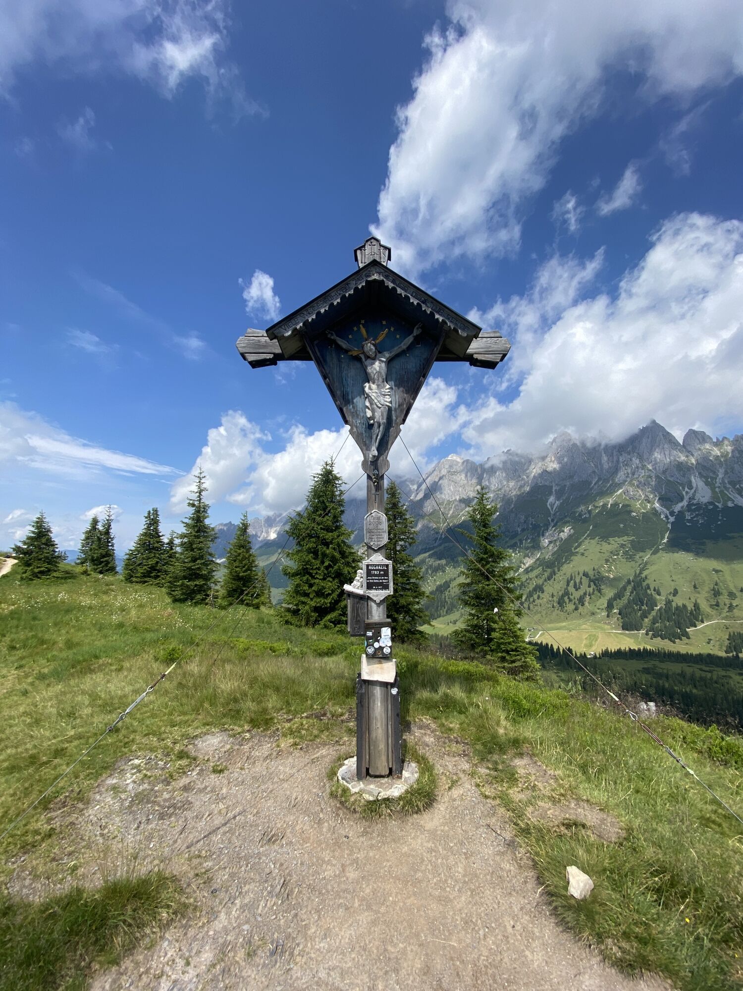
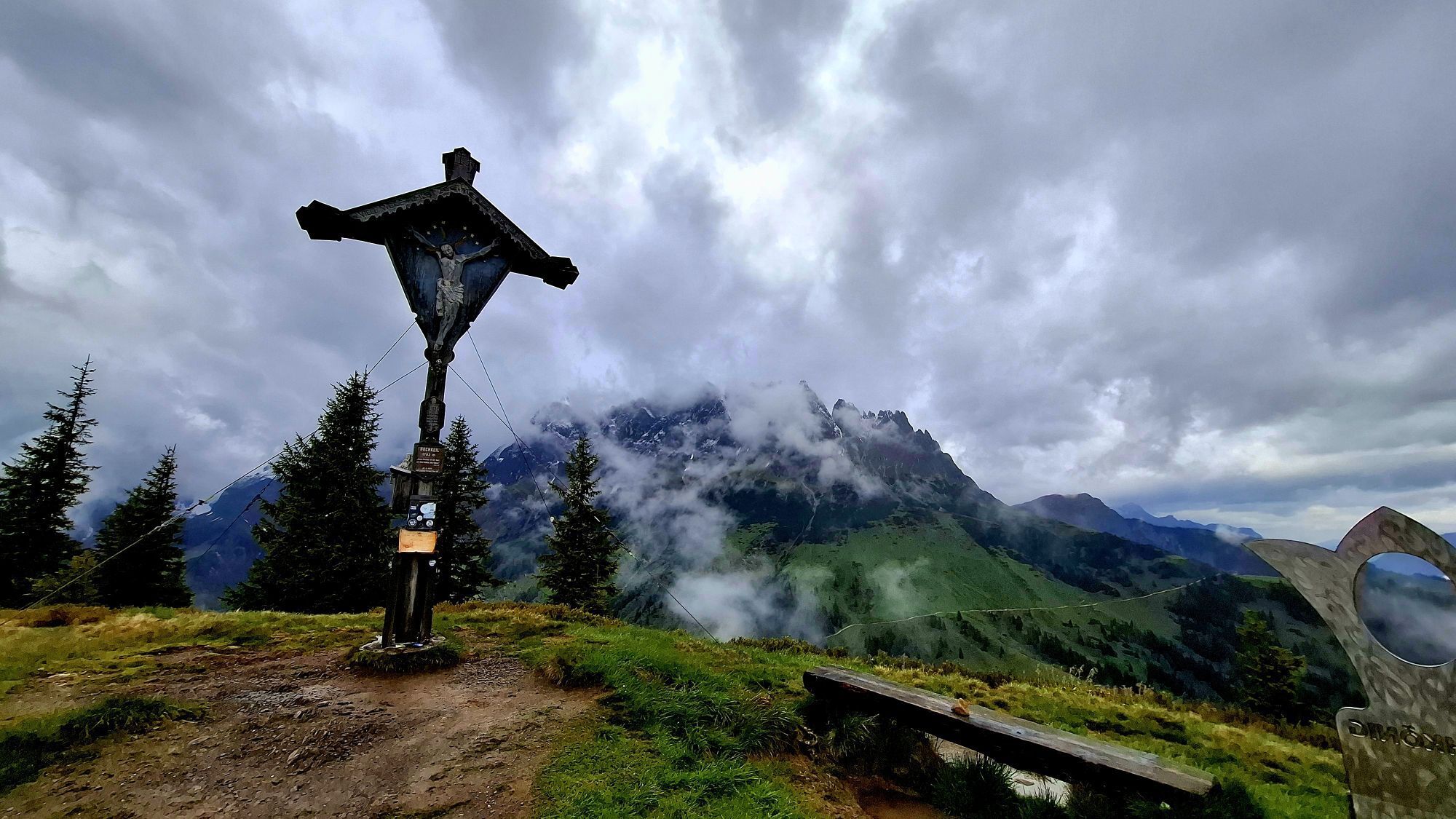
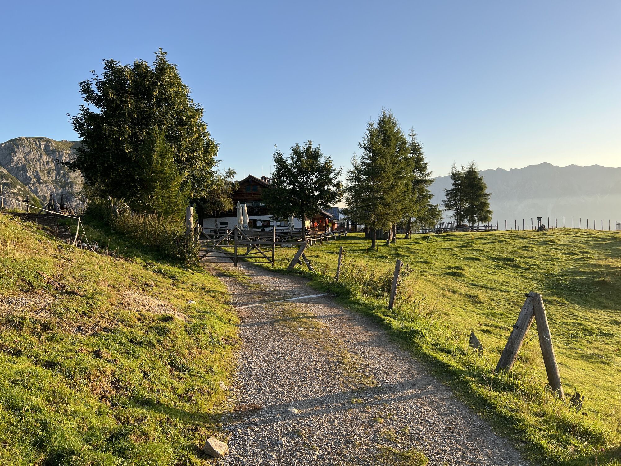
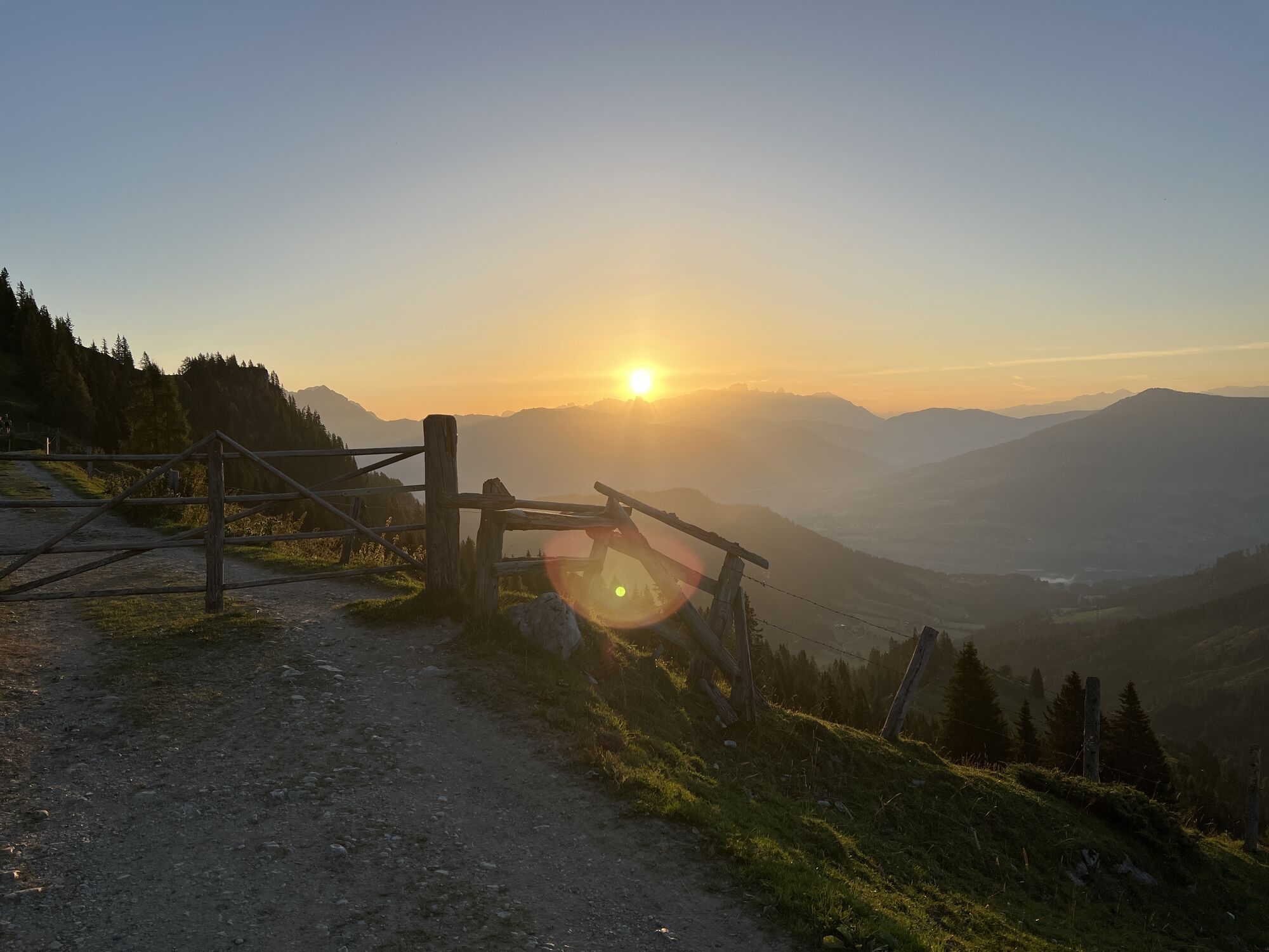
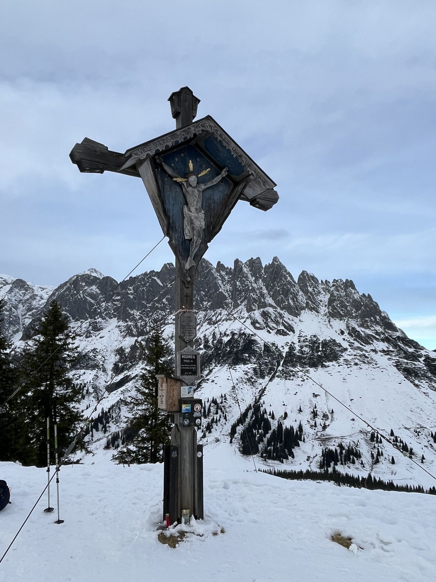
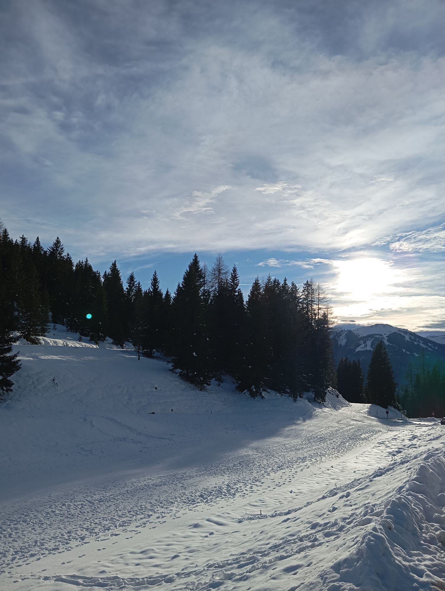
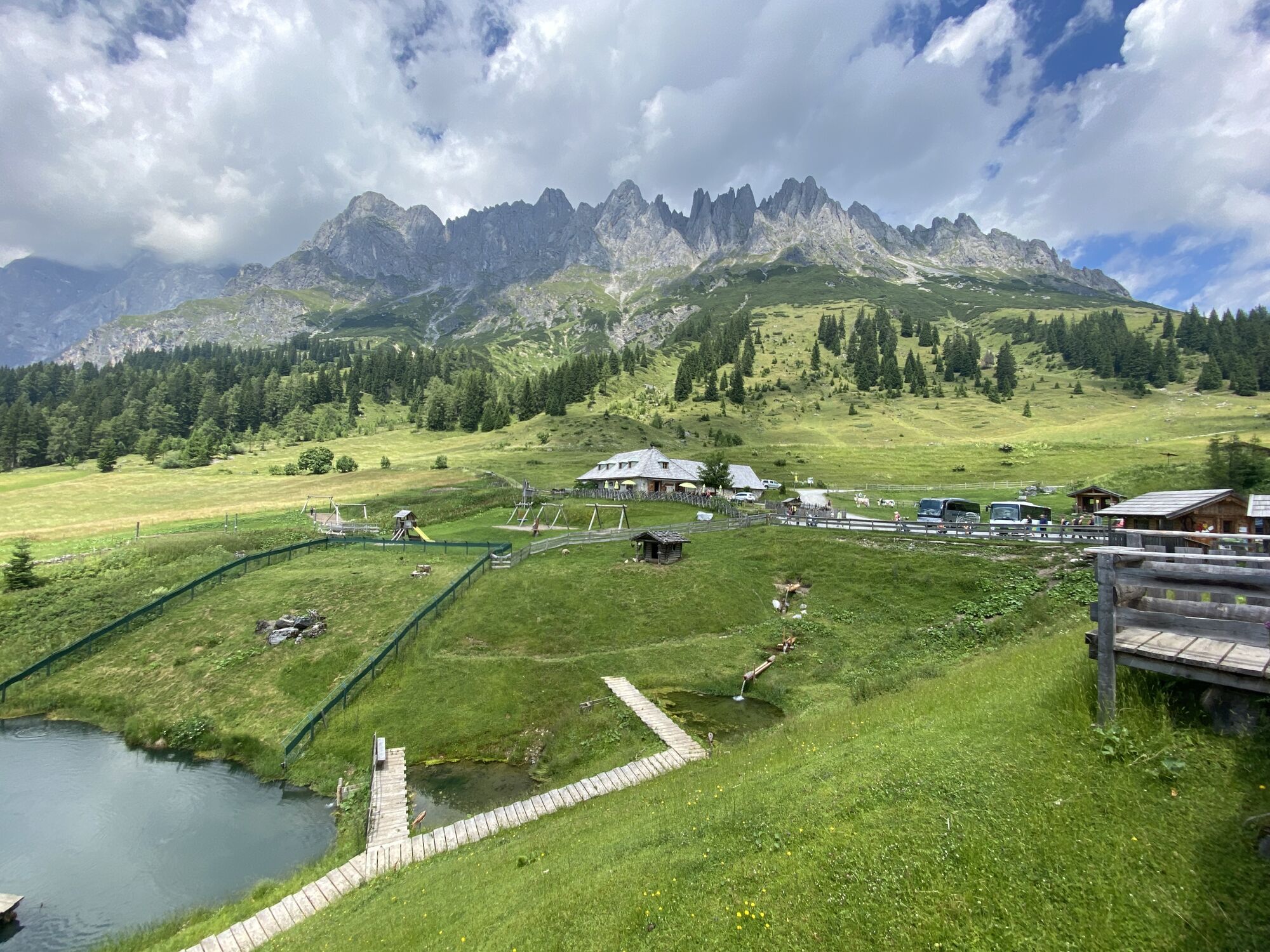
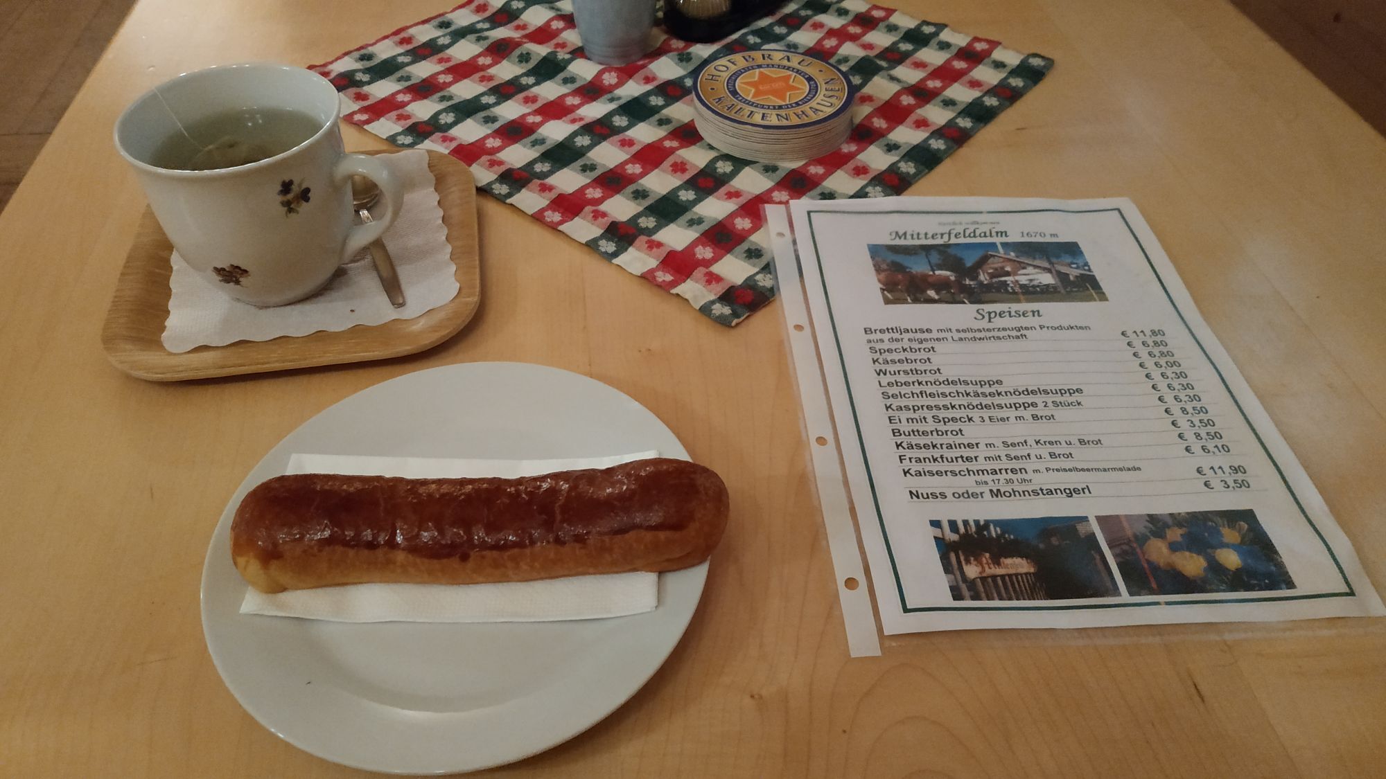
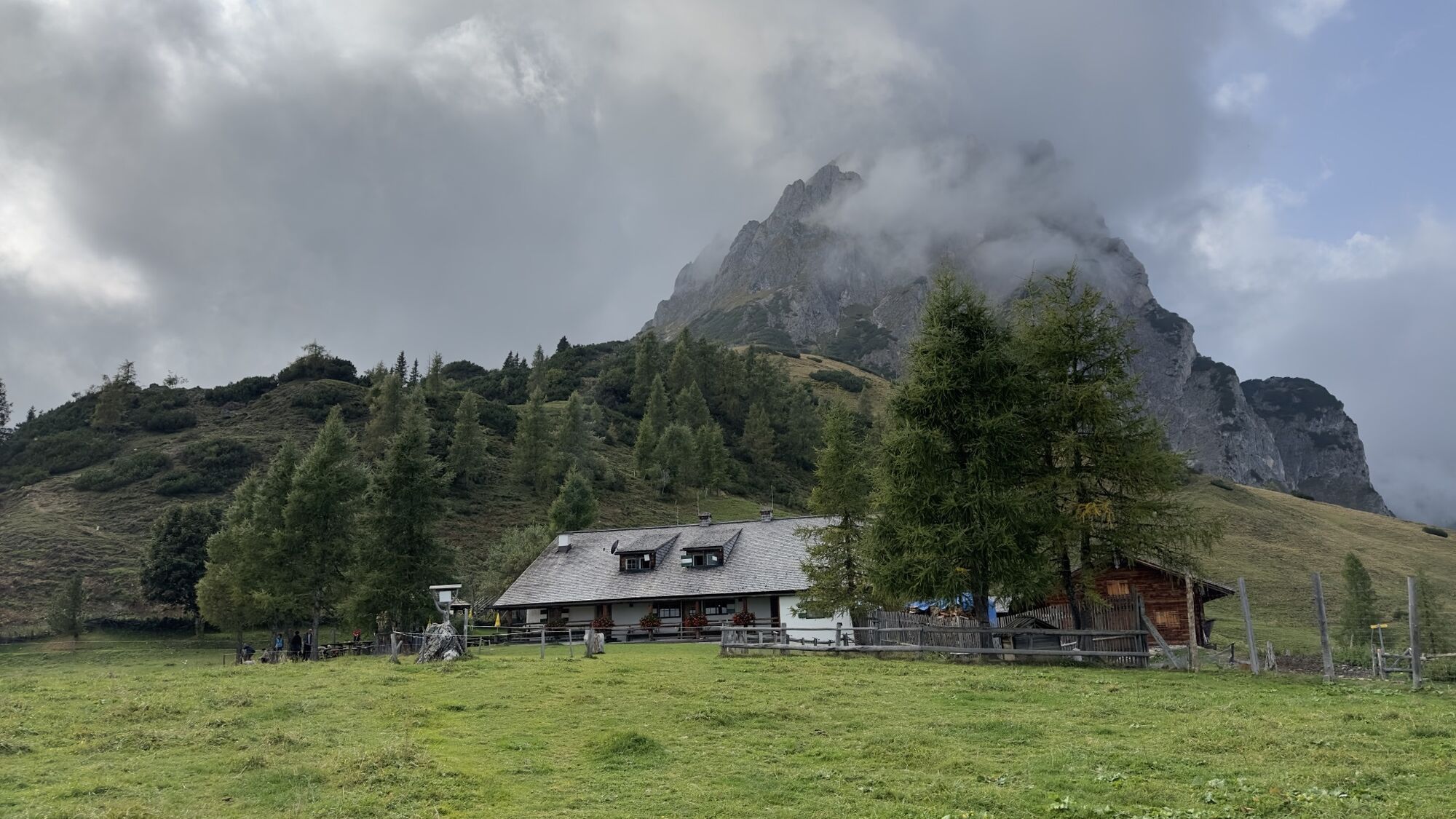
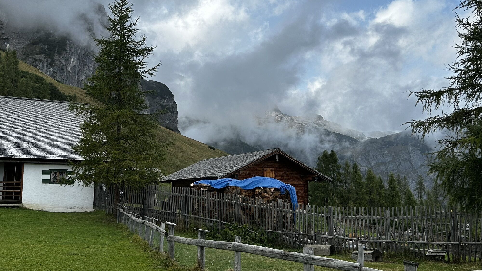
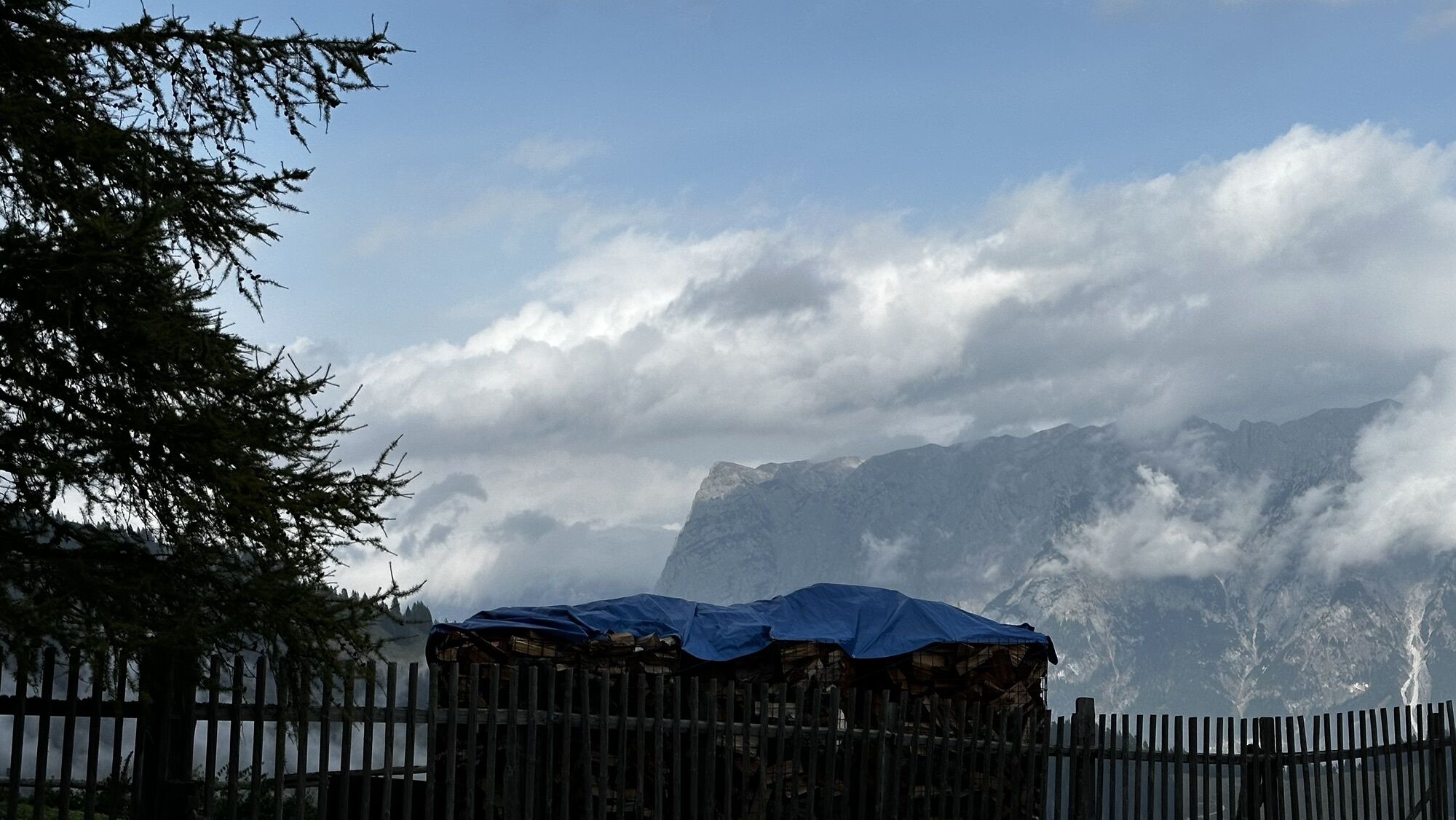
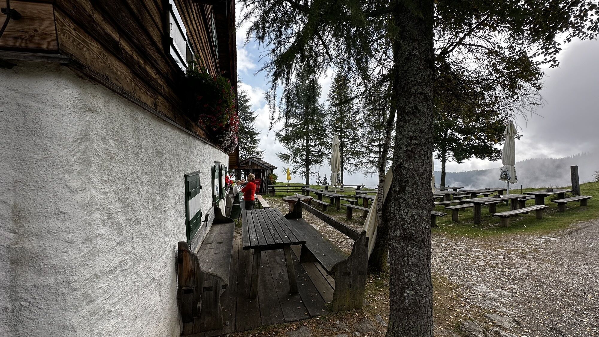
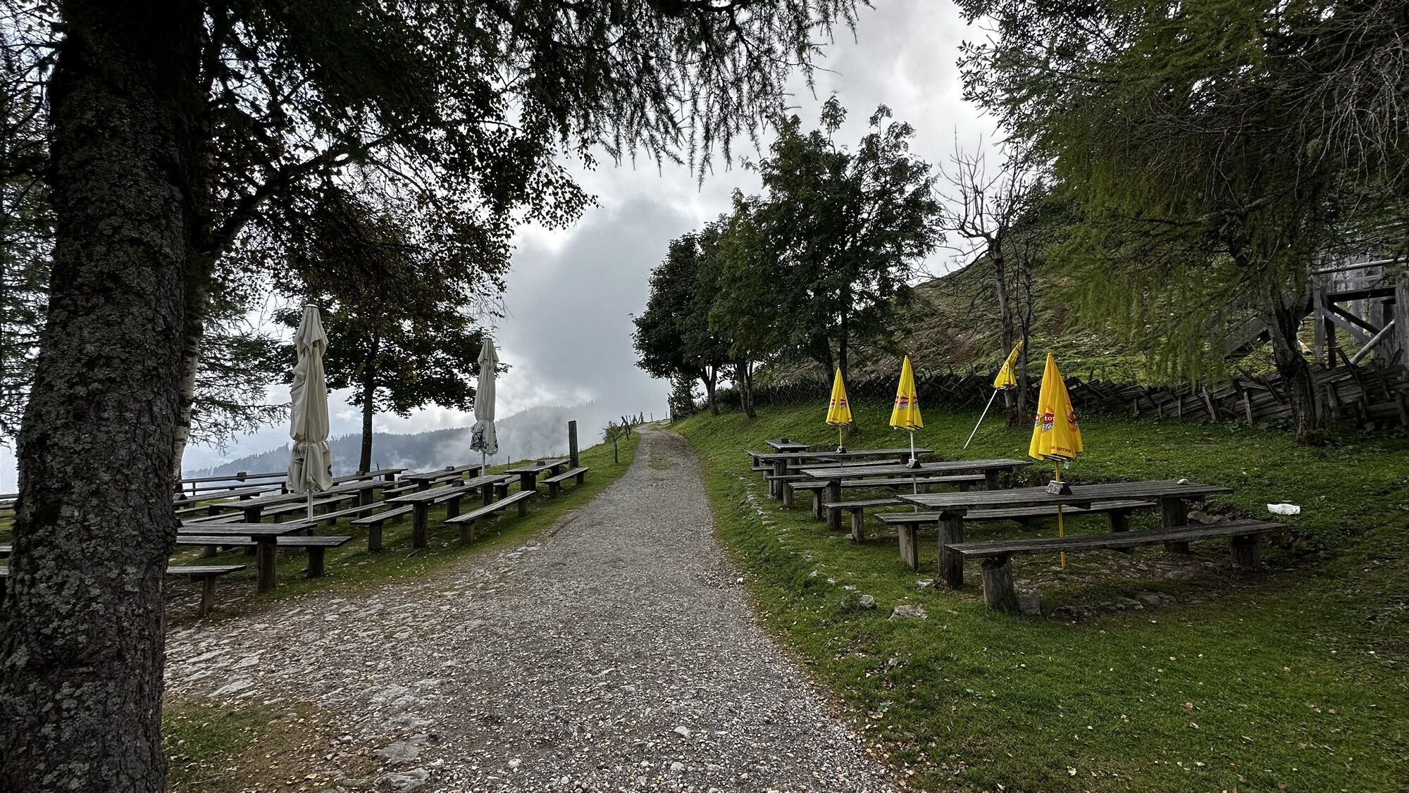
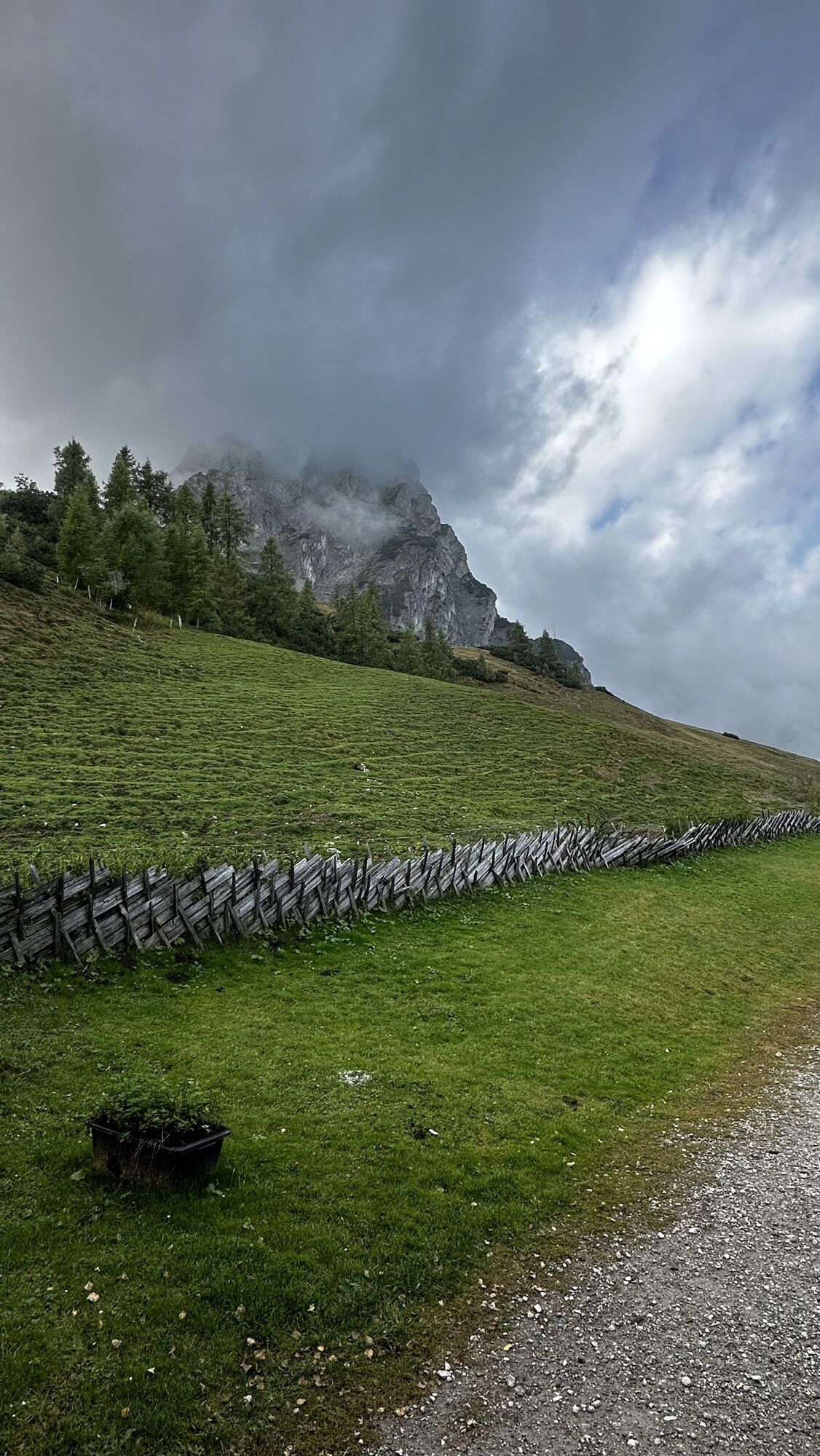
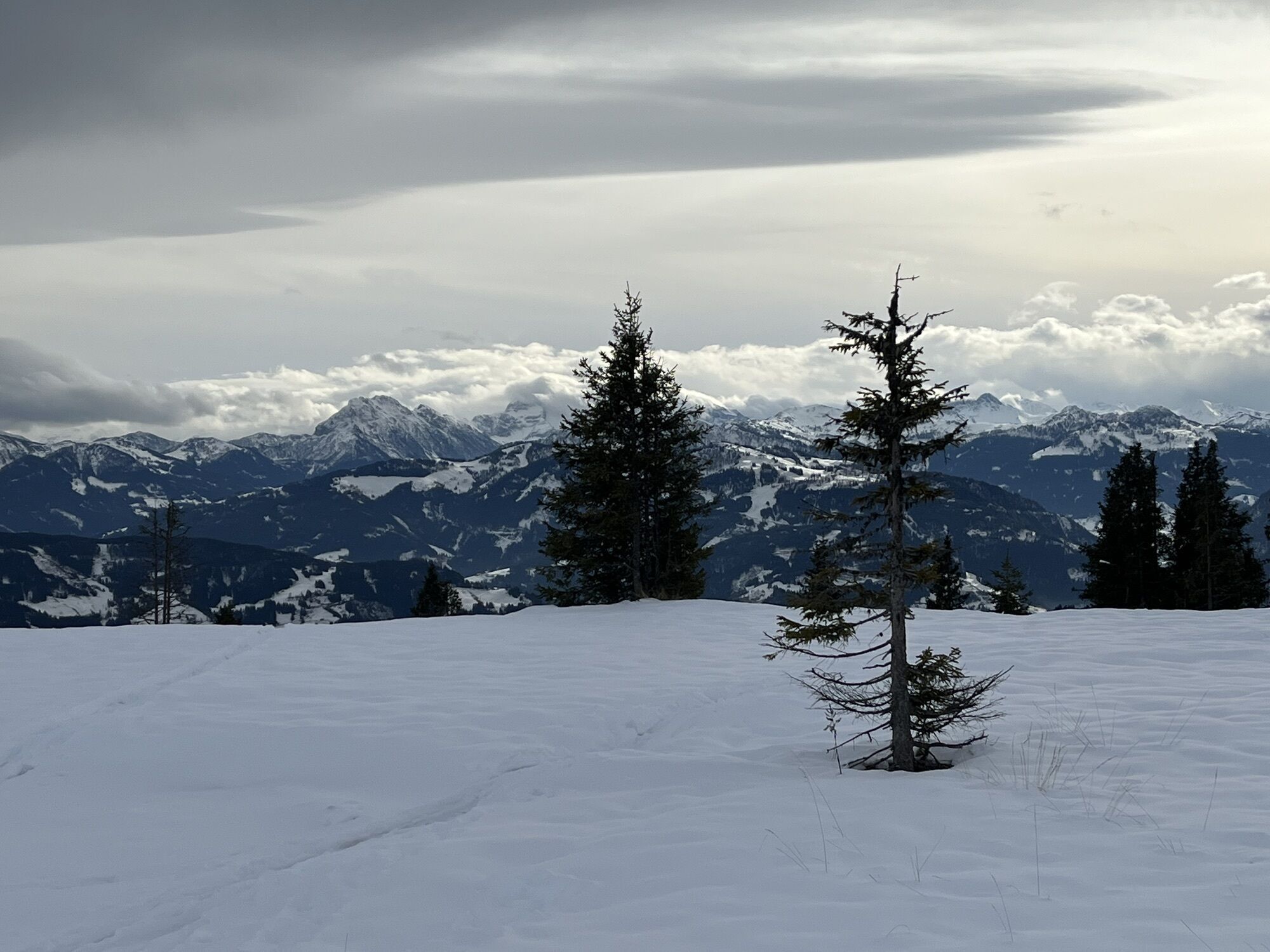
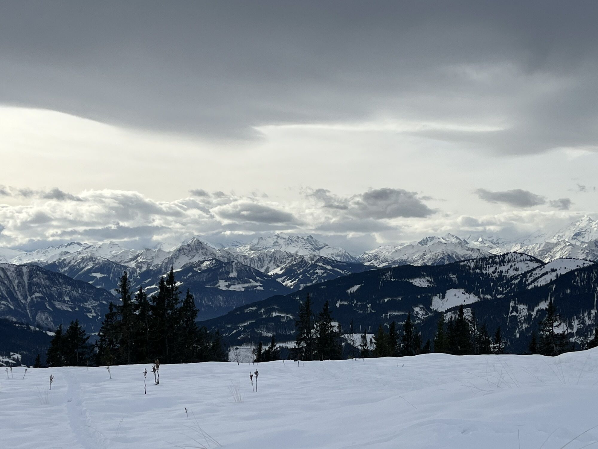
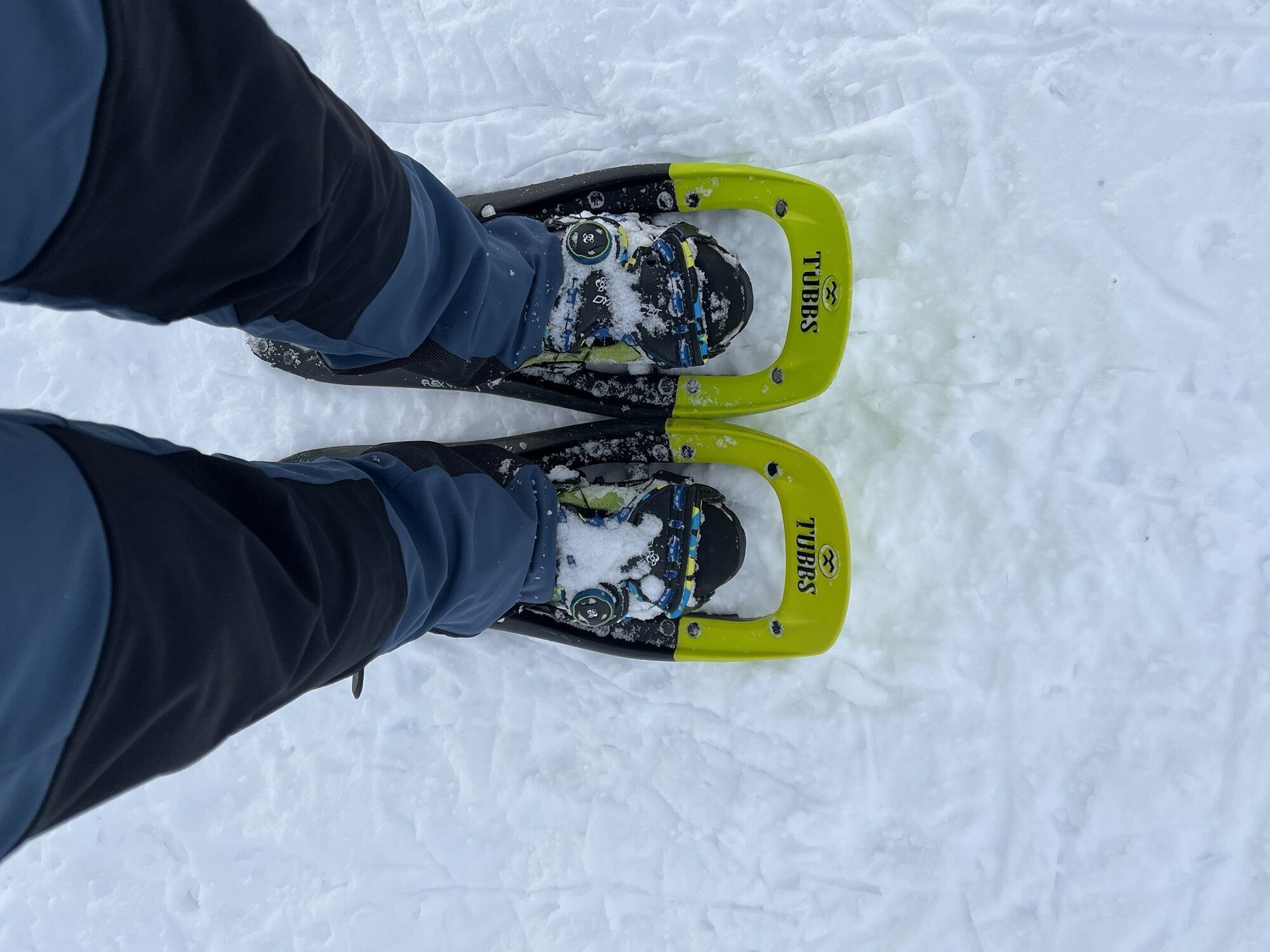
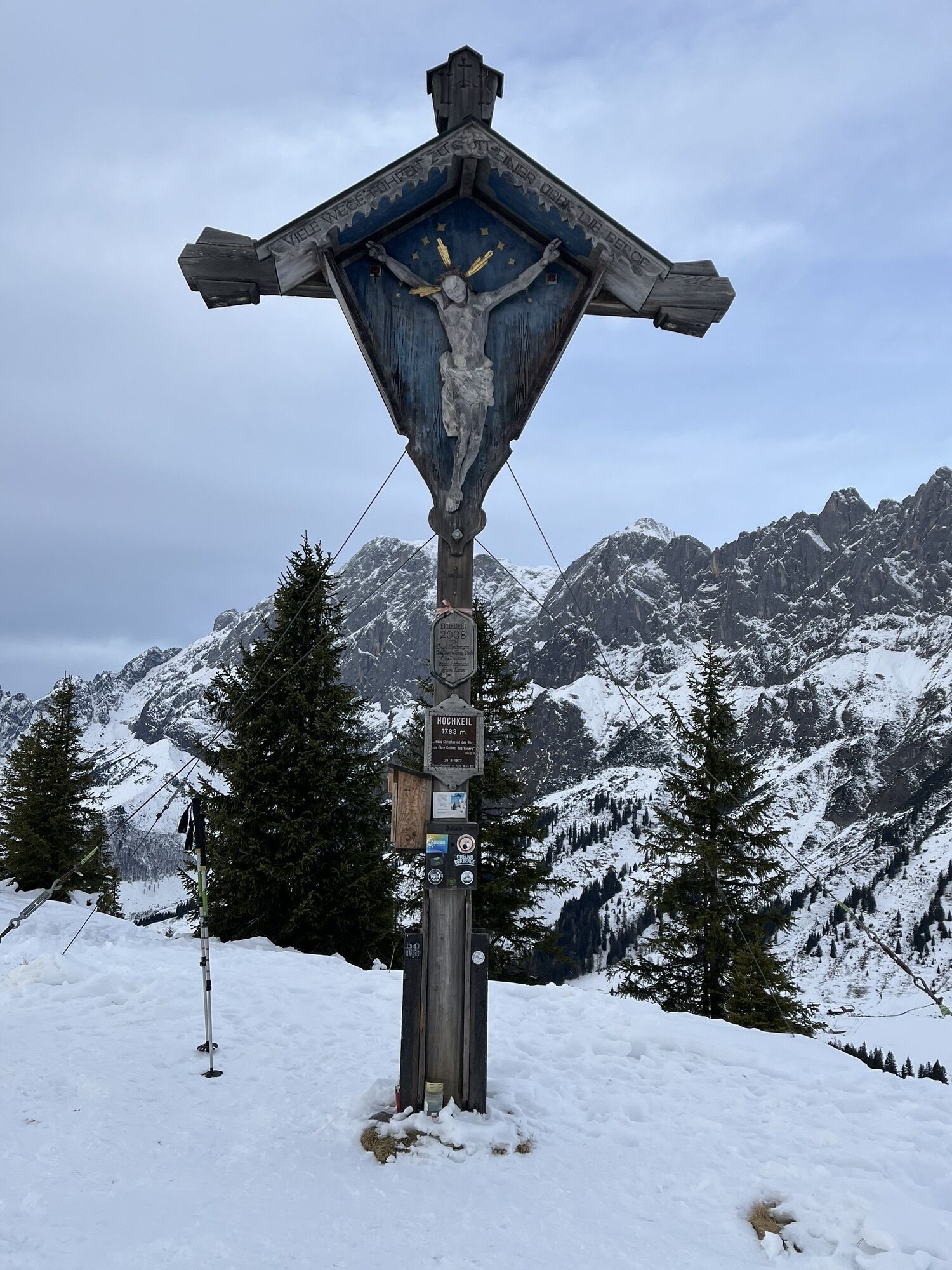
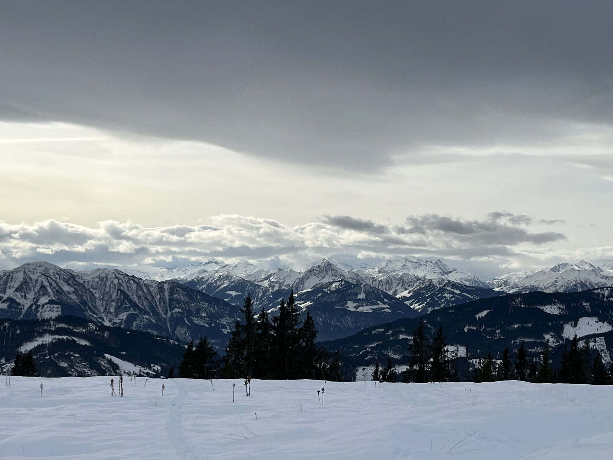
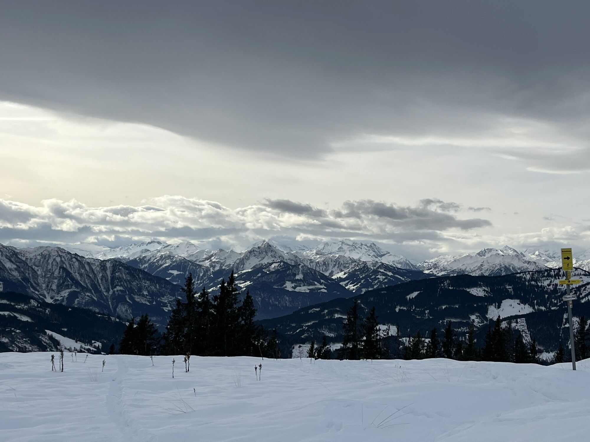
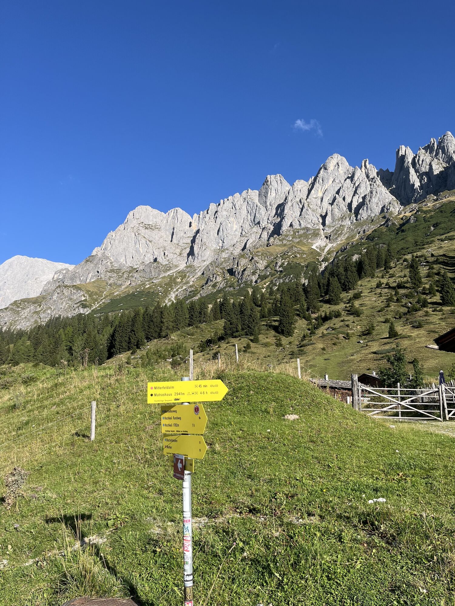
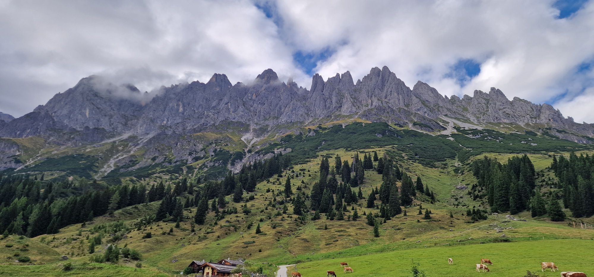
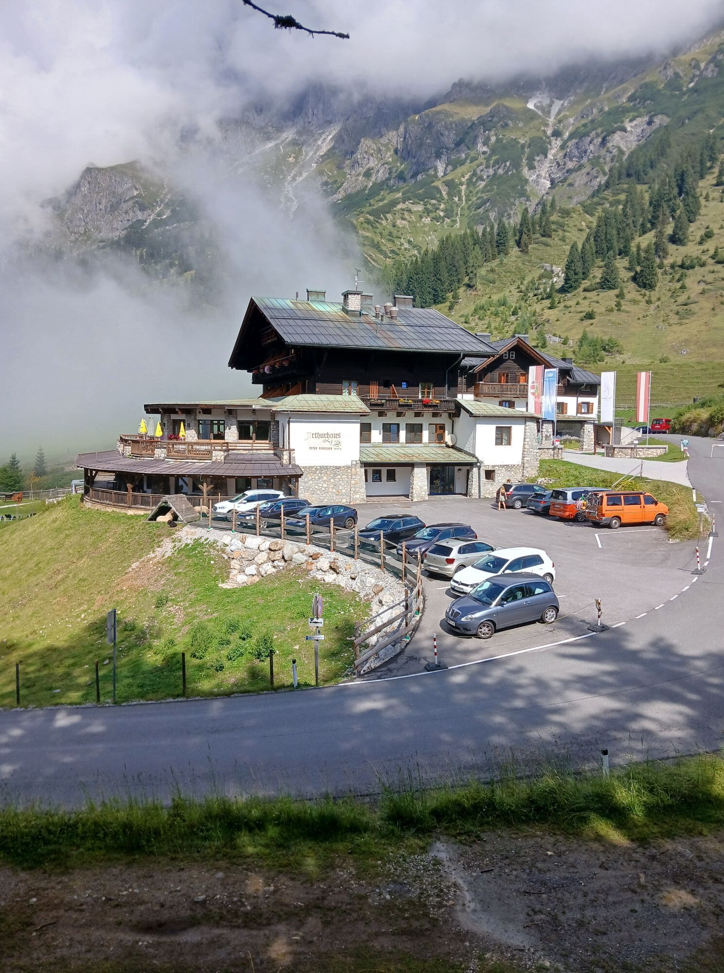
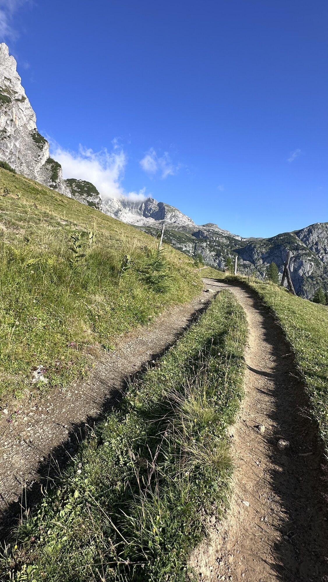
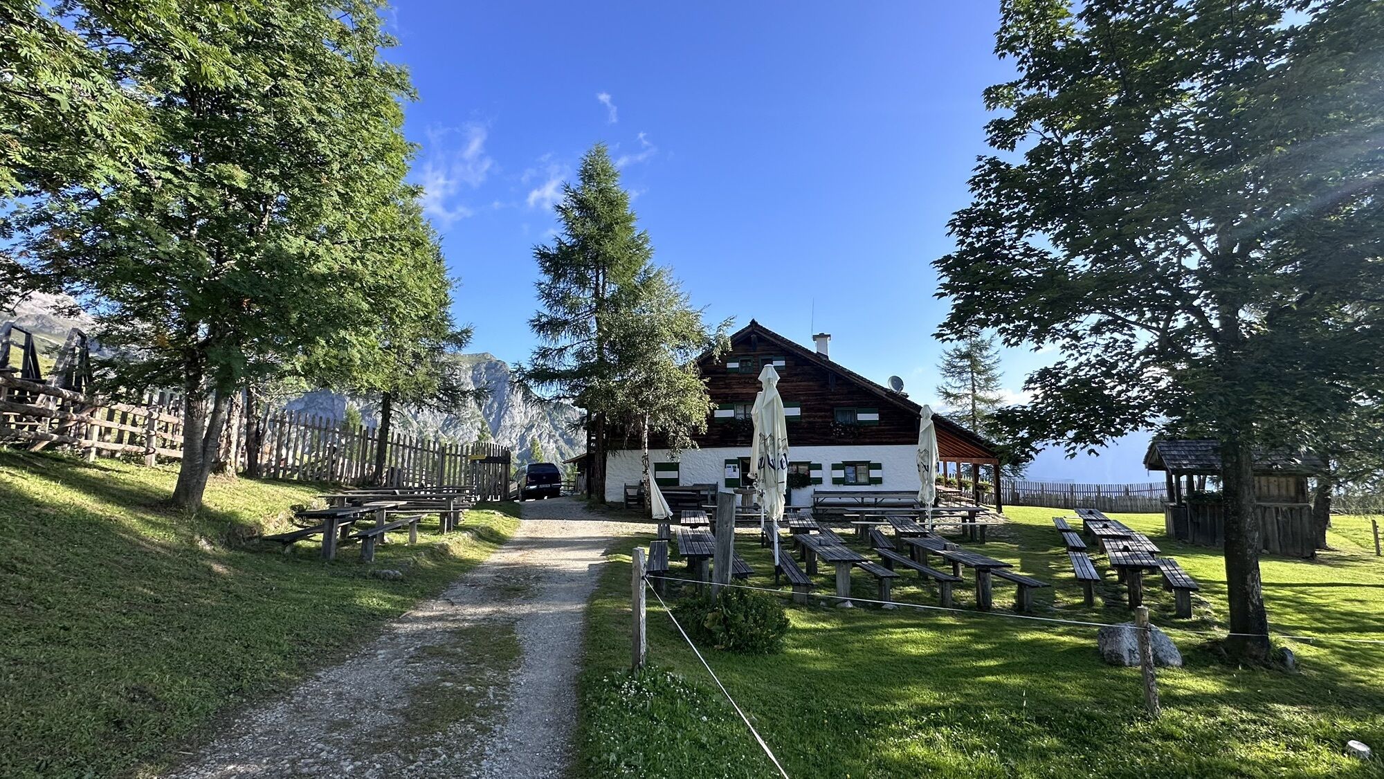
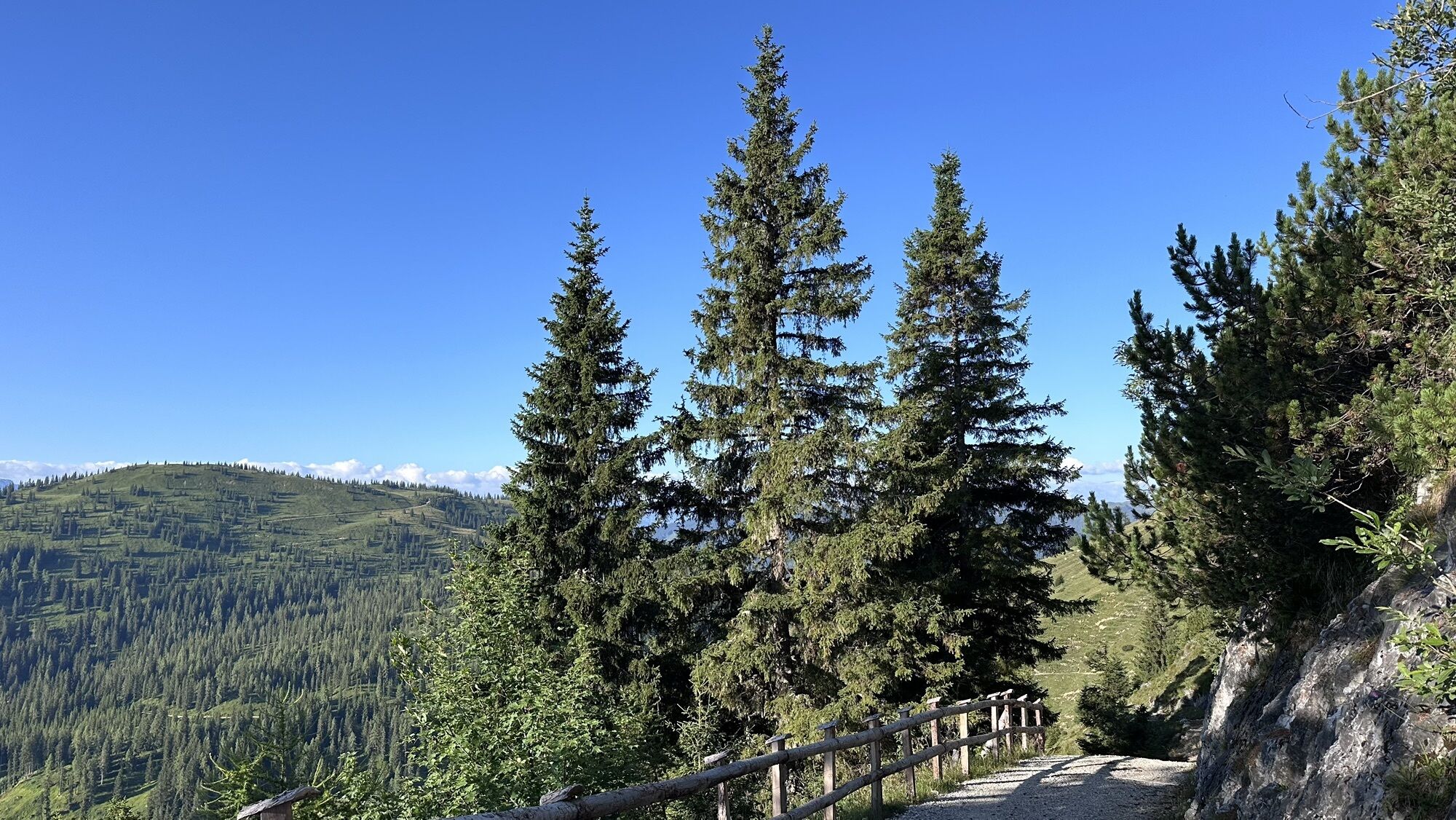
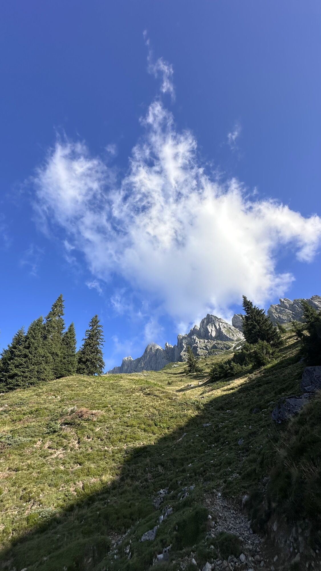
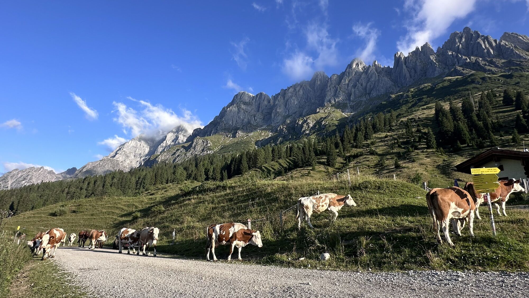
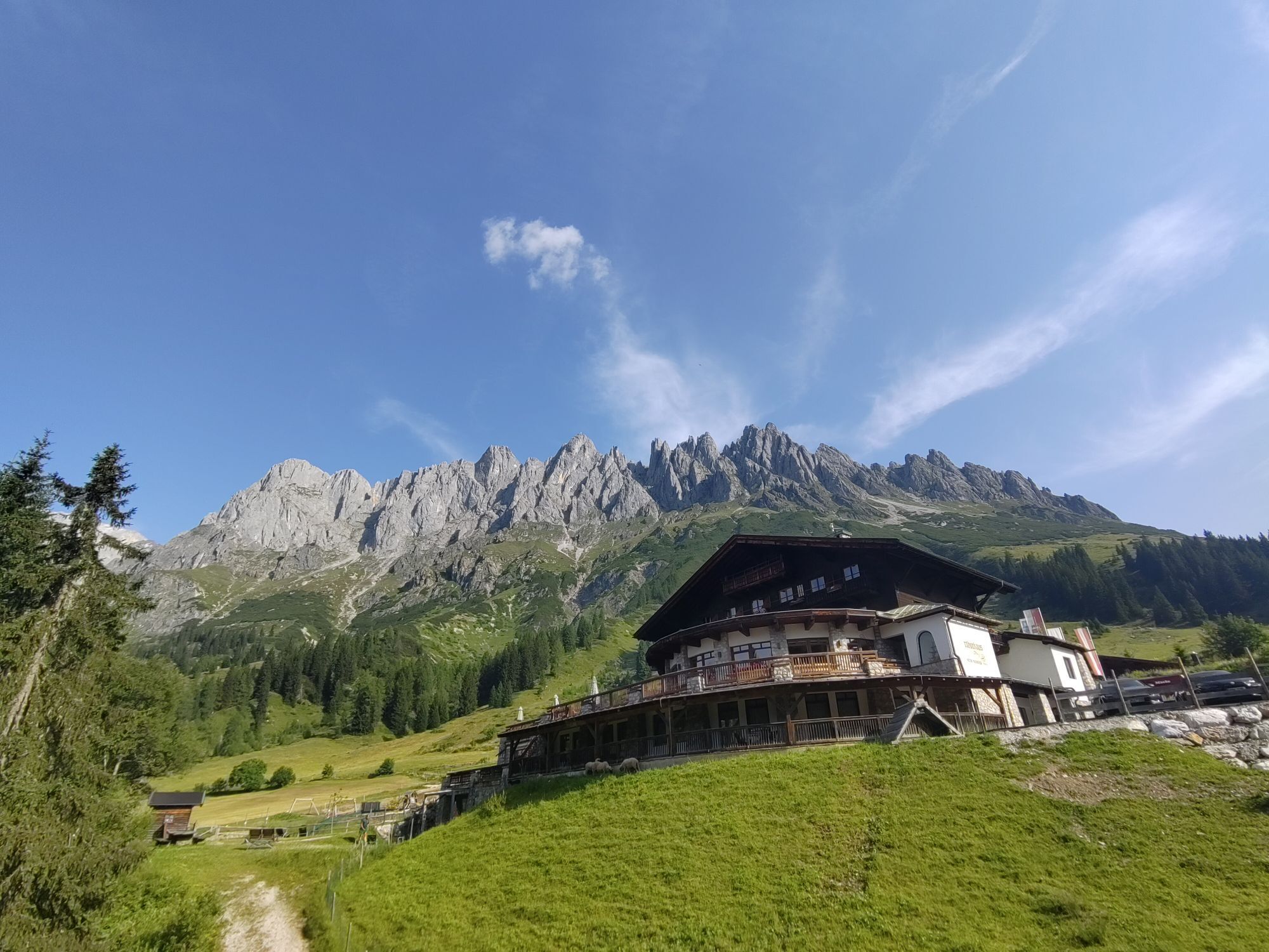
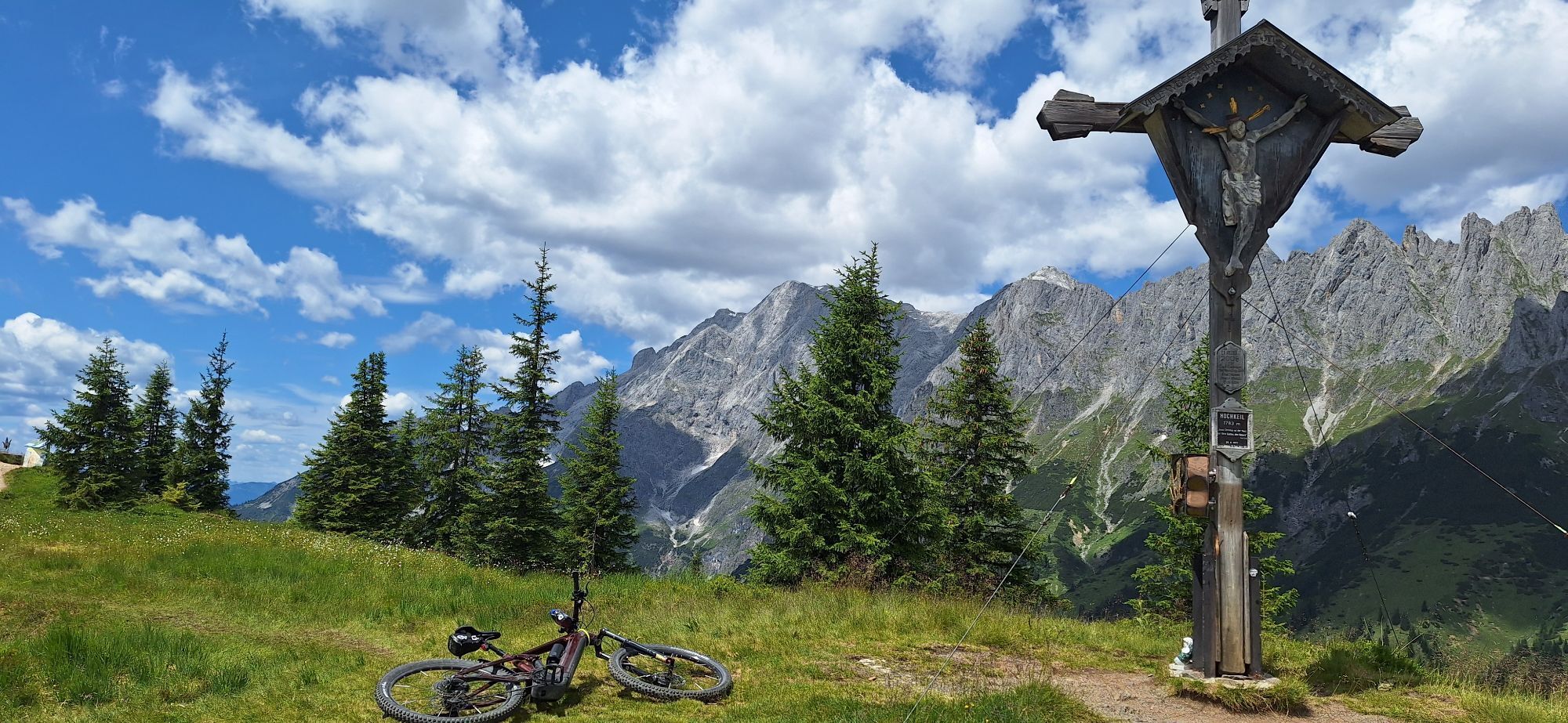
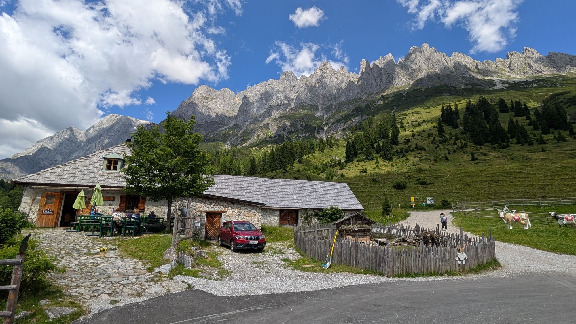
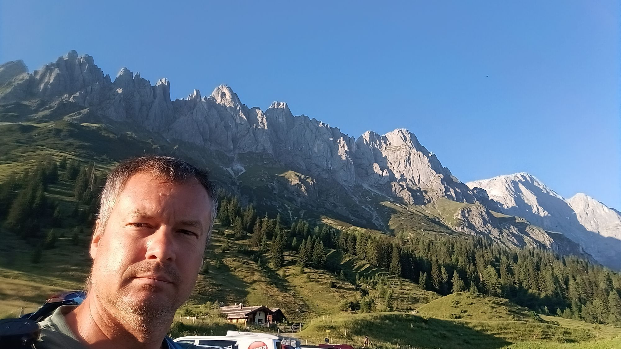
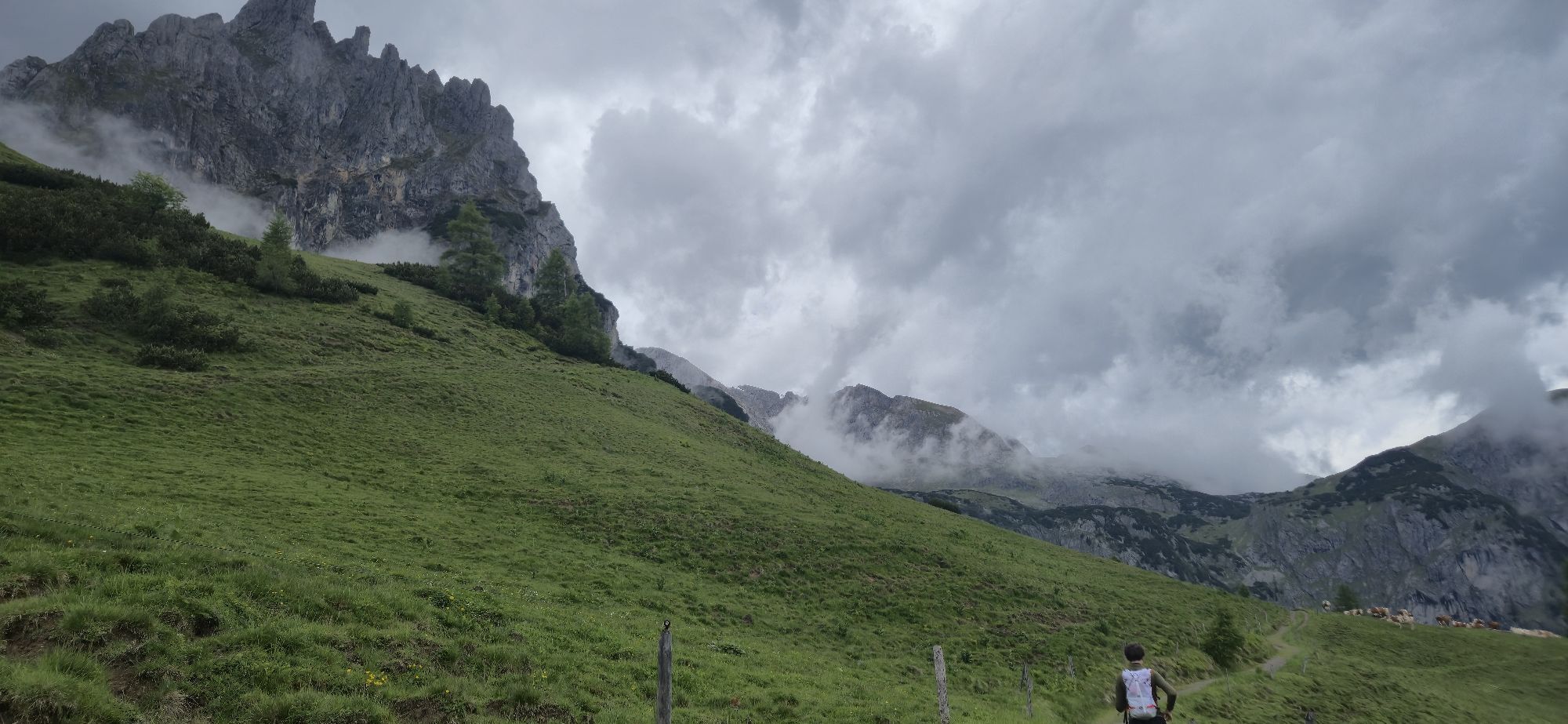
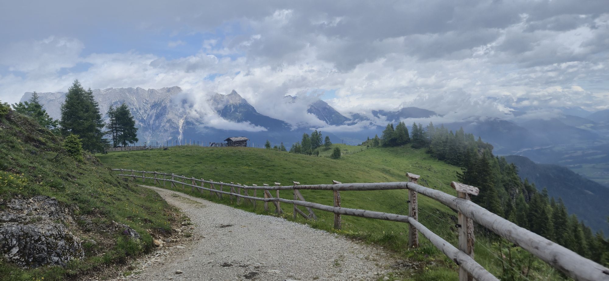
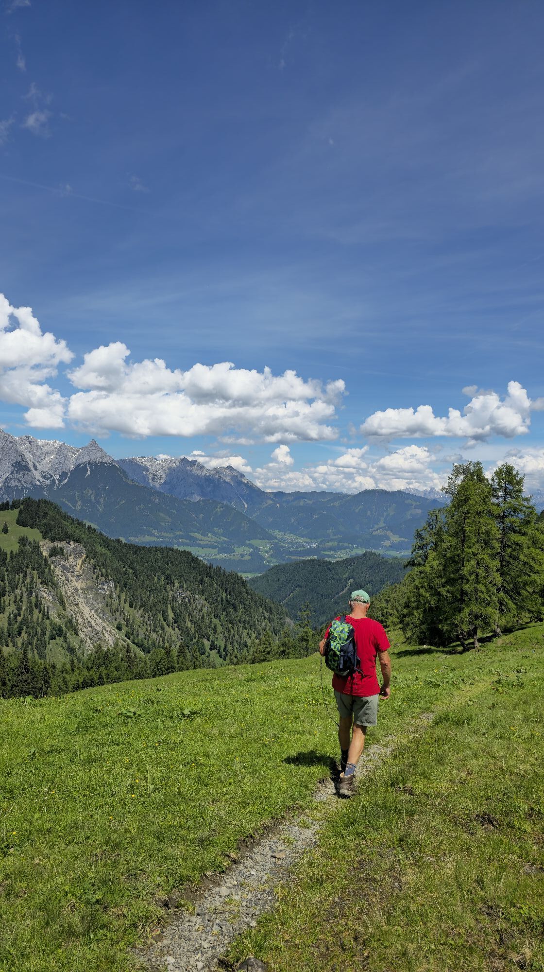
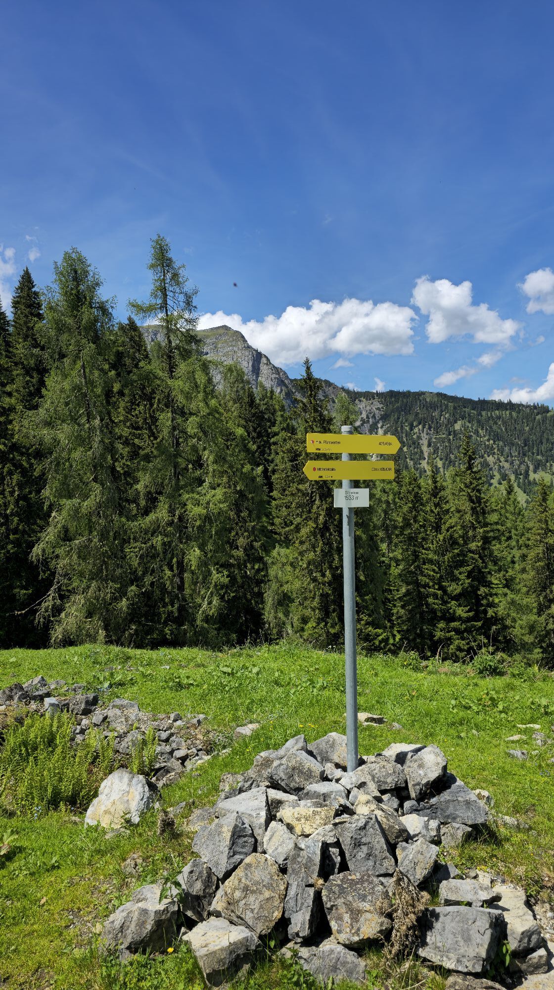
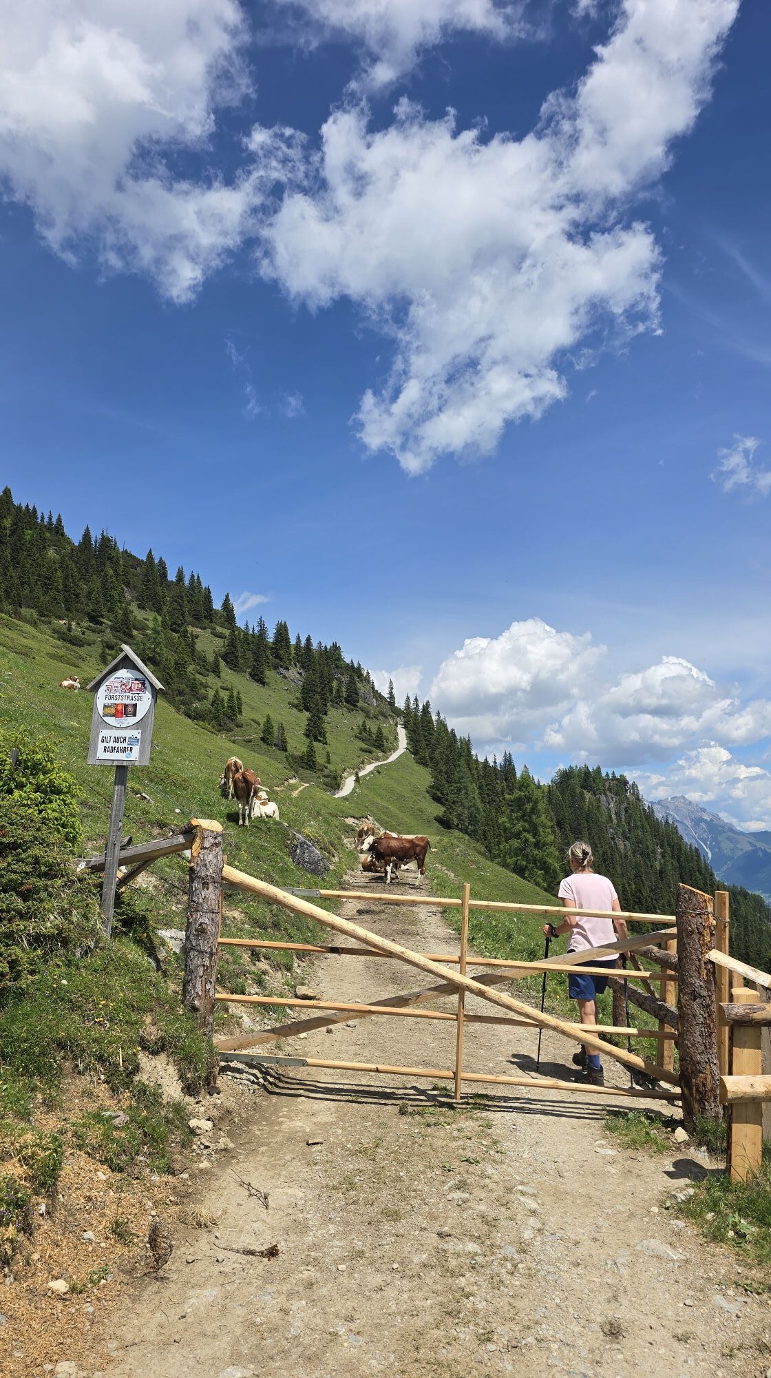
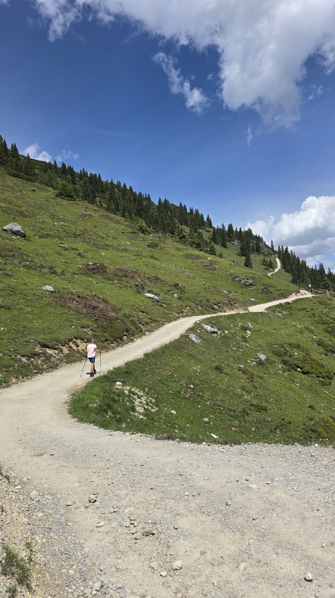
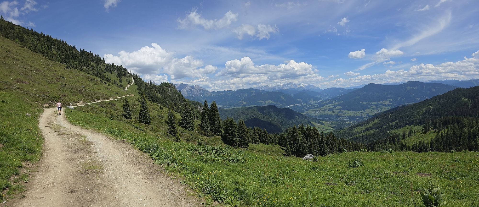
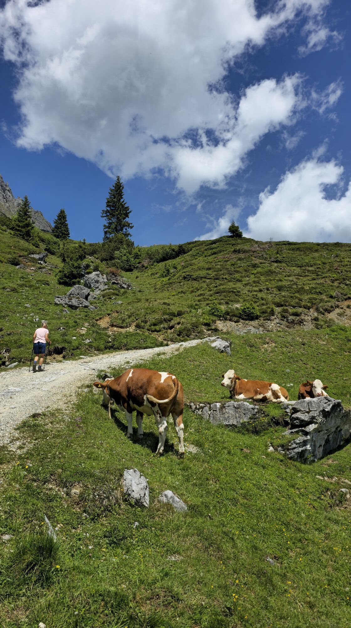
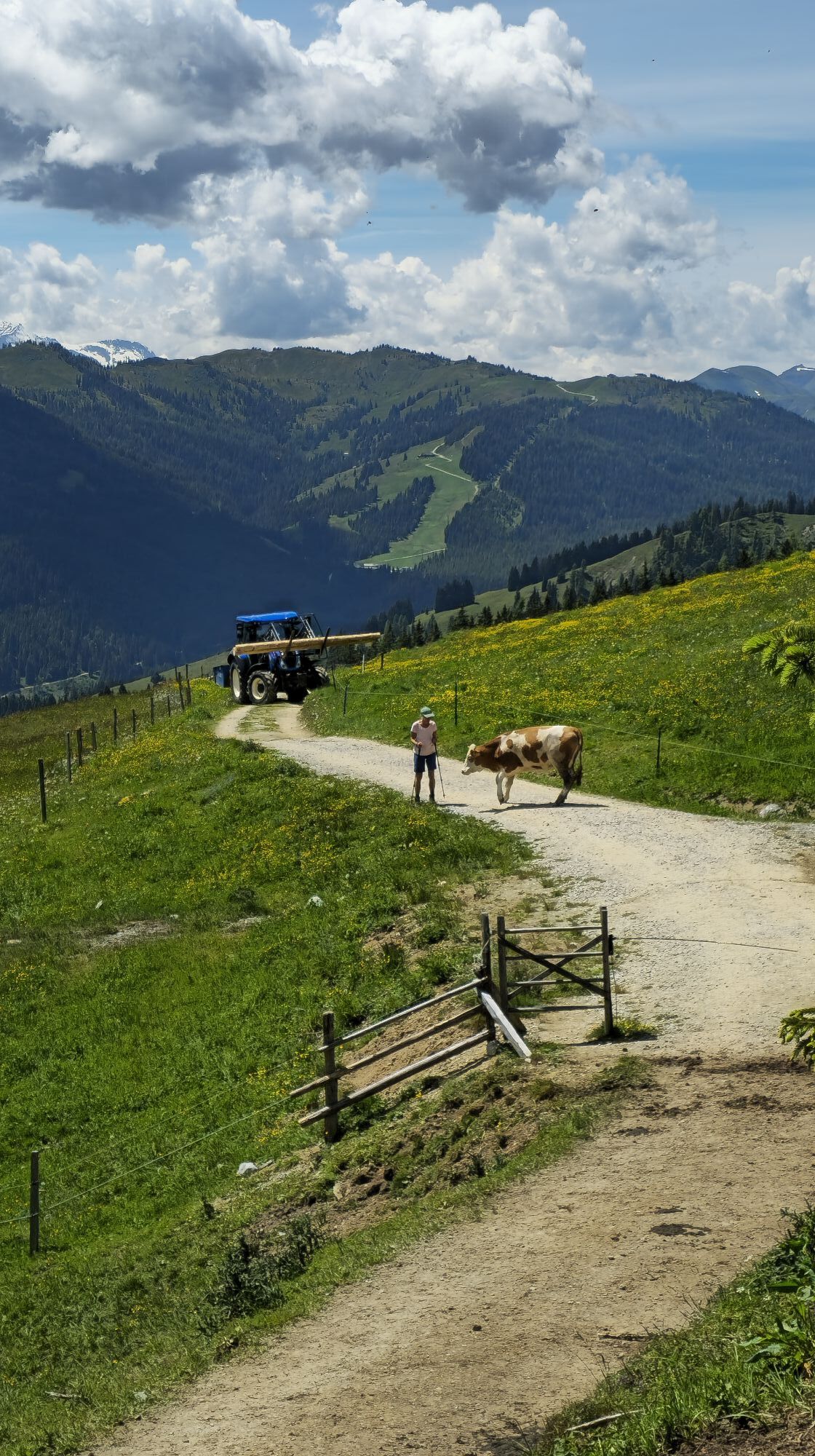
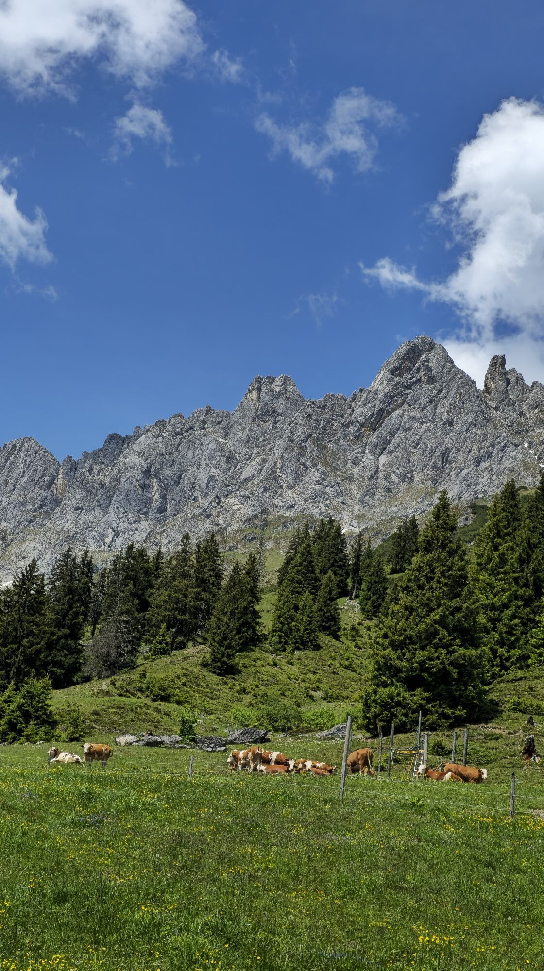
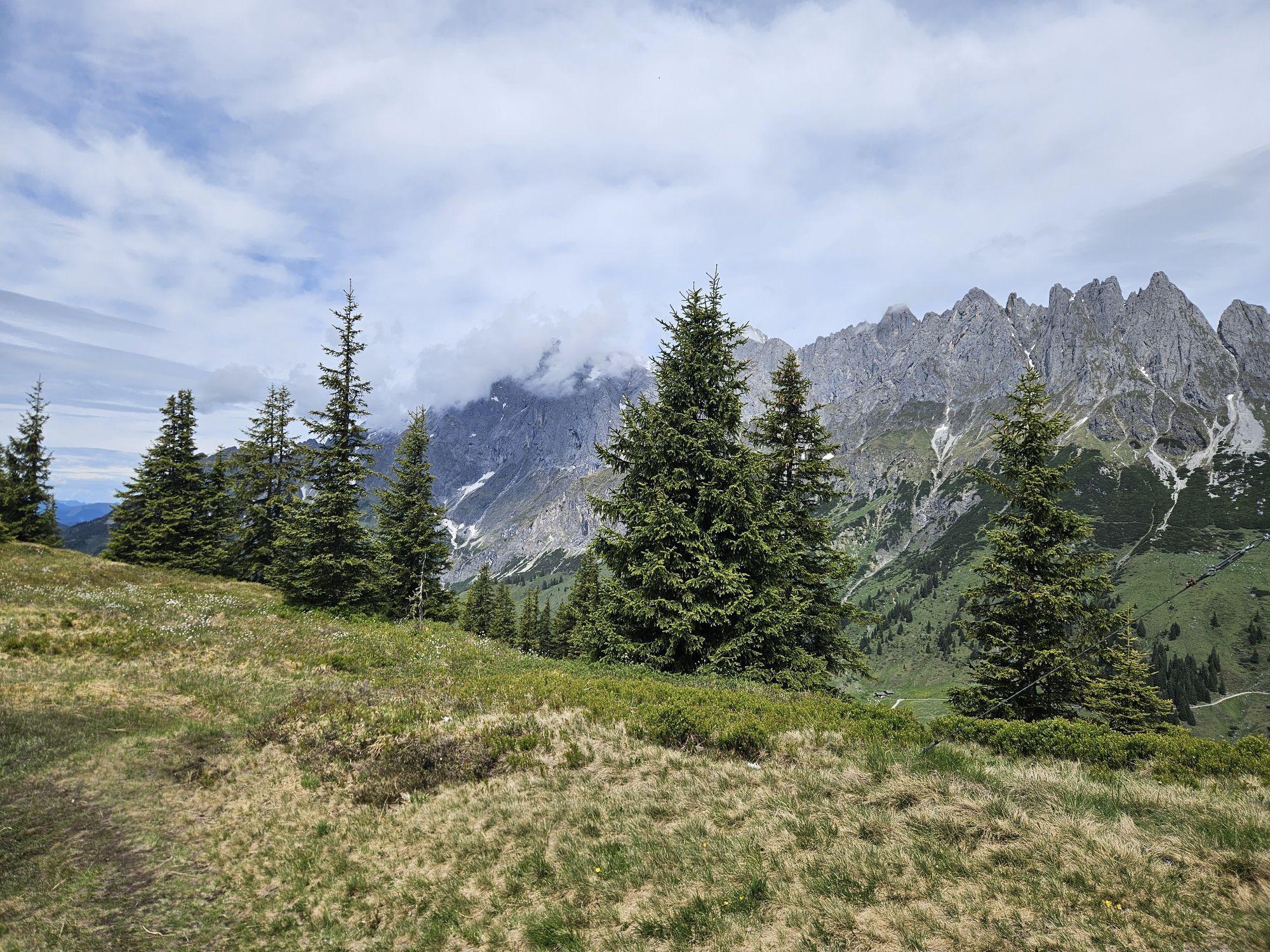
A small ski area between 1500 and 1750 meters above sea level also manages without snow cannons. The well-maintained facilities around Arthurhaus (1502 m) are proof: snowshoe hiking, cross-country skiing,...
A small ski area between 1500 and 1750 meters above sea level also manages without snow cannons. The well-maintained facilities around Arthurhaus (1502 m) are proof: snowshoe hiking, cross-country skiing, skiing, and winter hiking are popular among all winter enthusiasts who are looking for enjoyable places. Additional support comes from the attractive bus service that connects Mühlbach with Arthurhaus during lift operating hours. Of course, ski tourers also get their money's worth, ranging from the very demanding 6-hour alpine tour on the Hochkönig (2941 m) to the 1-hour introductory tour on the Hochkeil (1784 m). The tour to the Mitterfeldalm lies in the medium difficulty range, with a mix of ascents and descents. A very special treat for public transport users is the 8 km long descent over the Knappensteig to Bischofshofen at the end.

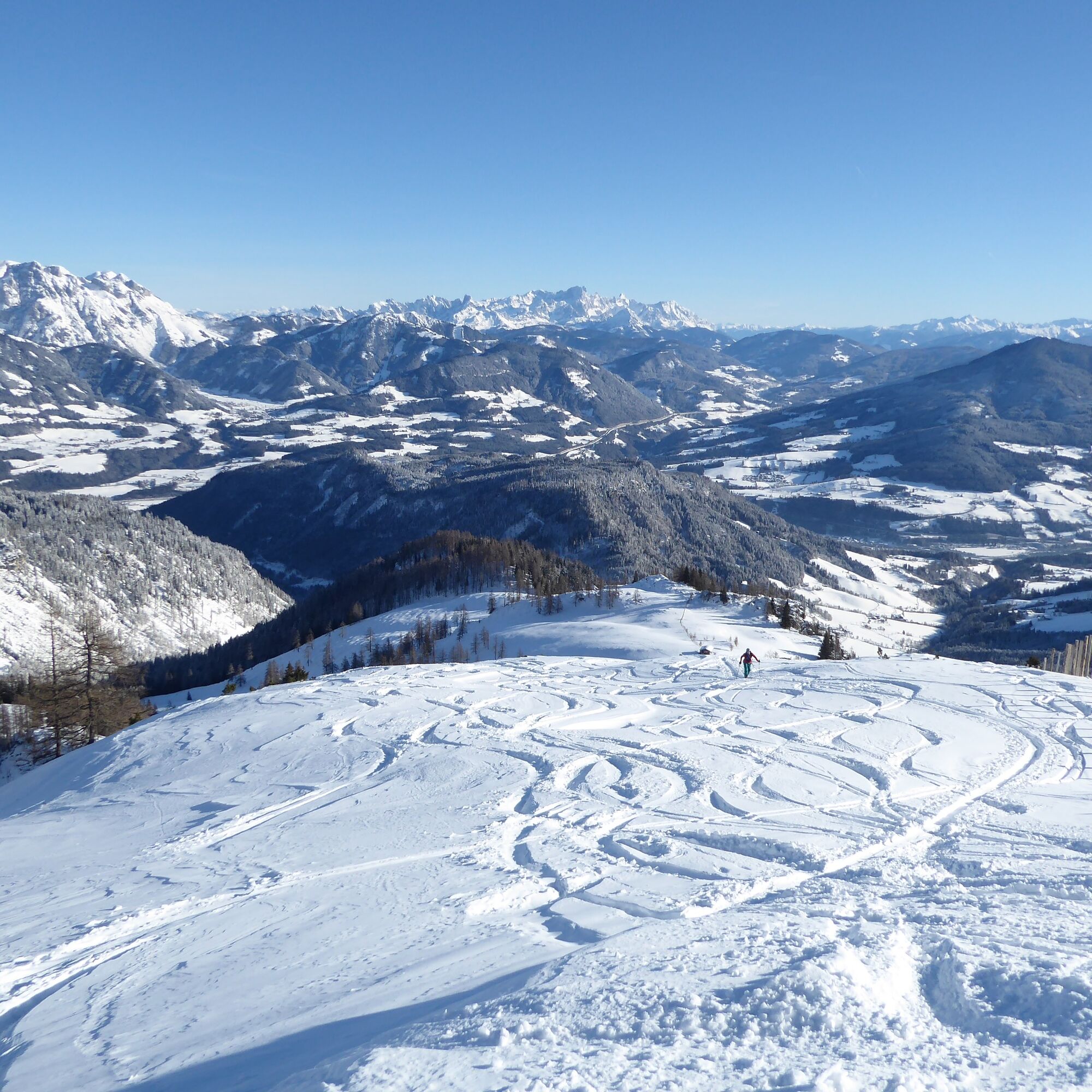
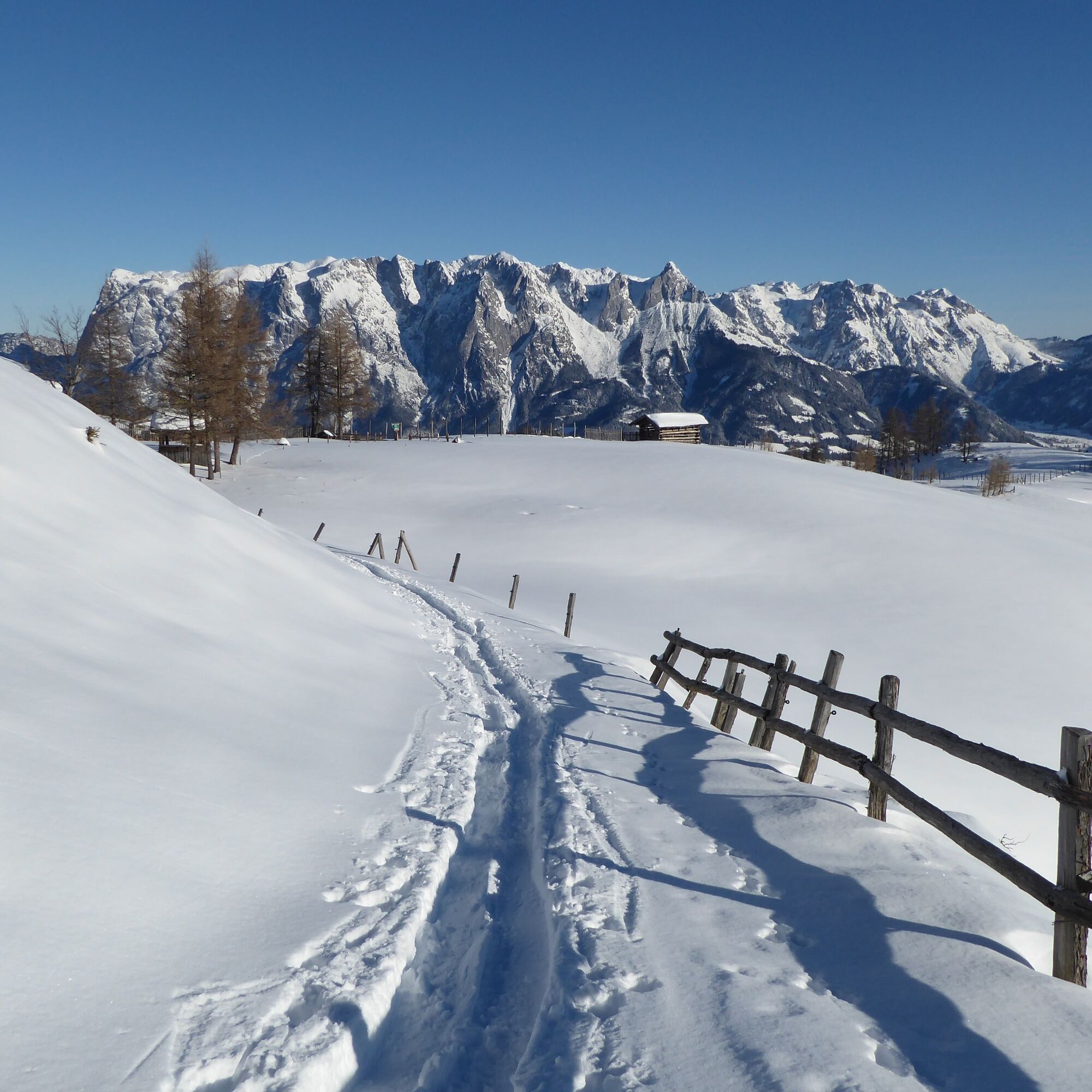
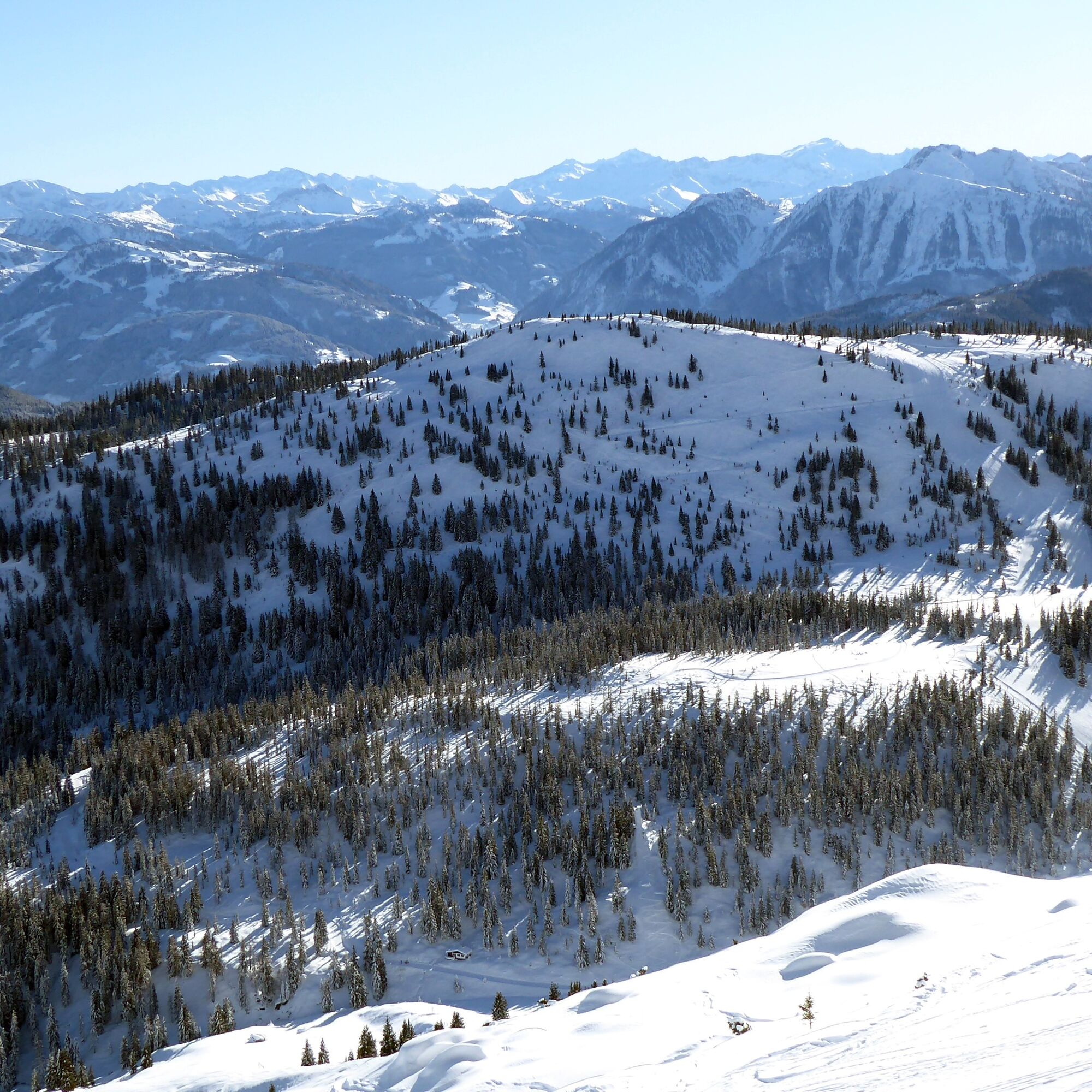
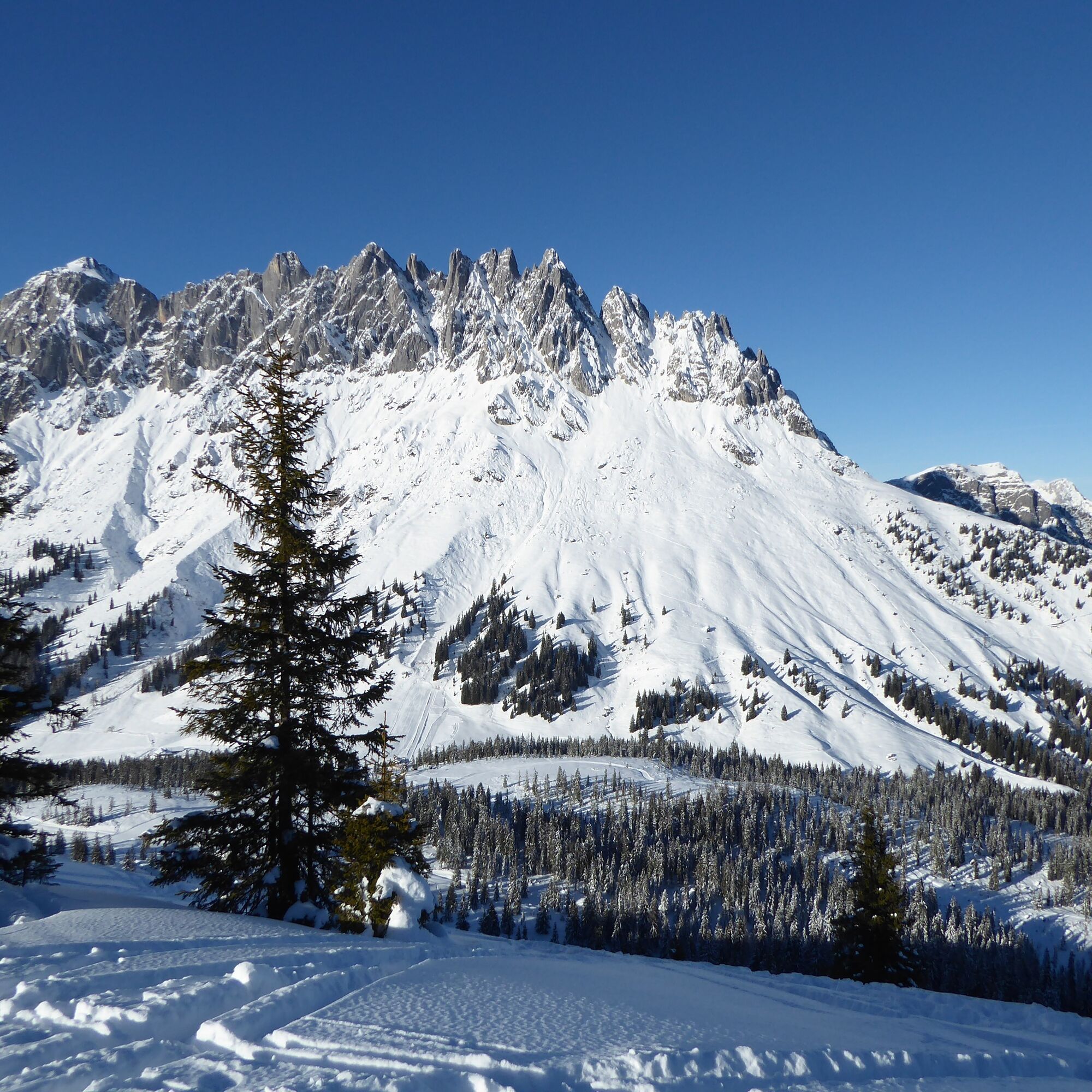
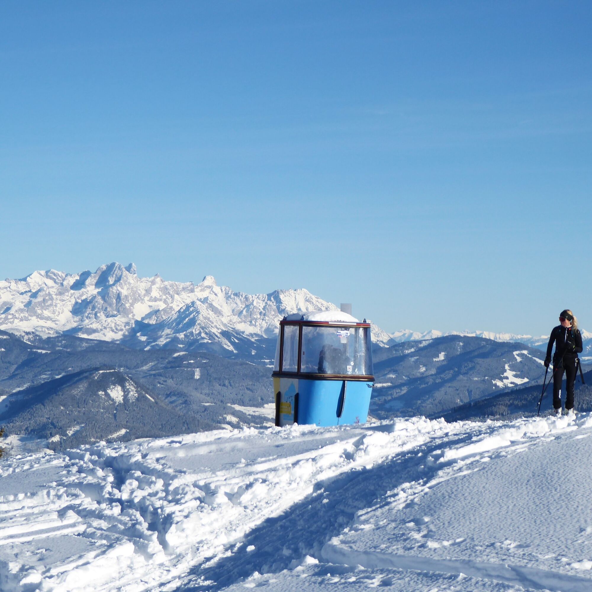
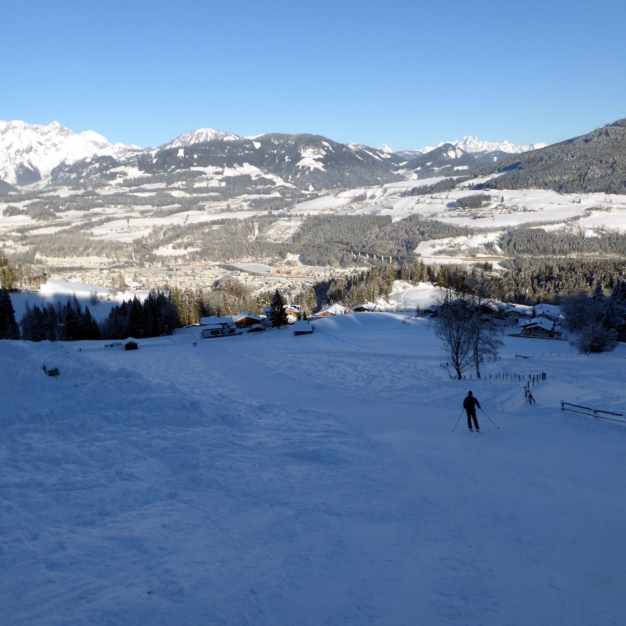

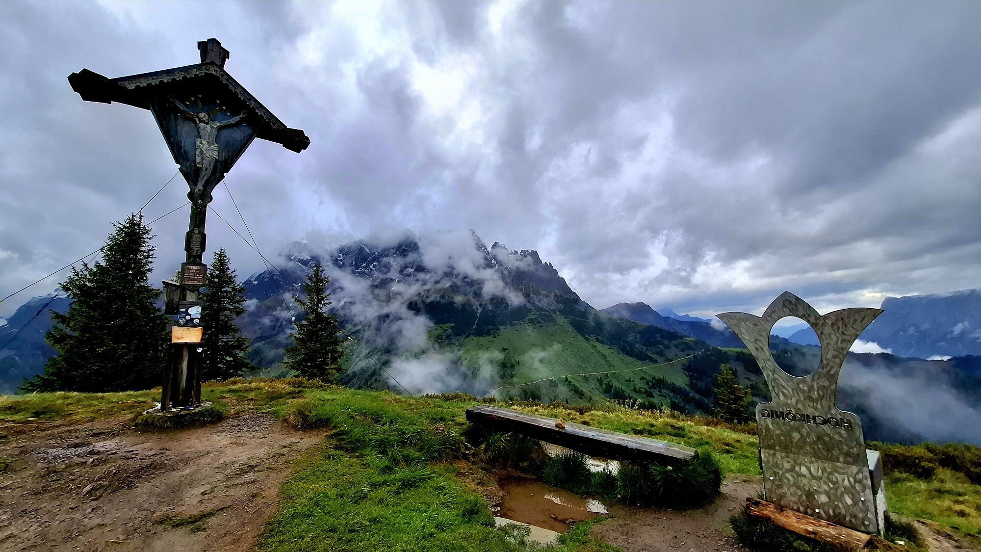
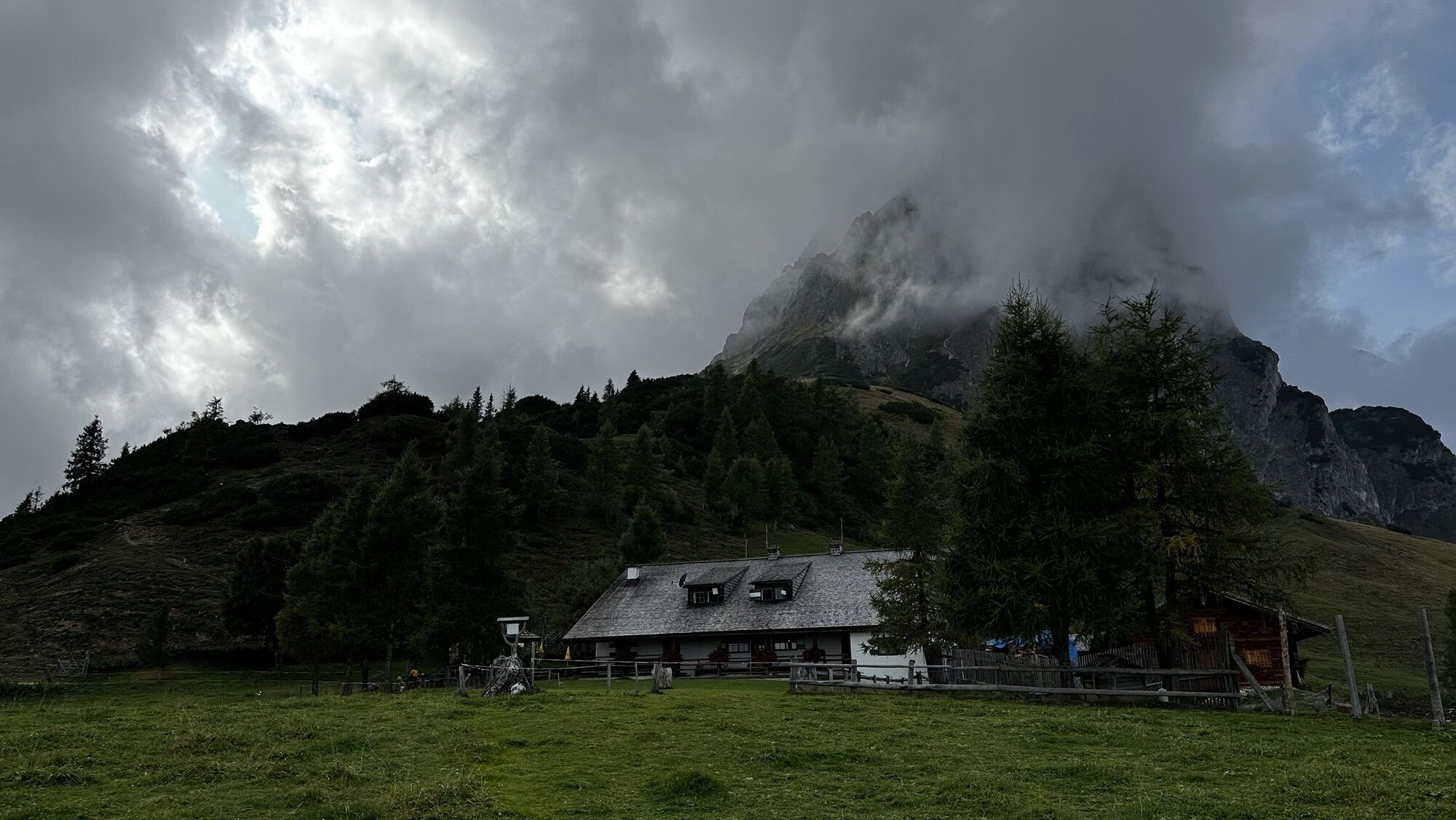
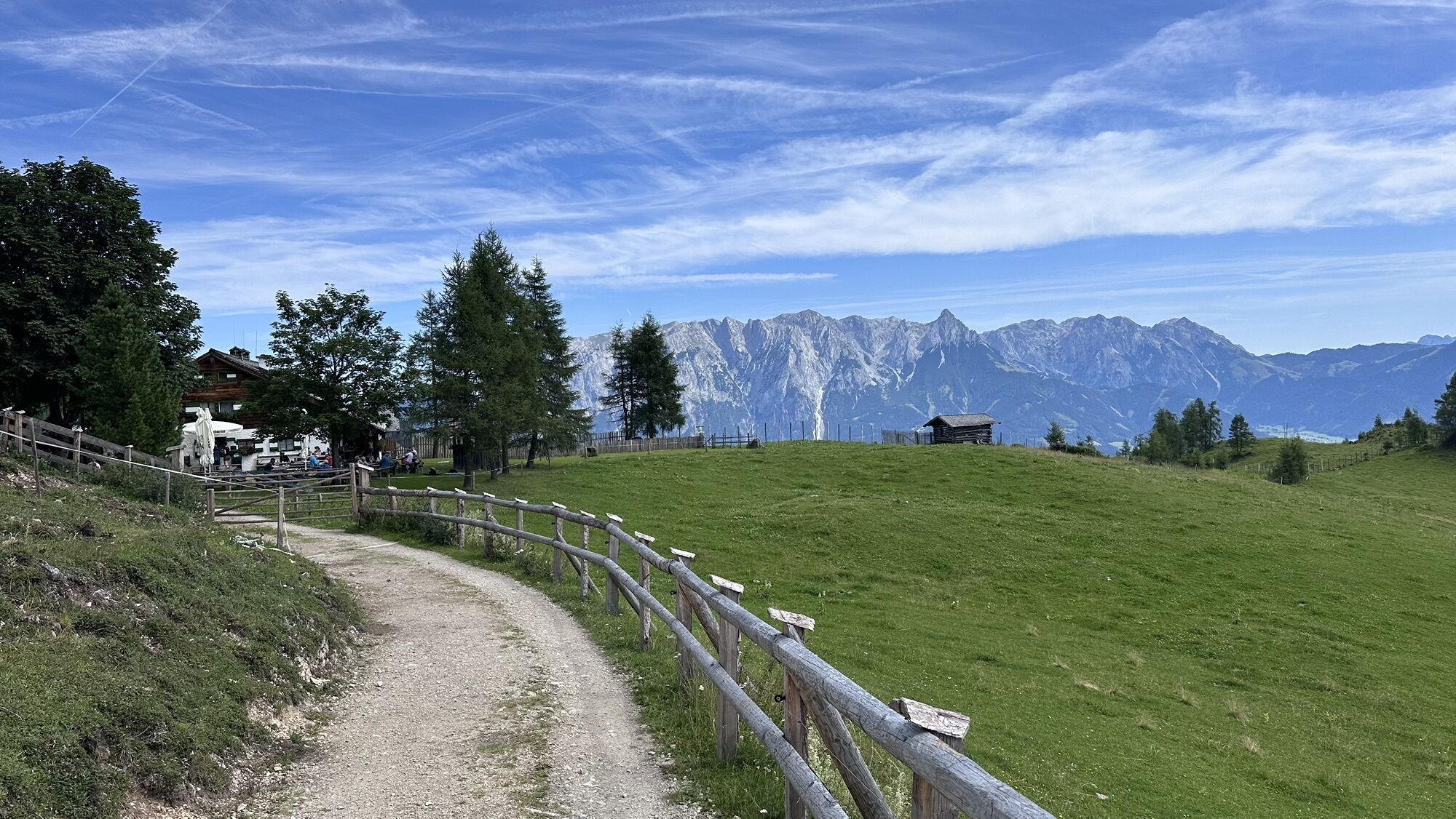
From the Arthurhaus stop at the car park and past the practice lift below, then left onto the sunny, moderately ascending summer path to the Mitterfeldalm (1670 m). After the fence, sharp left and with rapid altitude gain to the rocks at just under 1900 m above sea level. The descent leads left past the Mitterfeldalm over wide clearings and alpine pastures to a maximum of the lower forest edge (1350 m). After the re-ascent, under very safe conditions as before, up to the rocks, then cross the fence and traverse below the Mandlwand to a suitable descent slope. Or descend from the Mitterfeldalm along the ascent and then to the easily recognizable jump hill opposite. To the left of it is usually an ascent track to the Hochkeil, otherwise on the winter hiking trail (cross-country skiing track) in the flat Troiboden. From the Hochkeil, head northeast over clearings, crossing a forest road, on the mostly groomed Knappensteig past the Gasthof Bürglhöh to Bischofshofen. Left along the meadow and on foot in 20 minutes towards the "center" to the train station.
Complete ski touring equipment!
The path and the southern slopes between Arthurhaus and Mitterfeldalm lie in an avalanche-prone area. Pay attention to avalanche warning signs and start earlier.
Information on weather and avalanche situation at www.lawine.salzburg.at
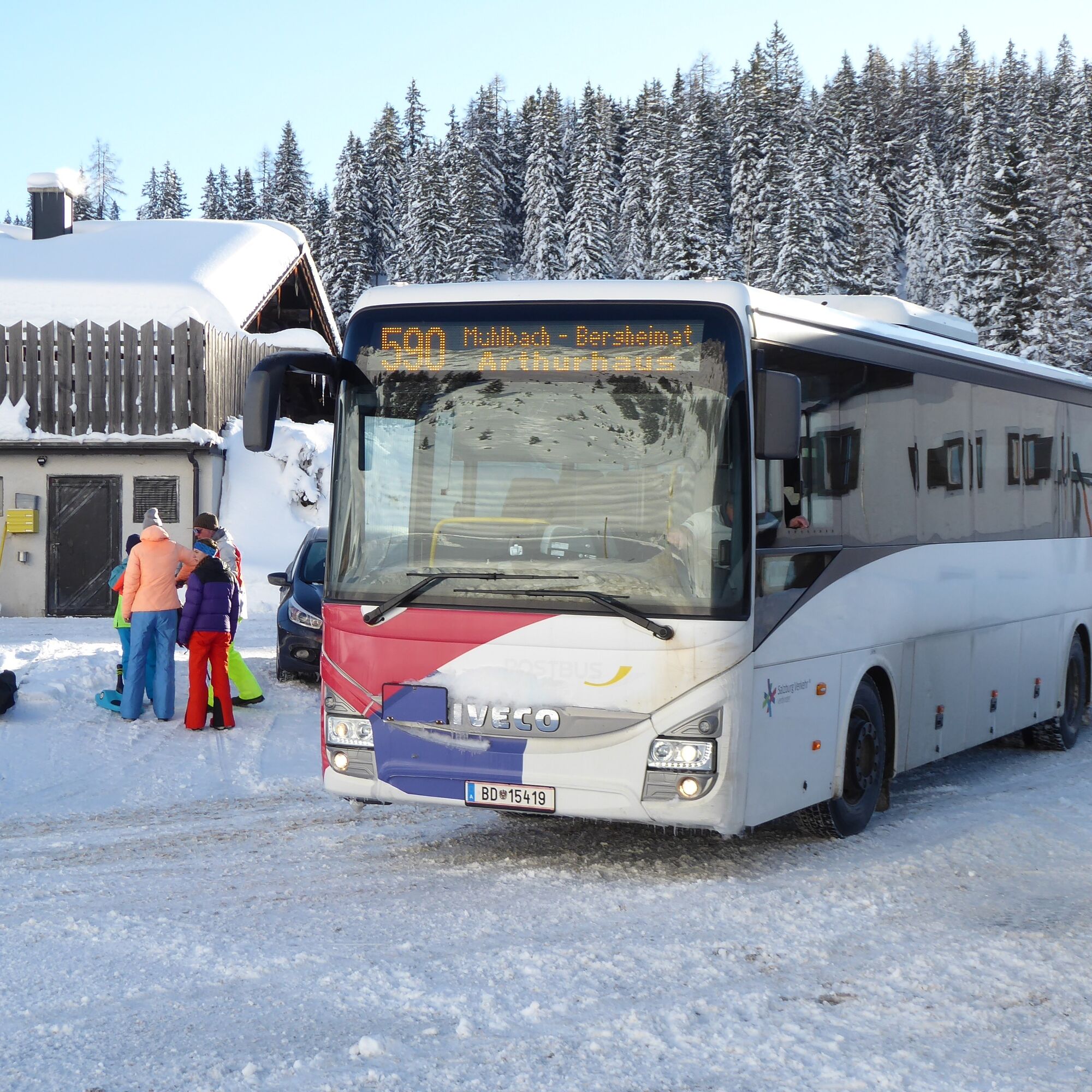
By bus 590 from Bischofshofen train station (forecourt) to Mühlbach Neubaubrücke and by ski bus to Mühlbach Arthurhaus (stop on the opposite side of the street!). The ski bus runs during the ski season from Christmas until mid-March.
Numerous return connections from Bischofshofen train station.
Timetable information and download: Online at www.salzburg-verkehr.at or on your smartphone via the free Salzburg Verkehr app for Android and iOS.
PD
www.arthurhaus.at, www.hochkoenig.at, https://bischofshofen.com/
Mag. Christian Heugl
5400 Hallein
christian.heugl@gmail.com
Photo credit: Christian Heugl
The ski tour training trail on the Hochkeil is a good opportunity to refresh techniques. www.hochkoenig.at/de/touren/skitourenlehrpfad-hochkeil.html
Webové kamery z prohlídky

Oblíbené prohlídky v okolí
-
4.7
Werfenweng Mountainbikerunde Söldenhütte
středníMountainbike 18.8 km -
4.9
Großarl: Heukareck
středníTuristika 12.5 km -
4.9
Summit stormer route Lauskopf
heavyTuristika 8.16 km -
4.8
Summit storming route Taghaube
heavyTuristika 6.25 km -
3.7
Wanderung zur Ostpreußenhütte in Werfen (1.630 m)
středníTuristika 11.2 km -
4.7
About the "Four Huts circular route" to Windraucheggalm
středníTuristika 10.1 km -
4.6
Großarl: Mooslehenalm – Niggeltalalm – Viehhausalm
středníTuristika 5.44 km -
4.6
Panorama hike to the Hochkeil
středníTuristika 6.07 km -
4.9
Hochkönig - Gipfel der Gefühle - Matrashaus
heavyTuristika 20.9 km -
4.3
Mühlbacher Höhenweg
středníTuristika 11.2 km

Pěší turistika a stopování


Nenechte si ujít nabídky a inspiraci pro vaši příští dovolenou
Vaše e-mailová adresa byl přidán do poštovního seznamu.





