







Ski tour educational trail Hochkeil

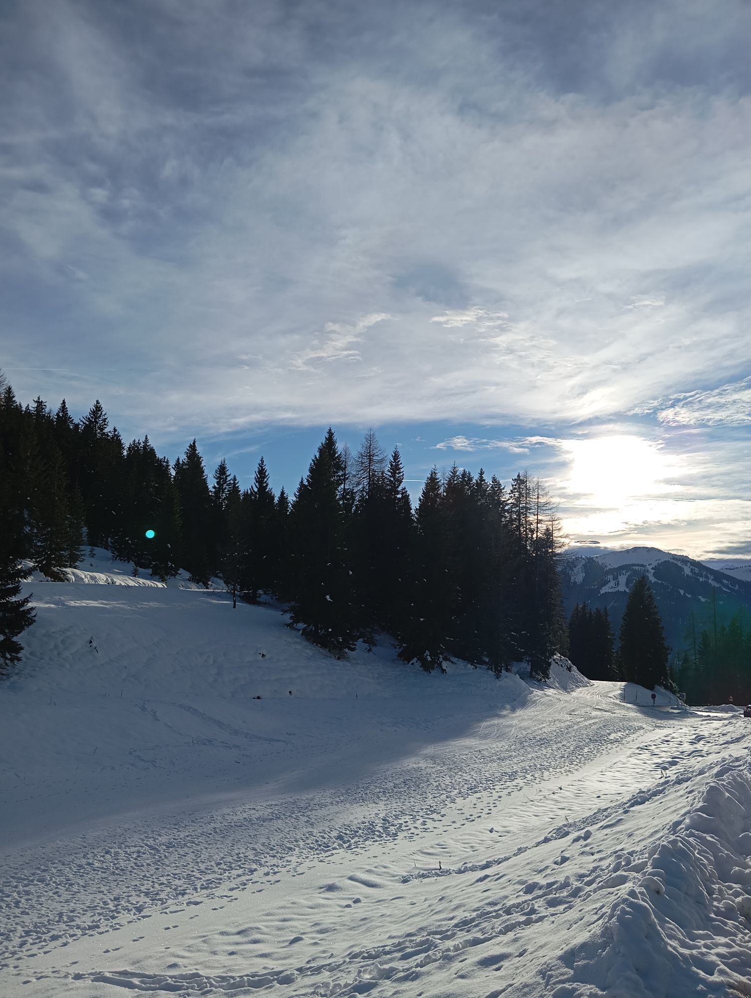
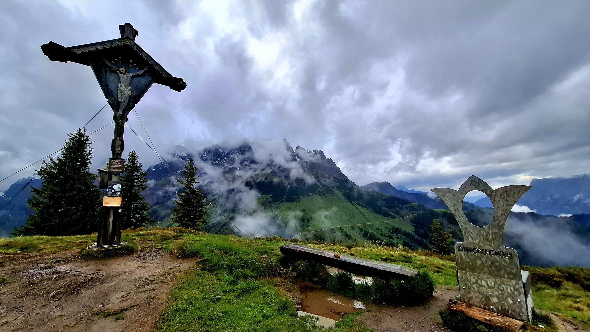
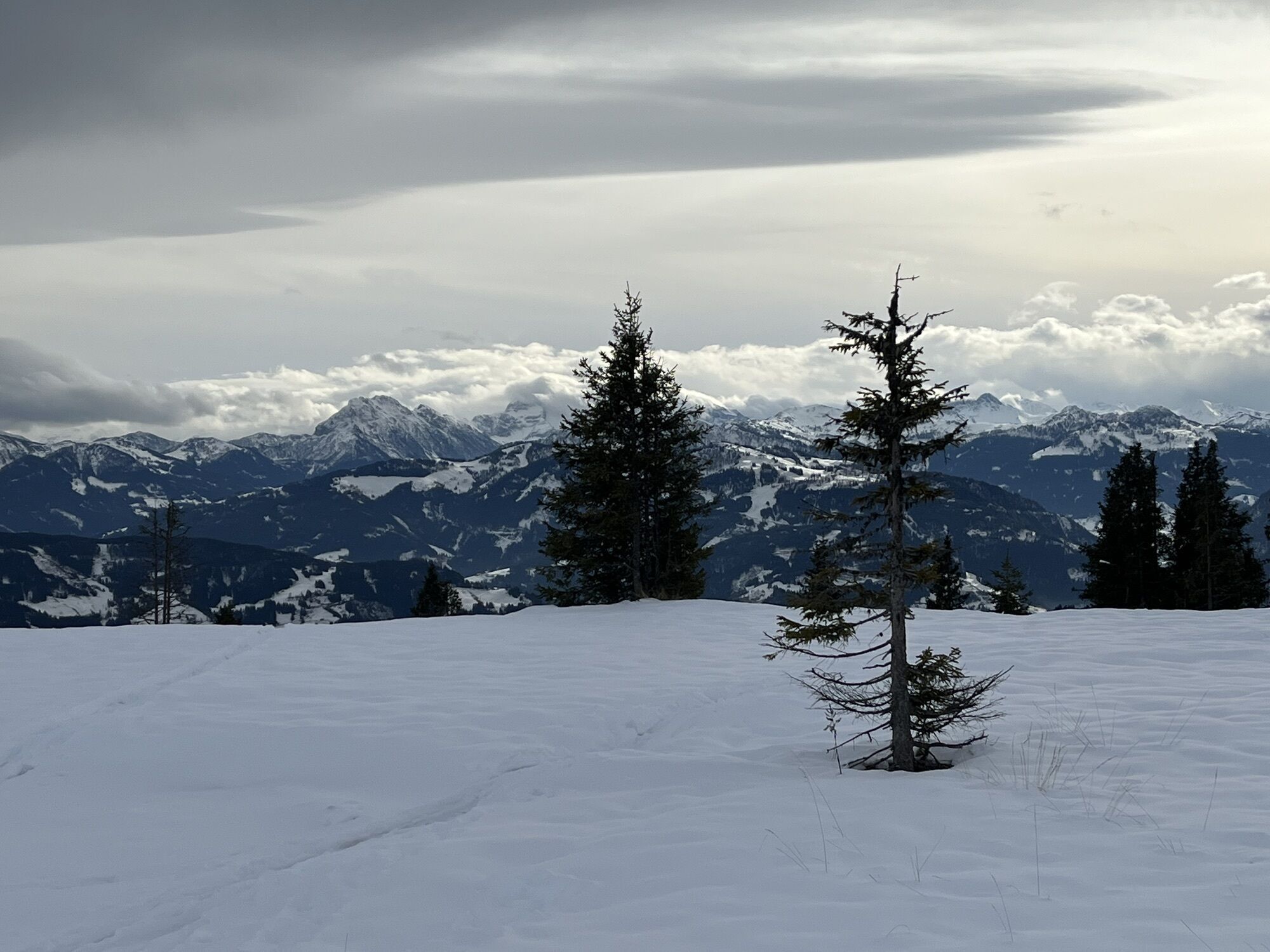
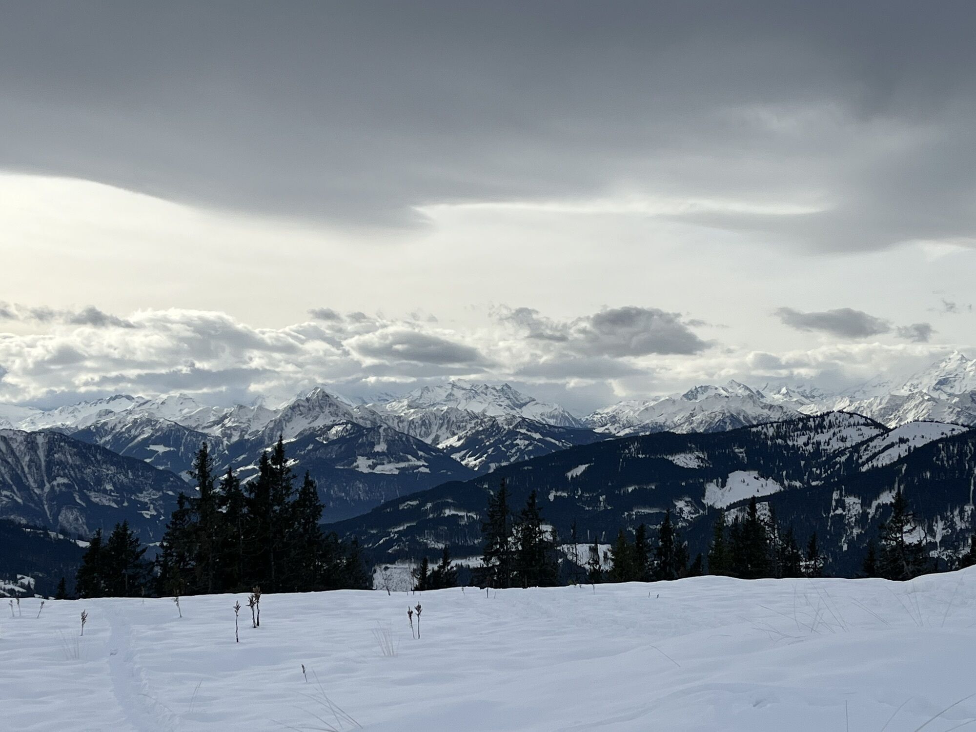
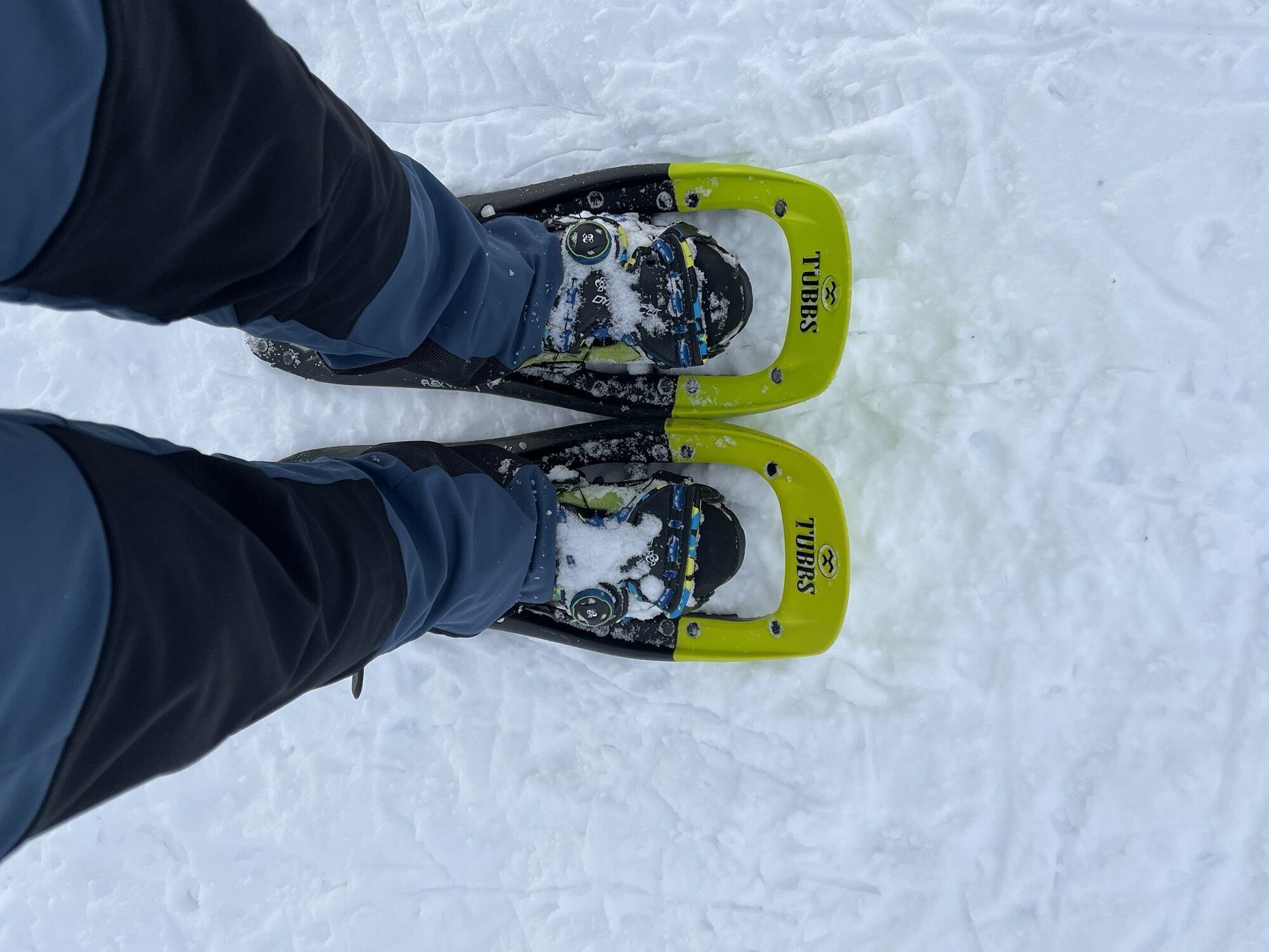
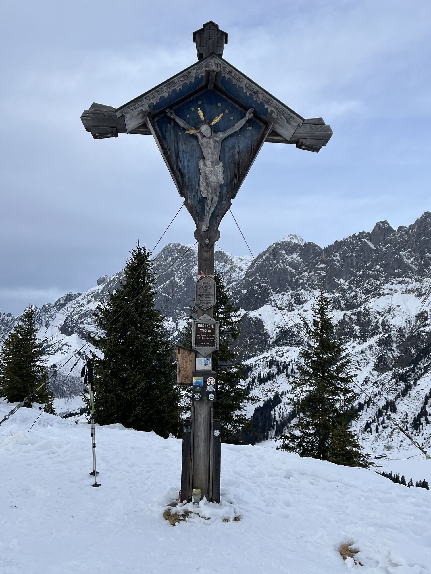
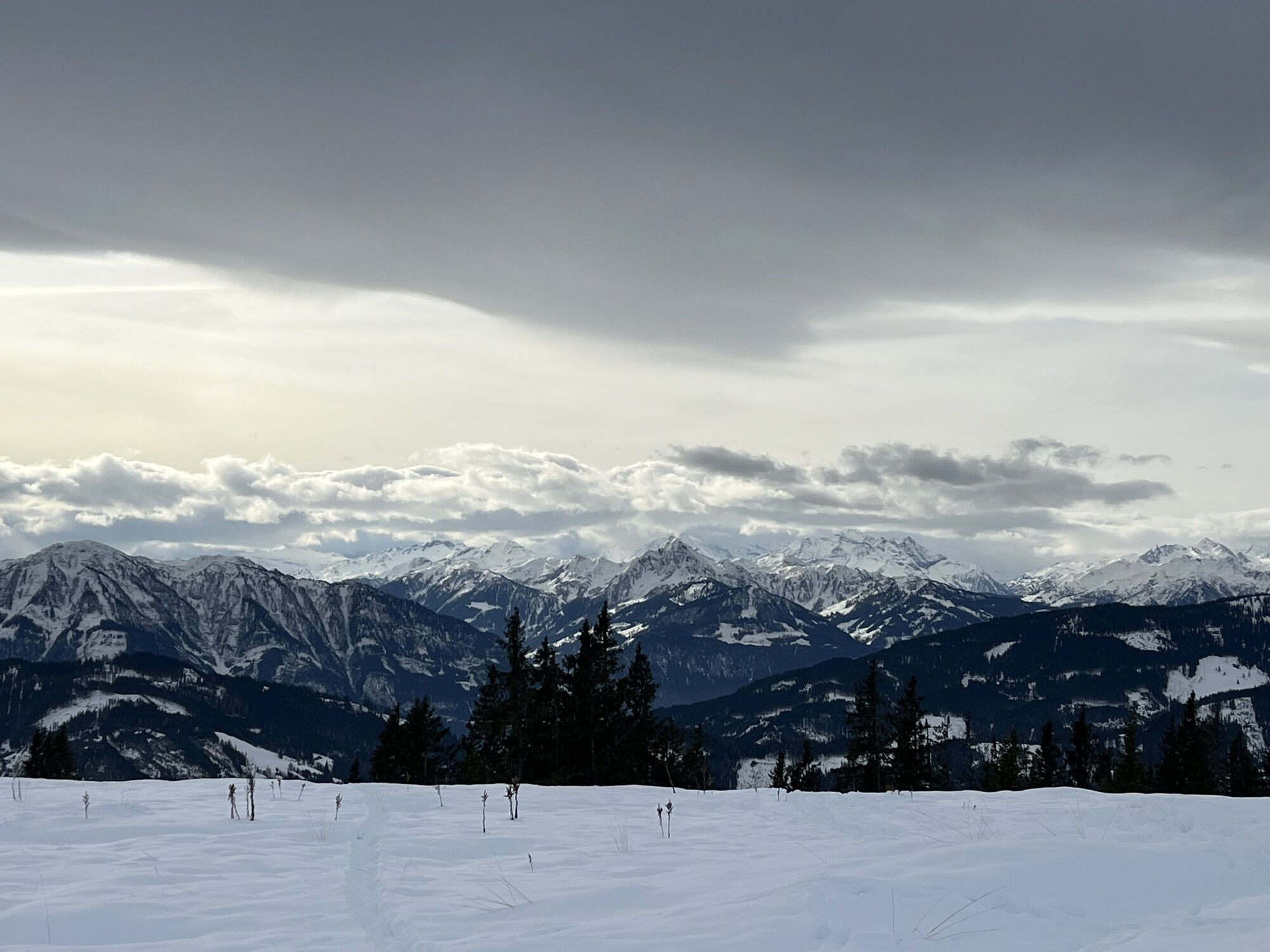
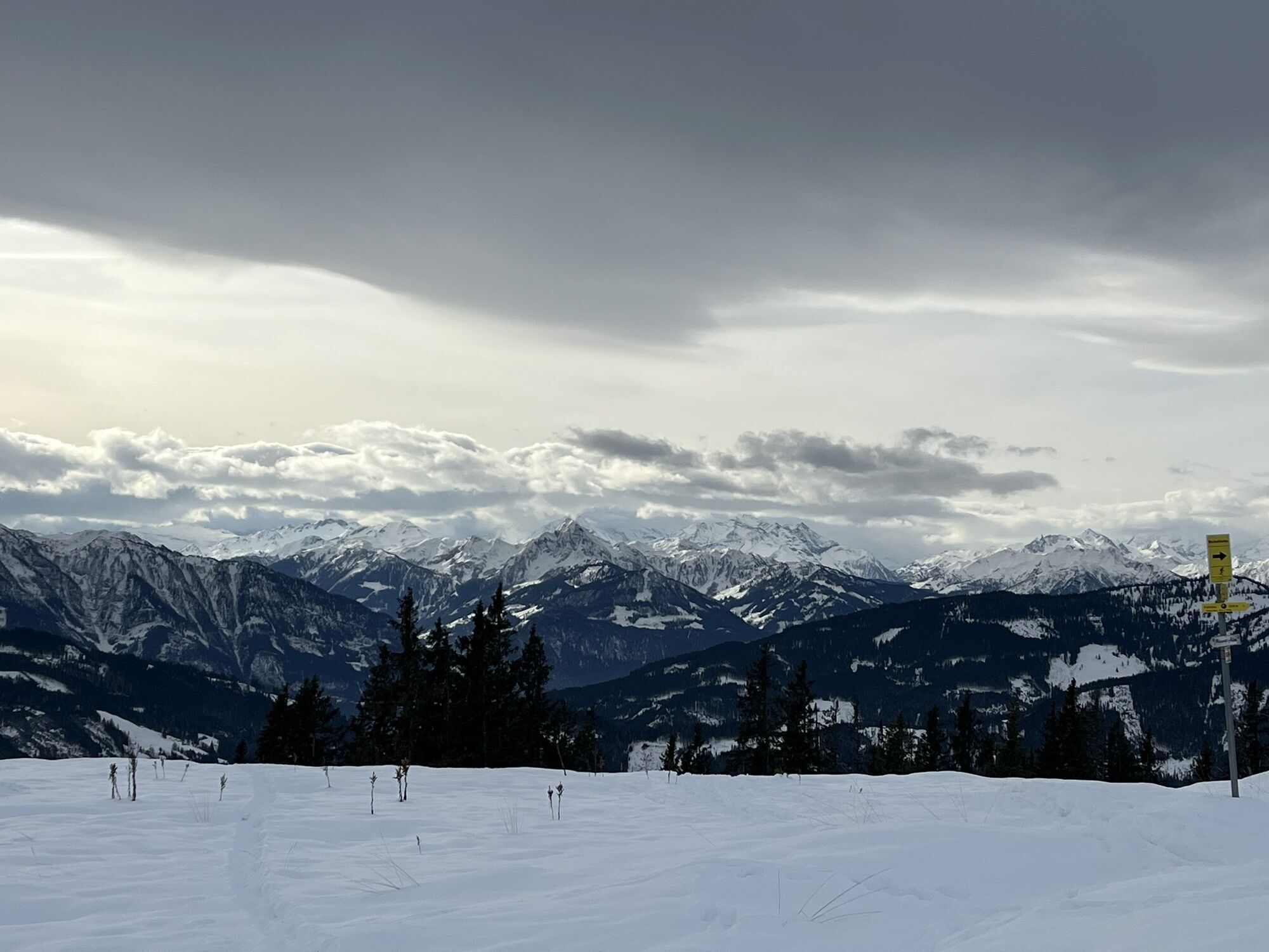
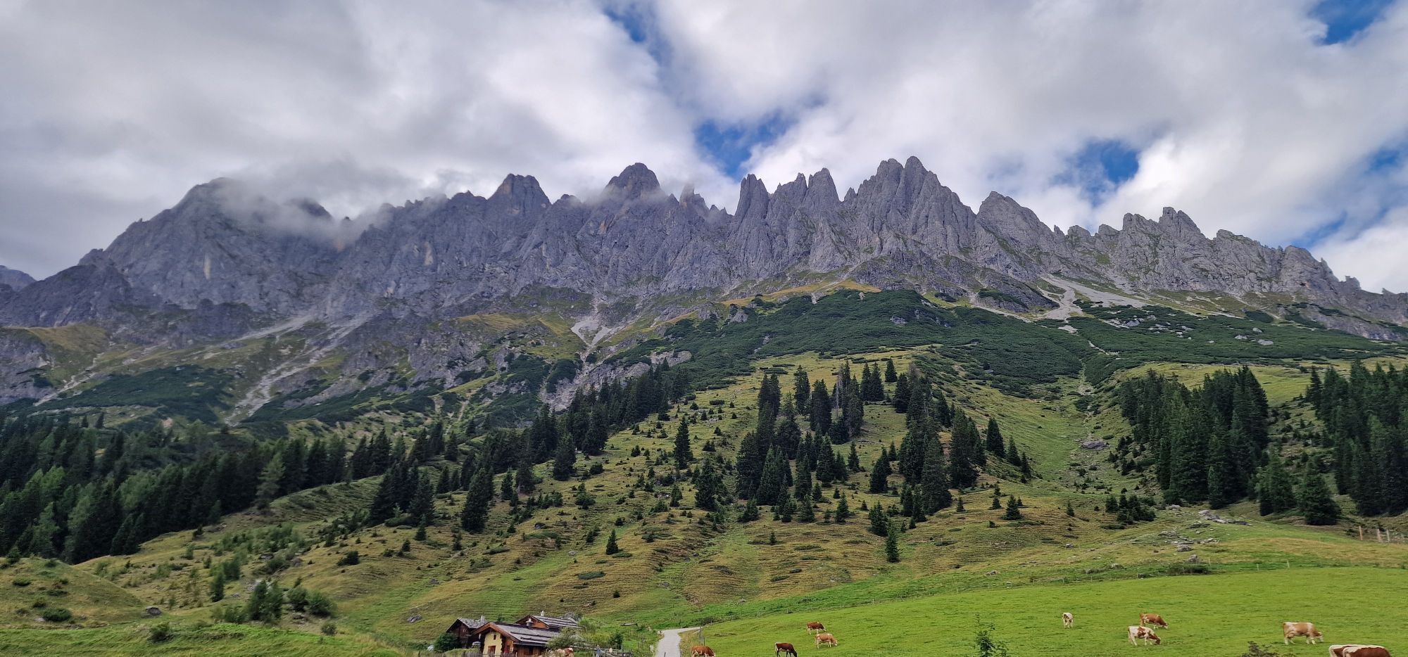
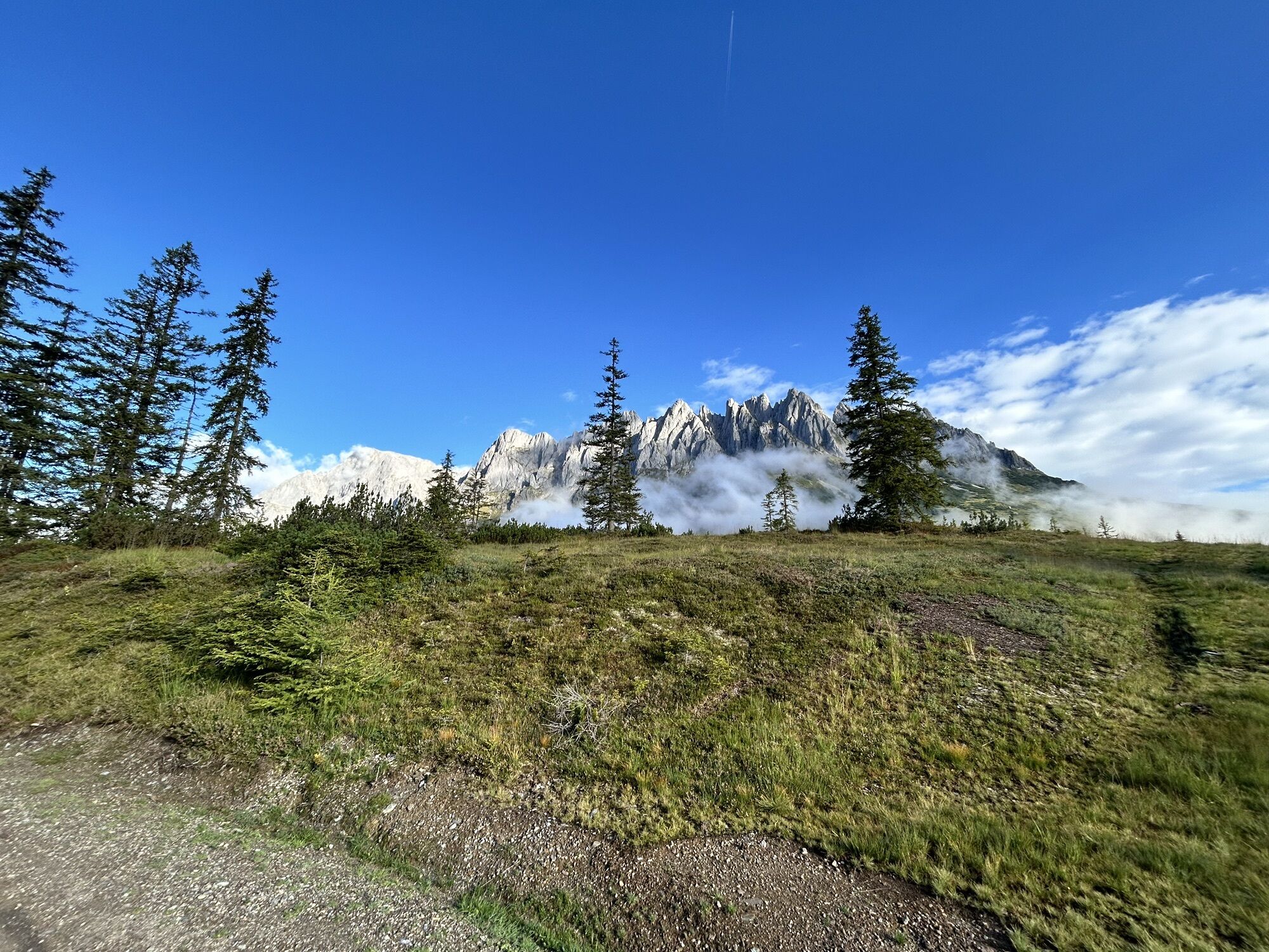
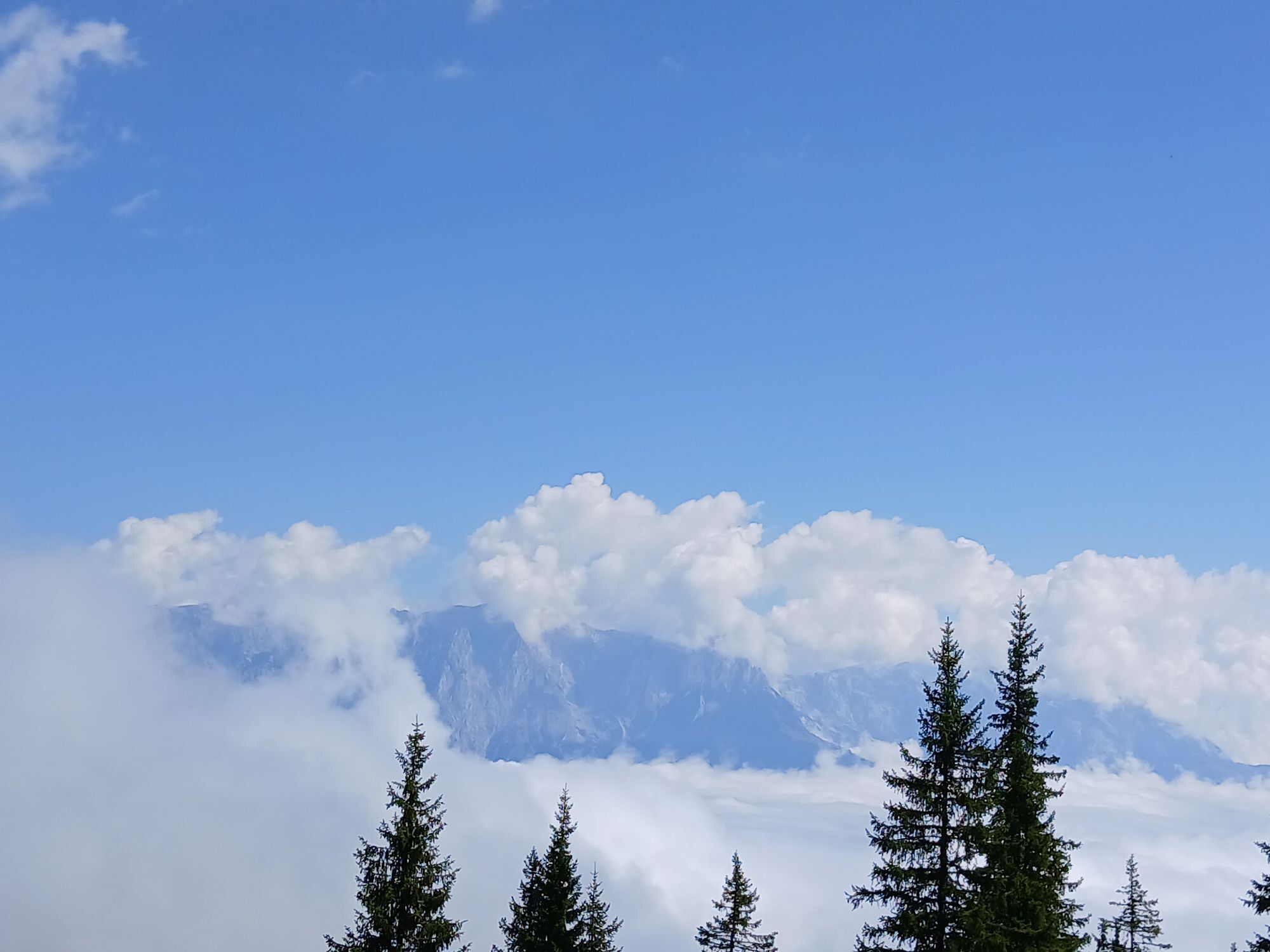
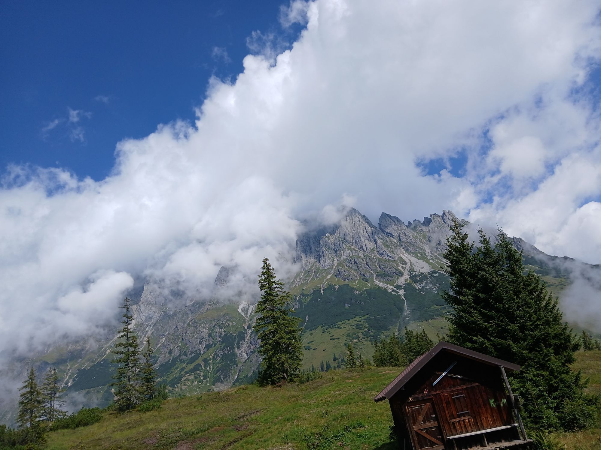
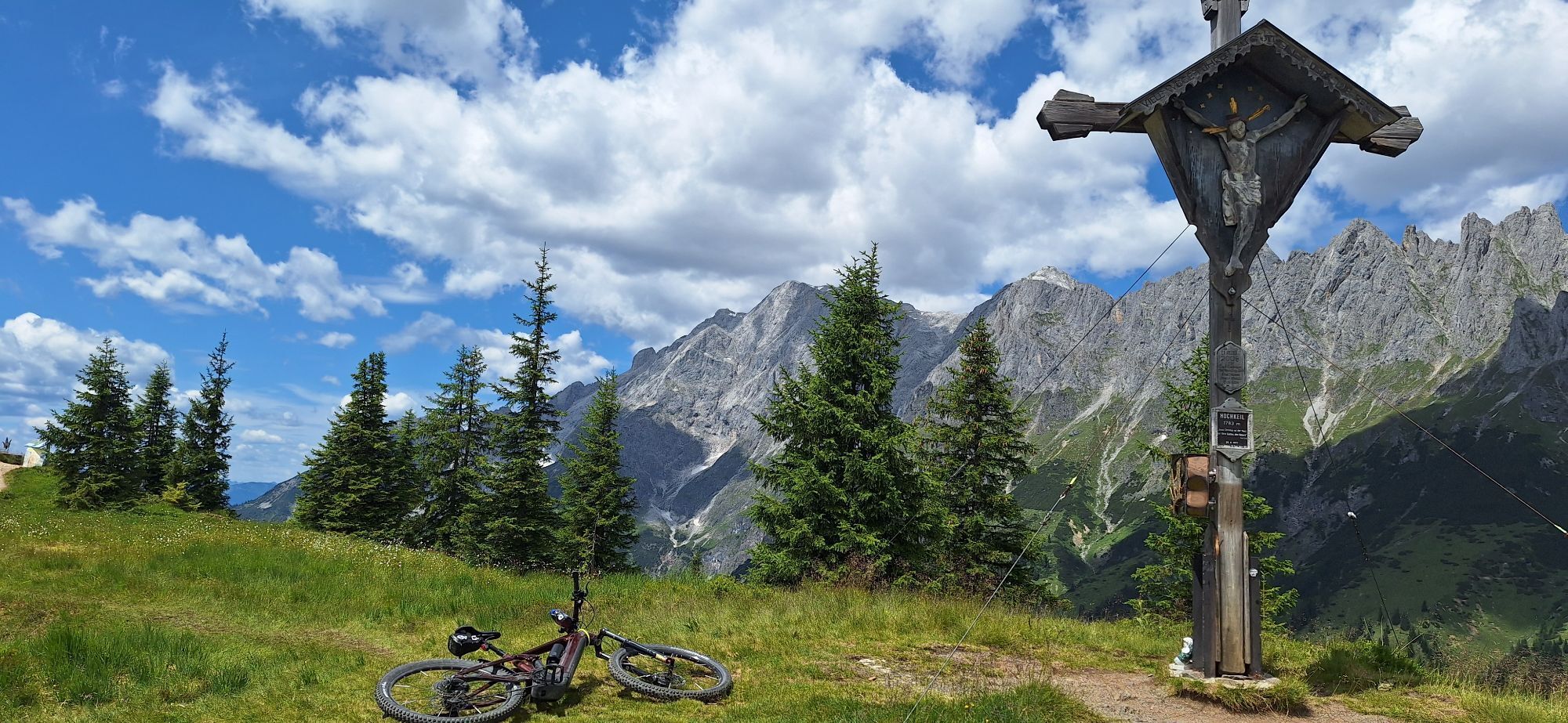
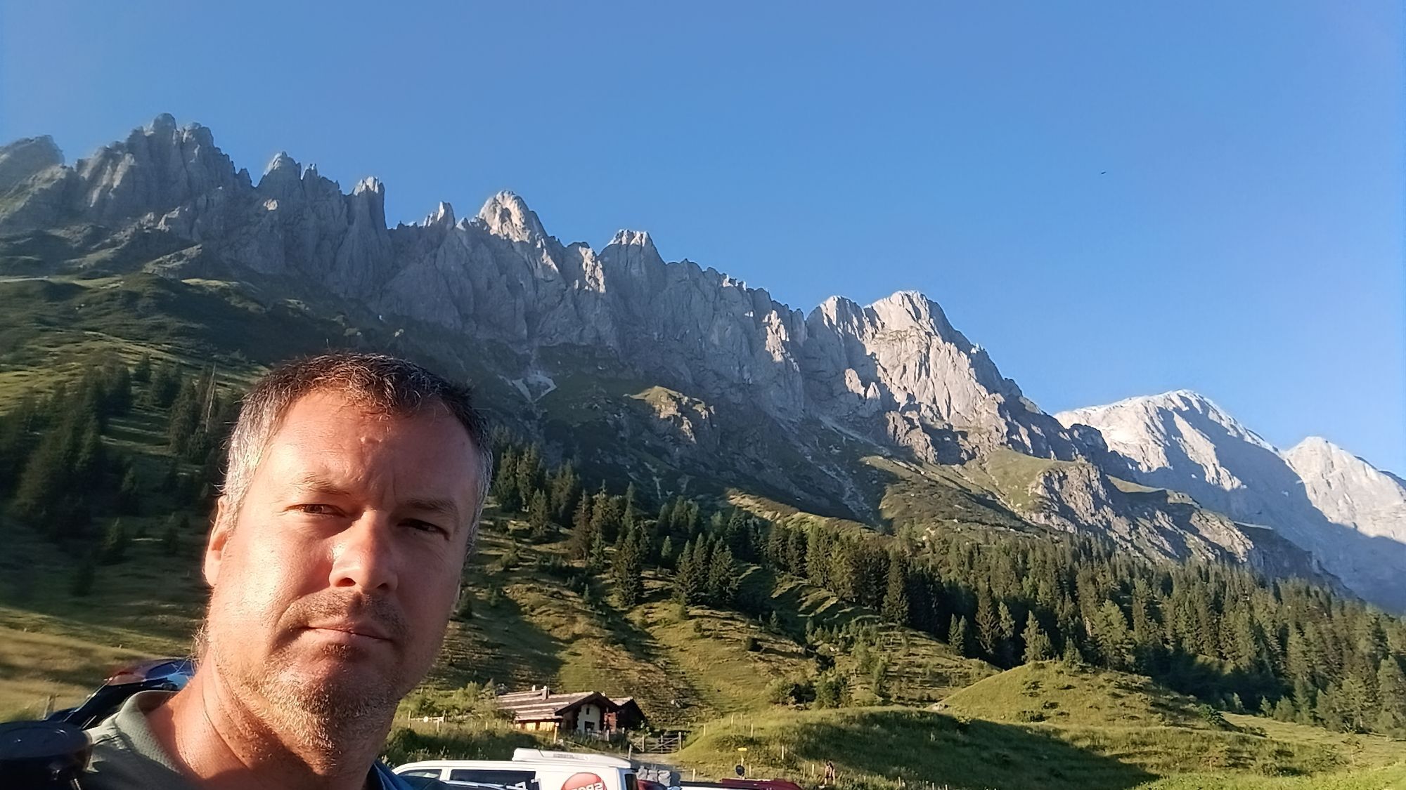
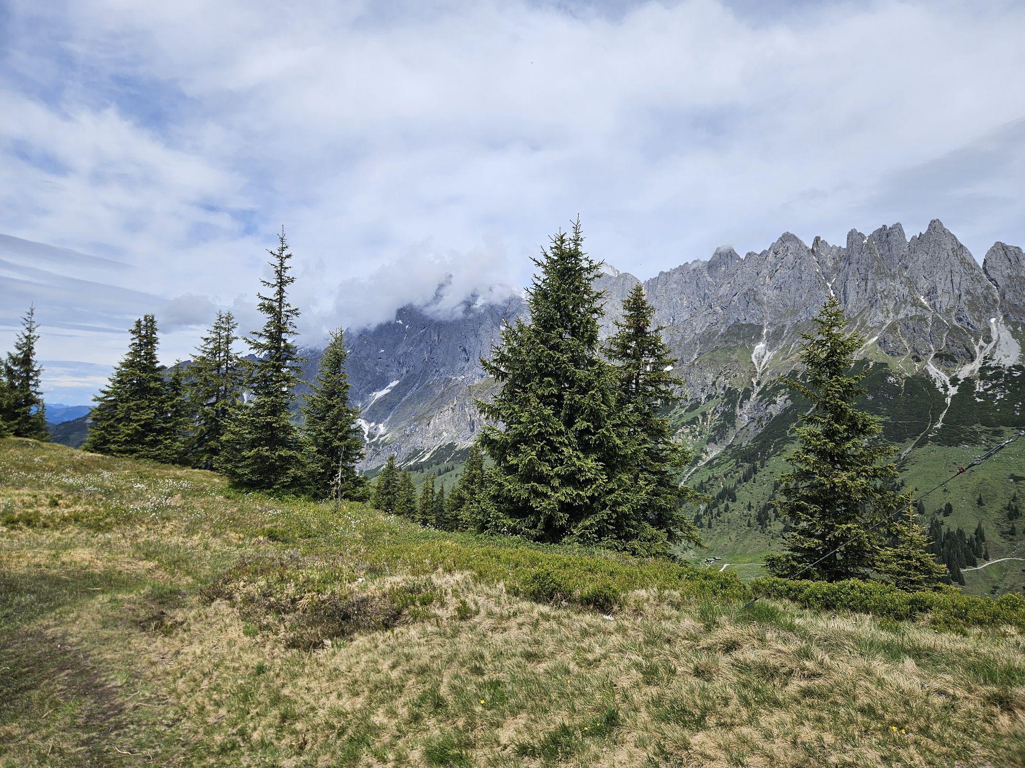
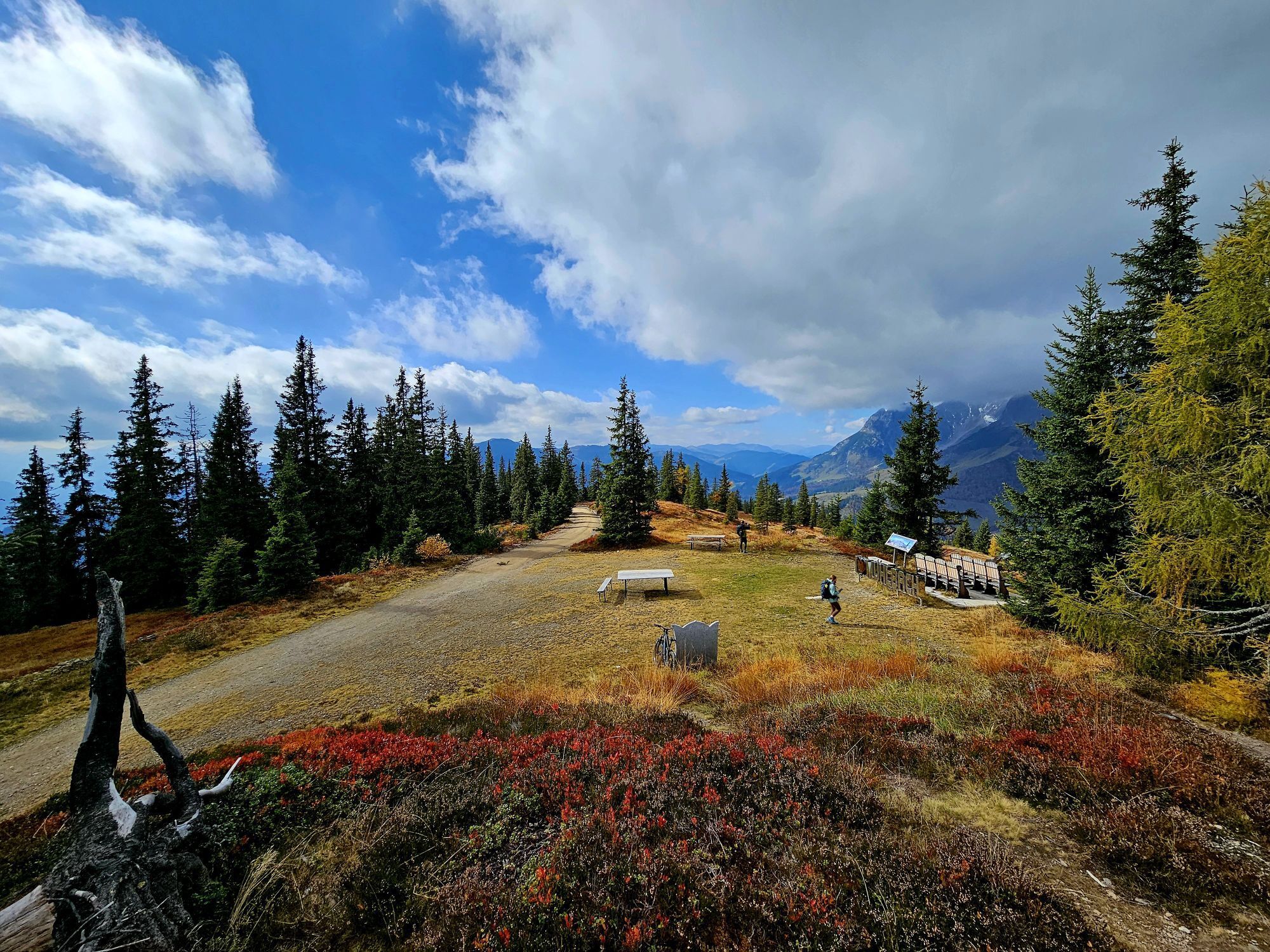
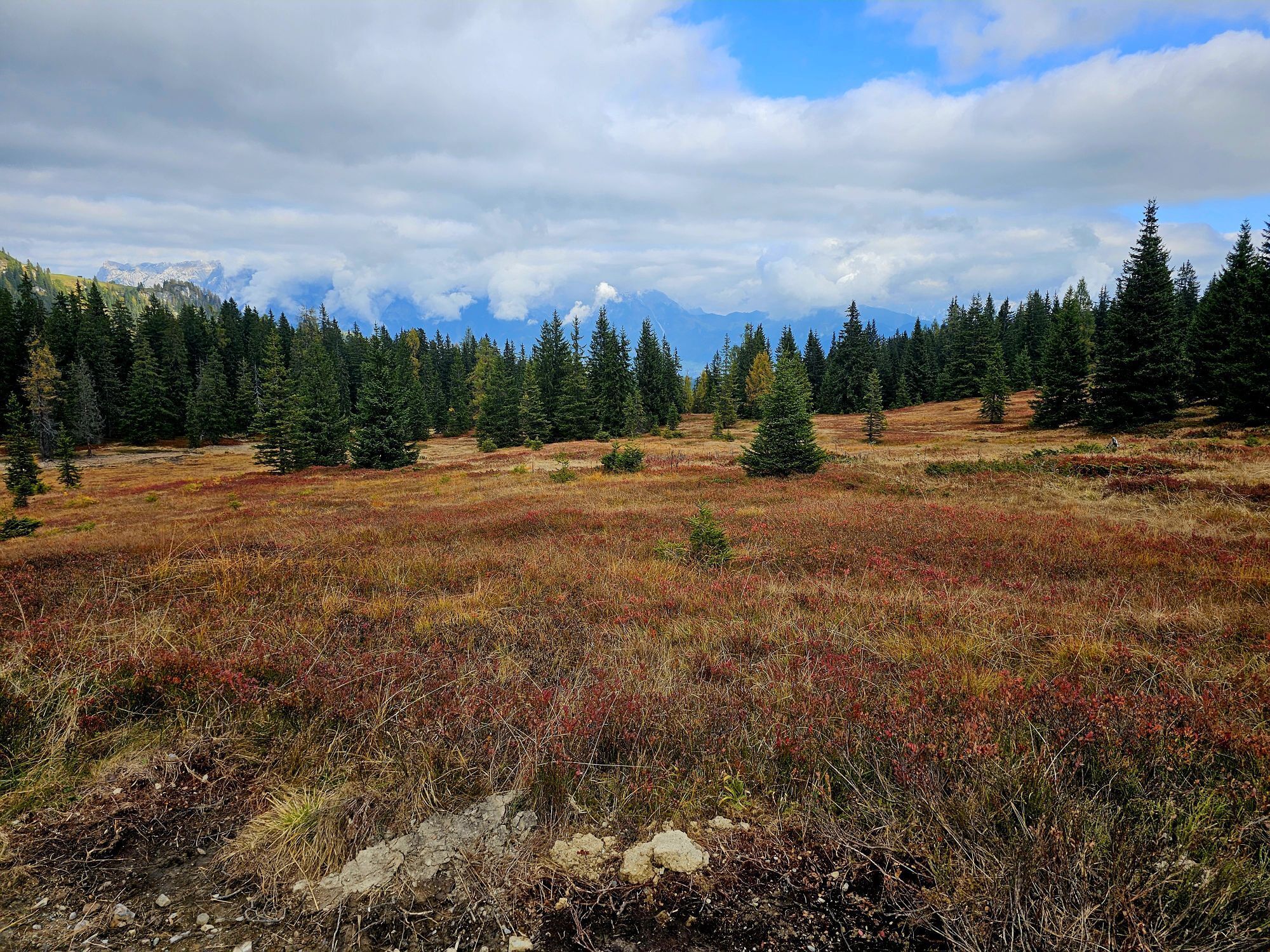
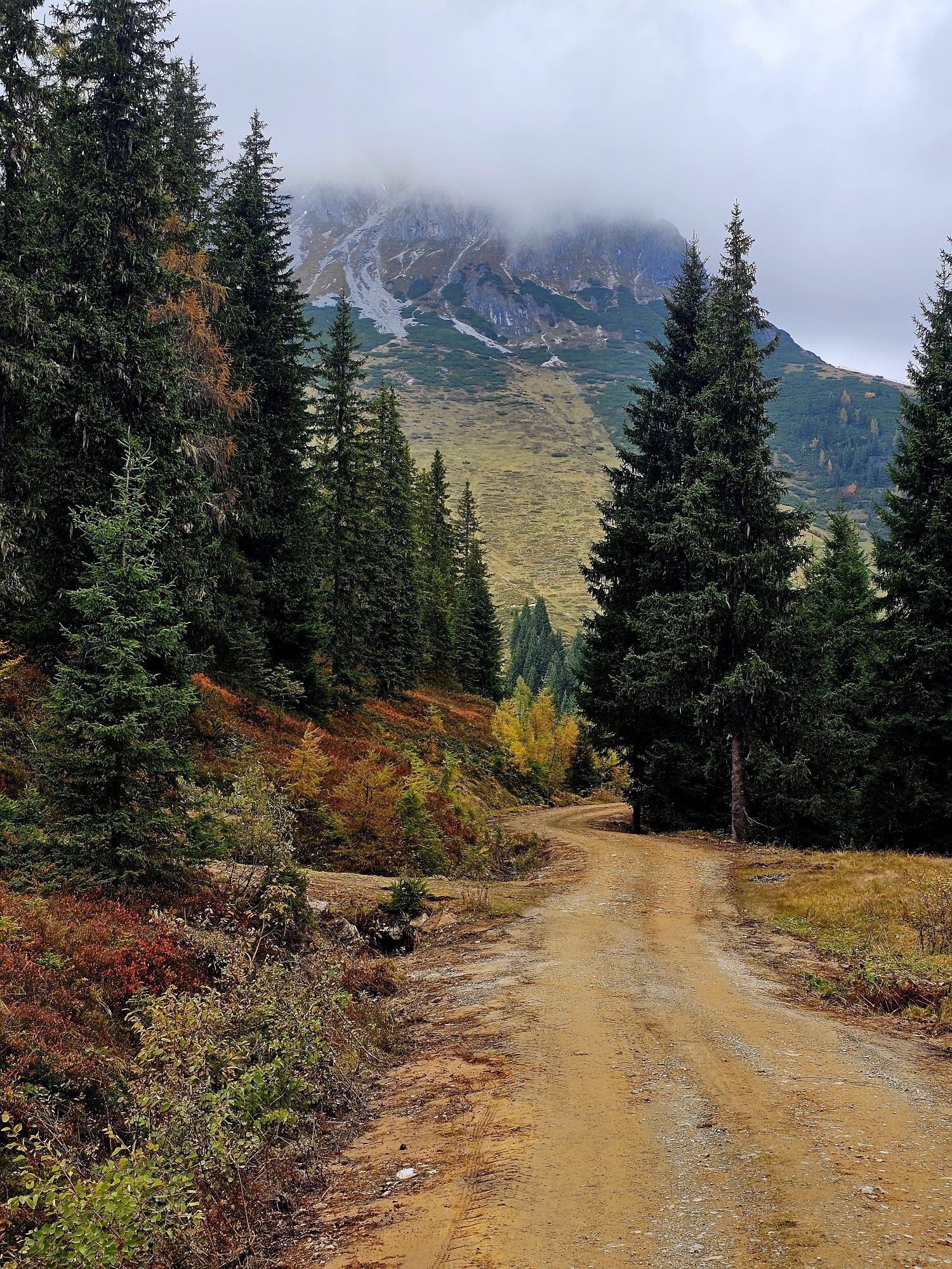
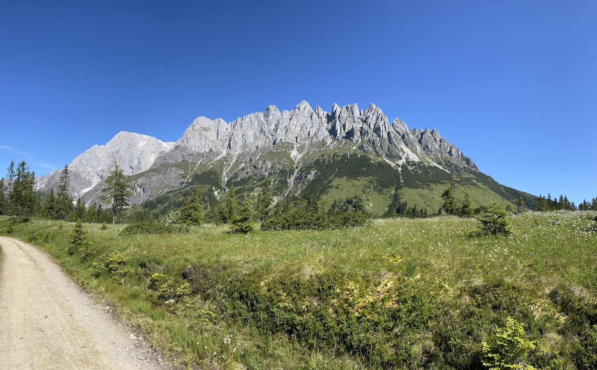
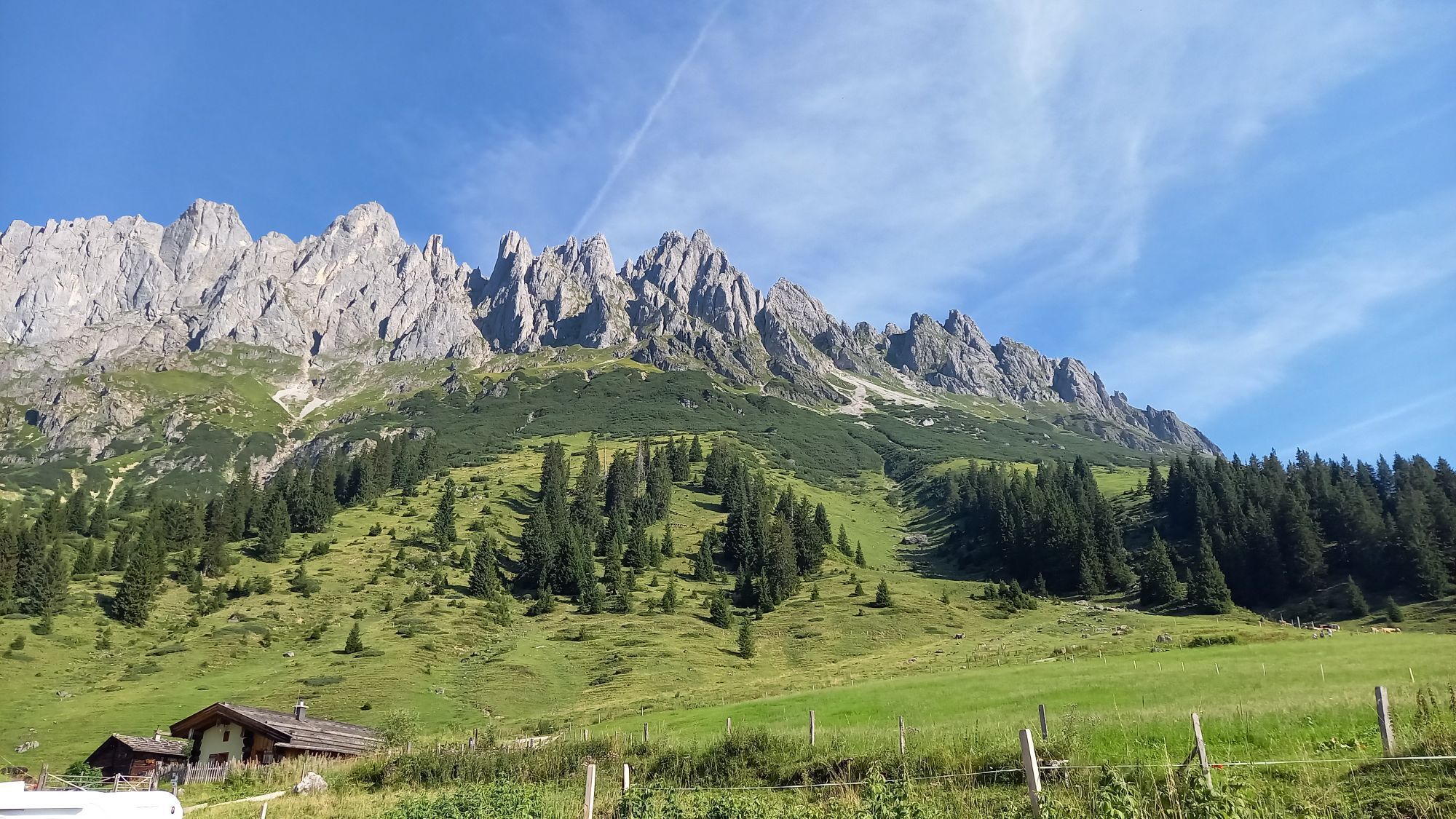
The tour educational trail gives tips for beginners on proper ascending technique and of course advice on behavior in alpine terrain. On the well marked path one is not at risk of getting into an alpine...
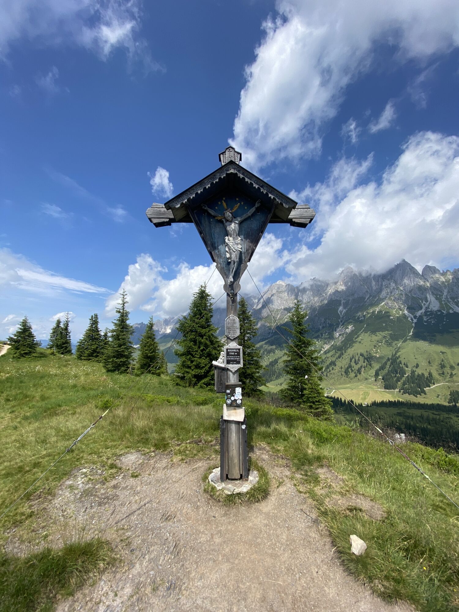
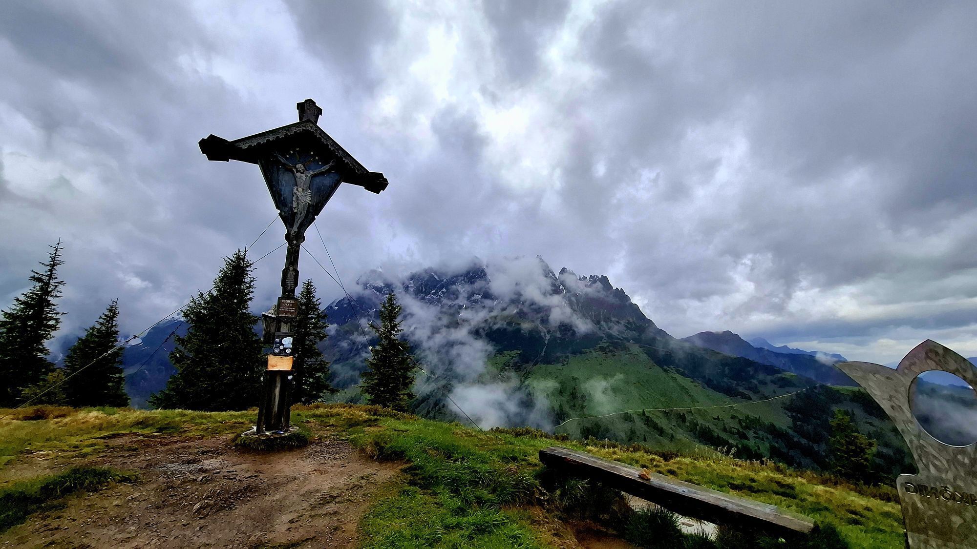
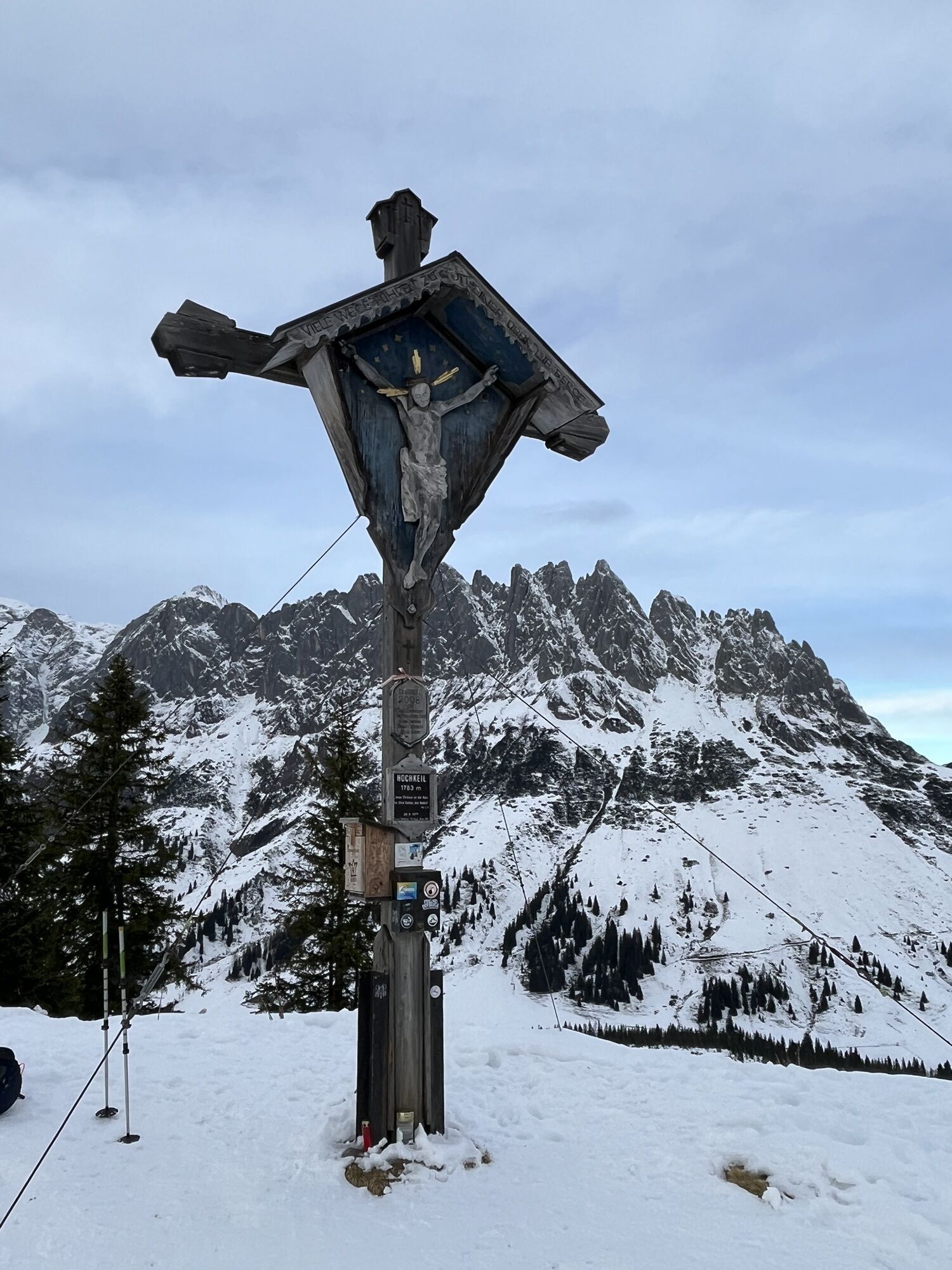
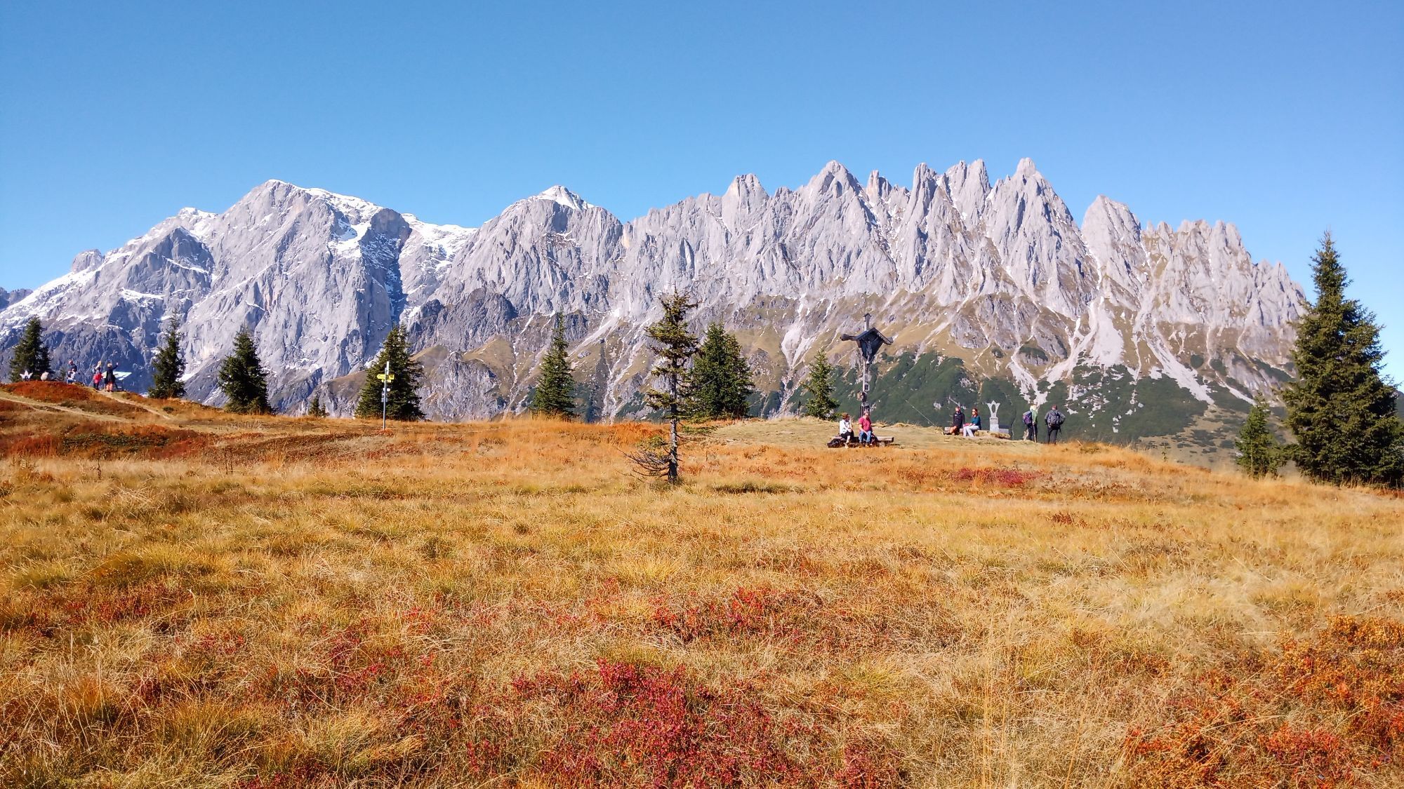
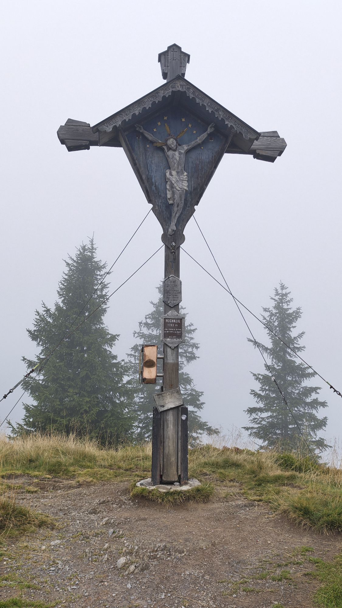
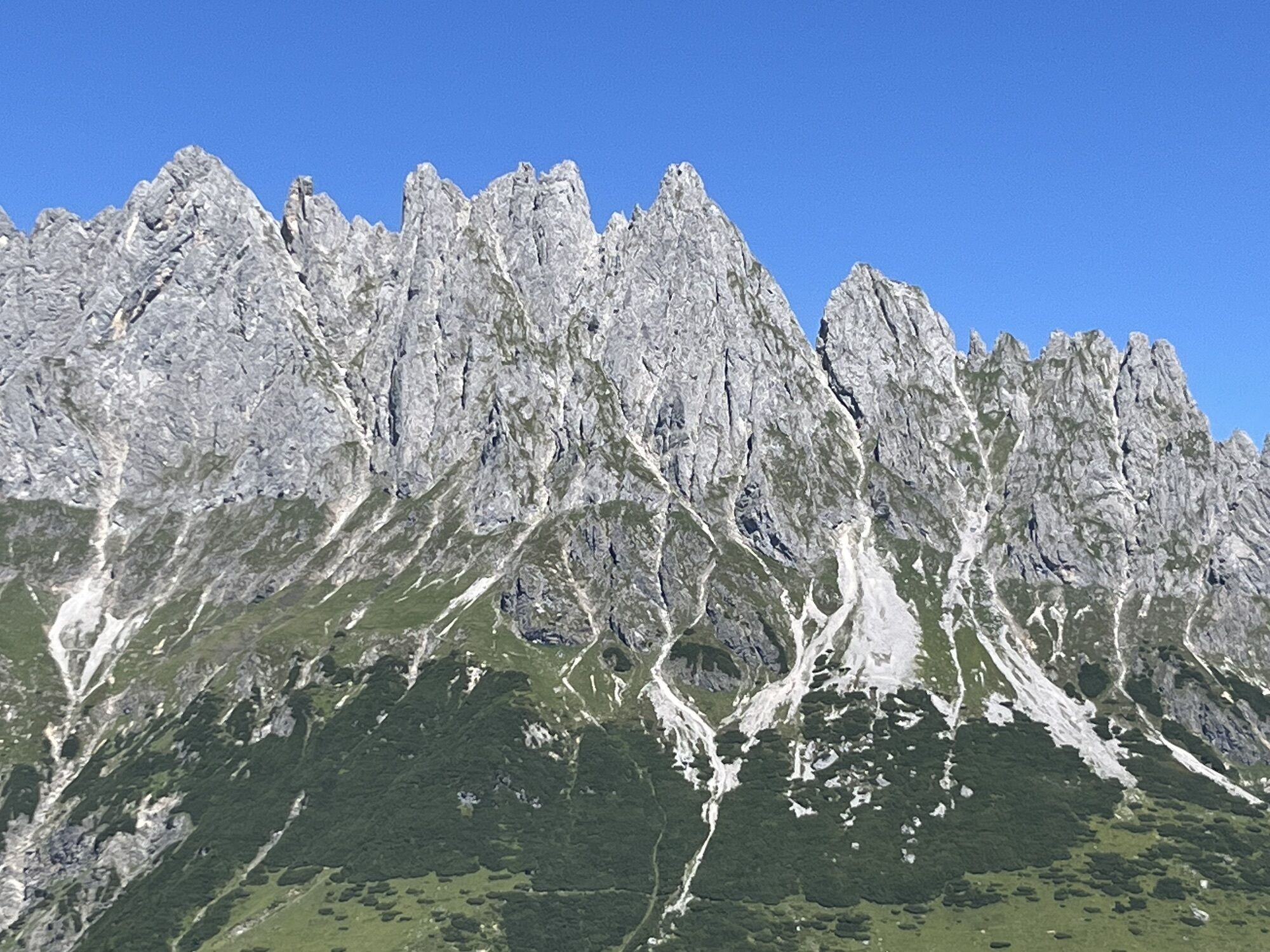
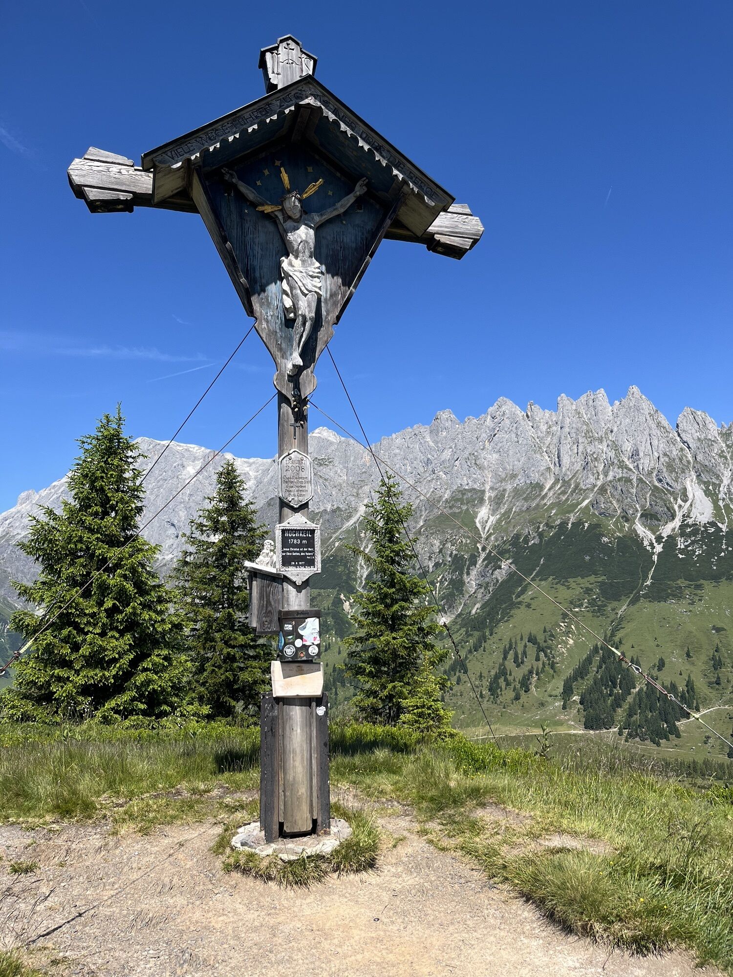
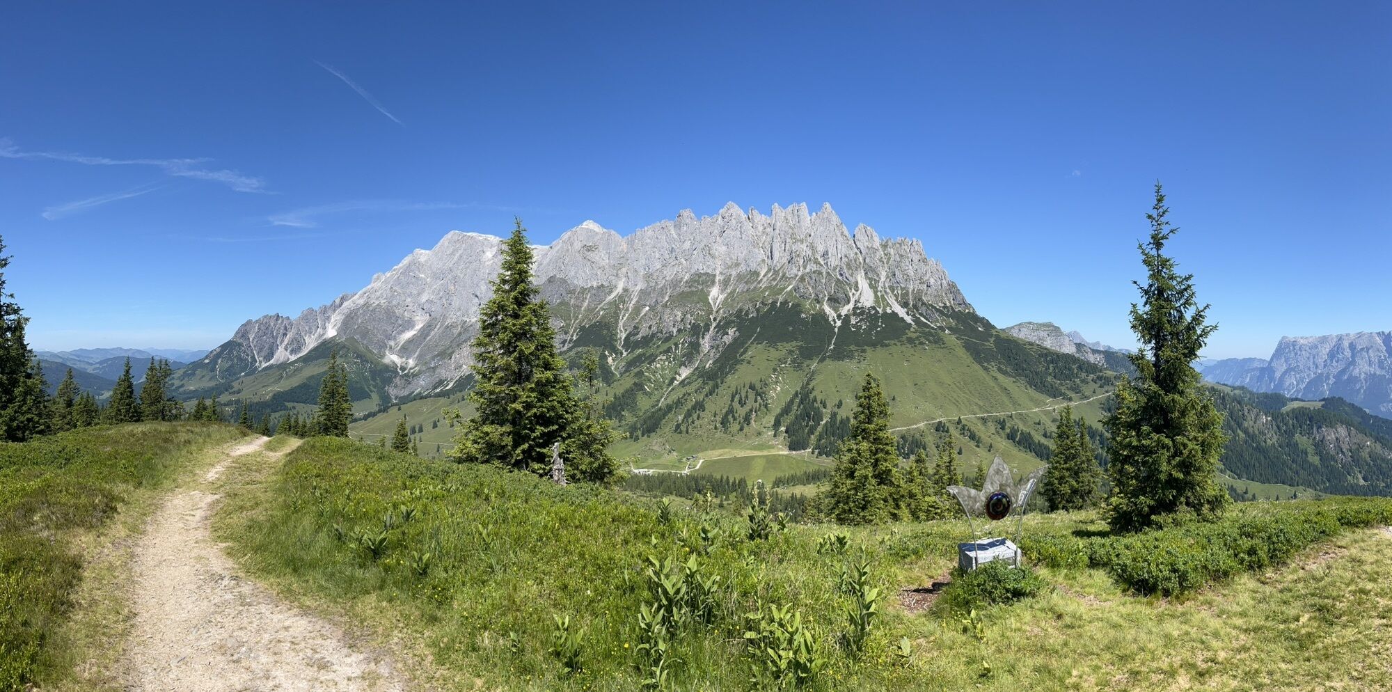
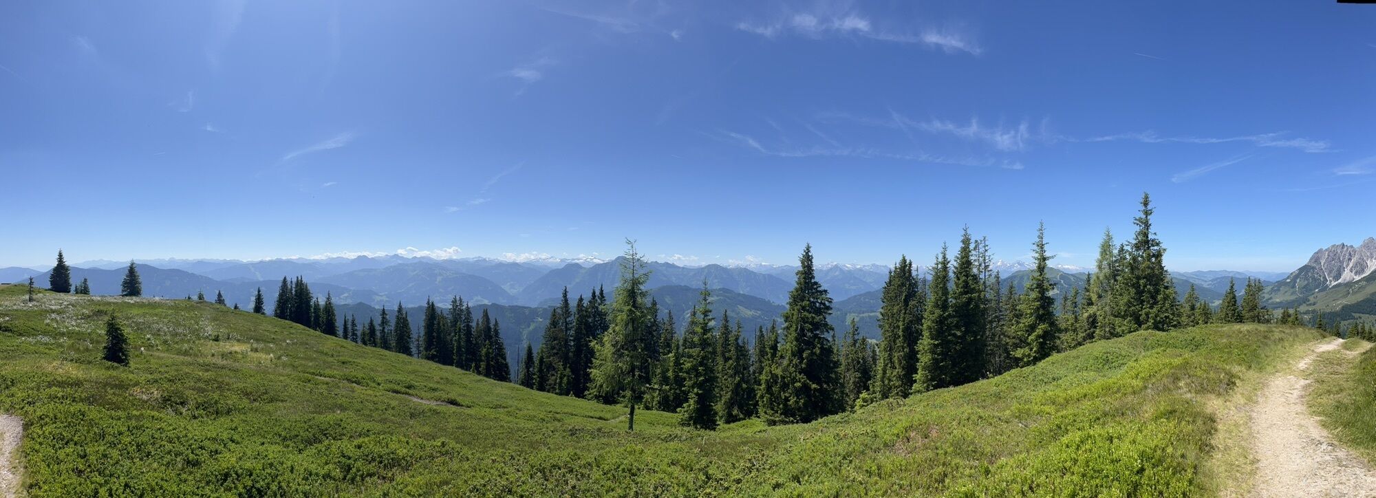
The tour educational trail gives tips for beginners on proper ascending technique and of course advice on behavior in alpine terrain. On the well marked path one is not at risk of getting into an alpine emergency and doesn't have to fear oncoming traffic in the form of skiers or even piste vehicles. After about an hour's ascent, a wonderful panorama awaits at Hochkeil. The 1,782 m high summit offers a panoramic view from the Hochkönig massif over the Hohe Tauern to the Großvenediger group, and at the top there is also a gondola cabin where a rest is possible.

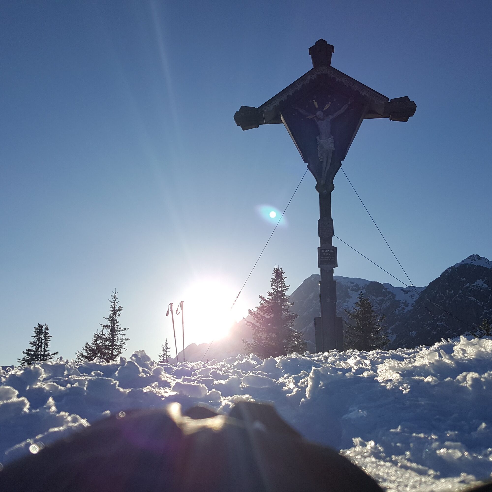
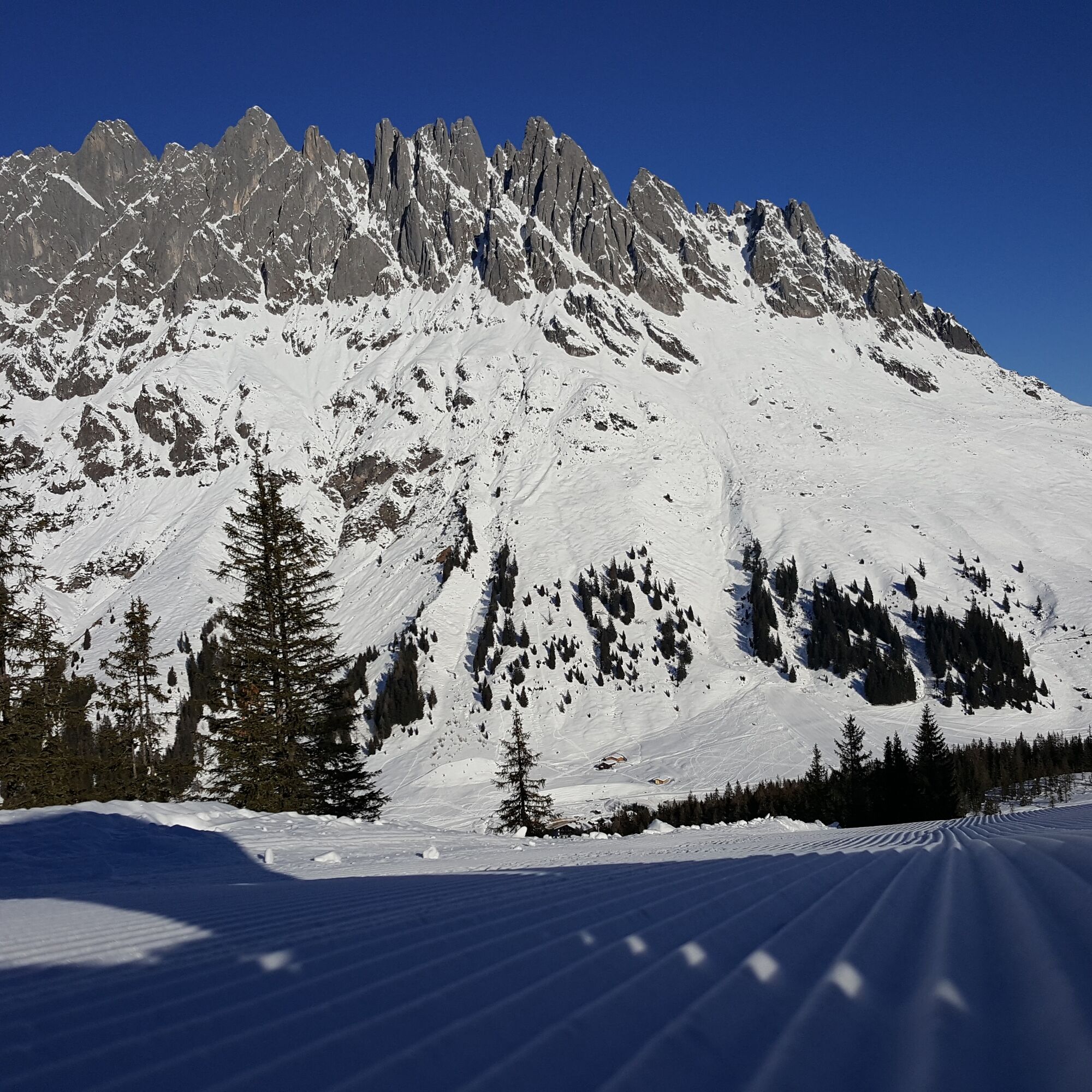
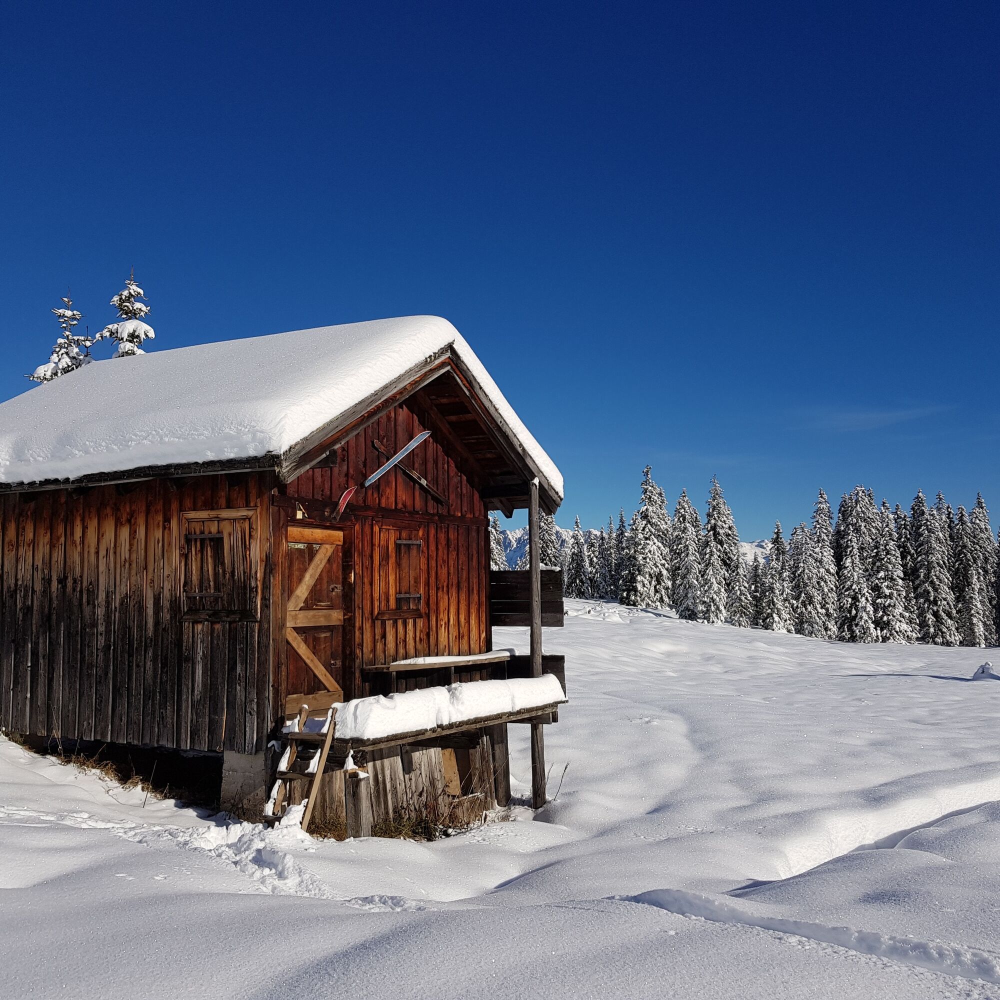

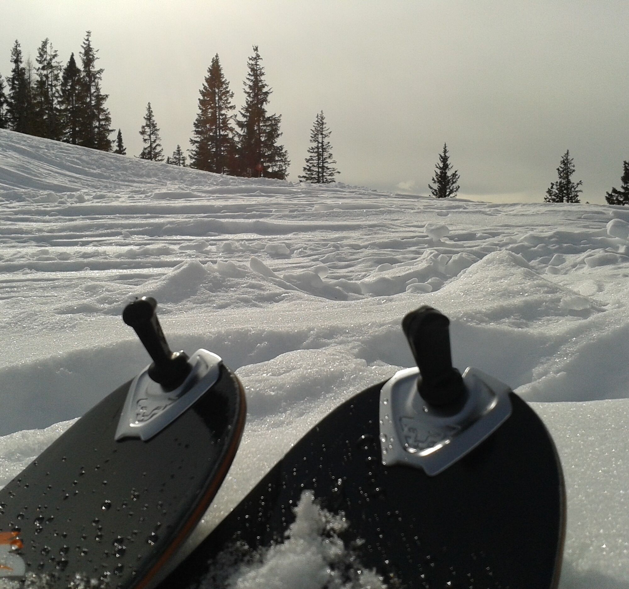
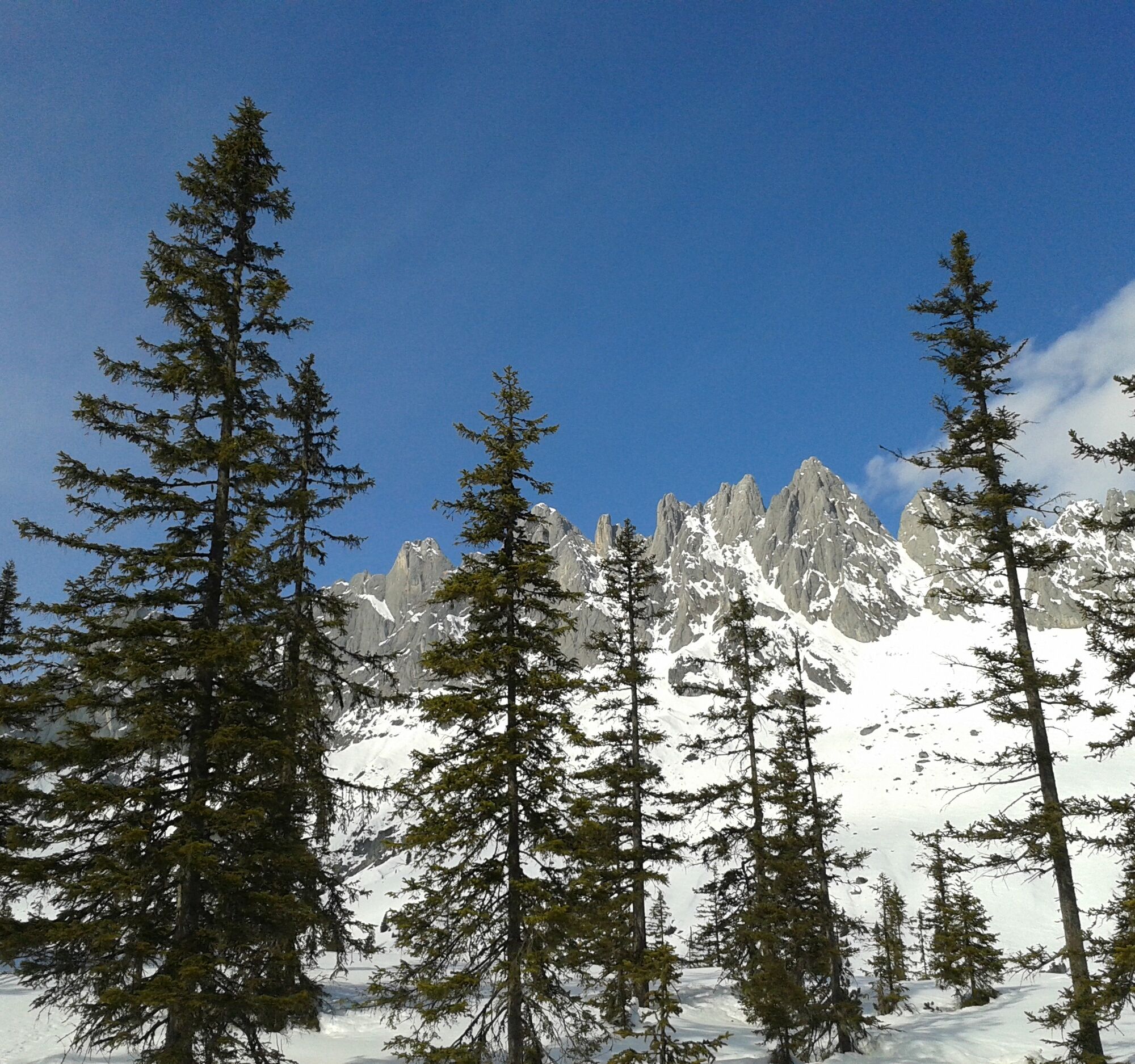
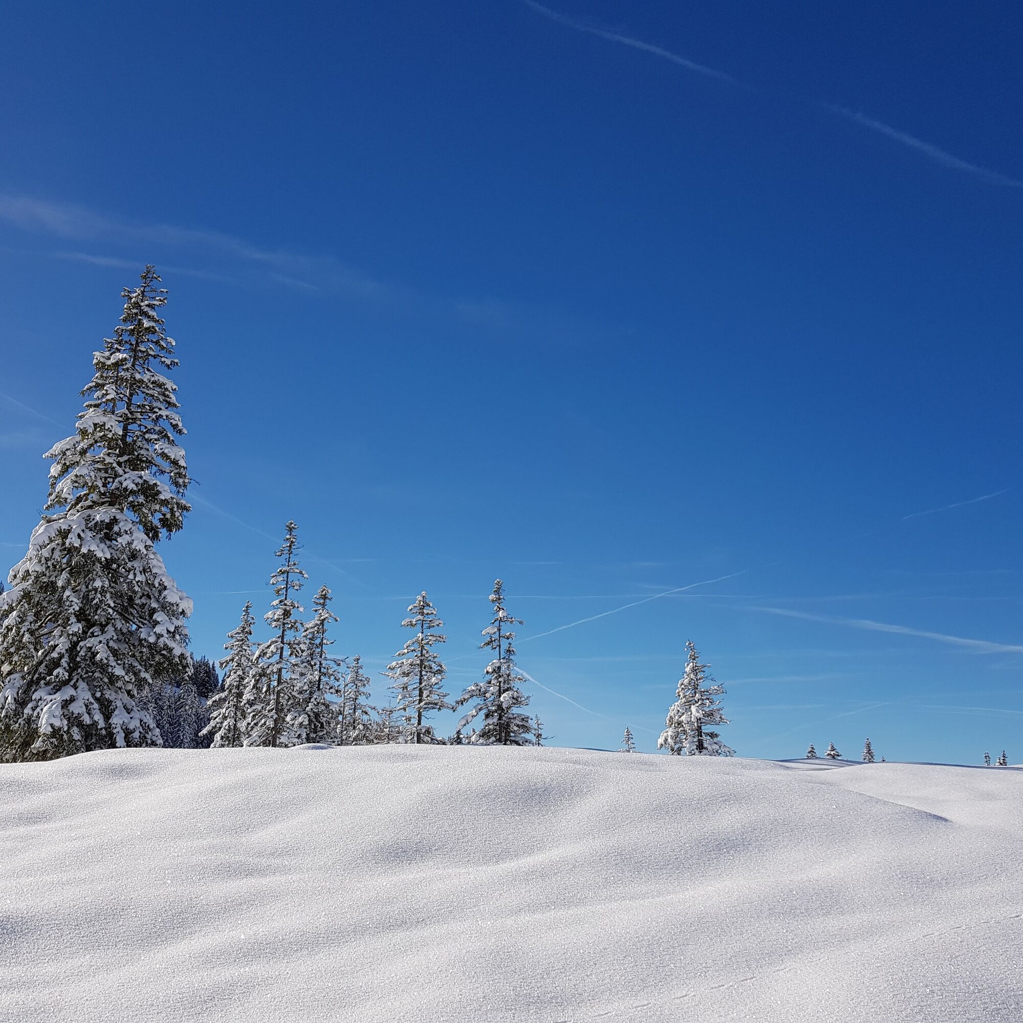
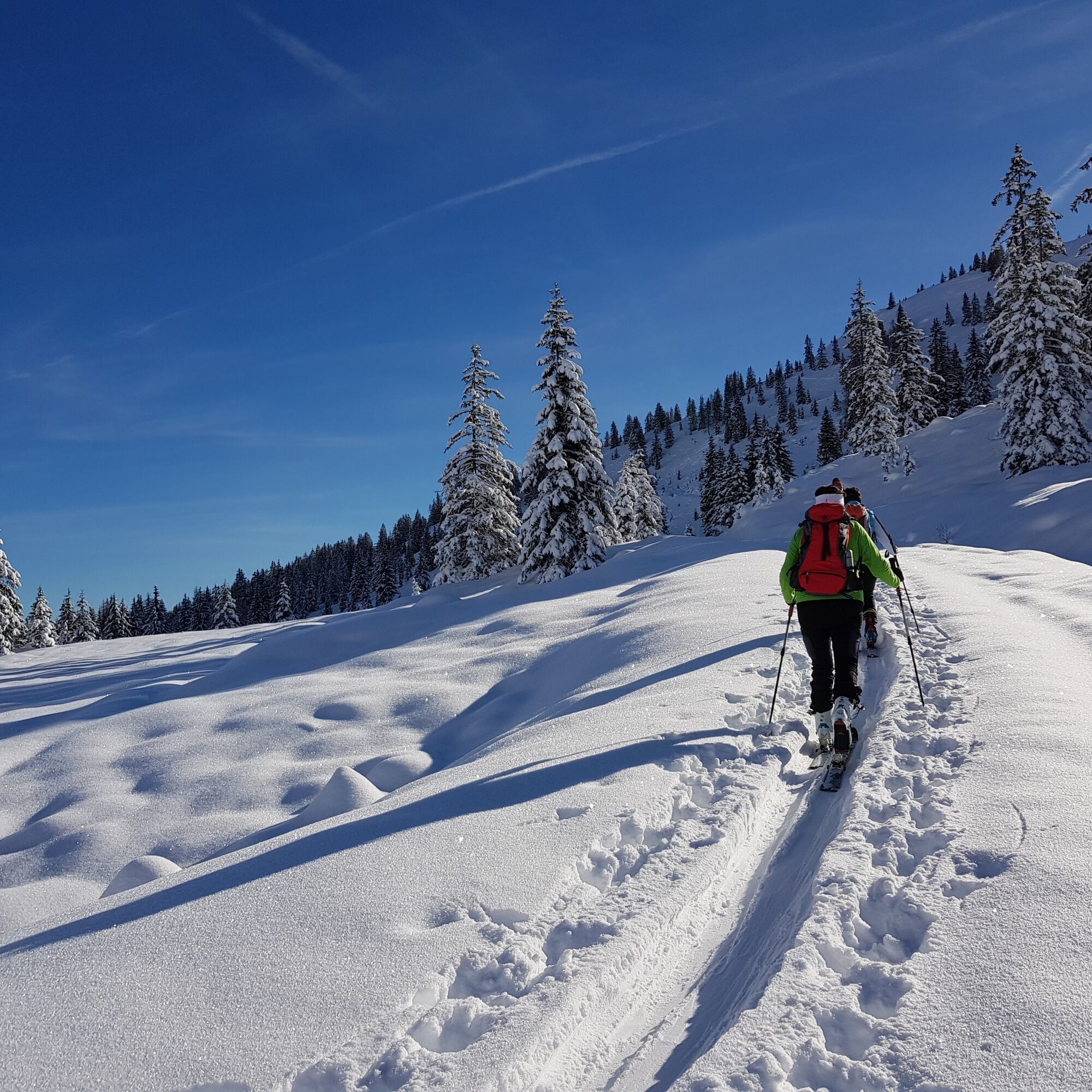
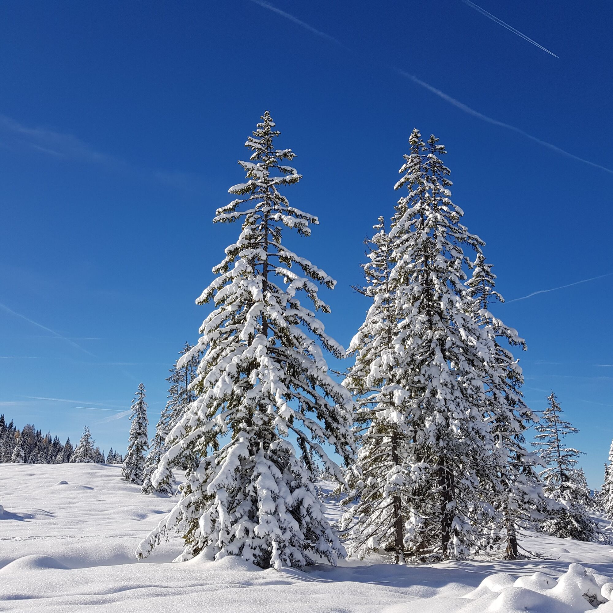
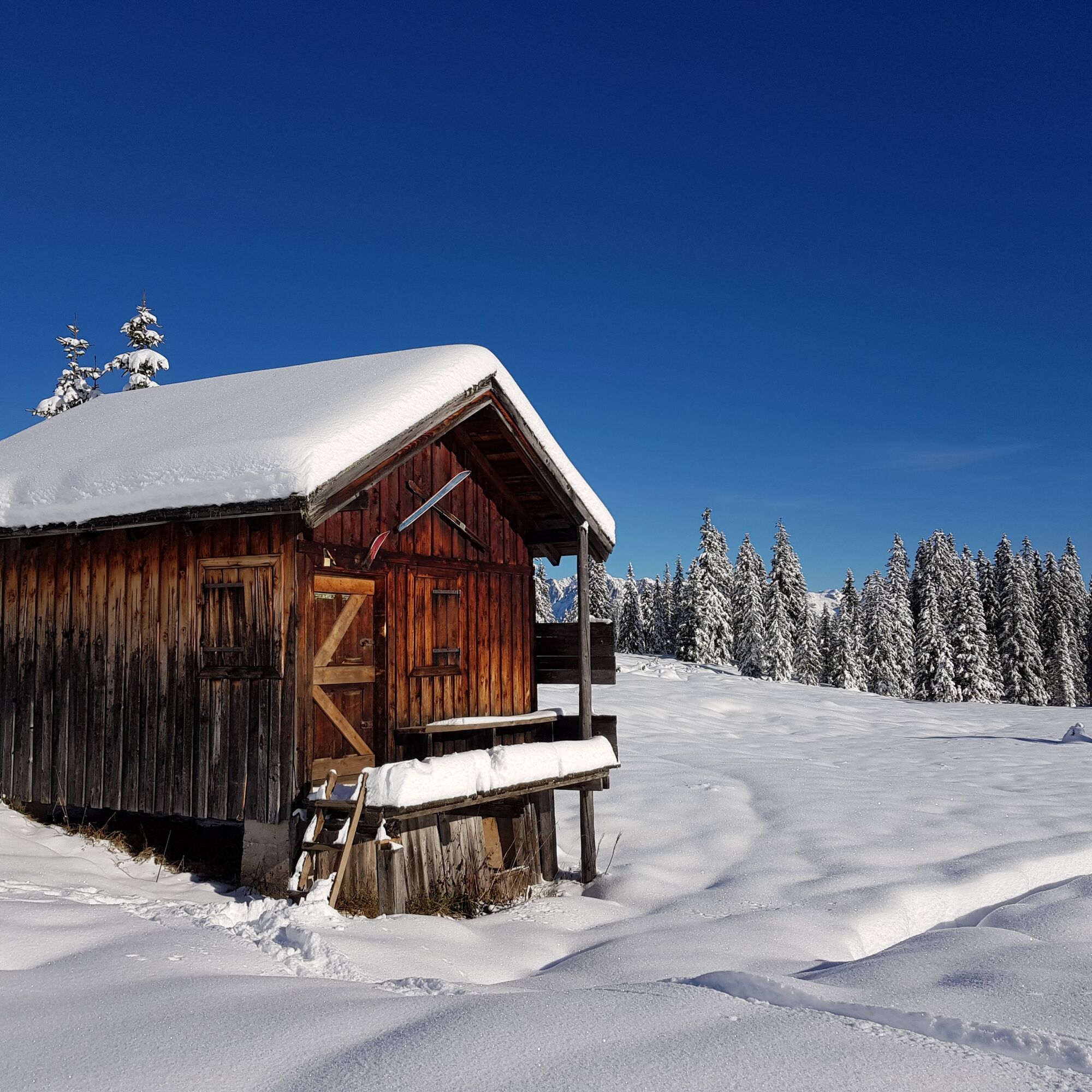
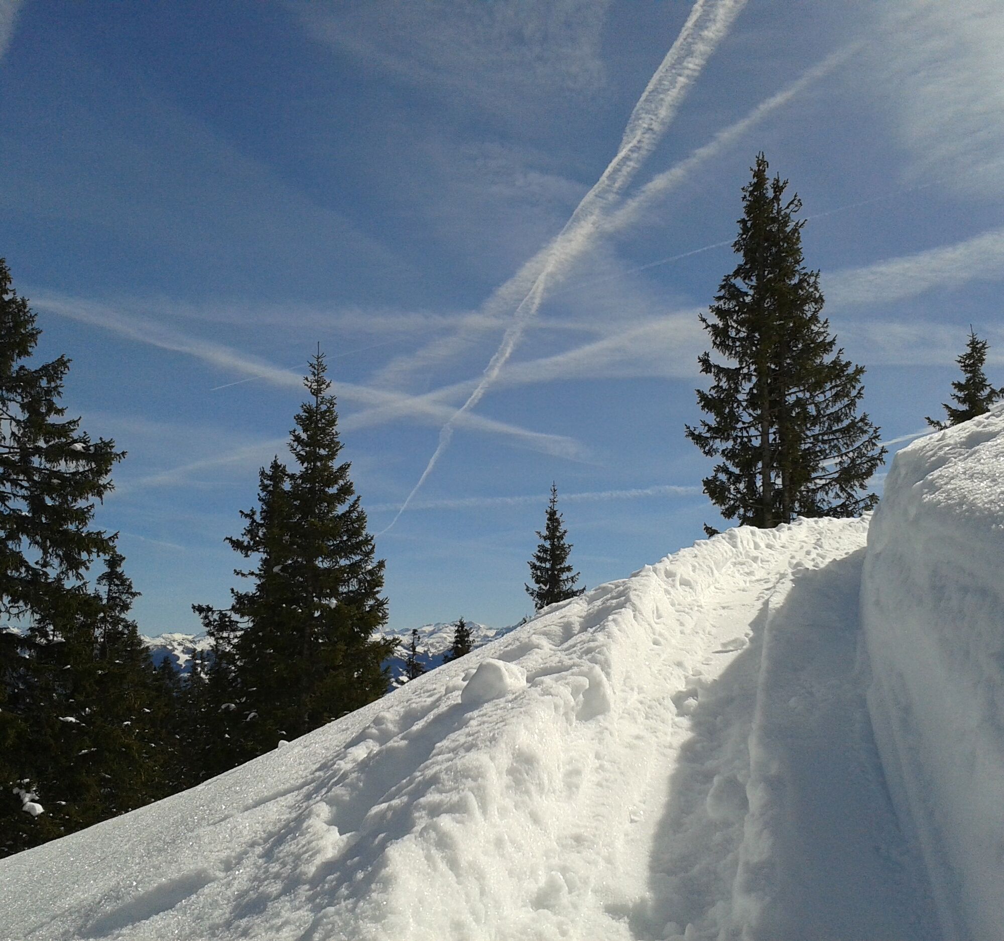
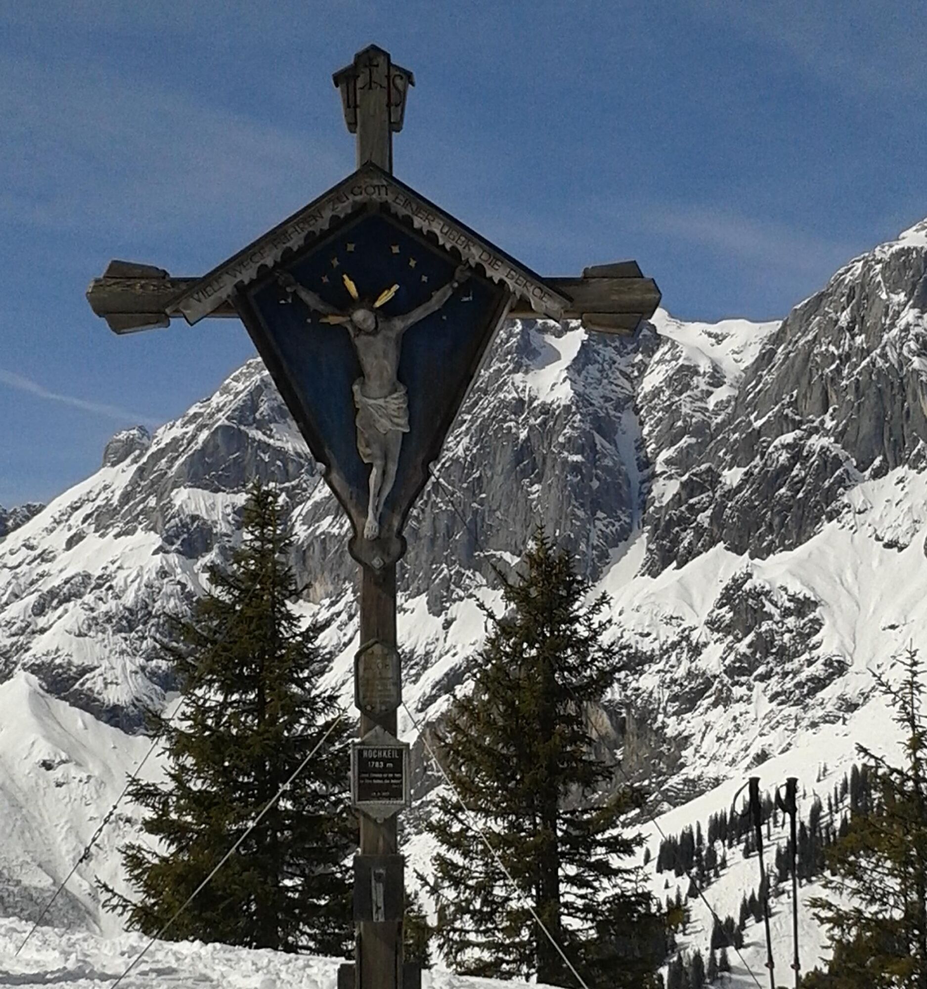
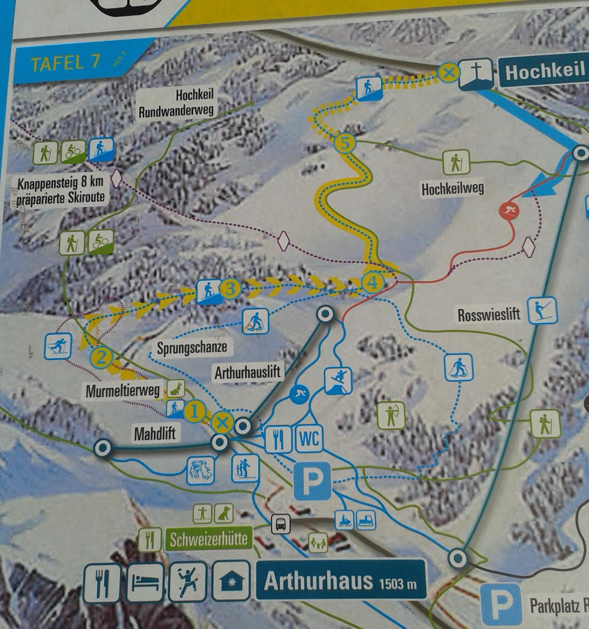

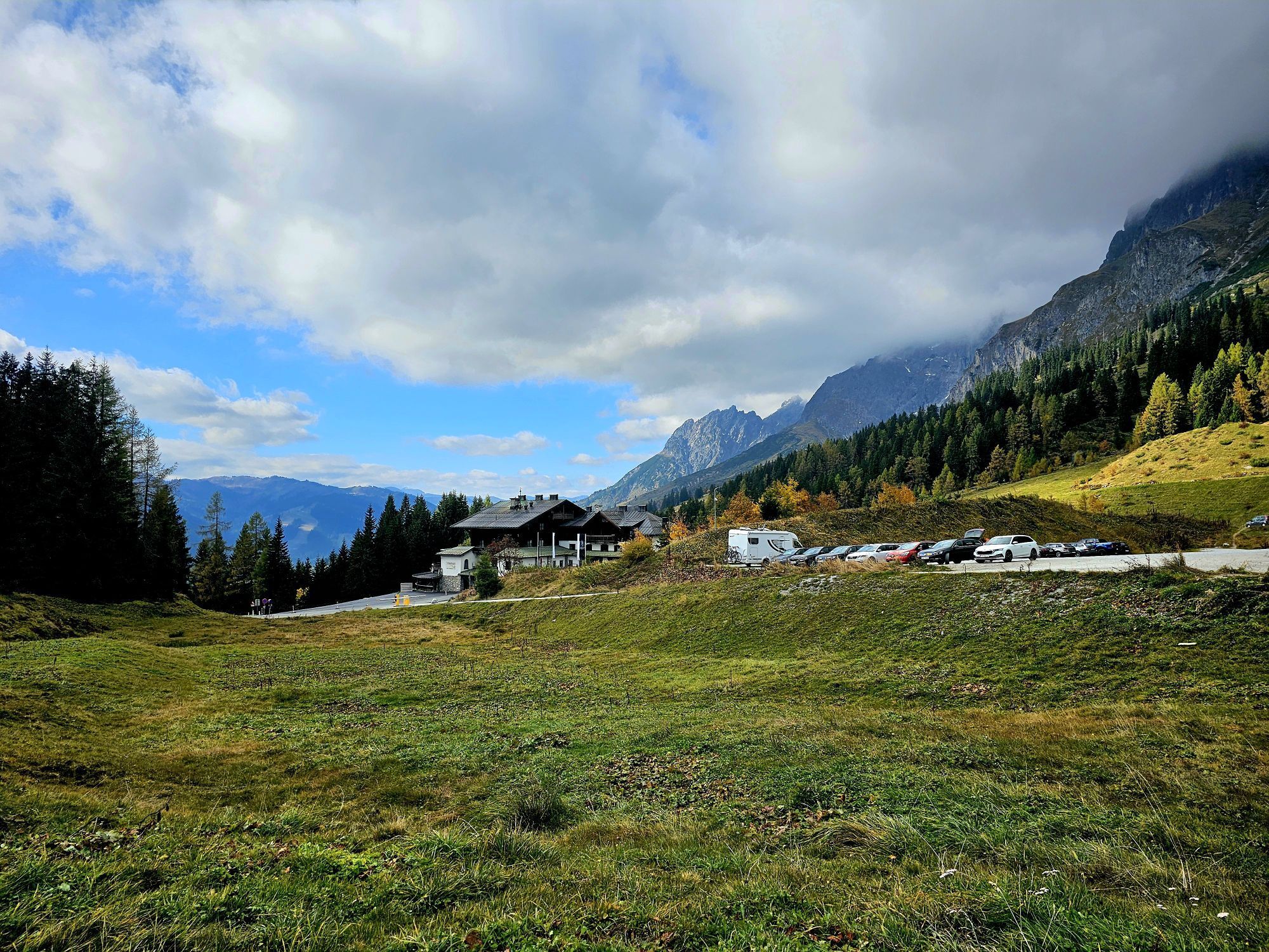
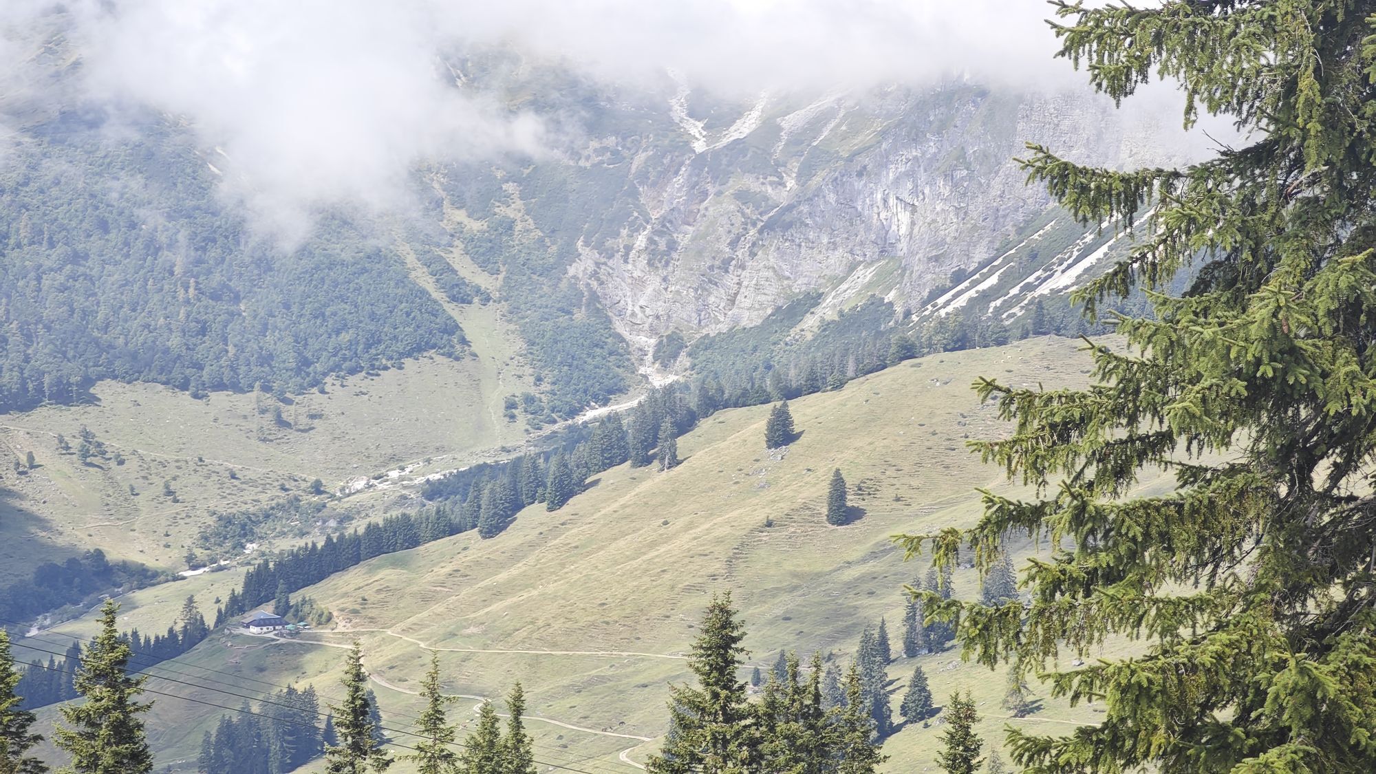
From the Arthurhaus (1,501 m) begins the well-signposted educational trail with its nine stations and information boards. The track to the summit of the Hochkeil is clearly visible.
Ano
The rental equipment for tours is available on site at Arthurhaus, where regional delicacies also await all tourers and anyone who wants to become one.
Ski, snowboard and snowshoe tours offer you great opportunities for fitness, community and experiencing nature. The following recommendations will help you effectively deal with risks in the winter mountains. Their practical implementation is taught in ski tour and avalanche courses: get trained!
Healthy in the mountains: Ski and snowshoe tours are endurance sports. The valuable physical stresses on your heart and circulatory system require health and good self-assessment. Avoid time pressure and choose the pace so that no one in your group runs out of breath. Pay attention to energy reserves for the descent.
Careful planning: Use maps, guidebooks, the internet and experts to inform yourself about length, altitude difference, difficulty and current conditions. Pay special attention to the weather report, as strong winds and poor visibility greatly increase the risk of accidents.
Study the avalanche report: Inform yourself thoroughly about the current danger level (European avalanche danger scale with 5 levels) before starting the tour. Pay special attention to the indications of danger spots (where is it dangerous today?) and danger sources (what is the main danger today?).
Complete equipment: Adapt your equipment to the winter conditions and pay attention to a low backpack weight. For avalanche emergencies, transceiver, shovel and probe are standard, as well as a first aid kit, bivy sack and mobile phone. An airbag system increases your chances of survival.
Regular drinking breaks: Fluids, energy and breaks are necessary to maintain your performance and concentration. Hot, isotonic drinks are ideal thirst quenchers and heat suppliers. Easily digestible foods such as muesli bars, dried fruits and biscuits satisfy small hunger on the way.
Weighing avalanche risk: You have narrow limits in recognizing avalanche danger. Base your decisions on strategic risk assessment methods (reduction methods) and learn to recognize danger signs in the terrain.
Keep distances: Maintain relief distances of 10 m when ascending steep slopes (≥ 30°) to reduce the load on the snow cover and increase comfort during switchbacks. On the descent, always keep distances of at least 30 m and ski very steep slopes (≥ 35°) individually.
Avoid falls: Falls during descent are the most common cause of accidents on ski tours. For the snow cover, they also mean a great additional load. Good skiing technique and speed adapted to the ability reduce the risk. A ski helmet can protect against head injuries.
Small groups: Small groups enable mutual assistance and reduce the avalanche triggering risk. Stay together in the group. Beware of solo travelers: Even small incidents can lead to serious emergencies. Always inform trusted persons about your destination, route and return.
Respect for nature: To protect nature: Do not leave any waste, avoid noise, do not enter reforestation areas and respect protection and restricted areas. Pay special attention to wildlife in winter! Form car pools or use public transport for arrival.
Arrival from Salzburg: Take the A10 motorway to the Bischofshofen exit, then the B311 towards Bischofshofen. Follow the Hochkönig federal road/B164 to Mühlbach.
Arrival from Innsbruck/Kufstein: Take the Loferer Straße/B178 towards St. Johann i.T., then the Hochkönig federal road/B164 via Saalfelden and Mühlbach.
You can enjoy your holiday from the start by train. No traffic jam will stop you from coming to Maria Alm!
You can book your train connection at www.oebb.at.
Arthurhaus car park
A windproof opportunity to change clothes is provided by the summit gondola.


Oblíbené prohlídky v okolí
- 4.7
Werfenweng Mountainbikerunde Söldenhütte
středníMountainbike 18.8 km - 4.9
Großarl: Heukareck
středníTuristika 12.5 km - 4.9
Summit stormer route Lauskopf
heavyTuristika 8.16 km - 4.8
Summit storming route Taghaube
heavyTuristika 6.25 km - 3.7
Wanderung zur Ostpreußenhütte in Werfen (1.630 m)
středníTuristika 11.2 km - 4.7
About the "Four Huts circular route" to Windraucheggalm
středníTuristika 10.1 km - 4.6
Großarl: Mooslehenalm – Niggeltalalm – Viehhausalm
středníTuristika 5.44 km - 4.6
Panorama hike to the Hochkeil
středníTuristika 6.07 km - 4.9
Hochkönig - Gipfel der Gefühle - Matrashaus
heavyTuristika 20.9 km - 4.3
Mühlbacher Höhenweg
středníTuristika 11.2 km
Pěší turistika a stopování


Nenechte si ujít nabídky a inspiraci pro vaši příští dovolenou
Vaše e-mailová adresa byl přidán do poštovního seznamu.





