





Backcountry ski route at the foot of the Rötelstein
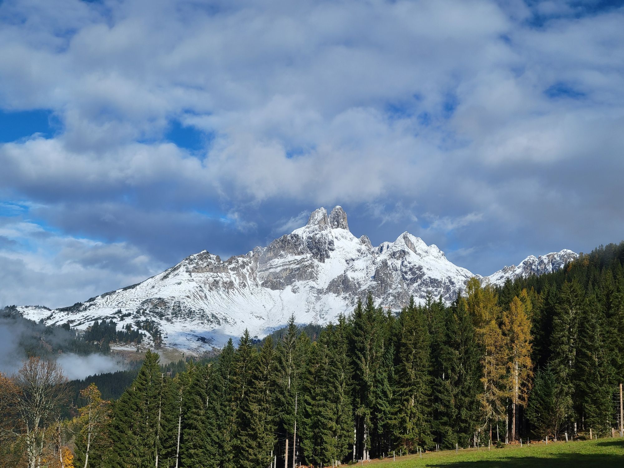
On the west slope of the Rötelstein there is an abandoned ski slope that offers several advantages: a short, south-facing, and in the upper part scenic ascent. Except for a flat section at the beginning...
On the west slope of the Rötelstein there is an abandoned ski slope that offers several advantages: a short, south-facing, and in the upper part scenic ascent. Except for a flat section at the beginning and in the middle part, nice skiing terrain. A place to stop halfway. Not without reason a very popular backcountry ski route.

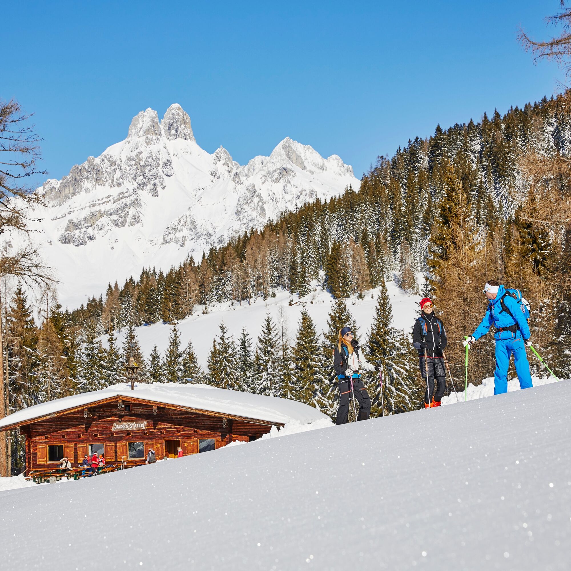
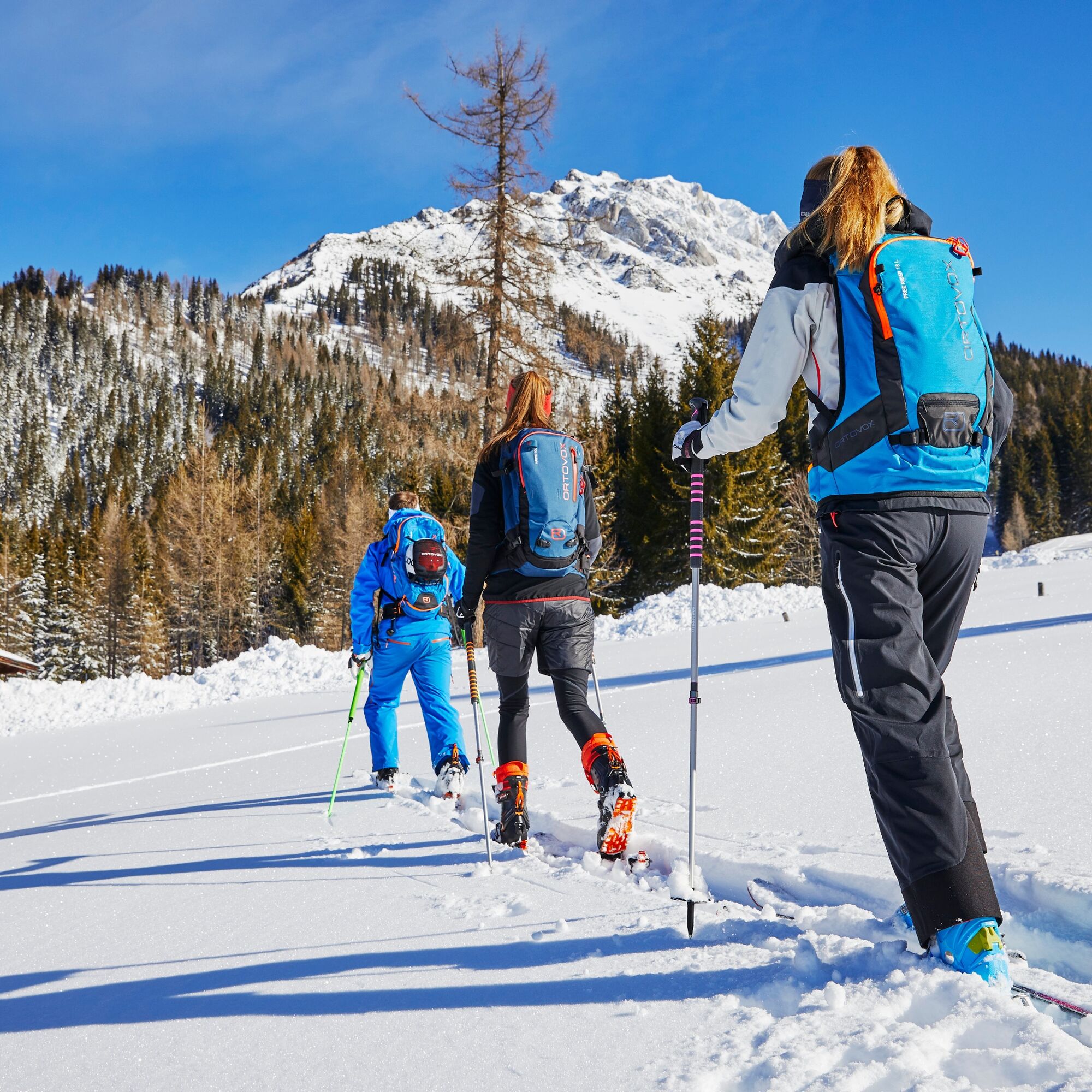
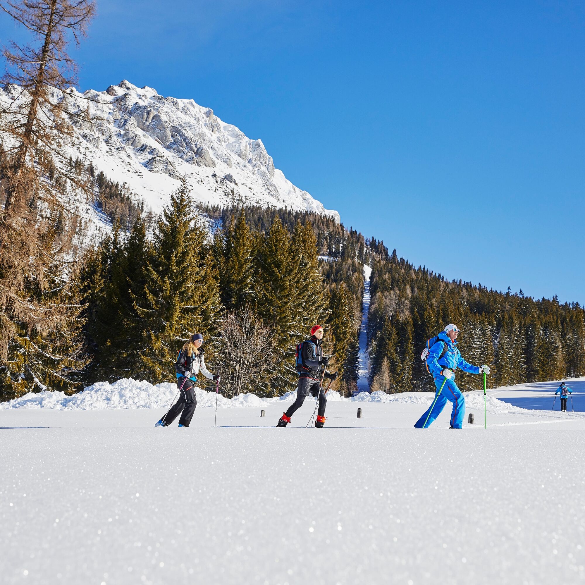
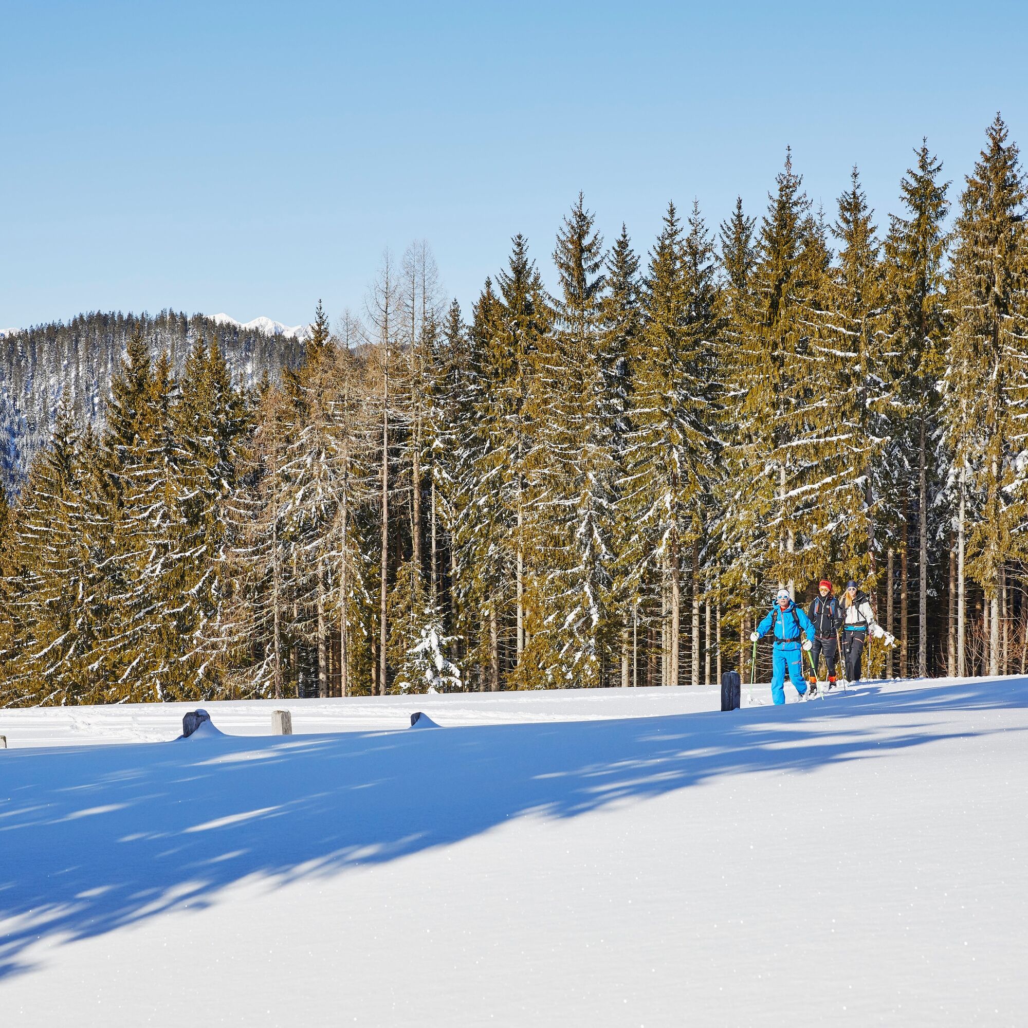
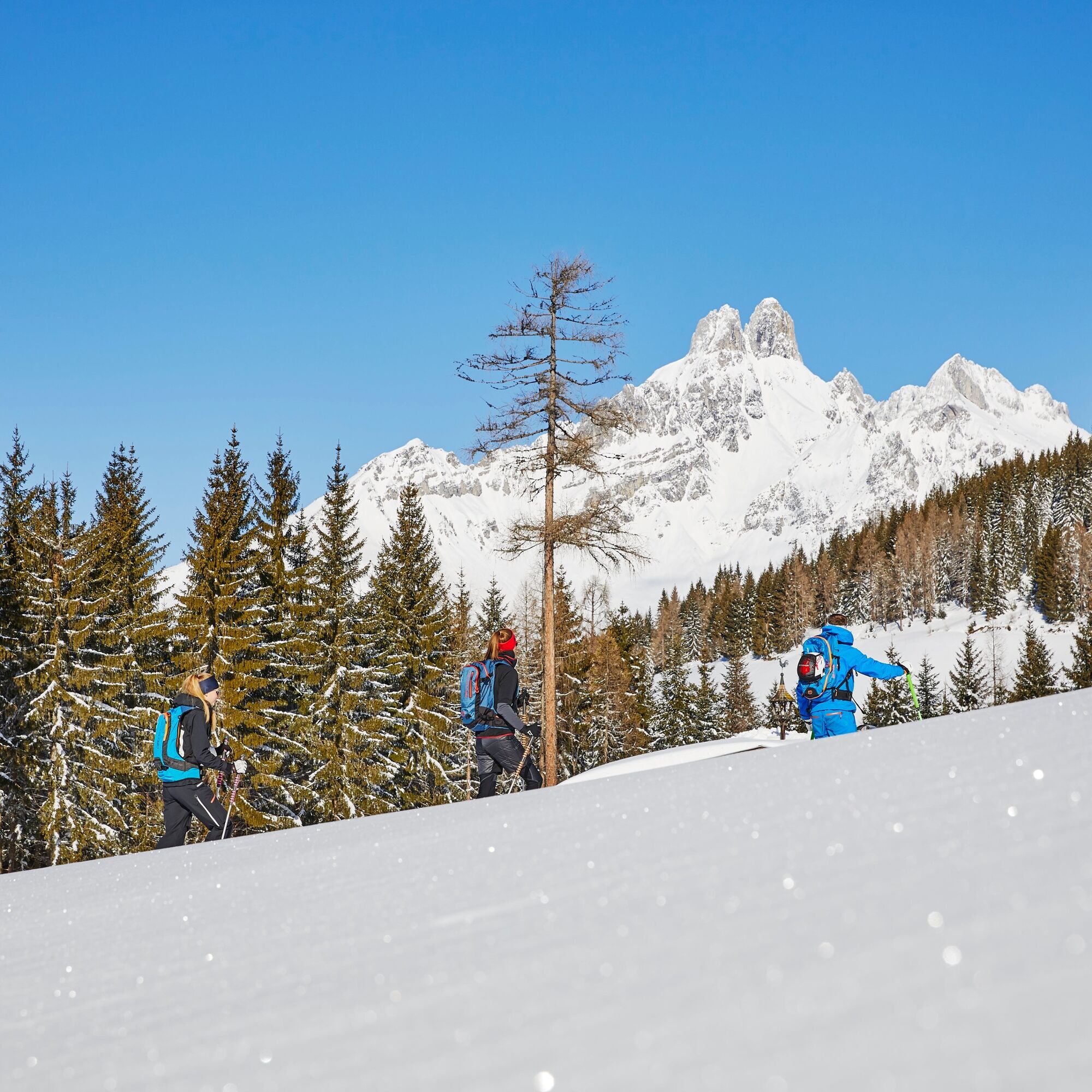

Before the toll station, turn right over the bridge of the Warm Mandling and first very flat, then steeper to the east over the beautiful slope that leads between two wooded areas to the Rettenstein hut (serviced, closed Mondays). Pass it and continue flat. The abandoned ski slope then makes a large bend to the right to the so-called Hundsegg. In the middle section there is a reforestation zone, but there is enough space to the left and right of it to ascend or descend without trees. From the no longer existing top station of the lift, the route can be extended by a short section to the edge of the forest. In this area, under extreme conditions, there could possibly be slab avalanche danger.
The descent follows the ascent route, or you can use the narrow clearing of the former lift track. In the lowest part, you can choose another very nice slope on the right next to the ascent slope for the descent.
Going on a route without proper preparation and equipment is reckless. Not only is your own life carelessly risked, but also that of your mountain companions who are in the same region.
What you must have on the route: avalanche transceiver, mobile phone, shovel, avalanche probe, first aid kit, sufficient food and drinks, possibly additional clothing to change into.
On the day of the route: read the avalanche report and weather report and check what impact they have on the planned route - possibly adjust or cancel the route. Are all participants physically fit and healthy enough to complete the route? If not, adjust or cancel the route.
Read the avalanche report!
All information has been collected with the greatest care. Use is solely at your own risk and responsibility.
No liability is accepted for any accidents or damages of any kind.
From the A10, take the Eben im Pongau exit and via the L219 to Filzmoos. From Schladming (B320) take the L711 to Ramsau and via the Hachau to Filzmoos. At the roundabout in Filzmoos, towards Hofalmen to the toll station, where there is a large parking lot (fee required) immediately before it.
Take the Fidibus to the toll station stop.
Parking lot in front of the Hofalmen toll station (fee required).

Webové kamery z prohlídky
Získejte přehled
Vždy živě na místě s více než 9 500 webkamerami. bergfex Jako uživatel Pro si nyní můžete zobrazit odpovídající webové kamery pro mnoho prohlídek v aplikaci prohlídky z. Můžete si tak přímo prohlédnout aktuální podmínky.
Oblíbené prohlídky v okolí
-
4.3
Filzmoos: Rötelstein (Rettenstein)
Turistika 9.50 km -
4.8
Heilbronner circular trail
světloTuristika 7.78 km -
4.8
4-Jahreszeiten Wanderweg
středníZimní turistika 5.94 km -
4.7
Tour around the Gosaukamm
středníTuristika 20.9 km -
4.7
Tour around the Lake Gosau
světloTuristika 4.43 km -
4.7
Tor-Wanderung
heavyTuristika 14.2 km -
4.5
Adamekhütte vom Vorderen Gosausee
středníTuristika 23.2 km -
4.4
Ramsau am Dachstein: Steinerne Jungfrauen
Turistika 8.11 km -
4.9
Das Trippel in der Silberkarklamm
středníVia ferrata 6.70 km -
4.7
Königsetappe und Sinabell
středníHorská turistika 16.8 km

Pěší turistika a stopování


Nenechte si ujít nabídky a inspiraci pro vaši příští dovolenou
Vaše e-mailová adresa byl přidán do poštovního seznamu.





