







Firn tours below the Mandlwand

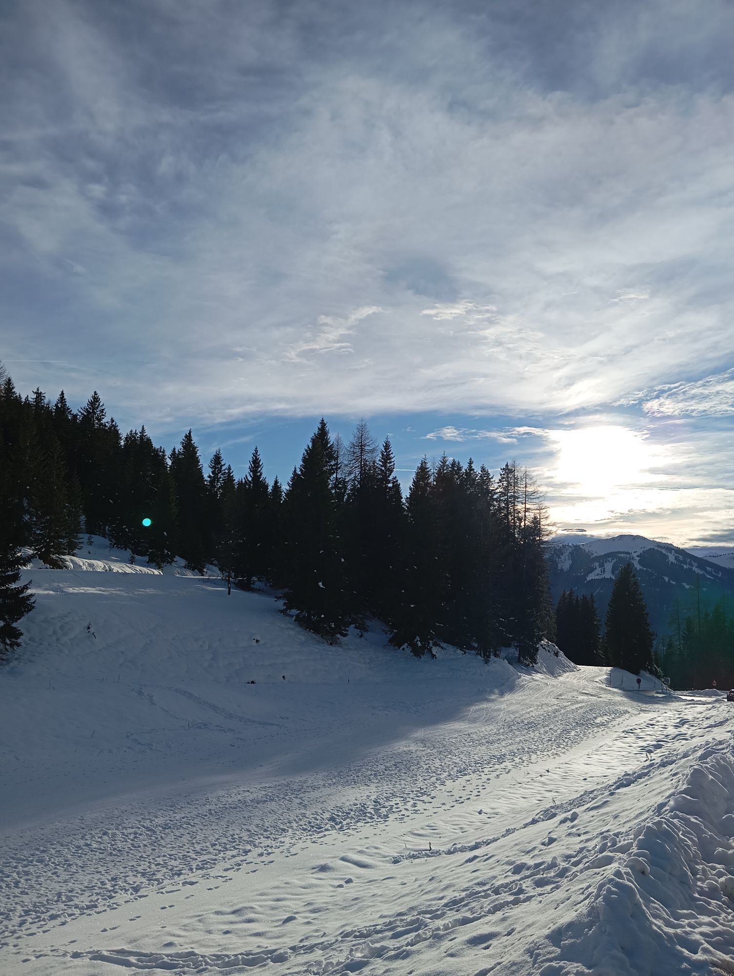
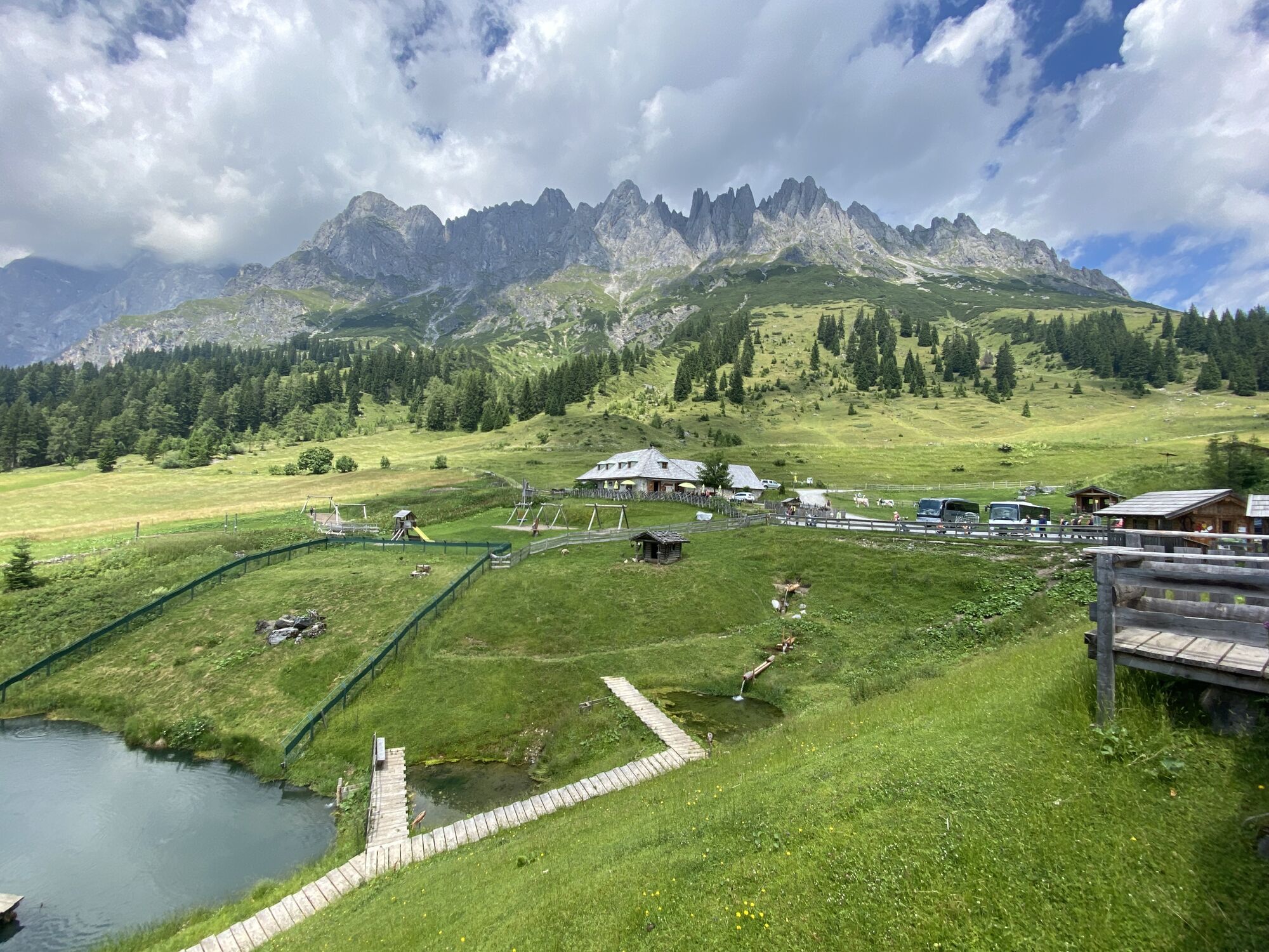
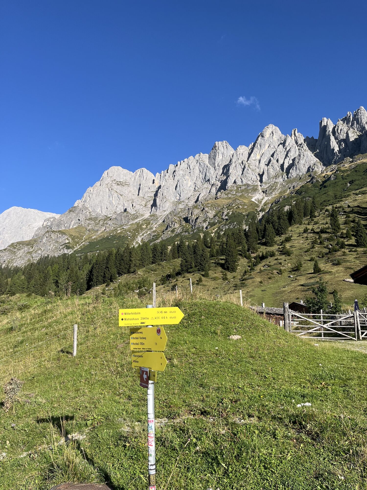
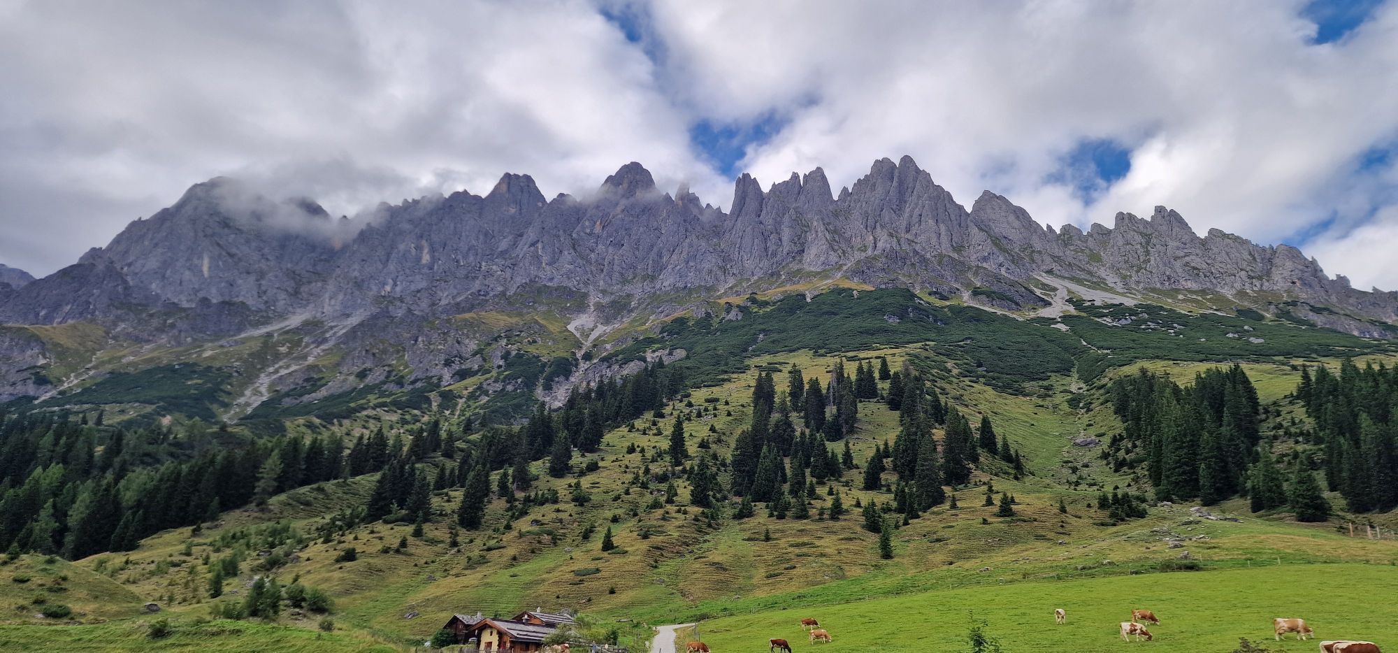
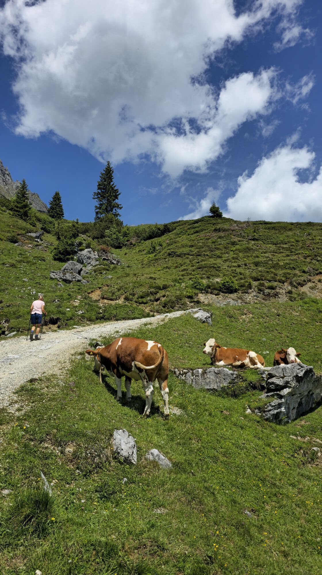
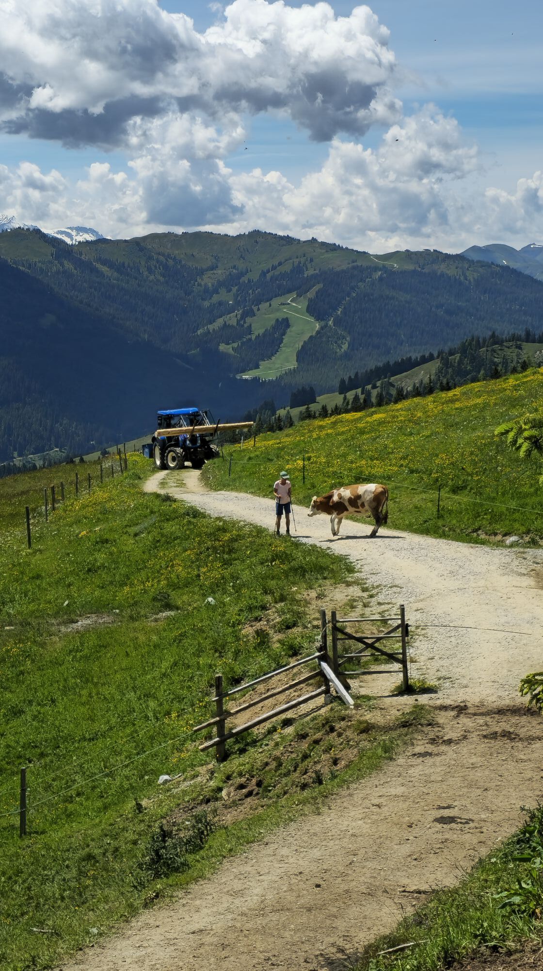
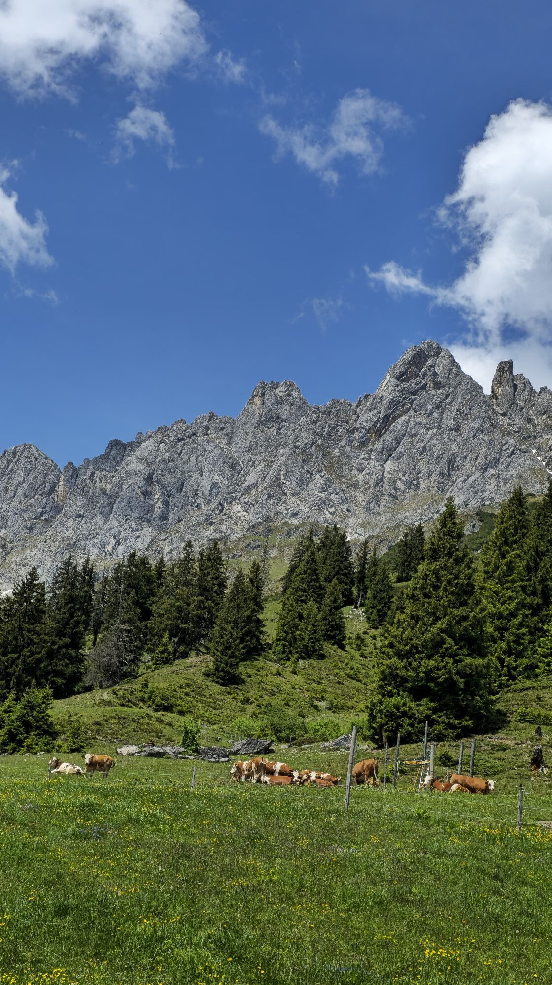
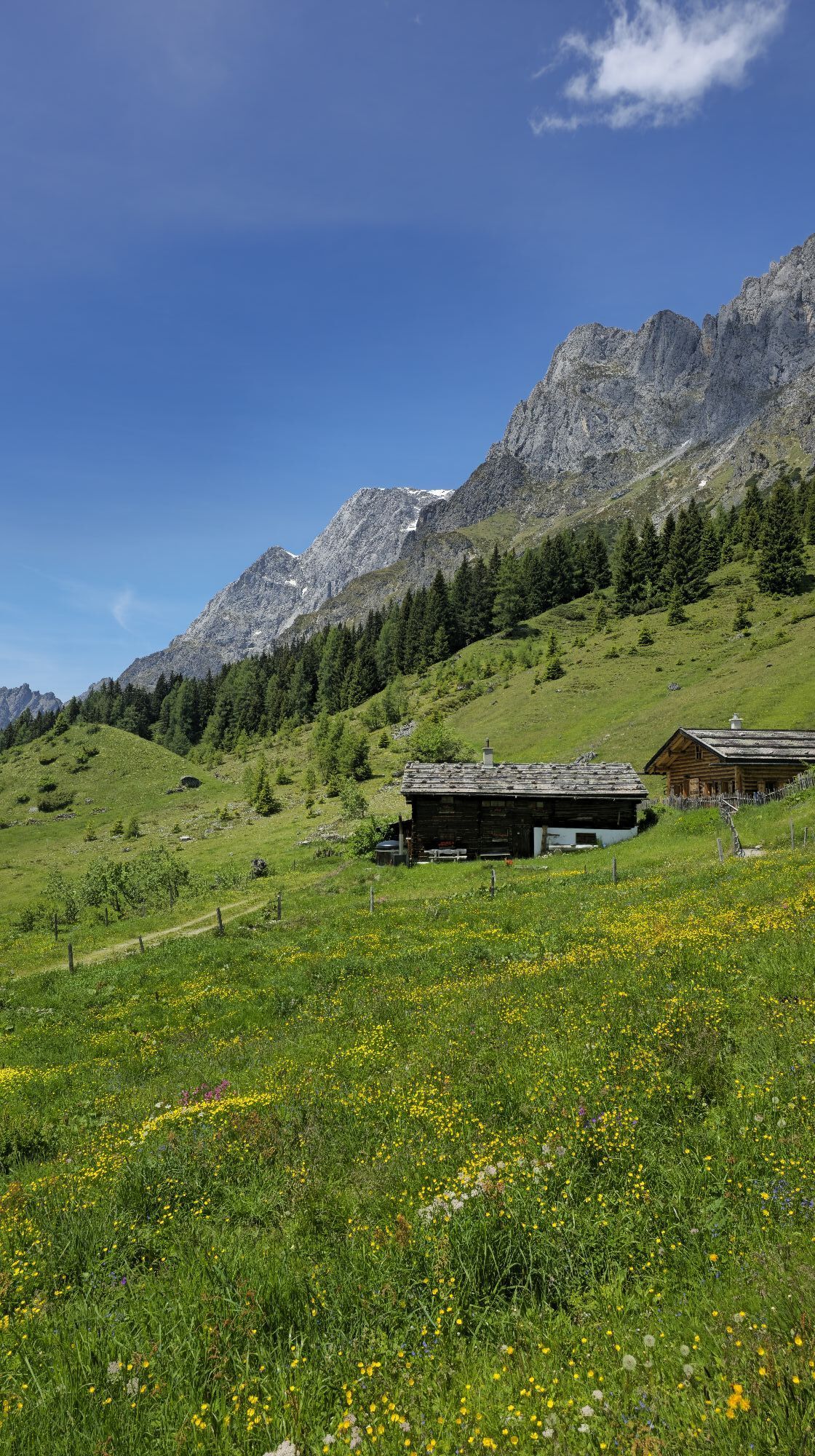
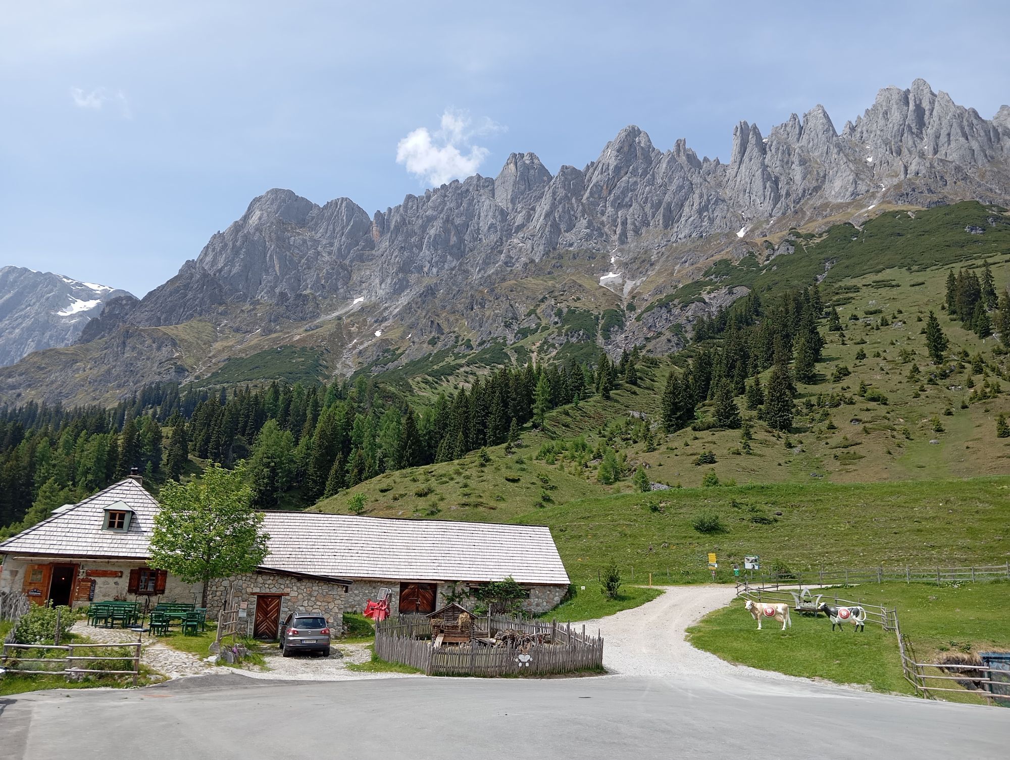
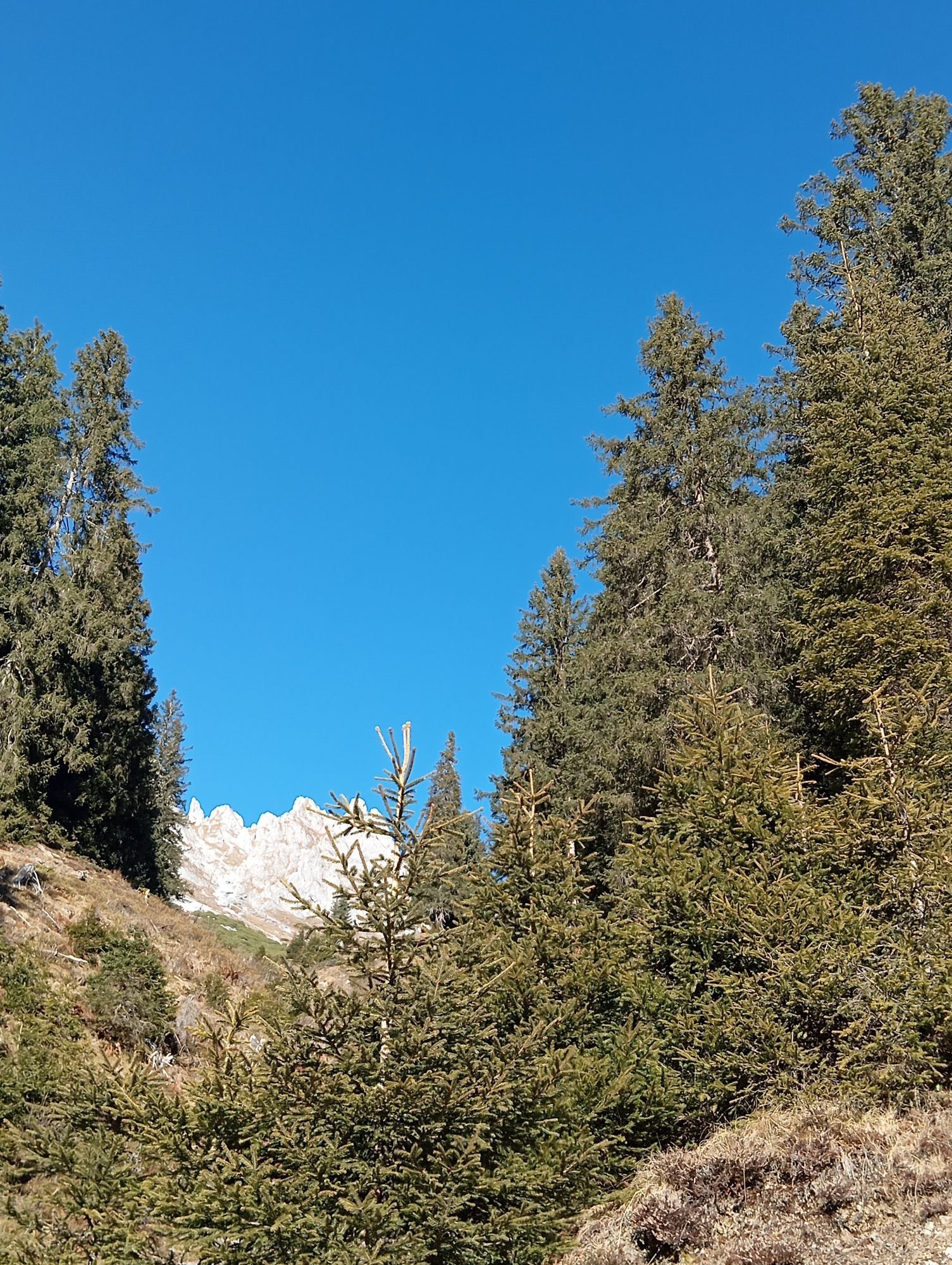
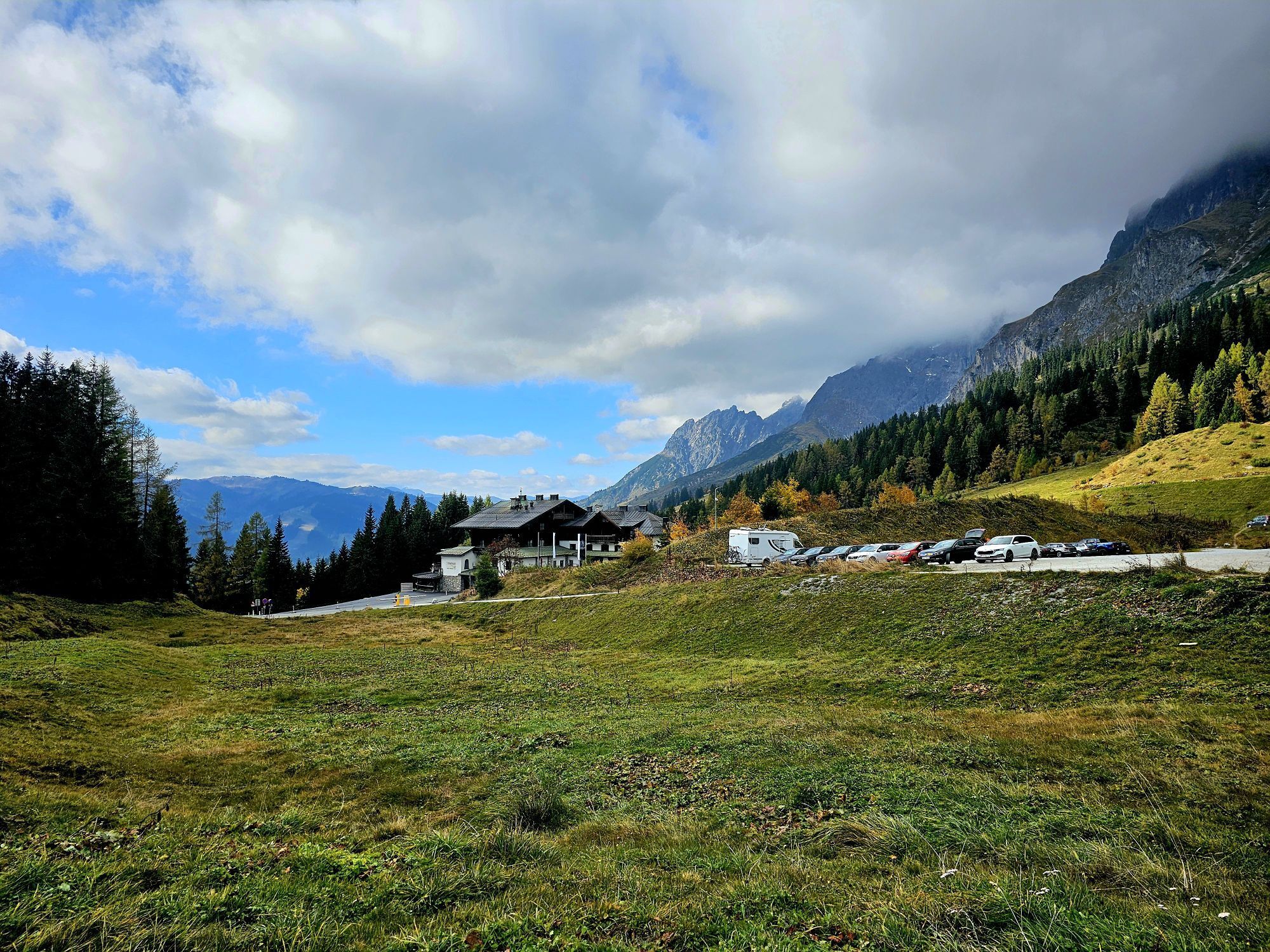
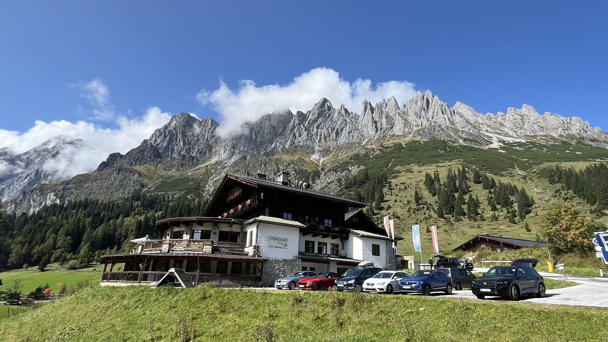
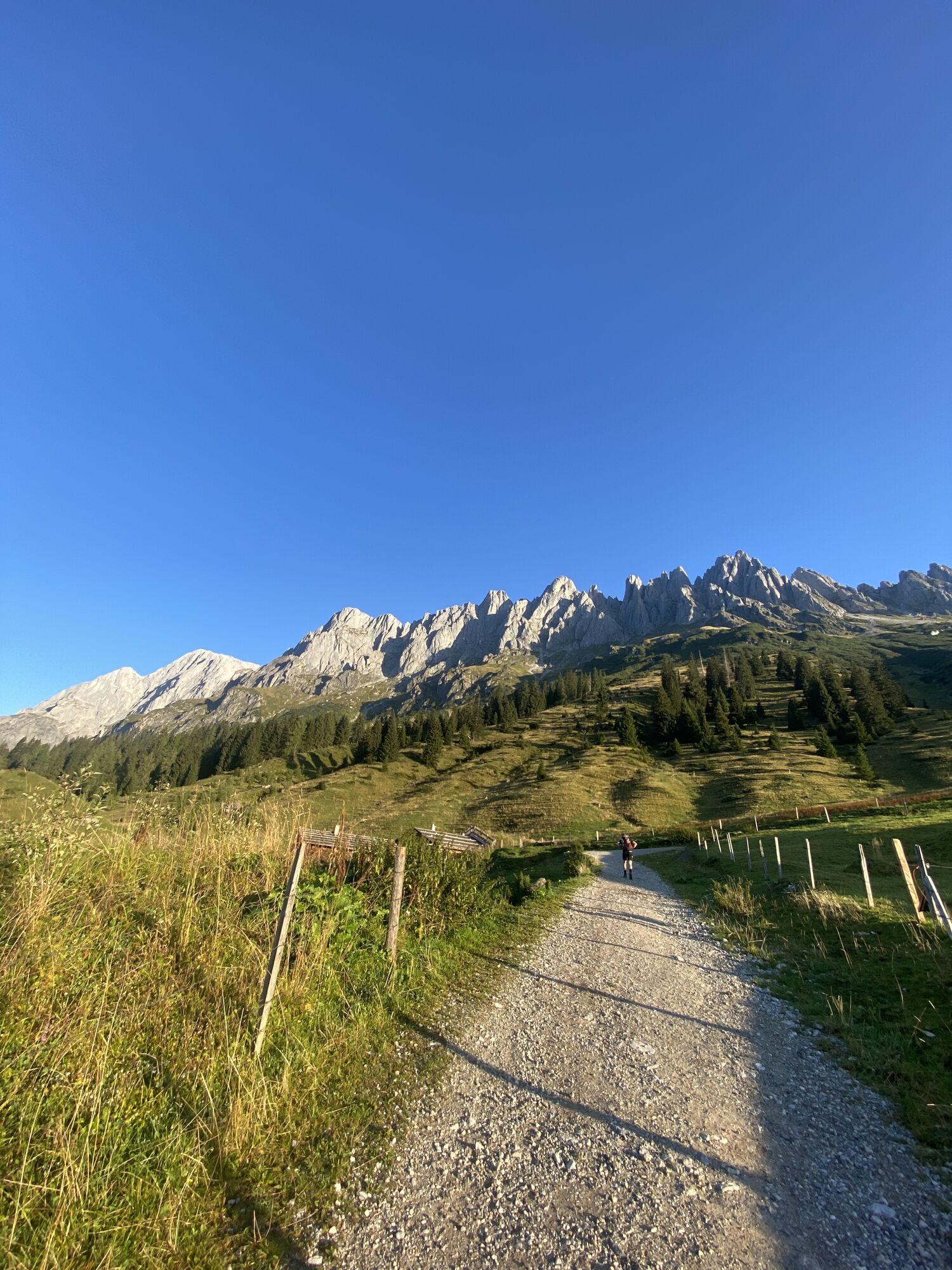
Not only is the starting point Arthurhaus at over 1,500 m above sea level in a perfect location, but the cirques and gullies below the Mandlwand on the south side of the Hochkönig massif are also brilliantly...
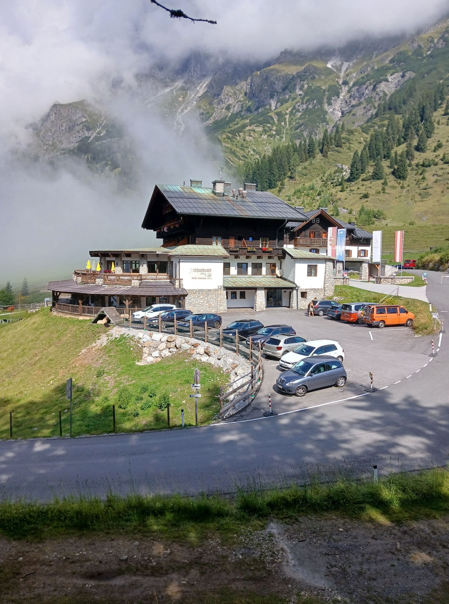
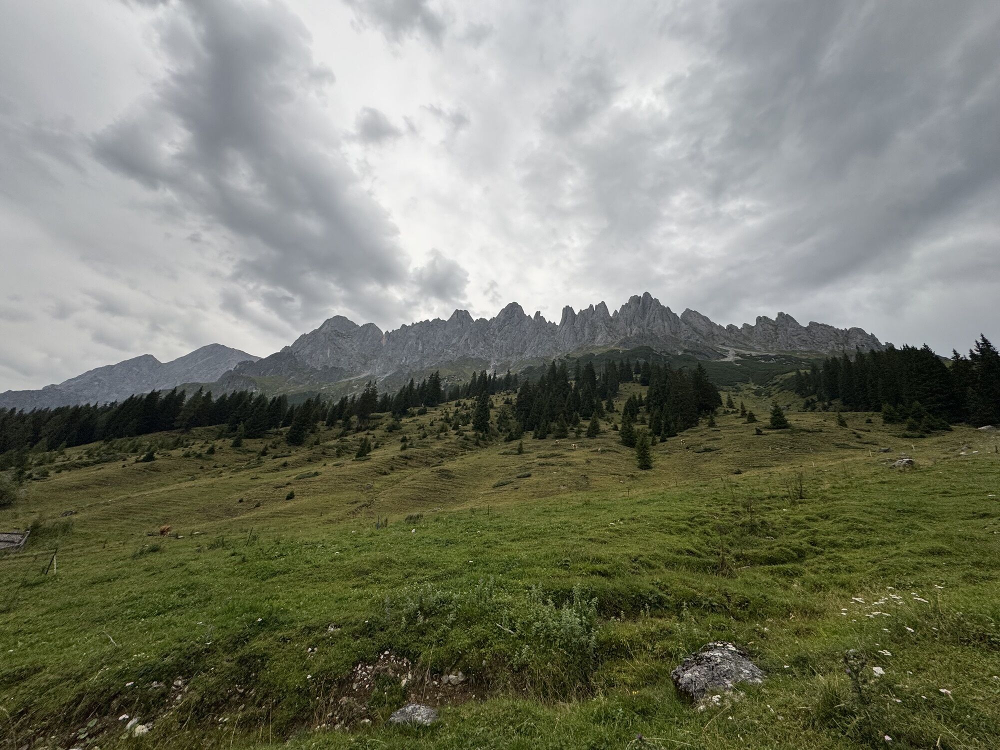
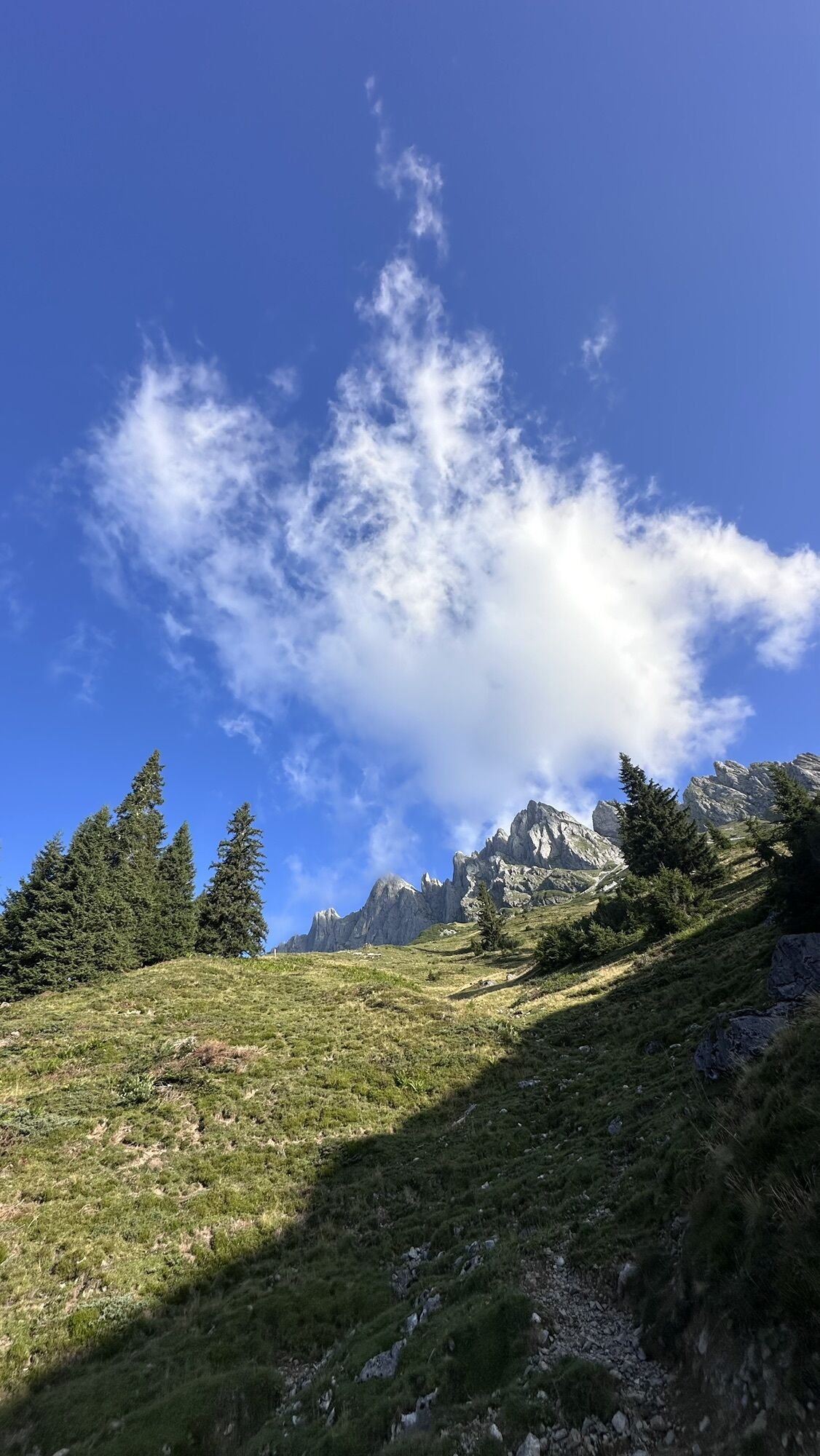
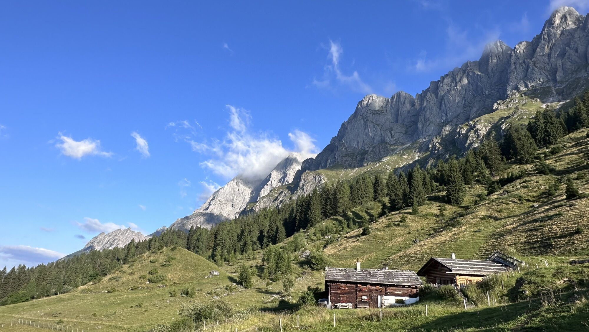
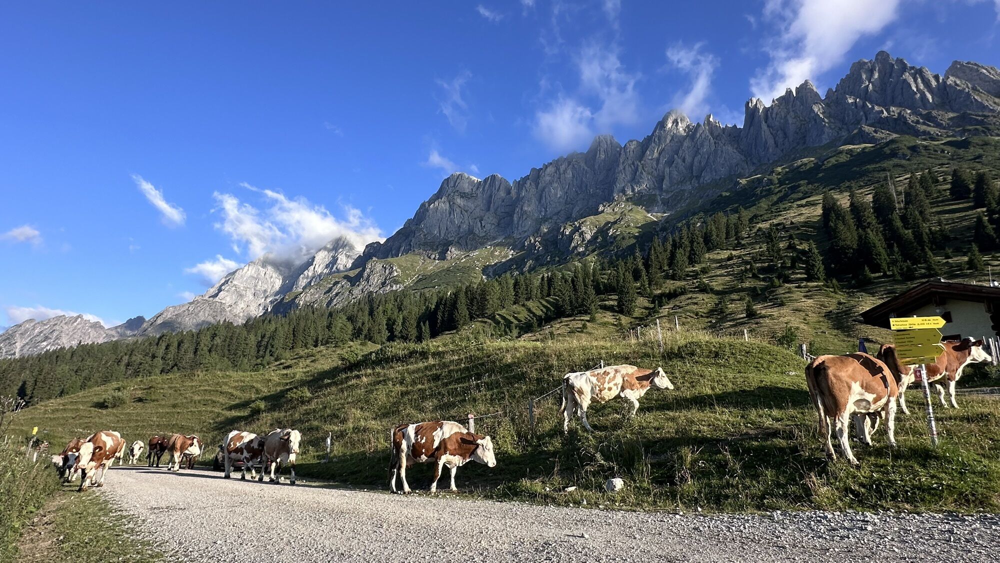
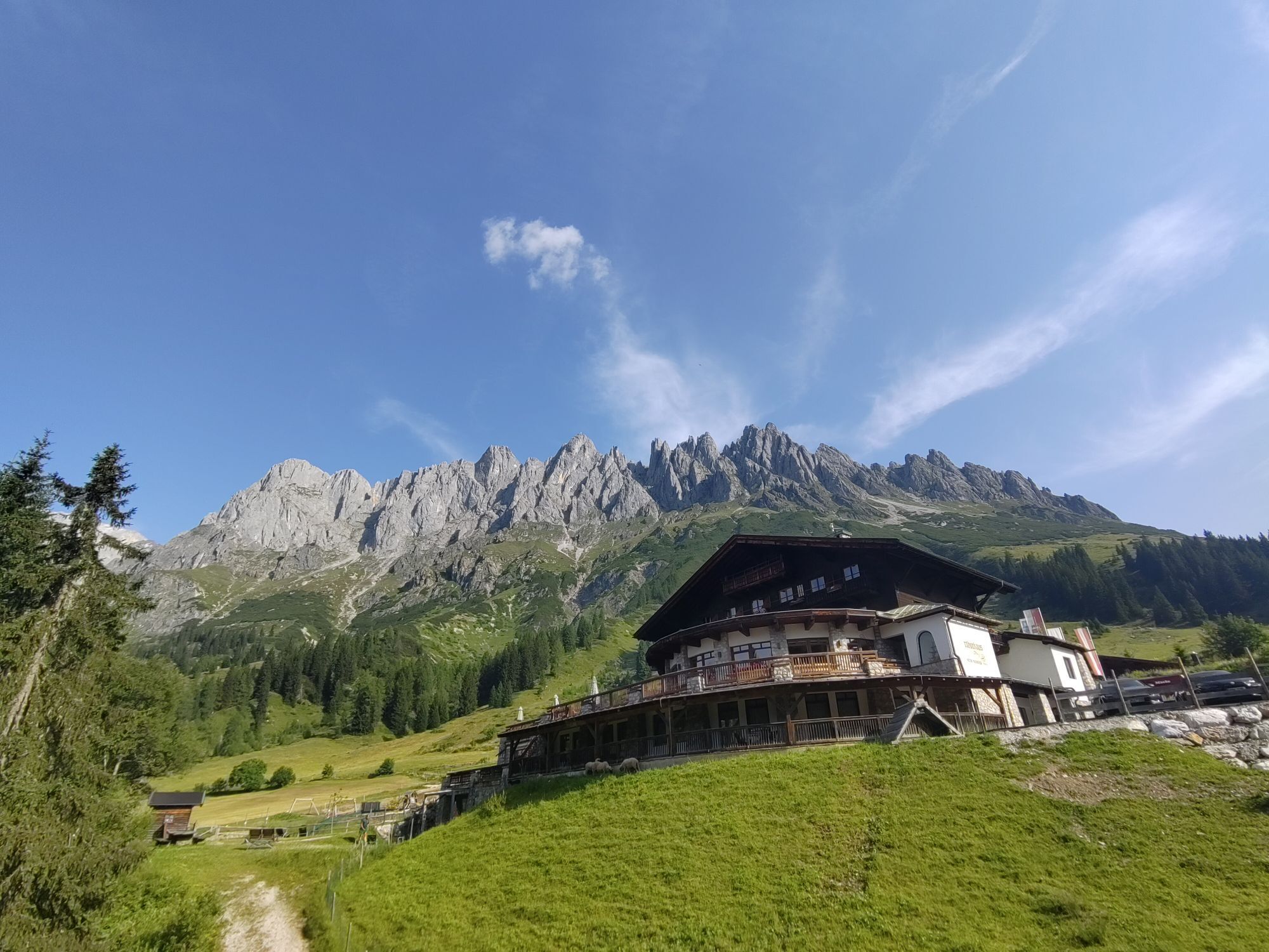
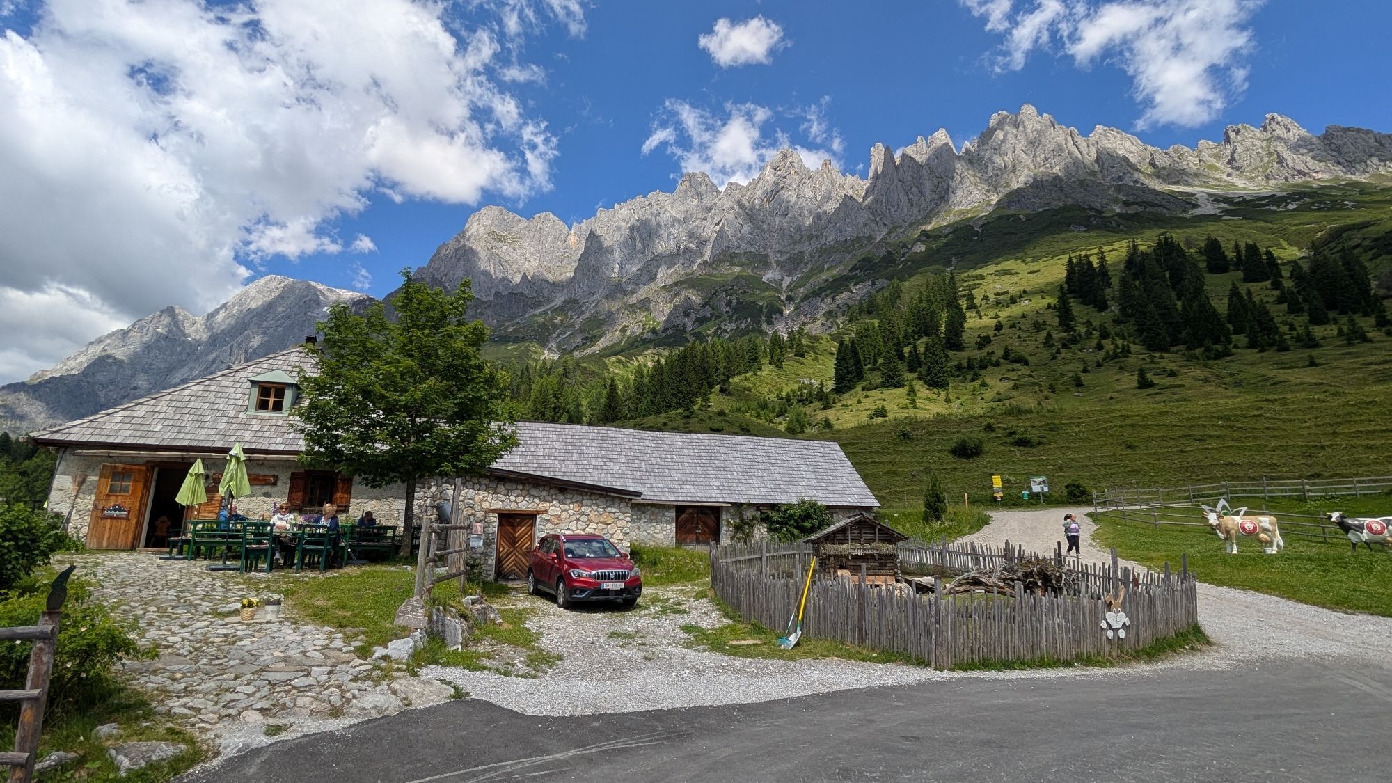
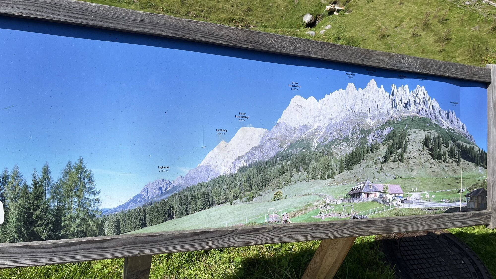
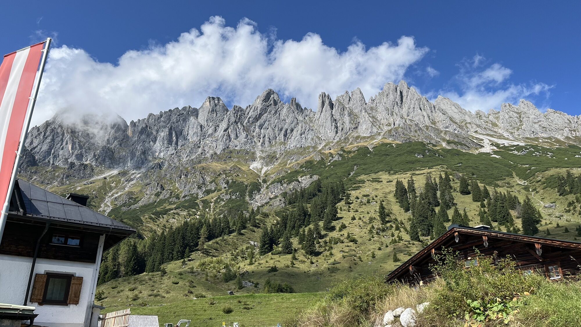
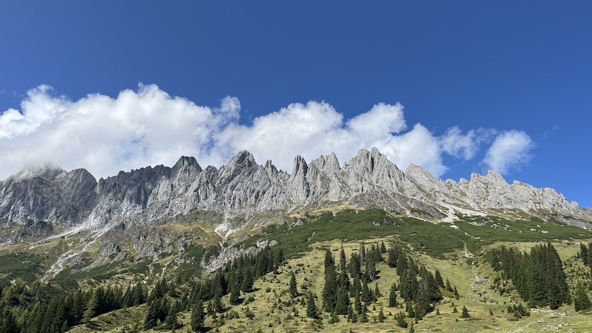
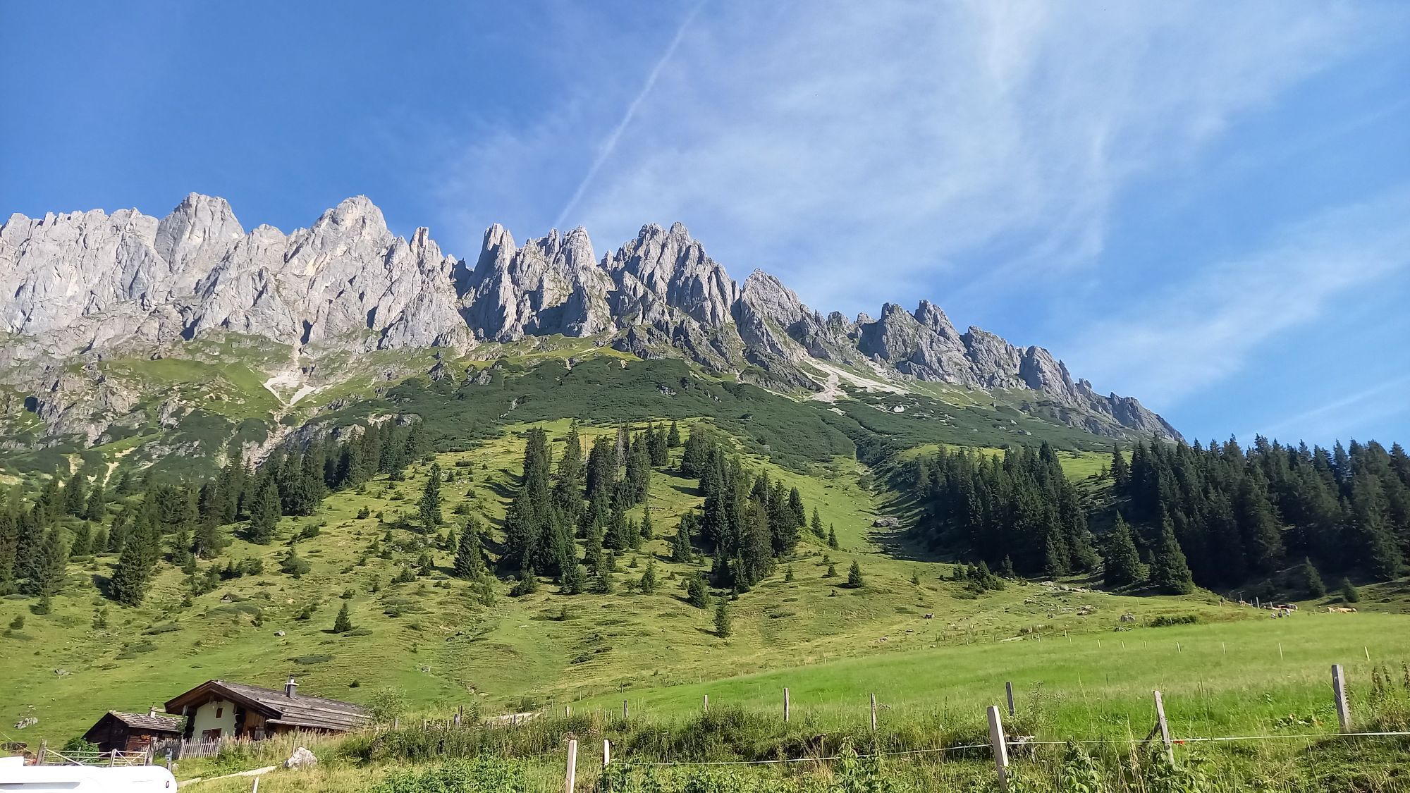
Not only is the starting point Arthurhaus at over 1,500 m above sea level in a perfect location, but the cirques and gullies below the Mandlwand on the south side of the Hochkönig massif are also brilliantly laid out. The lower section, which barely exceeds 30 degrees, is the ideal terrain for ski tour beginners and recreational skiers, while the final section becomes steep at over 40 degrees and should only be ascended by experienced ski tourers under optimal conditions. At the very top, a fascinating view opens up to the north into the Salzach valley. Ski tourers who stay down by the rest stop could treat themselves to another enjoyable cirque, of which there are several further west.

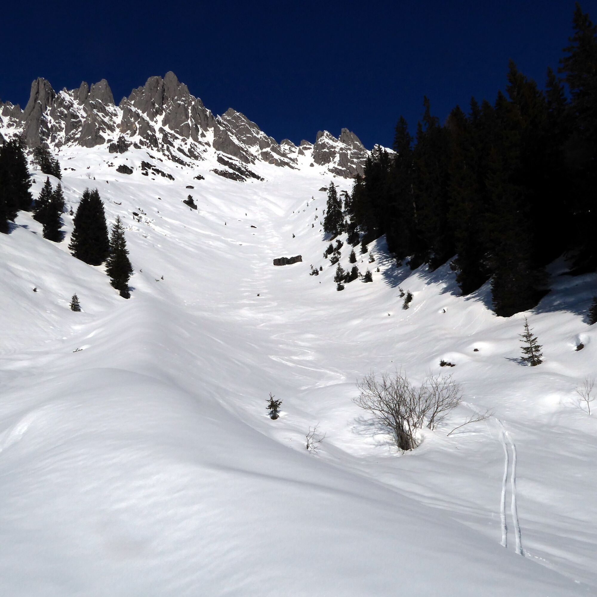
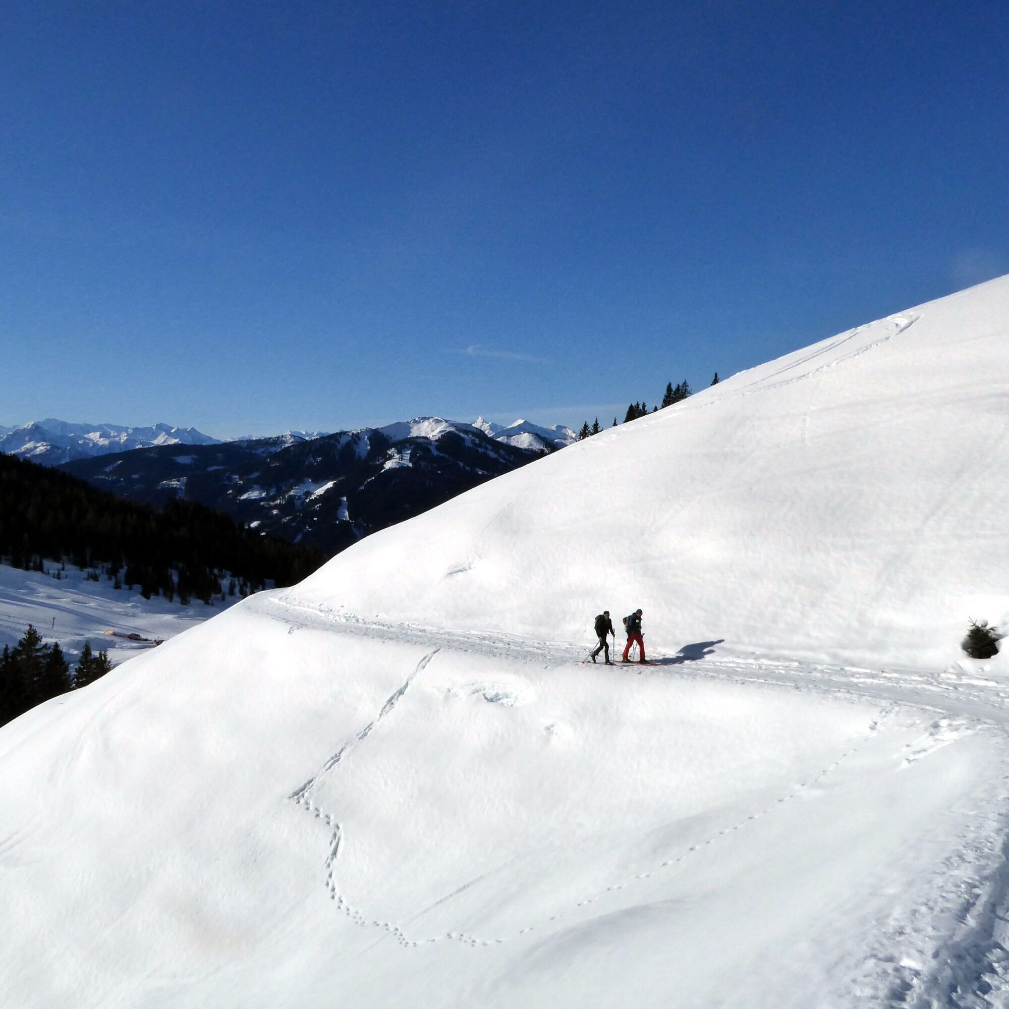
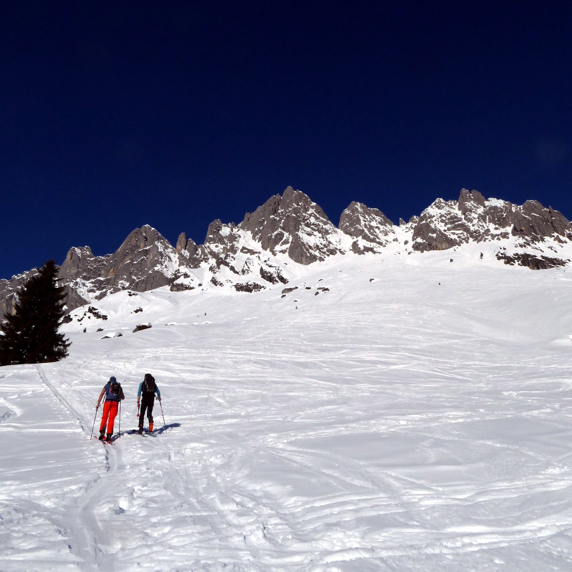
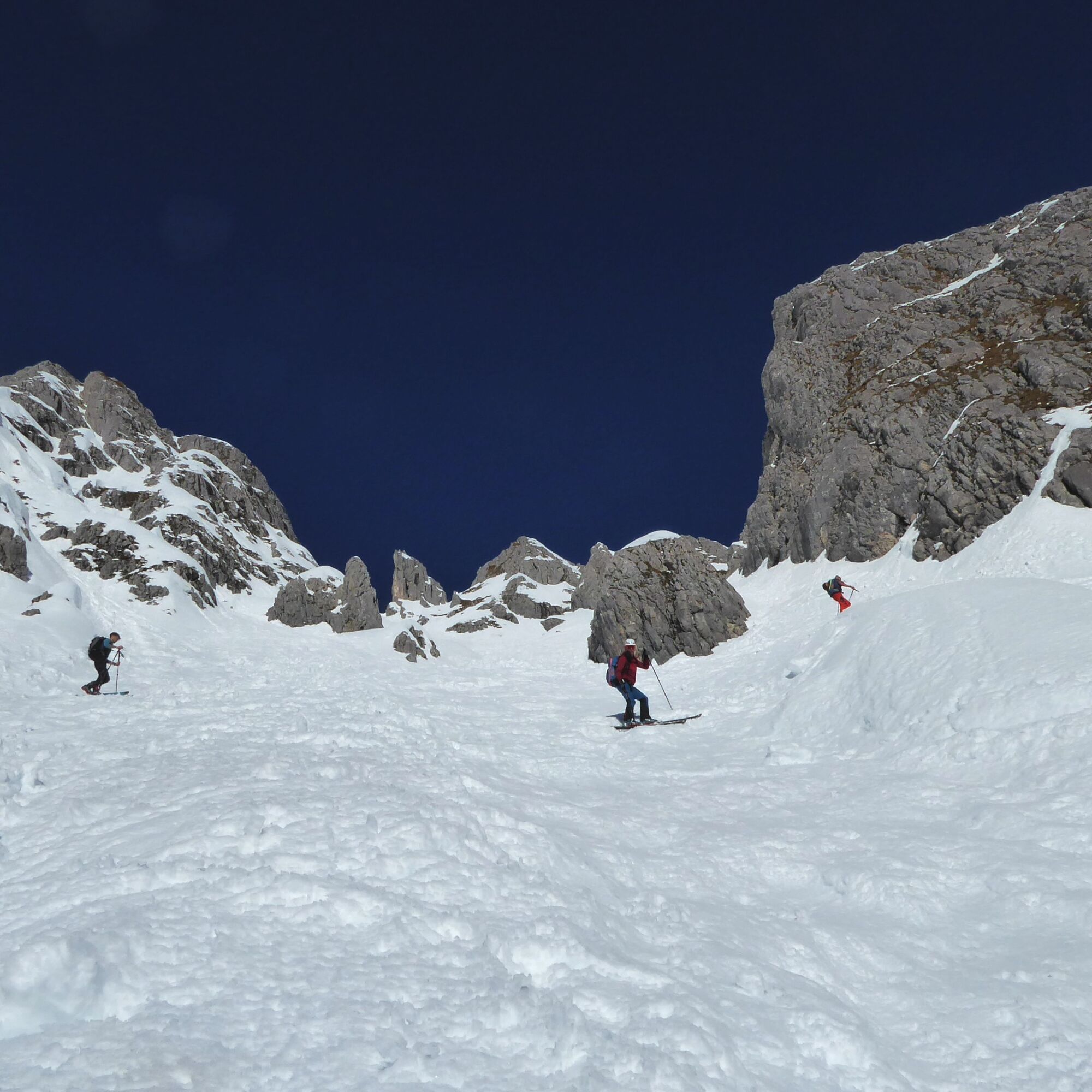
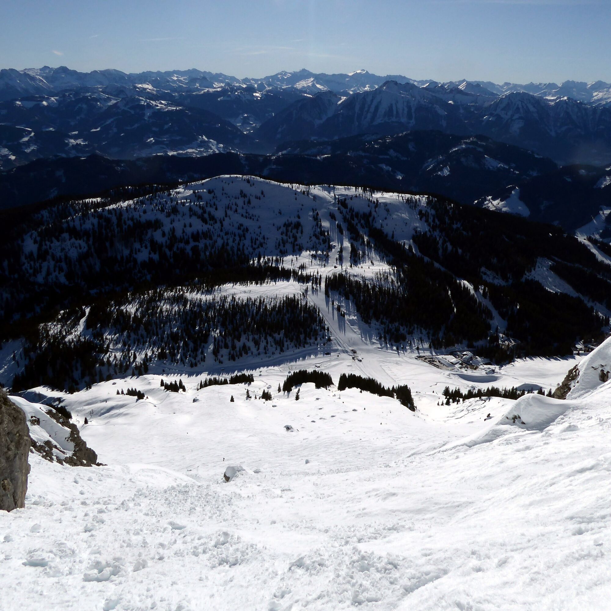
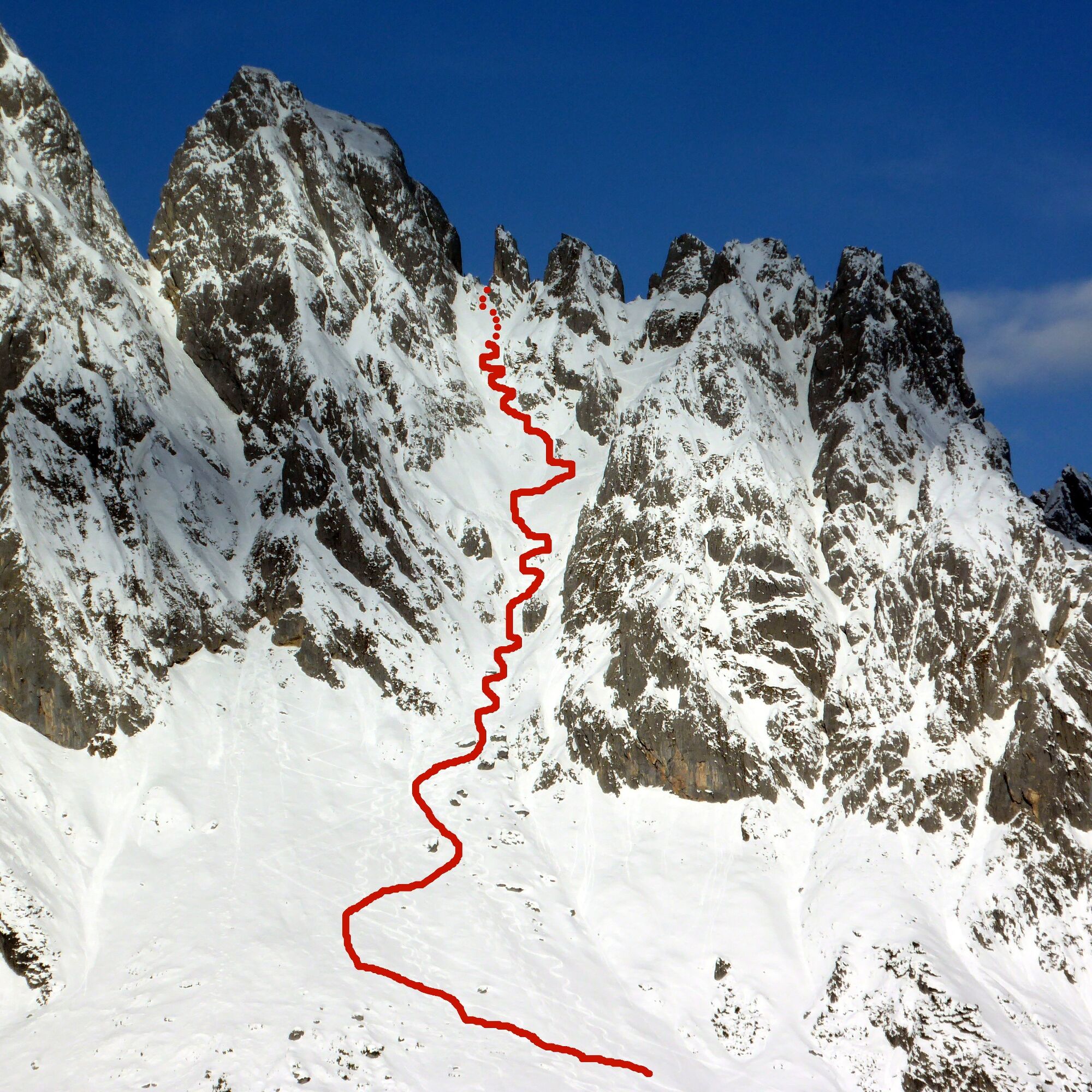
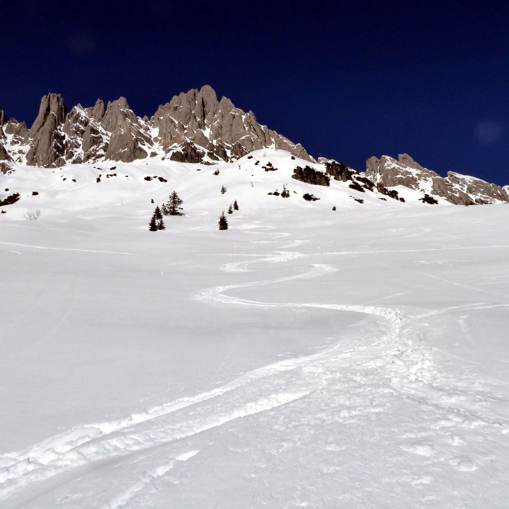

From the Arthurhaus terminus, the path leads a few meters northeast towards the ski lifts to Mitterbergsattel and then crosses under the Baby lift to the left onto the summer path to Mitterfeldalm. This gently ascending path is left again after 20 minutes at an almost flat spot. The track now follows the gentle cirque course and, depending on snow conditions, uses the wide terrain. The goal is the increasingly steep gully, clearly visible between the Vierrinnenköpfe and the Kleine Törlwieskopf, rising up to the ridge. Depending on conditions, carrying the skis for the last few meters is a sensible alternative to switchbacks. Most ski tourers stay by a rest stone or on a hillock after 1.5 hours of walking before the steep terrain begins. Descent is the same as the ascent or through a wide cirque further west, ending at the Baby lift.
Ano
Information on weather and avalanche conditions at www.lawine.salzburg.at
Bring crampons.
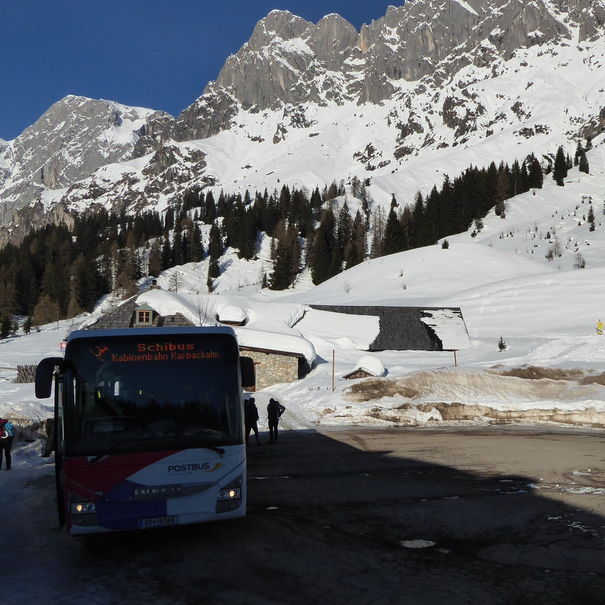
From Bischofshofen station (forecourt) take bus 590 to Mühlbach Neubaubrücke, then cross the street and take the ski bus to Mühlbach Arthurhaus (final stop). Ski bus runs from December to April 1.
Timetable information and download: Online at www.salzburg-verkehr.at or on your smartphone via the free Salzburg Verkehr app for Android and iOS.
www.arthurhaus.at, www.hochkoenig.at
Mag. Christian Heugl
5400 Hallein
Image credit: Christian Heugl
Descent to the Mitterbergalm stop via the Grießfeldlift slope (drag lift below Arthurhaus).

Oblíbené prohlídky v okolí
-
4.7
Werfenweng Mountainbikerunde Söldenhütte
středníMountainbike 18.8 km -
4.9
Großarl: Heukareck
středníTuristika 12.5 km -
4.9
Summit stormer route Lauskopf
heavyTuristika 8.16 km -
4.8
Summit storming route Taghaube
heavyTuristika 6.25 km -
3.7
Wanderung zur Ostpreußenhütte in Werfen (1.630 m)
středníTuristika 11.2 km -
4.7
About the "Four Huts circular route" to Windraucheggalm
středníTuristika 10.1 km -
4.6
Panorama hike to the Hochkeil
středníTuristika 6.07 km -
4.9
Hochkönig - Gipfel der Gefühle - Matrashaus
heavyTuristika 20.9 km -
4.3
Mühlbacher Höhenweg
středníTuristika 11.2 km -
4.4
Alpine and hut hike "Hochmaisalm & Steinbockalm"
středníTuristika 8.10 km
Pěší turistika a stopování


Nenechte si ujít nabídky a inspiraci pro vaši příští dovolenou
Vaše e-mailová adresa byl přidán do poštovního seznamu.





