


Panoramic tour: Grossglockner High Alpine Road - to the Edelweissspitze 2571m - via Lake Zell and back
Úroveň obtížnosti: 2
Fotografie našich uživatelů

 © Alois LechnerVytvořeno dne 17.10.2022
 © Reinhold Wallner 1Vytvořeno dne 01.05.2026
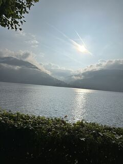
 © Roswitha ZeillerVytvořeno dne 18.08.2025
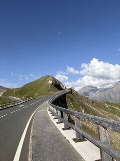
 © Heinz SperlVytvořeno dne 14.08.2025
 © Heinz SperlVytvořeno dne 14.08.2025
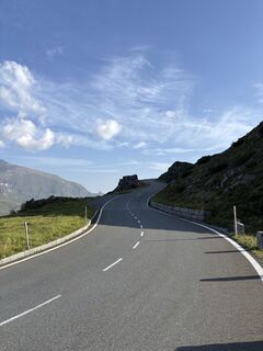 © Heinz SperlVytvořeno dne 14.08.2025
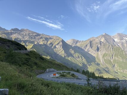 © Heinz SperlVytvořeno dne 14.08.2025
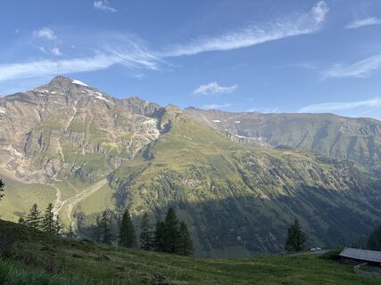 © Heinz SperlVytvořeno dne 14.08.2025
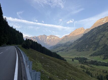 © Heinz SperlVytvořeno dne 14.08.2025
 © Heinz SperlVytvořeno dne 14.08.2025
 © Viktor KollerVytvořeno dne 28.06.2025
 © Christian LeidenfrostVytvořeno dne 24.06.2025
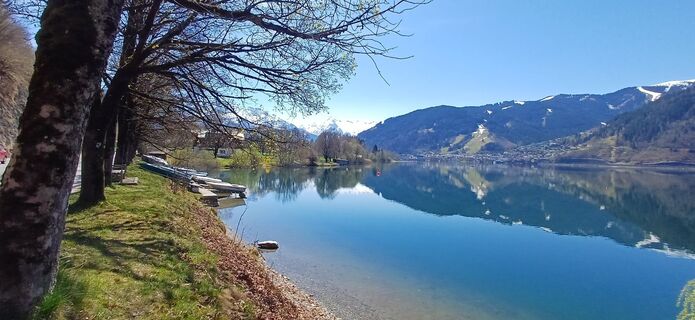
 © martl122Vytvořeno dne 12.04.2025
 © Heinz SperlVytvořeno dne 14.08.2024
 © Matej Mikus 1Vytvořeno dne 11.05.2024
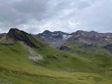 © Heinz SperlVytvořeno dne 18.08.2023
 © Heinz SperlVytvořeno dne 18.08.2023
 © Heinz SperlVytvořeno dne 18.08.2023
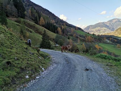 © Matej Mikus 1Vytvořeno dne 12.10.2022
 © Matej Mikus 1Vytvořeno dne 12.10.2022
 © Csaba SzórádiVytvořeno dne 06.07.2023
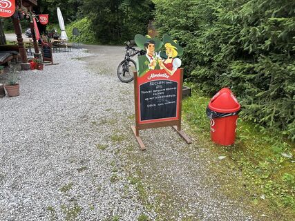 © Csaba SzórádiVytvořeno dne 06.07.2023
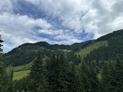 © Csaba SzórádiVytvořeno dne 06.07.2023
 © Csaba SzórádiVytvořeno dne 06.07.2023
 © Csaba SzórádiVytvořeno dne 06.07.2023
 © Alois LechnerVytvořeno dne 17.10.2022
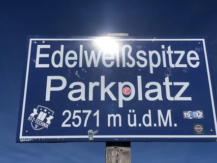 © Alois LechnerVytvořeno dne 17.10.2022
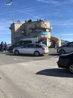 © Alois LechnerVytvořeno dne 17.10.2022
 © klausarnezederVytvořeno dne 28.02.2026
 © MboyadzhievVytvořeno dne 28.02.2026
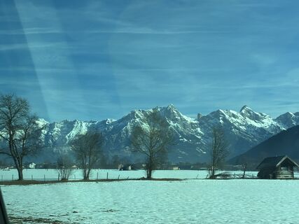 © MboyadzhievVytvořeno dne 28.02.2026
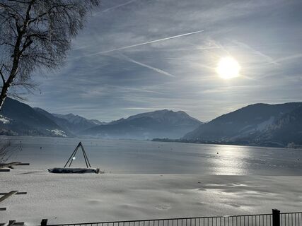 © Johann PegrinVytvořeno dne 17.01.2026
 © Johann PegrinVytvořeno dne 17.01.2026
 © Johann PegrinVytvořeno dne 17.01.2026
 © SarahVytvořeno dne 07.09.2025
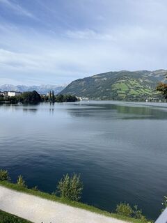 © SarahVytvořeno dne 07.09.2025
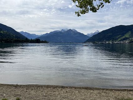 © SarahVytvořeno dne 07.09.2025
 © SarahVytvořeno dne 07.09.2025
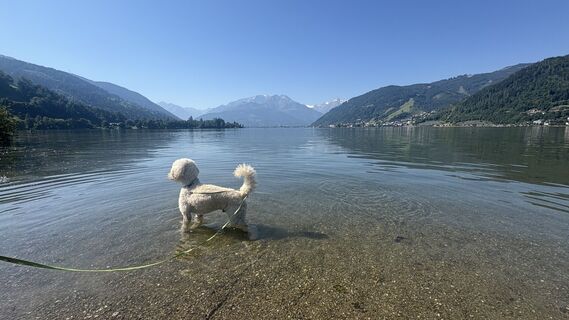
 © Rob RommelseVytvořeno dne 08.08.2025
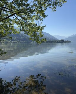 © Rob RommelseVytvořeno dne 08.08.2025
 © Rob RommelseVytvořeno dne 08.08.2025
 © Joe PasiVytvořeno dne 30.07.2025
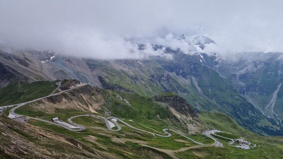 © Joe PasiVytvořeno dne 30.07.2025
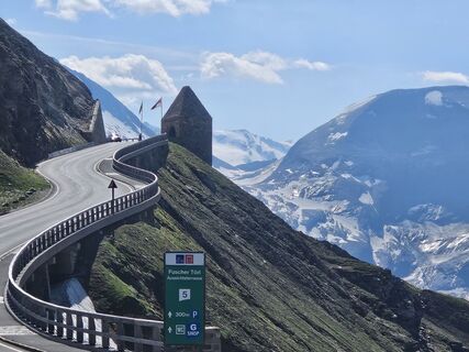
 © Hallein1Vytvořeno dne 22.06.2025
 © Marijke WellingVytvořeno dne 02.06.2025
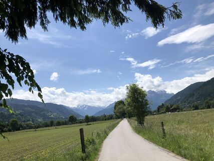 © Marijke WellingVytvořeno dne 02.06.2025
 © Jürgen SpitzkopfVytvořeno dne 15.04.2025
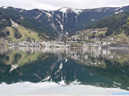 © Jürgen SpitzkopfVytvořeno dne 15.04.2025

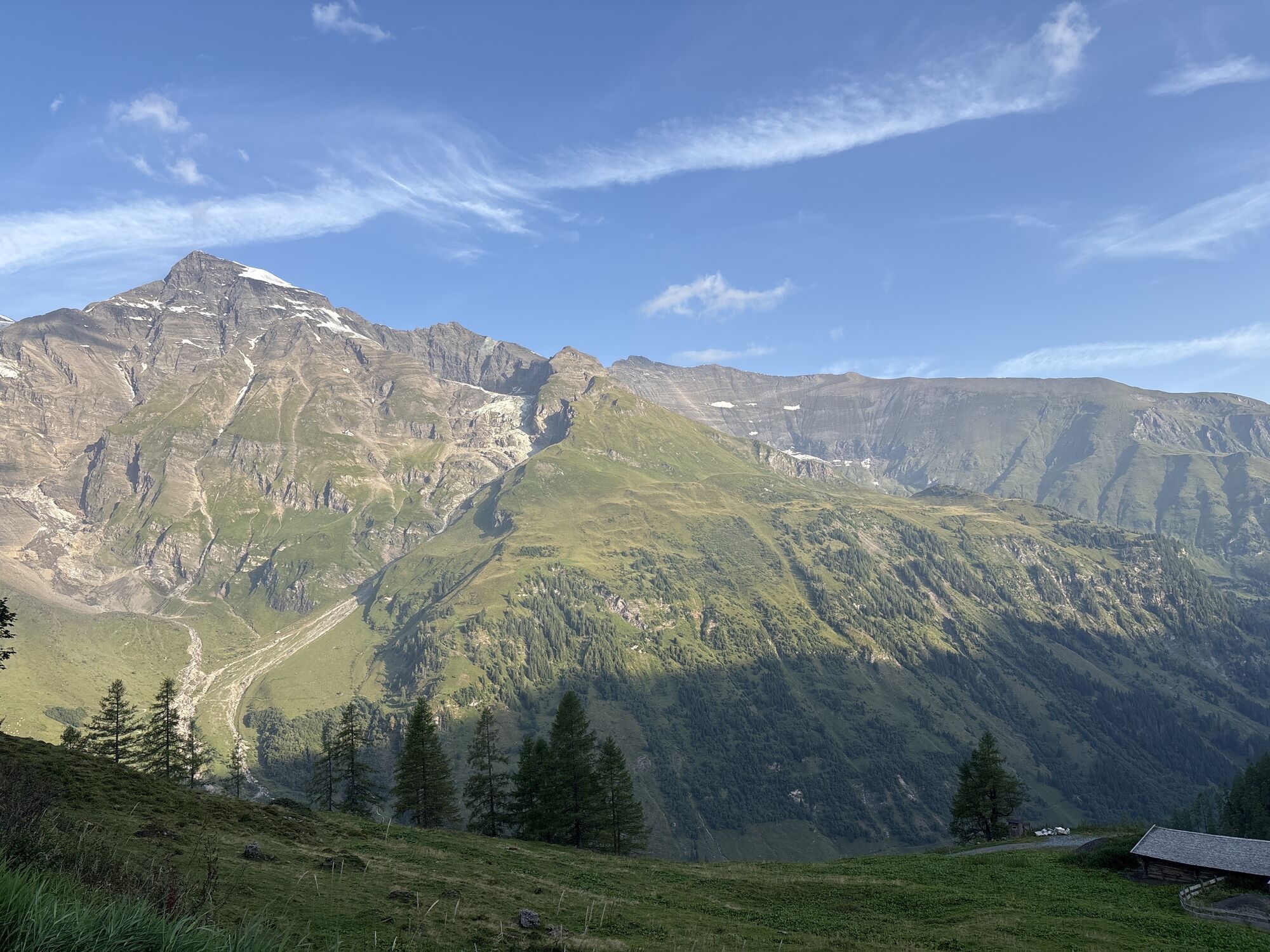


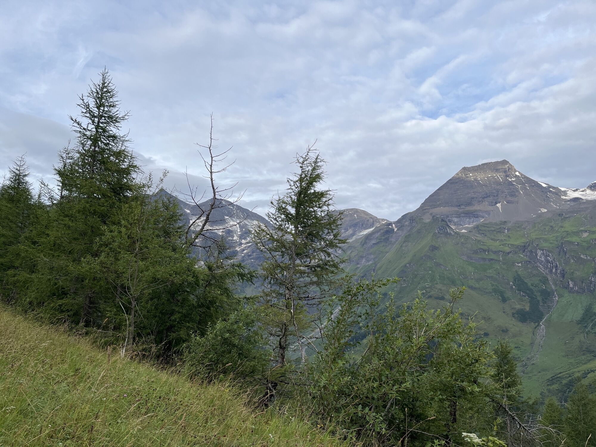


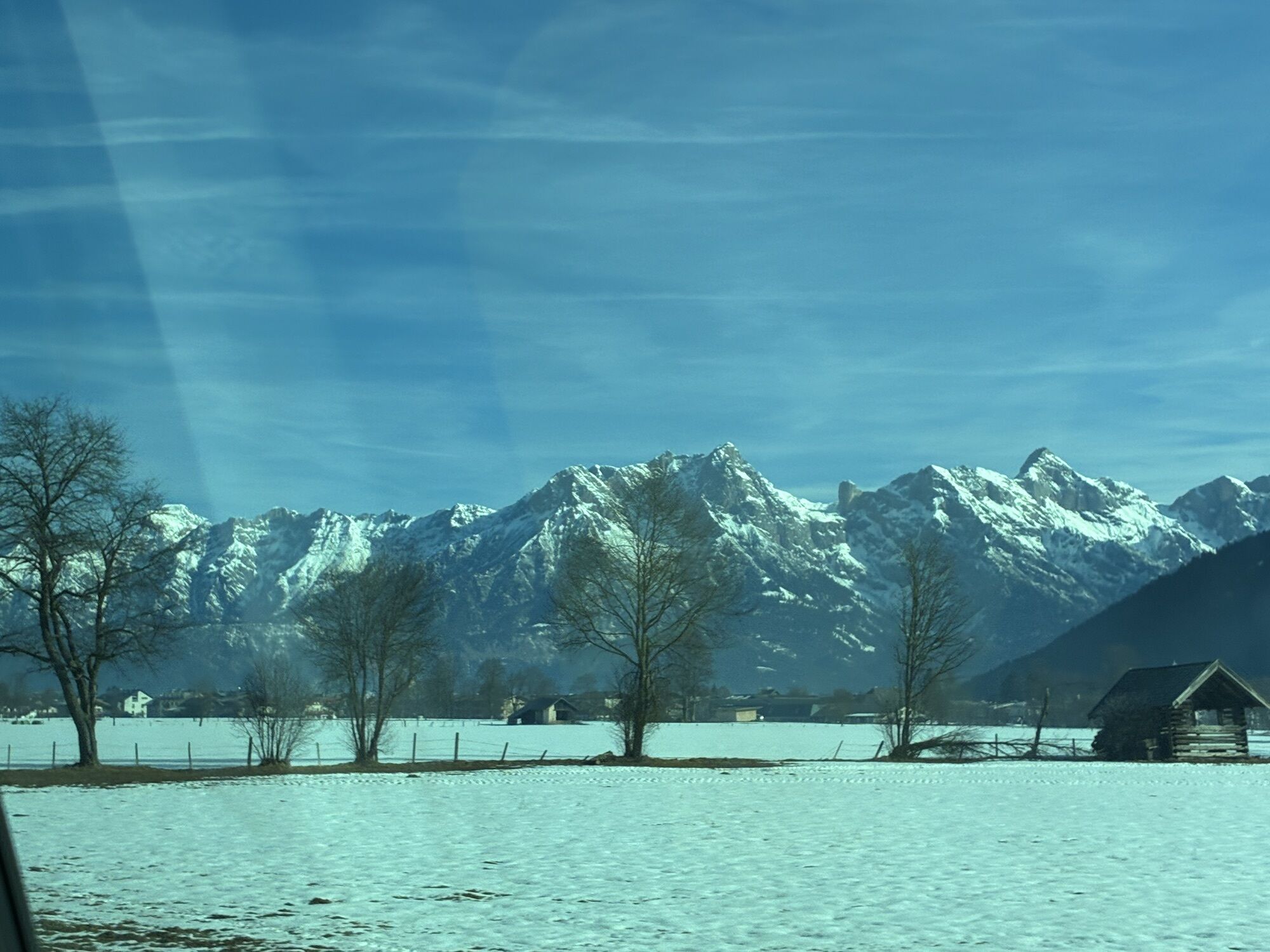


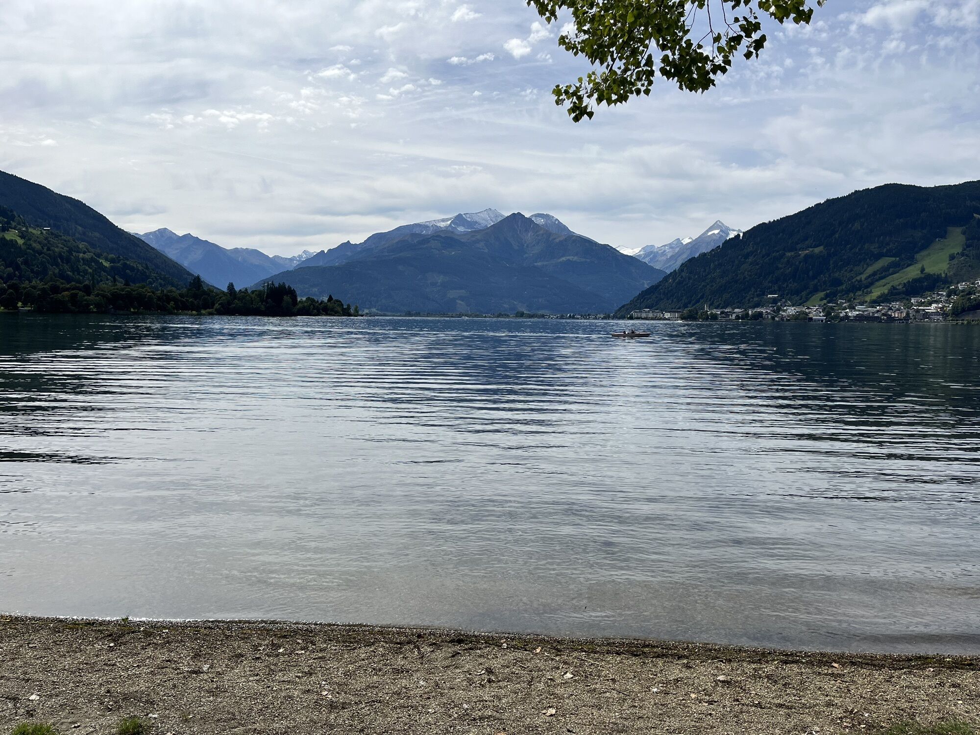


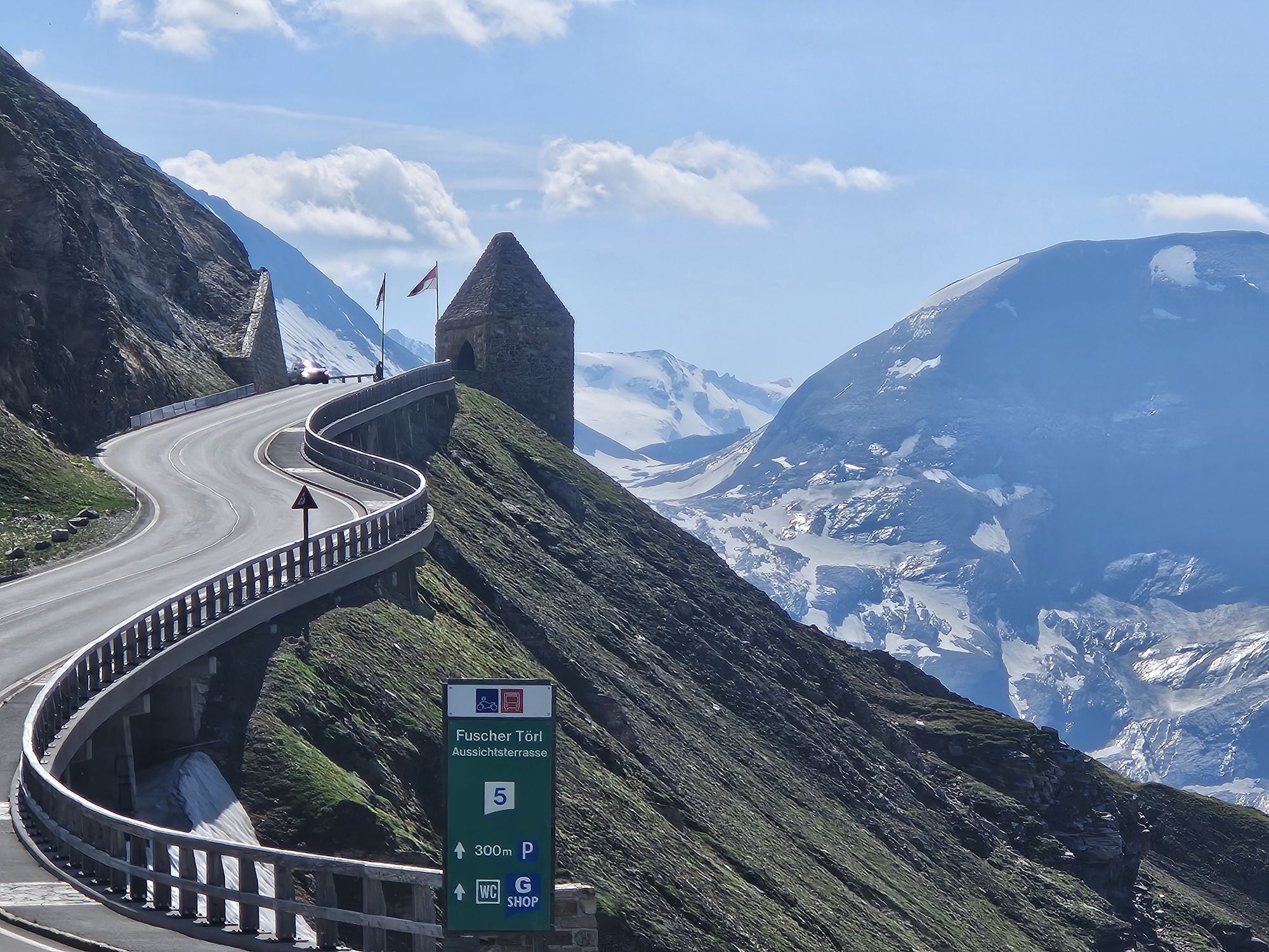
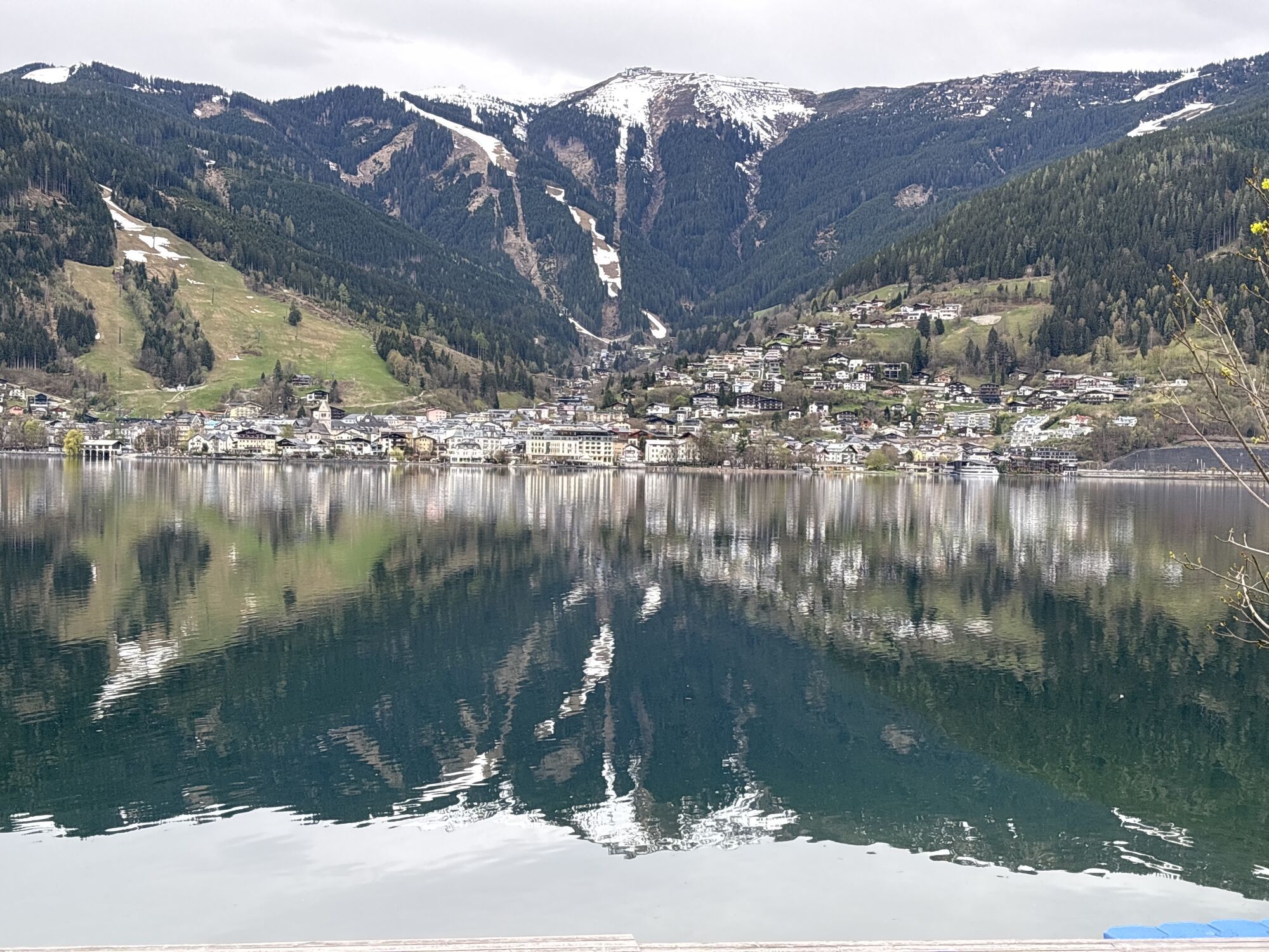
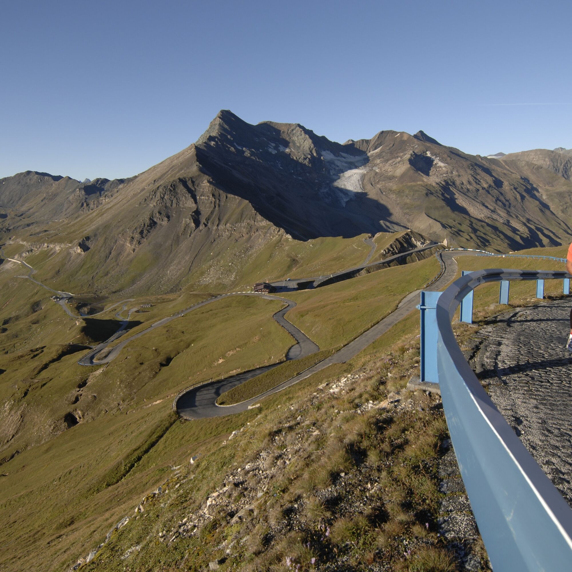
The tour starts in Viehhofen and leads leisurely via Maishofen and Zell am See to Bruck – the starting point of the Grossglockner High Alpine Road. From here, the legendary climb begins, ascending via...
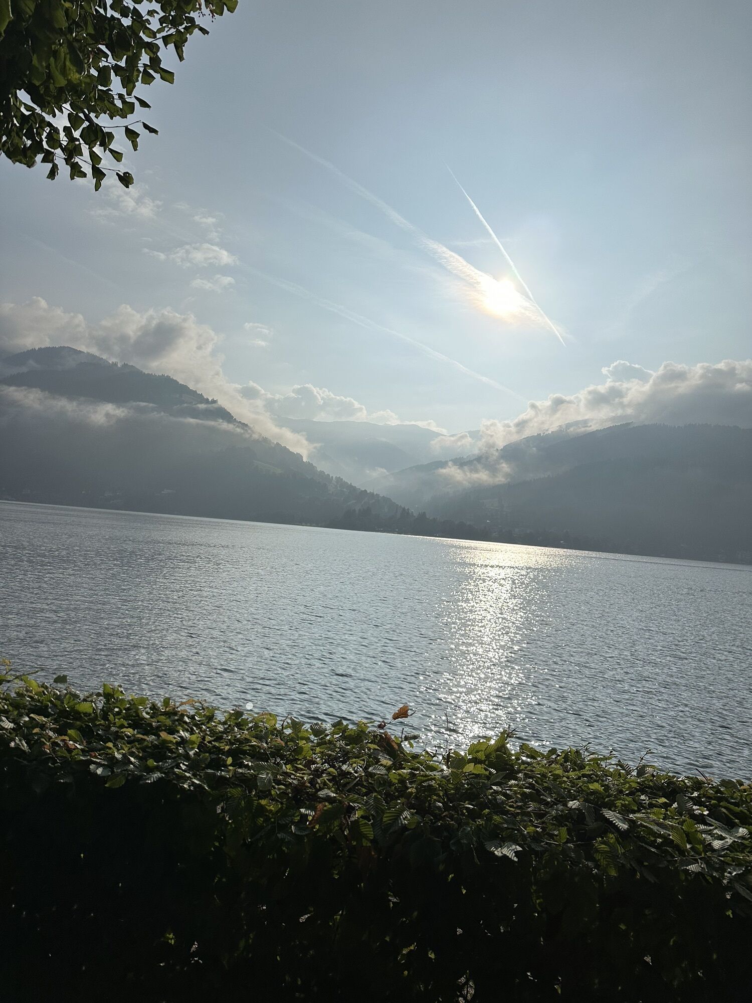
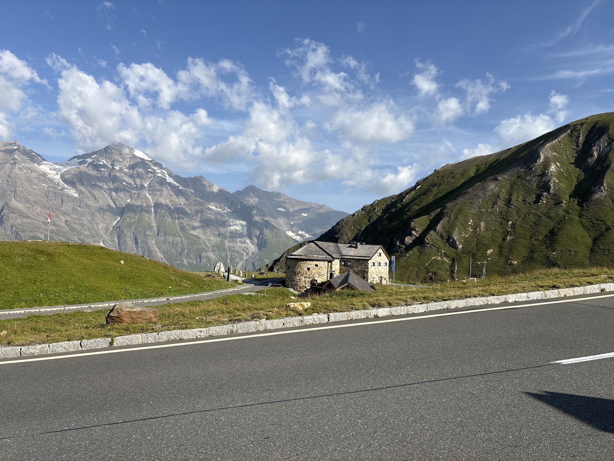
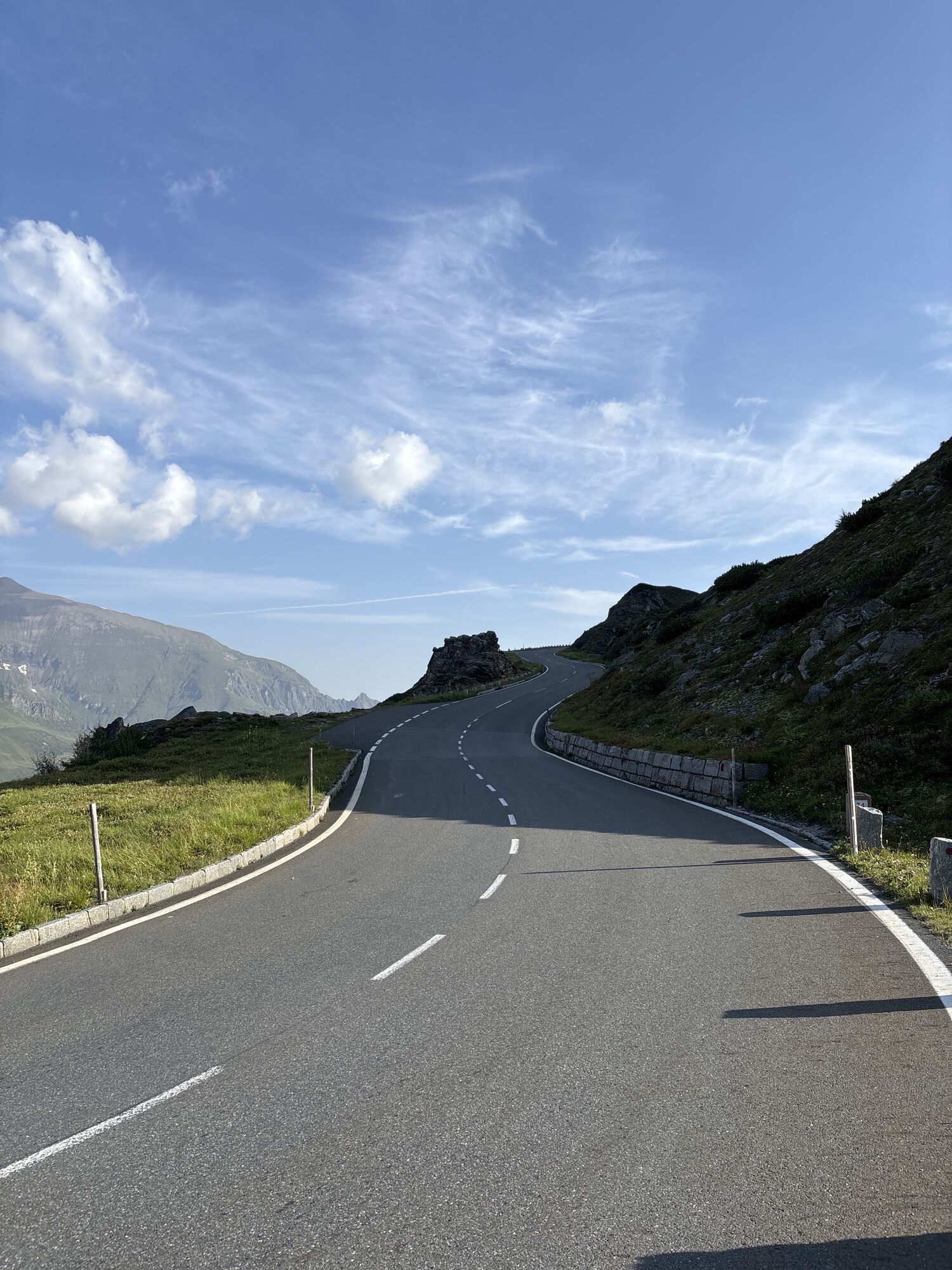
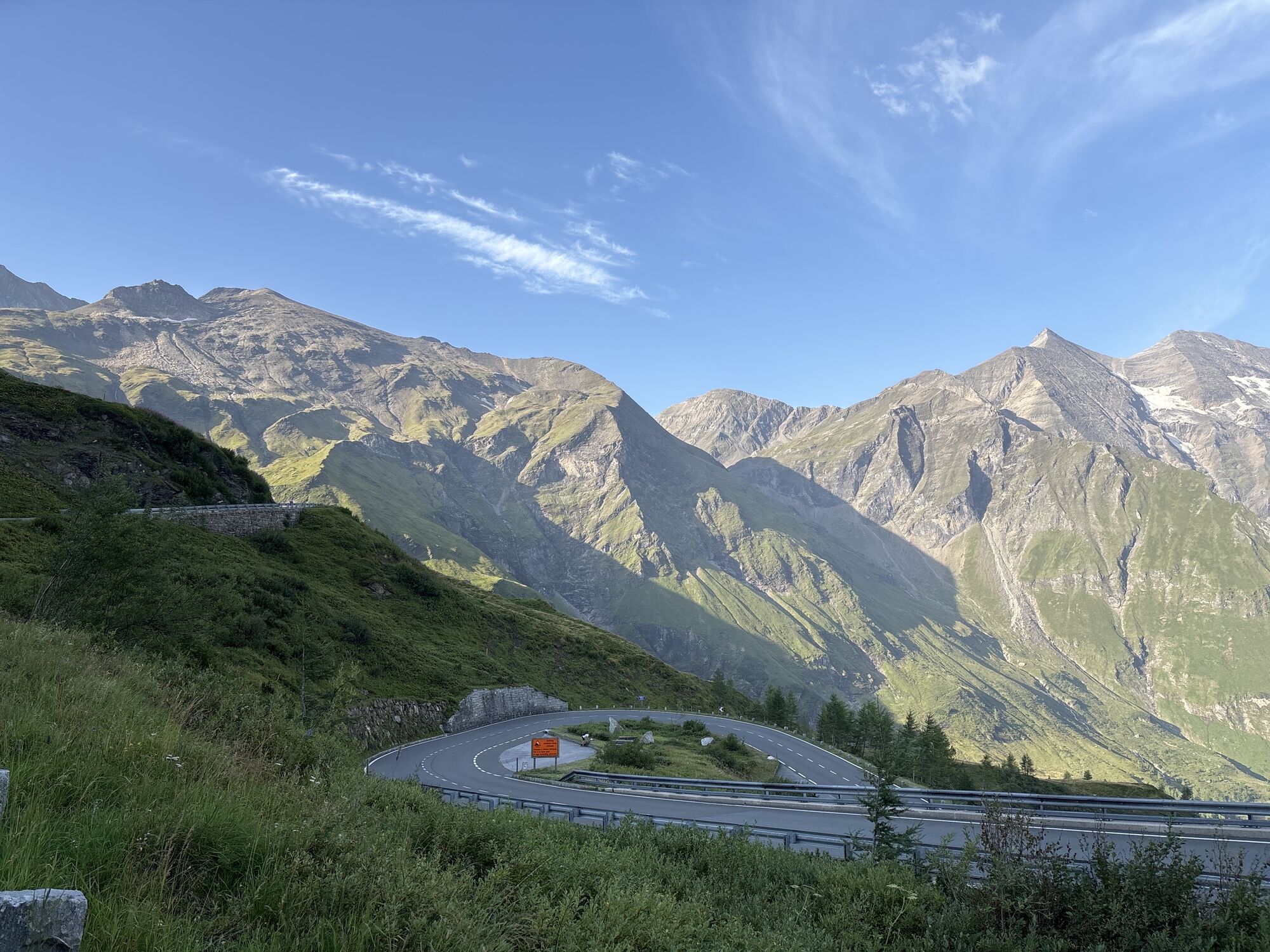
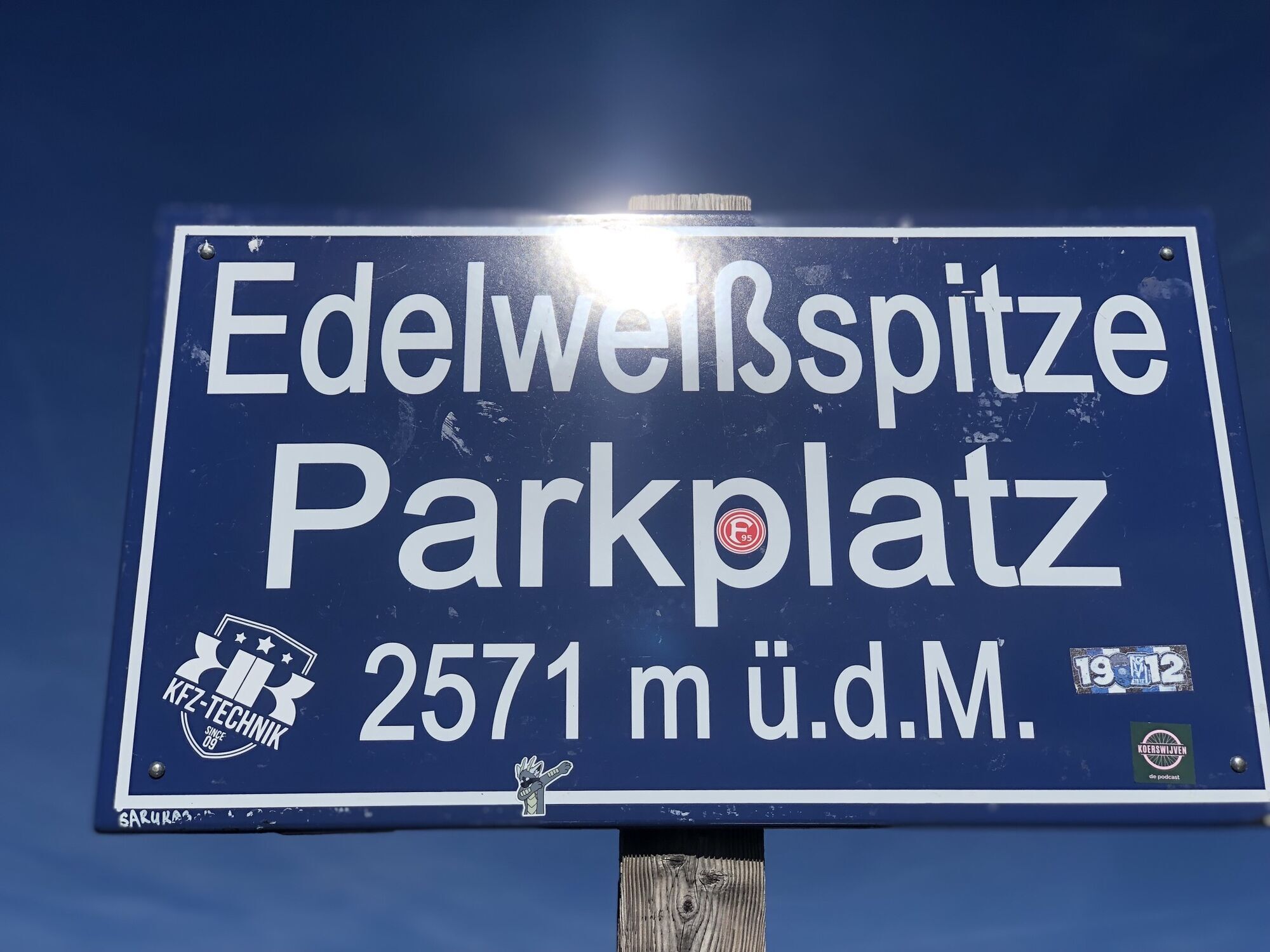
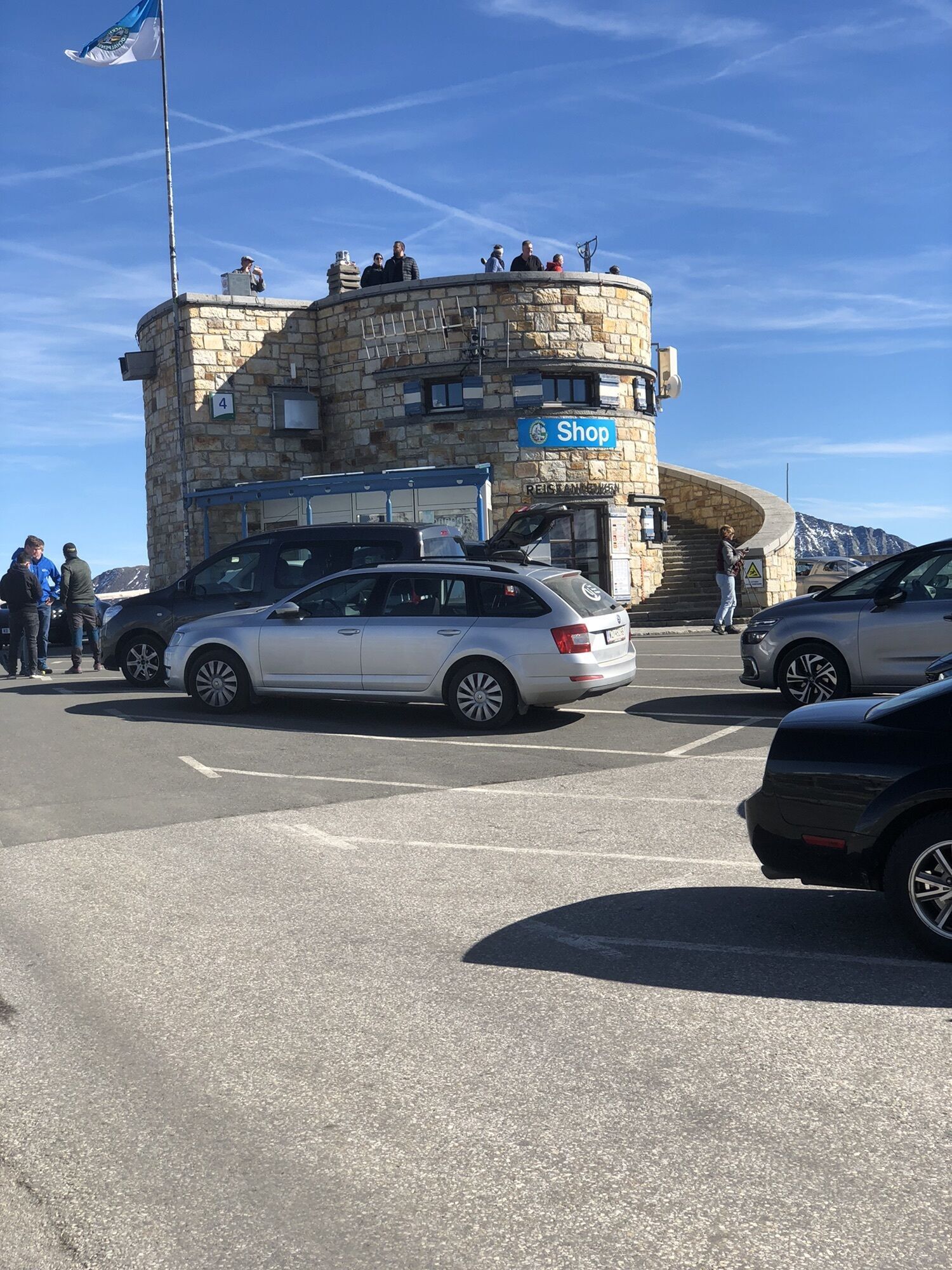
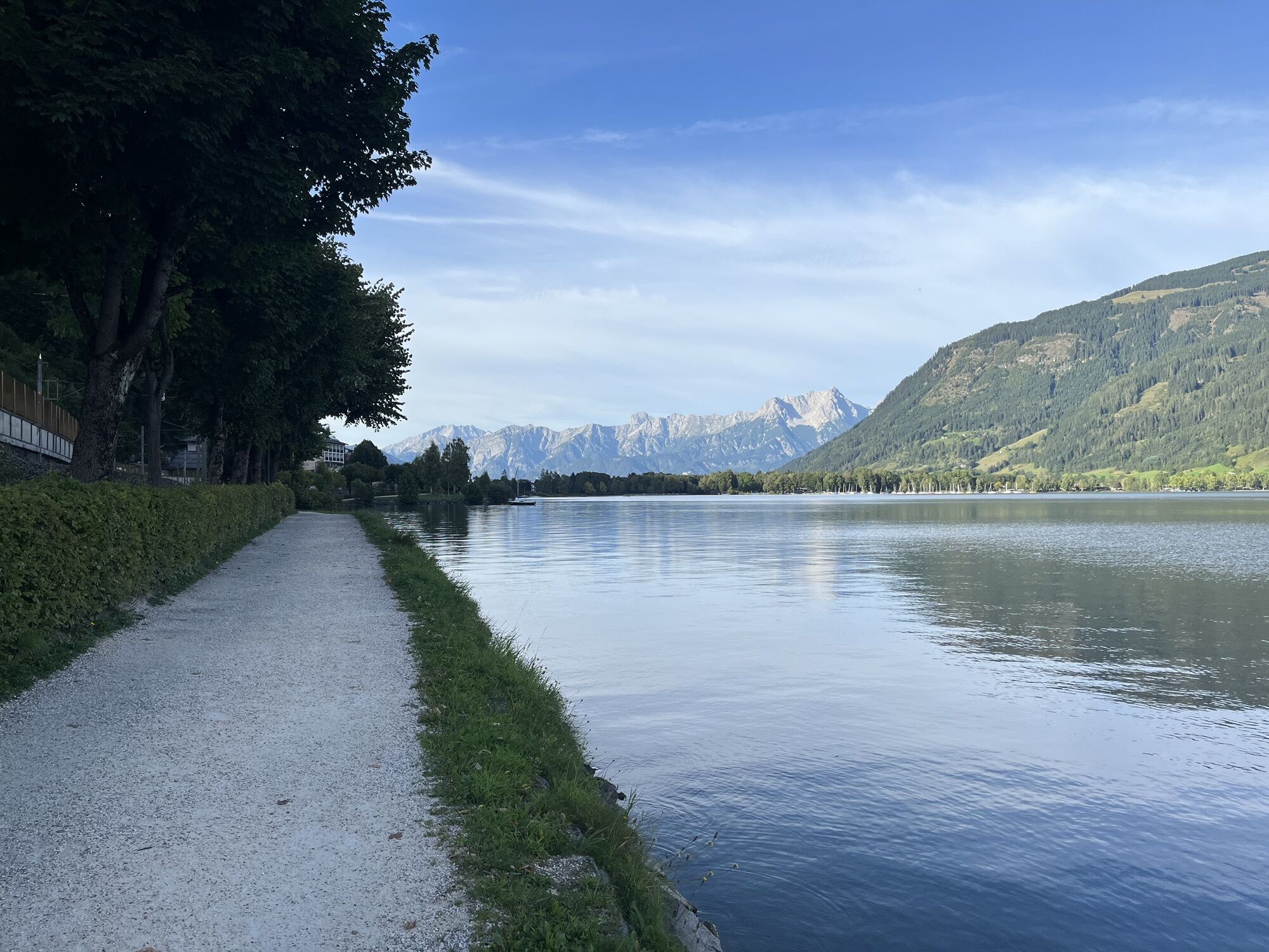
The tour starts in Viehhofen and leads leisurely via Maishofen and Zell am See to Bruck – the starting point of the Grossglockner High Alpine Road. From here, the legendary climb begins, ascending via Fusch and Ferleiten into the high mountains. Beyond the toll booth, steep switchbacks, breathtaking panoramas, and finally the turnoff to the Edelweissspitze await. The last few meters over the cobblestones are challenging, but the view from 2,507 meters rewards every effort. The descent follows the same route back to Bruck. From there, the route continues along the eastern shore of the lake via Thumersbach and then via Maishofen back to Viehhofen. An impressive loop that combines leisurely cycling along the lake with one of the most famous climbs in the Alps.

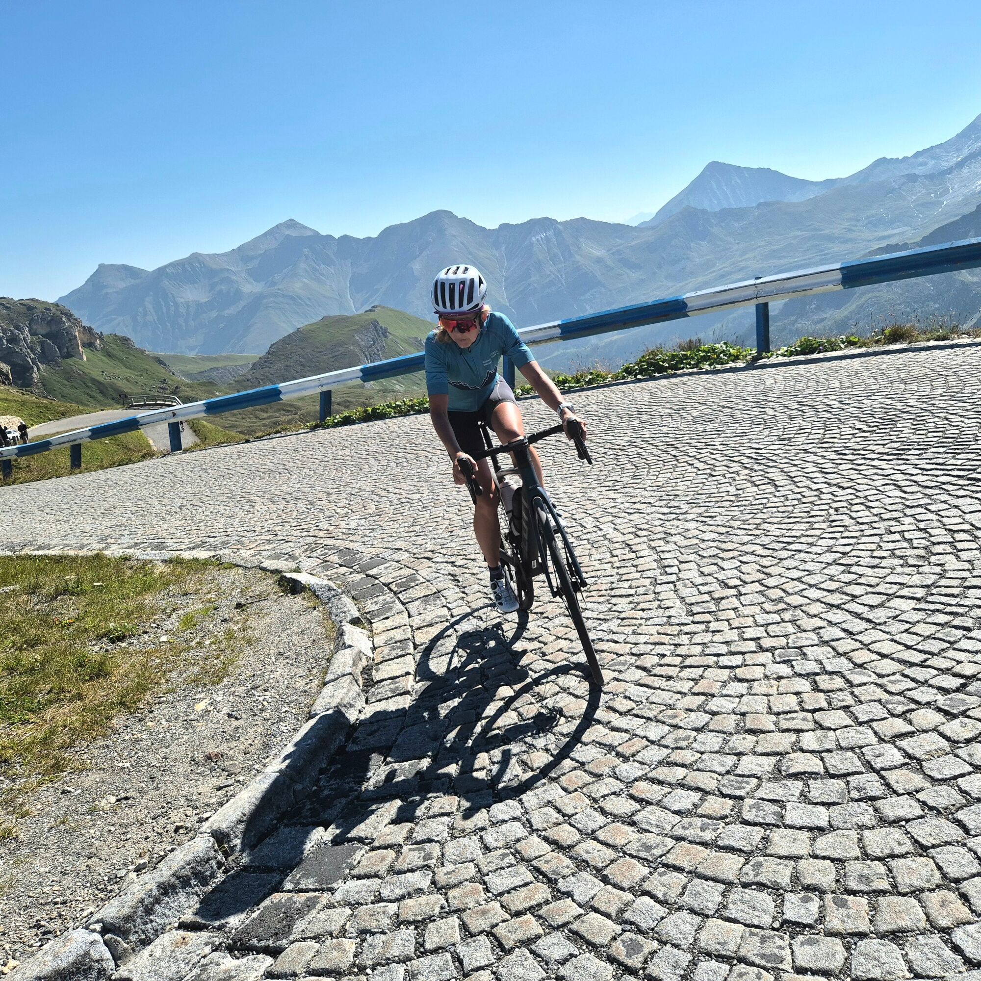
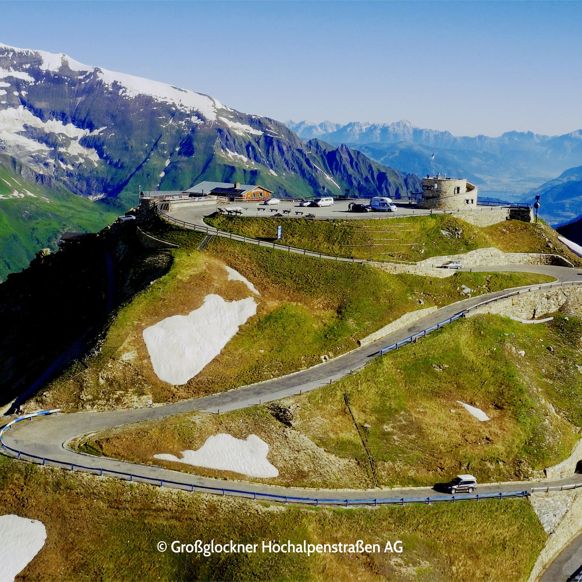
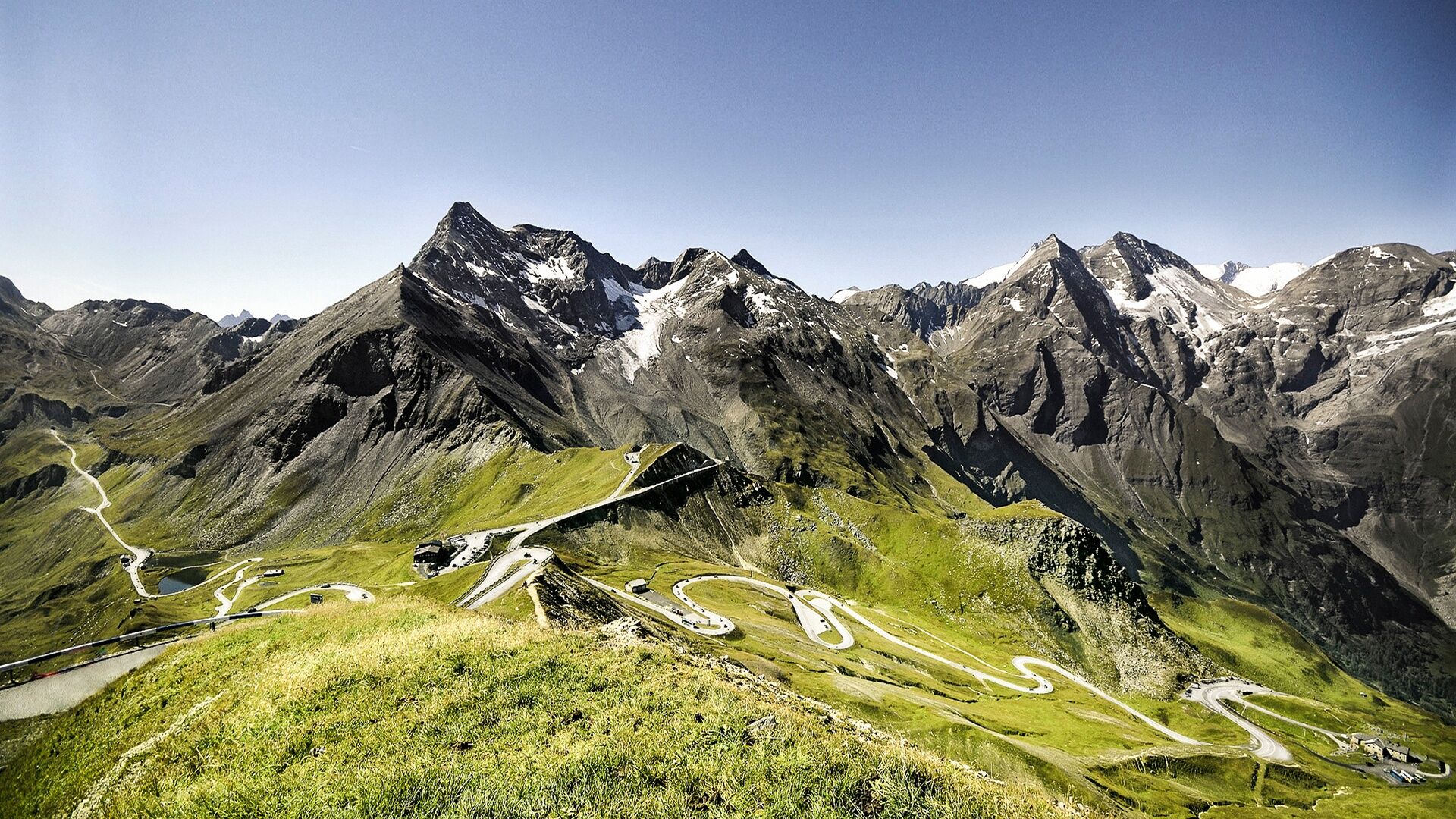
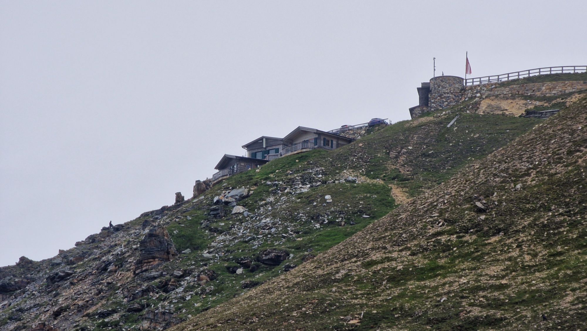
This road cycling tour starts in Viehhofen and leads via Maishofen and Zell am See to Bruck, the starting point of the Grossglockner High Alpine Road. After the toll booth, you’ll encounter steep hairpin bends, impressive panoramic views and, finally, the turn-off to the Edelweißspitze. The final few metres over the cobblestones are challenging, but the view at 2,507 metres rewards every effort. The descent follows the same route back to Bruck. From there, the route runs along the eastern shore of the lake via Thumersbach and then via Maishofen back to Viehhofen.
Ano
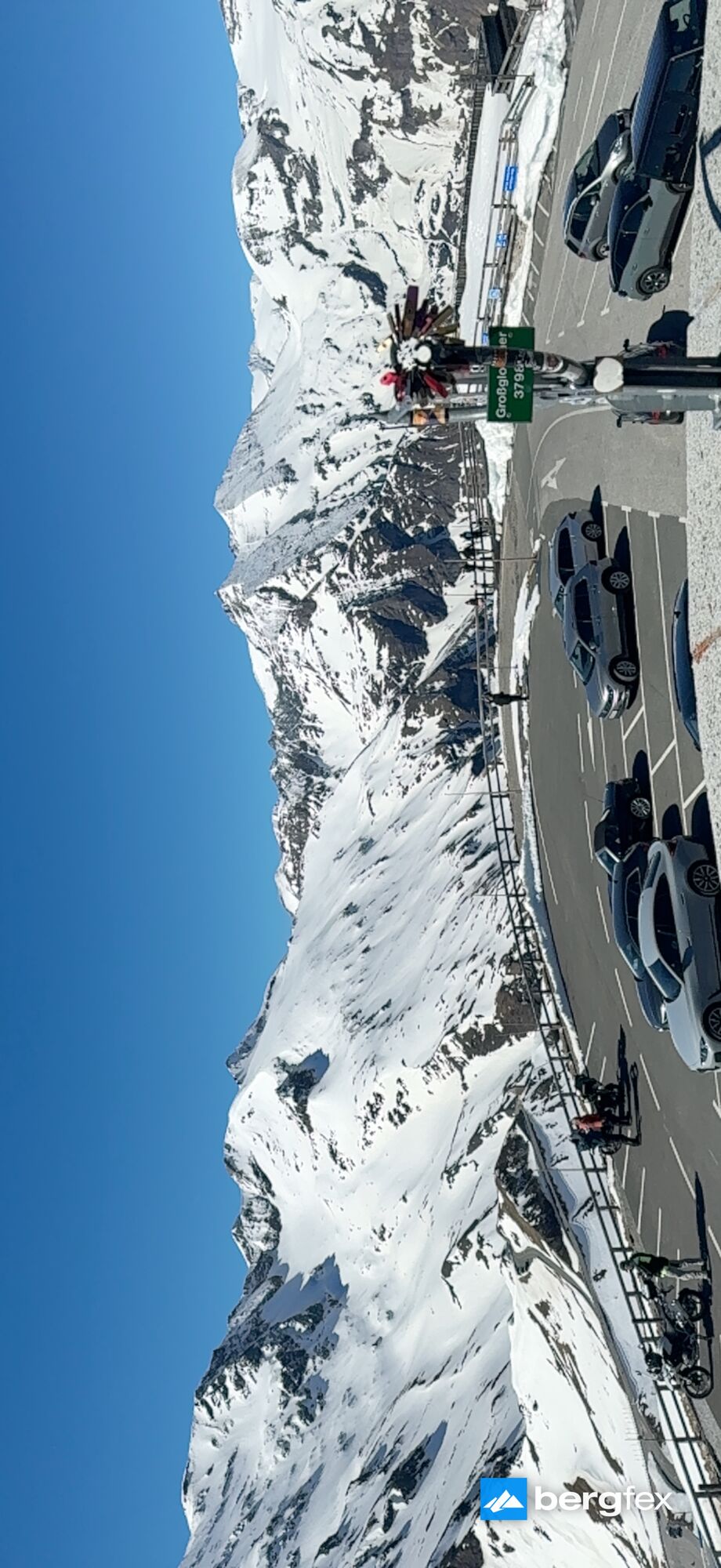
Großglockner High Alpine Road (also for cyclists). To avoid traffic on the poöular excursion road, it is the best to use the off-peak times during the day for your bike tour to the Glockner
2
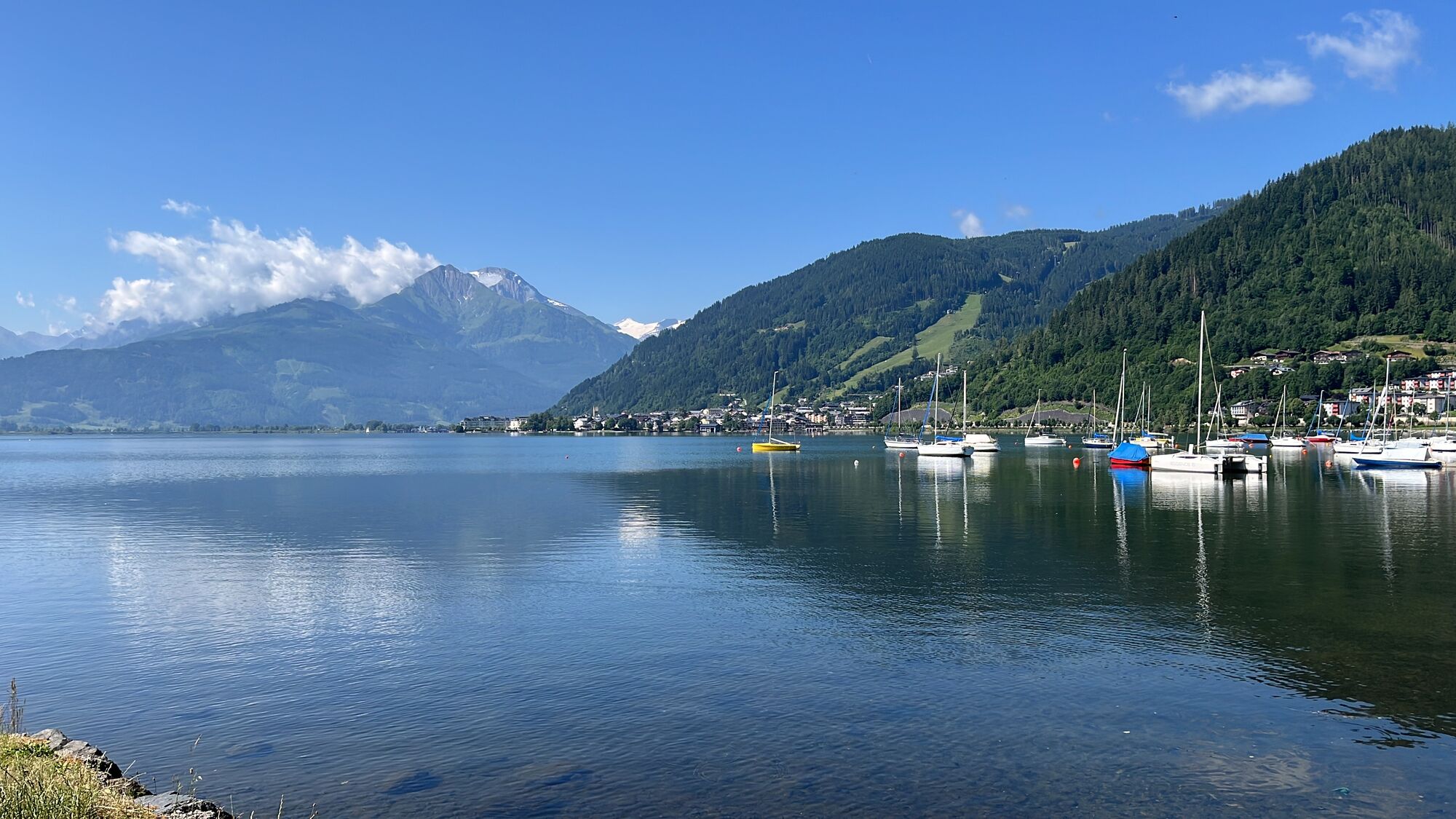
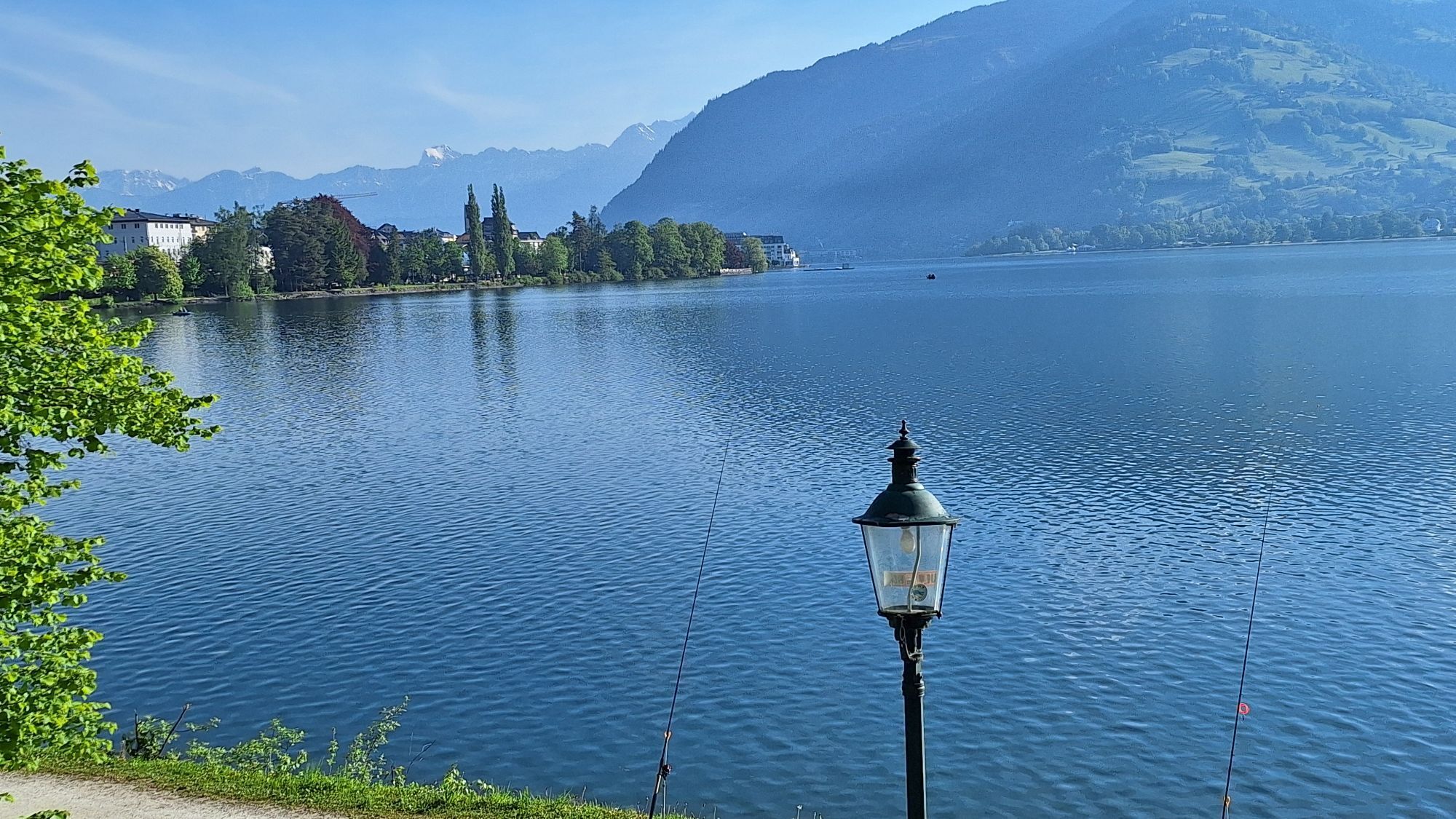
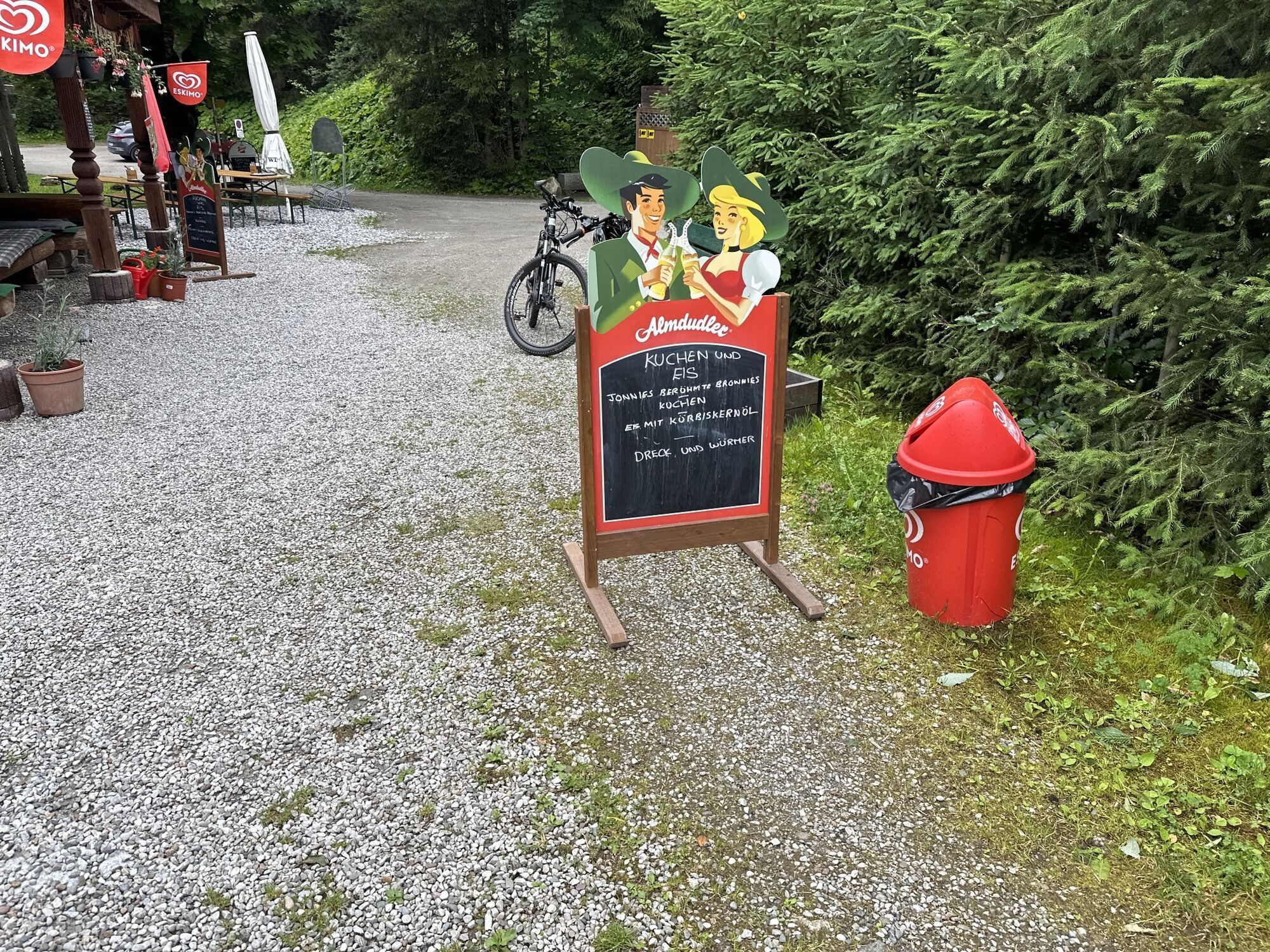
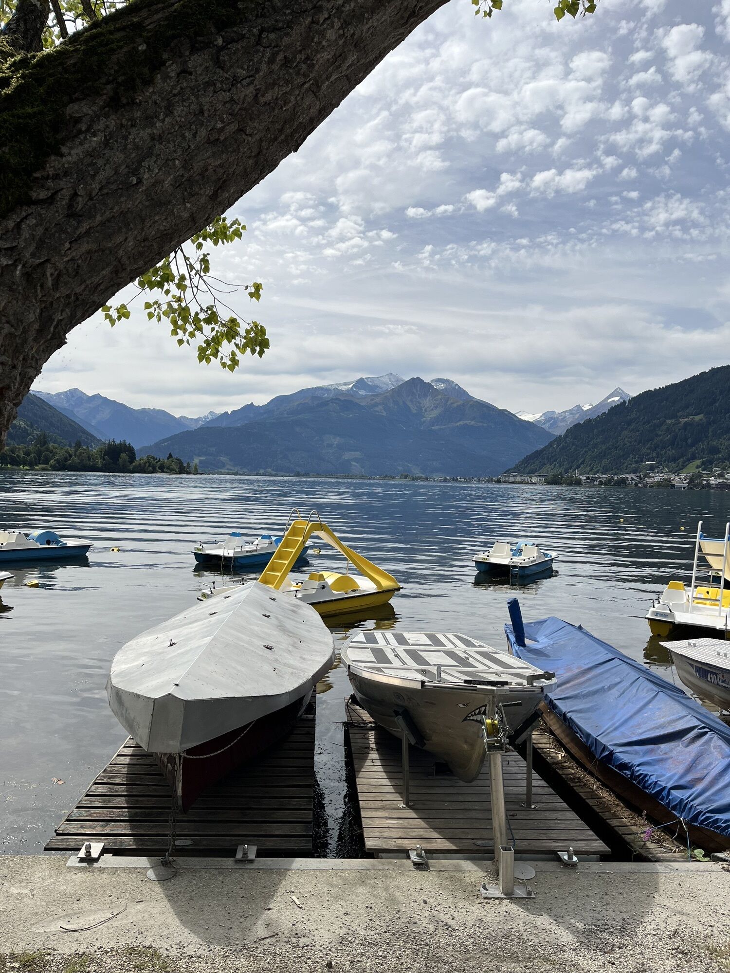
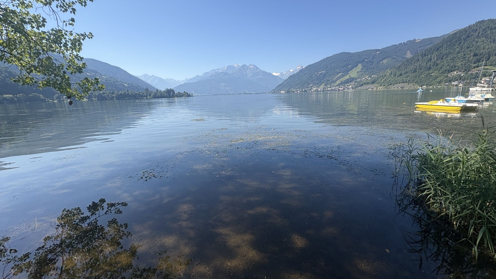
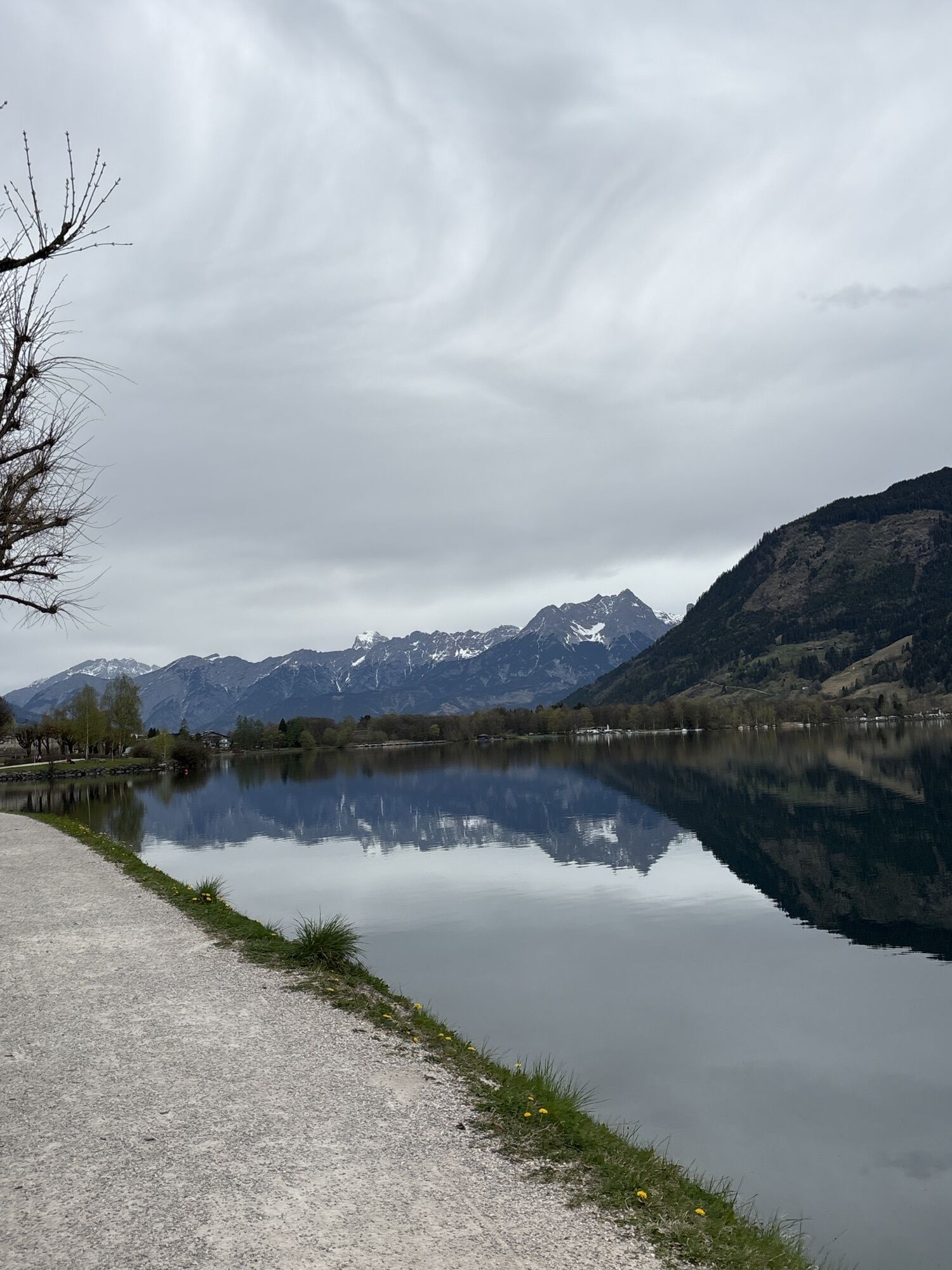
On the way back along Lake Zell, several cozy cafés also invite you to take a relaxing break.
Webové kamery z prohlídky
Schmittenhöhe
Asitz Gipfel
Kaprun - Maiskogel
Sonnkogel
Schmittenhöhe
Mitterberg bei Thumersbach
Großglockner Hochalpenstraße - Edelweißspitze
Fuschertörl /Großglockner Hochalpenstraße
Zell am See / Hotel Berner
Schmittenhöhe
Schmittenhöhe
Zell am See
Großer Asitz / Gipfelkreuz
Thumersbach
Kaprun
Maishofen Sausteige
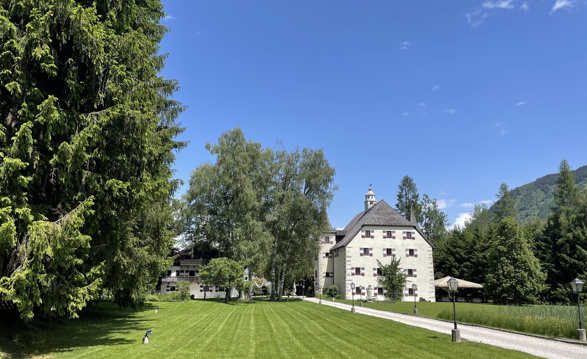
Maishofen - Schloss Kammer
Leogang - Grosser Asitz
Maishofen Dorfplatz
Berggeistalm
zellamseeXpress
Oblíbené prohlídky v okolí
- 4,1
Schwalbenwand Nr. 80, 81, 82
středníTuristika 13,0 km - 4,5
Sigmund Thun Klamm
světloTuristika 3,10 km - 4,9
Hochsonnberg Runde
středníMountainbike 59,8 km - 4,8
Sigmund Thun Klamm, Klammsee, Bürgkogel
světloTuristika 4,56 km - 4,4
Thumersbach, Runde um den Zeller See
světloTuristika 13,3 km - 4,2
Hundstein-Runde von Maria Alm
heavyMountainbike 44,4 km - 4,9
Großes Wiesbachhorn 3564 mnv Kaprun, Austrija
heavyTuristika 13,4 km - 3,8
Maurerkogel (Top)
Turistika 10,5 km - 3,9
Großglockner Hochalpenstrasse
heavyJízda na kole 20,2 km - 4,6
3 Oktober Fusch Walcher Grung und Hohalm
středníTuristika 8,57 km
Pěší turistika a stopování


Nenechte si ujít nabídky a inspiraci pro vaši příští dovolenou
Vaše e-mailová adresa byl přidán do poštovního seznamu.