



Obermayrberg route

Úroveň obtížnosti: 1
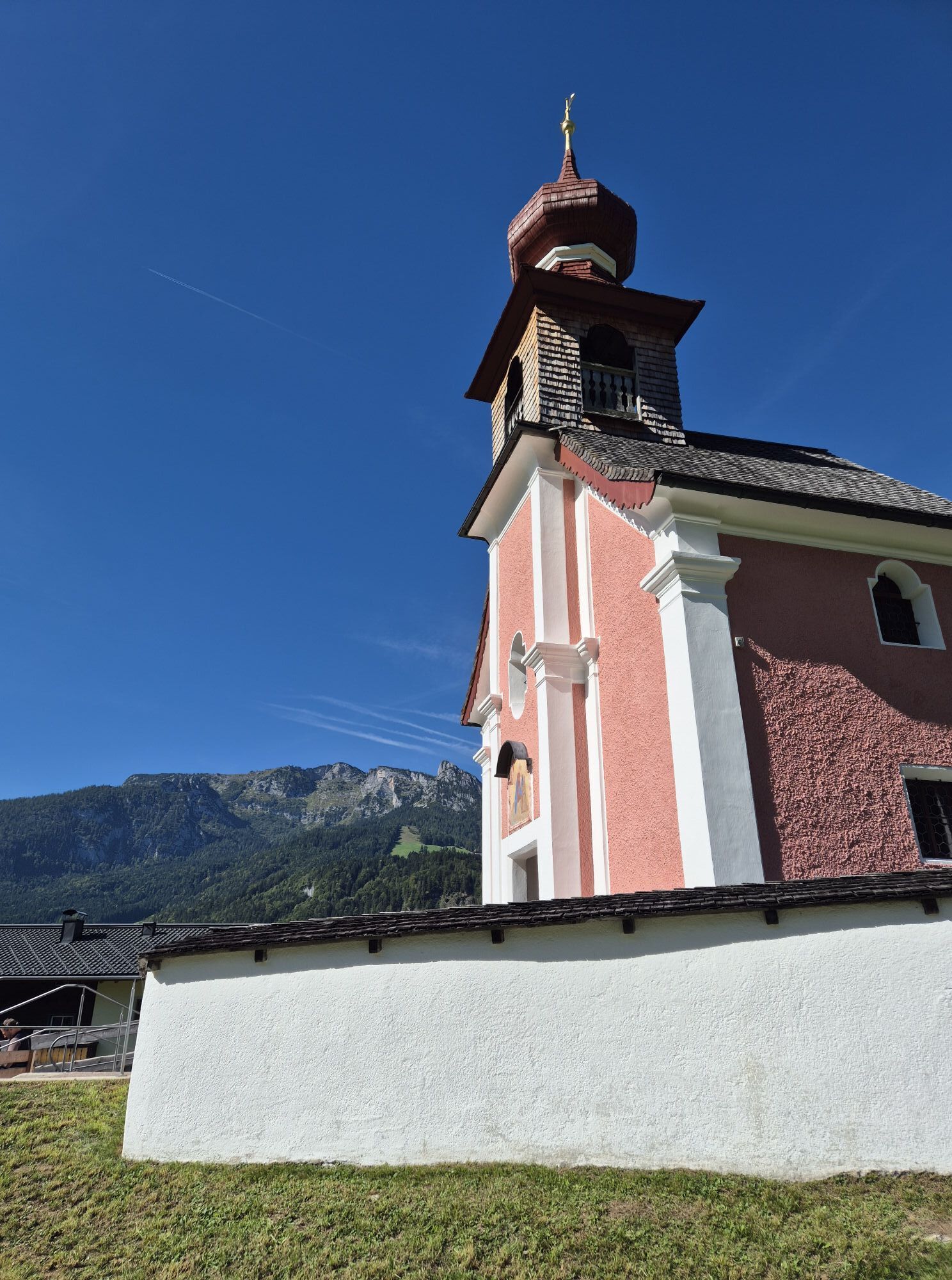
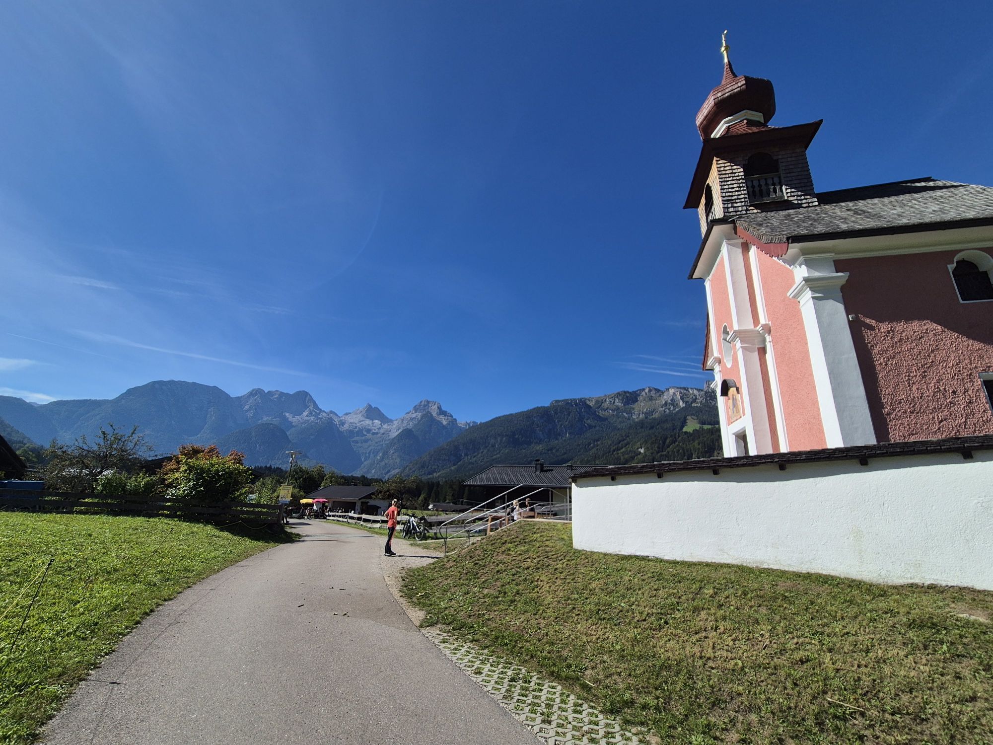
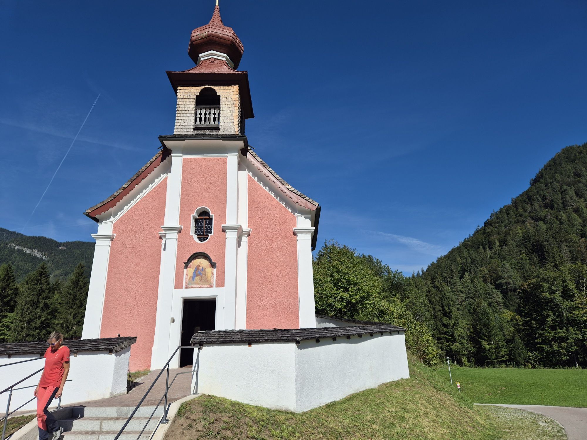
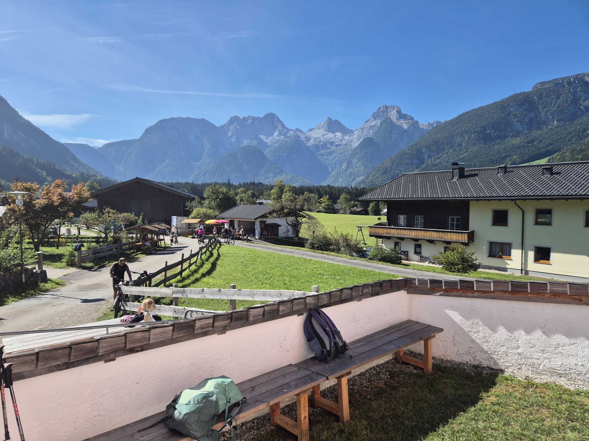
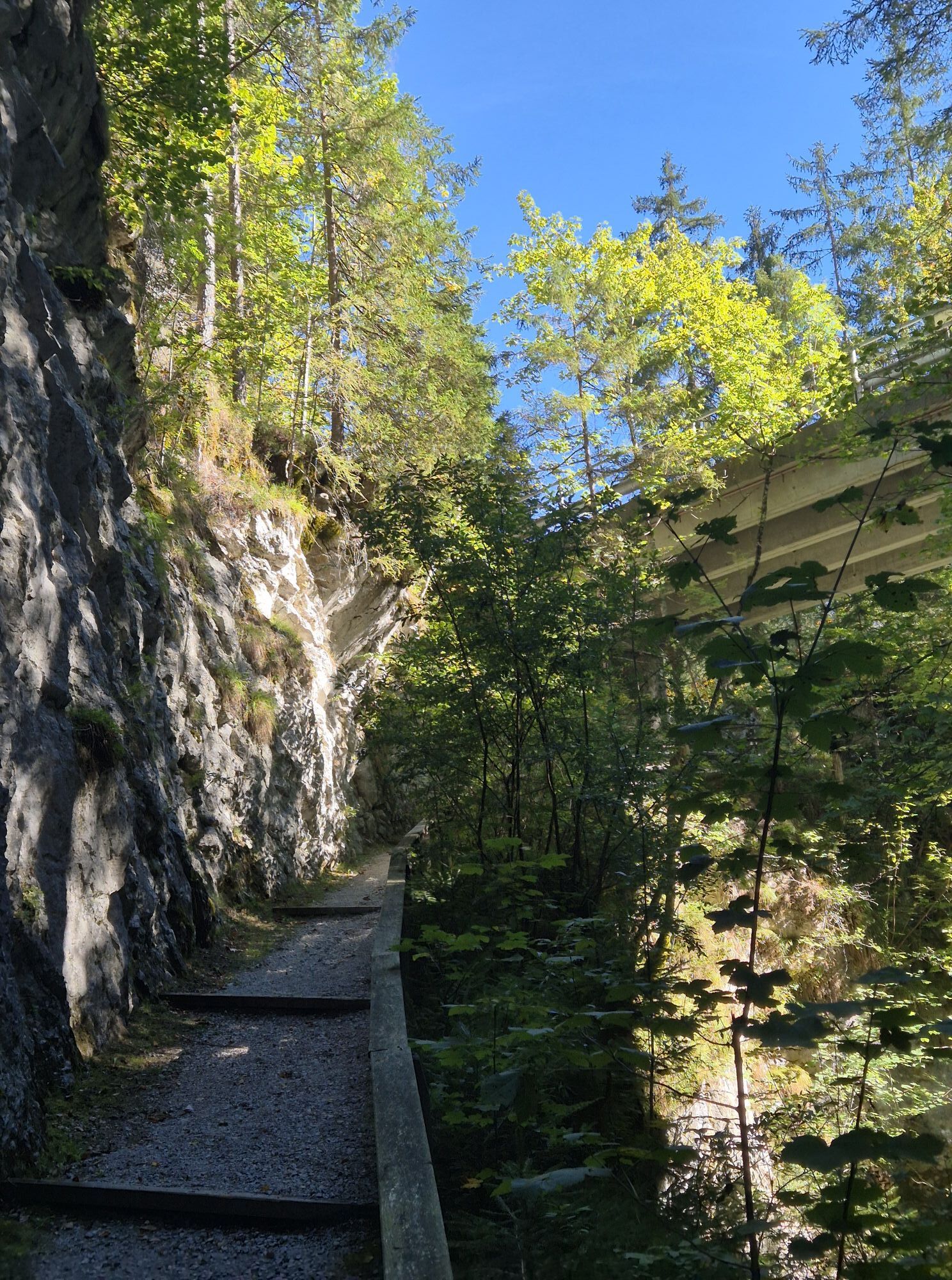
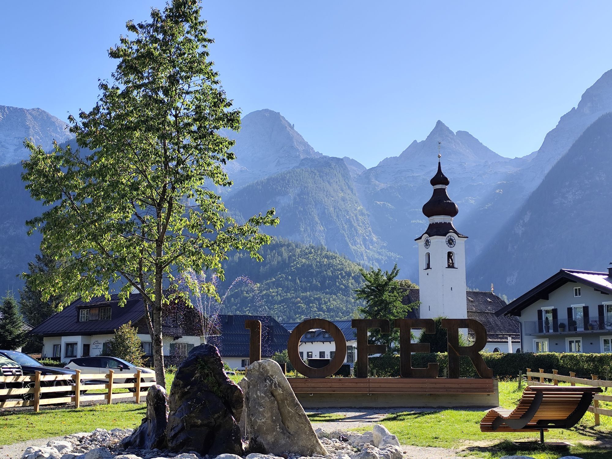
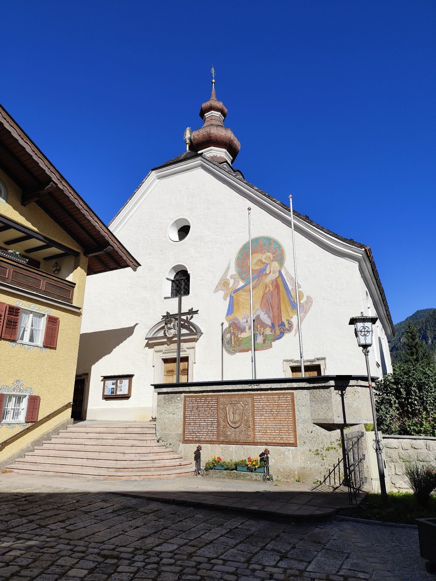
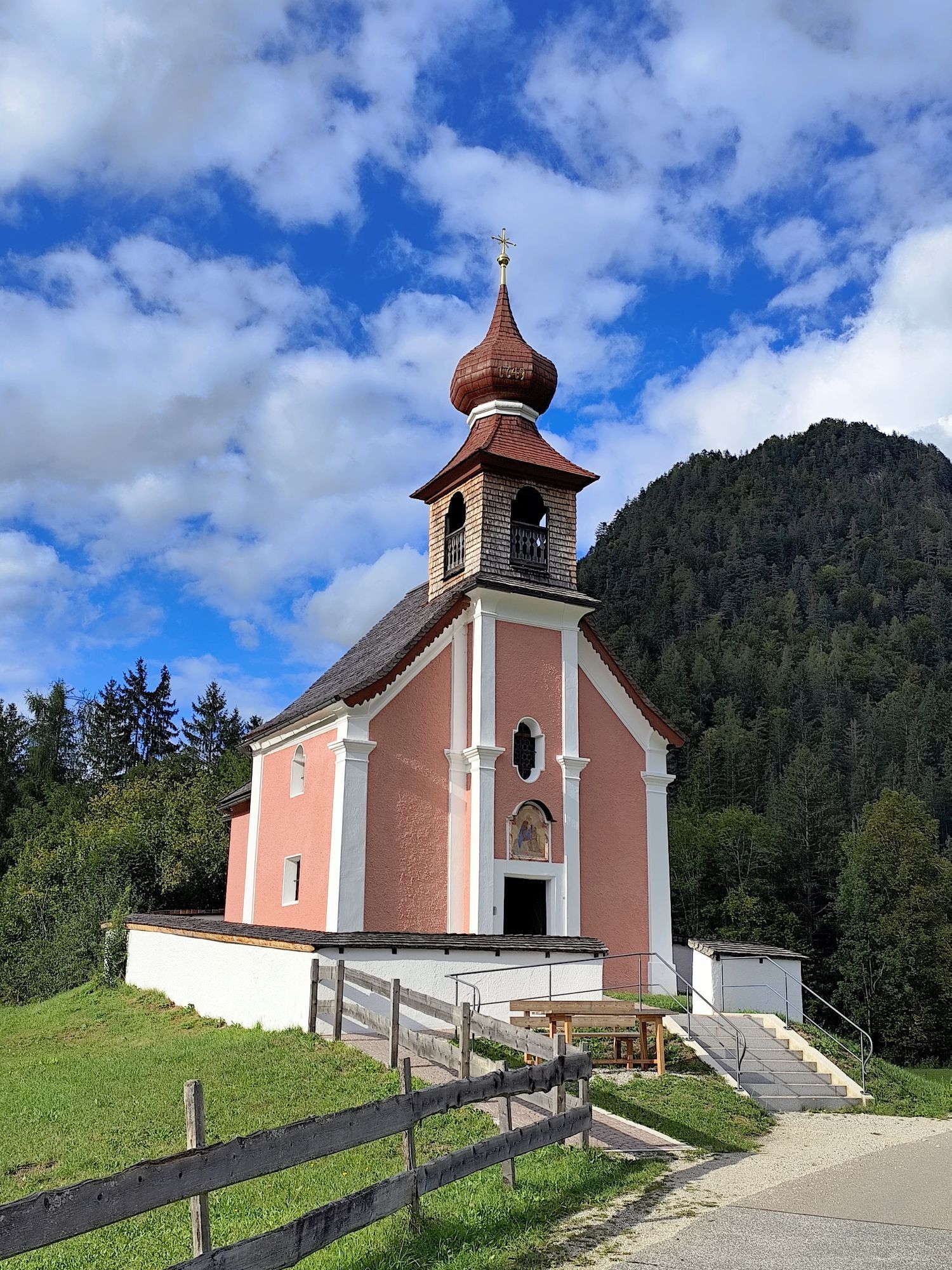
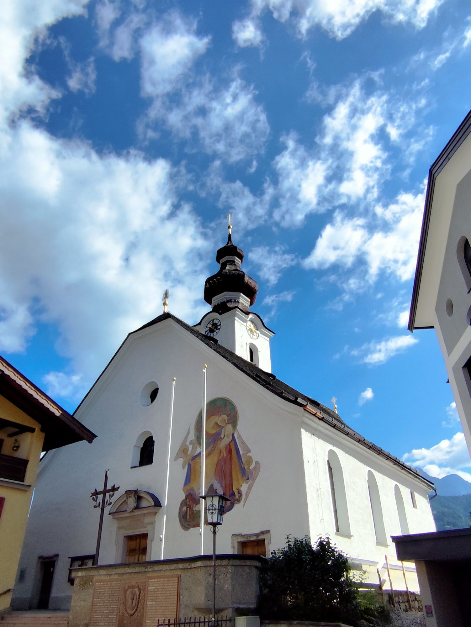
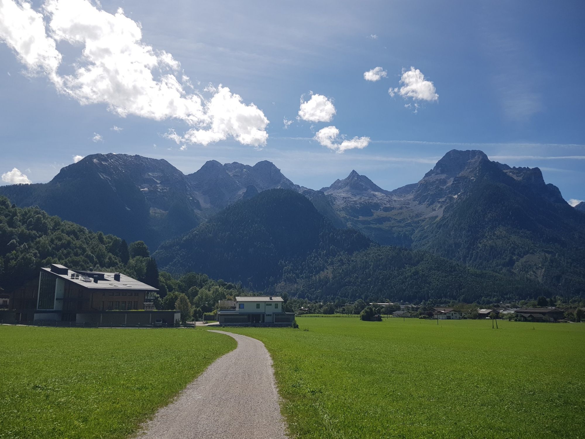
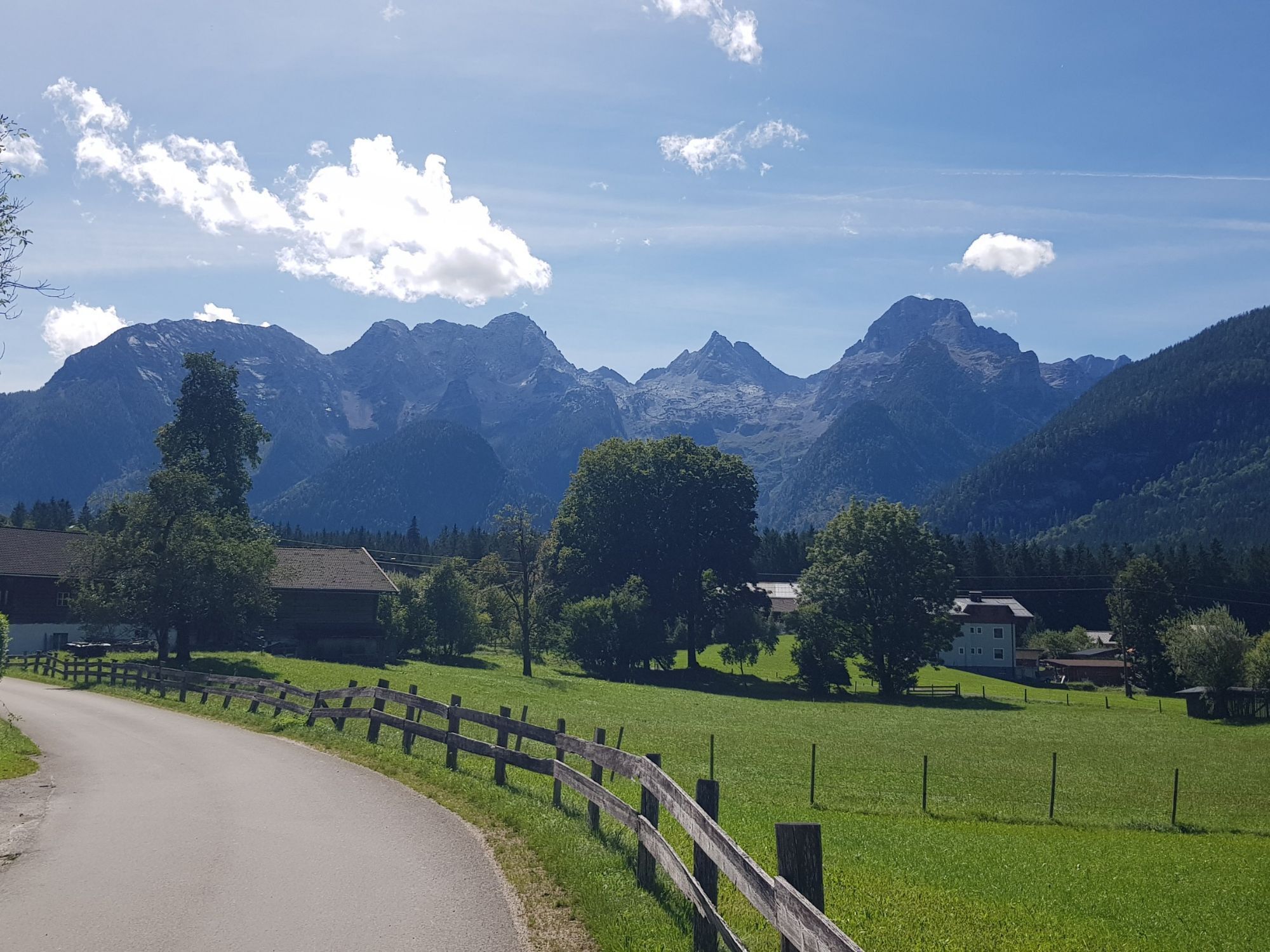
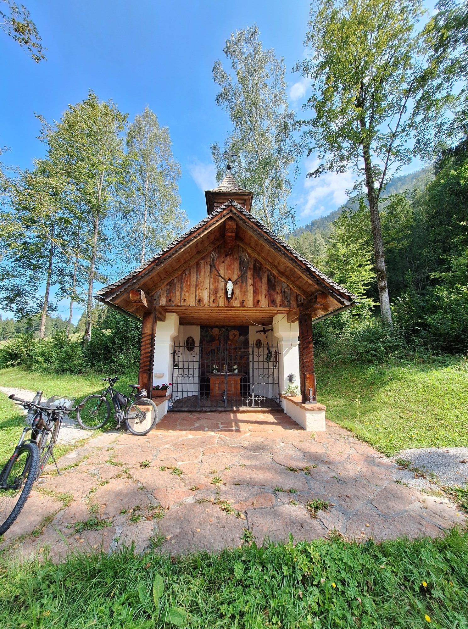
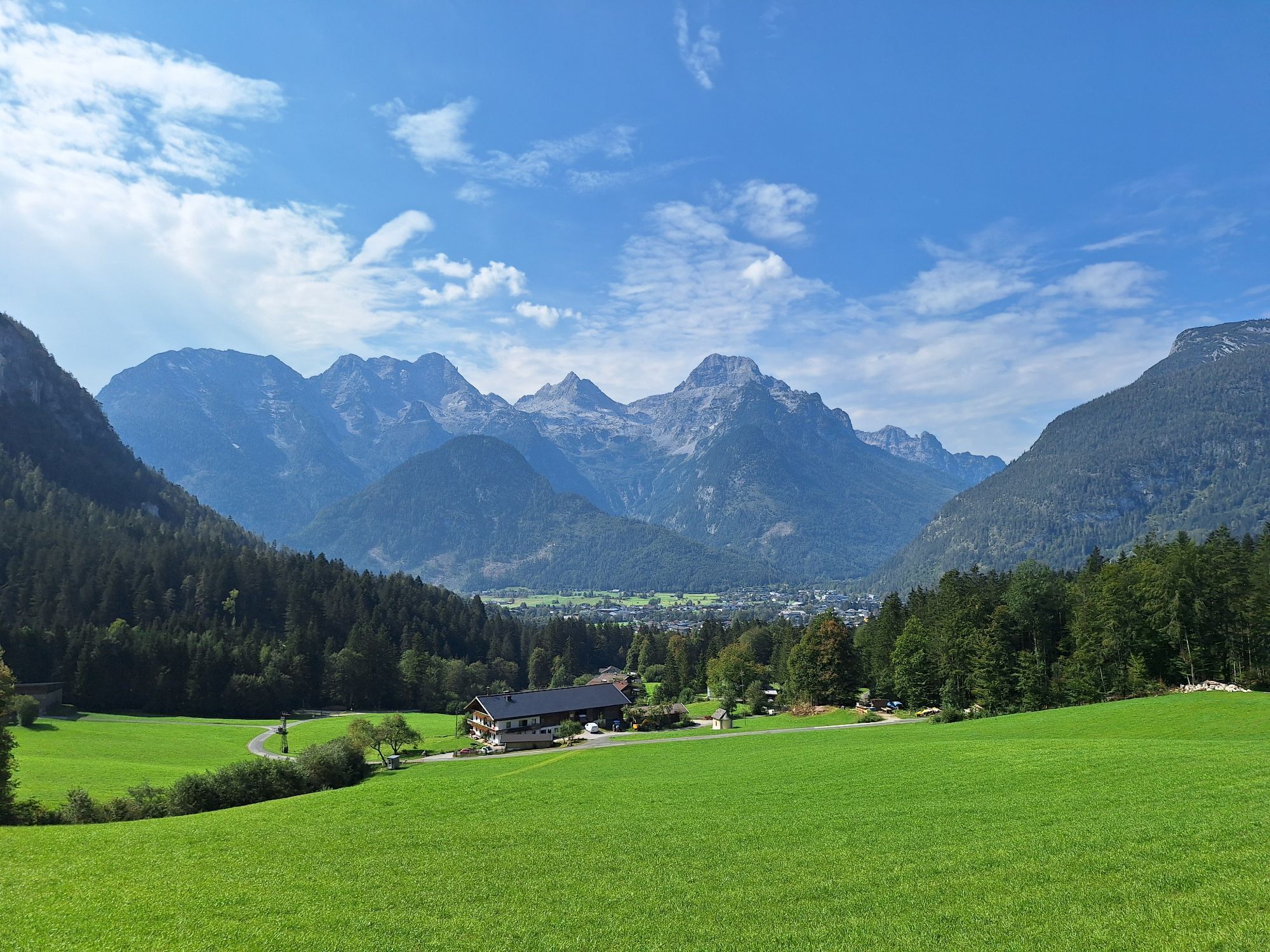


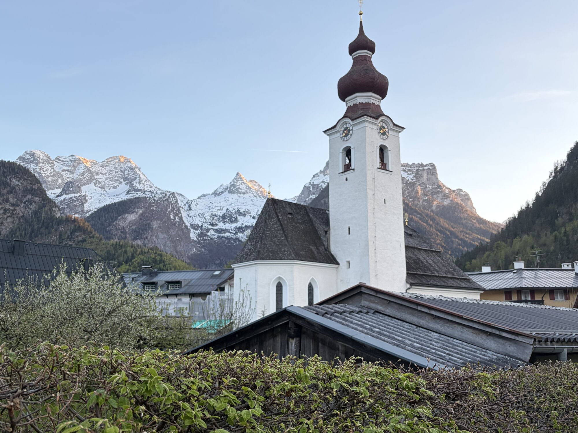
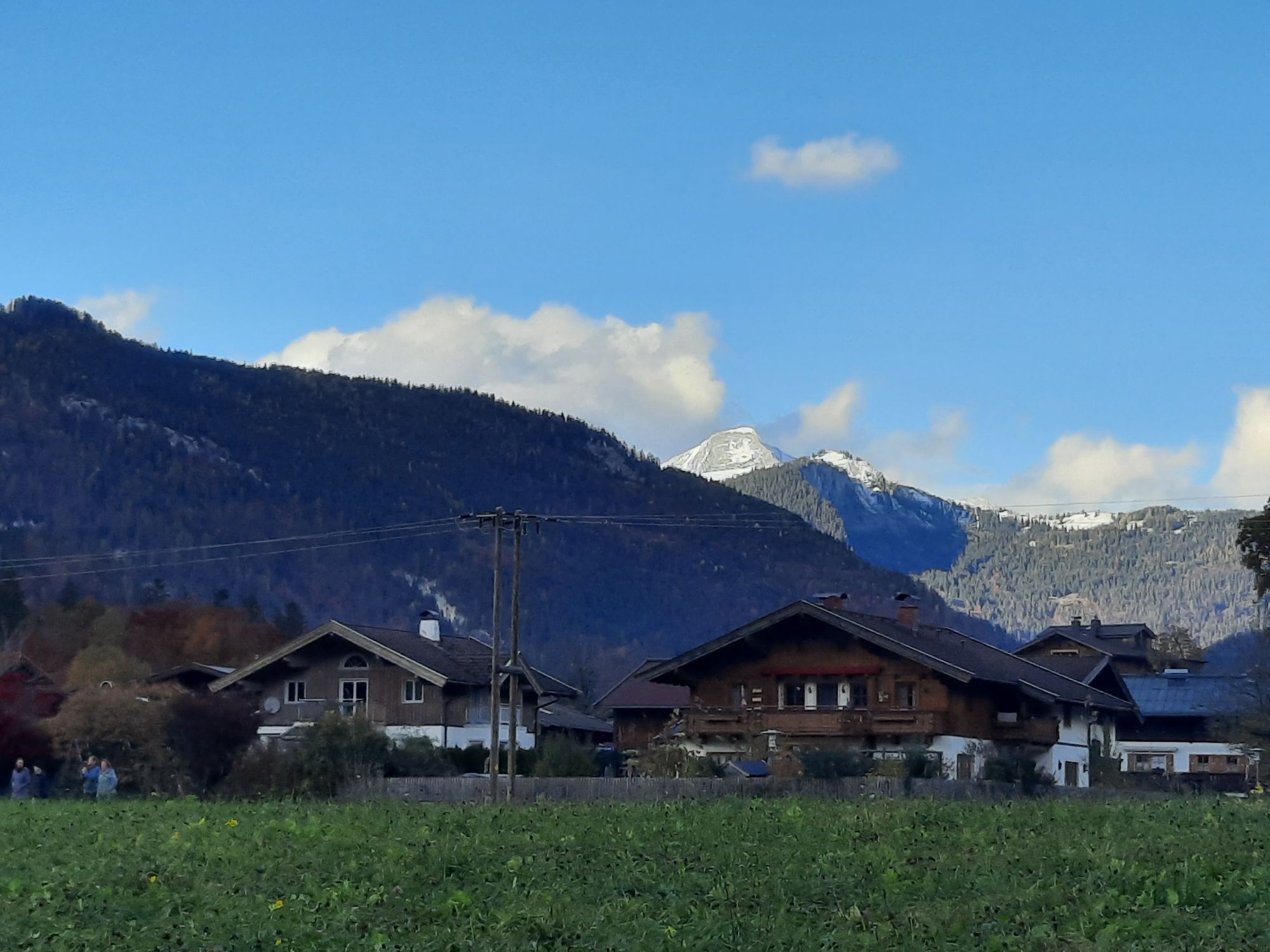
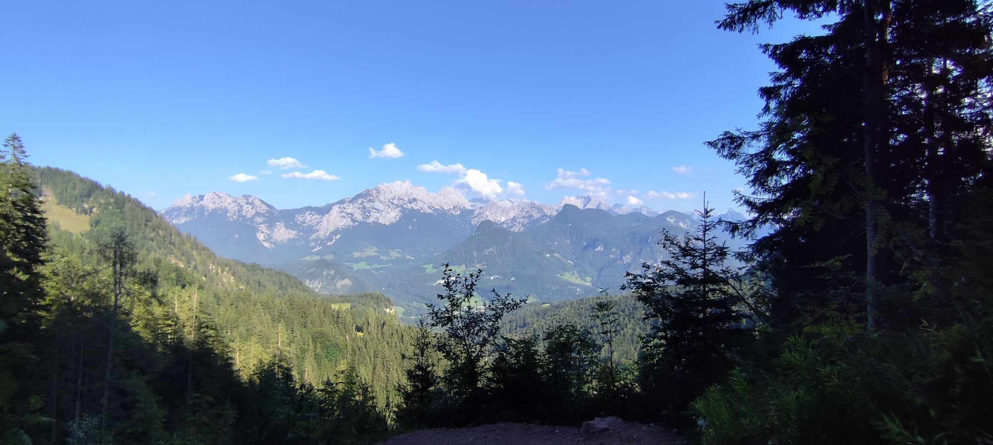
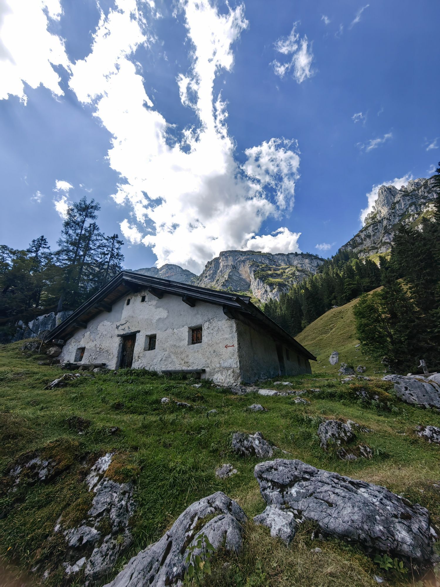
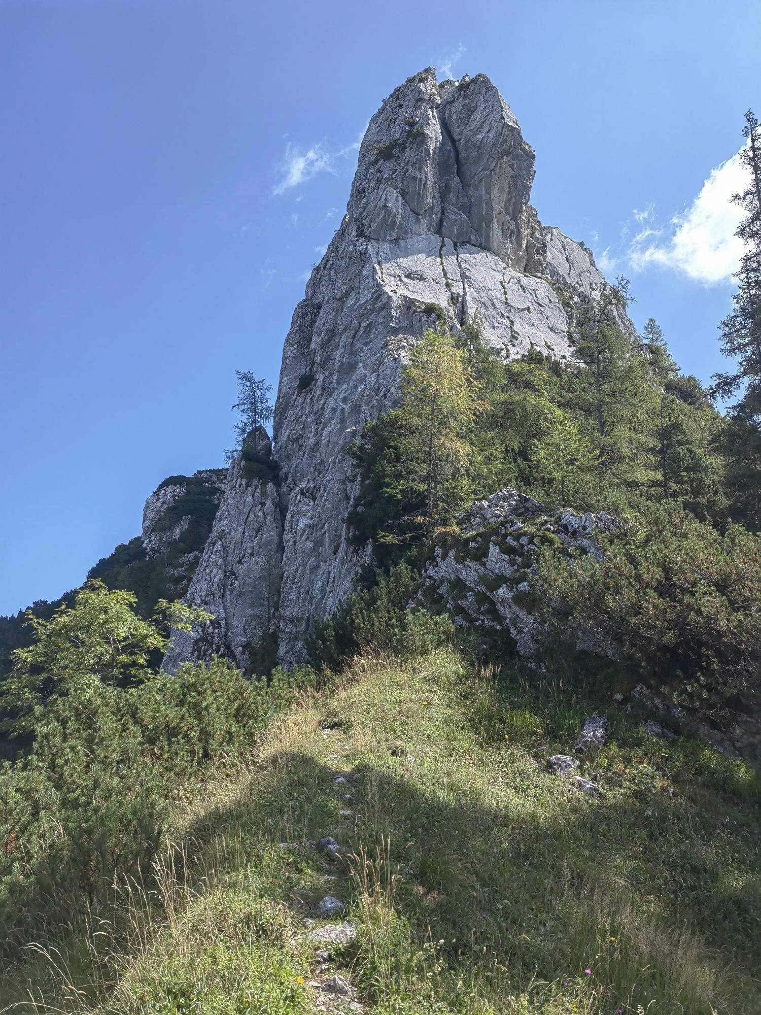
The 400 meters of elevation gain are spread over 17 kilometers. Along with great views (e.g., of the Loferer Steinberge and Almenwelt Lofer), the route also passes the Mayrberg Gorge and the Auer Chapel.
The...
The 400 meters of elevation gain are spread over 17 kilometers. Along with great views (e.g., of the Loferer Steinberge and Almenwelt Lofer), the route also passes the Mayrberg Gorge and the Auer Chapel.
The route runs from Lofer via Scheffsnoth and the Auer meadows to Obermayrberg. From here you go downhill to Au and fairly flat back via Scheffsnoth to Lofer.
Route SASA 09 on the Salzburger Saalachtal bike map



Lofer - Scheffsnoth - Auer Wiesen - Schoberweißbachklause - Obermayrberg - Auer Chapel - Au - Wahpointweg - Scheffsnoth - Lofer.
Ano
In addition to a water bottle, we recommend sturdy footwear, warm clothing and rain protection, repair kit, first aid kit, mobile phone, light, gloves, sunglasses. Possibly bring provisions - and of course don’t forget the helmet.
Coming from Salzburg via the Kleine Deutsche Eck (Bad Reichenhall/B21). Then follow the B178 to Lofer.
Coming from Innsbruck via the A12 to the Wörgl exit. From there via B178 and St. Johann to Lofer.
Free parking at the large parking lot Lofer (P2)
1
The Logenplatz Obermayrberg invites you to linger.
Webové kamery z prohlídky


Oblíbené prohlídky v okolí
-
4.5
Wimbachgrieshütte
Turistika 8.30 km -
4.4
Halsalm
Turistika 6.43 km -
4.7
Over the waterfall trail into the Almenwelt Lofer
středníTuristika 3.29 km -
4.1
Blaueis - Schärtenspitze
Turistika 7.29 km -
4.6
Seisenberg Gorge
světloTuristika 2.41 km -
5.0
Sonntagshorn über Hochalm (Unken, Heutalbauer)
středníTuristika 11.2 km -
5.0
Goldtoni - Wandern - Watzmann - Überschreitung
heavyVysokohorská turistika 25.3 km -
4.1
Soleleitungsweg
Turistika 10.5 km -
4.9
Ramsau/Hintersee-Runde
světloTuristika 9.44 km -
4.9
Watzmann Überschreitung an einem Tag
heavyTuristika 23.9 km
Pěší turistika a stopování


Nenechte si ujít nabídky a inspiraci pro vaši příští dovolenou
Vaše e-mailová adresa byl přidán do poštovního seznamu.


