






e-Bike route - Bischofshofen-Arthurhaus loop (Route 4)
Úroveň obtížnosti: 5
Difficulty level: DIFFICULT
Length over 40 km / ascent over 1000 m / duration over 4 h
Extreme steepness is to be expected, good to very good physical fitness and regular training required.

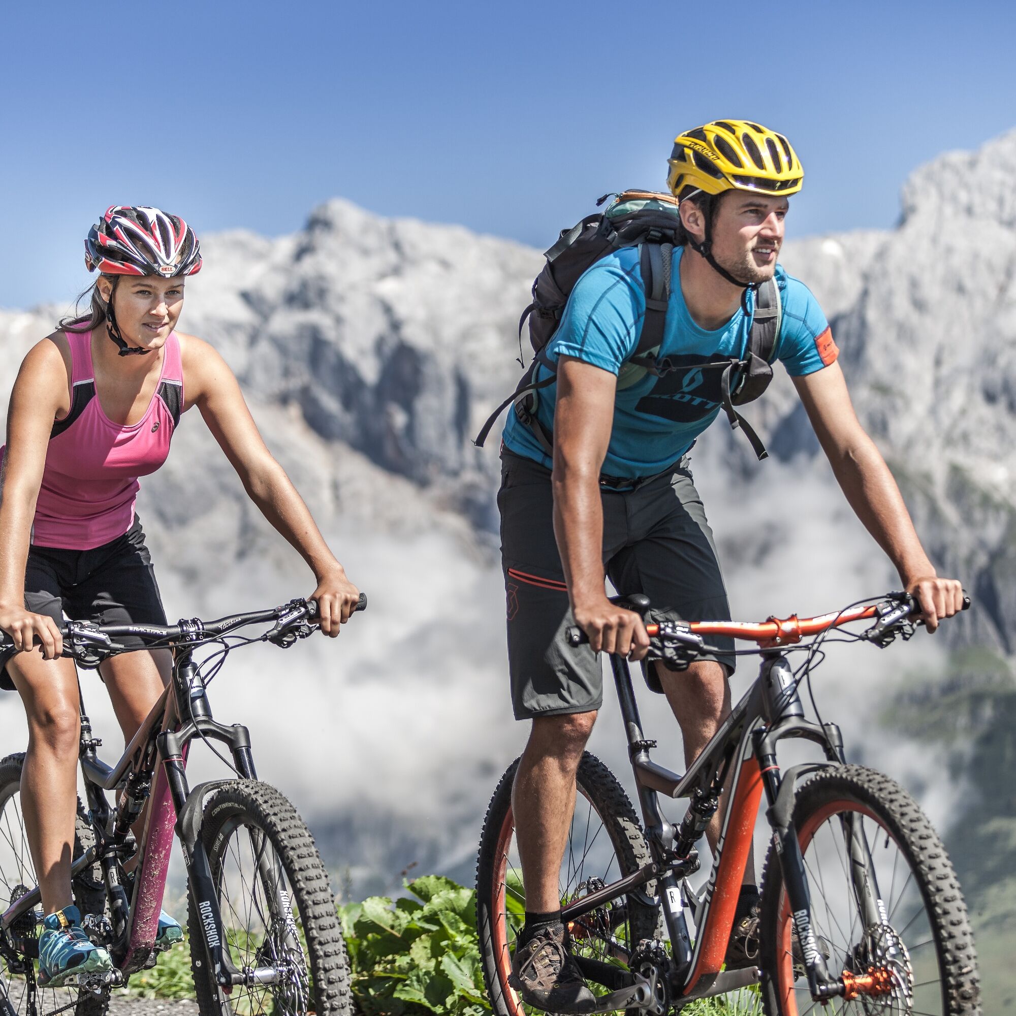

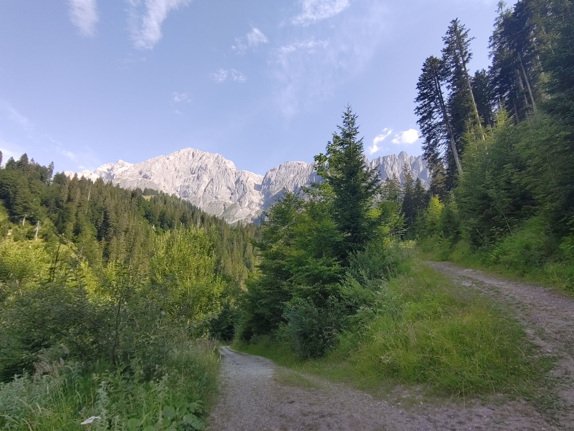
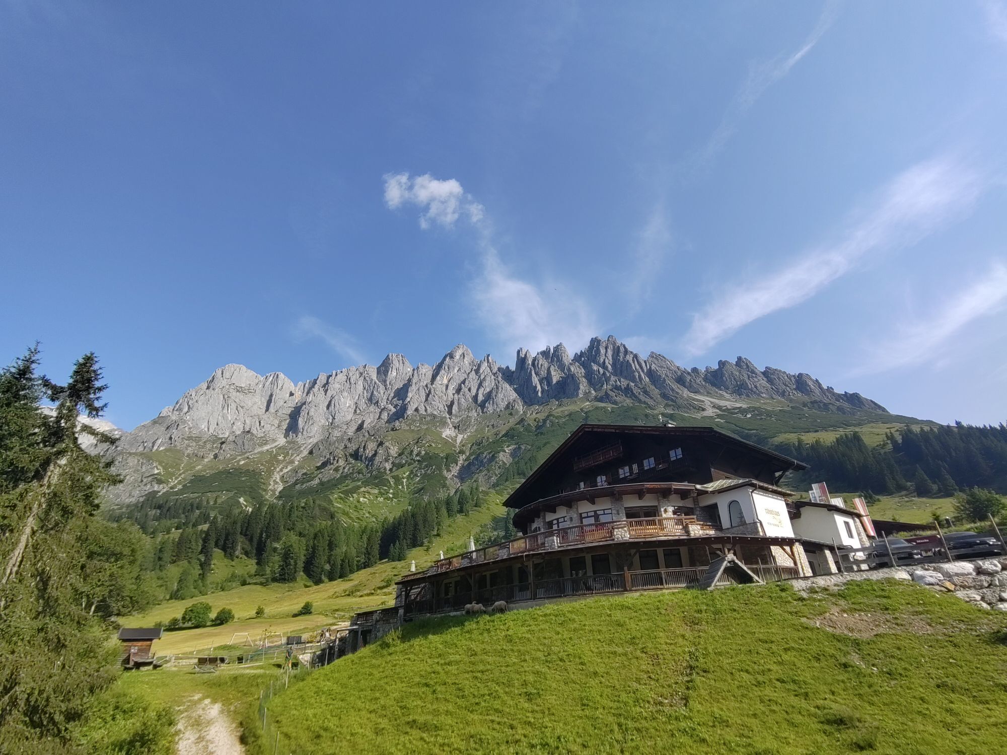
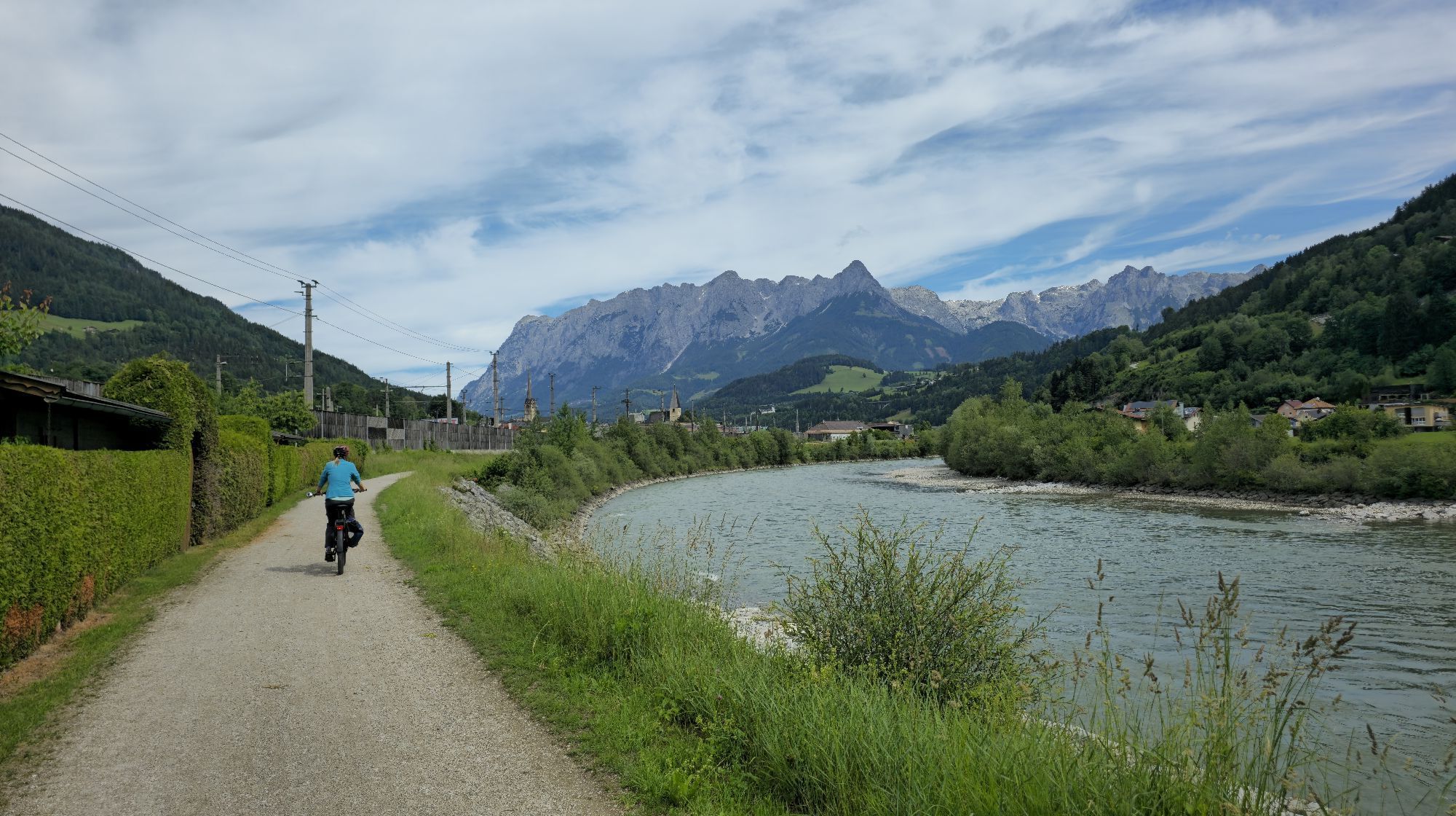
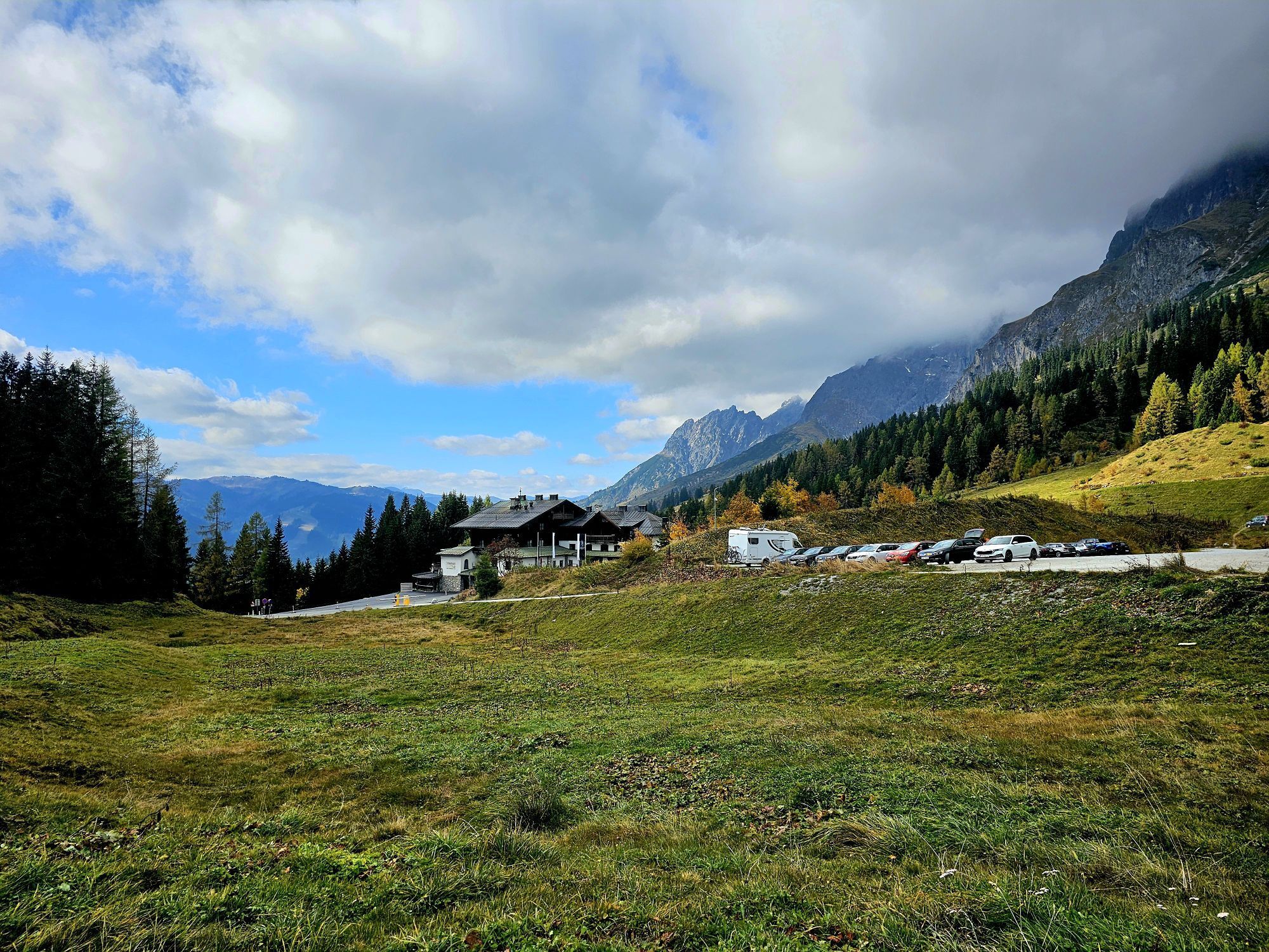
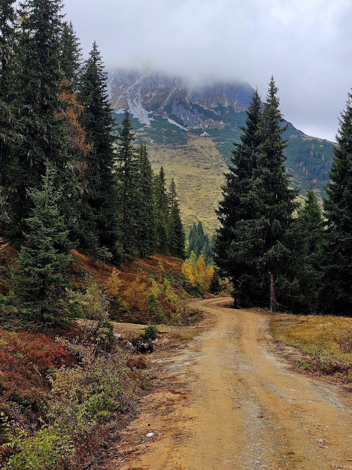
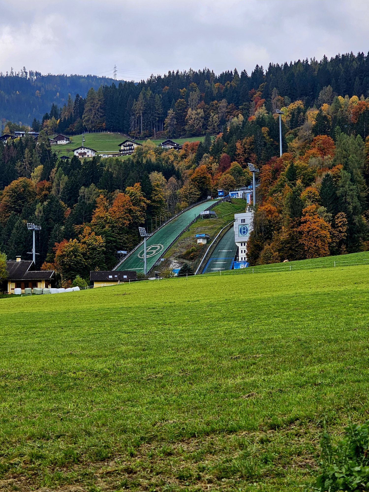
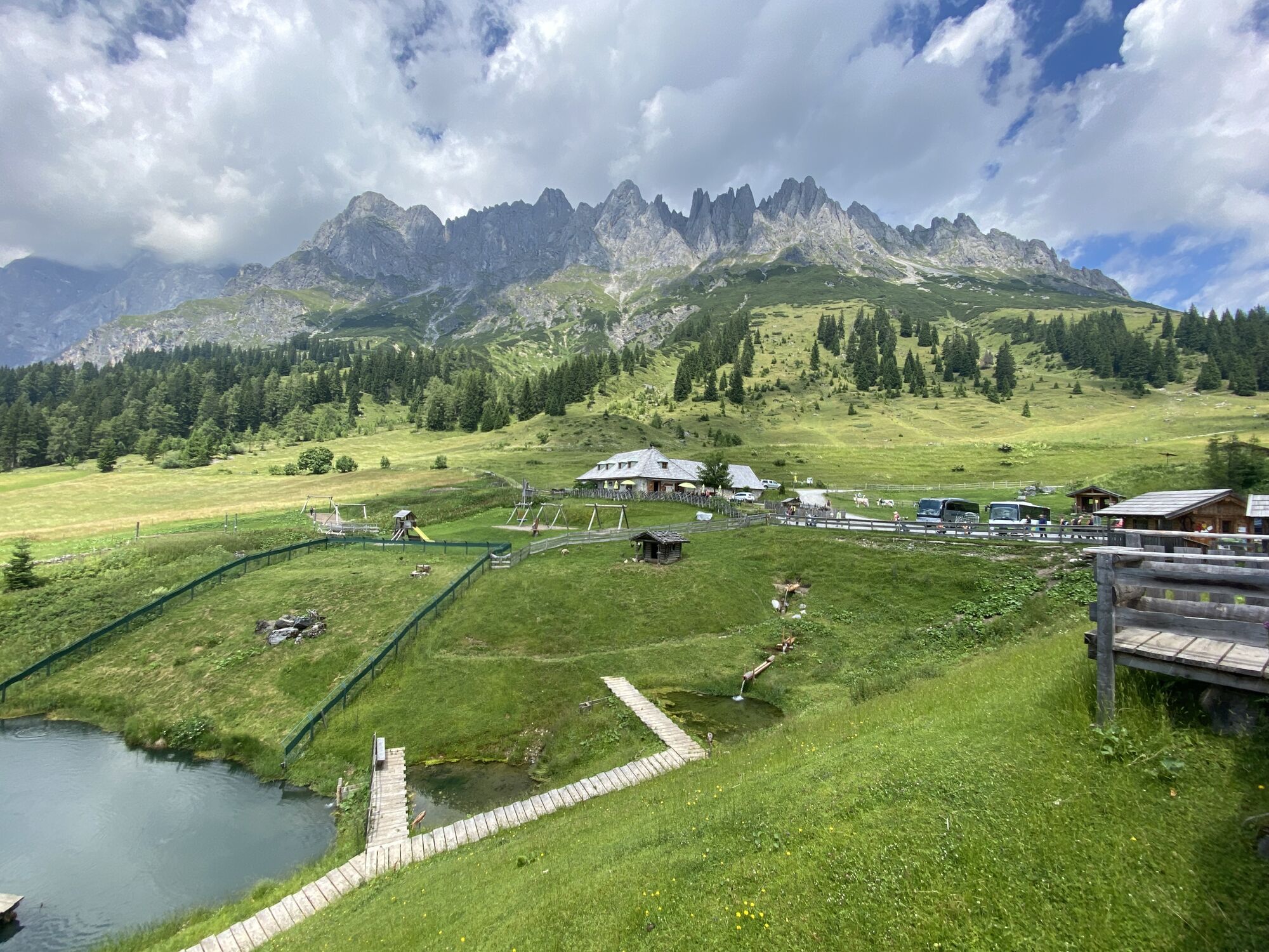
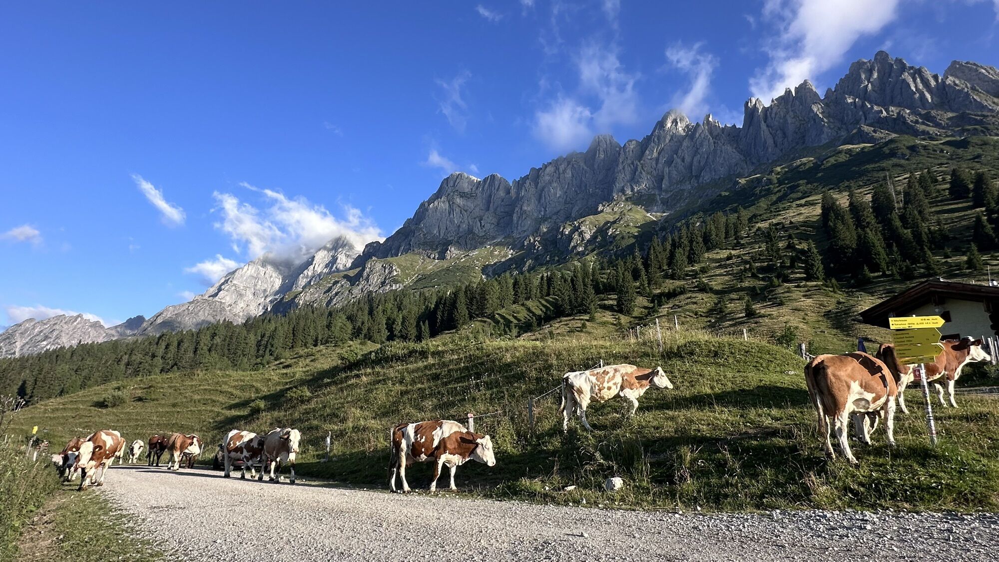
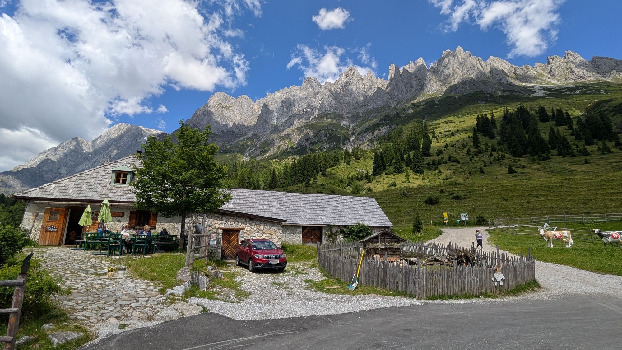
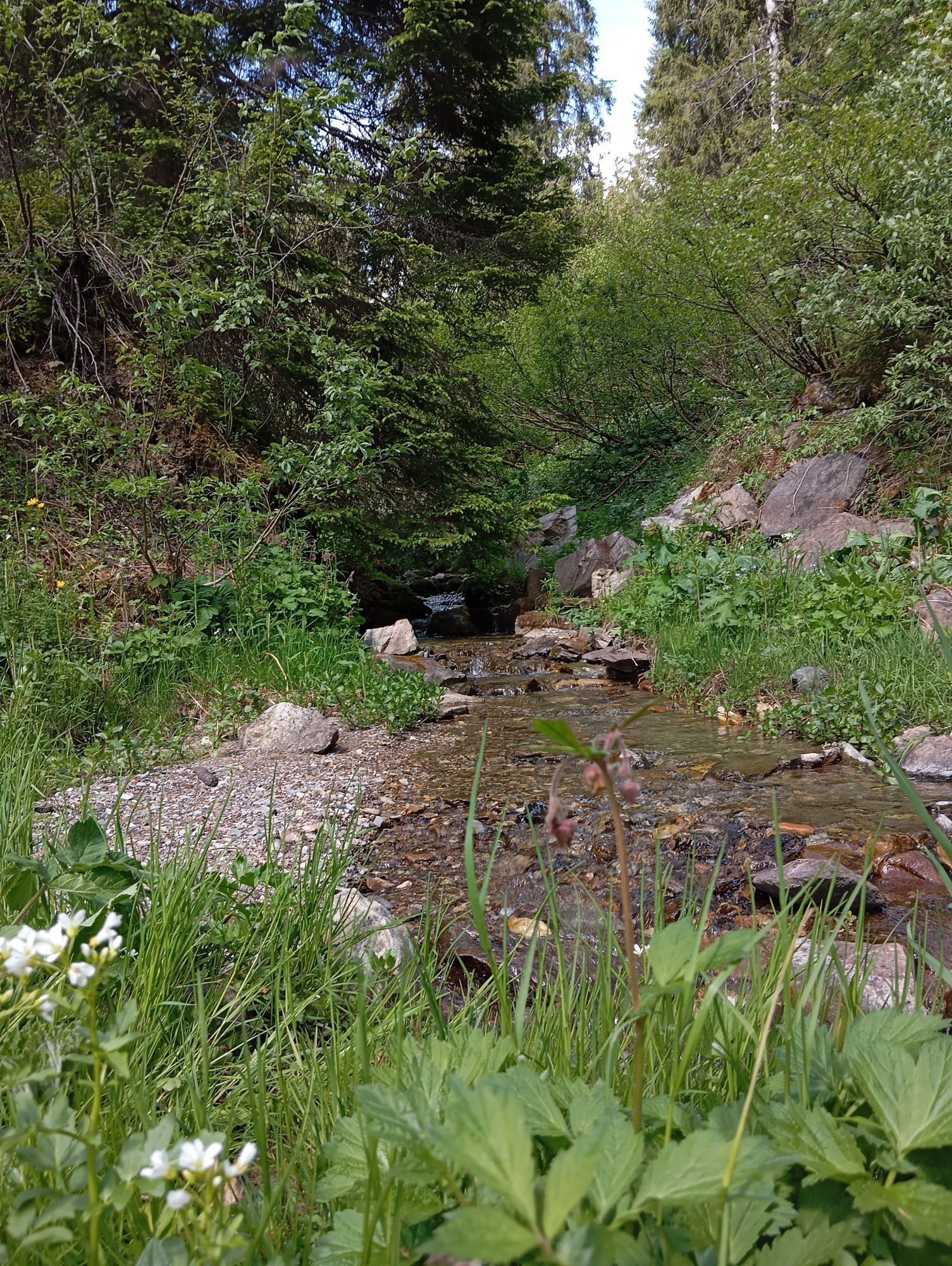
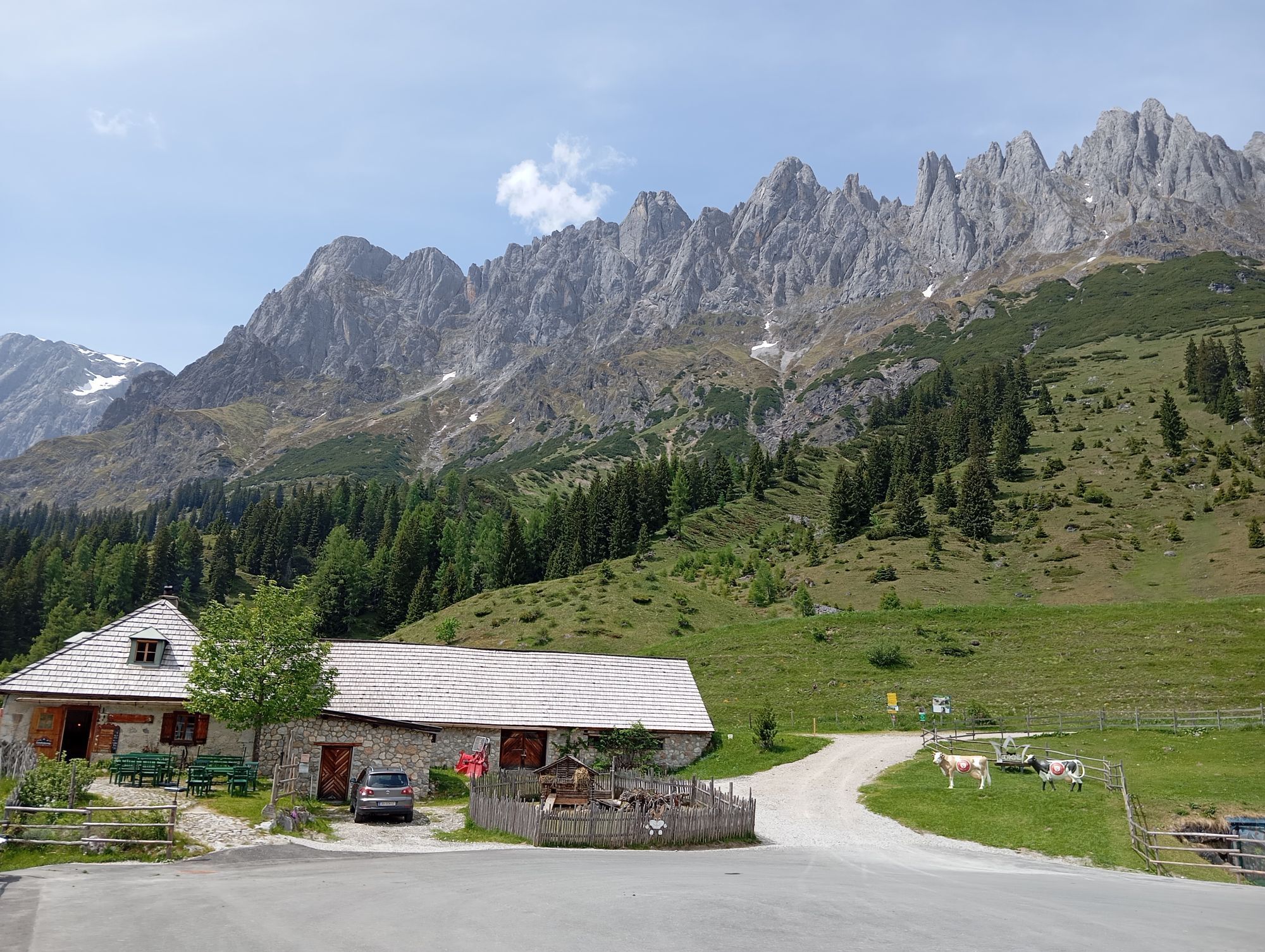
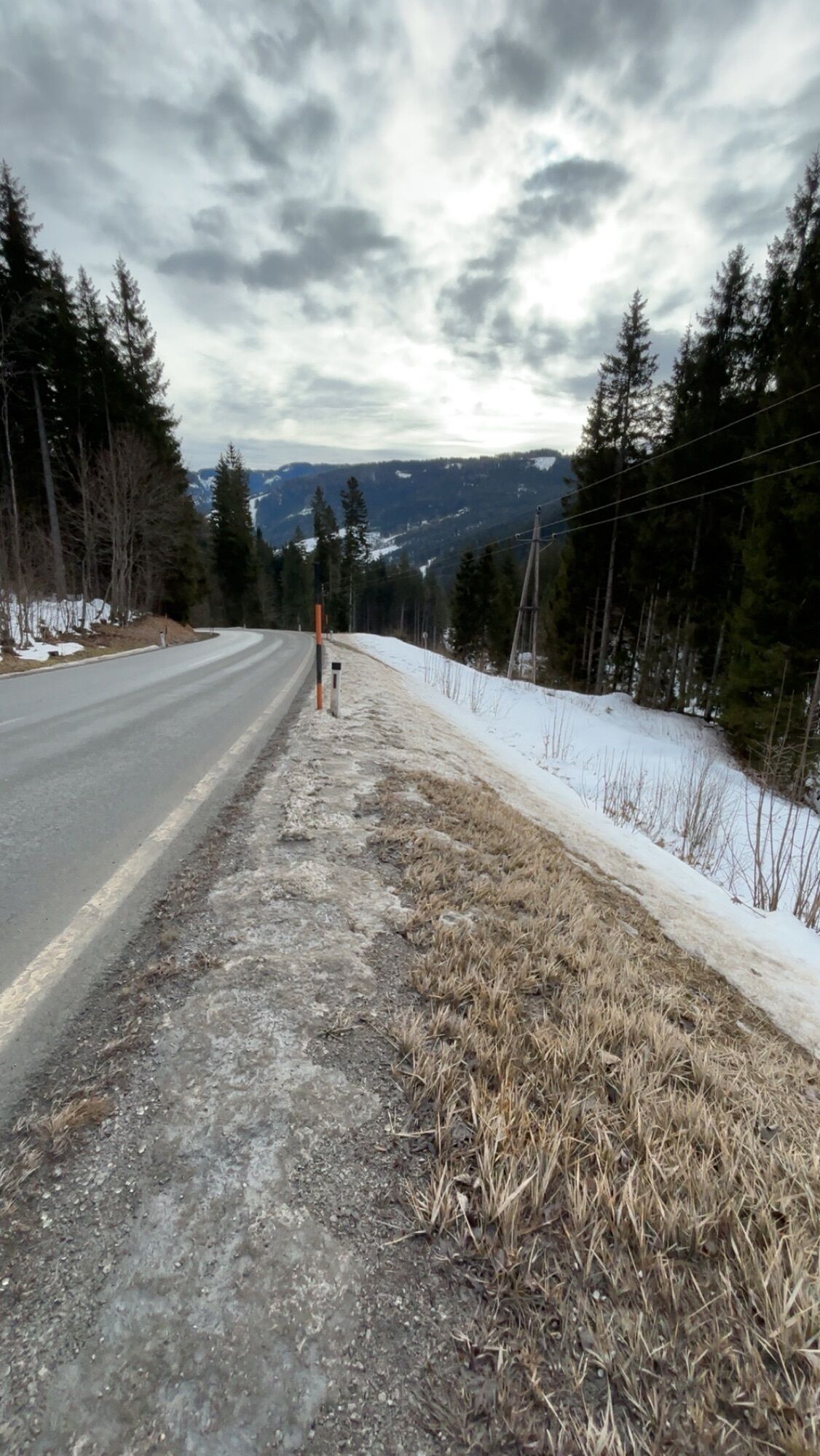
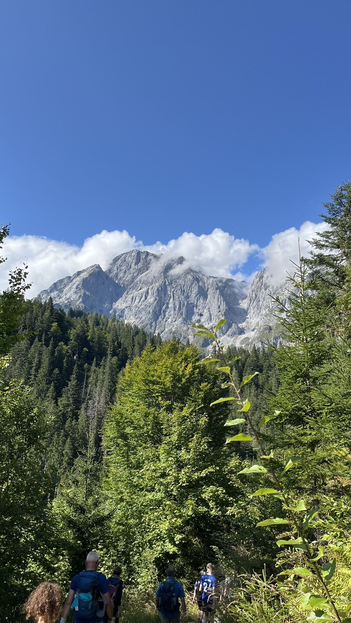
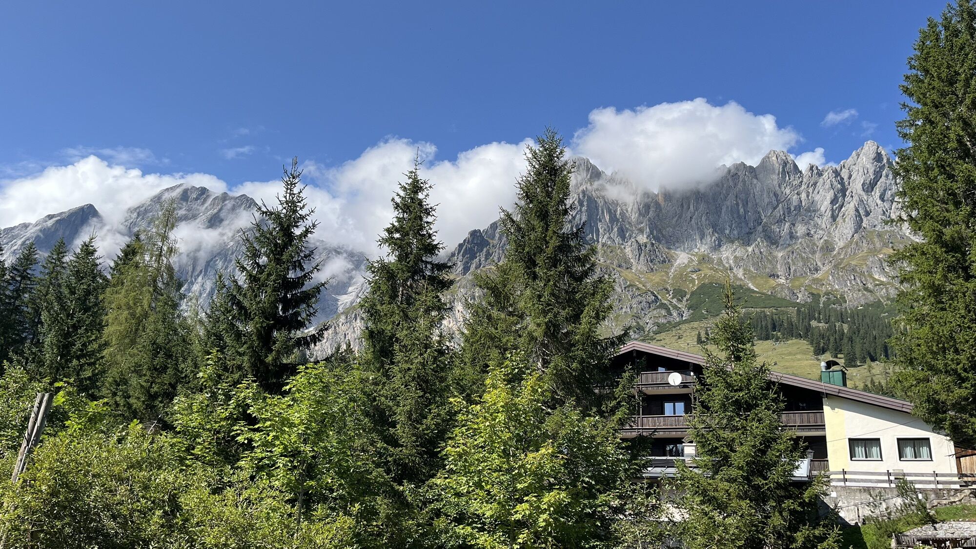
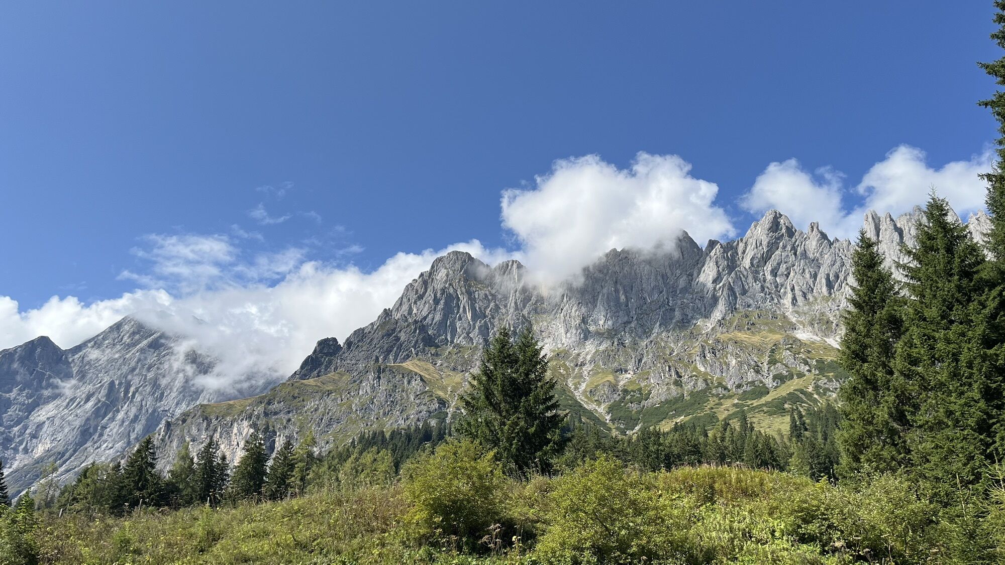
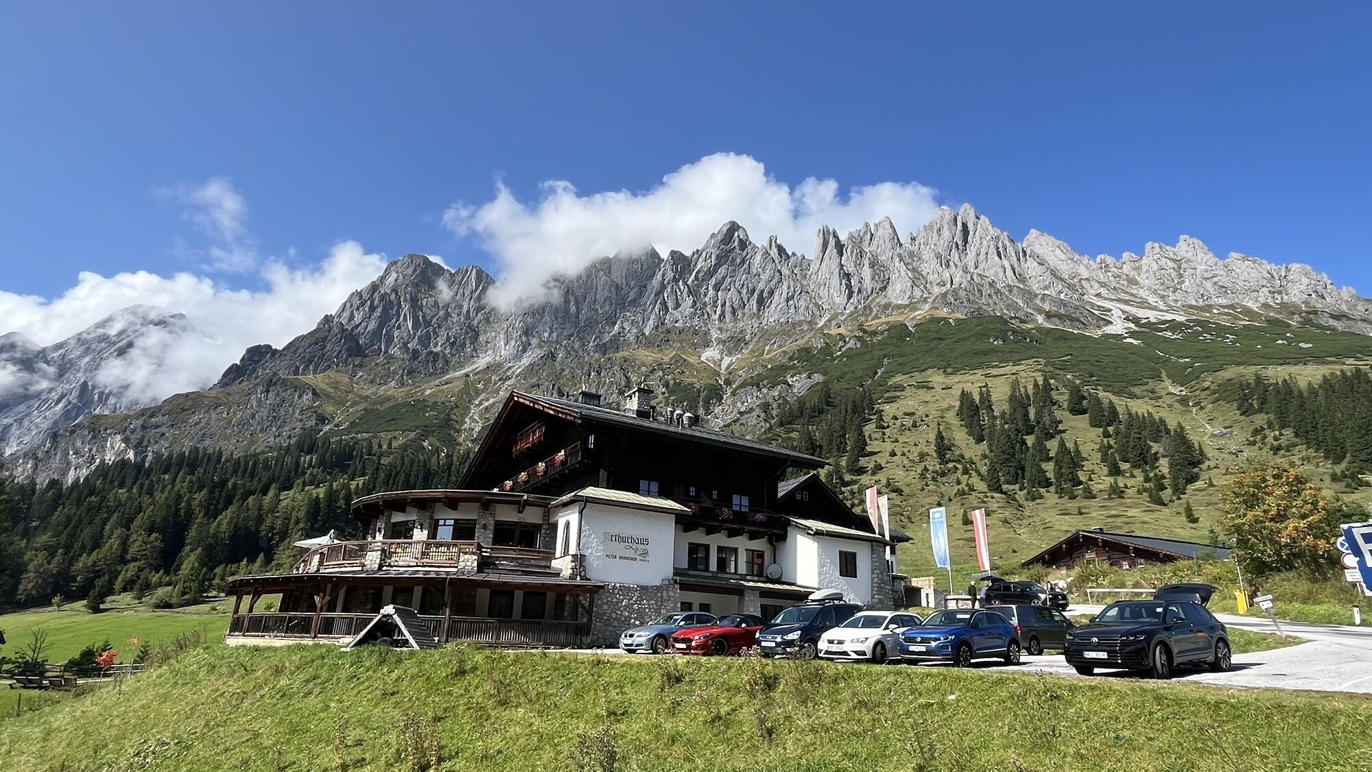
From the center of Mühlbach (eMTB charging station at the bakery – confectionery – Cafe Bauer), cycle along the federal road (B 164) to Bischofshofen. Passing the Alte Post inn, ride over the Alte Bundesstraße, Hochköniggasse, and Gainfeldweg to the Oberlehn chapel. You will be on the "Watzmann-Hochkönig route" – in the opposite direction of travel. Passing the Kematenalm and Asteggalm, follow the signs for the "Watzmann-Hochkönig route" until you meet path no. 18a. Turn right and follow path no. 18a towards Arthurhaus until you reach the Mandlwand state road. The last few kilometers descend along the state road back to the center of Mühlbach.
Checked bike equipment with helmet
Sunglasses
Sunscreen
Rain protection
Drinks and a small snack
Necessary medication
First aid kit
Bike map
Fair play!
Only ride on marked paths! Close all gates, barriers, and pasture gates! Observe the traffic regulations! Overtake only at walking speed! Behave respectfully towards other nature users and forestry and hunting personnel! Be considerate of animals! Do not leave any waste in nature! Act responsibly! Weather forecasts: Pay attention to current weather conditions at: zamg.at or www.uwz.at.Emergency numbers: Alpine emergency: 140, International emergency: 112, Rescue: 144
Arrival from Salzburg: Take the A10 highway to the Bischofshofen exit, then B311 towards Bischofshofen. Follow the Hochkönig federal road/B164 to Mühlbach.
Arrival from Innsbruck/Kufstein: Take Loferer Straße/B178 towards St. Johann i.T., then via the Hochkönig federal road/B164 through Saalfelden and Maria Alm to Mühlbach.
Train: Bischofshofen station - ÖBB Scotty
Bus: line 591 to the Kabinenbahn Karbachalm stop - timetable information
www.hochkoenig.at/wanderbus
Parking lot opposite the fire station.
5
More information about bike routes and activities in the Hochkönig region:
For detailed information about hiking maps, opening times of mountain lifts, huts, and alpine pastures in summer, we recommend visiting the local service center. There you will receive not only the hiking map but also valuable tips on the best hiking routes and current conditions.
Summer opening times of mountain lifts: During the summer months, the mountain lifts offer different opening hours, which may vary depending on weather and season. Please check the current operating times in advance.
Opening times of huts & alpine pastures in summer: The huts and alpine pastures in the region are ideal resting places for hikers. Here too, opening times may vary depending on season and weekday. Let the friendly hosts advise you on the local offerings and specialties.
For more information, please visit our website: www.hochkoenig.at.
If you have questions or want specific information, feel free to contact us:
Email: region@hochkoenig.at
Phone: +43 (0)6584 20388
We look forward to helping you and wish you much fun exploring the beautiful hiking region Hochkönig!
A route not to be underestimated!
Získejte přehled
Vždy živě na místě s více než 9 500 webkamerami. bergfex Jako uživatel Pro si nyní můžete zobrazit odpovídající webové kamery pro mnoho prohlídek v aplikaci prohlídky z. Můžete si tak přímo prohlédnout aktuální podmínky.
Oblíbené prohlídky v okolí
-
4.9
Werfenweng Mountainbikerunde Söldenhütte
středníMountainbike 18.8 km -
4.8
Summit stormer route Lauskopf
heavyTuristika 8.16 km -
4.8
Summit storming route Taghaube
heavyTuristika 6.25 km -
4.7
About the "Four Huts circular route" to Windraucheggalm
středníTuristika 10.1 km -
4.6
Panorama hike to the Hochkeil
středníTuristika 6.07 km -
3.6
Wanderung zur Ostpreußenhütte in Werfen (1.630 m)
středníTuristika 11.2 km -
4.9
Hochkönig - Gipfel der Gefühle - Matrashaus
heavyTuristika 20.9 km -
4.8
Liechtensteinklamm mit Helix
světloTematická stezka 3 km -
4.4
Alpine and hut hike "Hochmaisalm & Steinbockalm"
středníTuristika 8.10 km -
5.0
Großarl: Heukareck
středníTuristika 12.5 km
Pěší turistika a stopování


Nenechte si ujít nabídky a inspiraci pro vaši příští dovolenou
Vaše e-mailová adresa byl přidán do poštovního seznamu.





