






Filzmoos - Türlwandhütte - Bachlalm - Filzmoos
Úroveň obtížnosti: 3


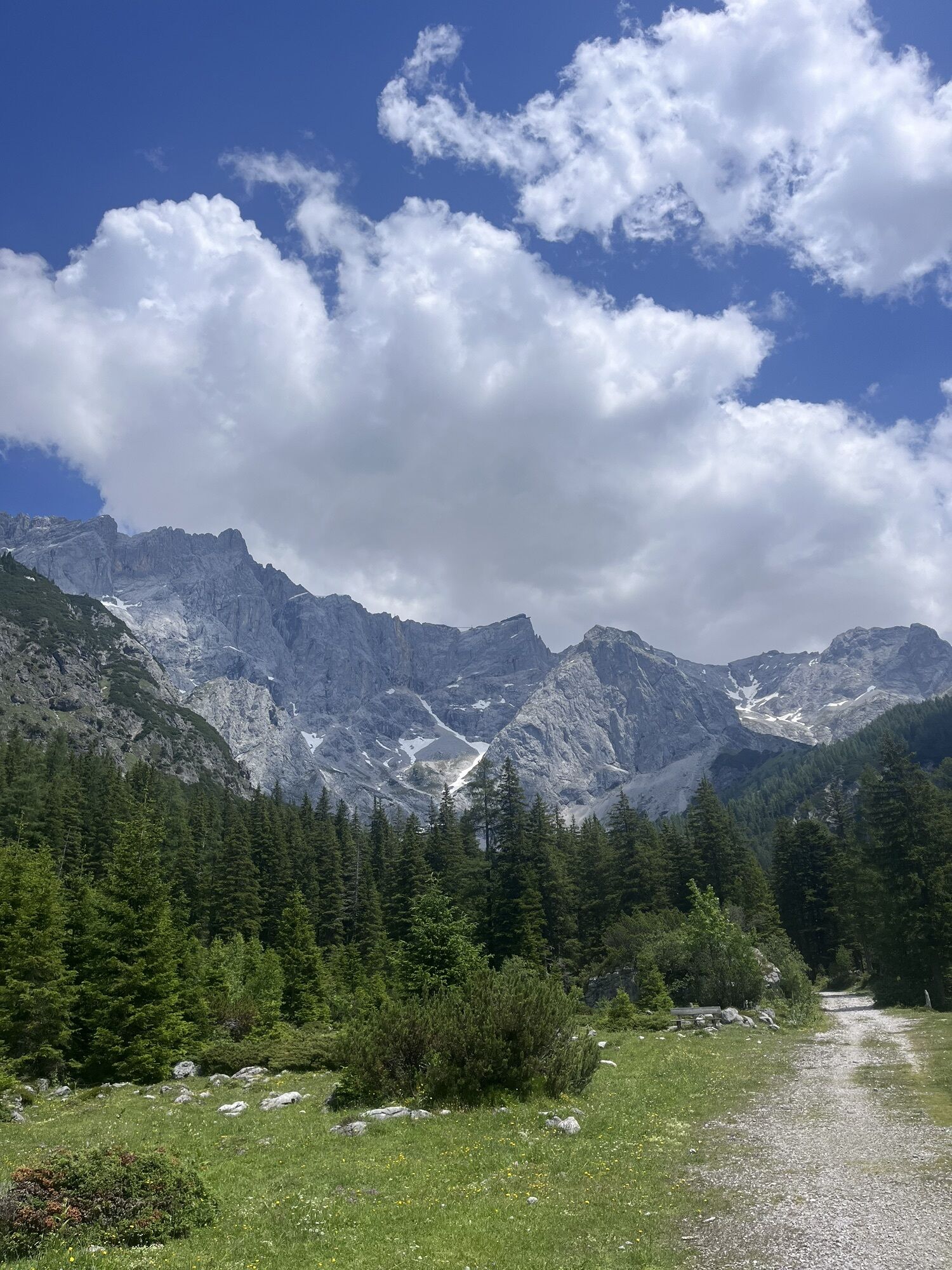
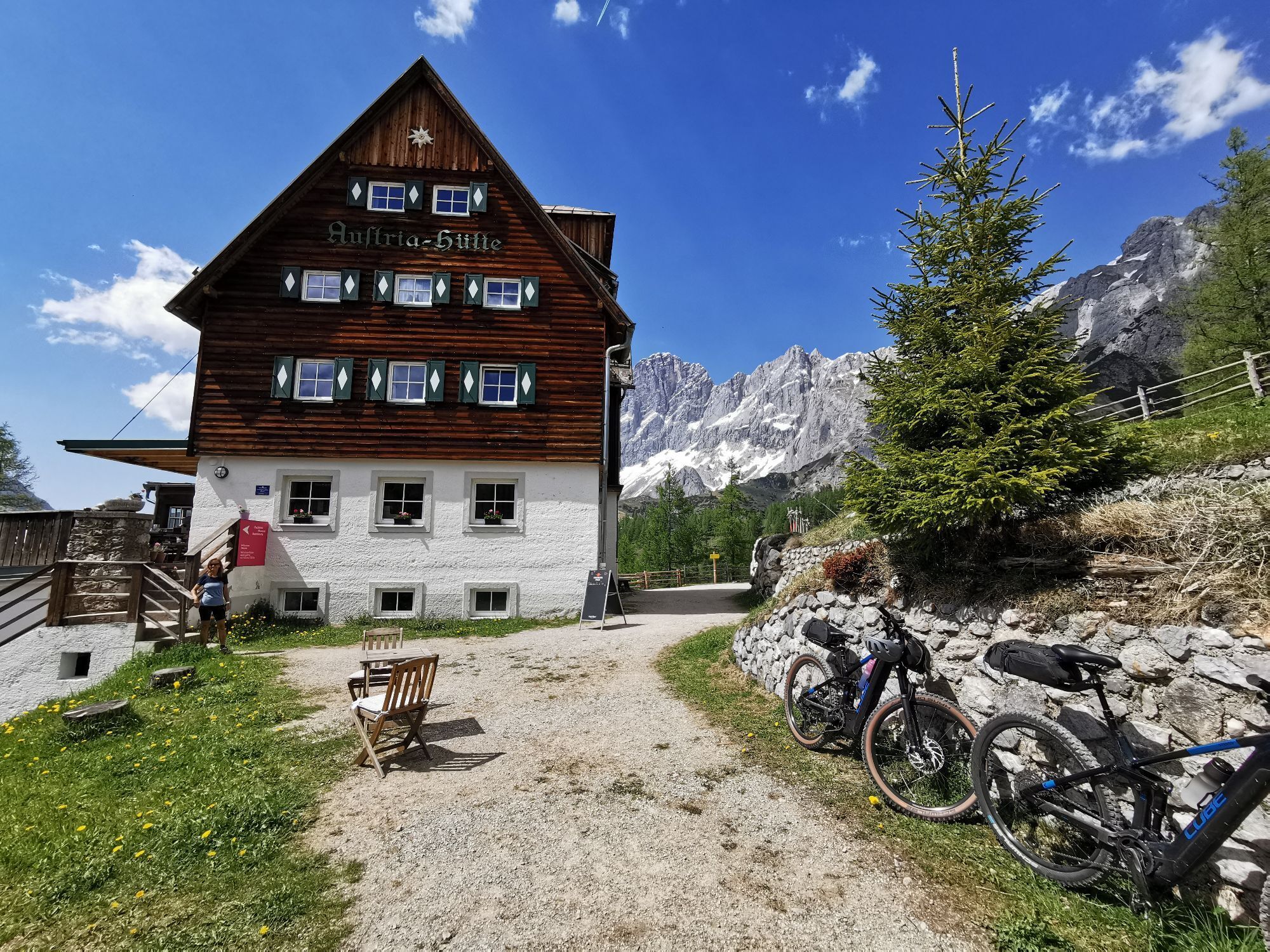
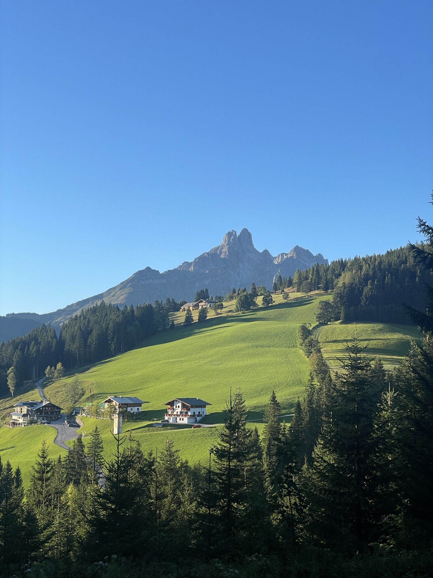
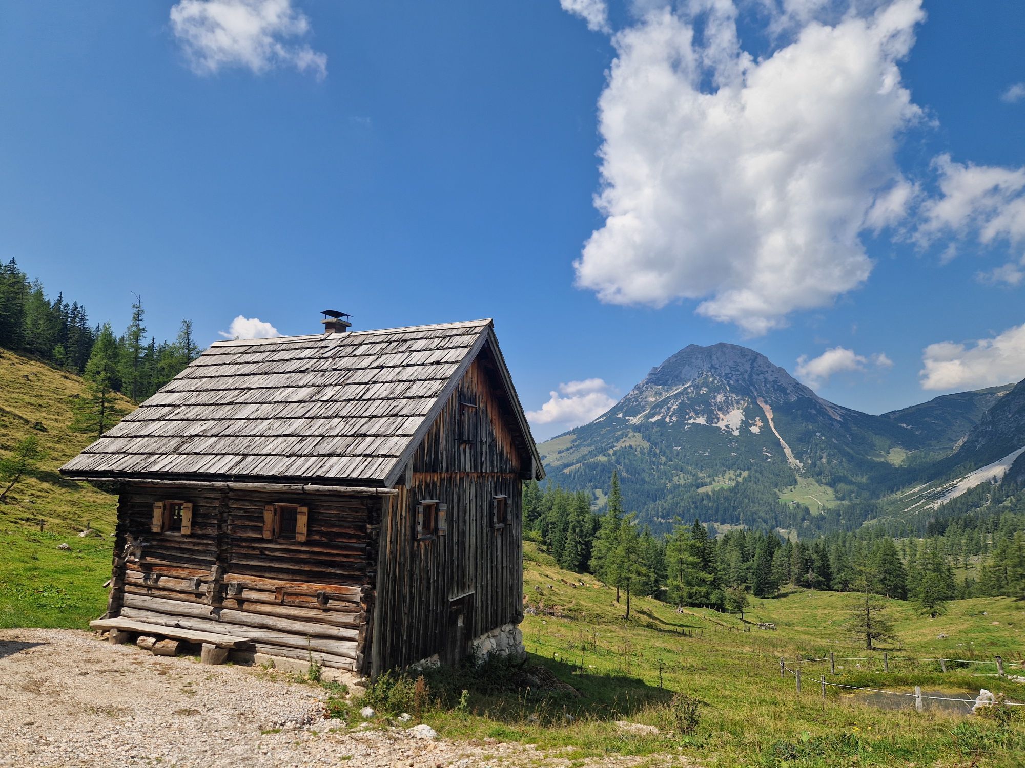
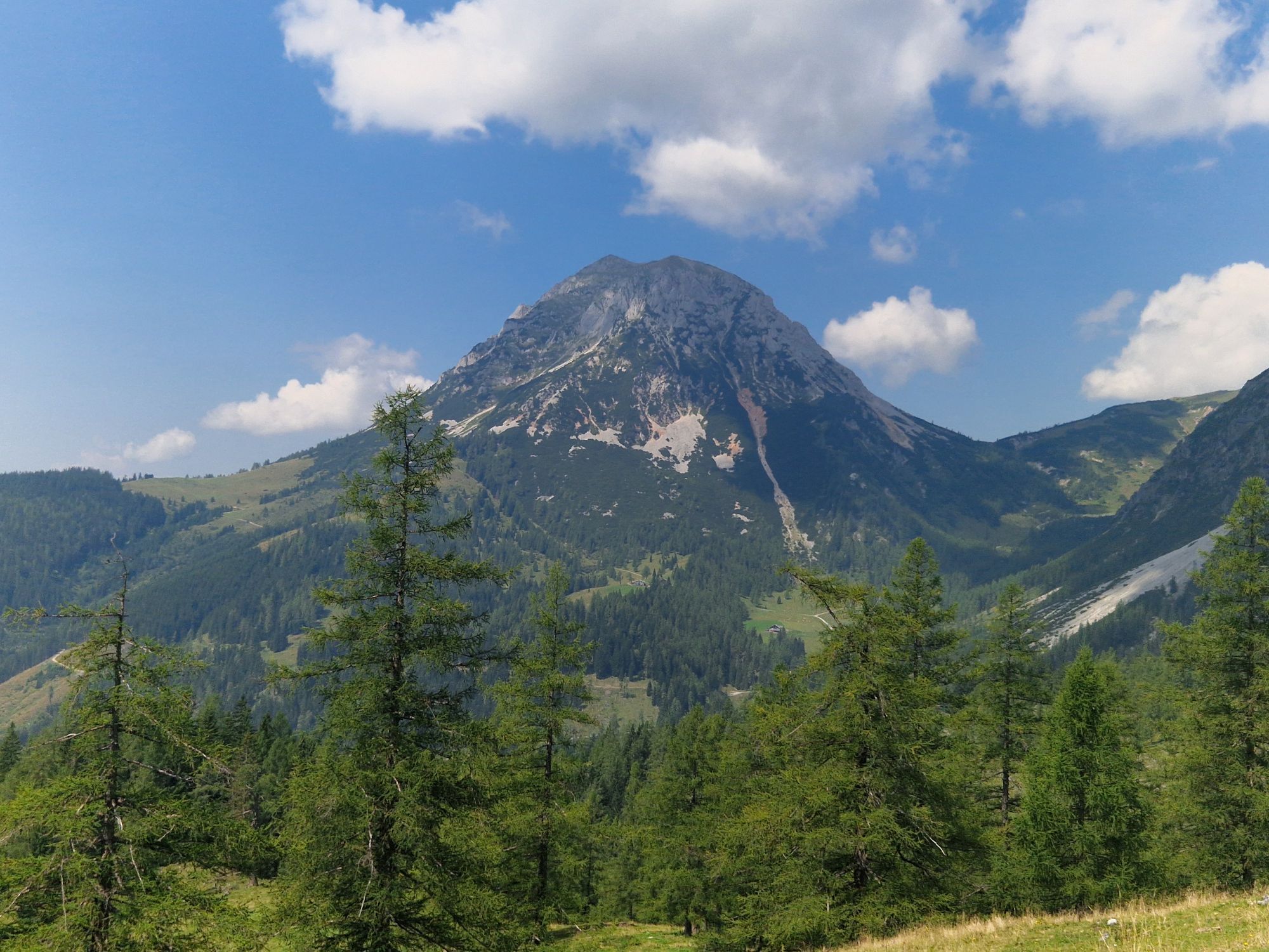
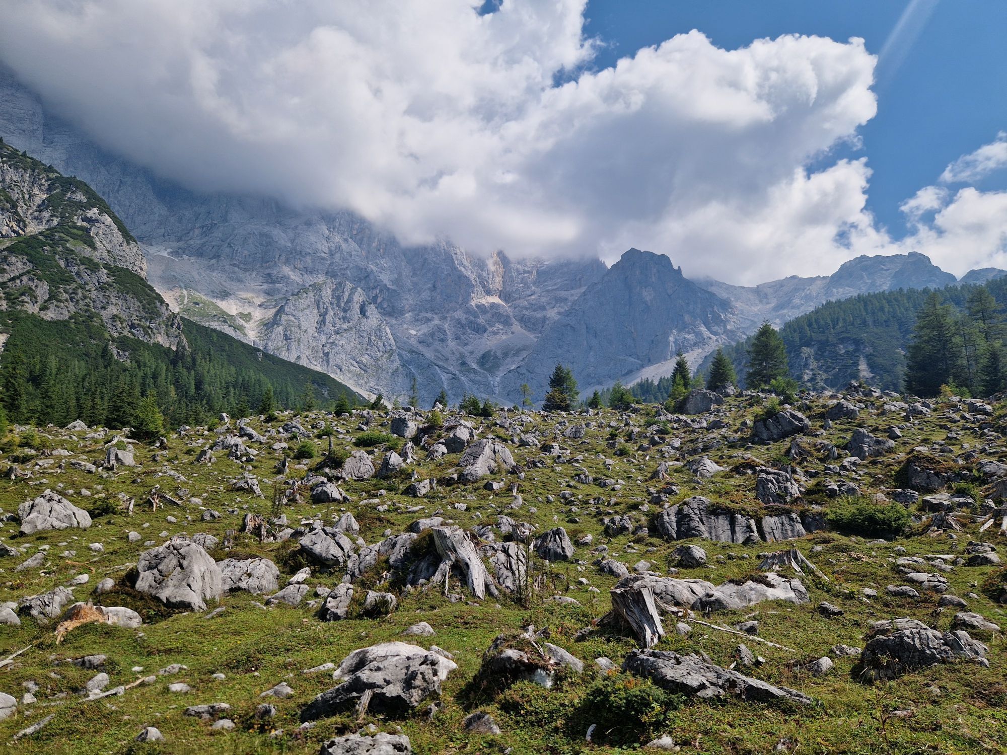
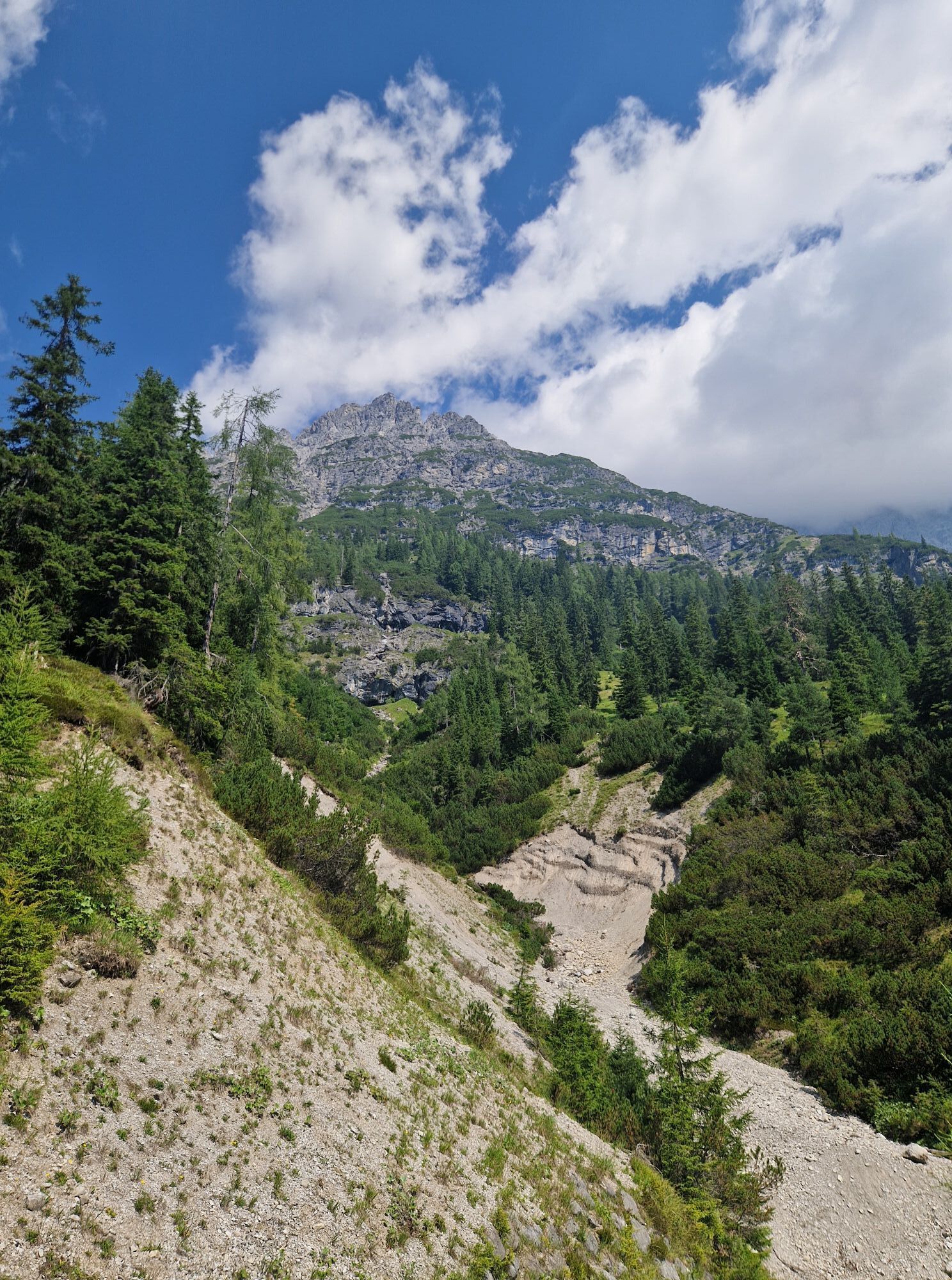
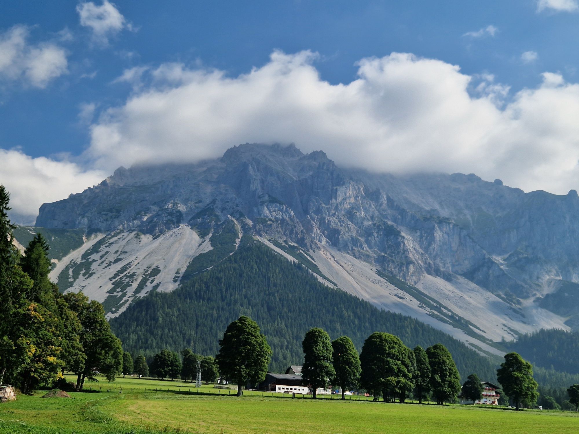
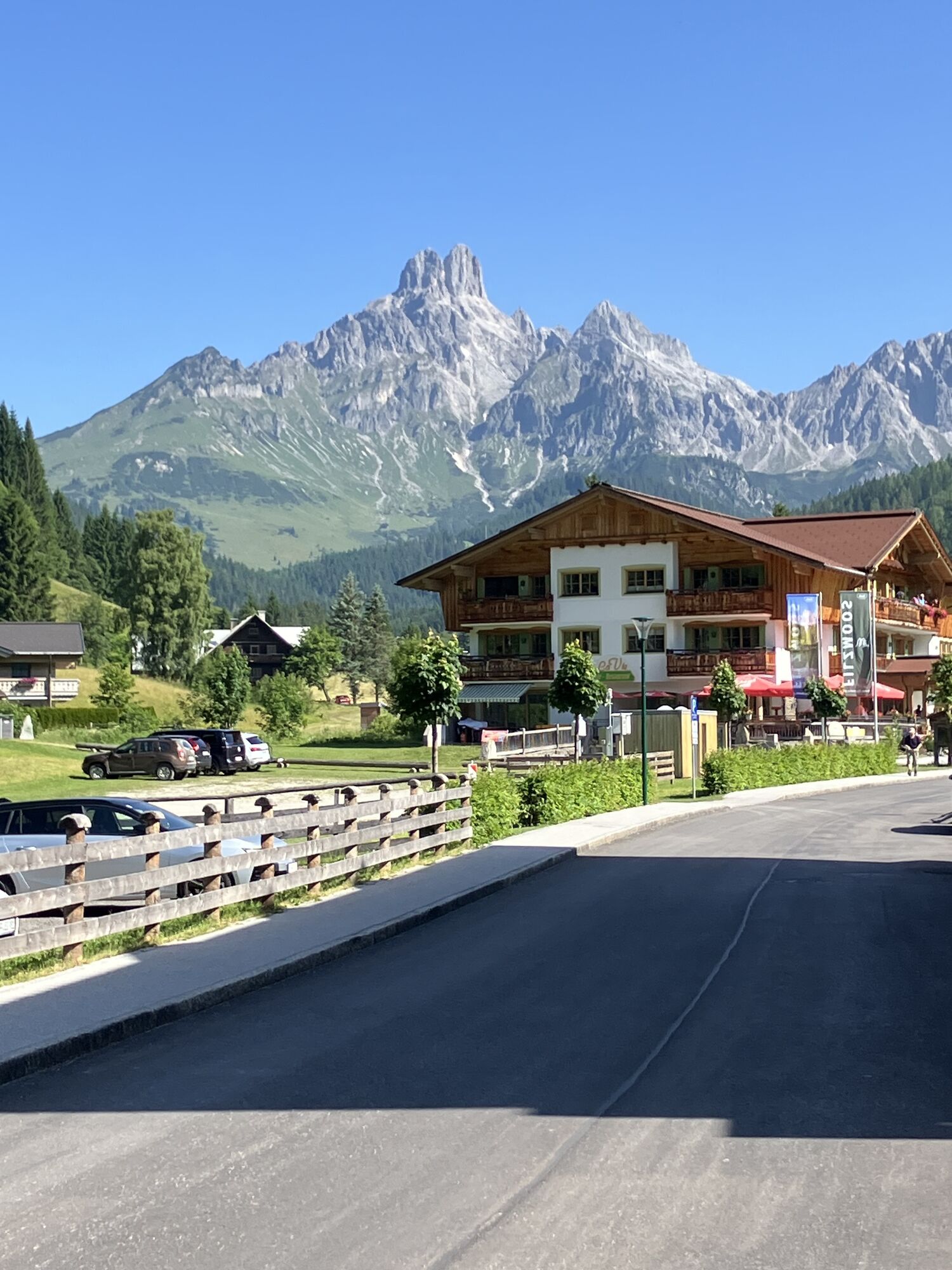

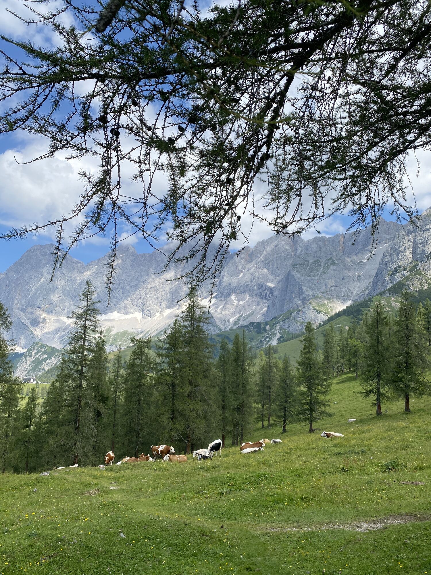
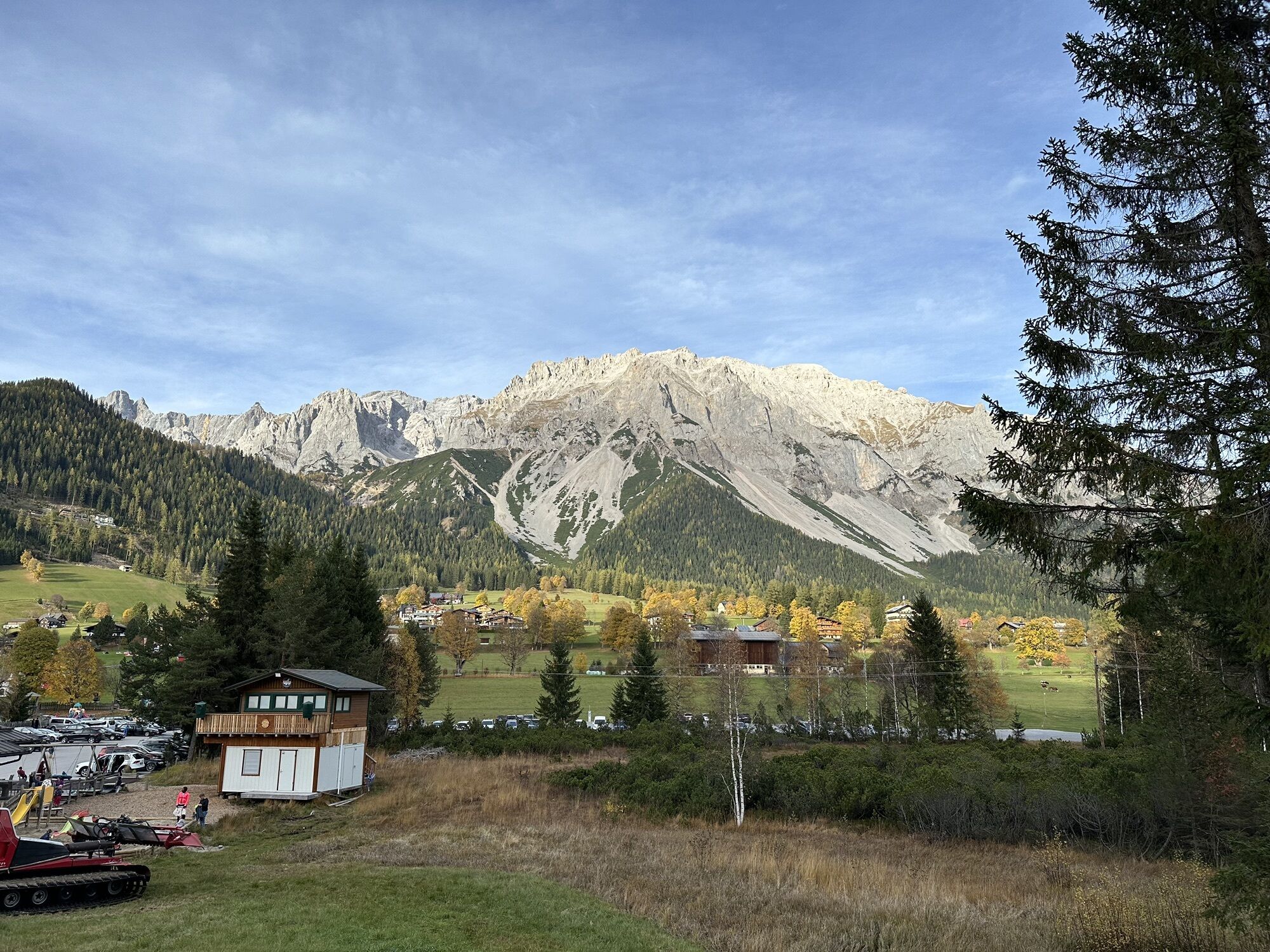
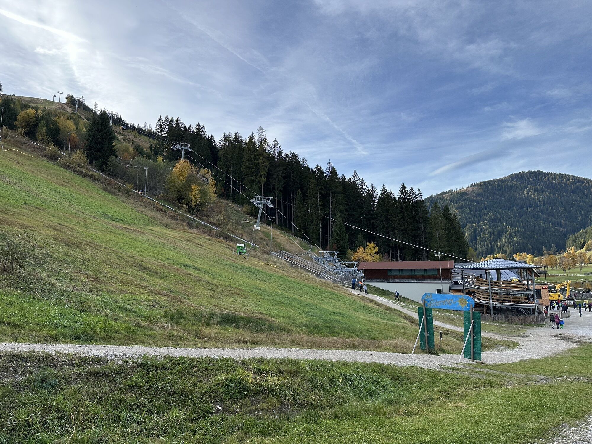
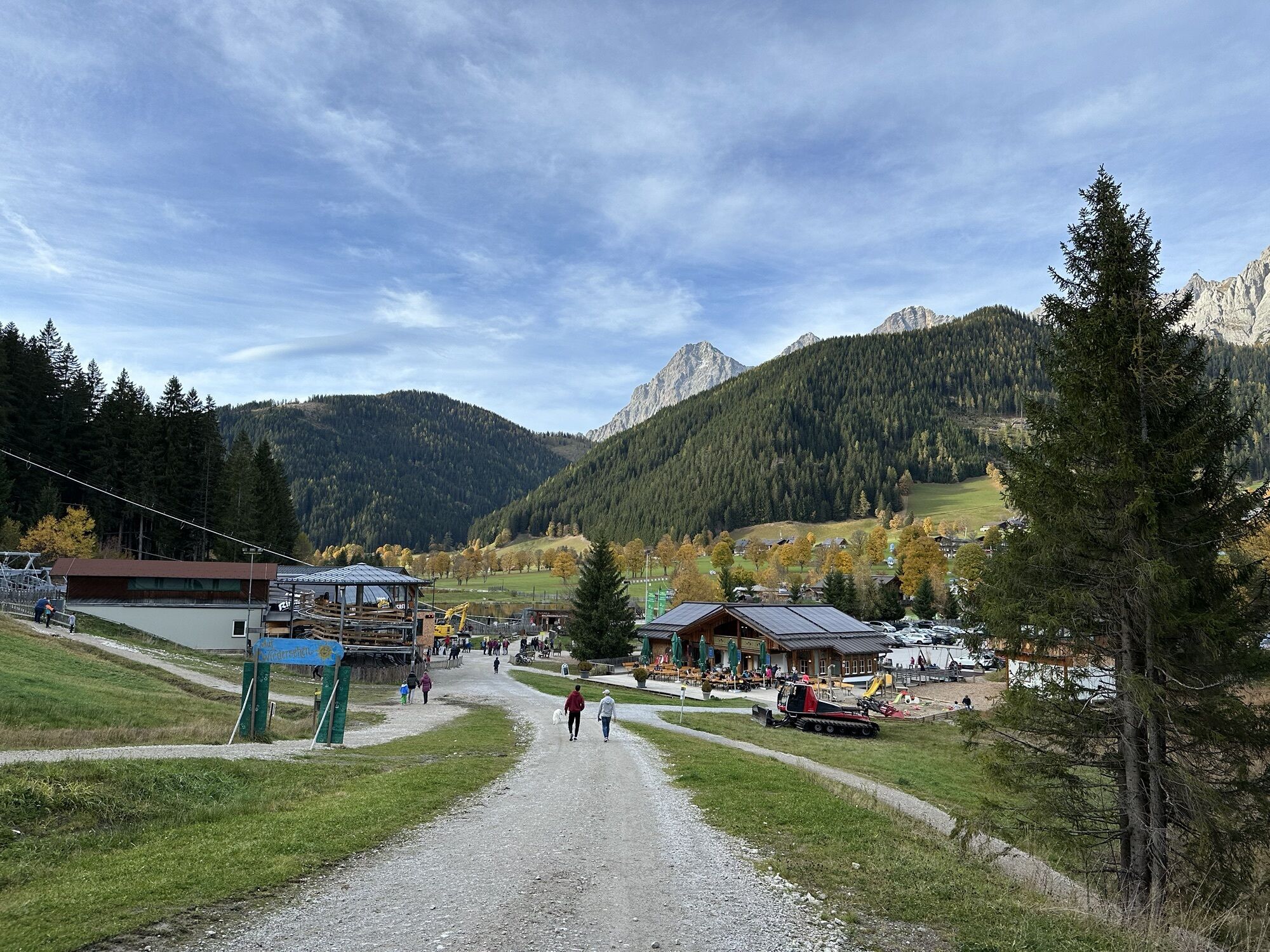
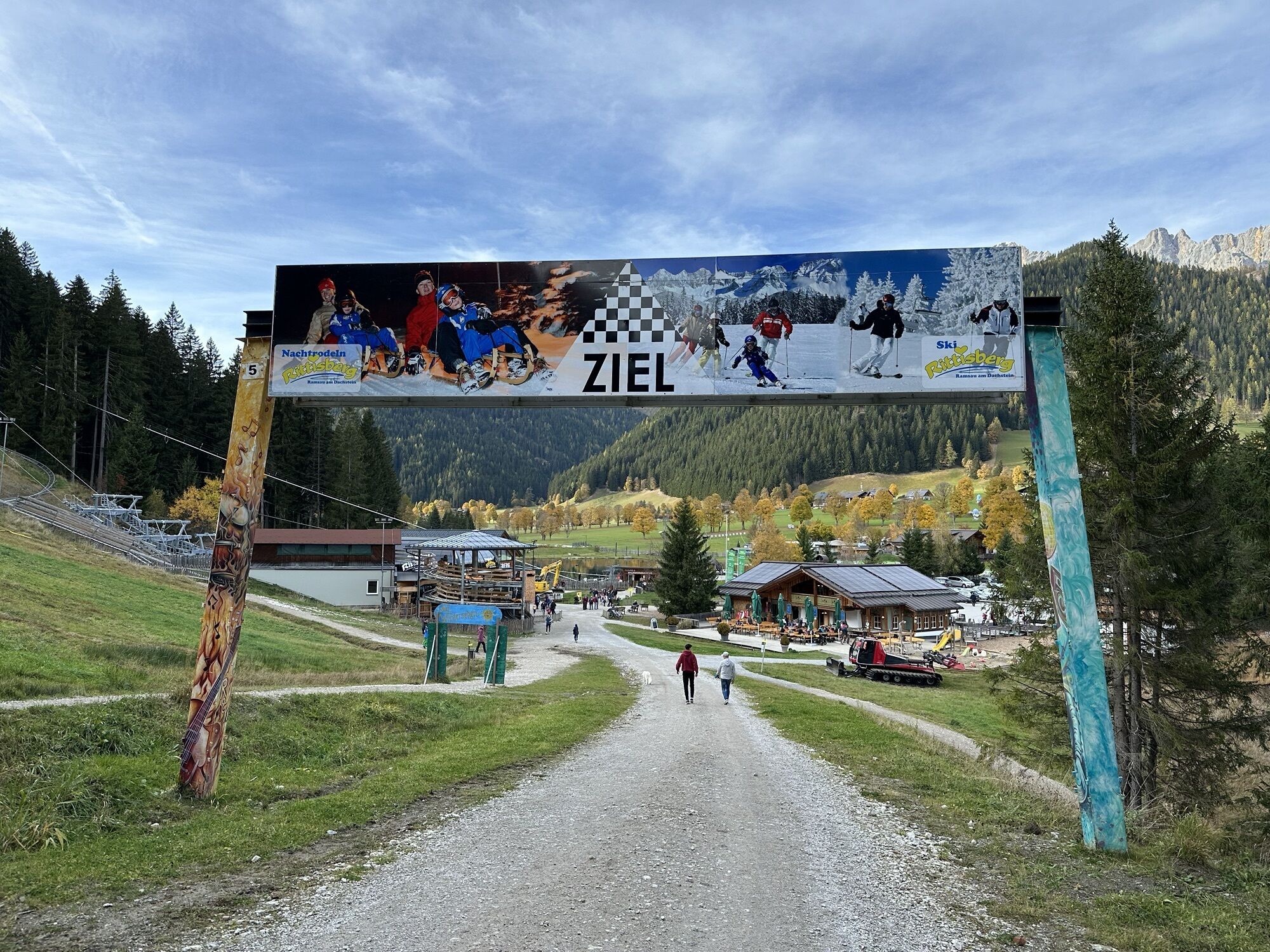


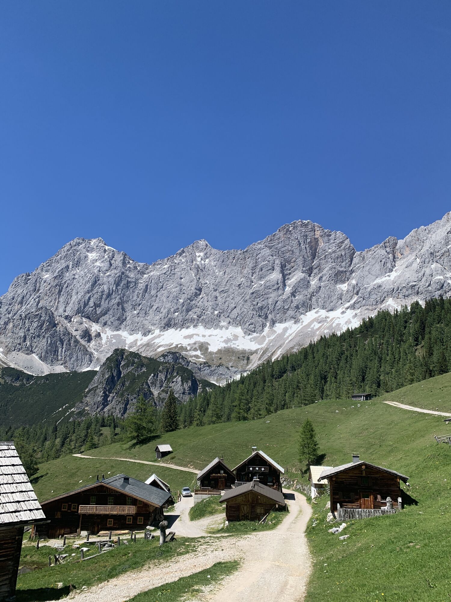
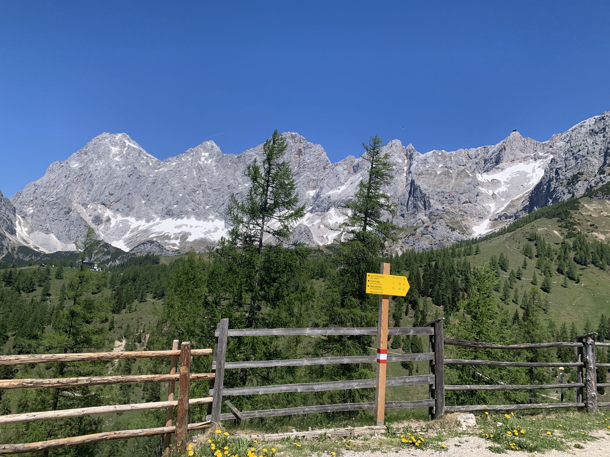
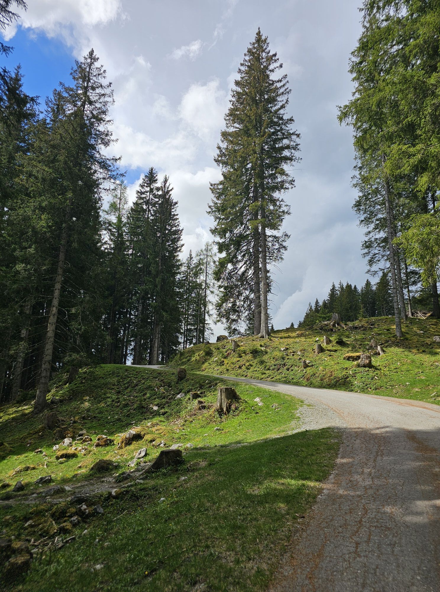
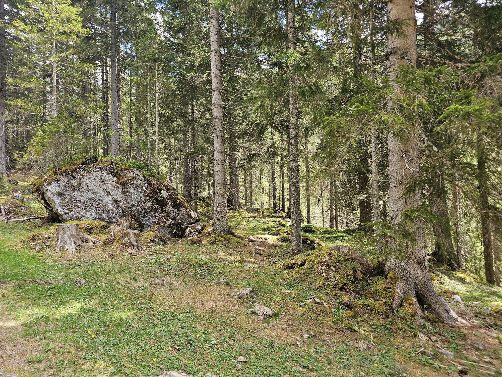
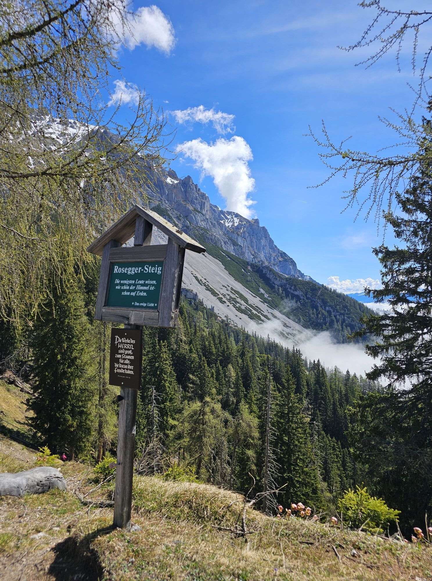
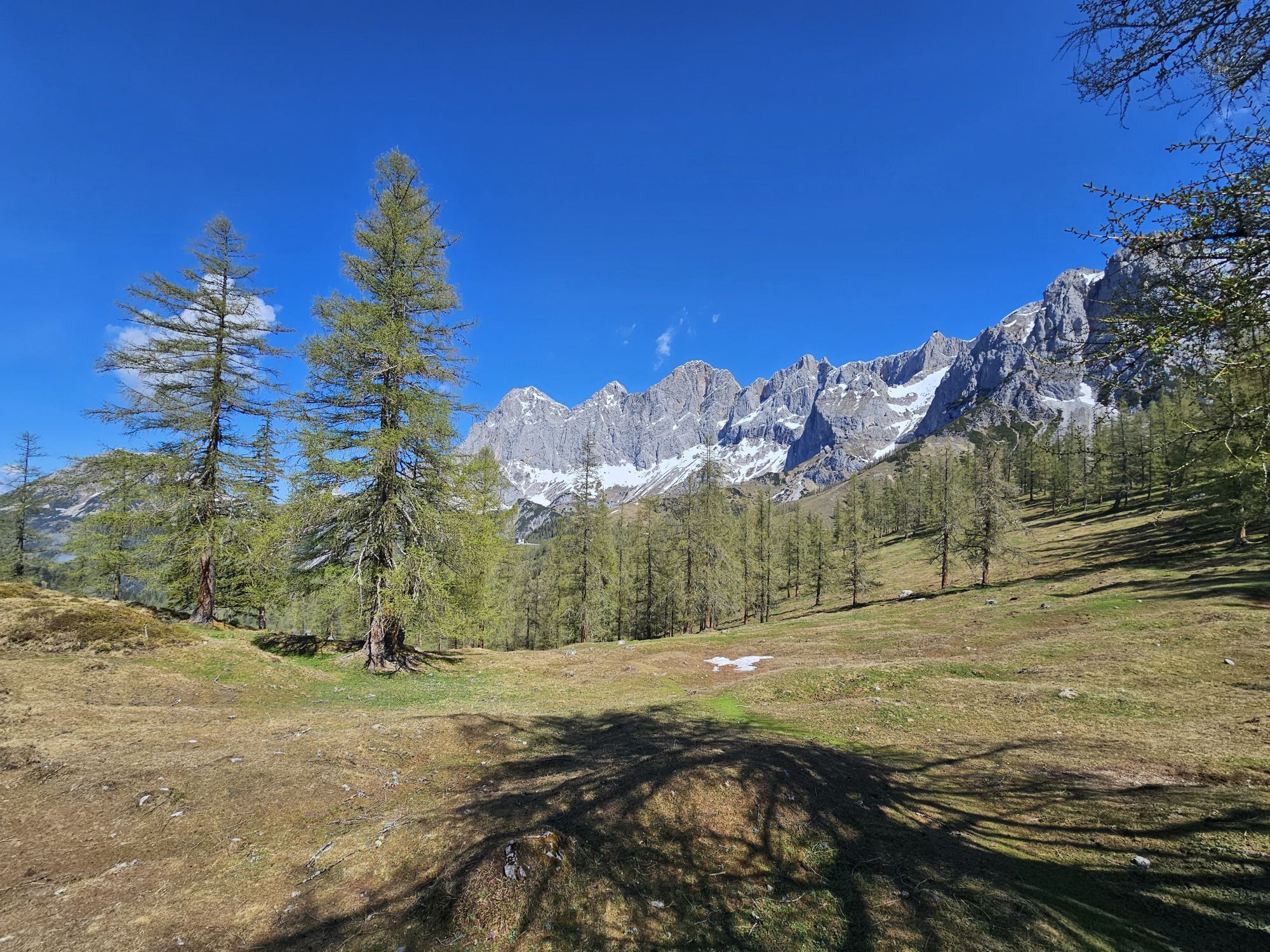
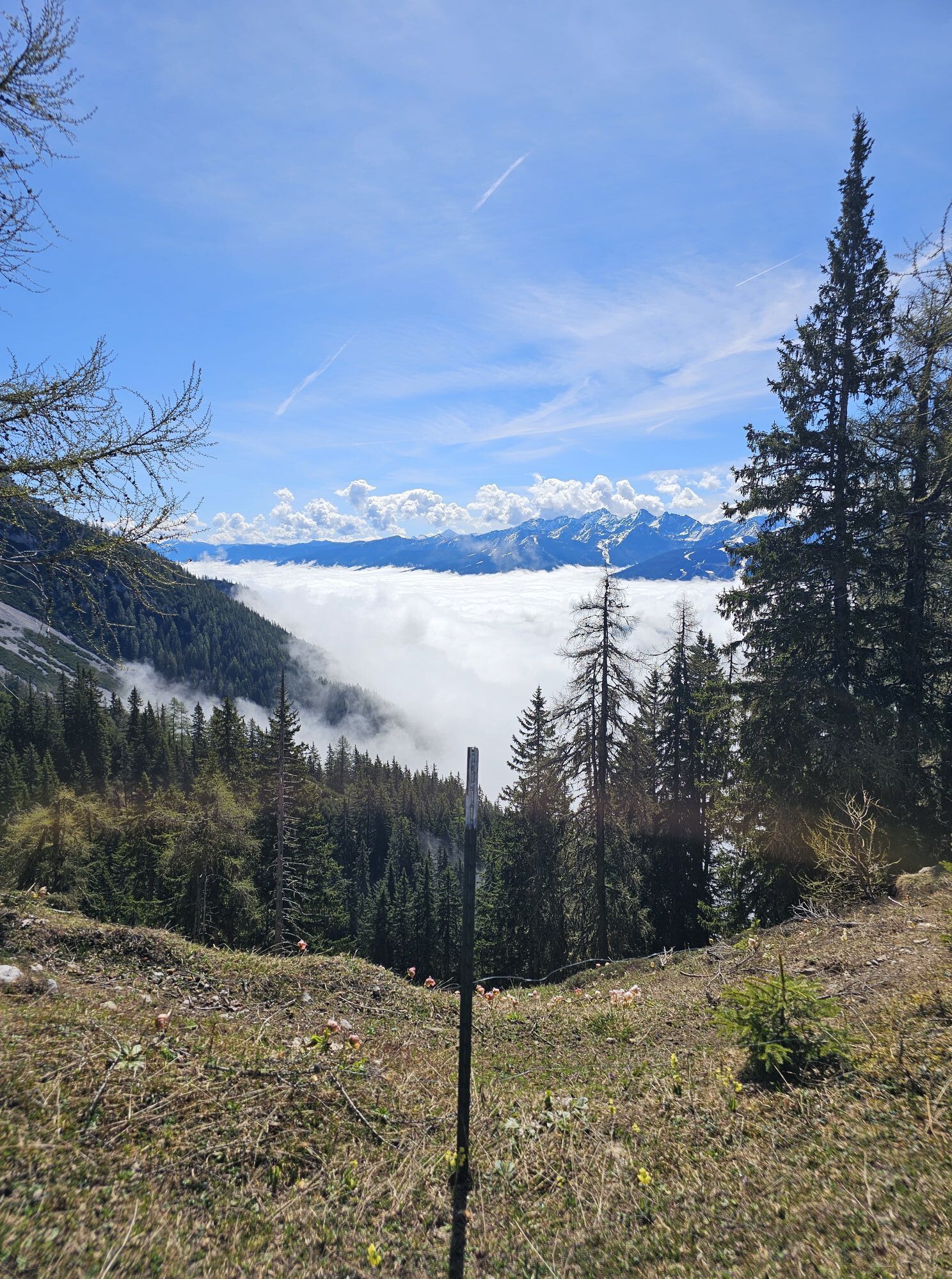
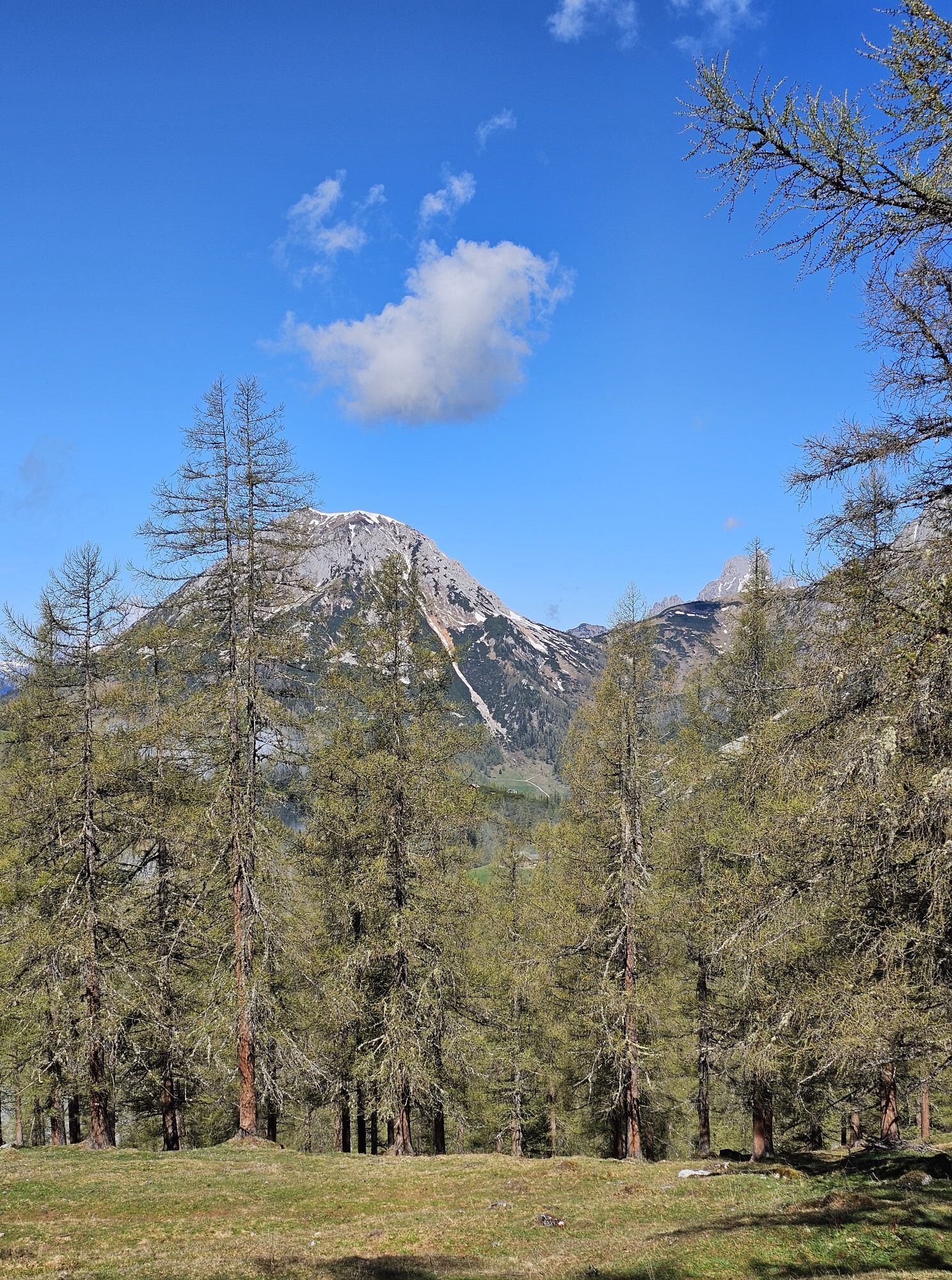
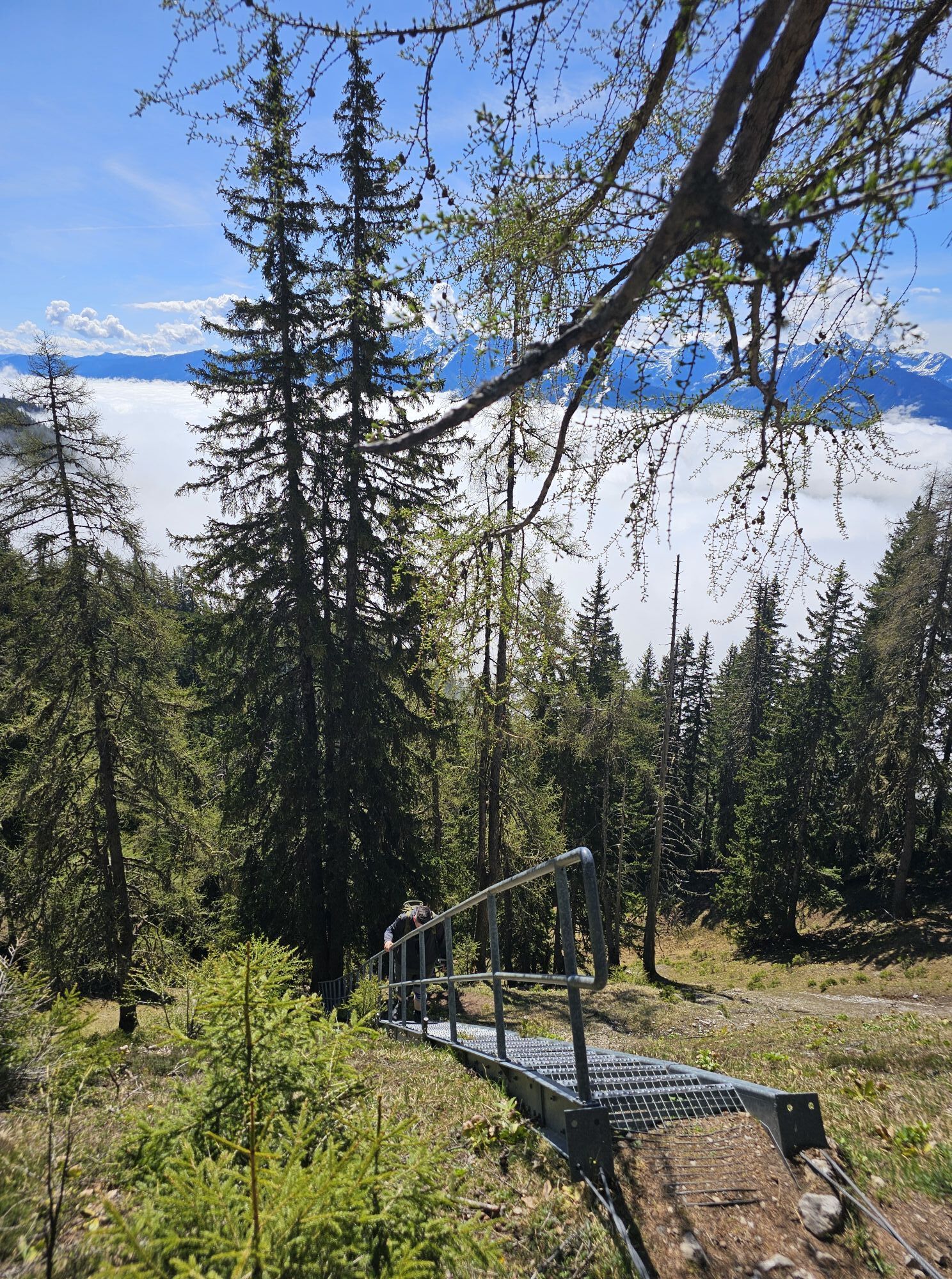
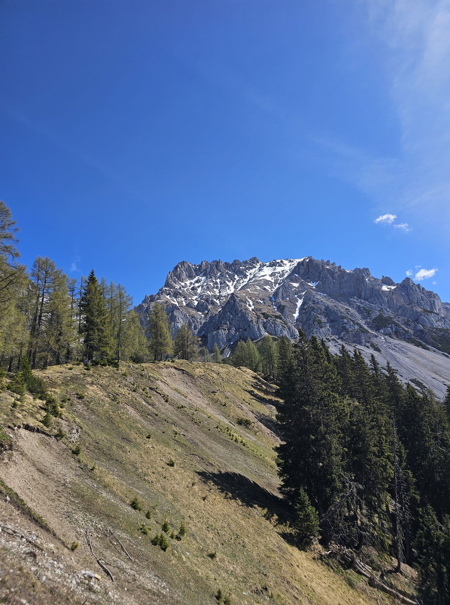
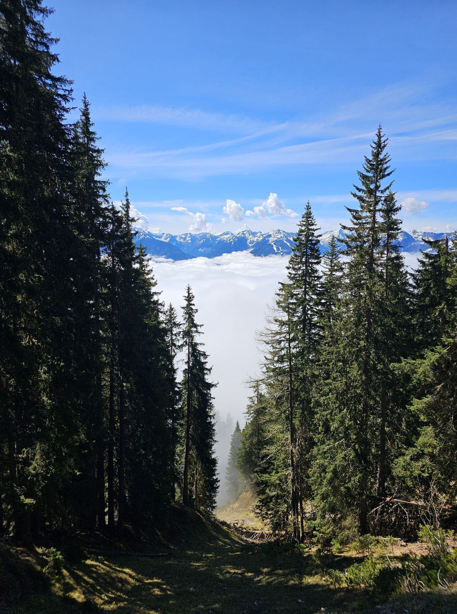
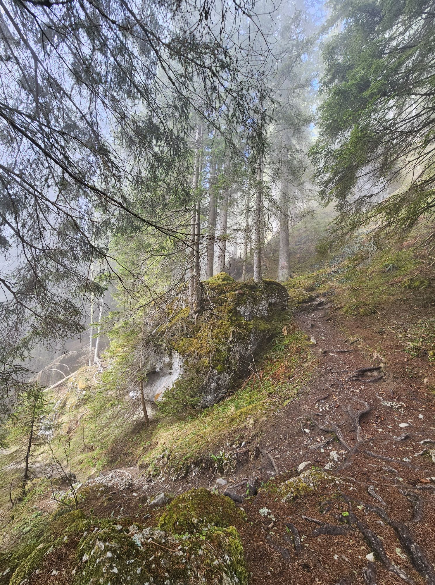
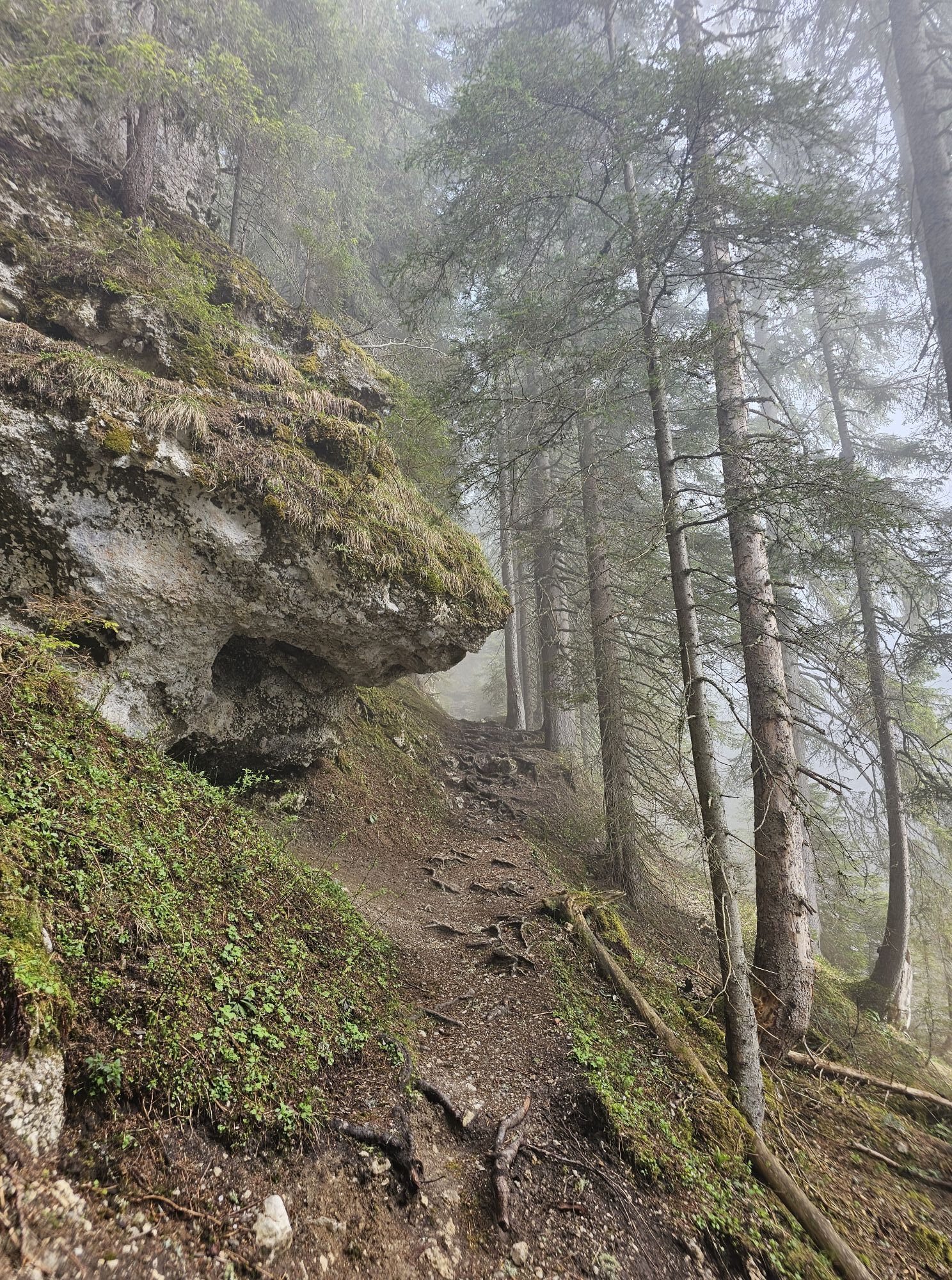
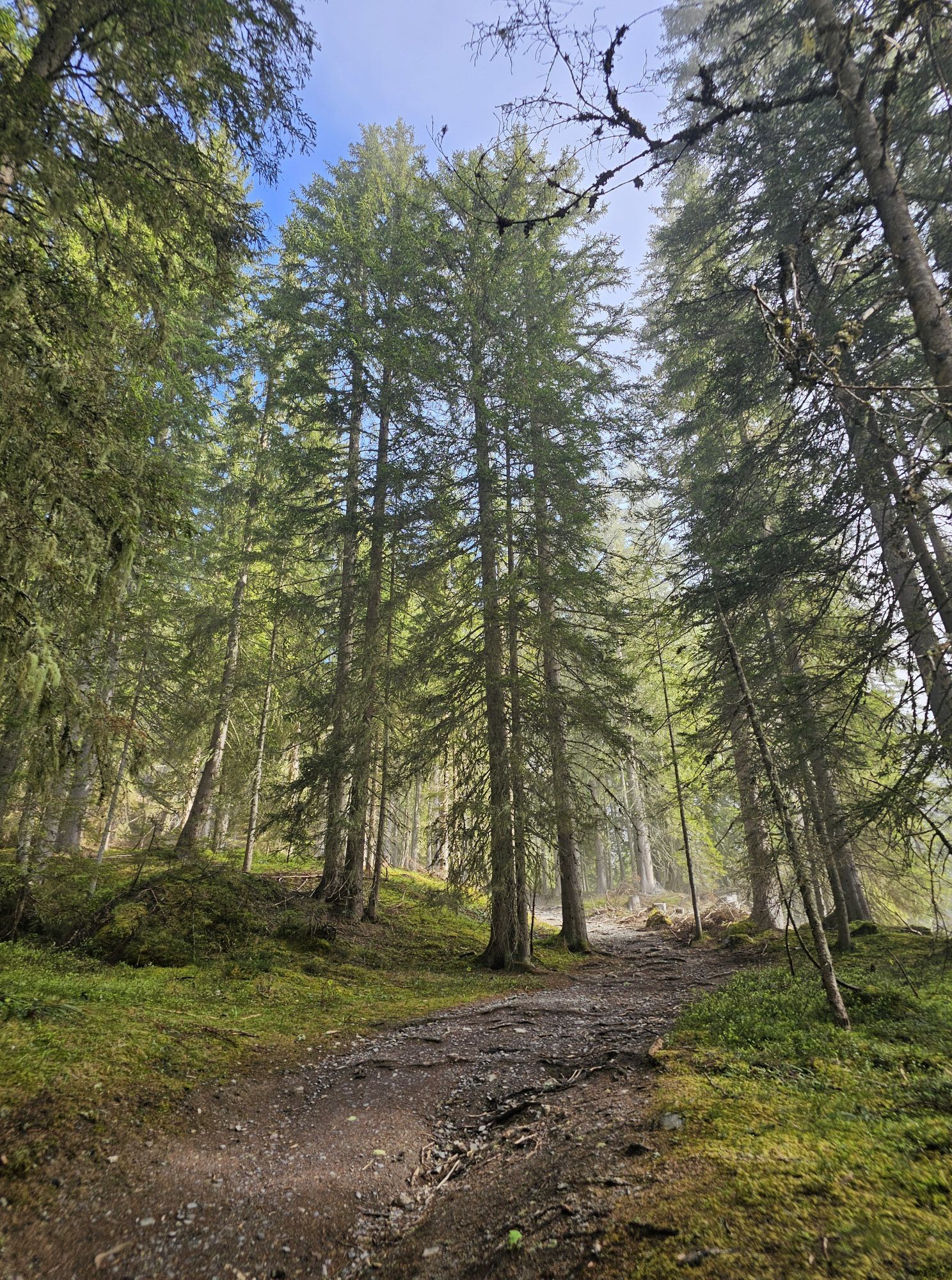
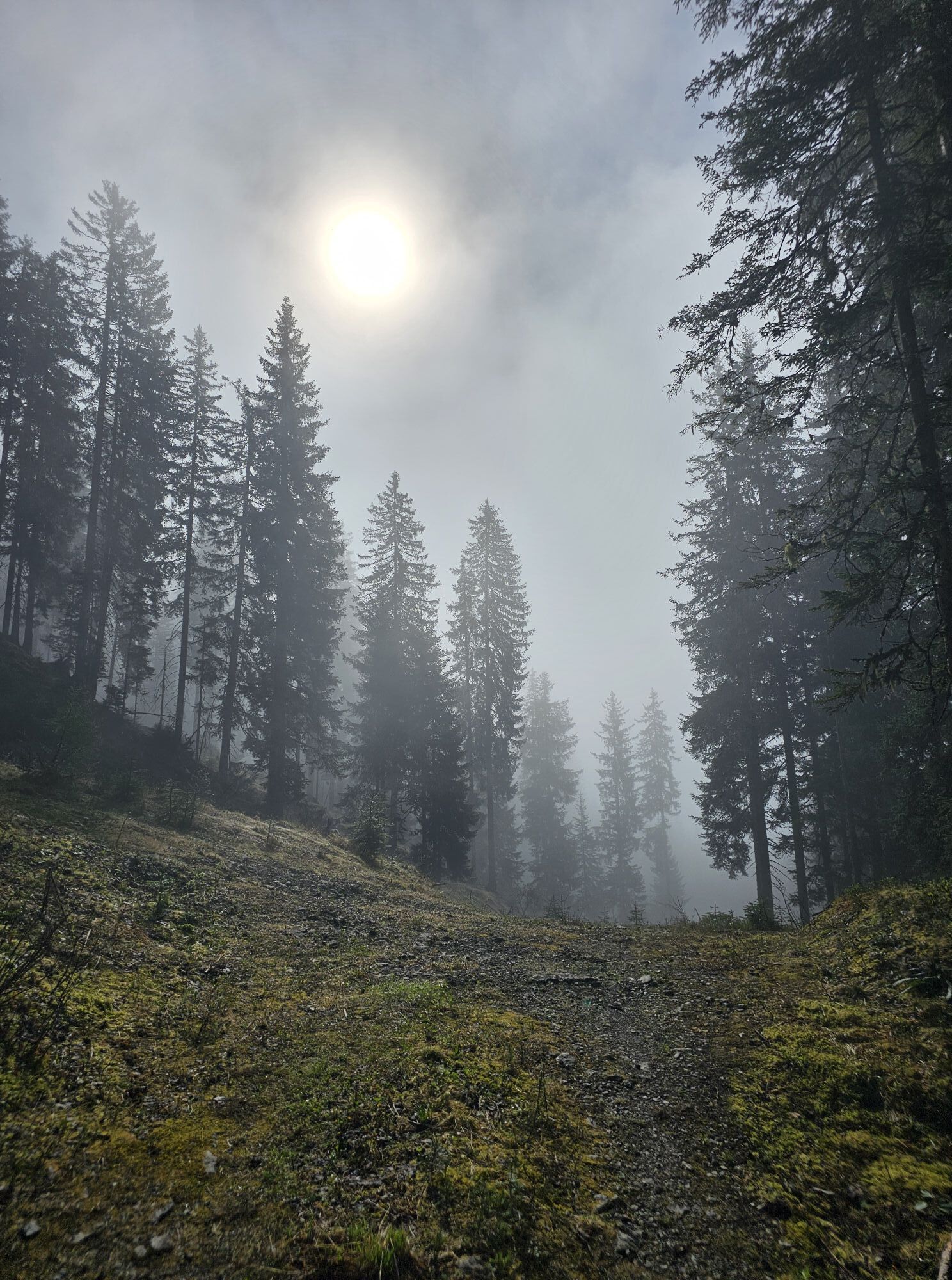
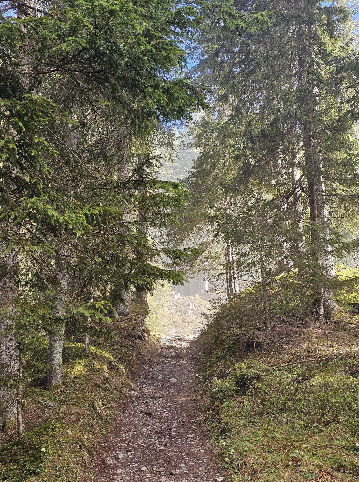
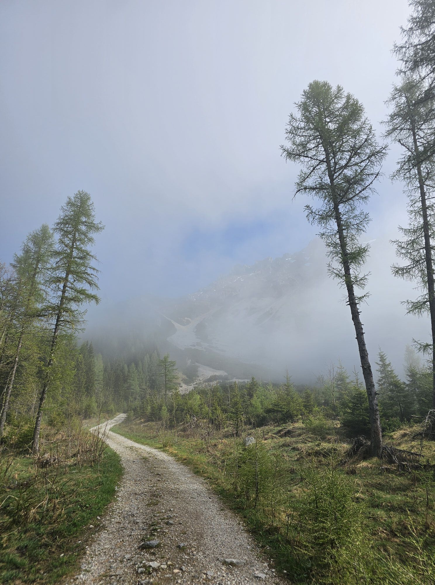
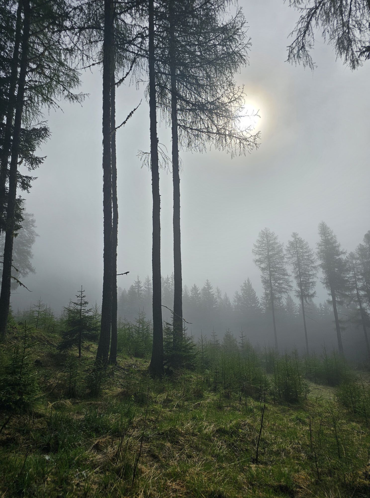
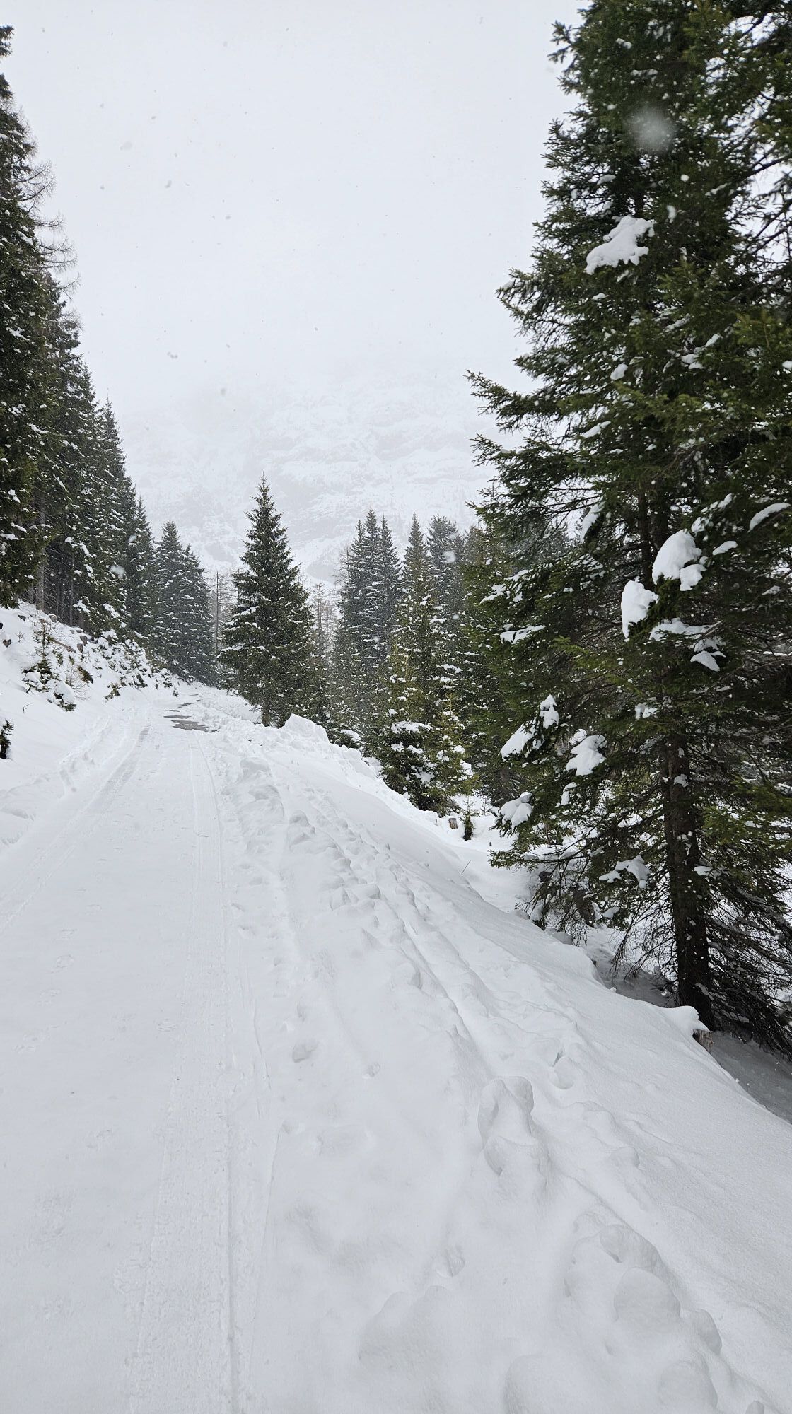
This challenging panoramic tour leads from Filzmoos via Ramsau am Dachstein into the spectacular mountain landscape of the Dachstein massif. After an easy warm-up section along the Warme Mandling stream,...
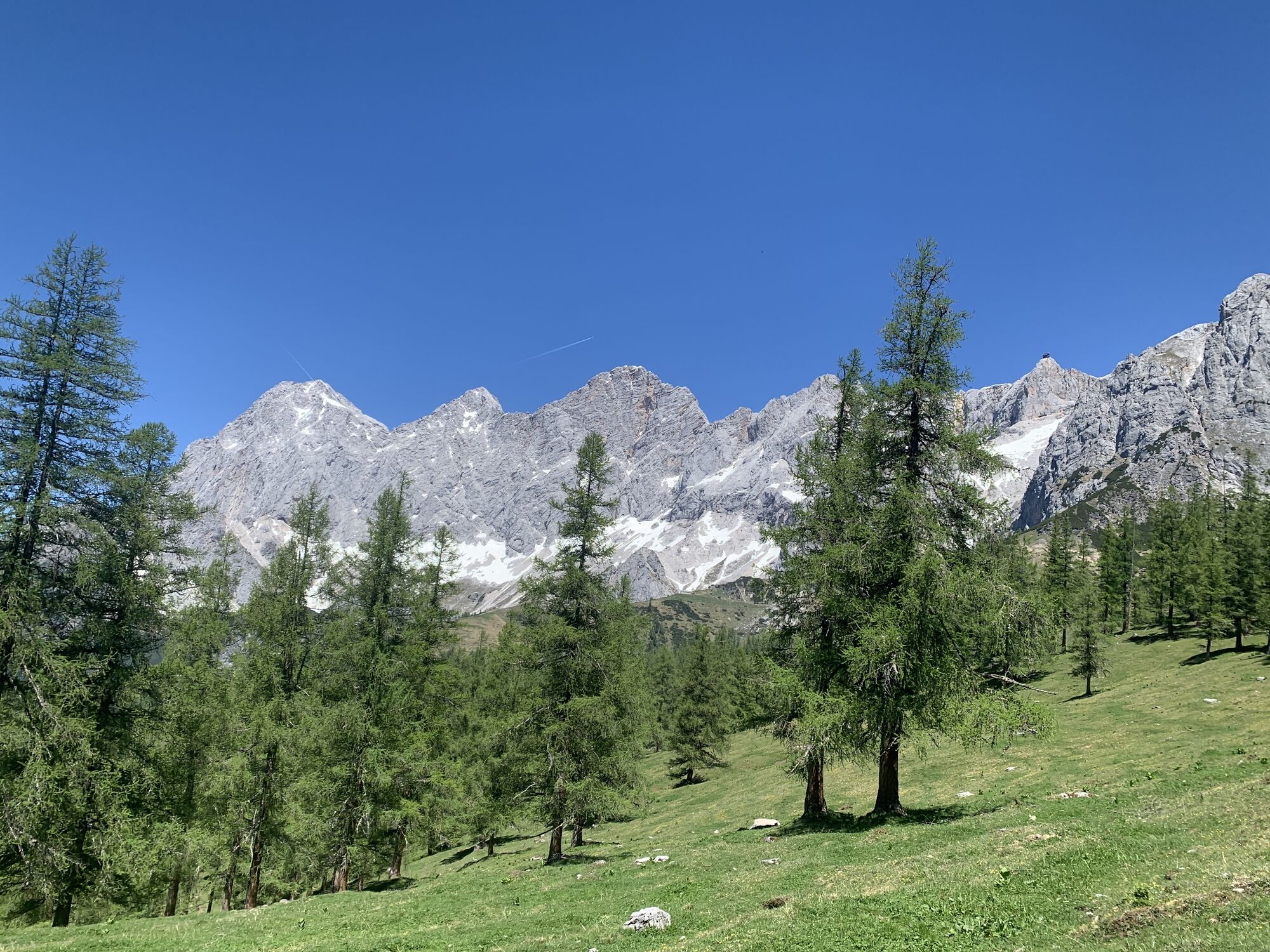
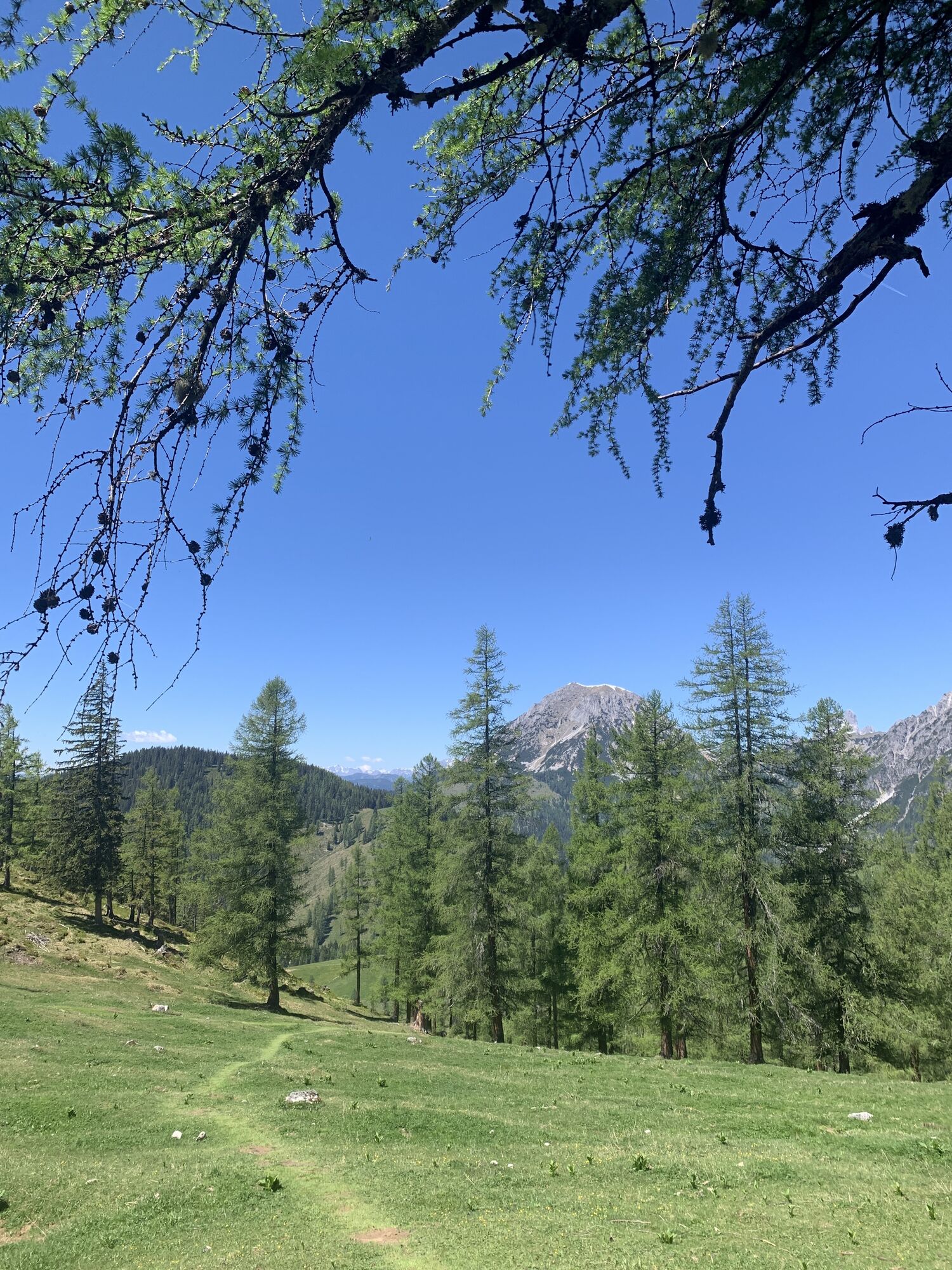
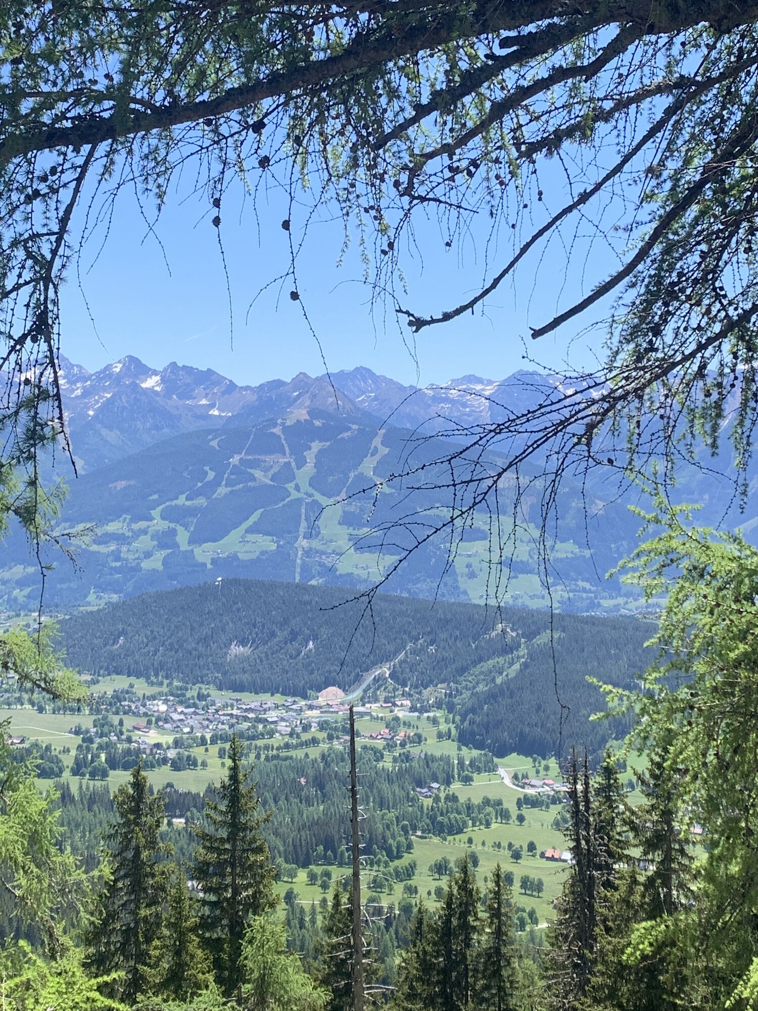
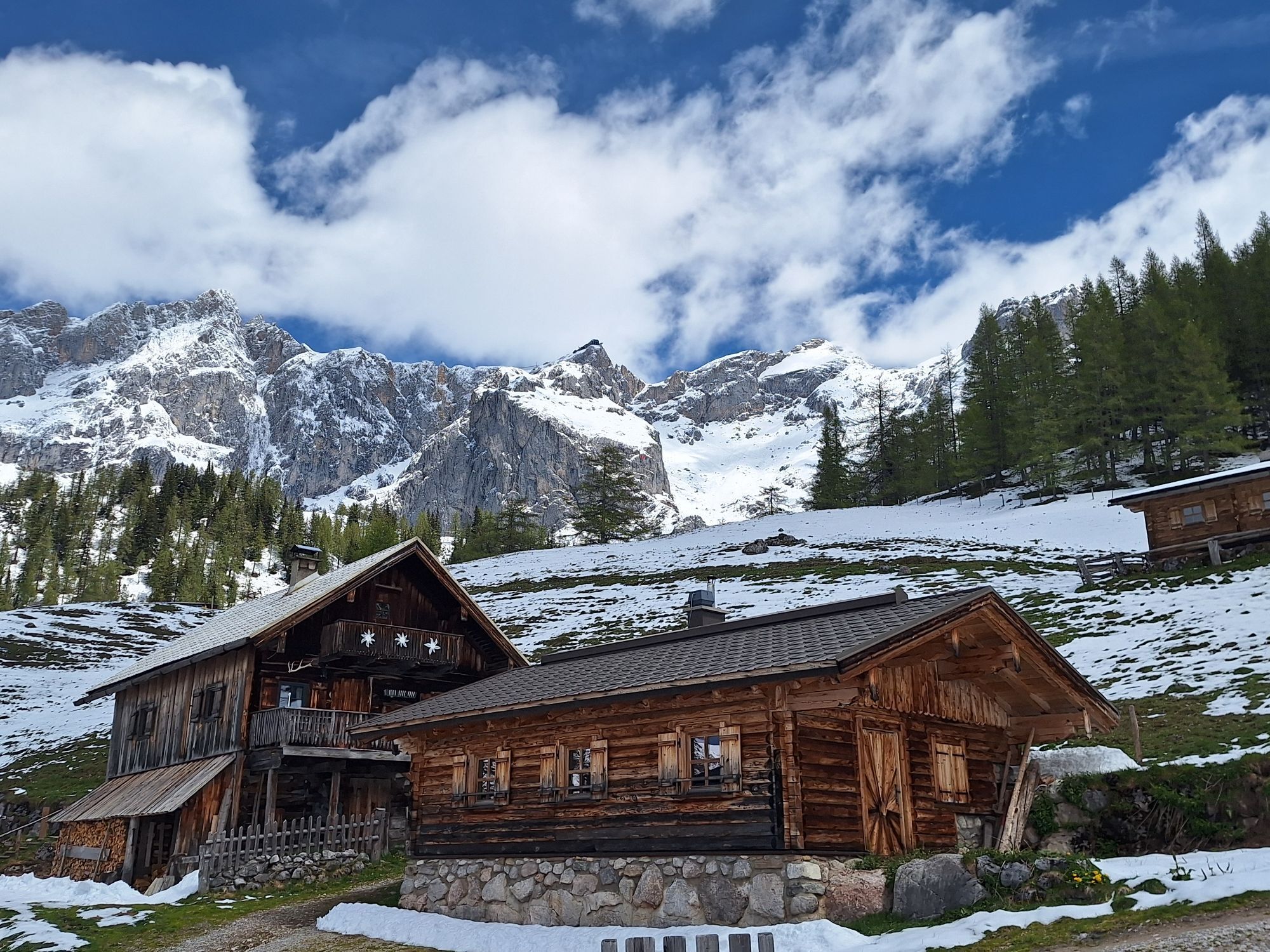
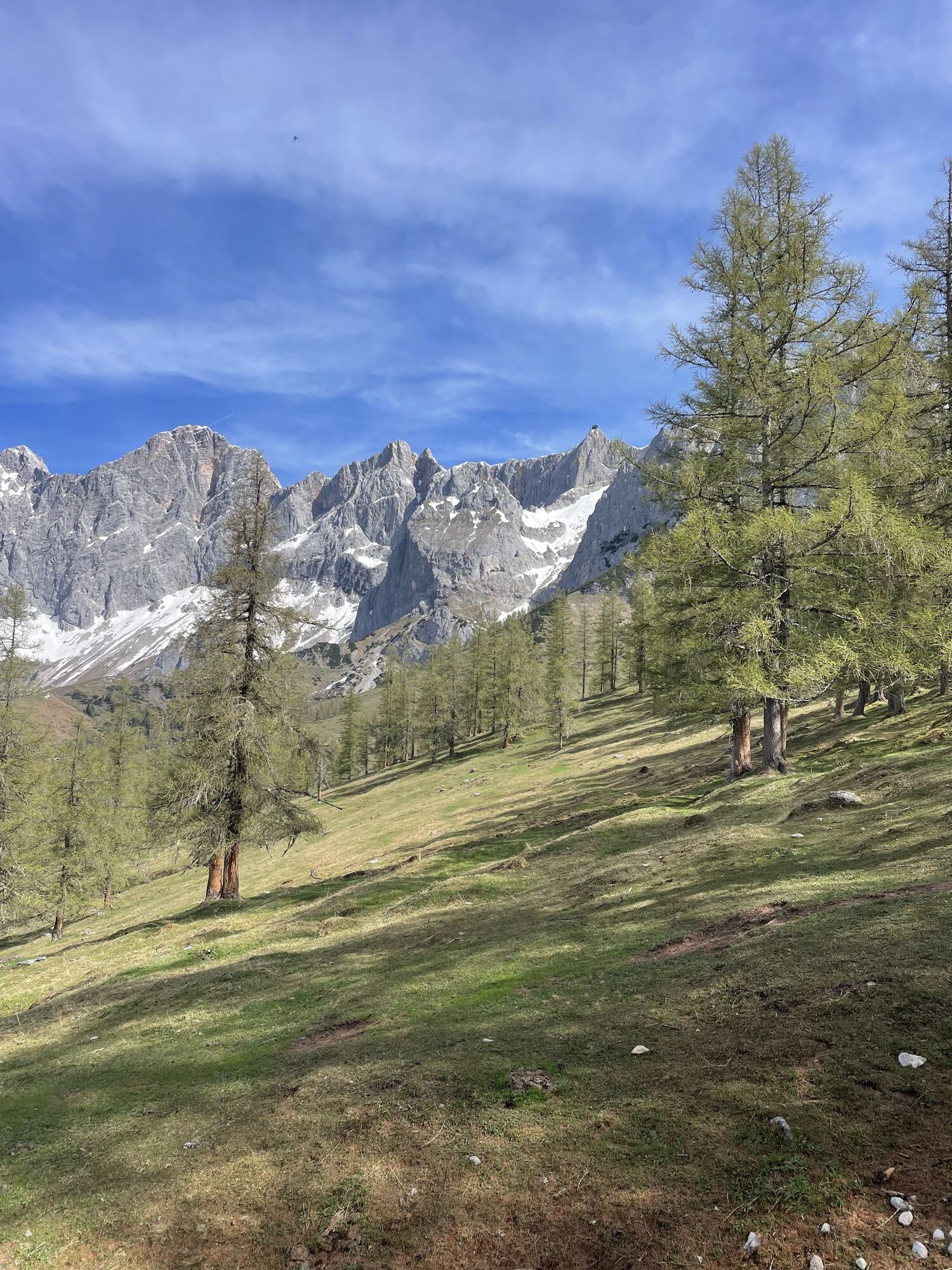
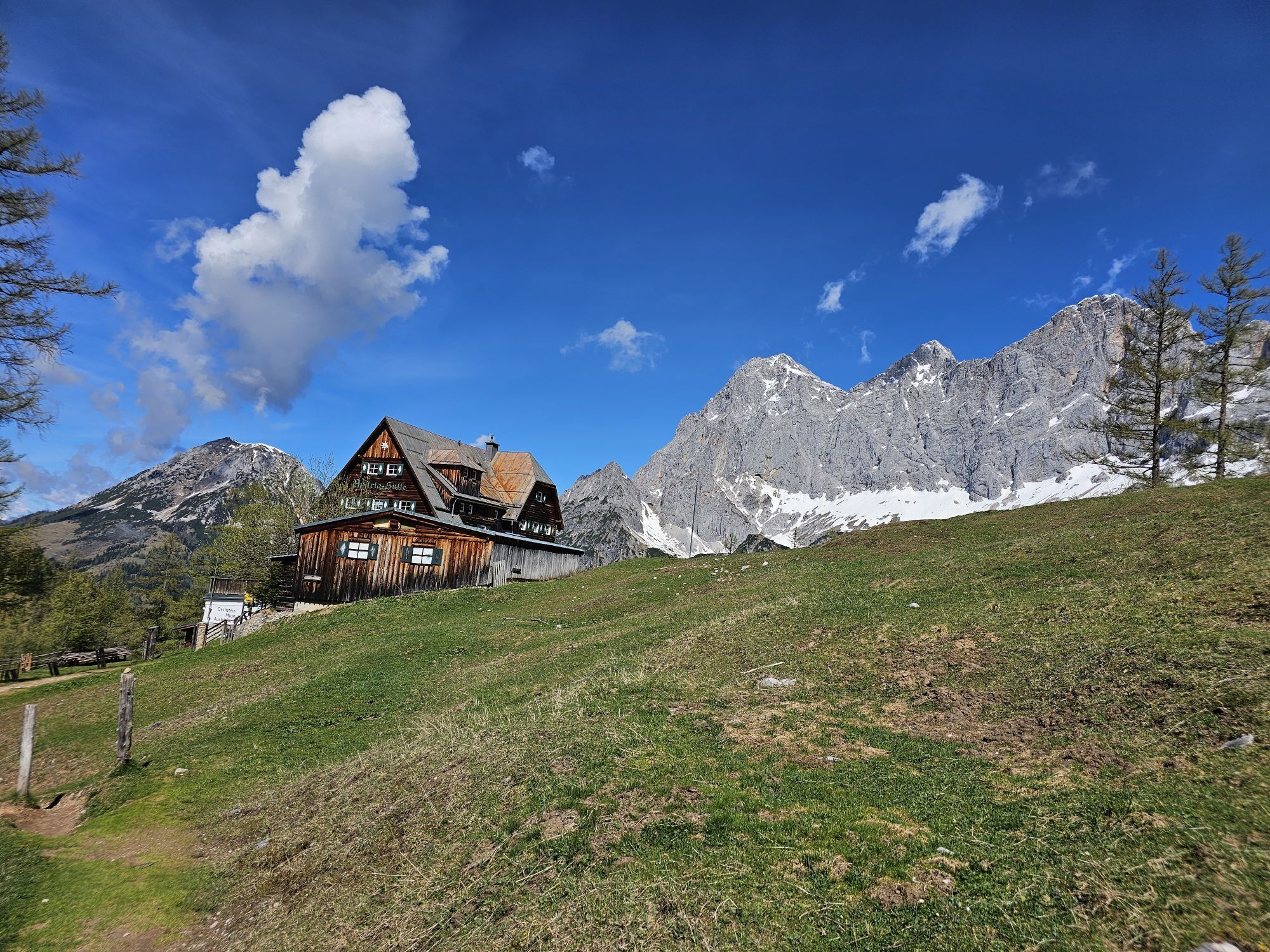
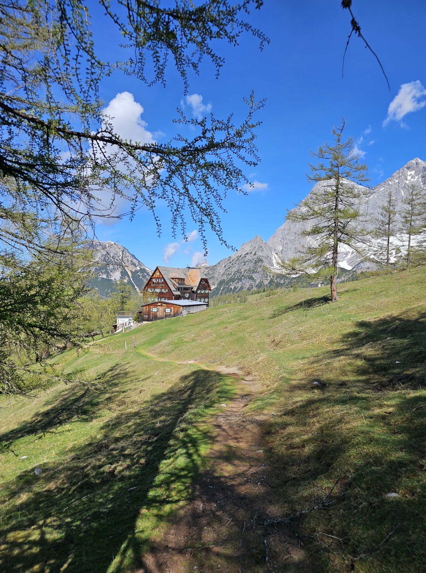
This challenging panoramic tour leads from Filzmoos via Ramsau am Dachstein into the spectacular mountain landscape of the Dachstein massif. After an easy warm-up section along the Warme Mandling stream, the climb begins via Gasthof Edelbrunn to the Austriahütte and continues to the Türlwandhütte. Breathtaking views of the towering Dachstein cliffs and the surrounding alpine meadows accompany you throughout the ride. The route then descends via the Neustattalmen and Bachlalm into the Hachau valley. Passing the Jausenstation Schnitzberg, Laßbauer and Hotel Alpenkrone, you return to Filzmoos. Due to the long and steep climbs, this tour is suitable for e-mountain bikes only.

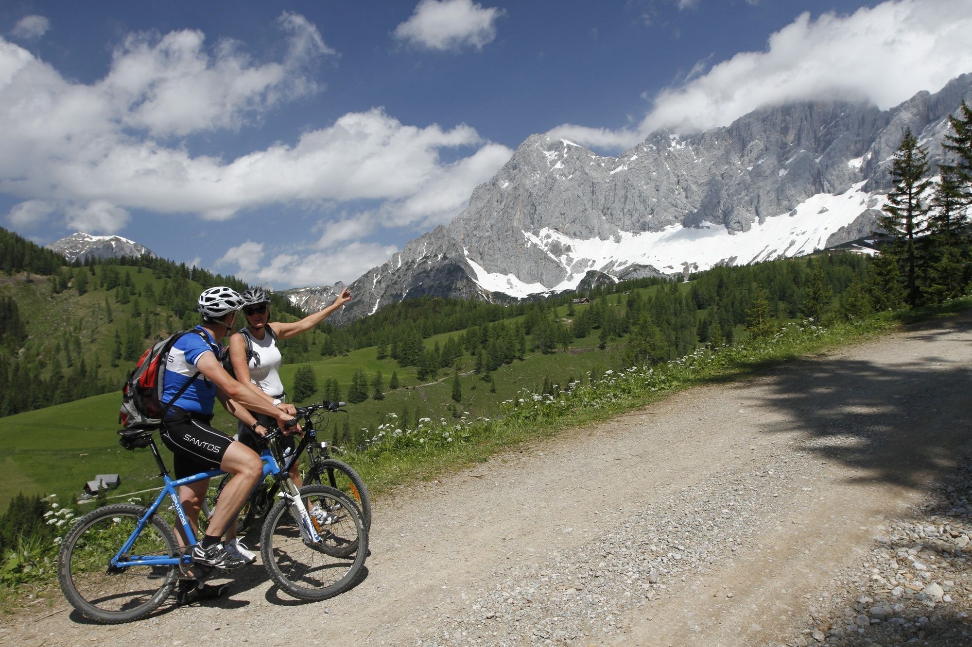
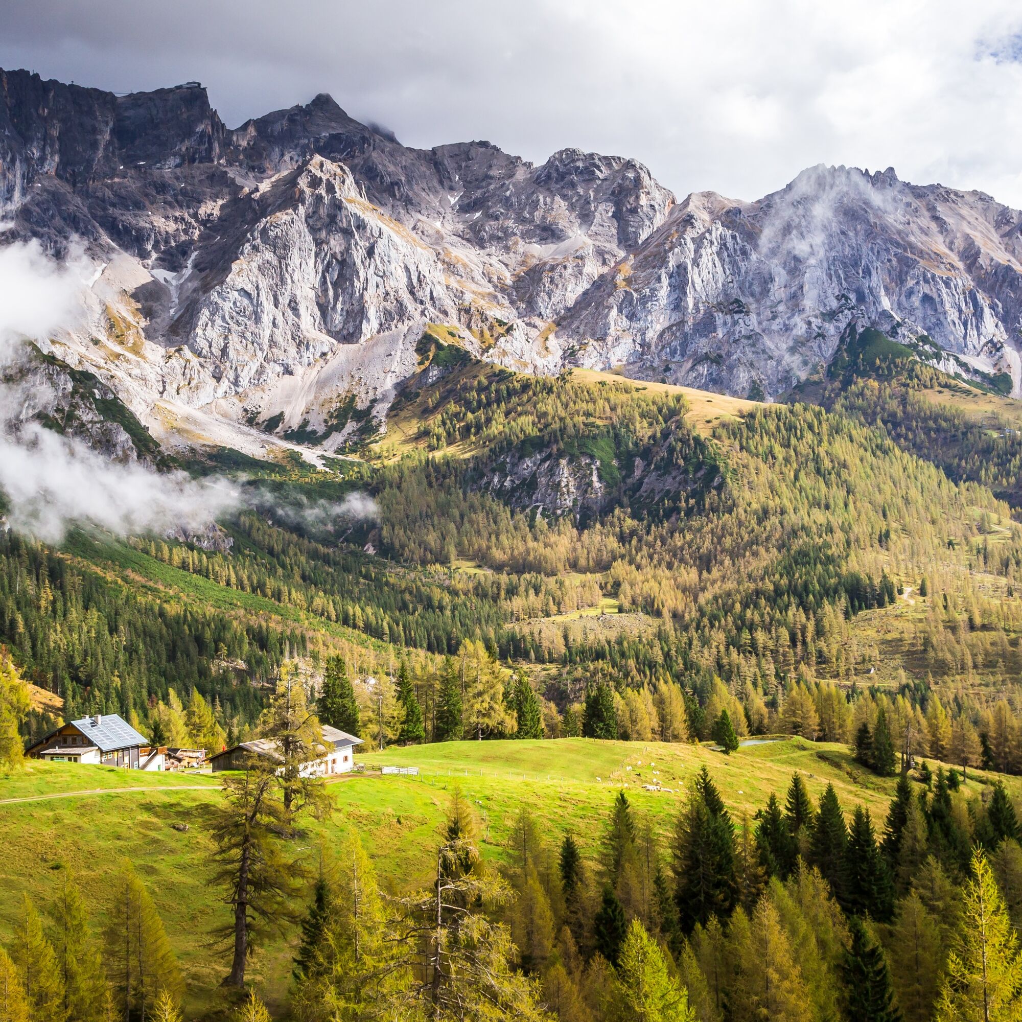

Shortly before reaching the centre of Ramsau am Dachstein, turn left towards Gasthof Edelbrunn. From there, the route climbs past the Dachsteinhaus to the Austriahütte, and continues to the Türlwandhütte.
Next, follow the Dachsteinstraße downhill for a short distance before turning right towards the Neustattalmen and continuing to the Bachlalm. Follow the Bachlalmstraße downhill to the main road, then turn right towards Hachau.
In Hachau, turn right at Gasthof Bergglück onto the old Hachaustraße and continue to the Jausenstation Schnitzberg. The route then passes Laßbauer and Hotel Alpenkrone before descending back to the centre of Filzmoos, returning to your starting point at the Experience Portal Filzmoos.
Sun and rain protection, helmet, cycling maps, enough to drink.
In case of emergency, please call the following emergency numbers: No. 140 - Mountain rescue No. 112 - European emergency number
Coming from Ramsau am Dachstein: At the roundabout, take the exit towards Neuberg – shortly after the gas station, turn left. There is a public paid parking lot opposite the gas station.
Destination stations: Eben im Pongau or Radstadt (both on the Salzburg – Bischofshofen – Schladming – Graz railway line). From Salzburg main station, there are regular trains (about once every hour). The journey takes about 1 hour.
Continue by bus or taxi: From Eben im Pongau or Radstadt, bus line 521 goes directly to Filzmoos, stop Neuberg/Reitsteg (travel time approx. 20–30 minutes). Alternatively, taxis are available at the station. Tip: The buses do not run very frequently – check the timetable in advance and whether the bus also transports bicycles on ÖBB
With the Fidibus summer service: From Filzmoos (Filzmoos tourist information), there is the Fidibus Summer (hiking bus), which takes you from Filzmoos to Neuberg, stopping at Neuberg. Here you can find the timetable.
There is a public paid parking lot opposite the gas station.
3
You can obtain a mountain bike map with information about this tour at the Filzmoos Tourist Information Office.
Make sure your e-bike battery is sufficiently charged and take time to enjoy the spectacular views at the Austriahütte and Bachlalm.
Webové kamery z prohlídky
-
Rossbrand
-
Bergstation Dachstein Hunerkogel
-
Ramsau am Dachstein / Leiten
-
Talstation Reiteralm - Gondelbahn Silver Jet
-
Aparthotel Jagdhof Filzmoos
-
Aparthotel Jagdhof Filzmoos
-
Ramsau - Aparthotel Ramsau
-
Ramsau - Aparthotel Ramsau
-
Ramsau a. D. - Rittisberg
-
Ramsau / Lindenhof - Ramsbergerhof
-
Dachstein
-
Ramsau am Dachstein - WM Stadion
-
Ramsau am Dachstein
-
Ramsau am Dachstein
-
Ramsau am Dachstein
-
Ramsau am Dachstein
-
Ramsau am Dachstein - Rittisberg Beach
-
Papageno Bergstation
-
Papageno Bergstation
-
Papageno Bergstation
-
Papageno Bergstation
-
Papageno Bergstation
-
Papageno Bergstation
-
Papageno Bergstation
-
Radstadt - Rossbrand
-
Hüttendorf Schladming
-
Hüttendorf Schladming
-
Schladming
-
Ferienanlage Reithof
Získejte přehled
Vždy živě na místě s více než 9 500 webkamerami. bergfex Jako uživatel Pro si nyní můžete zobrazit odpovídající webové kamery pro mnoho prohlídek v aplikaci prohlídky z. Můžete si tak přímo prohlédnout aktuální podmínky.
Oblíbené prohlídky v okolí
-
4.2
Heilbronner Rundwanderweg
světloTuristika 9.04 km -
4.3
Filzmoos: Rötelstein (Rettenstein)
Turistika 9.50 km -
4.8
Tour around the Gosaukamm
středníTuristika 20.9 km -
4.5
Ramsau am Dachstein: Steinerne Jungfrauen
Turistika 8.11 km -
4.8
Planai Runde | 304
středníMountainbike 34.1 km -
4.8
4-Jahreszeiten Wanderweg
středníZimní turistika 5.94 km -
4.7
Tour around the Lake Gosau
světloTuristika 4.43 km -
4.7
Tor-Wanderung
heavyTuristika 14.2 km -
4.6
Krahbergzinken - Gipfelglück auf 2.134 m
středníTuristika 5.92 km -
4.5
Adamekhütte vom Vorderen Gosausee
středníTuristika 23.2 km
Pěší turistika a stopování


Nenechte si ujít nabídky a inspiraci pro vaši příští dovolenou
Vaše e-mailová adresa byl přidán do poštovního seznamu.





