



Tour de Champions - Hundstein snd Nordic Center


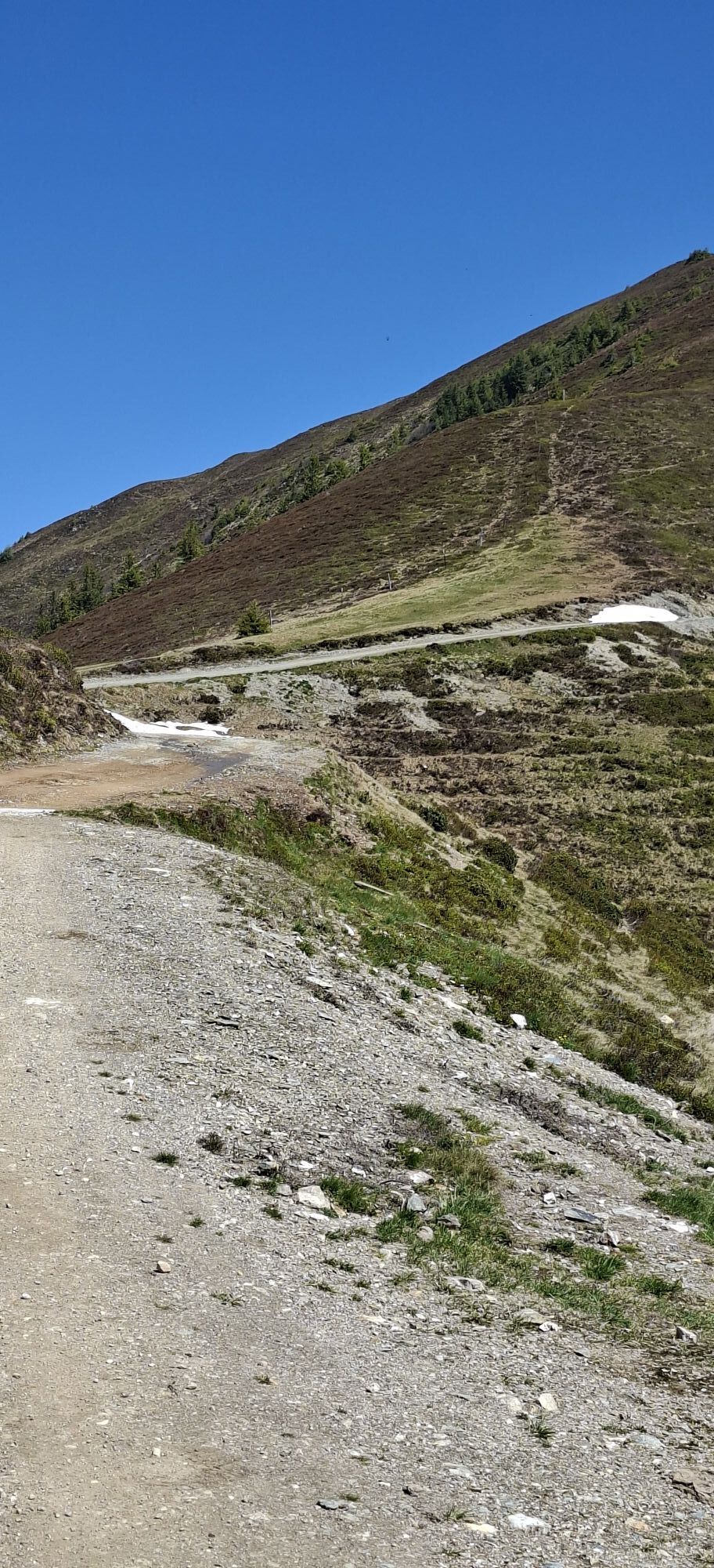
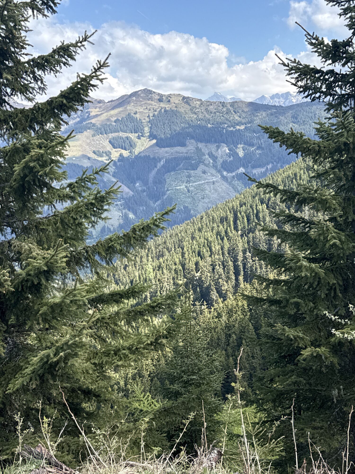
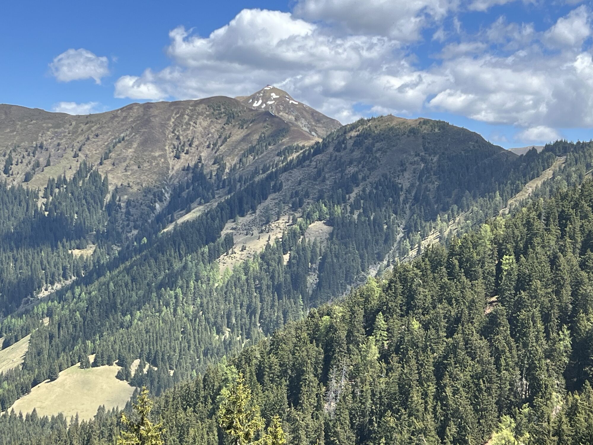
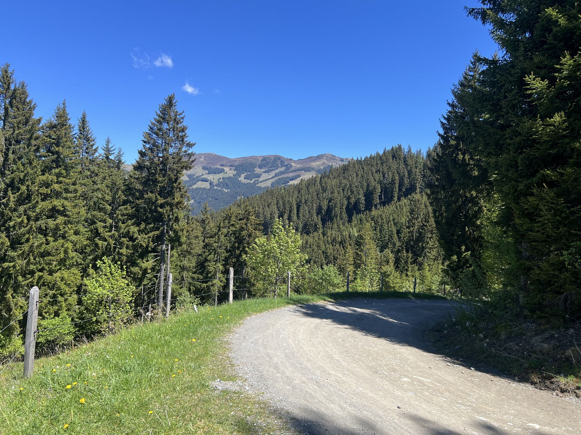
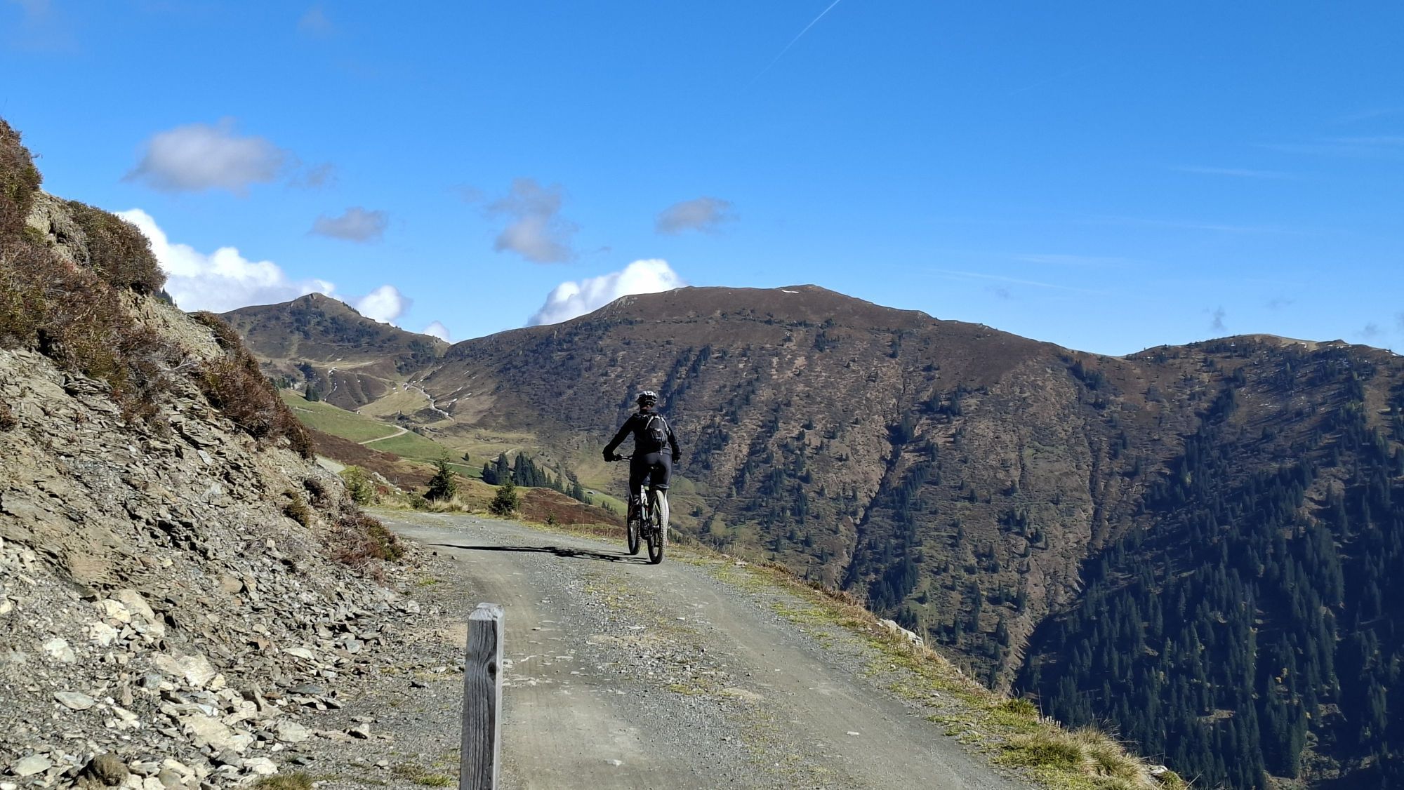
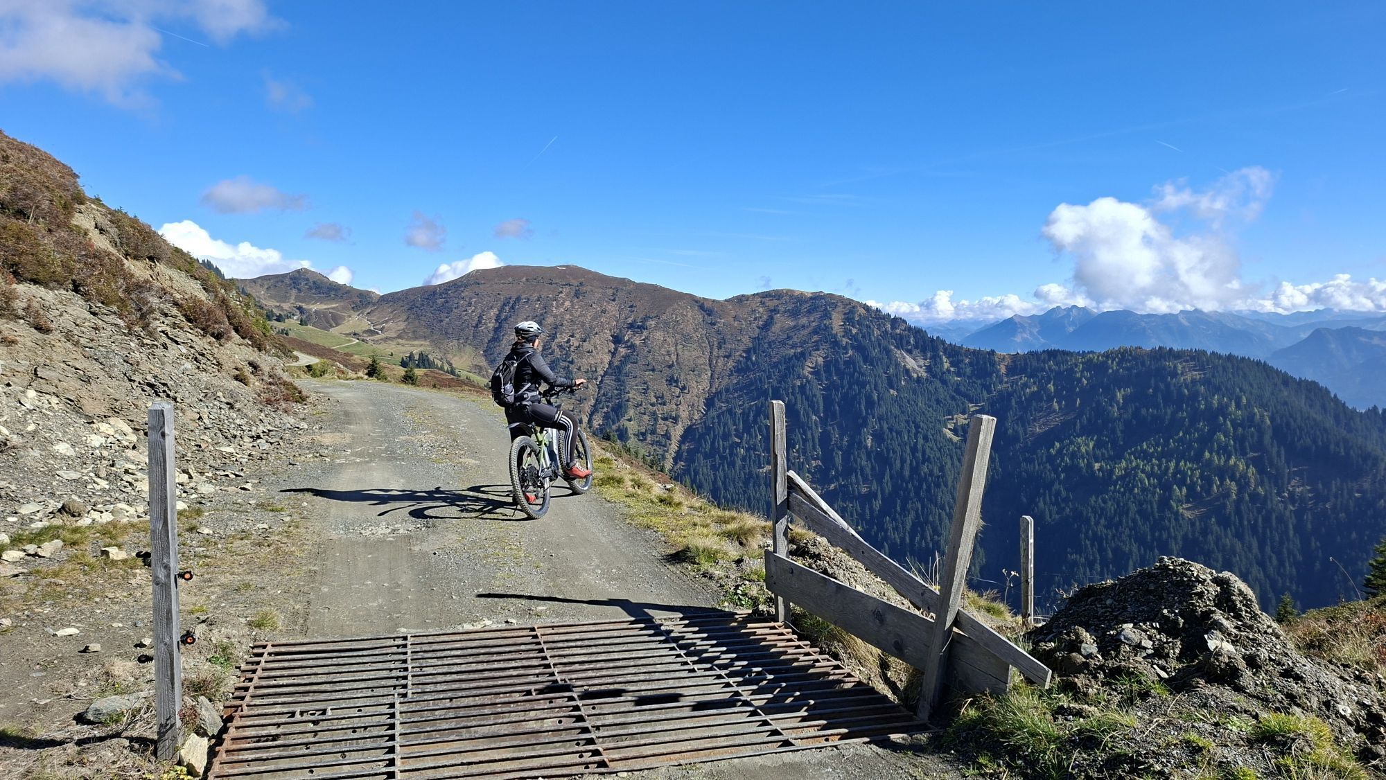
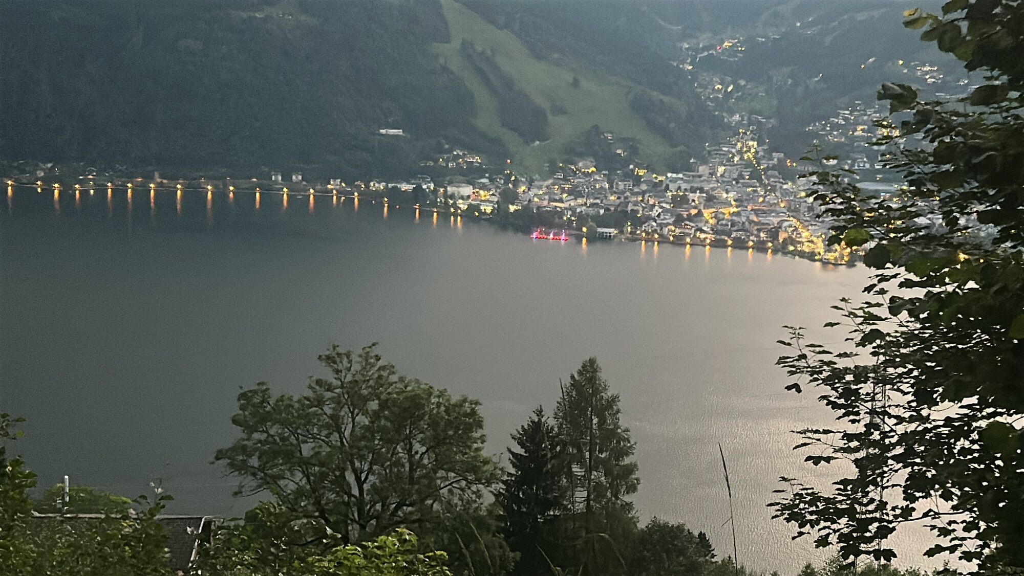

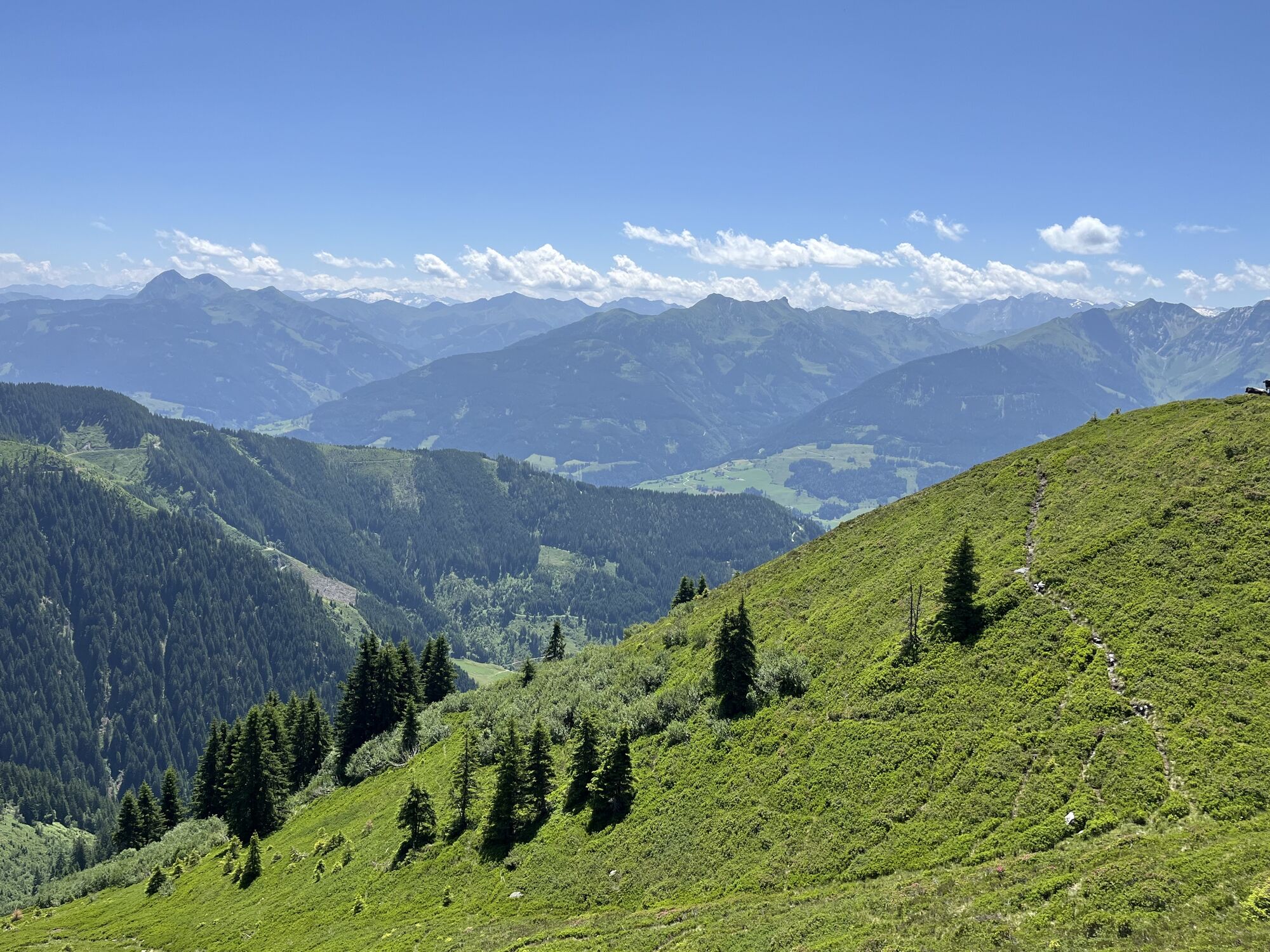
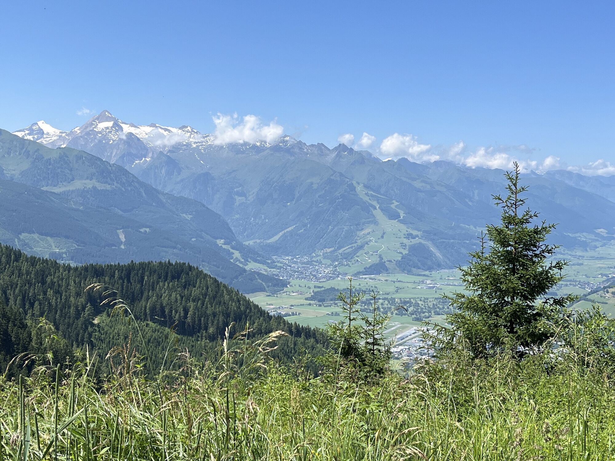
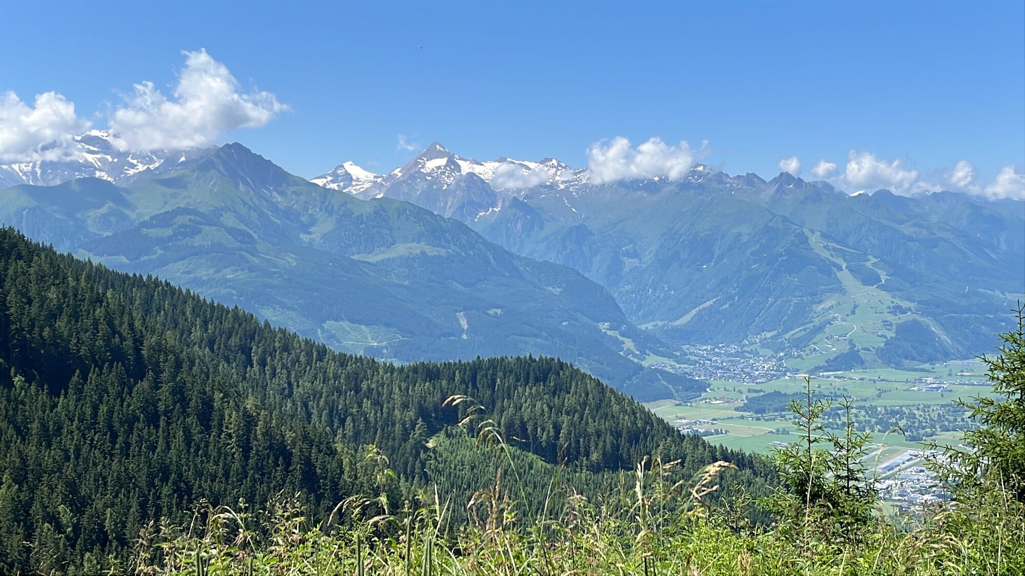
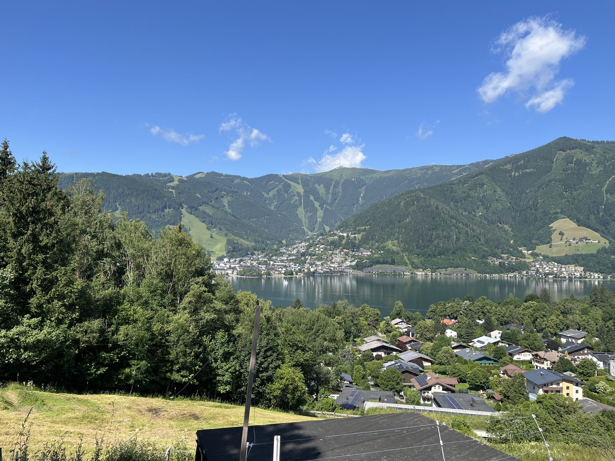


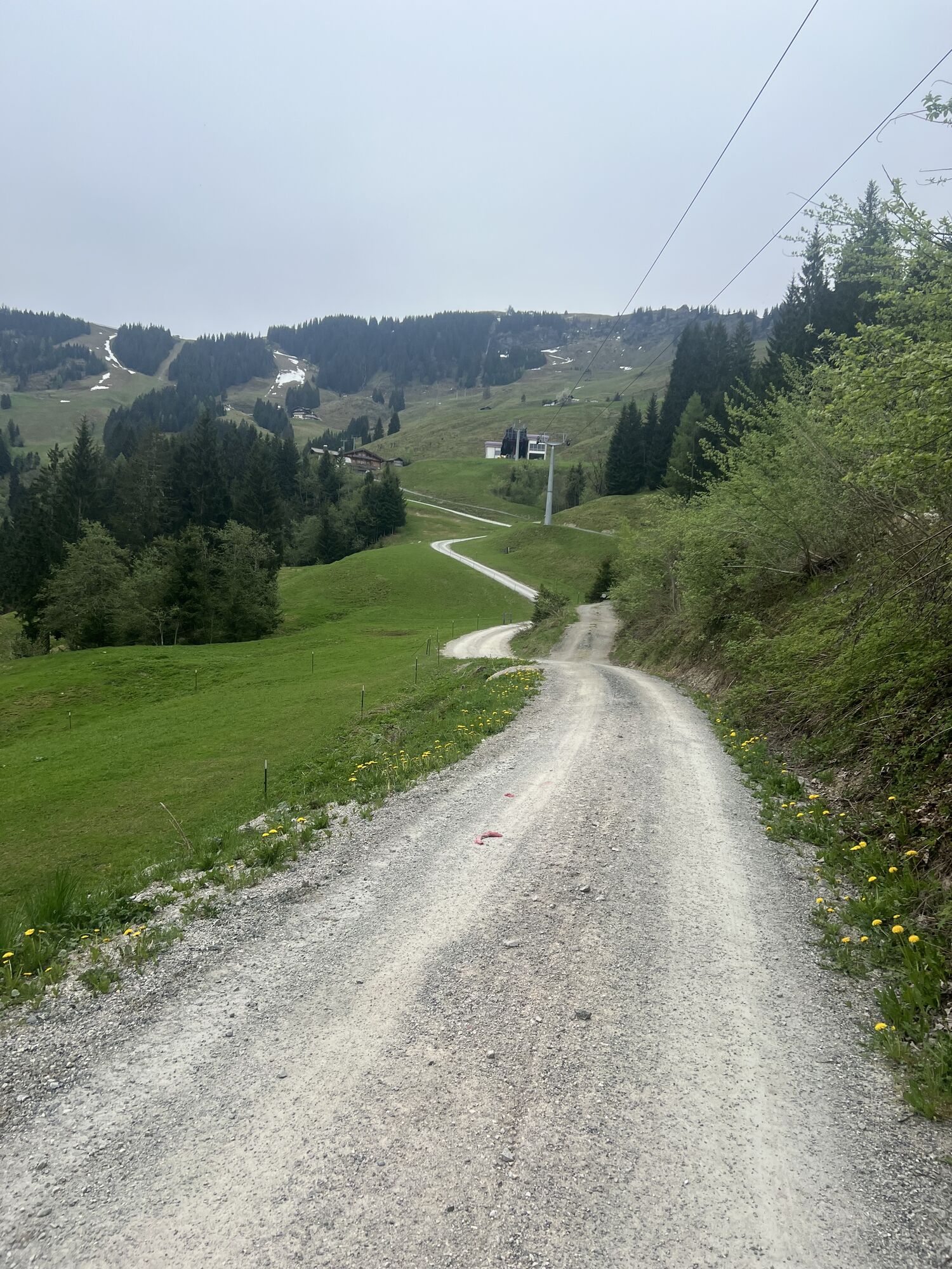

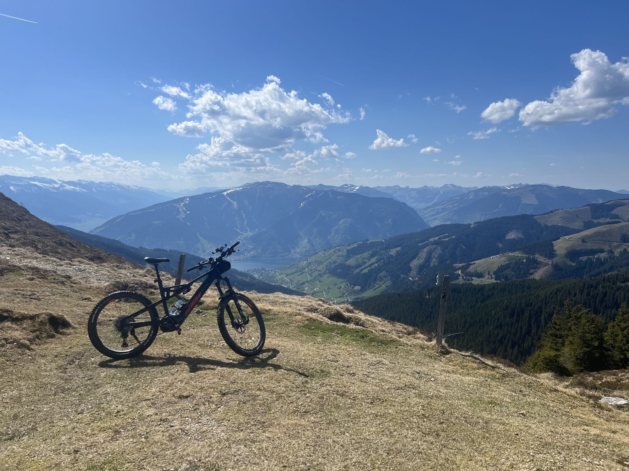
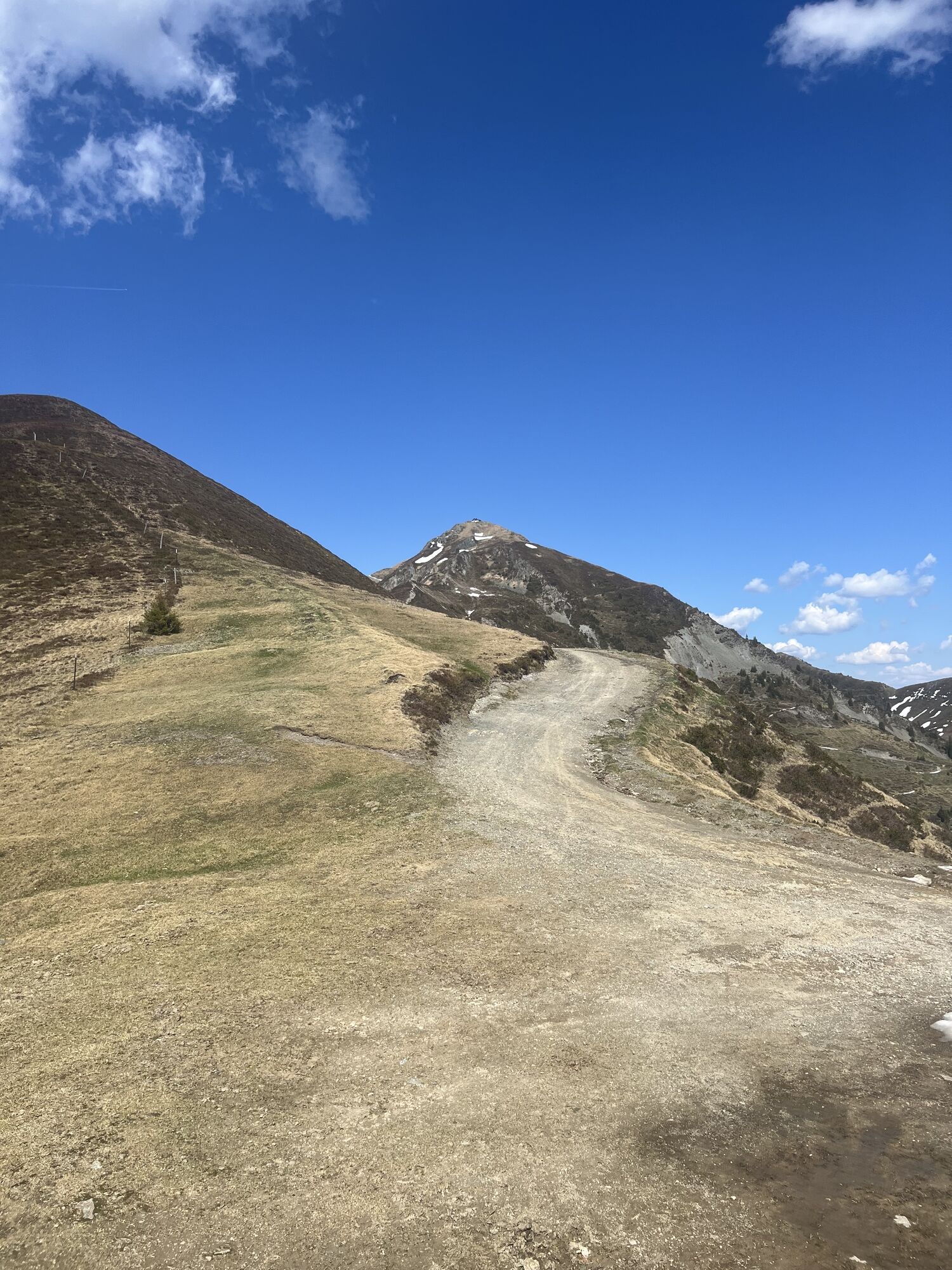
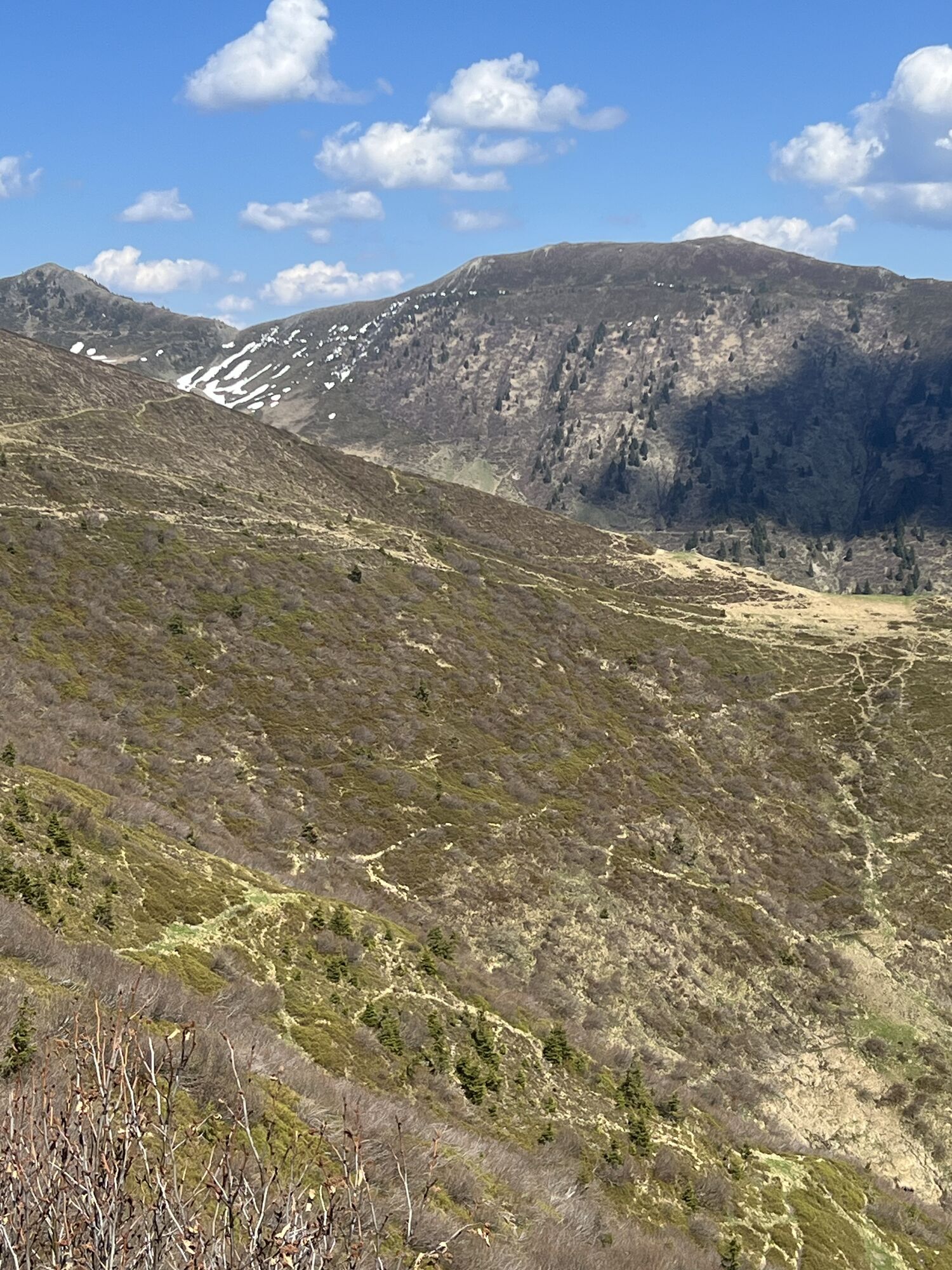
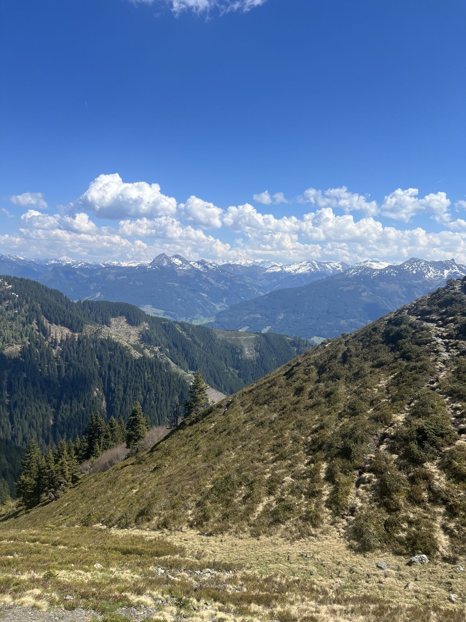
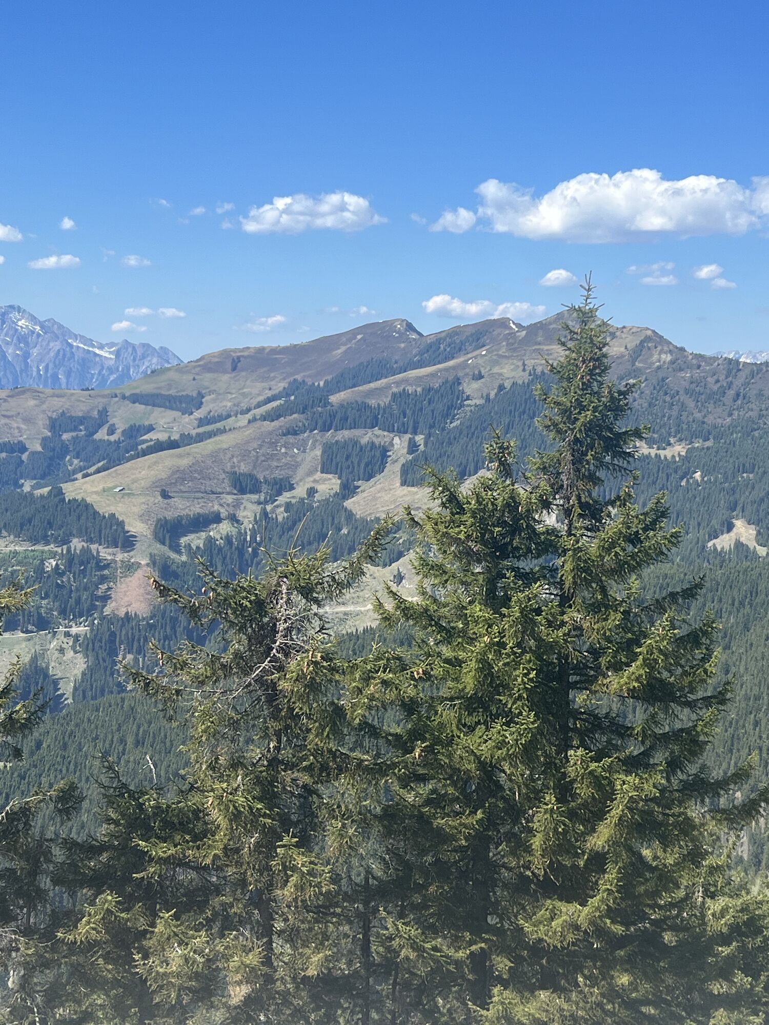
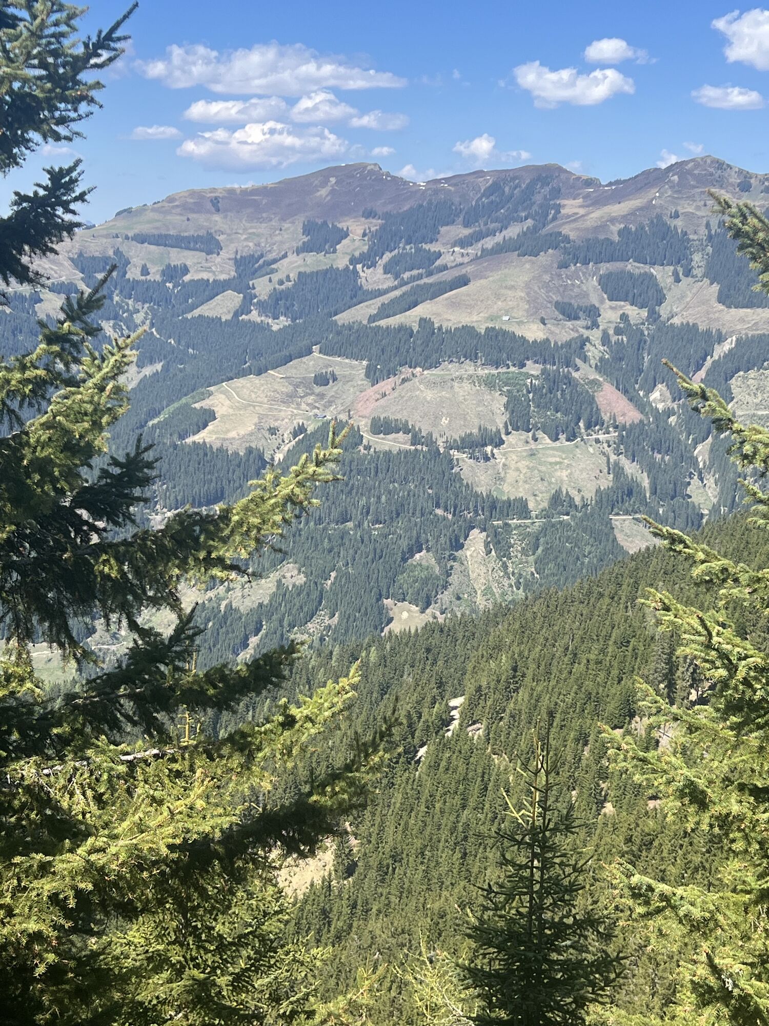

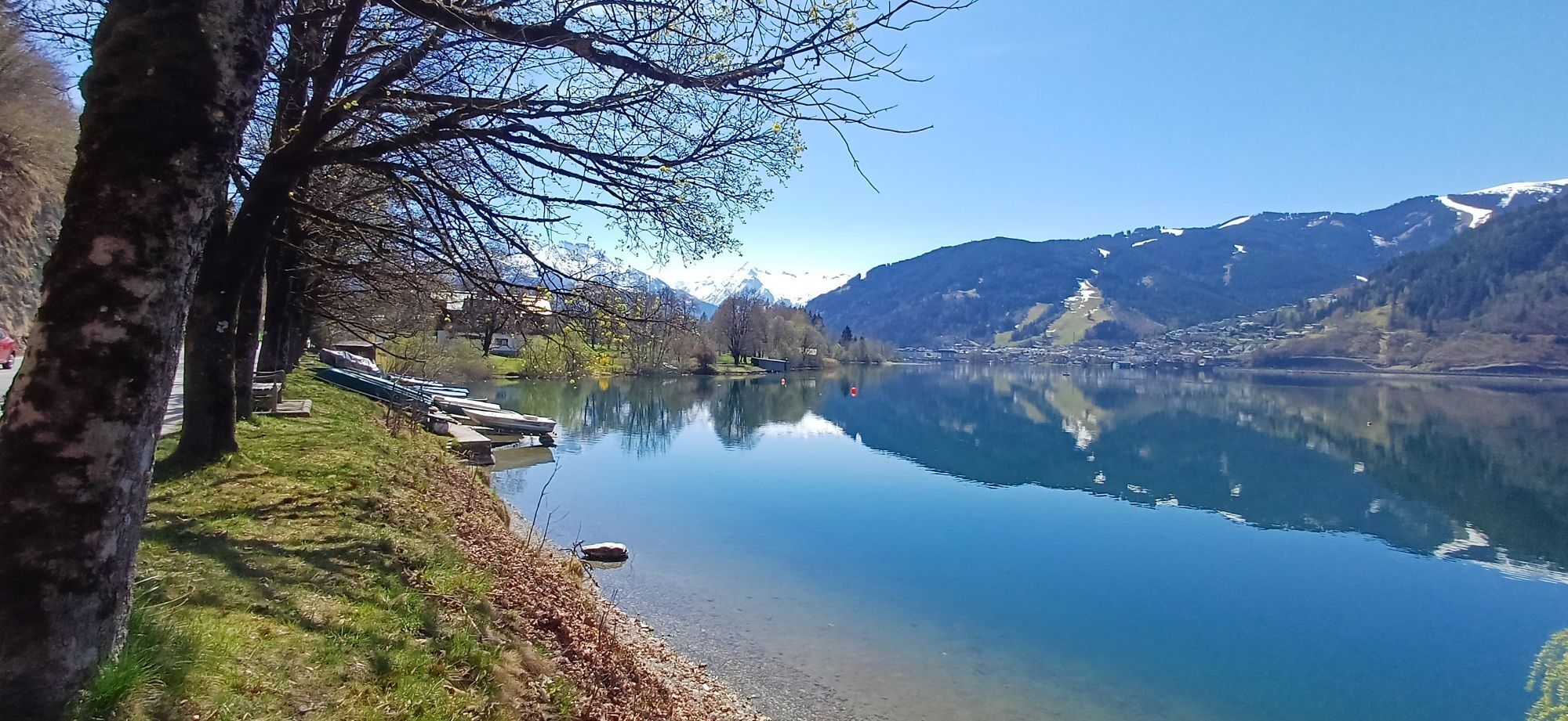

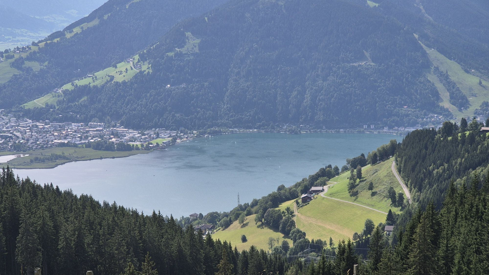
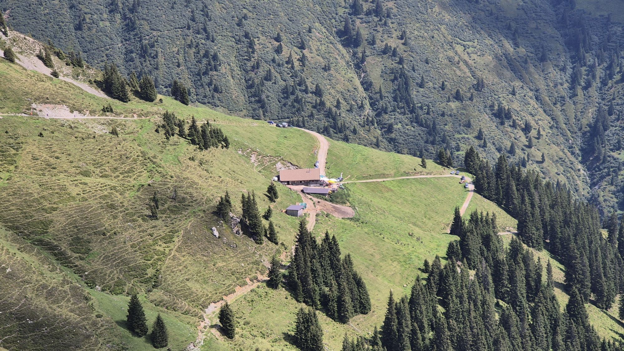

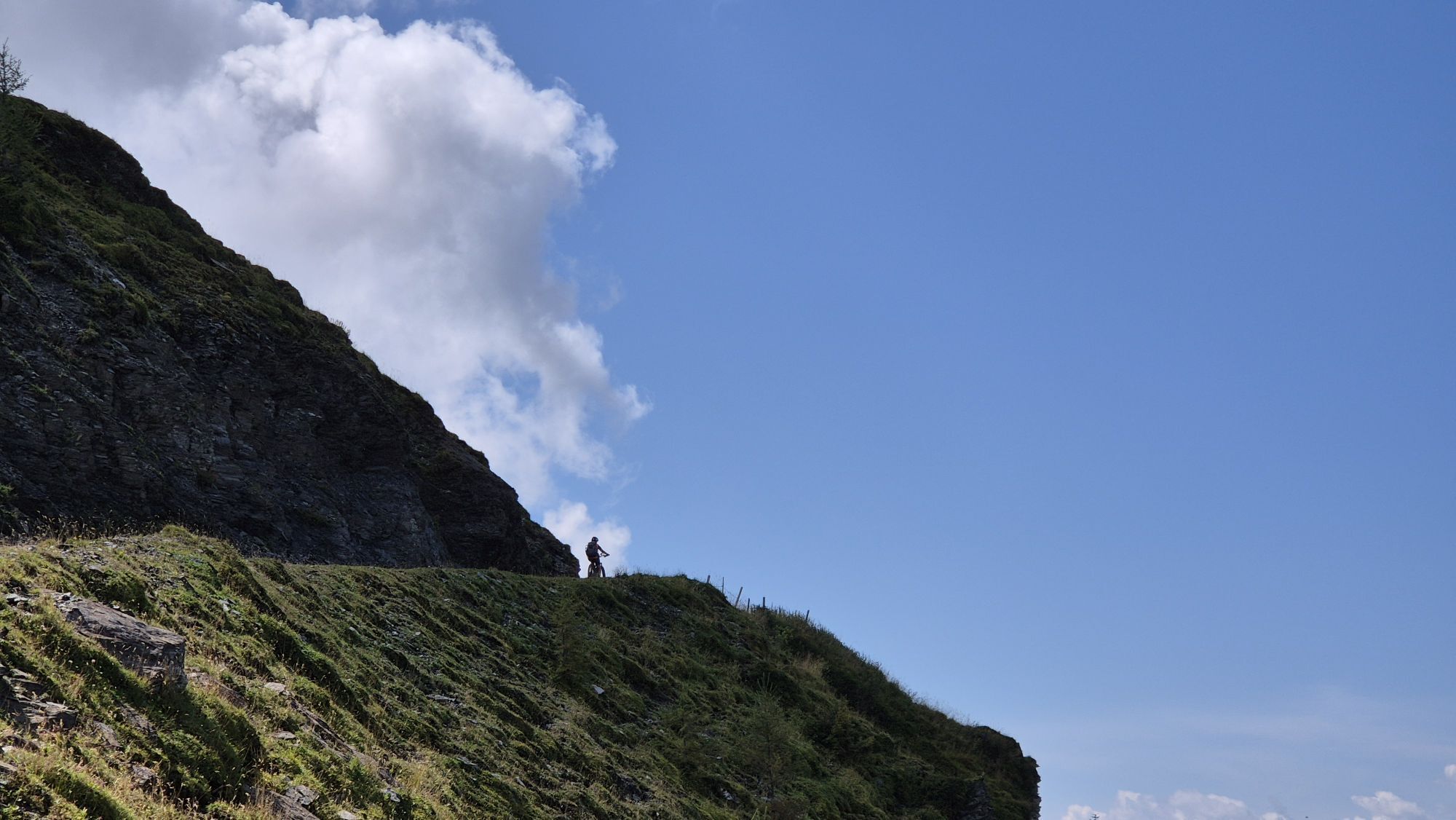

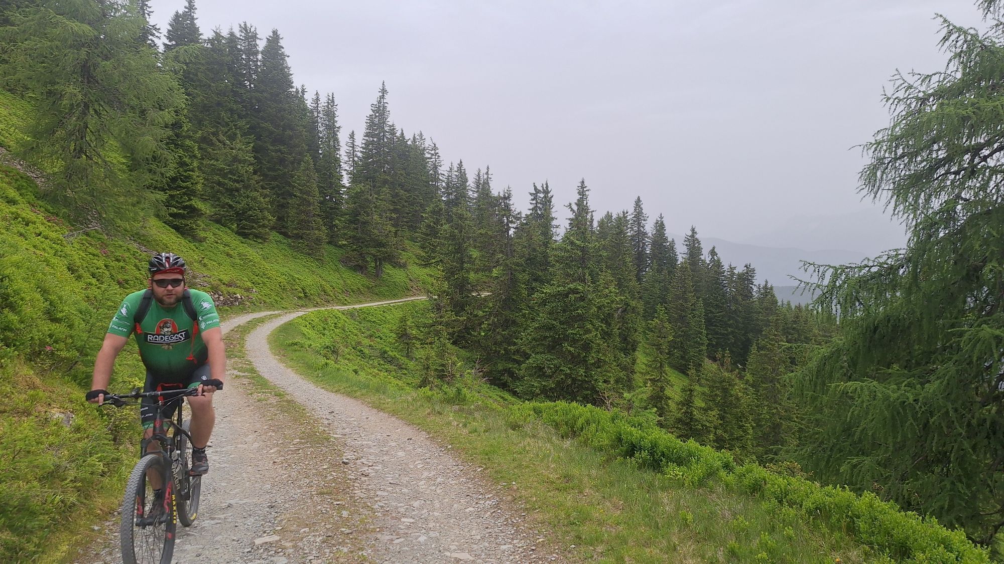
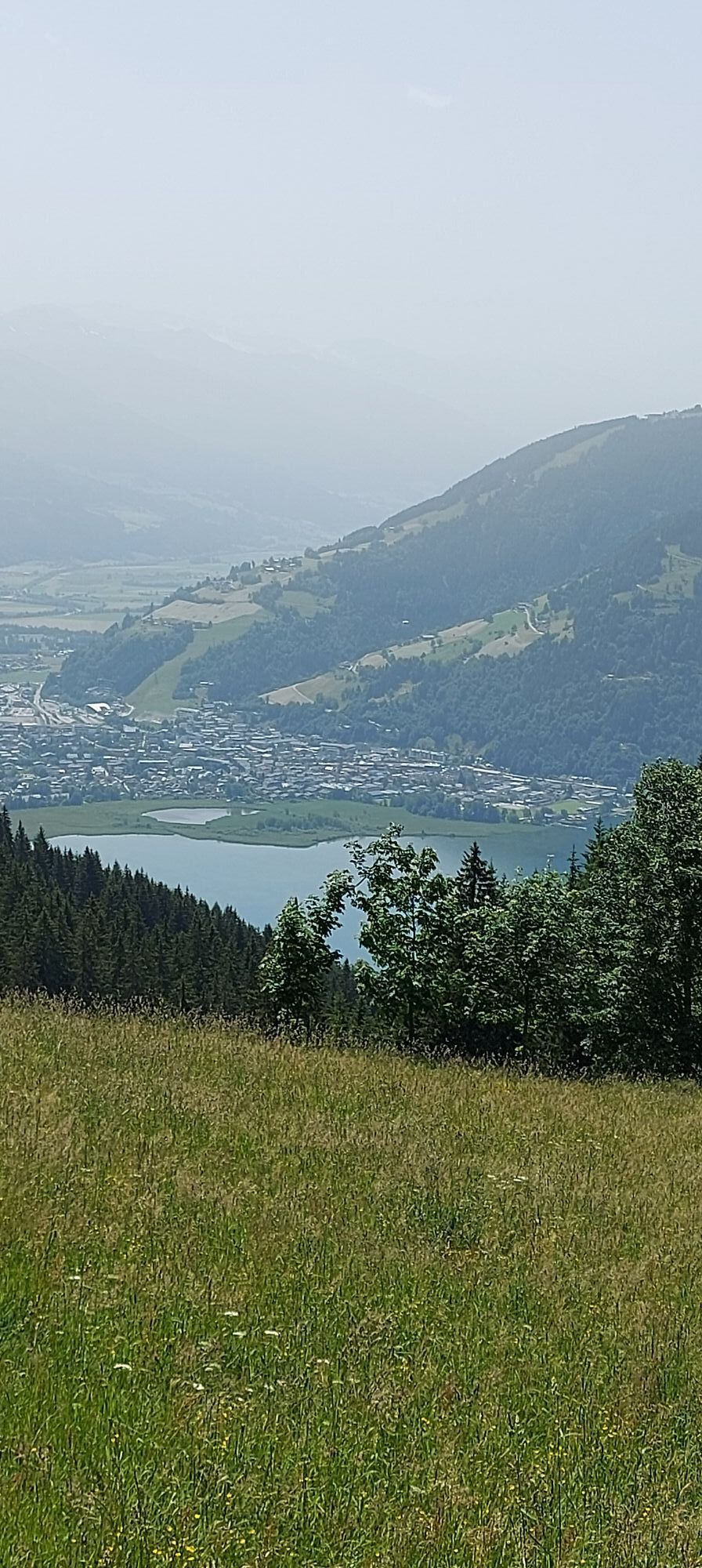
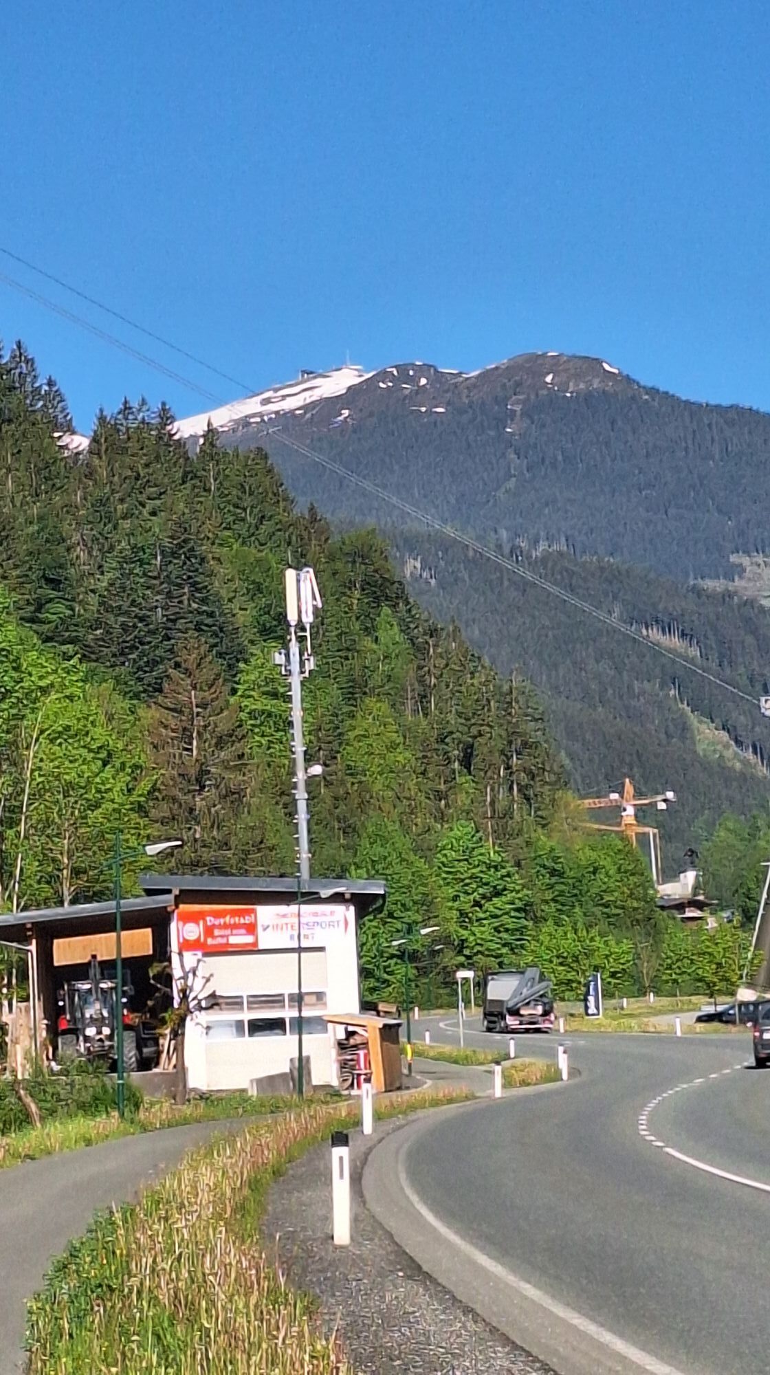
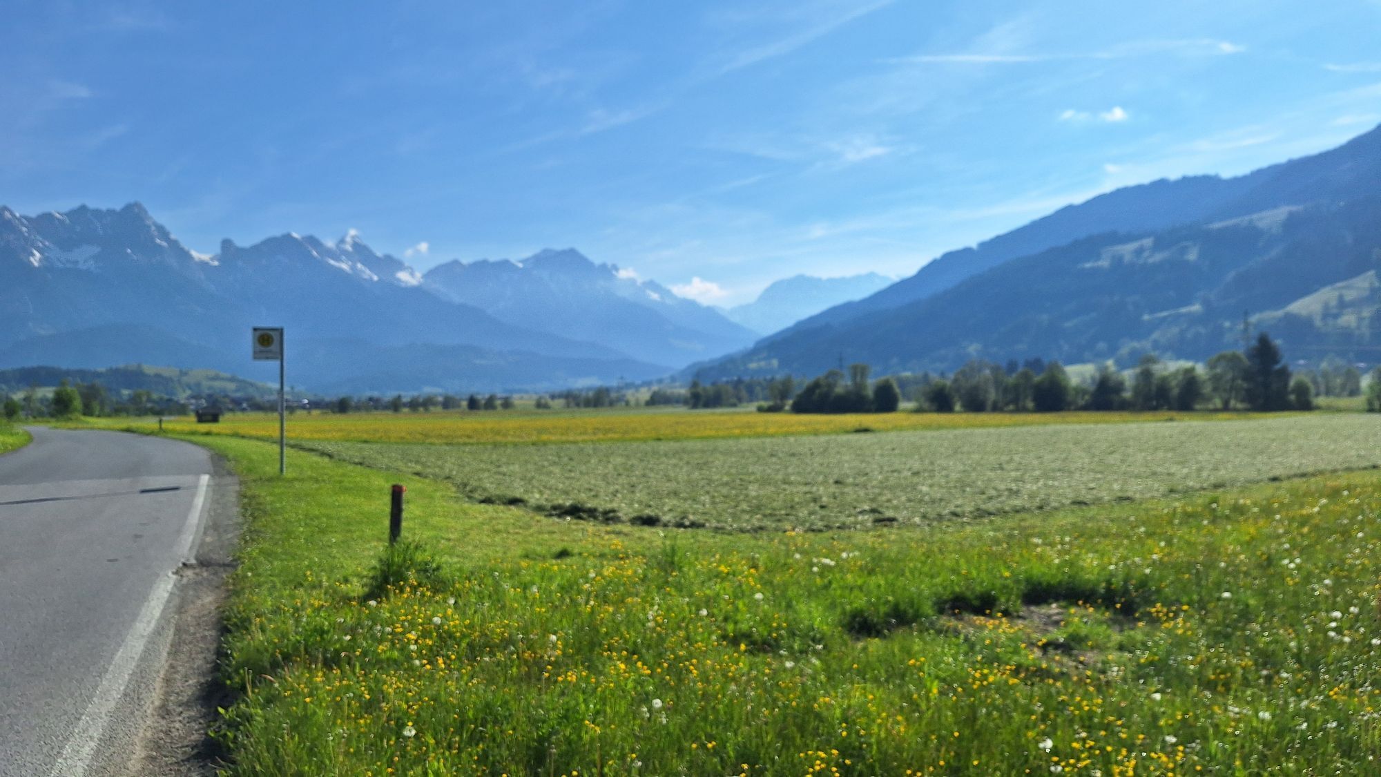
This tour from Saalbach via Saalfelden-Leogang, Maria Alm, and Maishofen is a true challenge: 80 kilometers and more than 2,000 meters of elevation gain demand endurance, strength, and advanced riding...
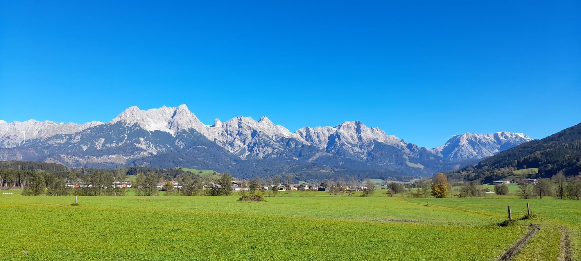
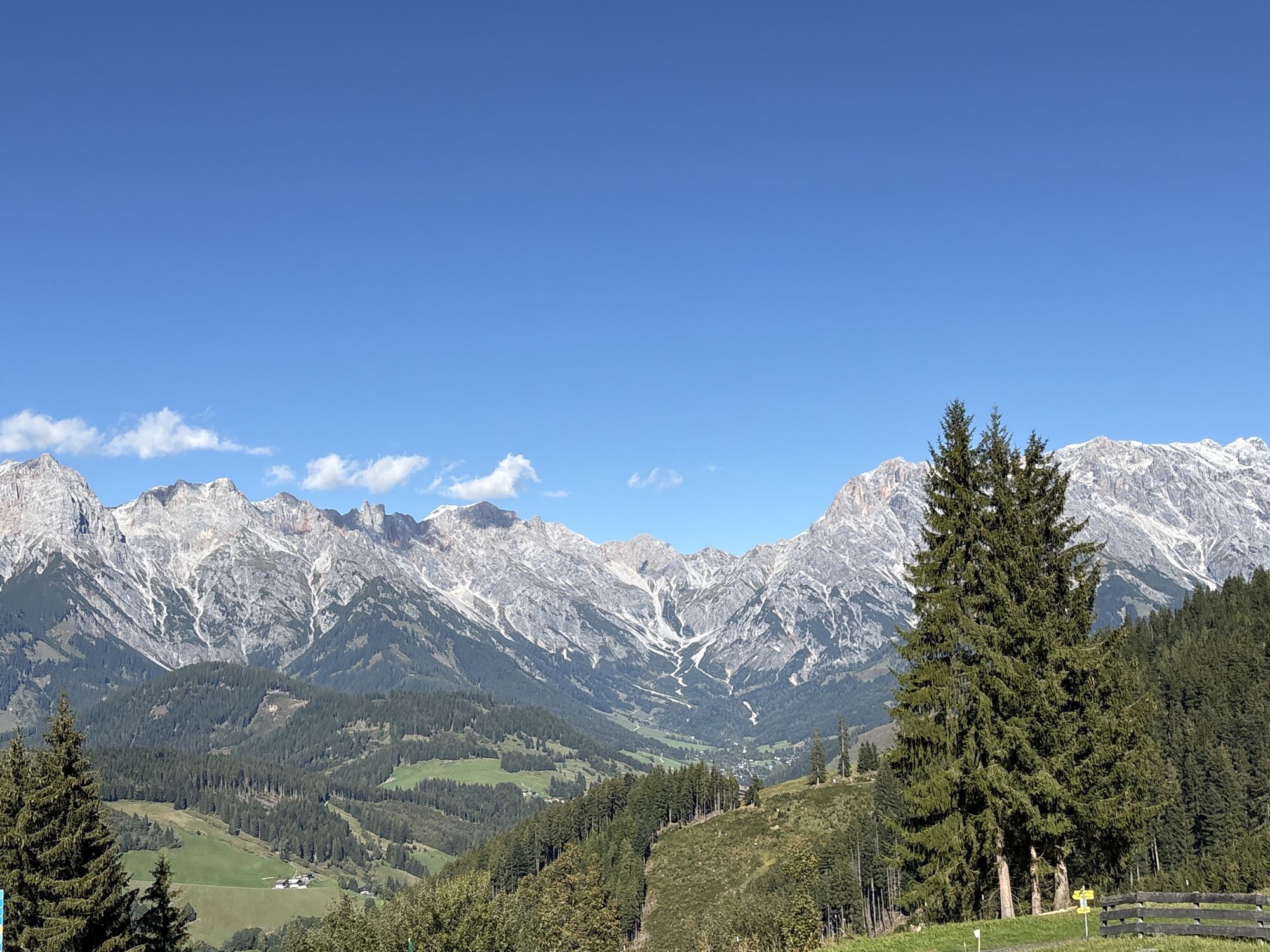
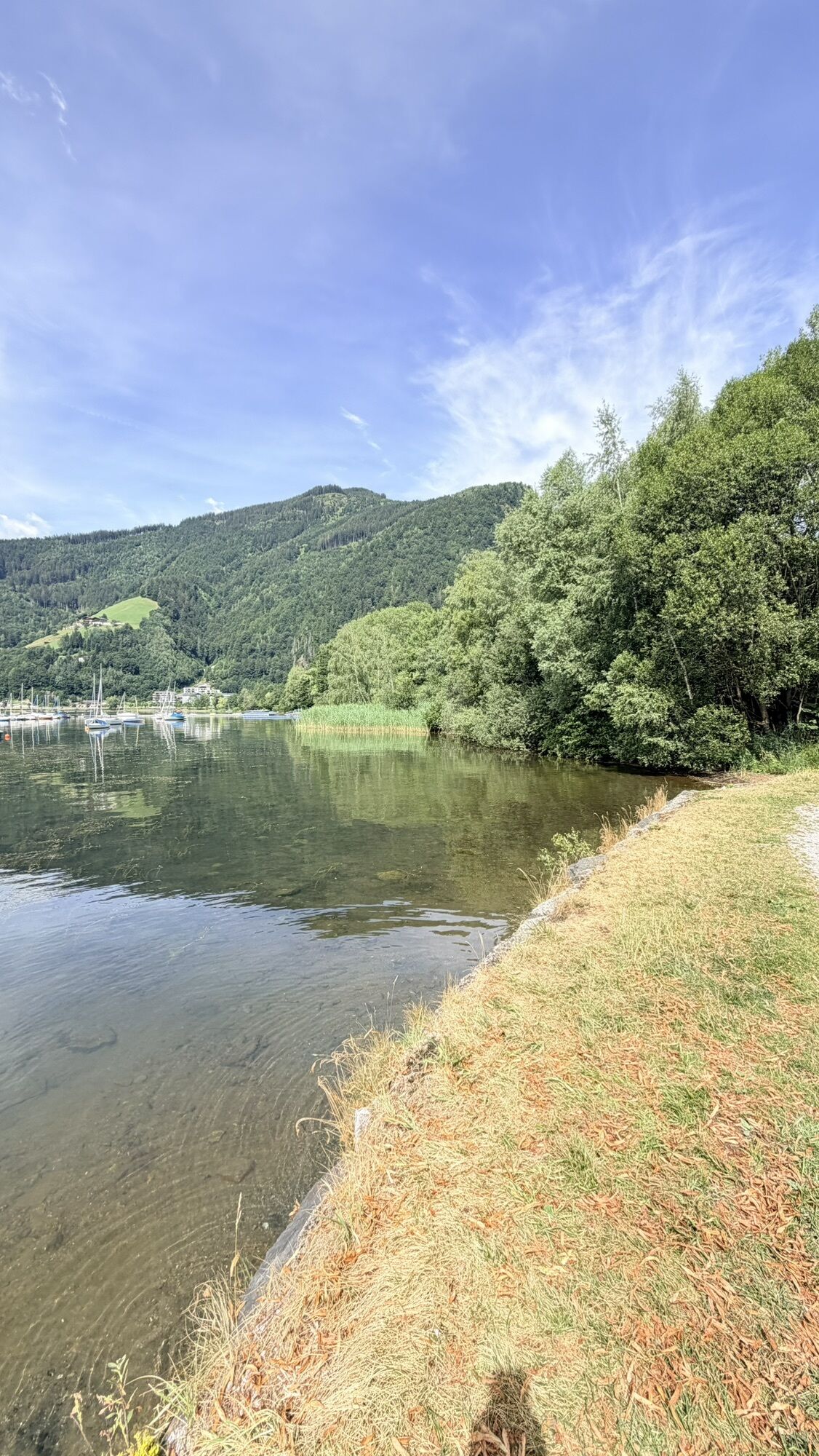
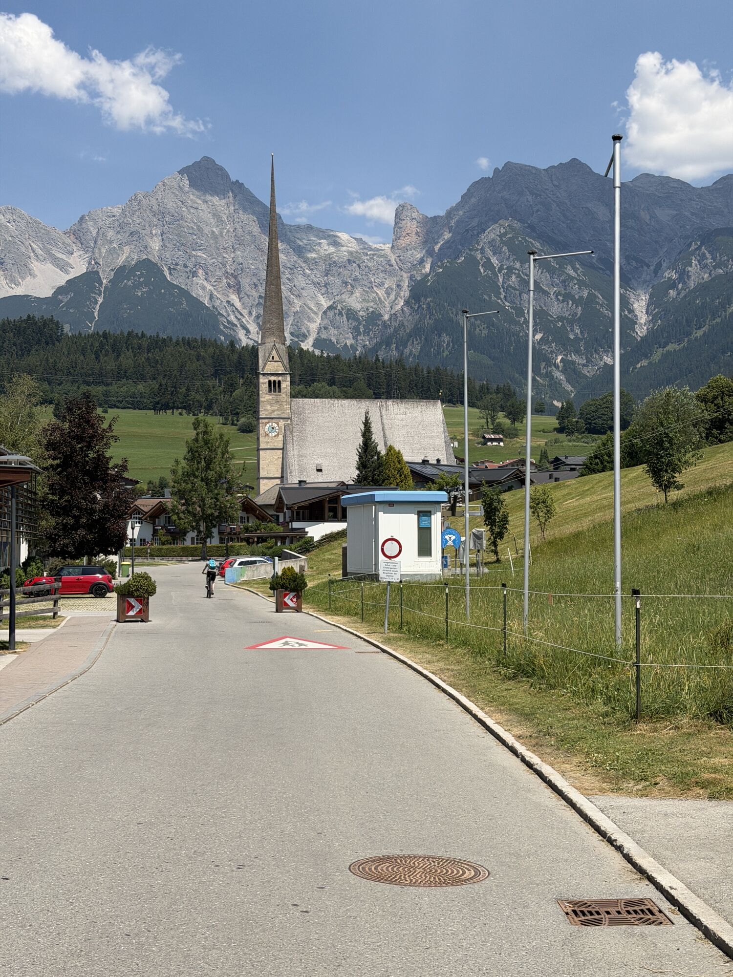
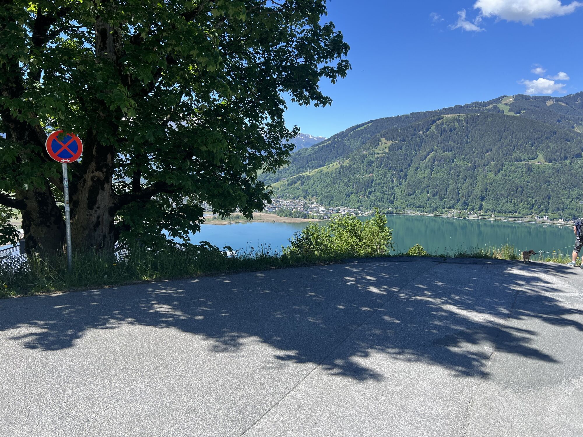
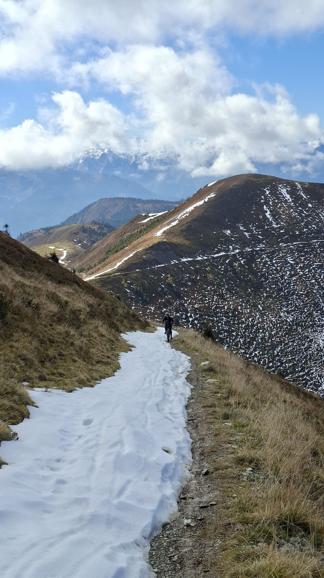
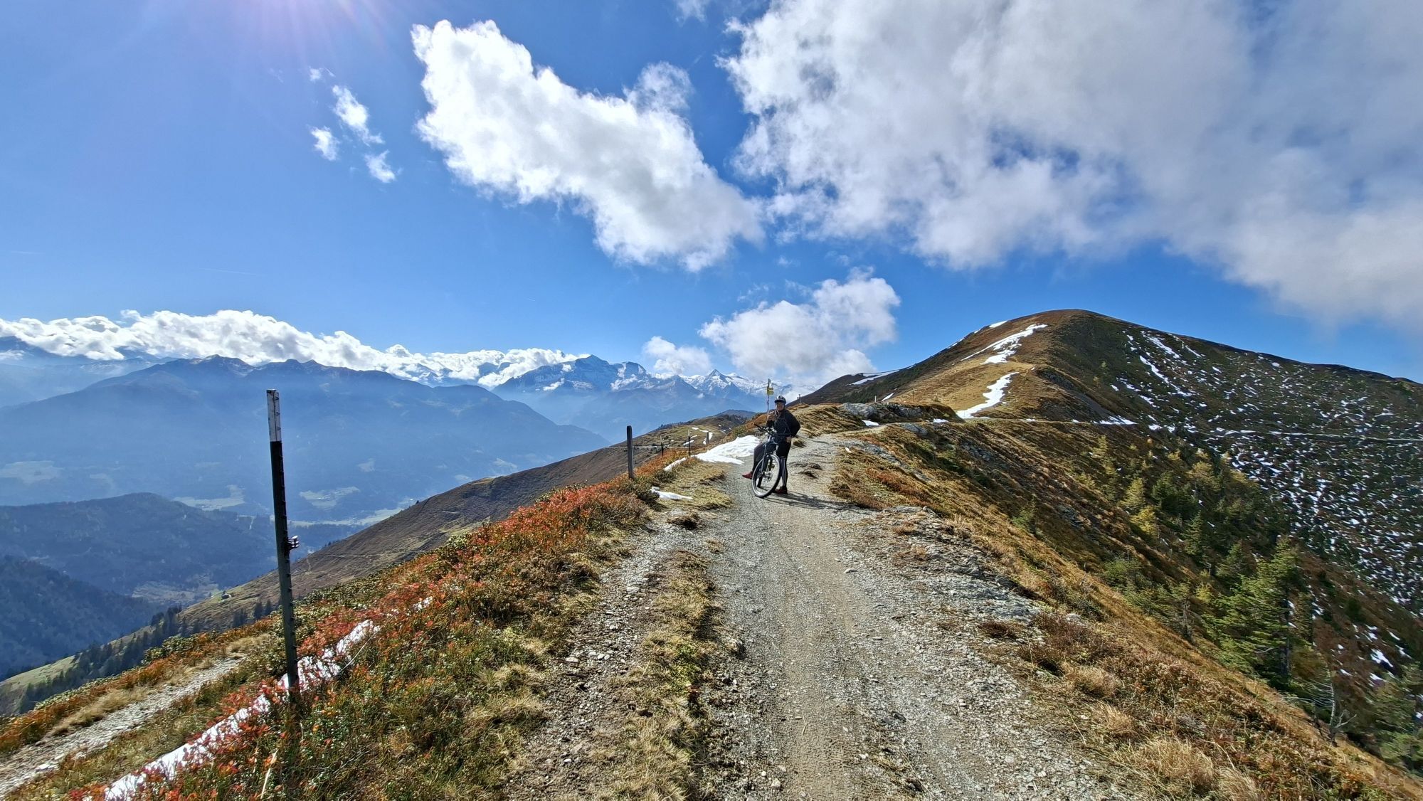
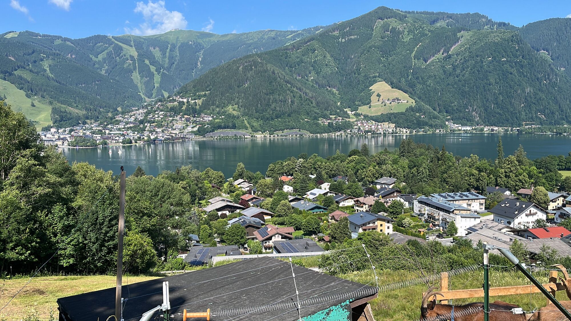
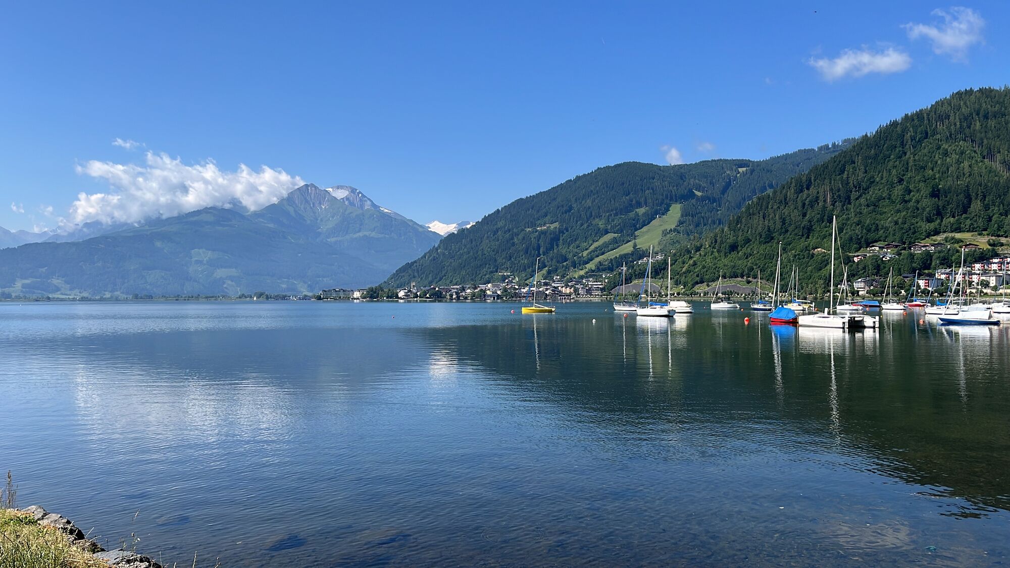
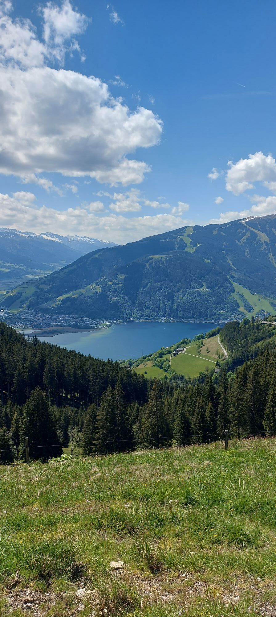
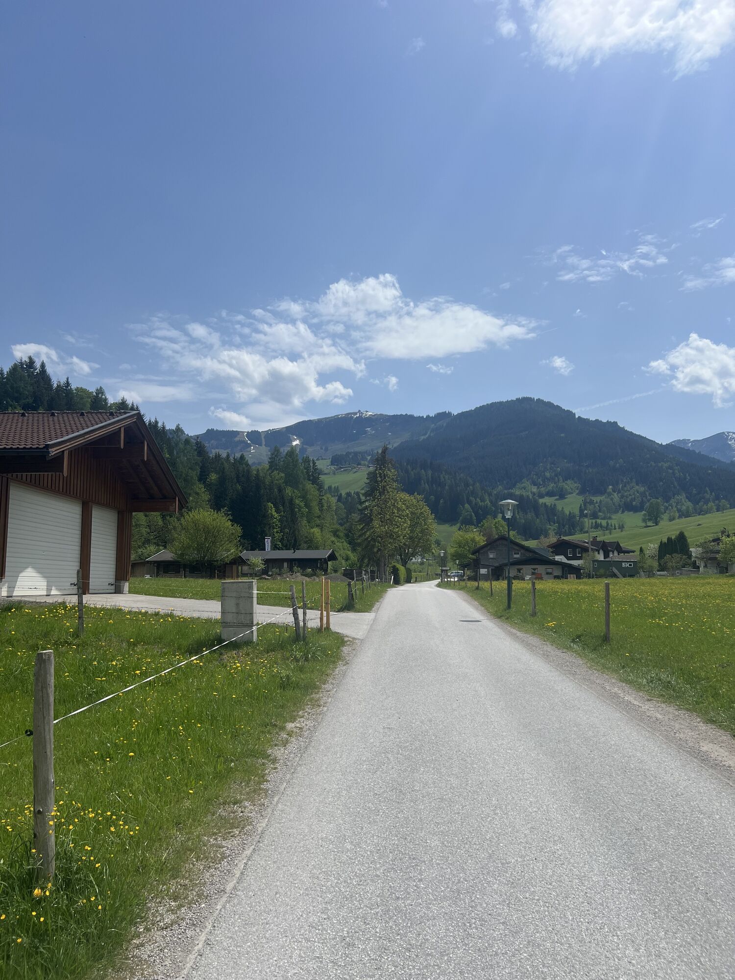
This tour from Saalbach via Saalfelden-Leogang, Maria Alm, and Maishofen is a true challenge: 80 kilometers and more than 2,000 meters of elevation gain demand endurance, strength, and advanced riding skills. A key highlight is the Hundstein summit at 2,117 meters above Lake Zell. Once at the top, a spectacular panorama opens up with views of the Steinernes Meer and the surrounding mountains – a moment that quickly makes you forget the effort. The route leads through varied terrain with long climbs, rugged sections, and smoother passages in between. At higher elevations, the landscape becomes increasingly wild and untouched, while lower sections offer more flowing riding. This constant change creates an intense yet rewarding touring experience. Overall, it is a demanding and versatile ride with strong alpine character and an impressive summit experience.



Webové kamery z prohlídky
-
Maria Alm - Hochmaisbahn
-
Schmittenhöhe
-
Schattberg - West
-
Asitz Gipfel
-
Aberg - Bergstation
-
Schattberg Westgipfel
-
Kohlmais Tal
-
Maria Alm - Aberg
-
Sonnkogel
-
Schmittenhöhe
-
Mitterberg bei Thumersbach
-
Zell am See / Hotel Berner
-
Schmittenhöhe
-
Schmittenhöhe
-
Zell am See
-
Hinterglemm - Saalbach
-
Saalfelden
-
Großer Asitz / Gipfelkreuz
-
Thumersbach
-
Saalbach-Hinterglemm - Schattberg Ost
-
Saalbach-Hinterglemm - Wildenkarkogel
-
Saalbach - Hotel Alpinresort
-
Zwölferkogel
-
Wildenkarkogel
-
Grünegg Alm & Edelbrennerei
-
Maishofen Sausteige
-
Maishofen - Schloss Kammer
-
Natrun Bergstation
-
Saalbach-Hinterglemm - Kohlmais
-
Kohlmaiskopf
-
Leogang - Grosser Asitz
-
Maishofen Dorfplatz
-
zellamseeXpress
-
Wohlfühlhotel-Johanneshof
-
Hoferbichlgut
-
Hinterreit - Saalfelden
-
Saalfelden - Obermühlhof
-
Eberharthof - Saalbach-Hinterglemm
-
Maria Alm - "die Hochkönigin"
-
Schmittenhöhe

Oblíbené prohlídky v okolí
-
4.4
Maria Alm - Riemannhaus
Turistika 3.99 km -
4.9
Summit stormer route Lauskopf
heavyTuristika 8.16 km -
4.8
Highlight Kitzlochklamm Classic round
středníTuristika 2.02 km -
4.8
Summit storming route Taghaube
heavyTuristika 6.25 km -
4.4
Schwalbenwand Nr. 80, 81, 82
středníTuristika 13.0 km -
4.6
Peter-Wiechenthaler Hut
středníTuristika 8.63 km -
4.6
Steinalm
světloTuristika 5.43 km -
4.9
Hochkönig - Gipfel der Gefühle - Matrashaus
heavyTuristika 20.9 km -
4.3
Mühlbacher Höhenweg
středníTuristika 11.2 km -
4.8
Breithorn
středníTuristika 10.0 km
Pěší turistika a stopování


Nenechte si ujít nabídky a inspiraci pro vaši příští dovolenou
Vaše e-mailová adresa byl přidán do poštovního seznamu.


