



NP 16h | Fröstlberg bike path in the Rauris valley

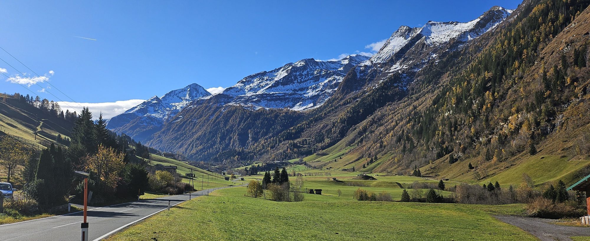
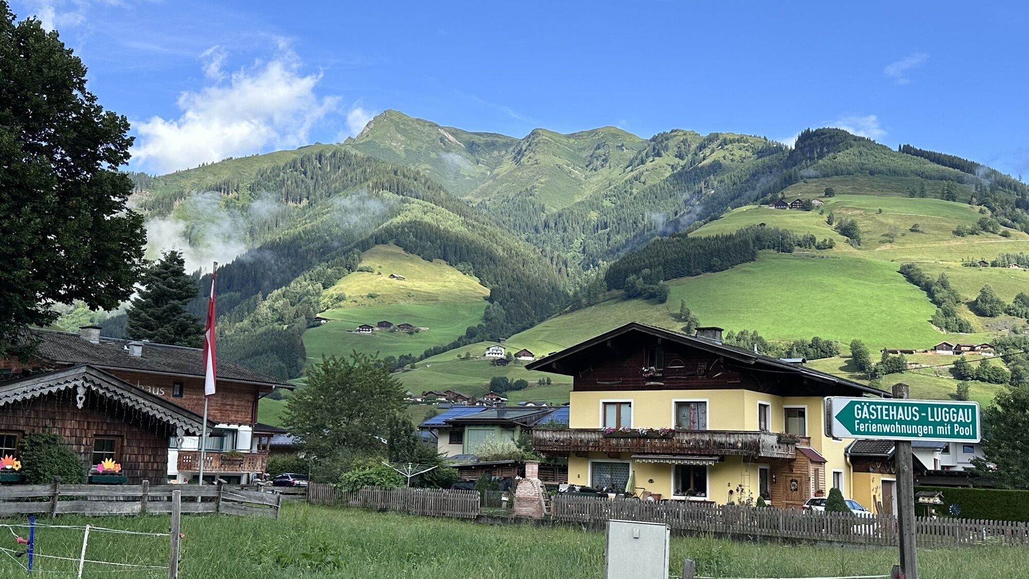
The bike path initially winds gently uphill along a well-developed asphalt road. With every pedal stroke, the valley opens up a bit more, and the surrounding peaks impressively draw closer, as if silently...
Upon arrival at the top, you will be rewarded with a magnificent panorama of the Rauris mountain world. The extensive alpine pastures, the distinctive peaks, and the clear mountain air make this moment a true pleasure.



Wörth - main road - Fröstlberg
Ano
Wörth playground
There is a bike-and-hike option. First, you cycle from Wörth up to the Fröstlberg. From there, you continue hiking along path No. 16 to Lercheggalm (operated approximately from mid-June to early September).
Oblíbené prohlídky v okolí
-
4.8
Großarl: Himmelsroute
středníTuristika 5.41 km -
4.5
Gastein high path from Bad Gastein to Bad Hofgastein
světloTuristika 8.58 km -
4.9
Silberpfennig, Salzburger Land/Österreich
středníTuristika 13.8 km -
4.9
Bad Gastein - Poserhöhe - Gamskarkogel
heavyTuristika 18.6 km -
4.8
Türchlwand von der Bergstation Schlossalmbahn Bad Hofgastein, Österreich
středníHorská turistika 7.05 km -
4.8
Hohe Sonnblick Up
heavyTuristika 9.14 km -
4.8
Rifflscharte - Kolmkarscharte - Bockhartscharte - Sportgastein
středníTuristika 13.5 km -
4.7
Bad Gastein Stubnerkogel-Zittrauer Tisch Rundwanderung
středníTuristika 18.6 km -
4.9
Krumltal in Rauris September 2020
světloTuristika 11.4 km -
4.7
Hike to Poserhöhe
středníTuristika 1.60 km
Pěší turistika a stopování


Nenechte si ujít nabídky a inspiraci pro vaši příští dovolenou
Vaše e-mailová adresa byl přidán do poštovního seznamu.


