


Königssee route from Bad Vigaun (Hallein-St.Leonhard-Marktschellenberg-Berchtesgaden-Königssee / return via Scheffau/Zillstraße)
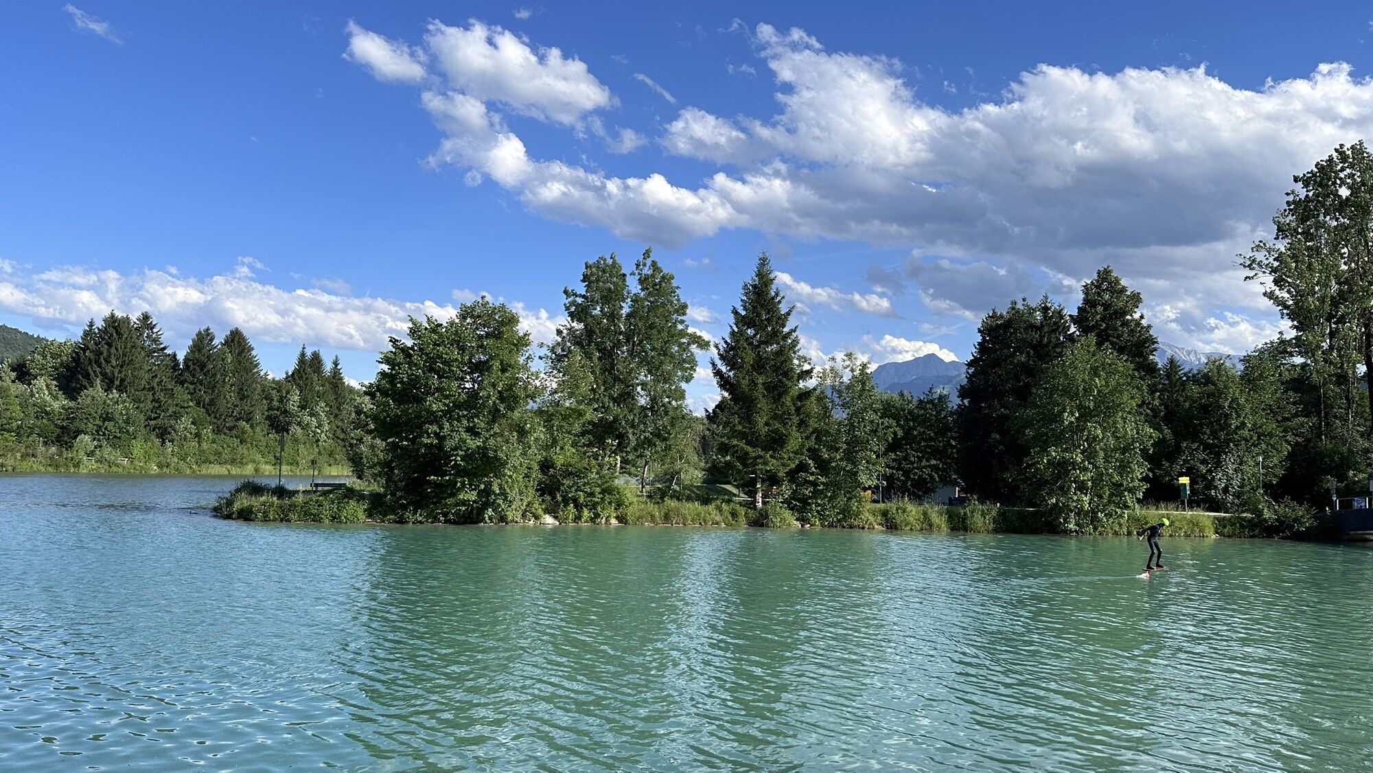
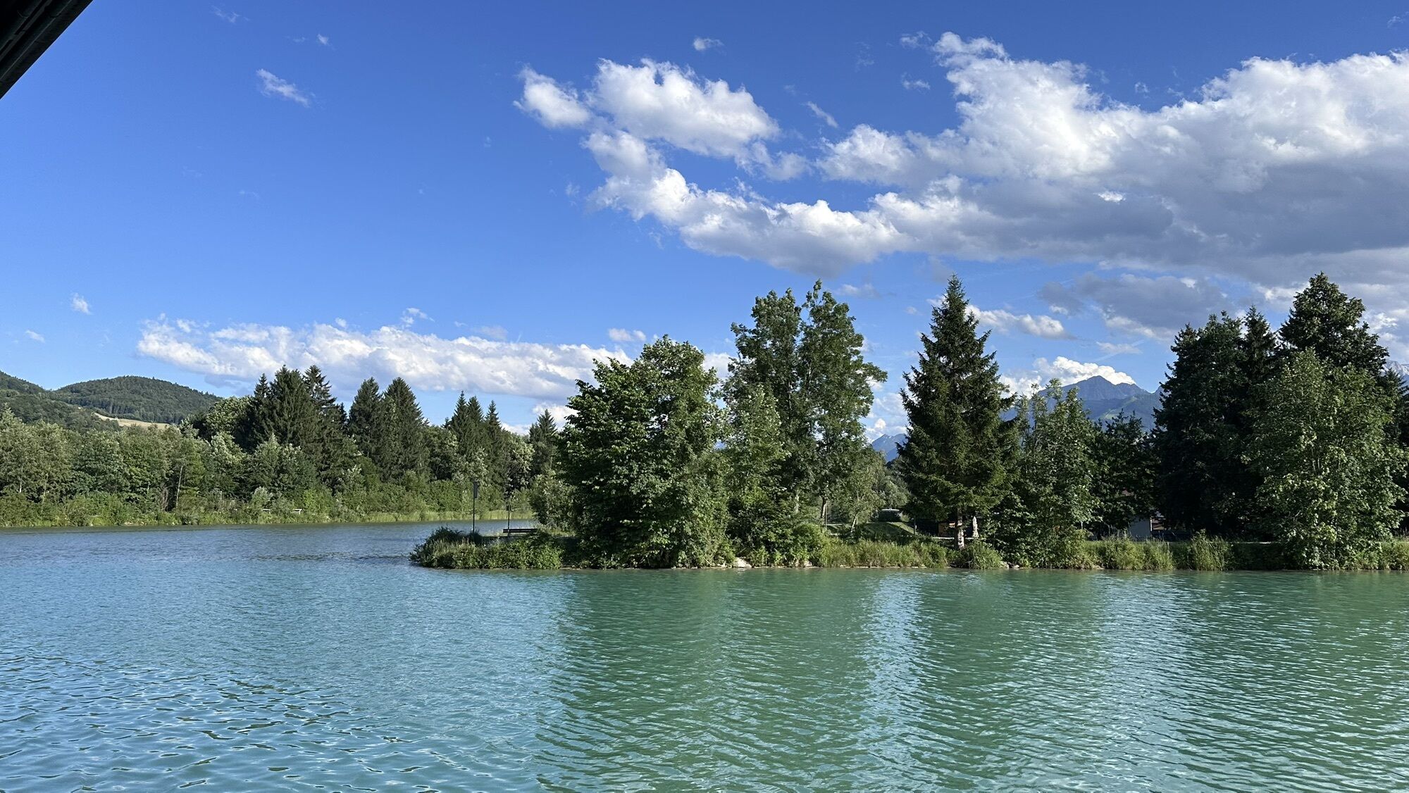
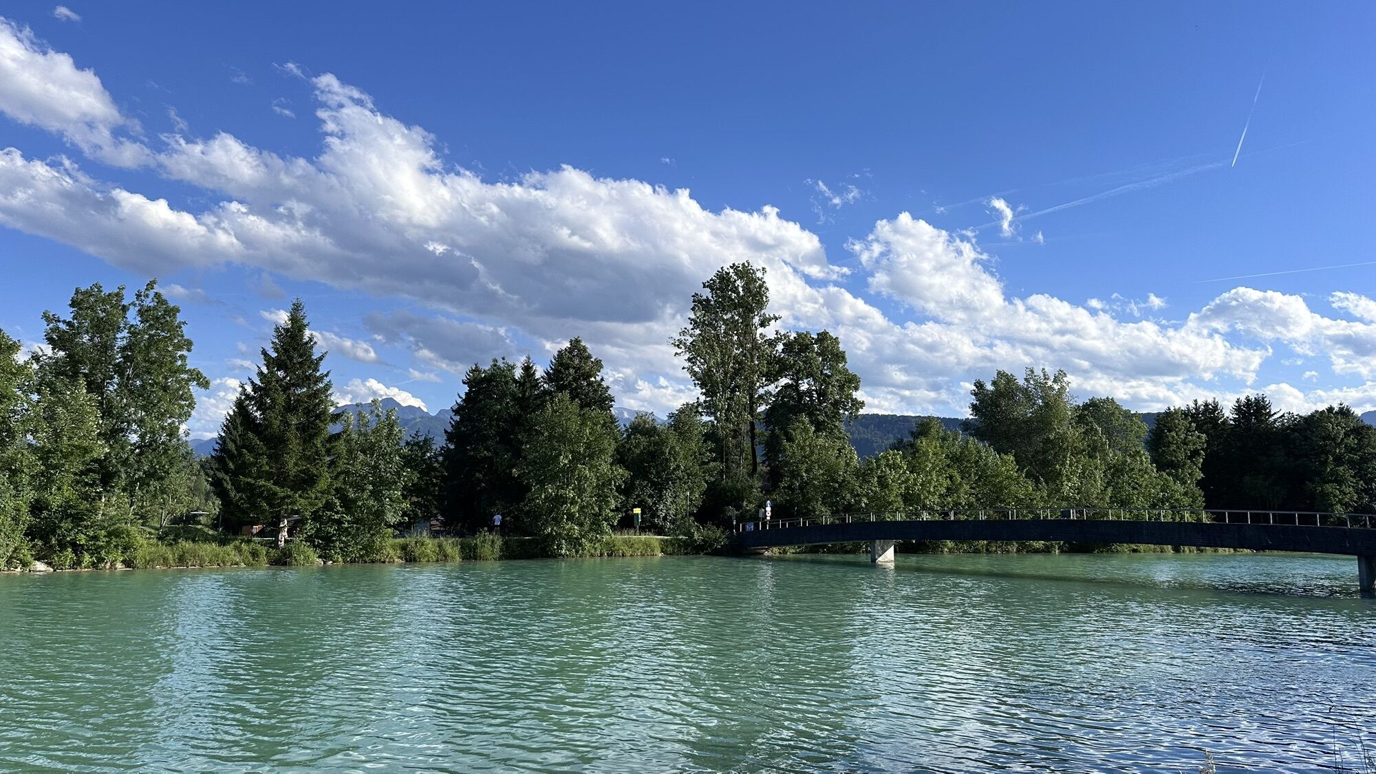
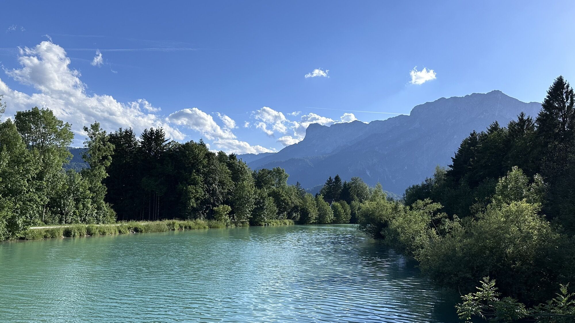
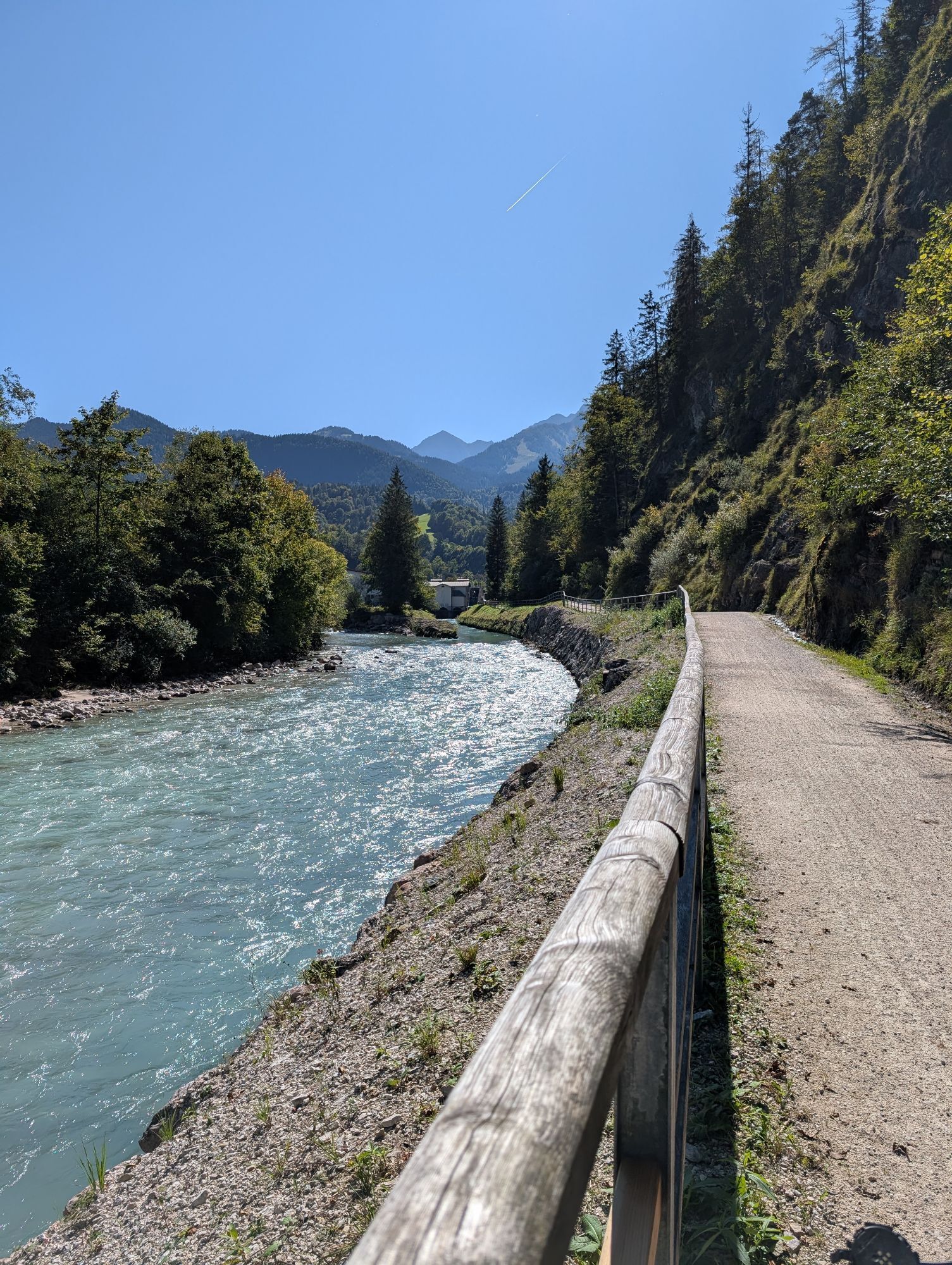
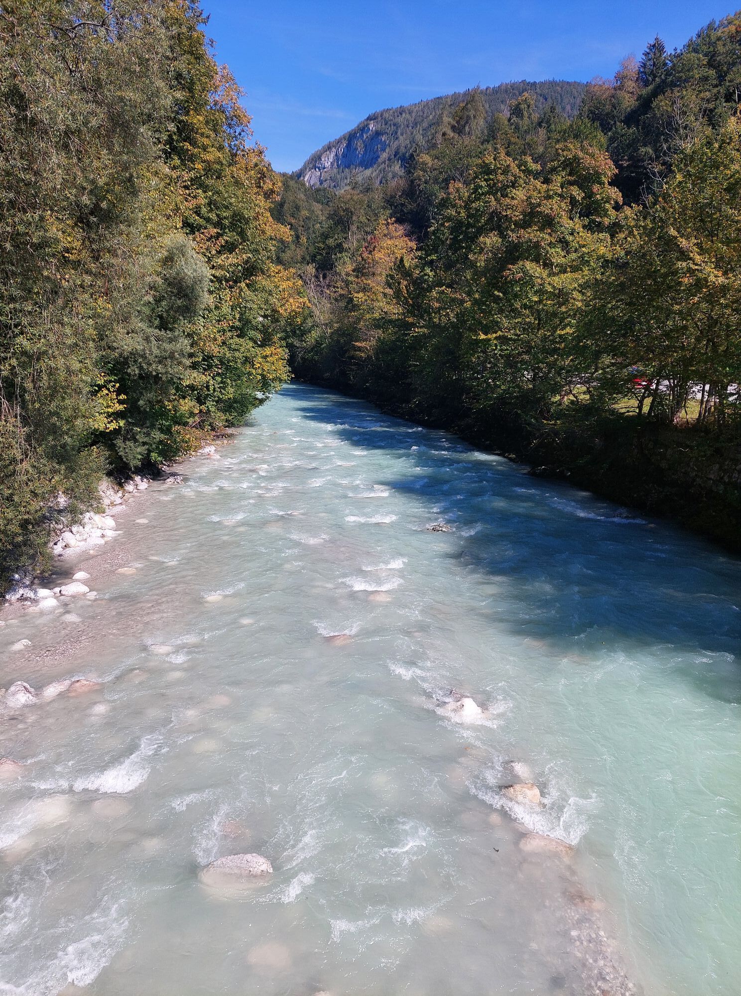
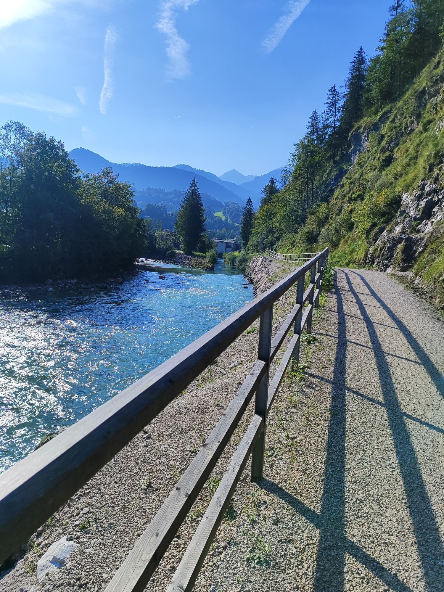
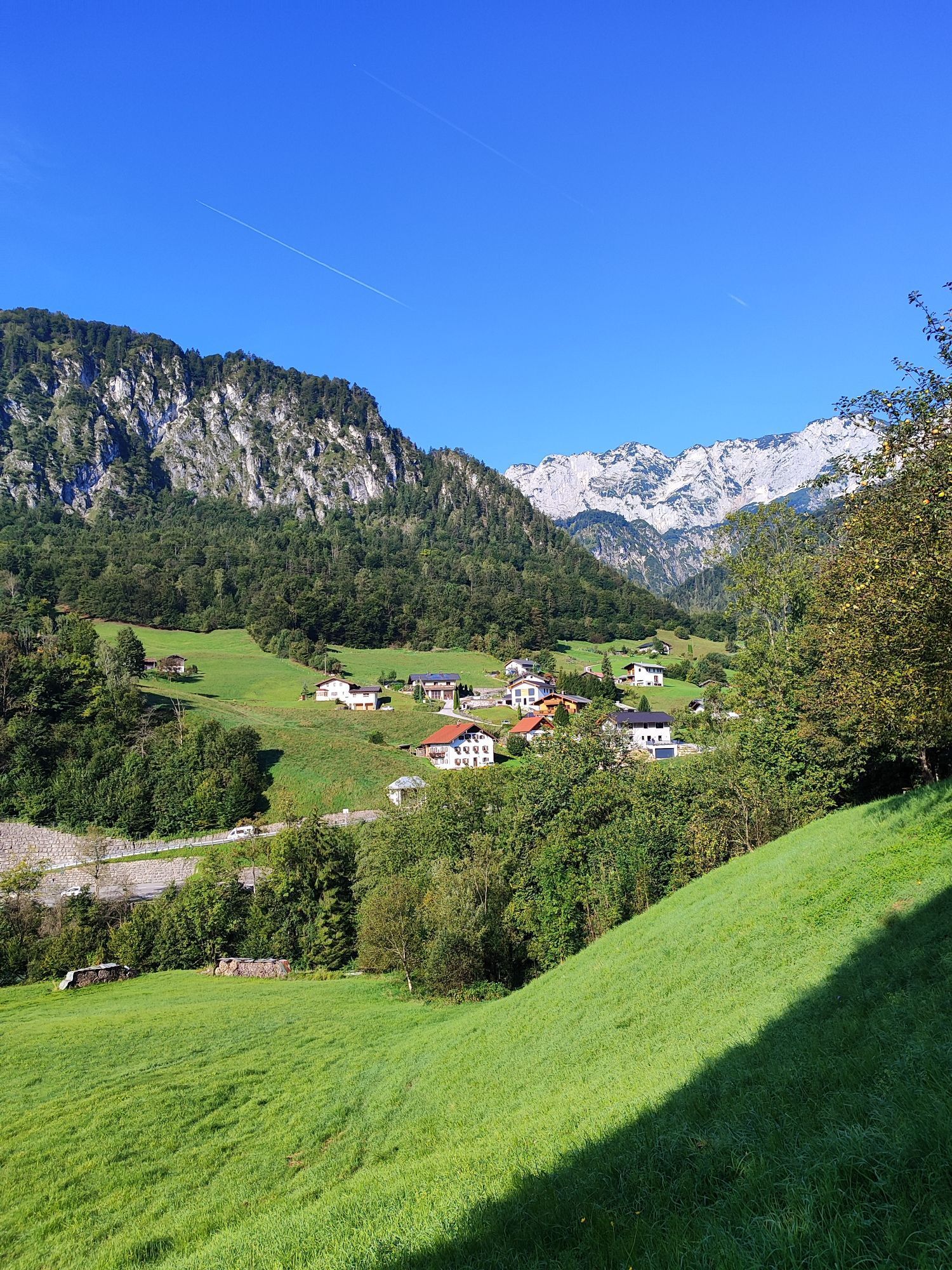
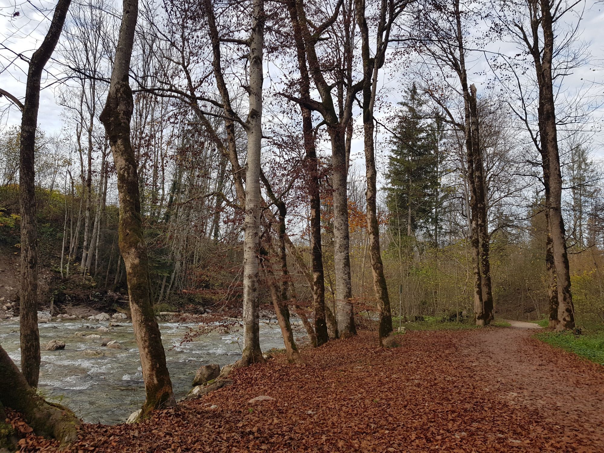
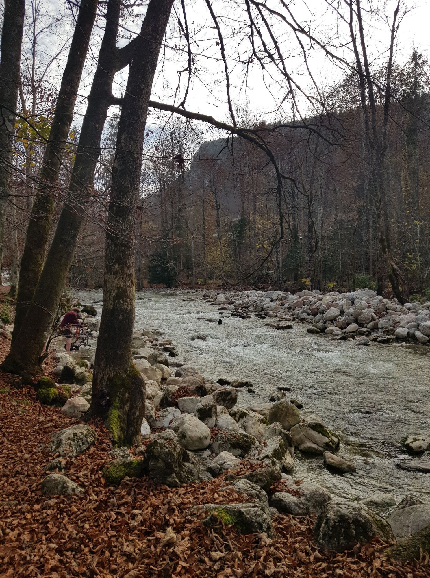
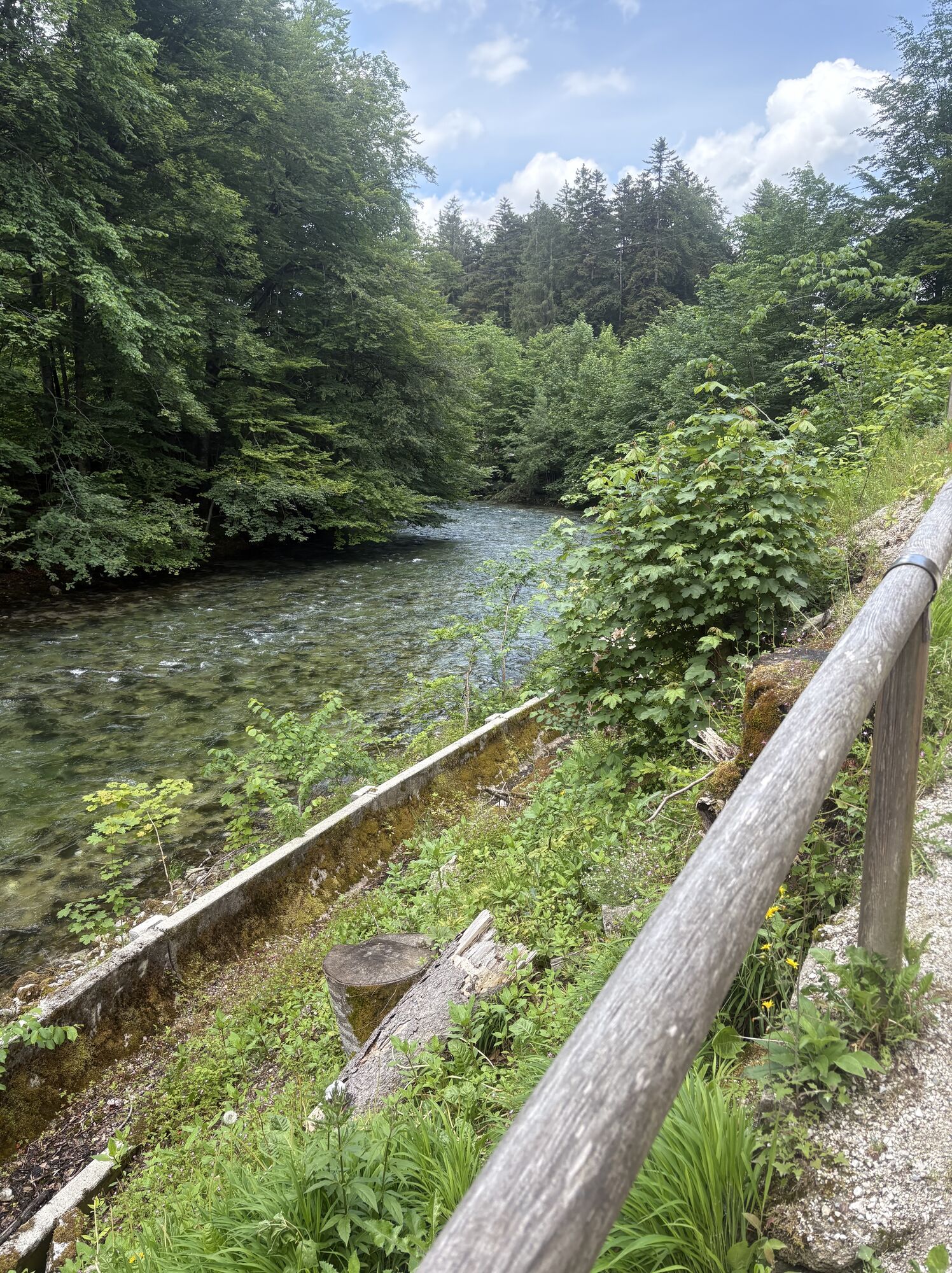
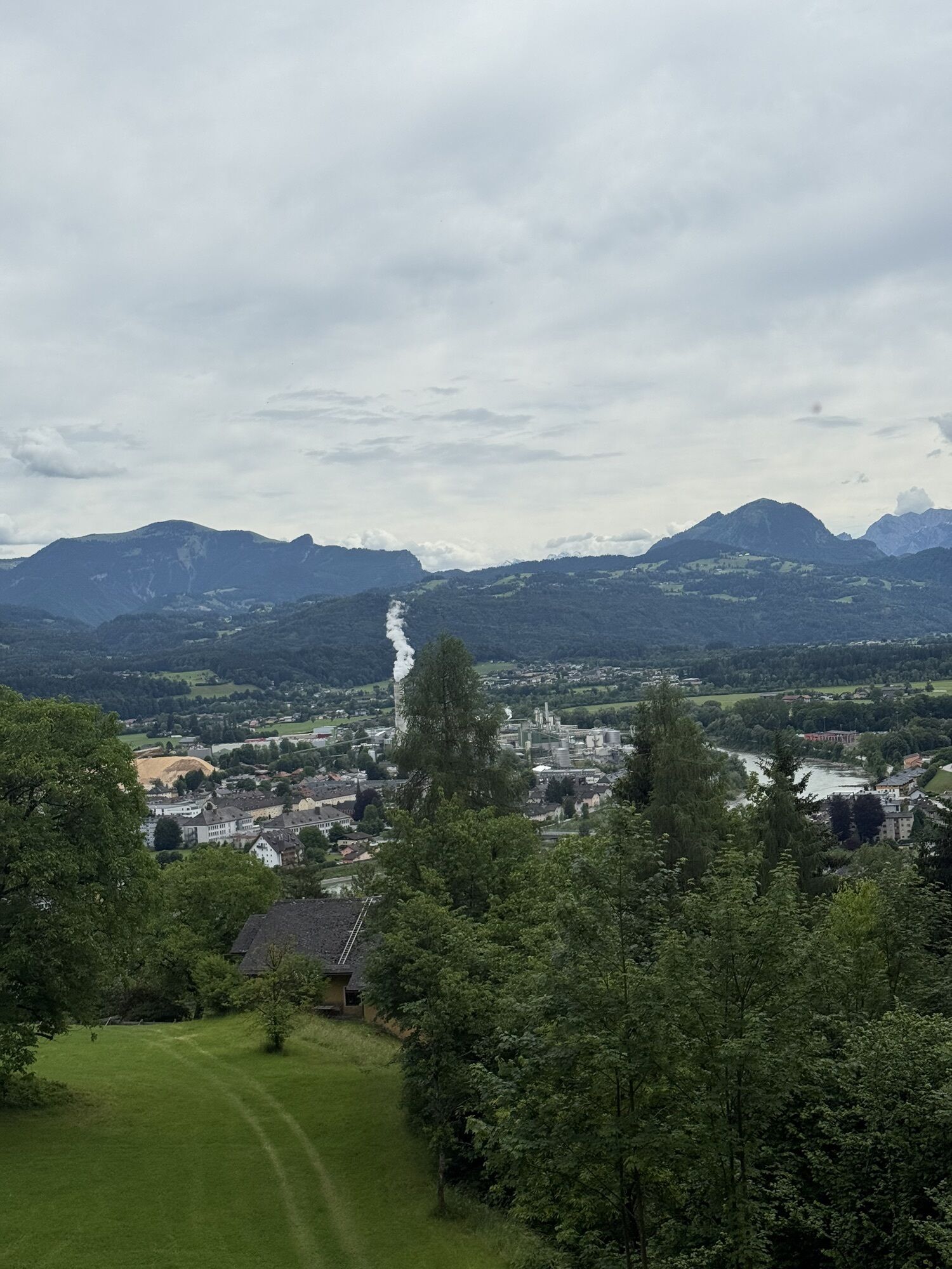
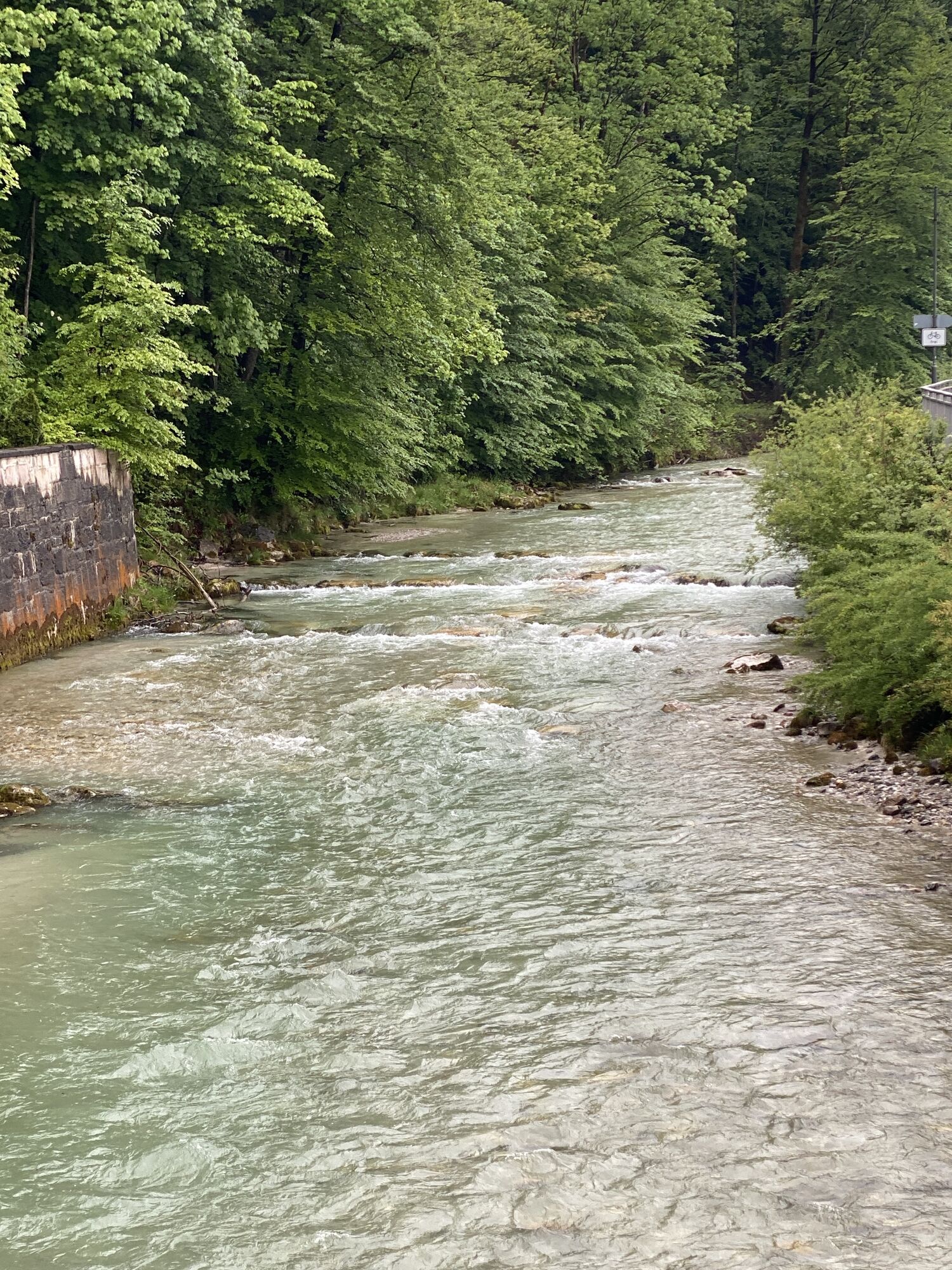
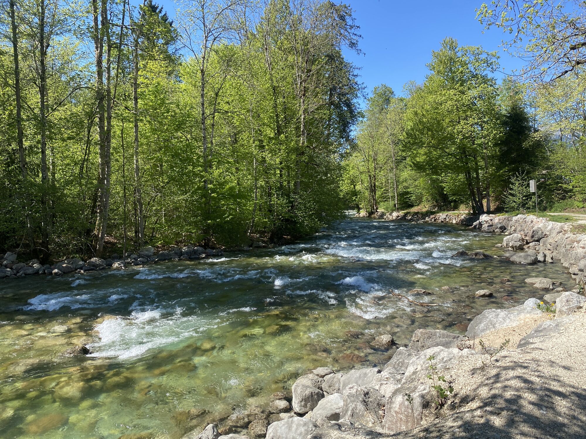
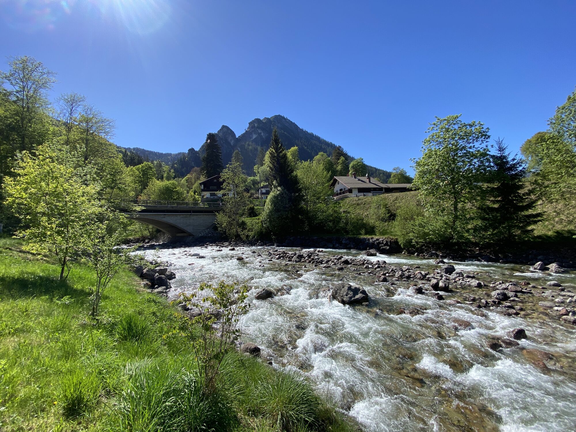
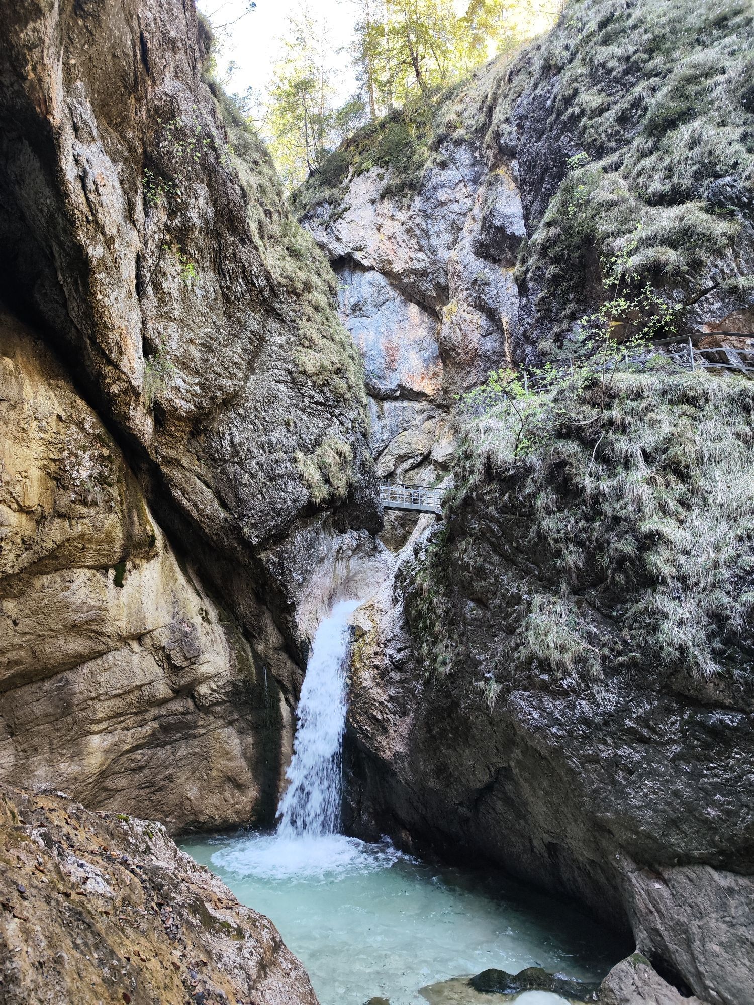
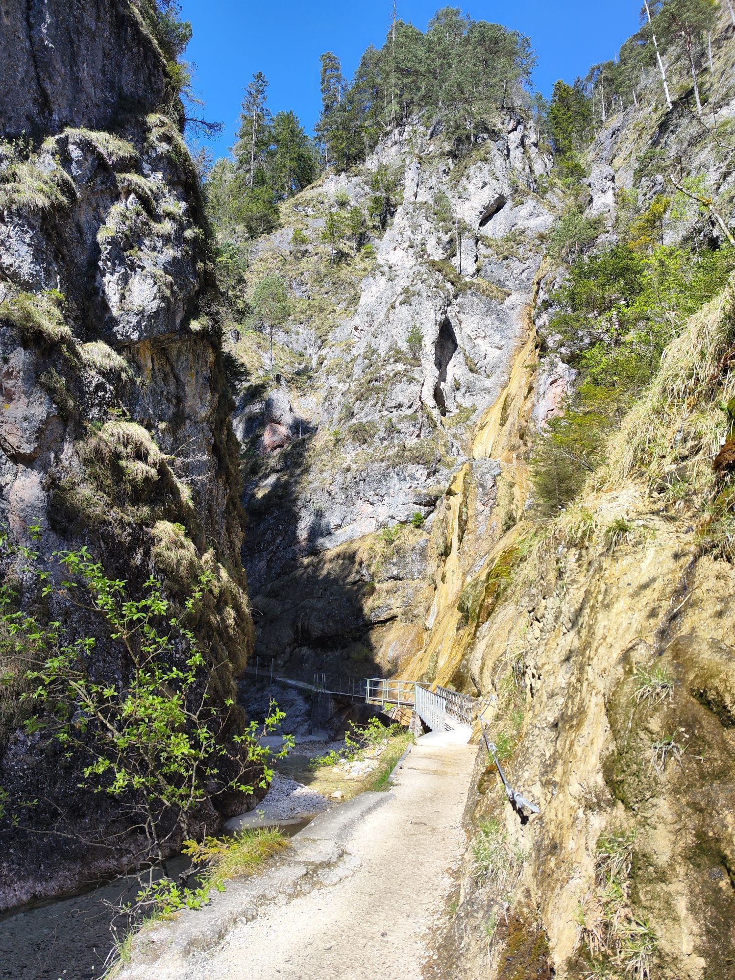
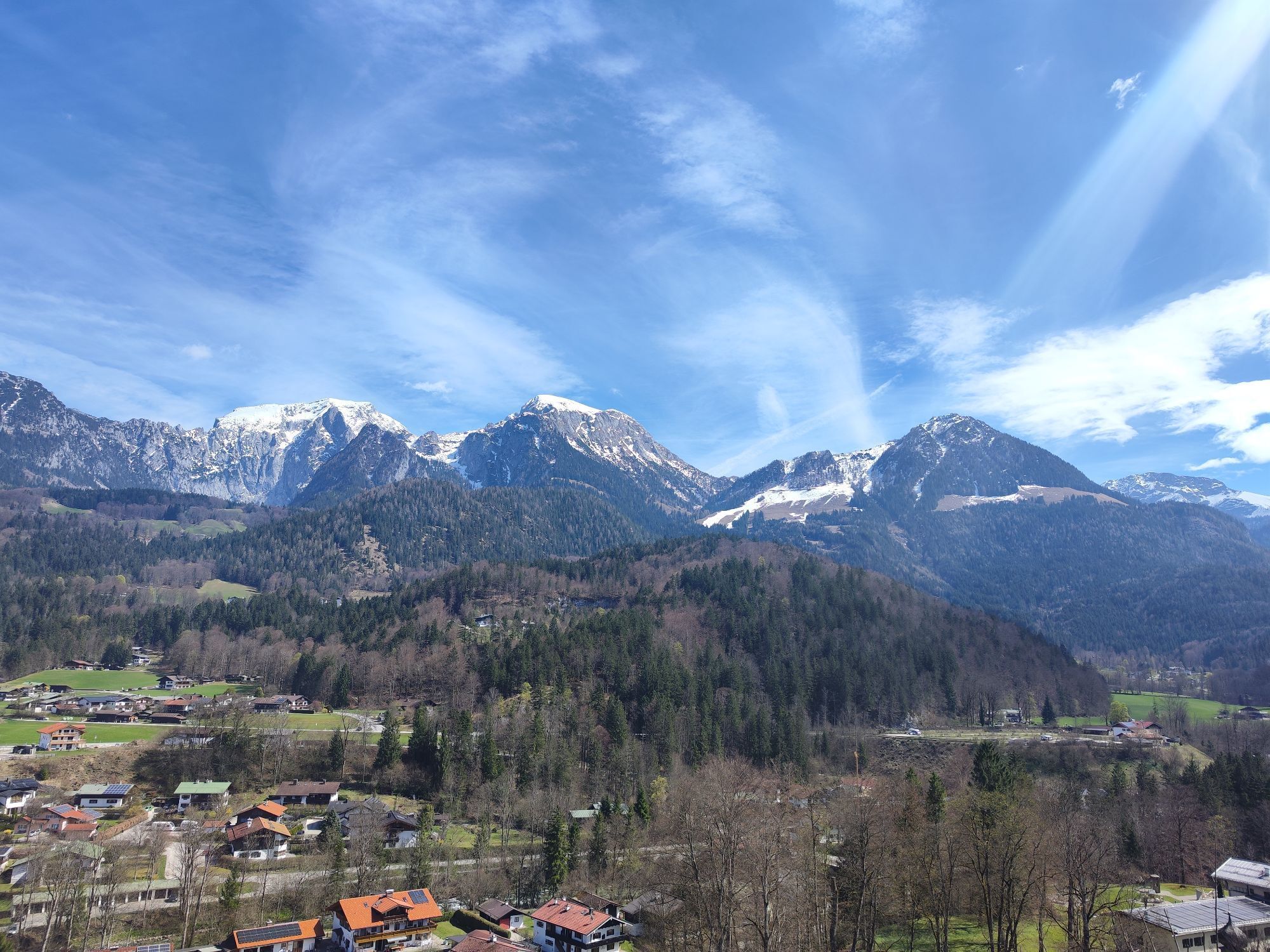
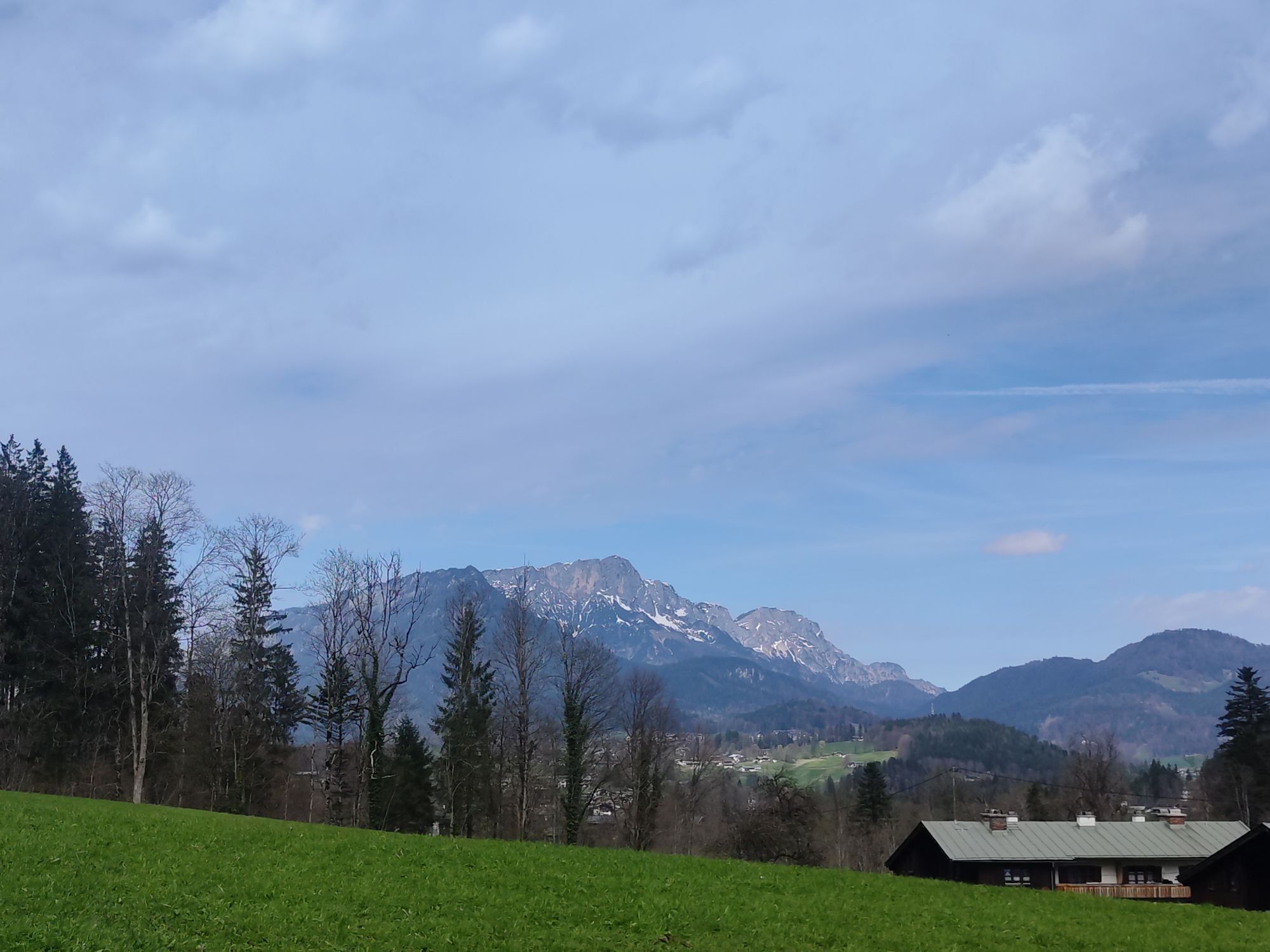
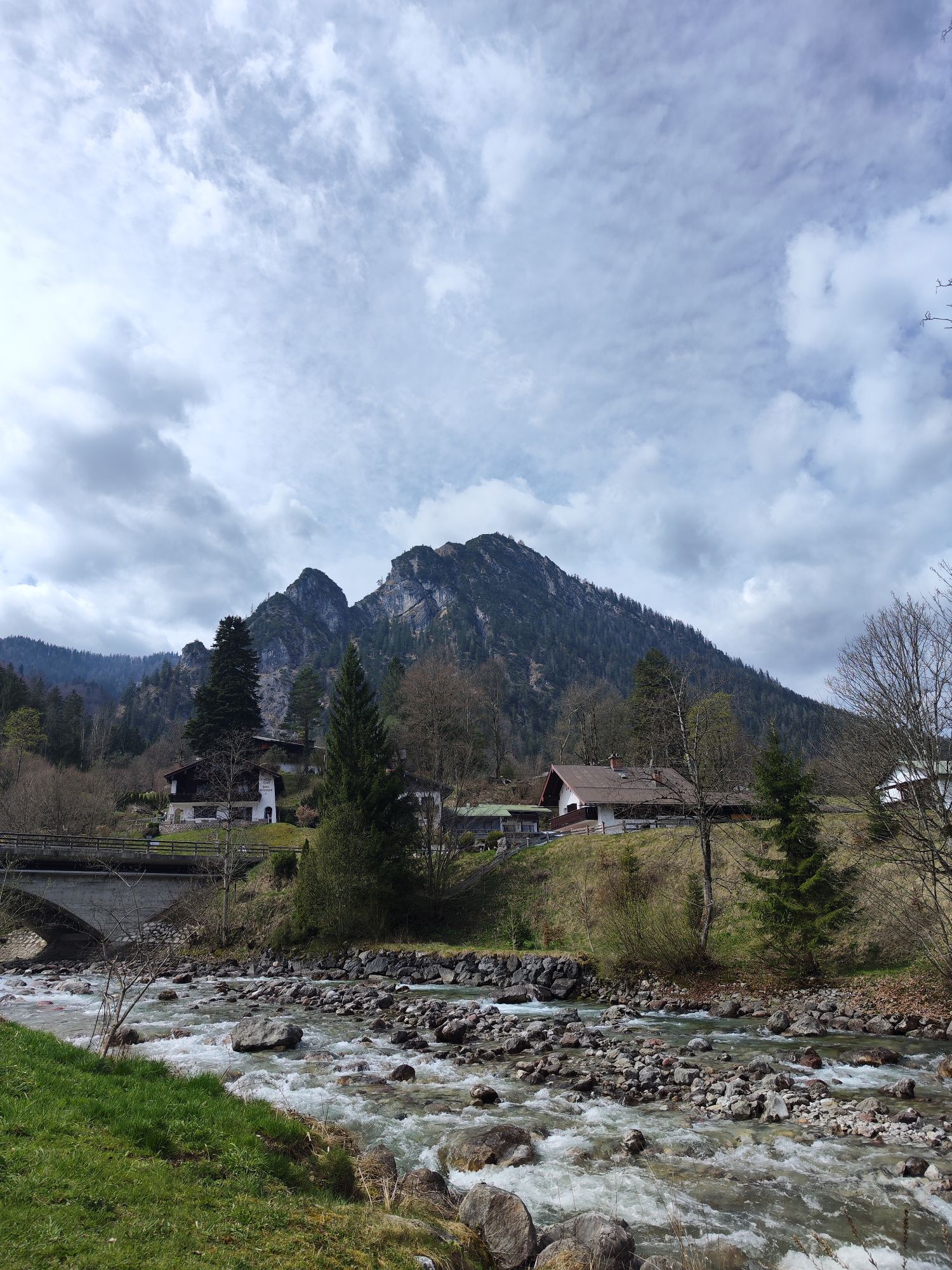
First, leisurely along the Salzach and Königsseeache via Berchtesgaden to the Königssee. Return with a short, steep section via Zillstraße to Hallein and back to Bad Vigaun. Many opportunities to stop...
First, leisurely along the Salzach and Königsseeache via Berchtesgaden to the Königssee. Return with a short, steep section via Zillstraße to Hallein and back to Bad Vigaun. Many opportunities to stop for refreshments await you on a very scenic route!

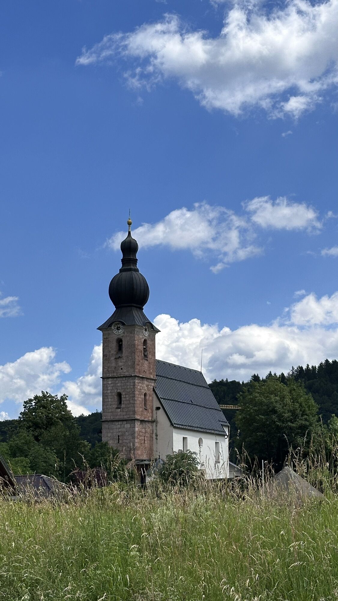
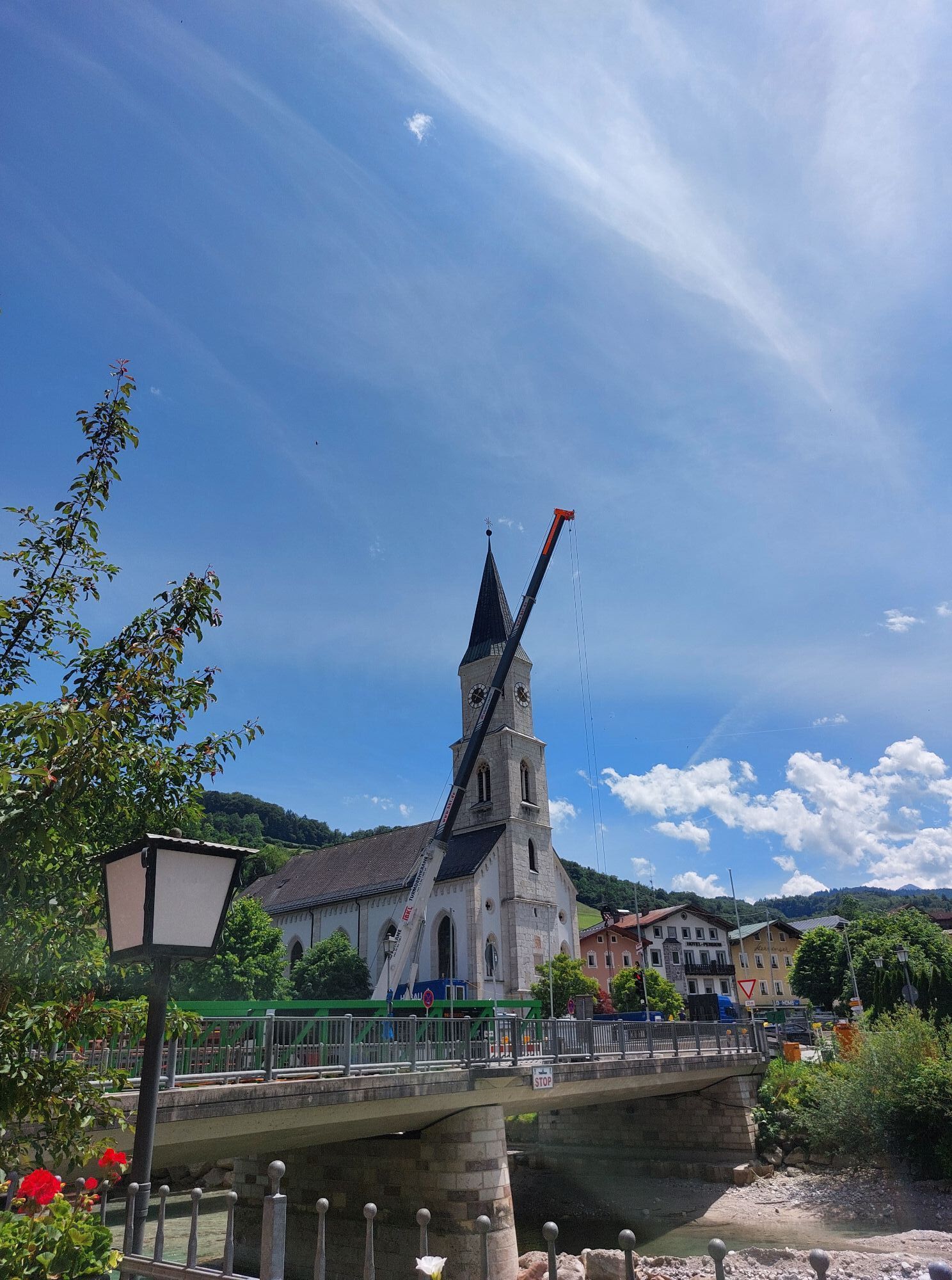
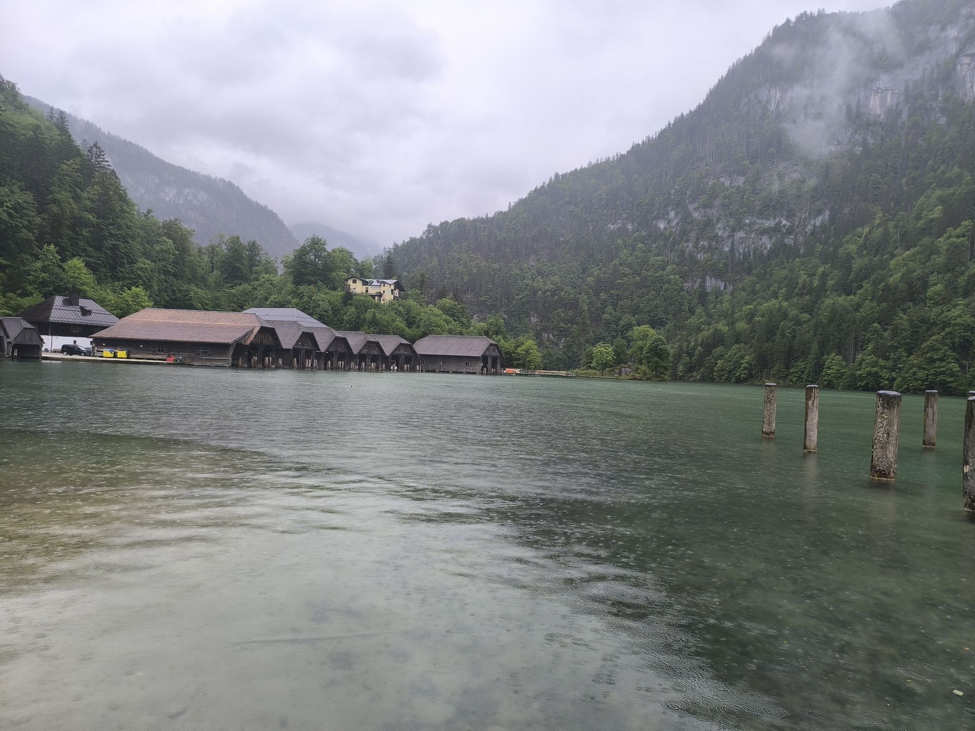
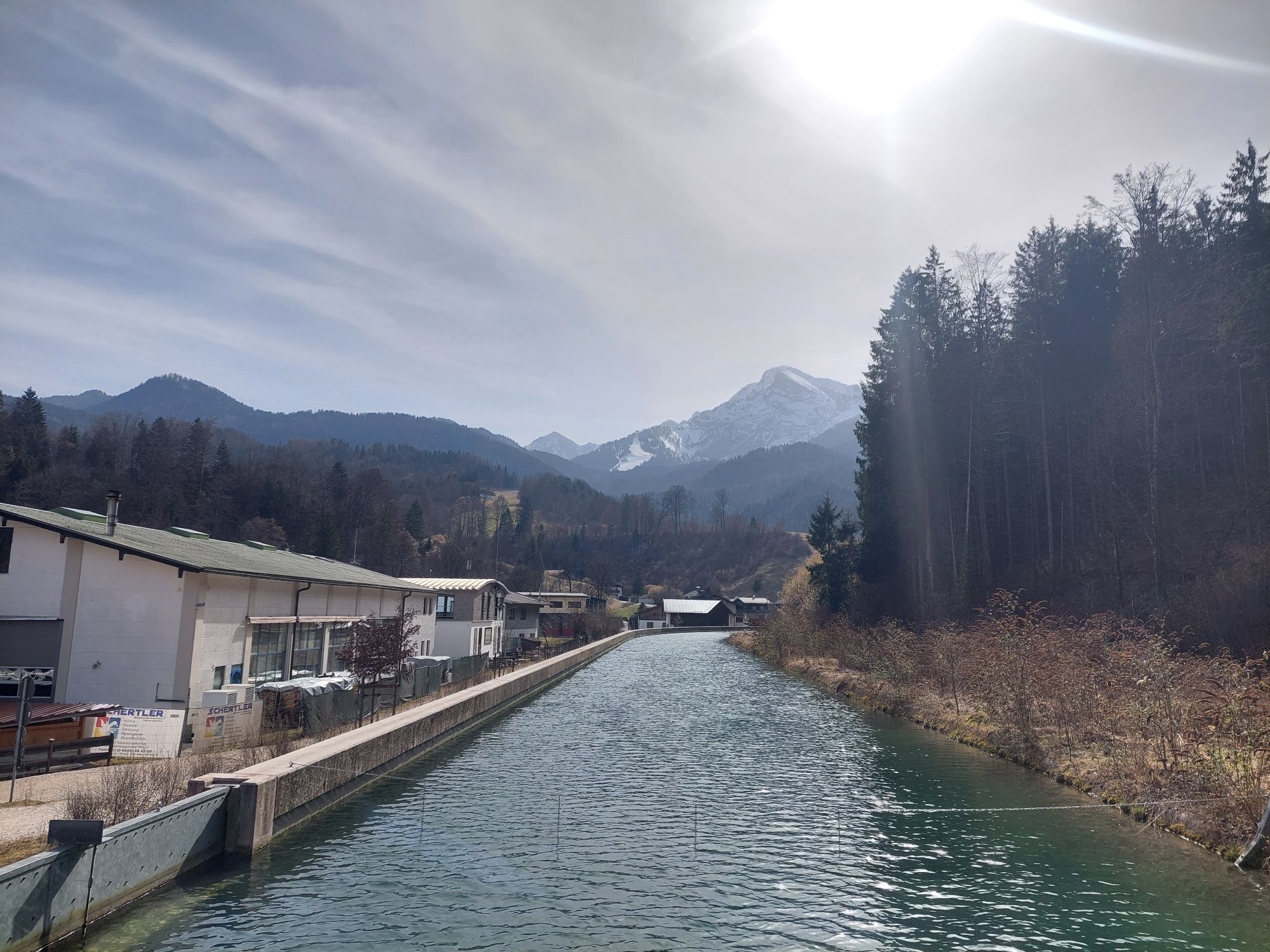
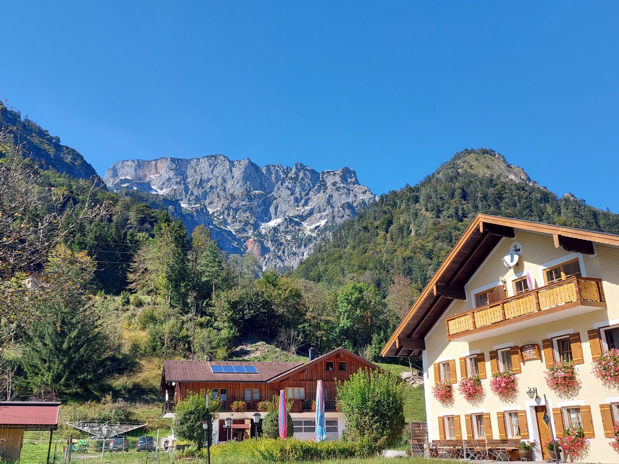
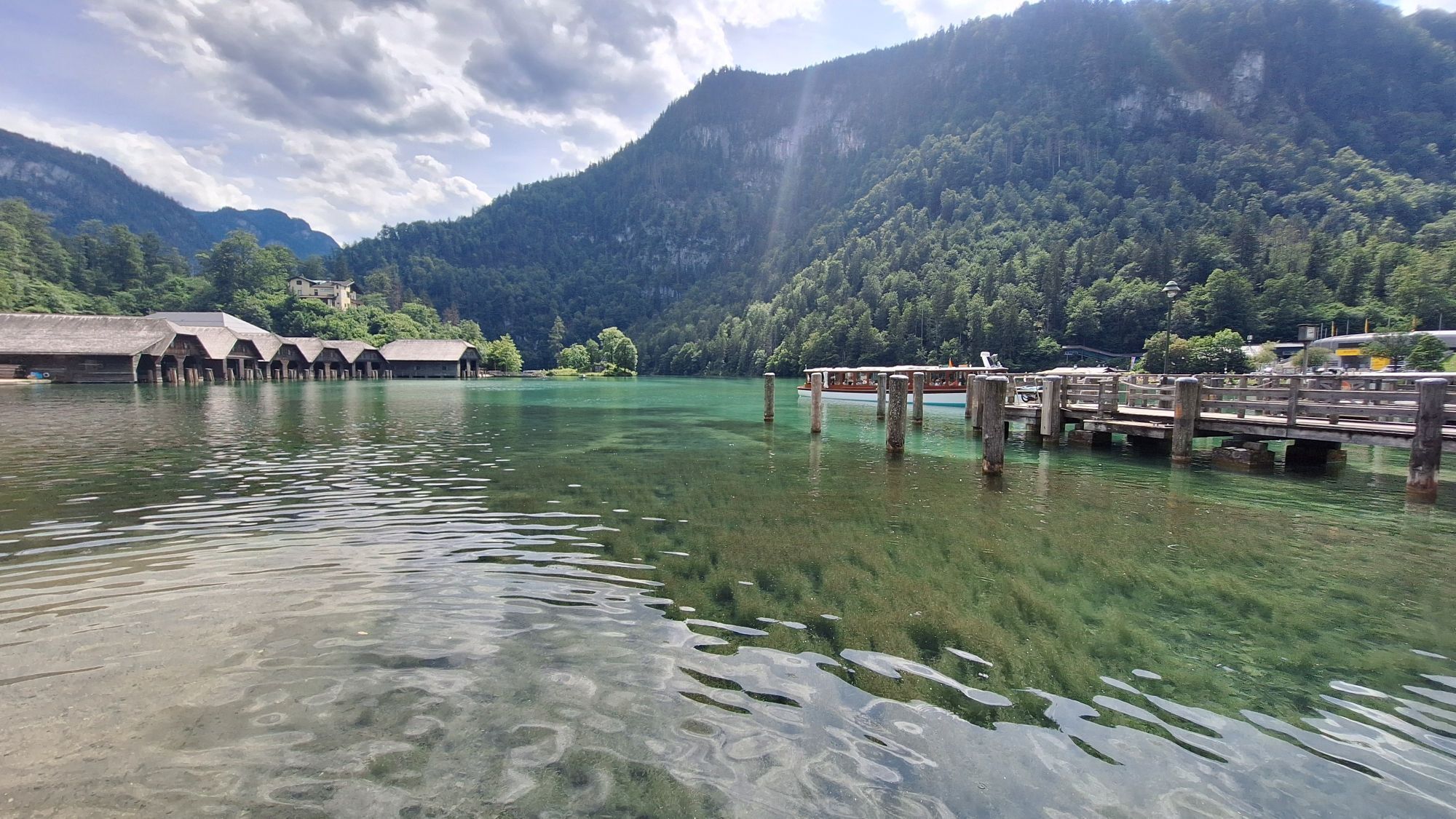
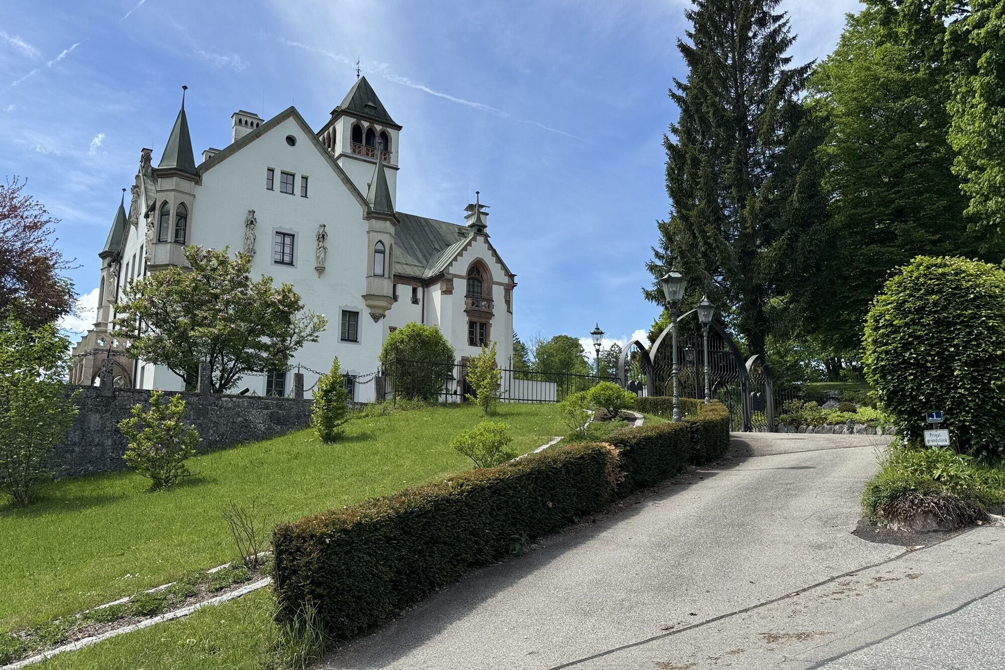
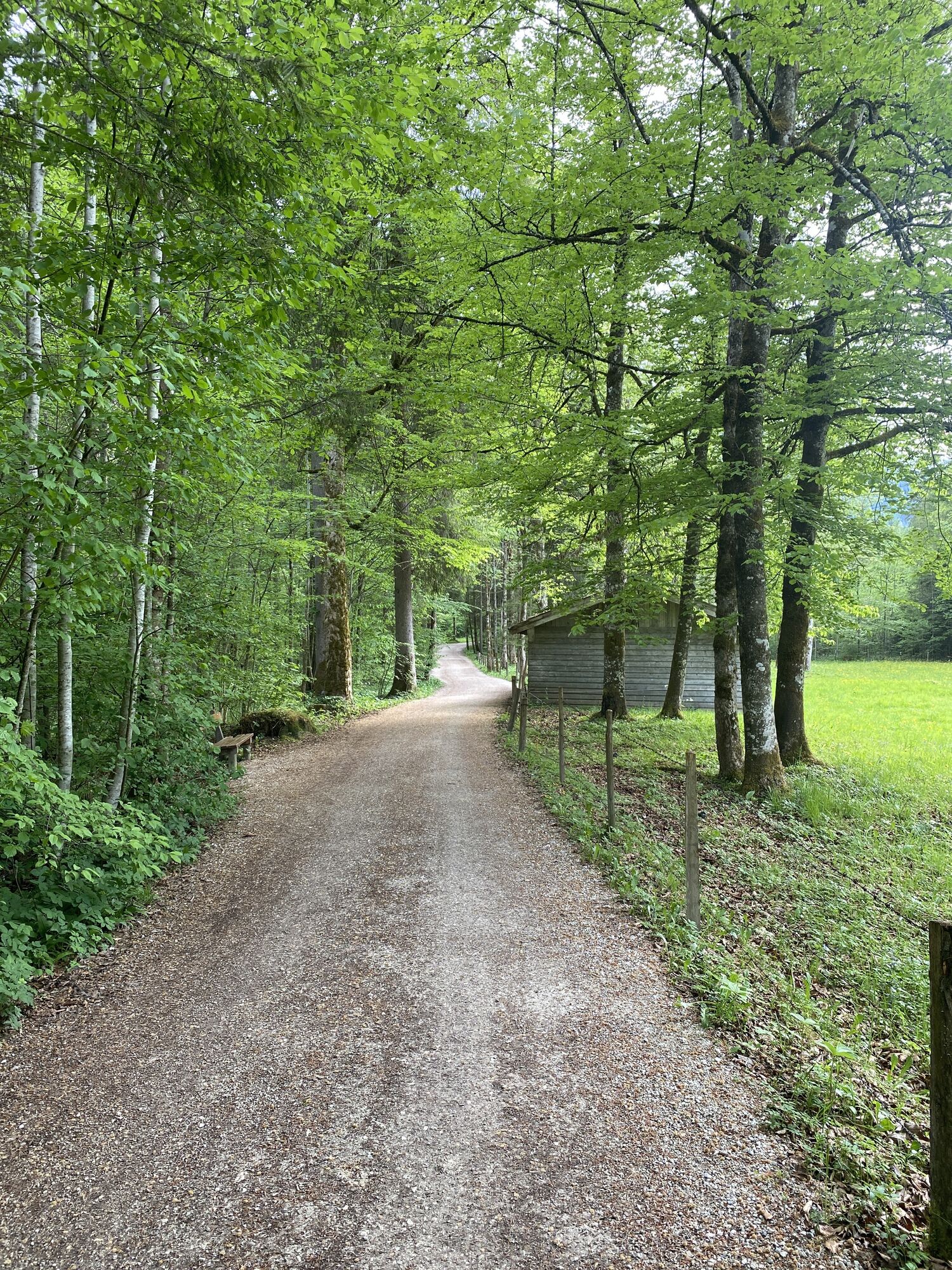
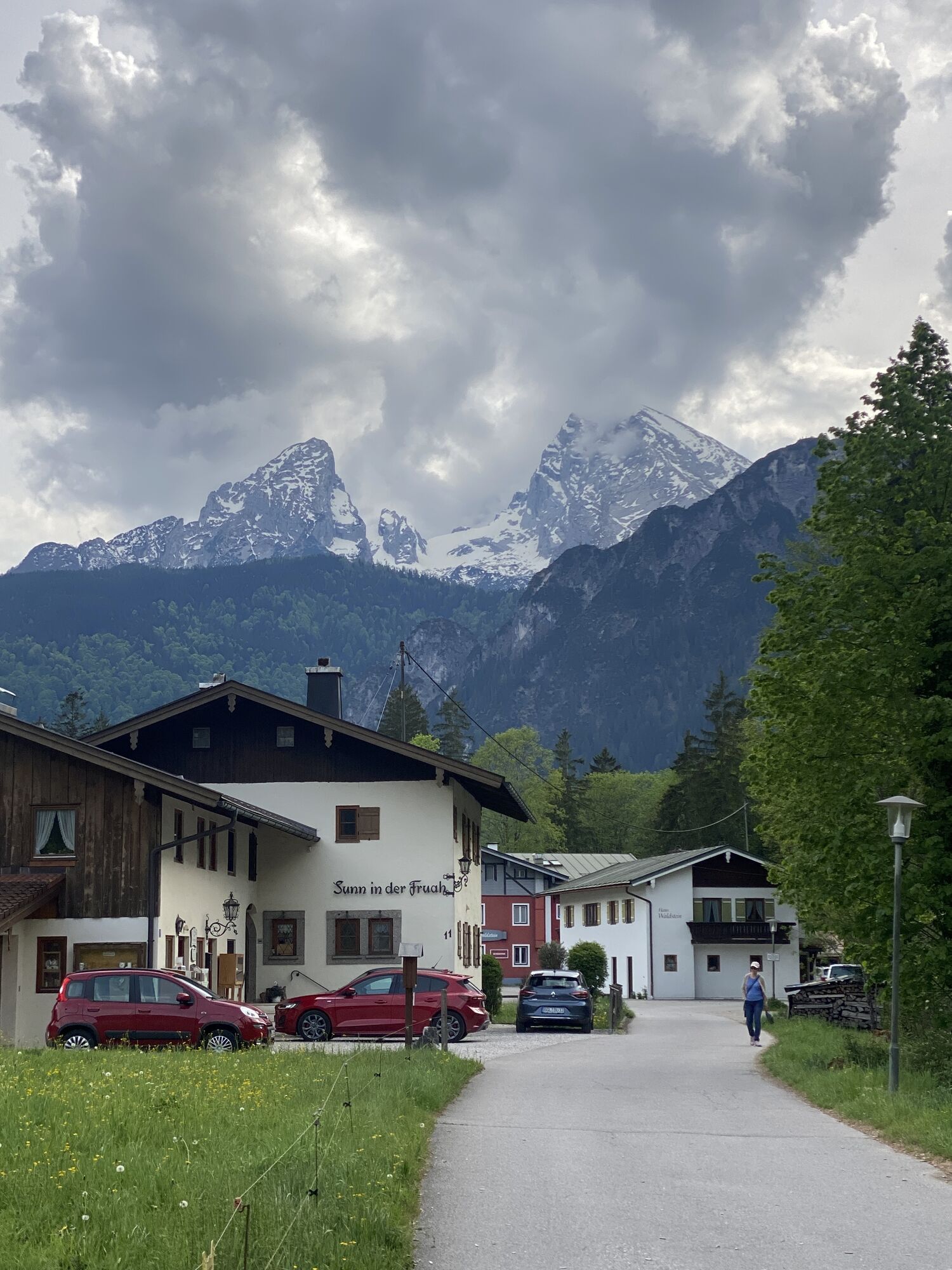
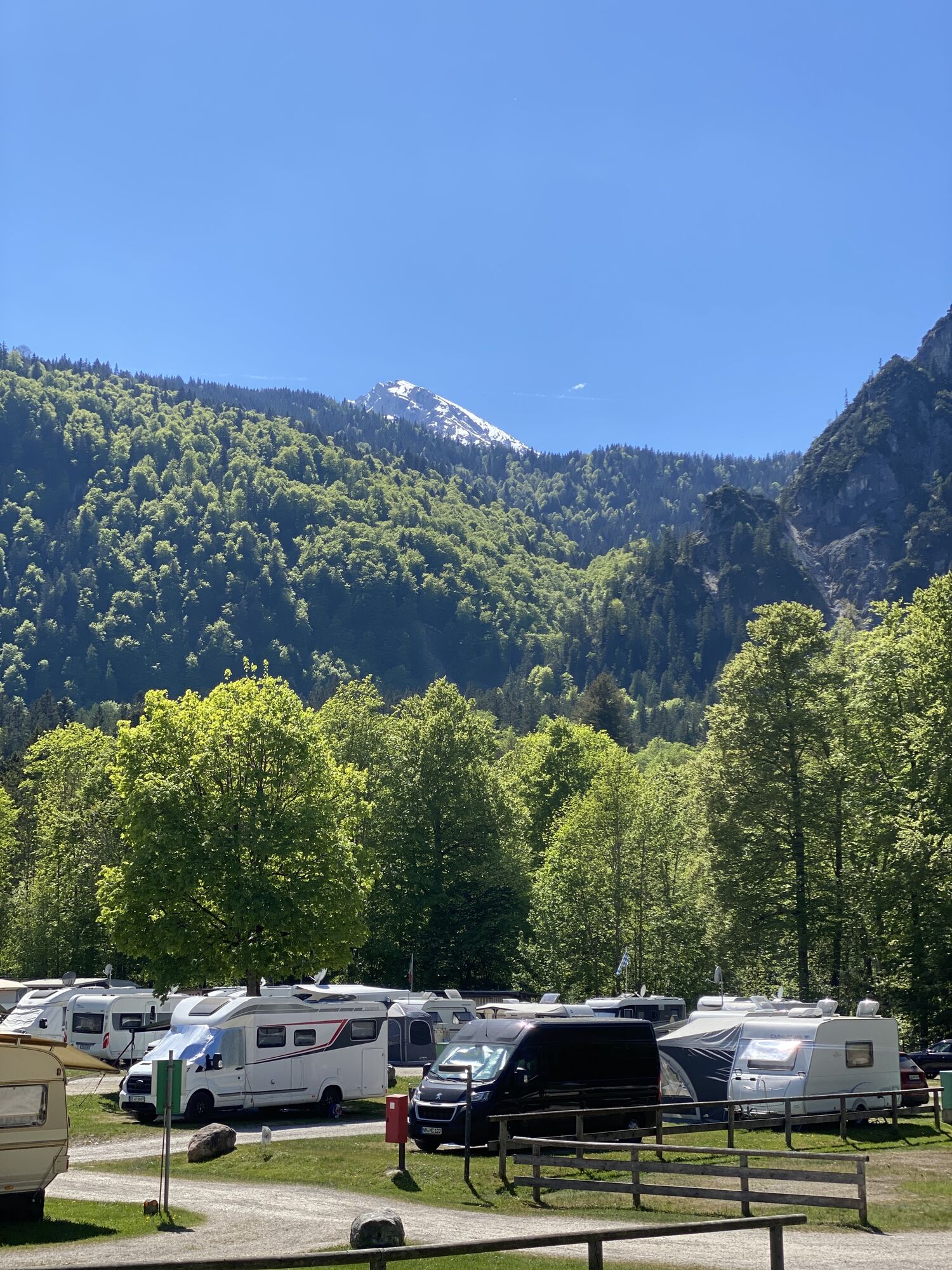
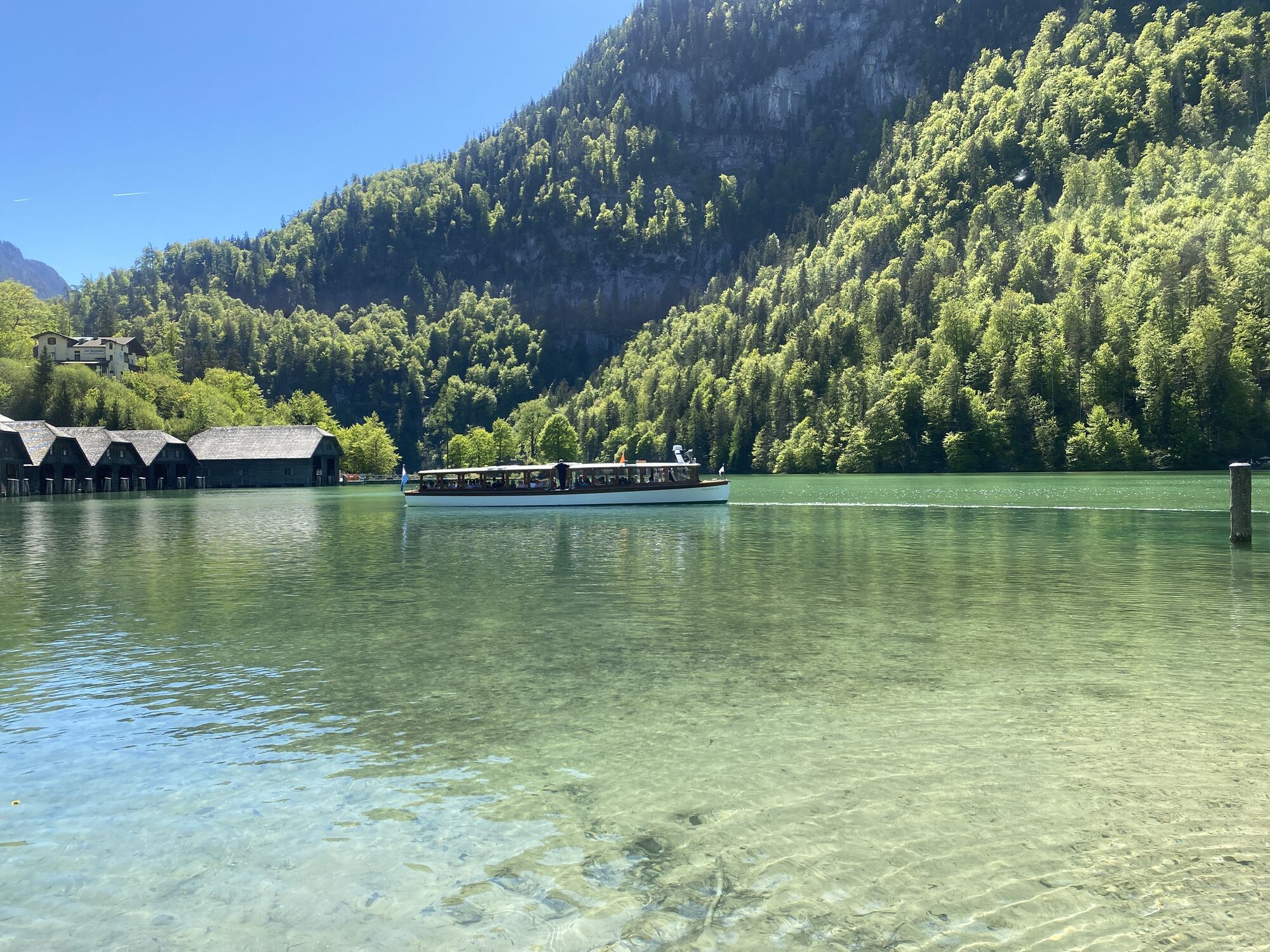
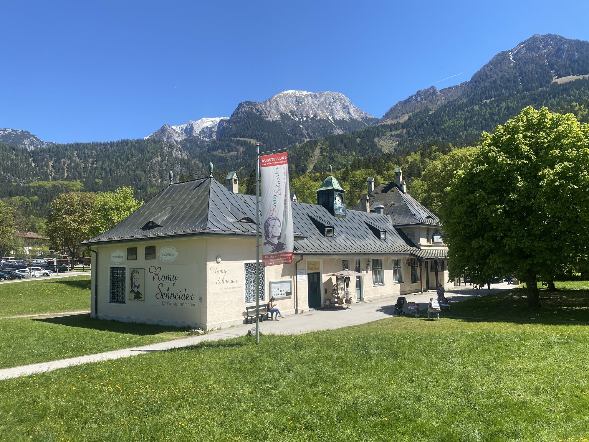
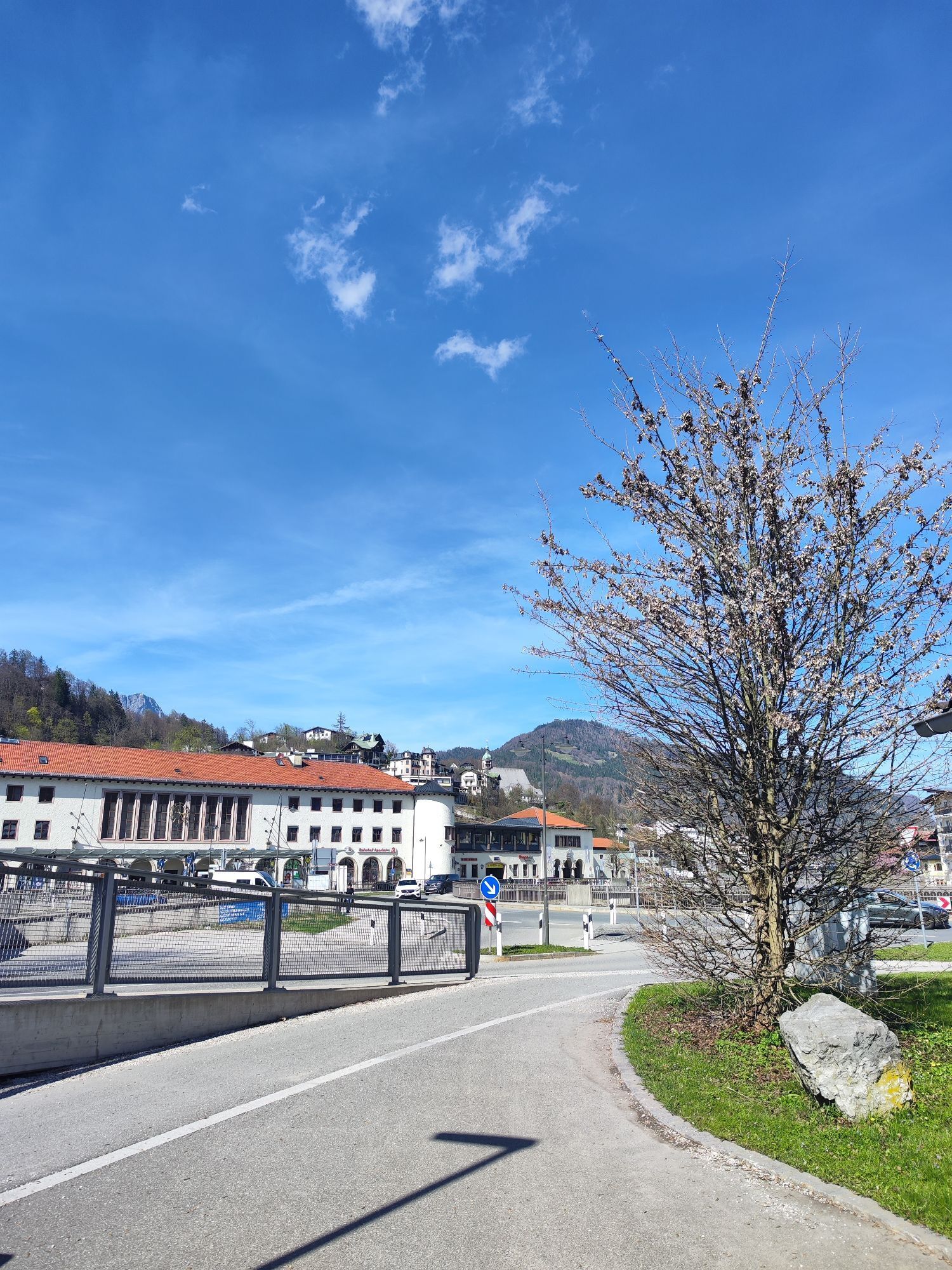
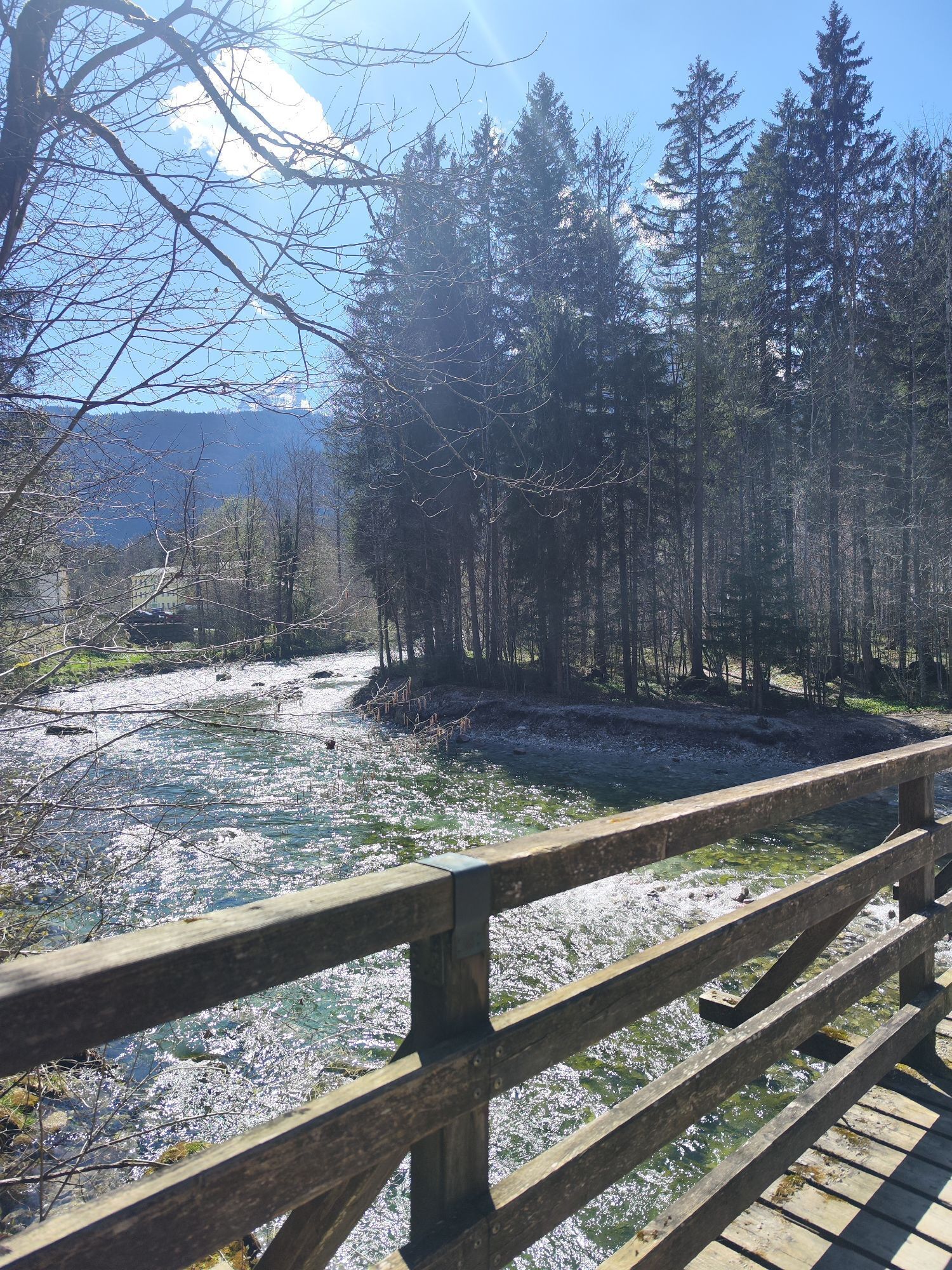
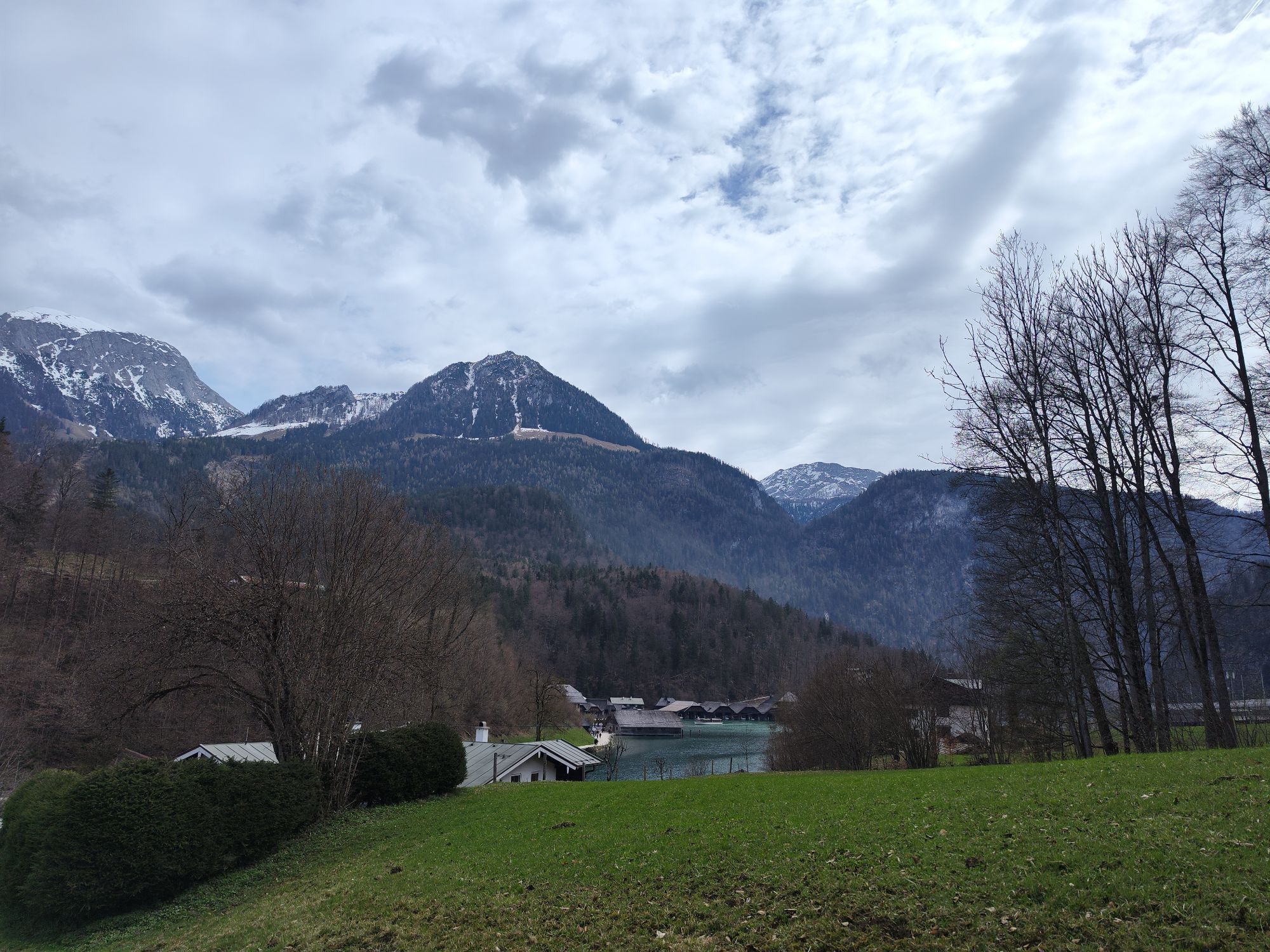
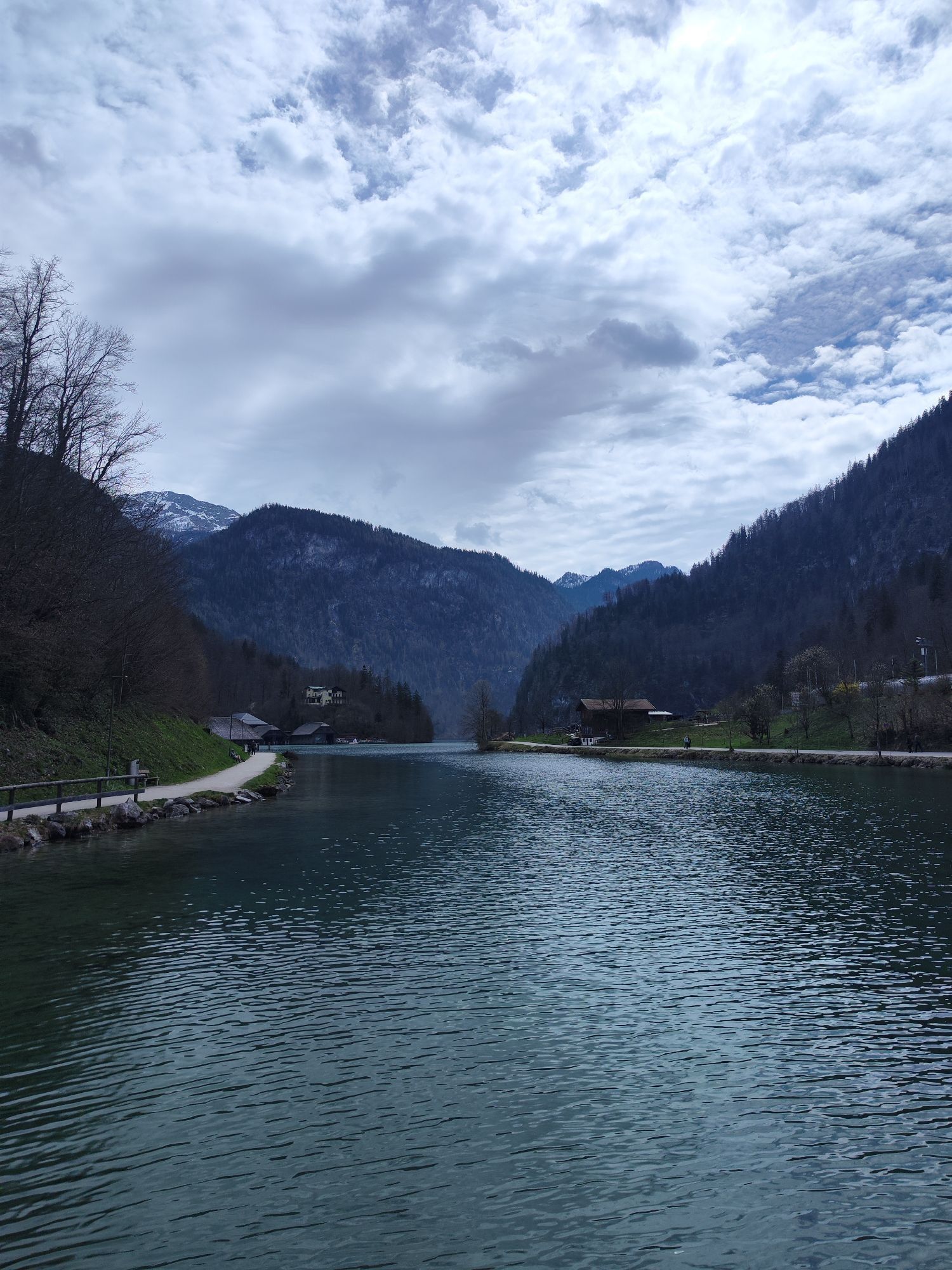
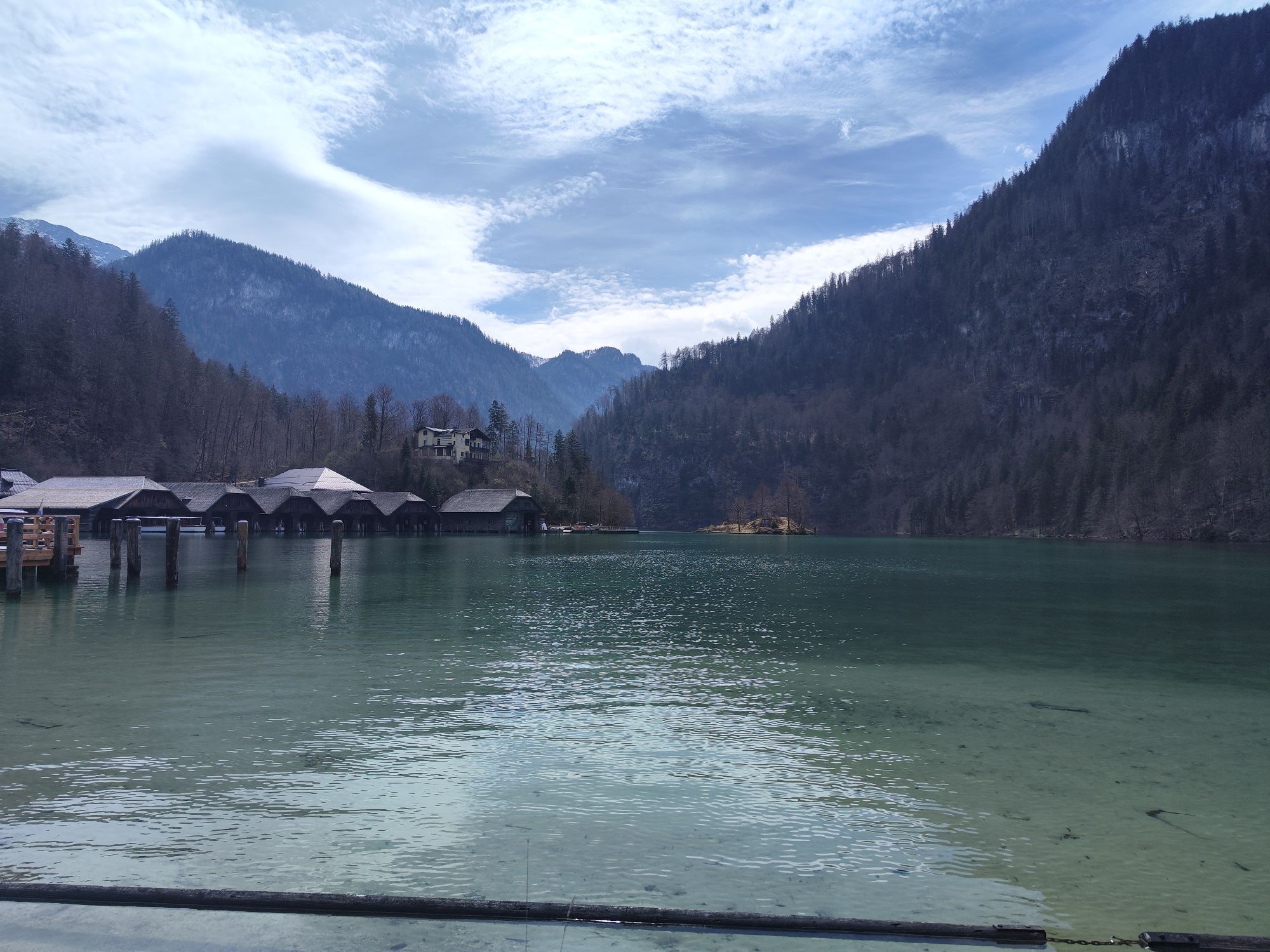
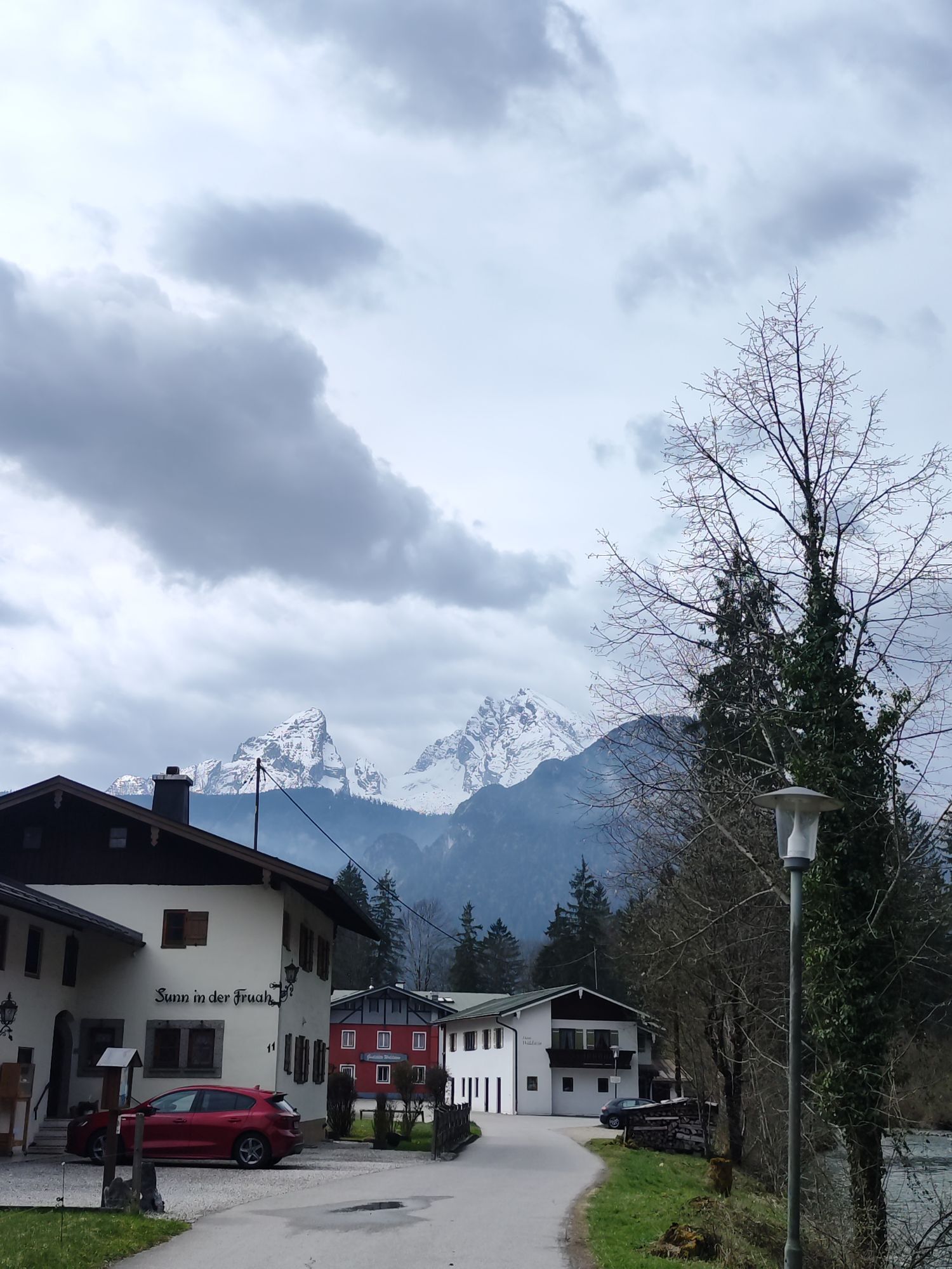
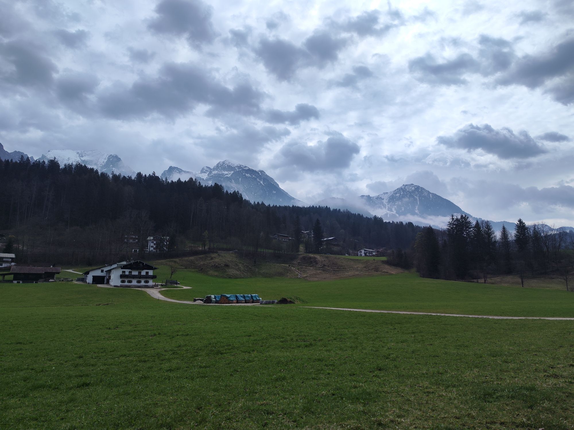
Starting from the village square Bad Vigaun, drive through the underpass at the S-Bahn stop towards Hallein. After the paper factory, turn left into Triebenbachweg until you reach the Salzach. Along Hjalmer-Wessel Promenade, Münzpromenade over the Kühlbrücke you reach the Pernerinsel. Take the second exit at the roundabout, immediately turn right after the Colloredobrücke. You are now on the Tauernradweg heading towards Salzburg. Follow this until the Königsseeache. After crossing this bridge drive along the Königsseeache, Augasse, Dorfstraße to the B159 Salzachtal federal road. Cross this and continue along the Königsseeache to the B160 Berchtesgadener Straße. Follow this along the bike paths past Berchtesgaden to Schönau am Königssee directly to the Königssee.
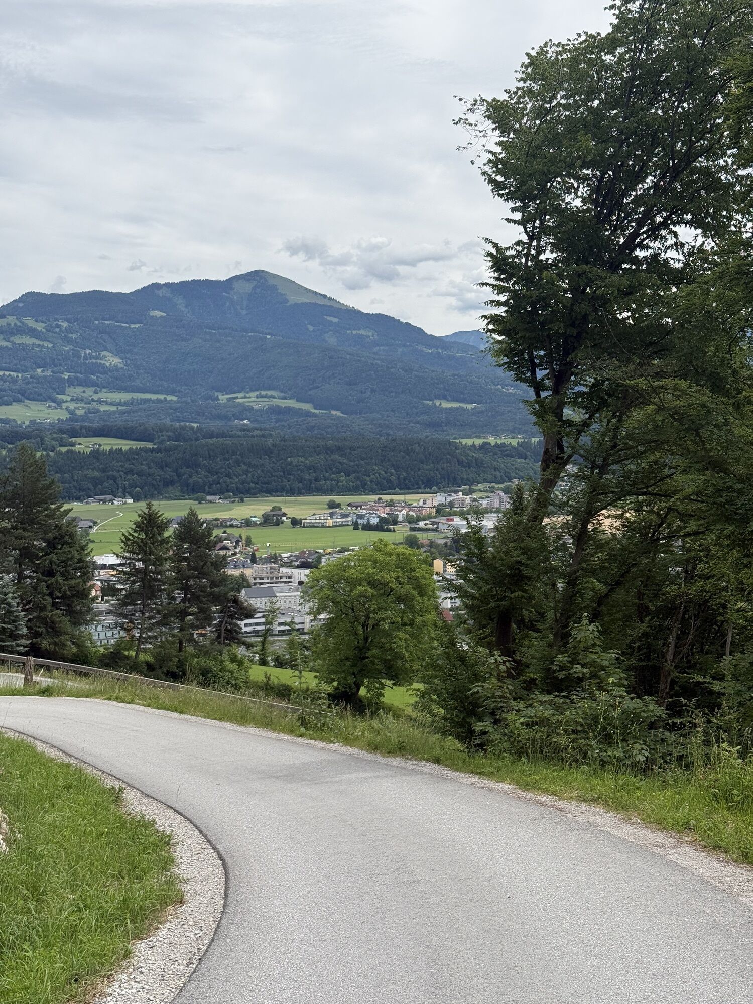
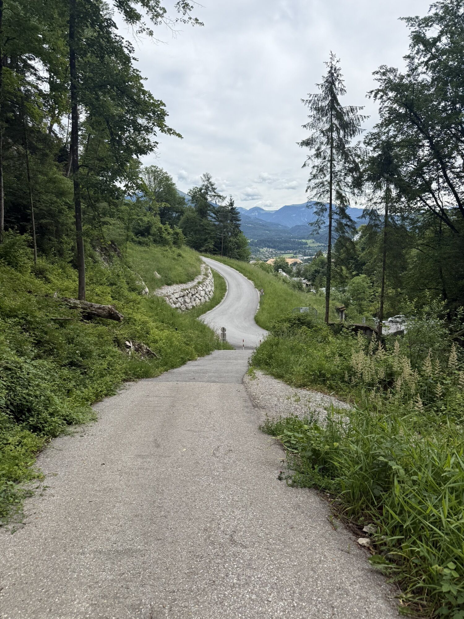
RETURN: Drive back again via Schönau am Königssee and Berchtesgaden. At the height of the Gartenau industrial area, turn right into Reckensbergstraße. On this short, very steep mountain road you reach Scheffauer Straße, Zillstraße to the Dürrnberg state road. Follow this back to Hallein. Turn left onto B159, then right before the Colloredobrücke to the Keltenmuseum. From here drive via Pflegerplatz, Kuffergasse and Rainer Kai to the Anton Neumayr bridge, which you cross. After the bridge, immediately turn right and return the same way as you came back to Bad Vigaun.
From the A10 Tauern motorway take the Hallein exit. Straight over two roundabouts. At the third roundabout take the second exit. Here you reach Bad Vigaun in a few minutes by car.
With the ÖBB S3 from/to Bad Vigaun stop, the starting point is reachable within 10 minutes on foot.
Public parking East at the Bad Vigaun fire department or at the Neue Mittelschule/Nah & Frisch Bad Vigaun.
Webové kamery z prohlídky
Rossfeld Talstation Großer Lift
Mitterkaserlift
Rossfeld Talstation Großer Lift
Naturbad Aschauerweiher
Alpengasthof Hochlenzer
Kehlstein
Lockstein
Berggaststätte Gotzenalm
Lockstein
Lockstein
Lockstein
Lockstein
Lockstein
Watzmannhaus
Obersalzberg / Gutshof
Adnet
Jenner Süd
Wandschützenhütte - Adnet
Carl-von-Stahl-Haus
Talstation Zinkenlifte
Berchtesgaden
Schönau am Königssee
Berchtesgaden - Watzmann
Obersalzberg - Watzmann
Windbeutelbaron
Berchtesgaden - Camping Allweglehen
Kehlstein
Marktschellenberg
Berchtesgaden - Watzmann
Schönau am Königssee
Stöhrhaus
Naturbad Aschauerweiher
Jenner Bergstation
Loipe Scharitzkehl
Oblíbené prohlídky v okolí
- 4,7
Schwarzer Berg / Golling
středníTuristika 2,54 km - 4,6
Kneifelspitze
Turistika 2,53 km - 4,6
Grünstein
světloTuristika 2,57 km - 4,0
Malerwinkel Rundwanderweg
světloTuristika 3,60 km - 3,9
Durch die Almbachklamm nach Ettenberg
Turistika 7,54 km - 4,2
Untersberg, Toni-Lenz-Hütte
Turistika 4,86 km - 5,0
Watzmann Überschreitung an einem Tag
heavyTuristika 23,9 km - 3,9
Rundwanderweg zur Steinernen Agnes
Turistika 9 km - 4,9
Ramsau/Hintersee-Runde
světloTuristika 9,44 km - 4,9
von Schönau am Königssee zum Watzmannhaus und zurück
středníTuristika 17,1 km
Pěší turistika a stopování


Nenechte si ujít nabídky a inspiraci pro vaši příští dovolenou
Vaše e-mailová adresa byl přidán do poštovního seznamu.