


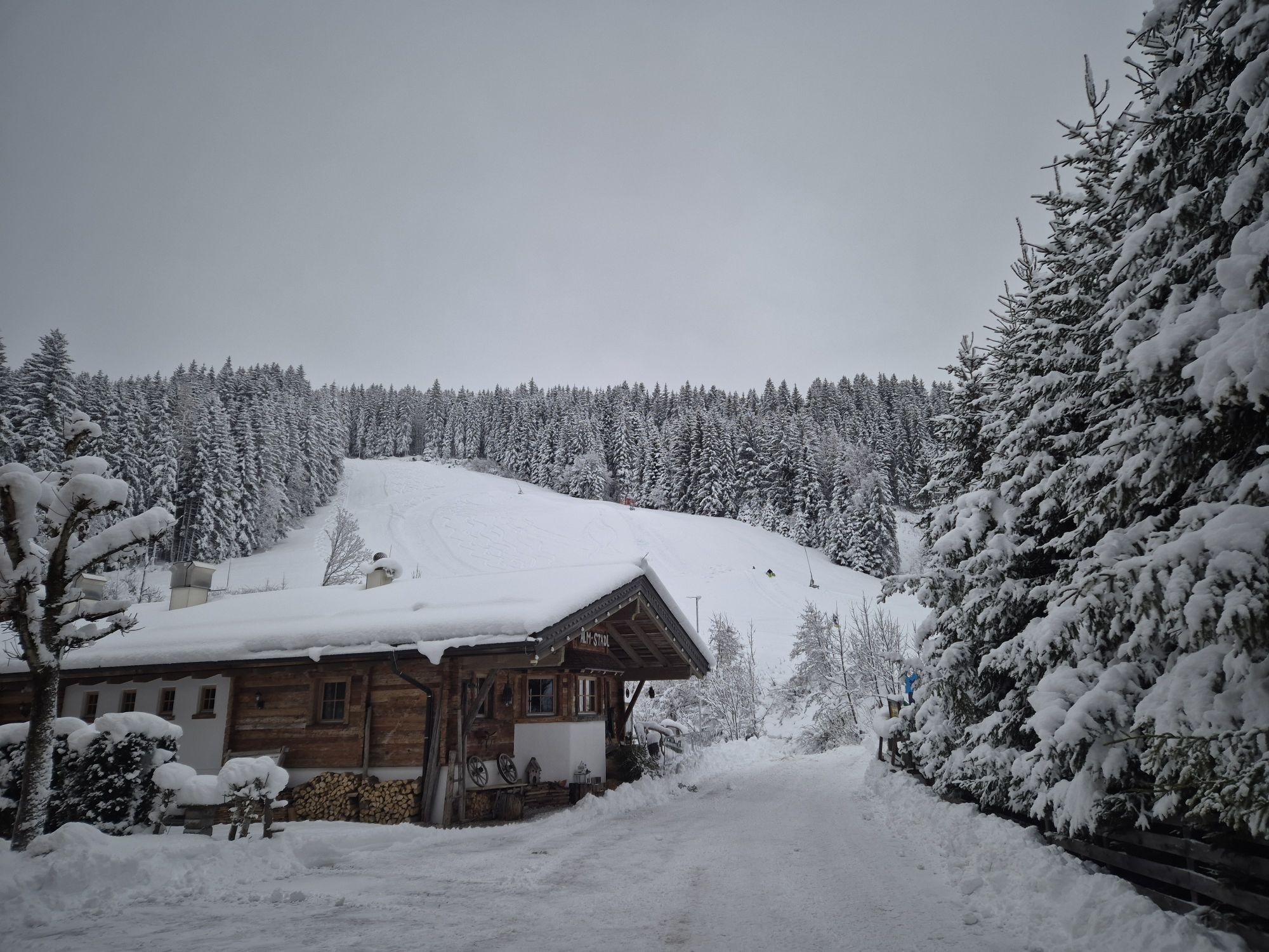
Rossbrand route
Úroveň obtížnosti: 6

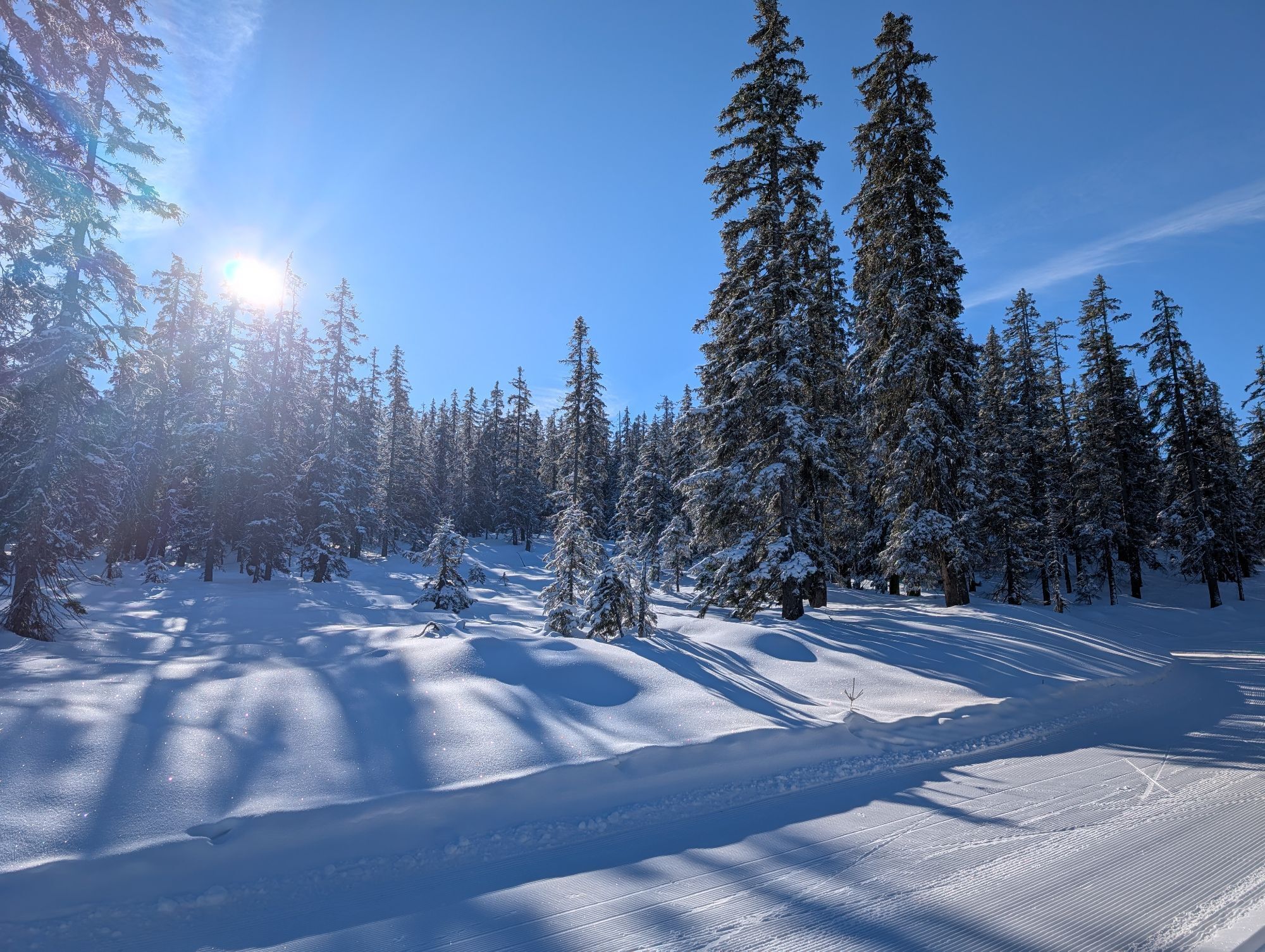
From Filzmoos we start slightly downhill on the road towards Ramsau. After 1.6 km we turn right onto a forest road, on which we continue cycling uphill until km 4.3. At the hairpin bend, turn sharply right...
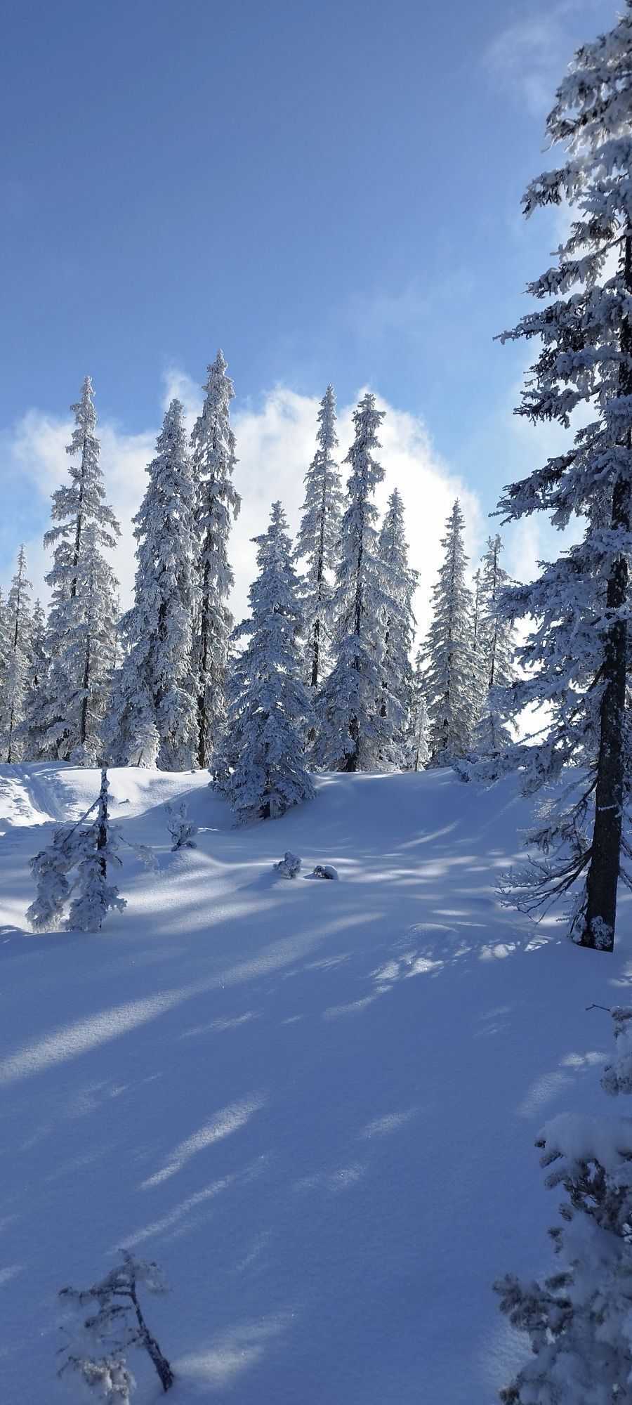
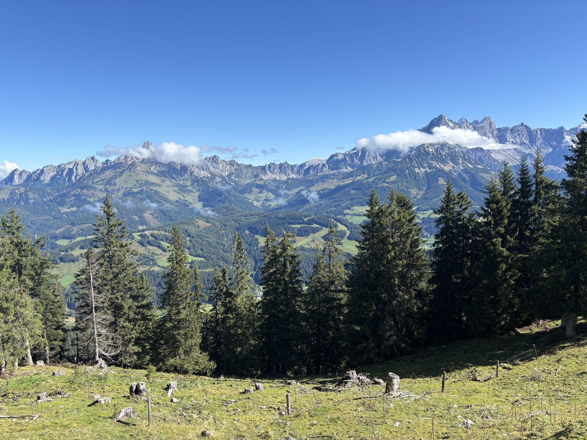
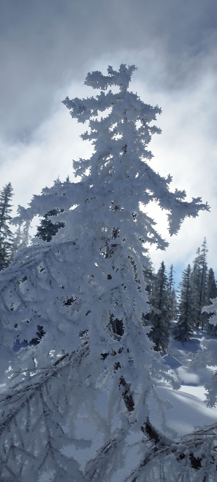
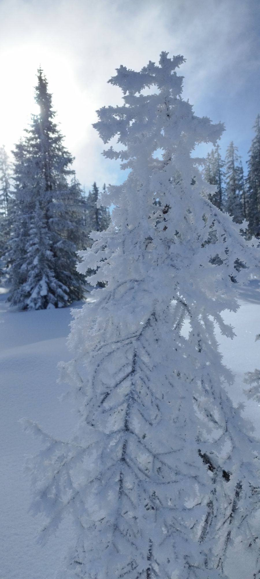
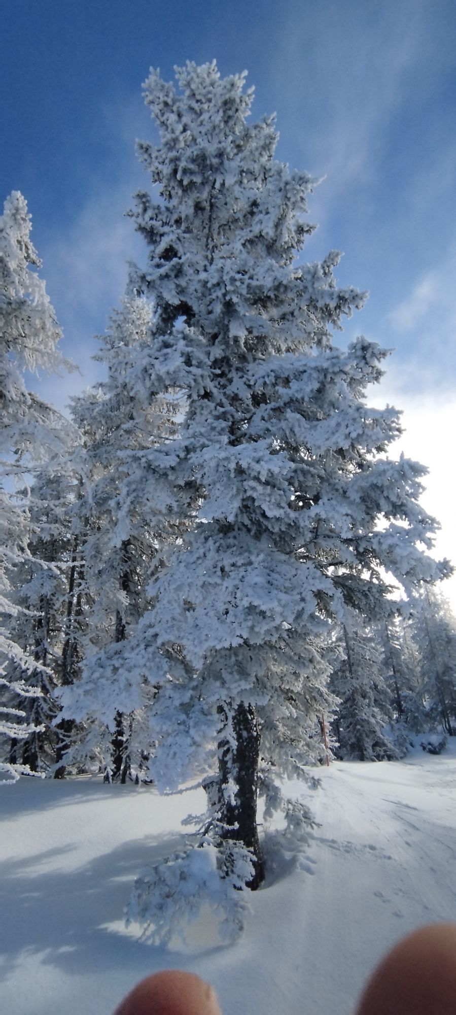
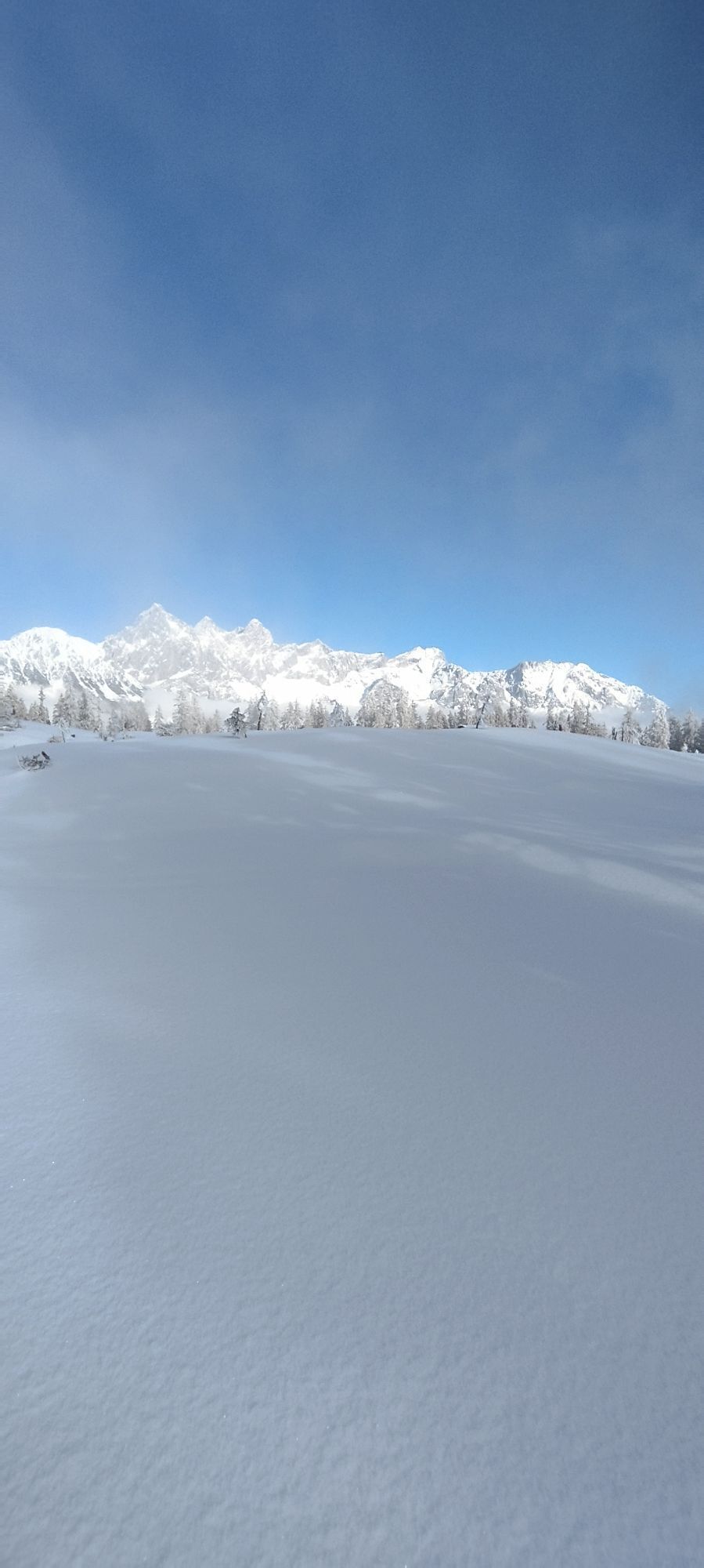
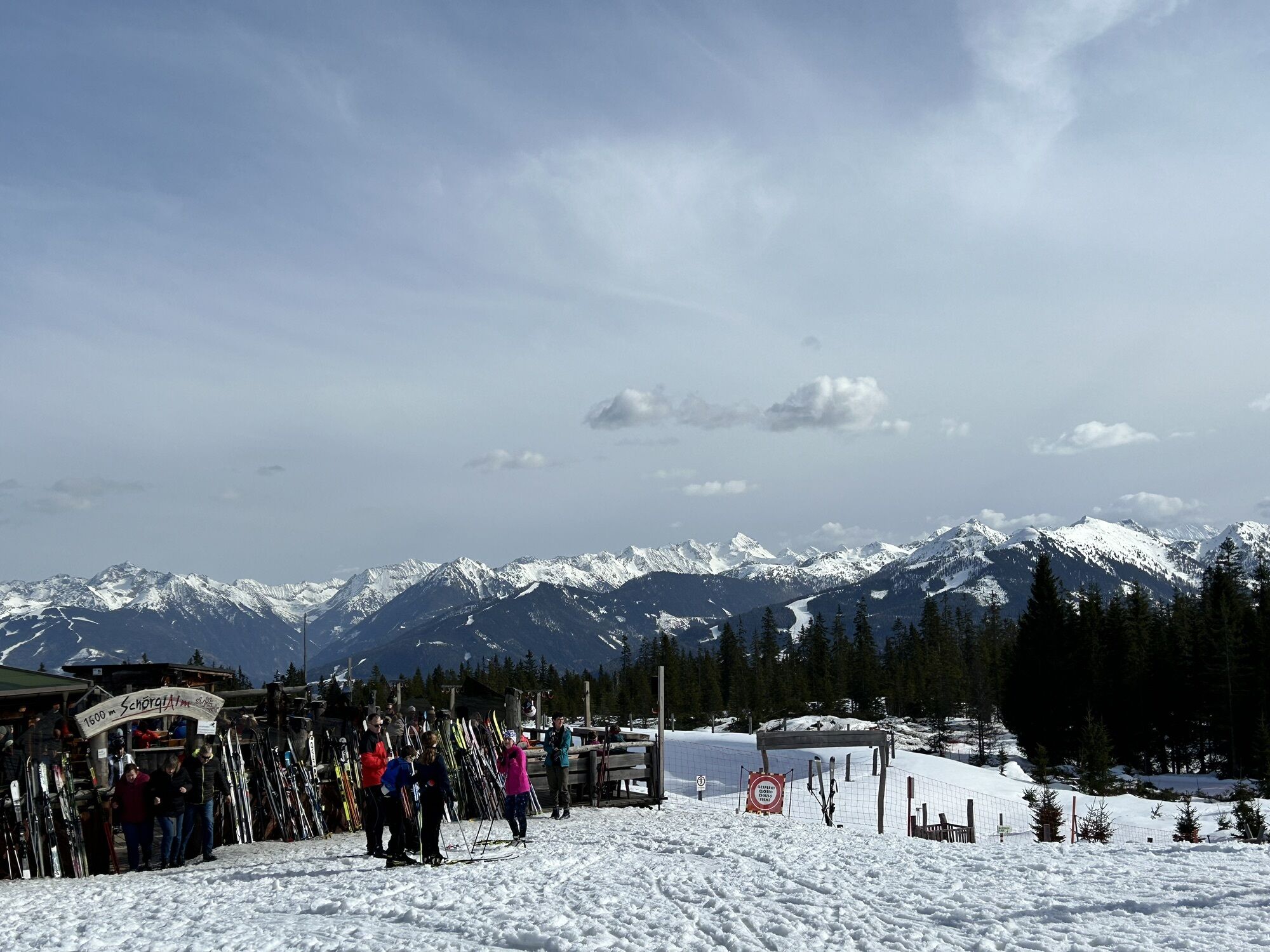
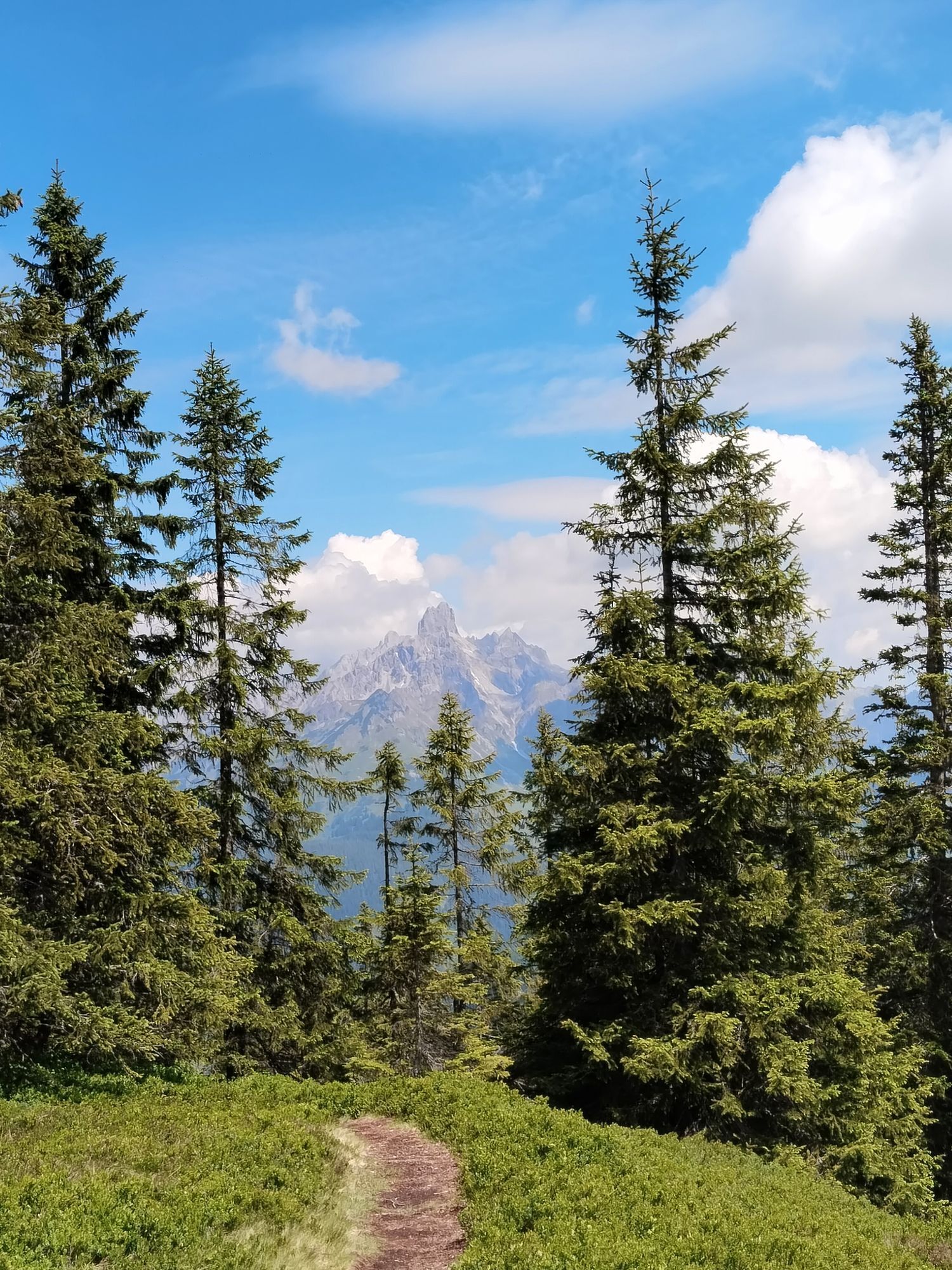
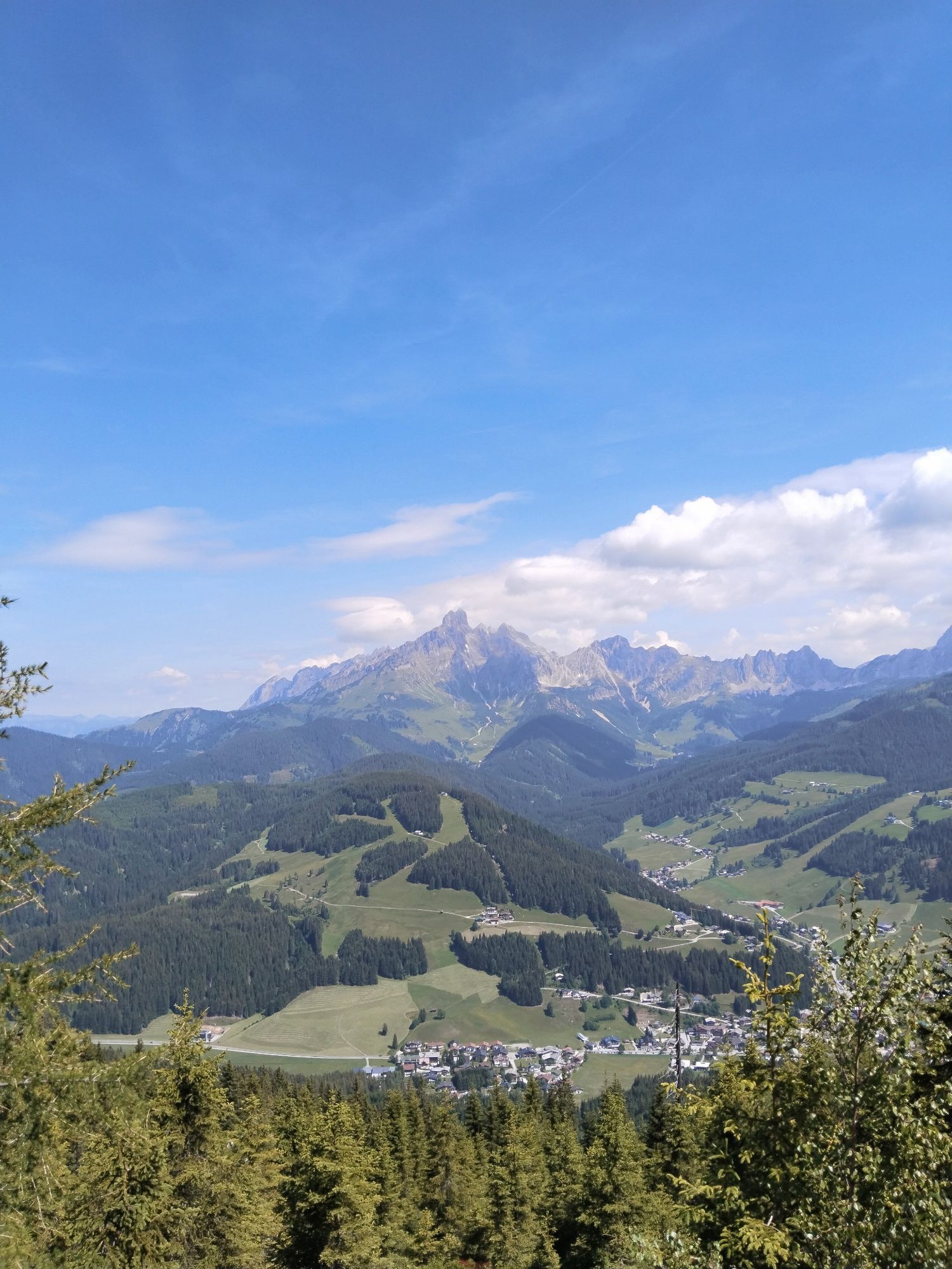
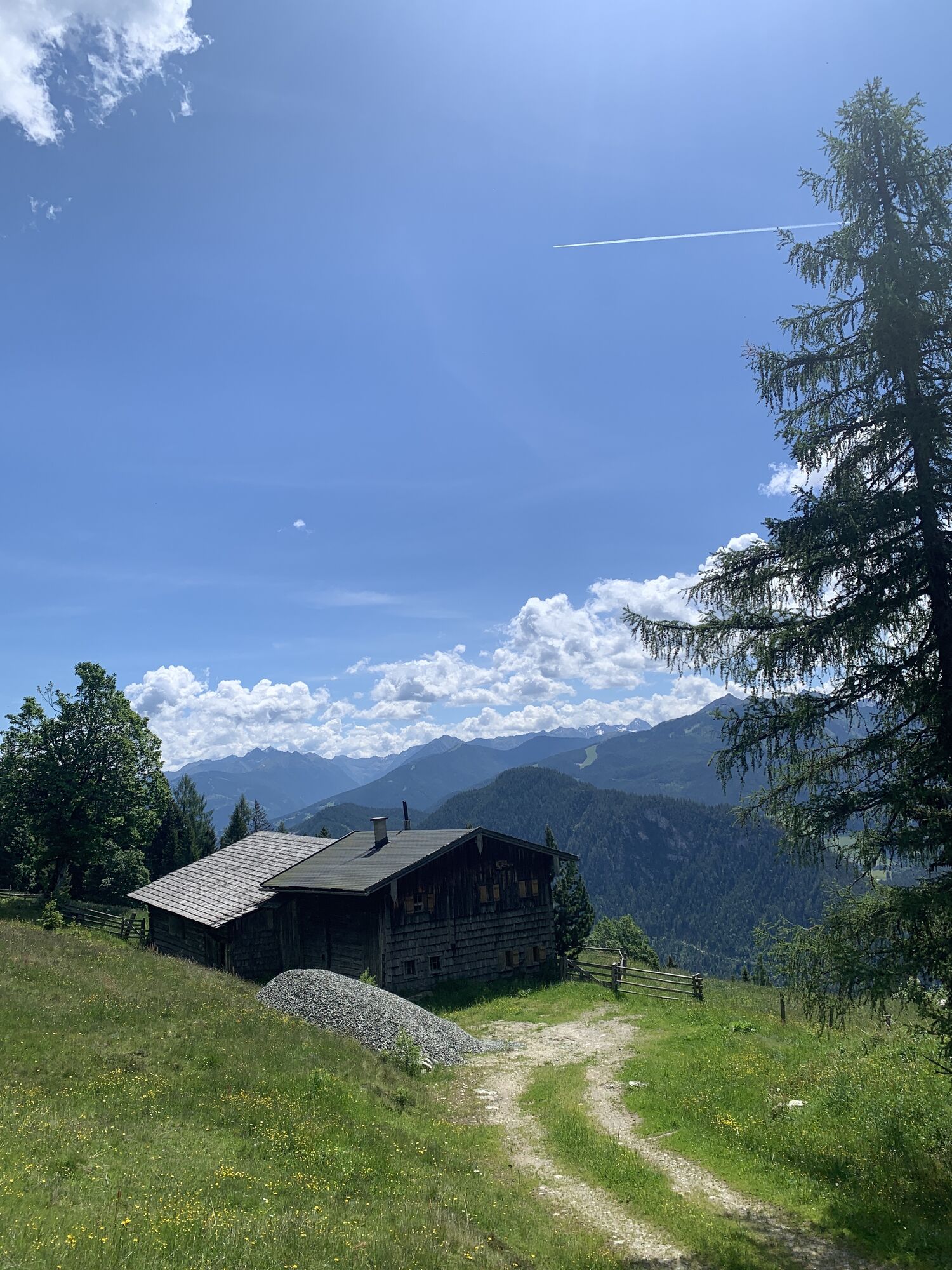
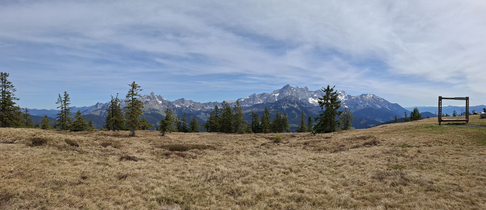
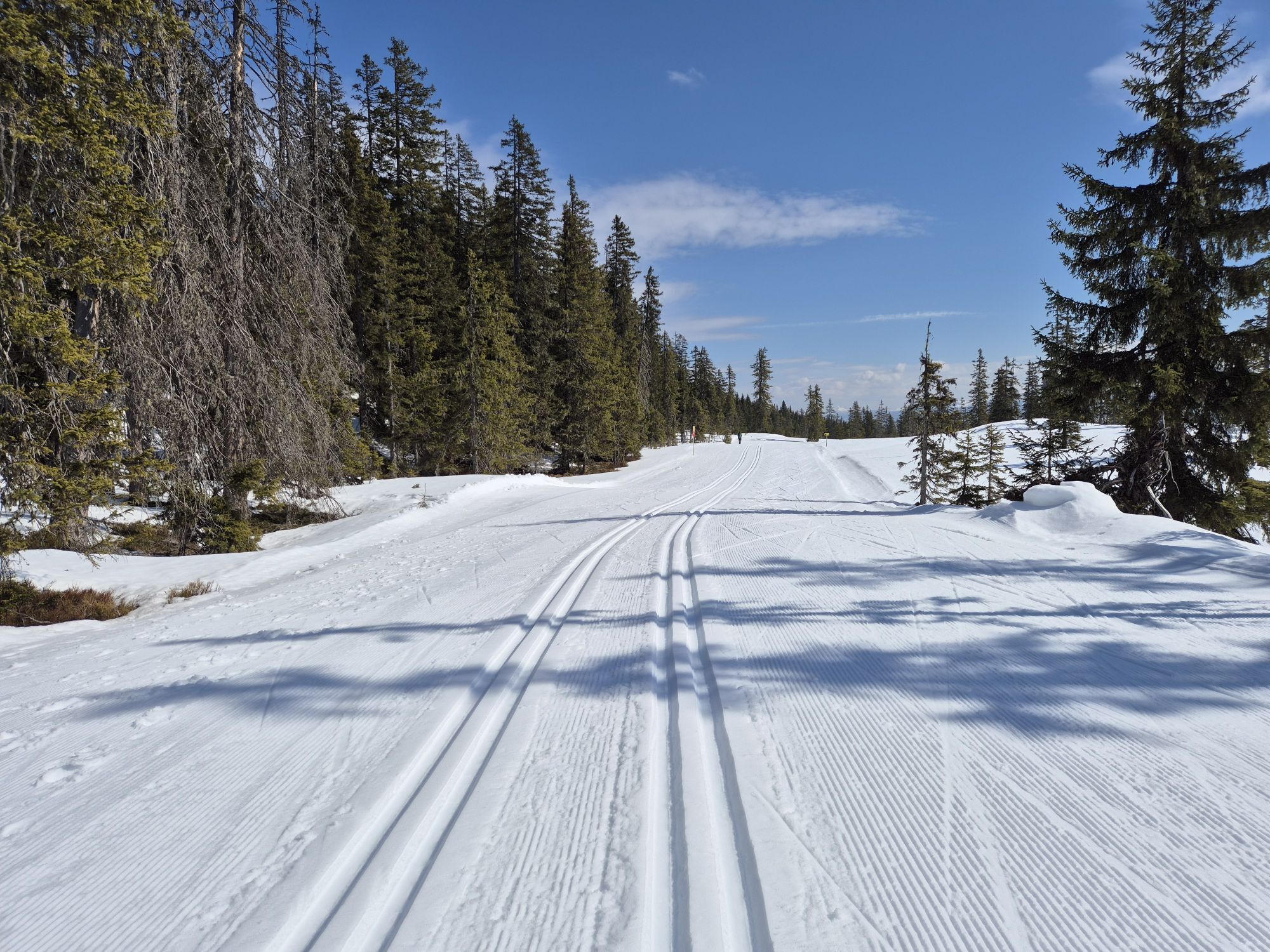
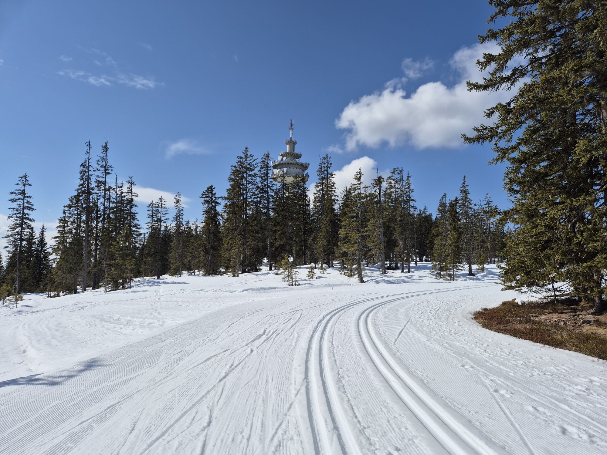
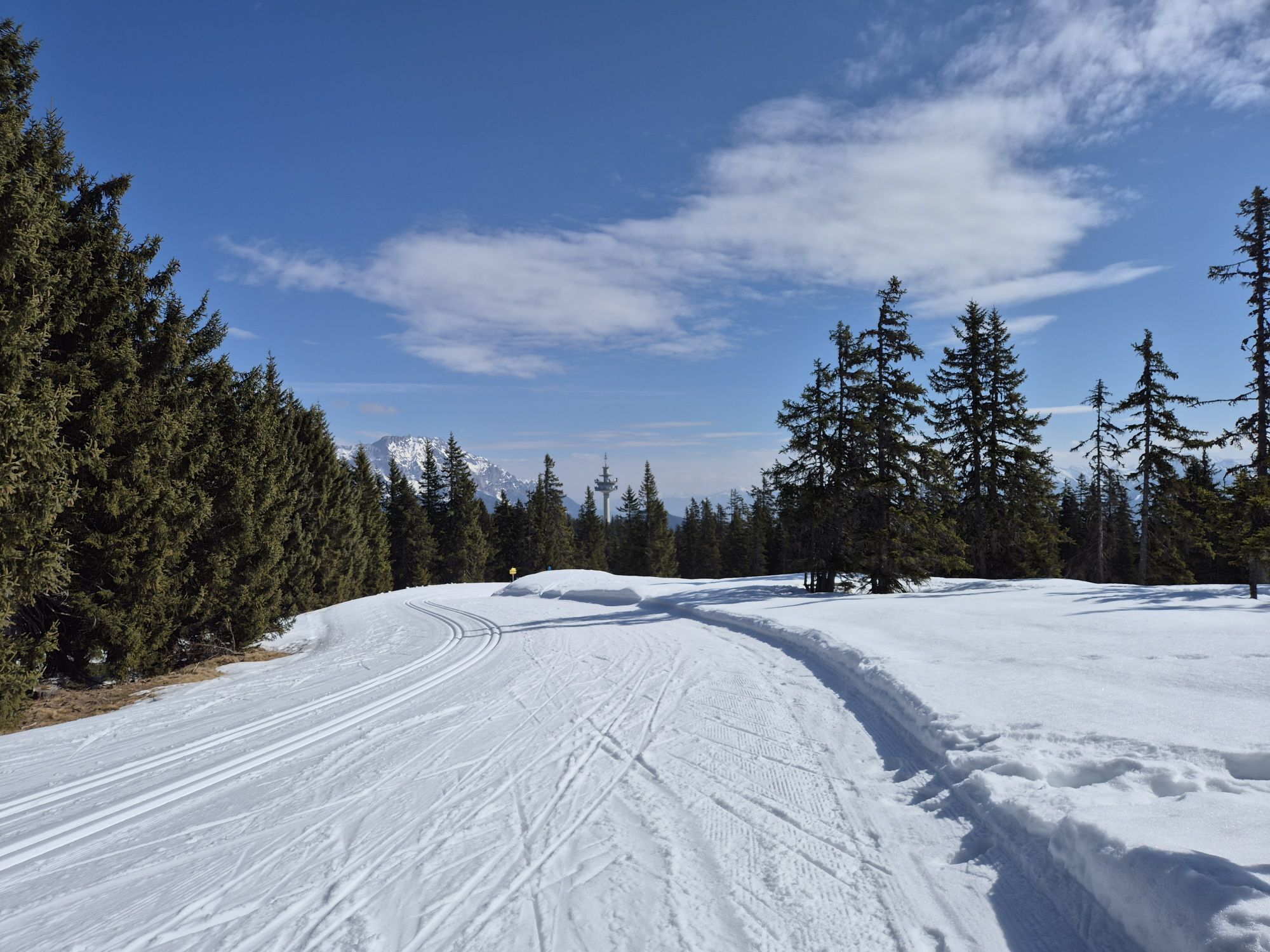
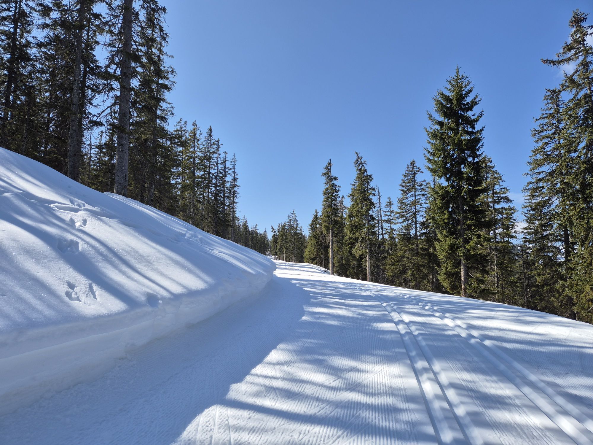
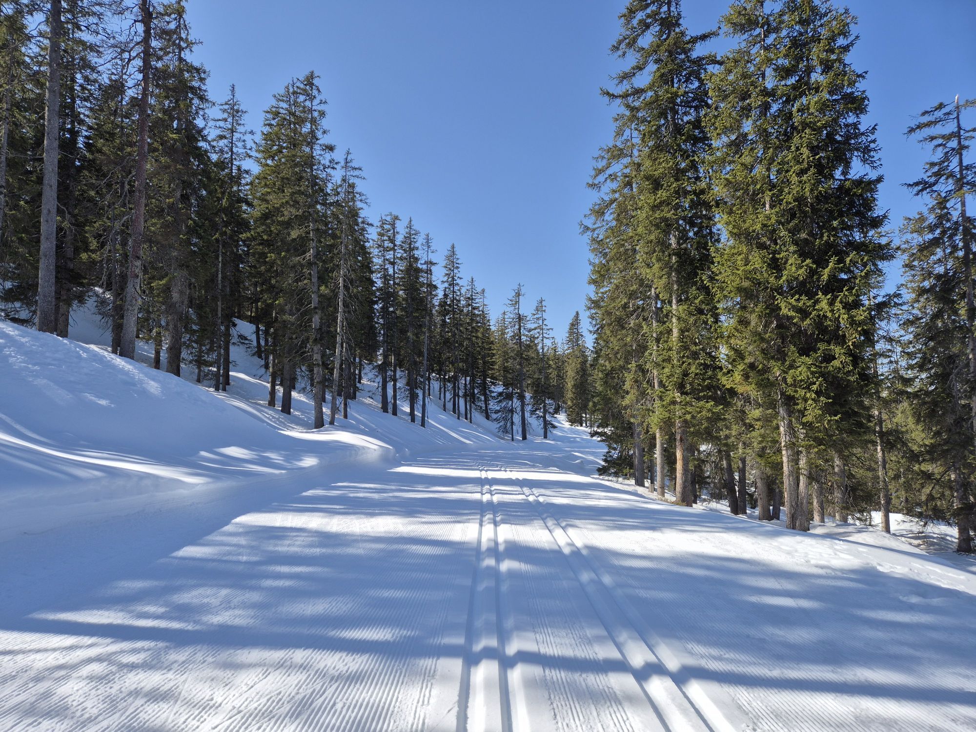
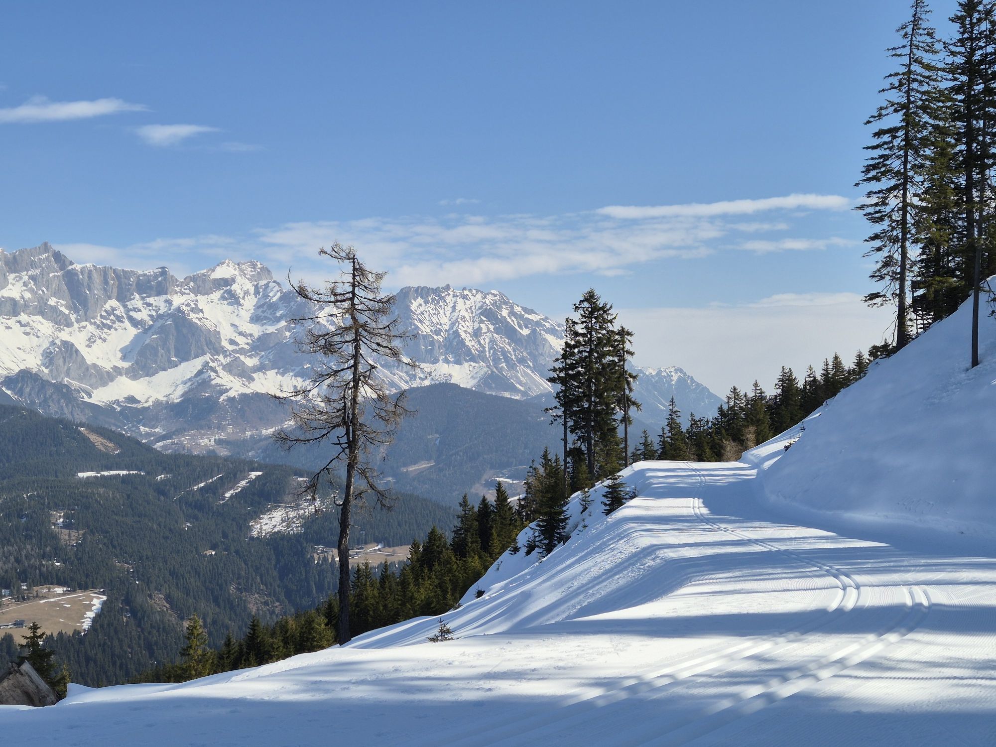
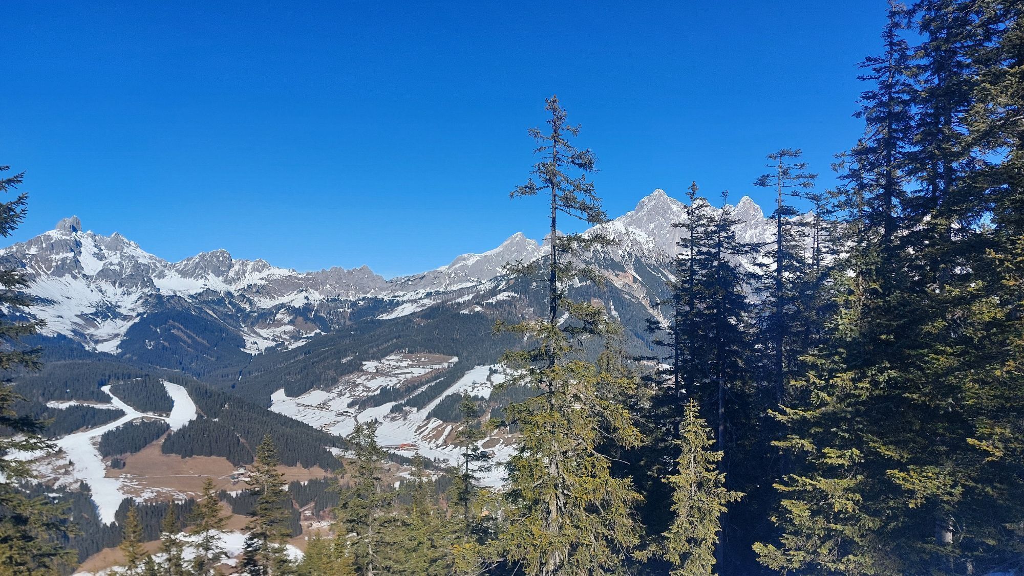
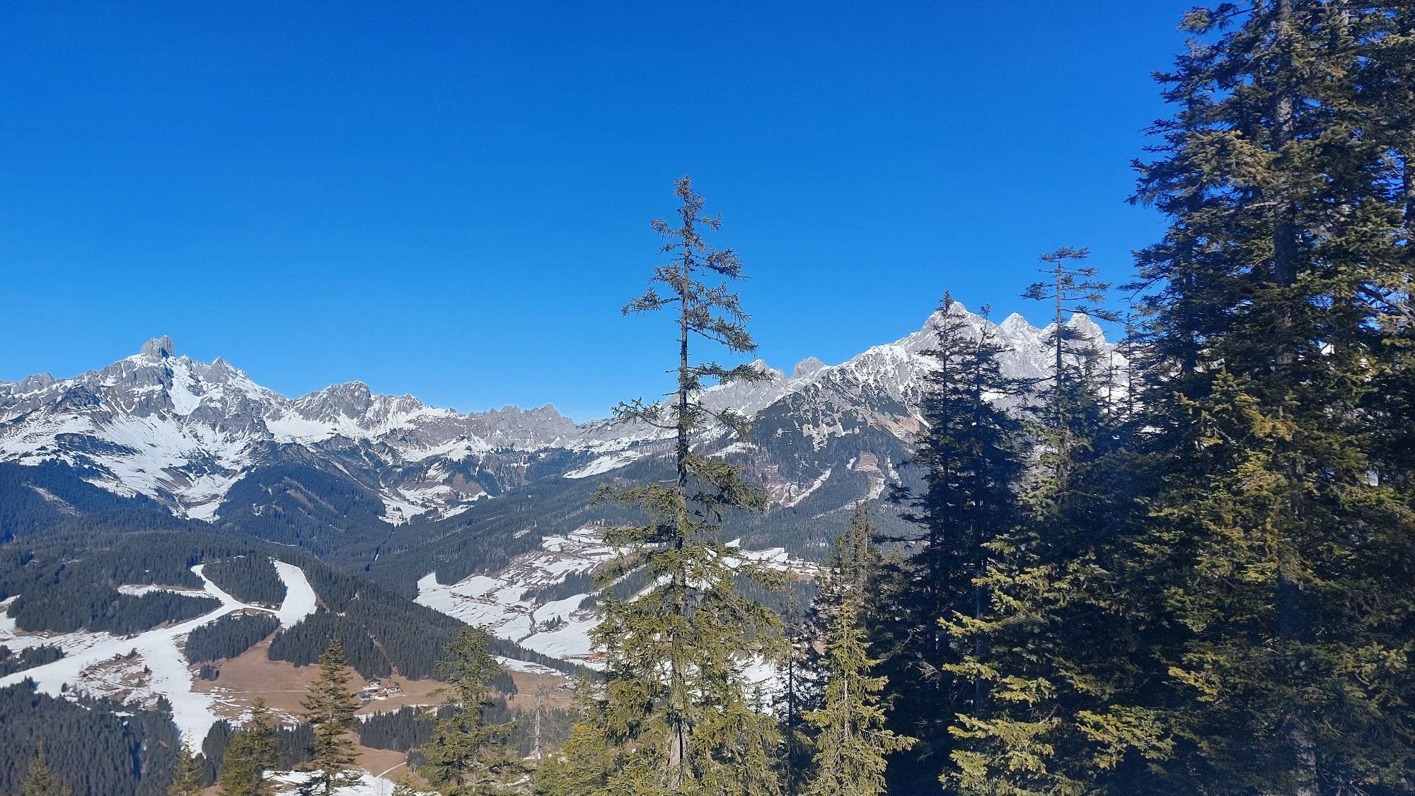
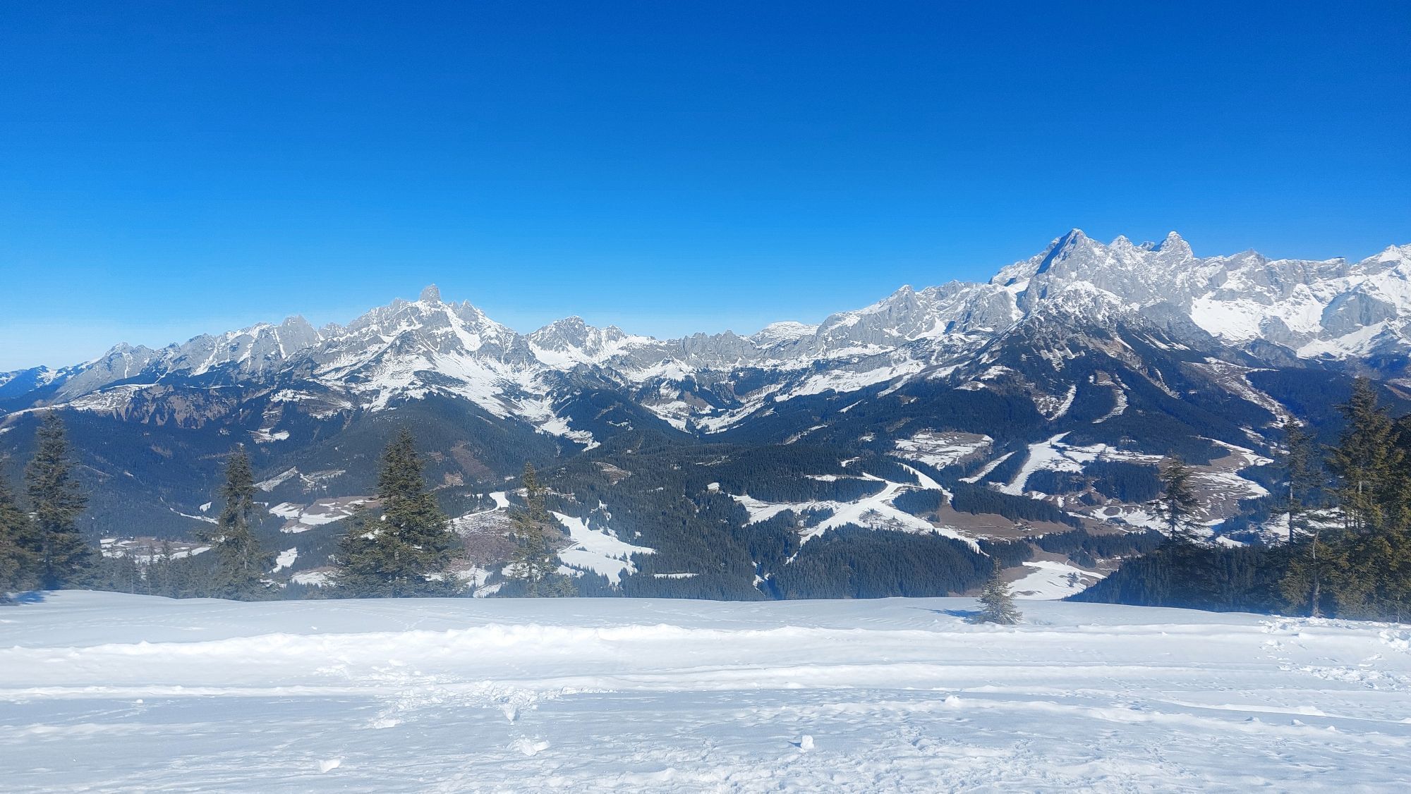
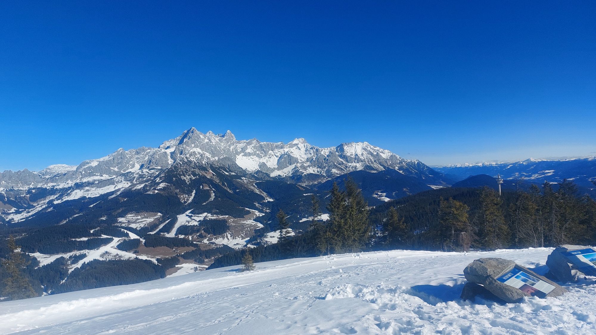
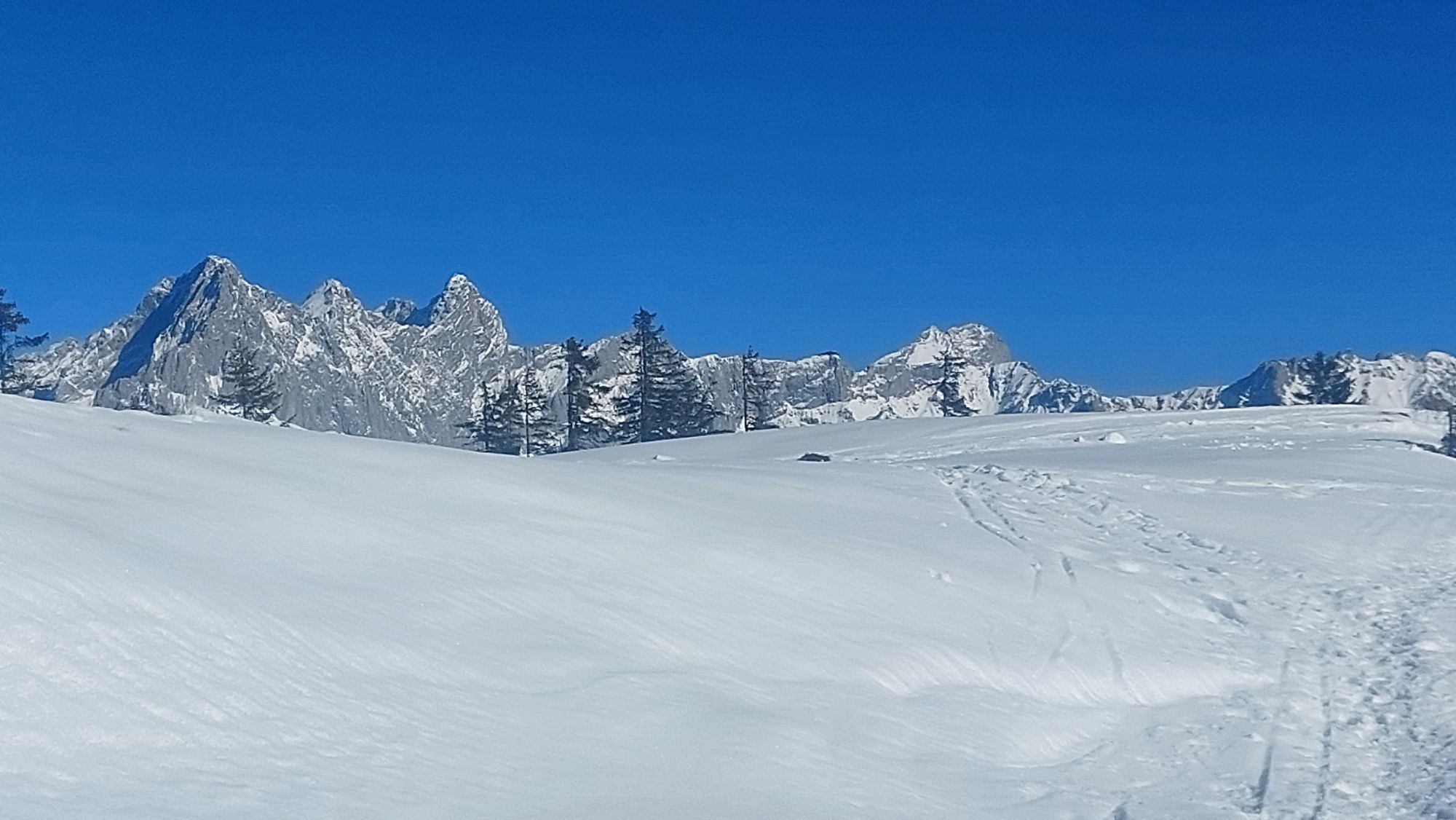
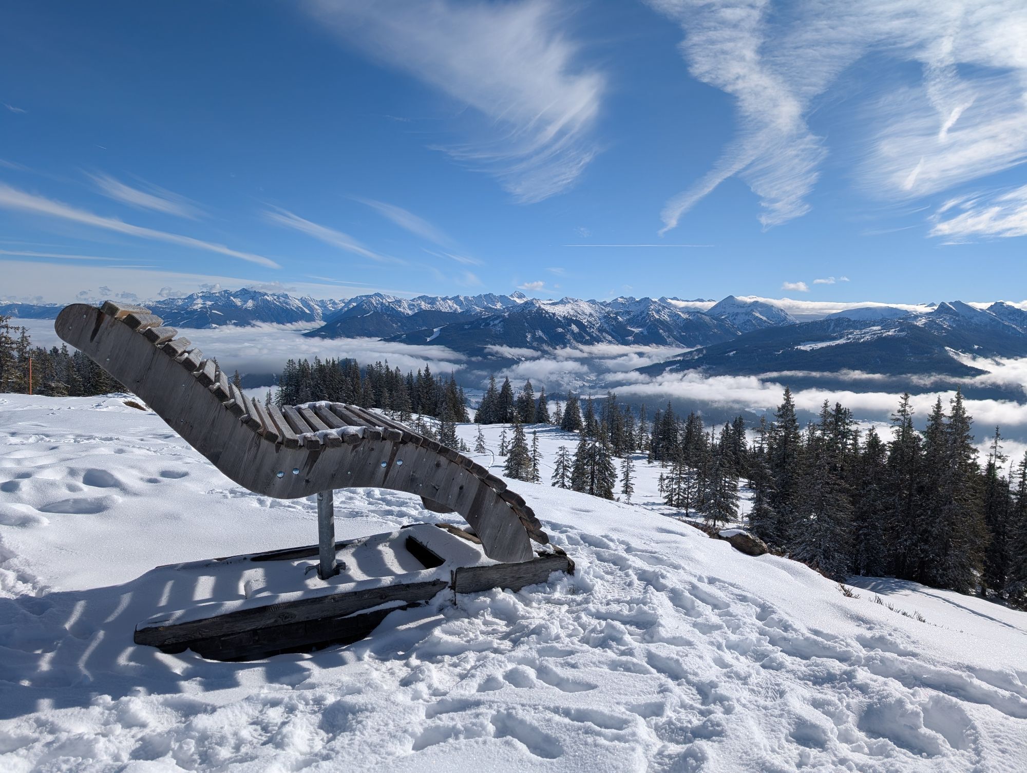
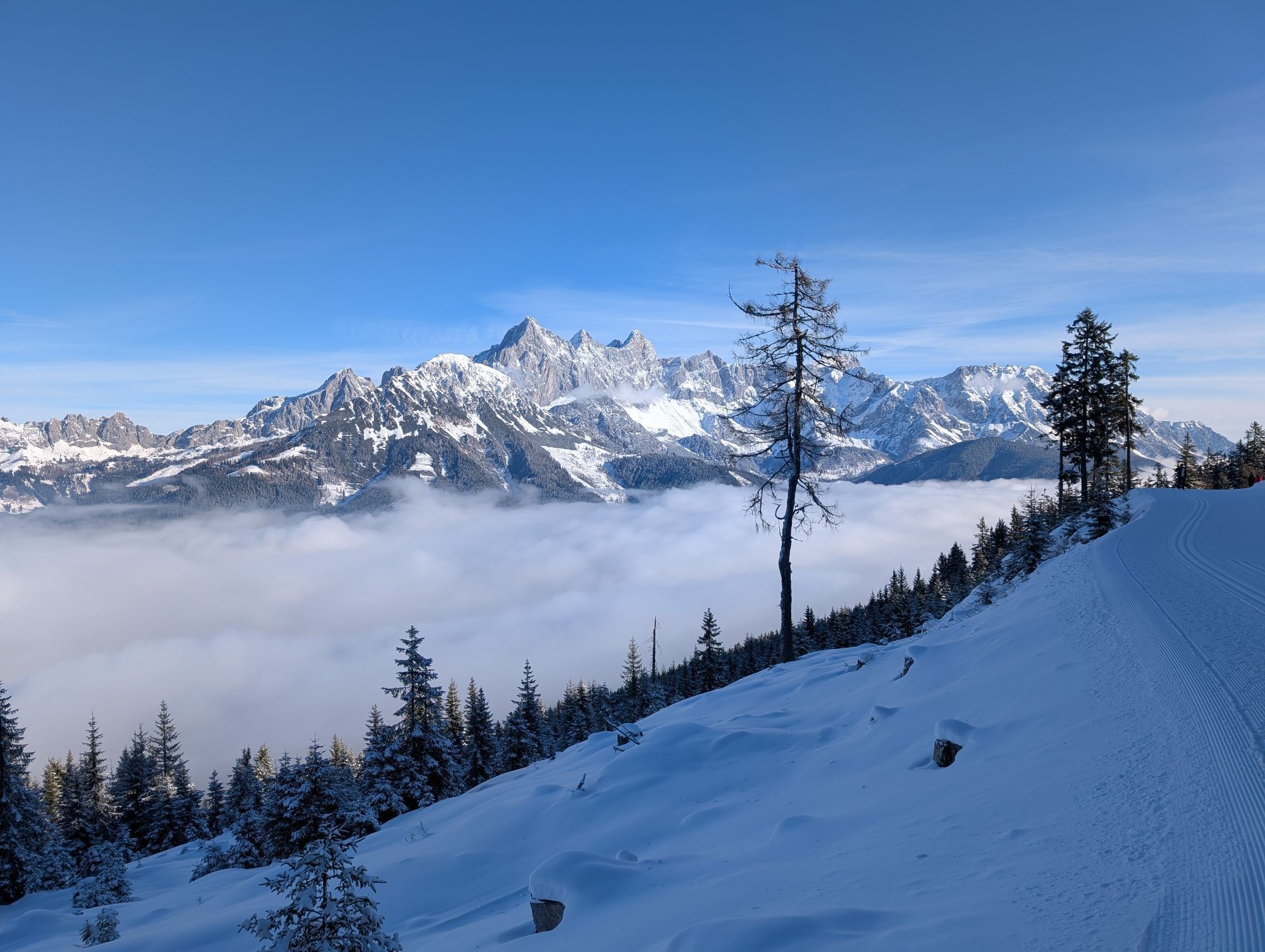
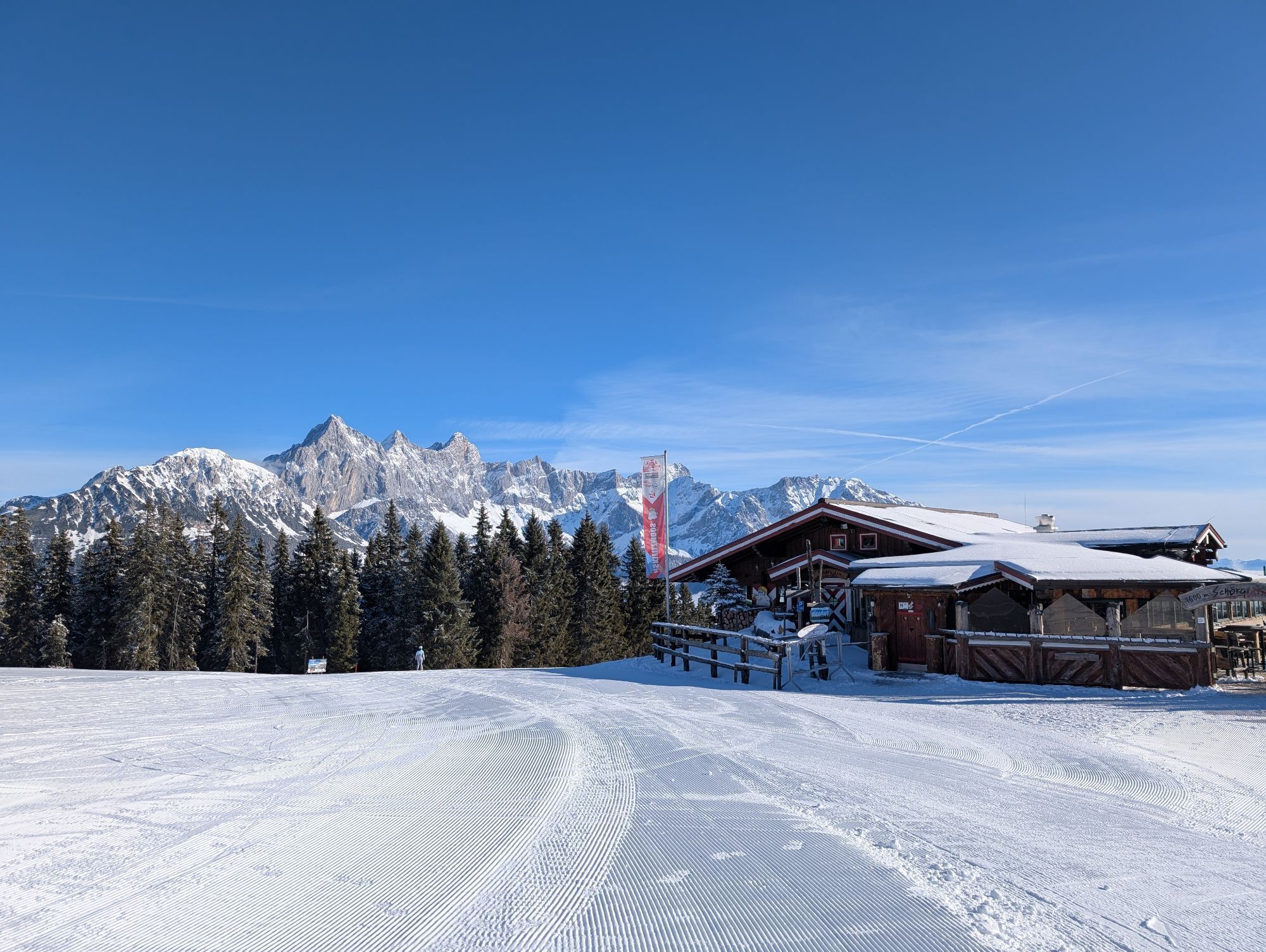
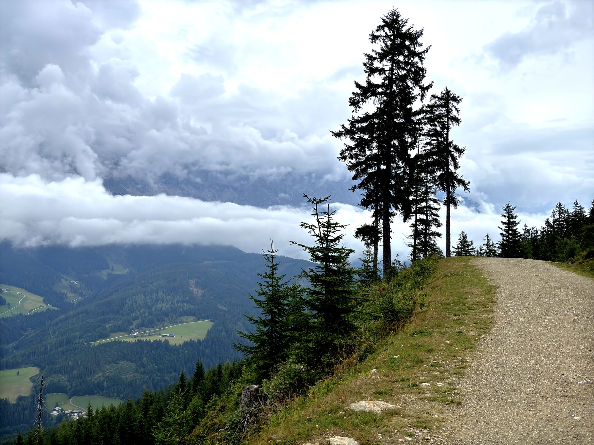
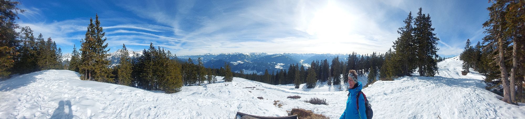
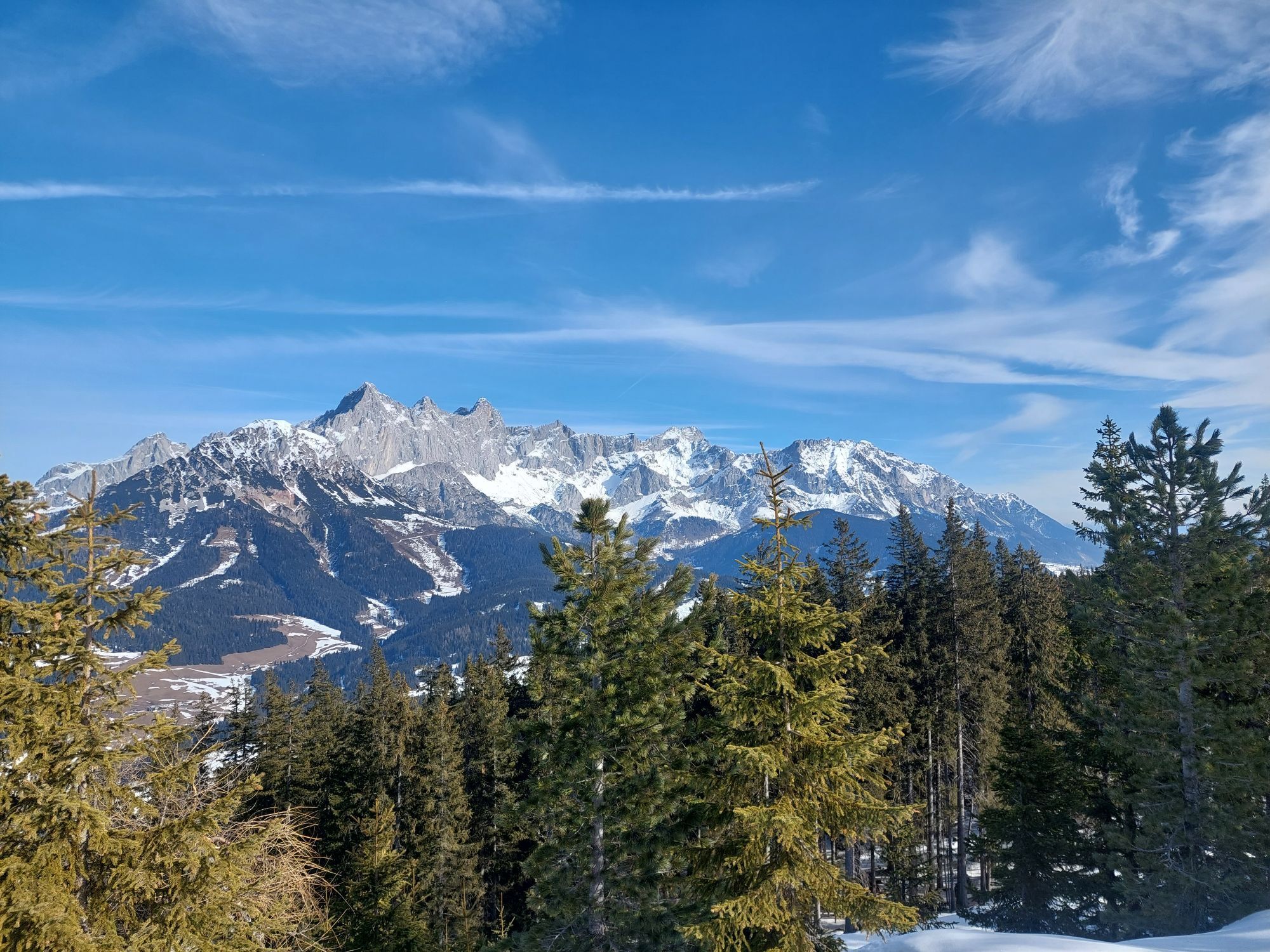
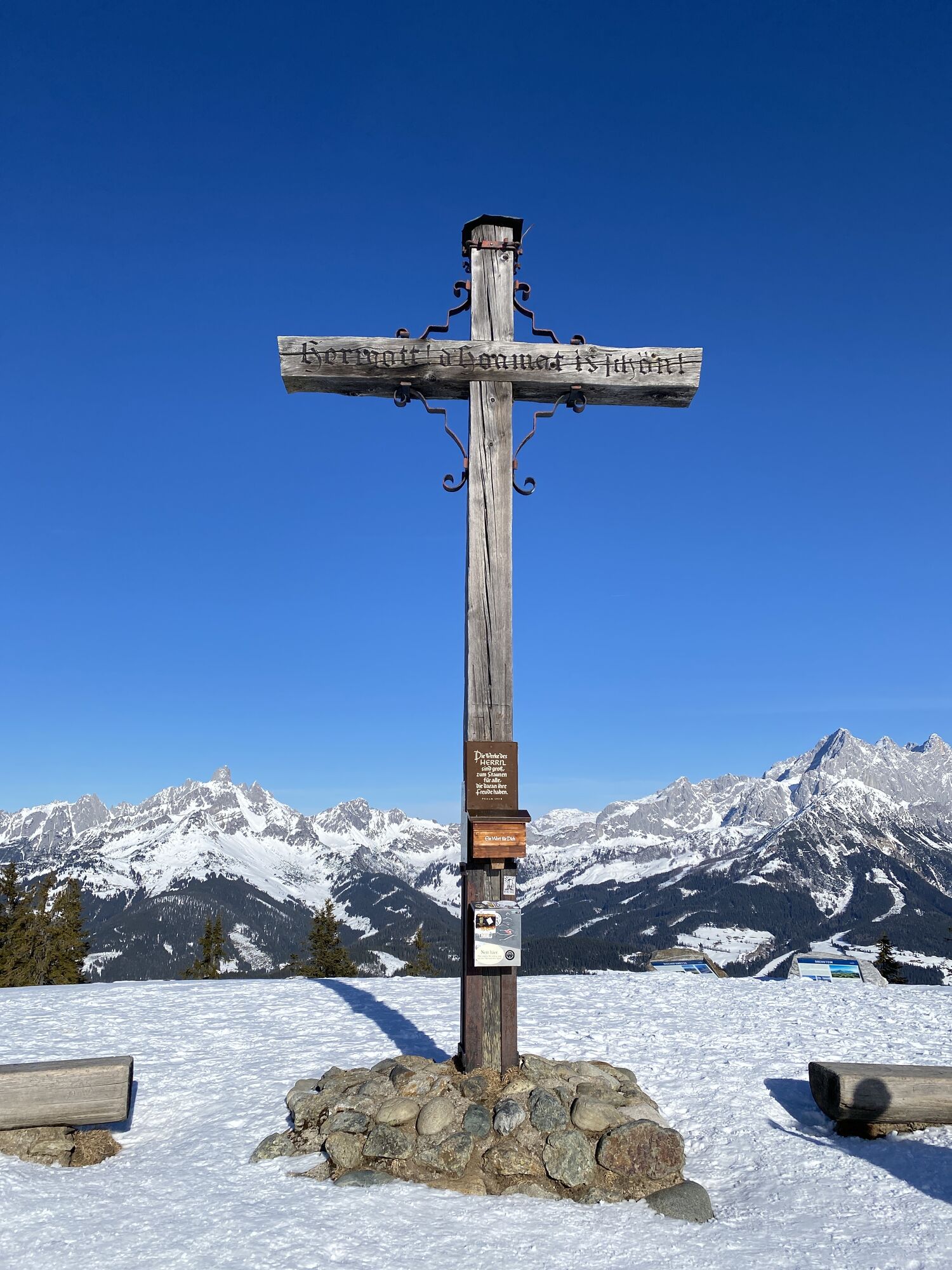
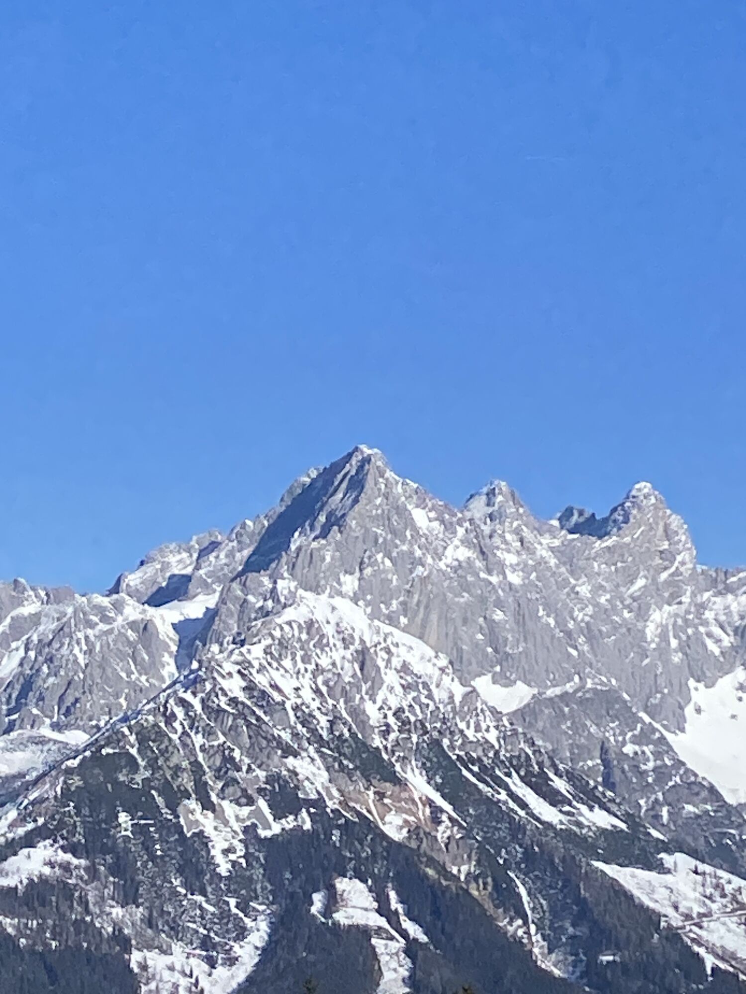
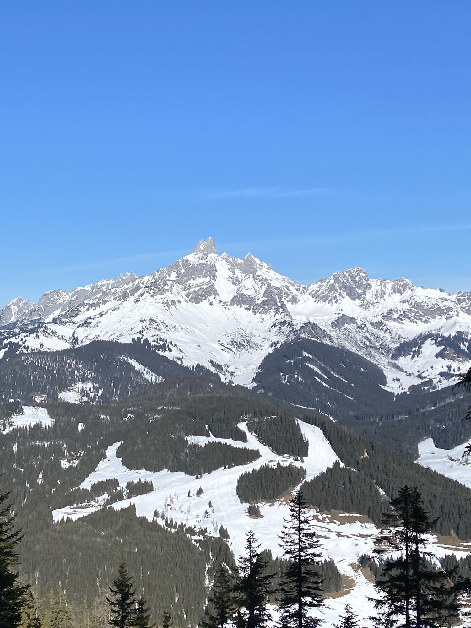
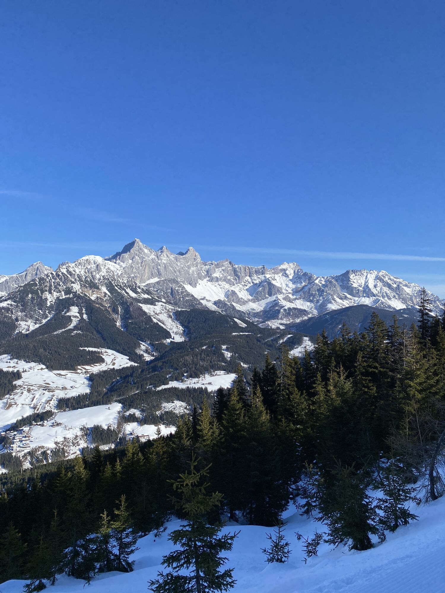
From Filzmoos we start slightly downhill on the road towards Ramsau. After 1.6 km we turn right onto a forest road, on which we continue cycling uphill until km 4.3. At the hairpin bend, turn sharply right and continue on the forest road with rewarding views of the Bischofsmütze and the Dachstein to the Schörgi Alm, which is known for its hospitality, delicious snacks and meals as well as the magnificent view. Here is also the last charging possibility for e-bikes before the summit. Then we continue along the north side of the mountain ridge on the forest road westwards and after about 3.5 kilometres we reach the summit cross with a magnificent 360° mountain panorama at Rossbrand where the Karhütte and the Radstädter Hütte invite you to refreshments.
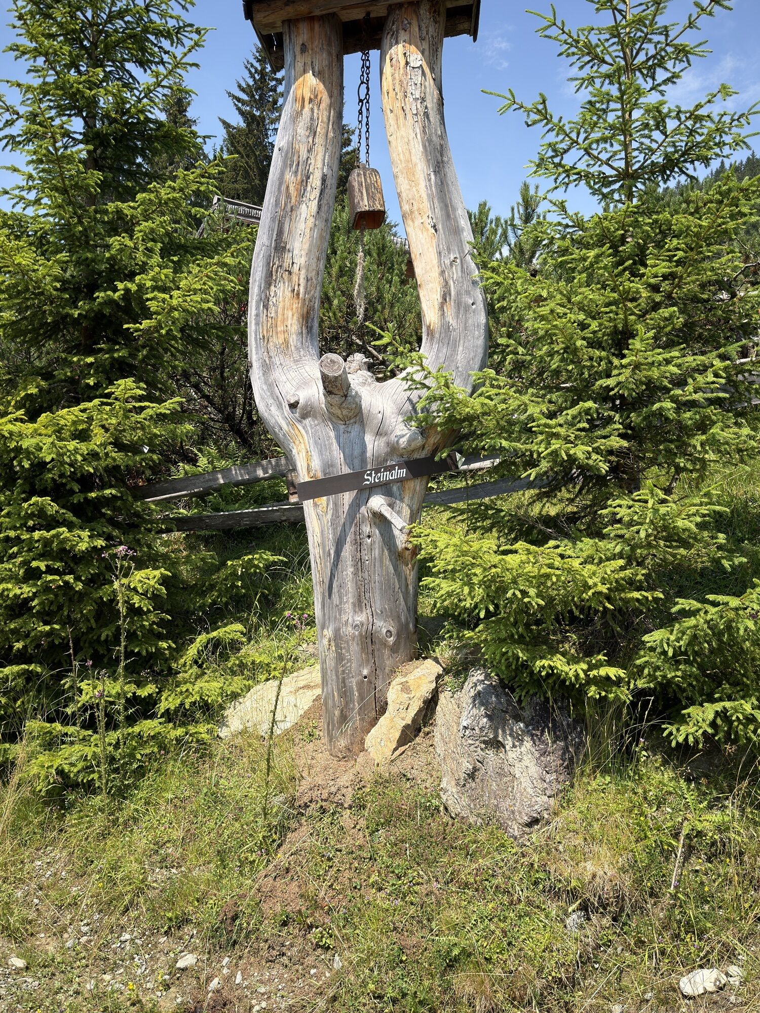
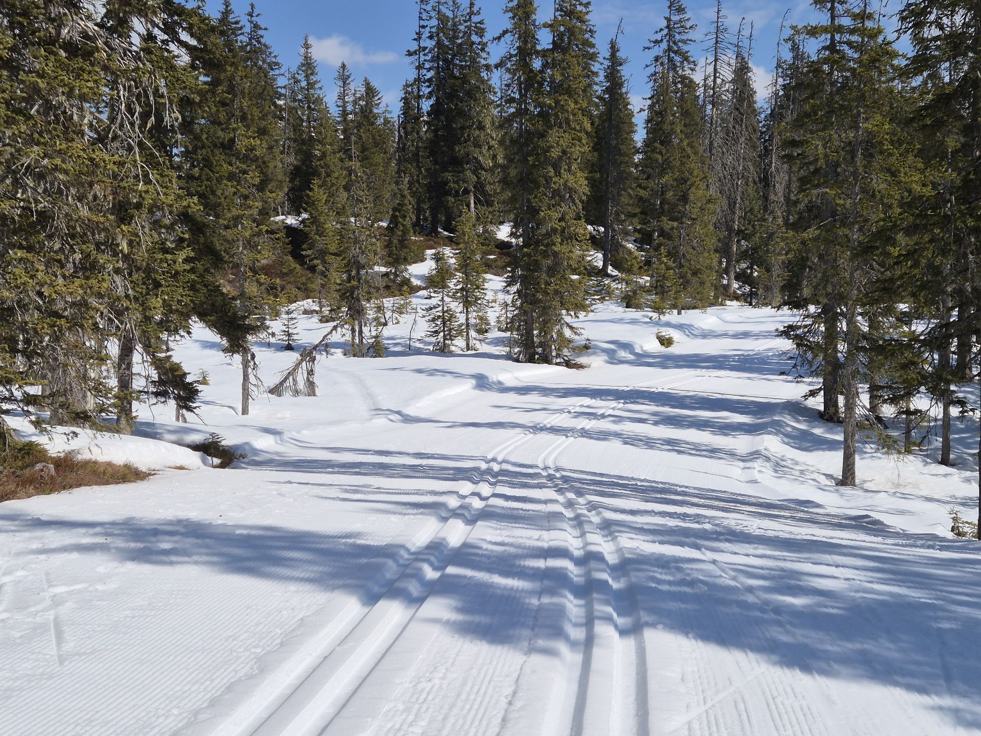
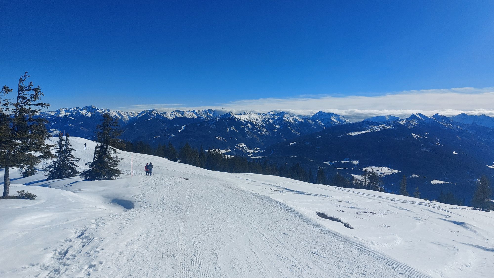
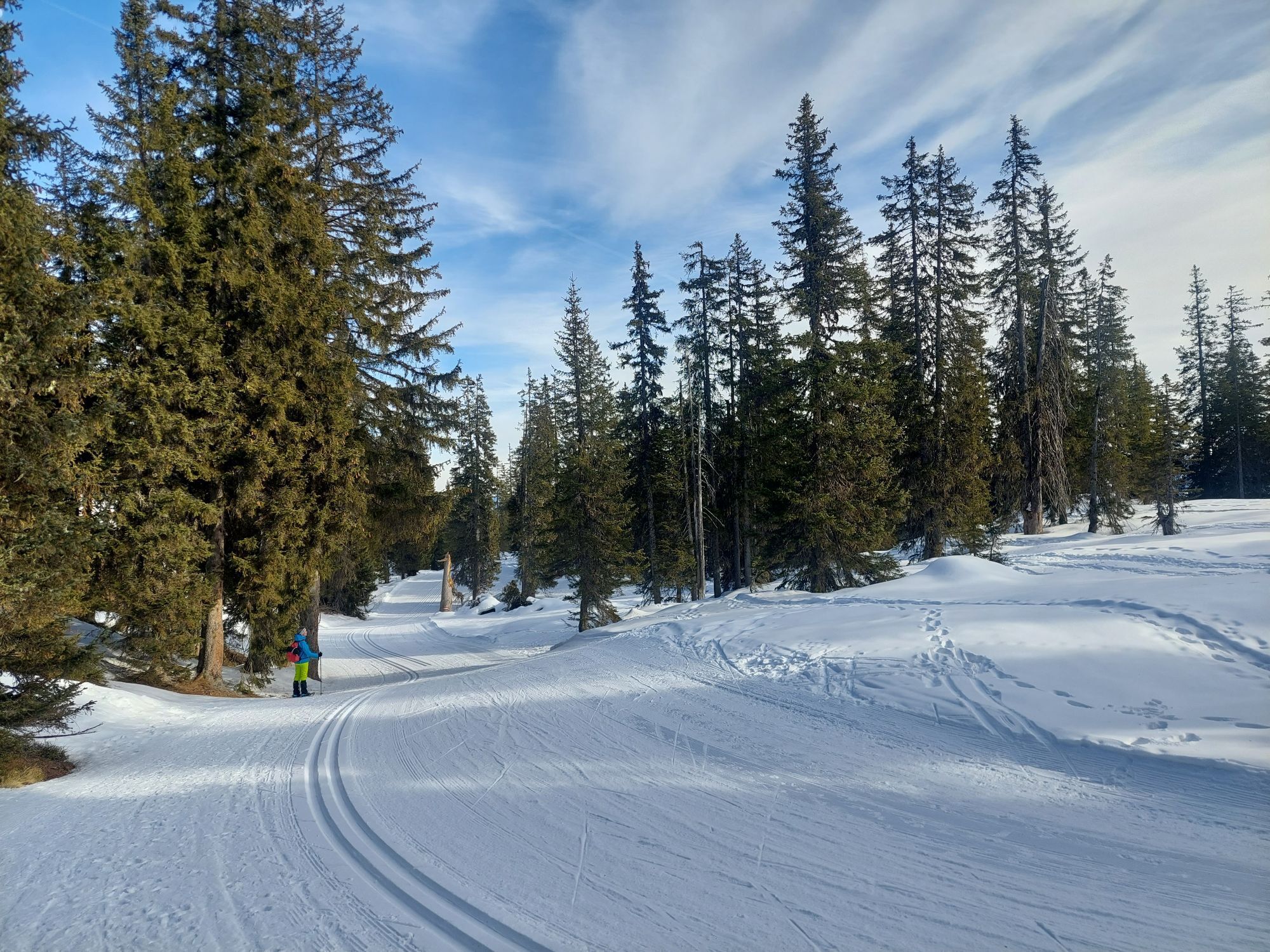
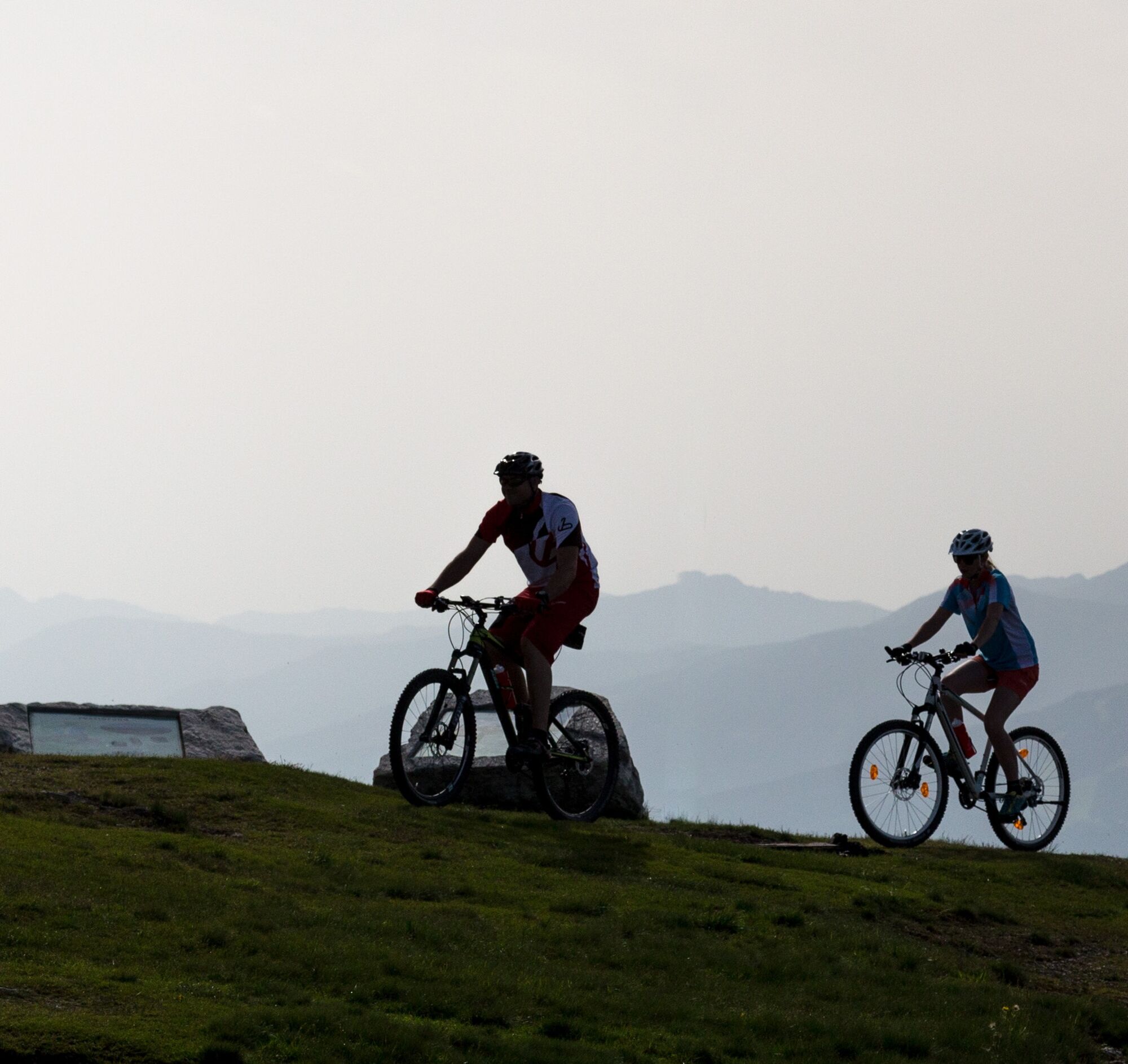
From the parking lot a little below the Radstädter Hütte, continue on the moderately sloping paved Rossbrand road for 4.7 km to the Steinalm junction. There we turn left and follow the forest road back down to Filzmoos.

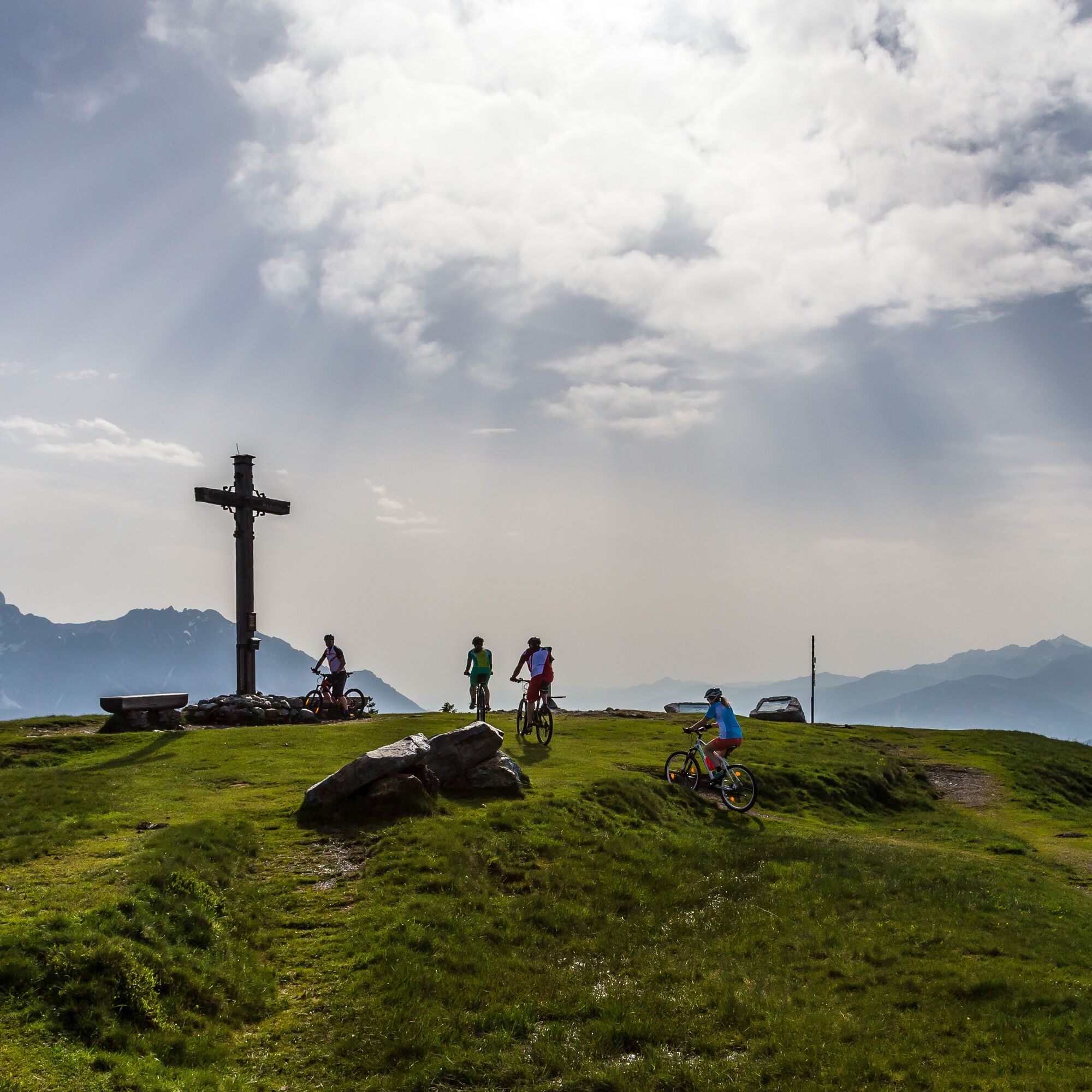
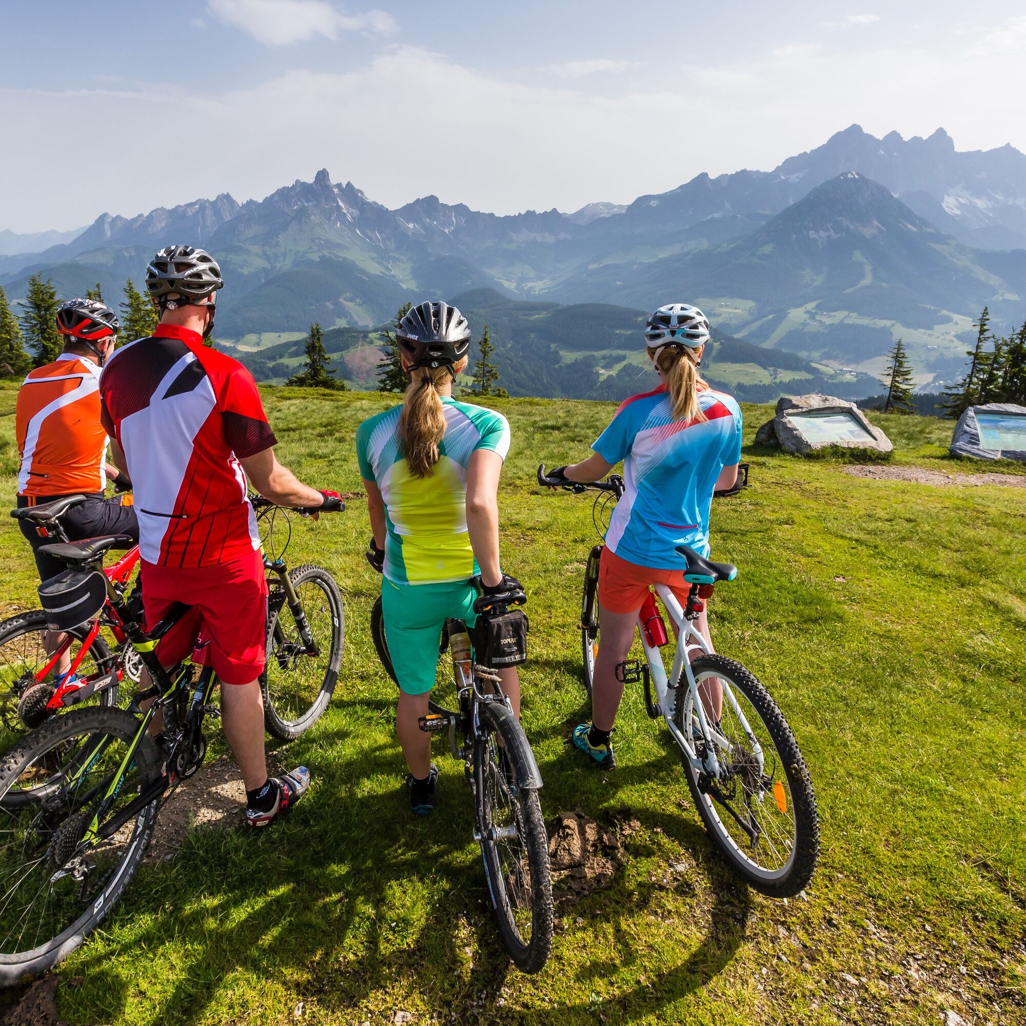
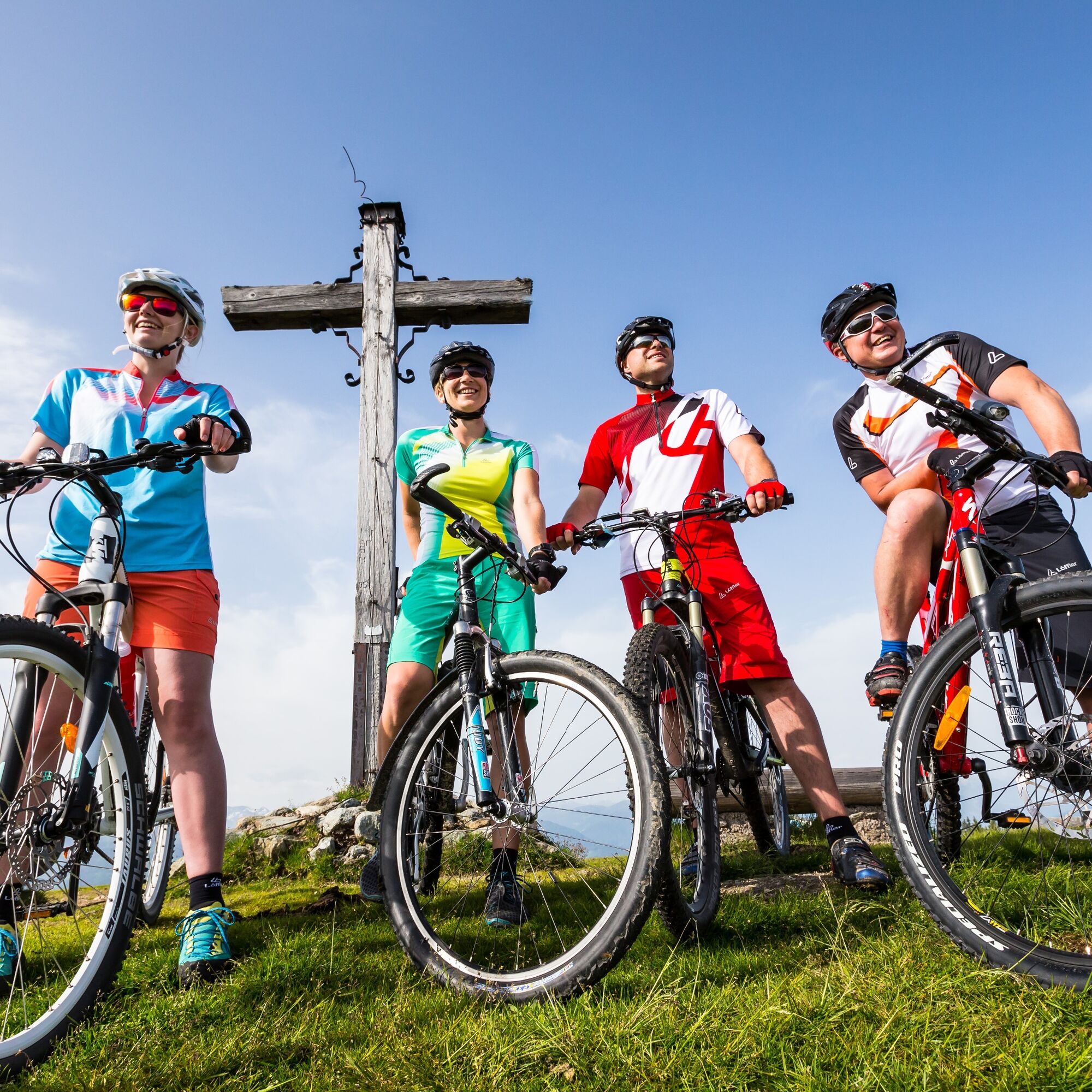
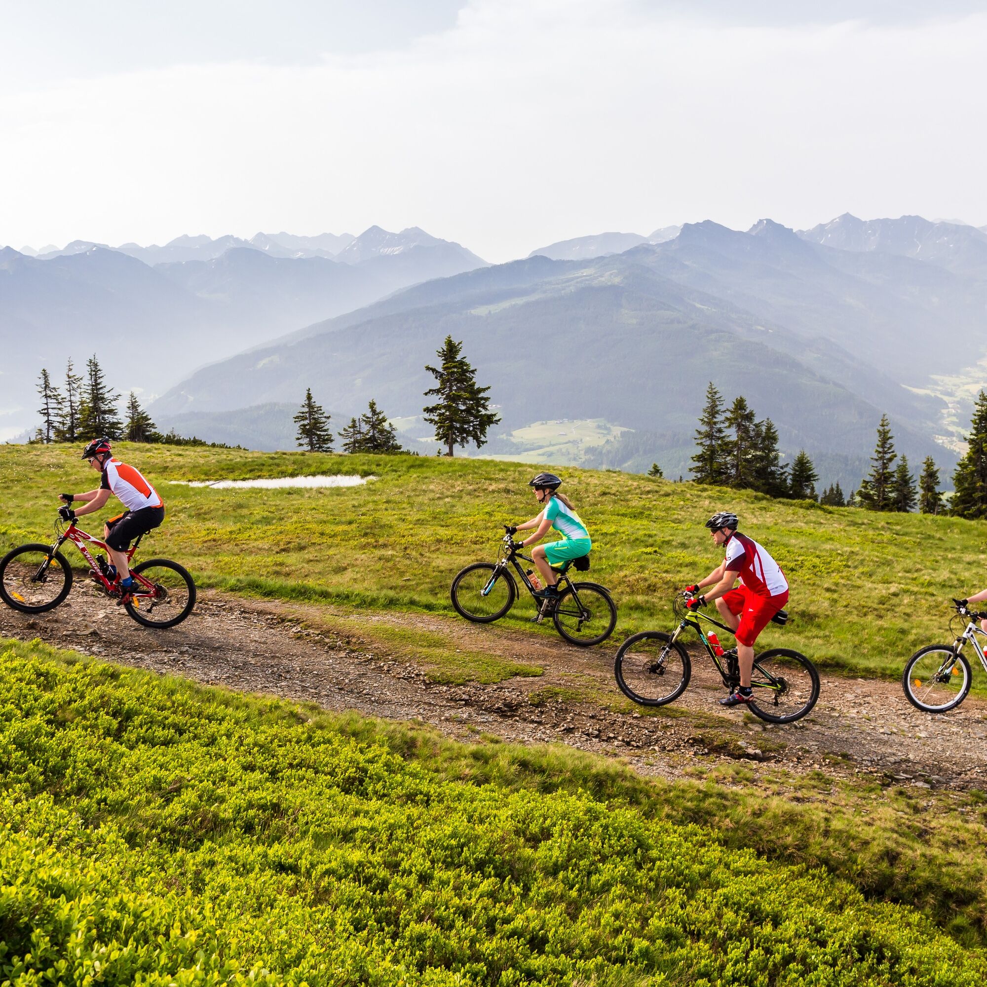
From Filzmoos we start slightly downhill on the road towards Ramsau. After 1.6 km we turn right onto a forest road, on which we continue cycling uphill until km 4.3. At the hairpin bend, turn sharply to the right and continue on the forest road with rewarding views of the Bischofsmütze and the Dachstein to the Schörgi Alm, which is known for its friendliness, delicious snacks and food as well as the magnificent view. Here there is also the last charging possibility for e-bikes before the summit. Then we continue westwards along the north side of the mountain ridge on the forest road and after about 3.5 kilometres we reach the summit cross with a magnificent 360° mountain panorama on the Rossbrand where the Karhütte and the Radstädter Hütte invite you for refreshments.
From the car park a little below the Radstädter Hütte, continue on the moderately sloping tarmacked Rossbrand road for 4.7 km to the Steinalm junction. There we turn left and follow the forest road back down to Filzmoos.
Ano
Sun and rain protection, helmet, bike map material, enough to drink.
Always wear a helmet and suitable clothing
Only ride on paved and signposted paths.
Pay attention to traffic at path and road crossings! Be considerate and give right of way.
Avoid blocking the rear wheel to help preserve the paths.
Control your speed downhill!
Protect the environment and do not leave any trash, etc., in the mountains! In case of emergency please call the following numbers: No. 140 - Mountain Rescue No. 112 - Euro Emergency Call
Via Filzmooser Landesstraße.
By Postbus line to the stop "Filzmoos Ortsmitte".
Parking available at the parking lot opposite the gas station (fee required).
6
Operating hours and prices of the Papageno gondola: https://www.filzmoos.at/de/sommer/wanderurlaub/bergbahn.html
Those who want to save the climb can also take the Papageno gondola to the Schörgi Alm (transport of bikes is allowed).
Webové kamery z prohlídky
-
Rossbrand
-
Ramsau am Dachstein / Leiten
-
Talstation Reiteralm - Gondelbahn Silver Jet
-
Radstadt - Simonyhof
-
Aparthotel Jagdhof Filzmoos
-
Aparthotel Jagdhof Filzmoos
-
Ramsau a. D. - Rittisberg
-
Reitlehenalm
-
Altenmarkt - Habersatt
-
Radstadt - Wasserwerk
-
Papageno Bergstation
-
Papageno Bergstation
-
Radstadt - Rossbrand
-
Ferienbauernhof Habersattgut
-
Ferienanlage Reithof
Oblíbené prohlídky v okolí
-
4.3
Filzmoos: Rötelstein (Rettenstein)
Turistika 9.50 km -
4.5
Ramsau am Dachstein: Steinerne Jungfrauen
Turistika 8.11 km -
4.8
Tour around the Gosaukamm
středníTuristika 20.9 km -
4.8
Planai Runde | 304
středníMountainbike 34.1 km -
4.8
4-Jahreszeiten Wanderweg
středníZimní turistika 5.94 km -
4.7
Tour around the Lake Gosau
světloTuristika 4.43 km -
4.7
Tor-Wanderung
heavyTuristika 14.2 km -
4.7
Ski route Lackenkogel
středníLyžařská trasa 7.82 km -
4.5
Adamekhütte vom Vorderen Gosausee
středníTuristika 23.2 km -
4.9
Das Trippel in der Silberkarklamm
středníVia ferrata 6.70 km
Pěší turistika a stopování


Nenechte si ujít nabídky a inspiraci pro vaši příští dovolenou
Vaše e-mailová adresa byl přidán do poštovního seznamu.