







Hundalm route

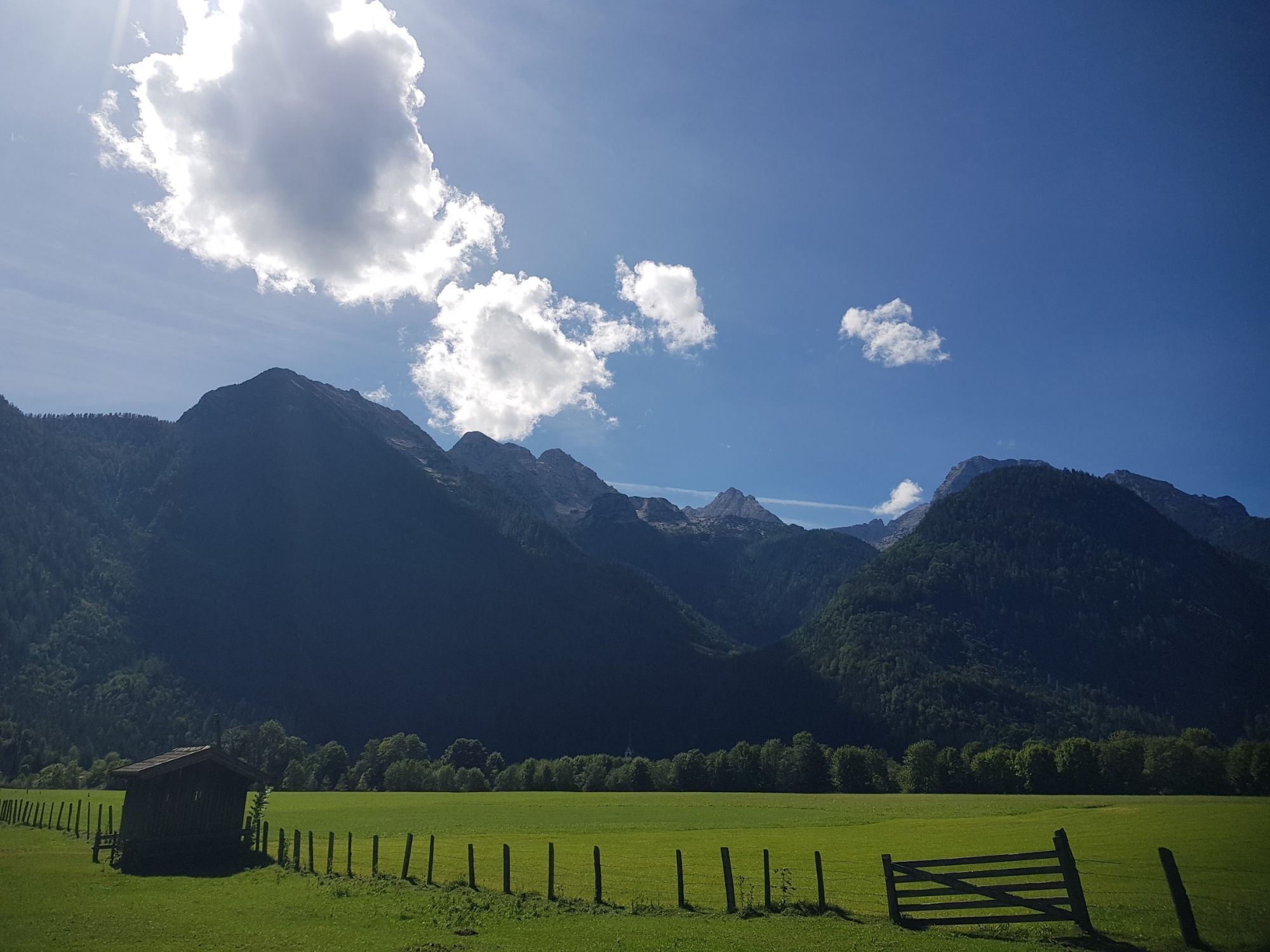
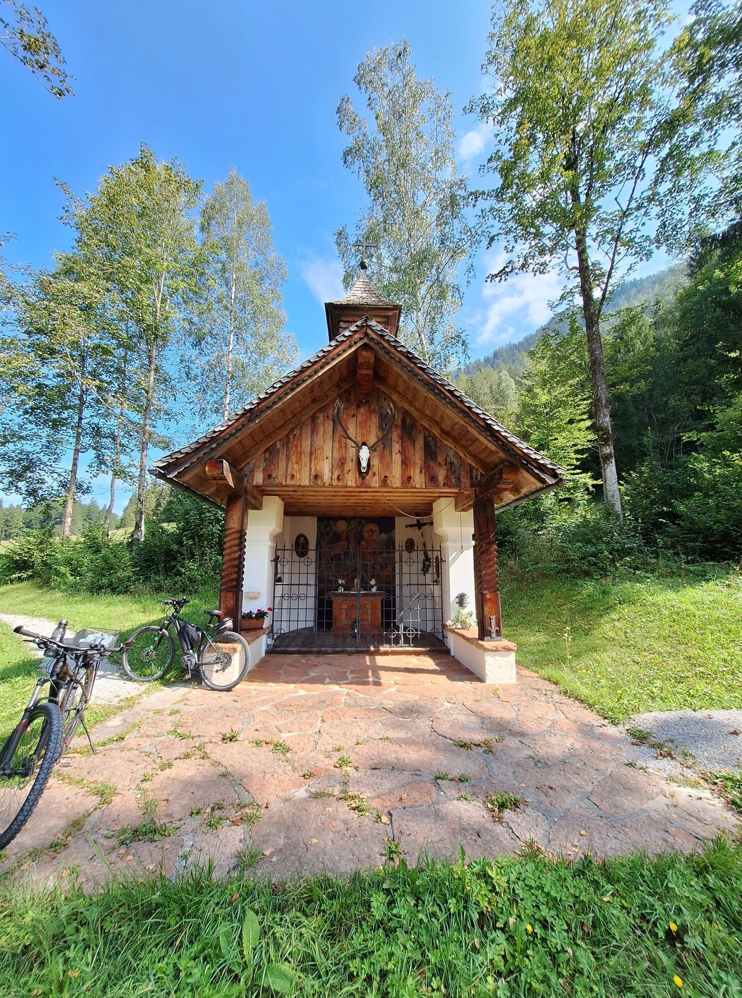
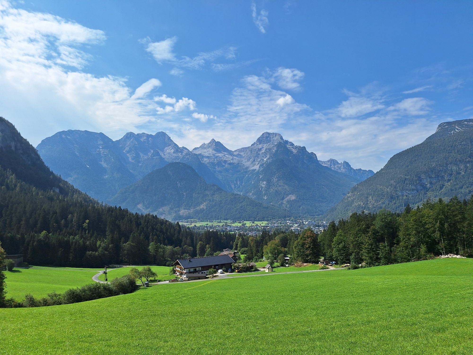
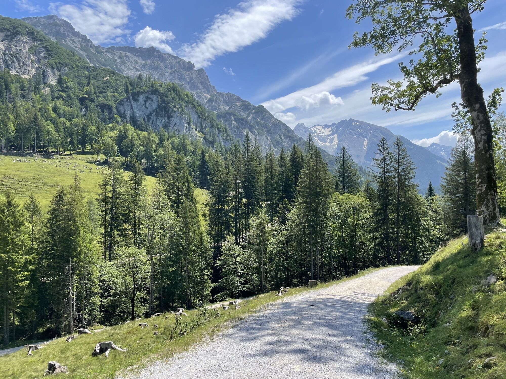
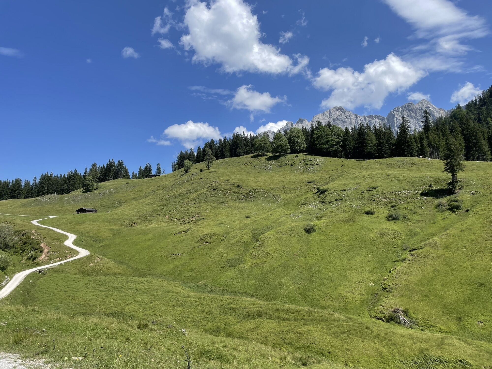
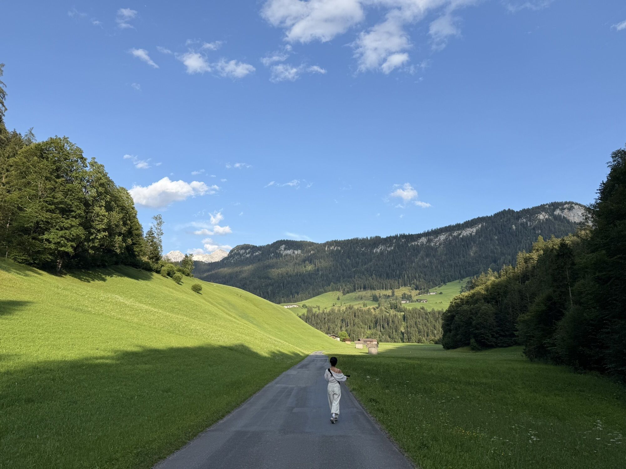
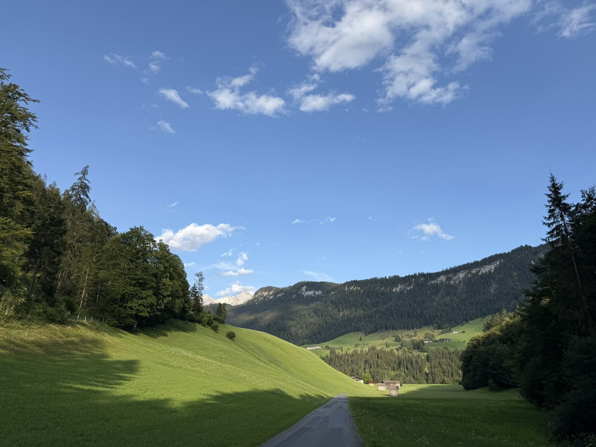
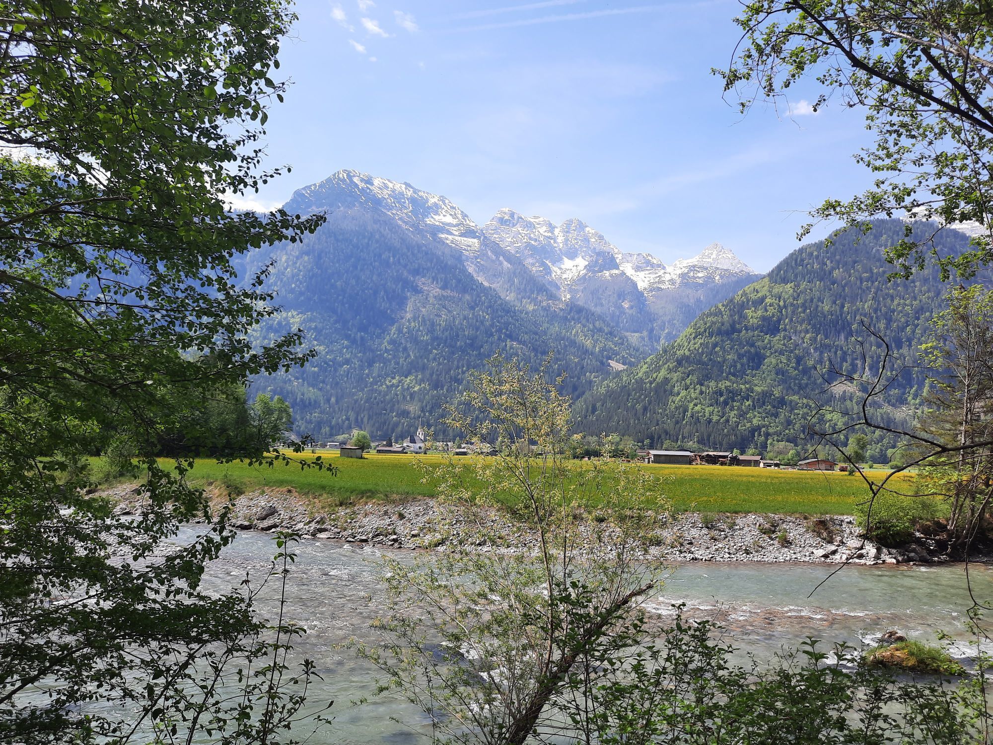
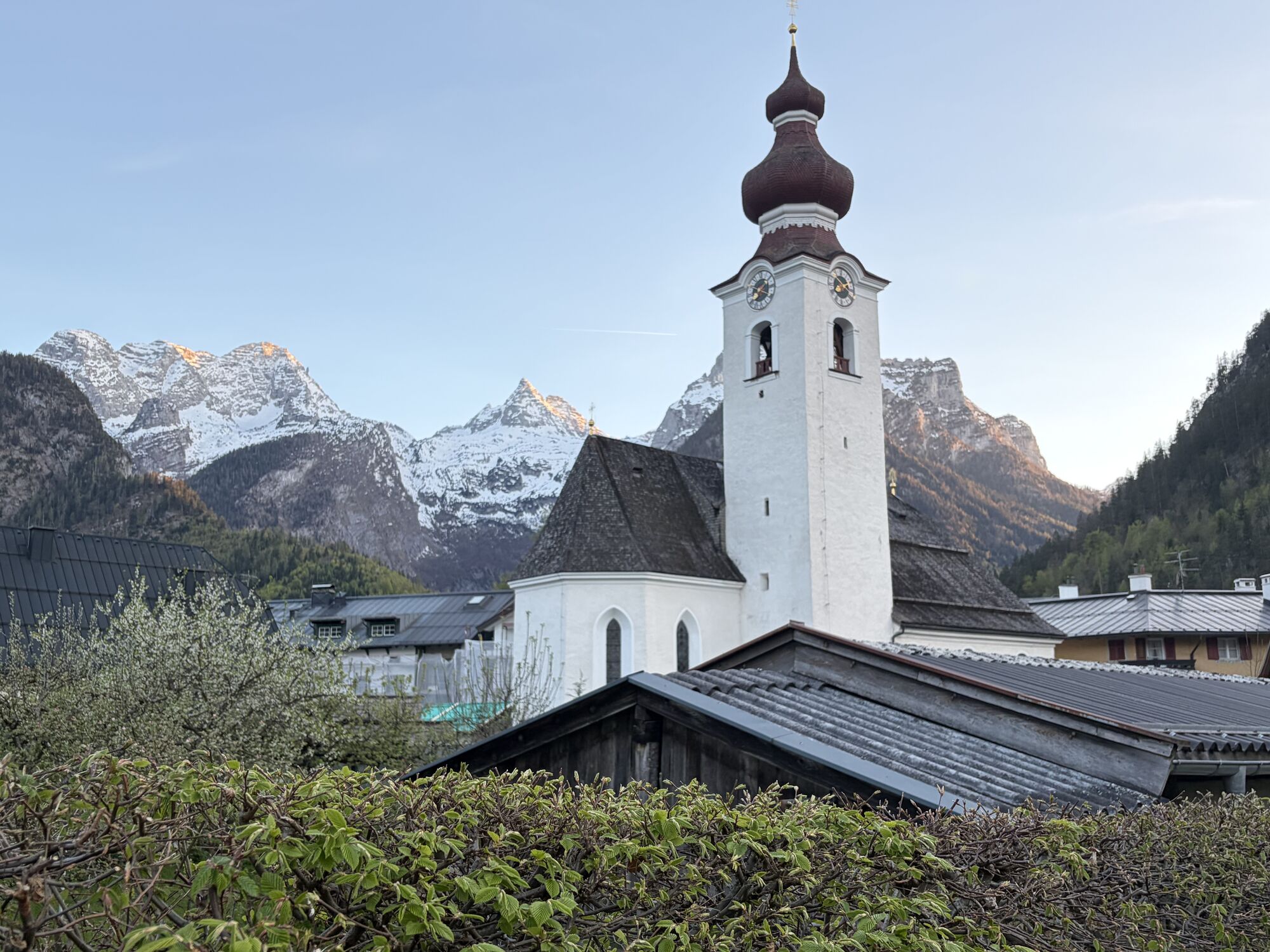
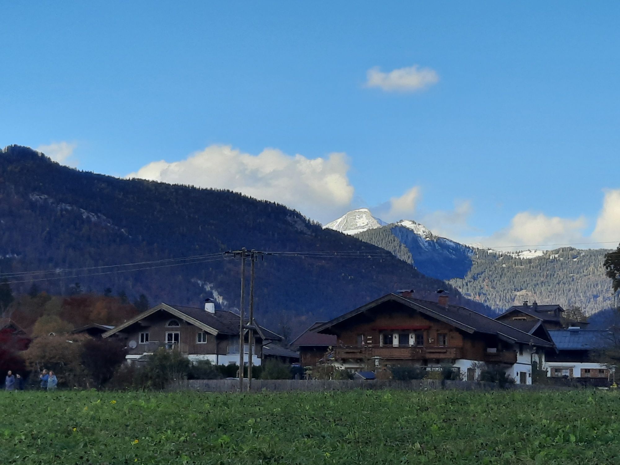
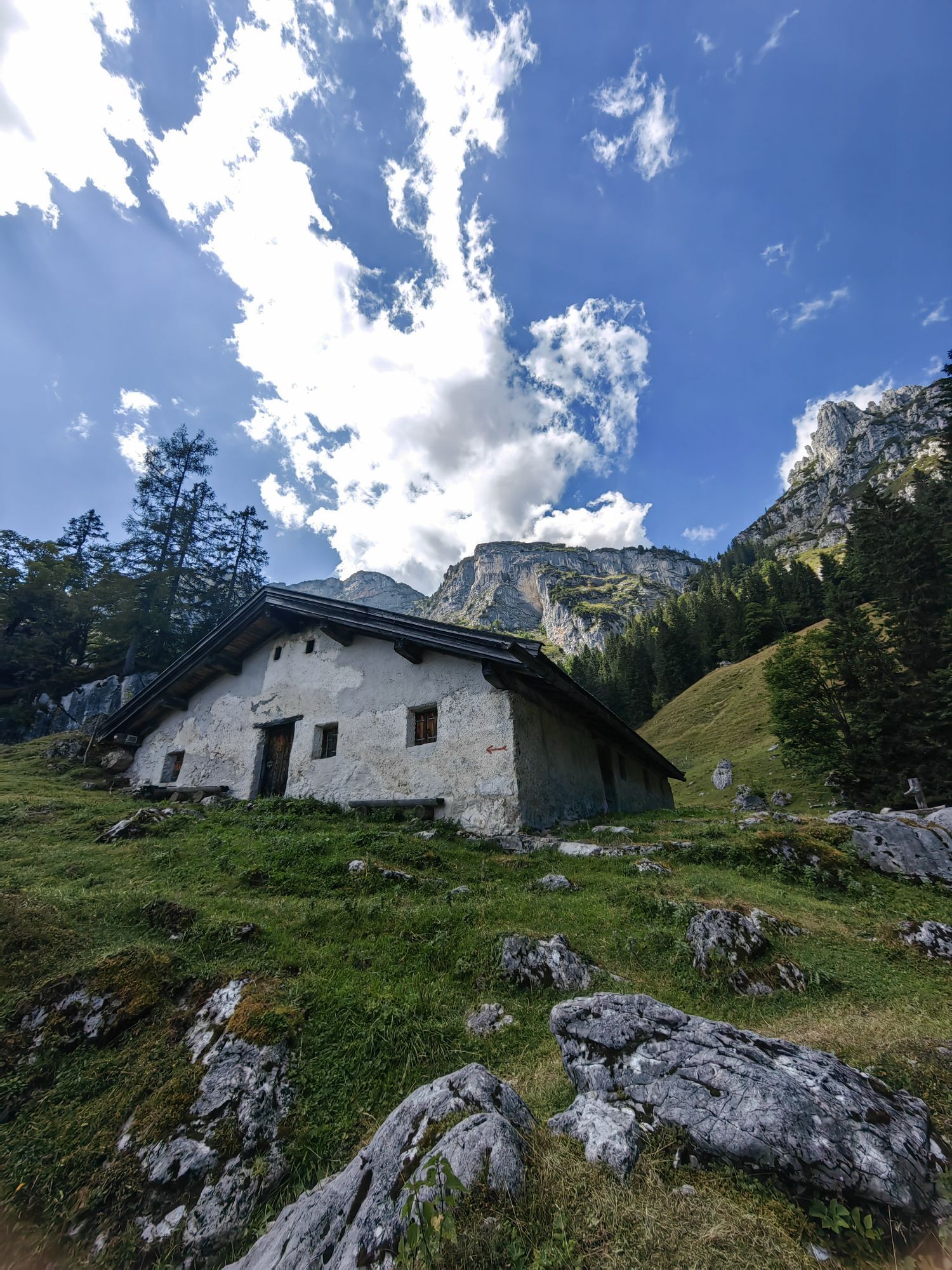
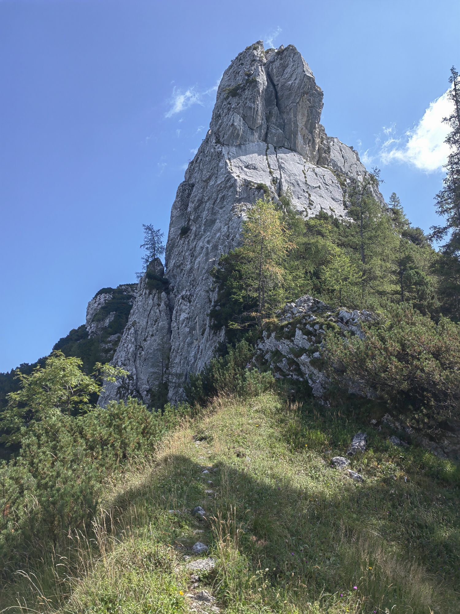
From Lofer it goes via Scheffsnoth along the Saalach to Strohwolln. Then you turn into a 180° hairpin turn where the first ascent begins. The road leads you up into Wildental. After a short flat section,...
From Lofer it goes via Scheffsnoth along the Saalach to Strohwolln. Then you turn into a 180° hairpin turn where the first ascent begins. The road leads you up into Wildental. After a short flat section, it goes uphill again past a few farms towards Hundalm, the highest point of the route. The descent leads past the Auerweißbachalm and Auer Wiesn back to Scheffsnoth and further to the start of the route in the center of Lofer.
Route SASA 17 in the bike map Salzburger Saalachtal

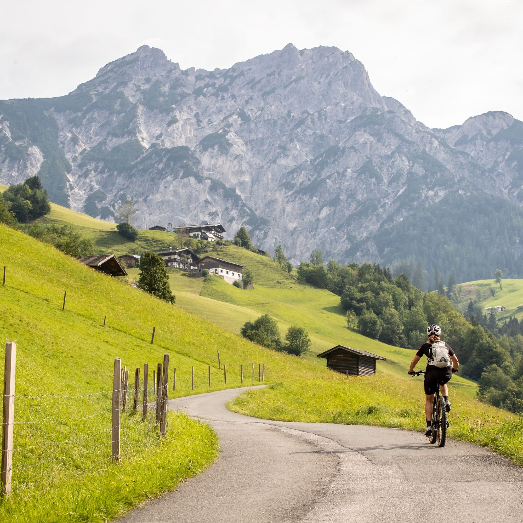
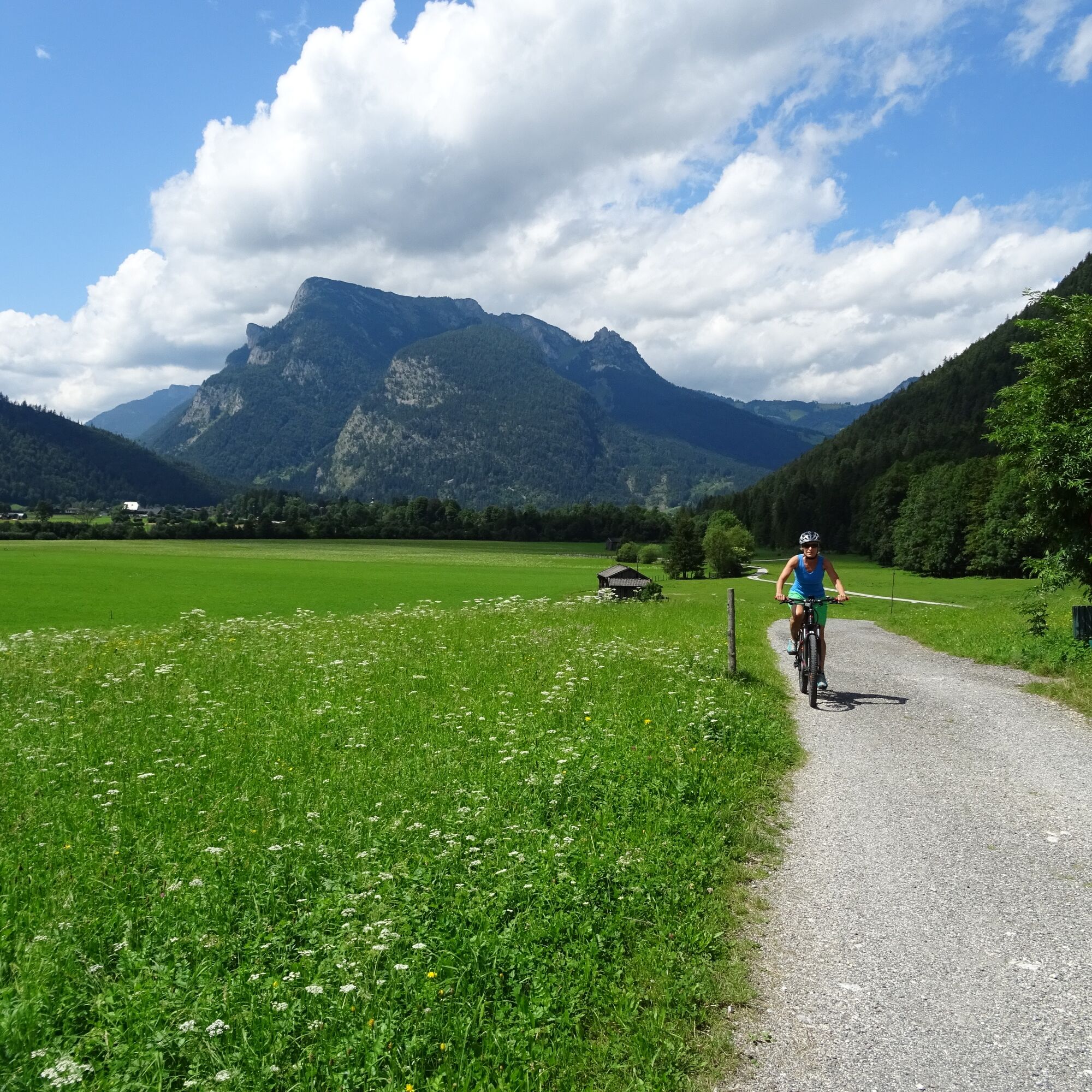
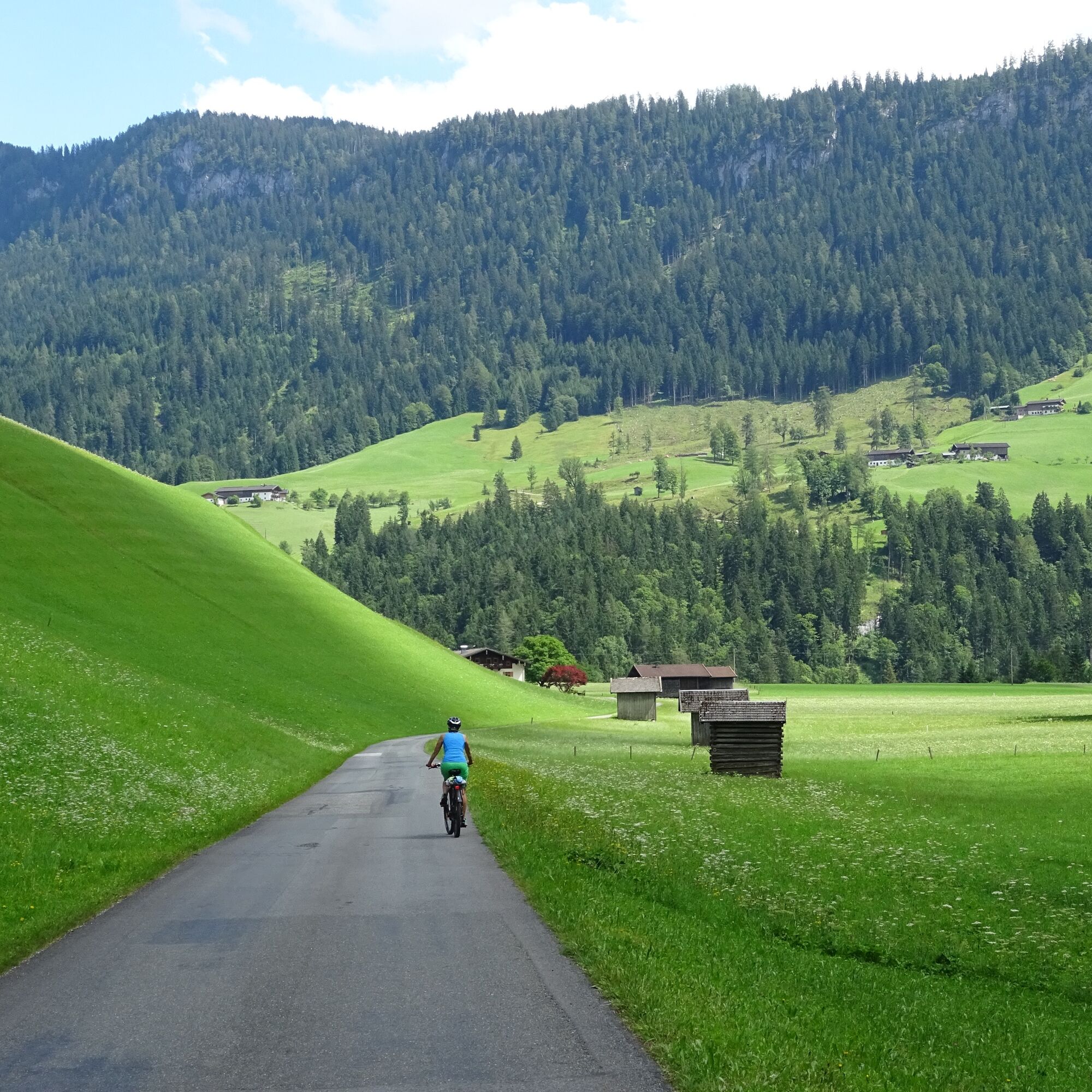
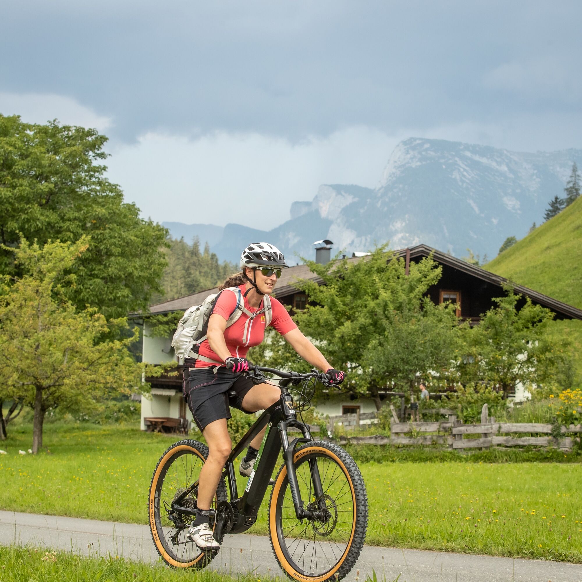
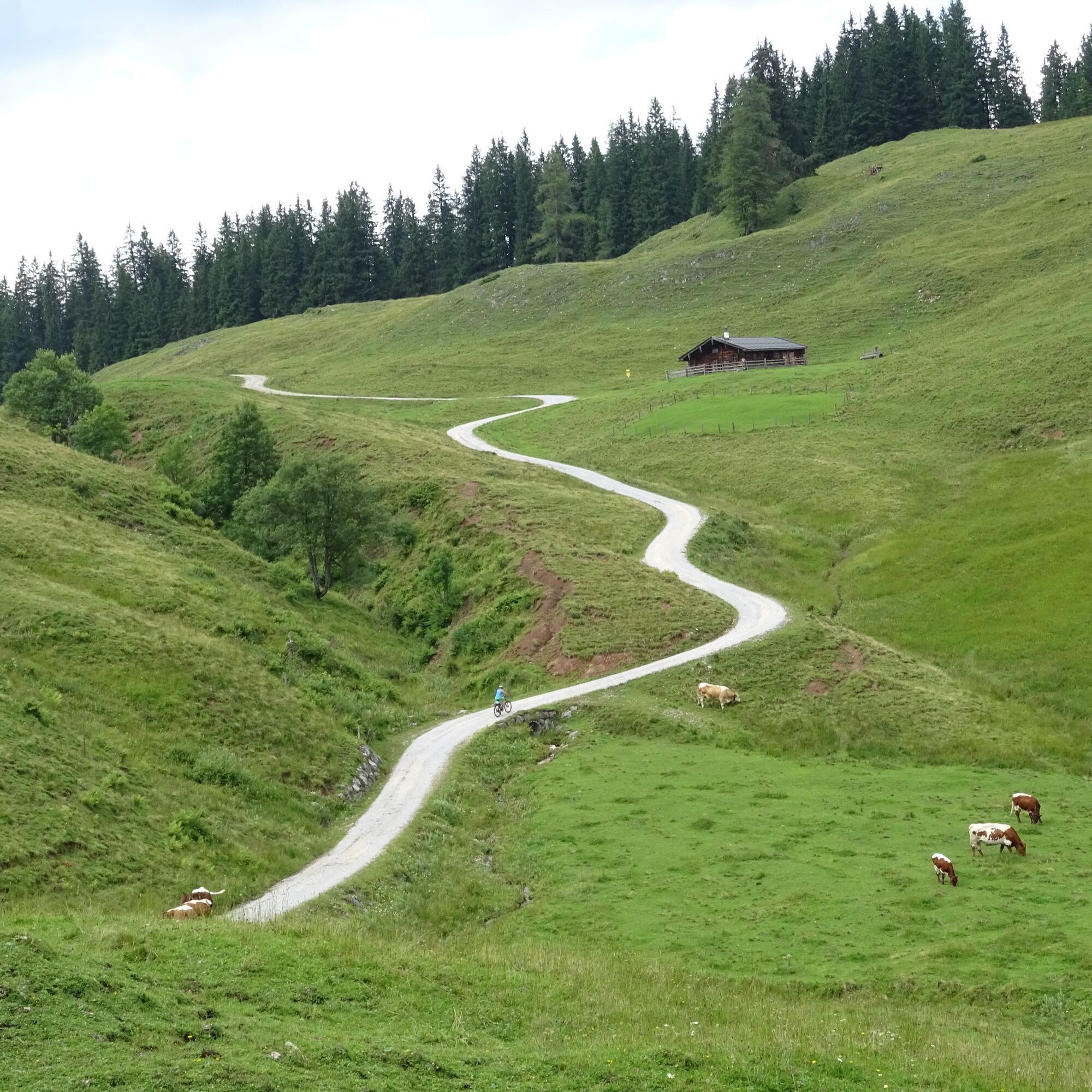

From Lofer in the Salzburger Saalachtal we ride to Scheffsnoth and along the Saalach to Strohwolln. Those who want can briefly leave the bike here and take the short walk to the Strohwollner Gorge – it’s worth it. Then the bike goes steeply uphill towards Wildental. From the Pöchtlbauer to Hundalm, Auerweißbachalm as well as Holzstube and Auer Wiesen back to Scheffsnoth and to the starting point in Lofer.
Besides a water bottle we recommend sturdy footwear, warm clothing and rain protection, repair kit, first aid kit, mobile phone, light, gloves, sunglasses and something to eat. And of course, don’t forget the helmet.
Be careful when going downhill and braking. The route is mostly on gravel roads
Coming from Salzburg: Along the B178 to Lofer. After approx. 1.5 kilometers, the start of the route is directly at the info office Lofer next to the federal road.
Coming from St. Johann/T. and Saalfelden: Take the Salzburg exit at the roundabout in Lofer. After about 400 meters, the start of the route is directly at the info office next to the federal road.
By bus line 260 (timetable) to Lofer (stop Lofer Neue Mittelschule/TVB)
Free of charge at the large parking lot Lofer (P2); right next to the info office
Be sure to make a stop in Strohwolln and visit the impressive Strohwollner Gorge. The walking time is about 30 minutes. Admission free.


Webové kamery z prohlídky



Oblíbené prohlídky v okolí
- 4.8
Königssee - Kärlinger-Haus
Turistika 10.1 km - 4.5
Wimbachgrieshütte
Turistika 8.30 km - 4.3
Halsalm
Turistika 6.43 km - 4.7
Over the waterfall trail into the Almenwelt Lofer
středníTuristika 3.29 km - 4.6
Seisenberg Gorge
světloTuristika 2.41 km - 5.0
Sonntagshorn über Hochalm (Unken, Heutalbauer)
středníTuristika 11.2 km - 5.0
Goldtoni - Wandern - Watzmann - Überschreitung
heavyVysokohorská turistika 25.3 km - 3.9
Blaueis - Schärtenspitze
Turistika 7.29 km - 4.9
Ramsau/Hintersee-Runde
světloTuristika 9.44 km - 4.9
Watzmann Überschreitung an einem Tag
heavyTuristika 23.9 km
Pěší turistika a stopování


Nenechte si ujít nabídky a inspiraci pro vaši příští dovolenou
Vaše e-mailová adresa byl přidán do poštovního seznamu.





