







13B Sulzbachtal

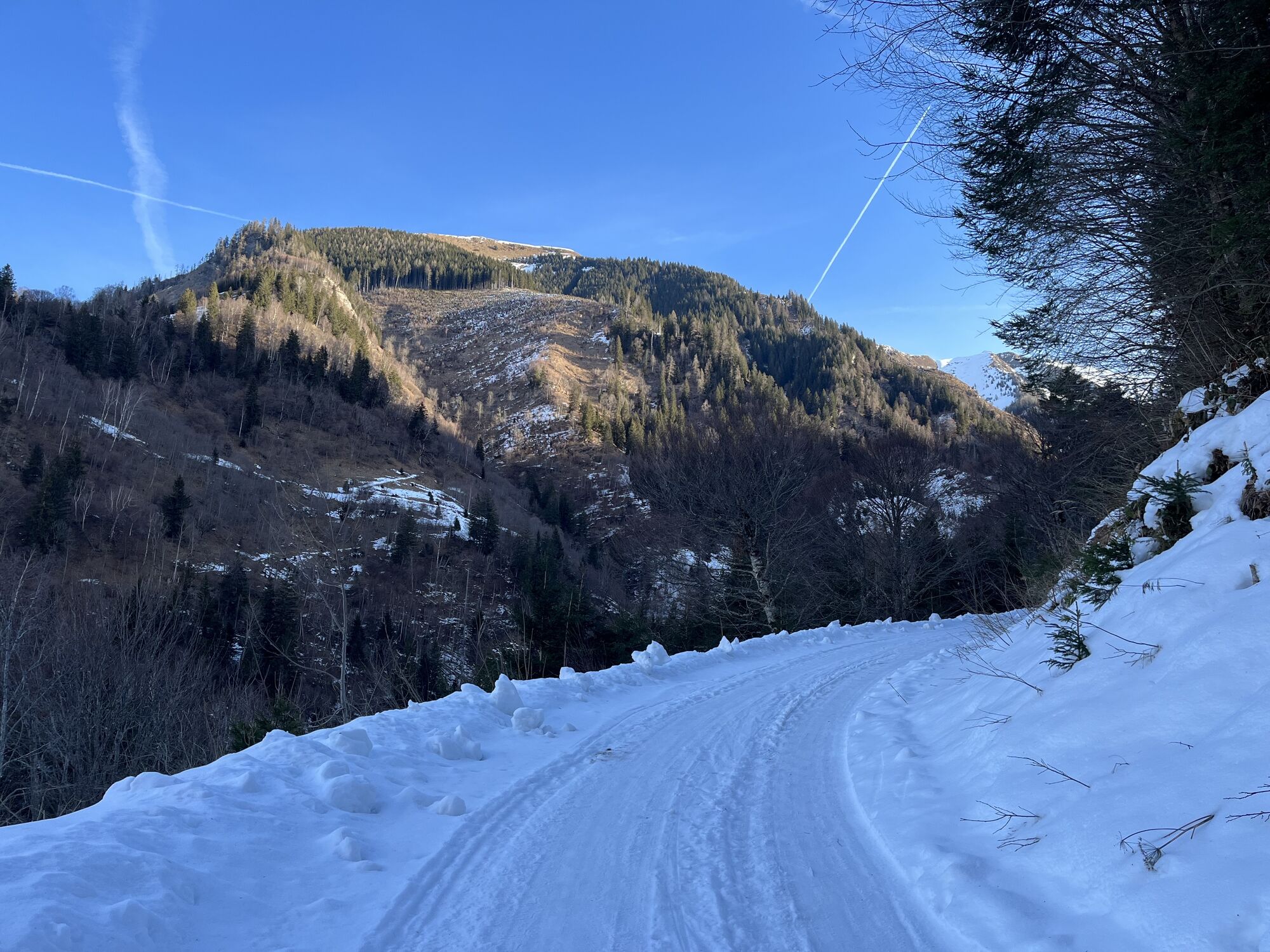
This route, without technical difficulties, with pleasant climbs, not too steep and full of beautiful scenery, leads into the high valley of the Sulzbach and clearly shows the beauty of the Pinzgau high valleys.

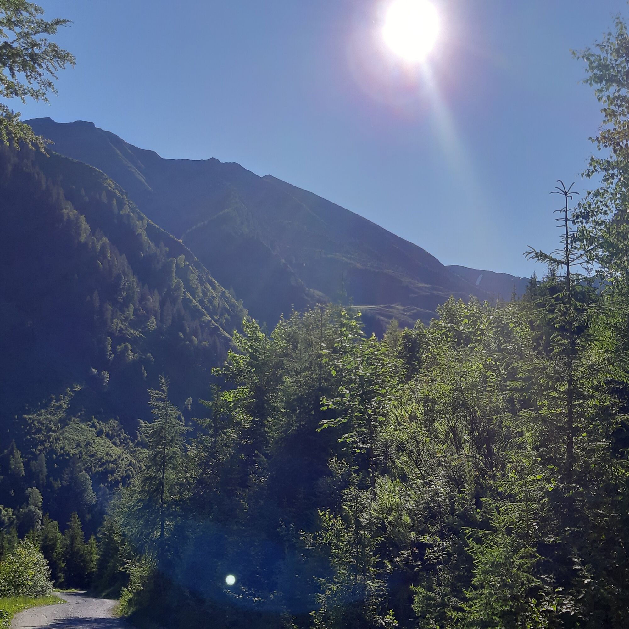
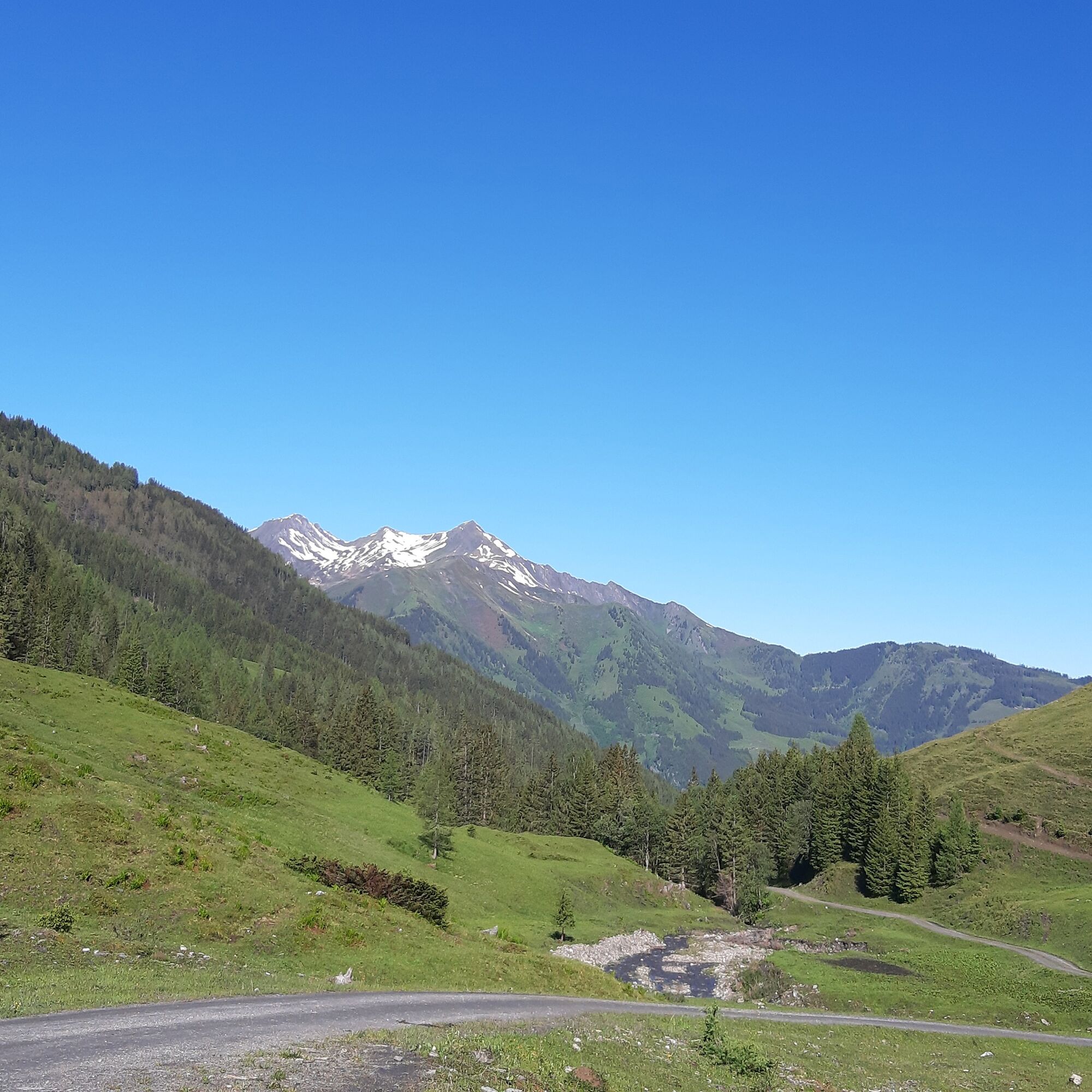
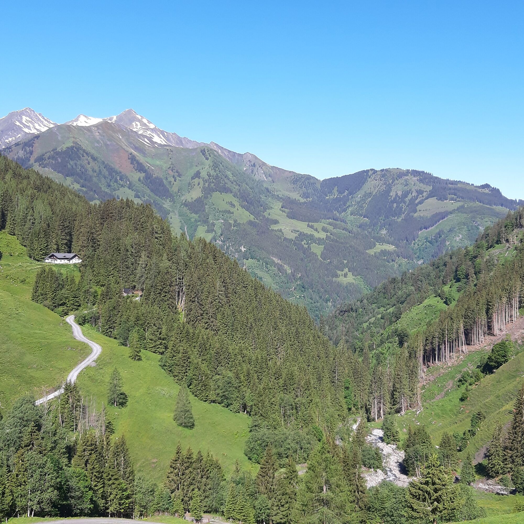

From the parking lot by the bridge, it goes over the Fuscher Ache to the Sulzbach farmer. From here, follow the asphalt road uphill. After a few hundred meters, keep right and cycle on the gravel road towards Sulzbachtal. Up to the Schneeweide it goes comfortably, without great effort and without technical difficulties. The path is wide and you can really enjoy the route. From Kühmais the route becomes more demanding but technically not difficult. After some beautiful bends and about 7 km you reach the Bichlalm (not managed).
The return journey is on the same route.
The use of the marked and authorized routes/trails is permitted from May 1 to November 15 and only at the following times:
May 1 to November 15 2 hours after sunrise until 1 hour before sunsetStay on the marked routes/trails!
The common rules of conduct ensure that the forest and pasture areas will continue to provide a unique recreational and living space as well as a workplace for everyone.
Your behavior influences public opinion and tolerance.
By mountain bike: From Piesendorf Niedernsill along the well-signed Tauern cycle path to Bruck and from there into the Fusch valley to Fusch.

Oblíbené prohlídky v okolí
-
4.8
Highlight Kitzlochklamm Classic round
středníTuristika 2.02 km -
4.4
Schwalbenwand Nr. 80, 81, 82
středníTuristika 13.0 km -
4.6
Sigmund Thun Klamm, Klammsee, Bürgkogel
světloTuristika 4.56 km -
4.6
Thumersbach, Runde um den Zeller See
světloTuristika 13.3 km -
5.0
Wasserfallboden/Mooserboden
heavyTuristika 19.5 km -
4.9
Hochsonnberg Runde
středníMountainbike 59.8 km -
4.9
Krumltal in Rauris September 2020
světloTuristika 11.4 km -
4.4
Sigmund Thun Klamm
světloTuristika 3.10 km -
4.3
Hundstein-Runde von Maria Alm
heavyMountainbike 44.4 km -
4.6
3 Oktober Fusch Walcher Grung und Hohalm
středníTuristika 8.57 km
Pěší turistika a stopování


Nenechte si ujít nabídky a inspiraci pro vaši příští dovolenou
Vaše e-mailová adresa byl přidán do poštovního seznamu.





