Navigace na stránkách
Pořiďte si tuto prohlídku do mobilního telefonu
Mapa
Hohe Tauern Bike Trail | Stage 14 Königsleiten/Krimml | Krimmler Achental | Krimml
střední
Mountainbike
47.90 km
Naskenujte QR kód a spusťte navigaci v aplikaci bergfex.
QR Code
Pěší turistika a stopování

Hohe Tauern Bike Trail | Stage 14 Königsleiten/Krimml | Krimmler Achental | Krimml

Vzdálenost
47.9 km
Doba trvání
05:05 h
Ascent
792 hm
Hladina moře
1075 - 1840 m

Úroveň obtížnosti: S0
Stažení skladby
Mapa
Hohe Tauern Bike Trail | Stage 14 Königsleiten/Krimml | Krimmler Achental | Krimml
střední
Mountainbike
47.90 km

Fotografie našich uživatelů

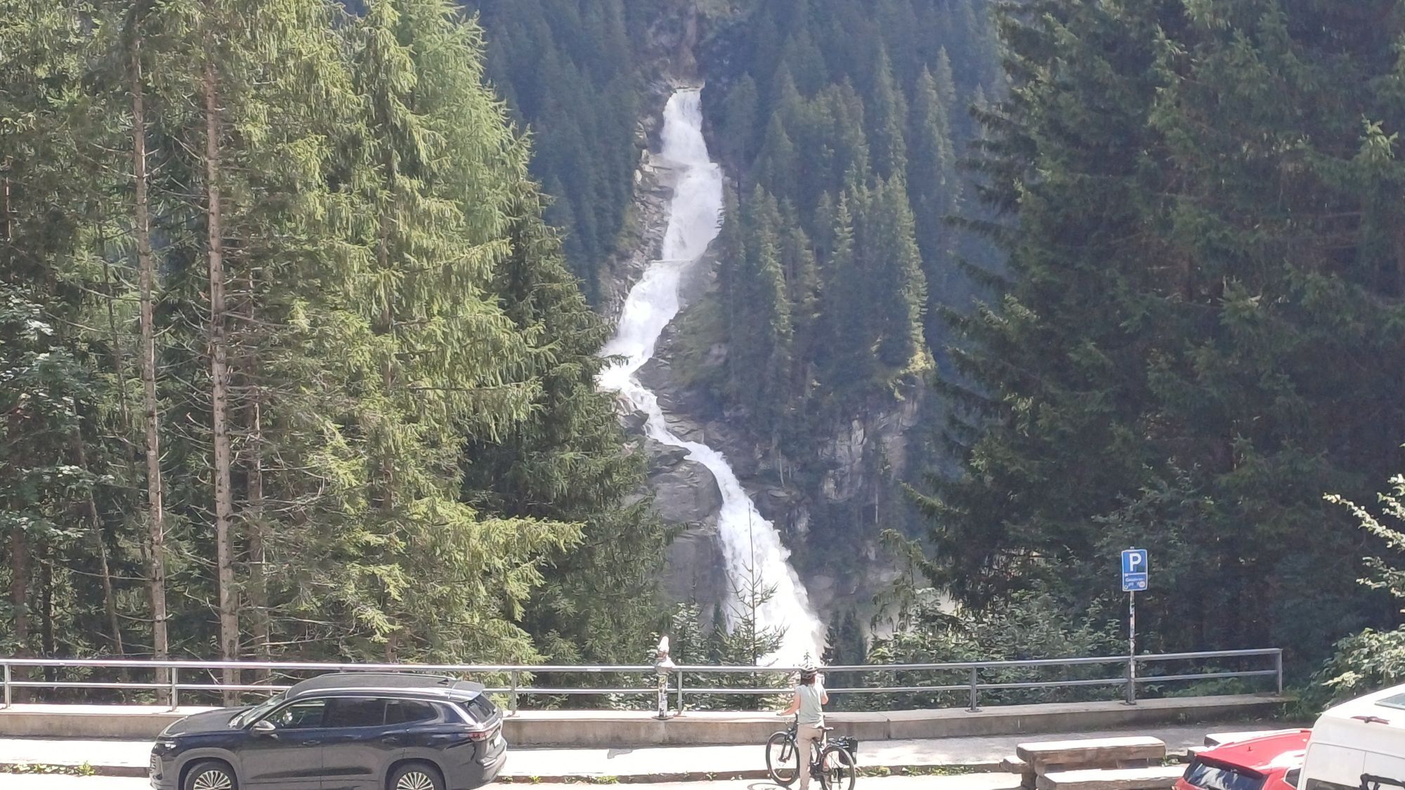
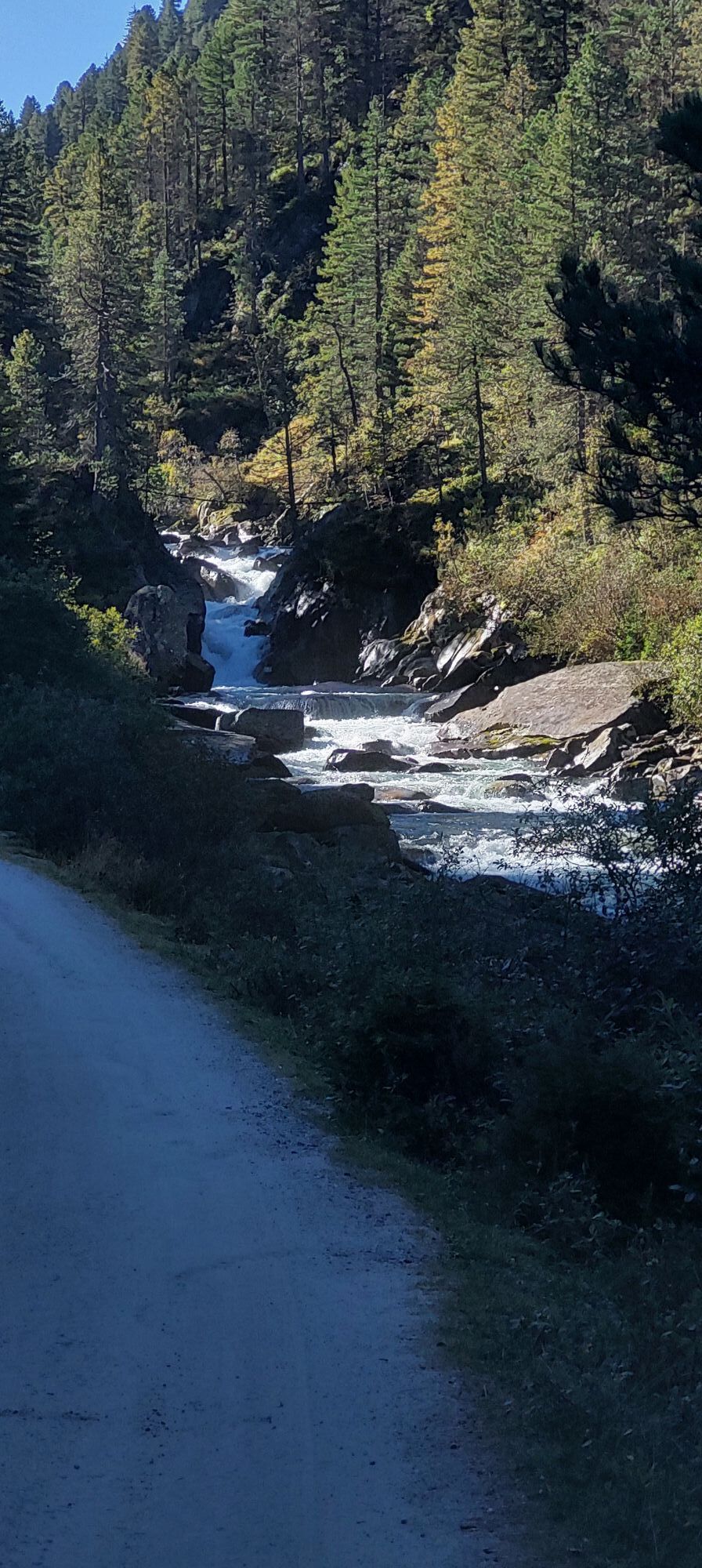
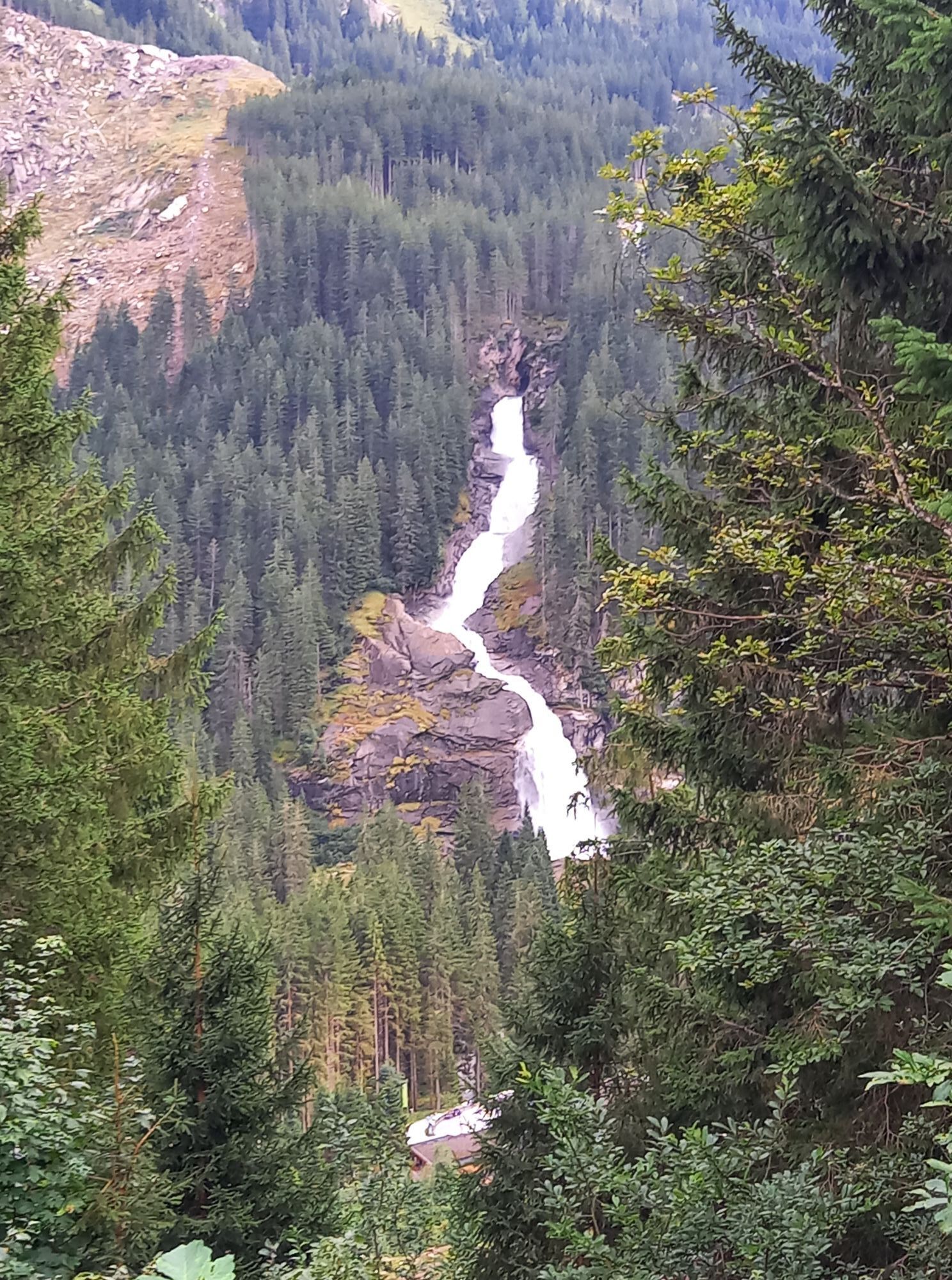
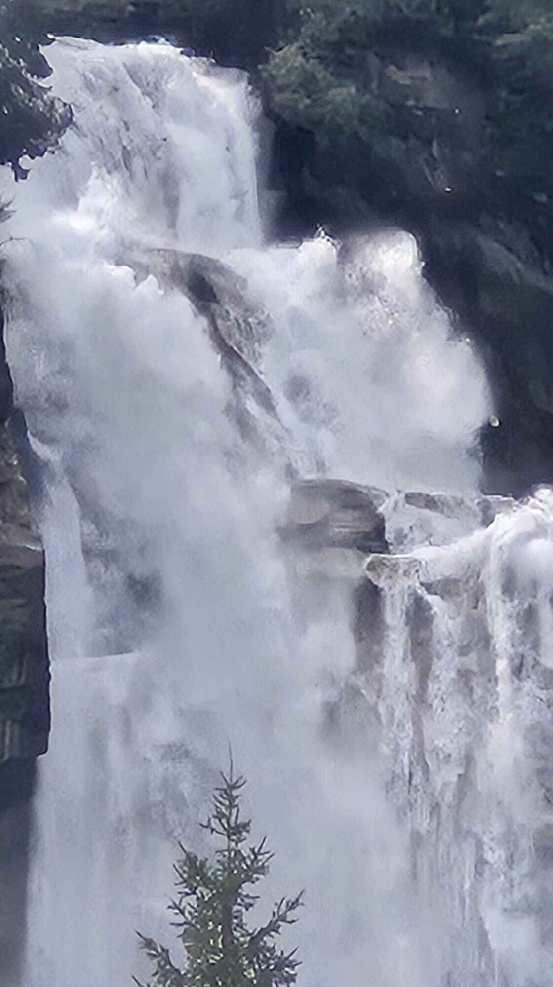
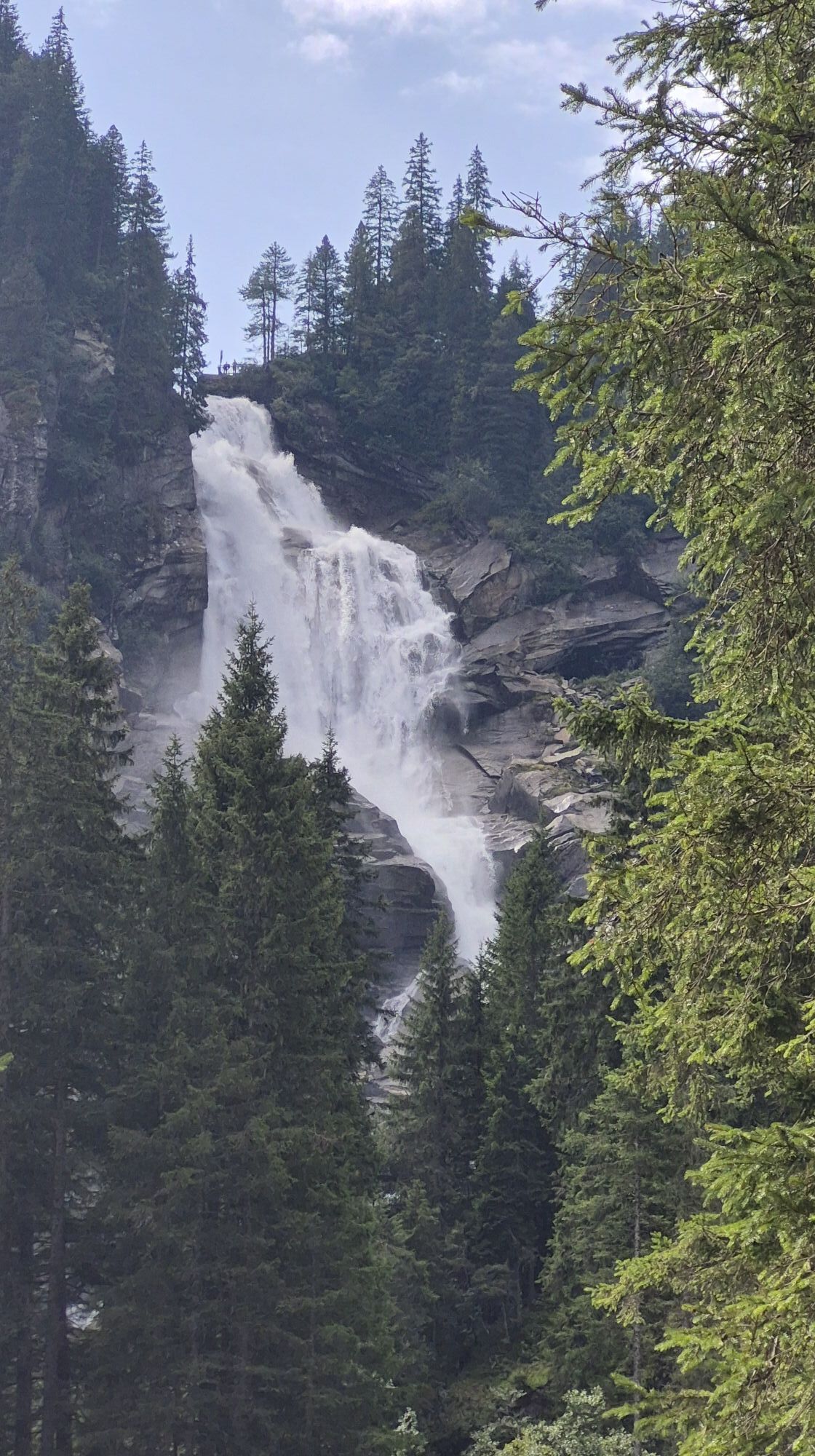
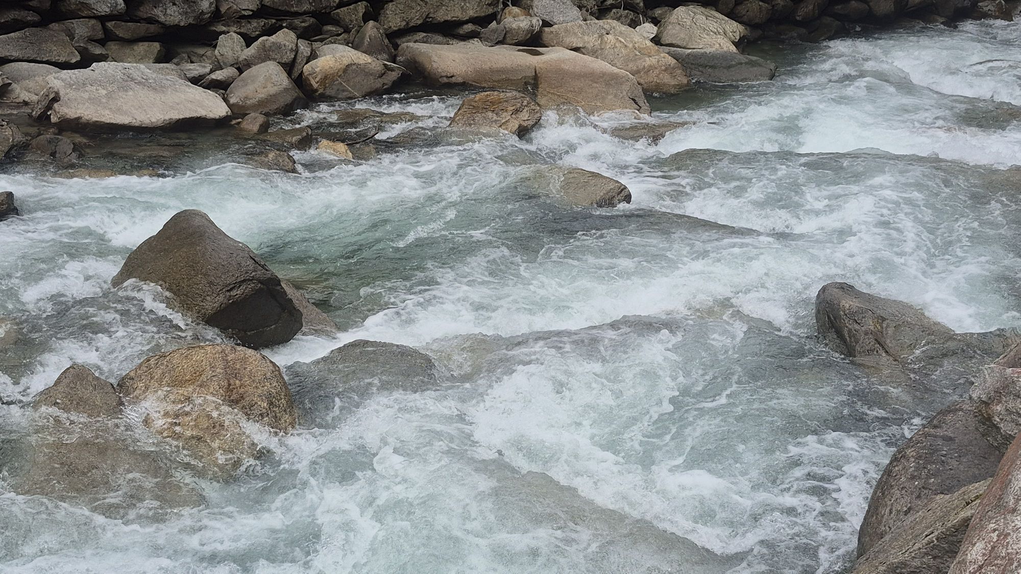
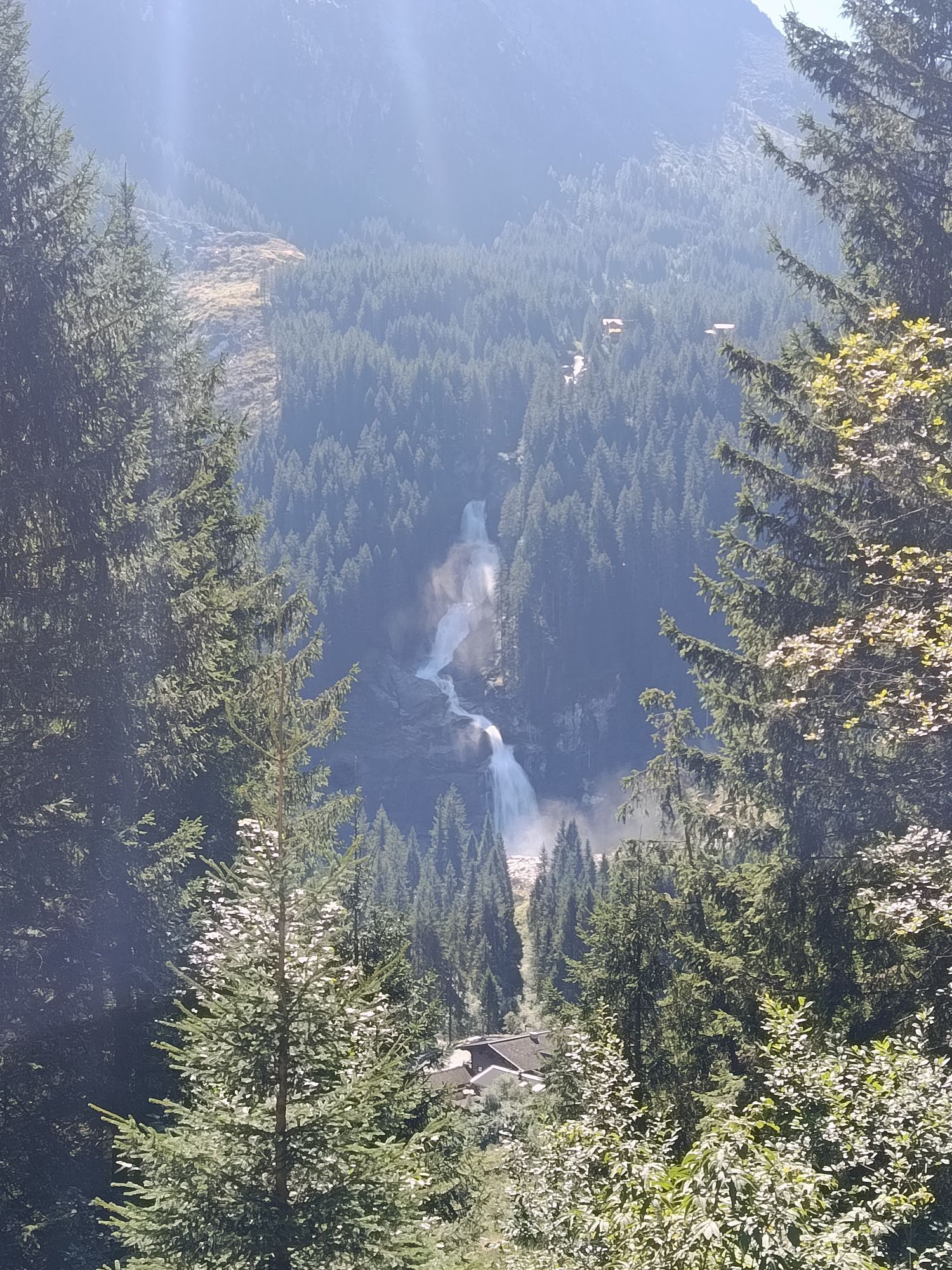
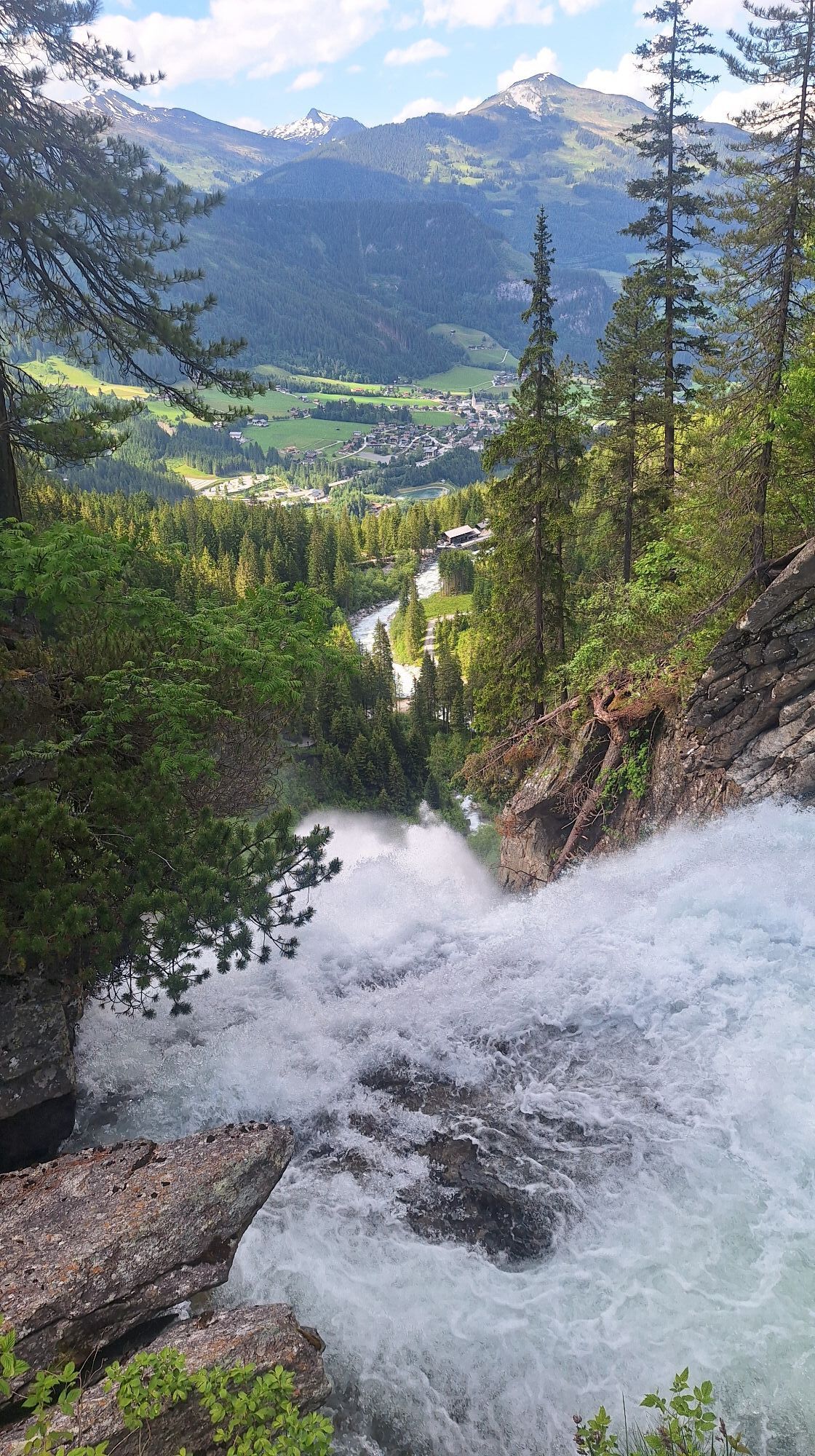
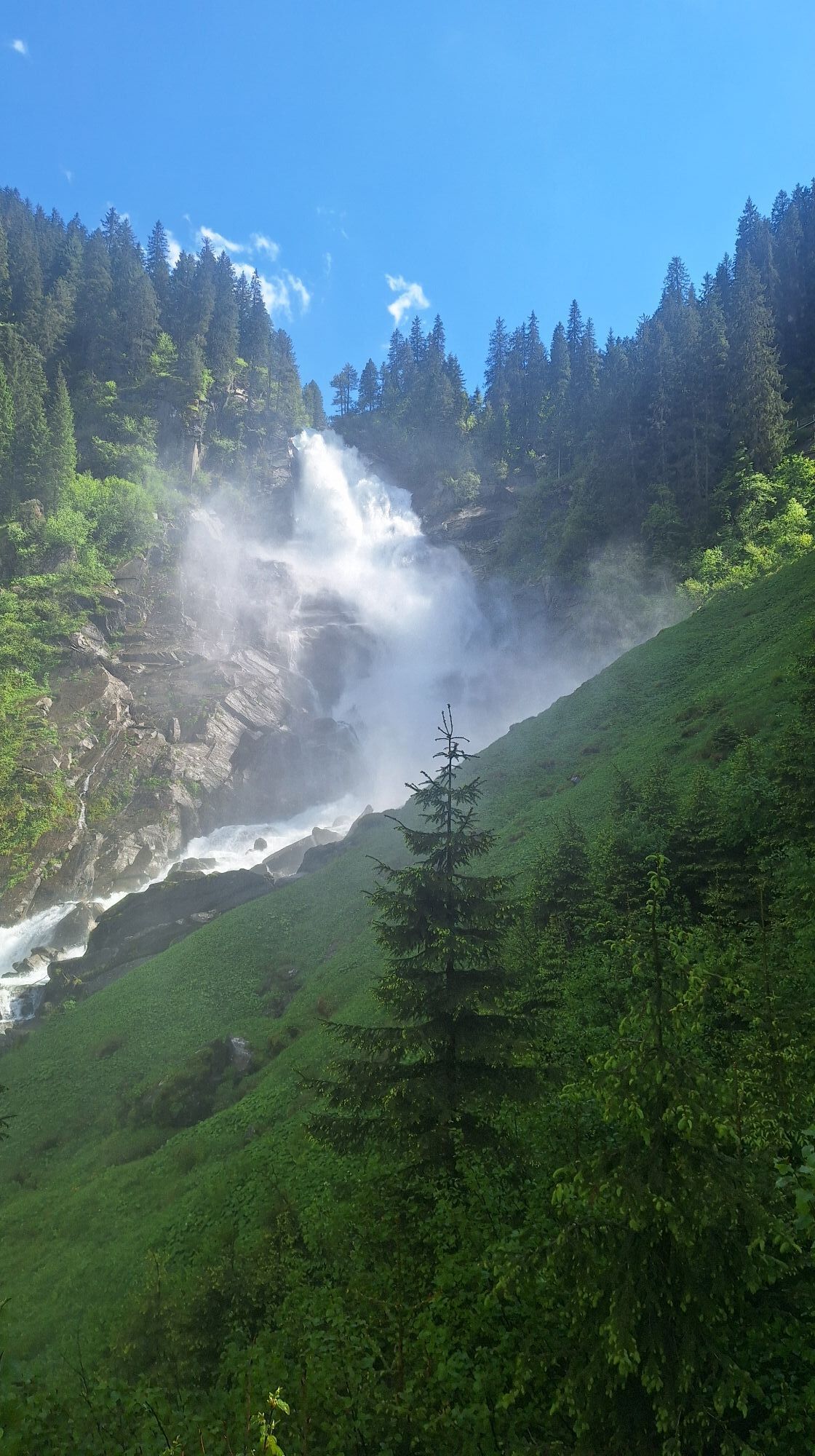
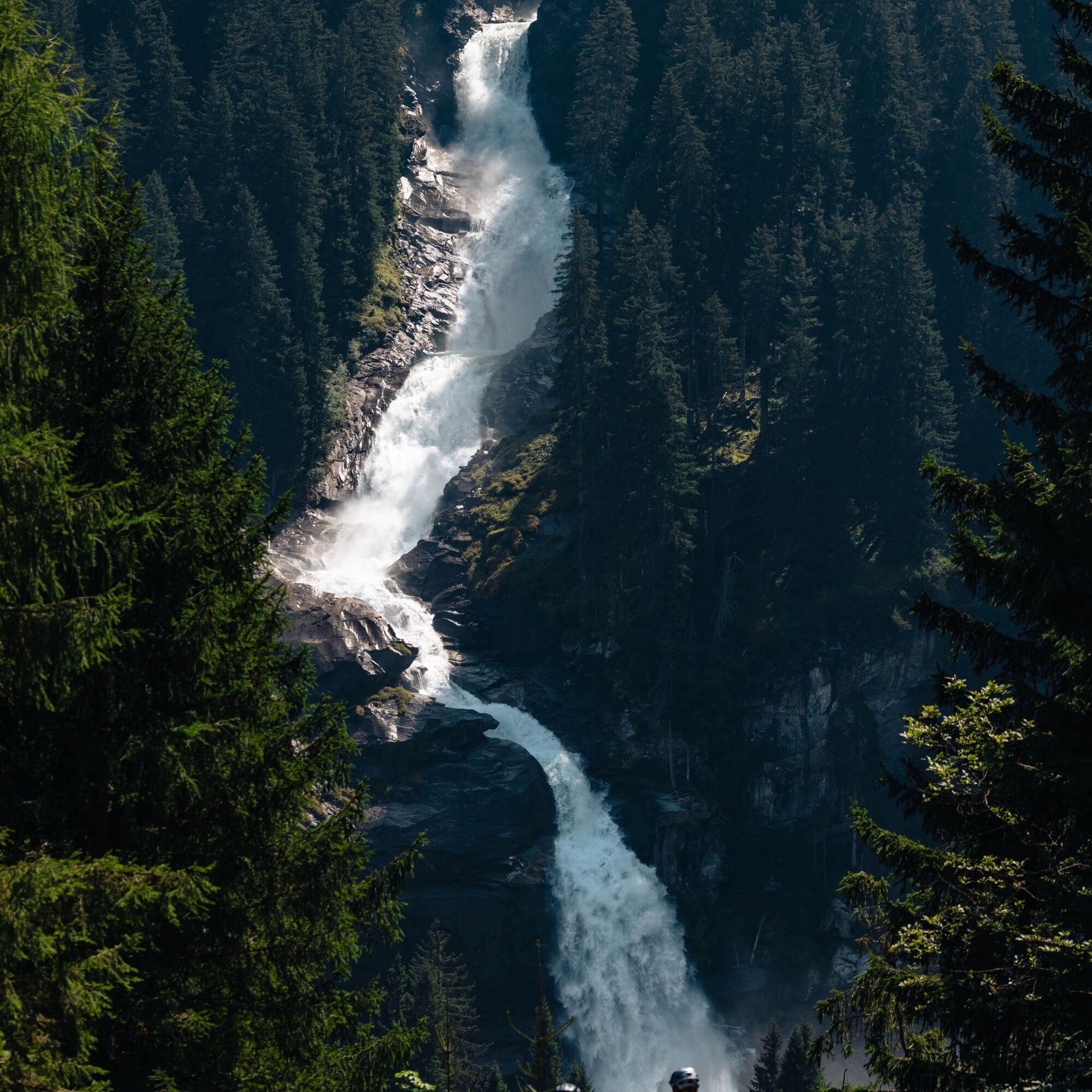
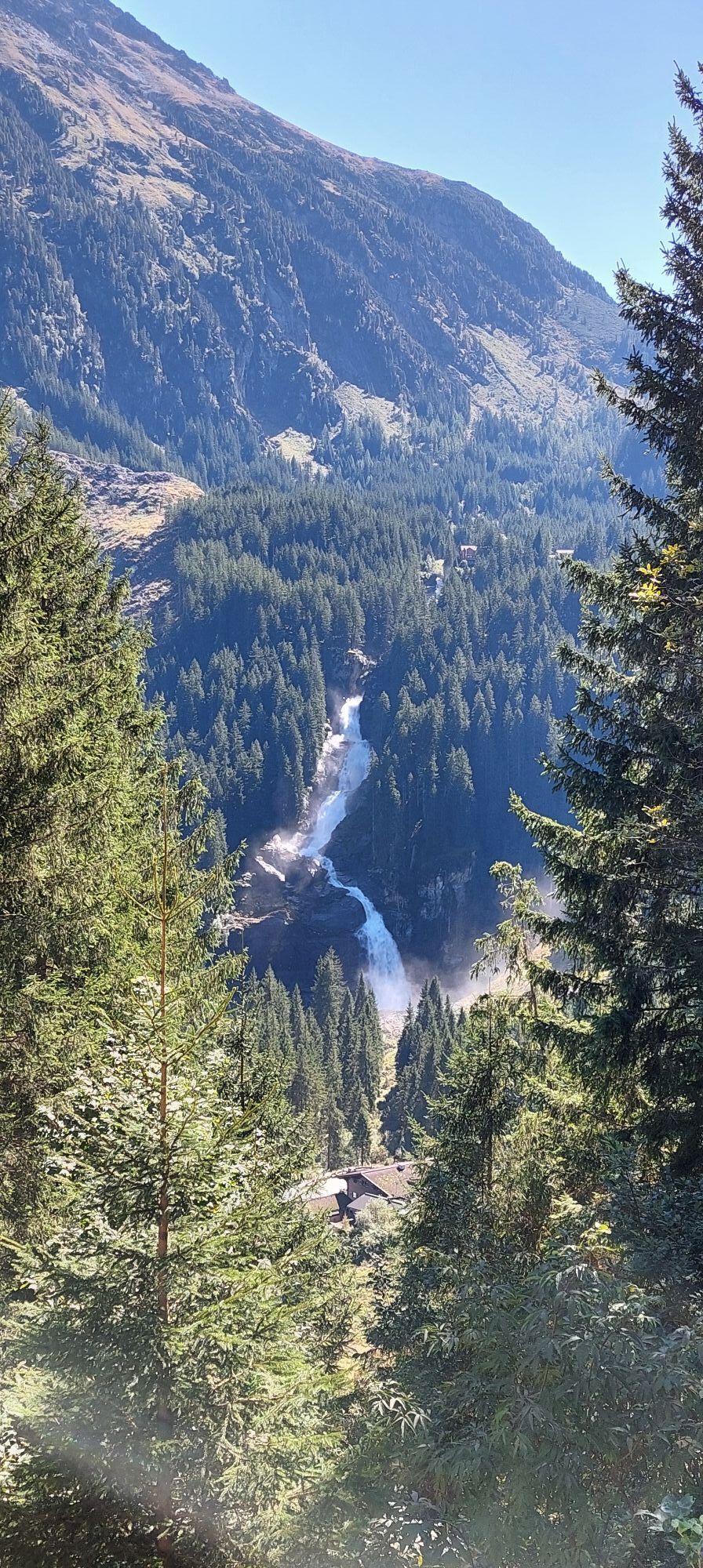
The Krimmler Waterfalls, with a total height of 380 meters, are among the largest waterfalls in Europe, and so is the Krimmler Achental which belongs among THE landmarks of the National Park Hohe Tauern....

Popis
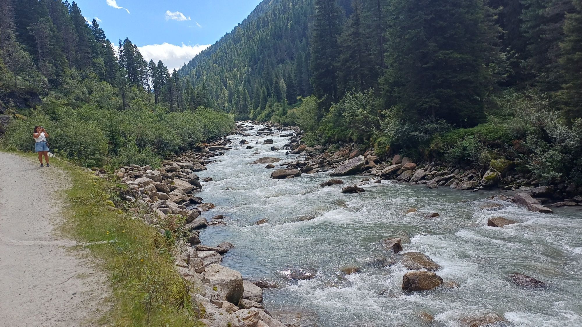
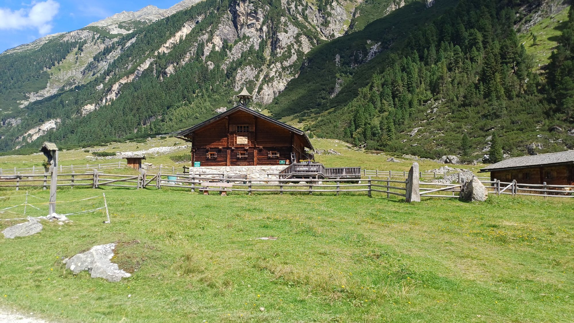
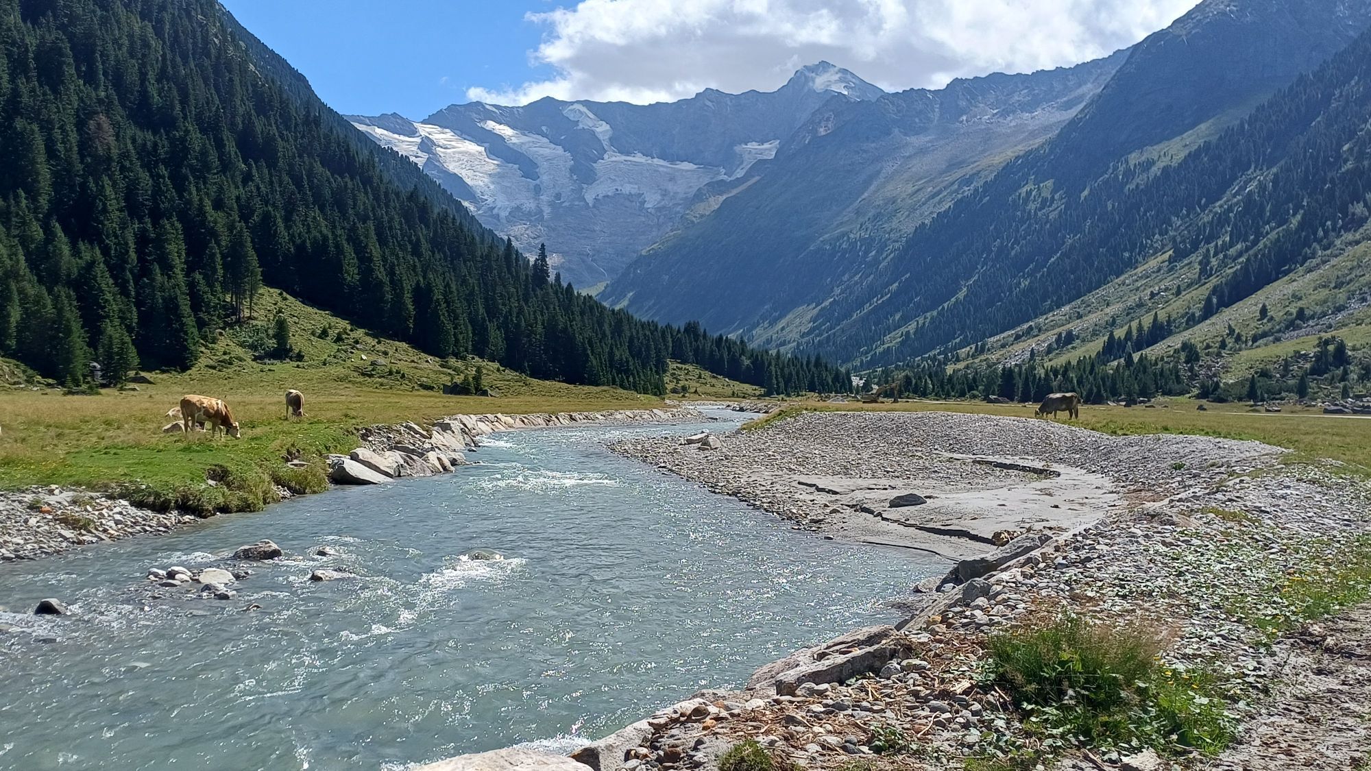
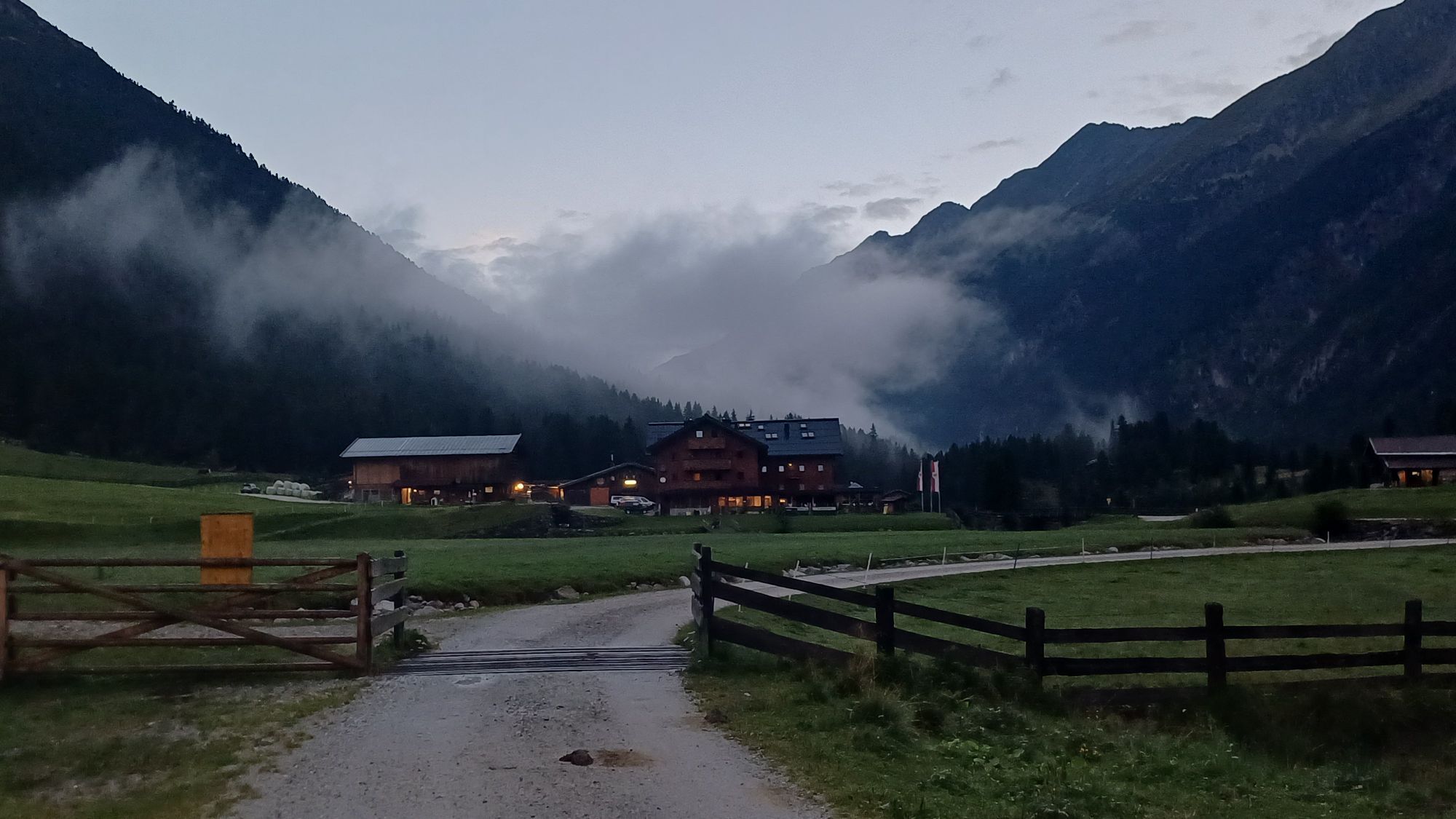
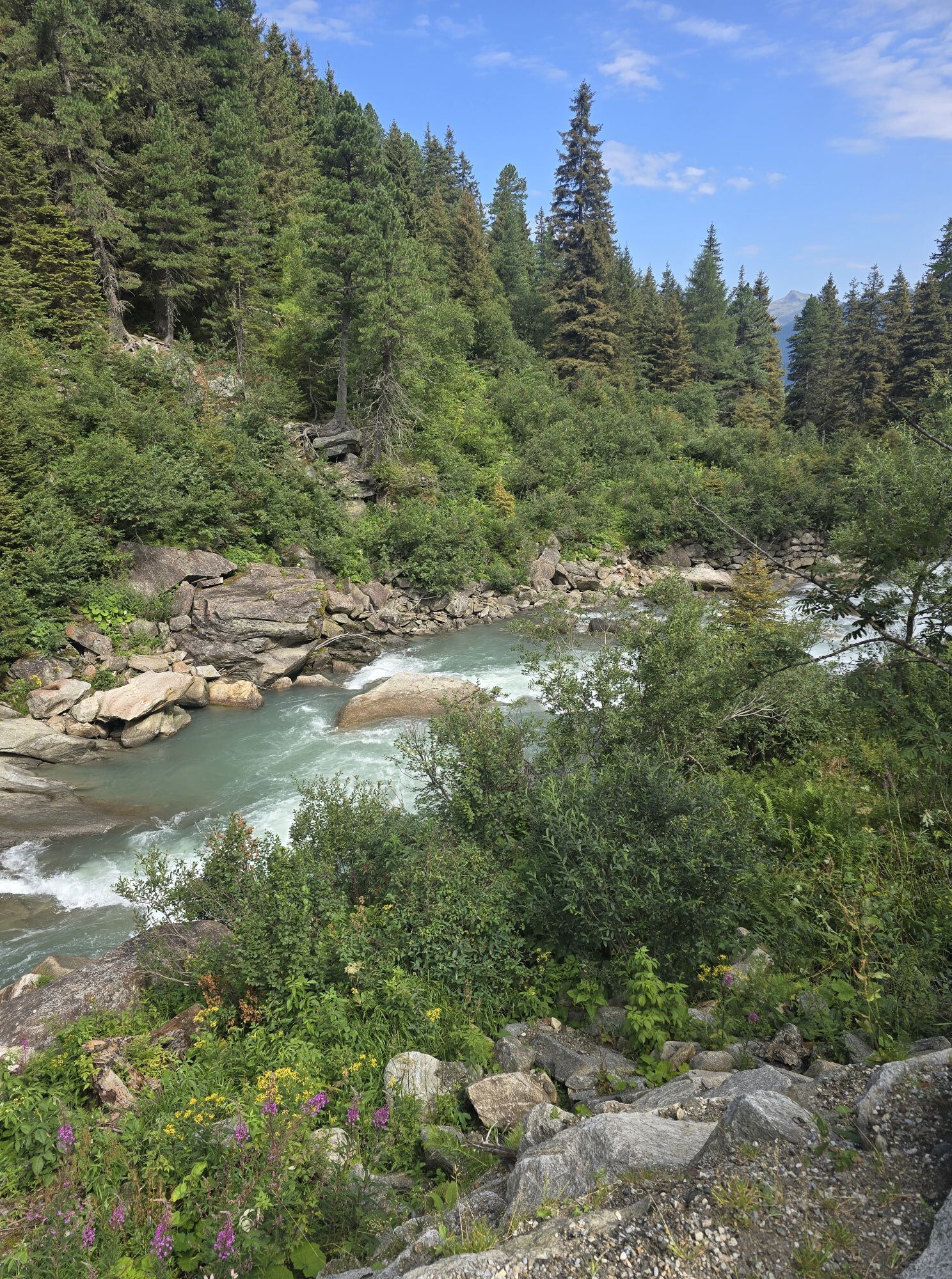
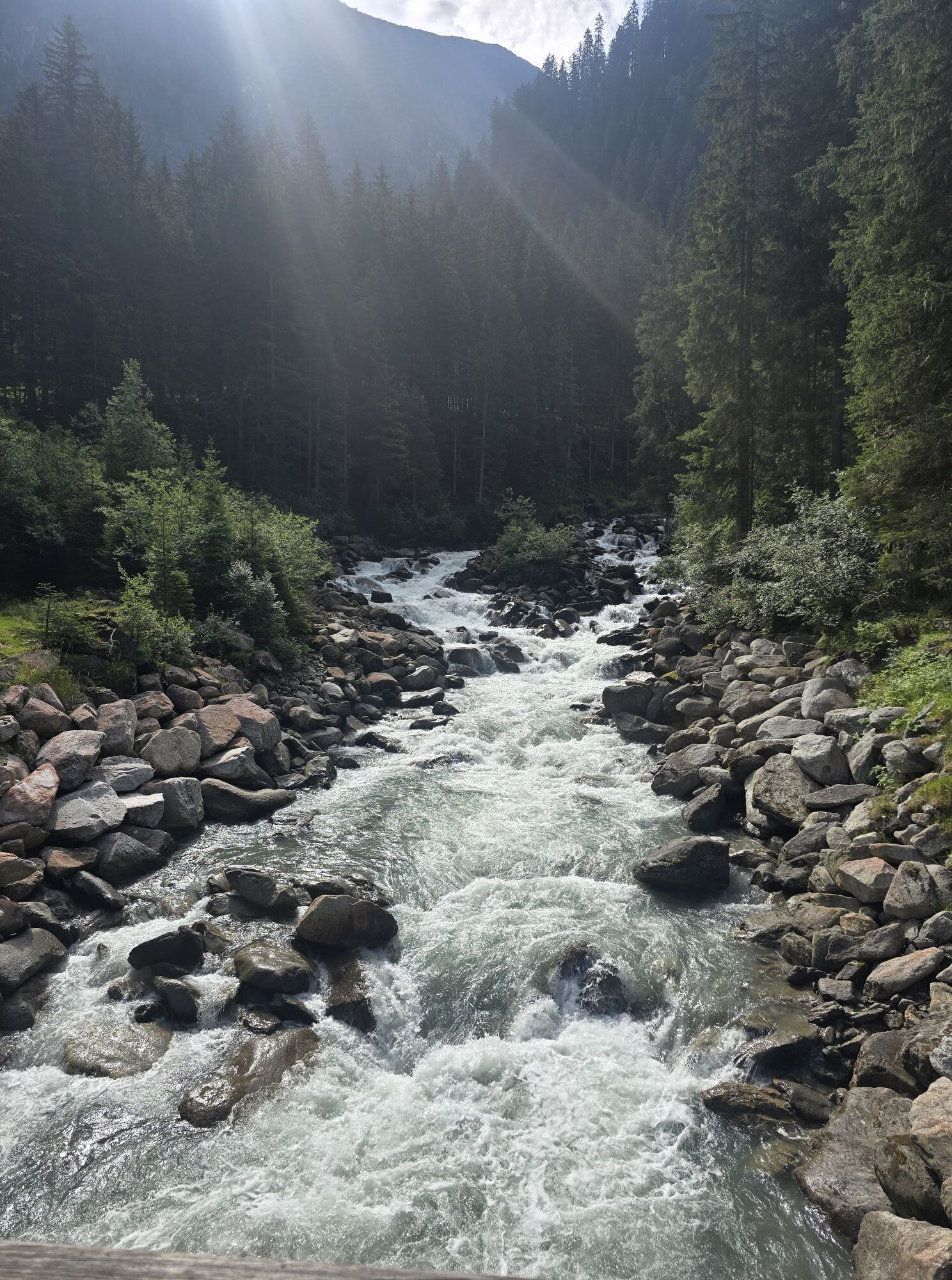
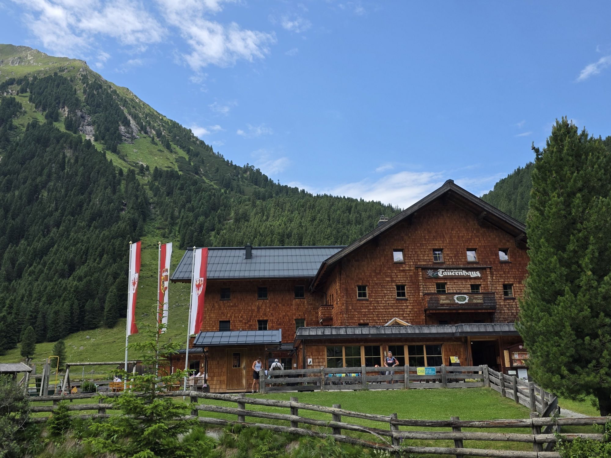
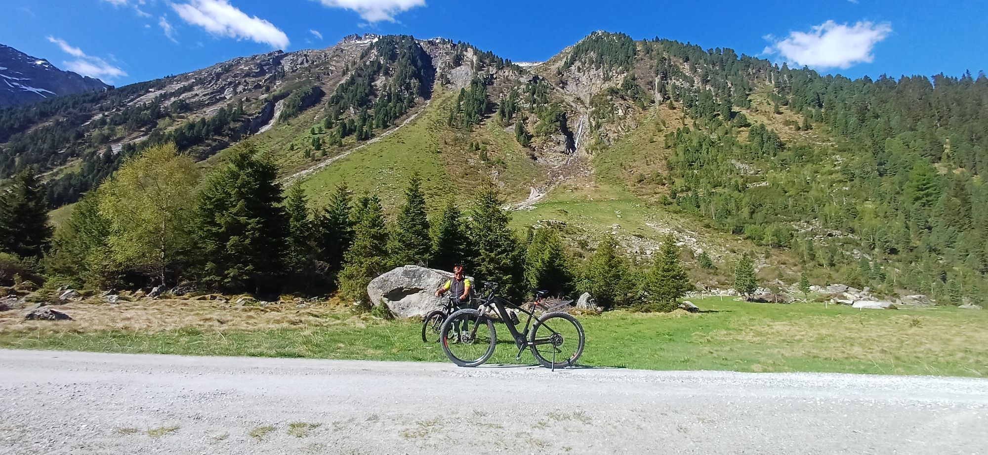
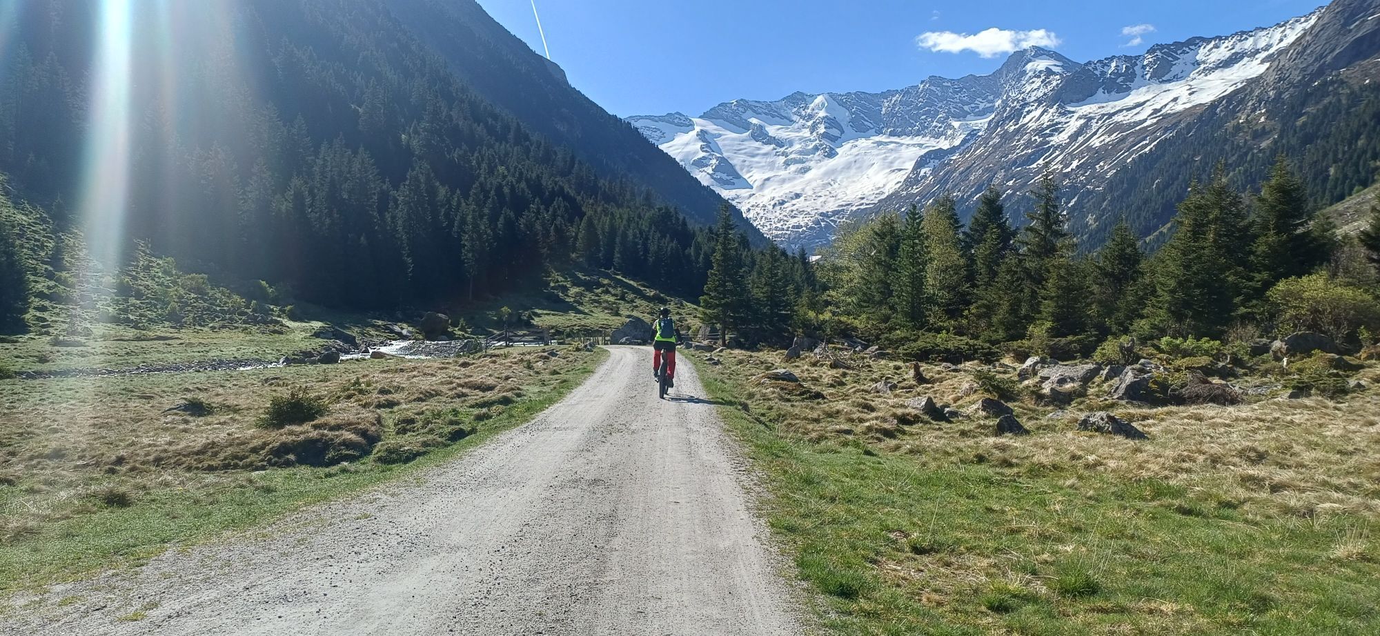
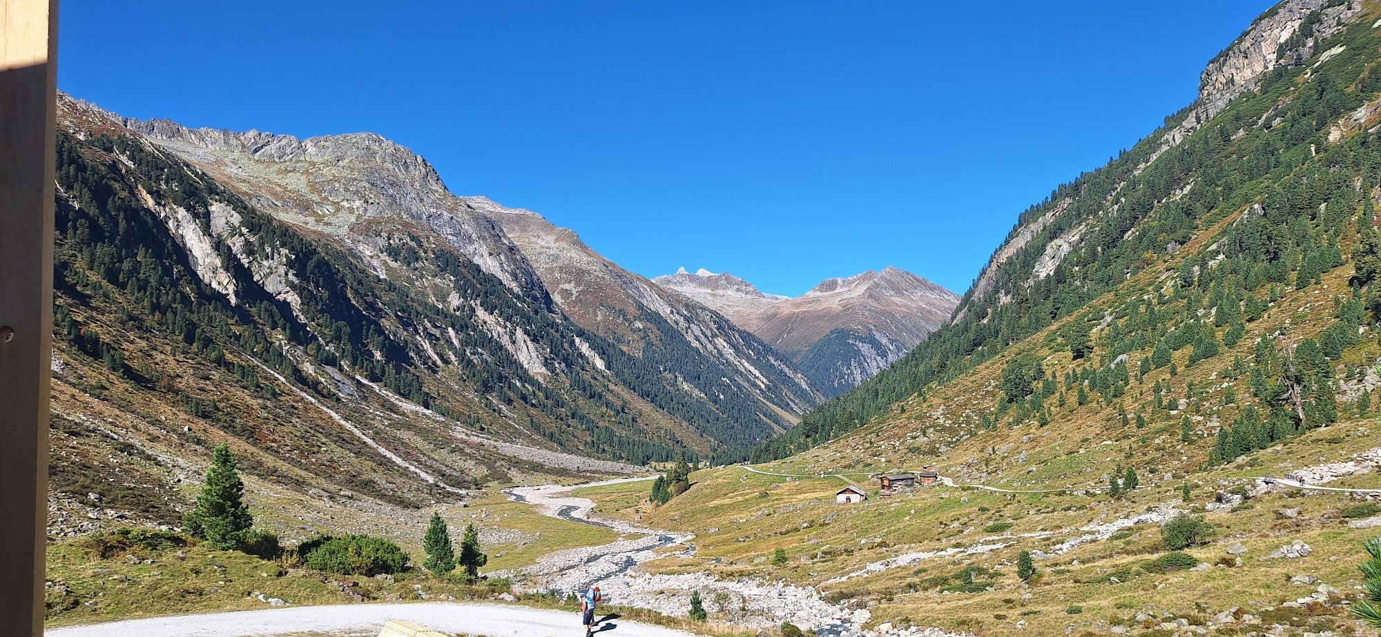
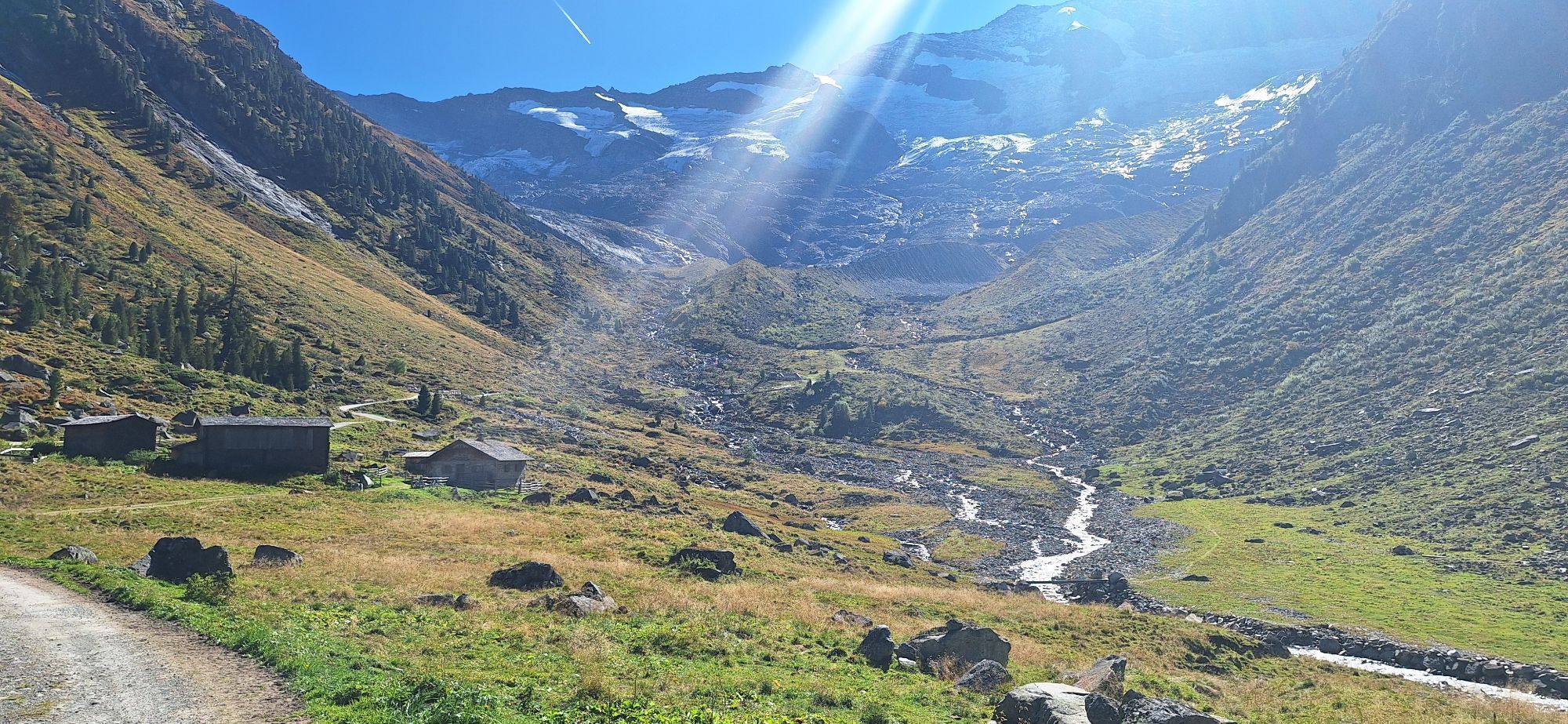
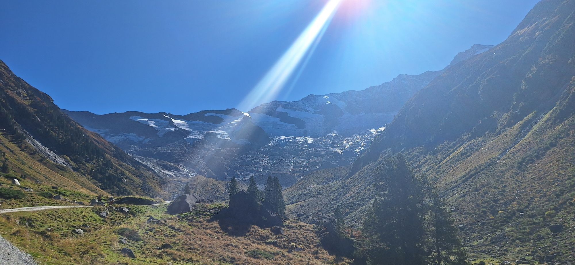
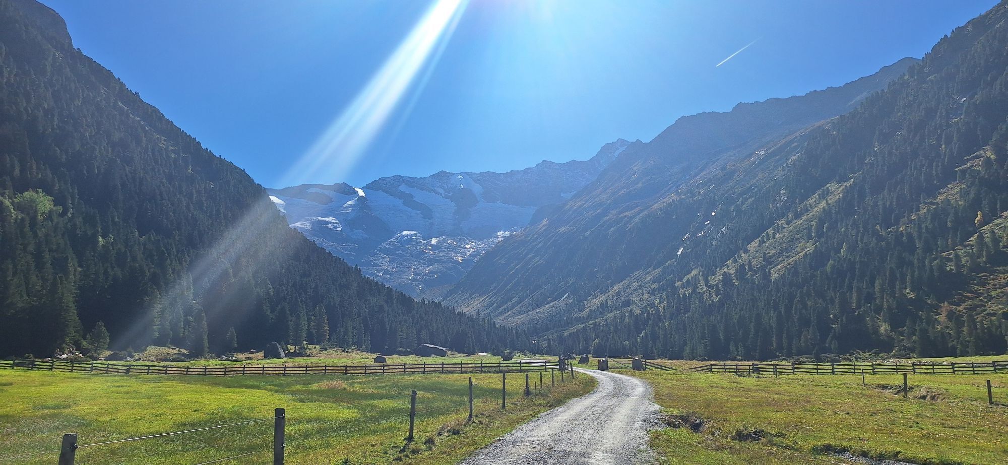
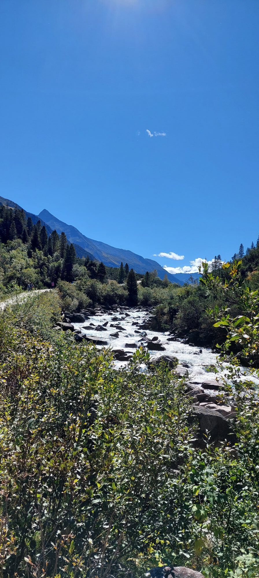
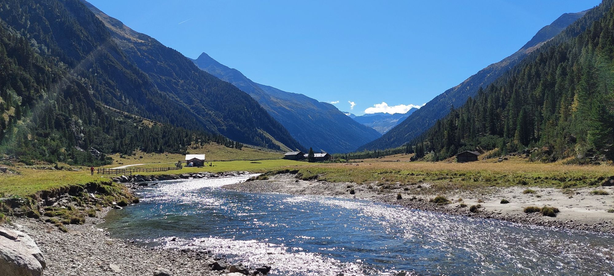
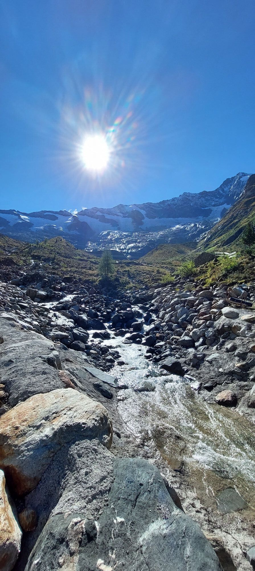
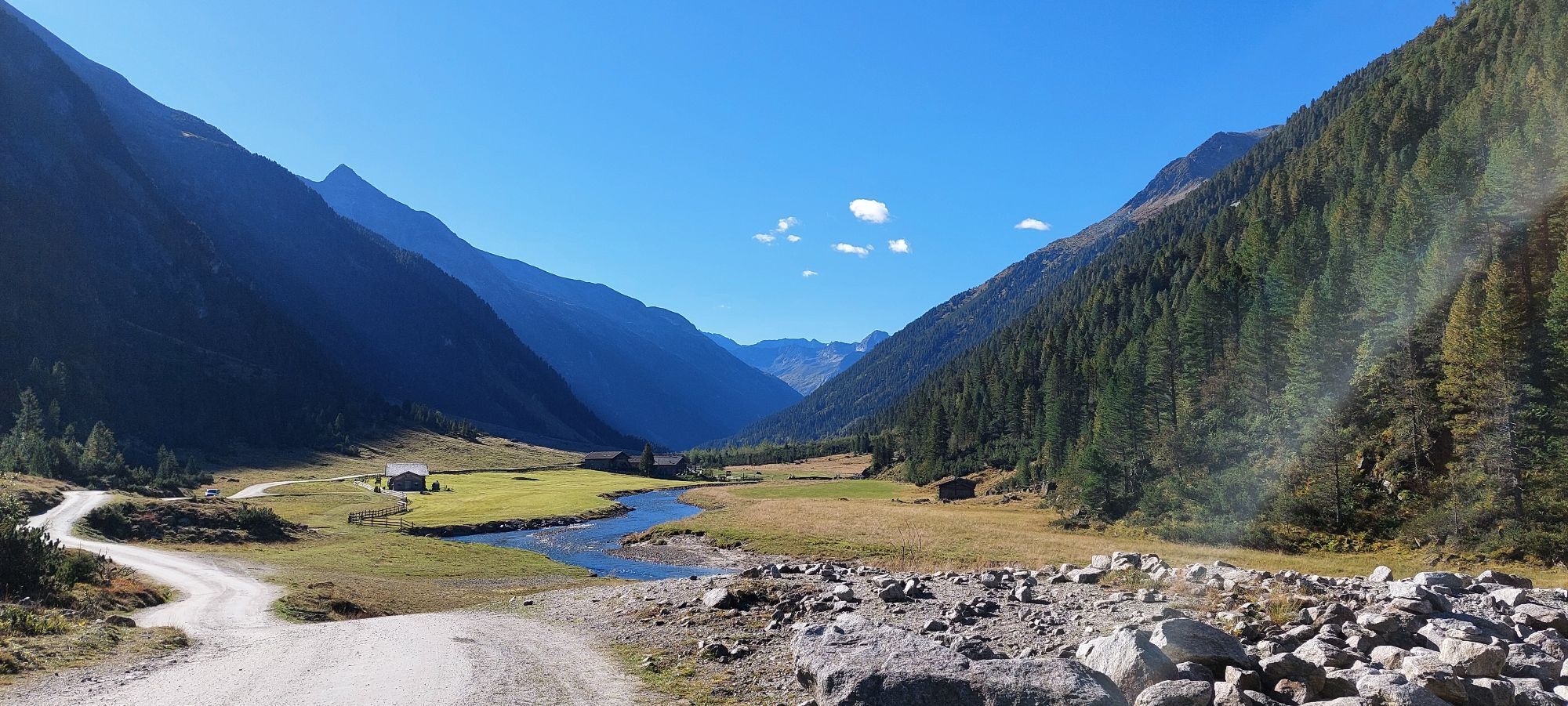
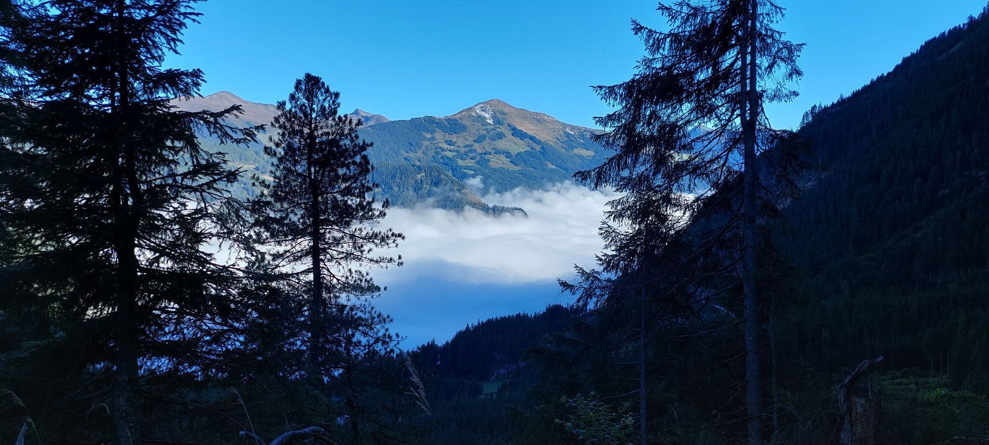
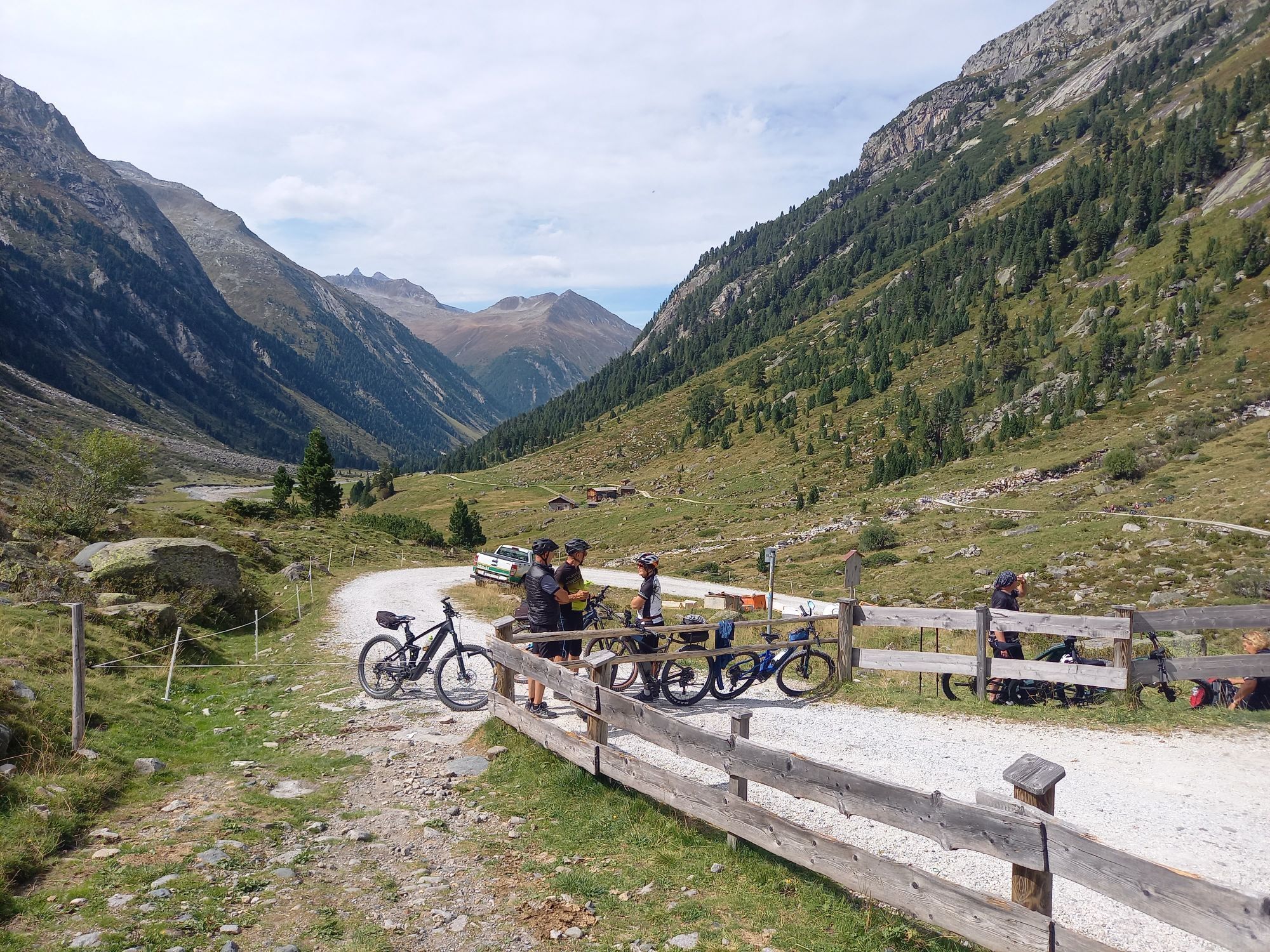
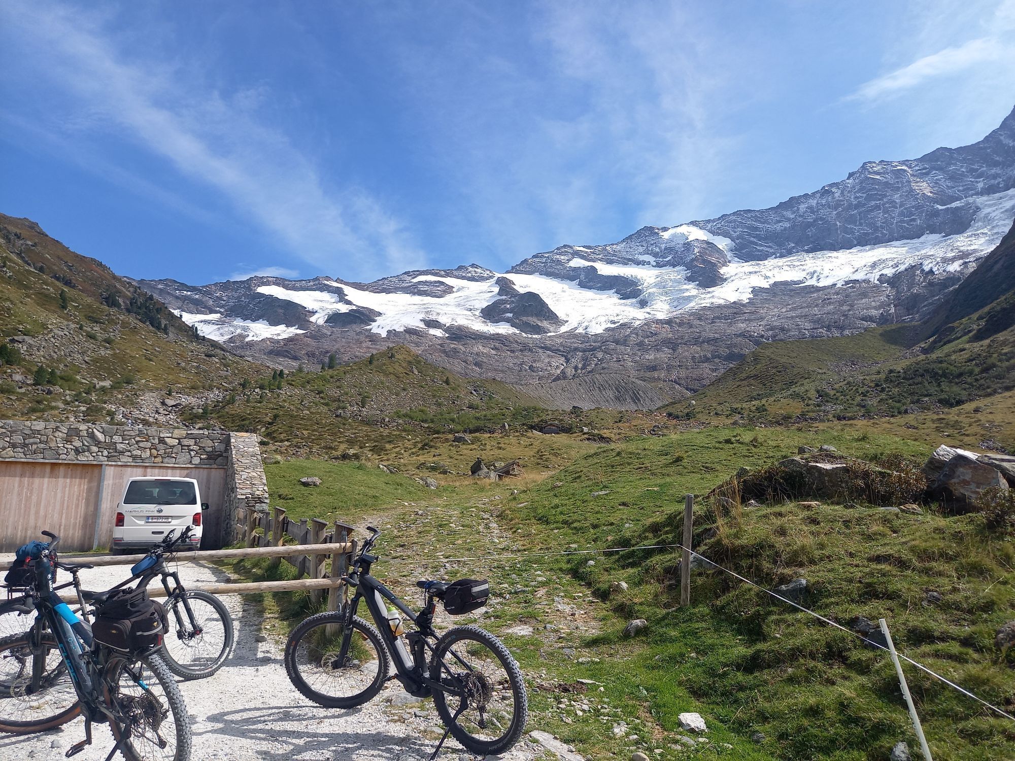
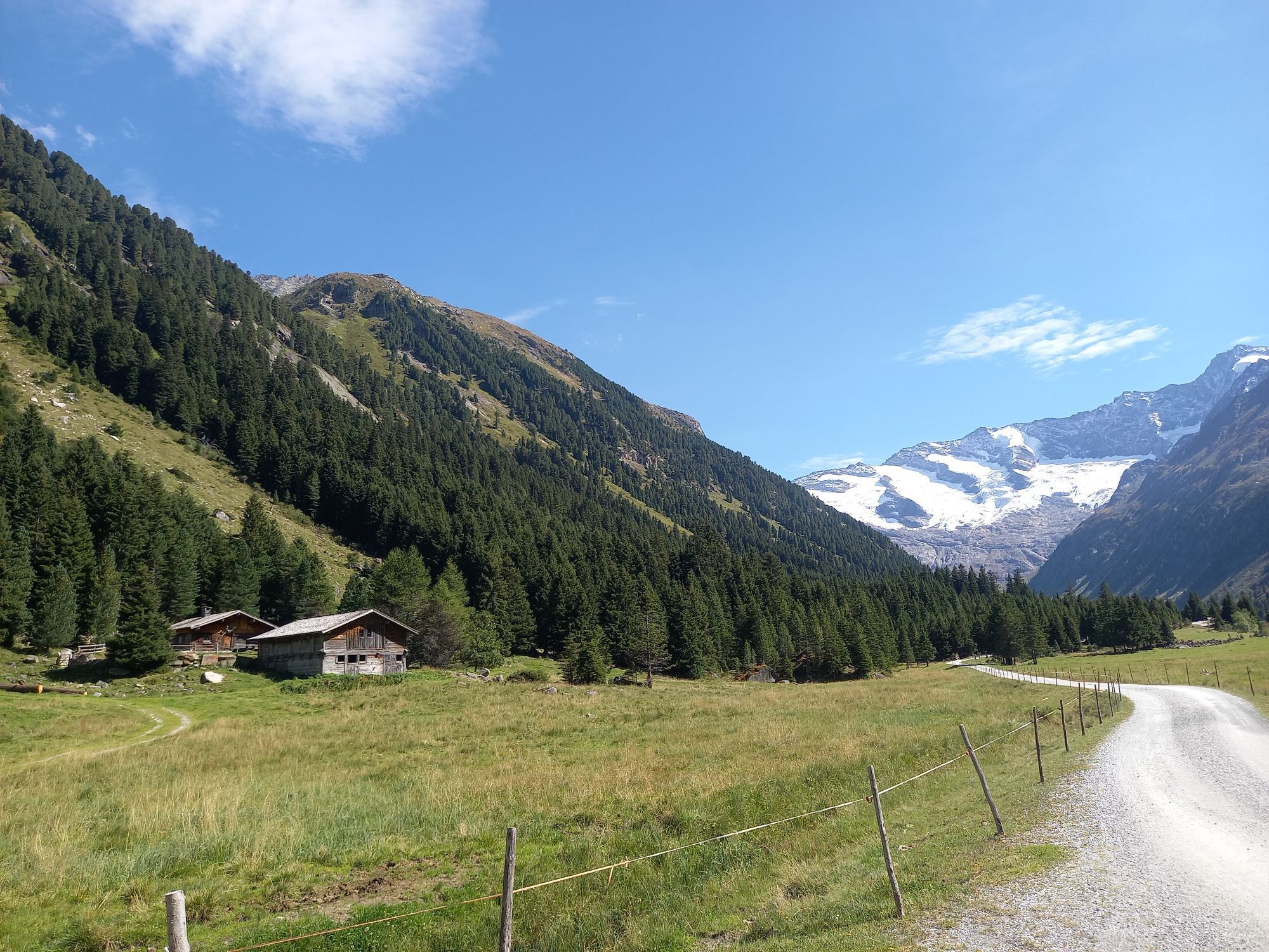
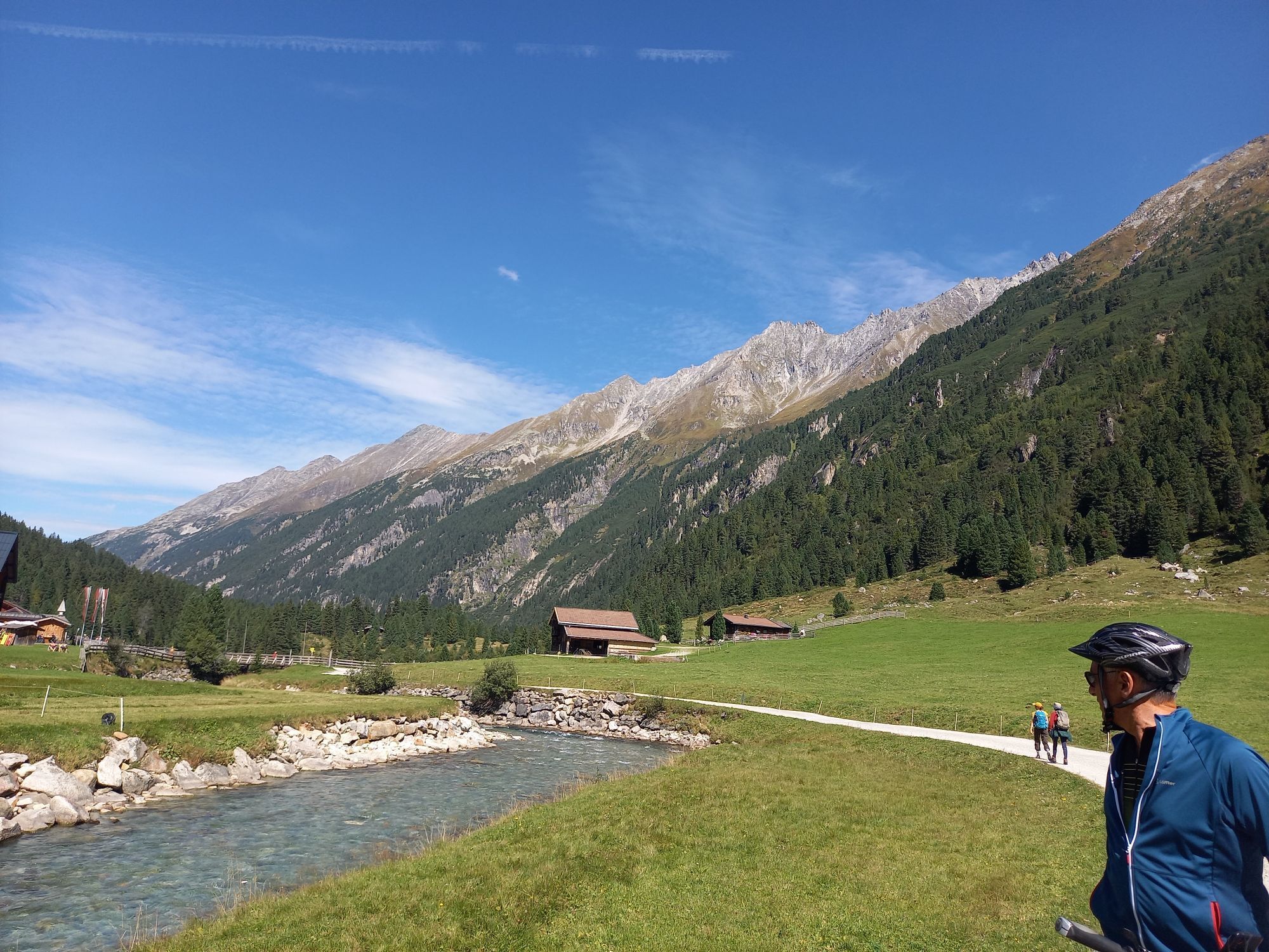
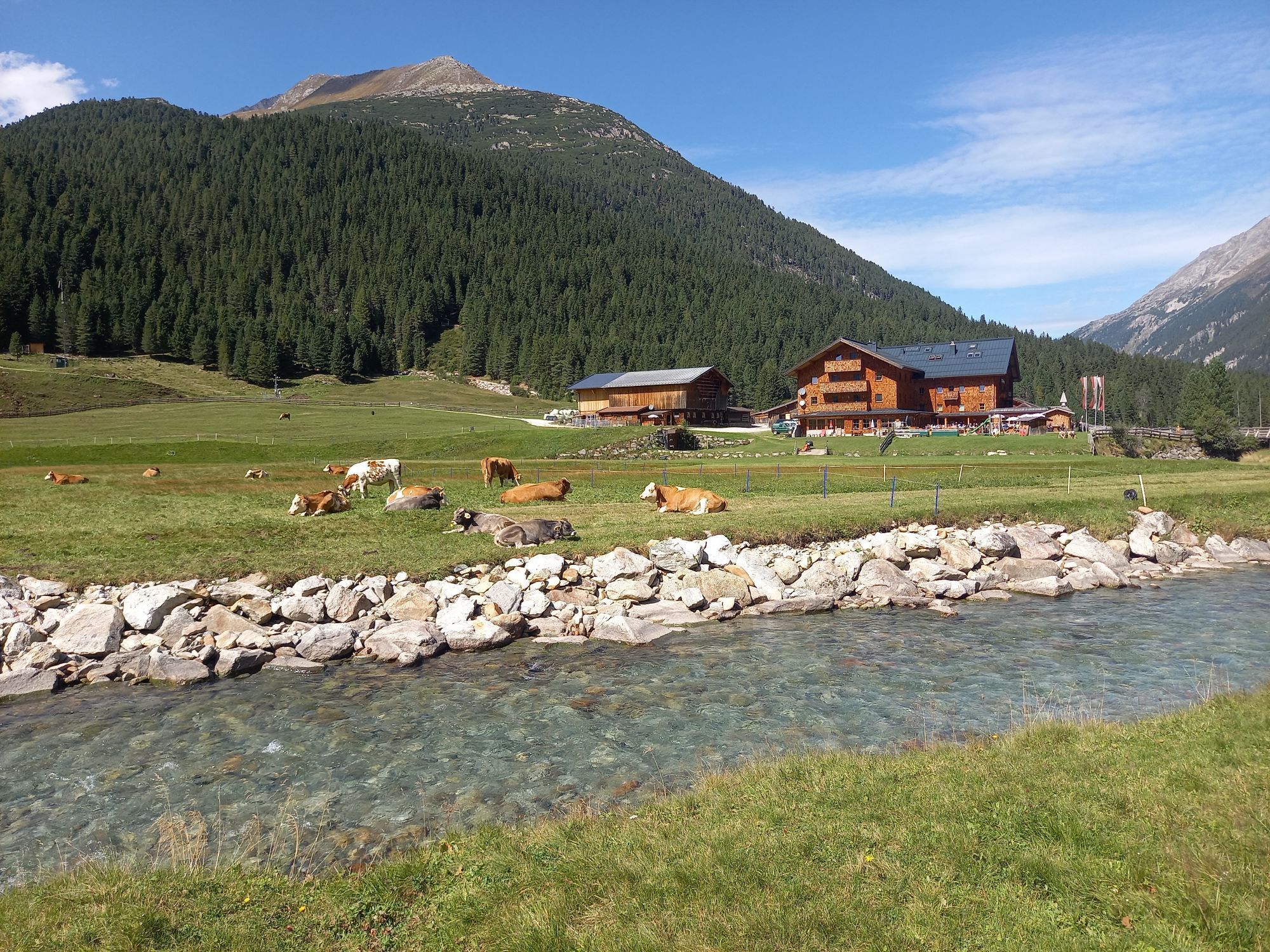
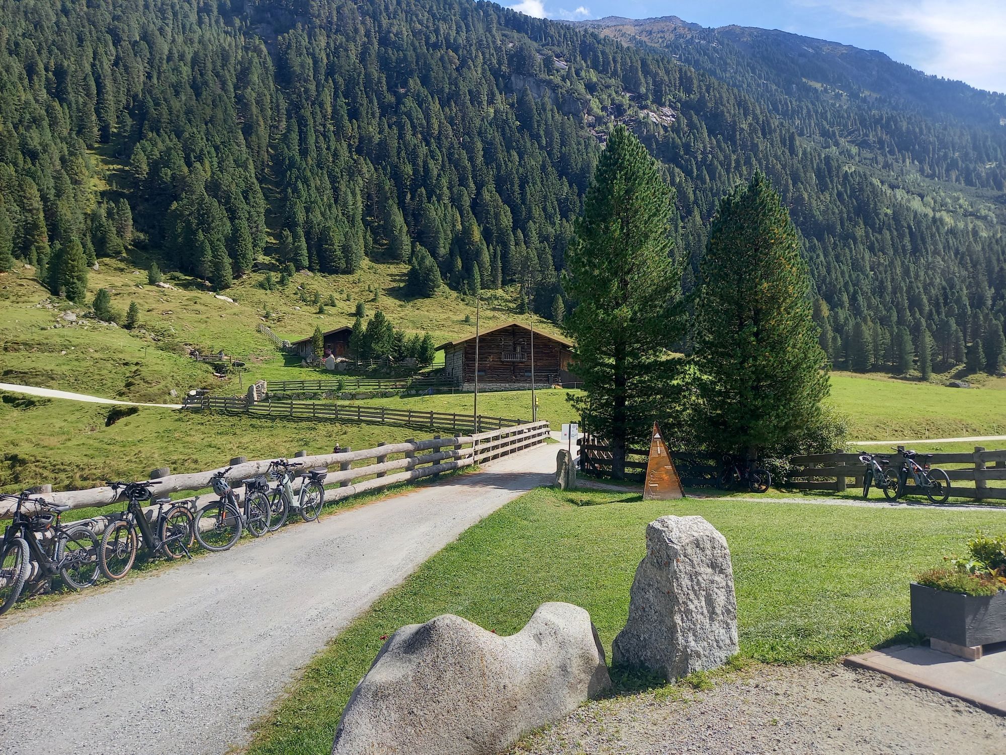
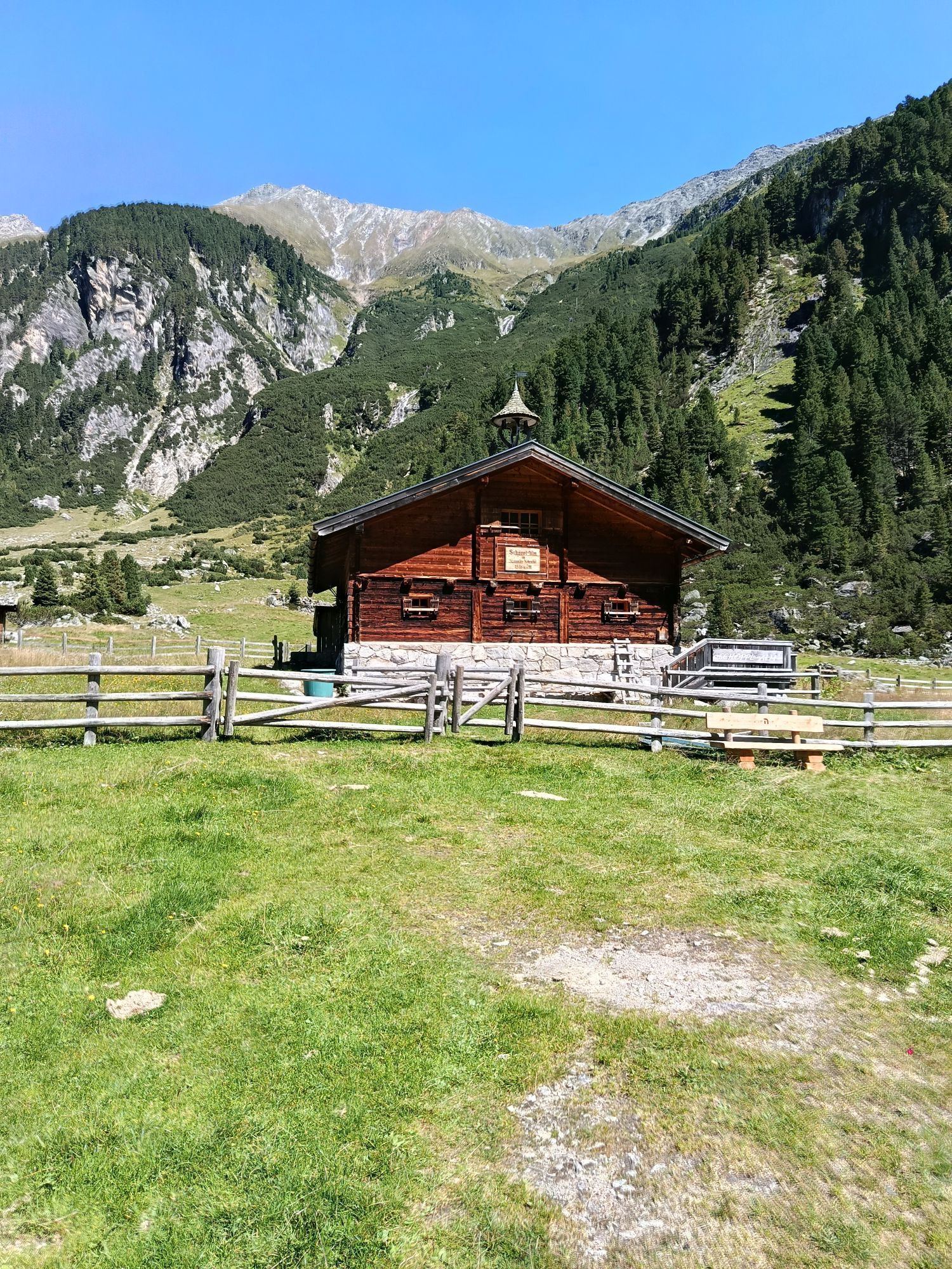
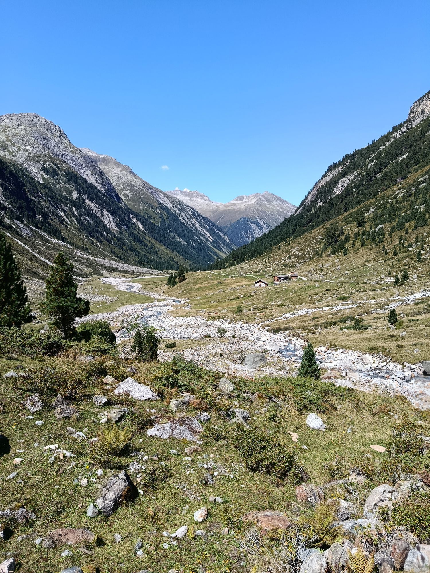
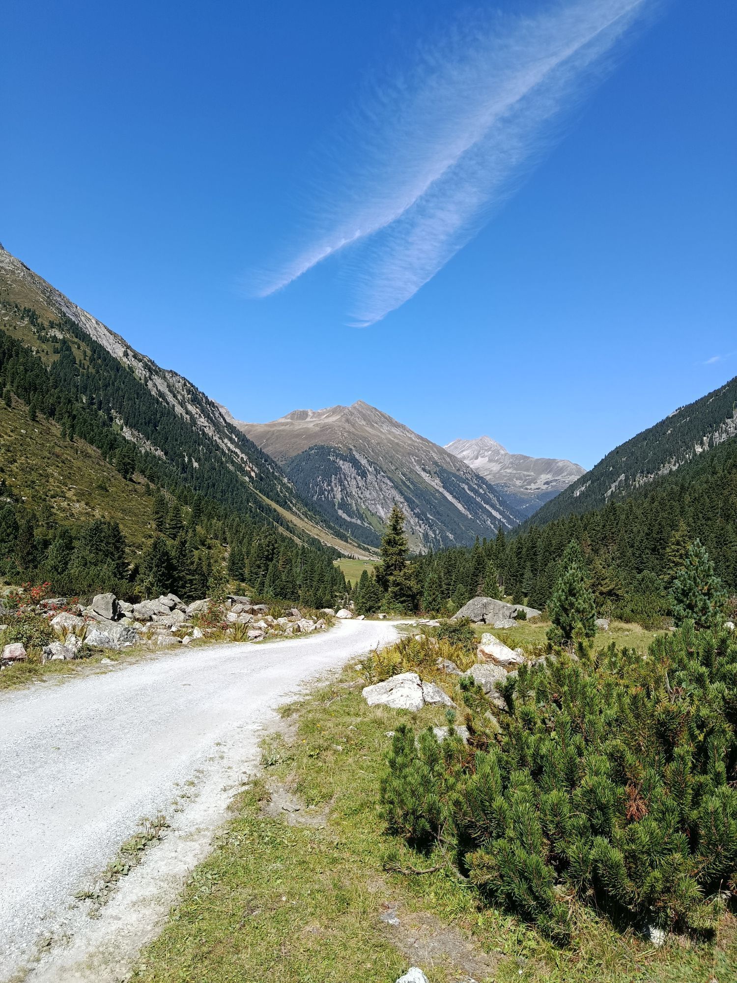
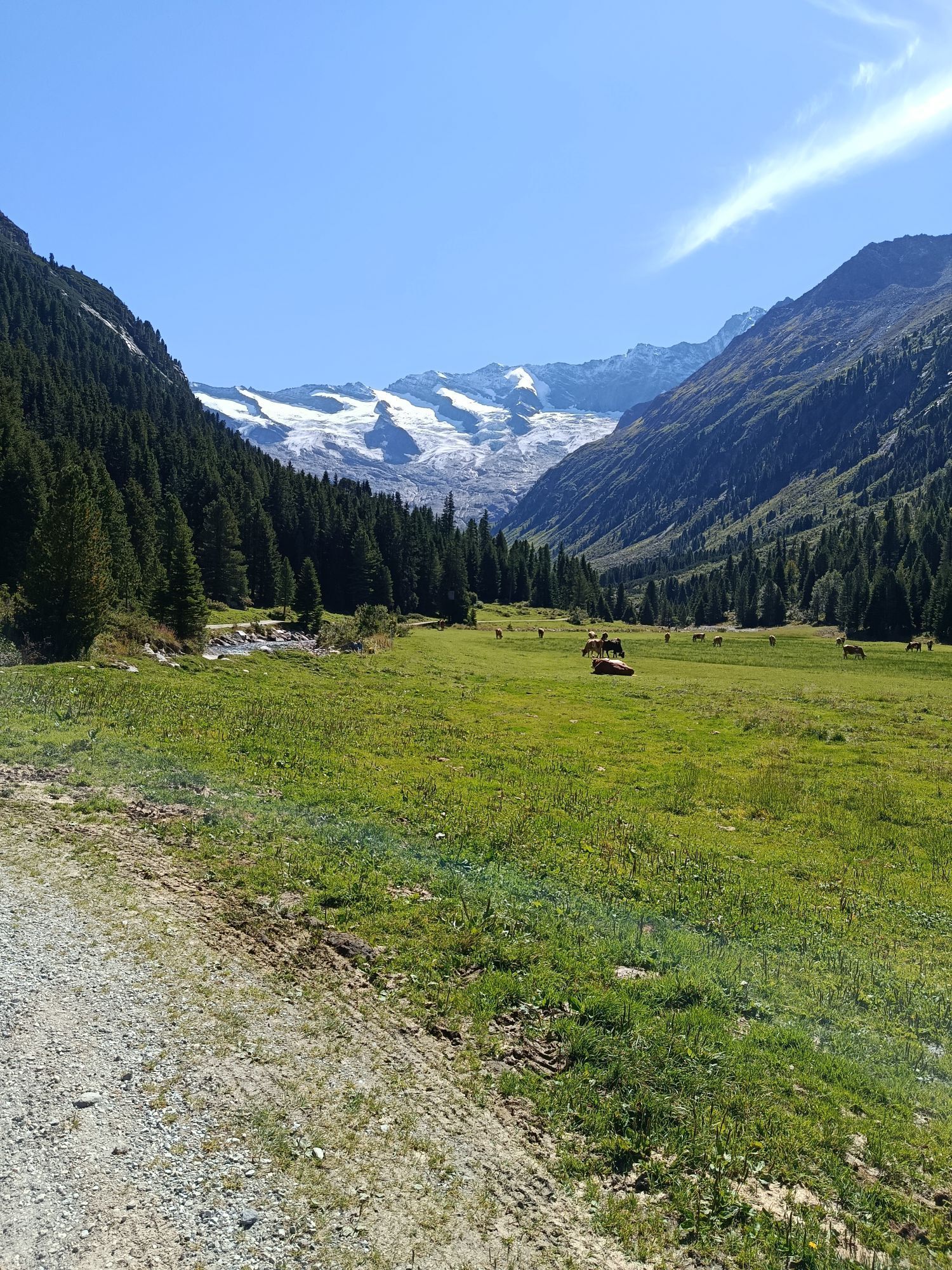
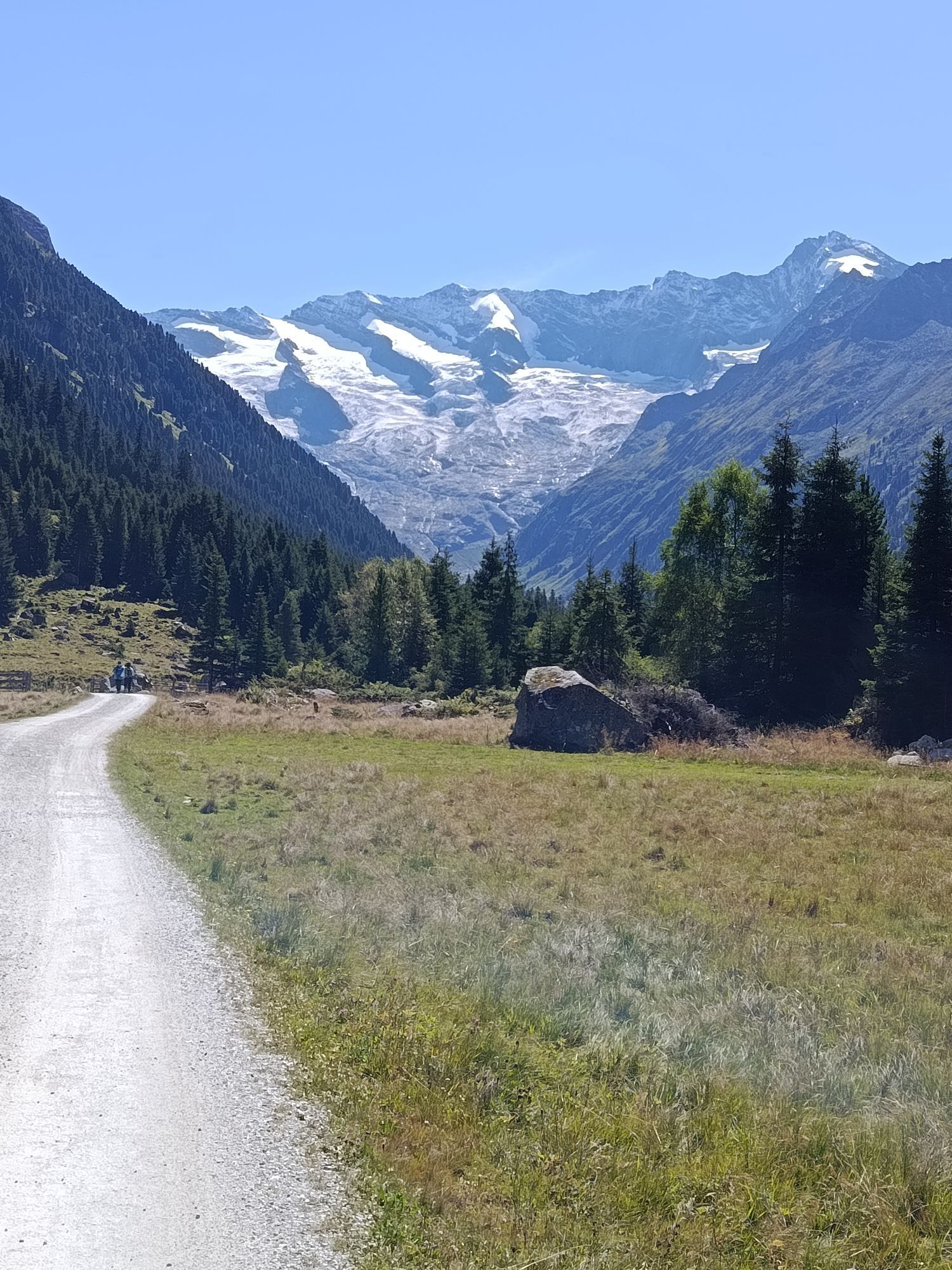
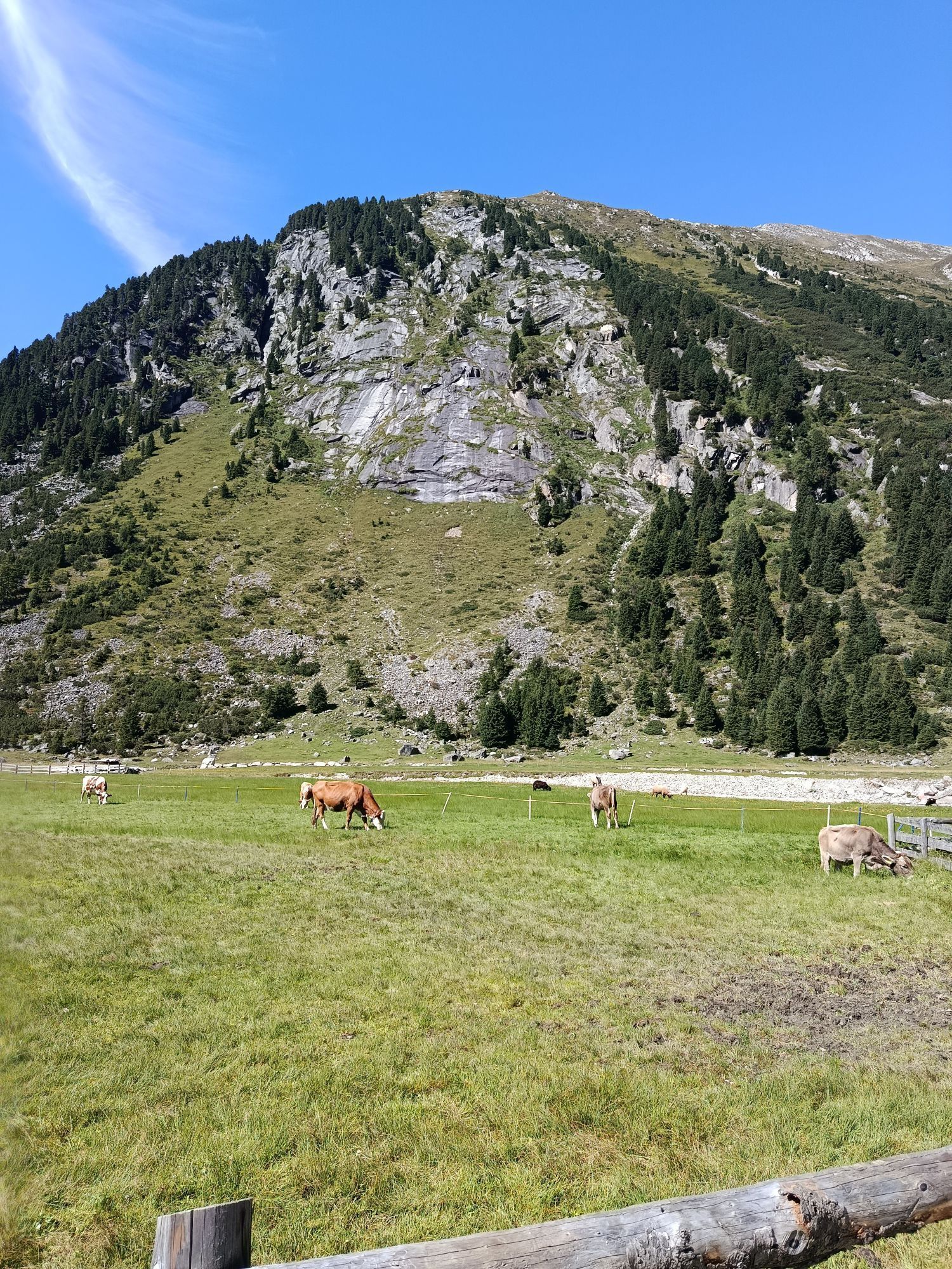
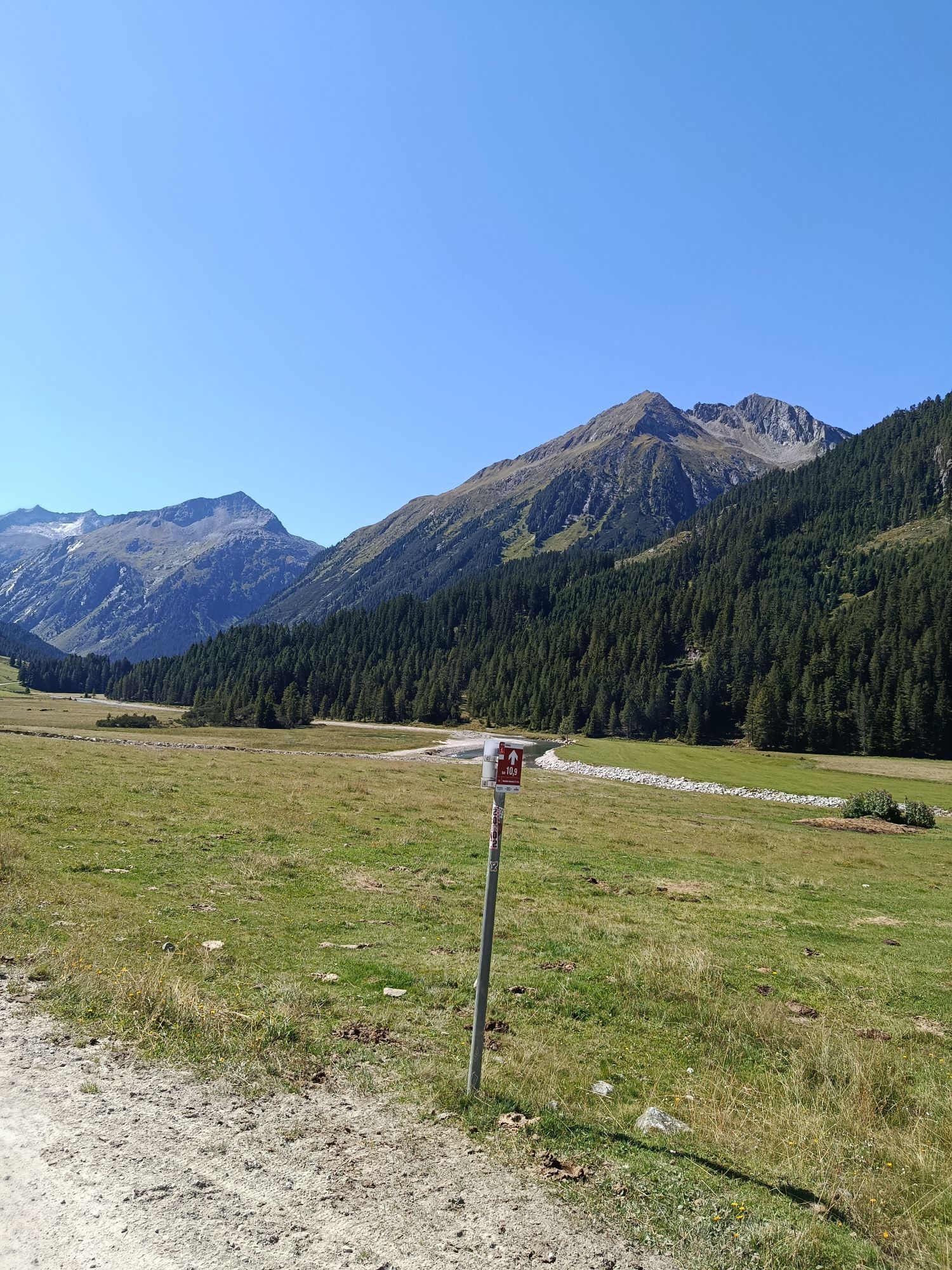
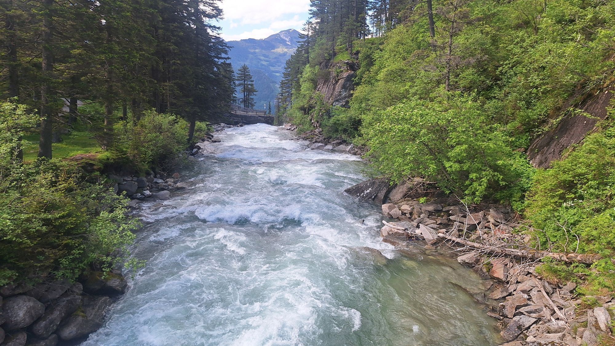
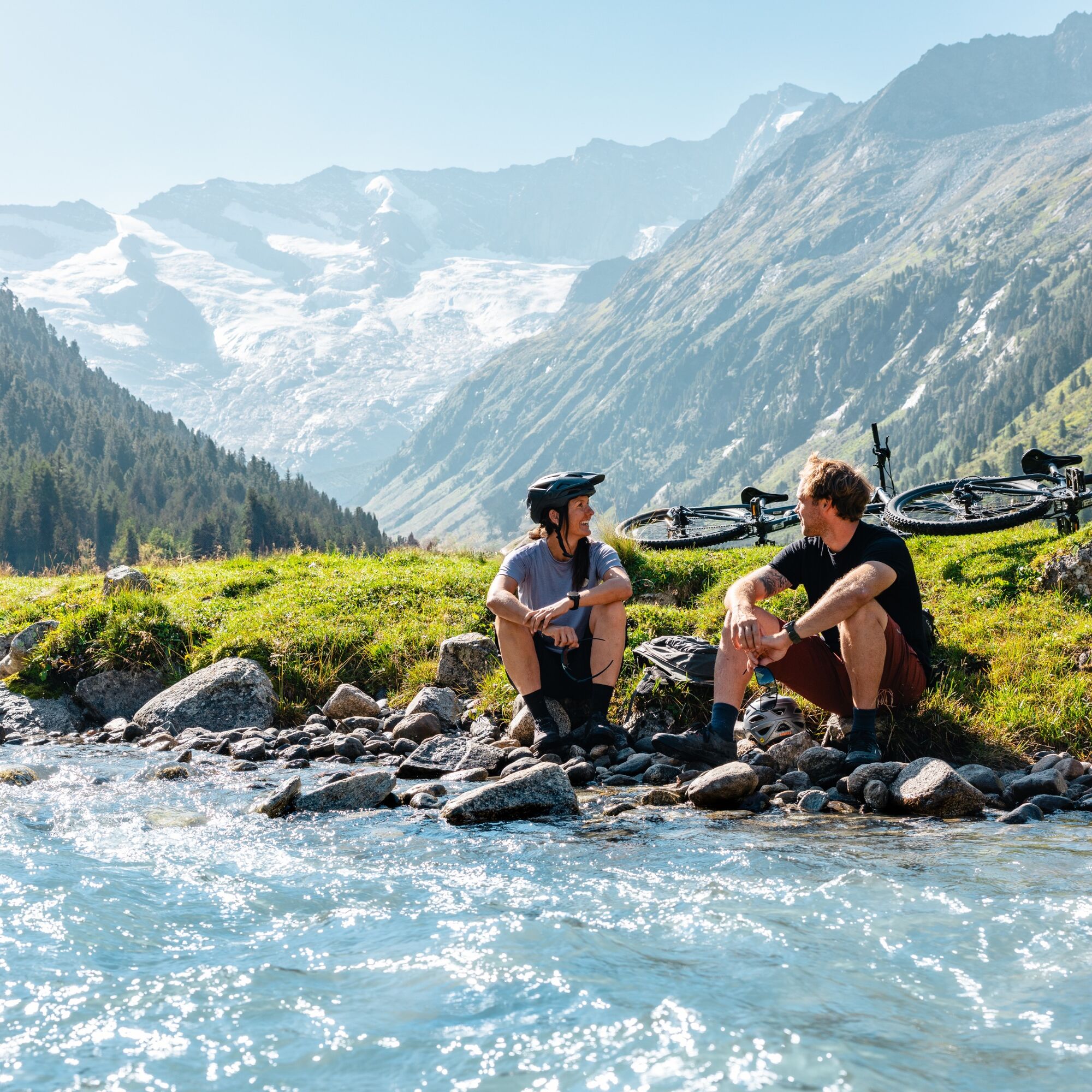
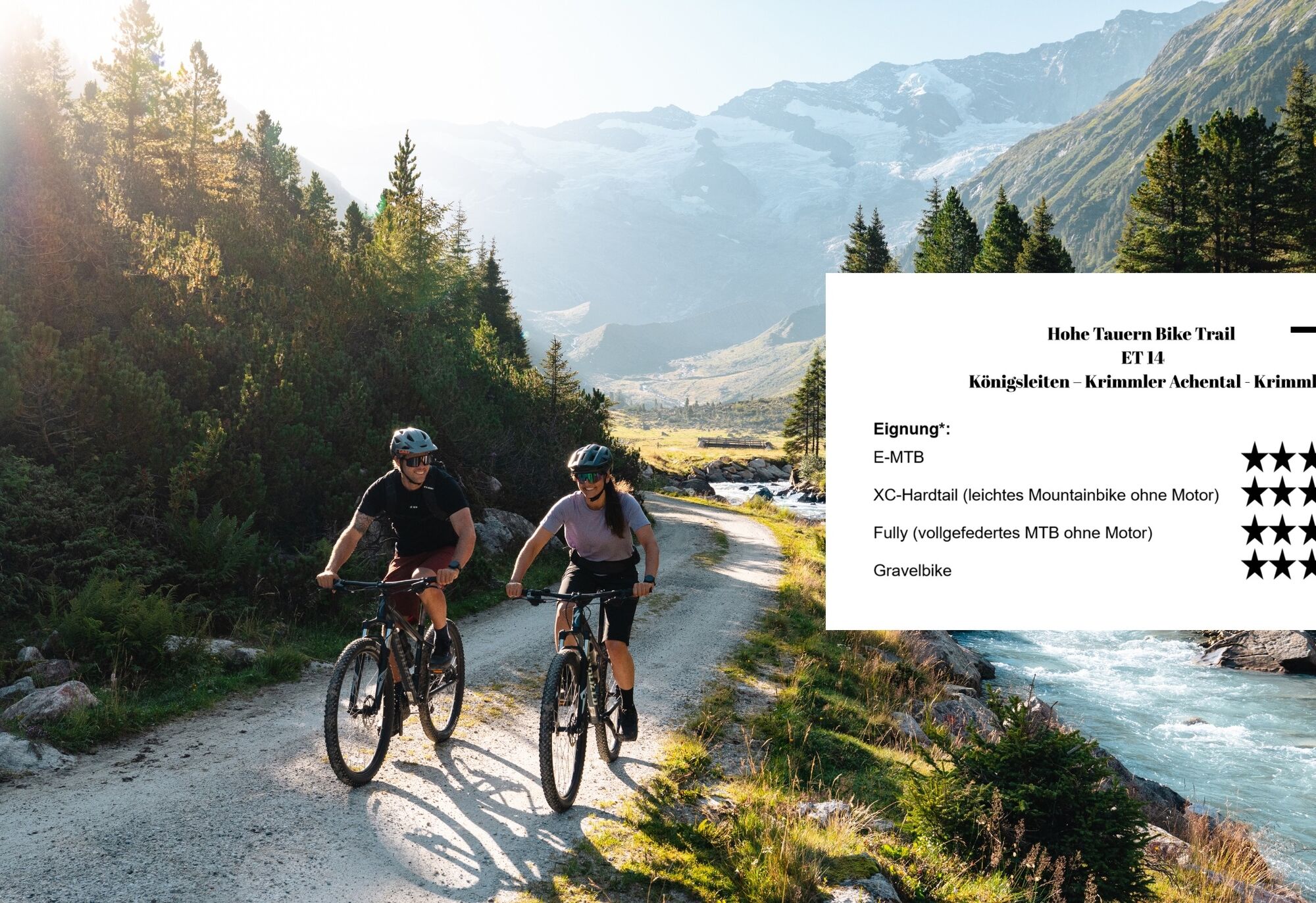
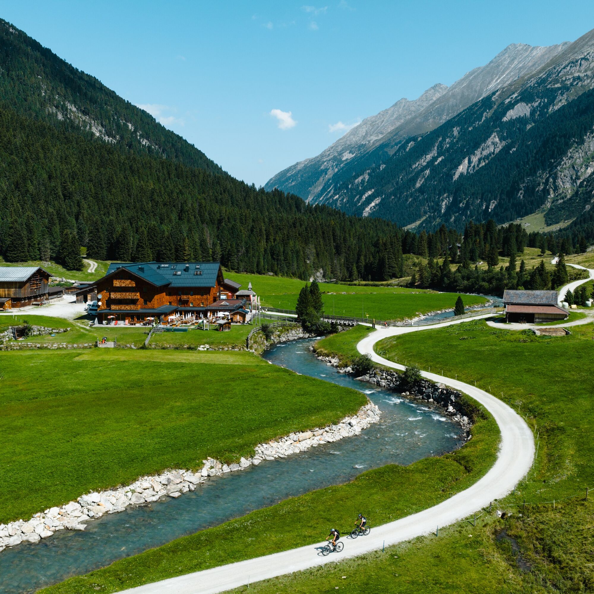
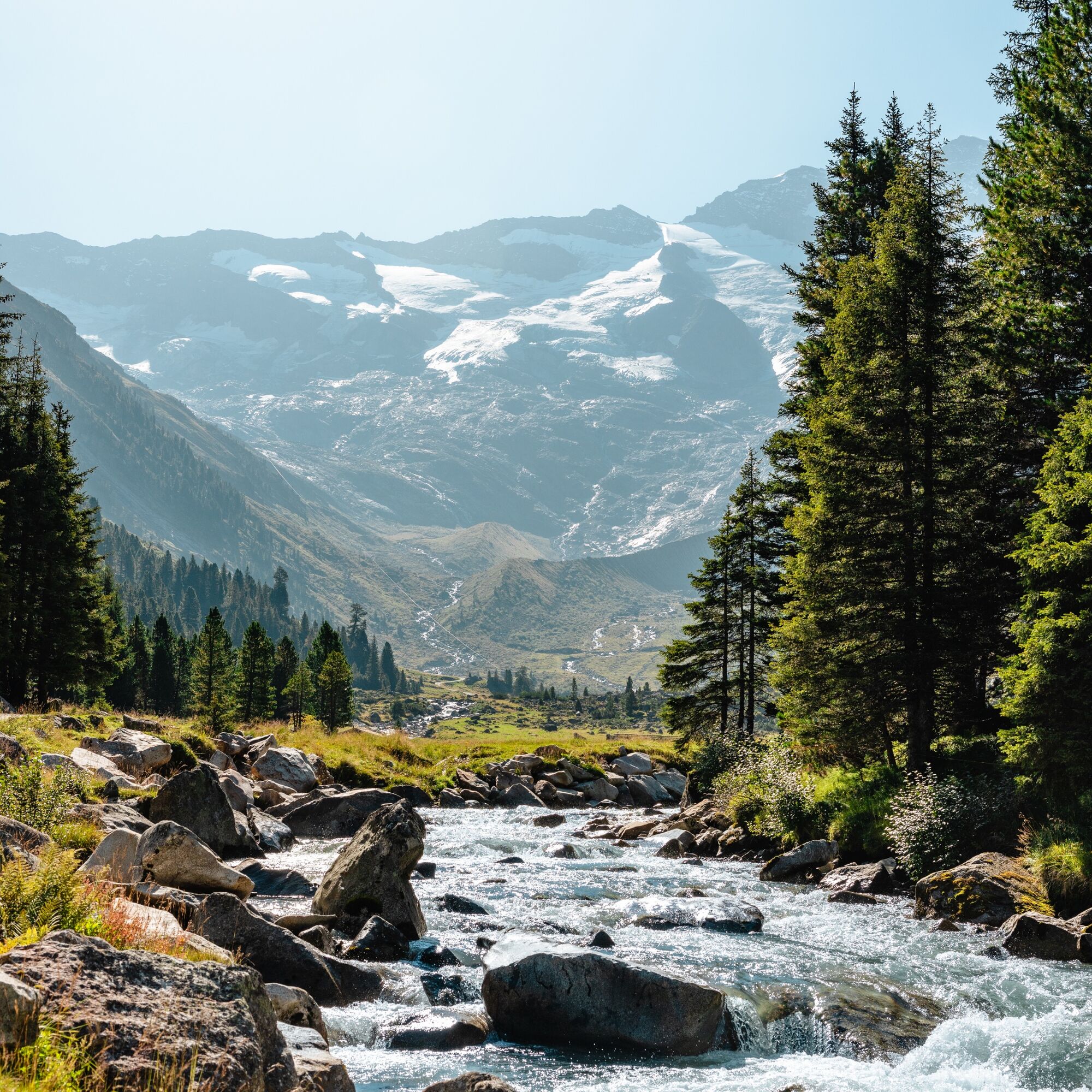
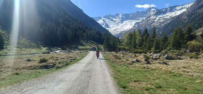
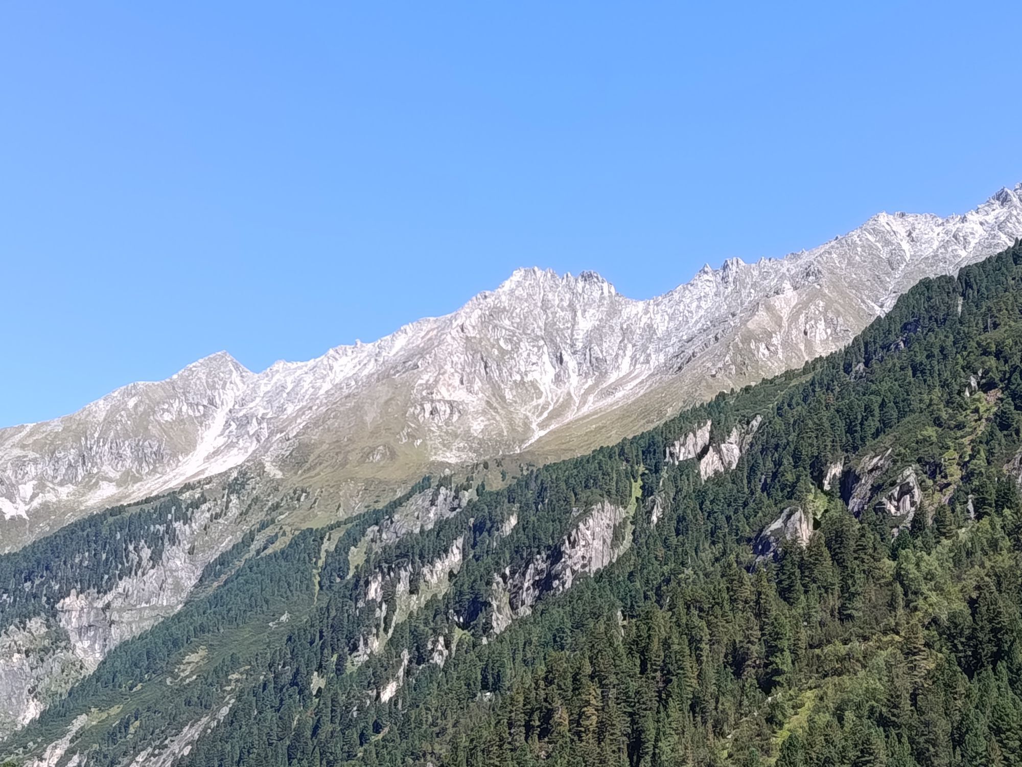
The Krimmler Waterfalls, with a total height of 380 meters, are among the largest waterfalls in Europe, and so is the Krimmler Achental which belongs among THE landmarks of the National Park Hohe Tauern. An impressive natural wonder that more than most waterfalls lets you feel the power and force of the water directly. After the steep step, the Krimmler Achental fundamentally changes its character: the Krimmler Ache meanders through a flat and wide valley floor, while to the right the rugged rocky peaks of the Reichenspitz group look down and at the end of the valley the torn Krimmler Kees below the almost 3,500 m high Dreiherrenspitze becomes increasingly prominent. Ancient alpine pastures and lovely alpine meadows adorn the way through the valley. And at the latest, the view of the historic Krimmler Tauernhaus shows that the valley has been an important trade route over the main Alpine ridge for centuries. If you want to get a little deeper into the high mountain world of the Hohe Tauern, you can add a hike to the Warnsdorfer Hut from the turning point before riding back through the valley to Krimml, the end point of the Hohe Tauern Bike Trail.

The good thing is: the valley is closed to general car traffic (only feeders are allowed), so you can enjoy all the highlights in complete relaxation, mostly on gravel alpine roads by bike.

-> The stage takes place exclusively on forest roads and alpine paths as well as paved bike lanes/side roads (except for the section between Königsleiten and the start of the Krimmler Achental on a road with heavier traffic). Details on the requirements of the Hohe Tauern Bike Trail can be found here >>.

Book your cycling trip on the Hohe Tauern Bike Trail now at the info and booking center.

Trasa
Trasa
Mapa
Hohe Tauern Bike Trail | Stage 14 Königsleiten/Krimml | Krimmler Achental | Krimml
střední
Mountainbike
47.90 km
Königsleiten
(1602 m)
Vesnice
0.0 km
Kehre 8 / Schönmoosalm
(1167 m)
Koridor/terén
6.4 km
Kehre 7
(1434 m)
Koridor/terén
6.5 km
Almhotel Schönmoosalm
(1493 m)
Restaurace
6.6 km
Kehre 6
(1419 m)
Koridor/terén
6.7 km
Kehre 5
(1384 m)
Koridor/terén
7.2 km
Kehre 4
(1353 m)
Koridor/terén
7.5 km
Mittlerer Krimmler Wasserfall
(1287 m)
Vodopád
12.0 km
Oberer Krimmler Wasserfall
(1474 m)
Vodopád
13.9 km
Veitenalm
(1580 m)
Restaurace
16.0 km
Hölzlahneralm
(1583 m)
Vypořádání
16.1 km
Söllnalm
(1588 m)
Vypořádání
17.0 km
Schöpplalm
(1591 m)
Vypořádání
17.6 km
Mühleggalm
(1592 m)
Vypořádání
18.7 km
Humbachalm
(1610 m)
Vypořádání
19.2 km
Ausserschachenalm
(1619 m)
Vypořádání
19.7 km
Innerschachenalm
(1612 m)
Koridor/terén
20.3 km
Blitzebbichlalm
(1628 m)
Koridor/terén
21.1 km
Krimmler Tauernhaus
(1624 m)
Vypořádání
21.2 km
Sommerlehenalm
(1621 m)
Vypořádání
21.4 km
Foißgemäueralm
(1648 m)
Vypořádání
22.0 km
Hintereggalm
(1665 m)
Vypořádání
22.2 km
Kesserlalm
(1667 m)
Vypořádání
22.4 km
Albl
(1664 m)
Vypořádání
22.7 km
Außerunlaßalm
(1665 m)
Vypořádání
22.9 km
Innerunlaßalm
(1683 m)
Vypořádání
24.0 km
Jaidbachalm
(1700 m)
Vypořádání
24.7 km
Außerkeesalm
(1753 m)
Vypořádání
26.4 km
Innerkeesalm
(1812 m)
Vypořádání
27.4 km
Außerkeesalm
(1753 m)
Vypořádání
29.2 km
Jaidbachalm
(1700 m)
Vypořádání
30.9 km
Innerunlaßalm
(1683 m)
Vypořádání
31.5 km
Außerunlaßalm
(1665 m)
Vypořádání
32.7 km
Albl
(1664 m)
Vypořádání
32.7 km
Kesserlalm
(1667 m)
Vypořádání
33.2 km
Hintereggalm
(1665 m)
Vypořádání
33.4 km
Foißgemäueralm
(1648 m)
Vypořádání
33.6 km
Sommerlehenalm
(1621 m)
Vypořádání
34.2 km
Krimmler Tauernhaus
(1624 m)
Vypořádání
34.4 km
Blitzebbichlalm
(1628 m)
Koridor/terén
34.5 km
Innerschachenalm
(1612 m)
Koridor/terén
35.2 km
Ausserschachenalm
(1619 m)
Vypořádání
35.8 km
Humbachalm
(1610 m)
Vypořádání
36.4 km
Mühleggalm
(1592 m)
Vypořádání
36.9 km
Schöpplalm
(1591 m)
Vypořádání
38.0 km
Söllnalm
(1588 m)
Vypořádání
38.4 km
Söllnalm
(1588 m)
Restaurace
38.5 km
Hölzlahneralm
(1583 m)
Vypořádání
39.4 km
Veitenalm
(1580 m)
Restaurace
39.5 km
Oberer Krimmler Wasserfall
(1474 m)
Vodopád
41.8 km
Mittlerer Krimmler Wasserfall
(1287 m)
Vodopád
43.7 km
Kehre 2 / Trattenköpfl
(1167 m)
Koridor/terén
46.1 km
Kehre 1 / Burgwald
(1135 m)
Koridor/terén
46.6 km
Krimml
(1067 m)
Vesnice
47.8 km
Informace o prohlídce

Past the largest waterfalls in Europe to the famous Krimmler Achental with rustic alpine huts and the historic Krimmler Tauernhaus

Technologie
1 / 6
Stav
4 / 6
Krajina
6 / 6
Zkušenosti
6 / 6
Nejlepší roční období
Led
Úno
Bře
Dub
Kvě
Čen
Čec
Srp
Zář
Říj
Lis
Pro
Sdílet prohlídku
Mapa
Hohe Tauern Bike Trail | Stage 14 Königsleiten/Krimml | Krimmler Achental | Krimml
střední
Mountainbike
47.90 km
Chyba
Došlo k chybě. Zkuste to prosím znovu.
Naposledy sledované dnes
Informace o trase
Trasa
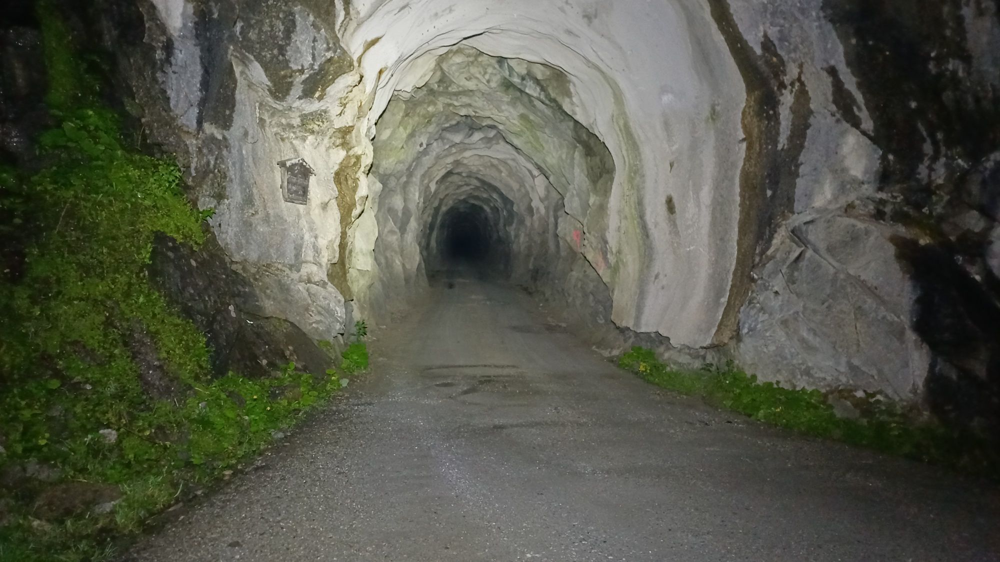
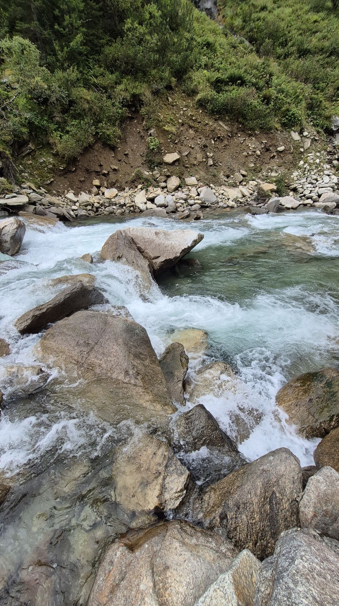
Starting from Königsleiten (or optionally from Krimml) you ride down the left (eastern) road towards the old Gerlos Pass road – it's the same road you rode up into town yesterday. You follow (as yesterday) the old Gerlos Pass road to the left until after 200 m you follow the turn-off on the right onto the Gerlos Alpine Road ("new" Gerlos Pass road). You turn left onto the Gerlos Alpine Road, which now winds uphill for 3.2 km to the toll station (watch out for car traffic; no toll fee for cyclists). From the toll station, you ride 5.6 km downhill on the Gerlos Alpine Road to the junction (right) Krimmler Achental. From here, the further route is closed to general car traffic and a long climb takes place on a forest road along the Krimmler Waterfalls up to the Anna Tunnel (length 300 m, unlit). After the tunnel, the bike path runs parallel to the Krimmler Ache, past rustic alpine pastures and managed huts, to the end of the valley (material cable car Warnsdorfer Hut). Here you can optionally leave your bike and continue hiking to the Warnsdorfer Hut (additional time approx. 2 hr 30 min, further information see "Author's Tip").

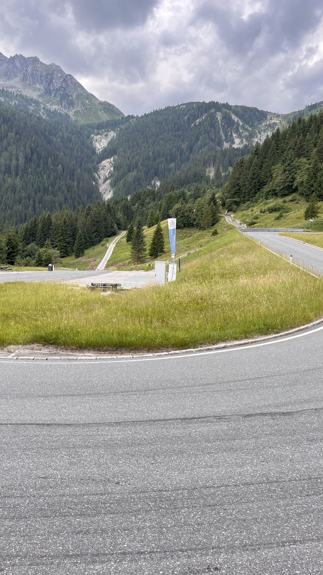
For the return trip, take the same route back to the junction with the Gerlos Alpine Road (tip: immediately after the junction with the Gerlos Road there is a parking lot on the right - this is the perfect photo spot for a selfie with the world-famous Krimmler Waterfalls). Here you turn right towards Krimml and cycle about 2 km until you reach your destination: the waterfall community of Krimml, which is also the end point of the entire Hohe Tauern Bike Trail. Here you can relax after this varied stage and review the impressions of your entire bike journey.

Charging station along the stage:

Krimmler Tauernhaus

Geologické zajímavosti

Ano

Vybavení
A detailed list of the recommended equipment can be found here:

Recommended Equipment >>

Bezpečnostní pokyny

Please note that on this stage you will ride about 9 km on the Gerlos Alpine Road (mostly downhill): watch out for car traffic!

Informace o příjezdu
Příjezd
Coming from Neukirchen via the B165 and Wald to Königsleiten.

From Krimml via Oberkrimml to Königsleiten.

Veřejná doprava

From Krimml or Wald by regional bus 673 towards Almdorf Königsleiten MC Hotel Ronach to the exit stop Almdorf Königsleiten junction Gerlos Pass.

Parkování

To the long-term parking spaces on the Hohe Tauern Bike Trail>>

Další informace a tipy
Úroveň obtížnosti

S0
Další informace
www.nationalpark.bike

Holiday region National Park Hohe Tauern

Gerlosstraße 18, 5730 Mittersill, Austria
Tel. +43 6562 40939  E-Mail: hohetauerntrail@nationalpark.at

Booking center & Info-Hotline Trail Angels GmbH

9821 Obervellach 15, Austria

Tel. +43 4782 93093 E-Mail: info@bookyourtrail.com

Tipy
Bike & Hike option: From the turning point in the Krimmler Achental, a hike to the Warnsdorfer Hut is offered (additional time approx. 2 hr 30 min) Bike & Hike >>
Oceňování
5.0
5
(1)
4
(0)
3
(0)
2
(0)
1
(0)
1 Komentář:
Avatar z Peter Vogt
Peter Vogt
16. Aug. 2026
Krimmler Achtal
Eine wunderschöne Fahrradtour vorbei an den Krimmler Wasserfällen über wunderschöne Almen mit herrlichem Blick auf die Gletscher, welche für Wasserfälle das Wasser liefern. 48km und über 1‘200m Höhenunterschied
Užitečné (0) |
Nahlásit
Chyba
Došlo k chybě. Zkuste to prosím znovu.
Napište recenzi

Recenze pomáhají ostatním uživatelům při výběru dalšího dobrodružství. Hodnoťte prosím pouze prohlídku, nikoli počasí nebo svačinu.

Výběrem jedné z hvězdiček ohodnotíte prohlídku
Špatné turné
Slabé turné
Průměrné turné
Dobrá prohlídka
Vynikající prohlídka
bergfex logo Získejte přehled Vždy živě na místě s více než 9 500 webkamerami. bergfex Jako uživatel Pro si nyní můžete zobrazit odpovídající webové kamery pro mnoho prohlídek v aplikaci prohlídky z. Můžete si tak přímo prohlédnout aktuální podmínky.
Pěší turistika a stopování

Pěší turistika a stopování

Pěší turistika a stopování
Více než 550.000 návrhů výletů, podrobné mapy a intuitivní plánovač tras dělají z aplikace nezbytnou výbavu pro všechny milovníky přírody.
bergfex