


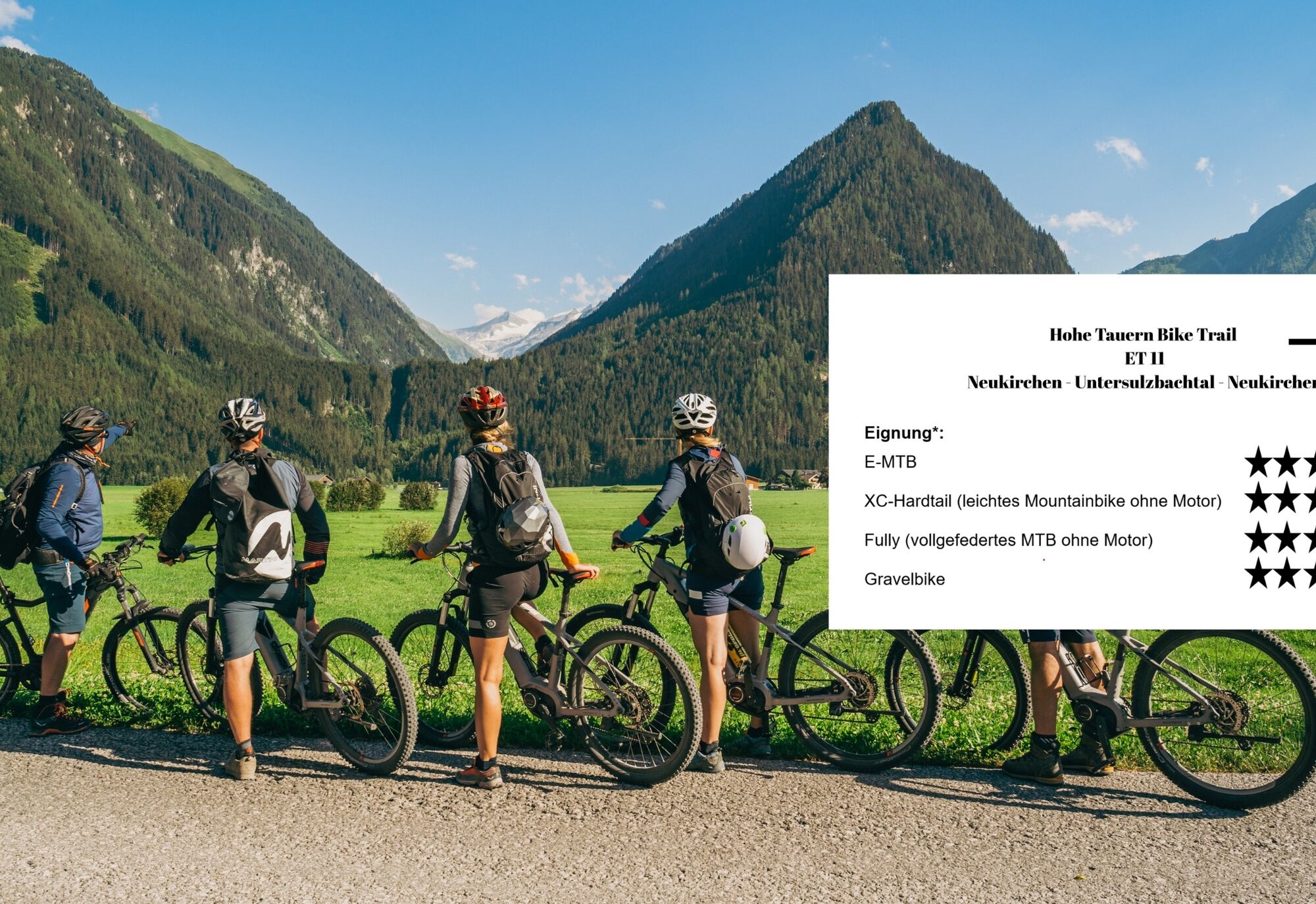
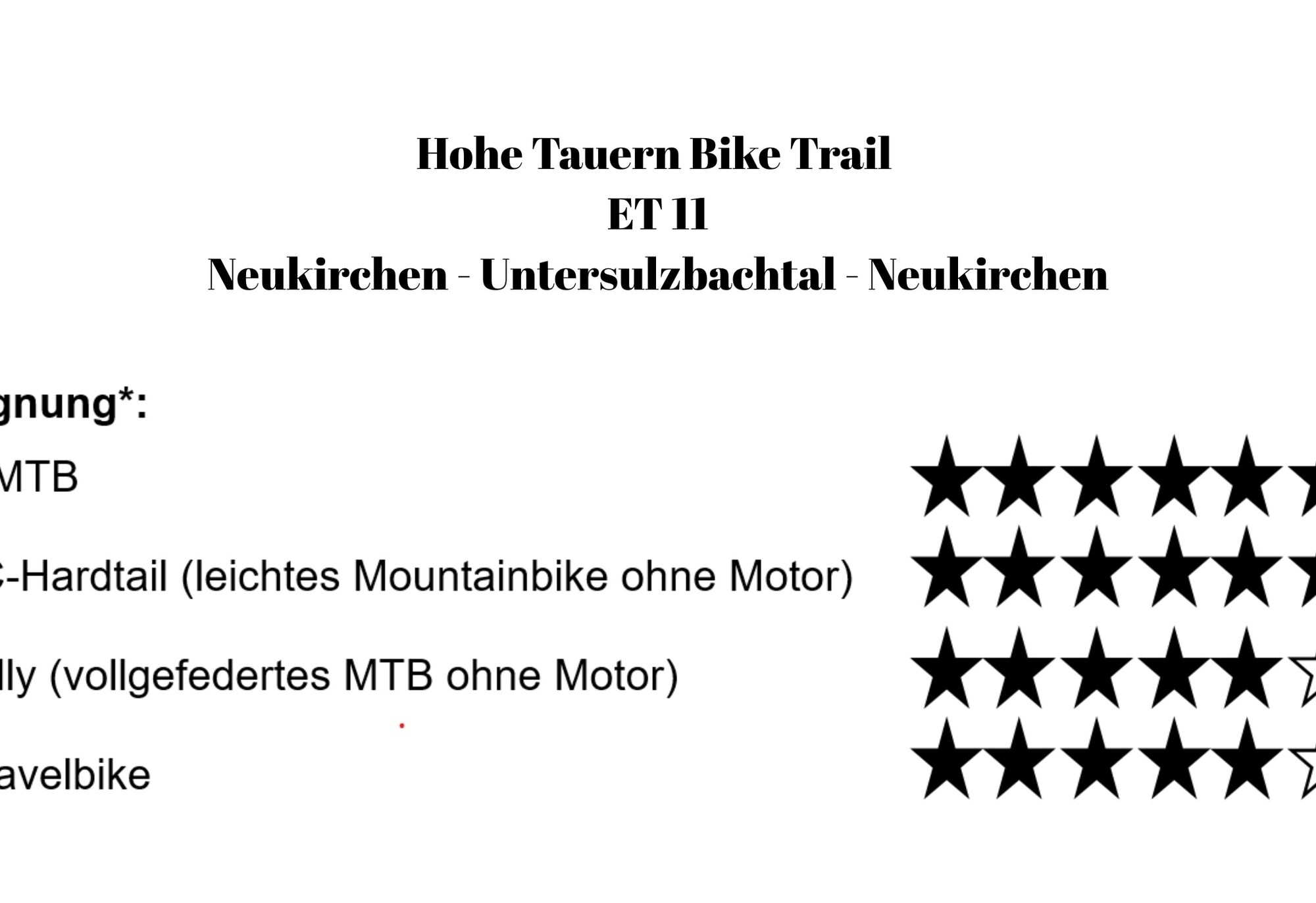
Hohe Tauern Bike Trail | ST11 Neukirchen | Untersulzbach Valley | Neukirchen
Úroveň obtížnosti: S0
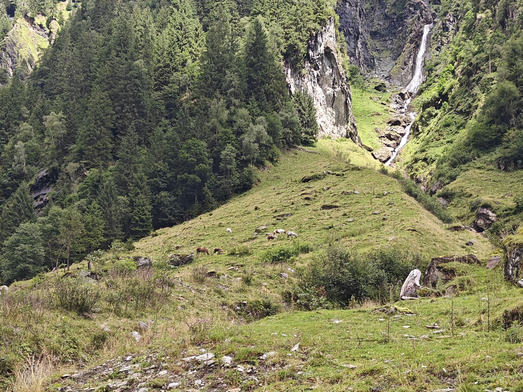
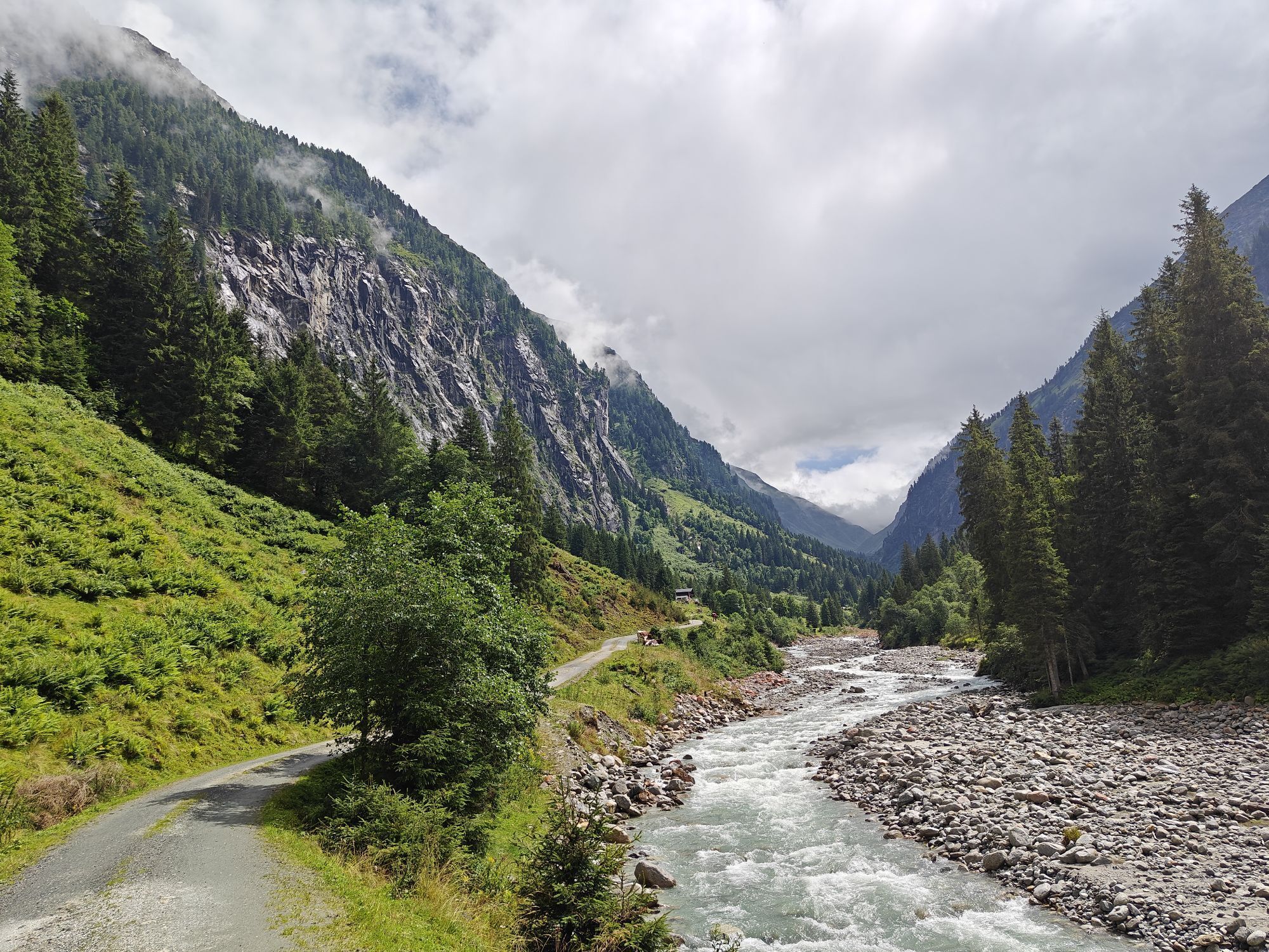
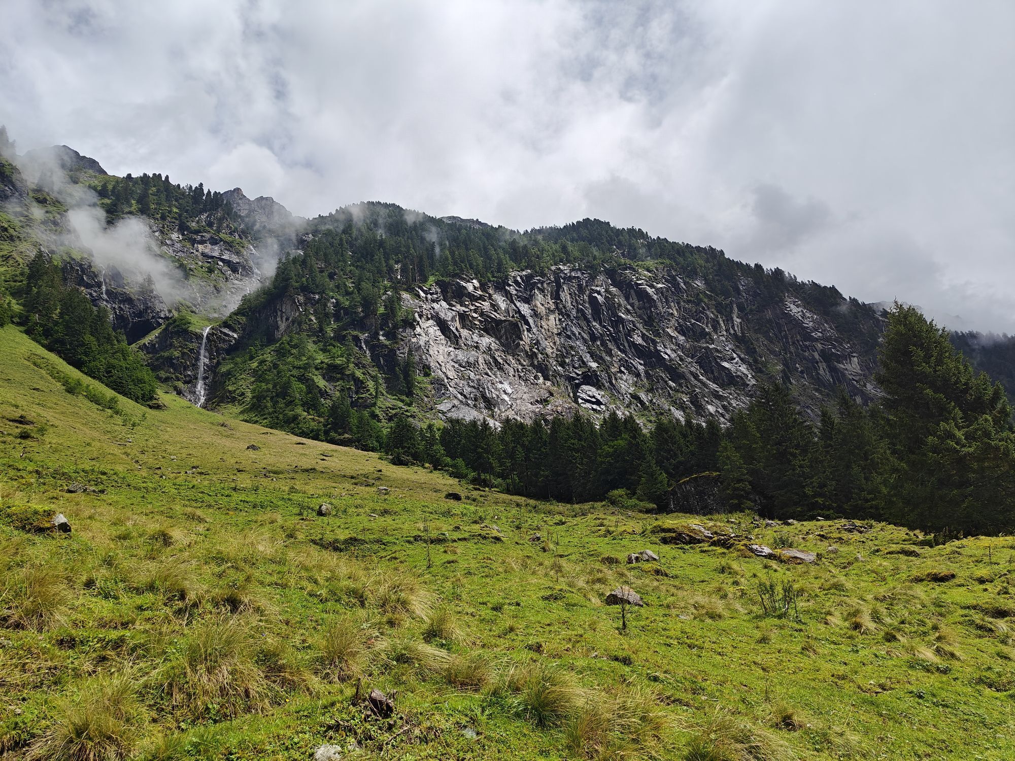

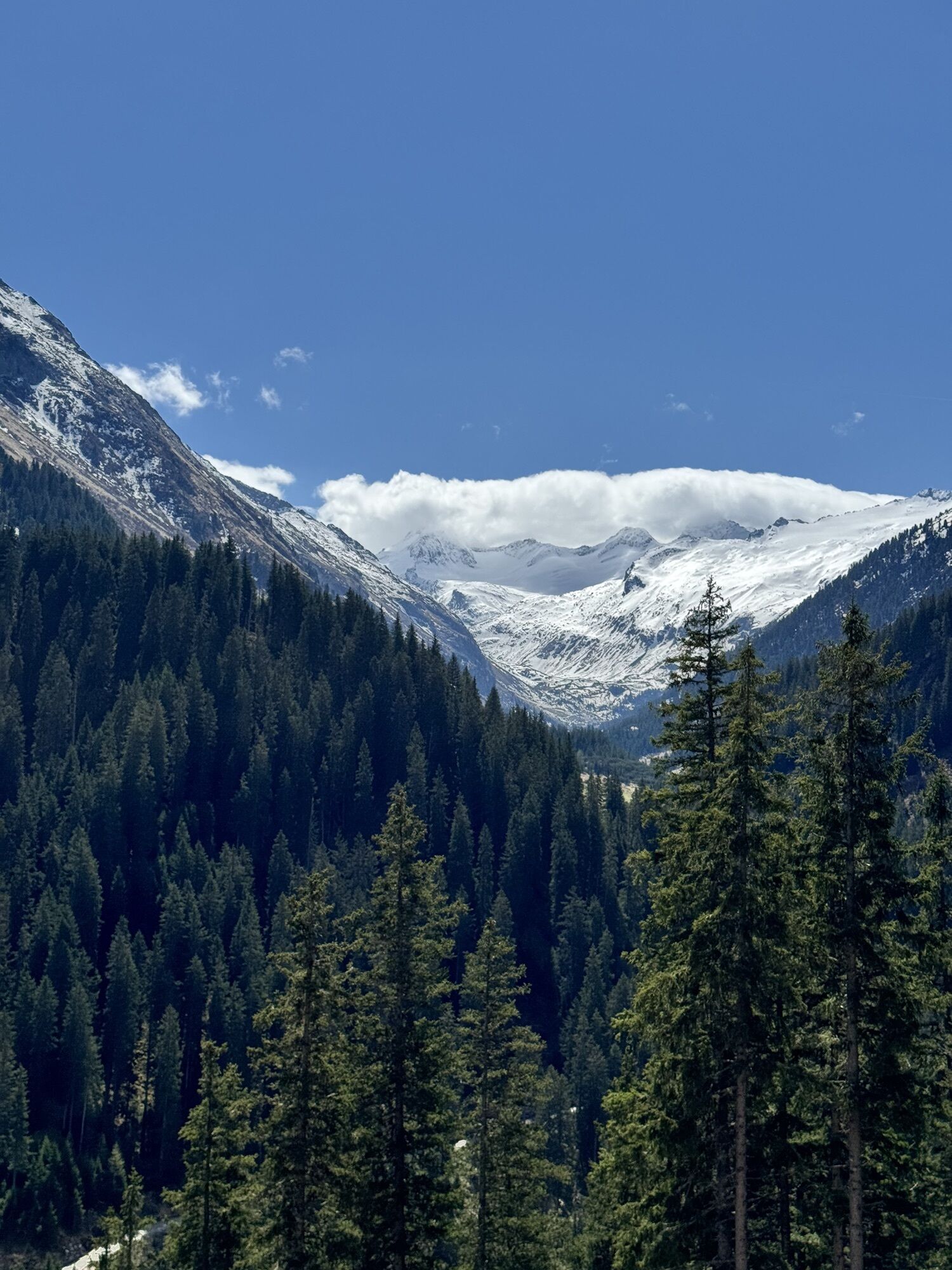
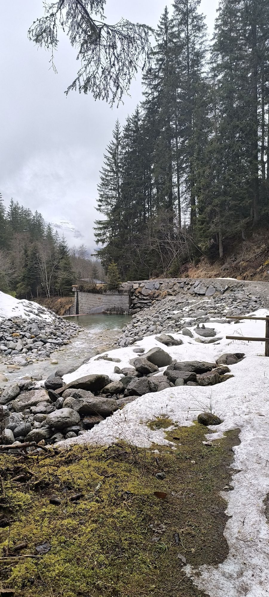
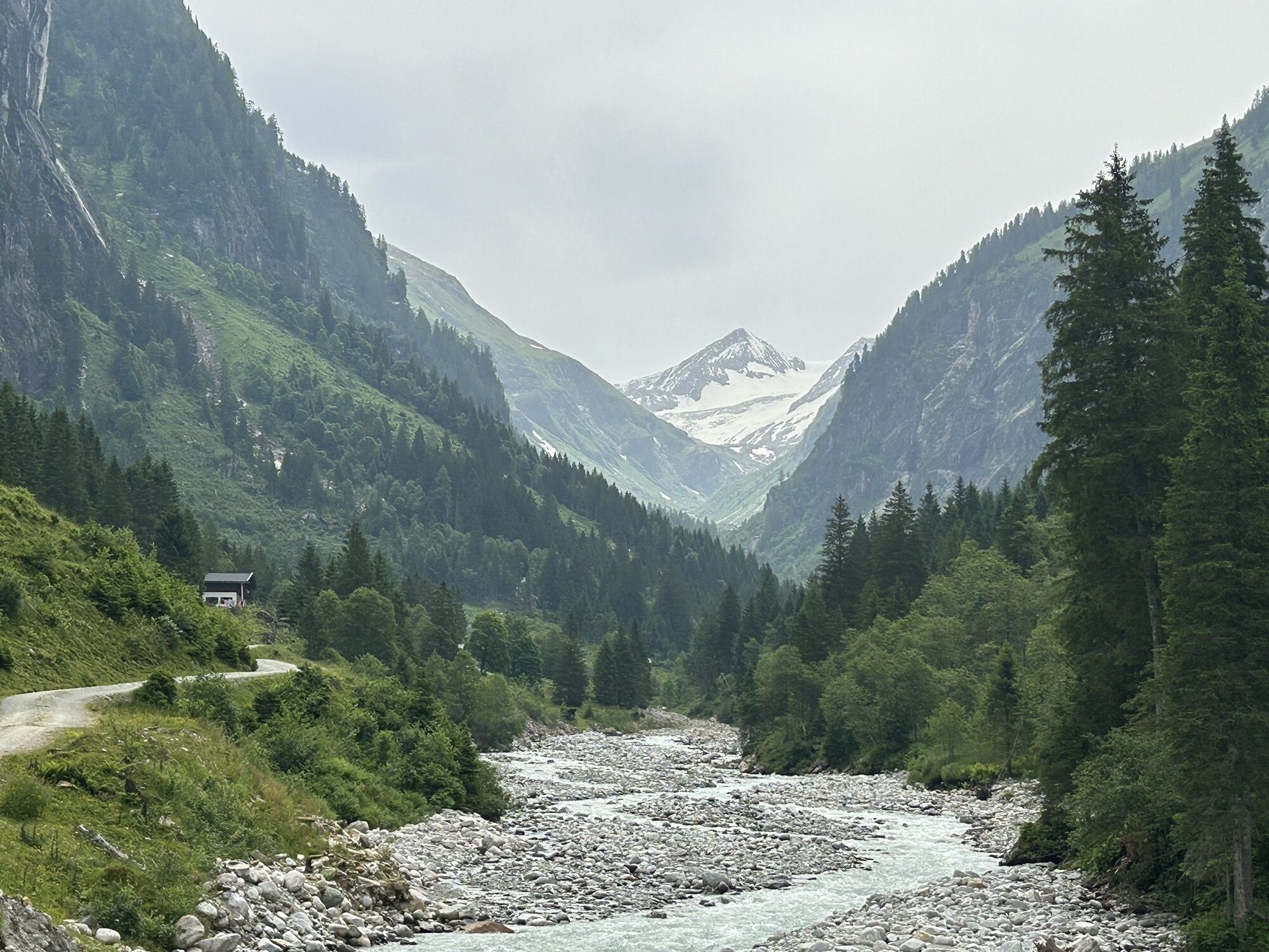
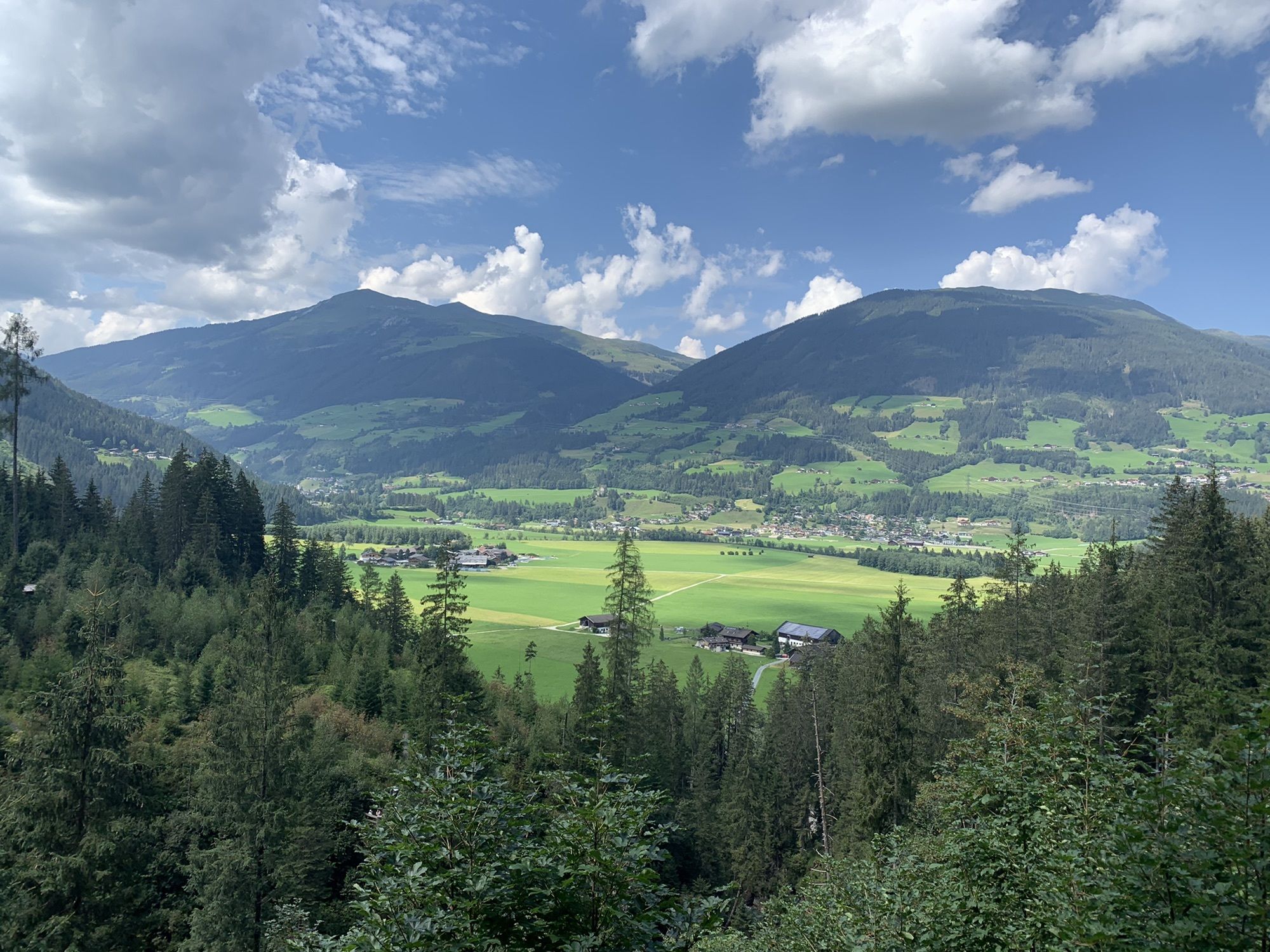
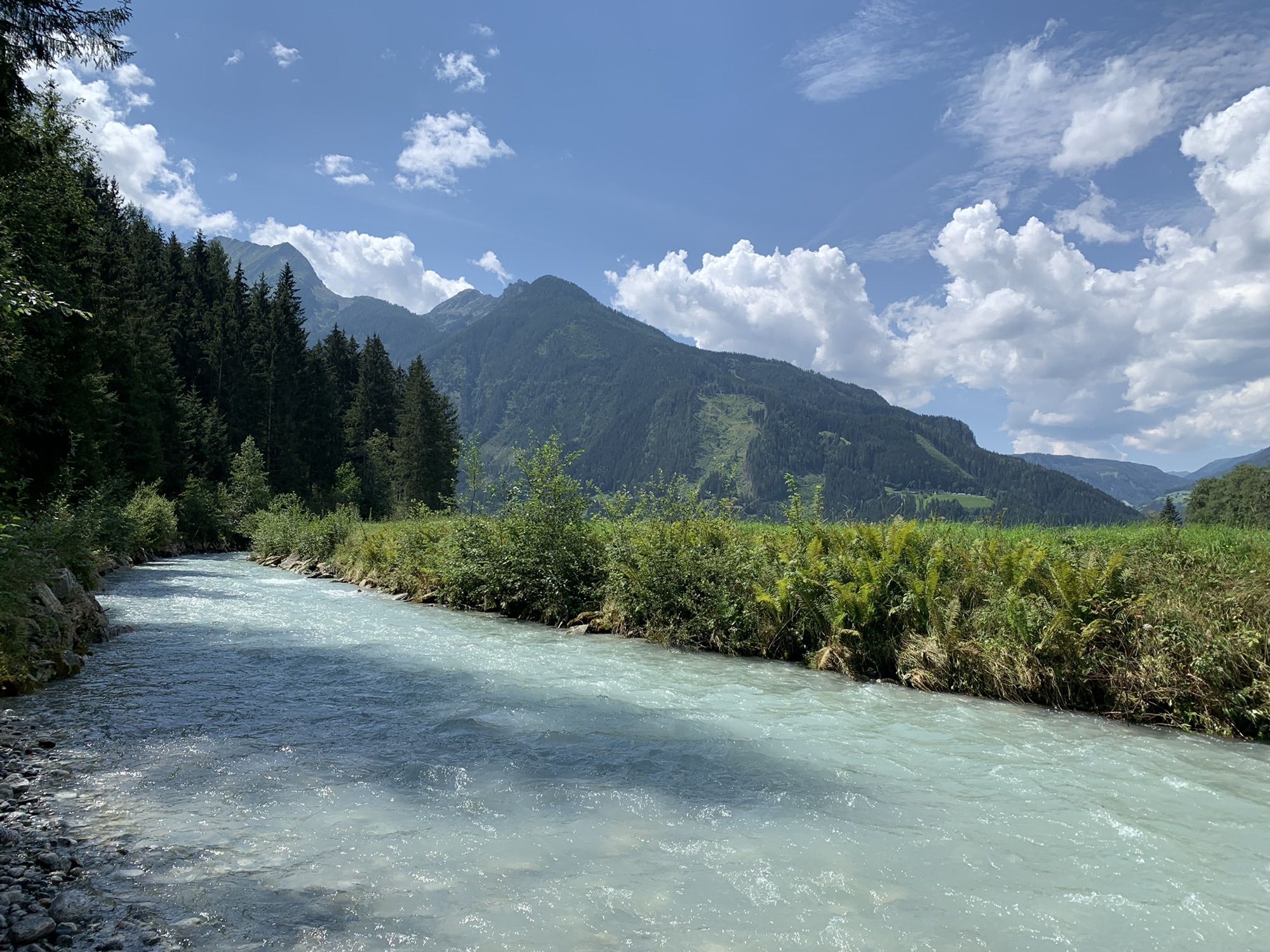
The Untersulzbach Valley is certainly the shortest of all national park valleys that you can discover on the Hohe Tauern Bike Trail – but also the most pristine. As part of the “Wilderness Area Sulzbachtäler,”...
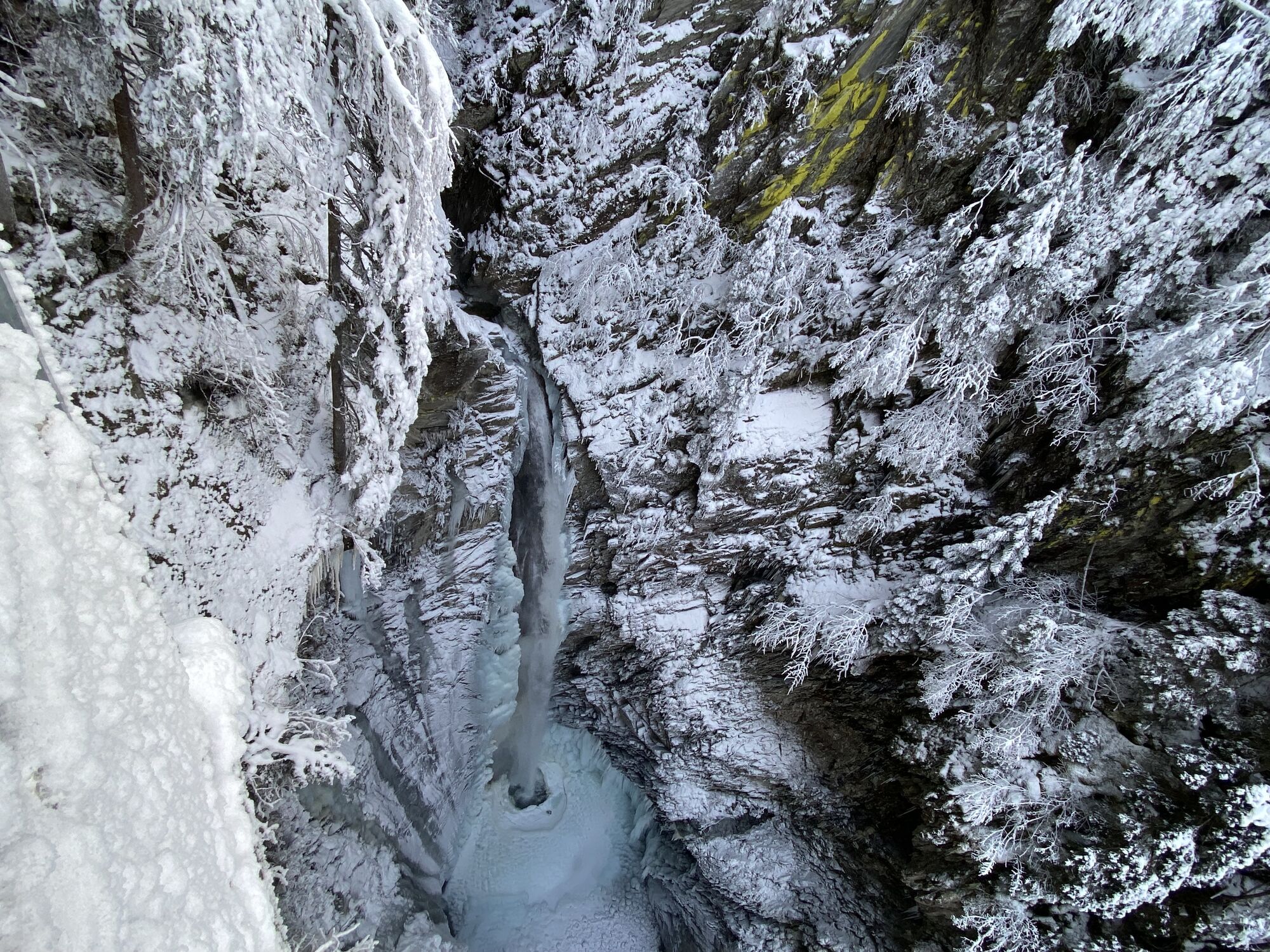
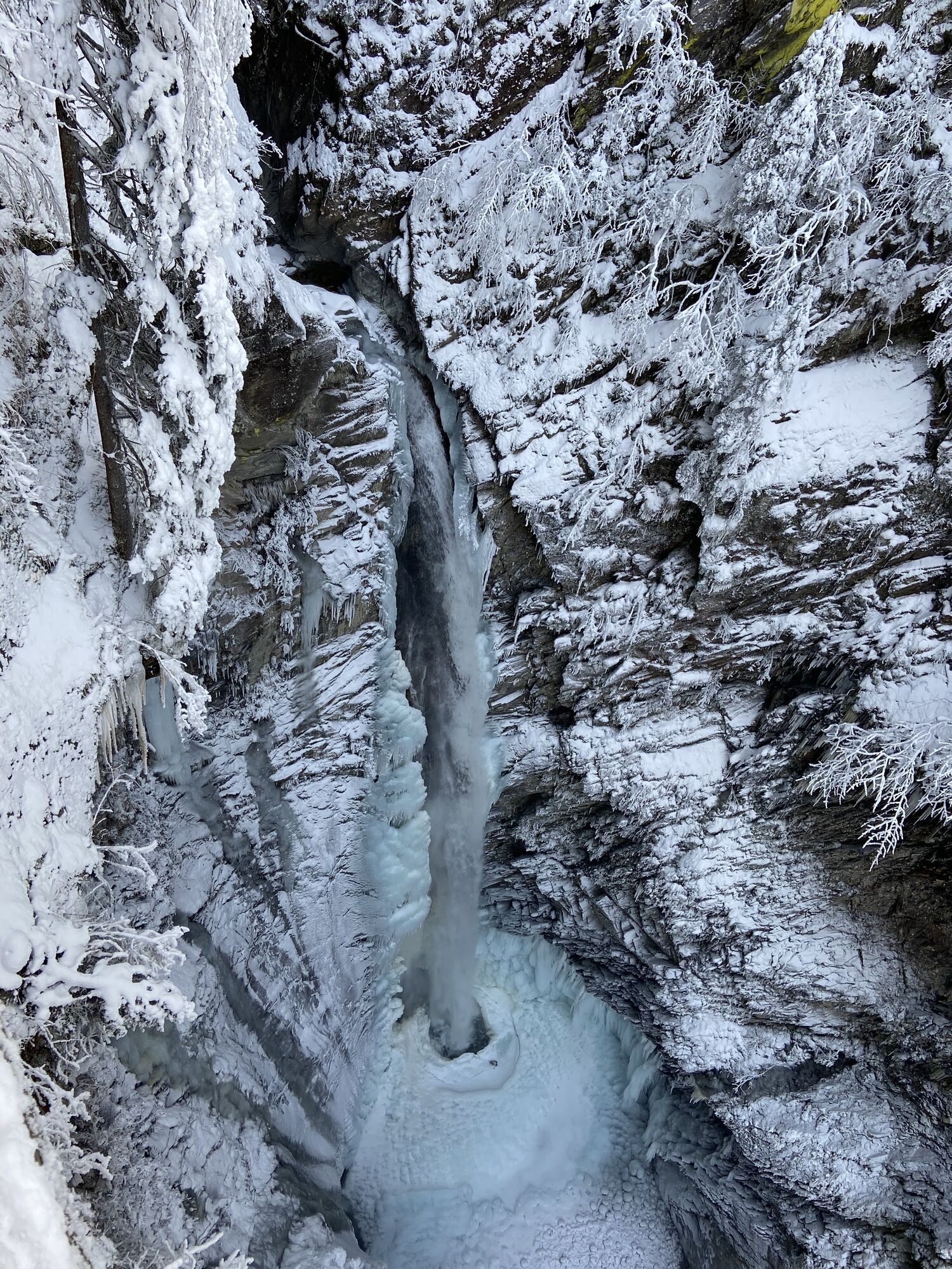
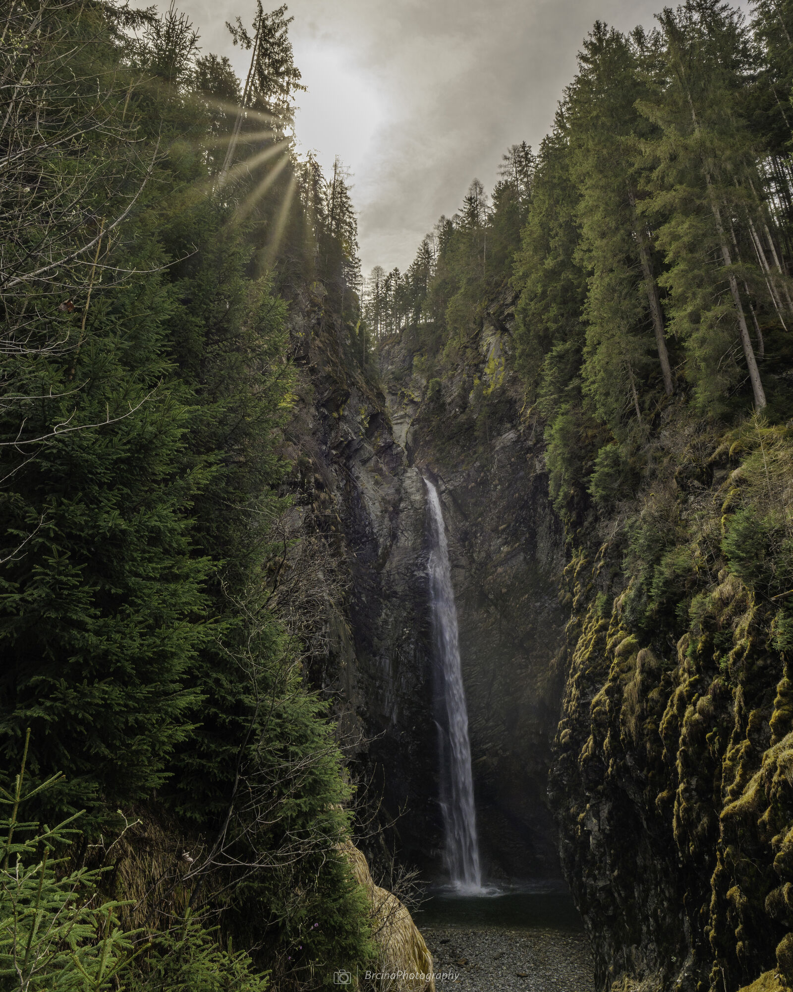
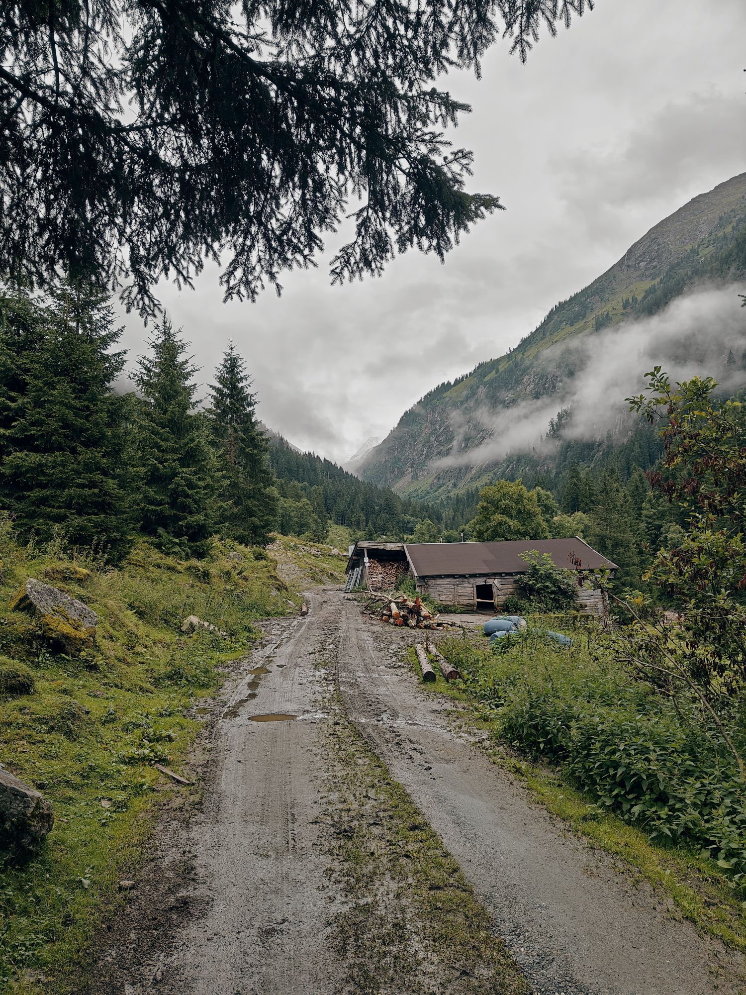
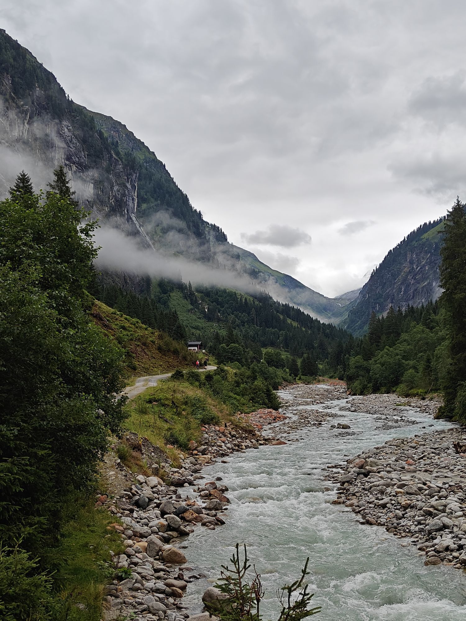
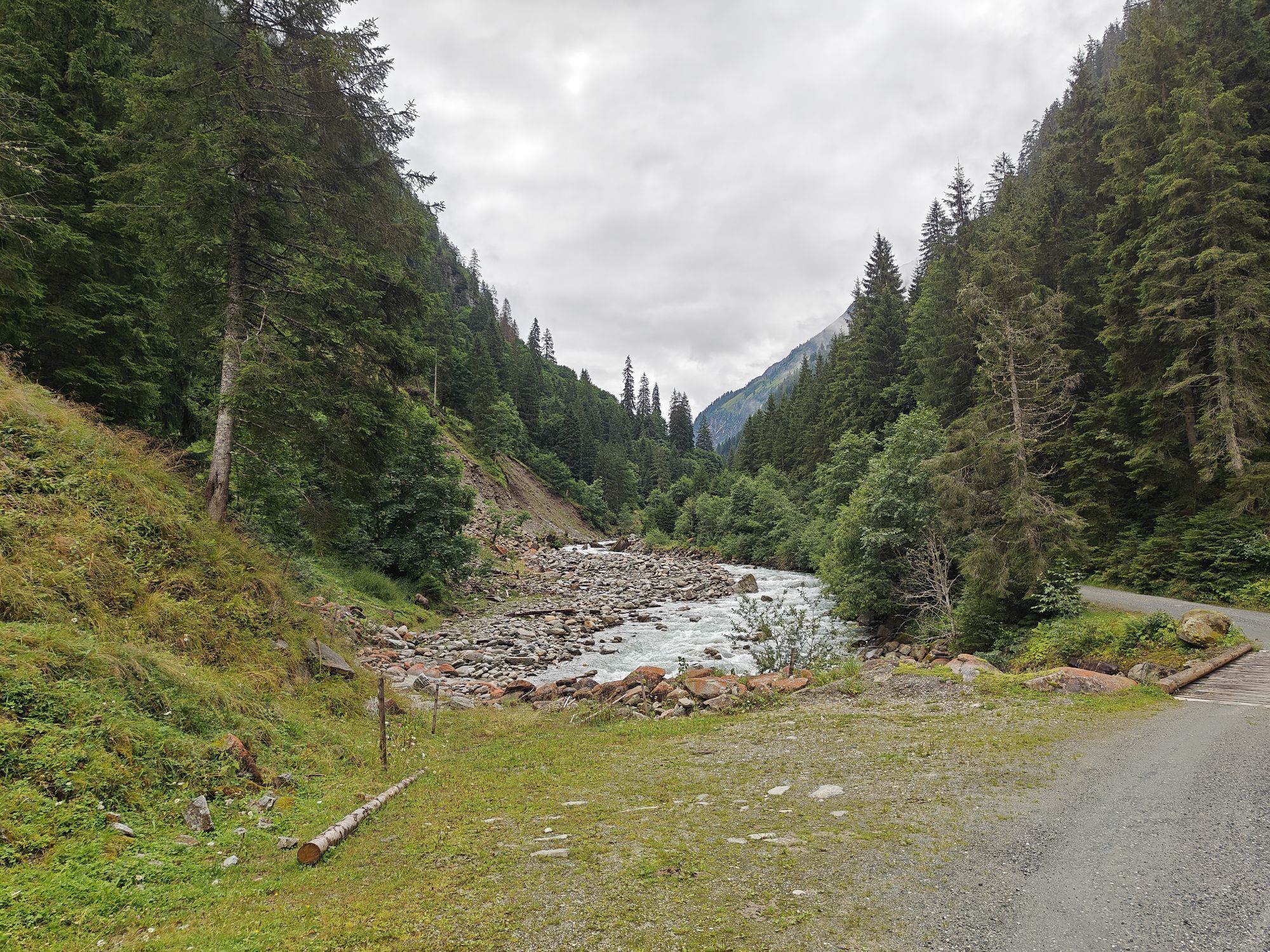
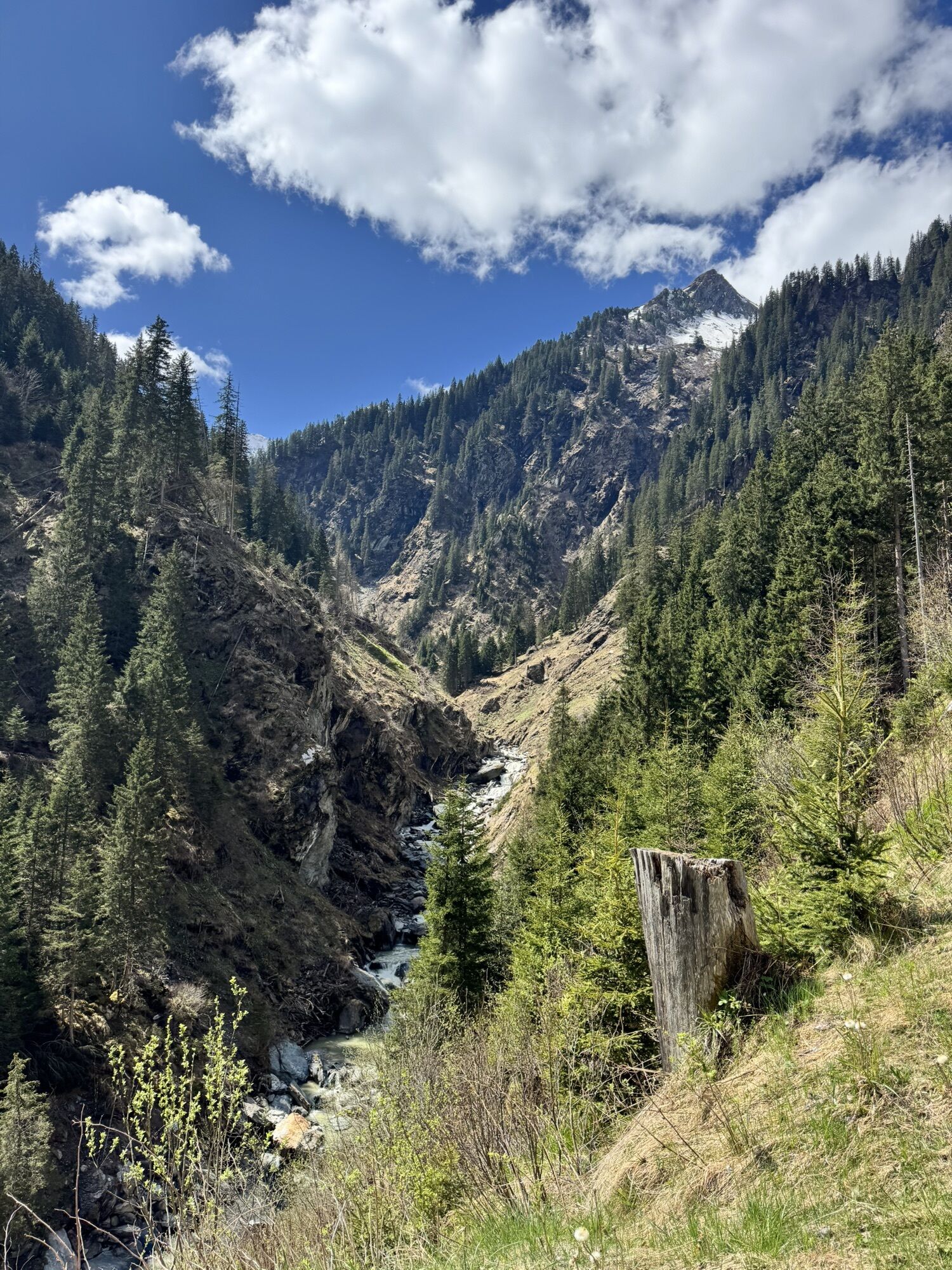
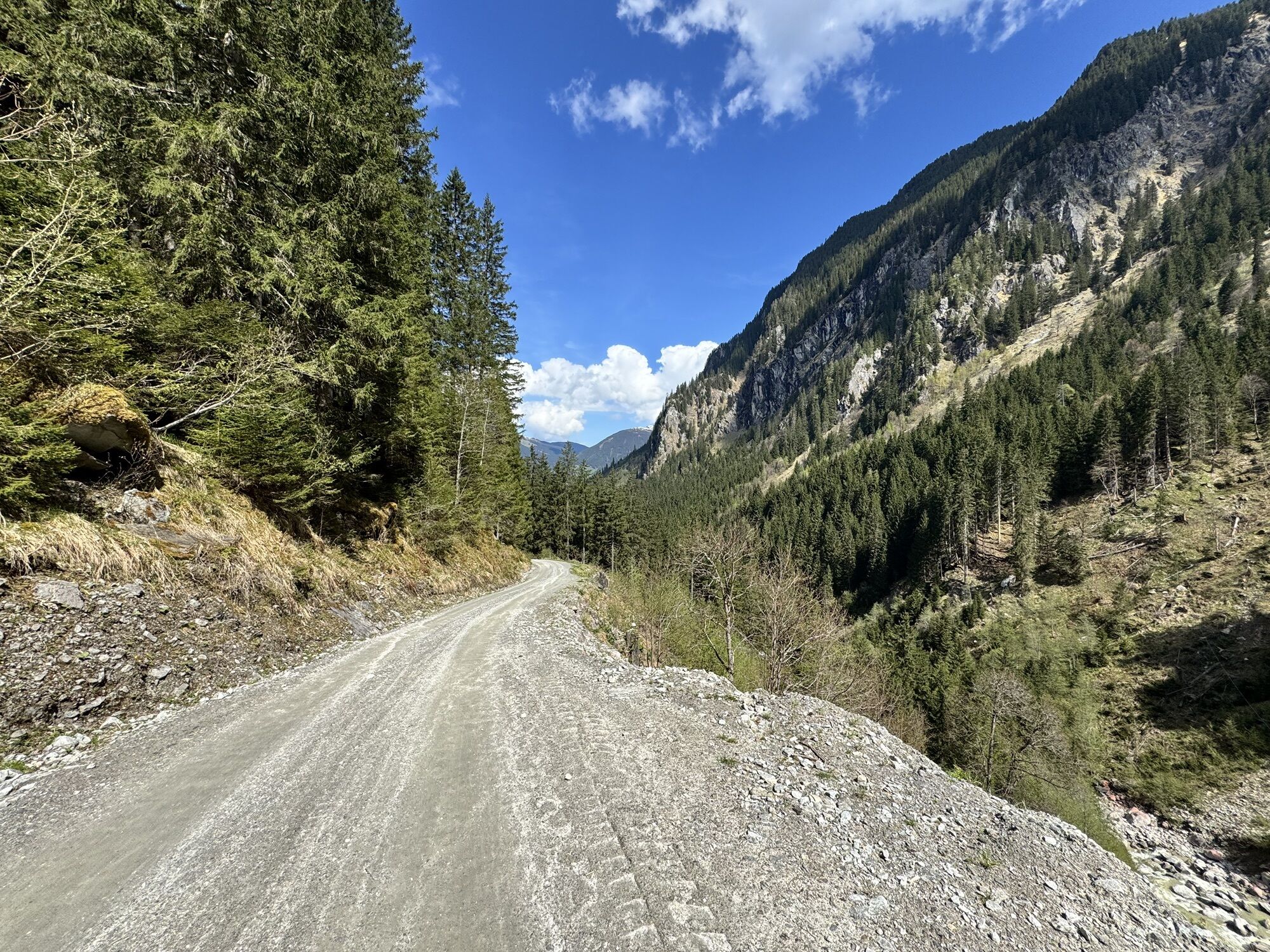
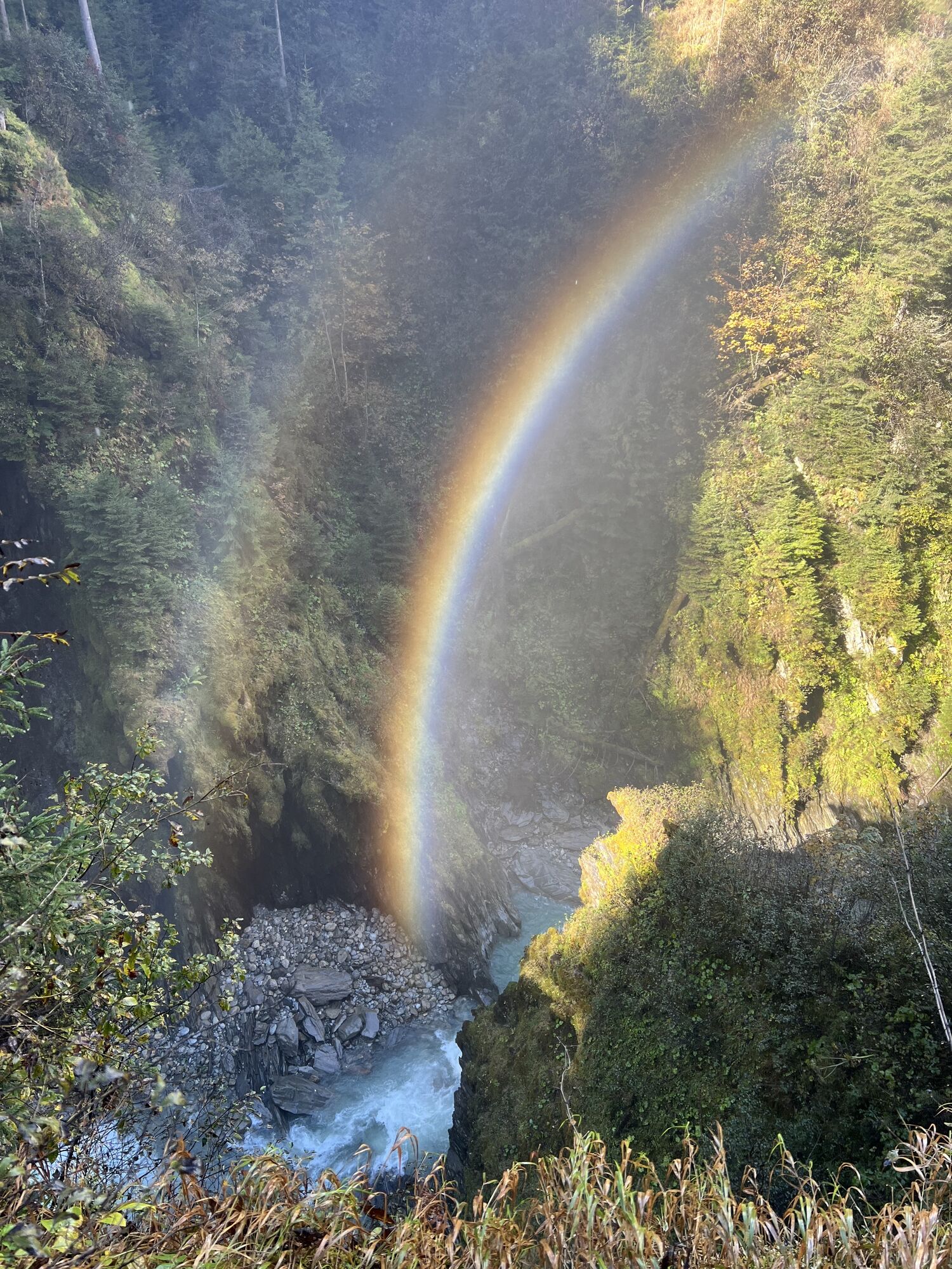
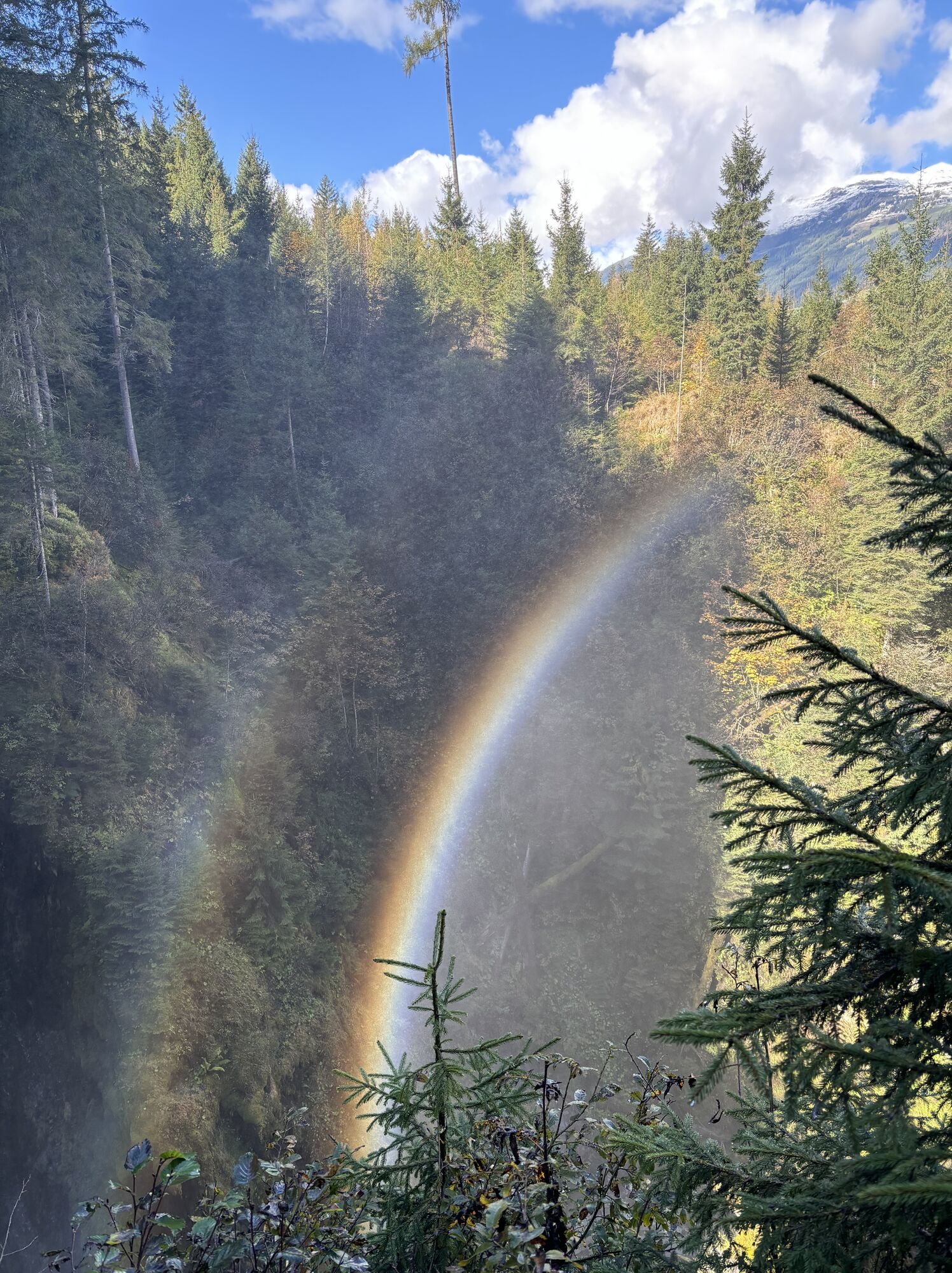
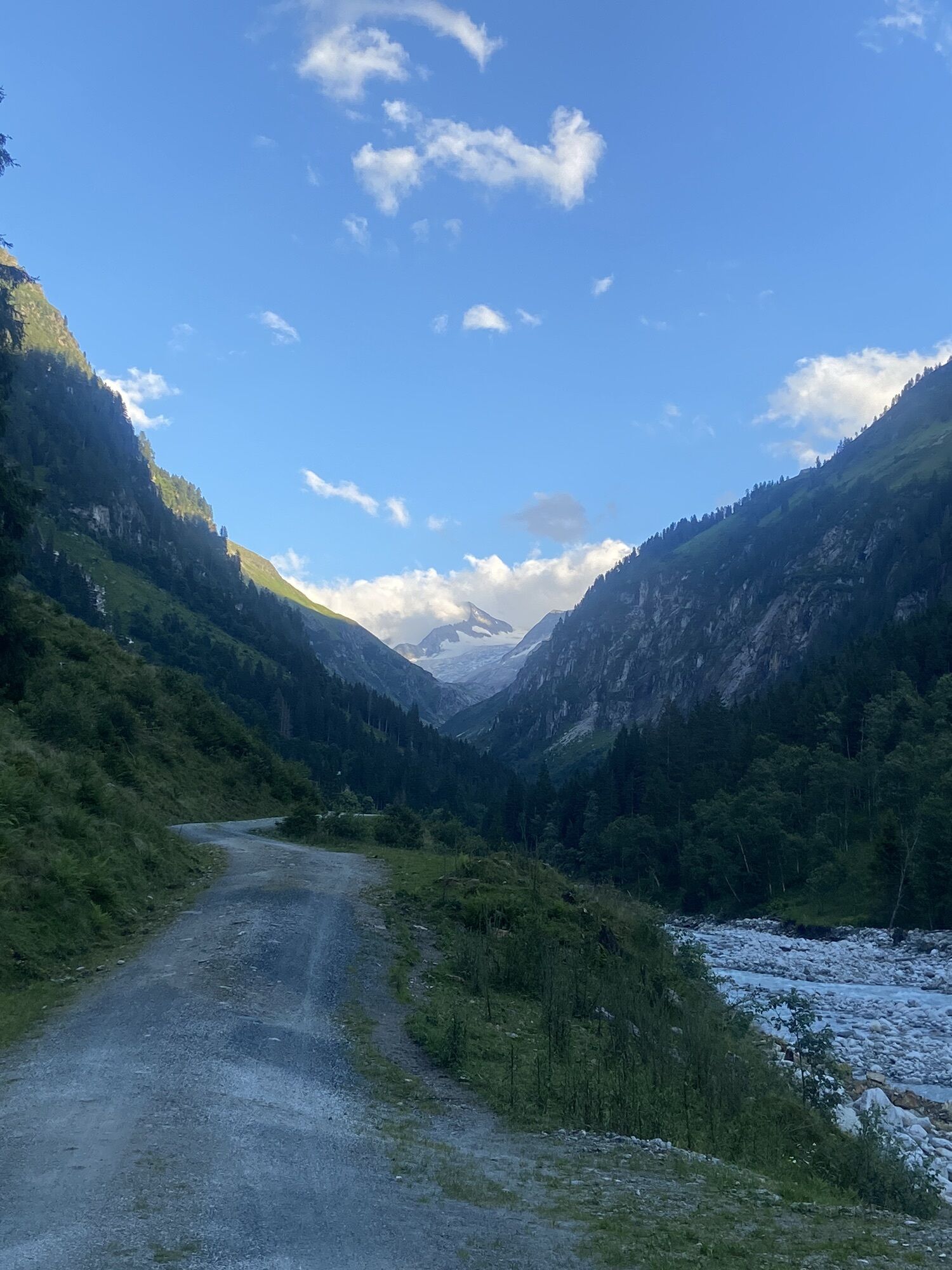
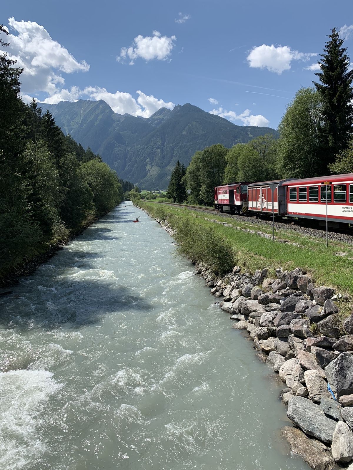
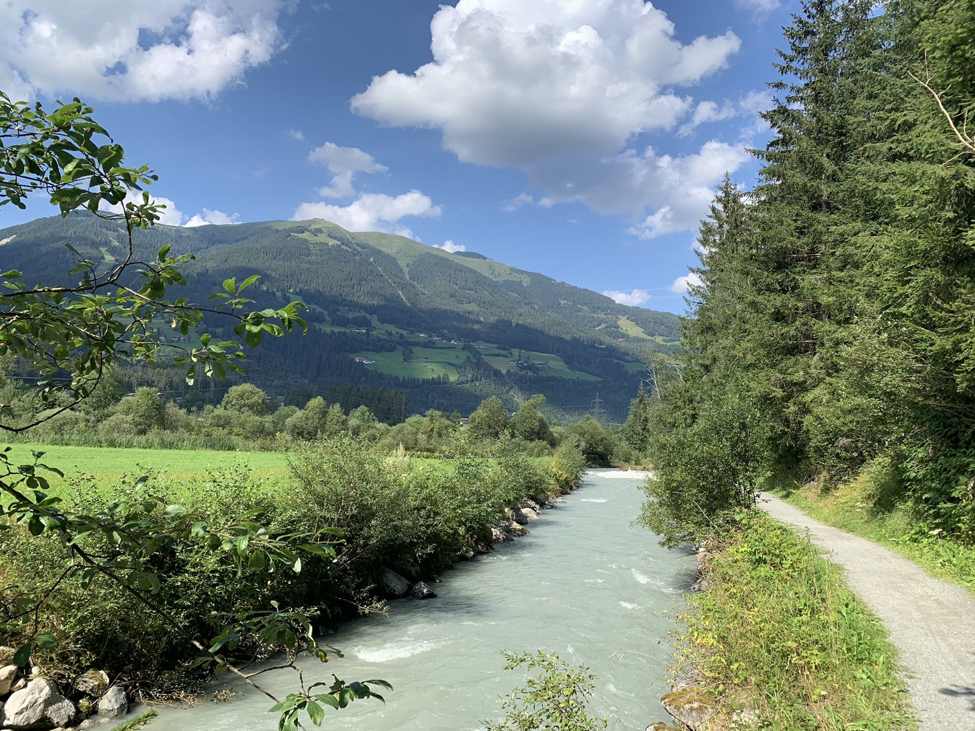
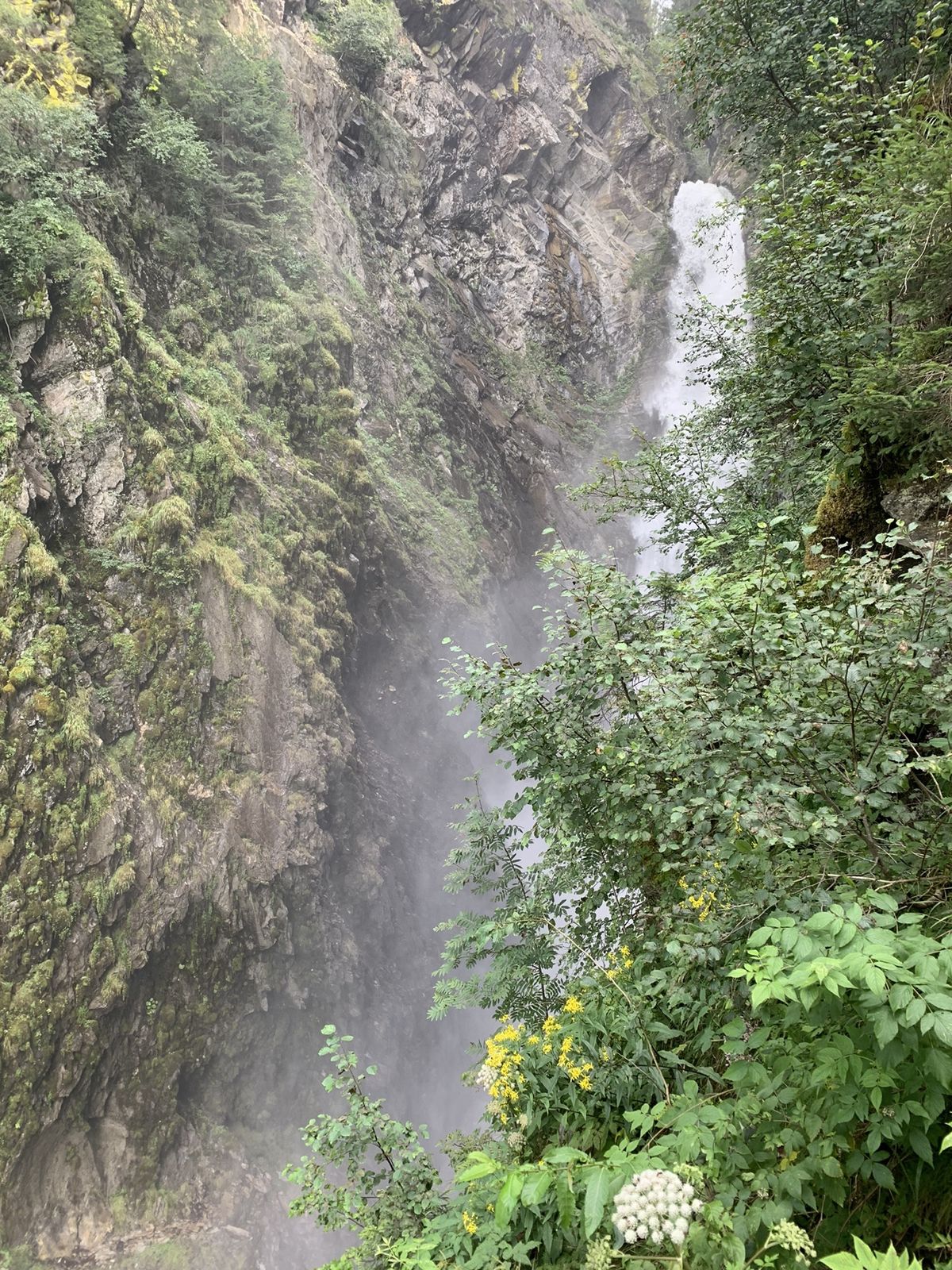
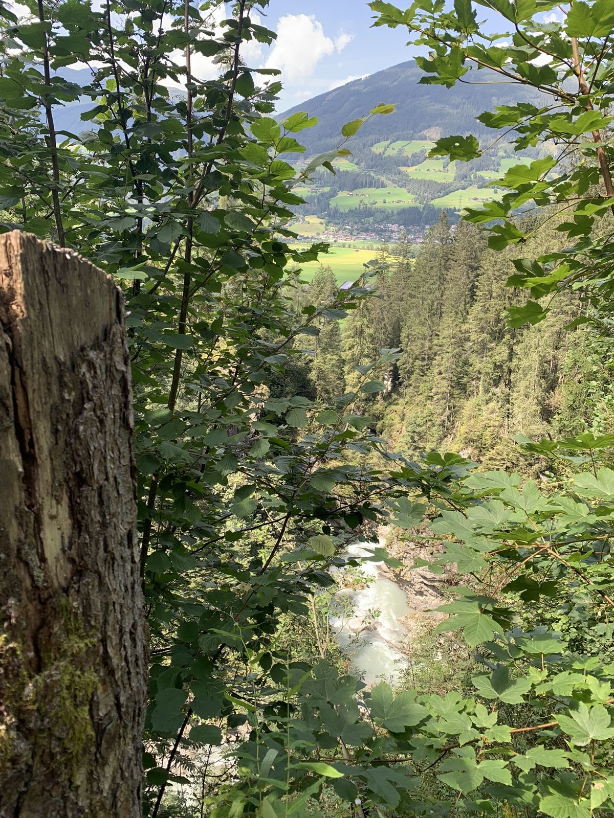
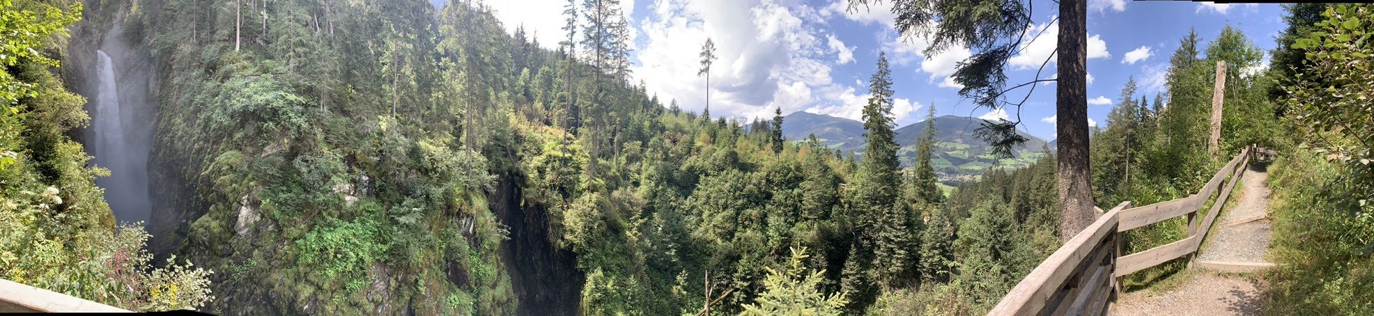
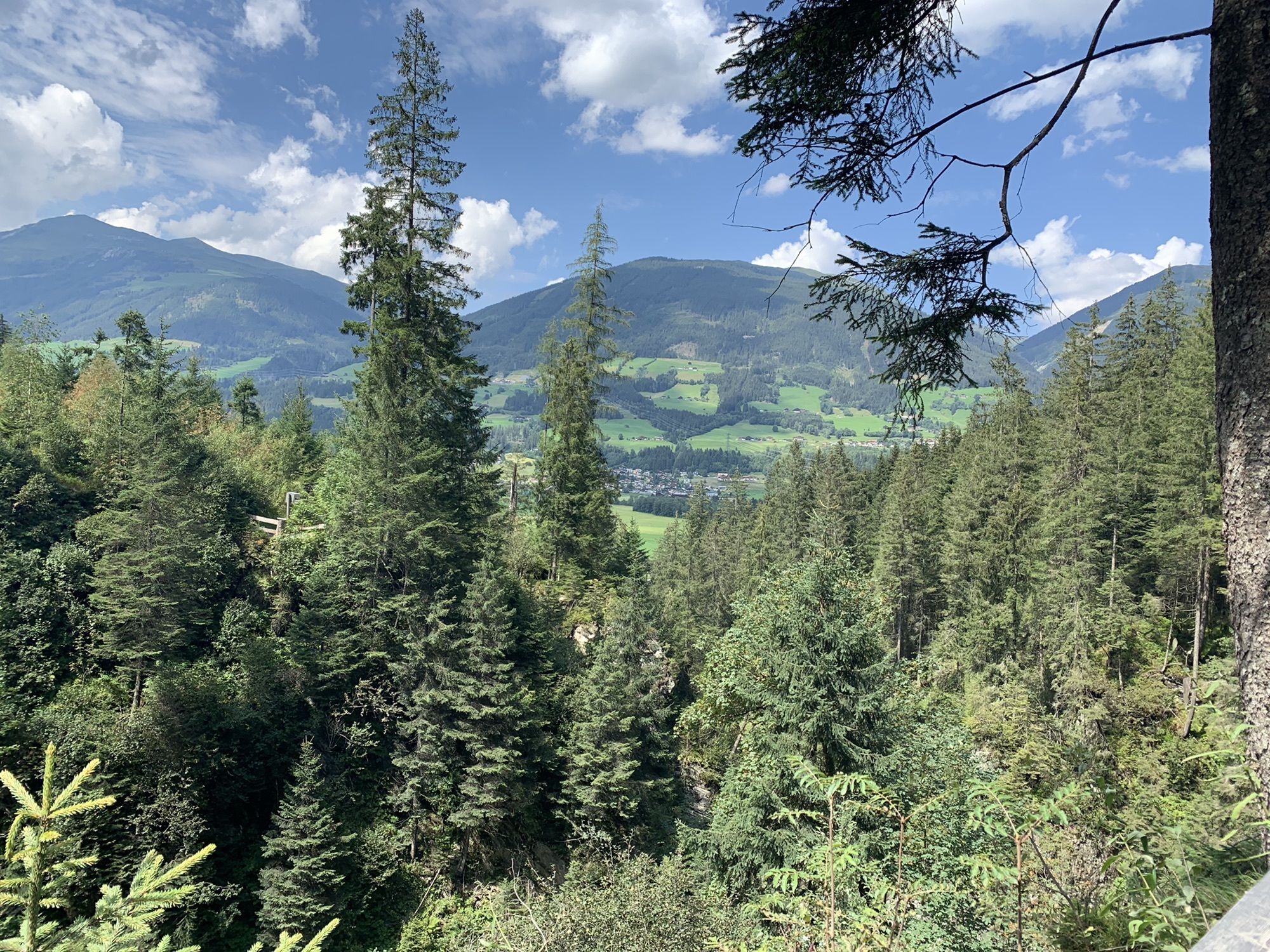
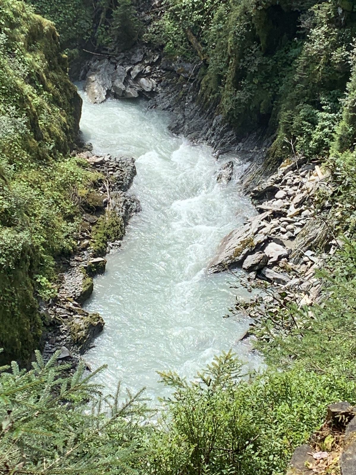
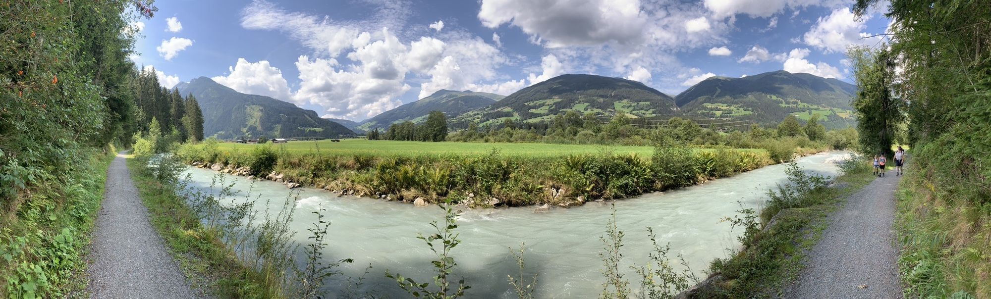
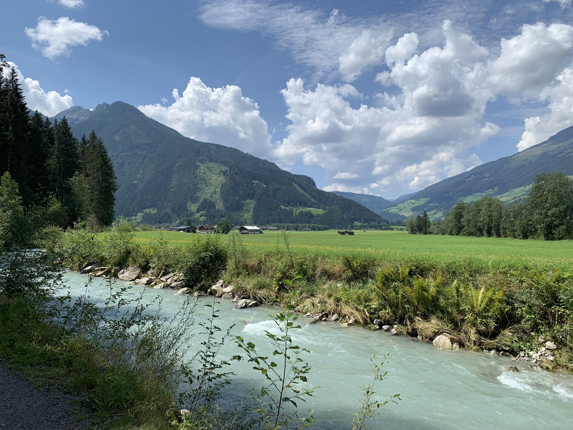
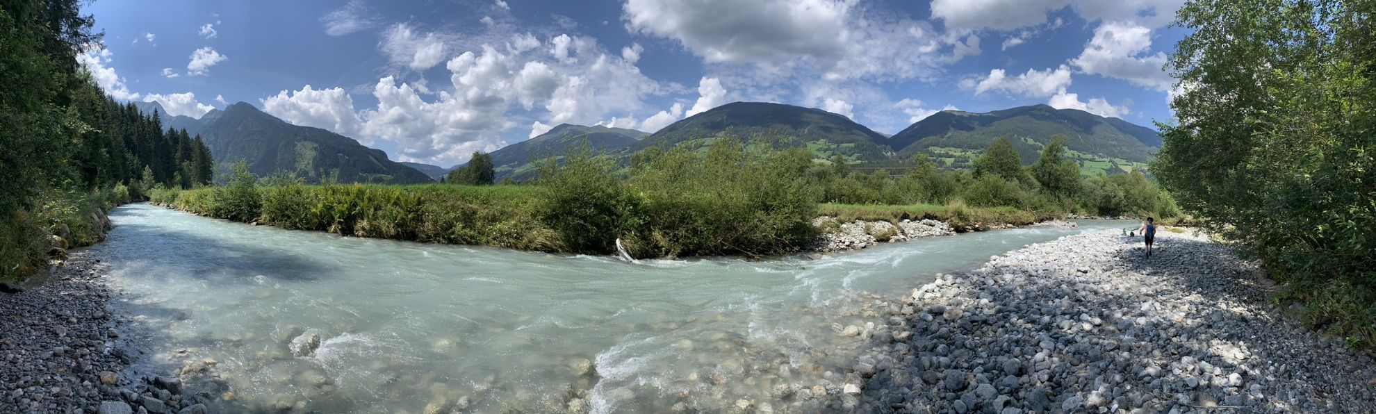
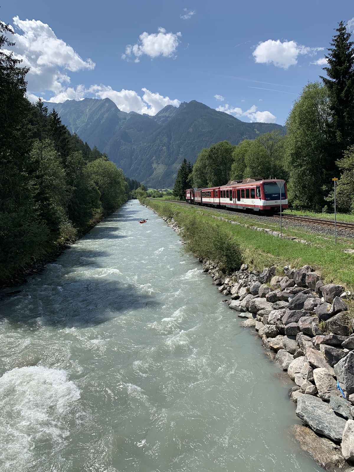
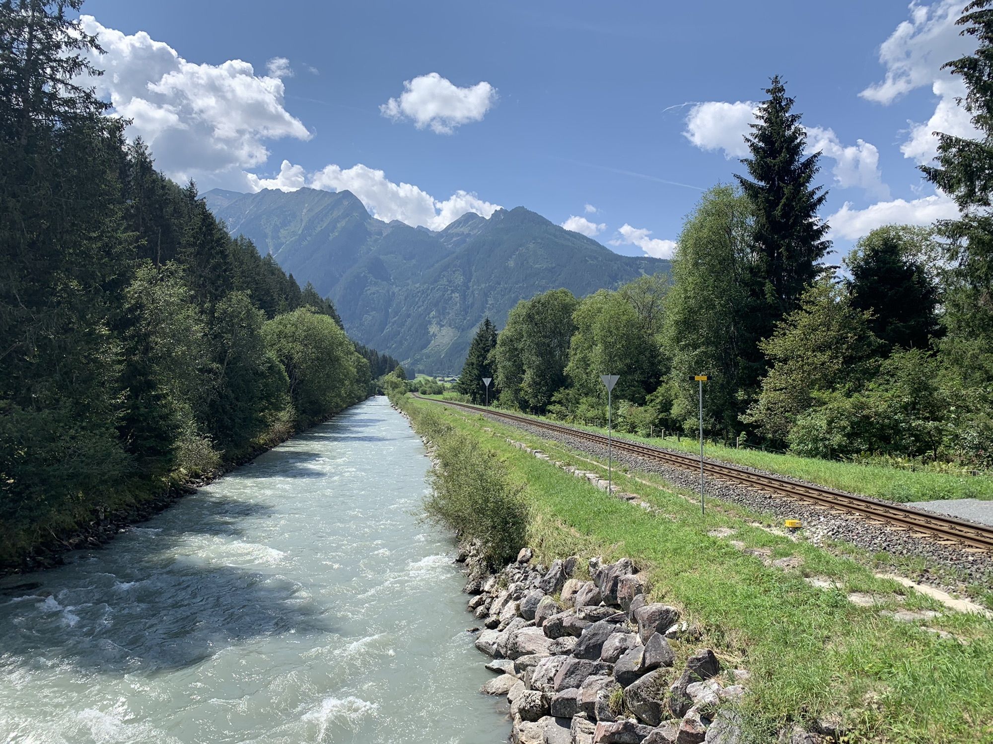
The route leads from Neukirchen along the rushing stream through green forests, past the impressive Untersulzbach waterfall, over alpine pastures into the Untersulzbach Valley.
After this stage, you will overnight once more in Neukirchen. Since this stage is by far the shortest on the Hohe Tauern Bike Trail, you have several options to extend your daily program: either use this day as an “active rest day” and relax at your hotel, or venture deeper into the core zone of the Hohe Tauern National Park and hike from the turnaround point at the Stockeralm to the unmanaged Aschamalm, where the marked hiking trail ends and nature in the Untersulzbach Valley is finally left to itself. As a third option, you can take on one of the other mountain bike routes after returning to Neukirchen.
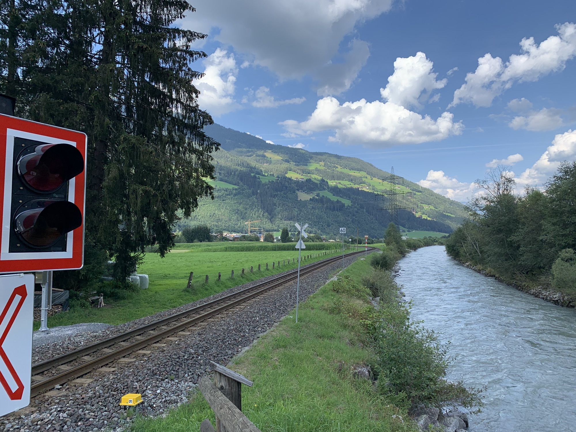
–> The stage runs exclusively on forest roads, alpine trails, and paved cycle paths/side roads. Details on the requirements of the Hohe Tauern Bike Trail can be found here >>.
Book your cycling trip now on the Hohe Tauern Bike Trail at the Info and Booking Center.

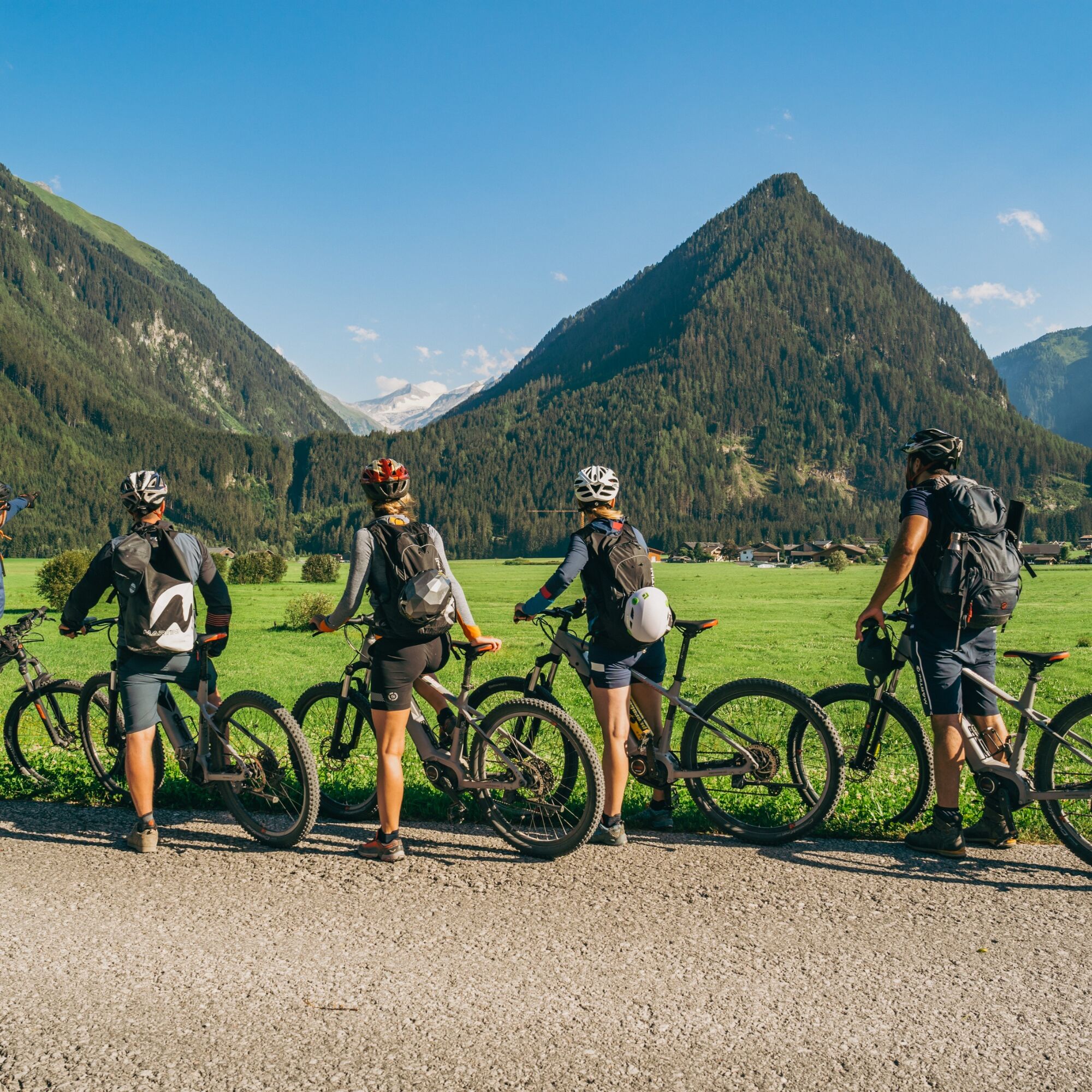
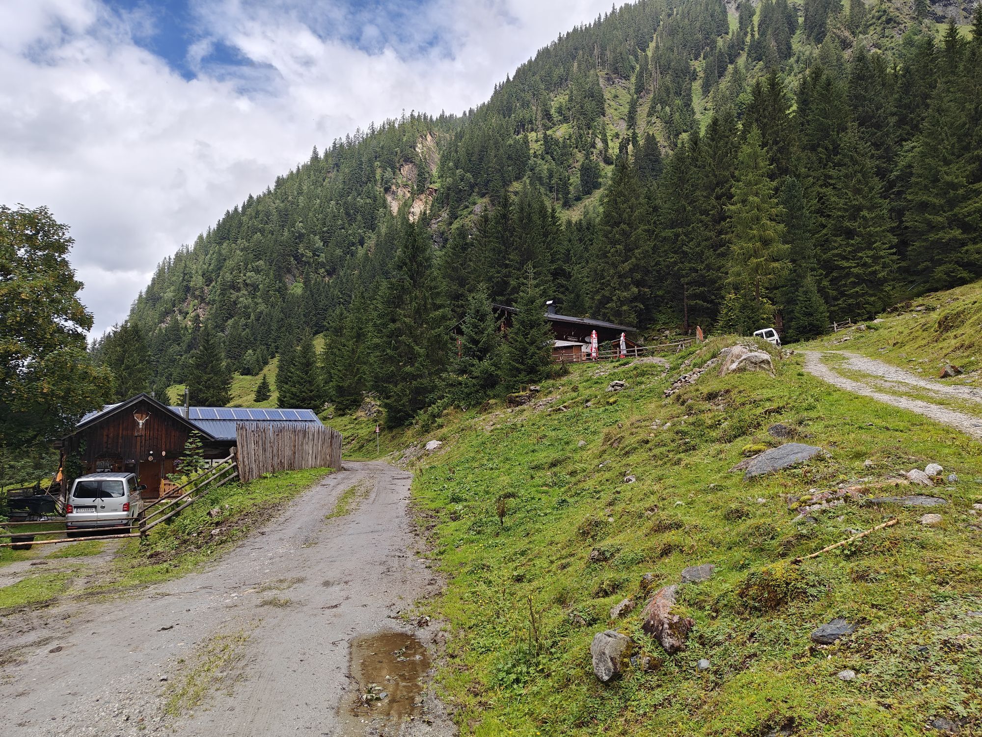
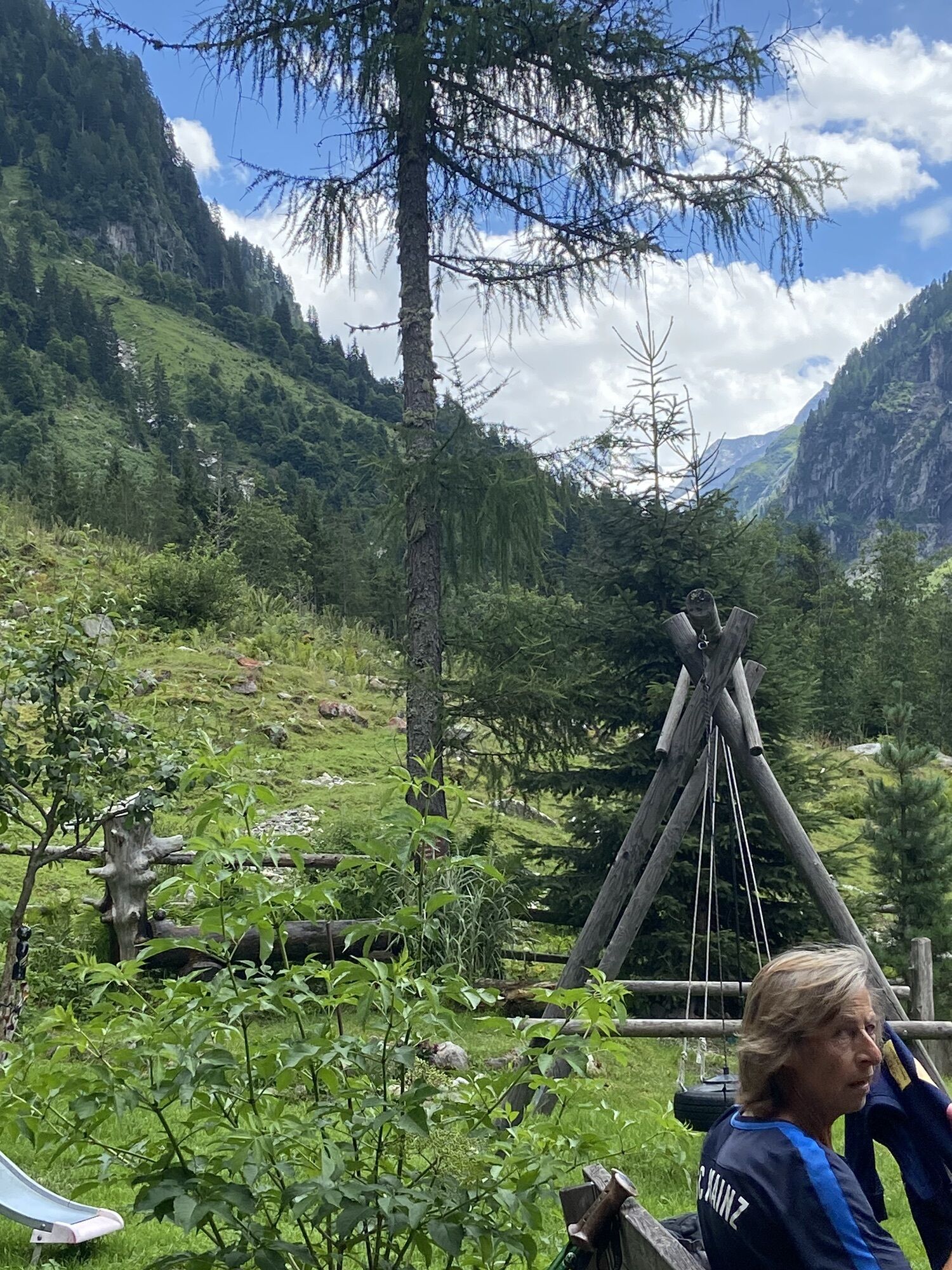
From here, about 430 meters of elevation remain to be overcome up to the Stockeralm – an effort that is worth it, as a well-deserved refreshment awaits you there (alternatively, shortly before the Stockeralm you can take the Almstraße on the right up to the also managed Finkalm). At the Stockeralm, your optional Bike & Hike possibility also starts, the hike to the Aschamalm (for more information see “Author's tip”).
For the return journey, take the same route back to Neukirchen.
Charging station along the stage:
Stockeralm
Ano
Ano
Recommended Equipment >>
Coming from Krimml via the L113 and the B165 to Neukirchen.
From Krimml town center with regional bus 670 towards Mittersill train station via Neukirchen to the Neukirchen town center exit stop.
To the long-term parking options at the Hohe Tauern Bike Trail>>
S0
Hohe Tauern National Park holiday region
Gerlosstraße 18, 5730 Mittersill, Austria
Tel. +43 6562 40939 E-mail: hohetauerntrail@nationalpark.at
Booking Center & Info Hotline Trail Angels GmbH
9821 Obervellach 15, Austria
Tel. +43 4782 93093 E-mail: info@bookyourtrail.com
Oblíbené prohlídky v okolí
- 4,3
Gerlos: Stausee Rundwanderung
středníTuristika 12,5 km - 4,7
Zittauer Hut
středníTuristika 6,85 km - 3,7
Smaragdwanderweg Habachtal/Bramberg
světloTuristika 7,17 km - 4,3
Krimmler Tauernhaus
středníTuristika 10,4 km - 4,3
Krimml Waterfall Path - Panorama Viewing Path
středníTuristika 4,74 km - 4,7
Krimmlerwasserfälle
středníTuristika 10,5 km - 4,5
Kröndlhorn (2.444m)
heavyTuristika 13,5 km - 4,8
Krimmler Achental
středníElektrokola 18,4 km - 4,6
Krimml Waterfalls
středníTuristika 12,4 km - 4,7
Hollersbach - Neue Fürther Hütte
Turistika 16,0 km
Pěší turistika a stopování


Nenechte si ujít nabídky a inspiraci pro vaši příští dovolenou
Vaše e-mailová adresa byl přidán do poštovního seznamu.