


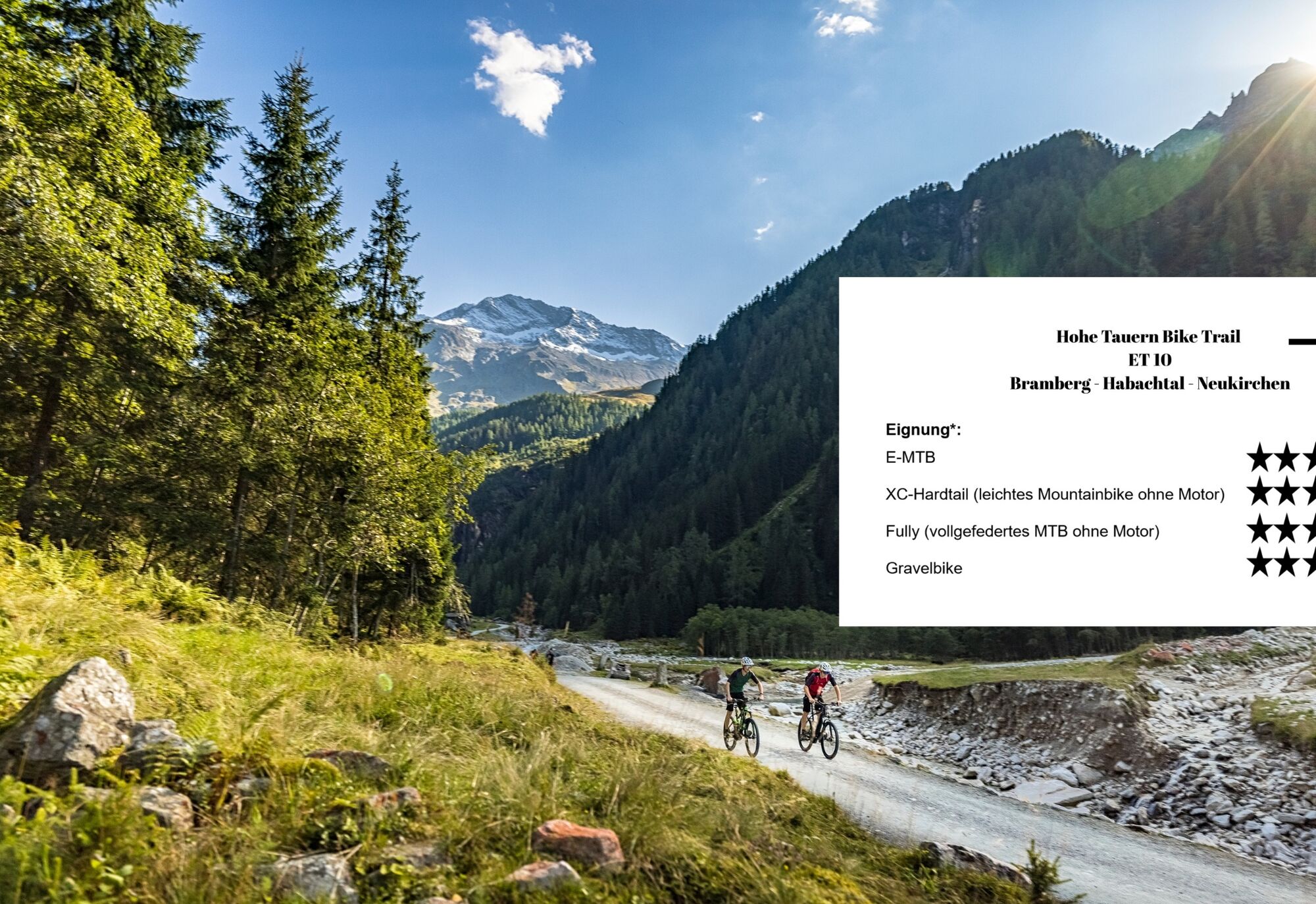
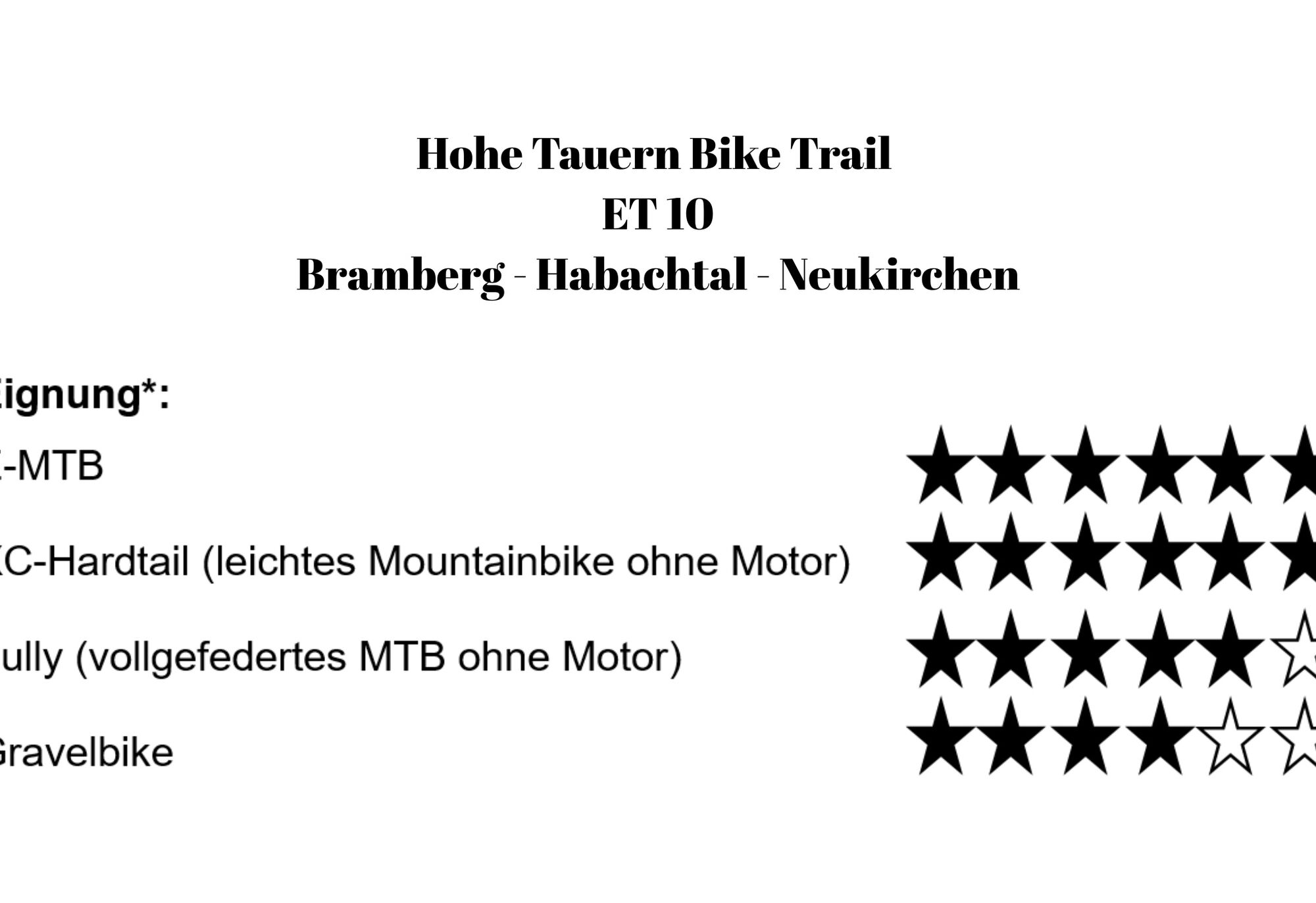
Hohe Tauern Bike Trail | ET10 Bramberg | Habach Valley | Neukirchen
Úroveň obtížnosti: S0


With the Hollersbach Valley traveled in the previous stage, but at the latest at the Habach Valley, you are now in the heart of the “wild Tauern valleys” in the west of the High Tauern. While many of the...
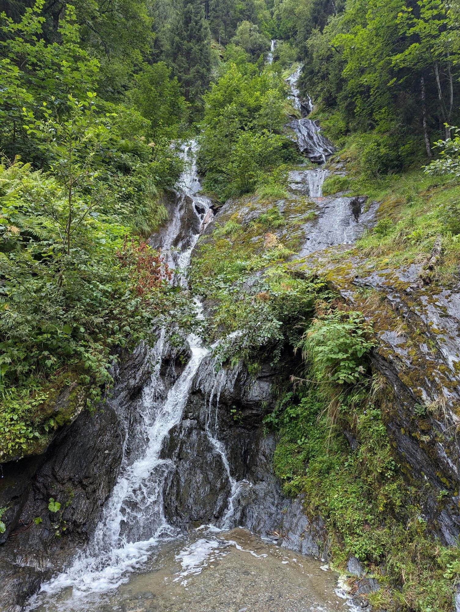
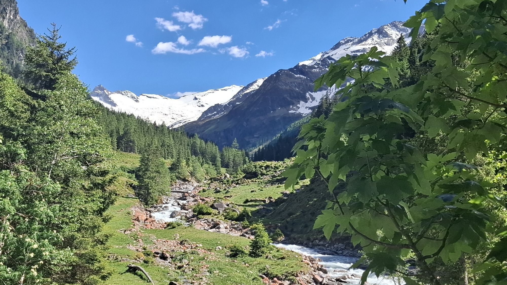
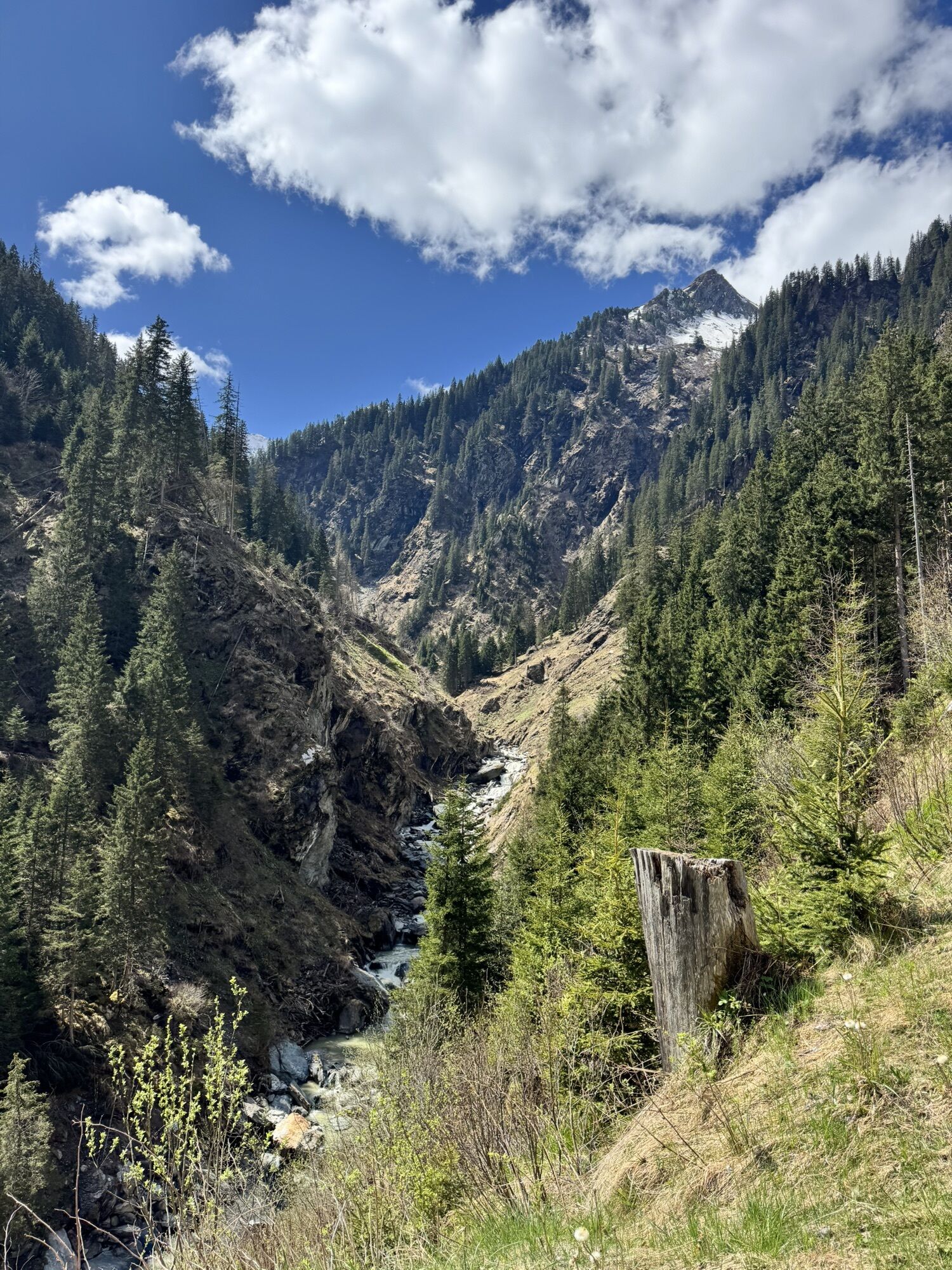
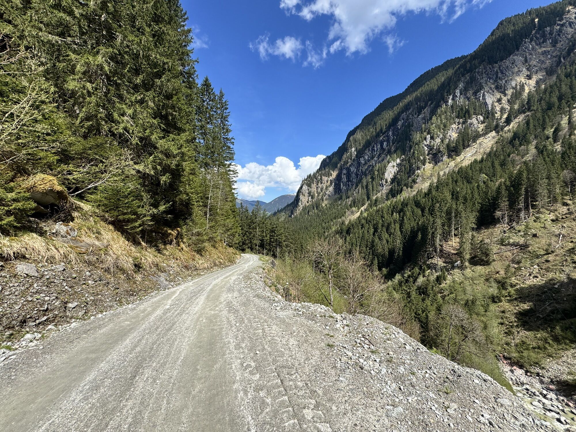
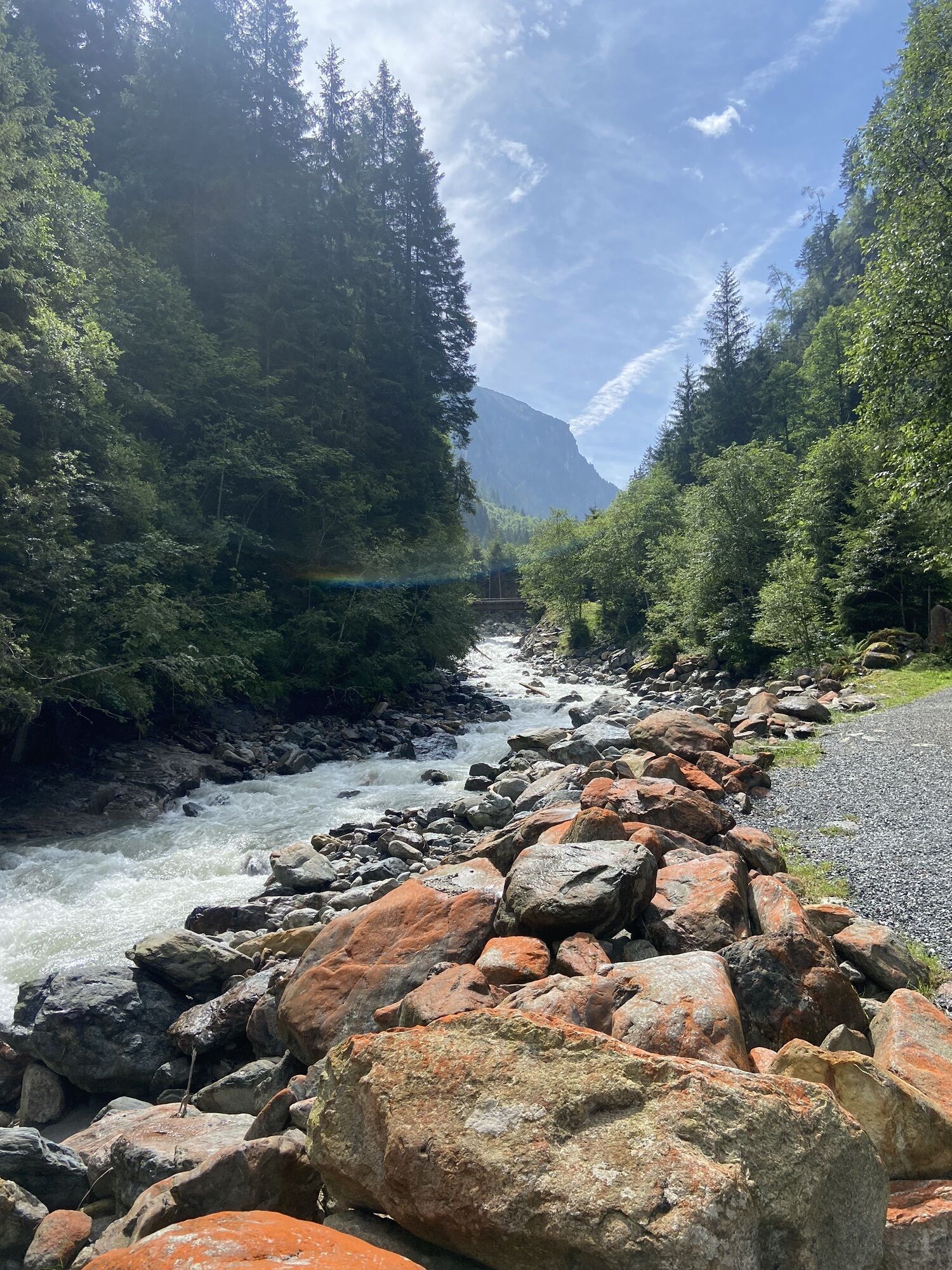
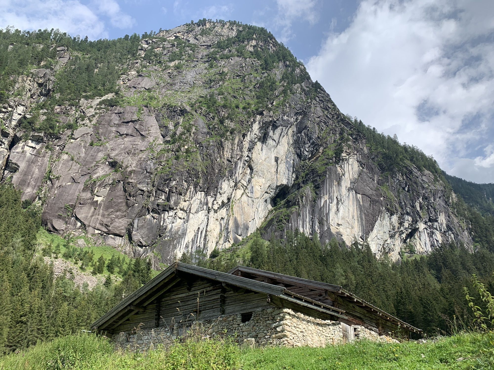
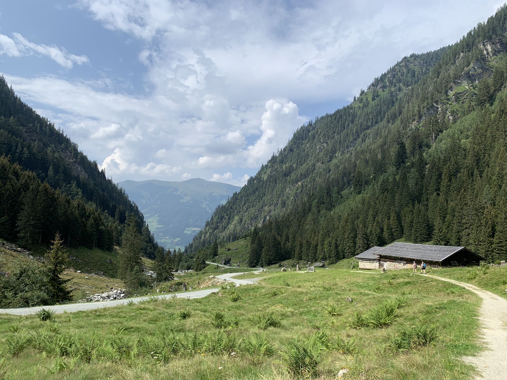
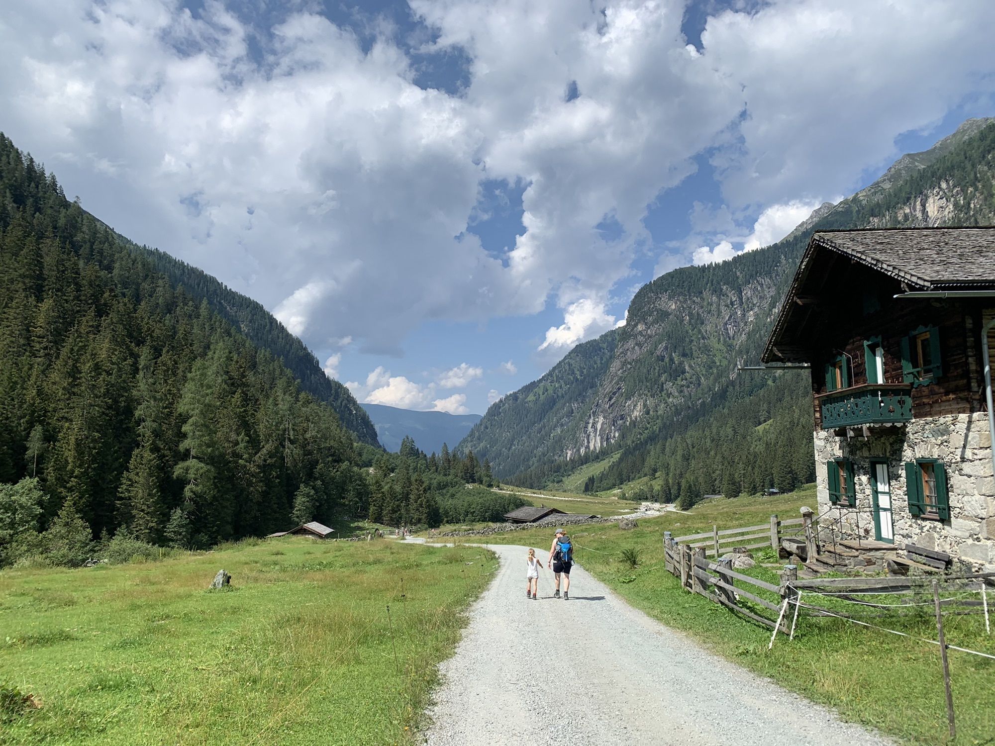
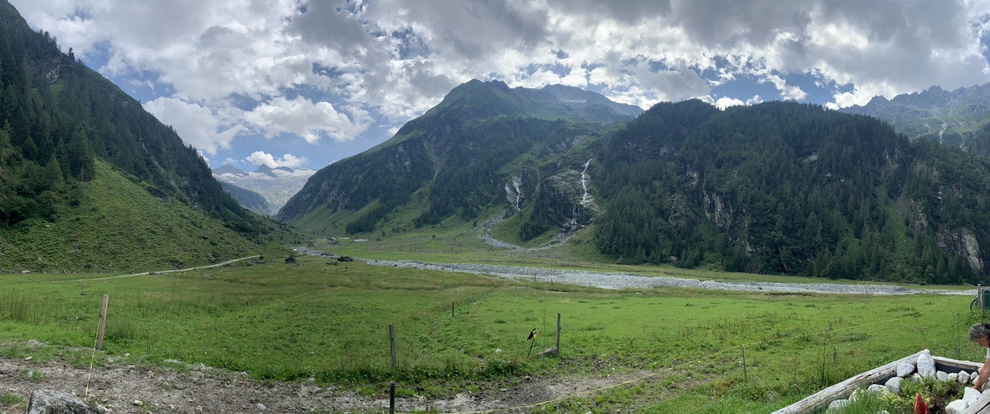
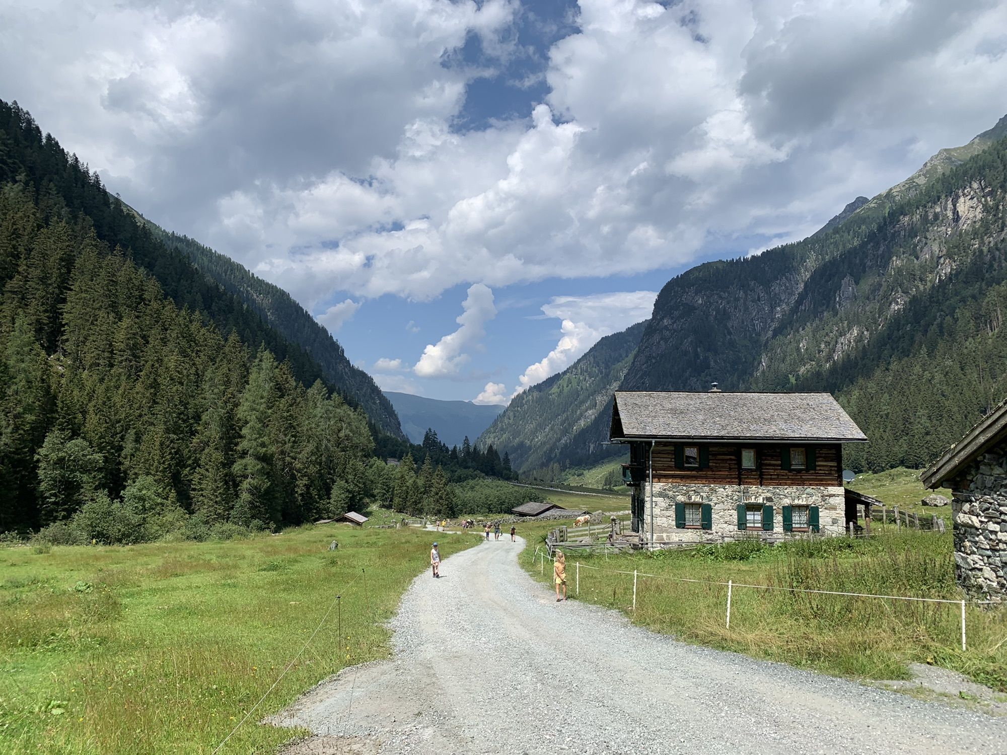
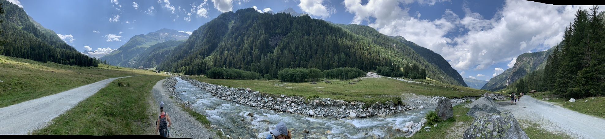
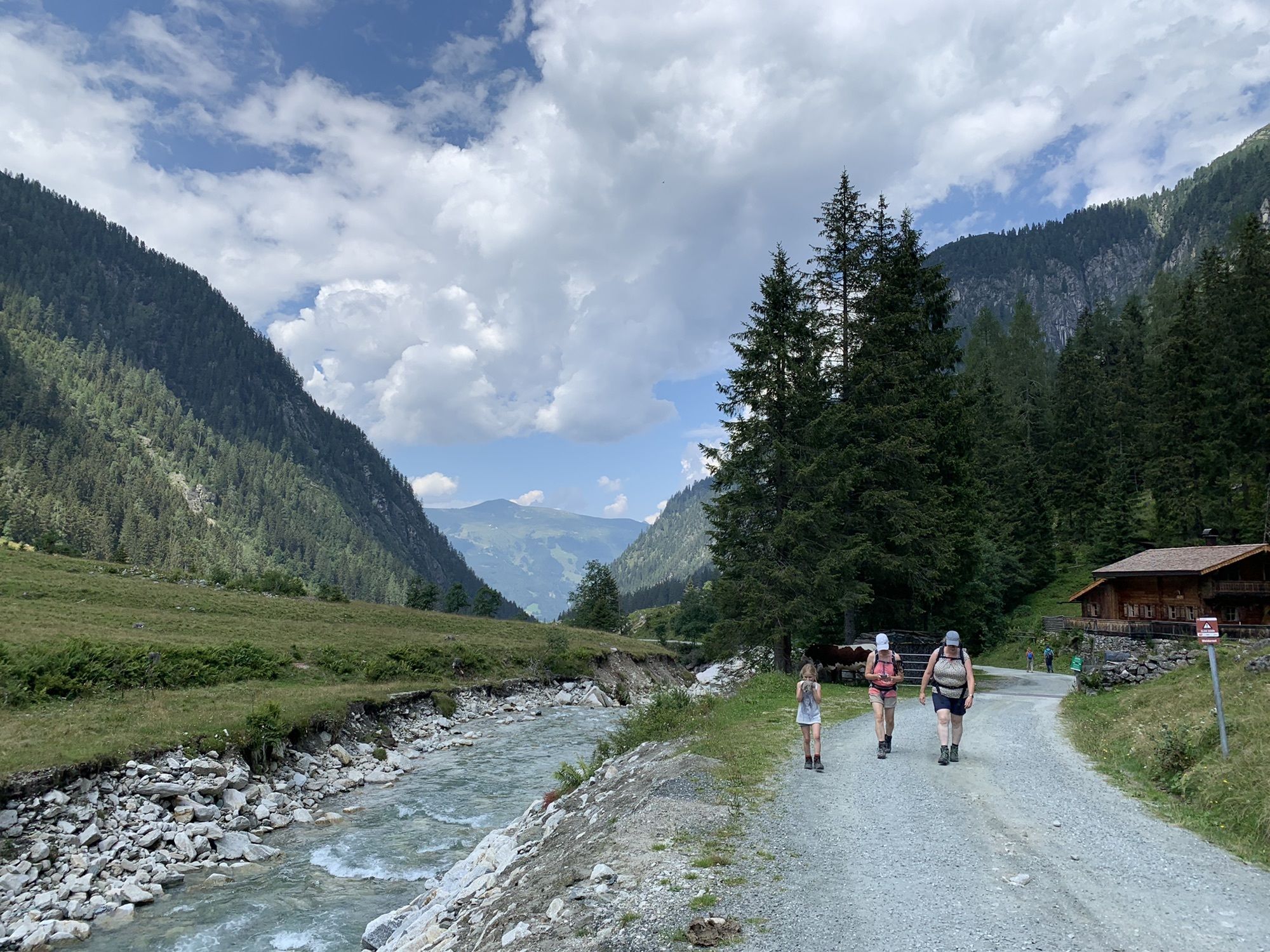
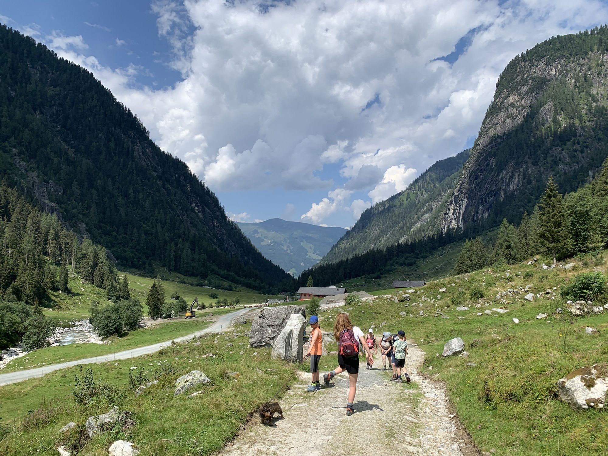
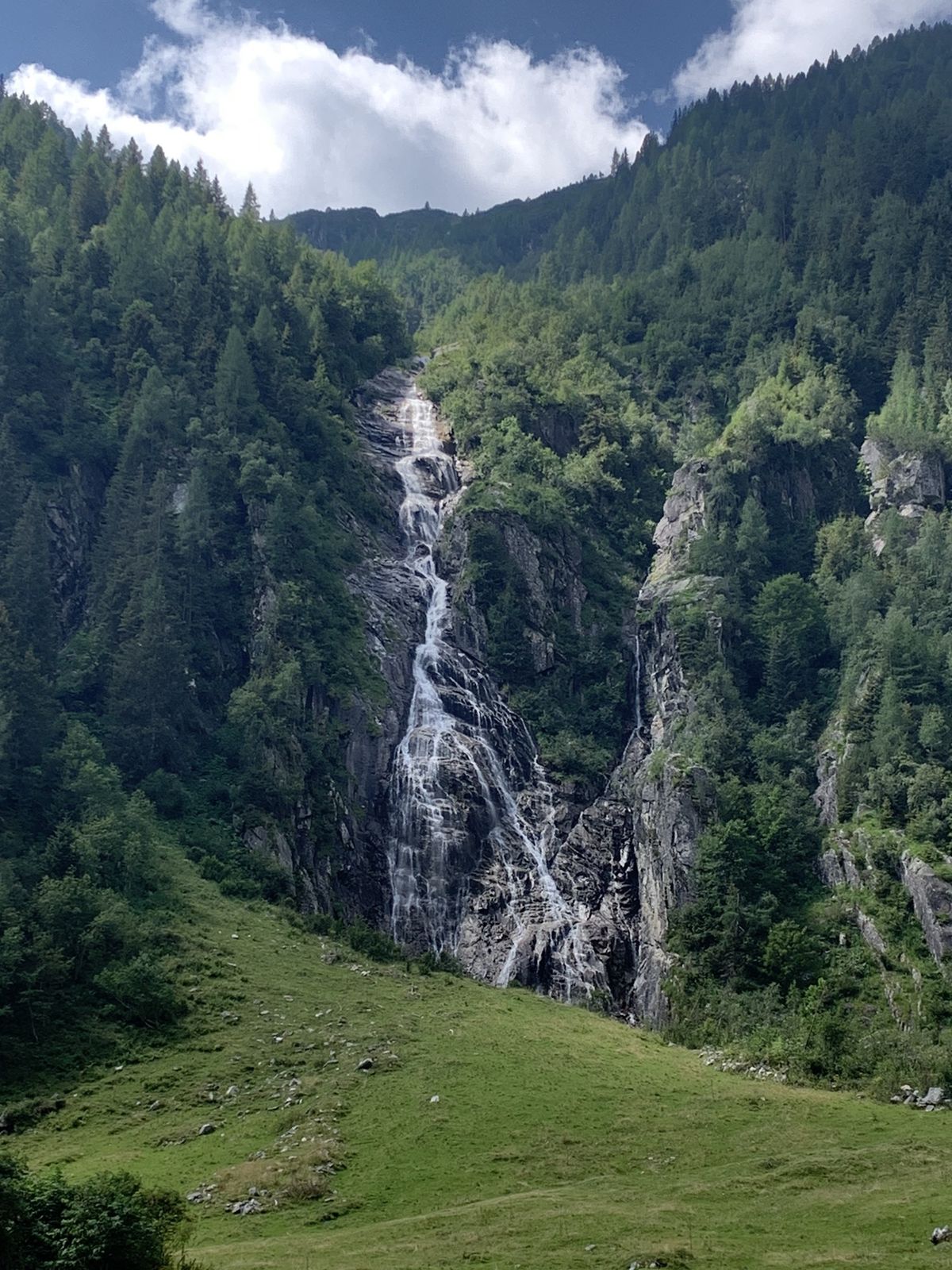
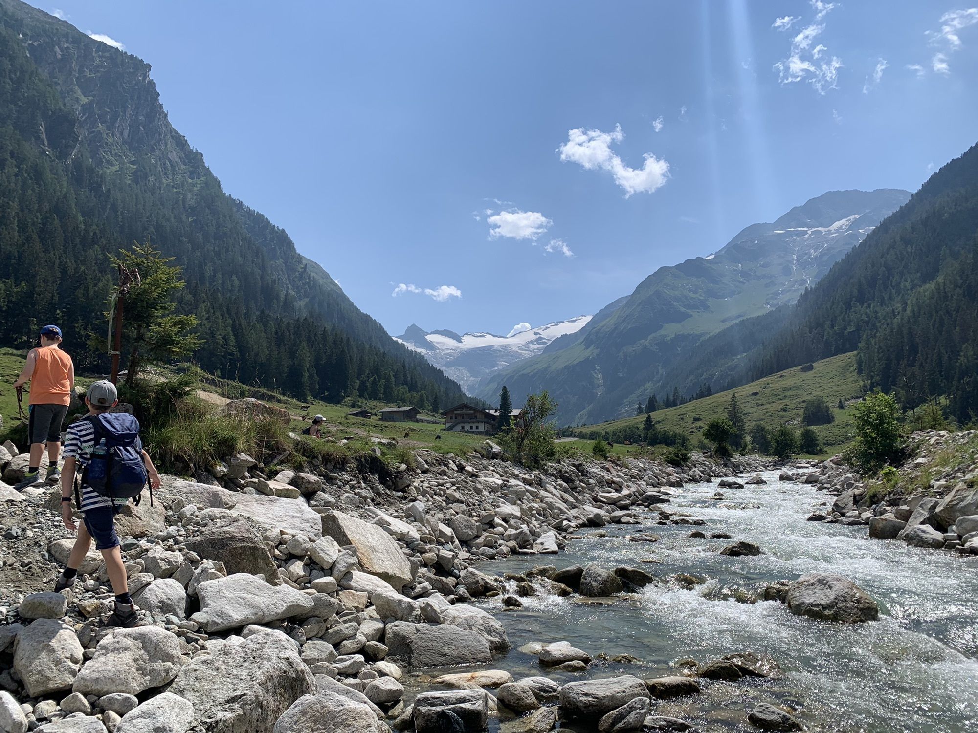
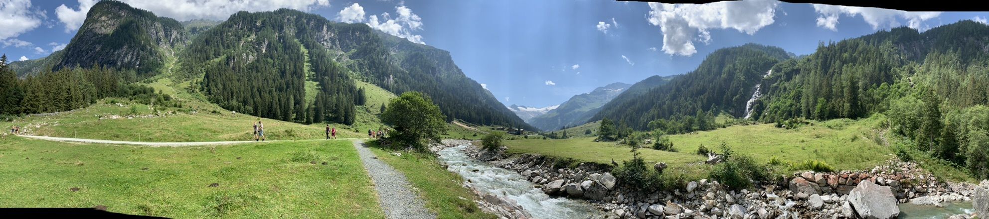
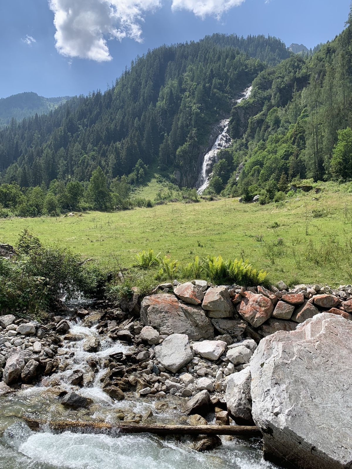
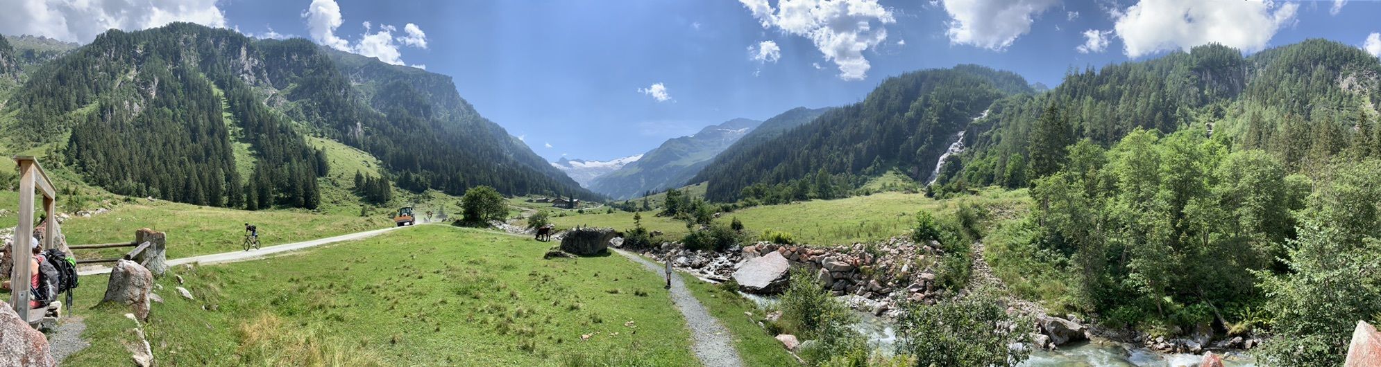
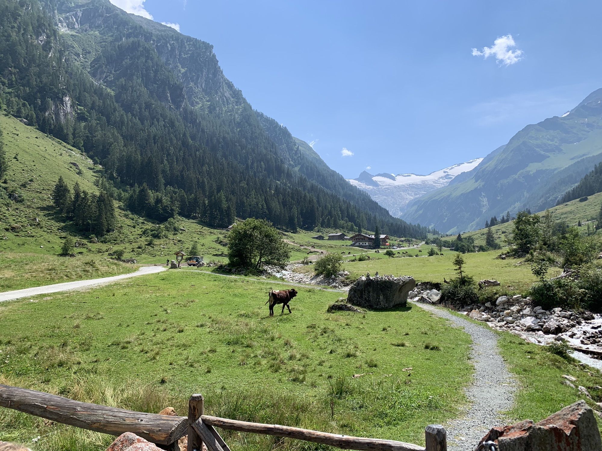
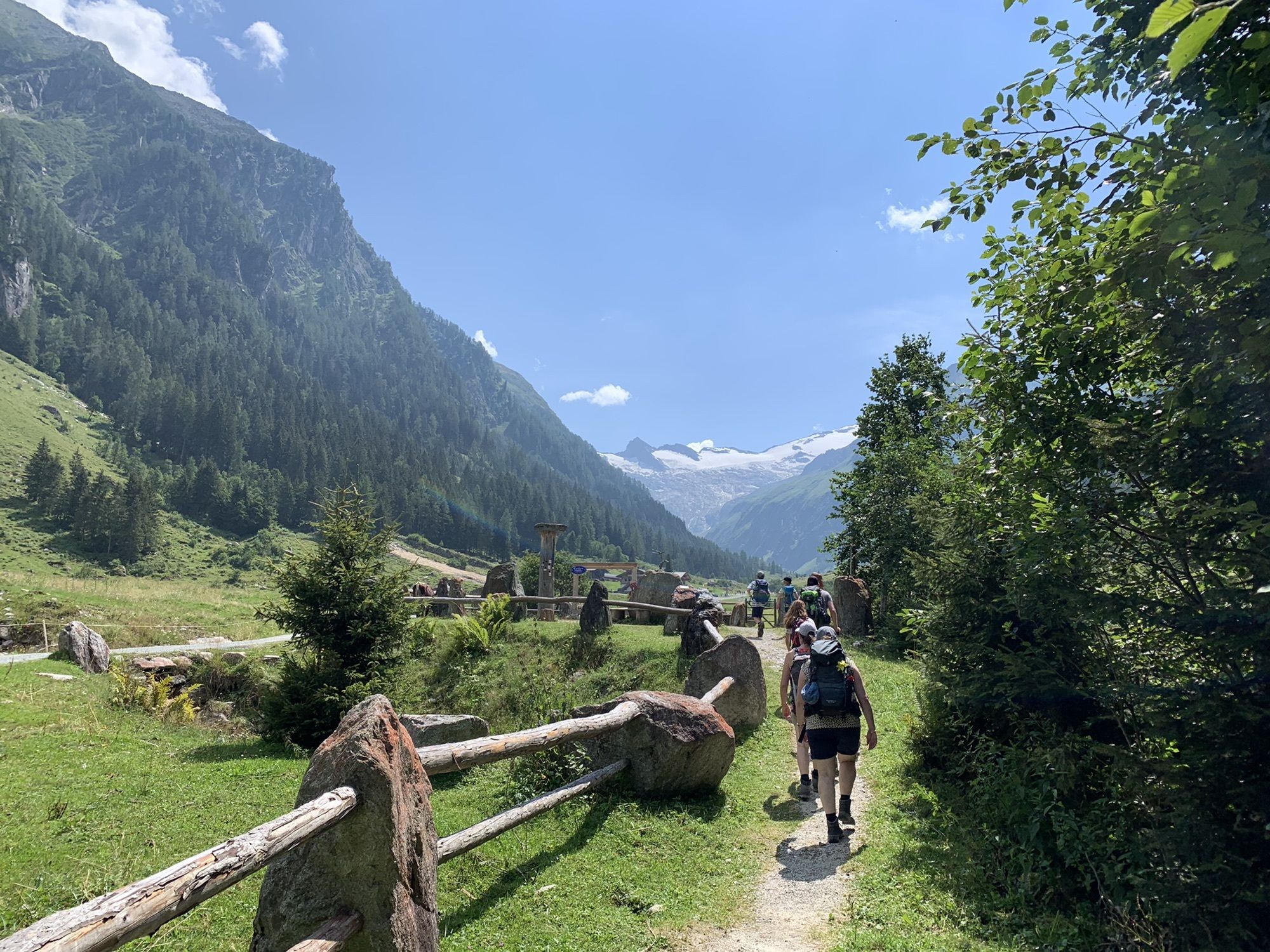
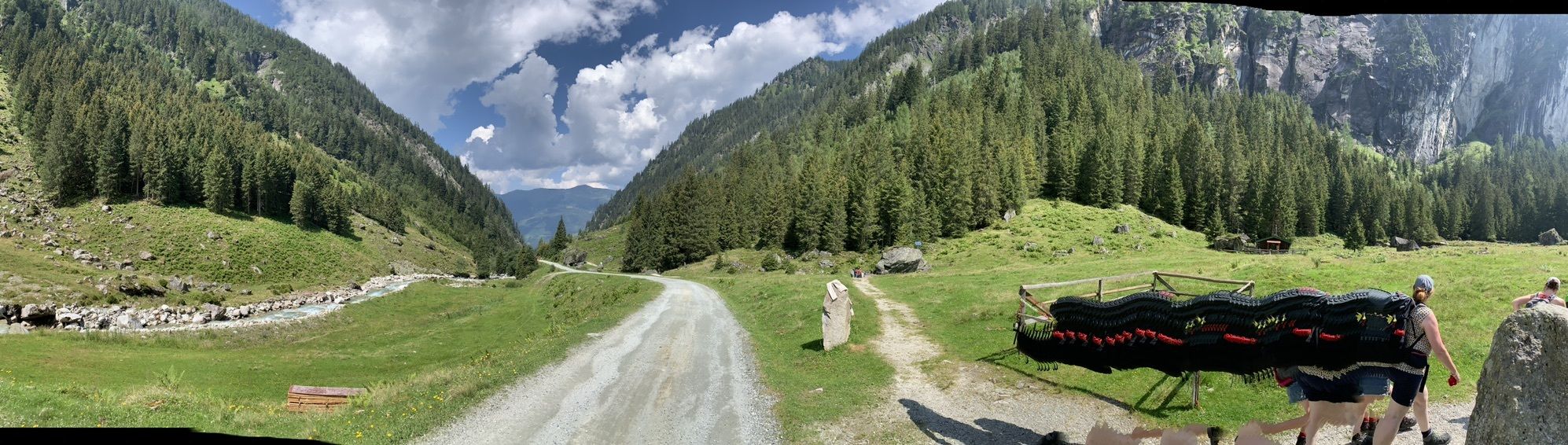
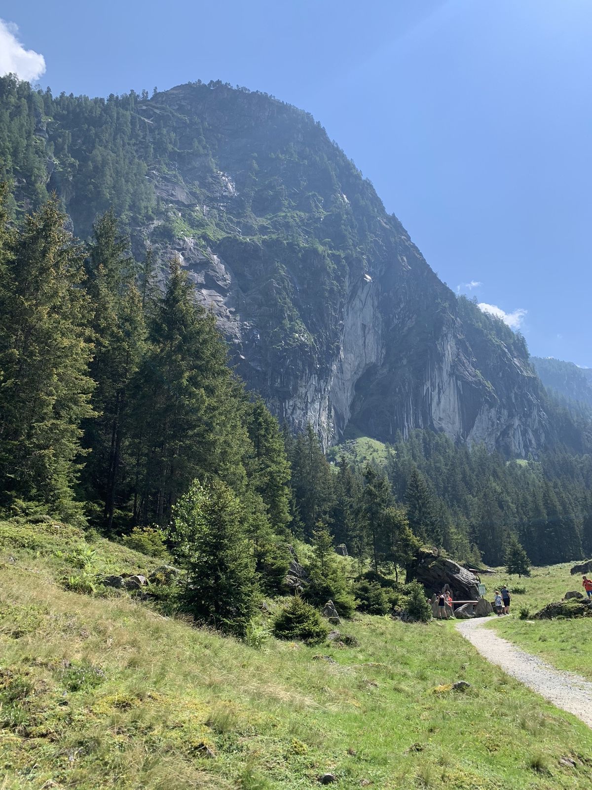
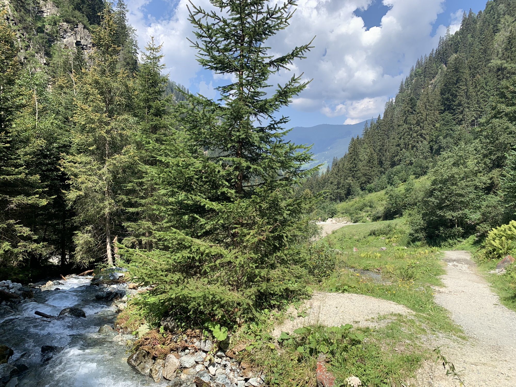
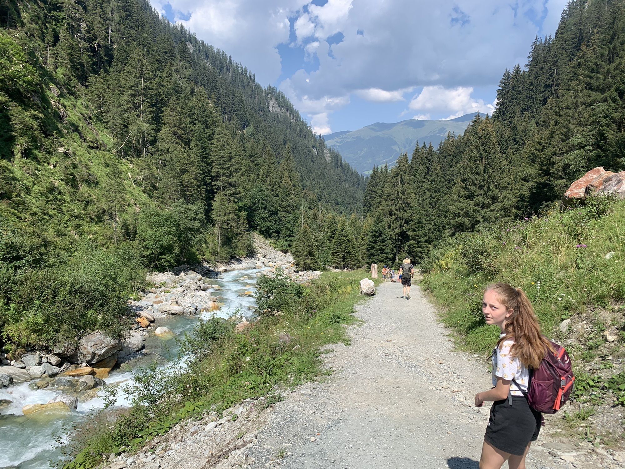
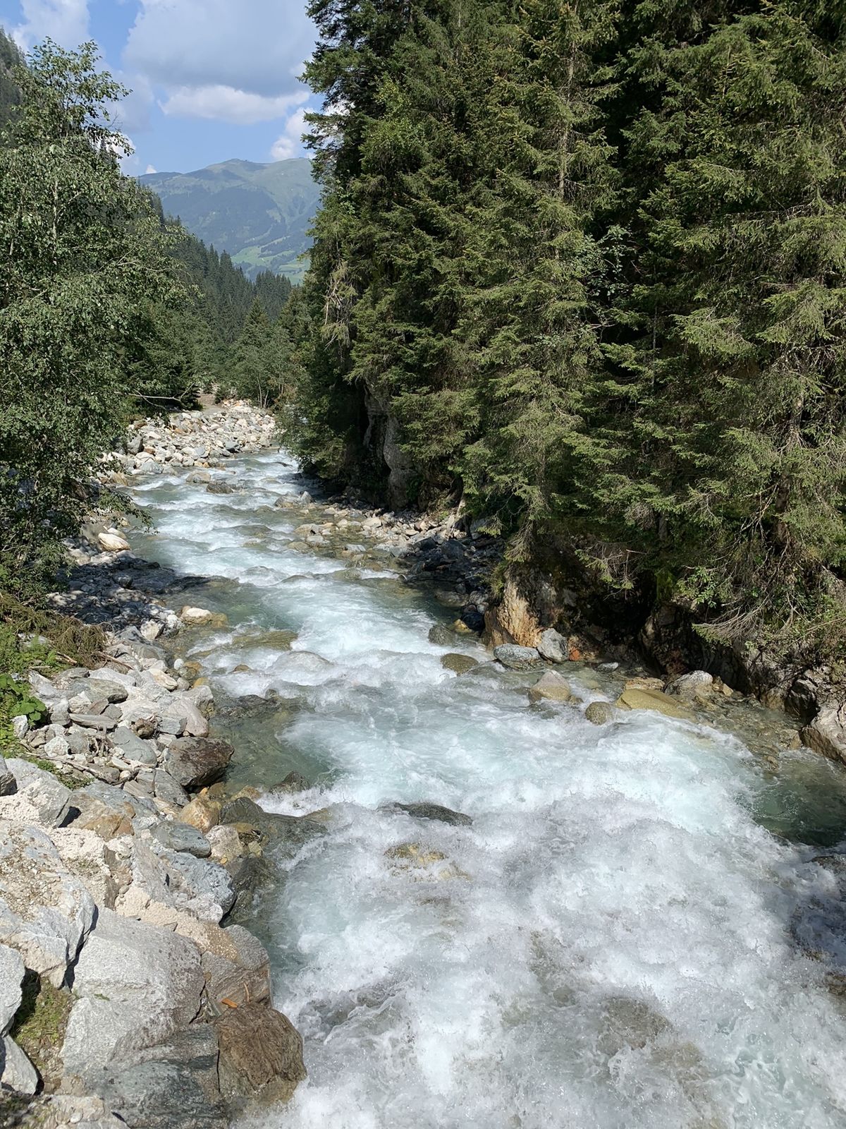
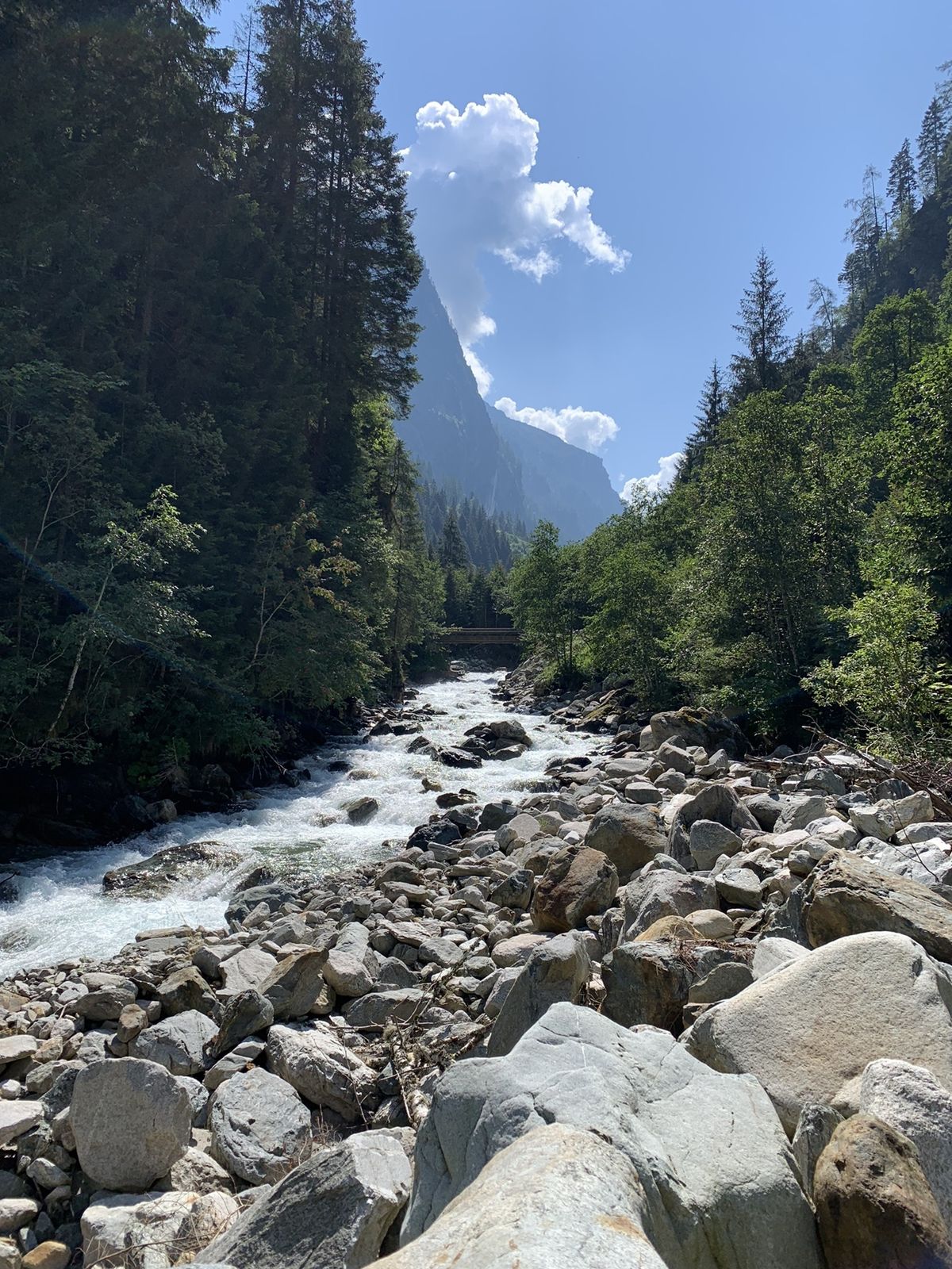
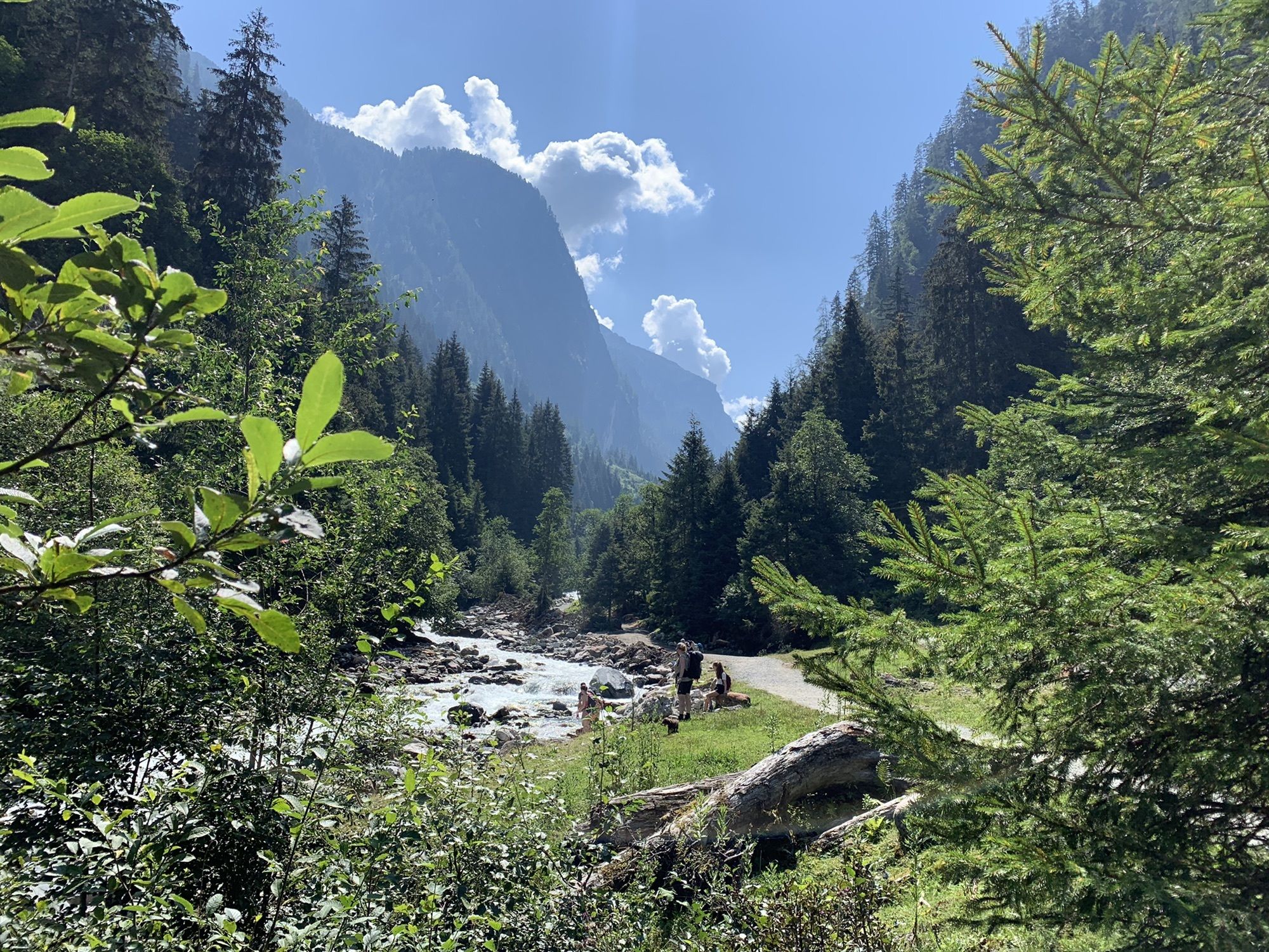
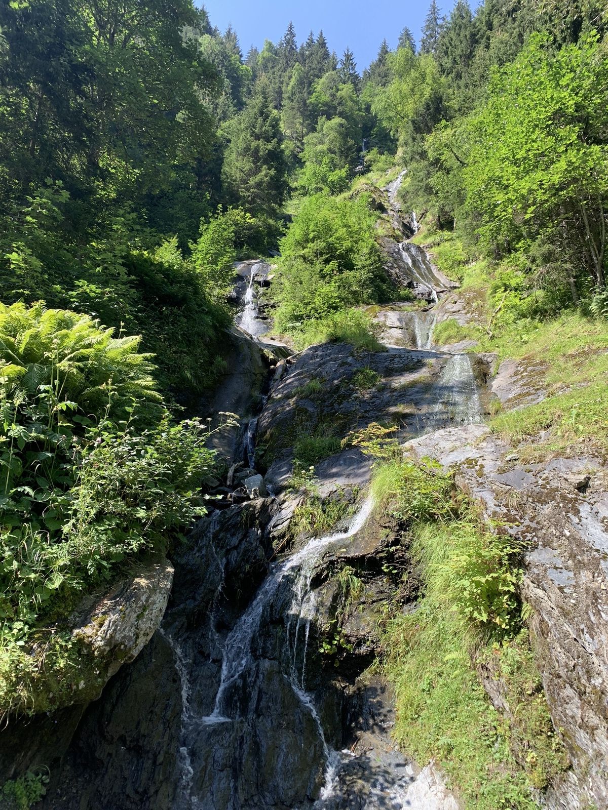
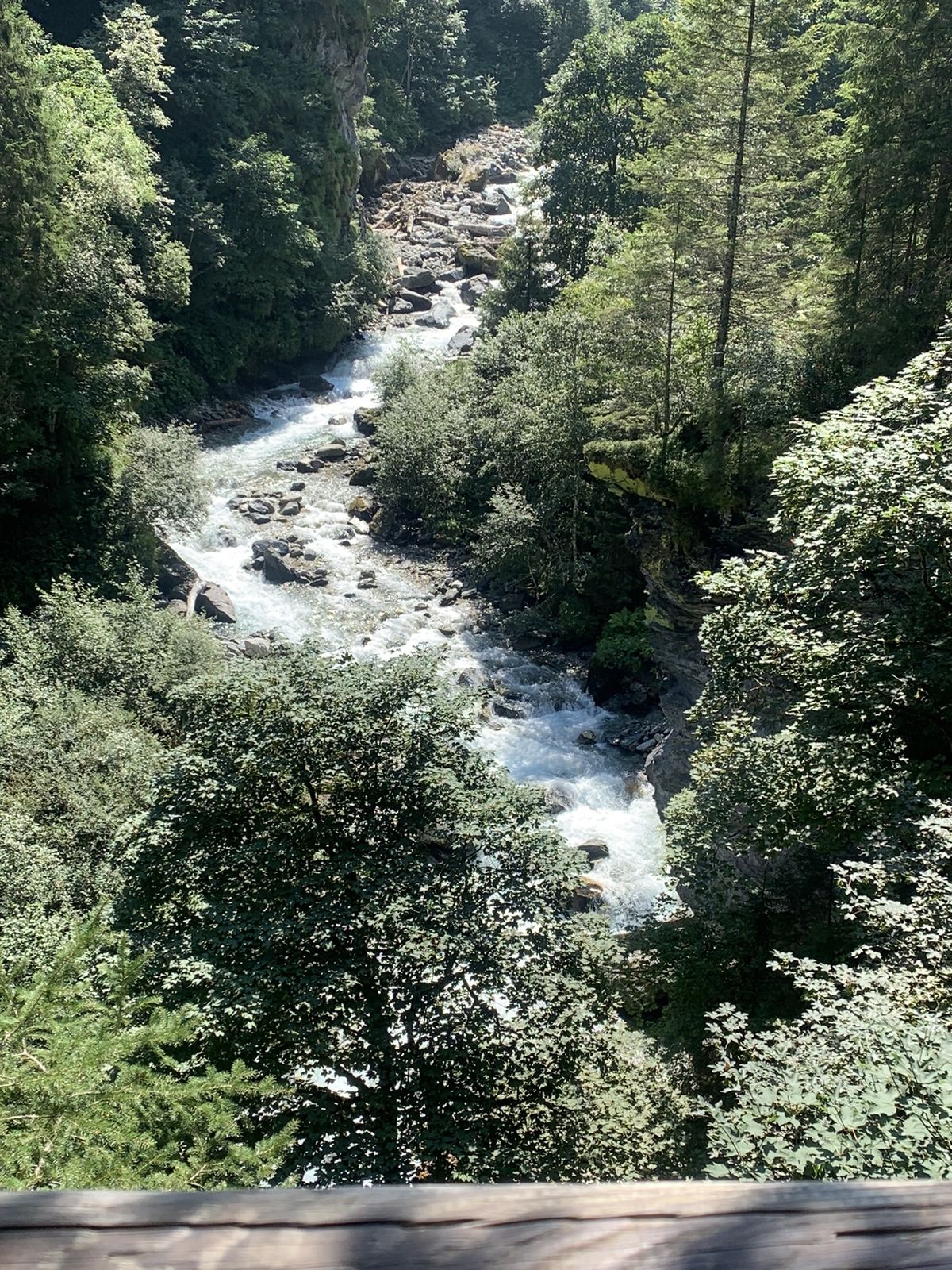
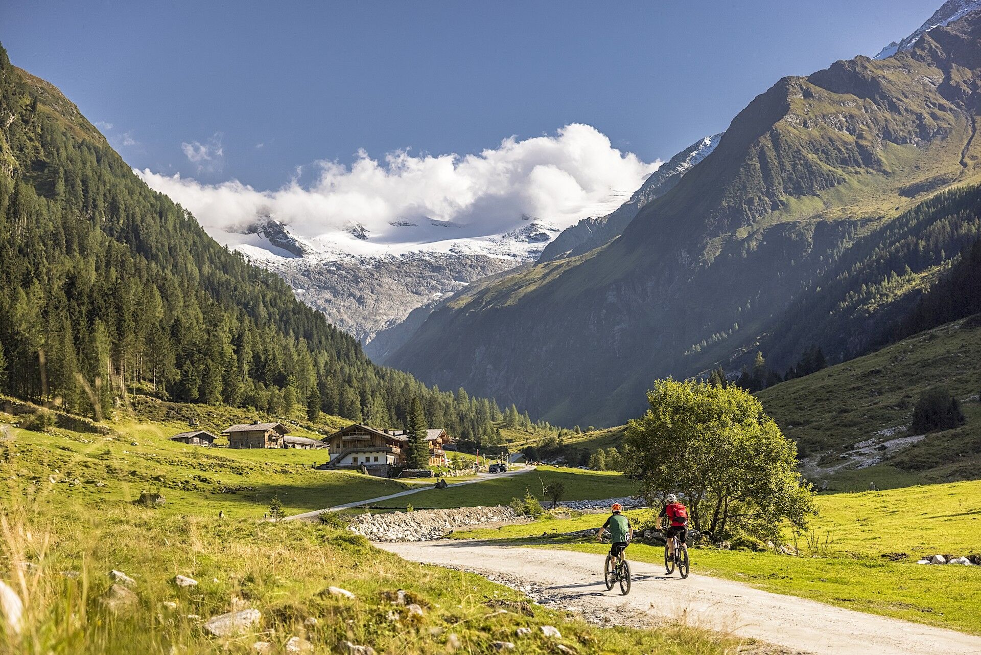
The quiet and mysterious Habach Valley is a unique gem among the Tauern valleys – known as Europe's only emerald deposit site. By mountain bike – starting from the emerald village Bramberg via the Tauern Cycle Path to the entrance of the Habach valley – you experience a special mix of nature, history, and adventure. The partly gravel and partly paved gently ascending forest road runs along wild streams, through dense forests, and past steep rocks – accompanied by the myth of emeralds (which is also explained in more detail on the optional Emerald Trail hike). Along the path, several places to rest invite you to pause: the Enzian Hut, the Alpenrose inn, and the Alte Moa Alm. At the end of the path, you reach the Alte Moa Alm, where the Habach Valley opens and is only accessible on foot beyond this point. Since this stage is quite short, you can, before returning through the valley and continuing to Neukirchen am Großvenediger, undertake the hike from Alte Moa Alm to the New Thuringian Hut.
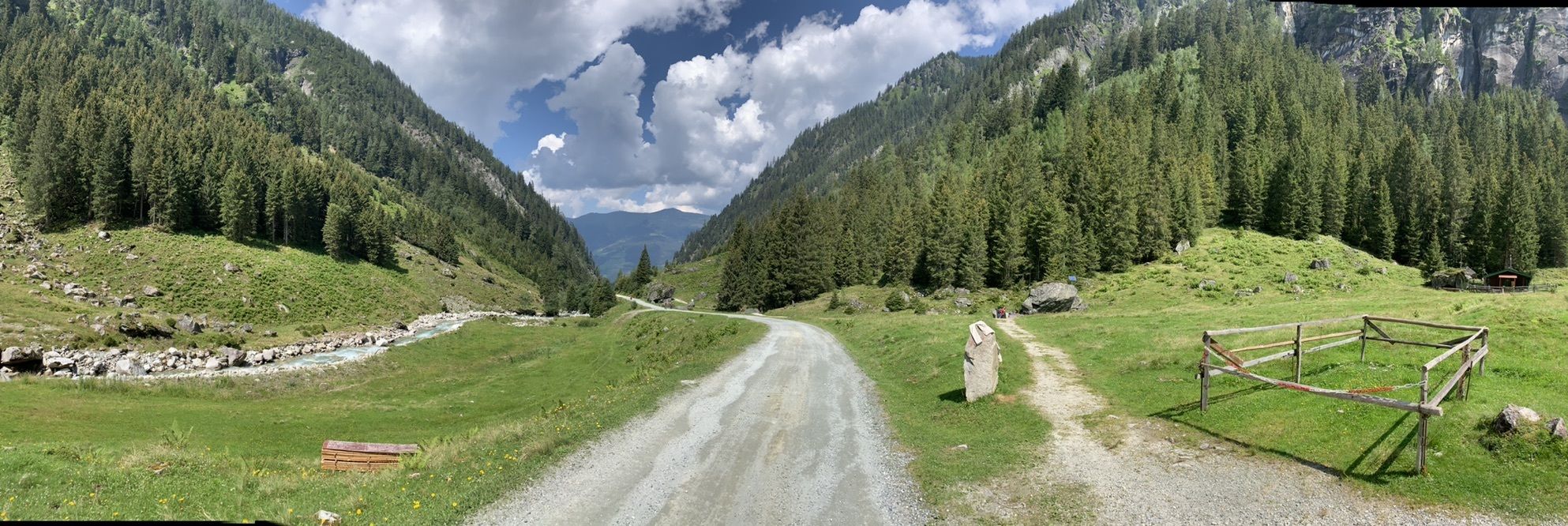
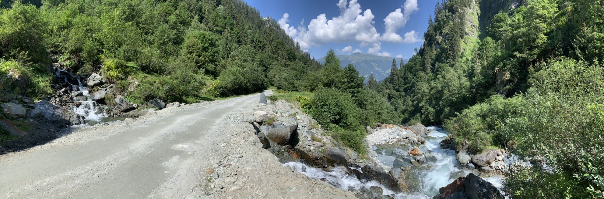
-> The stage is exclusively on forest roads and alpine paths as well as paved cycle paths/side roads. Details on the requirements of the Hohe Tauern Bike Trail can be found here >>.
Book your cycling trip on the Hohe Tauern Bike Trail now at the Info and booking center.

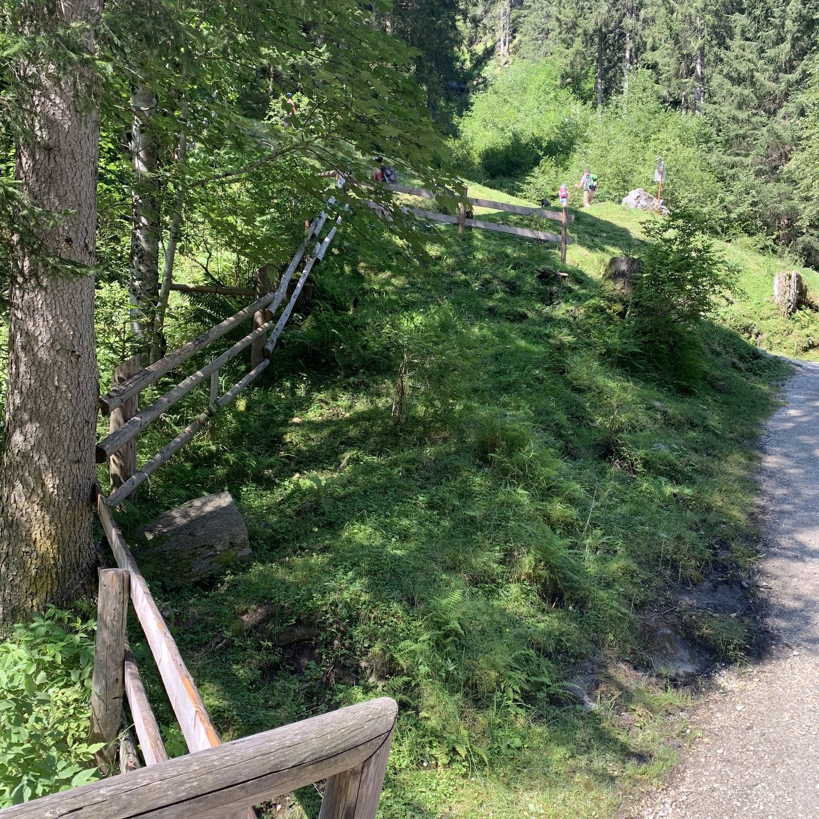
Here, at the National Park information center, the gently ascending alpine path branches off to the right, partly paved and partly gravel.
On the middle section, you will overcome a steep climb of about 500 meters, also known as “Kramer Bichl”. The route initially passes the Enzian Hut and the Alpine Rose alpine inn before you finally reach the idyllic Alte Moa Alm. This is your turnaround point in the Habach Valley – however, you can optionally take on the Bike & Hike opportunity and climb about 800 meters in altitude to the New Thuringian Hut (time required about 4 hrs 30 min, more information under “Author’s tip”).
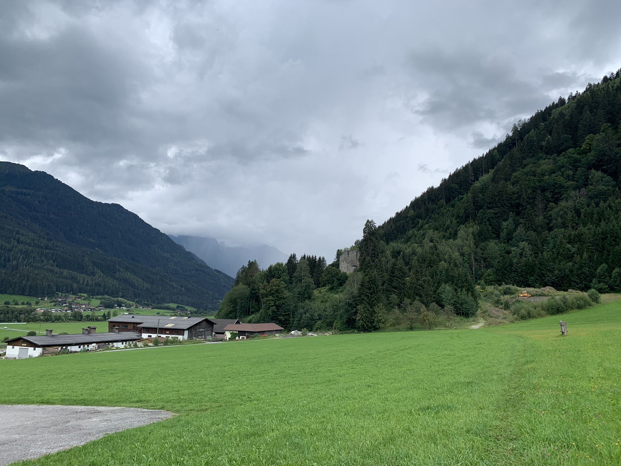
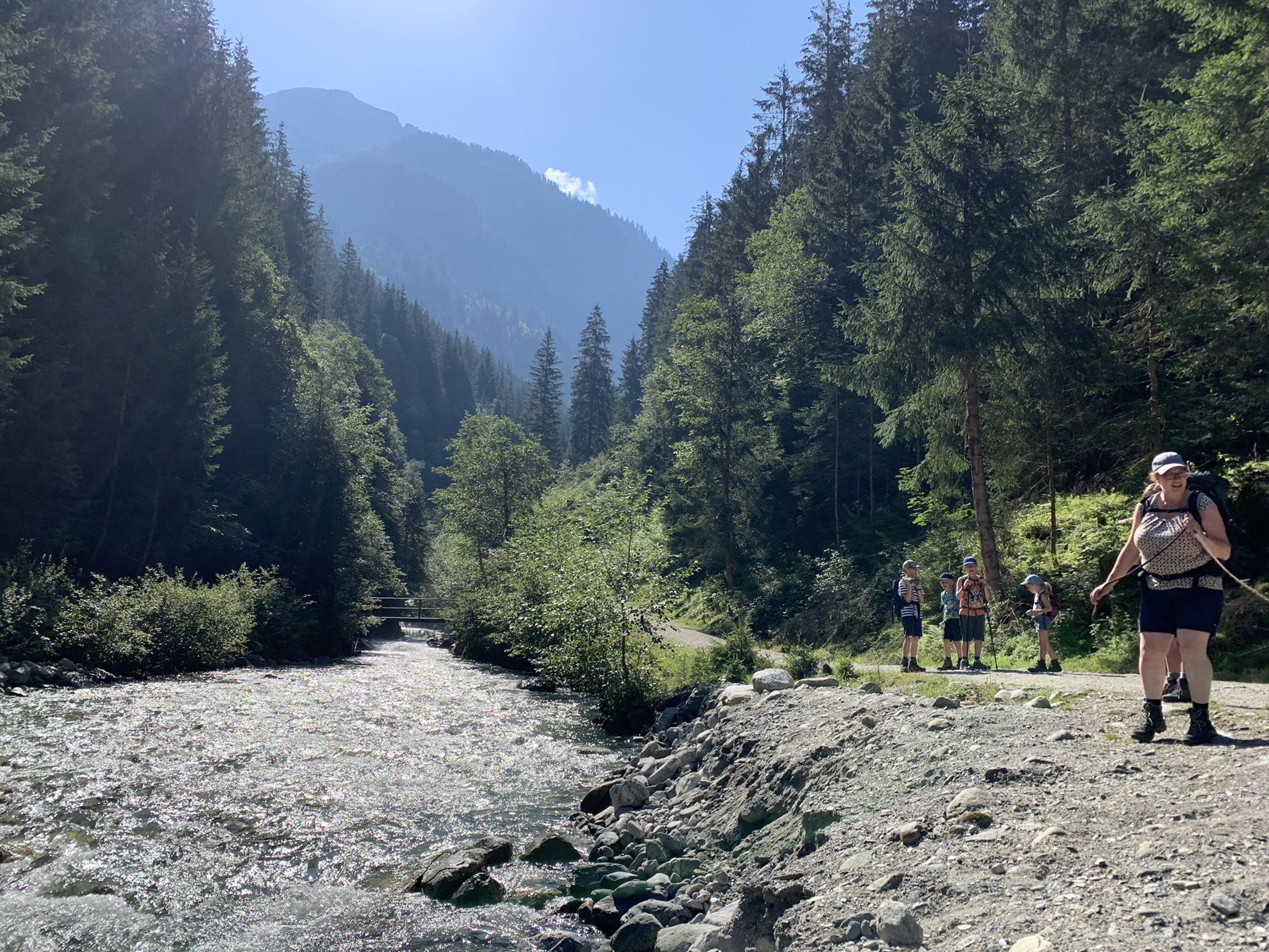
For the return route, follow the same path through the entire Habach Valley, past the Grundlhof Hotel and through the hamlet of Habach to the first crossroads after the hamlet. There, turn left onto the Tauern Cycle Path, cross a small bridge, and continue on the Tauern Cycle Path until you reach the town center of Neukirchen and the tourism office.
Ano
Recommended equipment >>
Expect moderate local resident and hiking taxi traffic along the route; please always watch out for oncoming cars.
Coming from Neukirchen or Mittersill via the B165 to Bramberg.
From Neukirchen town center with regional bus 670 towards Mittersill station to the exit point Bramberg station and then continue by bike to Bramberg town center.
For the long-term parking spaces on the Hohe Tauern Bike Trail>>
S0
National Park Hohe Tauern Holiday Region
Gerlosstraße 18, 5730 Mittersill, Austria
Tel. +43 6562 40939 Email: hohetauerntrail@nationalpark.at
Booking center & Info hotline Trail Angels GmbH
9821 Obervellach 15, Austria
Tel. +43 4782 93093 Email: info@bookyourtrail.com
More information can be found here: Bike & Hike >>
Oblíbené prohlídky v okolí
- 4,1
Gletscherlehrweg Innergschlöß
středníTuristika 9,36 km - 3,7
Smaragdwanderweg Habachtal/Bramberg
světloTuristika 7,17 km - 4,3
Krimmler Tauernhaus
středníTuristika 10,4 km - 4,3
Krimml Waterfall Path - Panorama Viewing Path
středníTuristika 4,74 km - 4,7
Krimmlerwasserfälle
středníTuristika 10,5 km - 3,8
Mittersill - Hintersee und Plattachsee
heavyTuristika 9,90 km - 4,5
Kröndlhorn (2.444m)
heavyTuristika 13,5 km - 4,8
Krimmler Achental
středníElektrokola 18,4 km - 4,6
Krimml Waterfalls
středníTuristika 12,4 km - 4,7
Hollersbach - Neue Fürther Hütte
Turistika 16,0 km

Pěší turistika a stopování


Nenechte si ujít nabídky a inspiraci pro vaši příští dovolenou
Vaše e-mailová adresa byl přidán do poštovního seznamu.