






MTB - Panorama Tour Hochkönig Region
Fotografie našich uživatelů
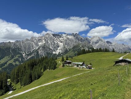
 © feinschmeckerontourVytvořeno dne 04.07.2024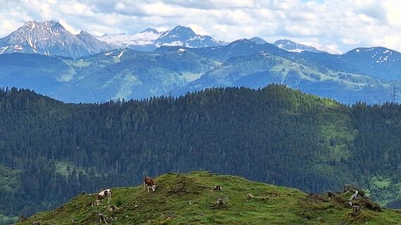
 © Matej Mikus 1Vytvořeno dne 05.06.2024
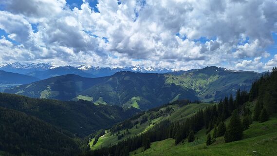 © Matej Mikus 1Vytvořeno dne 05.06.2024
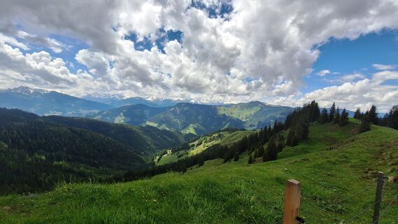 © Matej Mikus 1Vytvořeno dne 05.06.2024
 © Matej Mikus 1Vytvořeno dne 05.06.2024
 © Matej Mikus 1Vytvořeno dne 05.06.2024
 © Matej Mikus 1Vytvořeno dne 29.05.2024
 © feinschmeckerontourVytvořeno dne 10.07.2024
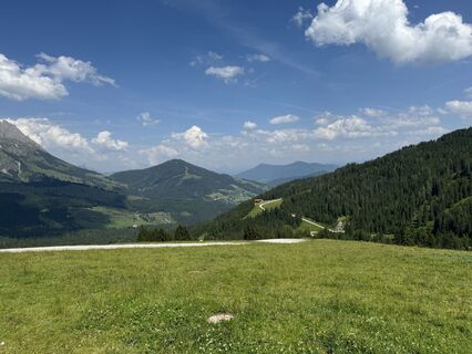 © feinschmeckerontourVytvořeno dne 10.07.2024
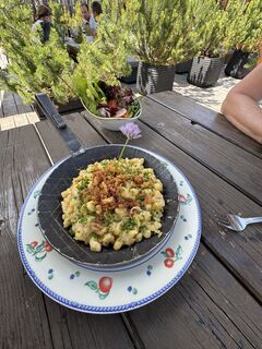 © feinschmeckerontourVytvořeno dne 10.07.2024
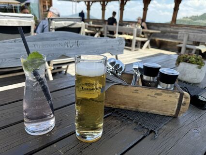 © feinschmeckerontourVytvořeno dne 10.07.2024
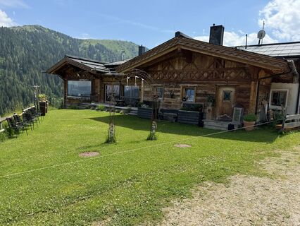 © feinschmeckerontourVytvořeno dne 10.07.2024
 © feinschmeckerontourVytvořeno dne 10.07.2024
 © feinschmeckerontourVytvořeno dne 10.07.2024
 © feinschmeckerontourVytvořeno dne 04.07.2024
 © feinschmeckerontourVytvořeno dne 04.07.2024
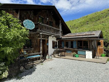 © feinschmeckerontourVytvořeno dne 04.07.2024
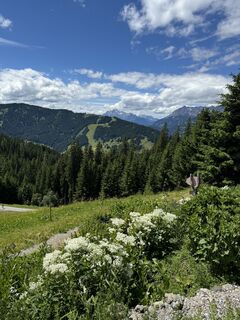 © feinschmeckerontourVytvořeno dne 04.07.2024
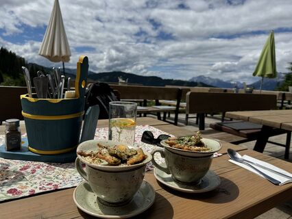 © feinschmeckerontourVytvořeno dne 04.07.2024
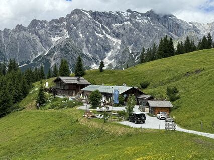 © feinschmeckerontourVytvořeno dne 04.07.2024
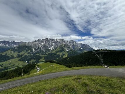 © feinschmeckerontourVytvořeno dne 04.07.2024
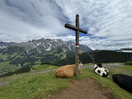 © feinschmeckerontourVytvořeno dne 04.07.2024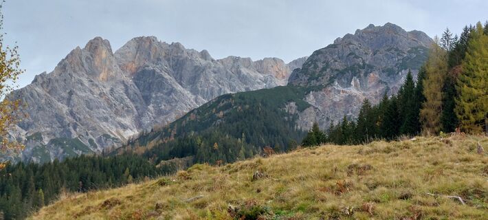
 © WaldfredVytvořeno dne 24.10.2022
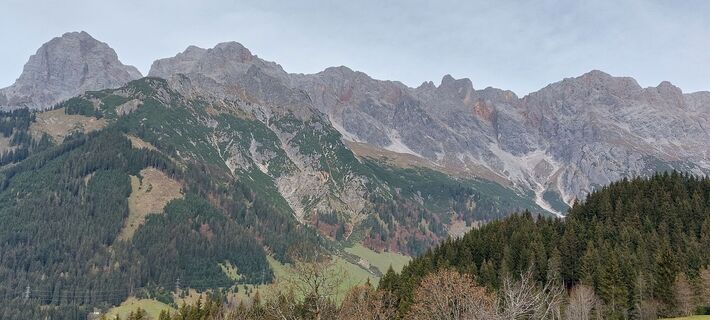 © WaldfredVytvořeno dne 24.10.2022
 © WaldfredVytvořeno dne 24.10.2022
 © WaldfredVytvořeno dne 24.10.2022
 © annnaa0801Vytvořeno dne 03.04.2026
 © annnaa0801Vytvořeno dne 03.04.2026
 © Heinz SperlVytvořeno dne 19.03.2026
 © Heinz SperlVytvořeno dne 19.03.2026
 © Heinz SperlVytvořeno dne 25.02.2026
 © Heinz SperlVytvořeno dne 25.02.2026
 © Heinz SperlVytvořeno dne 25.02.2026
 © Johann pflanzlVytvořeno dne 18.02.2026
 © Jonte BerndtVytvořeno dne 13.02.2026
 © Jonte BerndtVytvořeno dne 13.02.2026
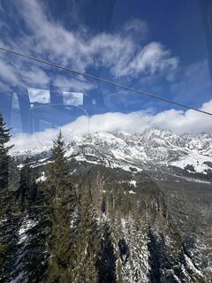 © Jonte BerndtVytvořeno dne 13.02.2026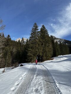
 © Christian MardinVytvořeno dne 12.02.2026
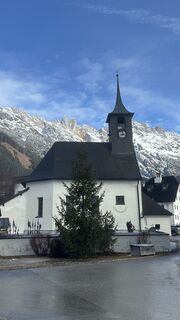 © Christian MardinVytvořeno dne 12.02.2026
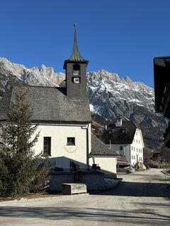 © Christian MardinVytvořeno dne 09.02.2026
 © liam van de wielVytvořeno dne 06.02.2026
 © liam van de wielVytvořeno dne 06.02.2026
 © Reinhard FlorreitherVytvořeno dne 01.02.2026
 © Reinhard FlorreitherVytvořeno dne 01.02.2026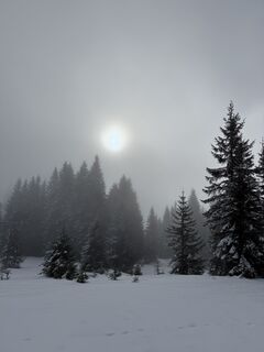
 © Franz hofnerVytvořeno dne 01.02.2026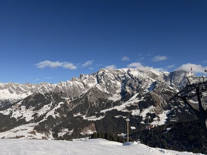
 © Kateřina MagnuskováVytvořeno dne 31.01.2026
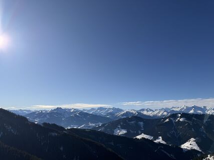 © Kateřina MagnuskováVytvořeno dne 31.01.2026
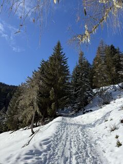 © Franz hofnerVytvořeno dne 31.01.2026
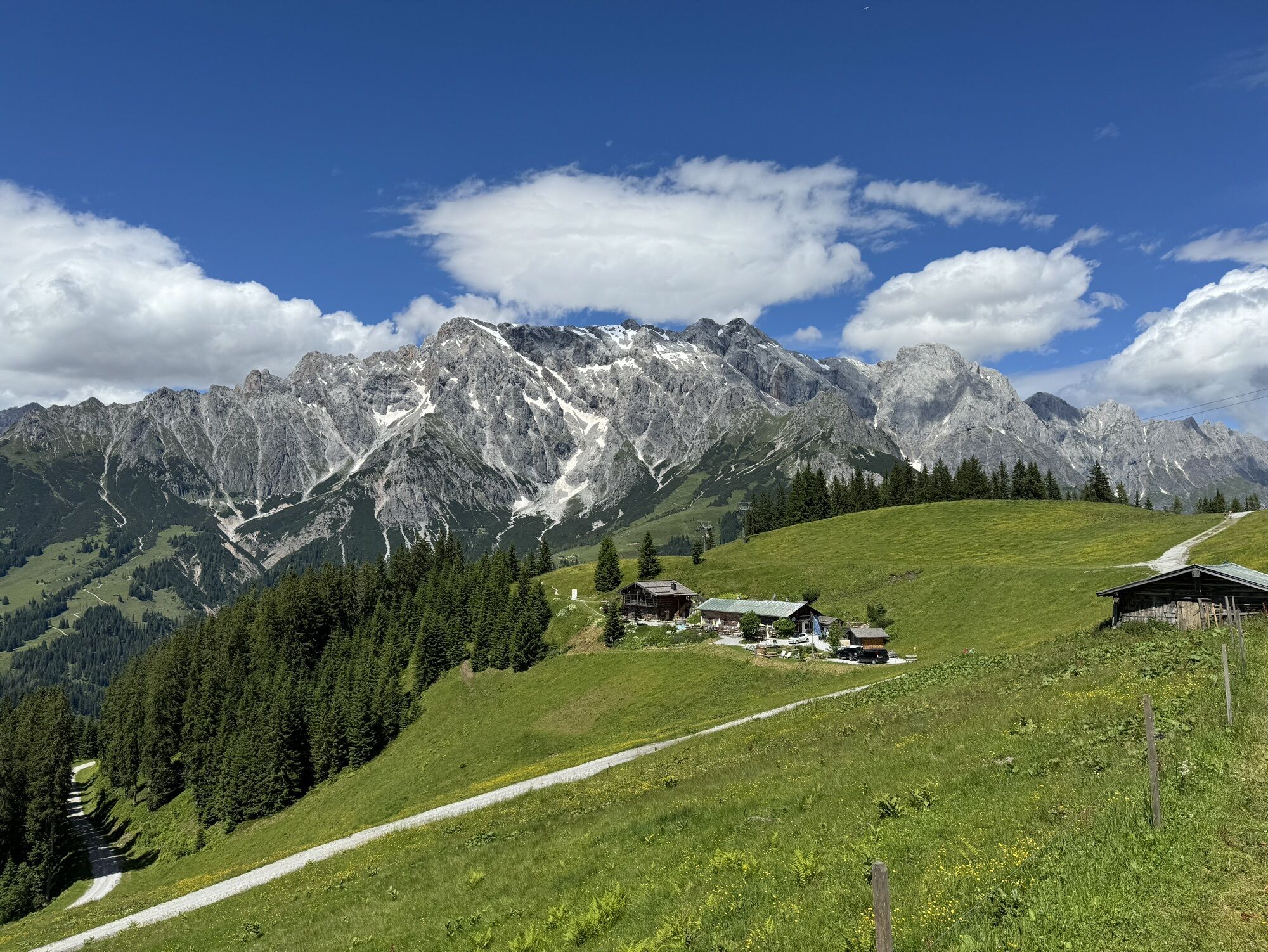
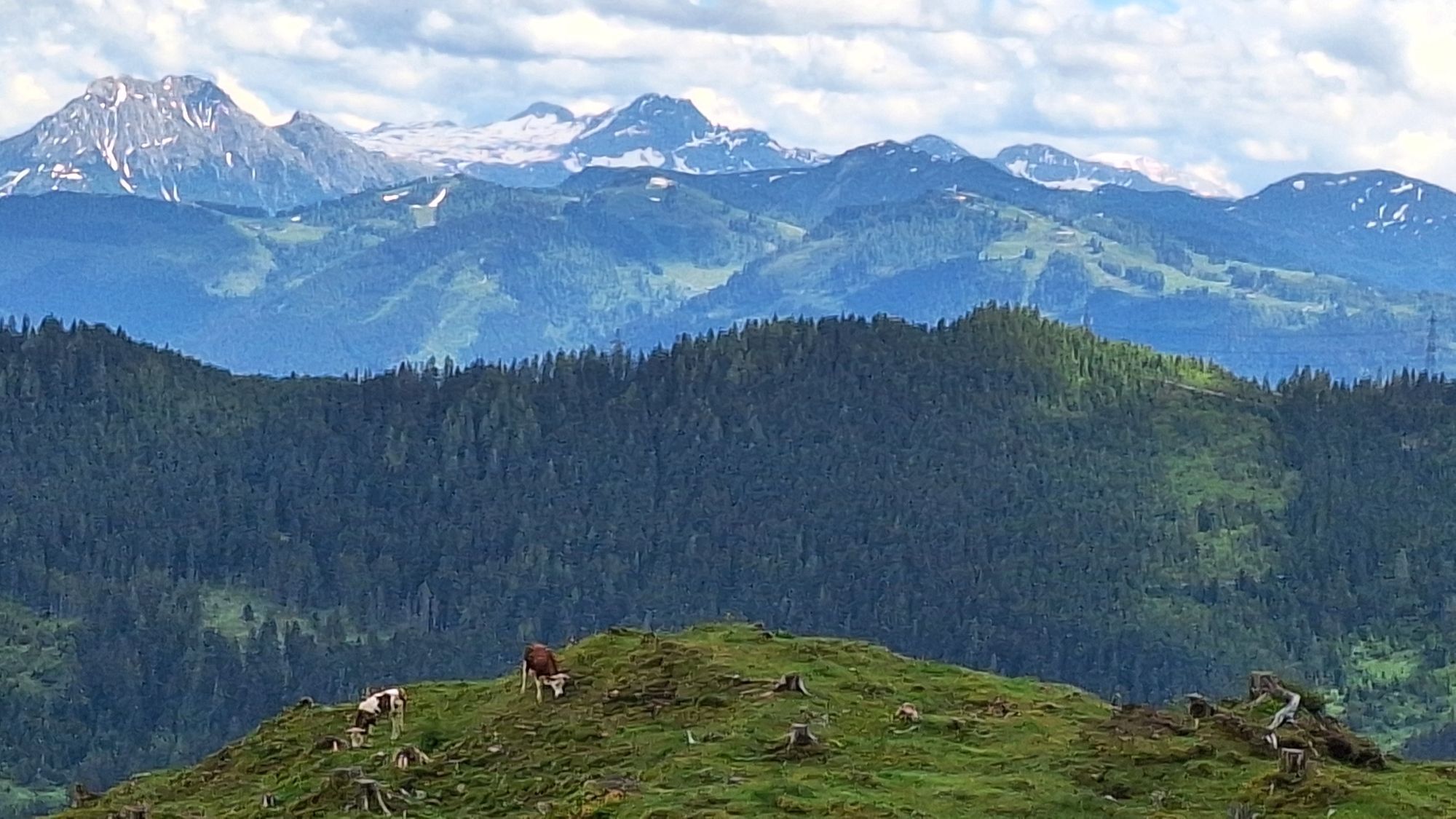
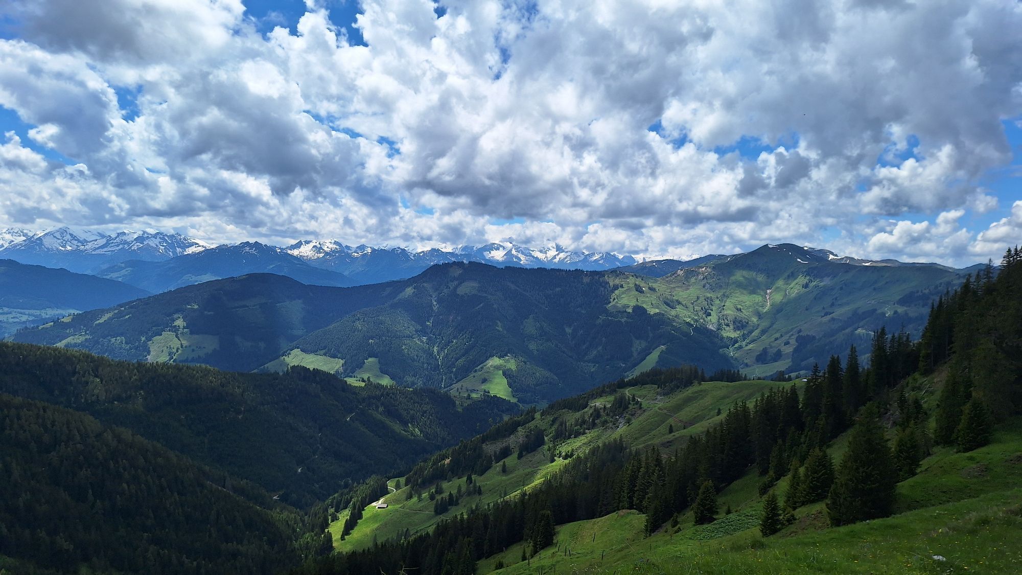
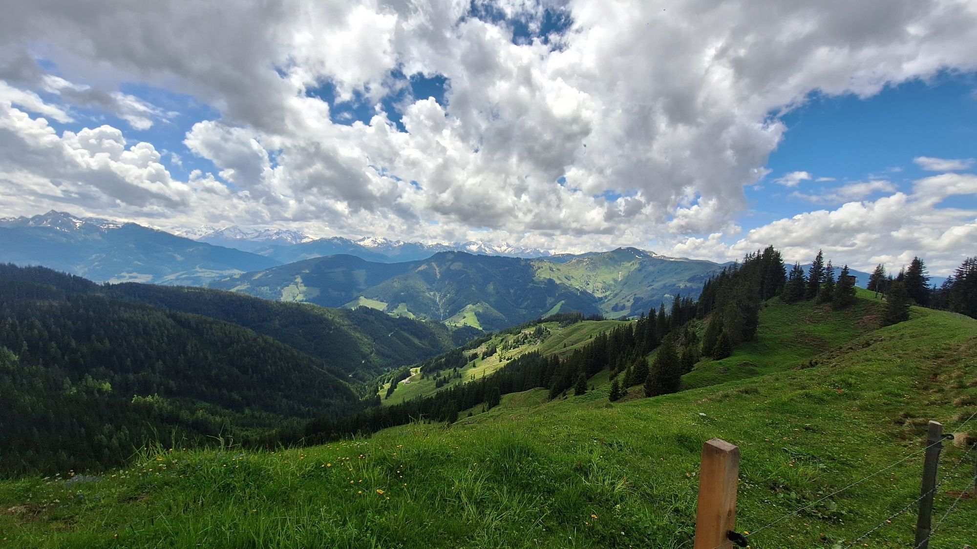
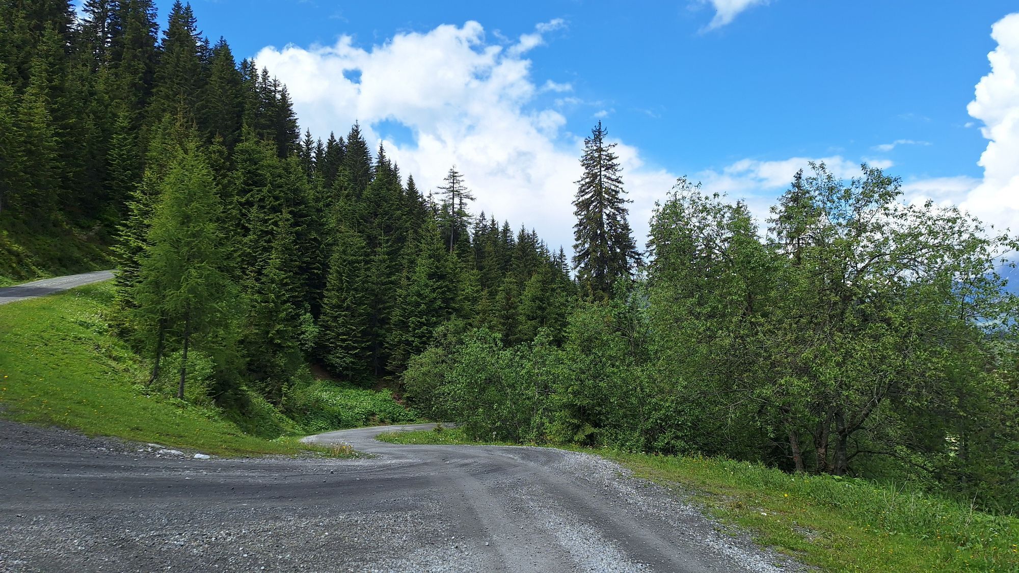
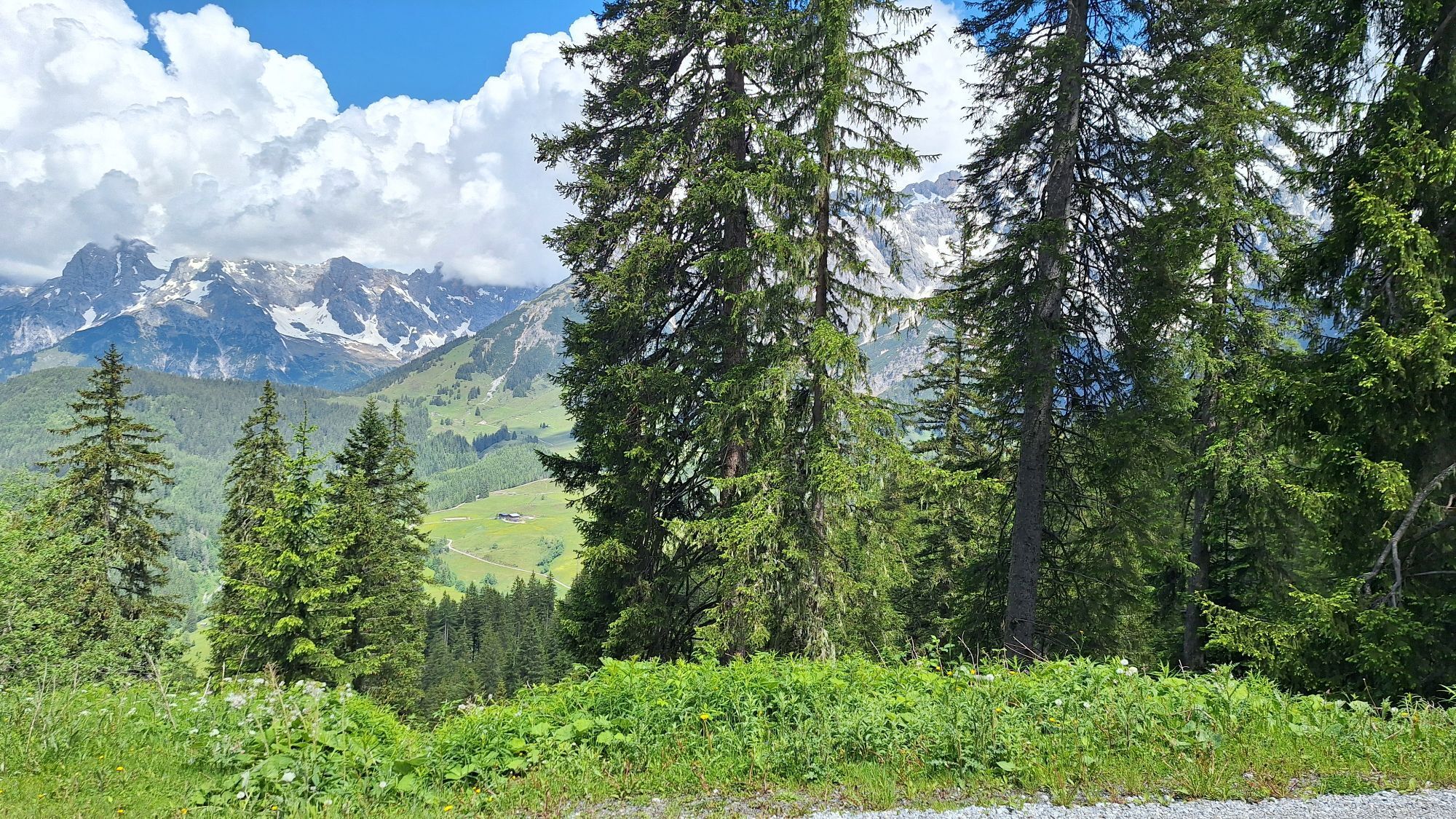
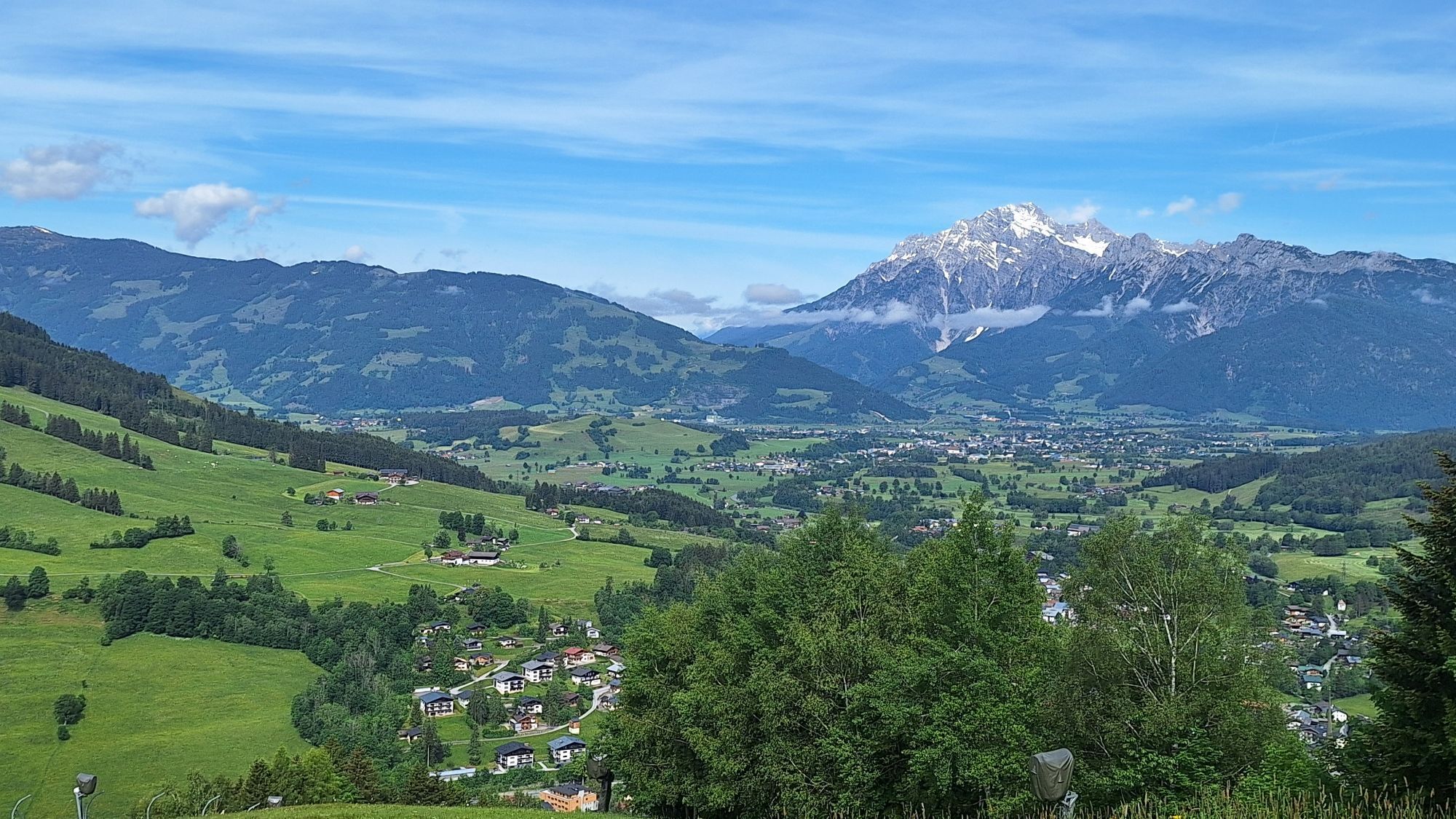
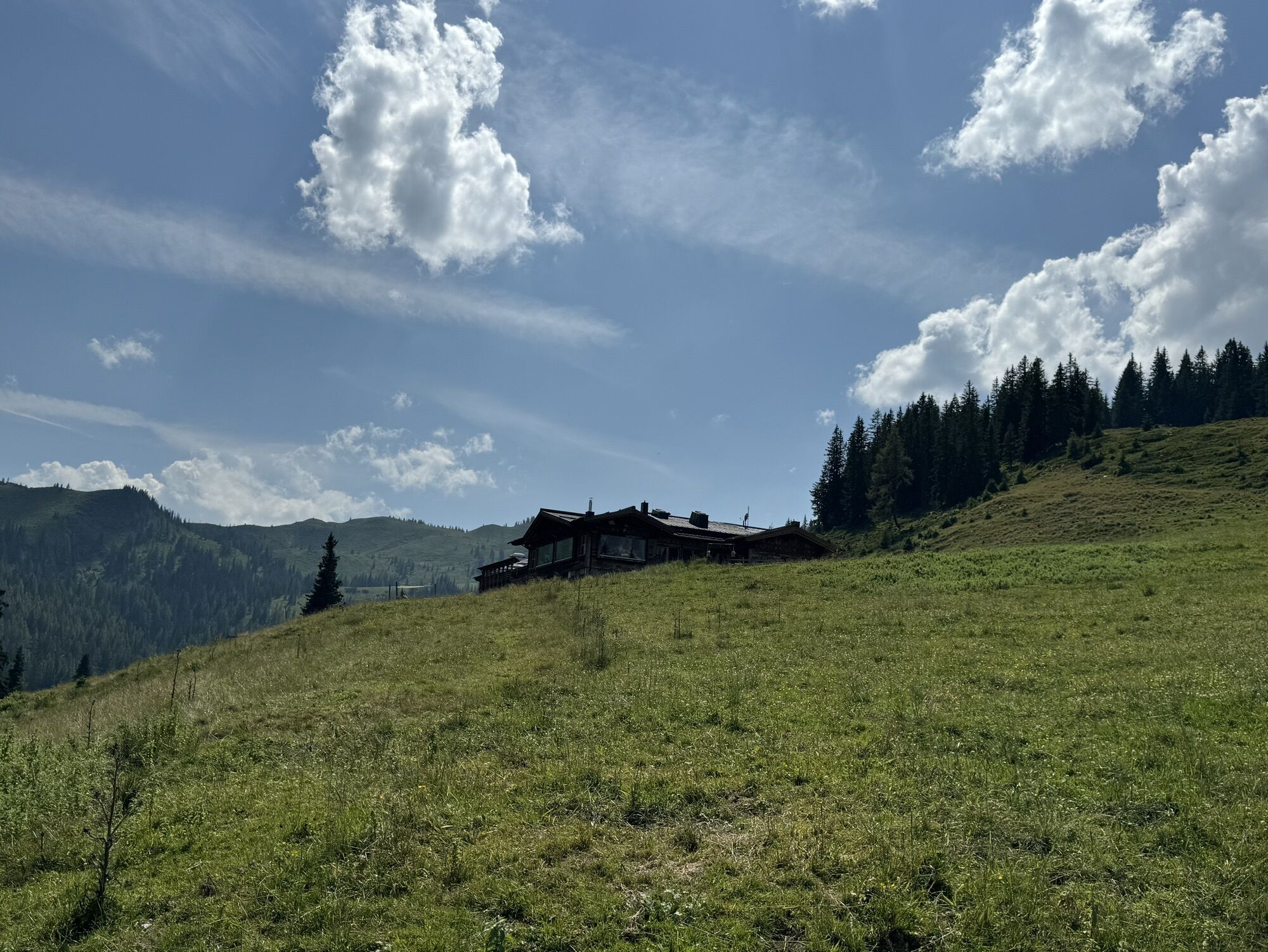
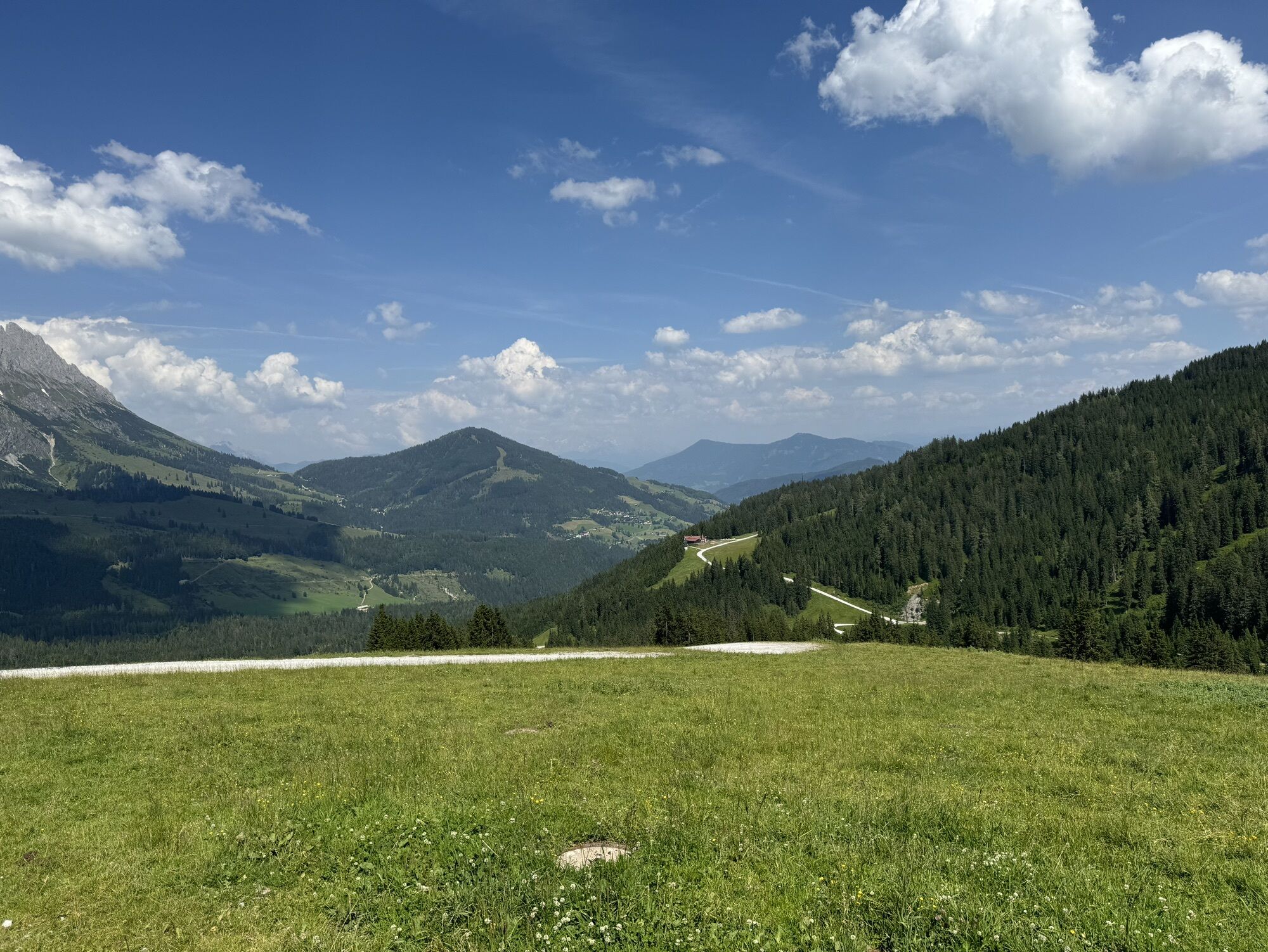
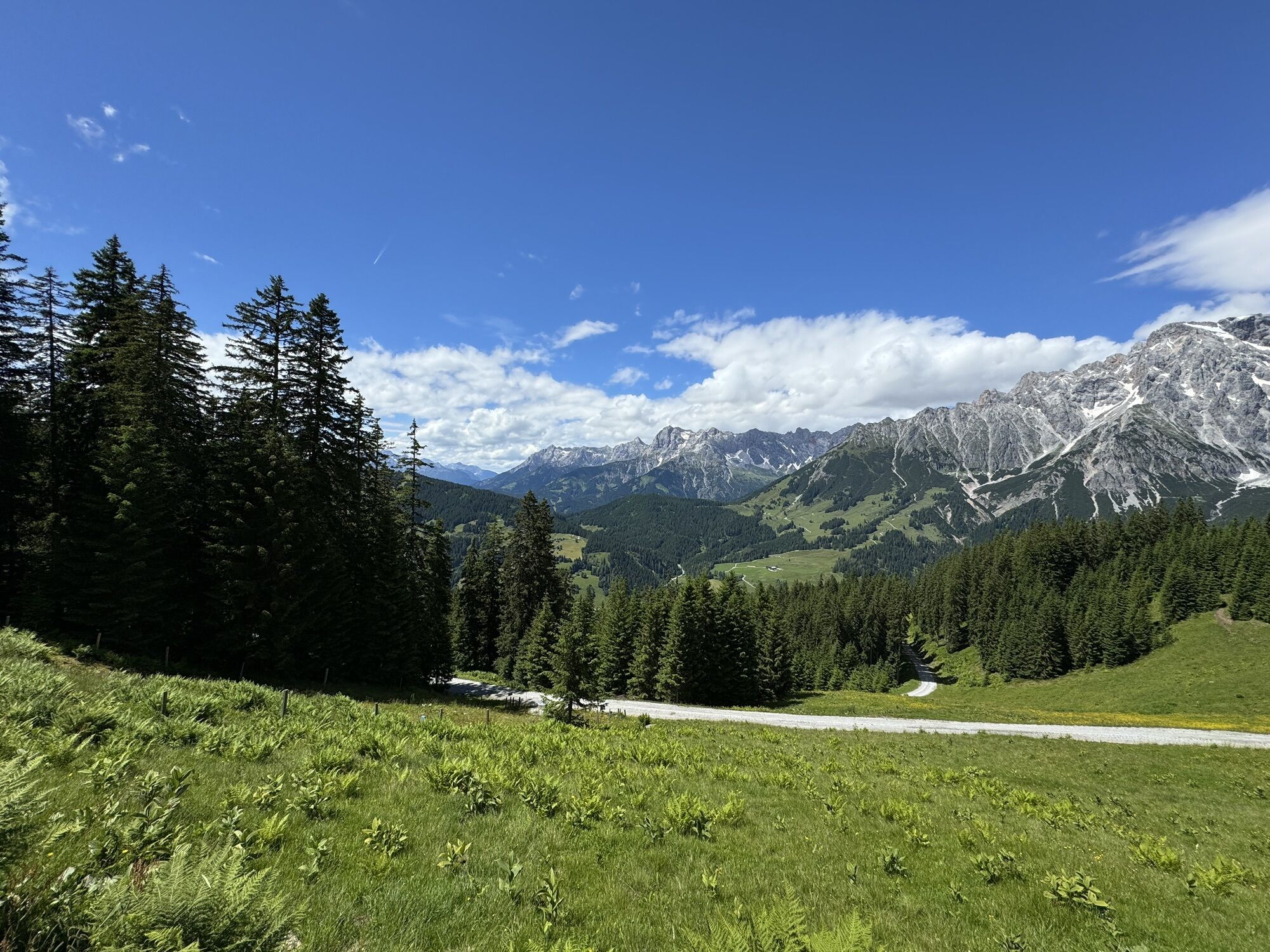
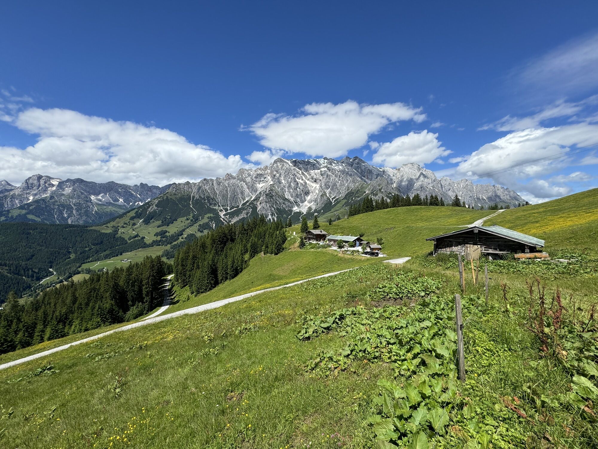
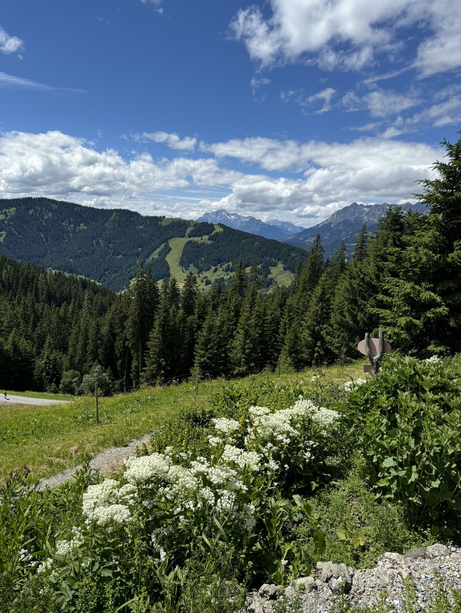
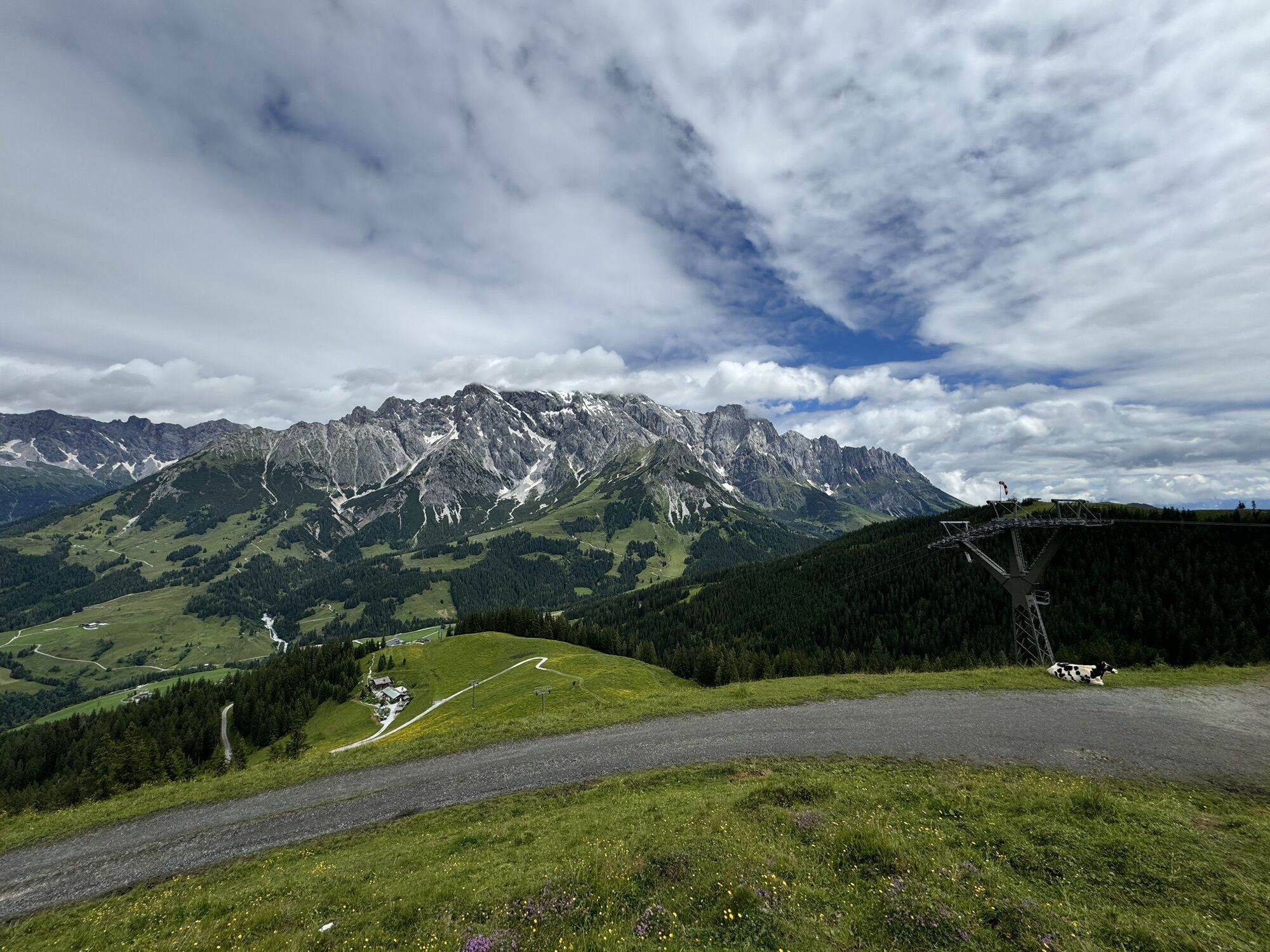
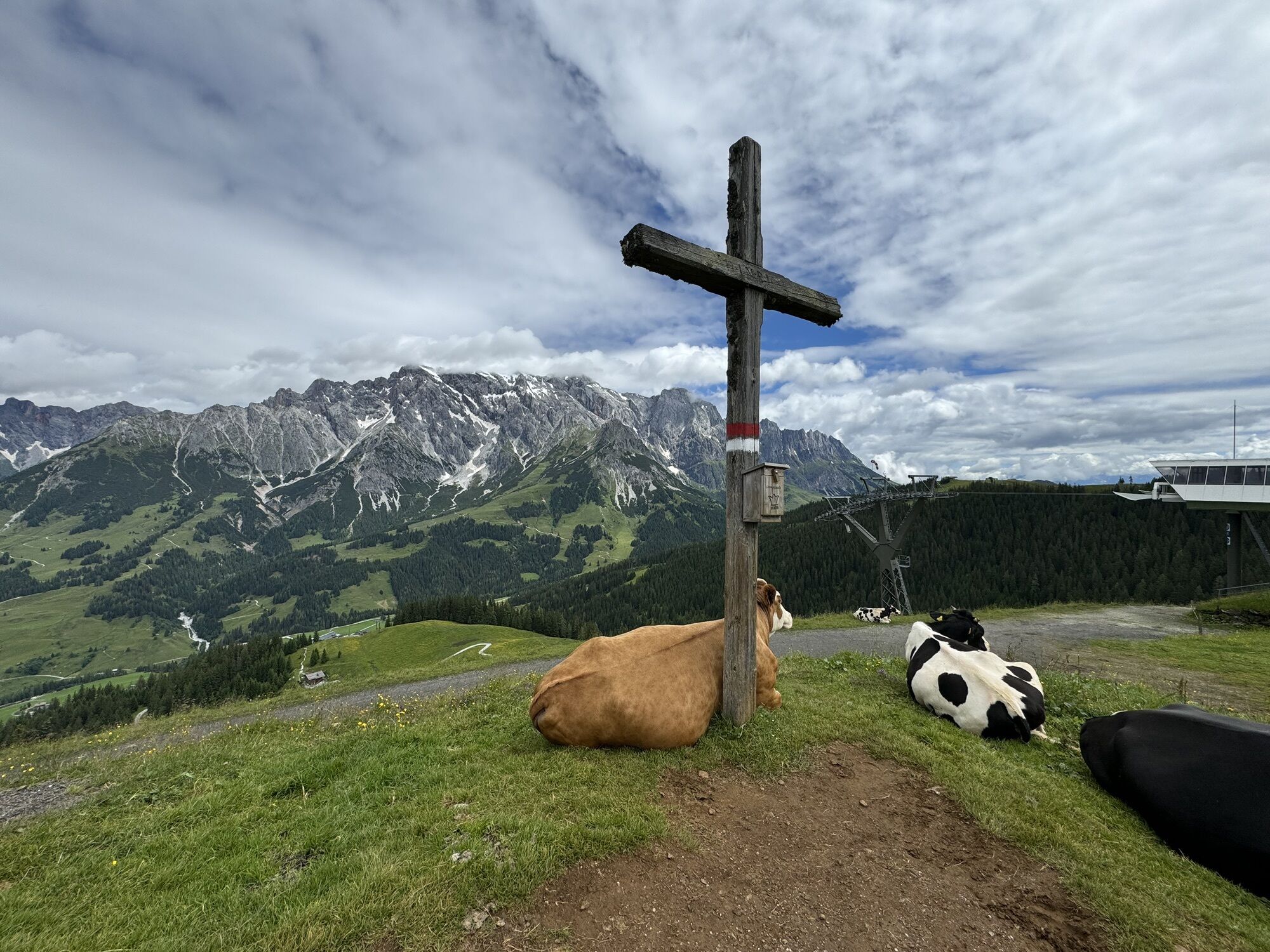

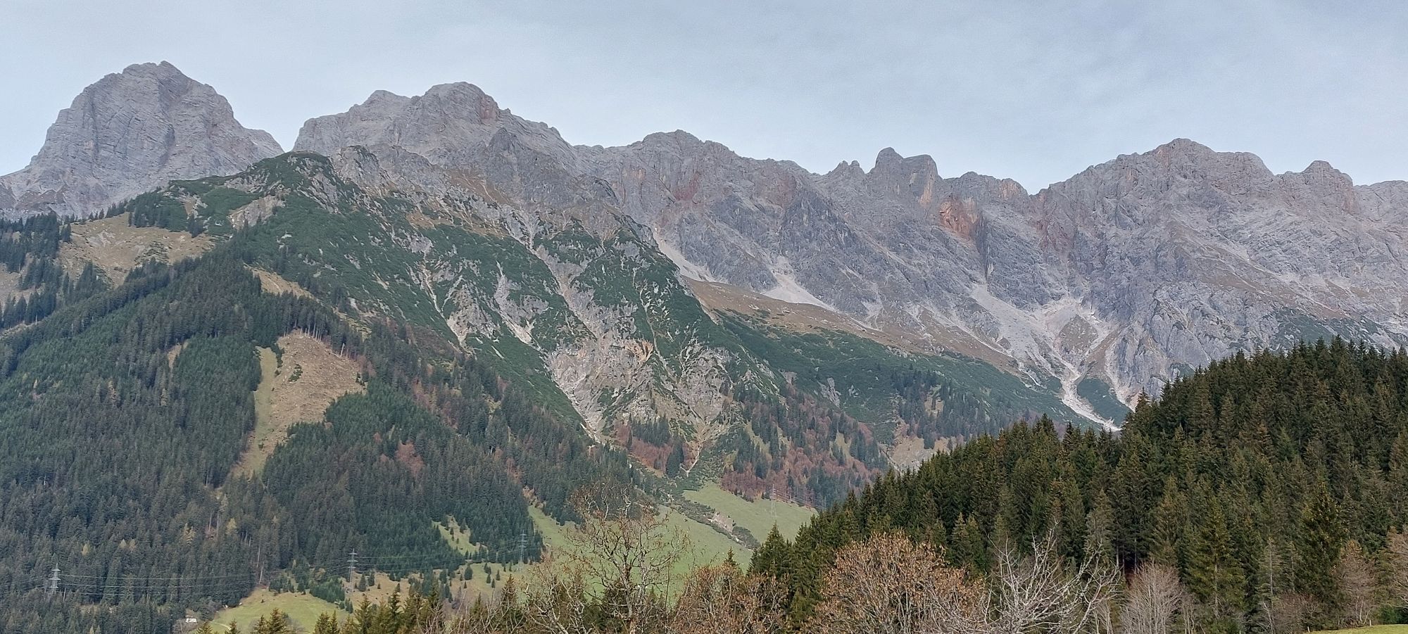
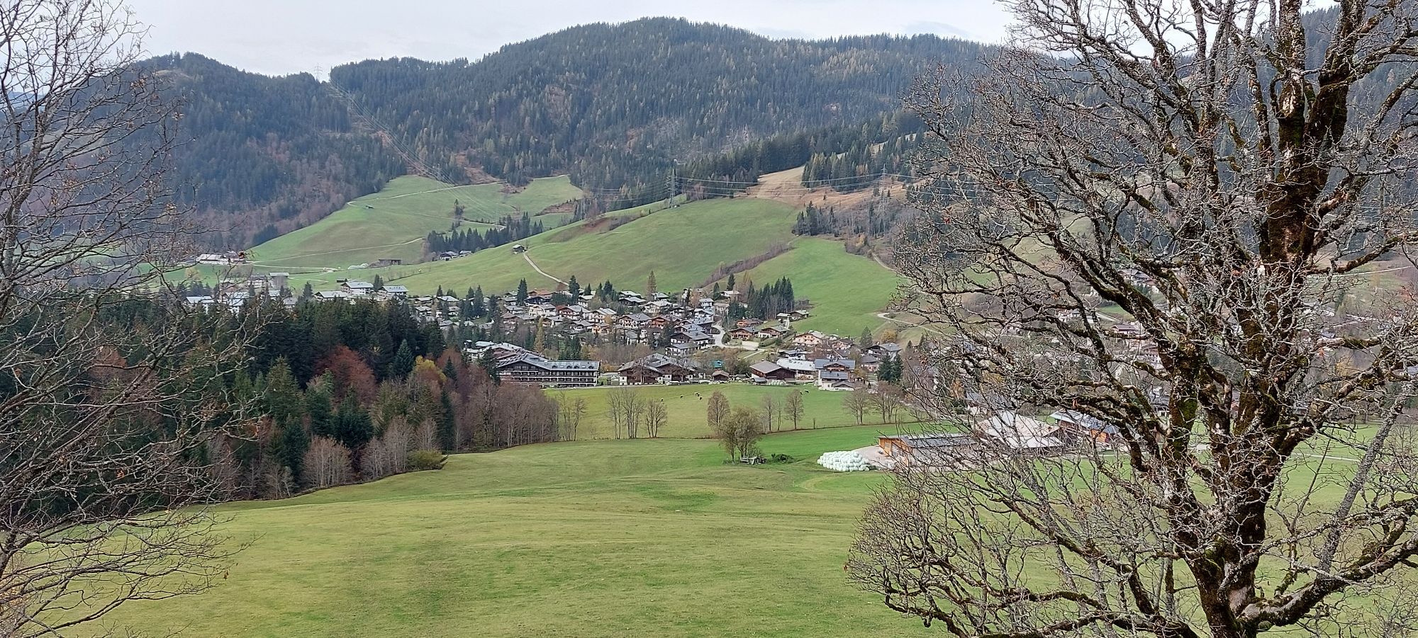
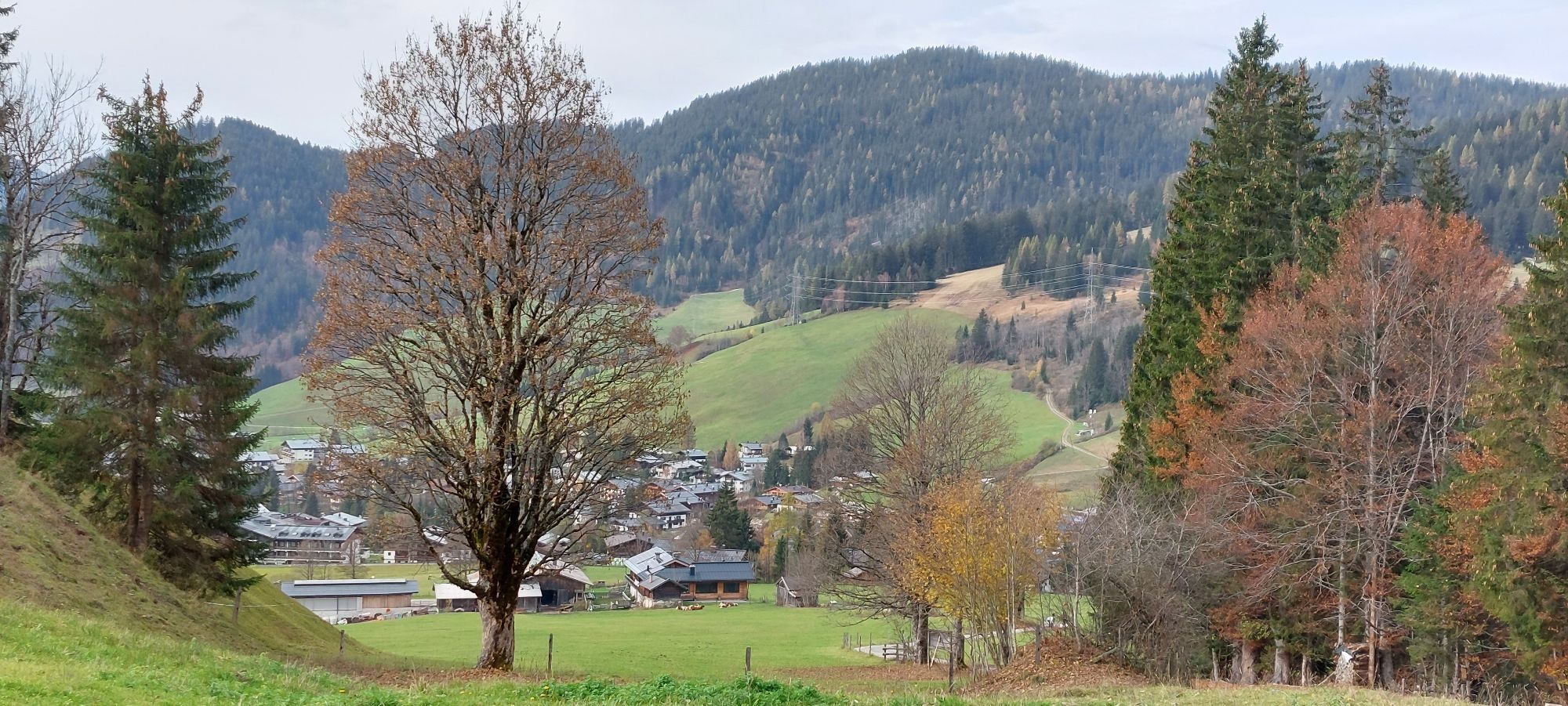
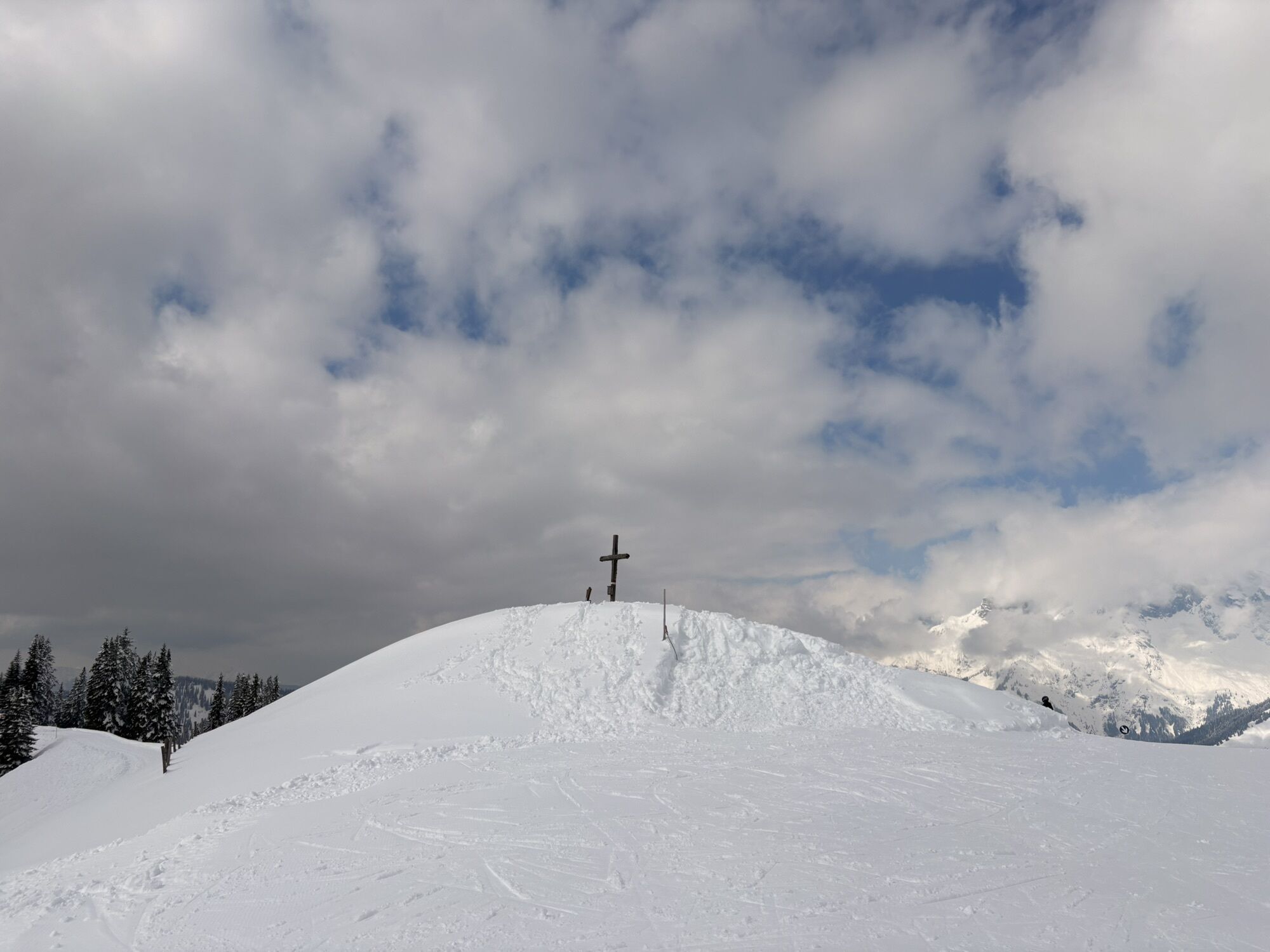
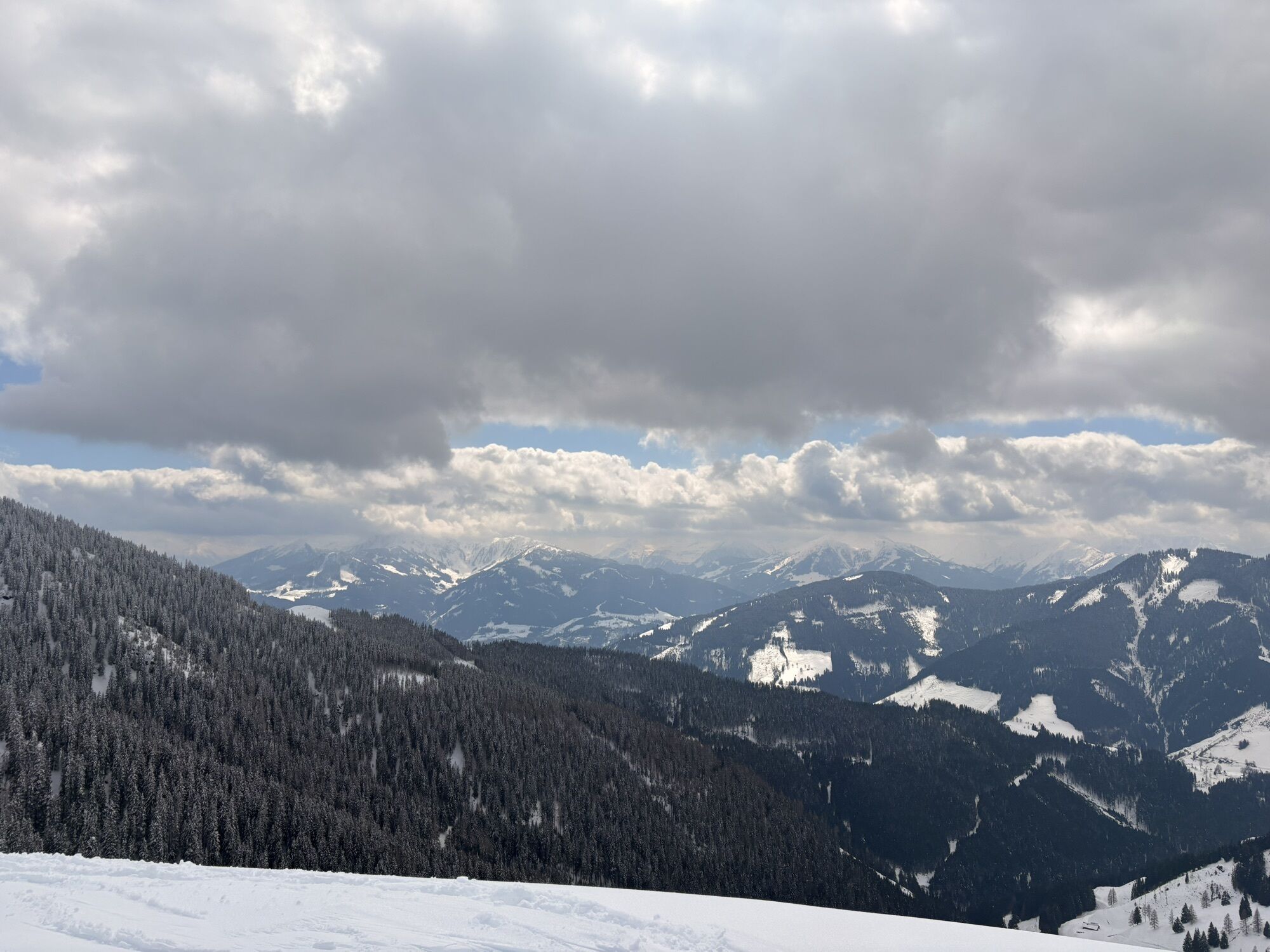
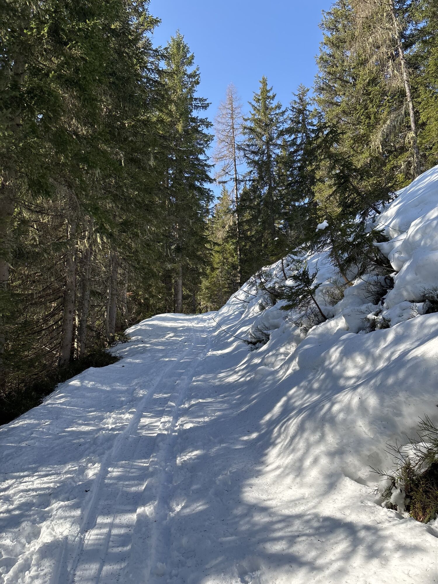
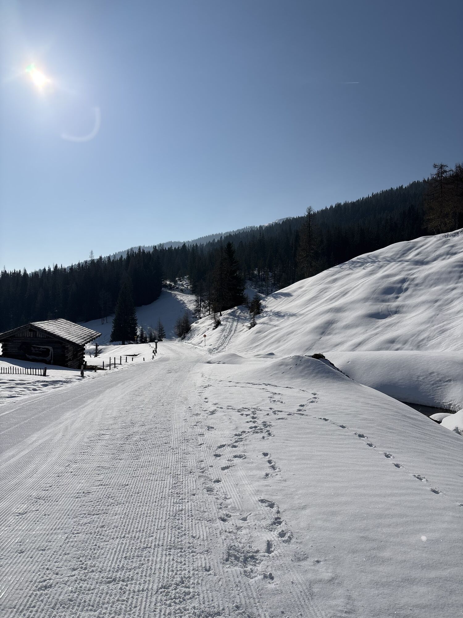
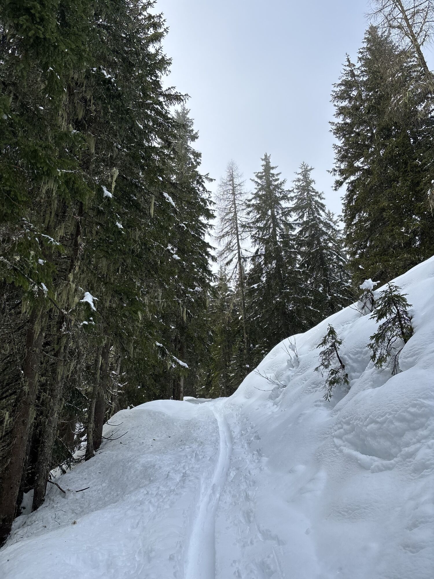
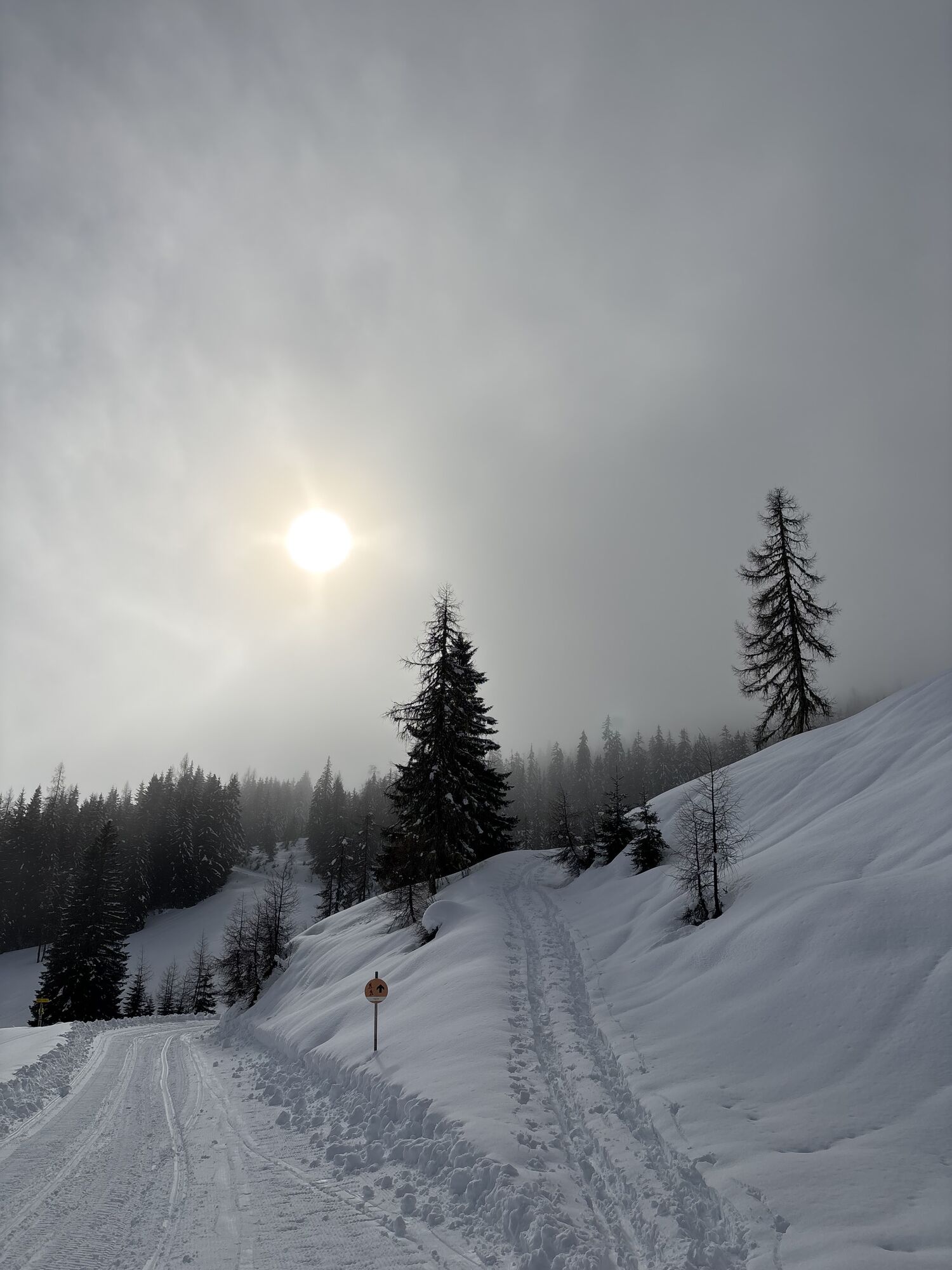
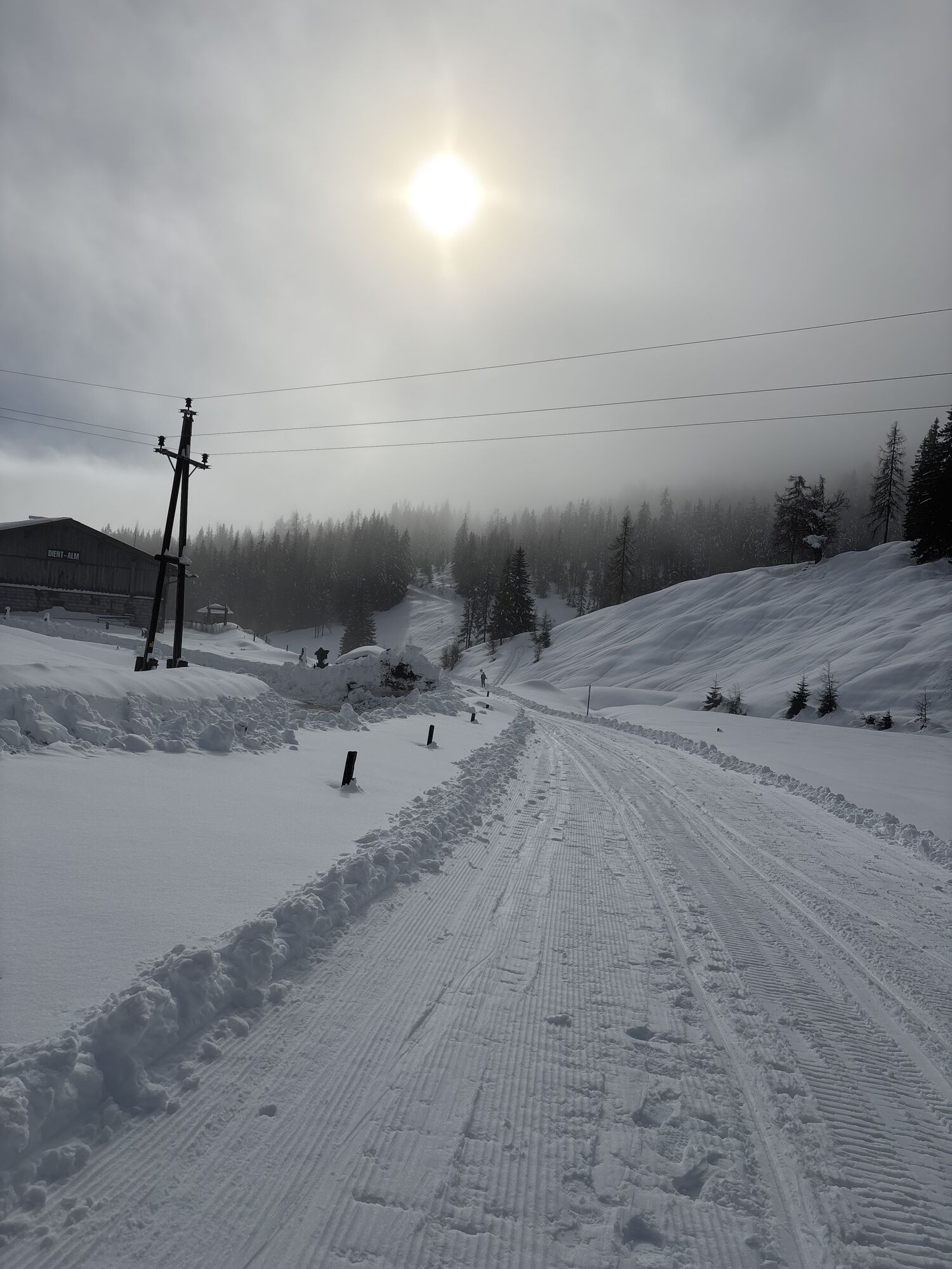
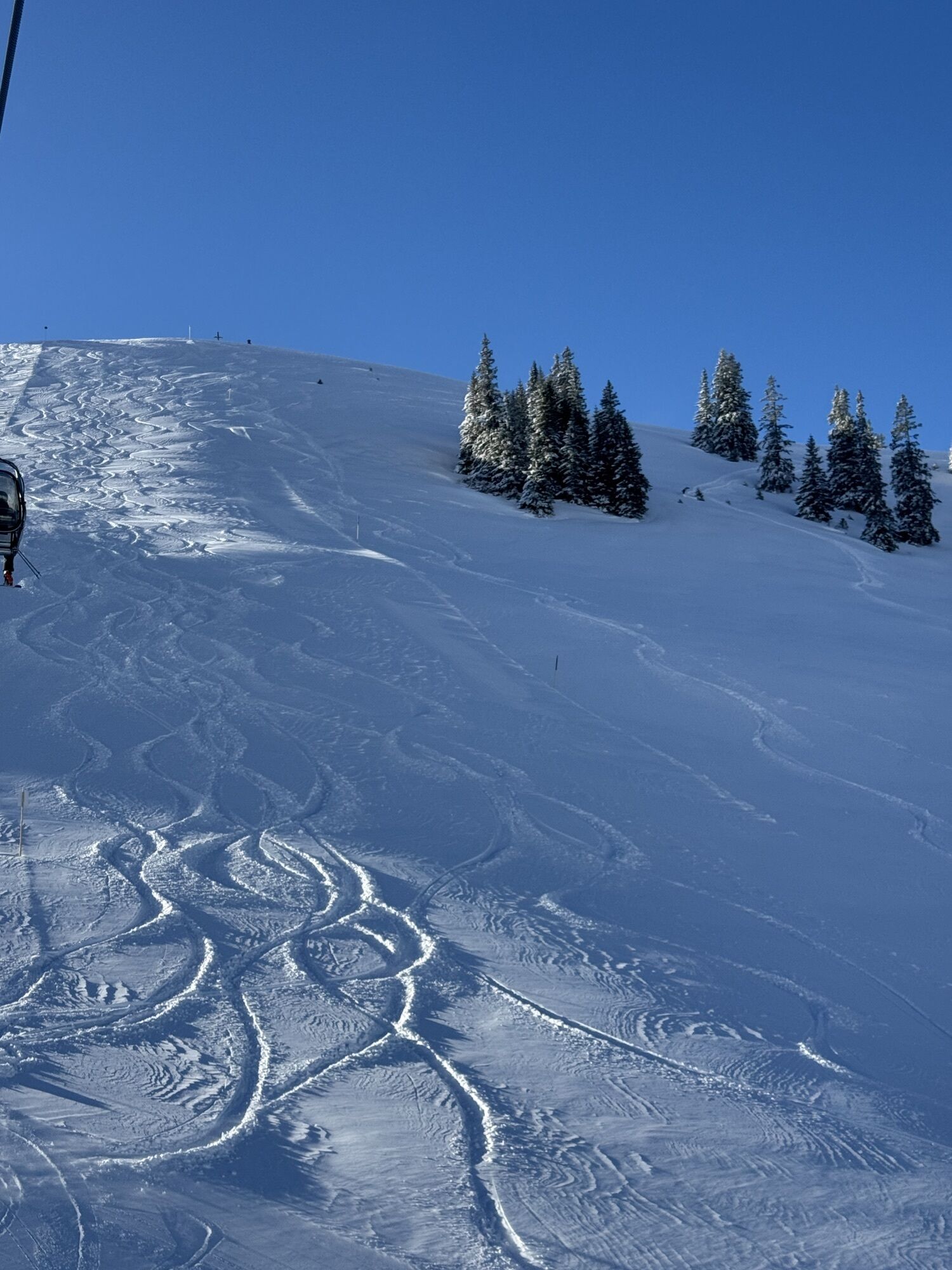
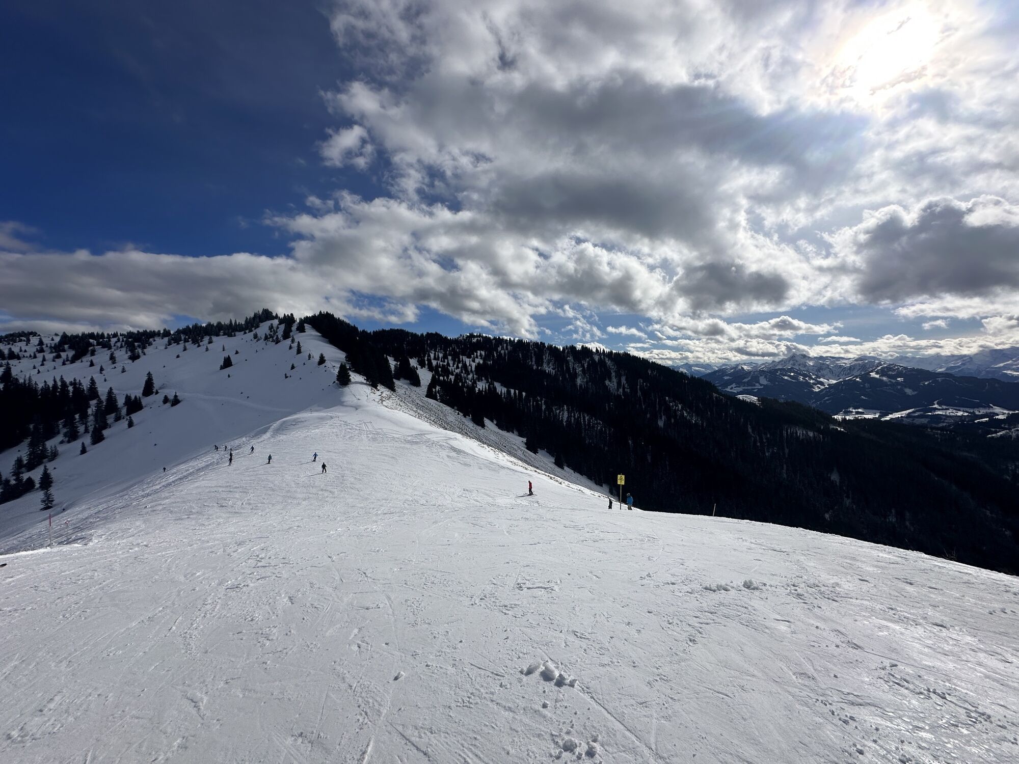
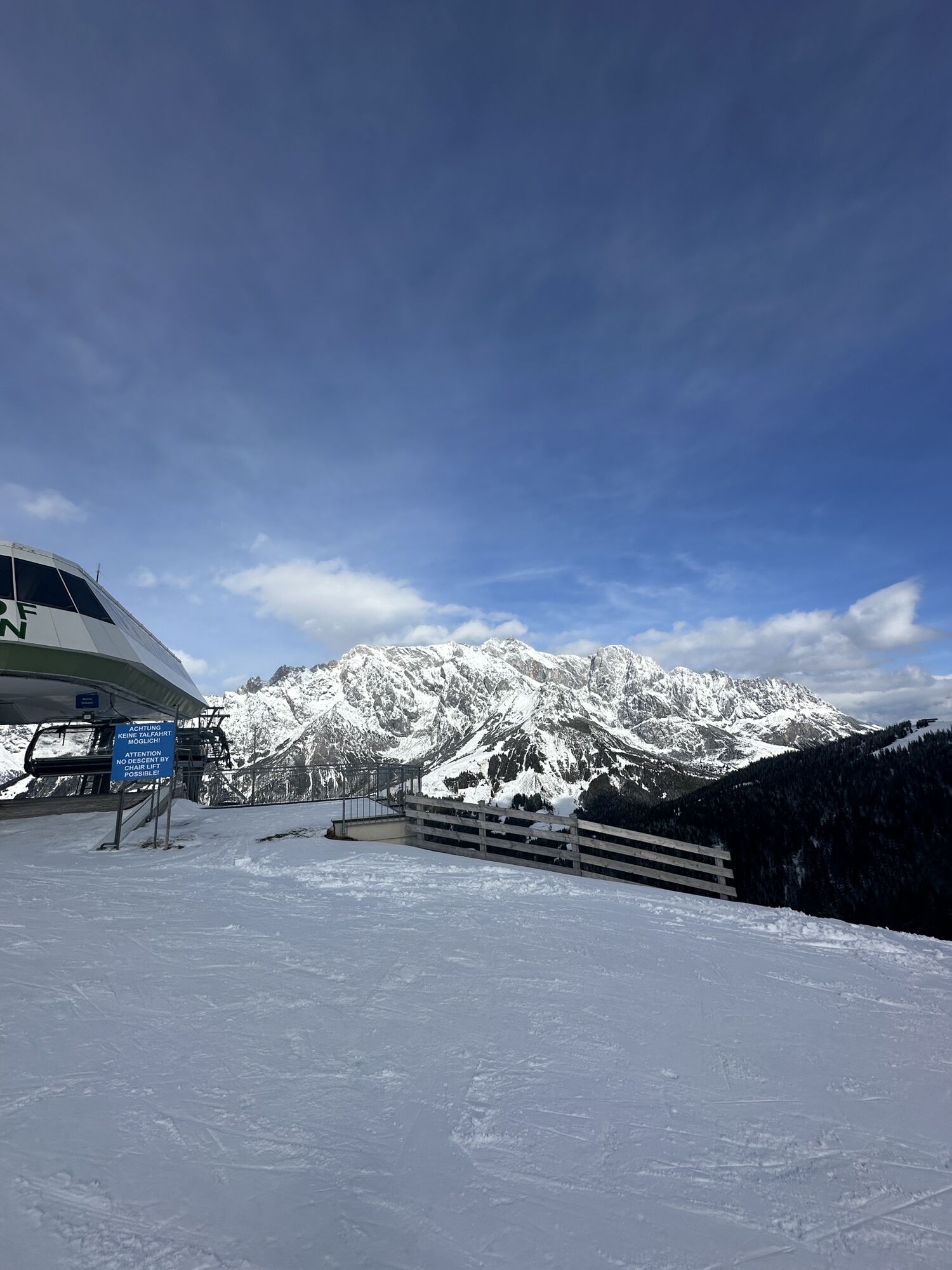
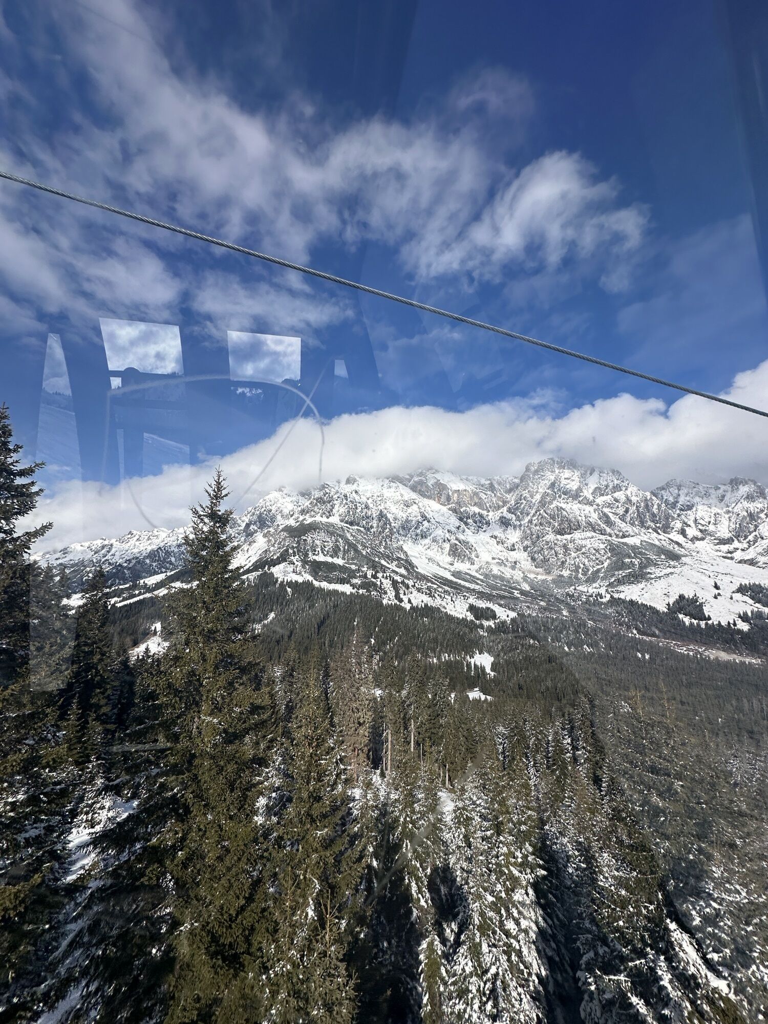
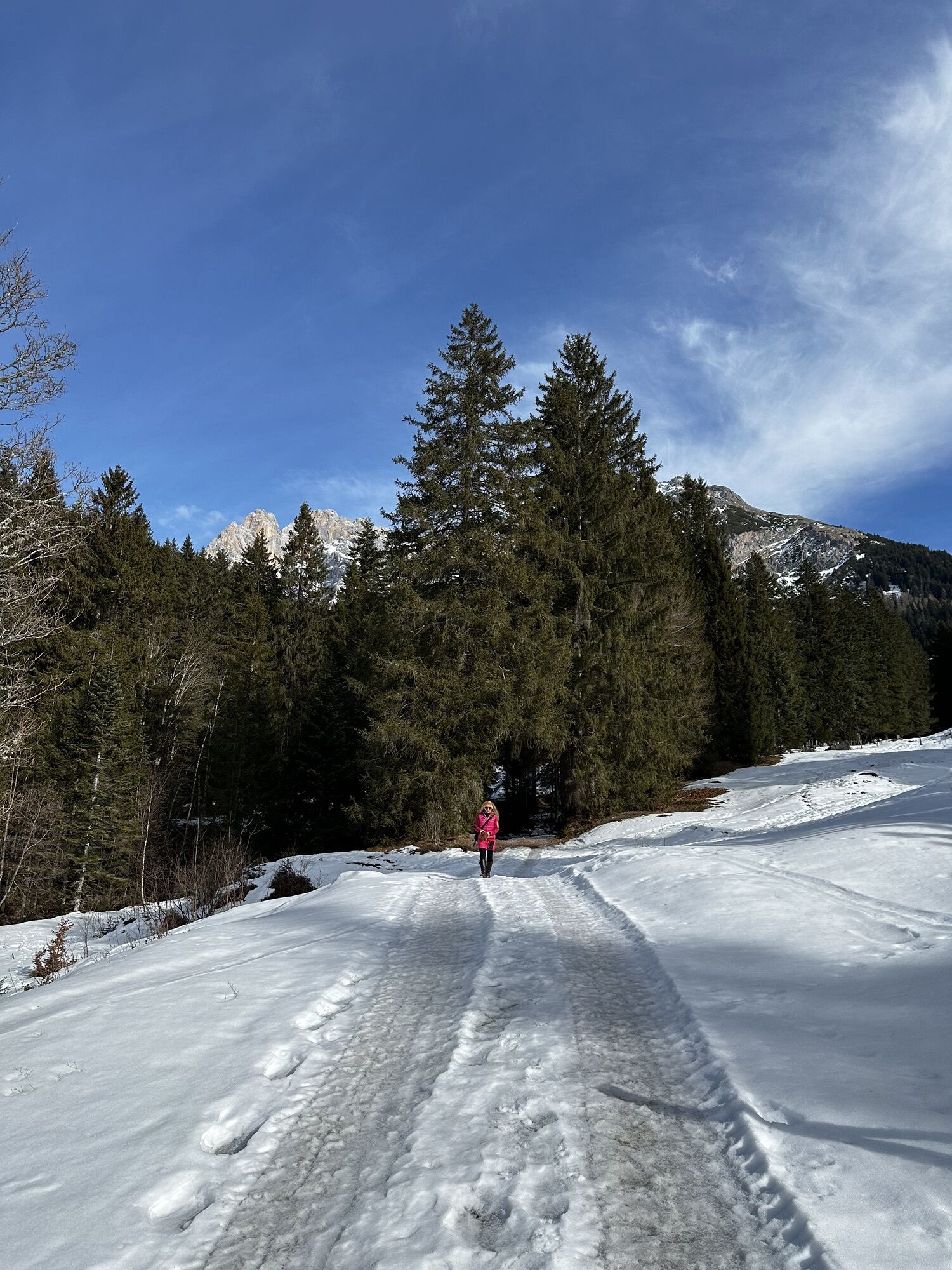
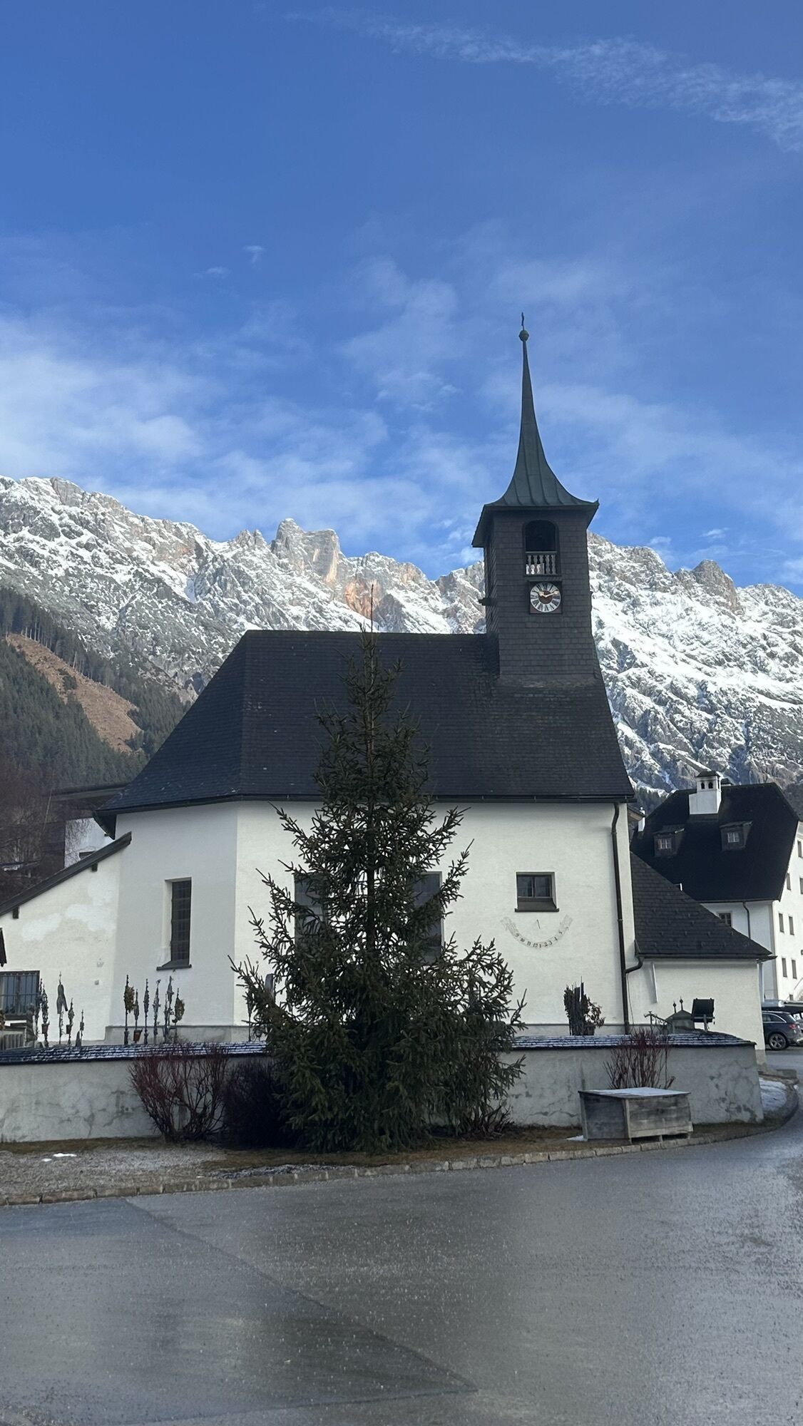
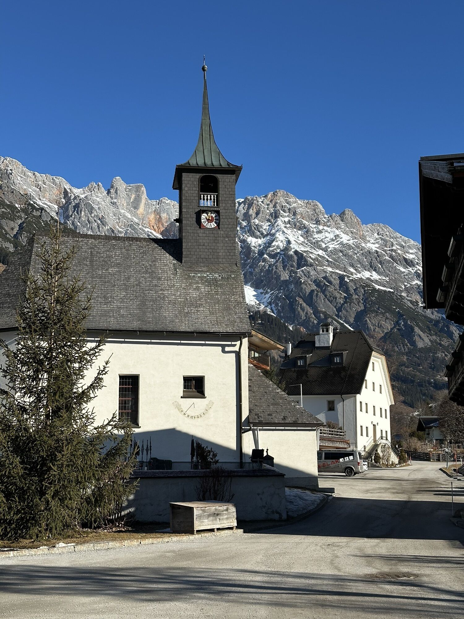
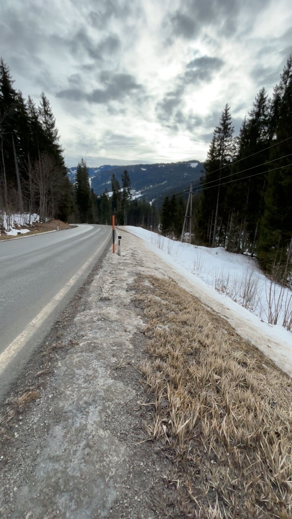
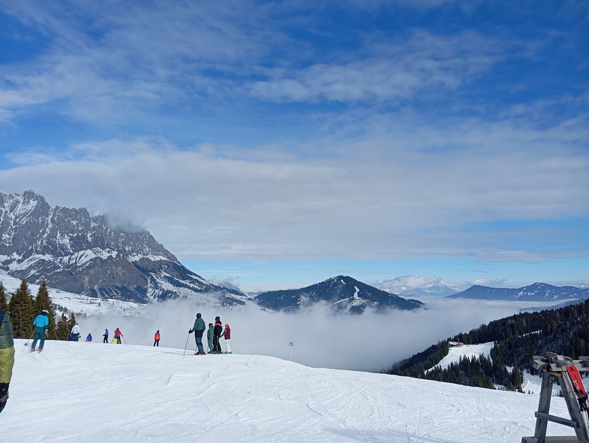
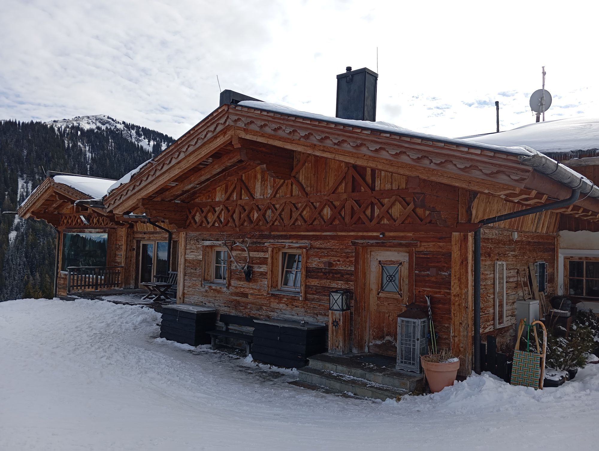
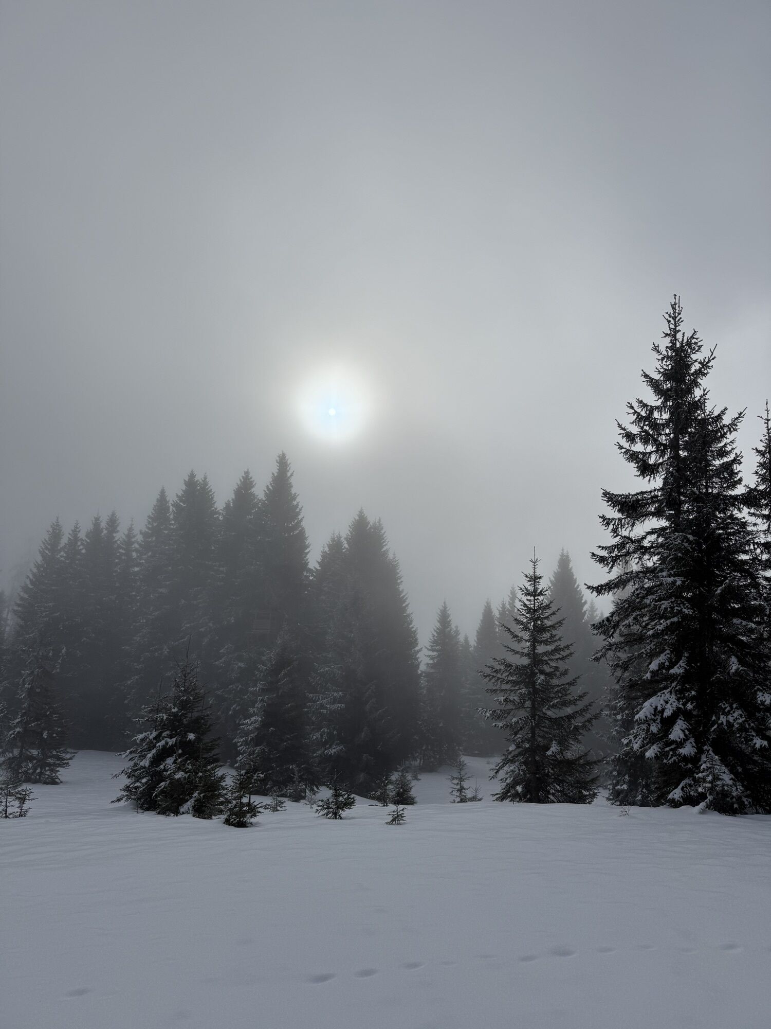
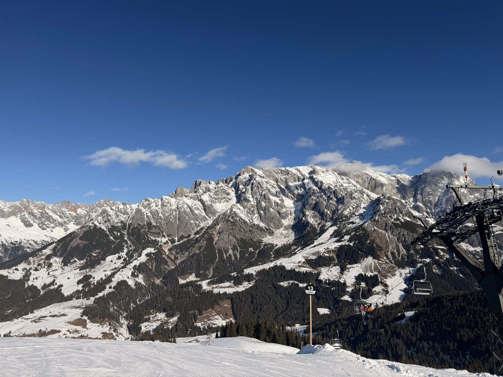
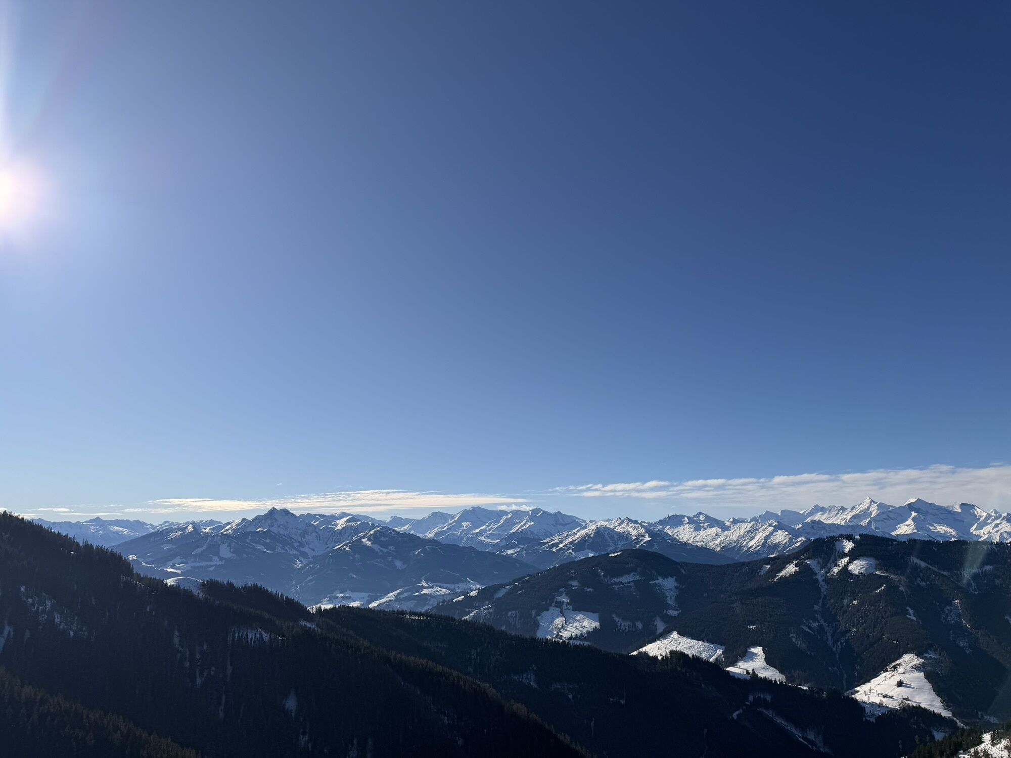
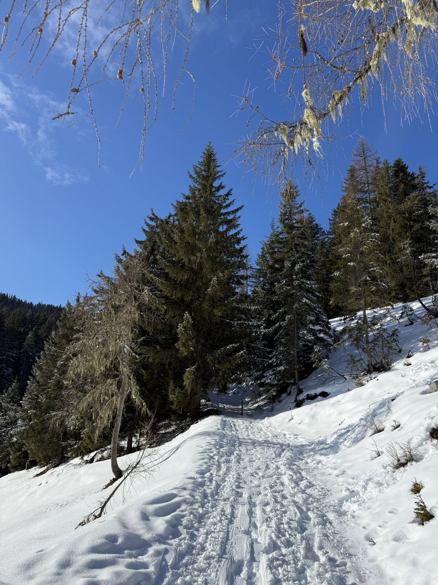
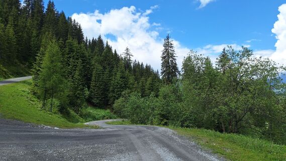
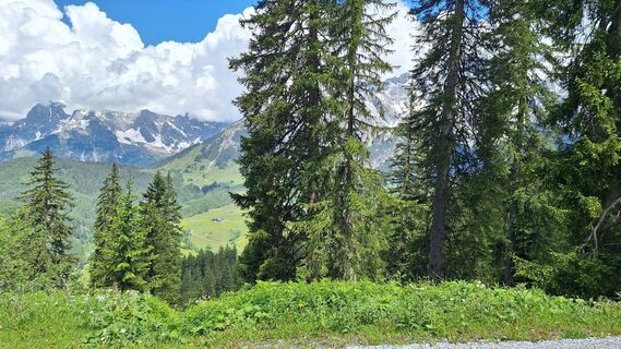
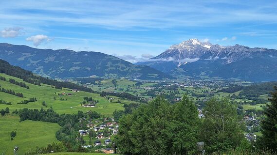
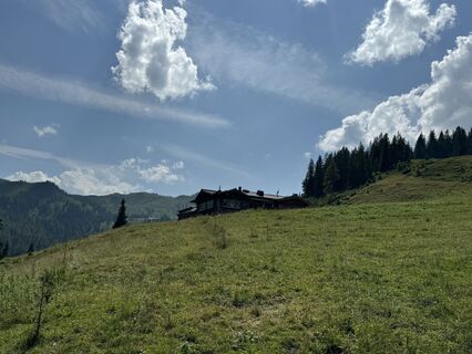
Panorama route tour to the most beautiful places in the Hochkönig region. Mountain climbing over the Natrun, the Filzensattel, the Wastlhöhe, the Riedingtal, the Mitterberg. Wonderful downhill run from...
Panorama route tour to the most beautiful places in the Hochkönig region. Mountain climbing over the Natrun, the Filzensattel, the Wastlhöhe, the Riedingtal, the Mitterberg. Wonderful downhill run from the Kammererköpfen of about 16 km and 800 depth meters to Bischofshofen train station.
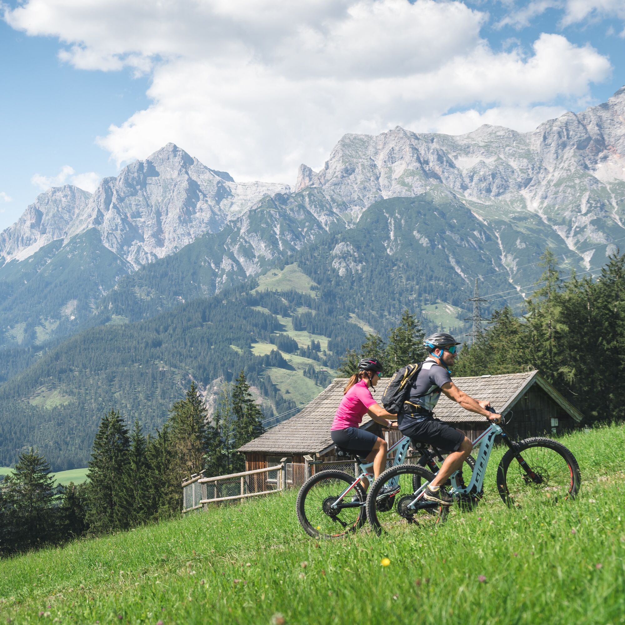
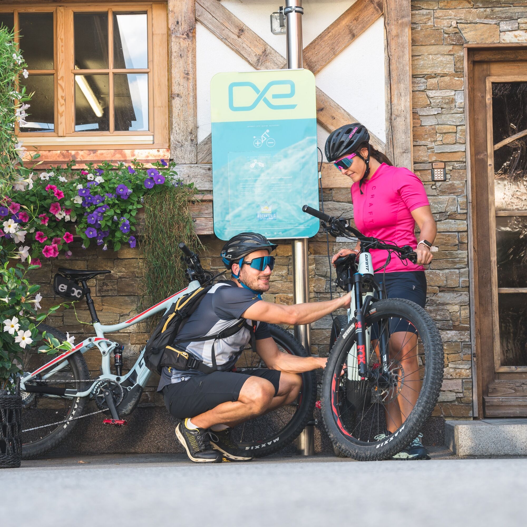
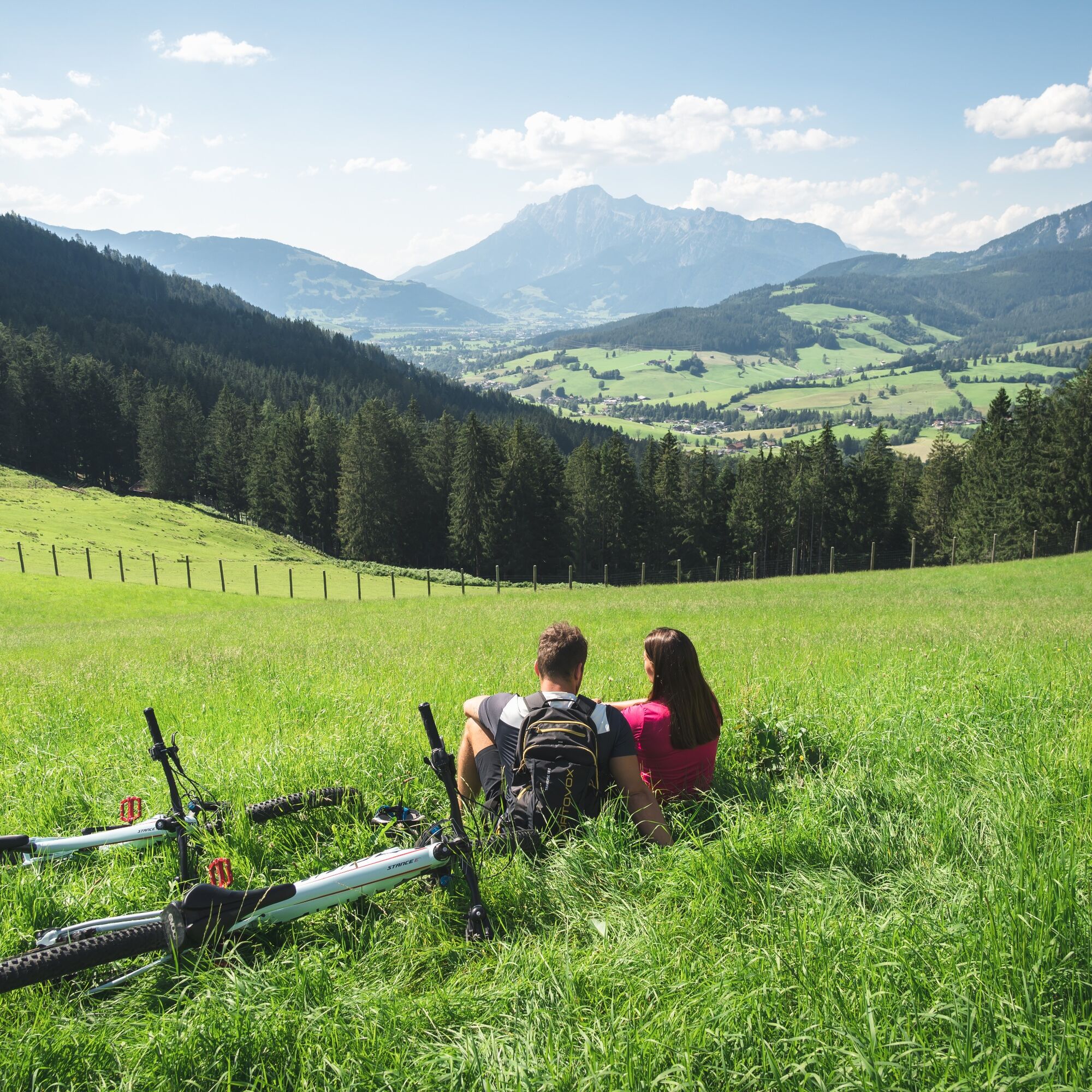
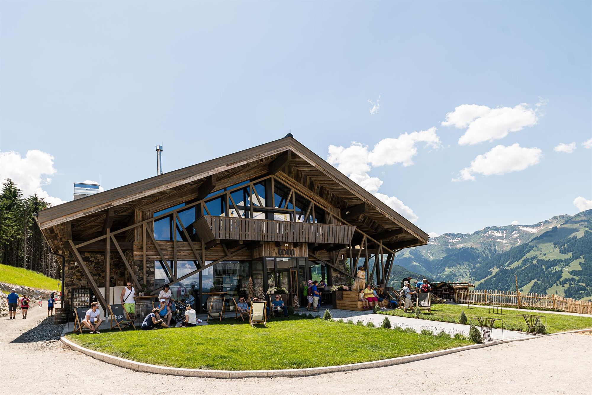
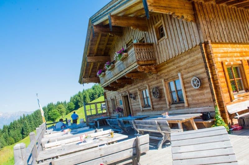
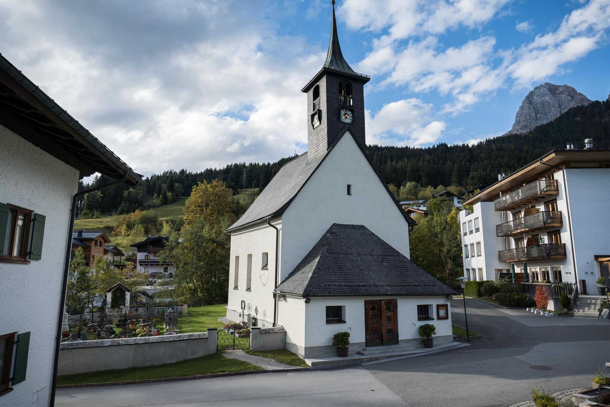
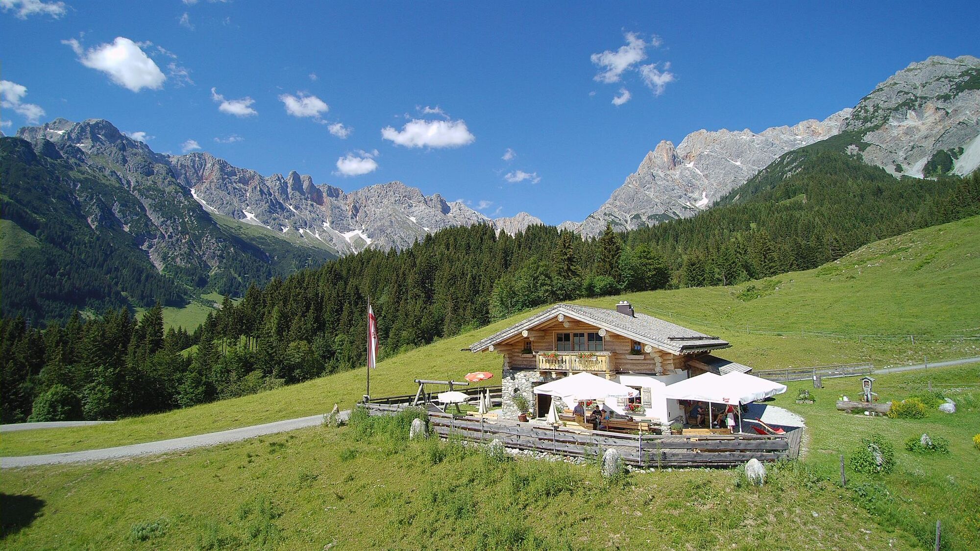
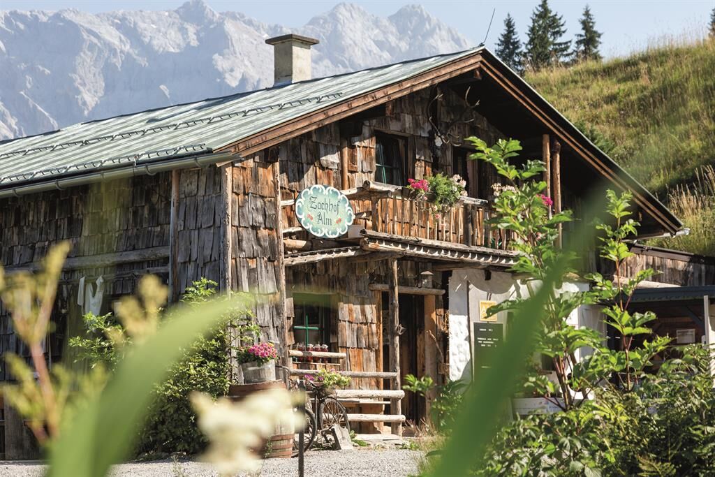
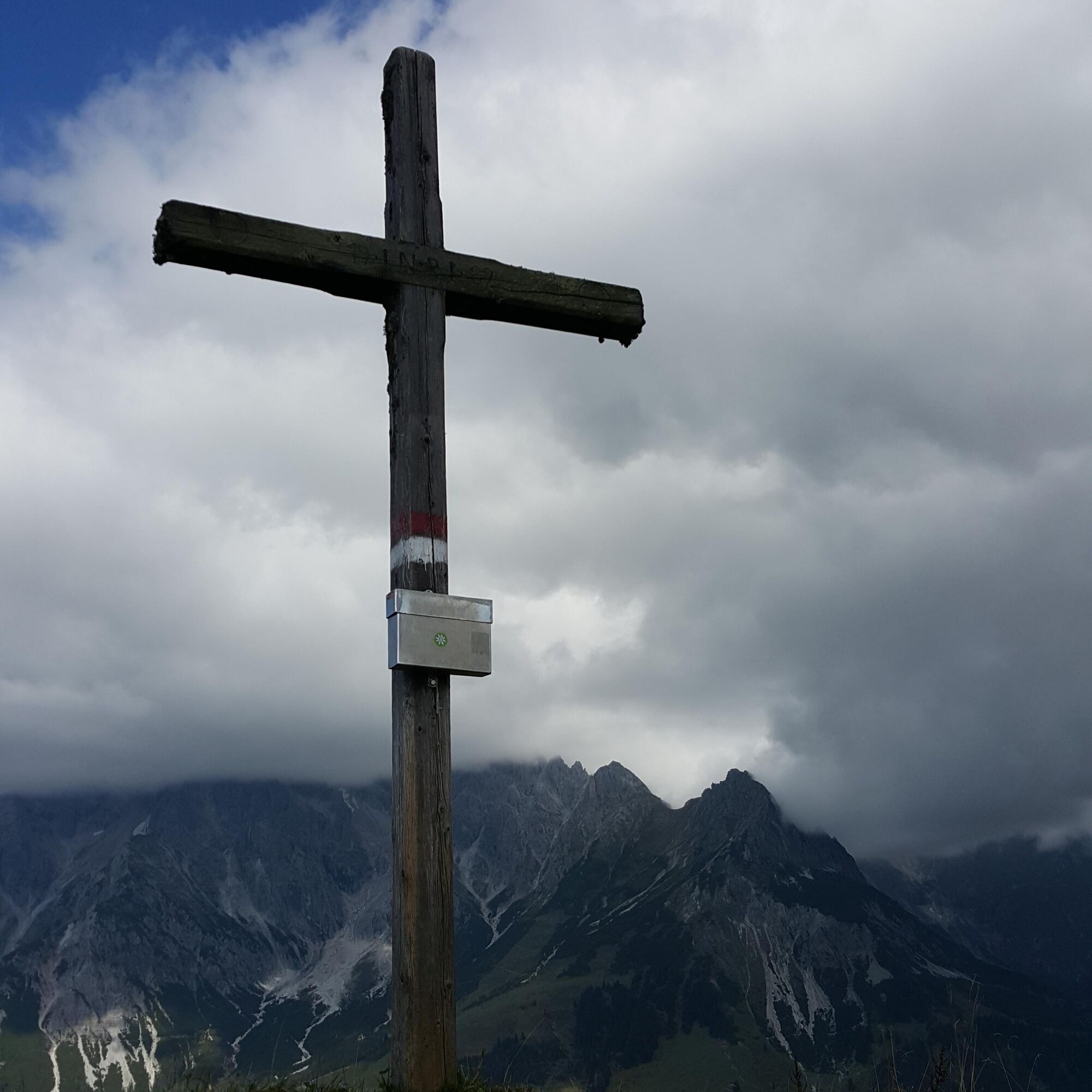
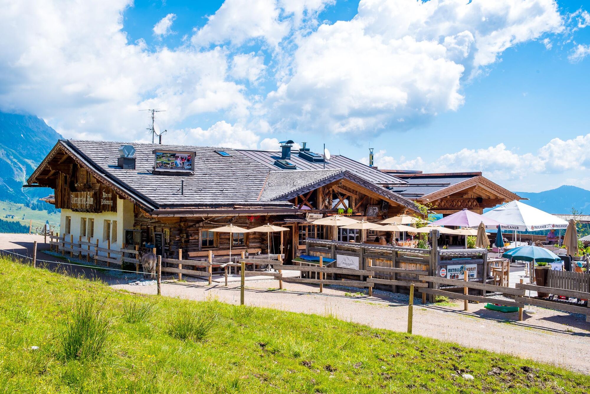
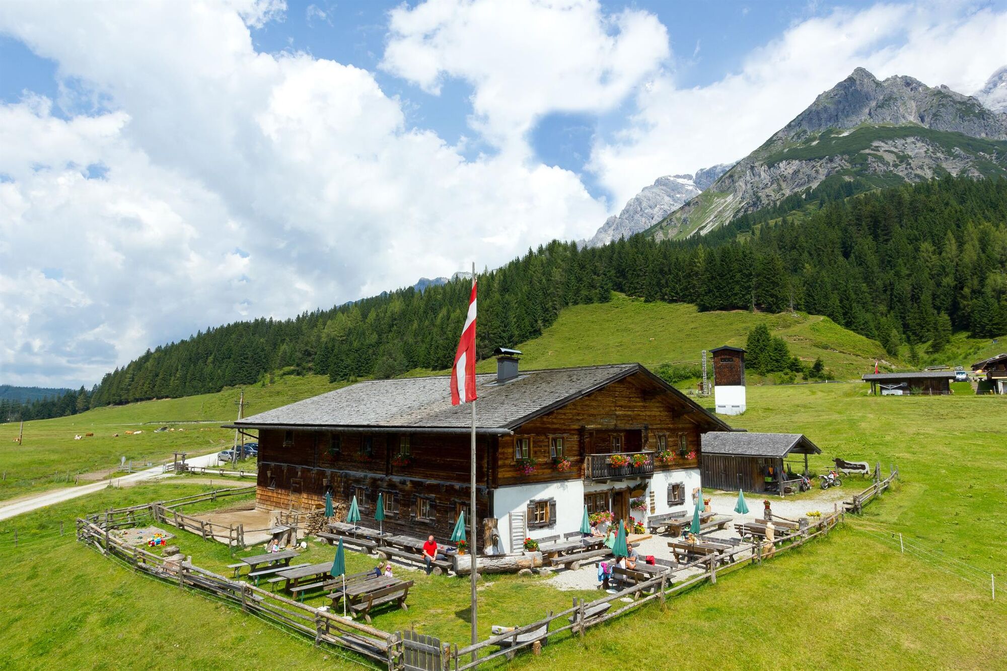
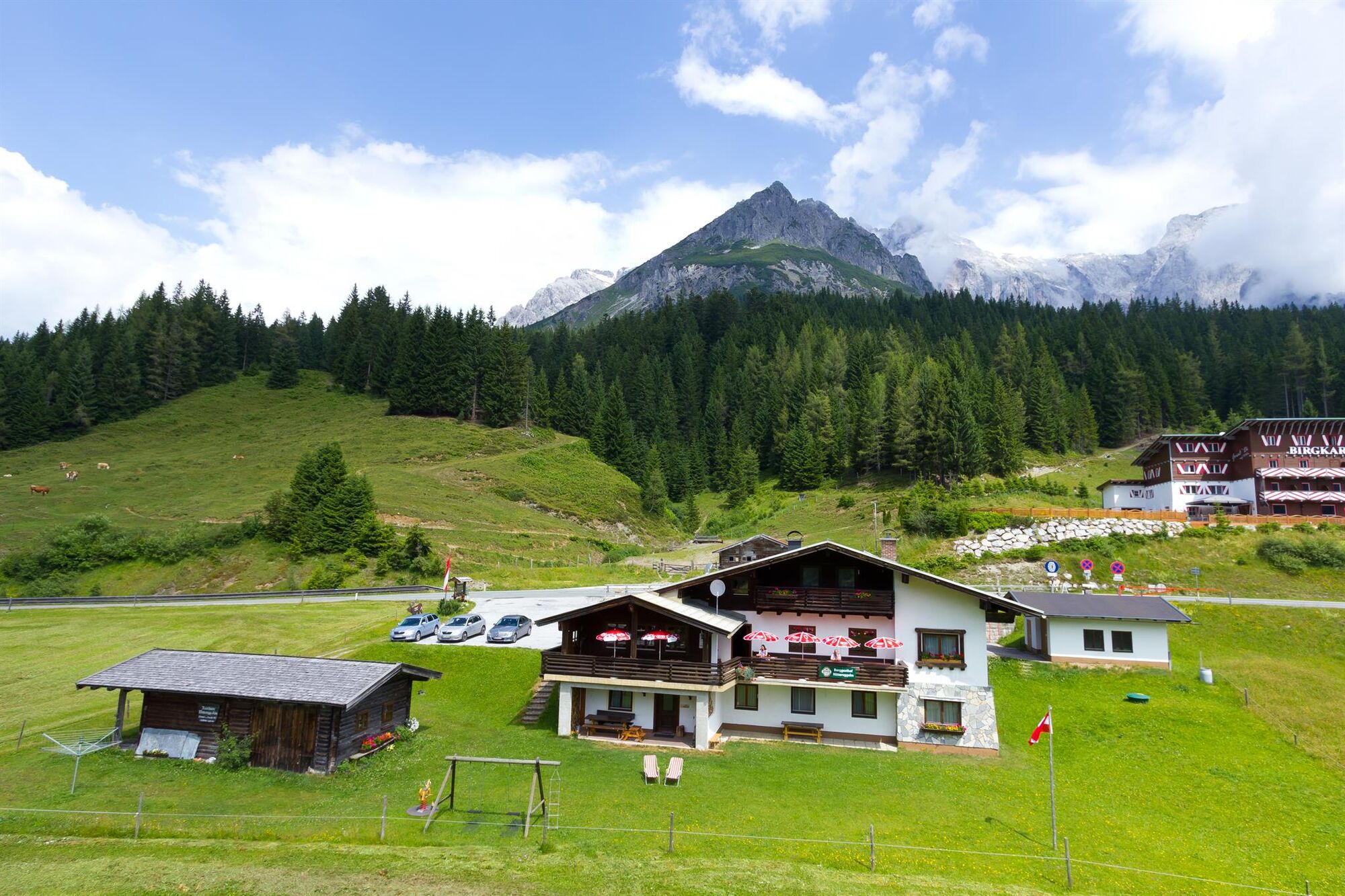

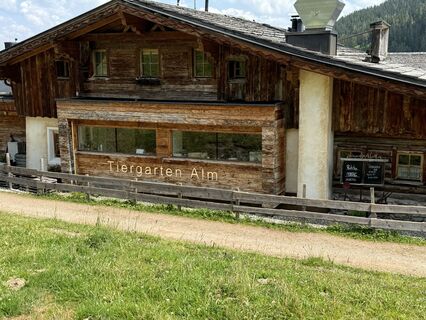
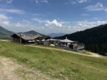
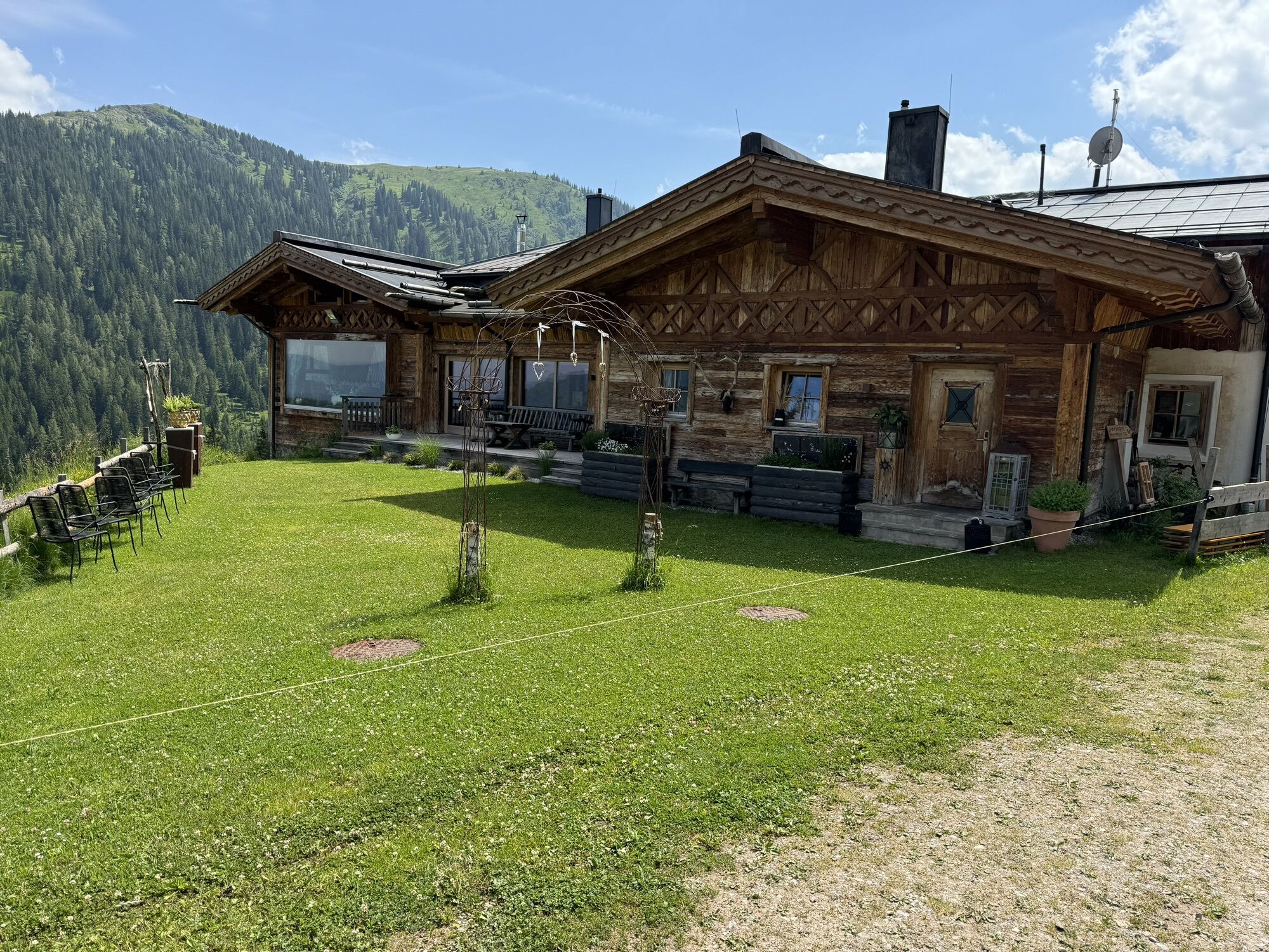
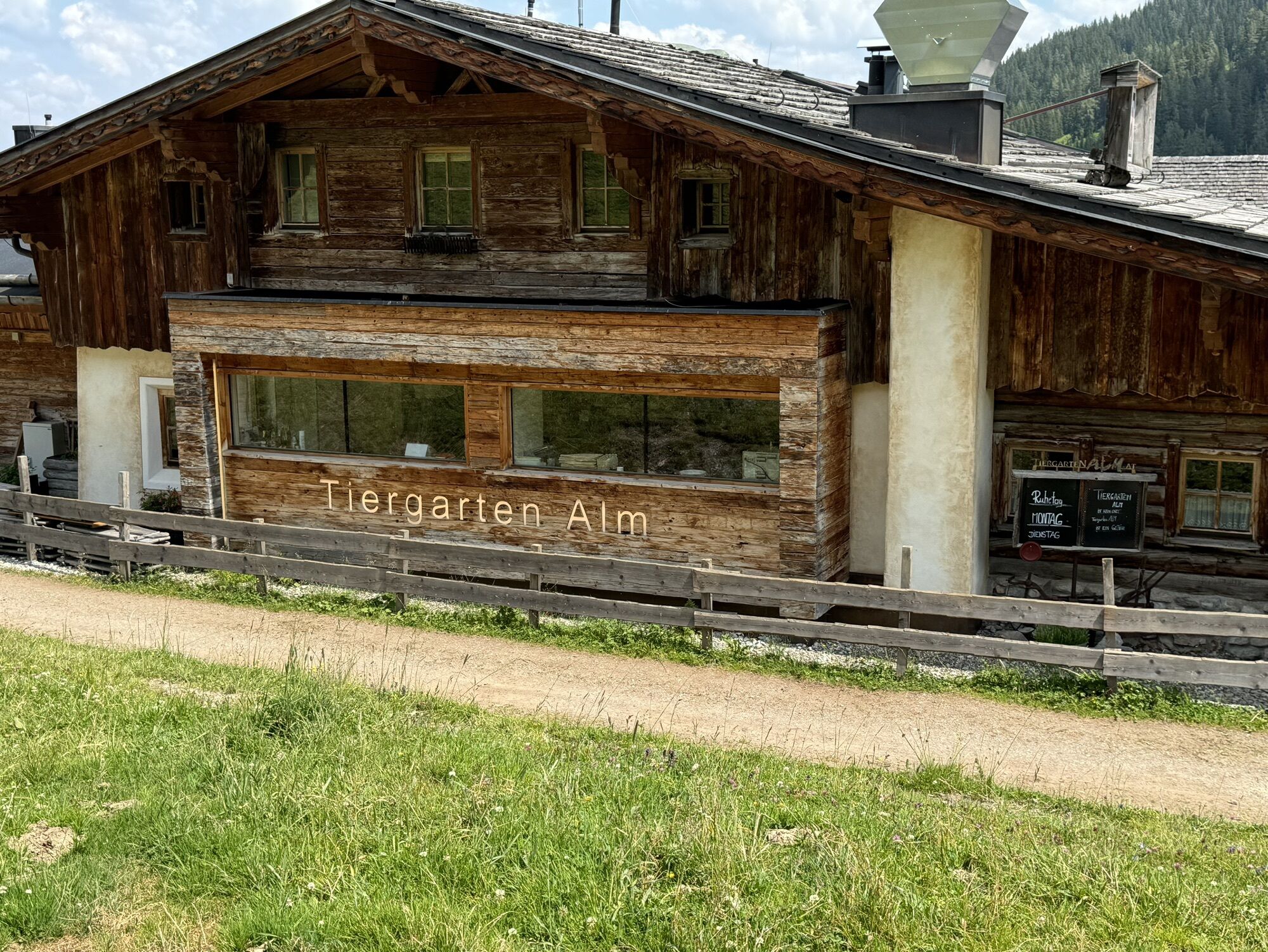
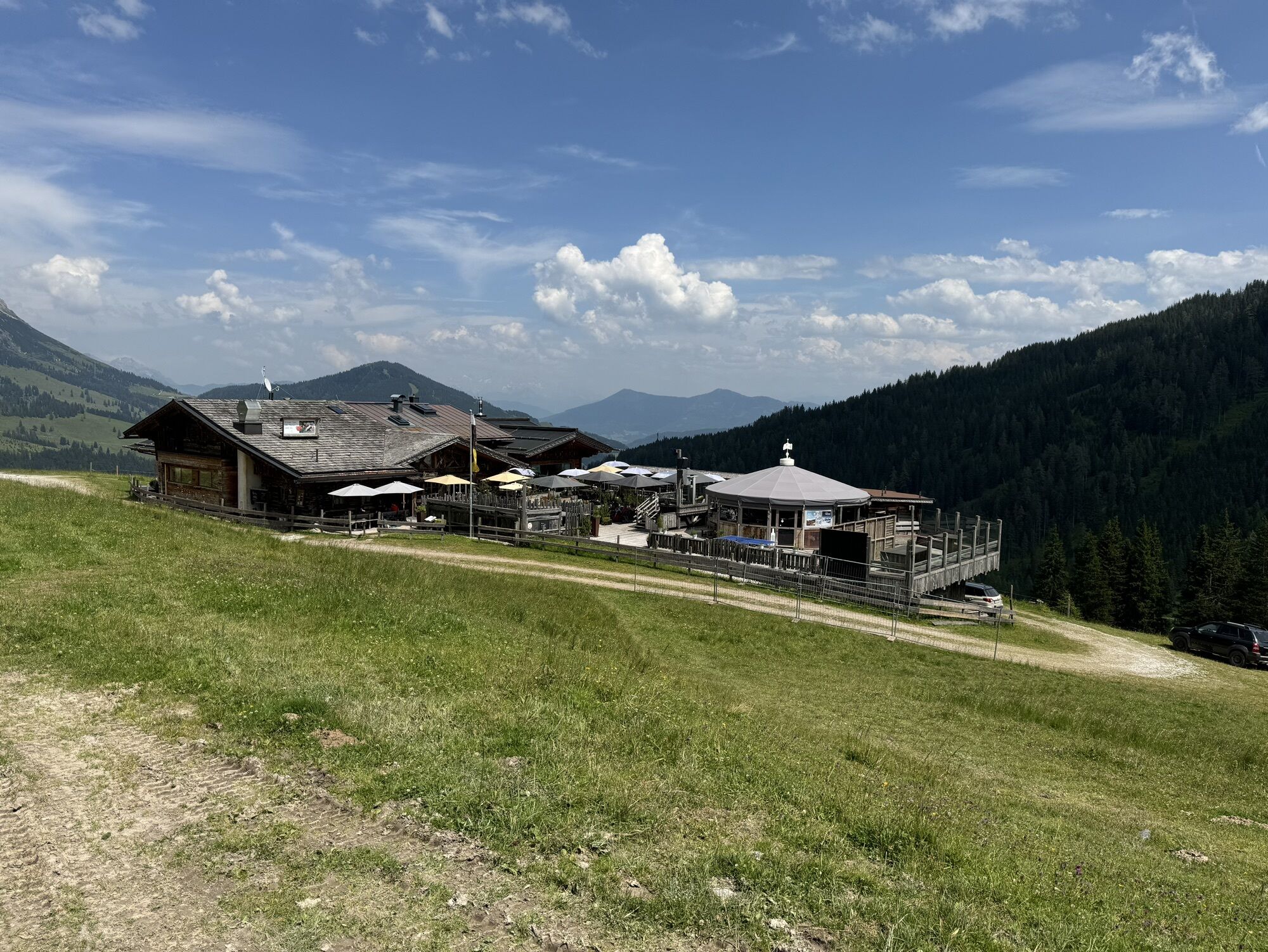
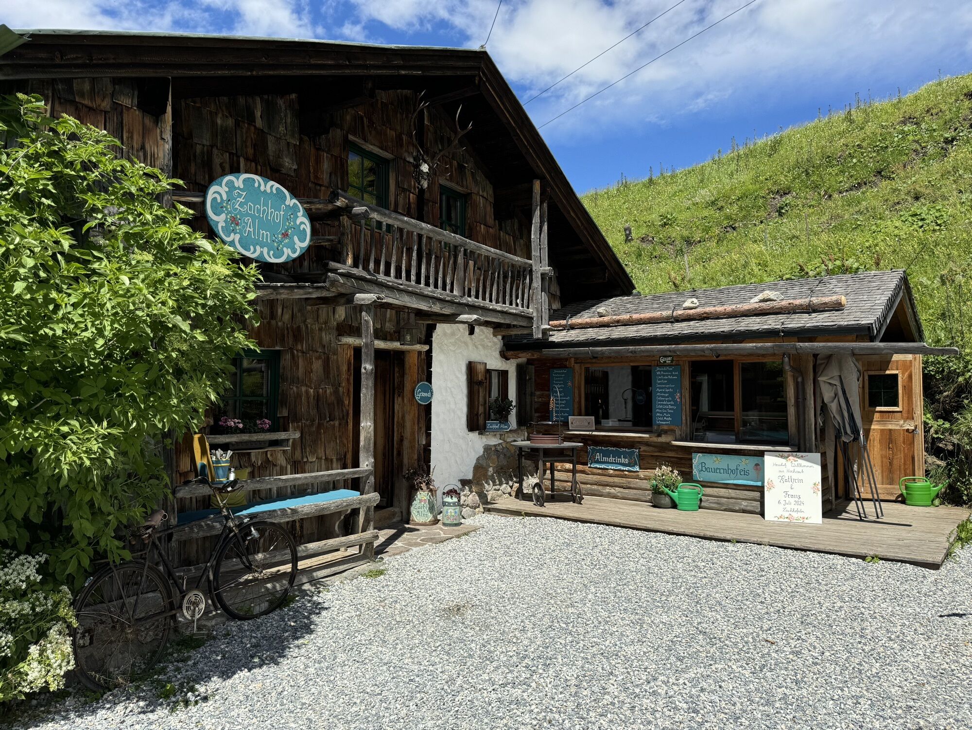
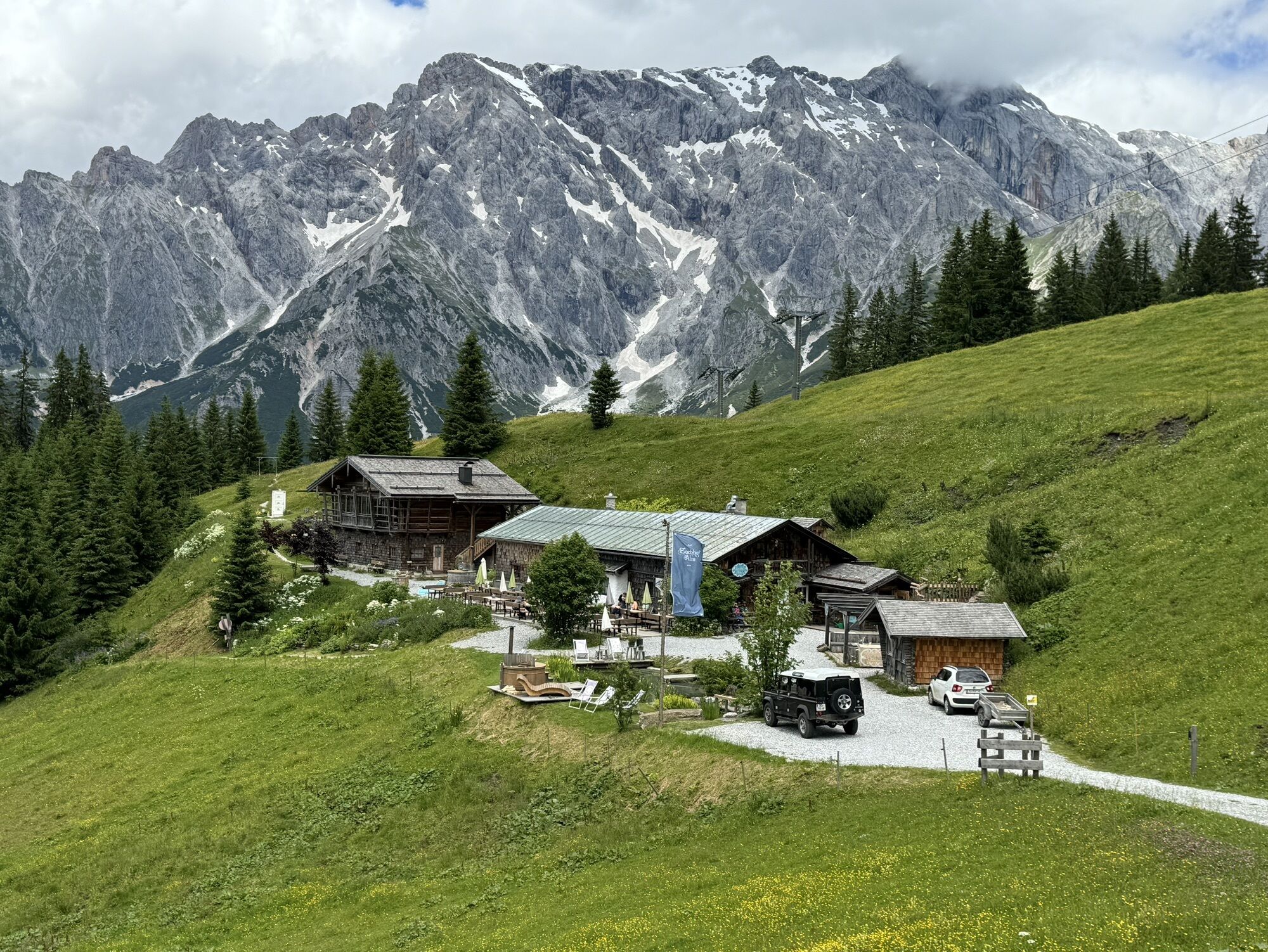
tom Almhütte and continue past the Grammlergut snack station to Hintermoos. Here you drive a little along the federal road in the direction of Hinterthal. After approx. 2.5 km you cross the Urslau river and drive parallel to the Urslau until you reach the Hochmaisbahn. Then you continue into the village of Hinterthal until you reach the church. Shortly before the church, keep right and drive towards Aierbauer. Continue to the Aueralm (E-bike gas station). Cross the alpine pasture area and continue uphill to Filzensattel and downhill to the crossroads of Dorf Dienten. At the crossroads follow the road to the left in the direction of Mühlbach/Bischofshofen. After about 0.5 km uphill turn right onto the forest road "Altenberg". Follow this forest road for about 3 km until you reach a bend where you turn left towards Zachhofalm (no resfreshments available) (E-Bike gas station). From the Zachhofalm it goes a little steeper uphill to the Wastlhöhe (highest point of the tour). Turn left there and follow the narrow path slightly downhill to Sunnhüttl. From the Sunnhüttl it goes on via the Tiergartenalm (refreshment stop) steeply downhill to the Dientalm (refreshment stop). At the Mittereggalm (refreshment stop) turn right onto the Hochkönig Bundesstrasse, which you follow for about 3 km to the Elmaugut adventure farm. After the Elmaugut turn left into Viererwasch and follow the mountain bike signs to the Schrammbach, here upriver to the power station. Follow the path on the other side of the brook about 350 m uphill, then turn left uphill. After about 800 m you will reach an asphalt road via wooden steps. Turn right here and pass the Hochkönig sports hall until you reach Mandlwandstrasse. Follow this road for about 300 m in the direction of the Arthurhaus, then turn right under the Sonneck into the Forstweg. Now it is the next 10 km to Bischofshofen.
Controlled bike equipment with helmet
Sunglasses
Sun protection
Rain protection
Drinks and a snack
Necessary medication
First aid kit
Bike map
Emergency numbers: Alpine emergency call: 140, International emergency call: 112, Rescue: 144
Coming from Salzburg: Take the A10 motorway to the Bischofshofen exit, then take the B311 towards Bischofshofen. Follow the Hochkönig Bundesstraße/B164 to Maria Alm.
Coming from Innsbruck/ Kufstein: Take the Loferer Straße/B178 in the direction of St. Johann i.T., then follow the Hochkönig Bundesstraße/B164 via Saalfelden to Maria Alm.
A valid vignette is required to use the Austrian motorway and motorway network. It is also compulsory to carry a first-aid kit, warning triangle and high-visibility waistcoat. Further information can be found under Asfinag.
ÖBB-Scotty: Timetable information
Bus line 620: Timetable information
Hiking bus: Timetable information
Free parking at the entrance to the village and in the center of Maria Alm
For detailed information about hiking maps, the opening hours of the cable cars and the huts and mountain pastures in summer, we recommend you visit the local service centre. There you will not only receive the hiking map, but also valuable tips on the best hiking routes and current conditions.
Opening hours of the mountain lifts in summer: The mountain lifts offer different opening hours during the summer months, which can vary depending on the weather and season. Please check the current operating times in advance.
Opening hours of huts & mountain huts in summer:The huts and mountain huts in the region are ideal rest stops for hikers. Here, too, opening hours may vary depending on the season and day of the week. Ask the friendly hosts for advice about the offers and specialities on site.
For more information, please visit our website: www.hochkoenig.at.
If you have any questions or require specific information, please do not hesitate to contact us:
- E-mail: region@hochkoenig.at
- Telephone: +43 (0)6584 20388
We look forward to helping you and hope you enjoy exploring the beautiful Hochkönig hiking region!
Important replacement material: Tools, Replacement hose
Webové kamery z prohlídky
Mühlbach am Hochkönig
Maria Alm - Hochmaisbahn
Aberg - Bergstation
Bürglalmlift - Dienten
Pfarrwerfen Feratel
Mühlbach am Hochkönig - Hotel Bergheimat
Bischofshofen-Kreuzberg
Pfarrwerfen Feratel
Pfarrwerfen Feratel
Pfarrwerfen Feratel
Pfarrwerfen Feratel
Pfarrwerfen Feratel
Pfarrwerfen Feratel
Pfarrwerfen Feratel
Bergstation Kings Cab
Saalfelden
Matrashaus am Hochkönig
Grünegg Alm & Edelbrennerei
Dienten - Übergossene Alm Resort
Dienten - Almsee
Dienten - Übergossene Alm Resort
Natrun Bergstation
Dienten, Bürglalmabfahrt
Pfarrwerfen, Eulersberg
Bergstation Kings Cab
Bergstation Kings Cab
Bergstation Kings Cab
Bergstation Kings Cab
Bergstation Kings Cab
Hoferbichlgut
Hinterreit - Saalfelden
Saalfelden - Obermühlhof
Bergstation Kings Cab
Bergstation Kings Cab
Maria Alm - "die Hochkönigin"
Bürglalmbahn Abfahrt
Hochkönigblick
Arthurhaus - Mühlbach
Hinterthal - Urslauerhof
Hinterthal - Urslauerhof
Získejte přehled Vždy živě na místě s více než 9 500 webkamerami. bergfex Jako uživatel Pro si nyní můžete zobrazit odpovídající webové kamery pro mnoho prohlídek v aplikaci prohlídky z. Můžete si tak přímo prohlédnout aktuální podmínky. Oblíbené prohlídky v okolí
- 4.8
Summit stormer route Lauskopf
heavyTuristika 8.16 km - 4.2
Maria Alm - Riemannhaus
Turistika 3.99 km - 4.8
Summit storming route Taghaube
heavyTuristika 6.25 km - 4.7
About the "Four Huts circular route" to Windraucheggalm
středníTuristika 10.1 km - 4.7
Panorama hike to the Hochkeil
středníTuristika 6.07 km - 3.6
Wanderung zur Ostpreußenhütte in Werfen (1.630 m)
středníTuristika 11.2 km - 4.8
Hochkönig - Gipfel der Gefühle - Matrashaus
heavyTuristika 20.9 km - 4.4
Alpine and hut hike "Hochmaisalm & Steinbockalm"
středníTuristika 8.10 km - 4.6
Königsjodler Klettersteig (C/D) Hochkönig
heavyVia ferrata 25.8 km - 5.0
Schönfeldspitze 12.08.2020
heavyVysokohorská turistika 15.3 km

Pěší turistika a stopování


Nenechte si ujít nabídky a inspiraci pro vaši příští dovolenou
Vaše e-mailová adresa byl přidán do poštovního seznamu.





