






Königstour: BIKE medium - day 3 from Mühlbach to Maria Alm
Fotografie našich uživatelů
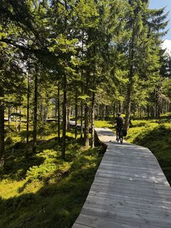
 © wilmaVytvořeno dne 07.08.2025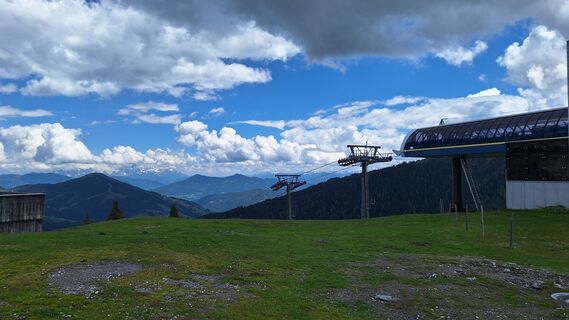
 © Matej Mikus 1Vytvořeno dne 05.06.2024
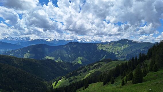 © Matej Mikus 1Vytvořeno dne 05.06.2024
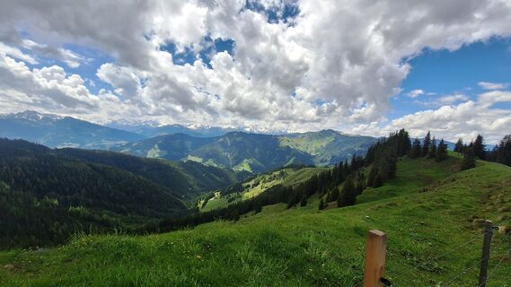 © Matej Mikus 1Vytvořeno dne 05.06.2024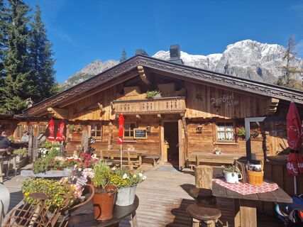
 © RitschVytvořeno dne 12.10.2024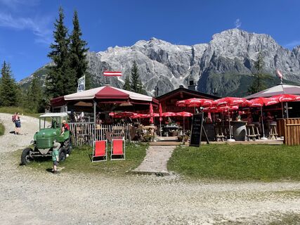
 © Ranger SvenVytvořeno dne 30.07.2024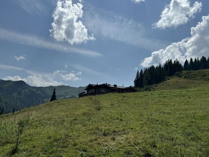
 © feinschmeckerontourVytvořeno dne 10.07.2024
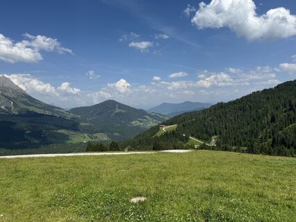 © feinschmeckerontourVytvořeno dne 10.07.2024
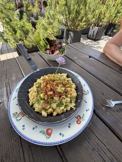 © feinschmeckerontourVytvořeno dne 10.07.2024
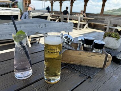 © feinschmeckerontourVytvořeno dne 10.07.2024
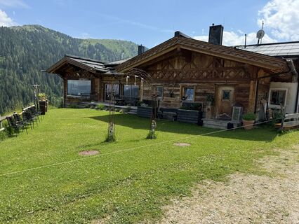 © feinschmeckerontourVytvořeno dne 10.07.2024
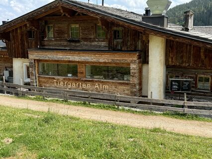 © feinschmeckerontourVytvořeno dne 10.07.2024
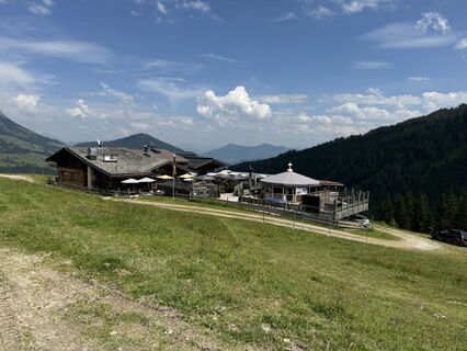 © feinschmeckerontourVytvořeno dne 10.07.2024
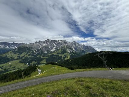 © feinschmeckerontourVytvořeno dne 04.07.2024
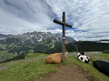 © feinschmeckerontourVytvořeno dne 04.07.2024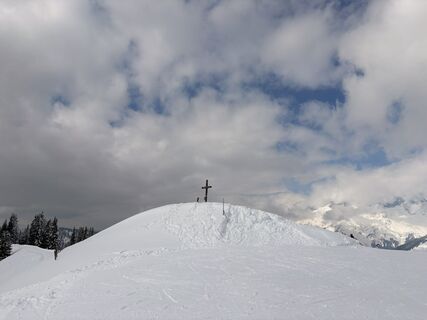
 © annnaa0801Vytvořeno dne 03.04.2026
 © annnaa0801Vytvořeno dne 03.04.2026
 © annnaa0801Vytvořeno dne 03.04.2026
 © FranzVytvořeno dne 16.03.2026
 © Jonte BerndtVytvořeno dne 13.02.2026
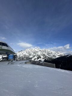 © Jonte BerndtVytvořeno dne 13.02.2026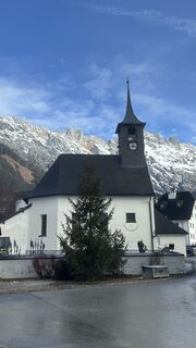
 © Christian MardinVytvořeno dne 12.02.2026
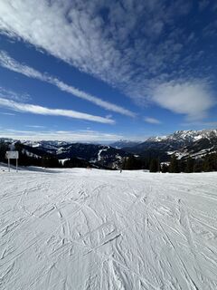 © Jonte BerndtVytvořeno dne 10.02.2026
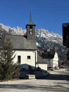 © Christian MardinVytvořeno dne 09.02.2026
 © Reinhard FlorreitherVytvořeno dne 06.02.2026
 © Reinhard FlorreitherVytvořeno dne 01.02.2026
 © Reinhard FlorreitherVytvořeno dne 01.02.2026
 © Kateřina MagnuskováVytvořeno dne 31.01.2026
 © Kateřina MagnuskováVytvořeno dne 31.01.2026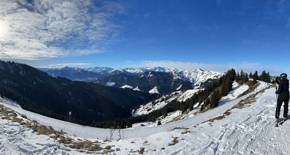
 © skibbeldiwapwapVytvořeno dne 31.01.2026
 © skibbeldiwapwapVytvořeno dne 31.01.2026
 © Markus Vogl 4Vytvořeno dne 27.01.2026
 © Heinz SperlVytvořeno dne 27.01.2026
 © Annika Schröer-OeldemannVytvořeno dne 26.01.2026
 © Heinrich SlesakVytvořeno dne 17.01.2026
 © Arno LoiblVytvořeno dne 11.01.2026
 © Franz hofnerVytvořeno dne 04.01.2026
 © Robert8992Vytvořeno dne 27.12.2025
 © tulava botaVytvořeno dne 26.12.2025
 © Monika JeskovaVytvořeno dne 18.10.2025
 © Peter De Smedt2Vytvořeno dne 11.10.2025
 © Peter De Smedt2Vytvořeno dne 11.10.2025
 © Peter De Smedt2Vytvořeno dne 11.10.2025
 © Peter De Smedt2Vytvořeno dne 11.10.2025
 © Peter De Smedt2Vytvořeno dne 11.10.2025
 © Peter De Smedt2Vytvořeno dne 11.10.2025
 © Peter De Smedt2Vytvořeno dne 11.10.2025
 © Peter De Smedt2Vytvořeno dne 11.10.2025
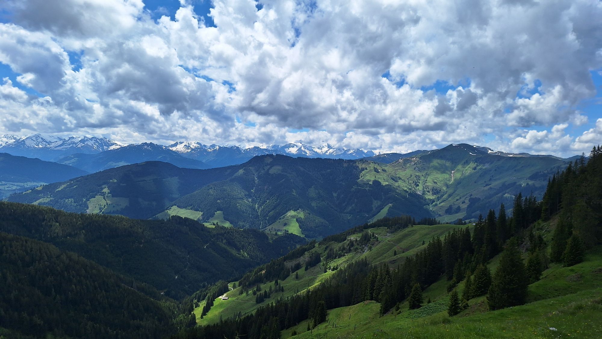
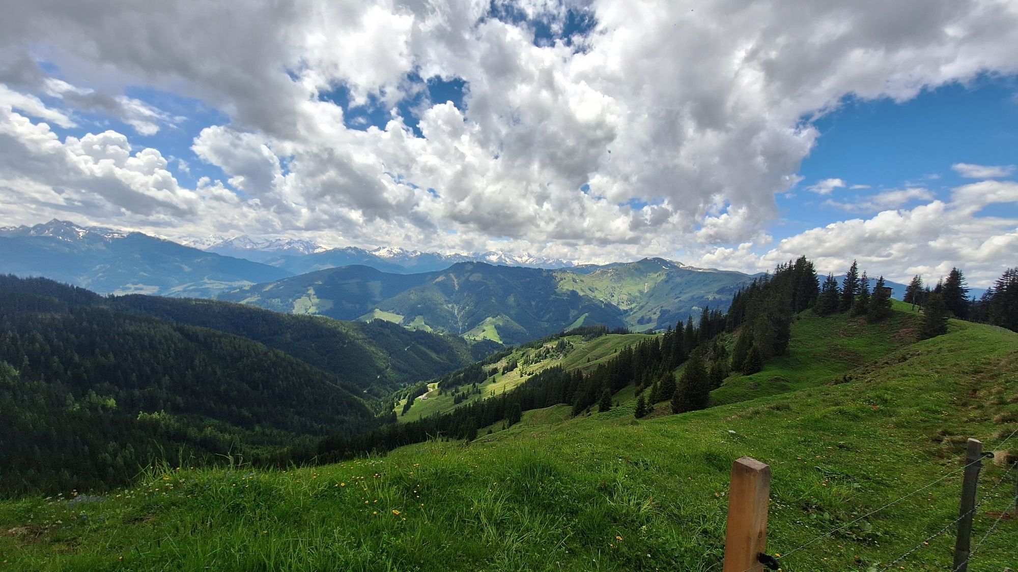
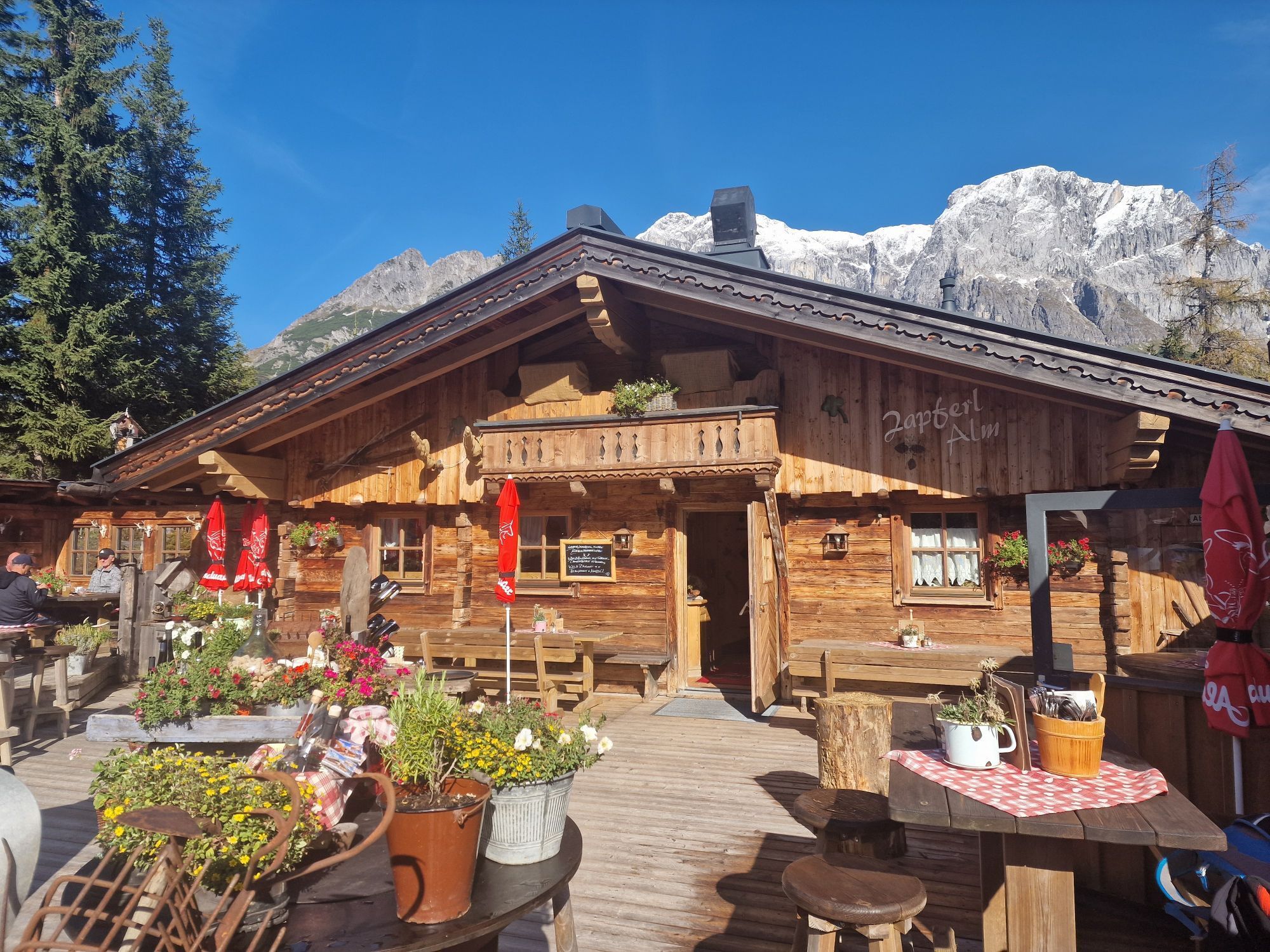
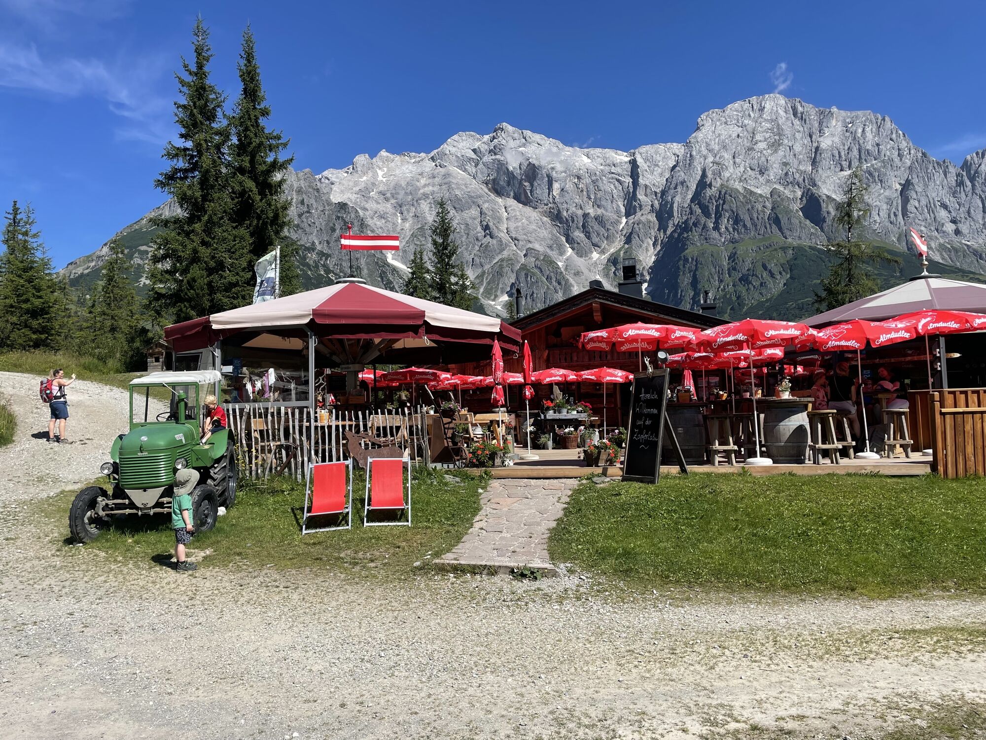
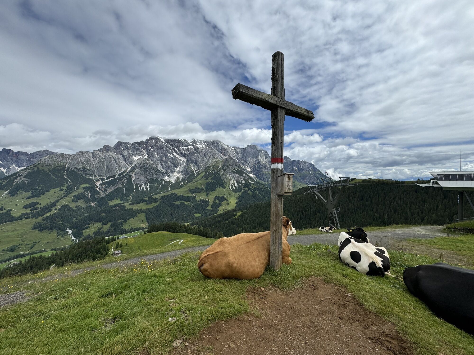
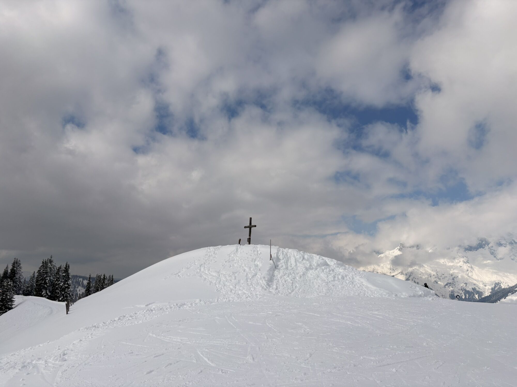
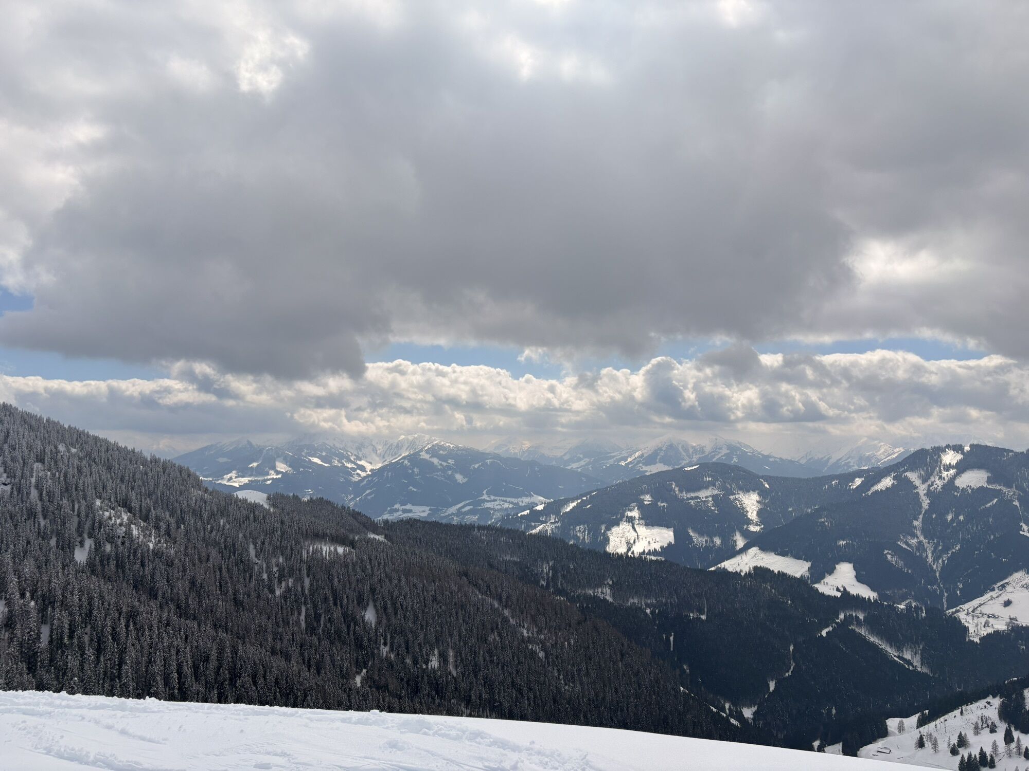
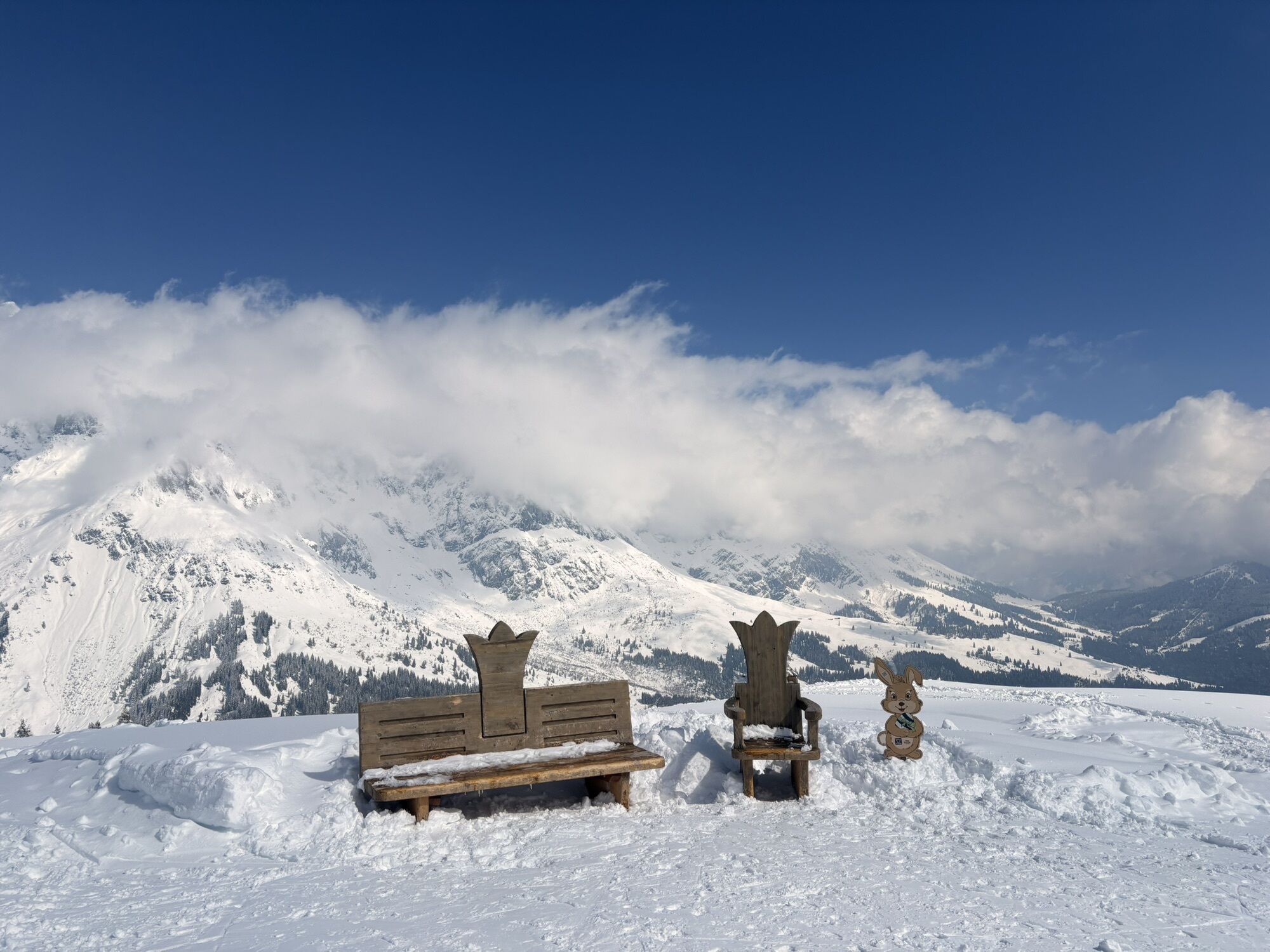
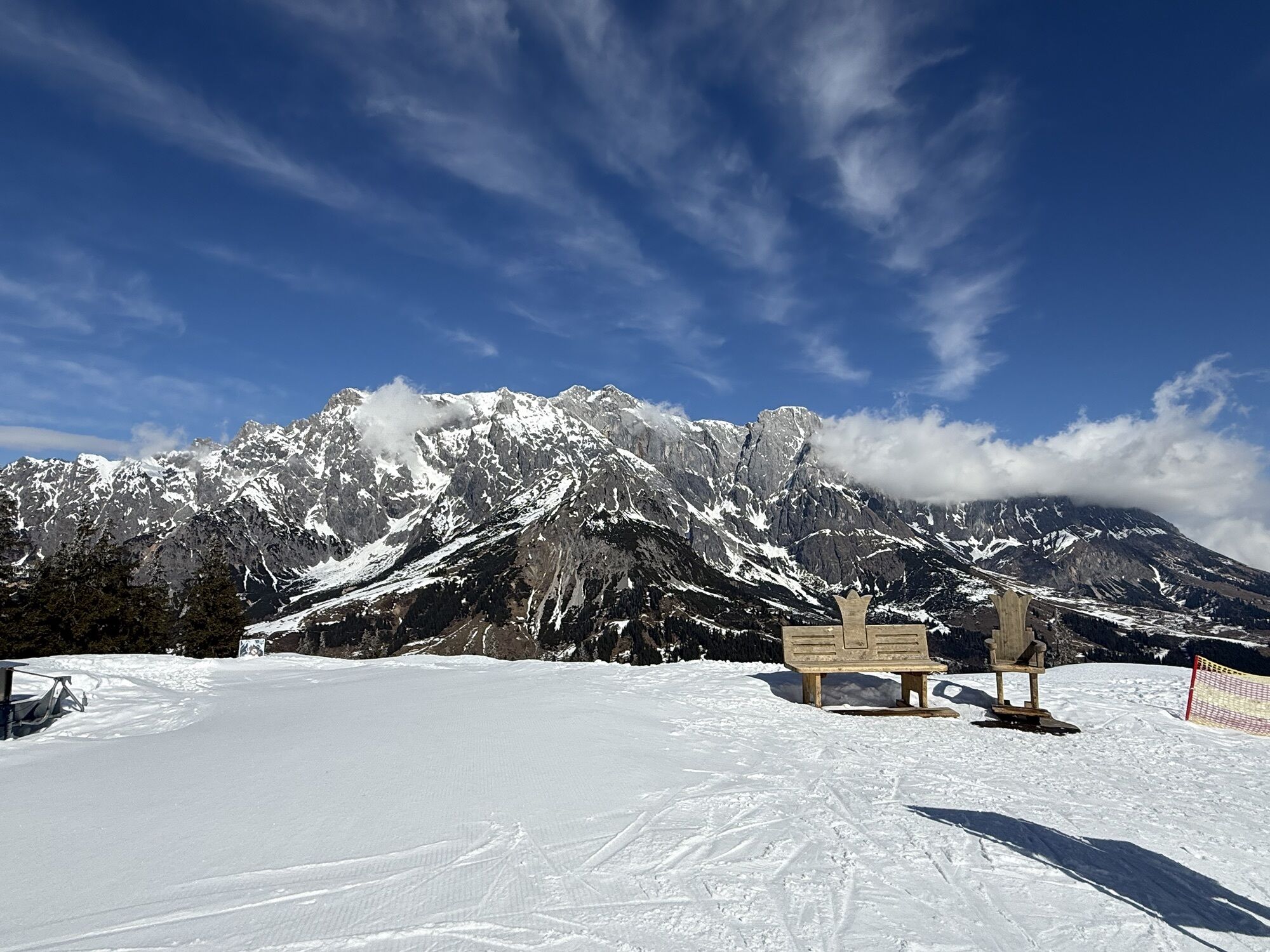
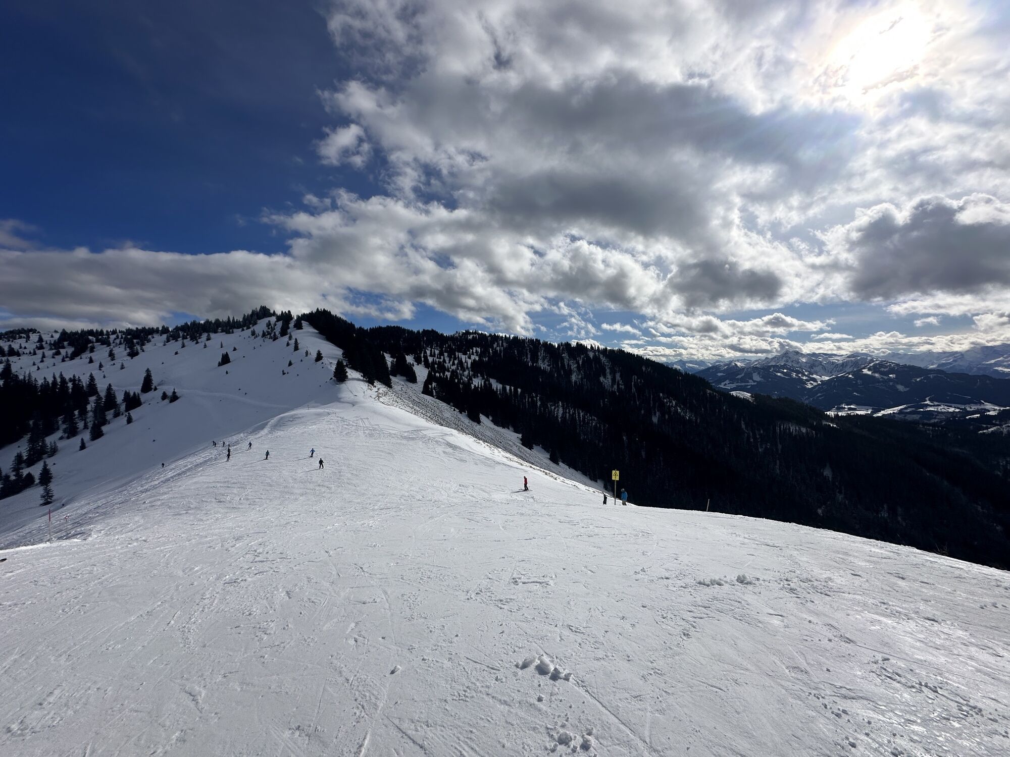
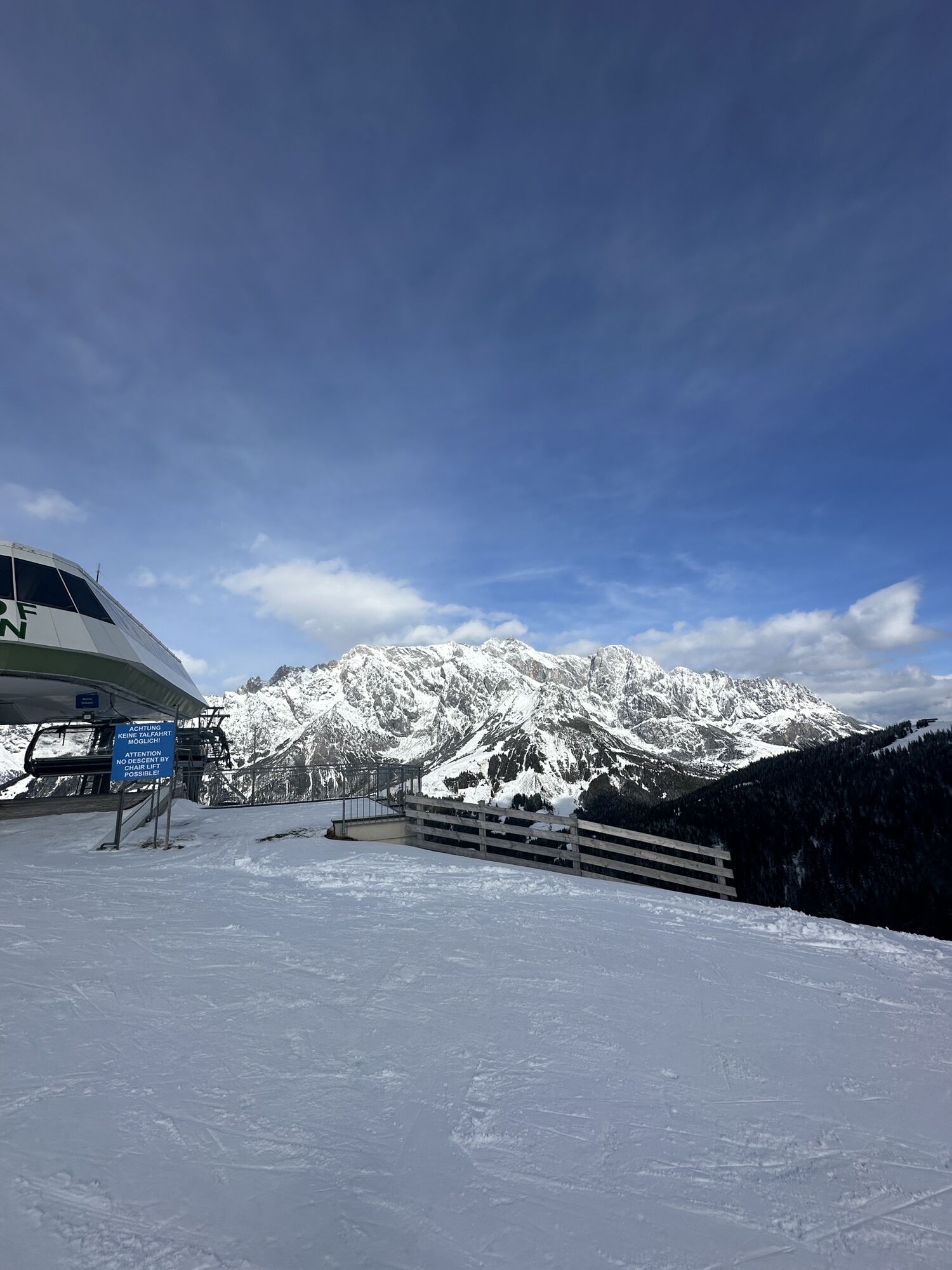
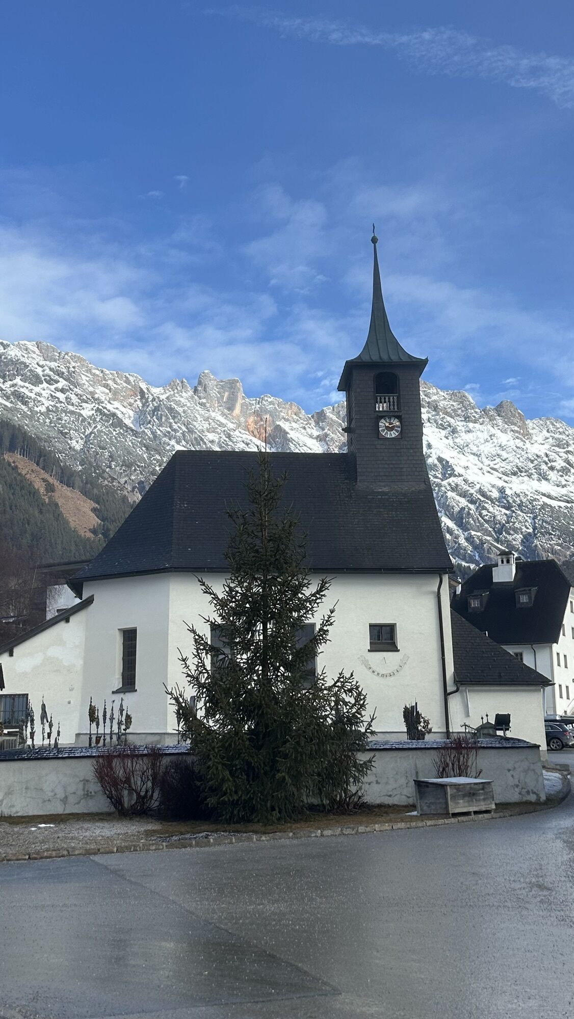
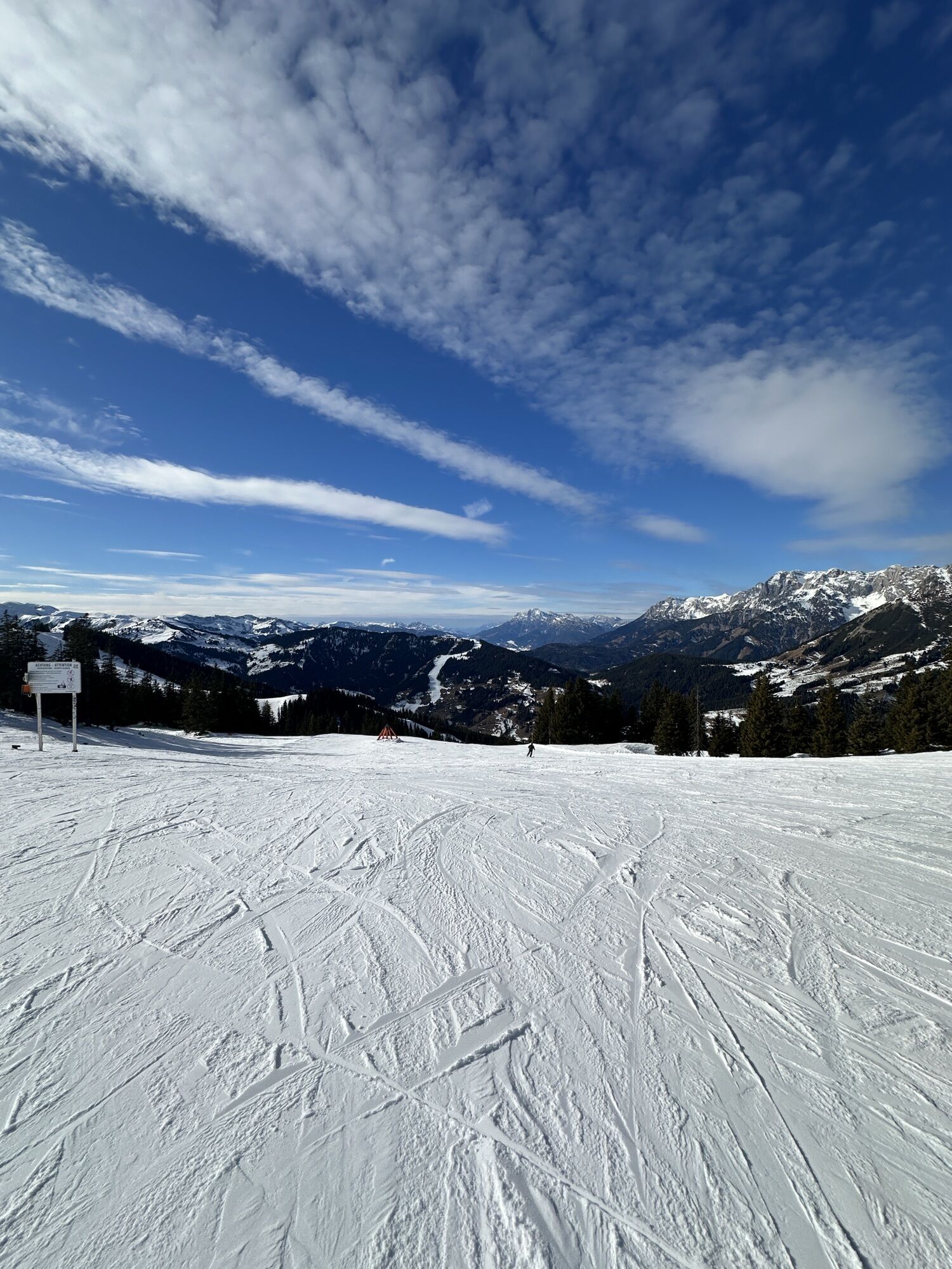
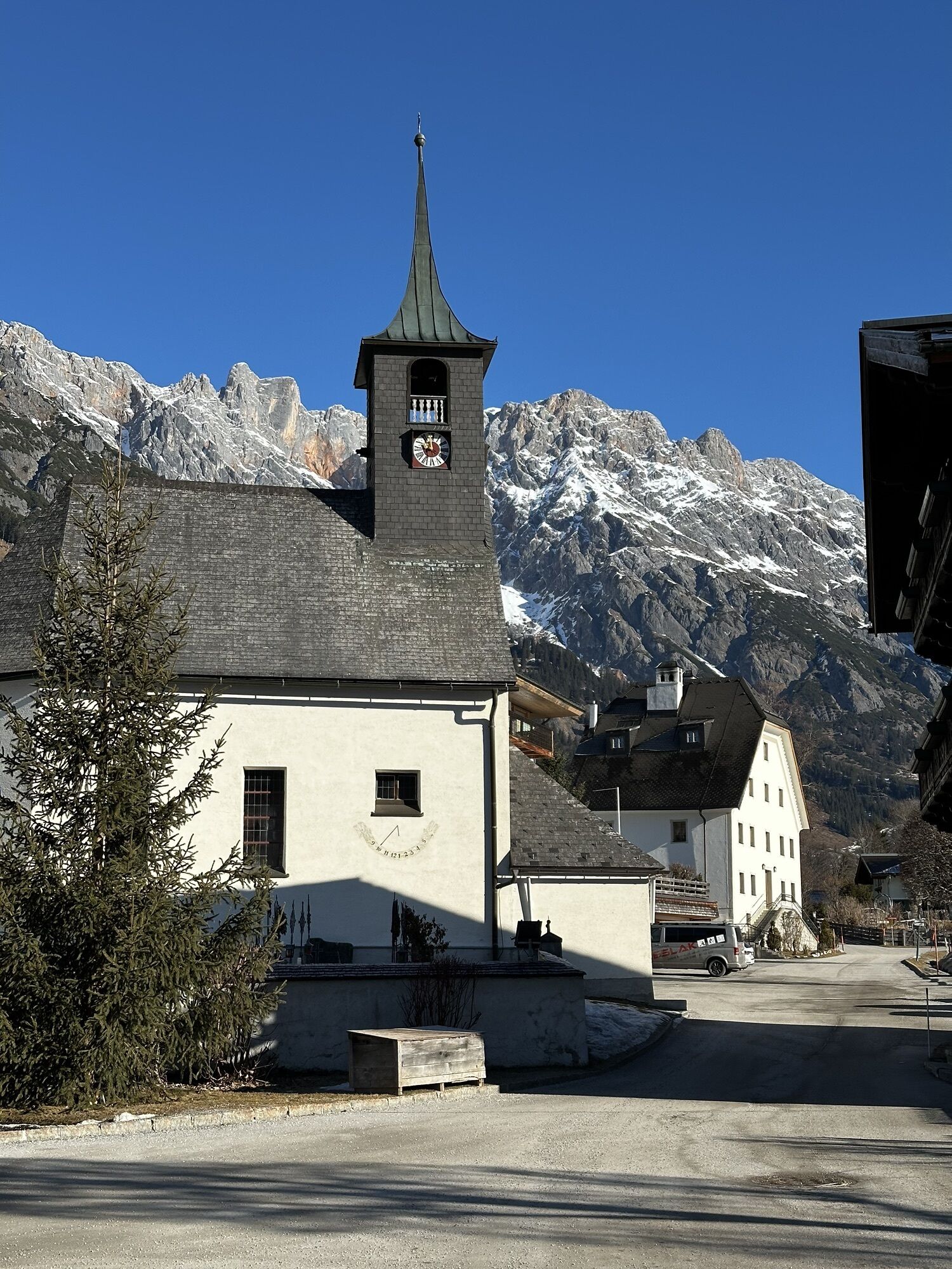
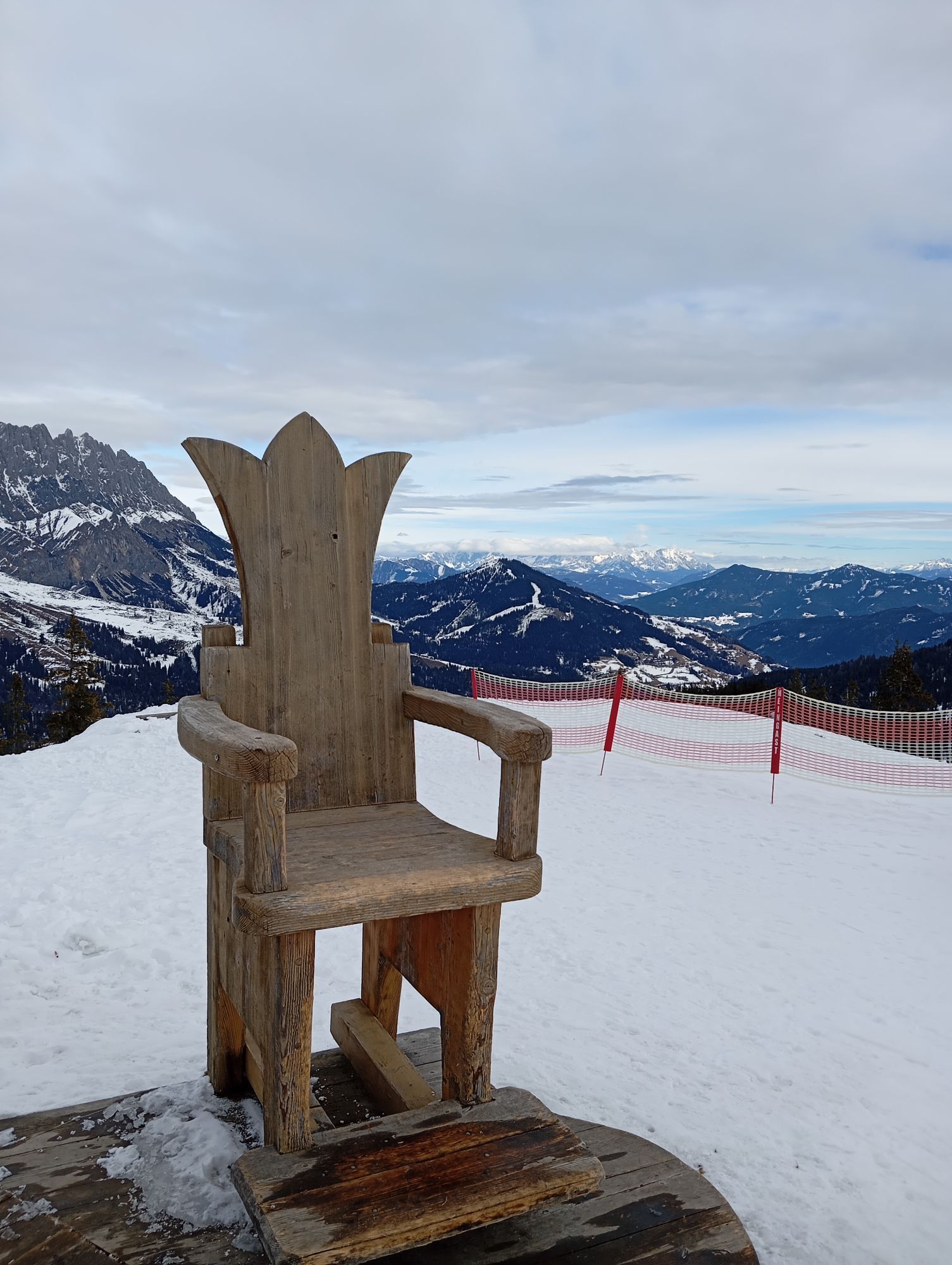
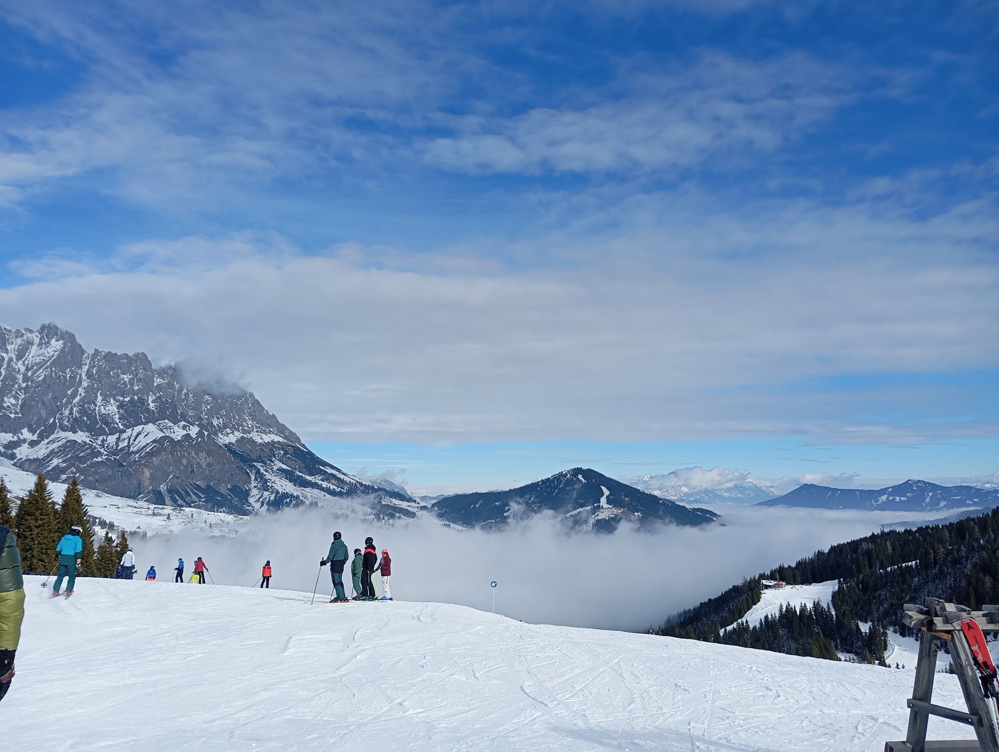
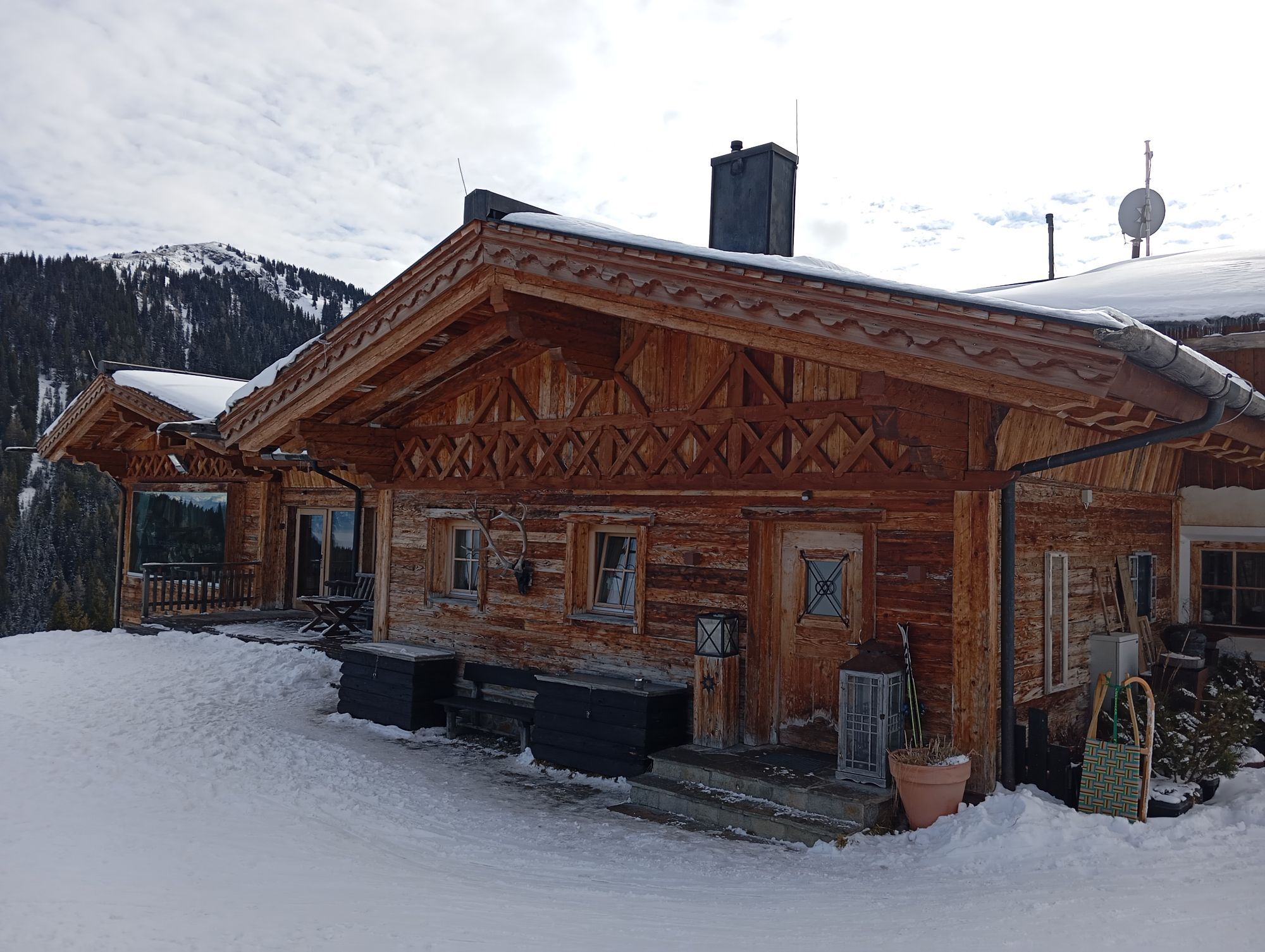
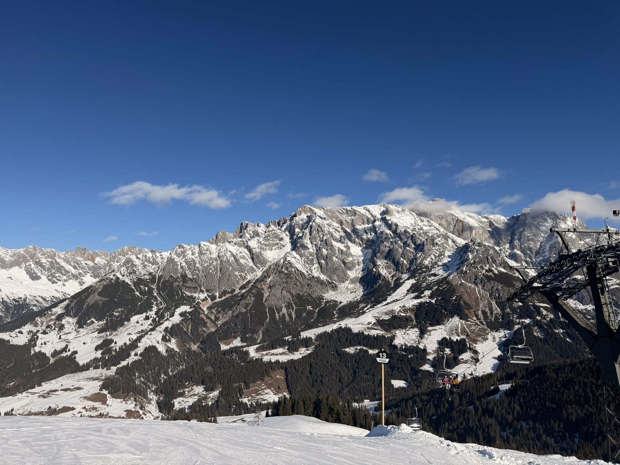
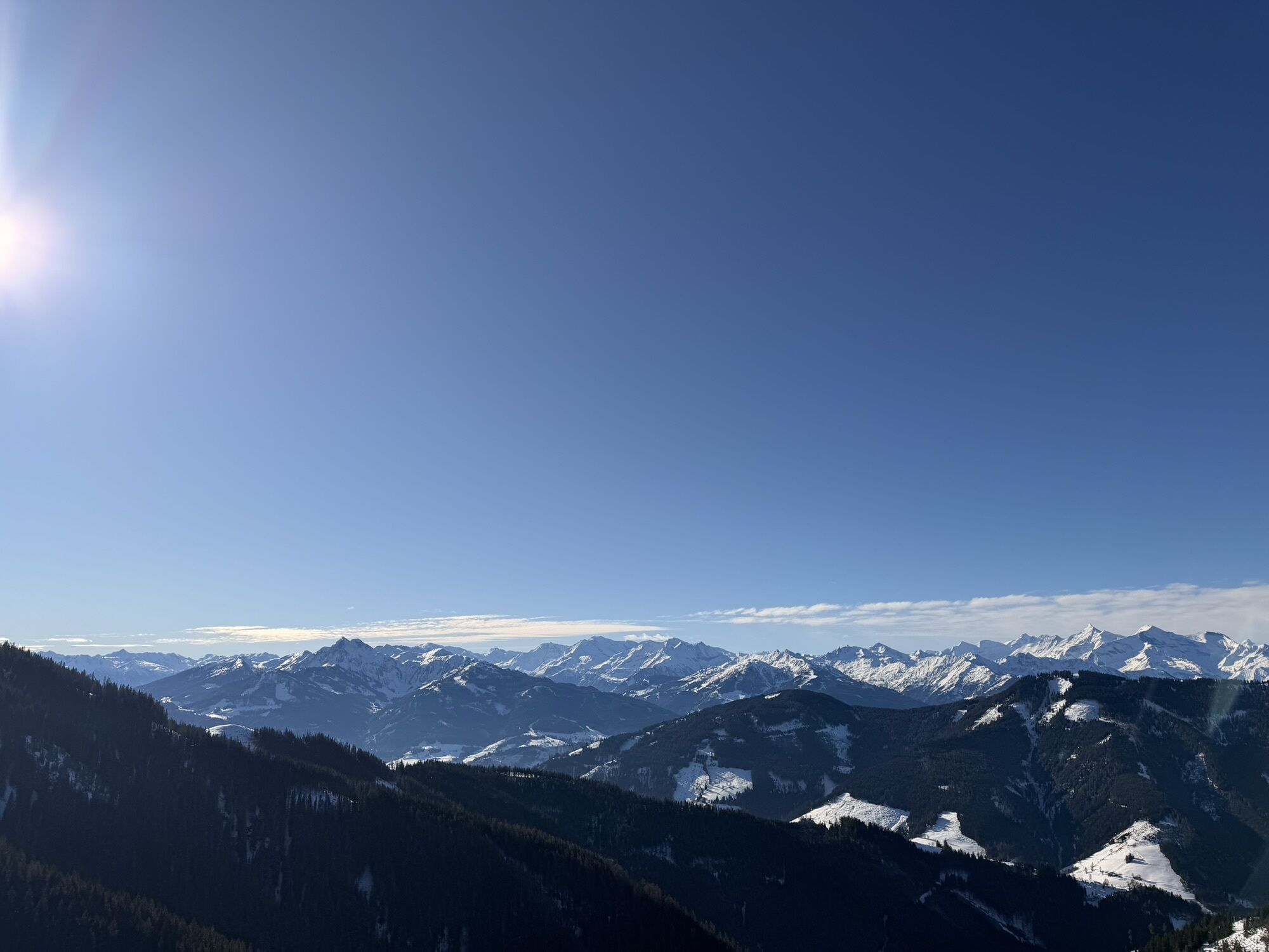
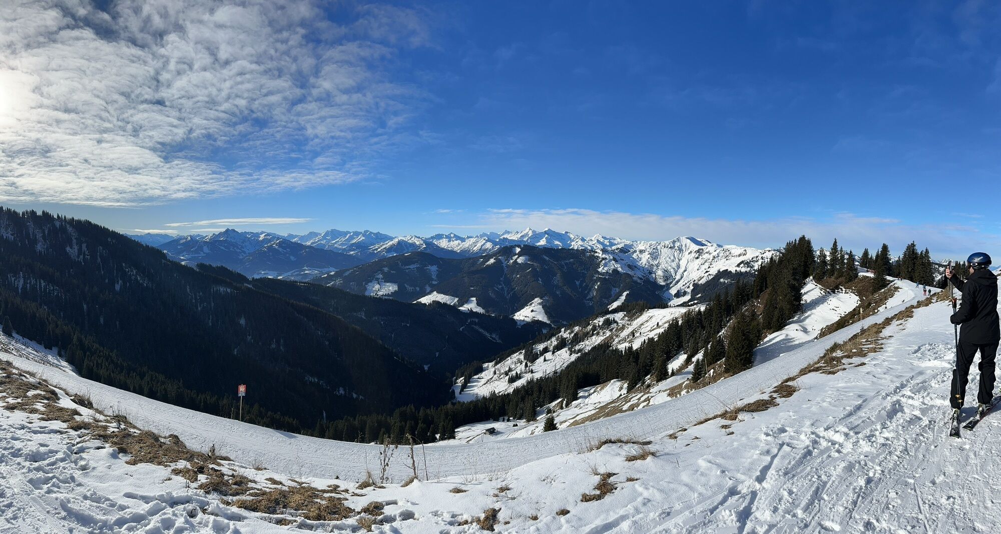
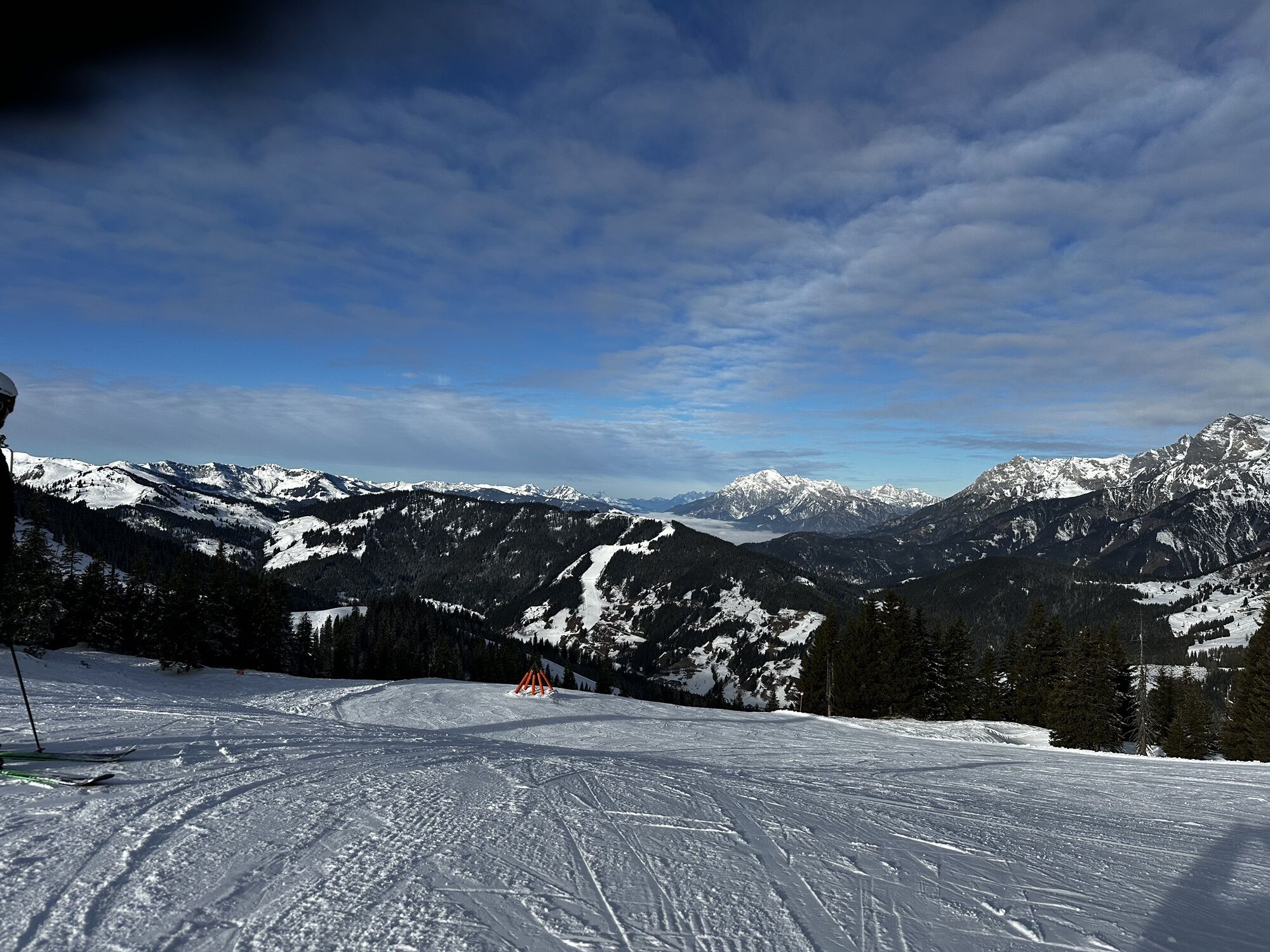
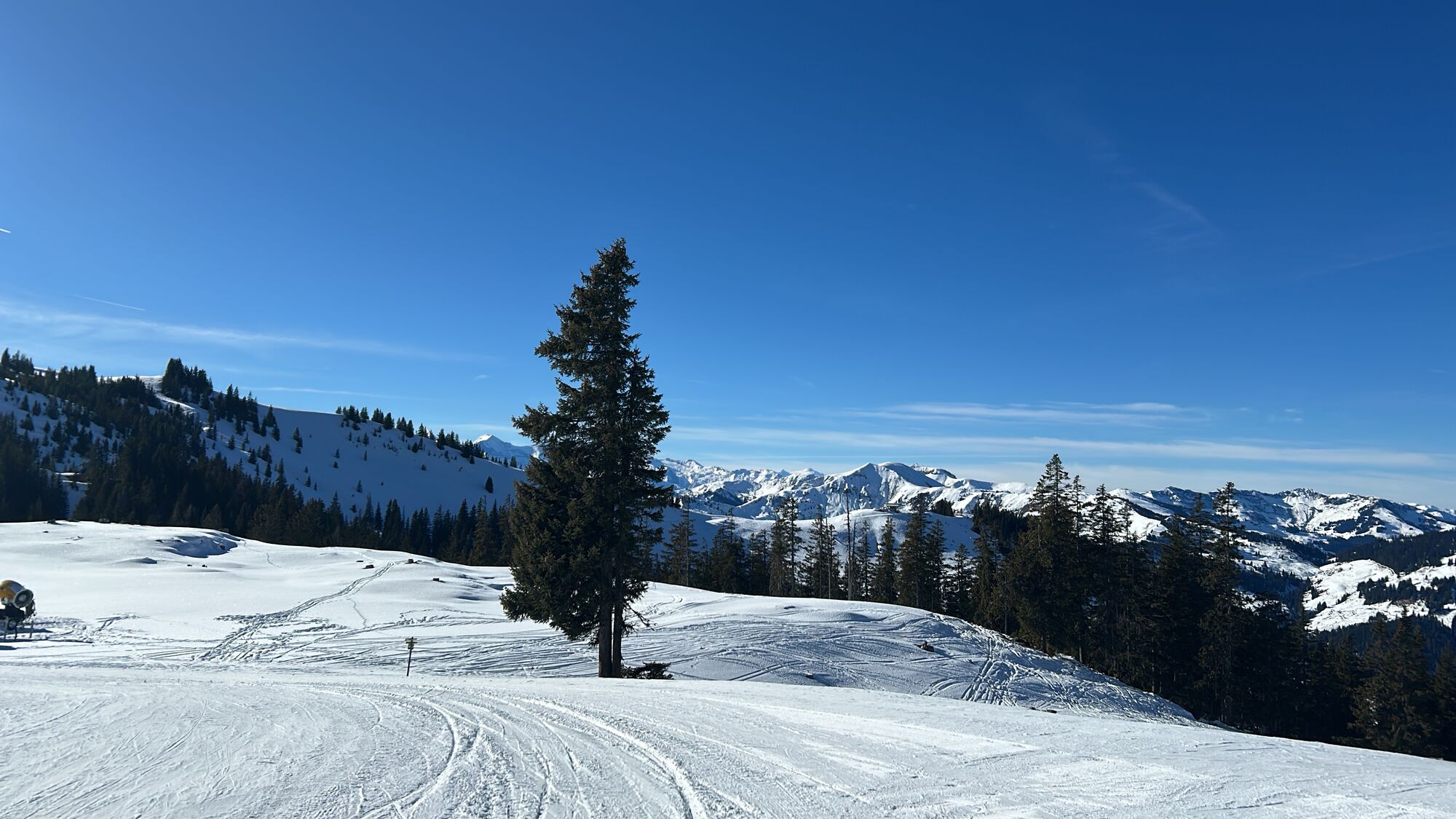
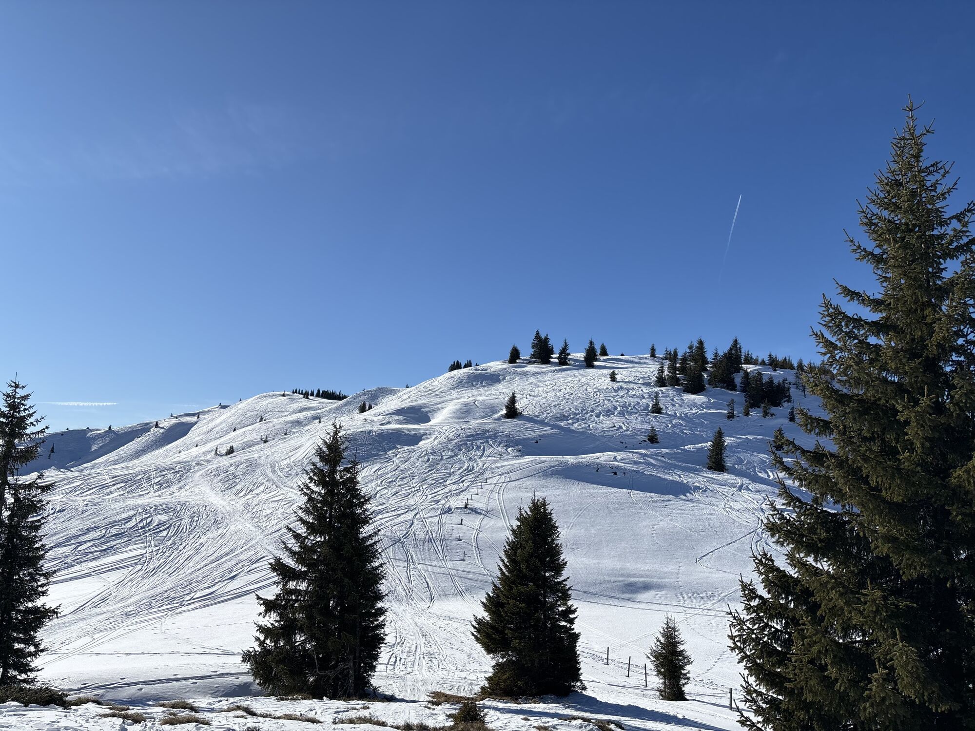
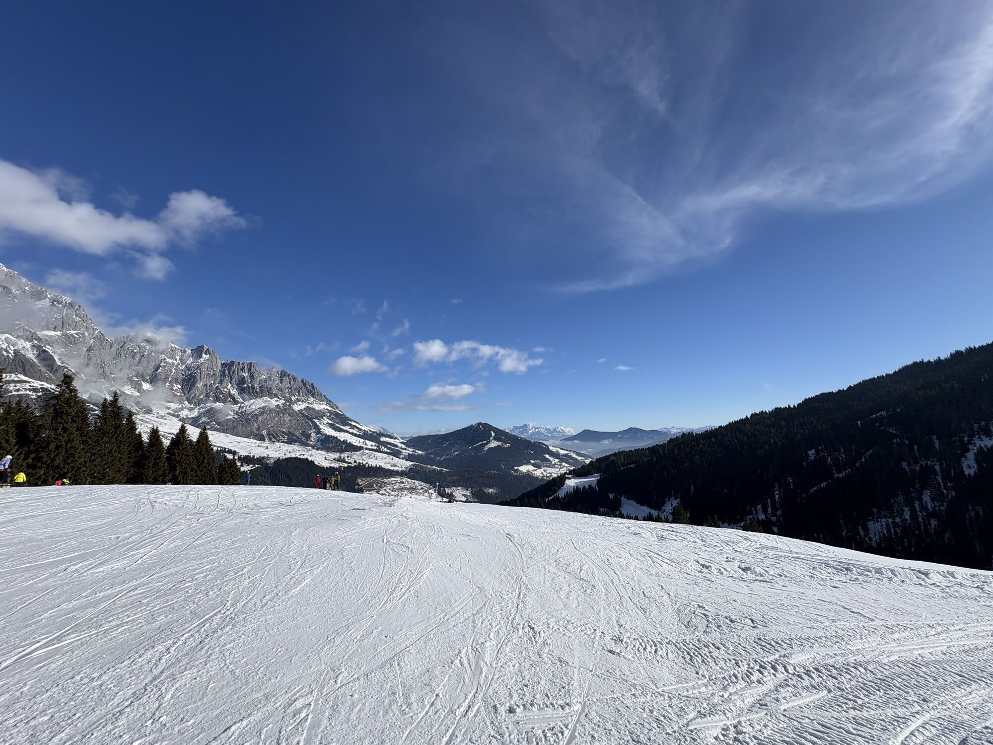
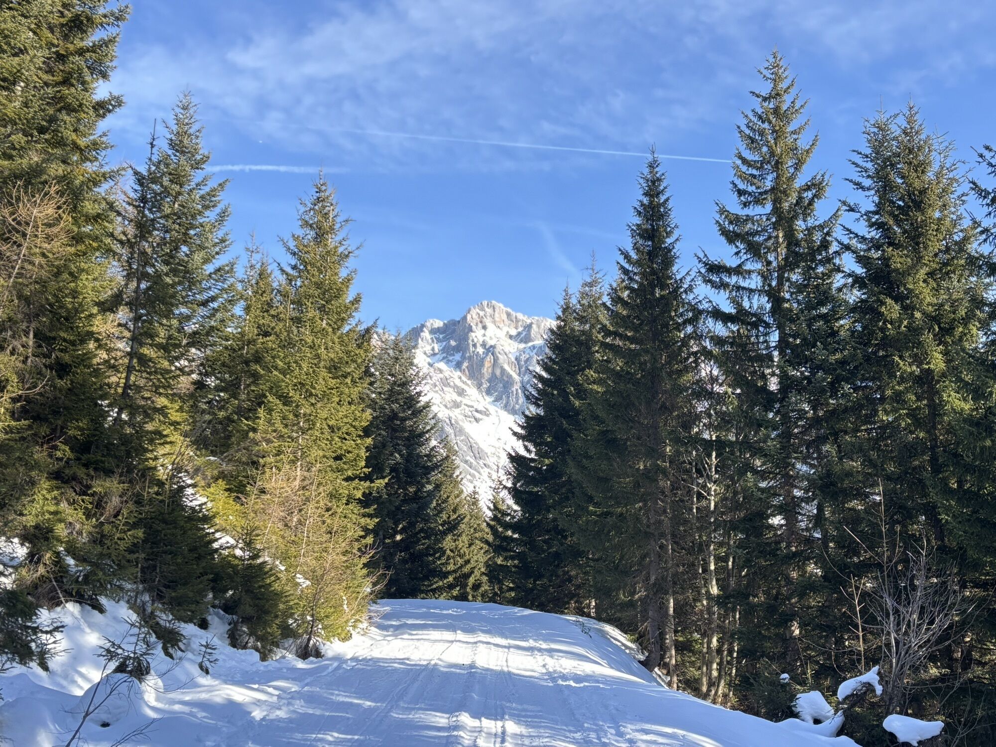
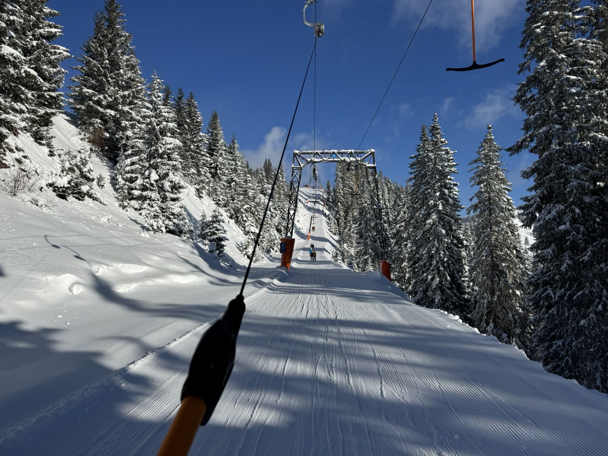
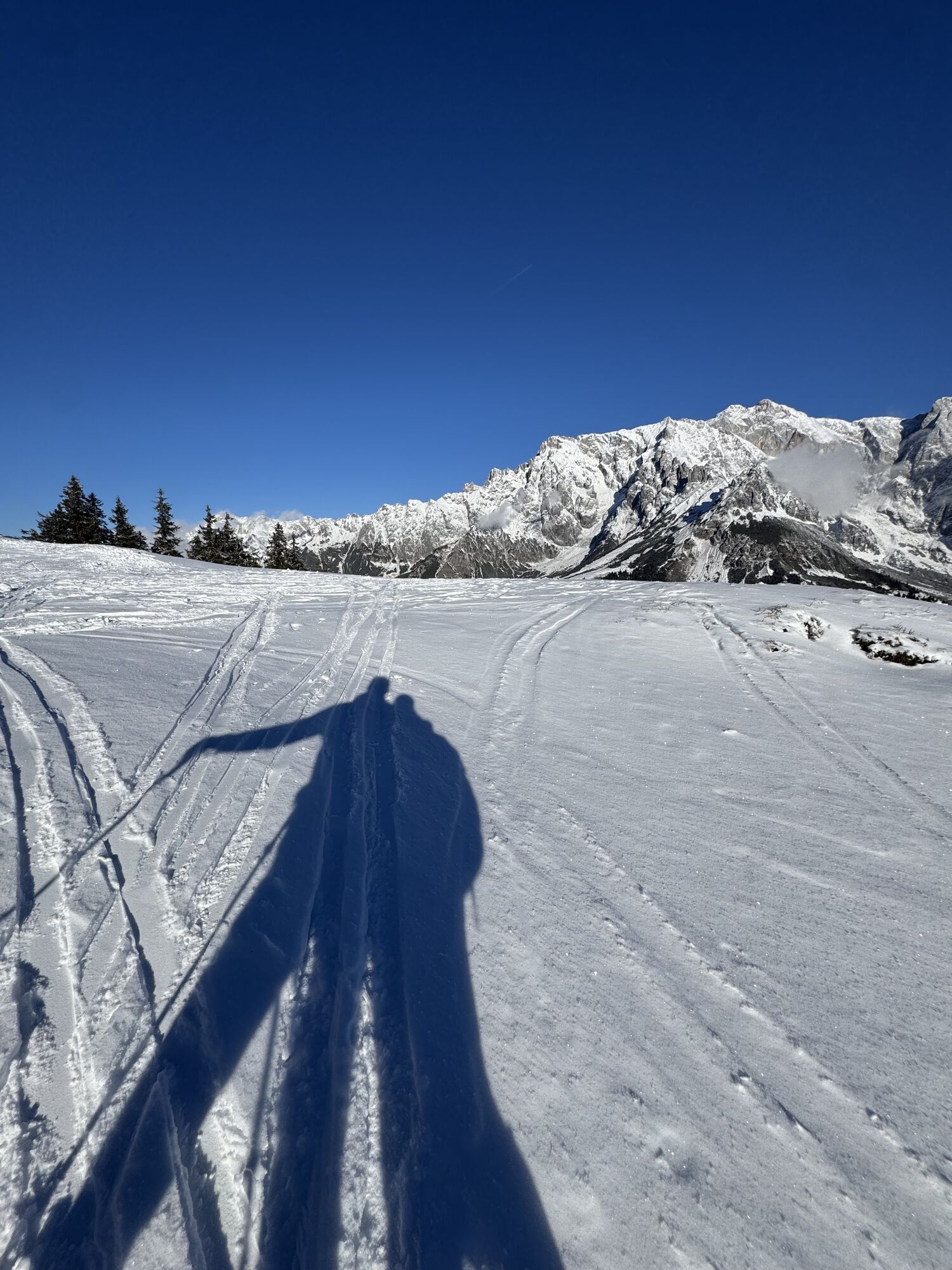
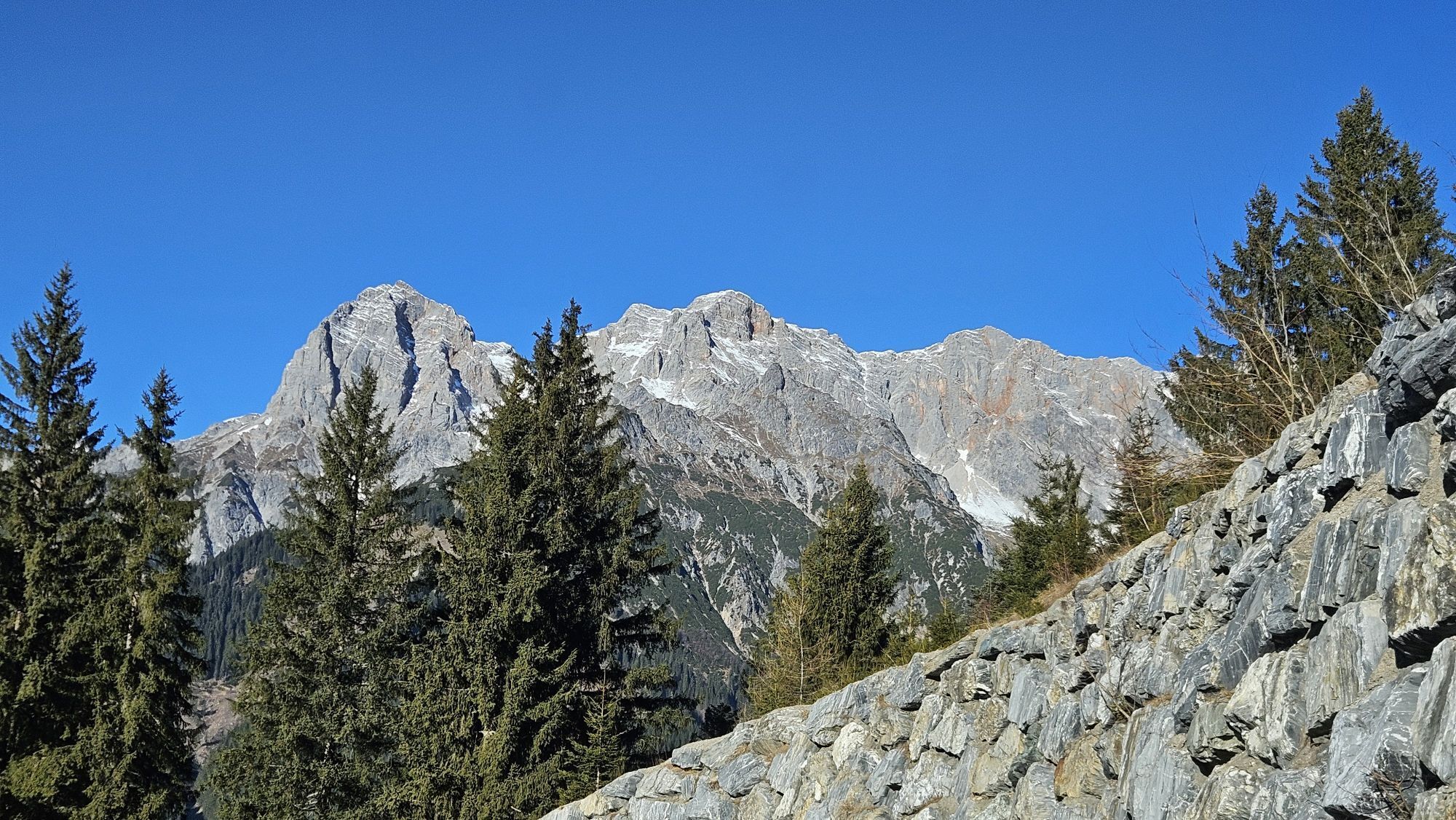
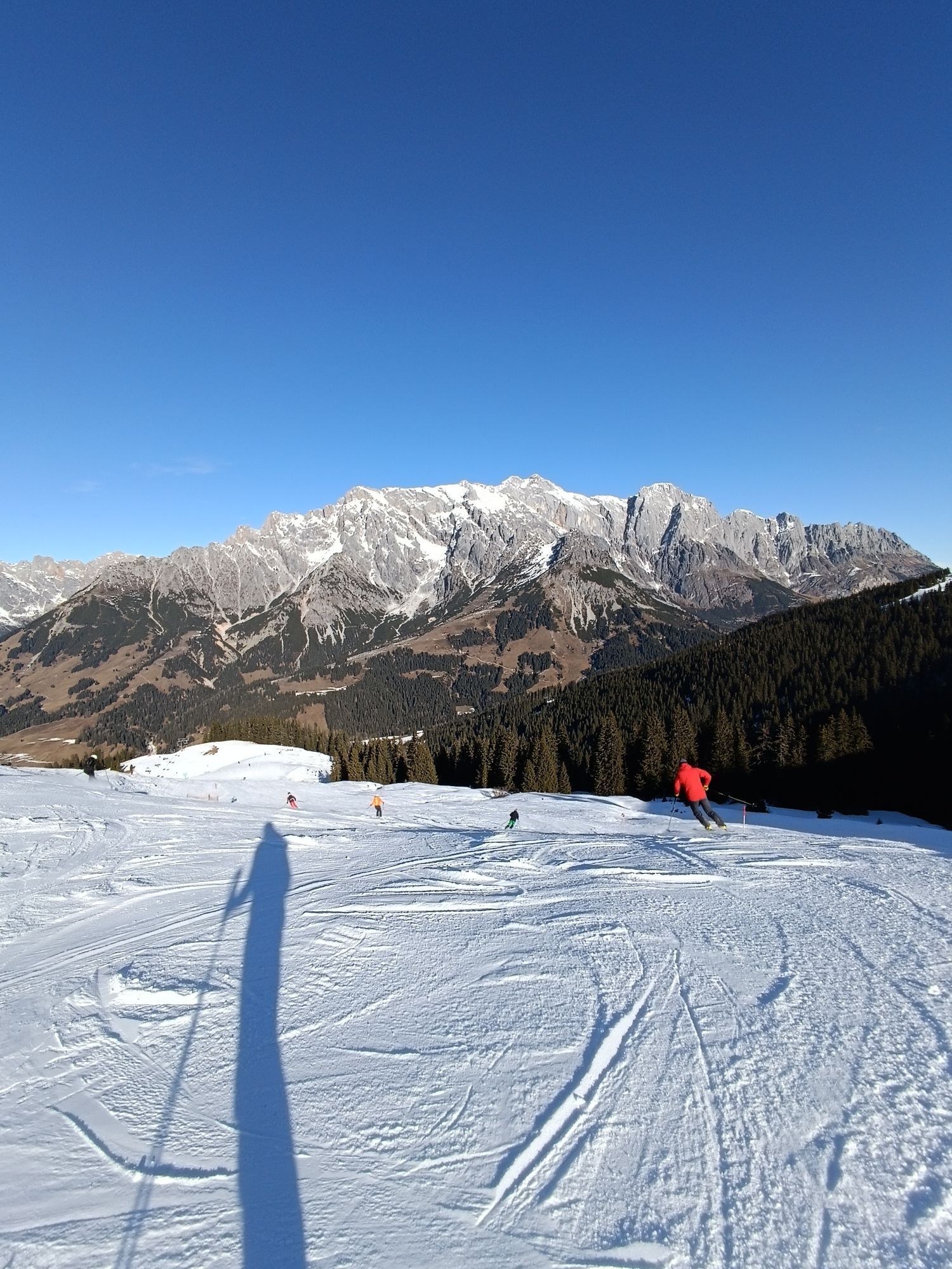
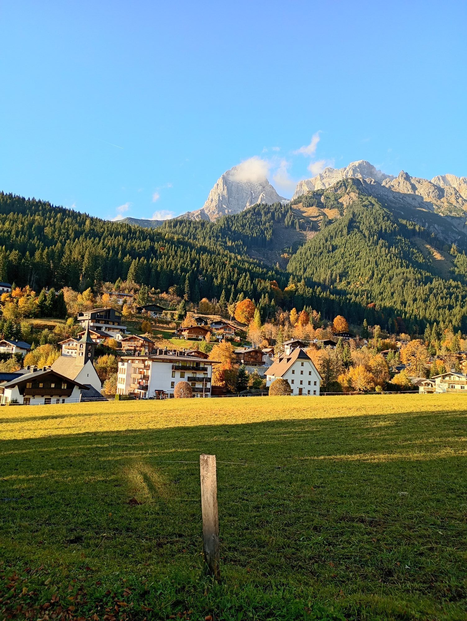

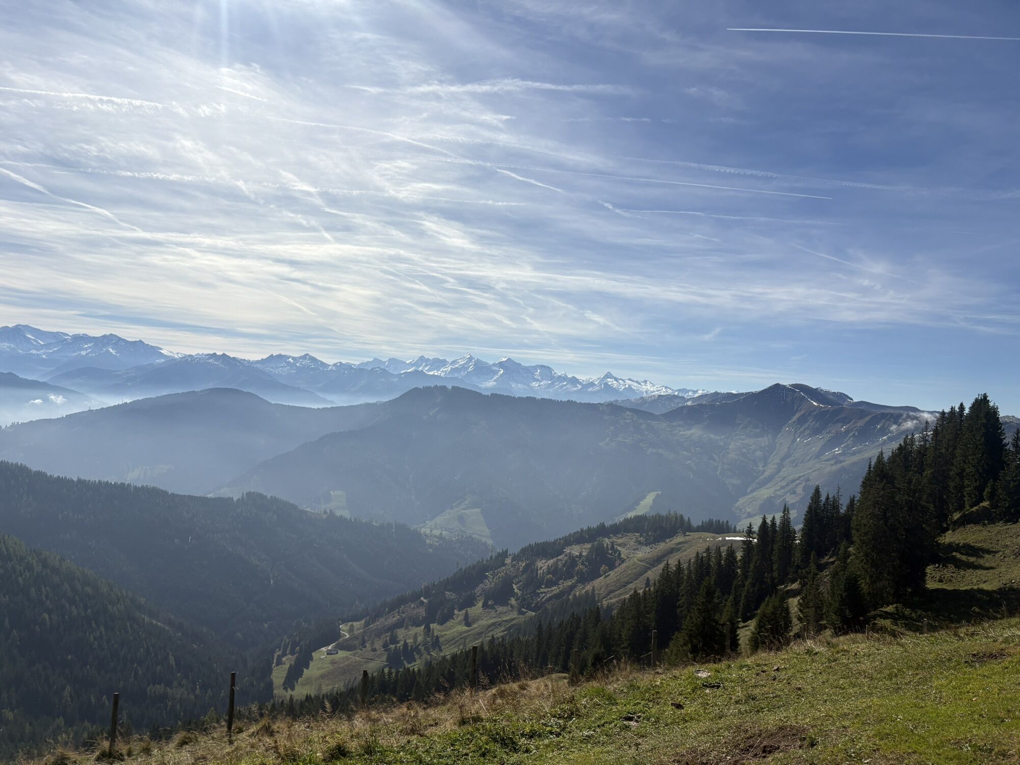
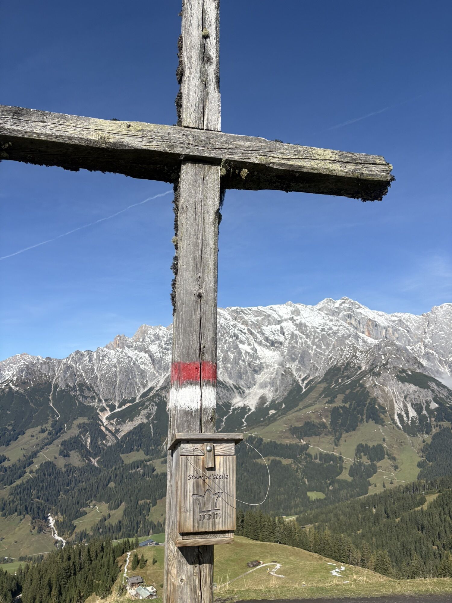
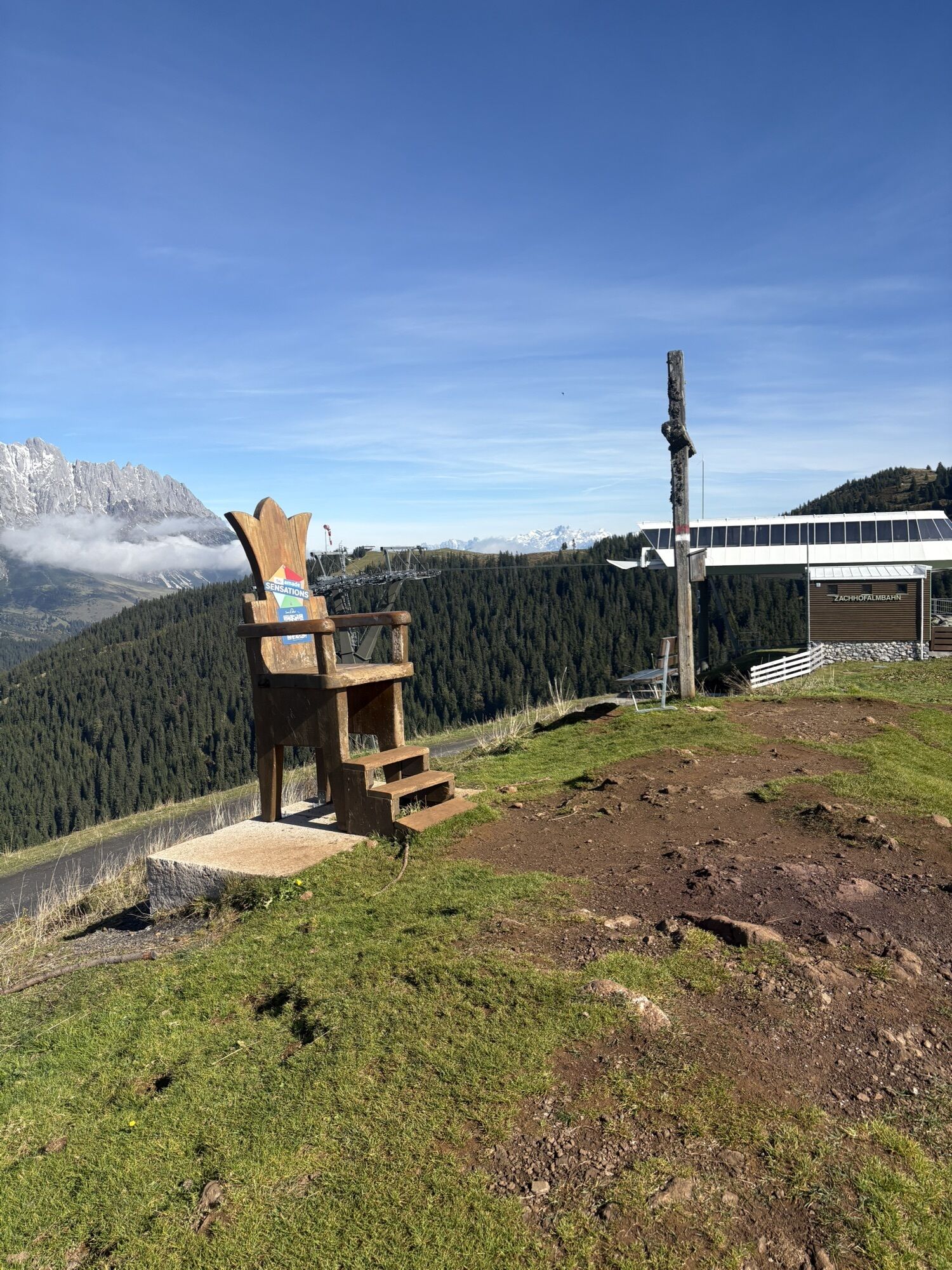
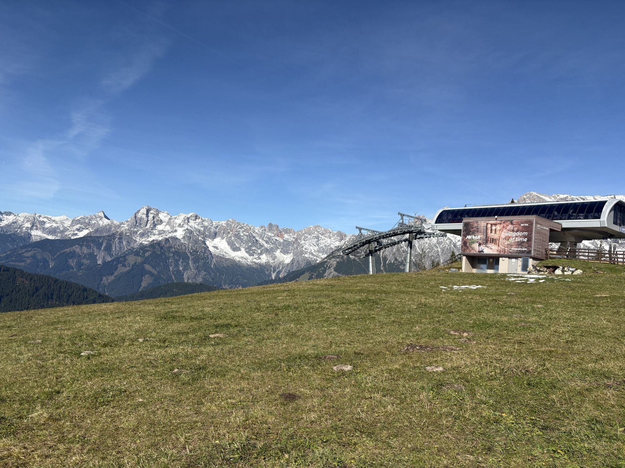
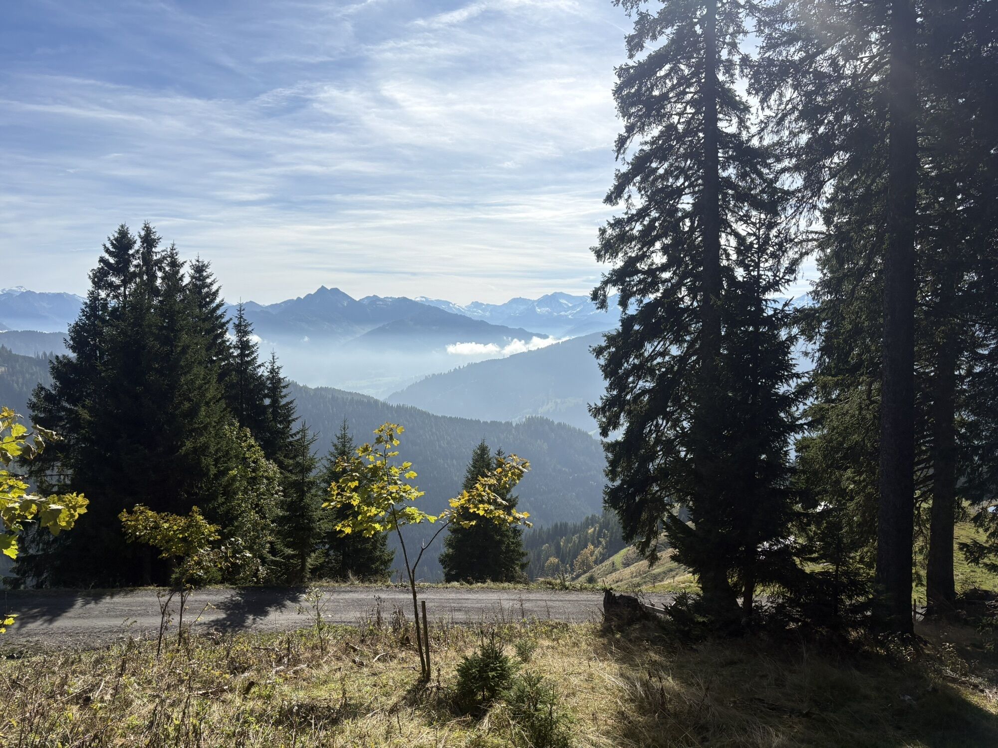
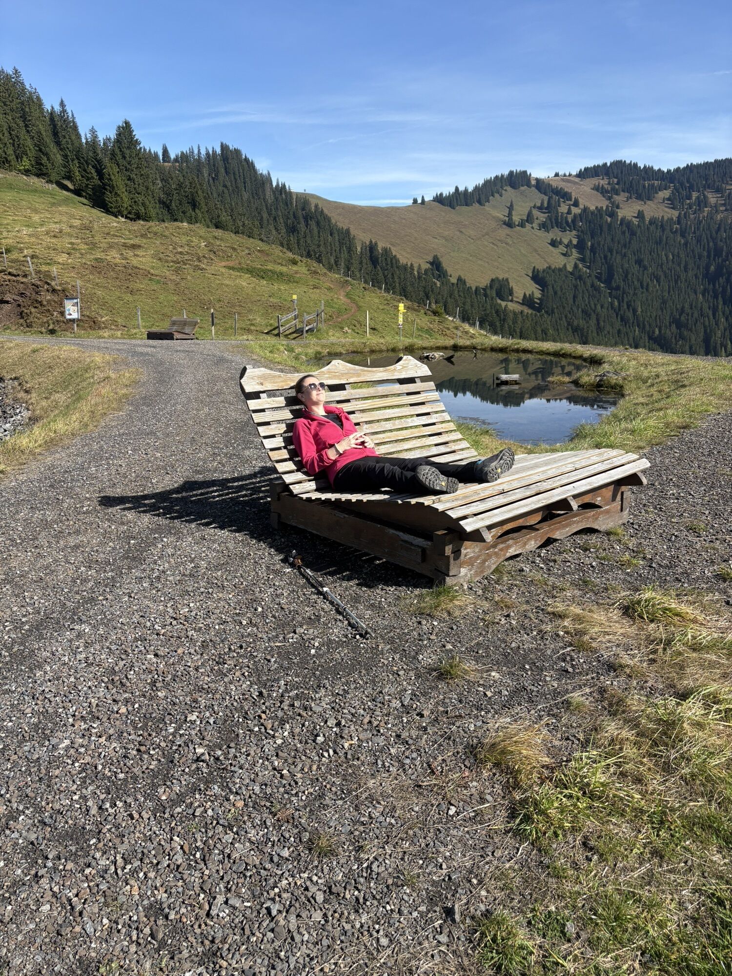
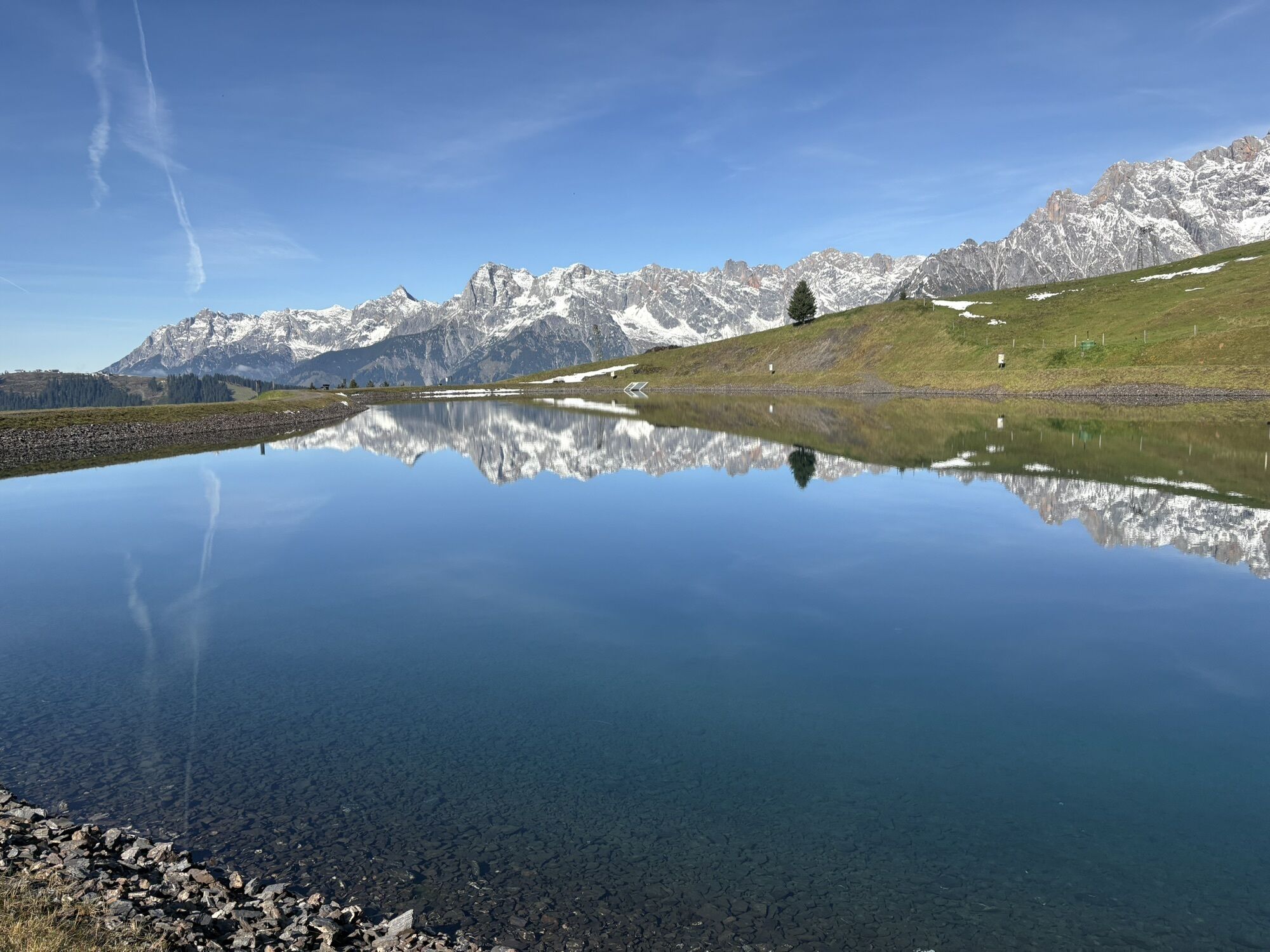
This demanding mountain bike route in the Hochkönig region extends over approx. 35 kilometers and manages around 1,550 meters of ascent as well as 1,620 meters of descent. The varied route consists of...
This demanding mountain bike route in the Hochkönig region extends over approx. 35 kilometers and manages around 1,550 meters of ascent as well as 1,620 meters of descent. The varied route consists of a combination of roads, gravel paths, and singletrails, offering both technical challenges and impressive panoramas. With an average riding time of about 4.5 hours, this route is aimed at experienced bikers who look forward to steep climbs, fast descents, and exciting trail sections.
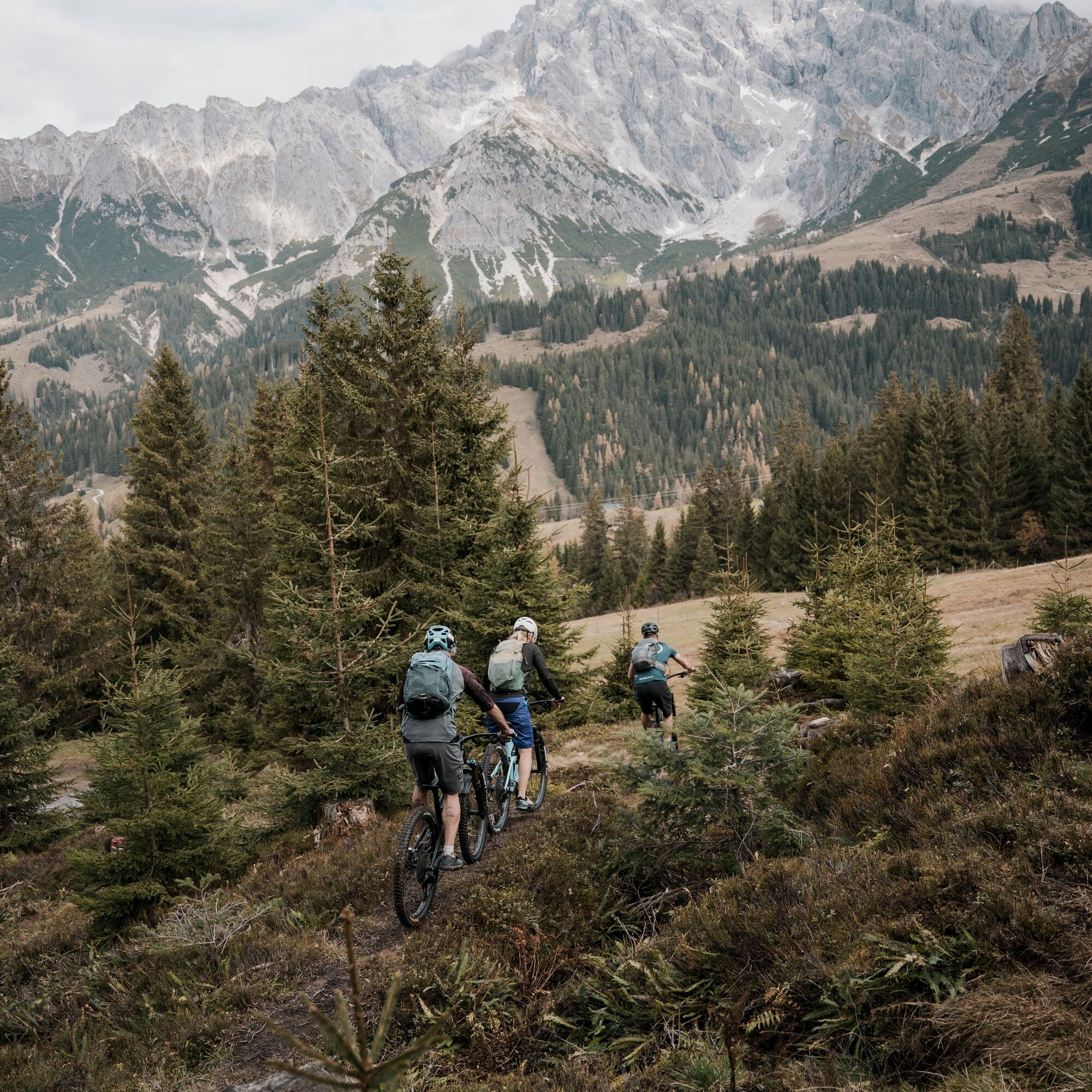
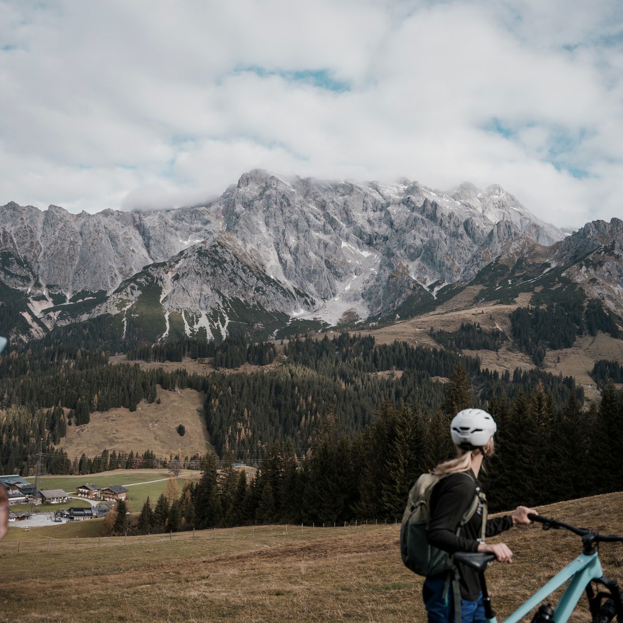
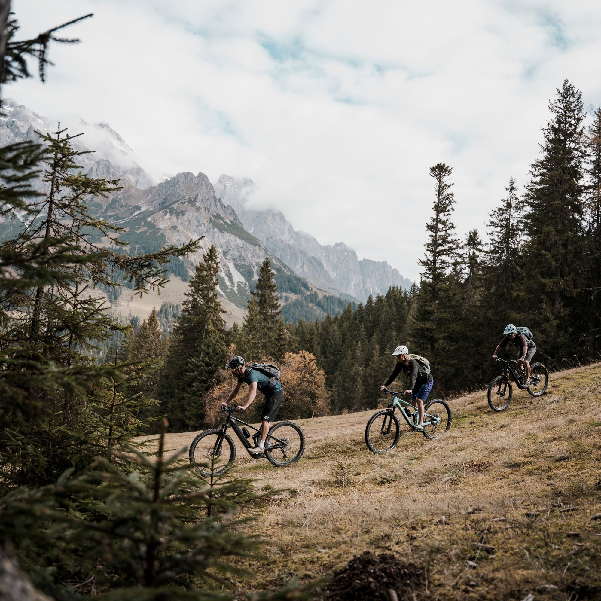
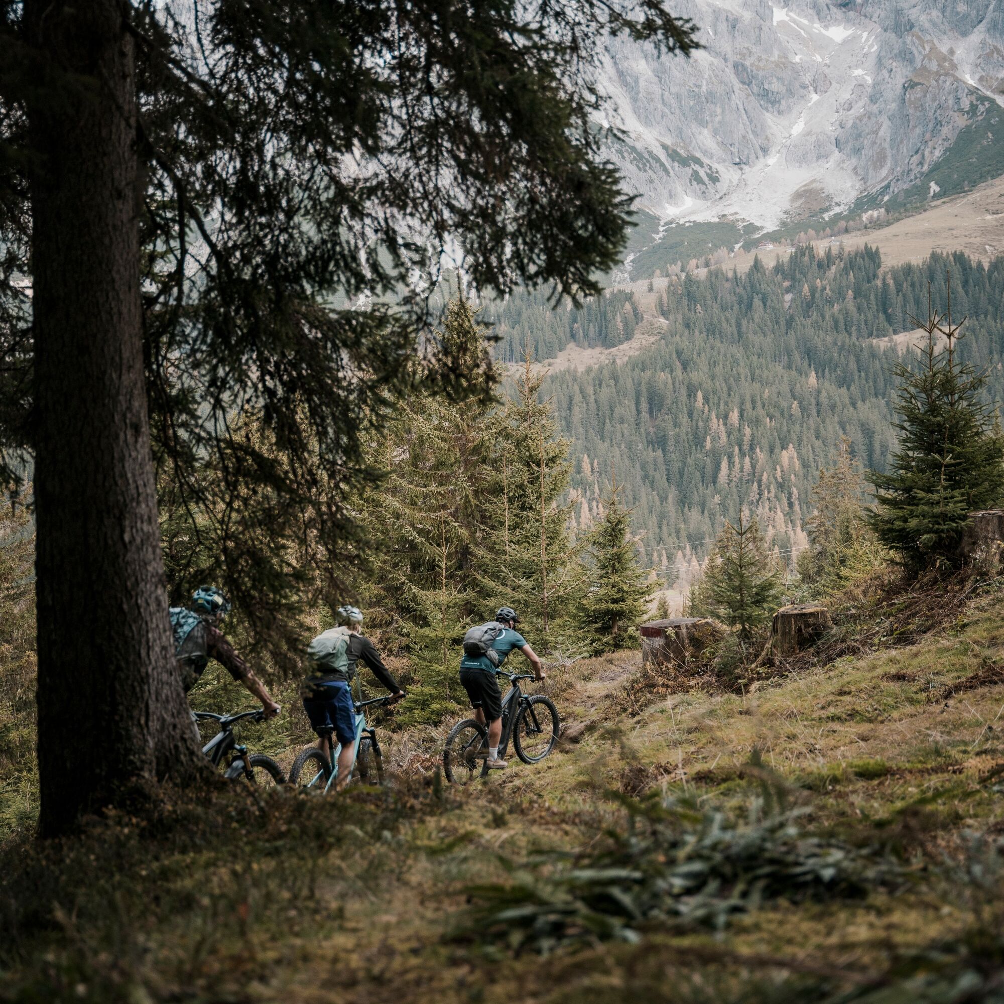

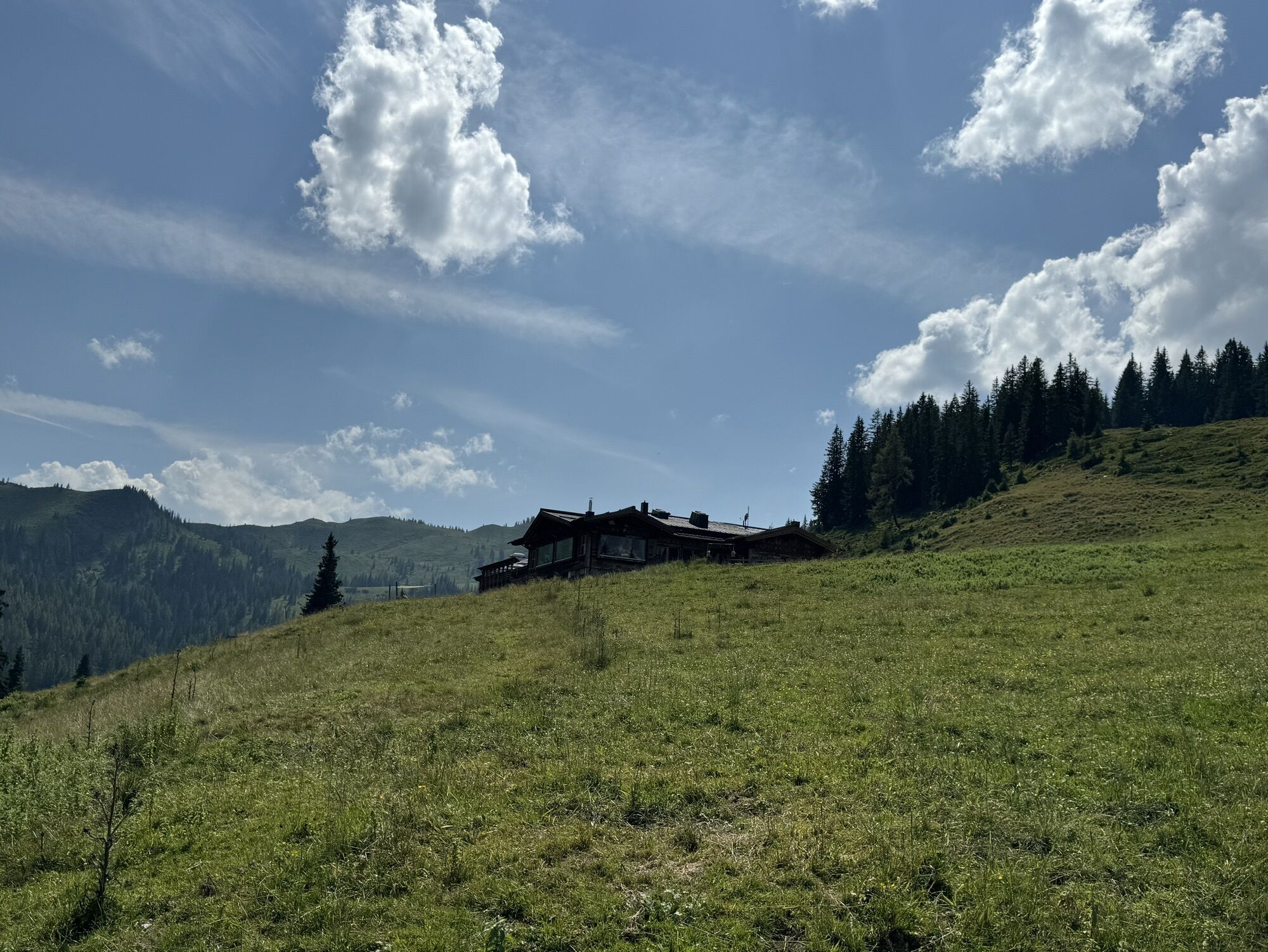
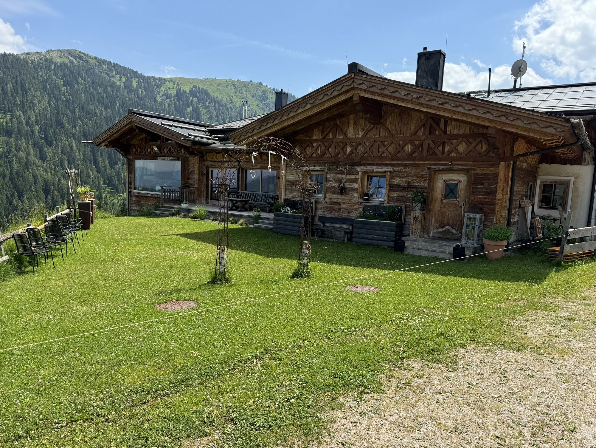
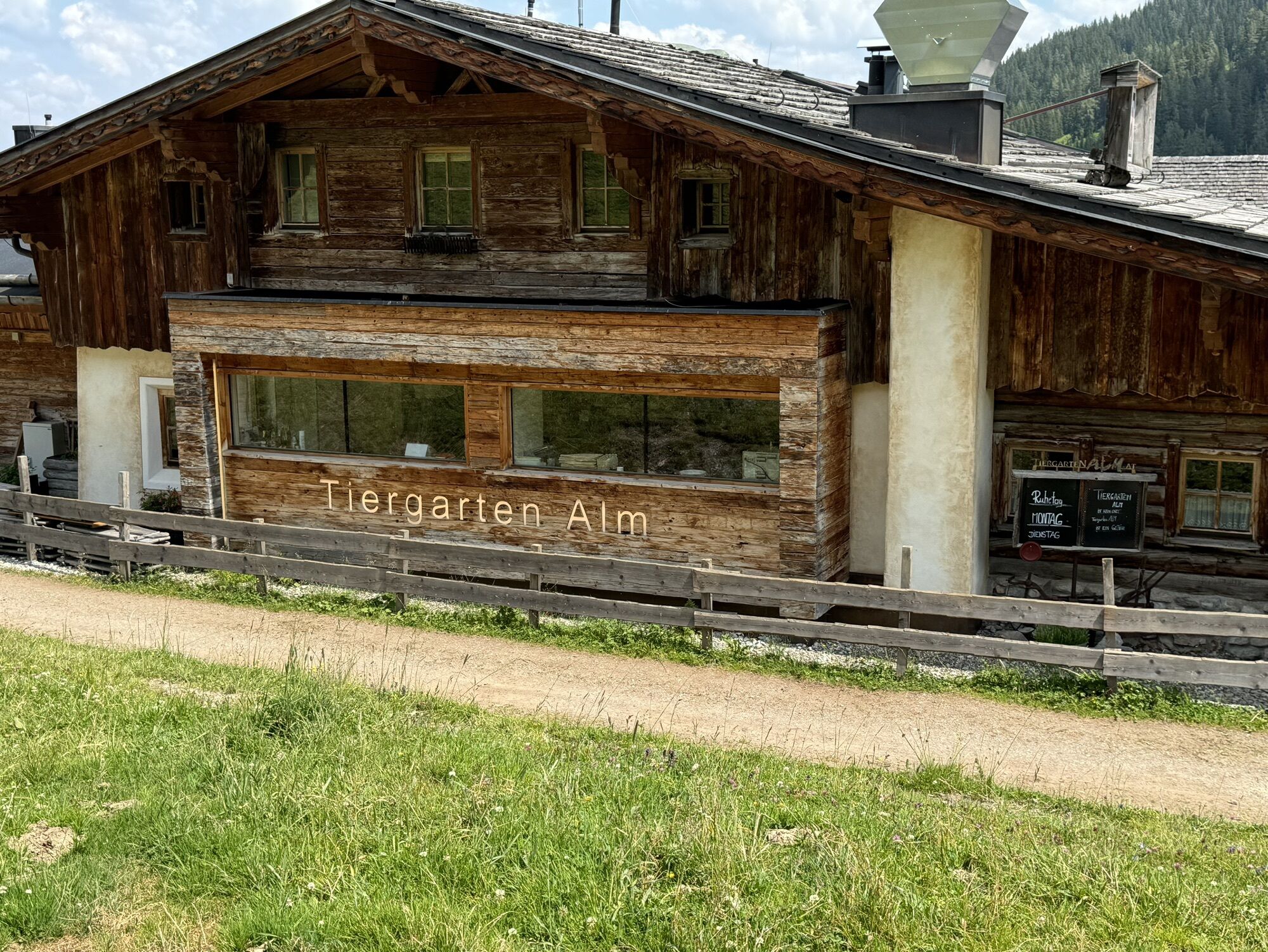
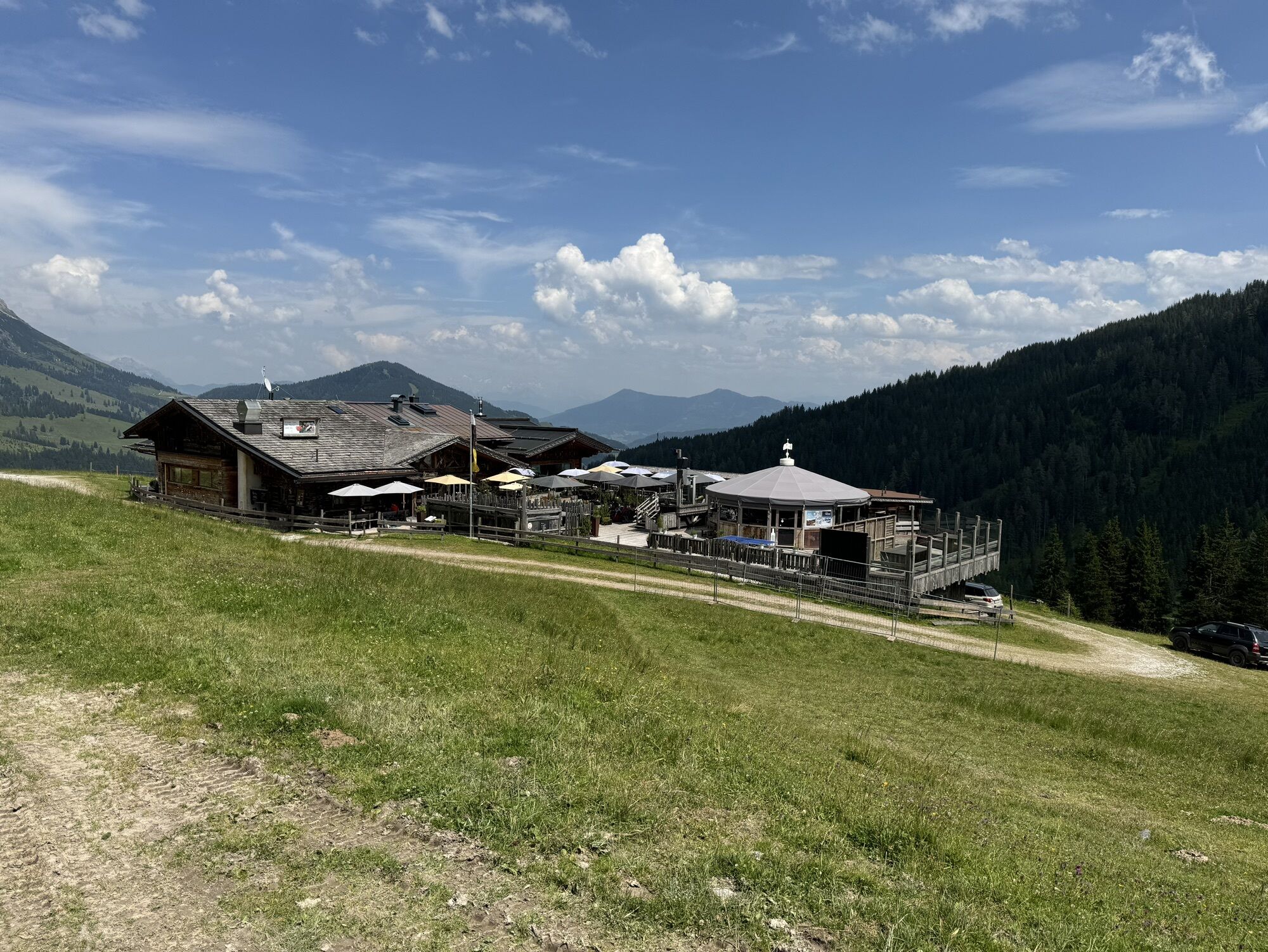
On the third day, it starts sporty: the start is in the center of Mühlbach. From here you cycle to the Karbachalm valley station and past the Scheppal Alm to the Tiergartenalm – a challenging but rewarding climb.
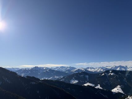
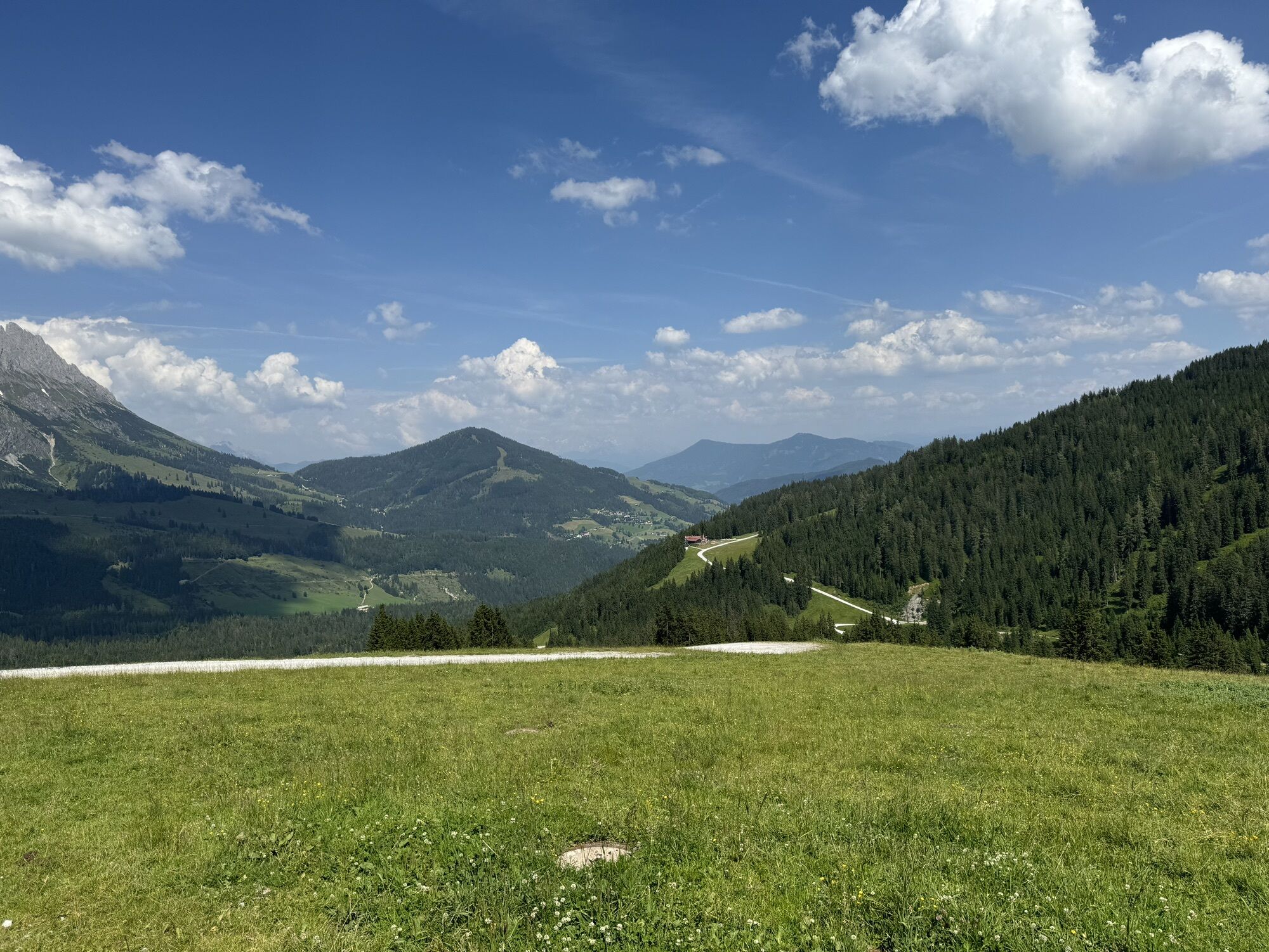
At the top you reach the Wastlhöhe – here awaits a checkpoint and a magnificent view.
Then follows the trail highlight: the Bürglalm Mitzi Trail. Over 5 km of trail fun, 640 m descent, flowing sections, and a dreamlike landscape make this section a true bike experience.
Once down, turn right towards Dienten. At the Grünegg junction, turn left uphill – past the Grüneggalm and over a gravel forest road up to the Filzensattel.
At the saddle, follow a section of the B164 until the first prominent left curve. Behind the bend, sharply turn right onto the old Filzenweg. The trail takes you down to Hinterthal.
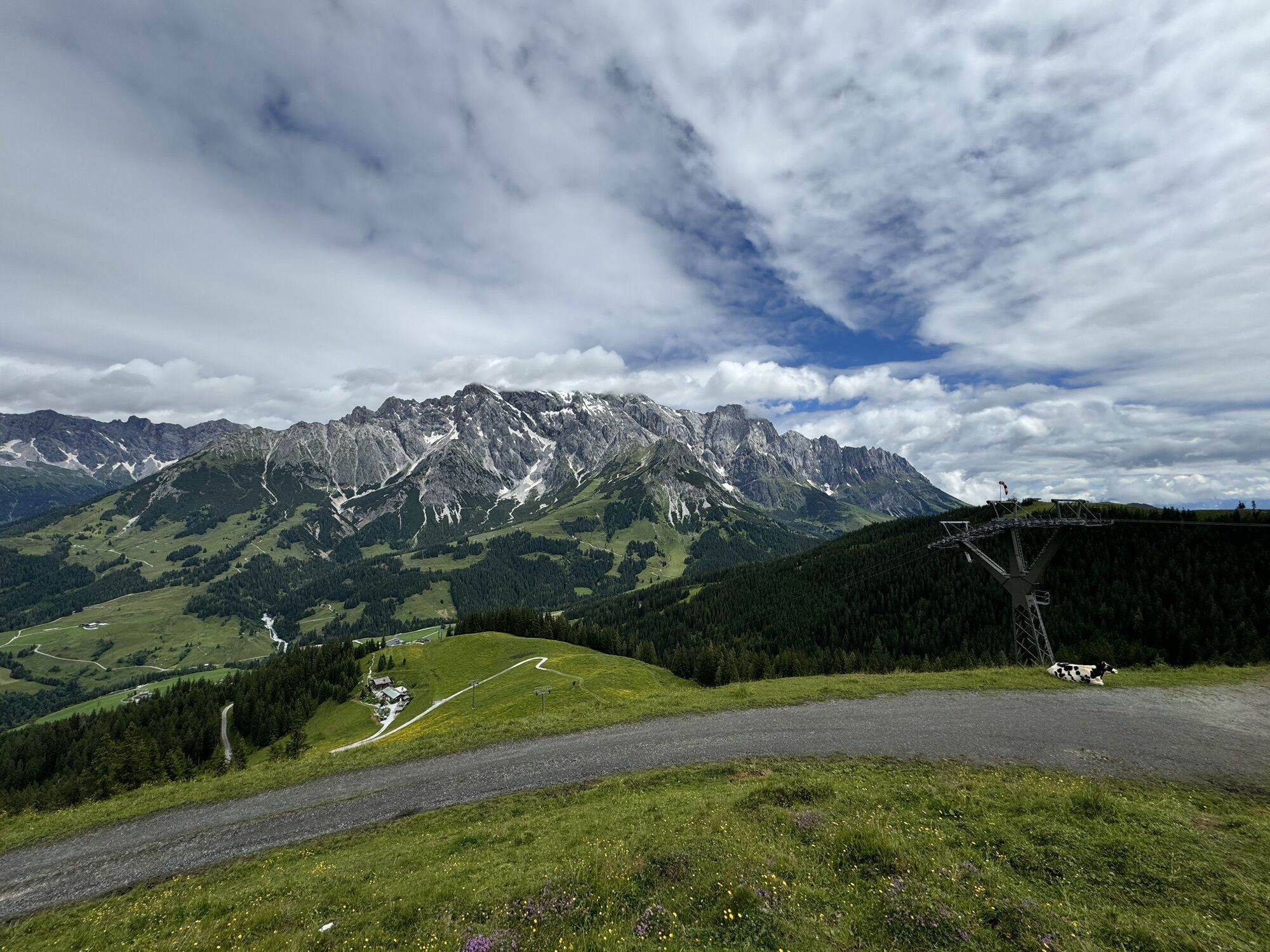
Here starts the new Primbach route MA09 – with a spectacular view of the Steinerne Meer. Two trails, the Wawi and the Traudi Trail, are available, which bring you back to Maria Alm.
Done! Last checkpoint in Maria Alm – the Königstour is complete. Now you can enter the finisher list and claim your trophies.
Checked bike equipment with helmet
Sunglasses
Sunscreen
Rain protection
Drinks and a small snack
Necessary medication
First aid kit
Bike map
Arrival coming from Salzburg: Take the A10 motorway to the Bischofshofen exit, then B311 towards Bischofshofen. Follow the Hochkönig federal road/B164 to Mühlbach and further to Dienten. Arrival coming from Innsbruck/Kufstein: Take the Loferer Straße/B178 towards St. Johann i.T., then via the Hochkönig federal road/B164 via Saalfelden and Maria Alm to Dienten or to the Filzensattel. A valid vignette is required for using the Austrian motorway and expressway network. A mandatory carriage of a first aid kit, warning triangle, and safety vest also applies. More info at Asfinag.
ÖBB-Scotty: timetable information
Bus line 620: timetable information
Bus line 631: timetable information
Hiking bus: timetable information
Free parking available
More information on hiking and activities in the Hochkönig region:
For detailed information about hiking maps, the opening times of the mountain lifts, as well as the huts and alpine pastures in summer, we recommend visiting the local service center. There you'll not only get the hiking map but also valuable tips on the best hiking routes and current conditions.
Summer mountain lifts opening times: The mountain lifts offer different opening times during the summer months, which may vary depending on weather conditions and season. Please check the current operating hours in advance.
Opening times of huts & alpine pastures in summer: The huts and alpine pastures in the region are ideal rest stops for hikers. Here, too, opening times can vary by season and weekday. Let the friendly hosts advise you on the offers and specialties available locally.
For more information, please visit our website: www.hochkoenig.at.
If you have questions or want specific information, feel free to contact us:
Email: region@hochkoenig.at
Phone: +43 (0)6584 20388
We look forward to helping you and wish you lots of fun exploring the beautiful hiking region Hochkönig!
Webové kamery z prohlídky
Mühlbach am Hochkönig
Maria Alm - Hochmaisbahn
Bürglalmlift - Dienten
Mühlbach am Hochkönig - Hotel Bergheimat
Bergstation Kings Cab
Saalfelden
Matrashaus am Hochkönig
Grünegg Alm & Edelbrennerei
Dienten - Übergossene Alm Resort
Dienten - Almsee
Dienten - Übergossene Alm Resort
Natrun Bergstation
Dienten, Bürglalmabfahrt
Bergstation Kings Cab
Bergstation Kings Cab
Bergstation Kings Cab
Bergstation Kings Cab
Bergstation Kings Cab
Hoferbichlgut
Hinterreit - Saalfelden
Saalfelden - Obermühlhof
Bergstation Kings Cab
Bergstation Kings Cab
Maria Alm - "die Hochkönigin"
Bürglalmbahn Abfahrt
Hochkönigblick
Arthurhaus - Mühlbach
Hinterthal - Urslauerhof
Hinterthal - Urslauerhof
Získejte přehled Vždy živě na místě s více než 9 500 webkamerami. bergfex Jako uživatel Pro si nyní můžete zobrazit odpovídající webové kamery pro mnoho prohlídek v aplikaci prohlídky z. Můžete si tak přímo prohlédnout aktuální podmínky. Oblíbené prohlídky v okolí
- 4,8
Summit stormer route Lauskopf
heavyTuristika 8,16 km - 4,2
Maria Alm - Riemannhaus
Turistika 3,99 km - 4,8
Summit storming route Taghaube
heavyTuristika 6,25 km - 4,7
About the "Four Huts circular route" to Windraucheggalm
středníTuristika 10,1 km - 4,7
Panorama hike to the Hochkeil
středníTuristika 6,07 km - 4,6
Steinalm
světloTuristika 2,71 km - 3,6
Wanderung zur Ostpreußenhütte in Werfen (1.630 m)
středníTuristika 11,2 km - 4,2
Schwalbenwand Nr. 80, 81, 82
středníTuristika 13,0 km - 4,3
Peter-Wiechenthaler Hut
středníTuristika 4,32 km - 4,8
Hochkönig - Gipfel der Gefühle - Matrashaus
heavyTuristika 20,9 km
Pěší turistika a stopování


Nenechte si ujít nabídky a inspiraci pro vaši příští dovolenou
Vaše e-mailová adresa byl přidán do poštovního seznamu.





