






Royal tour: BIKE medium - day 2 from Dienten to Mühlbach

Úroveň obtížnosti: S3
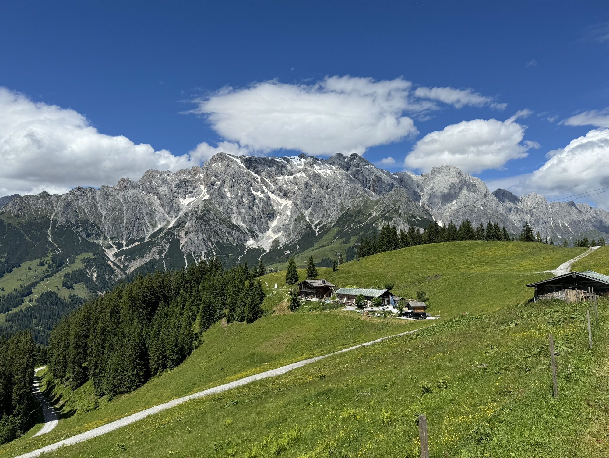
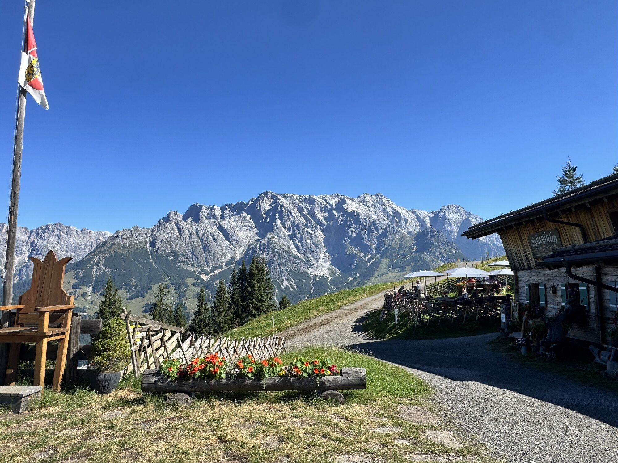
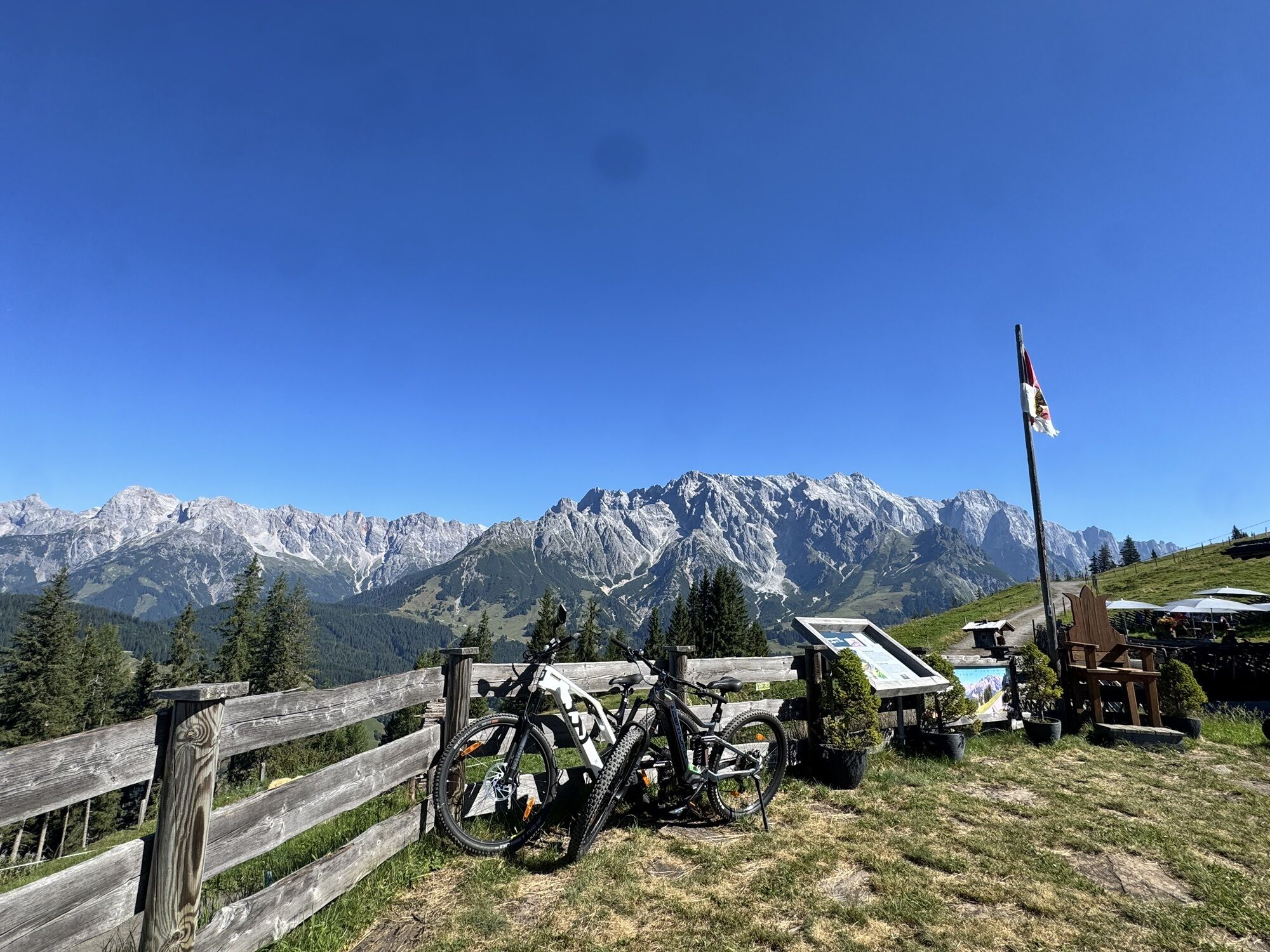
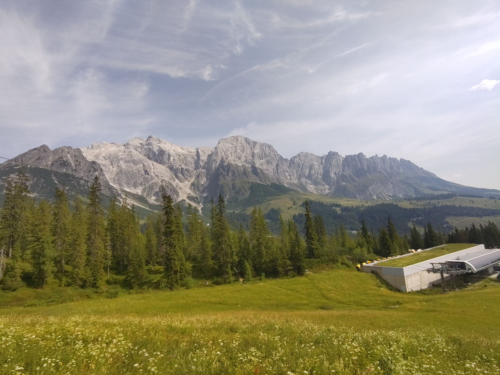
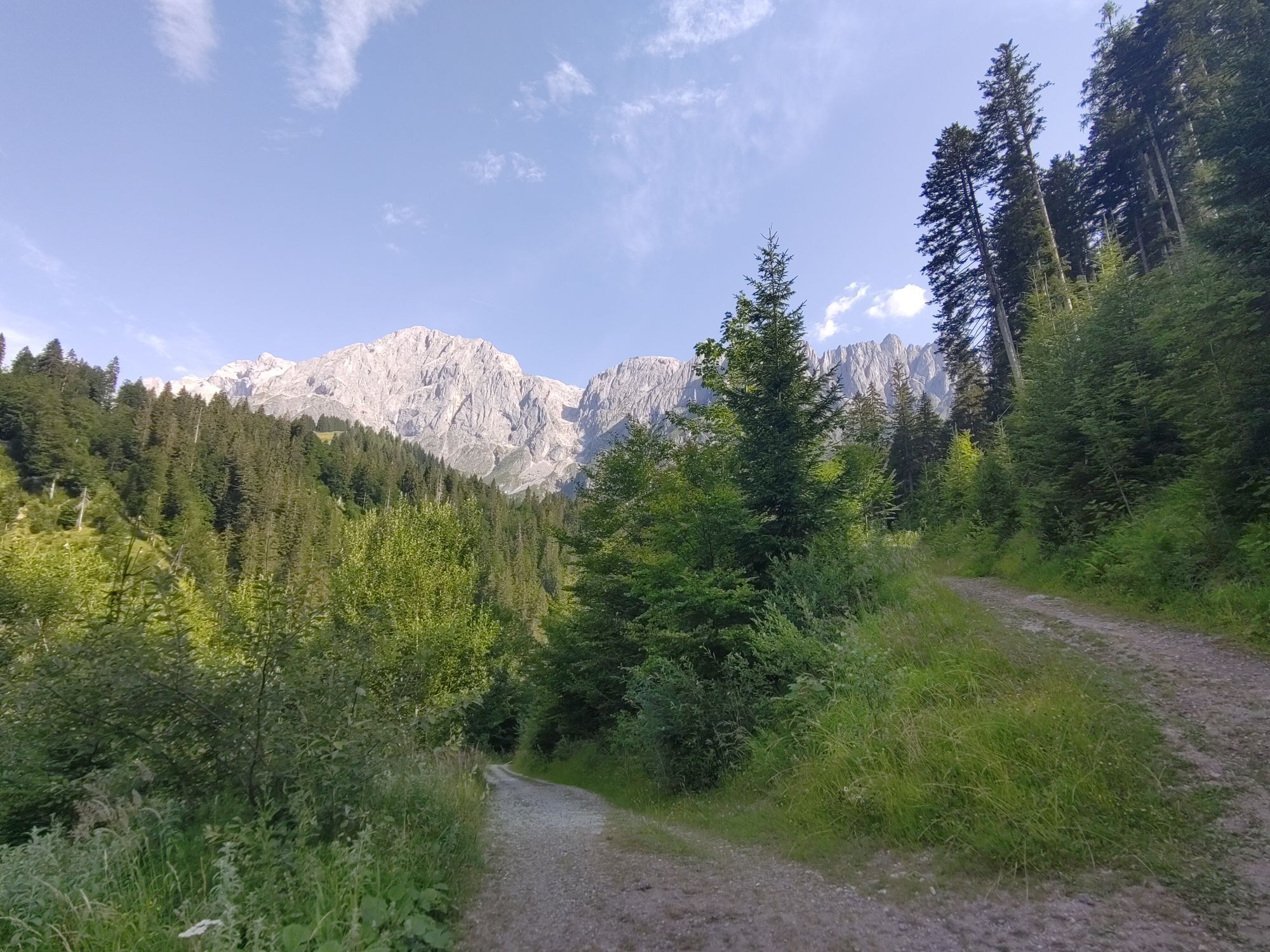
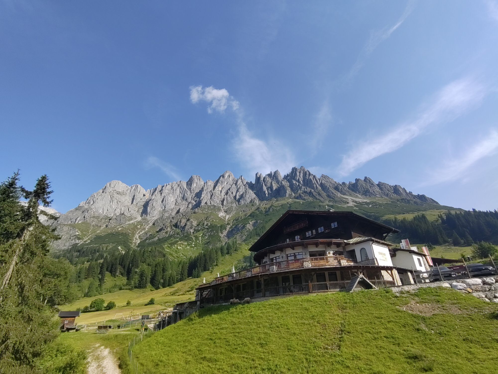
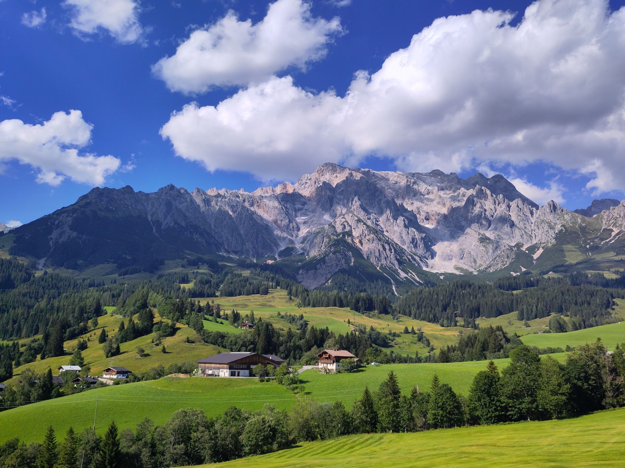
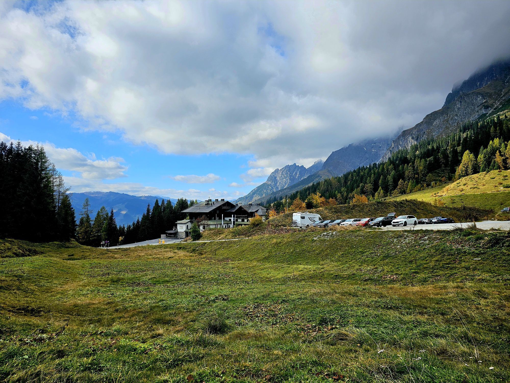
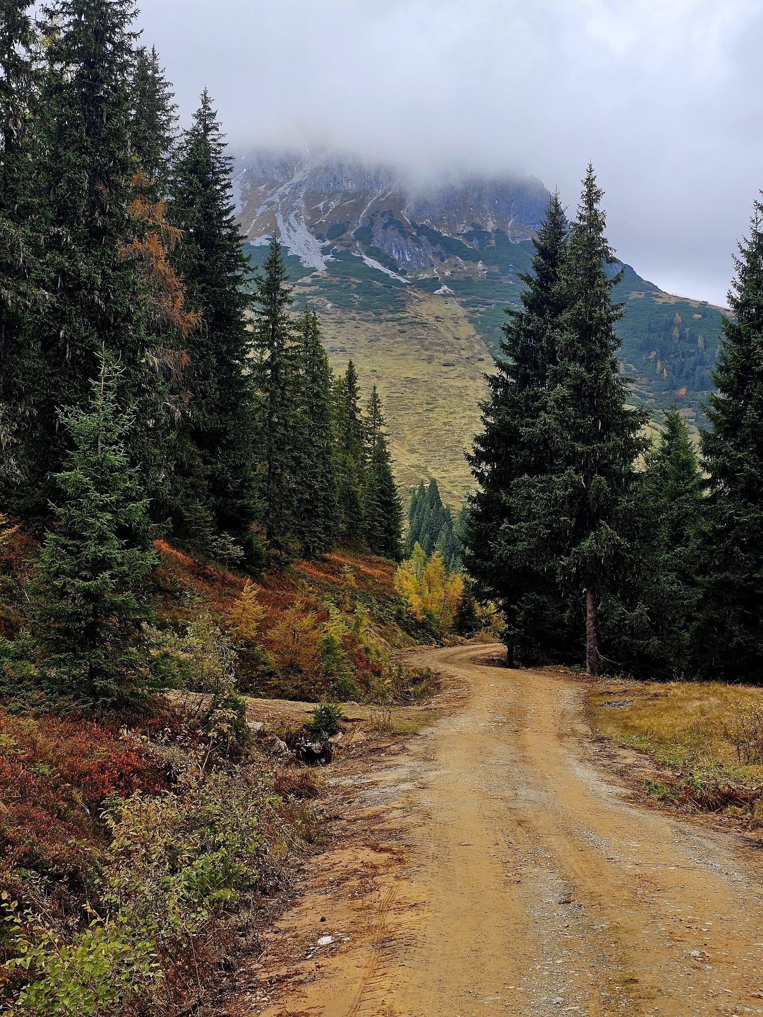
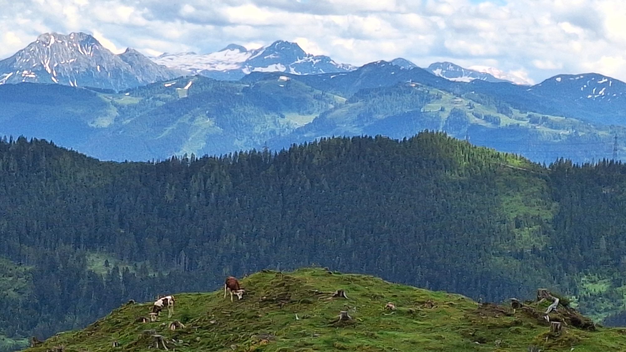
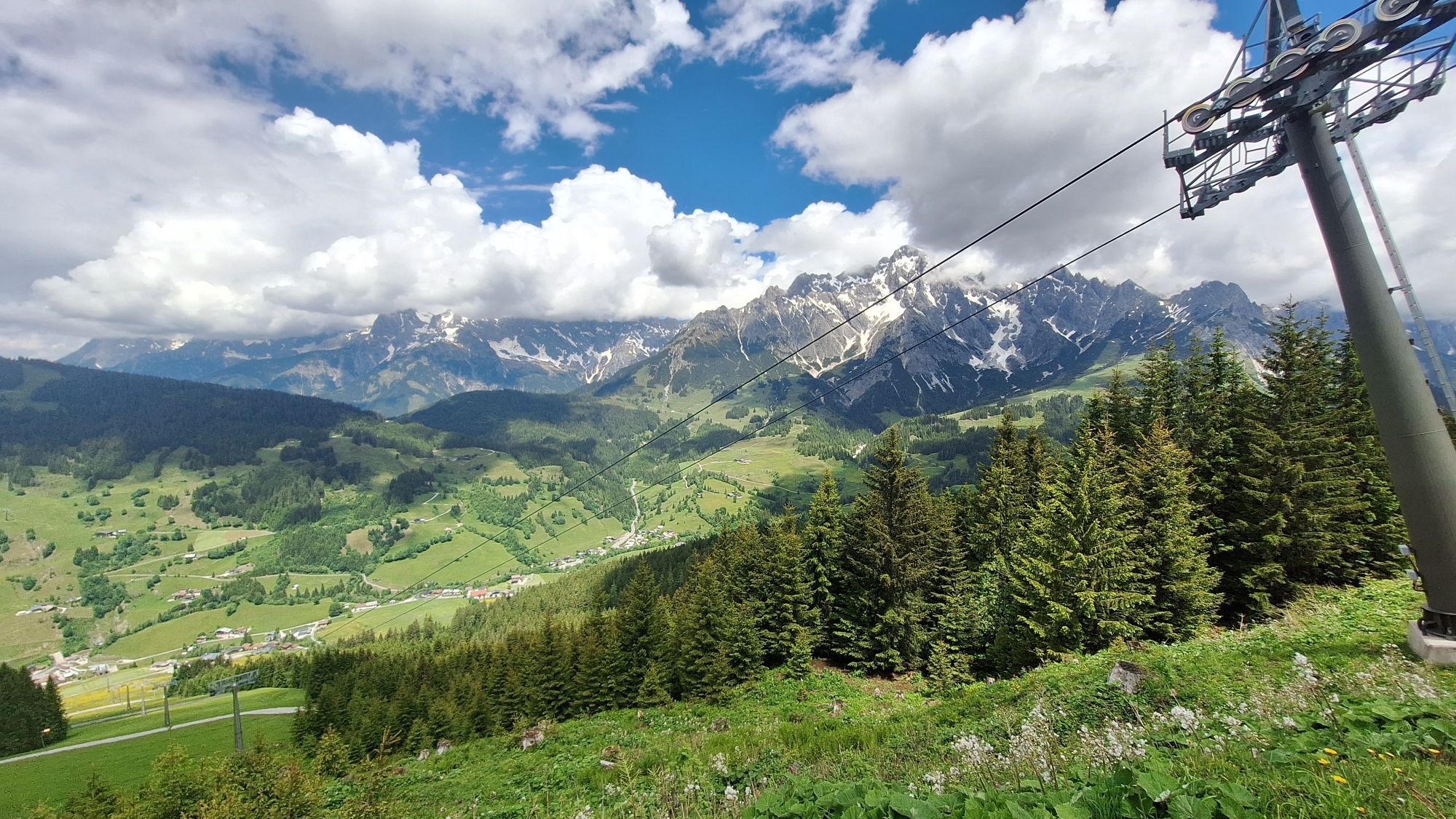
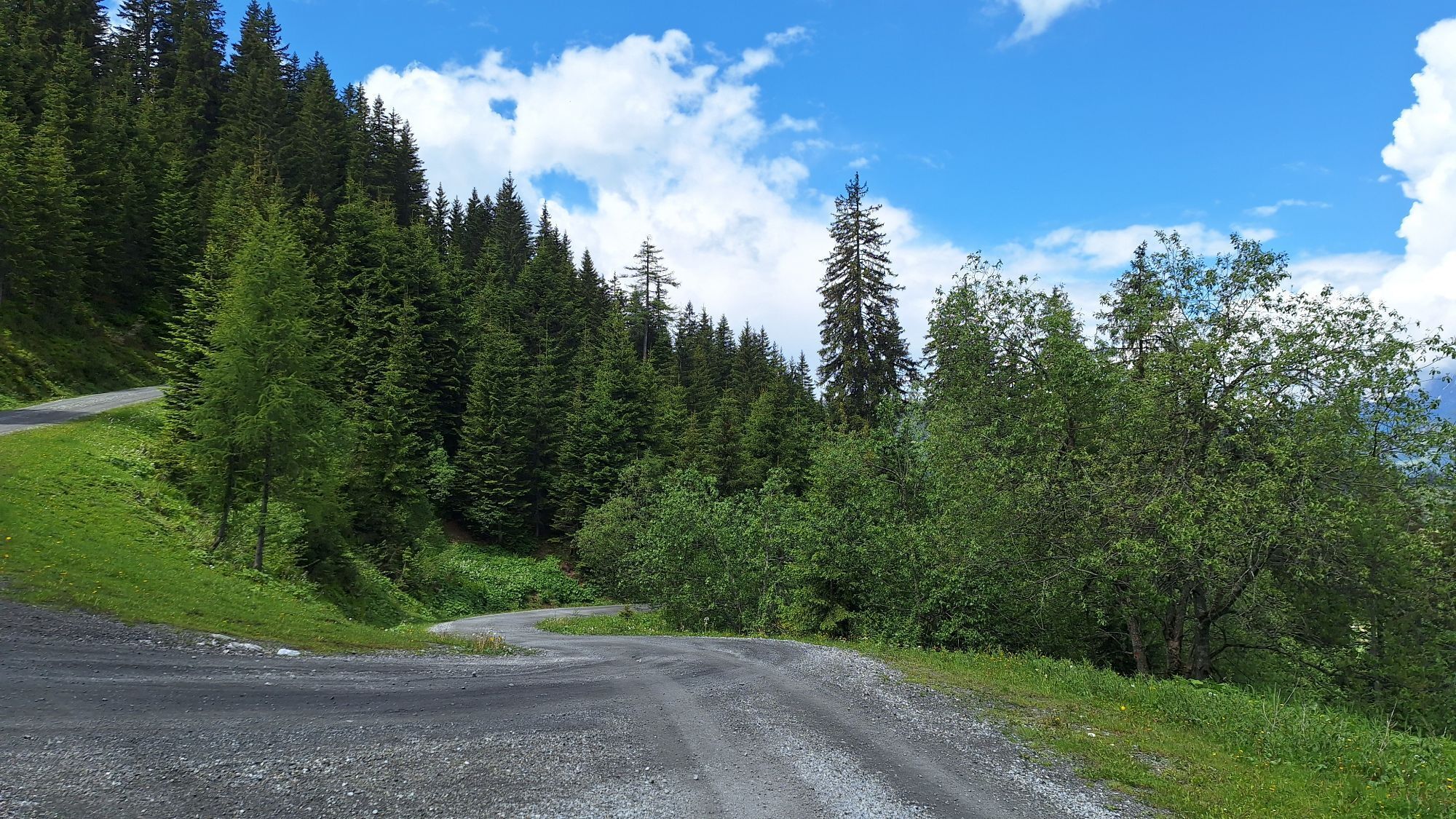
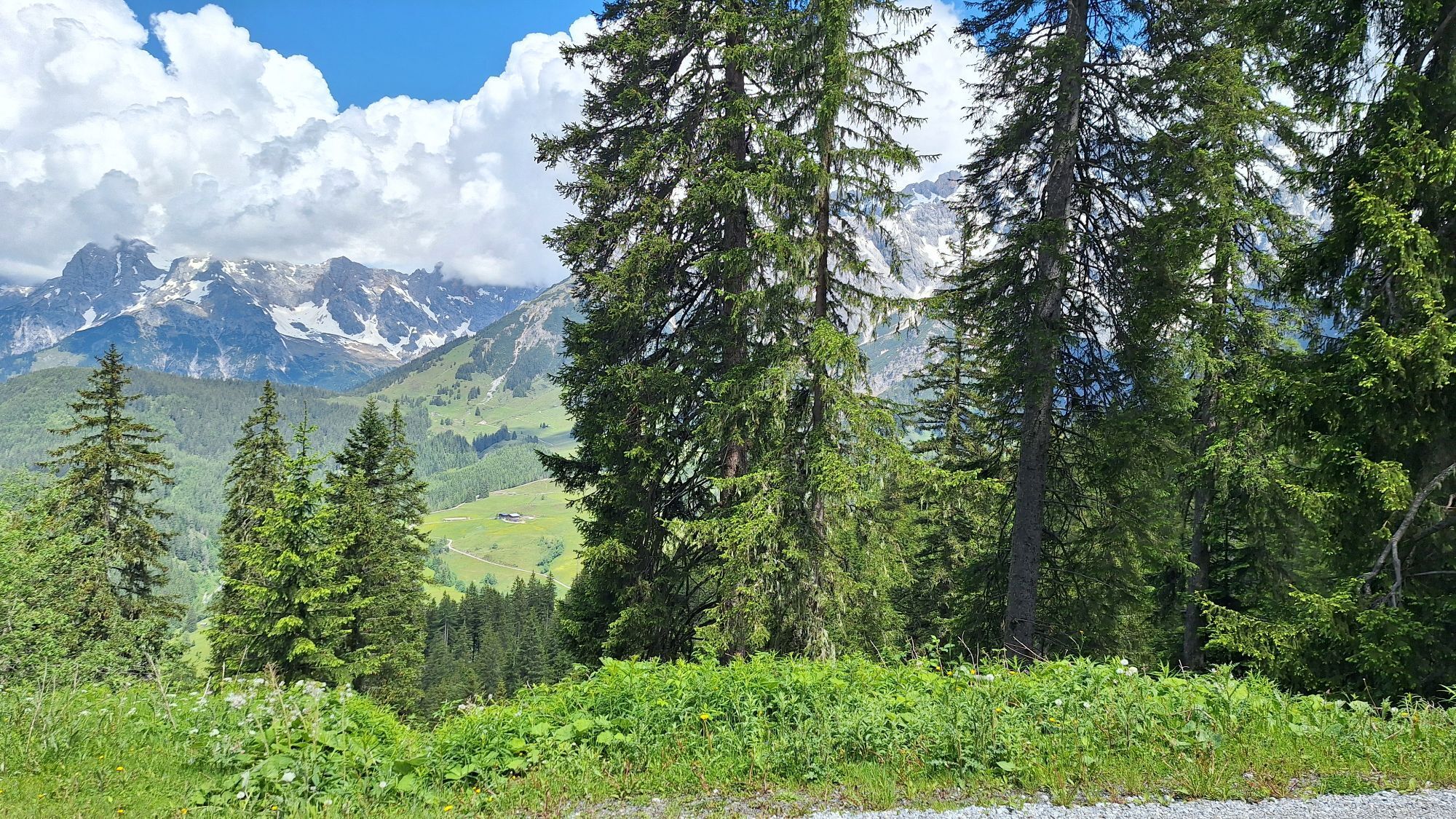
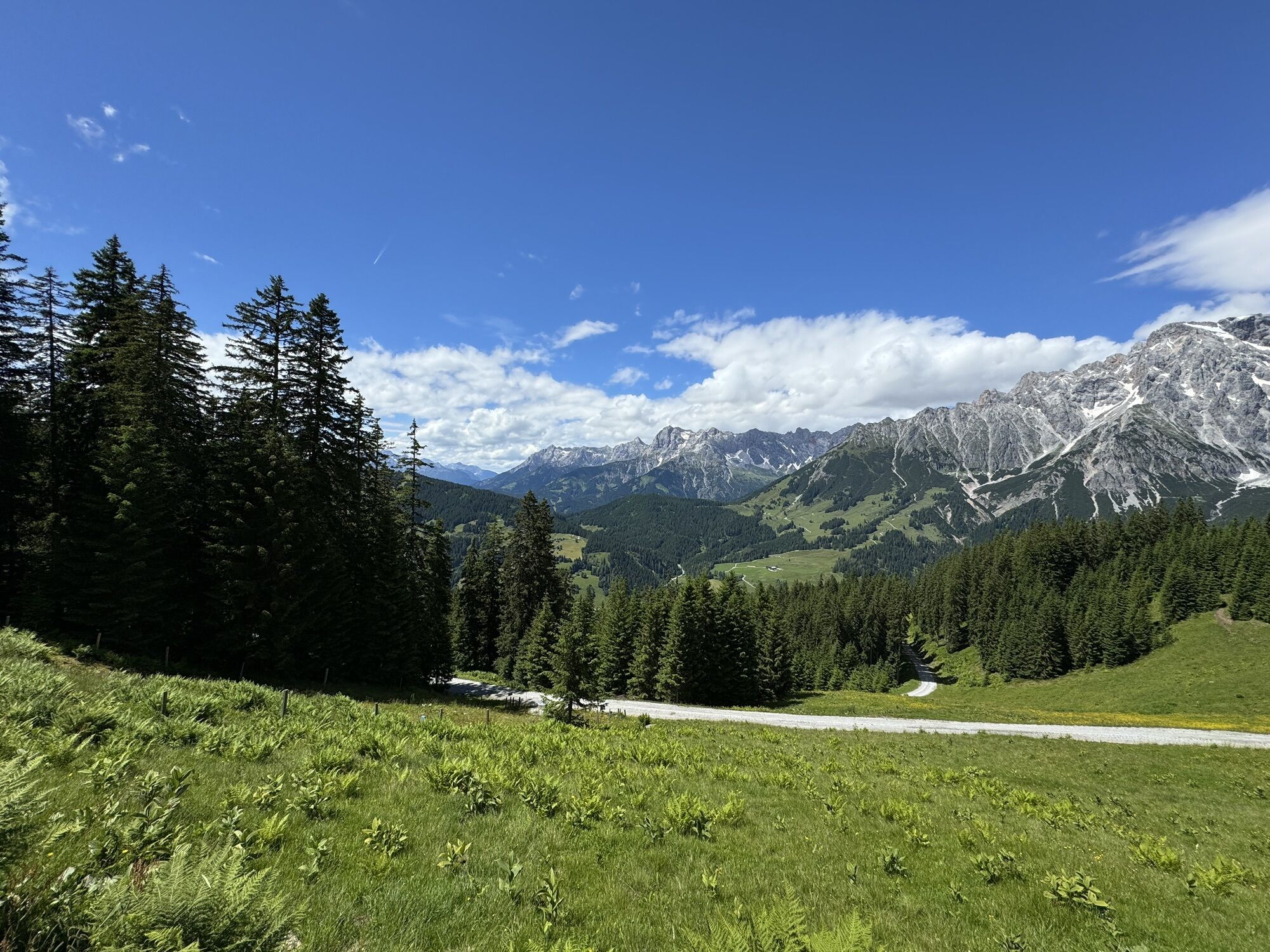
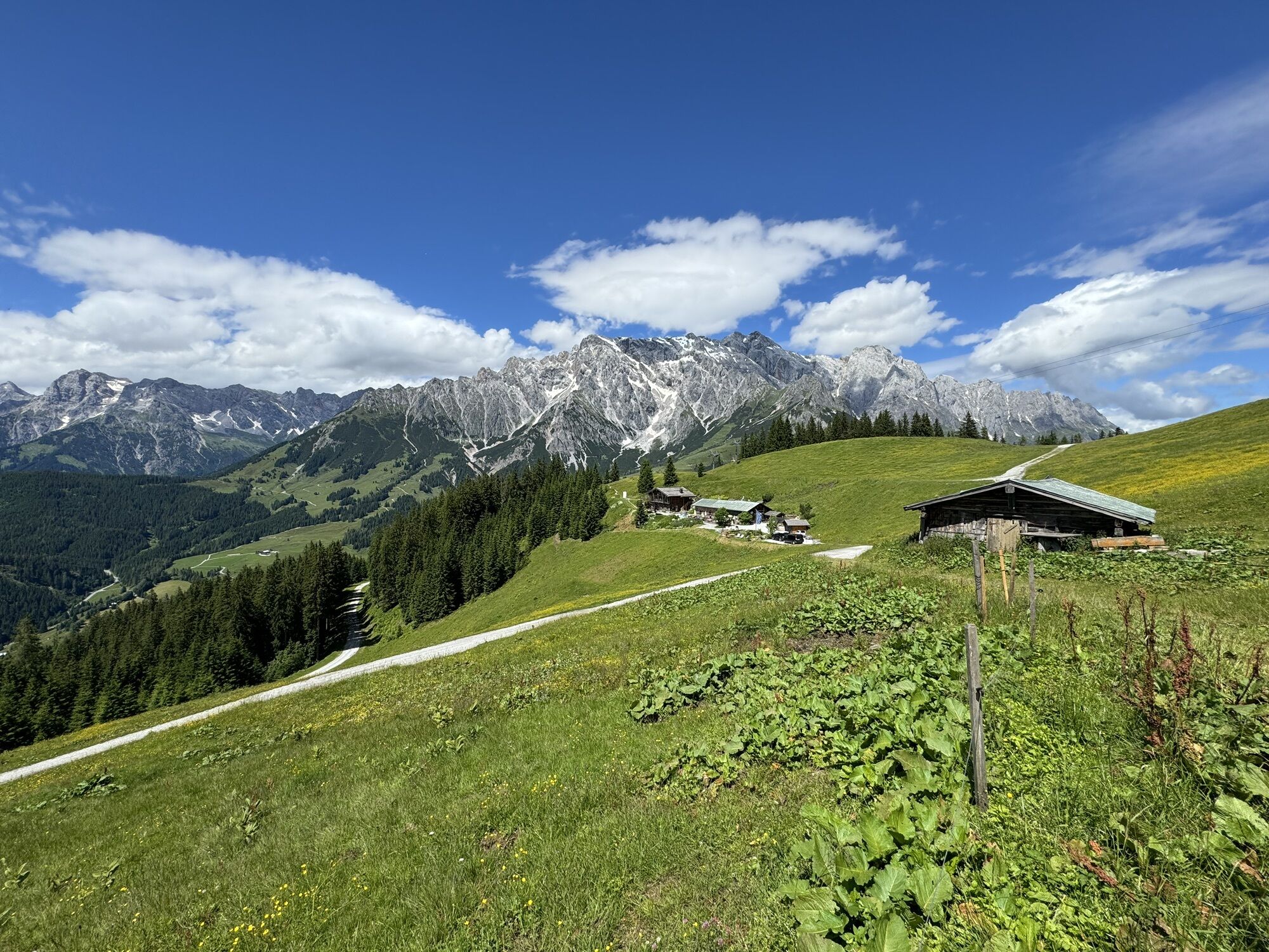
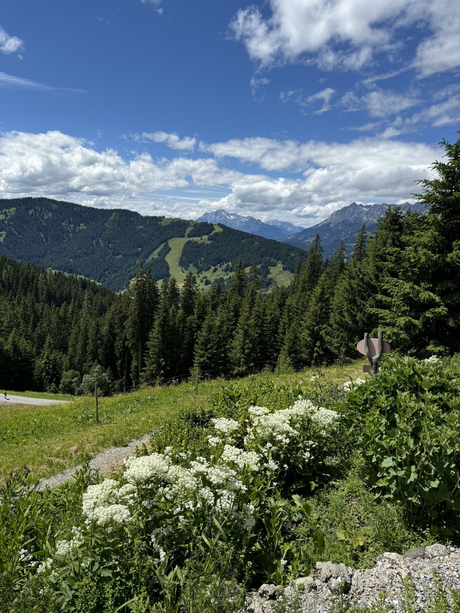
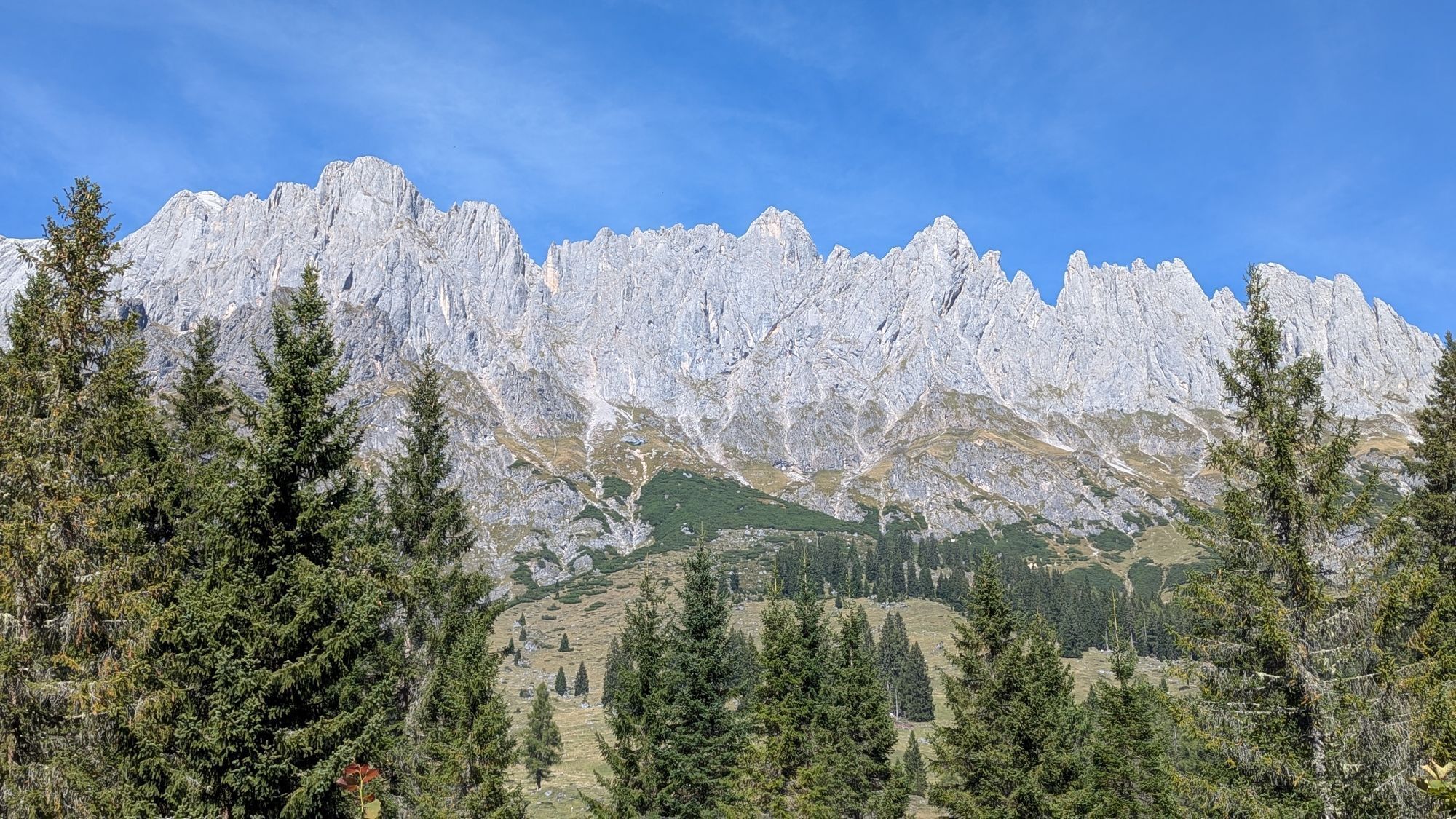
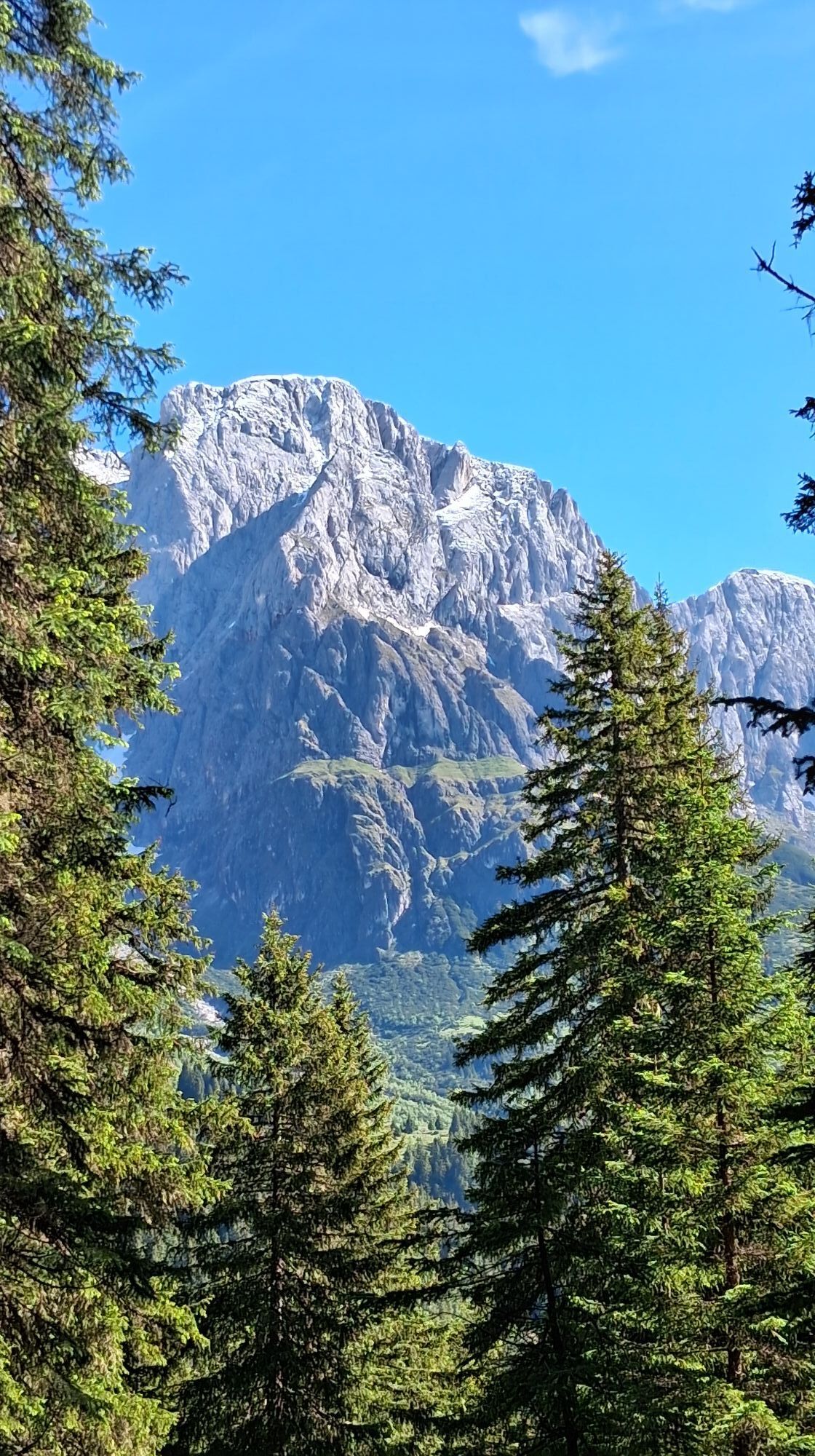
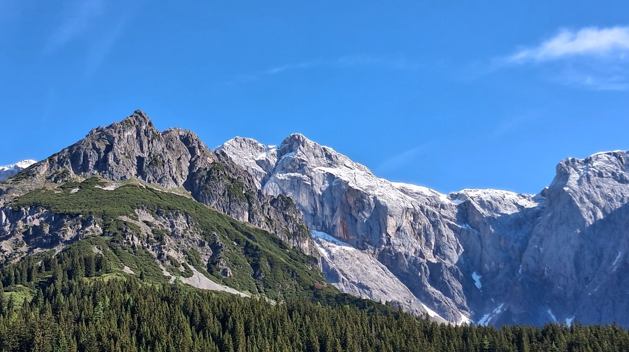
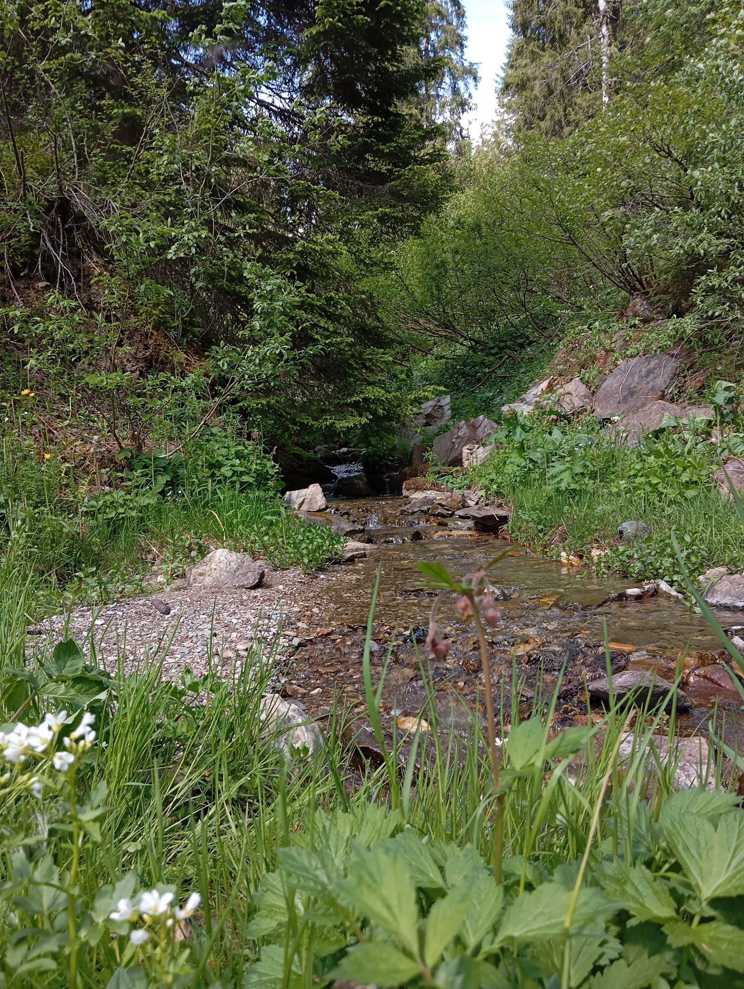
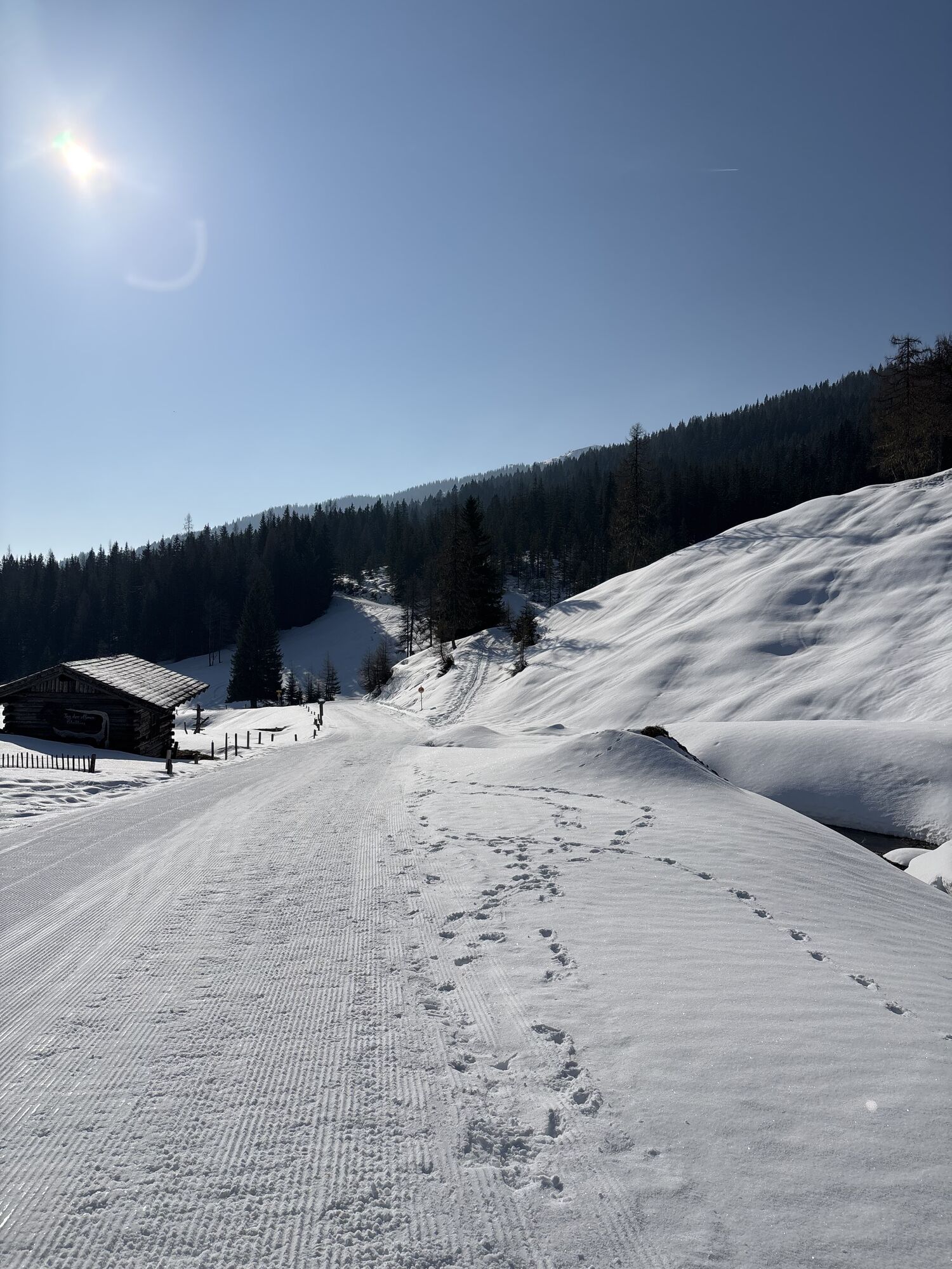
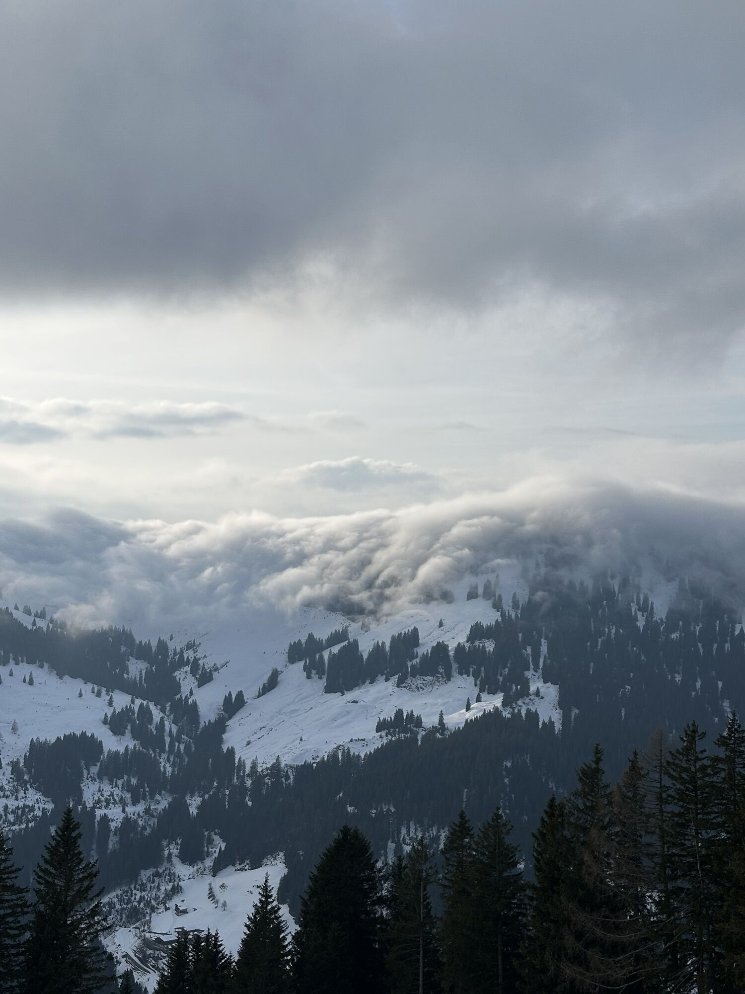
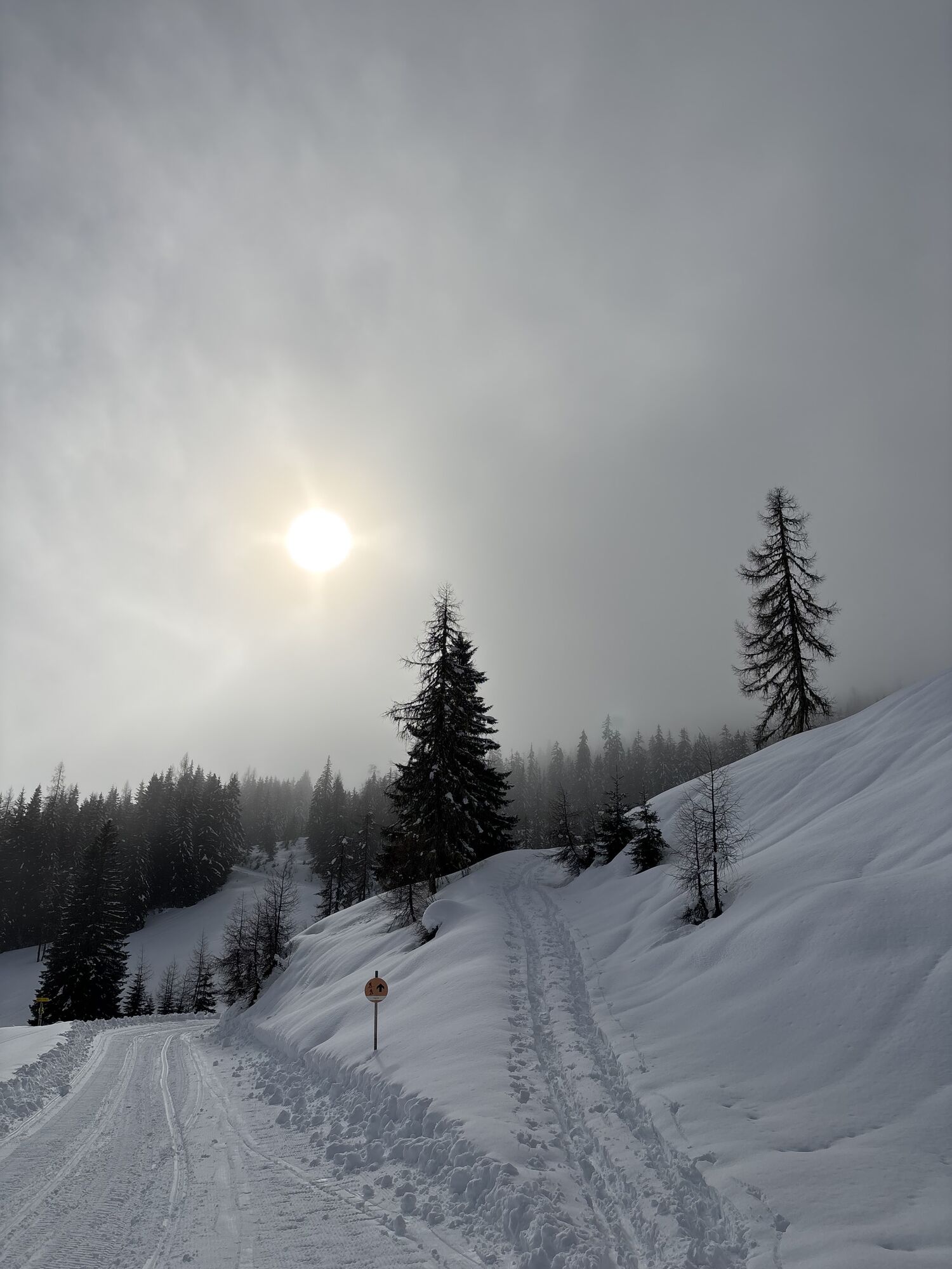
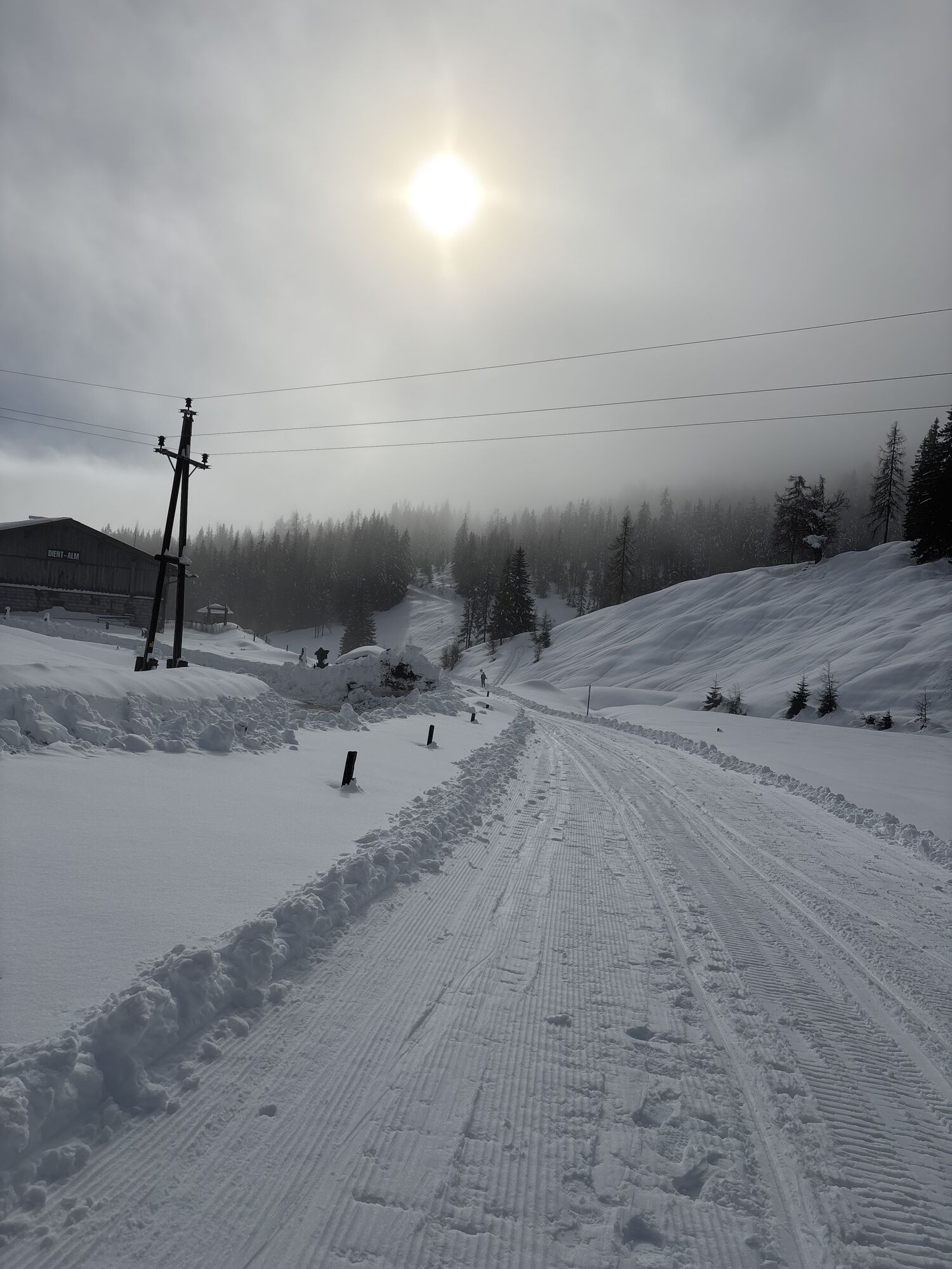
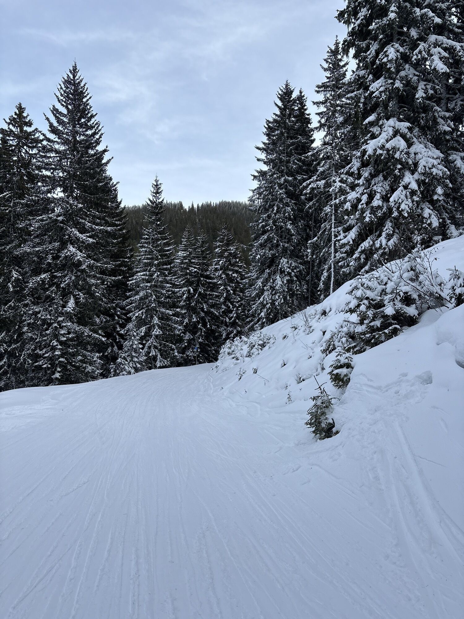
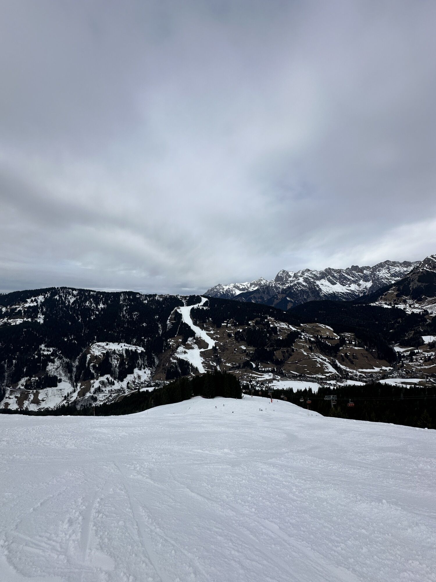
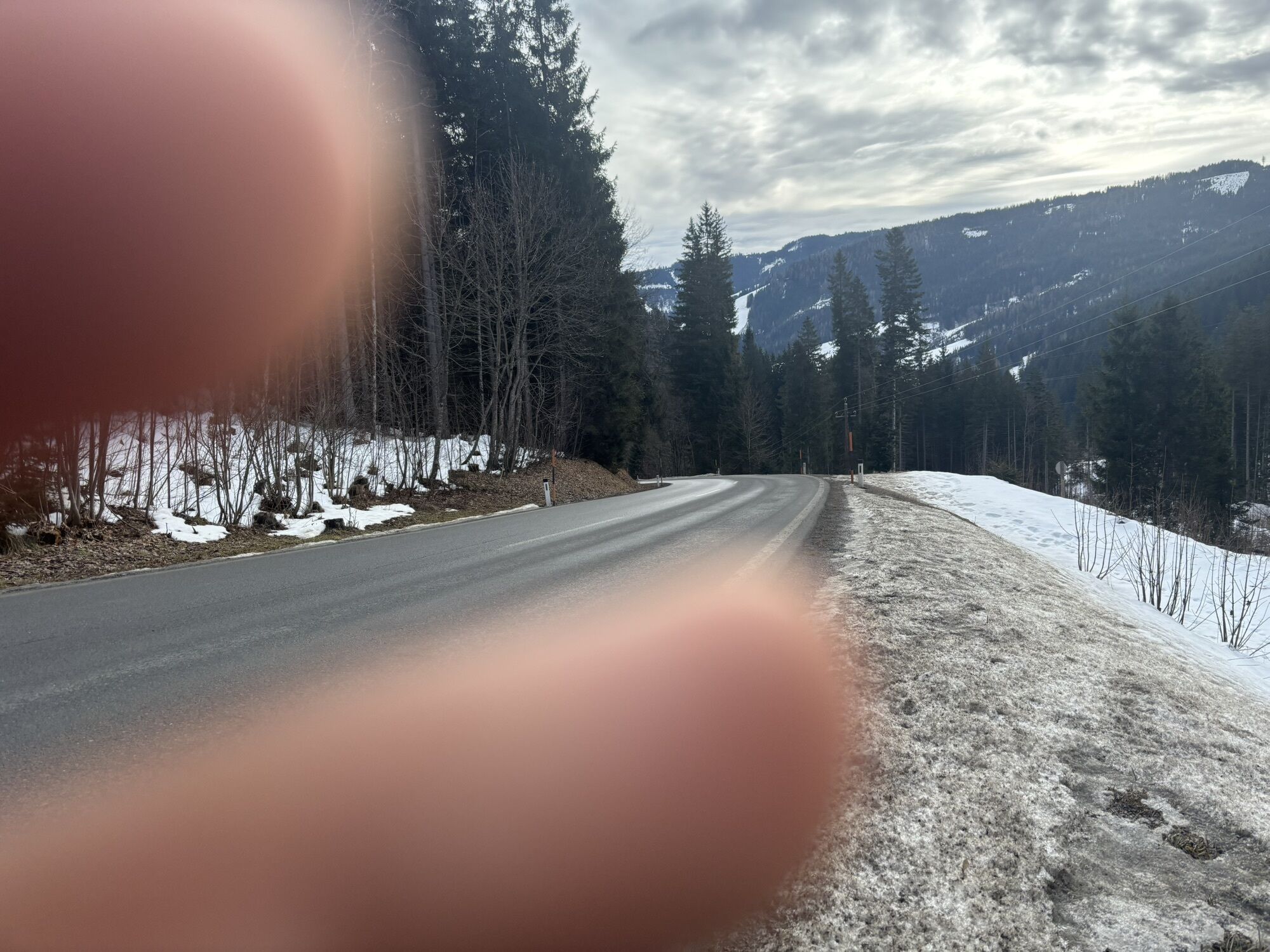
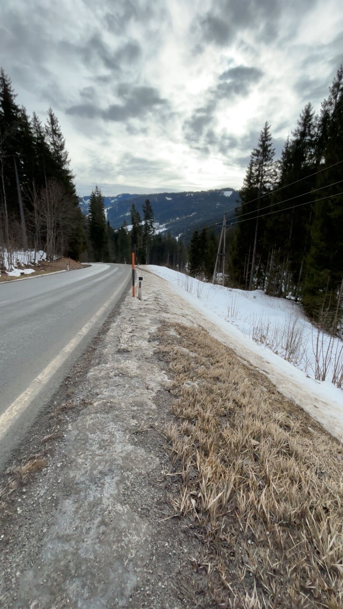
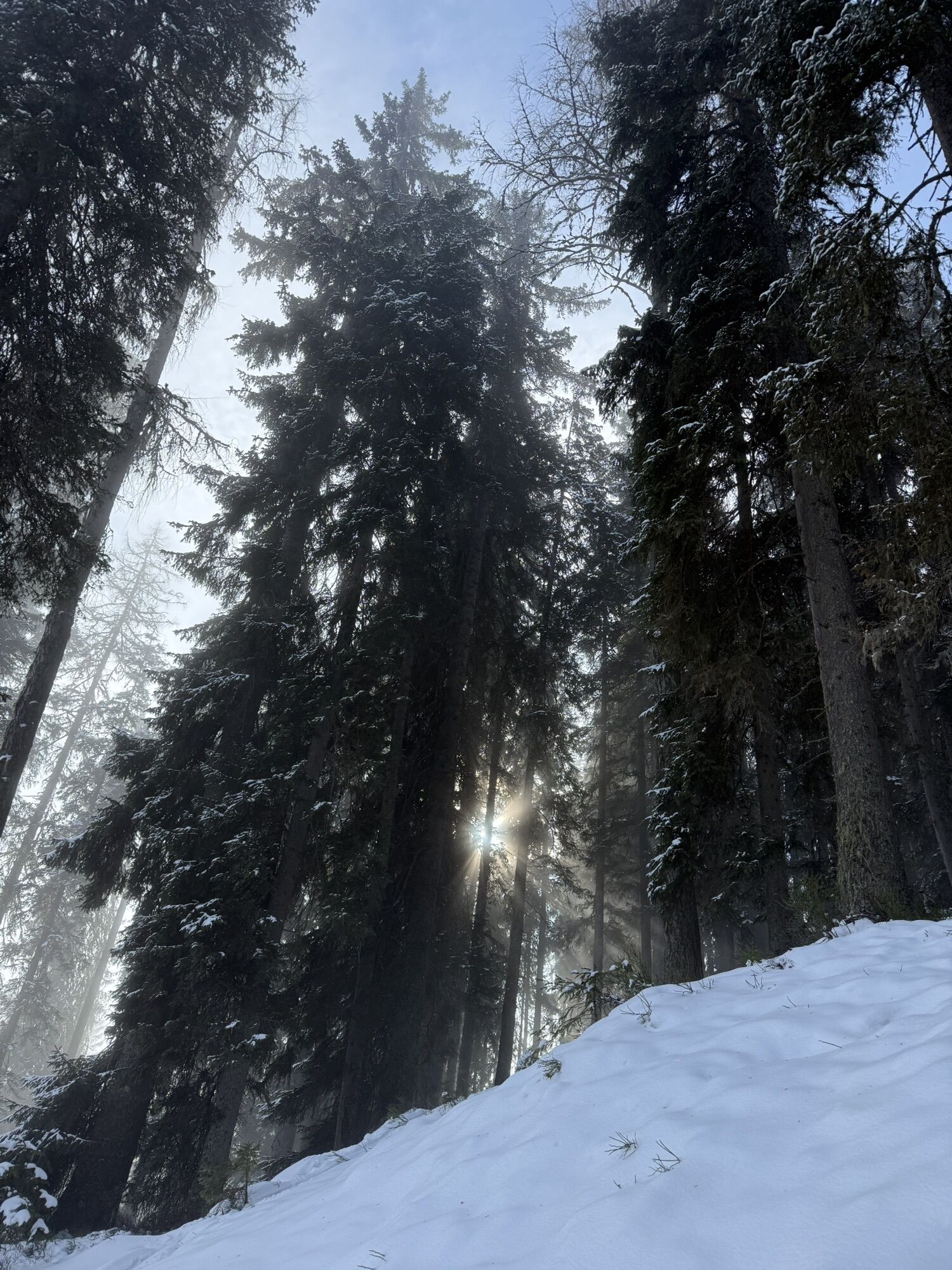
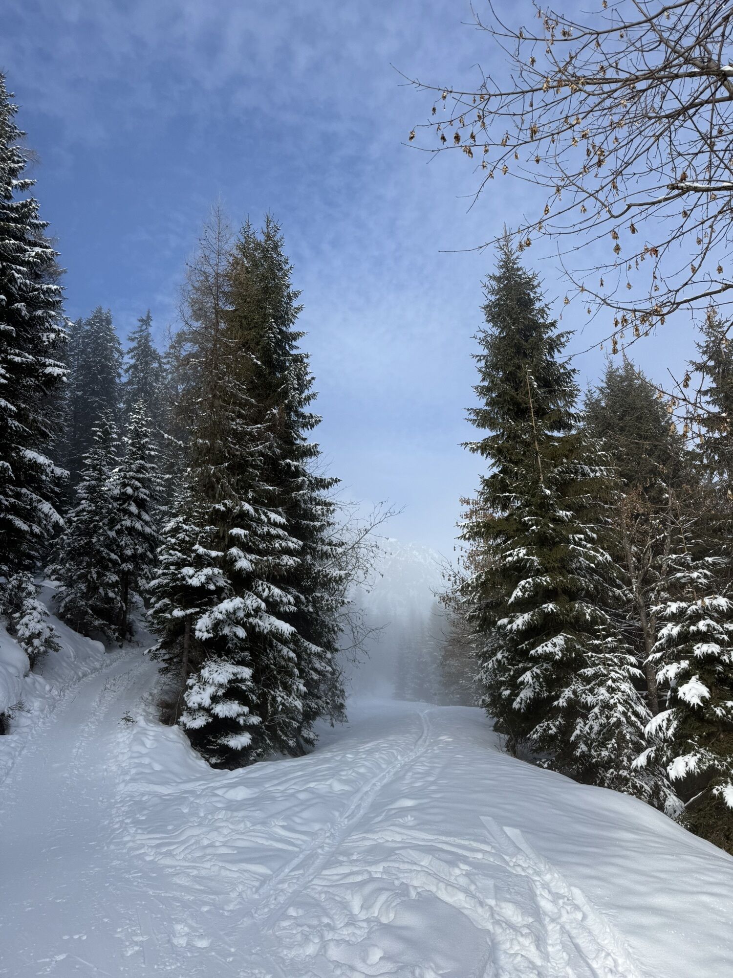
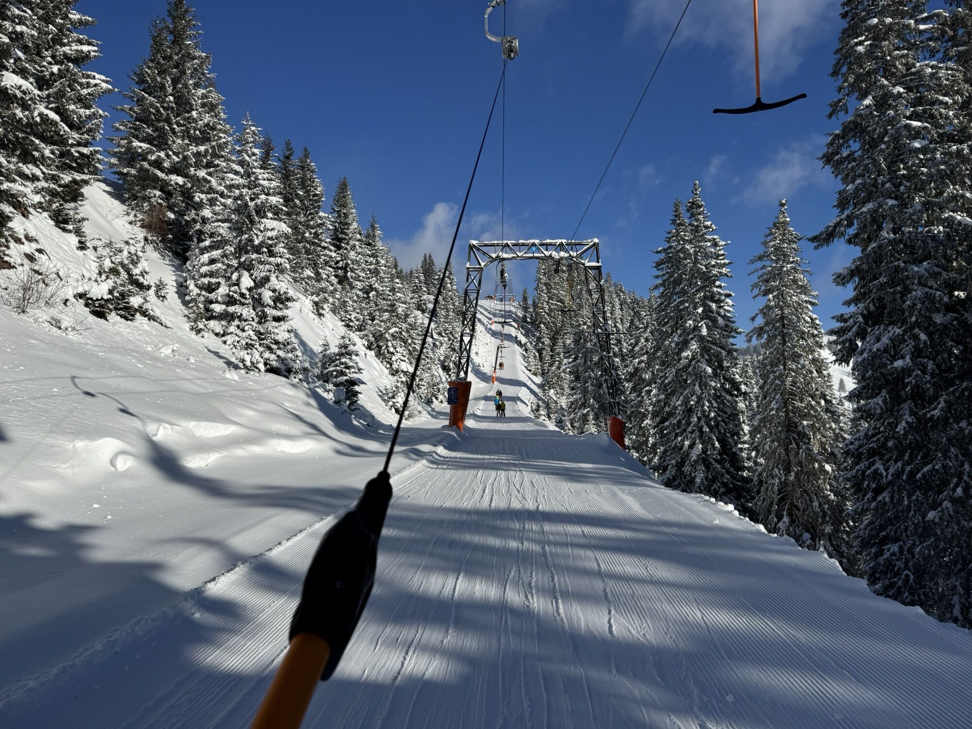
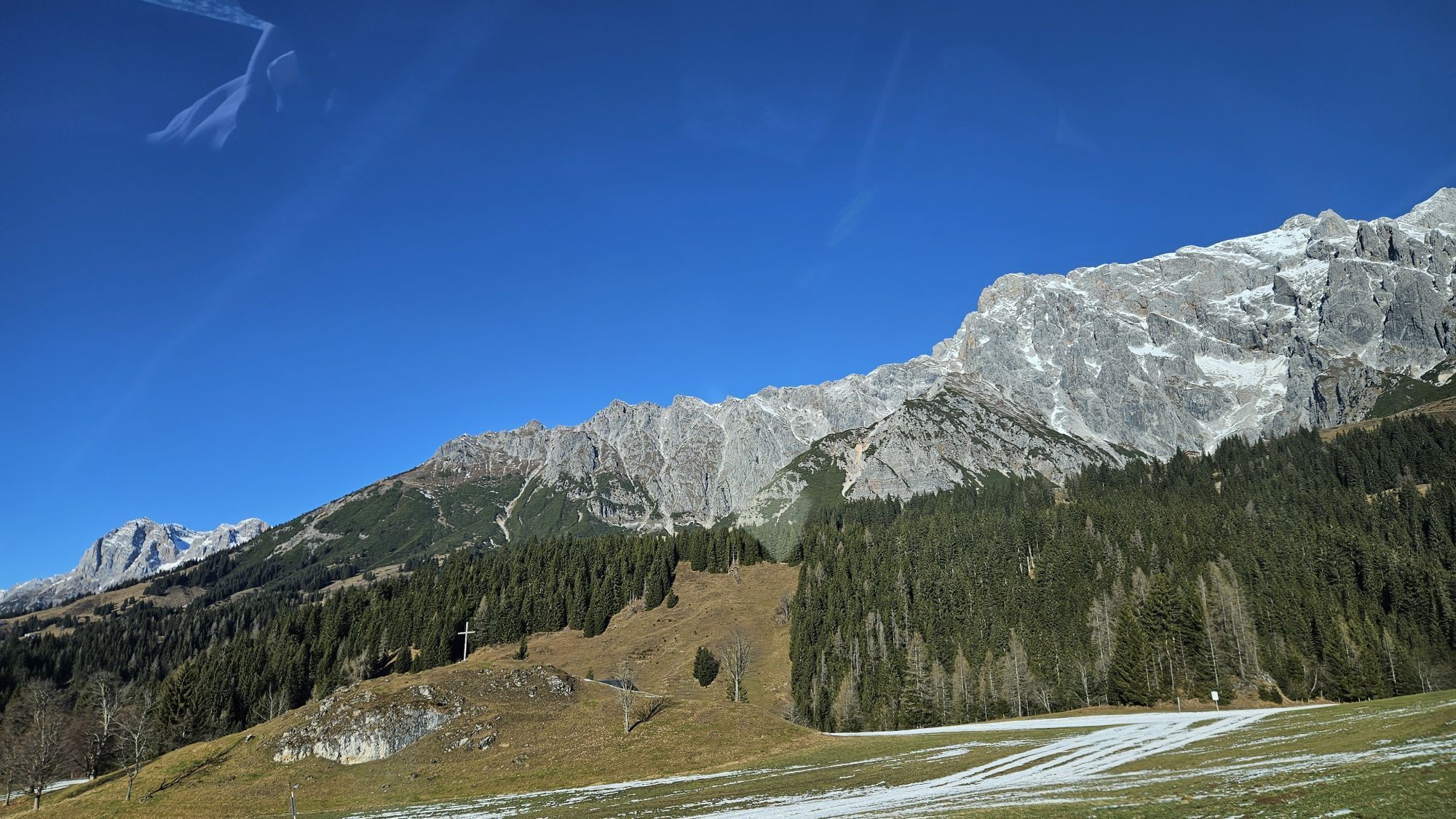
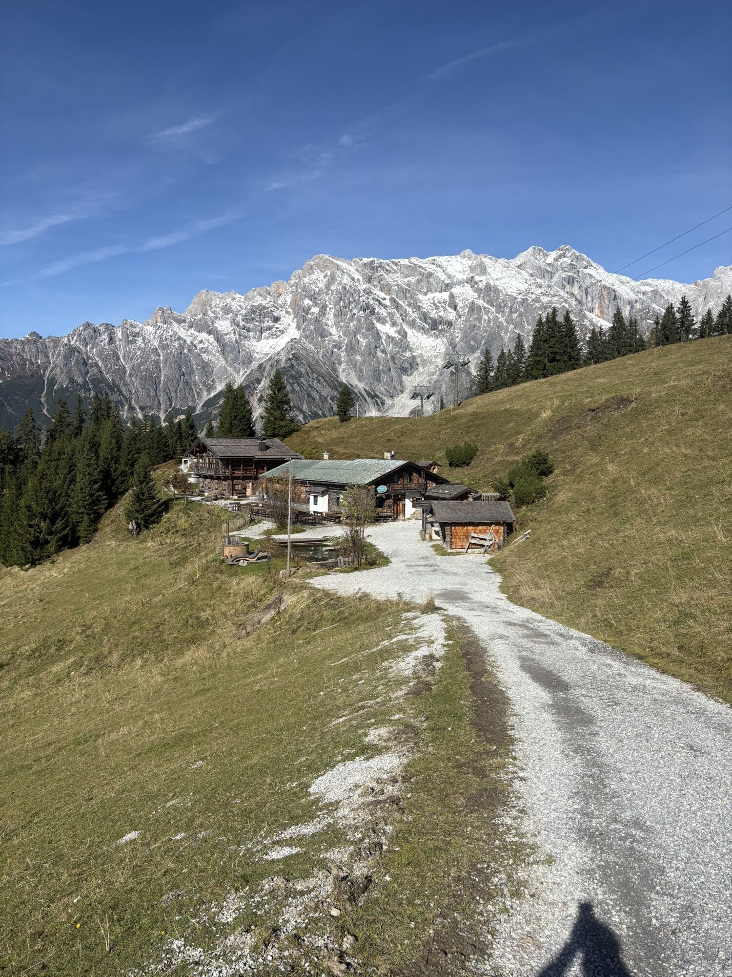
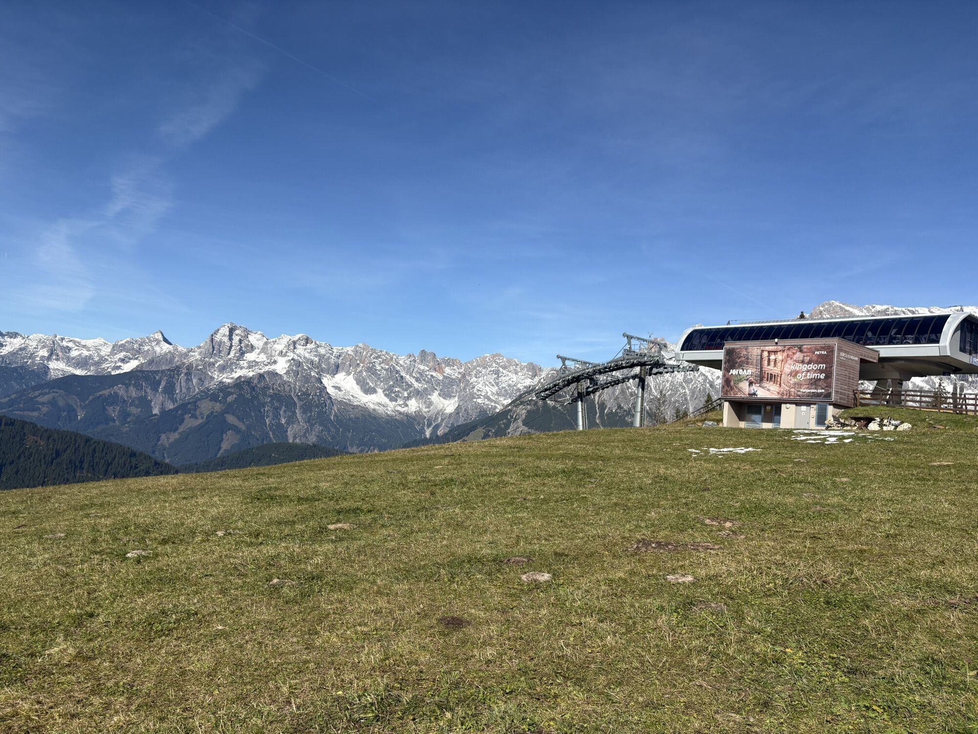
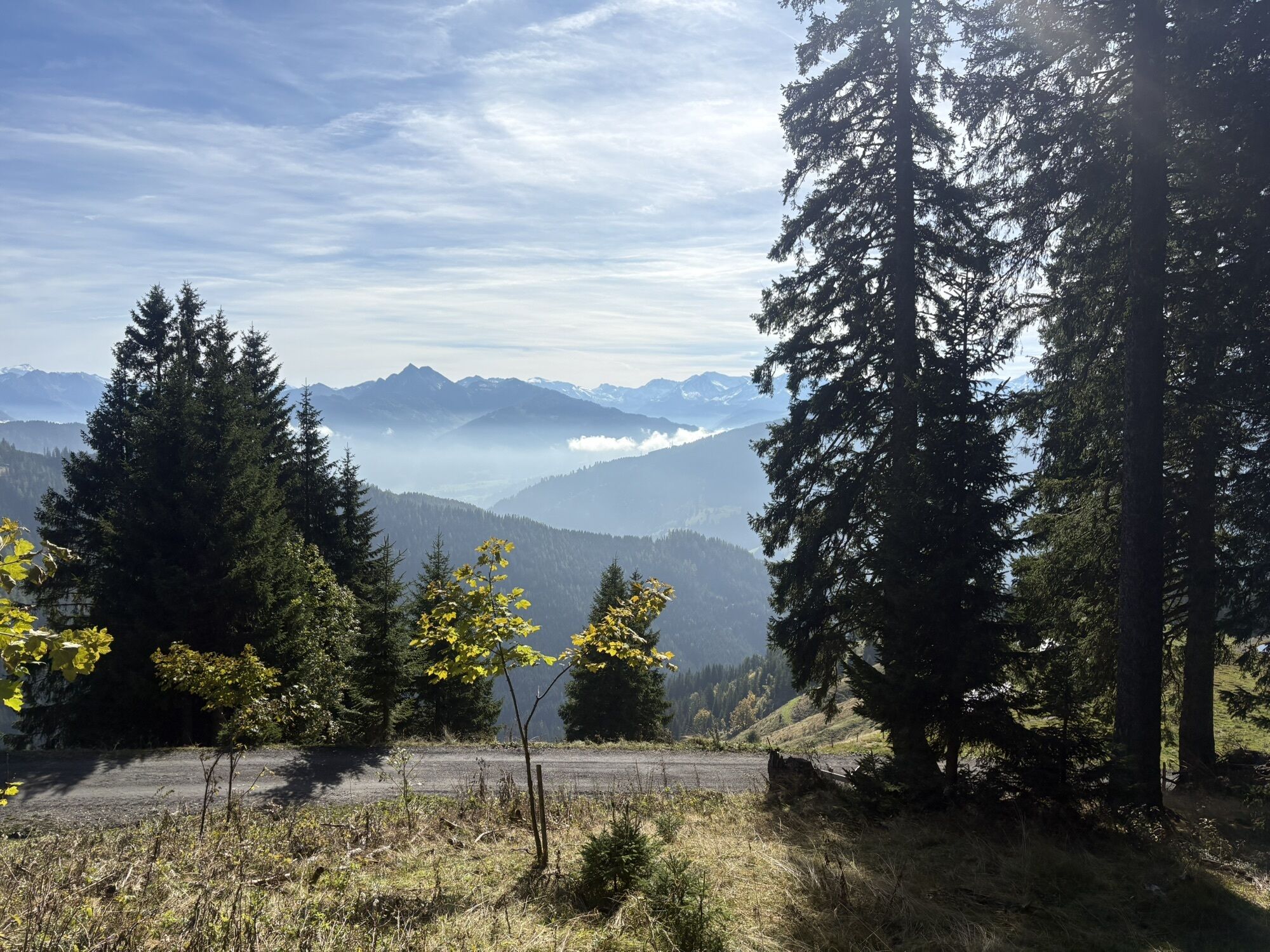
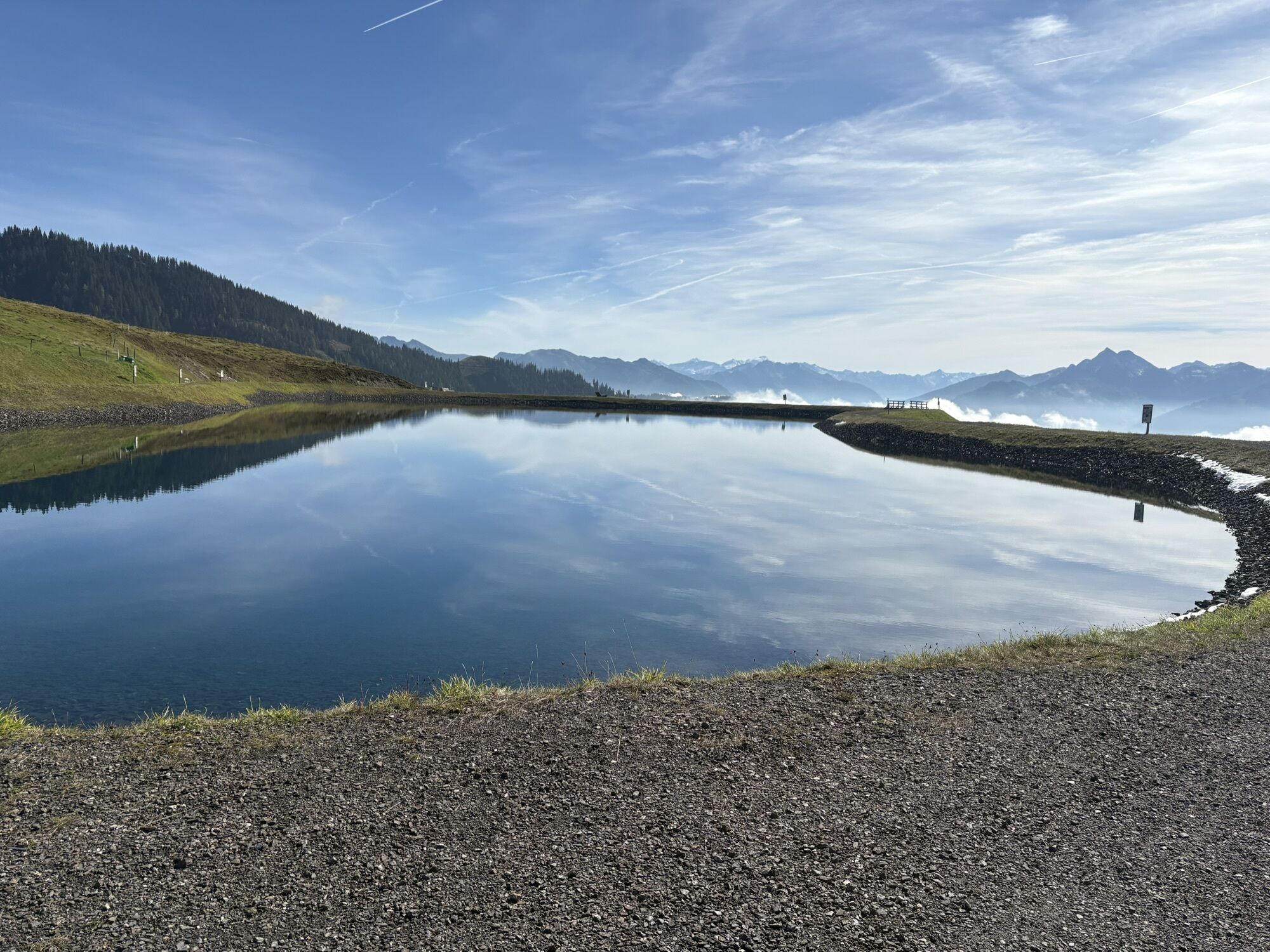
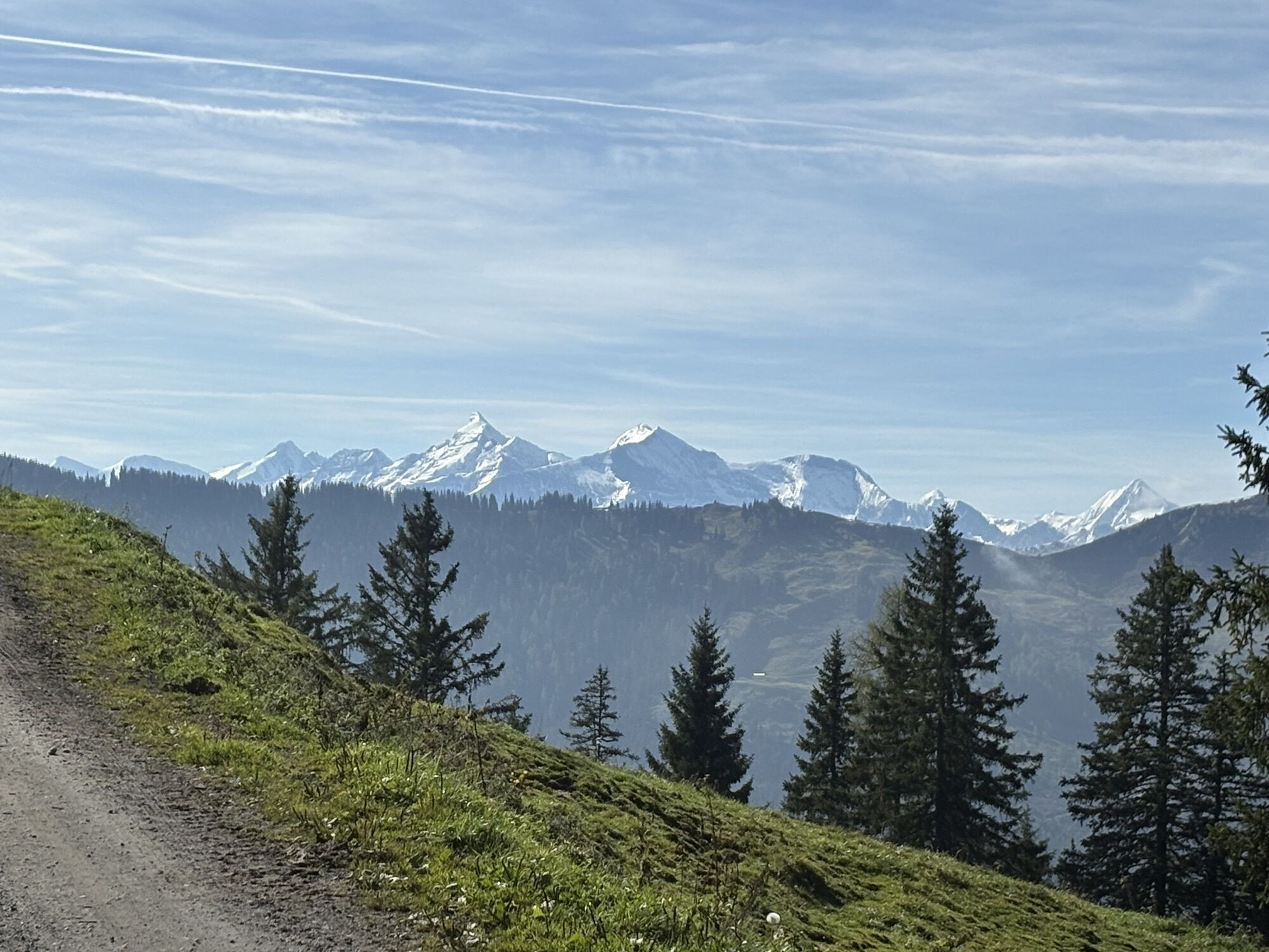
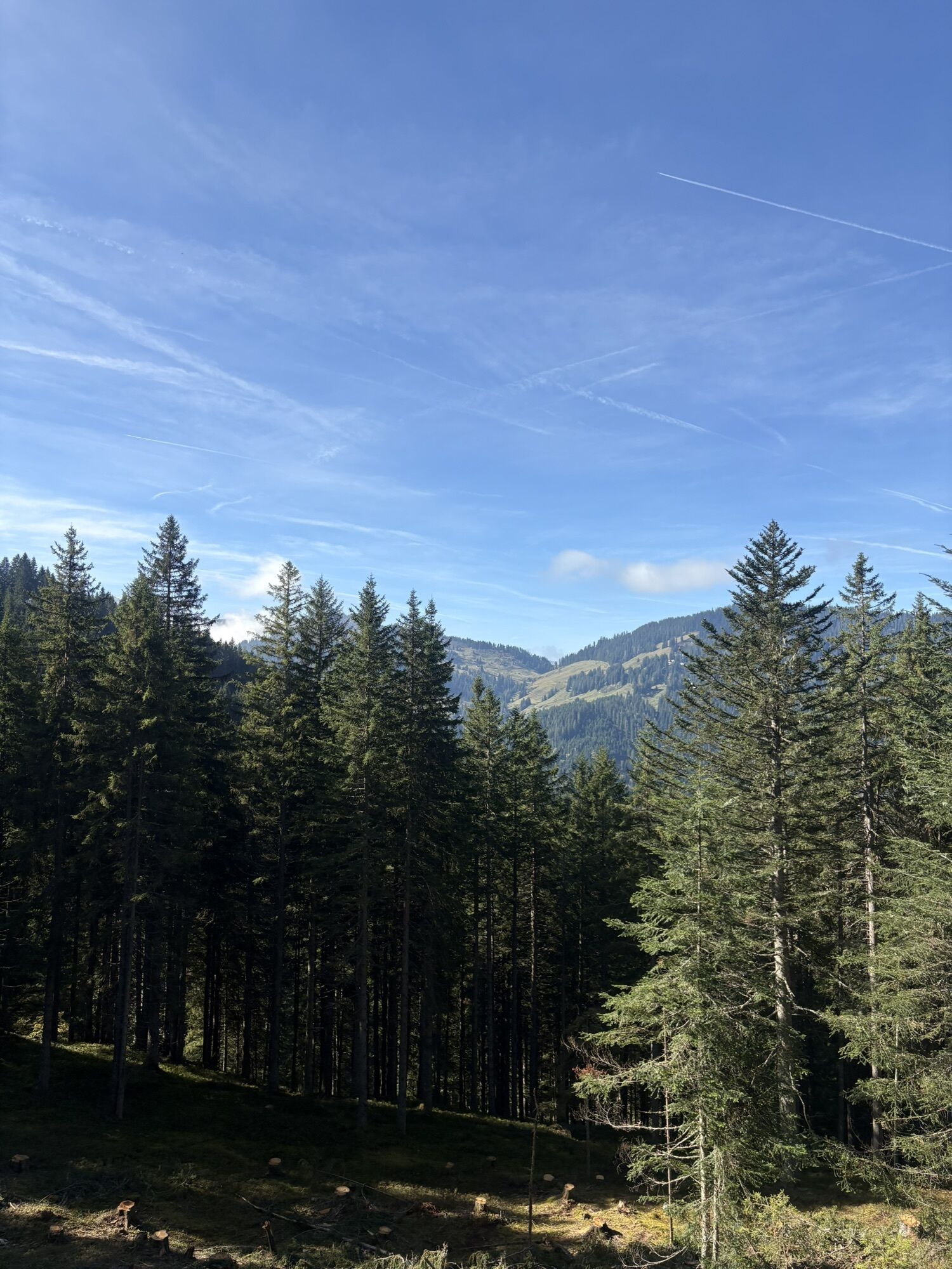
This mountain bike tour in the Hochkönig region covers about 40 kilometers and includes around 1,500 meters of ascent as well as 1,710 meters of descent. The route runs on a varied mix of roads, gravel...
This mountain bike tour in the Hochkönig region covers about 40 kilometers and includes around 1,500 meters of ascent as well as 1,710 meters of descent. The route runs on a varied mix of roads, gravel paths and trails, offering spectacular panoramic views of the alpine landscape. With an average riding time of about 4.5 hours, this tour is ideal for experienced mountain bikers who want to master a demanding route with technical sections and intense elevation changes.
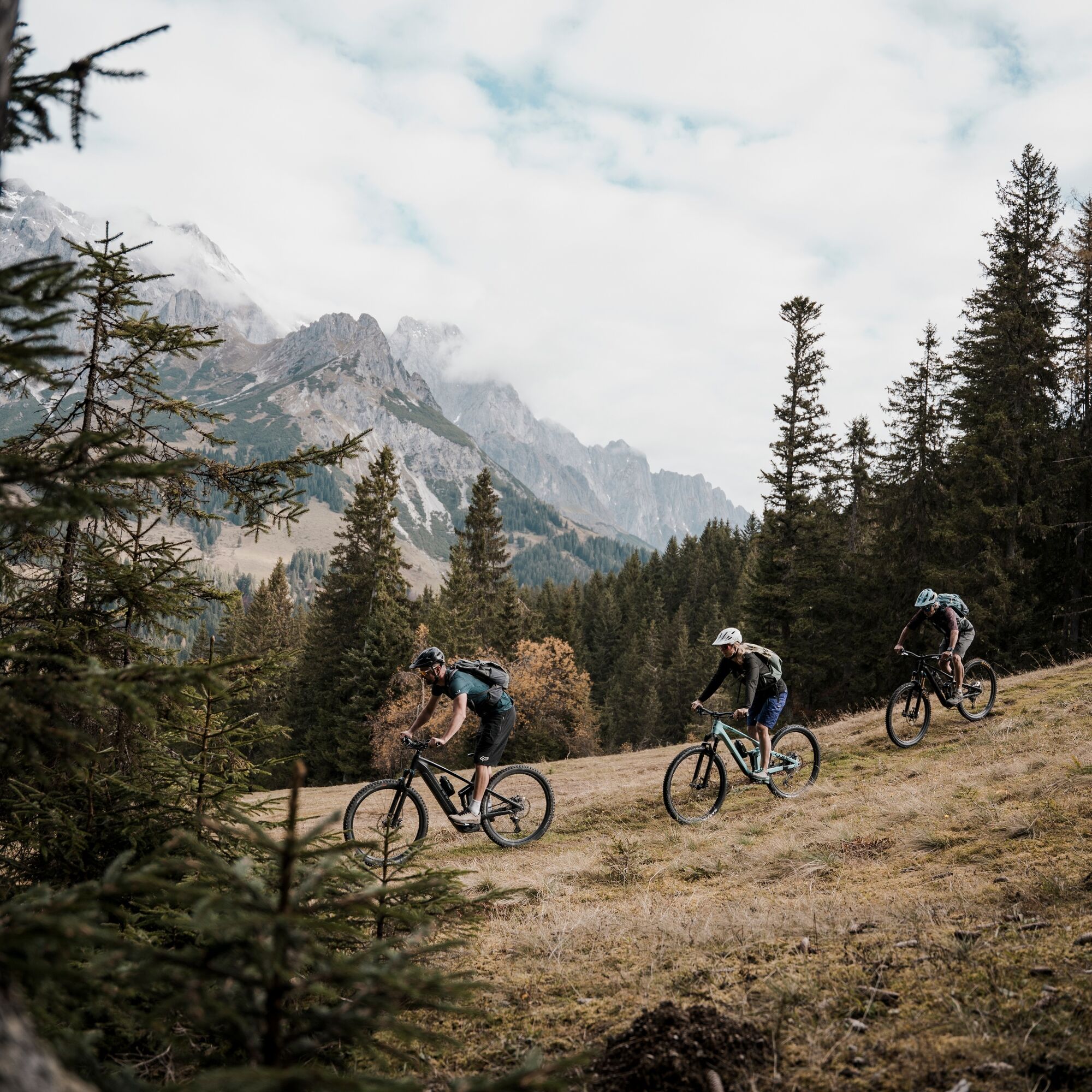
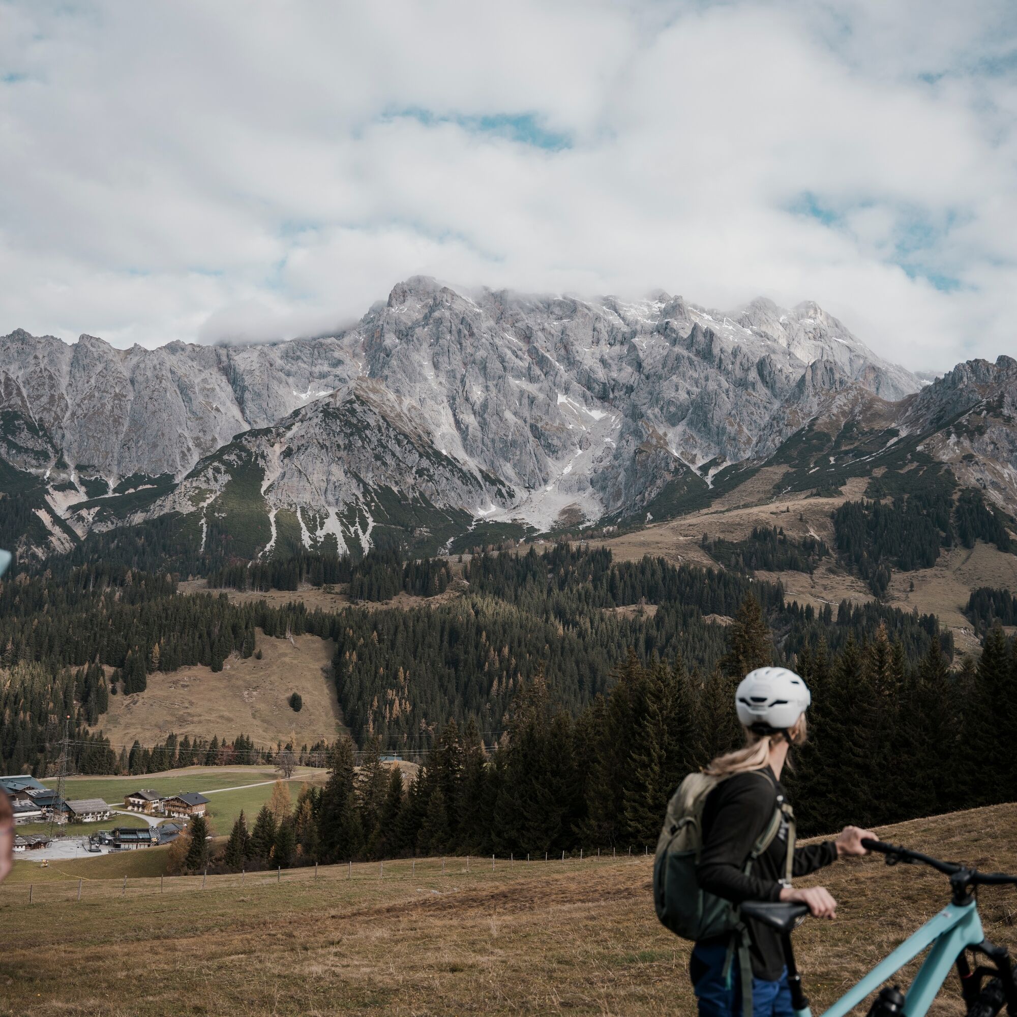
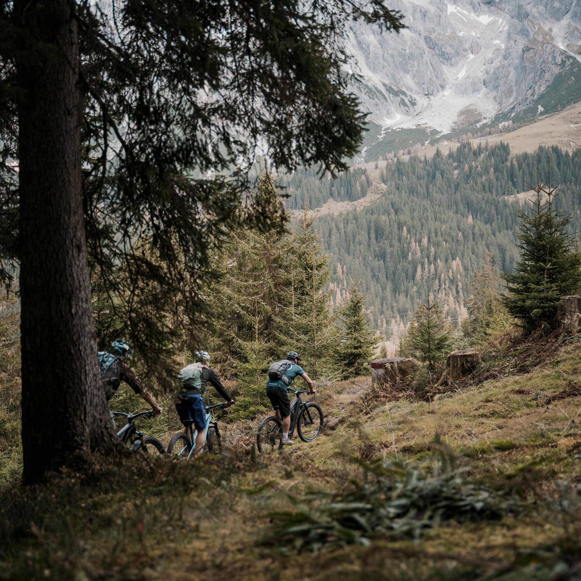
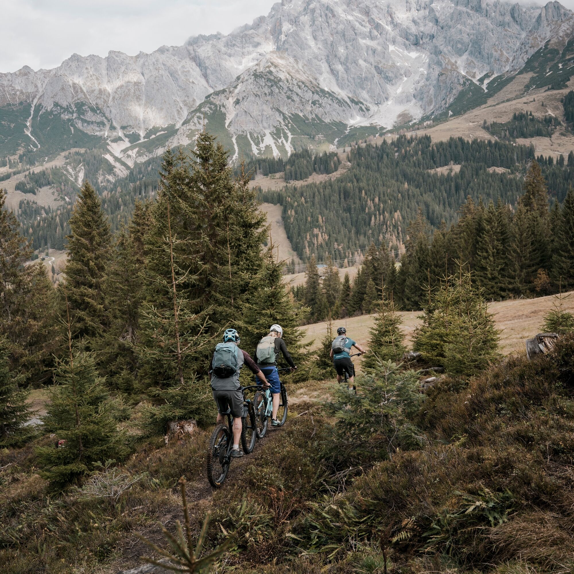

The second stage starts in the center of Dienten. First, head to the ski center – there you have the choice:
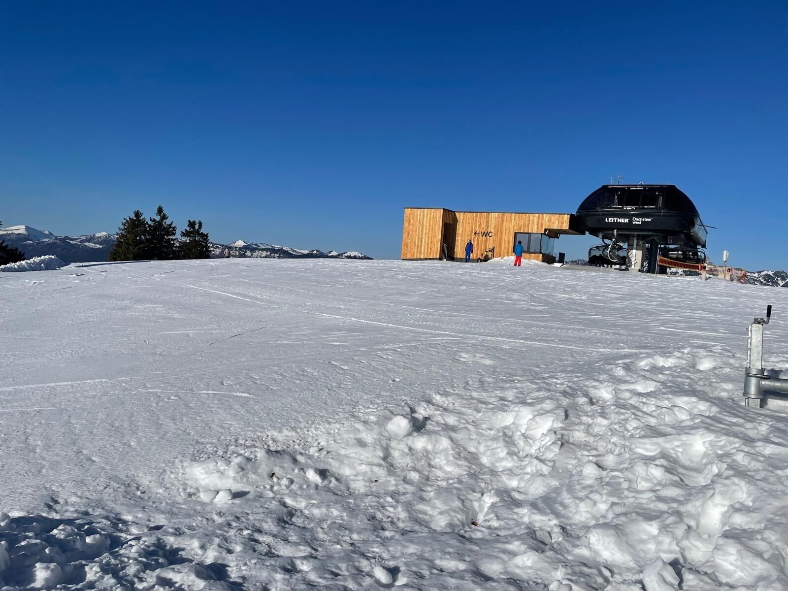
ð Comfortable chairlift to the Bürglalm (please observe the summer opening hours)
ð Or sporty by bike: Start through the "Ski Center" parking garage and follow the signposting DI04-Bürglalm-Runde. The route leads you on a well-drivable forest road as part of the Bürglalm round uphill to the Bürglalm.
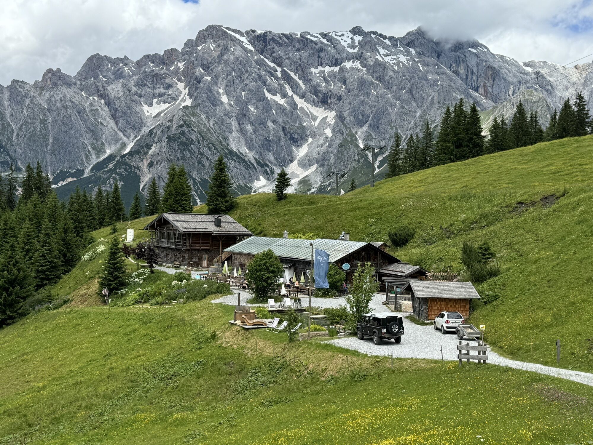
About 200 m behind the mountain station, turn left onto the natural Nani & Mariedl Trails. Tip: Those who prefer it more relaxed can detour onto the forest road at Zachhofalm.
The Mariedl Trail (lower trail) is technically demanding (S2) – a great challenge for sporty cyclists.
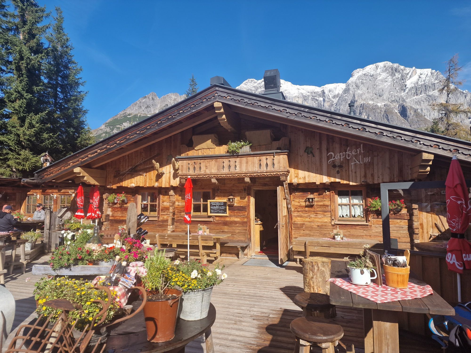
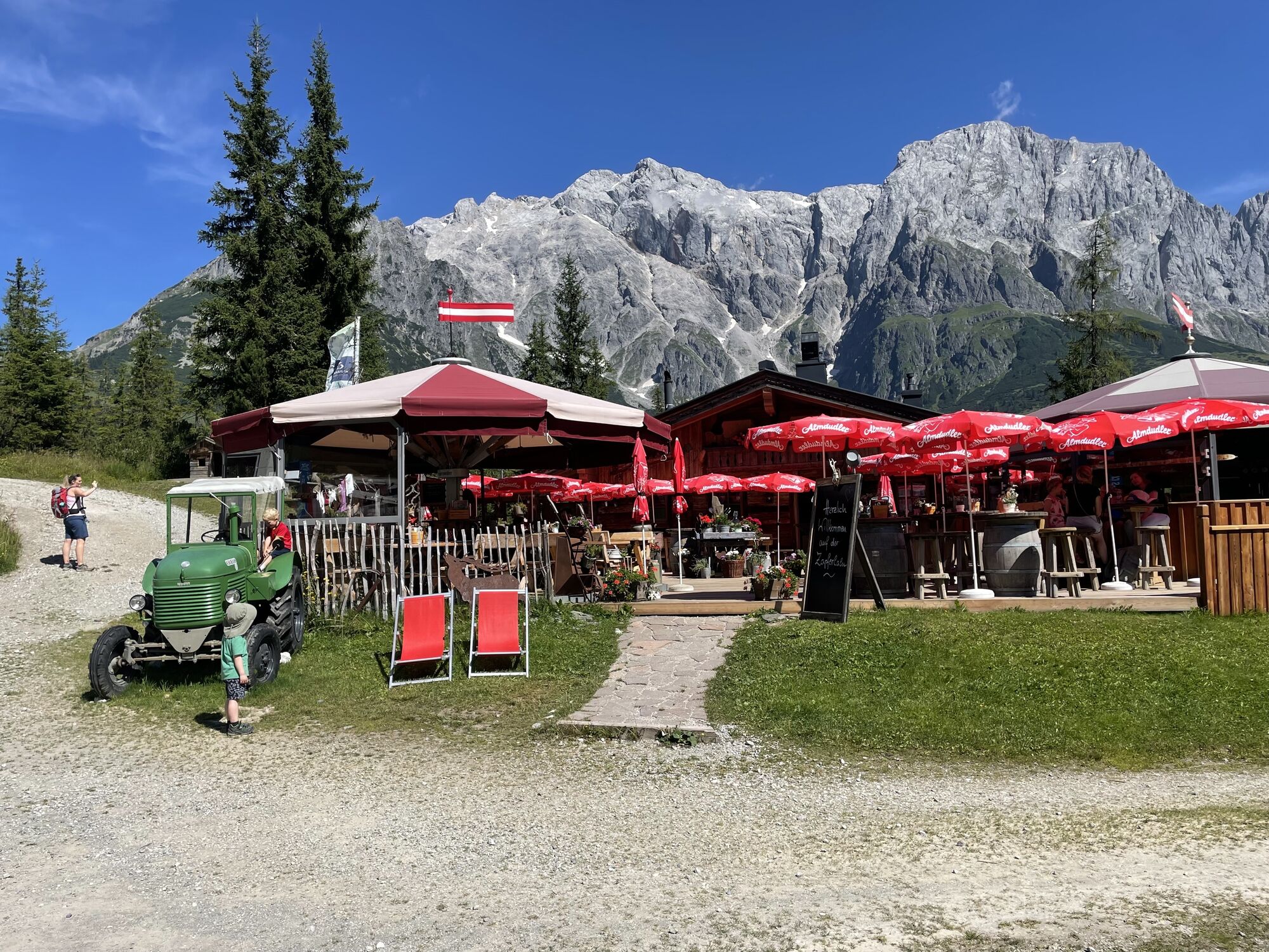
After reaching the bottom, turn right onto the B164 and follow it to the Dientner Sattel. Passing right by Dientalm and Zapferlalm, it goes downhill to Mühlbach.
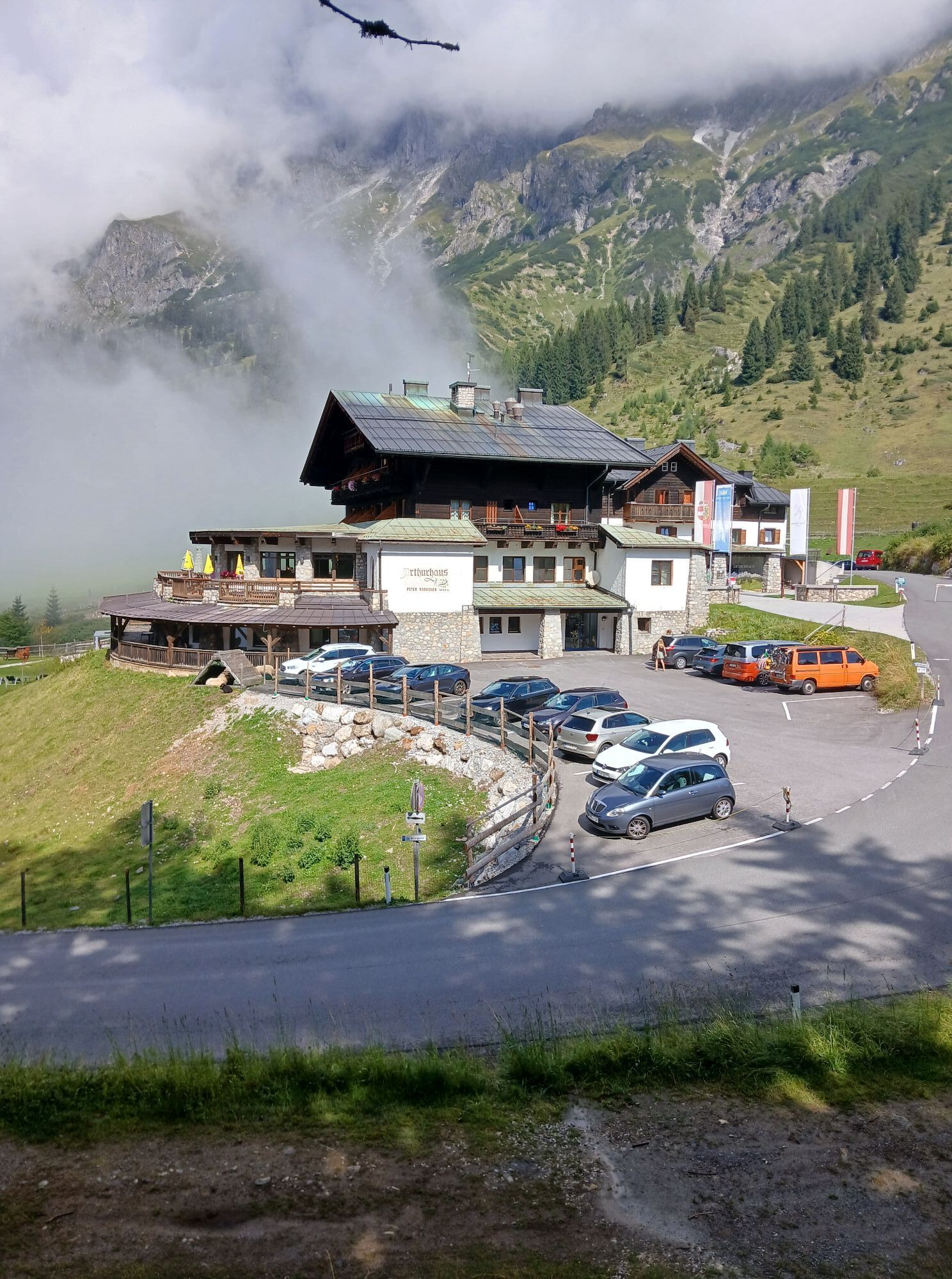
Now a real highlight awaits: With the destination in the center of Mühlbach already in sight, we turn left once more and follow the signposting MB 01 Hochkeil-Runde on a scenically stunning route – over asphalt and gravel paths – up to the Arthurhaus.
Checkpoint! Then it goes leisurely back to the town center.
Daily goal reached!
Checked bike equipment with helmet
Sunglasses, sun protection, rain protection
Drinks and a small snack
Necessary medications
First aid kit
Bike map
Arrival from Salzburg: Take the A10 motorway to the Bischofshofen exit, then continue on the B311 towards Bischofshofen. Follow the Hochkönig federal road/B164 to Mühlbach and further on to Dienten. Arrival from Innsbruck/Kufstein: Take the Lofer road/B178 towards St. Johann i.T., then via the Hochkönig federal road/B164 over Saalfelden and Maria Alm to Dienten or the Filzensattel. A valid vignette is required for using the Austrian motorway and expressway network. Also mandatory to carry: first aid kit, warning triangle and safety vest. More info at Asfinag.
ÖBB-Scotty: timetable information
Bus line 620: timetable information
Bus line 631: timetable information
Hiking bus: timetable information
Free parking available
S3
More information on hikes and activities in the Hochkönig region:
For detailed information about hiking maps, opening times of mountain lifts and huts and alpine pastures in summer, we recommend visiting the service center on site. There you will not only receive the hiking map but also valuable tips on the best hiking routes and current conditions.
Summer opening times of the mountain lifts: The mountain lifts offer different opening hours during the summer months, which may vary depending on the weather and season. Please check the current operating times in advance.
Summer opening times of huts & alpine pastures: The huts and alpine pastures in the region are ideal resting places for hikers. Here, too, opening times may vary depending on the season and weekday. Let the friendly hosts advise you about offerings and specialties on site.
For further information please visit our website: www.hochkoenig.at.
If you have questions or want to get specific information, please feel free to contact us:
Email: region@hochkoenig.at
Phone: +43 (0)6584 20388
We look forward to helping you and wish you much fun exploring the beautiful hiking region Hochkönig!


Webové kamery z prohlídky
-
Mühlbach am Hochkönig
-
Maria Alm - Hochmaisbahn
-
Mühlbach am Hochkönig - Hotel Bergheimat
-
Bischofshofen-Kreuzberg
-
Bergstation Kings Cab
-
Matrashaus am Hochkönig
-
Grünegg Alm & Edelbrennerei
-
Dienten - Übergossene Alm Resort
-
Dienten - Almsee
-
Dienten - Übergossene Alm Resort
-
Dienten, Bürglalmabfahrt
-
Bergstation Kings Cab
-
Bergstation Kings Cab
-
Bergstation Kings Cab
-
Bergstation Kings Cab
-
Bergstation Kings Cab
-
Bergstation Kings Cab
-
Bürglalmbahn Abfahrt
-
Hochkönigblick
-
Arthurhaus - Mühlbach
-
Hinterthal - Urslauerhof
-
Hinterthal - Urslauerhof

Oblíbené prohlídky v okolí
-
4.9
Großarl: Heukareck
středníTuristika 12.5 km -
4.9
Summit stormer route Lauskopf
heavyTuristika 8.16 km -
4.8
Summit storming route Taghaube
heavyTuristika 6.25 km -
4.7
About the "Four Huts circular route" to Windraucheggalm
středníTuristika 10.1 km -
3.7
Wanderung zur Ostpreußenhütte in Werfen (1.630 m)
středníTuristika 11.2 km -
4.6
Panorama hike to the Hochkeil
středníTuristika 6.07 km -
4.6
Großarl: Mooslehenalm – Niggeltalalm – Viehhausalm
středníTuristika 5.44 km -
4.9
Hochkönig - Gipfel der Gefühle - Matrashaus
heavyTuristika 20.9 km -
4.3
Mühlbacher Höhenweg
středníTuristika 11.2 km -
4.4
Alpine and hut hike "Hochmaisalm & Steinbockalm"
středníTuristika 8.10 km
Pěší turistika a stopování


Nenechte si ujít nabídky a inspiraci pro vaši příští dovolenou
Vaše e-mailová adresa byl přidán do poštovního seznamu.





