


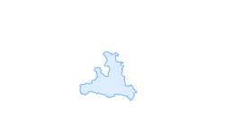

Königslehen route (SW 21)
The Königslehen route has all the features that a varied bike tour should offer. From the starting point in Flachau, it goes along the Enns cycle path to Altenmarkt and from there along a pleasant, flat...
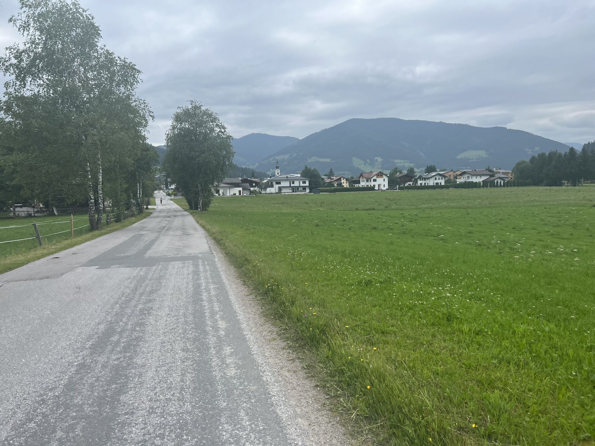
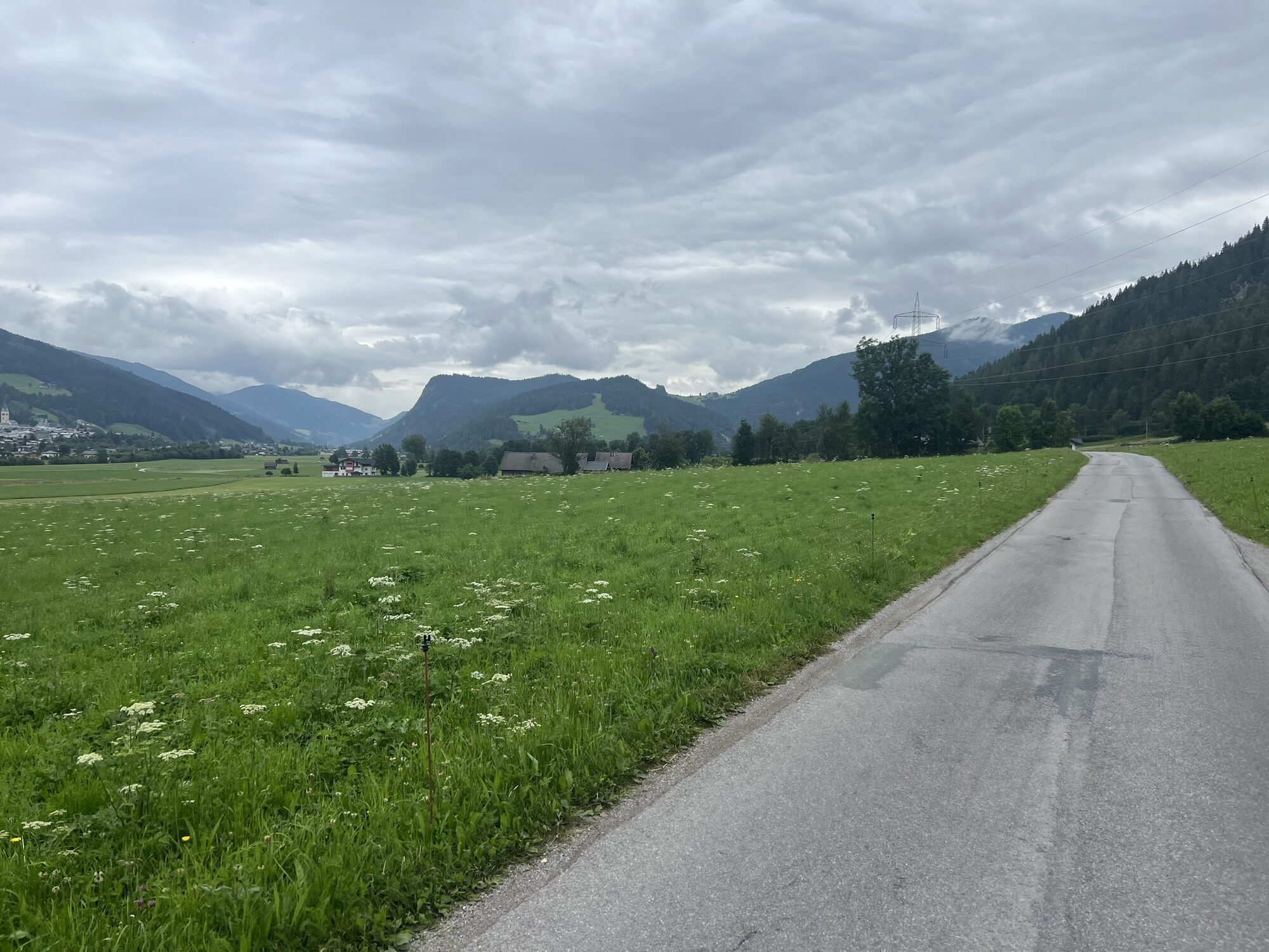
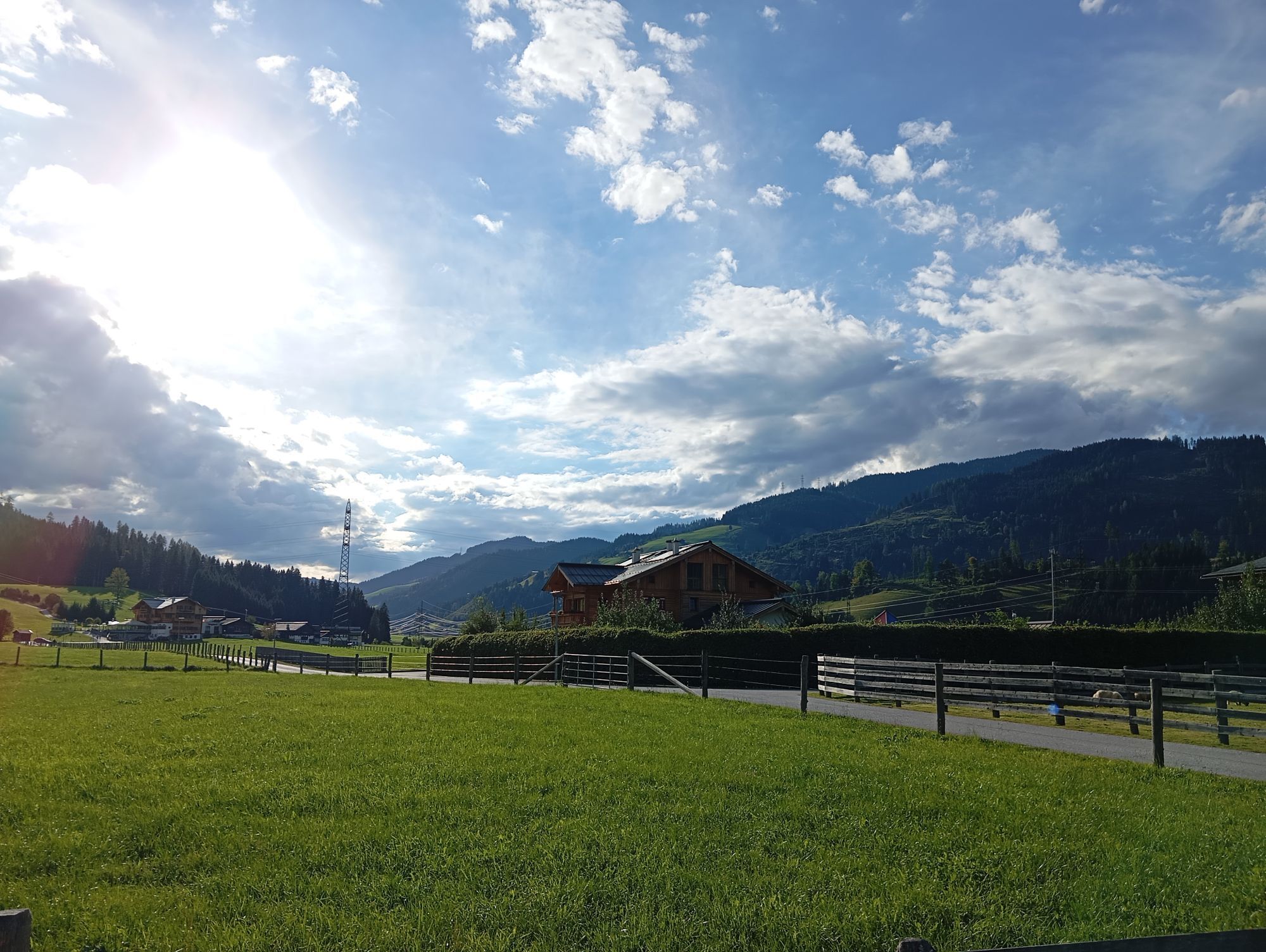
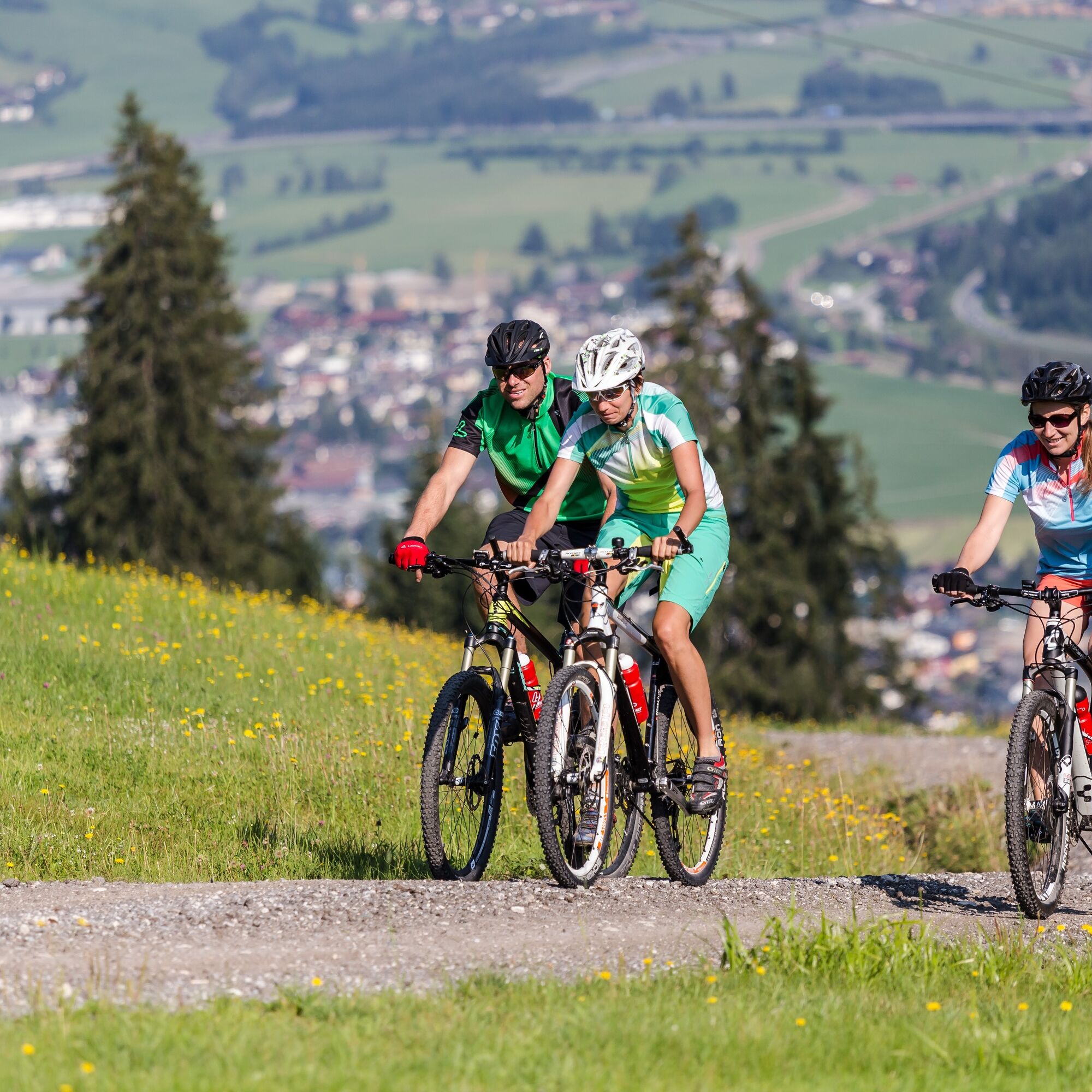
The Königslehen route has all the features that a varied bike tour should offer. From the starting point in Flachau, it goes along the Enns cycle path to Altenmarkt and from there along a pleasant, flat route on the edge of the forest past beautiful rural meadows and fields to Radstadt. Then follows the crossing of the Radstadt golf course, where you have the chance to watch the golfers play a little. After nearly 7 km, you switch from asphalt to a gravel forest road and now have to overcome about 400 meters of altitude through the forest uphill until you reach the middle station of the Königslehenbahn. From there, a somewhat steeper descent follows on a forest road over the ski slope to Sonn Alm and from here further down to Altenmarkt with a moderate gradient. (At the Berggasthof Bliembauer you have the opportunity to stop and enjoy the fantastic view from the sunny terrace.) Arrived in the center of Altenmarkt, continue along the Enns cycle path back to Flachau to the starting point of the route.
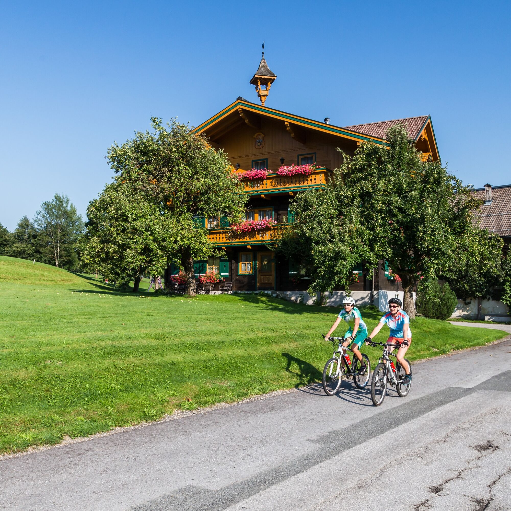
Start at Flachau Tourismus - past the village square over the bridge and then turn left towards the mini golf course - follow the signposted cycle path along the Enns towards Reitdorf - follow the cycle path running parallel to the main road into the town center of Altenmarkt - at the junction in the center (church) take the second right, across the market square and again the second right - follow the old Roman road - continue through/along the golf course - past the Gasthof Sonnegg - briefly ride parallel to the main road and immediately turn right again - follow the Perneggweg up several hairpin bends with a moderate climb - pass the middle station of the Königslehenbahn - follow the road to the Berggasthof Bliembauer (possibility to stop for refreshments) - continue downhill towards Altenmarkt - turn right onto the federal road and follow the road to the center - return to Flachau via the Enns cycle path
Ano
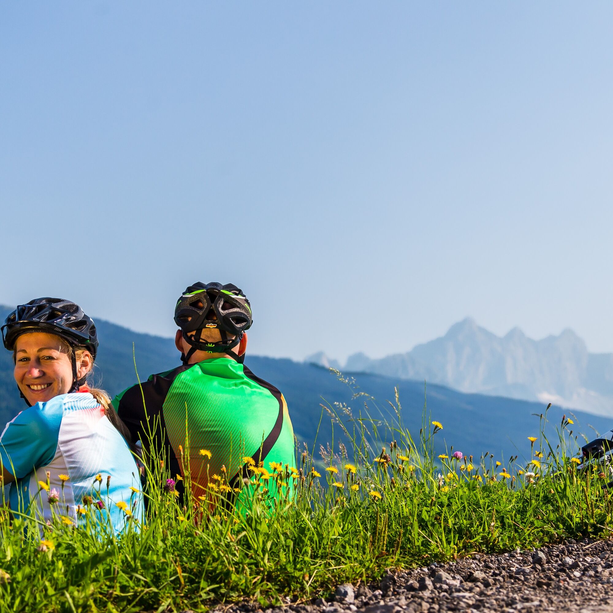
The basic equipment for a mountain biker includes:
Protective gear Snacks for in between Sunglasses, sunscreen or rain protection if necessary Mobile phoneCheck the functionality of your mountain bike before each ride and find out about the weather in advance. For your own safety, wearing a helmet is also recommended.
Center Flachau/ Flachau Tourismus
From June to September the Sportweltbus is the ideal feeder and return service for your bike tours throughout the region (Flachau, Wagrain-Kleinarl, St. Johann-Alpendorf, Radstadt, Altenmarkt-Zauchensee, Eben, Filzmoos, Obertauern, Großarl & Hüttschlag).
With the "Guest Mobility Ticket" you can use the Sportweltbus free of charge. You get the ticket from your host.
More information can be found at: https://www.flachau.com/de/info/vor-ort/sportweltbus.html
Additional bus connections: www.salzburg-verkehr.at
Parking options in the center of Flachau (BBF/ mini golf)
The mountain bike tour SW31 is also suitable for e-bikes! Charging stations are available in the town center at Flachau Tourismus as well as at the two mountain inns Winterbauer and Sattelbauer.
More about mountain biking in Flachau can be found at: https://www.flachau.com/bikeurlaub
Local weather information: https://www.flachau.com
At the tourist info Flachau you get a bike map with information to this tour.
Webové kamery z prohlídky
Oblíbené prohlídky v okolí
-
4.3
Filzmoos: Rötelstein (Rettenstein)
Turistika 9.50 km -
4.1
Reiteralm Höhen-Rundweg
středníTuristika 5.50 km -
5.0
Forstau - Rippetegg / Reiteralm
středníTuristika 13.9 km -
4.2
Ennskraxn (2410m)
heavyTuristika 14.7 km -
4.5
Ski tour Liebeseck
heavyLyžařská trasa 14.1 km -
4.6
Ski route Lackenkogel
středníLyžařská trasa 7.82 km -
4.5
Penkkopf via Kleinarler hut from Kleinarl
středníLyžařská trasa 4.35 km -
3.9
Rittisberg Rundweg
světloTuristika 11.8 km -
3.6
Salzburger Gipfelspiel: To the Gerzkopf and the Schwarzen Lacke
středníTuristika 8.39 km -
4.7
Johanneswasserfall-Rundweg
středníTuristika 1.91 km

Pěší turistika a stopování


Nenechte si ujít nabídky a inspiraci pro vaši příští dovolenou
Vaše e-mailová adresa byl přidán do poštovního seznamu.