






Alles Alm route - Start Untertauern
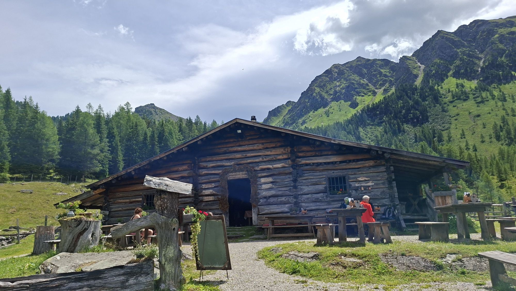
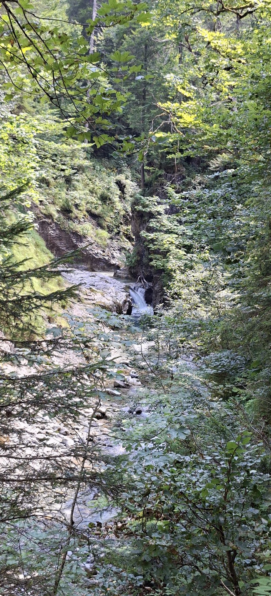
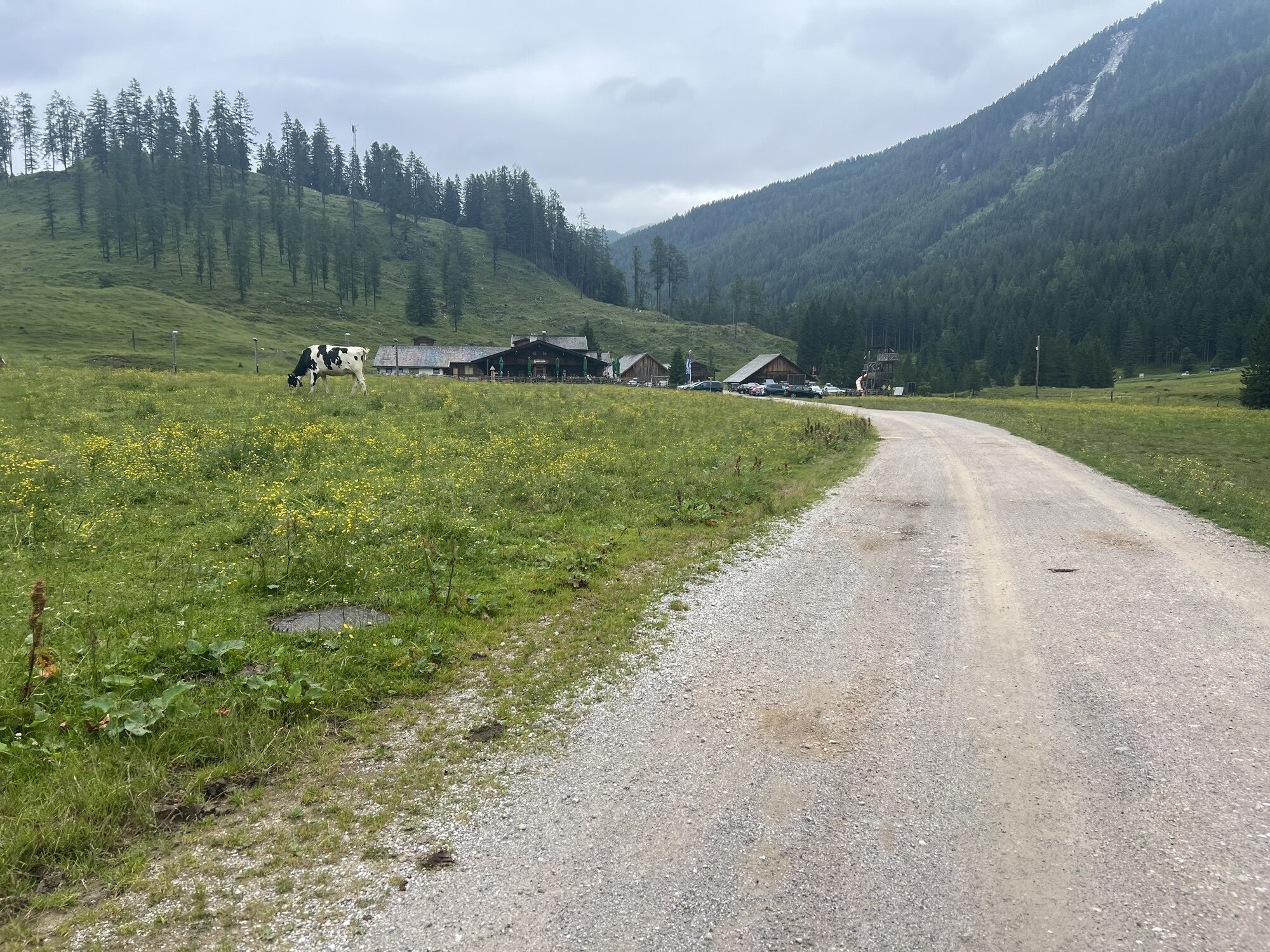
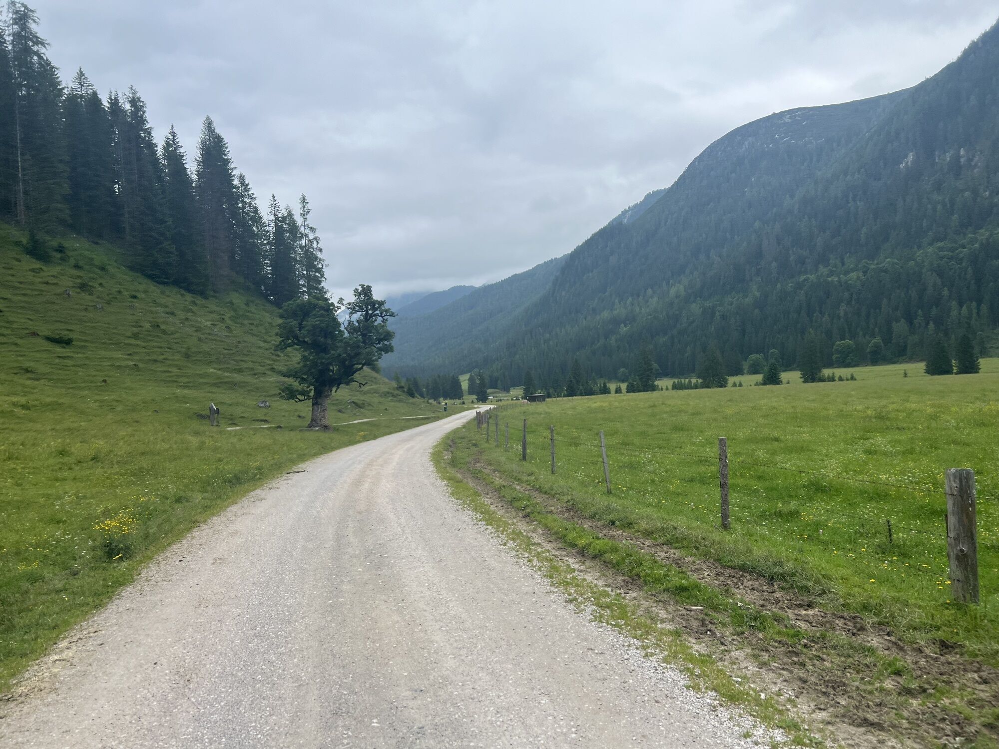

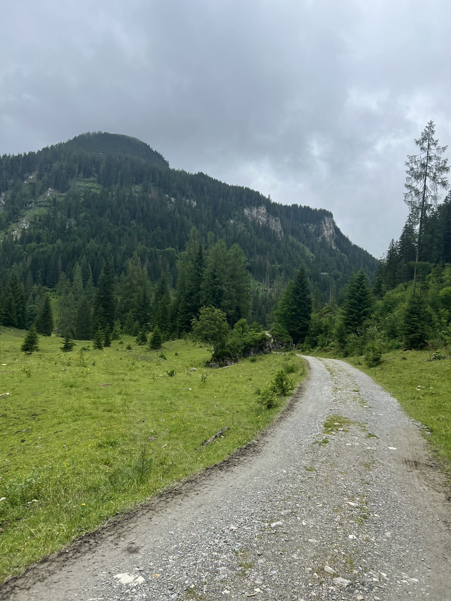
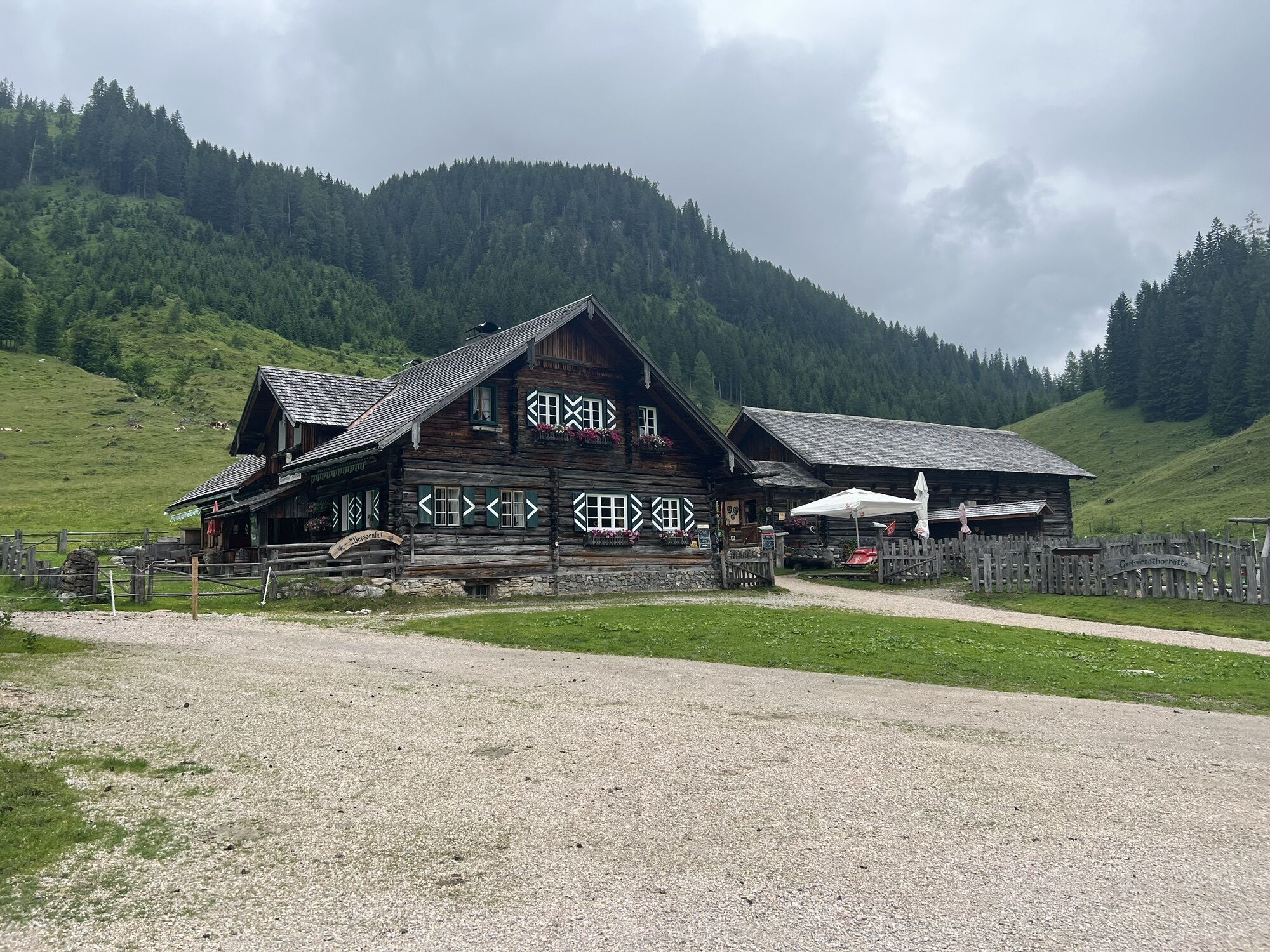
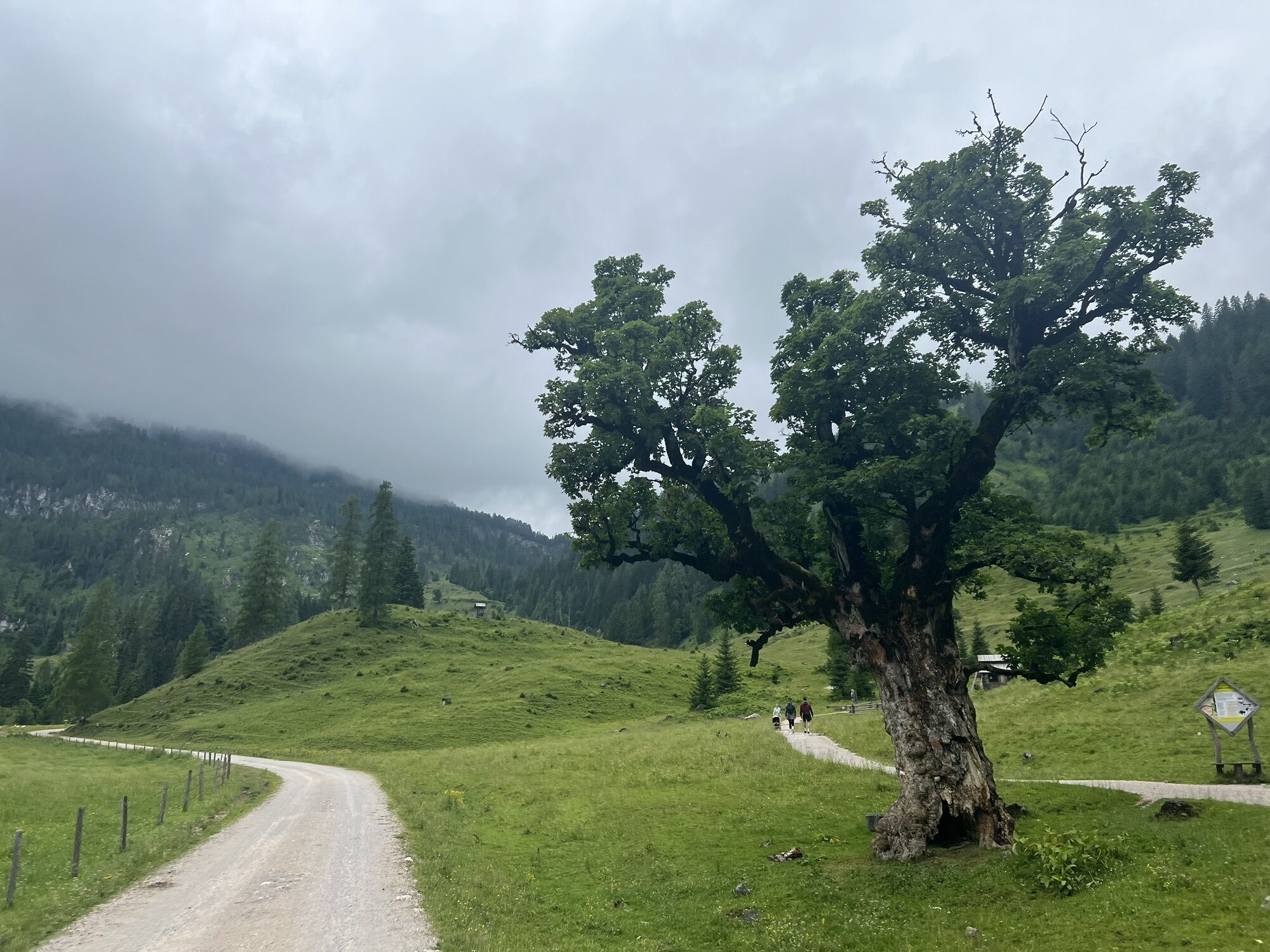
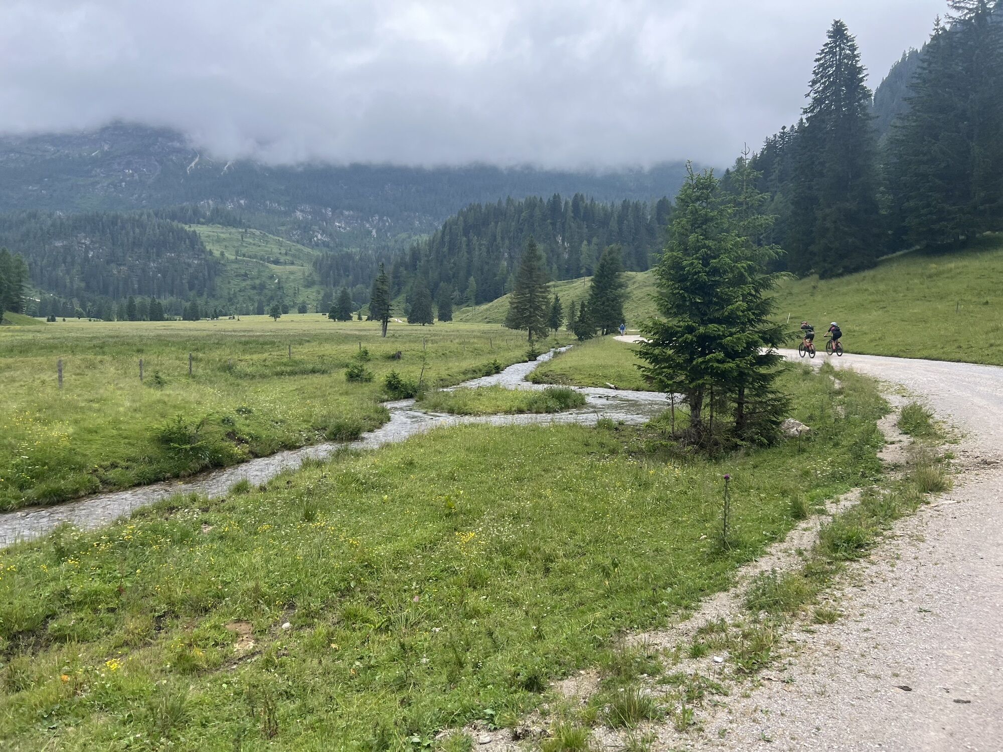

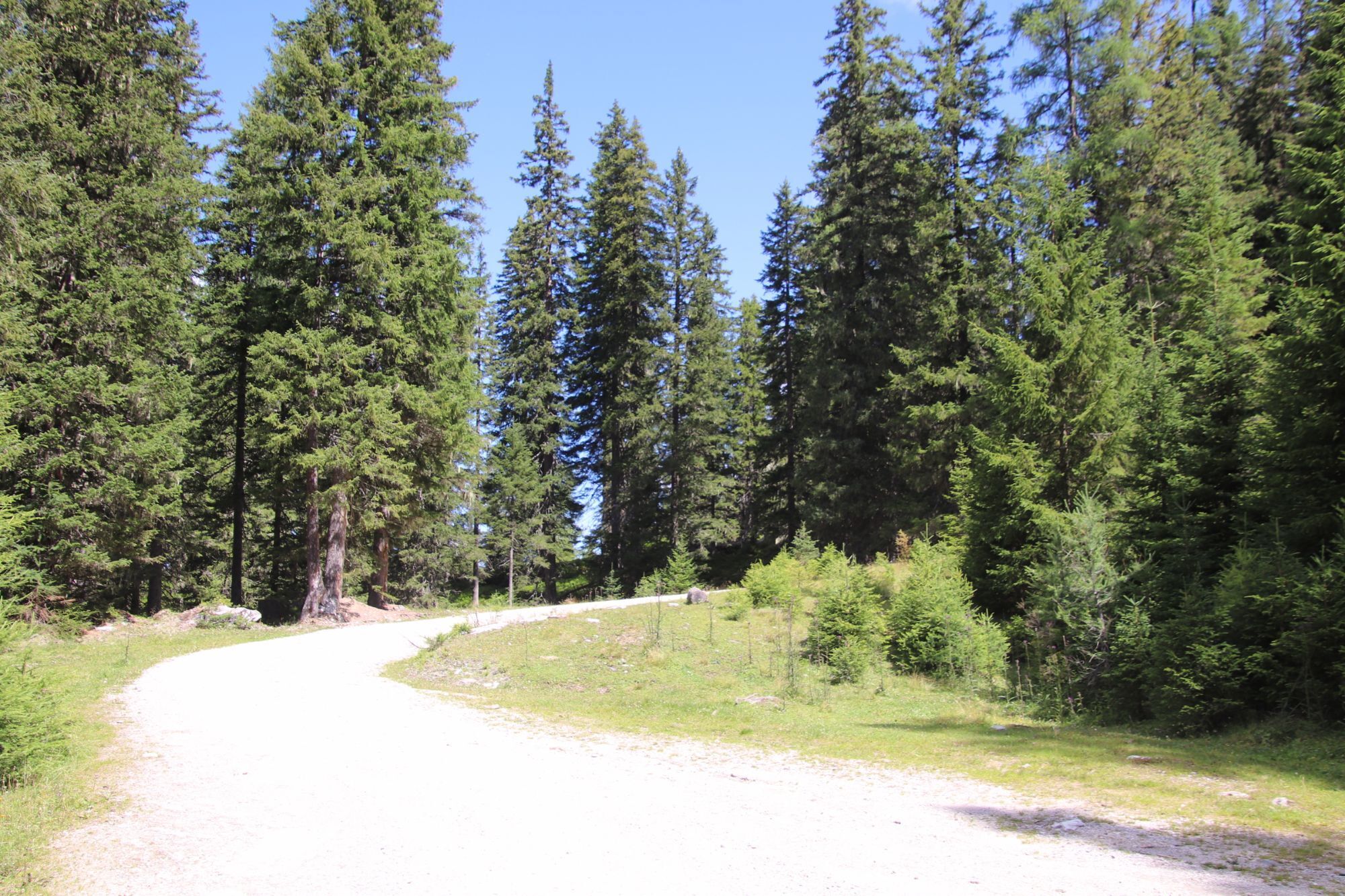
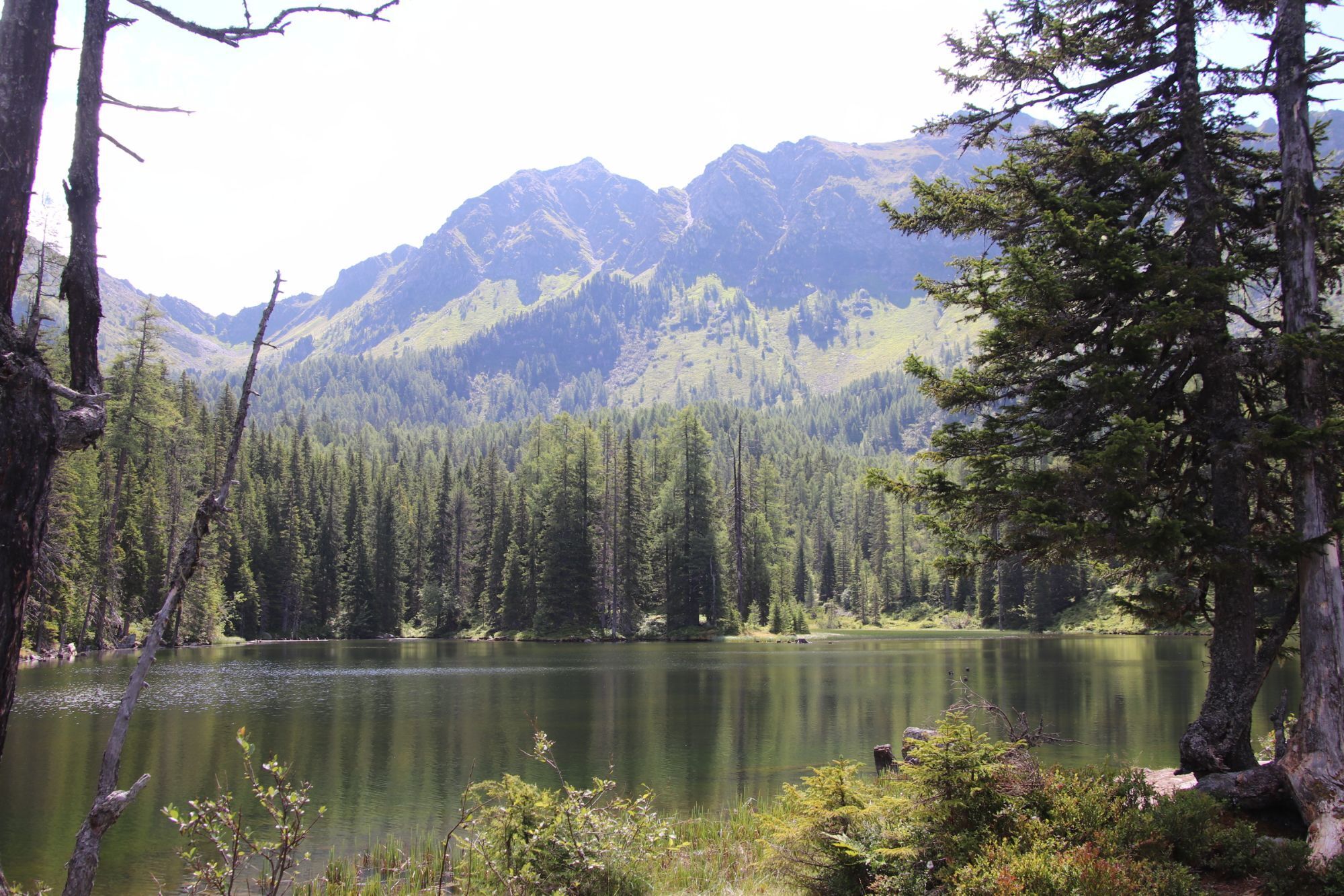
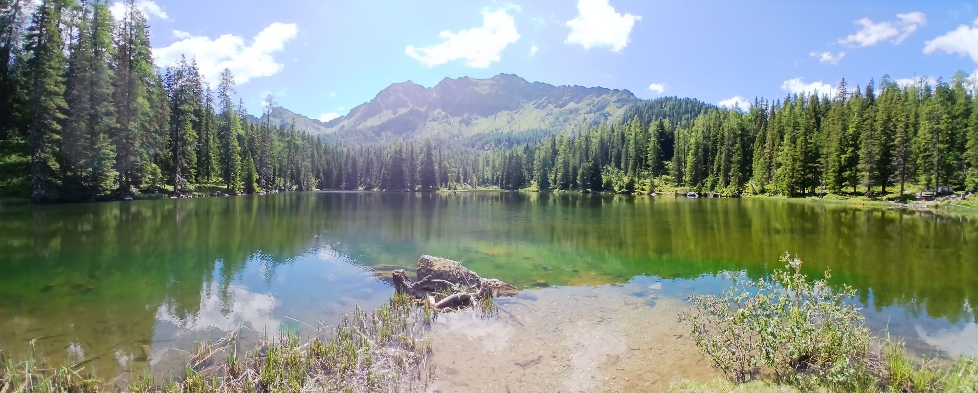
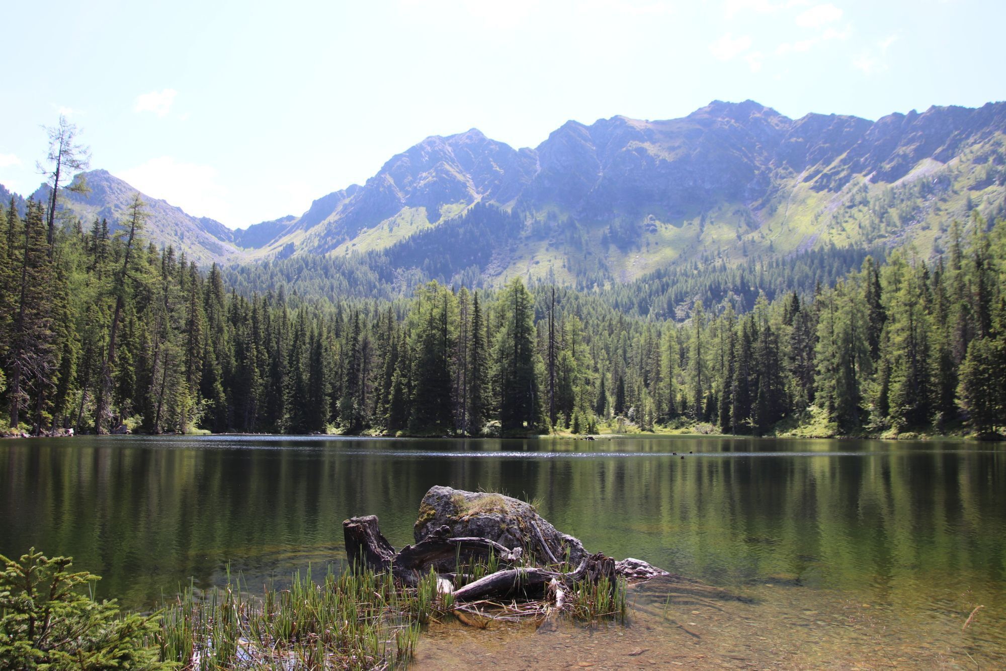
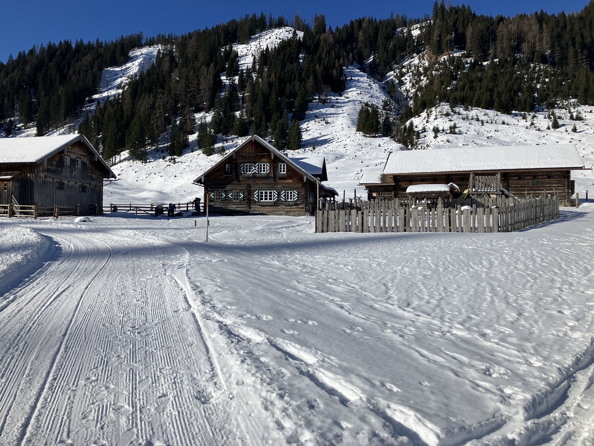
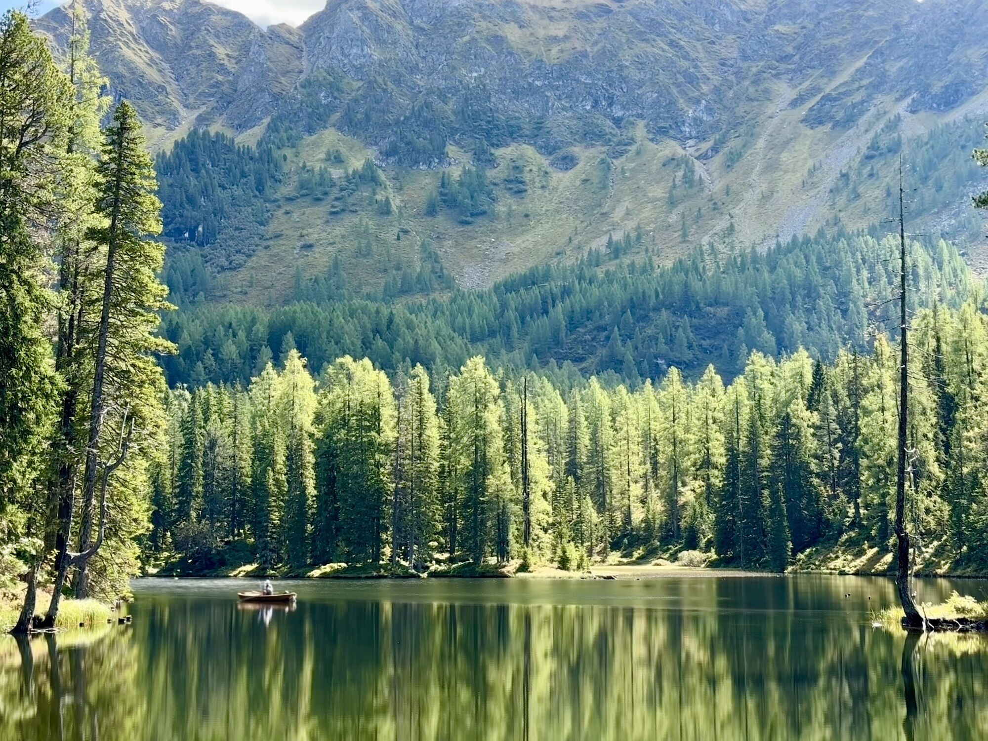
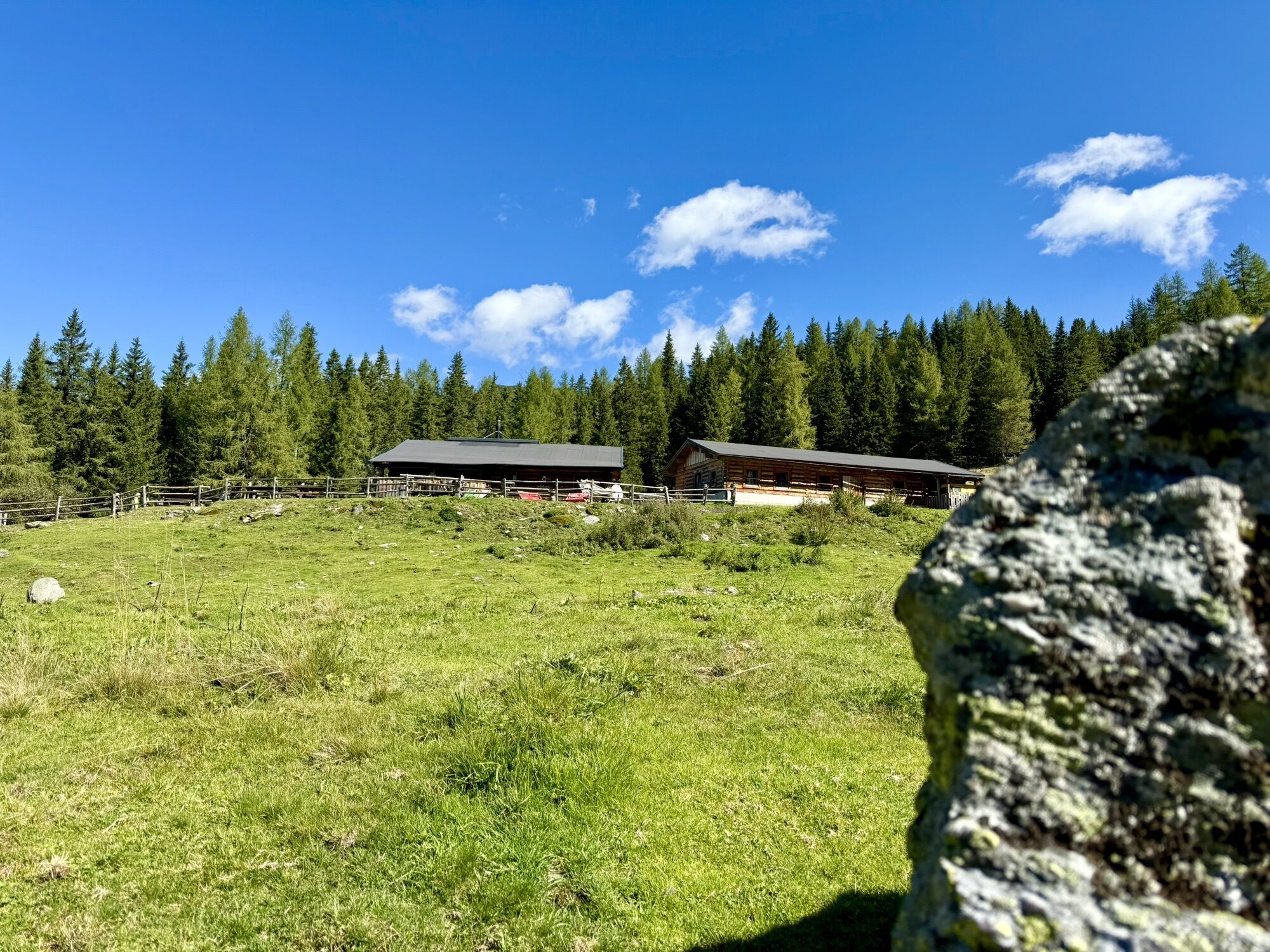
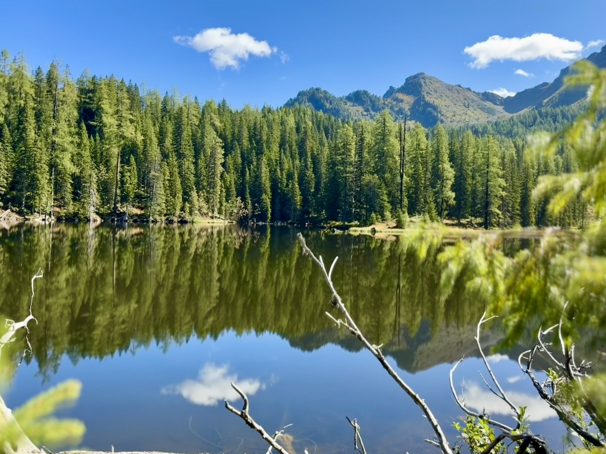
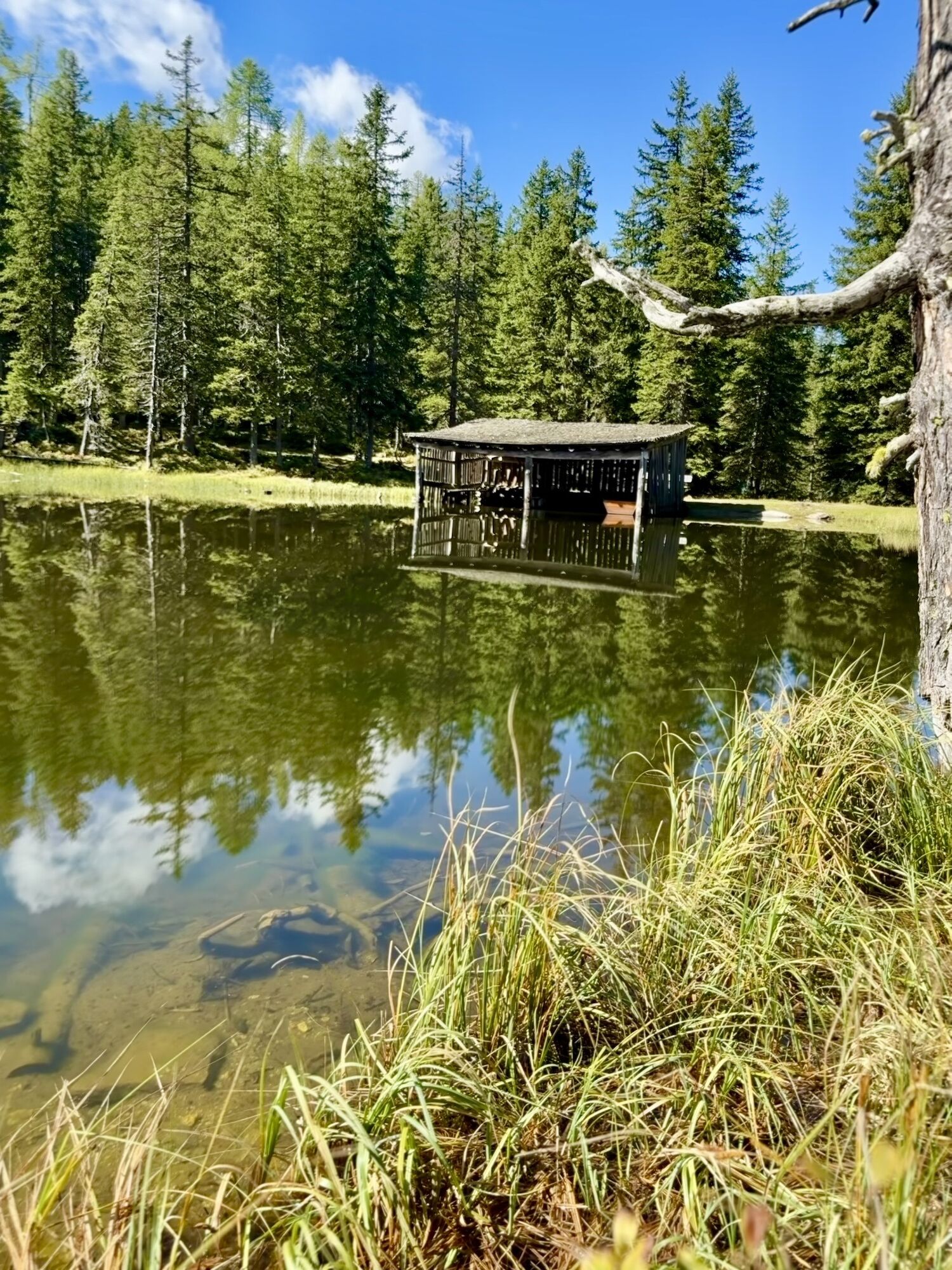
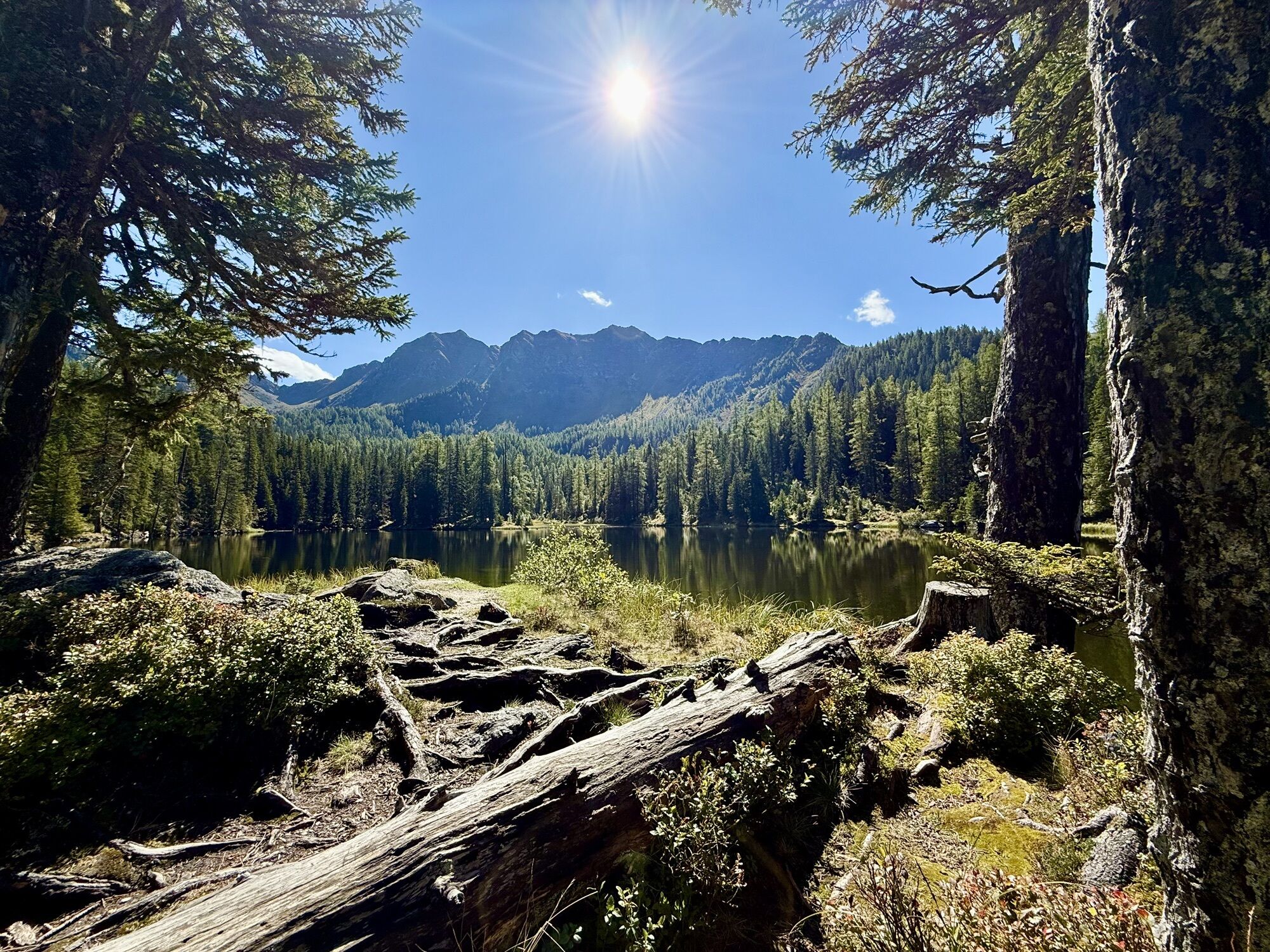
Start Untertauern town center heading towards Gnadenbrücke - Johannes waterfall - return to the front Gnadenalms - Tauernkarleiten Alm - return to the front Gnadenalms - Tauernkarsee and Tauernkaralm -...
Start Untertauern town center heading towards Gnadenbrücke - Johannes waterfall - return to the front Gnadenalms - Tauernkarleiten Alm - return to the front Gnadenalms - Tauernkarsee and Tauernkaralm - return to the Gnadenbrücke parking lot and then back to Untertauern.

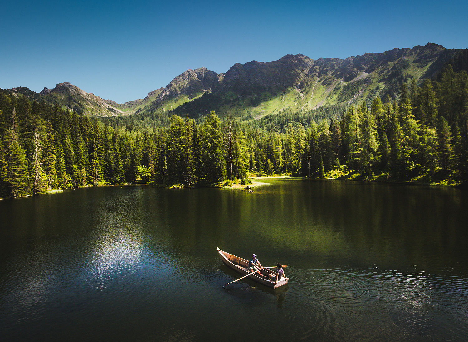
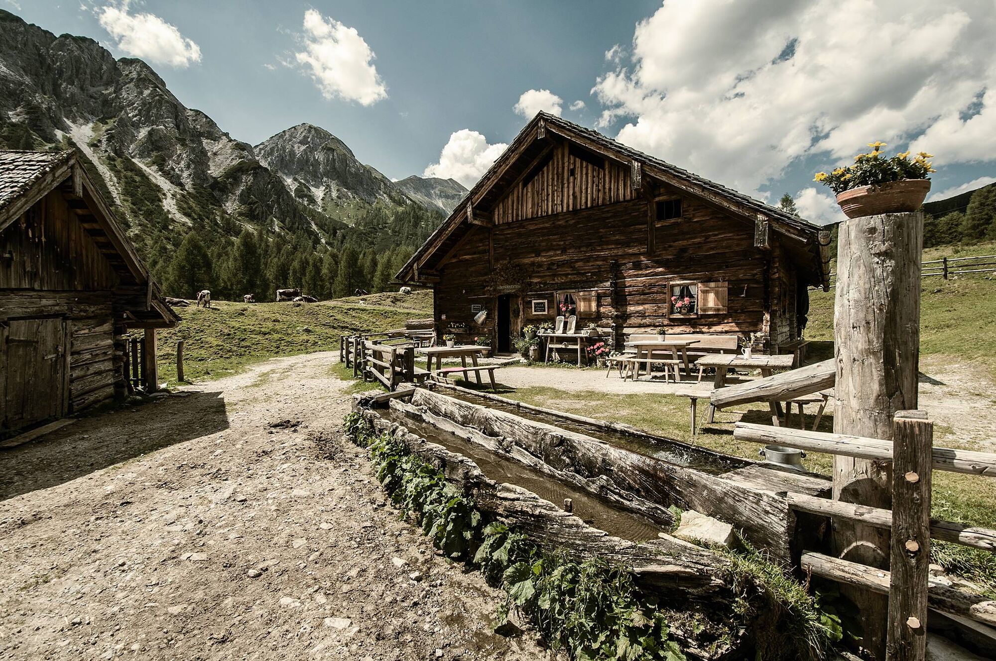
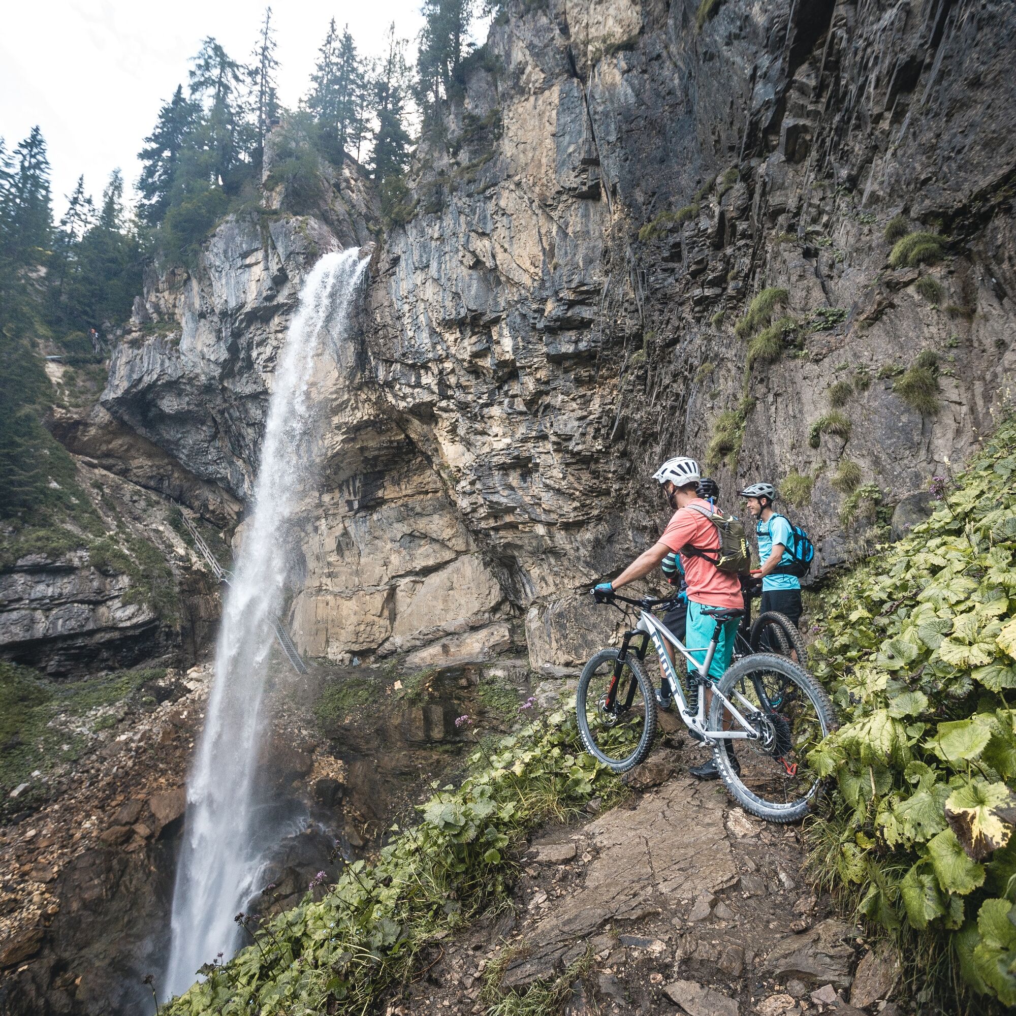

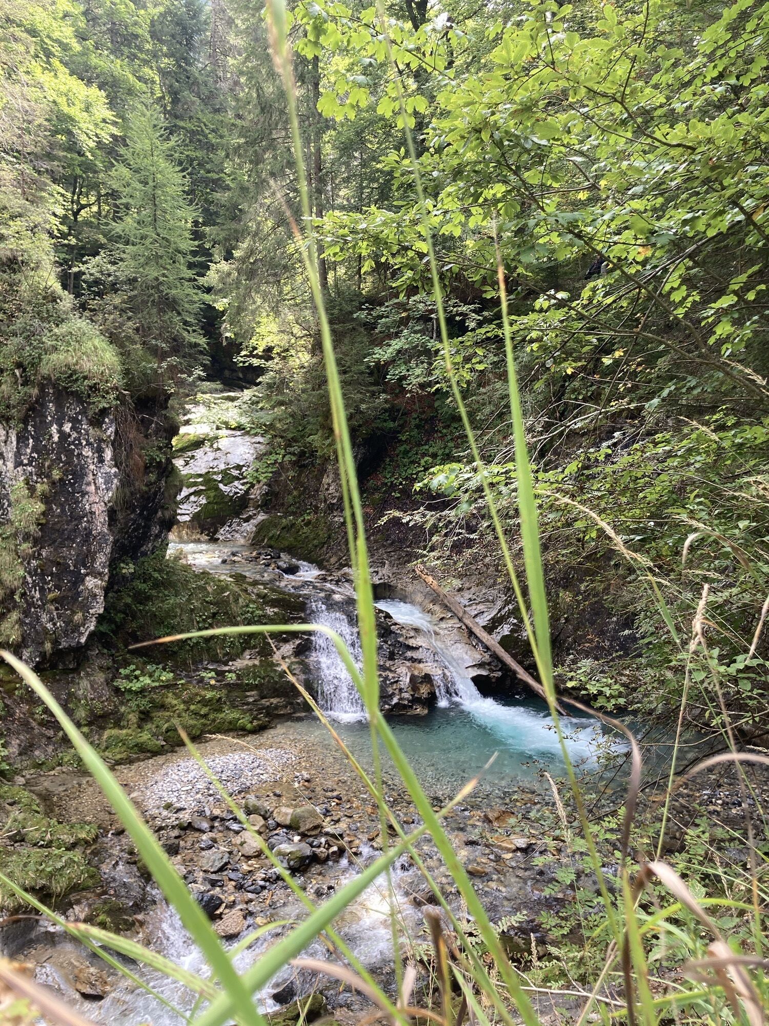
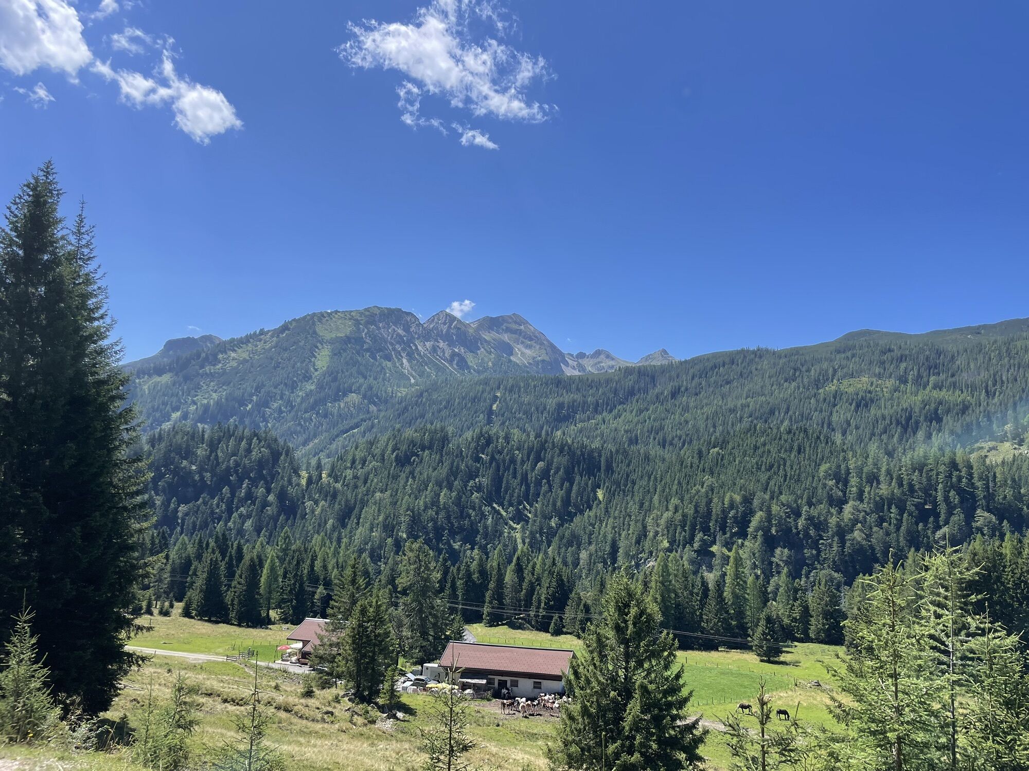
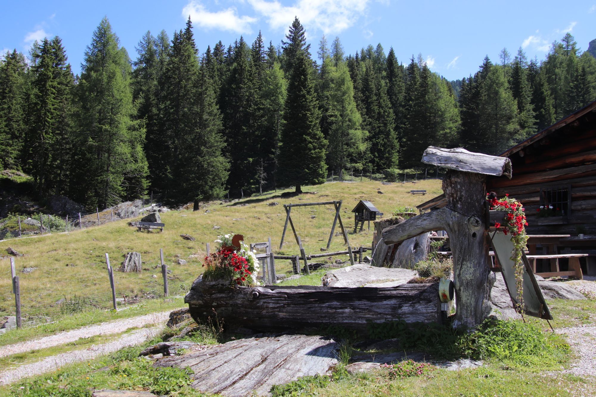
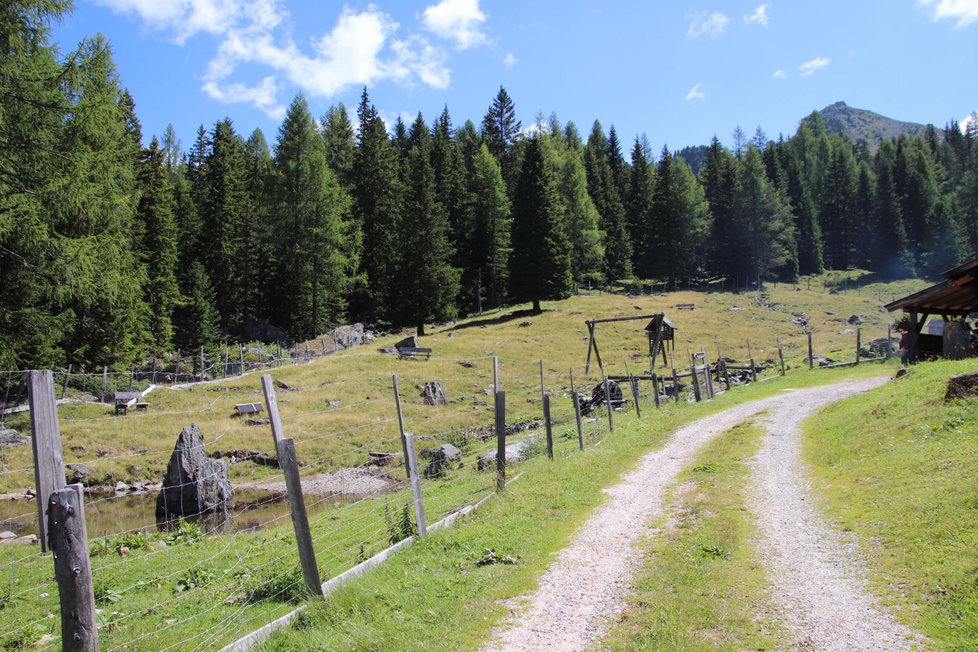
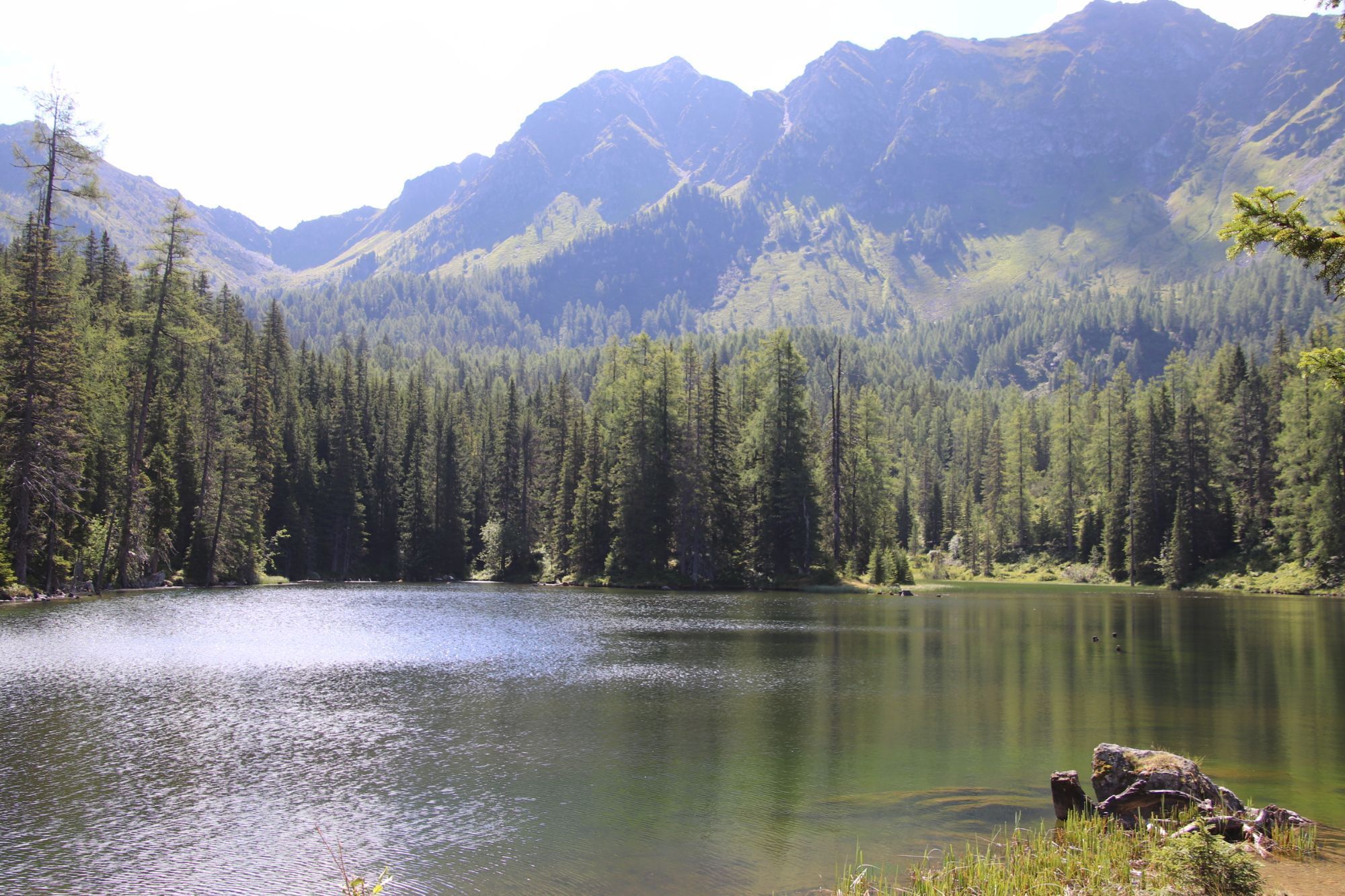
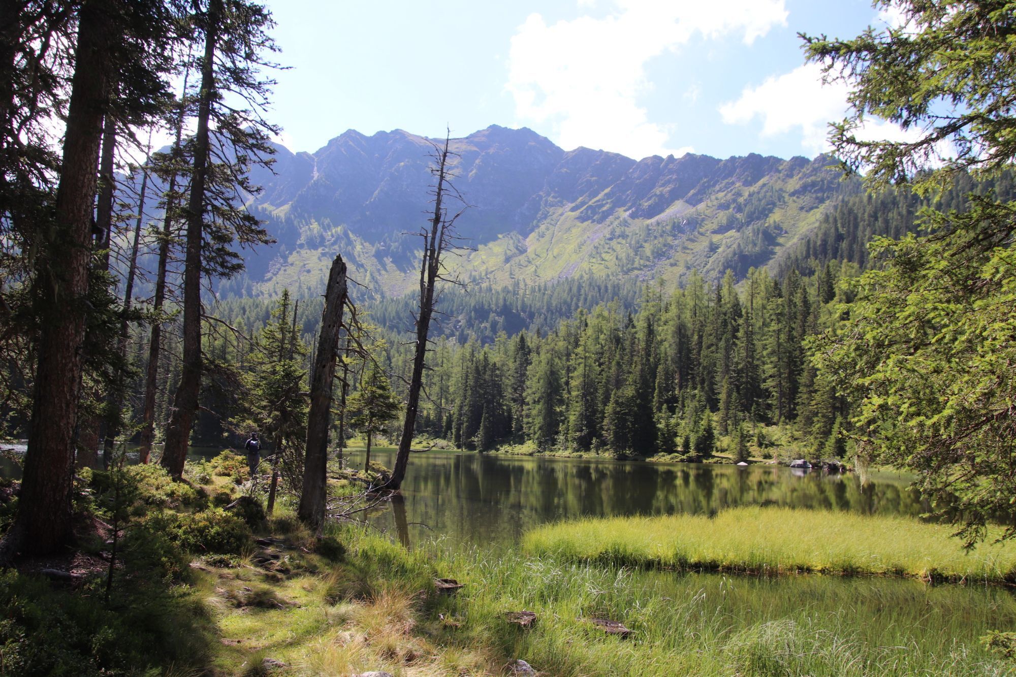
The start is in the center of Untertauern. From there, you go over the Gnadenbrücke to the impressive Johannes waterfall. Then you ride back to the front Gnadenalms and continue to the Tauernkarleitenalm. Back at the Gnadenalms, the ascent continues to the Tauernkarsee and the Tauernkaralm. The return route goes via the Gnadenbrücke back to Untertauern.
Ano
Anyone starting with a mountain bike off-road should be well equipped – for safety, comfort, and riding fun.
A helmet is mandatory; gloves and protectors (knees, elbows, back) offer additional protection. Breathable clothing, padded bike shorts, and sturdy shoes provide comfort – ideal for any weather with a wind or rain jacket. Don’t forget a water bottle or hydration system, as well as a small snack for in between. A first aid kit and a charged mobile phone for emergencies are also advisable.
ARRIVAL BY CAR
Arrive safely, quickly, and easily at your holiday destination. The Obertauern ski region is easily accessible via well-developed roads – from all directions!
Access from the north
Motorway Munich - Salzburg - A10 Tauern motorway - Radstadt motorway exit, Exit 63 - B99 Katschberg federal highway - Radstadt - Untertauern
Access from the south
Villach - A10 Tauern motorway - St. Michael toll motorway exit, Exit 104 - Mauterndorf - Obertauern - Untertauern
Access from the east
Vienna - A2 - S6 - Semmering - A9 Pyhrn motorway - Liezen B320 - Radstadt or Judenburg - Murtal federal highway - Murau - Tamsweg - Mauterndorf - Obertauern - Untertauern
TIP: If you want to arrive by public transport, the Postbus line 280 stops directly in Untertauern.
Online bus timetable information
Free parking in Untertauern.
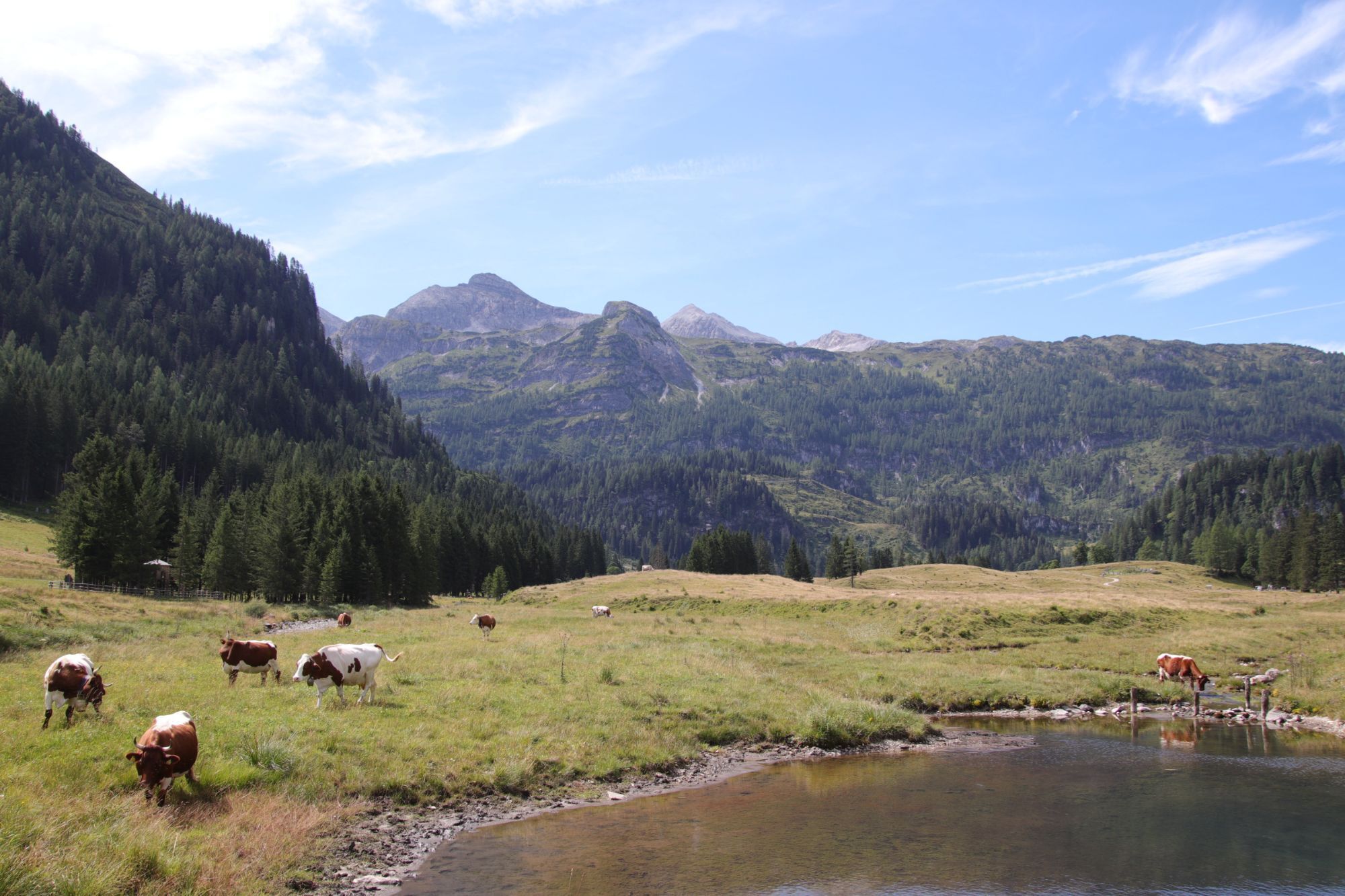
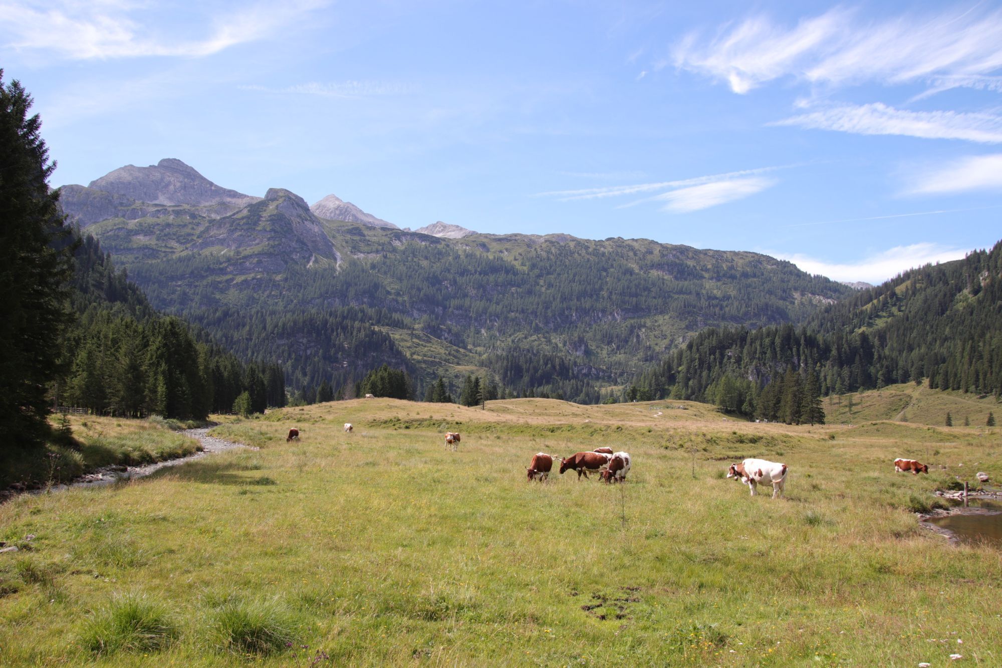
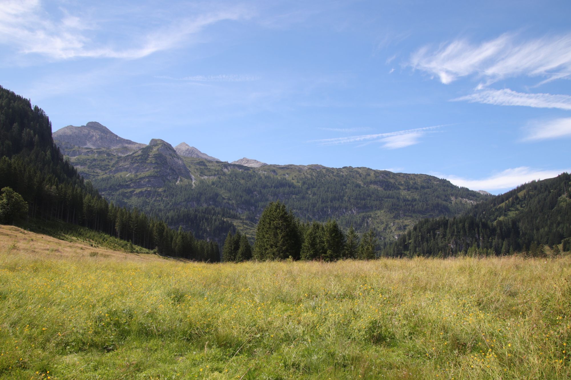
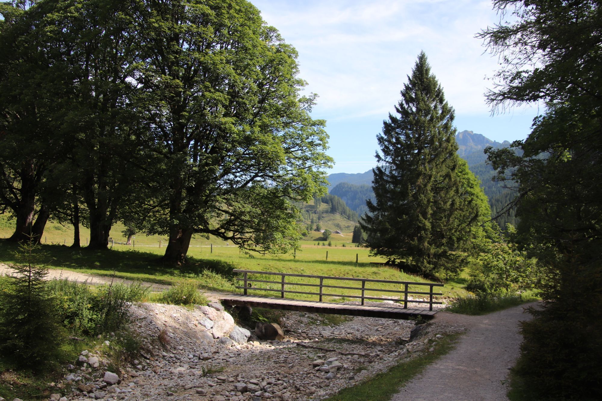
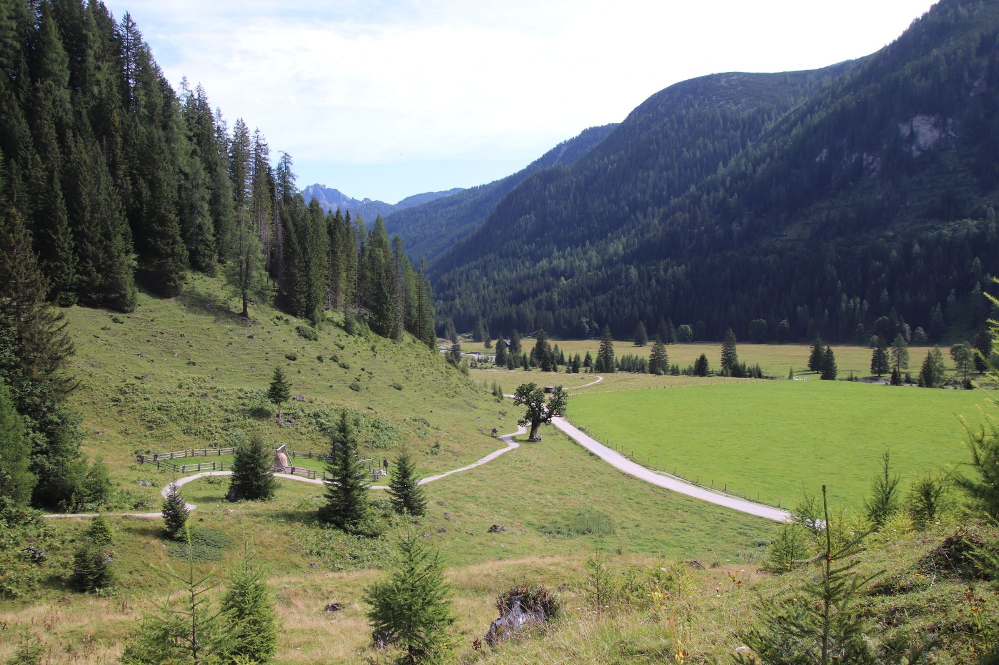
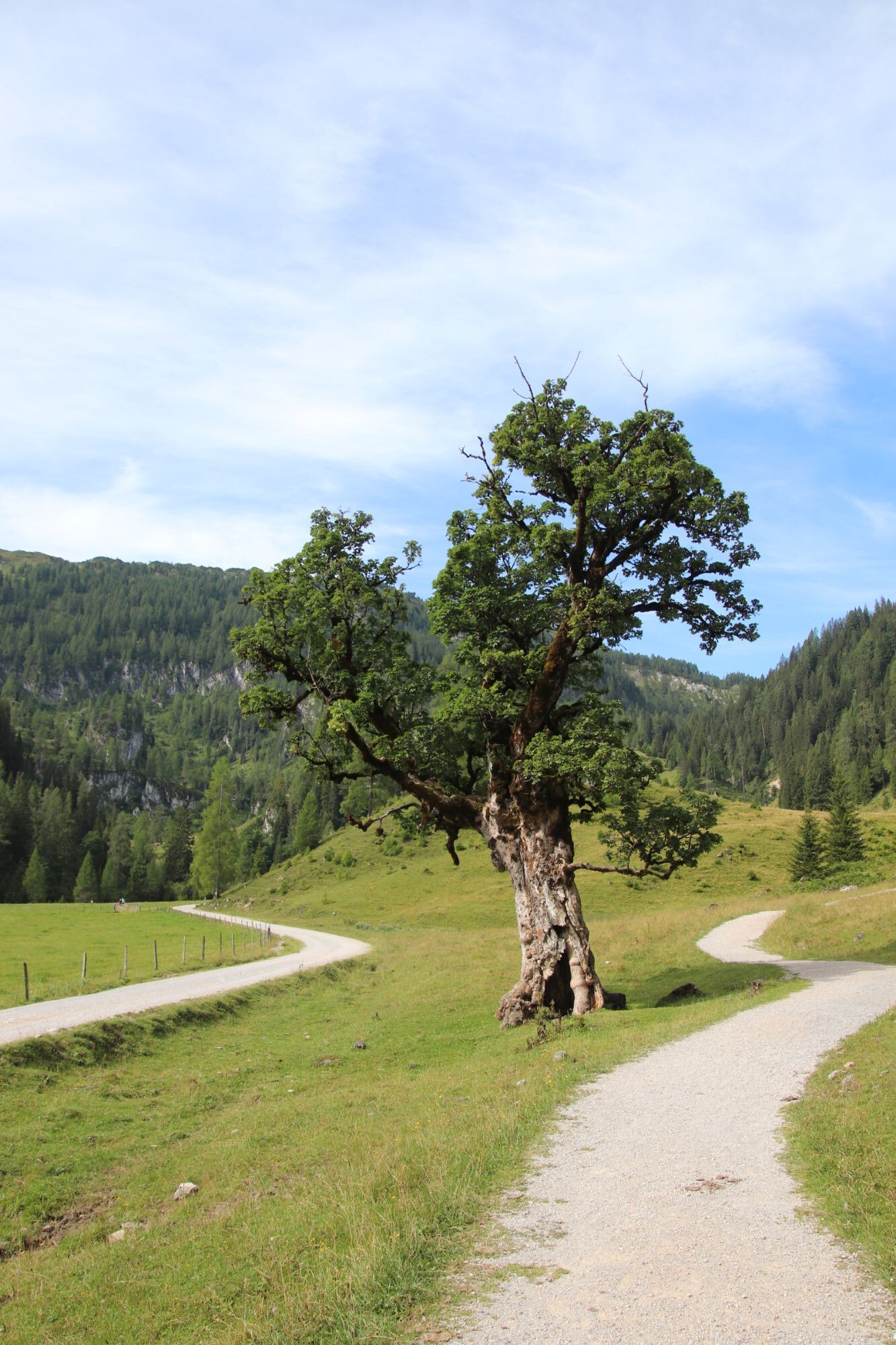
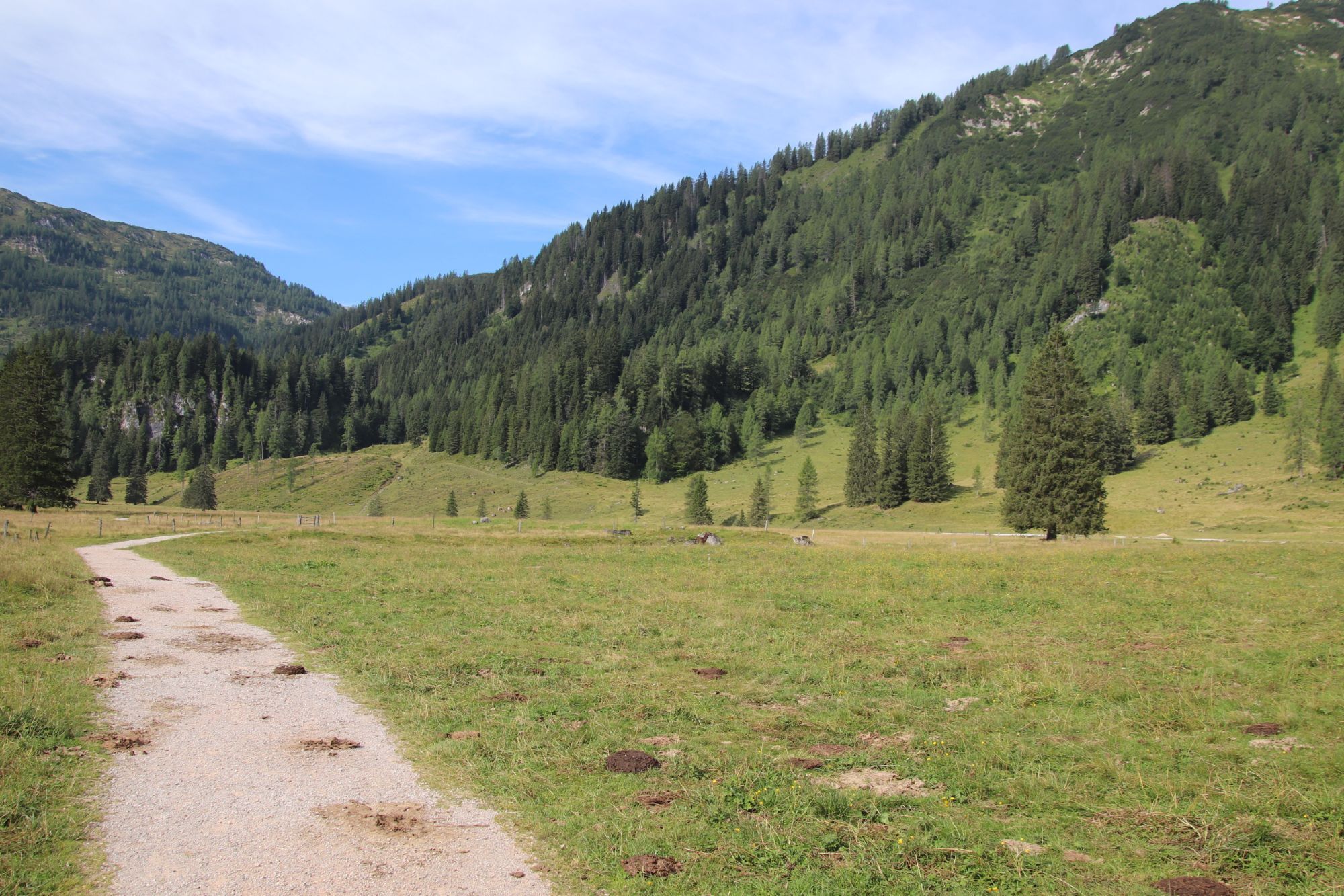
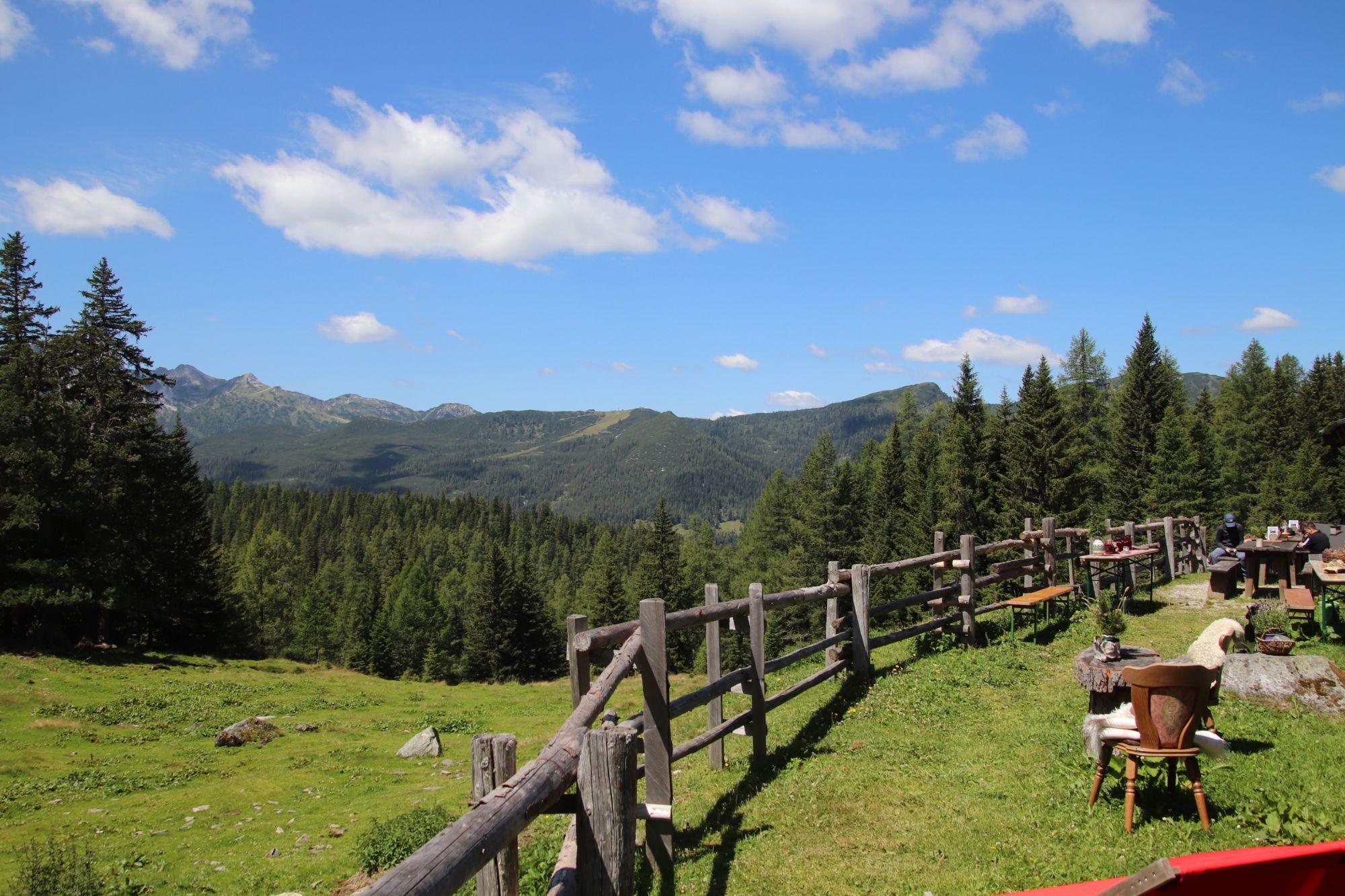
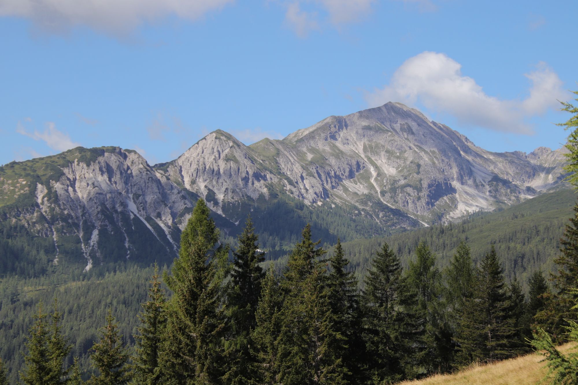
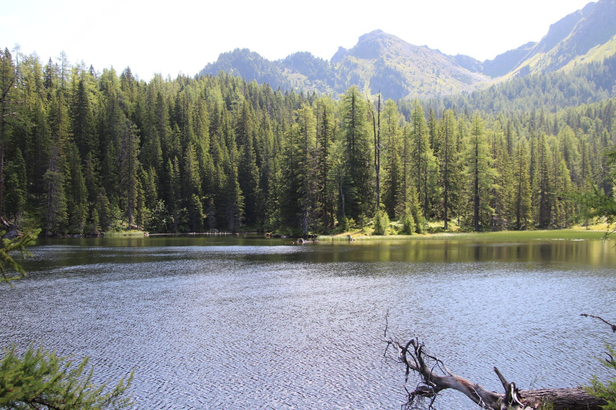
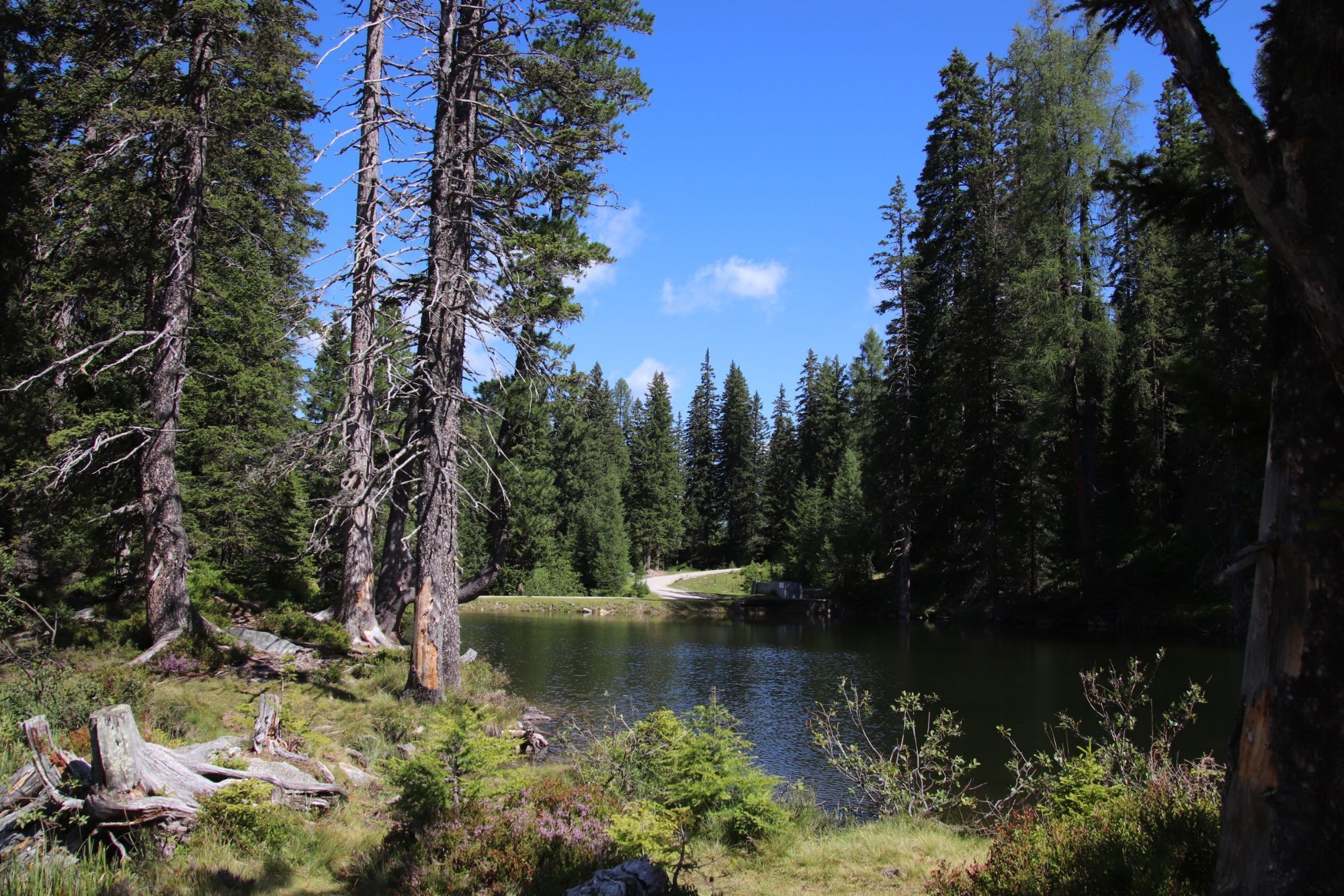
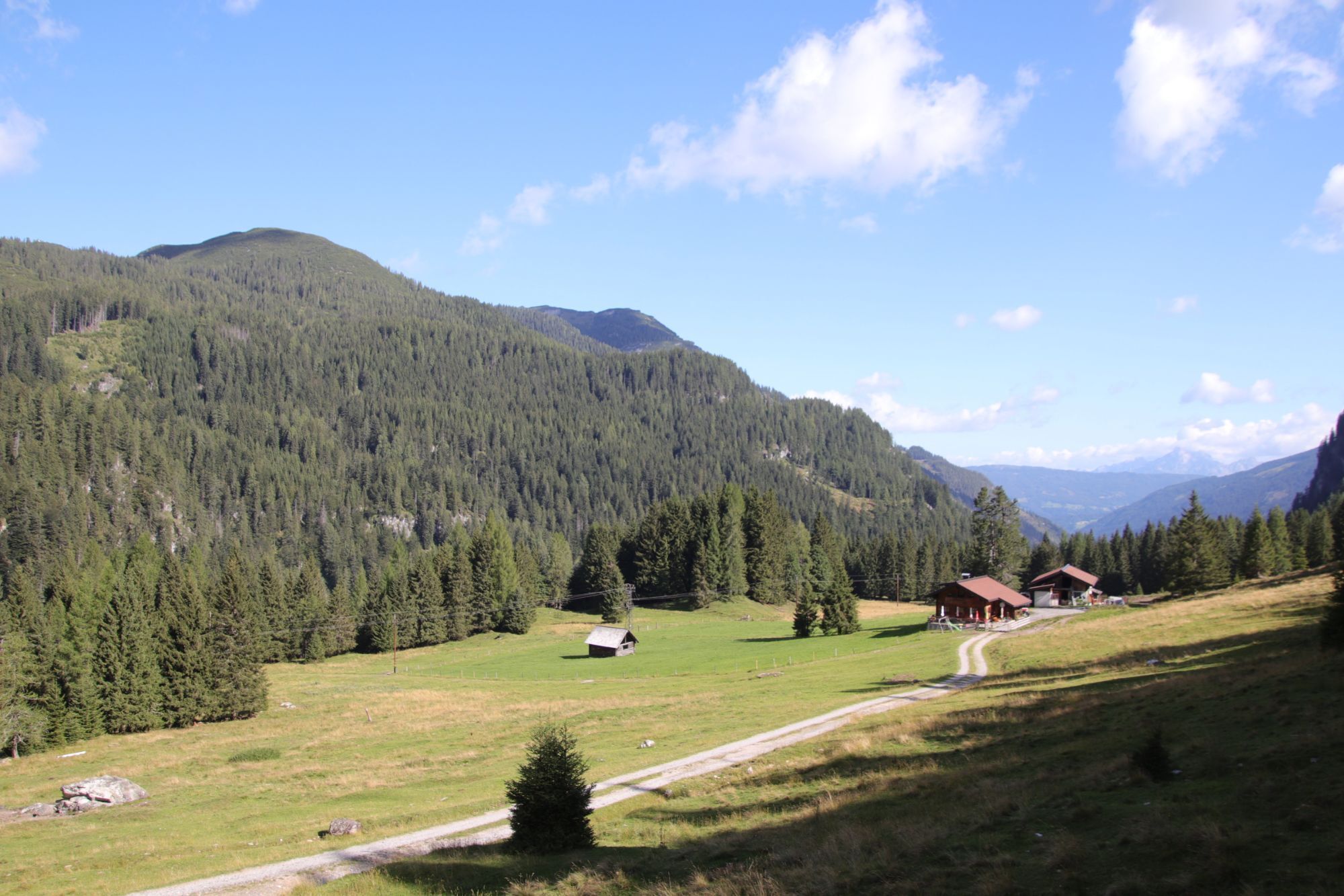
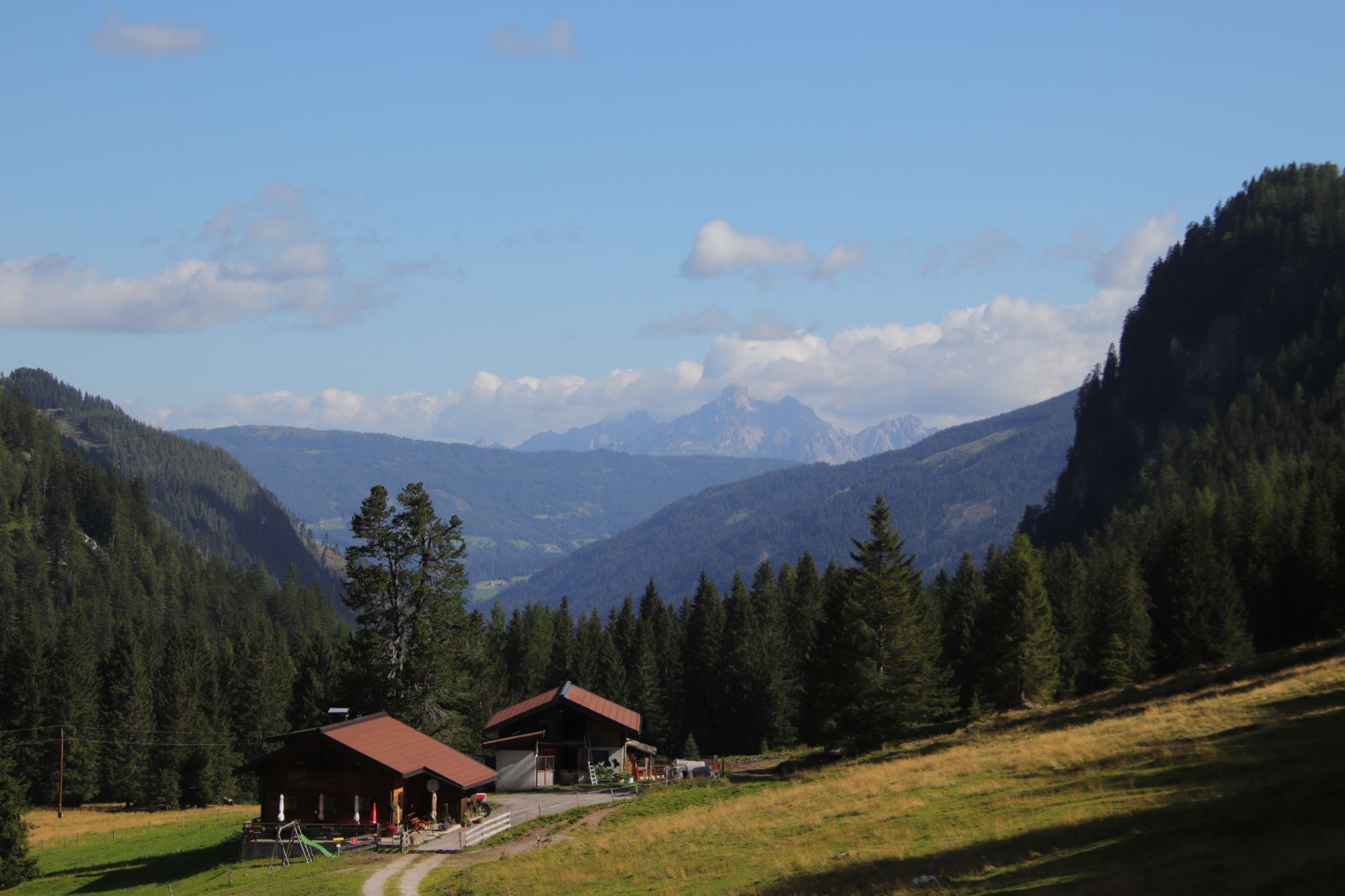
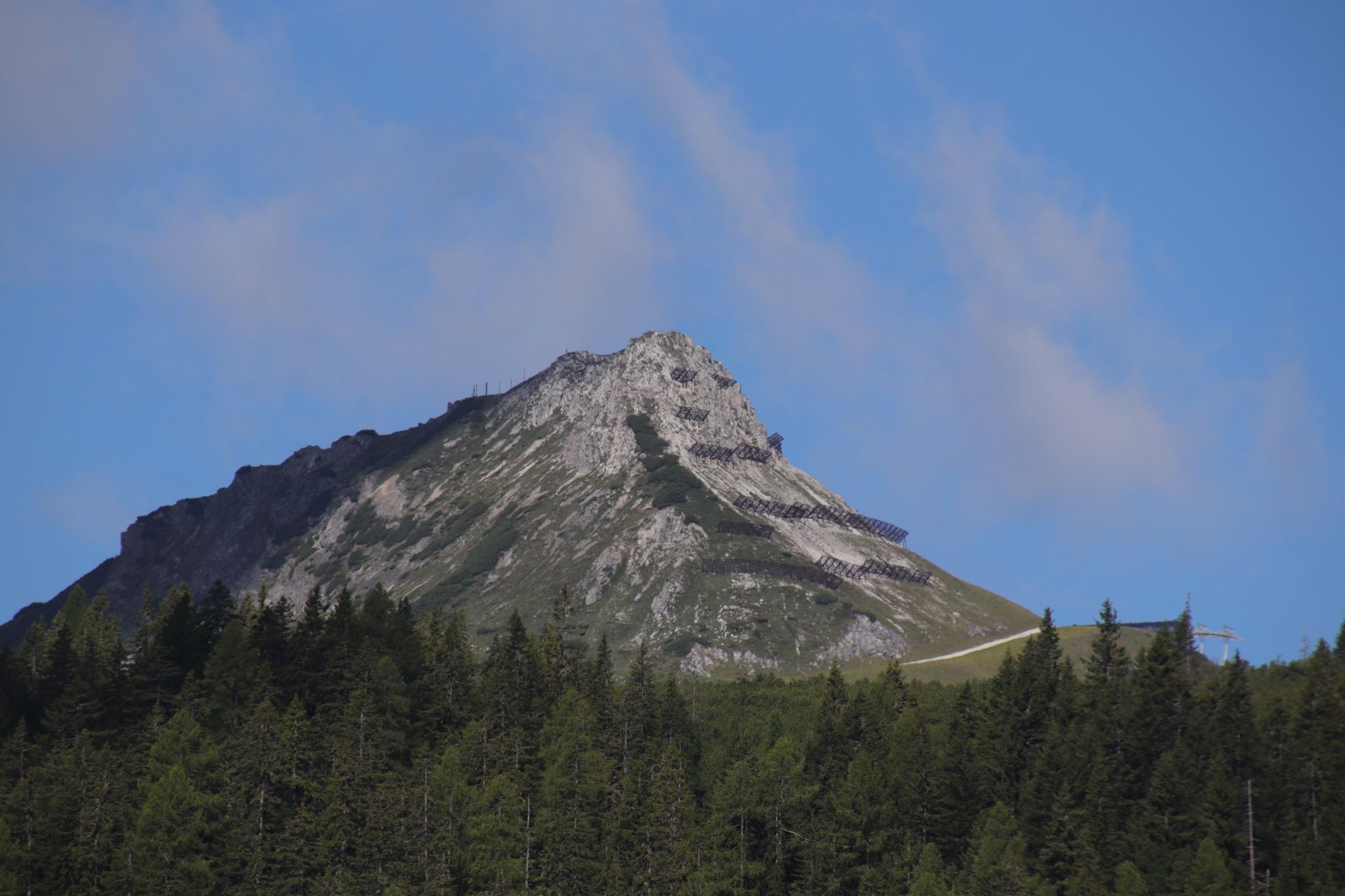
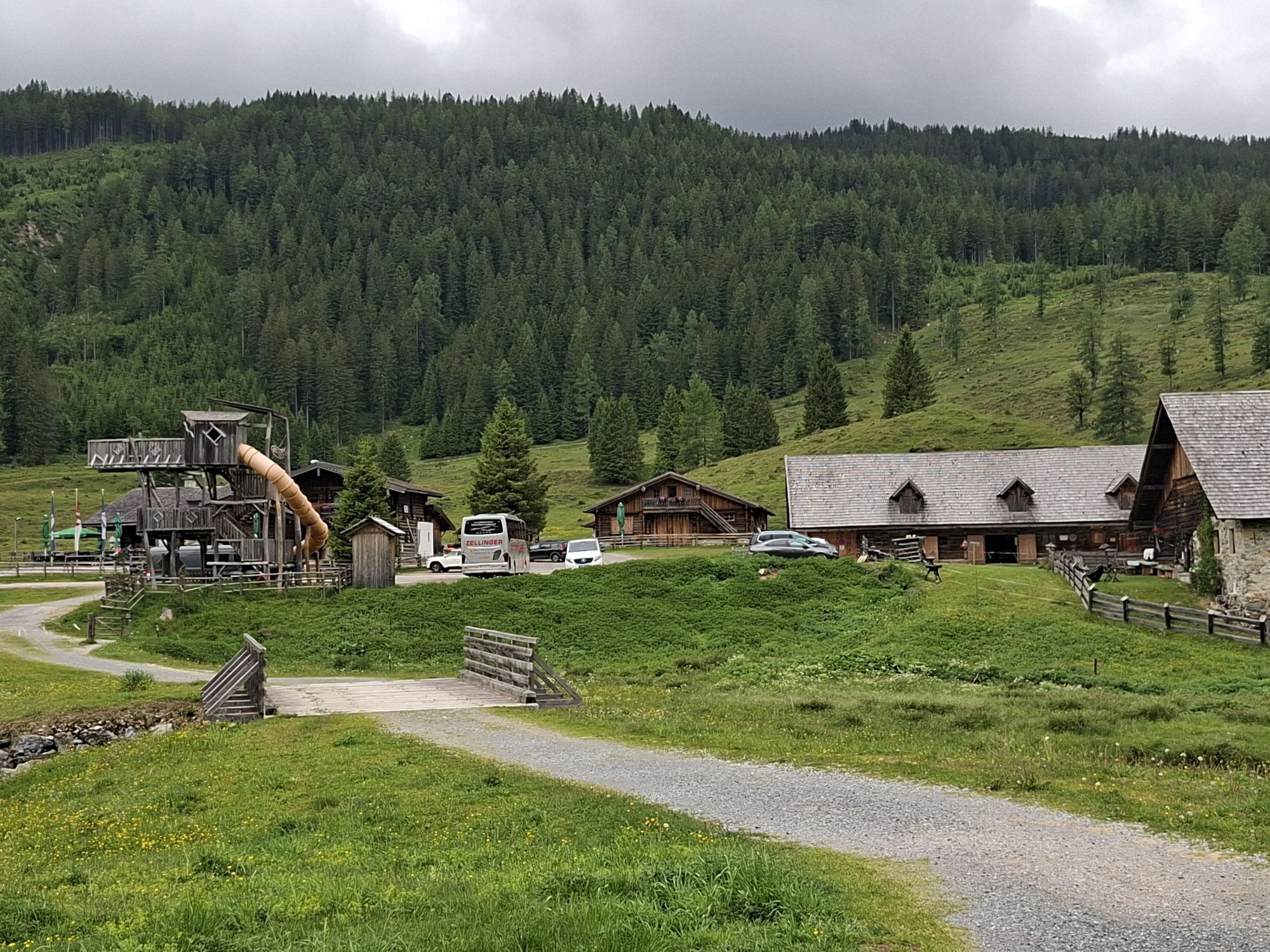
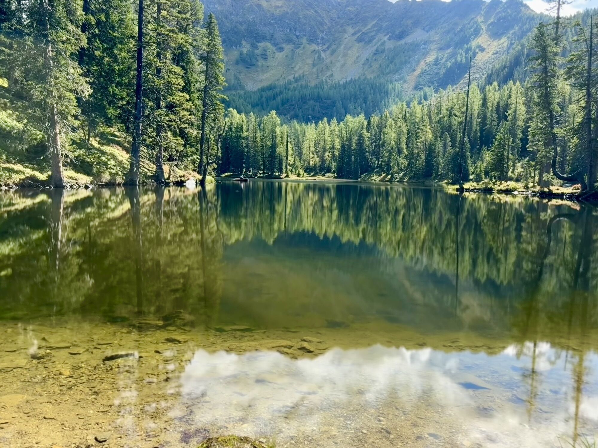
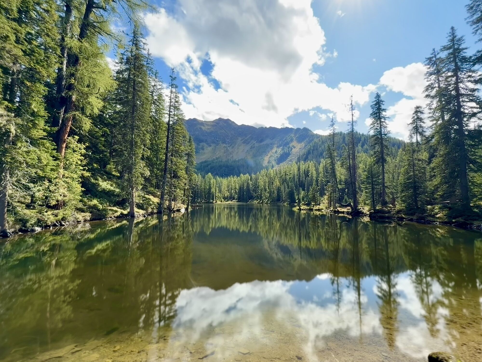
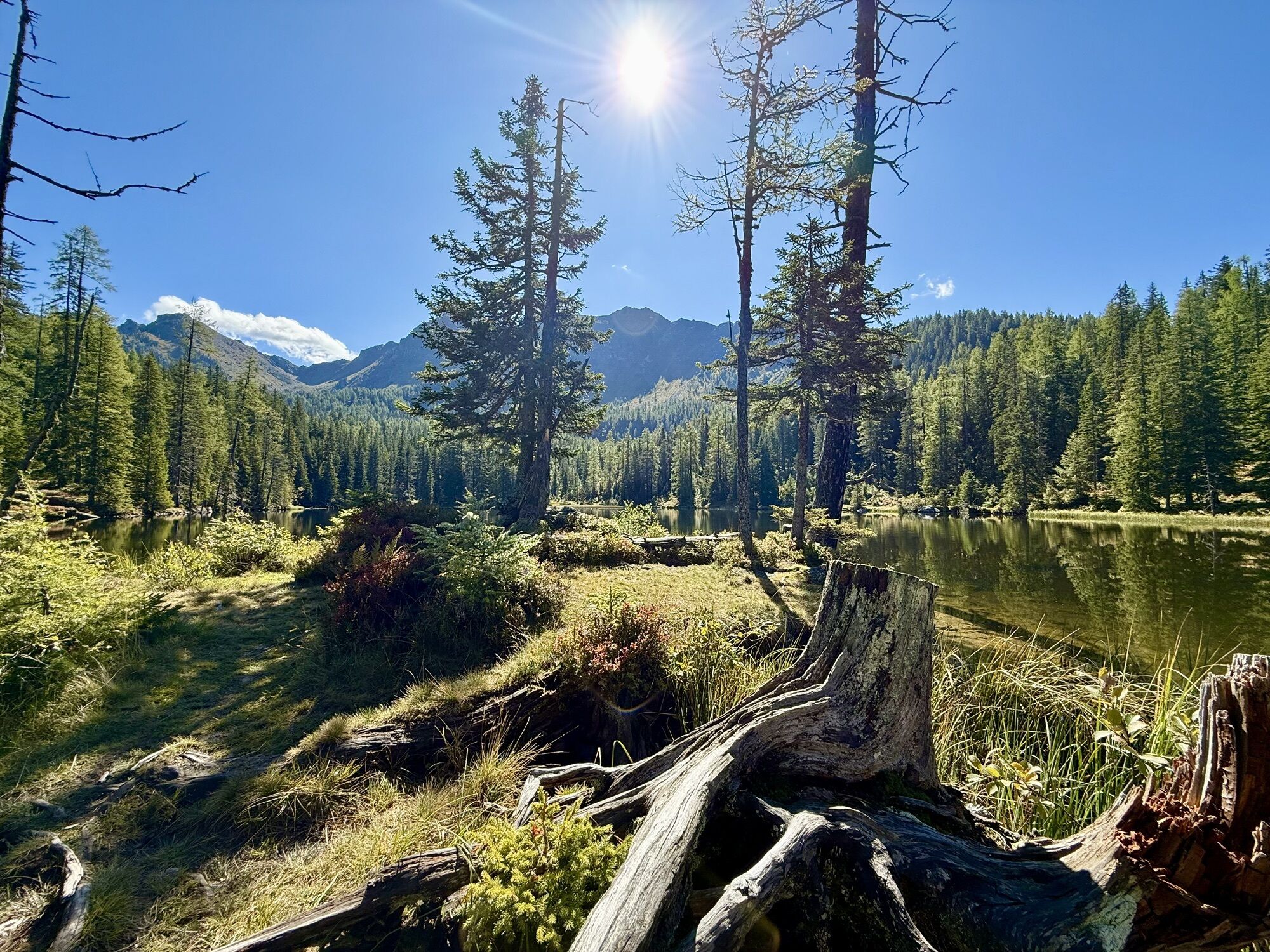
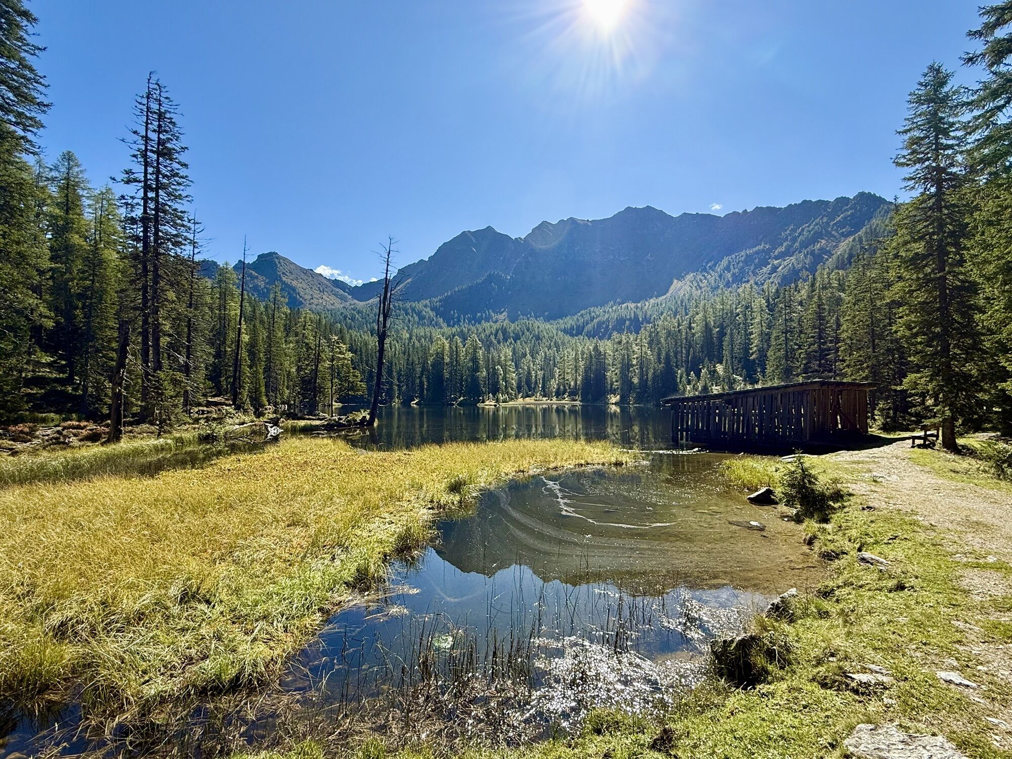
Beautiful nature, rewarding views, and alms for a rest make this route especially appealing.
Webové kamery z prohlídky
-
Gamskogelhütte
-
Gnadenalm
-
Grünwaldkopf
-
Zehnerkar
-
Seekar
-
Sporthotel Snowwhite
-
Hotel Cinderella
-
Sonnenterasse Edelweissalm
-
Hotel Garni Gloria
-
Lürzeralm
-
Hotel Schneider
-
Zauchensee Weltcuparena
-
Zauchensee
-
Hochalmkopf
-
Obertauern - Haus Petergstamm
-
Seekarhaus - Obertauern
-
Seekarhaus - Bergstation Seekarspitzbahn
-
Seekarhaus 3
-
Zehnerkar
-
Obertauern - Aparthotel Weninger Alm
-
Obertauern - Hundskogel
-
Obertauern - Gamsleiten
-
Gamsleiten
Získejte přehled
Vždy živě na místě s více než 9 500 webkamerami. bergfex Jako uživatel Pro si nyní můžete zobrazit odpovídající webové kamery pro mnoho prohlídek v aplikaci prohlídky z. Můžete si tak přímo prohlédnout aktuální podmínky.
Oblíbené prohlídky v okolí
-
4.9
Rundwanderweg von der Fallhausalm und Vögeialm übers Klamml zur Oberhütte am See
středníTuristika 10 km -
4.2
Tappenkarsee Kleinarl
středníTuristika 9.11 km -
4.8
4-Jahreszeiten Wanderweg
středníZimní turistika 5.94 km -
4.6
Ski route Lackenkogel
středníLyžařská trasa 7.82 km -
4.8
Obertauern to the Johannes Waterfall
středníTuristika 9.39 km -
5.0
4-Gipfel-Tour
středníHorská turistika 6.40 km -
5.0
Twengsee
středníTuristika 9.66 km -
4.8
Steirische und Lungauer Kalkspitze über das Kranzl
heavyTuristika 11.2 km -
4.7
Reiteralmrunde
světloTuristika 5.71 km -
5.0
Doggotour von Hochwurzen zur Ursprungsalm
heavyTuristika 16.0 km
Pěší turistika a stopování


Nenechte si ujít nabídky a inspiraci pro vaši příští dovolenou
Vaše e-mailová adresa byl přidán do poštovního seznamu.





