


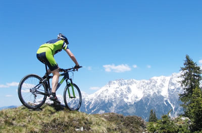
TG05 Around the Gerzkopf / Starting point Lungötz
Longer mountain bike circuit over the Langeggsattel with a magnificent view of the Bischofsmütze.
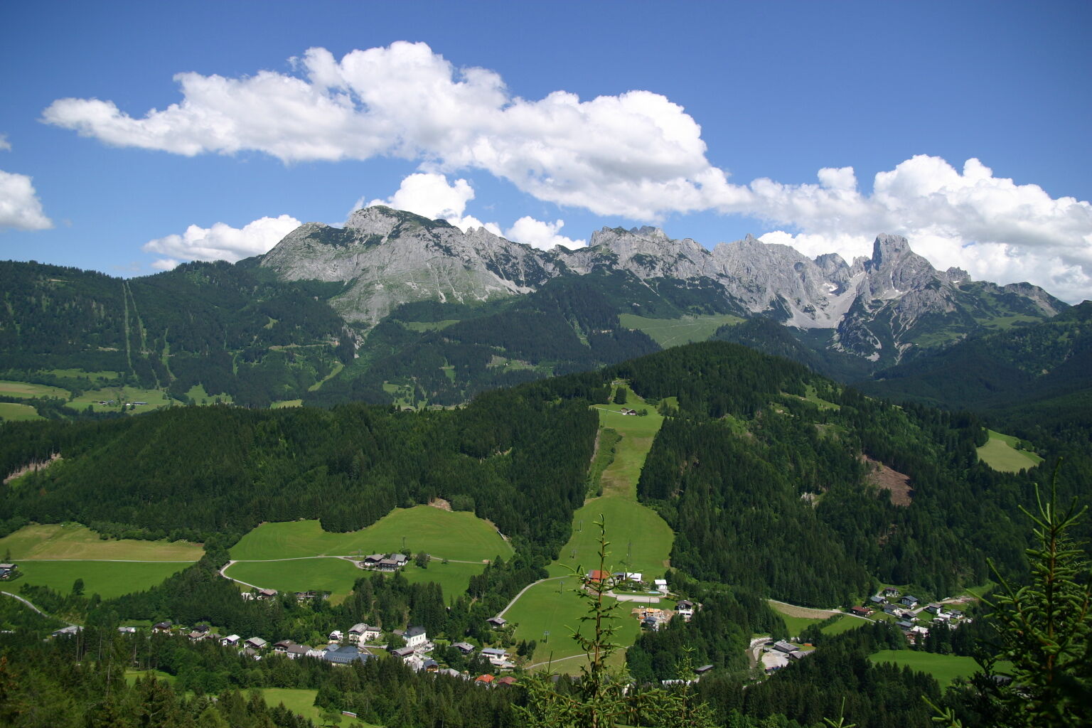
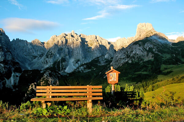
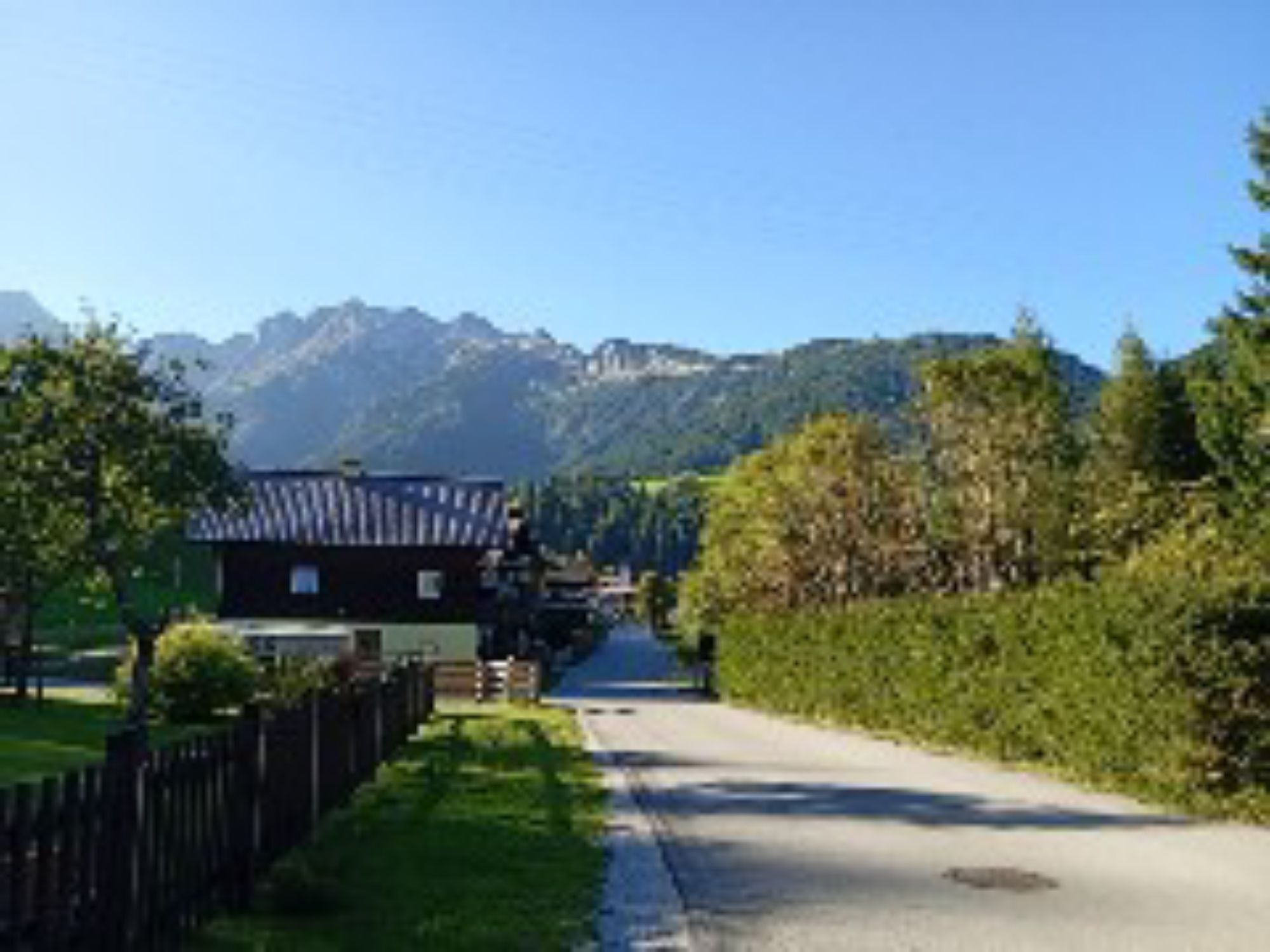
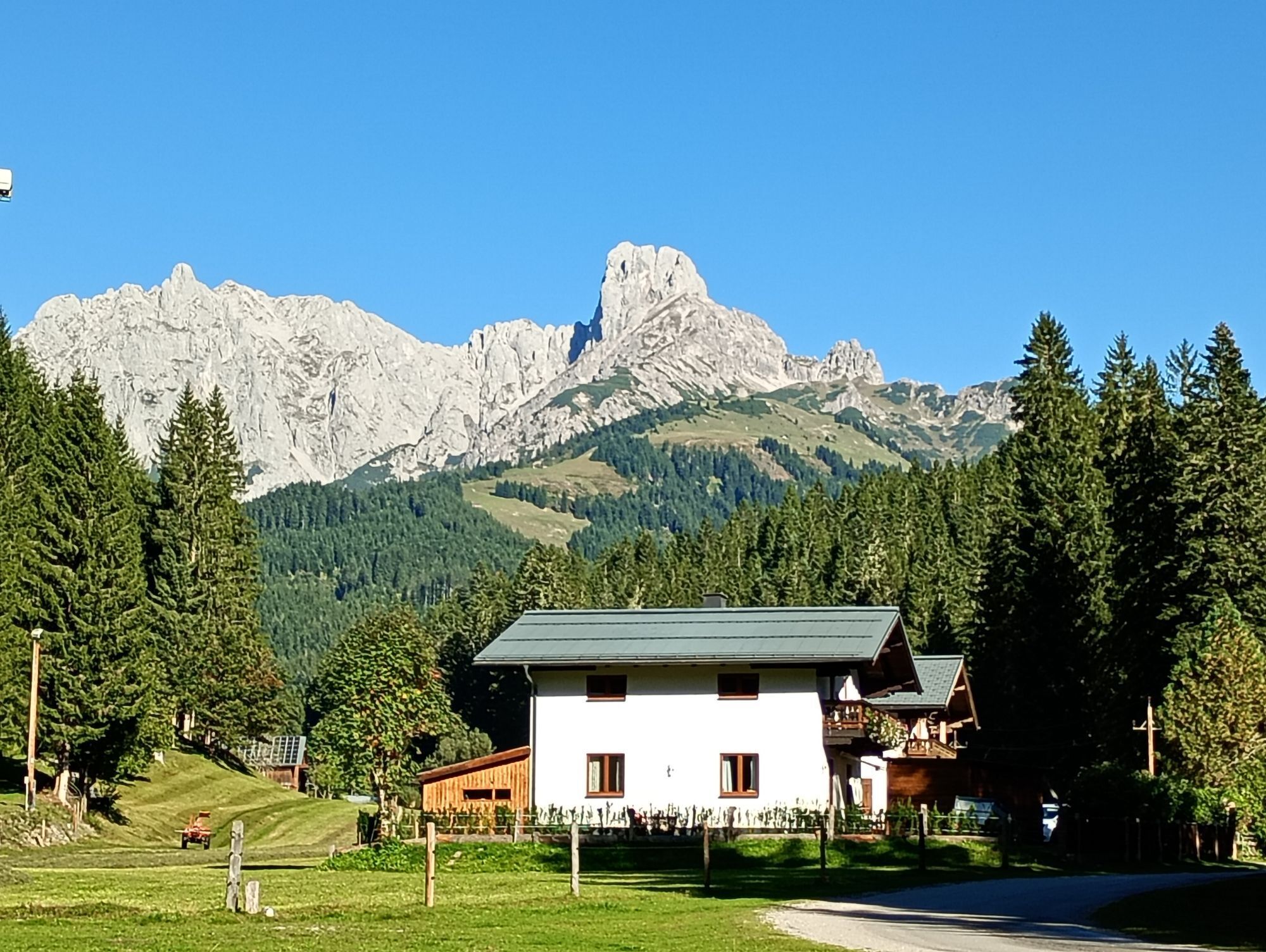
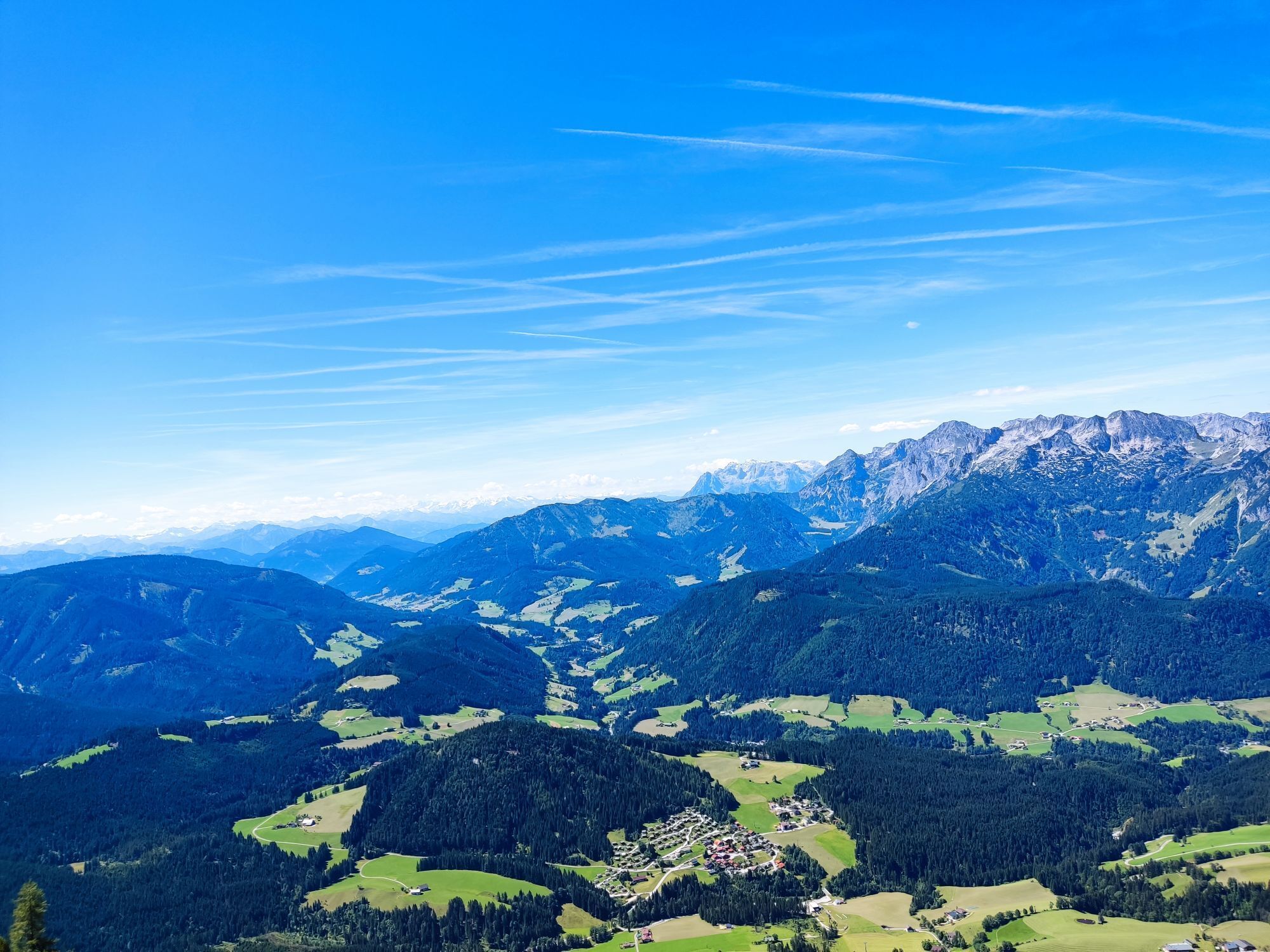
Beautiful circuit around the entire mountain massif of the Gerzkopf, which is known for a magnificent view and the legendary Black Lacke at the summit. From Lungötz we start along the road towards St. Martin, where we then ride parallel to the Platten circuit (or join the Platten circuit on this section) and after a short intermediate ascent descend into the Fritz valley. After passing under the Tauern motorway for the second time, we now take the state road L219 towards Filzmoos, which we follow for 5.6 km before turning left towards Neuberg. At the end of the village at the Neubergerhof, the forest road begins, which takes us to the highest point of the tour, the 1,313 m high Langeggsattel, the transition into the picturesque Neubachtal. From here, we just let it roll, initially through the forest on forest paths, later quite flat on asphalt through the valley along nicely located farms until after a total of 32 km the Gerzkopf is completely circled. The only drawback on this tour: relatively much asphalt.
Please observe the traffic regulations.
Please note: Woodworking is being carried out at the "saddle" between Lungötz and Filzmoos. Riding on the route is possible, but be sure to contact the driver before passing machines there.
Motorway A 10, direction Villach, exit Golling, on federal road B 162 towards Abtenau, continuing towards Annaberg - Lungötz
Motorway A 10, direction Salzburg, exit Eben, continue towards Niedernfritz, turn right onto B 162 towards St. Martin - Lungötz
Donnerkogelbahn Annaberg Astauwinkel parking lot (free)
Please note: Woodworking is being carried out at the "saddle" between Lungötz and Filzmoos. Riding on the route is possible, but be sure to contact the driver before passing machines there.
Webové kamery z prohlídky
-
Rossbrand
-
Annaberg-Lungötz
-
Altenmarkt - Sinnhubbauer
-
Aparthotel Jagdhof Filzmoos
-
Aparthotel Jagdhof Filzmoos
-
Sankt Martin - Hotel Martinerhof
-
Reitlehenalm
-
Feriendorf Annaberg
-
Dachstein West - Donnerkogelbahn
-
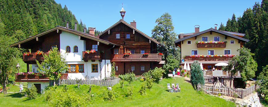
Lungötz - Berghof Wildau
-
Lungötz
-
Radstadt
-
Dachstein West - Donnerkogelbahn
-
Papageno Bergstation
-
Papageno Bergstation
-
Radstadt - Rossbrand
-
Lungötz - Lammertal
-
Ferienanlage Reithof
Oblíbené prohlídky v okolí
-
4.3
Filzmoos: Rötelstein (Rettenstein)
Turistika 9.50 km -
4.7
Tour around the Gosaukamm
středníTuristika 20.9 km -
4.7
Tor-Wanderung
heavyTuristika 14.2 km -
4.6
Ski route Lackenkogel
středníLyžařská trasa 7.82 km -
4.7
Tour around the Lake Gosau
světloTuristika 4.43 km -
4.9
Werfenweng Mountainbikerunde Söldenhütte
středníMountainbike 18.8 km -
4.7
Vorderer u. hinterer Gosausee
středníTuristika 15.0 km -
4.6
Donnerkogel vom Gosausee mit Intersport Klettersteig C/D und Himmelsleiter
heavyVia ferrata 7.70 km -
4.6
Bachlalm-Murmeltiere Rundwanderweg
světloTuristika 10.2 km -
4.4
Hornspitz von Russbach
středníLyžařská trasa 6.93 km

Pěší turistika a stopování


Nenechte si ujít nabídky a inspiraci pro vaši příští dovolenou
Vaše e-mailová adresa byl přidán do poštovního seznamu.