







Salzburger Almen-Tour 3 days, 30 alpine pastures!
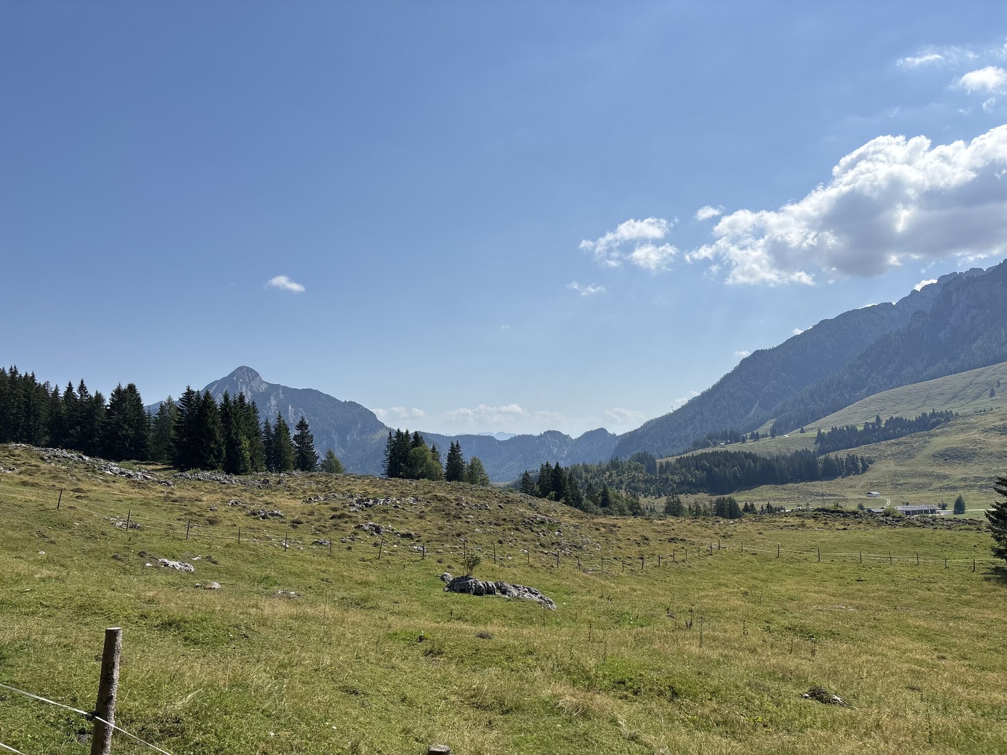
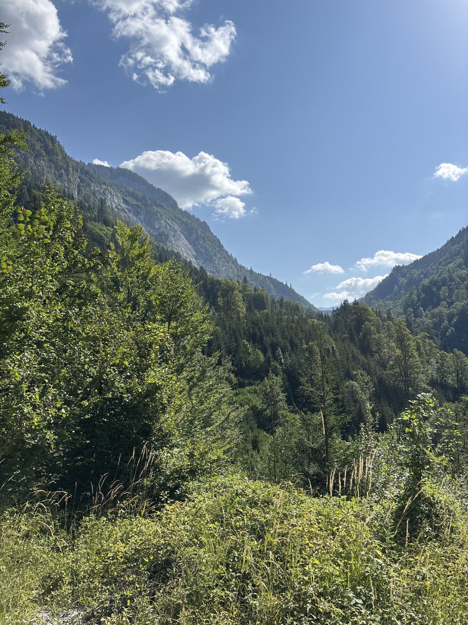
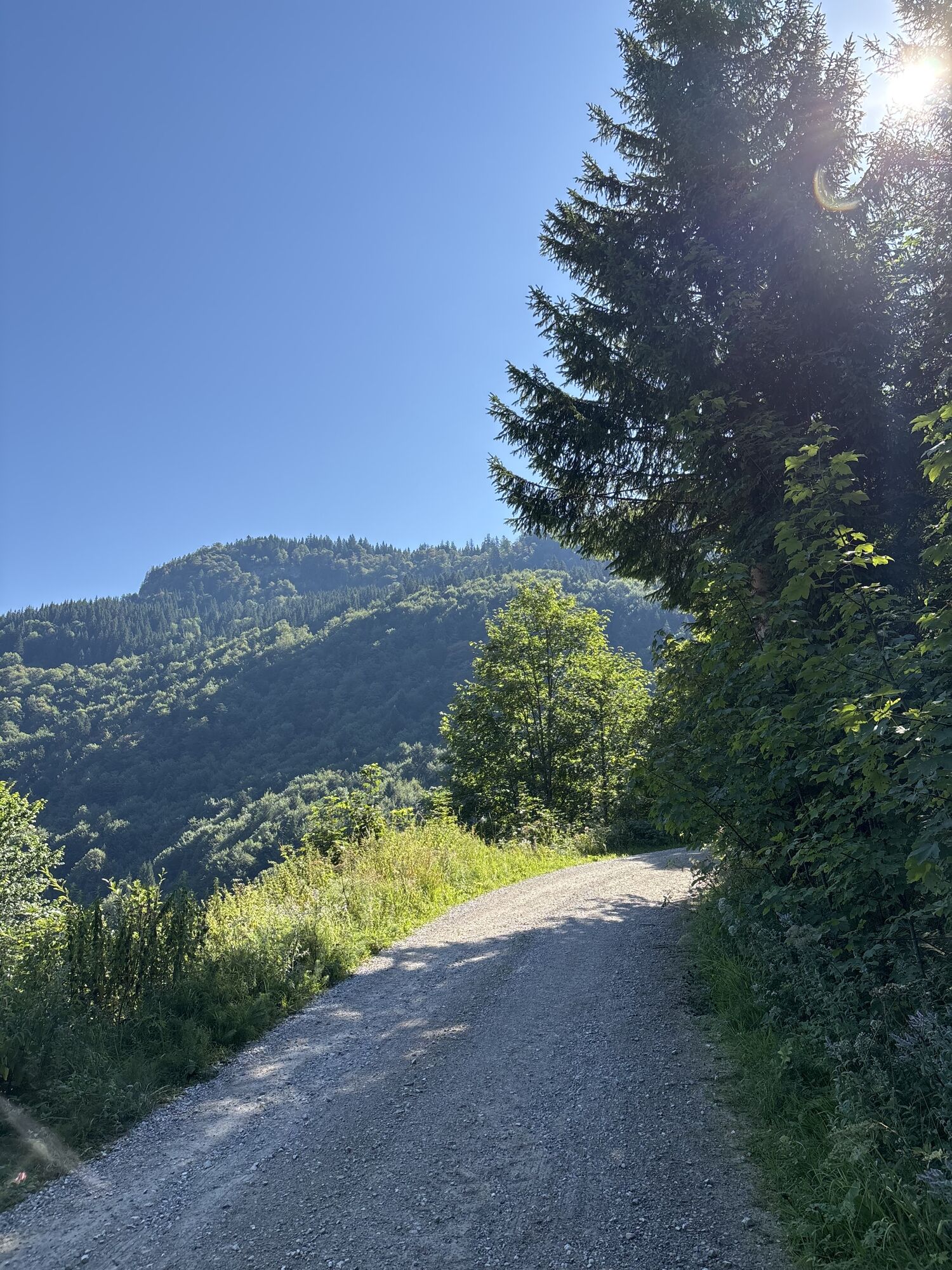
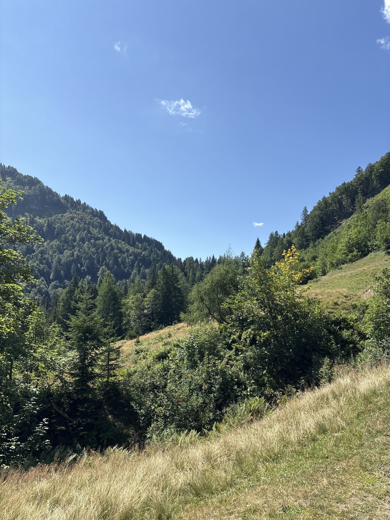
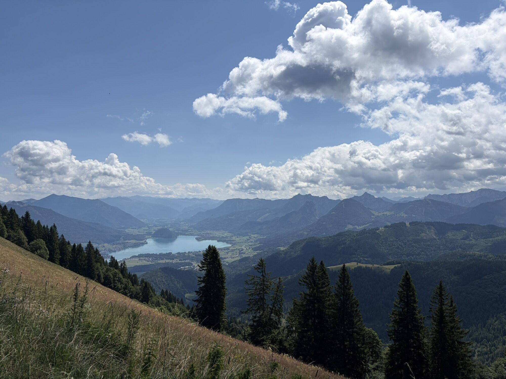
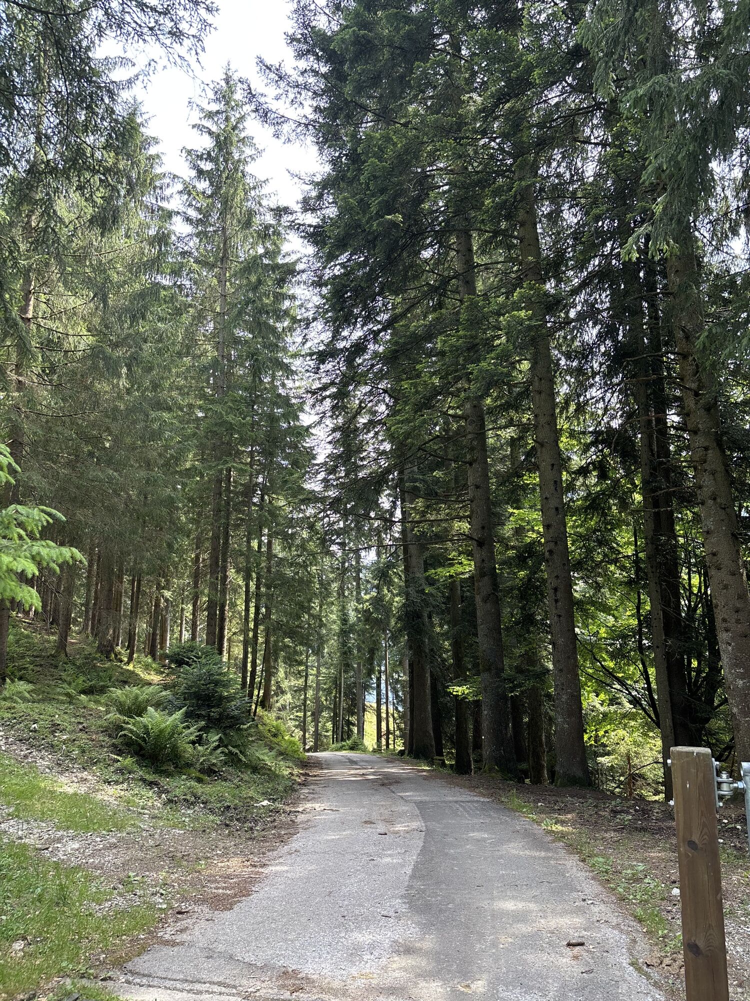
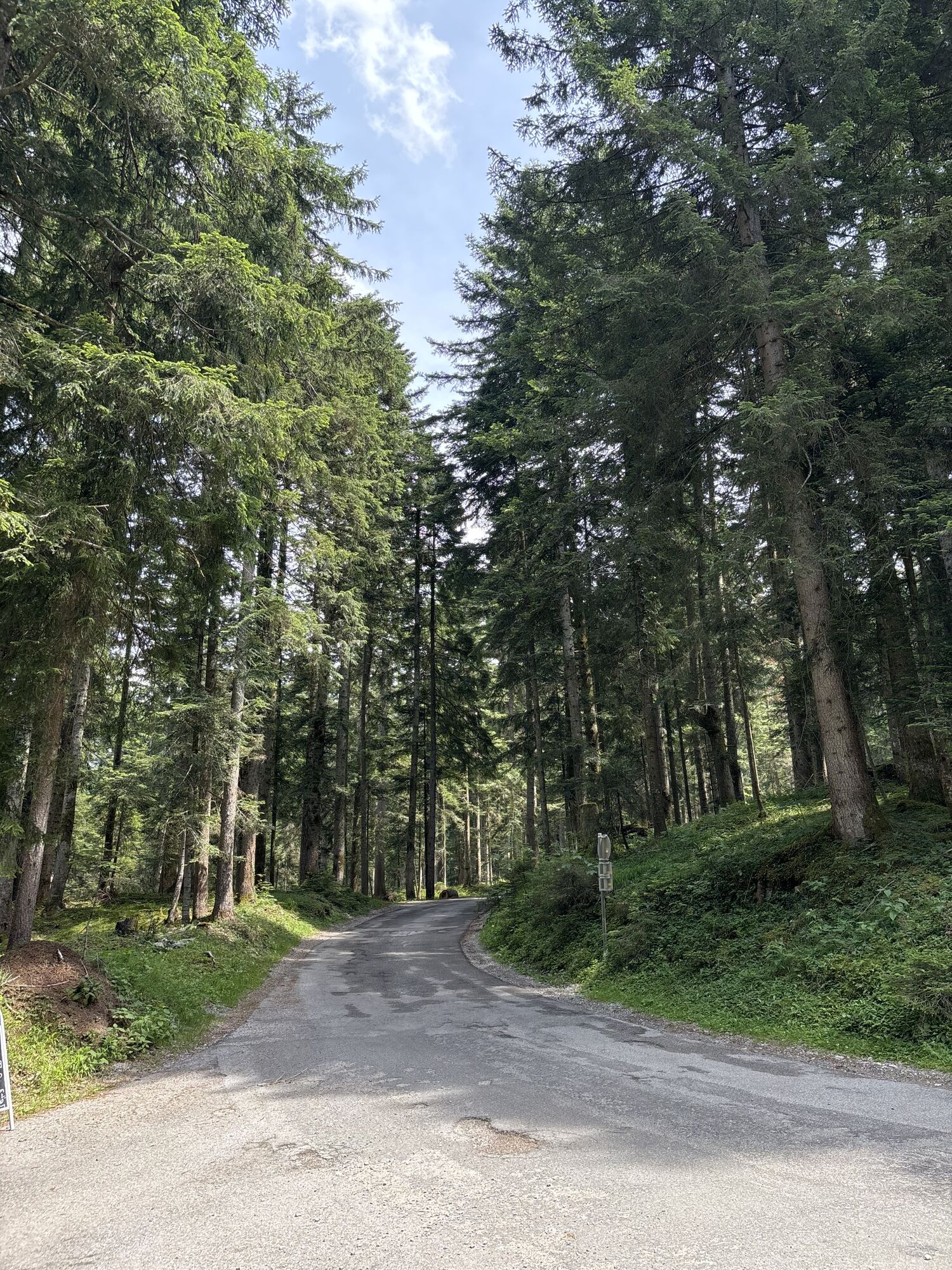
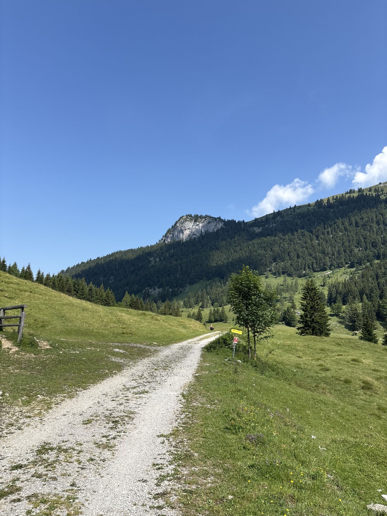
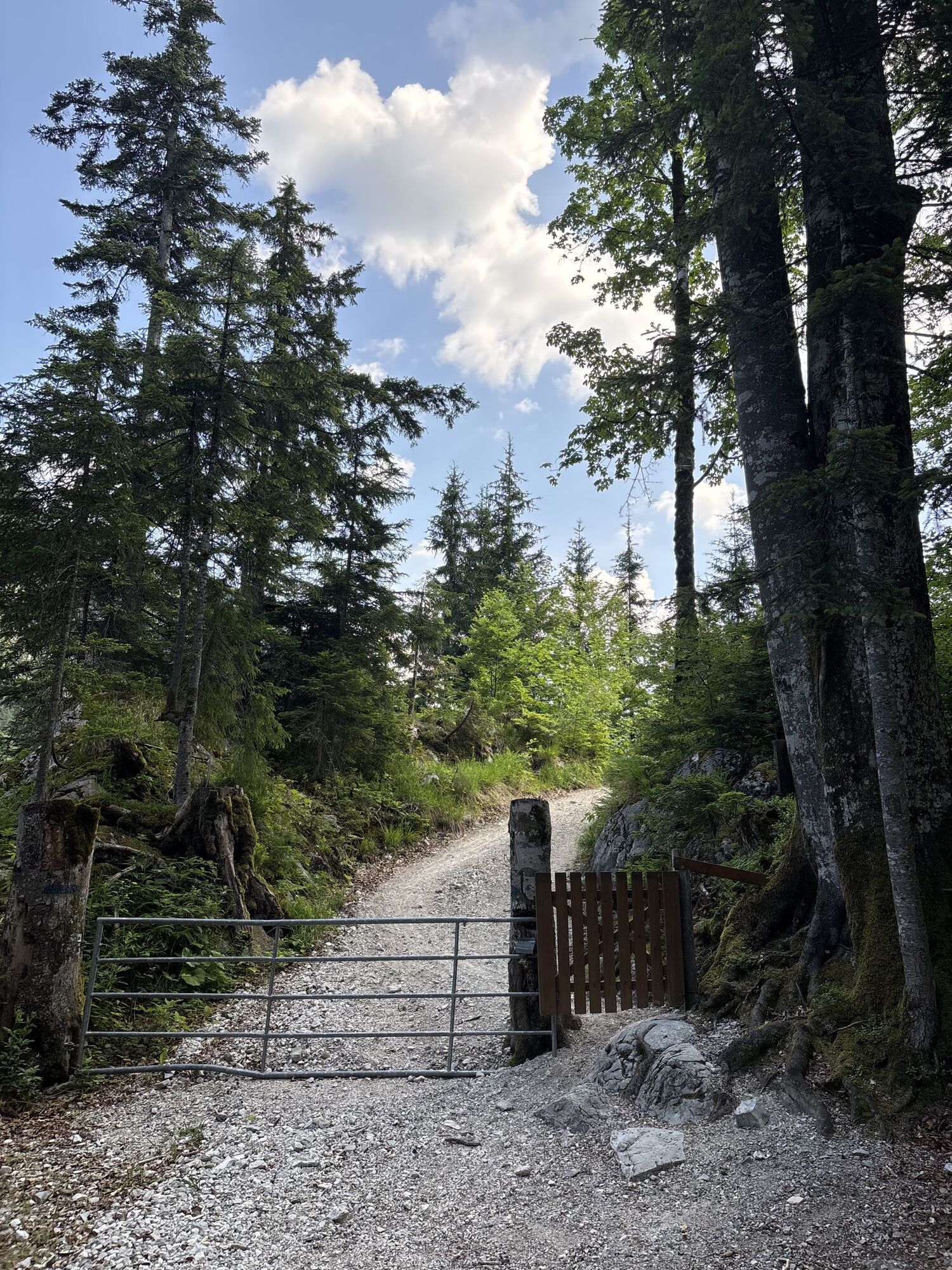
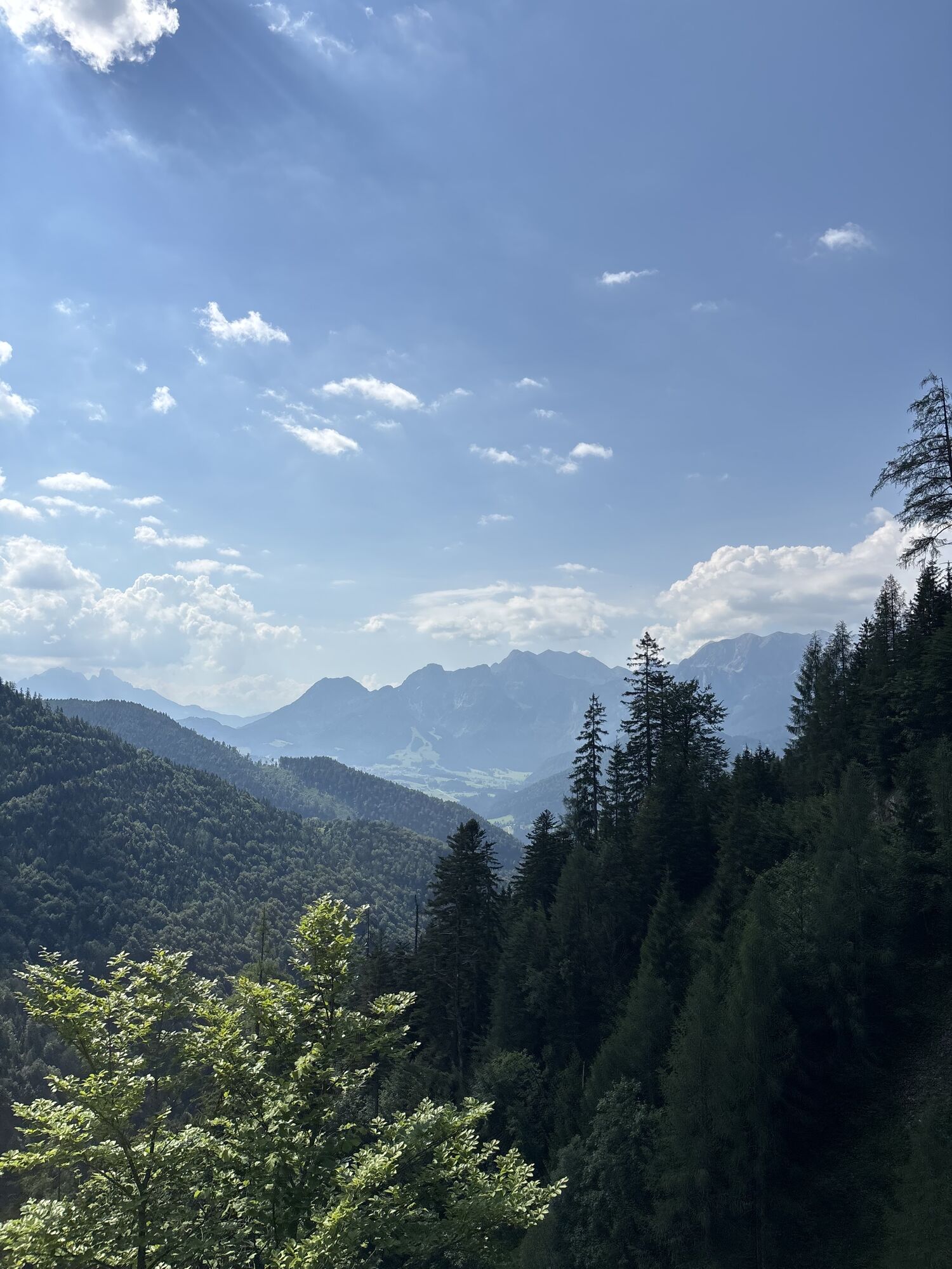
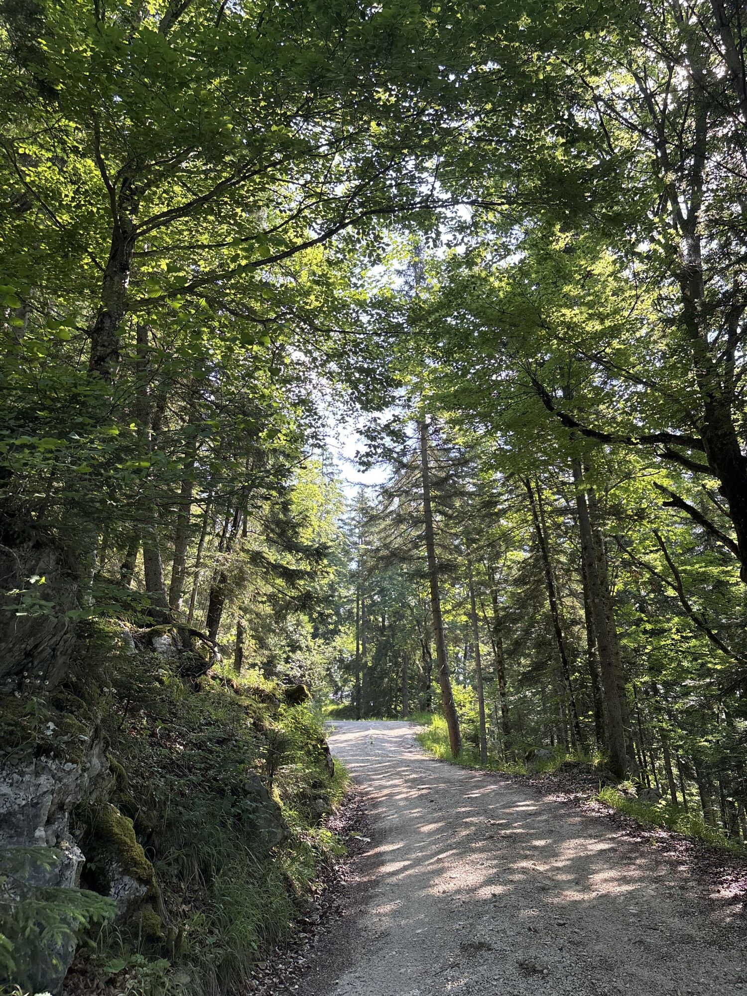
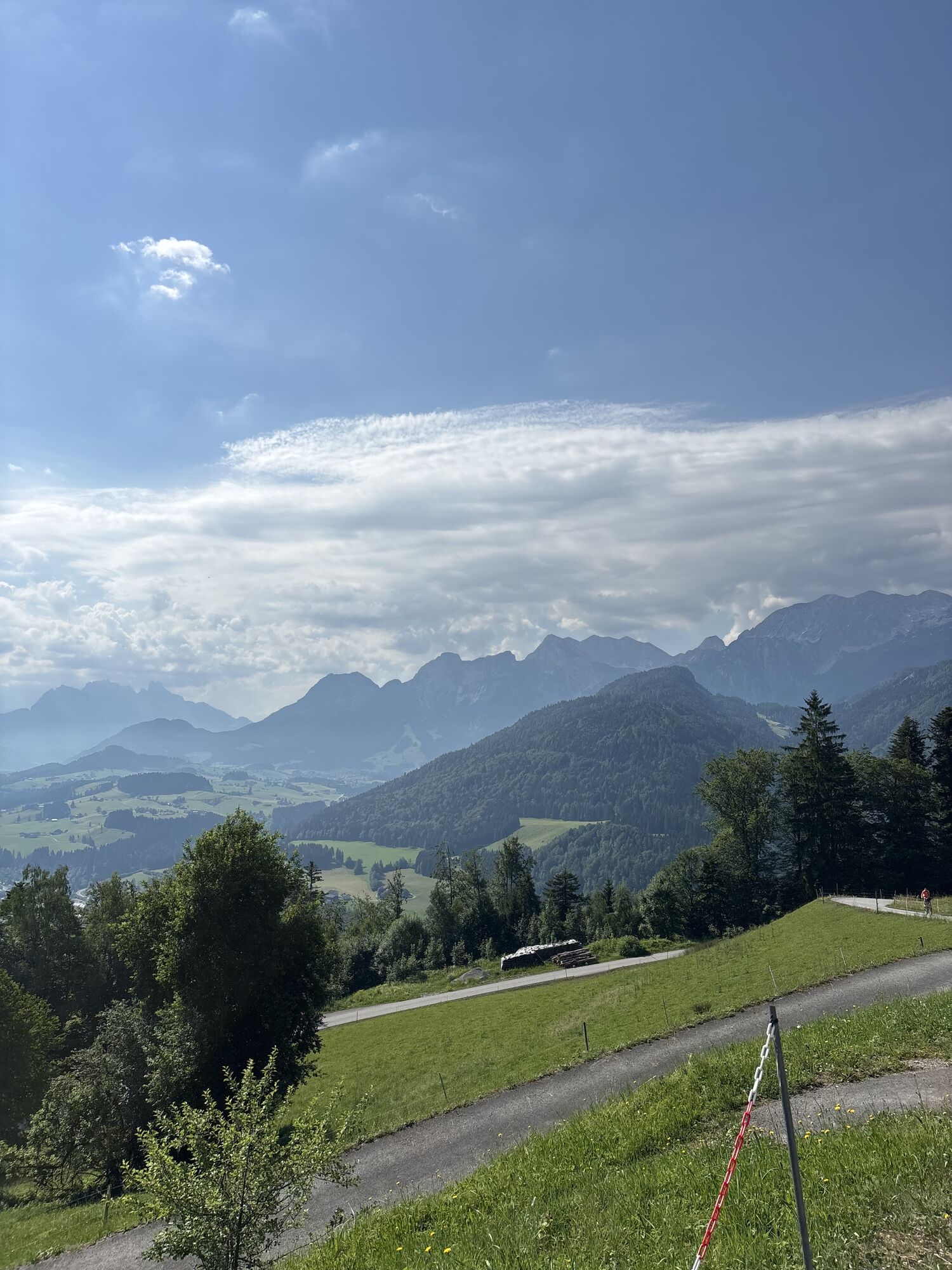
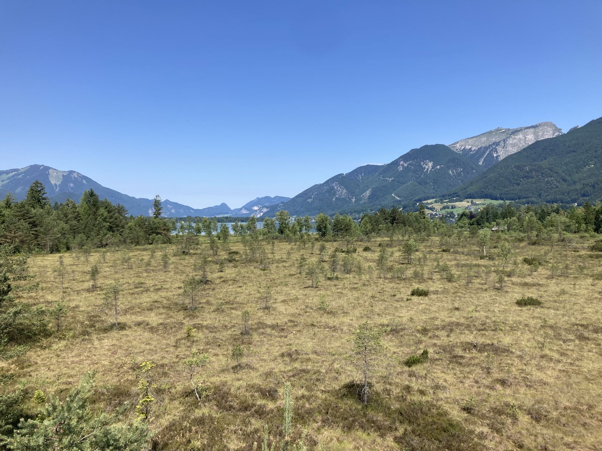
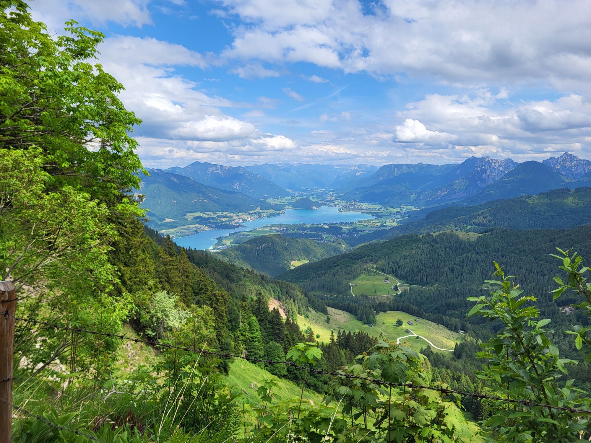
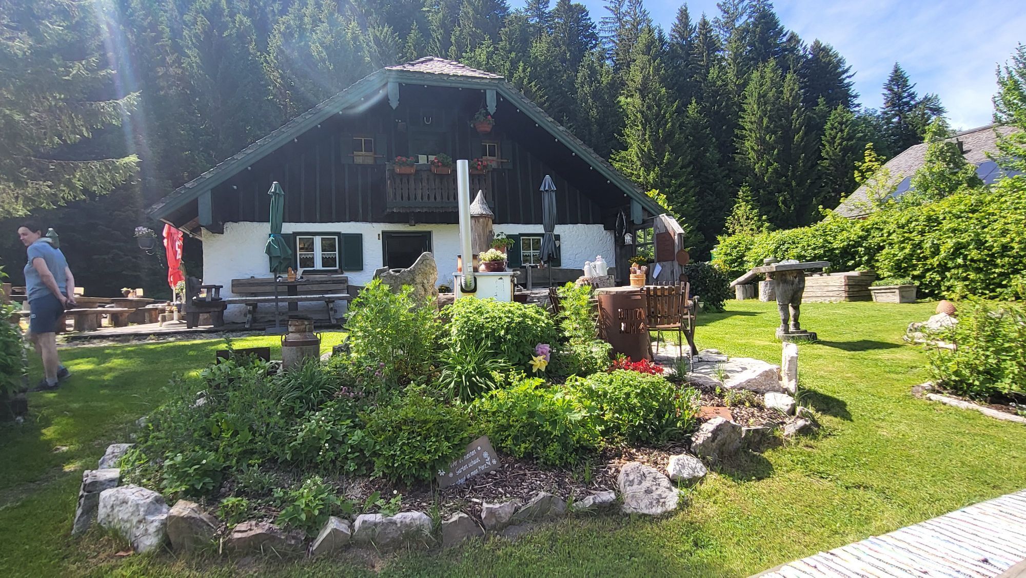
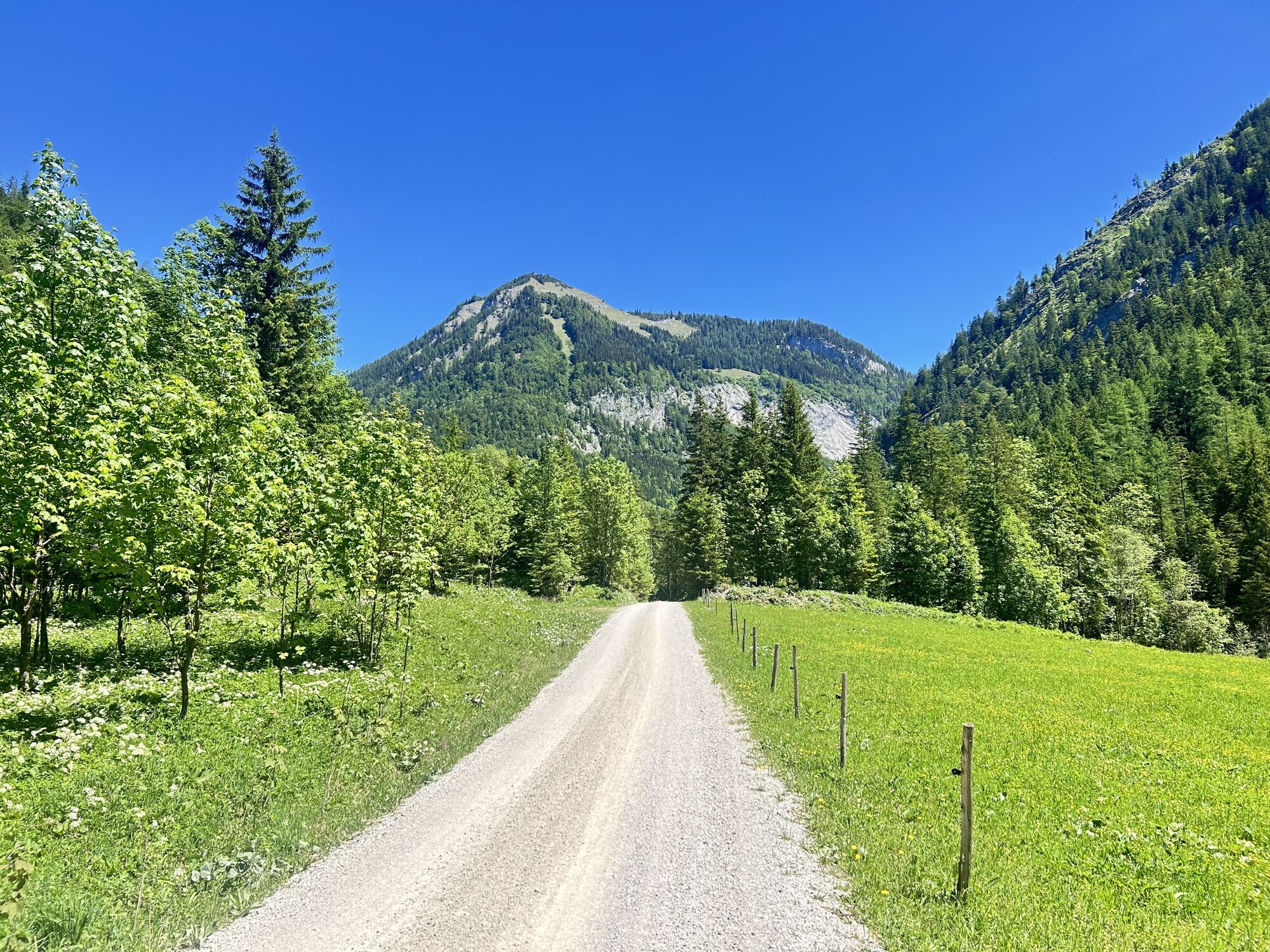

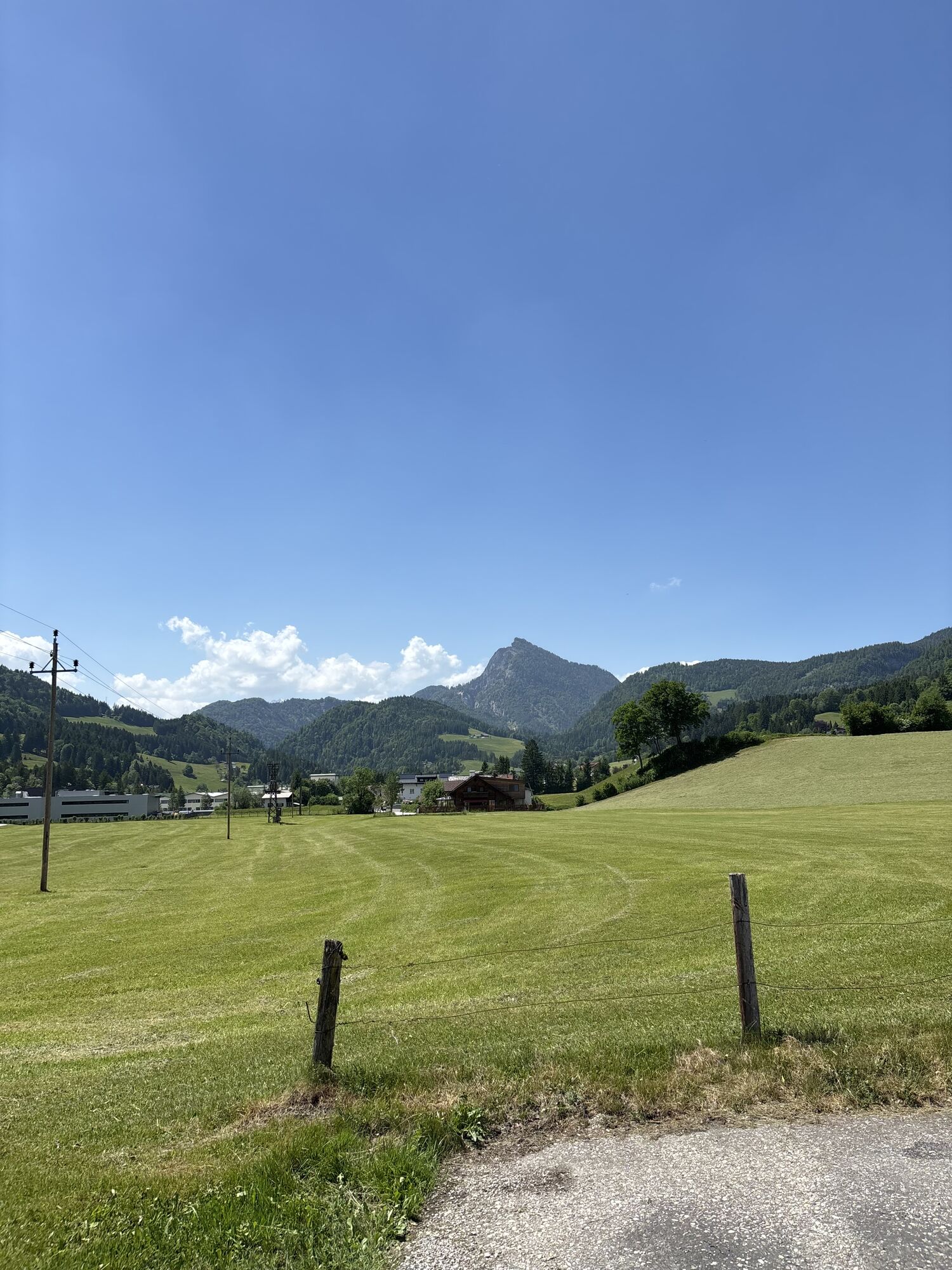
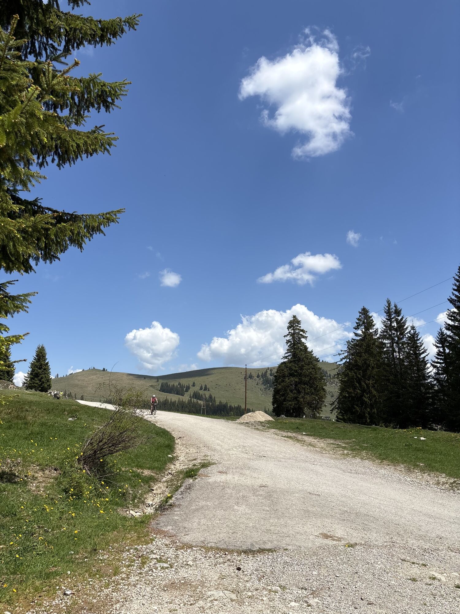
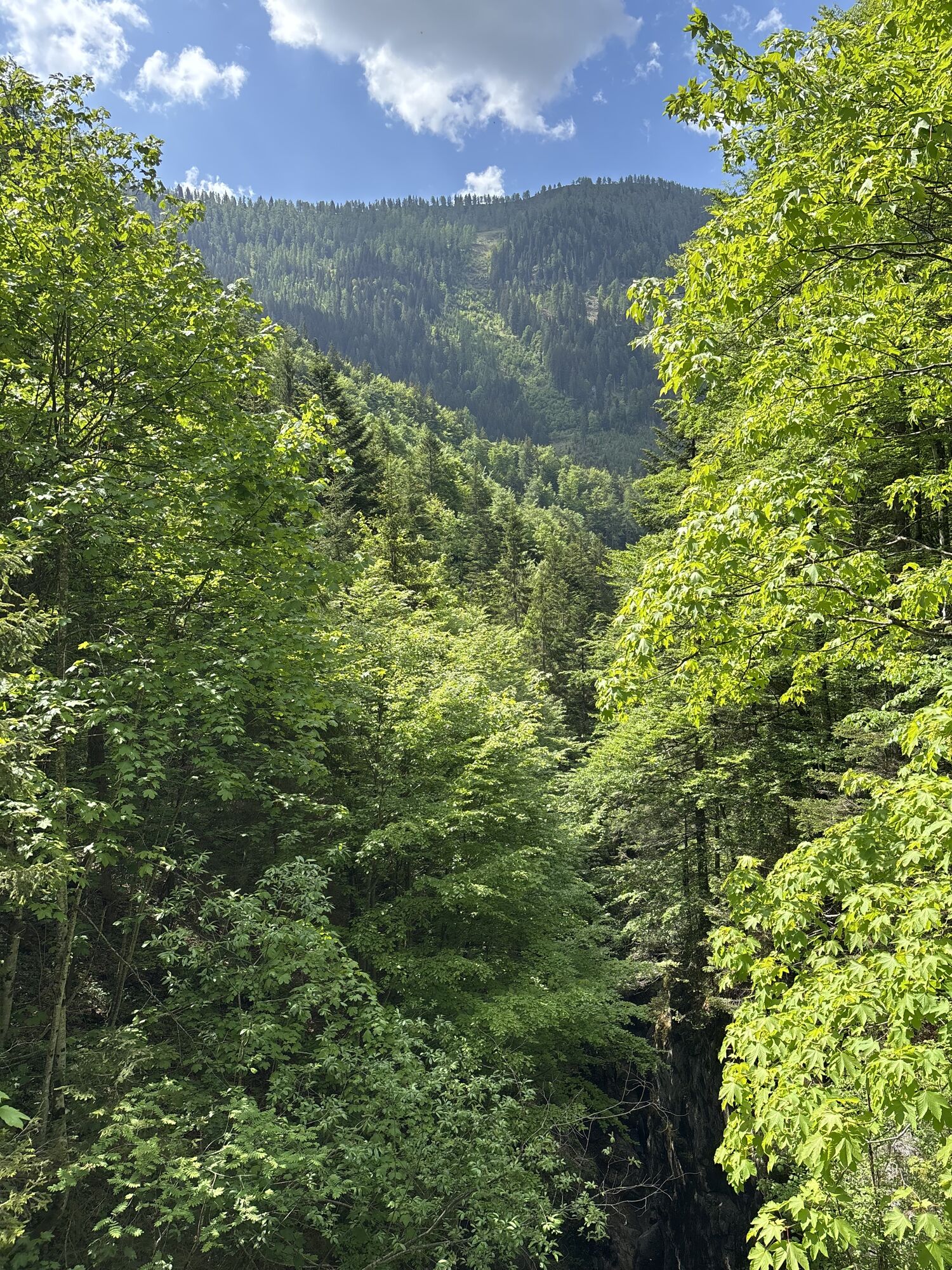
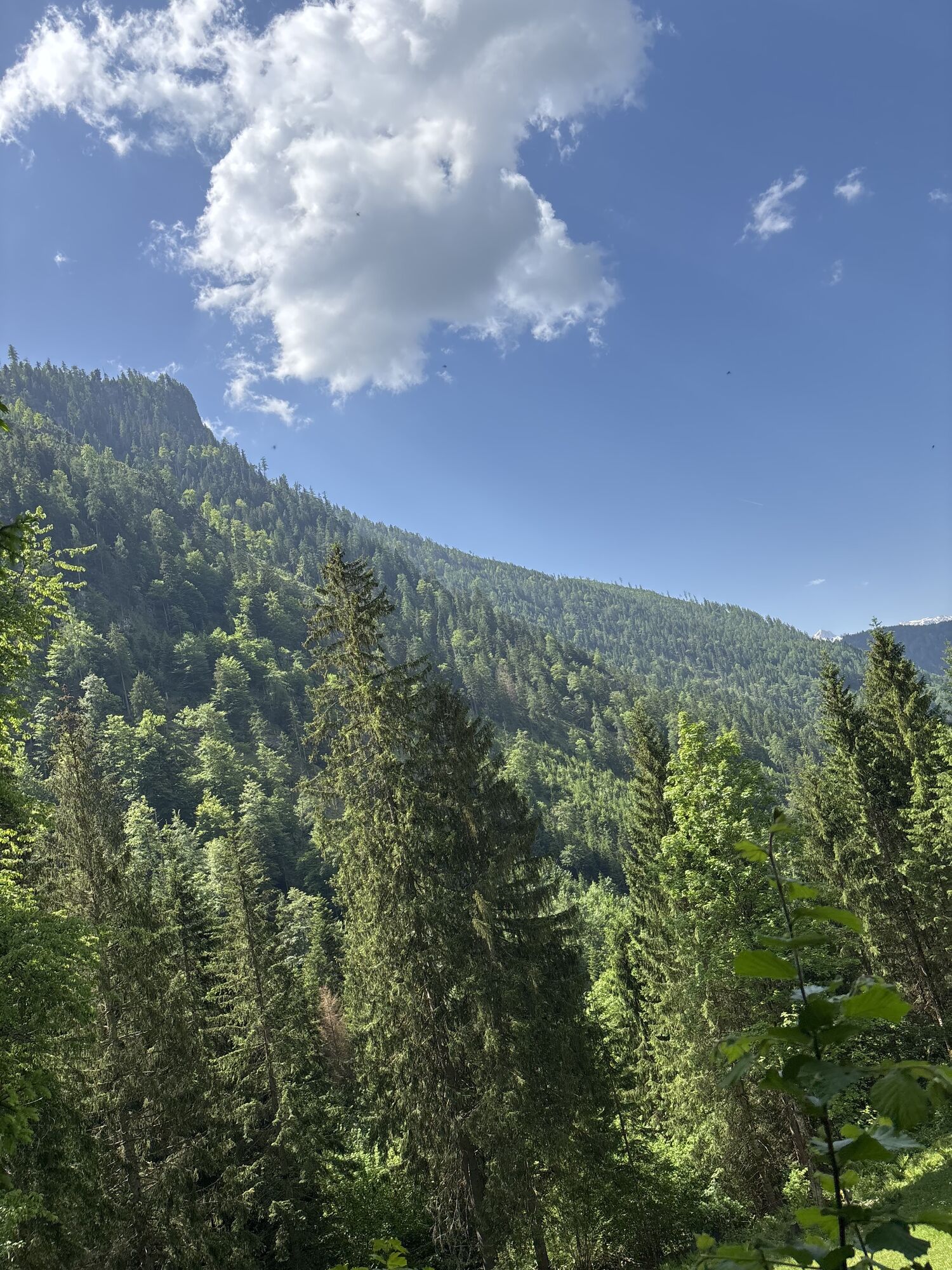
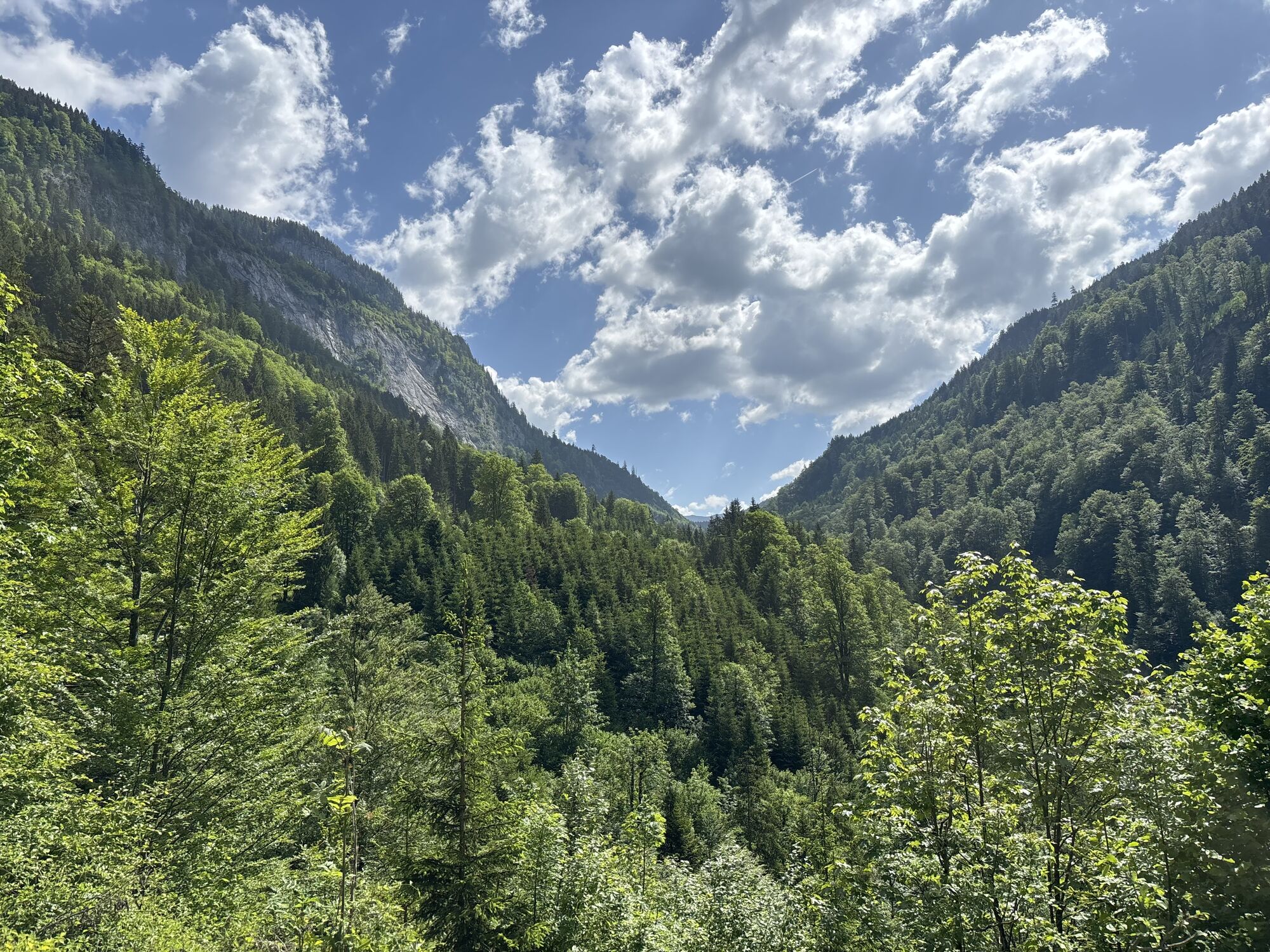
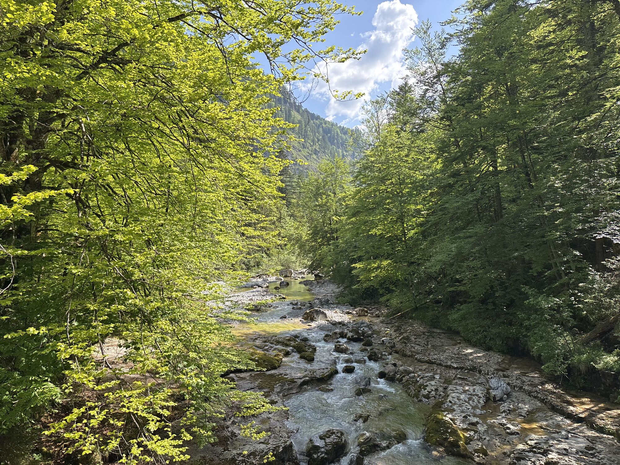
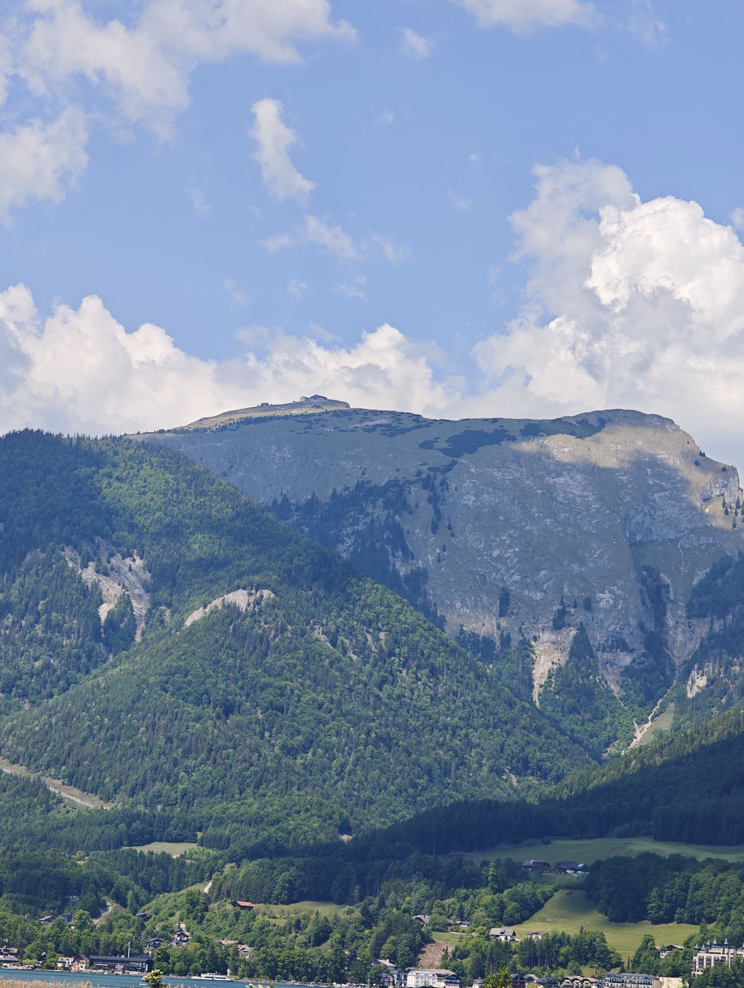
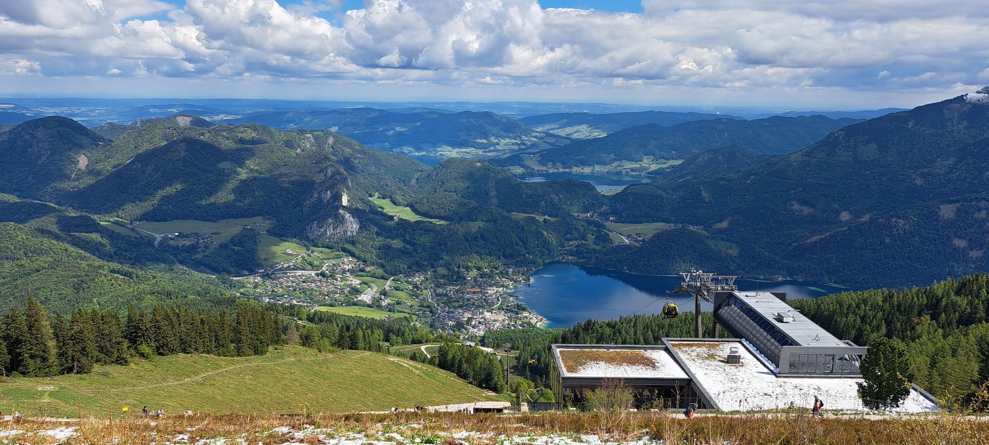
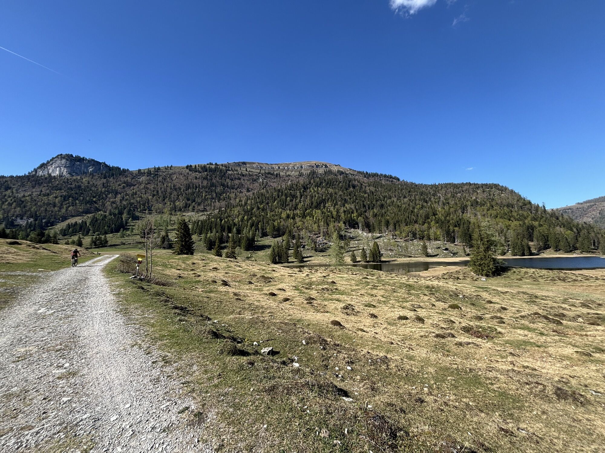
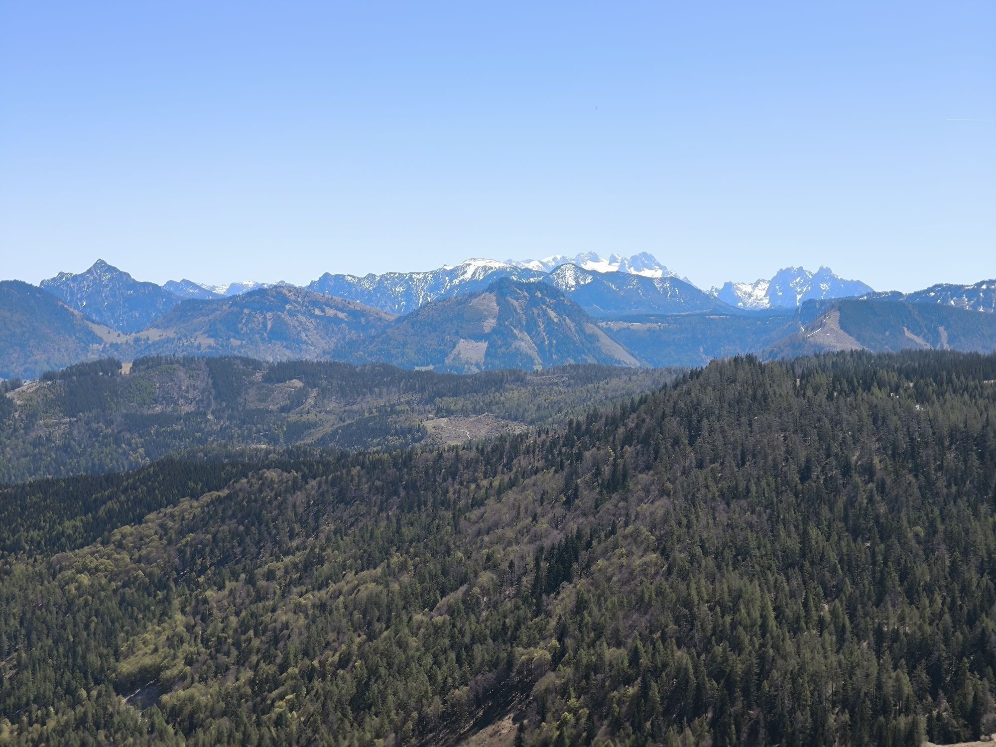
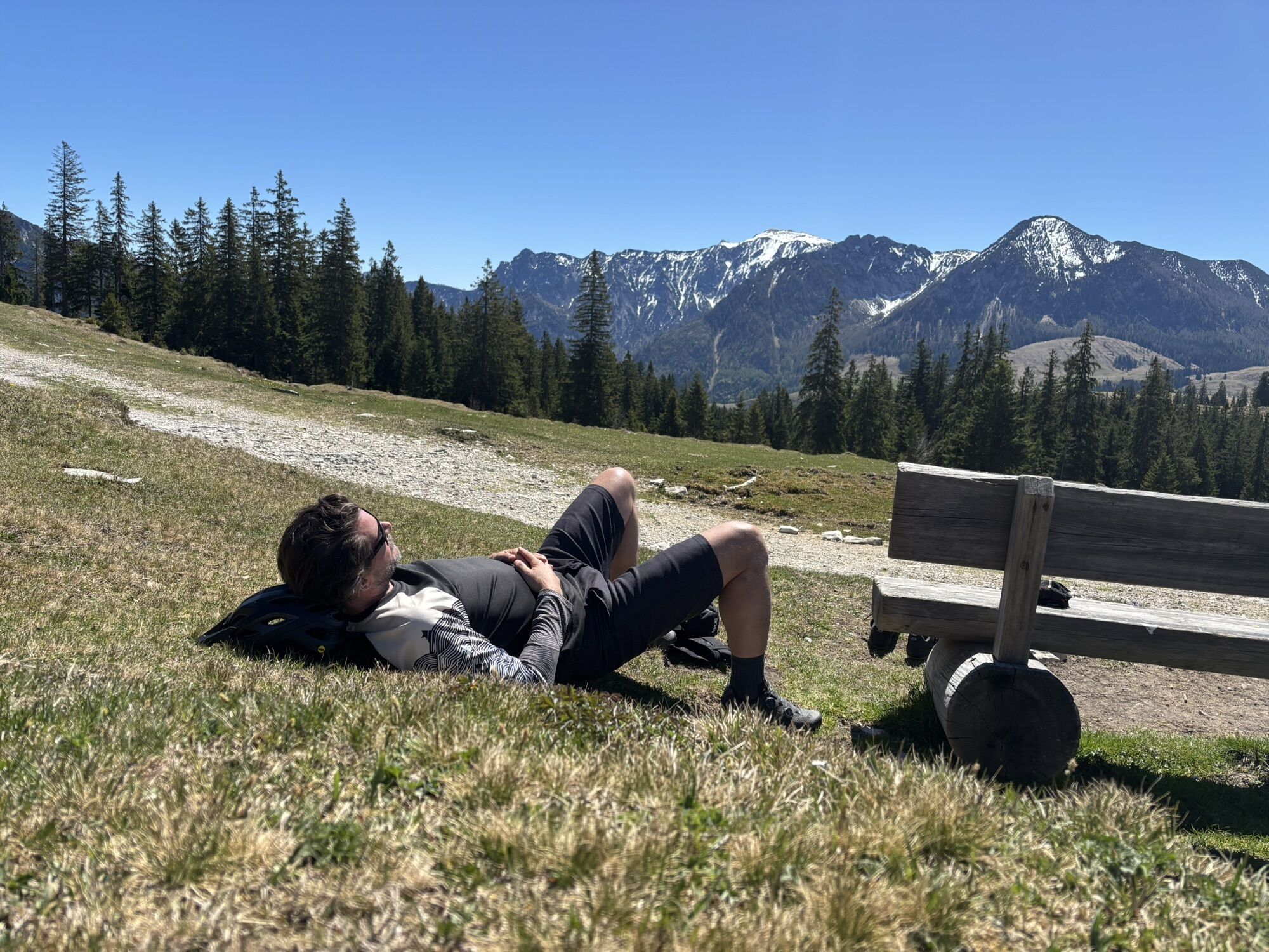
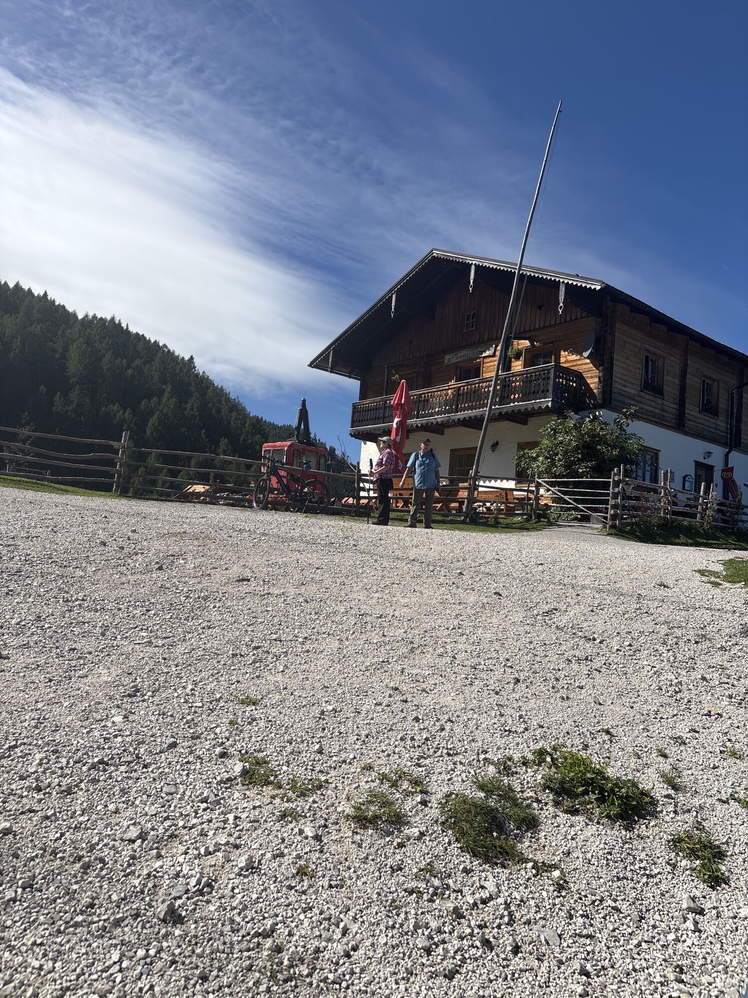

Stage 1 52.2 KM / 1,330 HM / ANNABERG - BERGALM
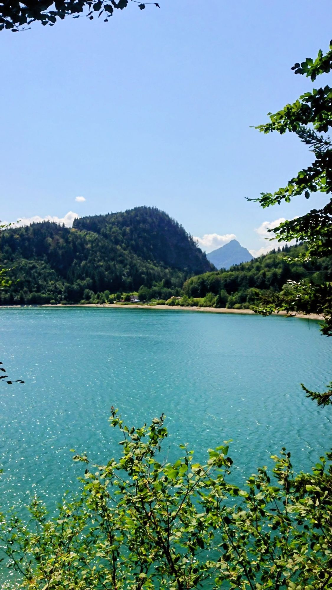
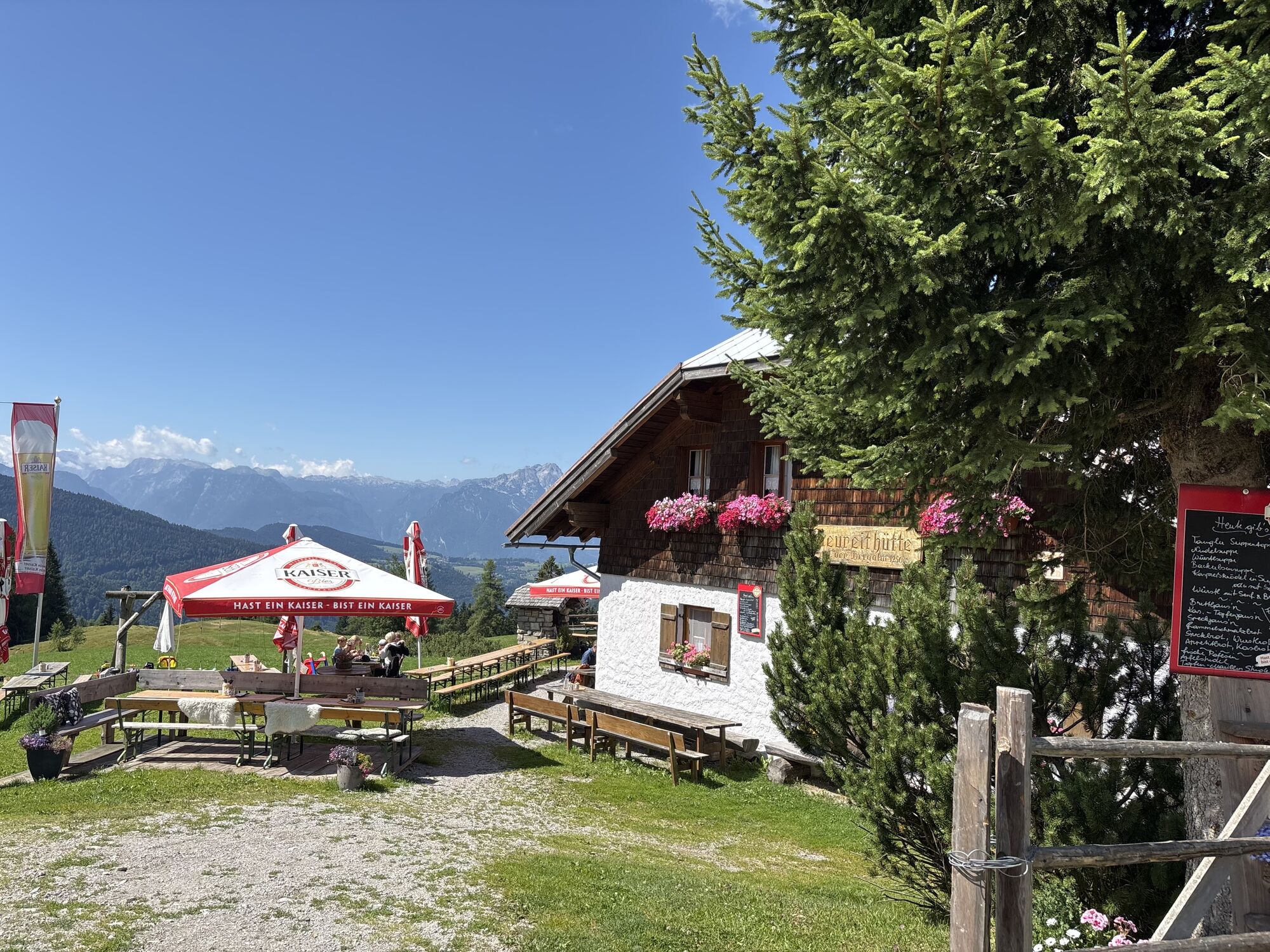
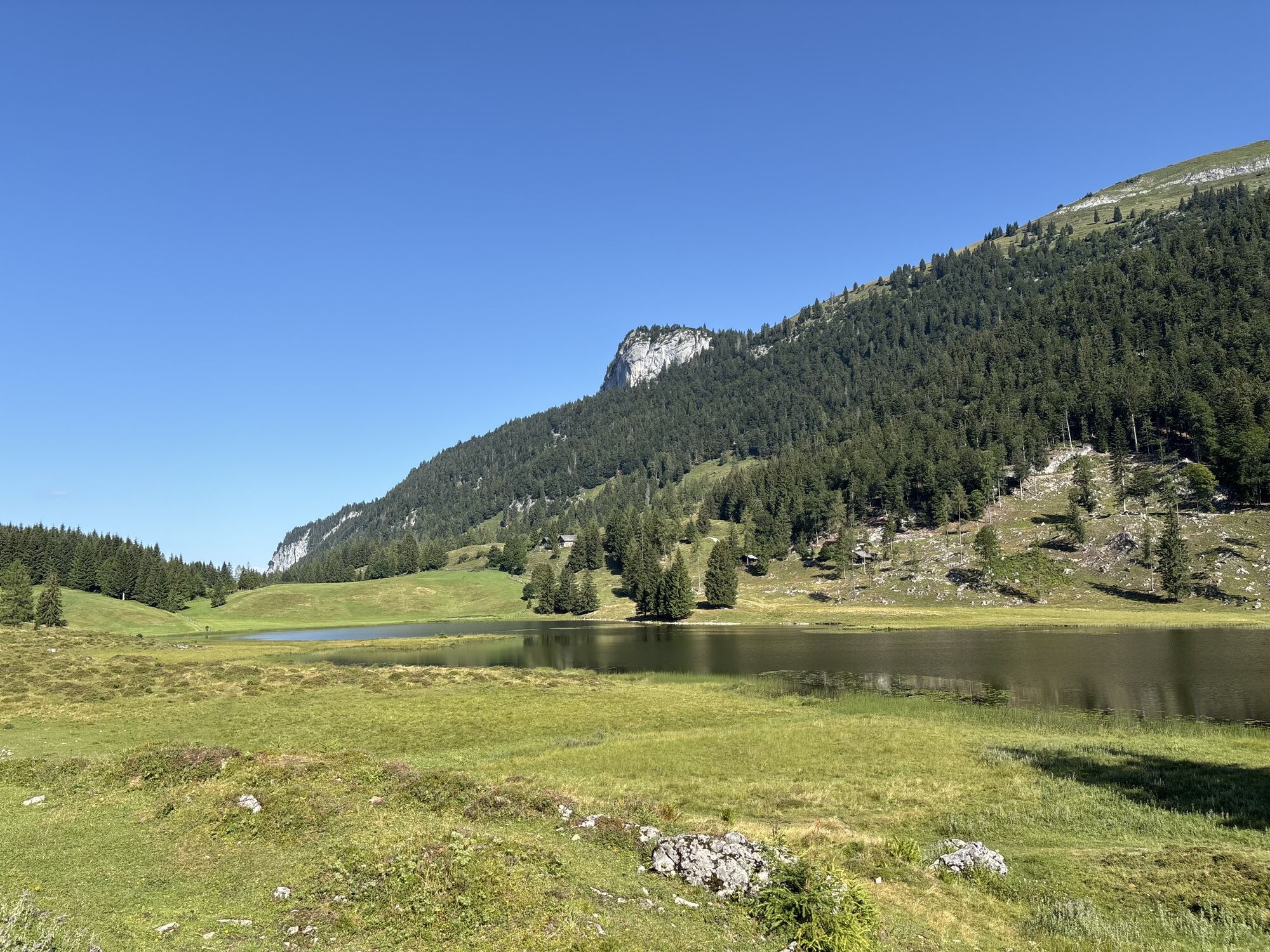
Insider tip! Cool down in Seewaldsee and try the delicious Pofesen at Bergalm!
Stage 2 35.7 KM / 1,100 HM / HINTERSEE - STROBL
Insider tip! The impressive 36...
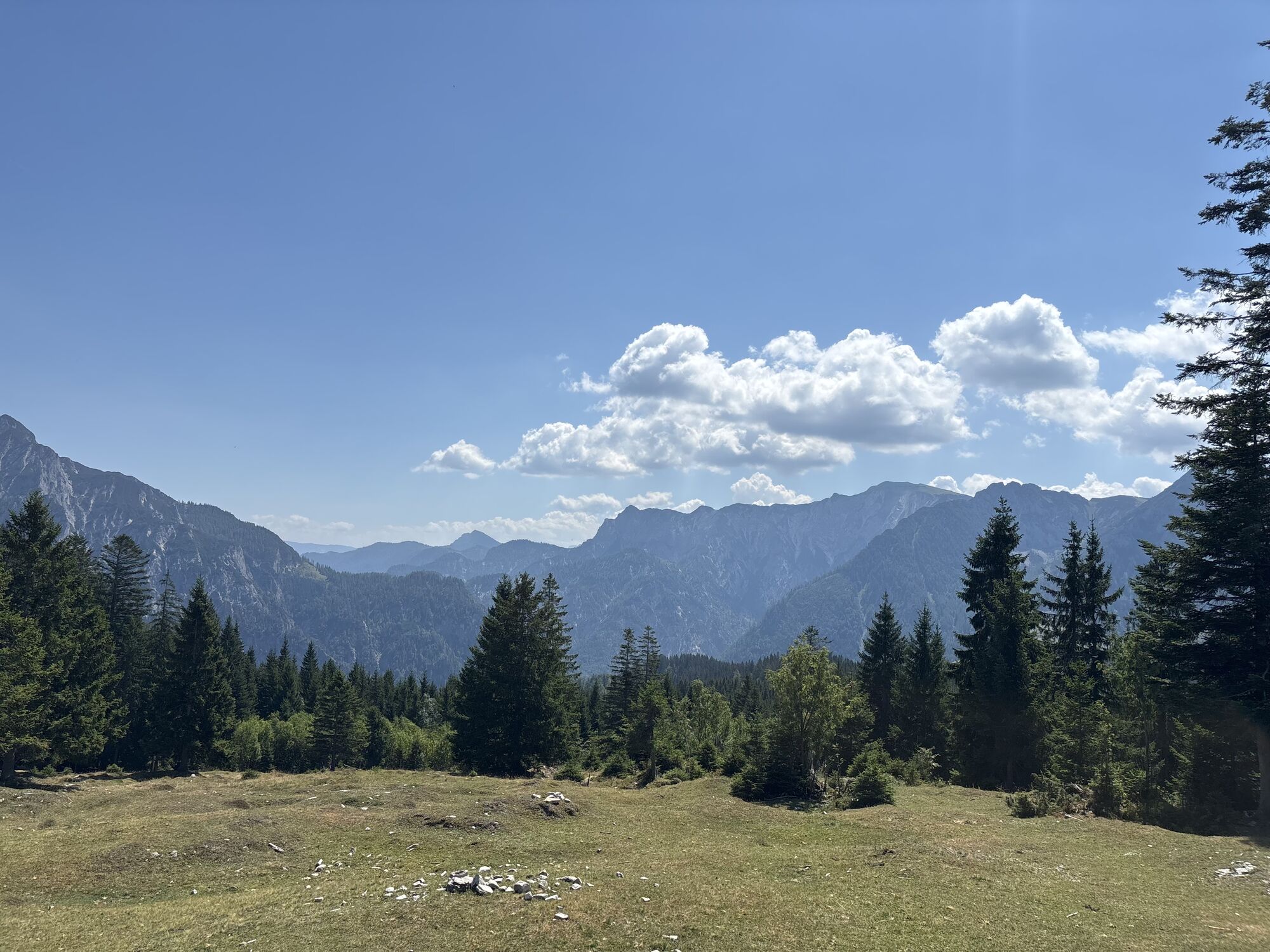
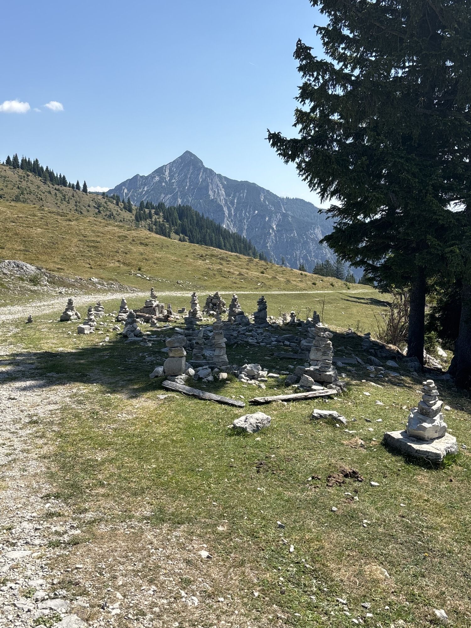
Stage 1 52.2 KM / 1,330 HM / ANNABERG - BERGALM
Insider tip! Cool down in Seewaldsee and try the delicious Pofesen at Bergalm!
Stage 2 35.7 KM / 1,100 HM / HINTERSEE - STROBL
Insider tip! The impressive 360-degree panorama at Zwölferhorn and the swimming fun at Wolfgangsee.
Stage 3 58.4 KM / 1,740 HM / STROBL - ANNABERG
Gourmet tip: Try Tennengau alpine cheese with homemade bread at Schnitzhofhütte!

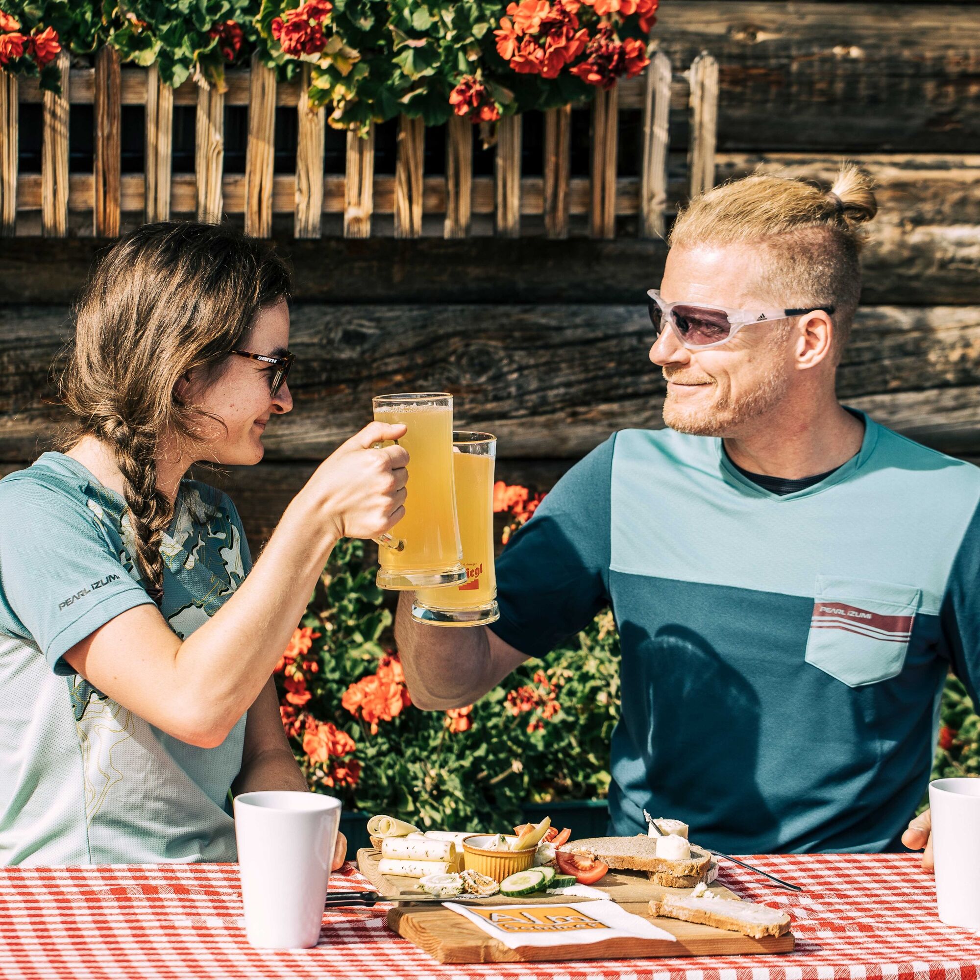

Stage 1: Annaberg - Hintersee
Highlight: a cool down in Seewaldsee and the delicious Pofesen at Bergalm
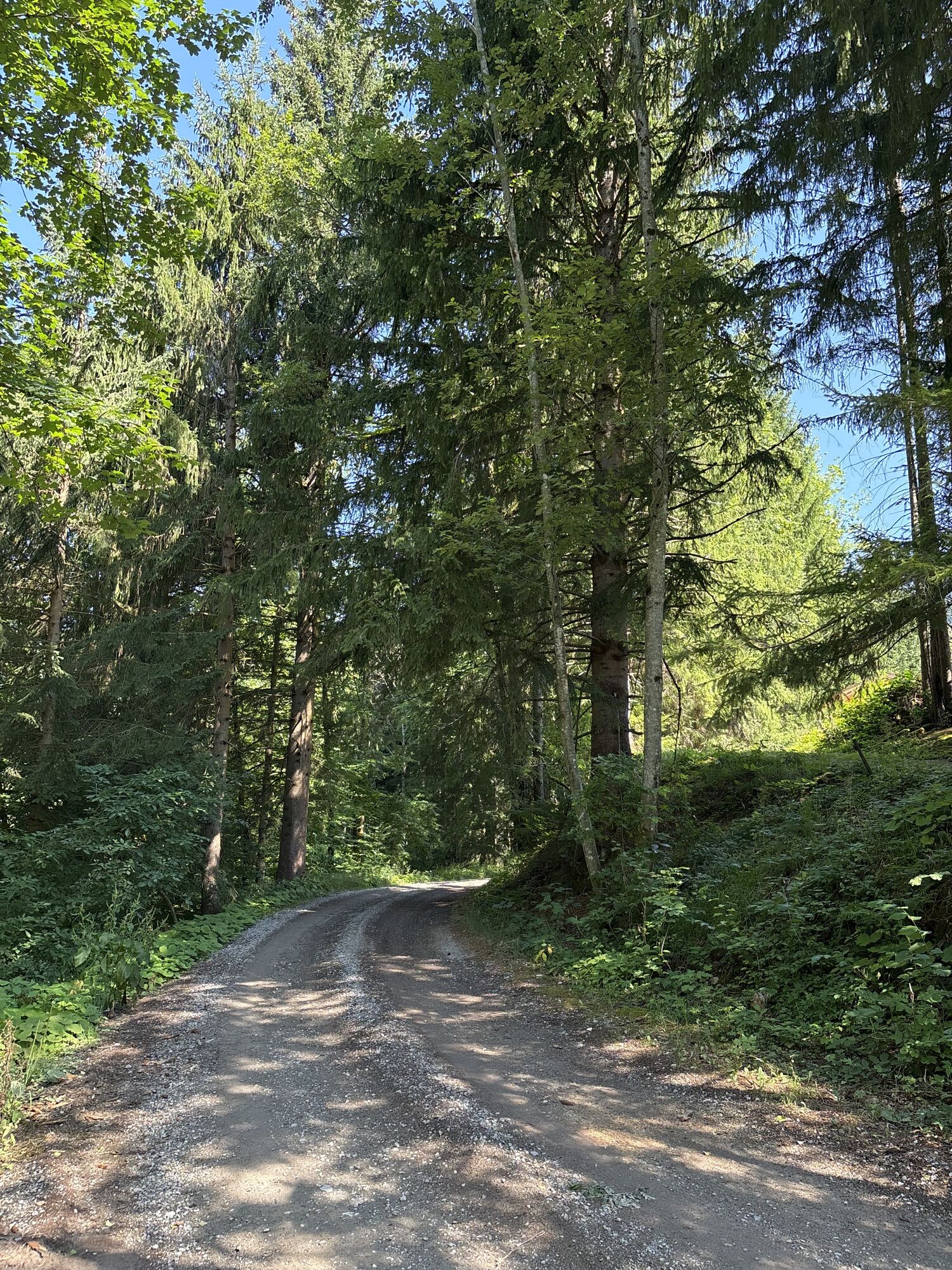
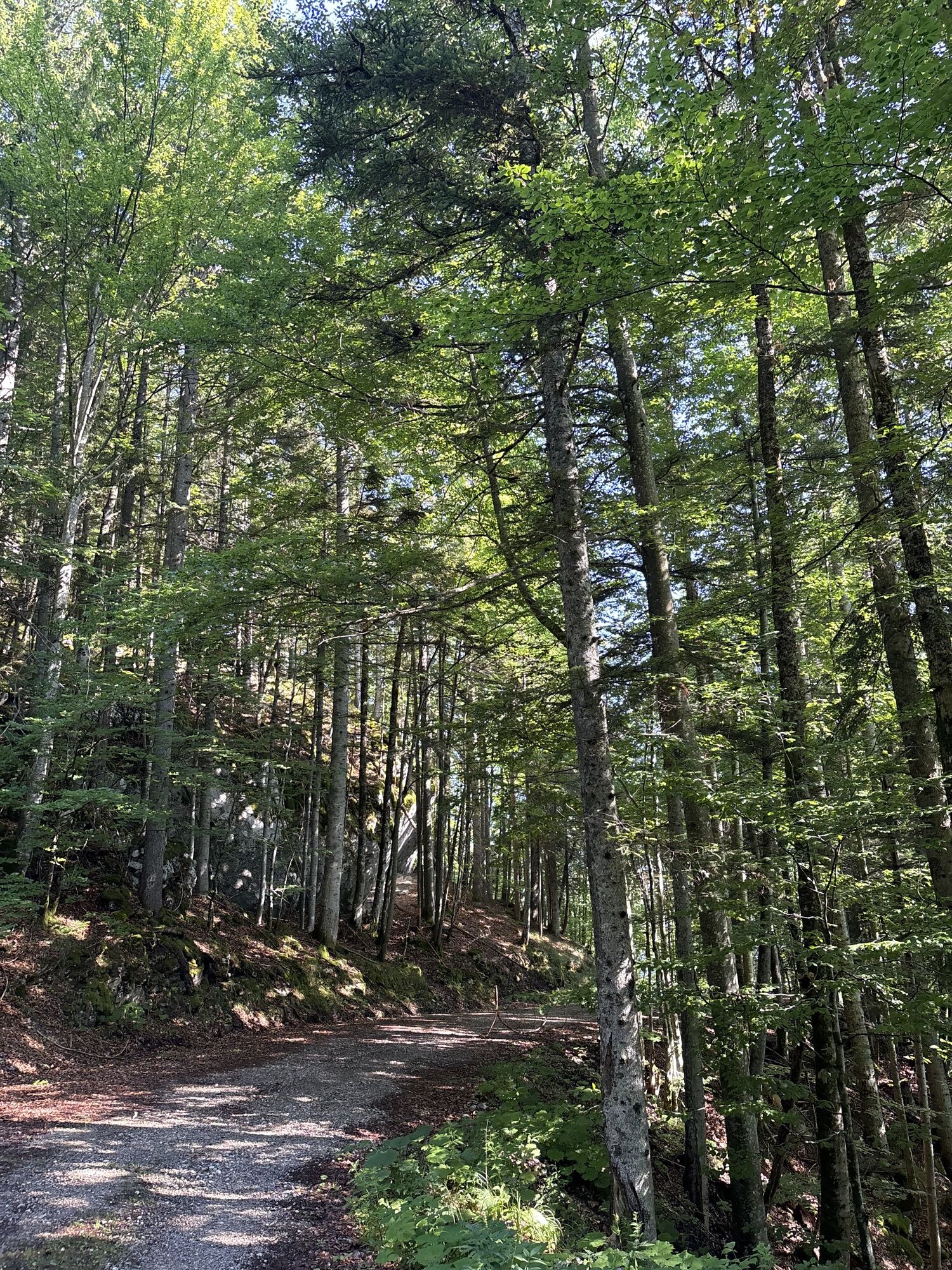
Start: Annaberg: Gasthof Dolomitenhof Destination: Hintersee: Hotel Gasthof Hintersee Route length: 52.2 KM Total ascent: 1330 HM 0.0 Annaberg, Dolomitenhof, downhill towards federal highway 3.3 Federal highway to the right, along the Lammer towards Abtenau 10.4 turn right onto side road, along the Lammer to Voglau 17.6 Voglau, Badwirt, uphill to the right, past the forester's house 19.6 Lienbachschmied, follow the "Osterhorn Route" to the right 27.0 Seewaldsee, right detour to Auerhütte possible 33.0 Wegscheid, right onto federal highway towards St. Koloman 33.9 St. Koloman, turn right at the church towards Sommerau 36.6 Vitalhotel Sommerau, left towards Tauglboden, Bergalm 42.7 Jausenstation Grundbichl, continue left towards Bergalm 45.7 Bergalm, continue left over Karrenweg, later forest road towards Hintersee 52.2 Hintersee, Hotel Gasthof HinterseeStage 2: Hintersee - Strobl
Highlight: the impressive 360-degree panorama at Zwölferhorn and the swimming fun at Wolfgangsee
Start: Hintersee: Hotel Gasthof Hintersee Destination: Strobl: Gasthof Weissenbach Route length: 35.7 KM Total ascent: 1100 HM 0.0 Hintersee, Gasthof Hintersee, on the road towards Lämmerbach 1.0 Aschau, turn left towards Königsberg and Zwölferhorn 5.8 follow path to the right towards Schafbachalm / Zwölferhorn 7.3 Schafbachalm (small animal park), downhill towards Tiefbrunnau 8.3 junction, turn right towards Grögernalm 10.8 junction onto asphalt road, right towards Zwölferhorn 13.9 parking lot, follow forest road to the right towards Zwölferhorn 18.1 Zwölferhorn mountain station, return on the same way 25.1 Steingrabenalm, follow forest road left towards Abersee 28.5 junction into state road, continue towards Abersee / Seestrasse 30.6 turn right onto bike path to Strobl 35.7 Strobl, Gasthof WeissenbachStage 3: Strobl - Annaberg
Highlight: the numerous huts (cheese dairy) at Postalm - Austria's largest alpine pasture area and Europe's second-largest high plateau - the descent over the old Postalm road (bathing in the mountain stream) and the ride to Edtalm (Dachstein view)
Start: Strobl: Gasthof Weissenbach Destination: Annaberg: Gasthof Dolomitenhof Route length: 58.4 KM Total ascent: 1740 HM 0.0 Strobl, follow main path towards town exit / Postalm road 10.9 right towards Thoralm 13.7 junction, continue left towards Abtenau - Rosserhütte 15.9 from main path, turn right onto the old Postalm road 29.6 junction, left towards Voglau and continue along the Lammer 38.3 tennis hall, turn left onto "Edtalm Route" 40.9 Reit, turn right uphill at the junction towards Edtalm 46.1 junction, left detour to Edtalm 49.0 Edtalm, same way back to KM 46.1, then turn left 52.1 forest road, turning point, follow path sharply left (pushing section) 53.1 stream crossing, follow hiking trail uphill to the left 58.4 Annaberg: Gasthof DolomitenhofAno
Water bottle, helmet, rain gear, energy bars, spare tube, Salzburger Almen-Tour map
Respect for nature!
Please do not ride off the marked trails. Avoid unnecessary noise. Trash belongs in your backpack – not in the forest.
From Vienna on the A1 or from Munich on the A9, Salzburg junction and continue on the A 10 (Tauern motorway), exit Golling-Abtenau, Exit 28 or exit Lammertal-Hüttau, Exit 56/60 and then on the Lammertal federal road to Annaberg - district Astauwinkel.
Information about the current road conditions is available on the following homepage of the ÖAMTC: www.oeamtc.at
Train station Golling-Abtenau or Bischofshofen for all IC and EC trains.
www.oebb.at and www.postbus.at
Transfer rides are gladly organized on request.
You can park your car free of charge during the tour at the parking lot at Gasthof Dolomitenhof.
Enjoy seasonal and regional delicacies at the alpine pastures!

Webové kamery z prohlídky
-
Annaberg-Lungötz
-
St Gilgen Mozartplatz
-
Karkogel - Abtenau
-
Hotel DAS Hintersee
-
Sonnleiten - Abtenau
-
Hornspitz Talstation
-
Zwieselalm Bergstation
-
Snowpark Dachstein West
-
Edtalm
-
Feriendorf Annaberg
-
Bergstation Hornbahn - Hornspitz
-
Bergstation Hornbahn - Hornspitz
-
Bergstation Hornbahn - Hornspitz
-
Bergstation Hornbahn - Hornspitz
-
Dachstein West - Donnerkogelbahn
-
Bergstation Hornbahn - Hornspitz
-
Bergstation Hornbahn - Hornspitz
-
Lungötz - Berghof Wildau
-
Zwieselalm Talstation - Dachstein West
-
Lungötz
-
Postalm - Panoramahütte
-
St. Wolfgang - Schafbergbahn Talstation
-
Strobl - Dorfplatz
-
Postalm Zauberteppich
-
Postalm Zauberteppich
-
Fuschlseeregion - Fuschl
-
Dachstein West - Donnerkogelbahn
-
Spielbergalm
-
Schirlastubn
-
St. Gilgen - Wolfgangsee
-
Snowpark Dachstein West
-
Snowpark Dachstein West
-
Snowpark Dachstein West
-
Snowpark Dachstein West
-
Enzianhütte/Trattberg
-
St. Gilgen - Zwölferhorn
-
Gasthaus Gosausee
-
Trattberg
-
Fuschl am See / Hotel Jakob
-
Bleckwandhütte
Získejte přehled
Vždy živě na místě s více než 9 500 webkamerami. bergfex Jako uživatel Pro si nyní můžete zobrazit odpovídající webové kamery pro mnoho prohlídek v aplikaci prohlídky z. Můžete si tak přímo prohlédnout aktuální podmínky.

Oblíbené prohlídky v okolí
-
4.0
Bärenweg am Lidaun
světloTuristika 9.05 km -
4.8
Fuschl: Ruine Wartenfels - Schober - Frauenkopf
středníTuristika 7.62 km -
4.4
Fuschlseewanderung
světloTuristika 11 km -
4.5
Weißenbach am Attersee - Schoberstein
středníTuristika 3.31 km -
4.2
Pillstein Panorama Rundweg
světloTuristika 3.40 km -
4.7
Pleasure hike over the Falkenstein
středníTuristika 9.81 km -
3.7
Mondsee: Rund um den Mondsee
světloJízda na kole 26.3 km -
3.6
Unterach am Attersee: Hochplettspitz
Turistika 4.25 km -
4.6
The Plombergstein: Adventure and summit panorama
světloTuristika 4.12 km -
4.1
Illinger Alm-Runde
středníTuristika 9.89 km
Pěší turistika a stopování


Nenechte si ujít nabídky a inspiraci pro vaši příští dovolenou
Vaše e-mailová adresa byl přidán do poštovního seznamu.





