







TG10 Radochsberg route
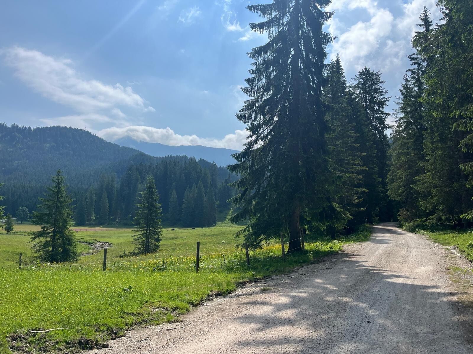
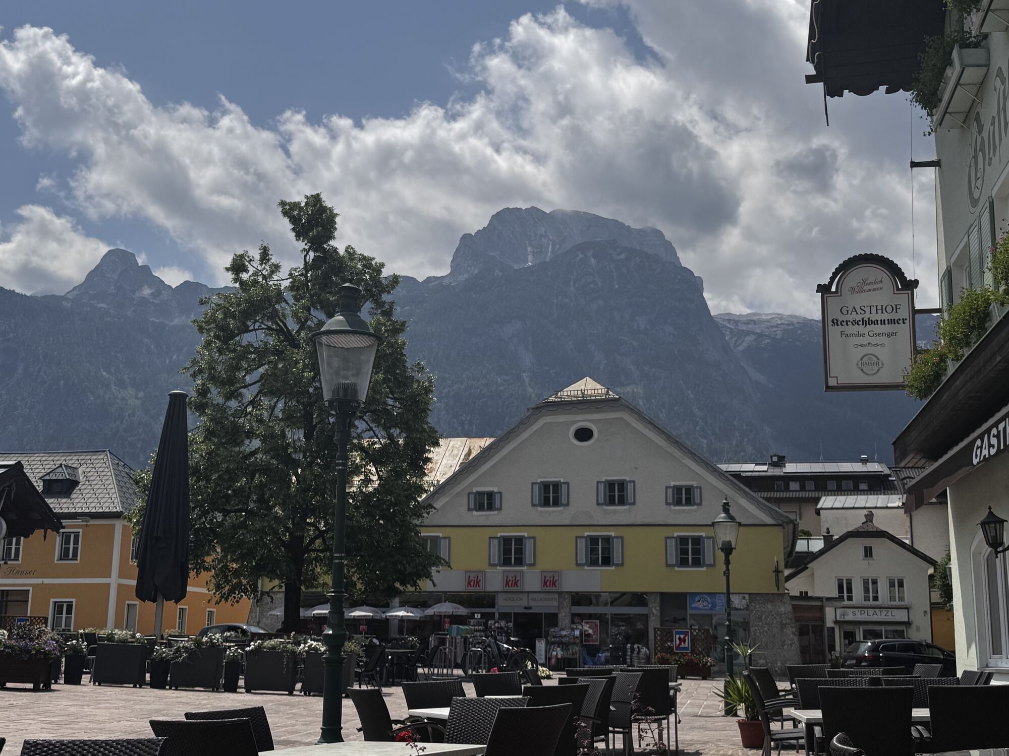
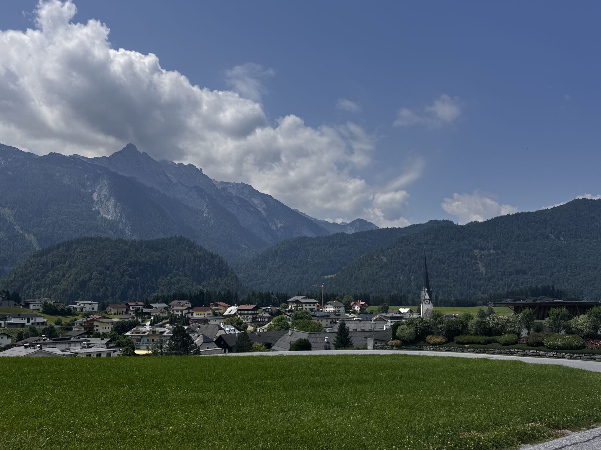
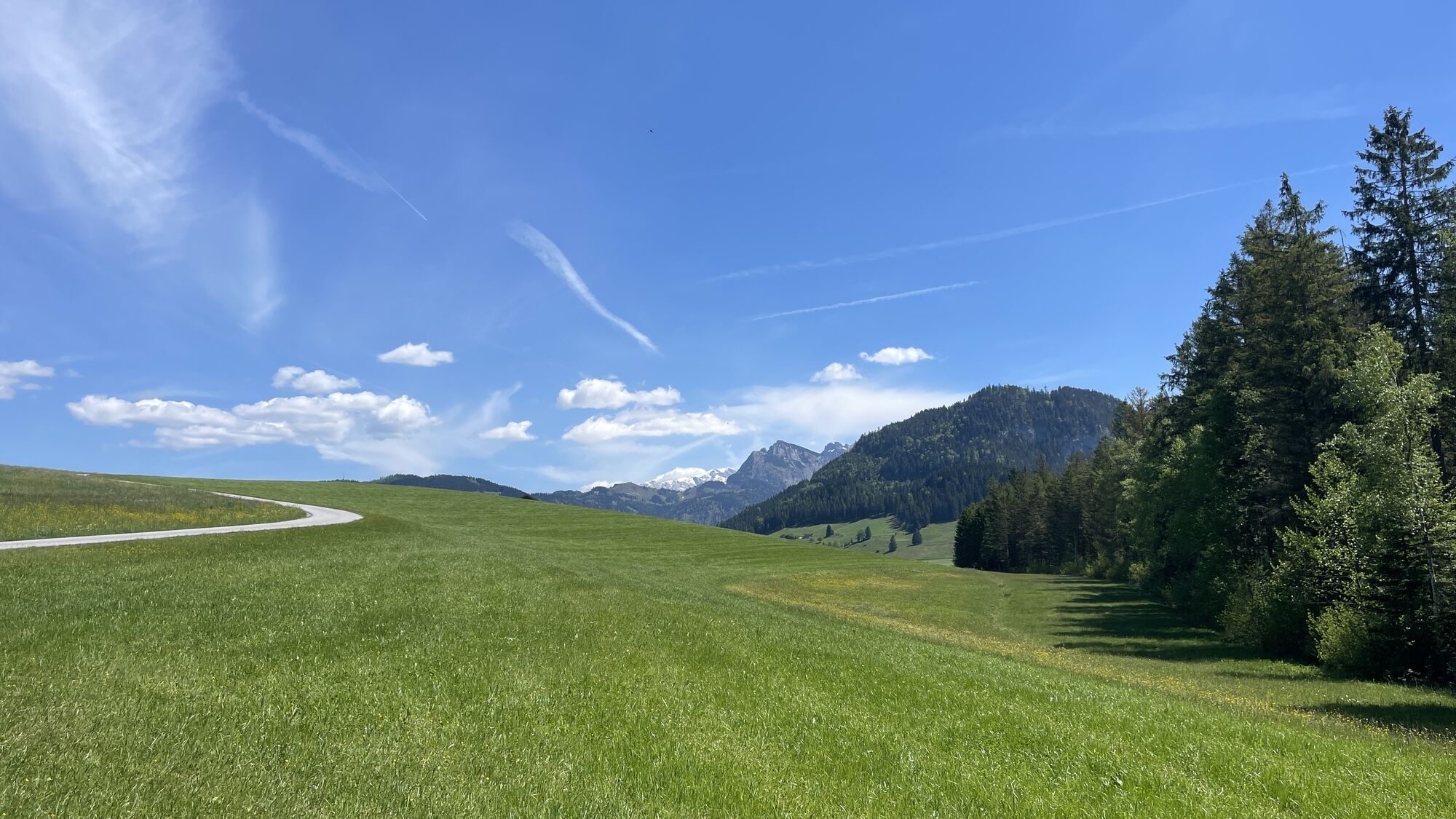
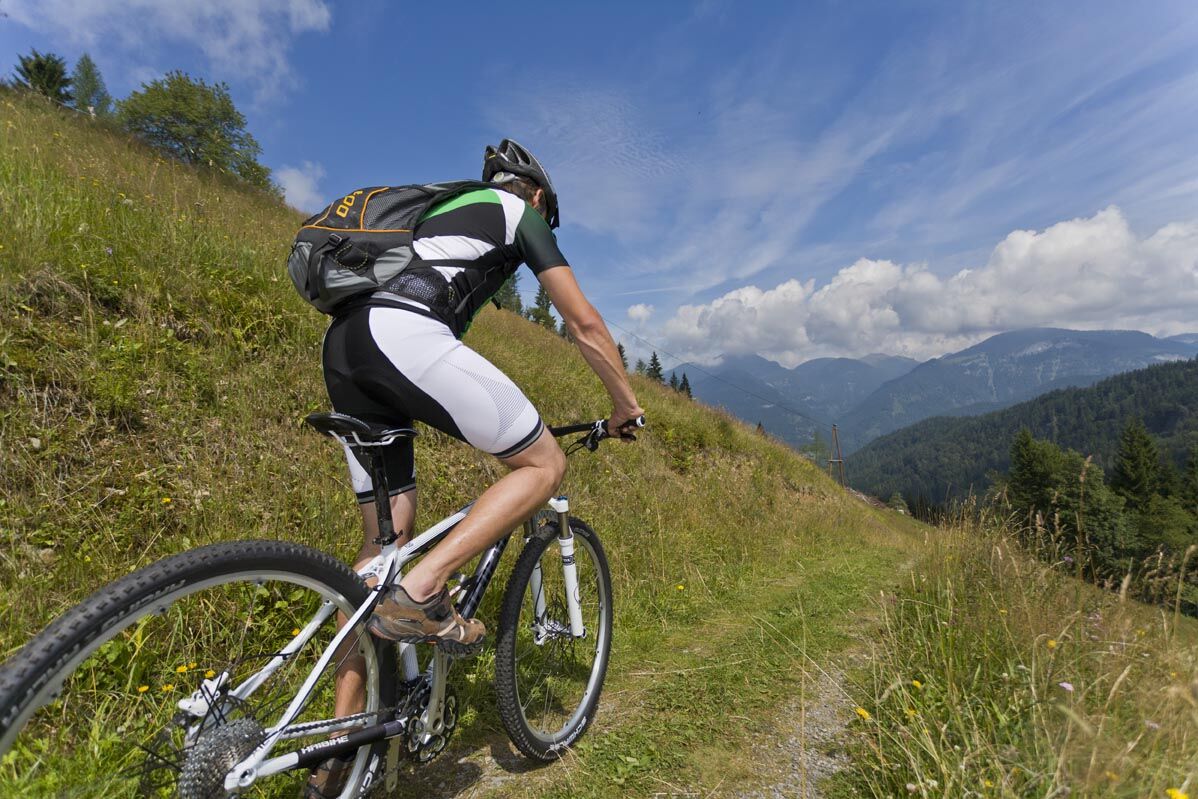
Varied mountain bike route to the sunny district Radochsberg. Both shady gravel roads and sunny, scenic high plateau characterize this route. This mountain bike route is also ideal for beginners.
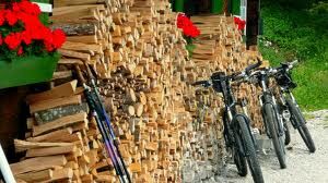
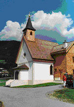
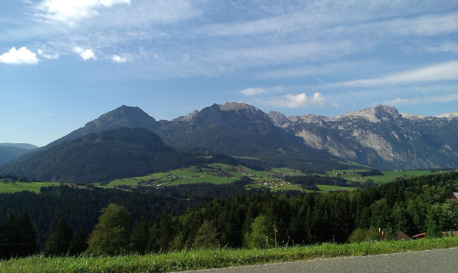

The route starts directly at the East car park. You ride the municipal road behind the car park uphill, which then continues flat. After 1.8 kilometers, turn left onto the Erlmoos farm road. Now downhill, keep left at the first farmhouse and follow the street. After about 1 kilometer, again at a farmhouse, ride steeply downhill to the right. Now follow this gravel road to the Lammer, which leads into an asphalt road. Turn left here over the bridge. At kilometer 5.9, there is a sawmill on the left side; turn right onto the farm road towards Klausegg.
Follow this road, first asphalt, later gravel, along the course of the Rigausbach stream. At kilometer 10.4, leave the road leading straight ahead to the right and follow it to the first farmhouses. Then continue on the asphalt road. After a short descent, at kilometer 12.5 you reach an intersection, turn left here. Always stay on this main path, which later leads slightly downhill. At an intersection (kilometer 15.0), keep left downhill. You pass a building materials dealer and follow the path on the right side of the Lammer river downstream. At kilometer 19.2 you reach the familiar intersection before the bridge. Now take the gravel road uphill on the left back to Abtenau.
Ano
Use appropriate mountain bike equipment and a crash helmet.
Beware of grazing cattle on the alpine pasture.
Observe the road traffic regulations.
Motorway A 10, exit Golling, on federal road B 162 towards Abtenau until Abtenau. Parking in the town center at East car park.
Postbus to Abtenau, stop "Abtenau Ortsmitte".
In Abtenau center, East car park
Mountain bike rental: Höll Trading Abtenau
Dining options: various cafés and restaurants at the market square Abtenau
Získejte přehled
Vždy živě na místě s více než 9 500 webkamerami. bergfex Jako uživatel Pro si nyní můžete zobrazit odpovídající webové kamery pro mnoho prohlídek v aplikaci prohlídky z. Můžete si tak přímo prohlédnout aktuální podmínky.
Oblíbené prohlídky v okolí
-
4.7
Schwarzer Berg / Golling
středníTuristika 2.54 km -
4.9
Tour around the Gosaukamm
středníTuristika 20.9 km -
4.9
From Rußbach over the Gamsfeld
heavyTuristika 11.5 km -
4.7
Tour around the Lake Gosau
světloTuristika 4.43 km -
4.8
Abtenau: Postalm circular route 2 - Labenberg & Pitscherberg alms - (IVV circular hiking trail)
světloTuristika 10.1 km -
4.1
Illinger Alm-Runde
středníTuristika 9.89 km -
4.4
Abtenau: Postalm circular route 3 - Wiesleralm and Postalm hut
středníTuristika 9.09 km -
4.8
Schwarzeneckalm-Bleckwand
světloTuristika 5.94 km -
4.8
Gennerhorn über Lämmerbach
středníTuristika 10.2 km -
4.7
Mühlenweg und Winnerfall Scheffau am Tennengebirge
středníTuristika 4.79 km
Pěší turistika a stopování


Nenechte si ujít nabídky a inspiraci pro vaši příští dovolenou
Vaše e-mailová adresa byl přidán do poštovního seznamu.





