


TG13 Karkogel-Gsengalm route
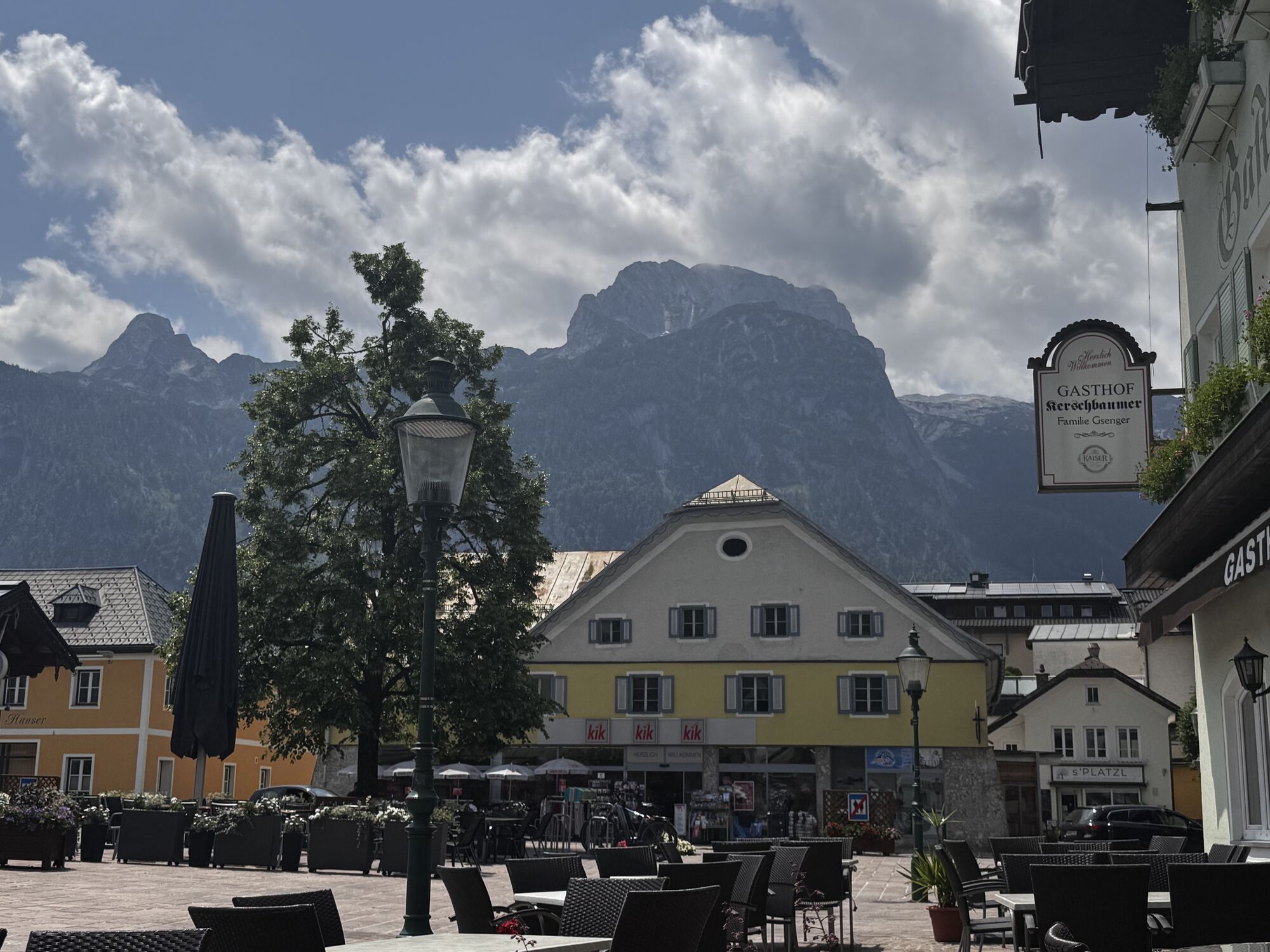
Wonderful mountain bike route from the town center in Abtenau to the north side of the Tennengebirge. Great view from the Karkogel mountain station over the Abtenau basin with the Osterhorn group in the...
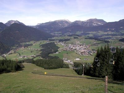
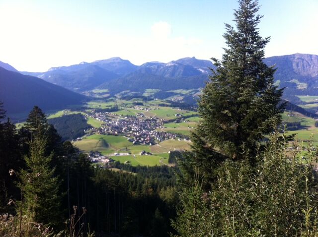
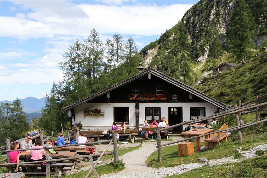
Wonderful mountain bike route from the town center in Abtenau to the north side of the Tennengebirge. Great view from the Karkogel mountain station over the Abtenau basin with the Osterhorn group in the background. The destination of the route is the rustic alpine club hut Gsengalm, which is open in the summer months.
The route starts directly at the East parking lot. Turn left onto the federal road towards the town exit and turn left at the Bärenstüberl onto a municipal road. Now slightly steeper uphill, soon you leave the town area and come back to the federal road. Continue on the parallel bike path to the "Fischbachstube."
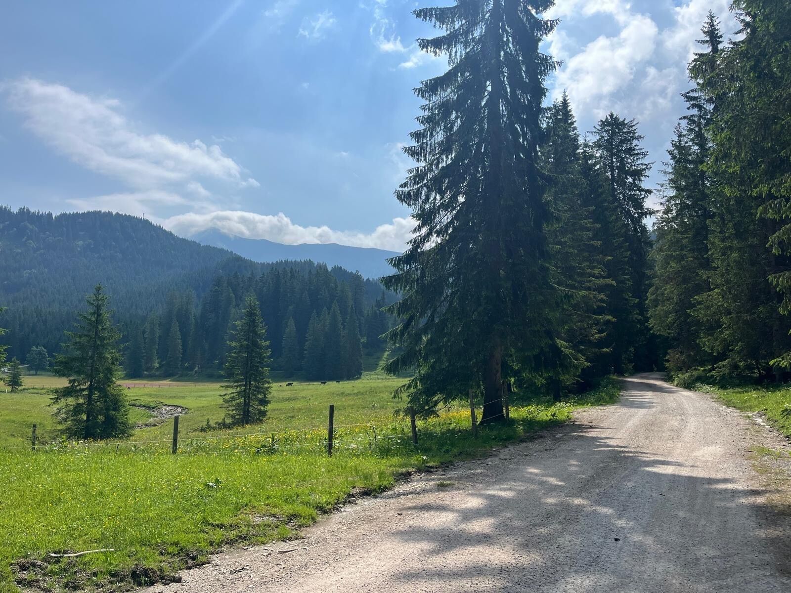
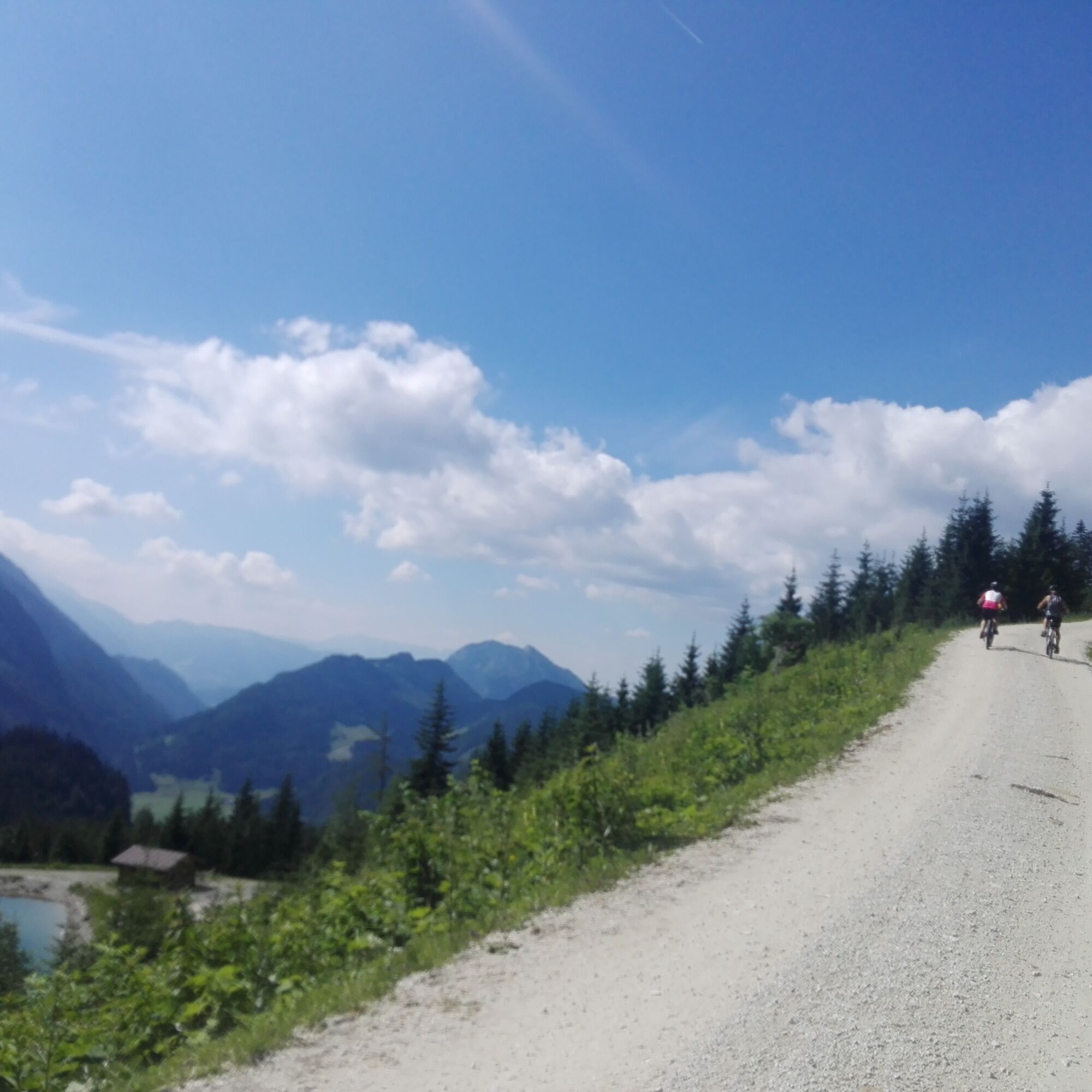
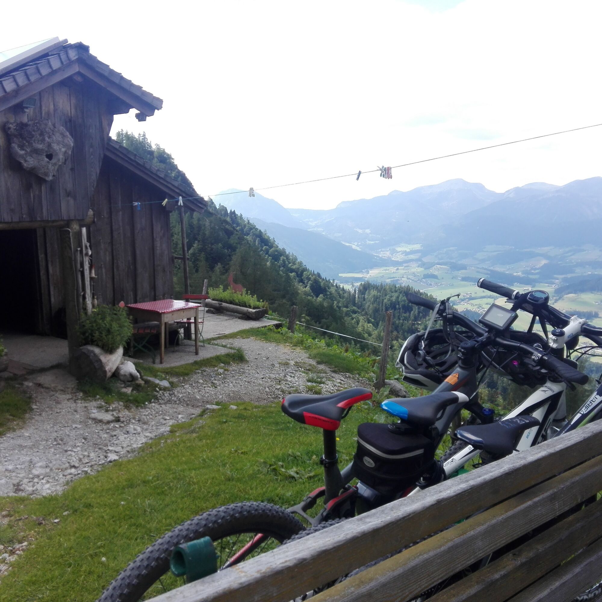
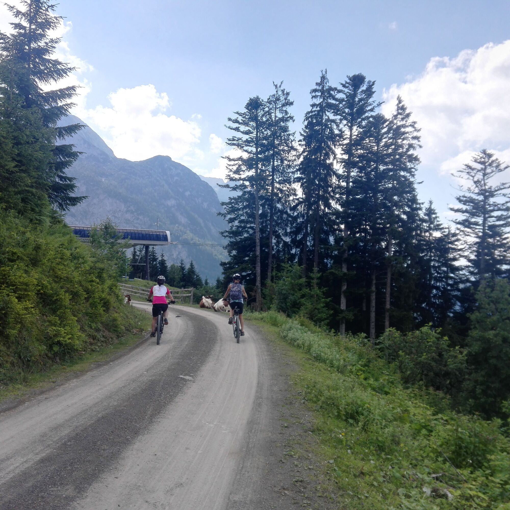
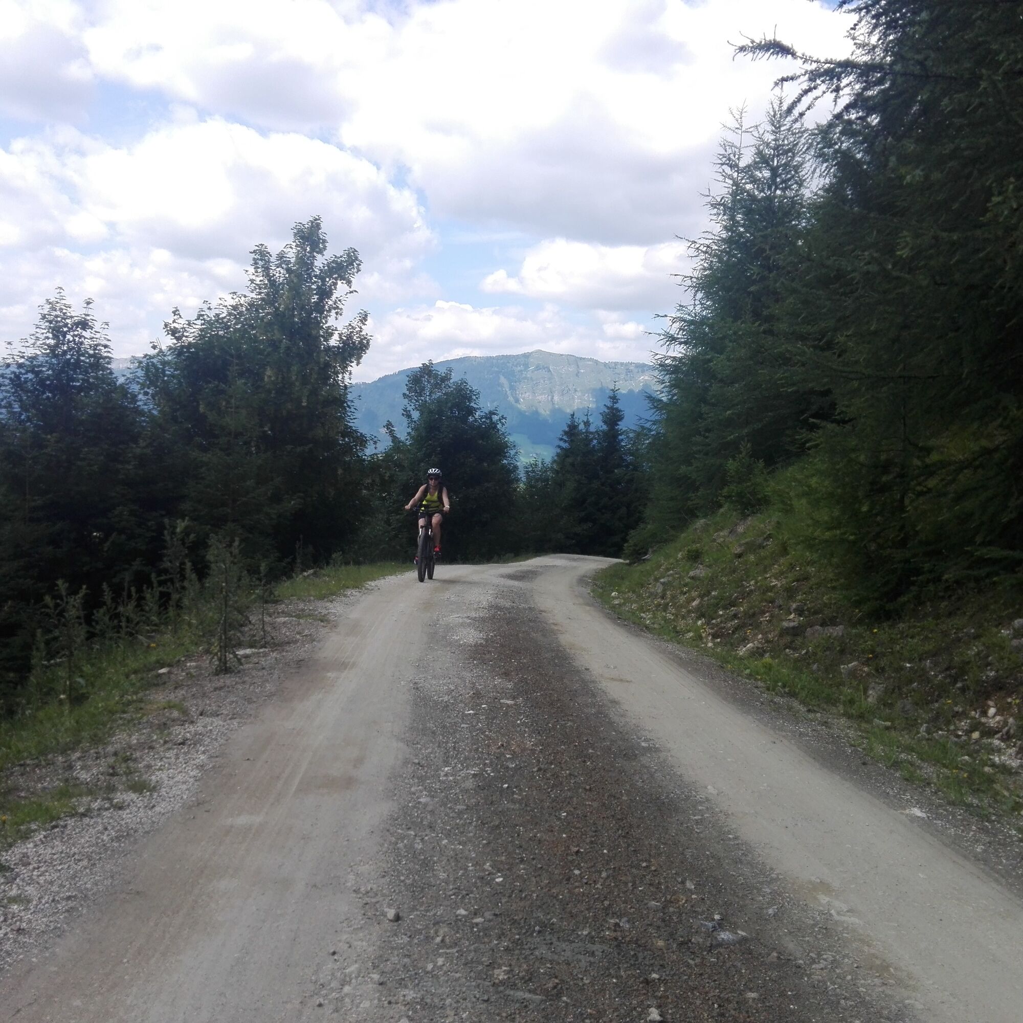
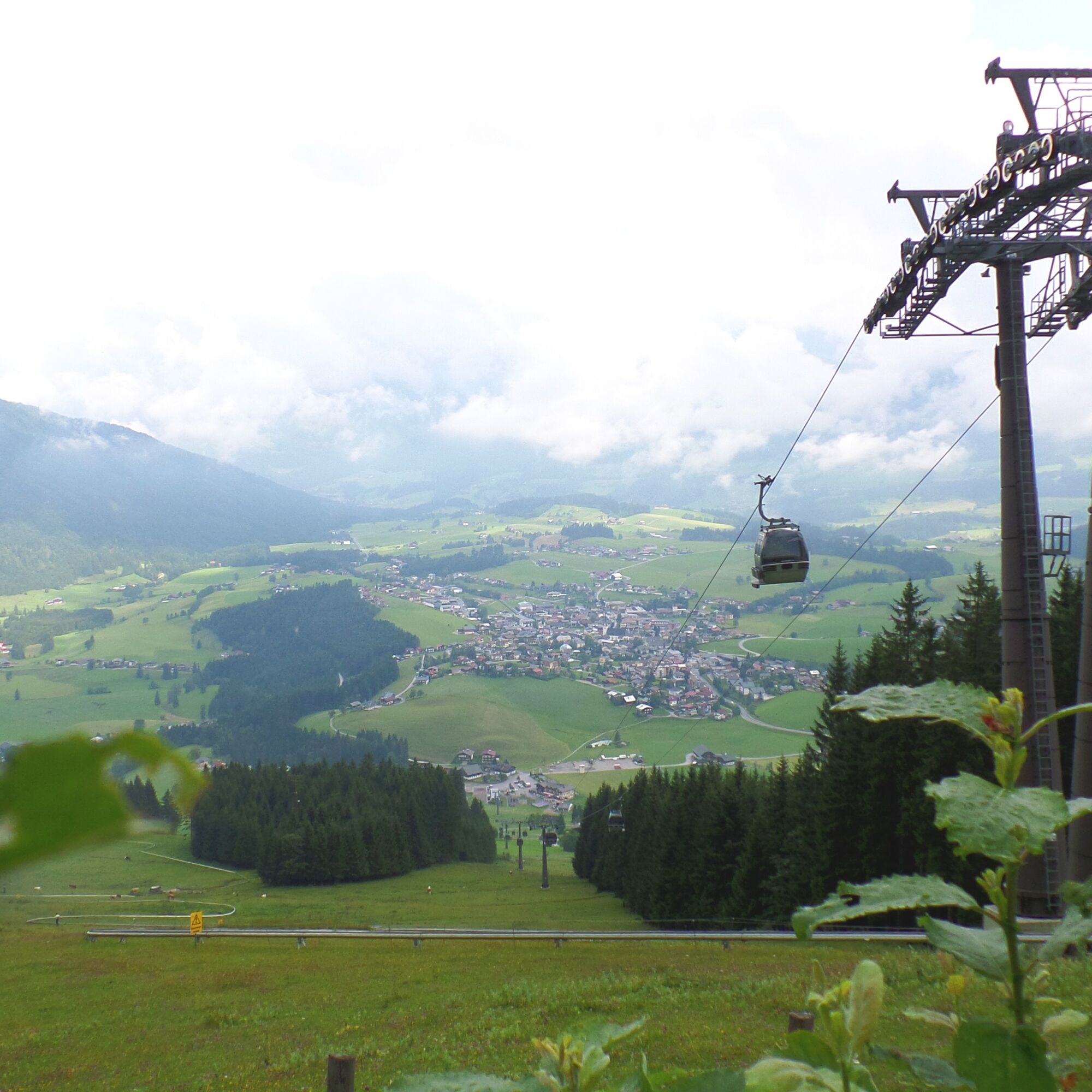
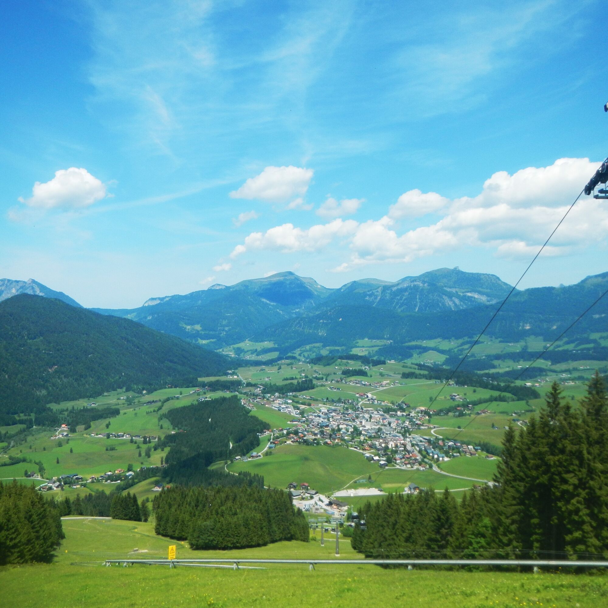
Cross the federal road directly after the former inn and follow the goods road towards Gsengalm. The first meters are still on asphalt, after 400 meters turn left onto a gravel road, always heading towards Gsengalm. At km 4.1, after a bridge, stay on the path going straight ahead. After another 300 meters, turn right at a junction and follow the path towards Karkogelhütte. After 2 km, you reach the Karkogelhütte. It is worth making the first rest here. The view from the terrace of the mountain restaurant over the Abtenau basin is fantastic.
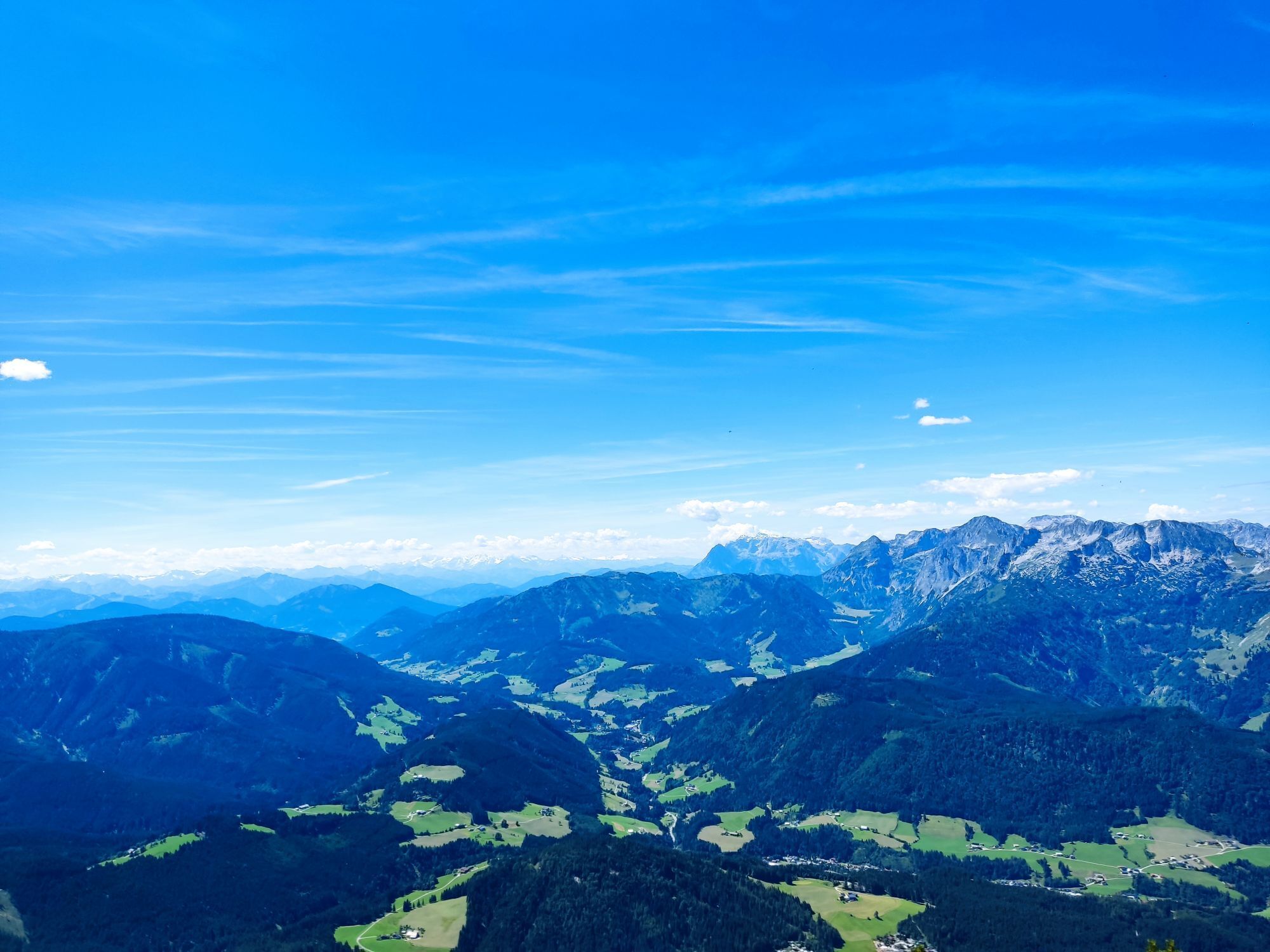
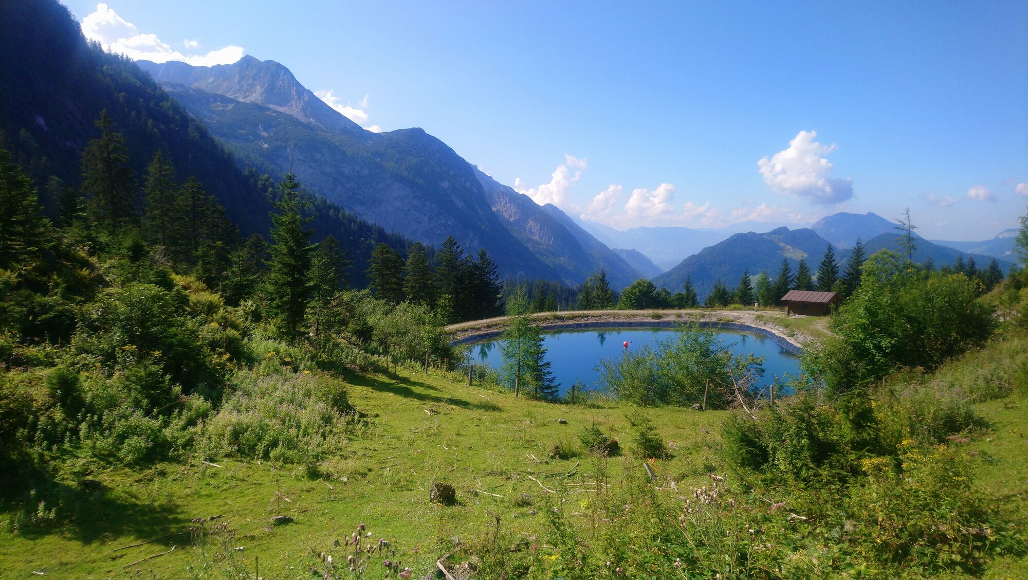
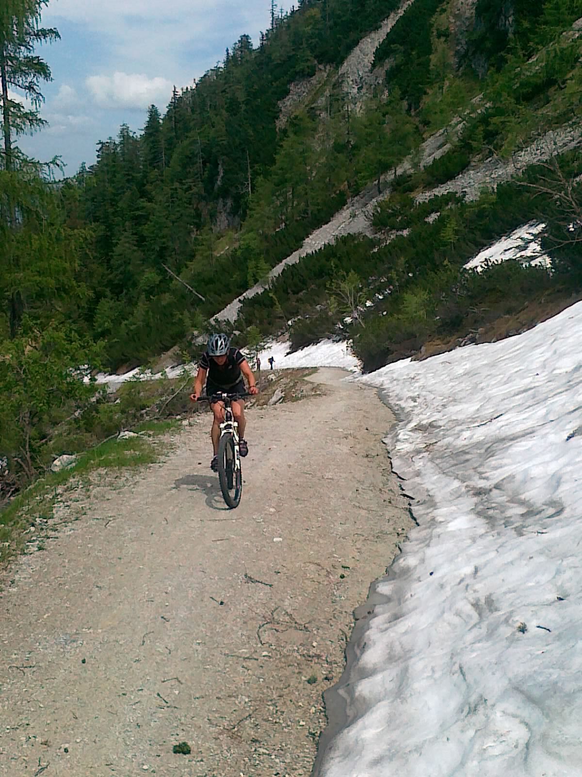
Continuing uphill, at km 7.1 you reach the Karkogel pond, also here a wonderful panoramic view of the Tennengebirge and the Hoher Göll. However, 250 vertical meters still have to be overcome until you reach the destination, the Gsengalm. The last meters to the hut show who still has strength left. You can already call yourself a very good biker if you don’t have to stand up on this ramp. But the view at the Gsengalm hut and the treats offered by the hostess Julinde make up for the effort of the climb. The return journey is on the approach path.
Ano
Use appropriate mountain bike equipment and a crash helmet.
Beware of grazing livestock on the alpine pasture.
Observe the traffic regulations.
Motorway A 10, exit Golling, on federal road B 162 towards Abtenau until Abtenau. Parking in the town center at the East parking lot.
Postbus to Abtenau, stop "Abtenau Ortsmitte".
In Abtenau center, East parking lot
Mountain bike rental: Höll Trading Abtenau
Dining options: Gsengalm, Karkogelhütte
Oblíbené prohlídky v okolí
- 4,7
Schwarzer Berg / Golling
středníTuristika 2,54 km - 4,9
Werfenweng Mountainbikerunde Söldenhütte
středníMountainbike 18,8 km - 4,8
Tour around the Gosaukamm
středníTuristika 20,9 km - 4,7
Tour around the Lake Gosau
světloTuristika 4,43 km - 4,5
Adamekhütte vom Vorderen Gosausee
středníTuristika 23,2 km - 4,7
Mühlenweg und Winnerfall Scheffau am Tennengebirge
středníTuristika 4,79 km - 4,6
Donnerkogel vom Gosausee mit Intersport Klettersteig C/D und Himmelsleiter
heavyVia ferrata 7,70 km - 4,4
Hornspitz von Russbach
středníLyžařská trasa 6,93 km - 4,7
Rinnkogel Gipfelwanderungen
heavyTuristika 10,7 km - 4,9
From Rußbach over the Gamsfeld
heavyTuristika 11,5 km
Pěší turistika a stopování


Nenechte si ujít nabídky a inspiraci pro vaši příští dovolenou
Vaše e-mailová adresa byl přidán do poštovního seznamu.