Navigace na stránkách
Pořiďte si tuto prohlídku do mobilního telefonu
Mapa
🛣️ Bike tour to Maria Alm & Saalfelden

světlo
Mountainbike
45.63 km
Naskenujte QR kód a spusťte navigaci v aplikaci bergfex.
QR Code
Pěší turistika a stopování
Stáhnout pro iOS
Stáhnout pro Android

🛣️ Bike tour to Maria Alm & Saalfelden
Vzdálenost
45.6 km
Doba trvání
03:25 h
Ascent
227 hm
Hladina moře
710 - 850 m
Stažení skladby
Mapa
🛣️ Bike tour to Maria Alm & Saalfelden
světlo
Mountainbike
45.63 km

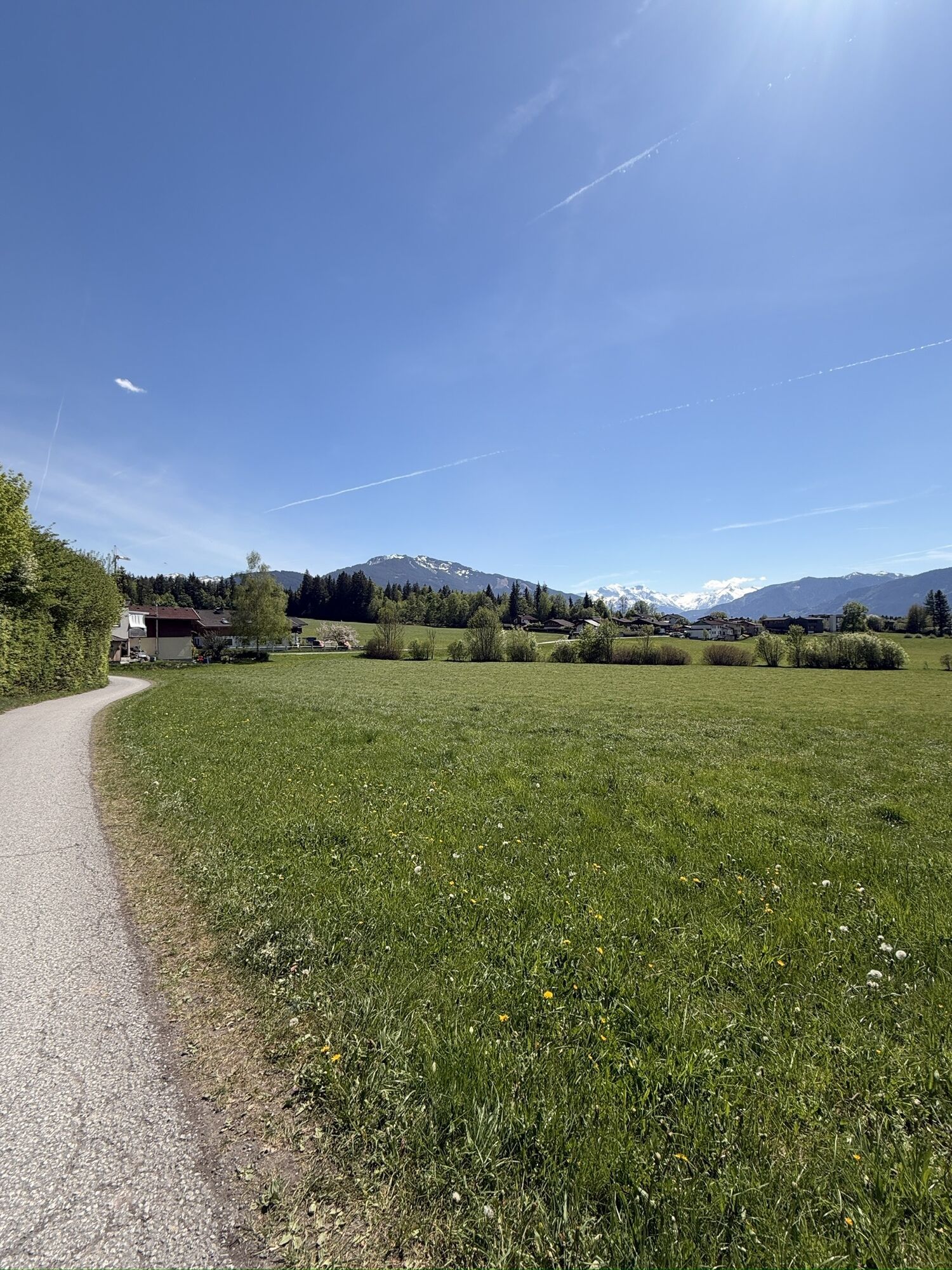
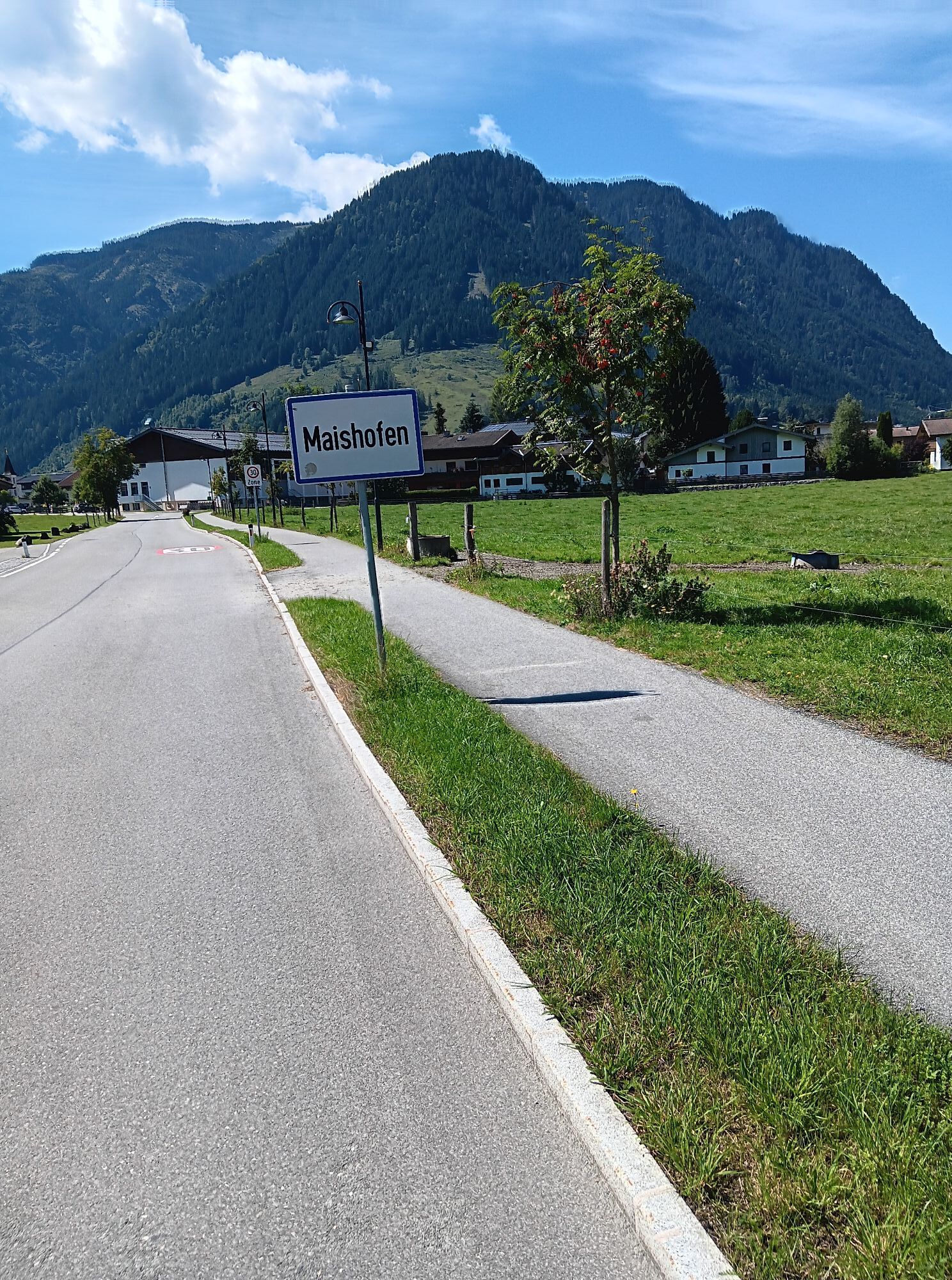
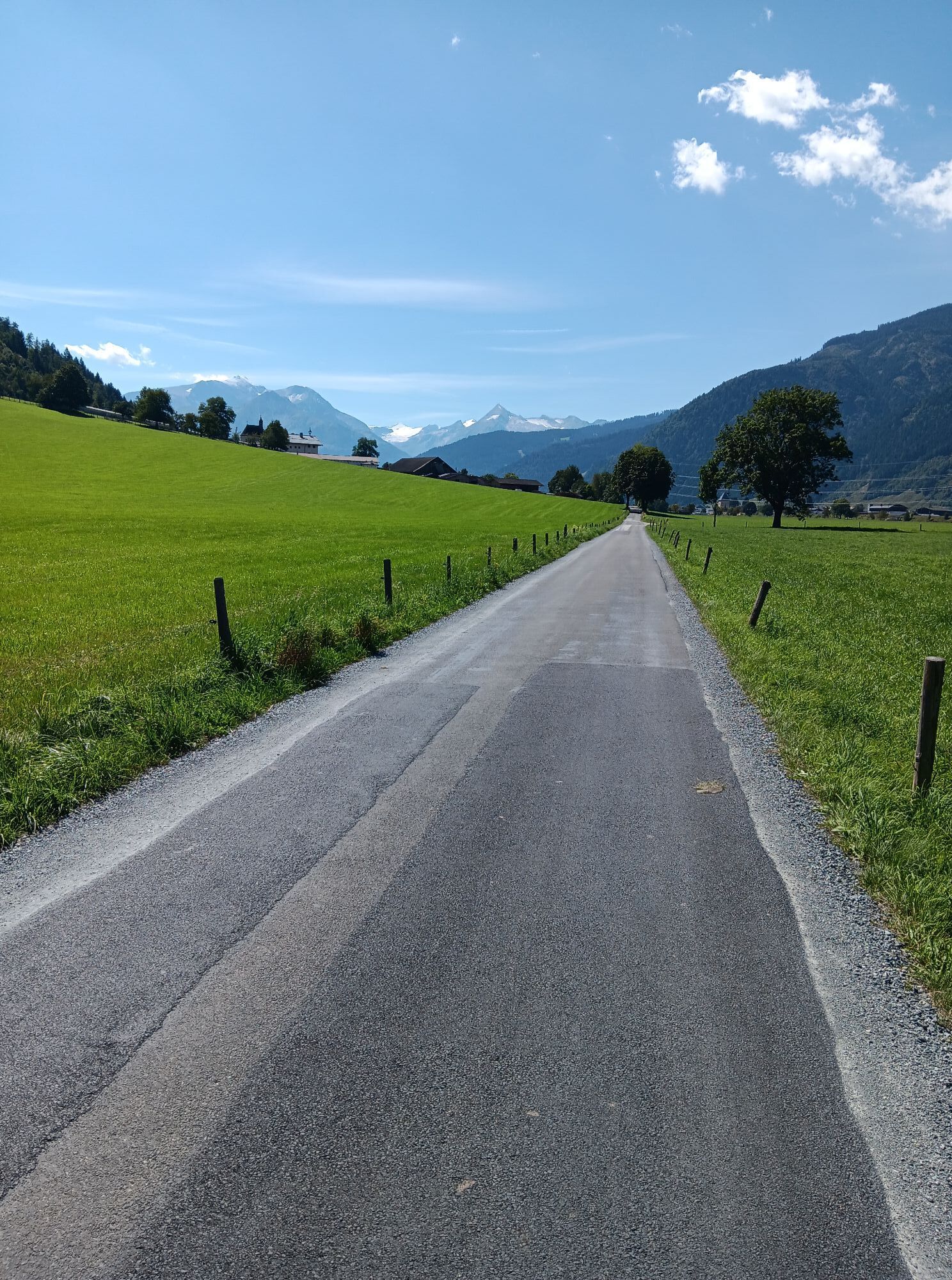
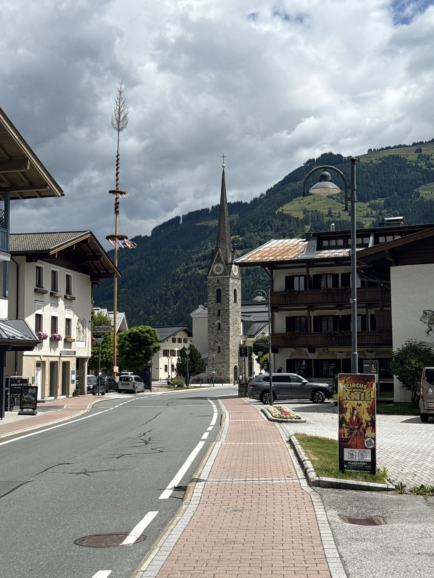
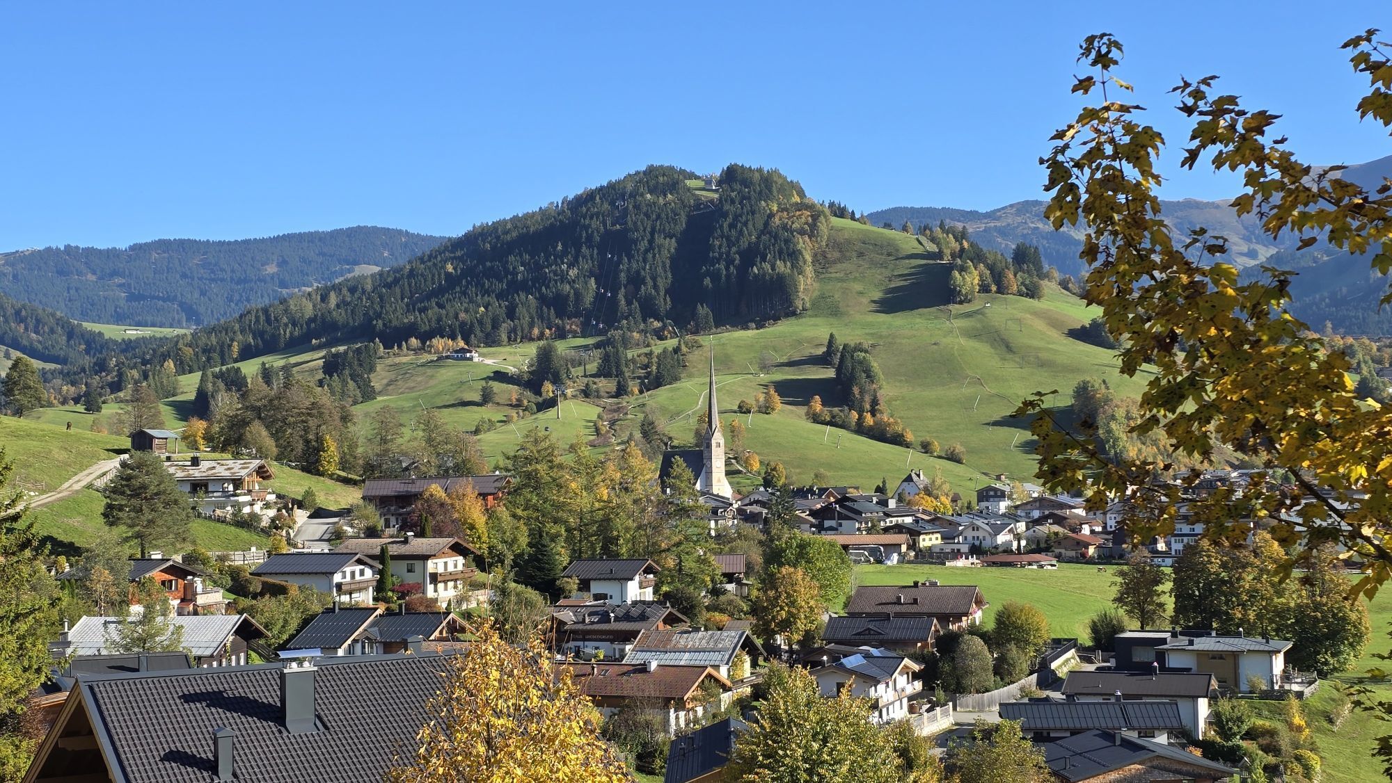
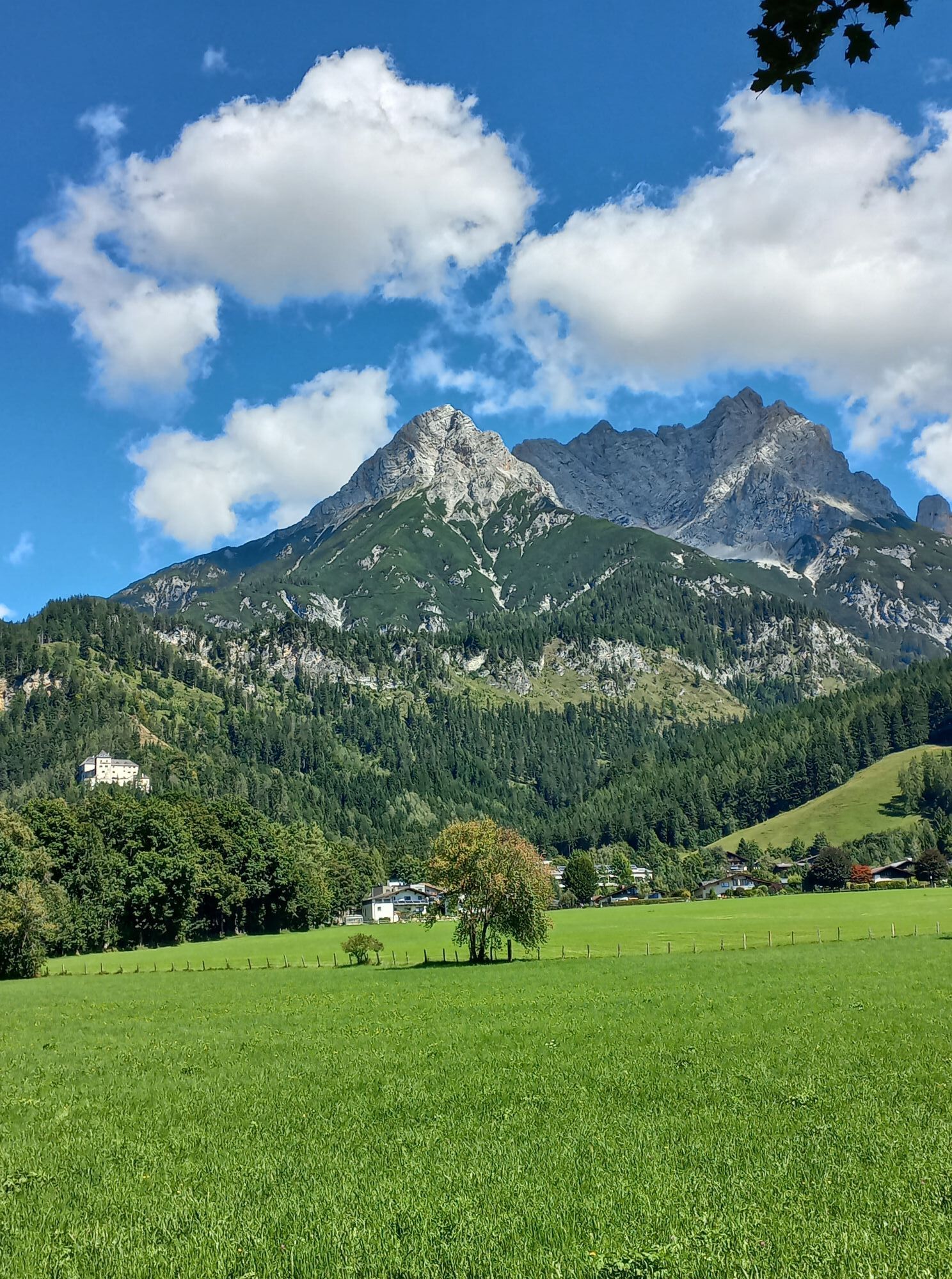
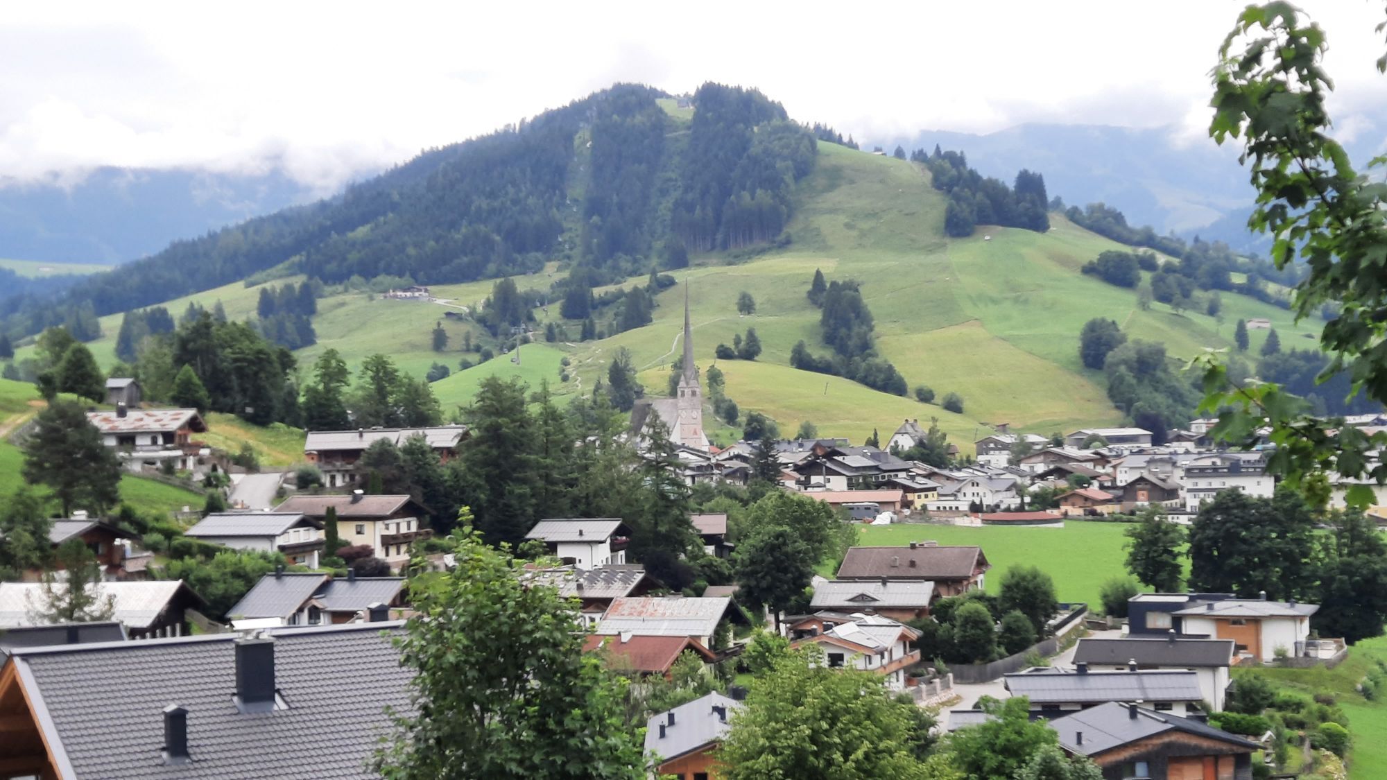
From Viehhofen to Castle Kammer in Maishofen. Left to Oberhaus and further, slightly uphill, to Gerling. In a slight uphill and downhill, bike via Ruhgassing to Hof. Shortly after Hof turn right to Almdorf...

Popis
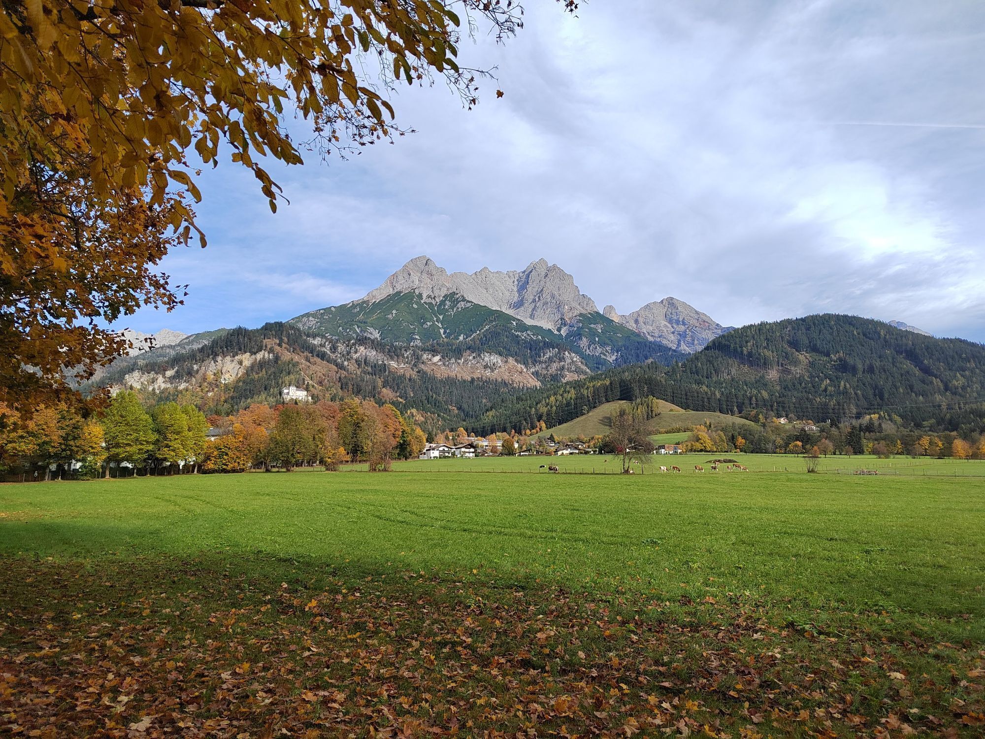
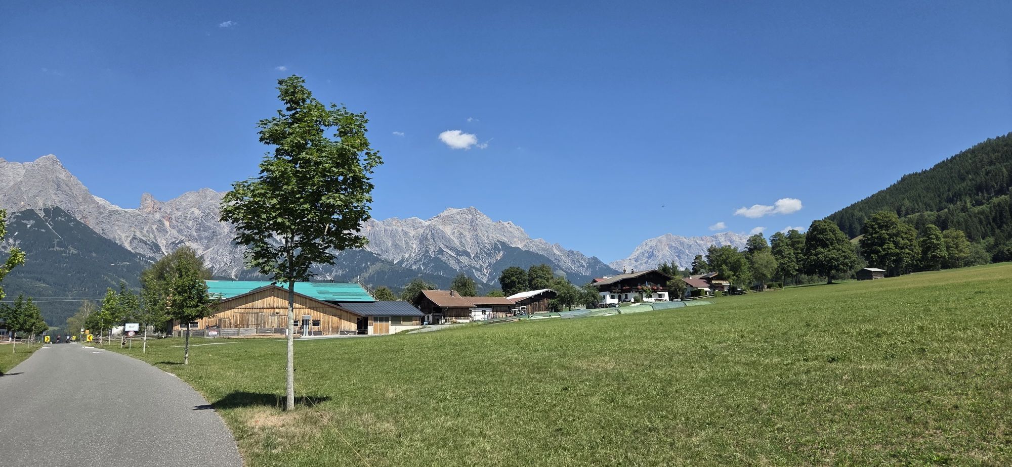
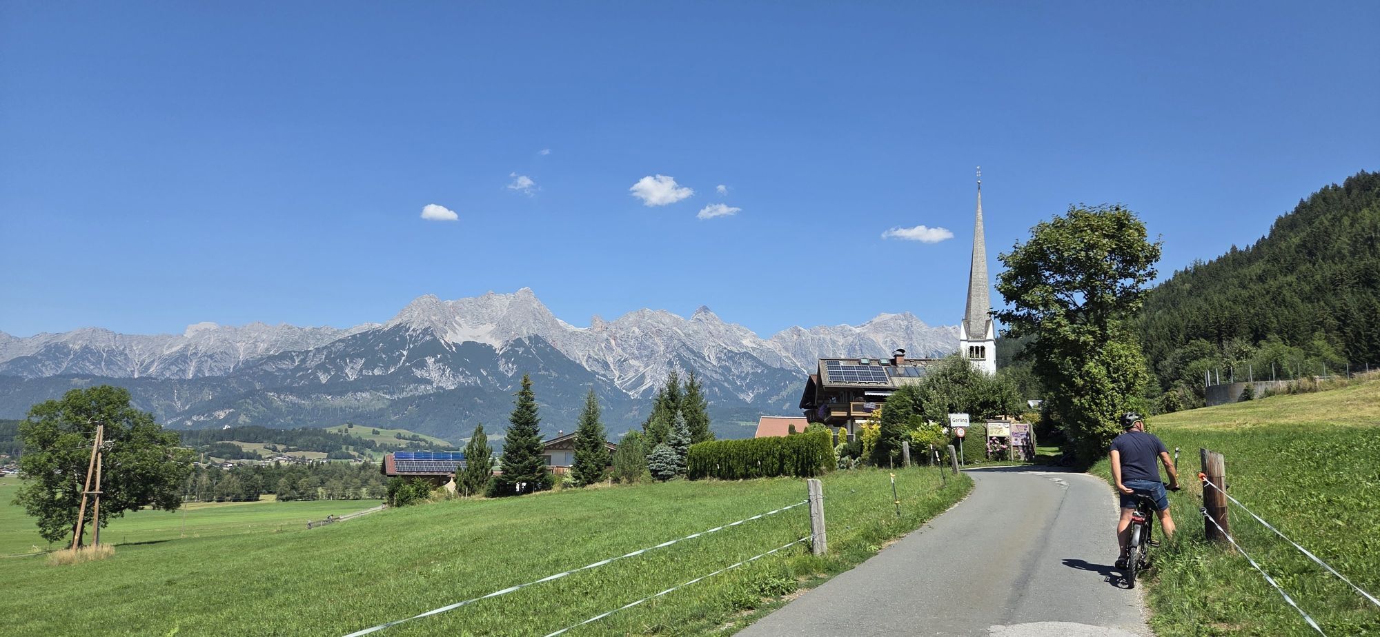
From Viehhofen to Castle Kammer in Maishofen. Left to Oberhaus and further, slightly uphill, to Gerling. In a slight uphill and downhill, bike via Ruhgassing to Hof. Shortly after Hof turn right to Almdorf and Maria Alm. In Maria Alm take the Dorfstraße and then turn off in the direction of Gasteg via Rain and Ramseiden to Saalfelden.


Turn right at the barracks and take the Tauernradweg again. Through the districts of Bachwinkl and Wiesing. At Wiesing continue under the main road and through Euring and Lenzing. In Lenzing turn left at the church and follow the road. Through the underpass and turn sharp left onto the cycle path. Continue on the bike path to Saalfelden. In front of the train station, cross the tracks to the right. After the train station, turn right onto the street. After approx. 750 m at the main road, turn right onto the bike path. Via Harham, Bergern and Neunbrunnen to Maishofen and on the Glemmtal cycle path back to Viehhofen.

Trasa
Unseren lieben Frau Geburt
(767 m)
Místo konání bohoslužeb
6.0 km
Hl. Gotthard
(778 m)
Místo konání bohoslužeb
10.0 km
Kapelle
(816 m)
Místo konání bohoslužeb
17.4 km
Saalfelden am Steinernen Meer
(748 m)
Město
22.4 km
Serbisch-orthodoxe Kirche
(758 m)
Místo konání bohoslužeb
23.0 km
Türkisch Islamische Union
(726 m)
Místo konání bohoslužeb
31.7 km
Harham
(798 m)
Vesnice
35.4 km
Trasa
Mapa
🛣️ Bike tour to Maria Alm & Saalfelden
světlo
Mountainbike
45.63 km
Viehhofen
(852 m)
Vesnice
0.0 km
Glemmerhof
(813 m)
Restaurace
2.5 km
Atzing
(769 m)
Vesnice
5.6 km
Unseren lieben Frau Geburt
(767 m)
Místo konání bohoslužeb
6.0 km
Maishofen
(768 m)
Vesnice
6.0 km
Stiegerschlössl
(766 m)
Restaurace
6.3 km
Oberhaus
(757 m)
Koridor/terén
9.3 km
Gerling
(783 m)
Vesnice
10.0 km
Hl. Gotthard
(778 m)
Místo konání bohoslužeb
10.0 km
Ruhgassing
(761 m)
Vesnice
11.1 km
Deuting
(775 m)
Vypořádání
11.8 km
Hof
(777 m)
Vypořádání
12.6 km
Almdorf
(781 m)
Vypořádání
14.0 km
Almdorfkapelle - Ortskapelle hl. Anna
(781 m)
Místo konání bohoslužeb
14.1 km
Maria Alm am Steinernen Meer
(802 m)
Vesnice
16.5 km
Kapelle
(816 m)
Místo konání bohoslužeb
17.4 km
Schinking
(817 m)
Vypořádání
18.0 km
Rain
(790 m)
Vypořádání
19.3 km
Ramseiden
(779 m)
Vesnice
20.7 km
Feichtenkapelle
(781 m)
Místo konání bohoslužeb
20.8 km
Saalfelden am Steinernen Meer
(748 m)
Město
22.4 km
Serbisch-orthodoxe Kirche
(758 m)
Místo konání bohoslužeb
23.0 km
Obsmarkt
(773 m)
Vesnice
23.1 km
Pabing
(756 m)
Sousedství
23.8 km
Bachwinkl
(803 m)
Vesnice
24.6 km
Marzon
(712 m)
Vypořádání
26.4 km
Euring
(715 m)
Vesnice
27.5 km
Lenzing
(721 m)
Vesnice
28.2 km
Saalfelden am Steinernen Meer
(748 m)
Město
31.1 km
Türkisch Islamische Union
(726 m)
Místo konání bohoslužeb
31.7 km
Biberg
(739 m)
Vypořádání
32.2 km
Kehlbach
(750 m)
Vypořádání
32.6 km
Schreder
(769 m)
Vypořádání
33.2 km
Weikersbach
(764 m)
Vesnice
34.8 km
Harham
(798 m)
Vesnice
35.4 km
Lahntal
(787 m)
Vypořádání
37.2 km
Familienhotel Bad Neunbrunnen am Waldsee
(769 m)
Restaurace
38.4 km
Glemmerhof
(813 m)
Restaurace
43.0 km
Viehhofen
(852 m)
Vesnice
45.6 km
Informace o prohlídce

Comfortable bike 🚲 (road bike & e-bike) tour to Maria Alm and Saalfelden

Technologie
n.a.
Stav
2 / 6
Krajina
5 / 6
Zkušenosti
3 / 6
Nejlepší roční období
Led
Úno
Bře
Dub
Kvě
Čen
Čec
Srp
Zář
Říj
Lis
Pro
Sdílet prohlídku
Mapa
🛣️ Bike tour to Maria Alm & Saalfelden
světlo
Mountainbike
45.63 km
Chyba
Došlo k chybě. Zkuste to prosím znovu.
Informace o trase
Trasa
From Viehhofen to Castle Kammer in Maishofen. Left to Oberhaus and further, slightly uphill, to Gerling. In a slight uphill and downhill, bike via Ruhgassing to Hof. Shortly after Hof turn right to Almdorf and Maria Alm. In Maria Alm take the Dorfstraße and then turn off in the direction of Gasteg via Rain and Ramseiden to Saalfelden.


Turn right at the barracks and take the Tauernradweg again. Through the districts of Bachwinkl and Wiesing. At Wiesing continue under the main road and through Euring and Lenzing. In Lenzing turn left at the church and follow the road. Through the underpass and turn sharp left onto the cycle path. Continue on the bike path to Saalfelden. In front of the train station, cross the tracks to the right. After the train station, turn right onto the street. After approx. 750 m at the main road, turn right onto the bike path. Via Harham, Bergern and Neunbrunnen to Maishofen and on the Glemmtal cycle path back to Viehhofen.

Vhodné pro invalidní vozíky

Ano

Další informace a tipy
Tipy
After a successful tour, a relaxing break at the Neubrunnen am See restaurant is highly recommended. Here you can unwind with delicious regional specialties and a magnificent lake view, bringing your tour to a delightful close.

-> https://www.neunbrunnen.at/hotel/

Pěší turistika a stopování

Pěší turistika a stopování

ke stažení pro iOSstáhnout pro Android
Pěší turistika a stopování
Více než 550.000 návrhů výletů, podrobné mapy a intuitivní plánovač tras dělají z aplikace nezbytnou výbavu pro všechny milovníky přírody.
bergfex