


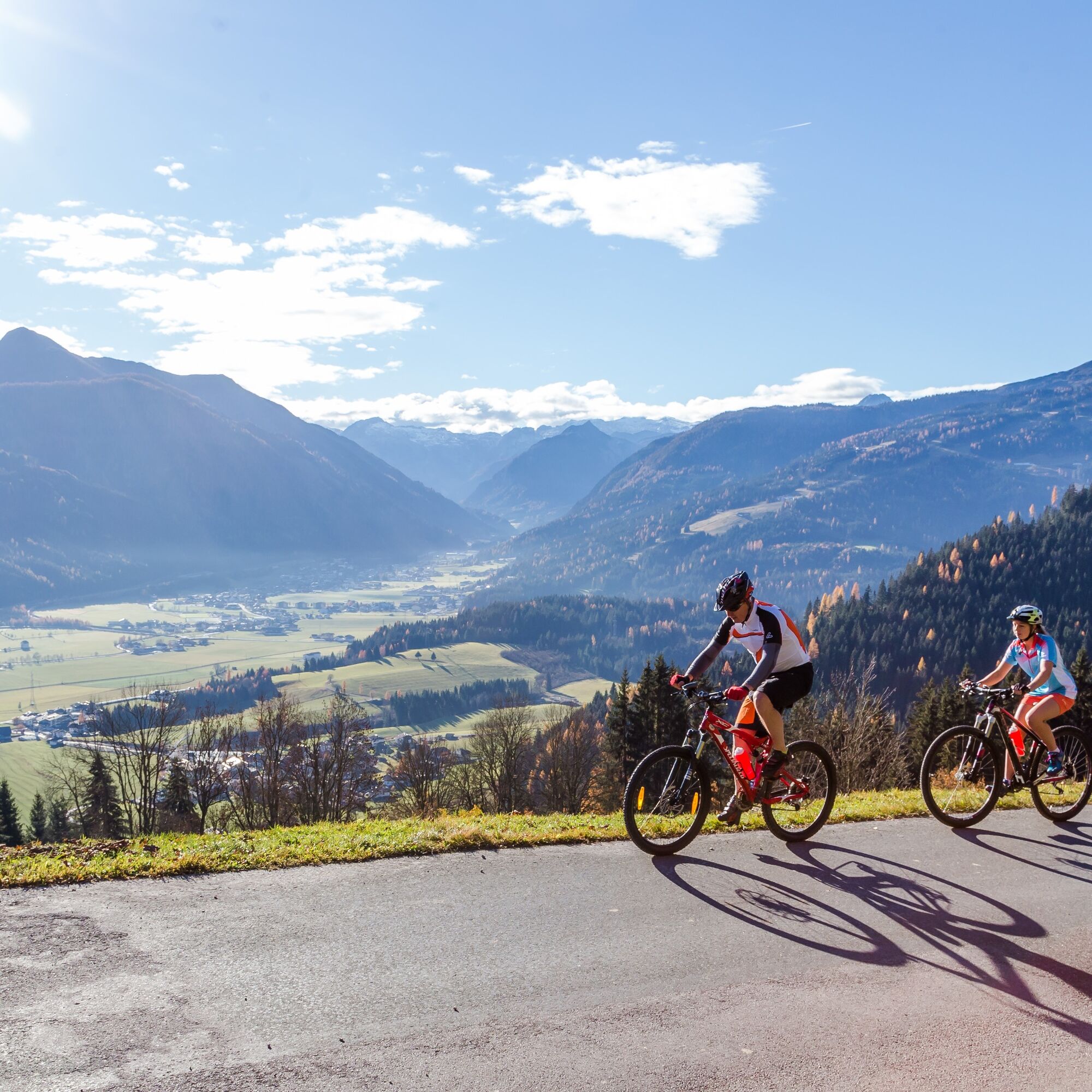
Aigenberg Loop (SW62)
The Aigenberg loop, with its almost 15 km, is a great route for in between. The views into the Enns valley over Flachau and Altenmarkt and of the surrounding mountains such as the Lackenkogel are among...
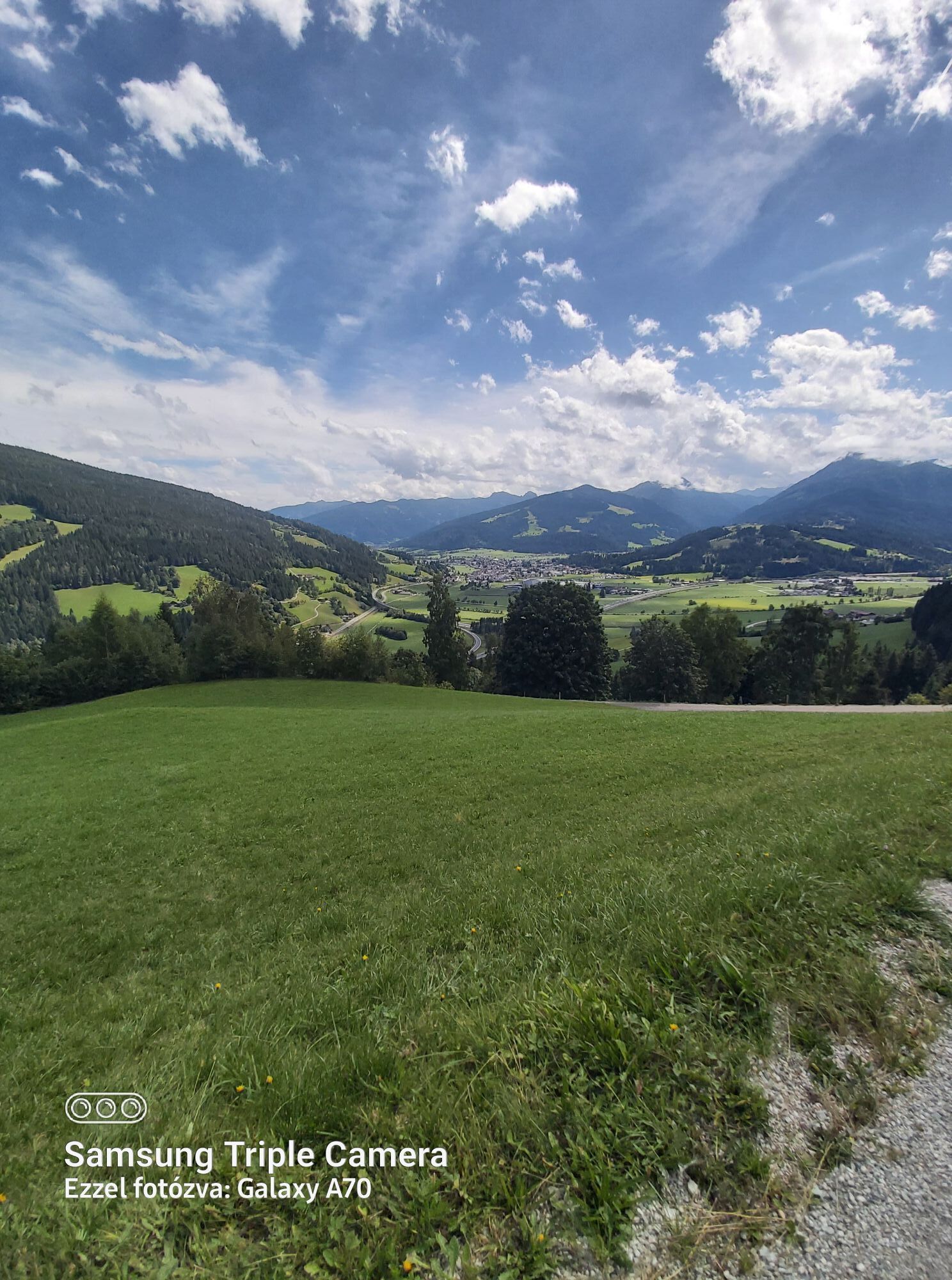
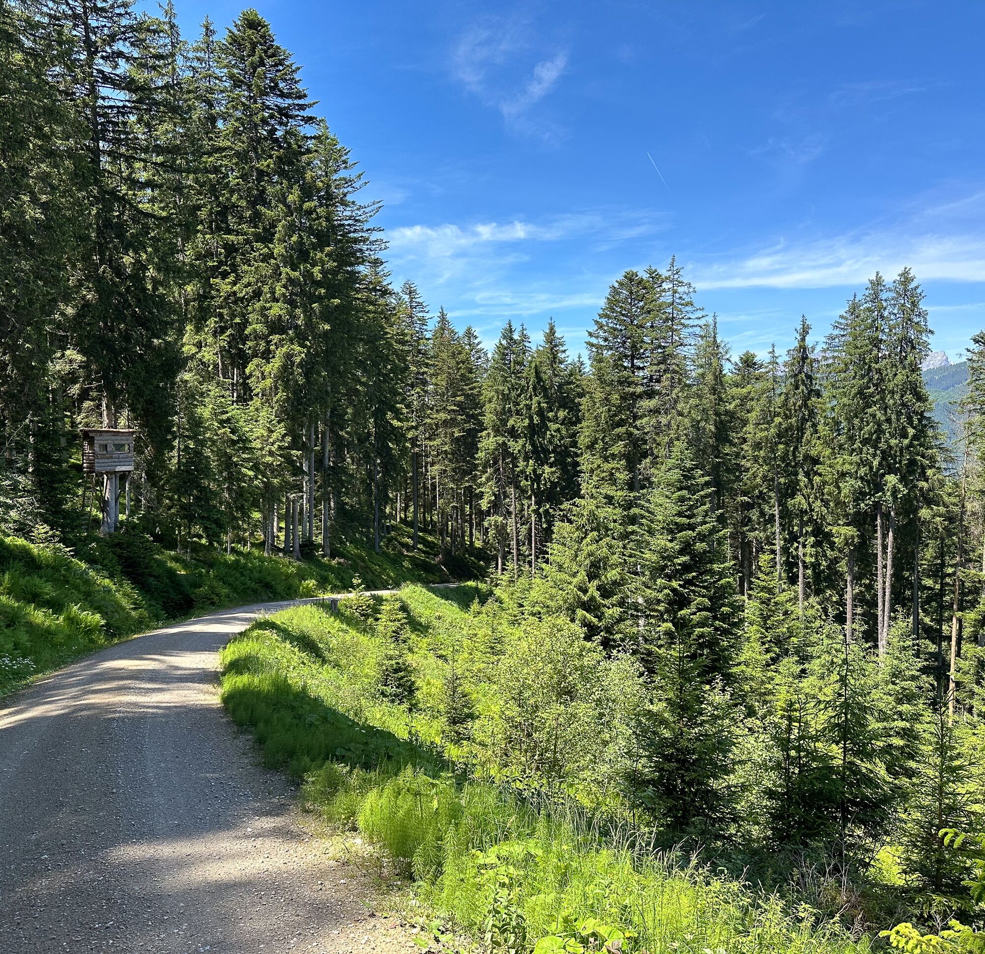
The Aigenberg loop, with its almost 15 km, is a great route for in between. The views into the Enns valley over Flachau and Altenmarkt and of the surrounding mountains such as the Lackenkogel are among the highlights of this circular route.

From the starting point at the monte popolo lift parking lot, head towards the center of Eben. Cross the railway crossing and follow the road to the next intersection. Turn left here towards the bathing lake and follow the road to the Seecamping Schneider. Keep left and then turn right onto the motorway overpass. Then turn left and at the next fork keep left. Upon reaching the Enns, turn right and follow the path to Ransburggasse. Turn right again there and at the next fork near the Aigenstadel snack bar turn right and follow route no. 62 according to the signs. Back in the valley, go through the motorway underpass back into the town and continue to the starting point.
Use is permitted at your own risk from May 1 to November 15 and in the period from 2 hours after sunrise to 1 hour before sunset.
A10 Tauern motorway exit 60 to Eben, then through the town center and further to the monte popolo parking lot
Train: The Eben im Pongau station is about a 10-minute walk from the starting point
Bus: The Reitlehenbahn bus stop is right at the starting point and is served by lines 270, 521, and 520.
The monte popolo lift parking lot is available free of charge all year round
The route can also be ridden in the opposite direction - however, this variant is somewhat more demanding.
Oblíbené prohlídky v okolí
-
4.3
Filzmoos: Rötelstein (Rettenstein)
Turistika 9.50 km -
4.6
Ski route Lackenkogel
středníLyžařská trasa 7.82 km -
4.9
Werfenweng Mountainbikerunde Söldenhütte
středníMountainbike 18.8 km -
4.3
Ski tour Red 8er Wagrain
středníLyžařská trasa 4.12 km -
5.0
Strimskogel-Runde
Turistika 13 km -
3.6
Salzburger Gipfelspiel: To the Gerzkopf and the Schwarzen Lacke
středníTuristika 8.39 km -
4.6
Wengerau - Tauernkogel - Eiskogel - Napf - Wengerau
středníVysokohorská turistika 15.5 km -
4.2
Ennskraxn (2410m)
heavyTuristika 14.7 km -
4.2
Von Wengerau zur Söldenhütte
světloTuristika 5.20 km -
4.5
Penkkopf via Kleinarler hut from Kleinarl
středníLyžařská trasa 4.35 km
Pěší turistika a stopování


Nenechte si ujít nabídky a inspiraci pro vaši příští dovolenou
Vaše e-mailová adresa byl přidán do poštovního seznamu.