


Almenwelt Lofer Circuit
Fotografie našich uživatelů
-

 © AlpenFuchsVytvořeno dne 18.09.2025
 -
 © AlpenFuchsVytvořeno dne 18.09.2025
 -
 © AlpenFuchsVytvořeno dne 18.09.2025
 -
 © AlpenFuchsVytvořeno dne 18.09.2025
 -
 © AlpenFuchsVytvořeno dne 18.09.2025
 -
 © AlpenFuchsVytvořeno dne 18.09.2025
 -

 © Friedrich ReicherVytvořeno dne 06.09.2025
 -
 © Friedrich ReicherVytvořeno dne 06.09.2025
 -
 © Friedrich ReicherVytvořeno dne 06.09.2025
 -
 © Friedrich ReicherVytvořeno dne 06.09.2025
 -
 © Friedrich ReicherVytvořeno dne 06.09.2025
 -
 © Friedrich ReicherVytvořeno dne 06.09.2025
 -
 © Friedrich ReicherVytvořeno dne 06.09.2025
 -
 © Friedrich ReicherVytvořeno dne 06.09.2025
 -
 © Matej Mikus 1Vytvořeno dne 14.05.2025
 -
 © Matej Mikus 1Vytvořeno dne 14.05.2025
 -
 © Glaszhutter IvettVytvořeno dne 18.09.2025
 -
 © Glaszhutter IvettVytvořeno dne 18.09.2025
 -
 © Jarosław WąsielVytvořeno dne 25.02.2026
 -
 © PhKaufmannVytvořeno dne 19.02.2026
 -
 © PhKaufmannVytvořeno dne 19.02.2026
 -
 © Silas ScheinertVytvořeno dne 07.02.2026
 -
 © Jonah SchindlerVytvořeno dne 28.01.2026
 -
 © nordsee.fanVytvořeno dne 21.01.2026
 -
 © Sam de ManVytvořeno dne 13.01.2026
 -
 © Sam de ManVytvořeno dne 13.01.2026
 -
 © Michael RohrmoserVytvořeno dne 23.10.2025
 -

 © Simon ZelderVytvořeno dne 18.10.2025
 -
 © Peter De Smedt2Vytvořeno dne 07.10.2025
 -
 © Peter De Smedt2Vytvořeno dne 07.10.2025
 -
 © Peter De Smedt2Vytvořeno dne 07.10.2025
 -
 © Peter De Smedt2Vytvořeno dne 07.10.2025
 -
 © Peter De Smedt2Vytvořeno dne 07.10.2025
 -
 © Levian Cassiel SzelagVytvořeno dne 19.08.2025
 -
 © Levian Cassiel SzelagVytvořeno dne 19.08.2025
 -
 © Levian Cassiel SzelagVytvořeno dne 19.08.2025
 -
 © Levian Cassiel SzelagVytvořeno dne 19.08.2025
 -
 © Ralf HilprechtVytvořeno dne 15.07.2025
 -
 © Ralf HilprechtVytvořeno dne 15.07.2025
 -
 © Ralf HilprechtVytvořeno dne 15.07.2025
 -
 © Ralf HilprechtVytvořeno dne 14.07.2025
 -
 © Ralf HilprechtVytvořeno dne 14.07.2025
 -
 © Ralf HilprechtVytvořeno dne 14.07.2025
 -
 © Ralf HilprechtVytvořeno dne 14.07.2025
 -
 © Ralf HilprechtVytvořeno dne 14.07.2025
 -
 © Ralf HilprechtVytvořeno dne 08.07.2024
 -
 © Ralf HilprechtVytvořeno dne 08.07.2024
 -
 © Ralf HilprechtVytvořeno dne 08.07.2024
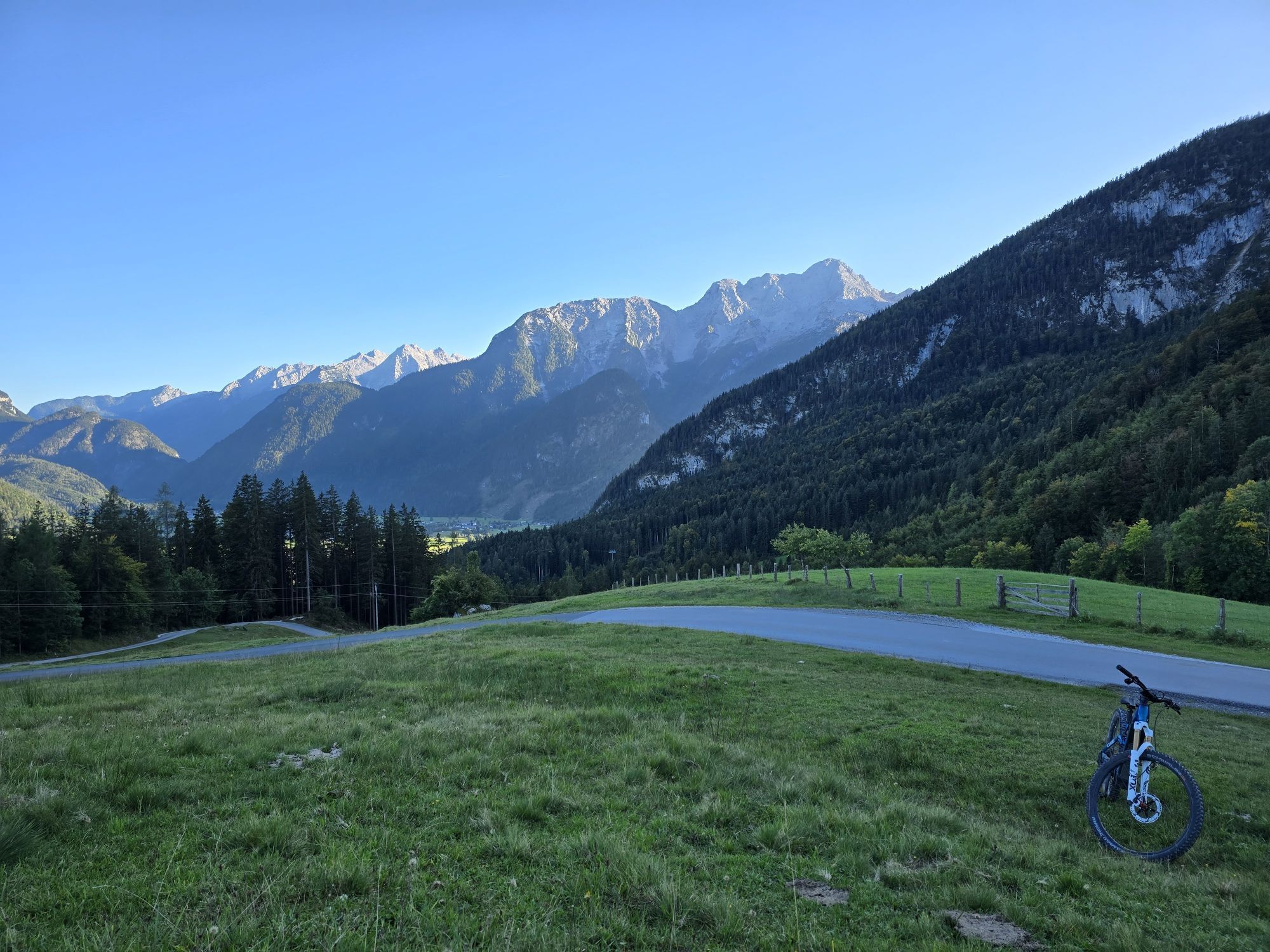


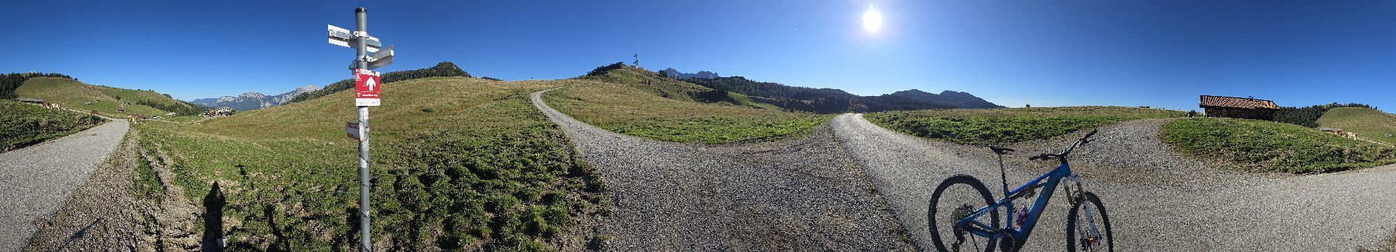
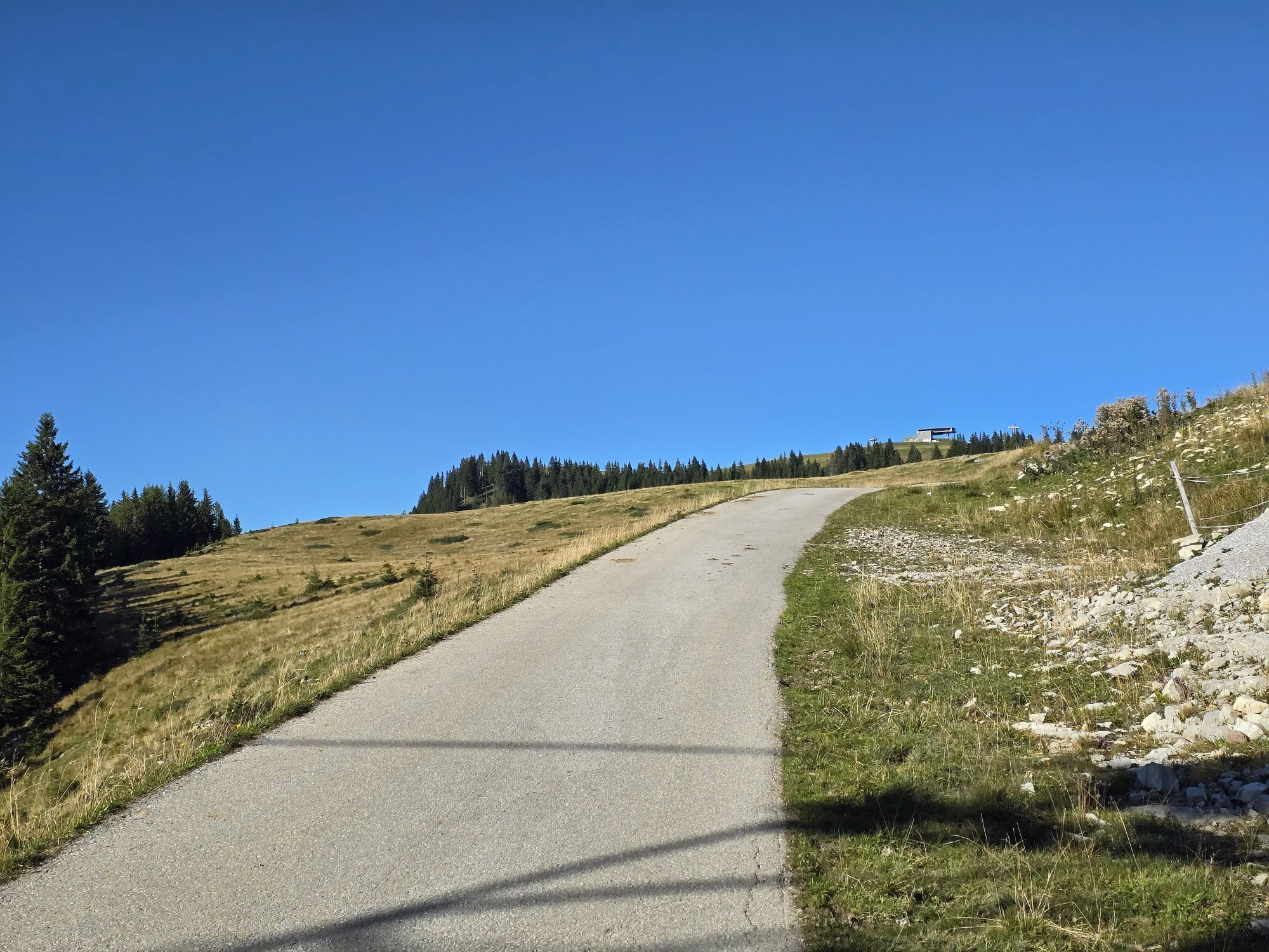
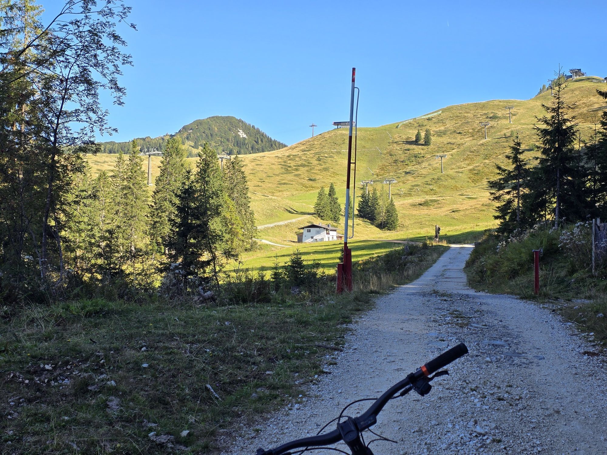
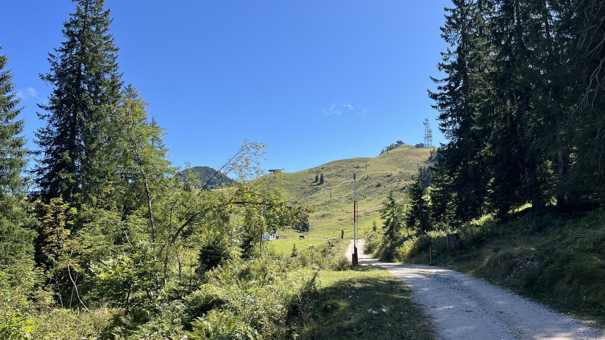
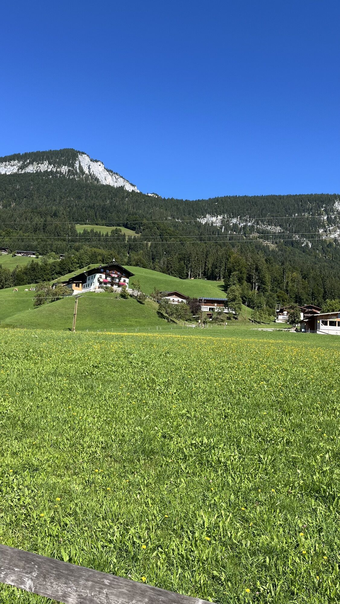
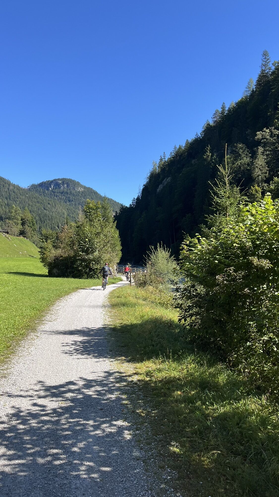
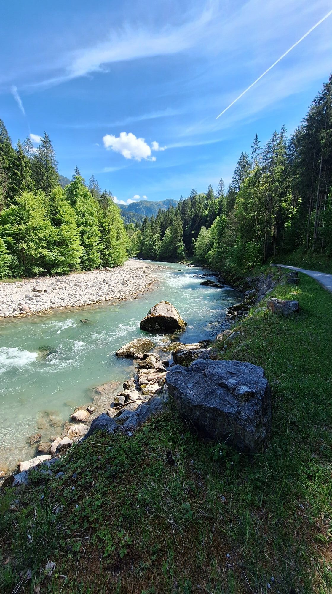


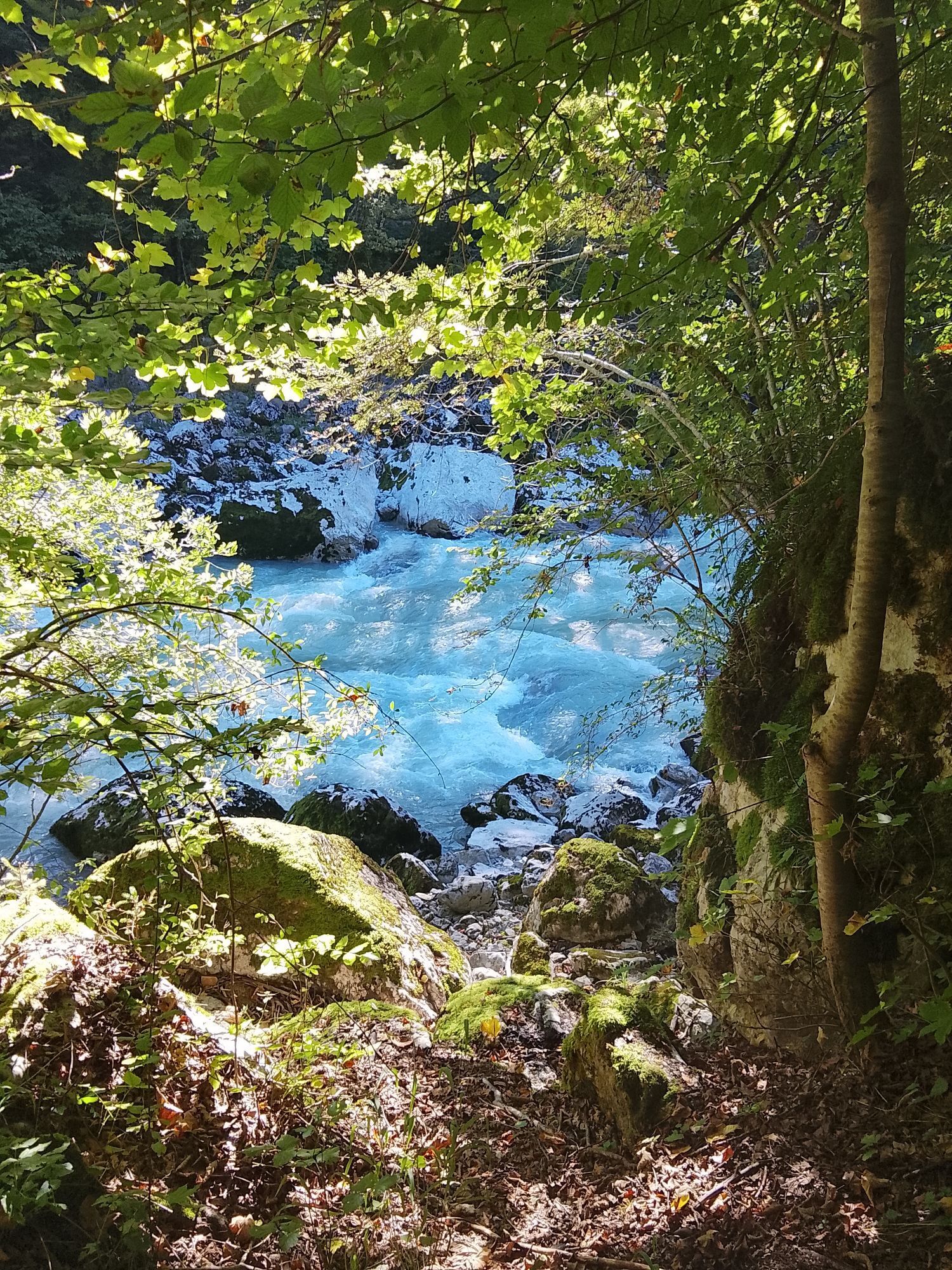


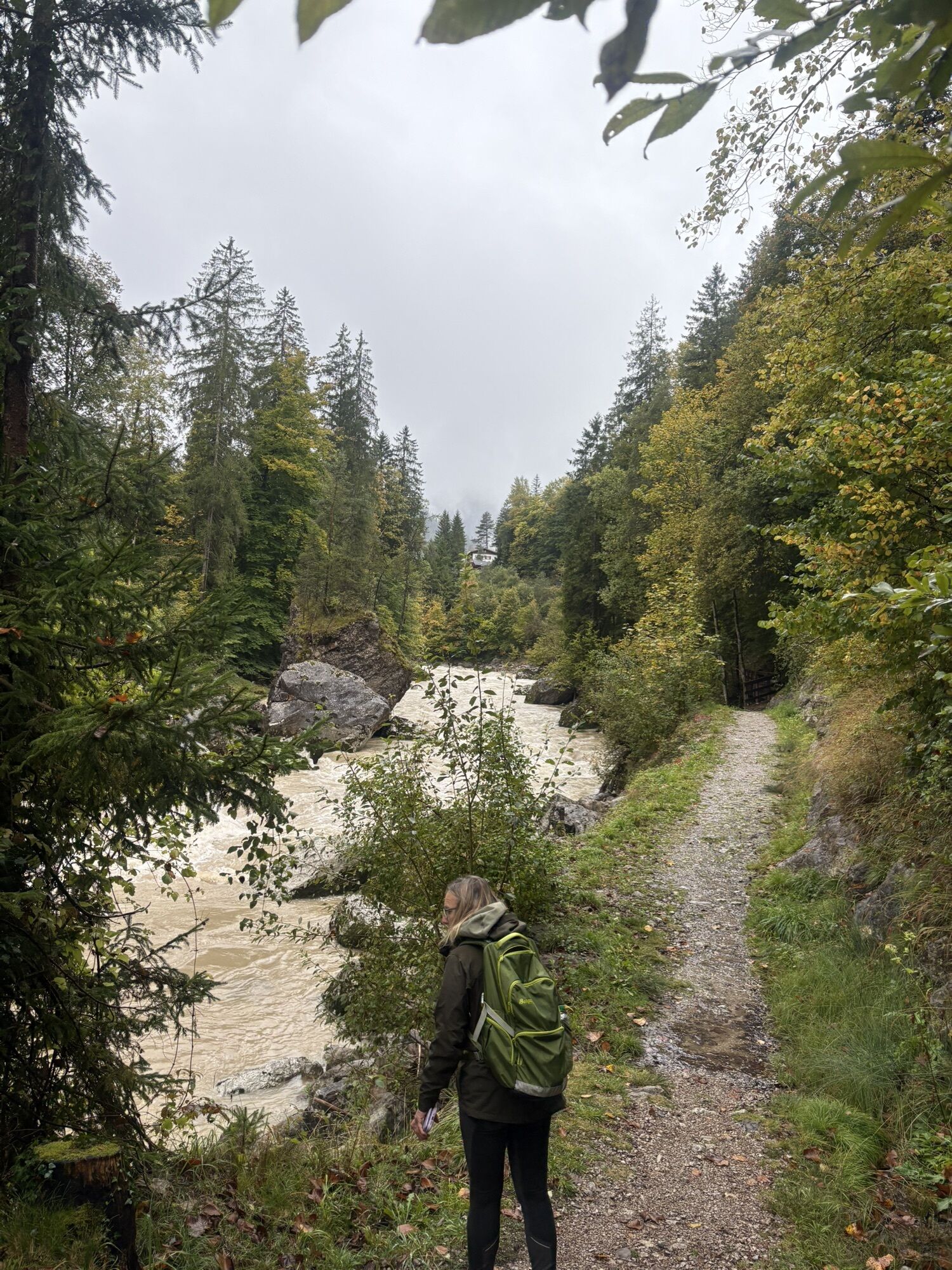


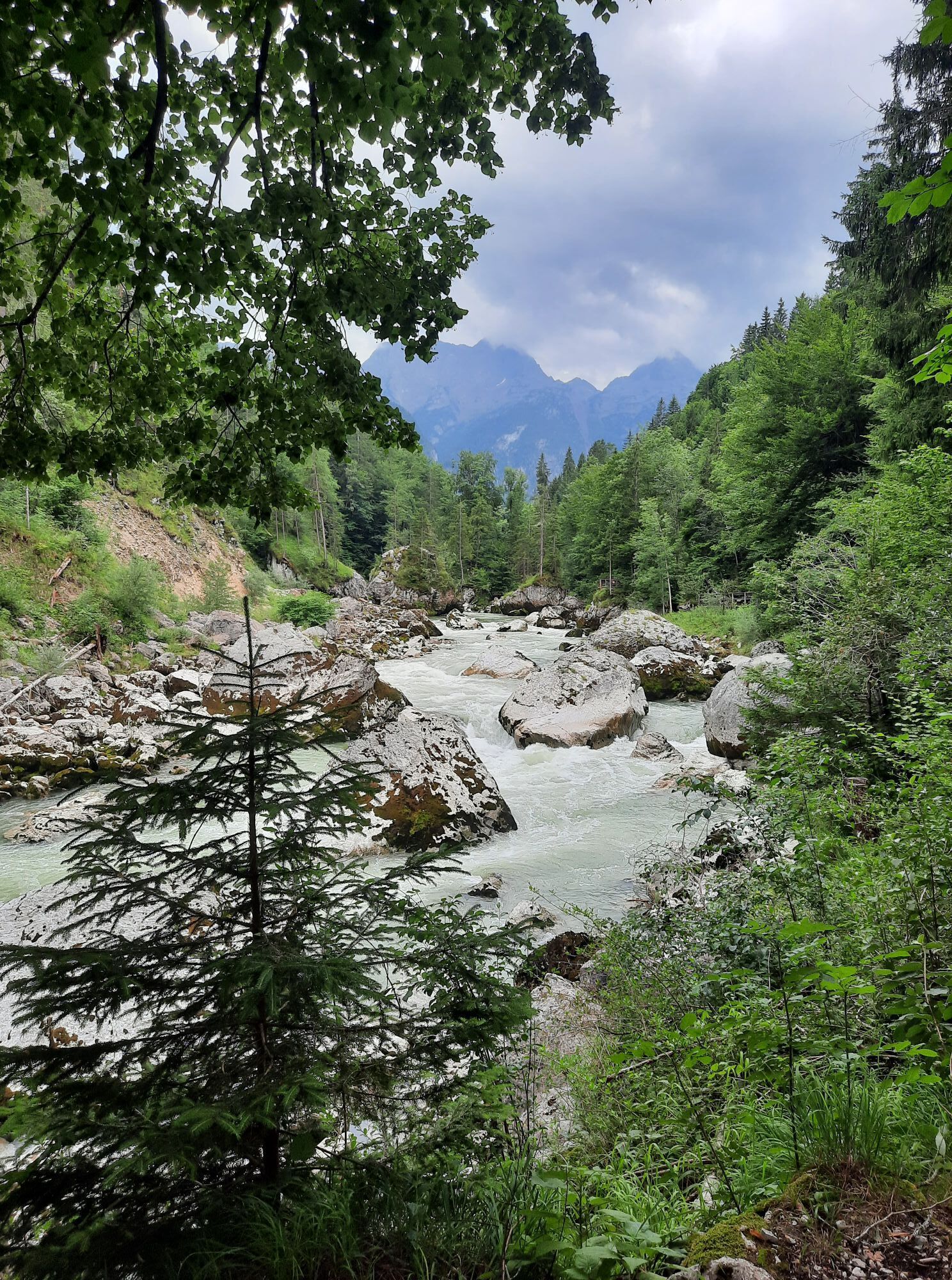
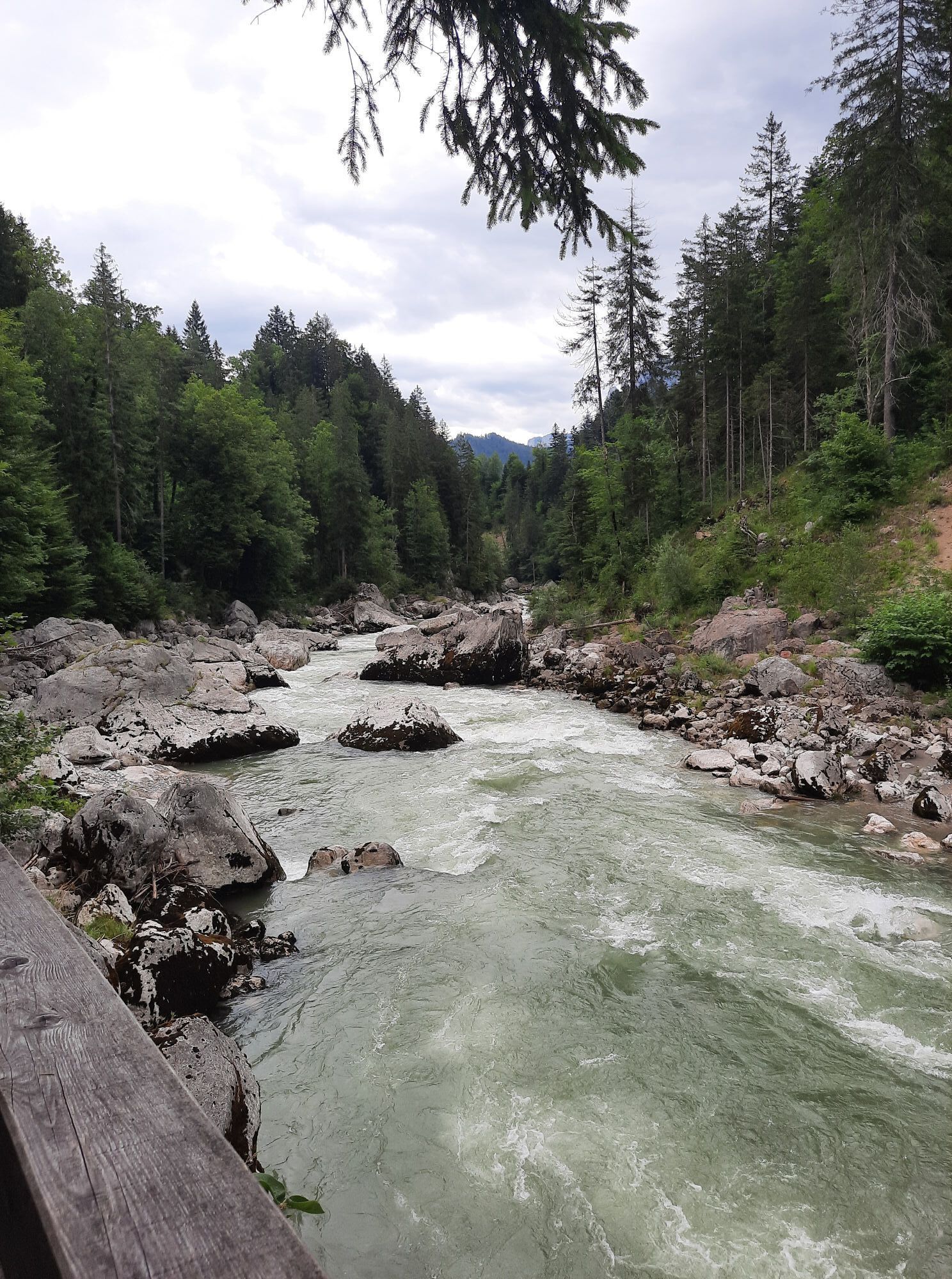
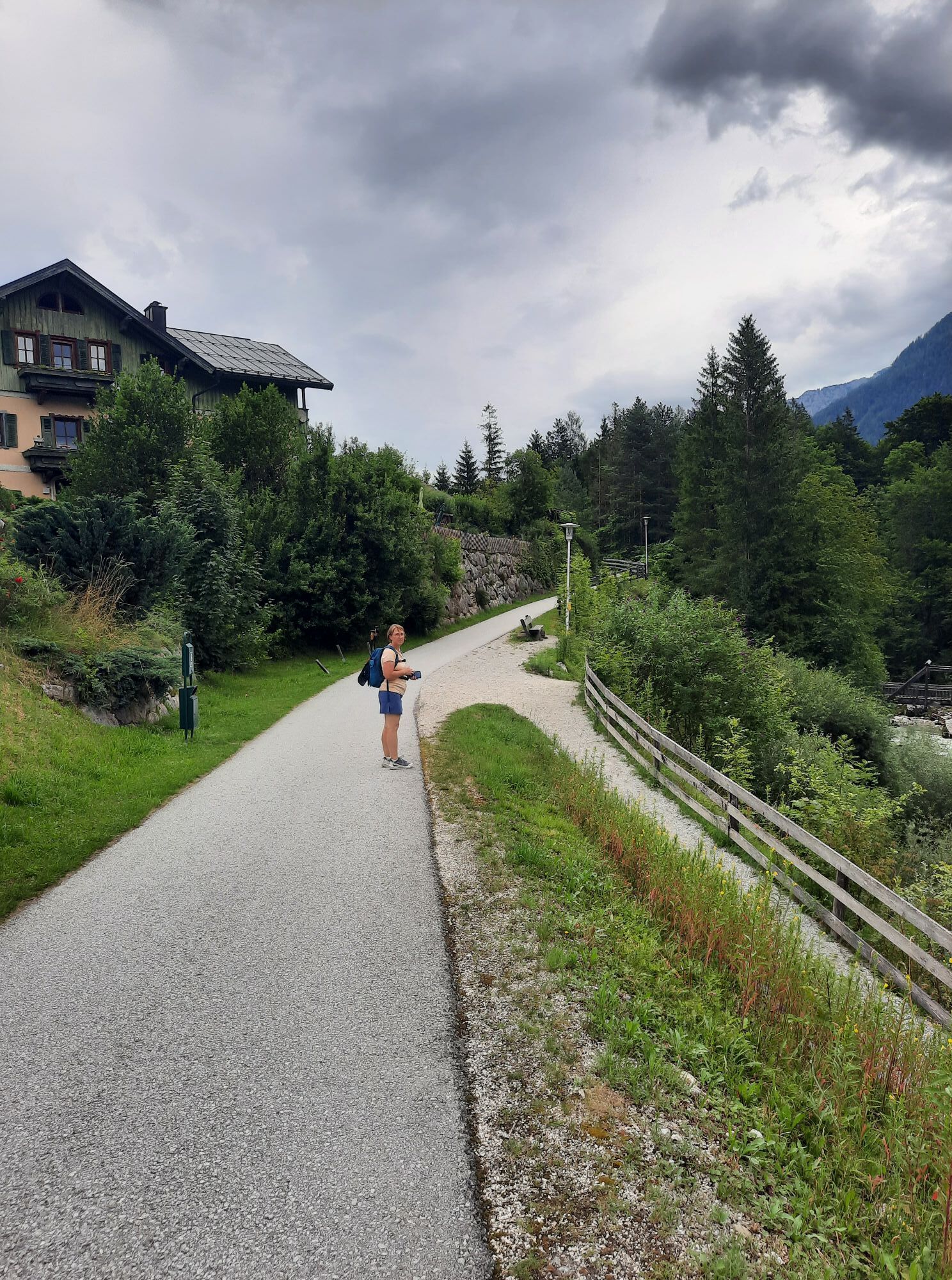
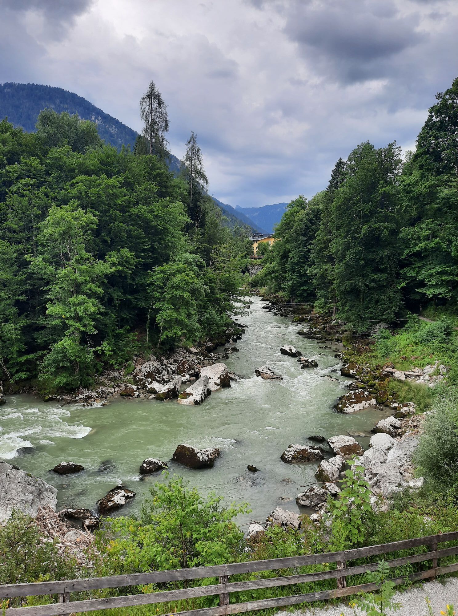

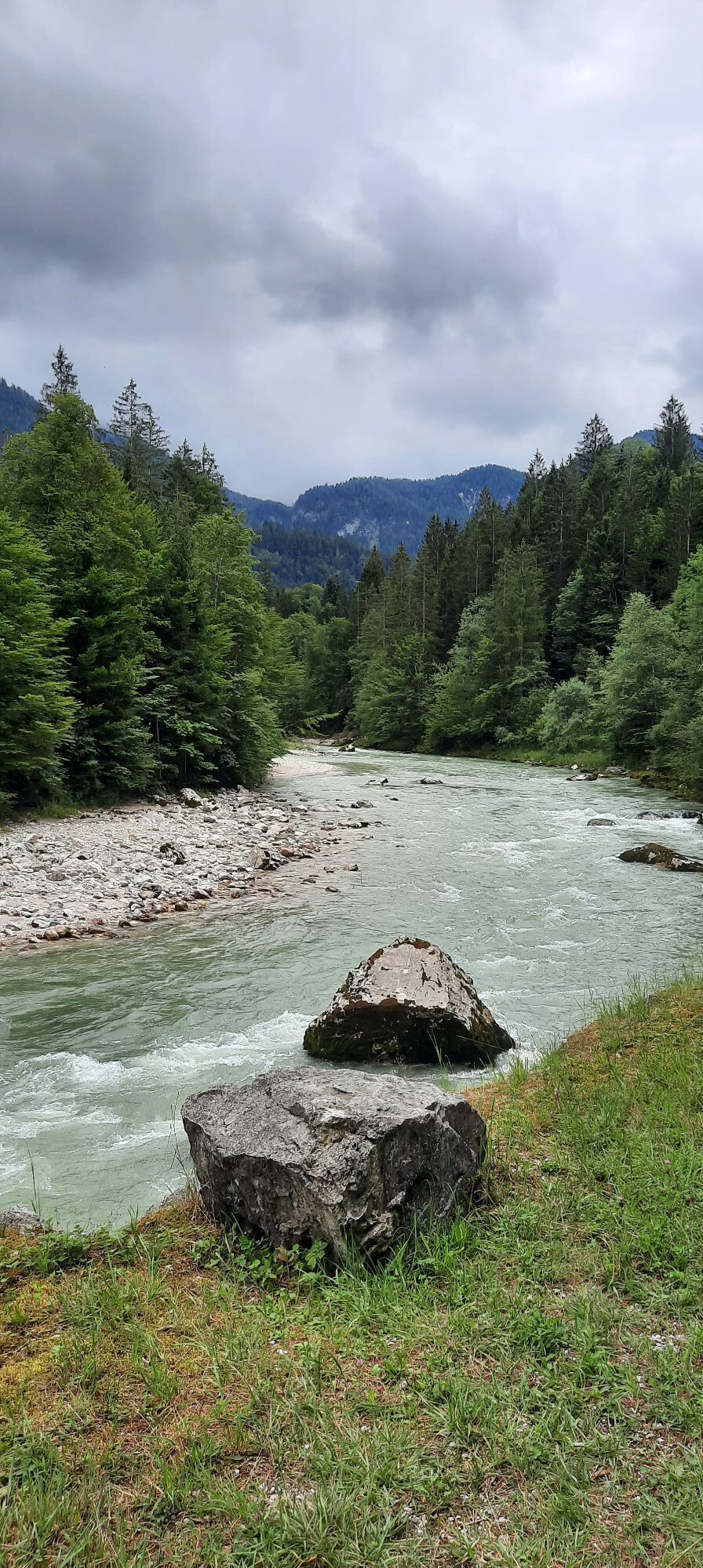
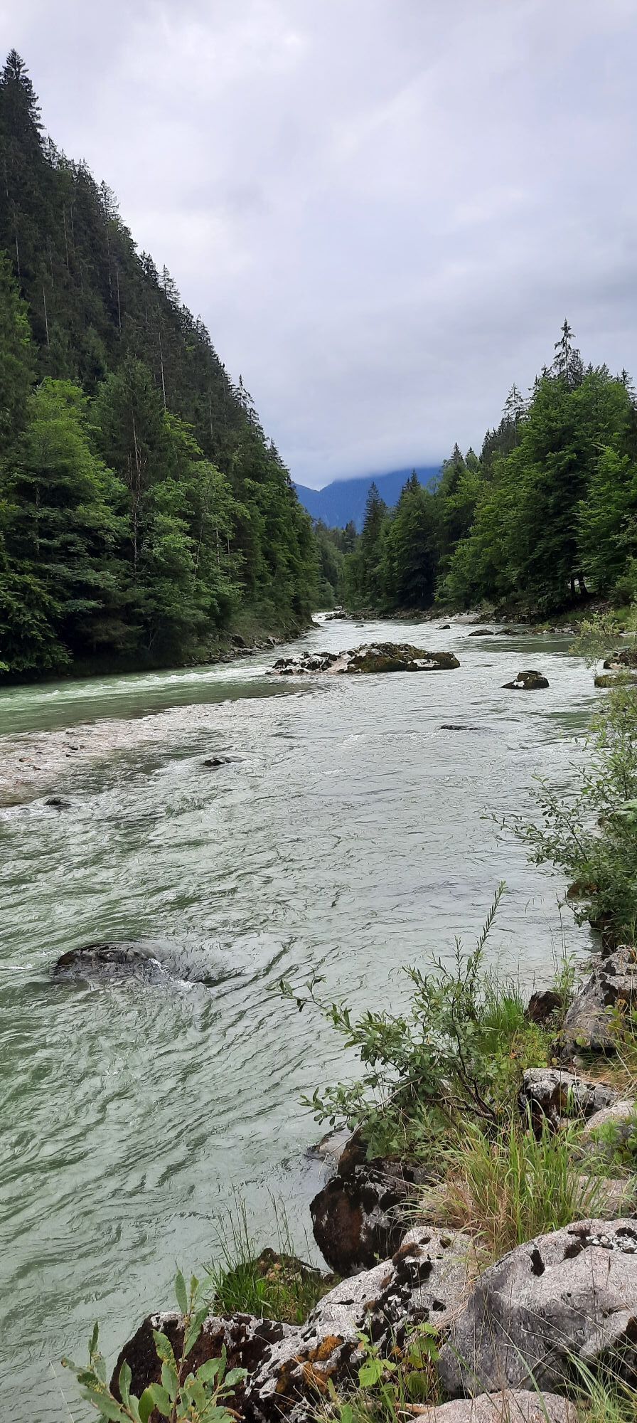
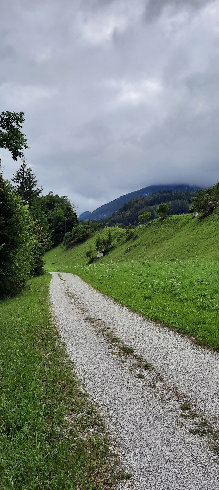
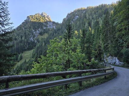
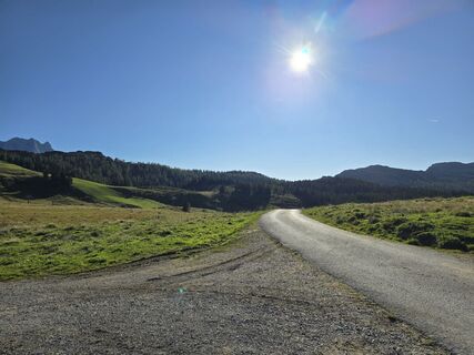
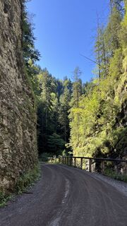
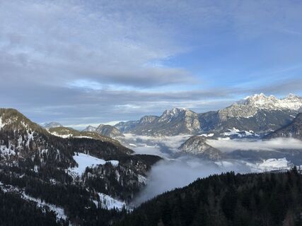
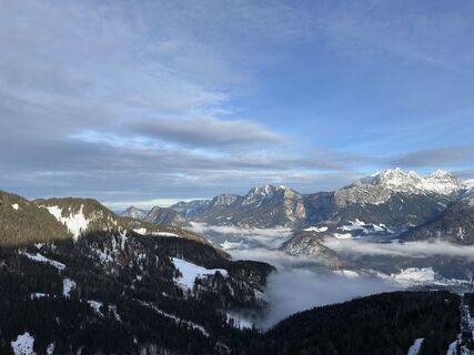
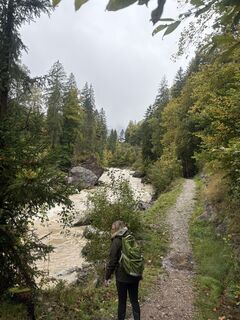
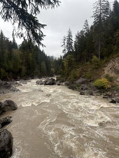
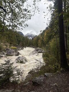
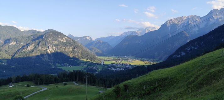
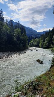
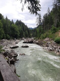
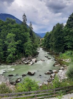
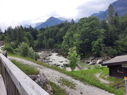
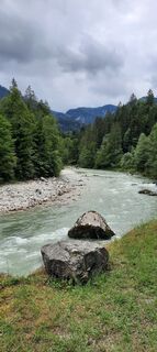
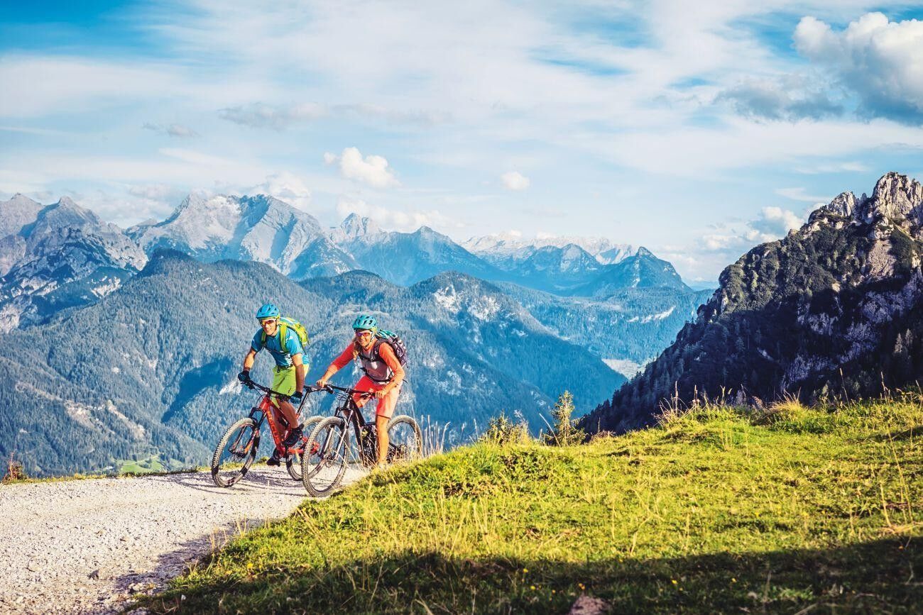
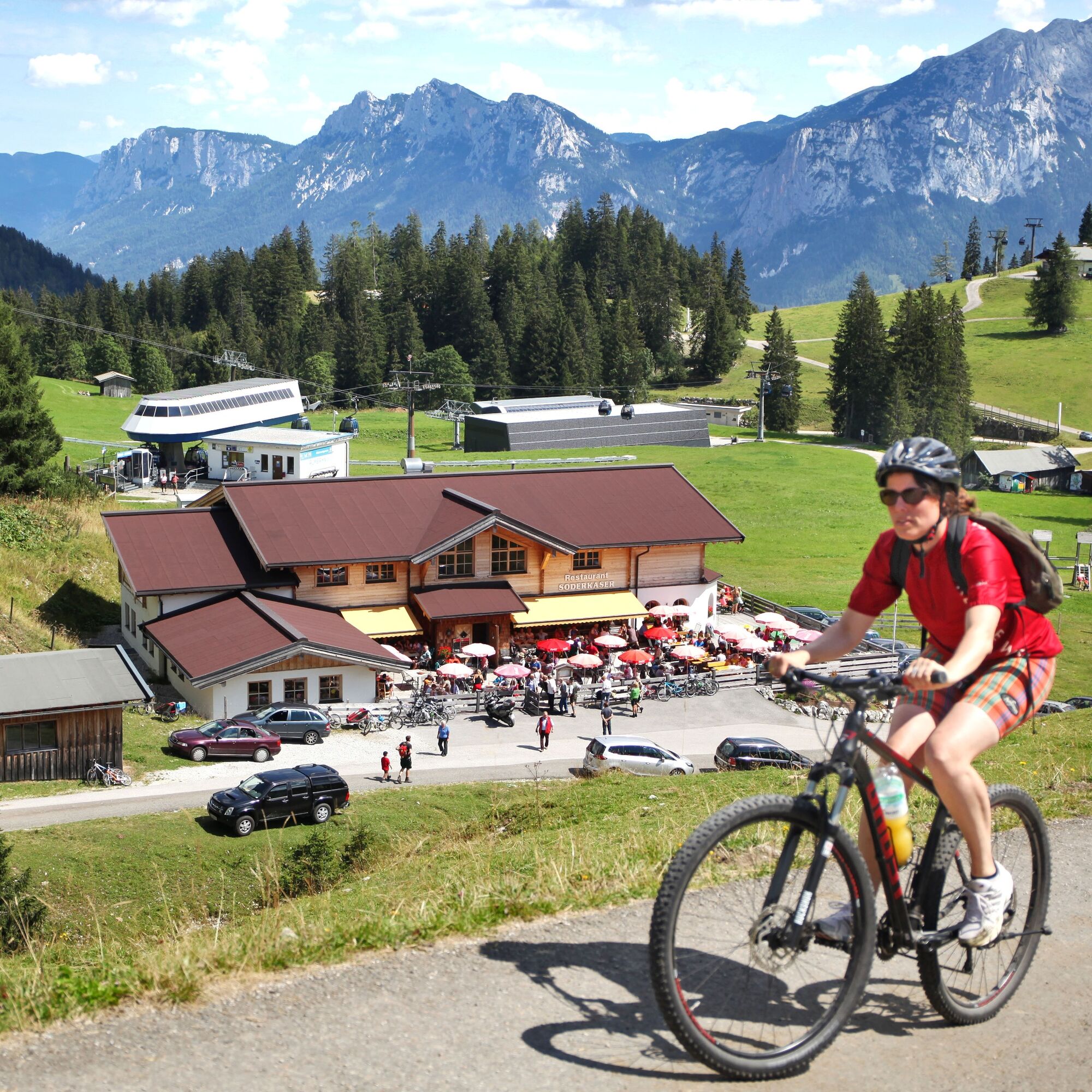
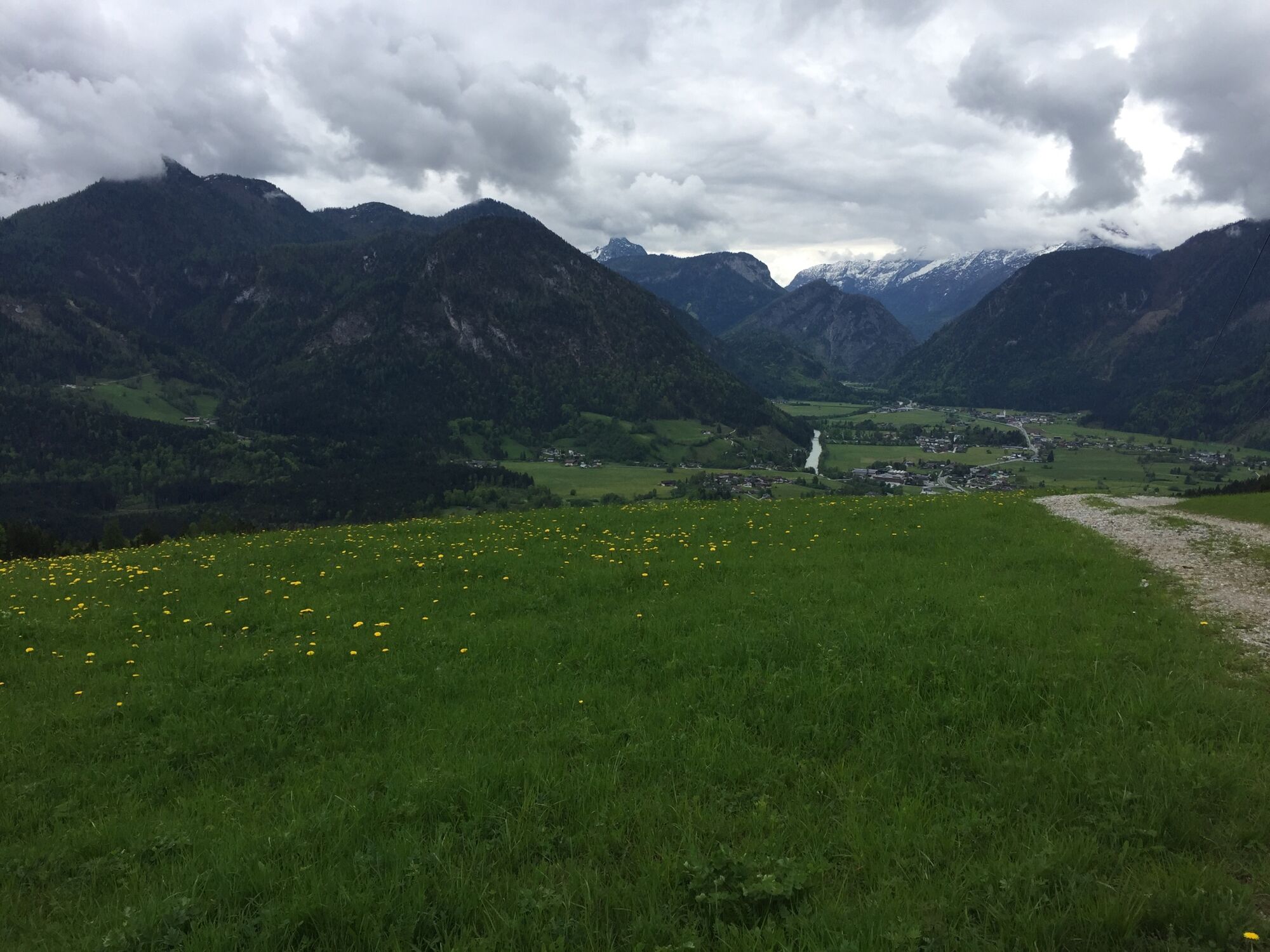
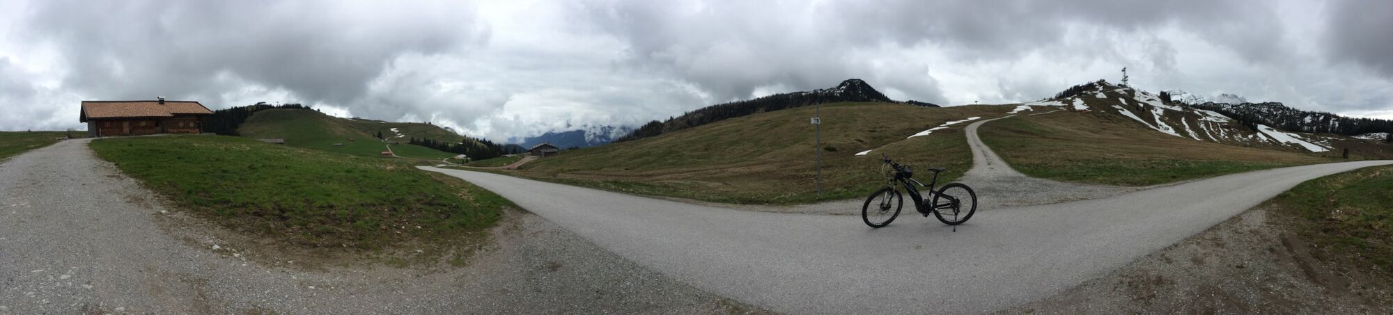
A beautiful bike route with about 1000 meters of altitude from Lofer via Unken to the Almenwelt Lofer. The first part of the route is ideal for warming up and runs flat along the Saalach to Unken. The...
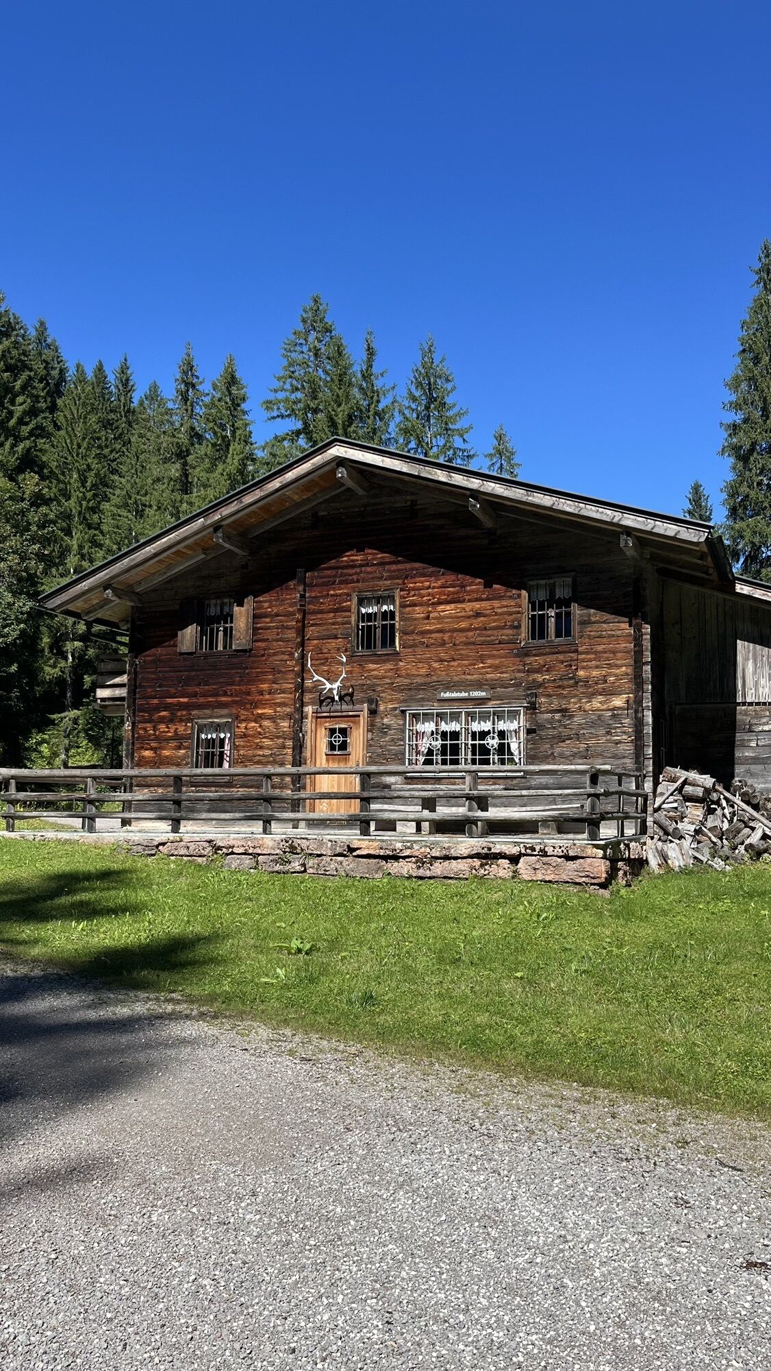
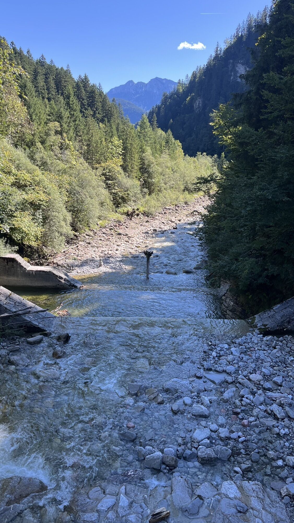
A beautiful bike route with about 1000 meters of altitude from Lofer via Unken to the Almenwelt Lofer. The first part of the route is ideal for warming up and runs flat along the Saalach to Unken. The route then slightly climbs to Friedlwirt and continues through the Unkenbachtal. Most of the altitude meters must be overcome from the Fußtalstube to Loferer Alm. Once at the top, it is downhill all the way to the town center of Lofer.
Route SASA22 on the bike map Salzburger Saalachtal


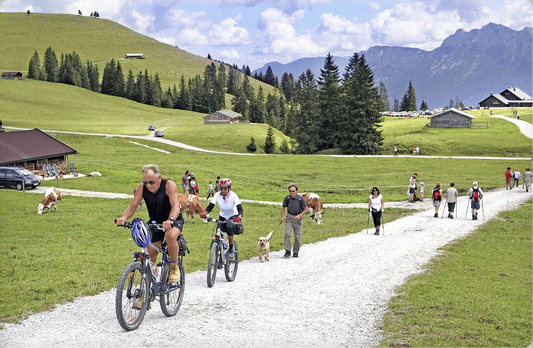
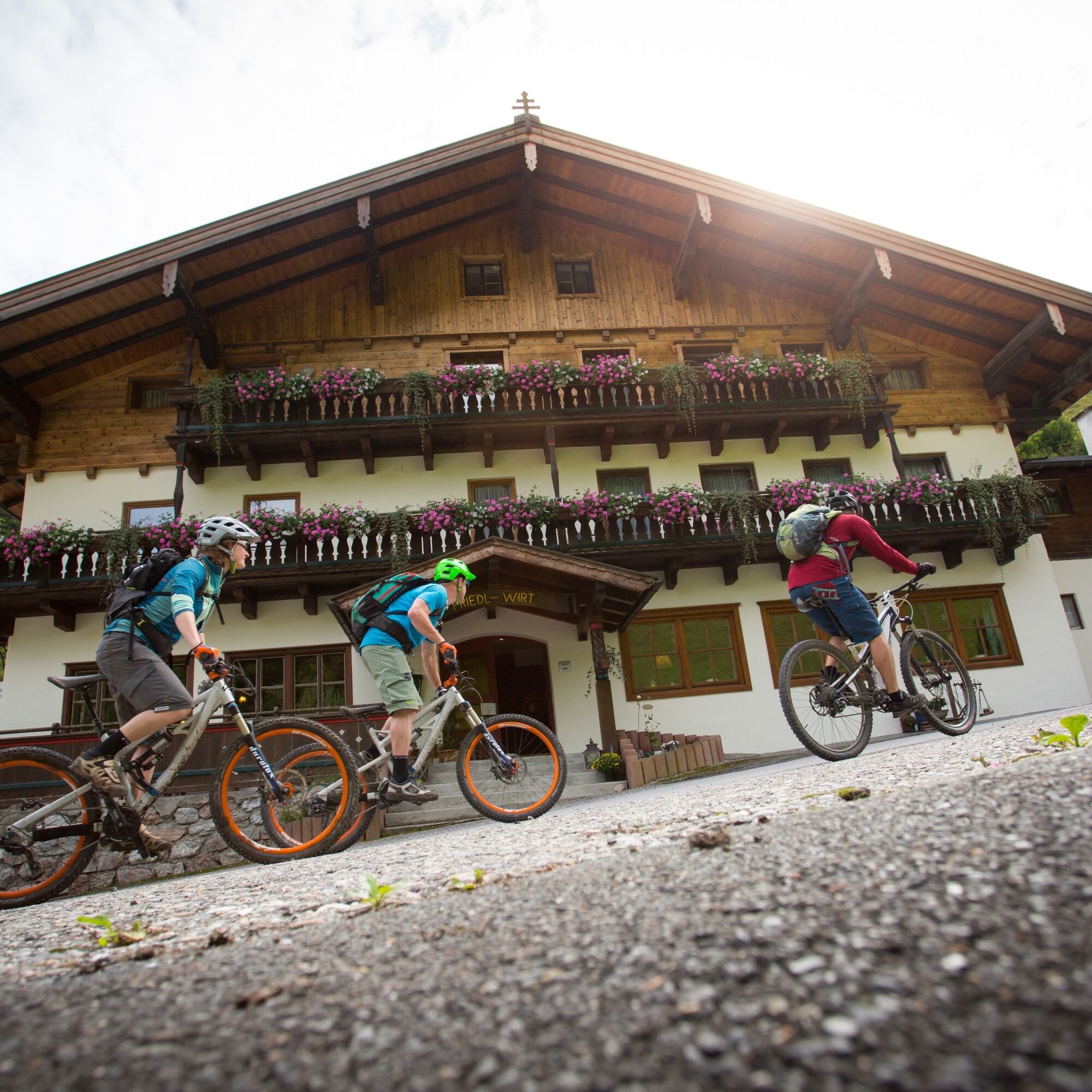
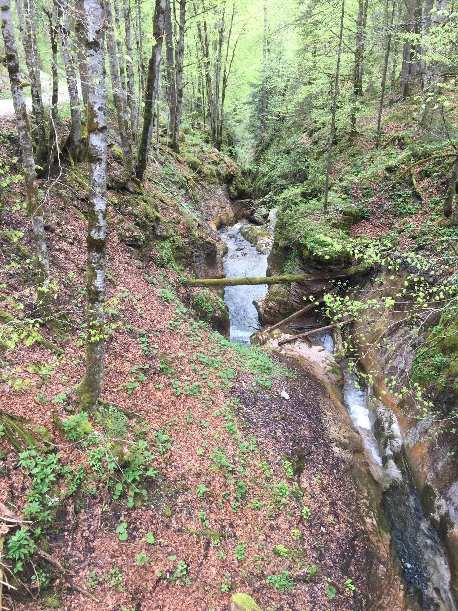
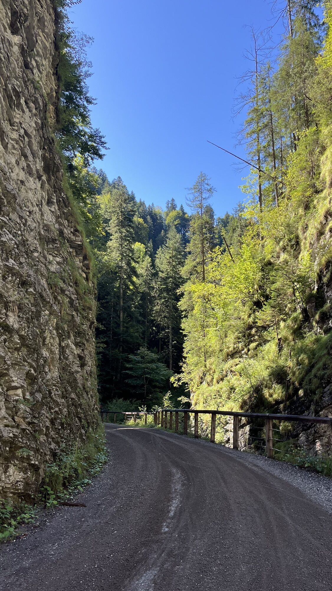
Lofer - Unken - Gasthof Friedlwirt - Unkenbachtal - Schwarzbergklamm Bridge - Fußtalstube - Loferer Alm - Loderbichl - Lofer.
Ano
Ano
In addition to a water bottle, we recommend sturdy footwear, warm clothing and rain protection, repair kit, first aid kit, mobile phone, light, gloves, sunglasses, as well as something to eat. And of course, don't forget the helmet.
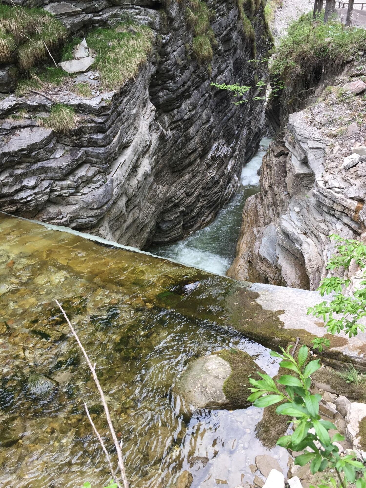
Die Bayer. Staatsforsten AöR – Forstbetrieb St. Martin – möchte darüber informieren, dass im Unkental an der Schwarzbergklammbrücke Sanierungsarbeiten durchgeführt werden. In Zuge dessen muss die Brücke von 16.04.2026 bis voraussichtlich Ende Juni 2026 für den gesamten Verkehr einschließlich Fußgänger gesperrt werden. Für Radfahrer ist eine Umleitung über Rudersbach/Schwarzberghöhe/Mitterfußtalstube beschildert.
Coming from Salzburg: Along the B178 and turn right to Lofer before the bypass tunnel. After about 1.5 km the start of the route is directly at the tourist office next to the federal road. Coming from St. Johann/T. and Saalfelden: Take the Salzburg exit at the roundabout in Lofer. After about 400 meters, the start of the route is directly at the tourist office next to the federal road.
Lofer large car park (P2) - free of charge
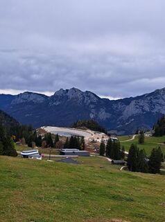
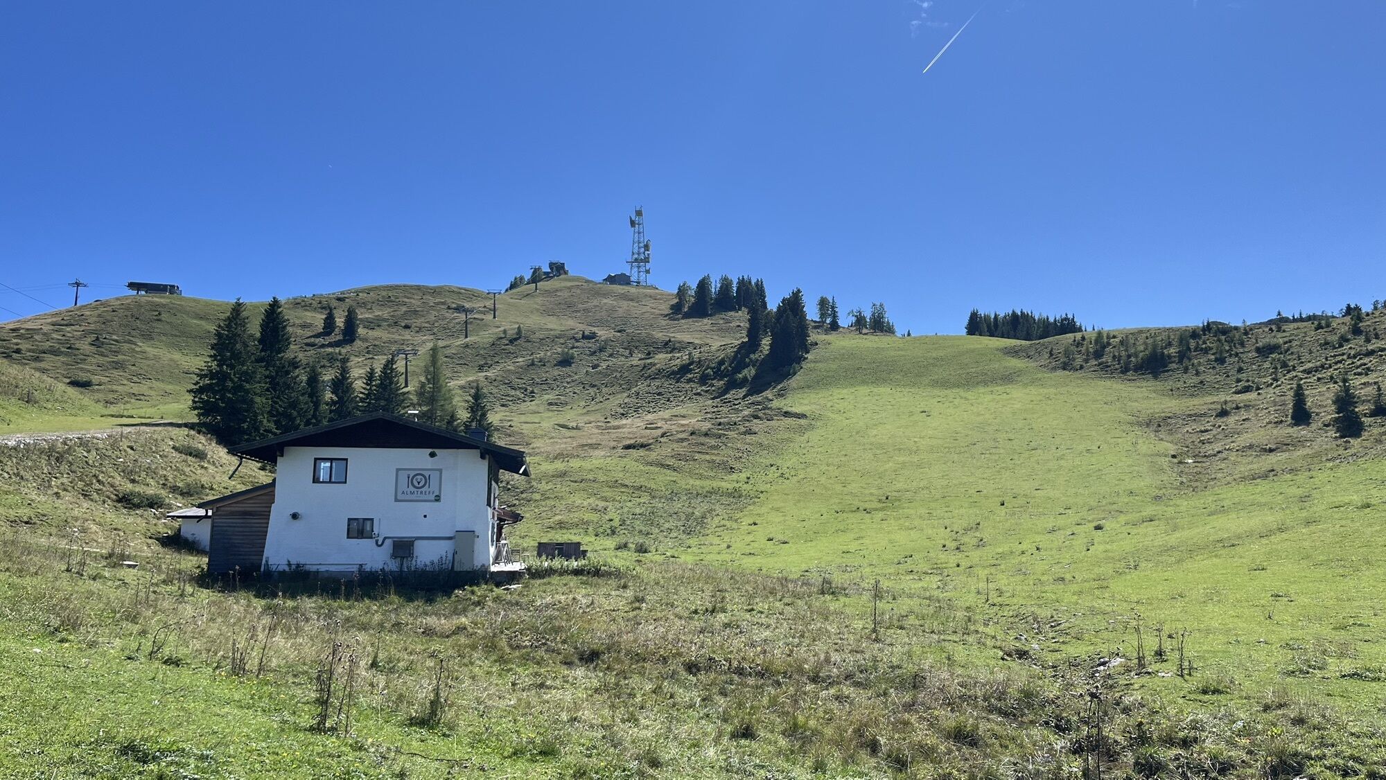
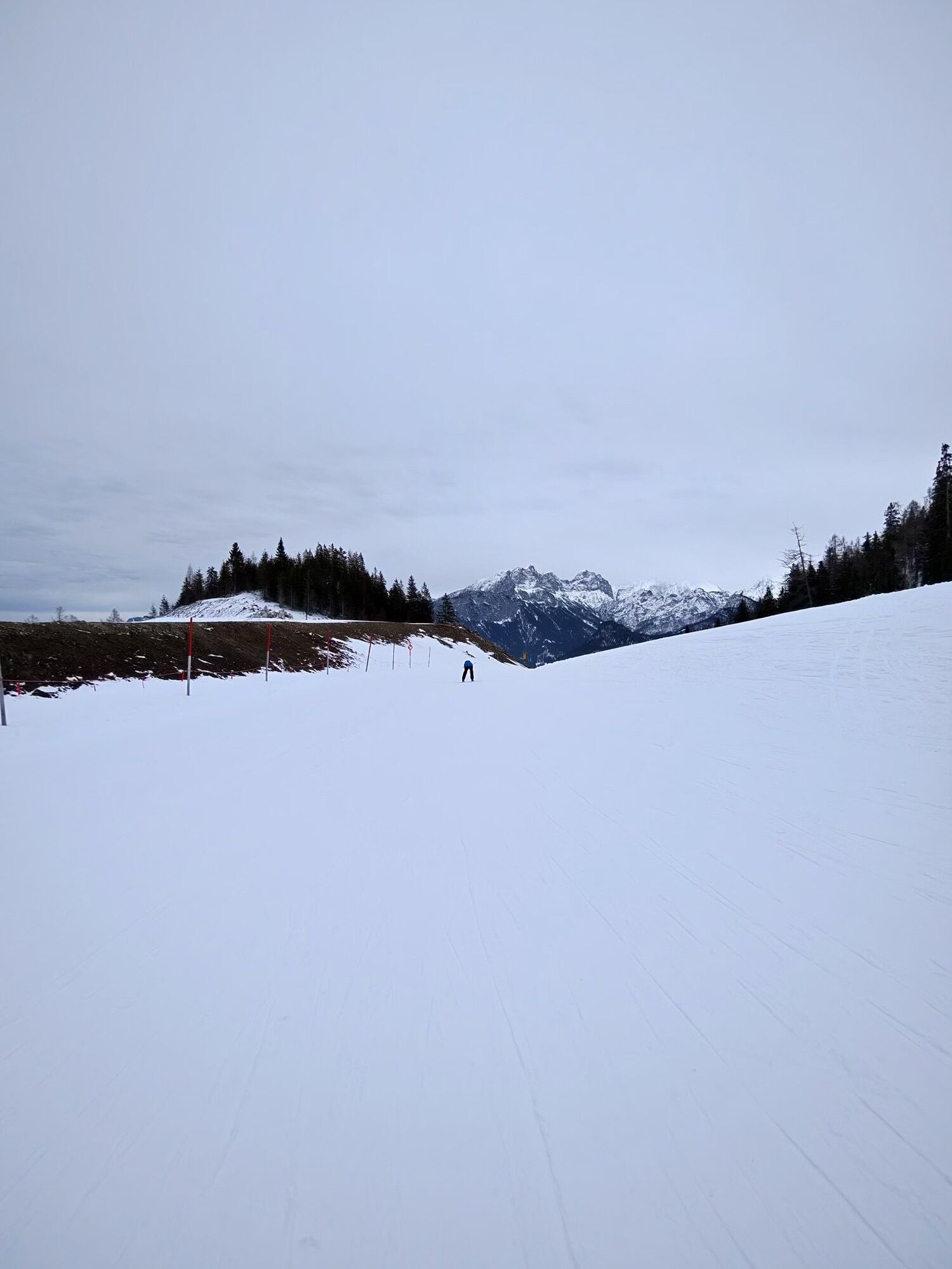
The restaurants in the Almenwelt Lofer invite you to stop with a wonderful view of the surrounding mountains before heading downhill again.
Webové kamery z prohlídky
-
Schwarzlofer
-
Waidring - Kammerkör
-
Winklmoosalm
-
Bergstation Almbahn II
-
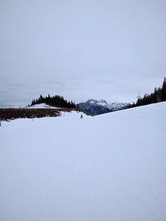
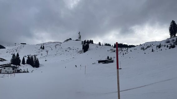
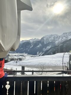
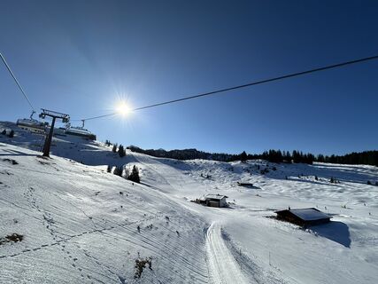
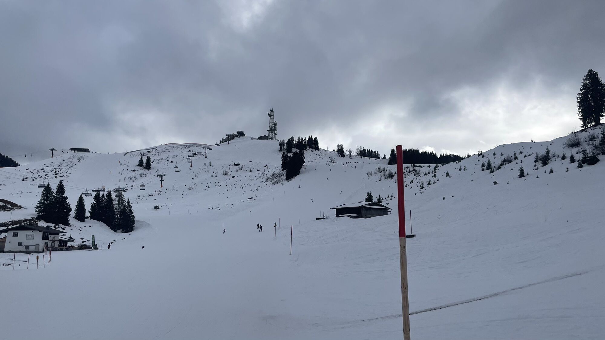
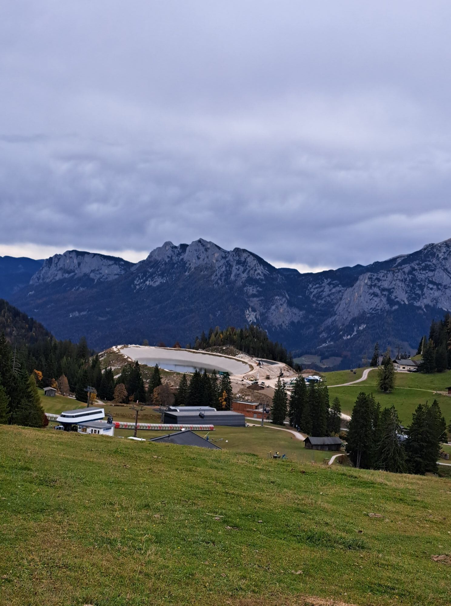
Almenwelt Lofer
-
Almenwelt Lofer
-
Almenwelt Lofer
-
Almenwelt Lofer
-
Almenwelt Lofer
-
Almenwelt Lofer
-
Almenwelt Lofer
-
Almenwelt Lofer
-
Almenwelt Lofer
-
Loderbichl - Talblick von Mittelstation, 1000 m
-
Winklmoosalm
-
Almenwelt Lofer - Talstation
-
Heutal - Wildalm Talstation
-
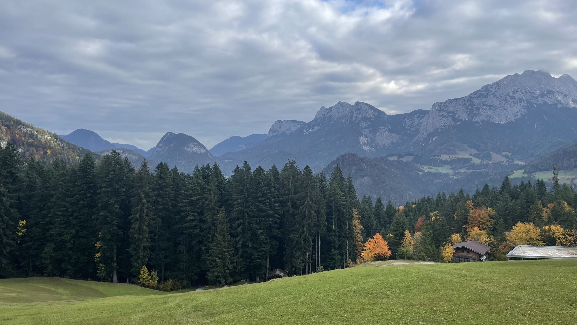
Lofer
-
Scheiblberg
-
Heutal - Sattelkurvenlift Berg
-
Waidring Schweizerhof
-
Heutal Lifte Unken - Wildalm Bergstation
-
Waidring Kammerkör
-
Schwarzlofer
Oblíbené prohlídky v okolí
-
4.5
Rundweg vom Hintersee zur Halsalm
středníTuristika 9.53 km -
3.3
From Heutal to Sonntagshorn in the Salzburger Saalachtal
středníTuristika 11.7 km -
4.5
Unternberg
světloTuristika 9.20 km -
4.2
Halsalm
Turistika 6.43 km -
3.6
Rauschberg Rundwanderung über Sackgrabensteig
světloTuristika 18 km -
4.6
CHIEMGAU: Hörndlwand (1684m), Gurnwandkopf (1691m)
světloTuristika 12.6 km -
4.4
unternberg Ruhpolding, Bayern
středníZimní turistika 3.82 km -
3.3
Aschauerklamm
Turistika 15.1 km -
4.8
Atemberaubende Aussicht auf dem Dürrnbachhorn
středníTuristika 8.44 km -
4.7
Over the waterfall trail into the Almenwelt Lofer
středníTuristika 3.29 km

Pěší turistika a stopování


Nenechte si ujít nabídky a inspiraci pro vaši příští dovolenou
Vaše e-mailová adresa byl přidán do poštovního seznamu.