







LE 06 | Panorama route

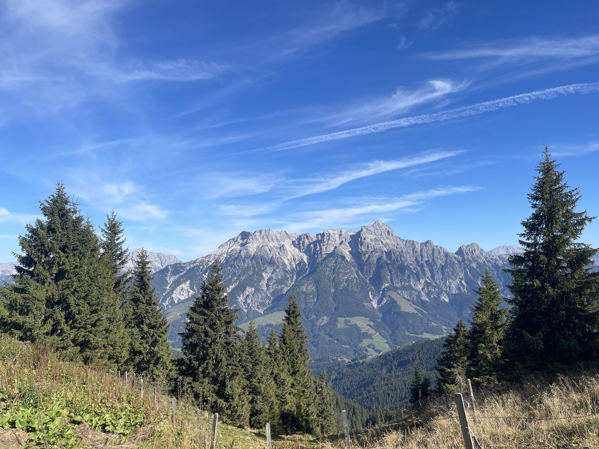
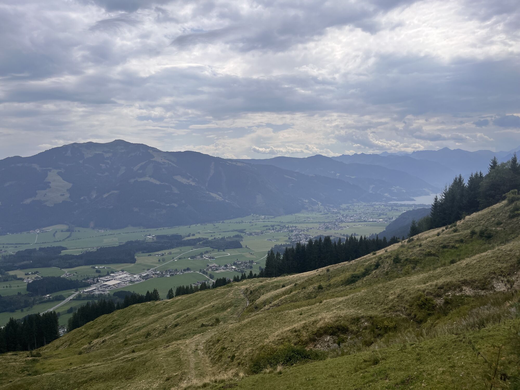
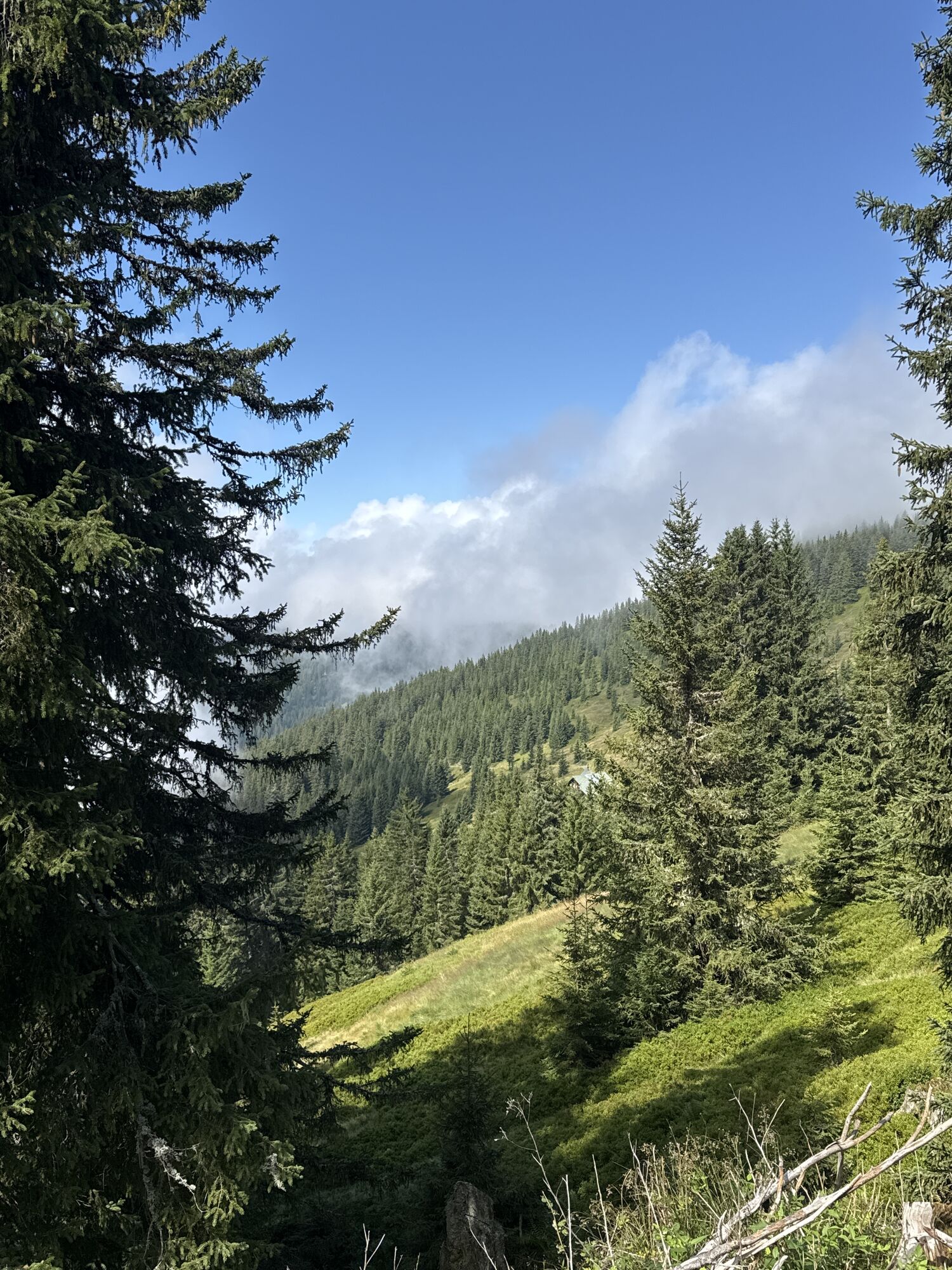
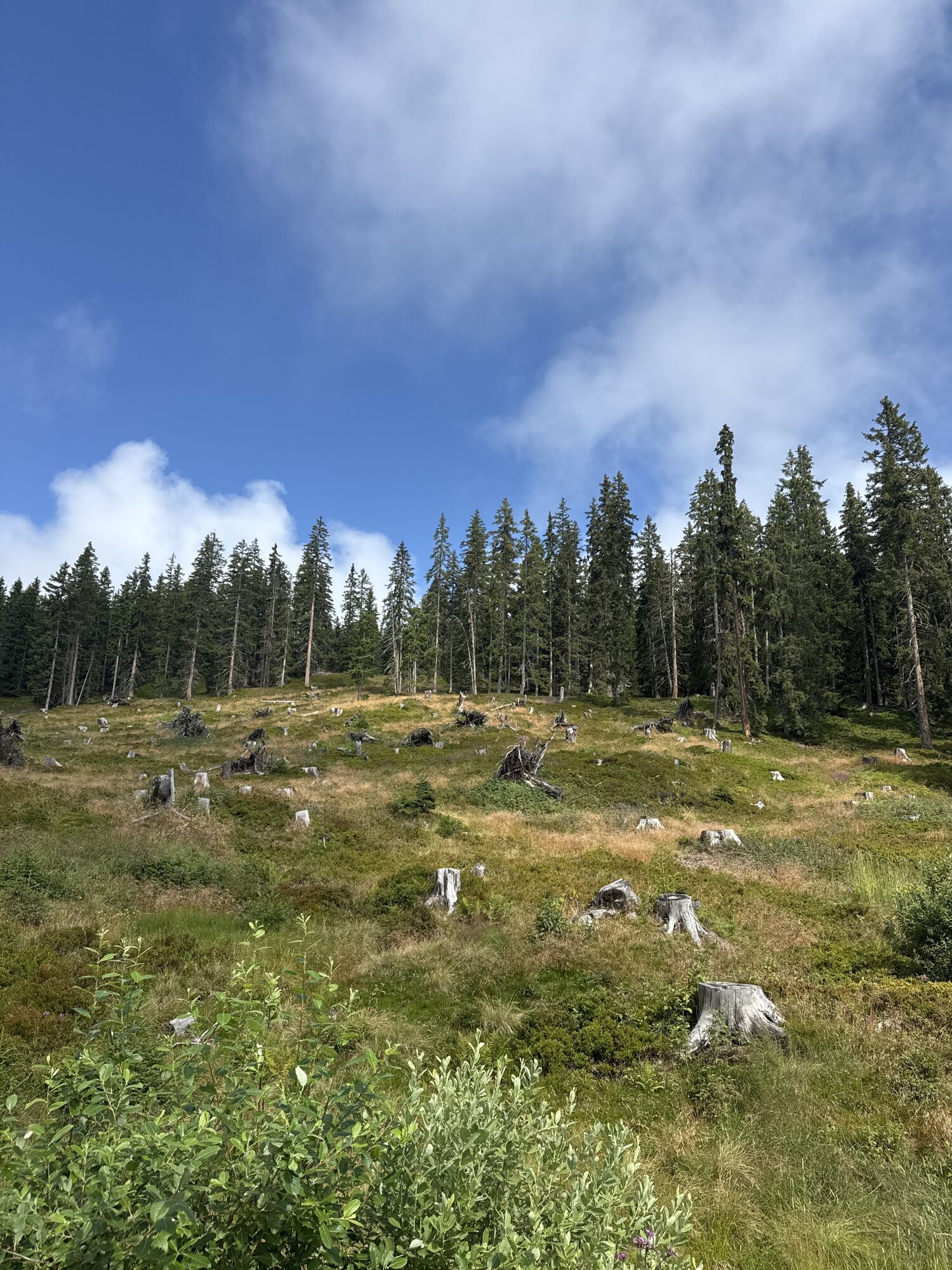
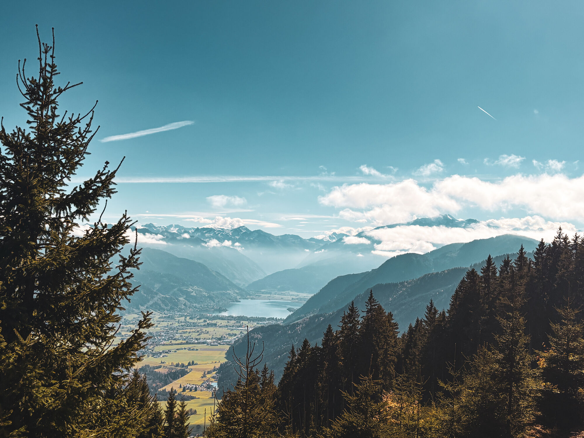
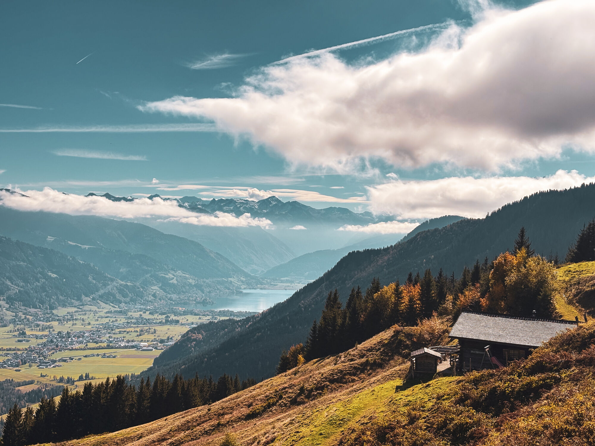
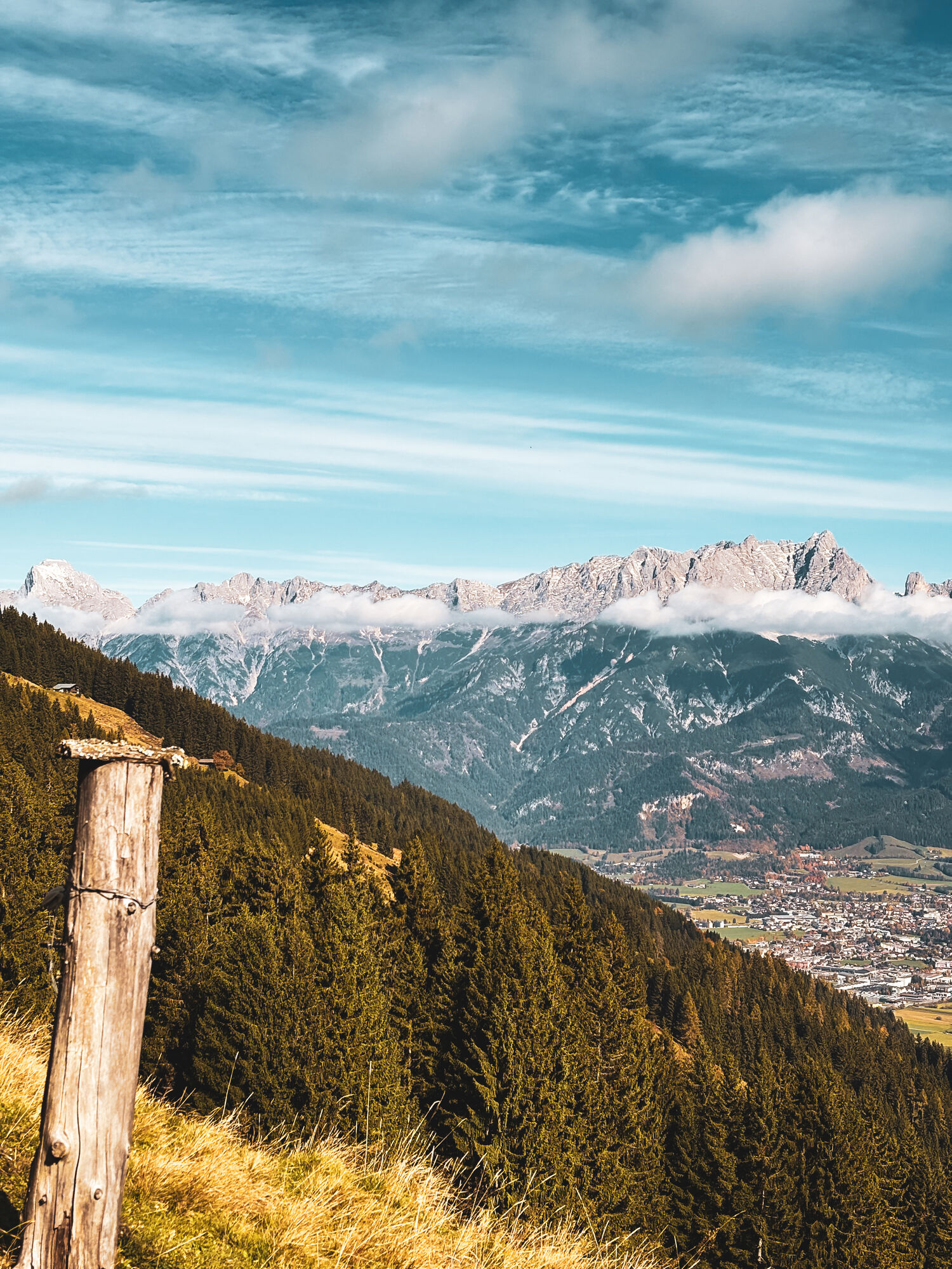
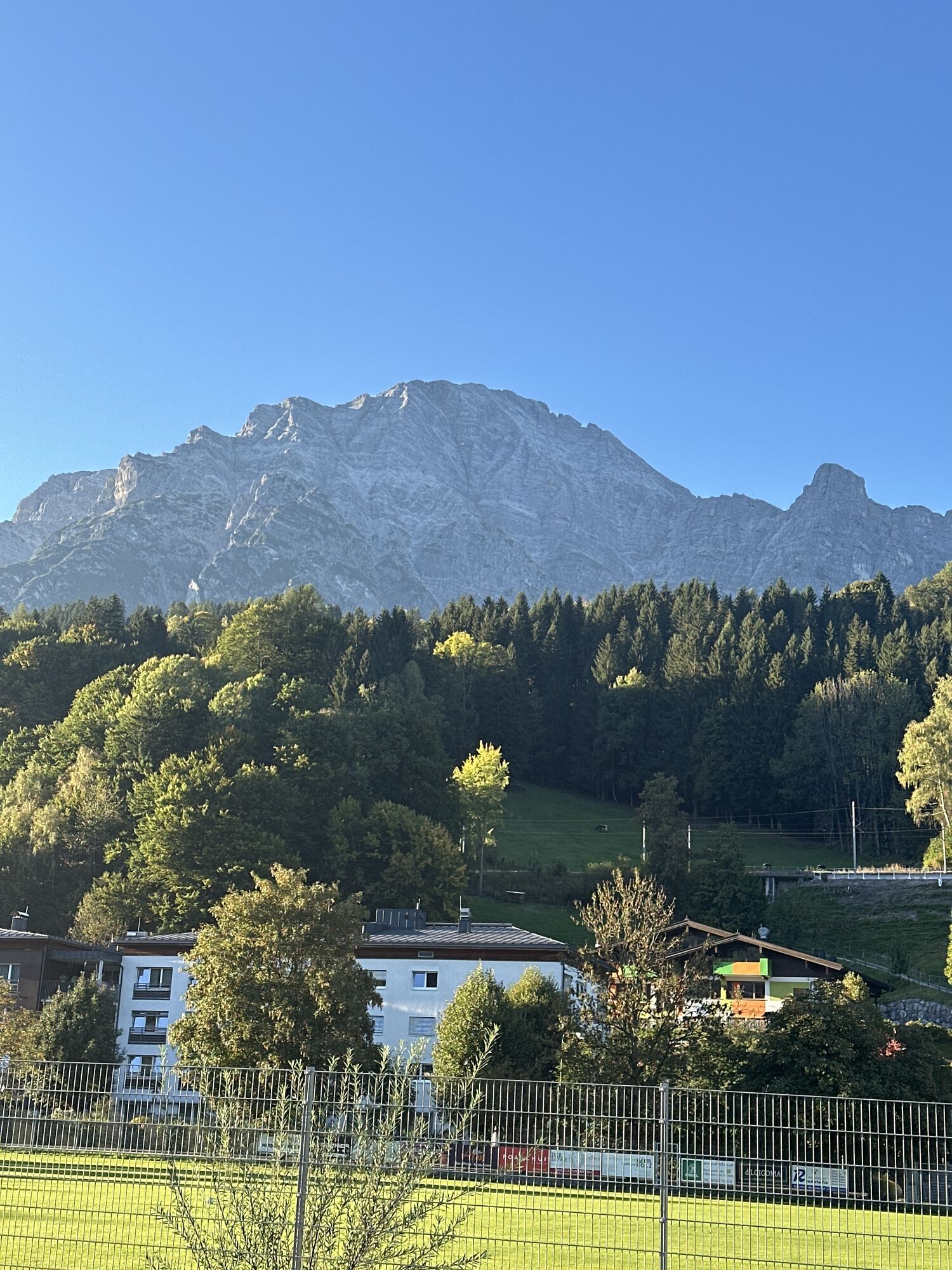
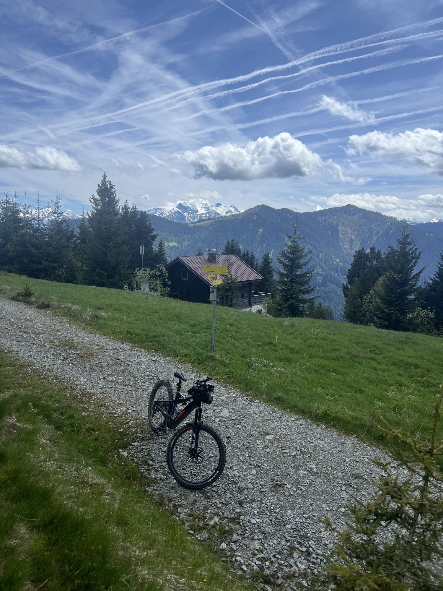
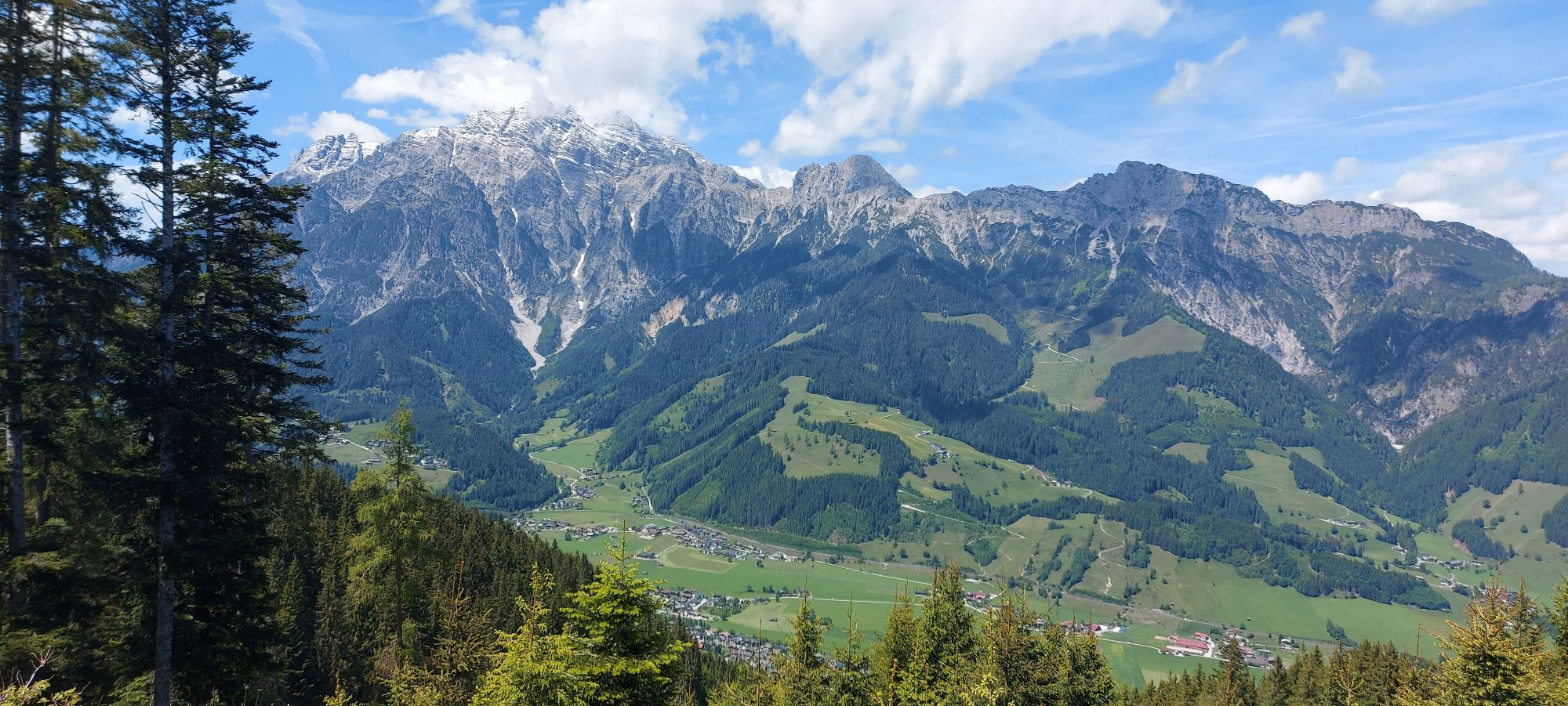
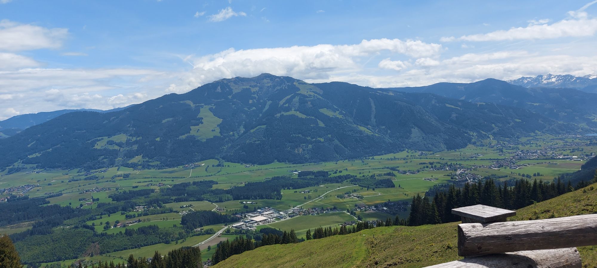
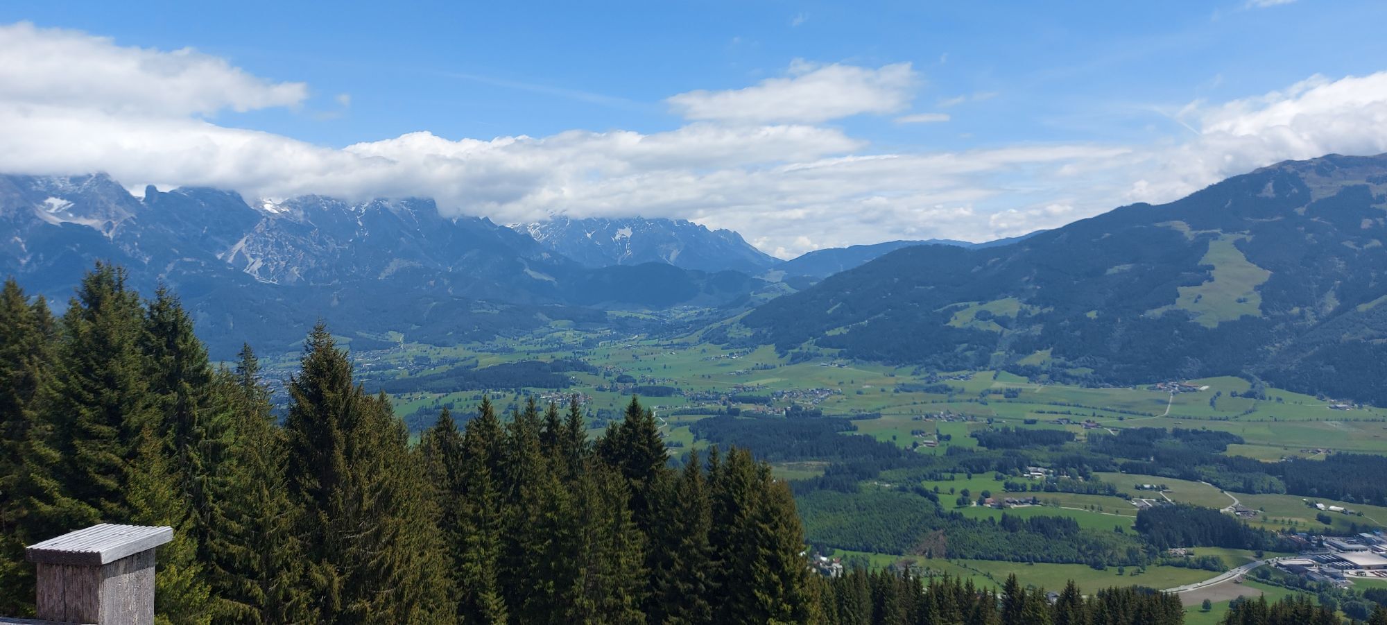
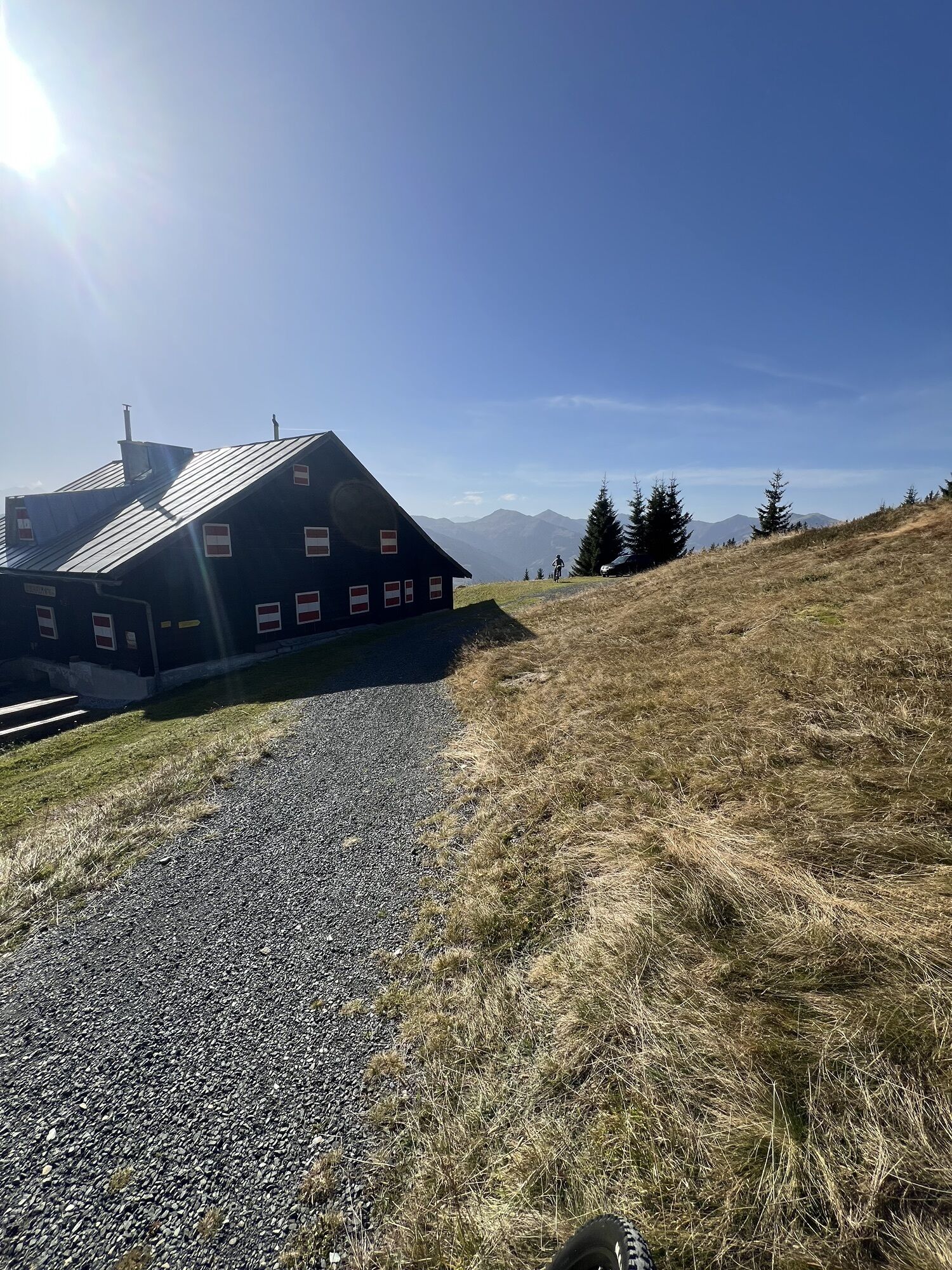
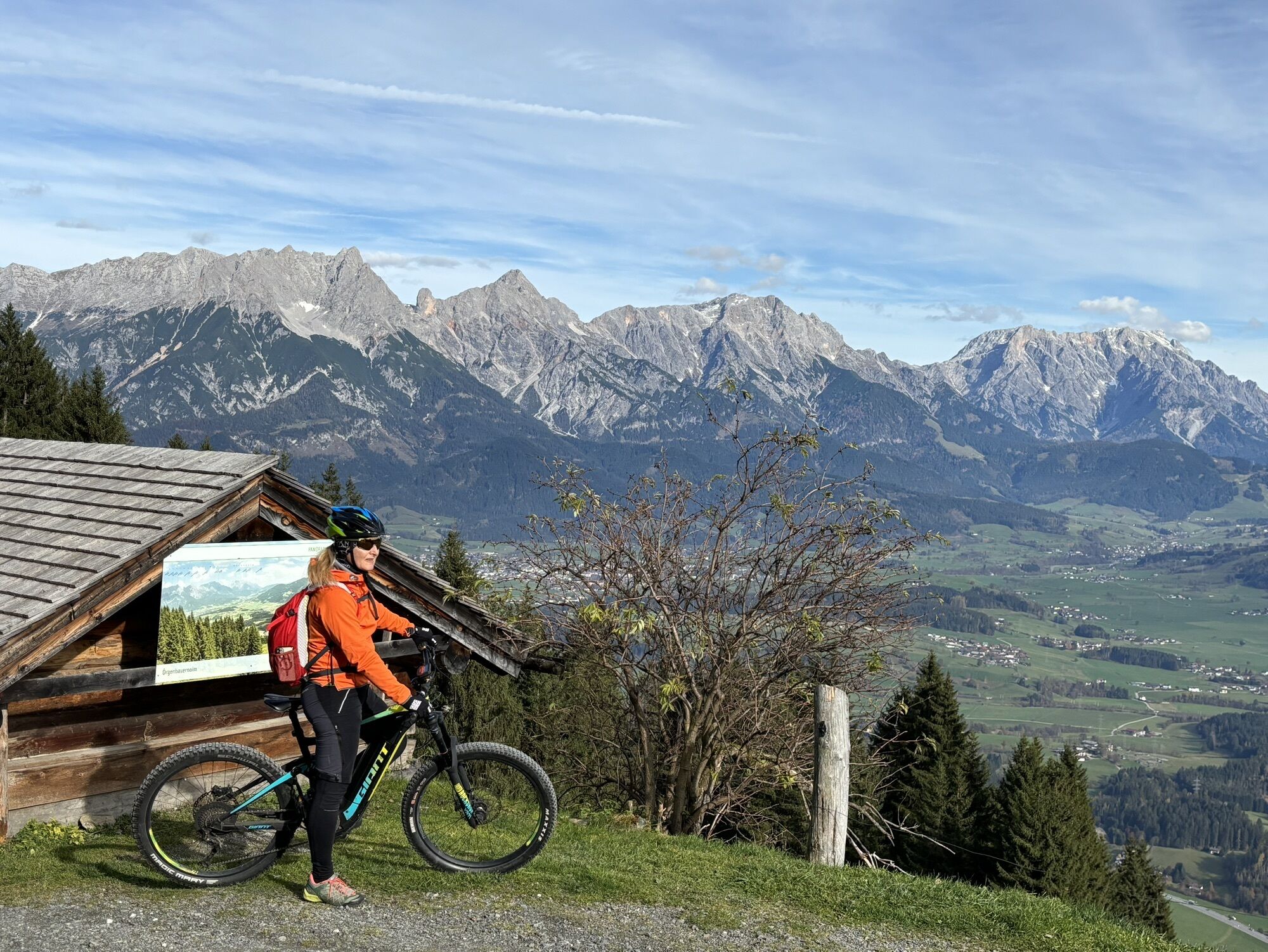
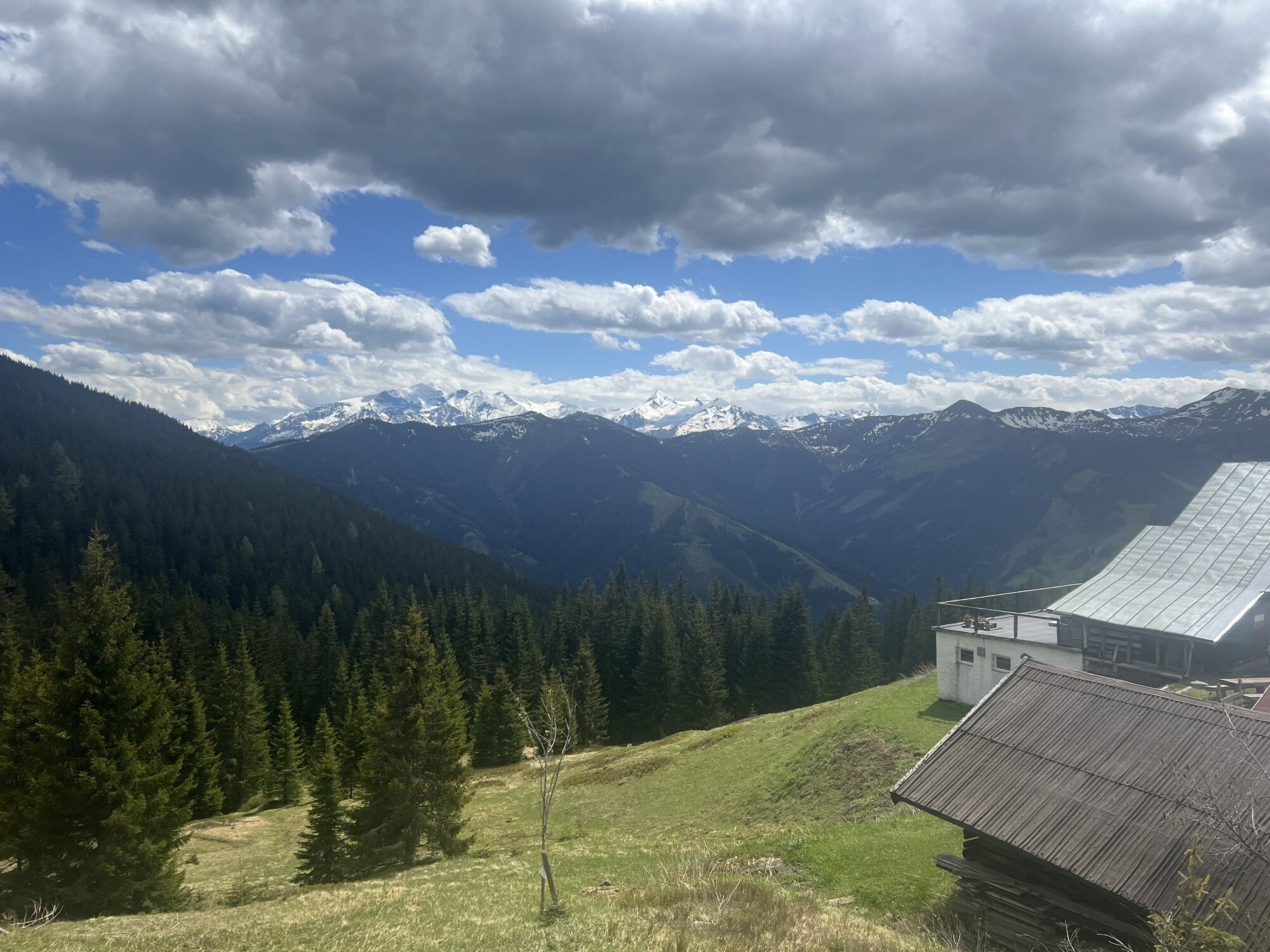
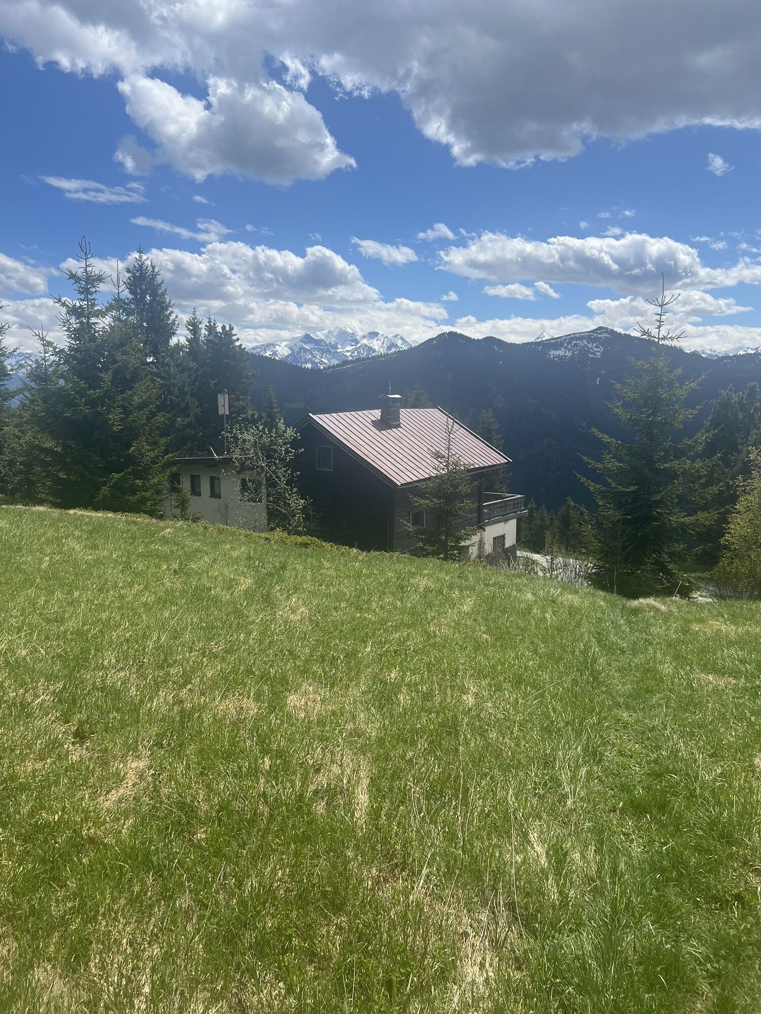
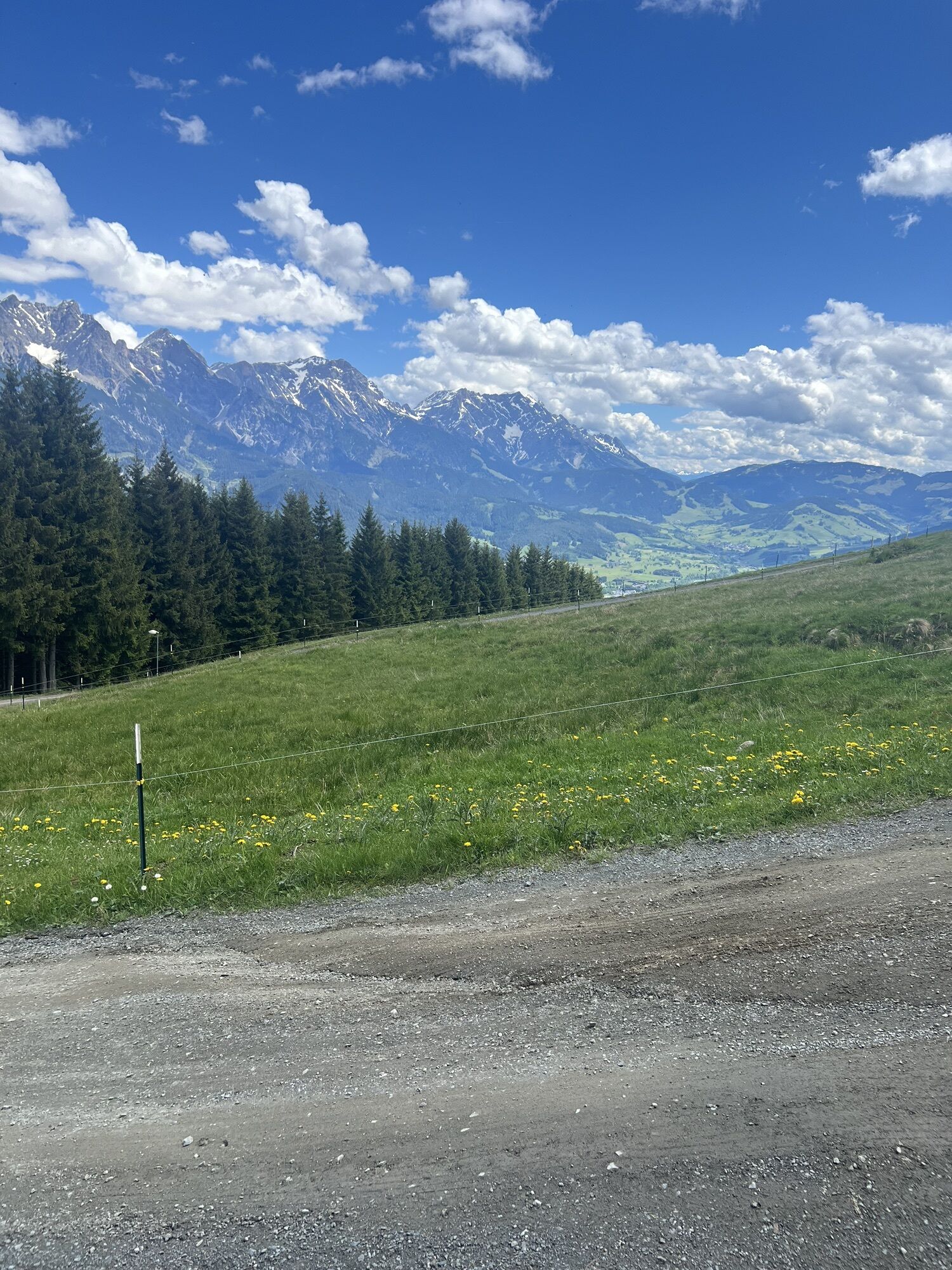
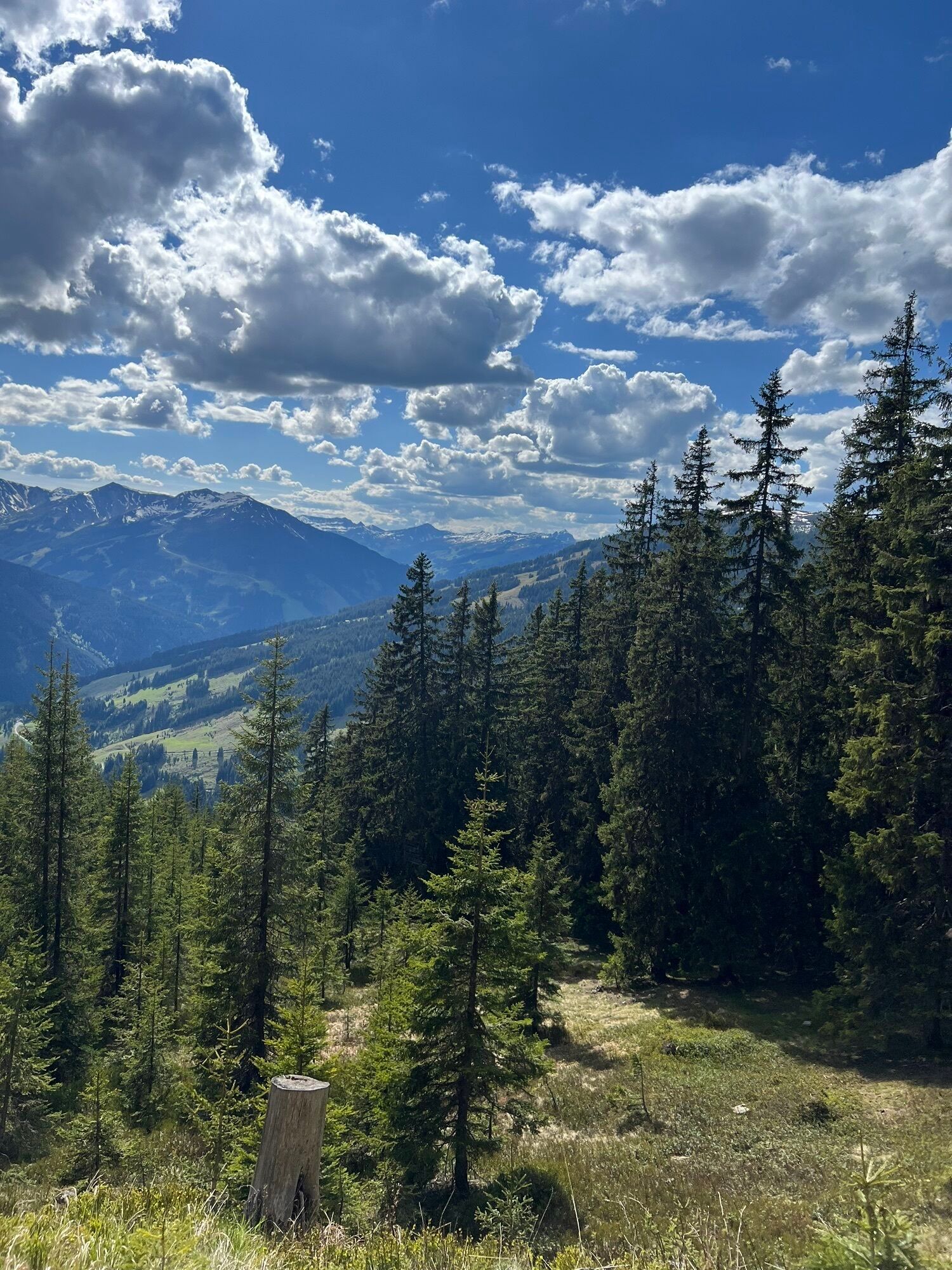
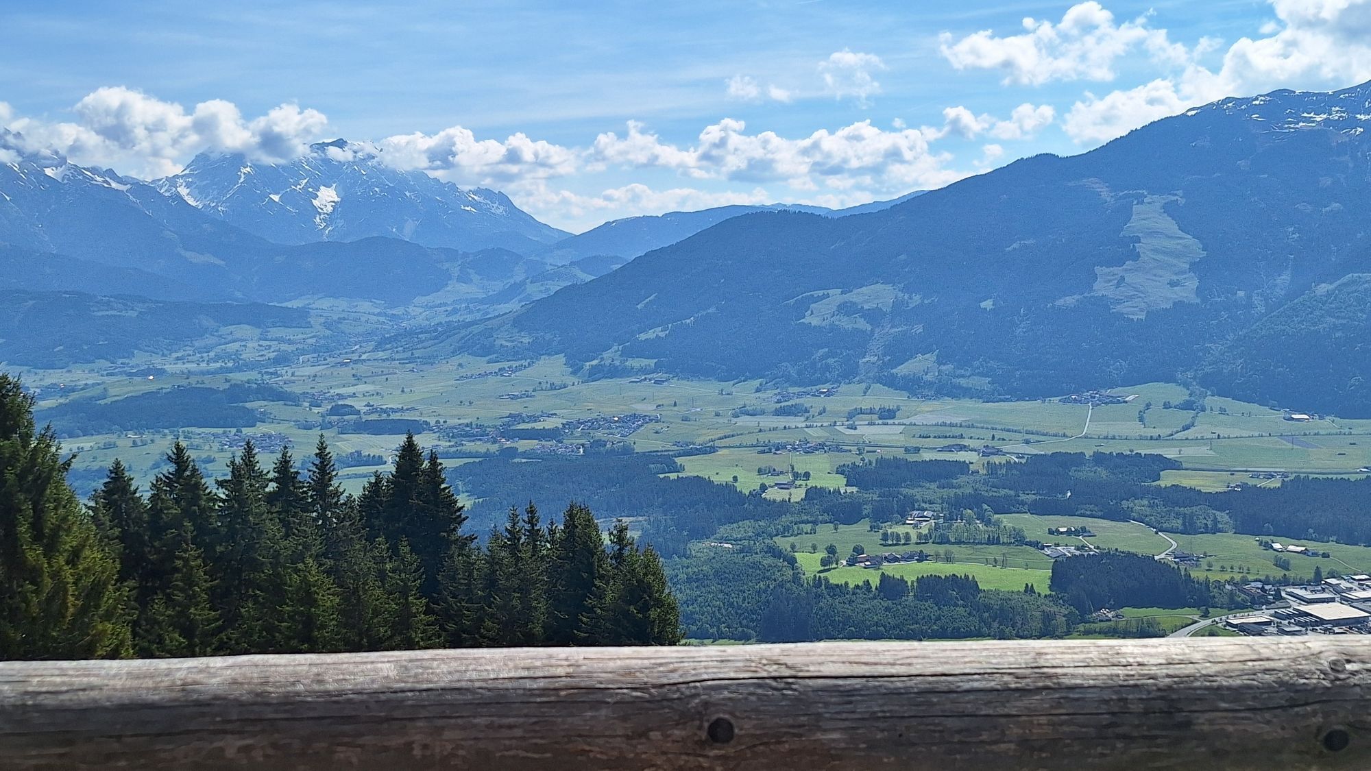
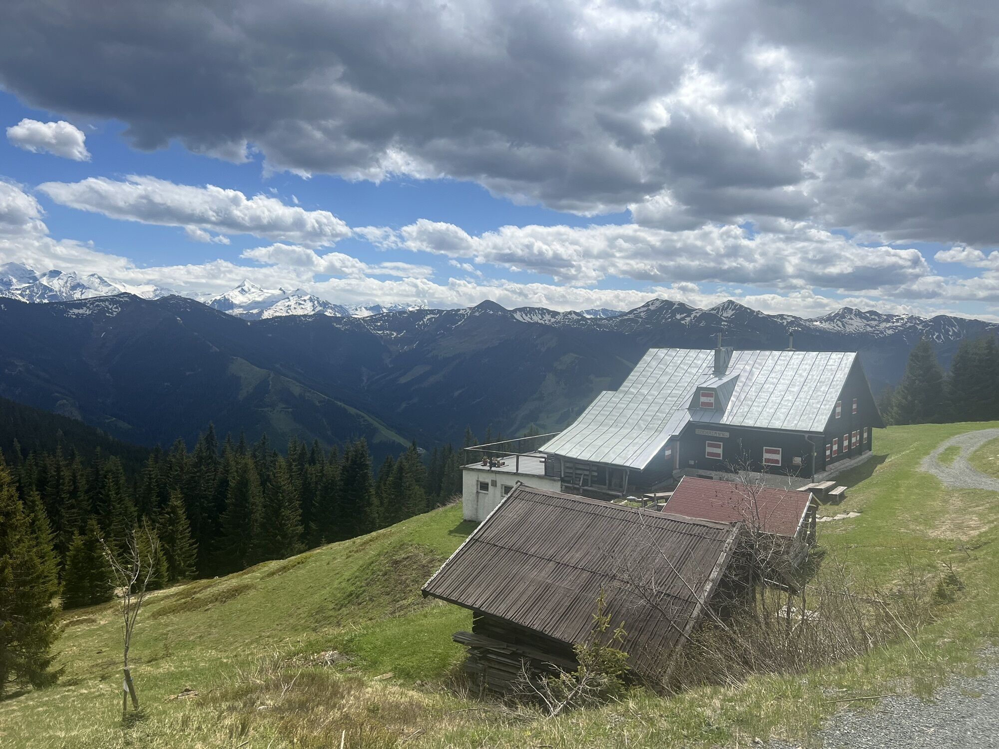
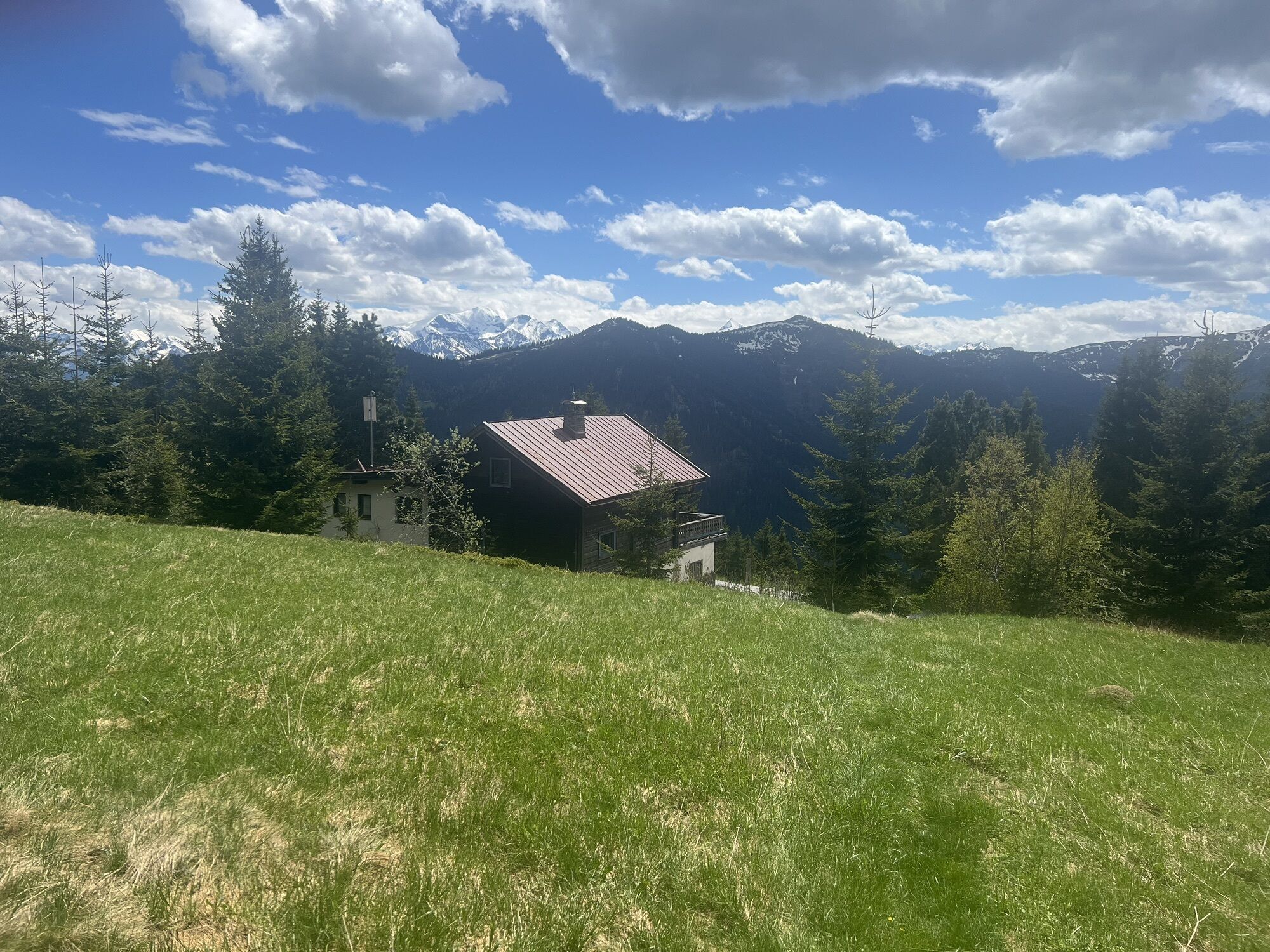
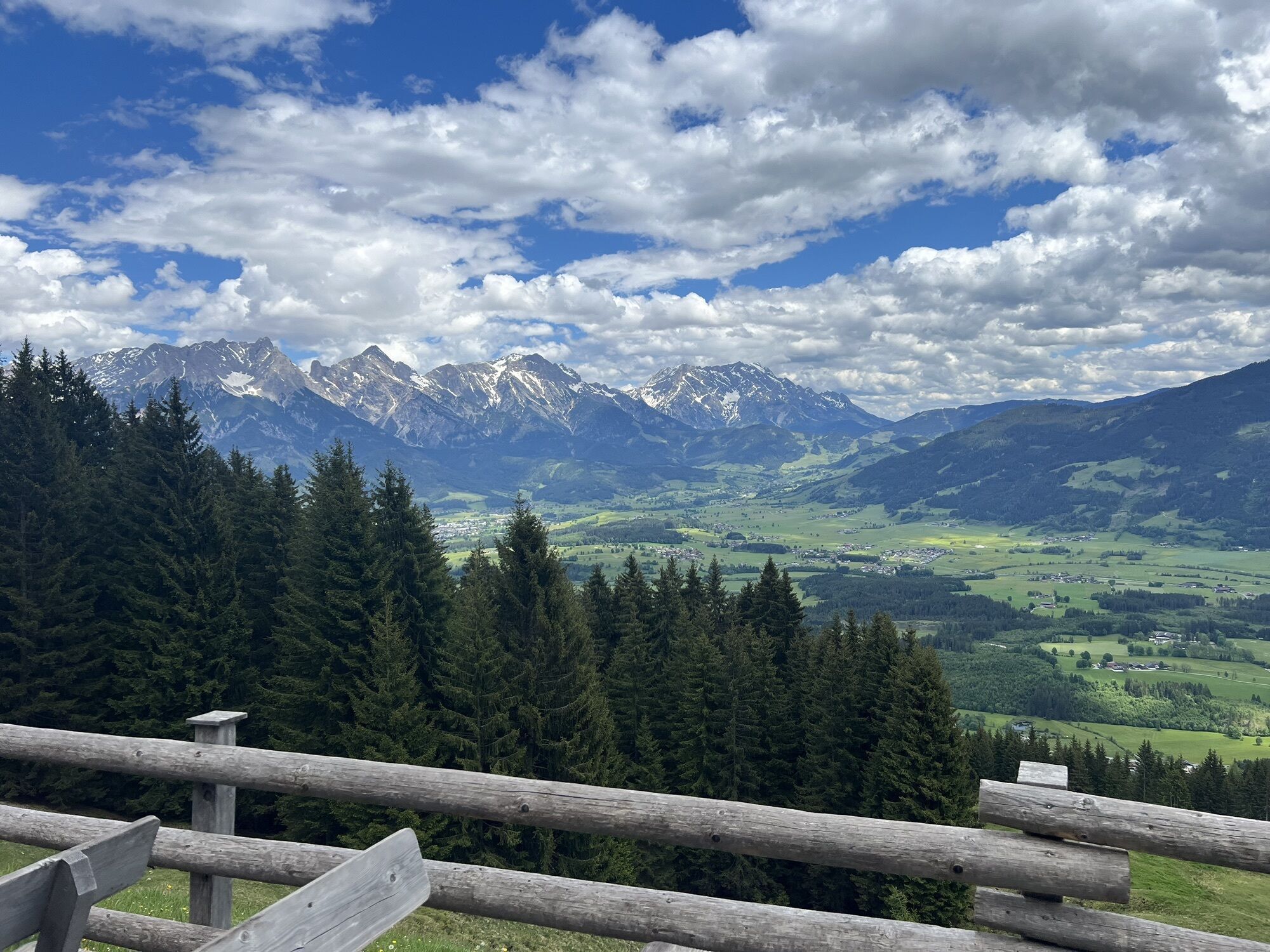
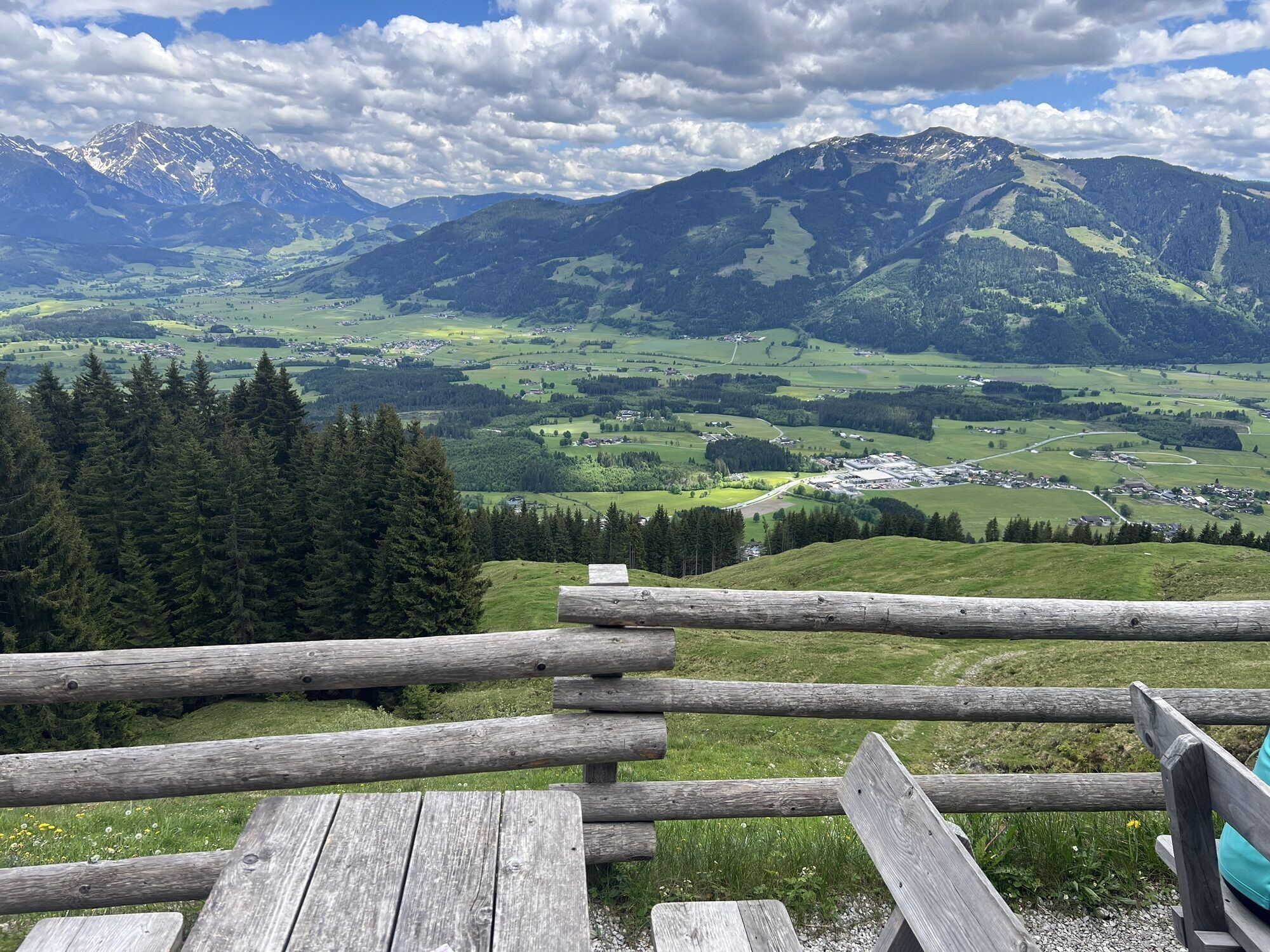
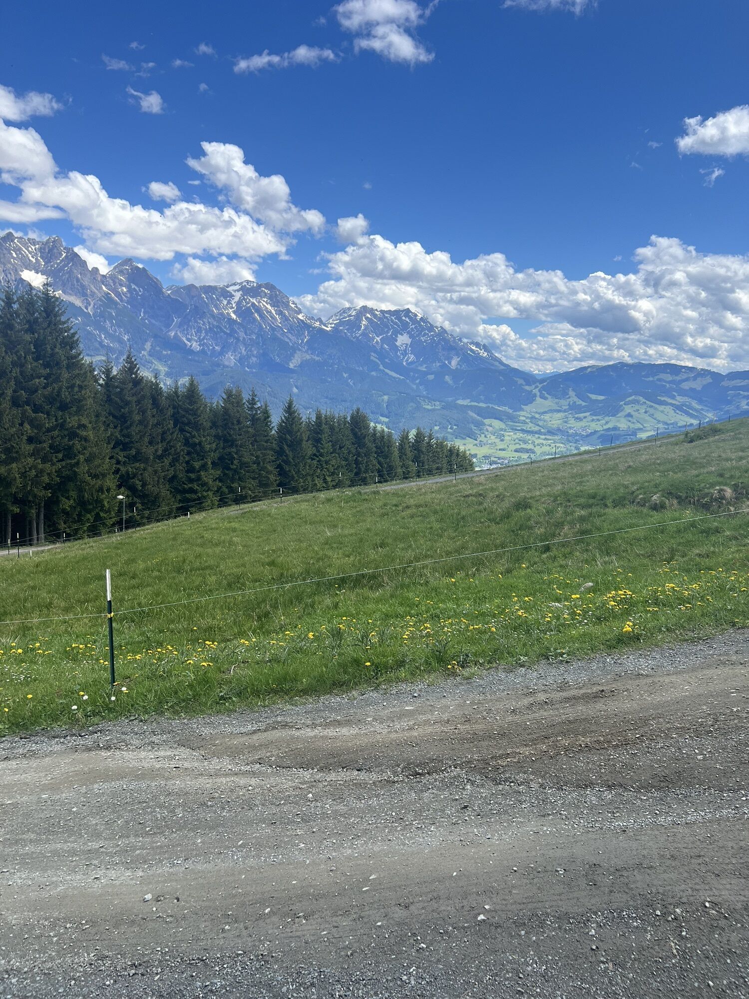
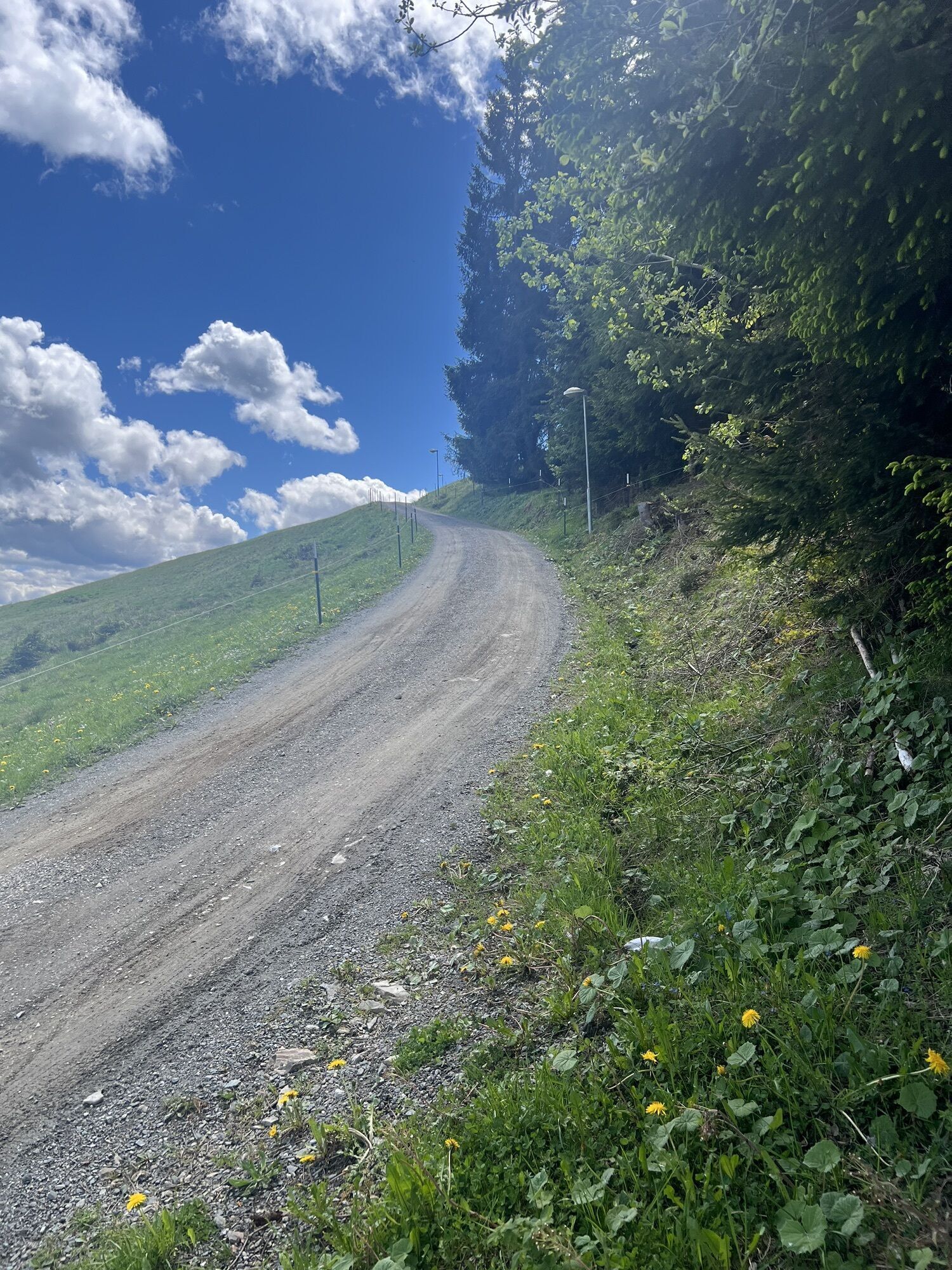
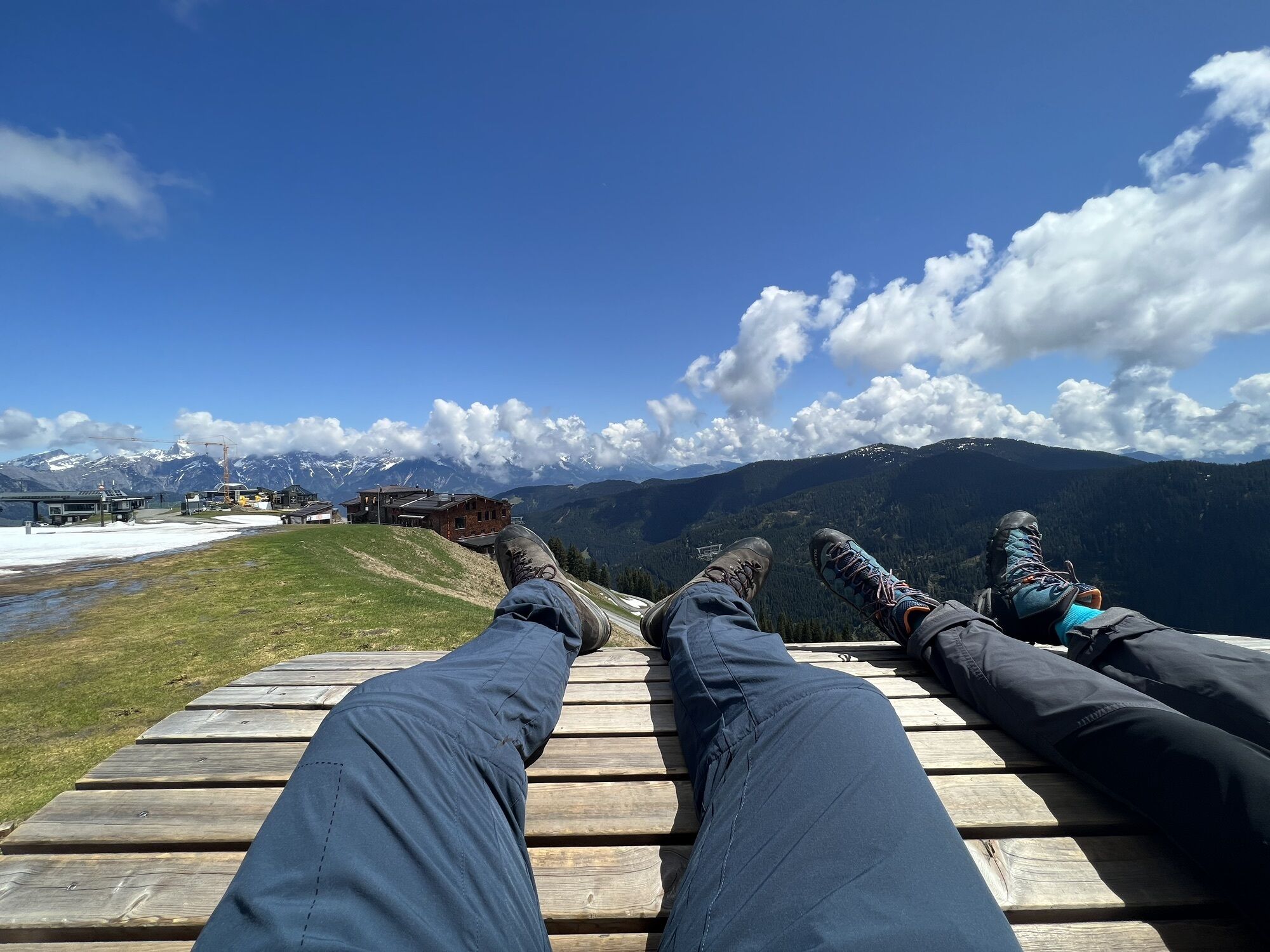
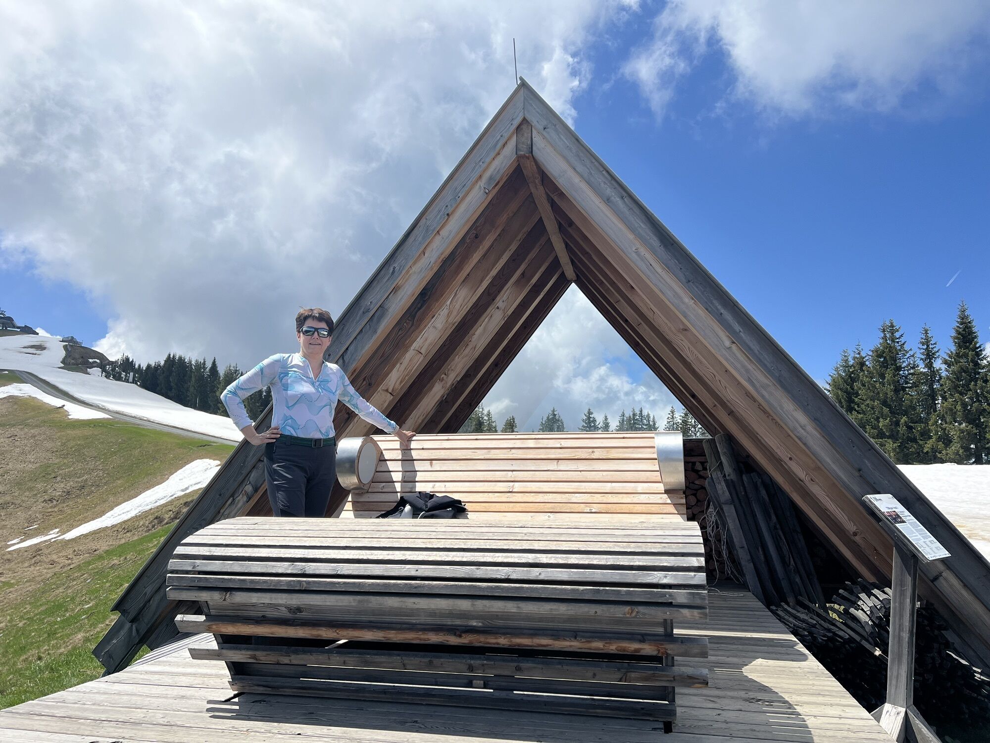
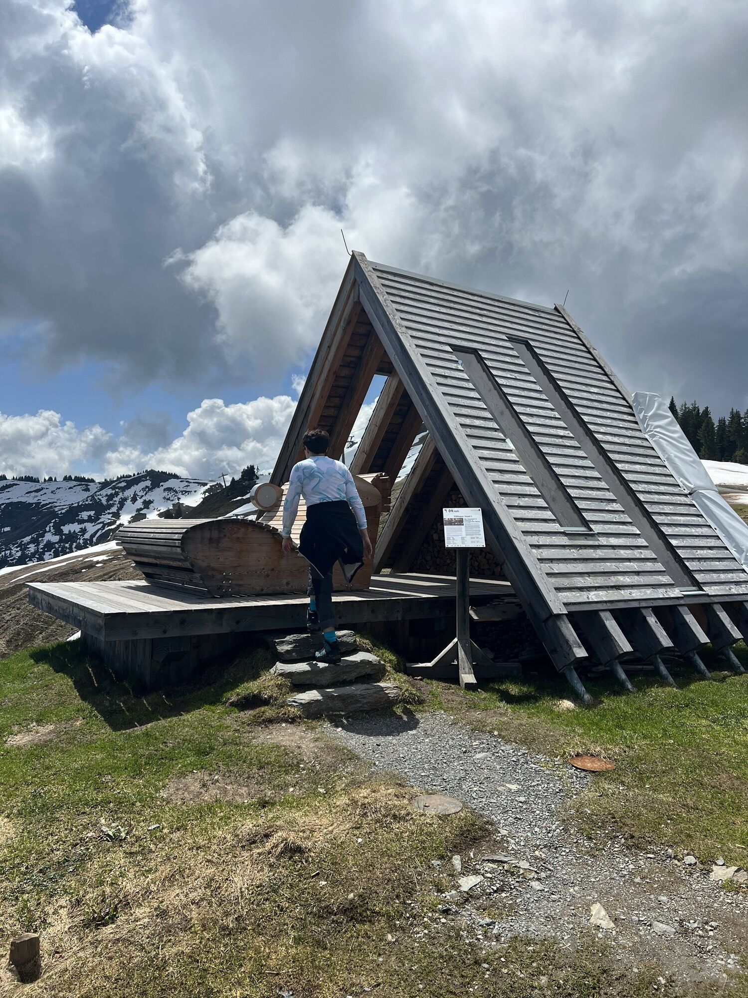
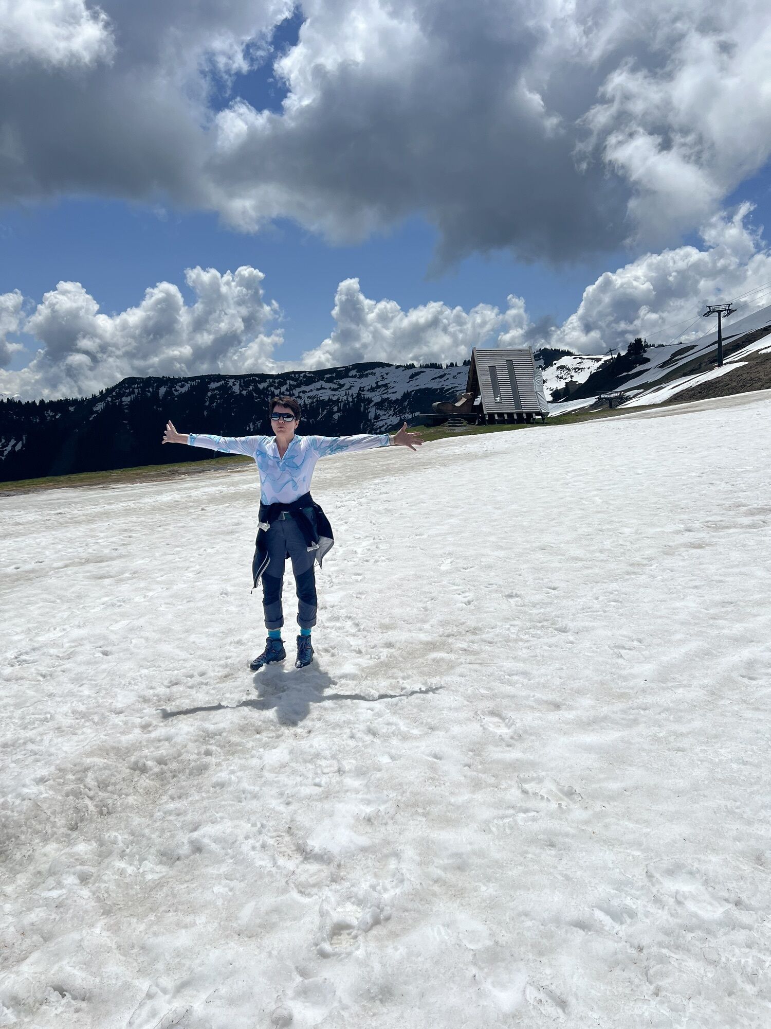
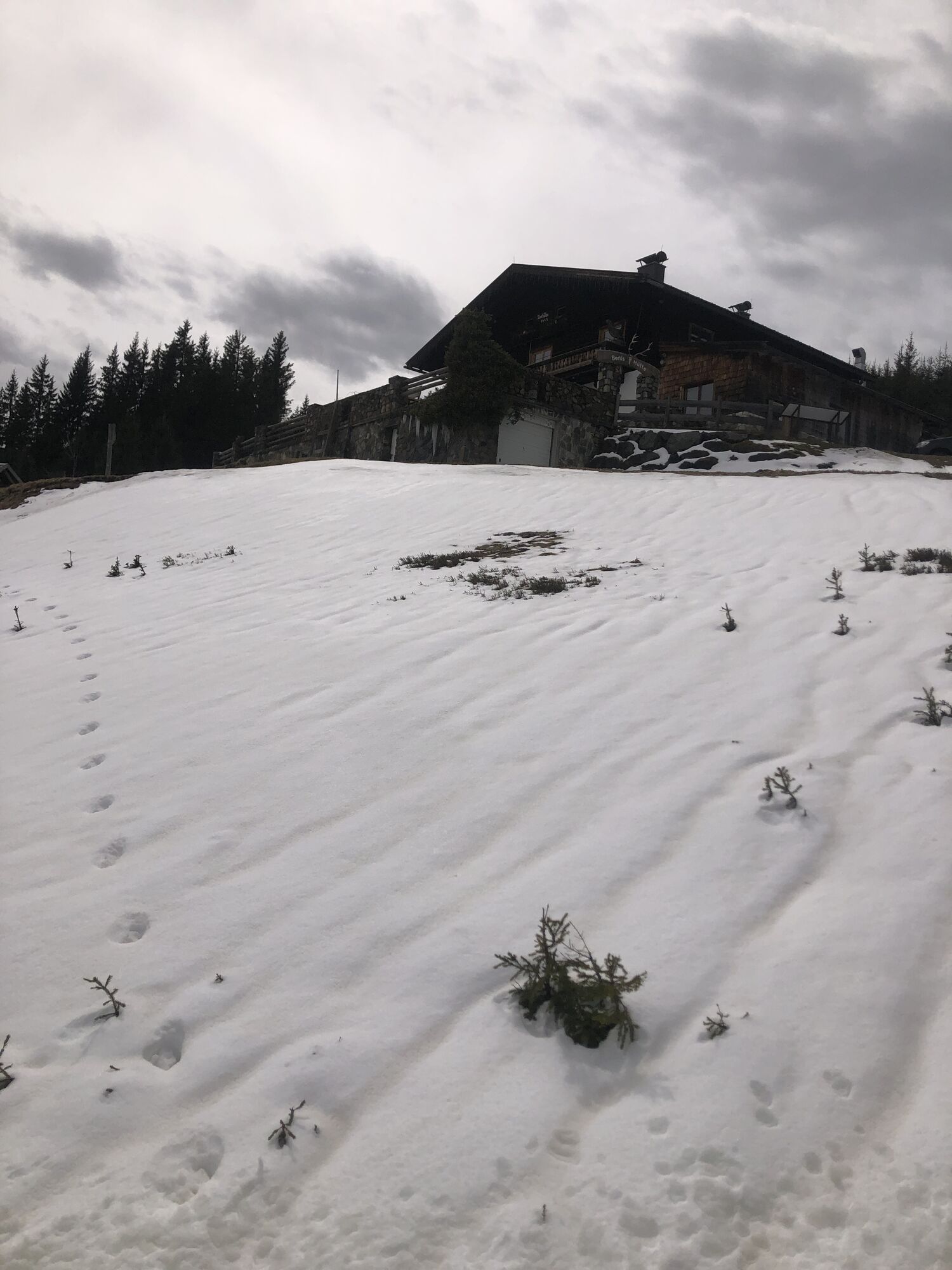
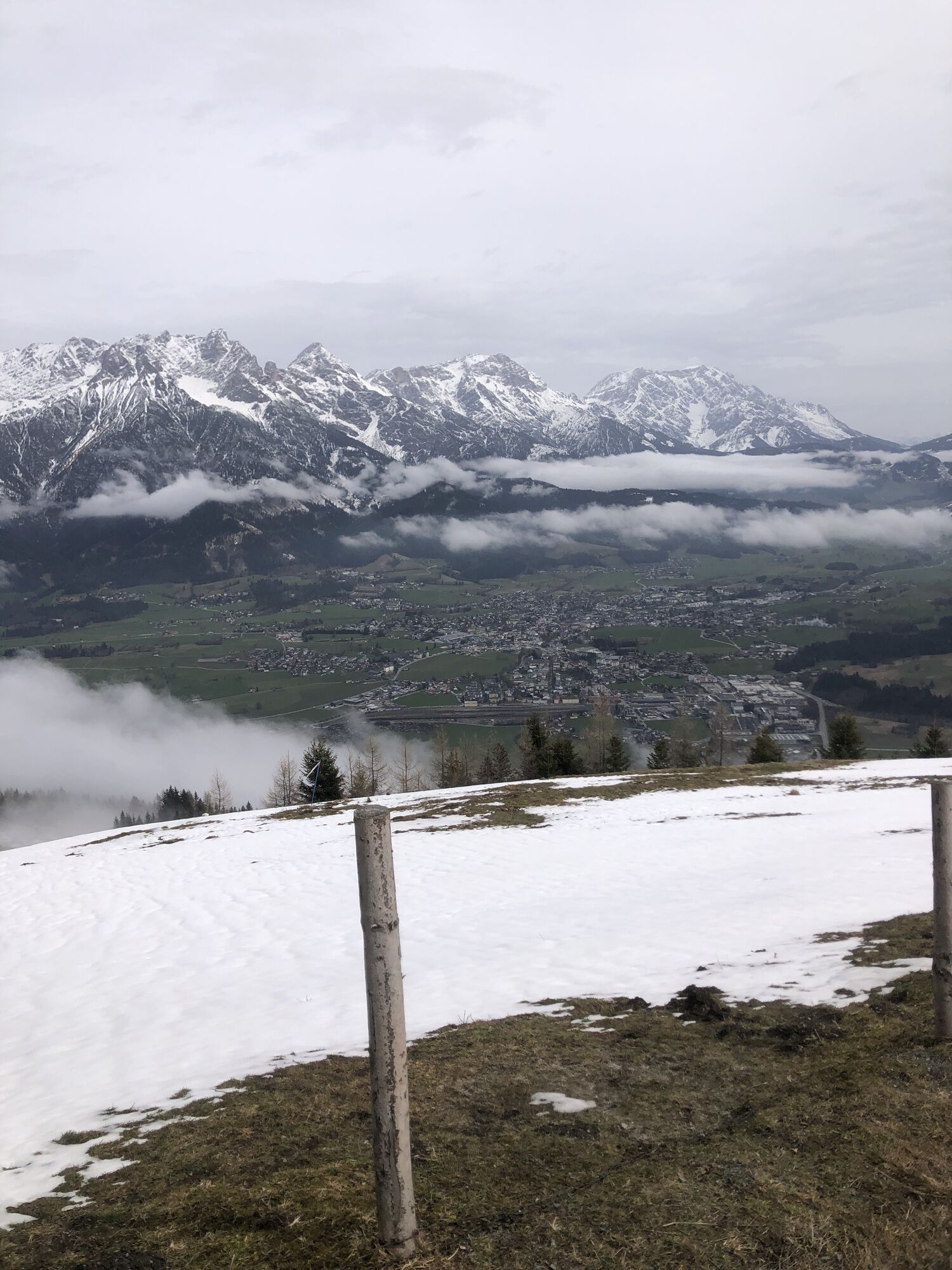
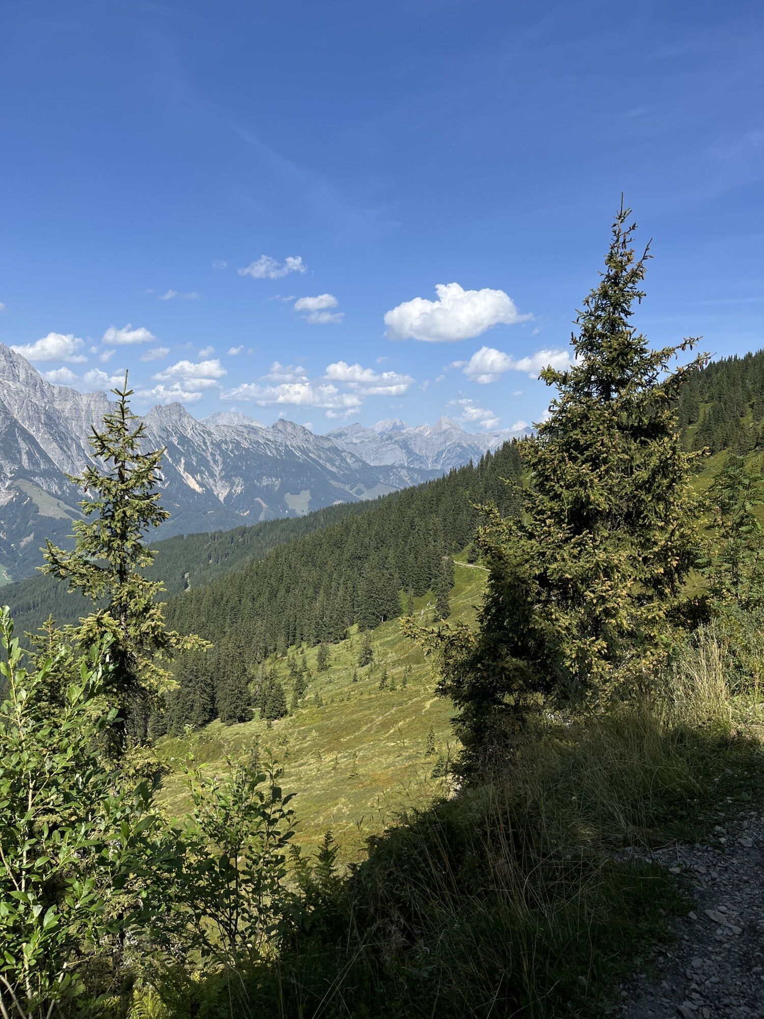
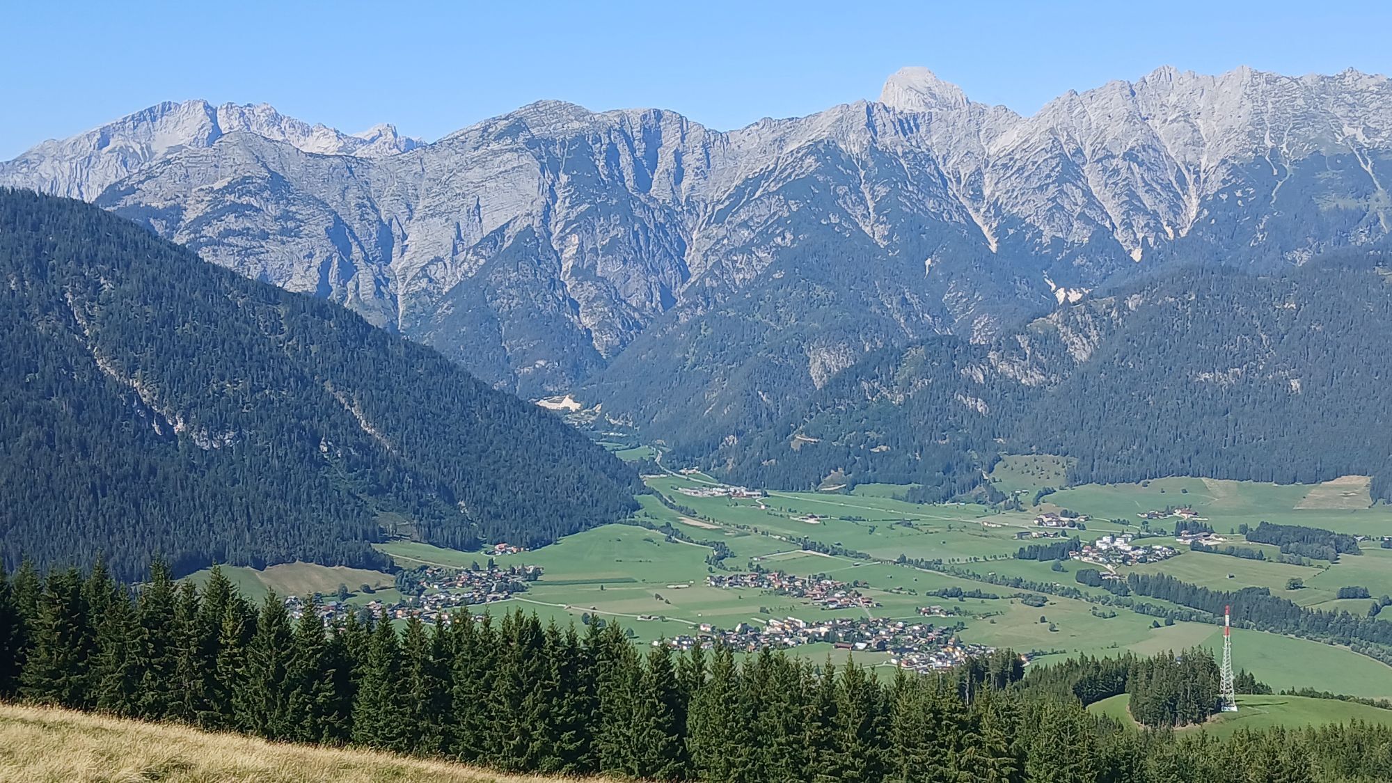
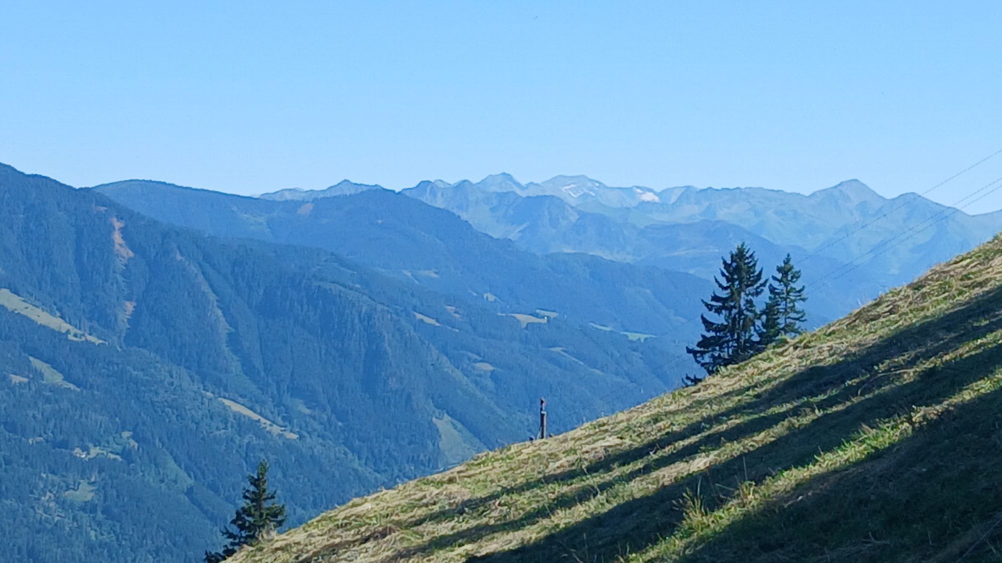
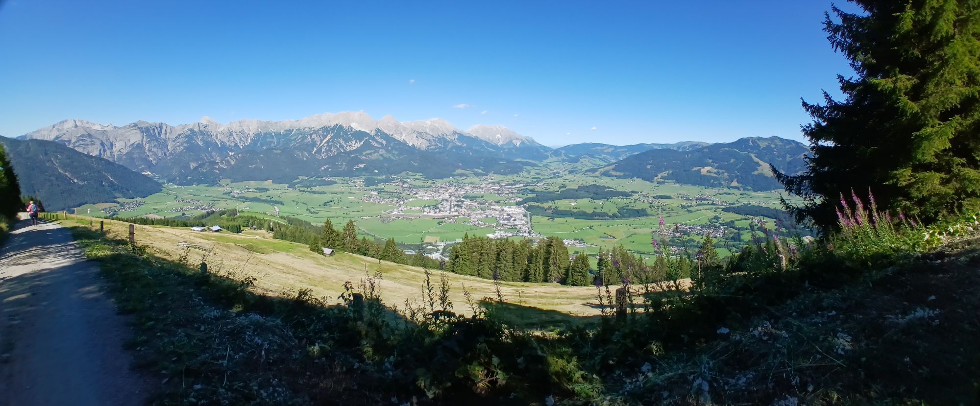
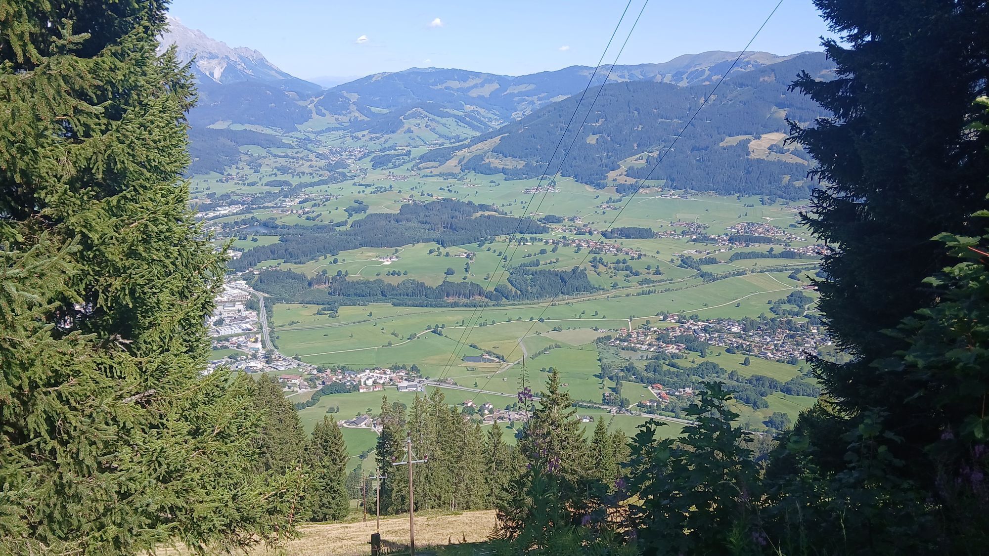
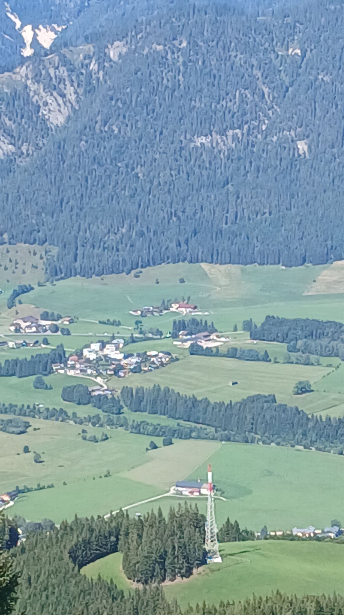
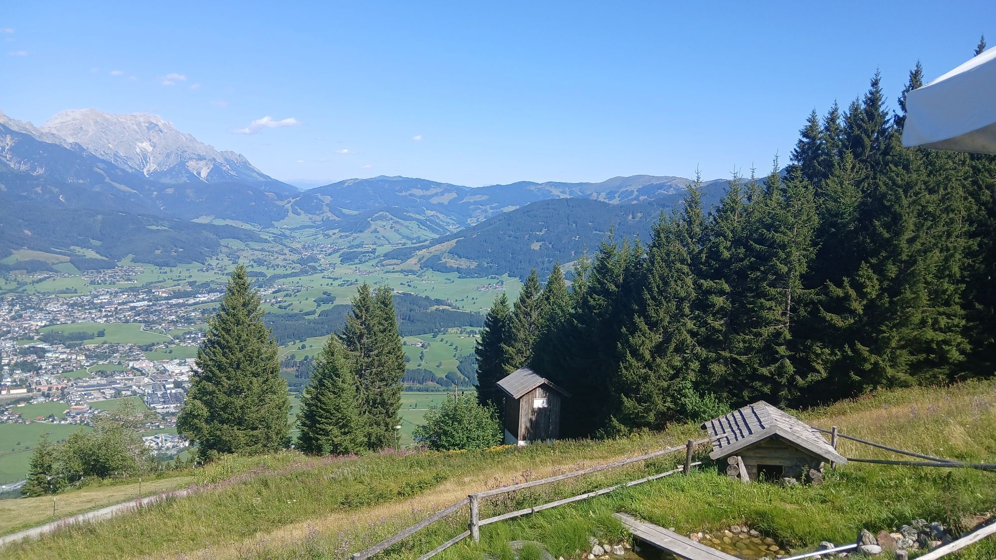
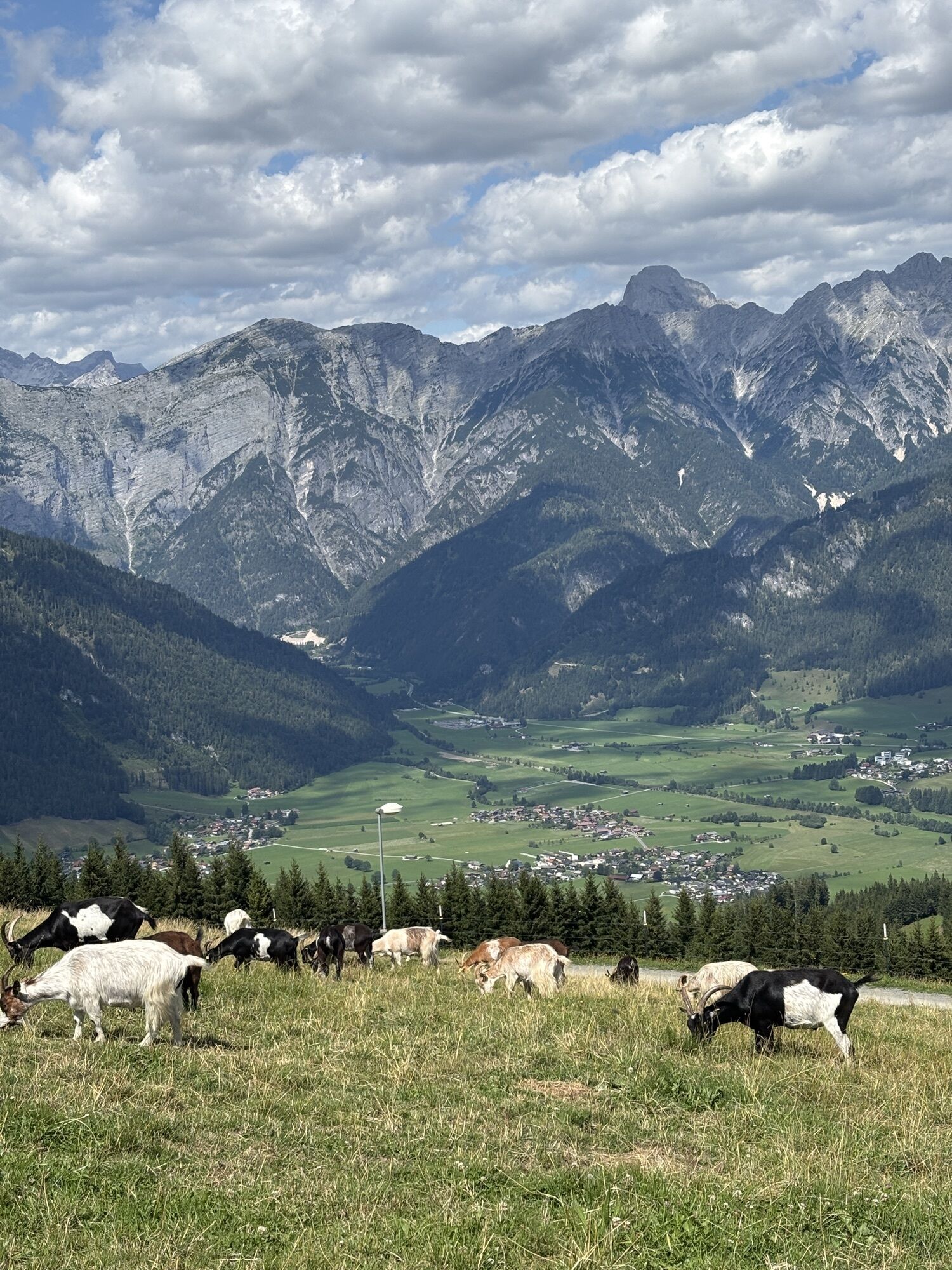
The panorama on this route is truly impressive. To the north, the rugged limestone mountains of the Leoganger Steinberge and the Stone Sea. To the east, the distinctive Hochkönig massif, to the south the...
The panorama on this route is truly impressive. To the north, the rugged limestone mountains of the Leoganger Steinberge and the Stone Sea. To the east, the distinctive Hochkönig massif, to the south the majestic peaks of the High Tauern, and to the west the unique mountain range of the Wilder Kaiser.

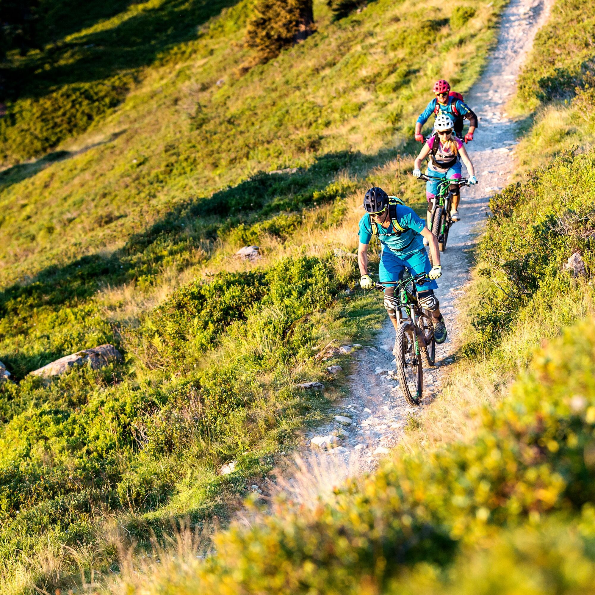
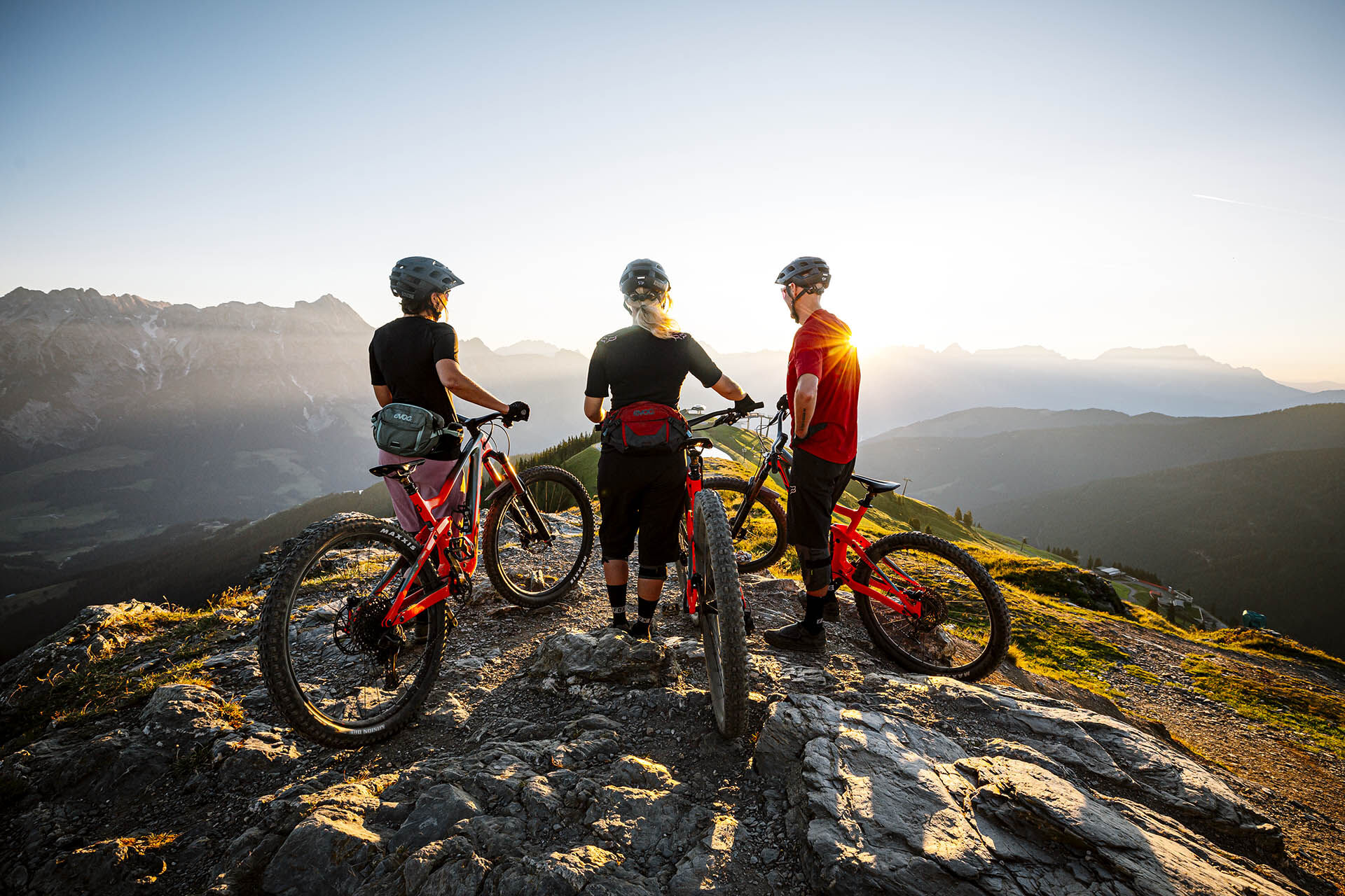
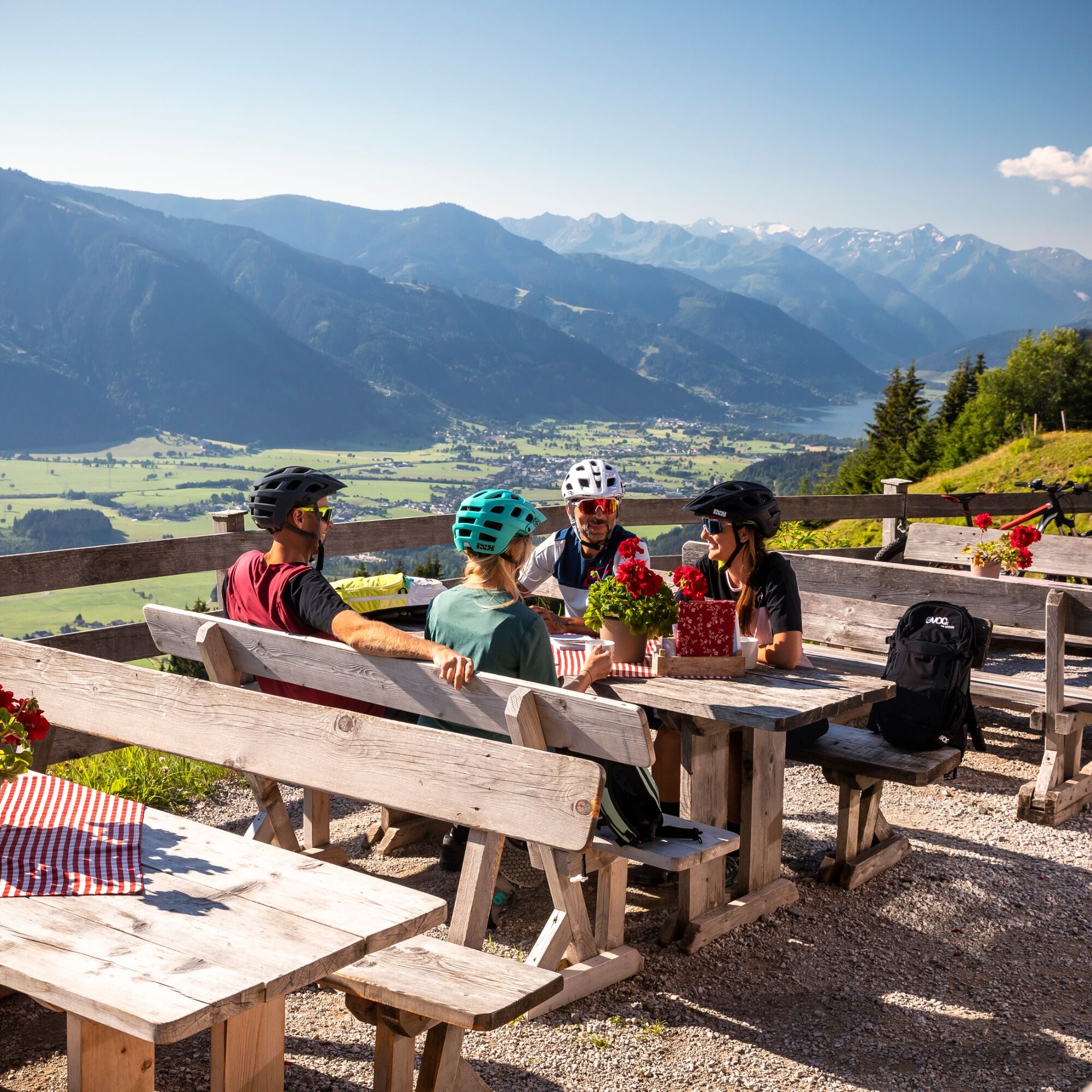

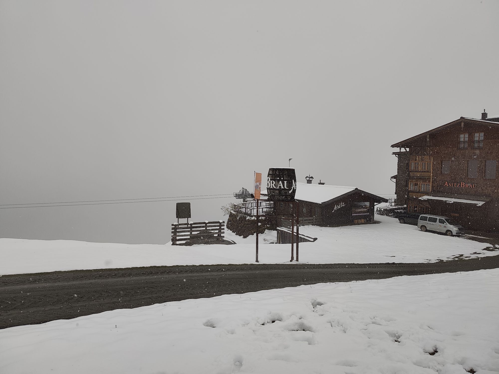
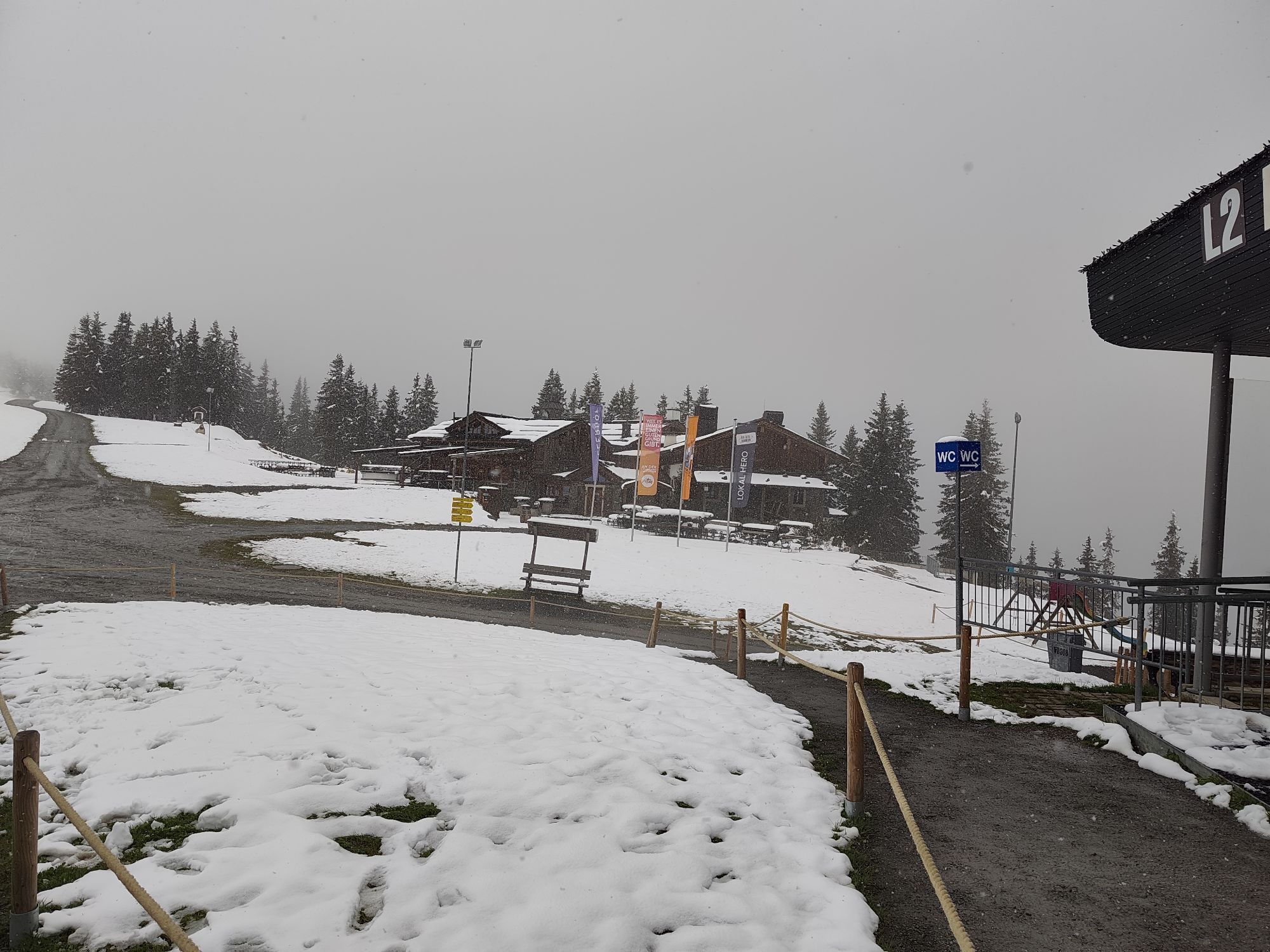
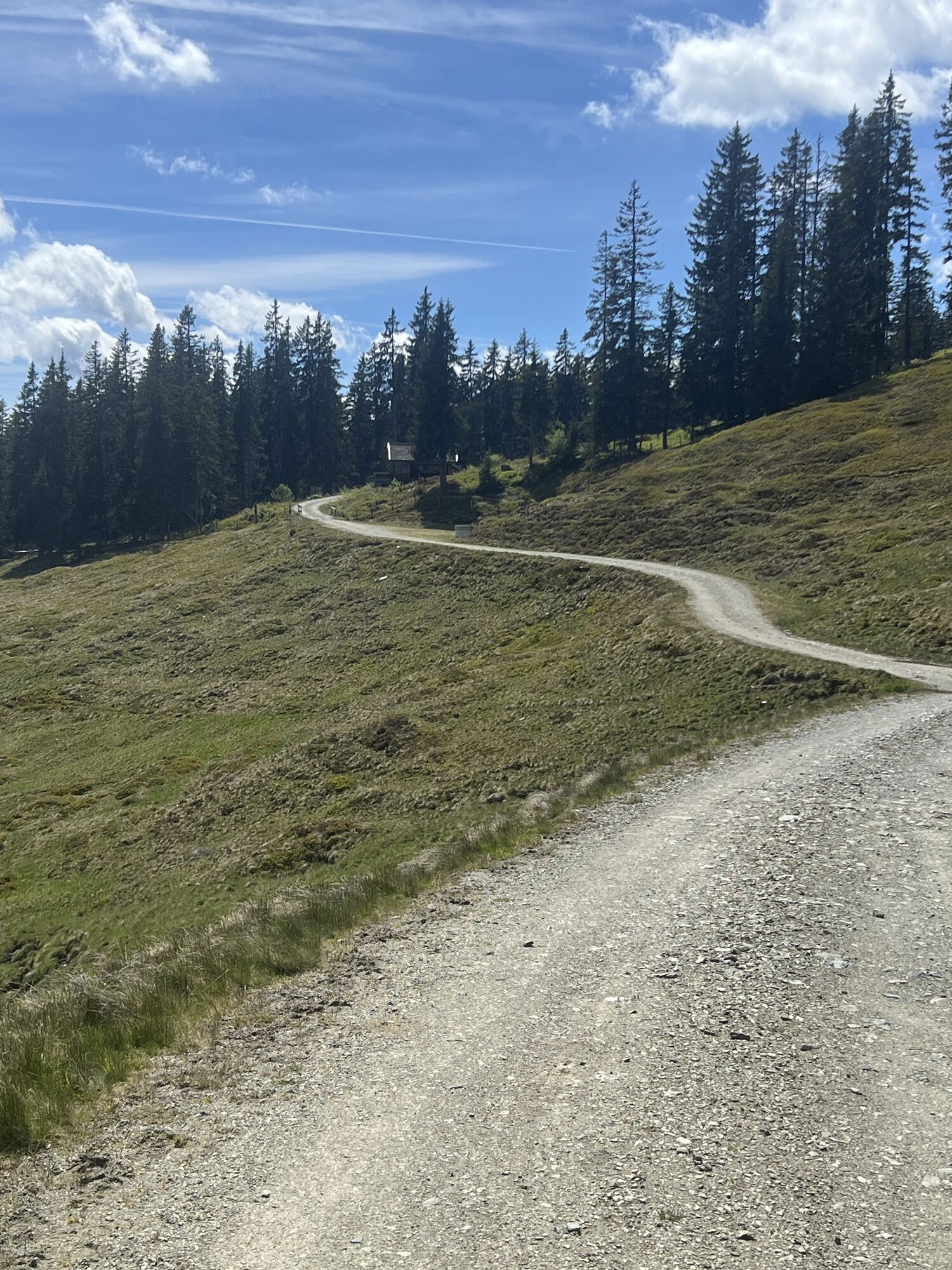
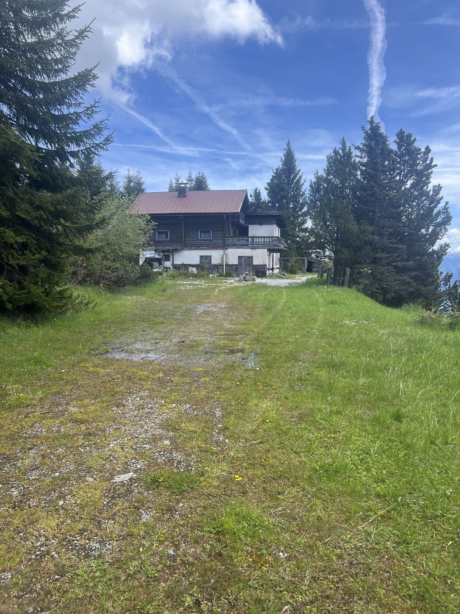
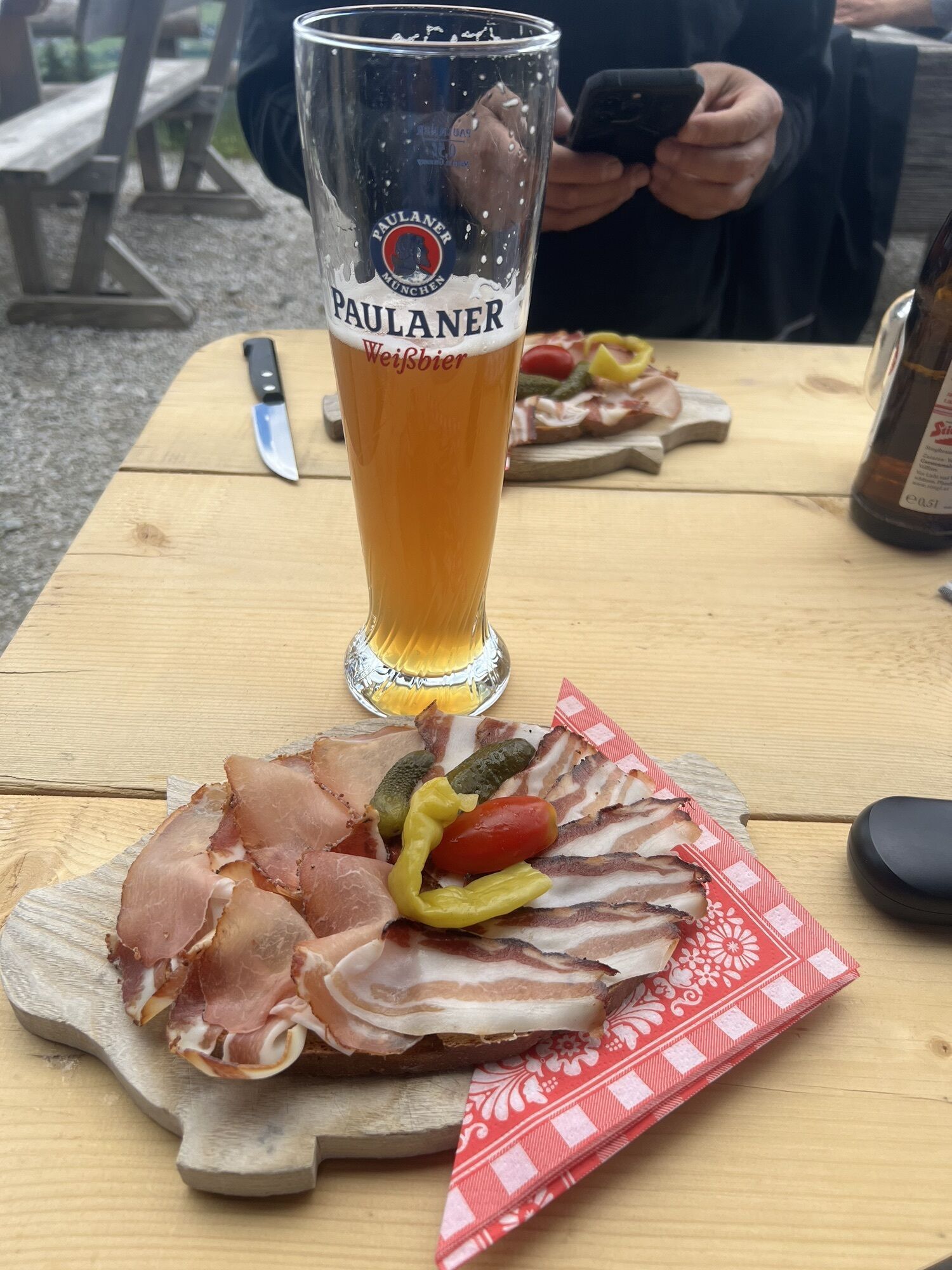
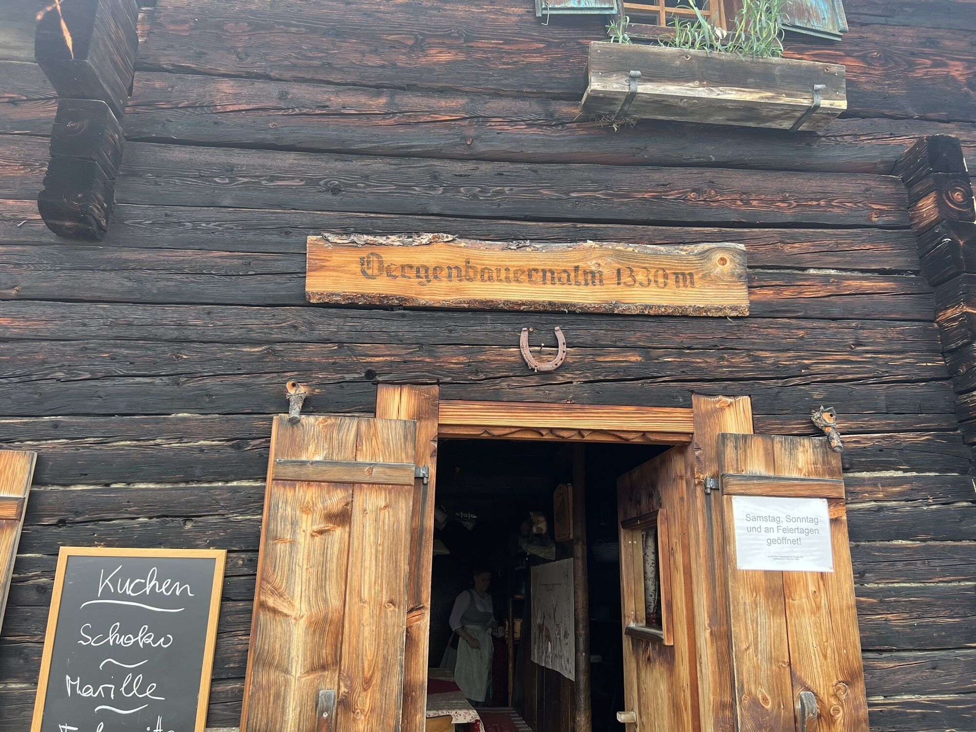
First, you ascend comfortably with the help of the Asitz cable car to the summit station (lift ticket required!). After the Asitz trail to the Schönleitenhütte, the route alternates between uphill and downhill, passing the Jahnhütte and Örgenbauernalm to the mountain inn Biberg. Here, you can enjoy the wonderful panorama on one of the most beautiful viewing mountains of the region and indulge yourself culinarily before taking on the descent towards Leogang. The last kilometers back to the starting point can then be completed quite leisurely.
Ano
BY TRAIN
You can enjoy your holiday from the very beginning by train. No traffic jam will keep you from getting to Saalfelden Leogang! Furthermore, the ÖBB timetable helps you quickly and easily find the ideal train connection to Leogang station: www.oebb.at (travel time to the starting point about 10 minutes)


Webové kamery z prohlídky
Asitz Gipfel
Berghotel Seidl-Alm
Asitz Mittelstation
Kohlmais Tal
Sonnkogel
Schmittenhöhe
Asitz Talstation
Leogang
Saalfelden
Großer Asitz / Gipfelkreuz
Leogang Schanteilift
Saalbach-Hinterglemm - Wildenkarkogel
Saalbach - Hotel Alpinresort
Wildenkarkogel
Talstation Asitzbahn
Maishofen Sausteige
Maishofen - Schloss Kammer
Saalbach-Hinterglemm - Kohlmais
Kohlmaiskopf
Leogang - Grosser Asitz
Maishofen Dorfplatz
zellamseeXpress


Oblíbené prohlídky v okolí
- 4.4
Maria Alm - Riemannhaus
Turistika 3.99 km - 4.6
Seisenberg Gorge
světloTuristika 2.41 km - 4.4
Schwalbenwand Nr. 80, 81, 82
středníTuristika 13.0 km - 4.6
Peter-Wiechenthaler Hut
středníTuristika 4.32 km - 4.6
Steinalm
světloTuristika 2.71 km - 4.8
Breithorn
středníTuristika 10.0 km - 4.3
Persailhorn South via ferrata
středníVia ferrata 6.83 km - 4.2
Maurerkogel (Top)
Turistika 10.5 km - 4.6
Lettlkaser
středníTuristika 4.40 km - 5.0
Leo’s play hiking trail
světloTematická stezka 4.89 km
Pěší turistika a stopování


Nenechte si ujít nabídky a inspiraci pro vaši příští dovolenou
Vaše e-mailová adresa byl přidán do poštovního seznamu.





