






Neukirchen: 3D Dürnbachtal
Fotografie našich uživatelů
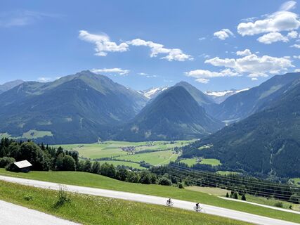
 © Eric GrochauVytvořeno dne 19.07.2025
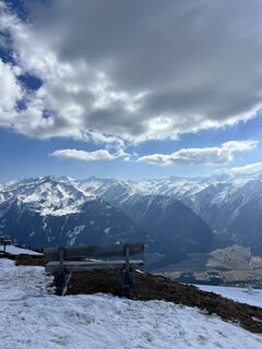 © Thomas BenzingerVytvořeno dne 20.03.2026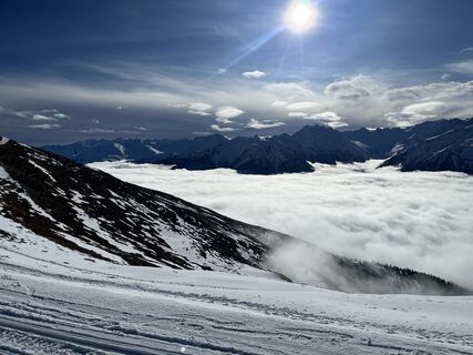
 © Michael LangfermannVytvořeno dne 12.02.2026
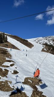 © Swen PluisVytvořeno dne 08.02.2026
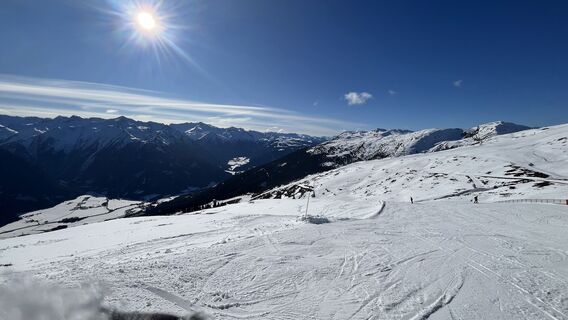 © Swen PluisVytvořeno dne 08.02.2026
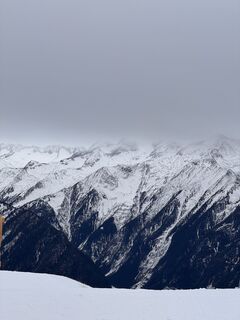 © Janit DaszeniesVytvořeno dne 06.02.2026
 © Hannah ReimannVytvořeno dne 29.01.2026
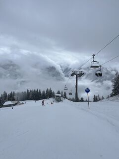 © Hannah ReimannVytvořeno dne 29.01.2026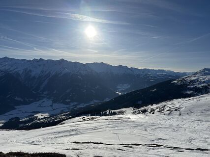
 © AlexVytvořeno dne 19.01.2026
 © AlexVytvořeno dne 19.01.2026
 © AlexVytvořeno dne 18.01.2026
 © JonasVytvořeno dne 15.01.2026
 © Marie LouiseVytvořeno dne 24.07.2025
 © Marie LouiseVytvořeno dne 24.07.2025
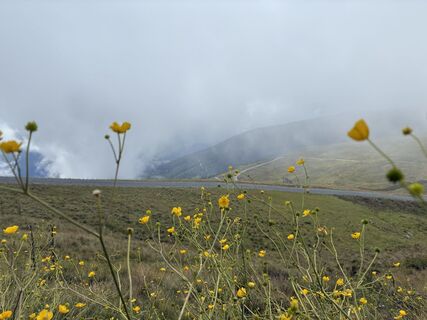 © Marie LouiseVytvořeno dne 24.07.2025
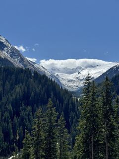 © Stuart WalkerVytvořeno dne 28.04.2025
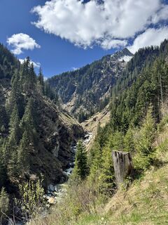 © Stuart WalkerVytvořeno dne 28.04.2025
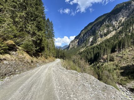 © Stuart WalkerVytvořeno dne 28.04.2025
 © Tobias PeschanelVytvořeno dne 20.04.2025
 © Tobias PeschanelVytvořeno dne 20.04.2025
 © Tobias PeschanelVytvořeno dne 20.04.2025
 © Tobias PeschanelVytvořeno dne 25.02.2025
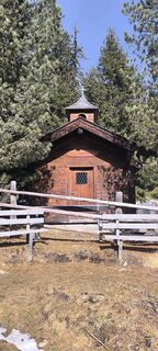 © Tobias PeschanelVytvořeno dne 25.02.2025
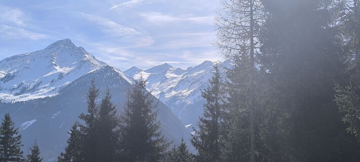 © Tobias PeschanelVytvořeno dne 25.02.2025
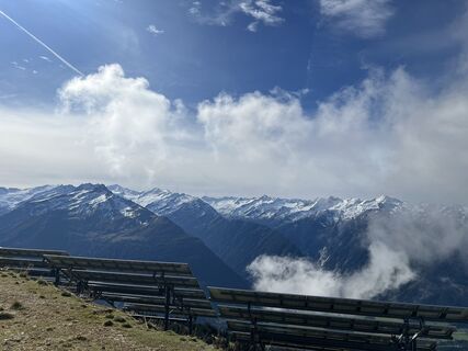 © Peter SchäferVytvořeno dne 01.10.2024
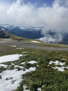 © Peter SchäferVytvořeno dne 01.10.2024
 © Johannes Müller 5Vytvořeno dne 16.08.2023
 © Johannes Müller 5Vytvořeno dne 16.08.2023
 © Koen De WitVytvořeno dne 16.08.2020
 © Koen De WitVytvořeno dne 16.08.2020
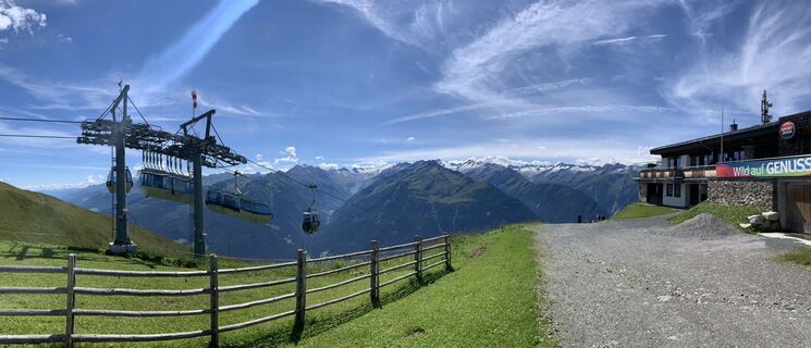 © Koen De WitVytvořeno dne 16.08.2020
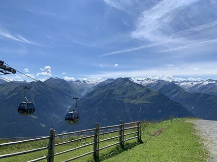 © Koen De WitVytvořeno dne 16.08.2020
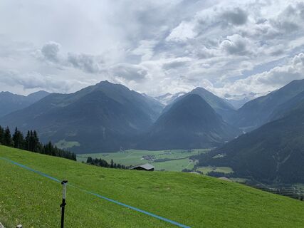 © Koen De WitVytvořeno dne 13.08.2020
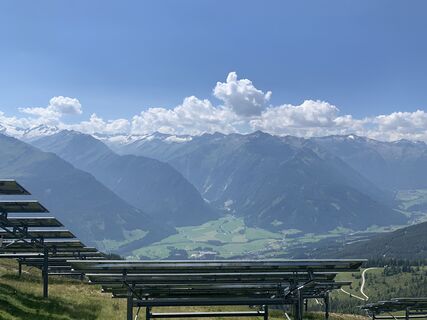 © Koen De WitVytvořeno dne 10.08.2020
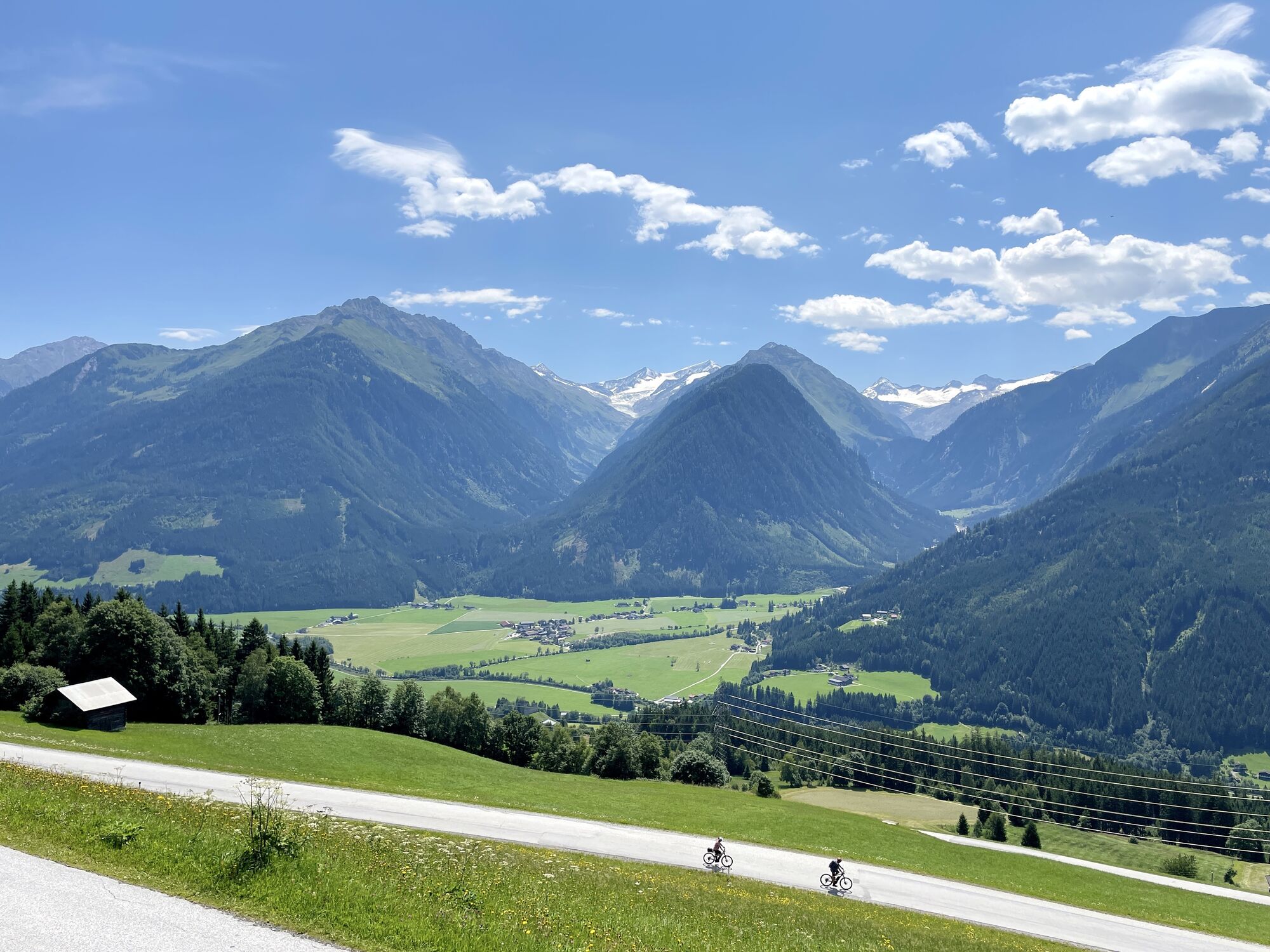
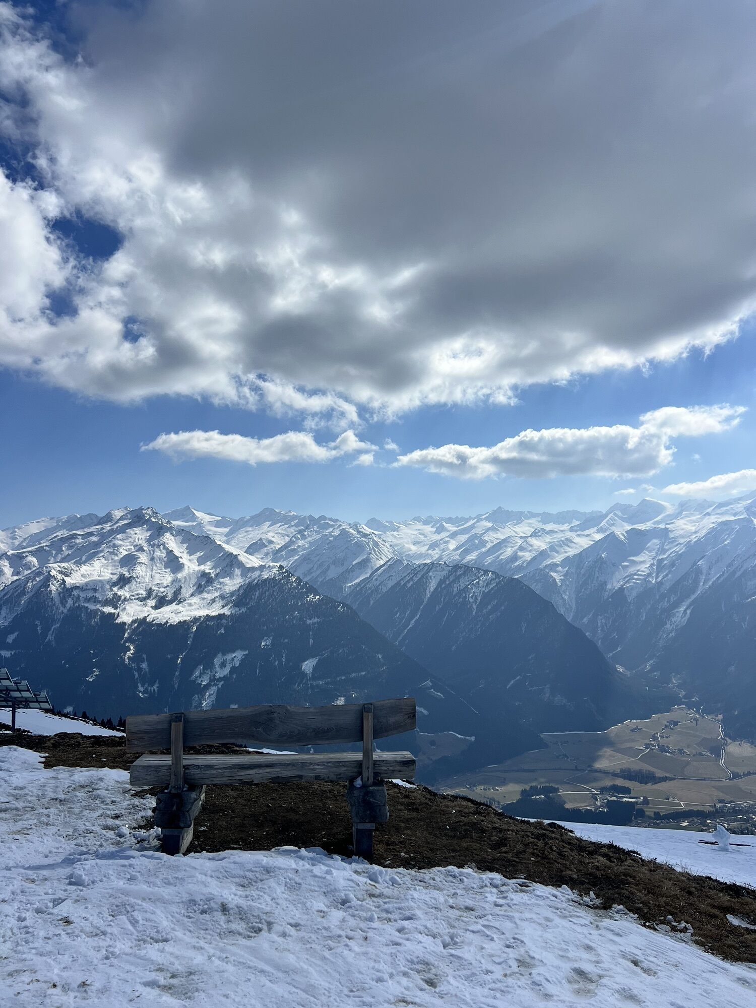
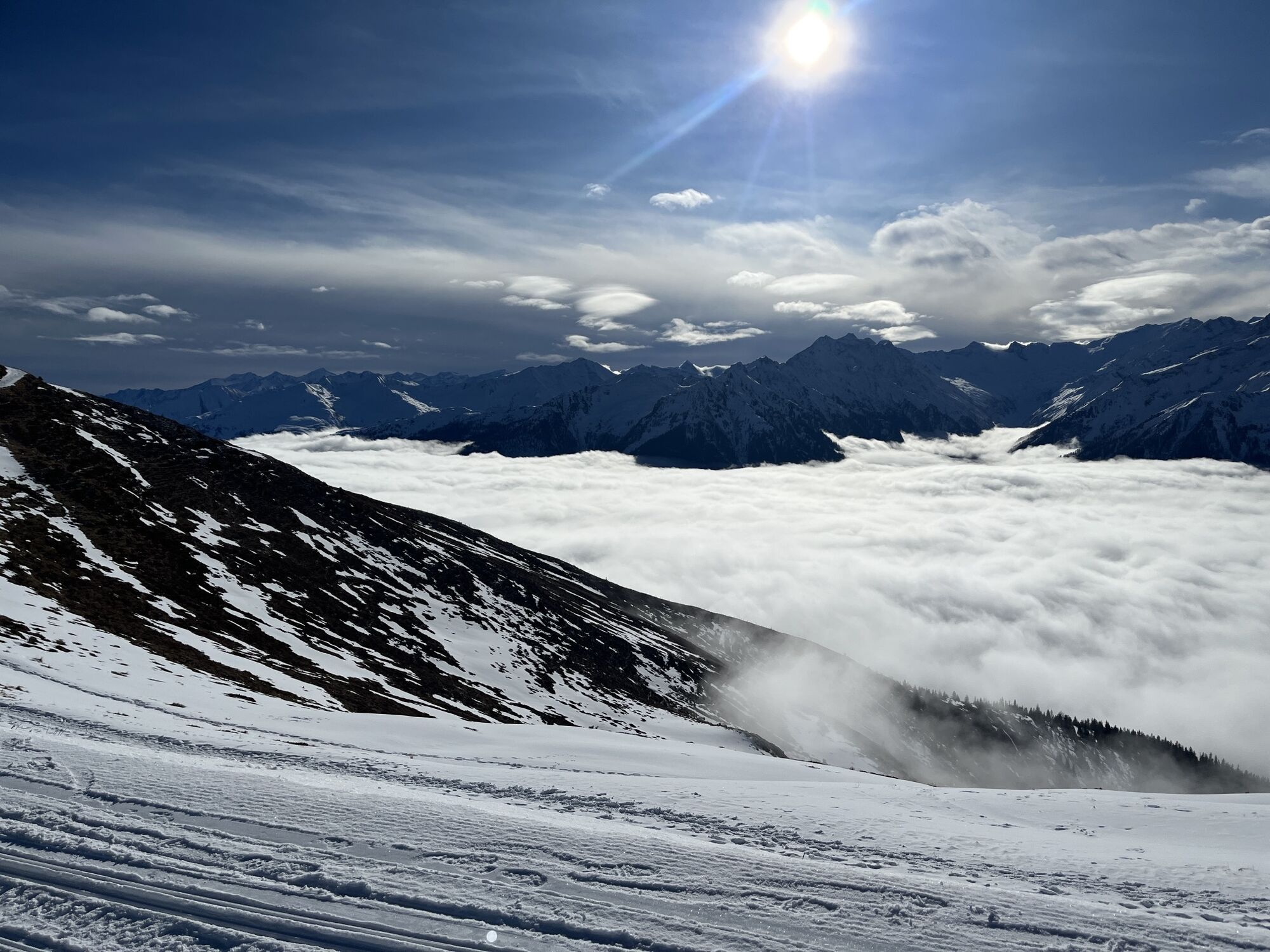
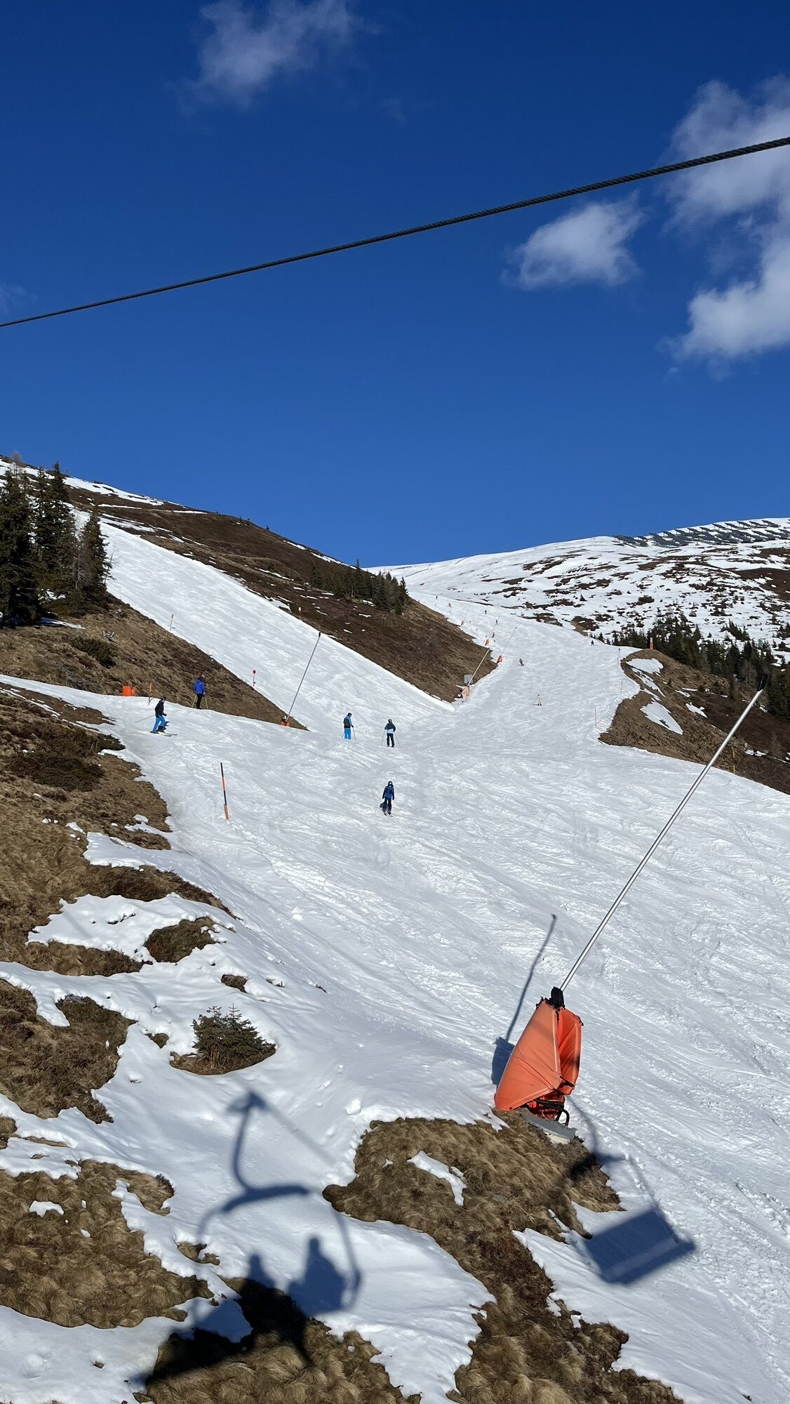
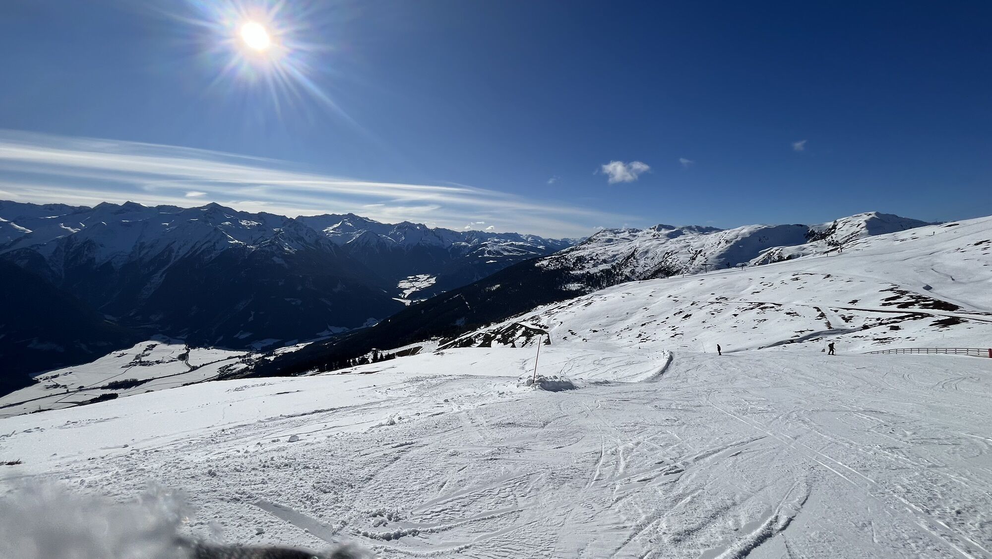
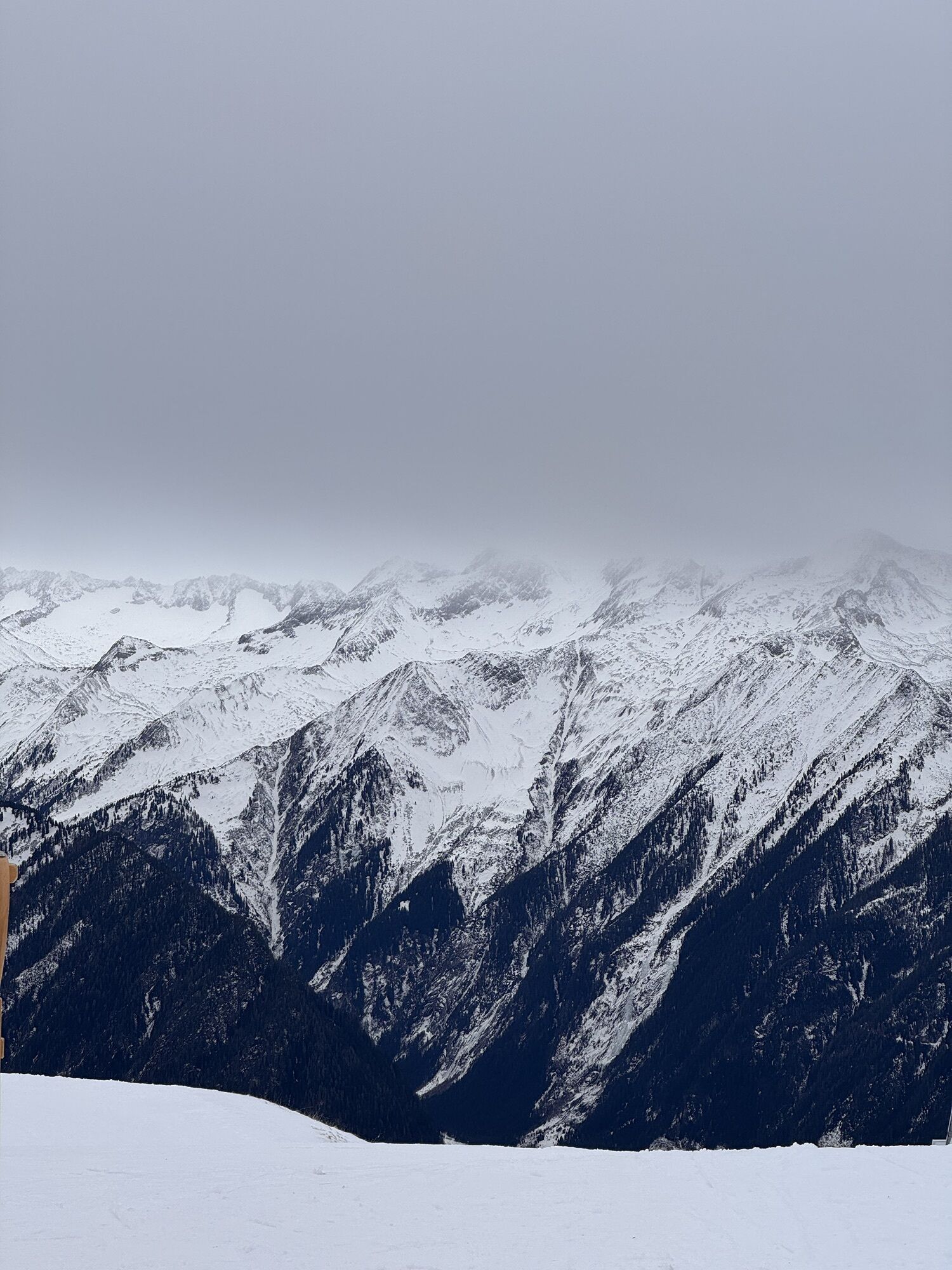
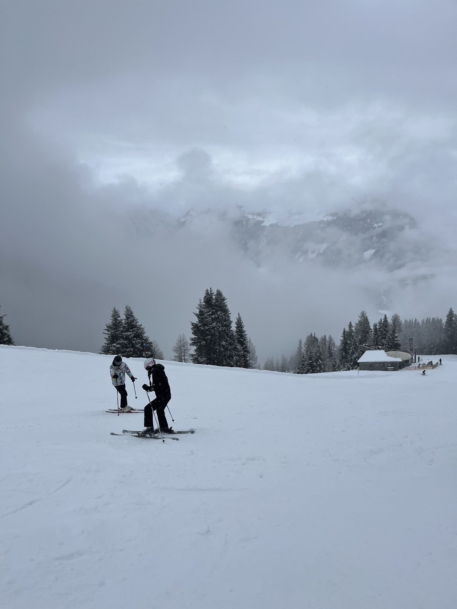
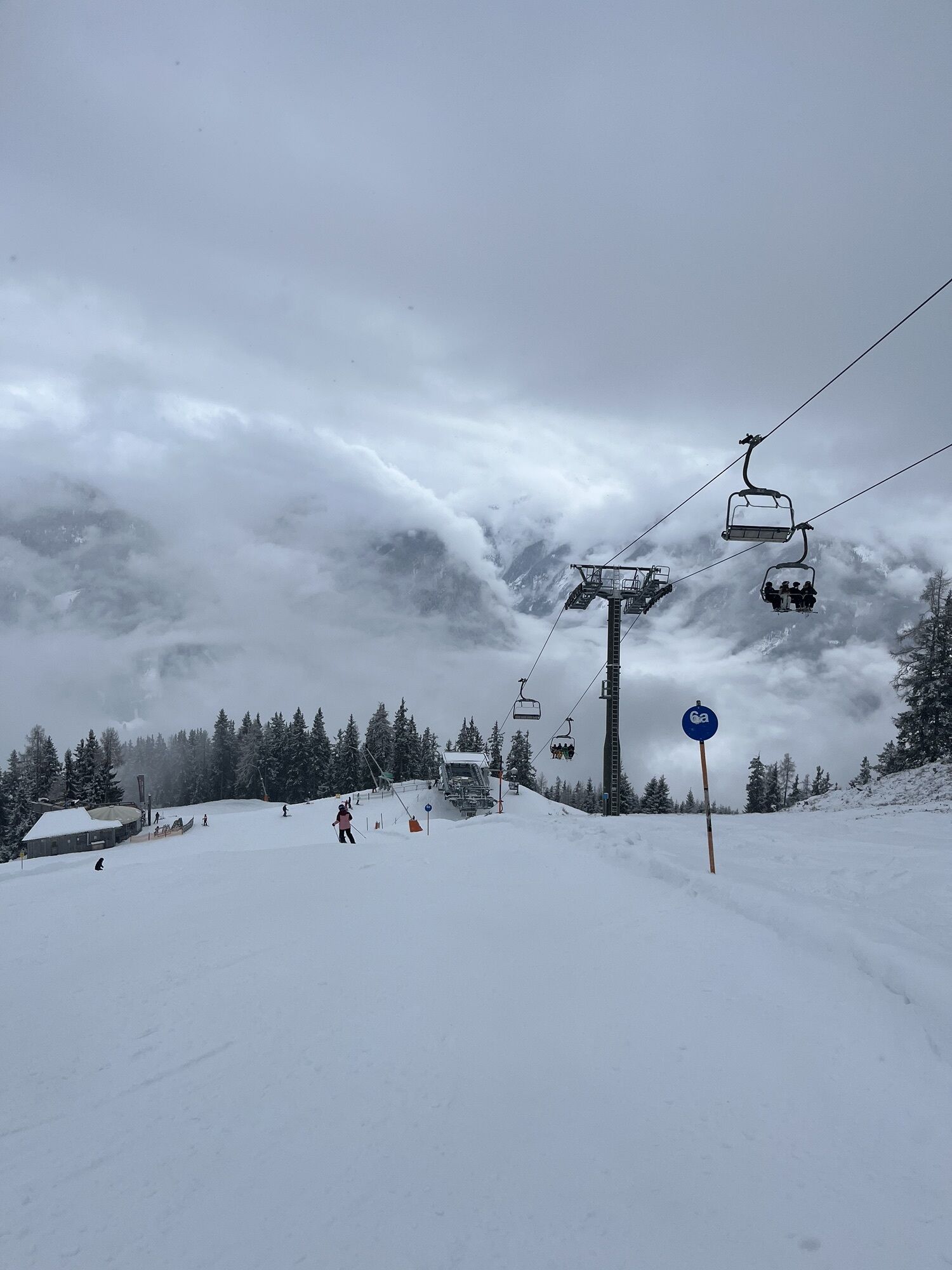
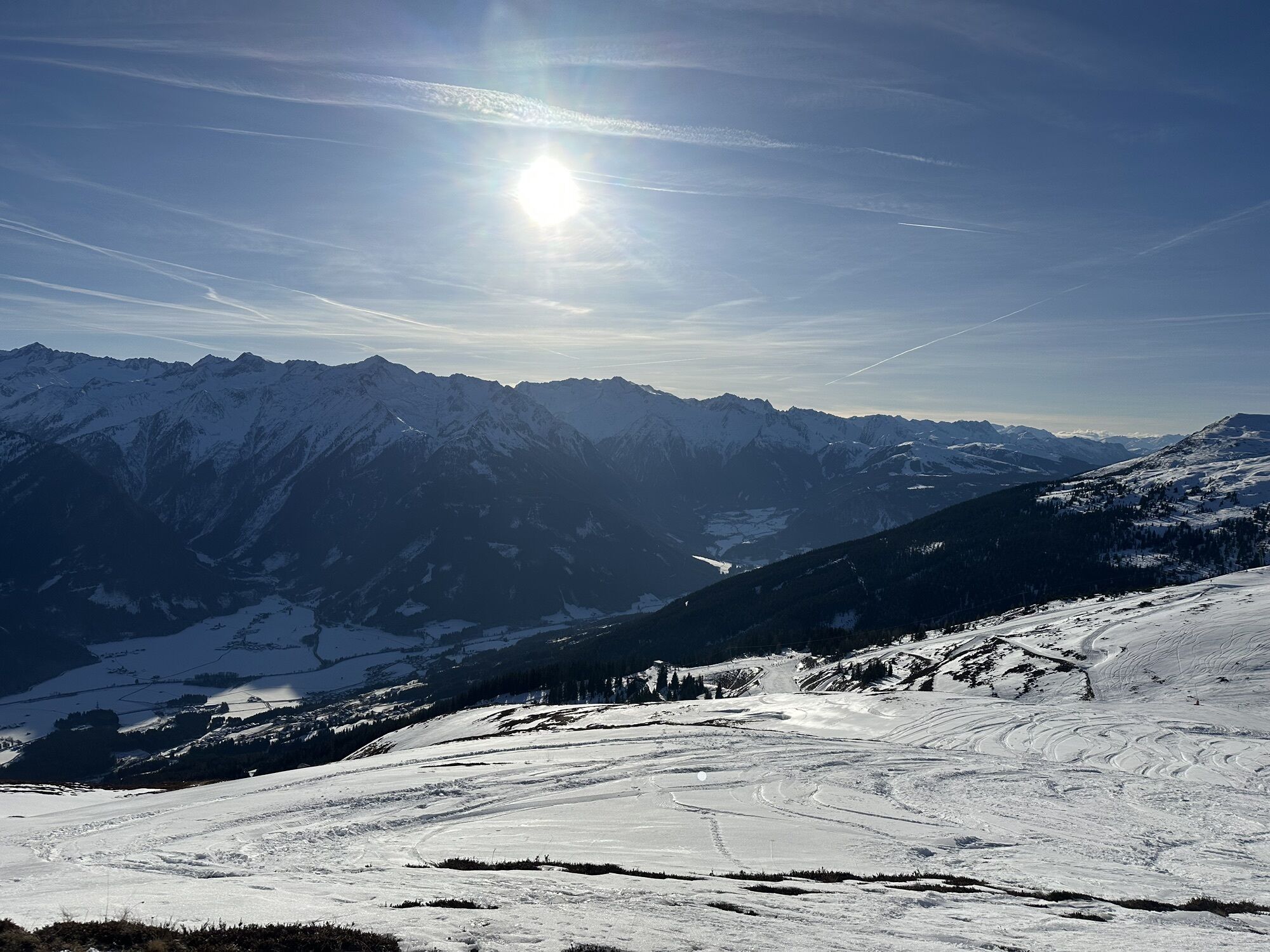
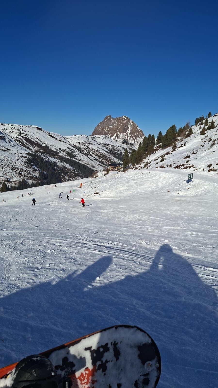
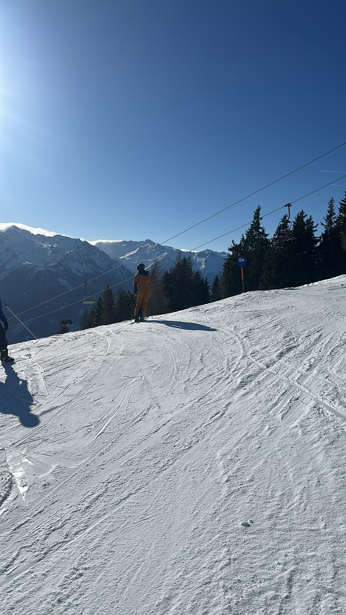
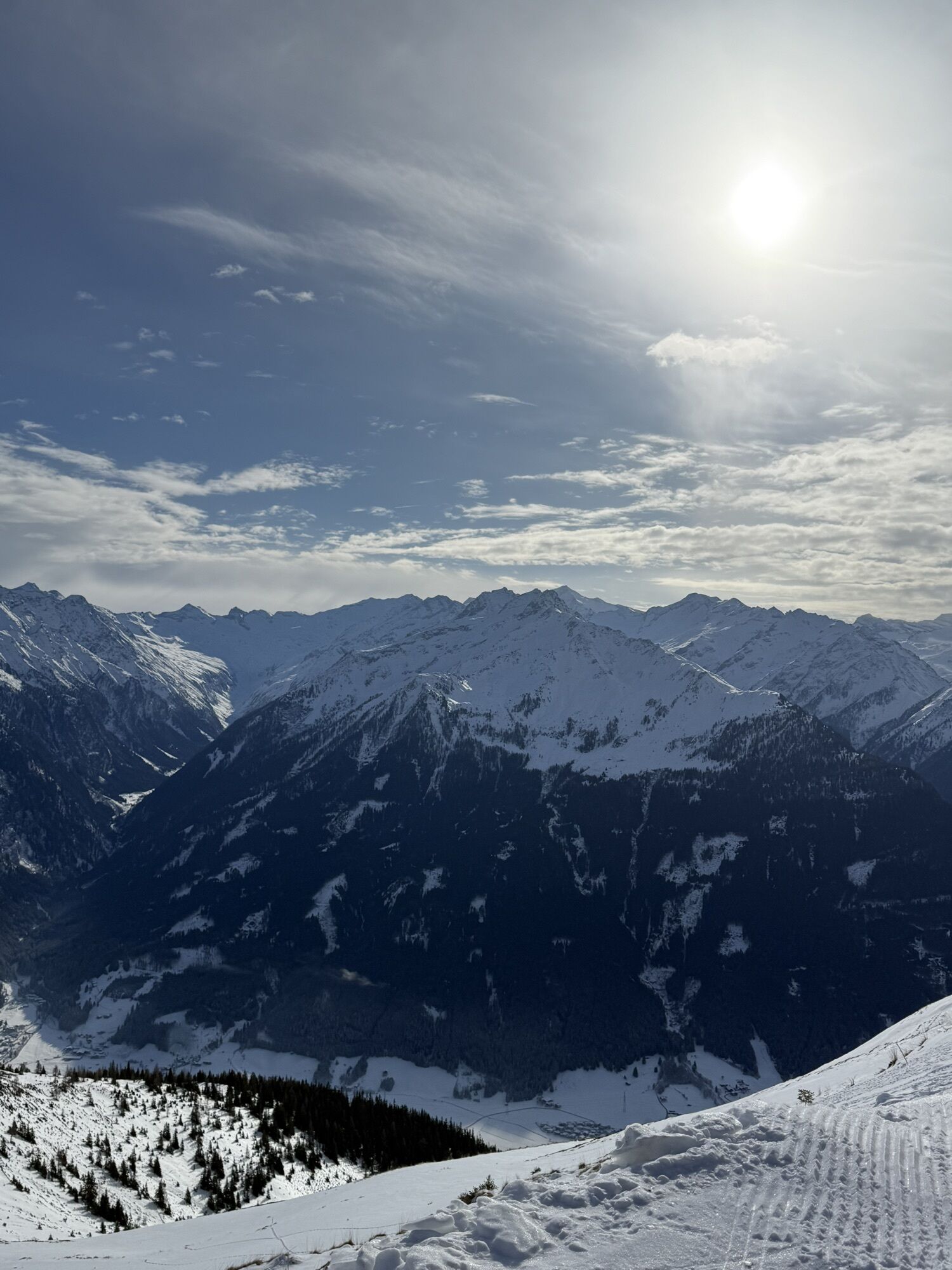
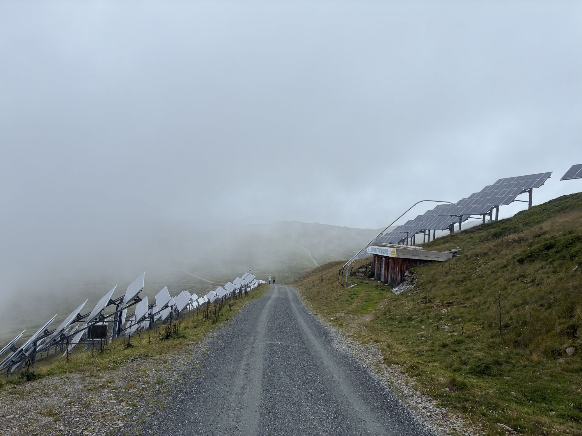

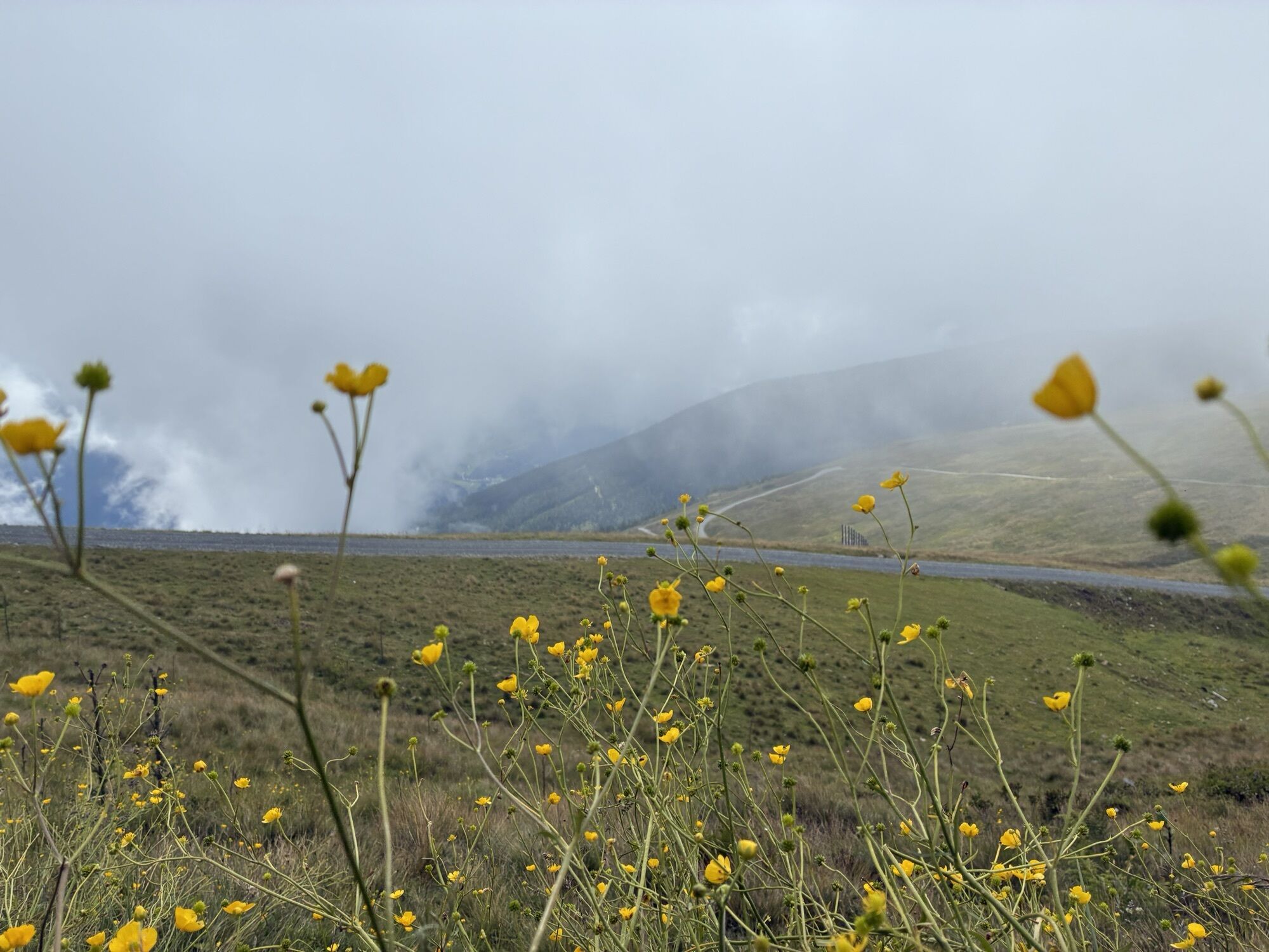
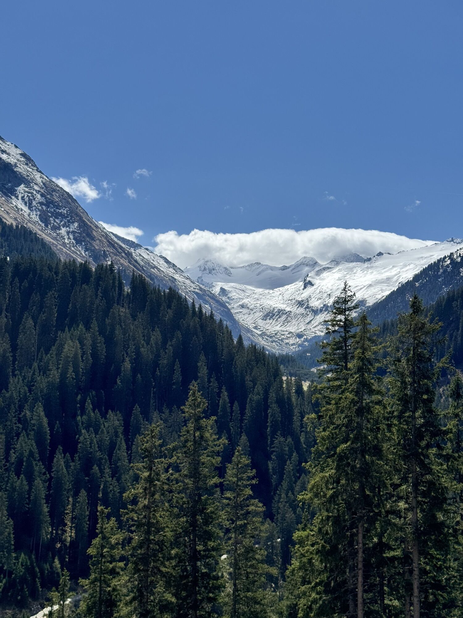
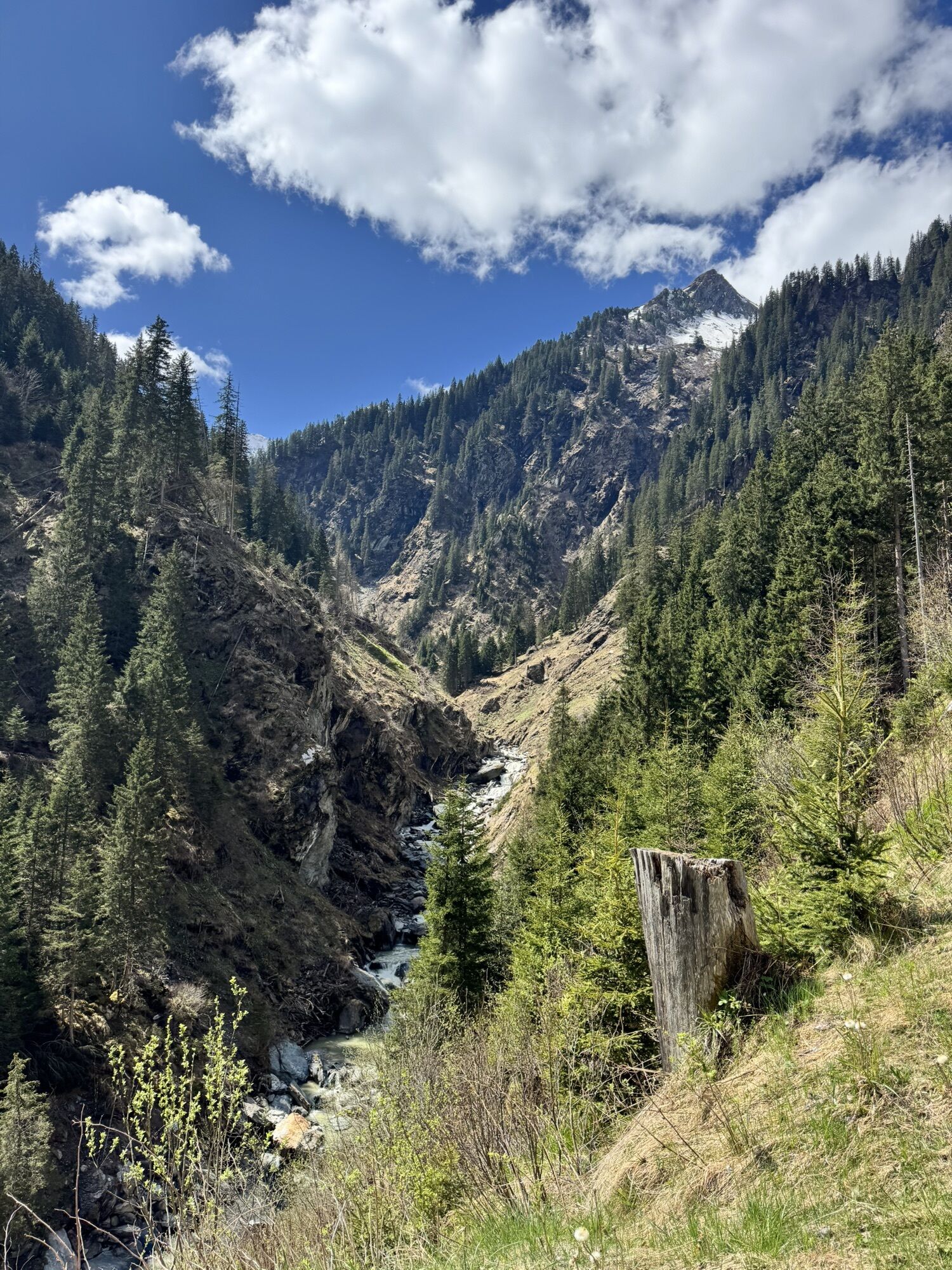
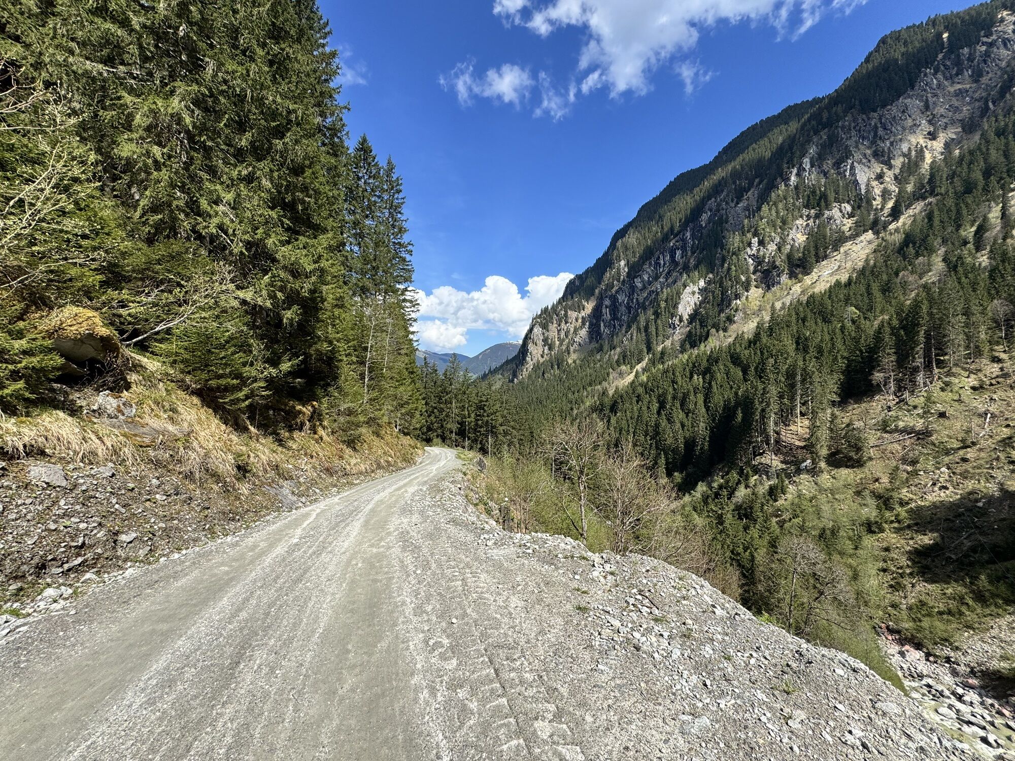
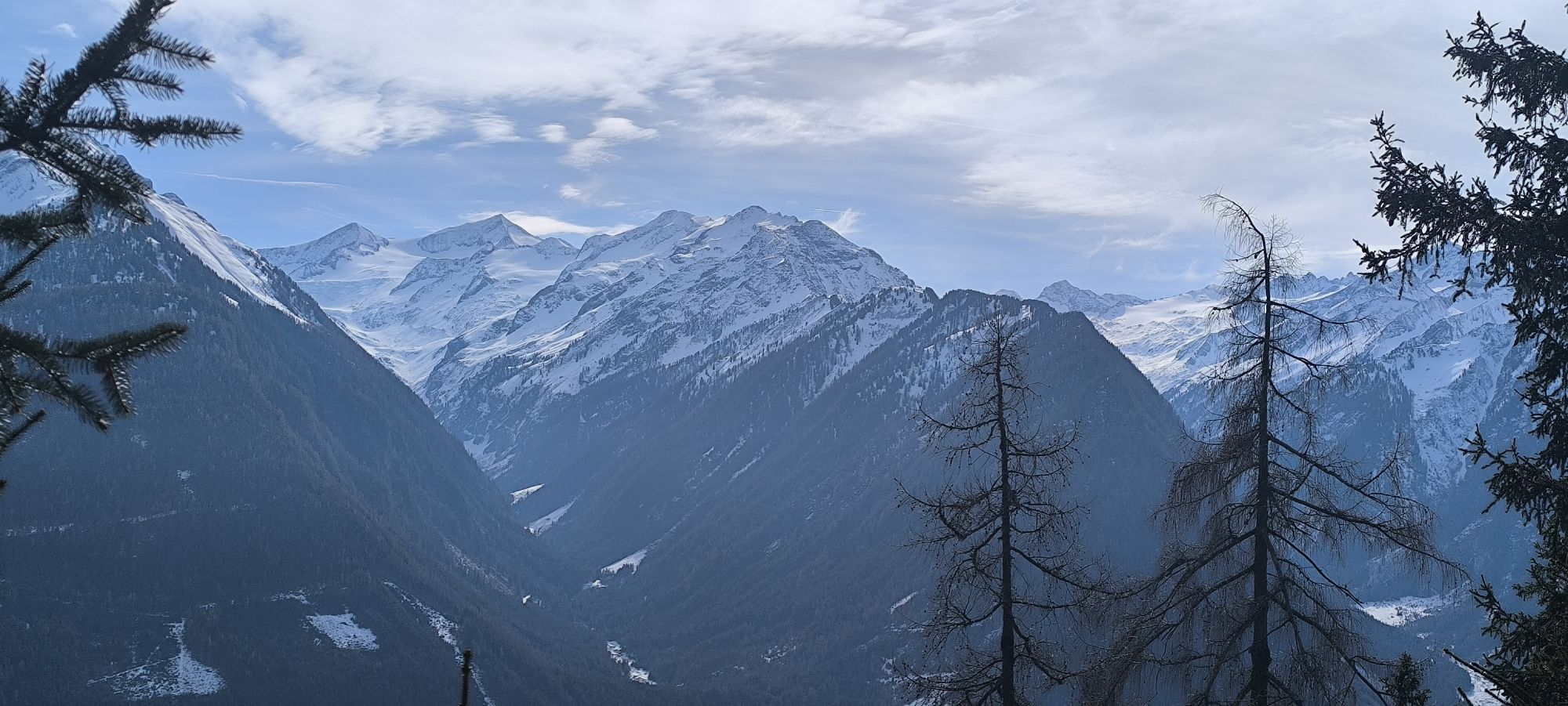
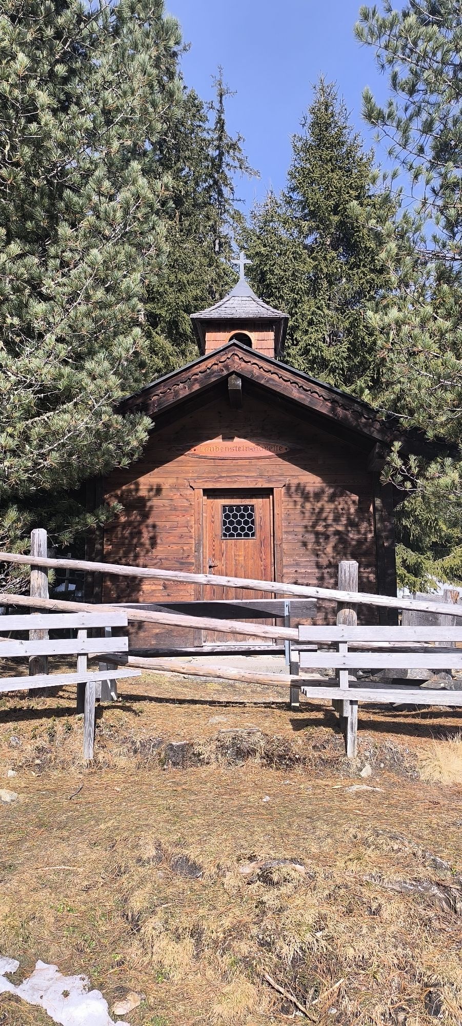
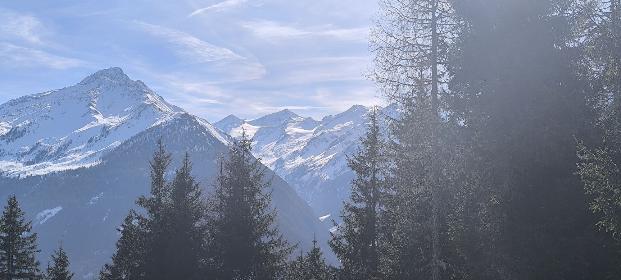
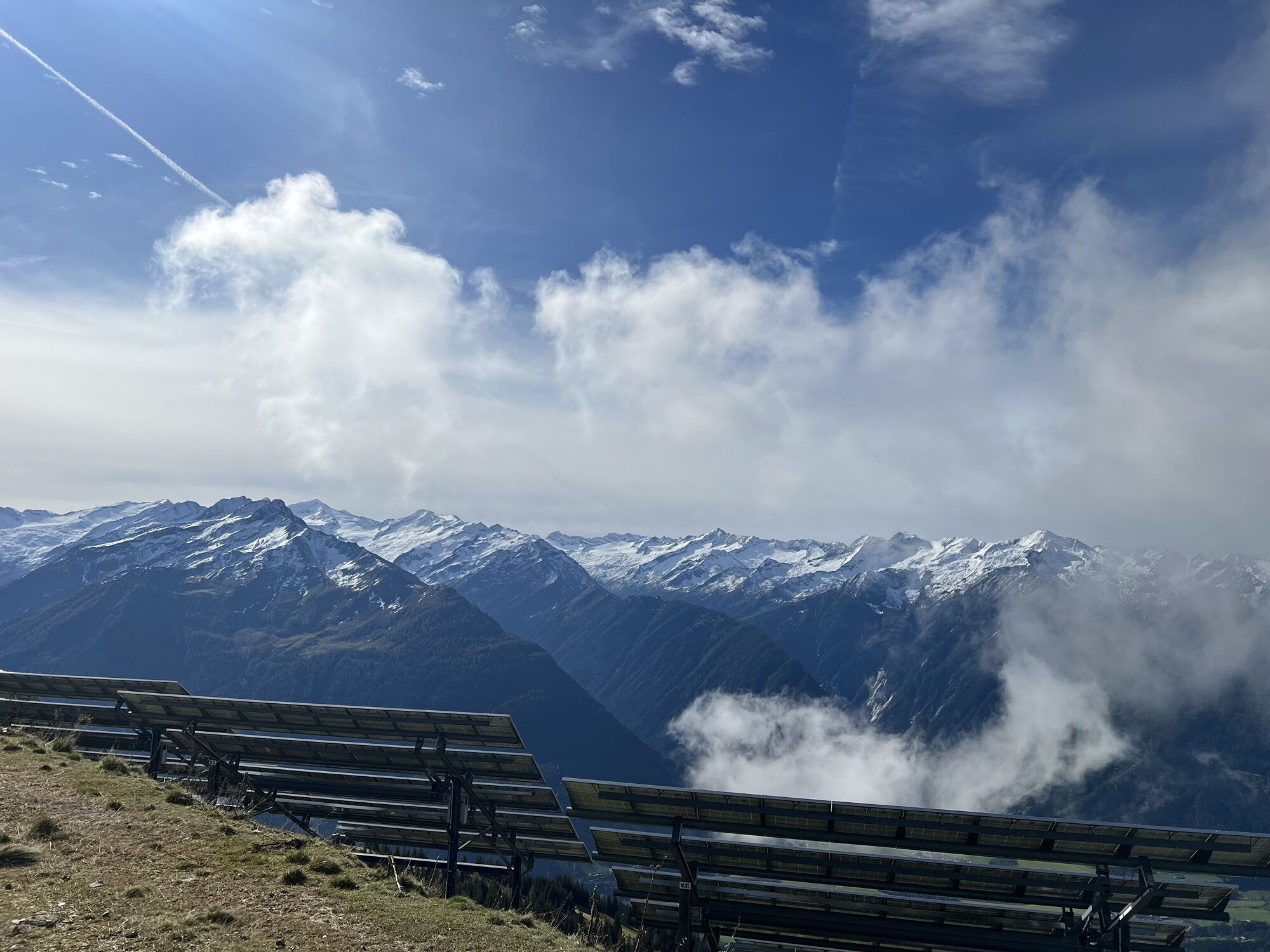
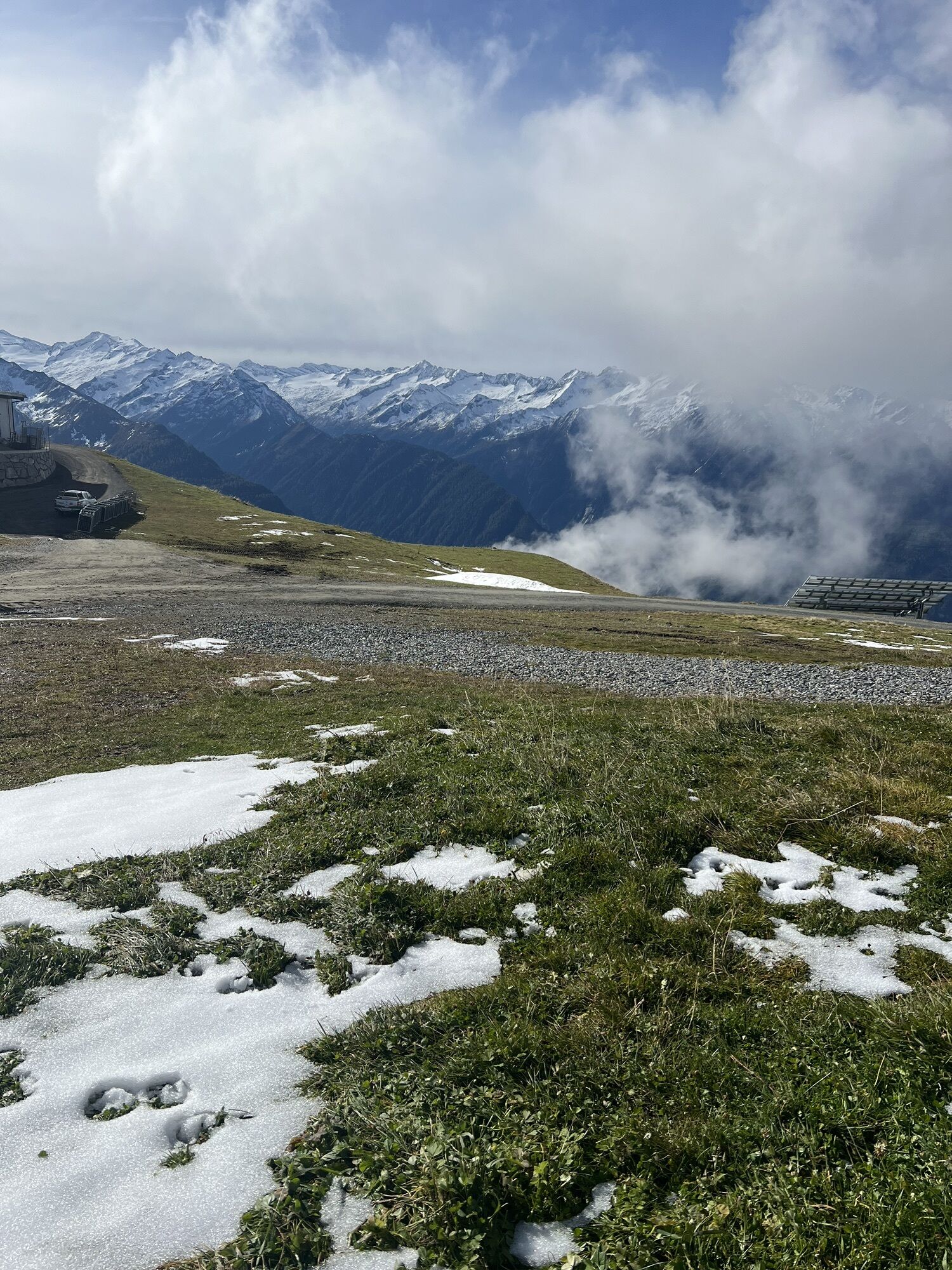
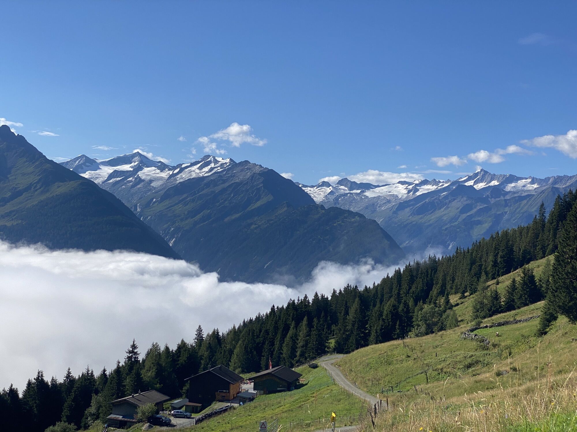
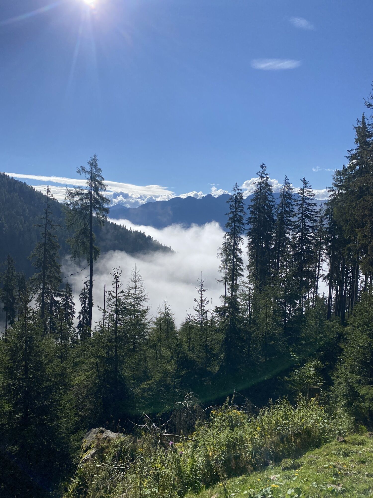
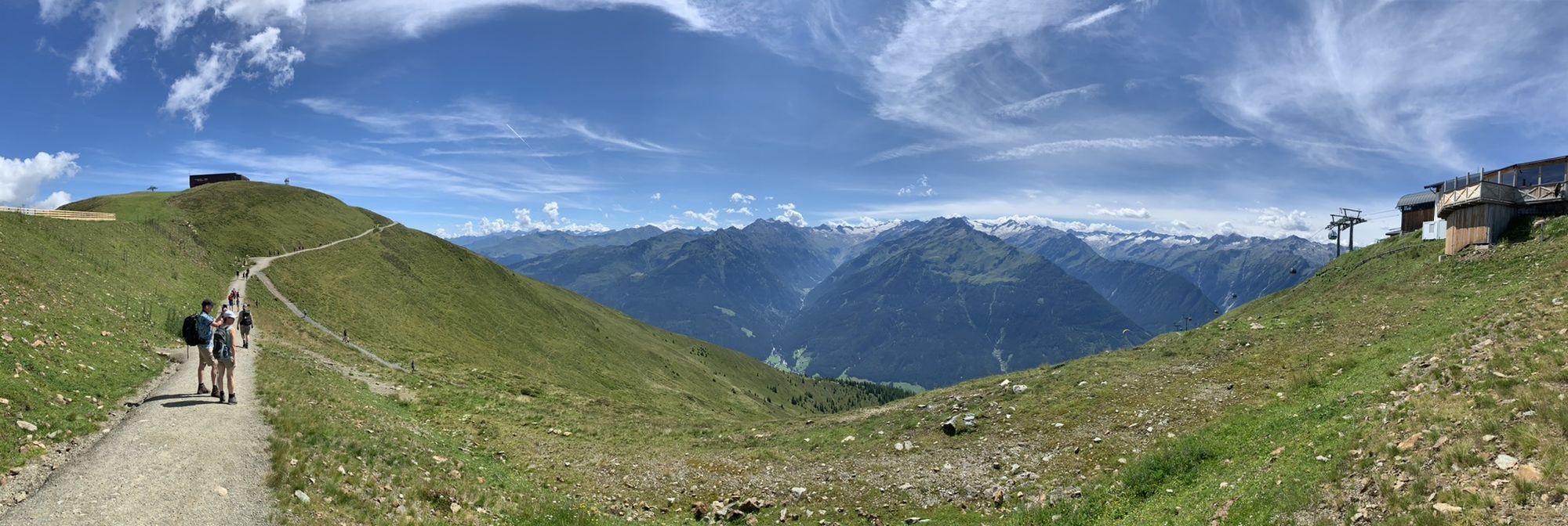

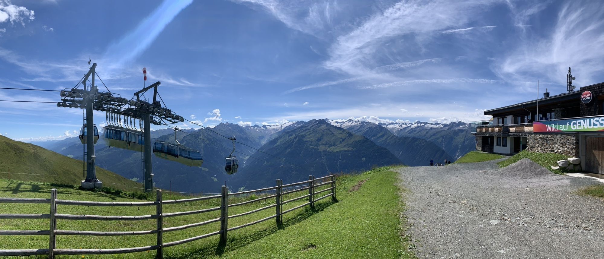
Start in the town center Neukirchen - follow Marktstraße westwards - after the Neue Mittelschule turn right into Hadergasse - continue on the farm road towards Rossberg - go straight over the intersection...
Start in the town center Neukirchen - follow Marktstraße westwards - after the Neue Mittelschule turn right into Hadergasse - continue on the farm road towards Rossberg - go straight over the intersection and follow the paved panoramic road Rossberg to the Alpengasthof Rechtegg - at the next fork turn right into the Dürnbachtal and follow the forest road - at the bridge either turn right to the mountain station of the Wildkogel cable car or go straight to Steiner Hinteralm (variant).
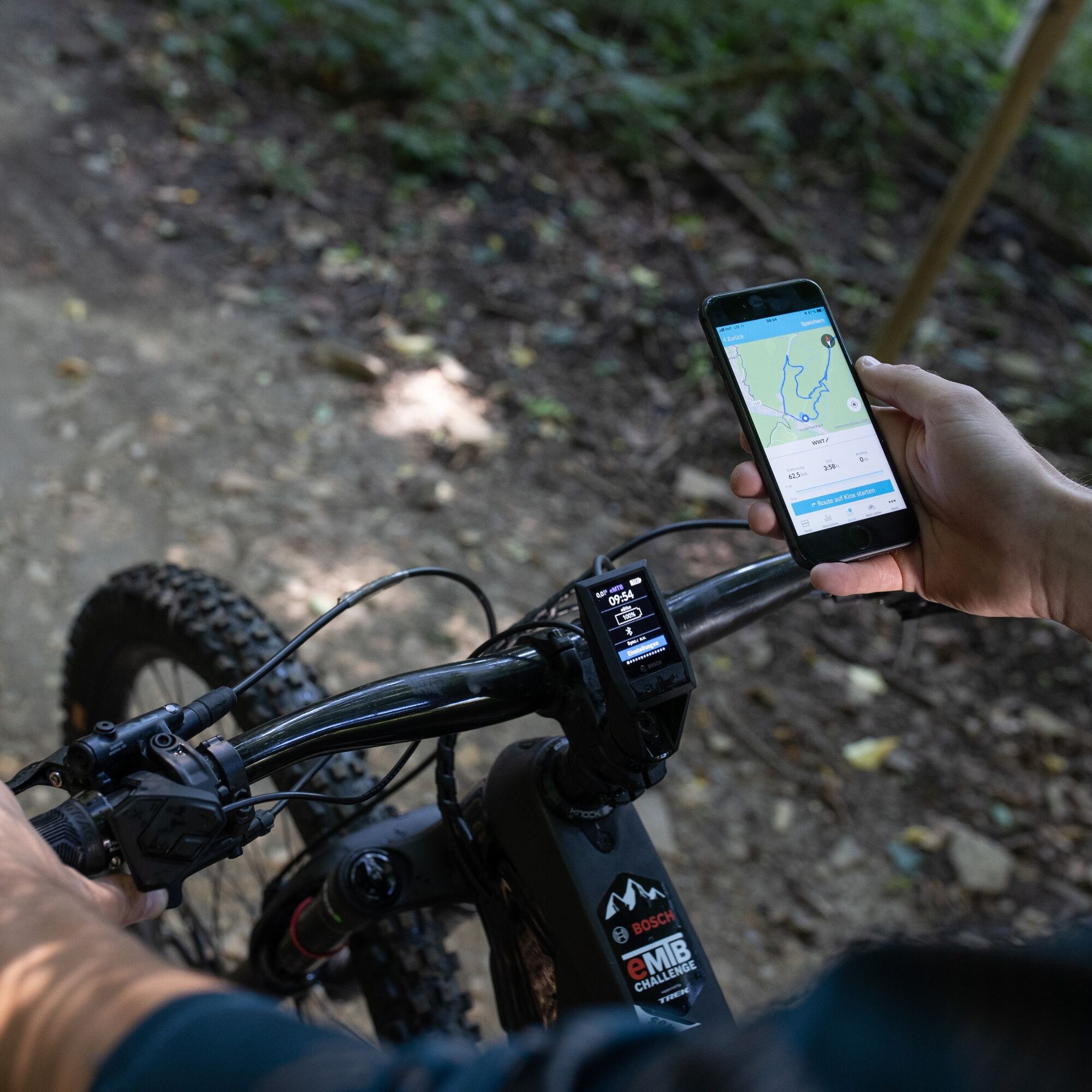
The Steineralm and the panoramic mountain restaurant Wildkogel have e-charging stations by Shimano and BOSCH. While your bike is being recharged, you can recharge your batteries on the sun terraces. With our cooperation partner BOSCH you are well taken care of!
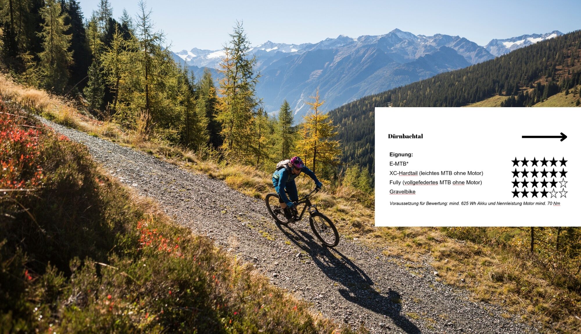
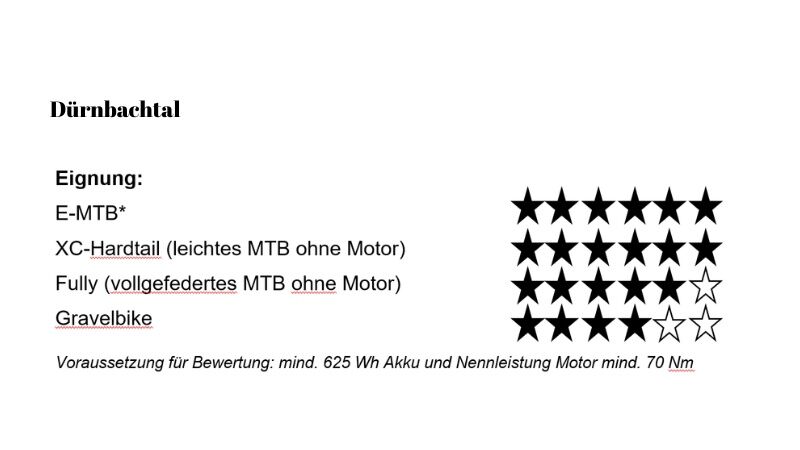
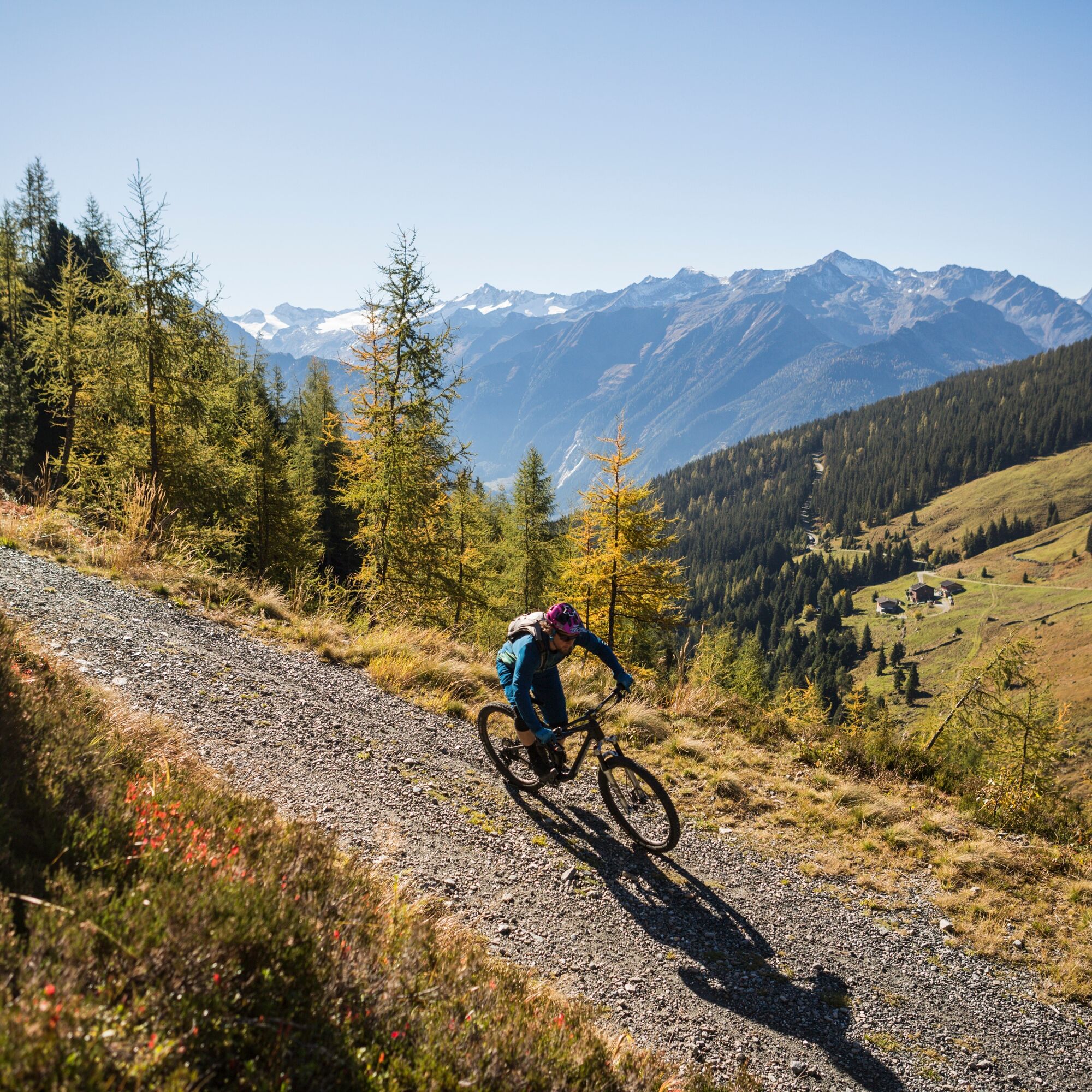
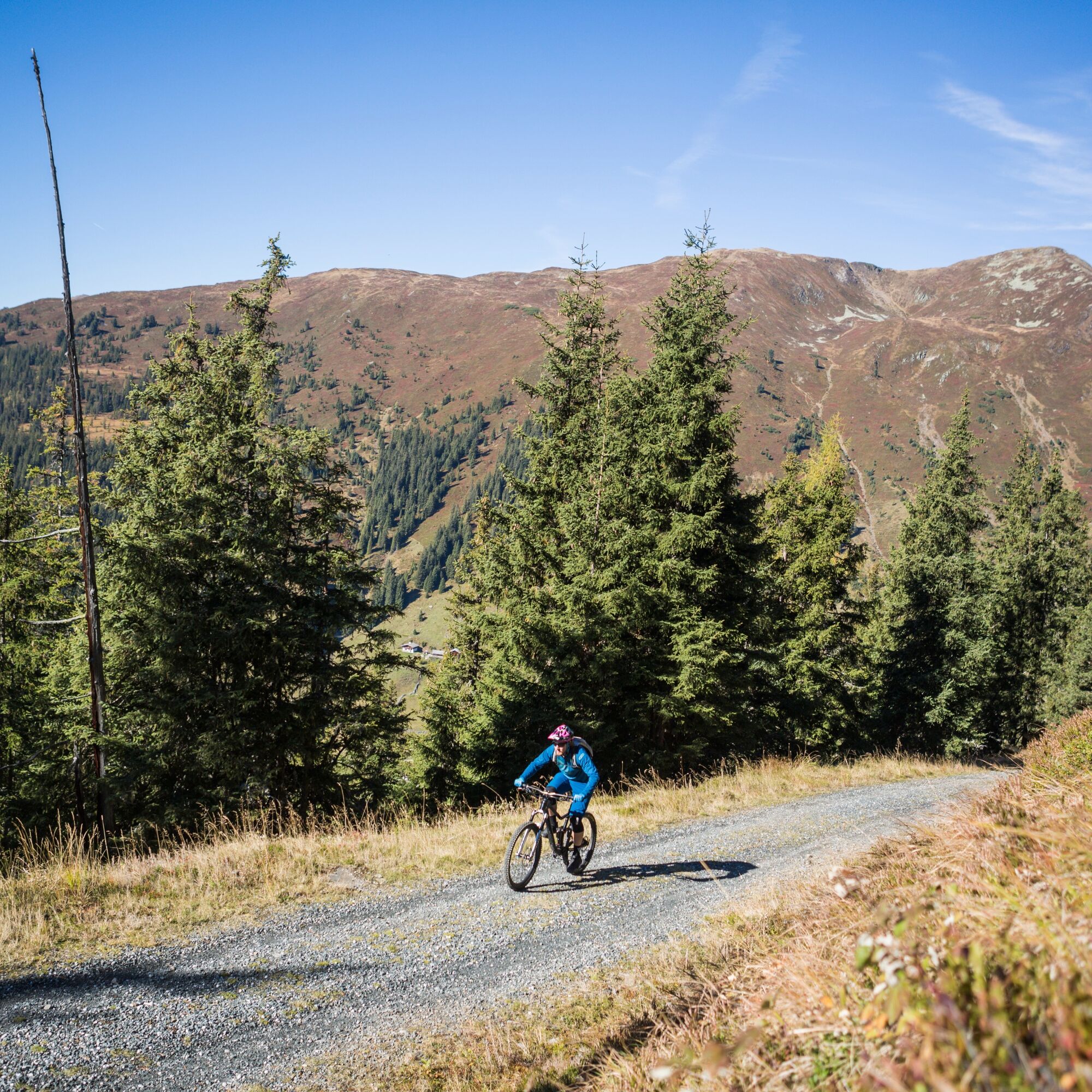
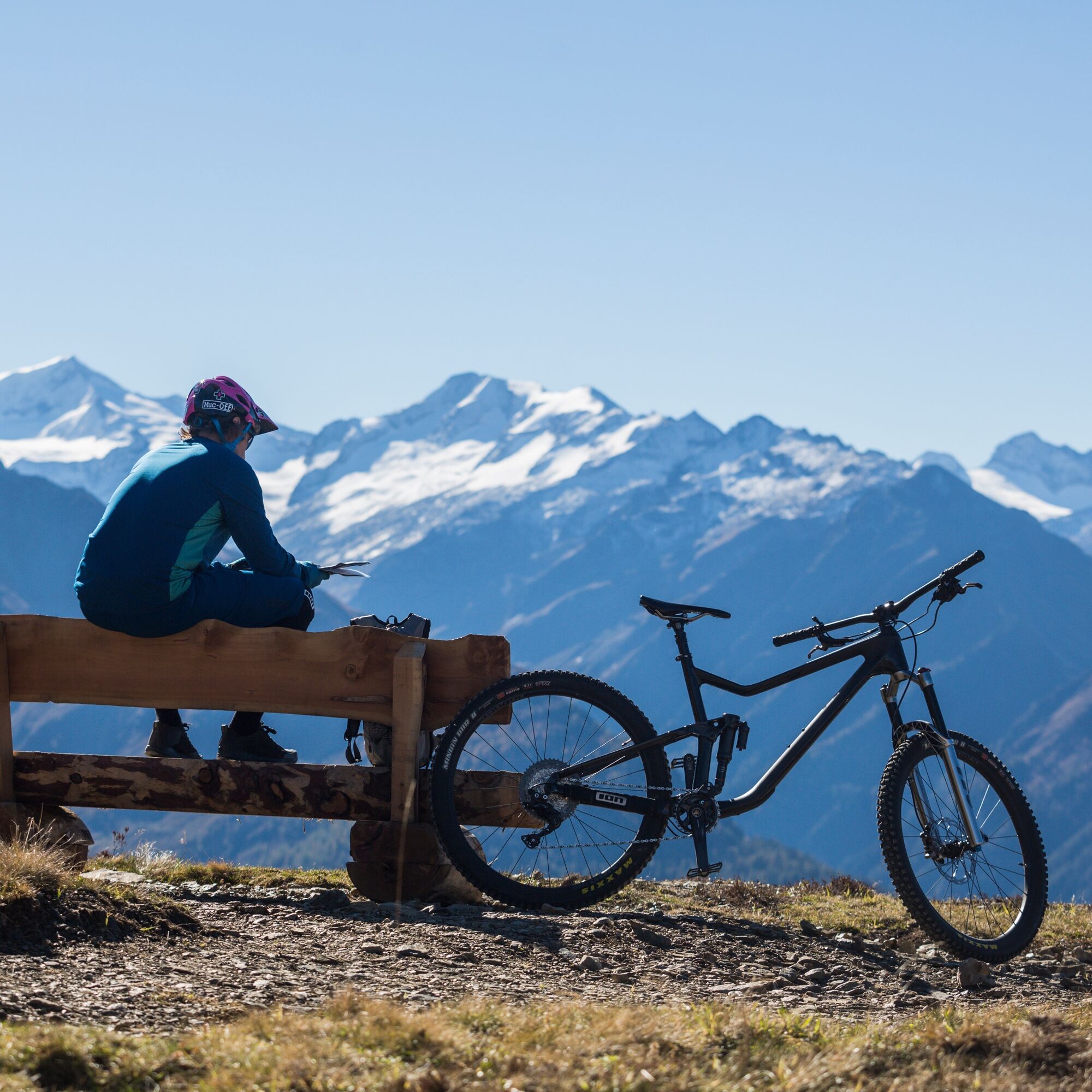
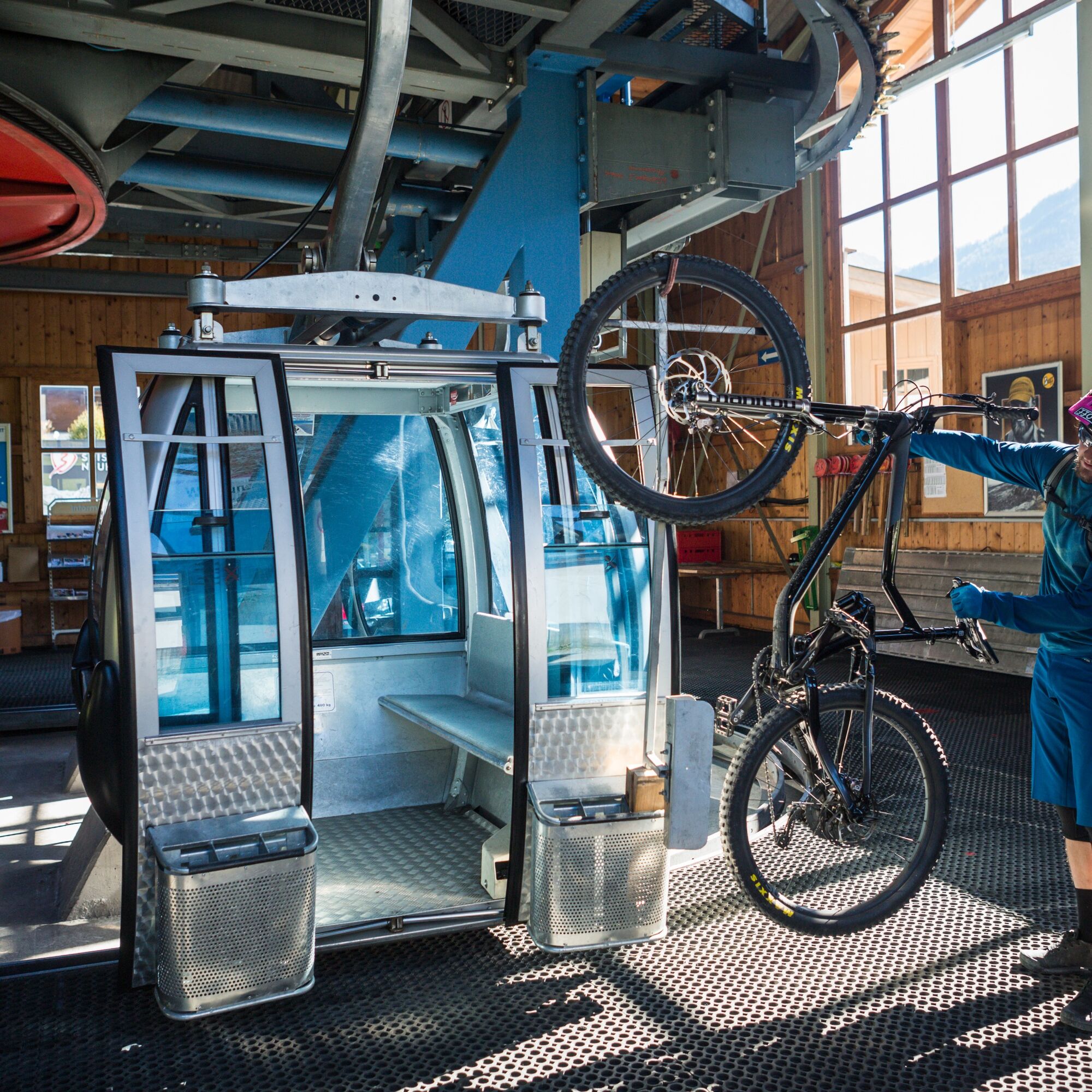
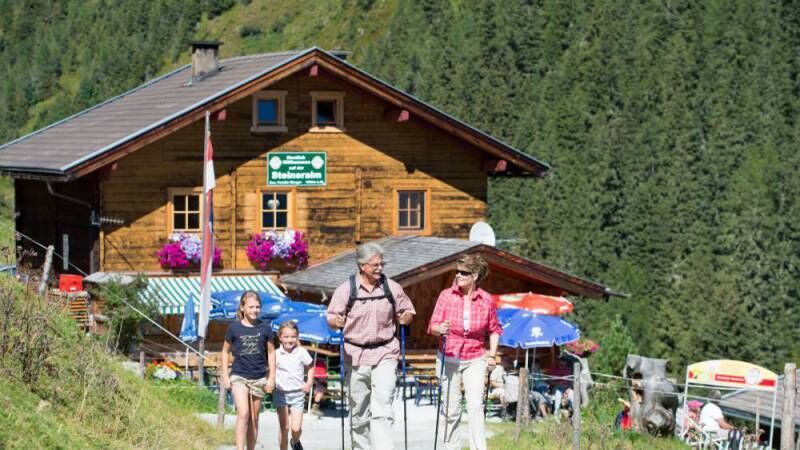
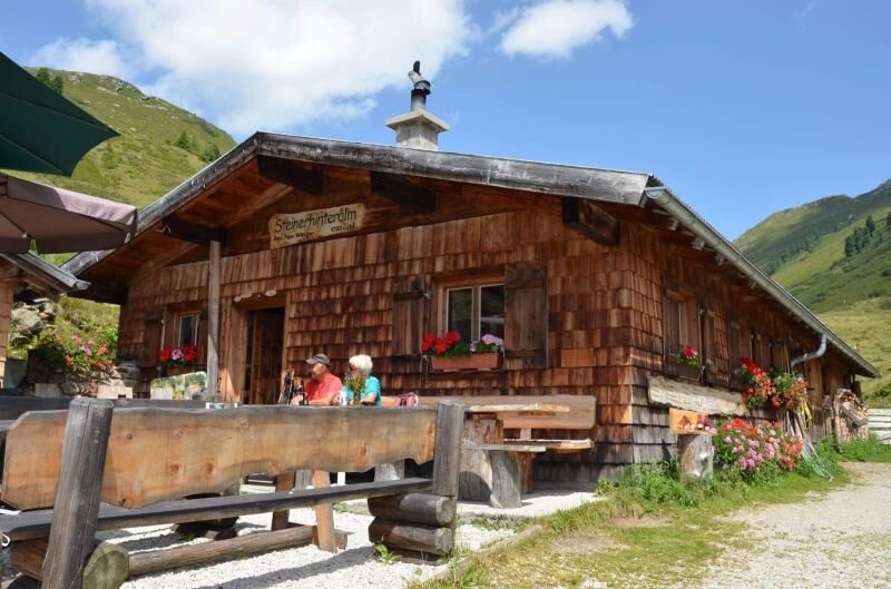

Start in the town center Neukirchen - follow Marktstraße westwards - after the Neue Mittelschule turn right into Hadergasse - continue on the farm road towards Rossberg - go straight over the intersection and follow the paved panoramic road Rossberg to the Alpengasthof Rechtegg - at the next fork turn right into the Dürnbachtal and follow the forest road - at the bridge either turn right to the mountain station of the Wildkogel cable car or go straight to Steiner Hinteralm (variant).
E-bike, helmet, something to drink, possibly a small snack
Please always watch out for oncoming cars when cycling.
Coming from the north (D, NL,...) Munich - Kufstein south exit (toll sticker required) - St. Johann i. T. - Kitzbühel - Pass Thurn - Mittersill - Bramberg/Neukirchen
Coming from the west (CH) Inntal motorway (A12: toll sticker required) - Wörgl East exit - St. Johann i.T. - Kitzbühel - Pass Thurn - Mittersill - Bramberg/Neukirchen
Coming from the east Vienna - Salzburg (A1: toll sticker required) - Bischofshofen - Zell am See - Mittersill - Bramberg/Neukirchen
Coming from the south (I, SLO) Tauern motorway (A10: toll sticker required) - St. Michael exit or Bischofshofen exit - Zell am See - Mittersill - Bramberg/Neukirchen
Gerlos Alpine Road Owners of a multi-day ski pass or a season ticket for the combined ticket Wildkogel-Arena & Zillertal Arena or the Salzburg Super Ski Card can use the automatic lane of the Gerlos Alpine Road free of charge.
Our hiking buses are an ideal service for your mobility during your hiking holiday, as our buses are coordinated so that arrival and departure to the starting point by train is possible. The hiking buses pick you up directly at Neukirchen station and bring you comfortably to the starting point of your hike in the Dürnbachtal or back again.
Dürnbachtal: 10:10 a.m. Neukirchen station 10:15 a.m. Cinetheatro parking lot 10:20 a.m. Neukirchen secondary school Return: 2:45 p.m. Steineralm – Neukirchen
Dürnbachtal – Posch Reisen GesmbH Tel: 0043 (0)664 2538883, info@posch-reisen.at, www.posch-reisen.at
Normal fare: one way adults € 10.00, children € 6.00 (6-12 years) round trip adults € 16.00, children € 10.00 (6-12 years)
With the Wildkogel Card free daily!
There is a parking lot at the Gasthof Rechtegg or a little further on.
Wildkogel Arena
Tourism offices Neukirchen & Bramberg
Tel. +43 (0) 720 710 730 info@wildkogel-arena.at
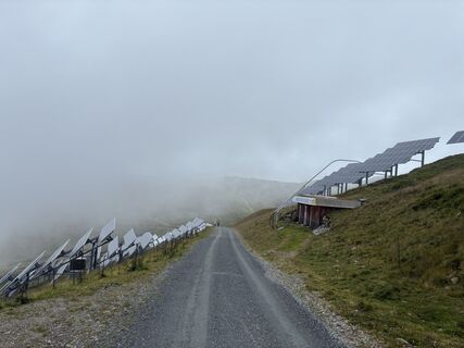
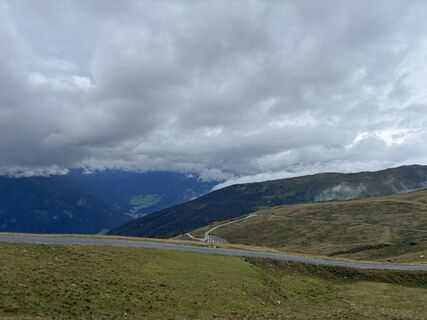
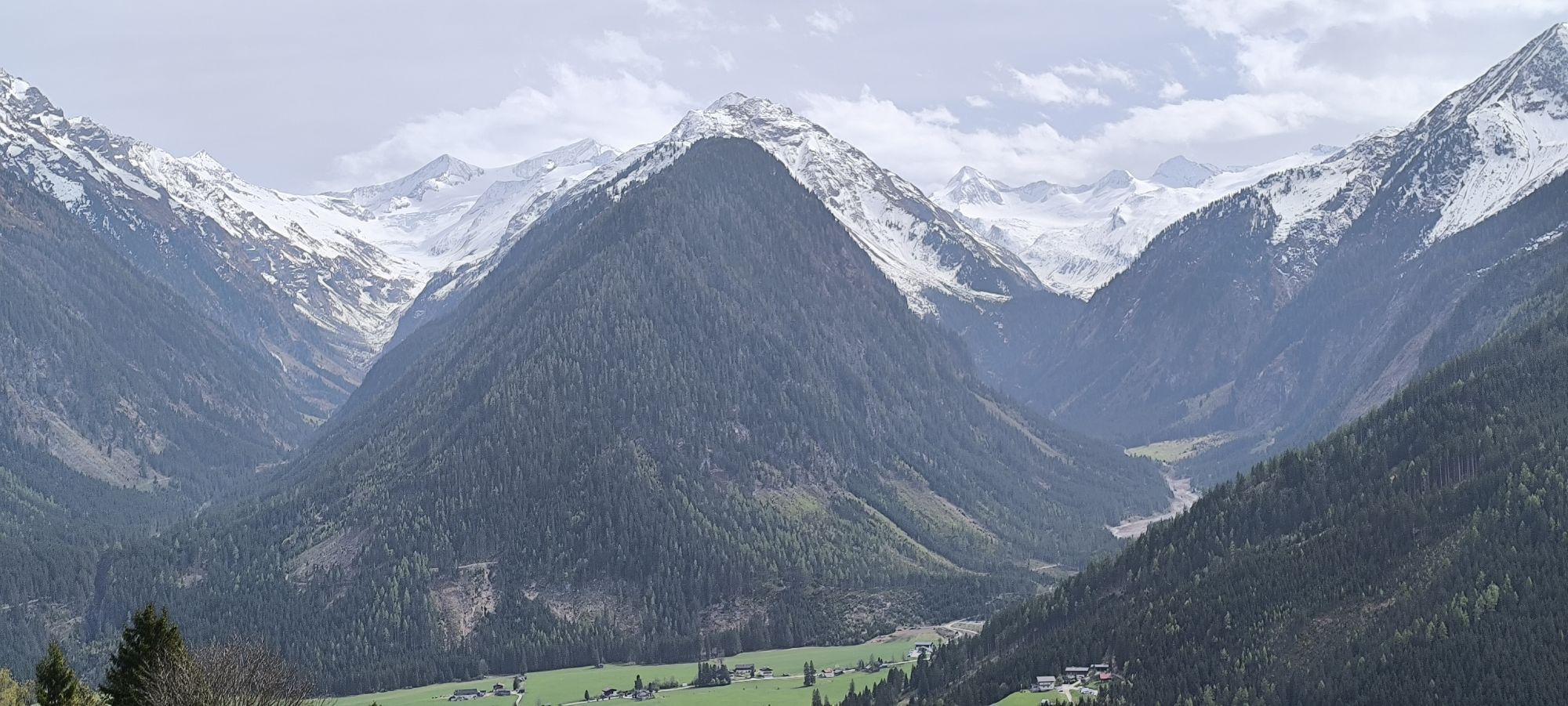
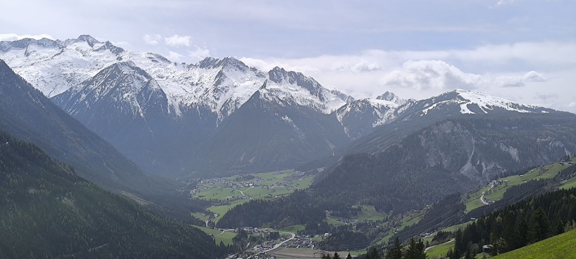
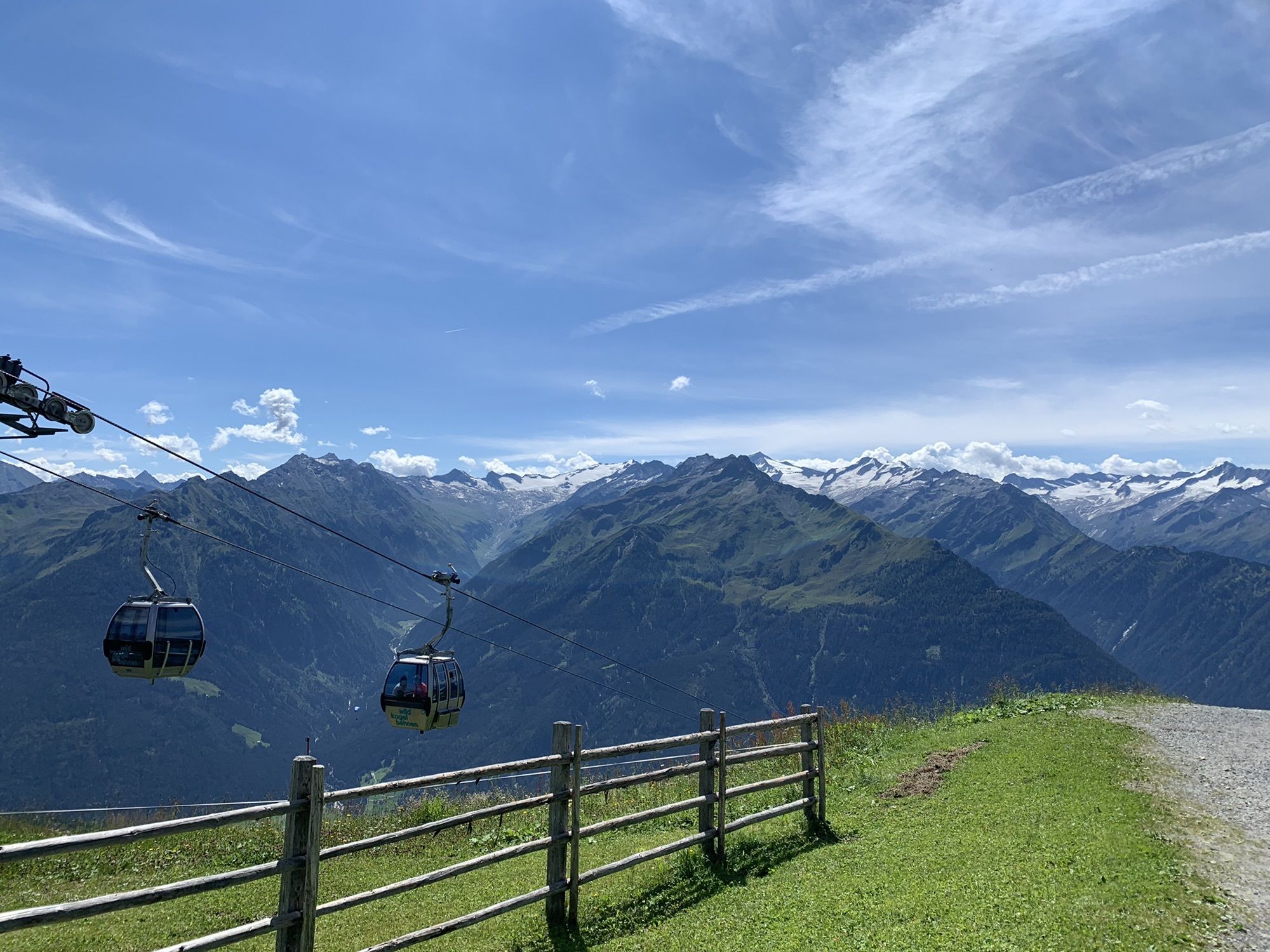
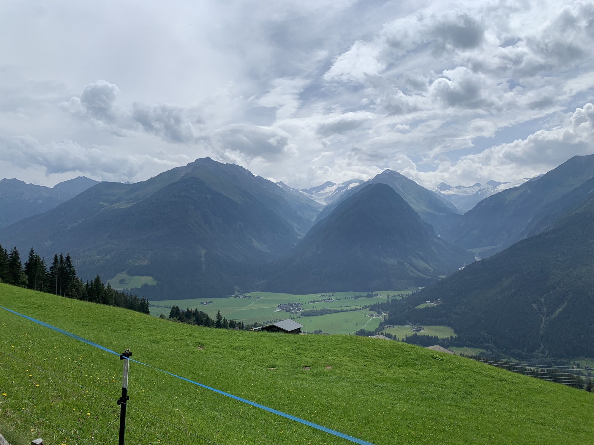
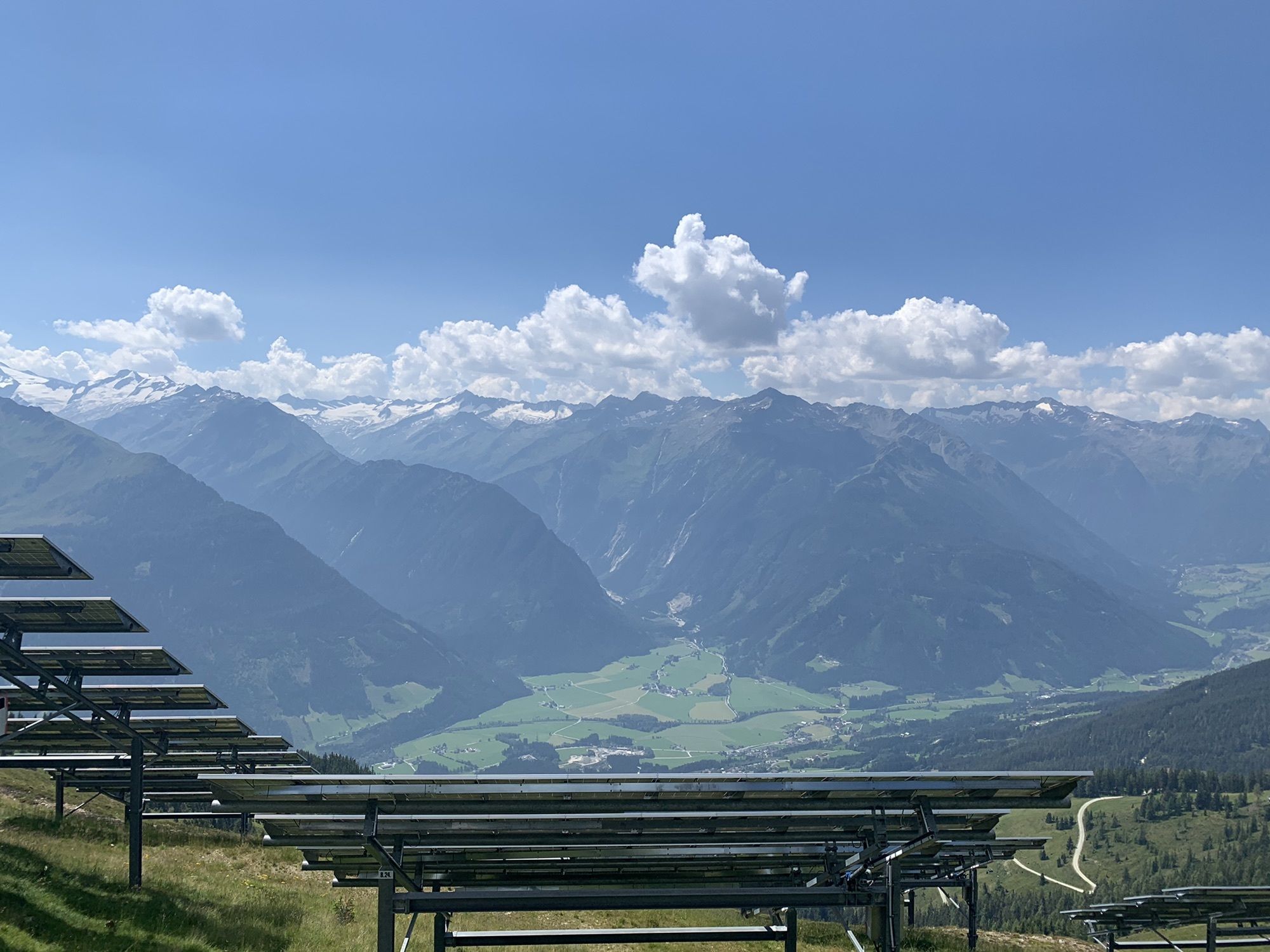
Beautiful route through the Dürnbachtal up to the mountain station Wildkogel cable car
Získejte přehled Vždy živě na místě s více než 9 500 webkamerami. bergfex Jako uživatel Pro si nyní můžete zobrazit odpovídající webové kamery pro mnoho prohlídek v aplikaci prohlídky z. Můžete si tak přímo prohlédnout aktuální podmínky. Oblíbené prohlídky v okolí
- 4,3
Gerlos: Stausee Rundwanderung
středníTuristika 12,5 km - 4,7
Zittauer Hut
středníTuristika 6,85 km - 3,7
Smaragdwanderweg Habachtal/Bramberg
světloTuristika 7,17 km - 4,3
Krimml Waterfall Path - Panorama Viewing Path
středníTuristika 4,74 km - 4,3
Krimmler Tauernhaus
středníTuristika 10,4 km - 4,5
Route 208: Windautal - Rotwandalm/Filzenscharte
heavyMountainbike 22,8 km - 4,7
Krimmlerwasserfälle
středníTuristika 10,5 km - 4,5
Kröndlhorn (2.444m)
heavyTuristika 13,5 km - 4,7
Hollersbach - Neue Fürther Hütte
Turistika 16,0 km - 4,7
Frühmesser
středníTuristika 10,6 km

Pěší turistika a stopování


Nenechte si ujít nabídky a inspiraci pro vaši příští dovolenou
Vaše e-mailová adresa byl přidán do poštovního seznamu.





