







TIP Trip Tirol ➤ Felbertauern Pass in the Hohe Tauern

Úroveň obtížnosti: 1
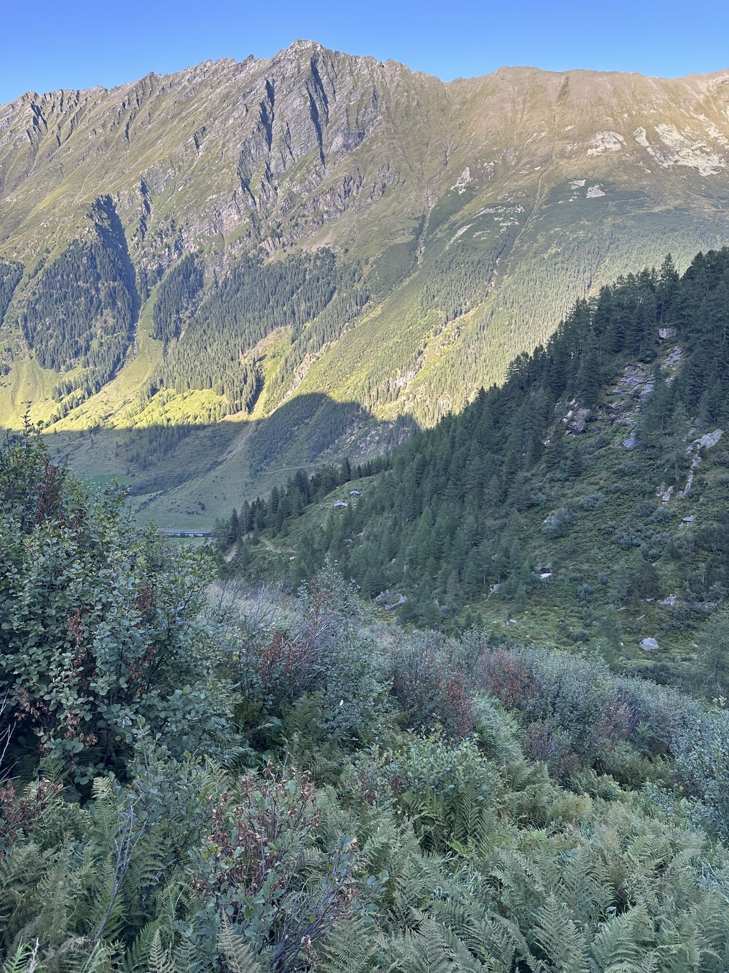
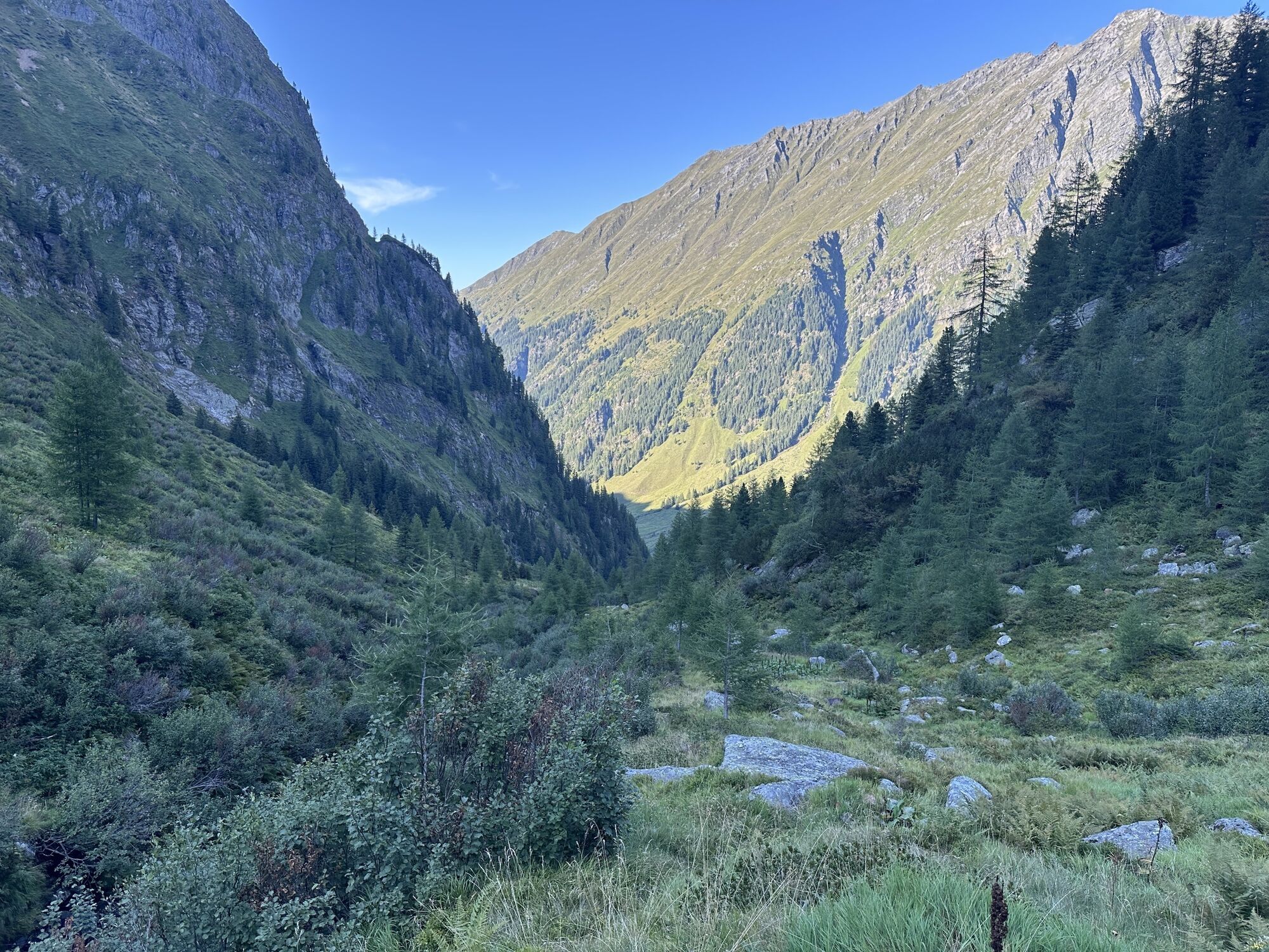
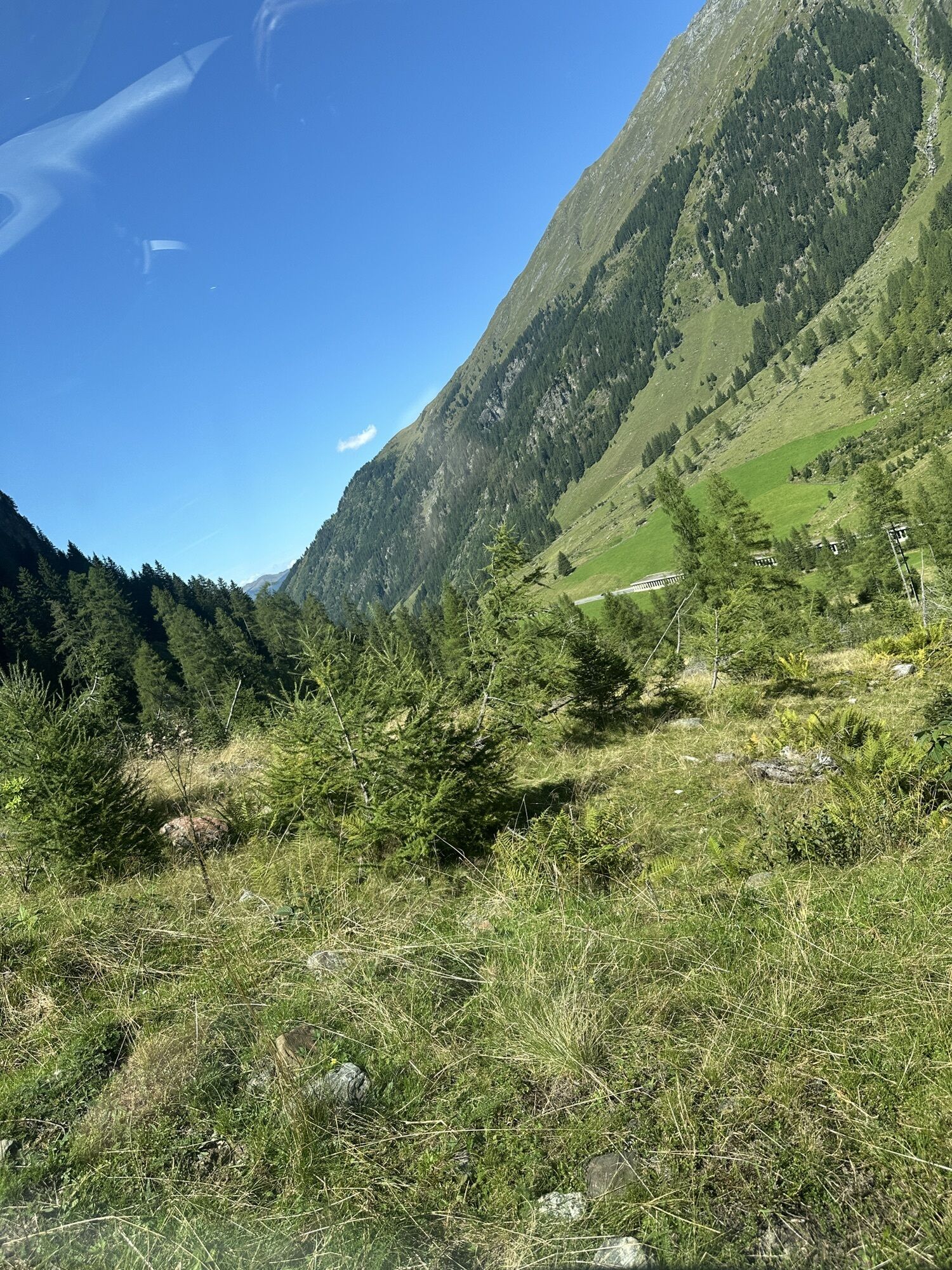
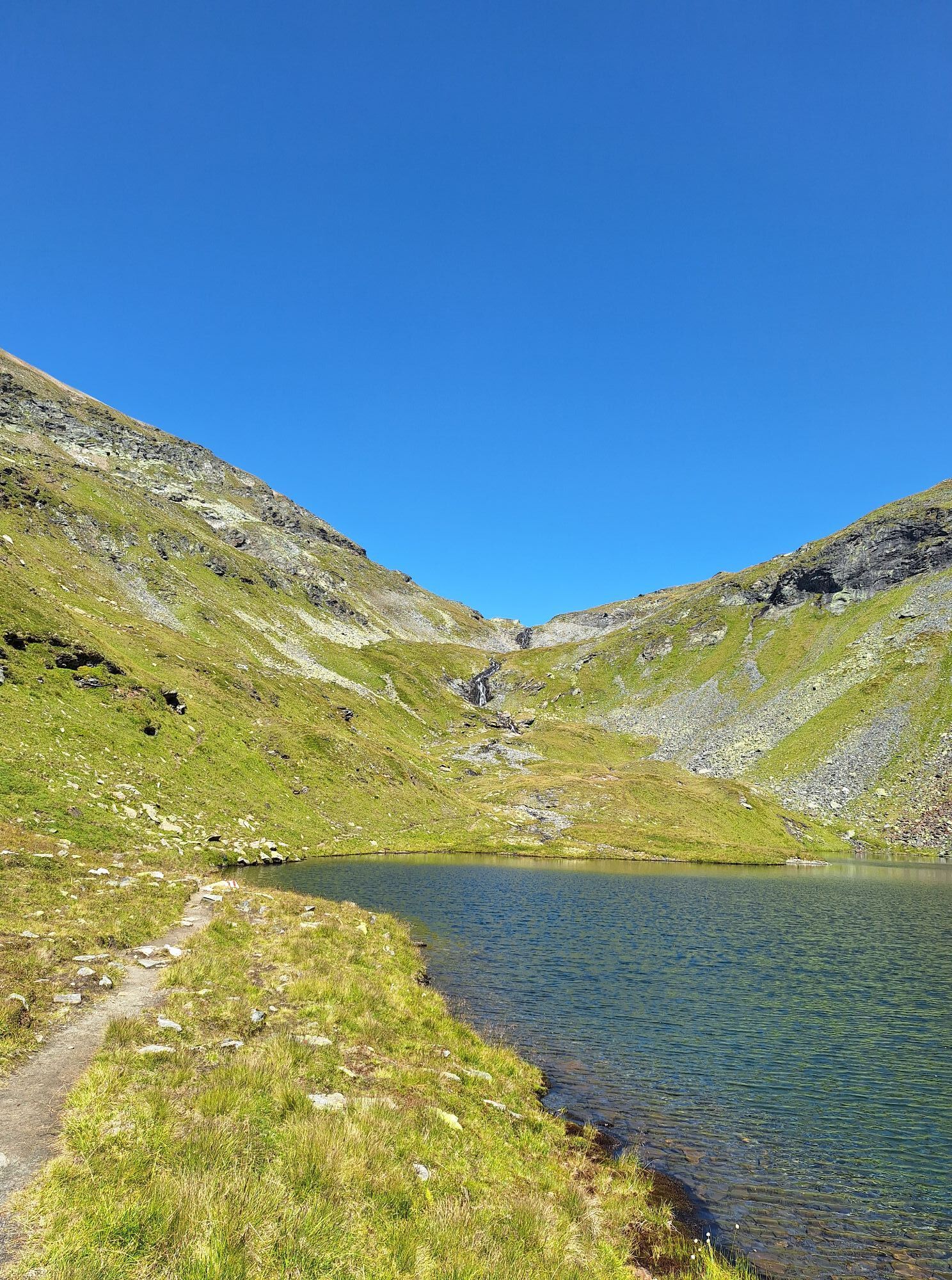
💚 However, the road only leads up to an altitude of 1632 m 📌 (East Tyrol) or 1607 m (Salzburg) and disappears there into a tunnel more than 5.3 km long. Before this tunnel was opened to traffic in 1967,...
ð However, the road only leads up to an altitude of 1632 m ð (East Tyrol) or 1607 m (Salzburg) and disappears there into a tunnel more than 5.3 km long. Before this tunnel was opened to traffic in 1967, to get from East Tyrol to the state capital Innsbruck, one had to travel either through South Tyrol or via the Großglockner High Alpine Road, which is only passable in summer.
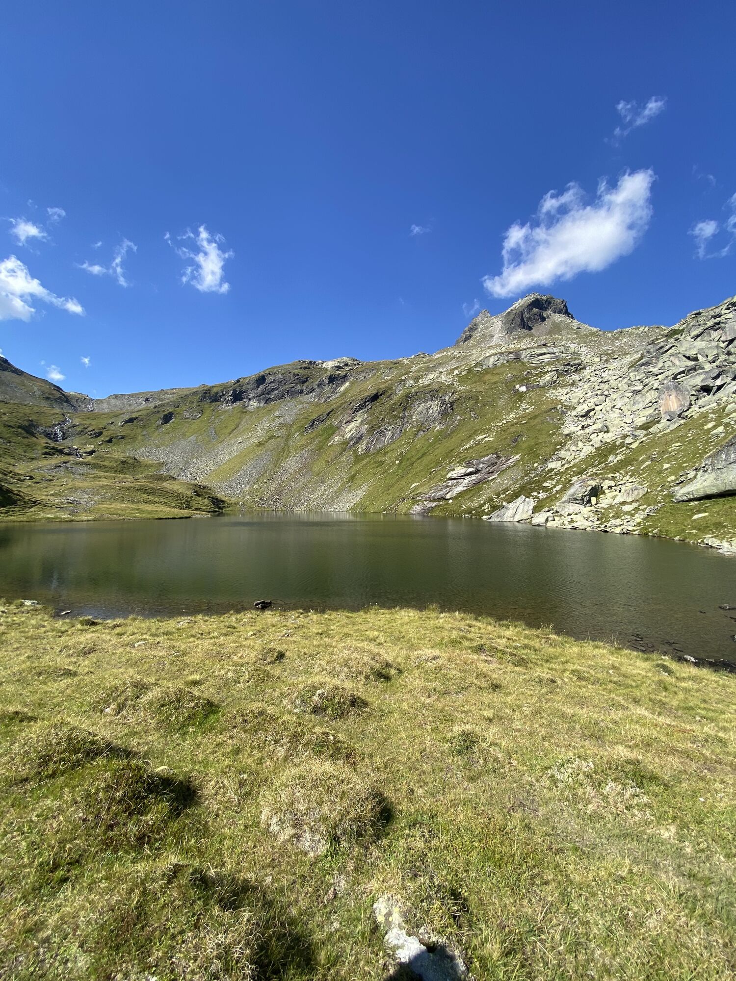
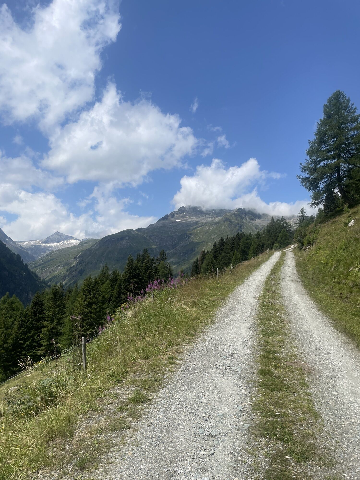
ð The Felber Tauern lies between the Venediger and the Granatspitz groups and connects Salzburg with East Tyrol, or the Mittersill Felbertal with the Matrei Tauerntal. The pass is not passable and was the most used Tauern crossing in Roman times. It lies between the Tauernkogel (2988 m) in the west and the Hochgasser (2922 m) in the east; the St. Pölten hut lies west above at 2481 m, and since 1975 the 380-kV line from Kaprun to Lienz runs here.

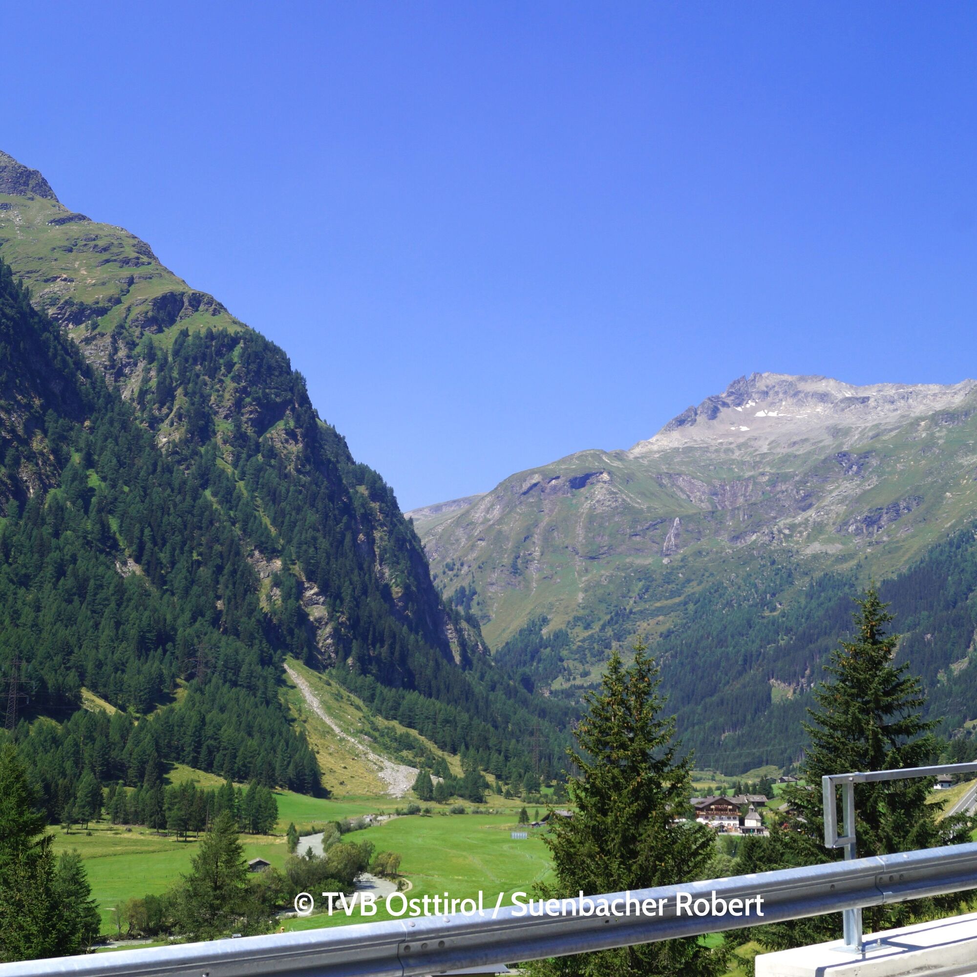
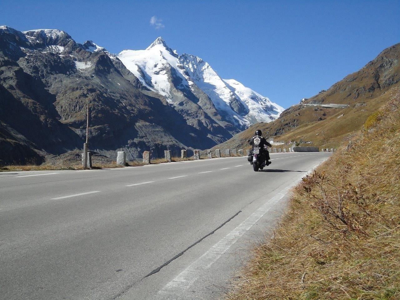
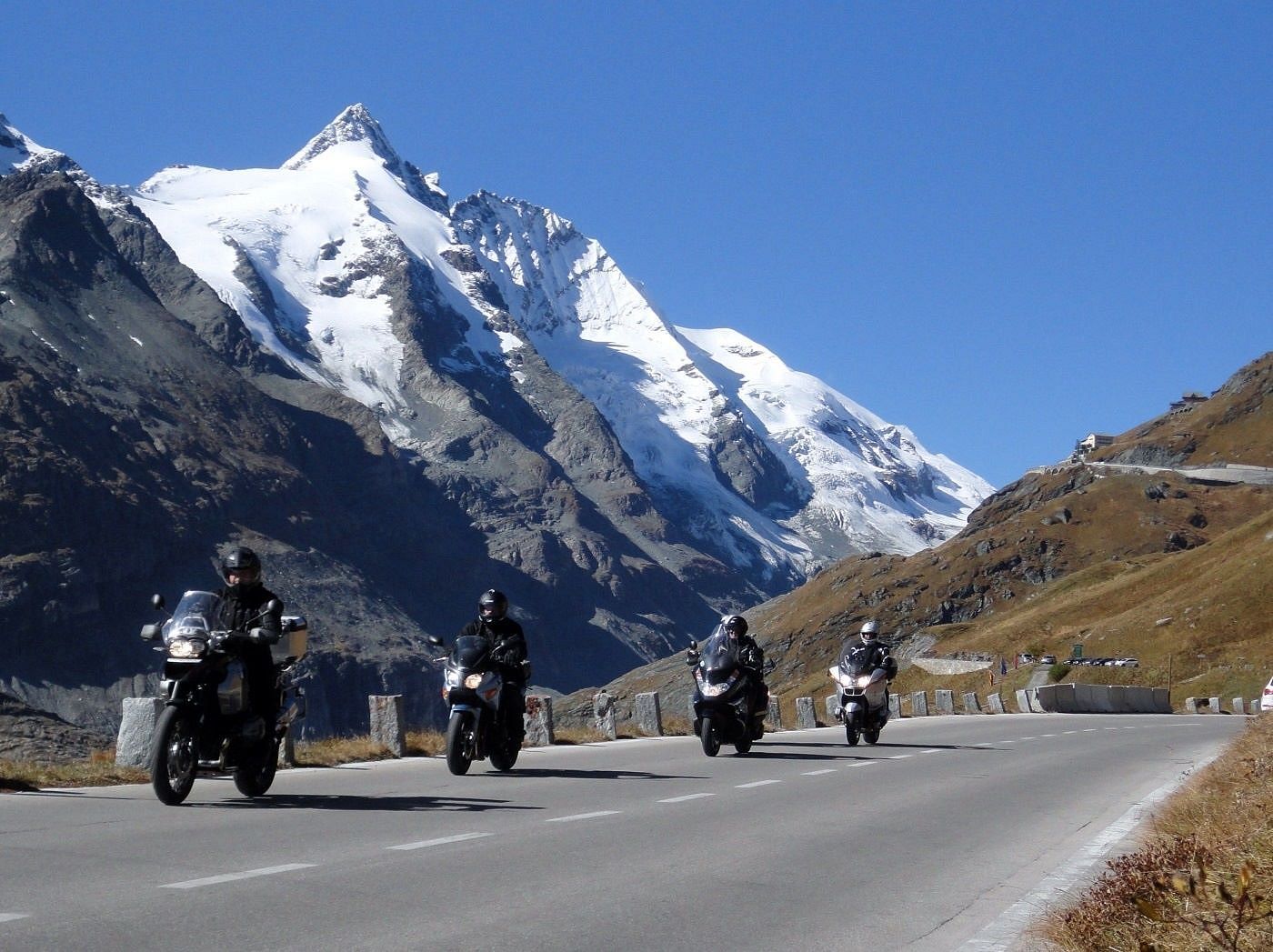
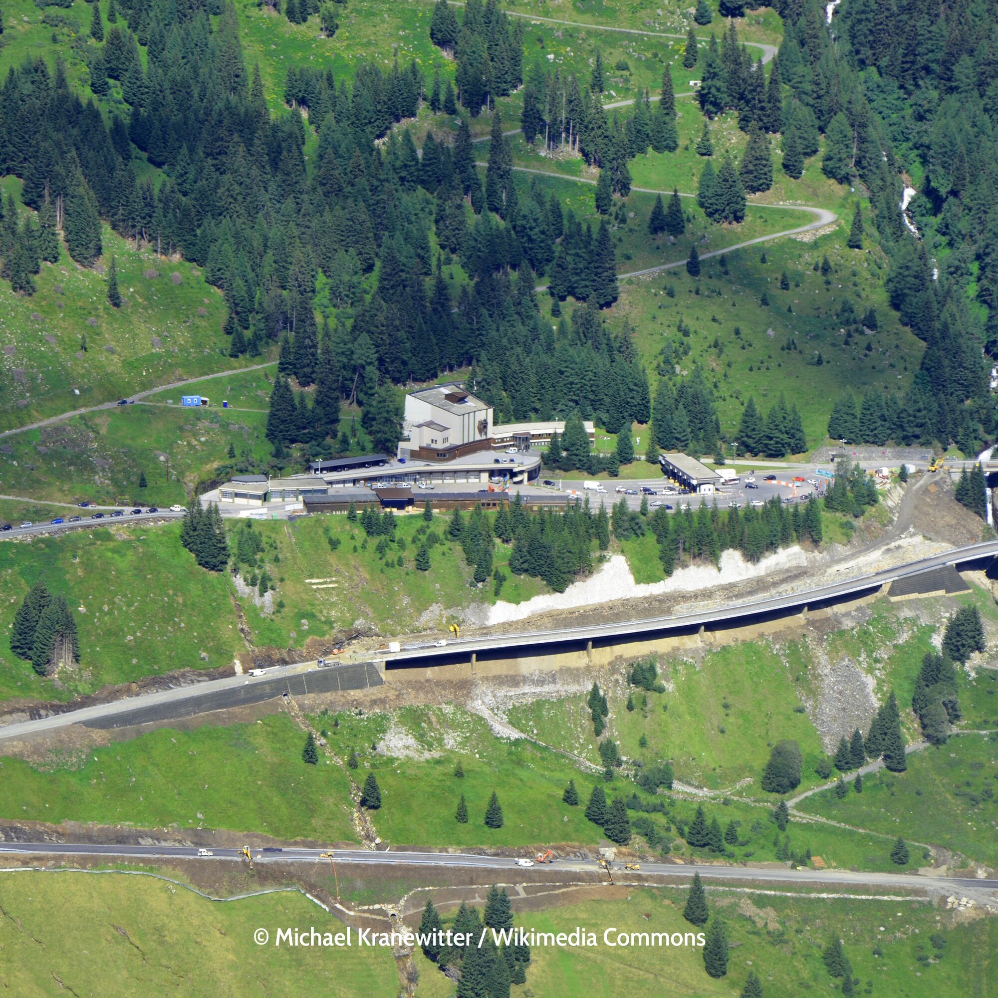
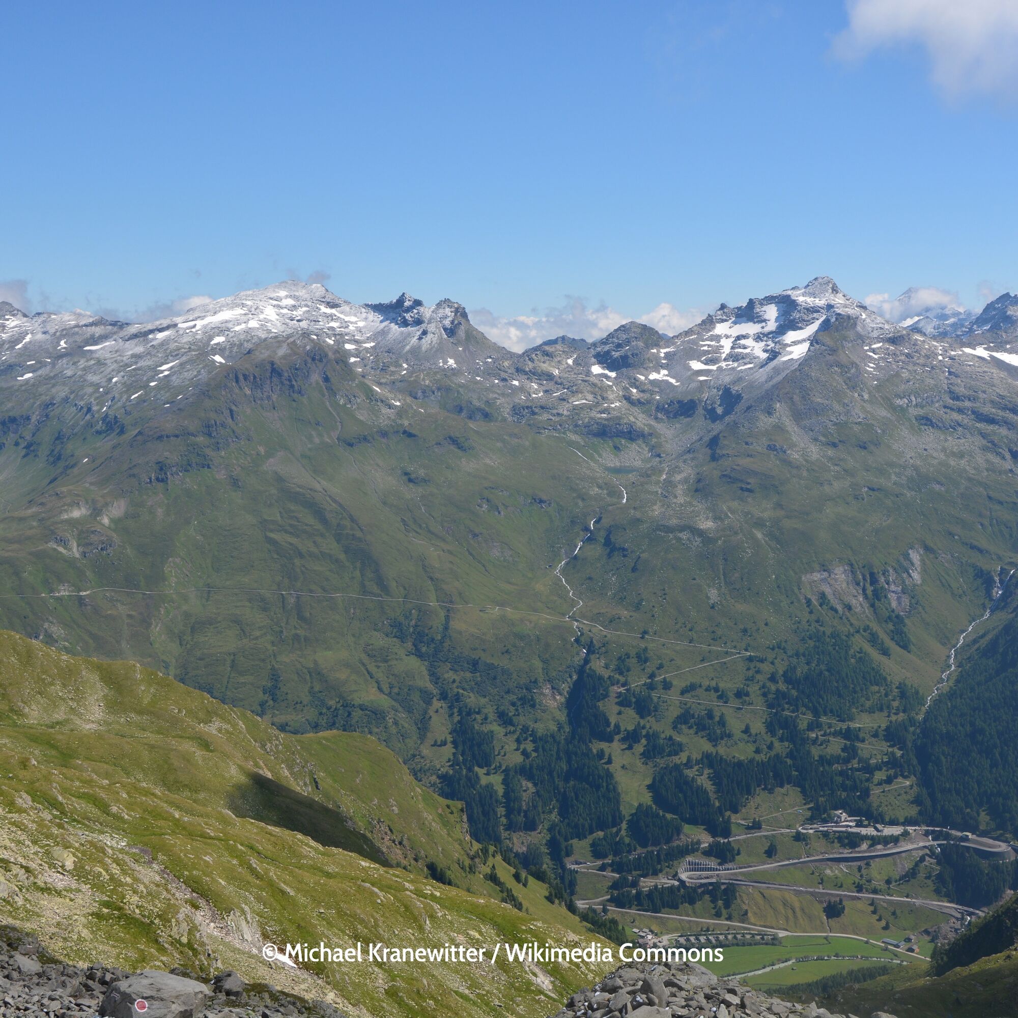
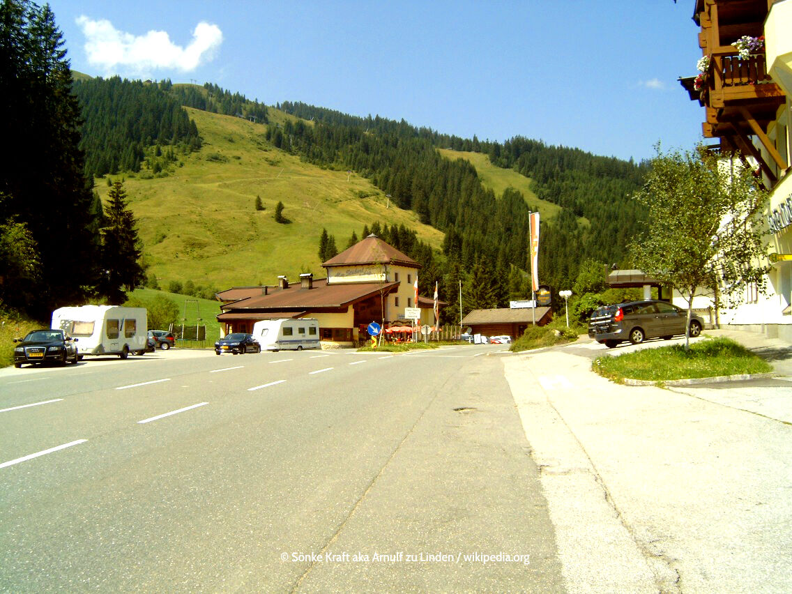
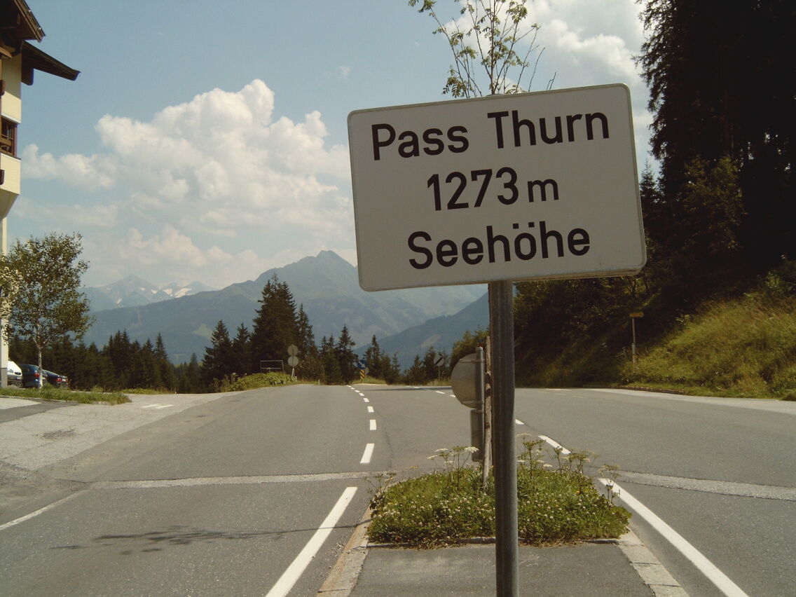
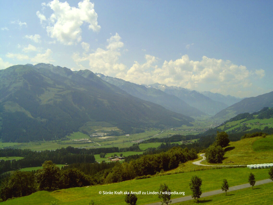

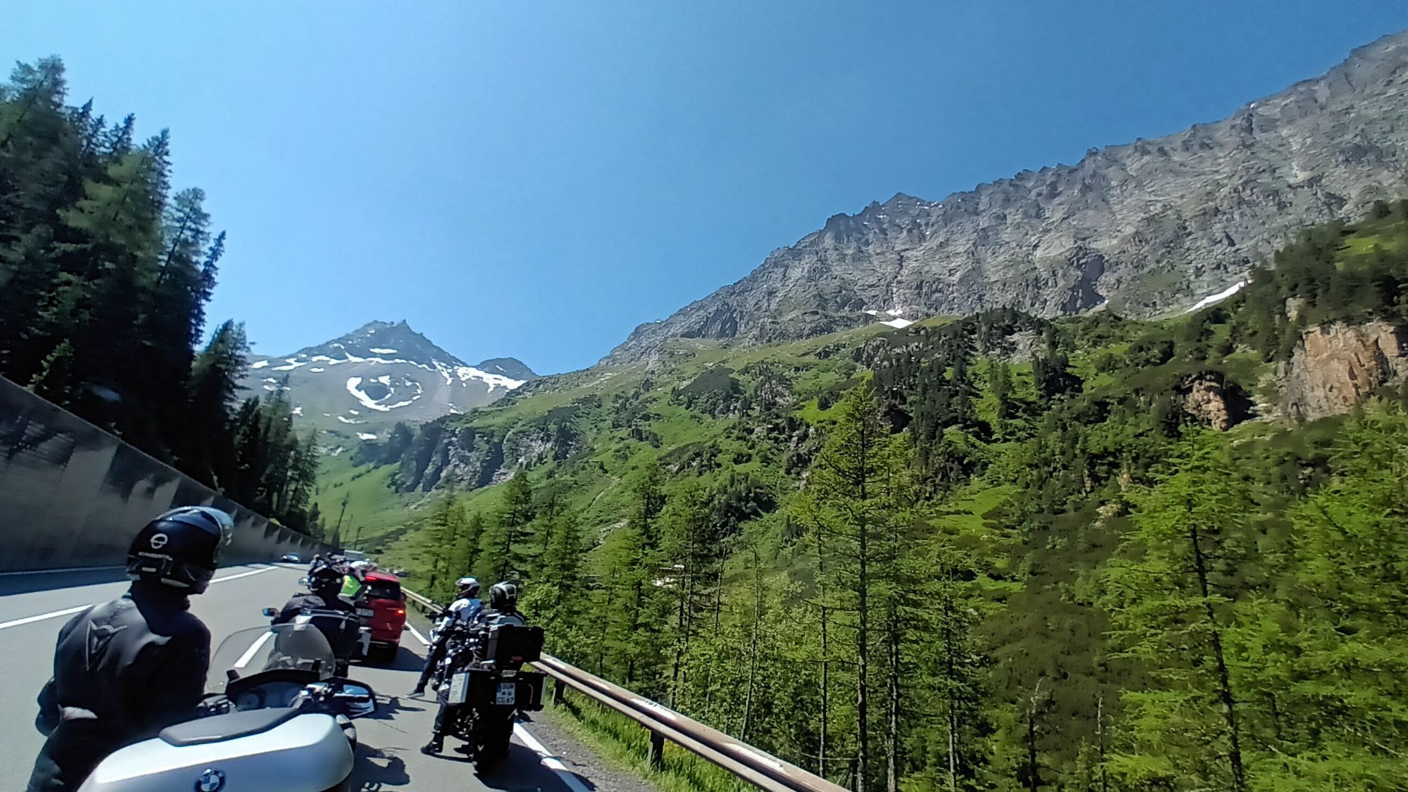
On the magnificent 36 km long panoramic route of the Felbertauern, it remains calm even on high summer days. From Mittersill, the north ramp winds uphill with a gradient of about 9% to the 5 km long Felbertauern tunnel, whose southern portal already releases the biker into the sun-drenched high mountain landscape of East Tyrol. Three lanes lead up to 1632 meters above sea level, then descend through the magnificent Alpine panoramas of the Hohe Tauern.
Ano
Ano
Ano
Motorcycle: ⤠Motorcycle helmet ⤠Motorcycle gloves ⤠Motorcycle boots ⤠Motorcycle jacket and pants
Convertible: ⤠Baseball cap ⤠Sunscreen ⤠Sunglasses ⤠Convertible?!?
Pay attention to the road surface
Coming from the north - (no vignette required!) (D, NL, ...): Munich - Kufstein - St. Johann in Tirol - Kitzbühel - Pass Thurn - Mittersill
Coming from the west (CH): Inntal motorway (A12 = vignette required!) - exit Wörgl East - St. Johann in Tirol - Kitzbühel - Pass Thurn - Mittersill
Coming from the east: Vienna - Salzburg (A1 = vignette required!) - Lofer - St. Johann in Tirol - Kitzbühel - Pass Thurn - Mittersill
Coming from the south: Lienz - Matrei - Felbertauern road (toll required) - Mittersill
Preferably with convertible or motorcycle 😀
Enough parking spaces available
â¤ï¸ Vacation in Tyrol â search & book
1
ð Be sure to buy tolls for Großglockner and Felbertauern at once - much cheaper
ð A special attraction lies to the right and left of the handlebars – be sure to take a ride through the Virgental.

Webové kamery z prohlídky
-
PassThurn - Gasthof Hohe Brücke
-
Matrei in Osttirol
-
Matrei Bergstation Goldried
-
Matrei Bergstation Goldried
-
Berggasthaus Goldried
-
Adlerlounge - Cimaross
-
Adlerlounge - Cimaross
-
Adlerlounge - Cimaross
-
Adlerlounge - Cimaross
-
Adlerlounge - Cimaross
-
Adlerlounge - Cimaross
-
Adlerlounge - Cimaross
-
Adlerlounge - Cimaross
-
Virgen Sonnberg
-
Matrei in Osttirol - Bethuberhof
-
Matrei in Osttirol / Strumerhof
-
Matrei in Osttirol

Oblíbené prohlídky v okolí
-
4.2
Gletscherlehrweg Innergschlöß
středníTuristika 9.36 km -
4.6
Circular hike Proßeggklamm
středníTuristika 8.41 km -
3.9
Mittersill - Hintersee und Plattachsee
heavyTuristika 9.90 km -
4.7
Hollersbach - Neue Fürther Hütte
Turistika 16.0 km -
4.6
Vom Matreier Tauernhaus über die Felsenkapelle nach Innergschlöss
světloTuristika 9.19 km -
4.6
Runde um den Weißsee - Gletscherlehrpfad Uttendorf, Österreich
středníTuristika 6.48 km -
4.2
Habachtal bis zur Thüringer Hütte
Turistika 6.53 km -
4.9
Kals / Burg - Bergeralm
světloTuristika 7.96 km -
3.9
Hollersbach: Pihapper path no. 935
heavyTuristika 12.8 km -
4.1
Via the Schösswendklamm to Hintersee
středníTuristika 8.29 km
Pěší turistika a stopování


Nenechte si ujít nabídky a inspiraci pro vaši příští dovolenou
Vaše e-mailová adresa byl přidán do poštovního seznamu.





