



Via ferrata to Steiglkogel

Úroveň obtížnosti: B
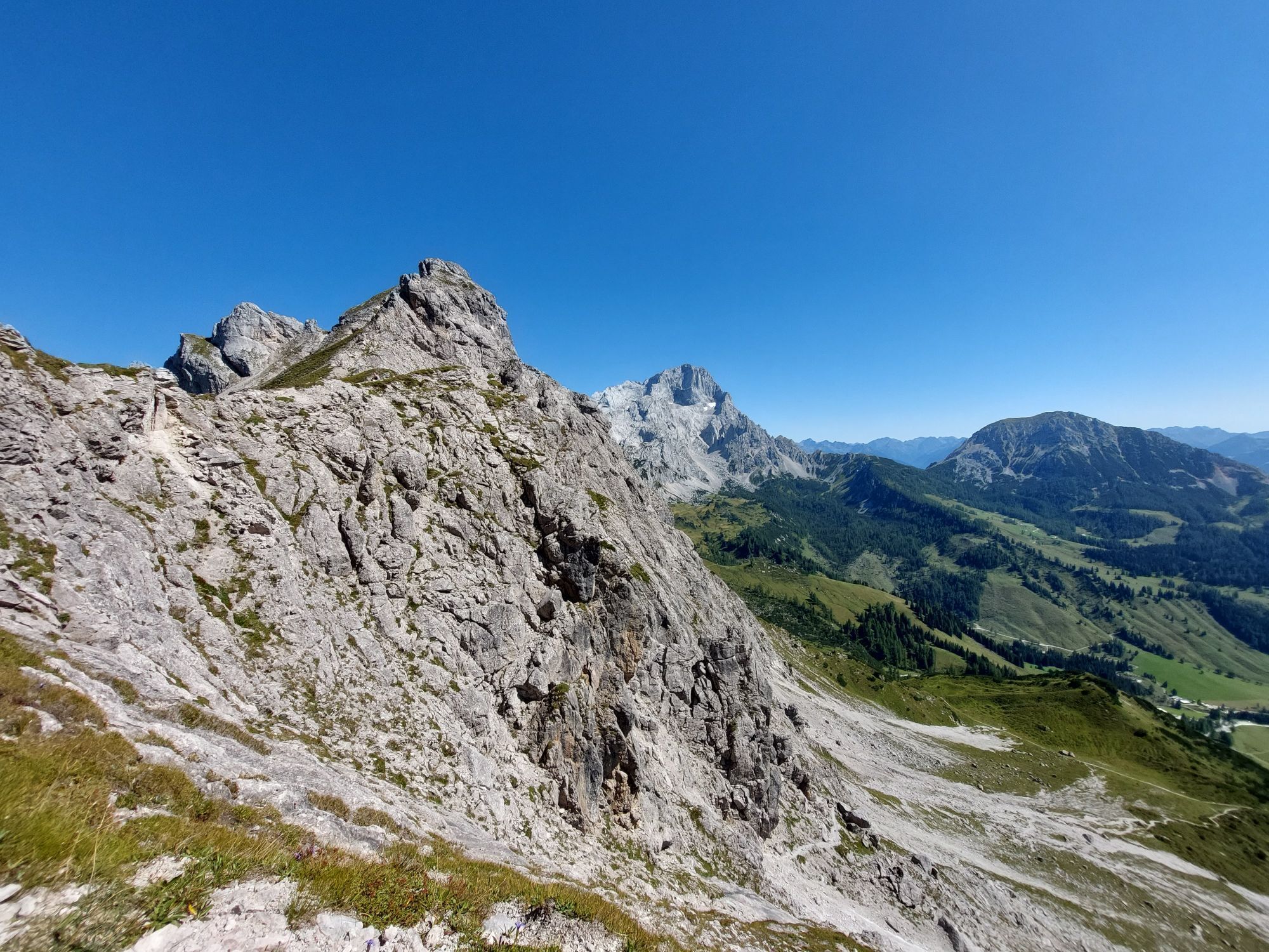
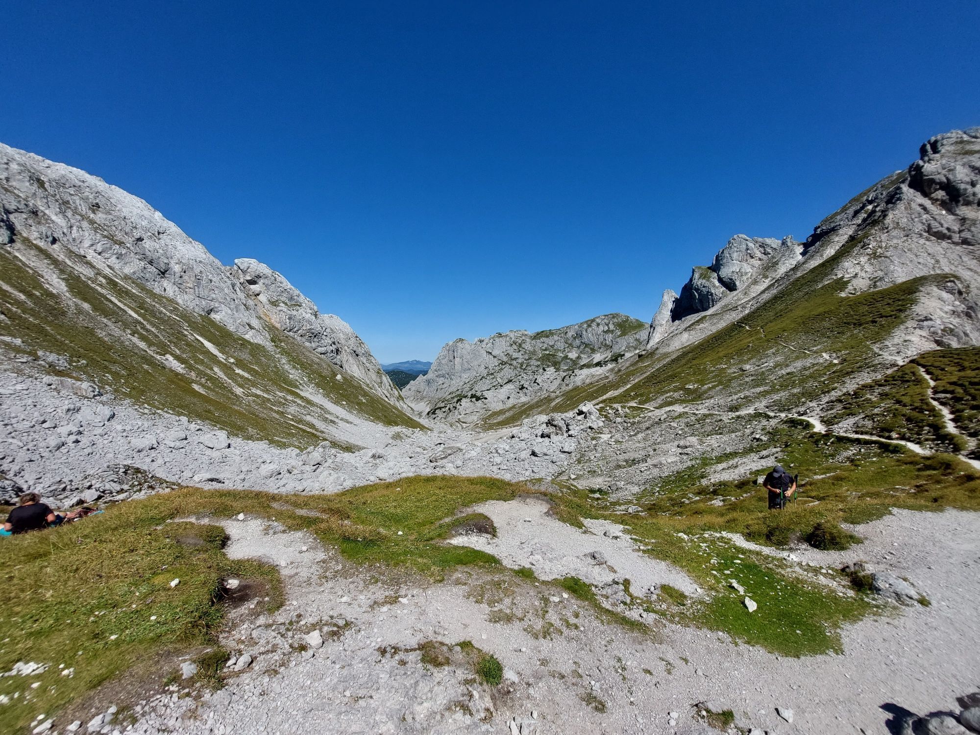
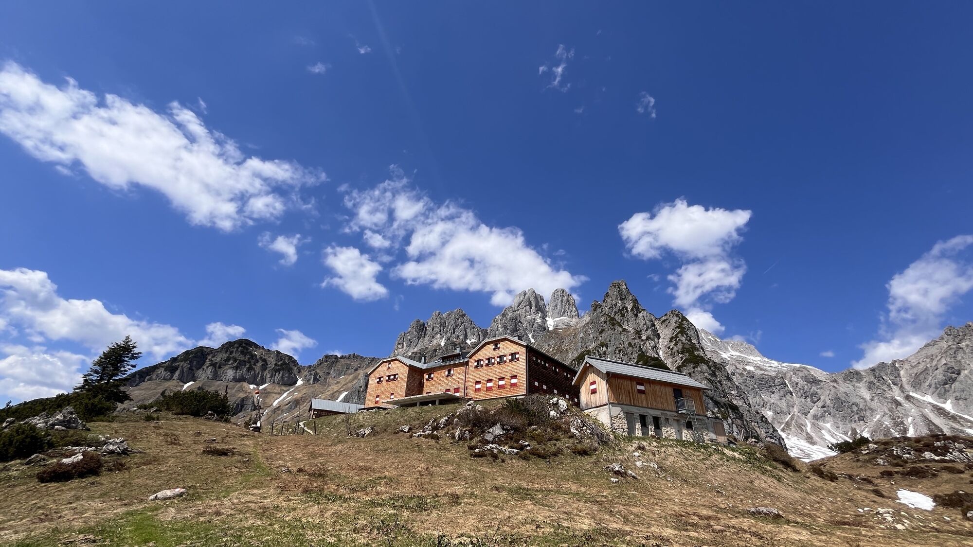
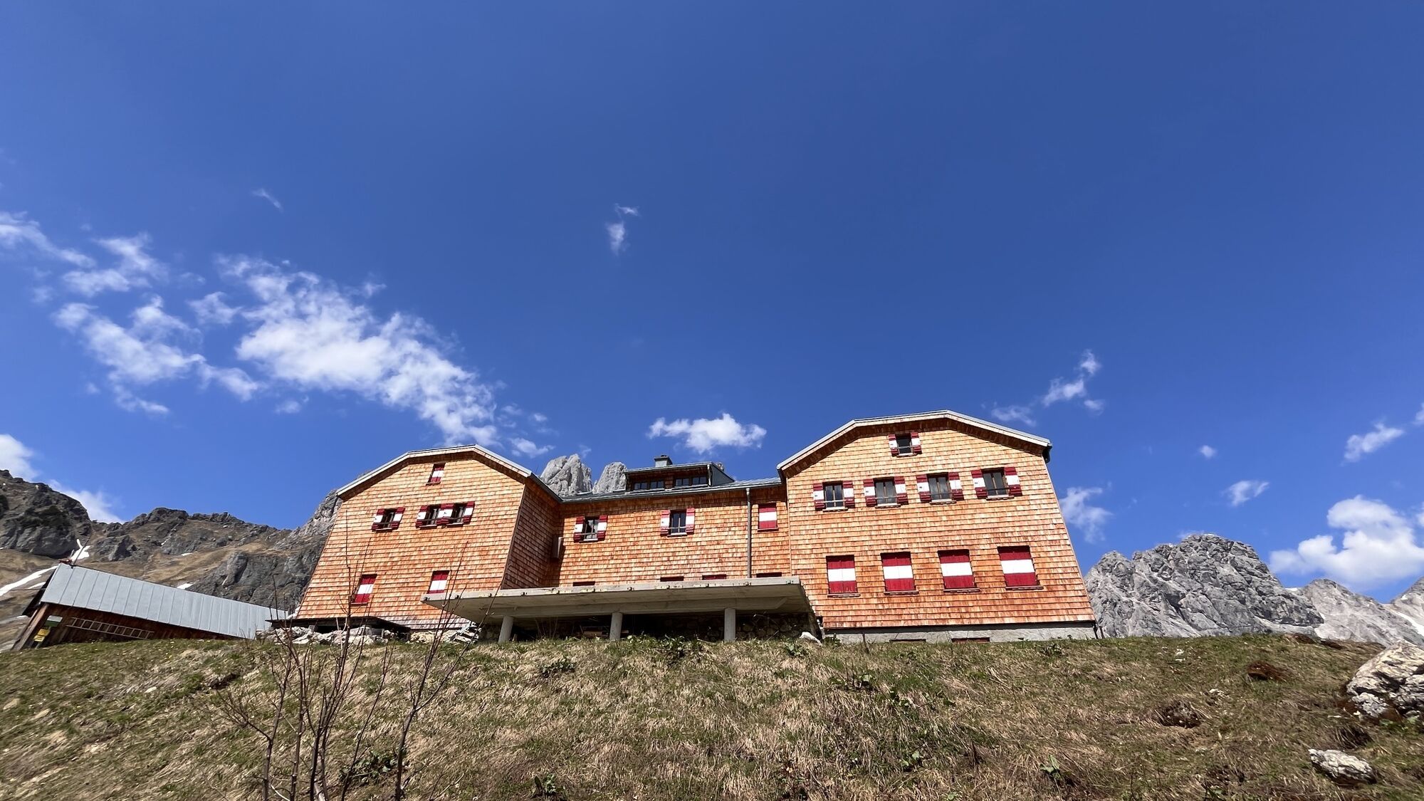
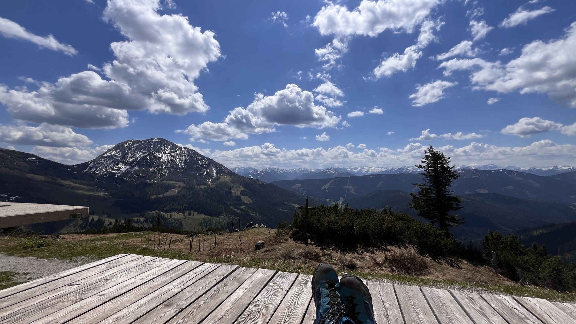
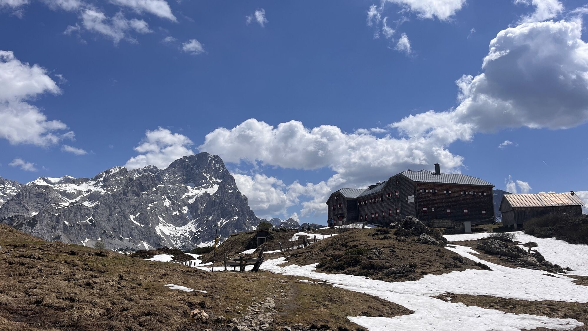


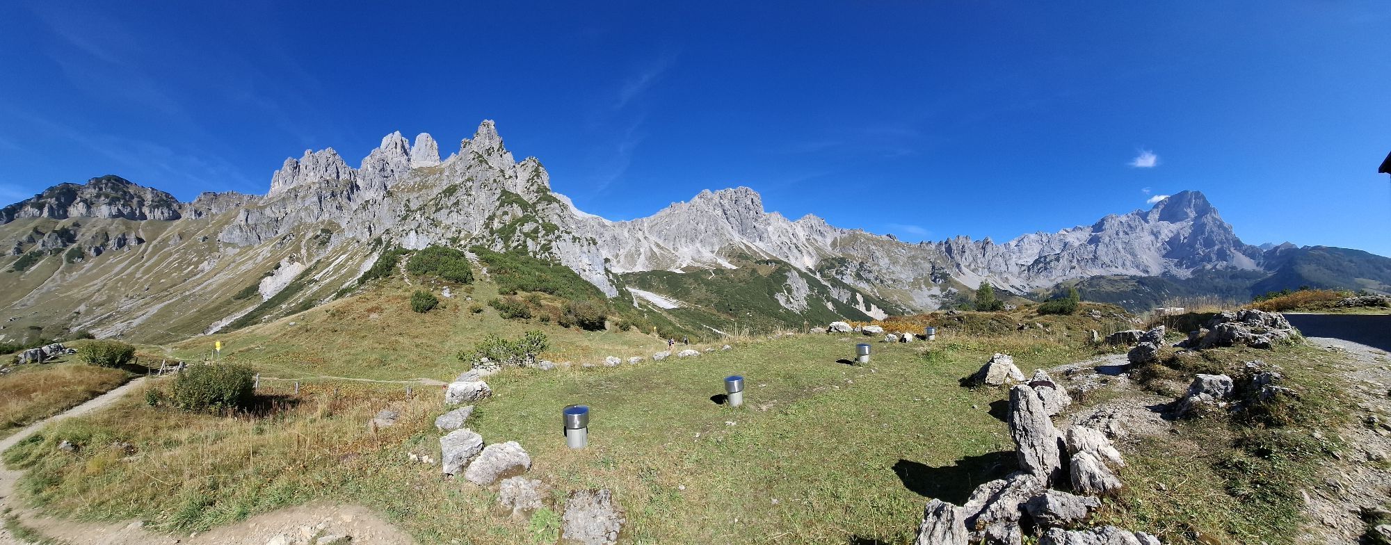
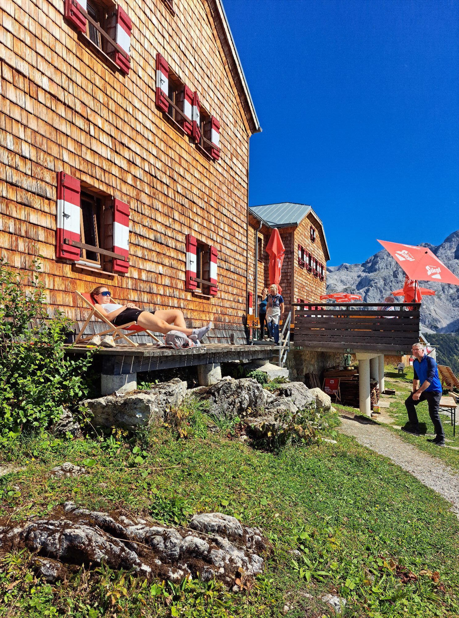
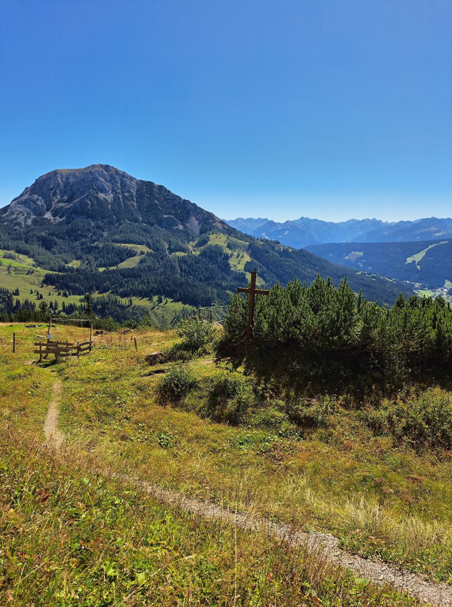
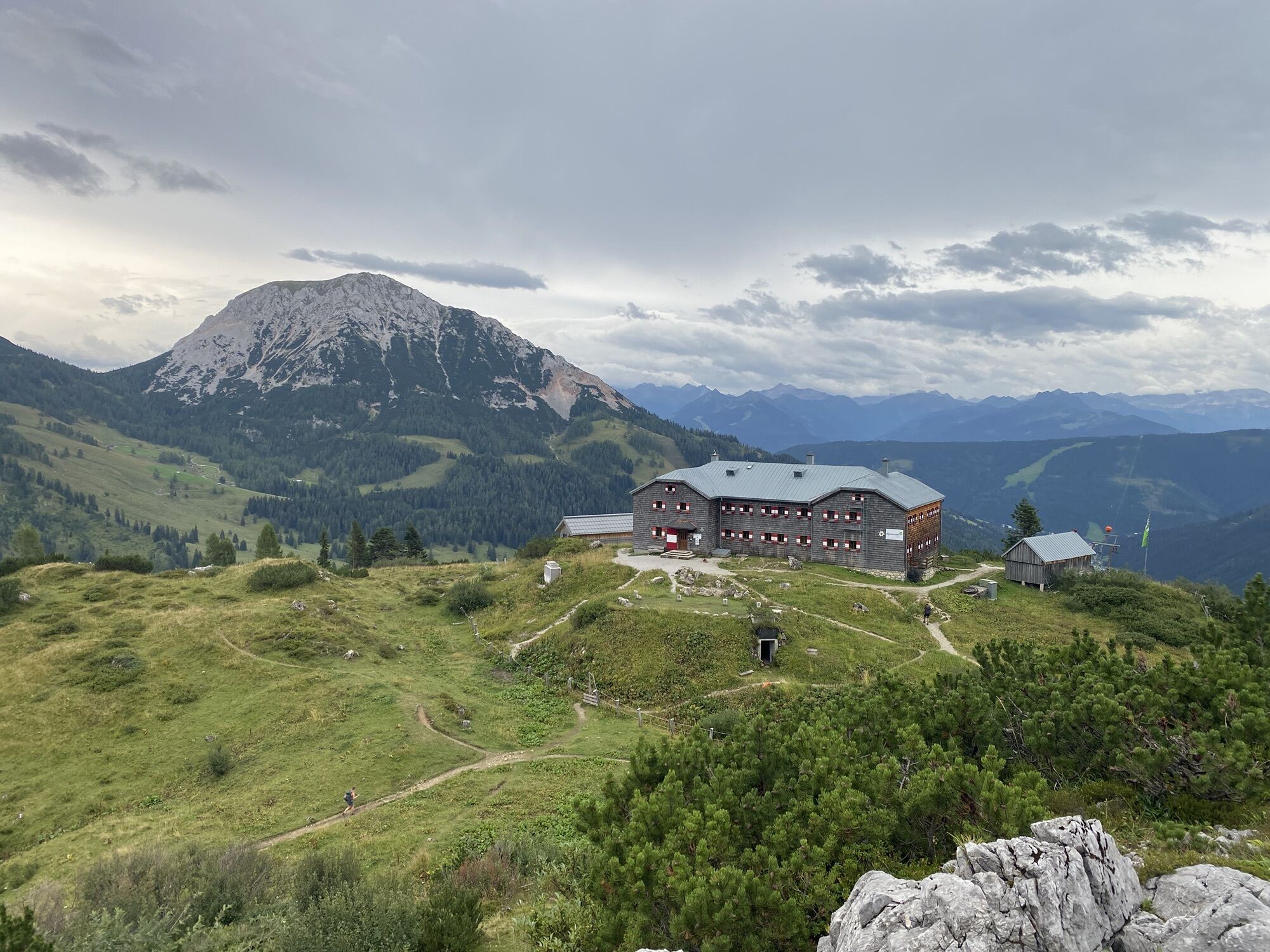
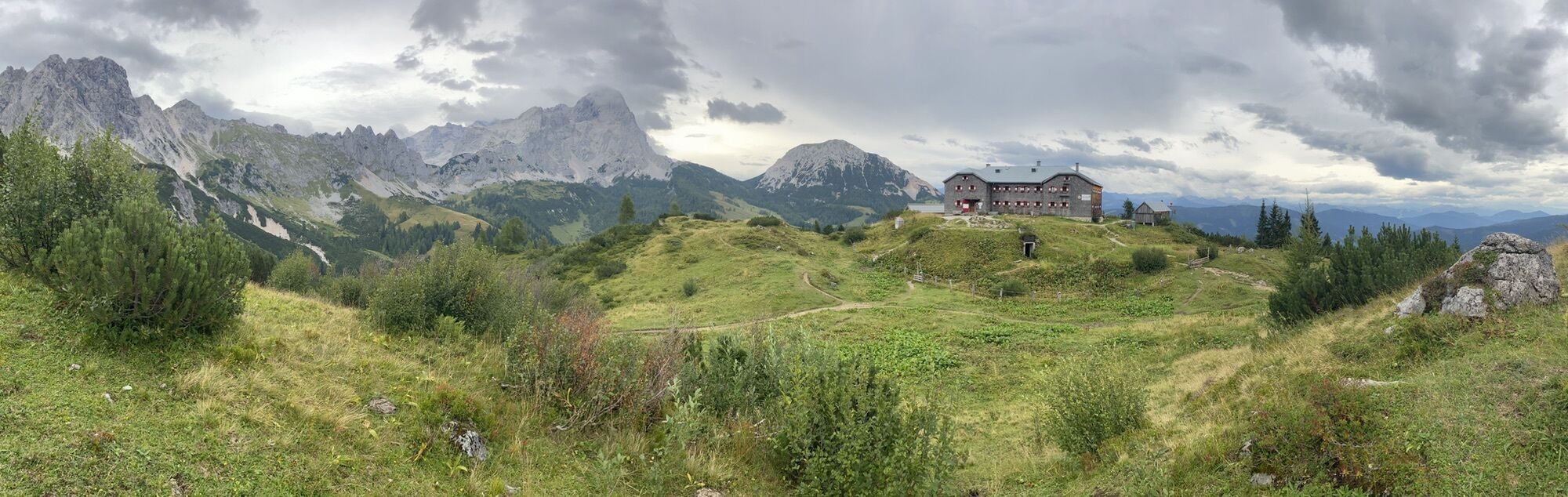
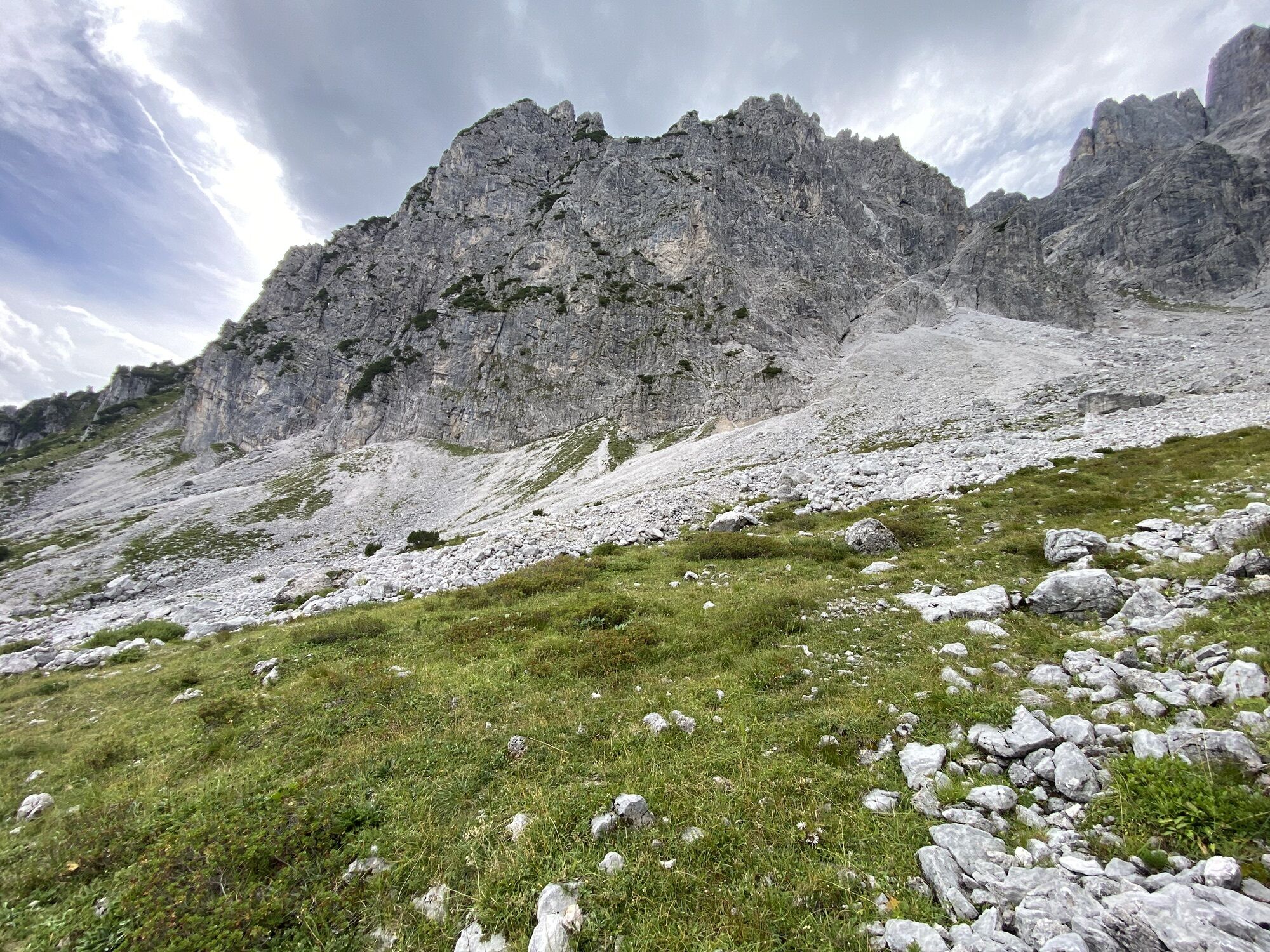
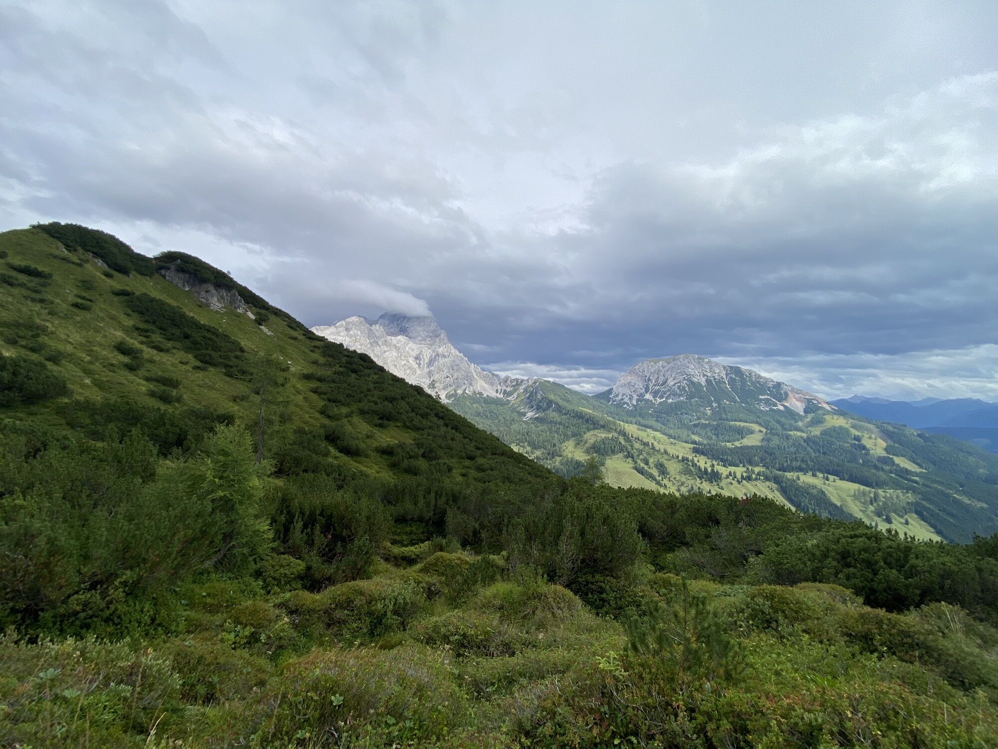
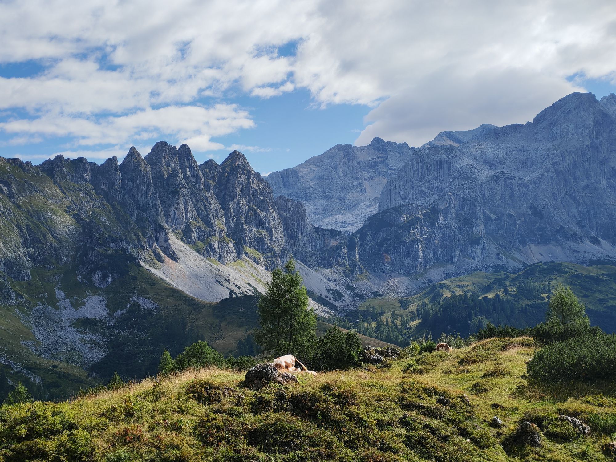
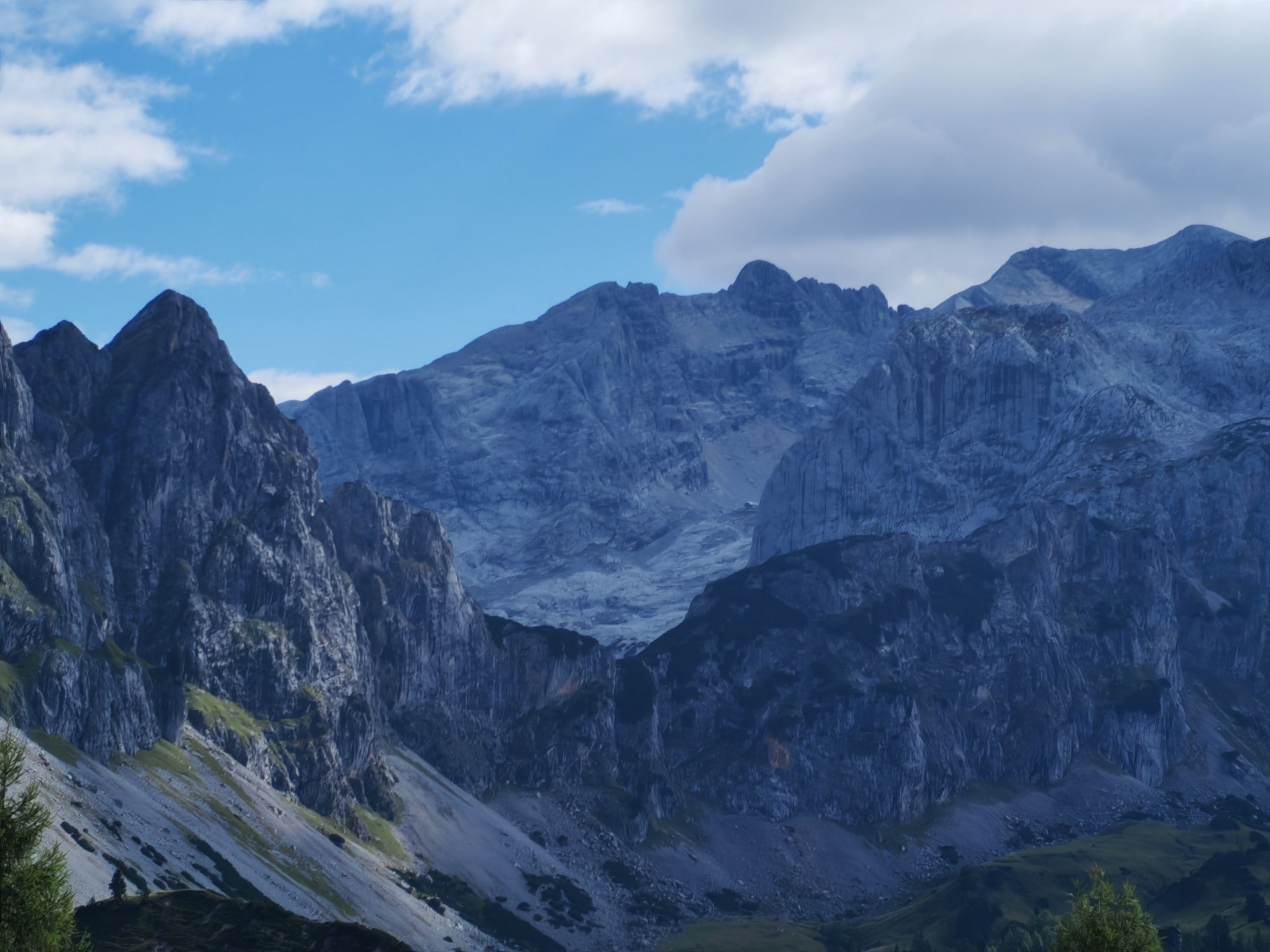
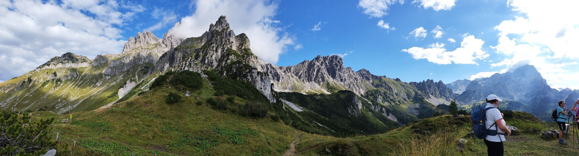
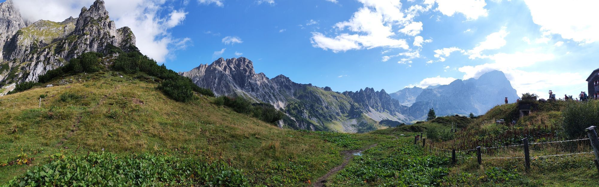
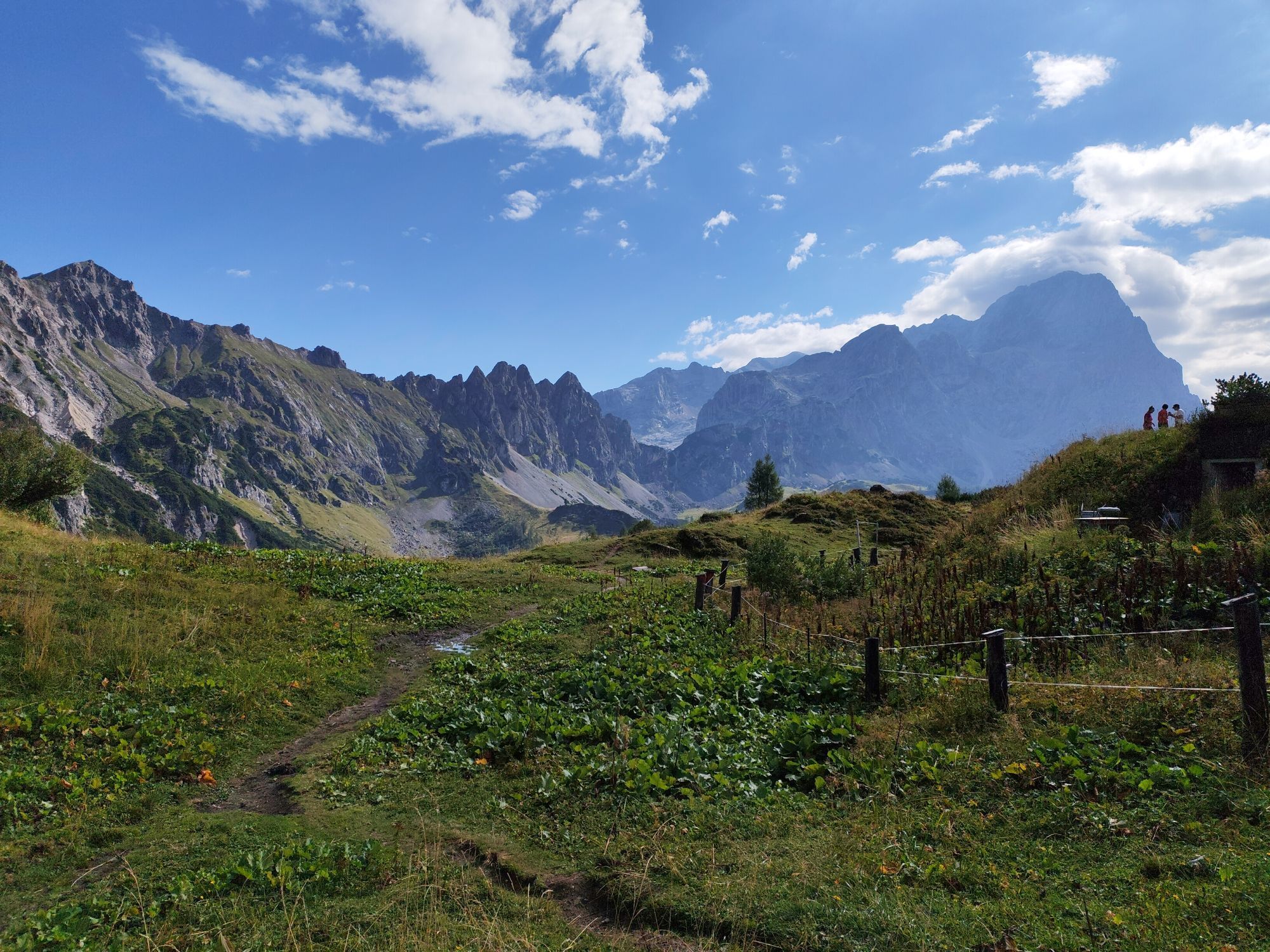
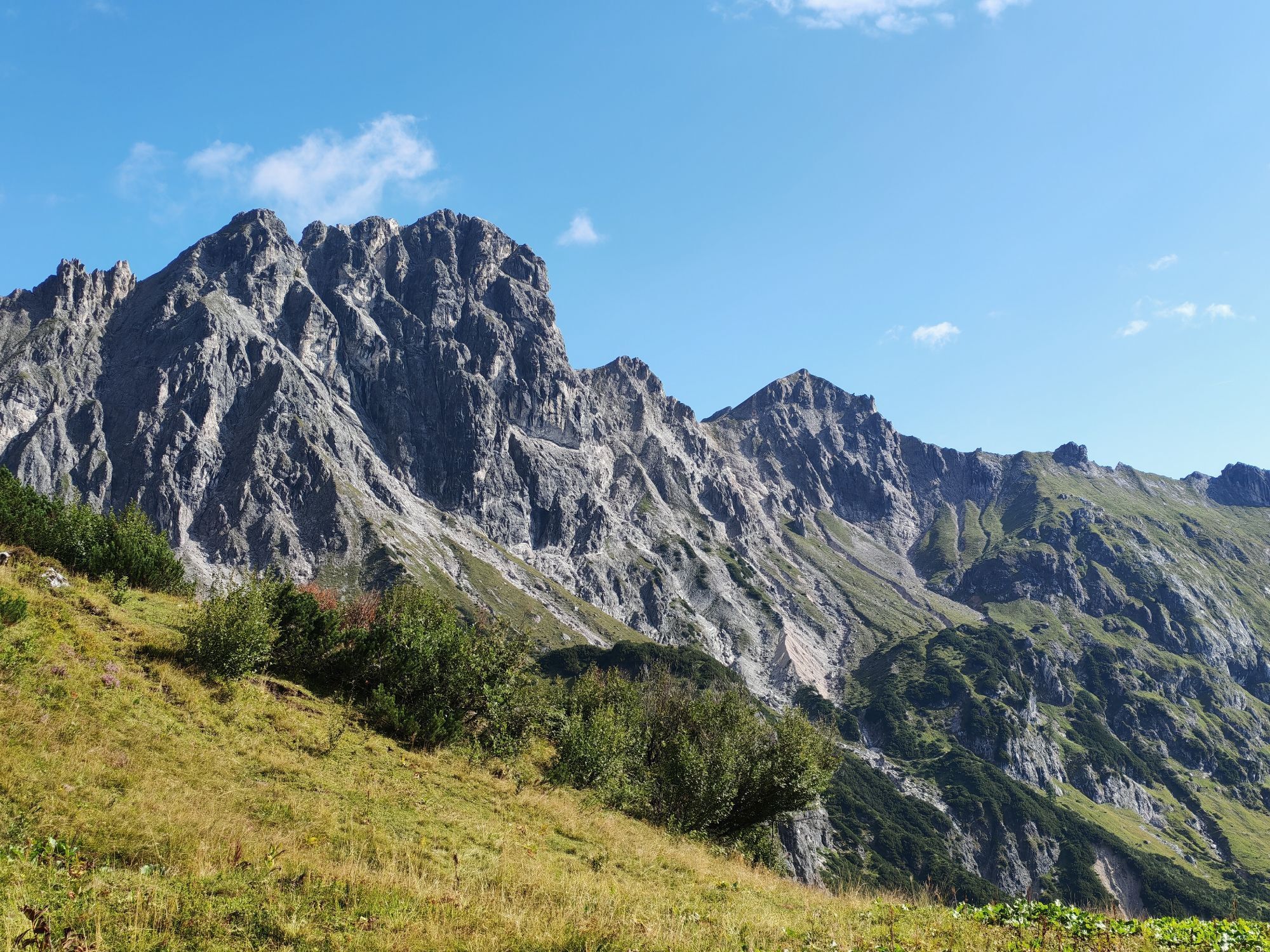
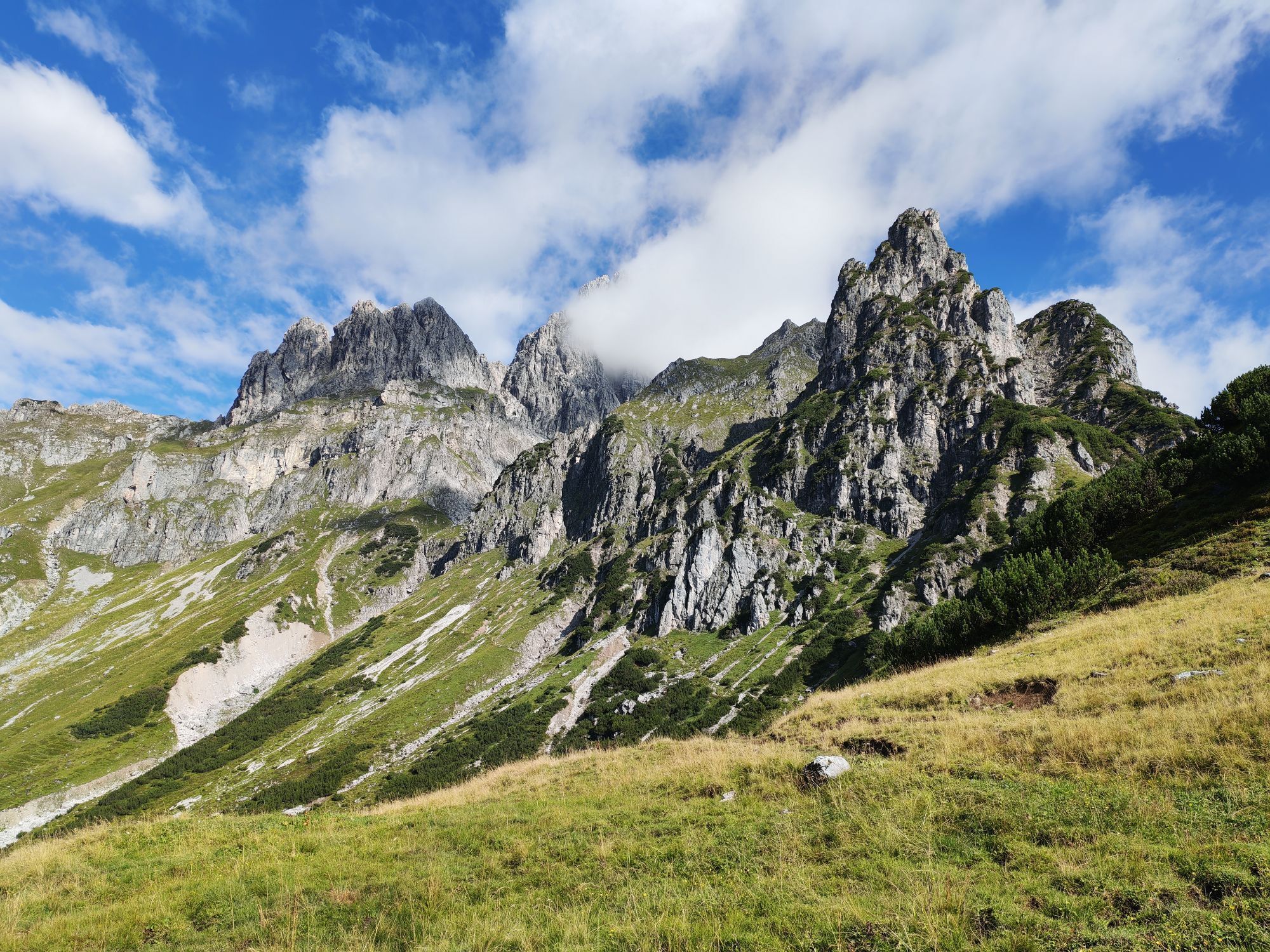
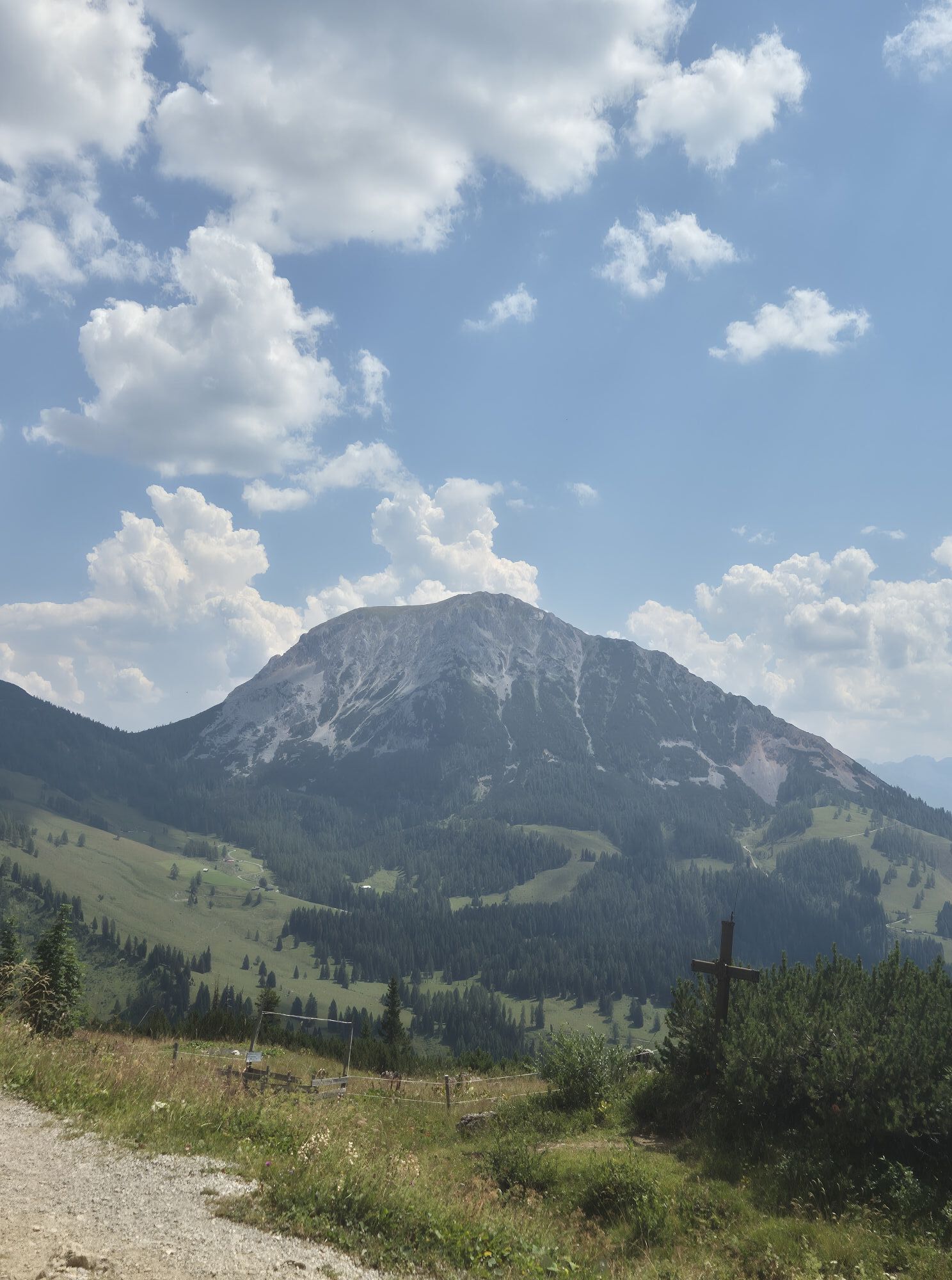
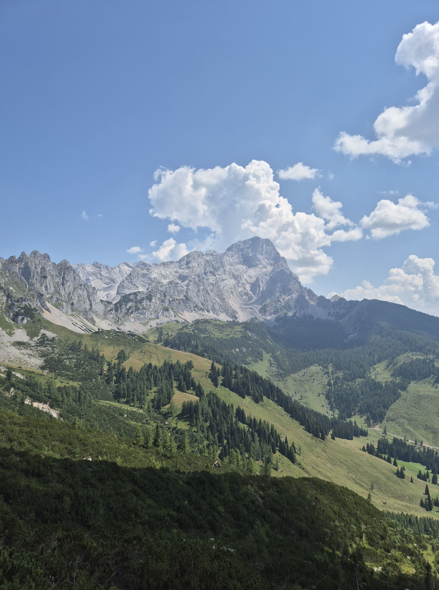
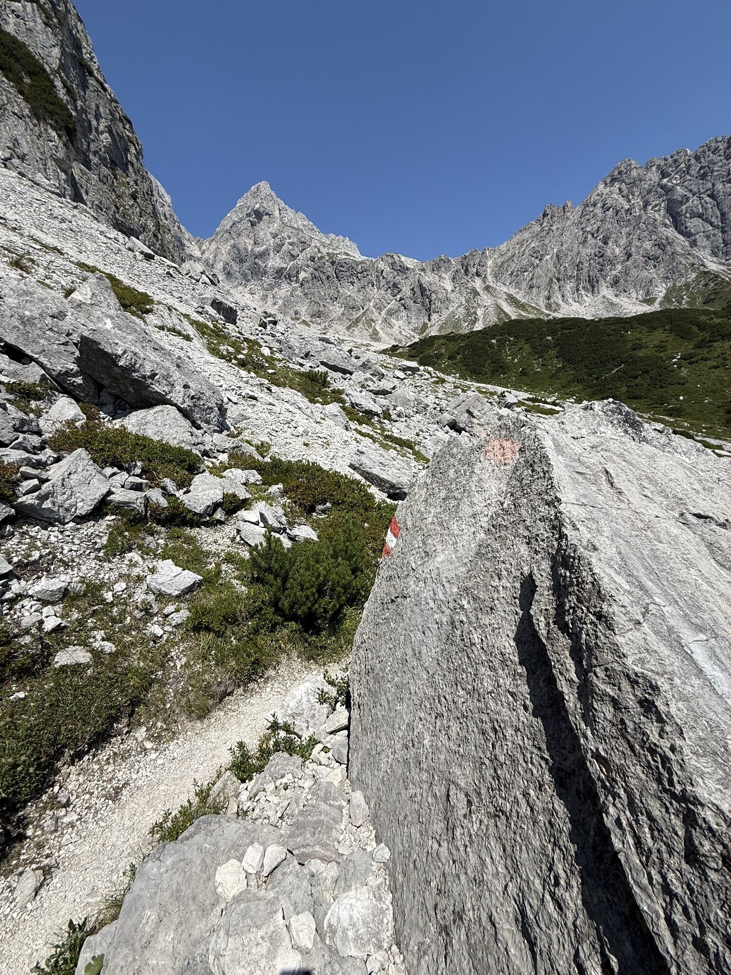
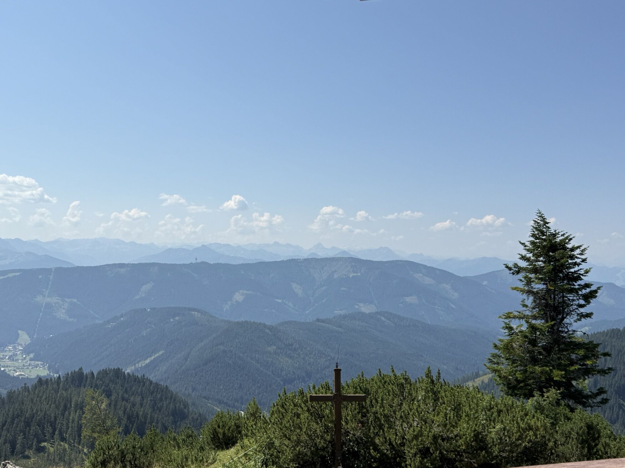
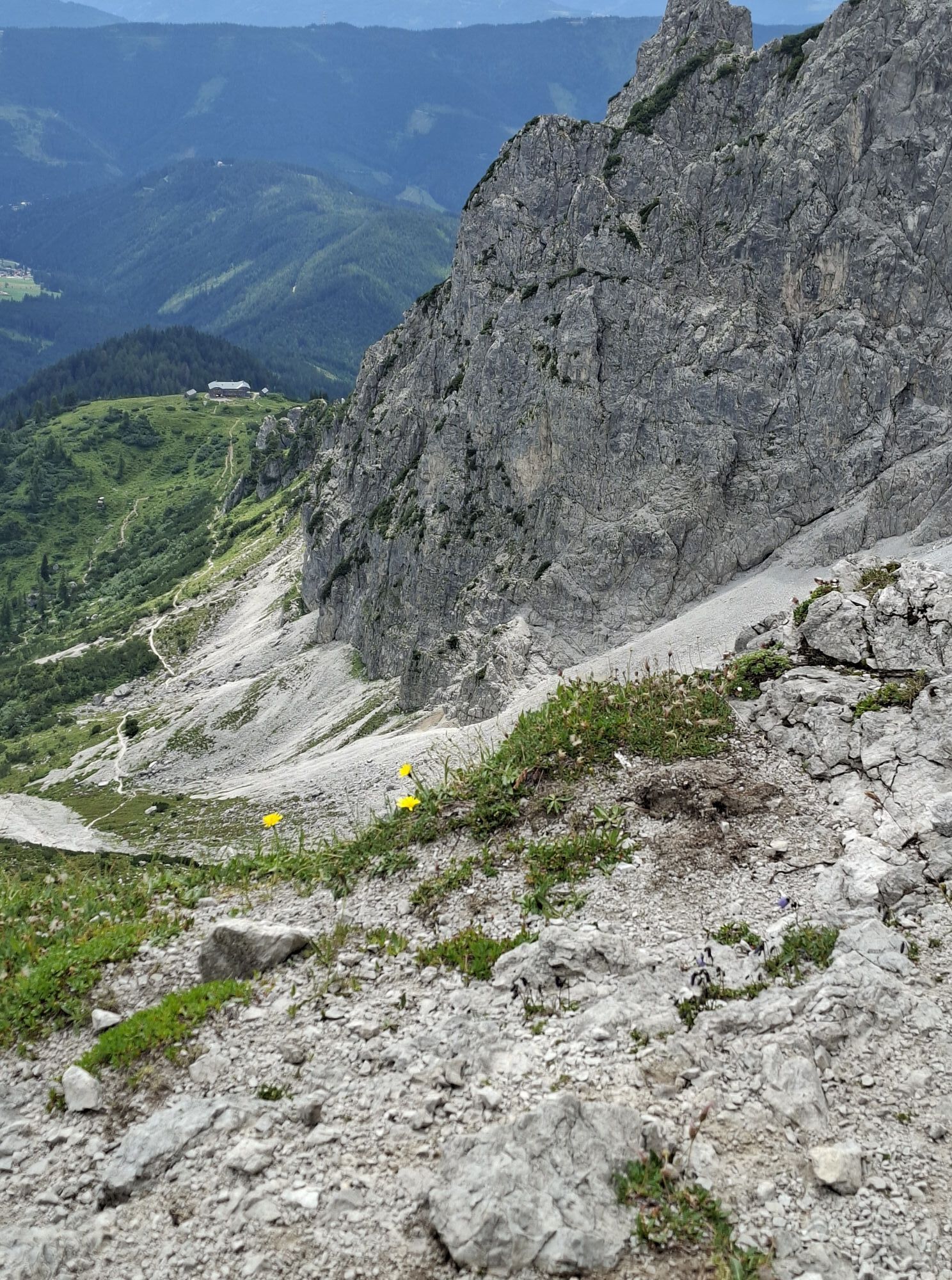
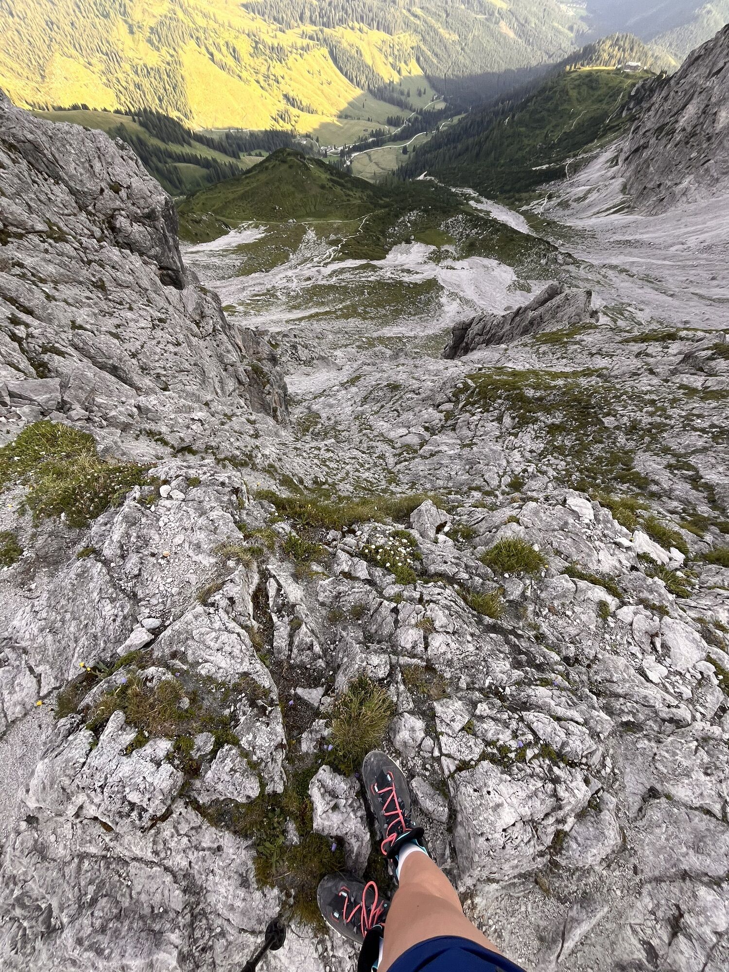
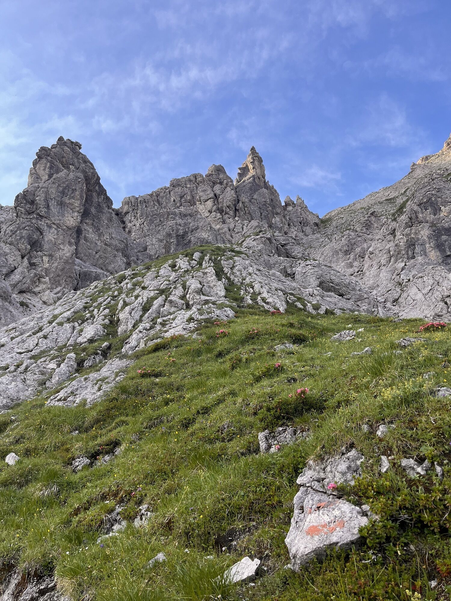
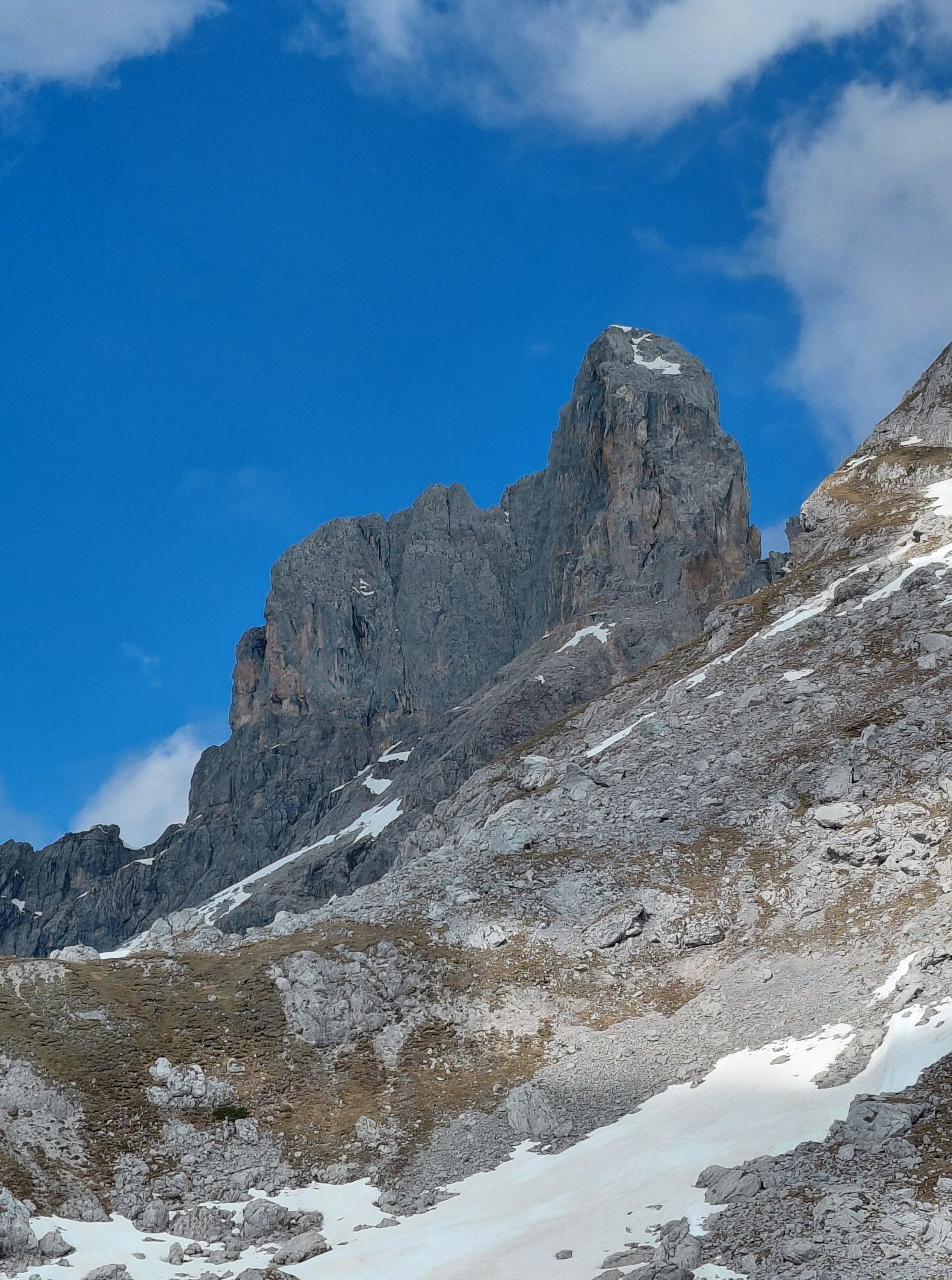
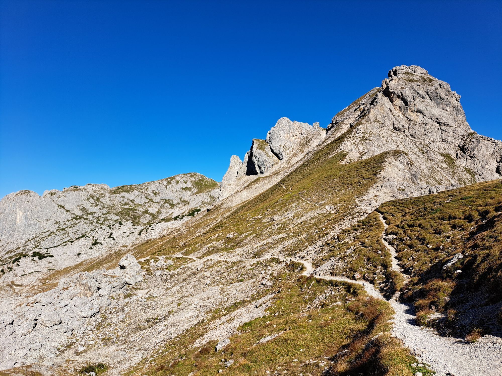
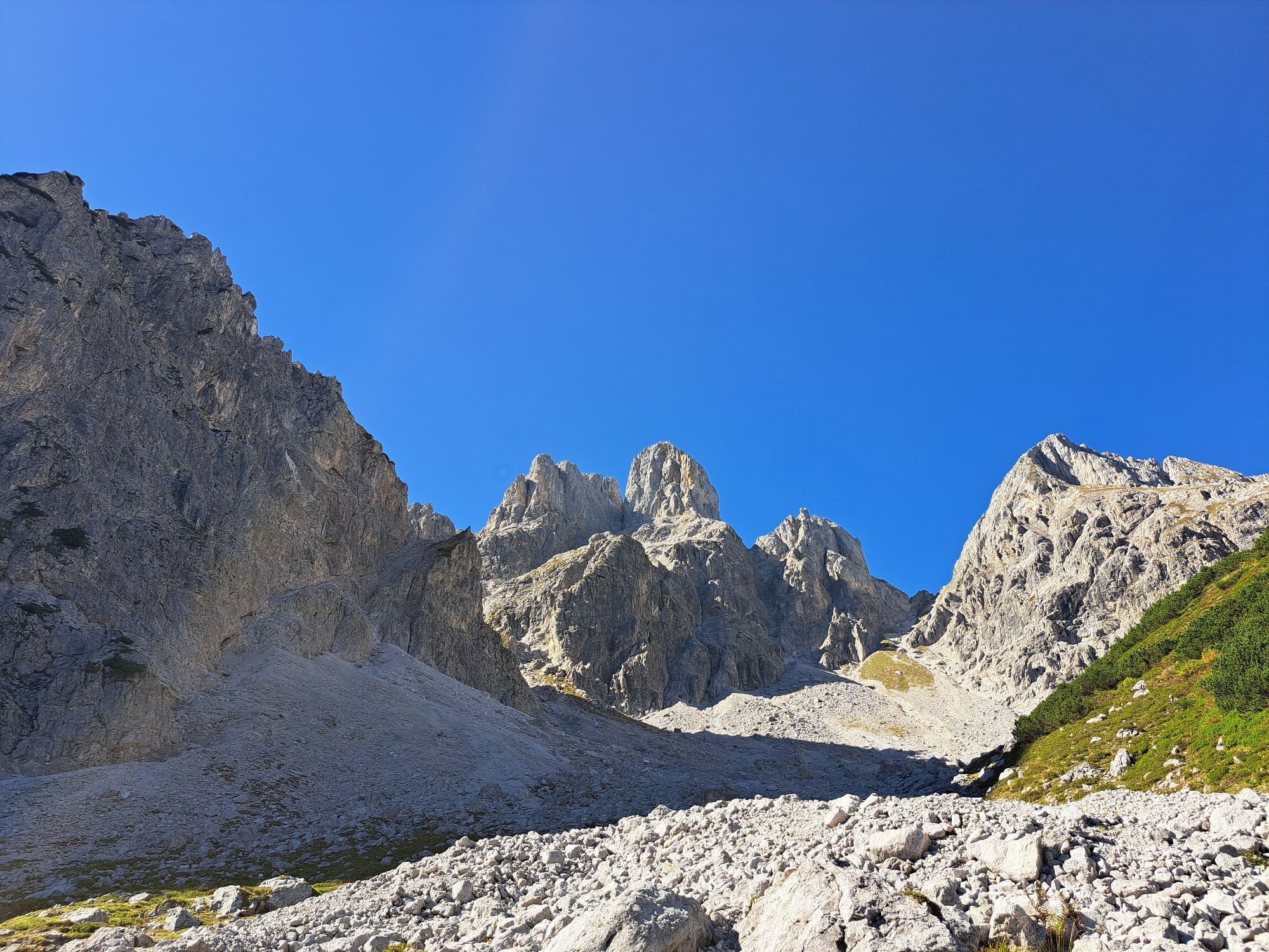
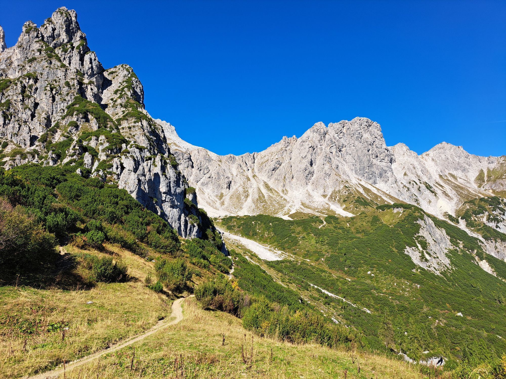
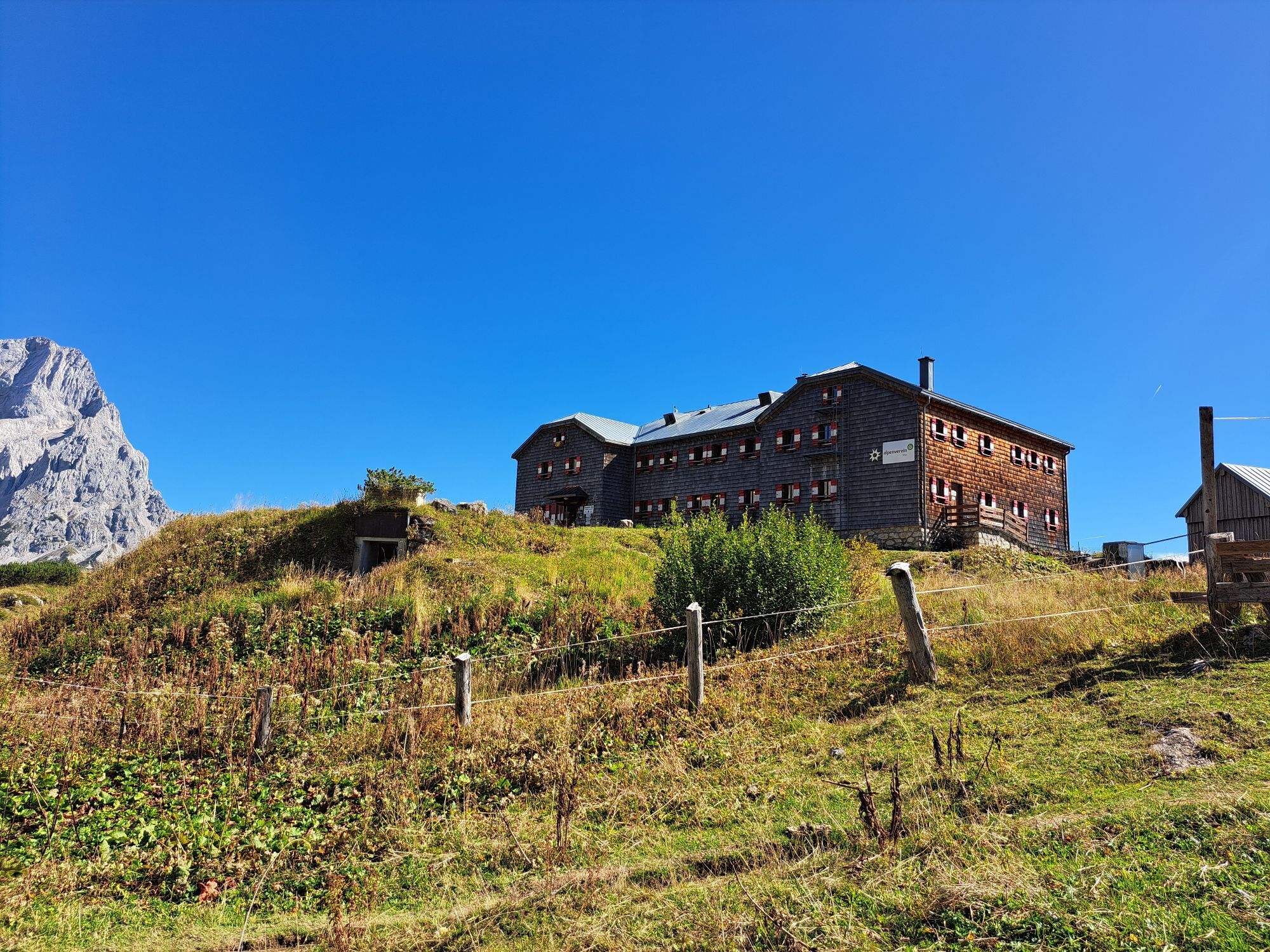
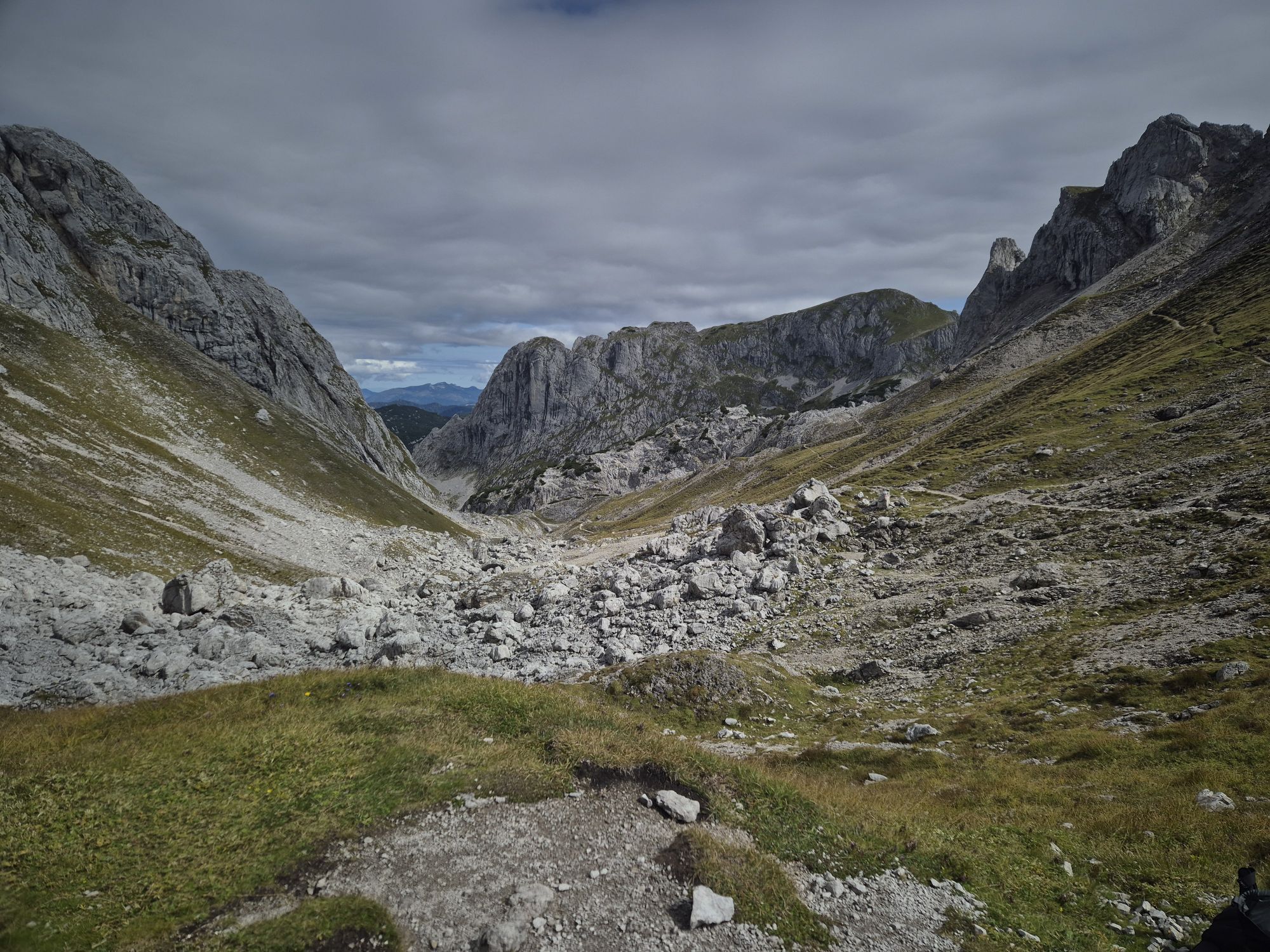
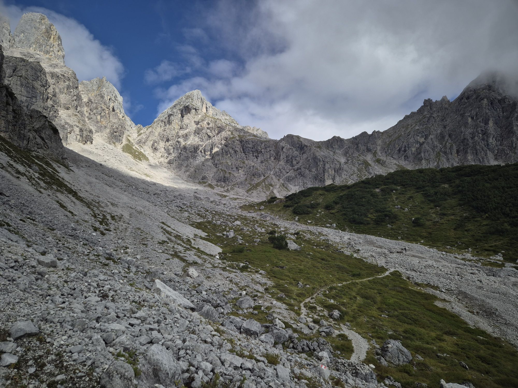
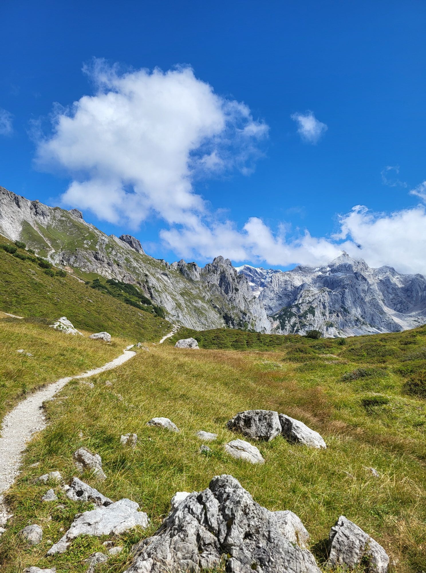
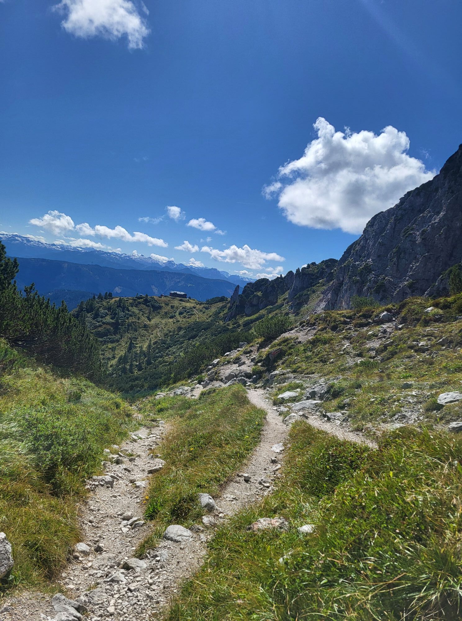
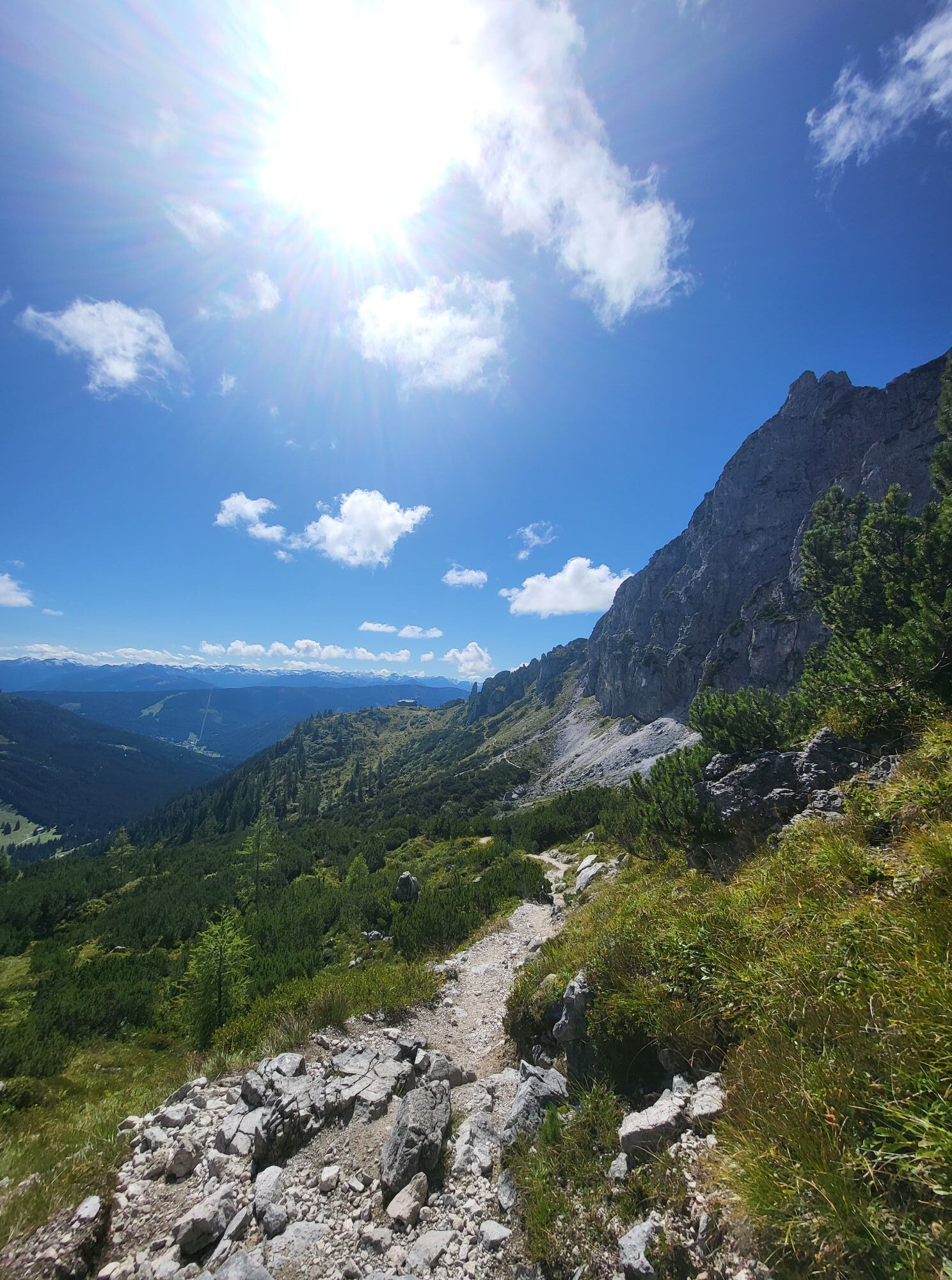
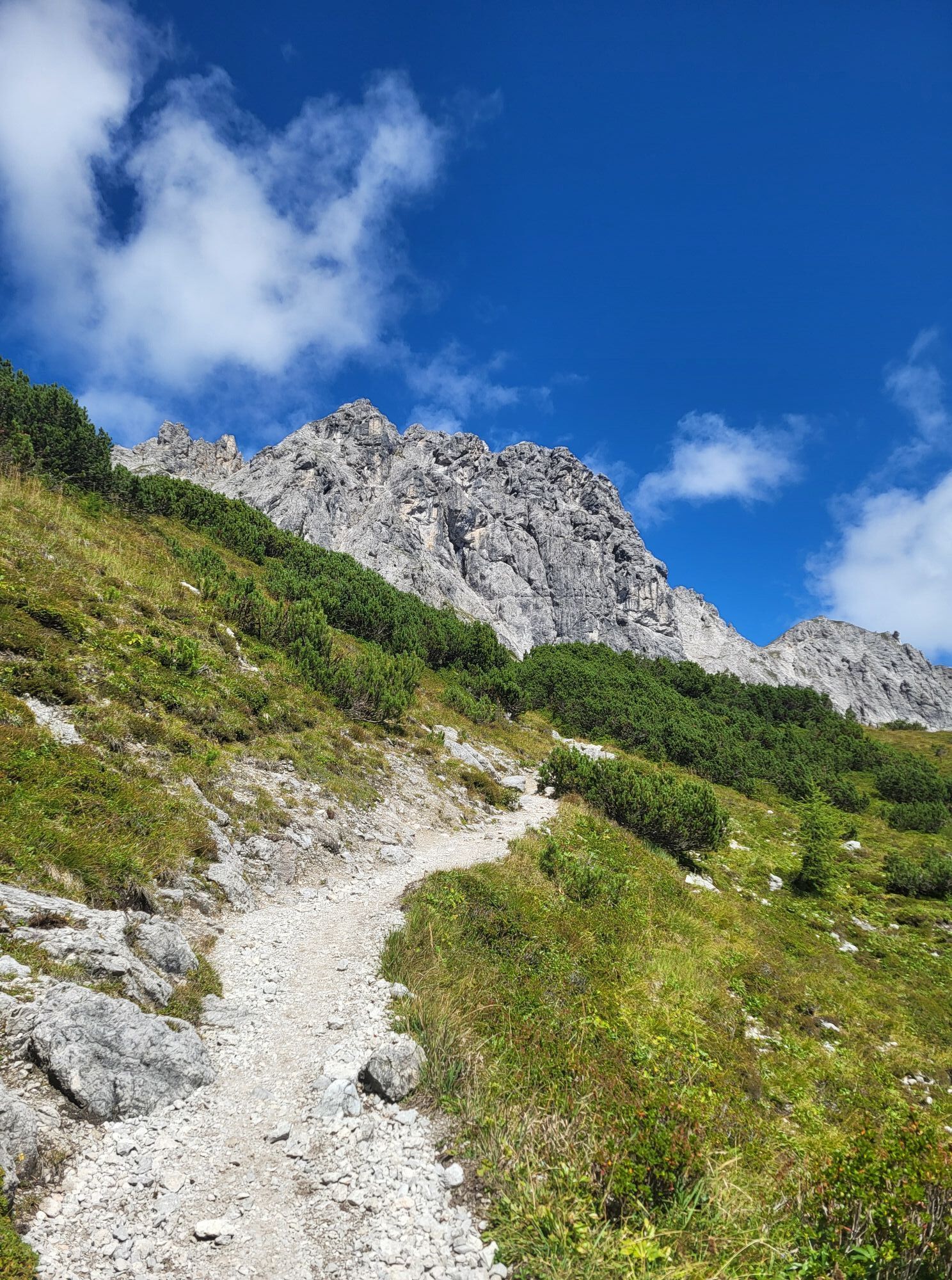
The Steiglkogel via ferrata is a classic, easy route and ideal for sure-footed mountaineers who want to gain their first experience on secured rock terrain or enjoy a scenic alpine tour. The well-secured...
From the summit, you can enjoy a breathtaking panorama of the distinctive Bischofsmütze, the Gosau Glacier, and the idyllic Gosausee. The surrounding mountain landscape ensures an unforgettable summit experience in the heart of the Dachstein region.
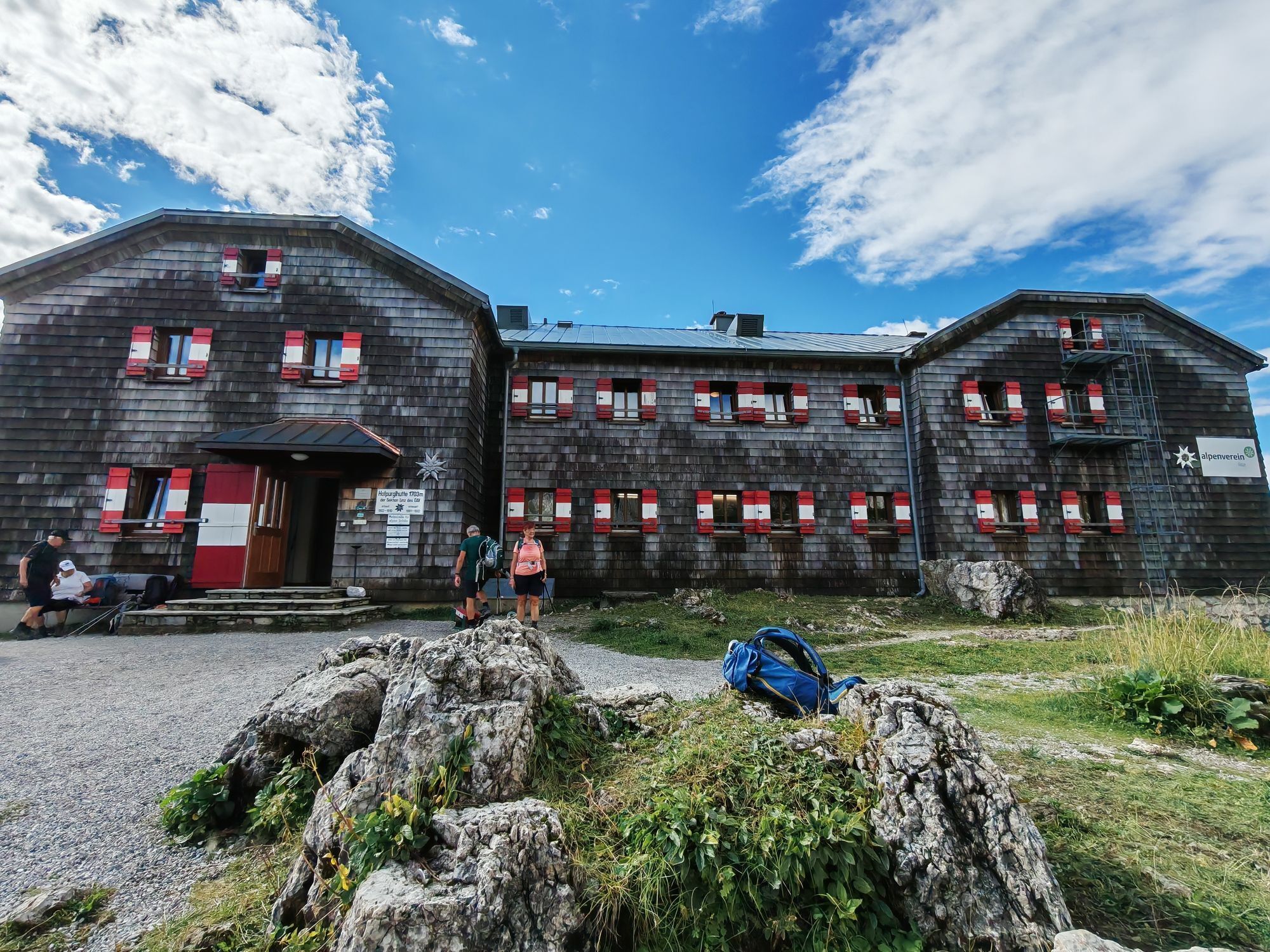
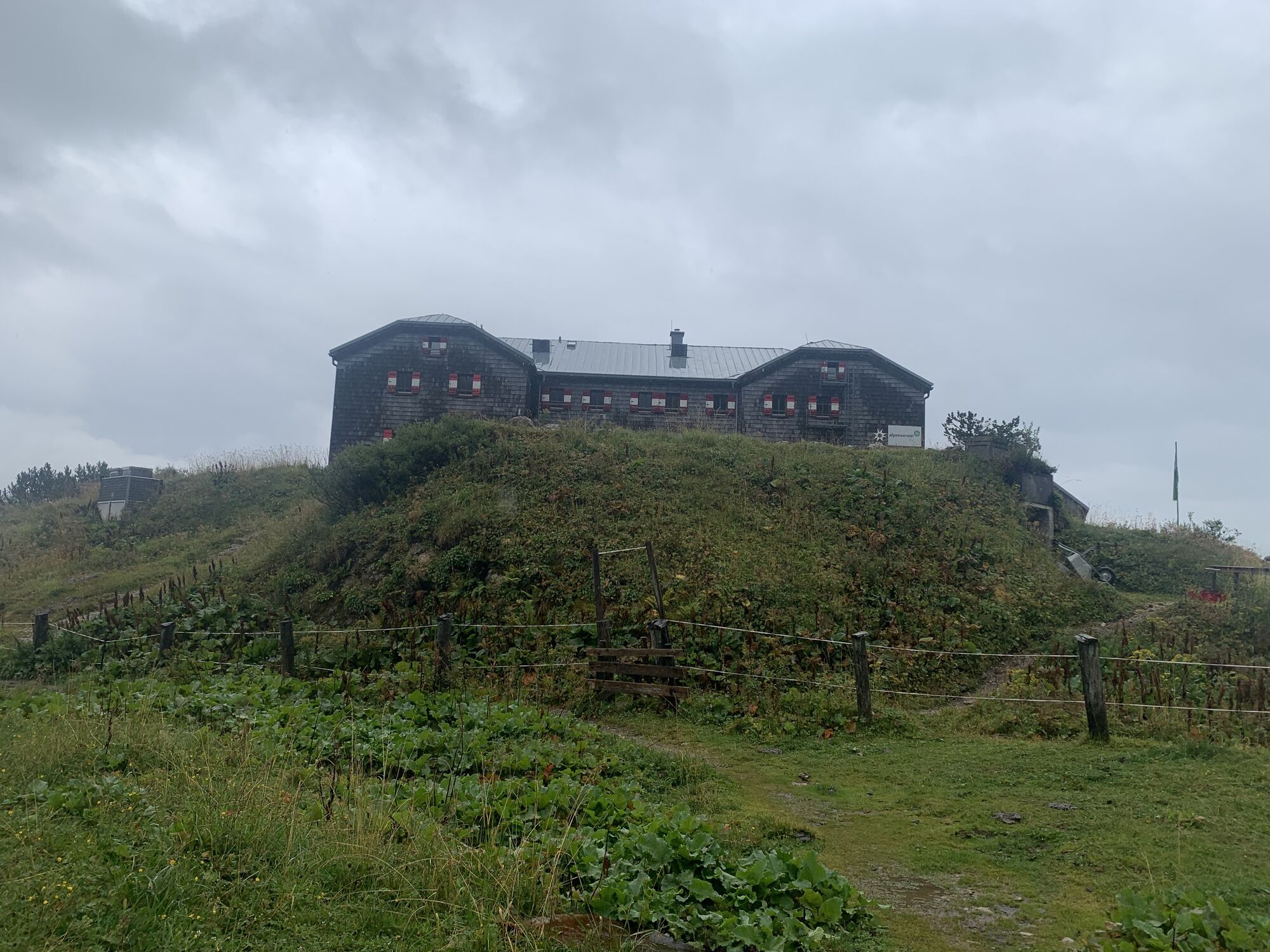
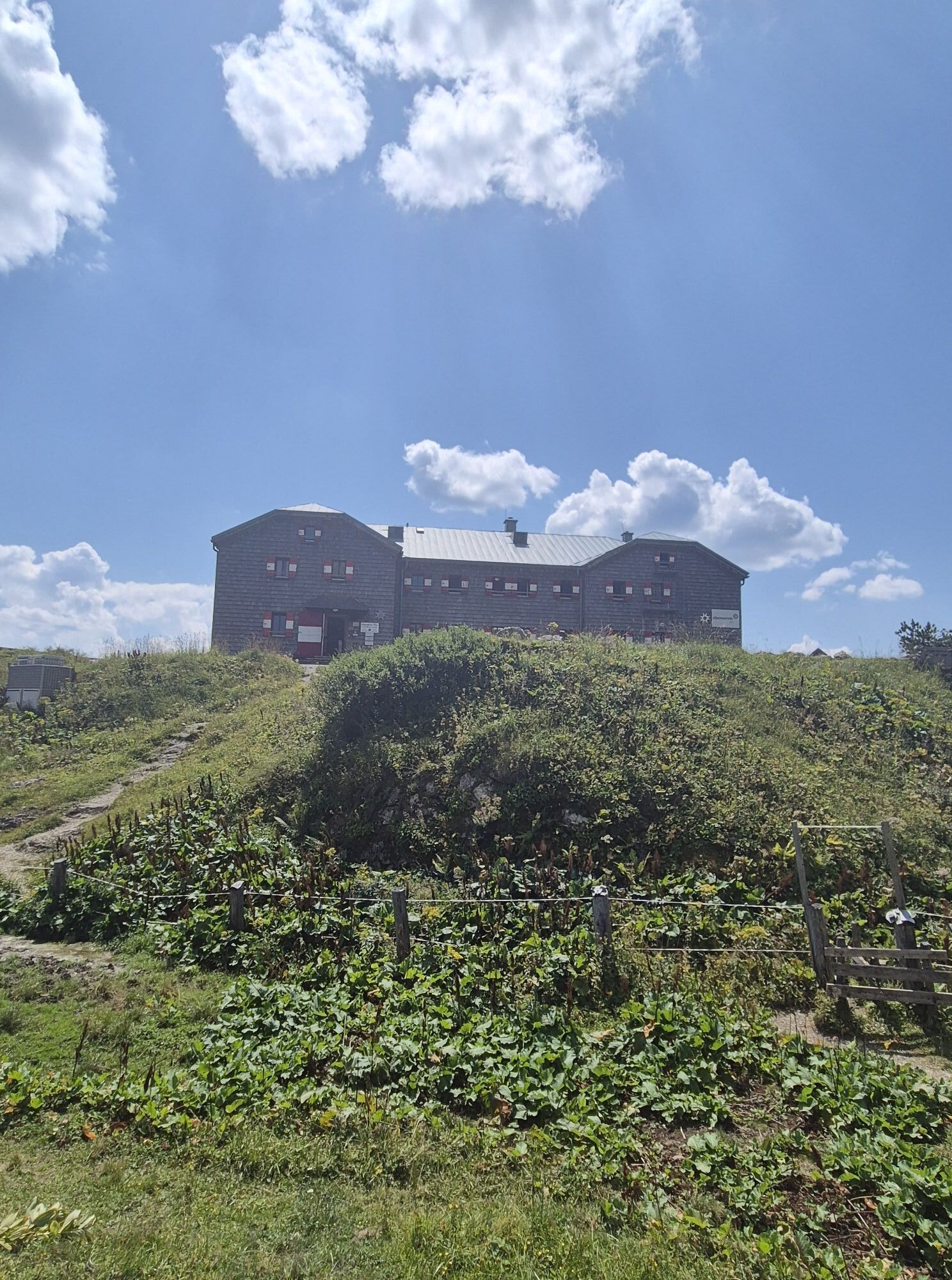
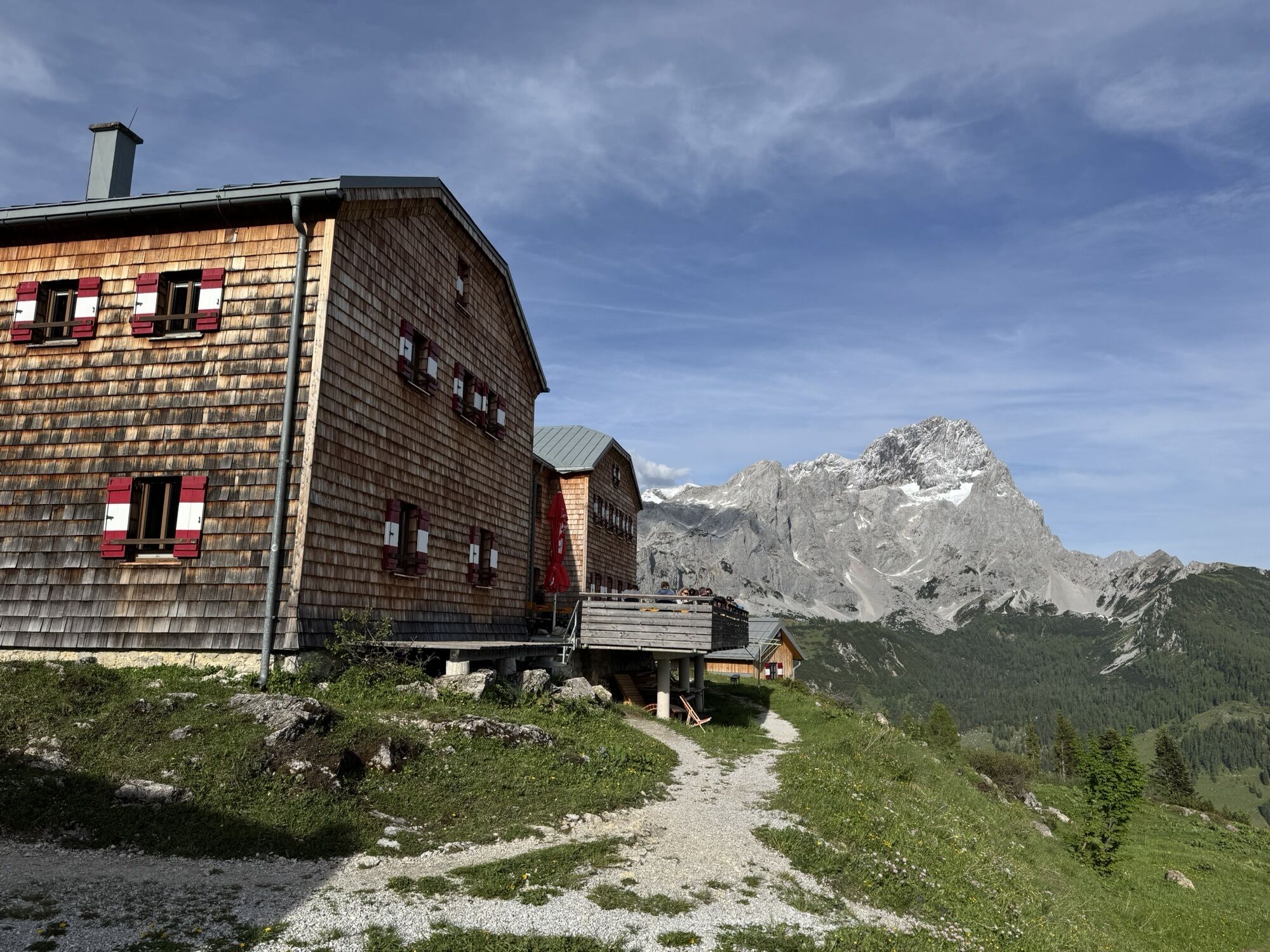
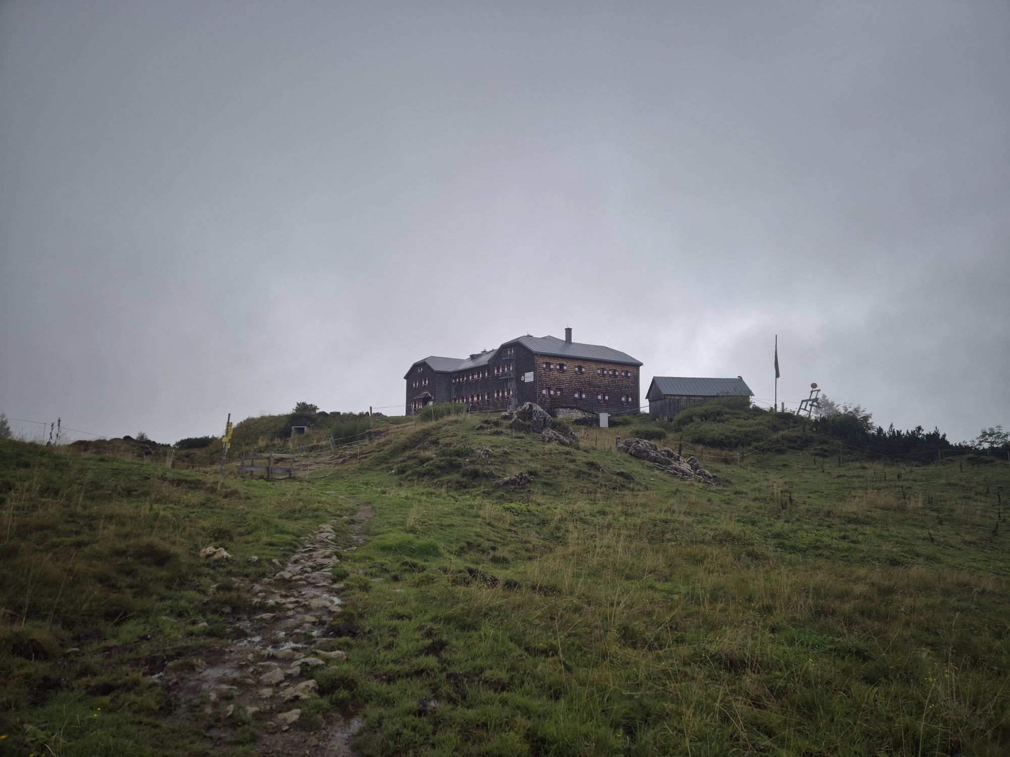
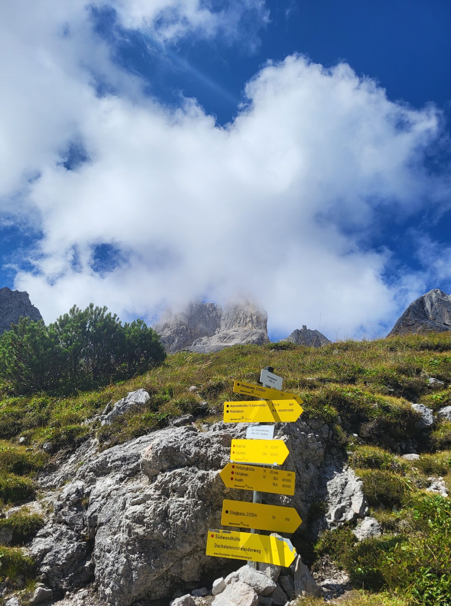
The approach starts at the Hofpürglhütte, heading towards the Steigl Pass, which takes about 45 minutes. At the pass, follow the Steigl trail and shortly afterwards turn diagonally right to the east. A well-marked path leads to a small saddle between Eisgrubenturm and Steiglkogel, where the entry to the via ferrata is located. The tour offers a perfect combination of alpine adventure, safety, and outstanding views.

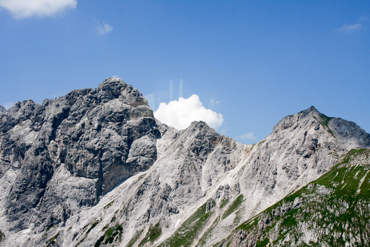

A clearly visible mountain path then leads through easy terrain to a small saddle between Eisgrubenturm and Steiglkogel. This is where the via ferrata begins. The approach is well marked and easy to follow, but already requires sure-footedness and some alpine experience. From here, the secured ascent via the via ferrata leads to the summit of Steiglkogel.
Ano
A complete via ferrata set (helmet, harness, and via ferrata lanyard) is mandatory.
The Steiglkogel via ferrata is suitable only for sure-footed, non–fear-of-heights, and sufficiently experienced mountaineers.
Weather conditions must be carefully checked before starting the tour, as alpine conditions can change quickly.
In wet conditions, thunderstorms, or poor visibility, the route must not be attempted.
The via ferrata should only be used under safe conditions. Ensure adequate fitness, wear sturdy footwear, and always stay on the secured path.
Children and inexperienced climbers should only attempt the route when accompanied by experienced mountain guides.
Coming from Ramsau am Dachstein: At the roundabout, take the exit towards Neuberg – shortly after the gas station, turn left. There is a public paid parking lot opposite the gas station.
By Bus or Taxi: From Eben im Pongau or Radstadt, take bus line 521 directly to Filzmoos (approx. 20–30 minutes). Taxis are also available at the station if you prefer a direct ride.
Tip: Buses are not very frequent, so it's best to check the schedule in advance at www.oebb.at
With the Fidibus Summer: From Hotel Neubergerhof, the Fidibus Summer (hiking bus) takes you from Neuberg to Filzmoos, stopping at the “Ortsmitte” (village center) bus stop. Click here for the timetable.
There is a public paid parking lot opposite the gas station.
B
You can get a hiking map (Euro 5,50) or overview map (Euro 2,00) with information about this tour at the Filzmoos Tourist Information Office.
KOMPASS Hiking Map 031 “The Dachstein, Ramsau, Filzmoos” – 1:25,000 (Highly detailed, weatherproof paper. Ideal for planning and for use on the go.)
Start early from Hofpürglhütte to enjoy calm conditions and clear views. Check weather and bring full via ferrata equipment.


Oblíbené prohlídky v okolí
- 4,5
Ramsau am Dachstein: Steinerne Jungfrauen
Turistika 8,11 km - 4,8
Ramsau am Dachstein: Bergstation Dachstein-Seilbahn - Guttenberghaus - Ramsau
středníTuristika 14,4 km - 4,4
Heilbronner Rundwanderweg
světloTuristika 9,04 km - 4,4
Filzmoos: Rötelstein (Rettenstein)
Turistika 9,50 km - 4,9
From Rußbach over the Gamsfeld
heavyTuristika 11,5 km - 4,8
Tour around the Gosaukamm
středníTuristika 20,9 km - 4,8
Tor-Wanderung
heavyTuristika 14,2 km - 3,7
Ostuferwanderweg
světloTuristika 16,2 km - 4,7
Tour around the Lake Gosau
světloTuristika 4,43 km - 4,8
Rossbrand über Bürgerbergalm (462)
Turistika 10,8 km
Pěší turistika a stopování


Nenechte si ujít nabídky a inspiraci pro vaši příští dovolenou
Vaše e-mailová adresa byl přidán do poštovního seznamu.


