





Kolvananuuro nature trail

The Kolvananuuro gorge valley was formed about 1.8 billion years ago when the bedrock of the ancient Karelian mountain range cracked and shifted. This created the Kolvananuuro fault. Hundreds of millions...
The Kolvananuuro gorge valley was formed about 1.8 billion years ago when the bedrock of the ancient Karelian mountain range cracked and shifted. This created the Kolvananuuro fault. Hundreds of millions of years have weathered and eroded the folded mountain range, which was a kilometer high, and the roots of the mountain are still visible. The area has an interesting geological history.
Kolvananuuro gorge valley is a time travel to the past for hikers. The valley's varied temperature and moisture conditions have contributed to the development of unique vegetation where northern and southern plant species can live side by side. The gorge also provides a good habitat for various bird species, including rarer species such as the Siberian accentor and the red-breasted flycatcher.
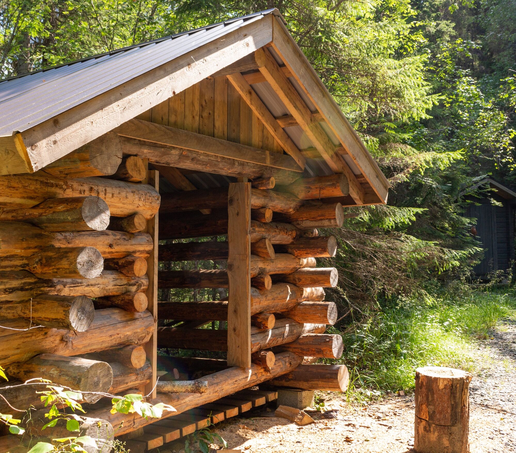
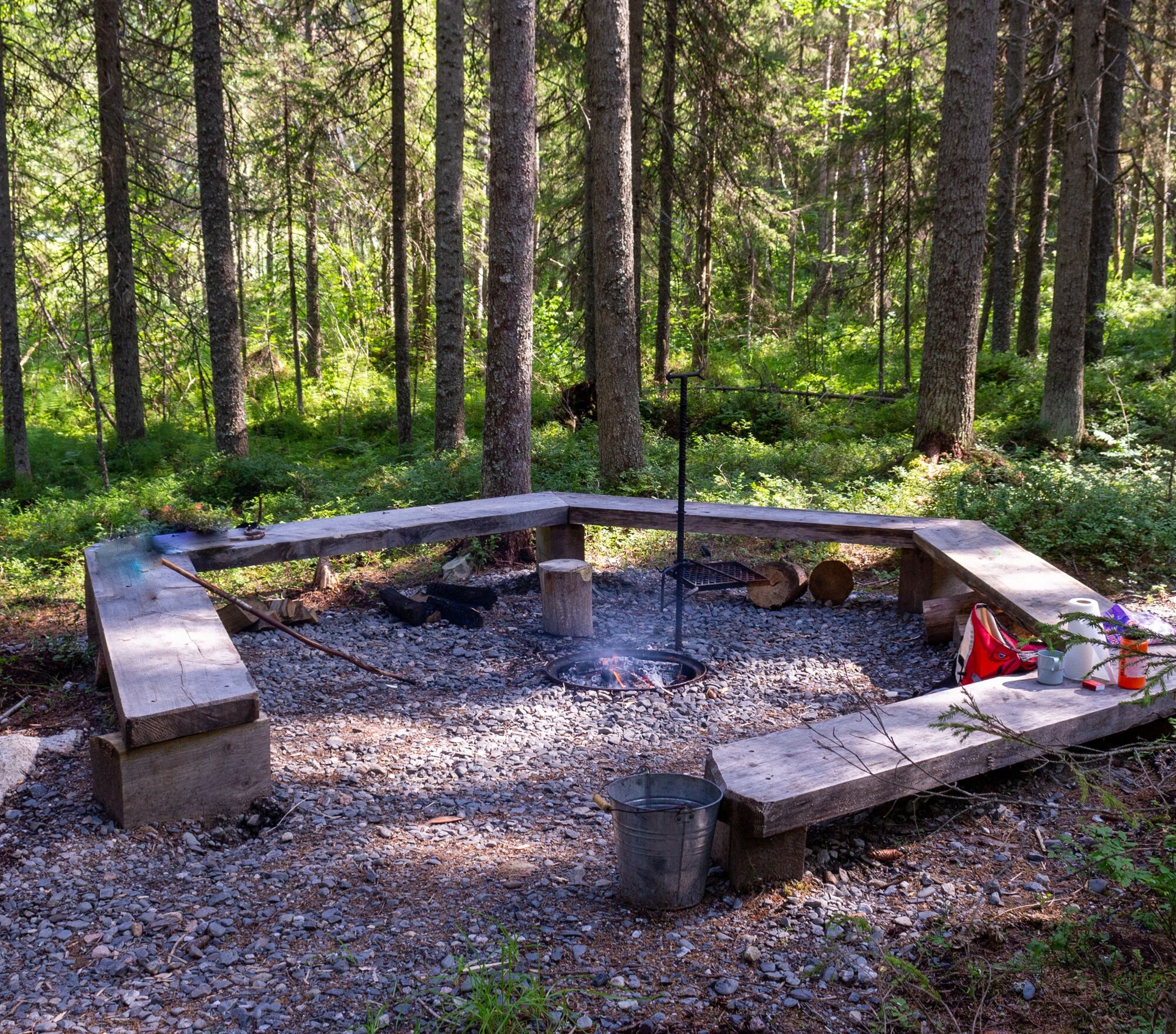
The gorge valley is difficult to walk in many places, especially at the bottom of the canyon where caution is needed. On the route following a small brook, stones can be very slippery, but the place is definitely worth experiencing. Along the route, on the shore of the Small Koirilampi pond, there is a campfire site, woodshed, and outhouse.
The area is managed by Metsähallitus, Lake Finland Nature Services.

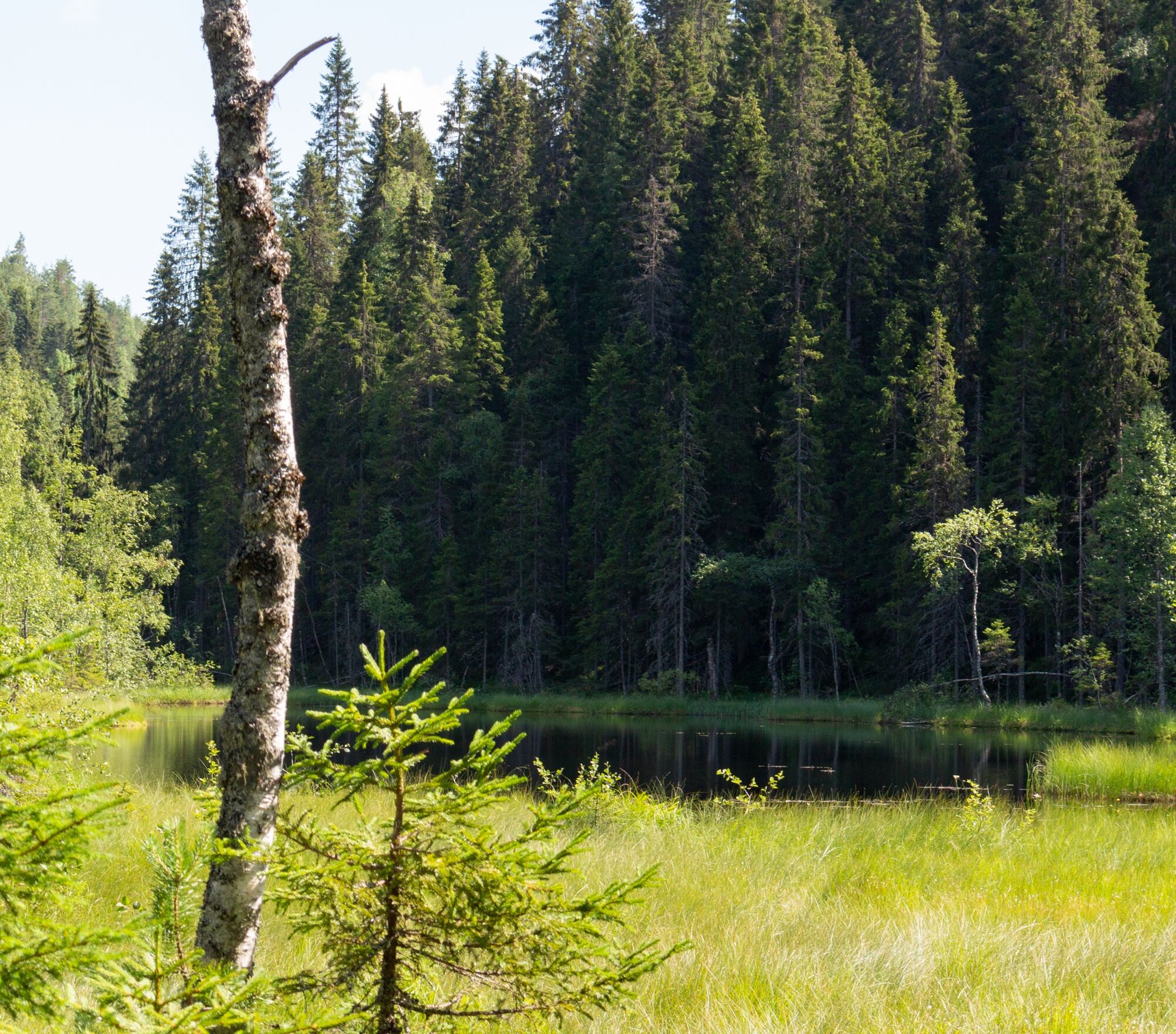

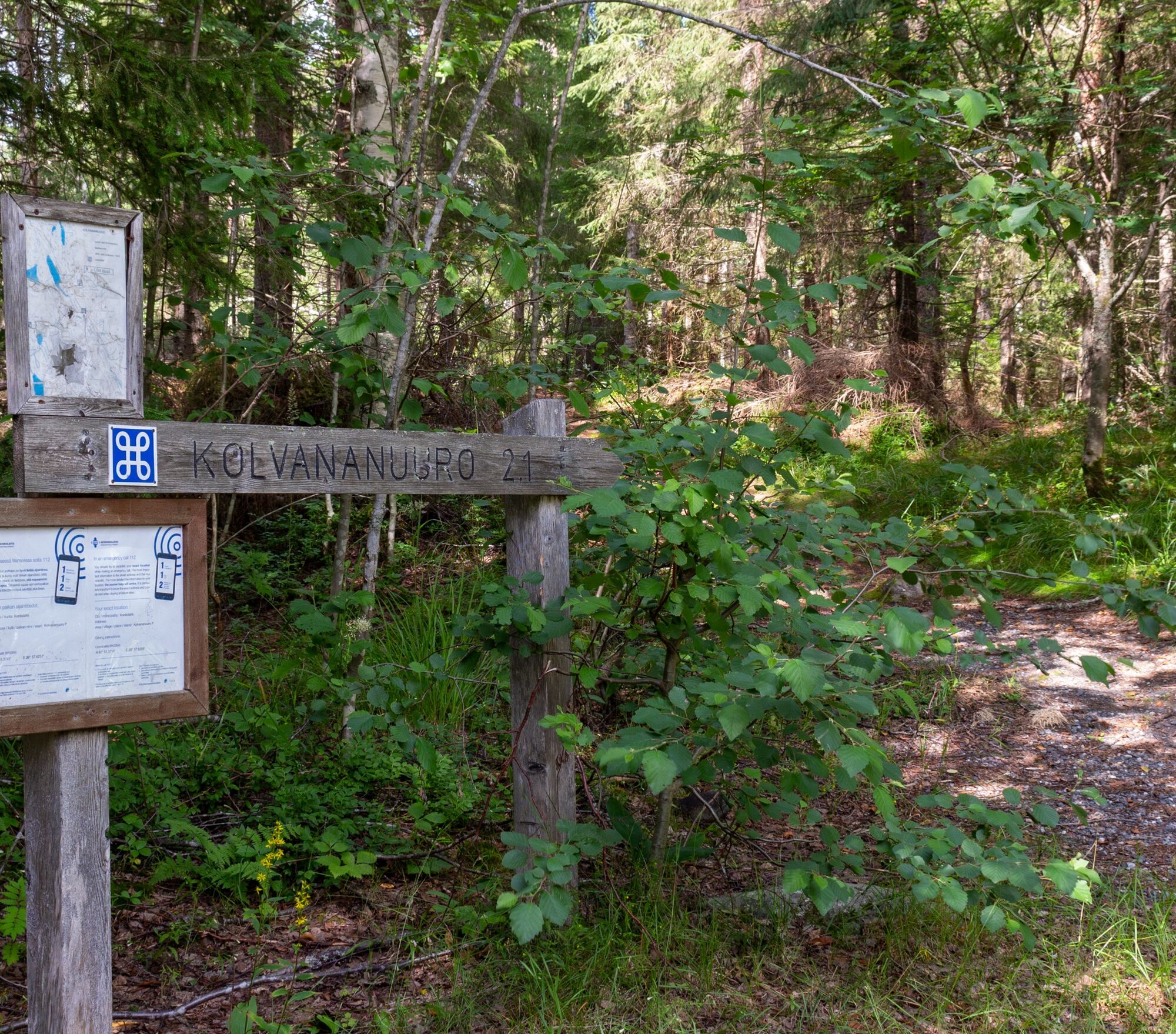
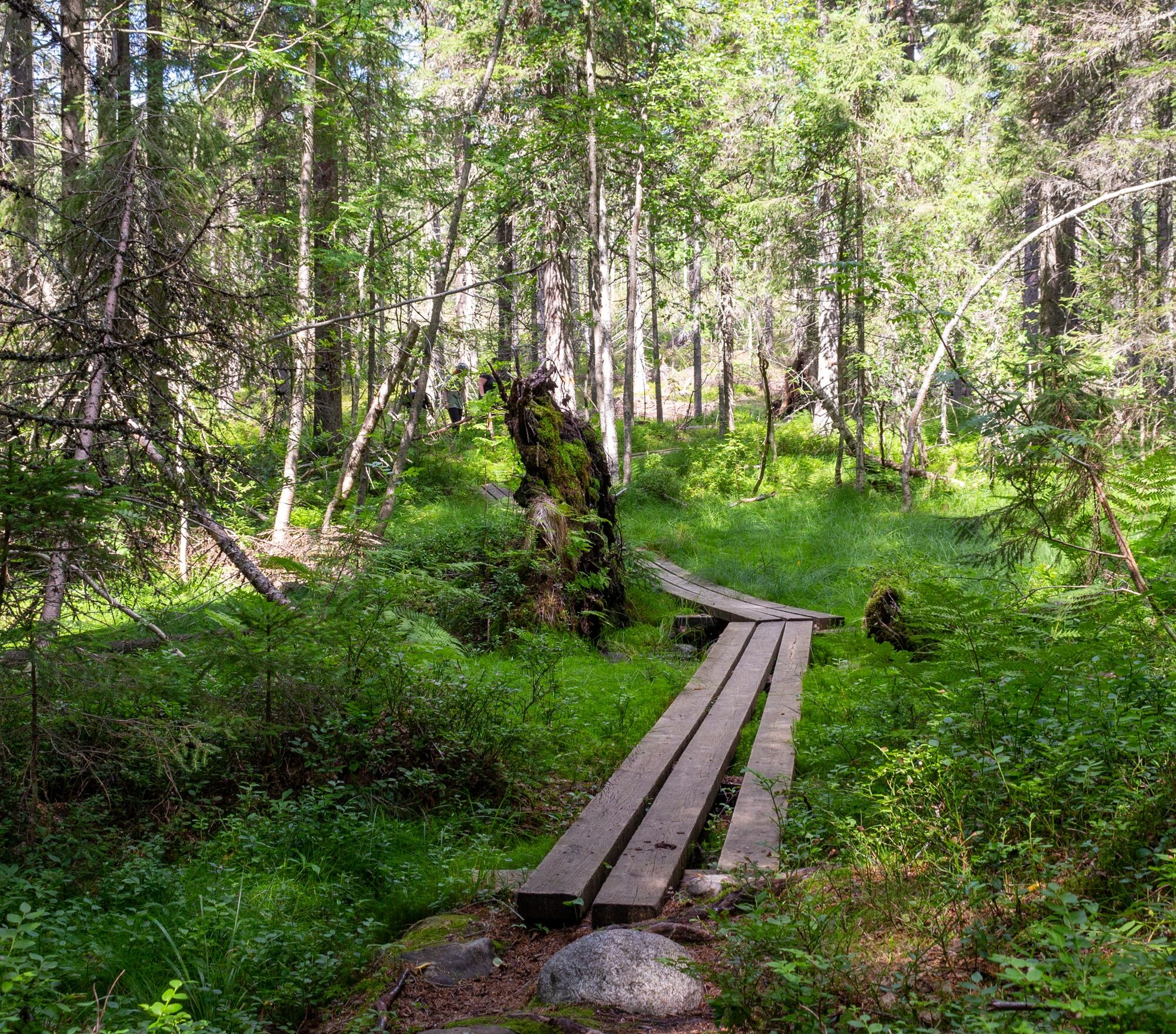
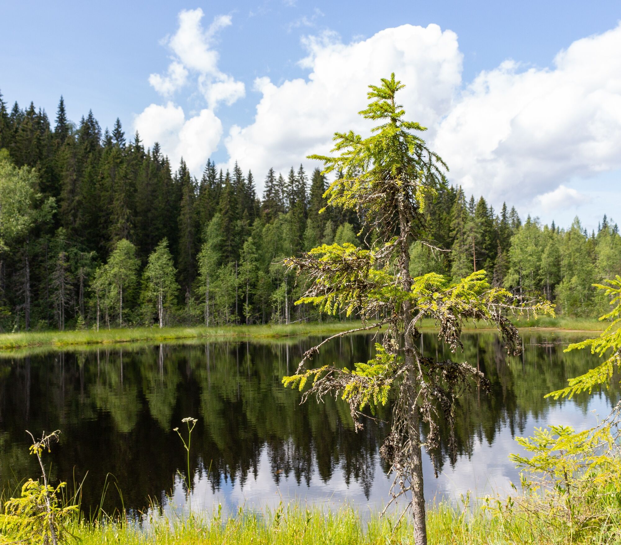


The nature trail is a circular route about 5 kilometers long, marked with orange-yellow signs.
Ano
Clothing should be chosen according to weather conditions.
Bring fire-making equipment.
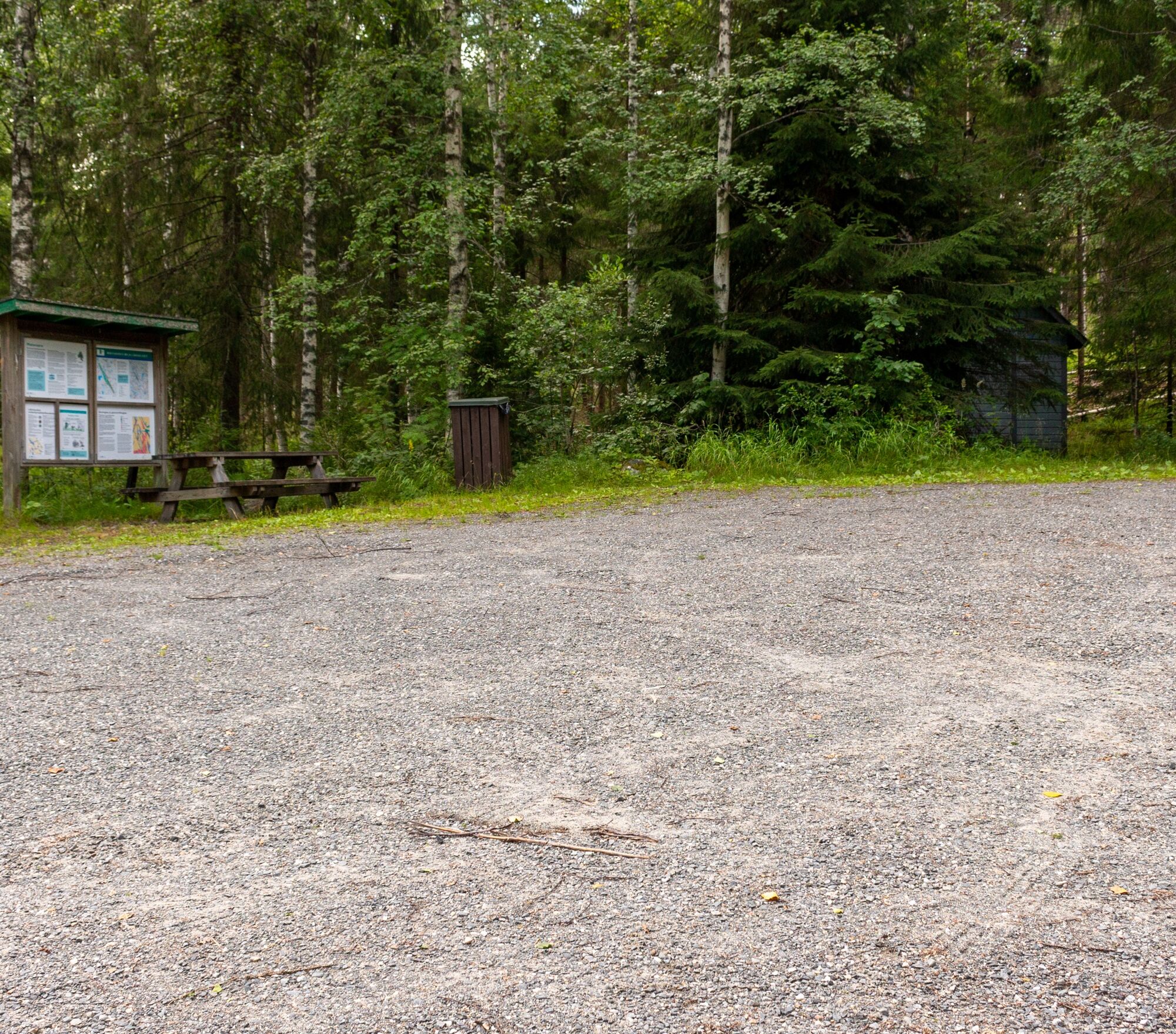
From Kontiolahti: Drive on Kajaanintie towards Nurmes for about three kilometers and turn right onto Heinävaarantie. Continue for about 5 km and turn right onto Kyykäntie. Then continue about 3.5 kilometers and turn left onto Matovaarantie. Drive about 2 kilometers forward and turn right. It is about 400 meters from the intersection to the parking area. Arrival at the parking area is signposted along the way. The Matovaarantie road maintenance association maintains the Kontiolahti side parking area in winter.
From Eno: Turn from the Eno-Joensuu road onto Kuusijärventie. Drive about 7 kilometers on Kuusijärventie and turn left; the parking area is about 2 kilometers from the intersection. Arrival at the parking area is signposted along the way.
Kontiolahti side parking area.
Eno side parking area.
The nature trail can be accessed from either the Kontiolahti or Eno side parking areas, which also have route signs.
Overnight stays in the nature reserve are prohibited. Kontiolahti municipality lean-tos are located at Urkkalampi and Hautajärvi, about 2 kilometers from the nature reserve.
There is also a connection from the Kolvananuuro route to Kolinpolku.
Explore the Kontionpolku routes on the Play Kontiolahti website. See the hiking trails maintained by Kontiolahti municipality here. Discover the best trails in North Karelia for outdoor activities and nature on the Visitkarelia.fi website. Kolinpolku map Kontionpolkujen map. Joensuu region trails map. Read more about Kolvananuuro on the Play Kontiolahti blog.Campfire site and outhouse.
Kolinpolku map vaellus.info
Oblíbené prohlídky v okolí
-
Hepopuro nature trail
středníTuristika 5.93 km -
Kontioniemi Trail
středníTuristika 8.98 km -
Kaltimon kierto
středníTuristika 25.1 km -
Kontiolahti Kirkonkylä nature and culture trail
světloTuristika 5.13 km -
Koli trail
středníTuristika 62.1 km -
Kontioniemi Trail
heavyMountainbike 8.98 km -
Verbindungsstrecke vom Hafen Kontiolahti zu den Kontion-Wanderwegen
Mountainbike 1.38 km -
Kiviniemi - Kolinvaara - Ahvenlampi - Juomavesi
heavydálková pěší trasa 30.6 km -
Kiviniemi - Ahvenlampi - Kolinvaara - Juomavesi
heavyTrailrunning 30.2 km -
Koli - Kolin Ryynänen - Heraniemi - Joensuu
heavyMountainbike 60.2 km

Pěší turistika a stopování


Nenechte si ujít nabídky a inspiraci pro vaši příští dovolenou
Vaše e-mailová adresa byl přidán do poštovního seznamu.





