





Kontioniemi Trail

Úroveň obtížnosti: S4
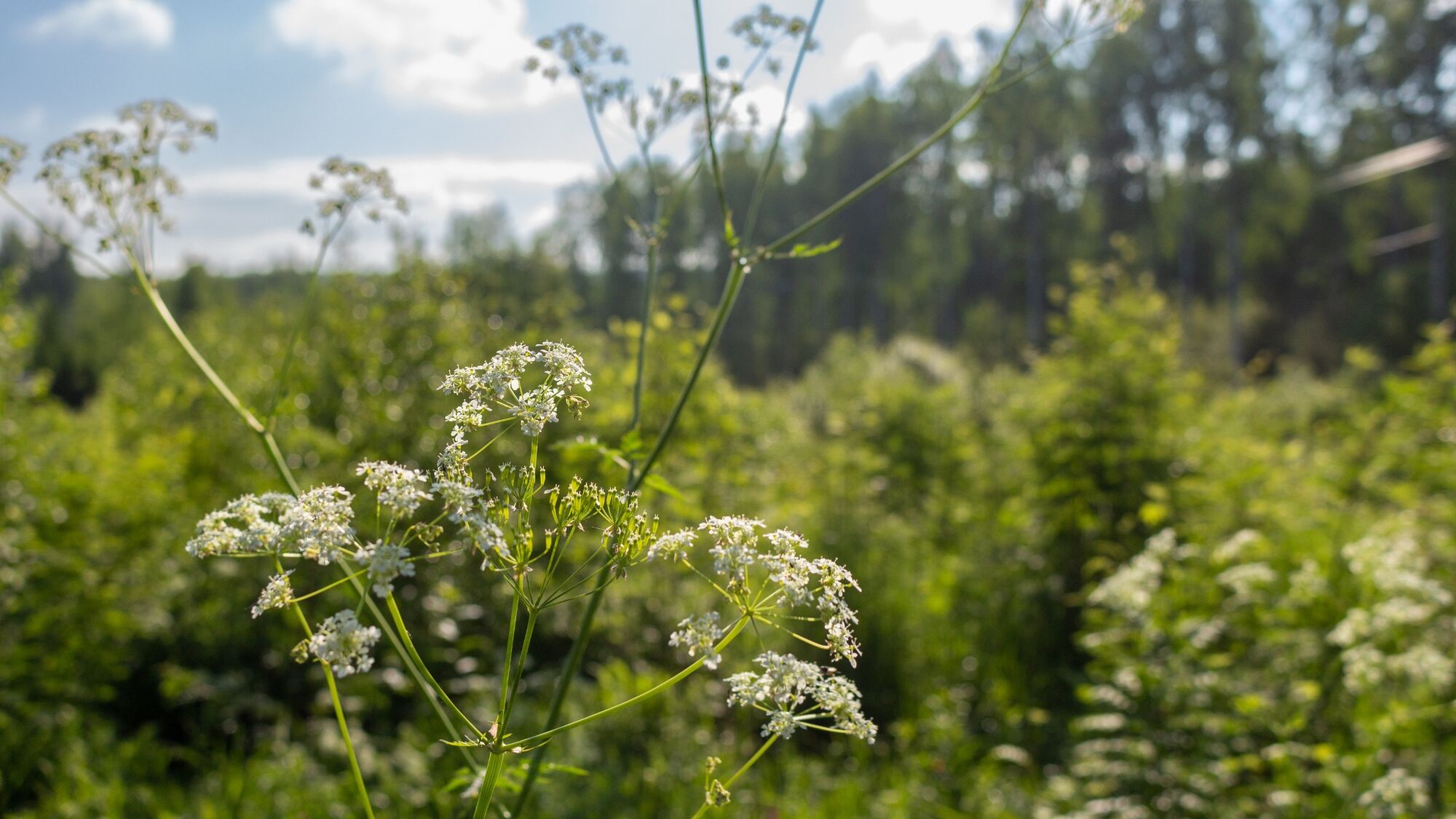
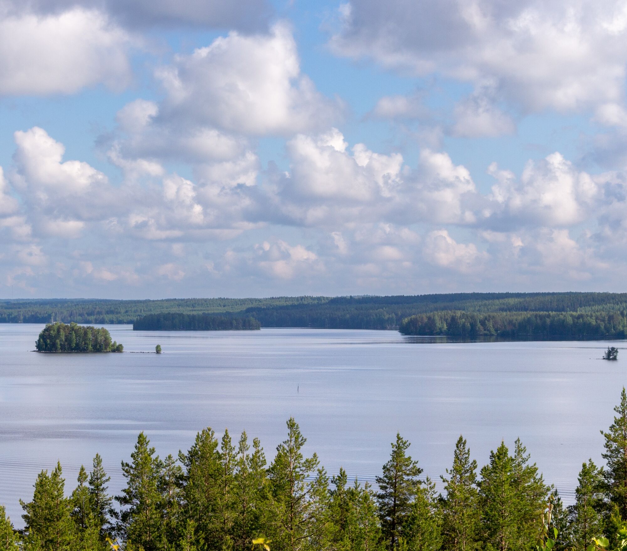
The Kontioniemi Trail circles Kontioniemi in the beautiful Höytiäinen lake scenery. The route starts next to the old school of Kontioniemi and follows Koivurannantie through beautiful rural landscapes....
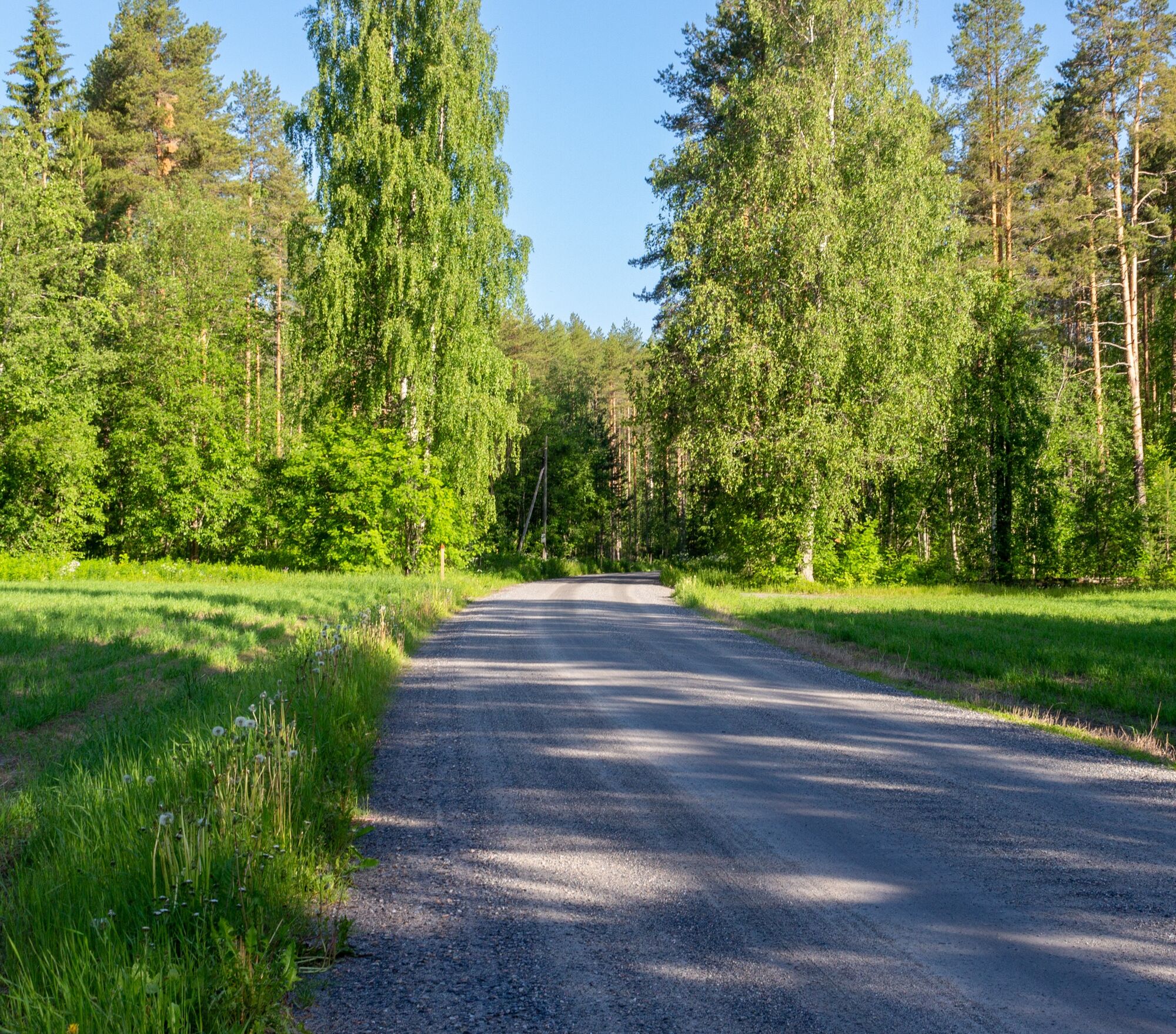
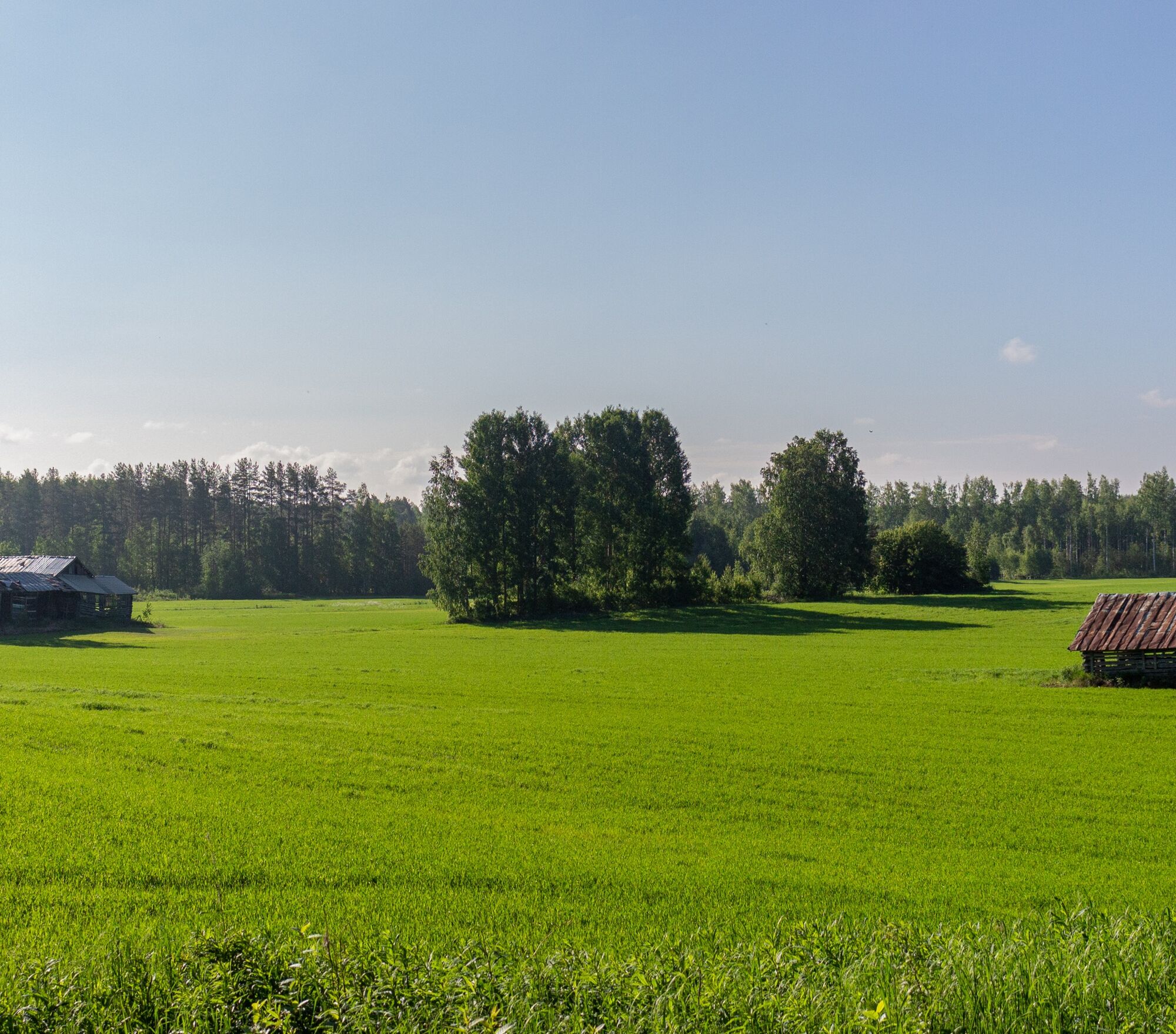
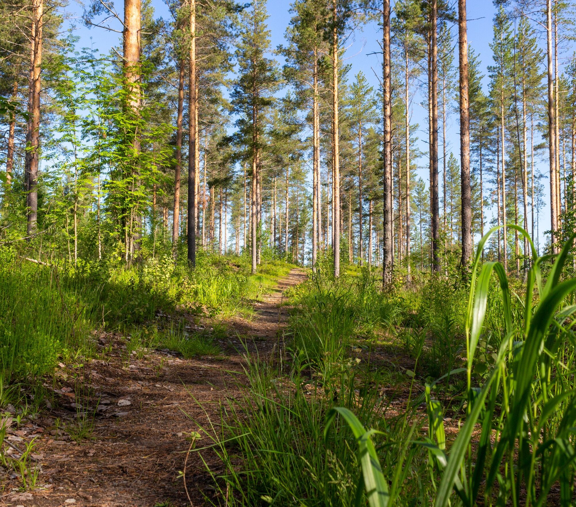
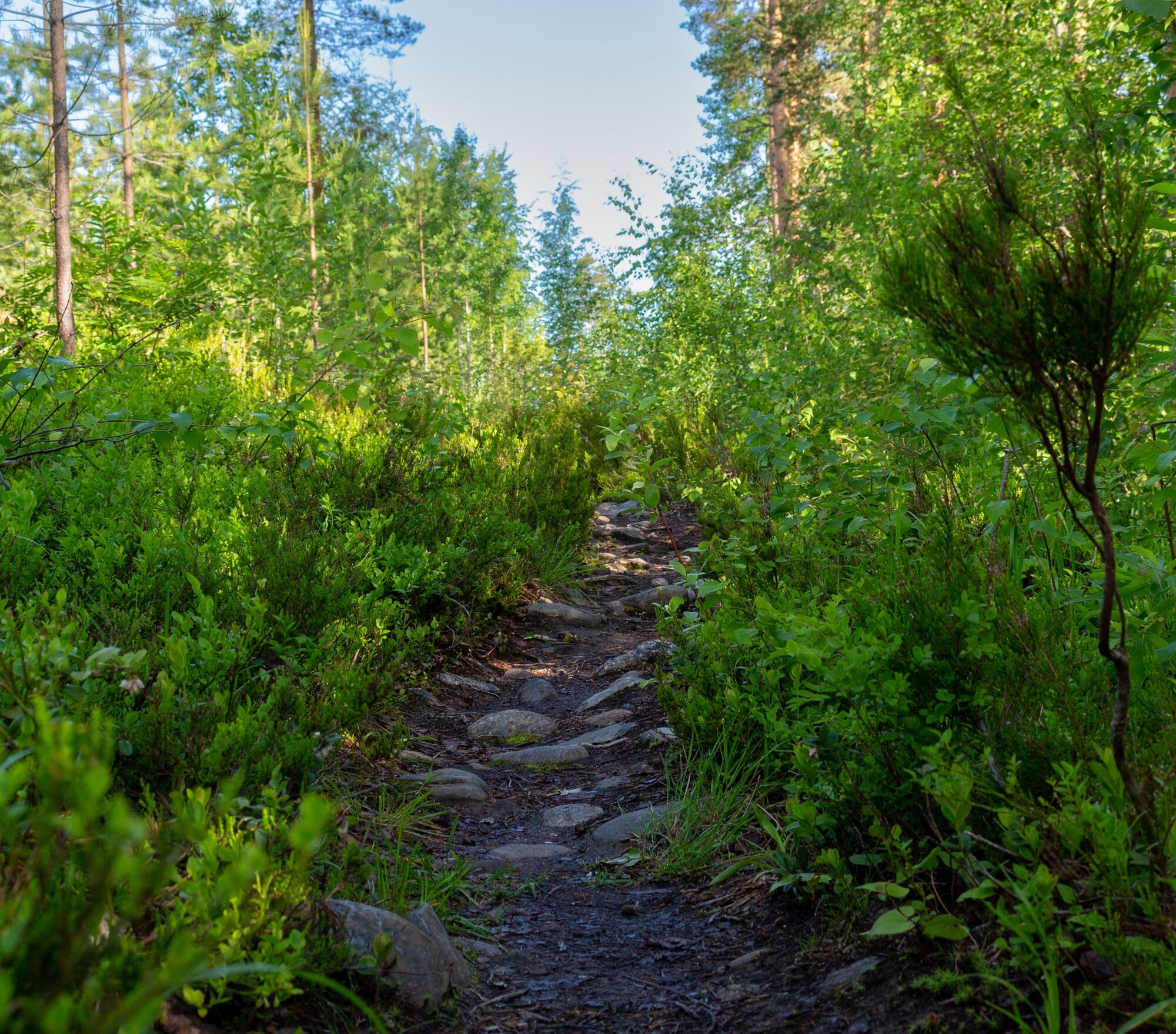
The Kontioniemi Trail circles Kontioniemi in the beautiful Höytiäinen lake scenery. The route starts next to the old school of Kontioniemi and follows Koivurannantie through beautiful rural landscapes. The route changes into forest paths and steep climbs, which provide a challenge even for experienced mountain bikers. At times, you ride very close to the Kontioniemi residences, from where you quickly enter the forest paths again.
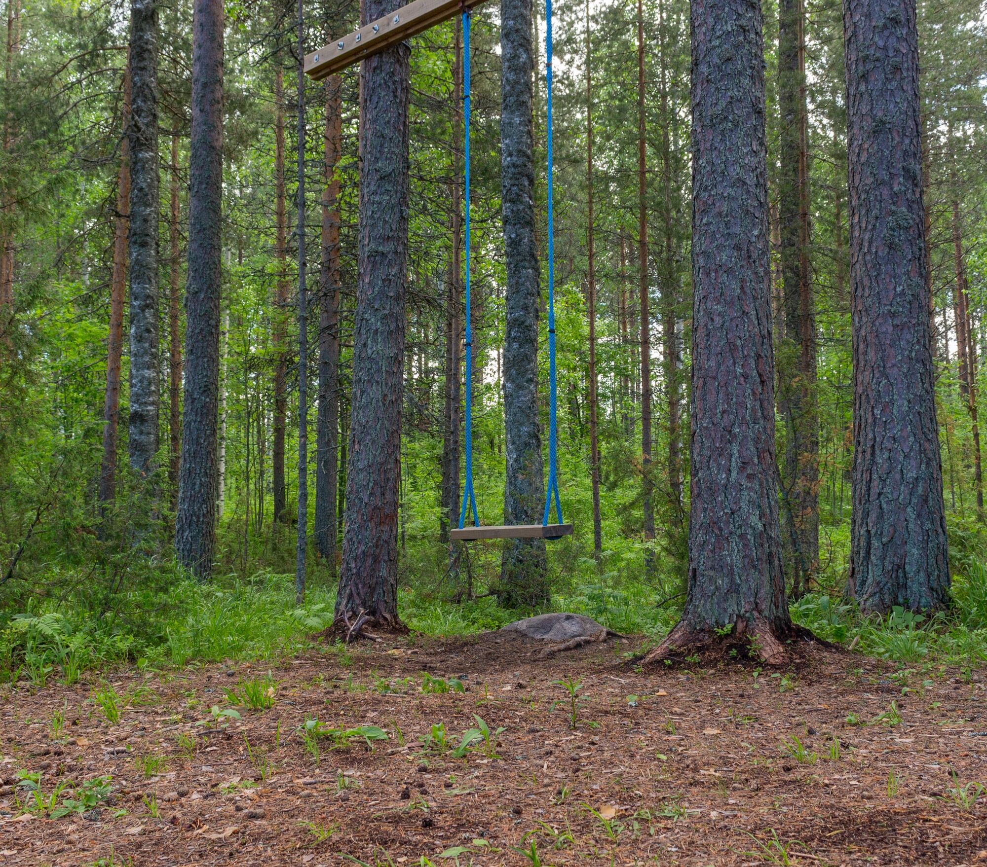
After a proper sporting effort, it is worth choosing the BBQ shelter located next to the Karelia Golf courses as a rest spot. From the BBQ shelter opens an amazing view over Höytiäinen, which is worth watching for a longer time. Next to the shelter, there is also an outhouse, both of which are available for users. Along the route, next to the new school of Kontioniemi, there is also a well-equipped outdoor exercise area where you can take care of your muscle condition.
The route suits all kinds of exercise, although the route is occasionally difficult to pass.

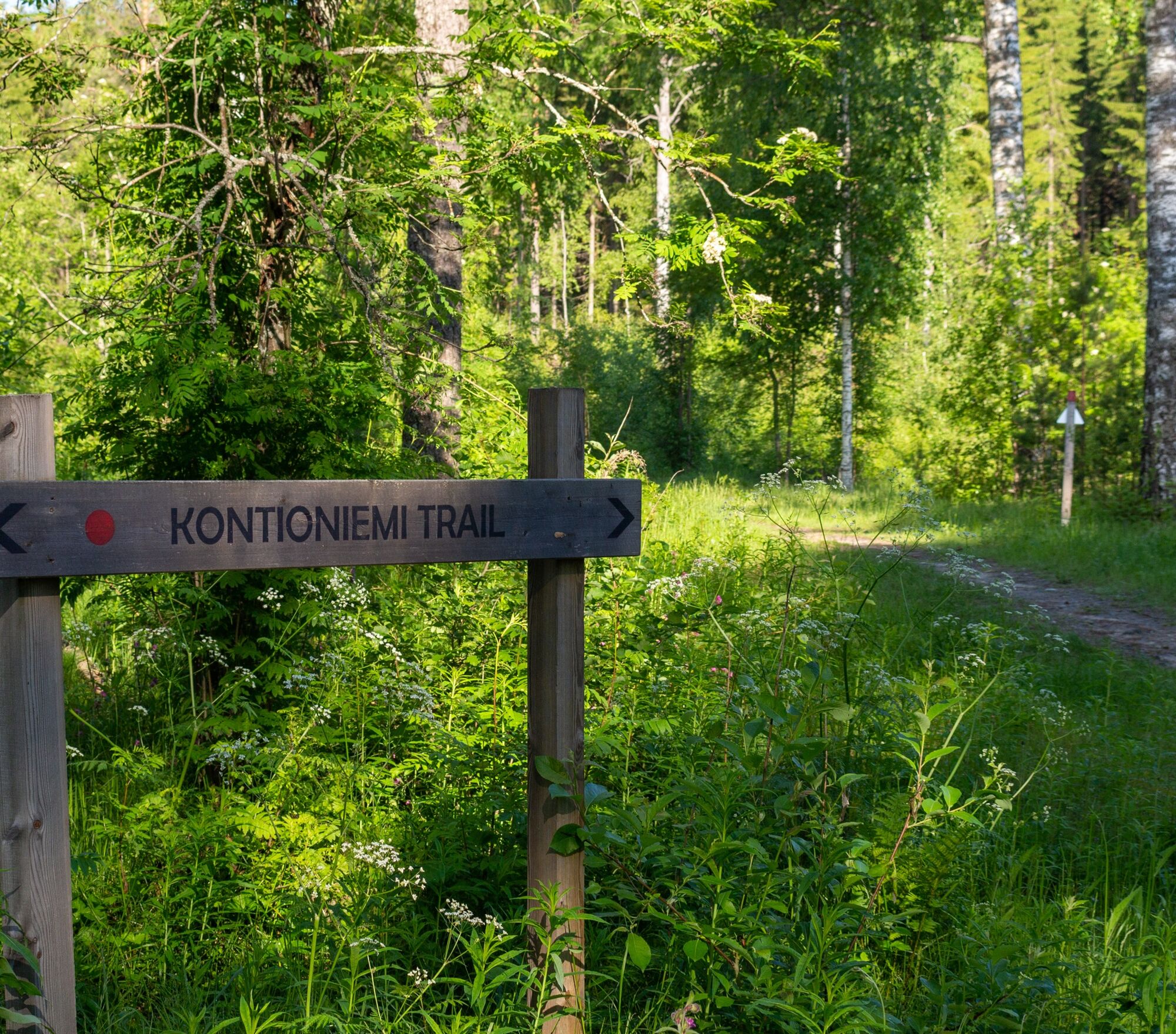
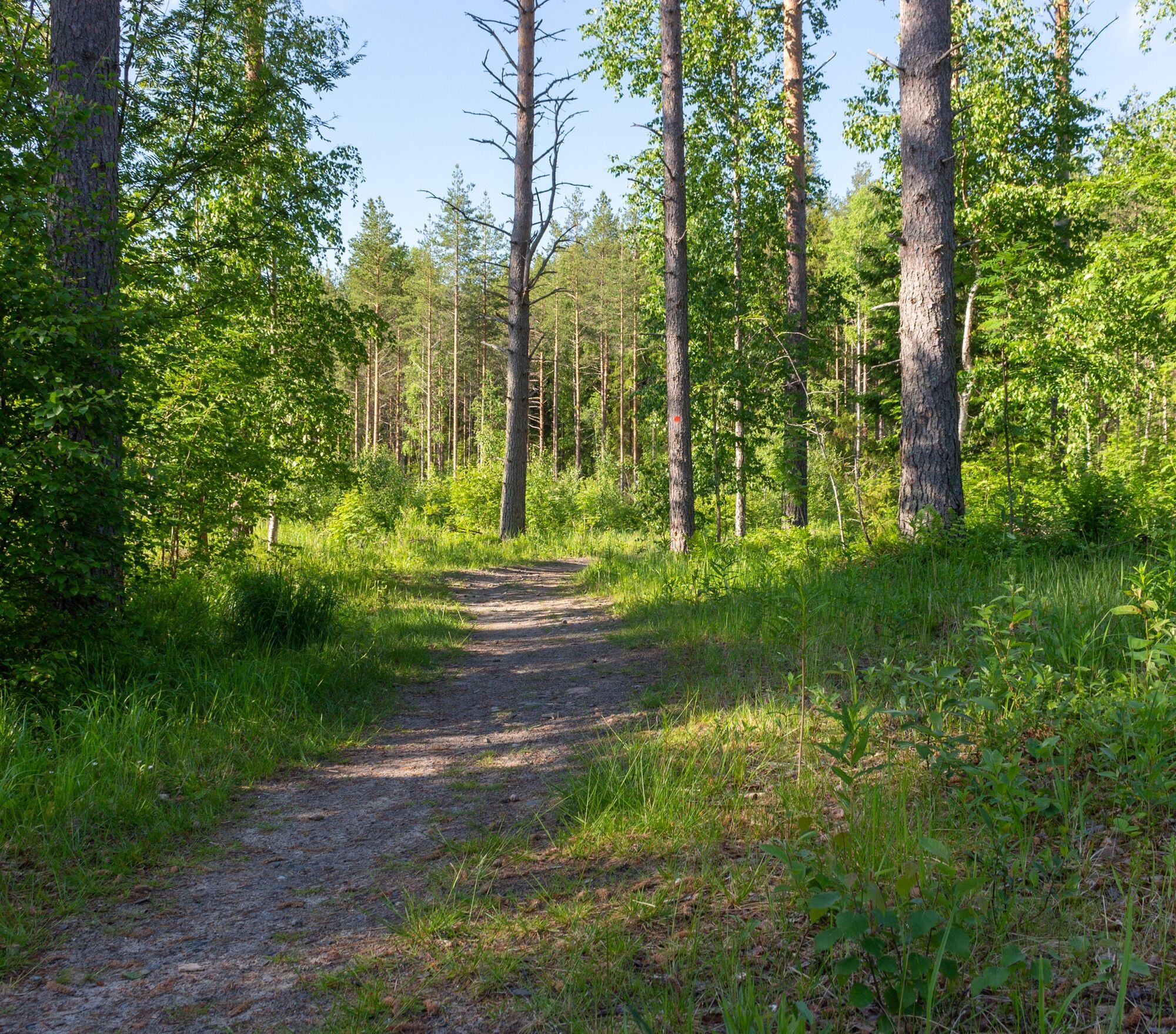
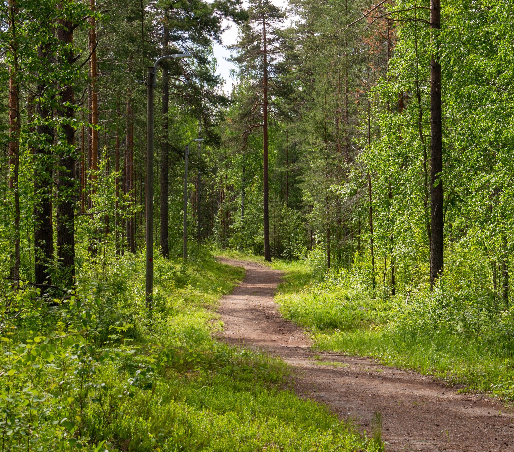
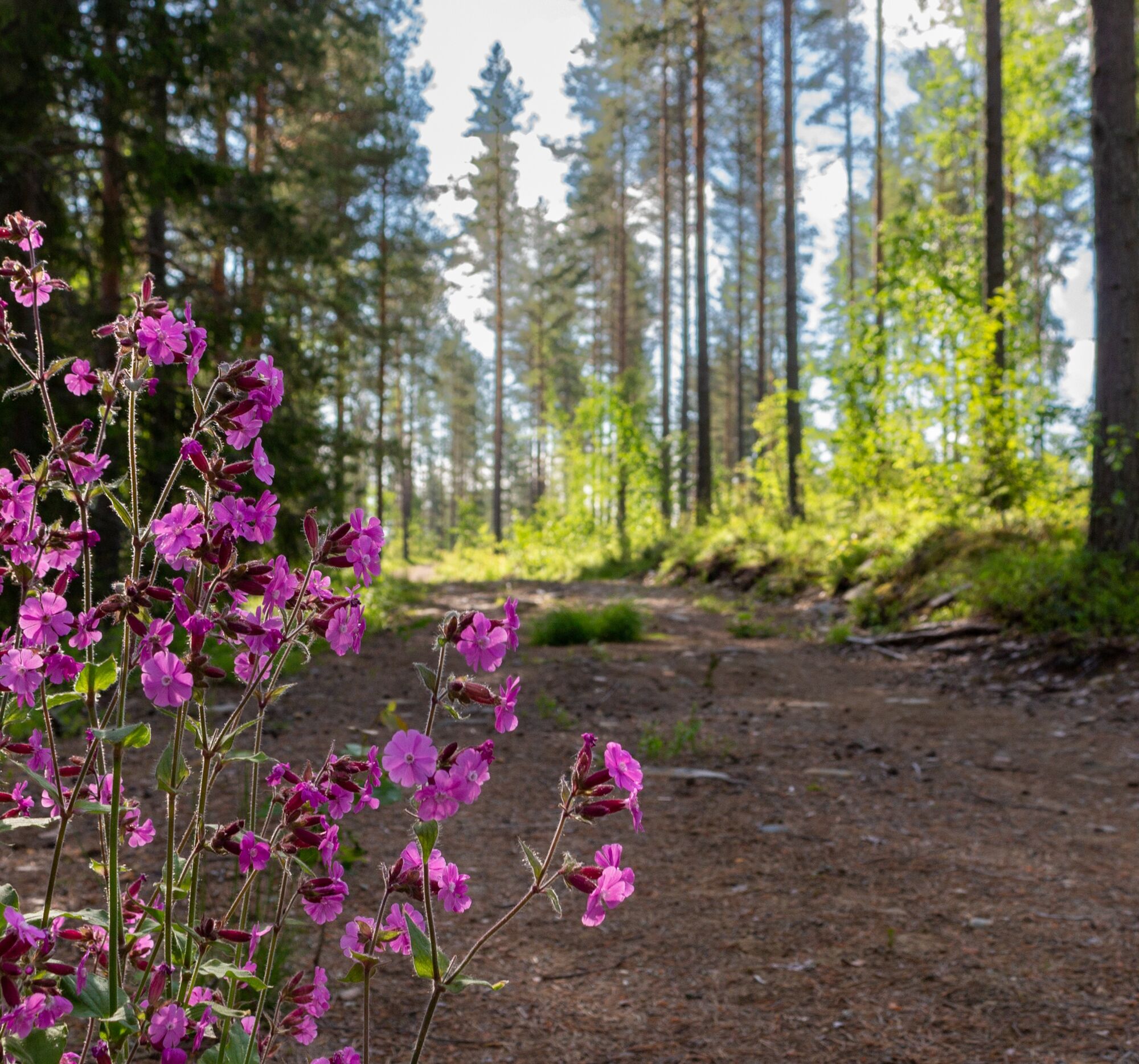
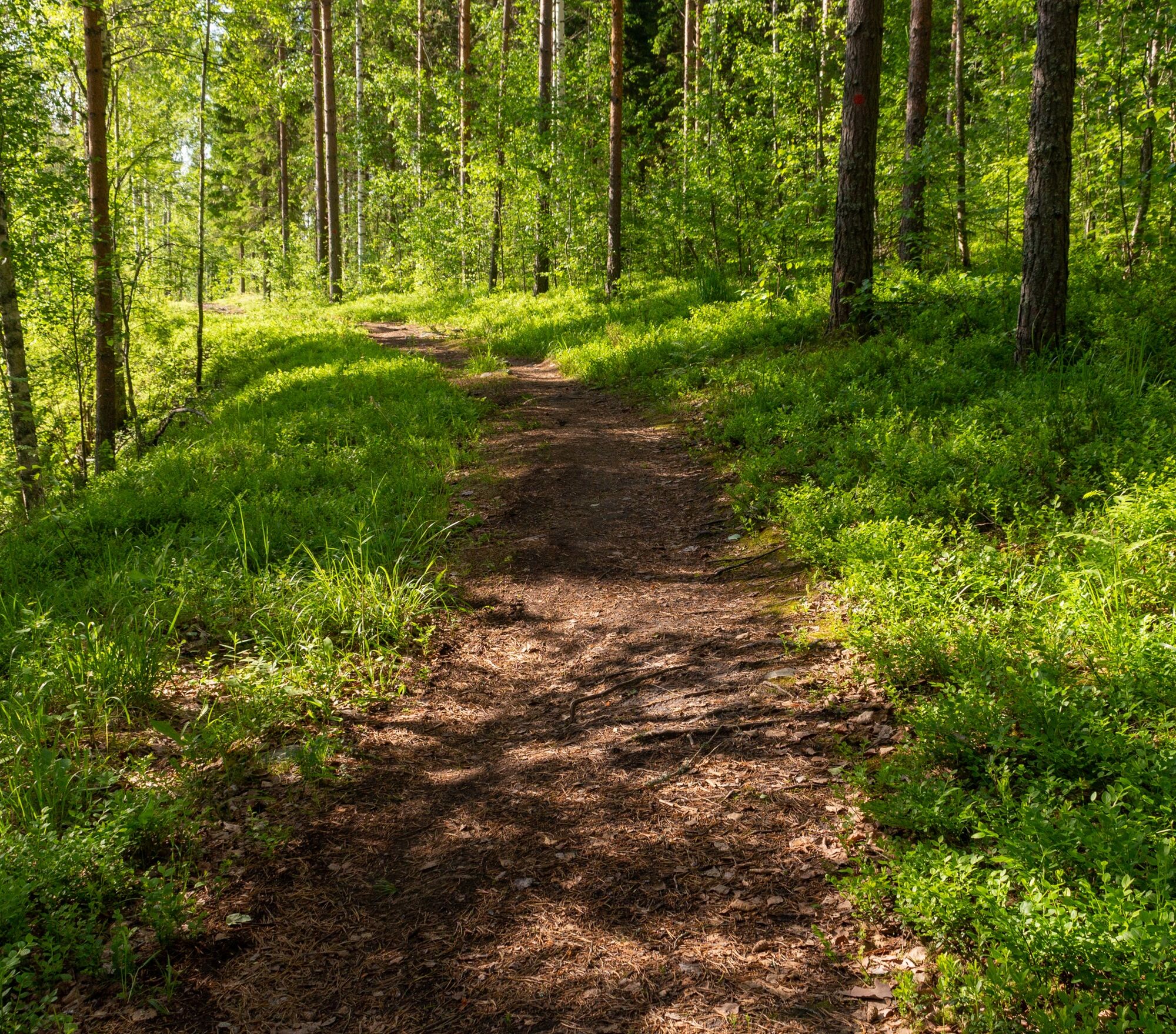
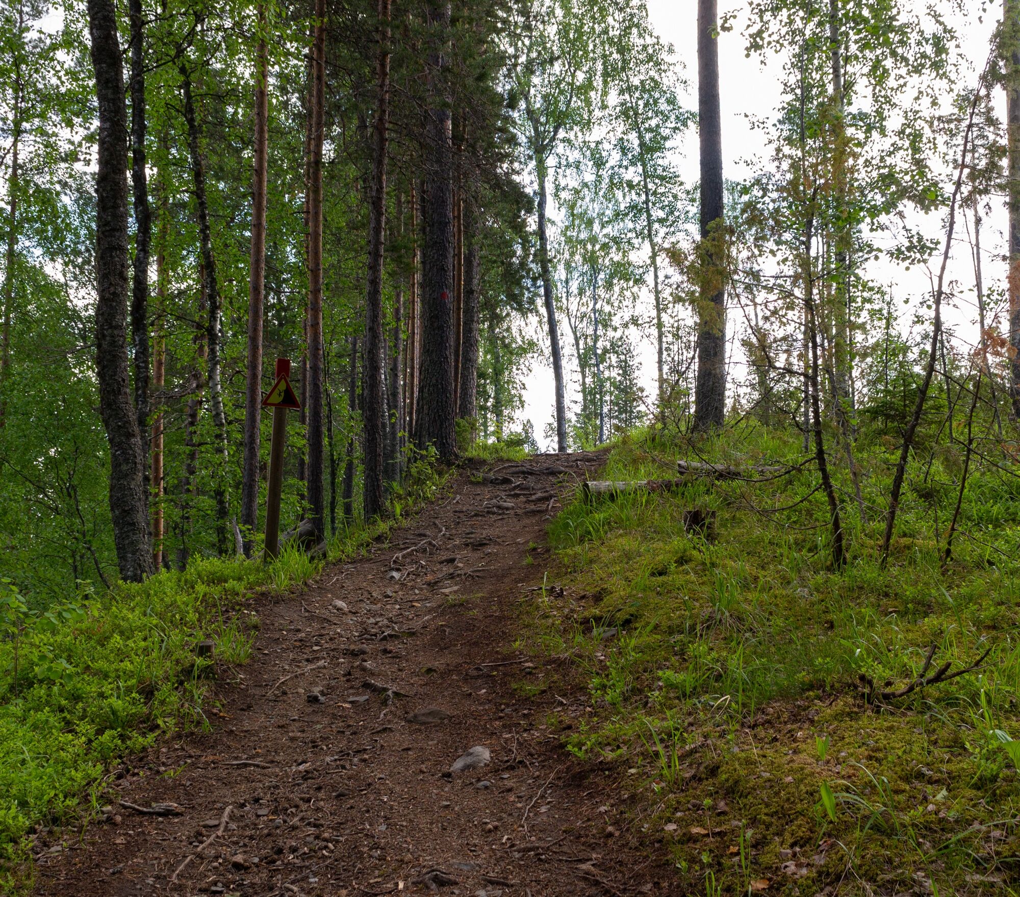

The Kontioniemi Trail is a loop route that you can travel in the direction you want. The route is marked on the terrain with red color.
From the Kontioniemi Trail there is a connection to the Stadium Trail (blue).
Clothing is recommended to be chosen according to the weather conditions.
When mountain biking, appropriate gear must be used.
Bring fire-making tools.
The route's starting point is located next to the old school of Kontioniemi. Walk from the intersection of Asematie and Kontioniementie towards Kontioniemi about 900 meters; the start is on the right side of the road. The route can also be accessed via a connecting path from the Kontiolahti harbor.
There is also a guided connection from the route to the Stadium Trail.
You can get there from Joensuu city center by JOJO public transport bus number 202. On the public transport route, there is one transfer at the Kontioniementie intersection; the journey continues with Kontiolahti bus number 214. If you wish, you can also walk about 900 meters from the stop to the start point of the Kontioniemi Trail.
Joensuu region public transport timetables and route planner.
There is parking space for cars next to the route's starting point.
S4
Also explore accommodation and restaurant-cafe services provided by KontioLomat, located in the old school premises of Kontioniemi.
The Kontioniemi Trail is part of the Kontionpolku trail network, which links to the Joensuu region's trail network. Together they form a trail network over 200 kilometers long, through which you can reach from Liperi, Joensuu, and Kontiolahti all the way to the national landscapes of Koli. In Jaamankaa, there are also war history sites of interest; you can explore these via the Kontiolahti war history link.
Explore all Kontionpolku routes on the Play Kontiolahti website. All hiking trails maintained by the municipality of Kontiolahti are listed here. Discover the best trails of North Karelia for outdoor activities and nature on the Visitkarelia.fi website. Kontionpolku trails map. Joensuu region trails. Read more on the Play Kontiolahti blog. Kontiolahti war history. KontioLomat.BBQ shelter and outhouse.
Kontioranta beach.
Outdoor exercise area.
KontioLomat.
War history sites.
Electric and mountain bike rental Kontiolahti Outdoor.com.
Free mountain bike washing station at the biathlon stadium.
Oblíbené prohlídky v okolí
Lykynlampi (Winter) Trail, Lykynpolut
světloMountainbike 5.20 kmJaama Trail, easy circular route around Joensuu
světloMountainbike 59.4 kmJoy of riding, the best parts of Joensuu region routes 184 km
středníMountainbike 184.3 kmHepopuro nature trail
středníTuristika 5.93 kmThe best parts of Kontionpolku
středníMountainbike 40.8 kmKontioniemi Trail
středníTuristika 8.98 kmUtra Trail, Harju Trails
světloMountainbike 3.59 kmLehmonharju Trail
středníMountainbike 2.45 kmThe best trails in the Lykynpaths route at Lykynlampi
světloMountainbike 15.4 kmMonttu Trail, Harjupolut
středníMountainbike 7.31 km
Pěší turistika a stopování


Nenechte si ujít nabídky a inspiraci pro vaši příští dovolenou
Vaše e-mailová adresa byl přidán do poštovního seznamu.





