



CONDOVE - The Truc Castelletto loop

Úroveň obtížnosti: T2
The hike starts from Mocchie, take the path from the cemetery toward the hamlet of Bonaudi and continue toward Muni, with beautiful views of the Sacra di San Michele and the Lower Valley.
From the hamlet,...
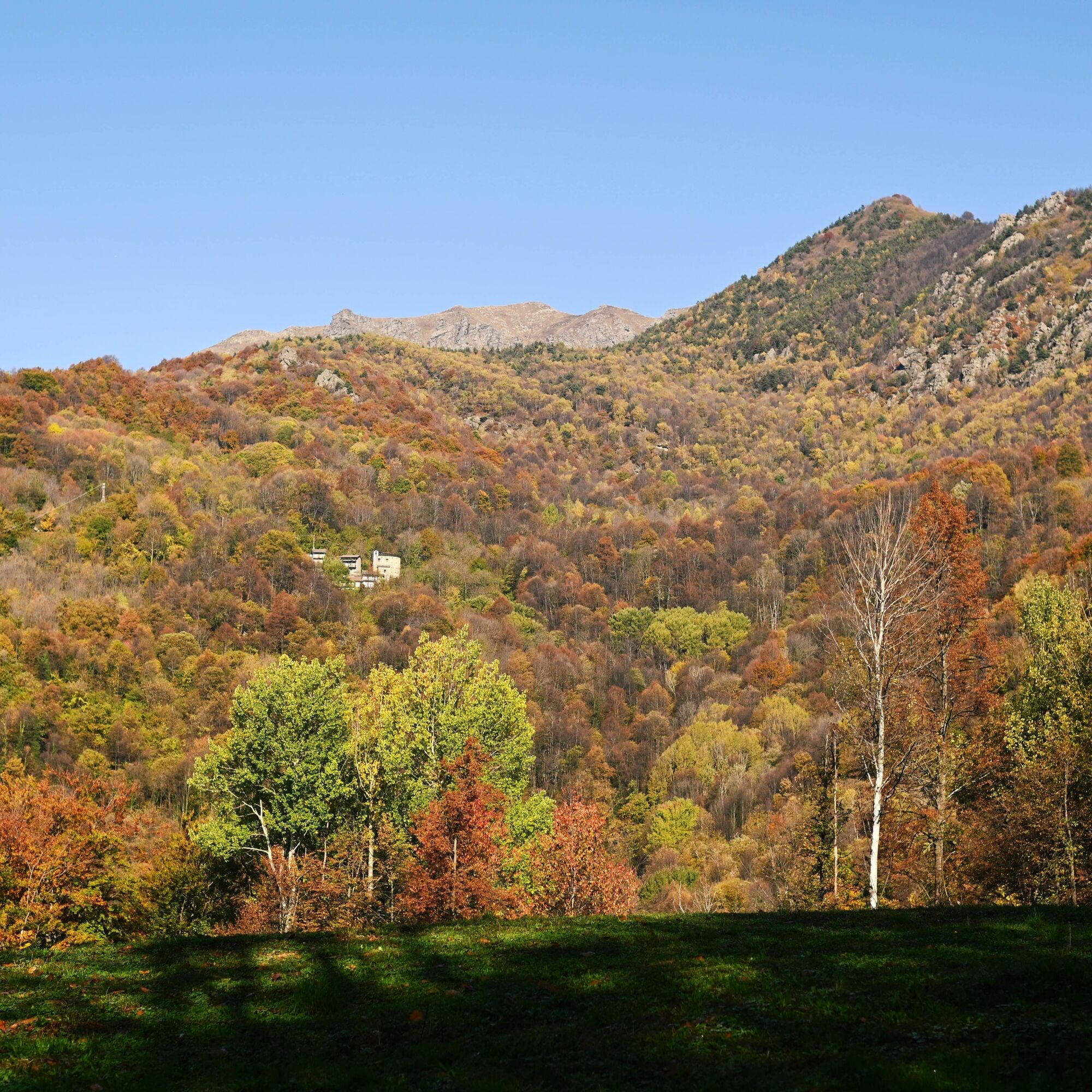
From the hamlet, take the path that climbs the mountain and reach the junction with the votive pillar of San Francesco. From here take the path on the right. First, walk through a few broadleaf trees, including chestnuts, birches, and beeches, then cross a beautiful pine forest, following a path with fairly gentle and pleasant slopes.
Having reached the ruins of Alpe Comba di Breno Inferiore, tackle the last climb to reach Truc Castelletto, from where you can enjoy a splendid view. From here, descend to the hamlets of Cordole, Magnotti, Bonaudi, and finally return to Mocchie.


From the SS24 of Monginevro, at the Condove roundabout near the Gravio picnic area, follow the signs for Mocchie. The road climbs quite steeply in some parts, passing by several hamlets and scattered houses. At the various forks encountered, always follow the signs for Mocchie.
Enter the small village of Mocchie and park the car in the square in front of the church of San Saturnino.
T2
Oblíbené prohlídky v okolí
-
4.7
On the summit of the magical Musiné
světloTuristika 6.94 km -
5.0
BALME Green Lakes and Lago Paschiet
středníTuristika 7.51 km -
Avigliana Lakes - Easy route, ideal for families with children
světloTuristika 9.25 km -
CASELETTE - The Musiné loop
středníTuristika 7.52 km -
COLLE DEL LYS Partisan Trail
středníTuristika 11.6 km -
USSEGLIO Lake Nero from Lake Malciaussia
světloTuristika 4.79 km -
5.0
LEMIE Ovarda Lakes loop
heavyTuristika 15.9 km -
GIVOLETTO Madonna della Neve on Monte Lera
středníTuristika 6.11 km -
5.0
Unspoiled woods and ancient hamlets in Valsangone - Selvaggio Loop - Bagaggera
světloTuristika 9.08 km -
COLLE DEL LYS Monte Arpone loop
světloTuristika 4.50 km
Pěší turistika a stopování


Nenechte si ujít nabídky a inspiraci pro vaši příští dovolenou
Vaše e-mailová adresa byl přidán do poštovního seznamu.


