


COLLE DEL LYS Partisan Trail
Colle del Lys, near which there was a Nazi-fascist massacre in July 1944, is a place of Memory where there is an ecomuseum, a commemorative tower, and a "peace garden." The territory at the time was ideal...
Colle del Lys, near which there was a Nazi-fascist massacre in July 1944, is a place of Memory where there is an ecomuseum, a commemorative tower, and a "peace garden." The territory at the time was ideal for hiding among the numerous huts or as a starting point for sabotage actions in lower Susa valley and Turin, as well as for supplies from the plain.
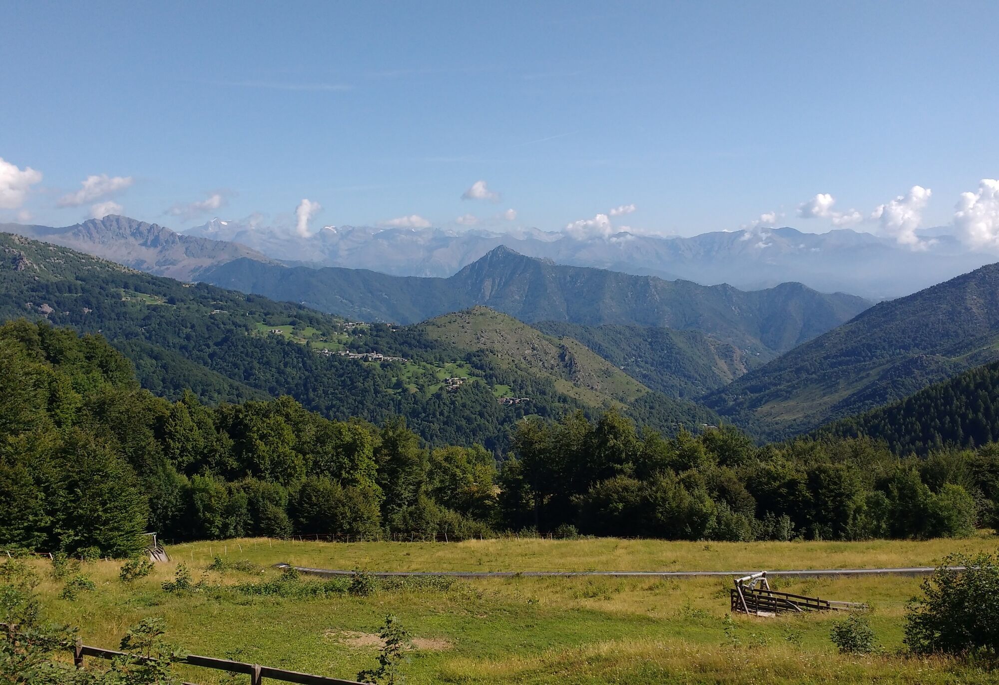
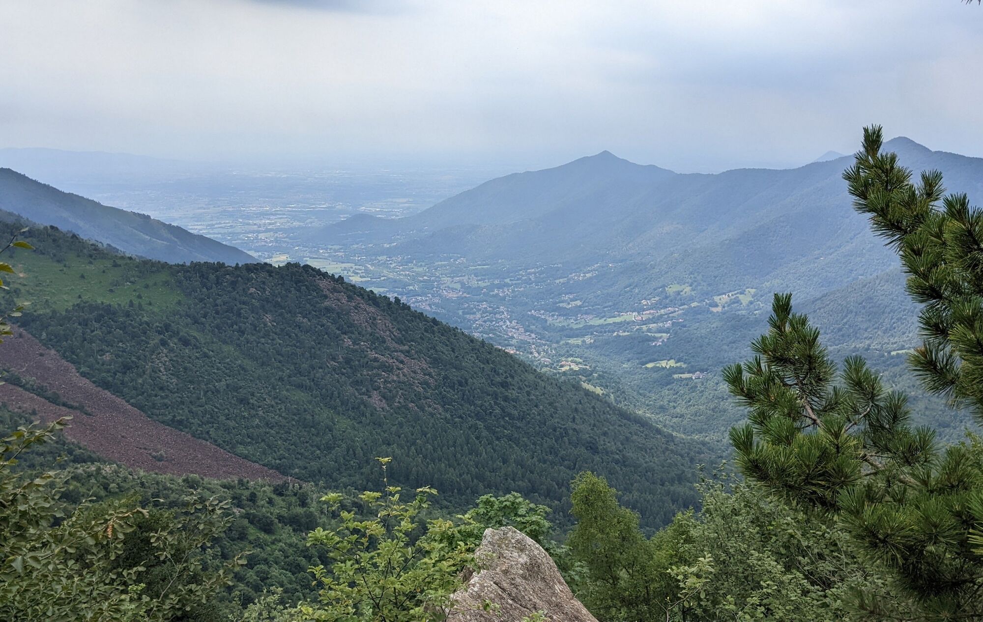
The first part of the hike takes place in the protected area of the Colle del Lys natural park in a mixed forest of larches, birches, firs, and other species that have regained space with the abandonment of the mountain. The road crosses numerous screes (block stream) made up of peridotites, rocks interesting to geologists because they formed deep down in the upper oceanic mantle before the formation of the Alpine chain.
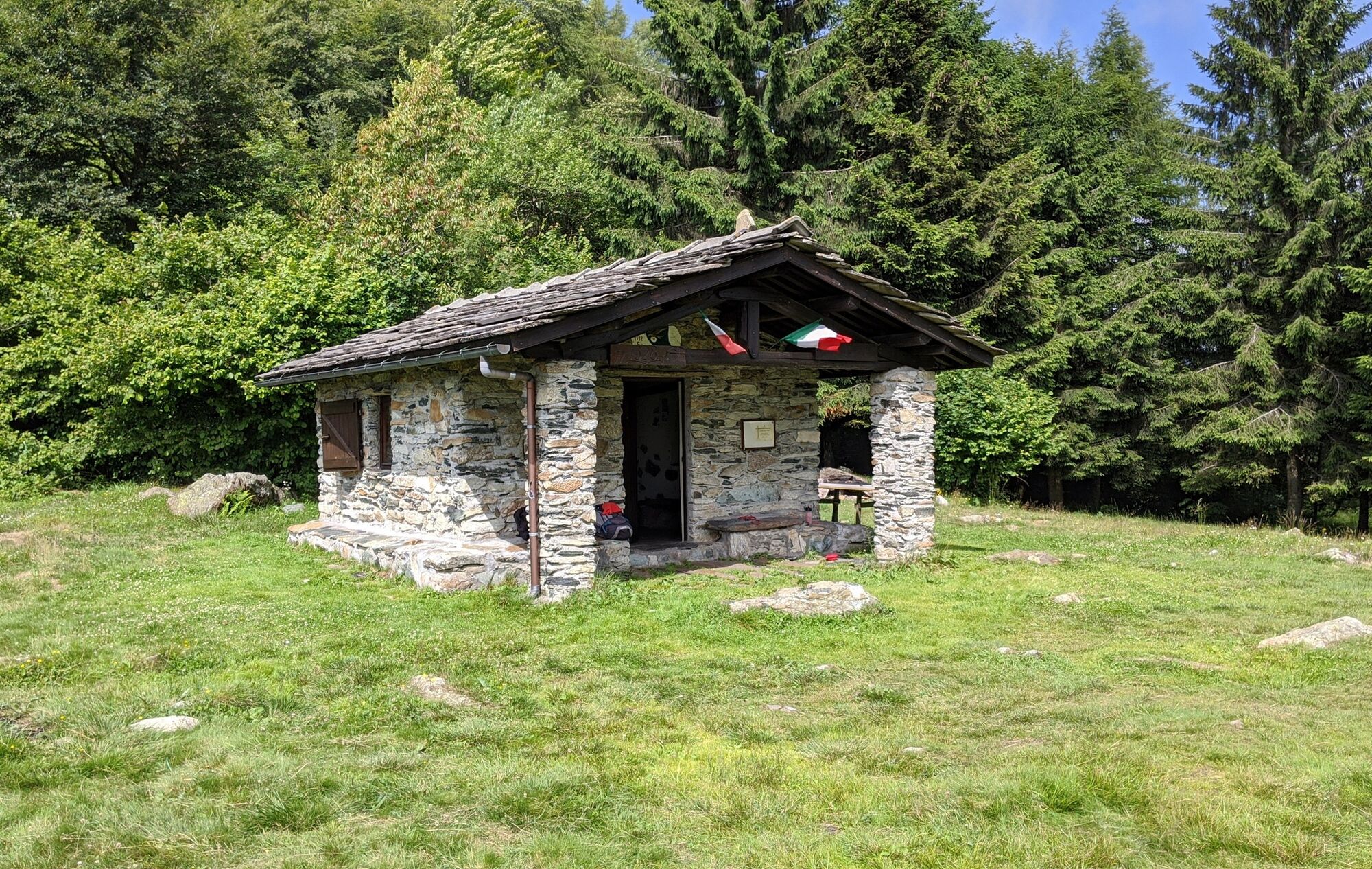
At colle della Portia, a panoramic and pleasant place, there is a chapel/bivouac accessible all year round and usable in case of necessity.

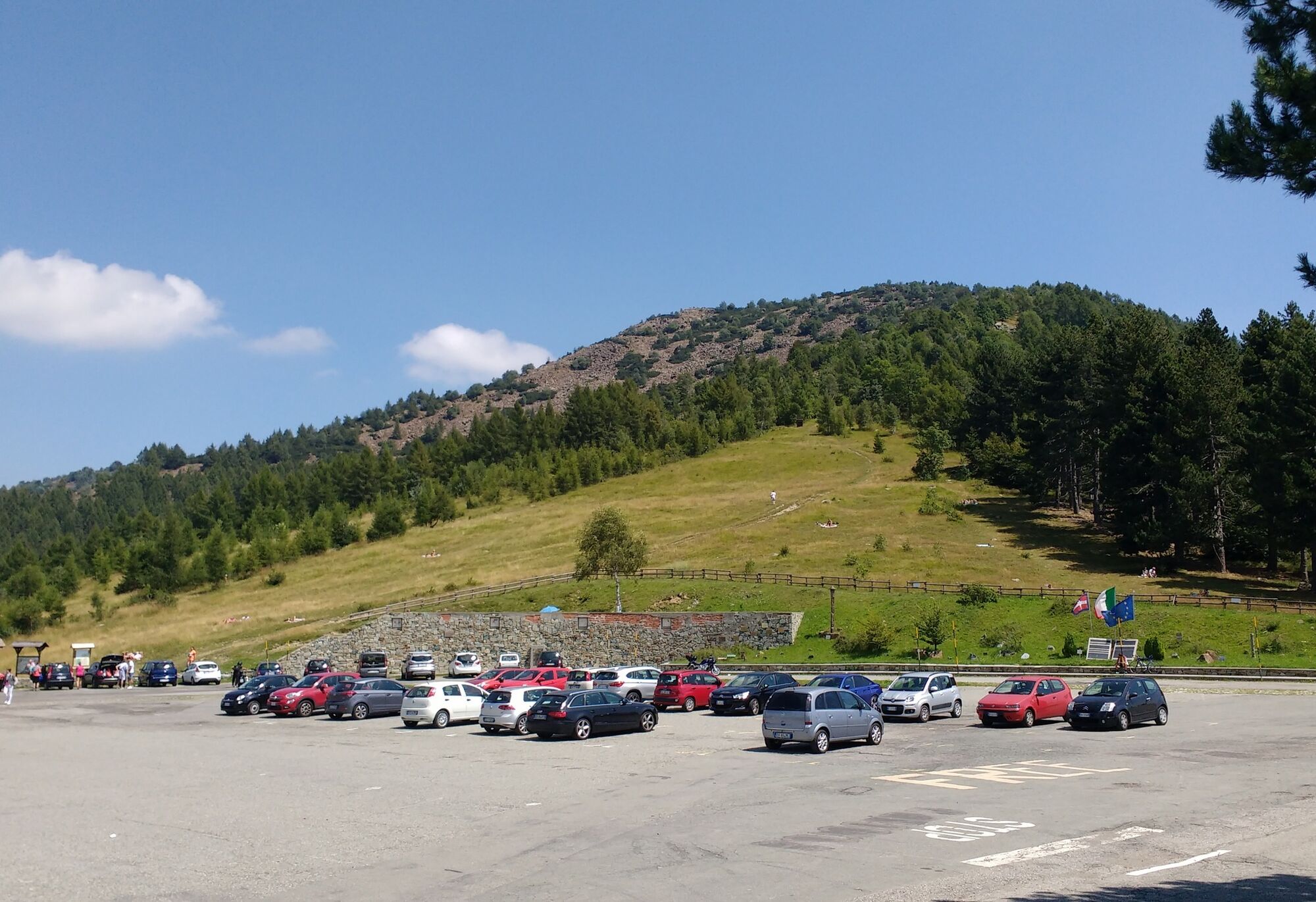
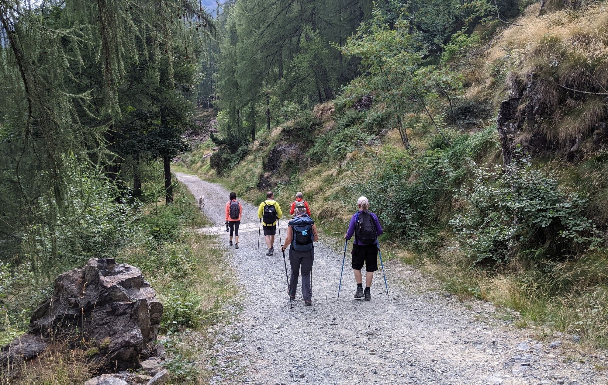
From the bottom of the piazzale del colle del Lys, at the height of some information boards, starts the dirt road to follow until the junction with the mule track that climbs to colle Portia, where the Barlot fountain is also located (about 2.8 km from the starting point). Follow the mule track up to the pass. In front of the chapel, a path goes up that must be taken. Do not follow the signs for "Il Pilone", but continue on path 012 to colle Lunella.
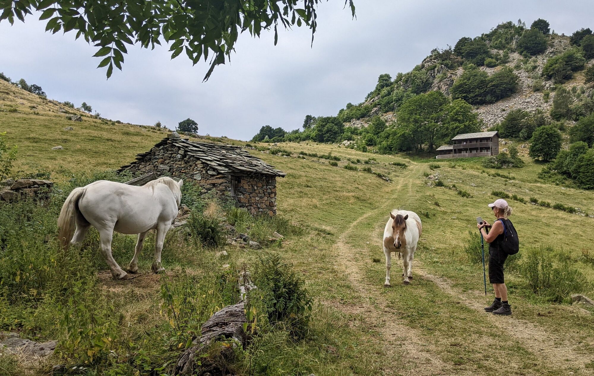
From colle Lunella follow a trail that stays at altitude and halfway up the slope heads towards colle Grisoni (visible). The trail first reaches case Giuglitera and, after crossing a couple of scree fields, arrives at colle Grisoni (1398 m).
From colle Grisoni, a grass trail descends (quite long along the line of greatest slope) to cross a dirt road. From here I recommend turning left onto the road that shortly passes under case Giuglitera visited on the way up and joins another dirt road. Then turn right downhill and after a few hundred meters, at the height of a curve, turn left.
Continuing downhill you join a new dirt road to take on the left: shortly after you arrive again at the Barlot fountain. From here continue along the outward route.
Shoes with anti-slip soles, wind/rain protection, a warm layer, hat and sunglasses, water supply, food are recommended.
From the Susa valley. Arrive at Almese (the Avigliana Ovest exit from the Turin-Bardonecchia highway is convenient) and follow provincial road 197 up to colle del Lys;
From the Lanzo valleys. Arrive at Viù, pass the main town and in the Fucine hamlet turn left passing over the bridge on the Stura di Viù. Then follow provincial road 197 up to colle del Lys.
In summer, a GTT bus arrives that leaves from the Fermi metro station in Collegno and stops right on the piazzale del colle. Info on the GTT page
In the piazzale del colle del Lys
The Carlo Mastri Resistance ecomuseum, which is also the park visitor center located in the building opposite the piazzale del colle, is worth a visit.


Oblíbené prohlídky v okolí
-
4.7
On the summit of the magical Musiné
světloTuristika 6.94 km -
Avigliana Lakes - Easy route, ideal for families with children
světloTuristika 9.25 km -
CASELETTE - Monte Musiné
středníTuristika 7.52 km -
MONASTEROLO Ca' Bianca and Big Bench
světloTuristika 4.13 km -
VALLO TORINESE Passo della Croce and the Turu
středníTuristika 4.29 km -
GIVOLETTO Madonna della Neve on Monte Lera
středníTuristika 6.11 km -
5.0
LEMIE Ovarda Lakes loop
heavyTuristika 15.9 km -
VARISELLA The ruins of the Baratonia castle, churches, and pools of Varisella
středníTuristika 10.1 km -
Easy route - Monte Cuneo (Moncuni) Loop route from Reano
světloTuristika 7.97 km -
VIU' Lake Viana from Alpe Bianca
středníTuristika 5.56 km
Pěší turistika a stopování


Nenechte si ujít nabídky a inspiraci pro vaši příští dovolenou
Vaše e-mailová adresa byl přidán do poštovního seznamu.