


GIVOLETTO Madonna della Neve on Monte Lera
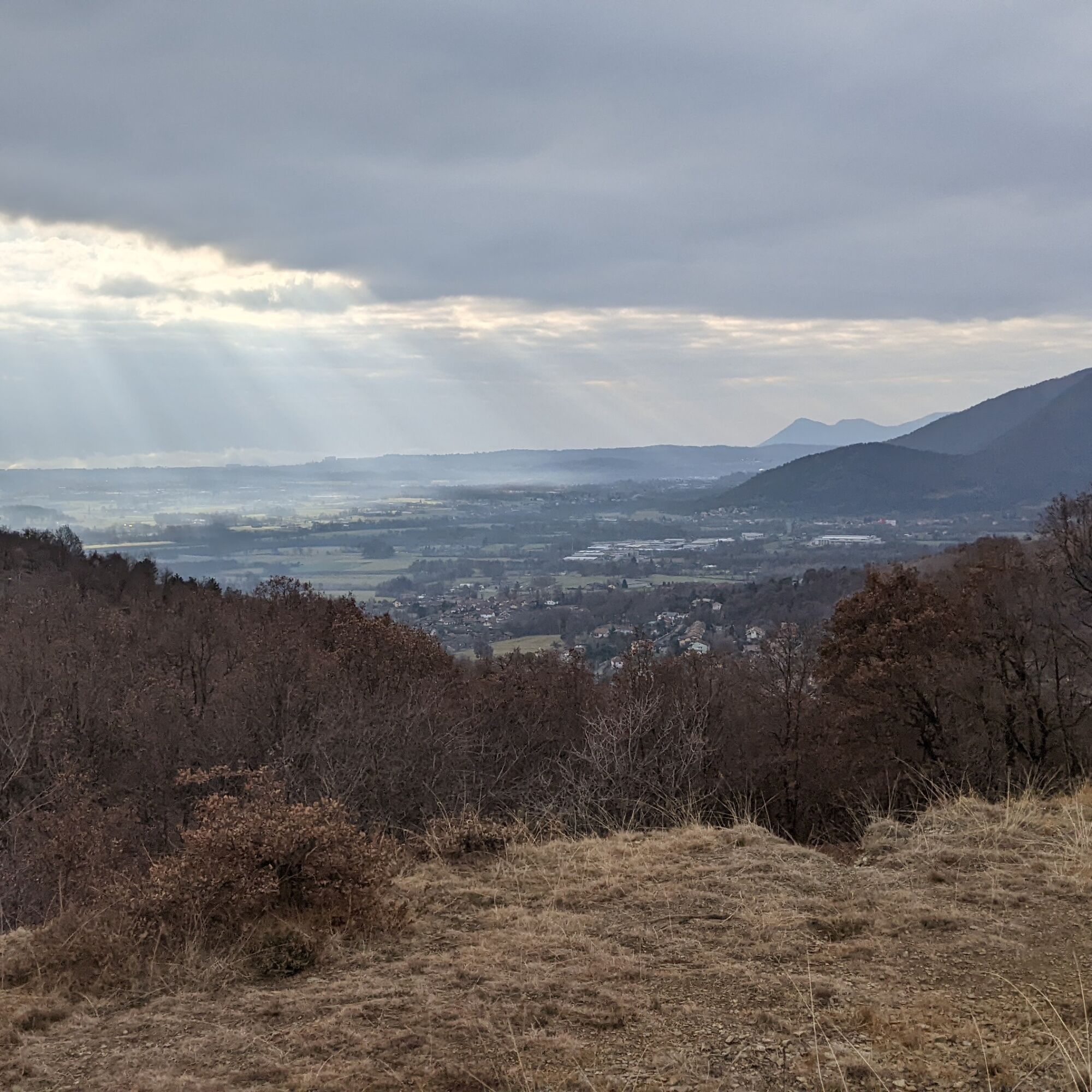
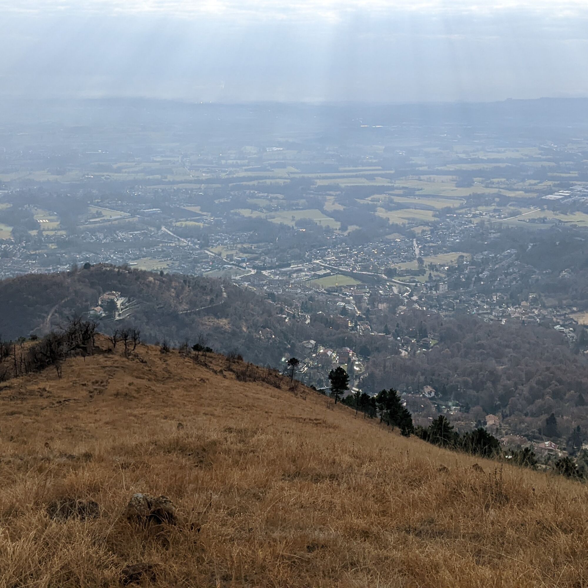
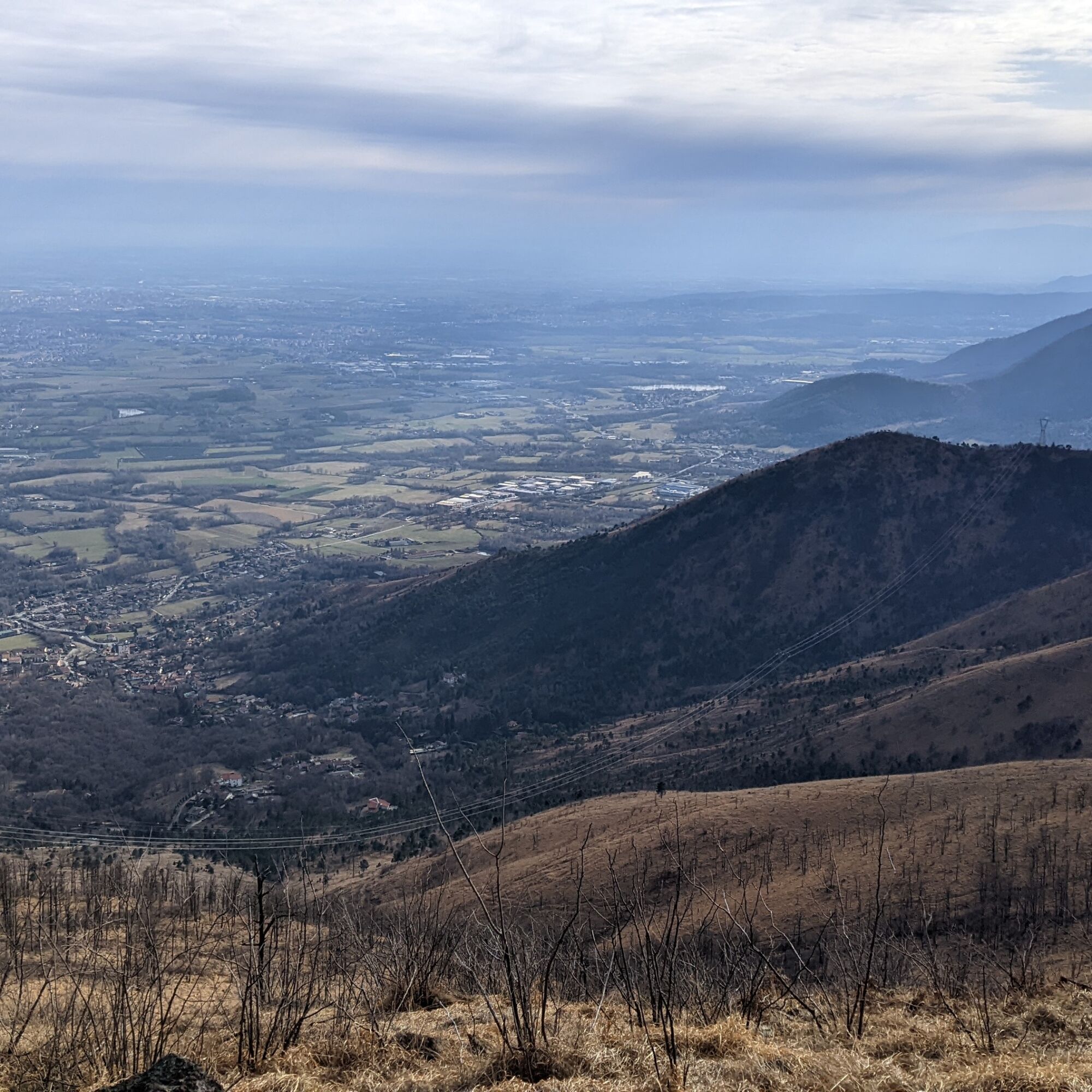
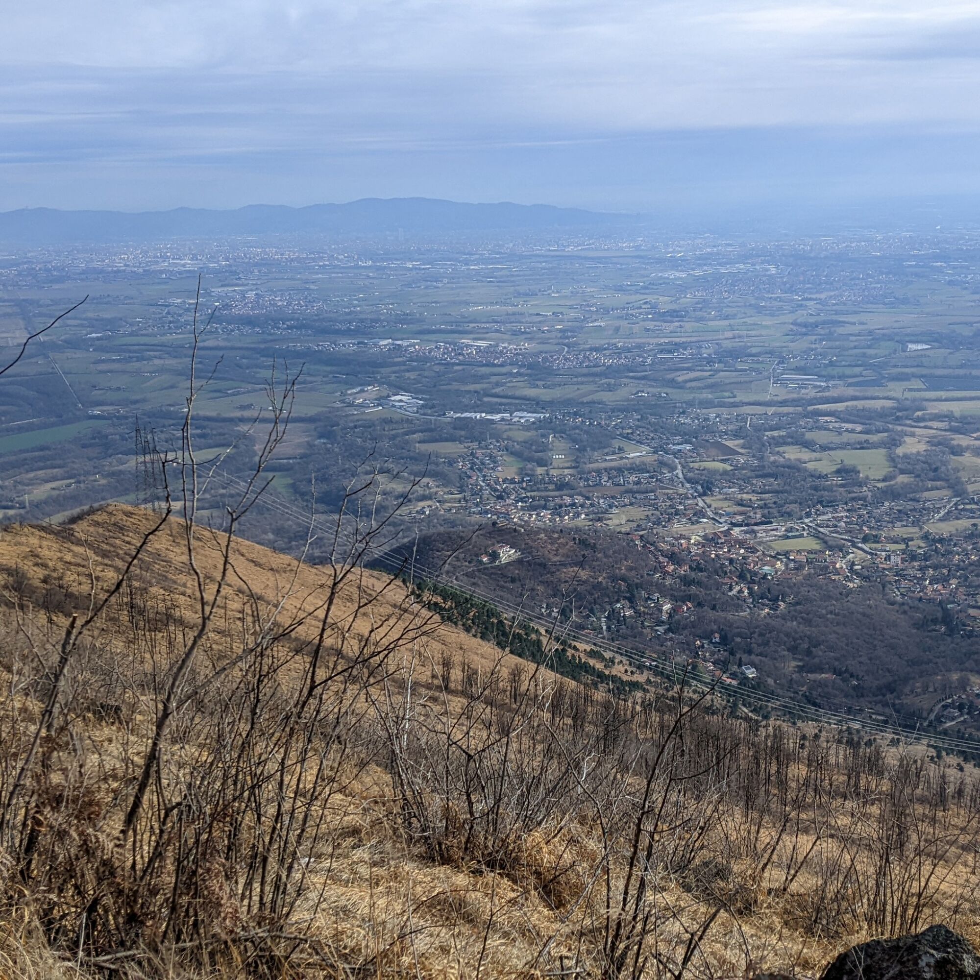
Monte Lera is a mountain rising above the Turin plain, allowing you to enjoy a wide panorama throughout the hike. The environment consists of heathland and poor meadows, unfortunately previously crossed...
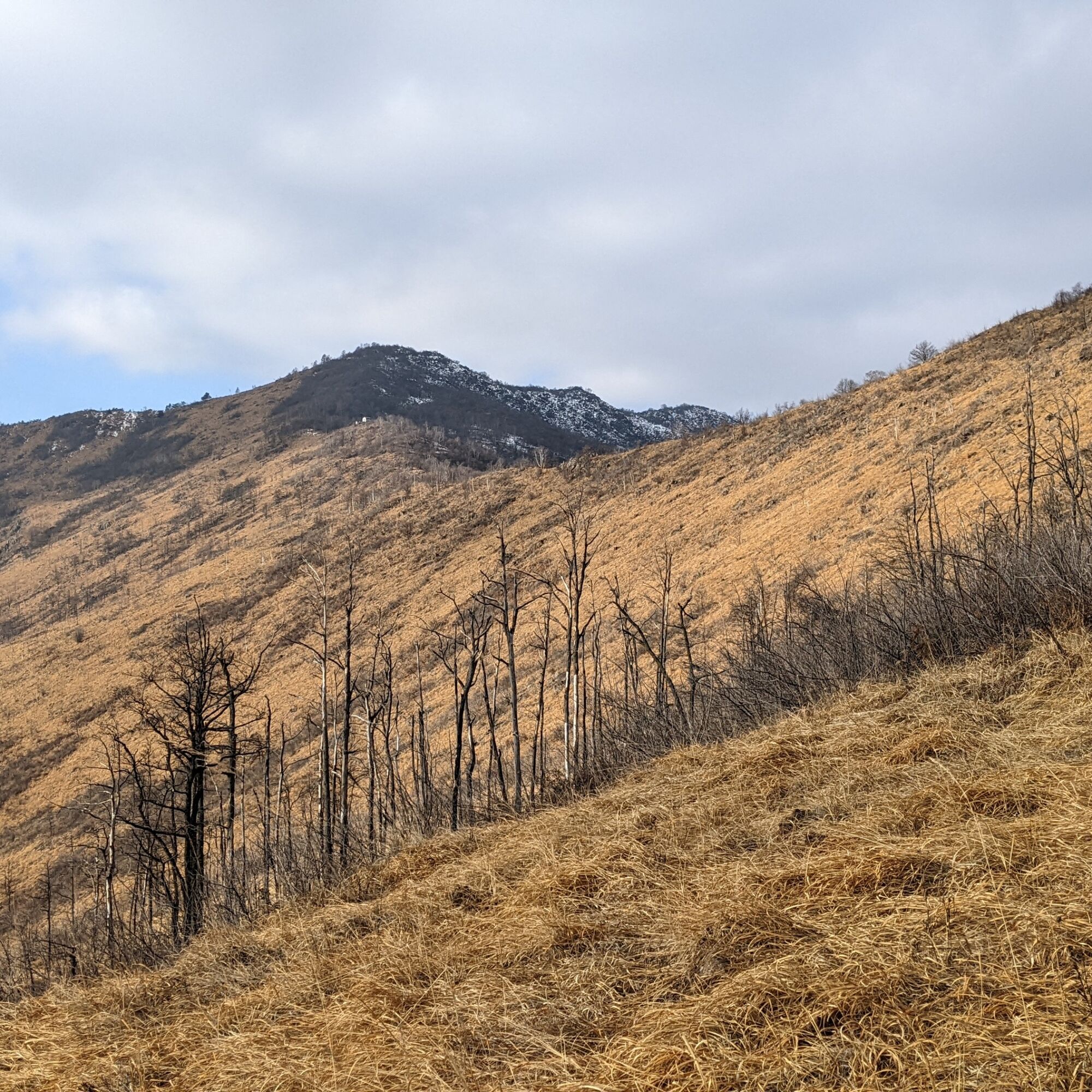
Monte Lera is a mountain rising above the Turin plain, allowing you to enjoy a wide panorama throughout the hike. The environment consists of heathland and poor meadows, unfortunately previously crossed by numerous fires, traces of which are still visible.
The upper part is included in the Monte Lera natural reserve, established to protect the plant Euphorbia gibelliana, found only in some areas among the Susa, Ceronda, Casternone, and Lanzo valleys.
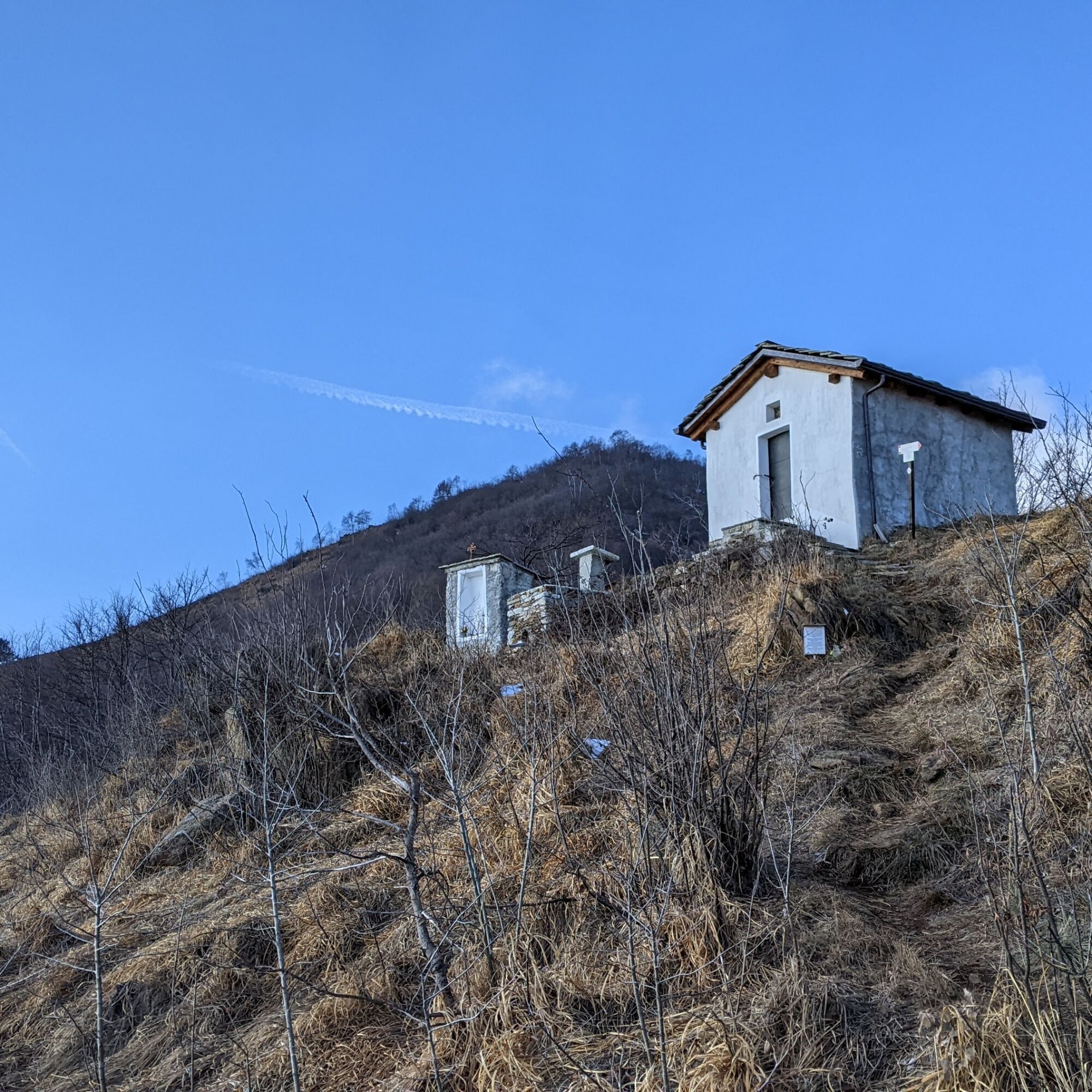
The Madonna della Neve chapel is a small, simple building, with a table and benches beside it for resting.
Since the route faces south well, it is ideal during cold seasons.

To the right of the trial park, where a small wood begins, is the start of the path which immediately starts steep.
Continue climbing on the mountain ridge (Costa Crest) until reaching Punta Fournà (1131 m).
Turn left and follow the mountain ridge: the route descends slightly to a saddle where two paths cross (around 1100 m): ignore them and continue westward. The chapel is just beyond.
For the return, go back to the saddle at 1100 m: from here you can turn right along a path which after some hairpin bends will become a dirt road, to follow down to the starting point.
Non-slip sole footwear, wind/rain protection, a warm layer, hat and sunglasses, water reserve, food are recommended.
dal centro del paese seguire le indicazioni per la chiesa di Santa Maria Ausiliatrice.
Di fronte al trial park ci sono numerose possibilità di posteggio
To add elevation gain, follow the Way of the Cross leading to the Church of St. Mary Help of Christians: from there you reach the described route in 5 minutes.
Oblíbené prohlídky v okolí
-
4.7
On the summit of the magical Musiné
světloTuristika 6.94 km -
Avigliana Lakes - Easy route, ideal for families with children
světloTuristika 9.25 km -
CASELETTE - Monte Musiné
středníTuristika 7.52 km -
MONASTEROLO Ca' Bianca and Big Bench
světloTuristika 4.13 km -
COLLE DEL LYS Partisan Trail
středníTuristika 11.6 km -
VALLO TORINESE Passo della Croce and the Turu
středníTuristika 4.29 km -
VARISELLA The ruins of the Baratonia castle, churches, and pools of Varisella
středníTuristika 10.1 km -
COLLE DEL LYS Monte Arpone loop
světloTuristika 4.50 km -
Easy route - Monte Cuneo (Moncuni) Loop route from Reano
světloTuristika 7.97 km -
LANZO TORINESE Mulino Turcin loop
středníTuristika 10.3 km
Pěší turistika a stopování


Nenechte si ujít nabídky a inspiraci pro vaši příští dovolenou
Vaše e-mailová adresa byl přidán do poštovního seznamu.