







CAPRIE - The loop of Monte Sapei and Rocca Sella

Úroveň obtížnosti: T2
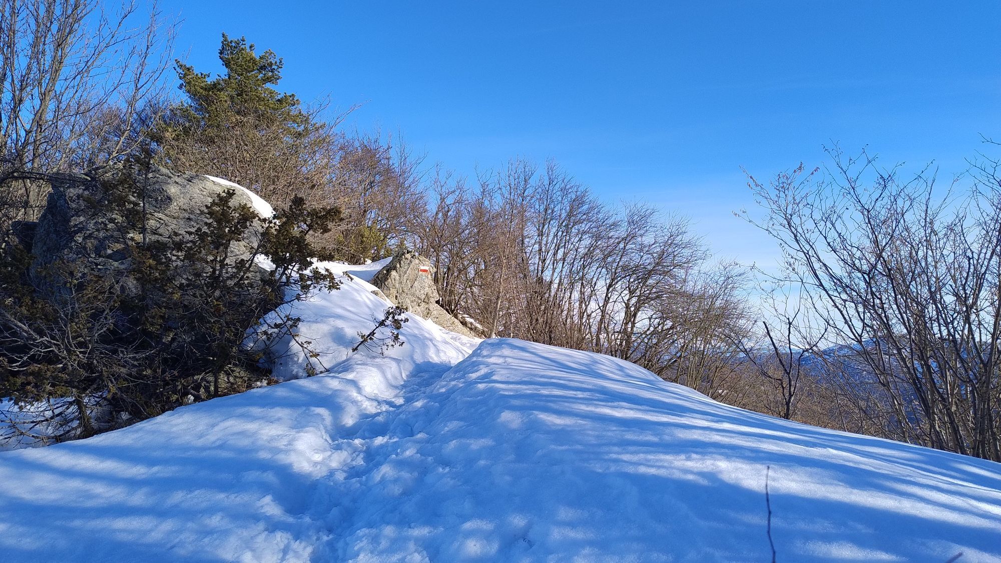
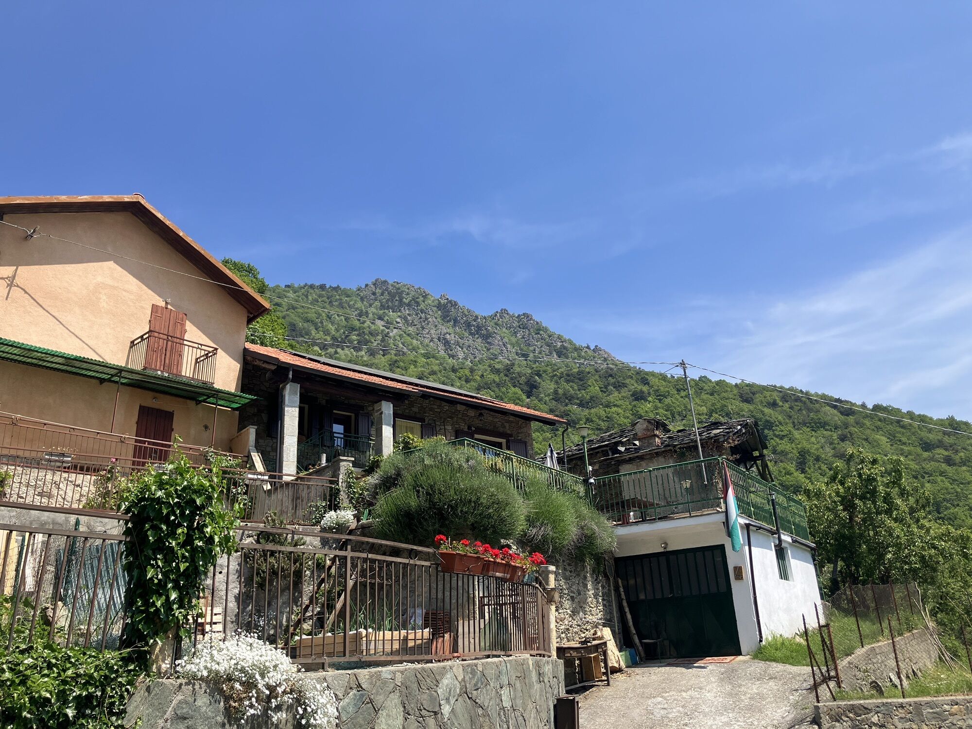
After leaving the car in Celle, pass the Rocca Sella Refuge and take the path immediately after the structure. The ascent leads to the hamlet of Comba. Here, ignore the deviation to Rocca Sella and continue...
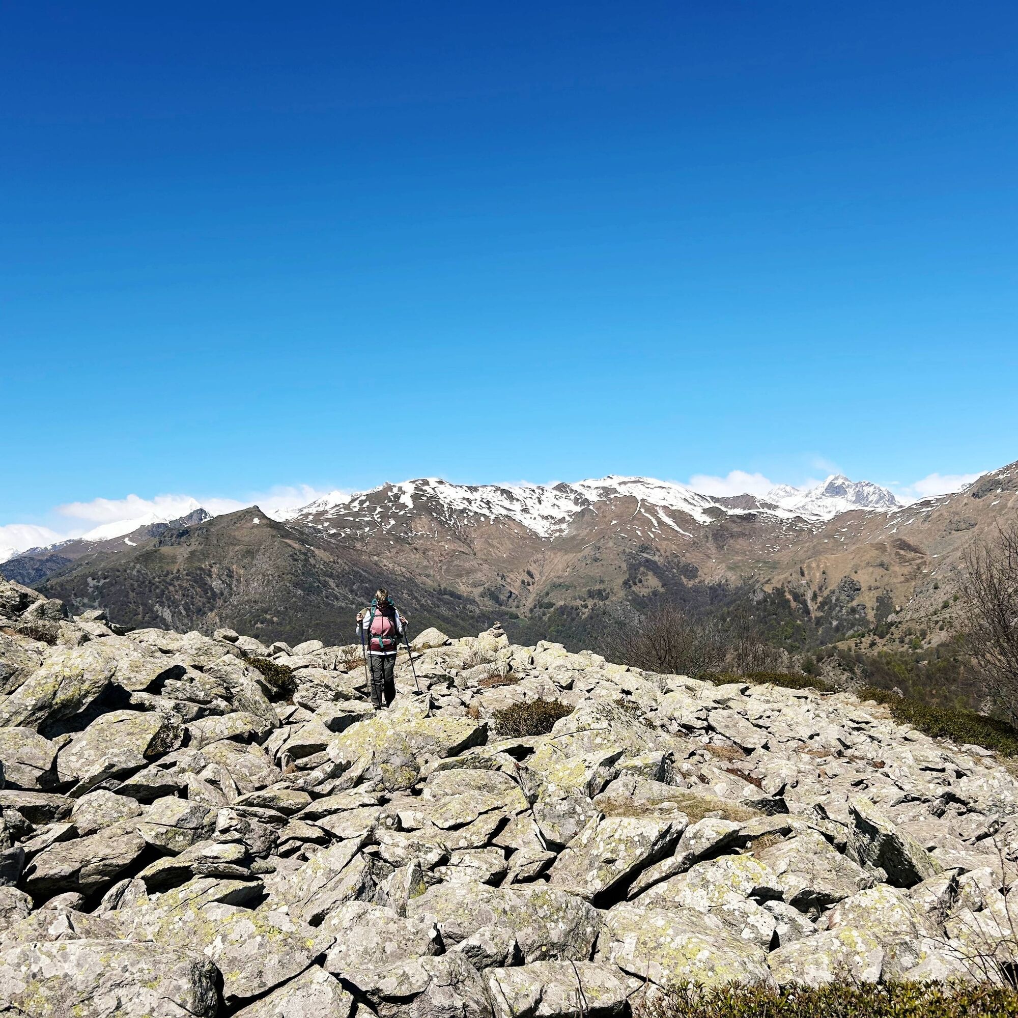
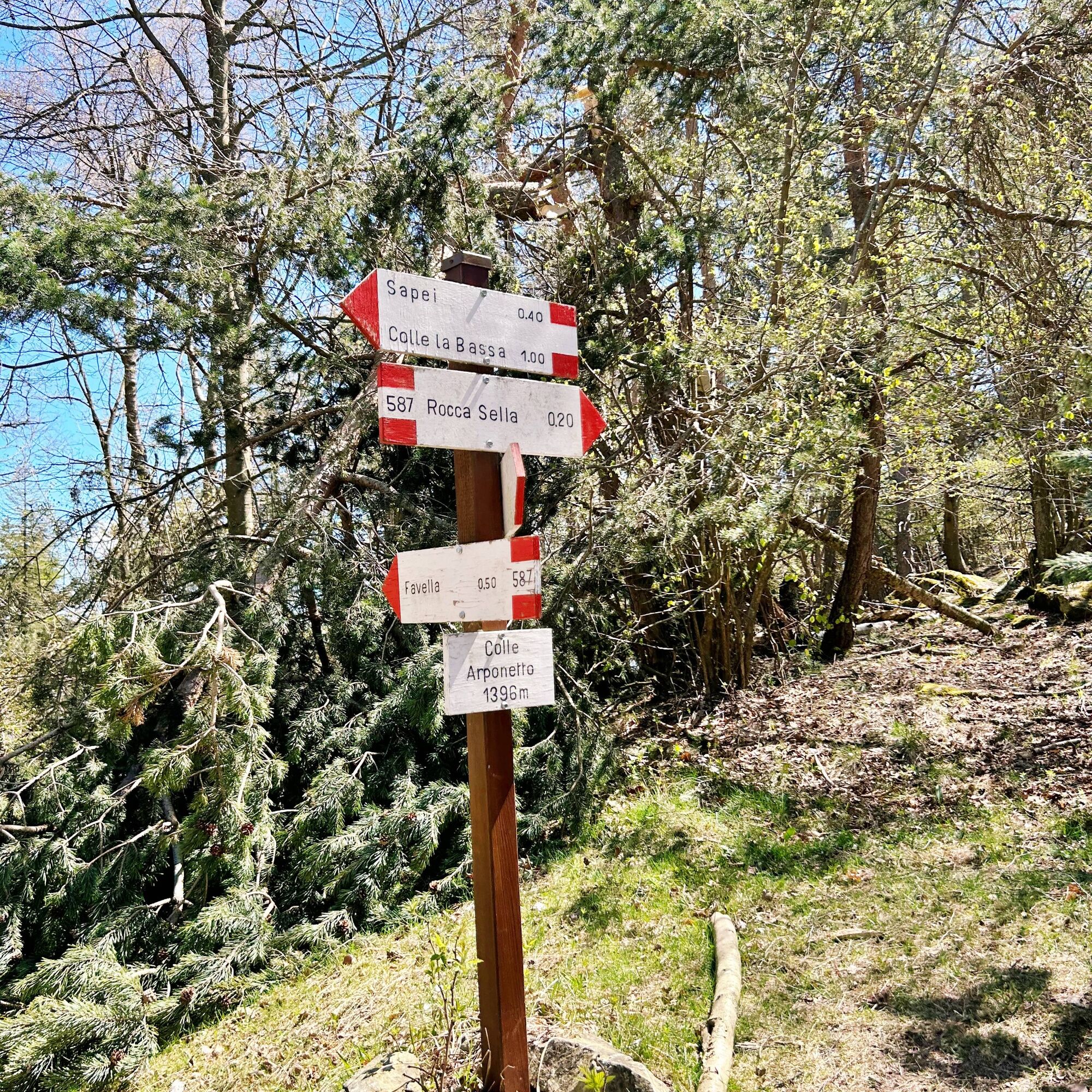
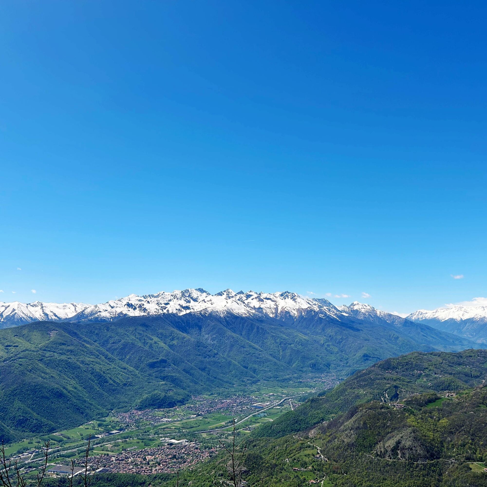
From the pass, take the path on the right leading to Monte Sapei, offering wide views of the surrounding mountains and the valley. Then descend to Colle dell’Arponetto and climb again up to Rocca Sella.
For the descent, follow path no. 571A, immersed in beautiful woods, until returning to the starting point at Celle.


From the A32 Turin-Bardonecchia motorway, exit at Avigliana West and follow the signs for Rubiana and Colle del Lys. At Rubiana, at the beginning of the town, turn left at the fork, following signs for Montecomposto and Celle.
In Celle, park near the small square adjacent to the Church.
T2

Oblíbené prohlídky v okolí
-
4.7
On the summit of the magical Musiné
světloTuristika 6.94 km -
Avigliana Lakes - Easy route, ideal for families with children
světloTuristika 9.25 km -
CASELETTE - The Musiné loop
středníTuristika 7.52 km -
COLLE DEL LYS Partisan Trail
středníTuristika 11.6 km -
5.0
LEMIE Ovarda Lakes loop
heavyTuristika 15.9 km -
VALLO TORINESE Passo della Croce and the Turu
středníTuristika 4.29 km -
GIVOLETTO Madonna della Neve on Monte Lera
středníTuristika 6.11 km -
5.0
Unspoiled woods and ancient hamlets in Valsangone - Selvaggio Loop - Bagaggera
světloTuristika 9.08 km -
VARISELLA The ruins of the Baratonia castle, churches, and pools of Varisella
středníTuristika 10.1 km -
COLLE DEL LYS Monte Arpone loop
světloTuristika 4.50 km
Pěší turistika a stopování


Nenechte si ujít nabídky a inspiraci pro vaši příští dovolenou
Vaše e-mailová adresa byl přidán do poštovního seznamu.





