







La Mandria - loop walk
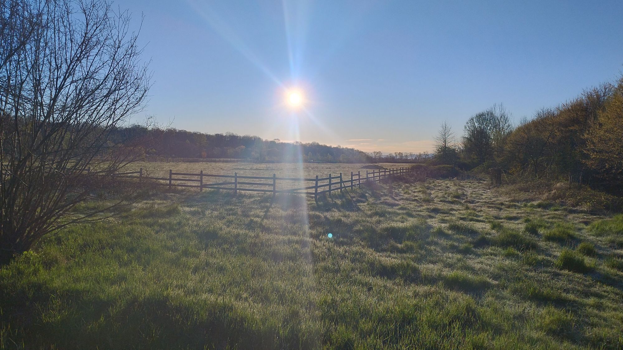
From the Ponte Verde entrance (location of the information point), turn left and follow the road along the park boundary fence. Take the first turn on the right (300 m) and continue until you reach the...
From the Ponte Verde entrance (location of the information point), turn left and follow the road along the park boundary fence. Take the first turn on the right (300 m) and continue until you reach the Prato Pascolo farmhouse (700 m) - home to the Educational Restaurant C.na Prato Pascolo - where you will find bike rentals, restrooms, and a refreshment point. After passing the farmhouse, continue left until you reach the fence again (1.1 km), then turn right. Continue along the long fence until you reach near the Druento entrance the Casetta Remondino (3.4 km), where there is a fountain. Proceed straight and take the first turn right (4 km), reaching the medieval church of San Giuliano (4.2 km). Turn right, pass the Rubbianetta farmhouse - home to the International Horse Center - and continue straight along Strada Rubbianetta.
You then reach Cascina Vittoria, home to the park stables, and from there continue following the road that turns left then shortly left again leading to the start of Rampa Ciuché (8 km). Climb the ascent and then the descent that follows until you reach Borgo Castello. Facilities and the offices of the Park Authority are present here. Continue left and then after about 100 meters turn right along the offices. You then reach Borgo Castello (8.8 km) and from there descend taking the figure-8 road. Reaching the fountain at the end of the eight (9.2 km), continue another 500 meters along Viale dei Roveri to reach the starting point.
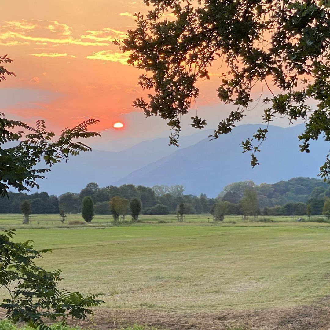

Comfortable shoes and a water bottle that can be refilled at the various potable fountains (Turet) located in the park.
Free unsupervised outdoor parking at Ponte Verde - Venaria Reale.
For the descent, if done by bike or with a stroller, we recommend diverting along the nearby paved road Rampa delle suore.
Oblíbené prohlídky v okolí
-
4.7
On the summit of the magical Musiné
světloTuristika 6.94 km -
CASELETTE - Monte Musiné
středníTuristika 7.52 km -
MONASTEROLO Ca' Bianca and Big Bench
světloTuristika 4.13 km -
VALLO TORINESE Passo della Croce and the Turu
středníTuristika 4.29 km -
GIVOLETTO Madonna della Neve on Monte Lera
středníTuristika 6.11 km -
MONCALIERI - Biking on the water: Le Vallere and Valentino Park
světloJízda na kole 17.0 km -
VARISELLA The ruins of the Baratonia castle, churches, and pools of Varisella
středníTuristika 10.1 km -
LA CASSA Monte Castello Loop
středníTuristika 11.0 km -
From Rivalta Torinese to Reano. Mountain Biking on the outskirts of Turin
středníMountainbike 26.5 km -
Reach Sensimmersion - Inside the Park
heavyJízda na kole 5.98 km
Pěší turistika a stopování


Nenechte si ujít nabídky a inspiraci pro vaši příští dovolenou
Vaše e-mailová adresa byl přidán do poštovního seznamu.





